Arizona Trail - Day 1 - The US/Mexico Border to Bear Creek Canyon
Date: March 14, 2019
Trail Mile 8
Although we planned to start the Arizona Trail on March 12, winter storm Ulmar slammed into Arizona for three solid days beginning March 11. Sitting at home with gear collected and plans unfurled, we decided to forgo our original start and move it to Wednesday, March 13. Ulmar continued to cover most of the state in snow from north to south along every mountain spine, even making the rare appearance of ground-fluff in parts of Phoenix.
Typically, I would be floored for such a difference in weather. I would wake early and draw myself to the mountains for rarities as frozen precip in the desert. This moment, however, was marked by strong anxiety. I felt an unhinged fear that crept, beginning as doubt in my knee pain and spreading to my mind, as a fear of never starting never completing.
As Ulmar cycled out of AZ, its tailwinds continued to pummel southern sky islands on the morning of March 13. Convicted, I decided this would not hold us back. Catching a ride with our friend Colleen, Janna and I threw our gear in her car and began the ride down to the border. The highway stretched across the flat tope basins as opposing ranges remained obscured by storm clouds on high. Approaching the Santa Catalinas outside Tucson, visibility of the peaks remained only for the bottom quarter of each mountain. High wind advisories continued to beckon from the weather app on my phone as I increasingly fell in with hesitation once more. I scanned every thread of information I could find on conditions in the Huachucas, our first range and the start of the AZT at the border. Mountain Forecast indicated any elevation 8,000 ft. and above would face winds 40-50 mph with gusts up to 60/70 mph. Elevation from there and above had received 18+ inches of snowfall on top of the foot or two of snowpack already present.
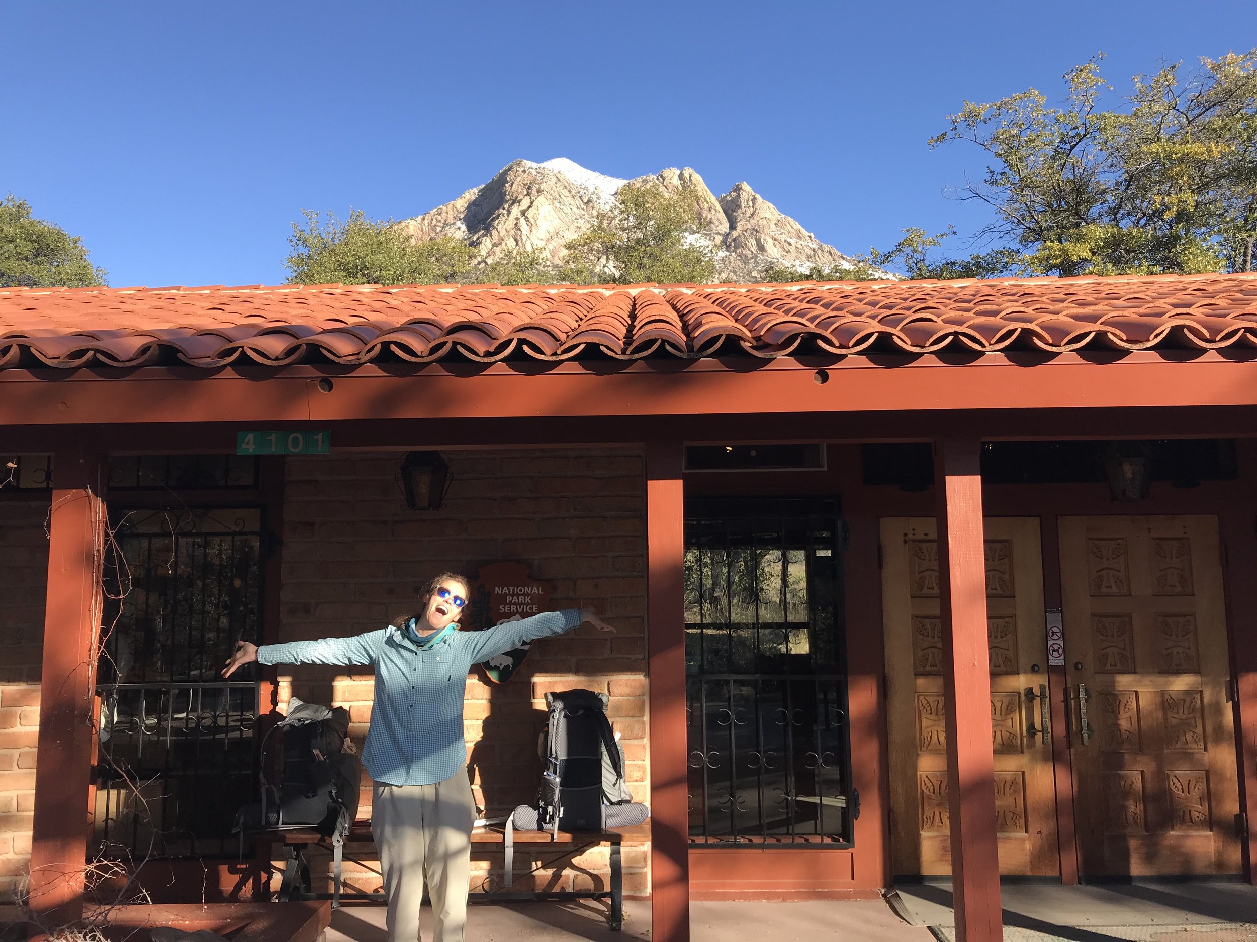
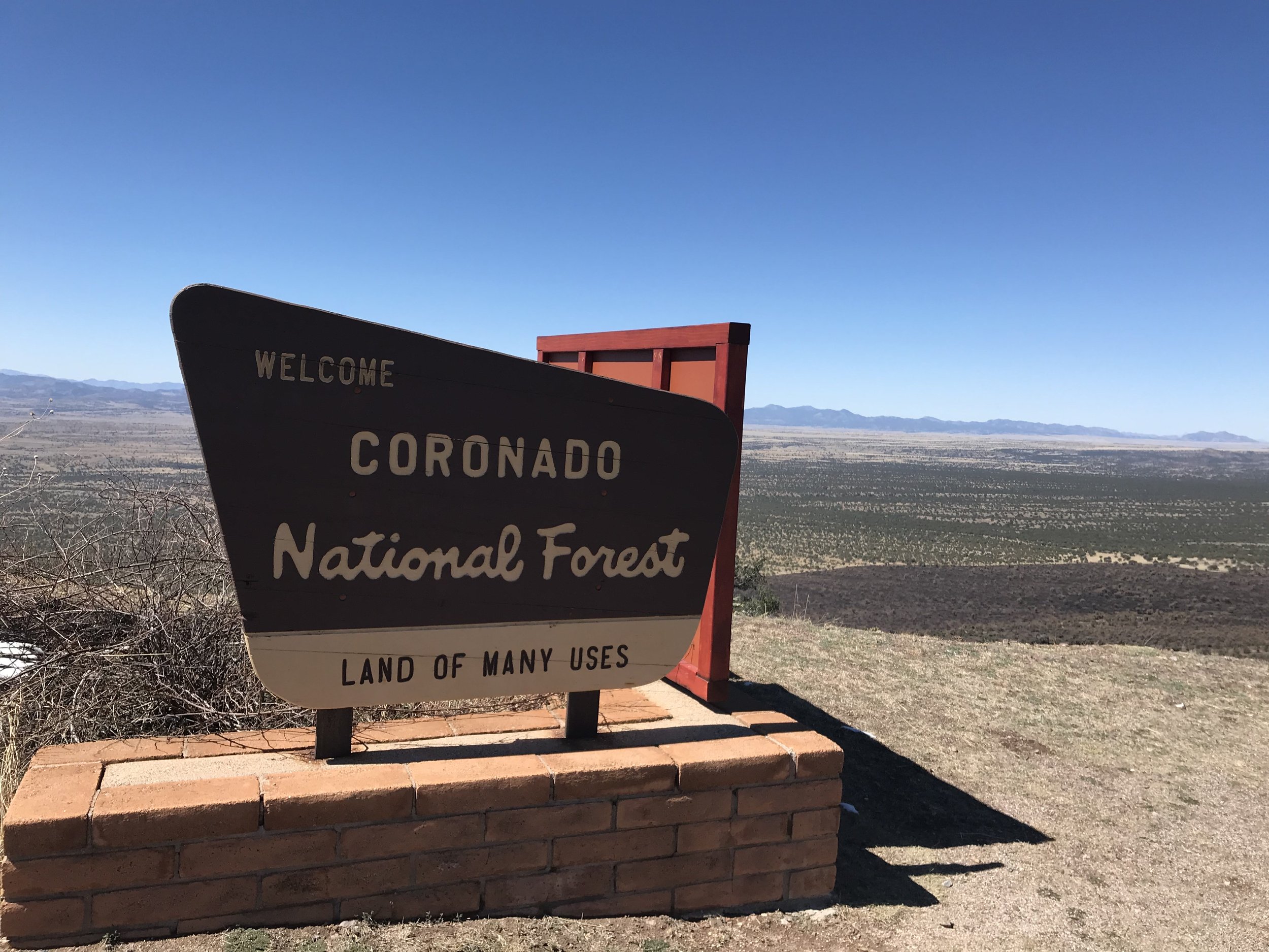
Pulling into Sierra Vista, staring at the Huachucas, it was like a winter hurricane was slicking the peaks. Colleen drove us to the entrance of Coronado National Memorial on the southwest edge of the range. We jumped out of the car for the requisite photo at the park boundary entrance.
I know it doesn’t look like much in the picture above, but the winds were driving a solid horizontal rain that coated one side of the car in sleet and left the lee of the vehicle dry to the touch. Colleen said we were crazy.
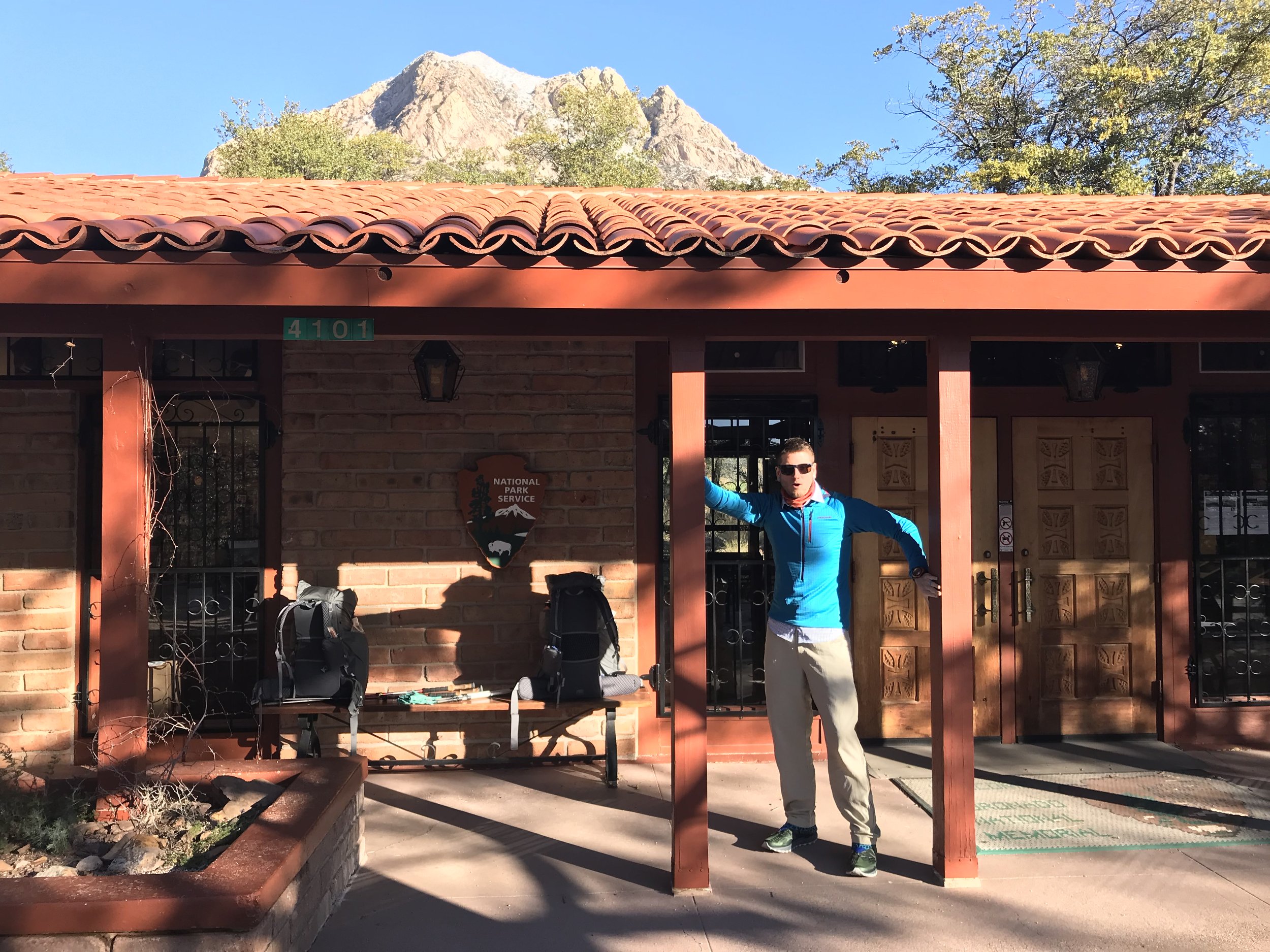
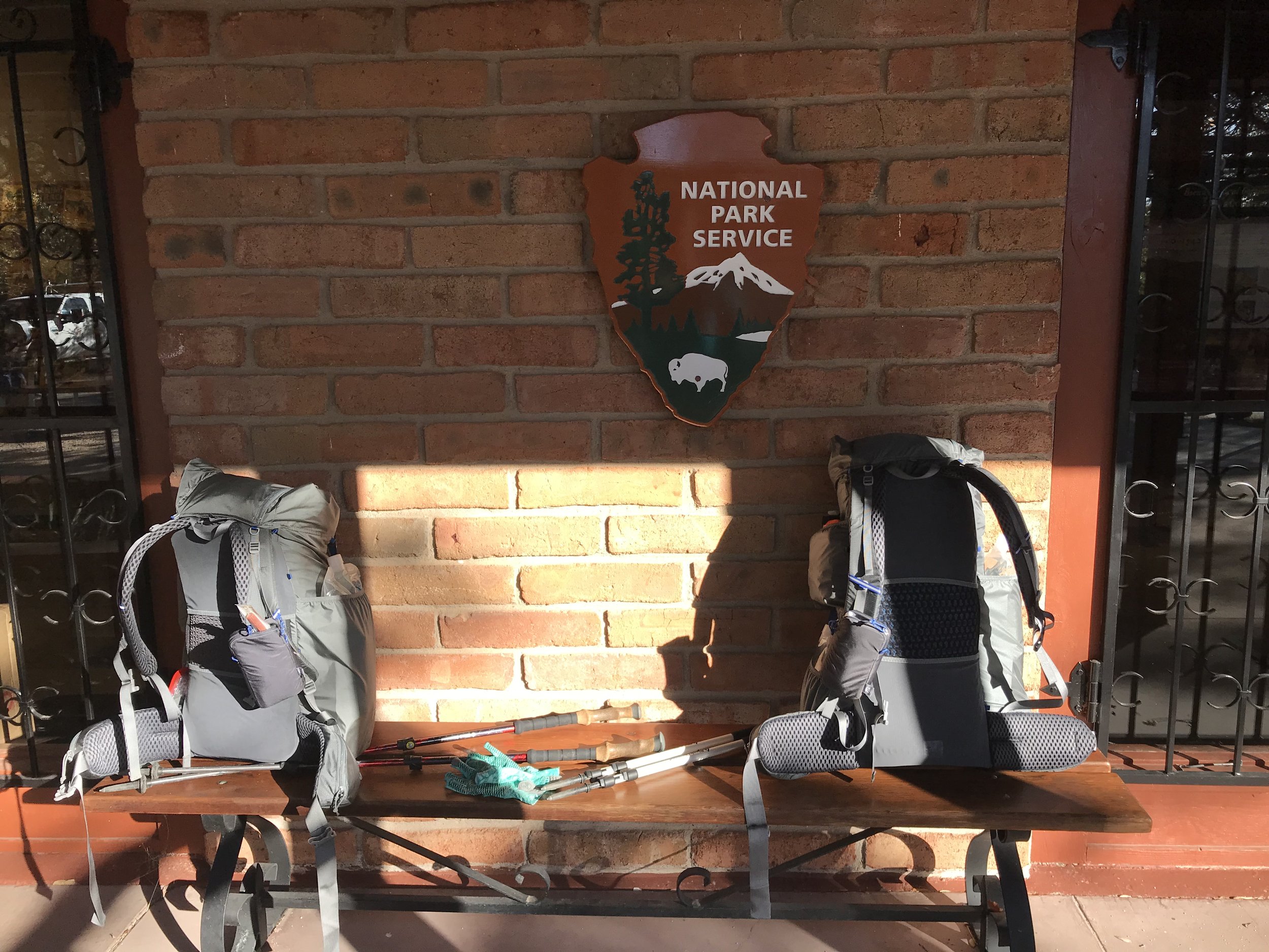
Arriving at the visitor center, my risk management went into play. Much to my surprise, Janna was all about starting. I just couldn’t balance the weight of my knee injury with the reality of a 4,000 ft. ascent into a winter storm warning. Hell no.
Persuaded by reason, we had Colleen drive us to a motel in Sierra Vista to wait one more day. Securing early check-in, we lay in bed hashing out logistics for tomorrow. Post-confirming a shuttle to take us to the park and discovering that the park provides transit to the saddle where the AZT can be accessed, we spent the rest of the day walking around town grabbing food and ruminating on the hand of god laying waste to the mountain.
Dusk crept edgily along the Borderlands as frost dropped in altitude, and the mountain continued to be smeared by a white mass of fury. Waking the next day brought a new world of change to the peaks.
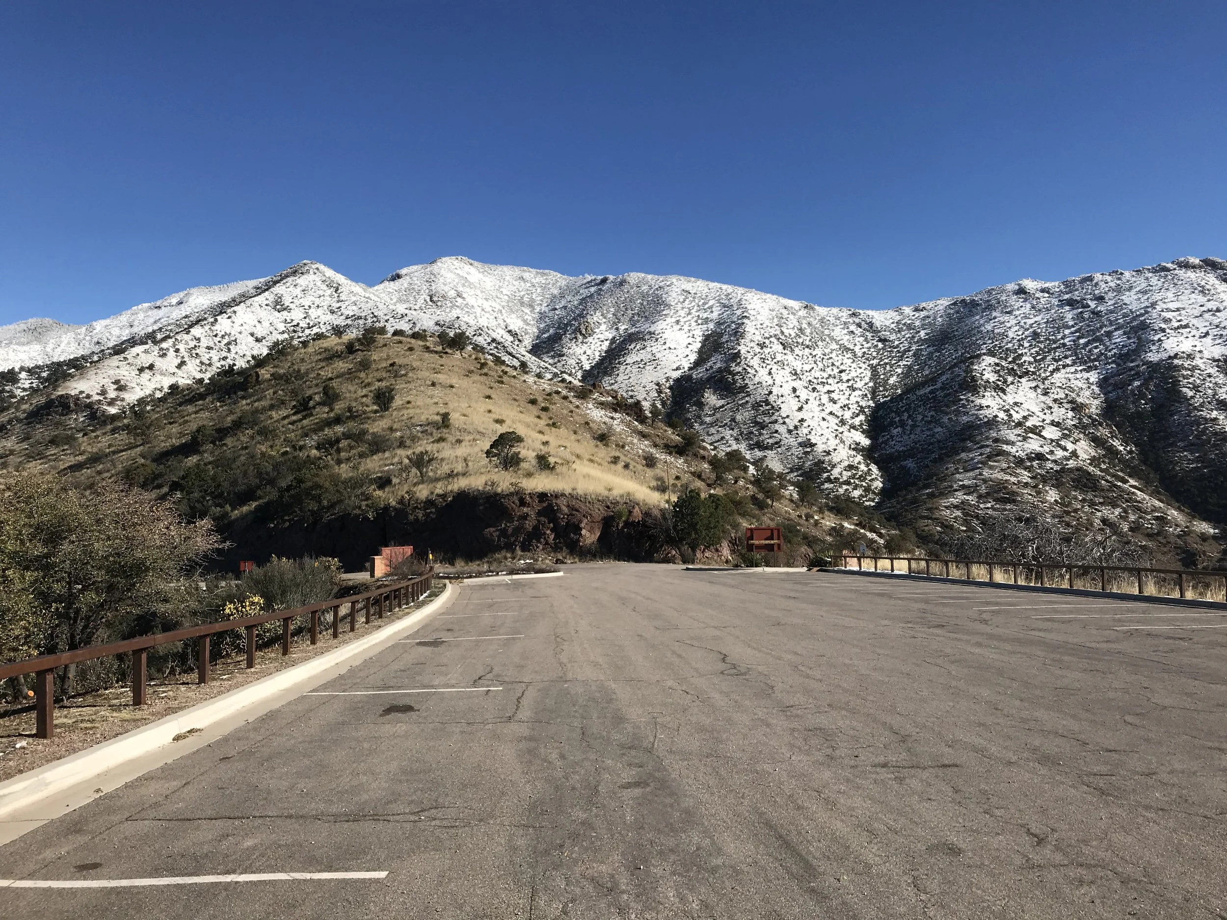
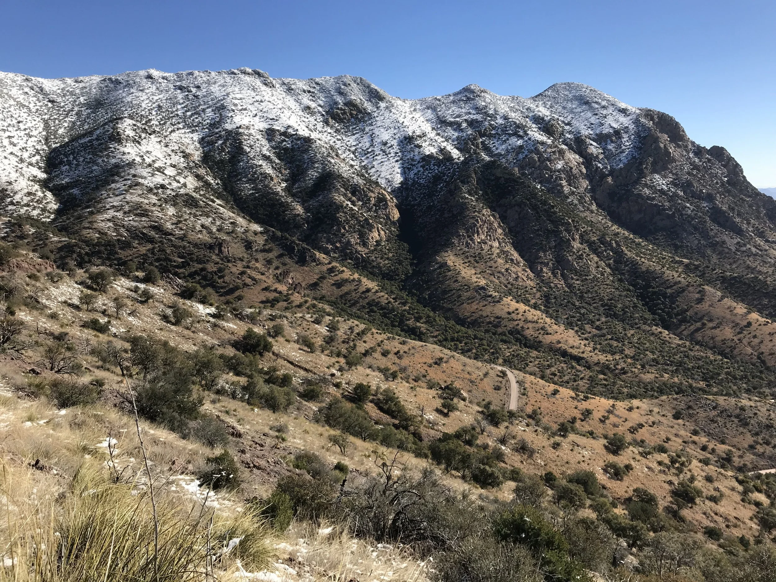
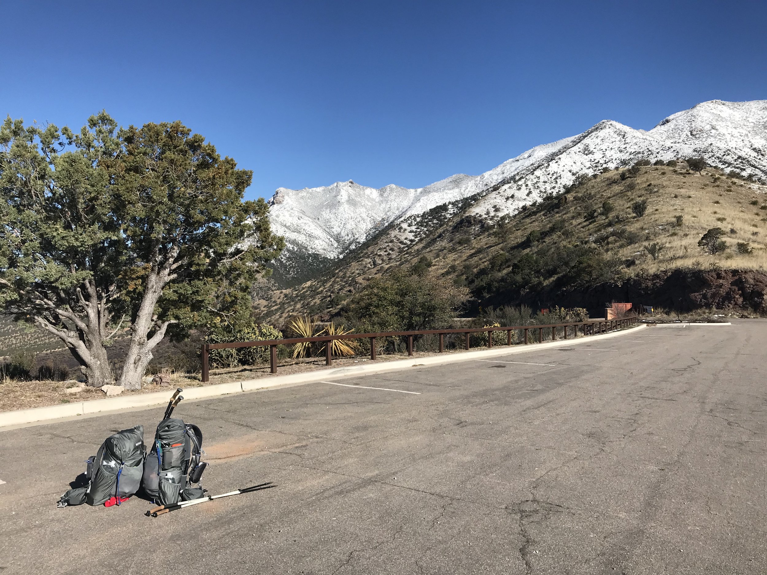
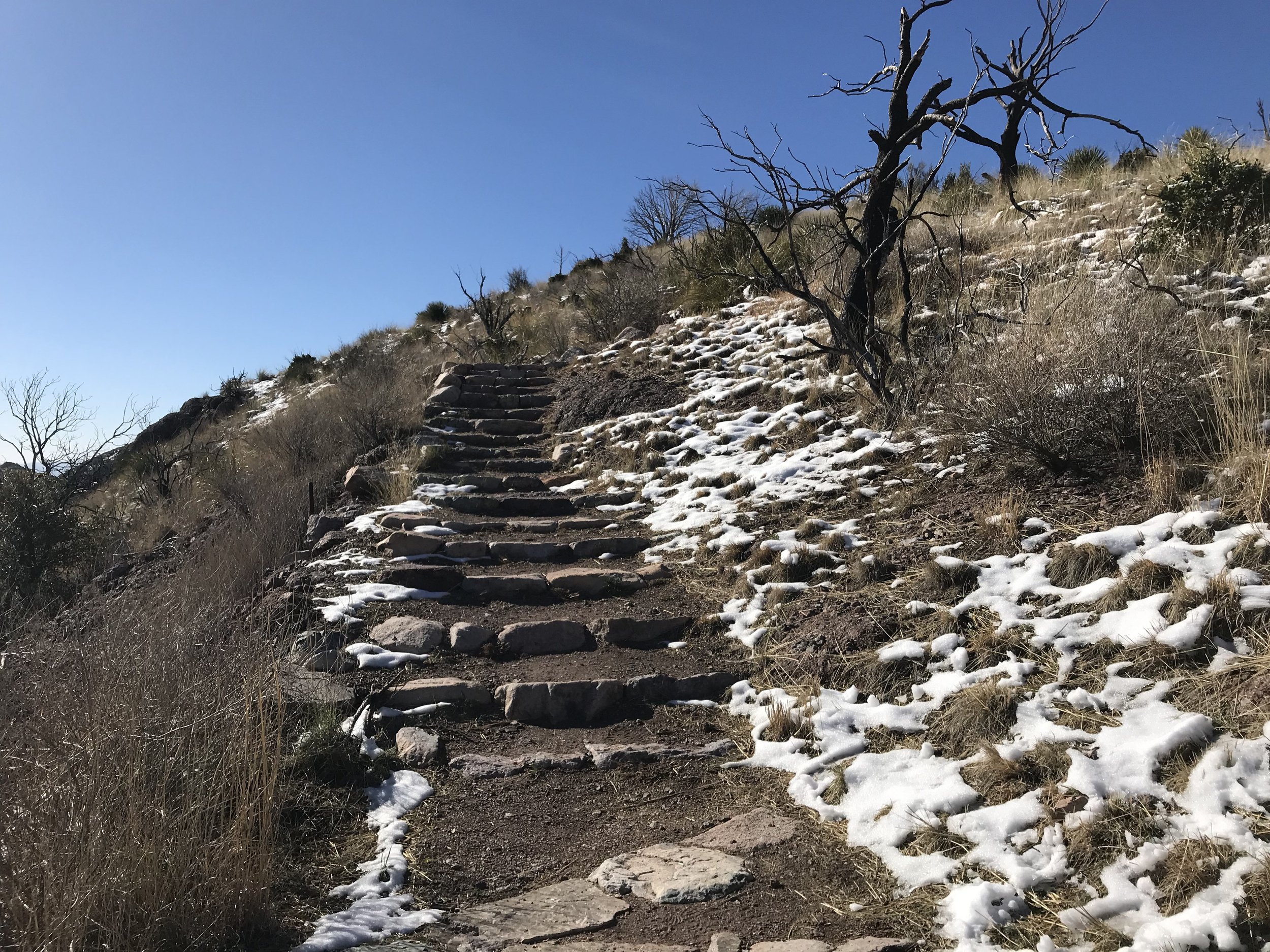
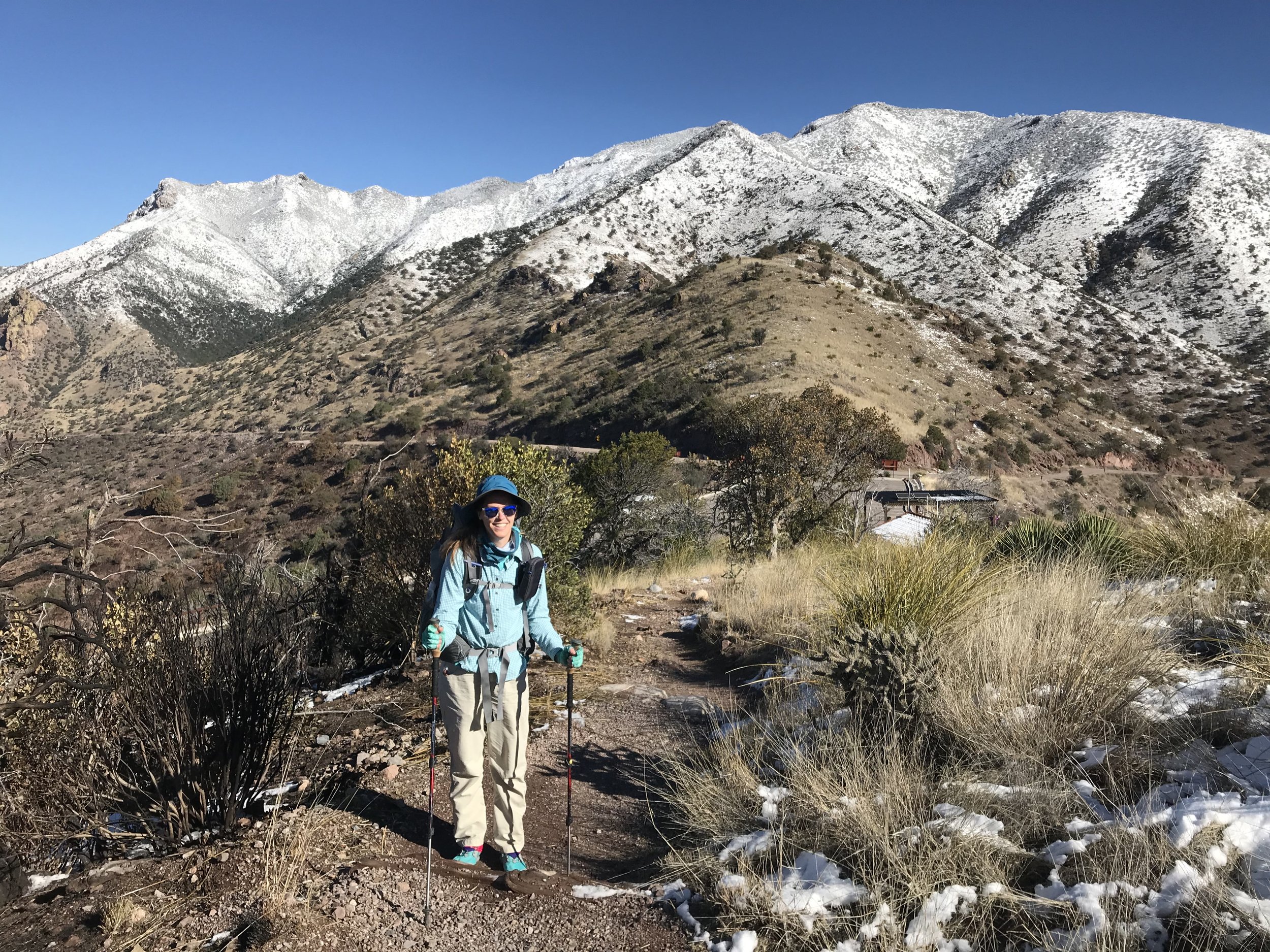
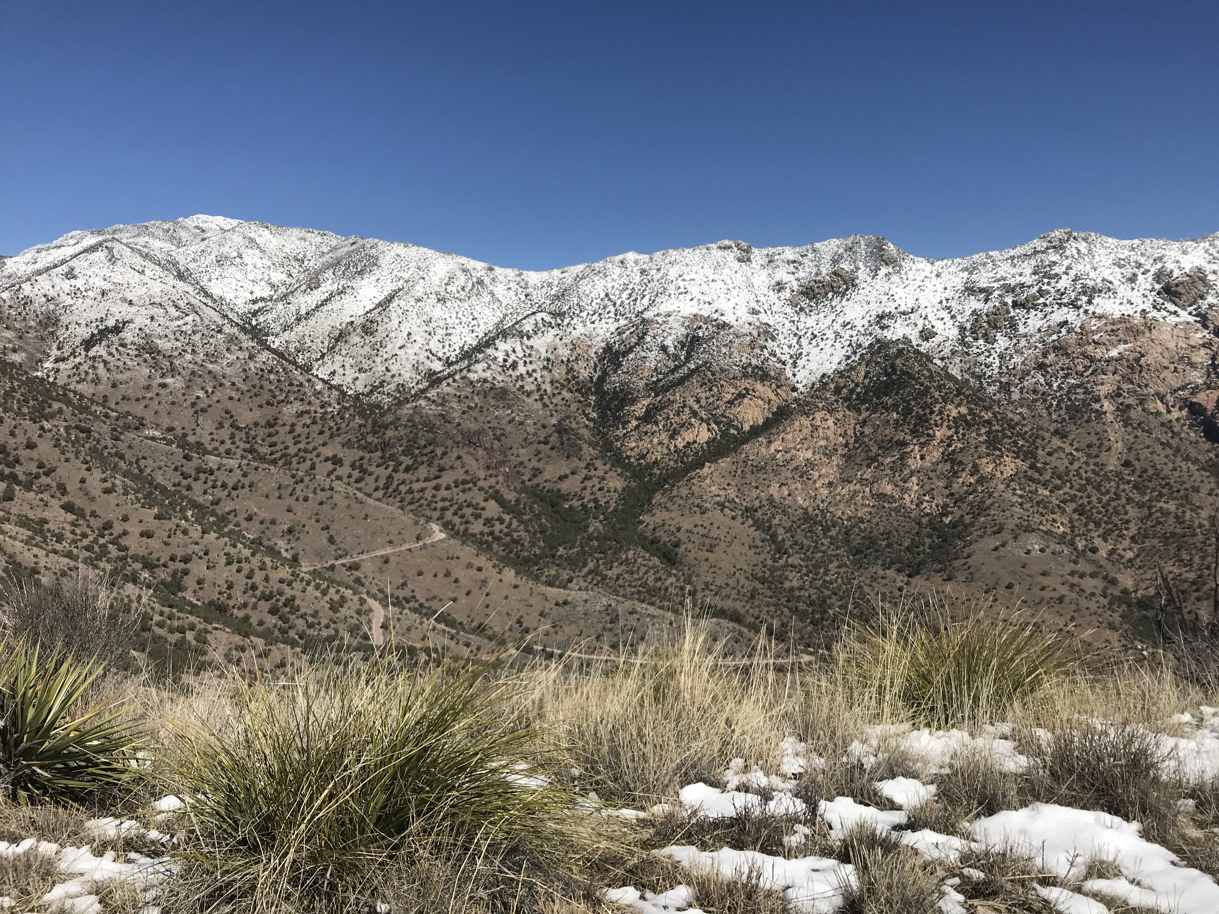
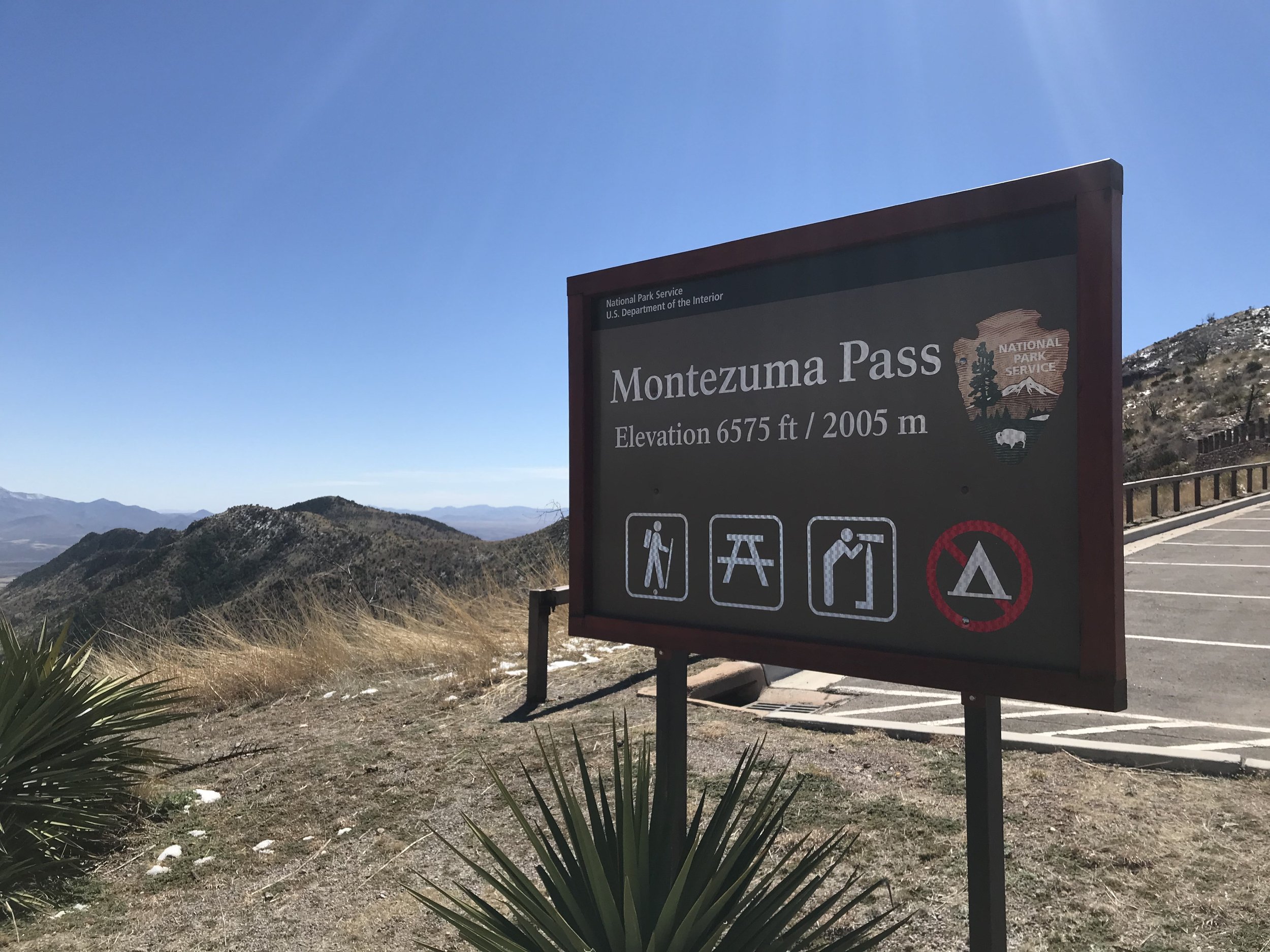
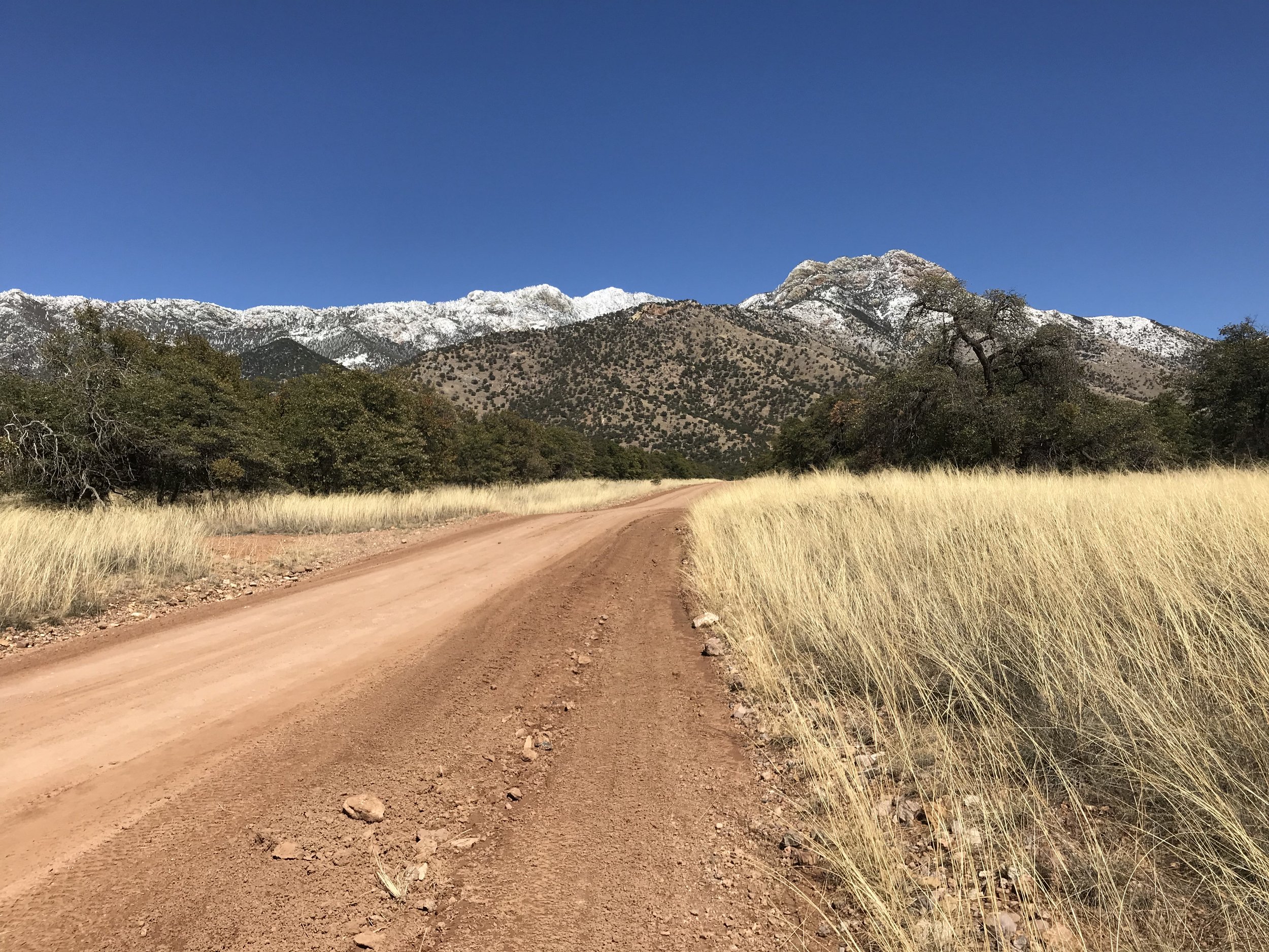
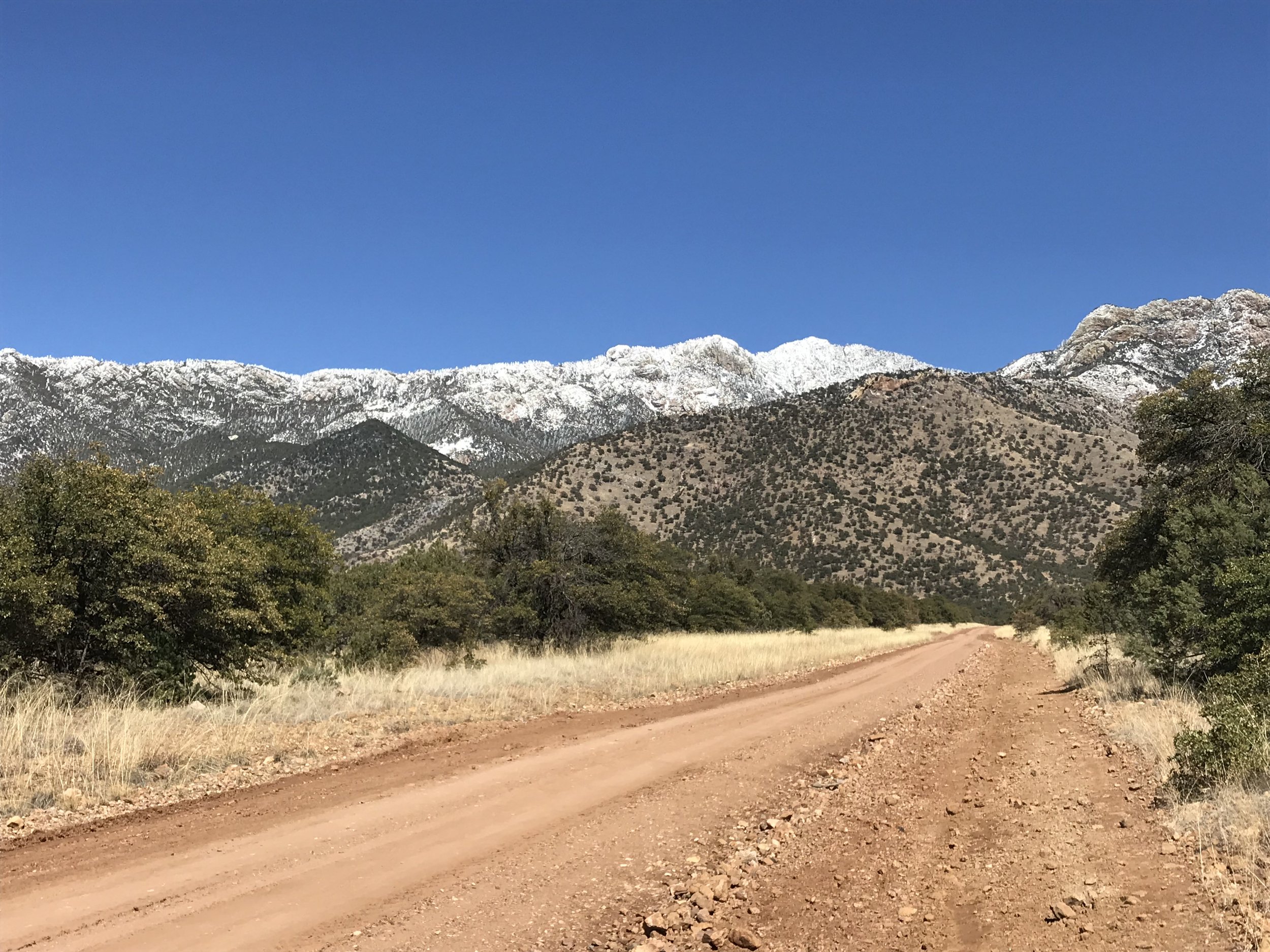
Morning revealed that the siege of cumulus from the previous night was completely gone. It seemed incredible that such a storm that seemed unwilling to move from its perch had so quickly and perfectly vacated. The air was steady still. Every pine on the mountain was visible from the city. They sat high, frosted in a blanche crust that made their every detail discernible from afar. Pumped, we ran to grab some free continental breakfast before our shuttle picked us up and dropped us at the Coronado National Memorial again, around 8 am. We grabbed two free spots on the park shuttle and sat back as we were carried to the saddle at Montezuma’s Pass.
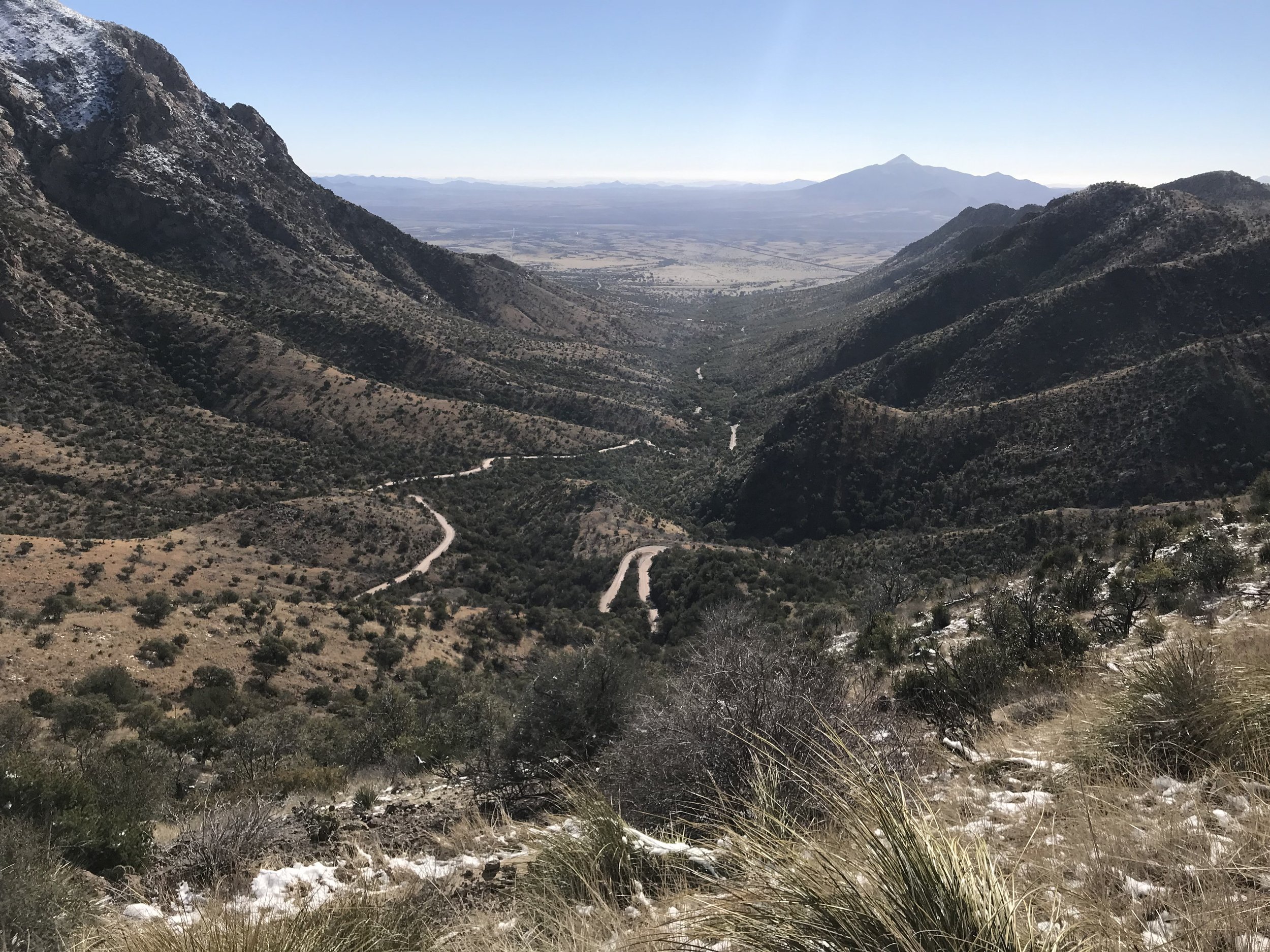
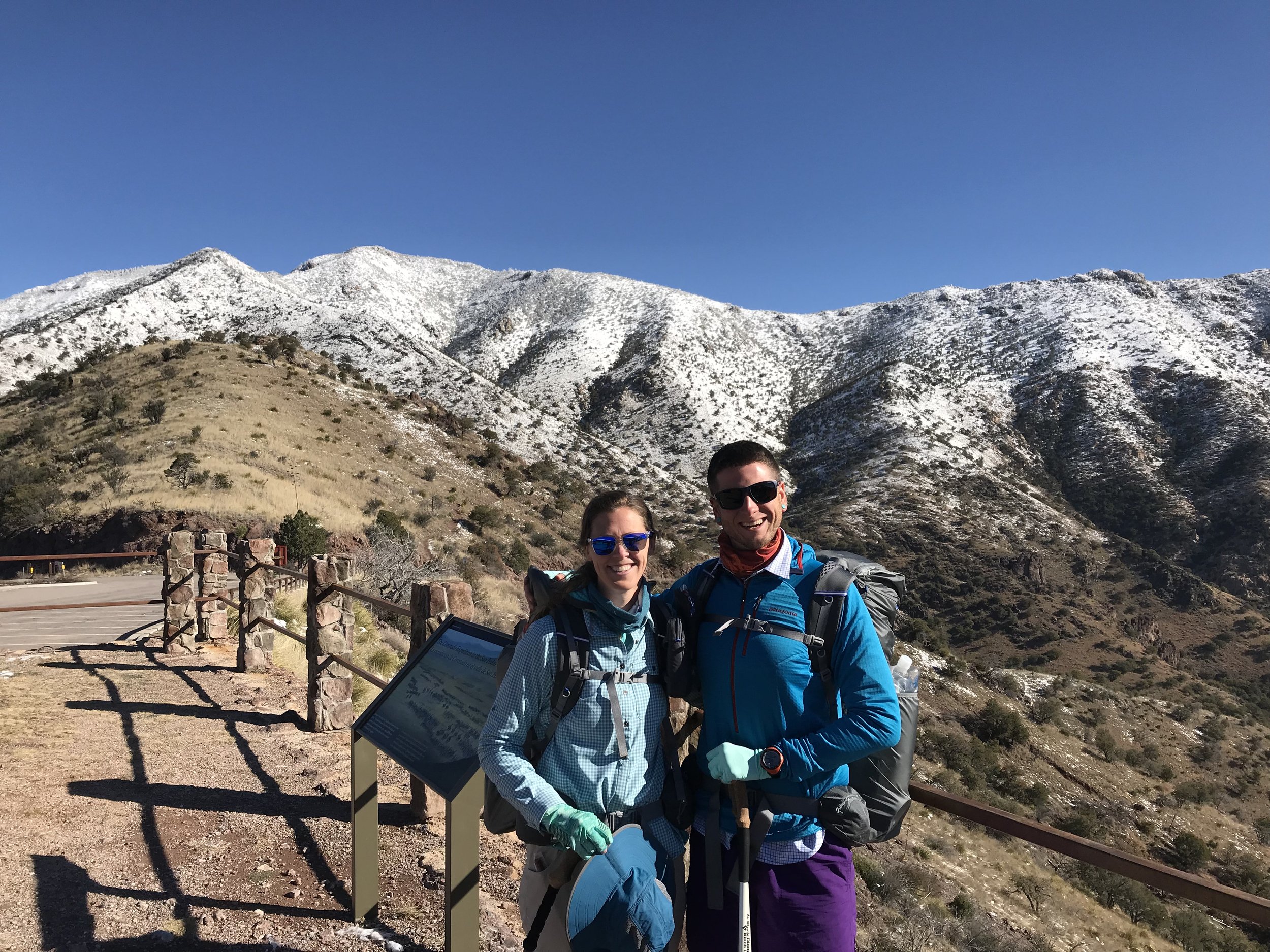
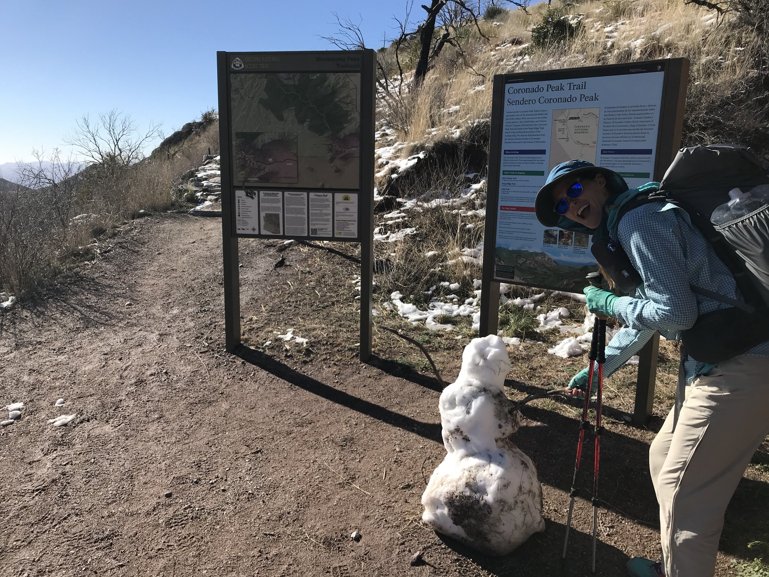
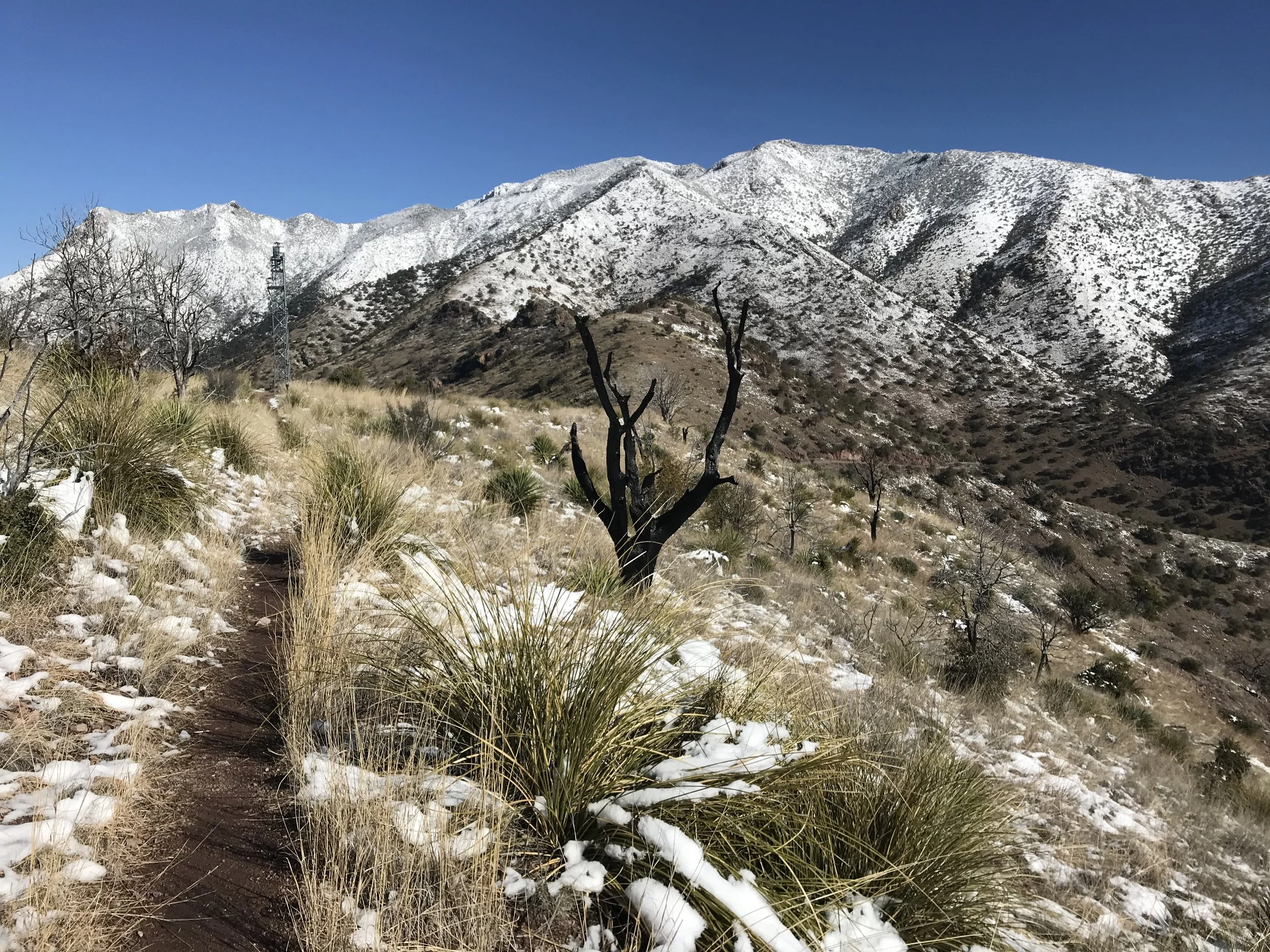
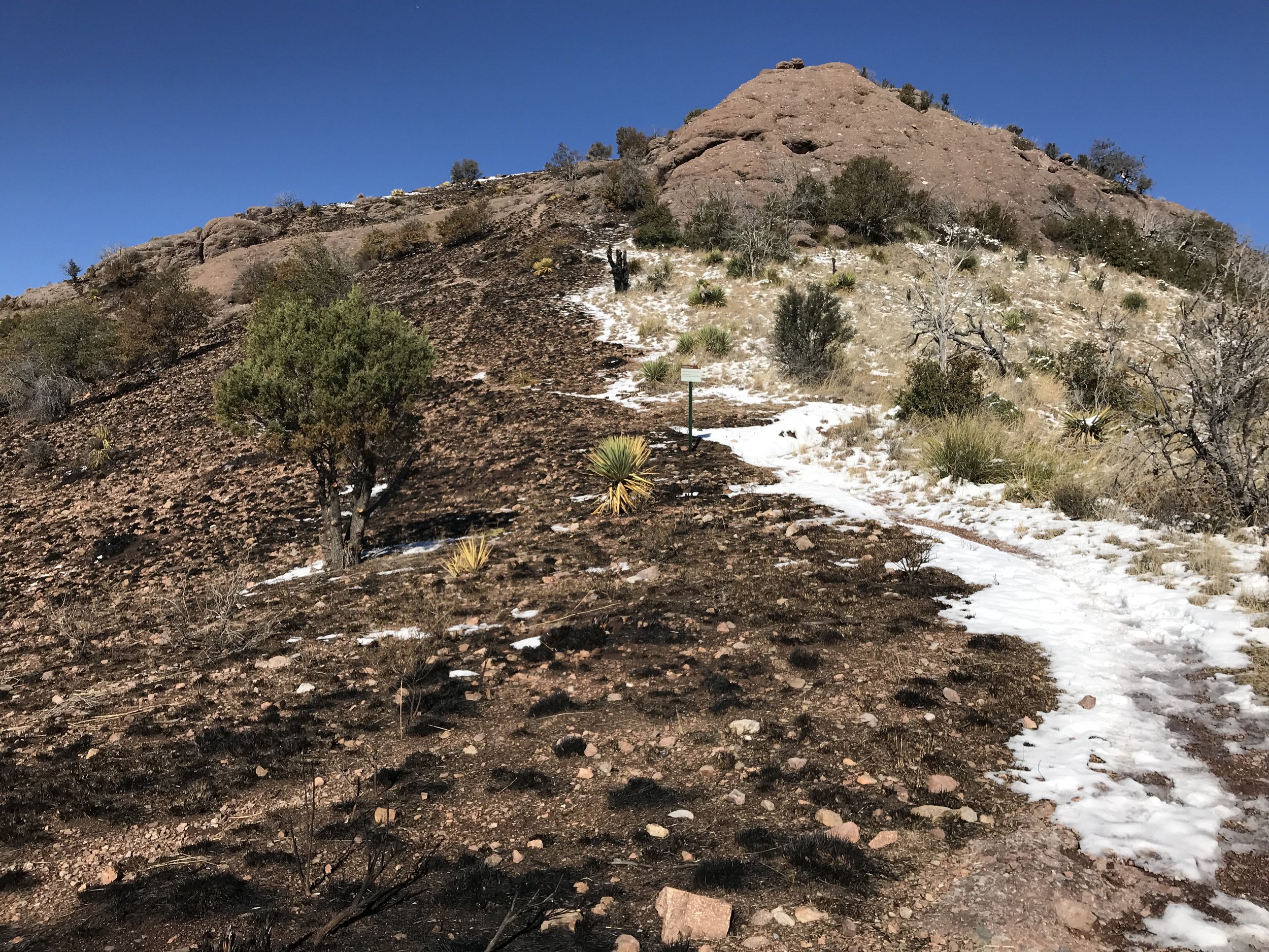
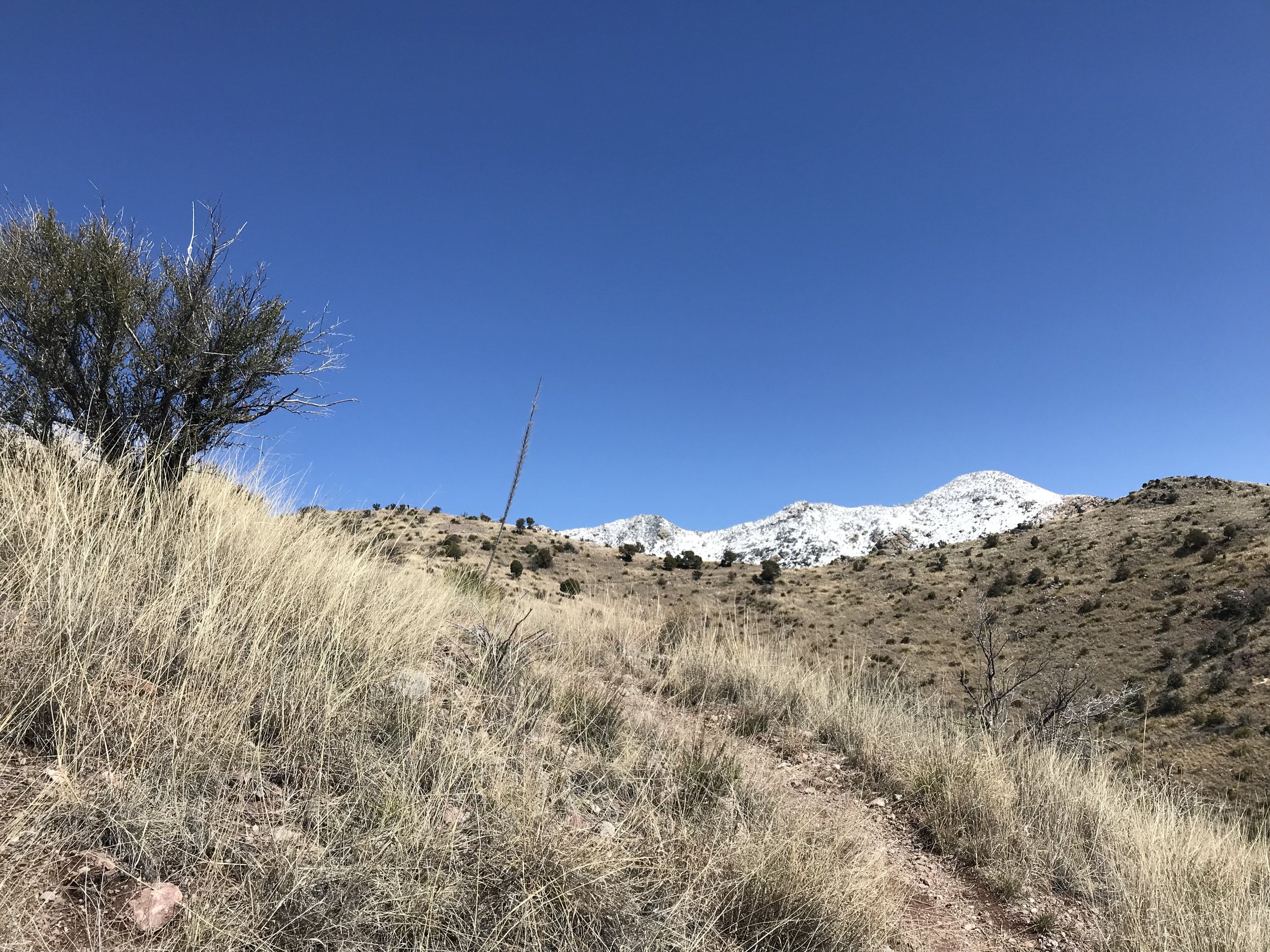
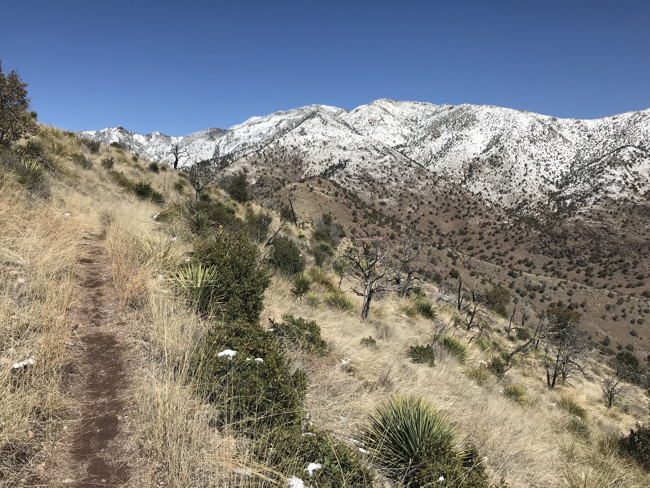
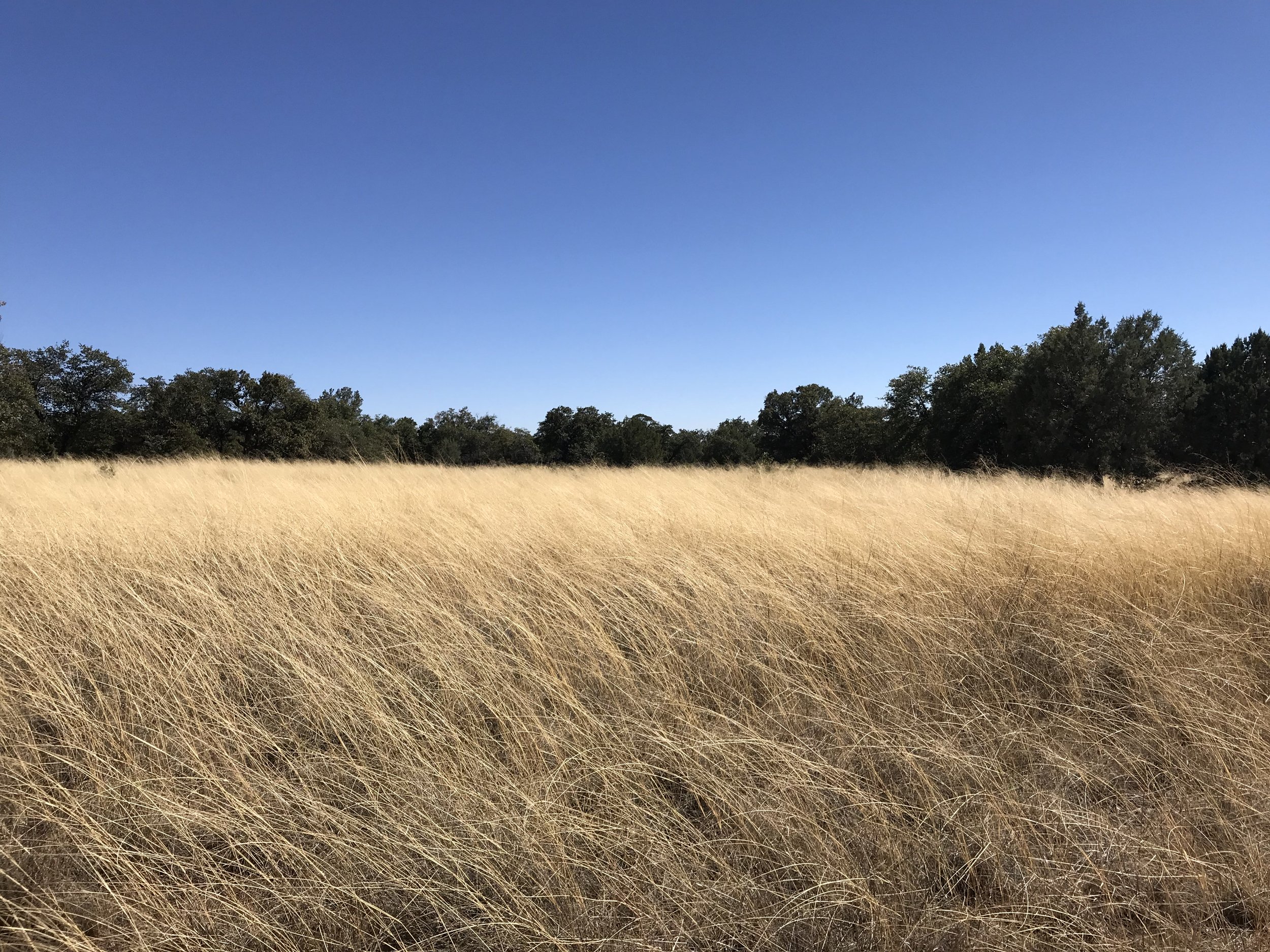
The pass provided incredible views. To the north, a flank of the range was dressed in white with a defining presence where the freezing line fell. To our south, Mexico spread out before us with its own abundance of sky islands dotting the high grasslands, each capped in snow chain linked to the Sierra Madre. A recent prescribed burn in the park made the remaining grass stand in contrast - gold upon black. And there was a huge bottleneck of thru-hikers beginning the trail. It seemed that many AZTers had been stopped by the storm; now, they were scrambling to begin later than intended.
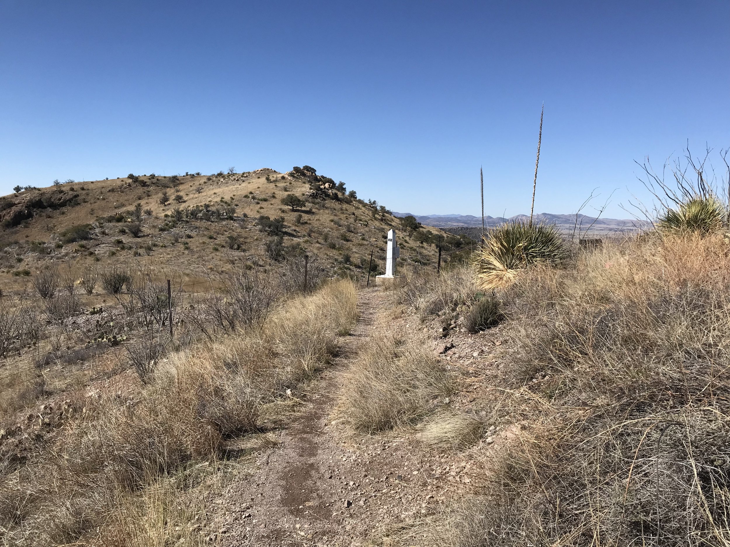
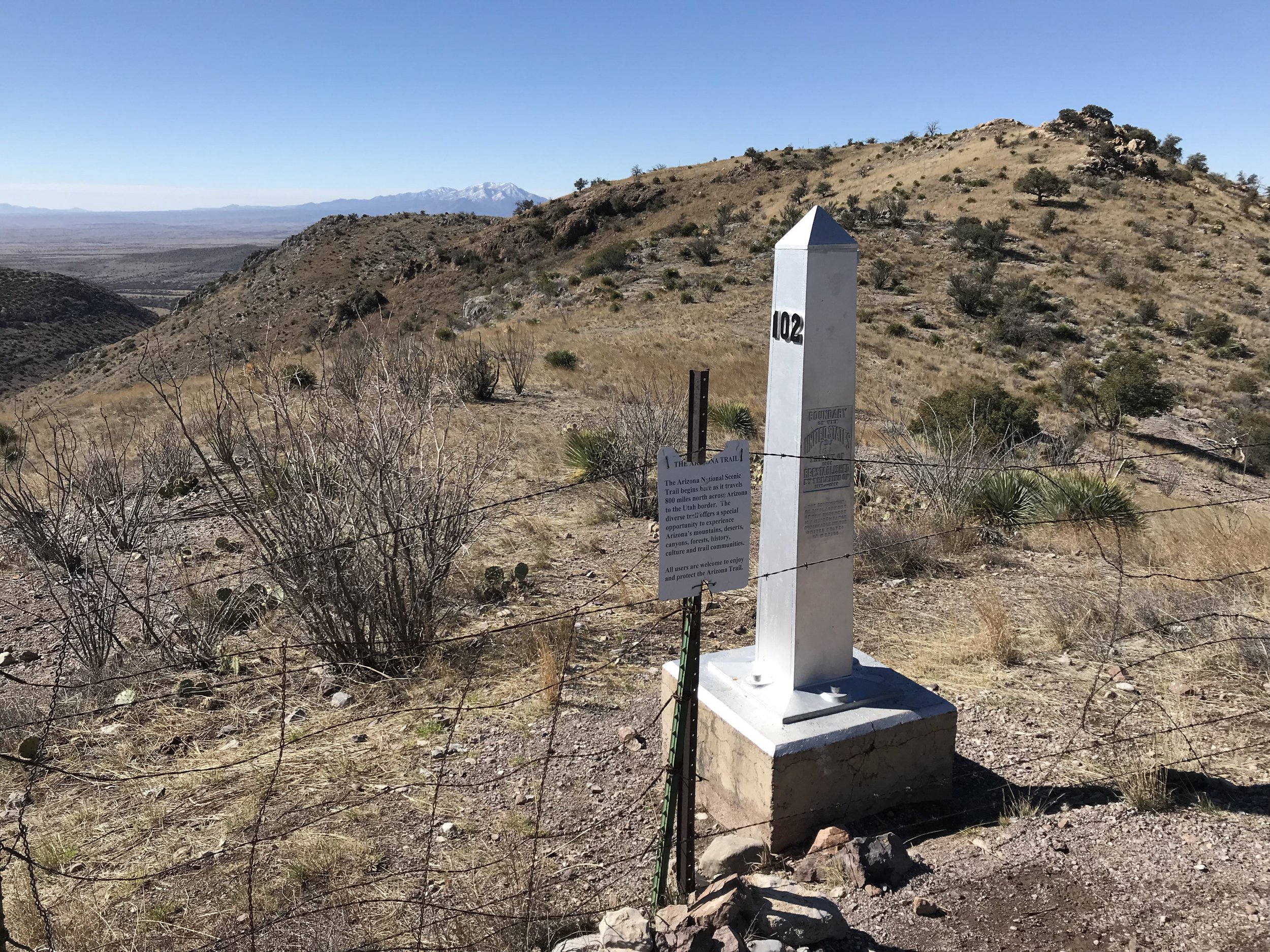
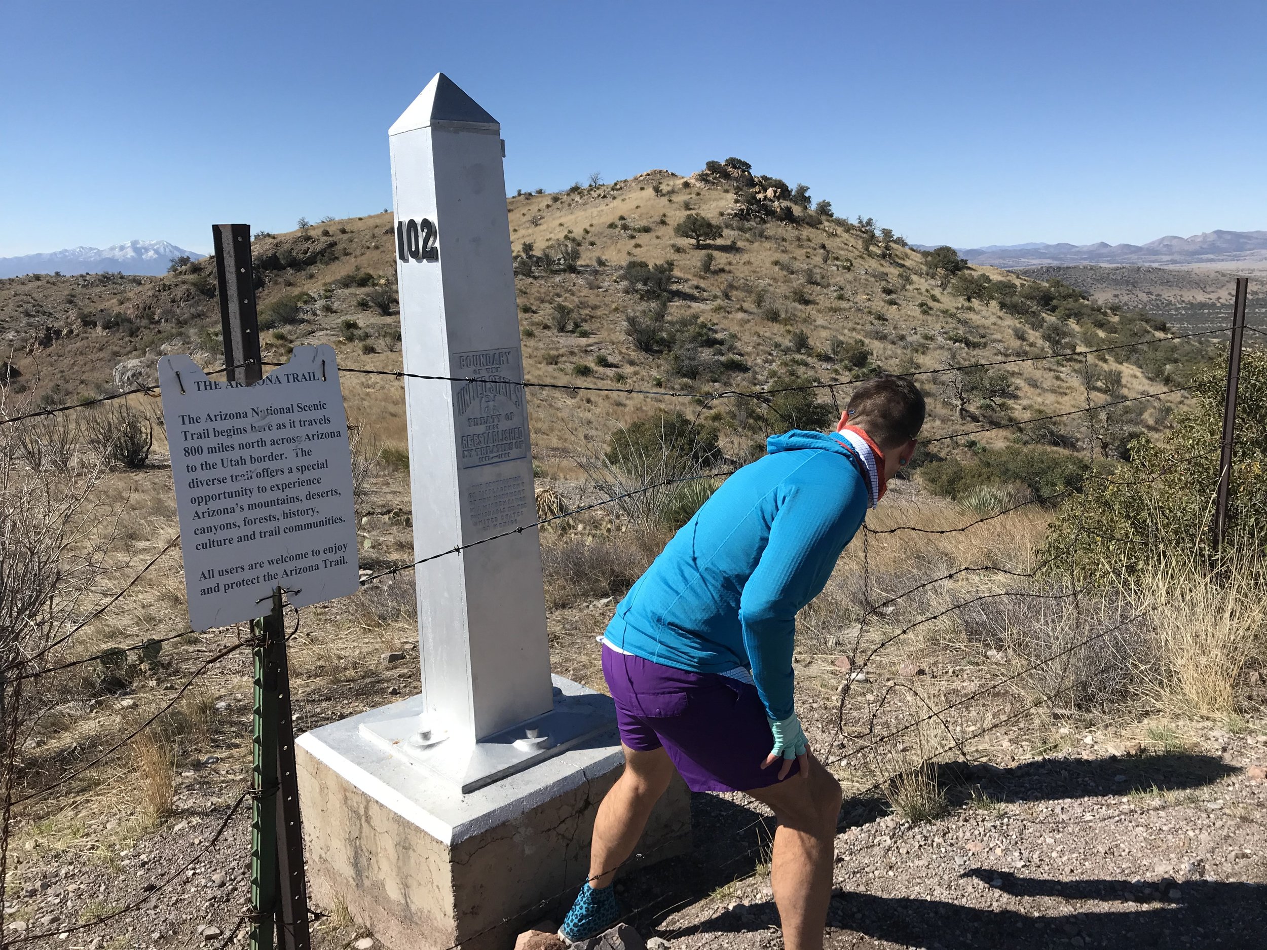
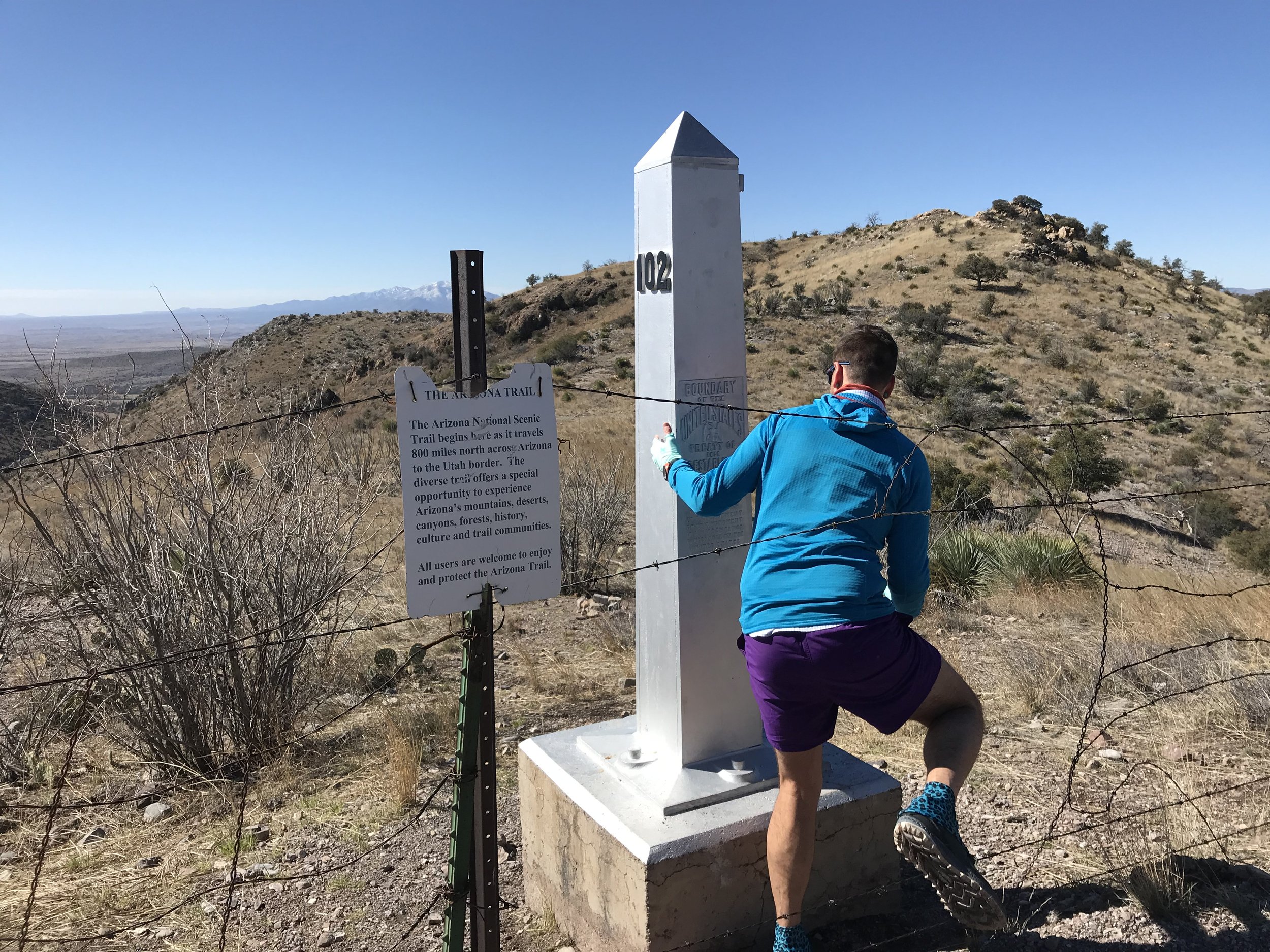
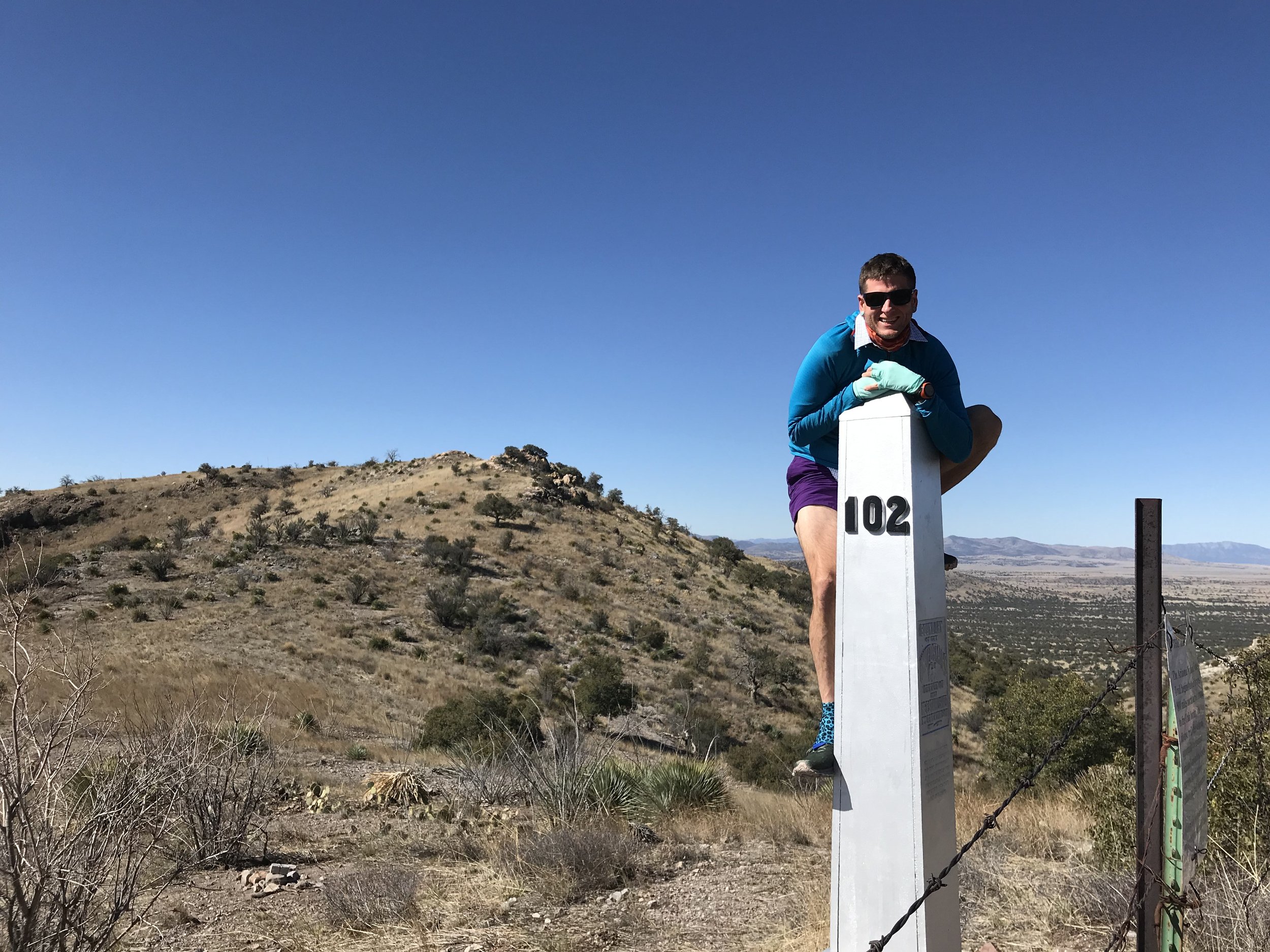
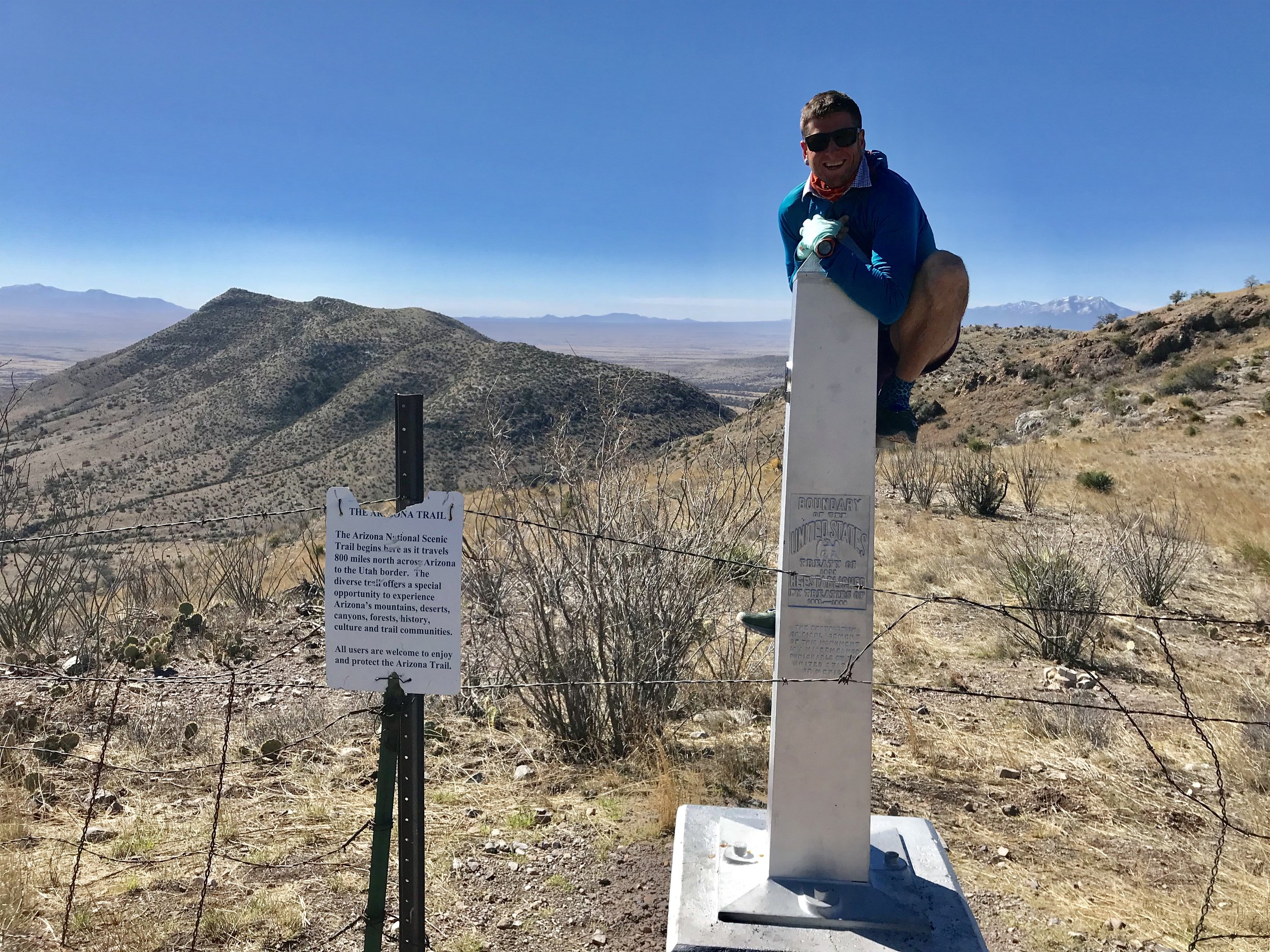
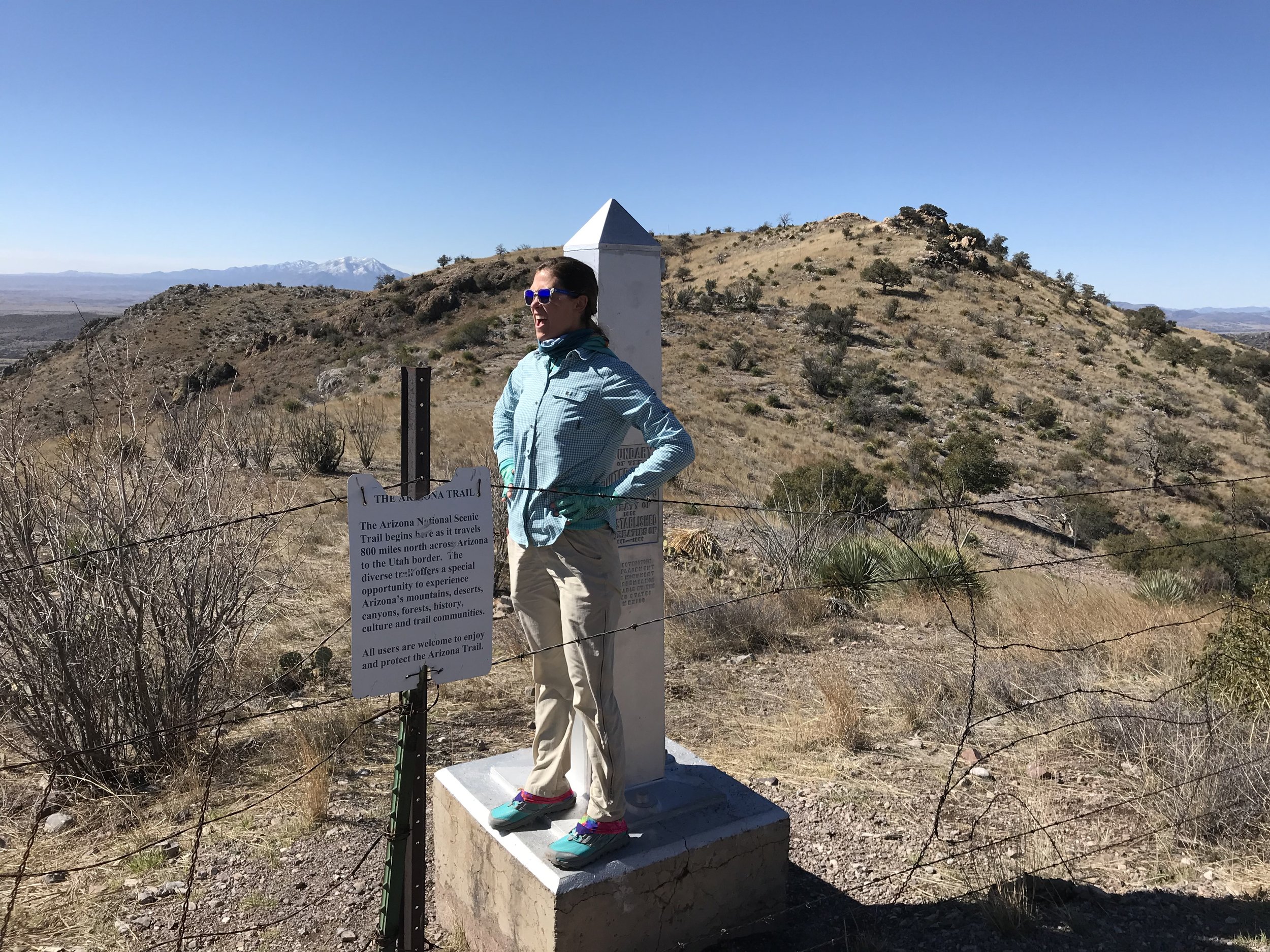
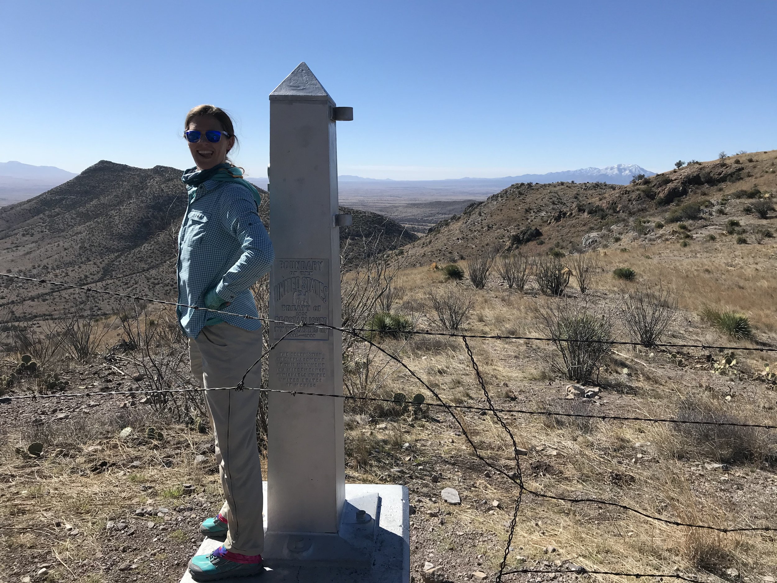
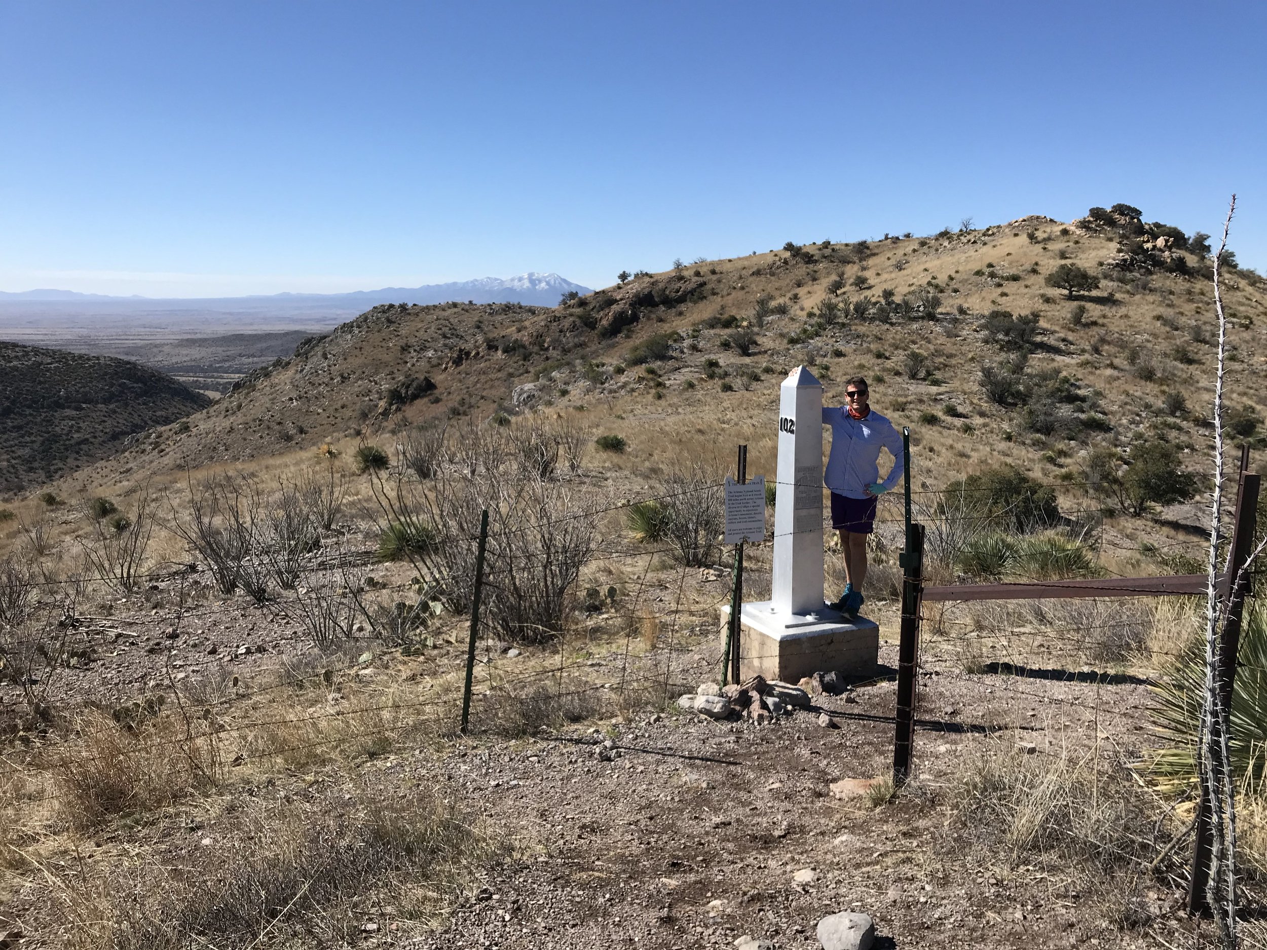
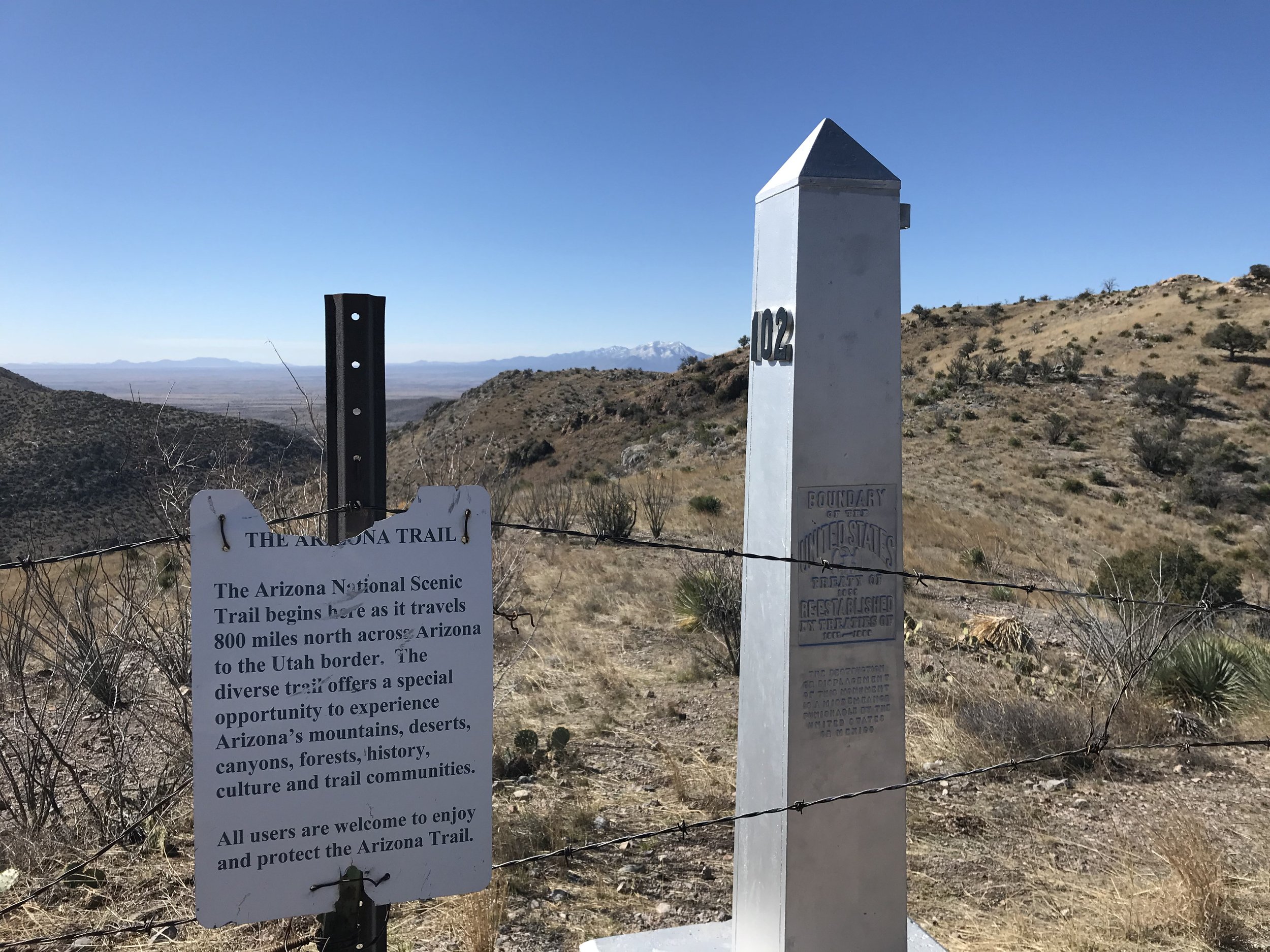
The southern terminus of the AZT can’t be reached via a direct drive and is instead reached by descending several miles of switchback to the border fence, which, in this rugged corner of southern AZ, exists as barbed wire. The terminus exists officially as a border monument. We hopped the barbed wire to take photos from Border Monument 102 before turning around and climbing back up the range to the saddle once more.
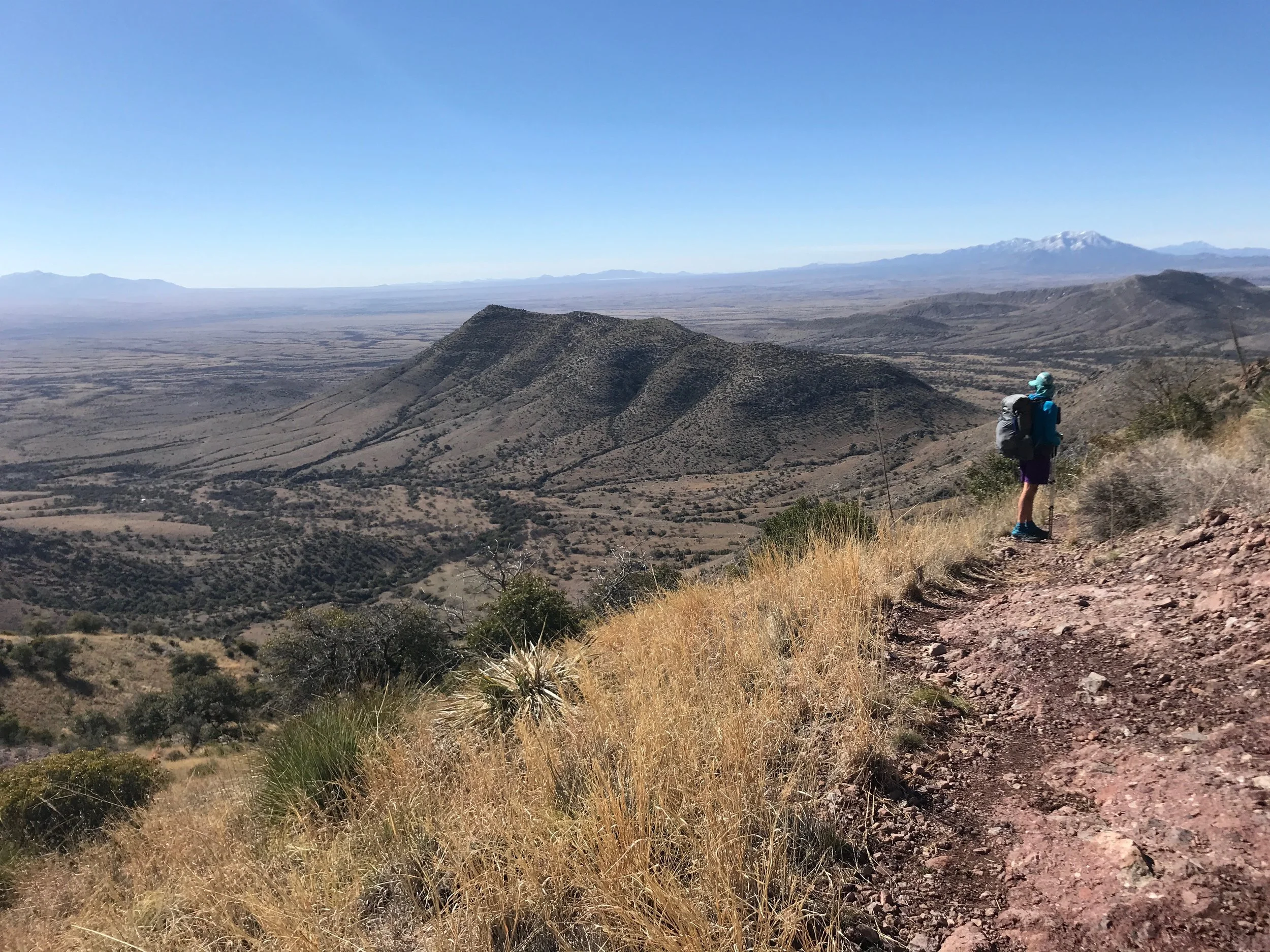
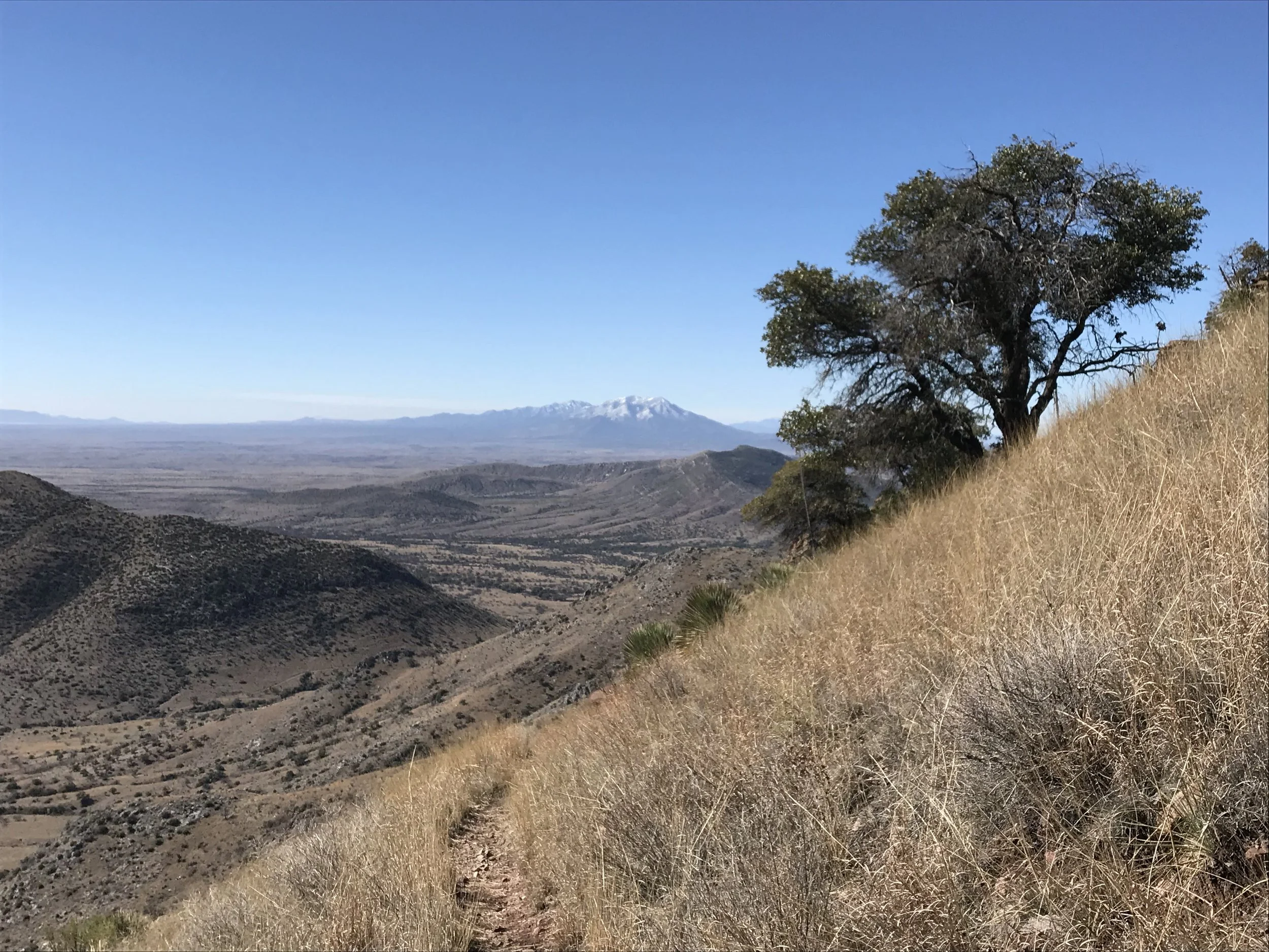
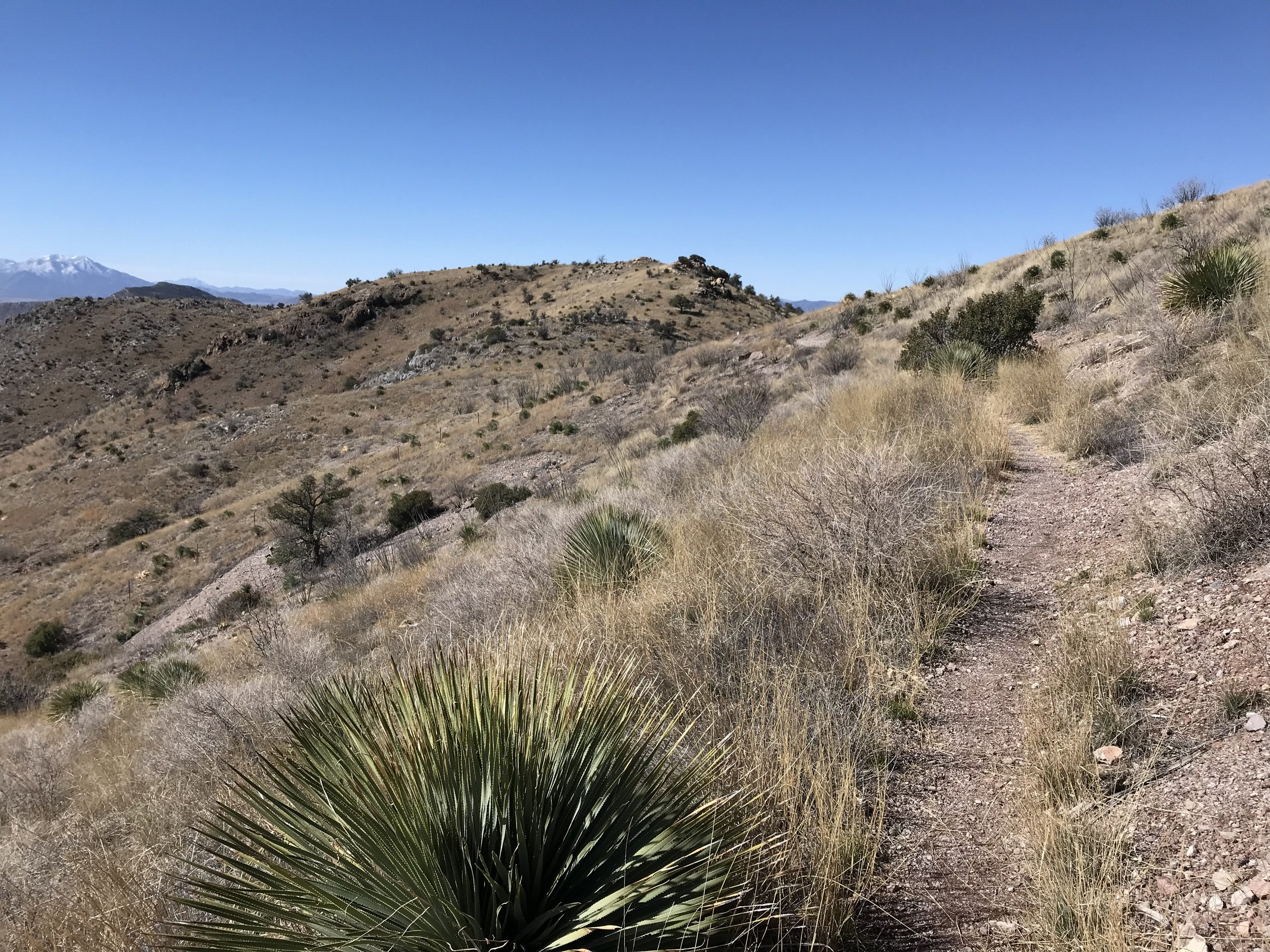
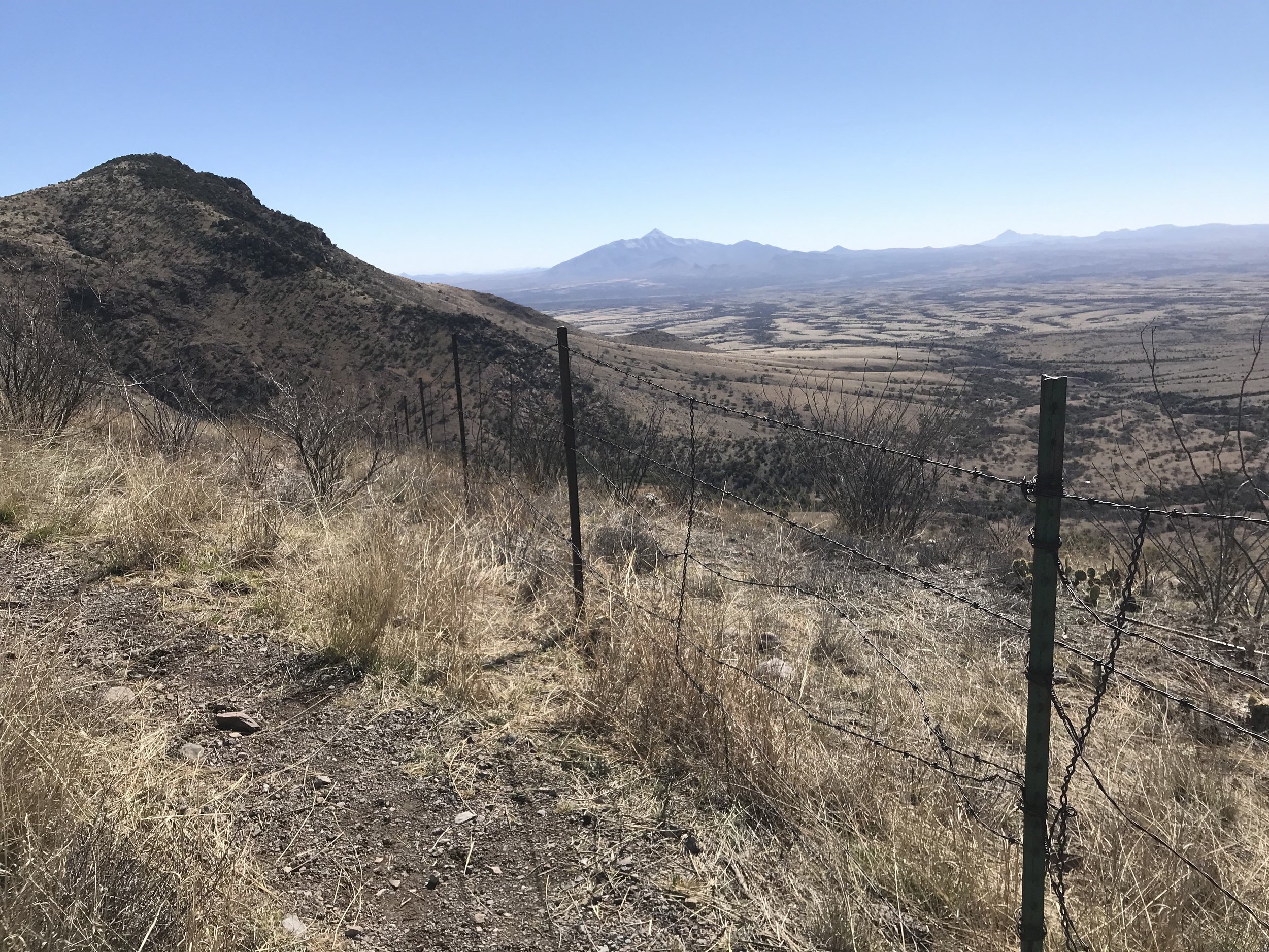
The whole time, the views blew my mind as the high Sonoran desert grasslands, filled with cacti and mesquite, stood mottled with large ranges and their snow-packed-peaks. Simply incredible to see.
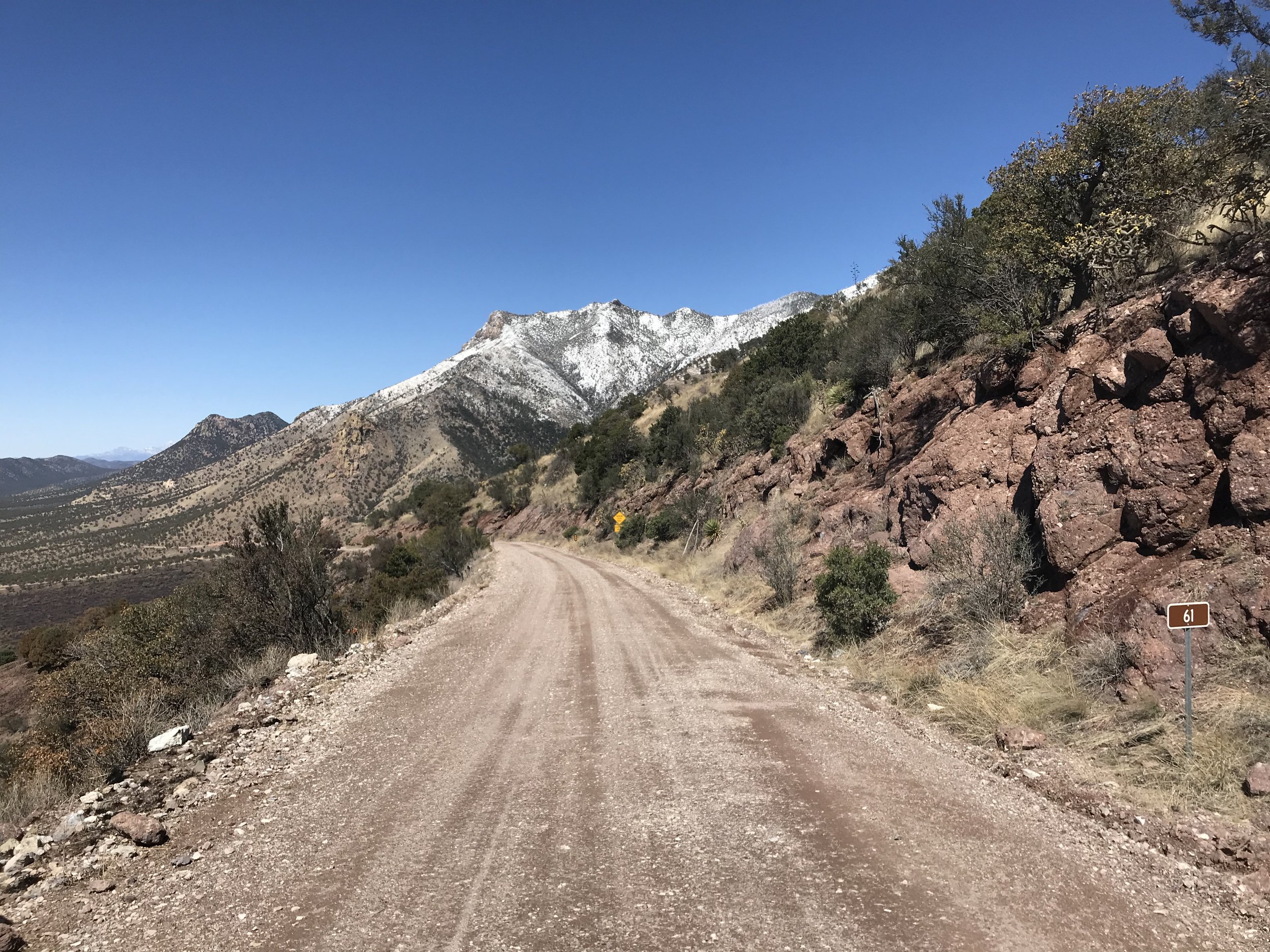
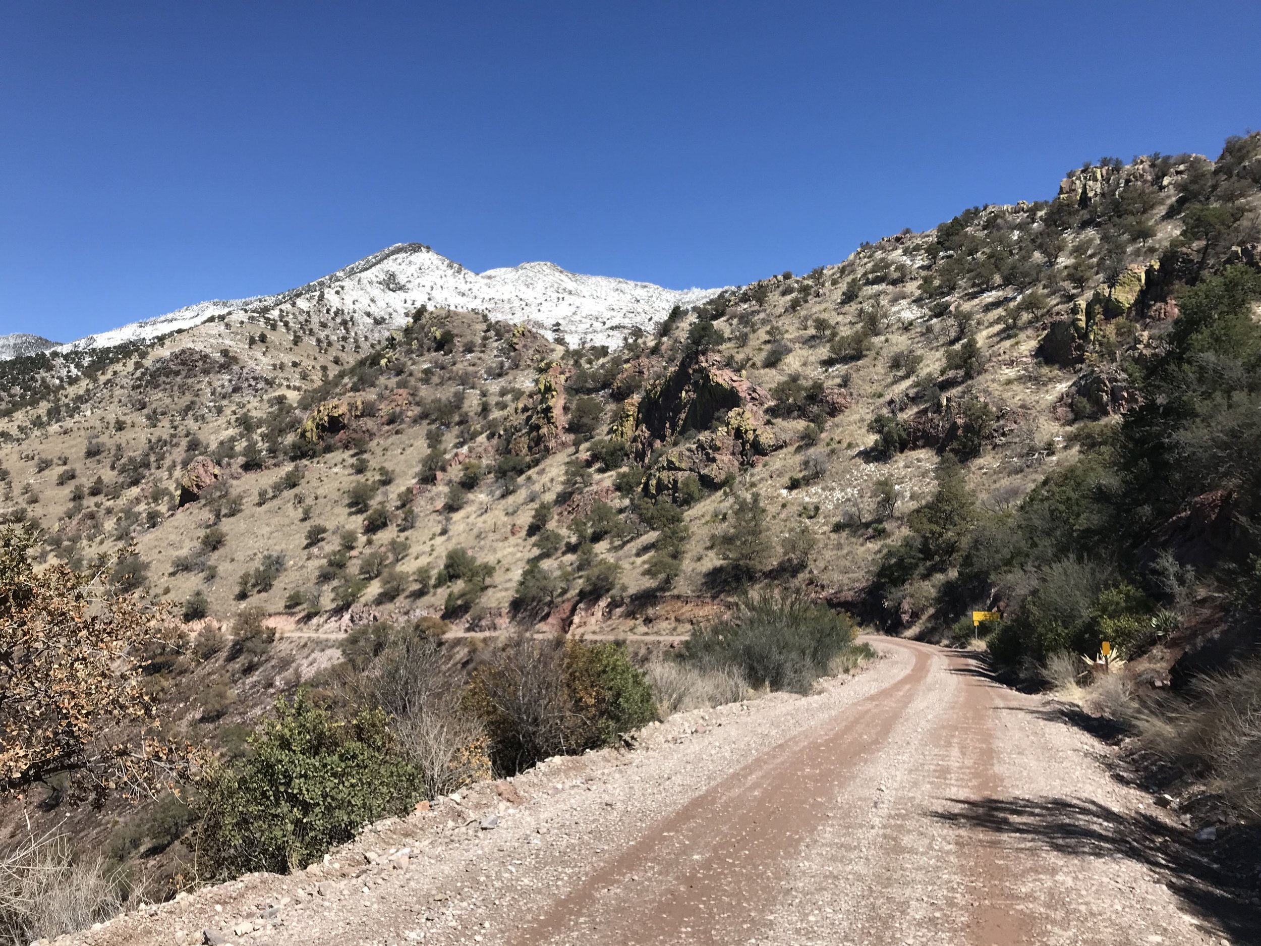
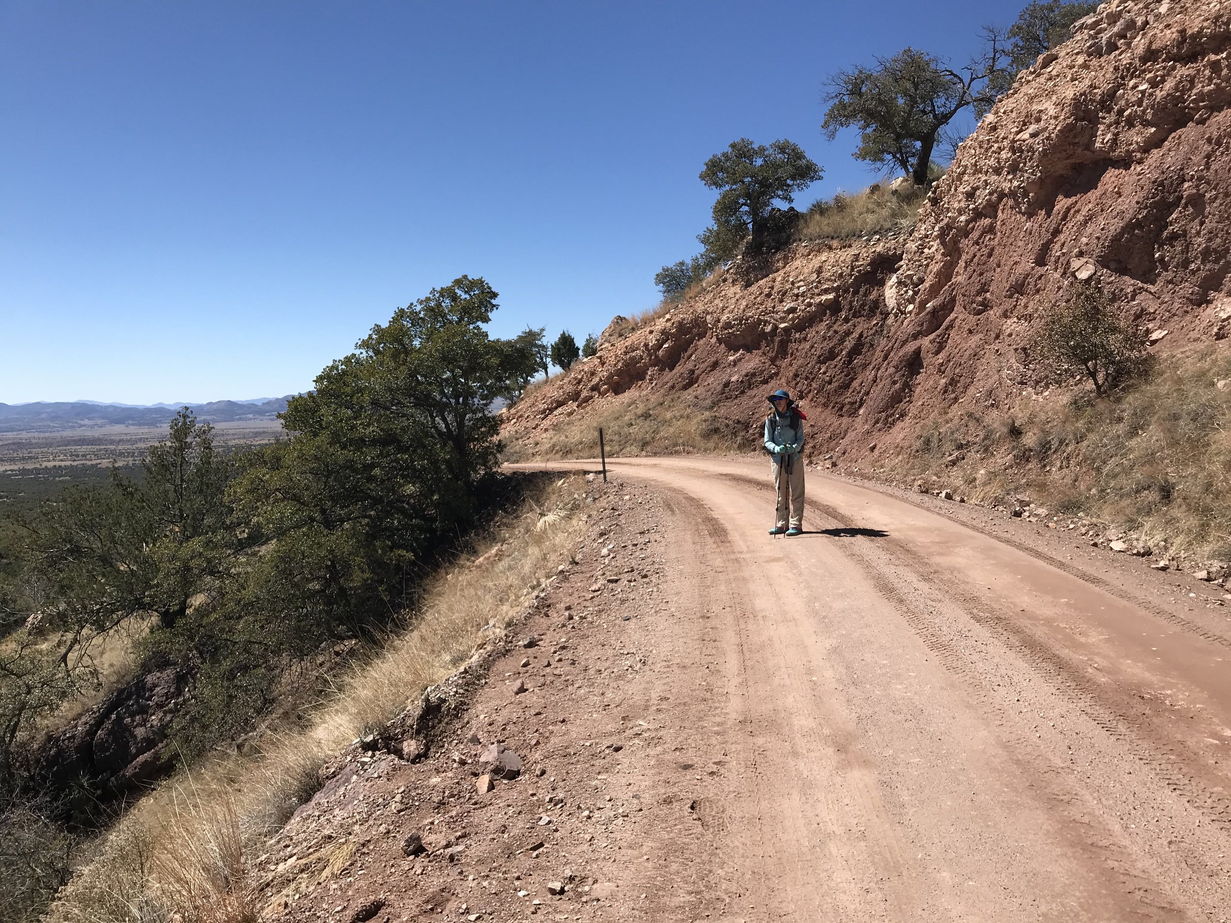
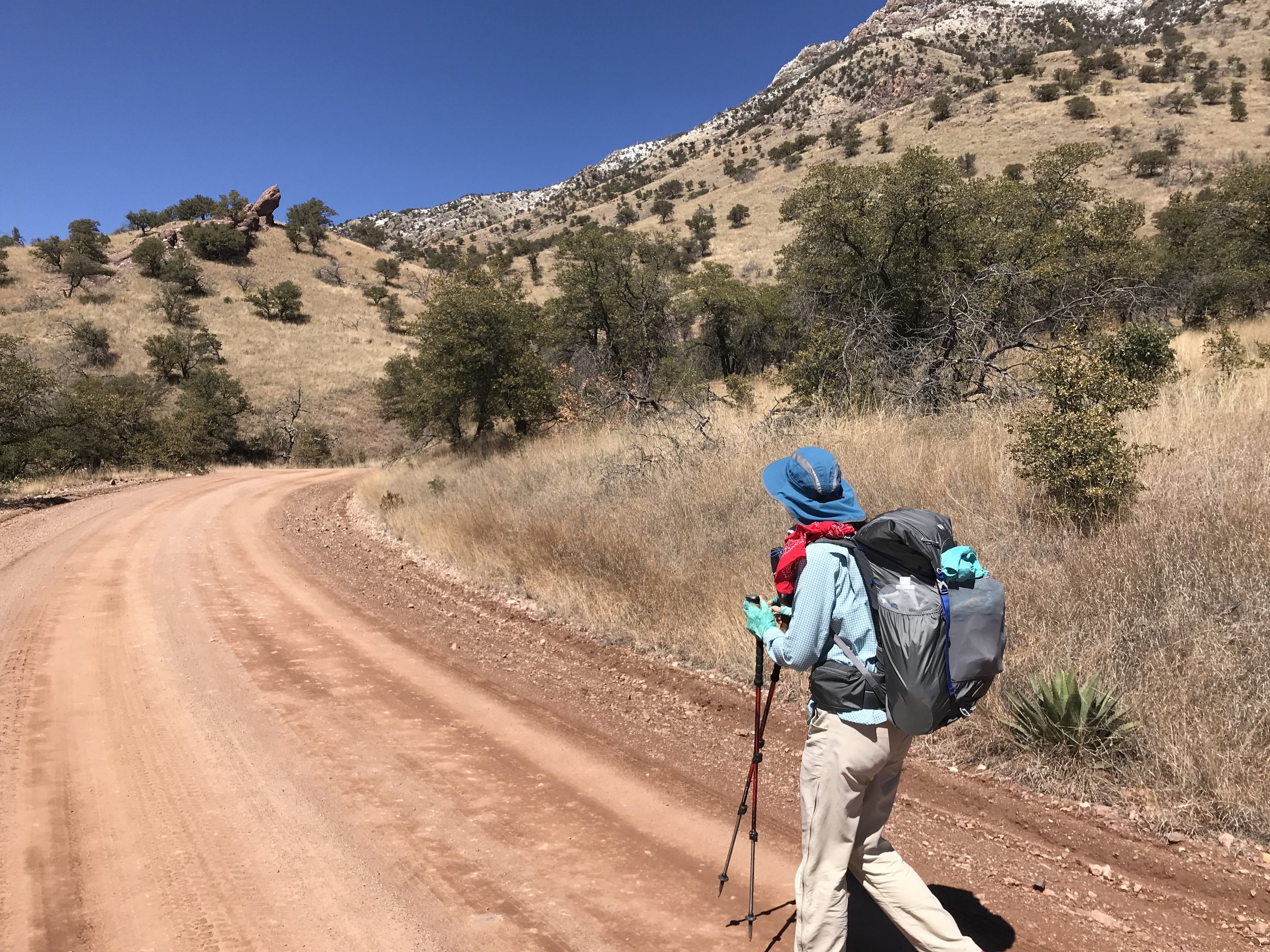
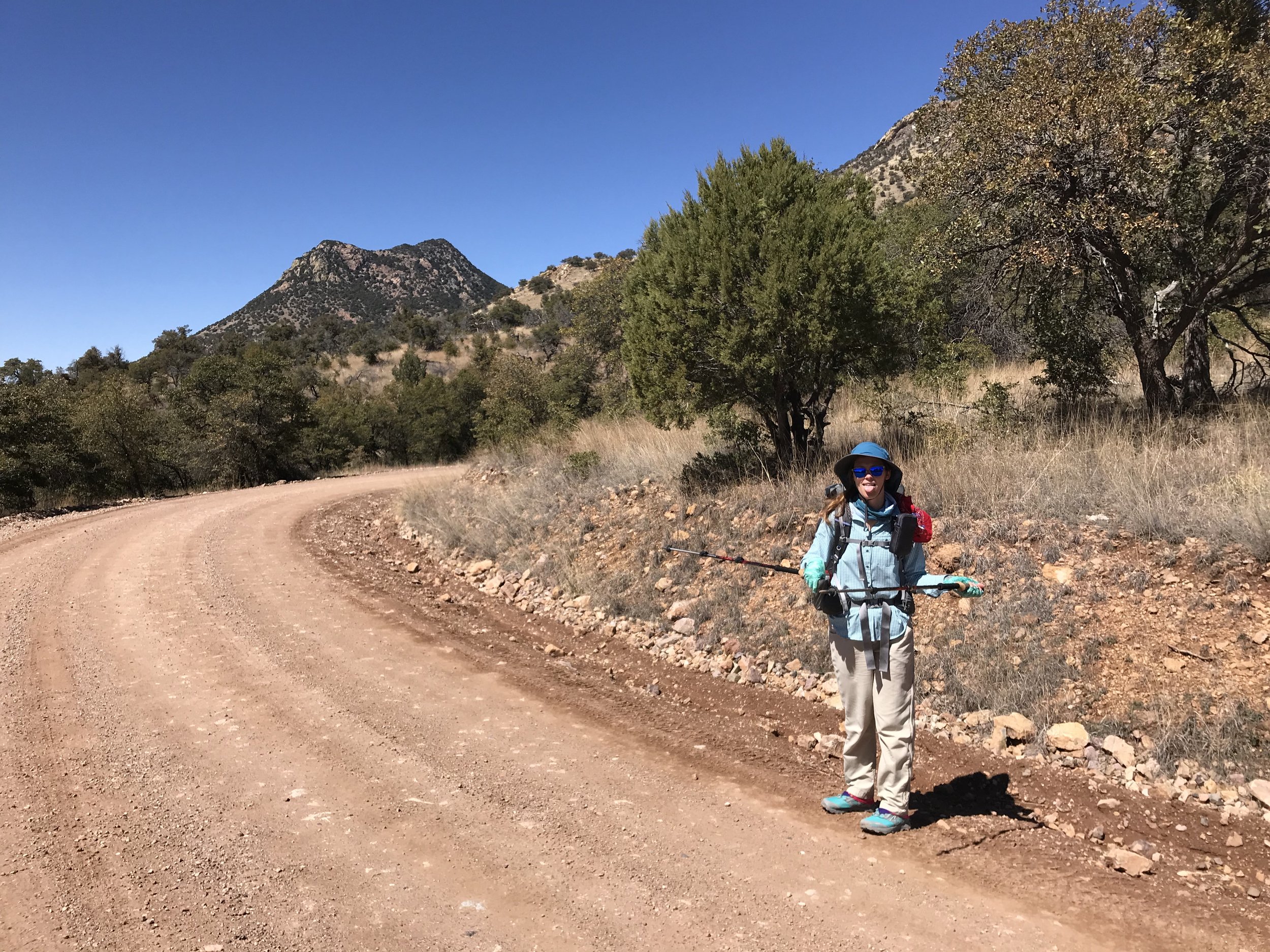
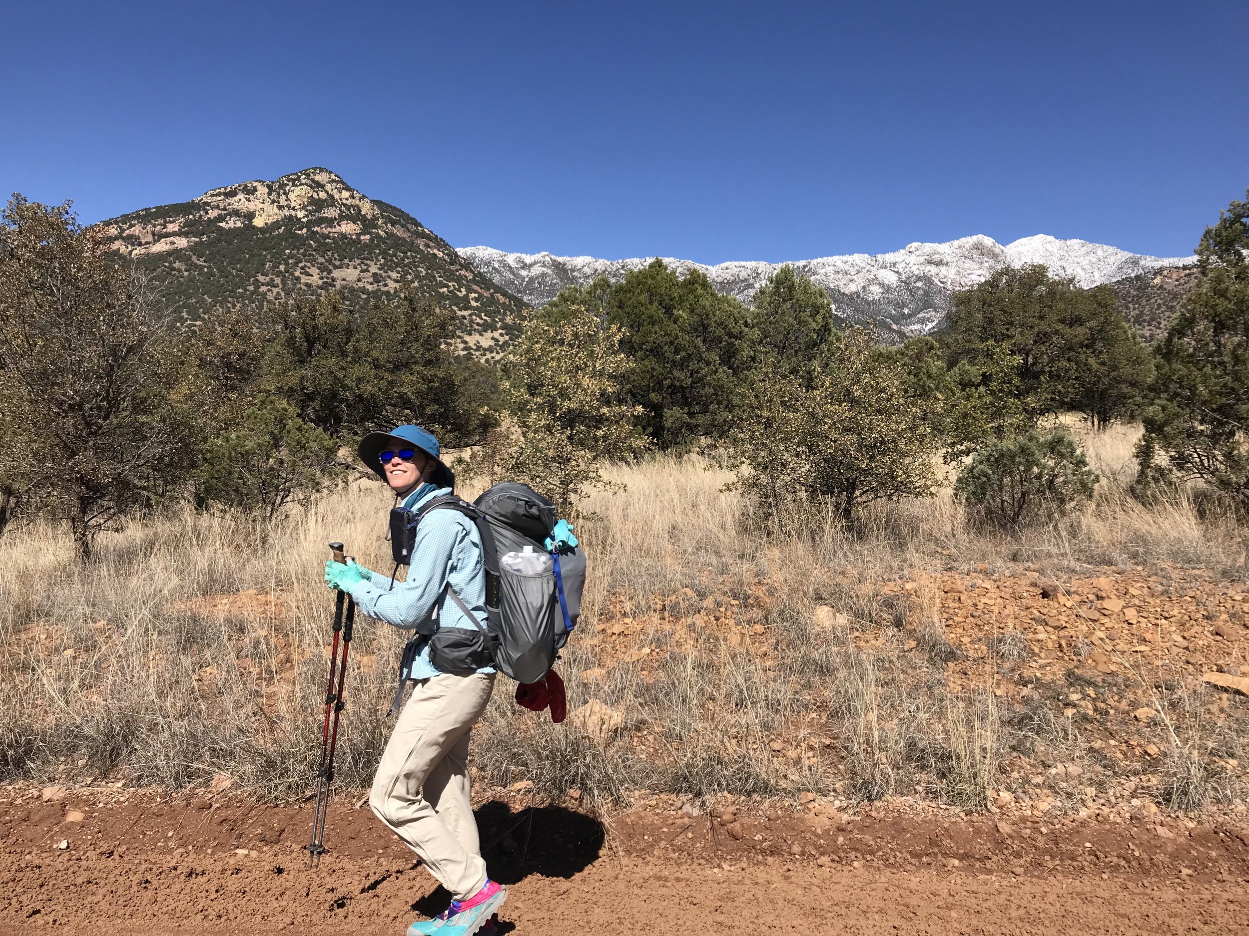
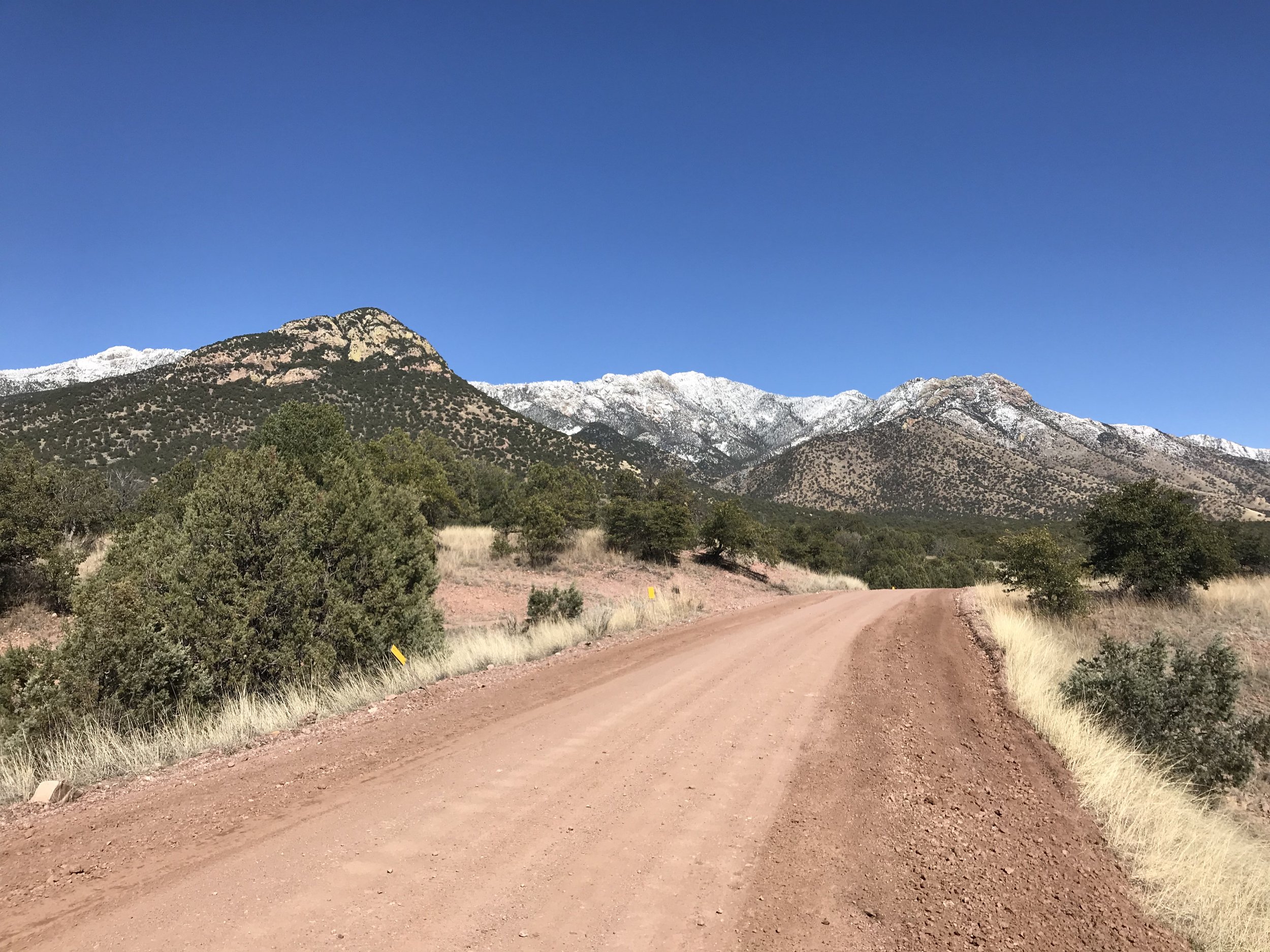
Returning to the pass, we sat at a picnic table and contemplated next moves. Nearly every thru-hiker we passed indicated they were ascending the range with conviction, regardless of conditions. Speaking with some rangers, they seemed less convinced that this was the course of action to follow, saying that that it was doable but that the trail was likely completely invisible under several feet of snow. Considering this was Day 1 and we had not yet built the necessary muscle support that would come later with miles for my knee, we decided to take the AZT Mountain Bike Alternate down a dirt forest road that lay swaddled between the Huachucas and the border fence. When we made the decision, Janna and I committed to the idea that there would be no regrets by deviating from the purist route. And later that would prove to be a decision reinforced as best.
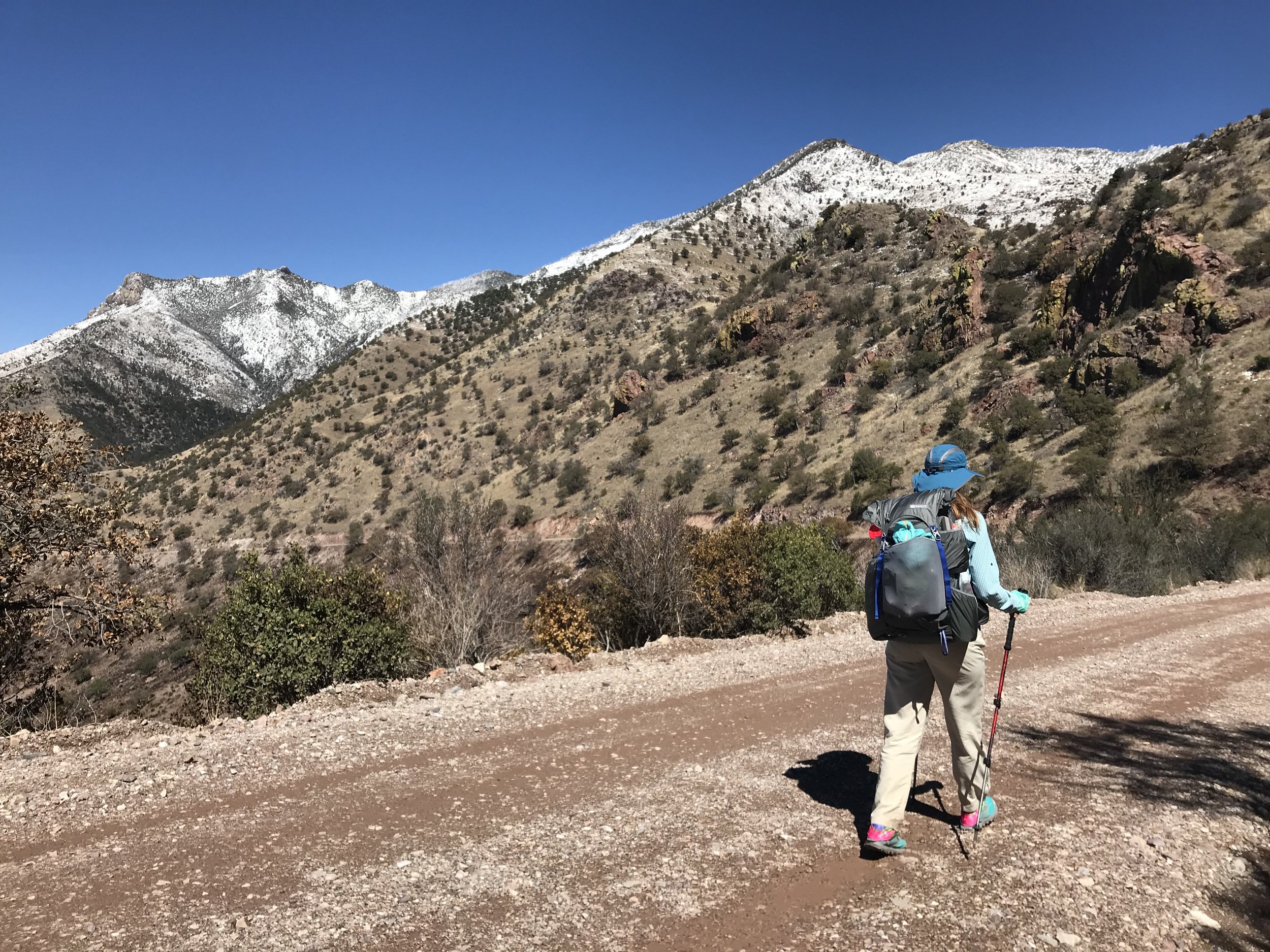
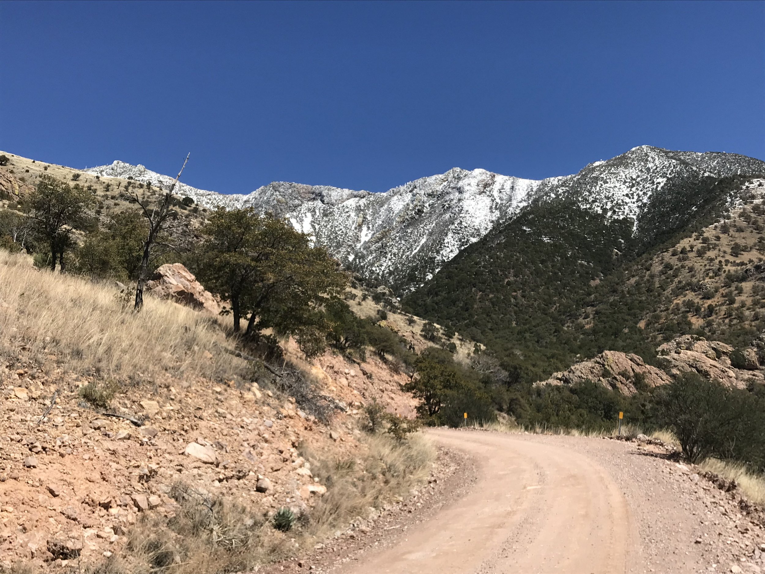
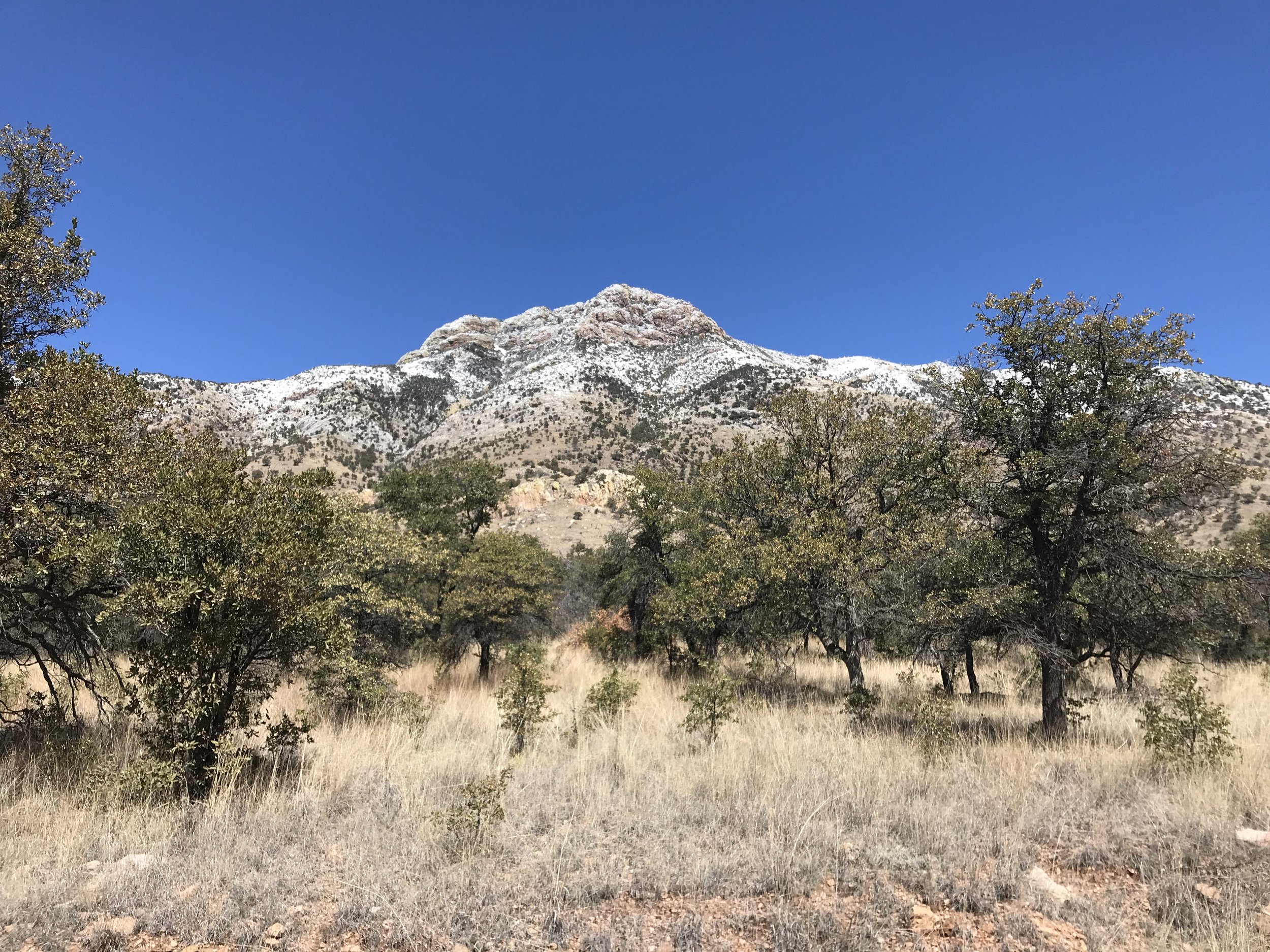
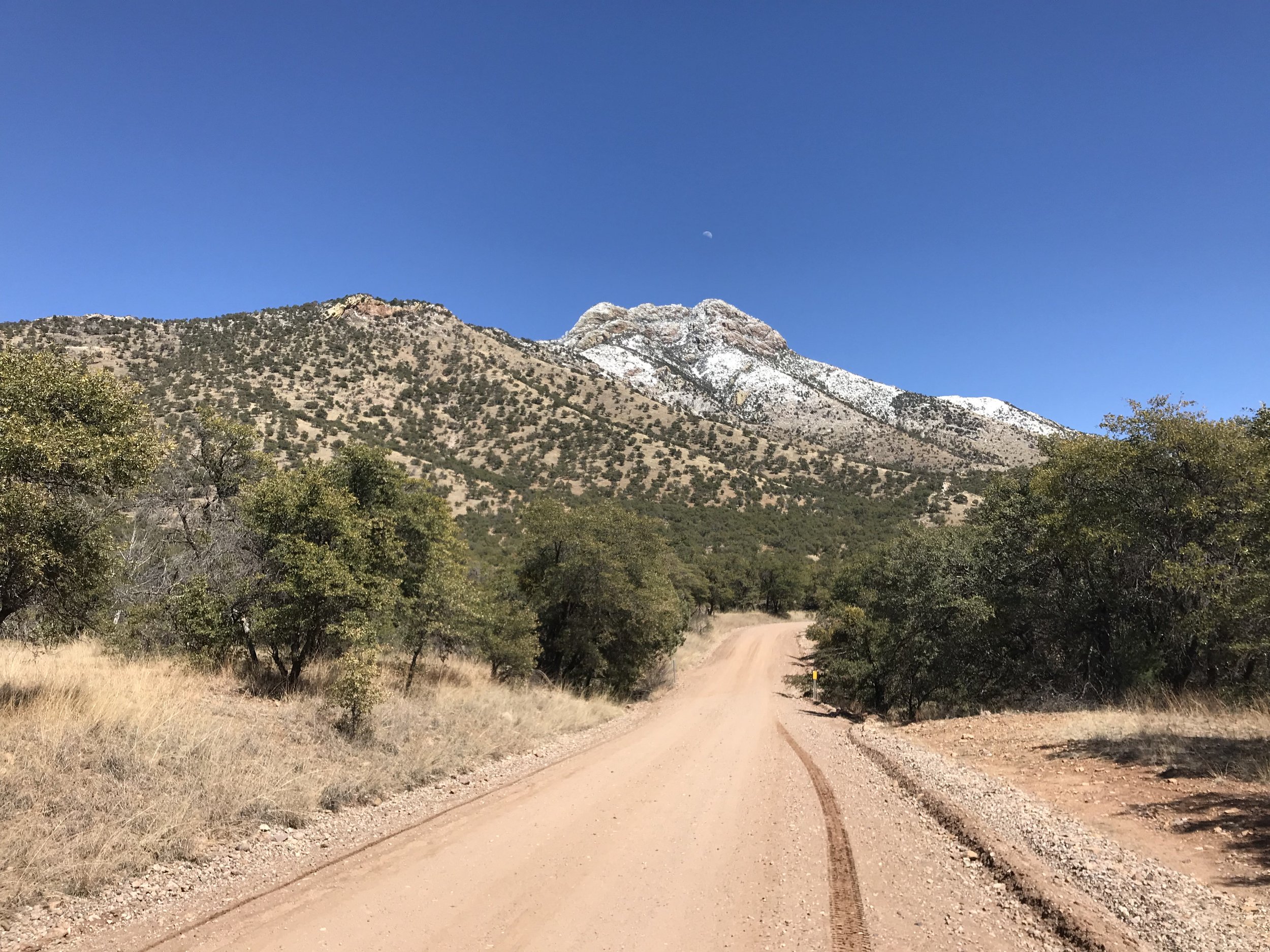
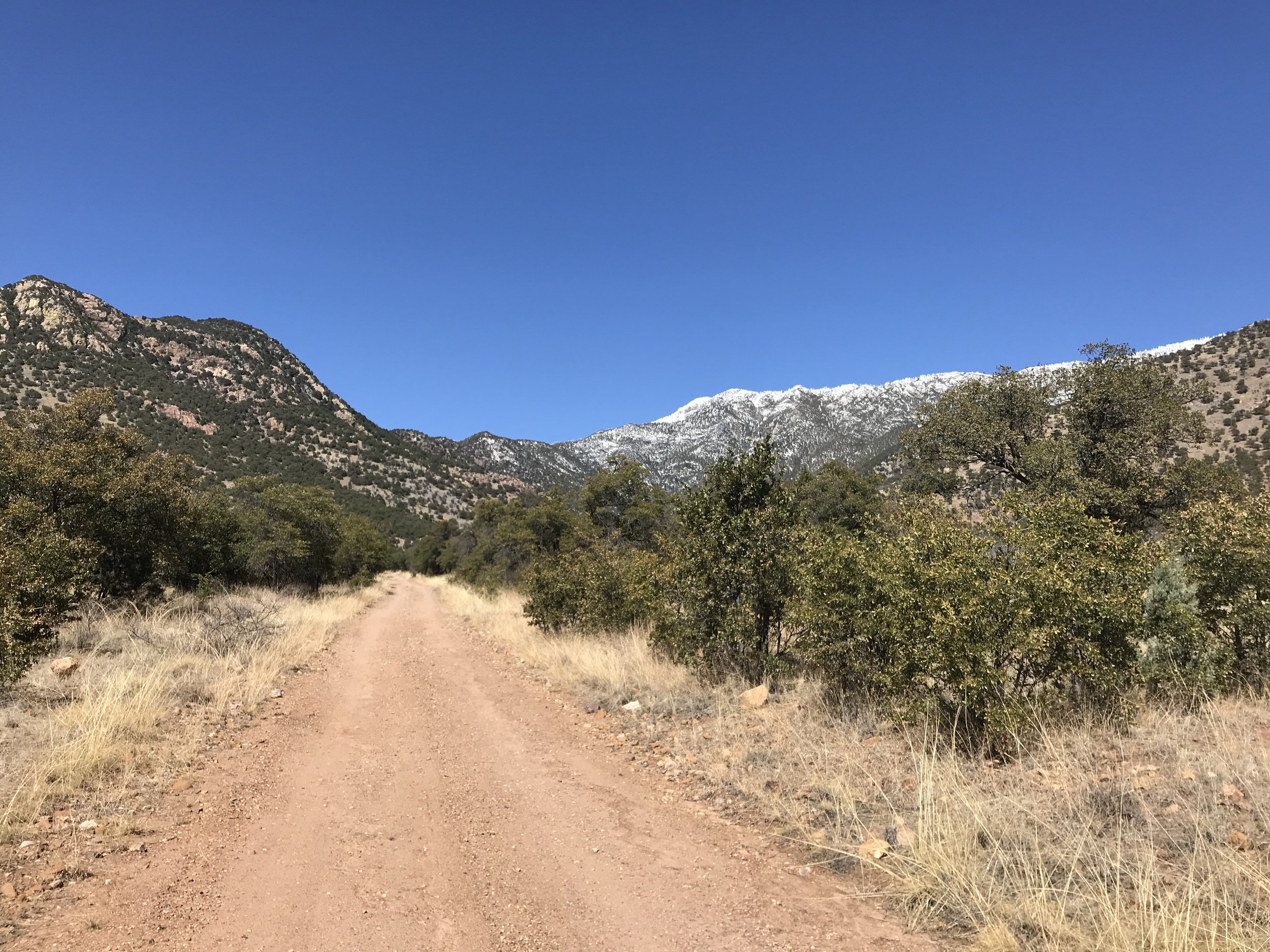
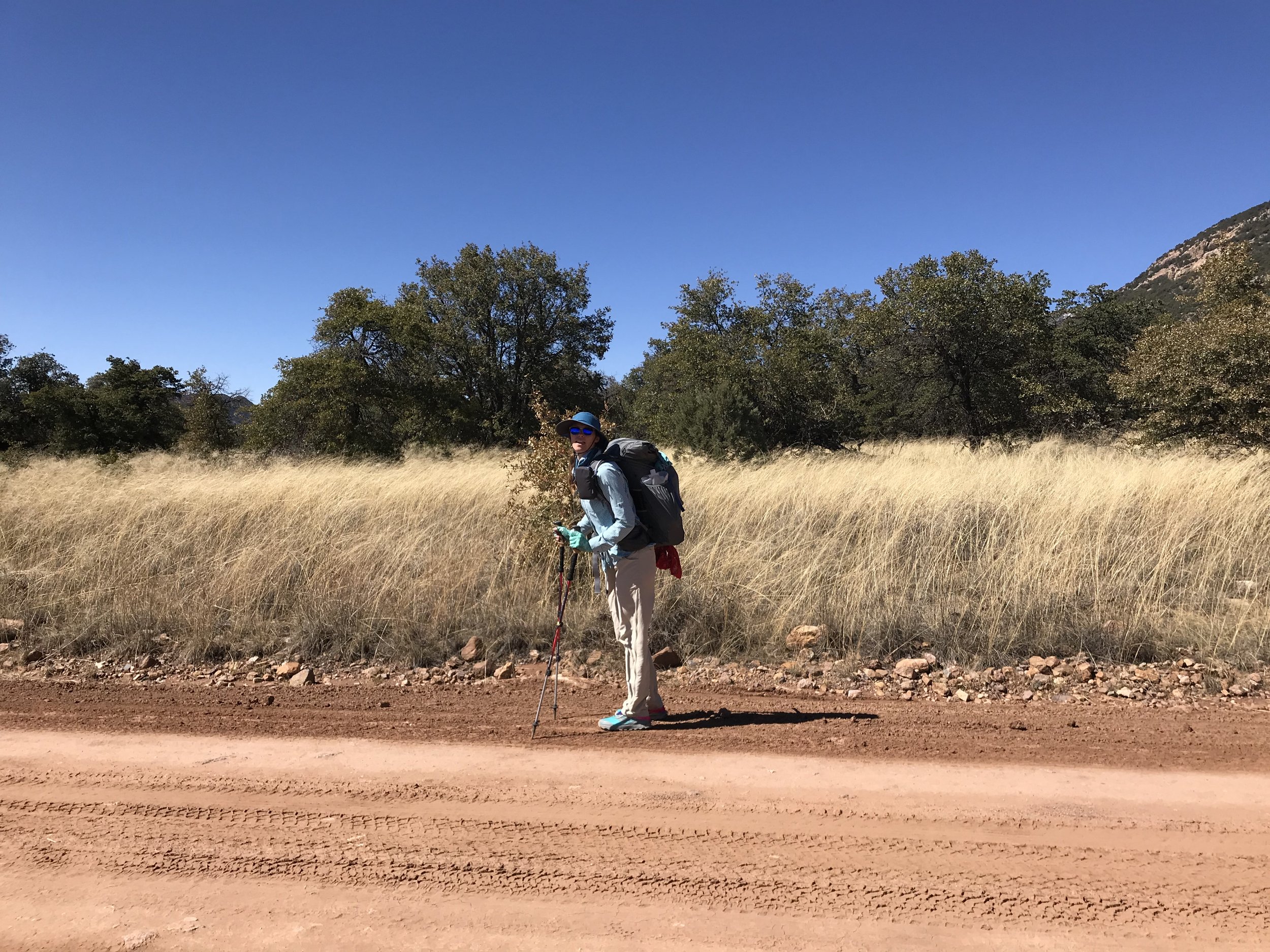
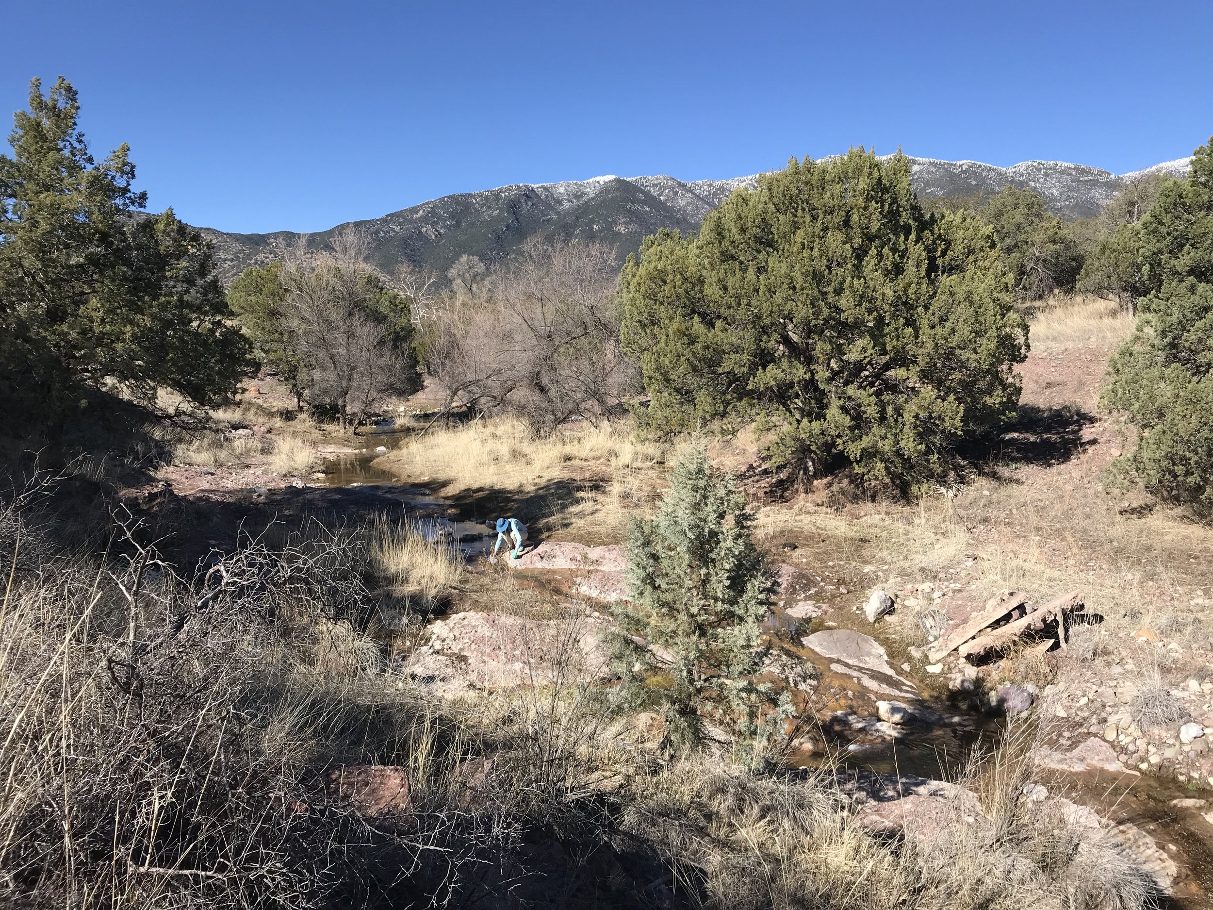
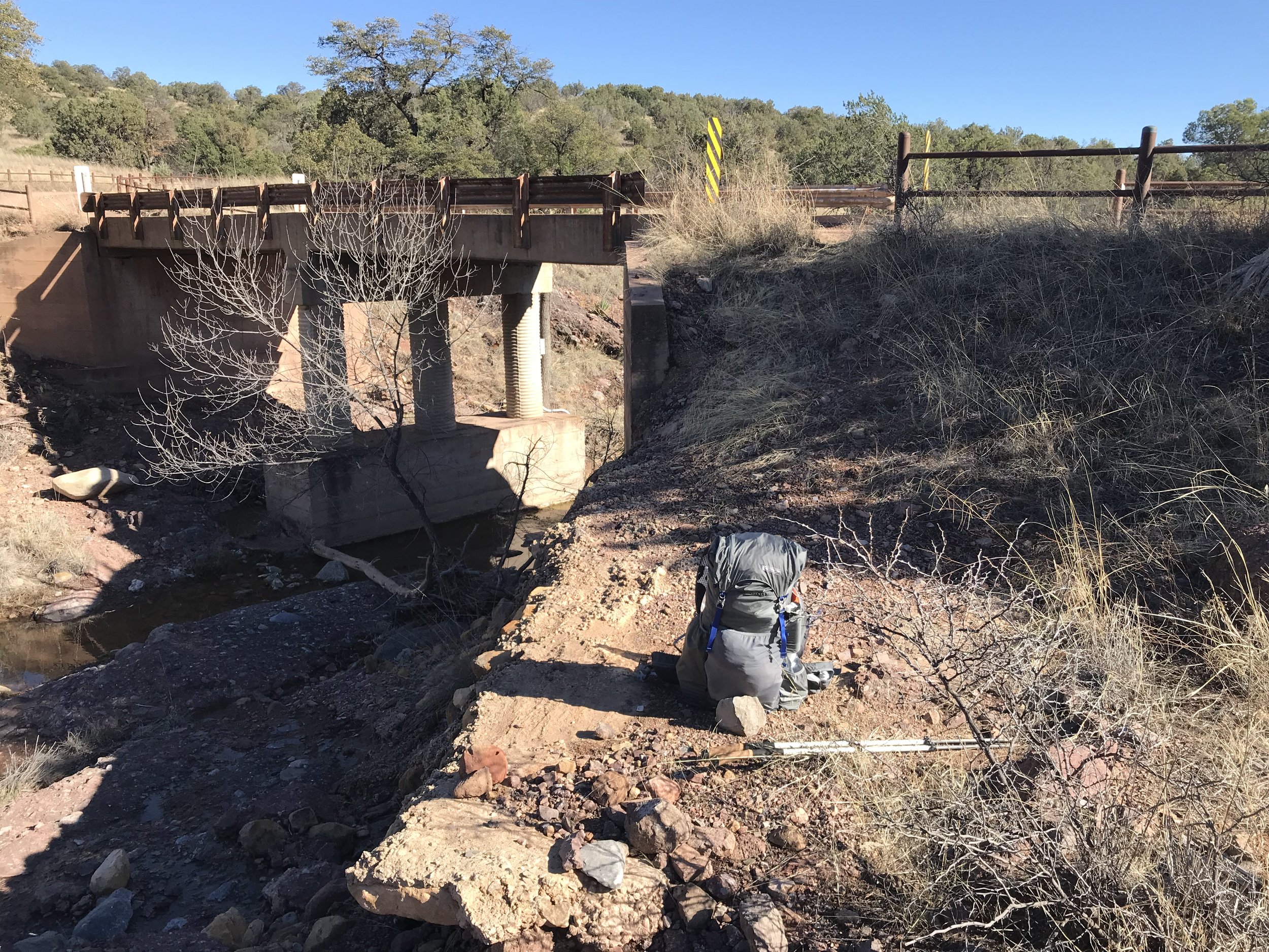
We lost elevation until we returned to the range below. The sawback range remained on our north, studded with snow quickly melting. The only listed water source was Bear Creek Canyon several miles ahead but every wash normally dry held a steady stream of water. The views continued to drive our walk forward and I got stoked as a coati walked across the road right in front of us. As spring evening quickly arrived with dusk coating the sky around 5 pm, we found a solid set of camping sites near the road. We ate dinner as temperatures began to plunge into the low 30s. Another AZTer came down the road in the twilight, letting us know that he had also decided to take the alternate after learning that conditions on top were so bad that SAR had to be contacted for a helicopter rescue.
