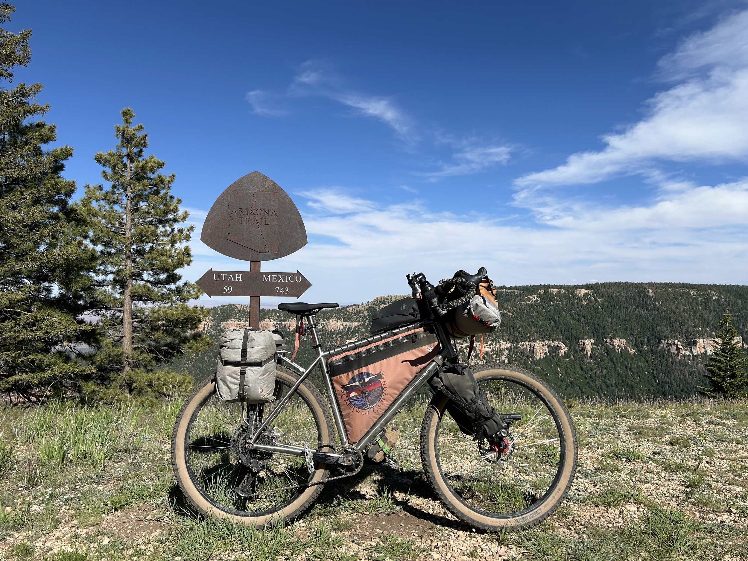
Grand Canyon Bikepacking Network
Bikepacking Overnighters on the South and North Rims
These bikepacking routes feature phenomenal views that highlight the Grand Canyon region from segments of the Capes of the Canyon. Typically 2 - 3 days in length and with water sources stationed at good distances, dispersed camping abounds along these loops that take riders right back to where they parked. Each track begins and ends at accessible locations where a 2WD vehicle is possible to drive/park at the start. Spend the weekend or a night camping next to a viewpoint of the Grand Canyon.
Click the links below to head to detailed Route Guides for each listed Grand Canyon Overnighter.

-
Grandview Overnighter
Red Butte Overnighter
Red Butte Overnighter
Red Butte Overnighter takes bikepackers out on a loop ride to Red Butte in the heart of the Baaj Nwaavjo I'tah Kukveni National Monument. The domed rise of this rock formation is iconic against the skyline of the South Rim; it is also considered the birthplace of the Havasupai people and culturally sacred. Cyclists start in Tusayan riding through montane woodlands of ponderosa pines before descending to savannah grasslands near Anita Station. Riders then approach the base of Red Butte and can take a side-hike to its summit. Spend the evening camped below the silhouette of this culturally significant landform against a backdrop of stars. The next morning, bikepackers ascend back into conifer forests along Skinner Ridge. From here, it's a fun descent back to Tusayan to finish the loop.
Sample Route Itinerary
-
Mileage: 42 Miles
Elevation Gain: 2000 ft.
Water: Wildlife Tank
Resupply: None
Camping: Dispersed camping in the pinyon-junipers along FR 320
-
Mileage: 28 Miles
Elevation Gain: 1400 ft.
Water: Wildlife Tanks, Tusayan
Resupply: Tusayan
Camping: Finish! Camp at the Tusayan-Montane Campground or dispersed camp in the woods nearby
A detailed Route Guide can be found at the Ride With GPS link:
Route Details
-
Grand Canyon - South Rim, Arizona, USA
-
2 Days
-
70 Miles
-
3,398 Feet
-
4/10
Regular rolling terrain with sustained climbing
Based on Bikepacking Roots’ Route Rating Scale
-
4/10
Track has occasional obstacles and steep sections (e.g., maintained forest roads, mellow singletrack); suitable for beginner riders with some off-road experience.
Based on Bikepacking Roots’ Route Rating Scale
-
Recommended: 2.2" - 2.5"
-
Rough Gravel: Unpaved roads or paths characterized by coarse gravel, washboards, or softer sections for which >50mm (2”) tires are most suitable (some riders may prefer mountain bikes over gravel bikes).
Smooth Gravel: Unpaved roads or paths that aren’t rocky, sandy, or soft and on which bikes with >35mm (1.4”) tires are most suitable.
Based on Bikepacking Roots’ Route Rating Scale
-
Best: Late April - June
Best: September - October
Possible: July - August (Beware heat and monsoons)