Arizona Trail - Day 17 - Water Trough below Oracle Ridge
Date: March 30, 2019
Trail Mile 194.6
The cold winds swept through the woods all night, meaning morning was freezing cold and in the low 30s. Knowing today was predominately downhill, Janna and I allowed ourselves to sleep in a bit until the sun was actually touching the Triplex. We climbed out of the Triplex and parted from Chris who wanted to nestle in his cocoon of warmth for longer.
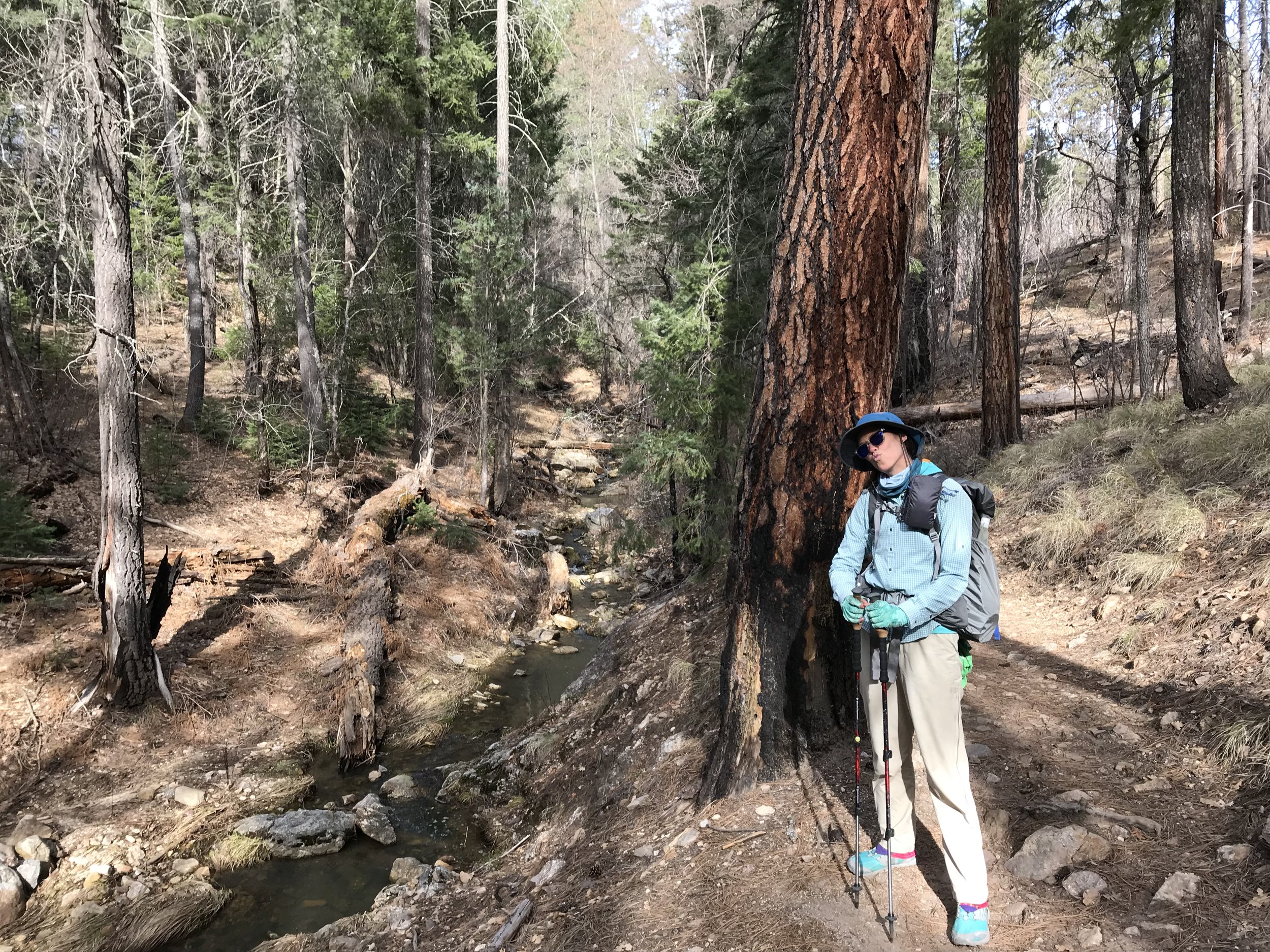
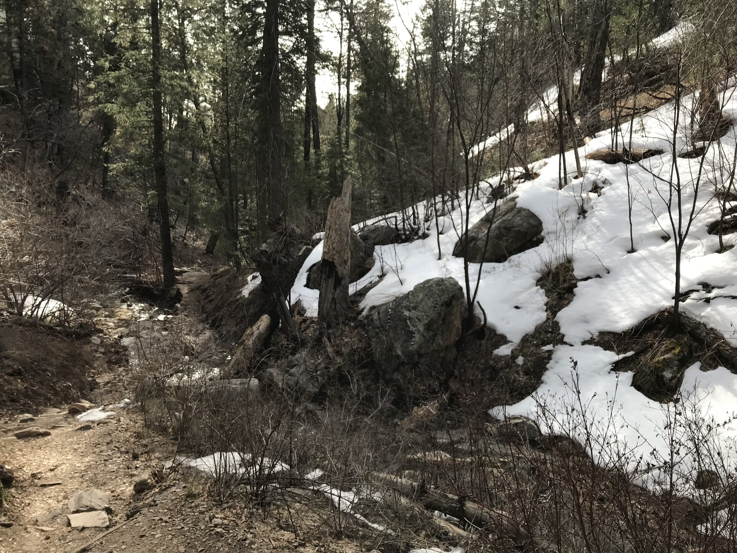
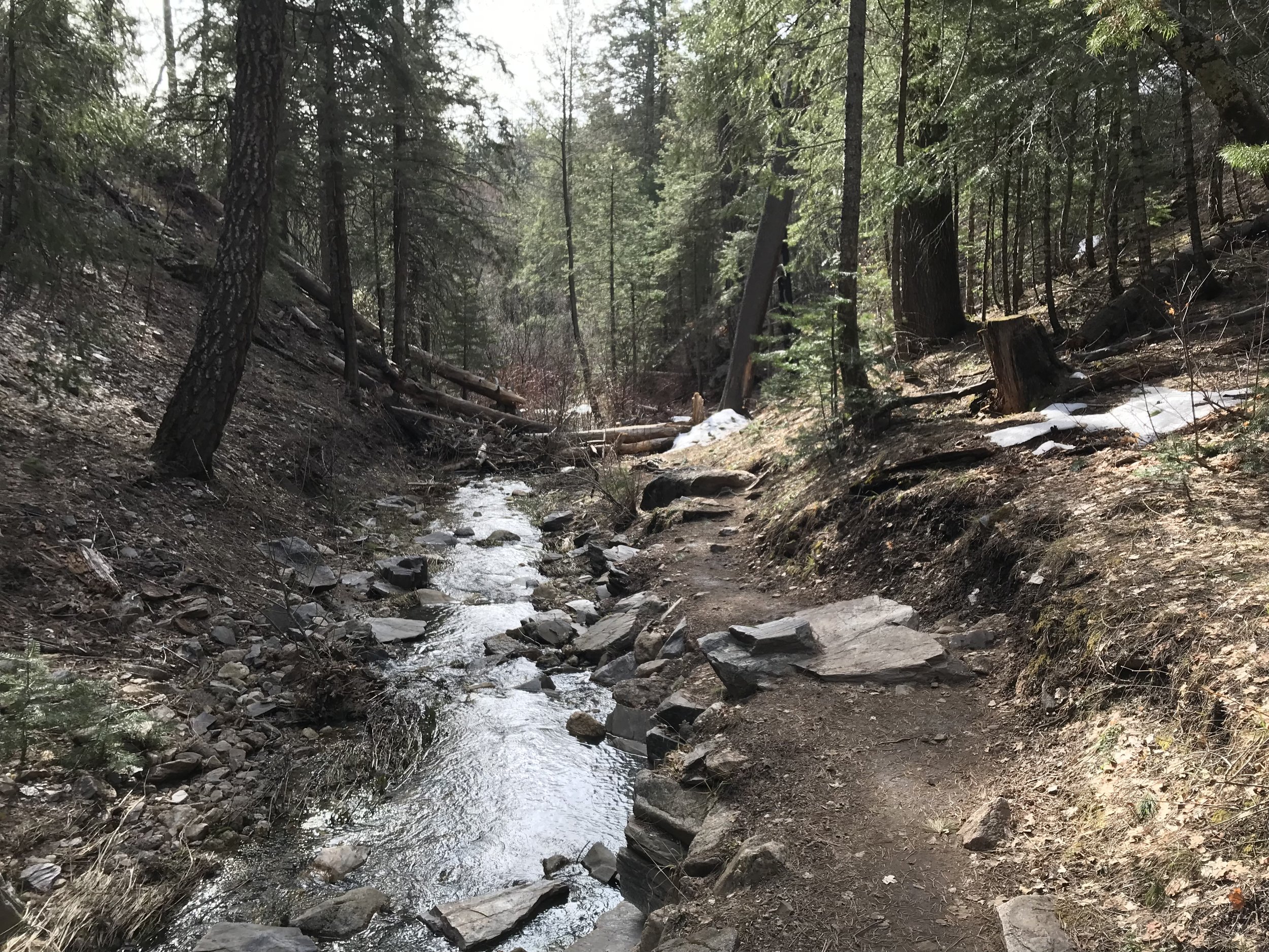
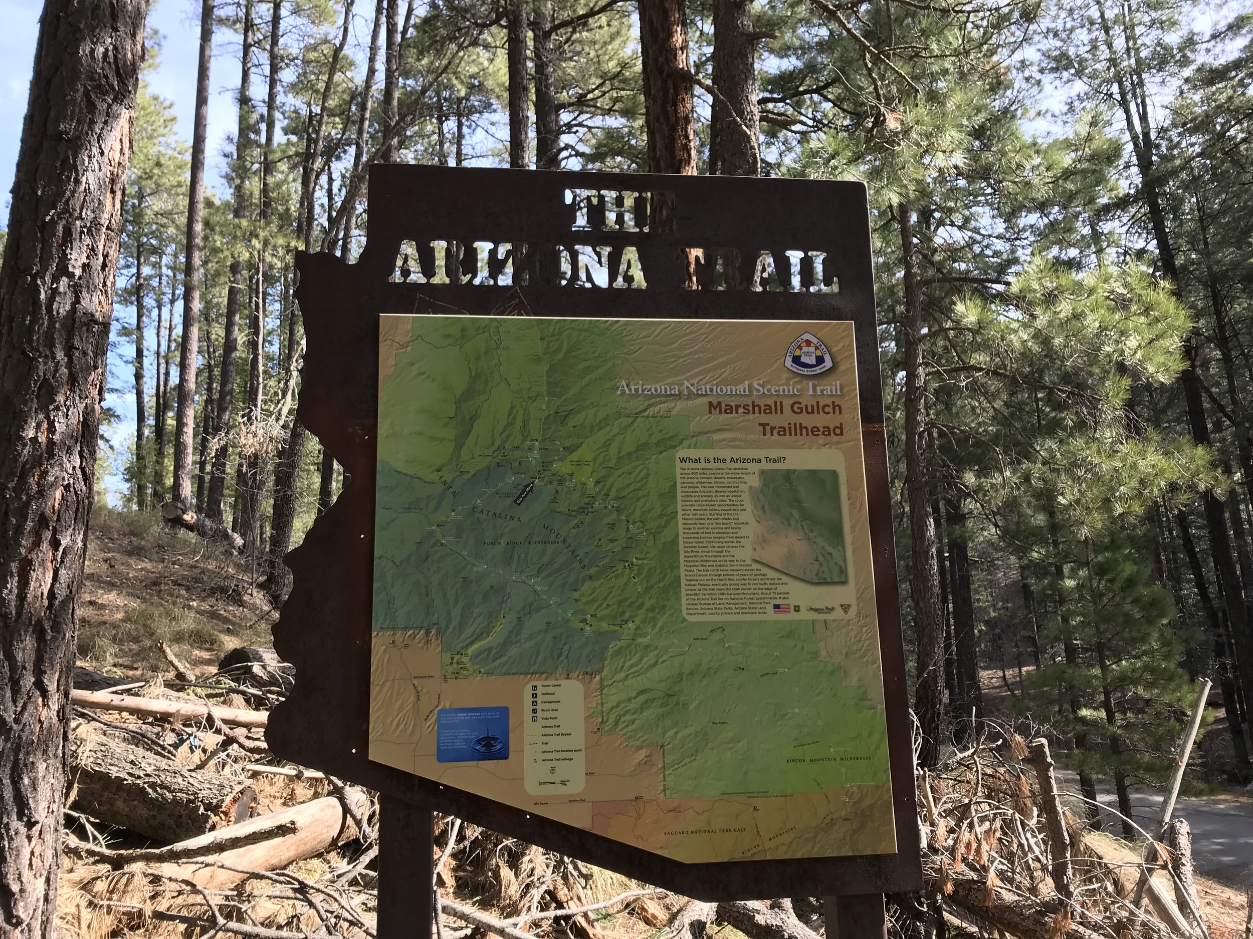
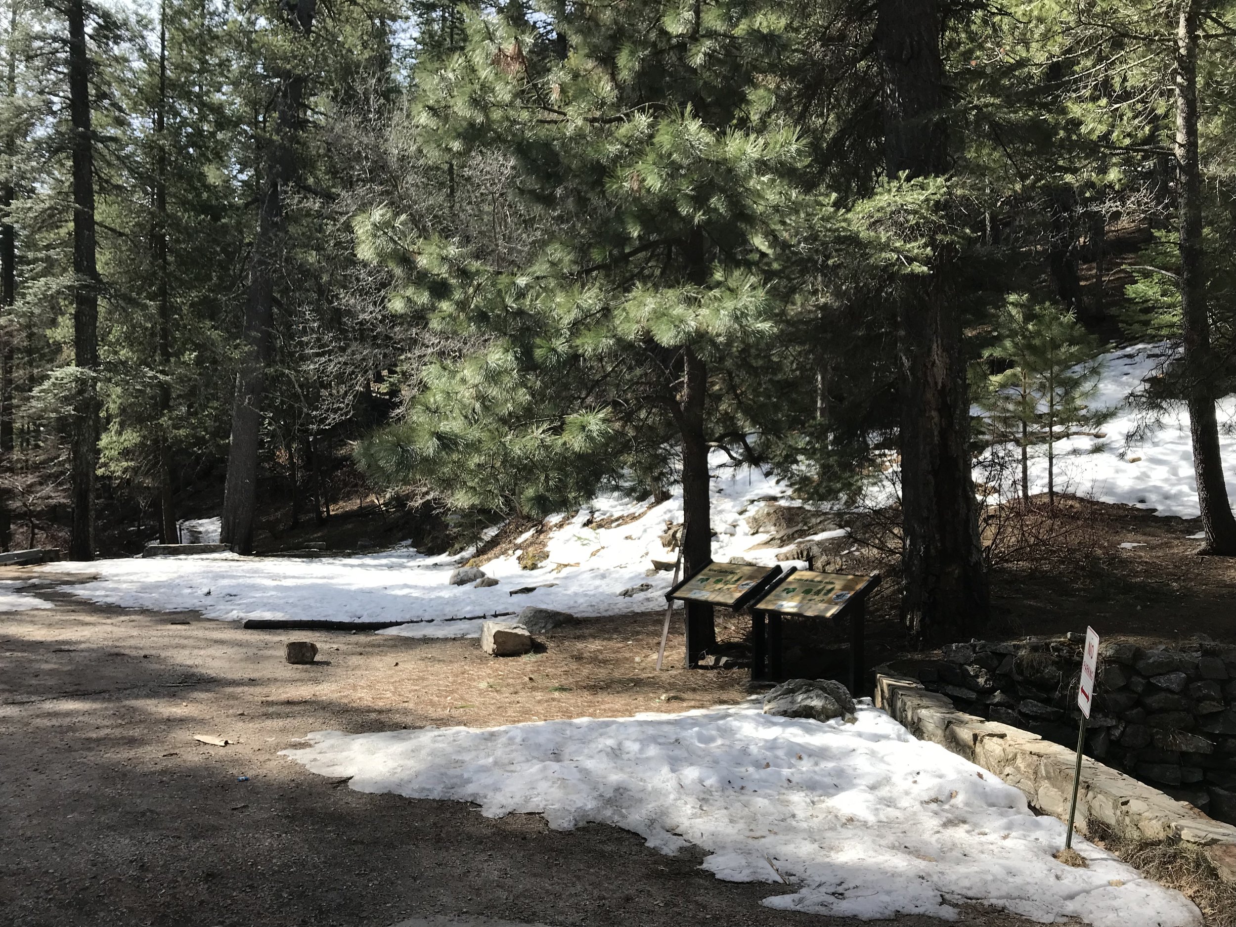
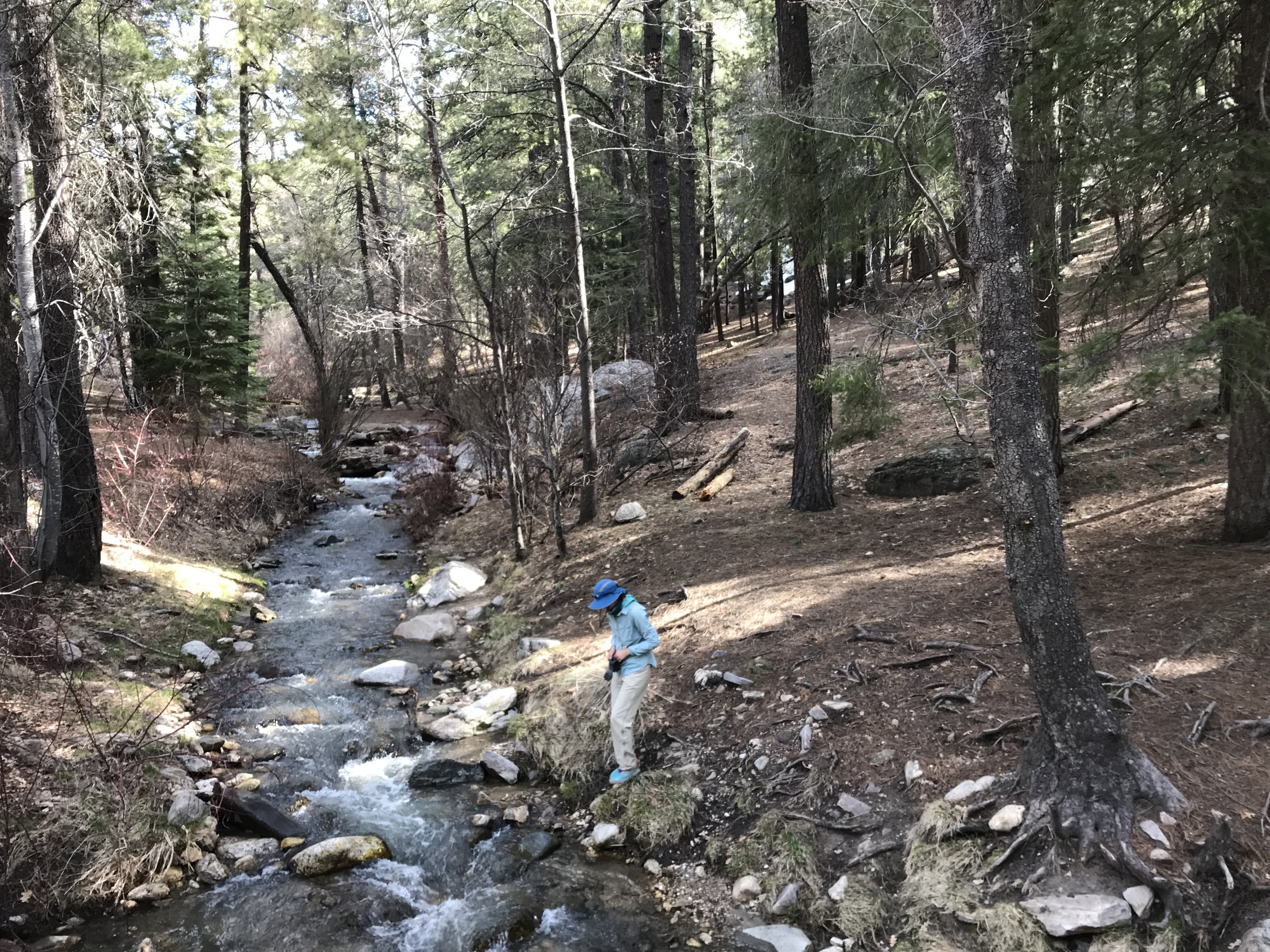
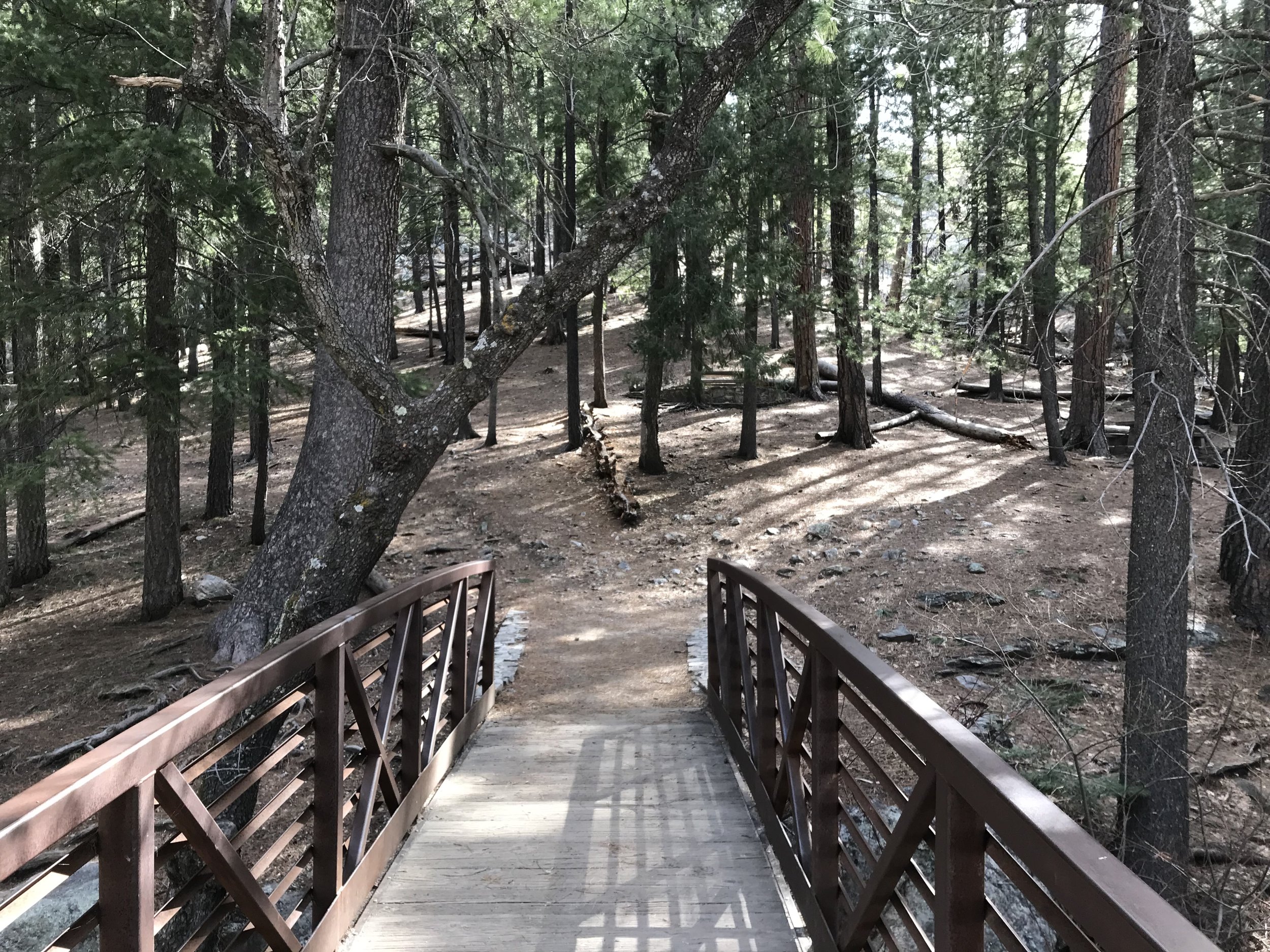
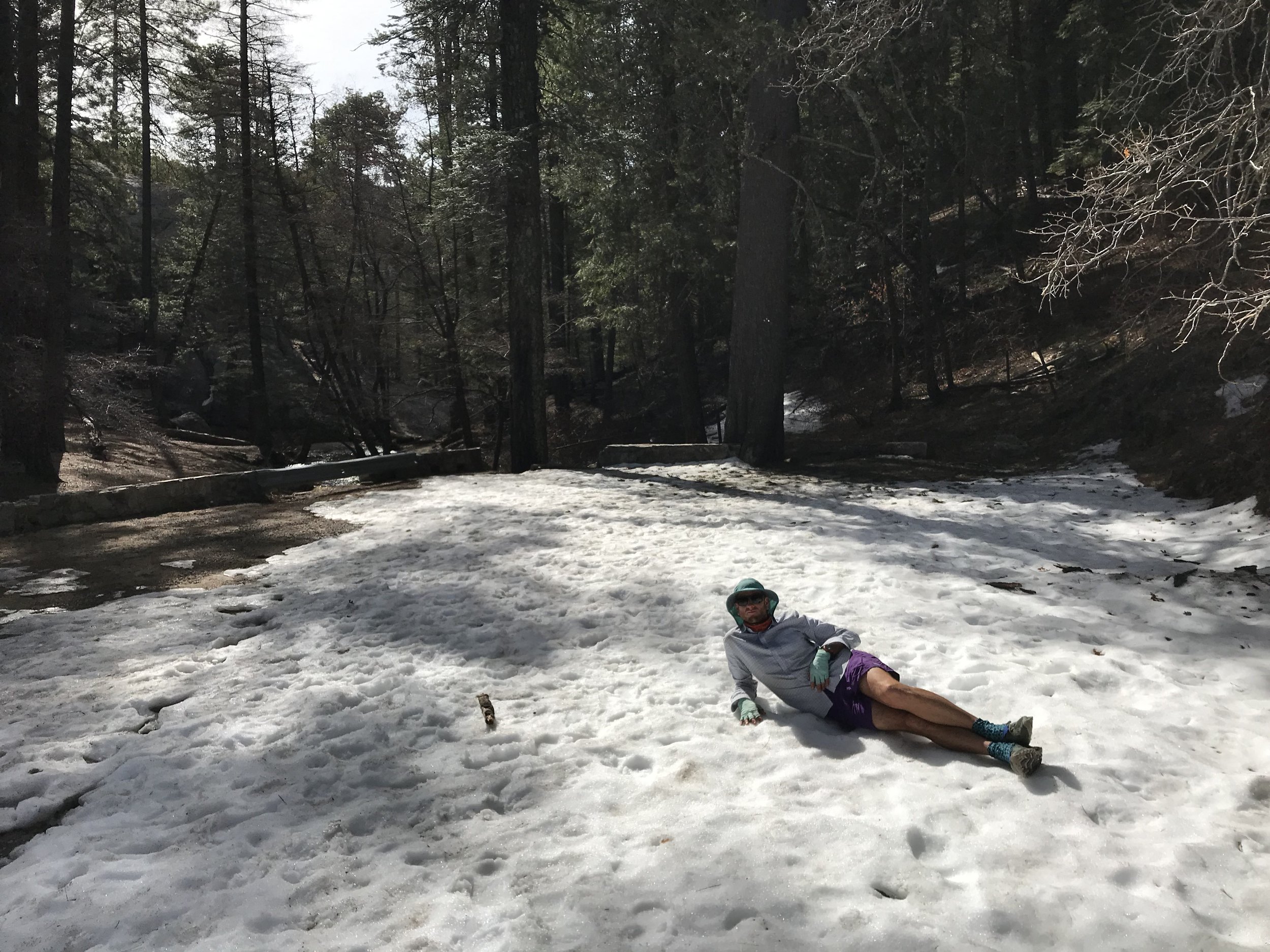
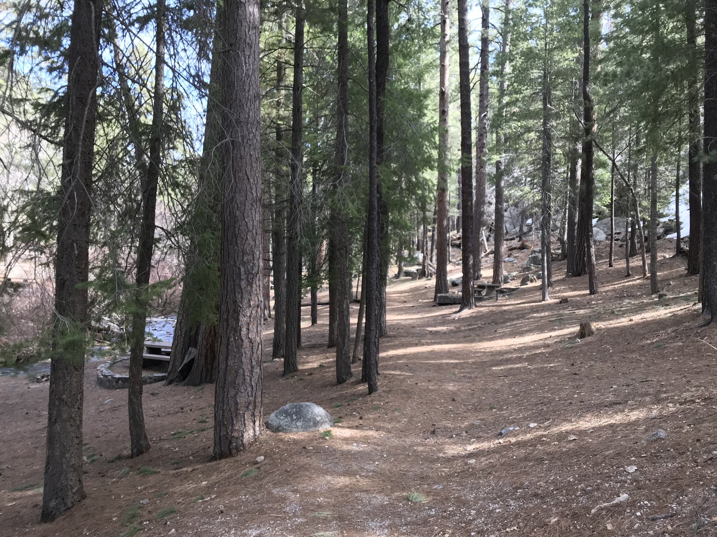
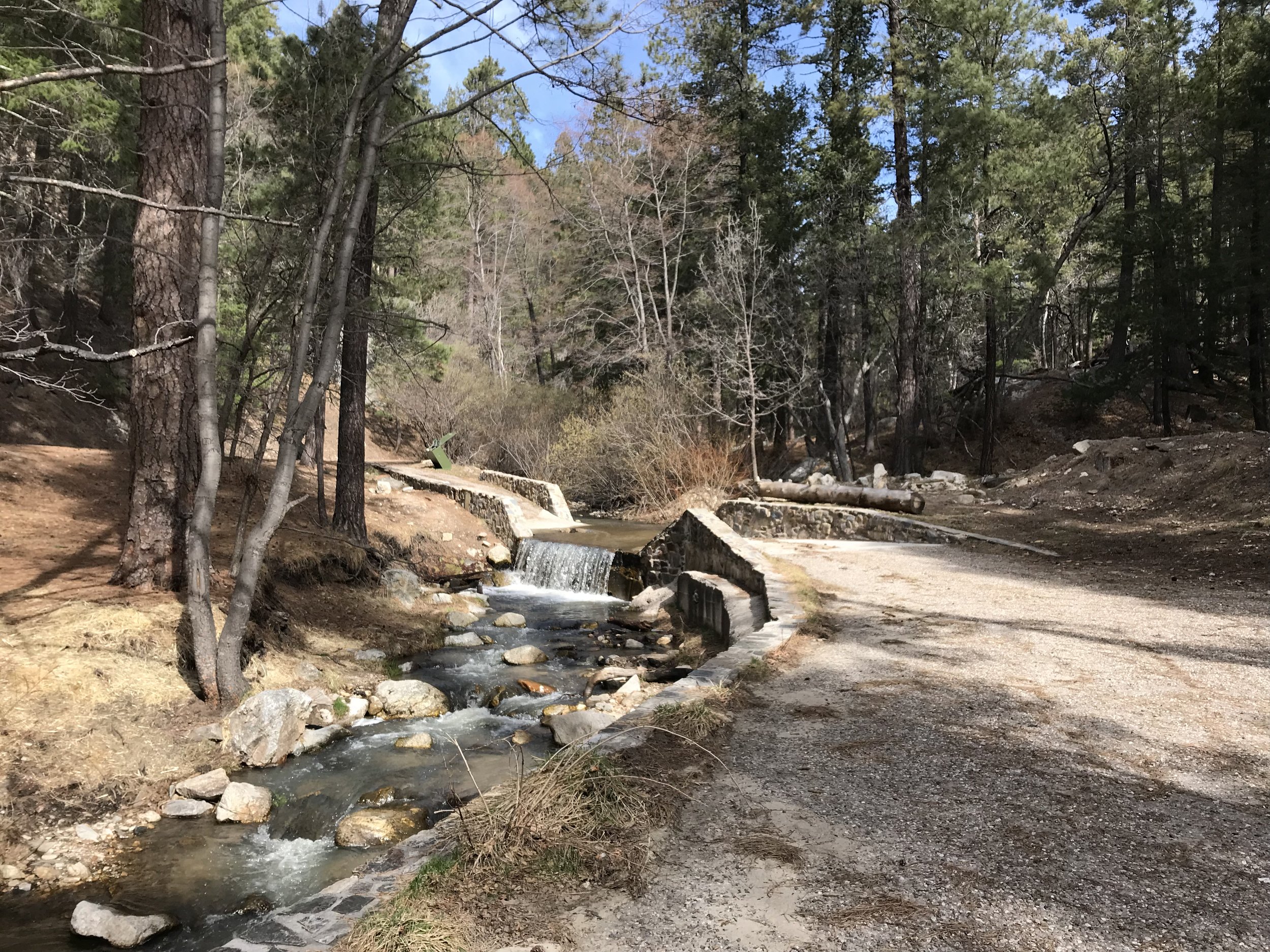
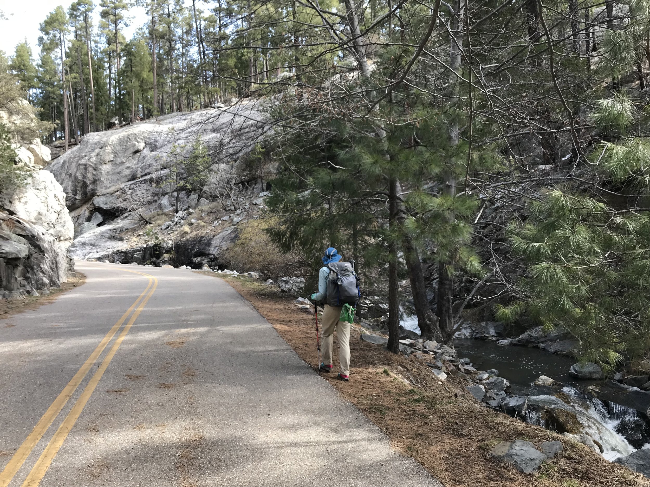
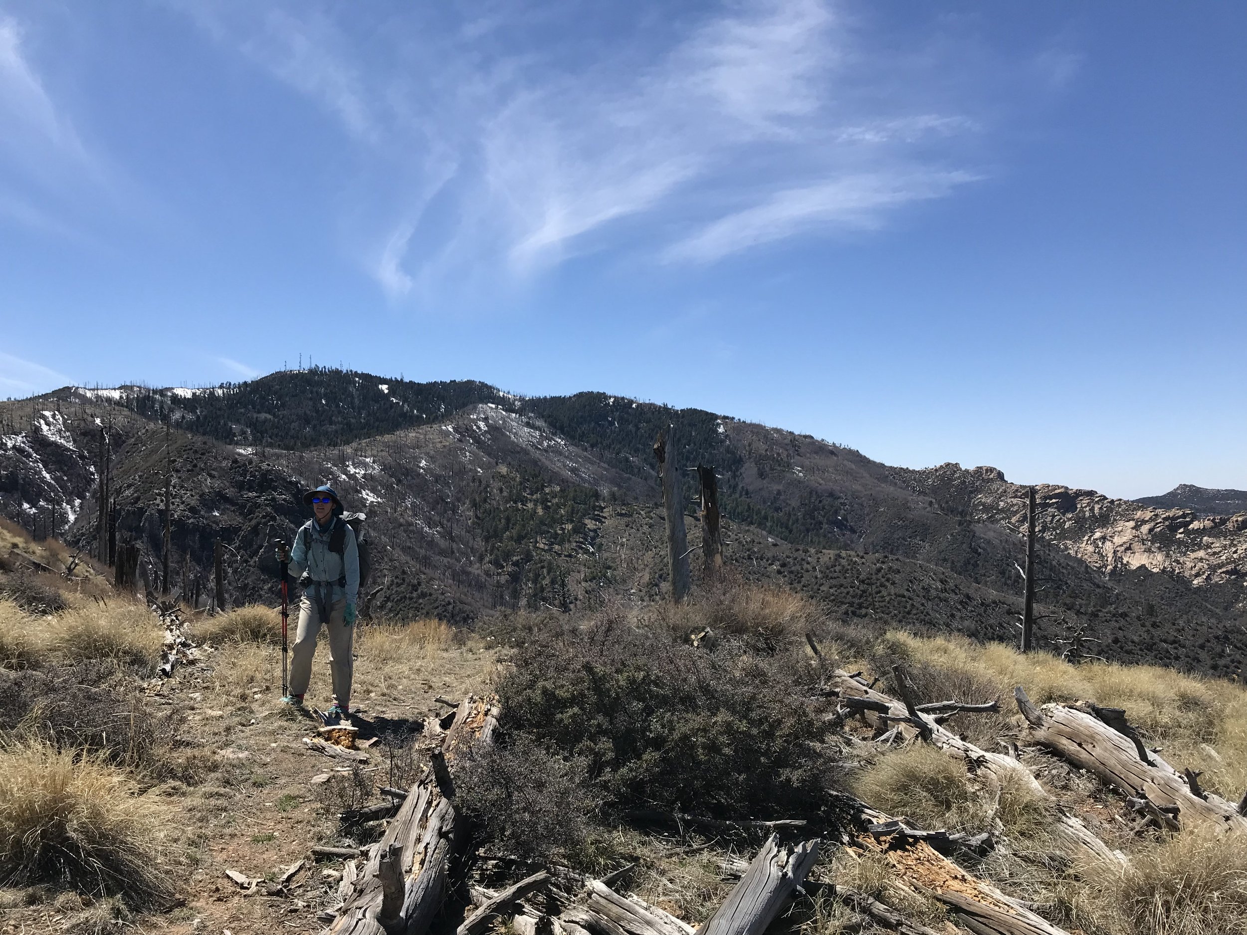
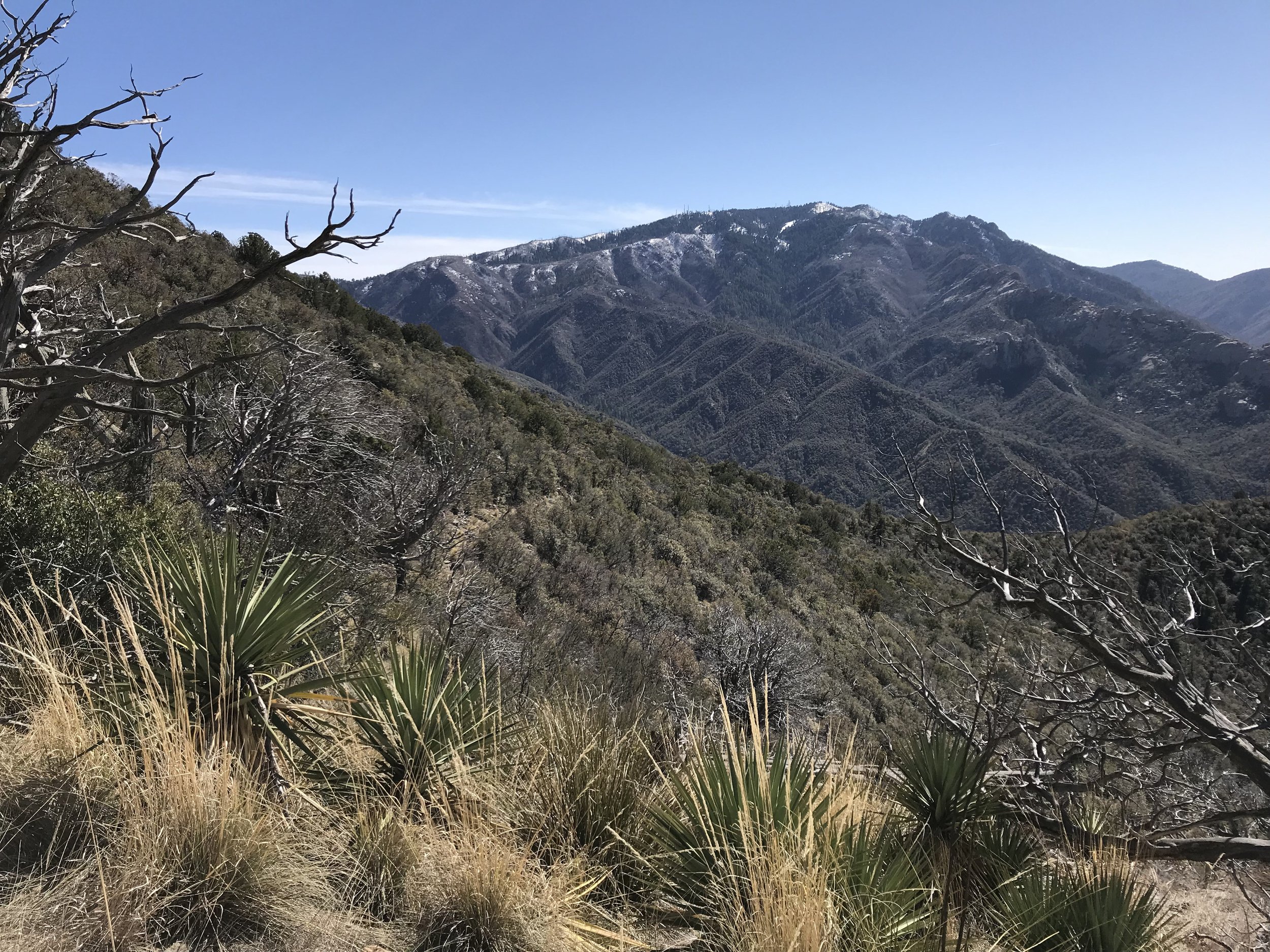
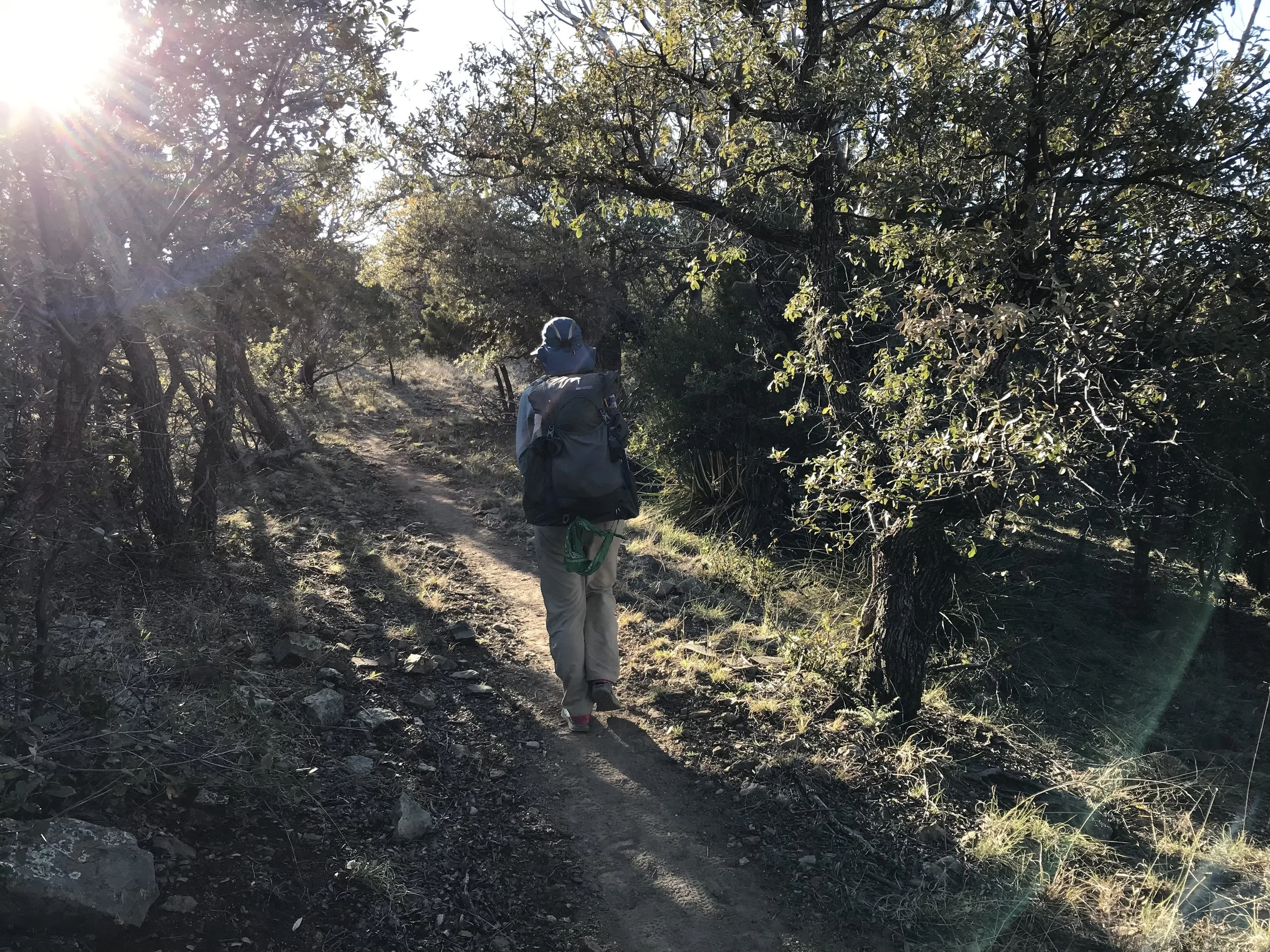
On the Arizona Trail, we came up over a pass and descended through a pine forest and skirted the flanks of Sabino Creek. At the base of the mountains, this creek would be a venerable river, but up here, it was an alpine creek. Descending through frosted light, we passed a few older couples hiking out to bird watch. And just like that, we exited the Arizona Trail into a large paved parking lot just outside of Summerhaven. The parking lot is for Marshall Gulch Trailhead and it was closed due to snow. No cars were present and the entire paved road leading here was equally shunting vehicles behind a winter gate. We stopped to soak our socks in the frigid creek one last time next to some snowpack. It was peaceful and beautiful.
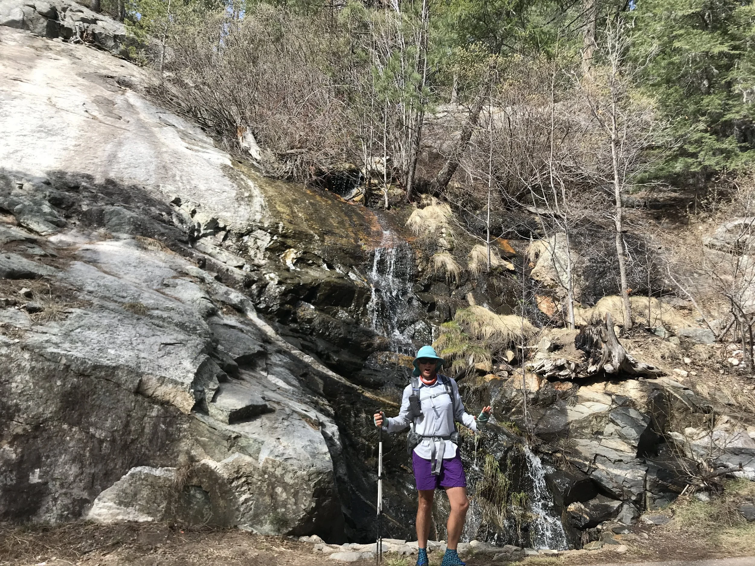
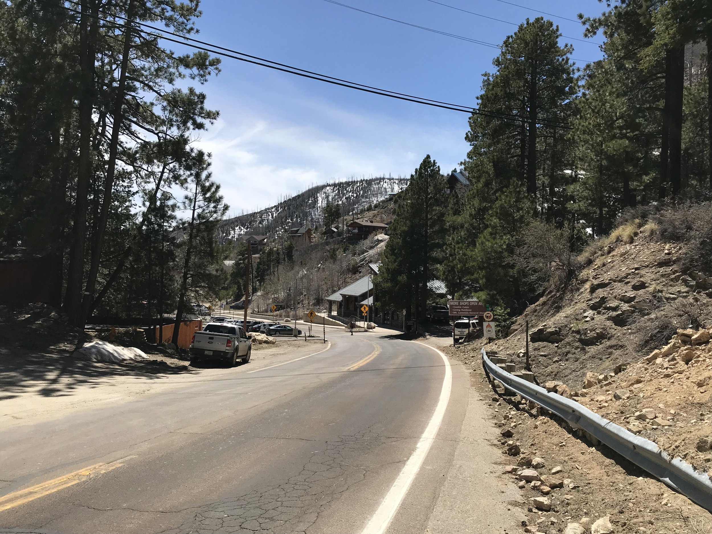
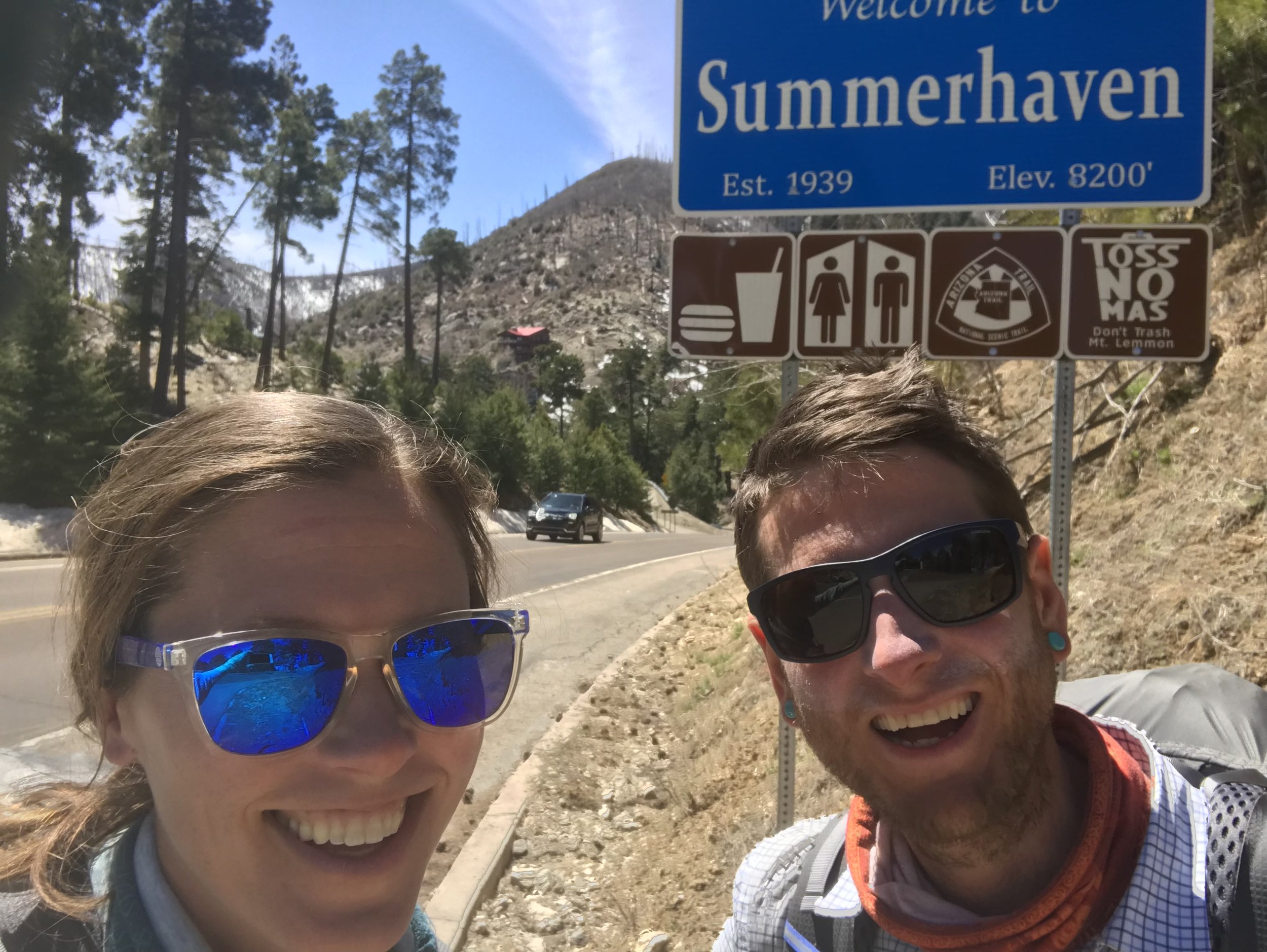
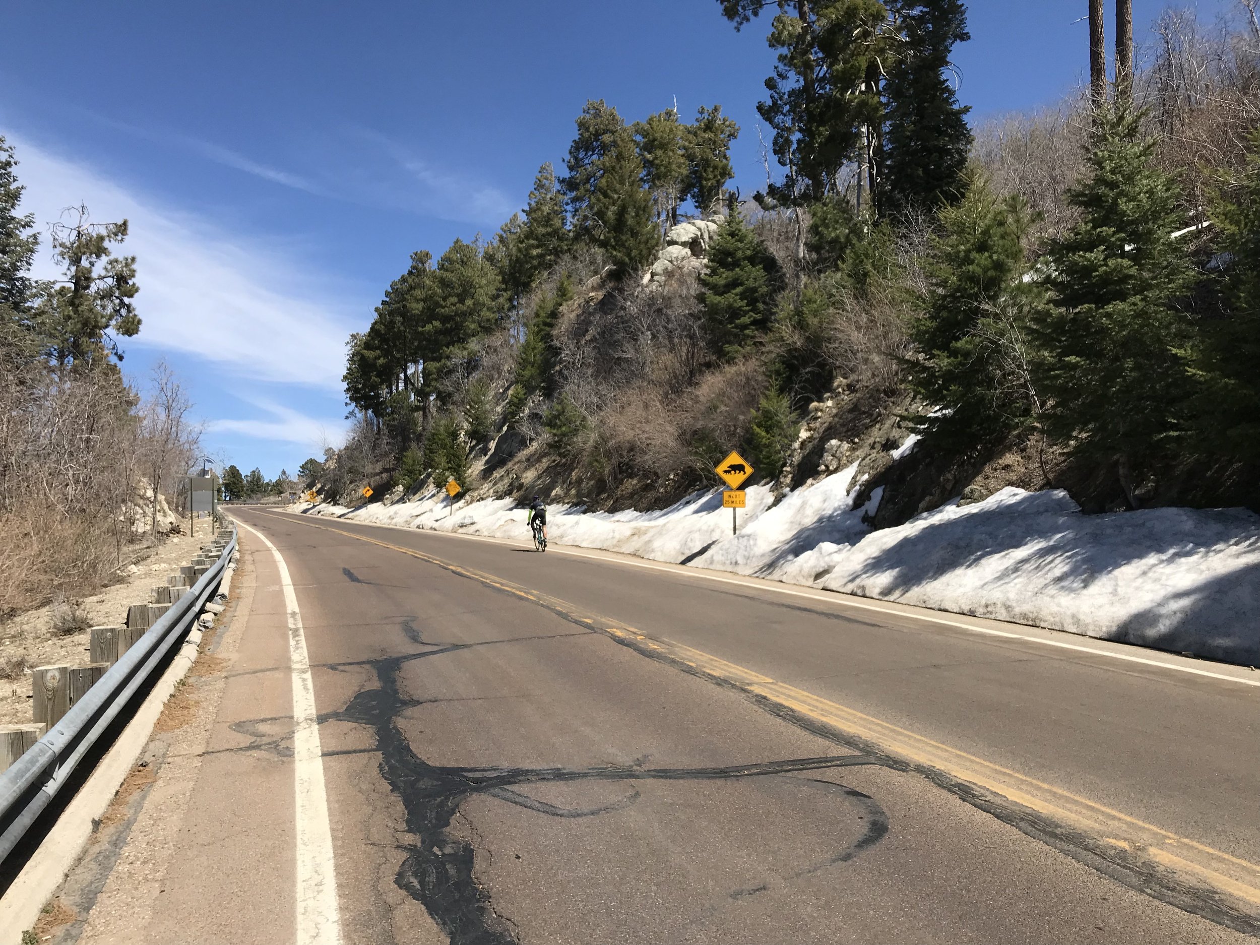
Walking up the paved road, it curved next to some granite outcrops that were all heavily spilling waterfalls from snowmelt. We hopped the closed winter gate and found ourself in Summerhaven. Summerhaven is a small inholding town found at the top of Santa Catalinas outside Tucson. It’s home to the southernmost ski resort in the United States, a town with a few restaurants, post office, library, general store, and lots of vacation homes (and some permanent residents). It’s the town you aim for when biking up Mt. Lemmon with a Cookie Cottage serving dinner-plate-sized cookies for the successful. A paved side road leads even farther up over 9000 ft. to a slew of University of Arizona observatories raking the dark night skies above Tucson.
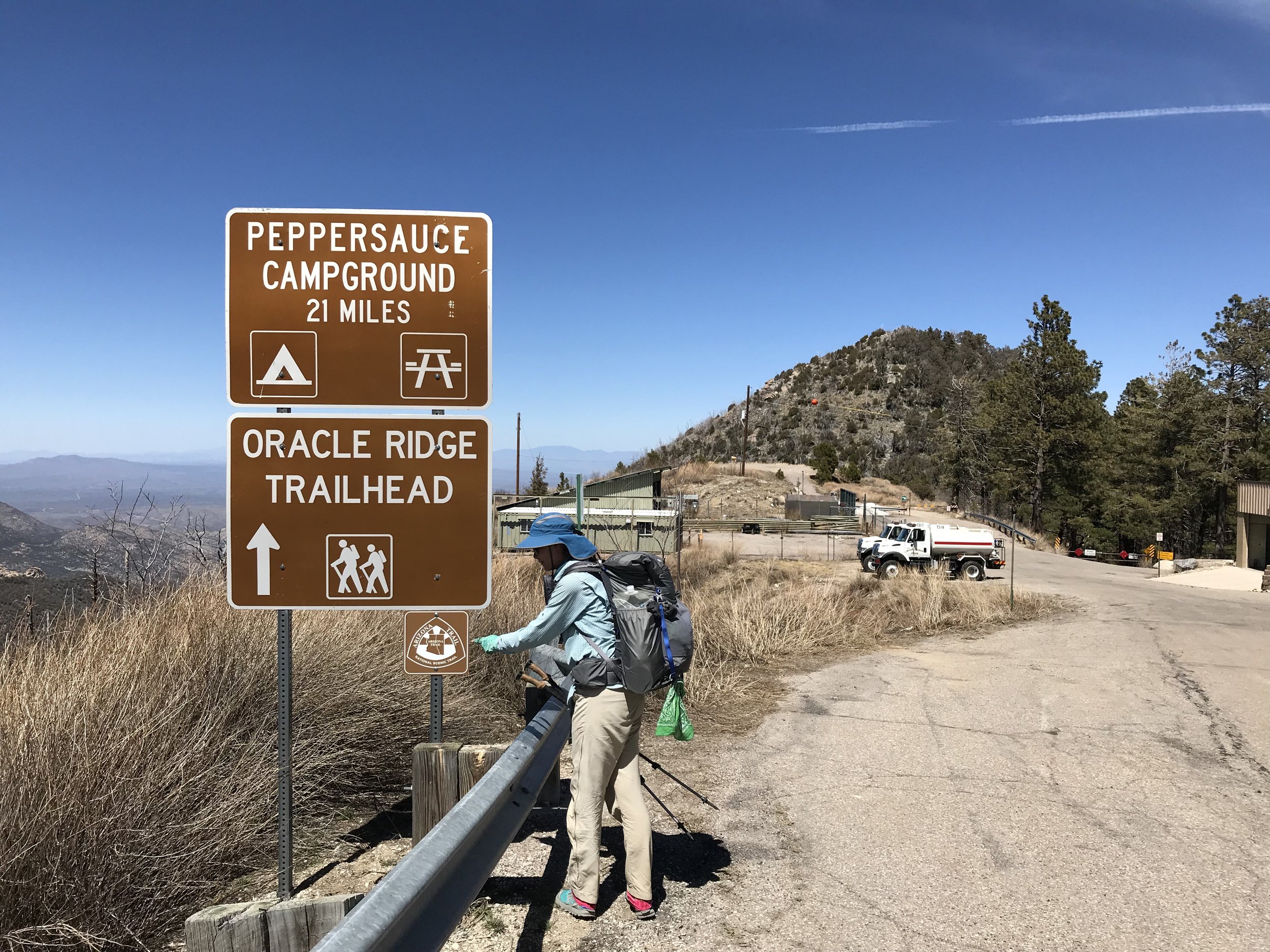
Now in Summerhaven, we beelined to the General Store which rewarded us cold AZT hikers on this frosty morning with free hot chocolate. While thawing, we perused the aisles, purchasing tons of homemade fudge and enough trail food to get us to Oracle. The morning now sufficiently warming up, we walked up the road (now busily filled with cars and pedestrians) to the Sawmill Restaurant where we caught Chris. We settled indoors, eating burgers, fries, and desserts in the setting of a fire. Satiated, we wandered out of the restaurant and across the street to the Visitor’s Center to fill up water at the public restrooms. Fed, watered, and resupplied, we walked along the shoulder of the Catalina Highway out of town until reaching the fire department station. Take a left, we took the paved side road sloping down to the northeast. All I could think of was how this location was the aid station and turnaround point on the Mt. Lemmon Gravel Grinder race I had done in the fall.
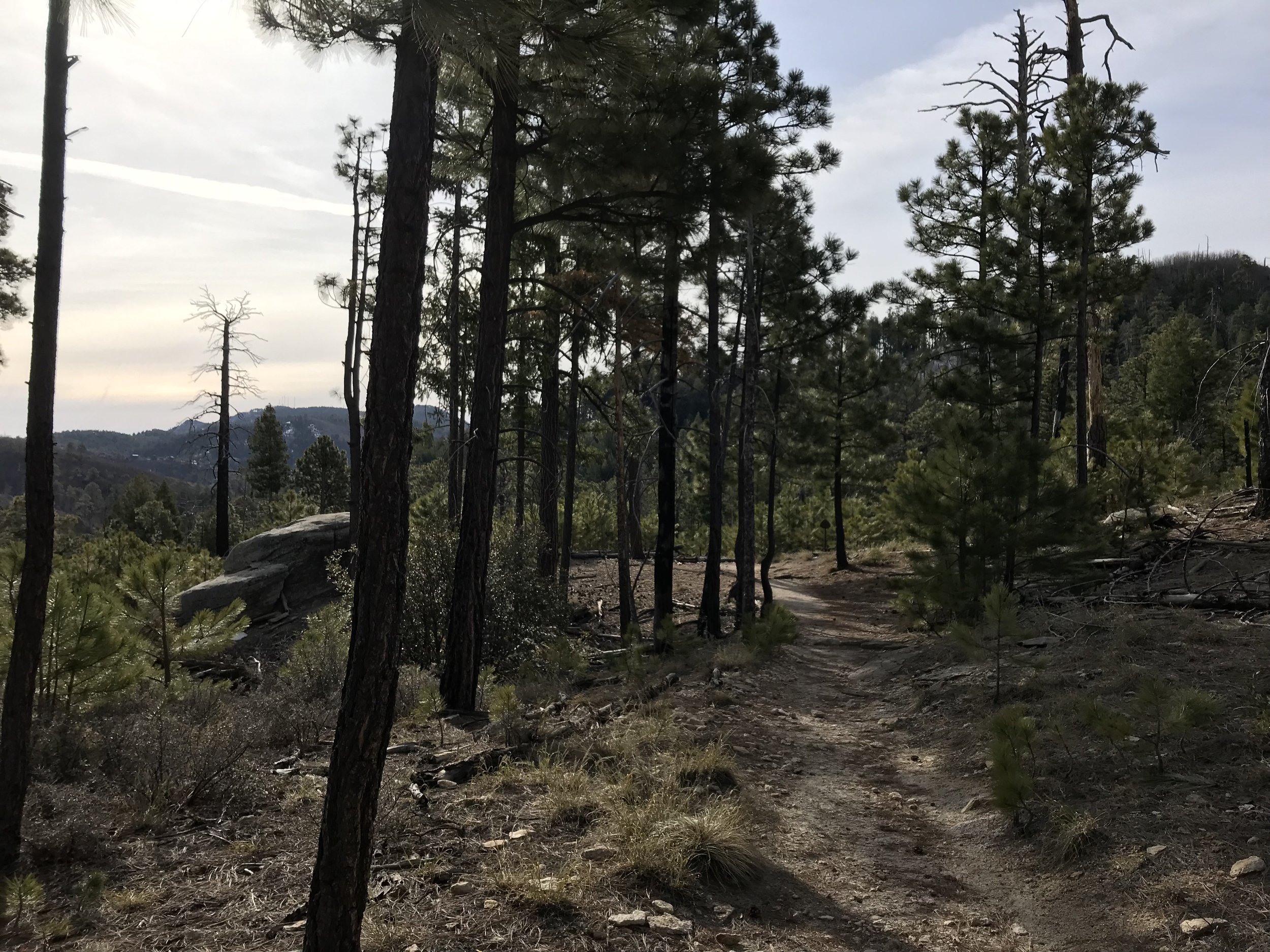
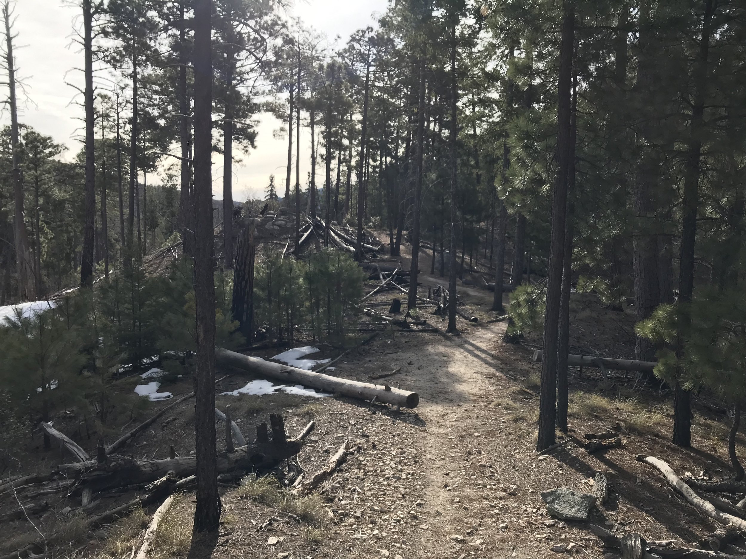
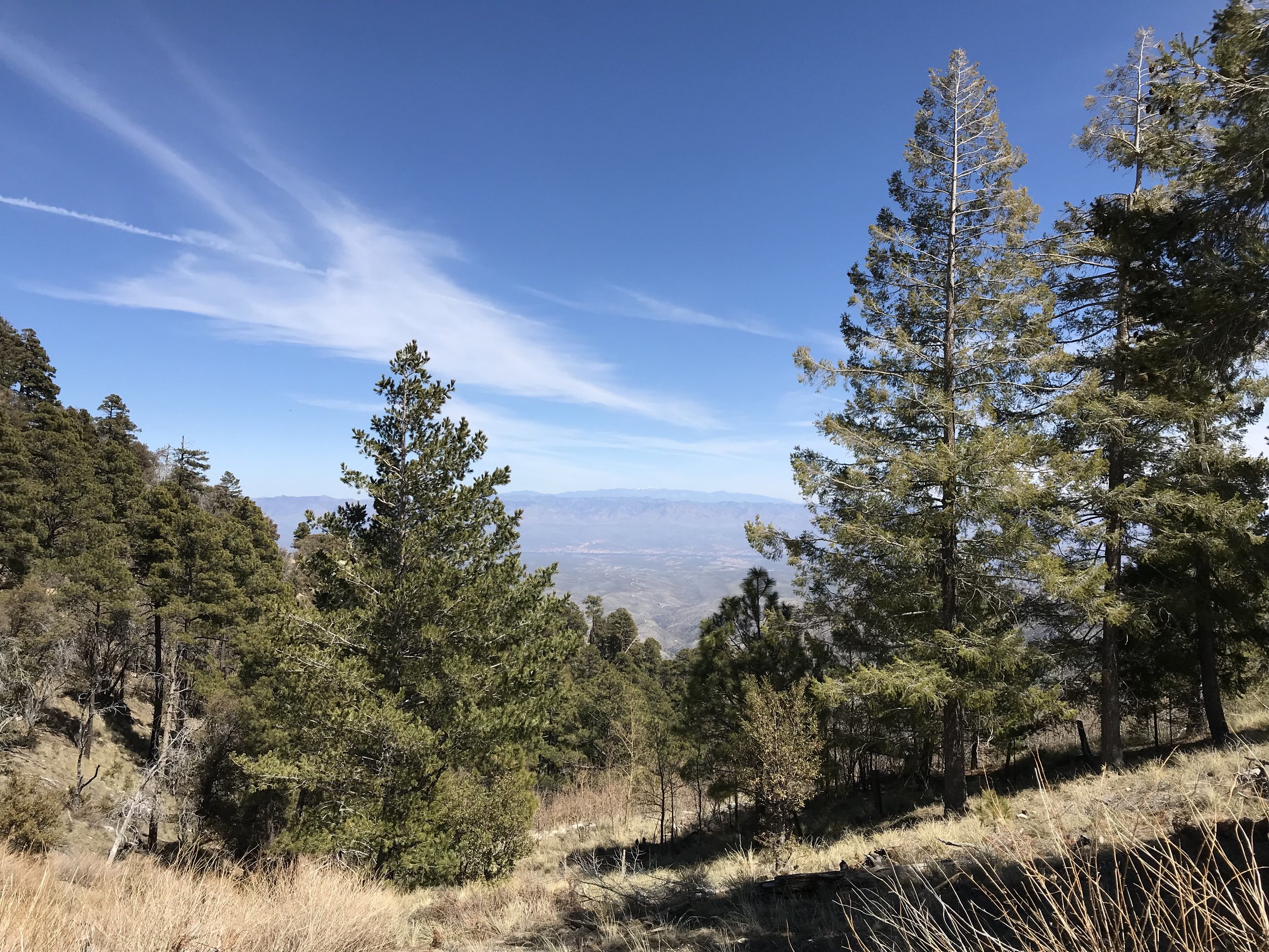
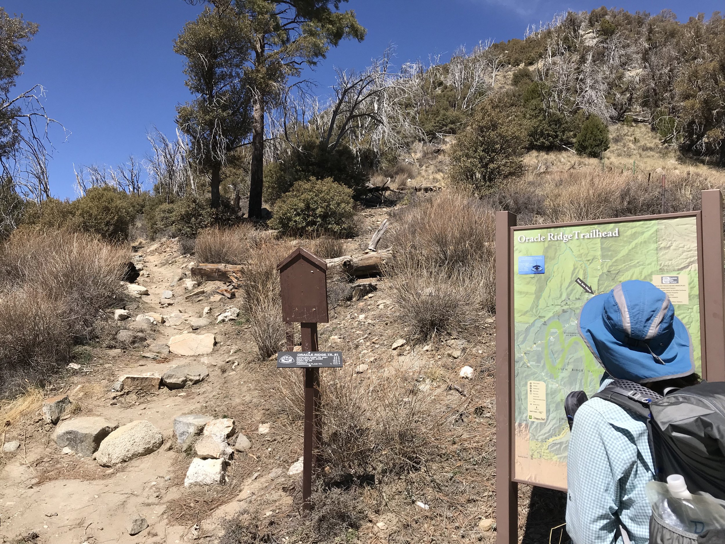
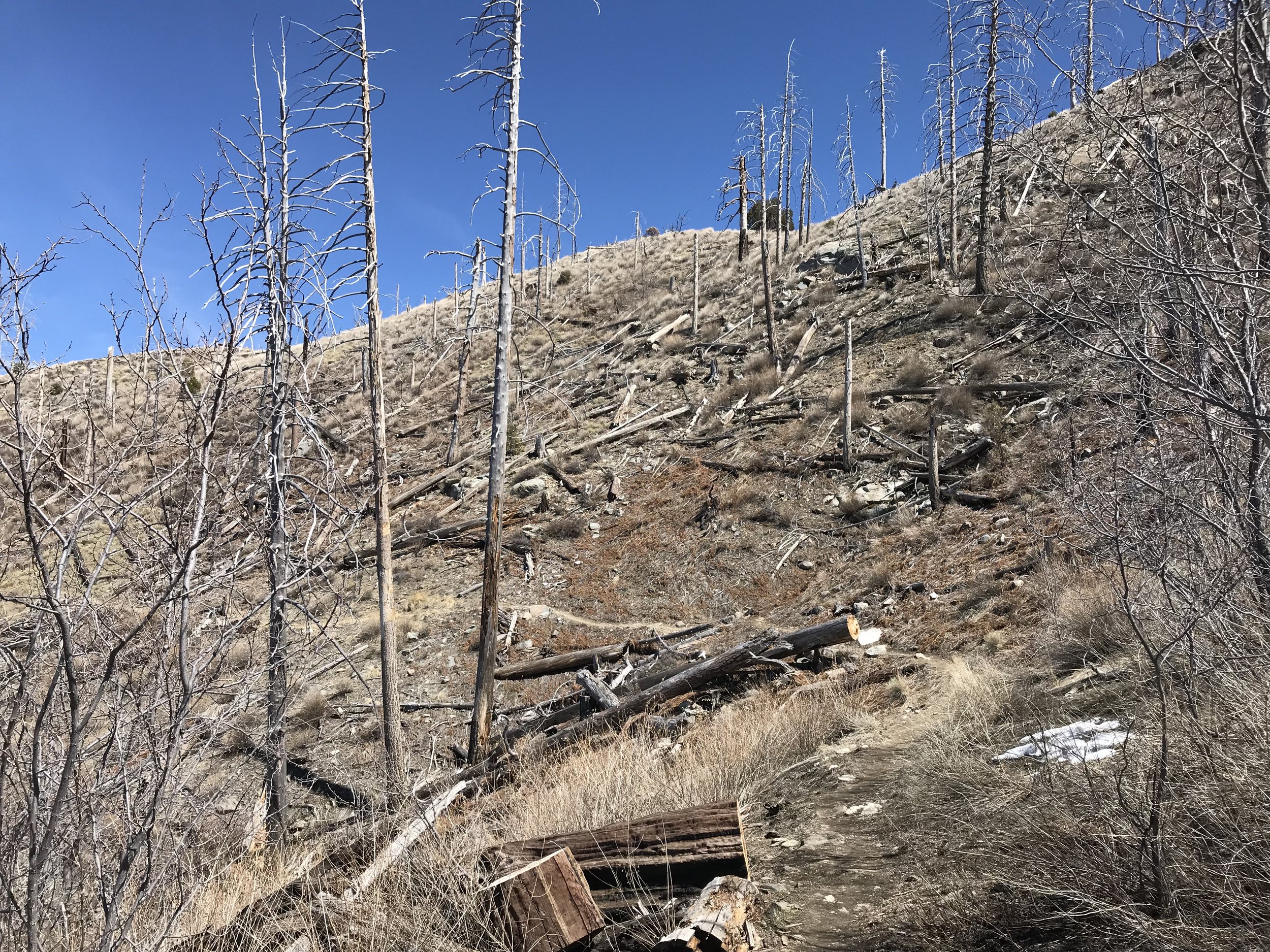
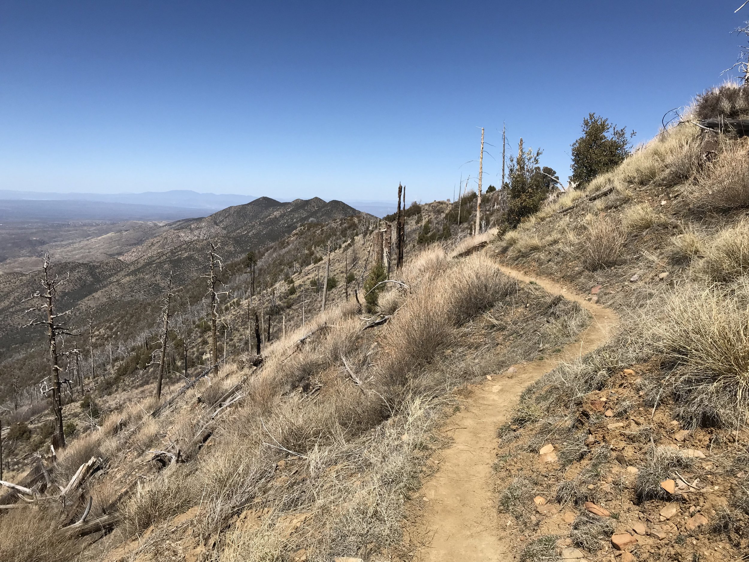
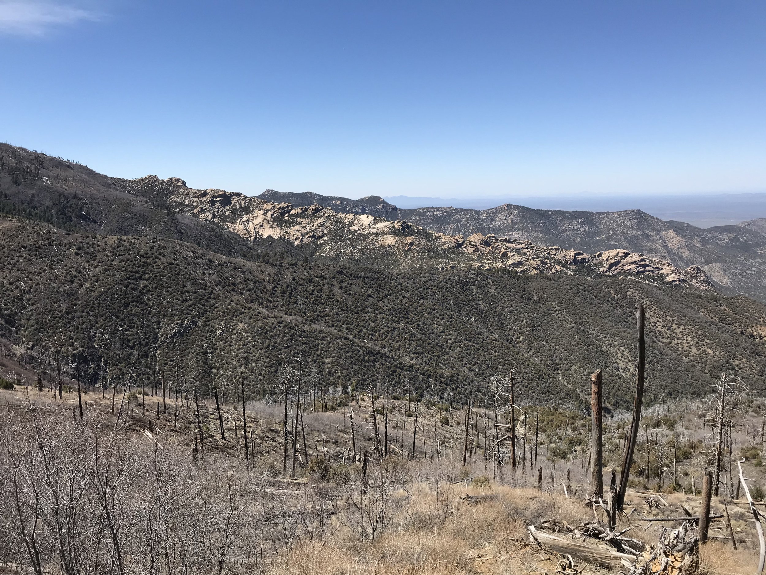
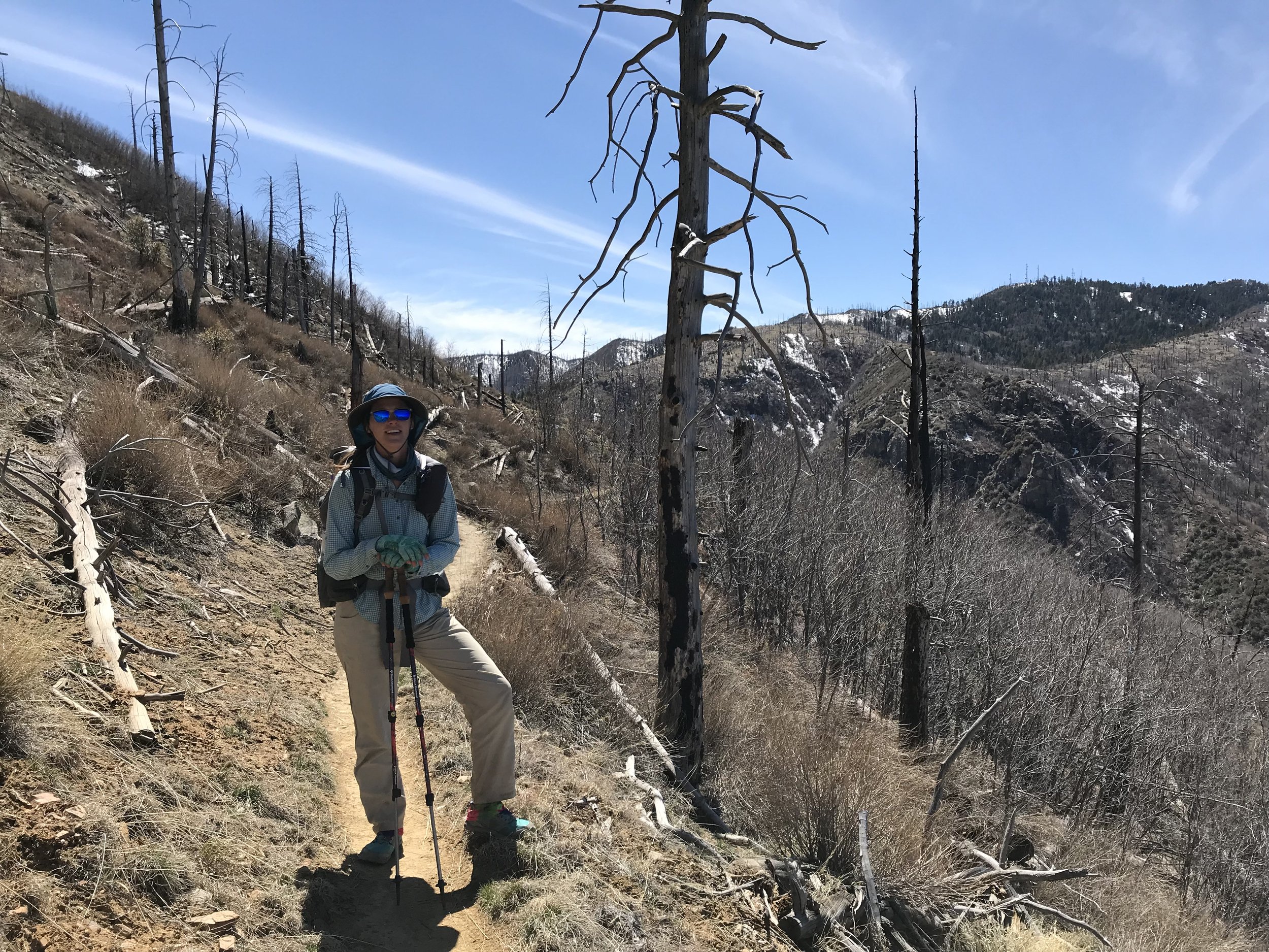
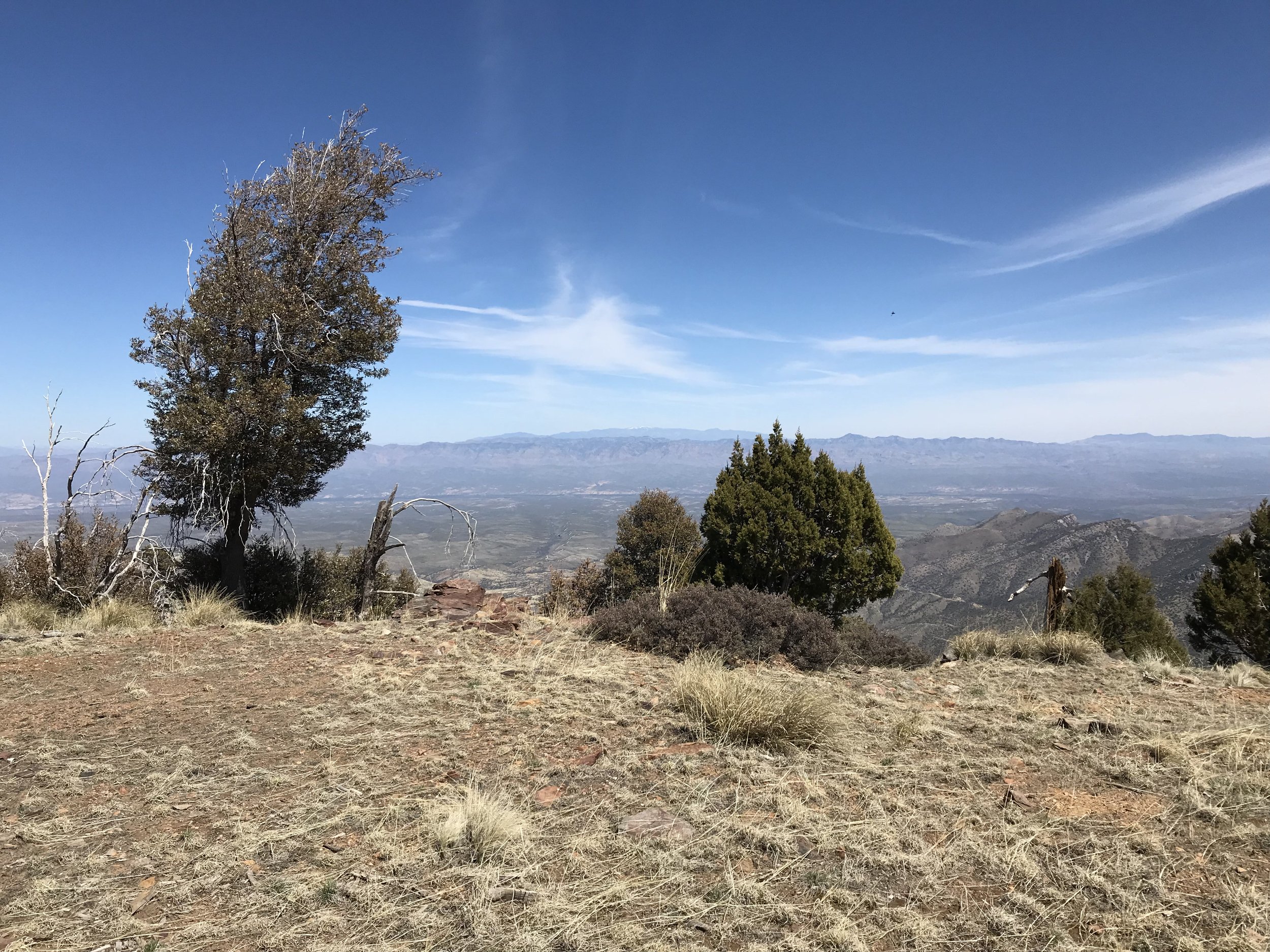
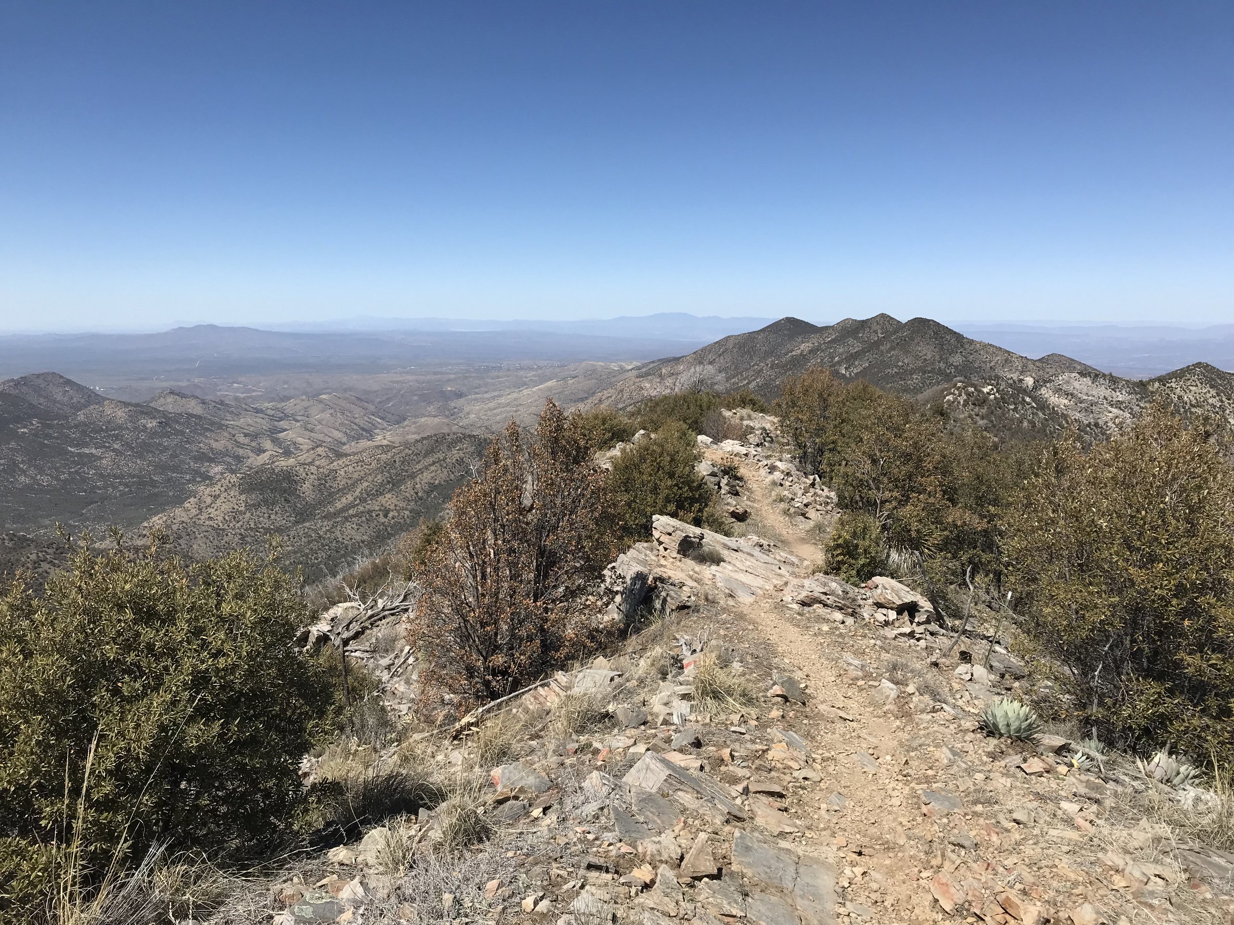
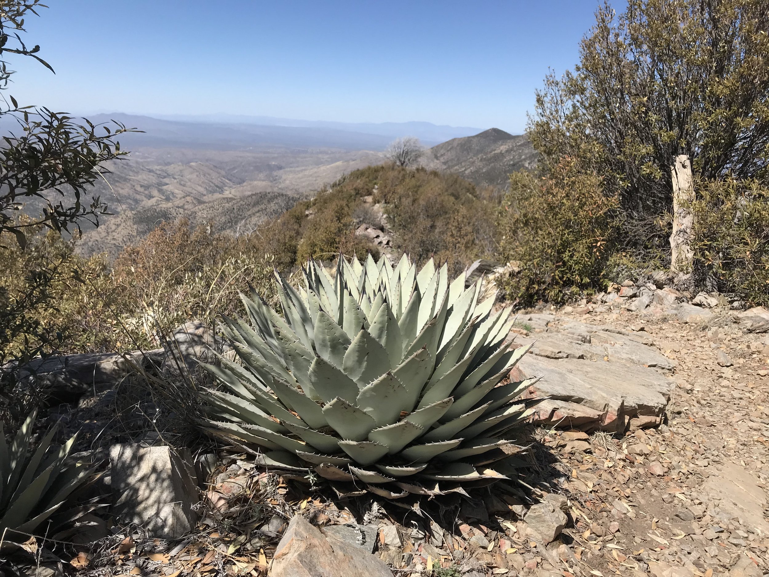
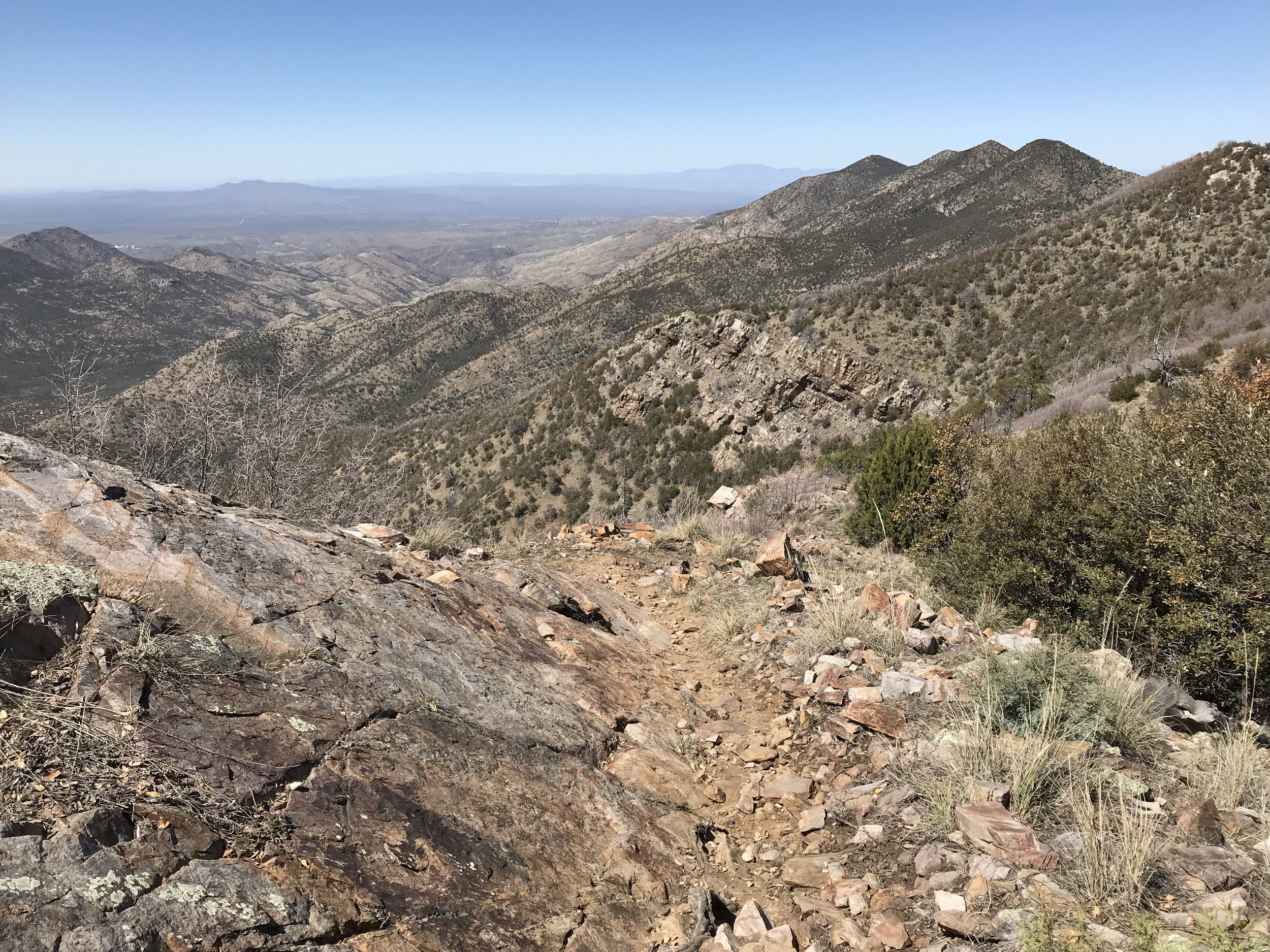
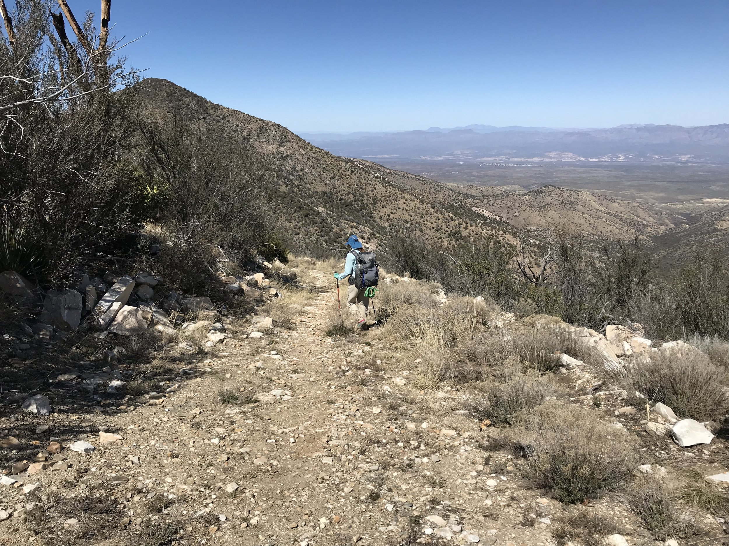
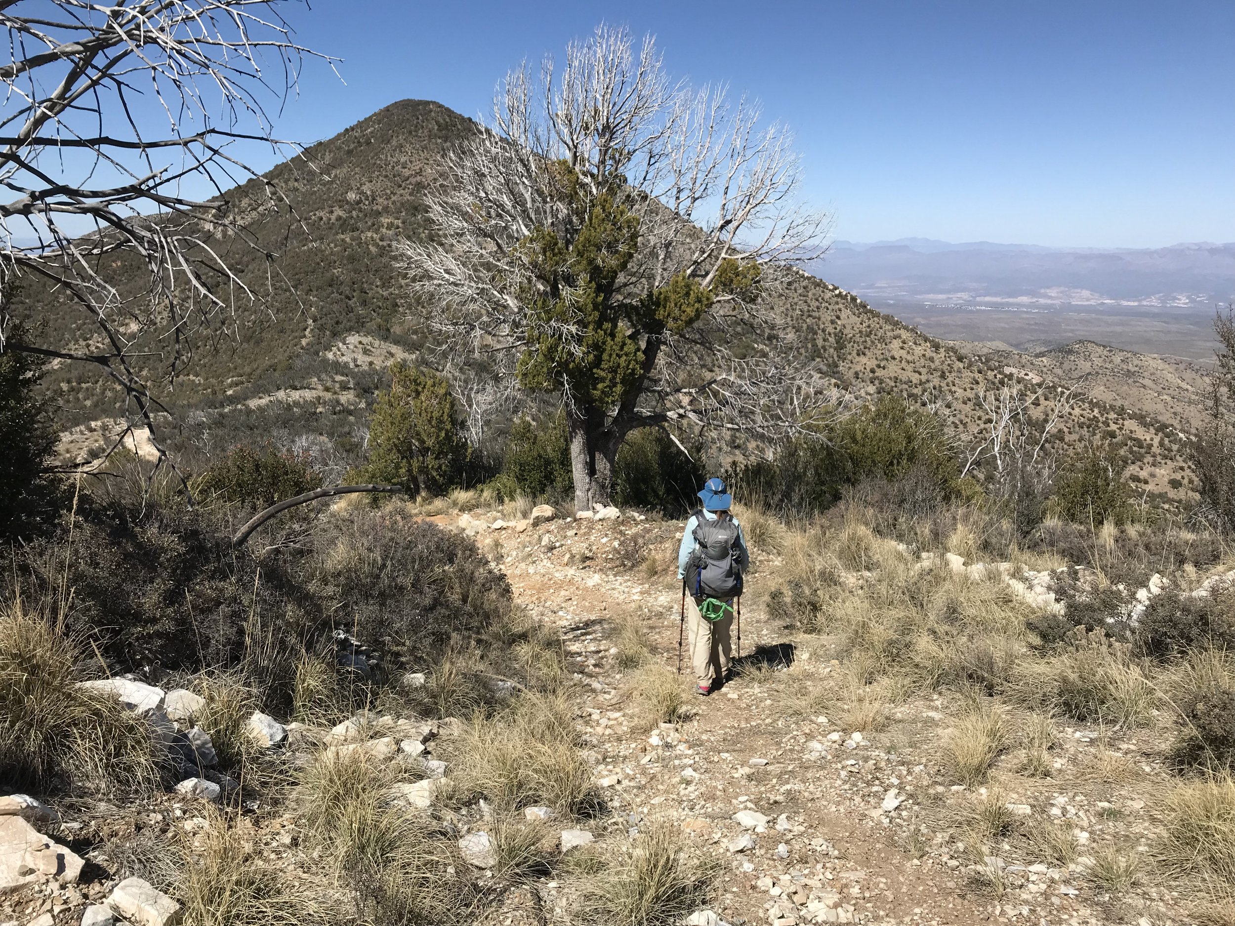
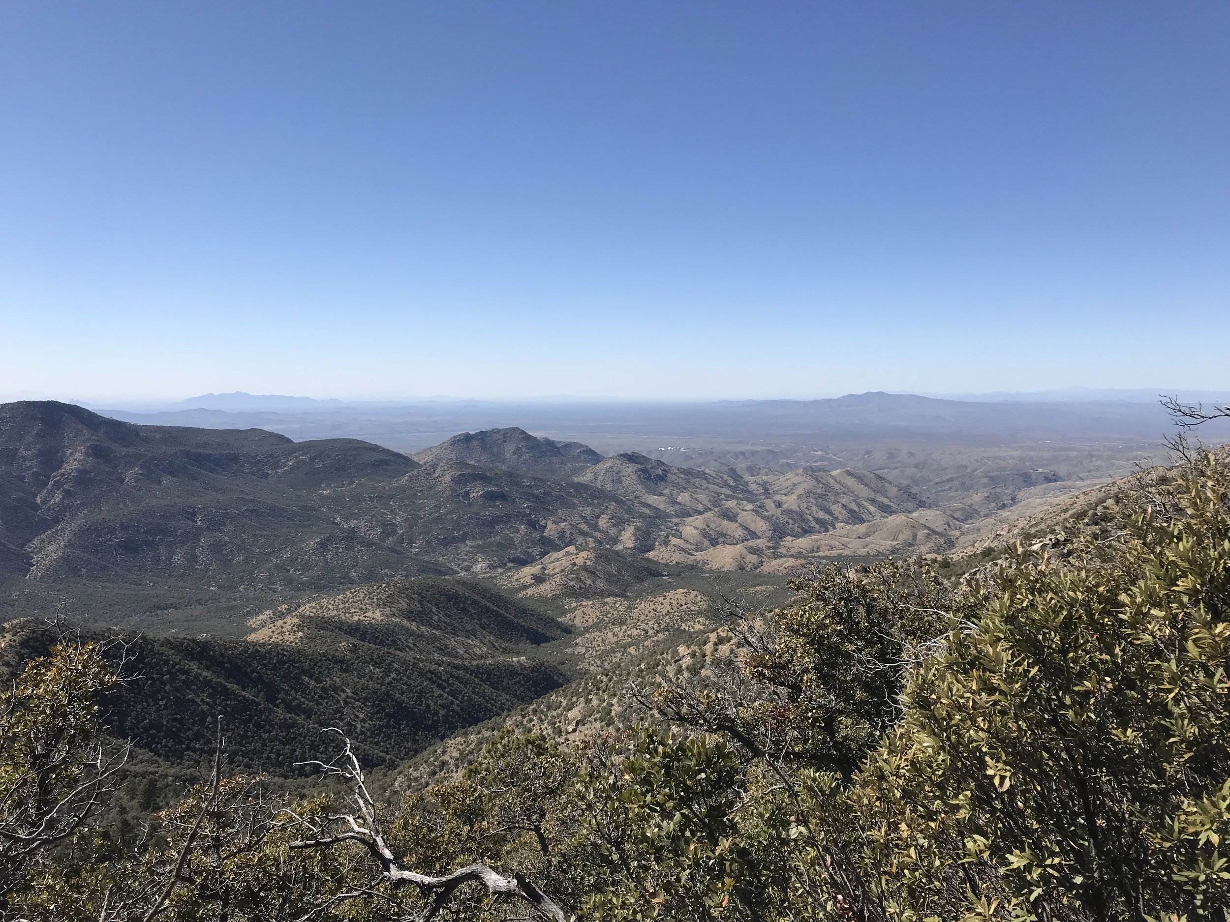
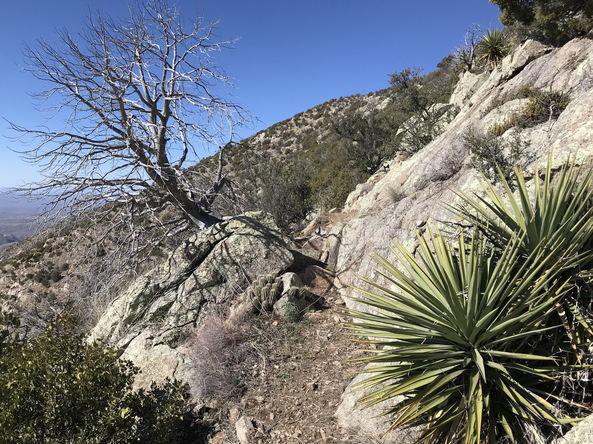
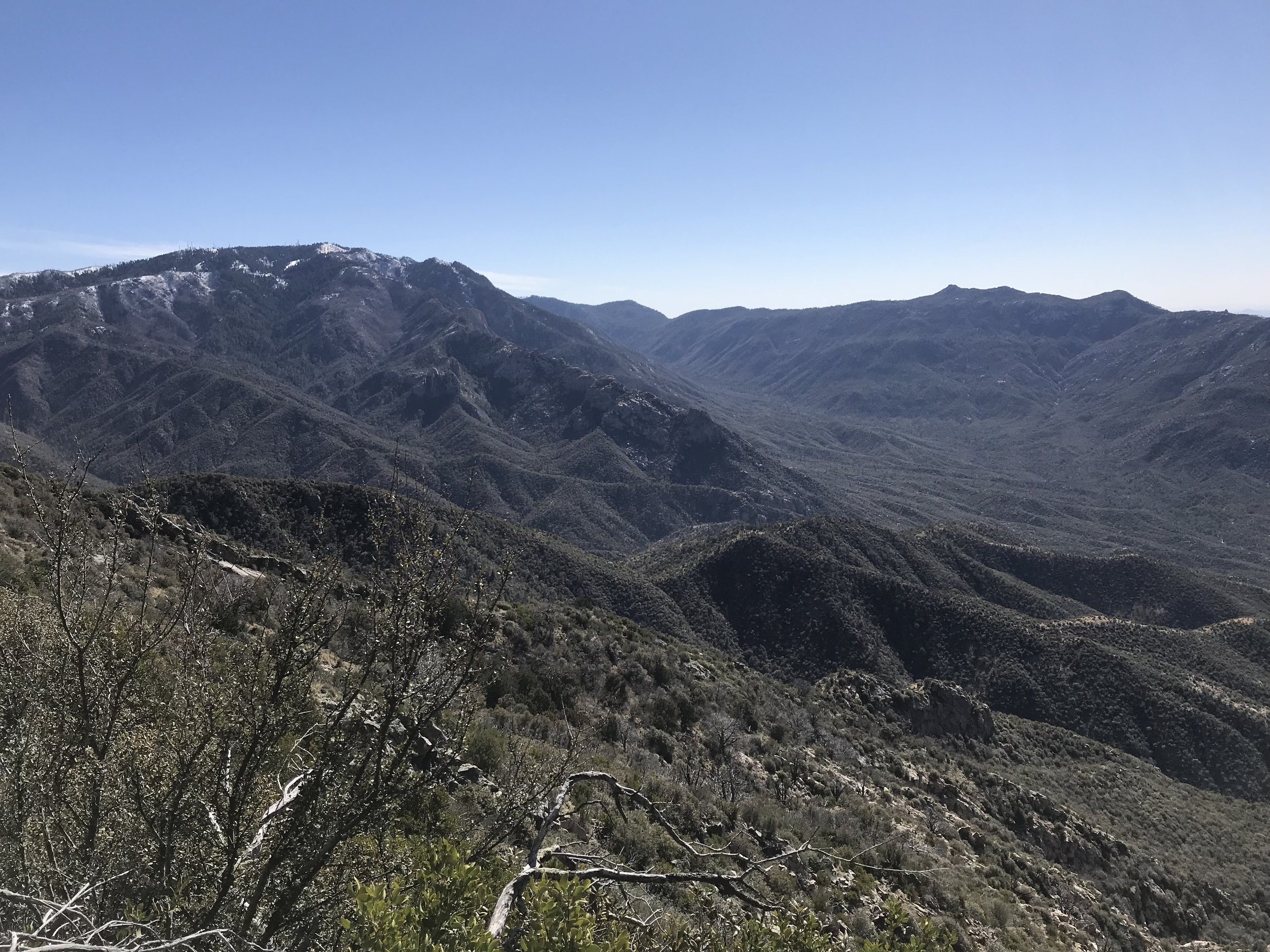
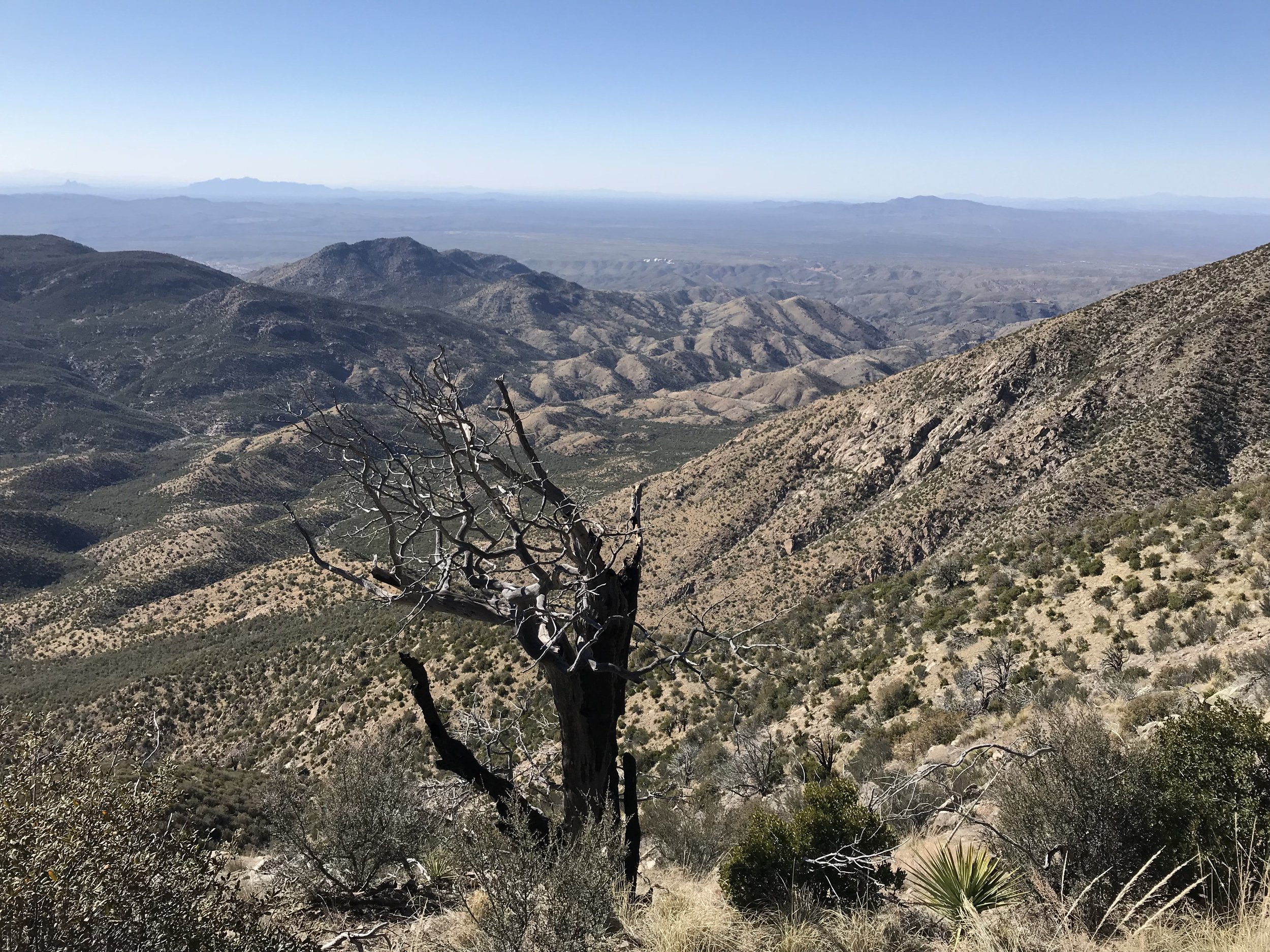
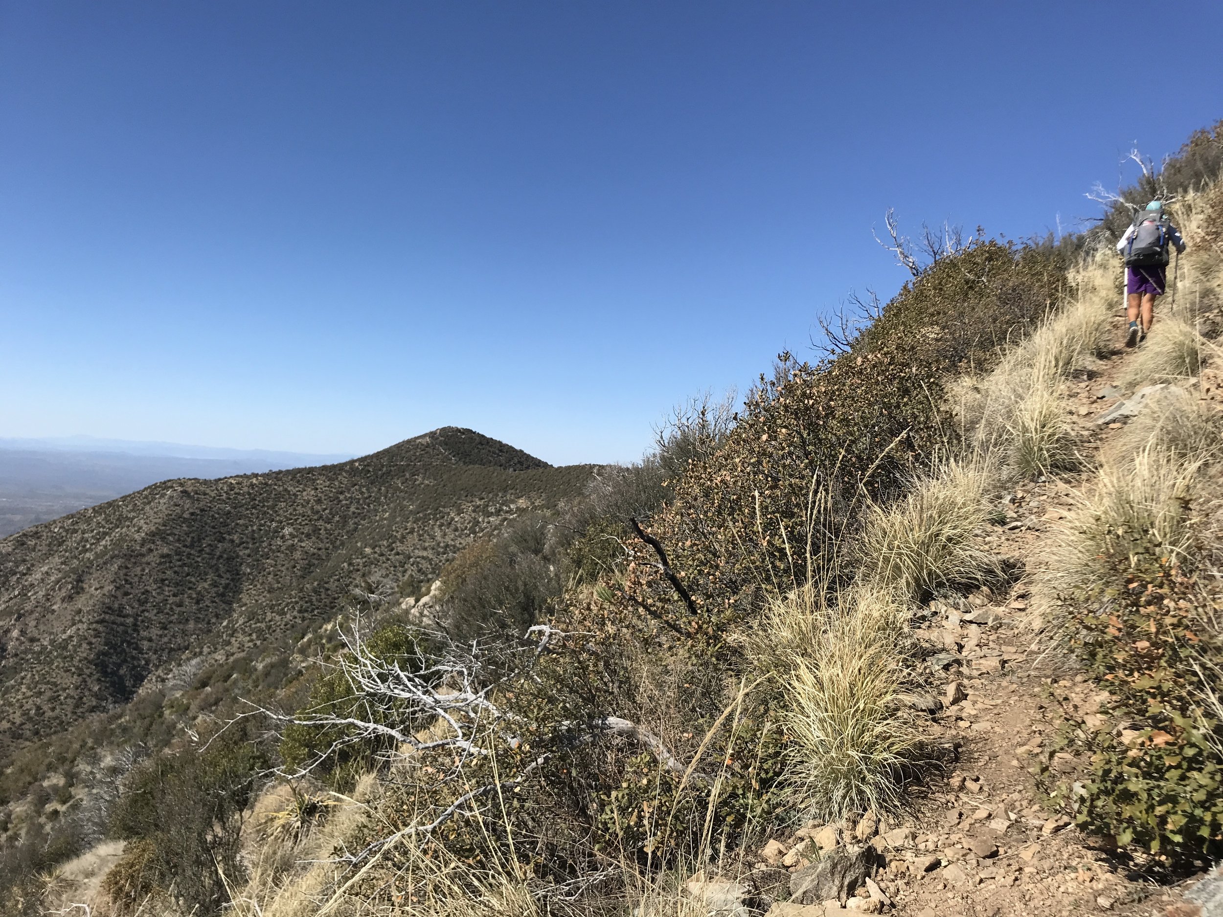
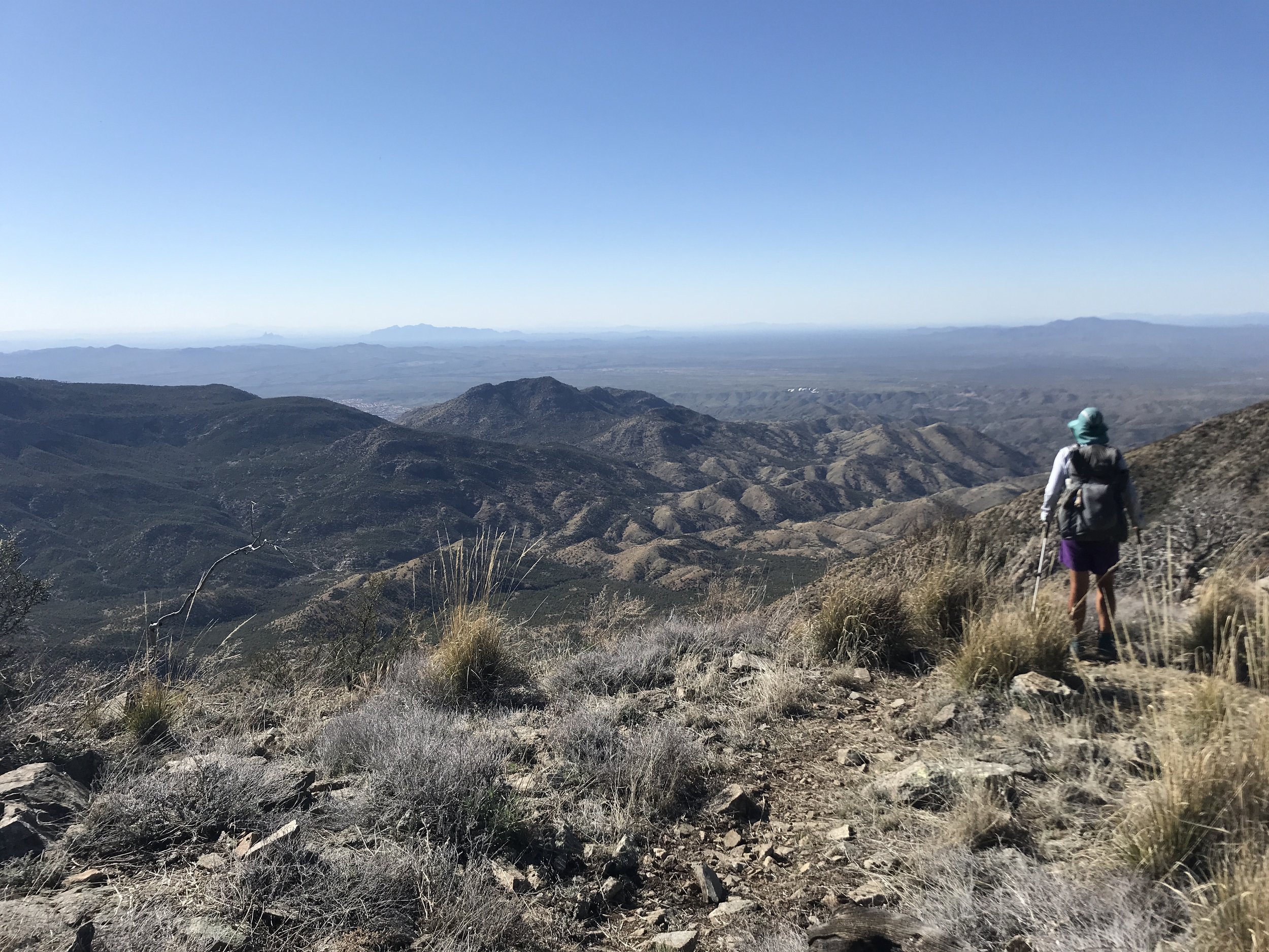
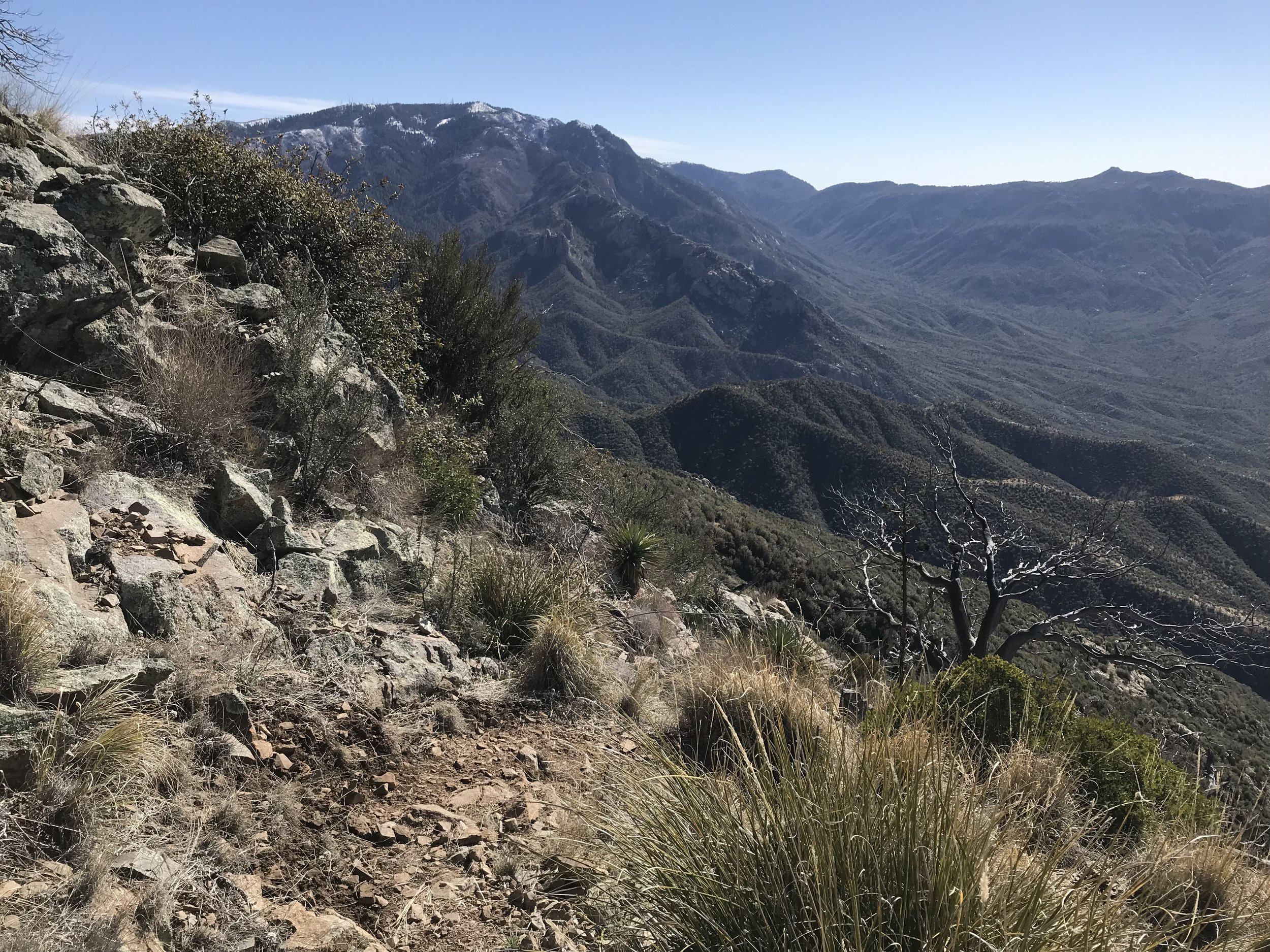
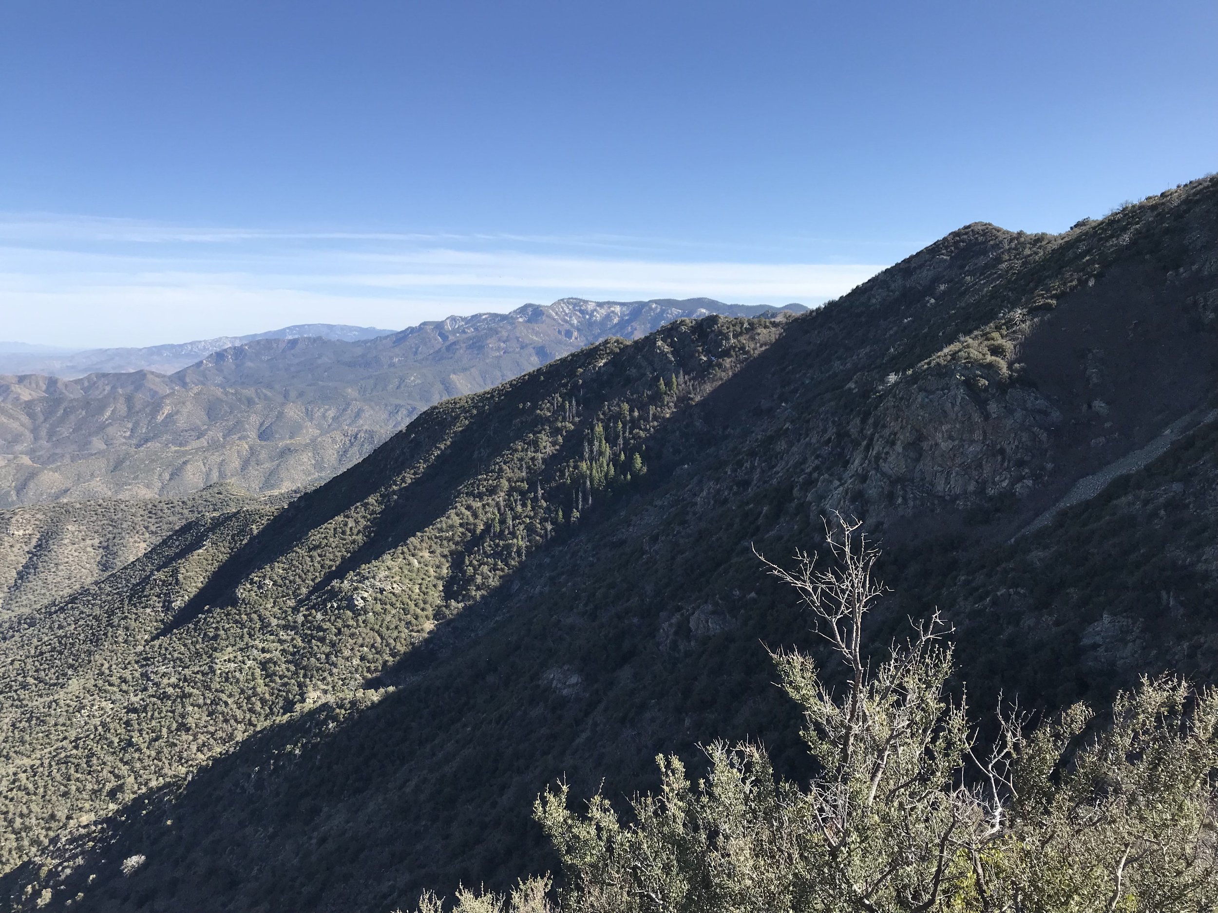
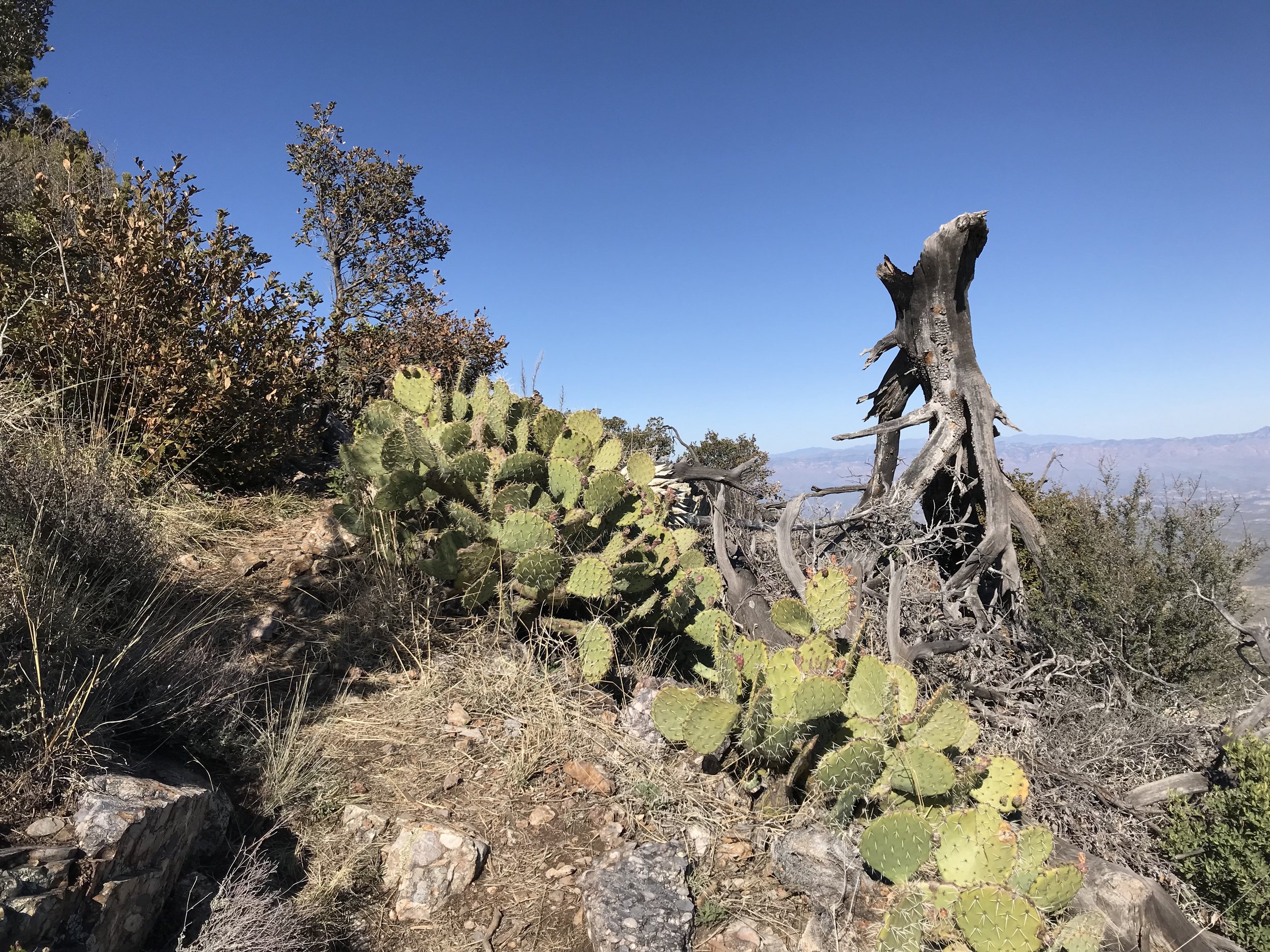
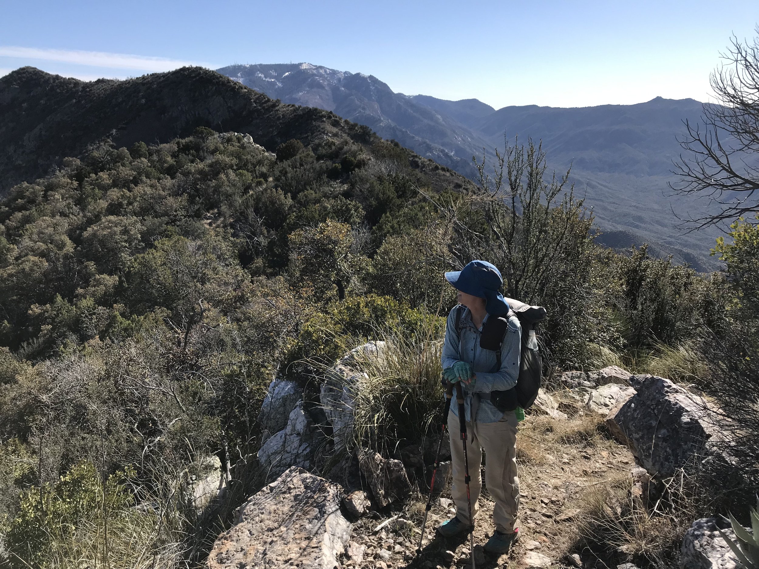
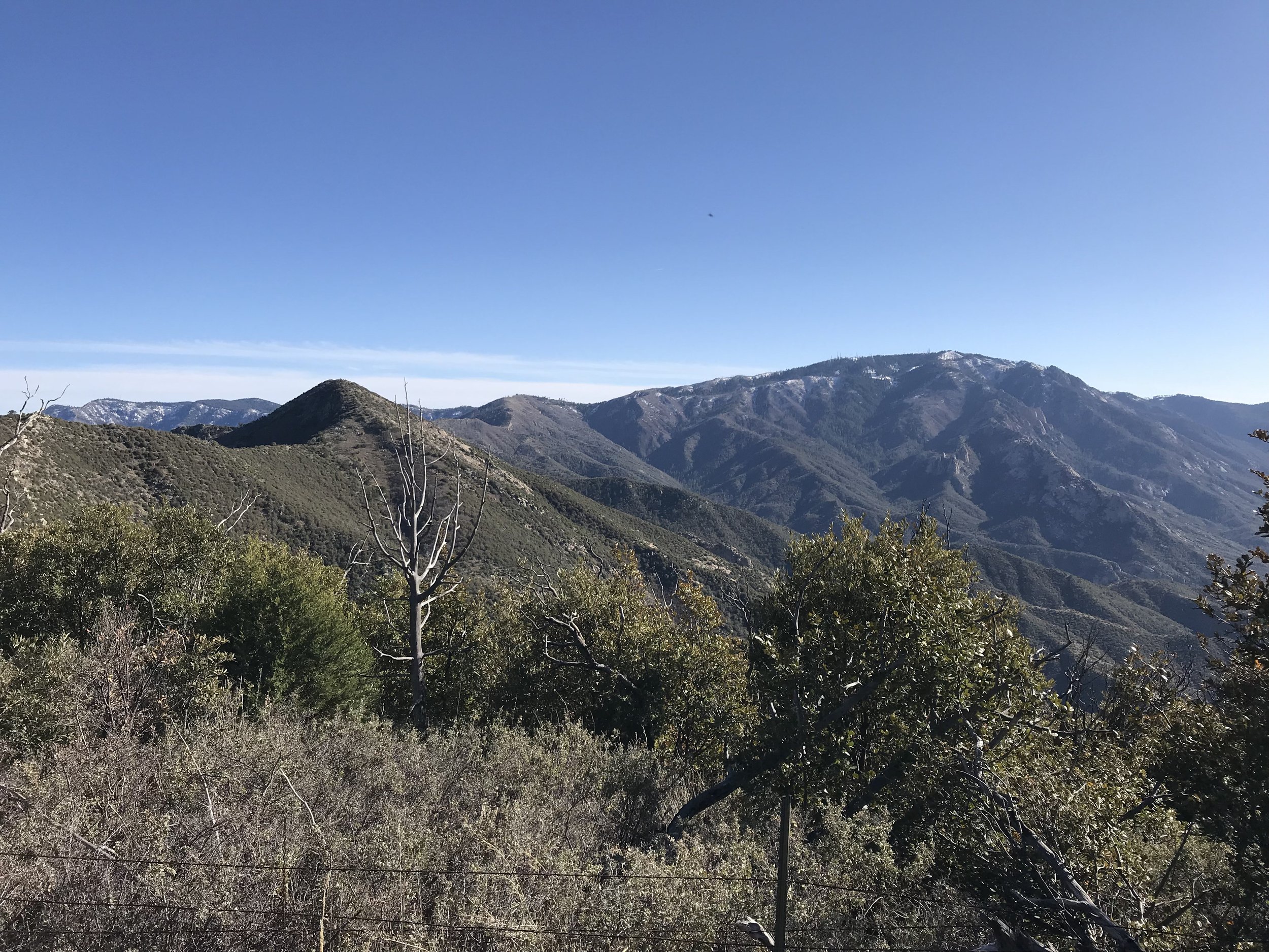
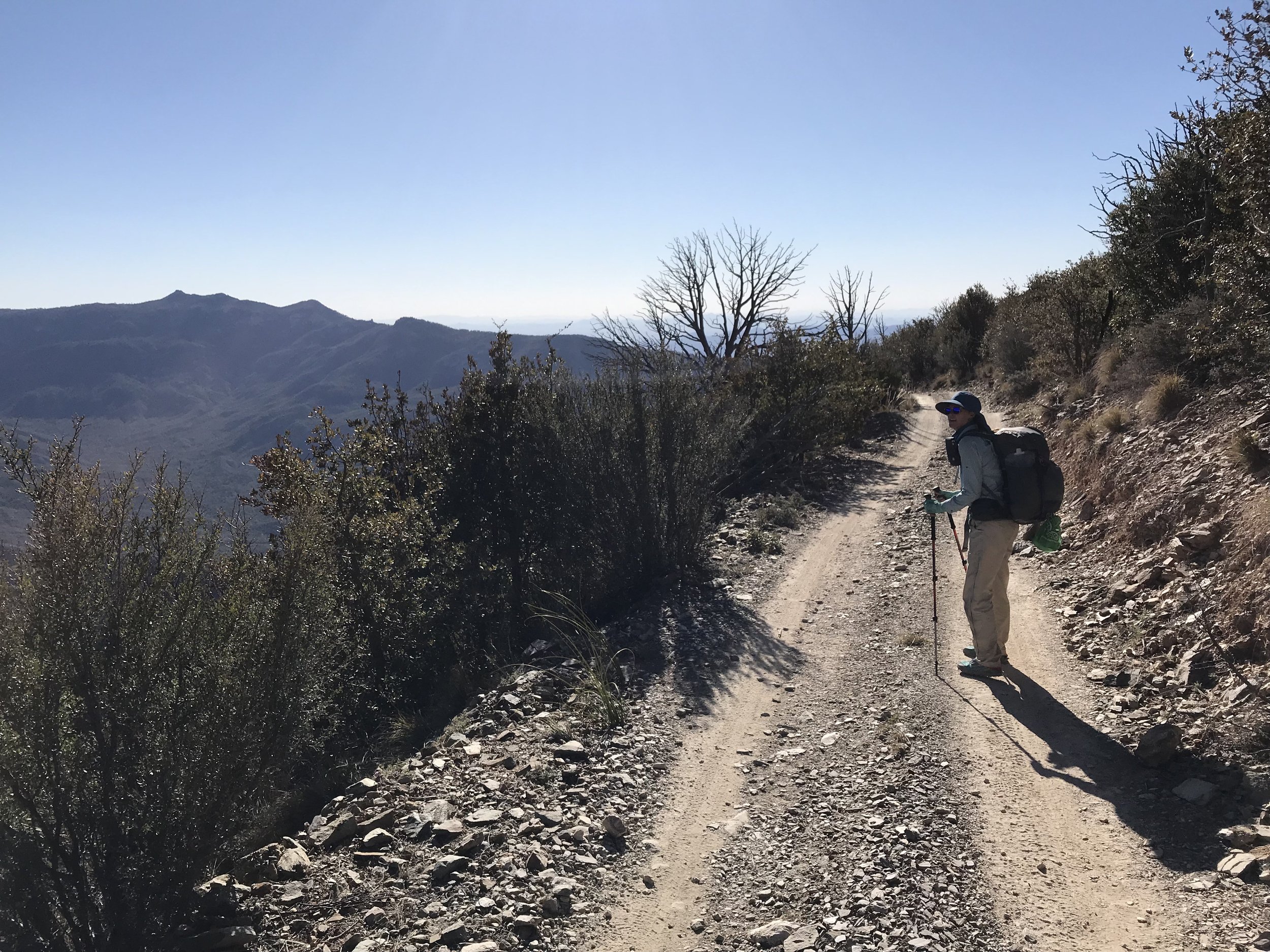
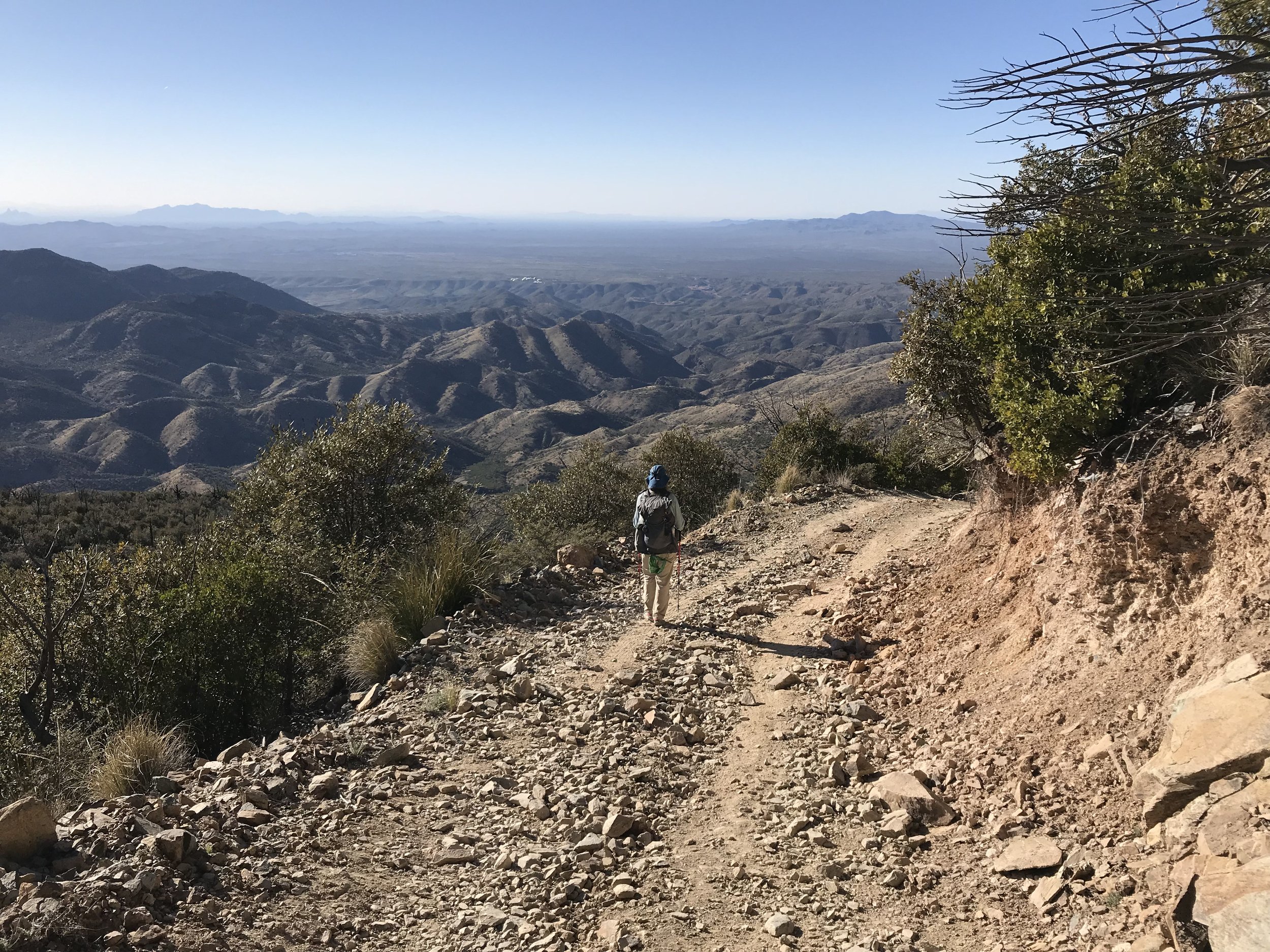
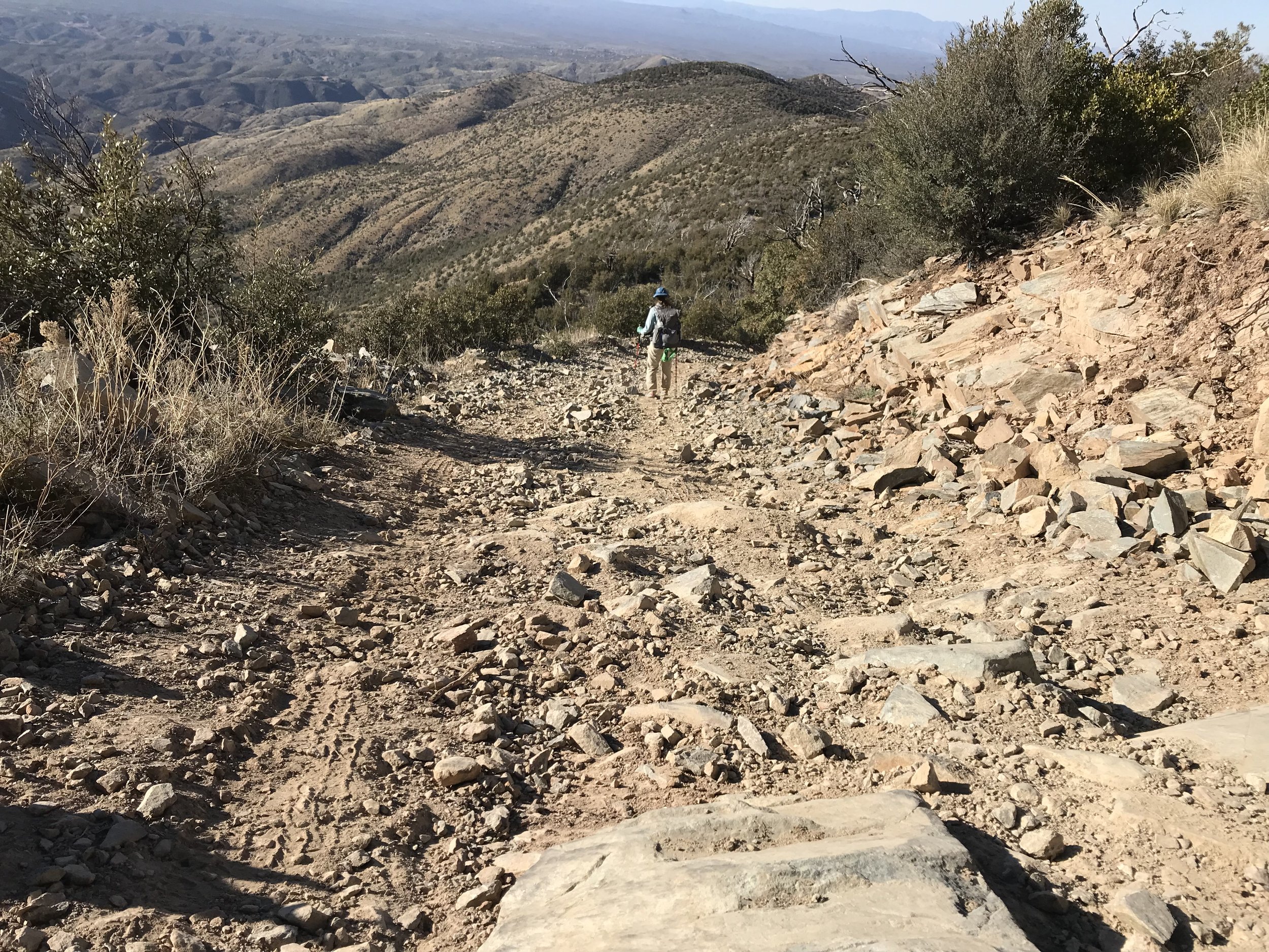
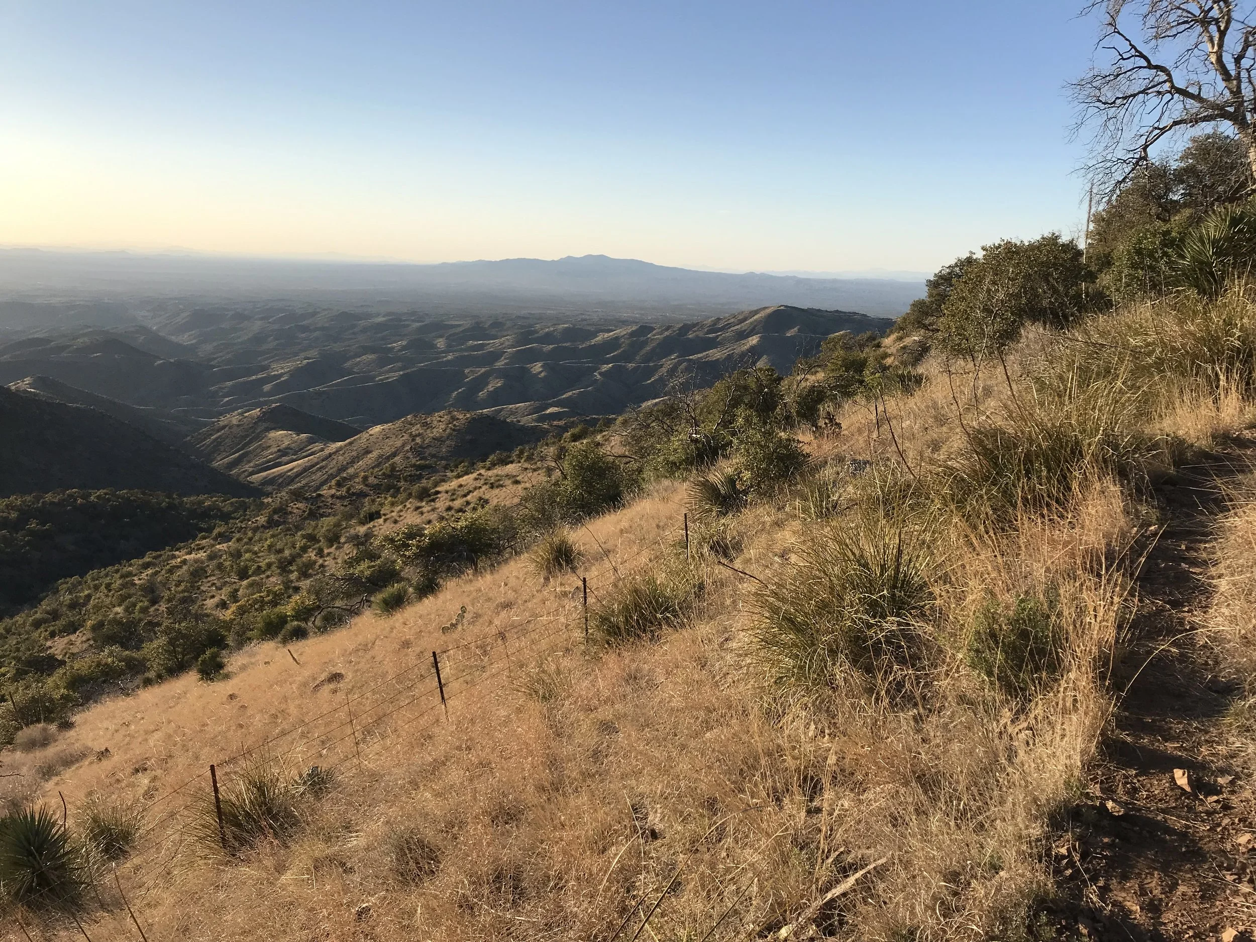
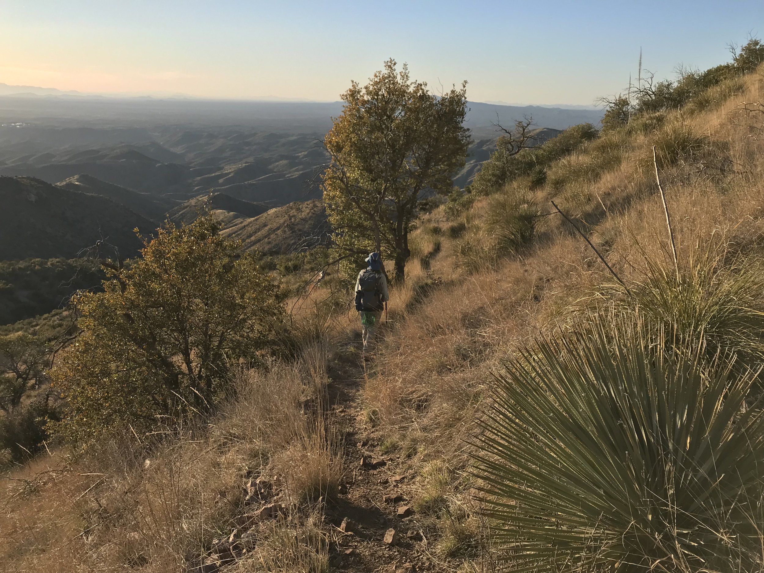
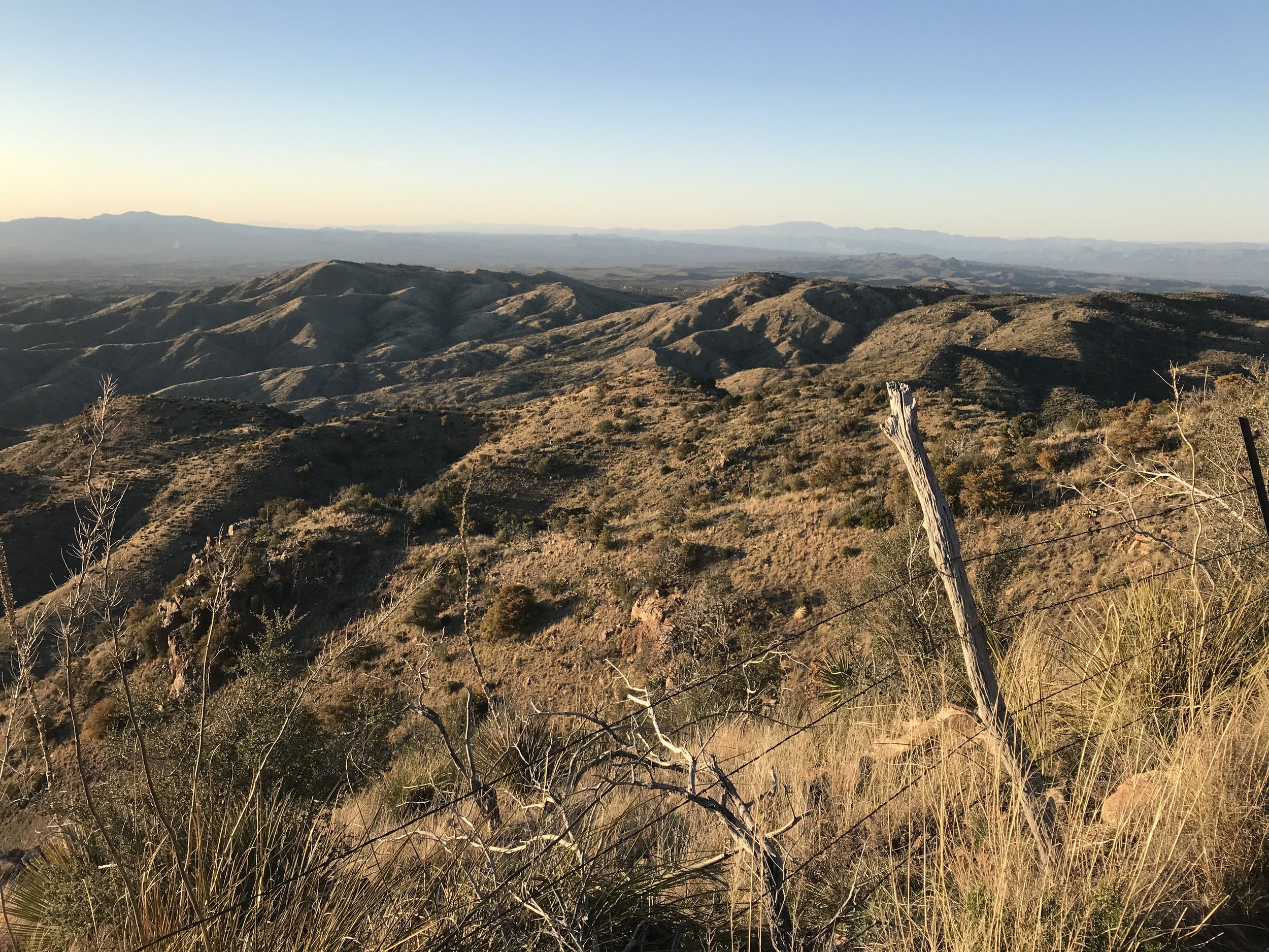
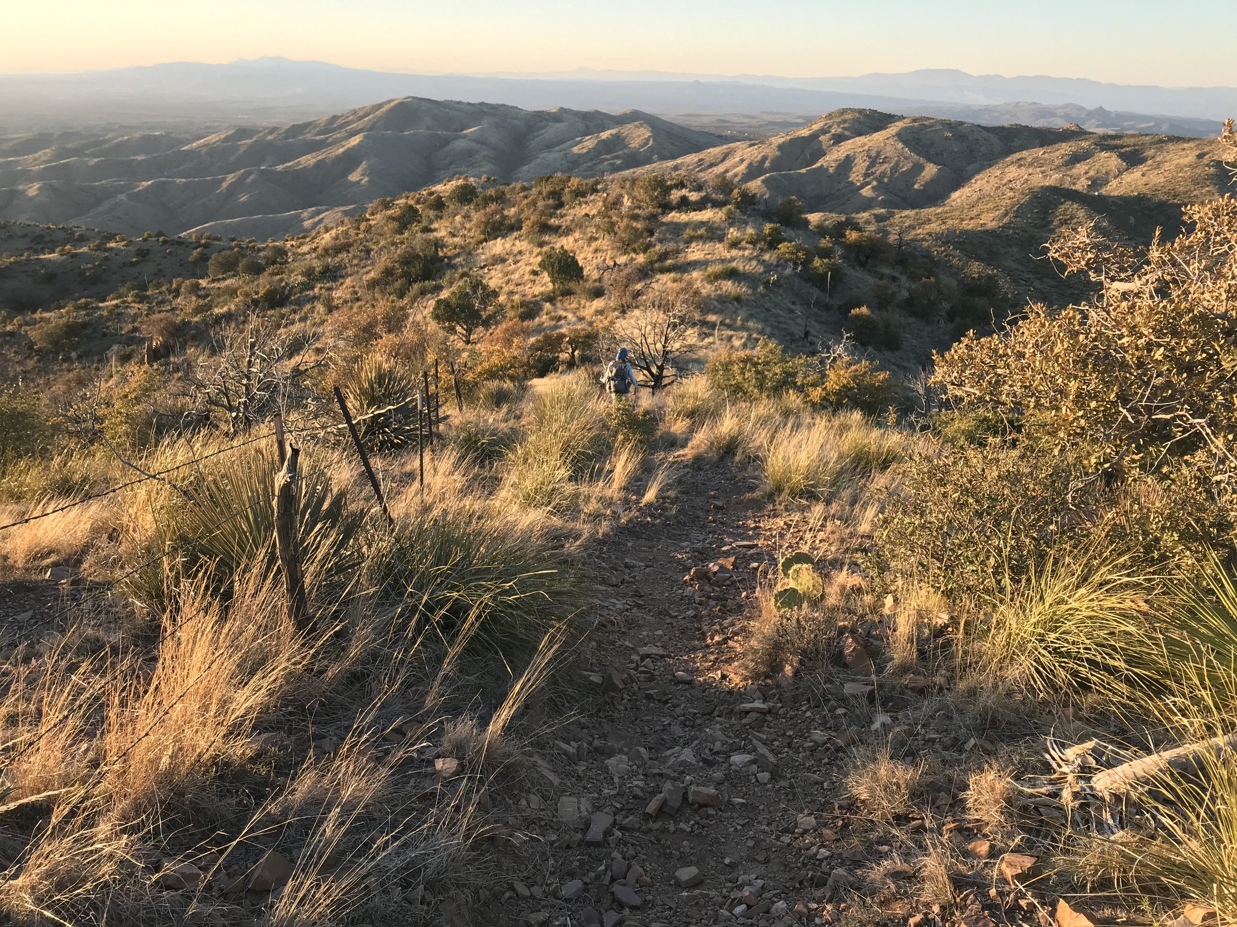
The service road quickly became a forest service road that disintegrated into rough boulders. At a turnout, the Arizona Trail split left the road and became singletrack etched along Oracle Ridge. Here, the AZT became exposed but provided unparalleled views eastward into the Pinaleno and Galiuro Mountain ranges, westward to the flanks of the Santa Catalinas we climbed over the previous two days, and northward into the lowest, hottest stretches of the Sonoran Desert awaiting us. Oracle ridge used to have more extensive tree cover prior to a human-caused forest fire several years ago that destroyed most of it, and a good chunk of property in Summerhaven too. The AZT here was narrow, chunky with babyheads, and a constant series of rolling descents punctuated by sudden steep climbs and descents. It was super rocky but the awesome views made up for it. The trail conditions were definitely technical and I wouldn’t want to mountain bike it, but those crazy AZT 750 racers fly over, up, and down this; I couldn’t imagine handling a bike on some of these sections as I could barely scoot my body around hanging drop-offs.
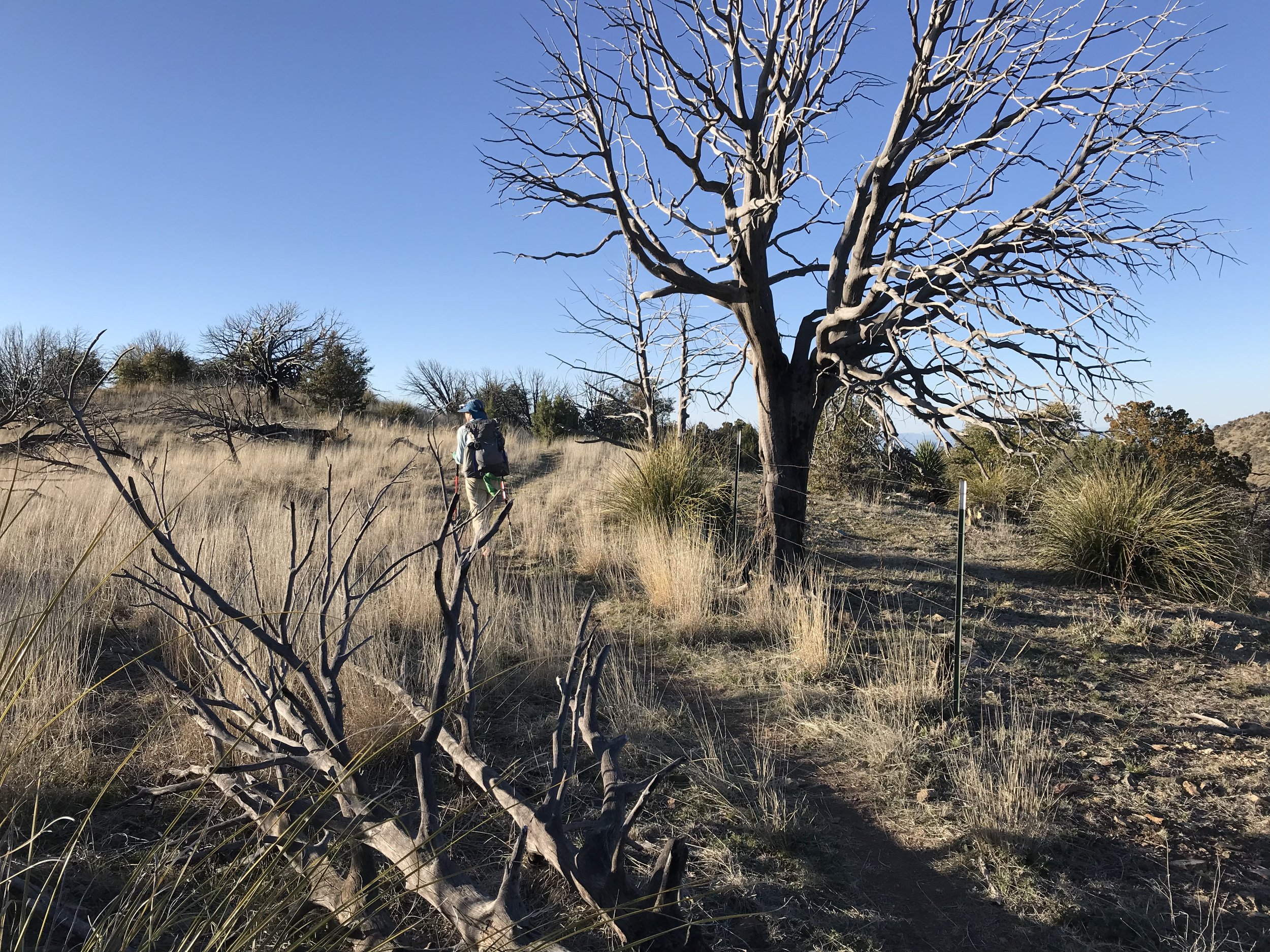
The AZT joined some double track and then eventually a forest road, now surely descending. It was so steep that both my knees and feet were feeling angry. The forest road rejoined some singletrack that edged the ridgeline ever downwards. The slant of light in the late day lit the high desert foothill grasslands around us into a brilliant golden and red hue while I could clearly see the Biosphere 2 buildings below us in the distance. We passed a pair of section hikers heading northbound. As evening came swirling in quickly, we caught up with Chris who had flown down this section far ahead of us by hours. He had the one good campsite in the area, so we pushed on in deep twilight until we found a water trough and old tanker off the side of some double track. We opened the fence and skirted up an adjoining hill to a flat spot behind an old tanker truck.
Filtering the cow water, we ate dinner in the complete black of darkness, the twinkle of Tucson/Marana lights stretching to the north and the sound of a coyote pack in the near distance wailing. One food we had stumbled upon and now sought with gusto was dehydrated hash browns which the General Store in Summerhaven had. We had cold soaked the mash earlier and now mixed in chunks of cheese and drizzled it with hot sauce for a solid meal. ATVs out riding in the night passed us and waved before disappearing into the darkness. Squared away and our quads pumped from the descent, we crawled into the Triplex and passed out.
