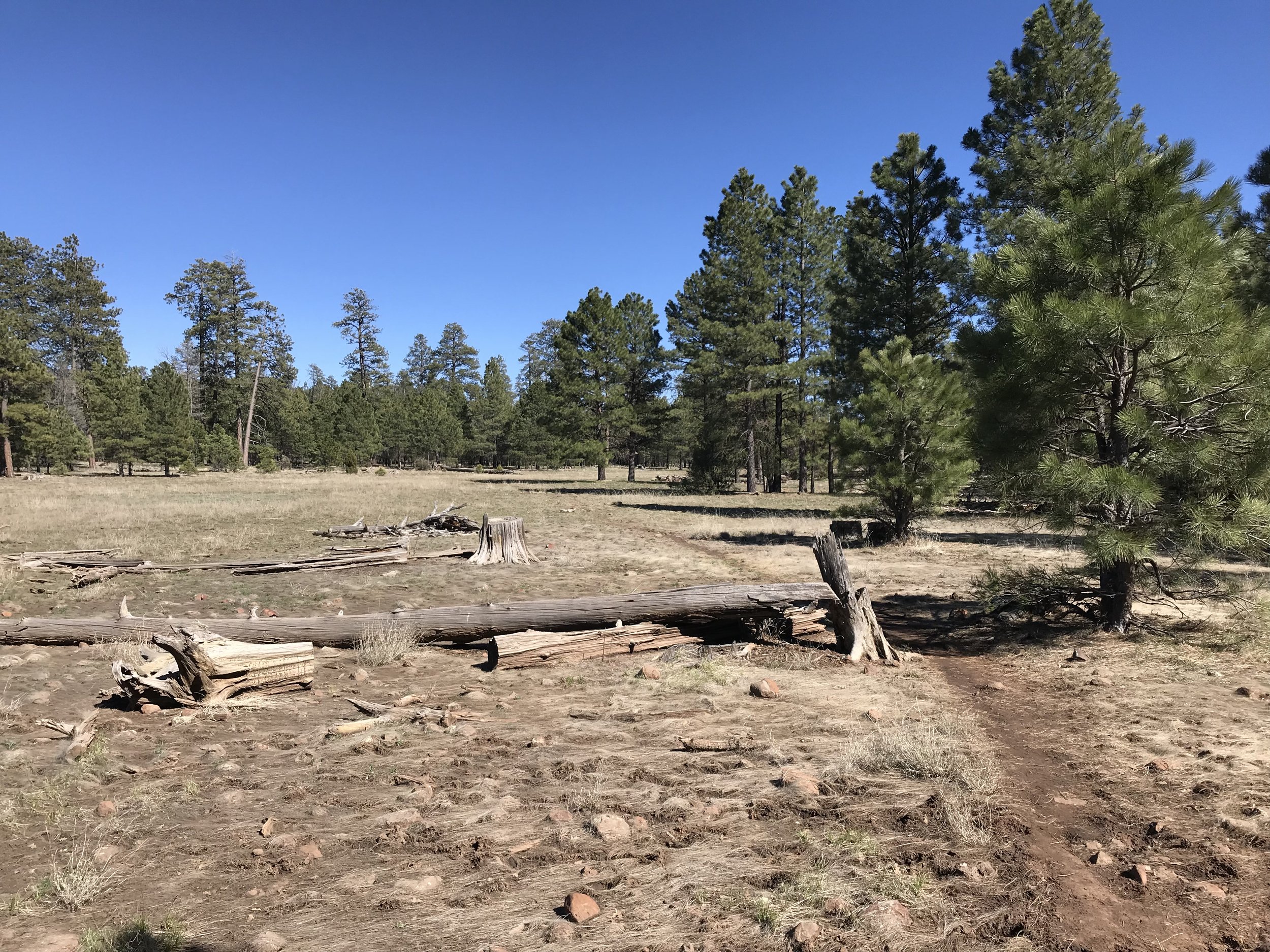
Arizona Trail - Day 38 - Jack’s Canyon above the Mogollon Rim
Date: April 20, 2019
Trail Mile 500.7
We woke to the rushing sounds of the East Verde River. Slowly, we pulled ourselves out of our quilts and into the cold morning. While eating breakfast, a bunch of birders pulled up at the nearby parking lot and pulled out binoculars to check out the ornithological scene. Back on trail, we crossed a bridge over the Verde River (only a rushing stream here) and noted the abundant biodiversity. The AZT now split from the Highline; the Highline continued east while the AZT turned north and ascended one of the few “easy” passes up the Mogollon Rim. We closely kept to the river, small waterfalls and narrow channels frequently occurring. Ferns grew abundantly in some sections of the woods.
The forest was verdant and swelling with life.
Eventually, the AZT joined up with some doubletrack. I’ve heard legendary tales of this section for bikepackers. Officially, the AZT mountain bike route follows this doubletrack up and over the pass onto the top of the Colorado Plateau. But’s gnarly, CRAZY steep, and chock full of boulders. I’ve heard that it can sometimes take longer to bike up this section than it would be hike. Fortunately, the AZT left the doubletrack and began switchbacking up a slope nearby. I turned around frequently to catch my last views of central Arizona. The land began to fold in around us. Back and forth all morning until we rejoined the doubletrack. Steeper and steeper, we passed an old abandoned railroad tunnel and suddenly, we were on top of the Mogollon Rim. Standing on a small rise looking north, the immensity of the Colorado Plateau hit me. Hundreds of miles of relatively unbroken ponderosa pine forest before us.
At 7,000 feet in elevation, this section of the Arizona Trail is notorious for being flat, dusty, fast-to-cover, easy in some ways, and sometimes monotonous for its unbroken level expanse of pine trees. But I was excited now. We were in a new biome with all new life to see. We passed by a plaque describing the Battle of Big Dry Wash where European colonists/settlers were killed by Apaches. A person had spray-stenciled “Settlers had it coming” over the plaque. Indigenous protest at Eurocentric commemoration - well placed and of some valuable worth to consider.
We walked along the road which passed by several snow drifts, our first since the Rincons back in southern Arizona outside Tucson. Small snowmelt streams filled the dished-out meadows in areas. The historic site of General Springs Cabin came into view and we stopped to walk inside and check it out. At this point, the miles came easy and fast. The trail broke off from the road and plunged solely into the woods. It wound past granite boulders and down smooth valleys with small streams. We climbed over snowpack sections here and there, but nothing too intense. Eventually the trail entered a canyon where at the bottom a significant slow and crystal clear stream flowed. We crossed the stream easily, admiring the gorgeous curves of the wooded canyon at high elevation.
The Arizona Trail traced the river for several more miles, winding in and out of it. At some point, it broke away from the steam and climbed a hill back out of the canyon. The AZT wound through the flat woods with slight inclines for miles. We stopped when we wanted, enjoying the abundance of shade. At points, it joined random forest roads and double track for a mile or two before returning to singletrack in the woods. We startled a large herd of elk in the woods that took off running. In and out of the trees, we passed by an official forest service campground not yet open for the season. It bathrooms and trashcans sat locked from the snows of winter. The trail became encrusted with rough hewn volcanic rock that slowed us intermediately. The steams kept coming and the trees stood always.
We crossed a paved highway, entered some golden grasslands, and plunged right back into the woods. We passed a muddy cattle tank - our preplanned stopping point for the day. However, a Guthook comment indicated that a possible stream ahead in Jack’s Canyon had ample clean water. Avoiding cow shitwater is a must. I easily convinced Janna and we wound up and over a small rise and descended for several miles into a wooded wash that grew into a sandy but dry stream. Firmly in Jack’s Canyon, we were comfortable covering the extra miles in the easy terrain but dark was coming on and no water was visible. At this point, my legs began to get tired. Regret soured my choice to push forward as this comment seemed way off base and we had barely any water left. The streams were plentiful all day until we were miles from one.
Rounding a corner, we decided to find camp nearby and just get up early and find some water. I started scouting a site in the near dark while Janna looked ahead. She came running back saying she checked the wash ahead in Jack’s Canyon and found one dusty pool. Literally, a layer of dust covered the water. We drank up the silt-flavored water and setup camp in a field nearby under a few ponderosa pines. Eating in the absolute dark, some wild turkeys called nearby and a male elk began screaming/calling in the dark a few hundred feet away. What a change in wildlife. Gone were the low desert species. Now it was all Rocky Mountain material. Exhausted, we climbed into the Triplex as temperatures dipped very cold at 7,000+ feet and the wind whipped up. But a bed of pine needles beneath our bodies always softens my body for sleep no matter what conditions are outside.


