Arizona Trail - Day 49 - Past the Burn Area and the Wildlife Tank
Date: May 1, 2019
Trail Mile 752.0
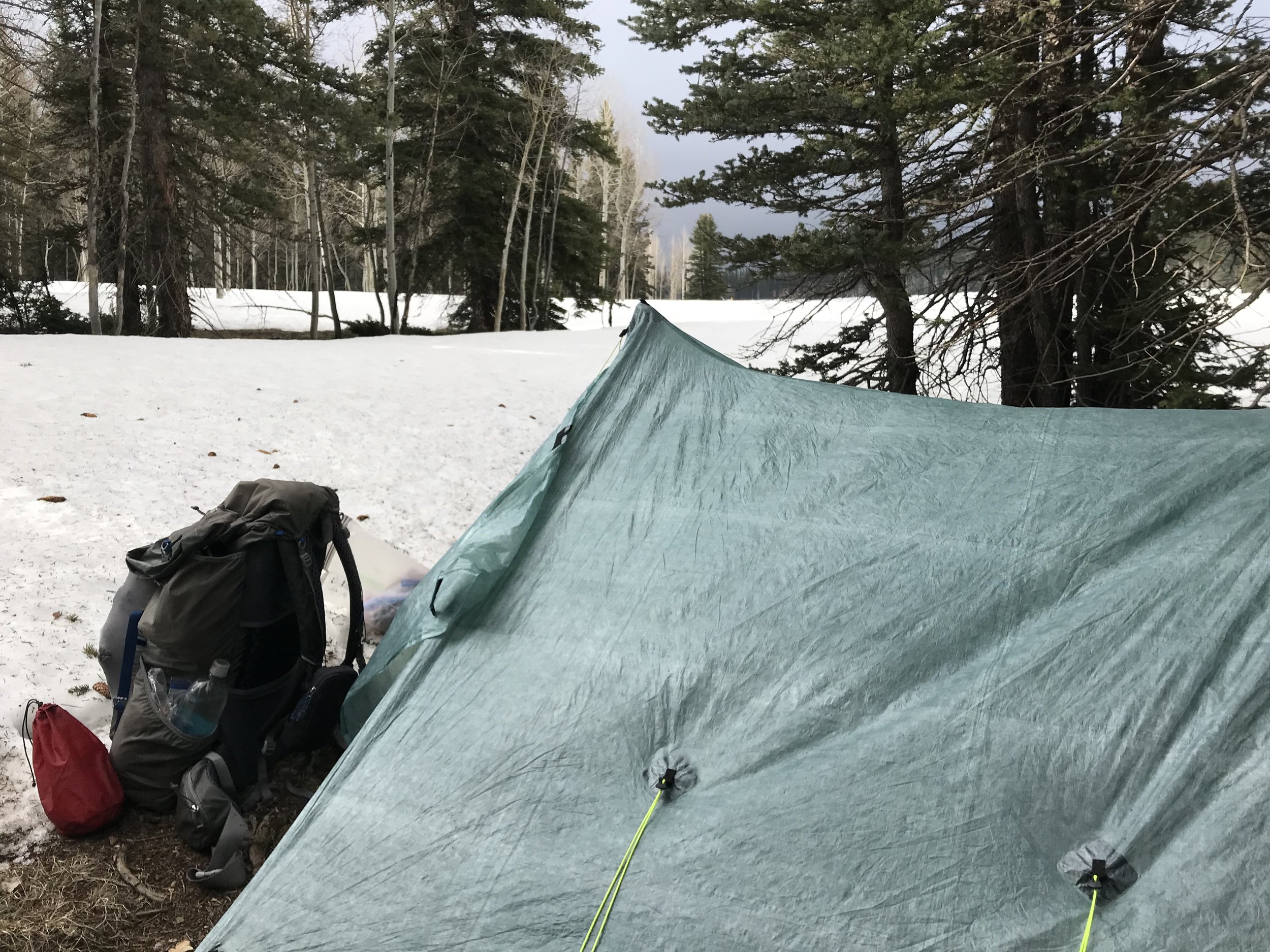
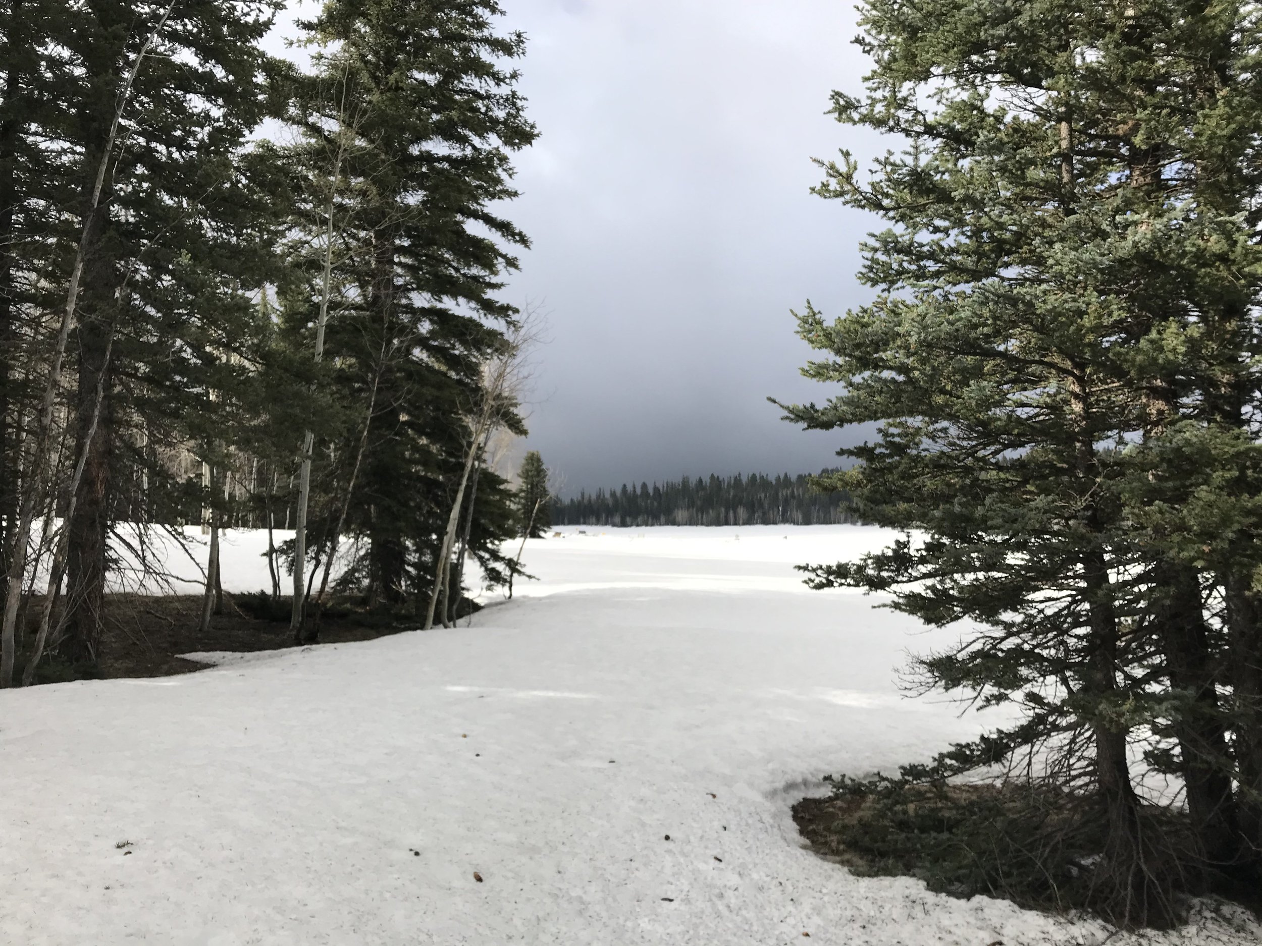
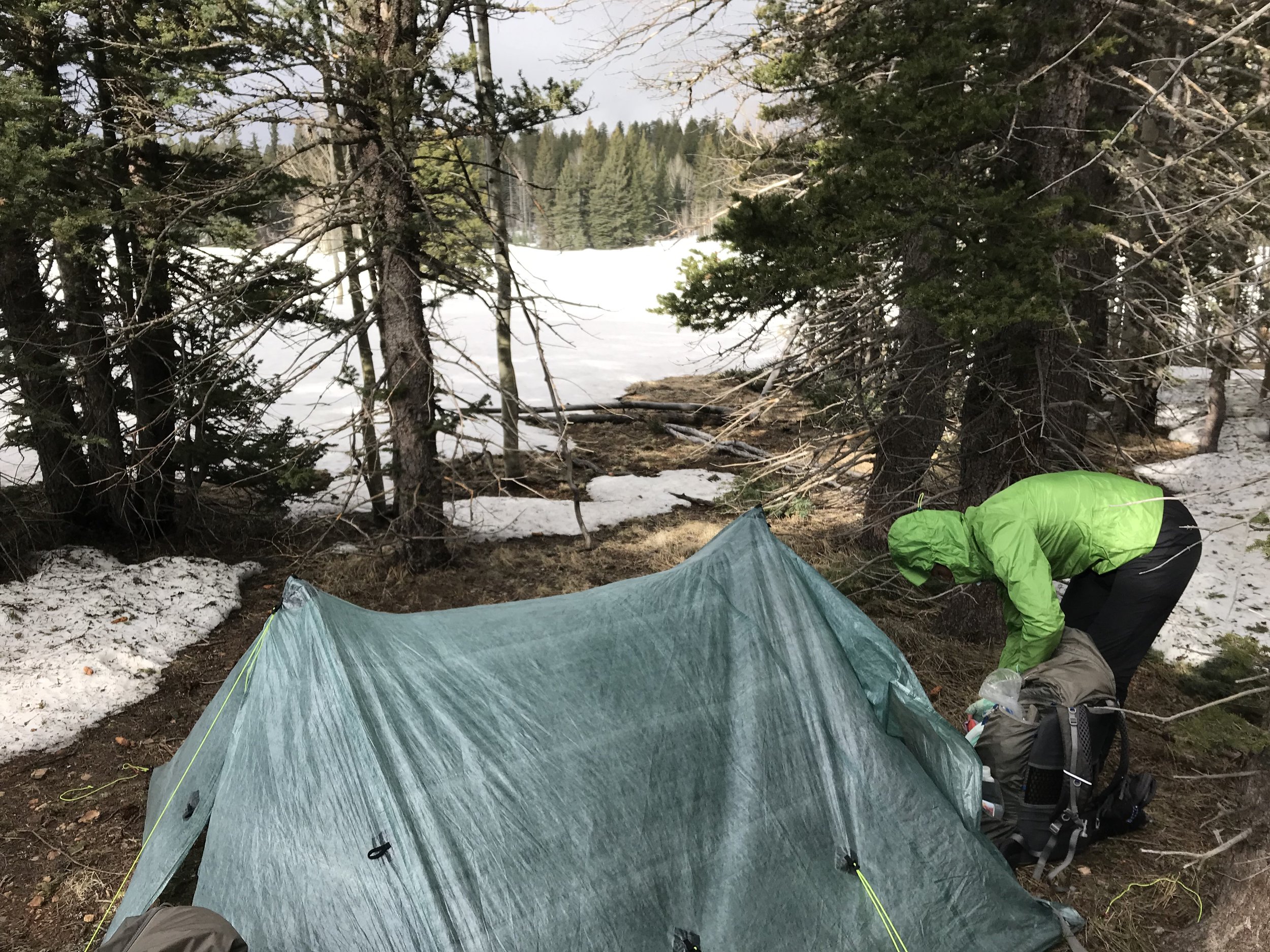
A calm morning greeted us with the light of day. Outside, low hung snow clouds kissed the upper tips of the trees. The wind was calm, and we felt exhausted. The shadows of trees cast long across the frosted white blanket around us, the length of their umbras accentuating a silent buzz. I gathered a weather report from the Garmin InReach mini that said storms on the North Rim would dissipate early today and completely disappear, but there was still a chance of snow in our location. Regardless, we ate breakfast slowly wrapped in our quilts in the Triplex. As soon as it was done, Janna and I agreed to get the heck out of there.
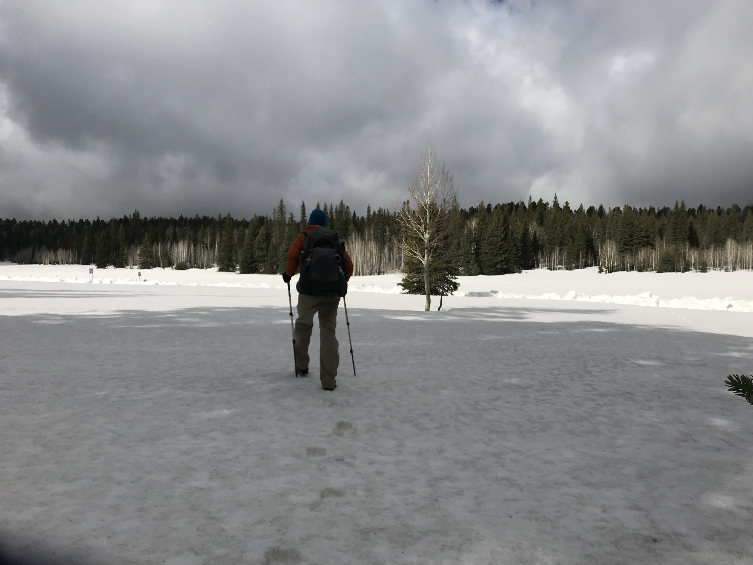
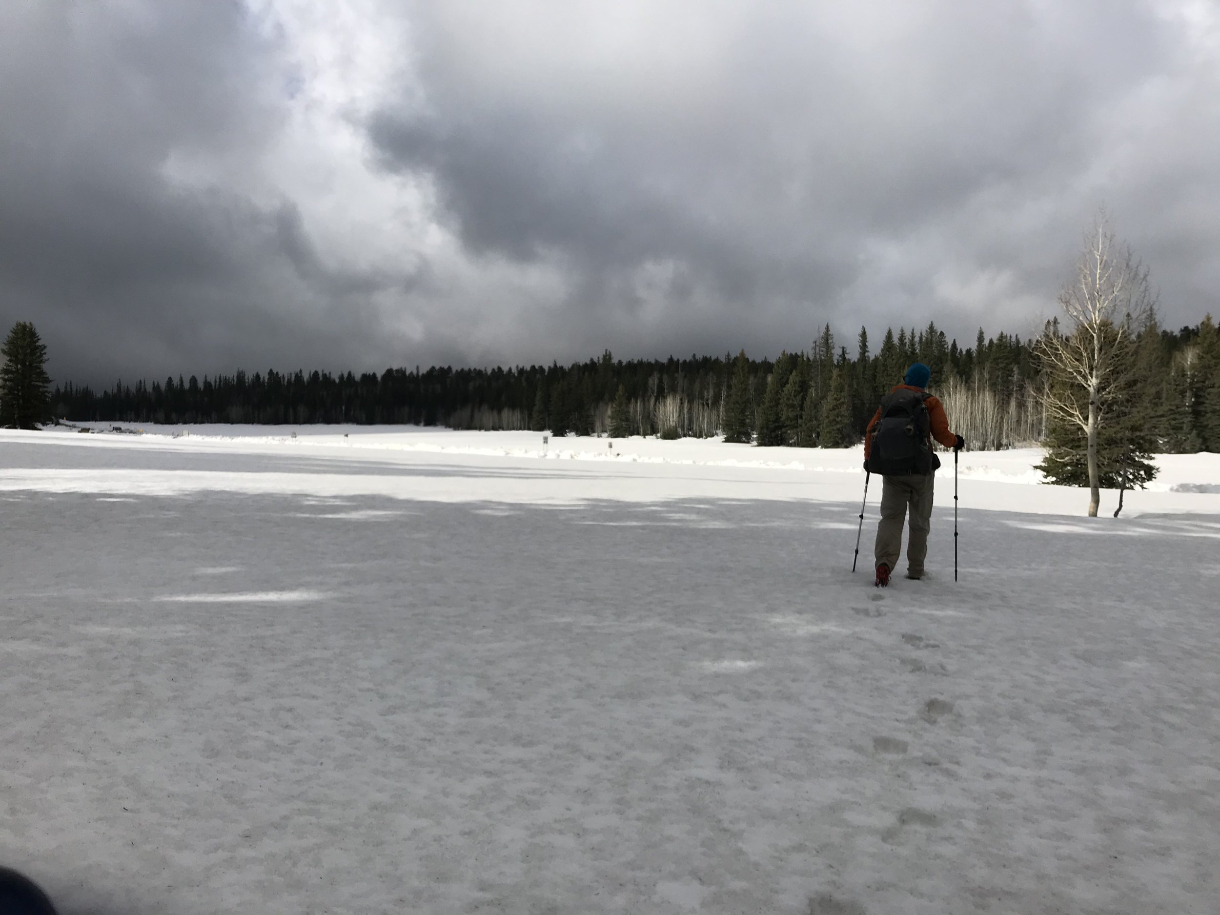
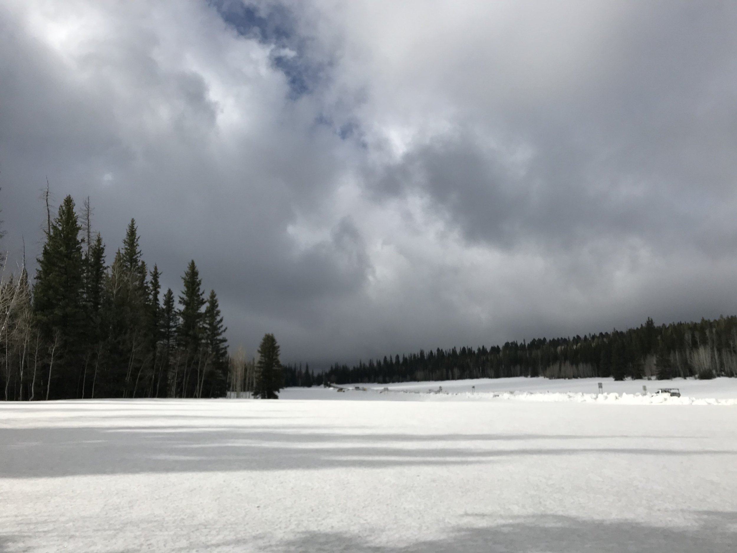
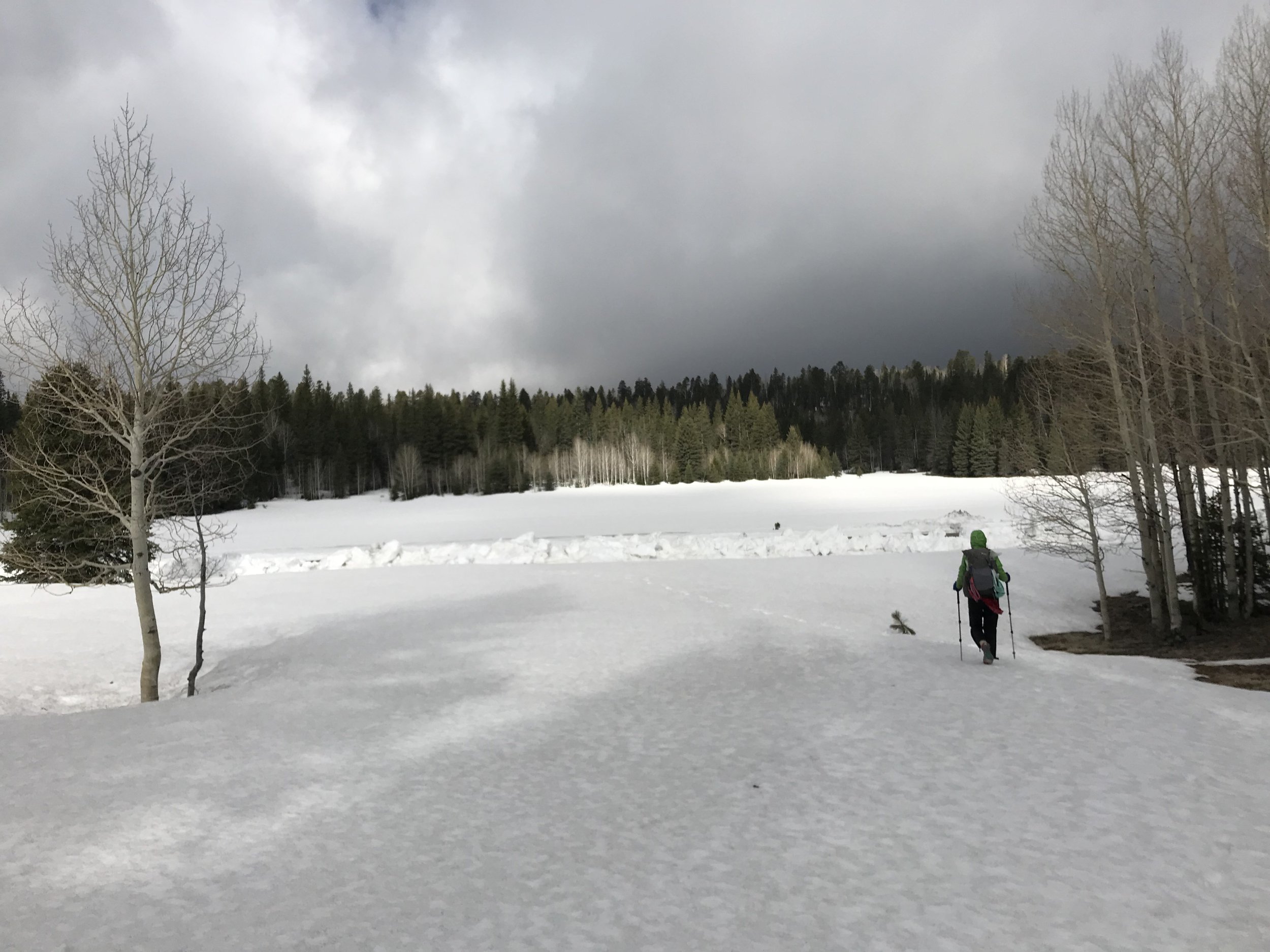
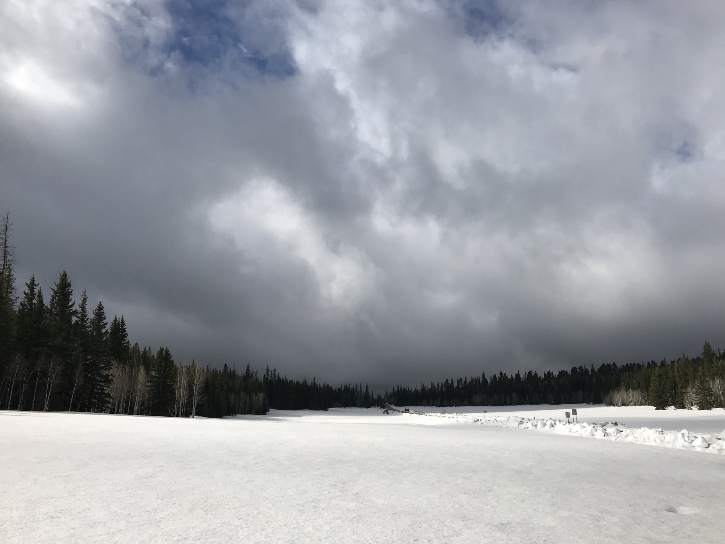
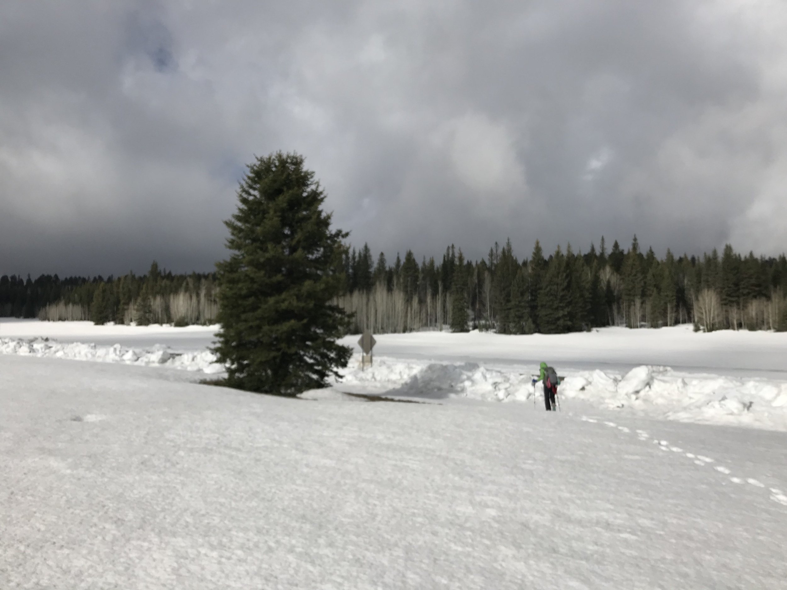
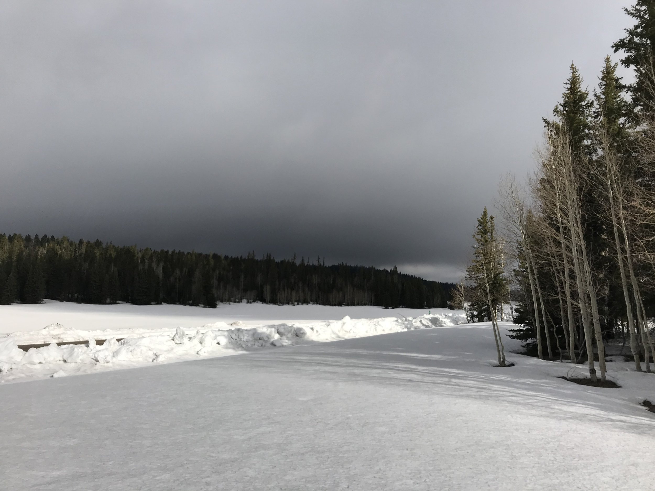
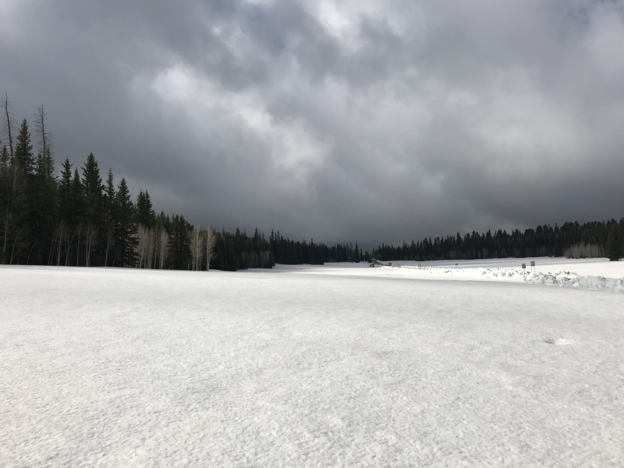
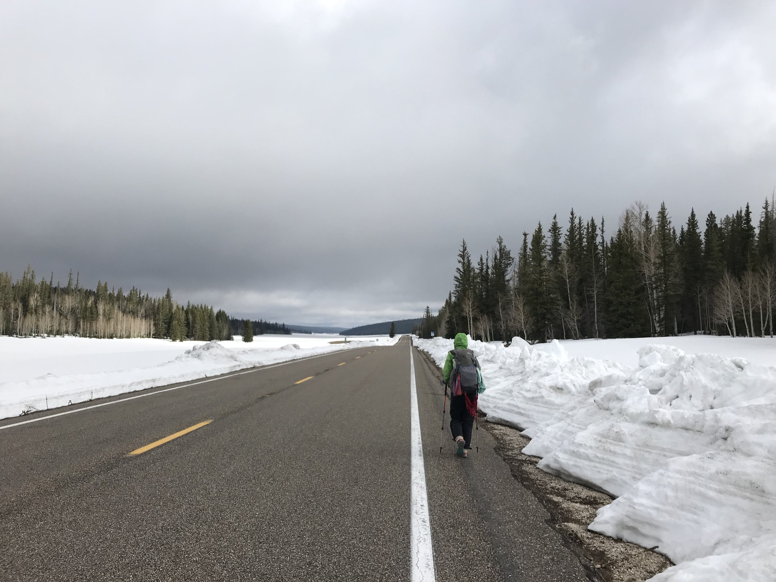
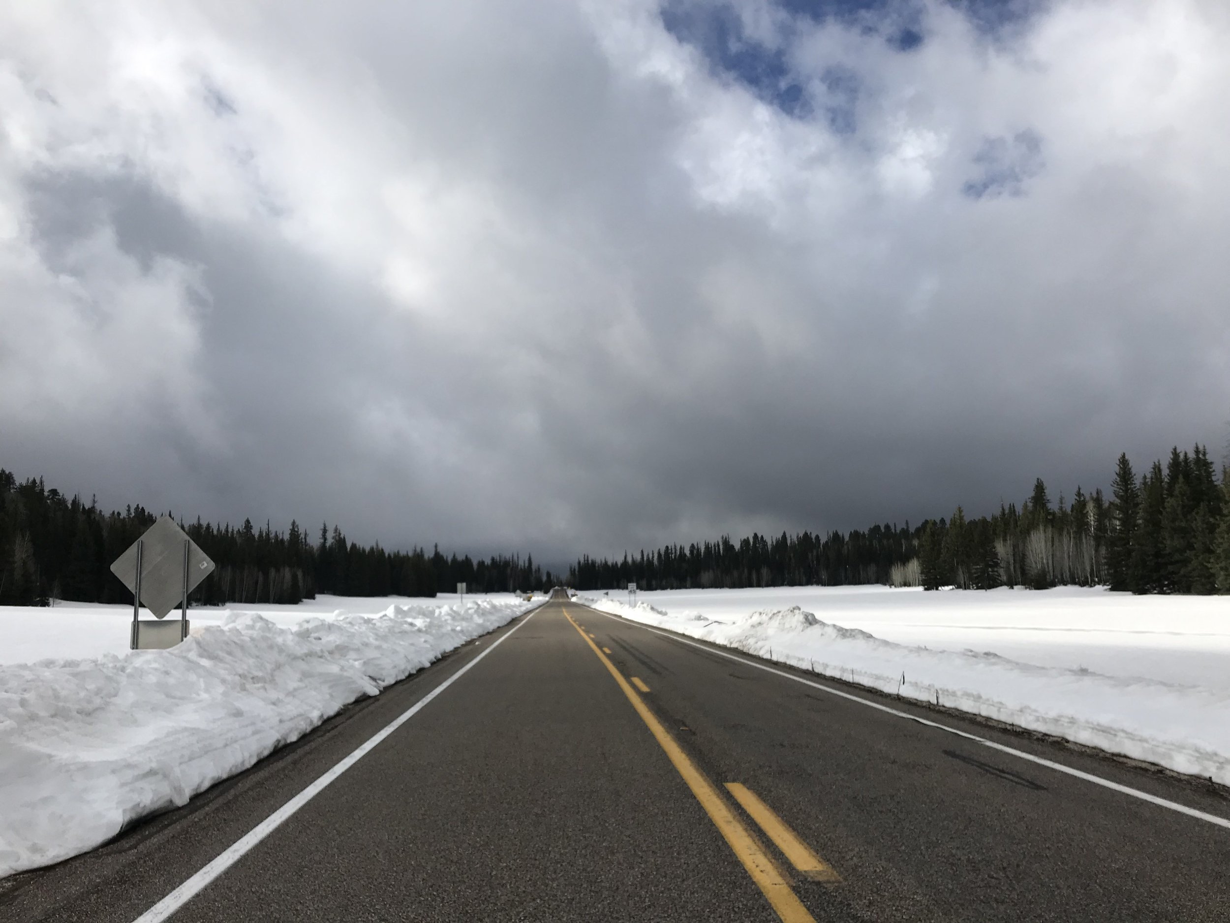
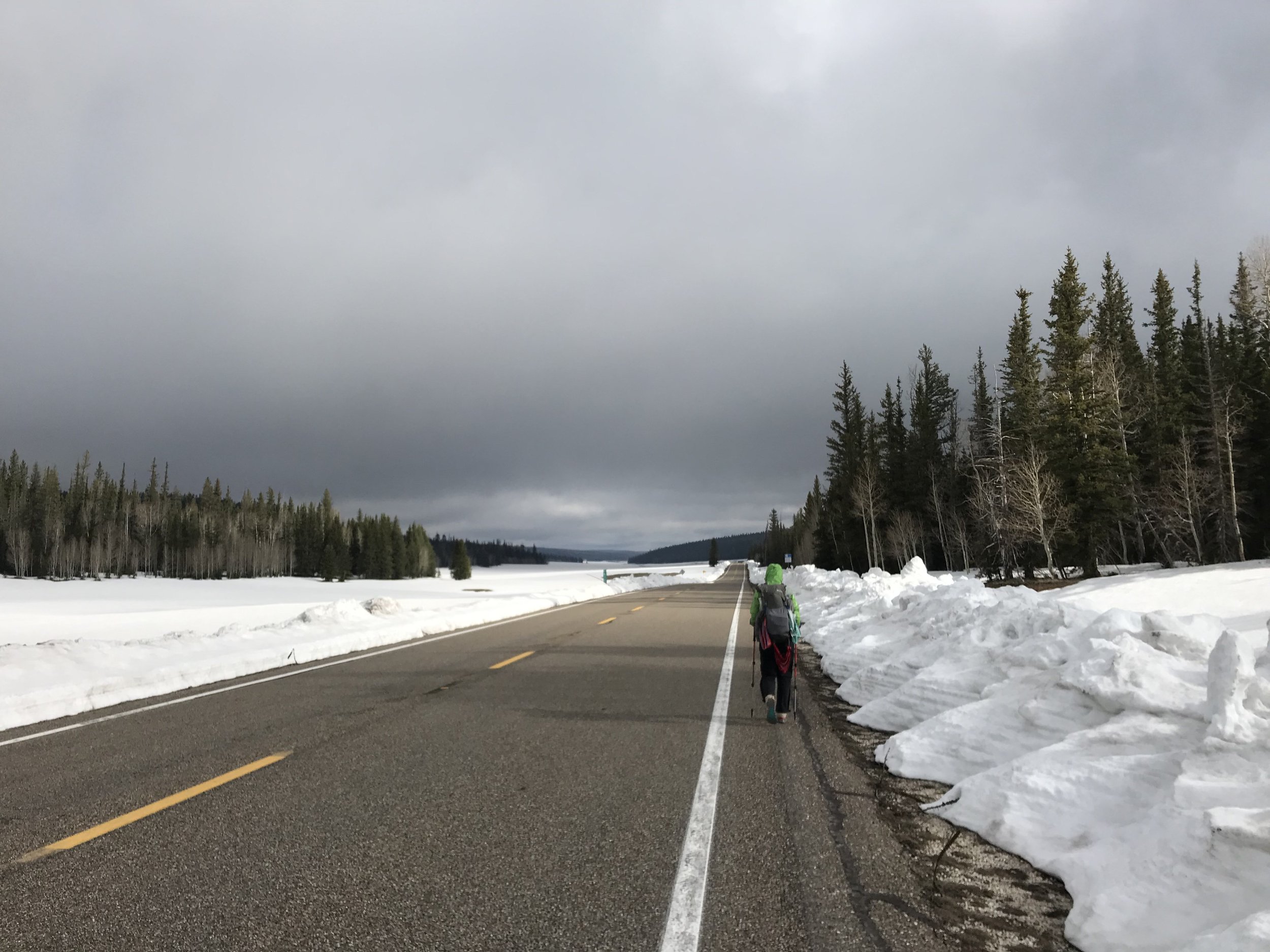
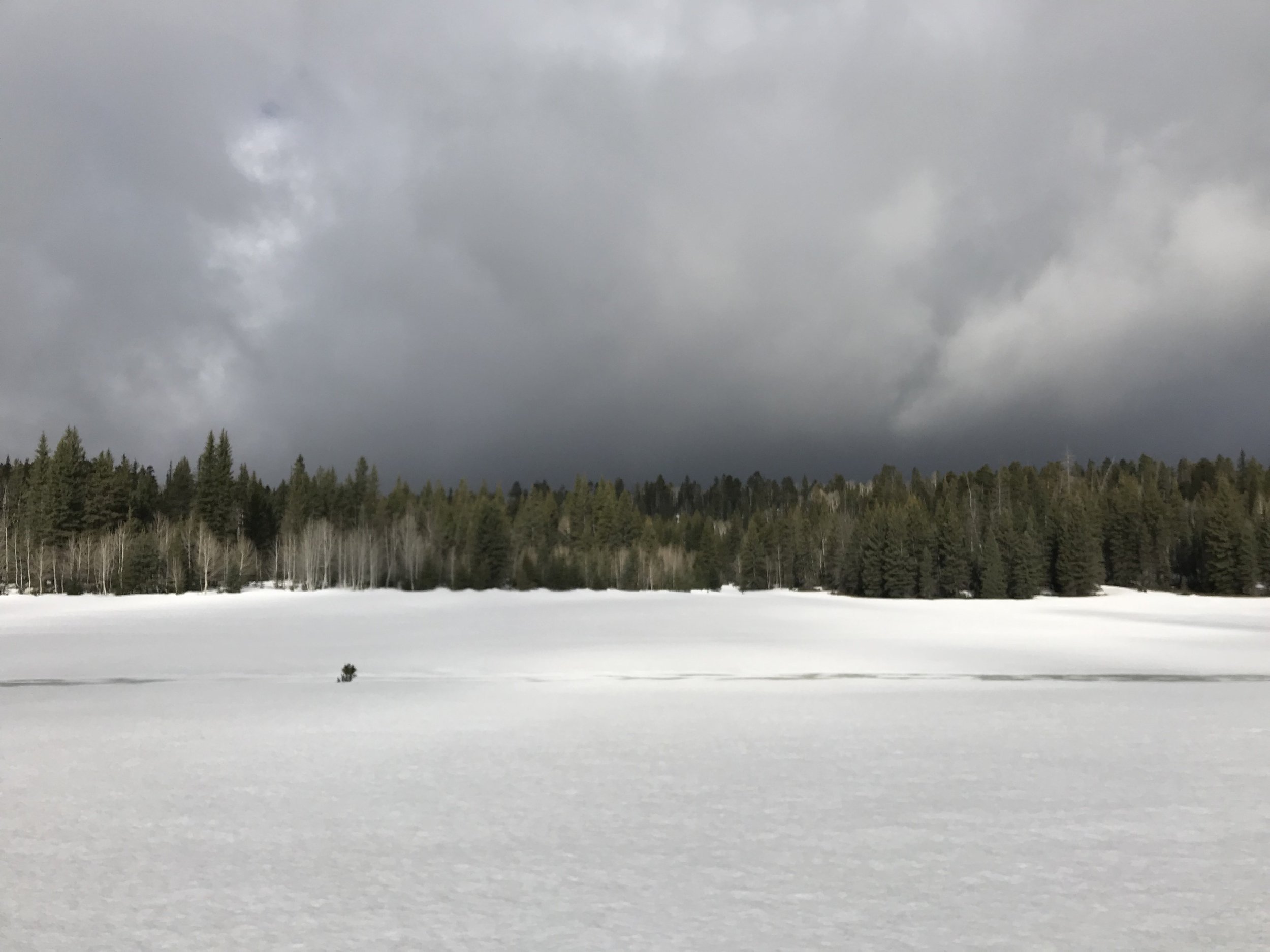
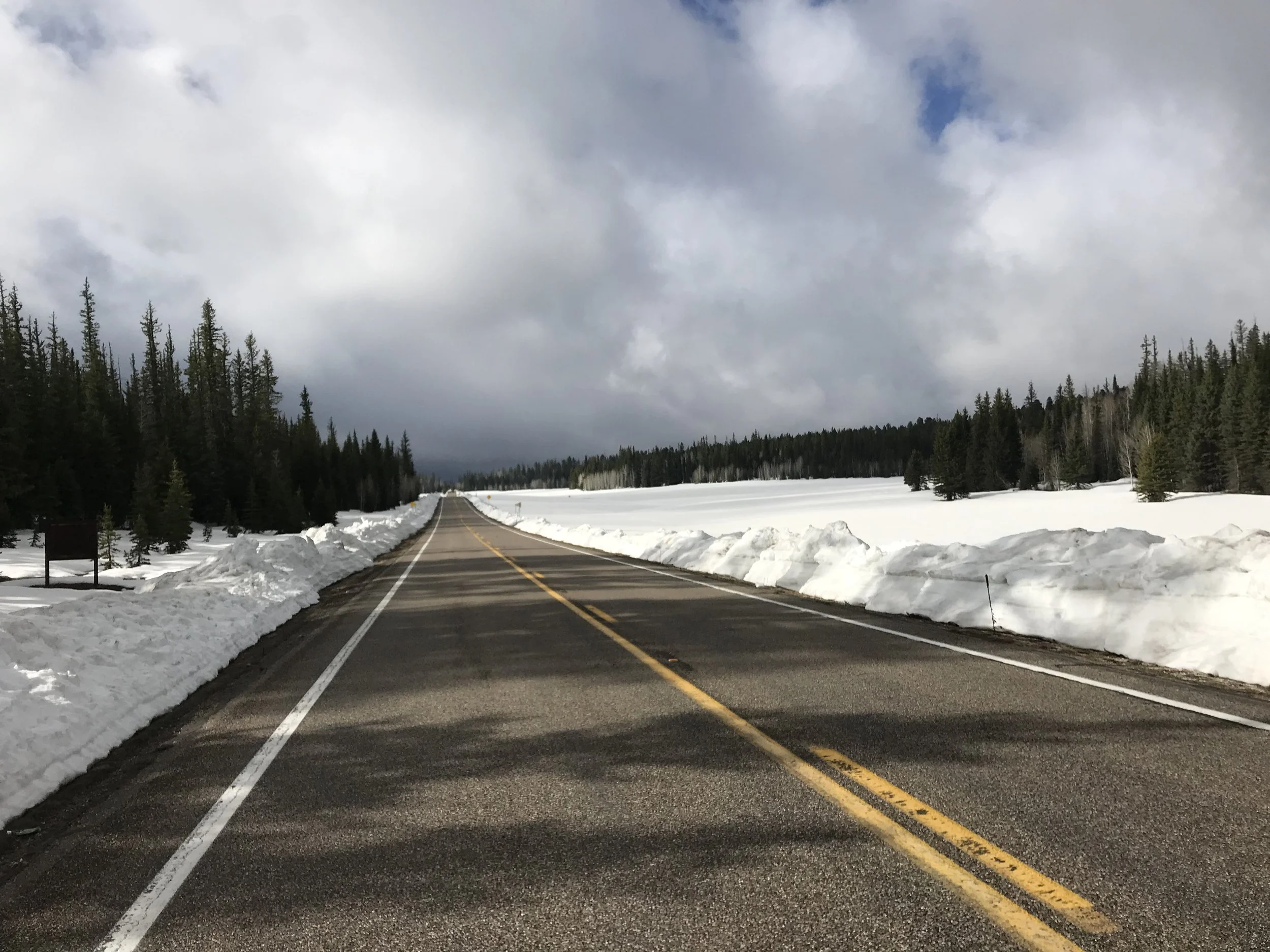
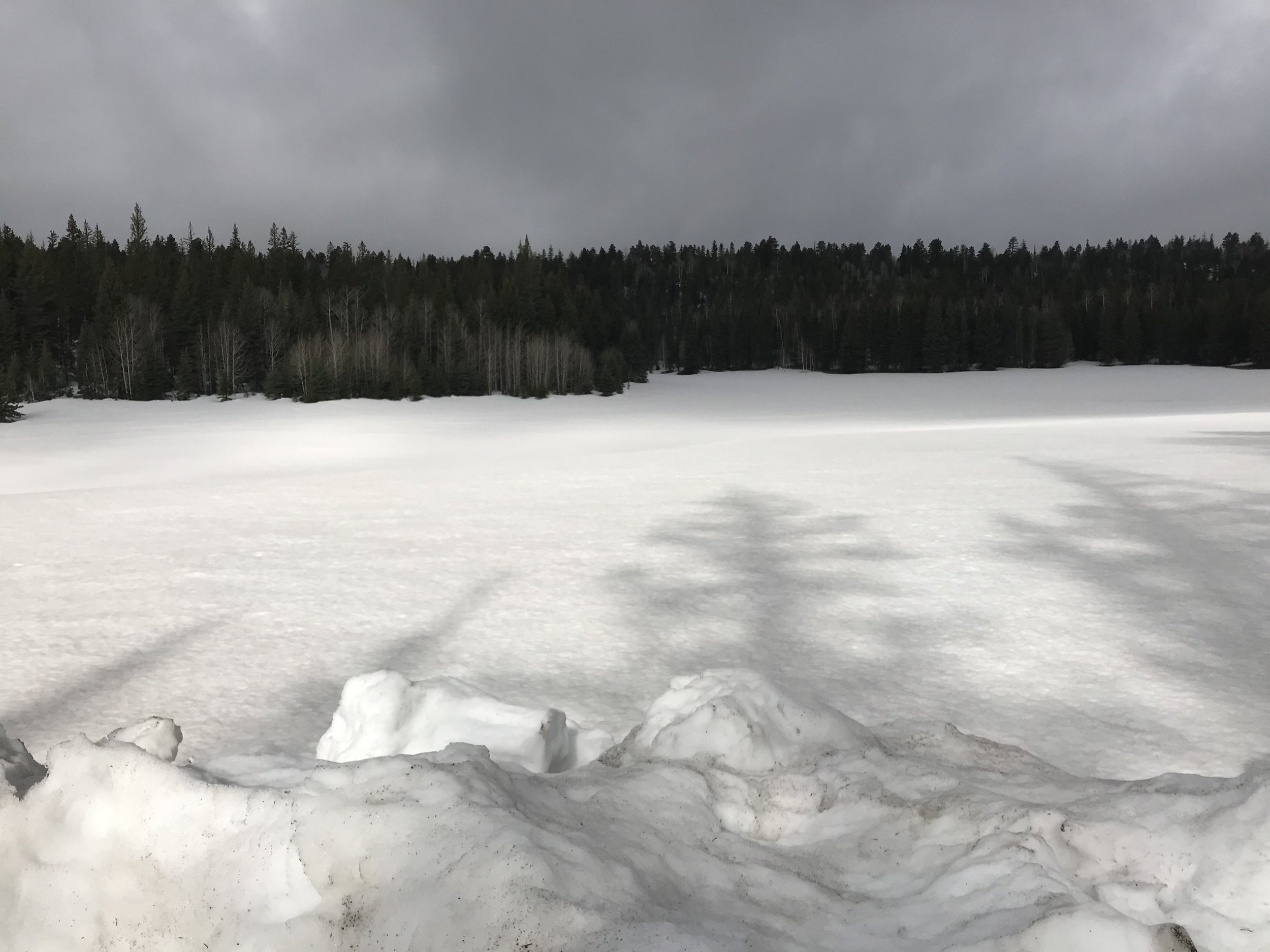
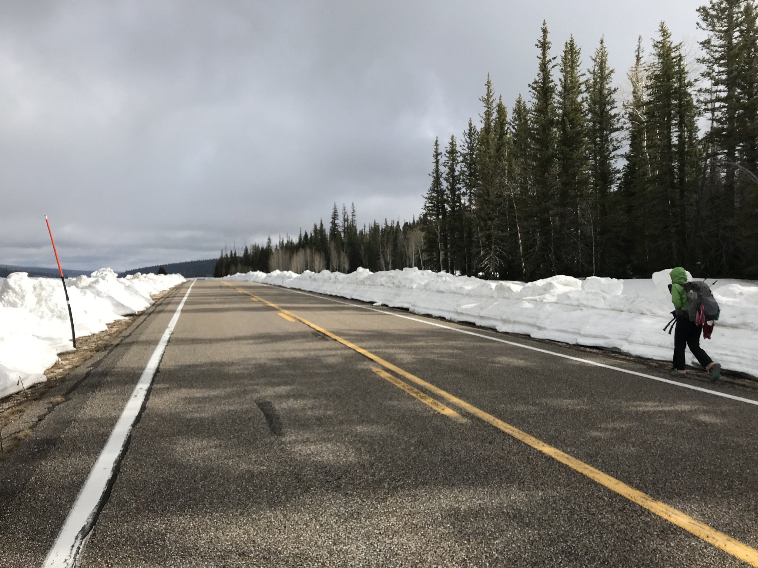
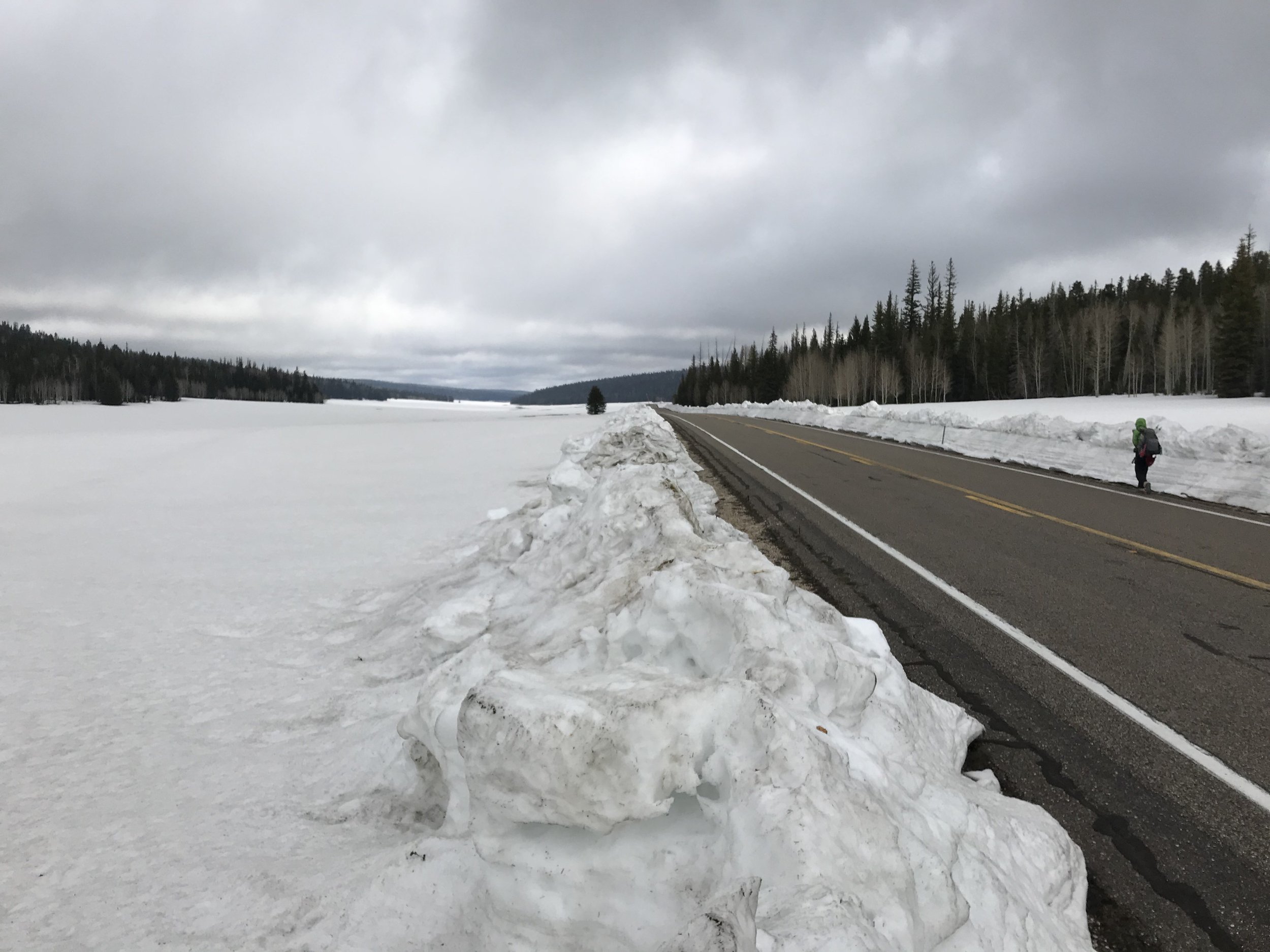
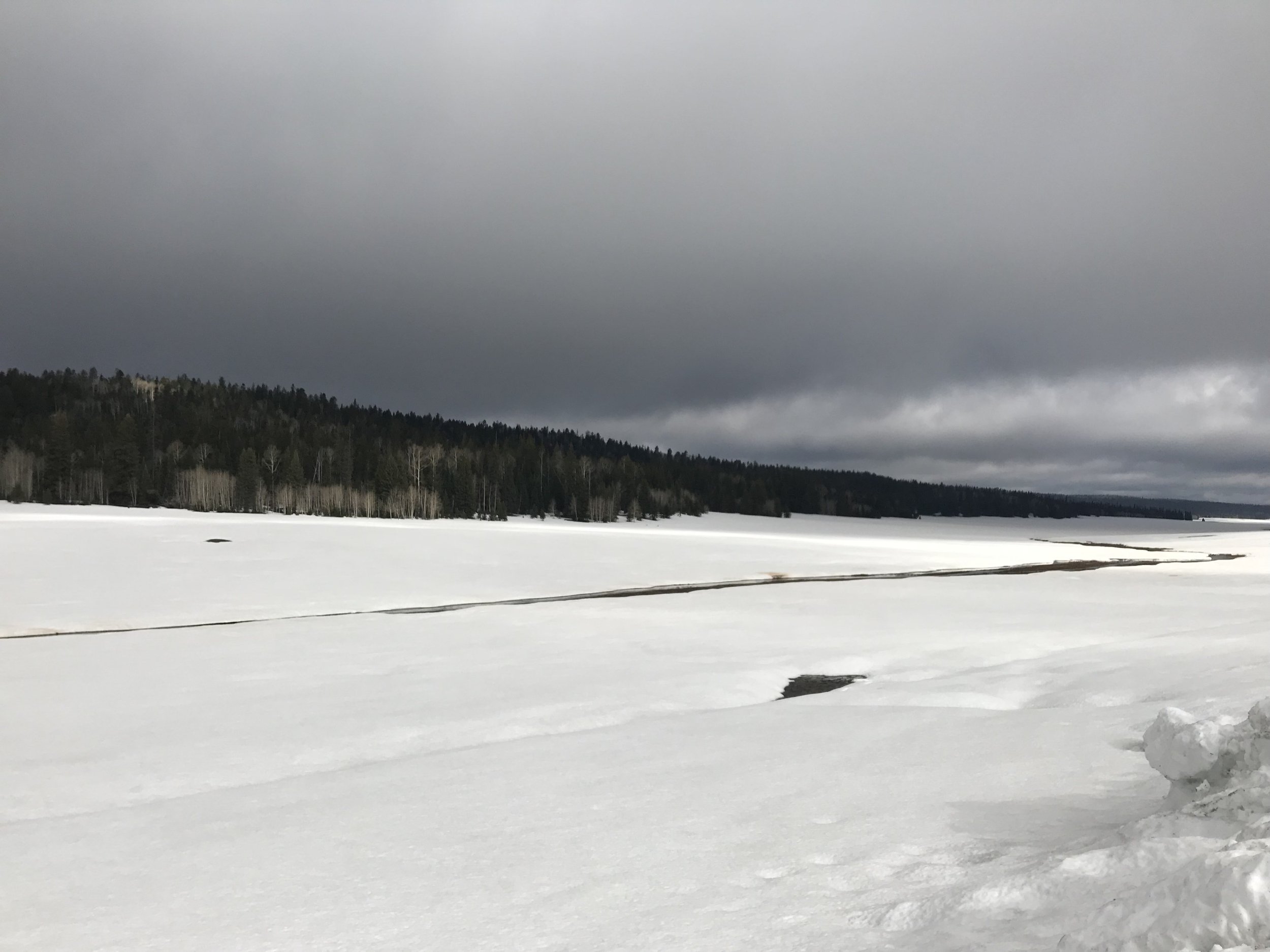
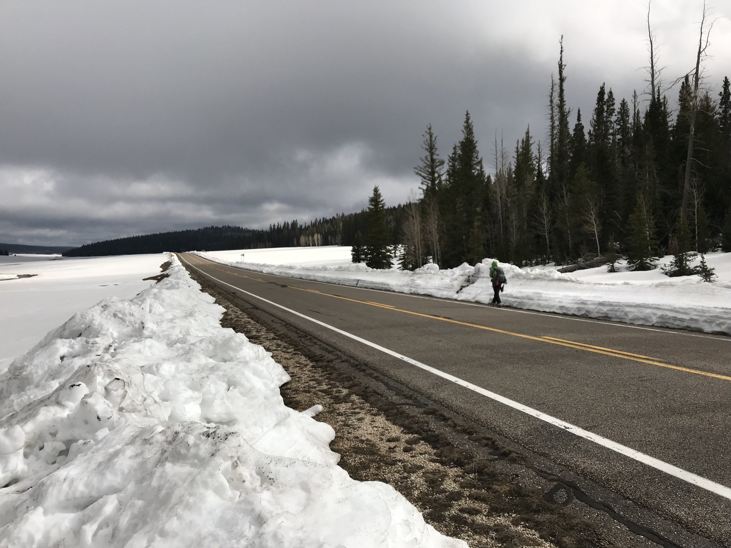
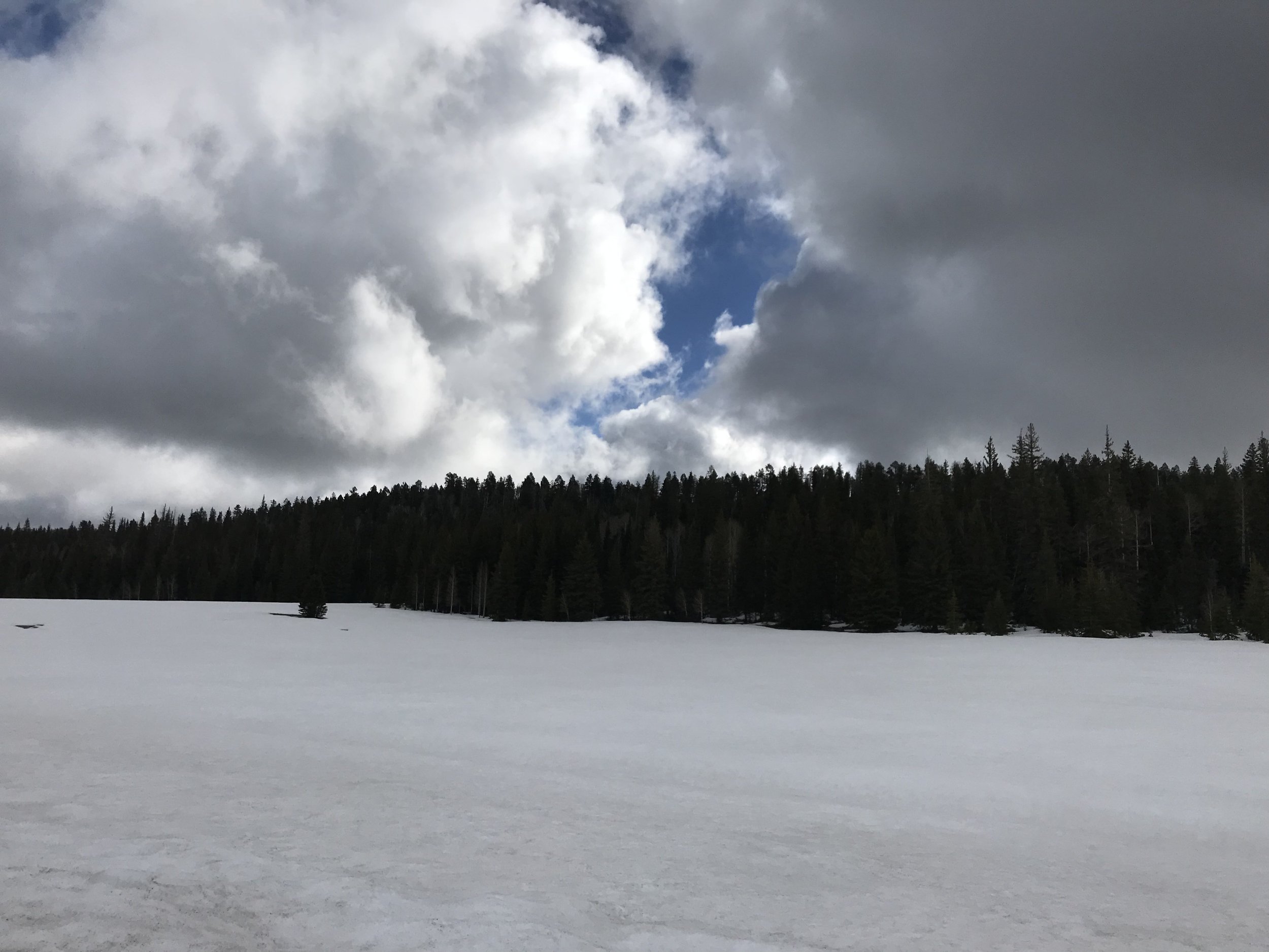
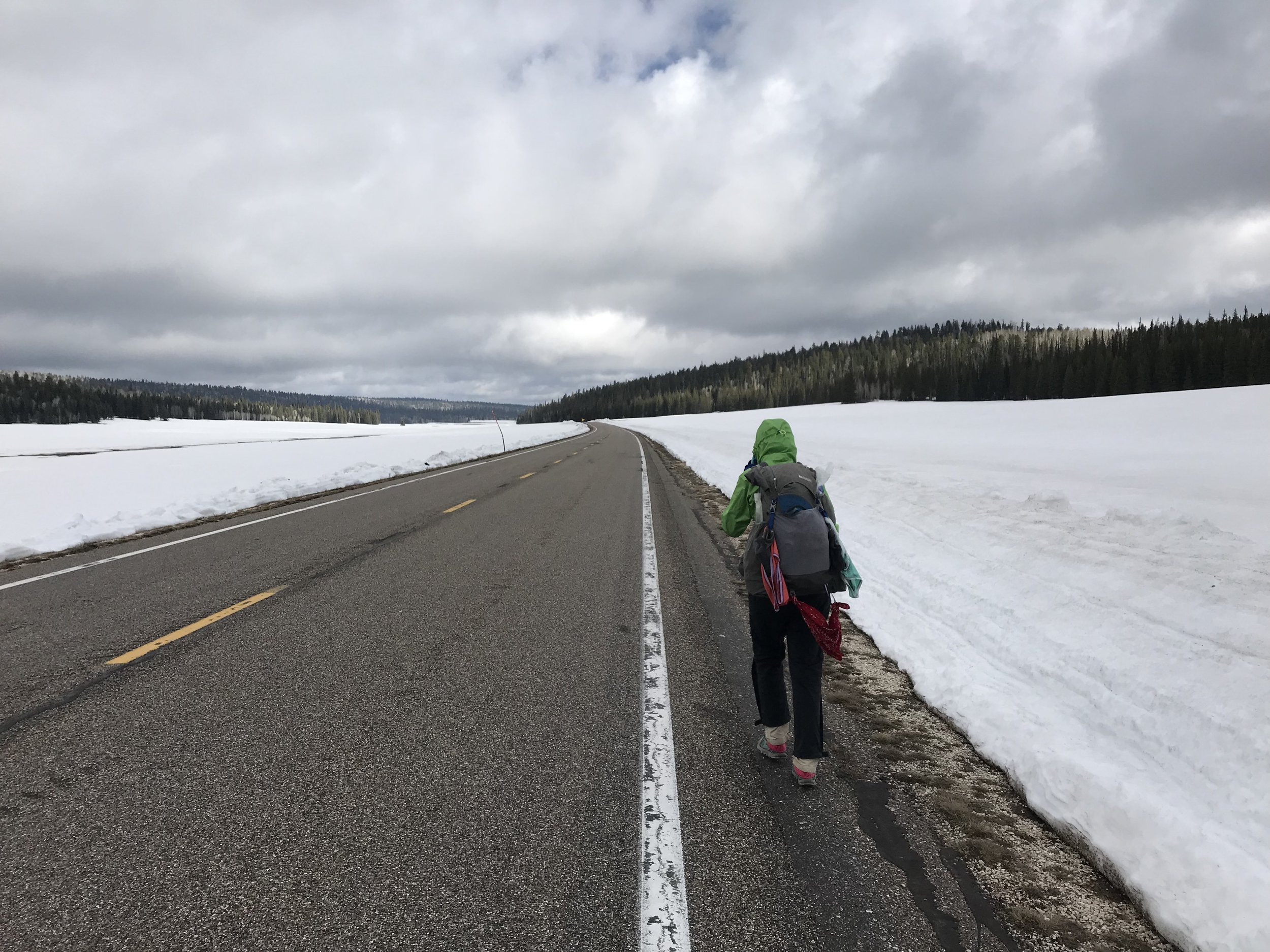
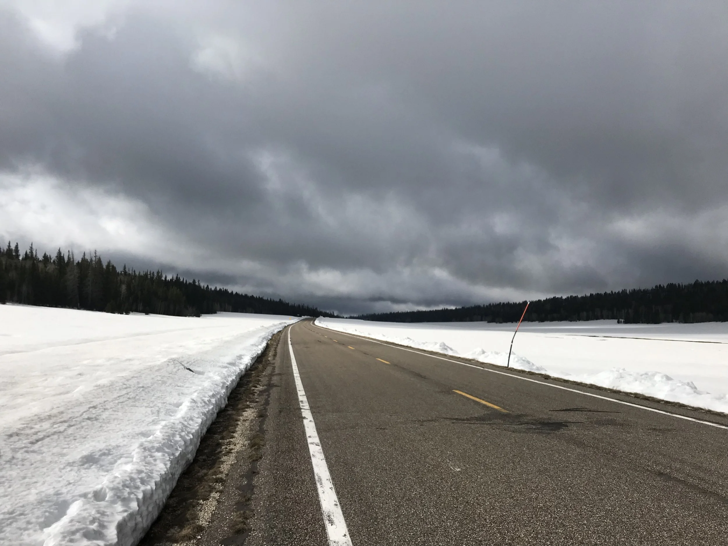
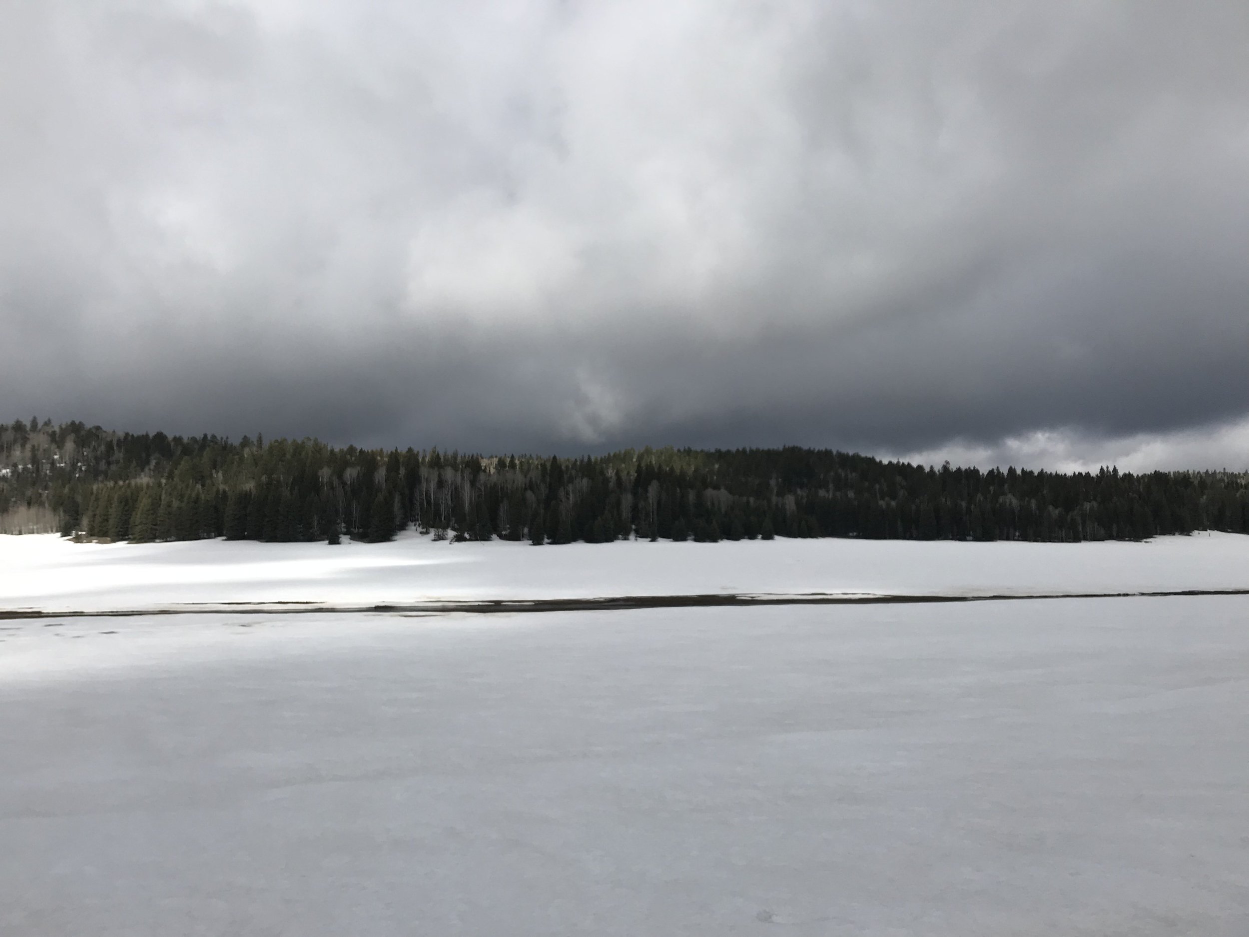
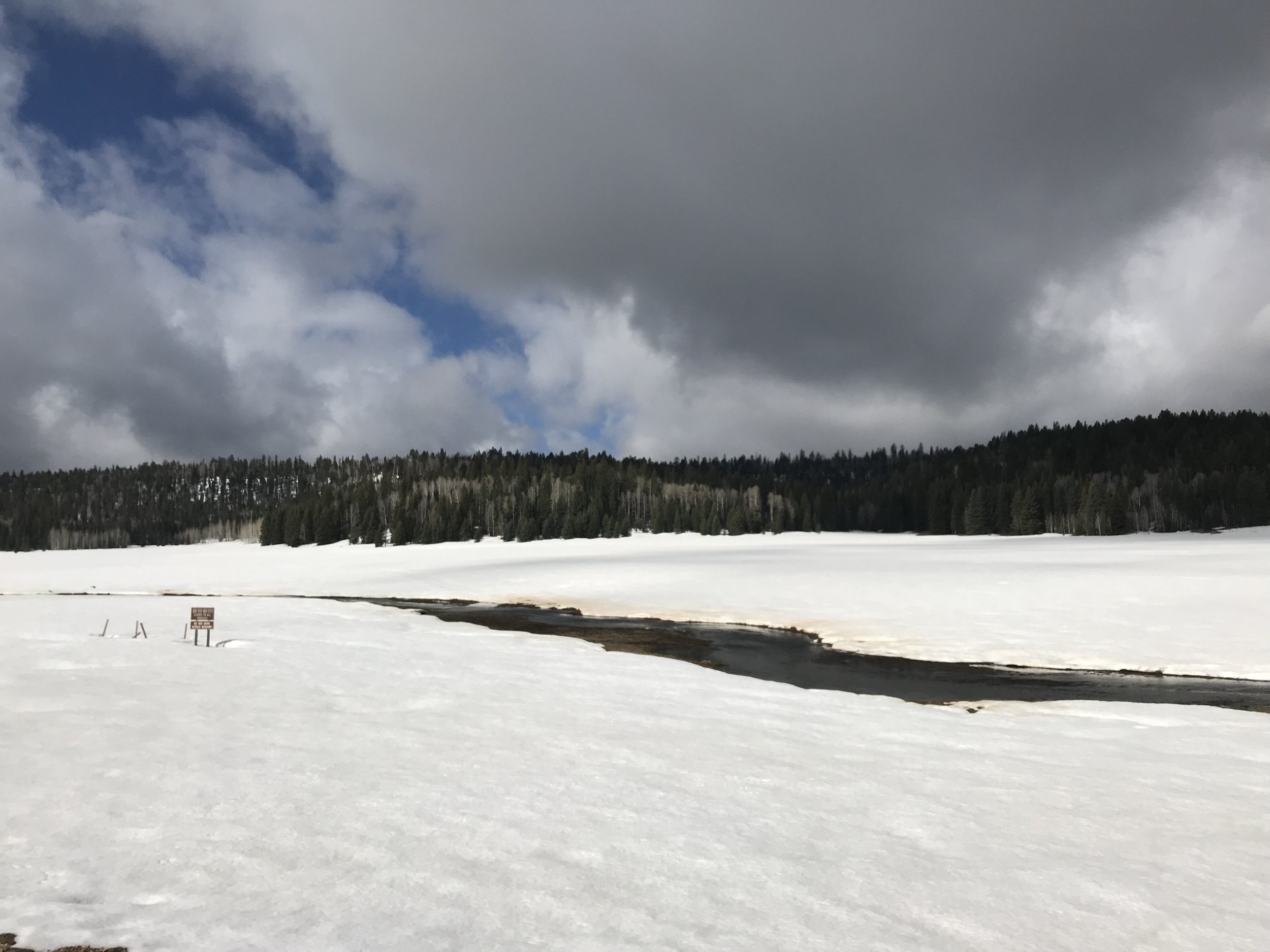
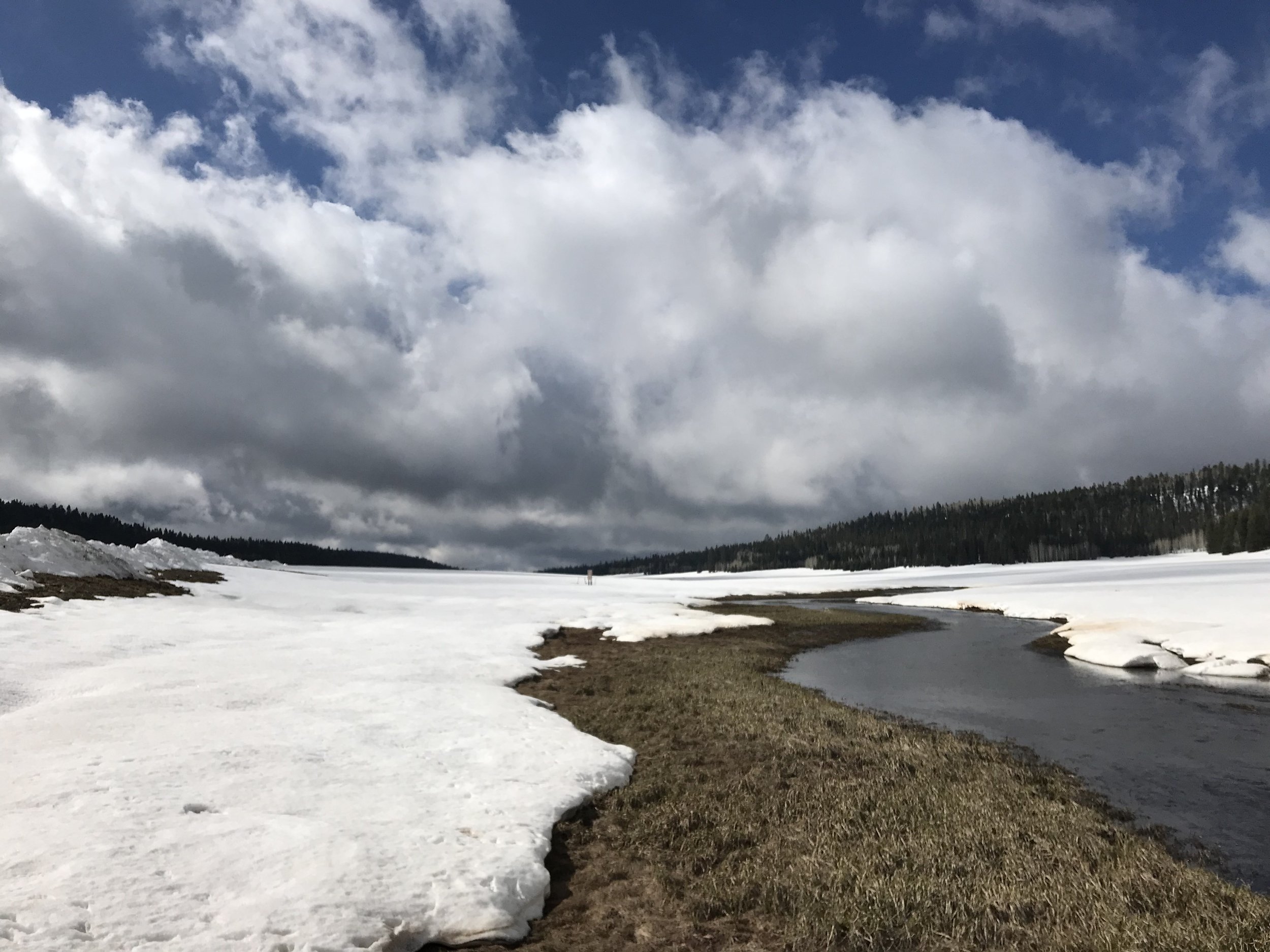
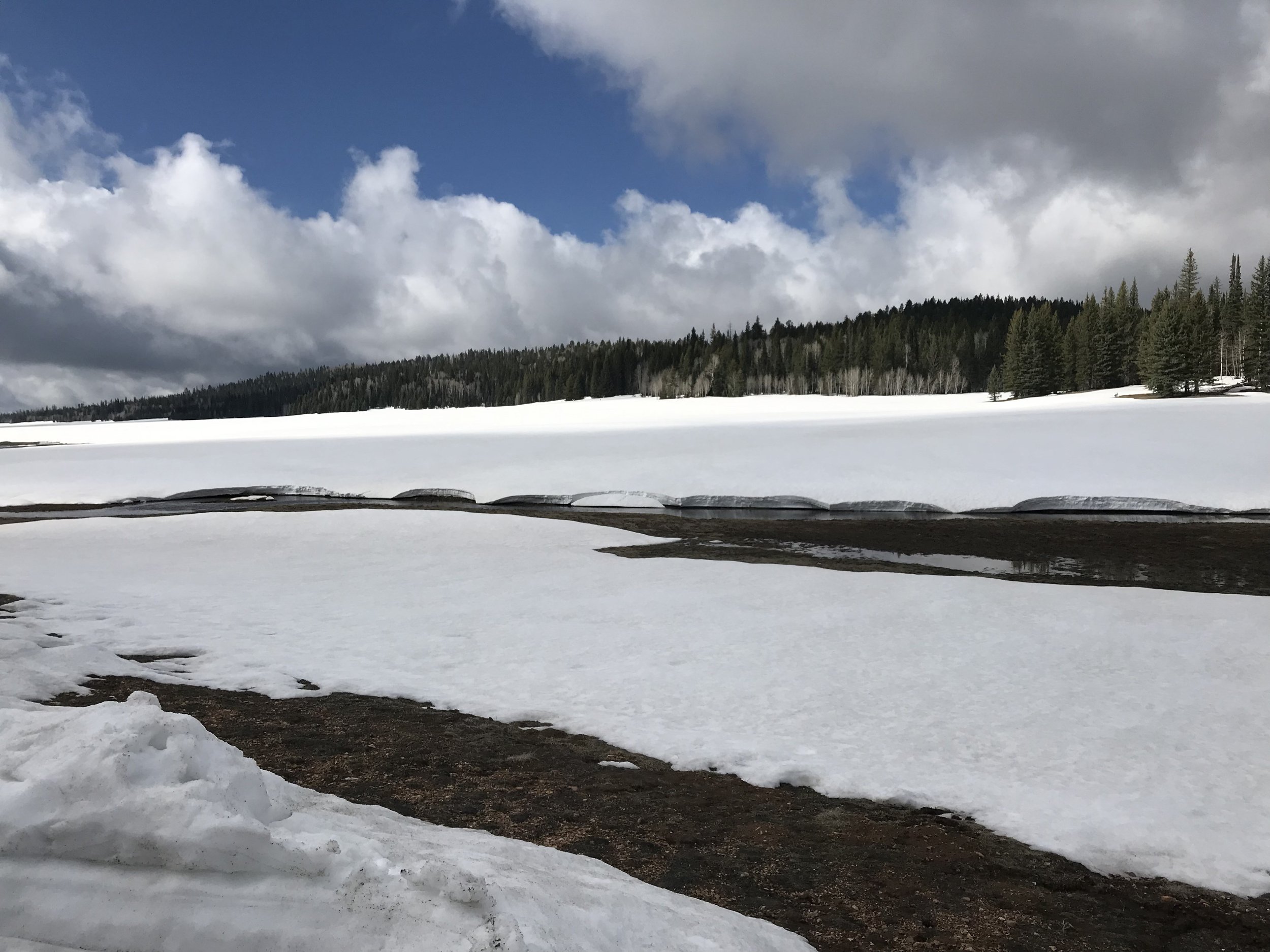
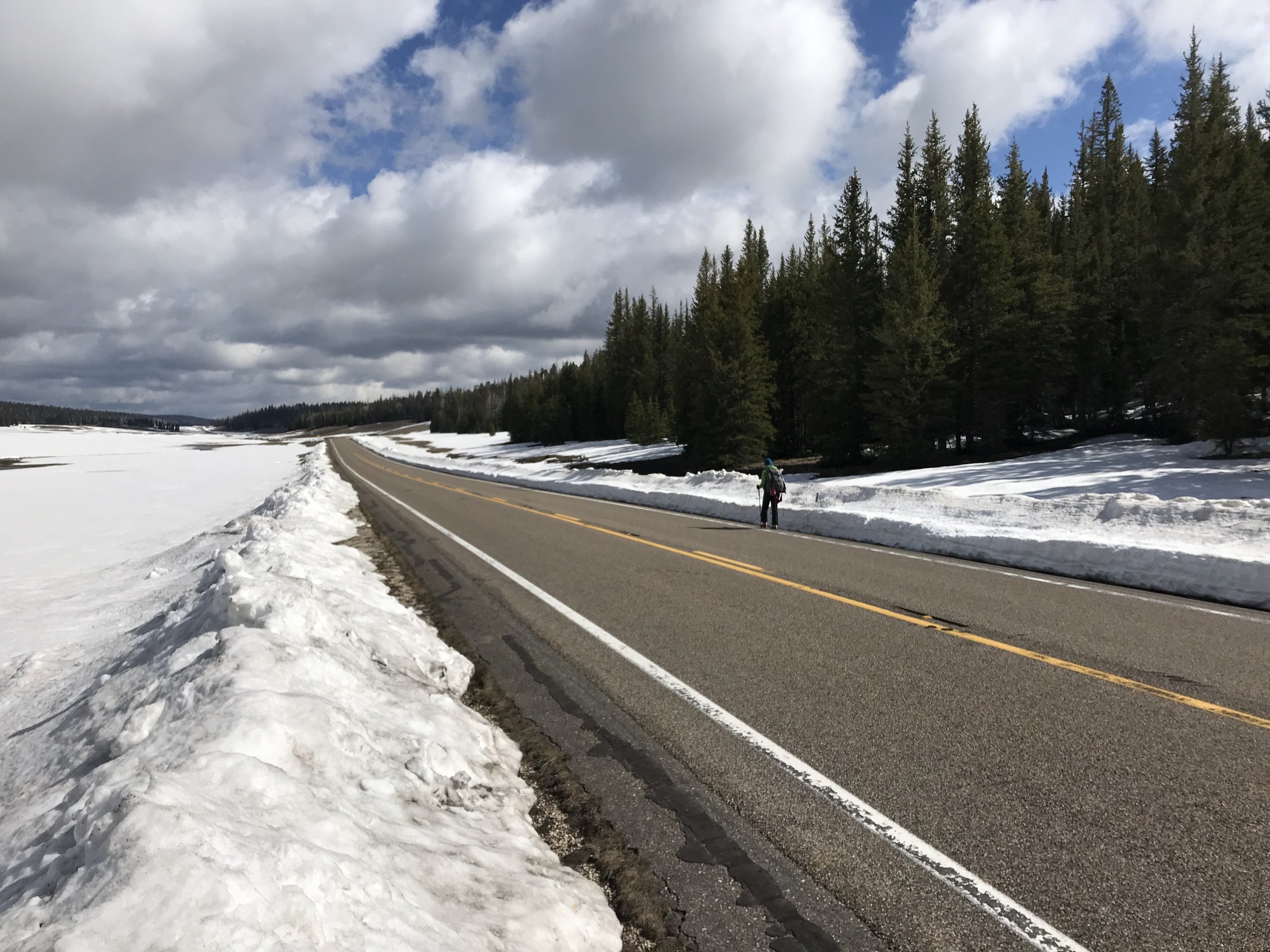
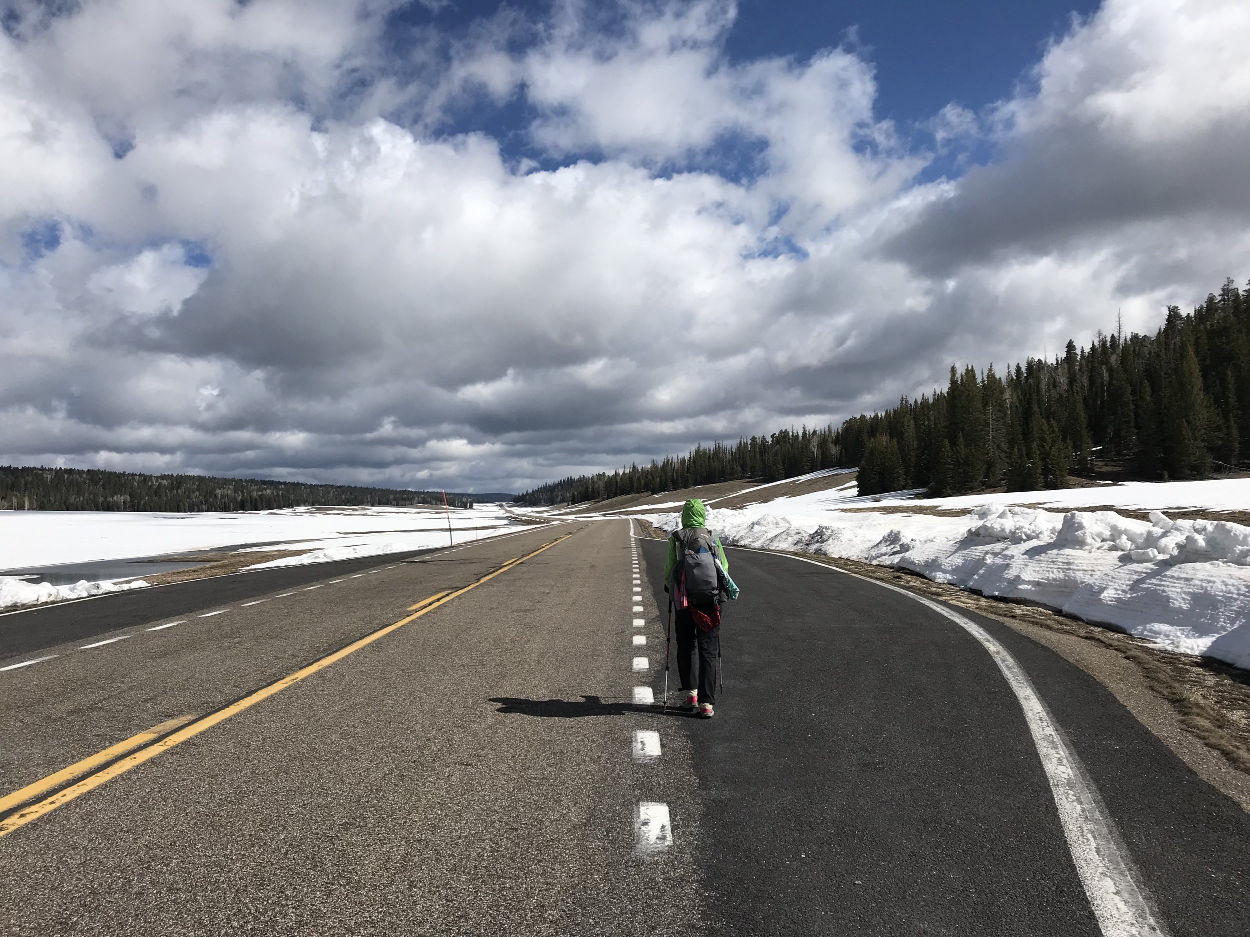
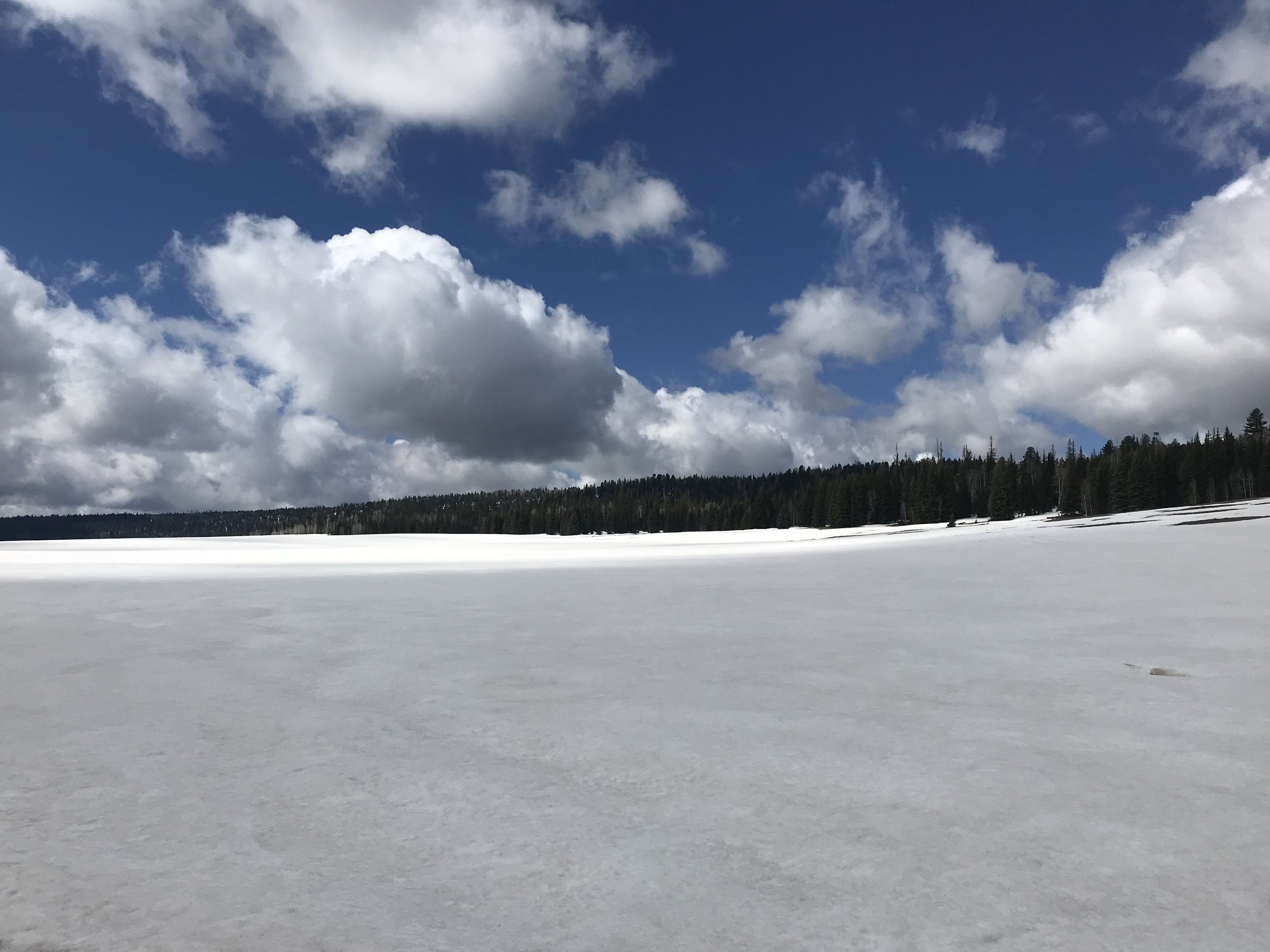
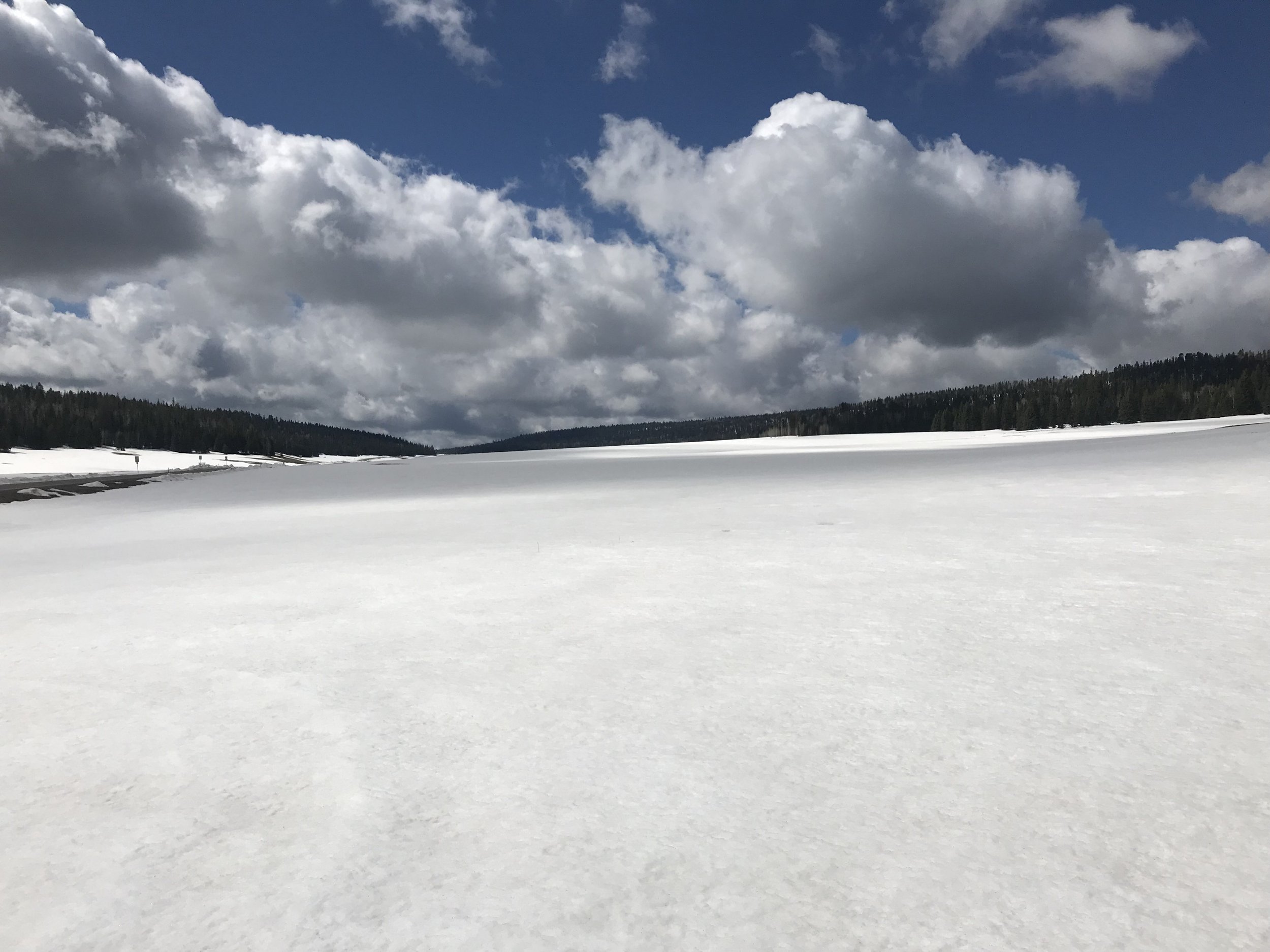
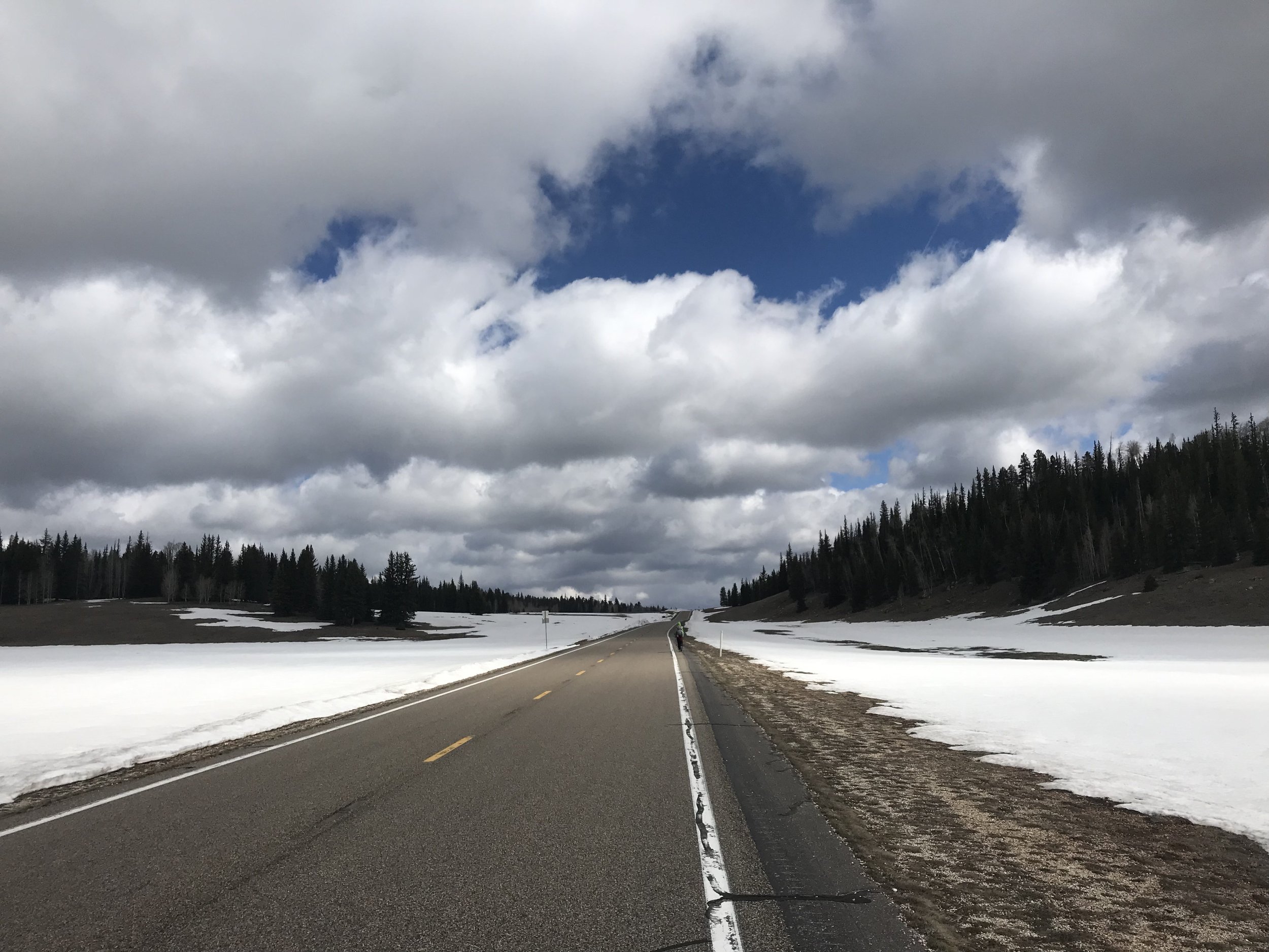
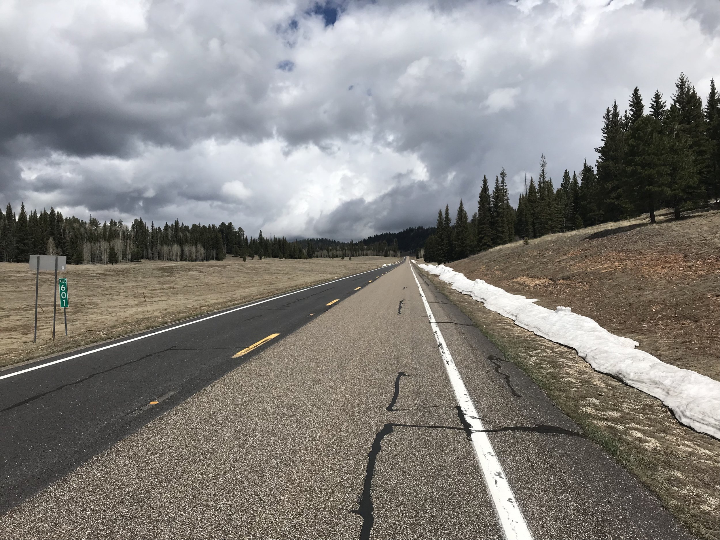
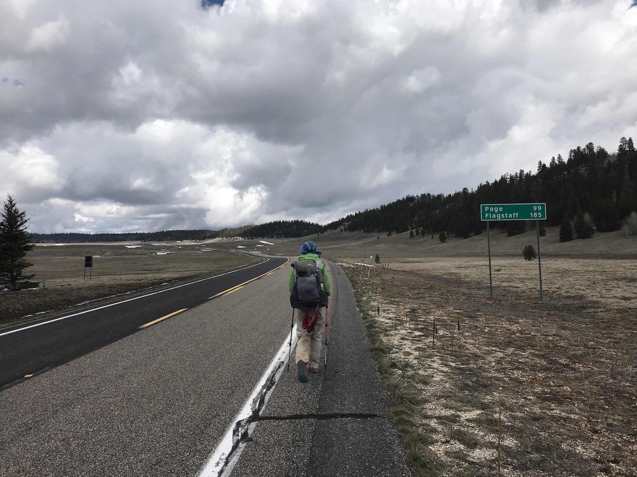
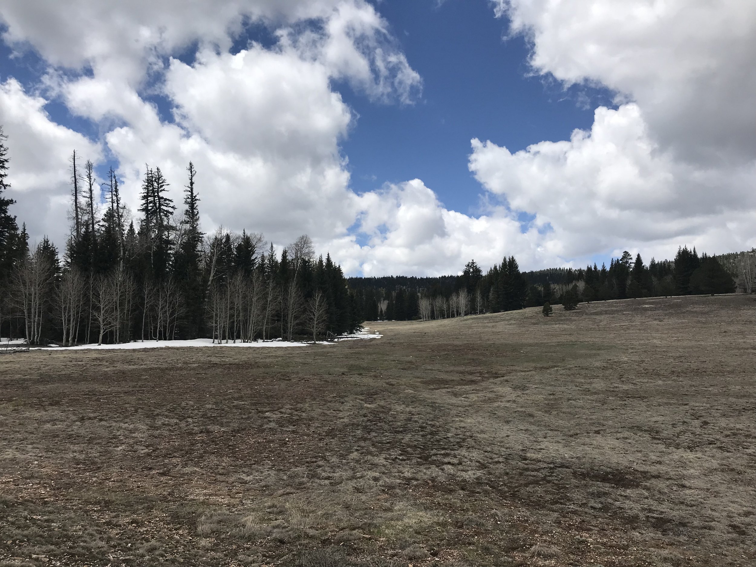
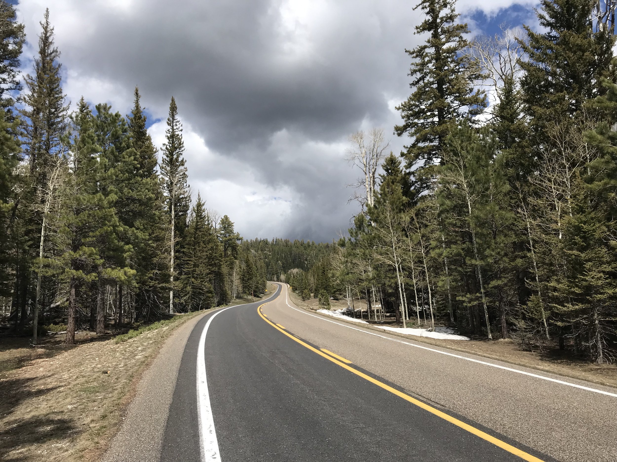
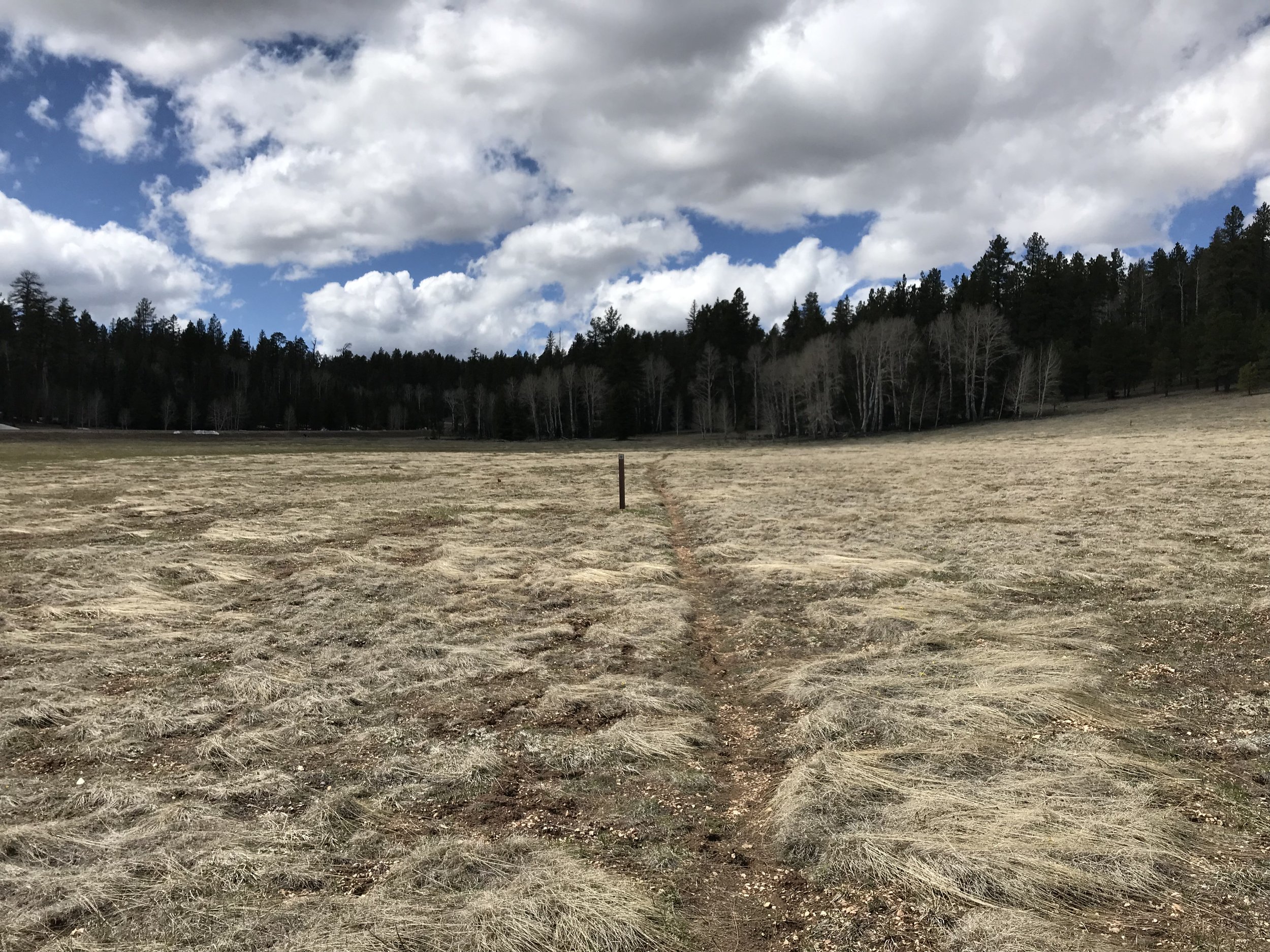
The field was easier to navigate and avoid ice water sinks than it had been in the dark. Around us, the world was silent, snow muffling sound. It was starkly beautiful. The spruce and firs stood sentinel on all horizon edges while the snow lay untarnished in all directions with the gray slag of clouds above. We climbed down the snow embankment and rejoined the road. Snowfields stretched for miles in front and behind us. We continued our road walk north.
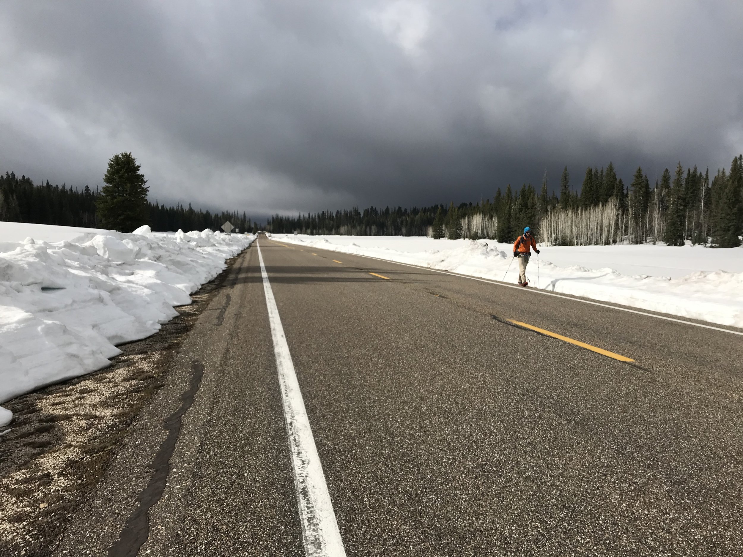
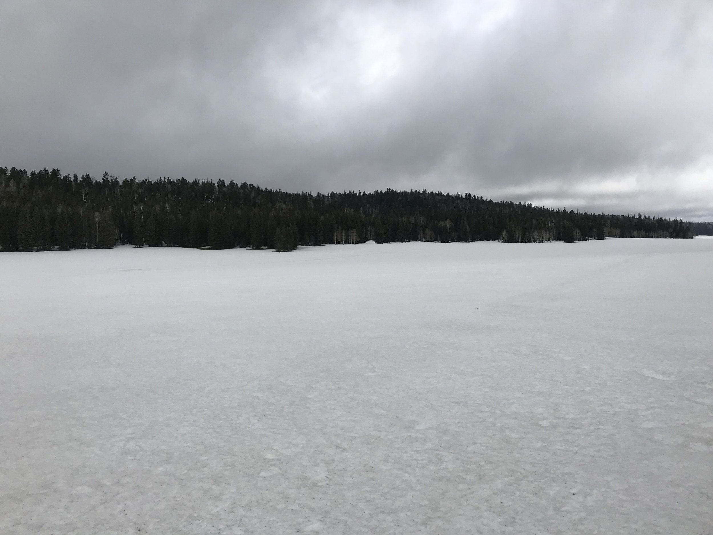
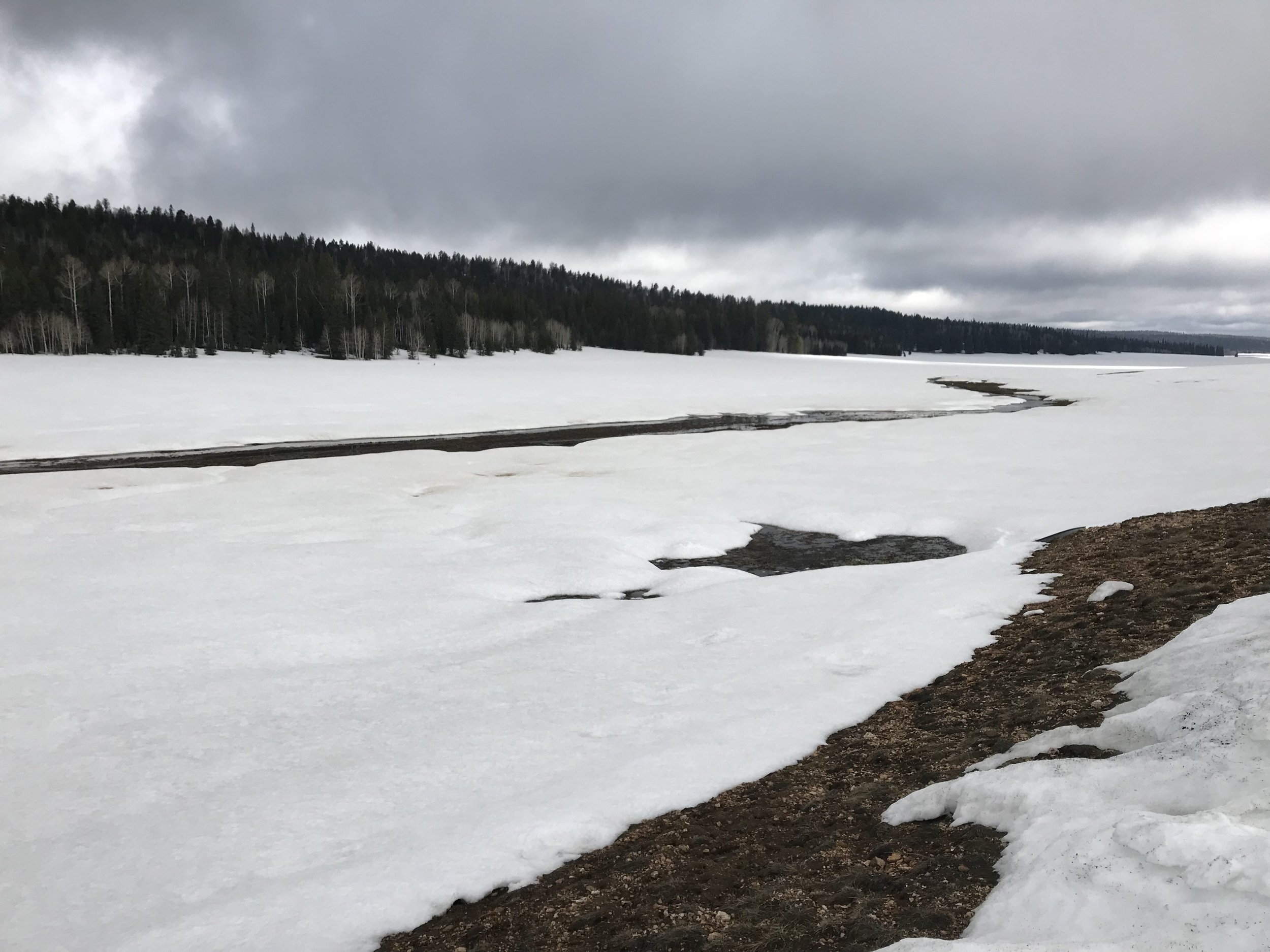
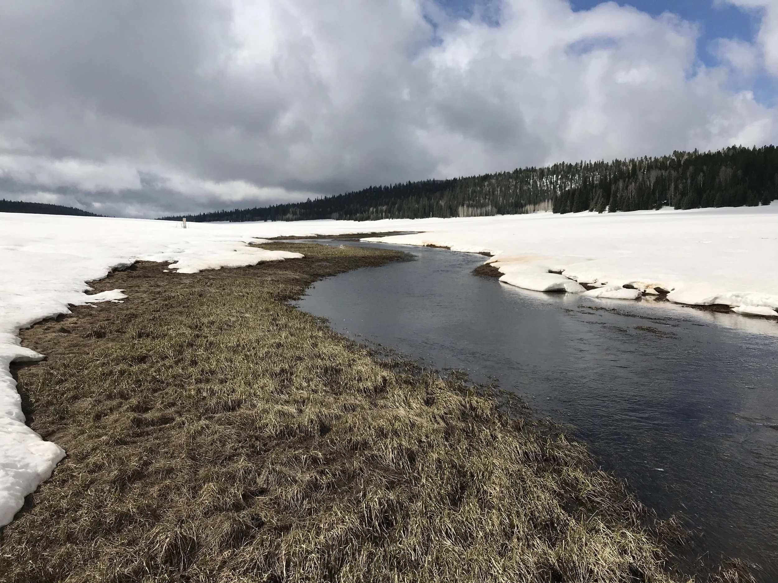
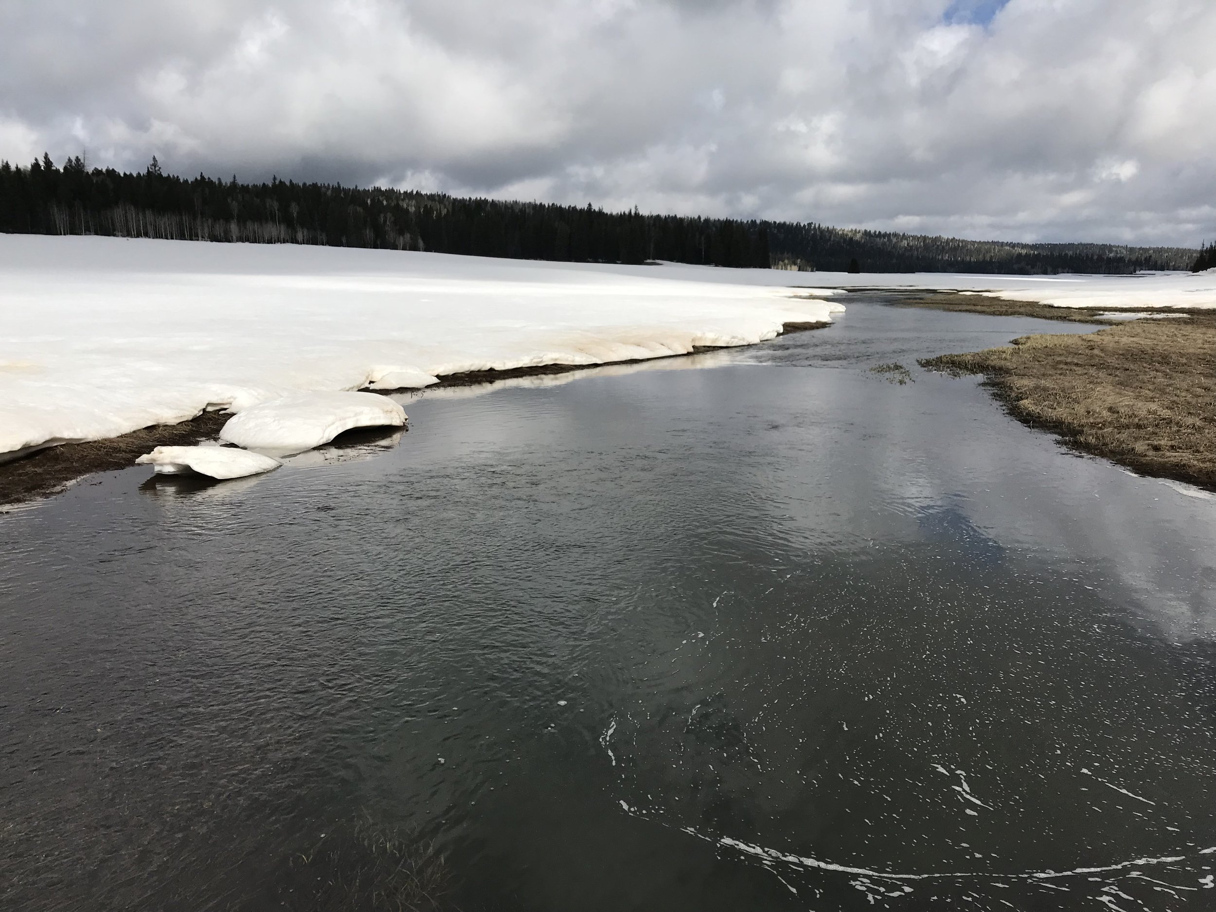
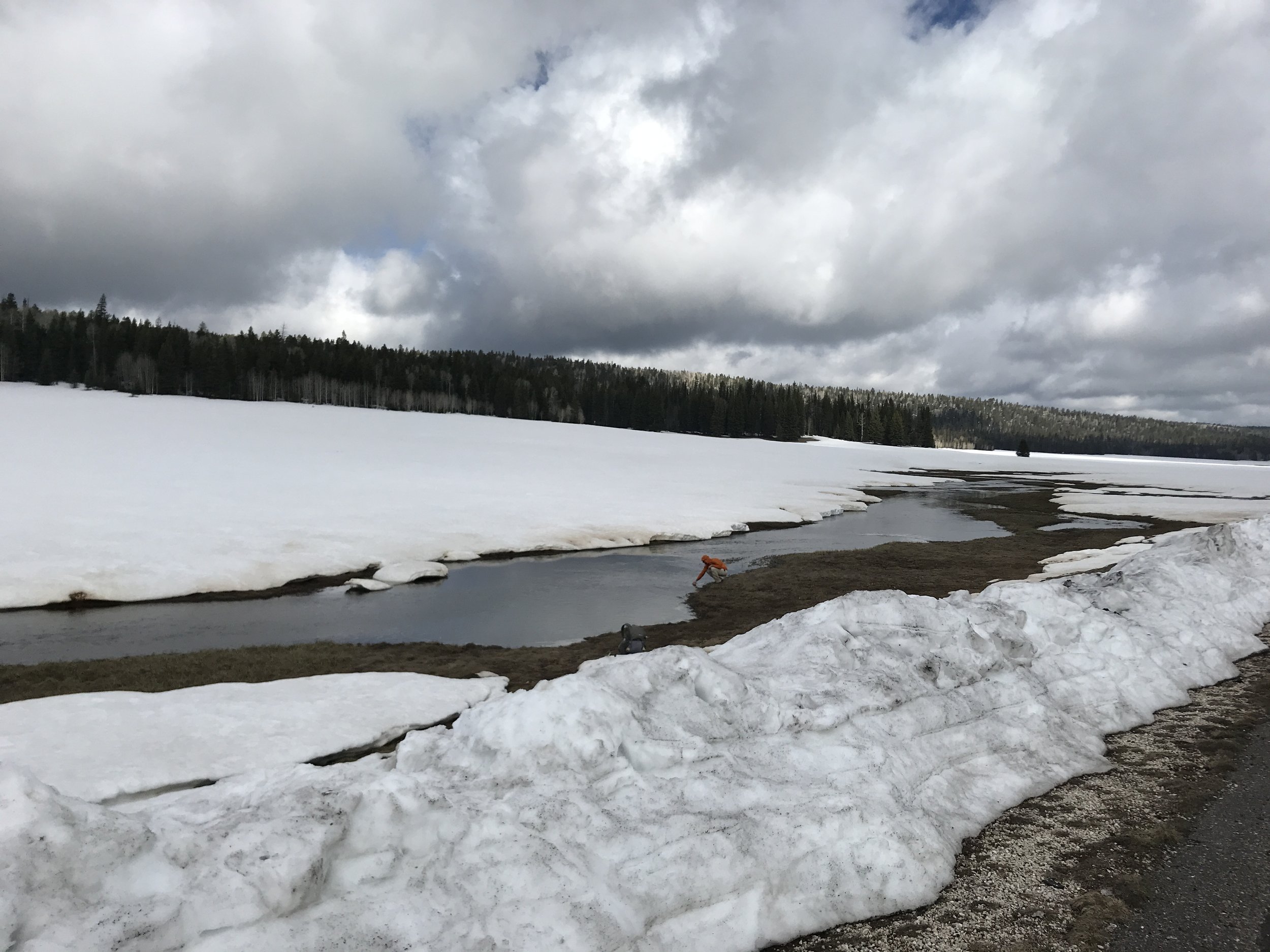
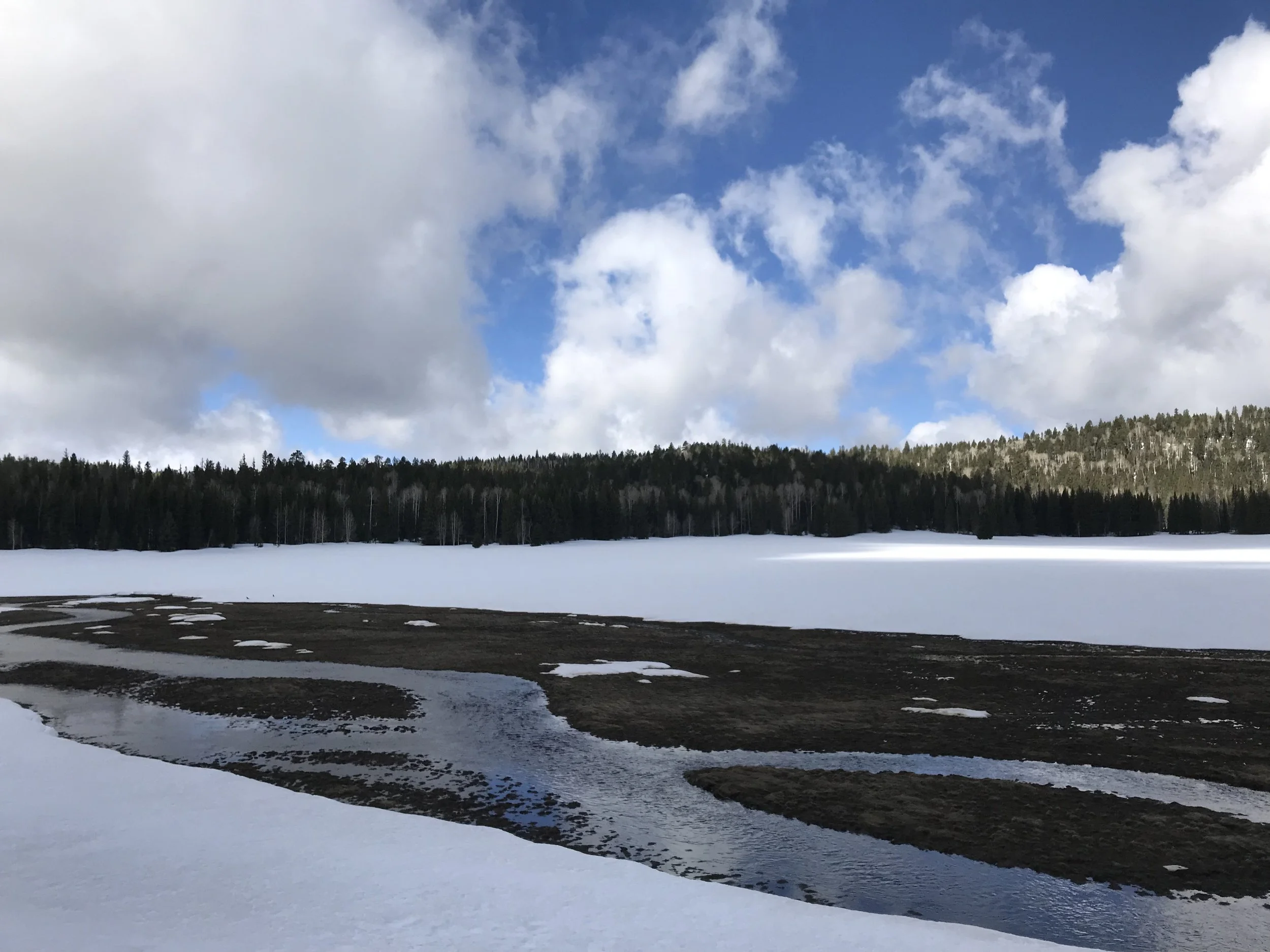
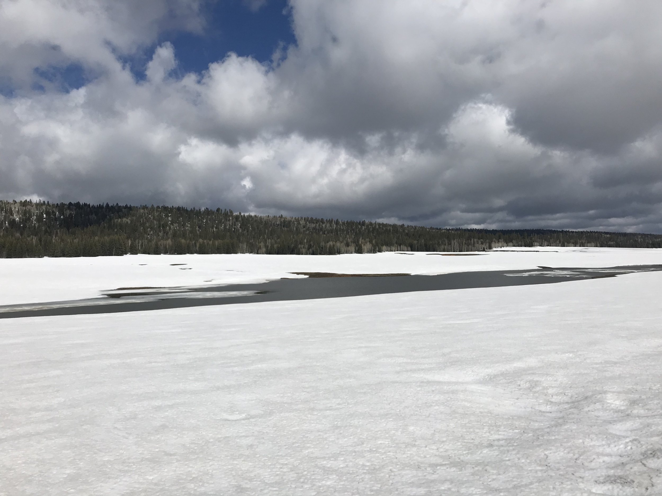
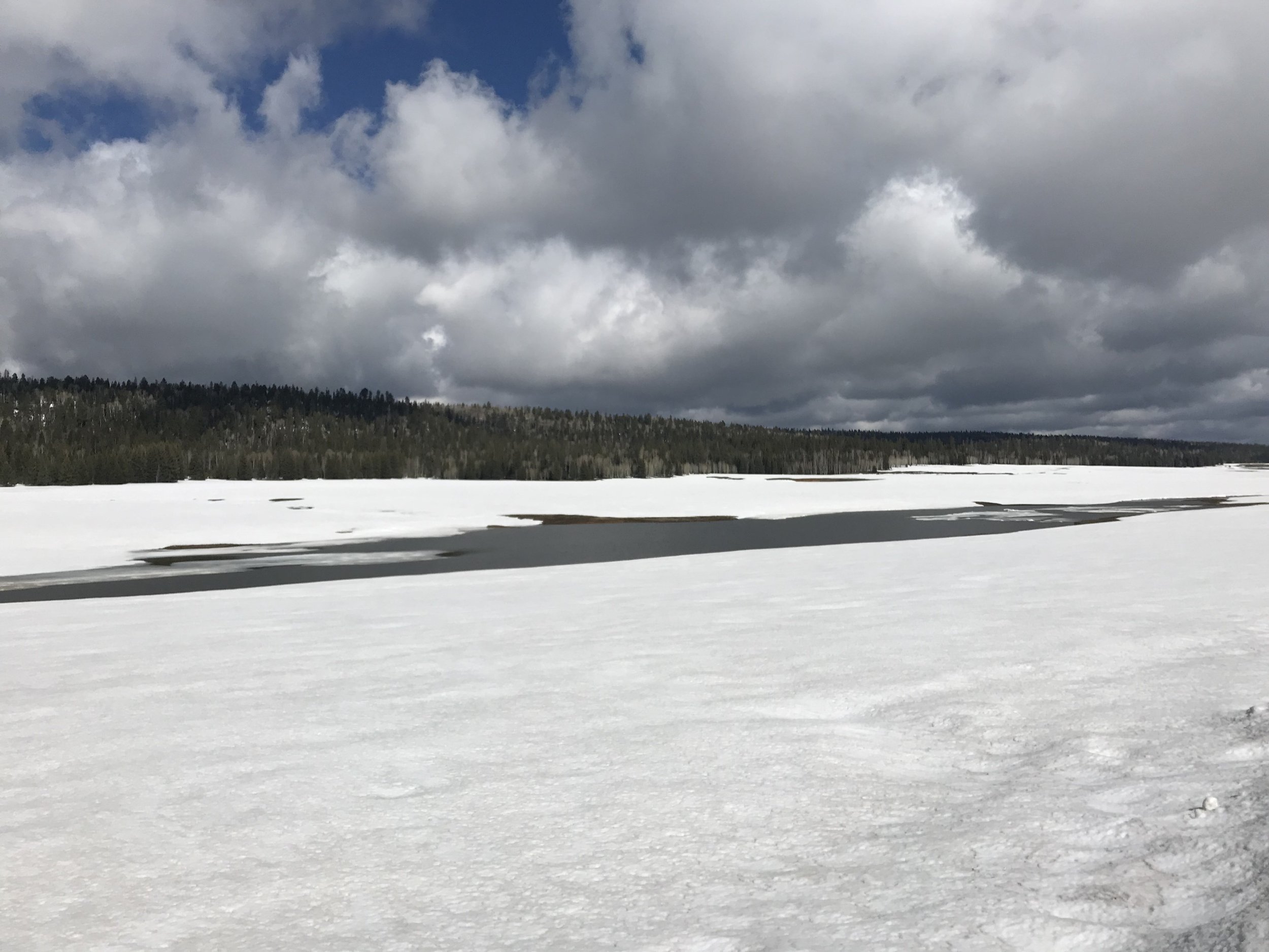
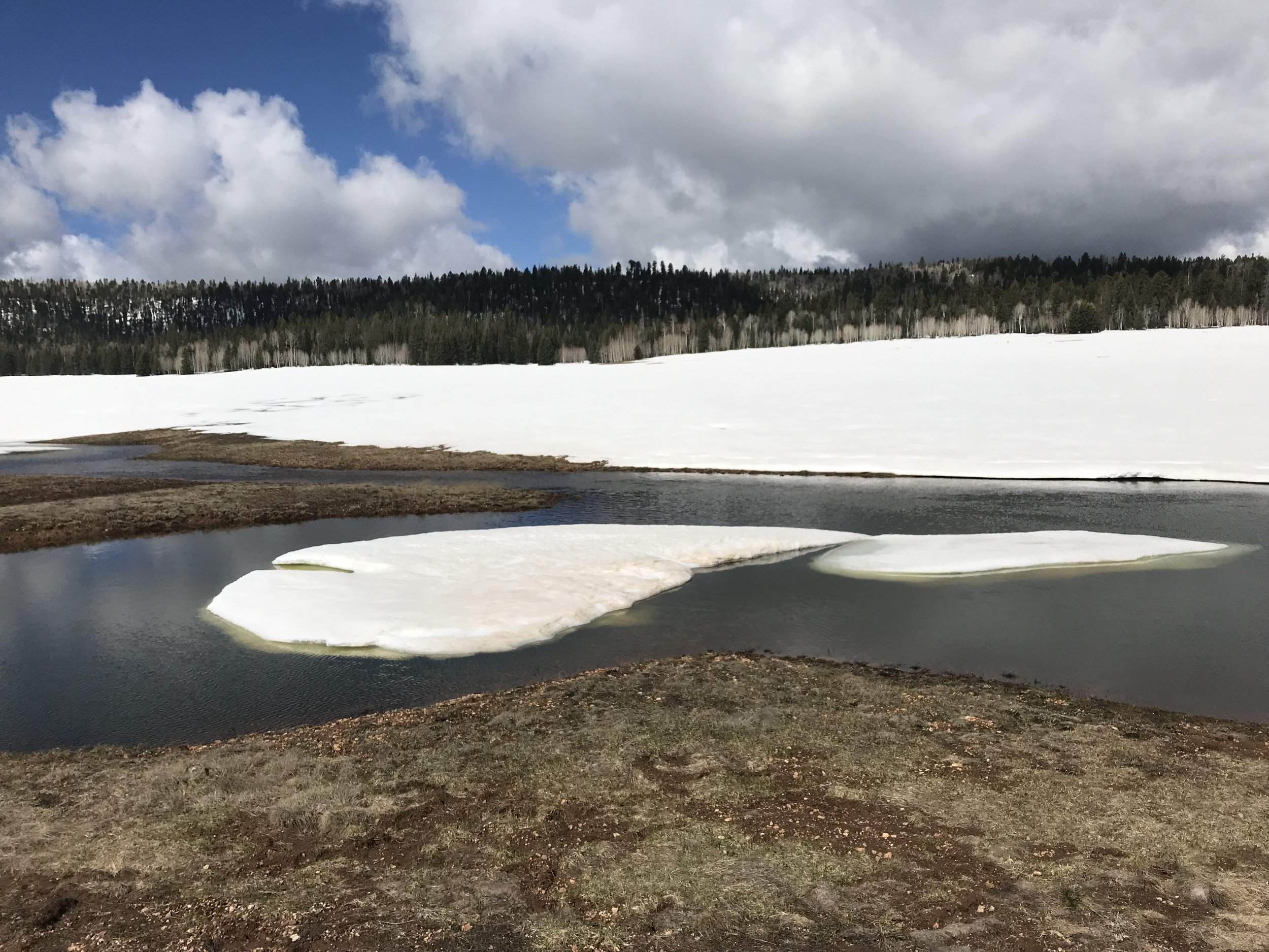
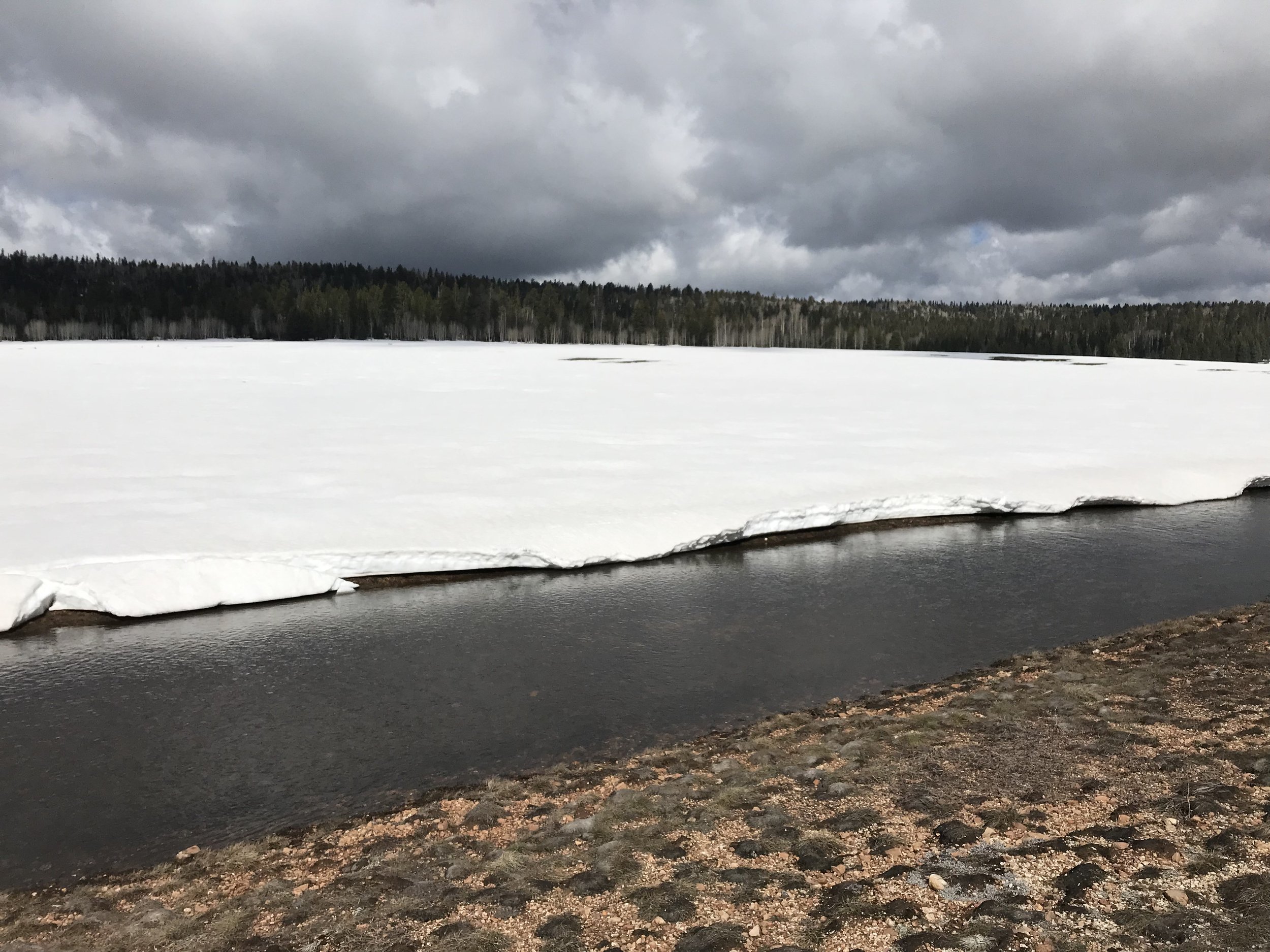
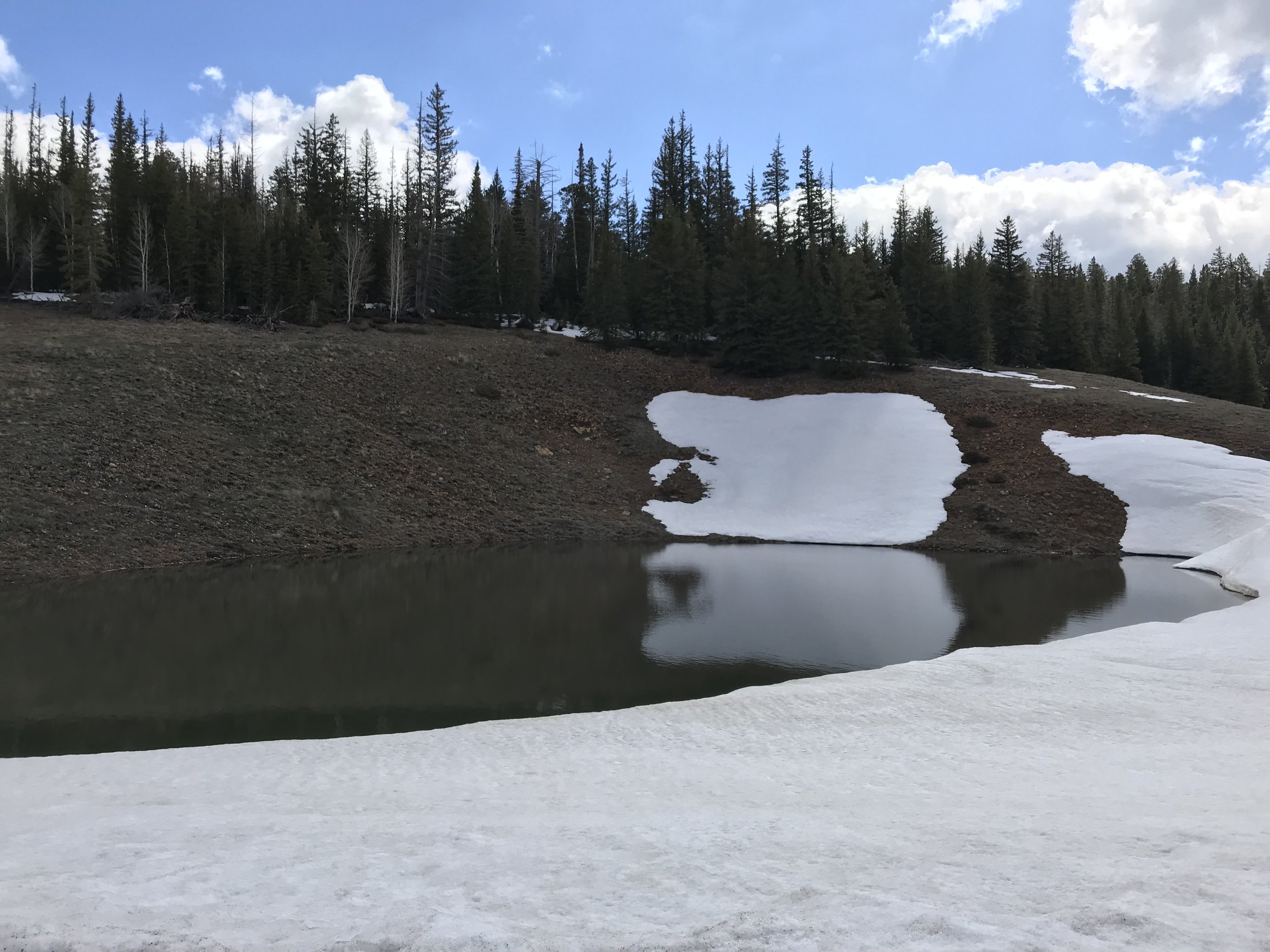
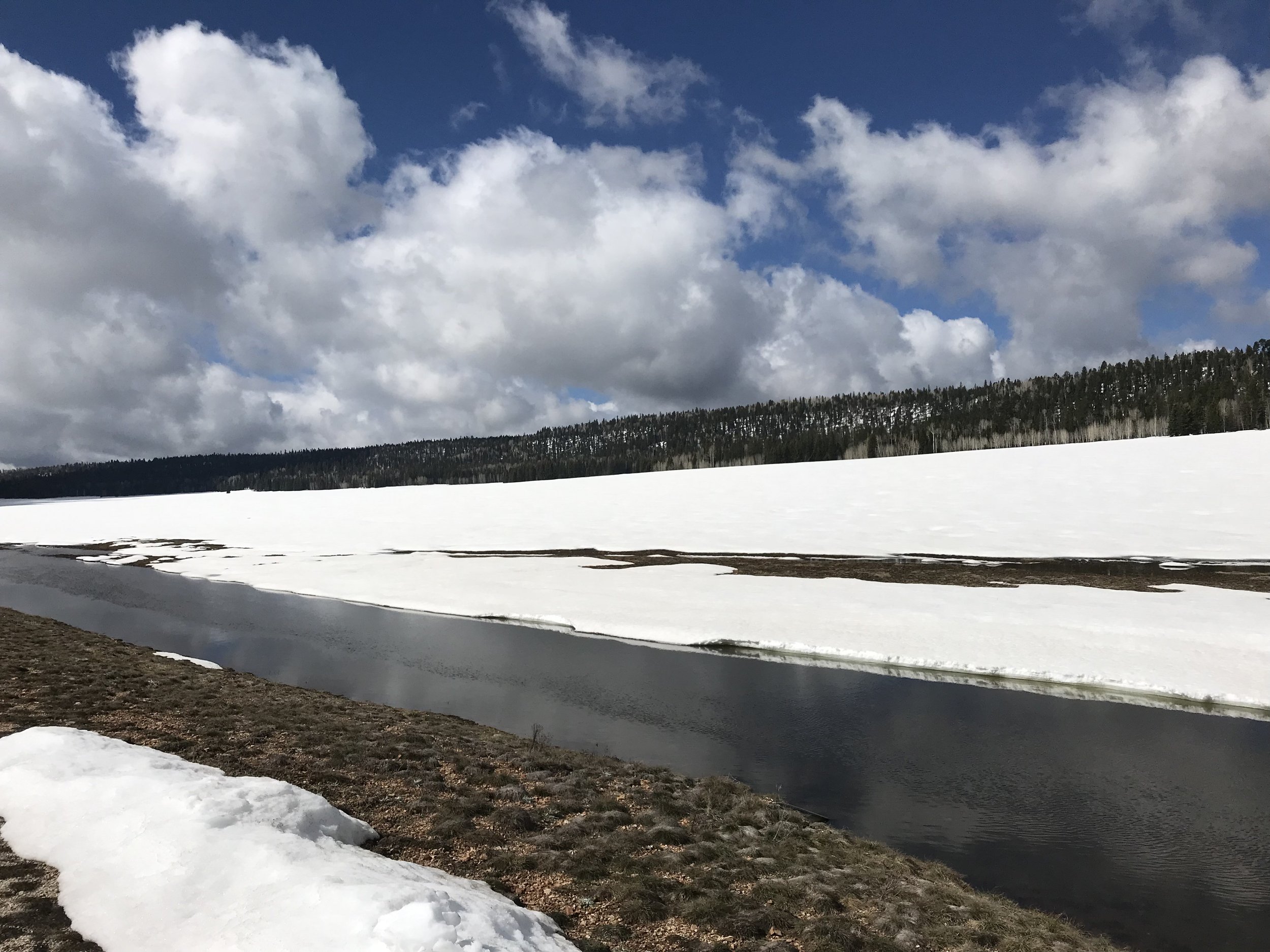
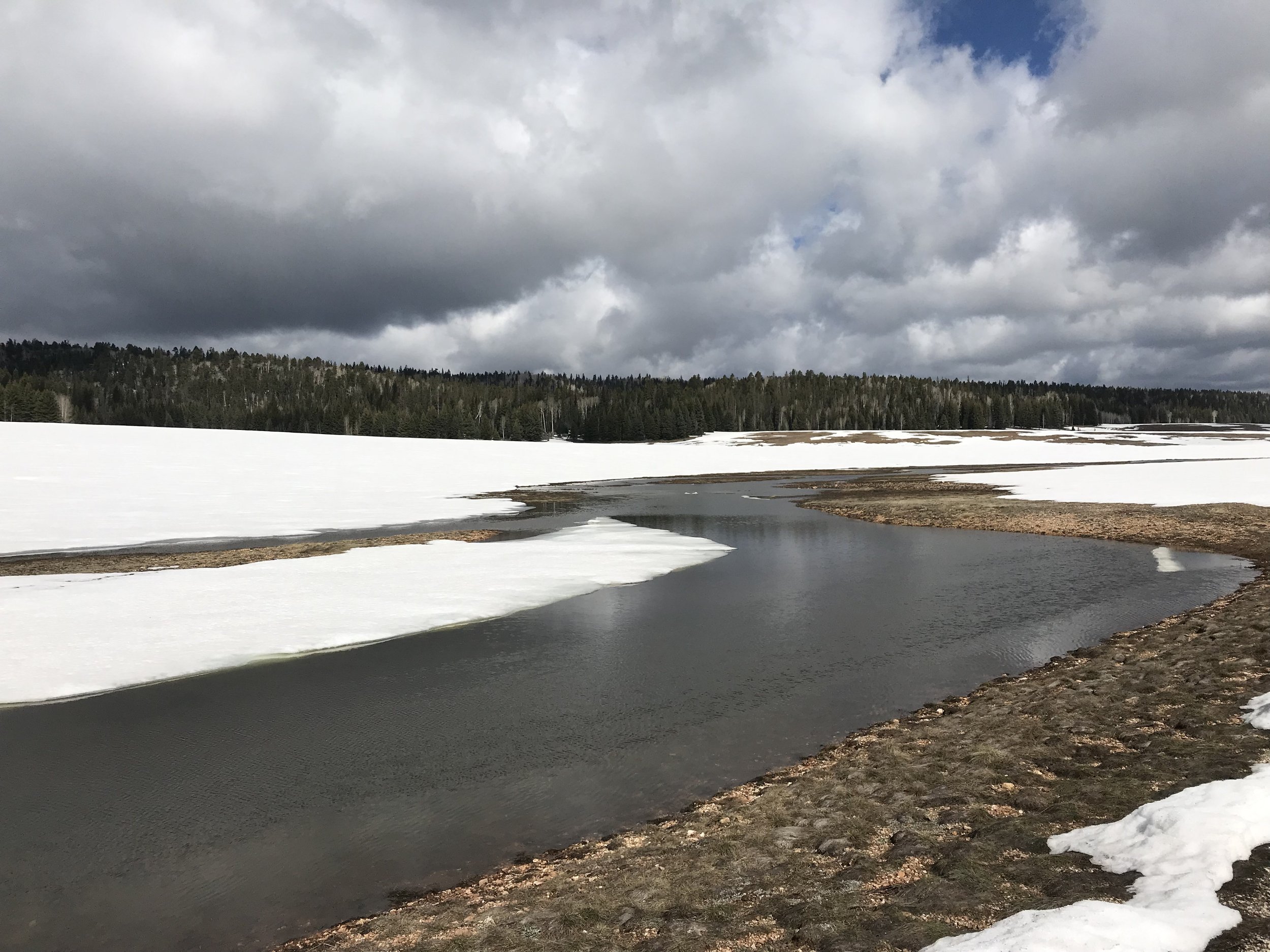
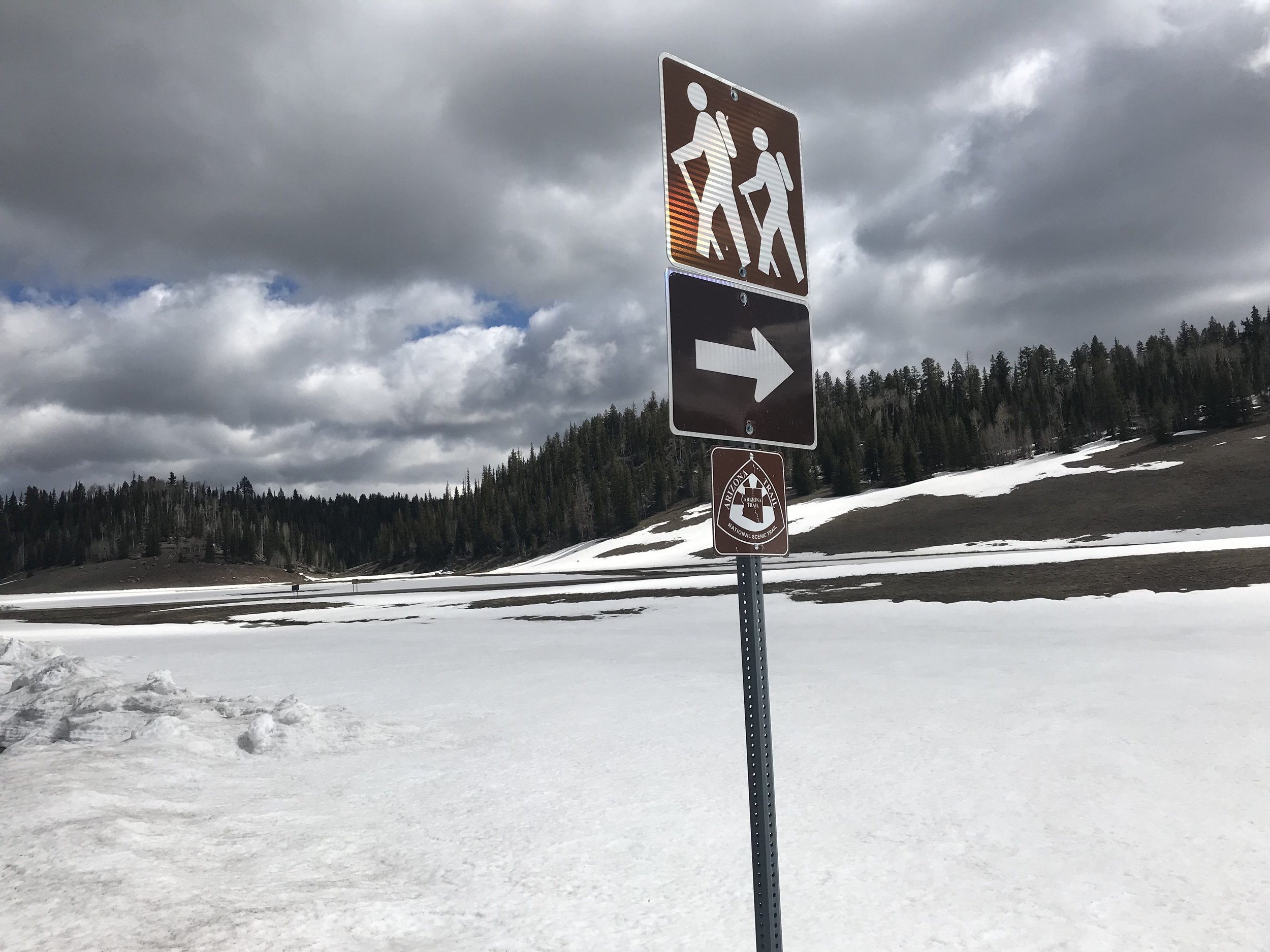
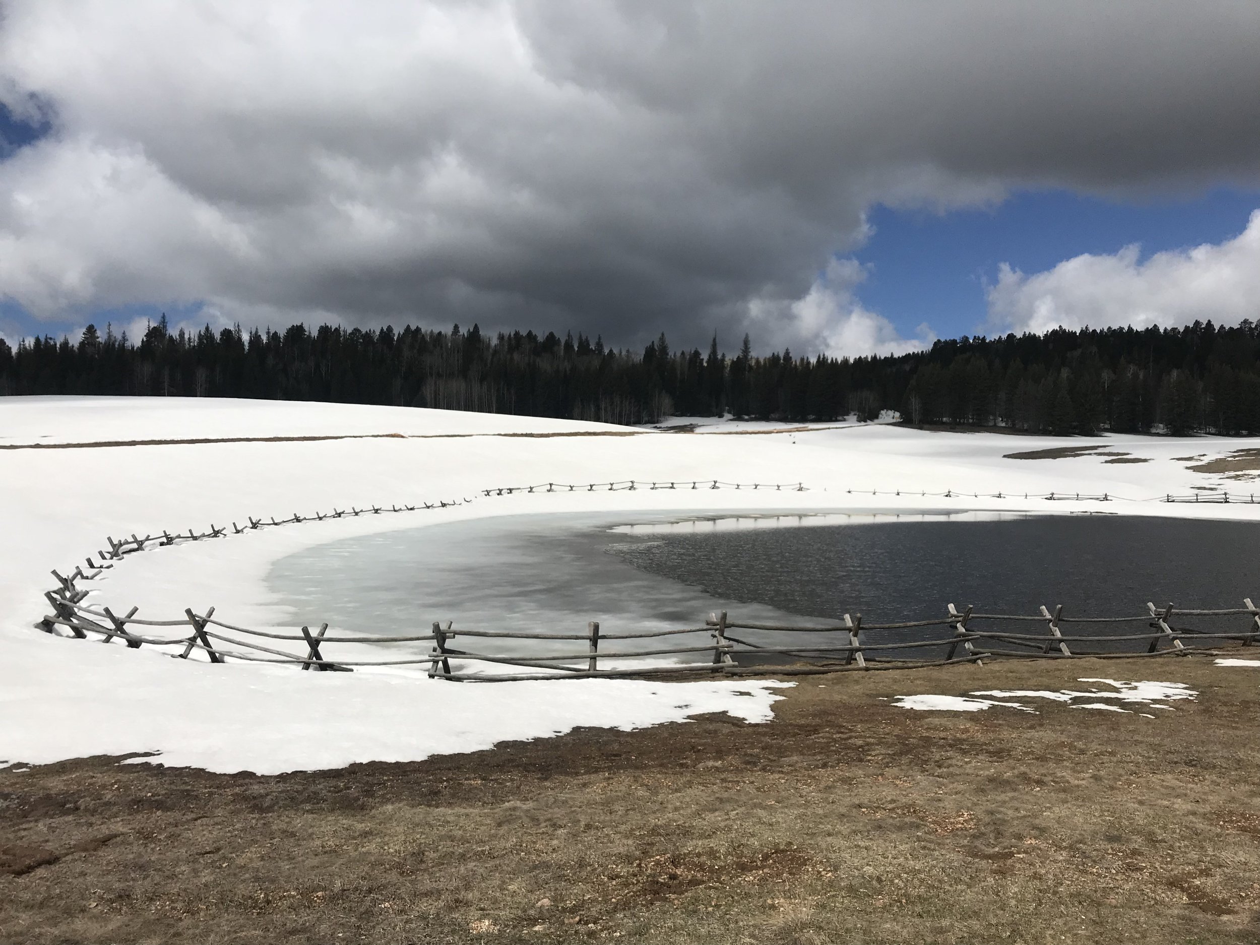
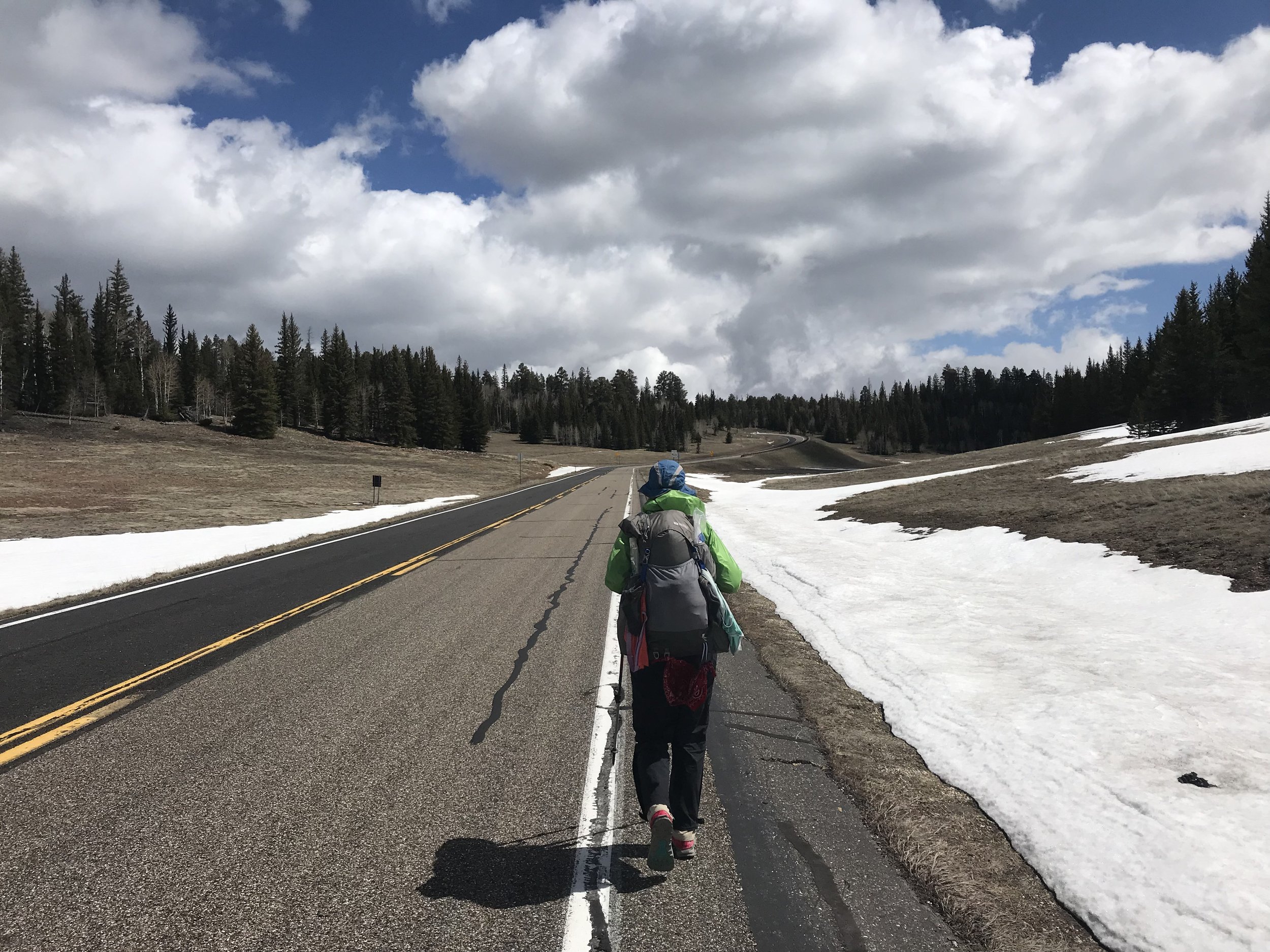
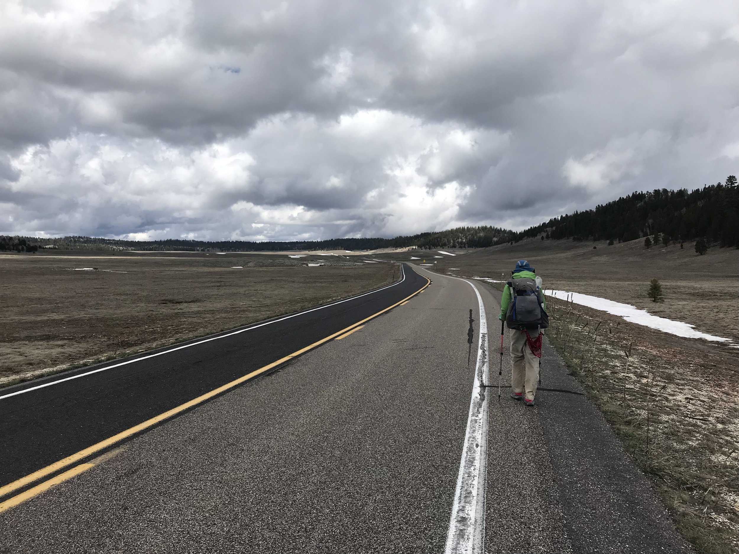
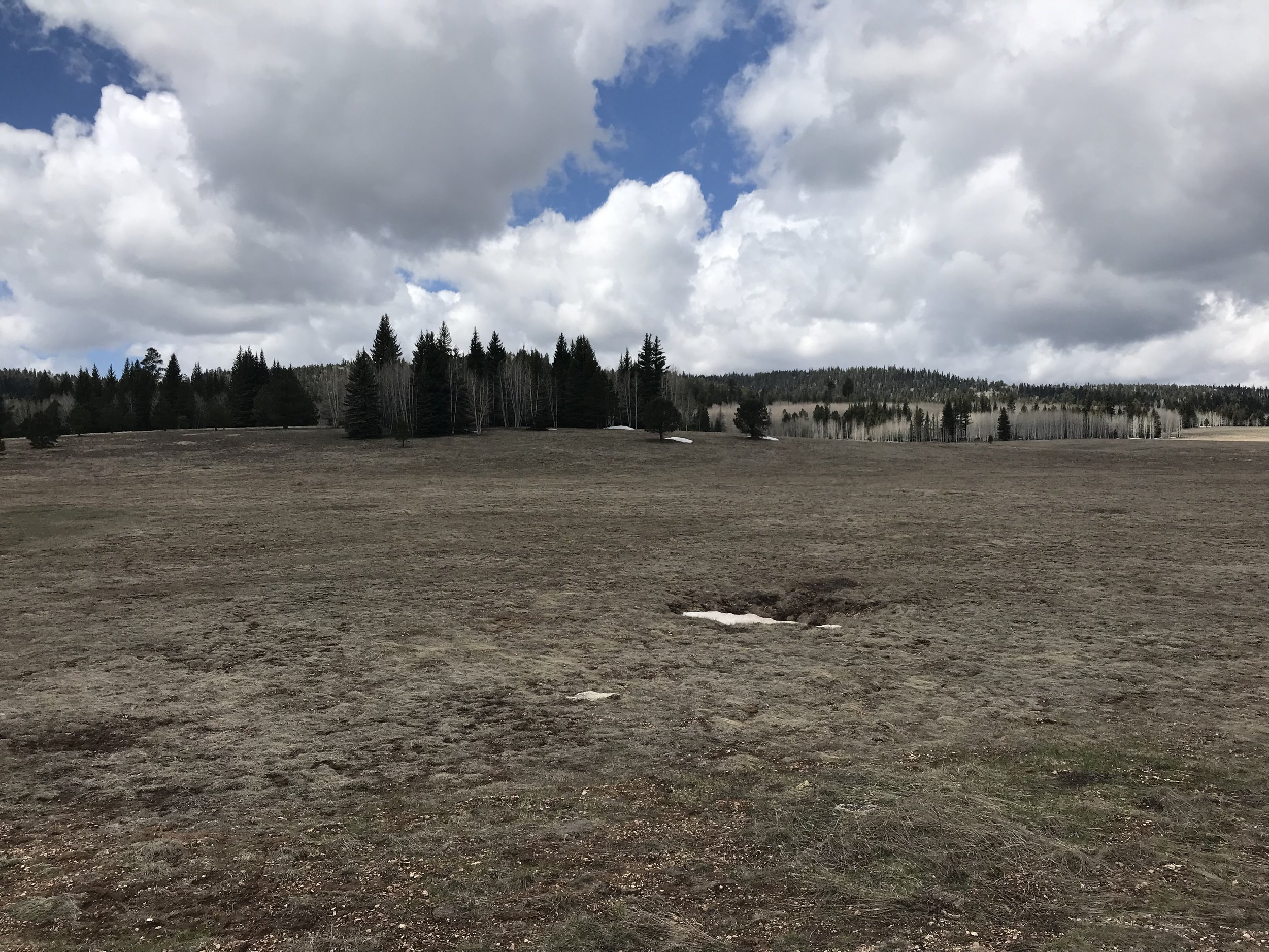
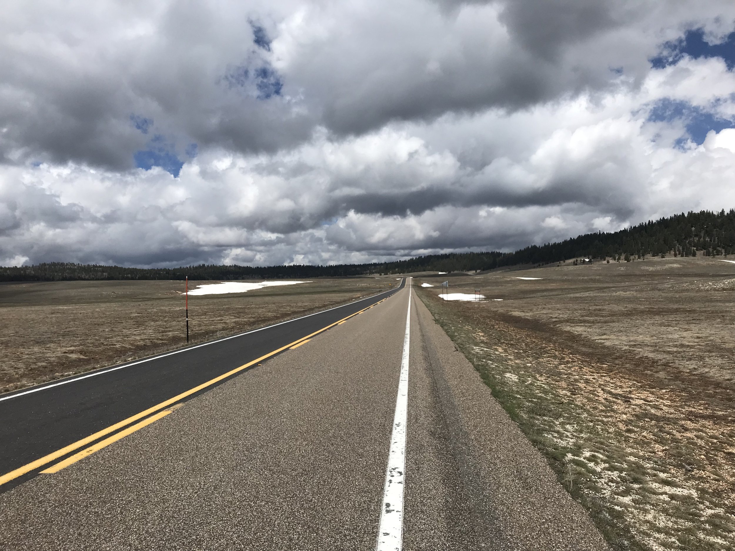
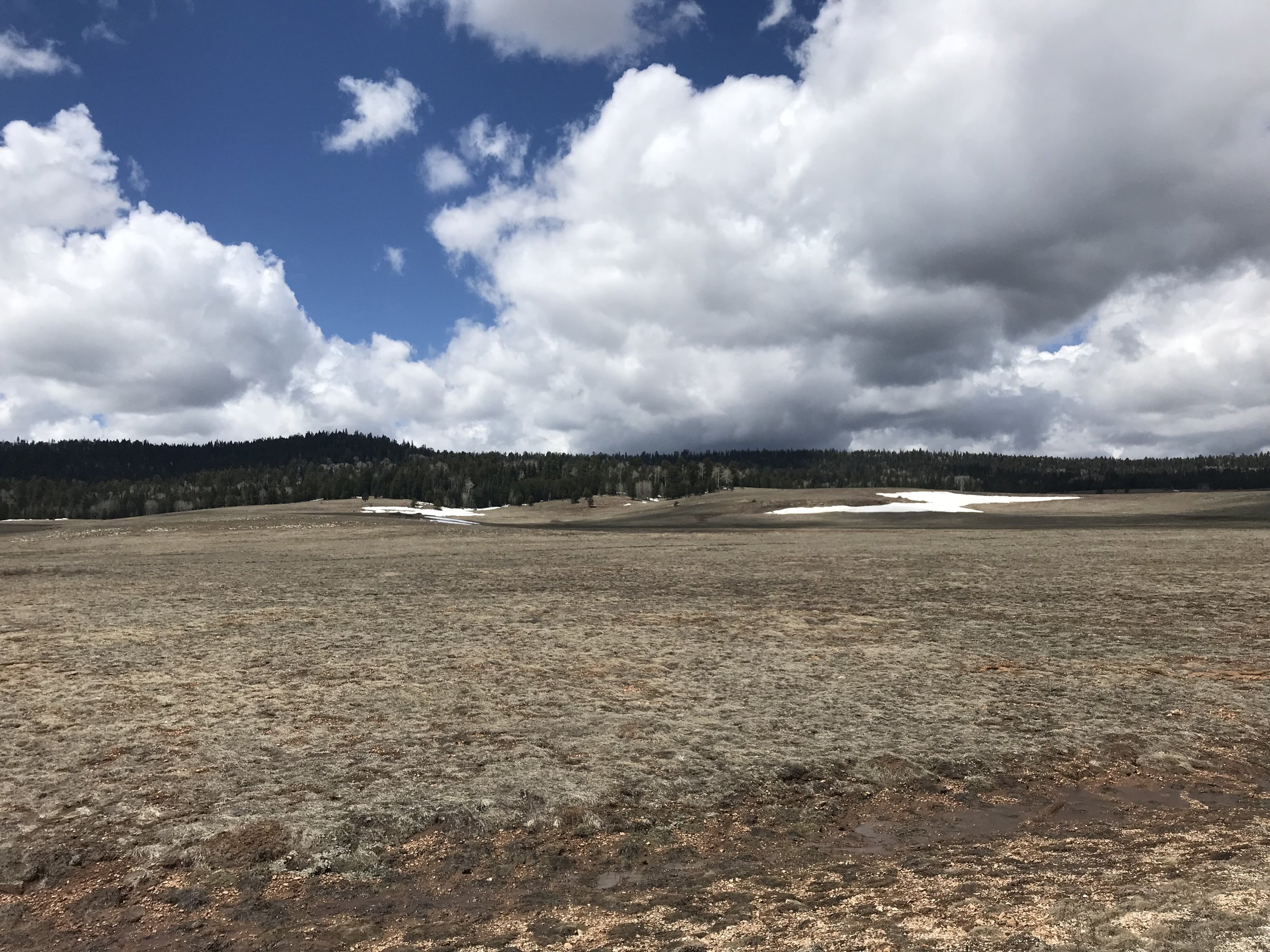
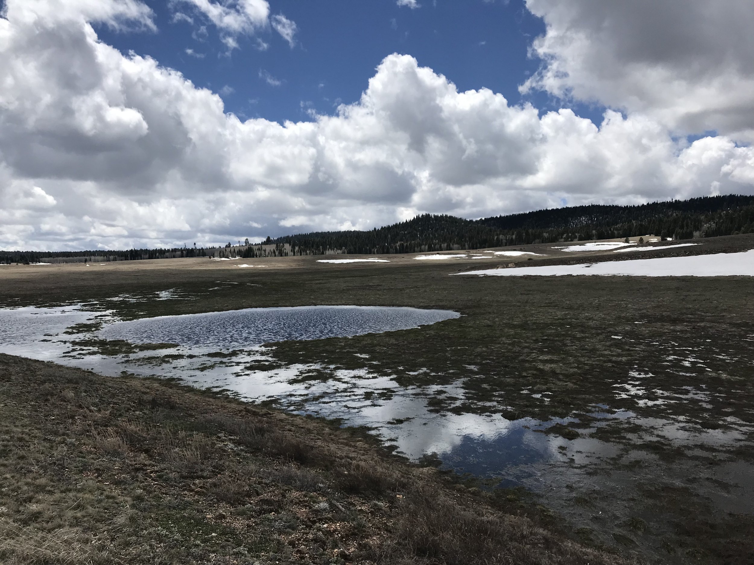
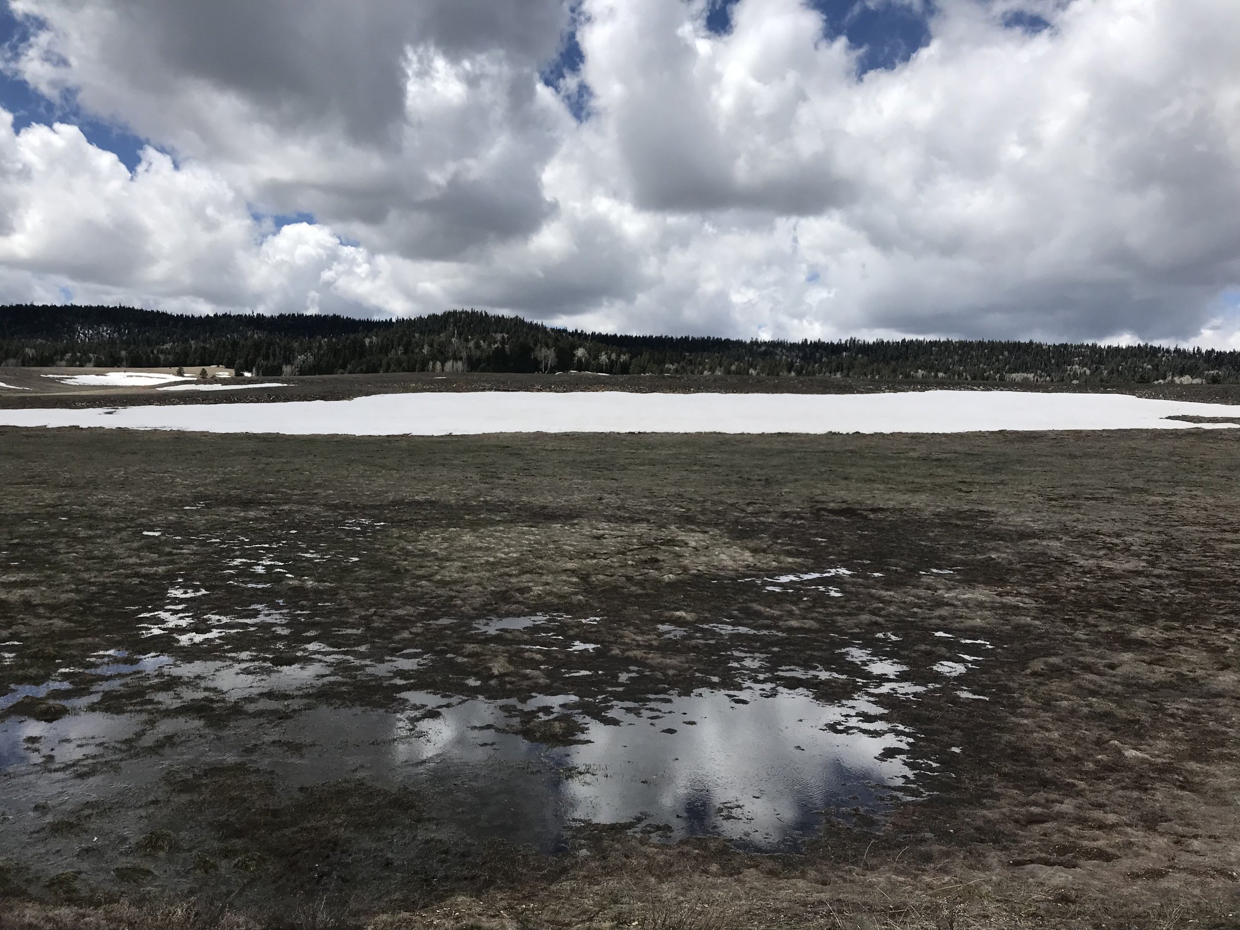
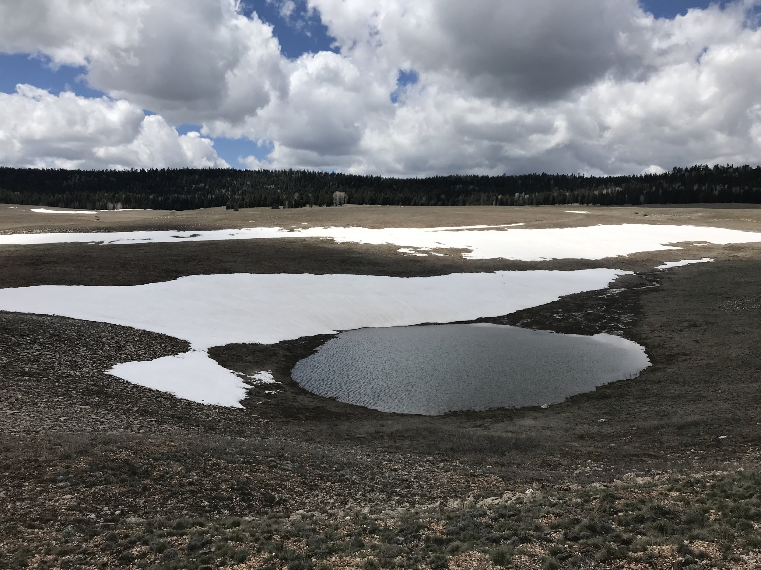
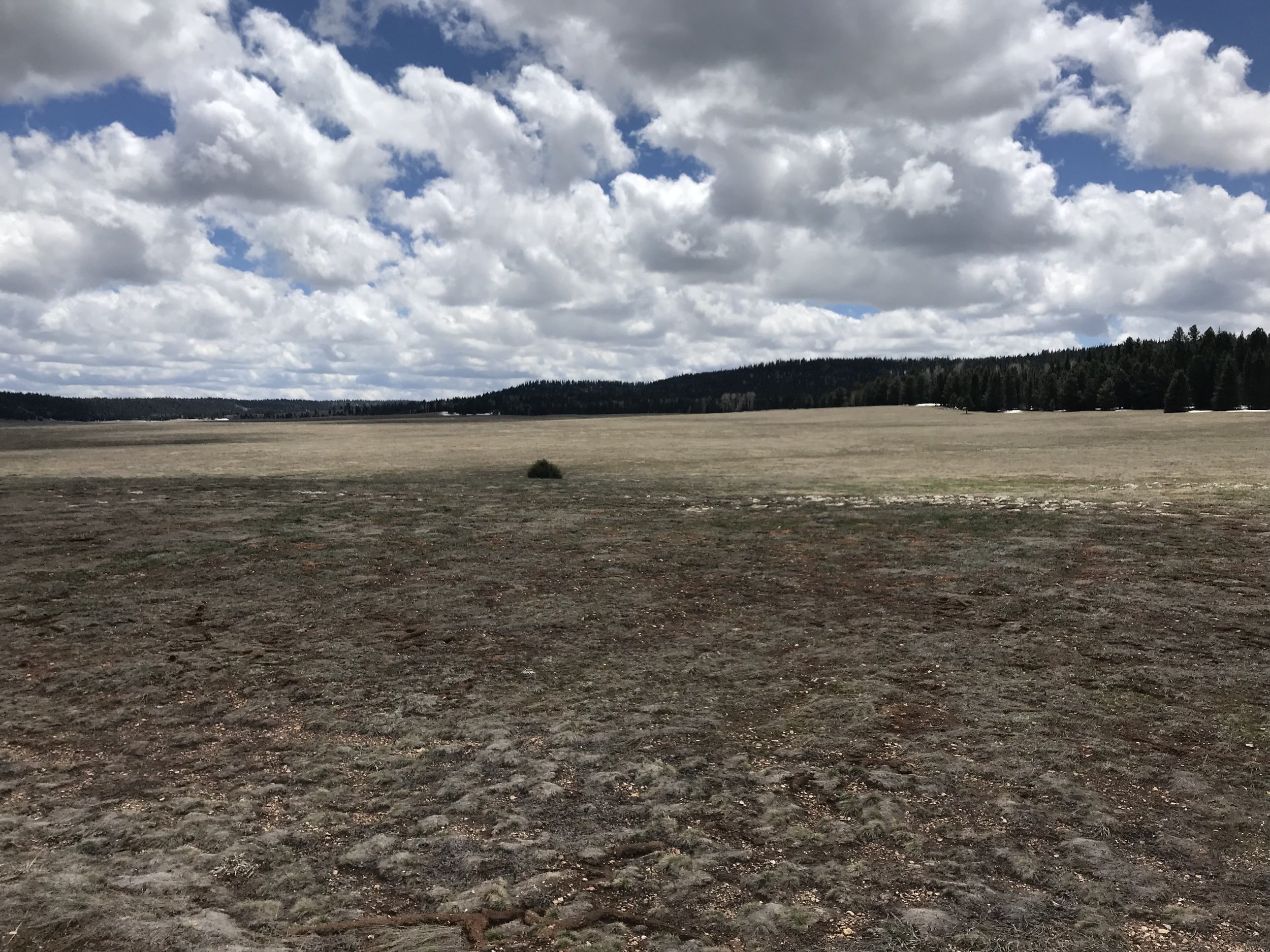
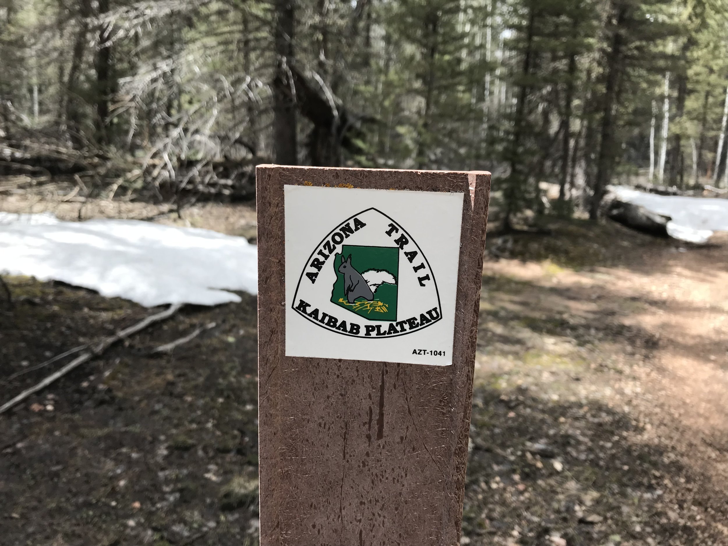
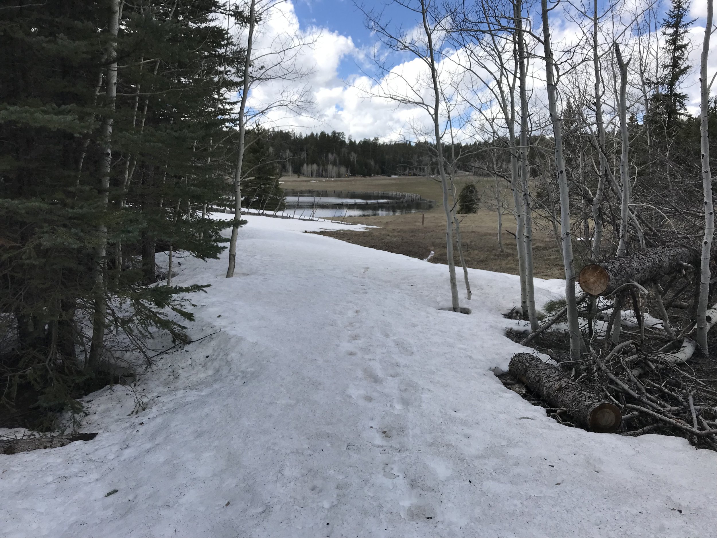
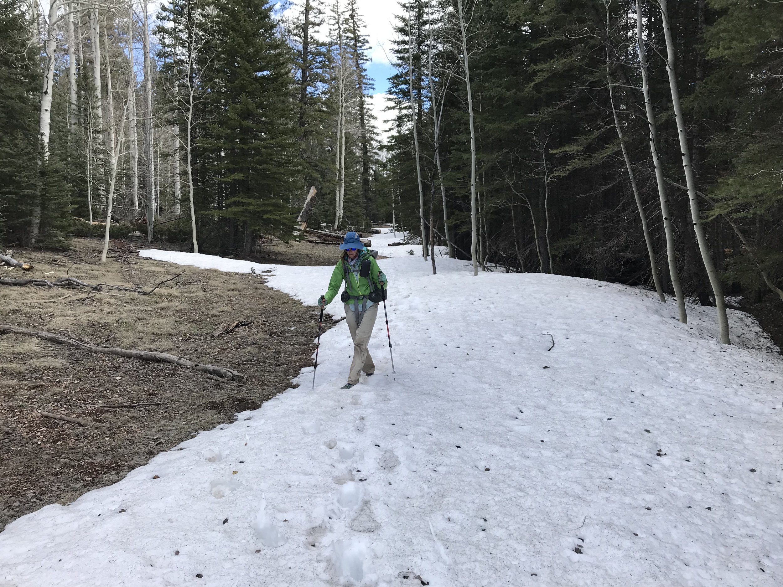
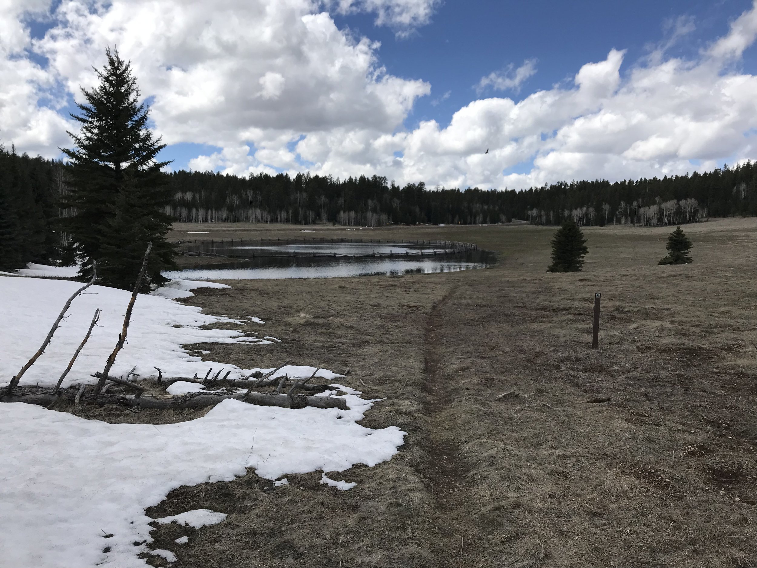
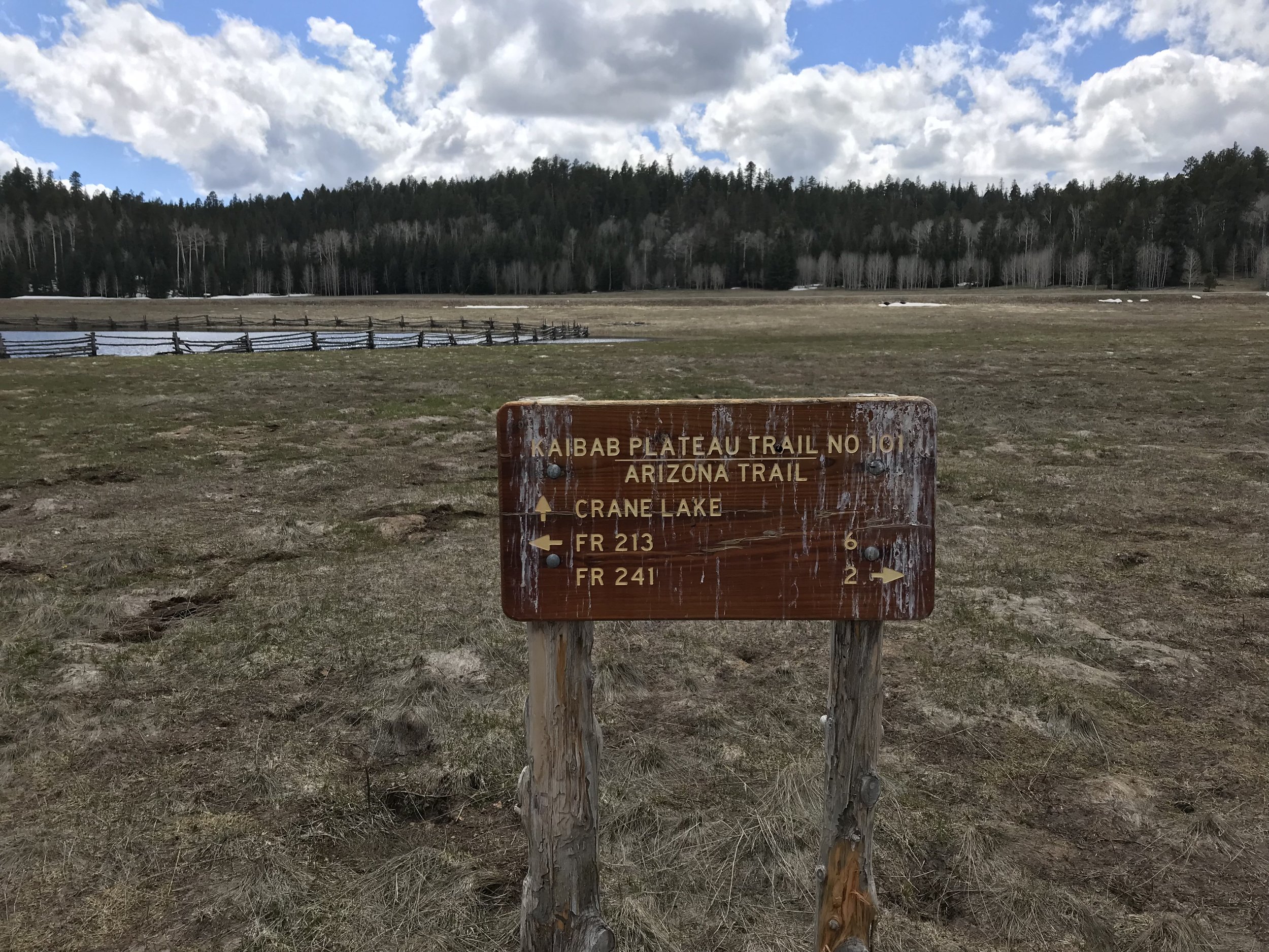
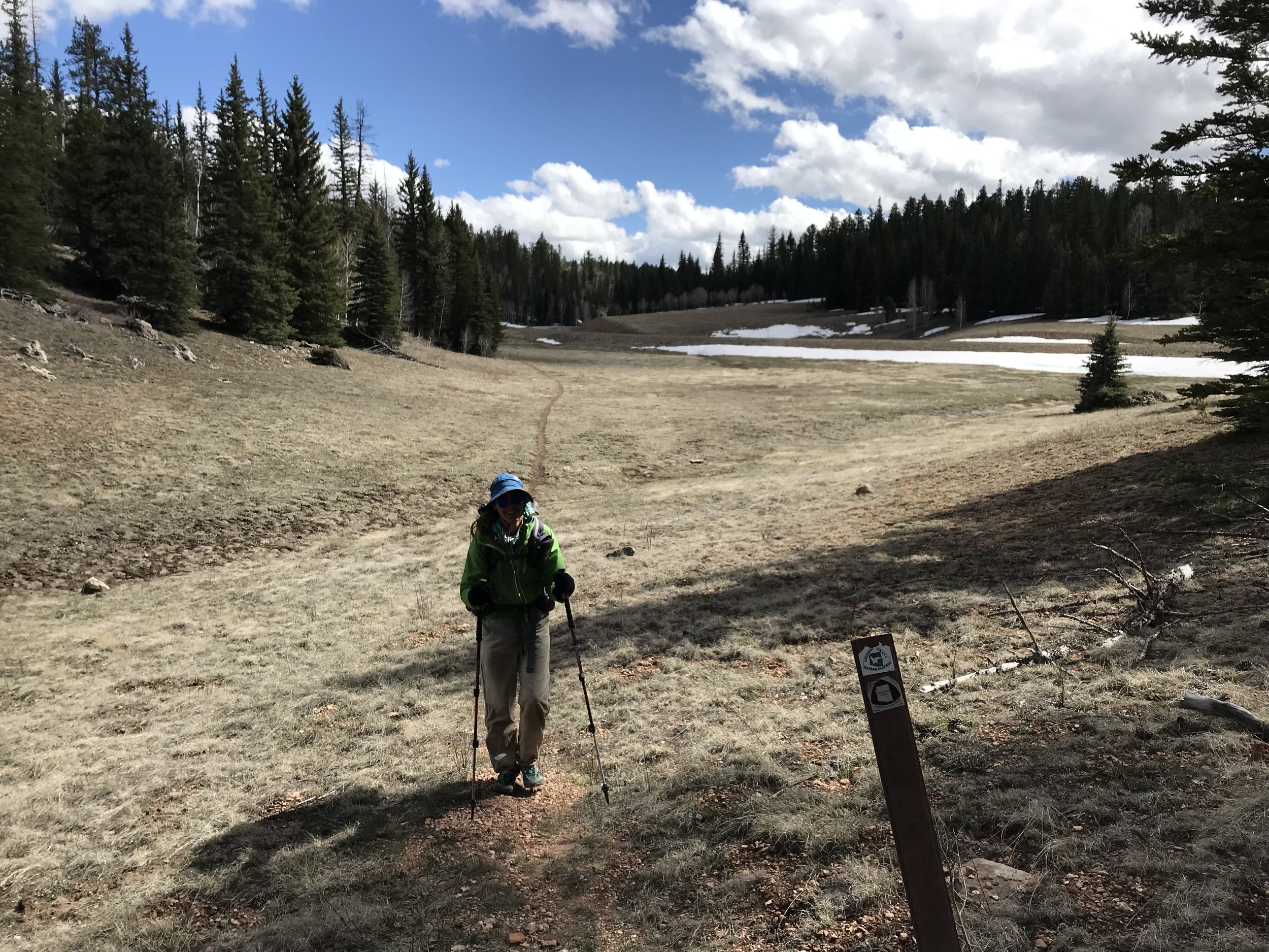
It was easy going now that the day was new and the wind had died. For water, it was a simple matter of using snowmelt streams roadside. Due to the fact that little to no traffic was up here, road effluent contamination seemed little. The miles continued and the high point on the plateau finally began to slightly dip. The elevation gradually dropped and as it did, the snow levels began to decrease. The pack went from my eye level to only a few feet deep. The earth began to appear as dully green/brown patches. By the time we hit 8,500 feet in elevation, most of the meadows emerged, waterlogged with numerous alpine ponds and lakes. Truly gorgeous. We passed by lakes half frozen and half melted. Roads lay partially unburied and signs for the AZT plunged into the white.
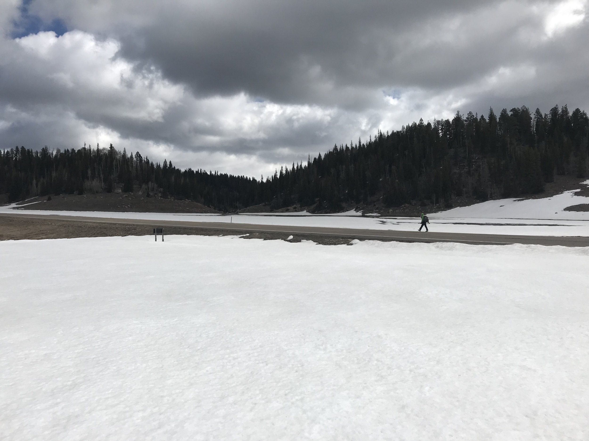
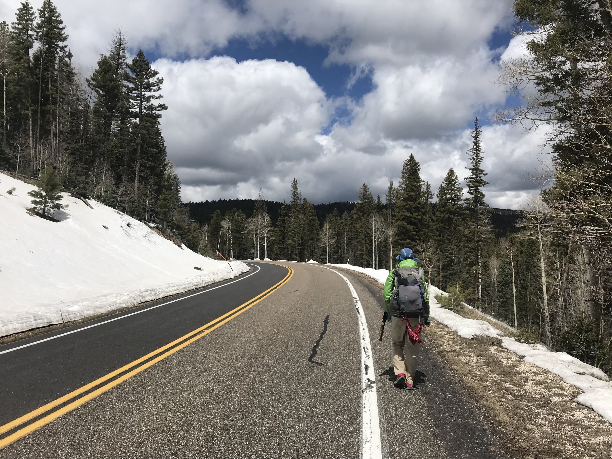
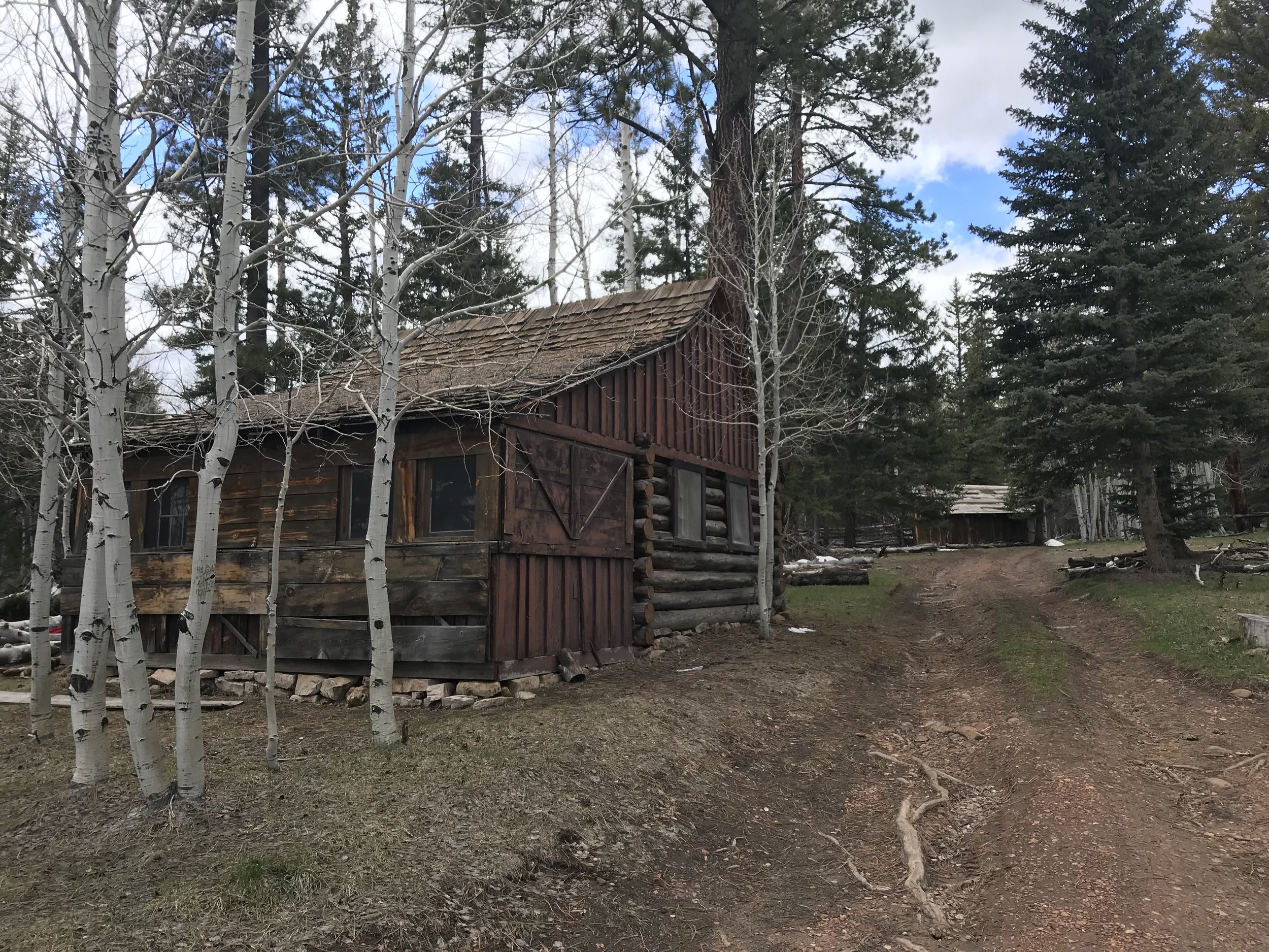
The long road walk for 20 miles on a paved surface began to irritate Janna’s plantar fasciitis. By mid-morning, having easily logged 15 miles, the road bisected a particularly large alpine meadow and the absent wind returned. It blew hard and bitter against our faces. Upon reentry into the woods, a small hunter’s and cross country ski hut stood up an adjoining lane. We walked up to it and took a break from the cold wind and put our feet up. There were old tables, chairs, and a few rooms inside the public cabin. We sat down and took a long break, eating food, and dreaming of warmth. Back out on the road, we saw a thru-hiker approaching. It was Rambler, an old retiree who had stealth camped in lower elevations than us the night before. We walked and talked with him for a bit as the road definitively took a much steeper dive into lower elevations, leaving most of the snowpack behind. I checked Guthook and saw the road and AZT nearly reconvene, so we left the road and jumped back onto the gorgeous alpine singletrack.
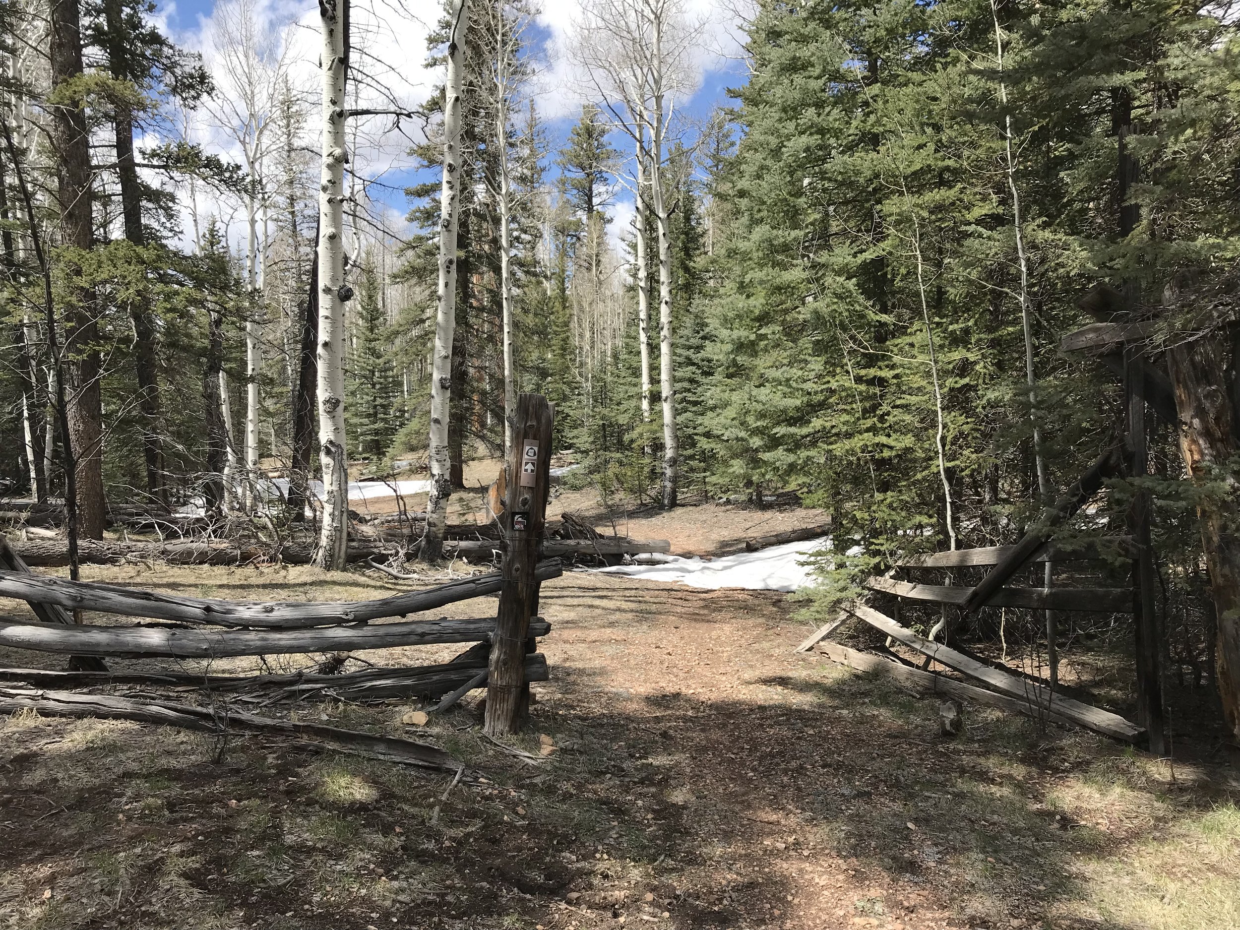
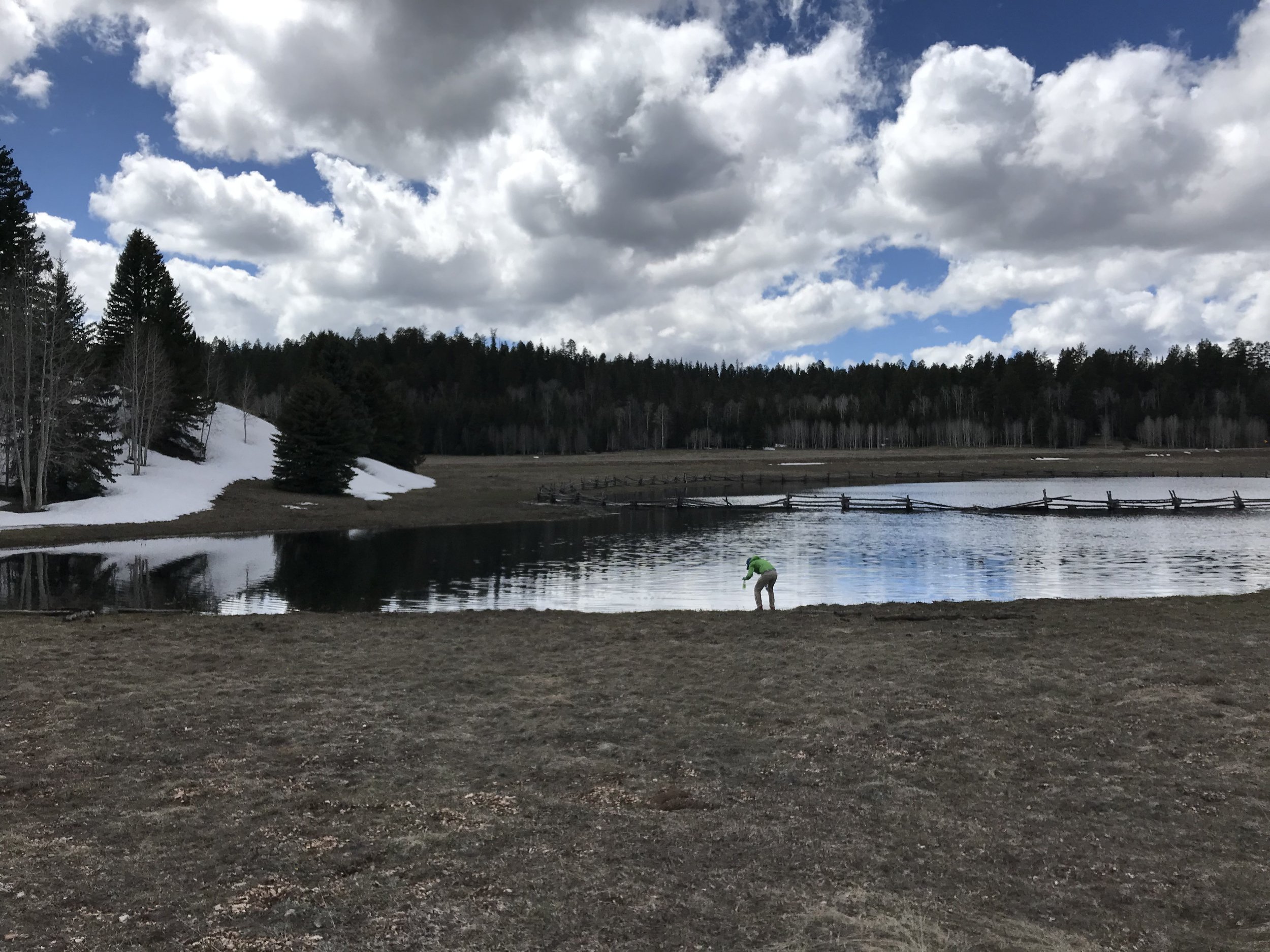
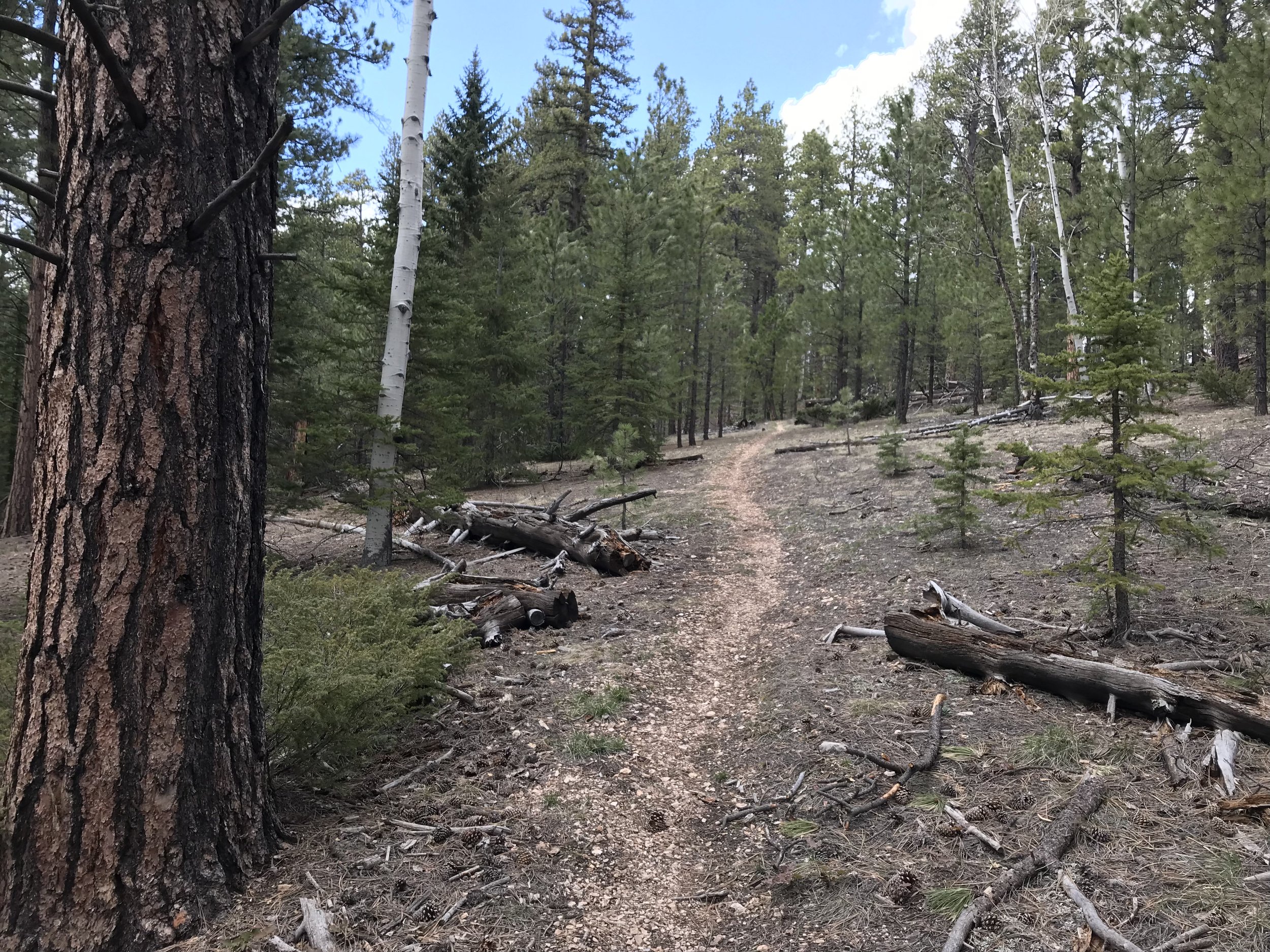
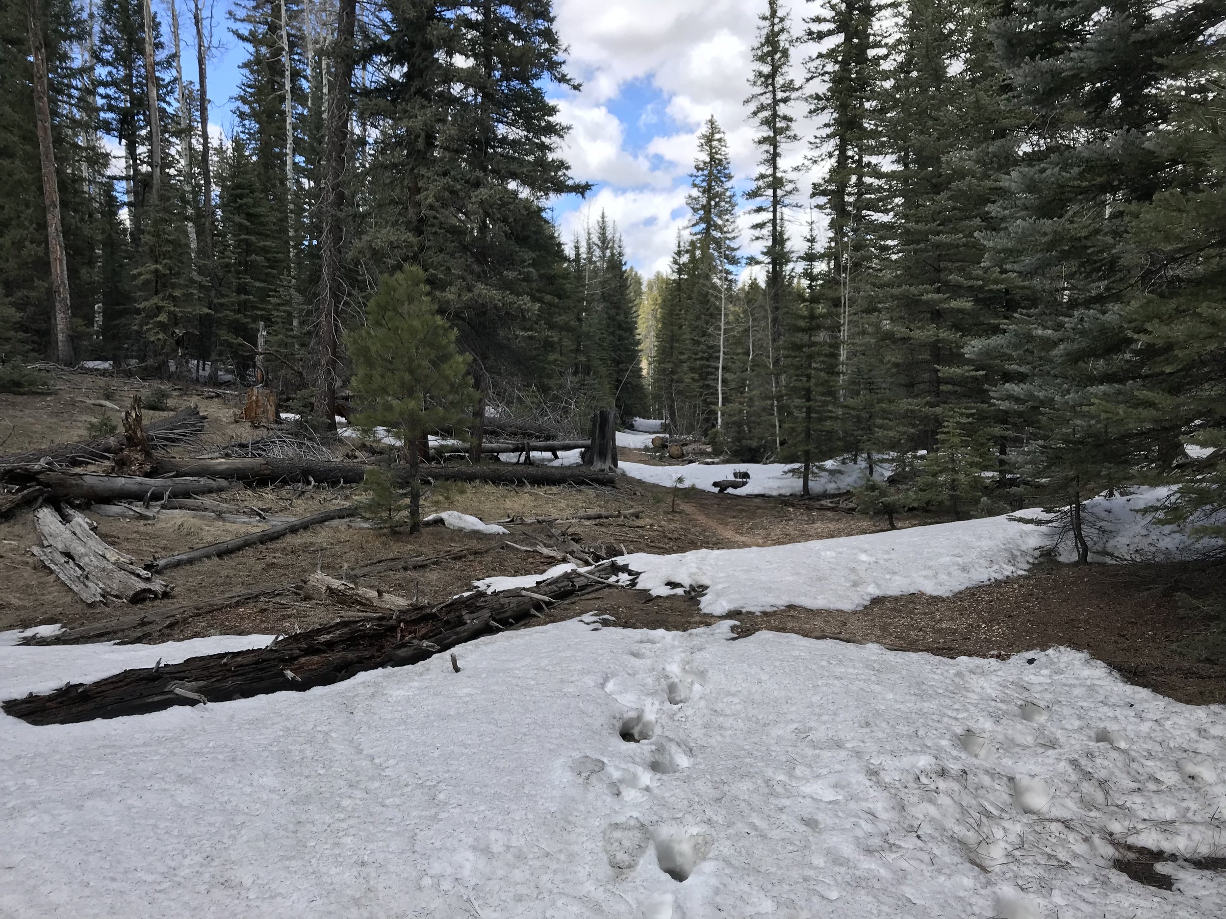
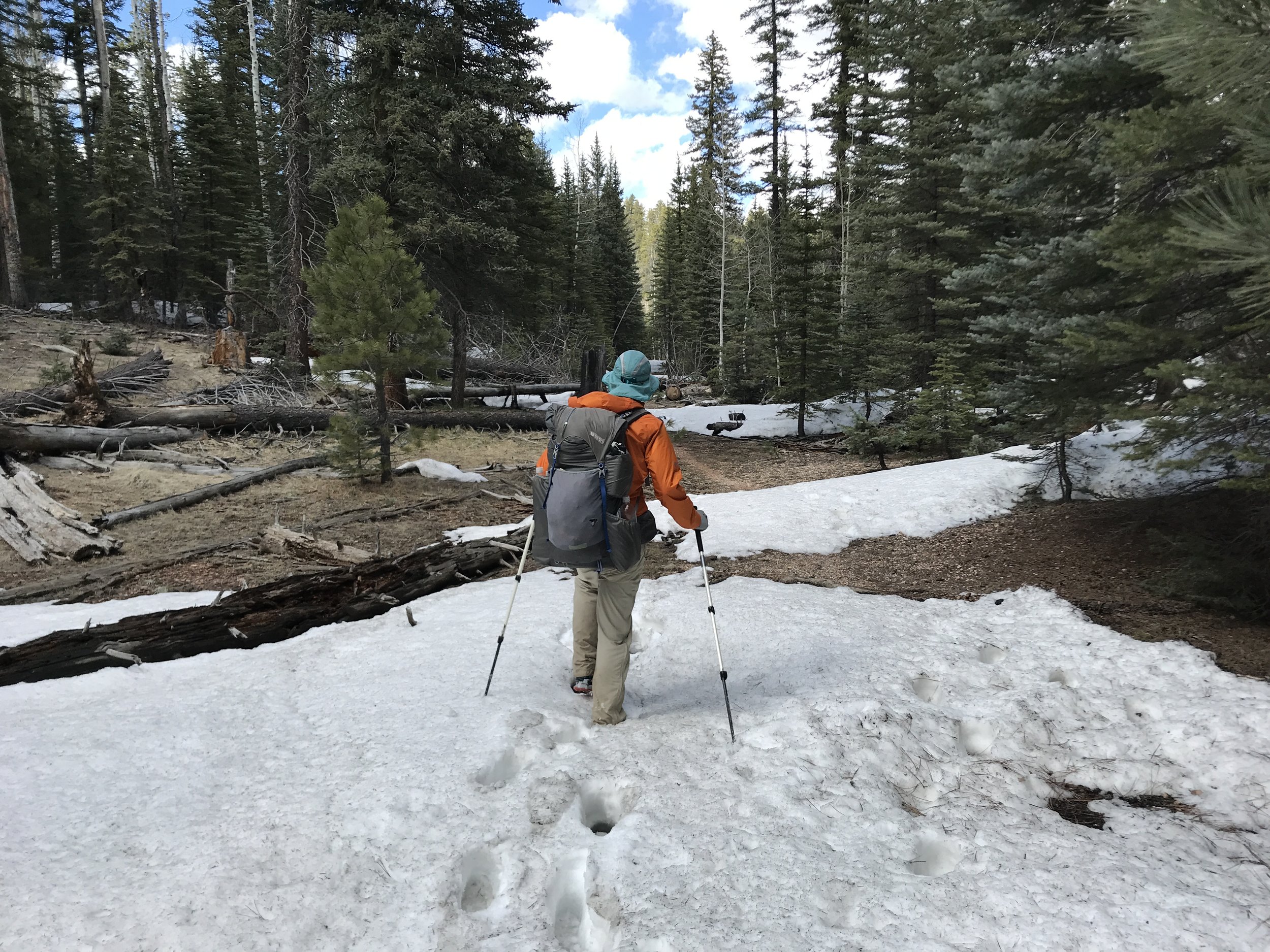
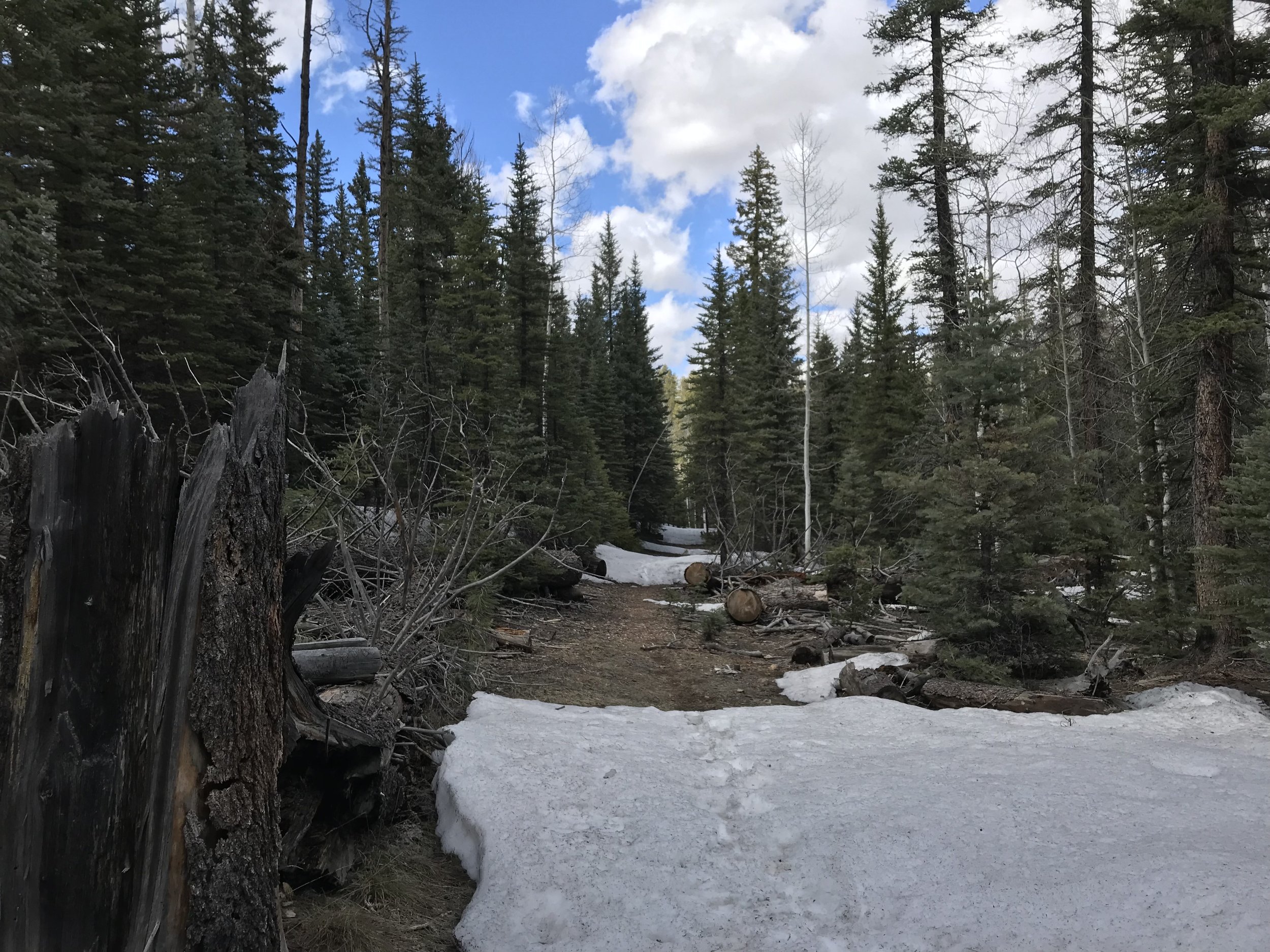
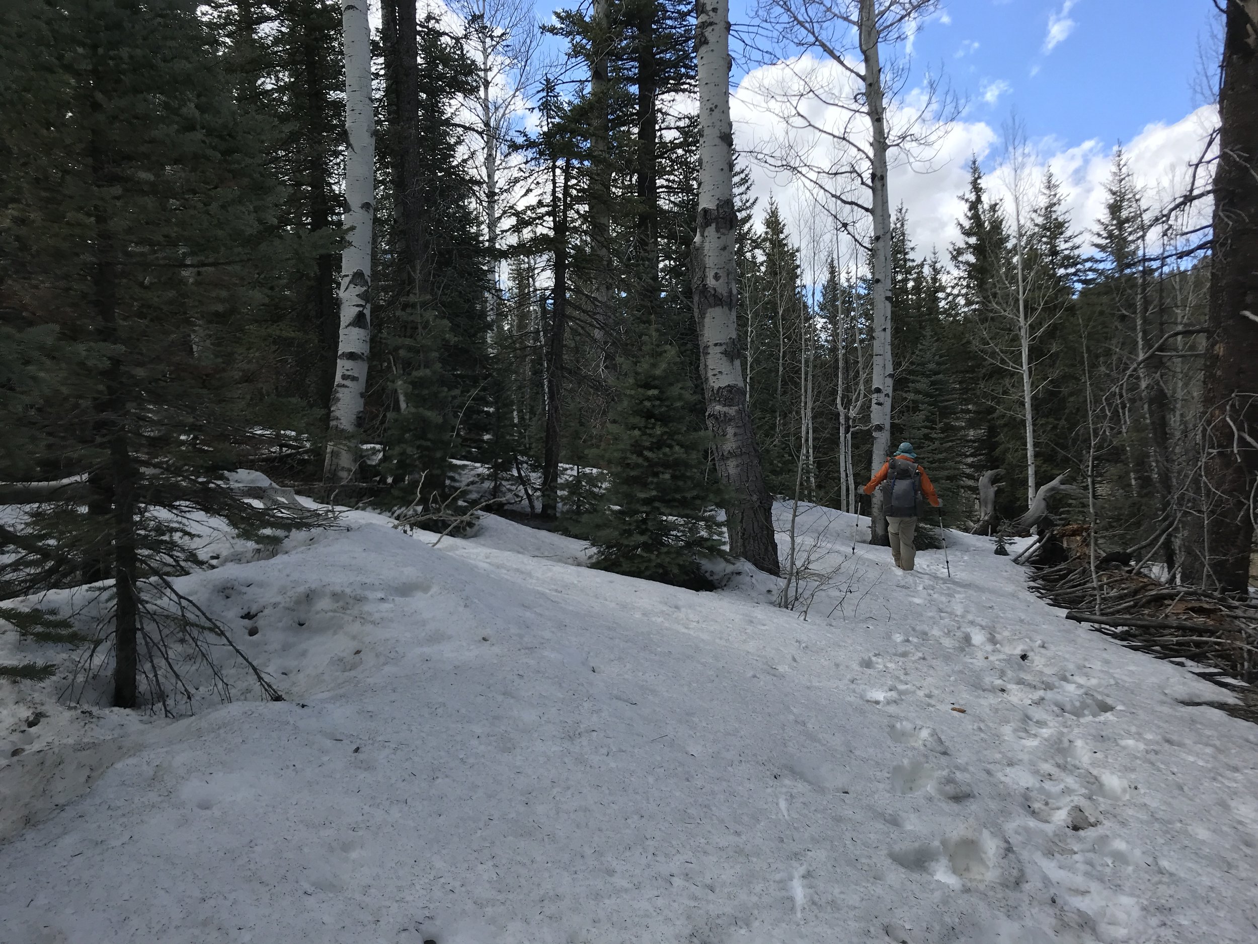
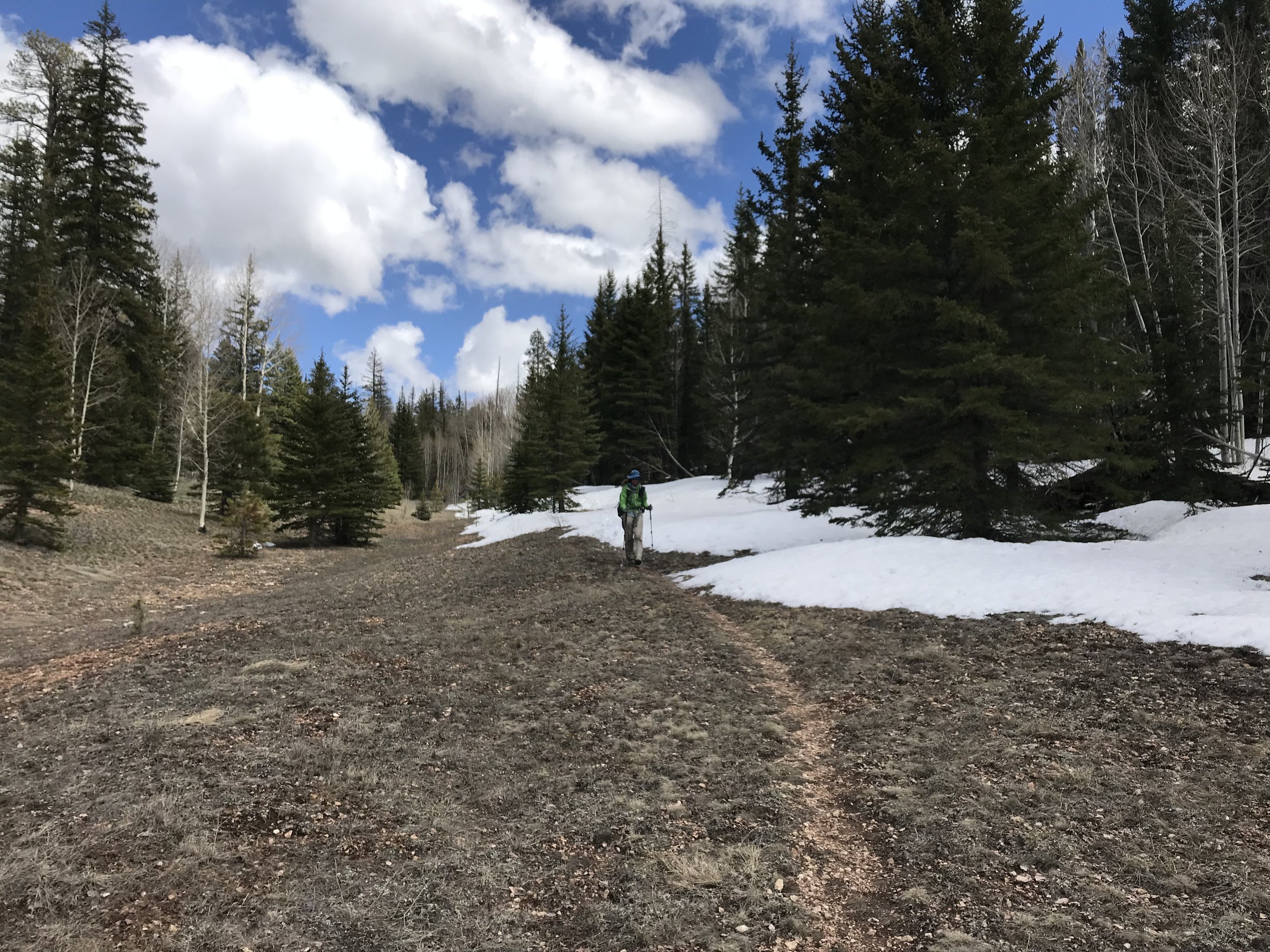
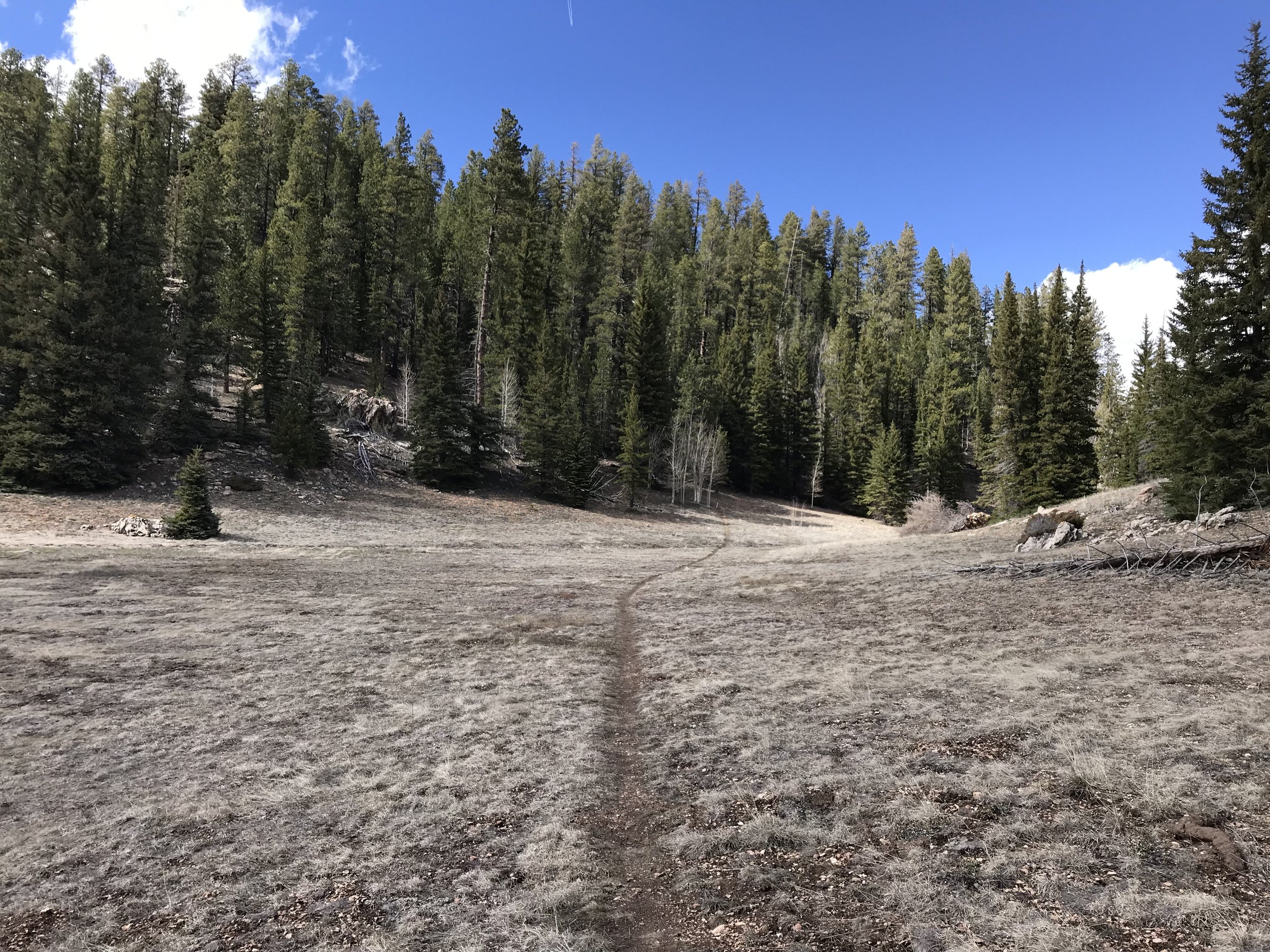
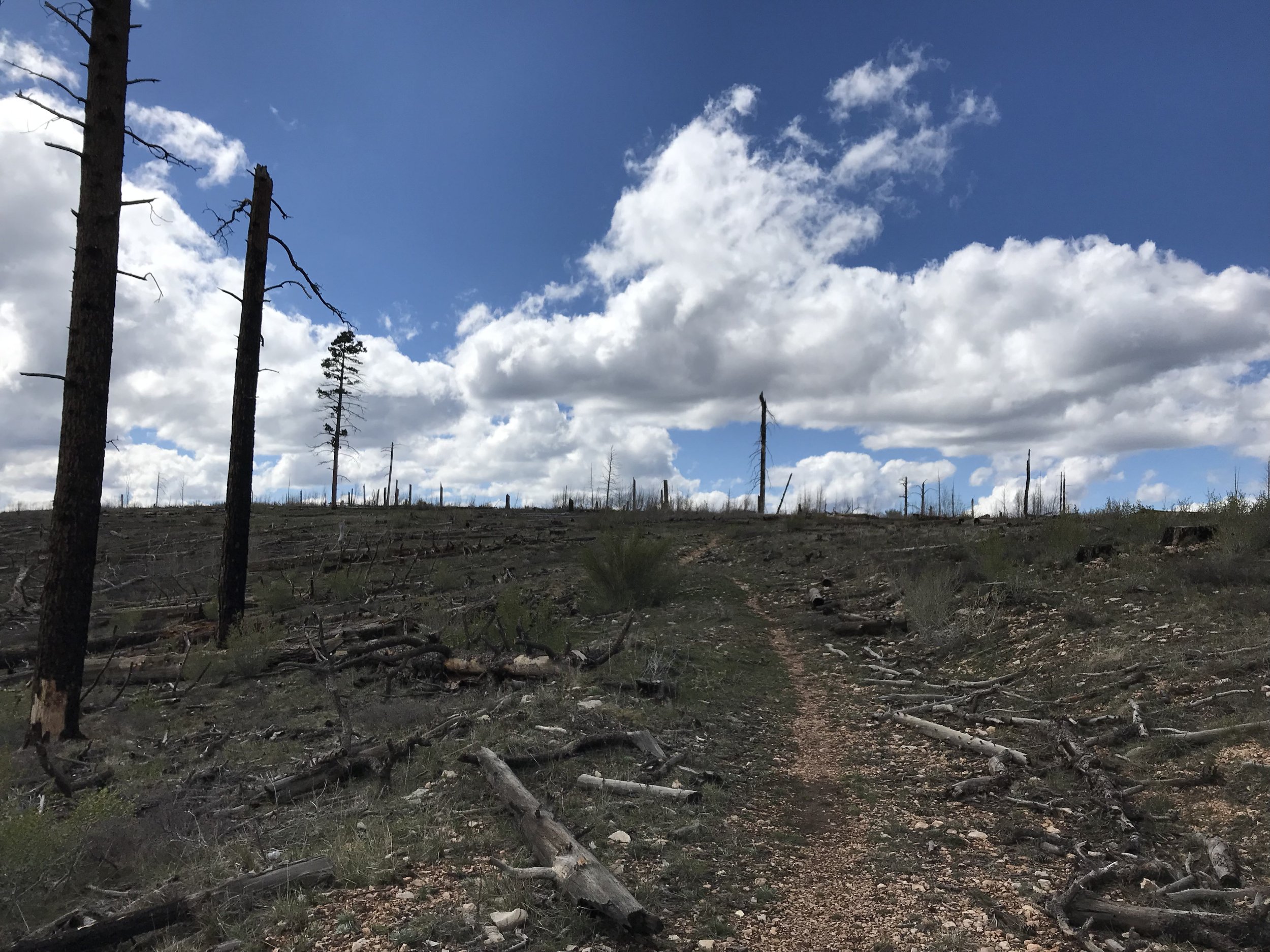
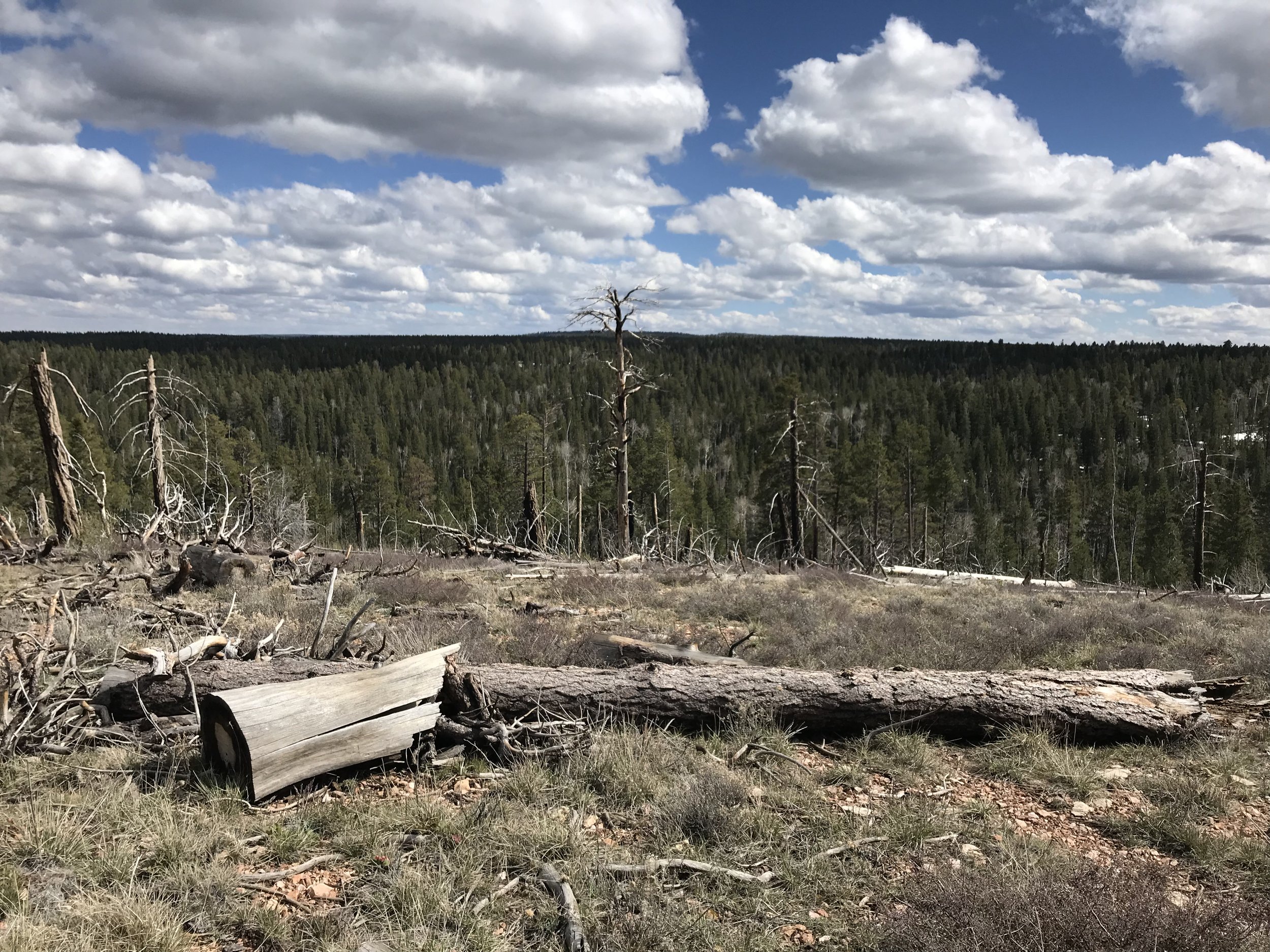
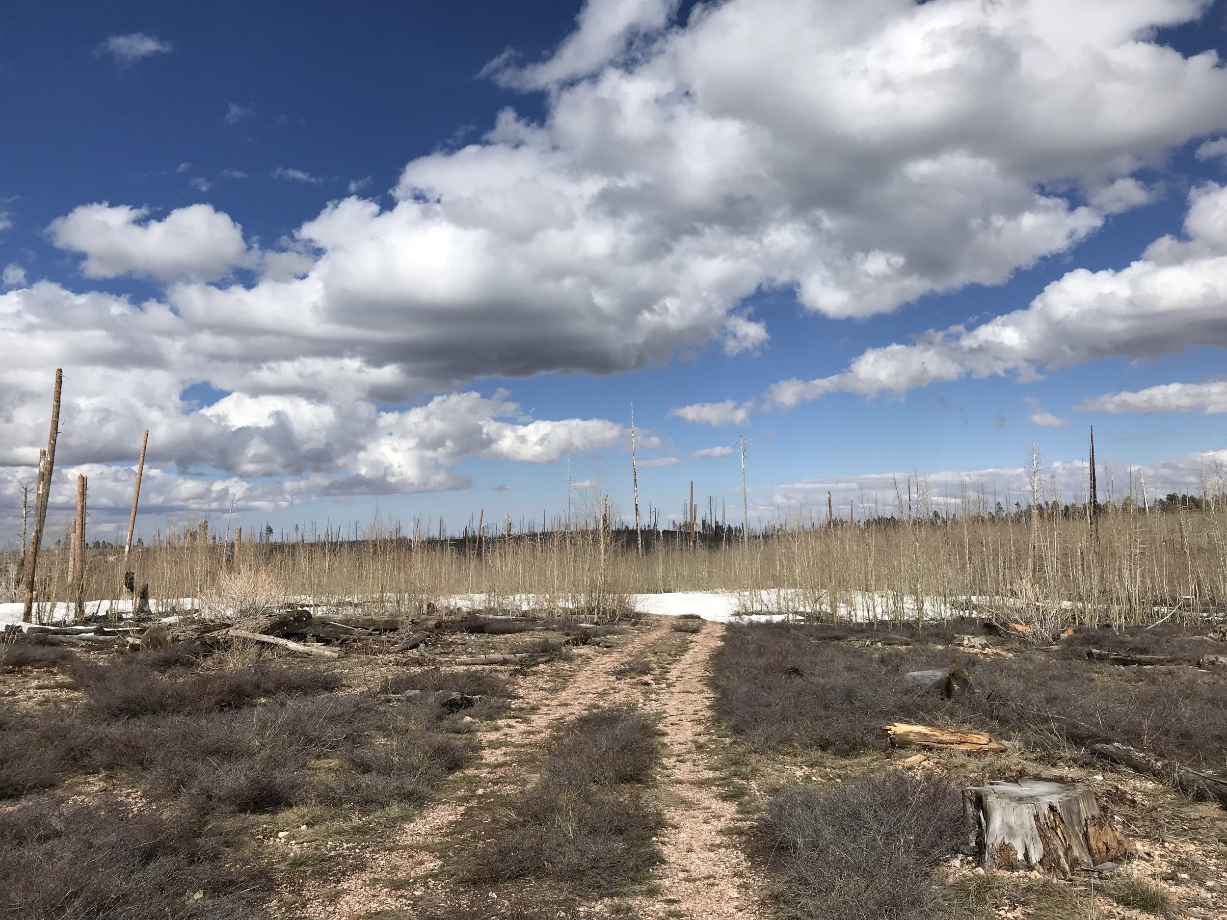
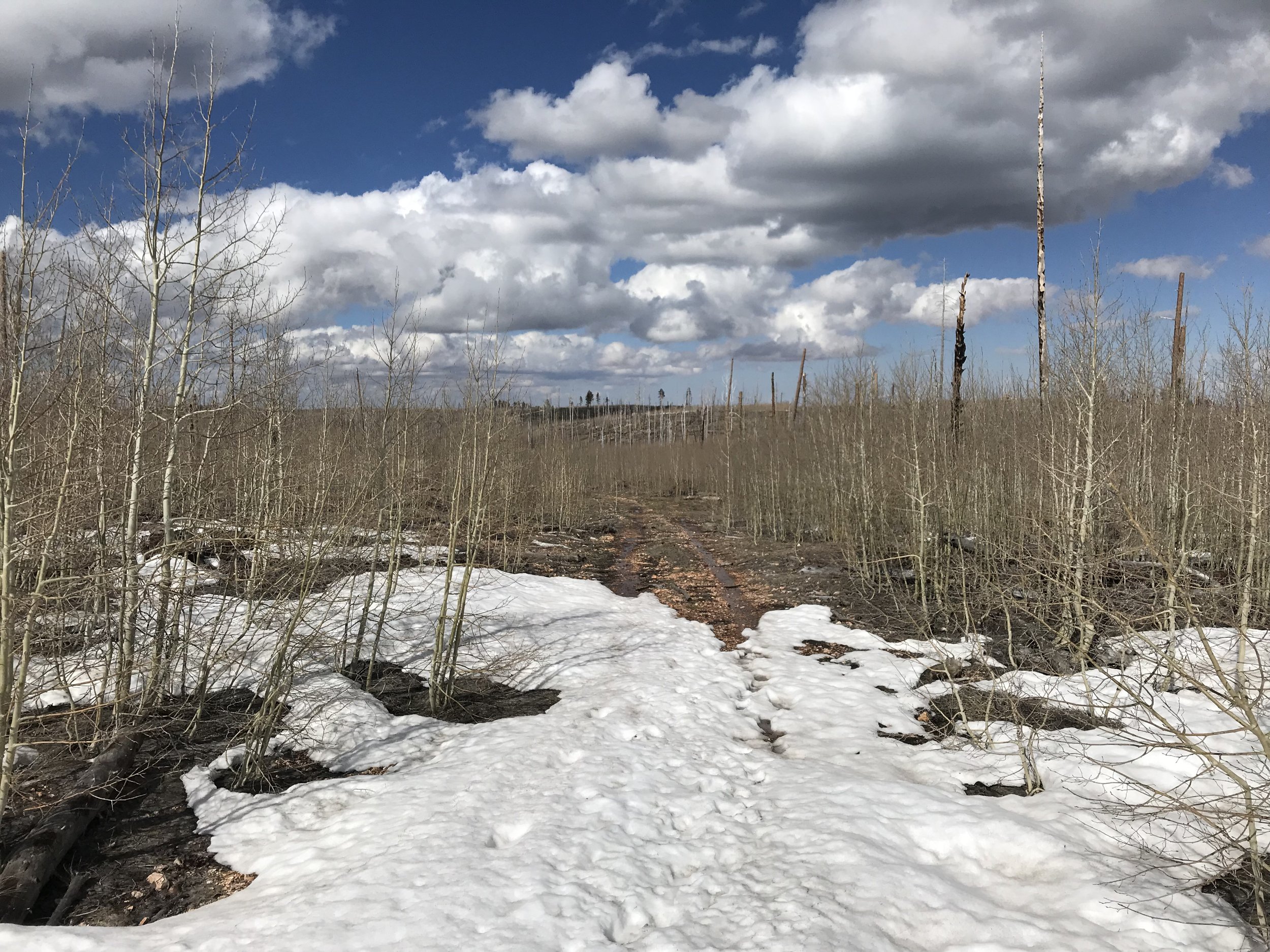
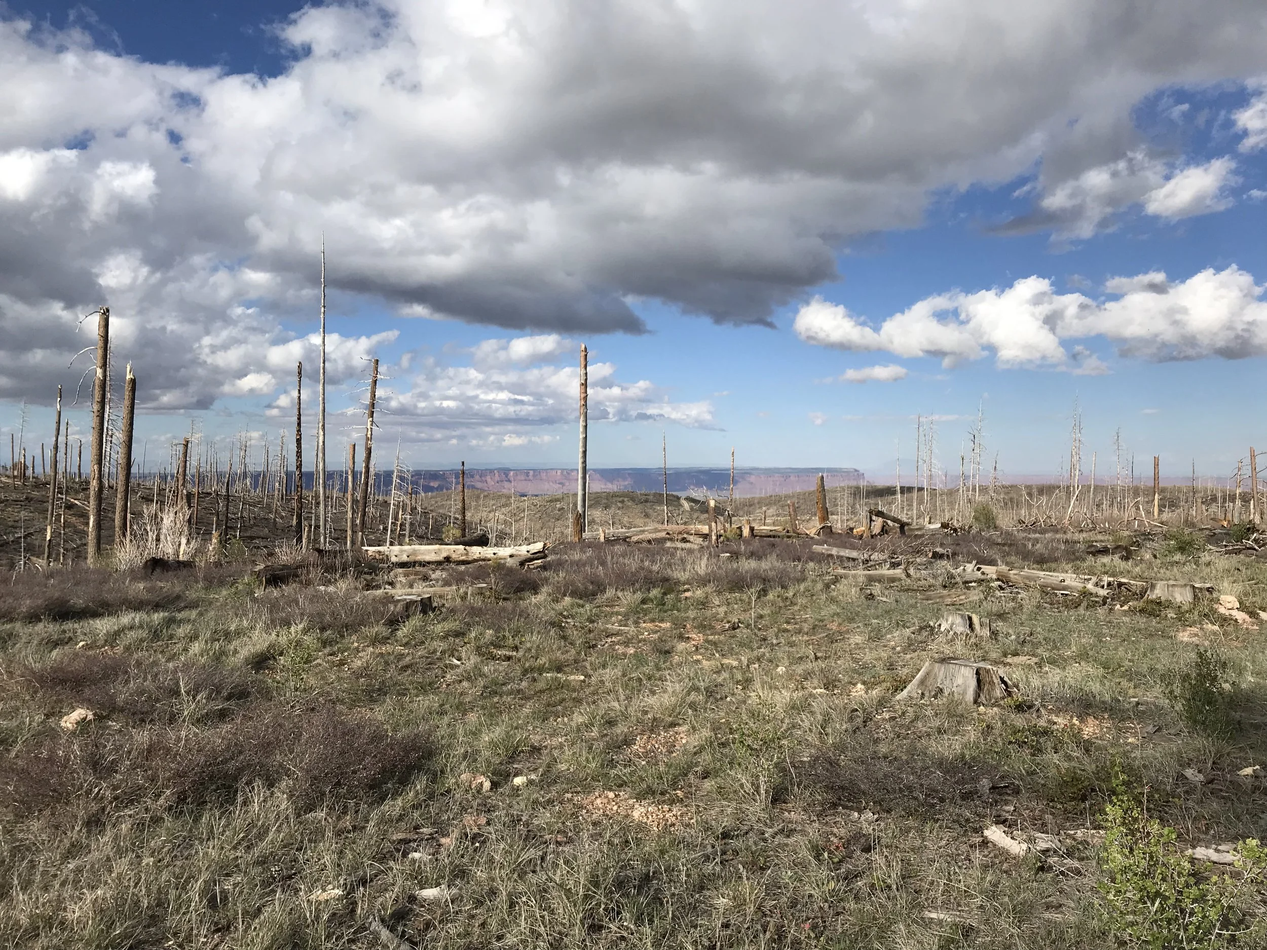
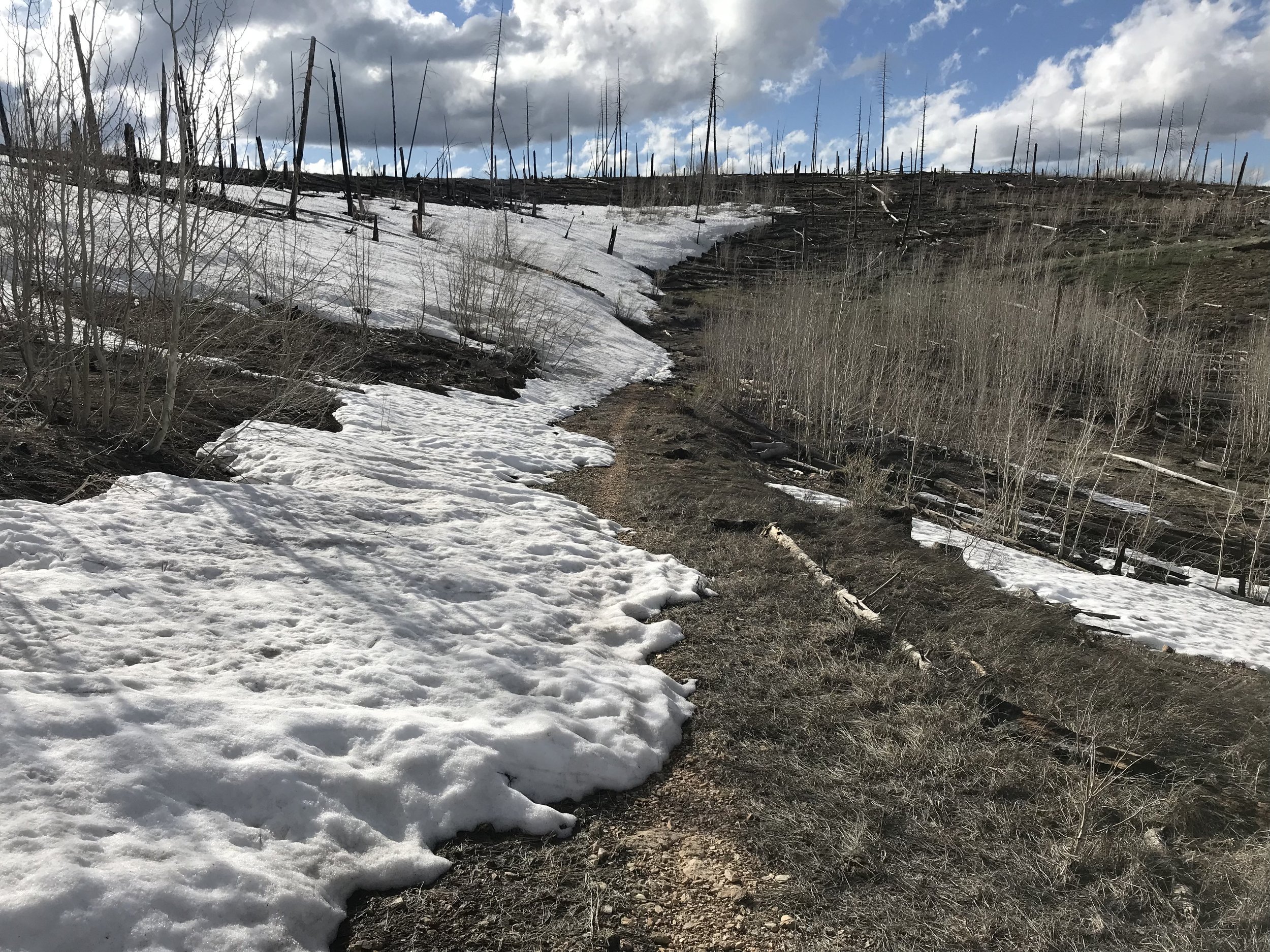
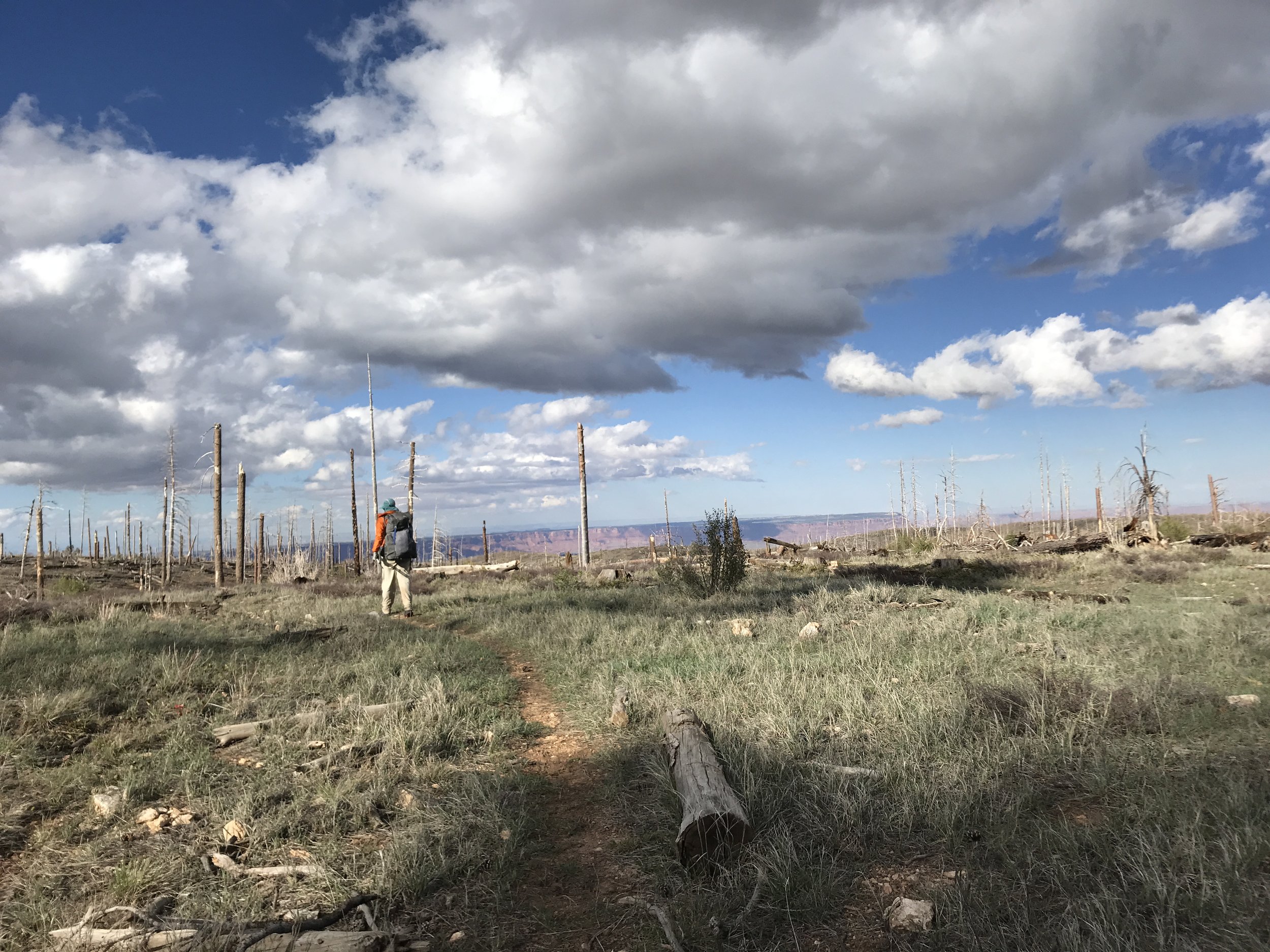
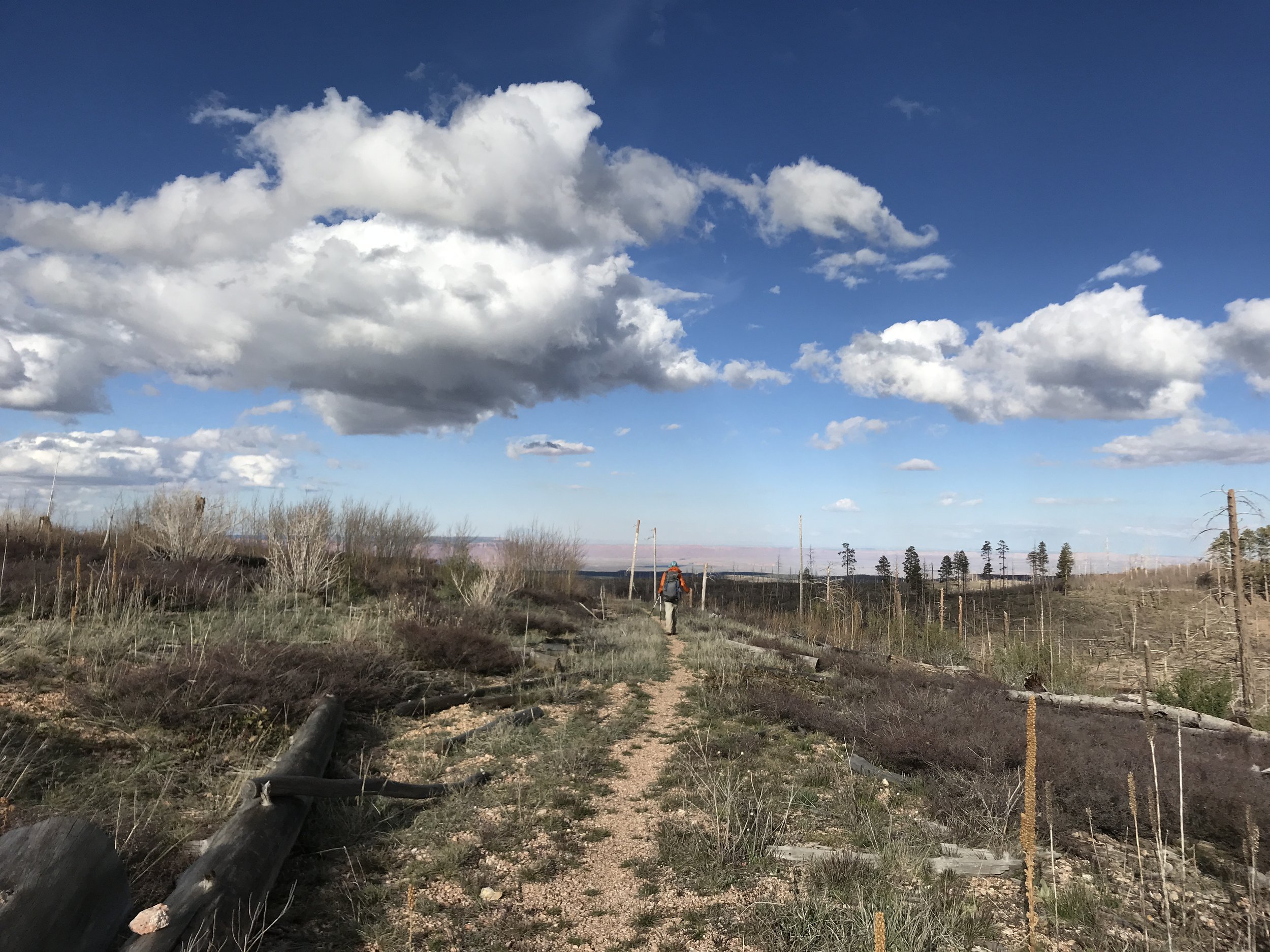
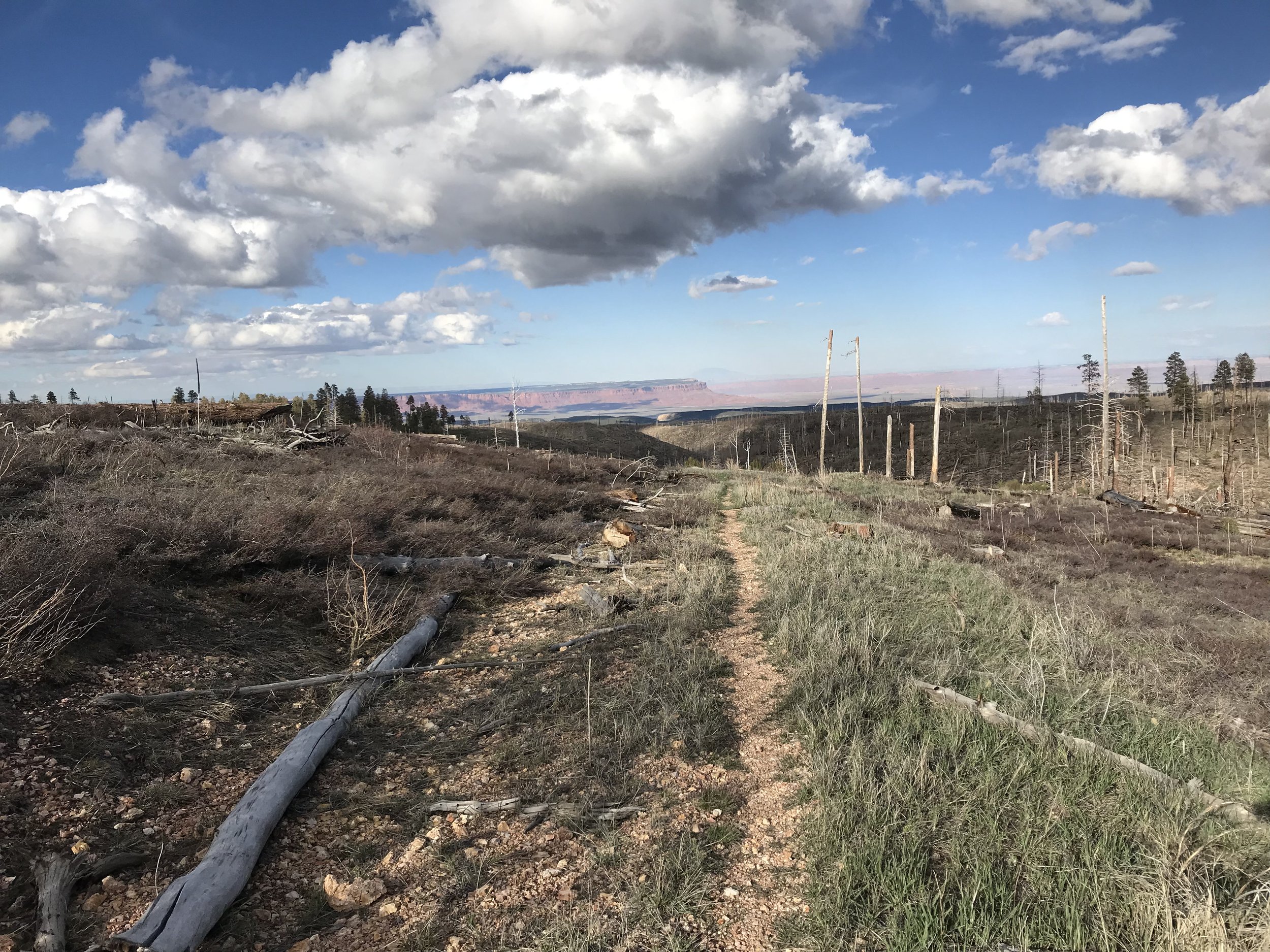
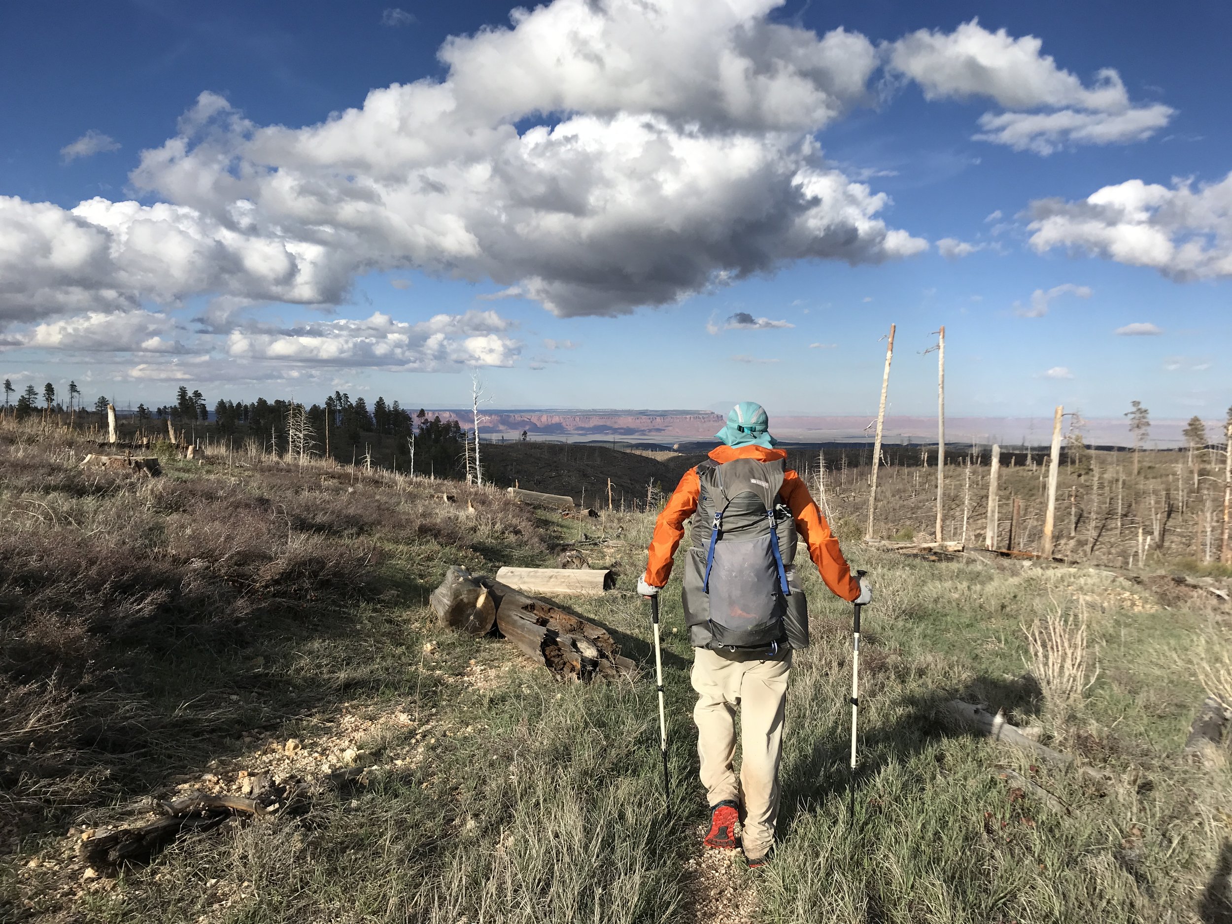
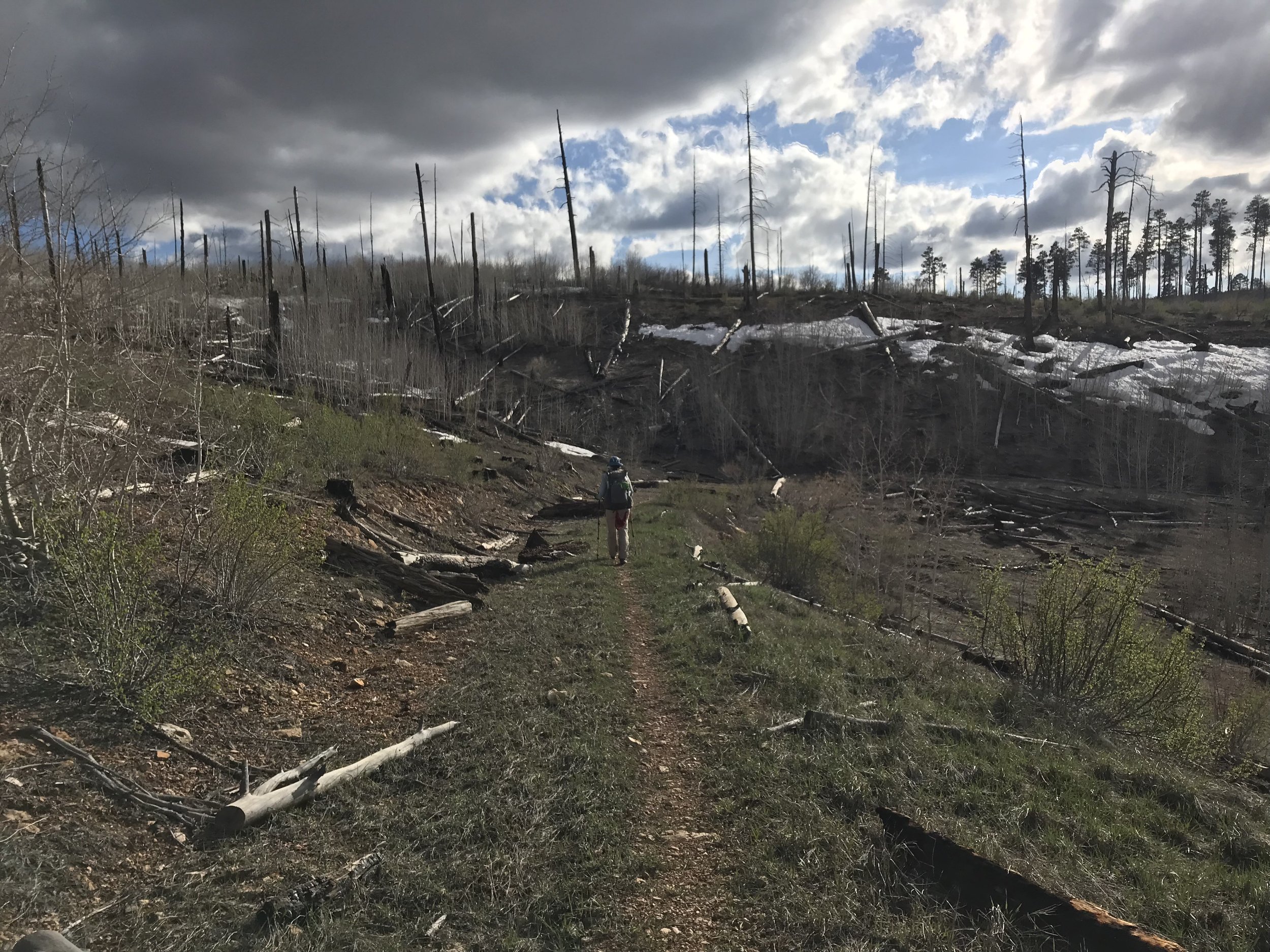
The Arizona Trail wound its way through the thick woods, leaving the road behind. We hiked up and over large patches of snow and crisscrossed meadows of snowmelt and aspen stands. Rambler stopped to take a break and we bit him goodbye. Traces of snowshoes prints lay in front of us. We crossed out of spruce, pine, and firs into a large meadow where Janna got water from a small lake/tank. From there, the AZT ascended a neighboring hill. The cold had taken a back seat while the sun came out more forcefully. It was filling great. After a mile or two, the trail made a climb up onto a large plateau where a massive burn area lay. The burn was from years ago, but the totality of it made the next 10 miles exposed.
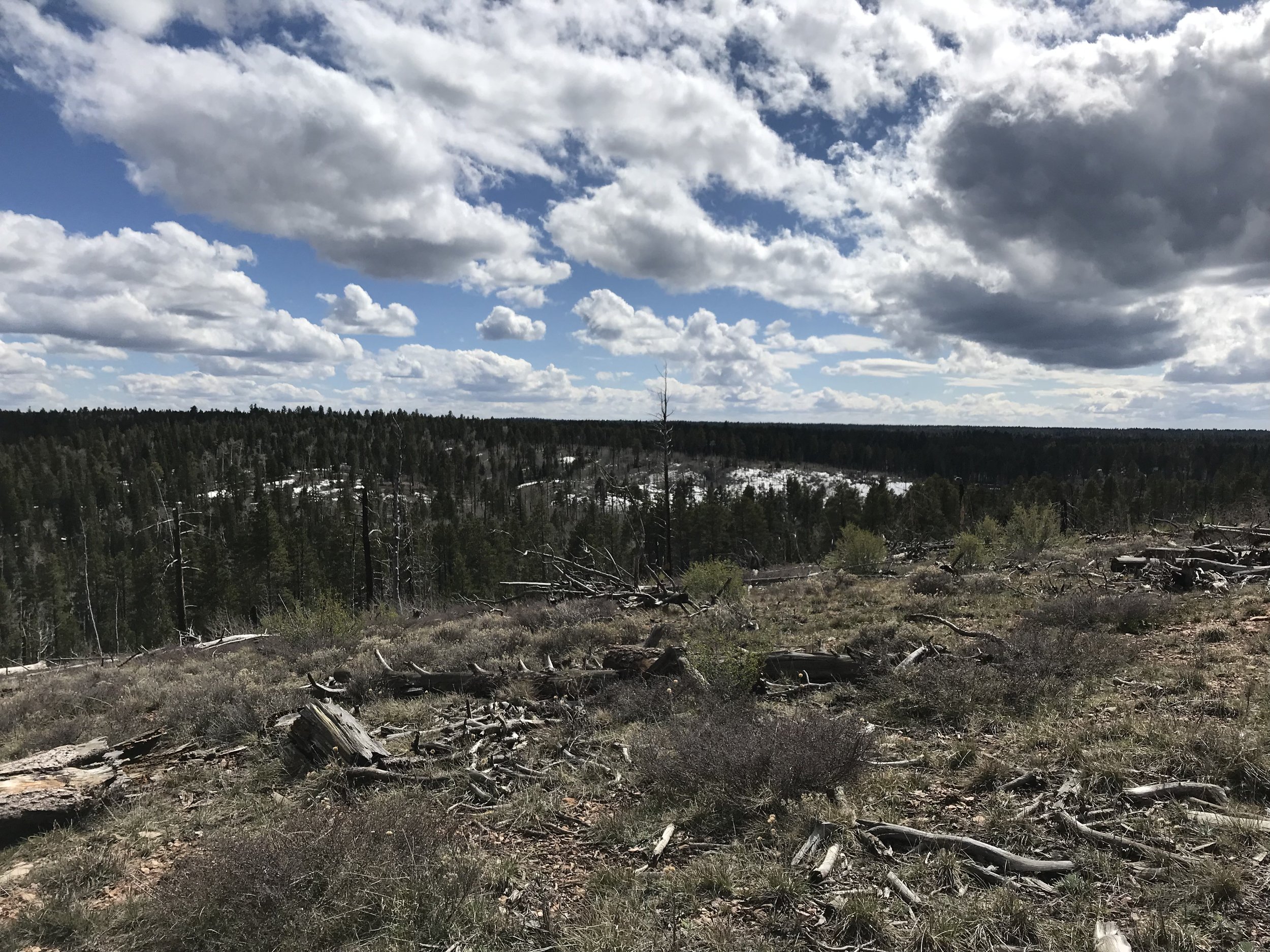
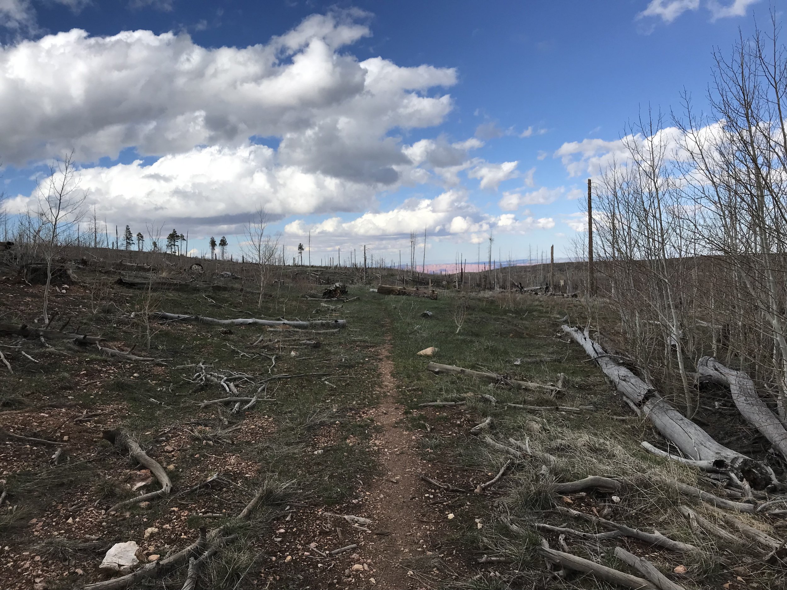
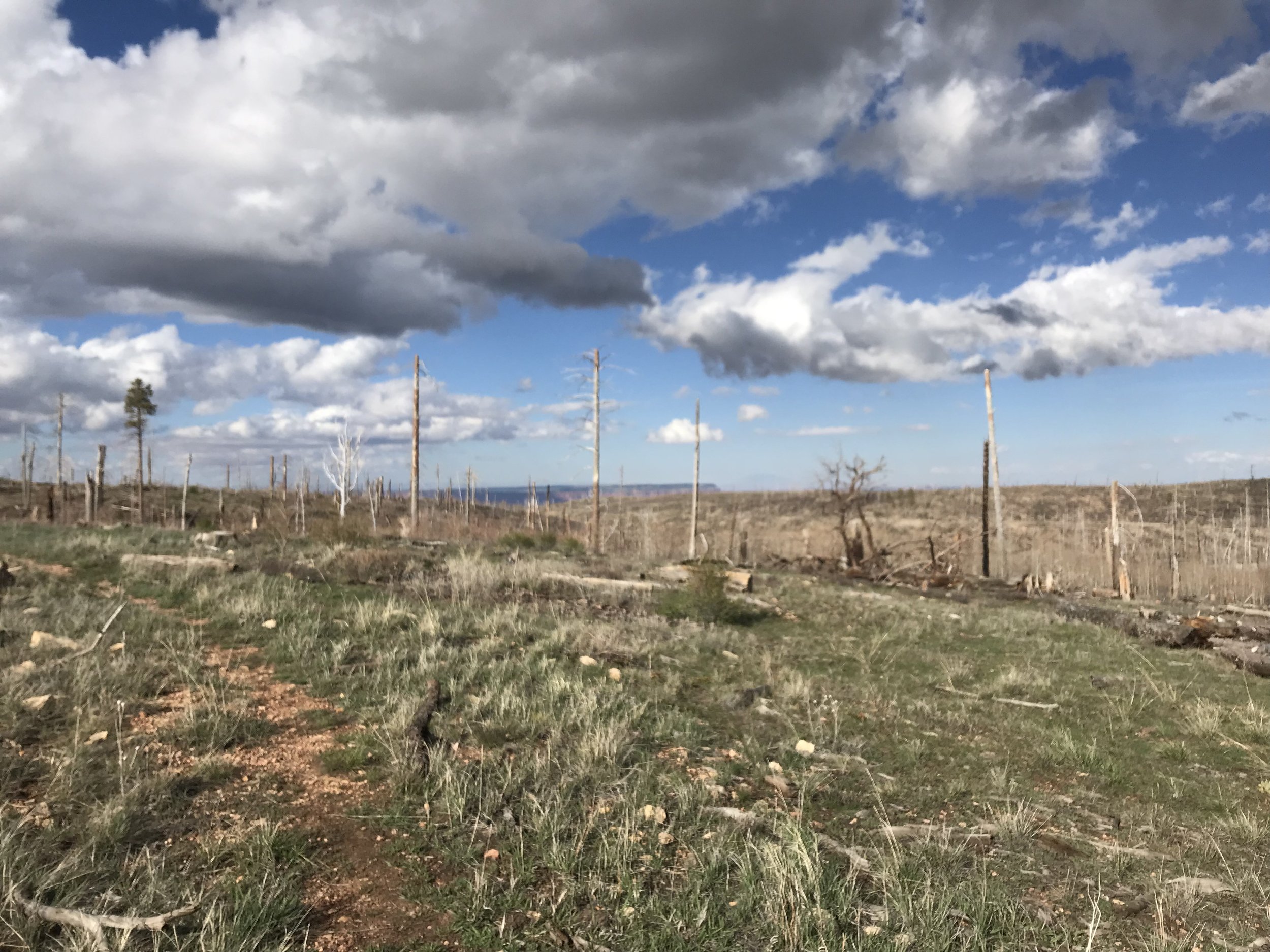
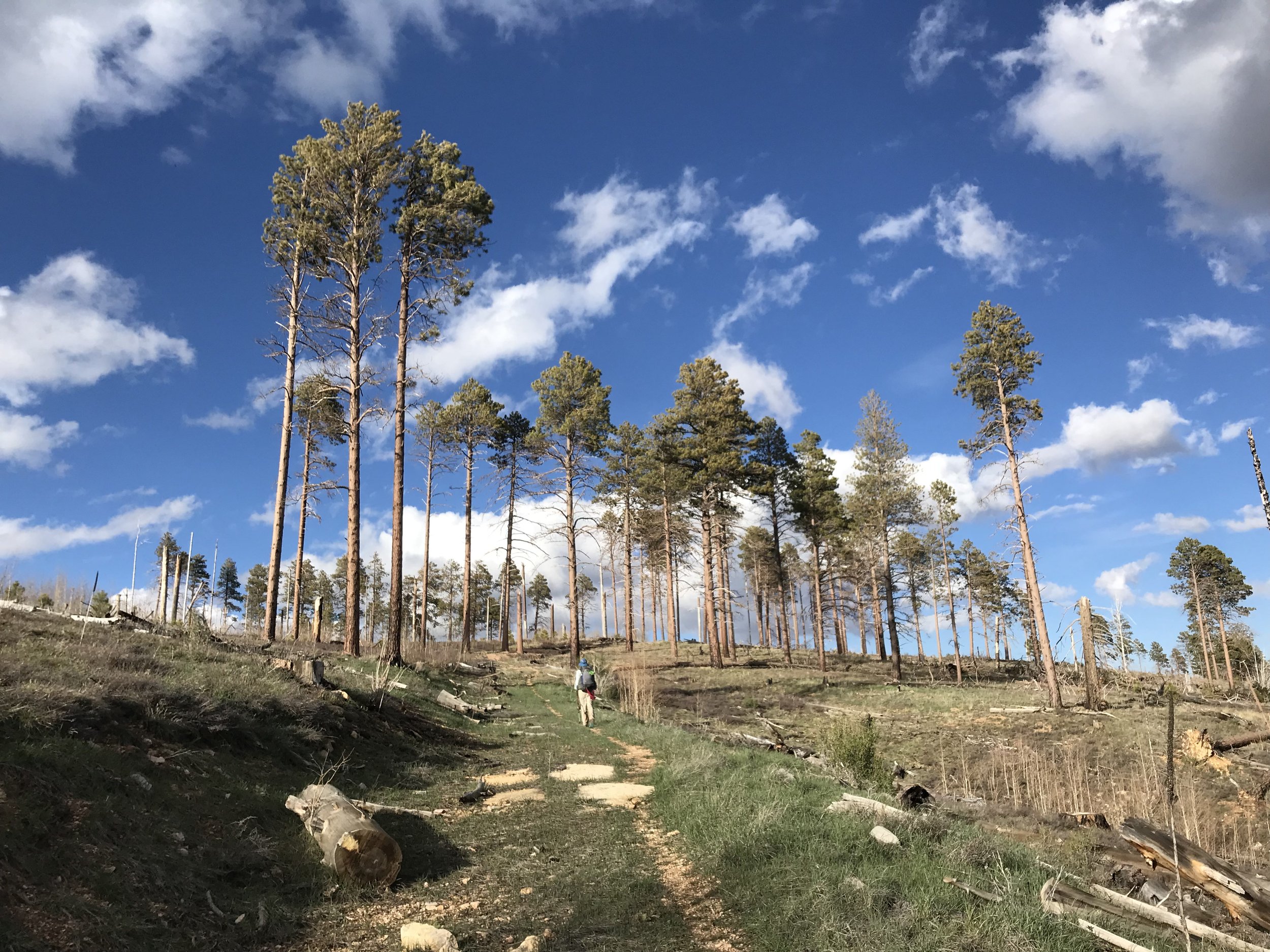
Small aspen, a fire-loving species, grew in tremendous numbers at shoulder height everywhere. I remarked how in 50 years this would be an amazing forest to come walk through in the autumn for fall colors. The sun arched the sky as we walked through the charred and fire-stunted landscape. Grasses and other pioneer species were growing rapidly everywhere, replenishing the vegetative spread. But man did that burn area feel like forever. Deer flitted in and out, browsing on the new buds of life. There were sections where large snow patches required careful navigation on steep slopes and fallen trees. We descended a large hill and found unburned section with beautiful massive ponderosa pines. The ponderosas became the dominant plant type again as the spruce and firs kept to the higher elevations.
Suddenly, the clearing of burned trees allowed a long-distance view into the Vermillion Cliffs. One of my favorite places on Earth, the Vermillion Cliffs are remote and STUNNING. They hold one of the longest and deepest slot canyons on Earth along with an excellent gravel grinding route along House Rock Valley Road. To see the red cliffs, the finale at the Utah border ahead of us, made the reality of the Arizona Trail ending more real.
As evening approached, we hit a cement wildlife tank where we refilled water. Pushing on in the slant of dark, we exited the burn area into a small wooded grove of trees untouched by fire. Excellent camping abounded and we setup the Triplex in the gathering dark. THIS felt protected from the wind. The temperatures were amiable and the wind was nearly absent. A spread of soft pine needles provided my ideal floor for camping. We ate dinner on old fallen logs and laughed about the insane past few days we have had. We had hiked 60 miles in two days, left rain on the South Rim, traversed the Grand Canyon, slept through a winter storm on the North Rim, and found ourselves in a gorgeous grove on a soft evening. As ate heartily, my appetite fully returned. Rambler camped across from us, echoing a “Hello!” in the dark. We climbed into the Triplex and slept fitfully and deeply.
