El Camino del Diablo - Day 3 - The Tinajas Altas, Lechuguilla Desert, and Yuma, AZ
Date: December 29, 2022
I slept hard the duration of the night and awoke to an undisturbed campsite. No sooner had I had exited my shelter than a spit of fiery halo thrust up the eastern horizon as a coalbed of Sun rose through the rainy clouds that had once again gathered in the night. I stood shaking condensation off my body in desert-humid morning to watch the sunrise with full attention. As the sun's colors faded to the hazy-gray of shrouded morning, I walked over and climbed up the adjoining hill to investigate the small cairn tower memorial. I found a hodgepodge of granite and marble slabs commemorating various groups who undoubtedly helped contribute to the Cabeza Prieta in some way.
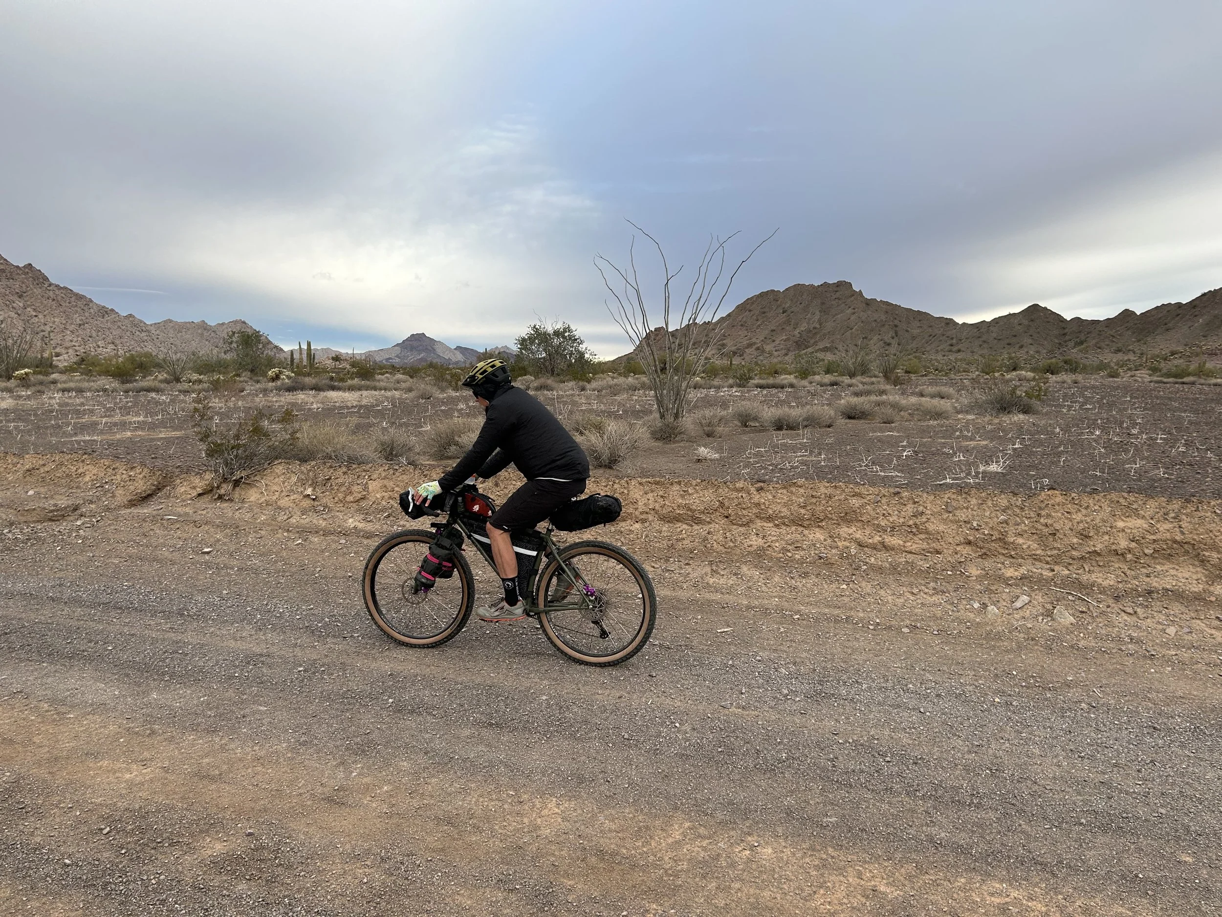
I descended, helped to pack up camp, and we rolled out into the Tule Mountains. The cloud cover was low, gray, monotonous, and hit the lip of the horizon. Our last glimpse of the border wall stretched out to our lefts as the El Camino del Diablo became a wide and graded road complete with mile markers - a remnant of construction work from the Trump presidency. Suddenly, with the rising Sun at our eastern backs, its light angled through a gap in the cloud cover lighting up distant peaks in brilliant white and gold. I pulled up to a wash where a stash of brittlebush sat blooming in the late December warmth, water, and light. The opposing ridgy-slabs of the Tule Mountains glowed with Sun in alternating stripes of day and night. The mountains ahead plunged back into shade as we pressed on, rounded the Tules, and approached the spreading blue of cloud-end.
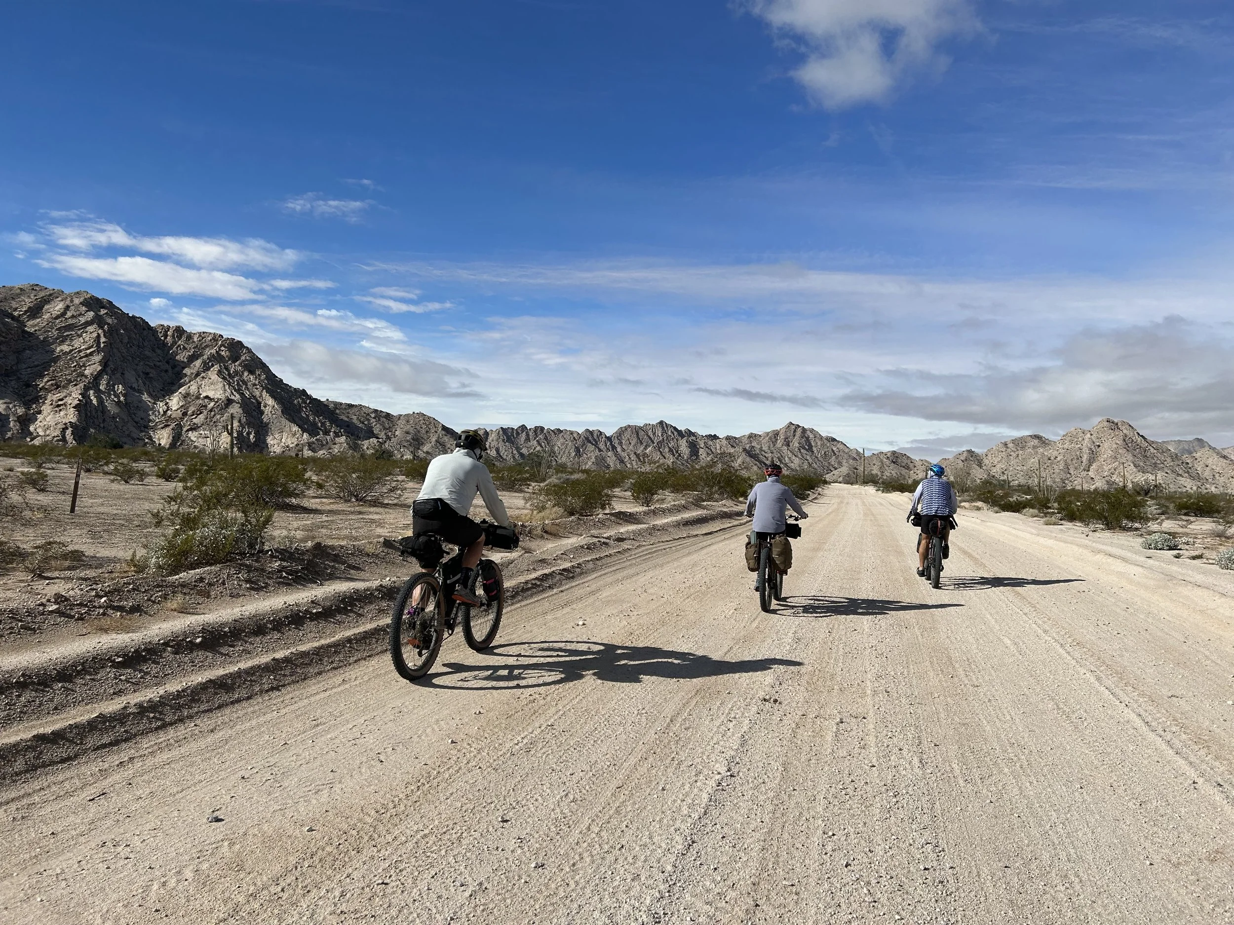
A large group of overlanding vehicles stopped to talk to us, coming from the opposite direction. They reported copious sand ahead but were jaw agape hearing that we were making our way to Yuma today. As one guy said, "I thought you were tough, but not nearly as tough as I now think you are!" Razzed up on these compliments of what and where we were riding, I sped off to the end of the mountain range and the open Lechuguilla Desert ahead. Here, blue skies stretched beyond the wall of cloud settled over the peaks where we had spent the night. A tailwind caught our backs and pushed us down the gentle decline into the open playa. The road sand was packed and wet from the rain. Our speed was strong, the terrain solid, and the views became expansive and mesmerizing. Ahead, the Tinajas Altas began as a small wall that grew to a well-lit backlit range drawing the eye ever to their peaks. Their flanks were lit golden-white in the Sun now brimming over the plains. Stately ocotillo, small saguaro stands, and evenly spaced creosote provided vegetative cover to the smooth horizon of desert-earth.
And suddenly, we were at the flanks of the Tinajas Altas. They were pocked, smooth, cave-filled, and gorgeous. The four of us agreed that they seemed visually similar to Joshua Tree National Park. We passed a makeshift effigy-memorial to the military before turning west to enter the Tinajas Pass. Here, Dan and Kate stopped to make a cooked mid-day meal. Janna and I took a side trip down to the "High Tanks" of the Tijanas Altas. These large potholes of water were (and still are) an incredibly important reliable water source for travelers on their route. Many a person has (and still do) count their survival on climbing up the rocks and finding the plunge-pools set in stairs down an inward fold of these mountains. Janna and I stashed our bikes and scrambled up the side of the mountain to the bottom and first of these pools. It was dramatically full from the recent rains and stained with the tannins of gathered plants. Impressed, we headed down, jumped back on our bikes, and made our way back out to Kate and Dan. It turns out Alan (the Jeep guy who camped next to us the previous night) was there with his dog and setup. We all talked for a while before Alan started off towards Yuma.
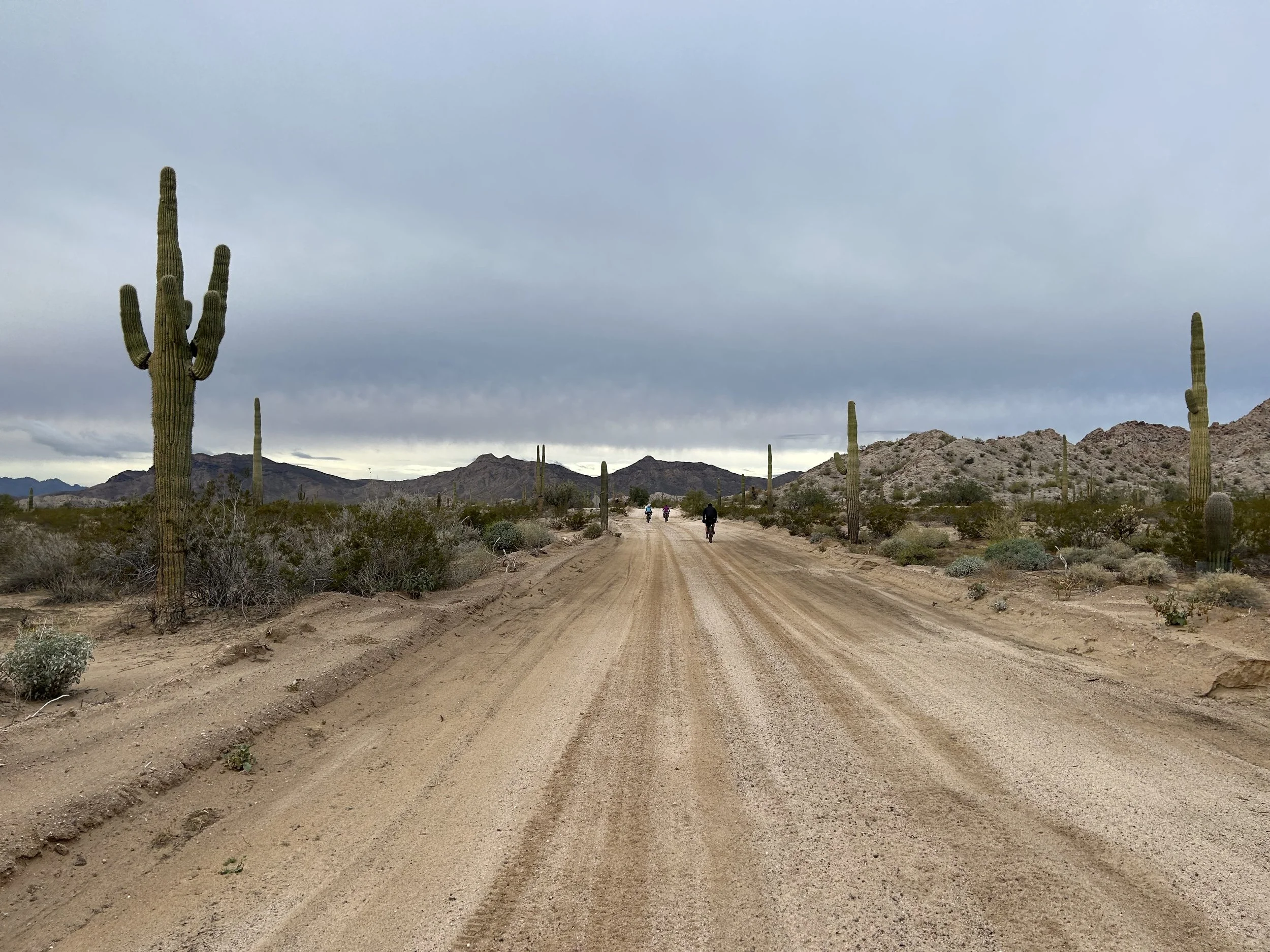
Our team mounted our bikes and started threading through the pass. These passes through low-slung desert mountains were fascinating. Only a hundred or so feet higher than the surrounding valley-alluvial plains, the small elevation difference led to a crazy abundance of interesting plant life and cloud systems that sat overhead. Again, the light began to weave and slice through the clouds leading to dramatic views of the surrounding peaks and plants. On the other side of the Tinajas Altas we saw a metal sign for the El Camino del Diablo and Fortuna Mine, so we followed it due northwest. At this point, desert plant communities collided. Granite-white sands sat fat and deep for our wheels to sink into on the western flanks of the range. Interesting new plants on the northern tips of their ranges popped up unexpectedly like chuparosa and Elephant Tree. The ecotone between bajada and AZ Sonoran was extraordinary. We kept stopping over and over to take photos of the unique plants growing here. That, and the deep washboarded sand slowed our place to a crawl and beat our sitz bones on our saddles. In fact, the washboard sand was so bad that we quickly caught up to Alan in his Jeep and easily passed his vehicle on our bikes for several miles.
At this point, we began a ten mile traverse of sandy plains now firmly inside the Barry M. Goldwater Air Force Range. The sand was dry (but probably better than with no rain), deep, shifting, and I found myself largely standing up to provide ample power to pedal at a meager forward rate for hours. It extracted a ton of our energy but I found the riding challenging and super fun. We entered the portion of the route that passed through miles of old bombing ranges where unexploded ordinances littered the landscape away from the road - thus necessitating no non-road travel. The clouds gathered starkly on the peaks to our rights, swollen and backlit darkly against the light-shrouded peaks.
The El Camino del Diablo hit a junction where the road-proper continued straight west to intersect with the a paved street. Instead, we took the bikepacking route that turned north and entered the Gila Mountains. The wide road became rock doubletrack littered with babyheads and river stones as we crawled our ways up a wide wash. On the cusp of sunset, we found ourselves at Fortuna Mine which seemed less impressive than the expansive peaks around us. We continued up the last 500 feet of ascent and came out on a ridgeline right as the burning rays of sunset lit up the metallic clouds for an impressive ride under pink skies. Night followed thereafter so we turned on our lights and rode across the desert for another hour. The end of the military range arrived as we tumbled onto the streets of a suburban neighborhood in Fortuna Hills. We snapped a last photo or two, turned on Google Maps, and did another 6.5 miles to our hotel on the outskirts of Yuma.


