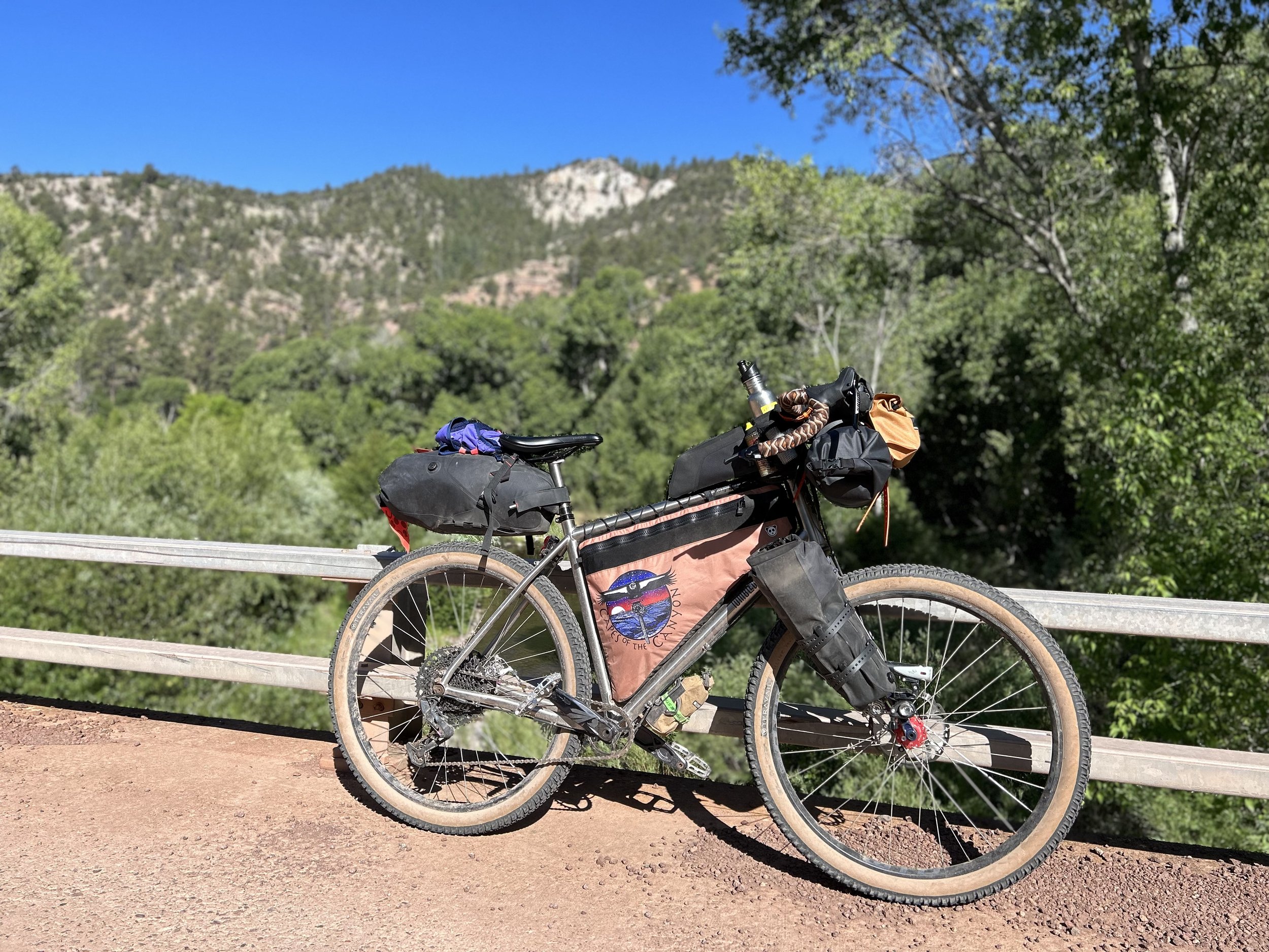
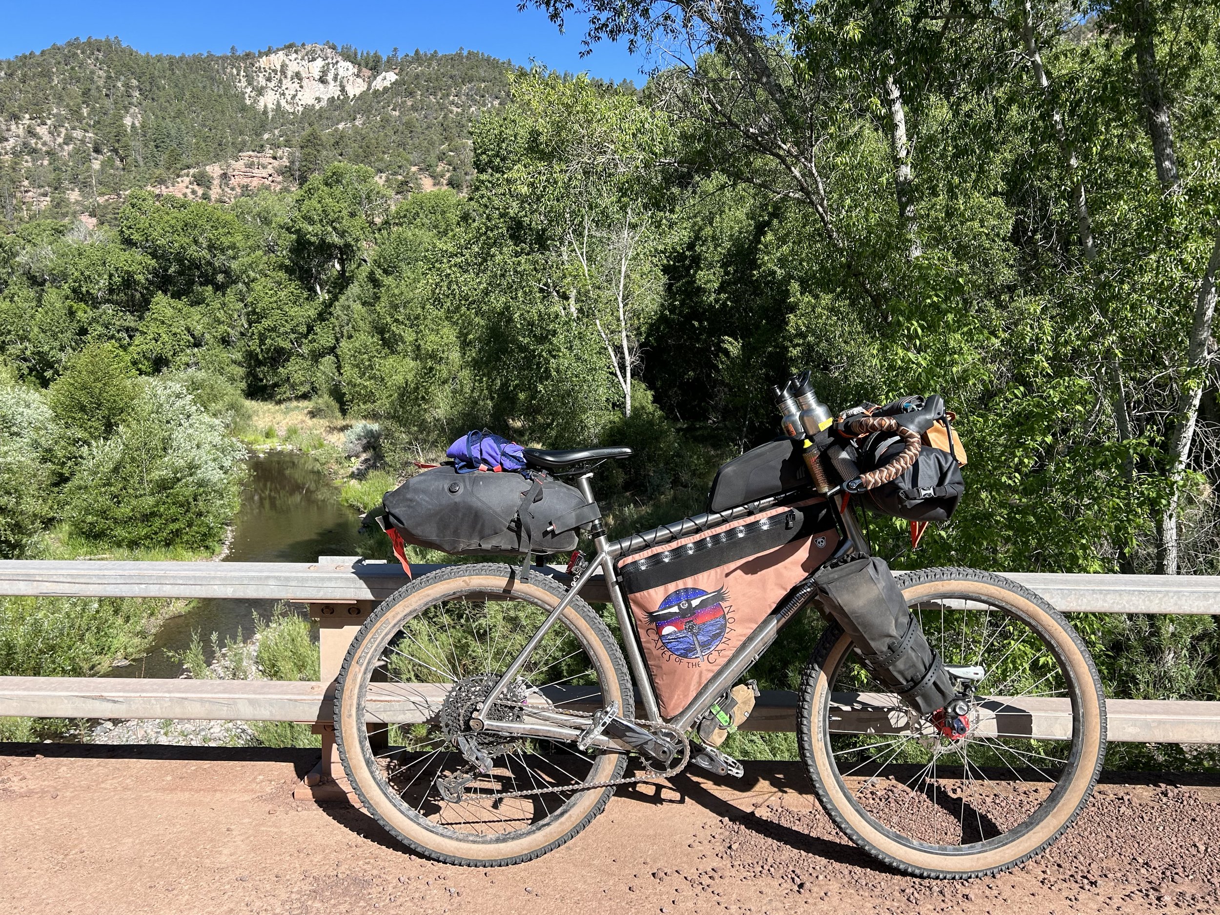
El Lobo Lupus - Day 8 - Blue Range and Black River
Date: June 7, 2023
55.05 Miles
5,038 Feet of Gain
Alpine, AZ to Blue, AZ to the Black River
After a good night's sleep, we woke up ready to take on the crux of the route: a descent to the low point of the route at Blue, AZ off the Mogollon Rim followed by an ascent back up the same rim, a further climb up Middle Mountain, and a long contoured traverse to the Black River. The worst of the storm system that had hit us for days was now over with yesterday's thunderclaps. Instead, heat and sun would be our main concern as we lost thousands of feet of elevation before regaining the same and more.
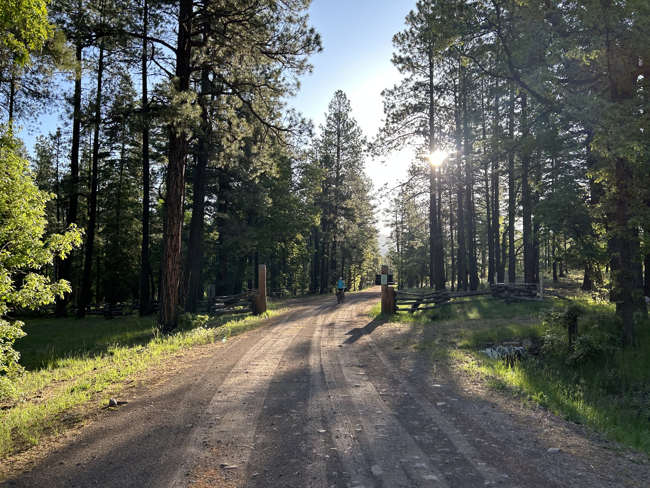
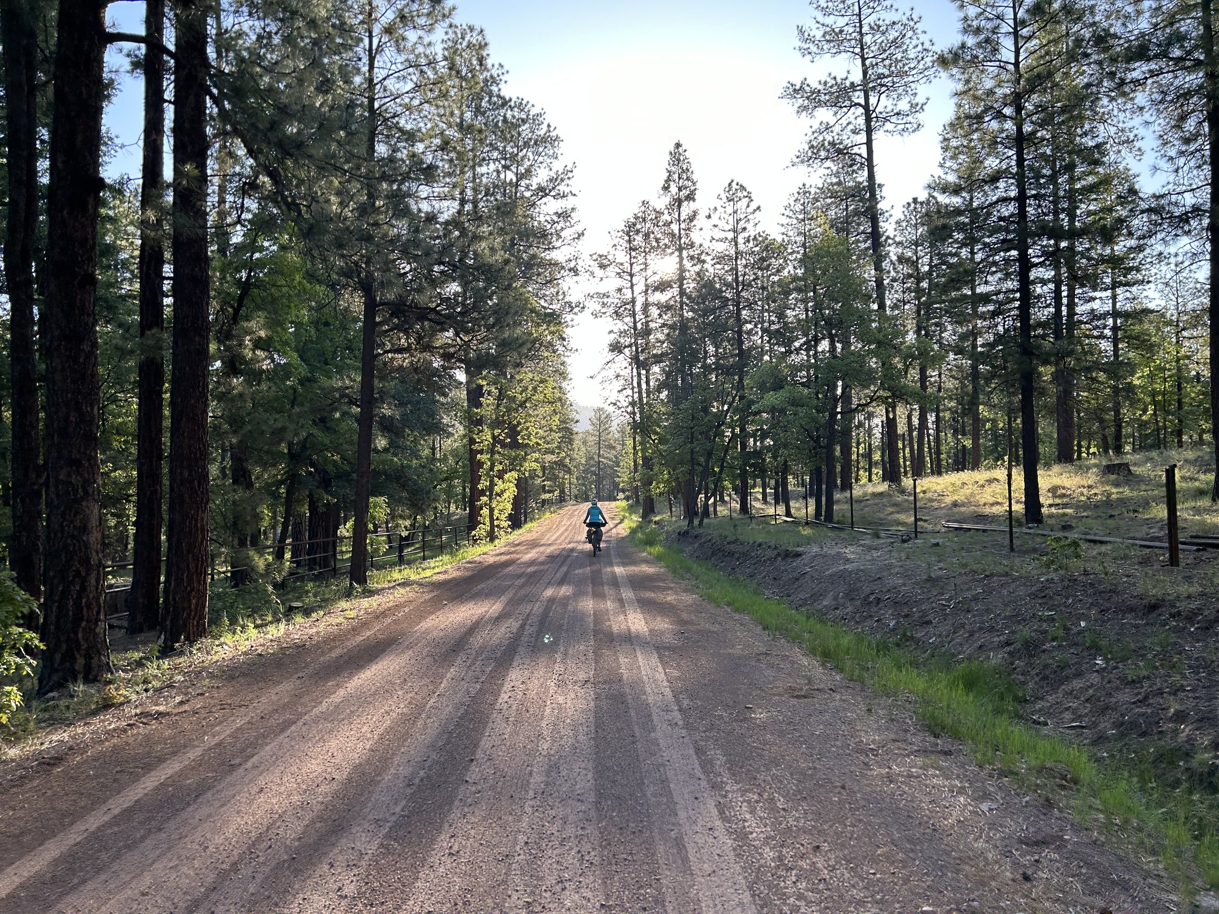
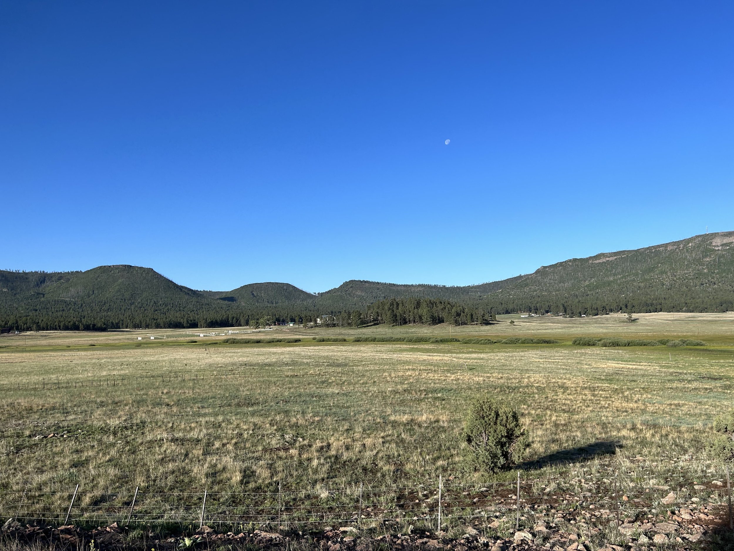
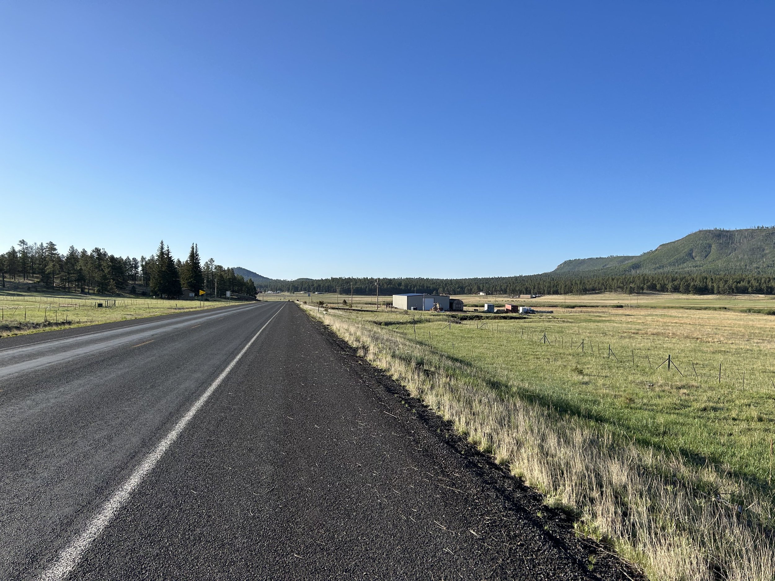
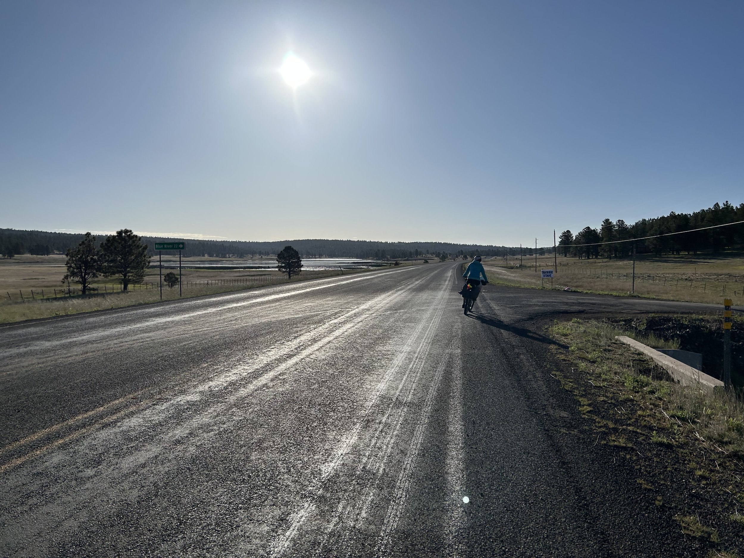
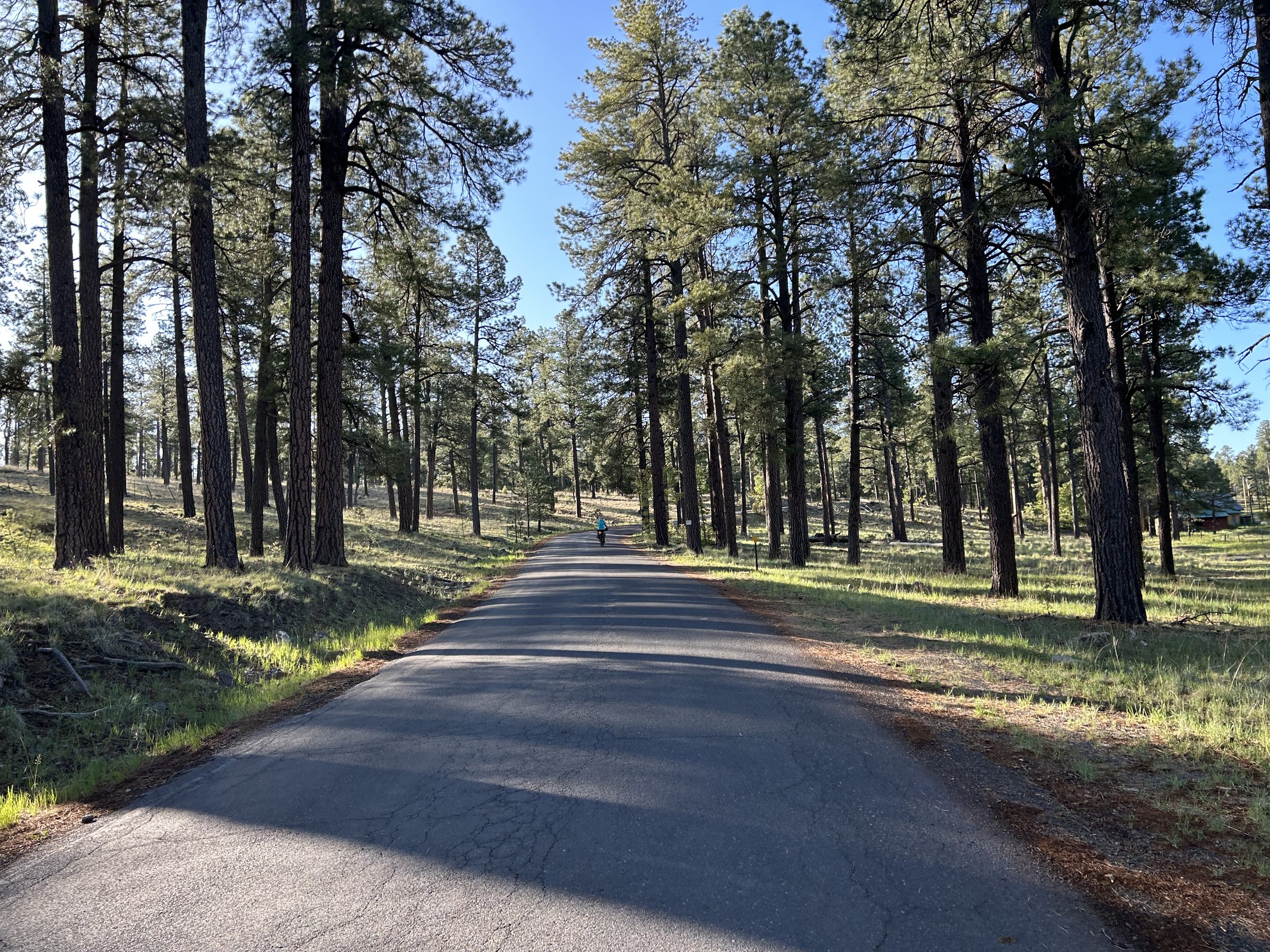
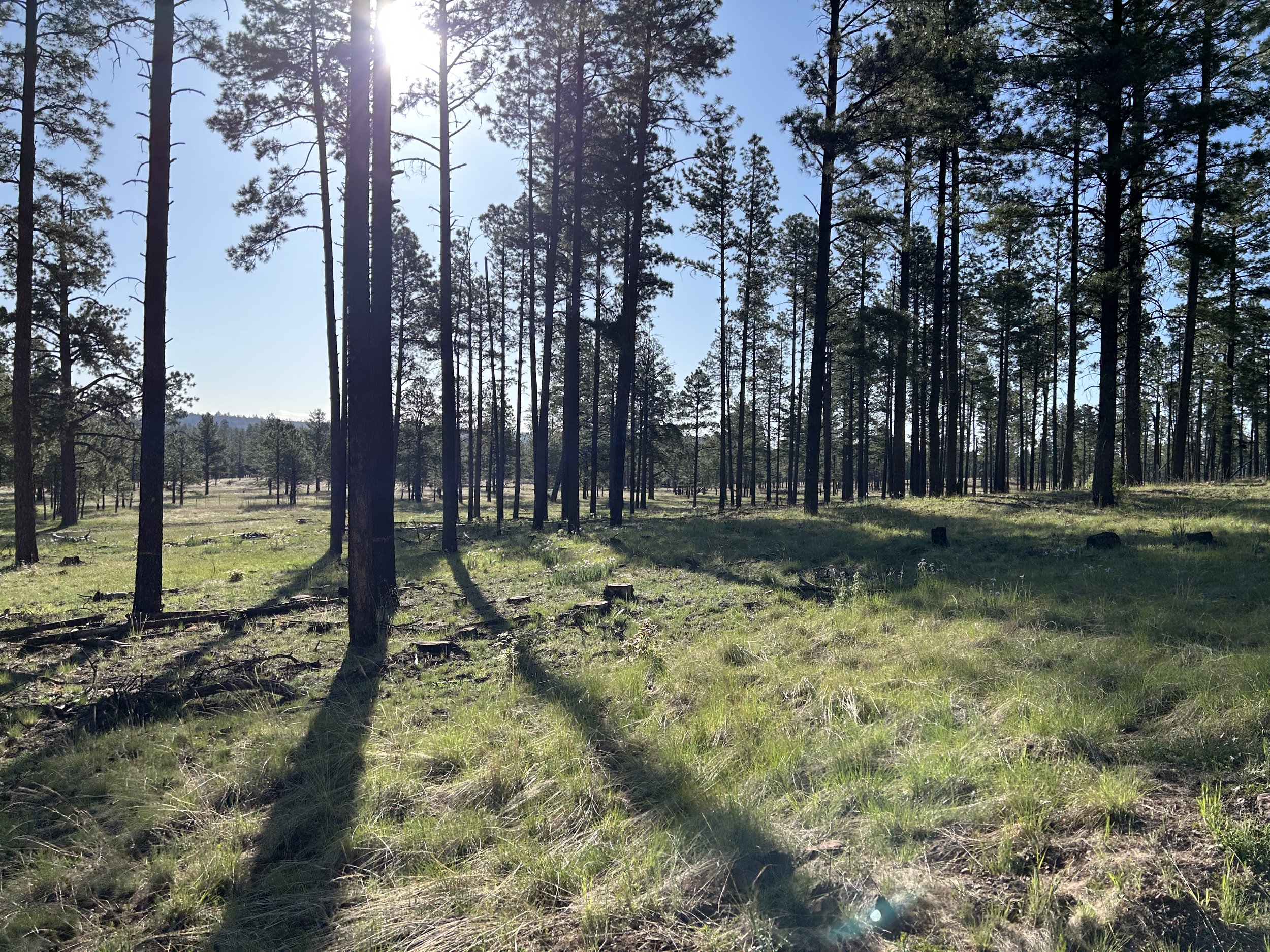
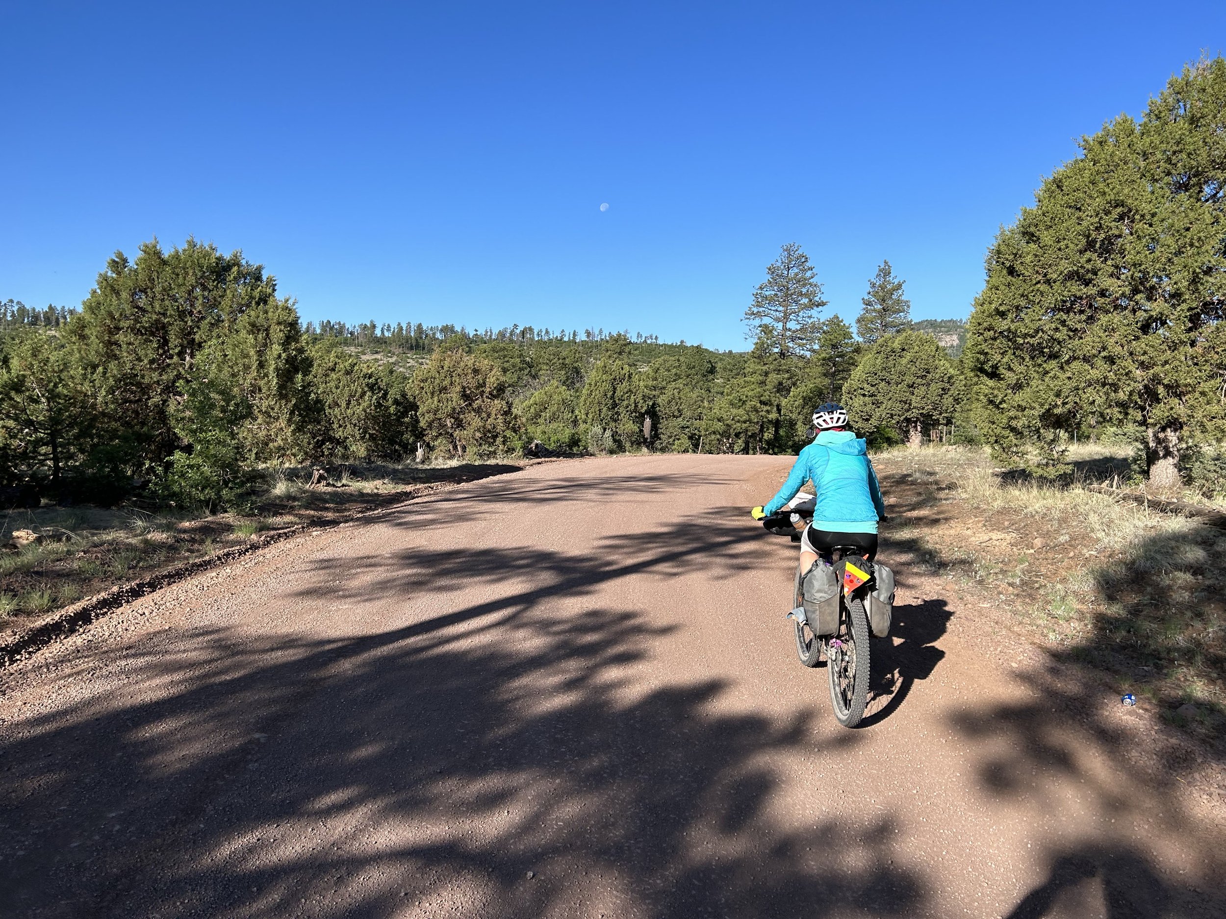
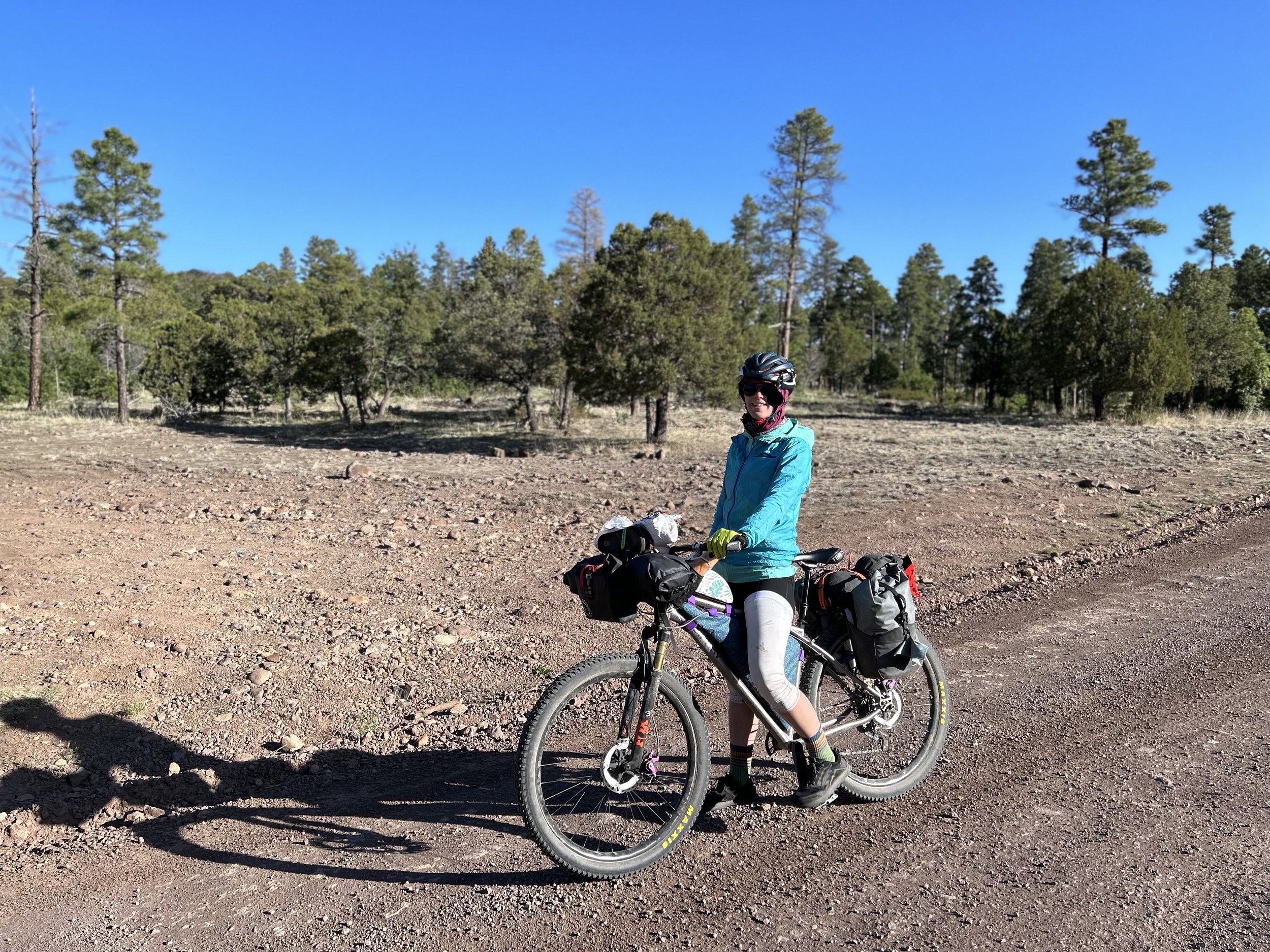
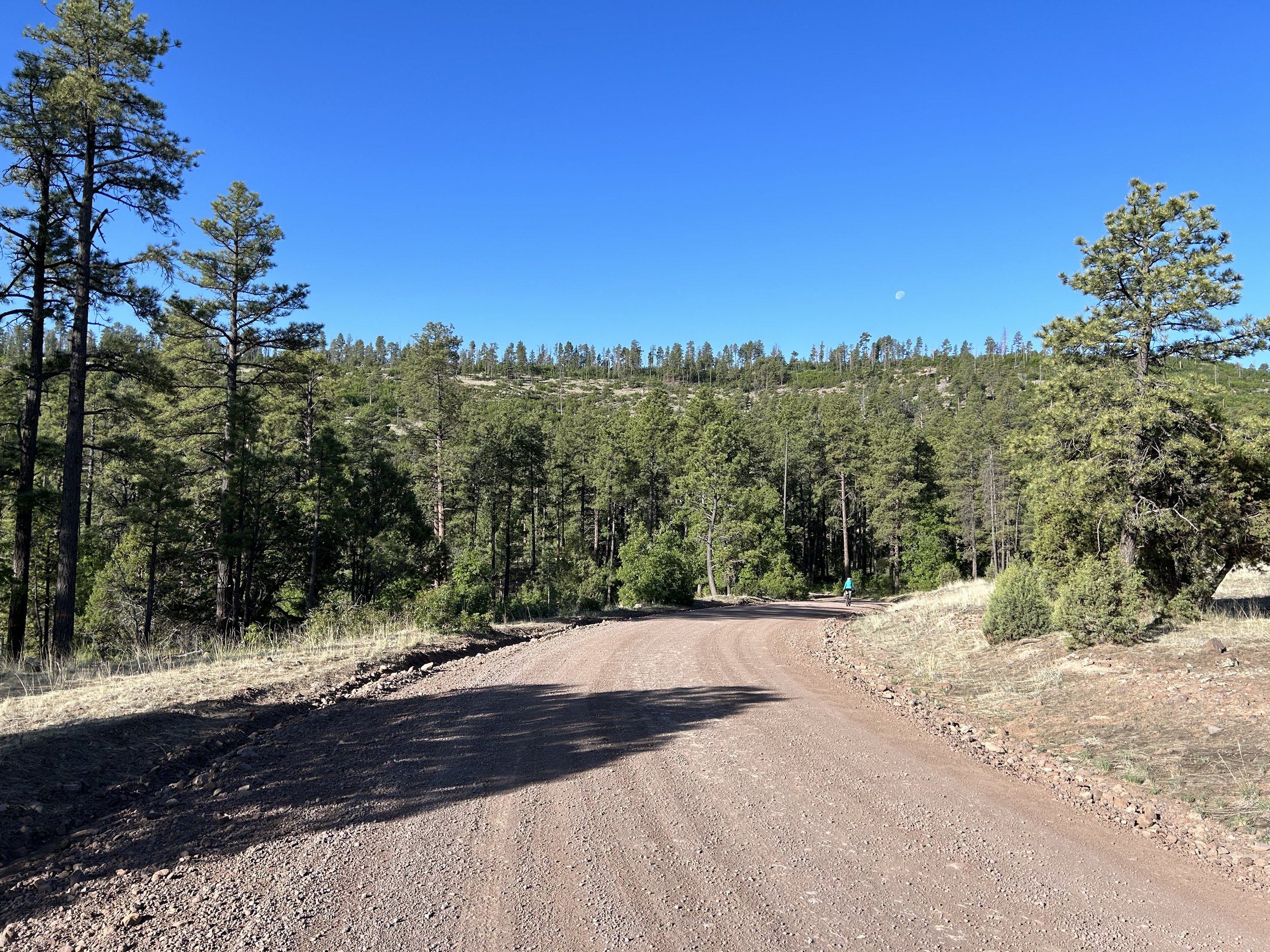
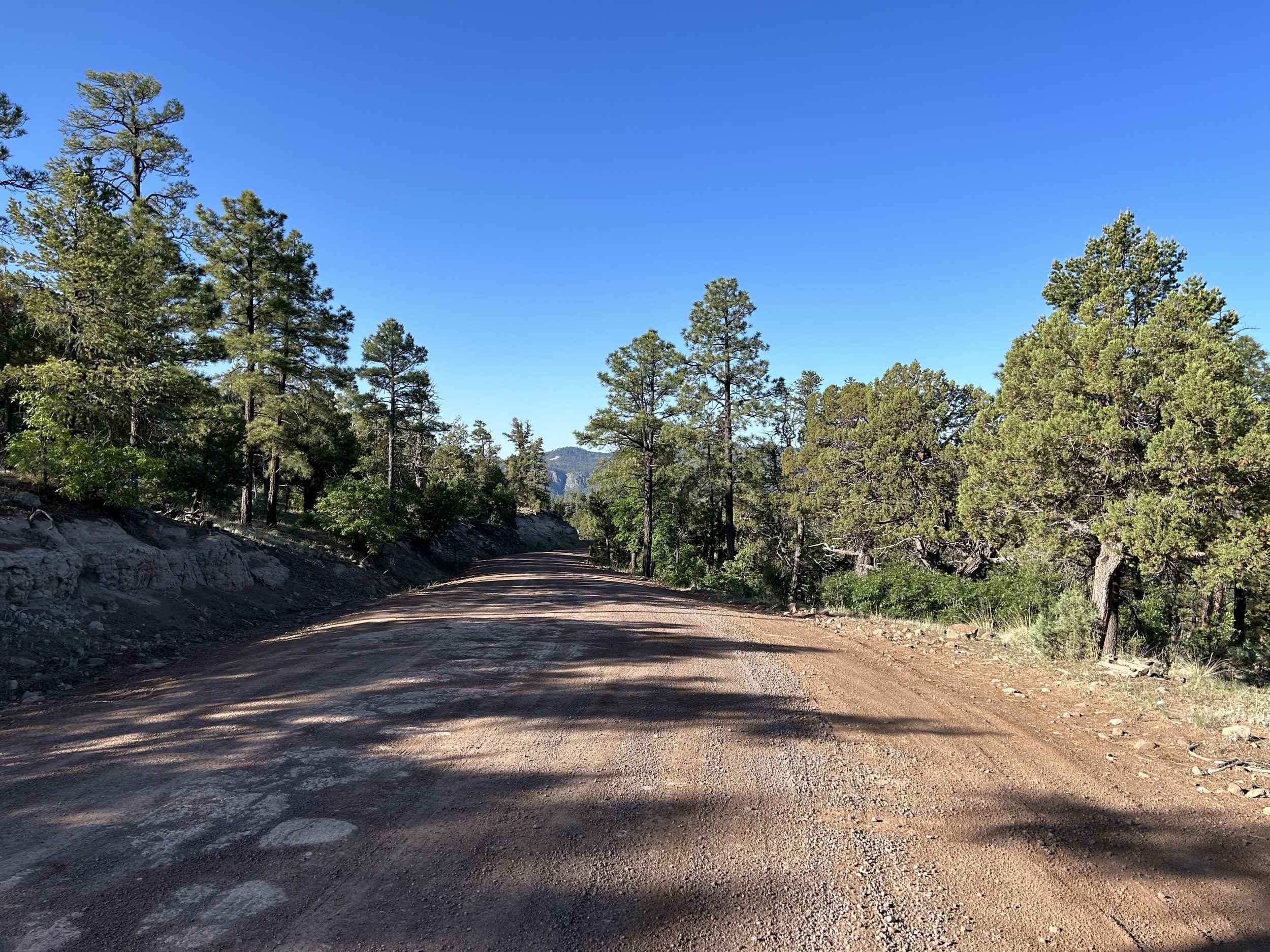
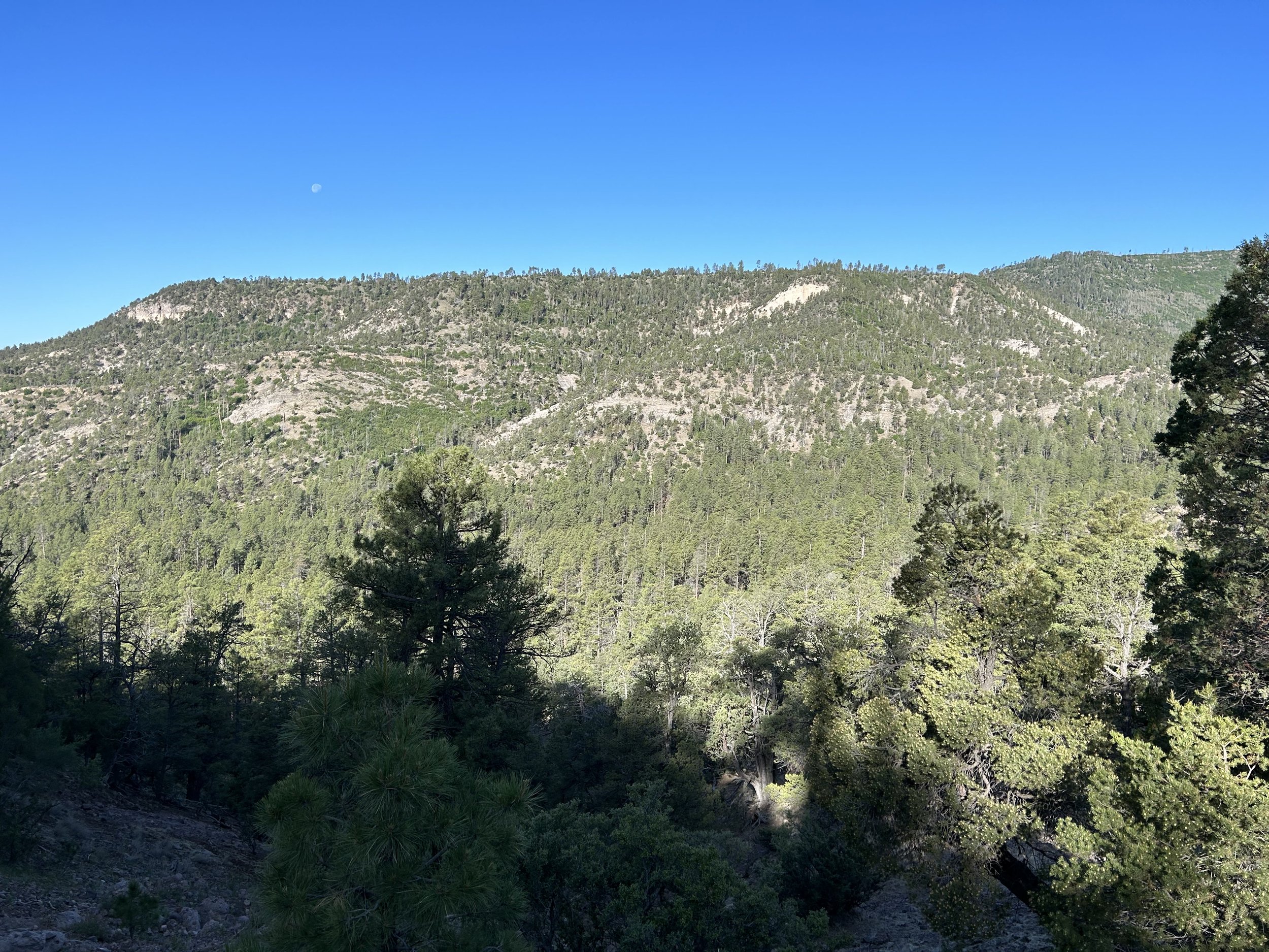
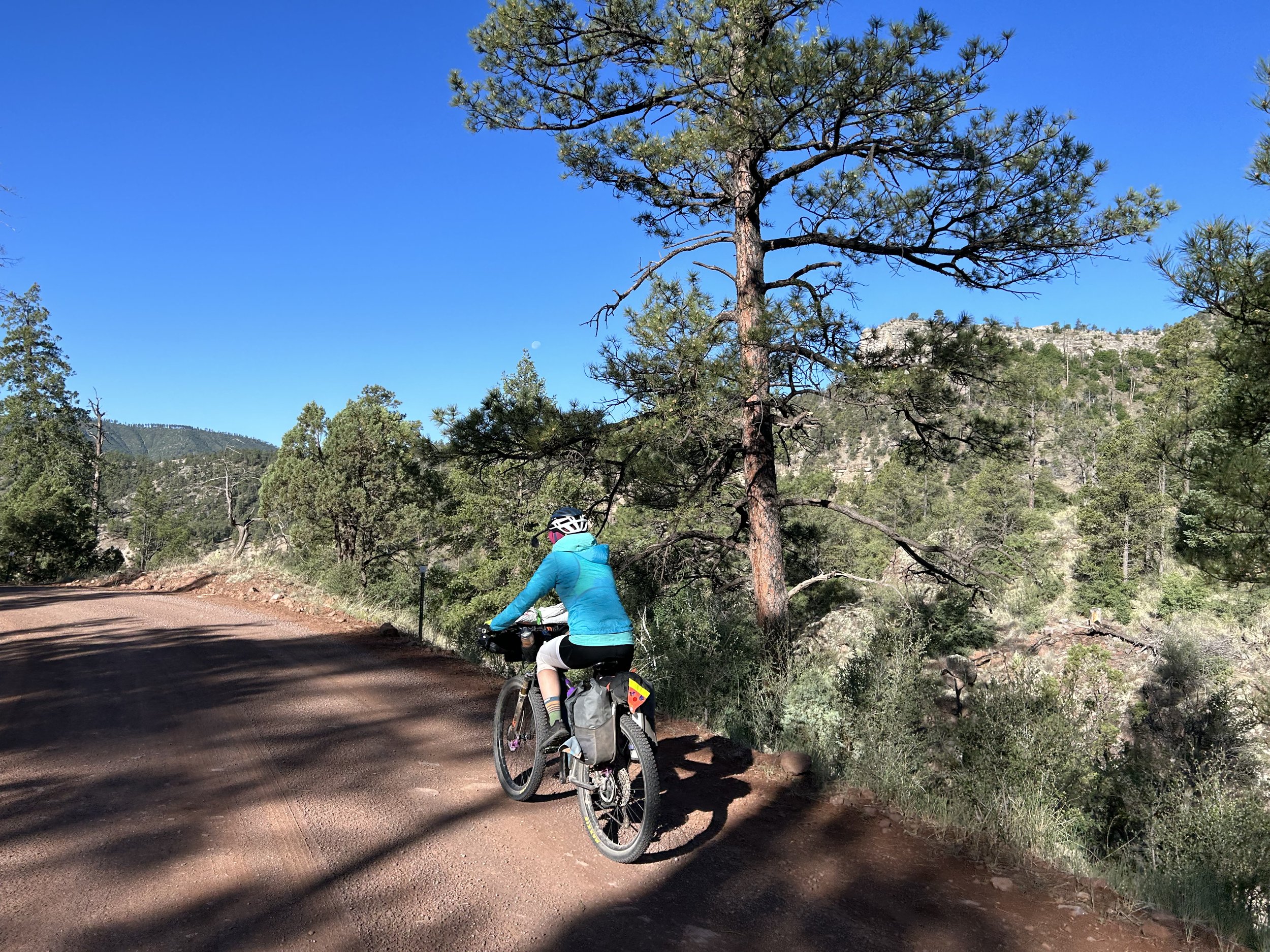
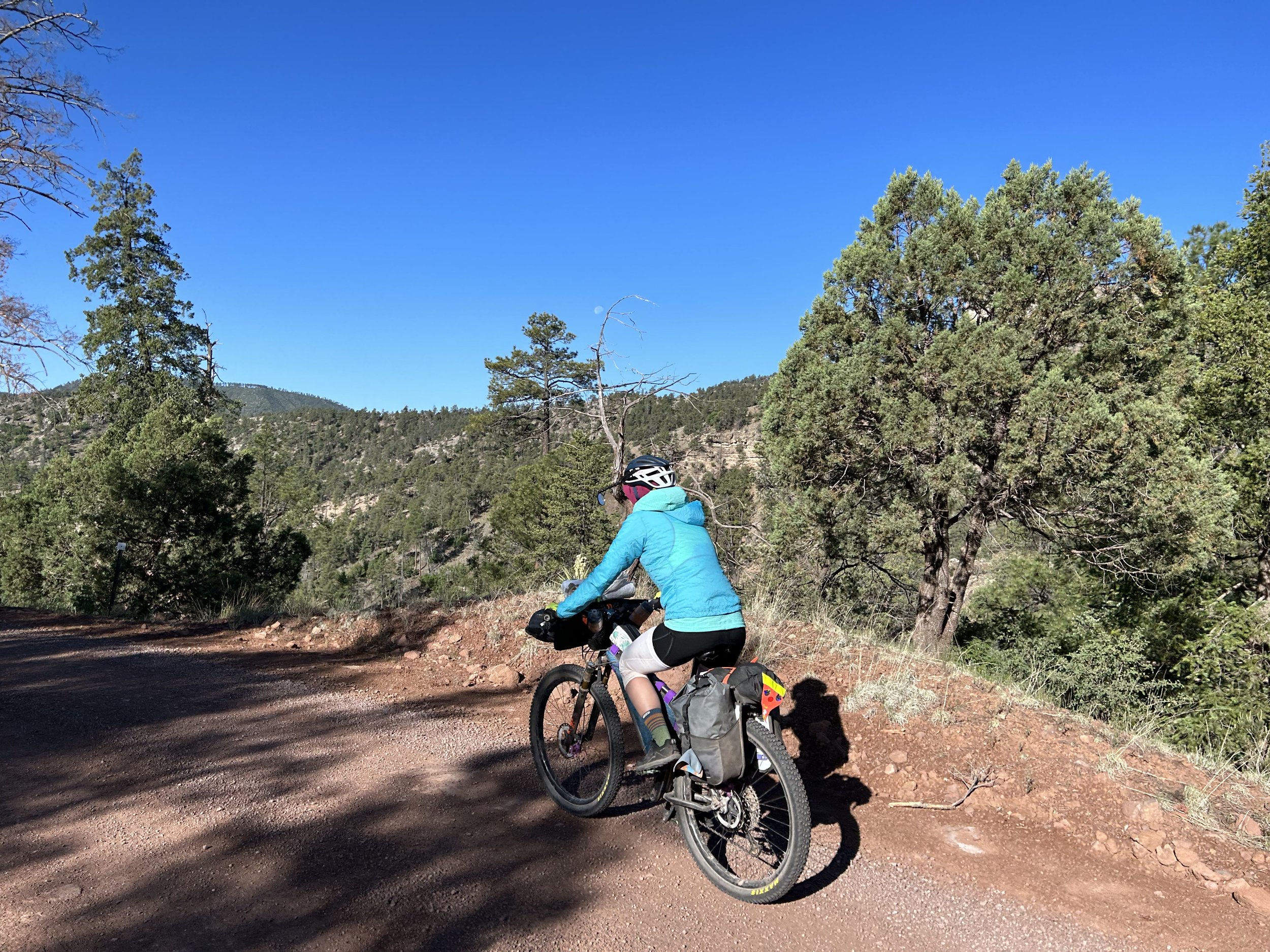
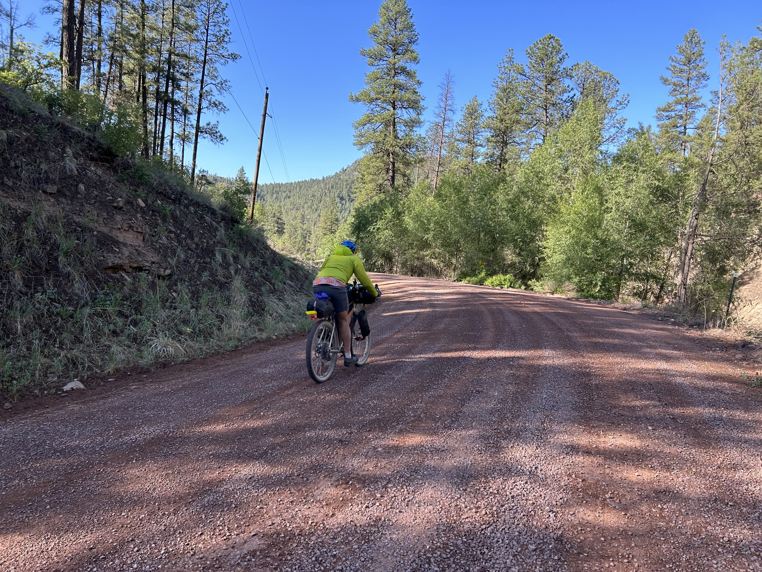
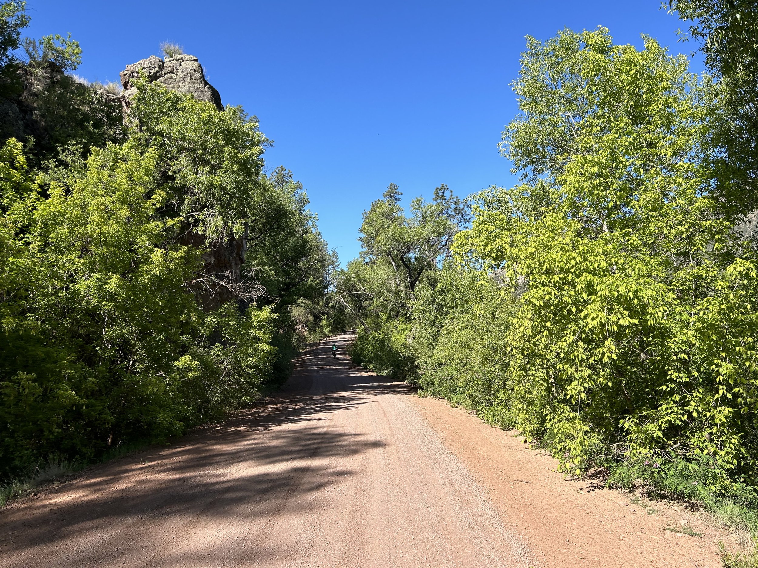
The morning's blue sky beckoned, so we checked out of our room and starting speeding down the dirt road with crystalline sun shafts catching tree boughs. It was crisp enough we wore wind jackets to start. A waning gibbous moon sat high above Alpine's valley. We road along the highway shoulder before reaching Luna Lake and the turn to Blue. Yesterday, when we had bought groceries from the gas station, the clerk had turned out to be a newly-graduated senior from the small schoolhouse down in Blue. She said she had loved growing up in the village, the Blue River, the dirt roads, and the terrain. I definitely was curious to see what the school there looked like.
As the morning sun beamed down on us, we passed under shaded sections of pavement that quickly transitioned to dirt. I had the electrifying feel of anticipatory excitement to ride along the Blue Range Primitive Area. Like any federally designated Wilderness Area, the Blue Range Primitive Area prohibits bikes. I had spent a good number of times hiking down into the Blue Range via the spiderwebbing trail network that comes from Hannagan. But I had never made it down to the Blue River. I specifically designed the El Lobo Lupus to take Red Hill Road up the Red Hills (and hopefully through some scenically namesake rock outcrops of the Mogollon Rim) because this road is directly adjacent and forms the northern boundary of the Blue Range Primitive Area - as close as a bike can legally get to see that landscape. The Blue Range is the last federally designated Primitive Area left in the US National Forest system. The Blue Range has also been one of the places where the reintroduction of el Lobo initially occurred. The chance to travel along this place via bike compelled the route direction we were moving.
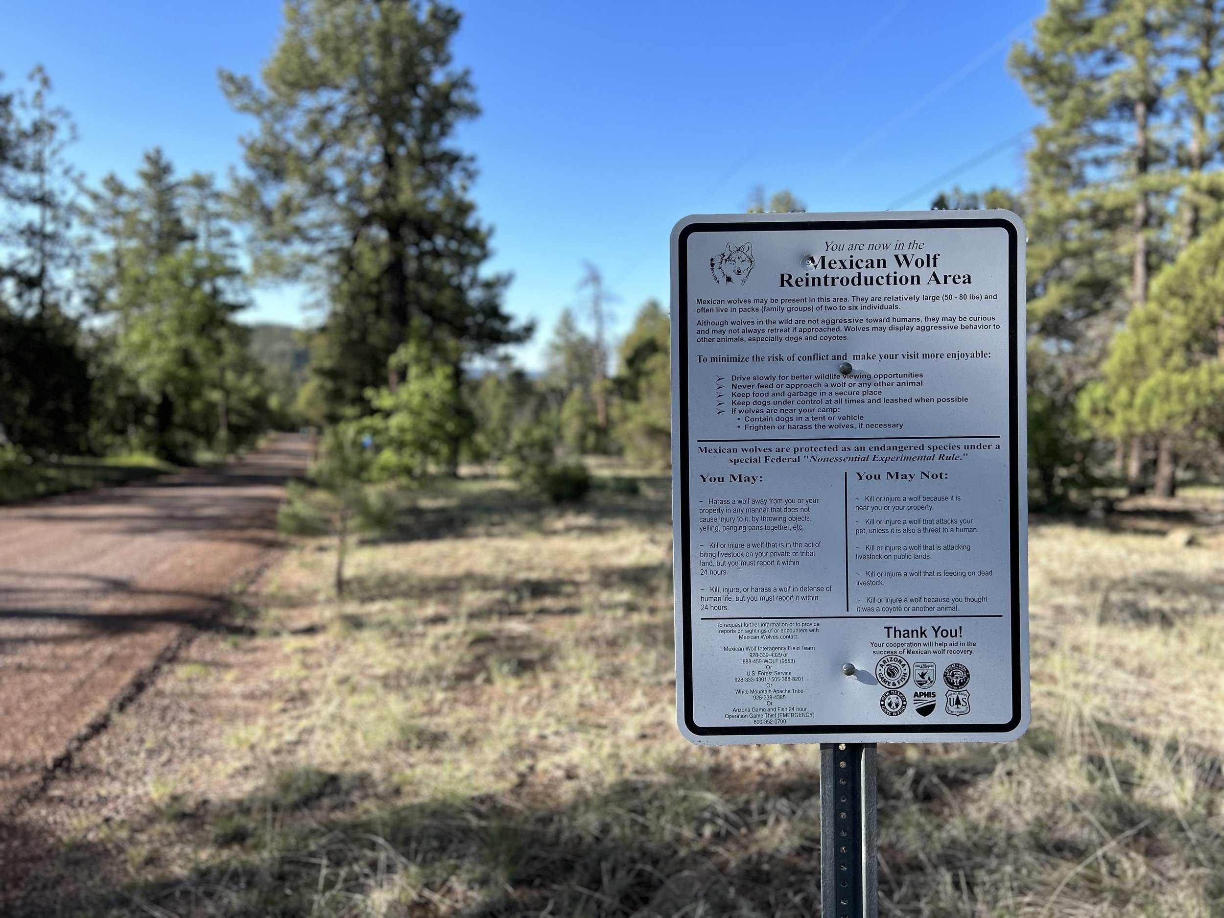
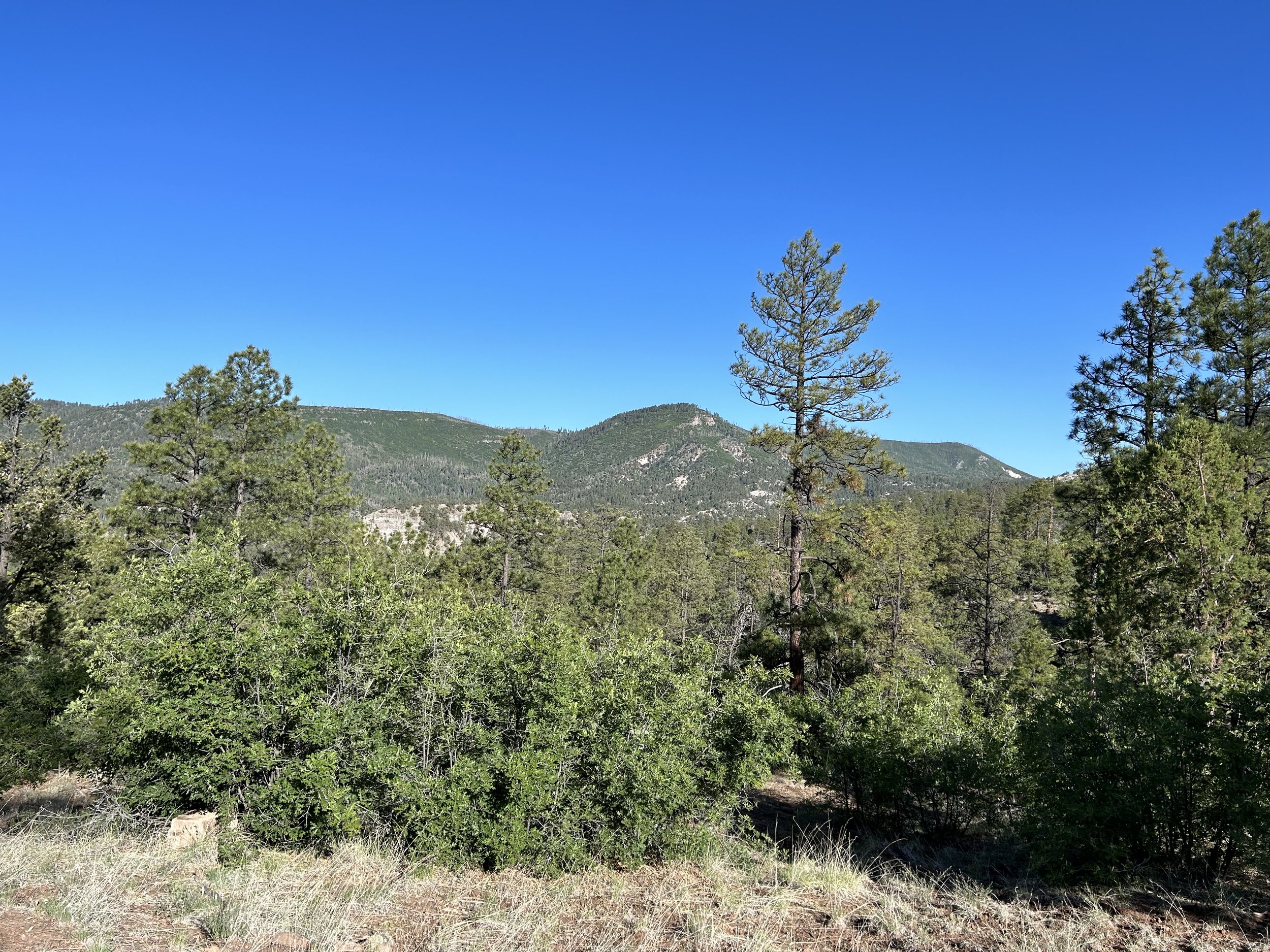
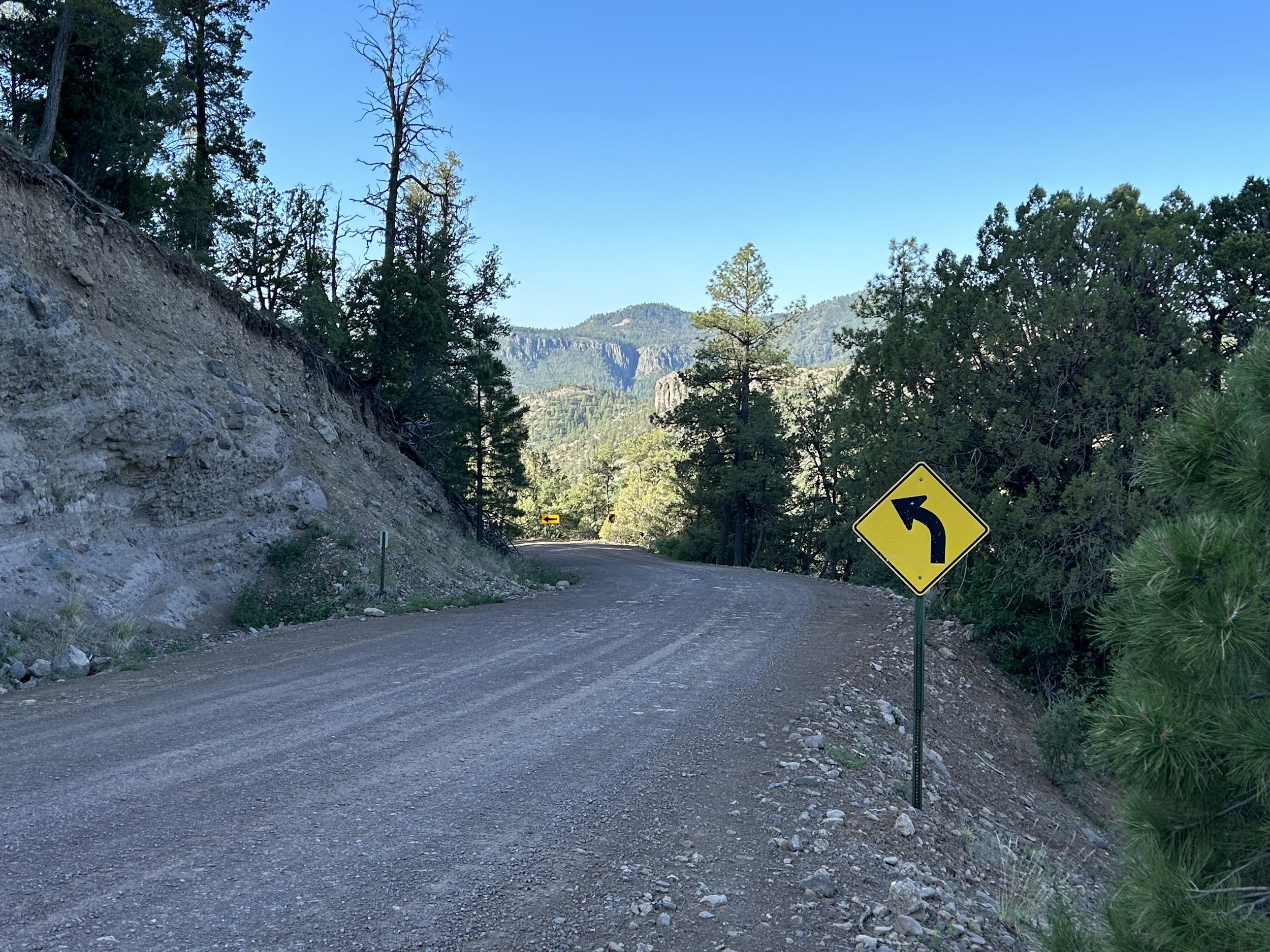
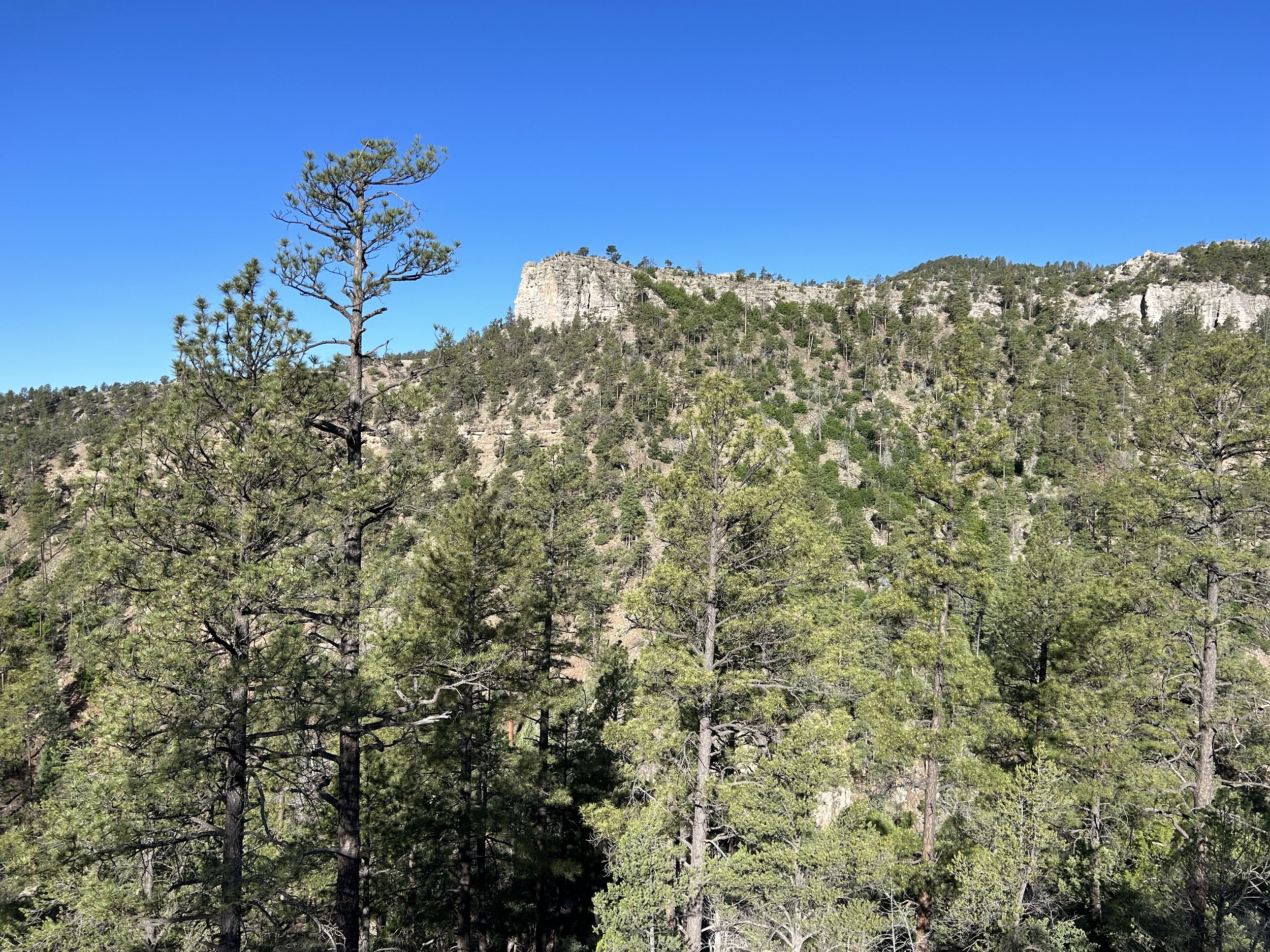
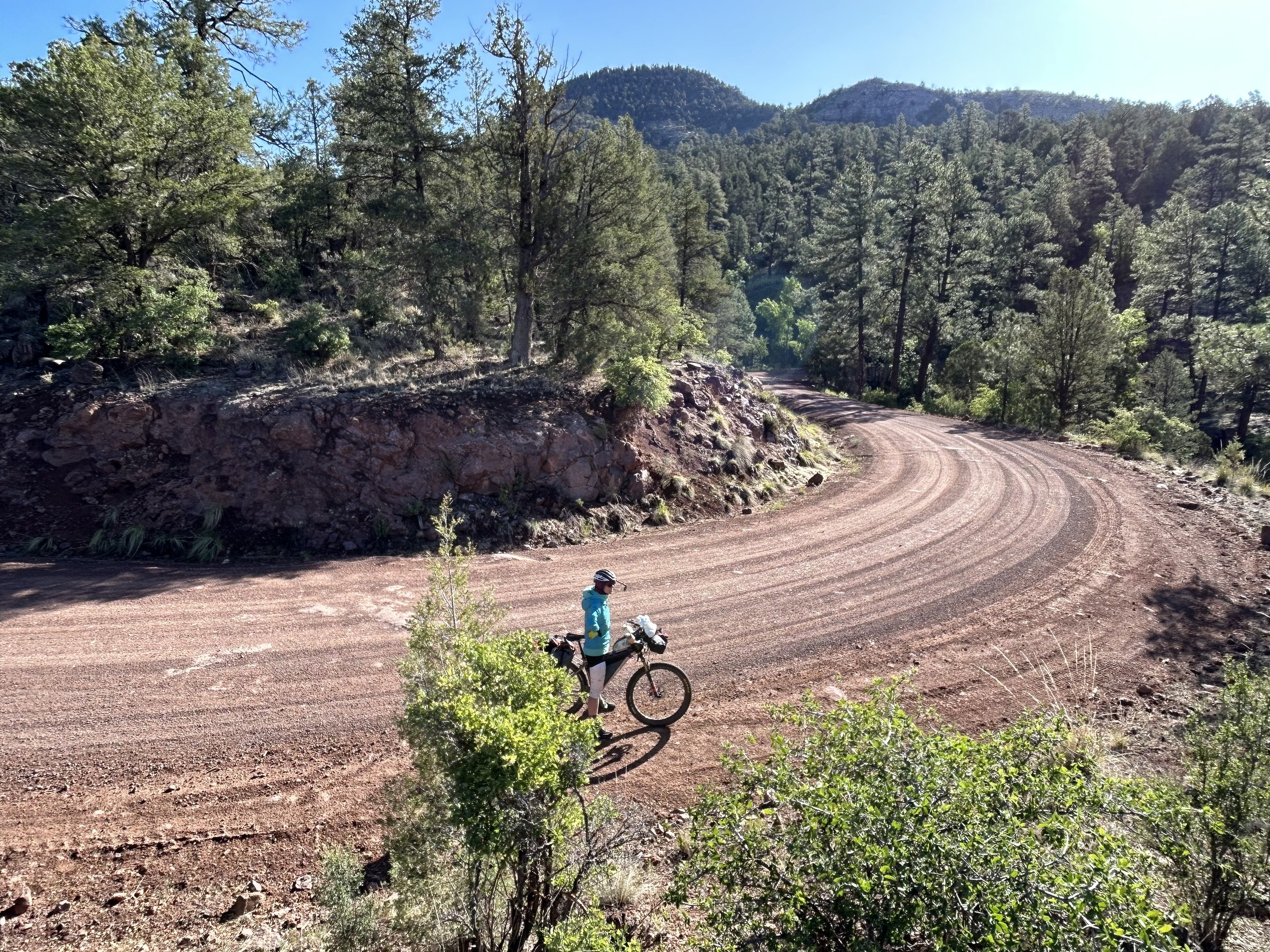
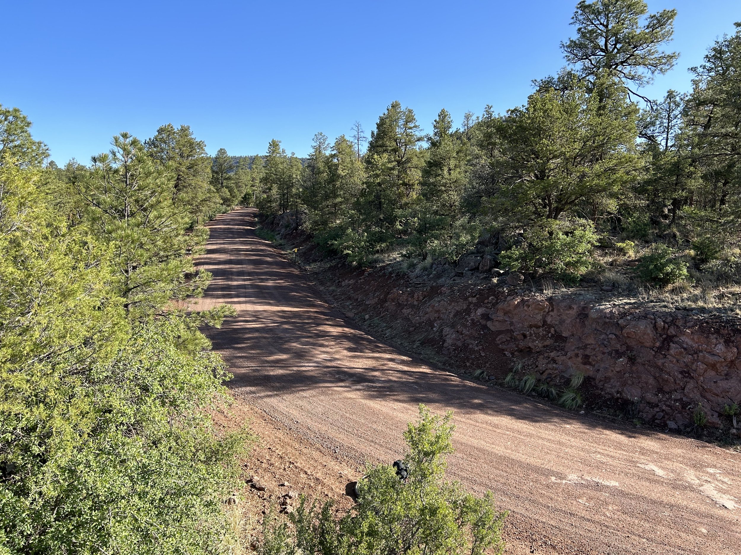
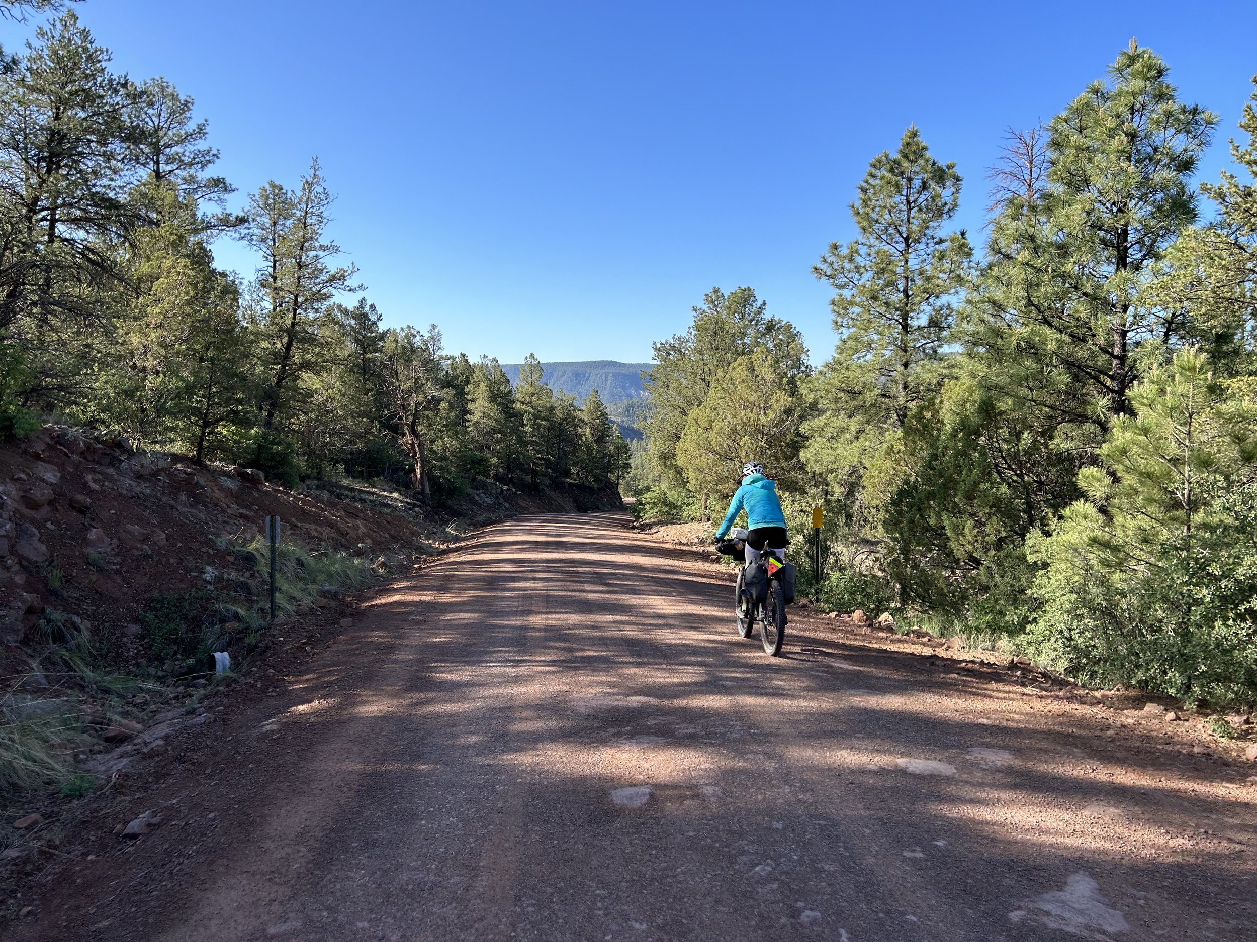
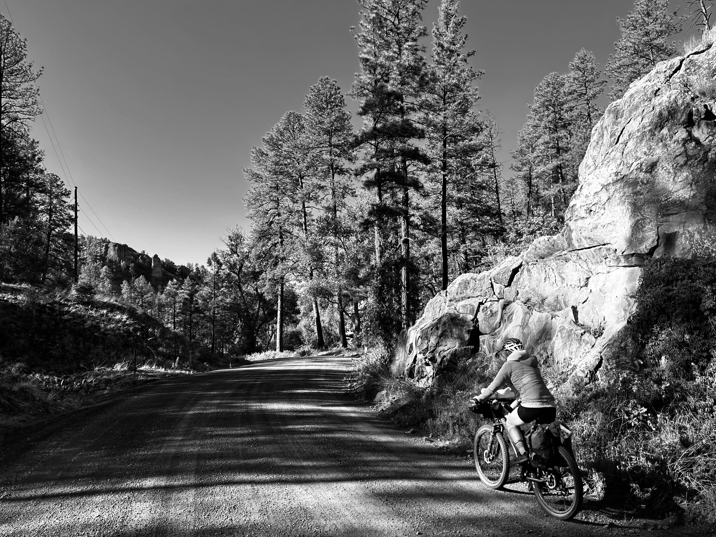
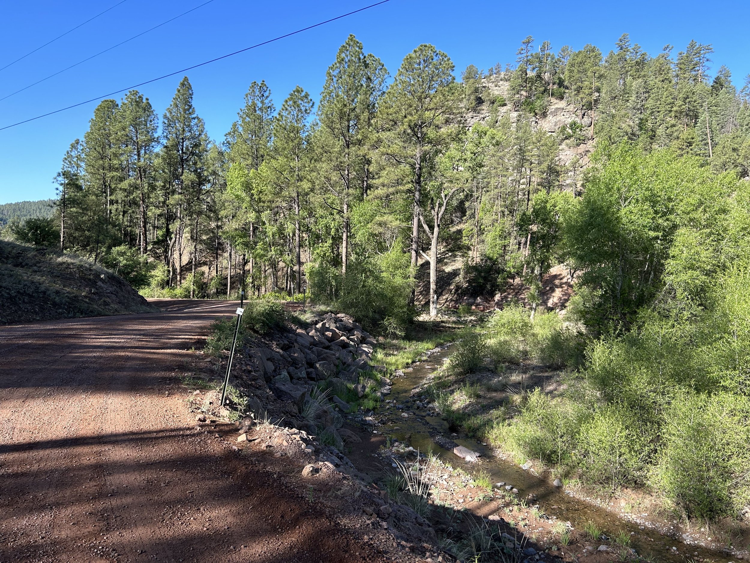
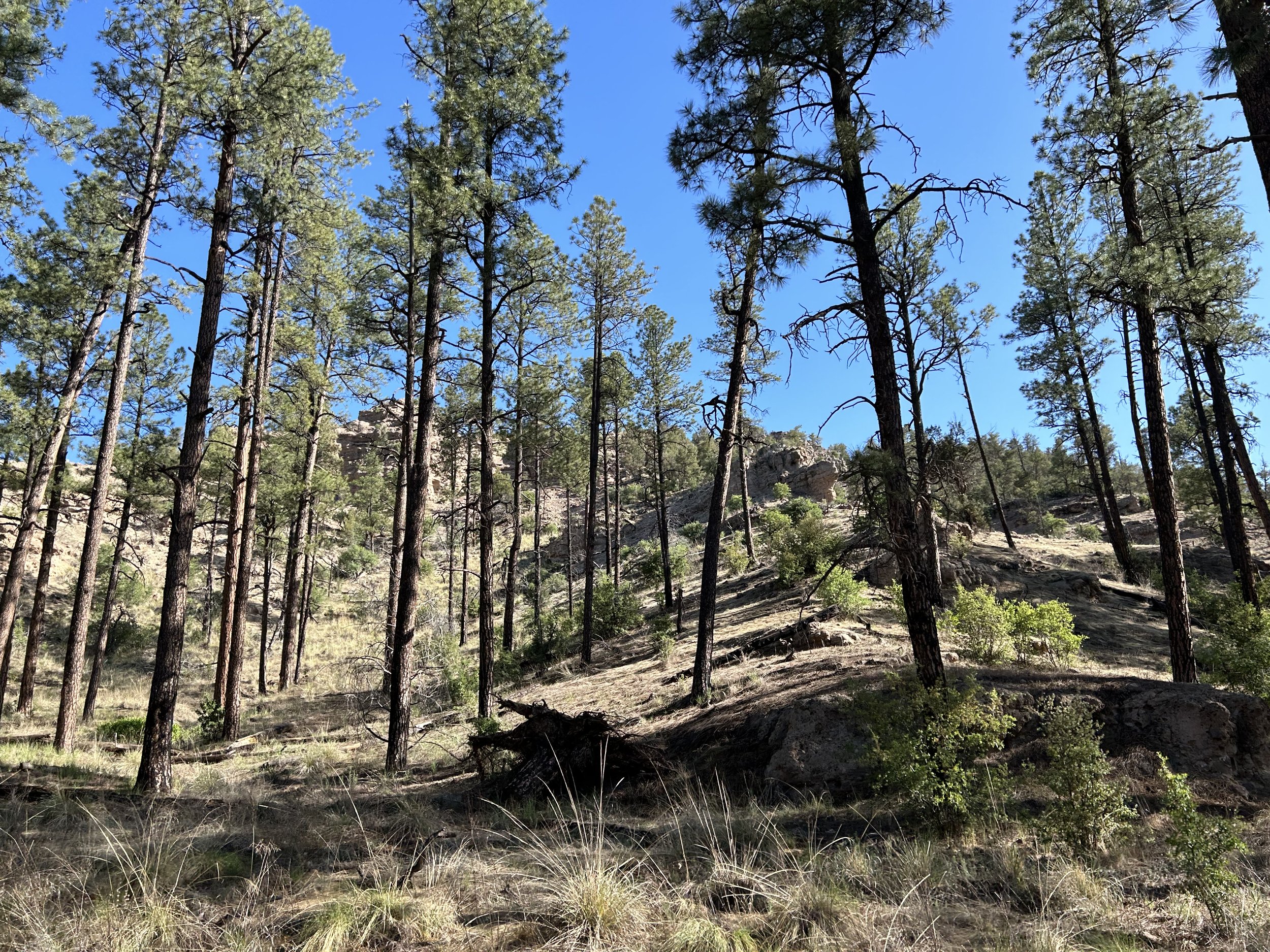
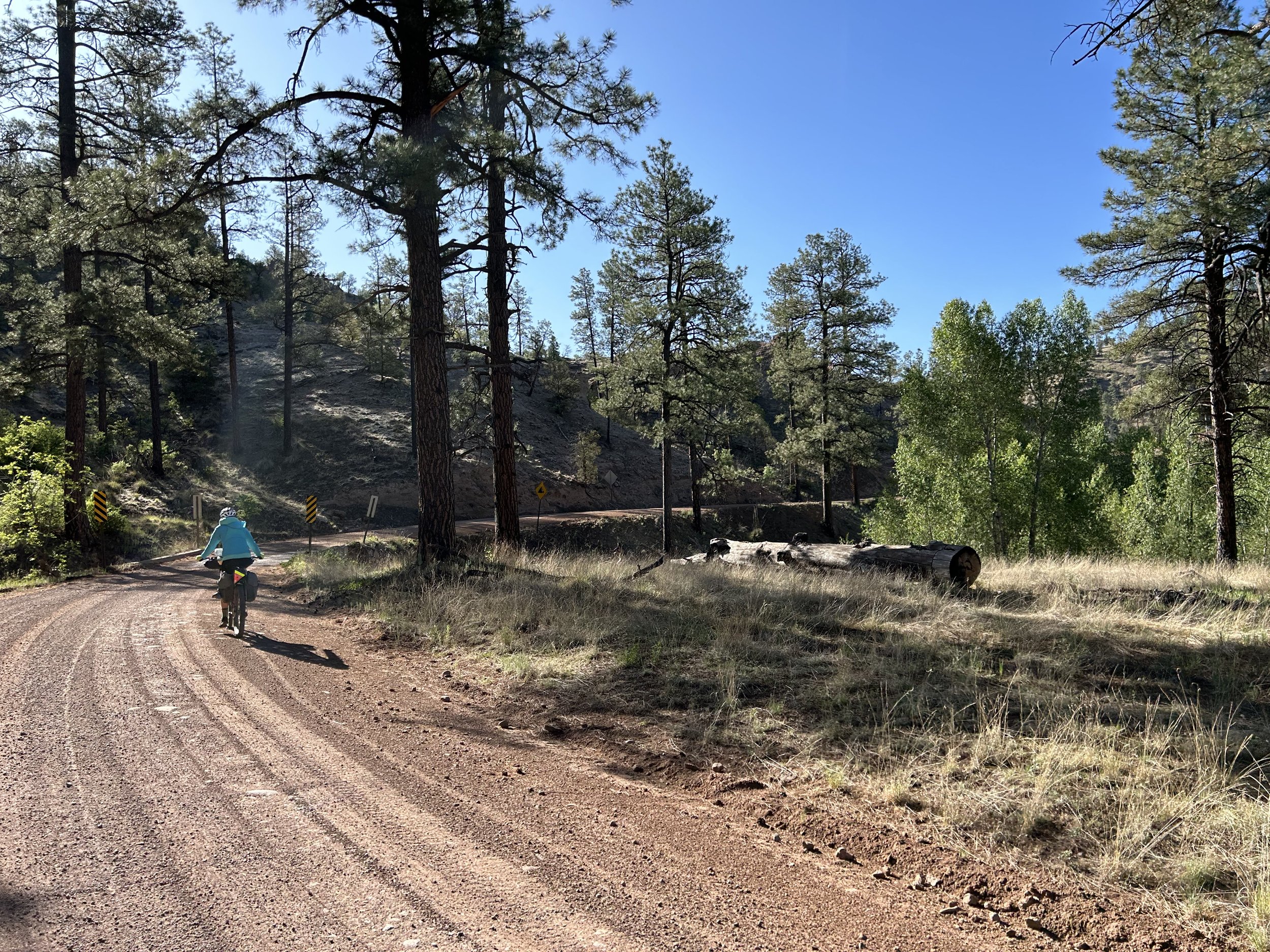
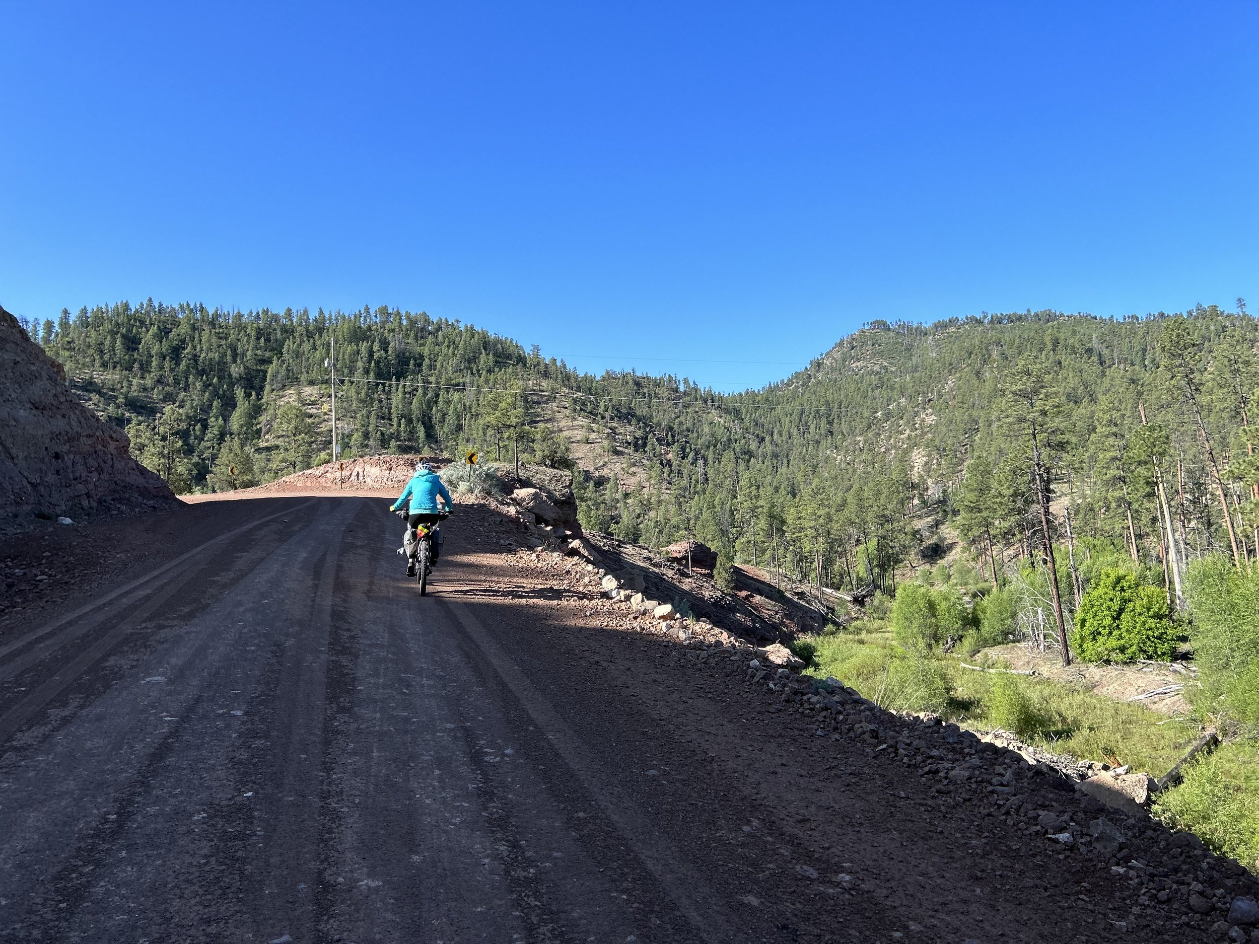
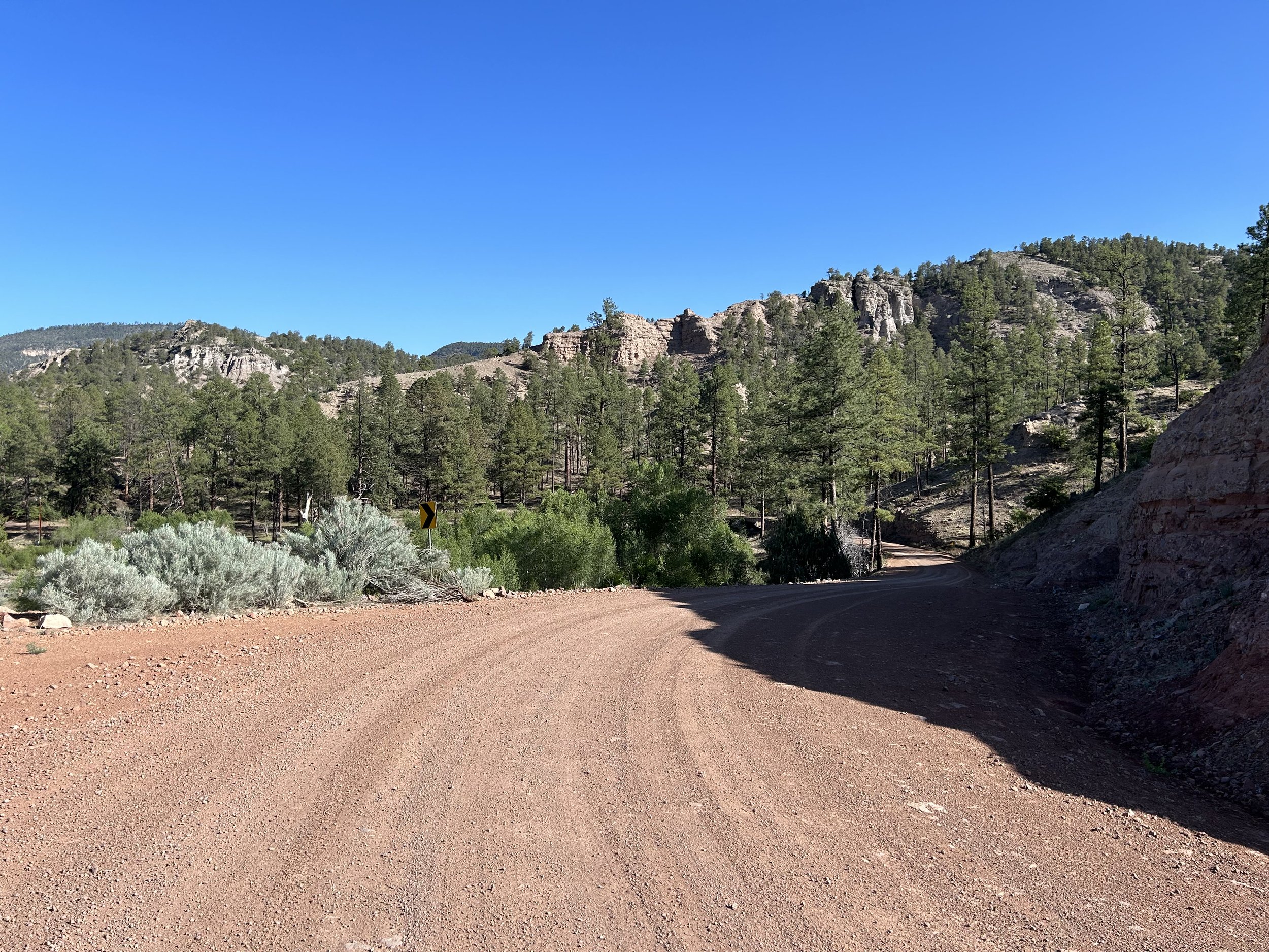
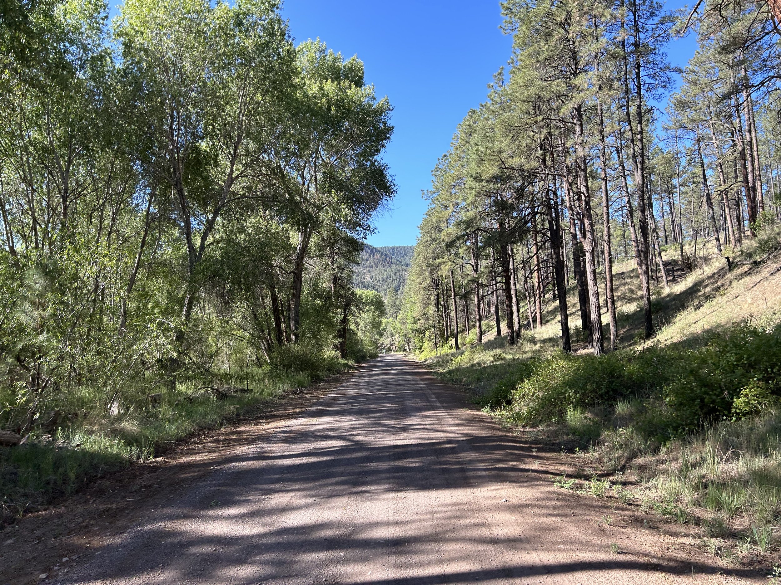
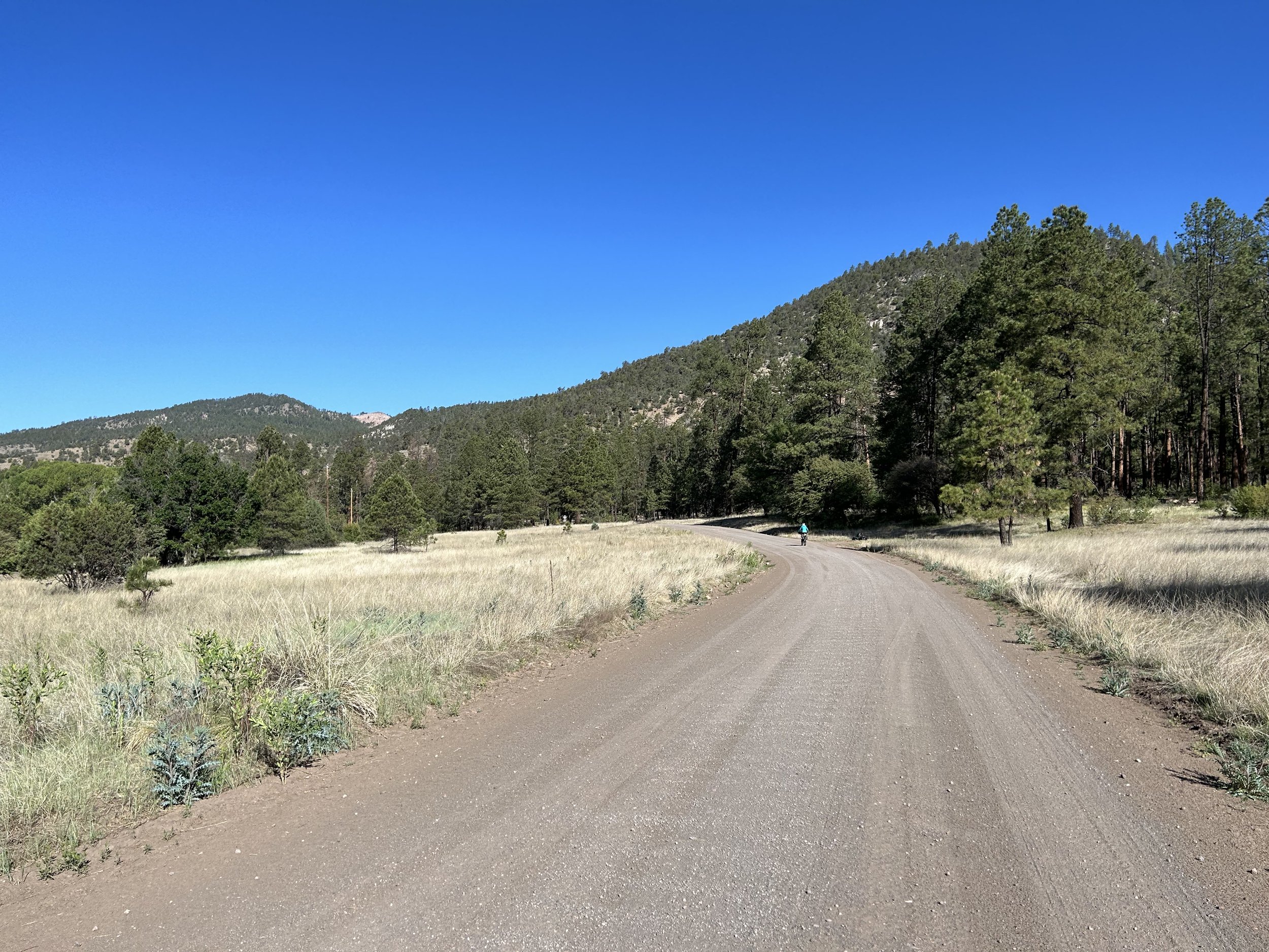
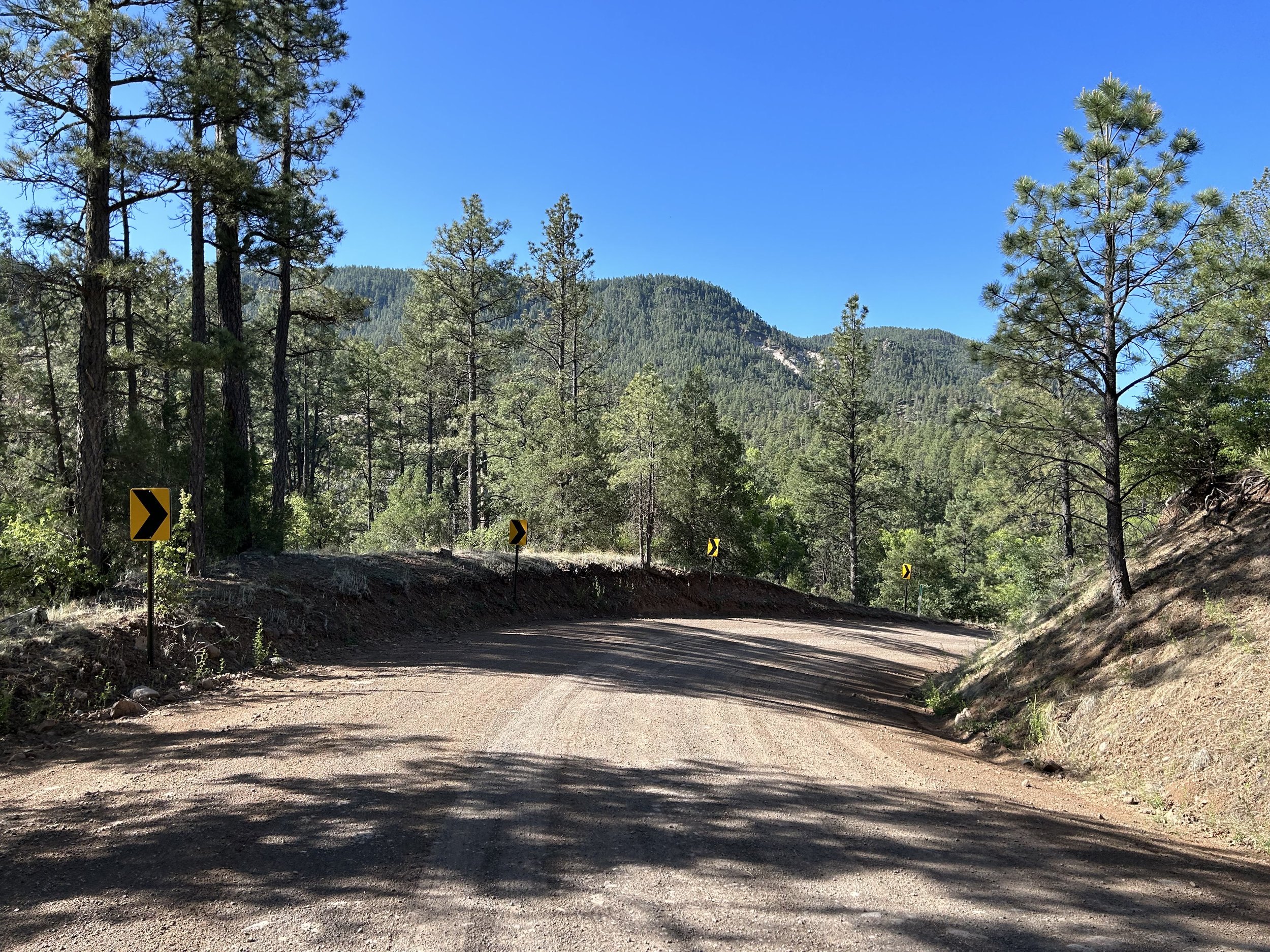
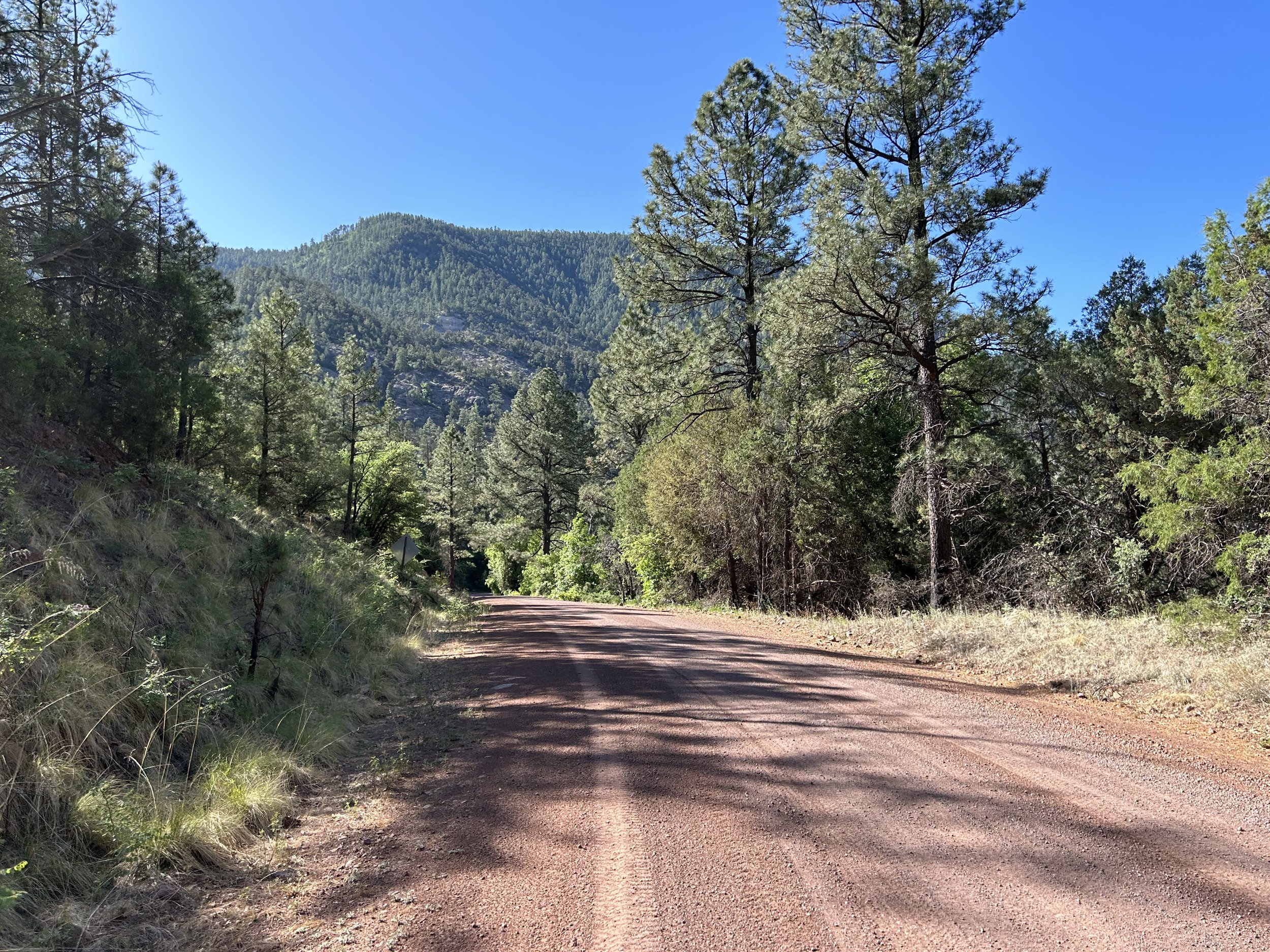
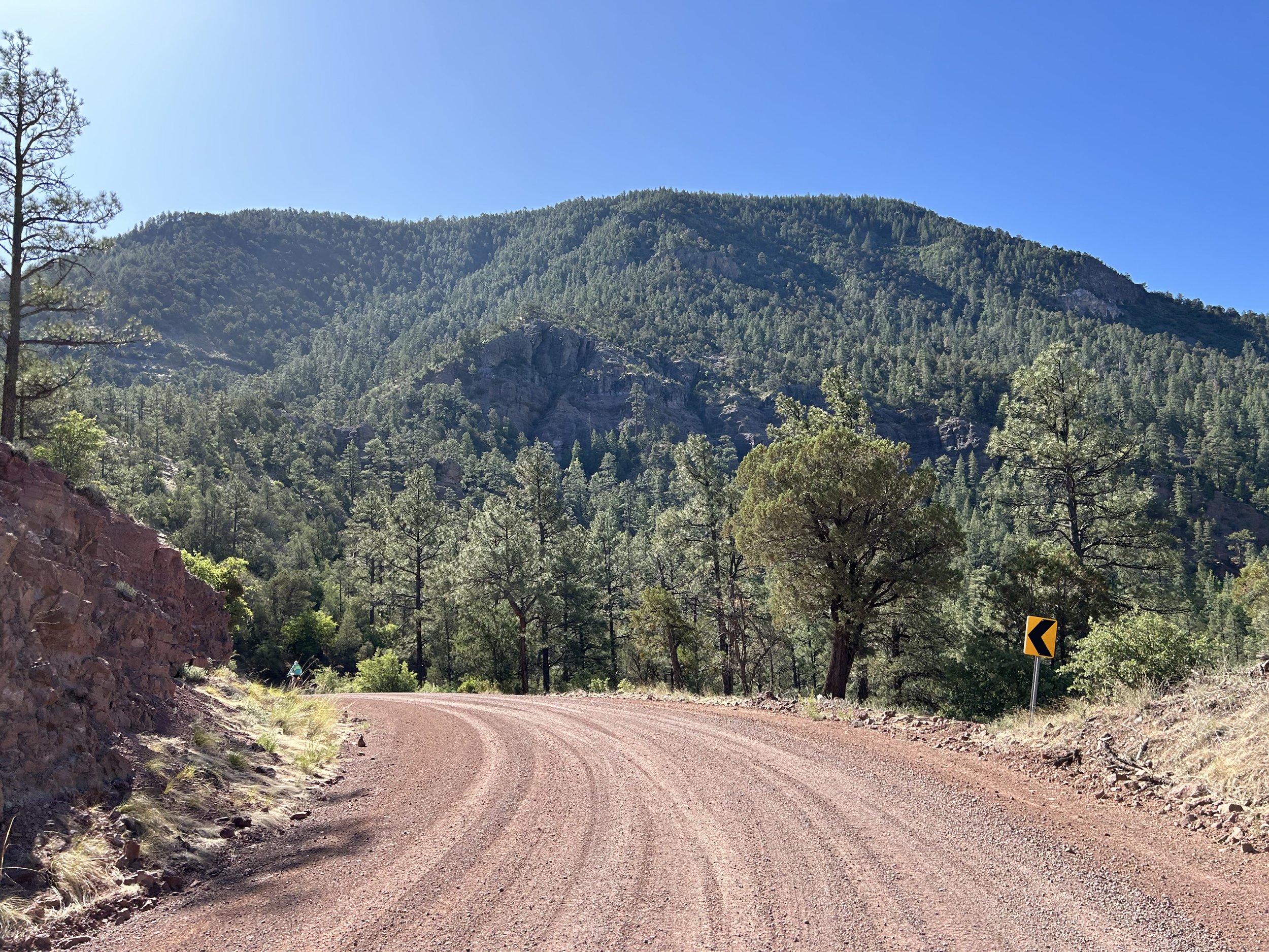
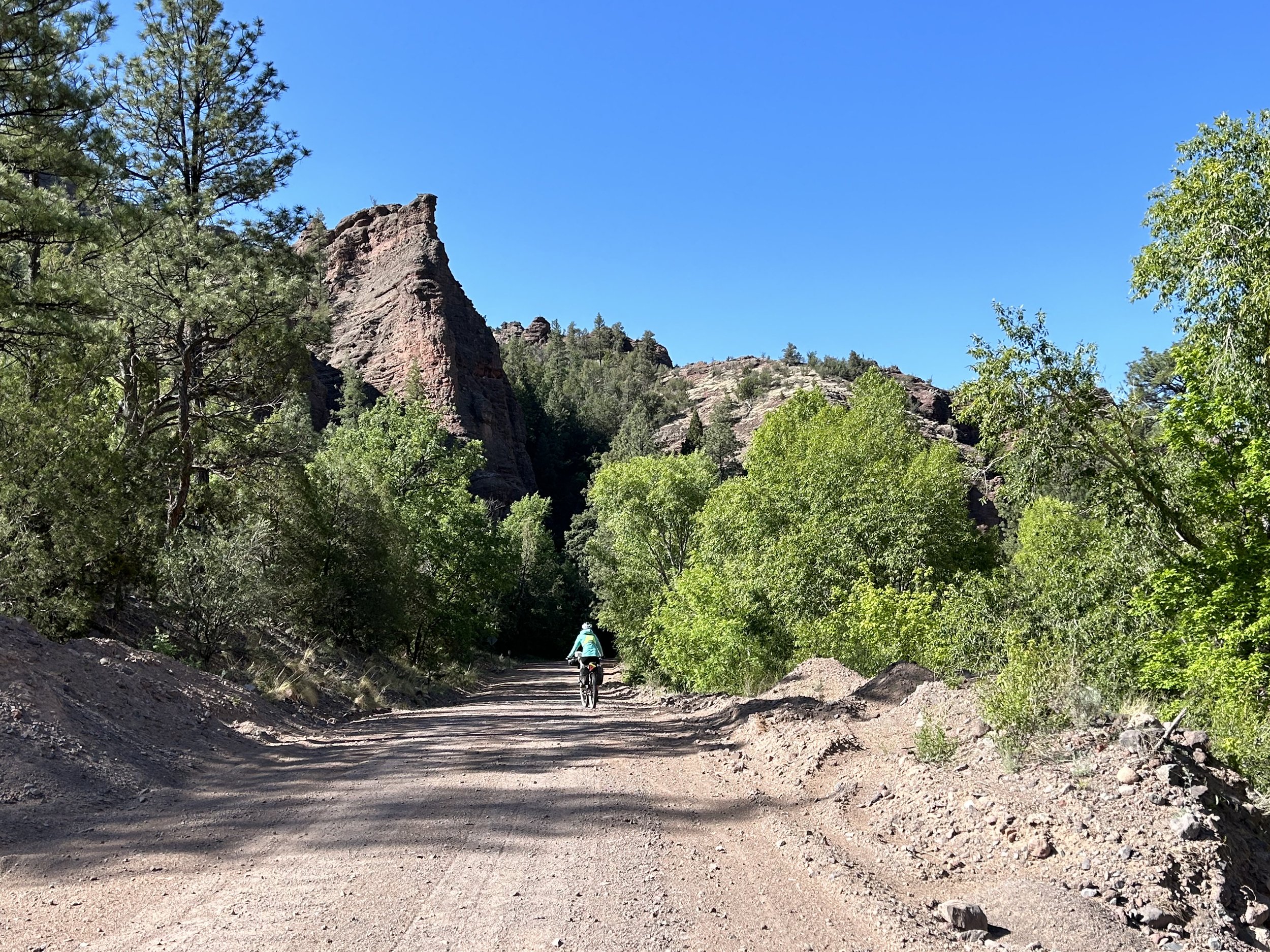
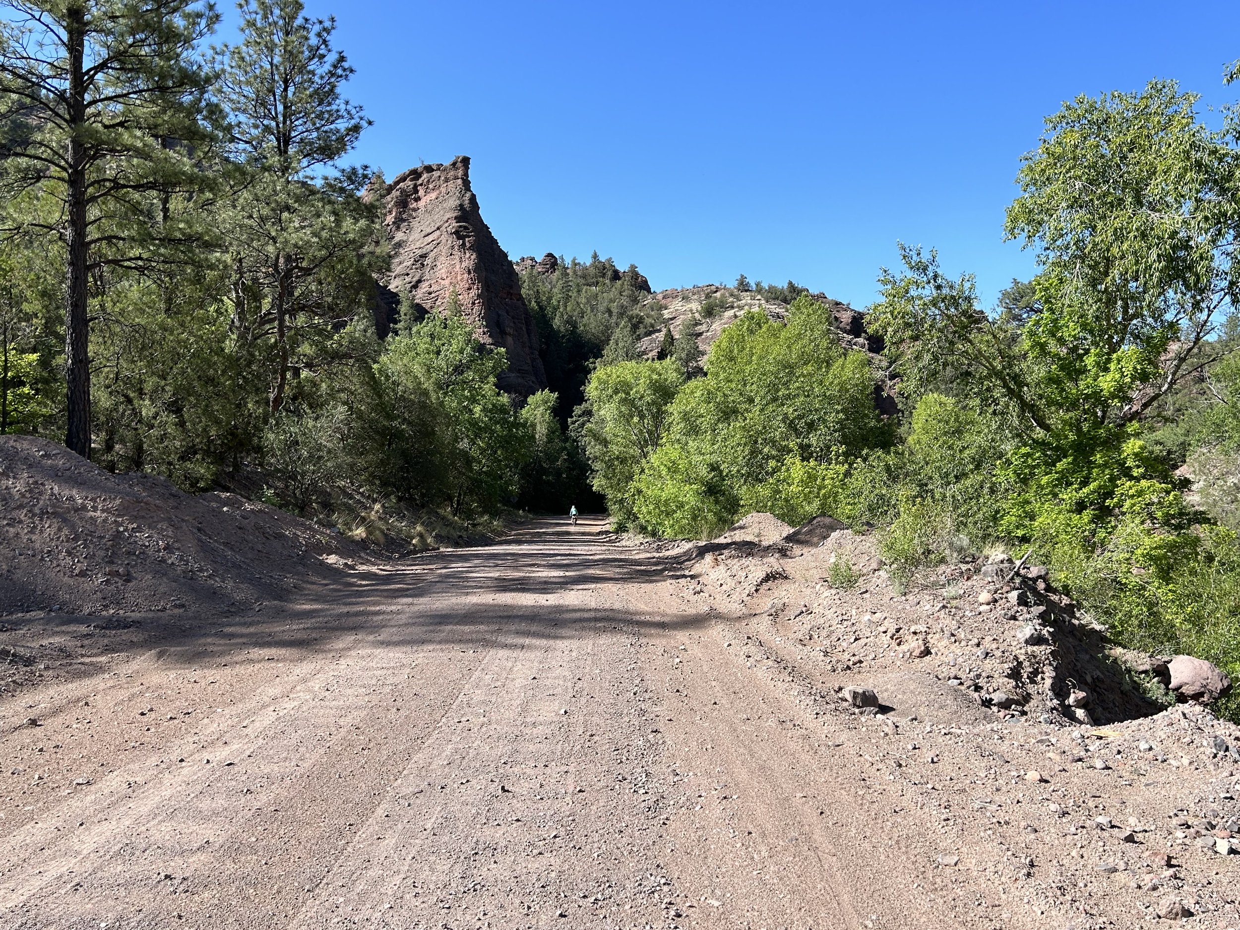
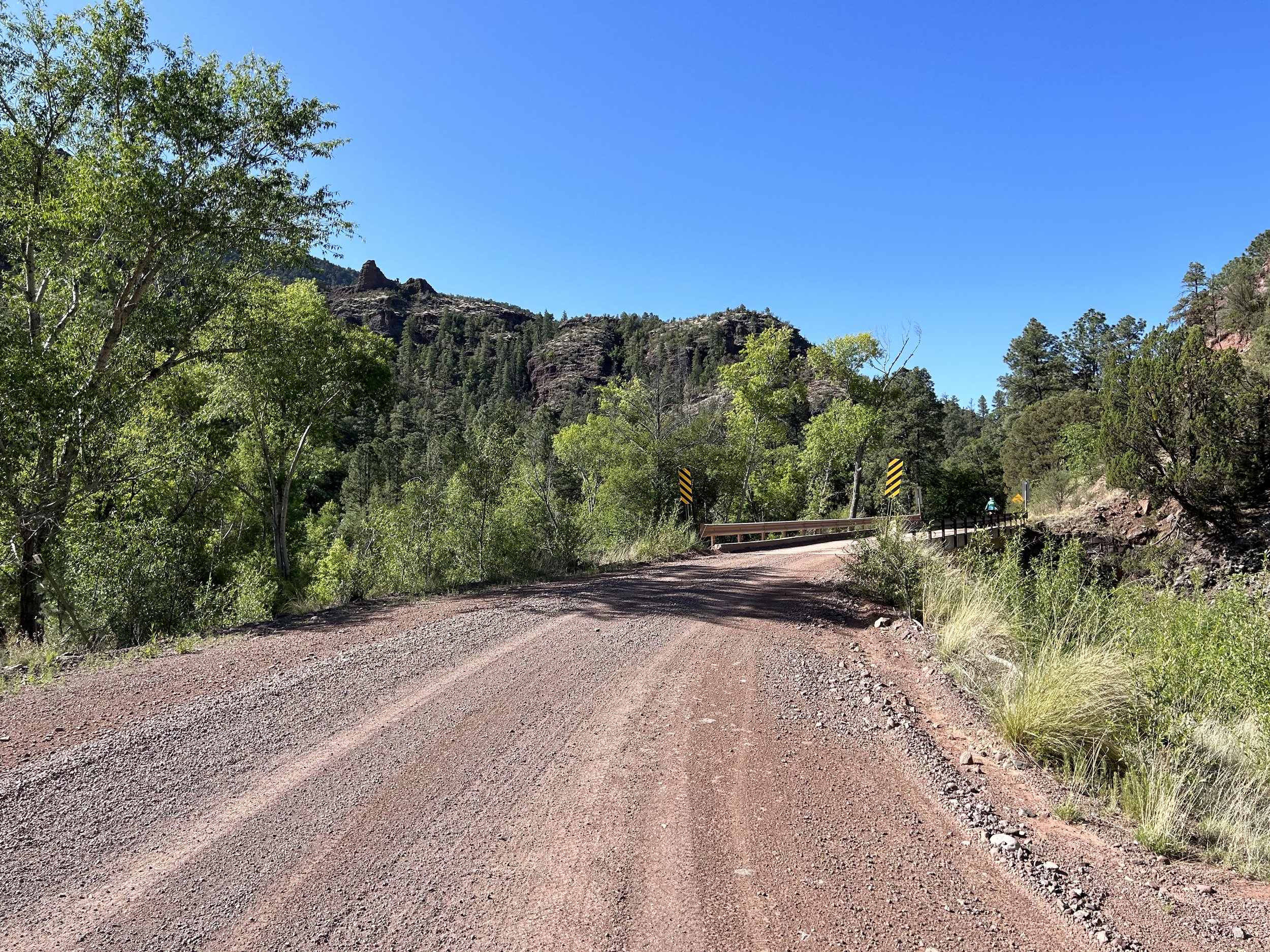
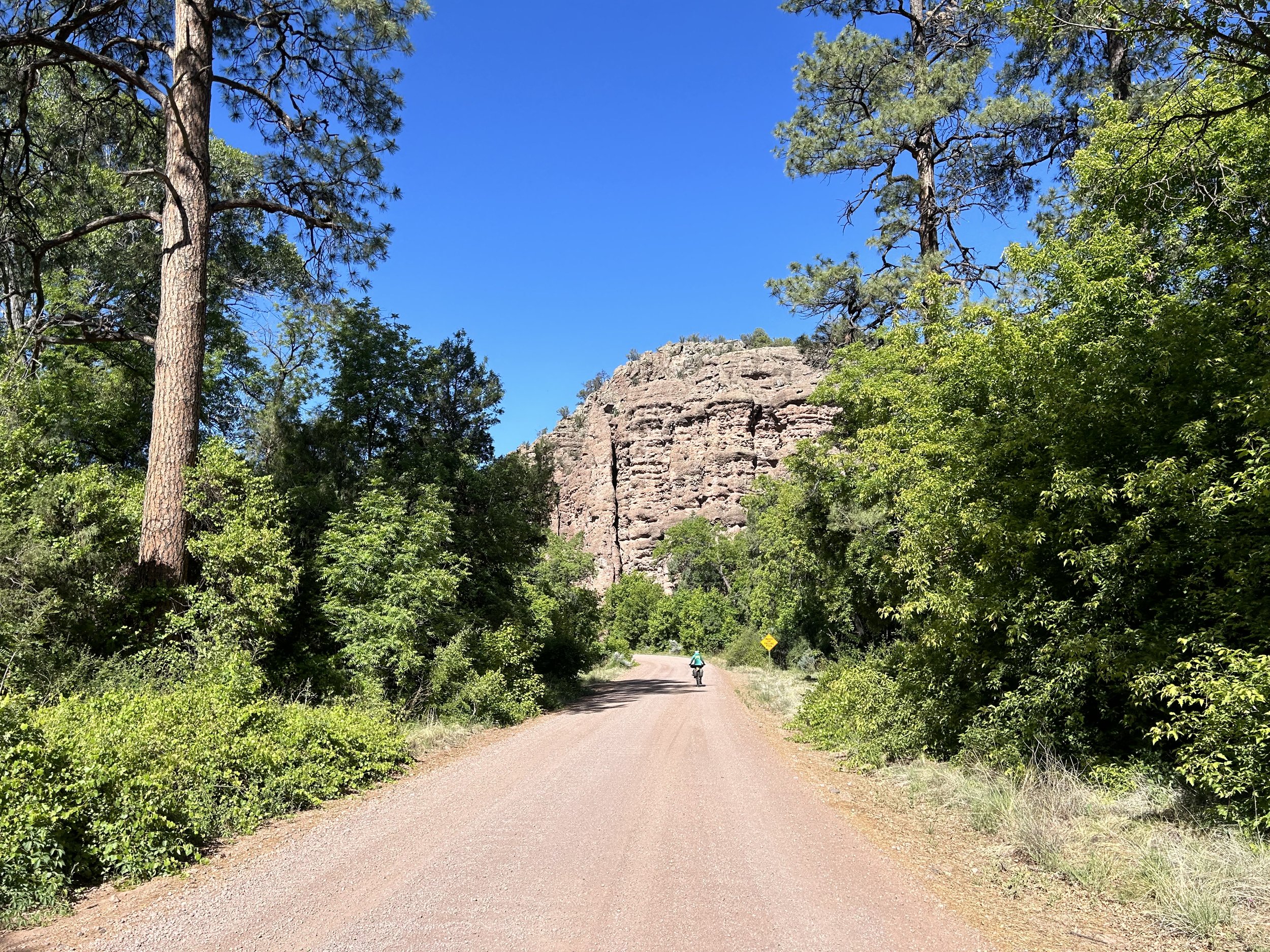
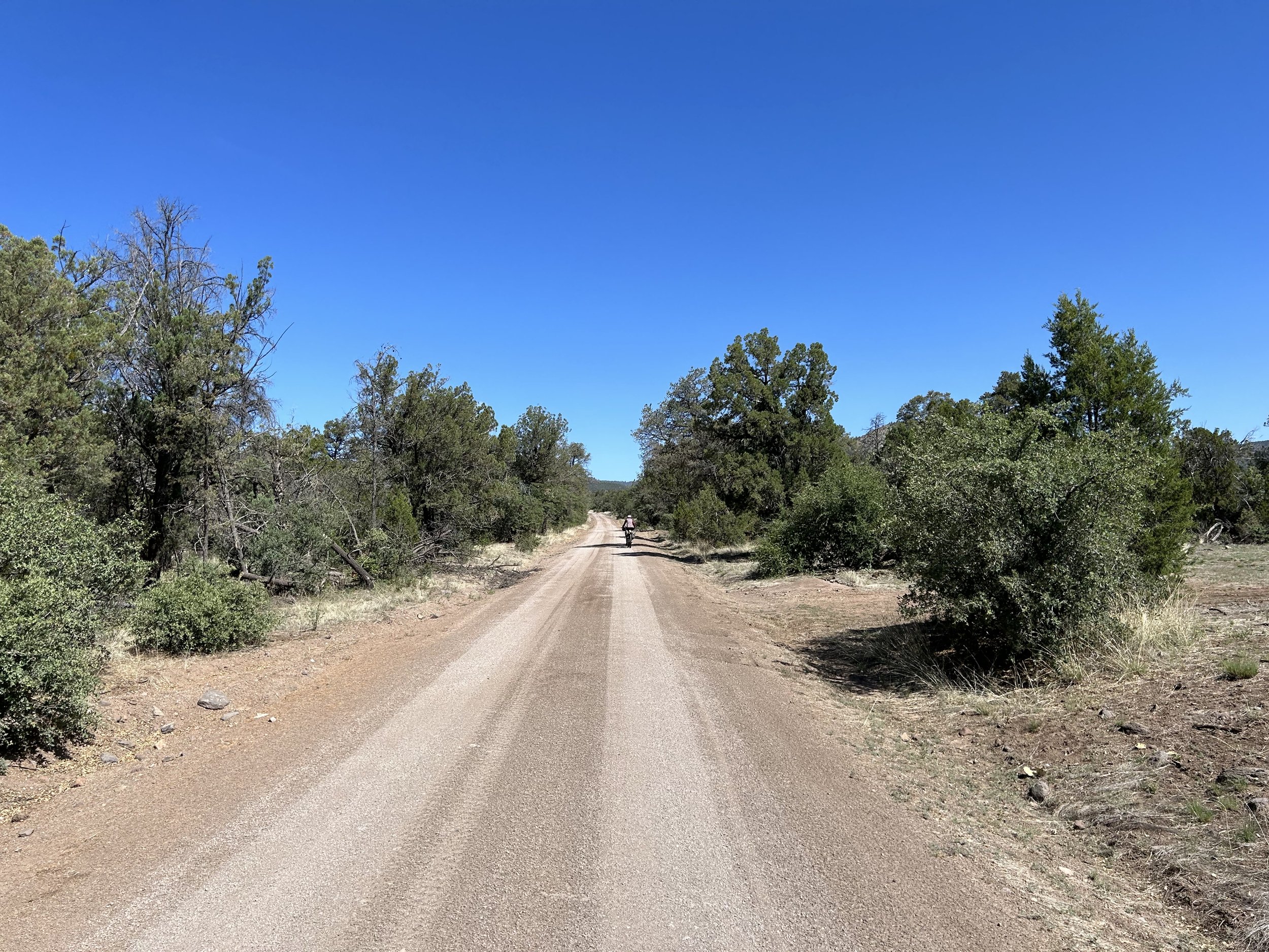
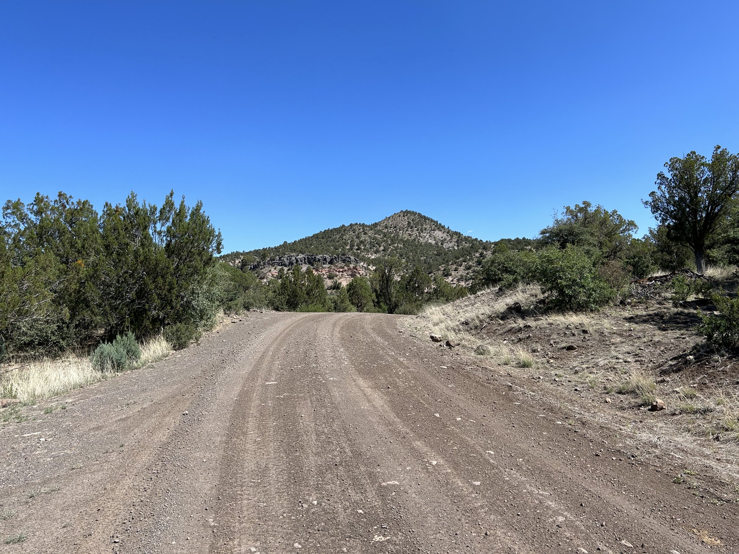
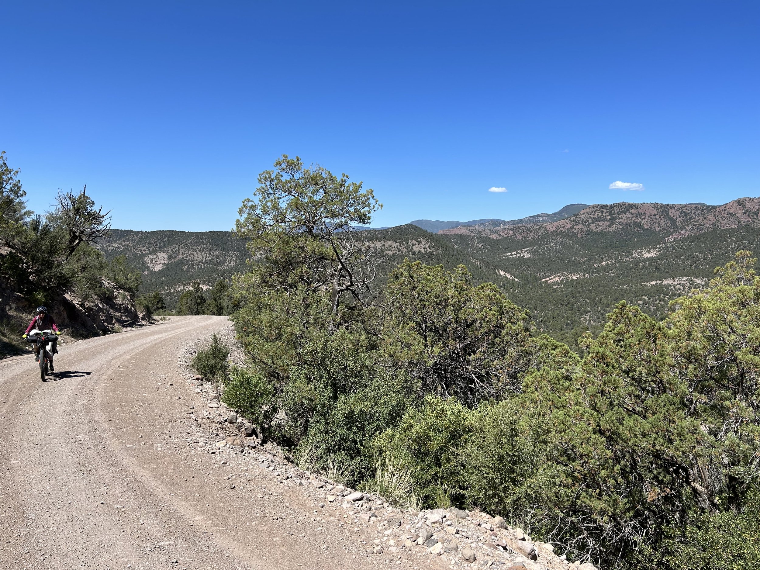
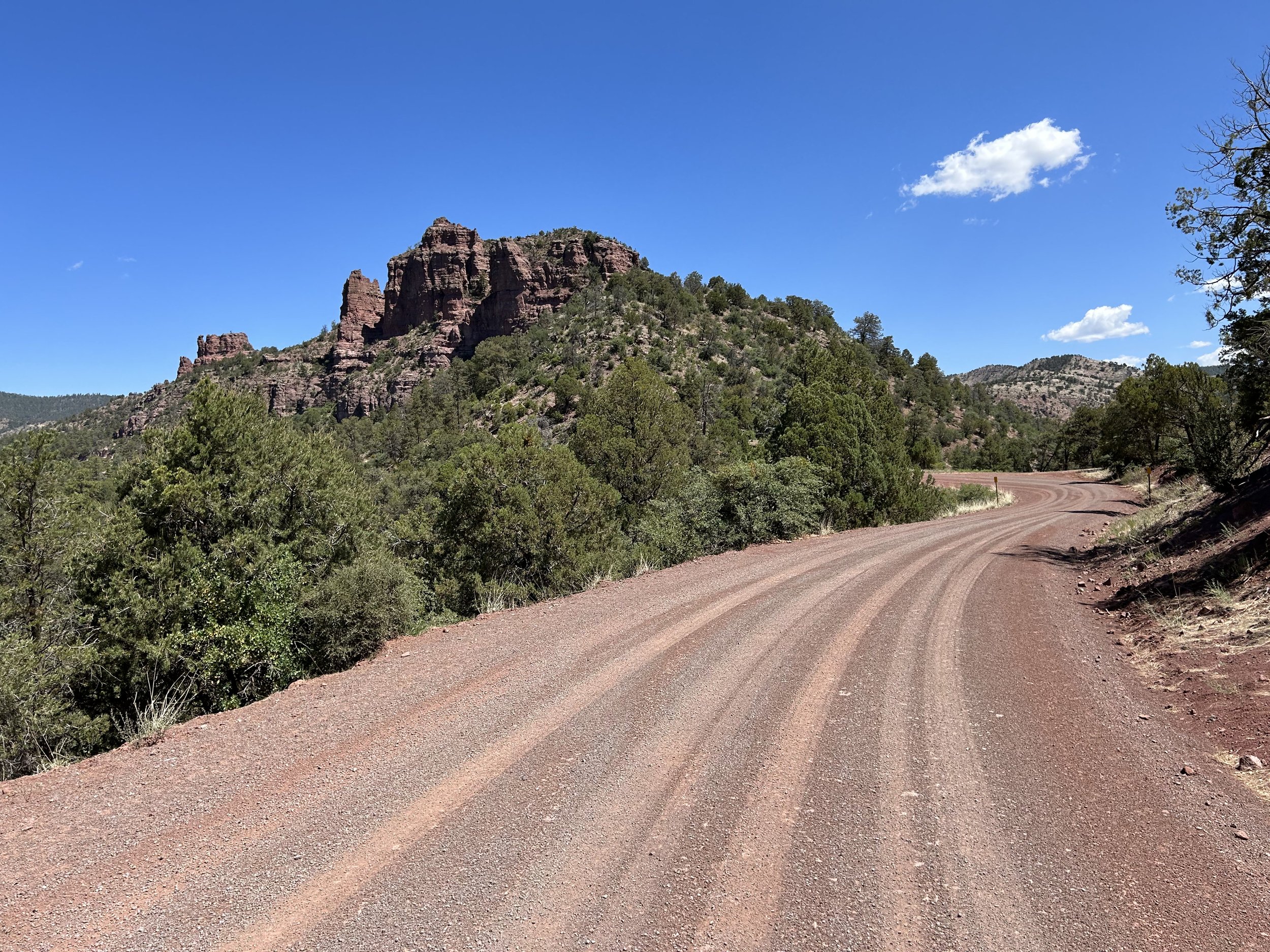
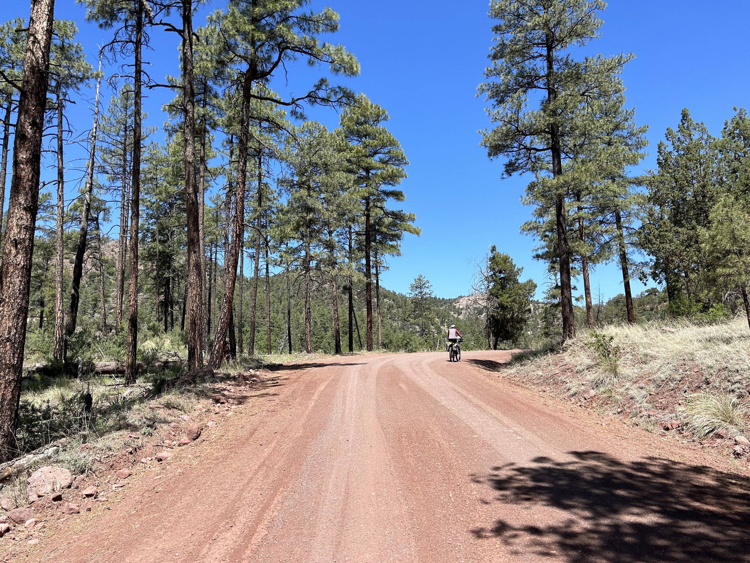
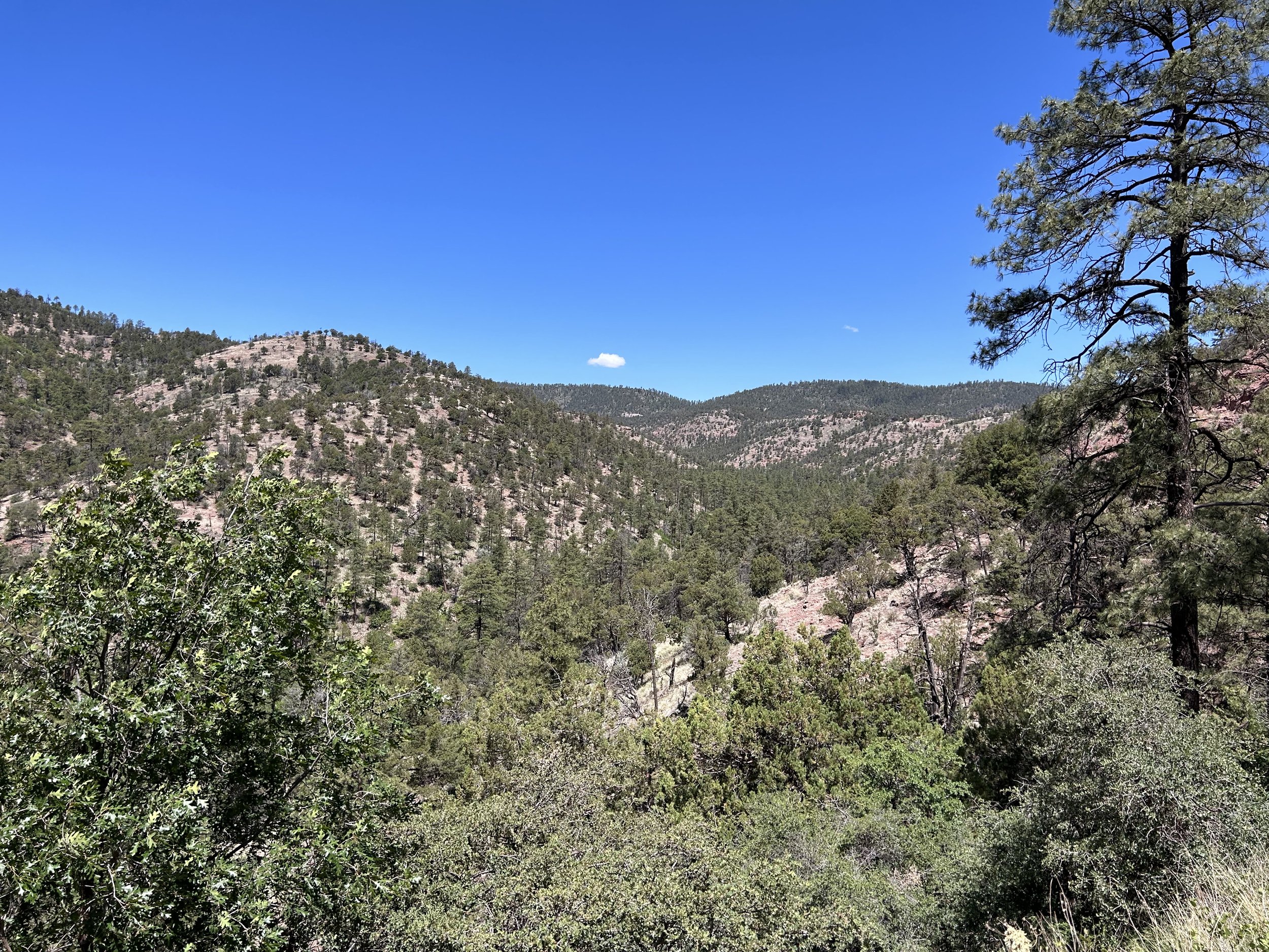
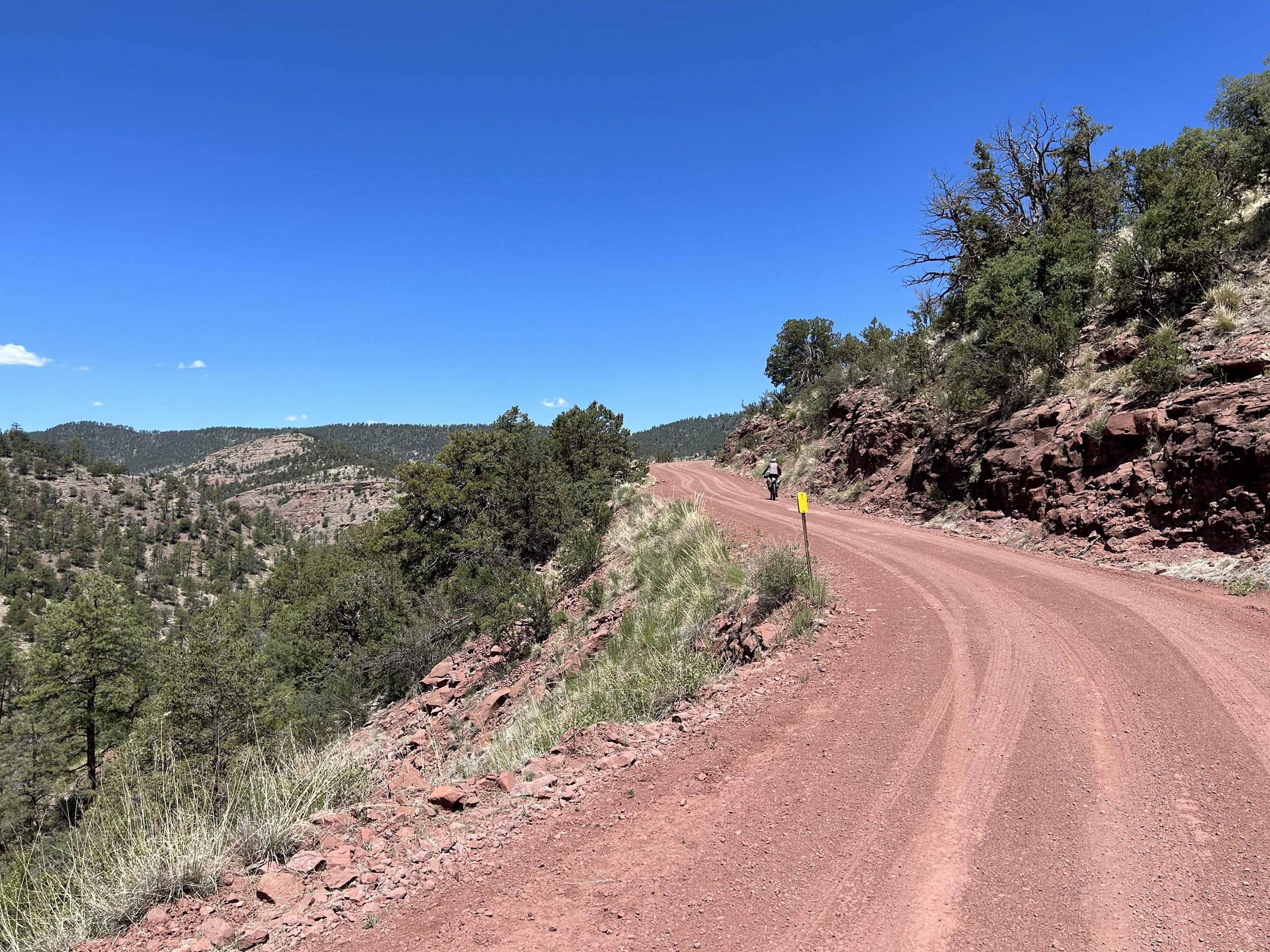
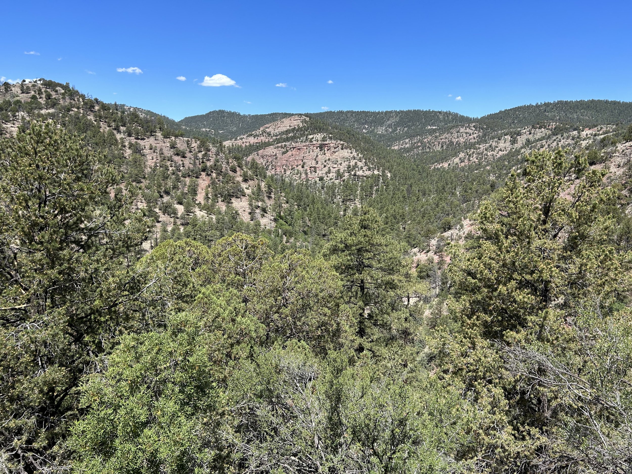
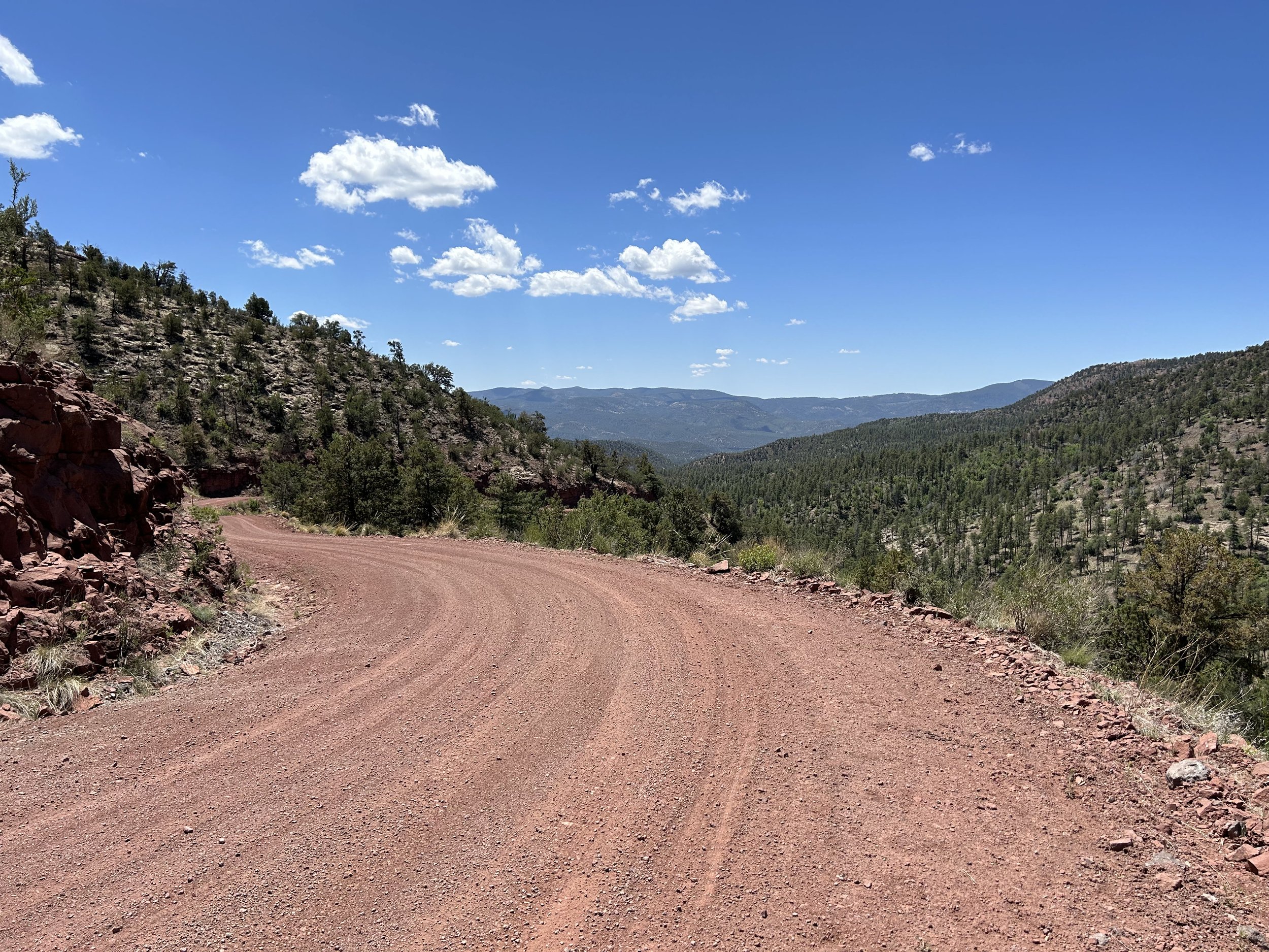
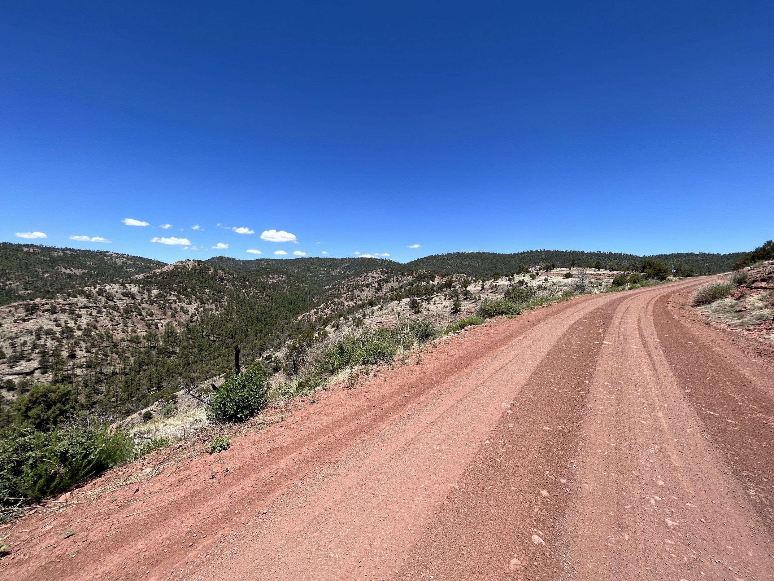
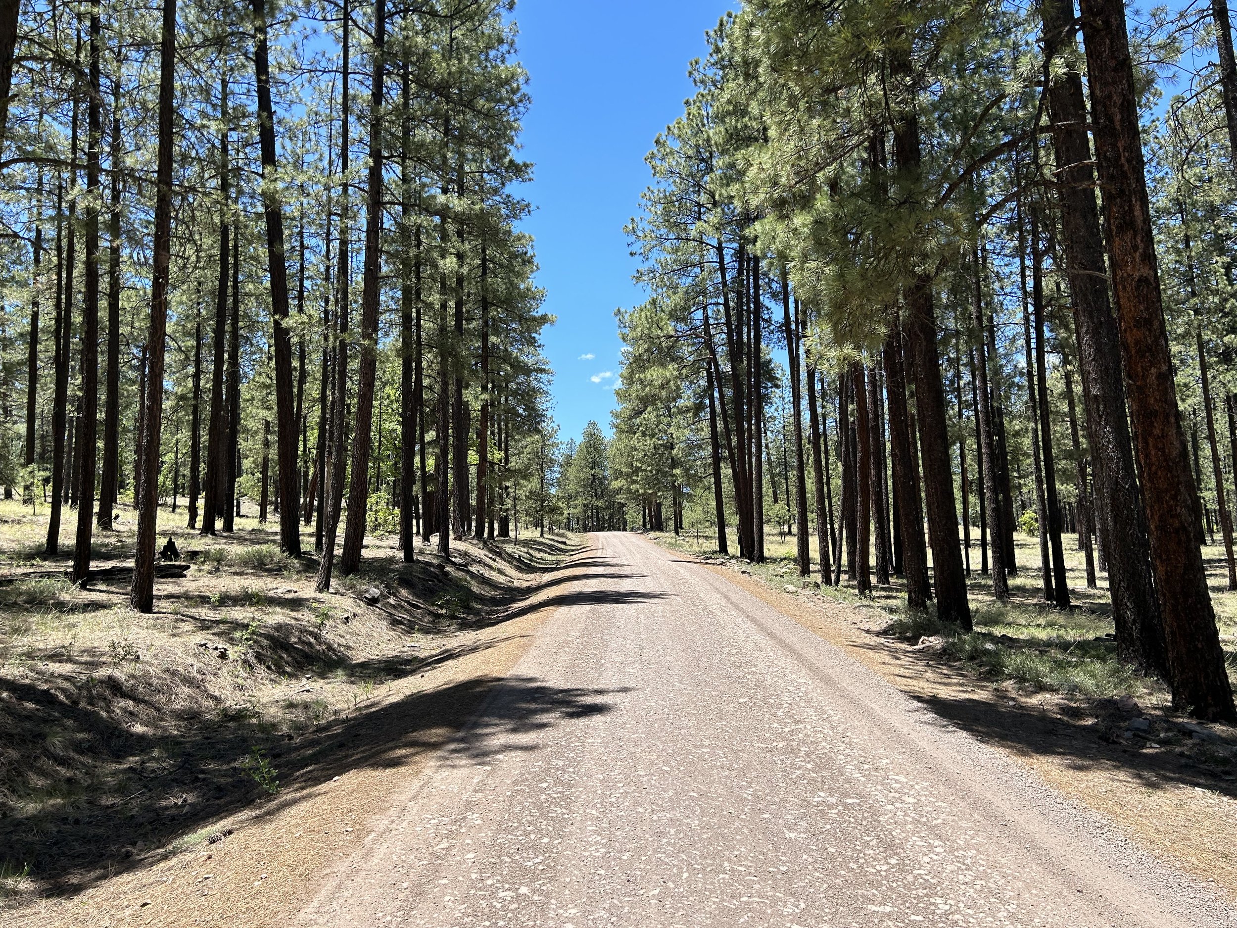
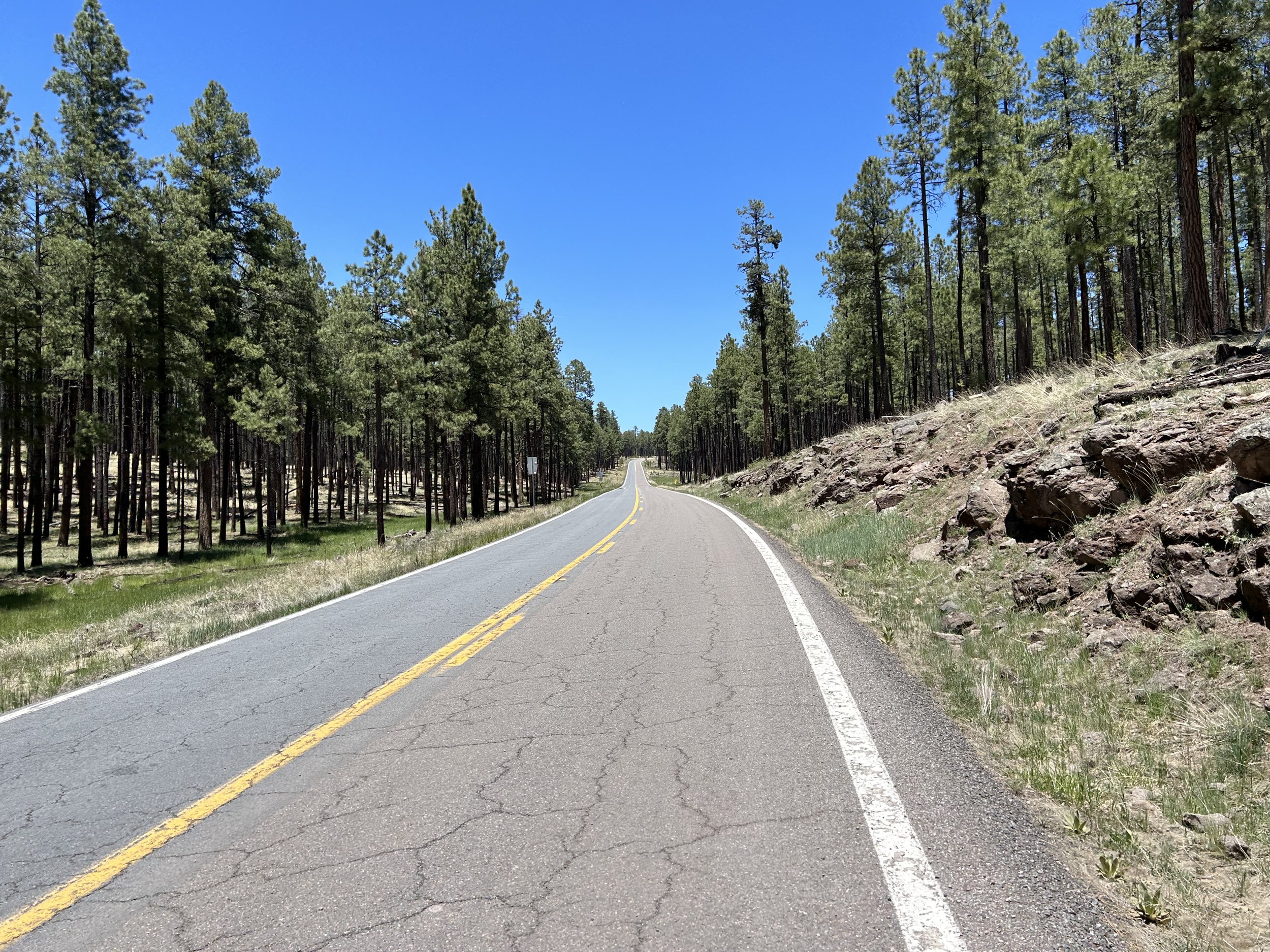
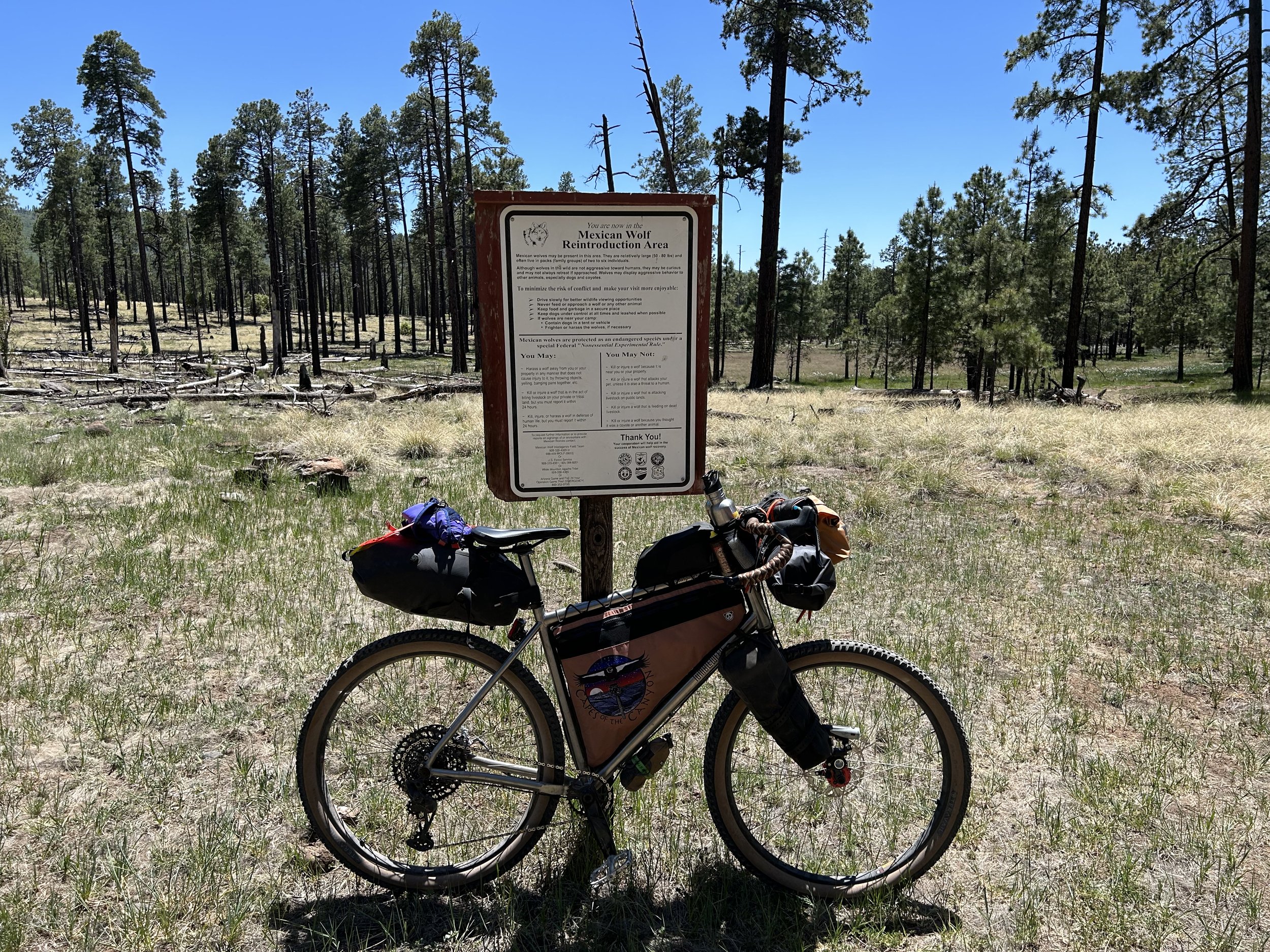
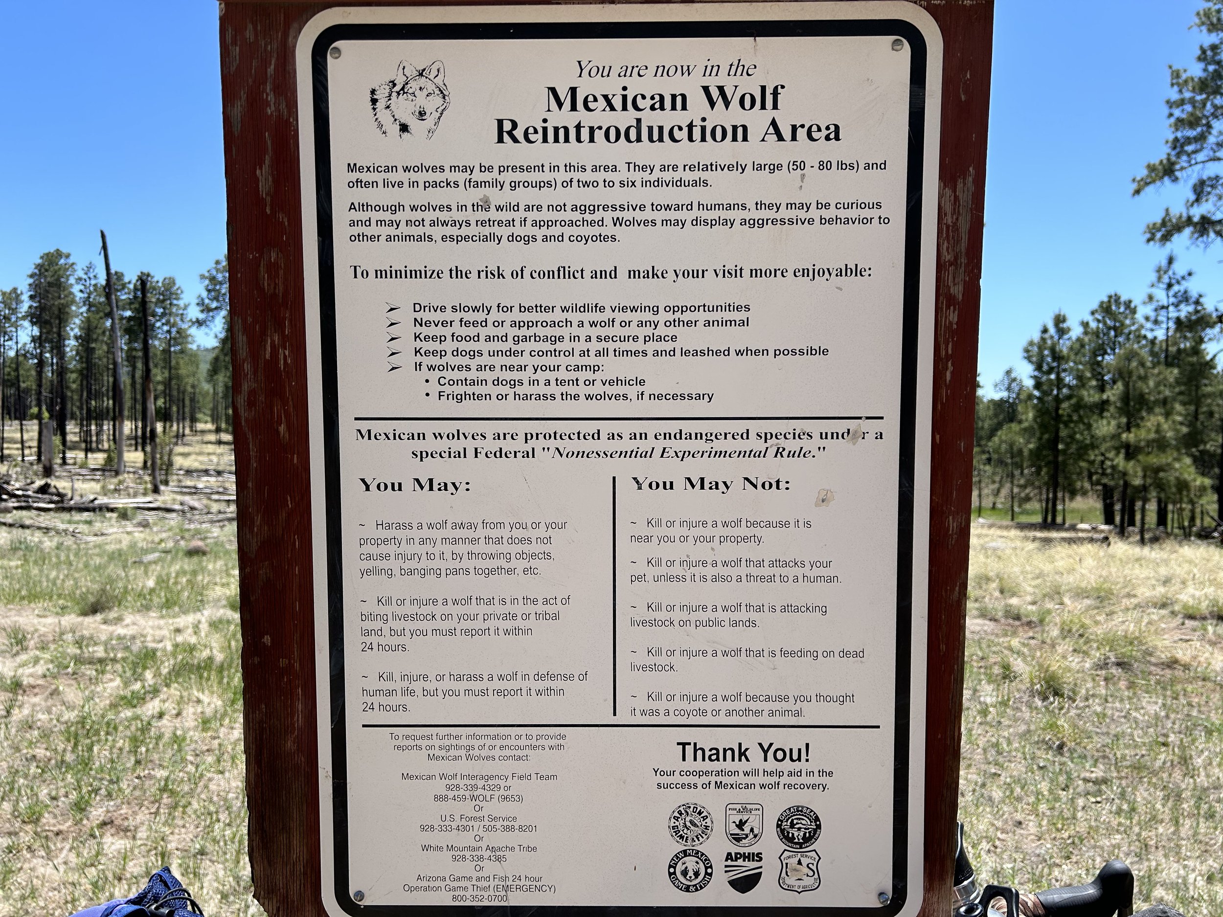
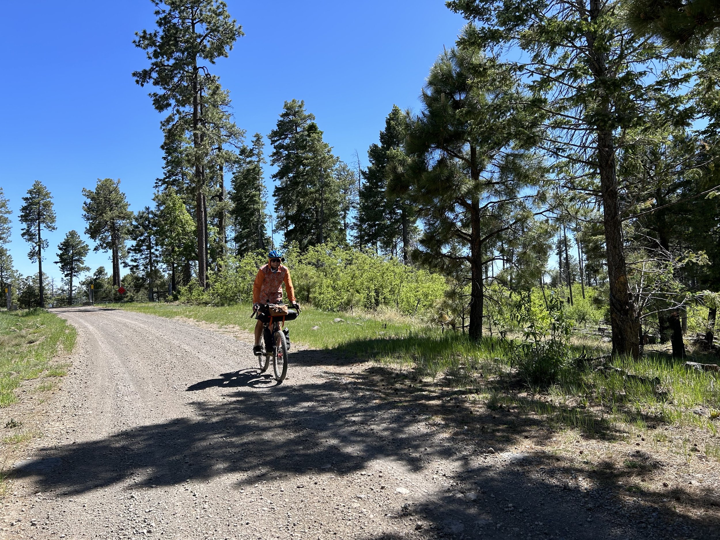
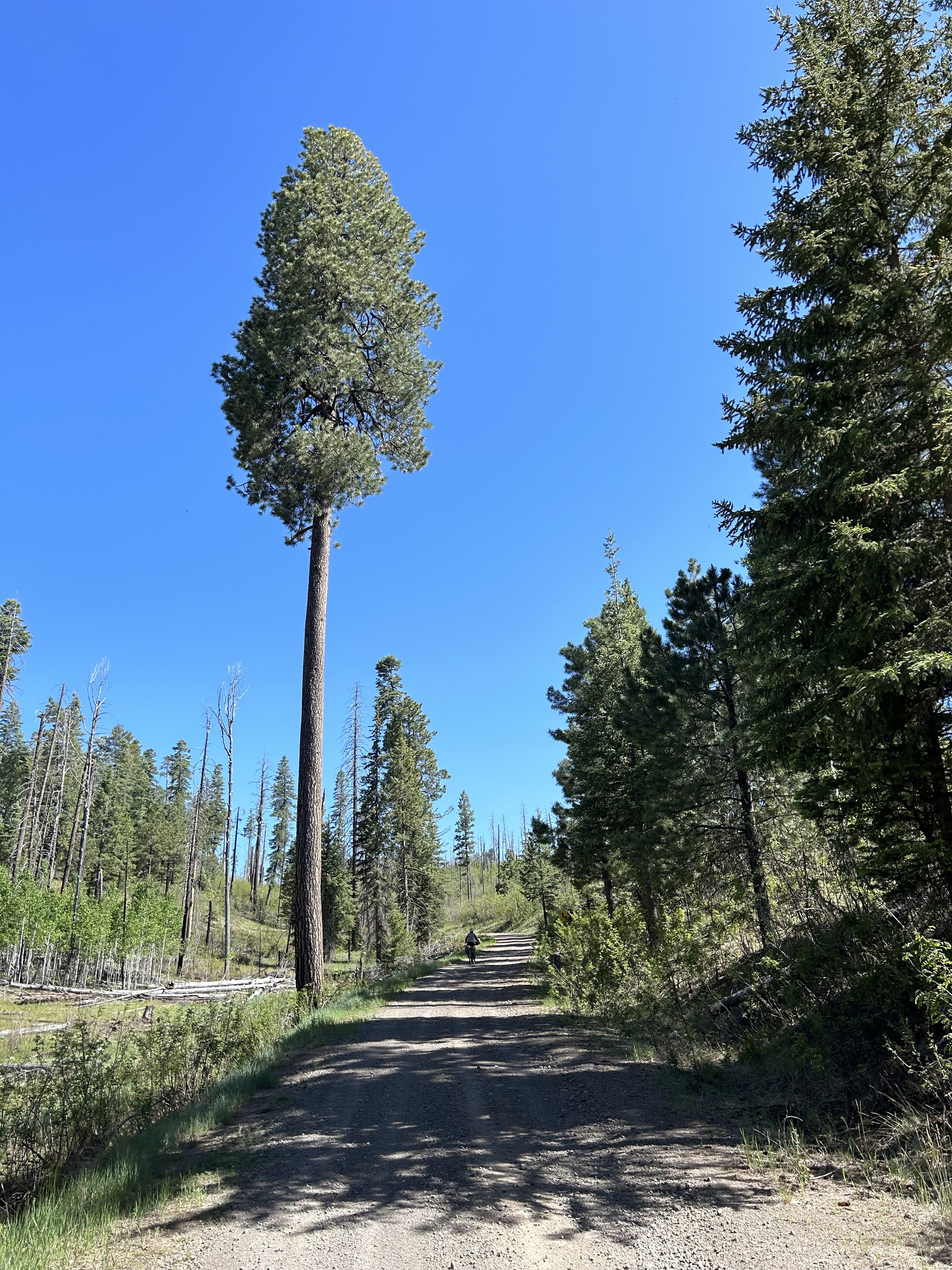
We turned a corner and stared at a hill crest that began to drop. Ponderosas with the waning gibbous set high framed the whole view of the descent-to-come. We let gravity take over as a fast, well graded road sunk down through valleys and depressions coming off the hilltops of the Mogollon Rim. Suddenly, a Mexican Wolf Reintroduction Area sign popped up - a good indicator for the wildlife and landscape ahead. Janna and I speedily rounded corner after corner until a spread of pine-studded escarpments, buttes, and exposed rock formations greeted us across a range of peaks classic for this portion of the Southwest. The road's hue was increasingly reddening. The sound of Turkey Creek gushing down below carried up to our ears. The smell in the air was rich pitch and sap. The air was cool and settled down low. The Sun's rays kept aching for the heat they were to bring. We pushed on. Turkey Creek came up even with our contour while the more rock spires and exposed buttes climbed above the treetops gathered around us.
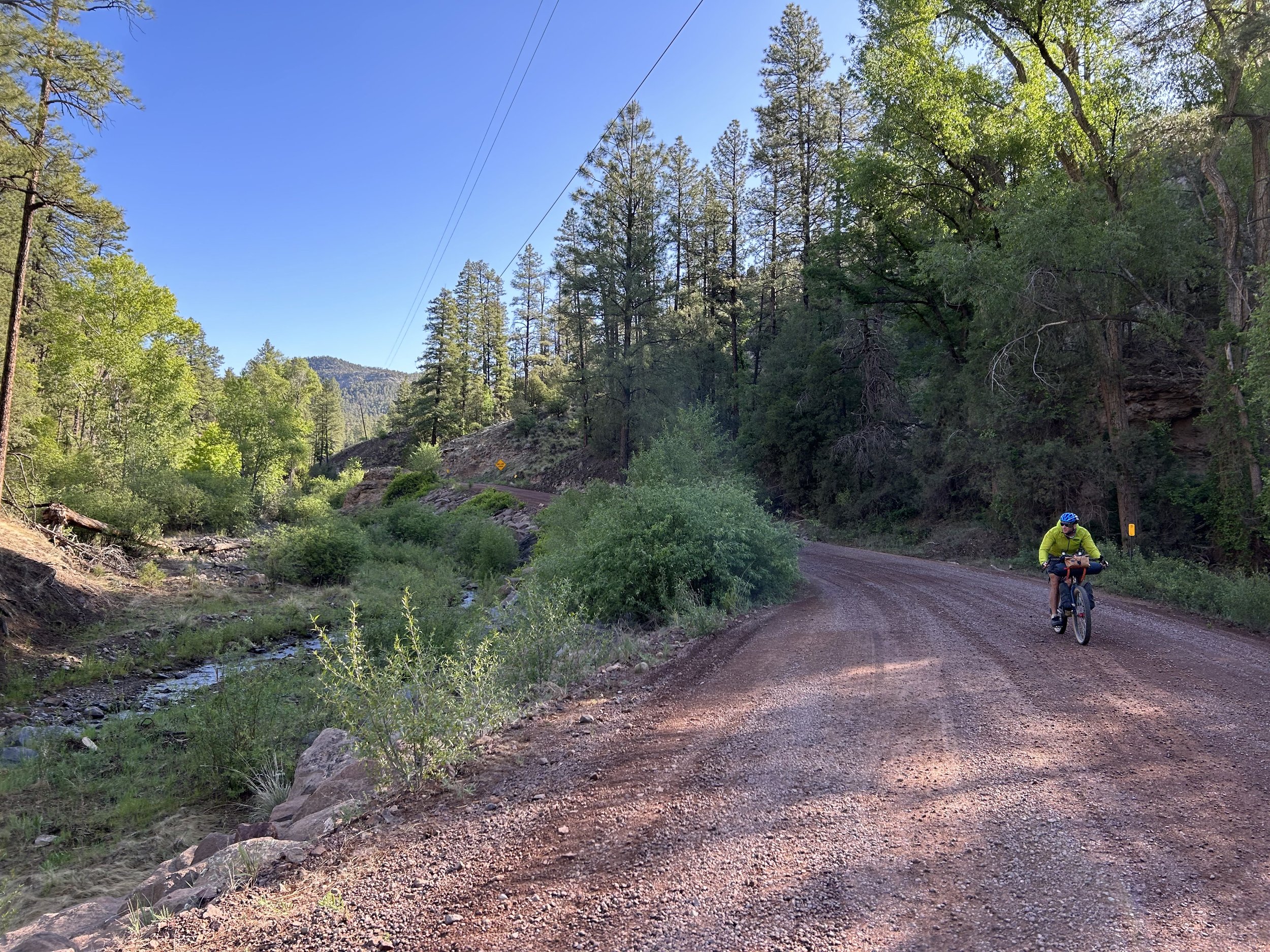
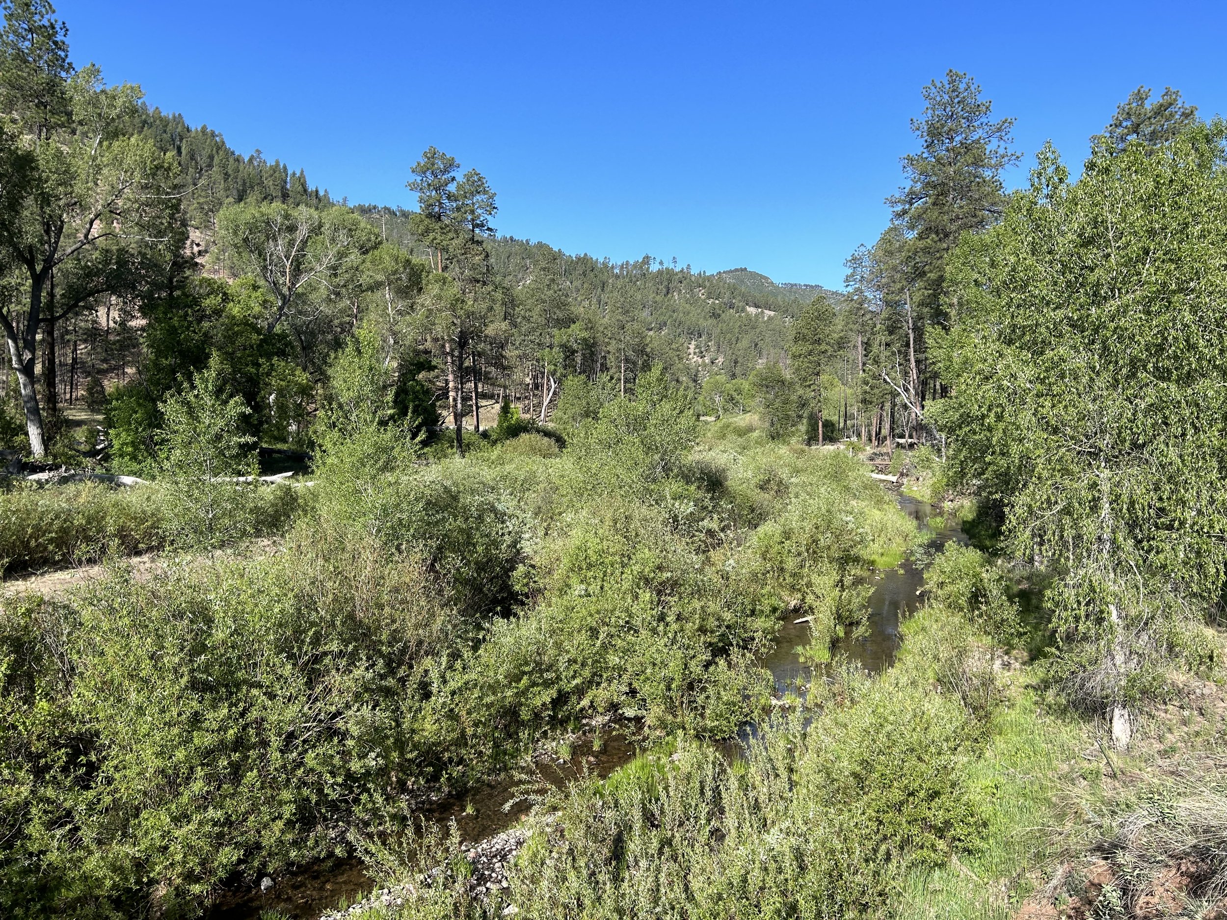
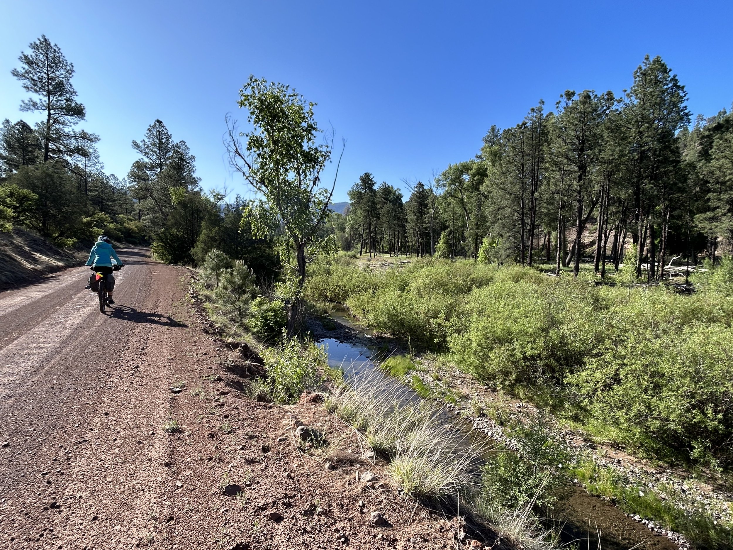
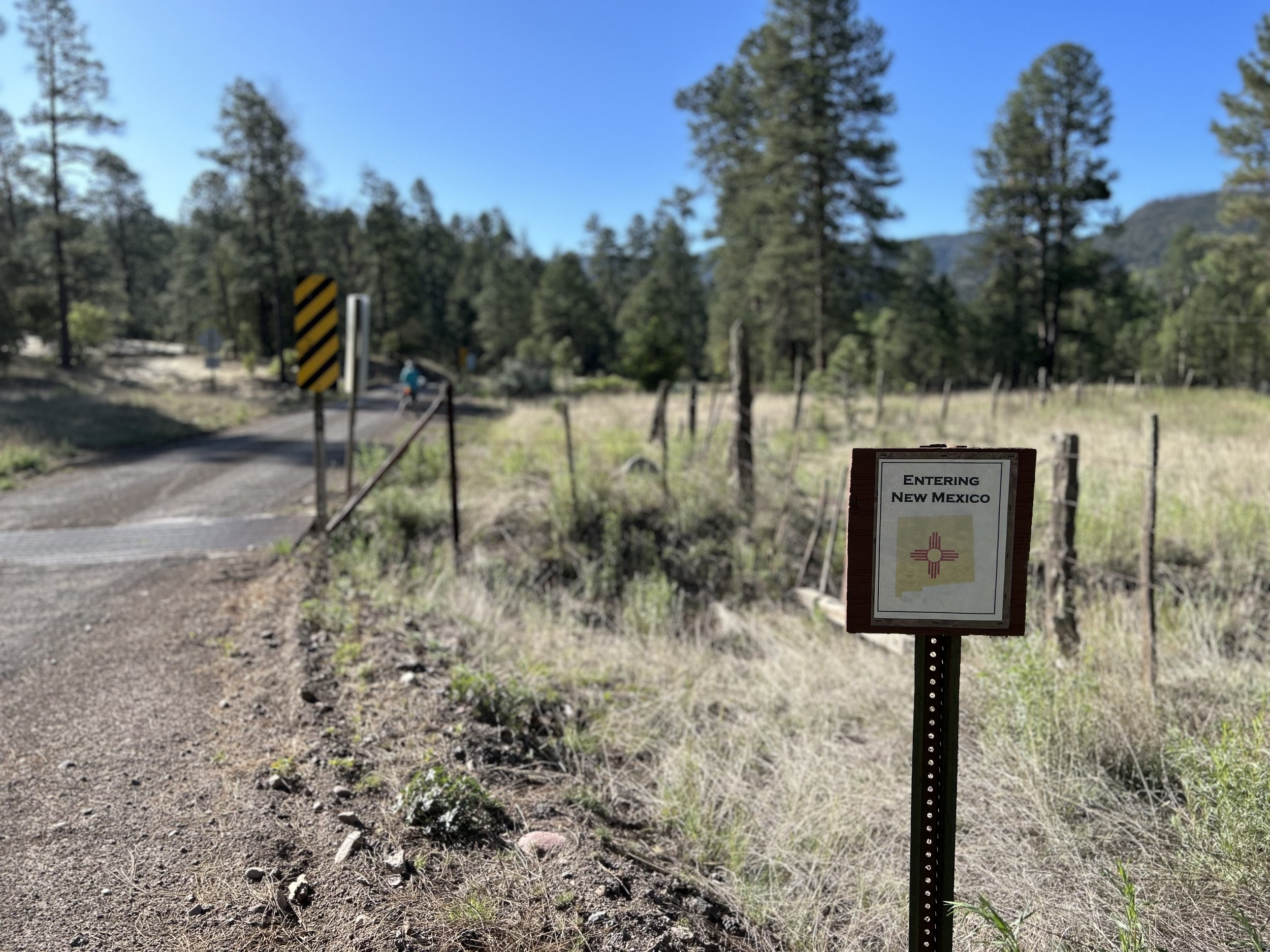
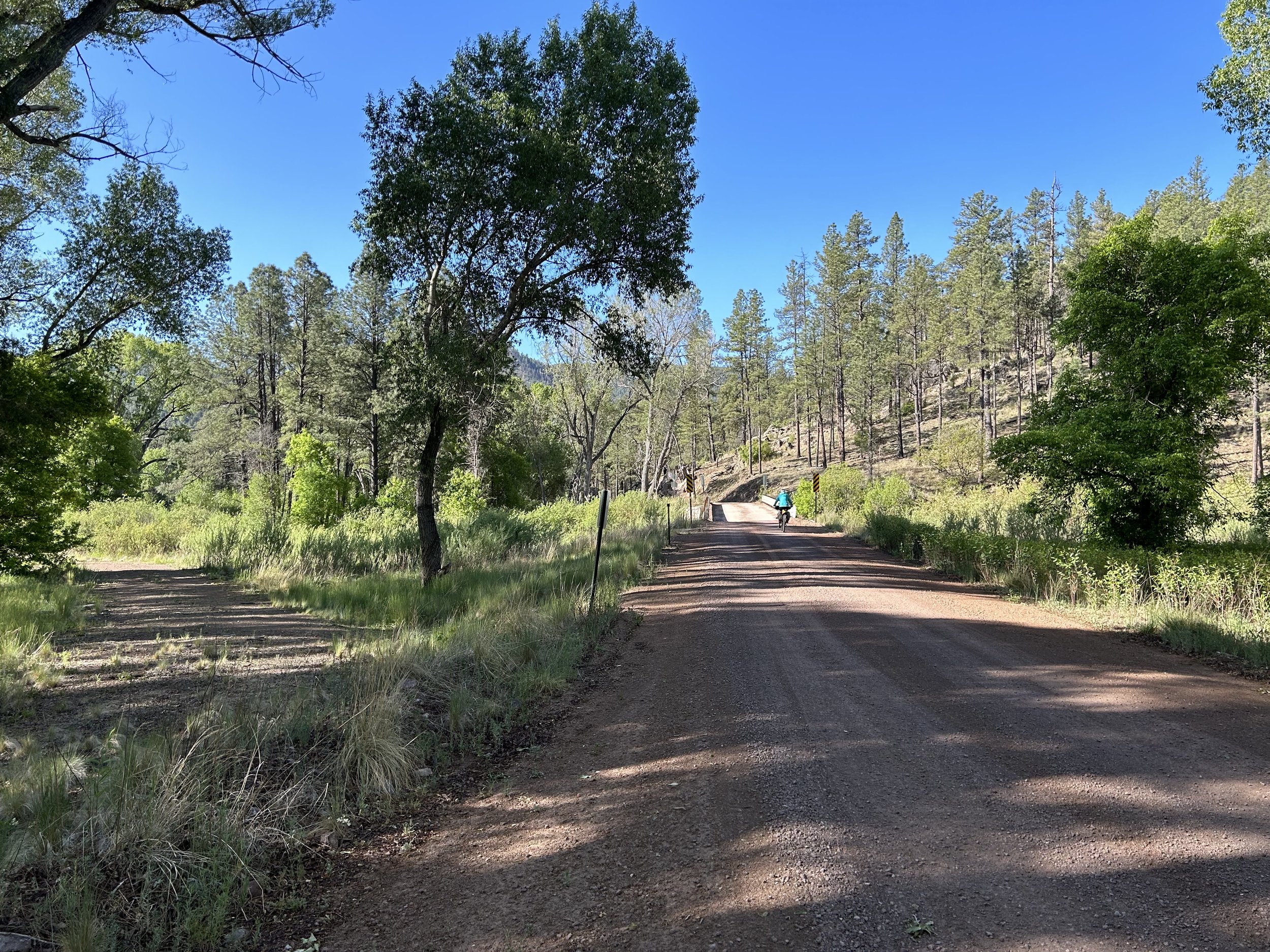
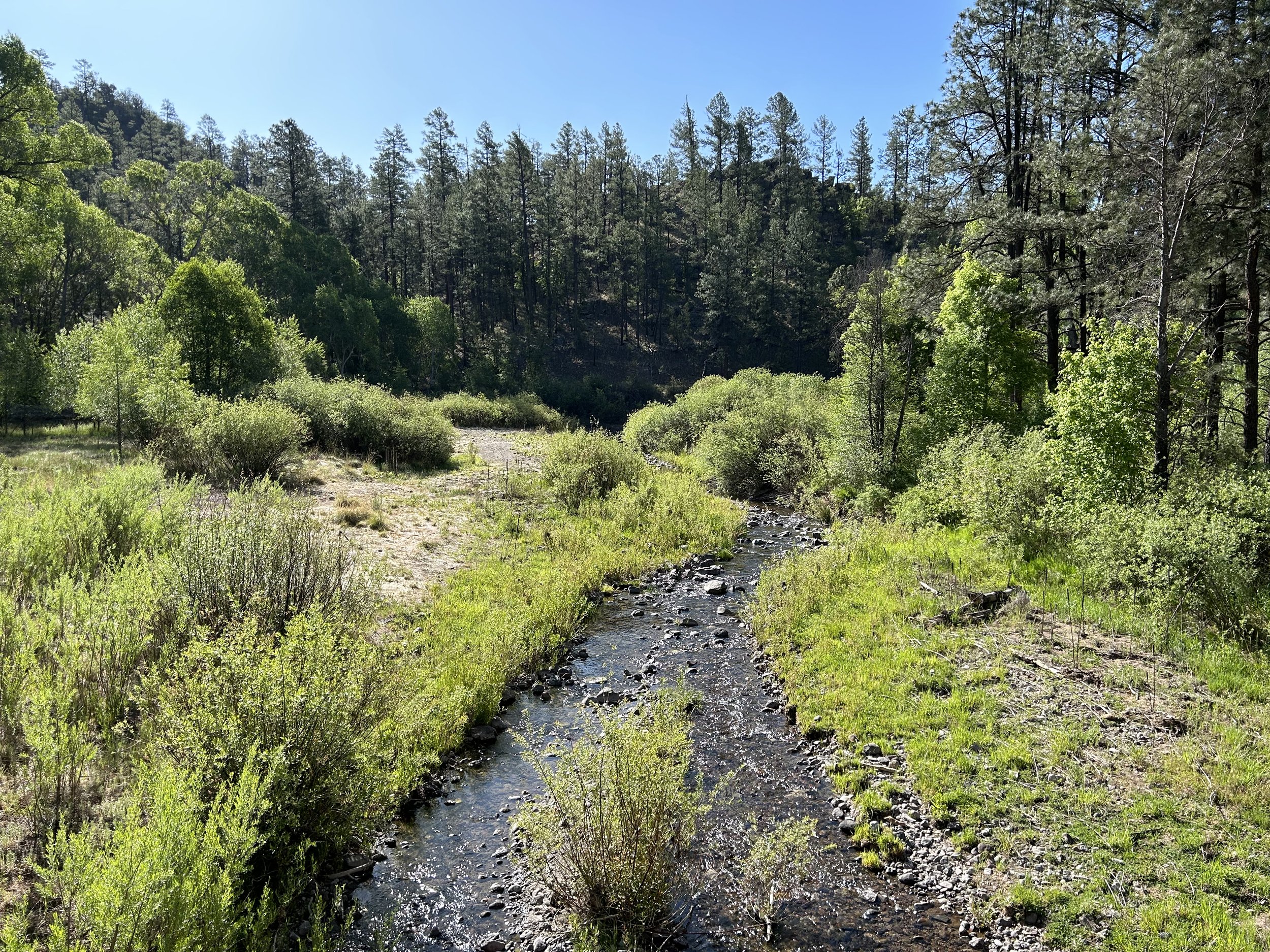
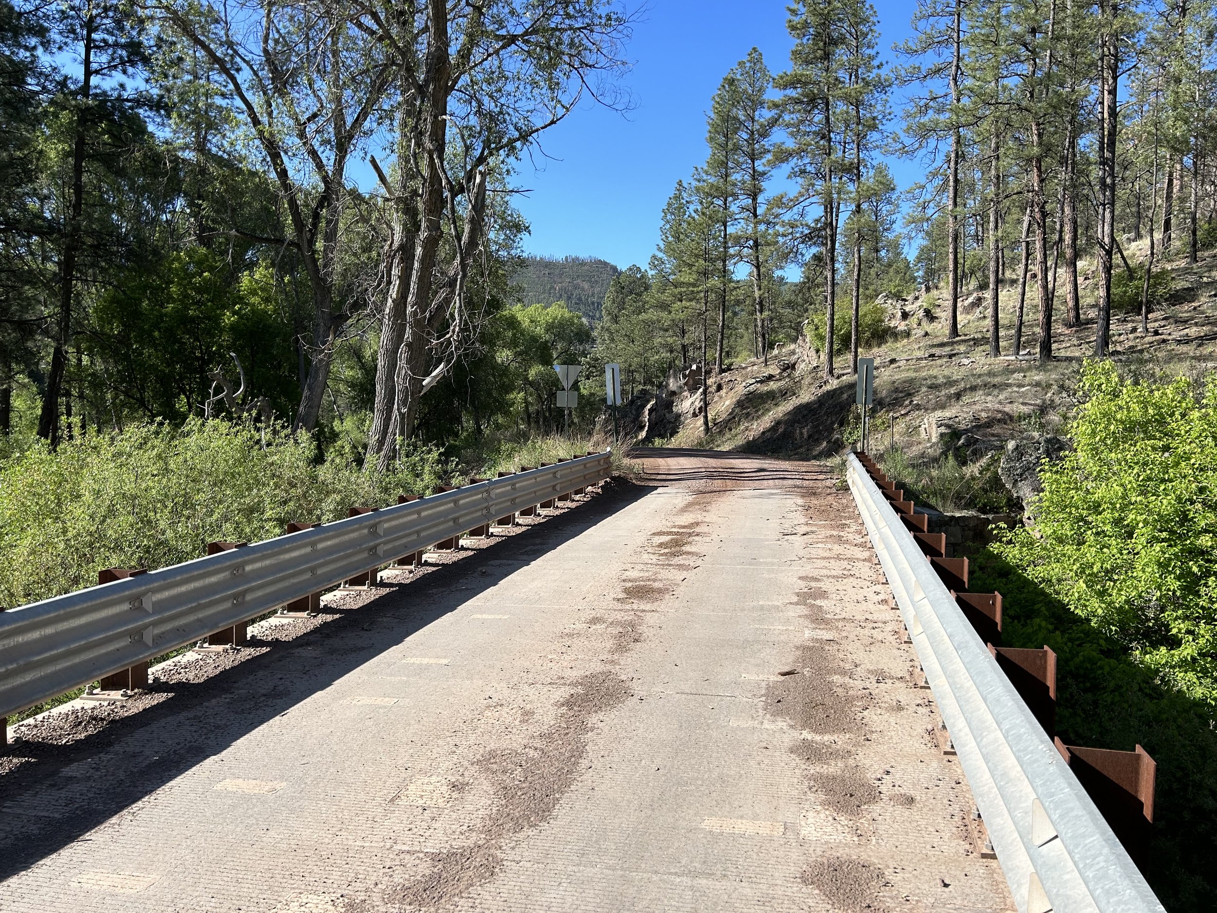
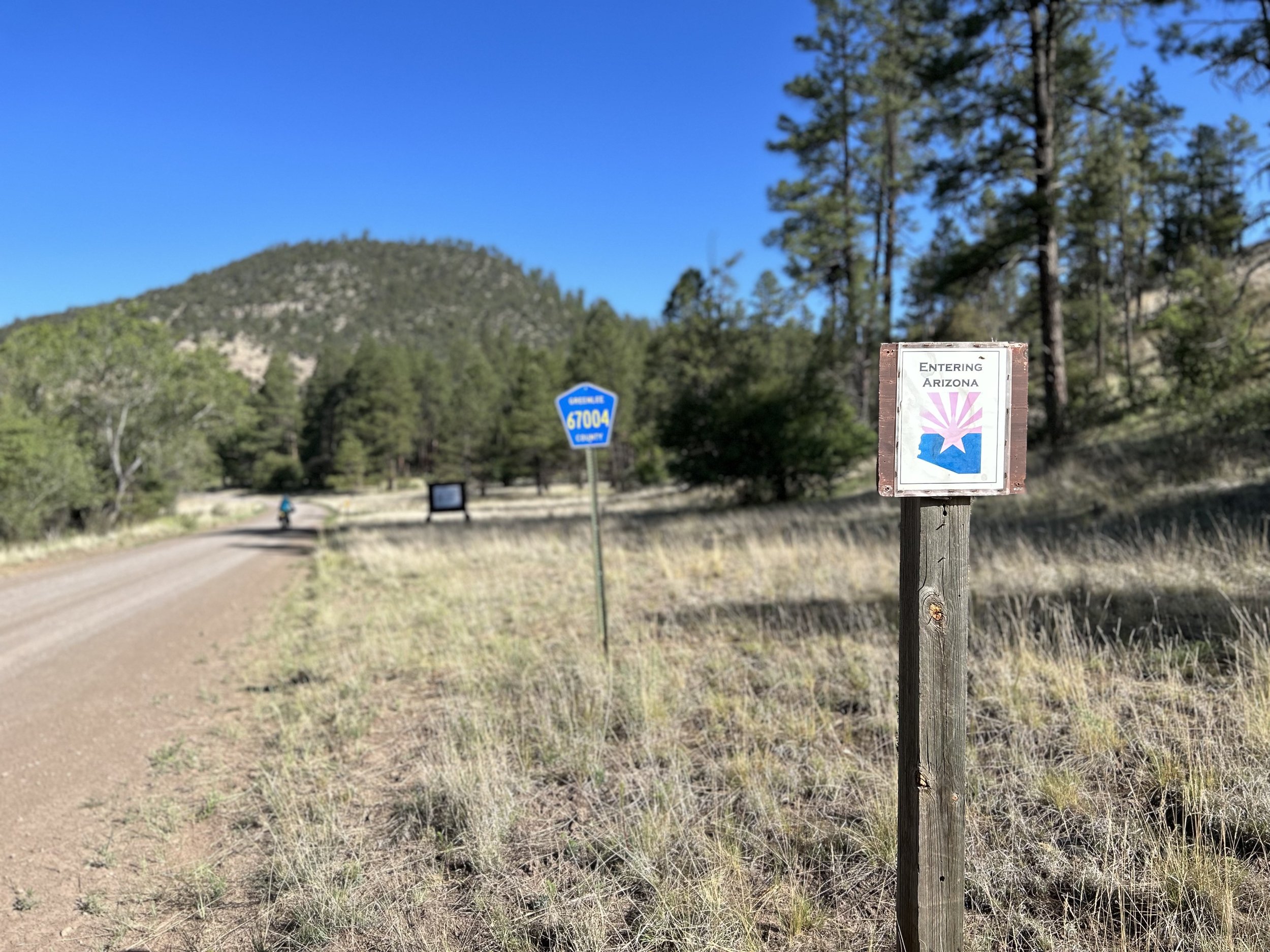
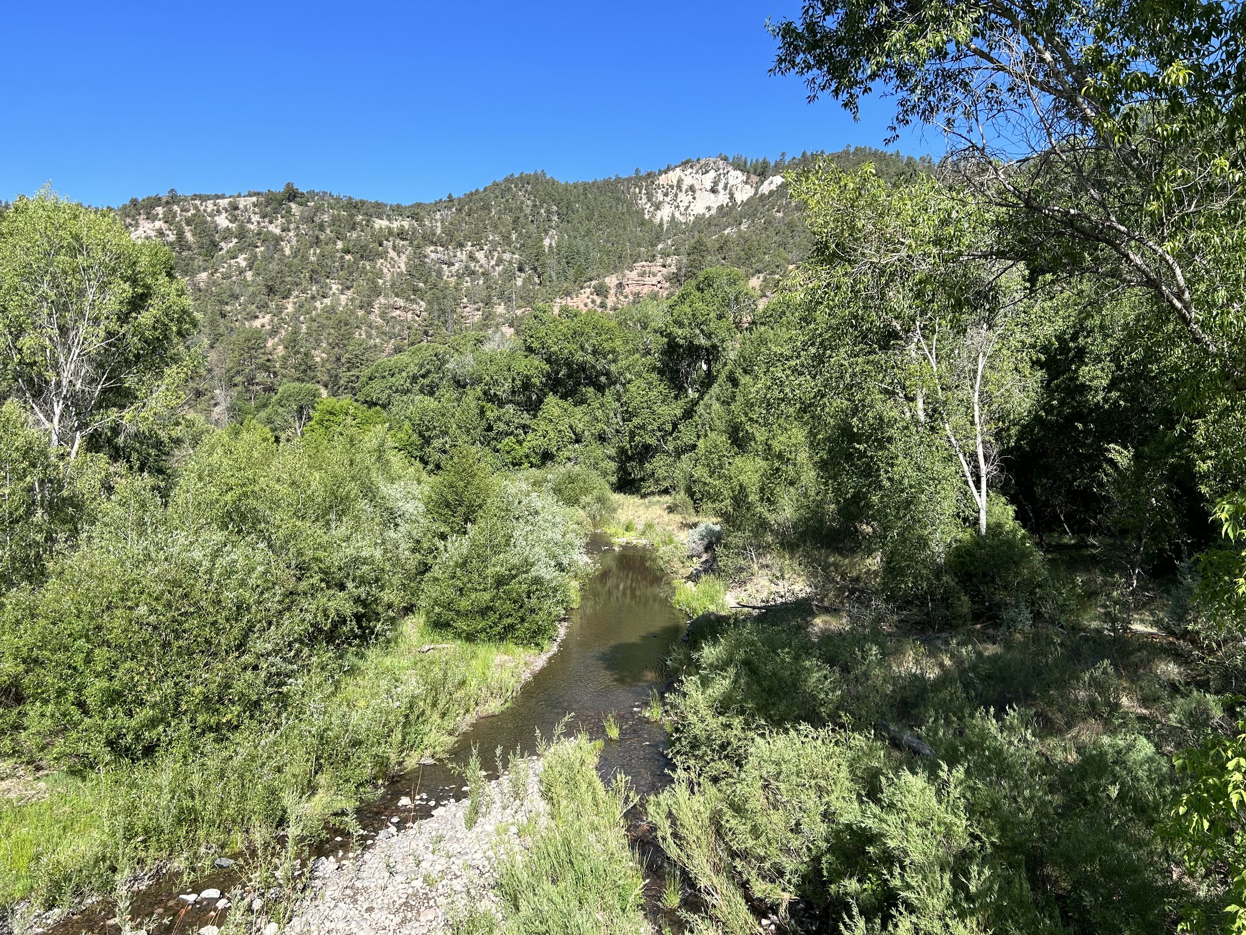
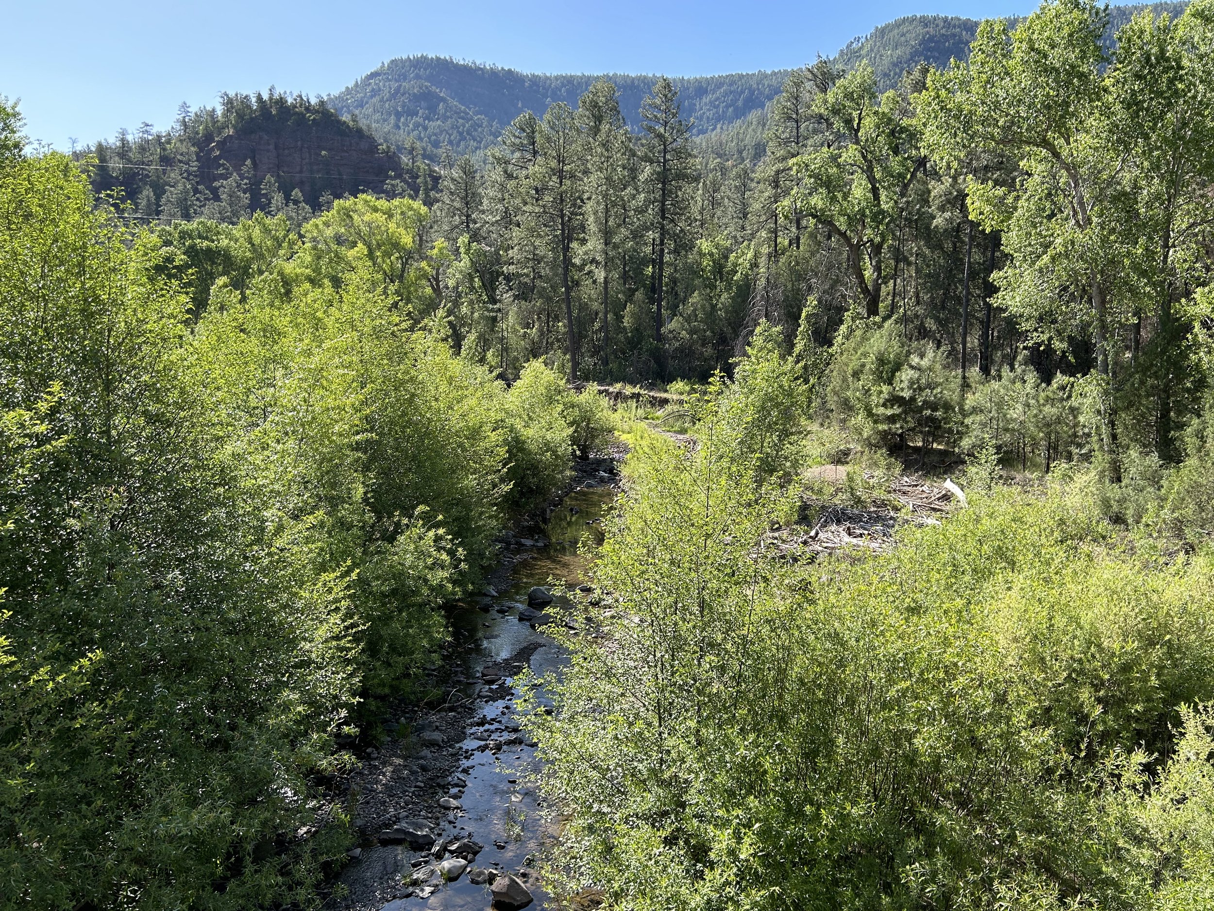
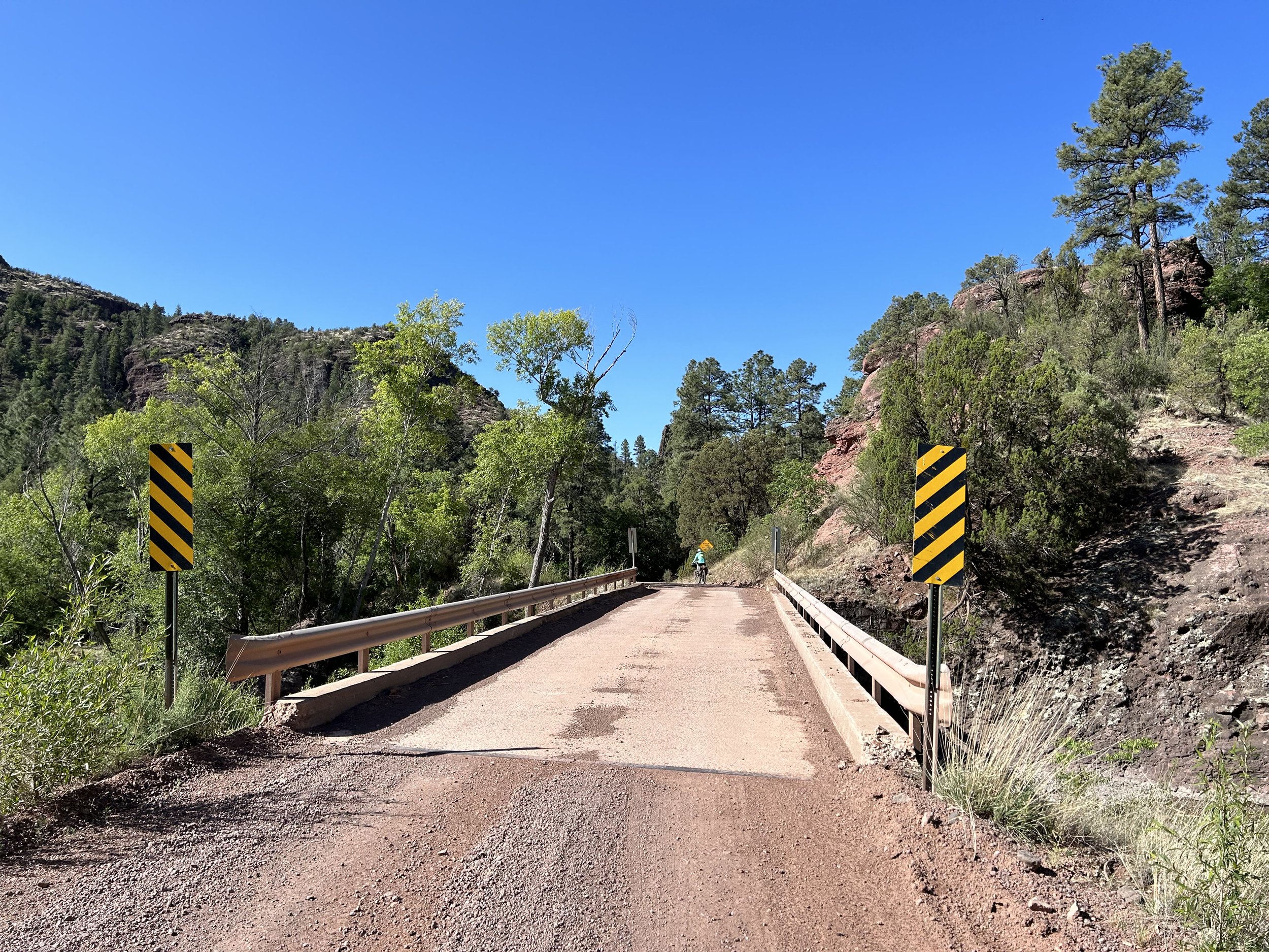
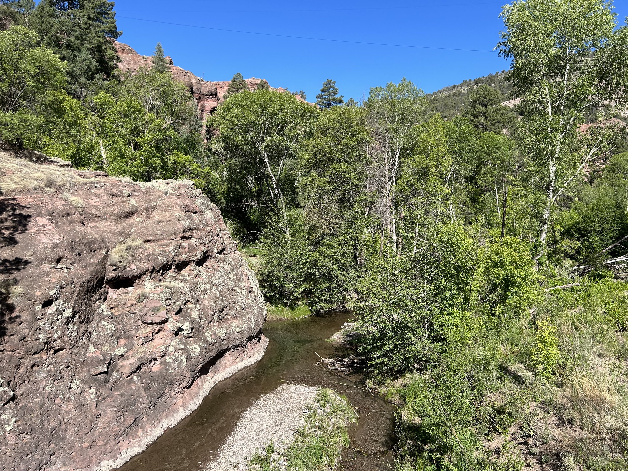
Around another corner brought the confluence of Turkey and Cambell Blue Creeks as we rounded the curve. I kept staring at the rich deciduous leaves that were lively and neon against the red dirt, tope peaks. The water was clear and copious. A small sign ahead near a cattle guard indicated our brief arrival in New Mexico. The road turned directly south, directly crossed a lush spread of Campbell Blue Creek via a bridge where a short ways later the merger of Dry Blue Creek came in. Now, the waterway next to us was growing; it was stronger, deeper, and wider. No longer a creek, this was the Blue River proper. The route spilled west and immediately reentered us into Arizona. Down and down we were carried still. The Blue River was carving a wider and wider valley the road went down. The low elevation and rising Sun made the morning warmer and then hotter.
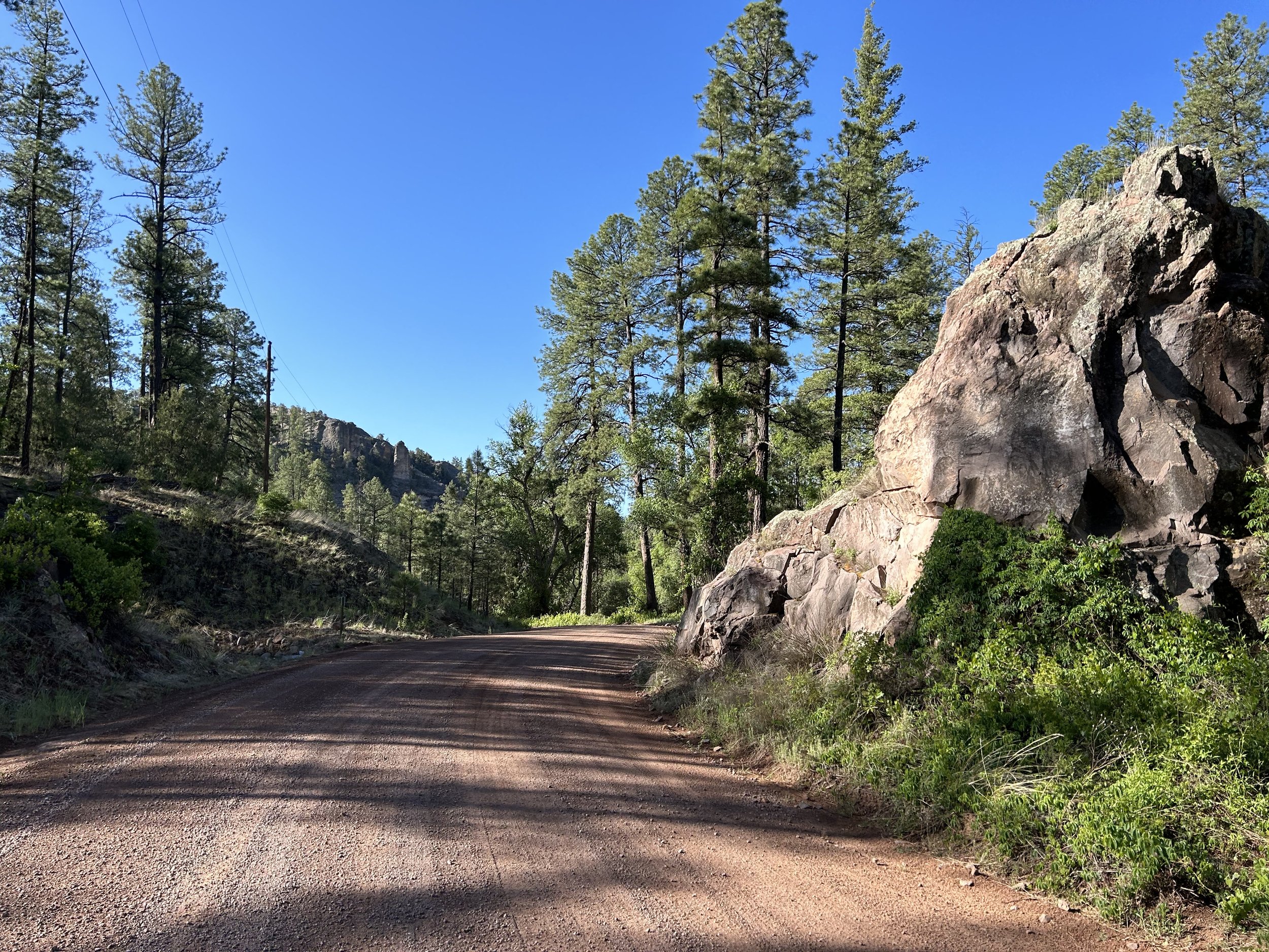
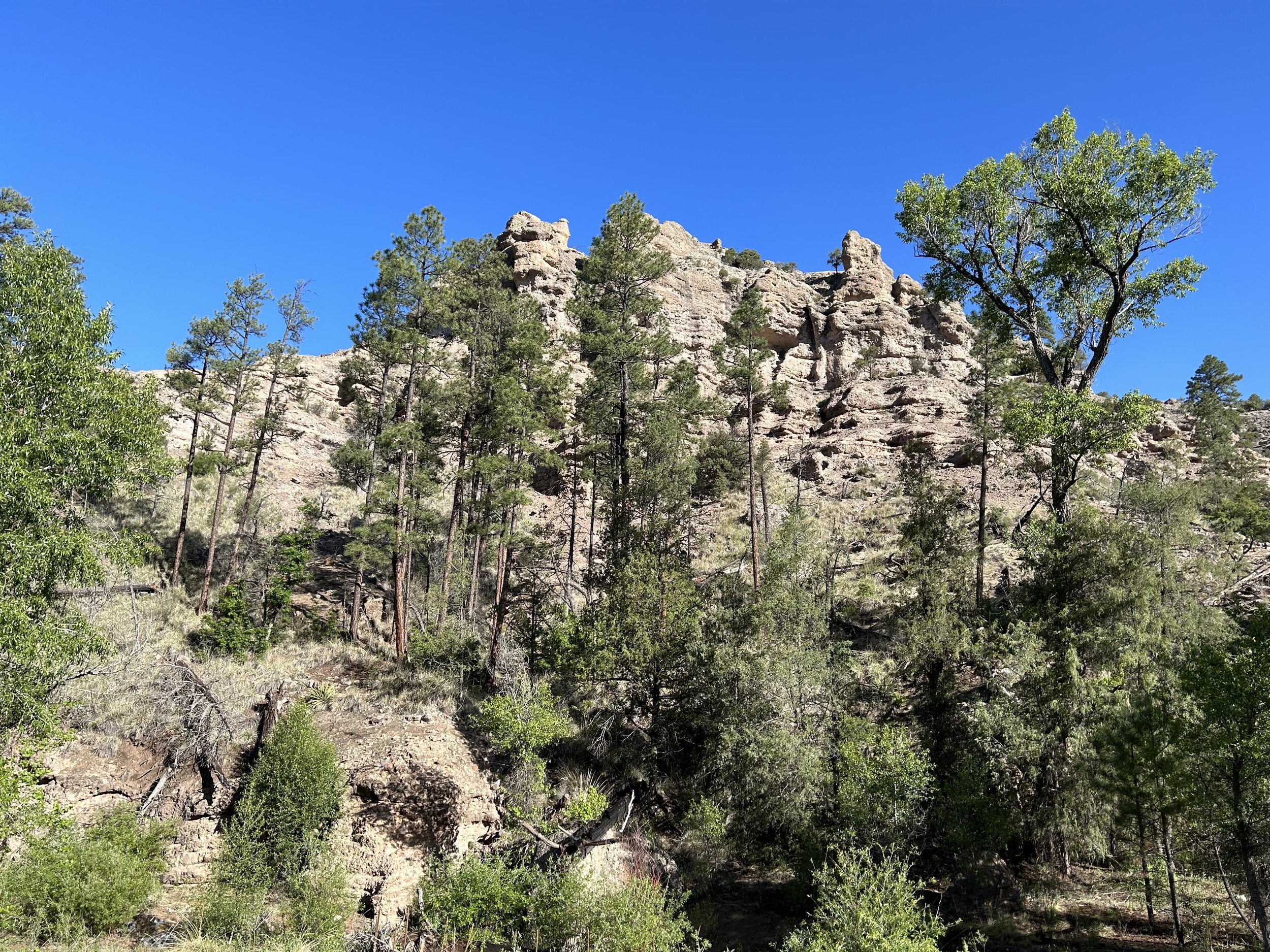
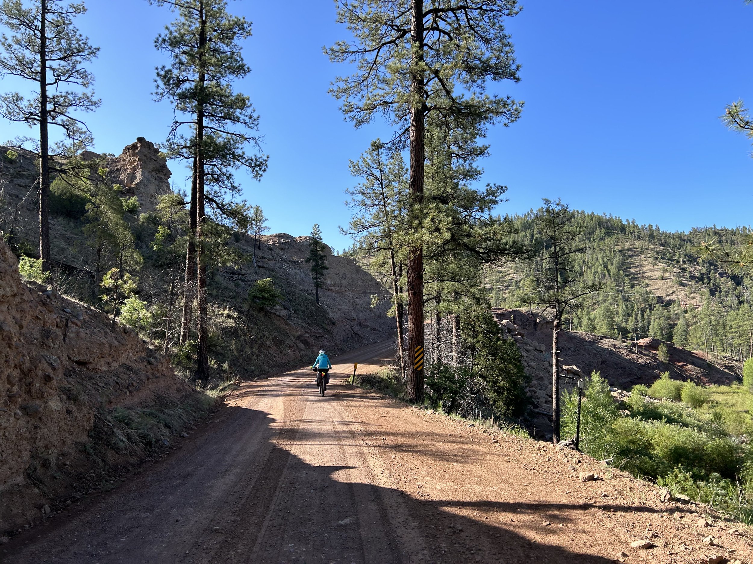
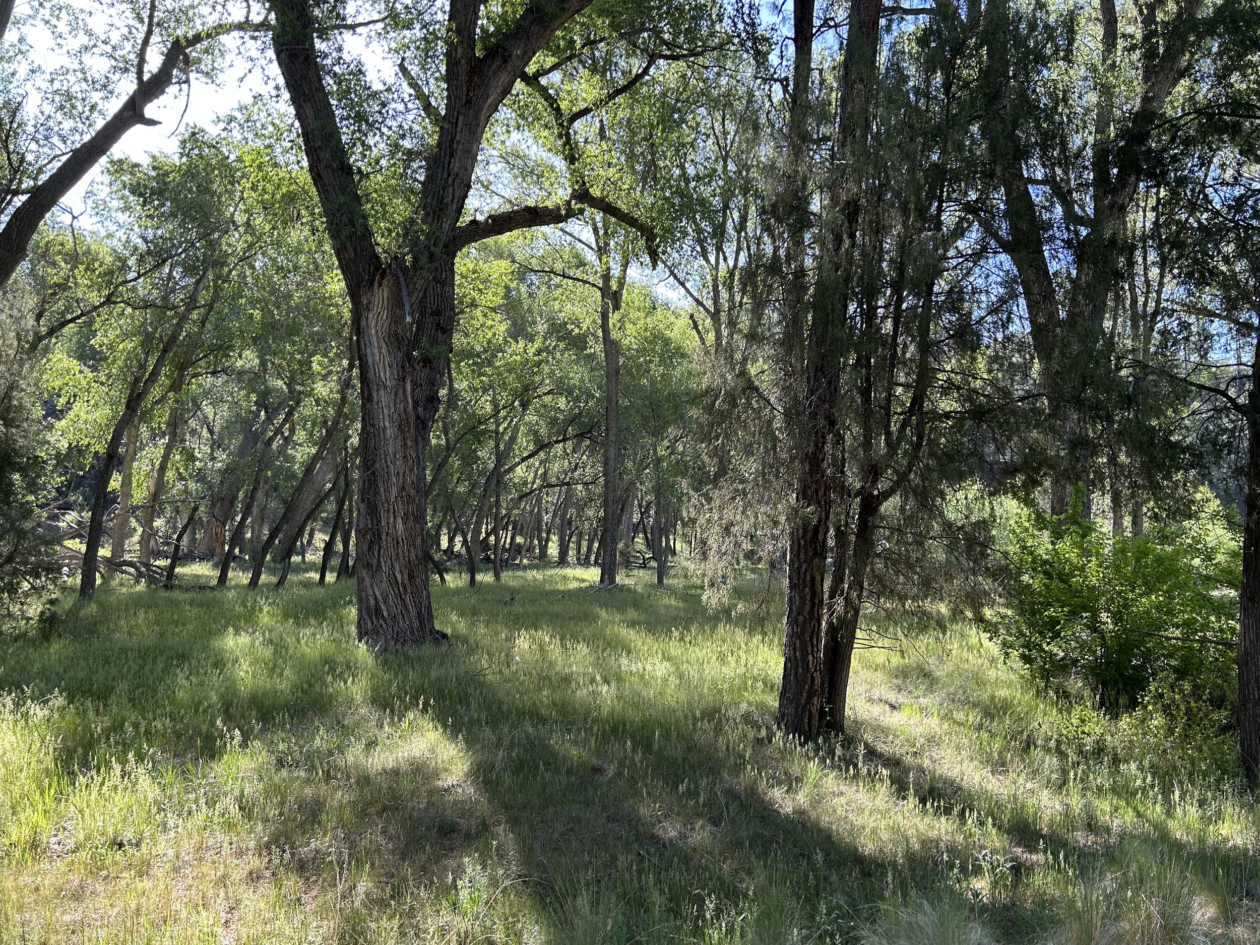
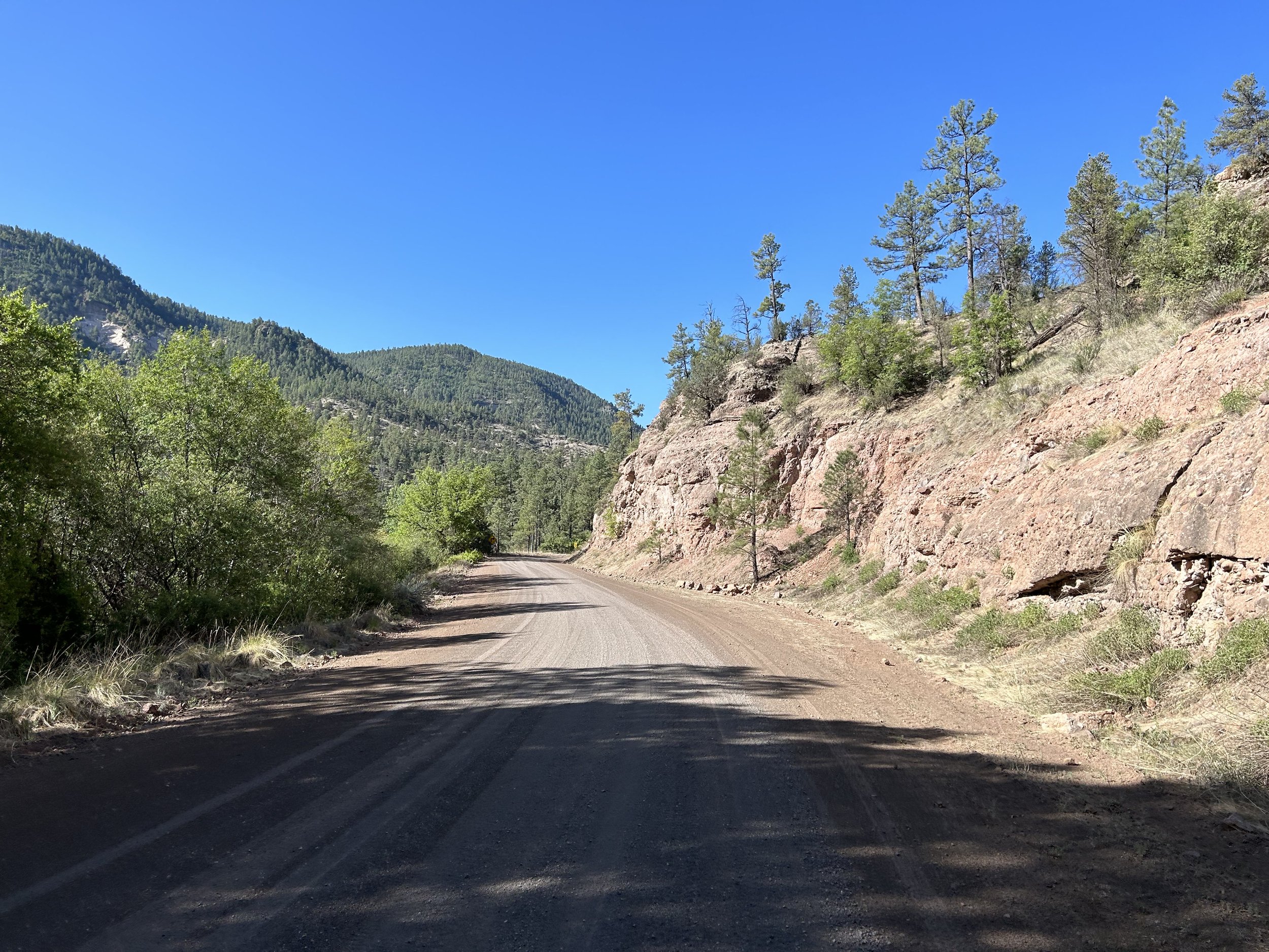
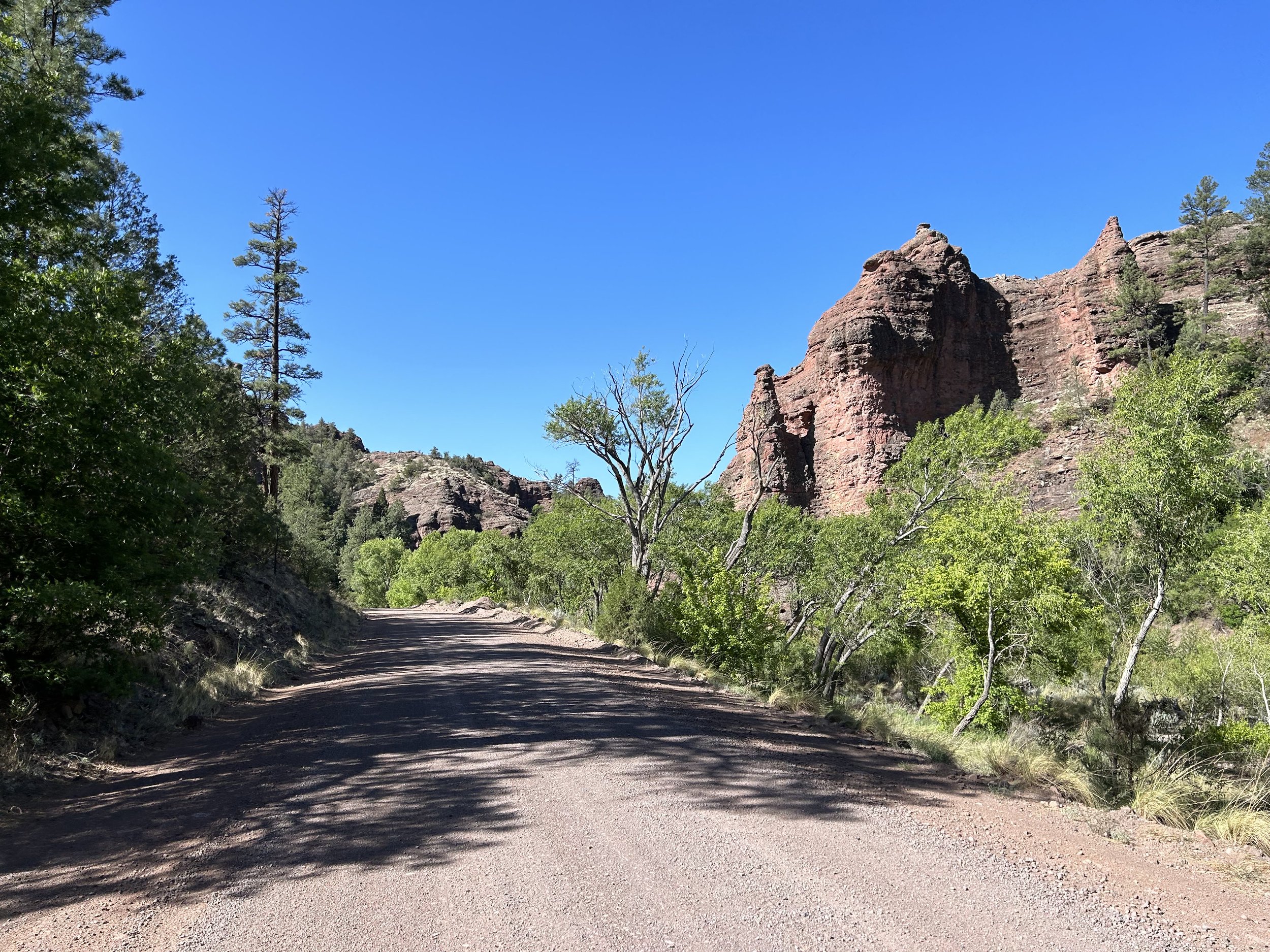
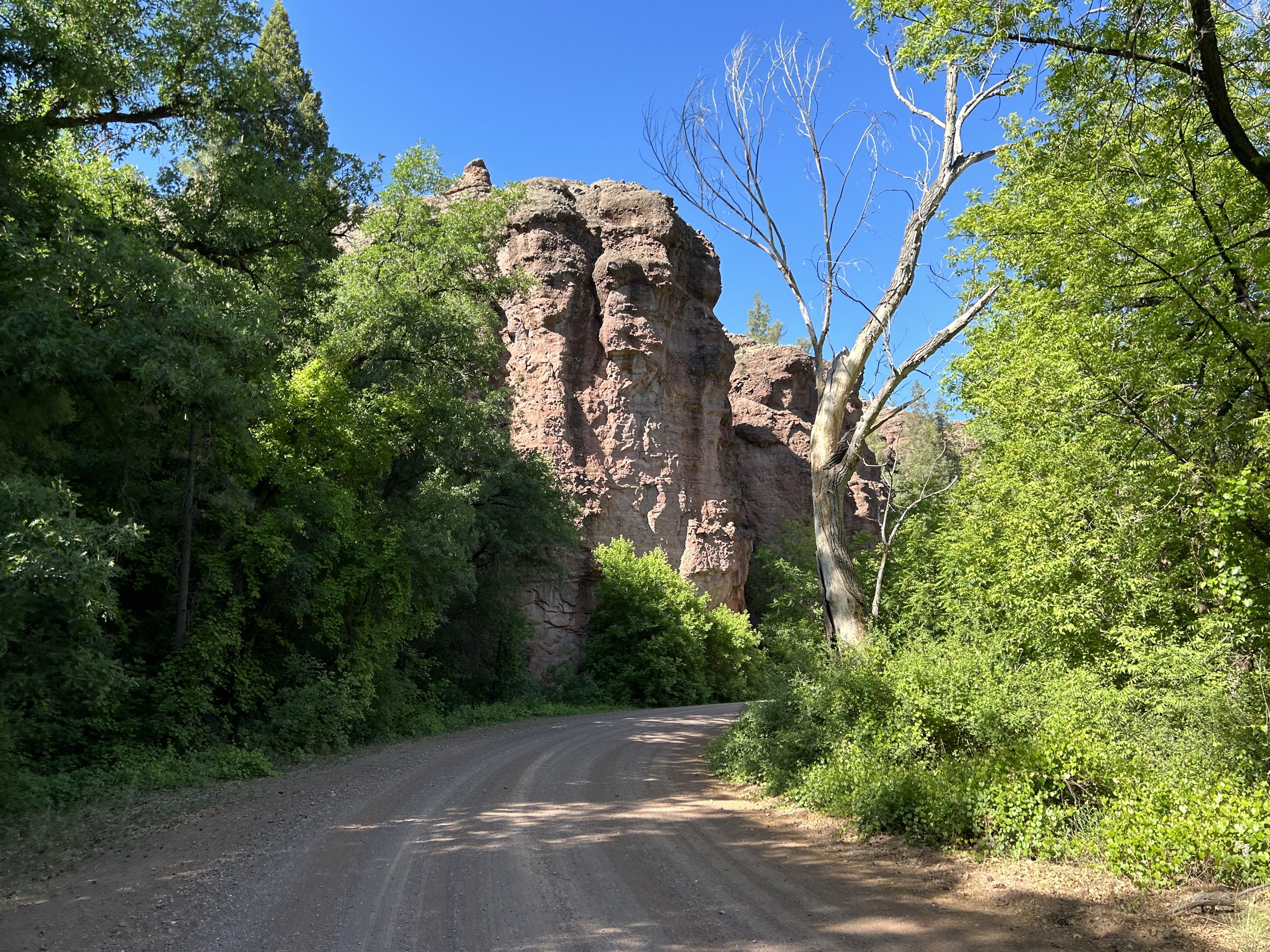
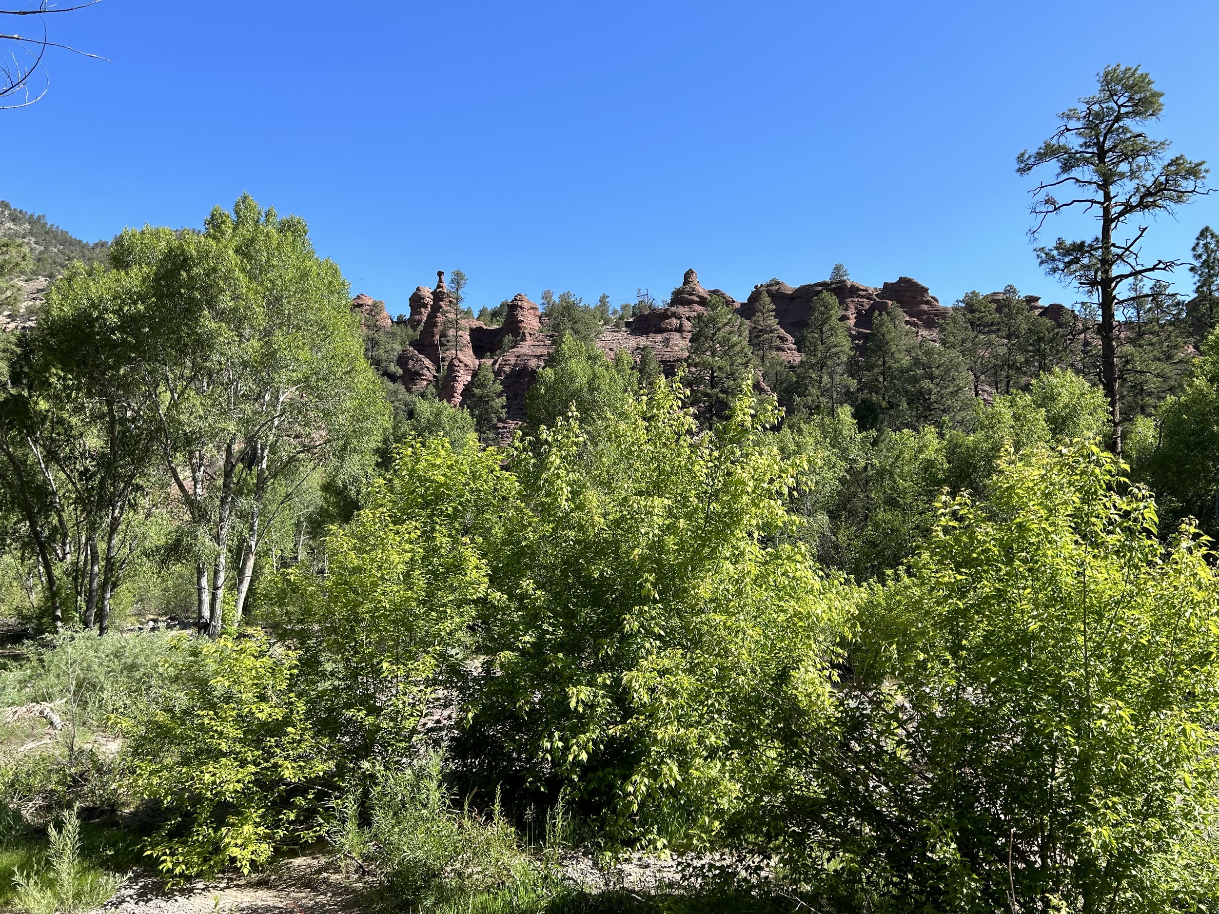
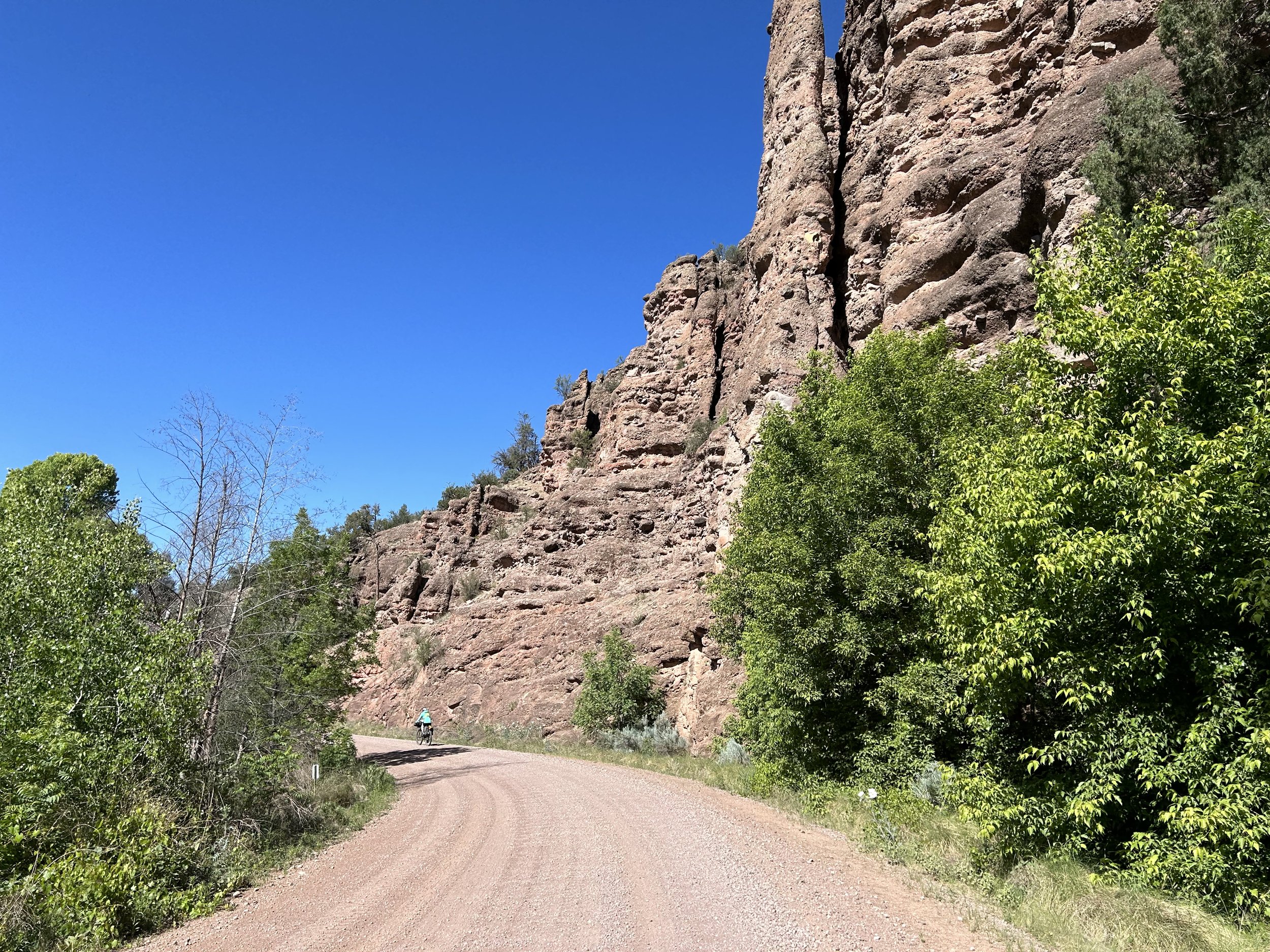
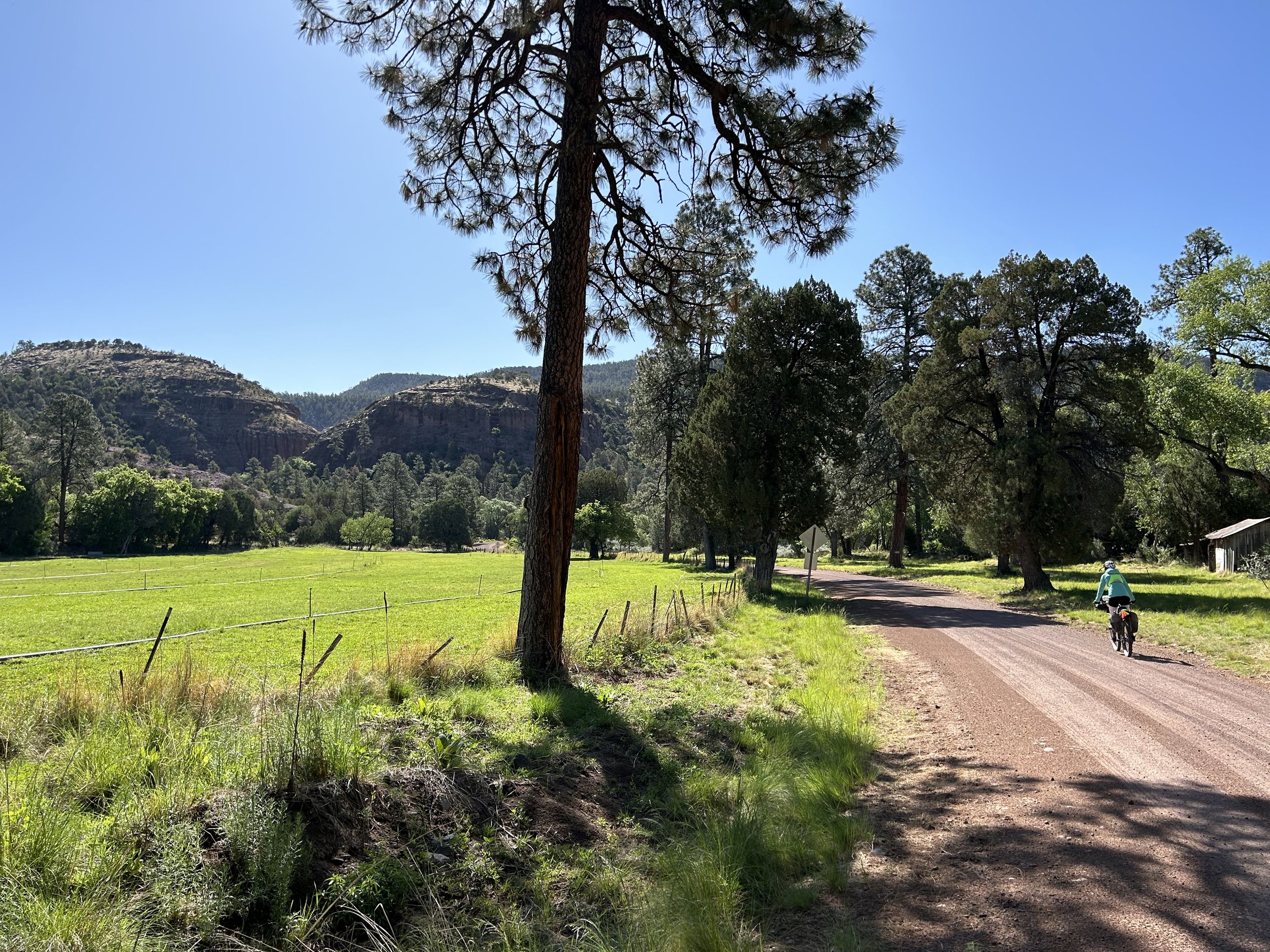
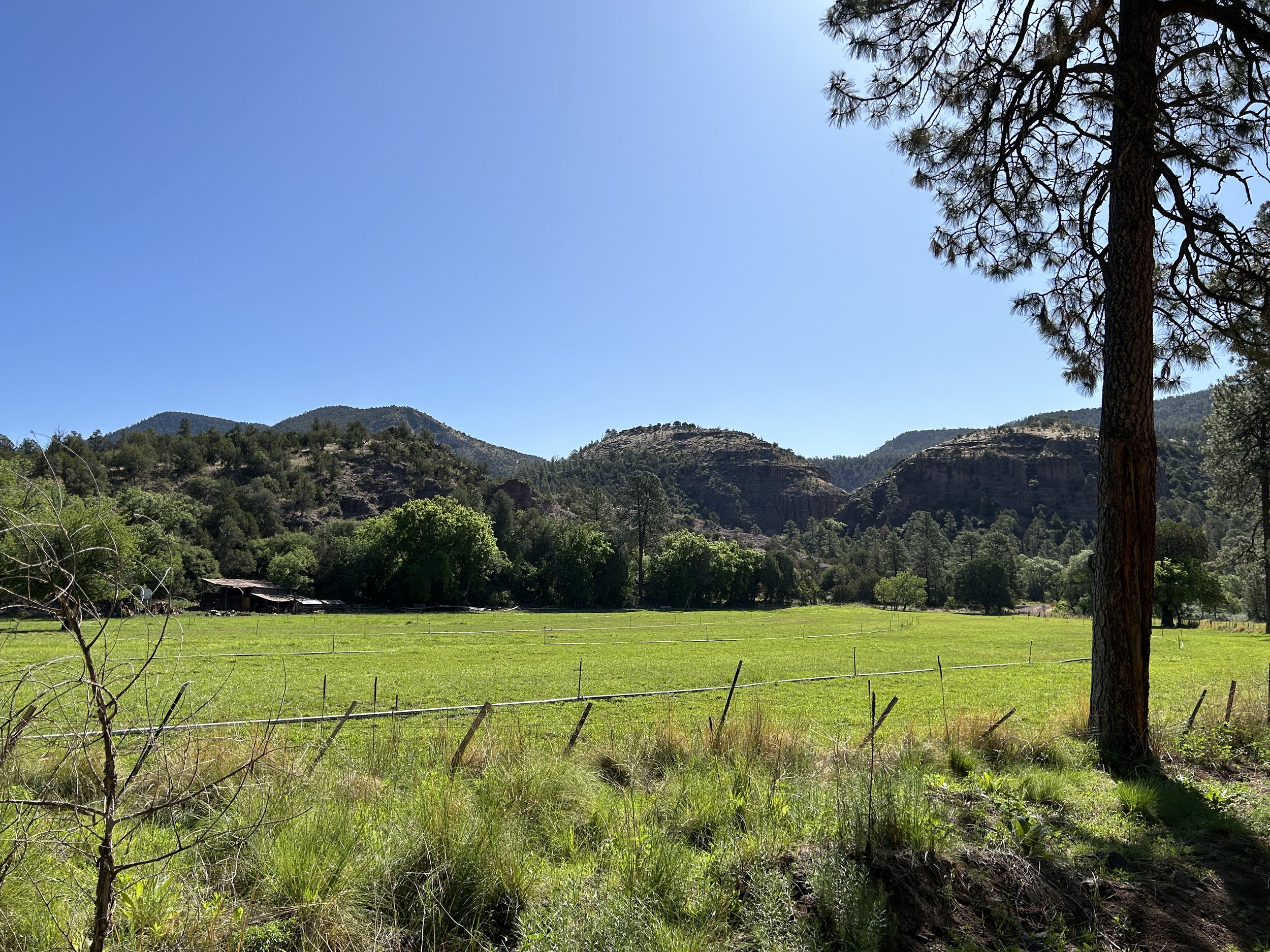
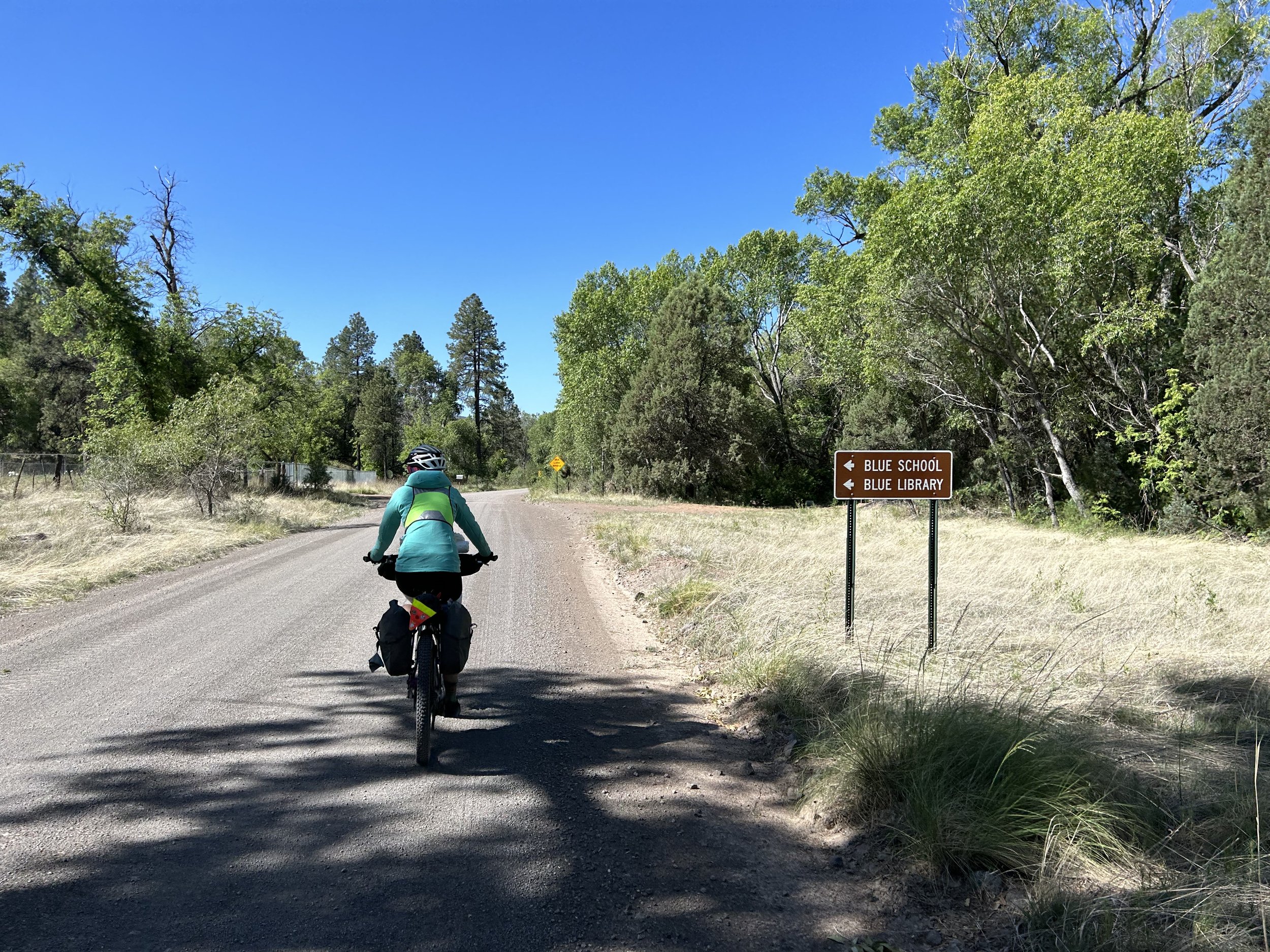
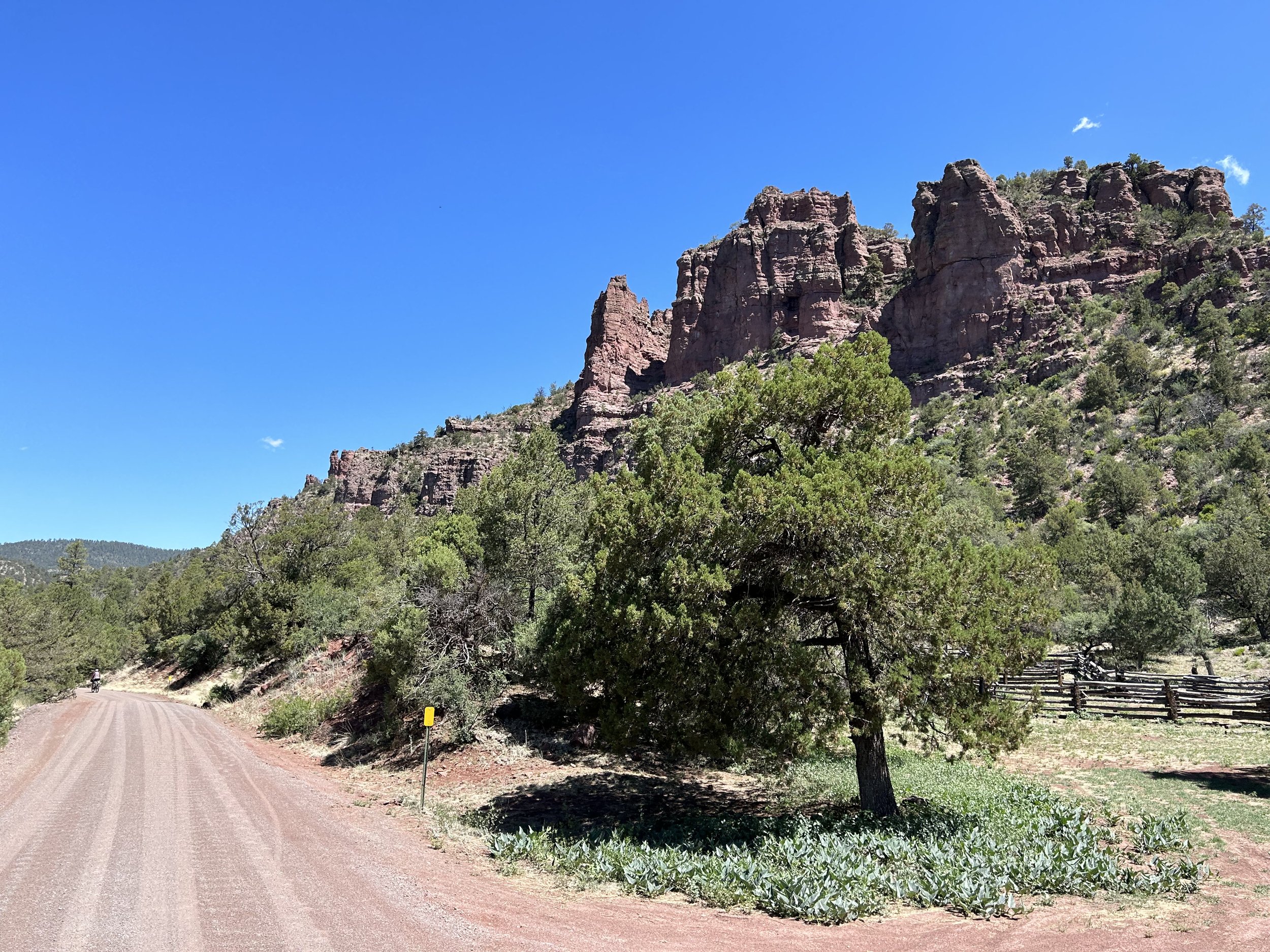
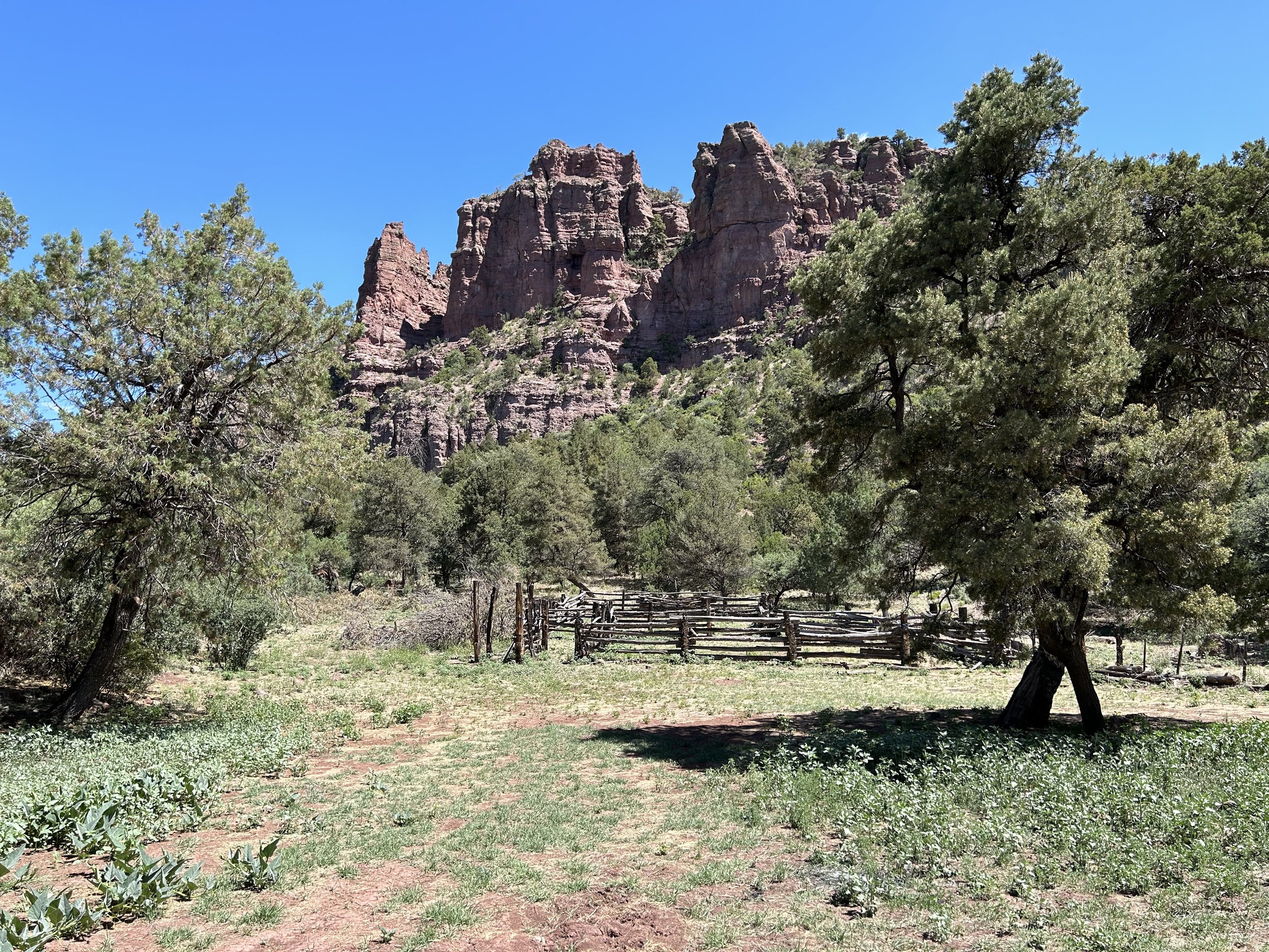
Bird calls were diverse and plentiful along the river's edge as cottonwoods and sycamores shaded the red dirt of the road with their canopies. Another few bends in the road brought stellar rock formations right on route. Red spires and buttes sat immediately to our rights and lefts. These exposed rock forms contrasted with the greens of the forest enhancing the beauty and amplified the feeling of riding down a corridor of the Earth. Walls of pocked rock rose to our sides as we passed over bridges across the Blue River. The descent's grade slacked and a valley really opened up along with a number of ranches on the outskirts of Blue, AZ. All the grass was vibrant green in early Summer color. Blue School and Blue Library popped up on our left and we stopped to consider the size and remoteness of this location (definitely the teachers in us).
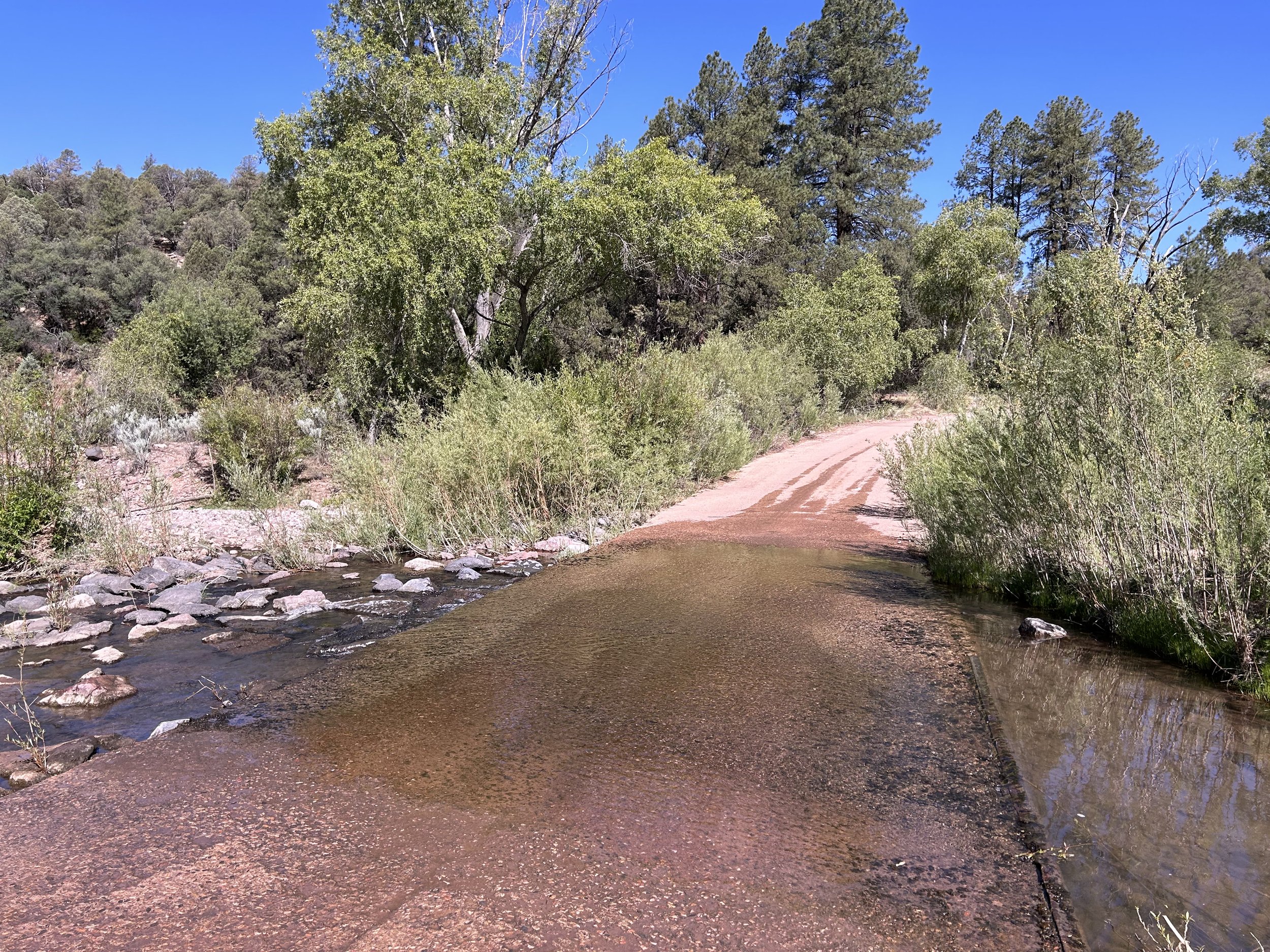
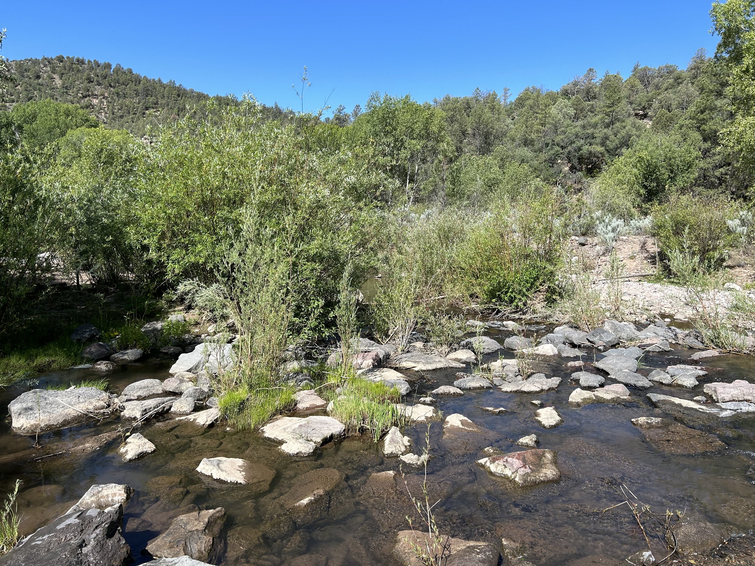
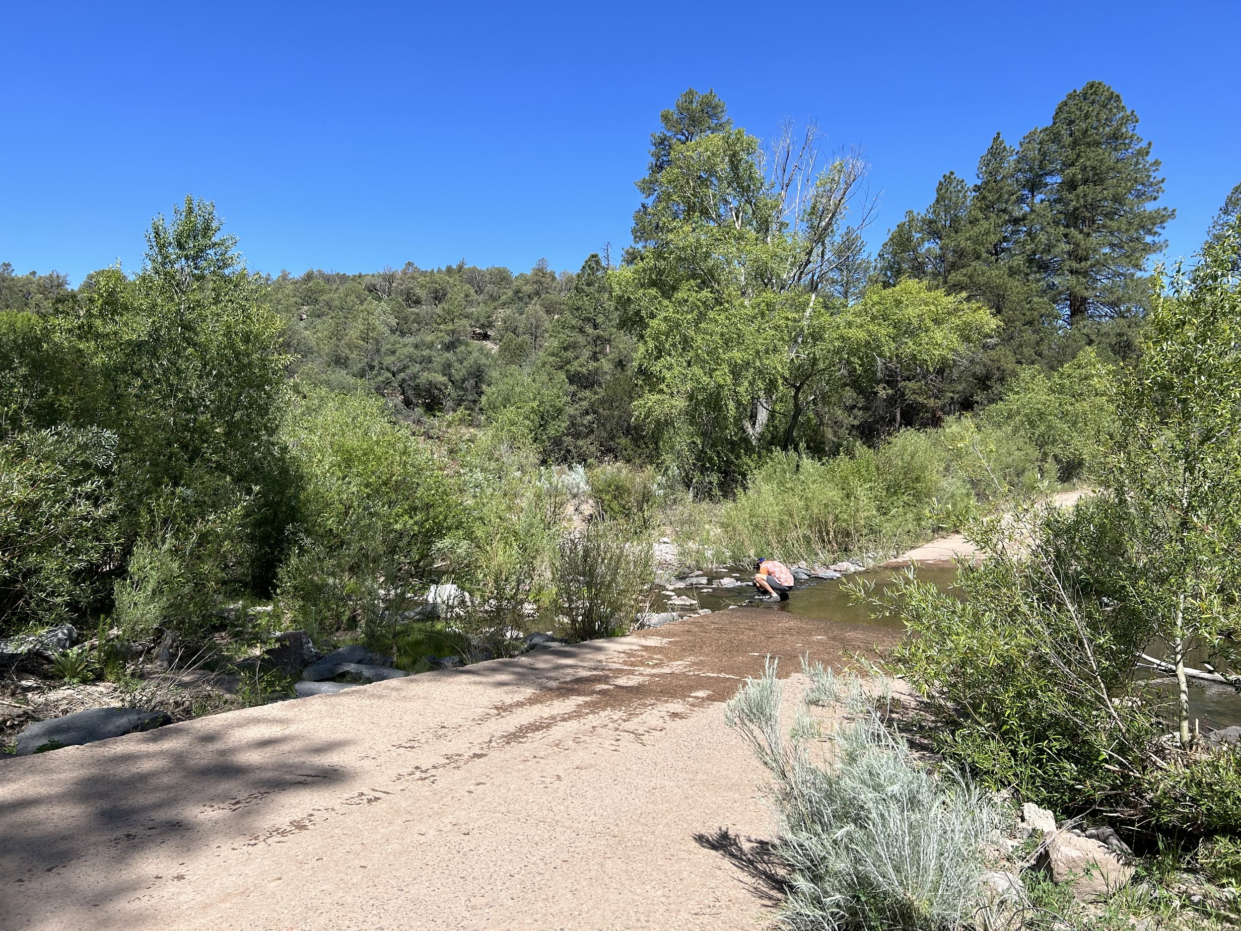
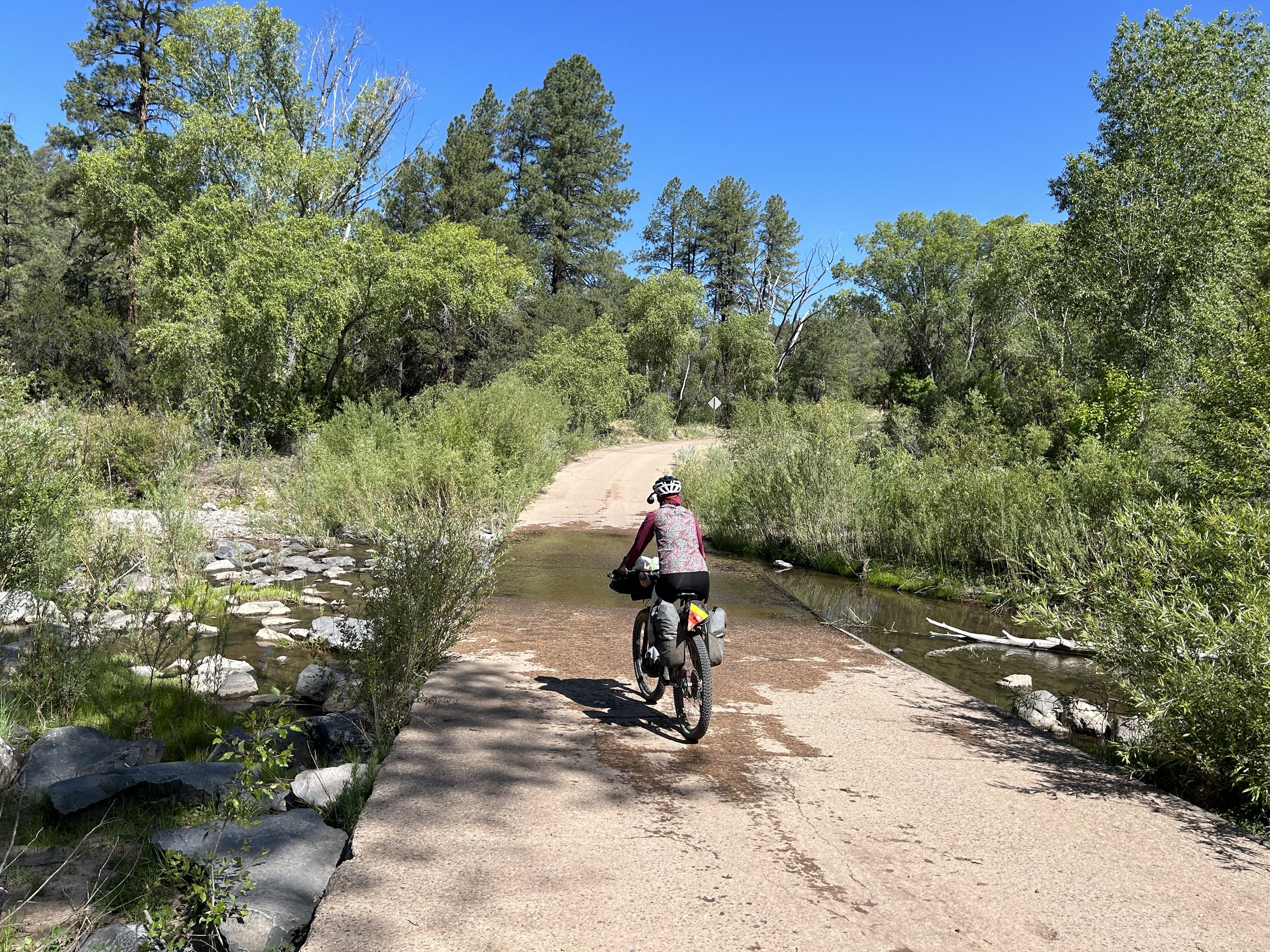
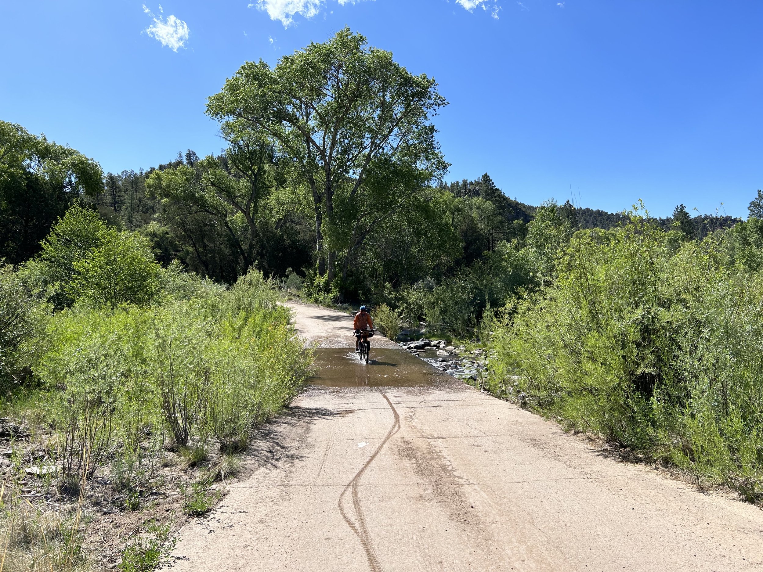
Blue Crossing came up on our rights. We pulled into our turn as the road continued on. Continuing further would take us by the Blue Post Office and the center of Blue, along with a road spur that goes up into New Mexico (going that direction provides an excellent bikepacking trip of its own on the New Mexico Western Highlands Loop). But for El Lobo Lupus, the turn is here to carry riders up the Red Hills right next to the Blue Range Primitive Area and back into the Heart of the Apache-Sitgreaves National Forest. Janna and I stopped as the river flowed over the concrete crossing of the road so we could thoroughly fill our bottles. This was going to be a BIG climb through the gathering heat of the day from here at the low point of the route all the way back on top of the Mogollon Rim. We wouldn't get reliable water again until evening at the Black River.
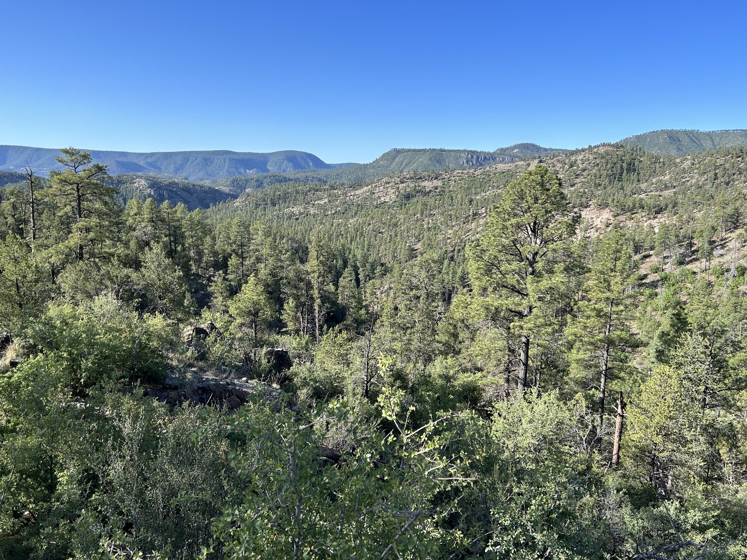
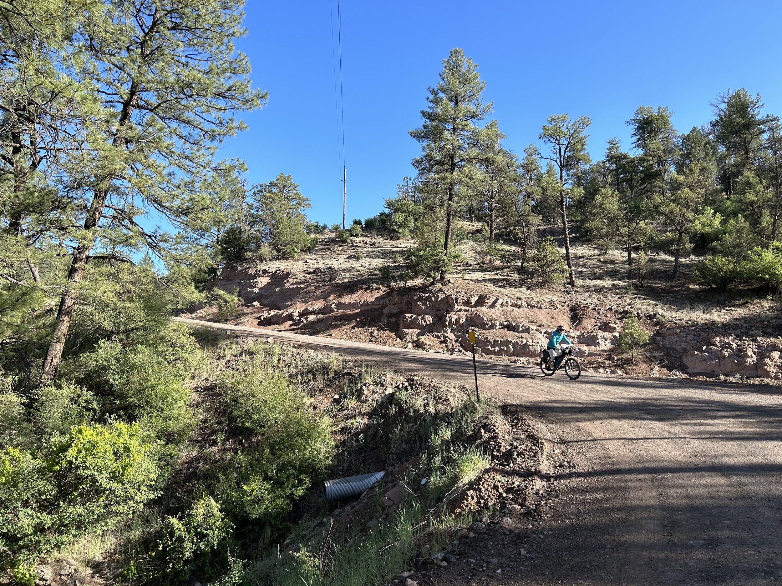
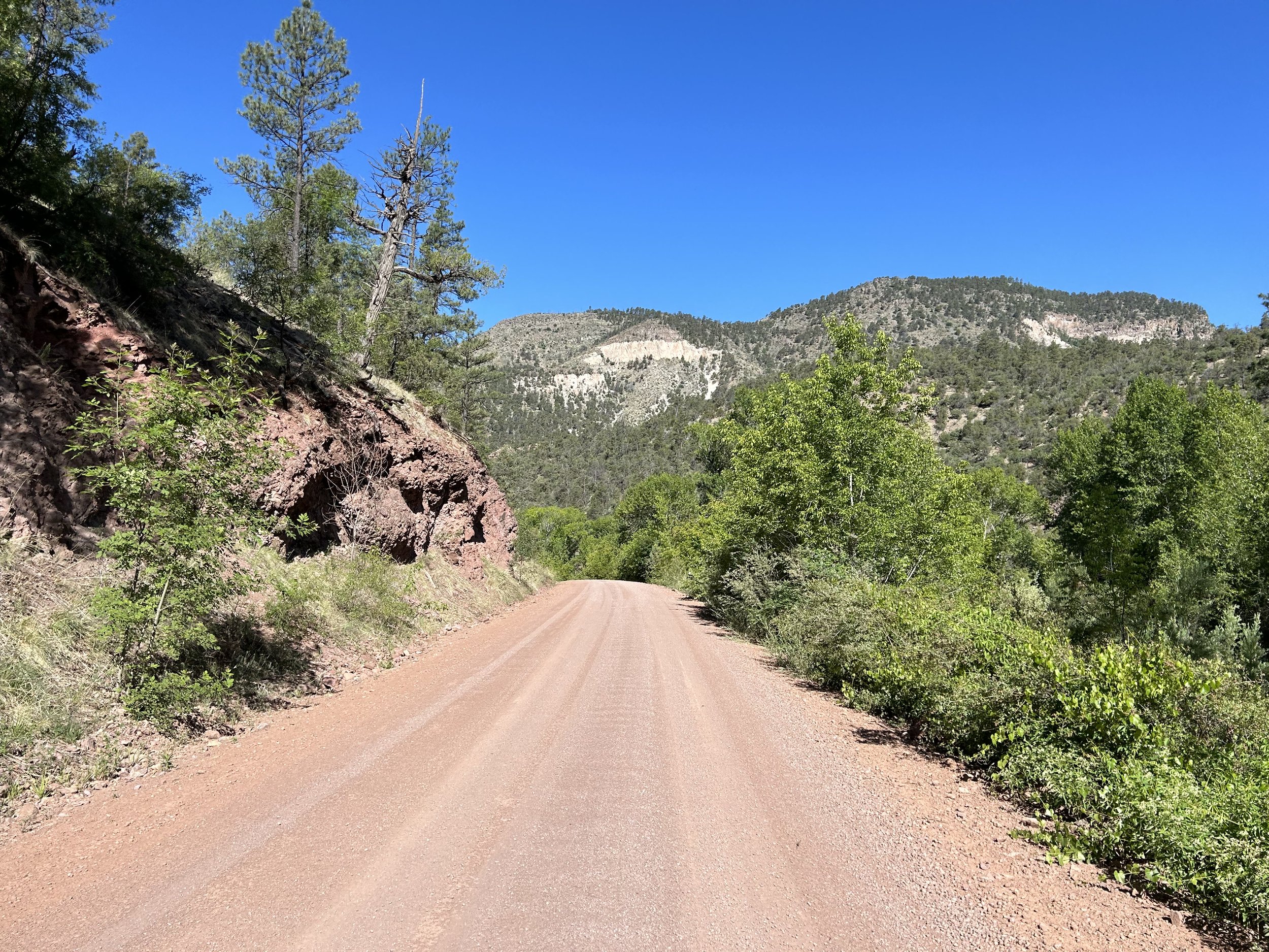
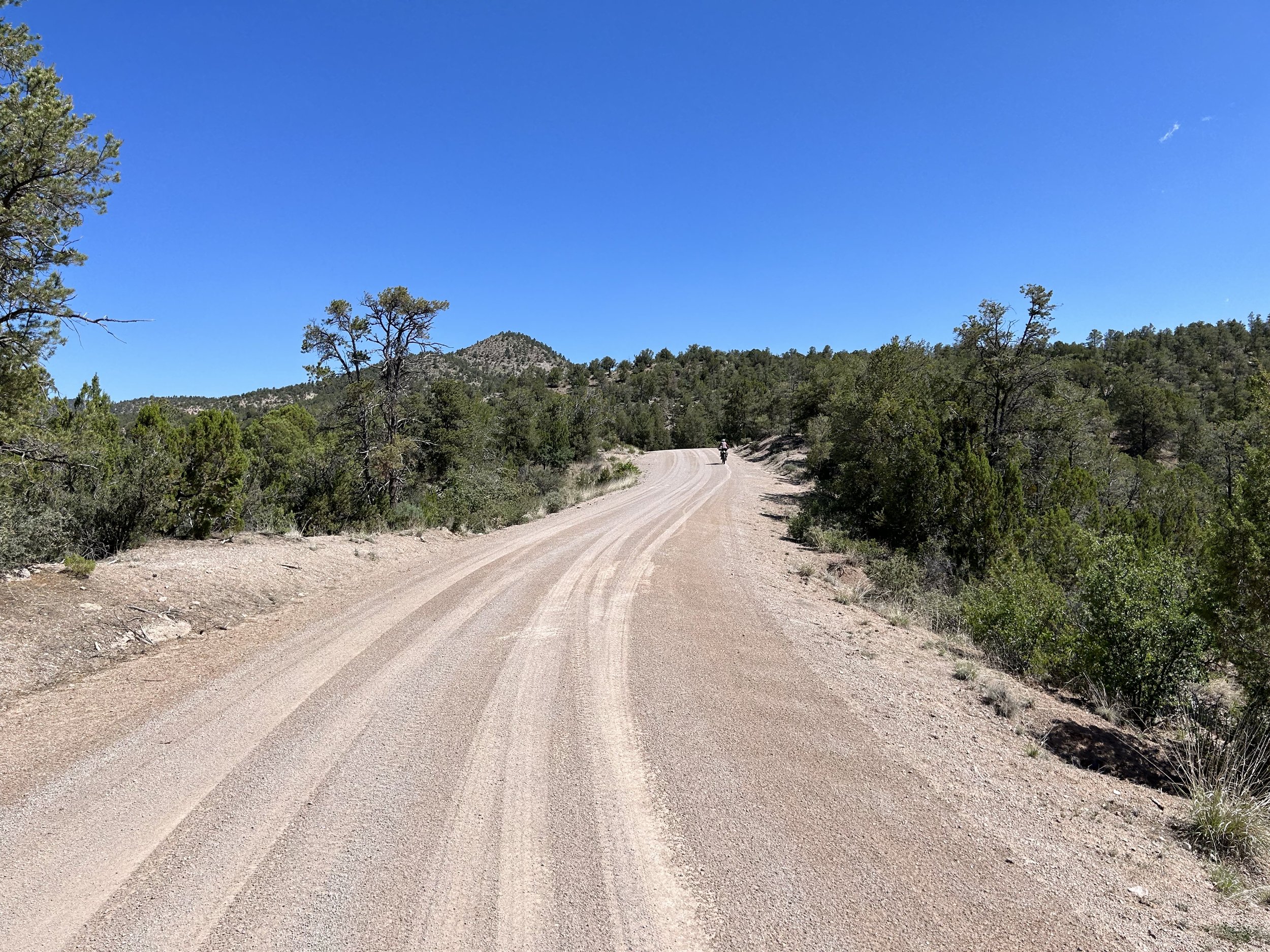
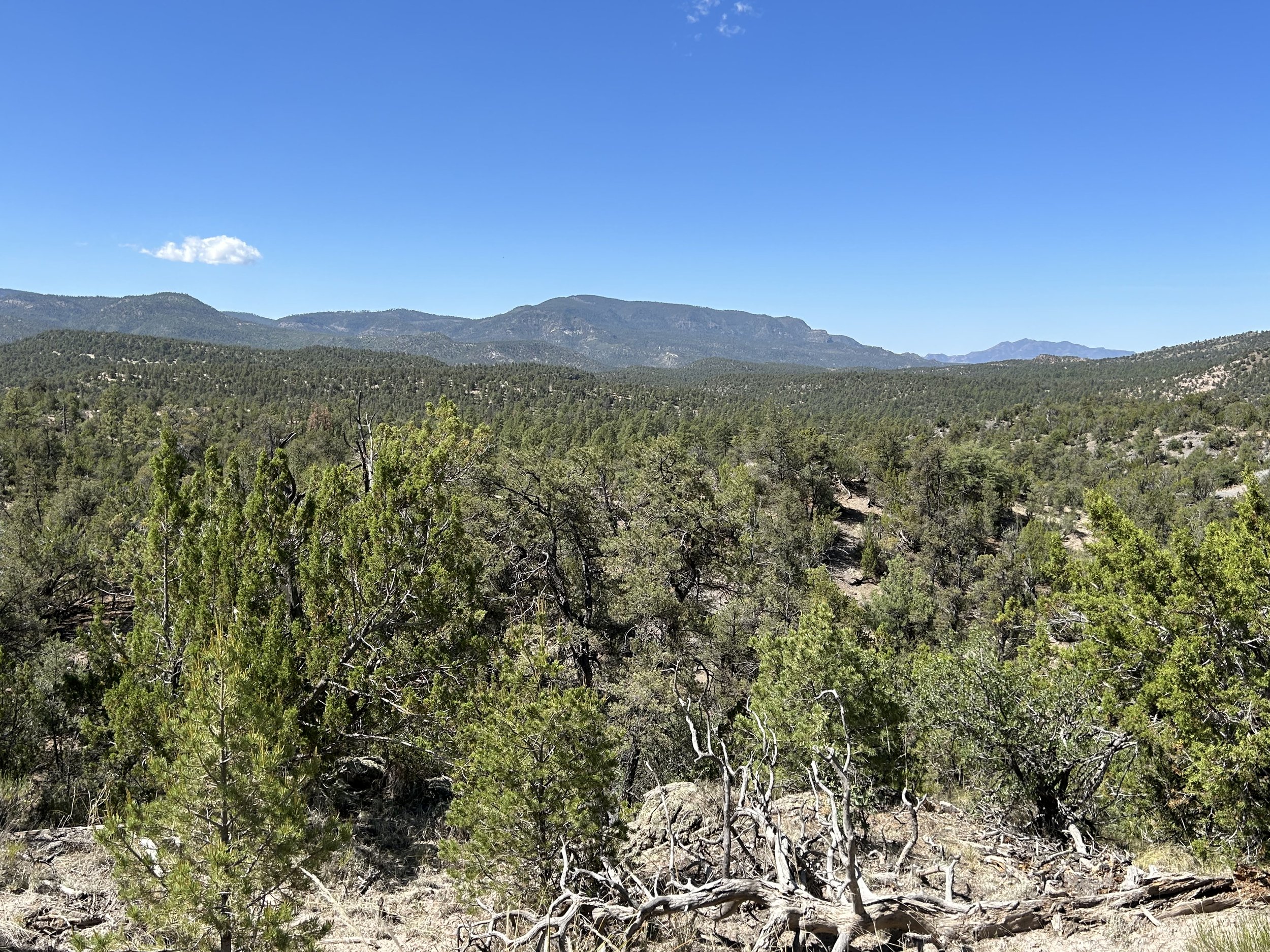
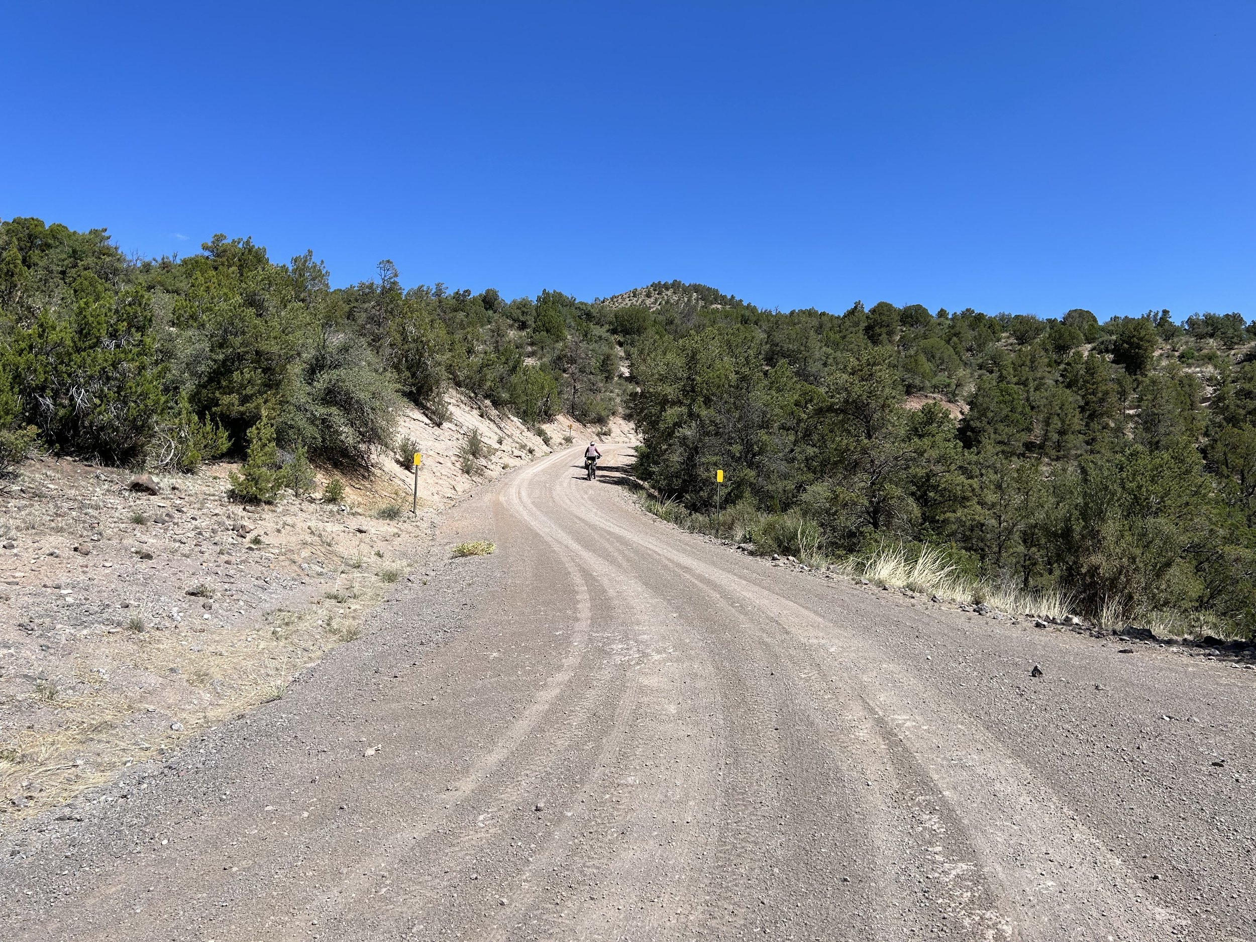
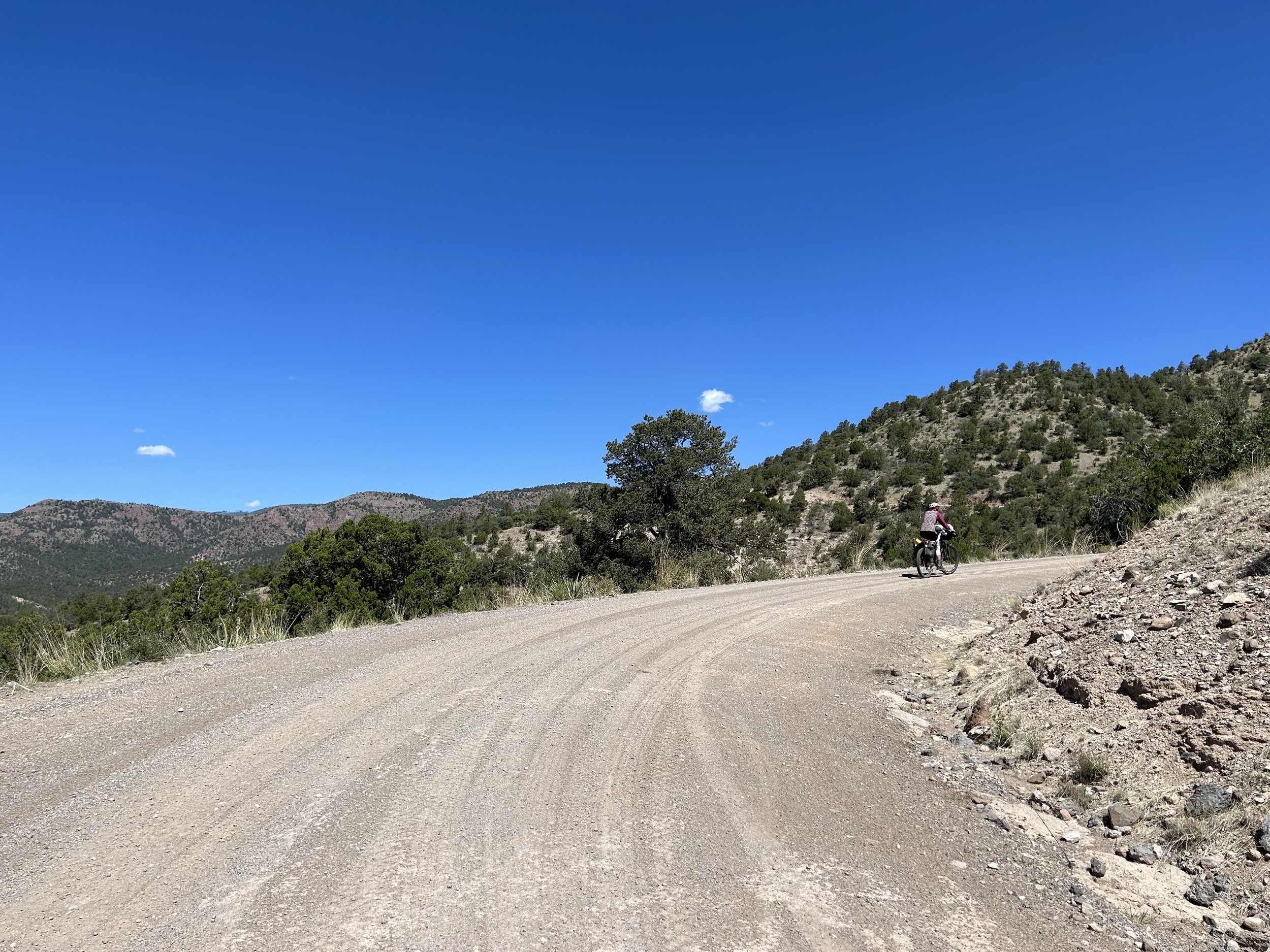
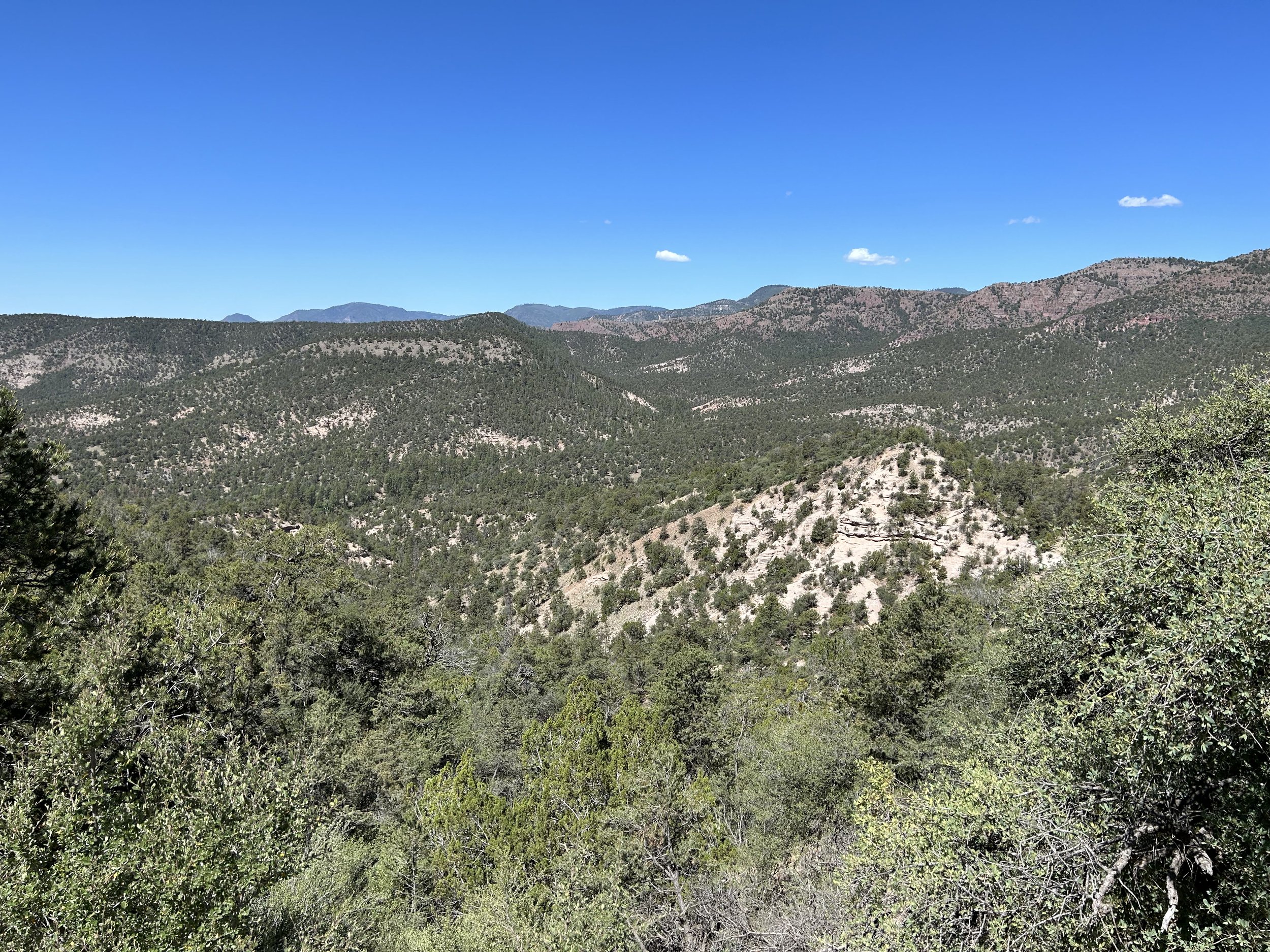
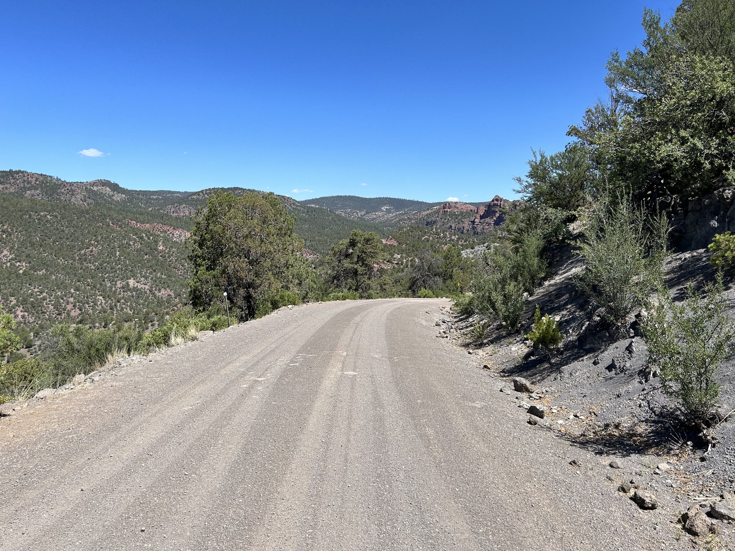
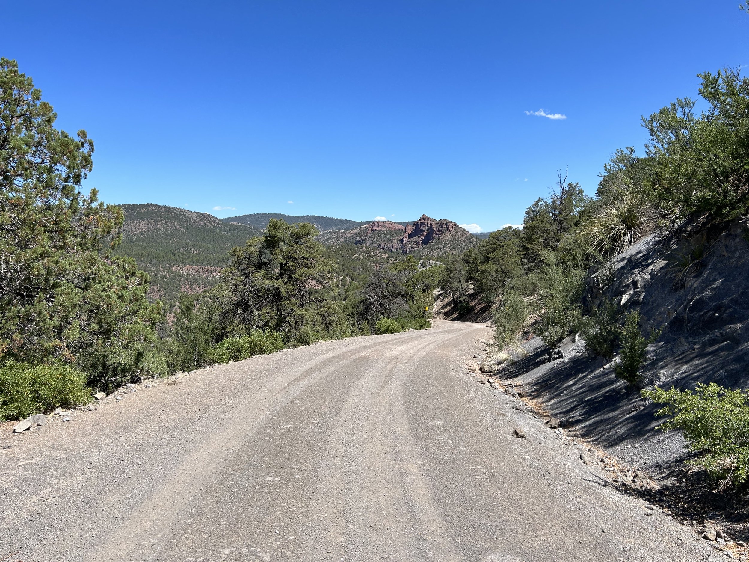
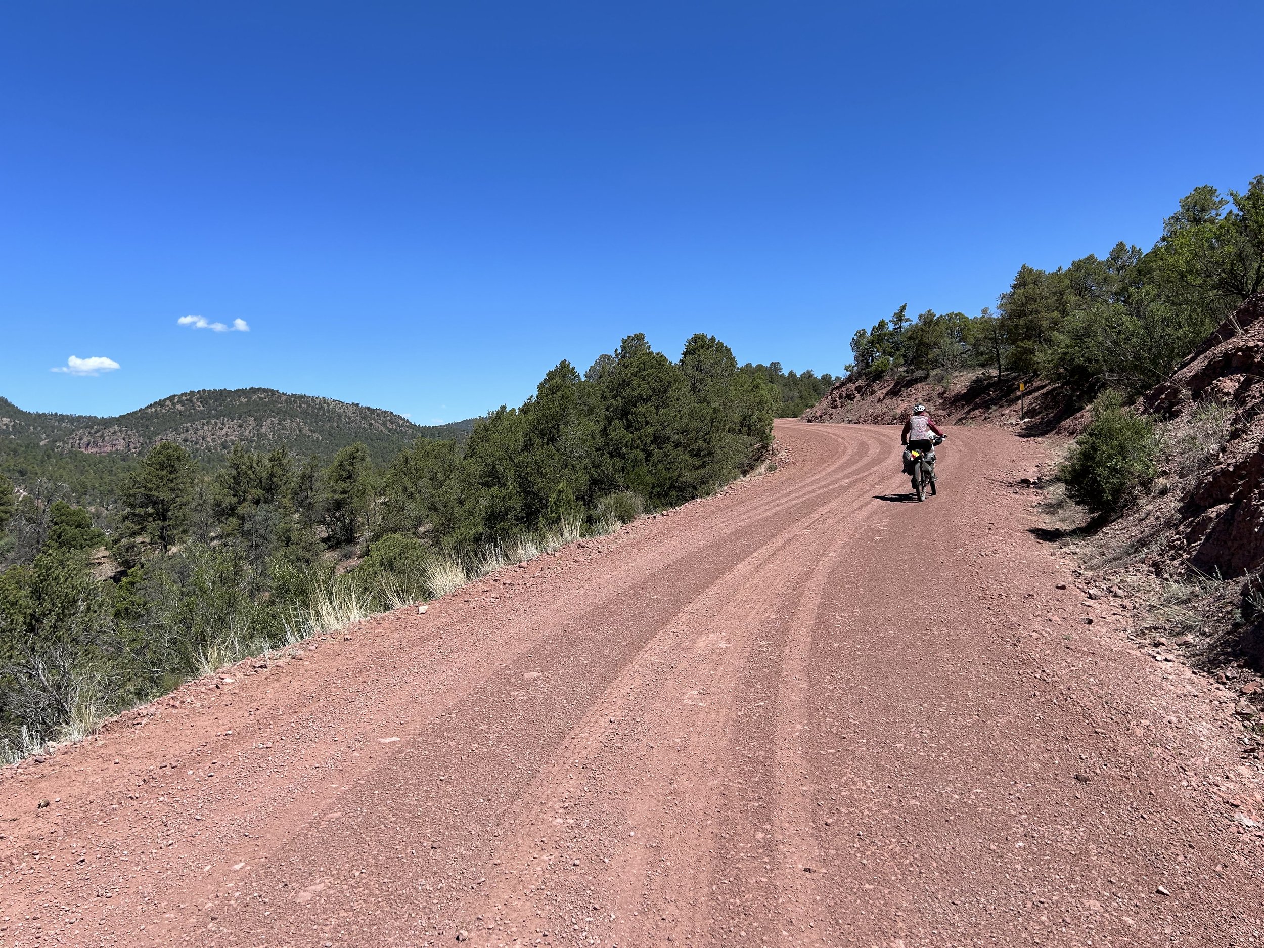
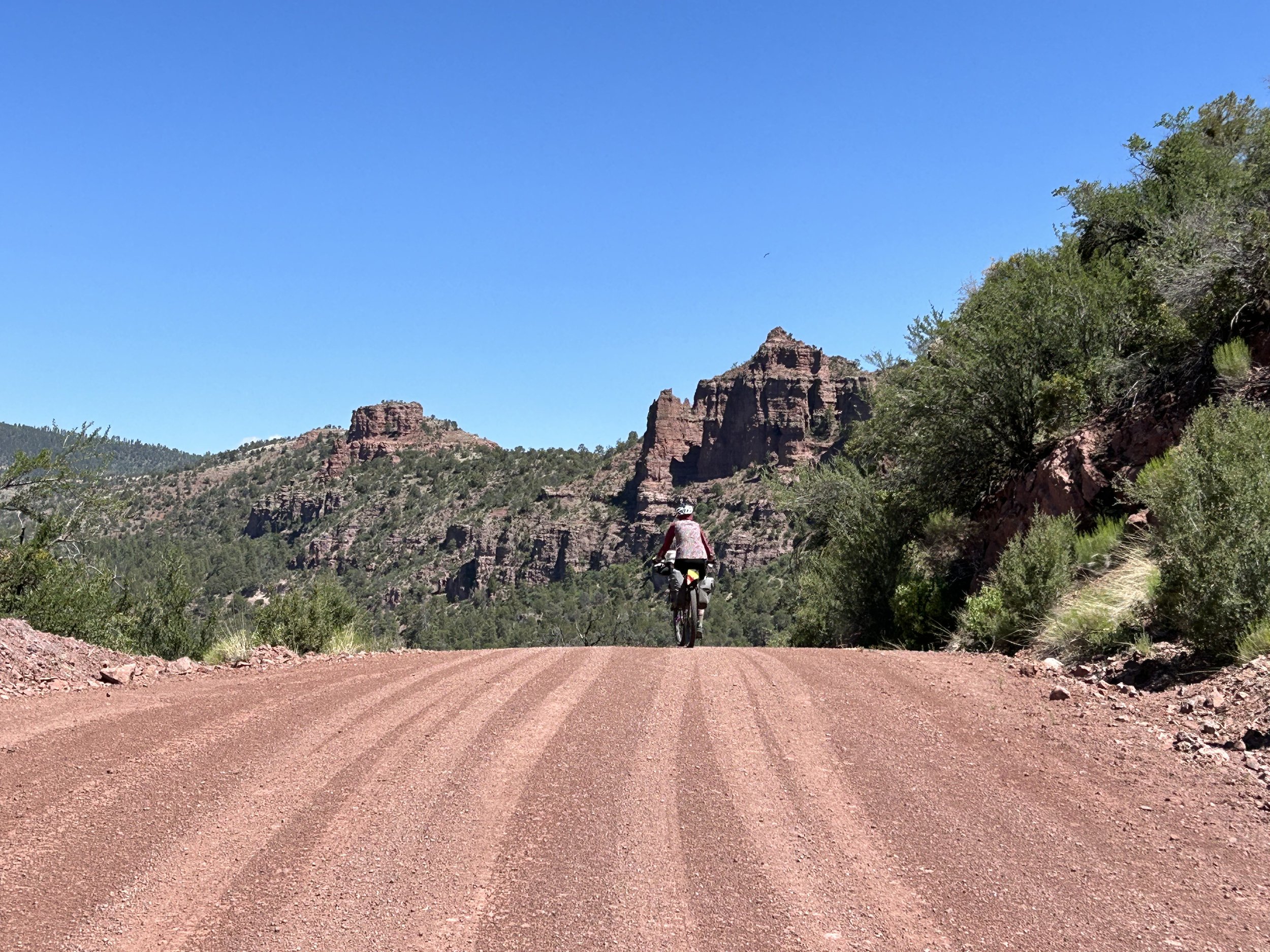
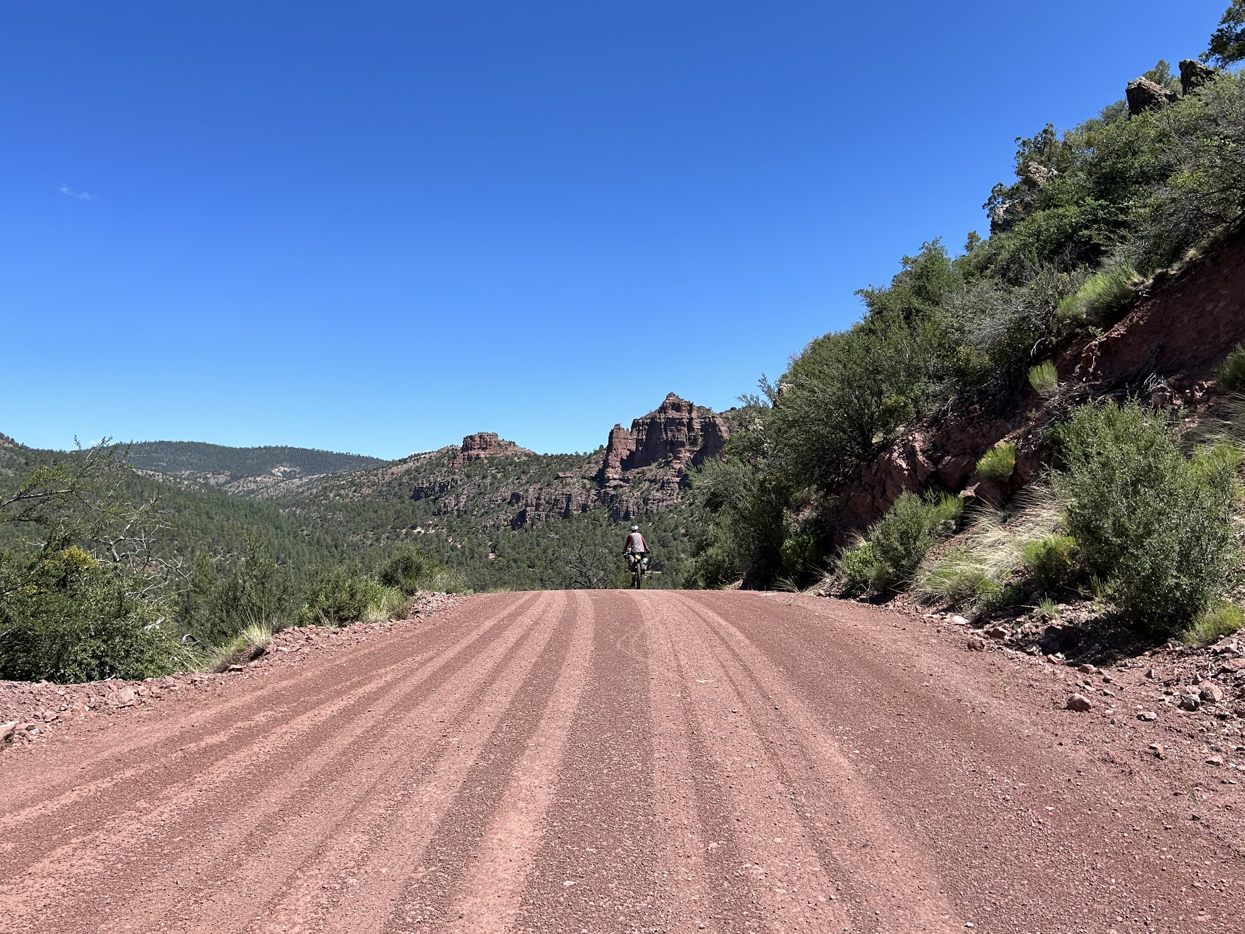
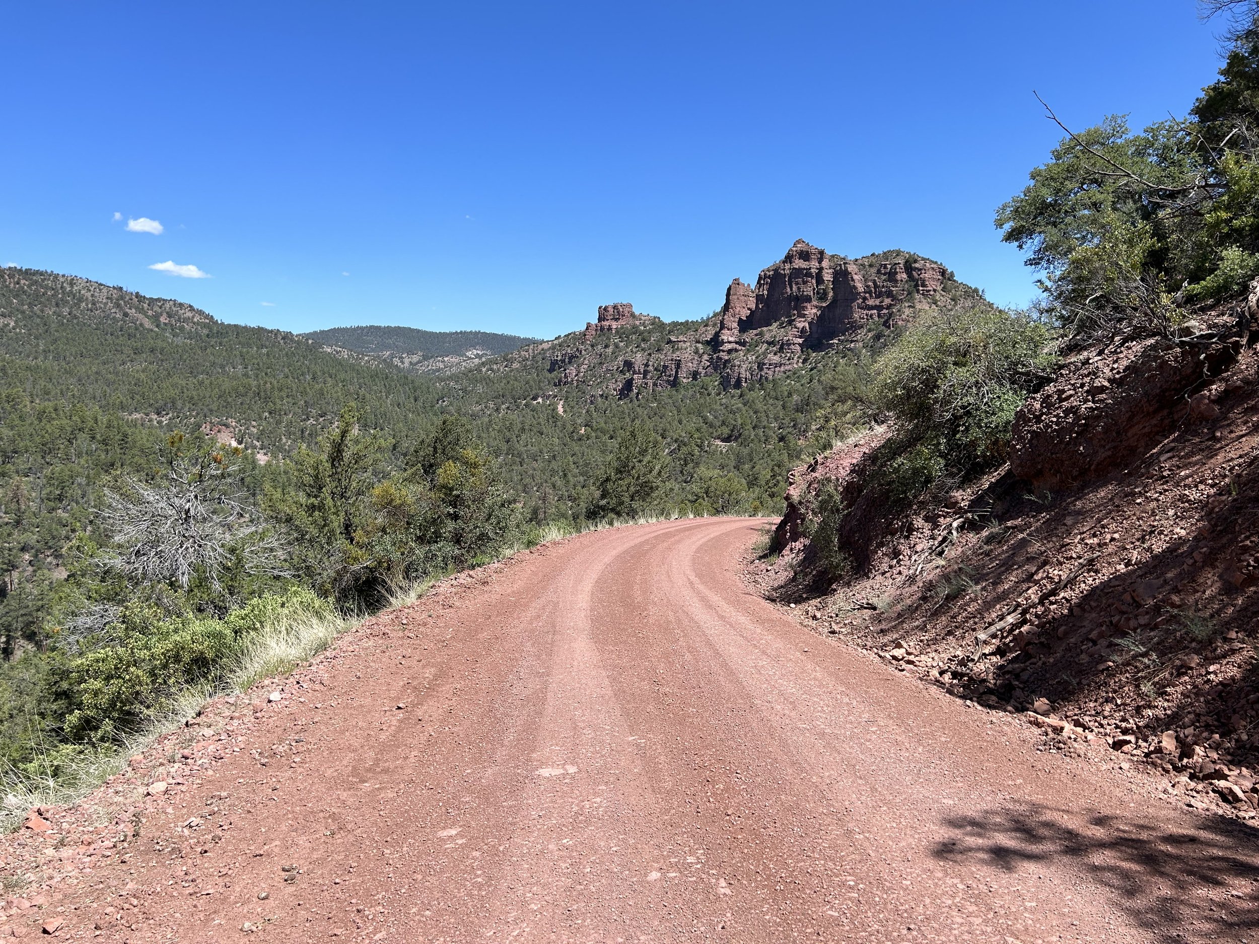
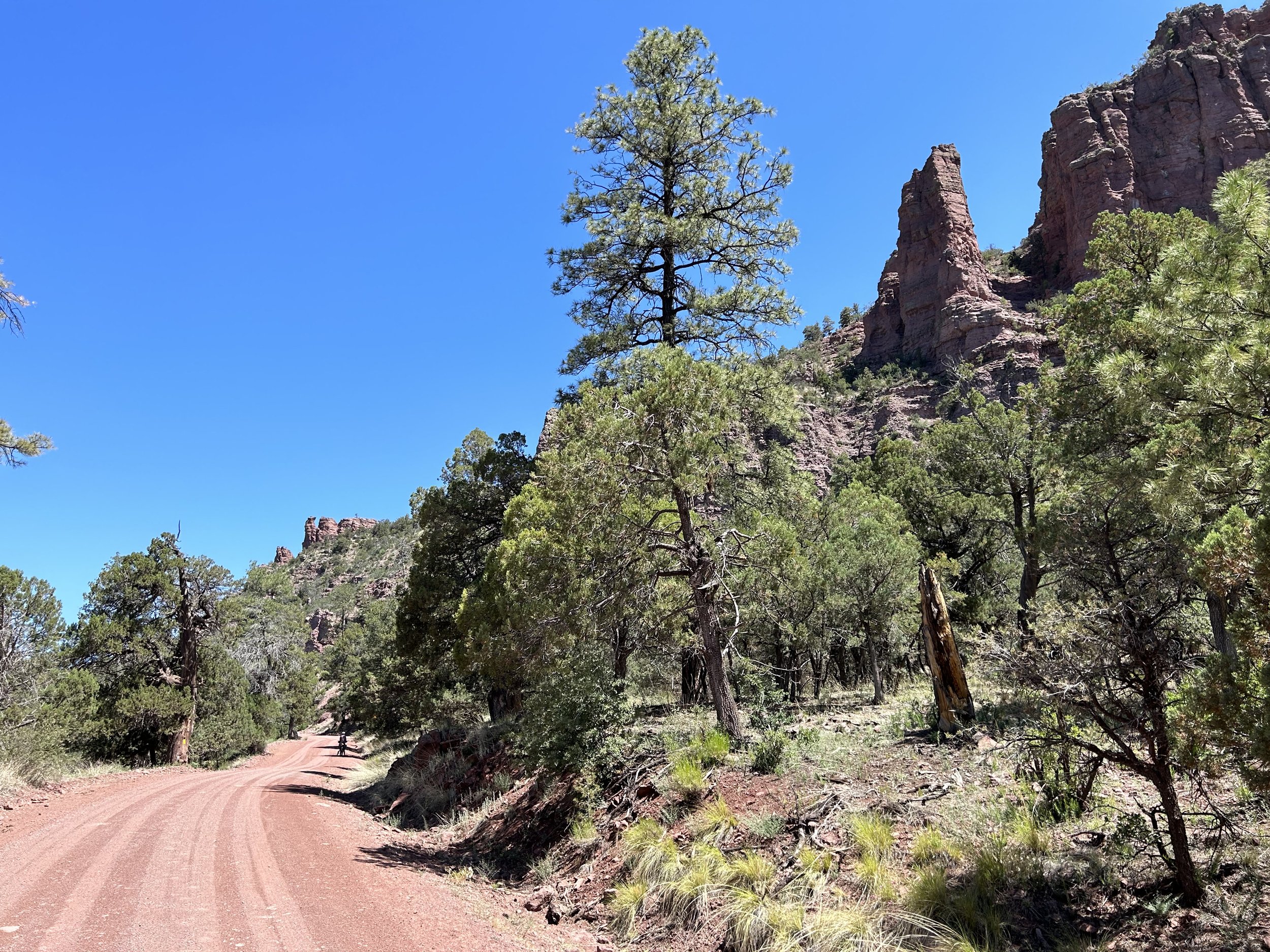
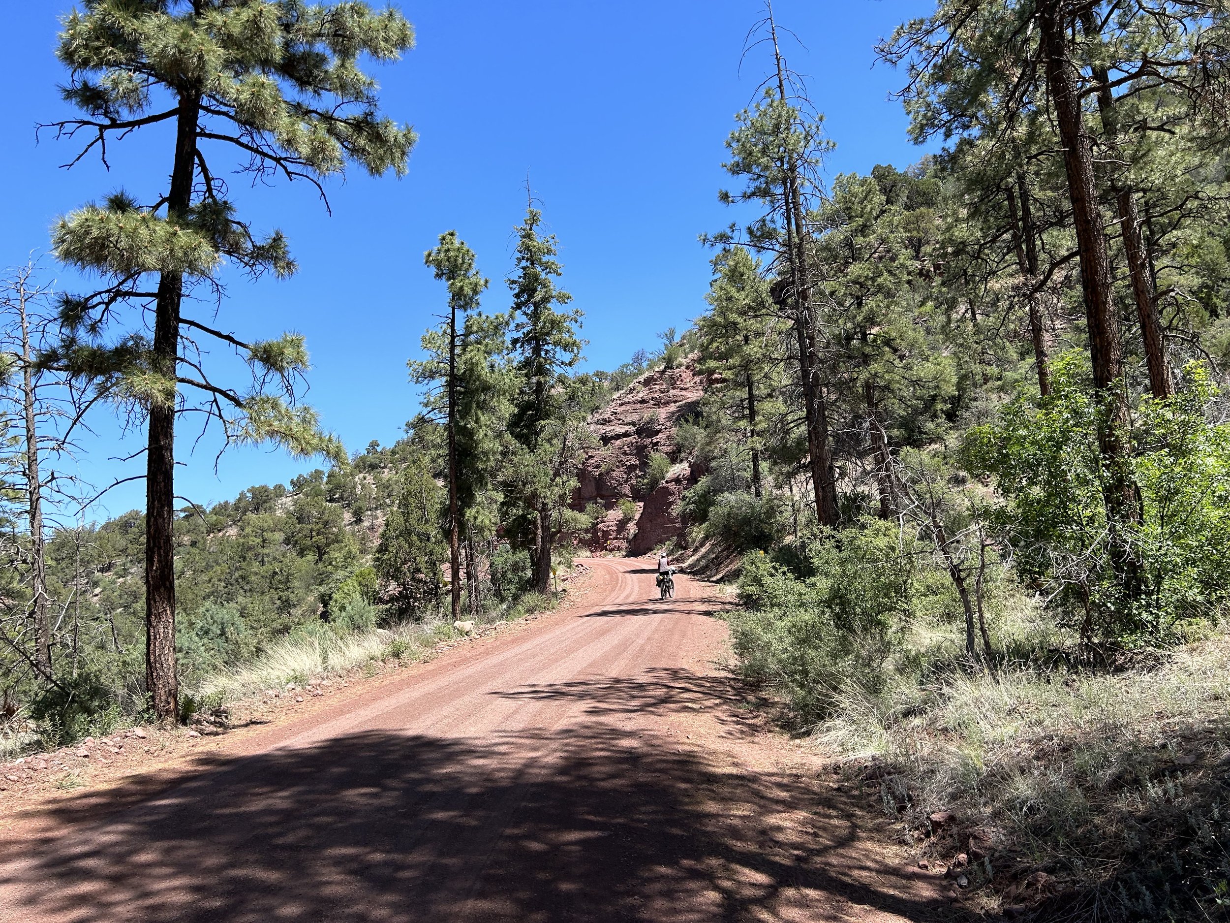
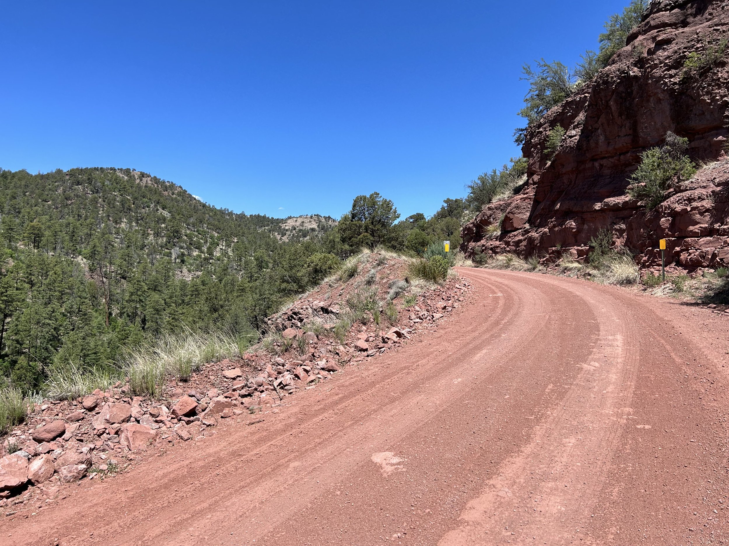
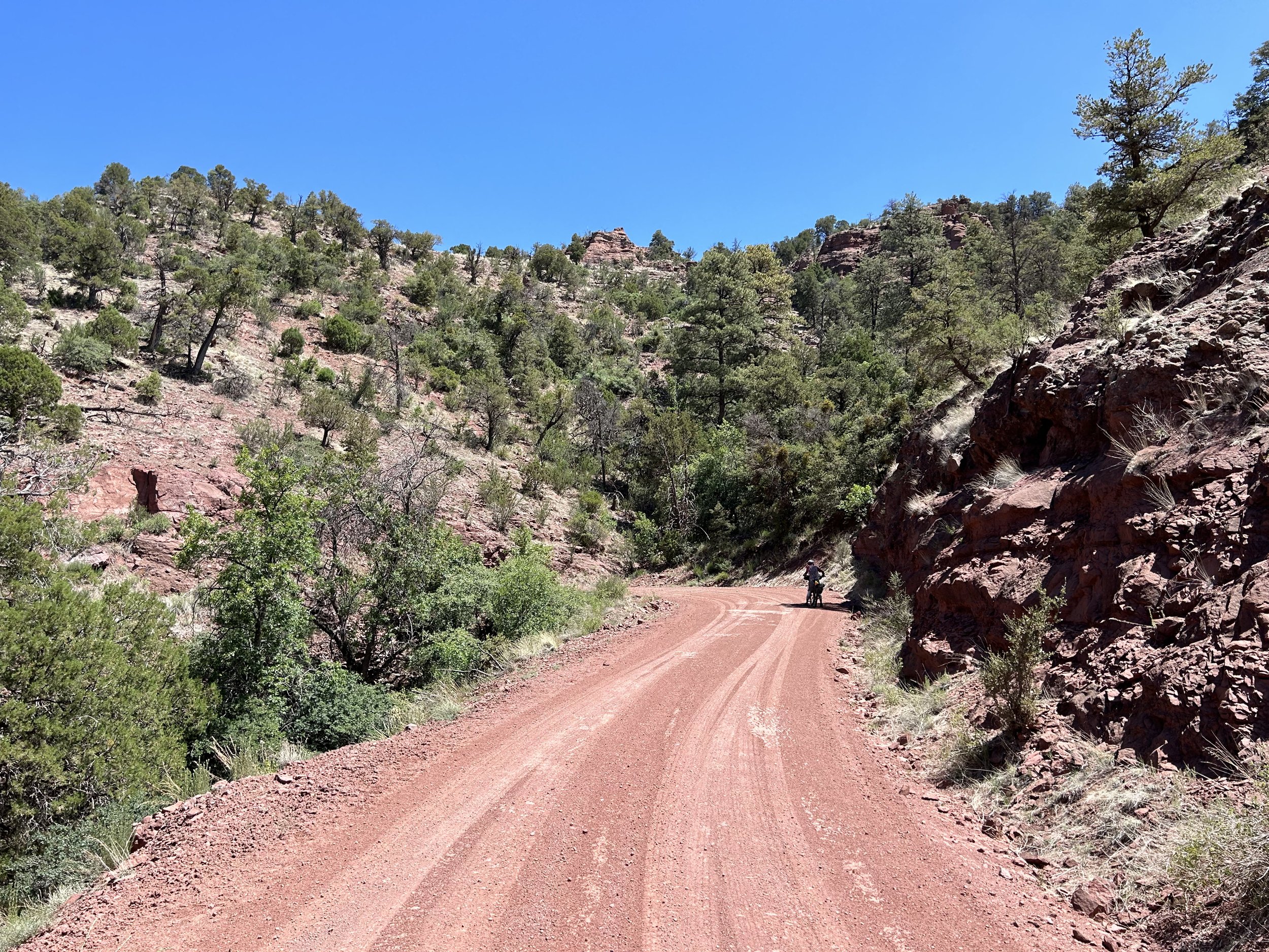
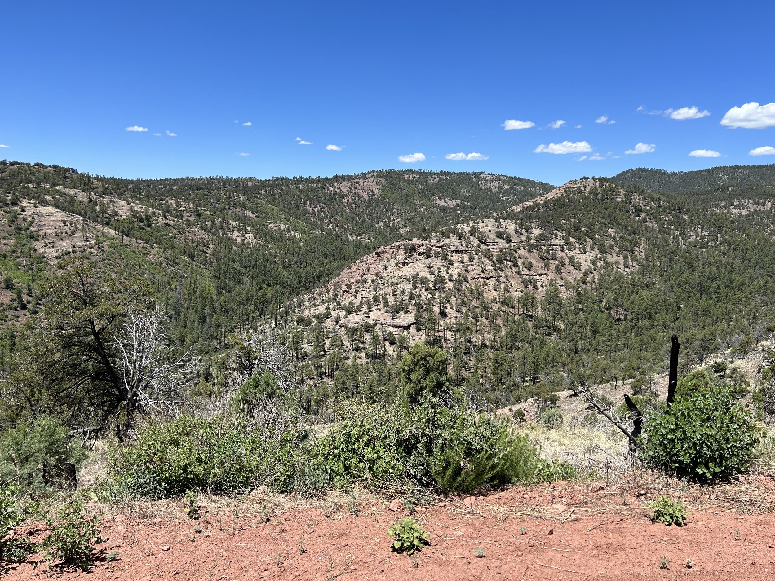
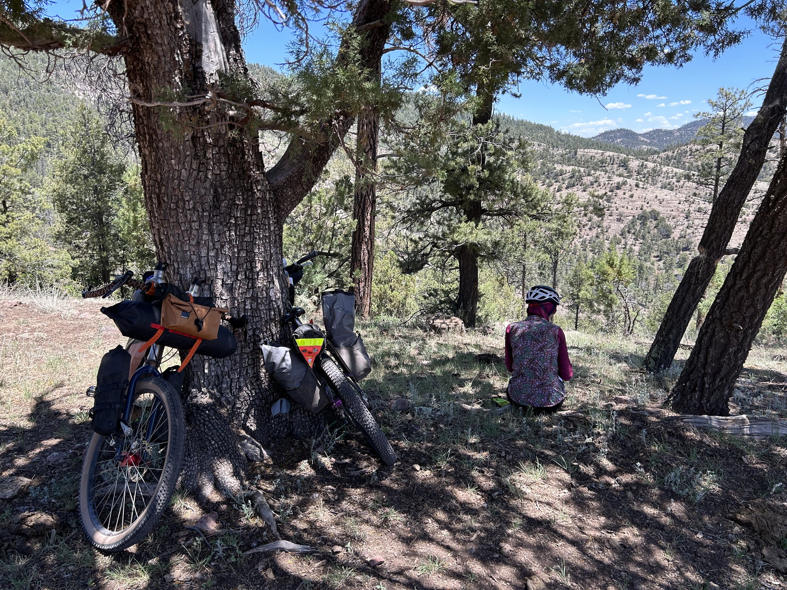
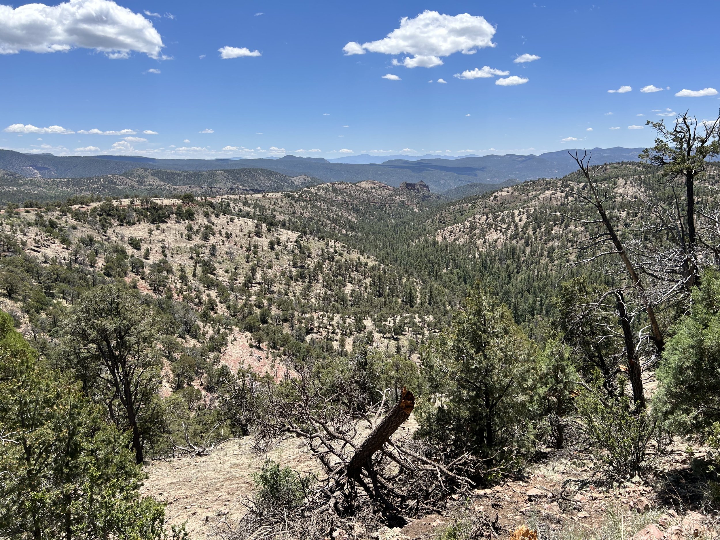
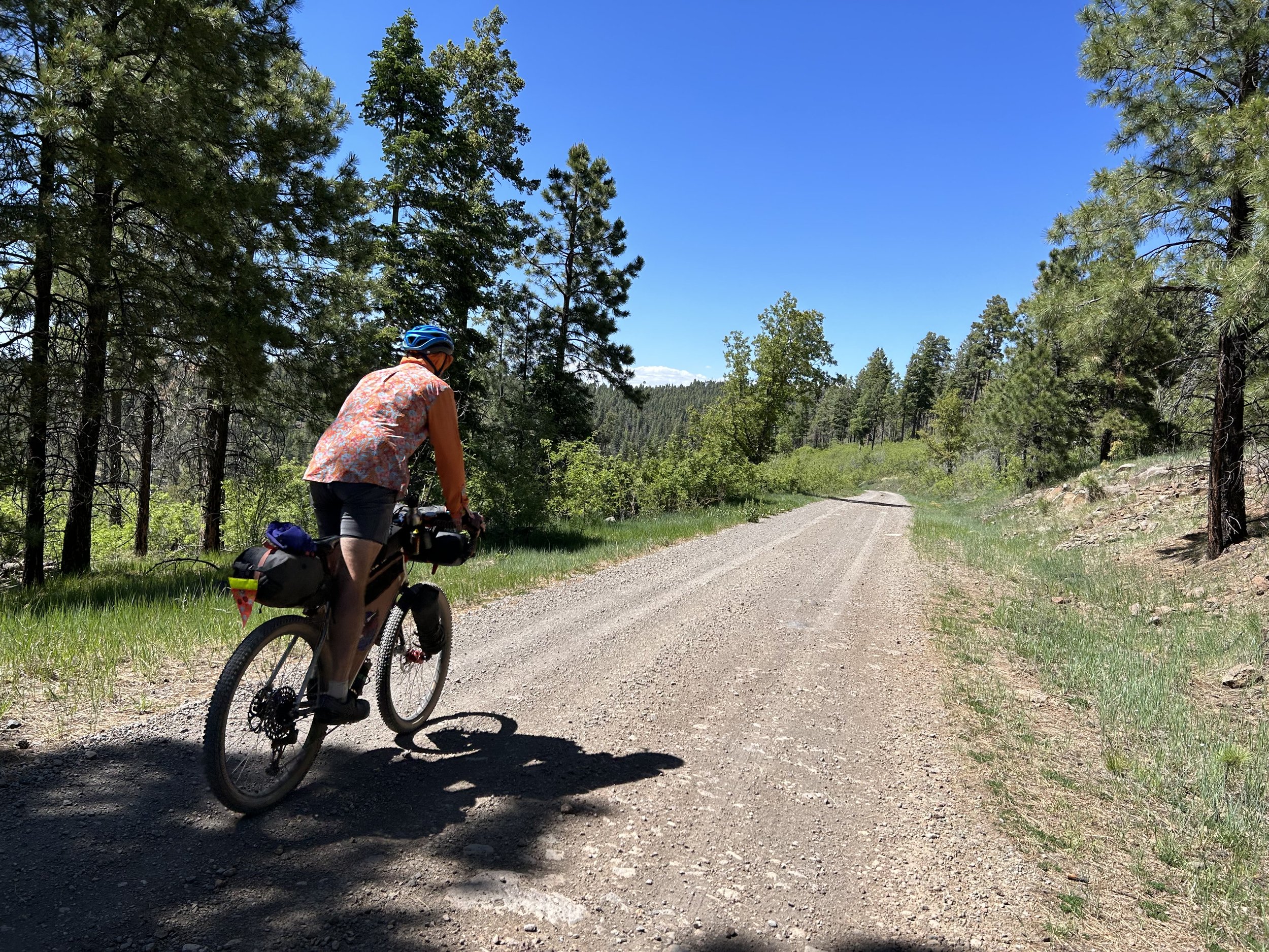
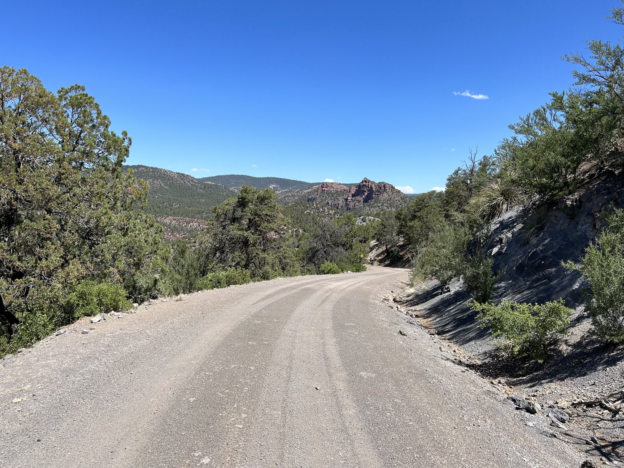
Water reservoirs filled, we crossed the river and began our climb up. The track was crazy smooth, and I kept looking left to gaze across mountain peaks beckoning towards NM and the Gila. The grade increased in slope, but it never got to steep (even heavily loaded with multiple days of food and lots of water) for us to need to hike-a-bike. But it was relentless and just kept going. Thousands of feet of gain lay ahead of us. But the views made up for it entirely. I kept stopping to look left, right, and southerly at the expanse of this dramatic crumpled range. The road was initially pale in color but gradually became red as red spires of rock, reminiscent of Sedona, craggily jutted from the surrounding mountains. I stopped to take photos and grab some snacks in the shade of junipers as the temperatures continued to rise. We rode upwards through the Red Hills as ponderosas grew upon the sanguine dirt. It was super beautiful. A truck coming down the road stopped to talk to us. They were planning on doing some gravel riding and wanted to know what we thought: thumbs up but be prepared for the steep grade.
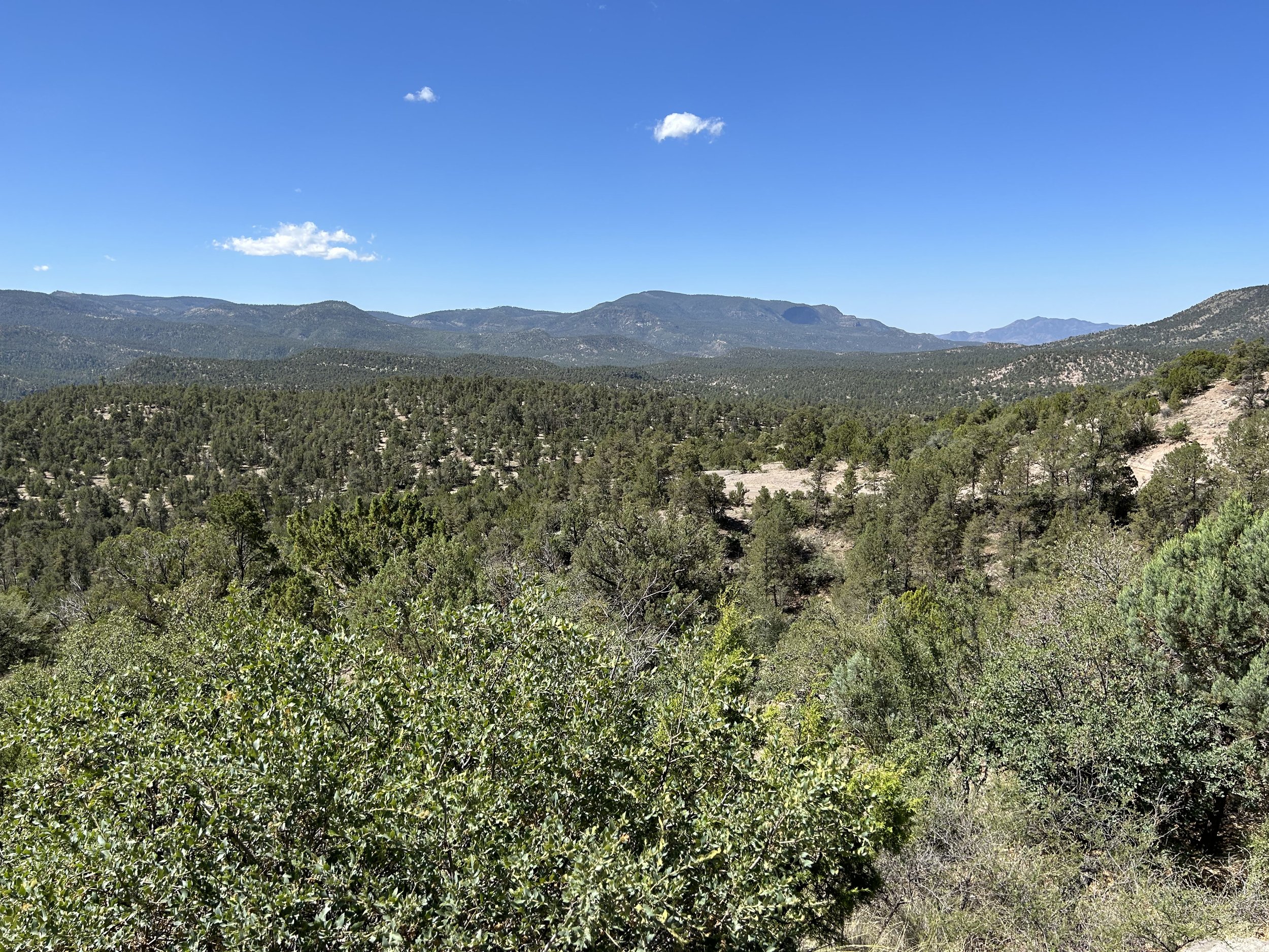
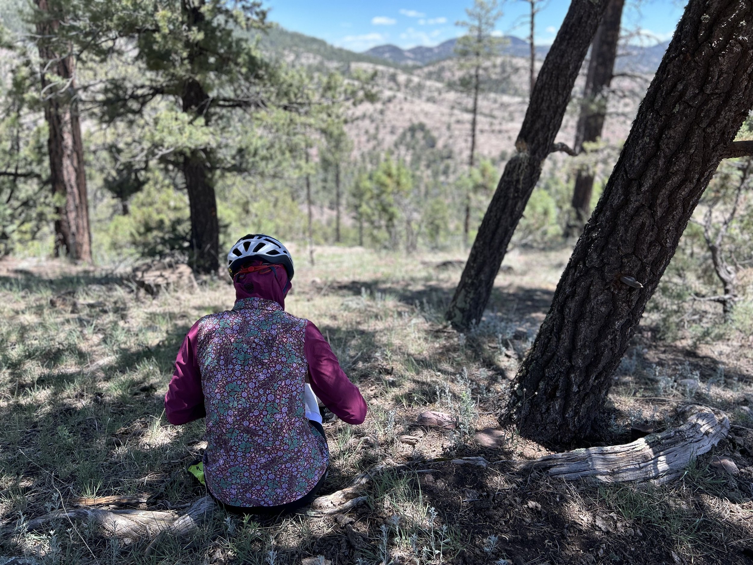
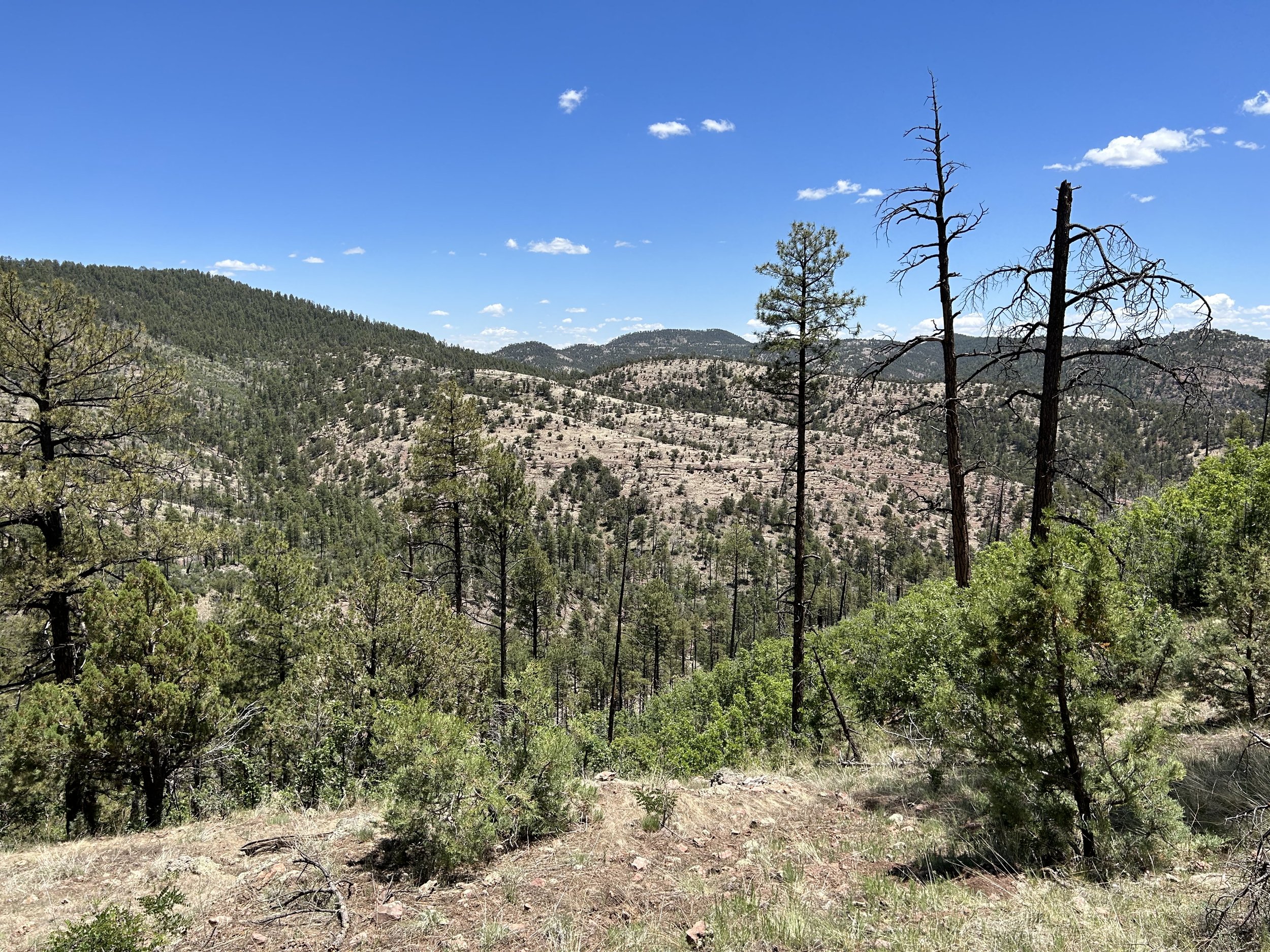
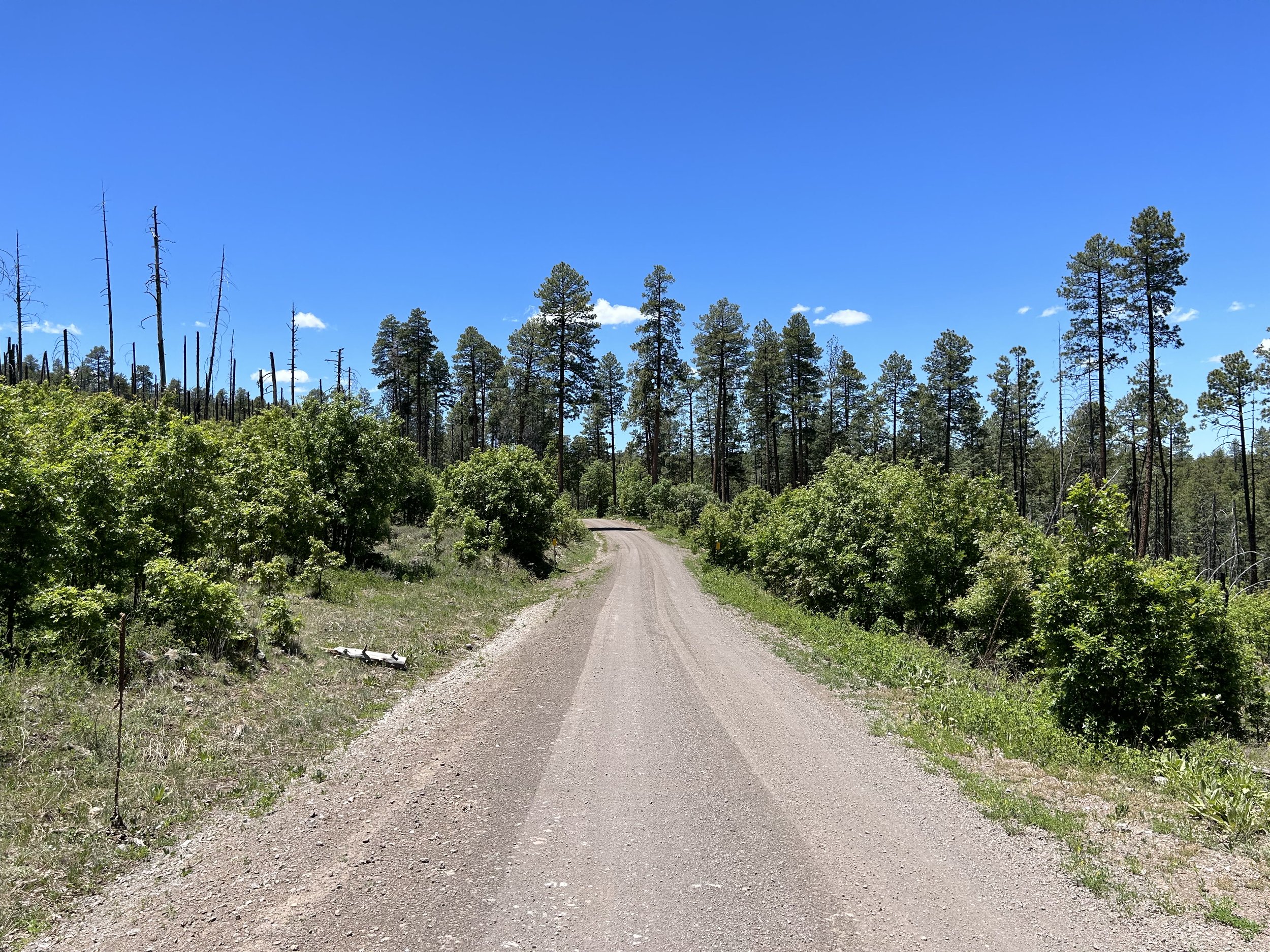
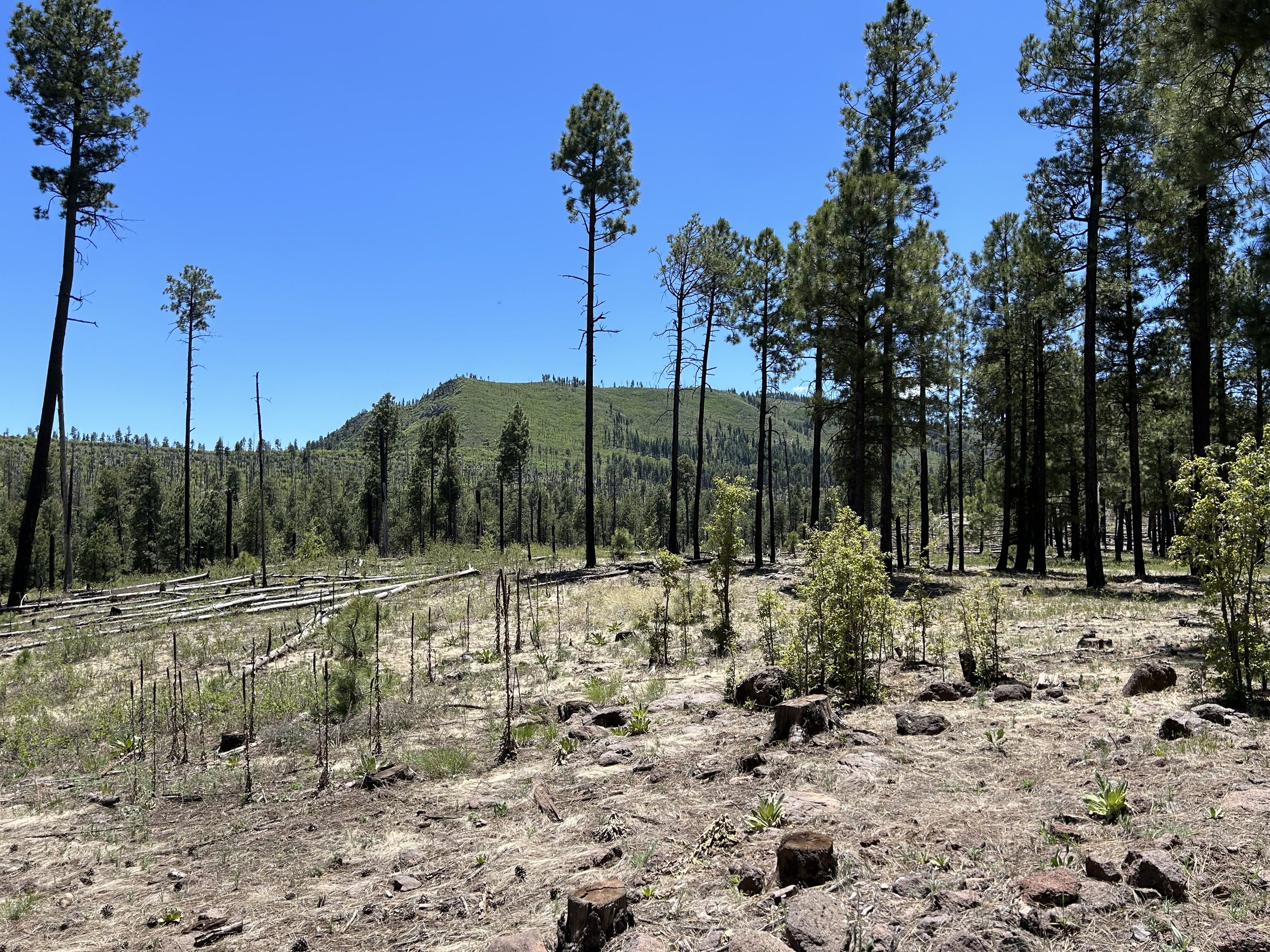
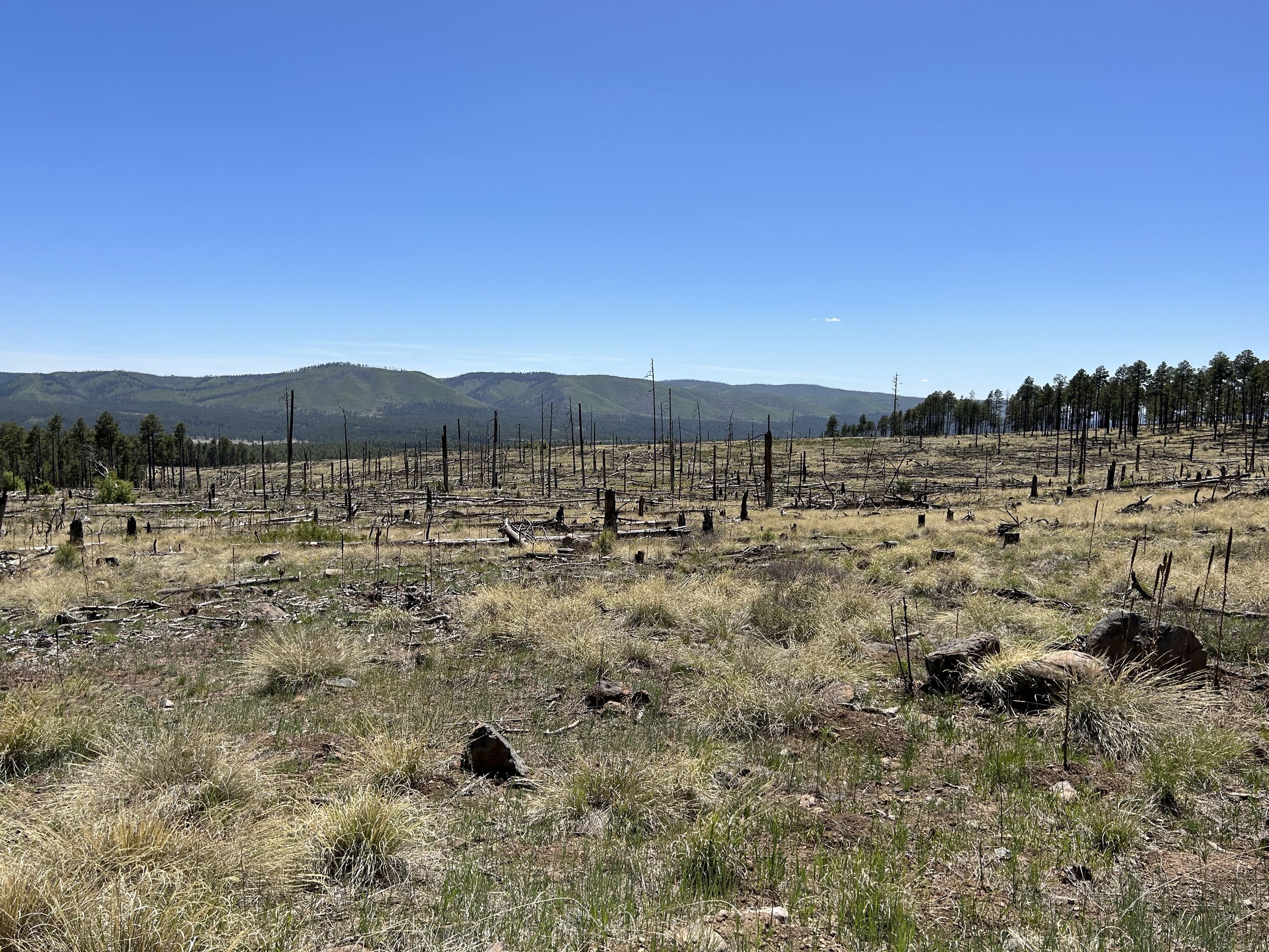
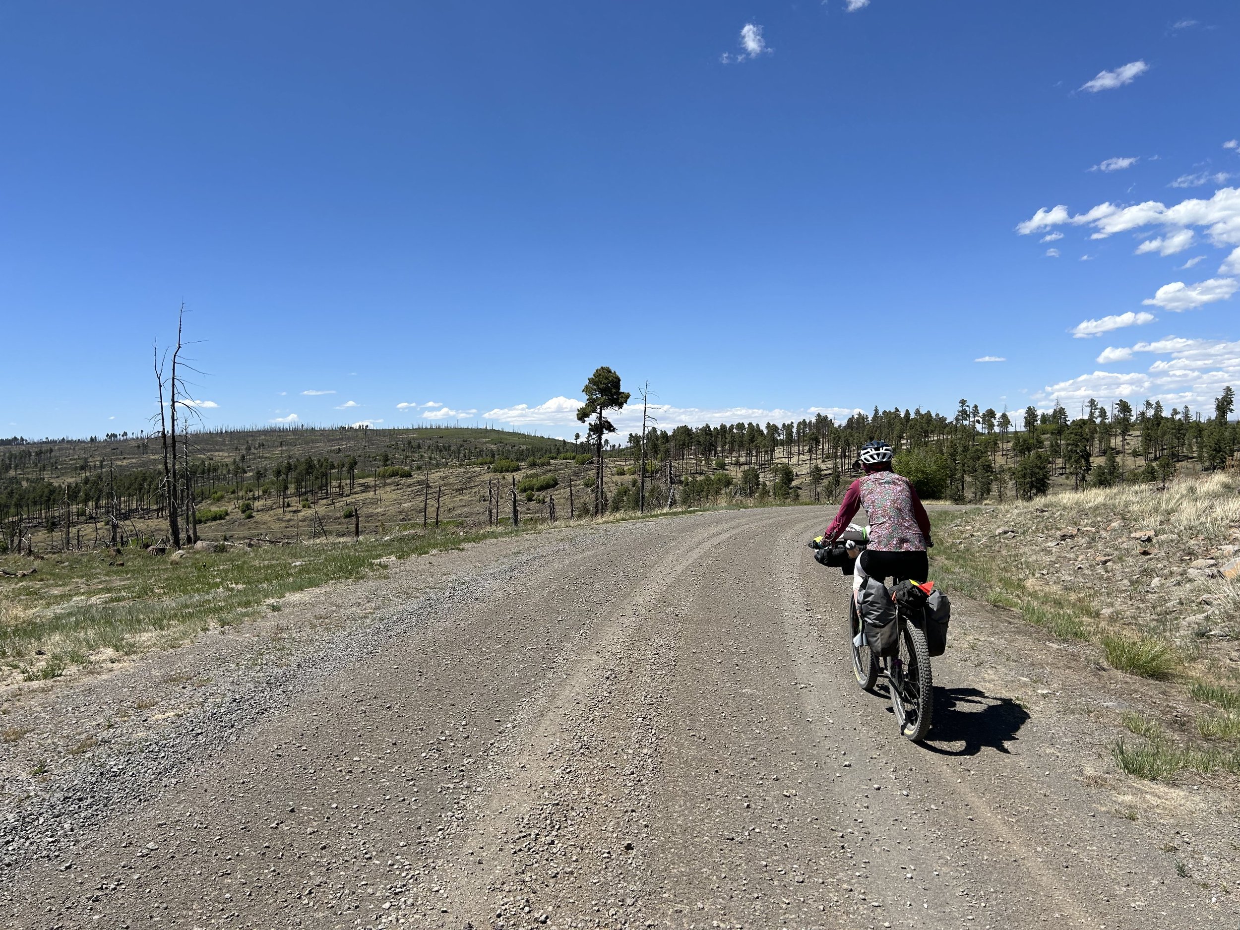
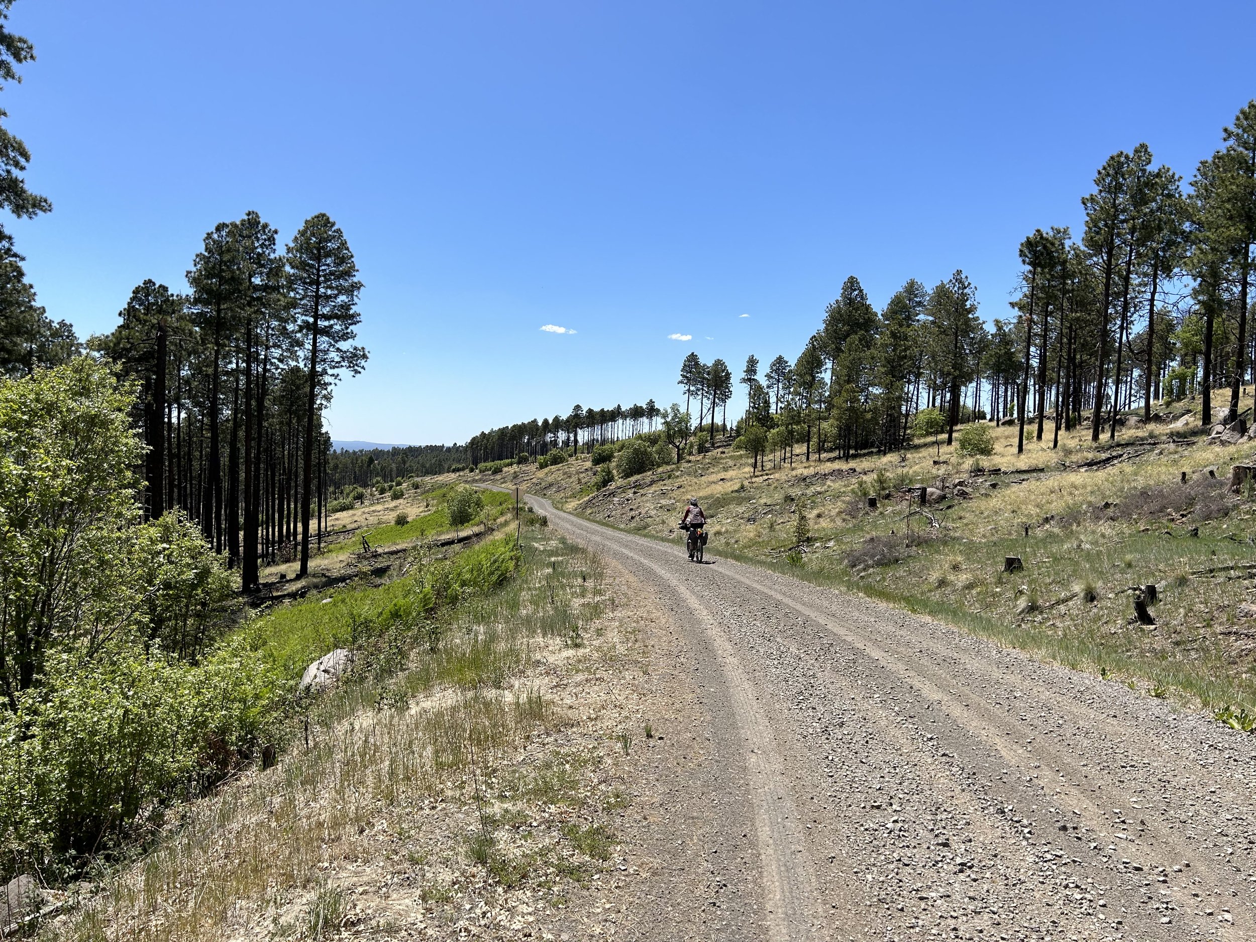
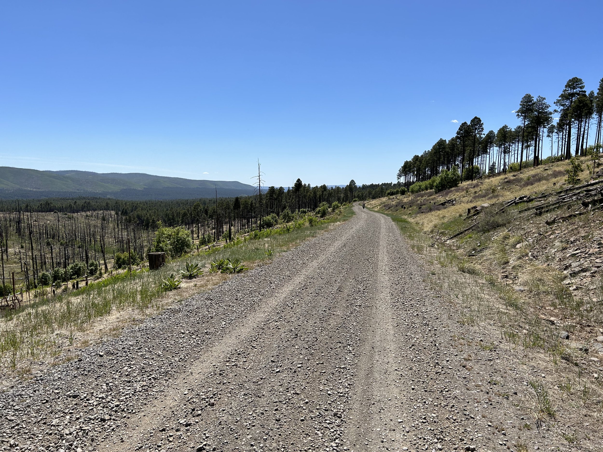
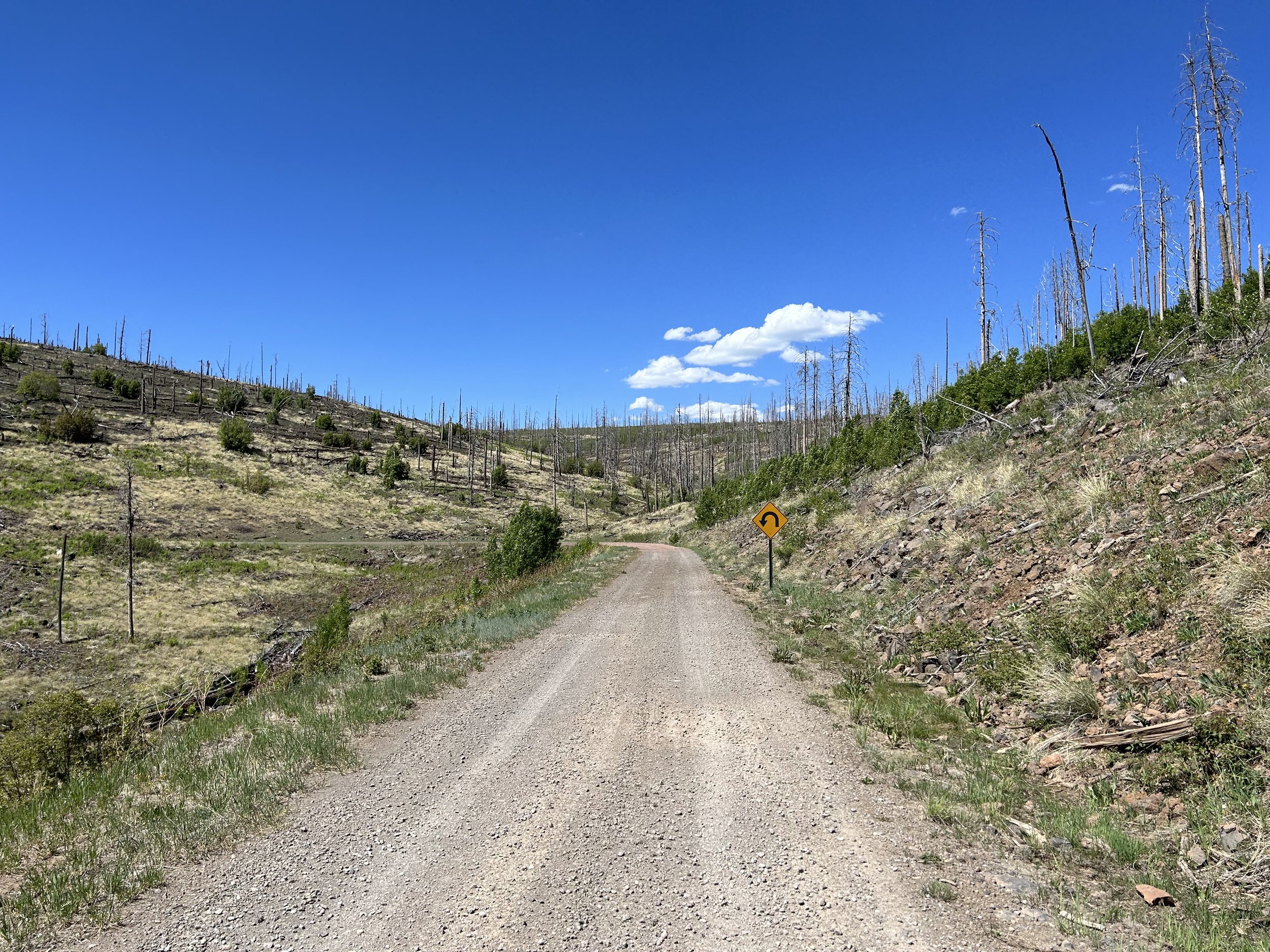
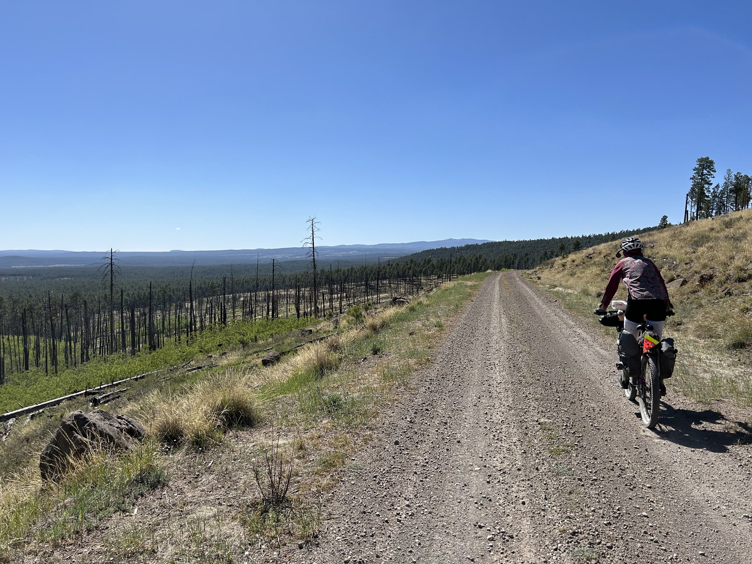
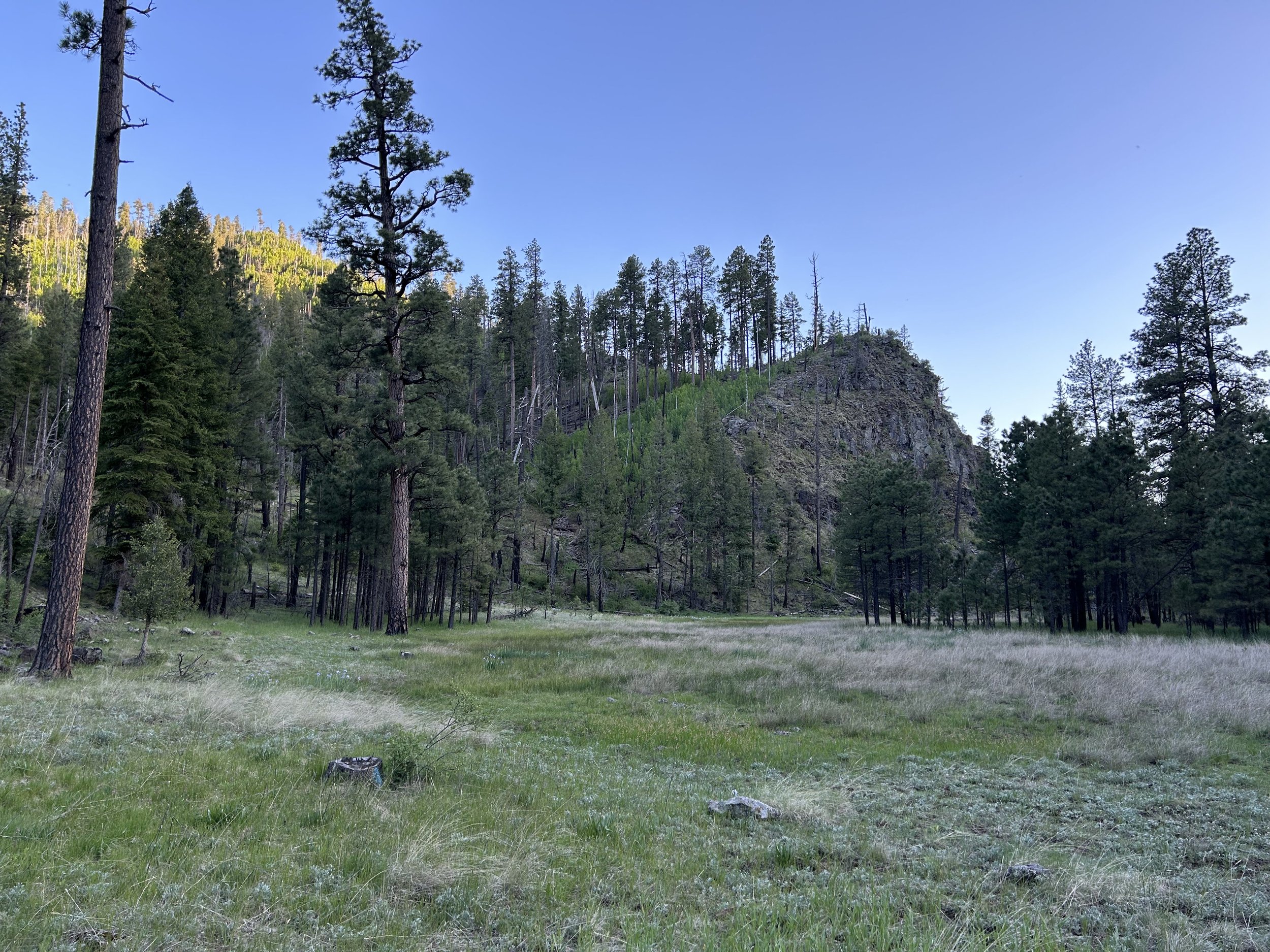
They headed on and we found a large juniper road-side to catch some shade and eat extended snacks for lunch, all while peering out across the ranges. A few more steep switchbacks around Carlton Vista brought us above the Mogollon Rim and into immediately greenery and tall pines. It was an easy spin down soft dirt roads by a few ranches before we hit the highway. Janna rode briefly along the shoulder before taking a left onto FR 37. The day was now hot, but were at elevation again to fight the temps. We started up FR 37 which takes the relative ridge of Middle Mountain before slacking onto a lower contour that winds in and out of its winding sides. A mile or two later and the trees fell away to exposed sun and grassy flanks as we entered a long stretch of miles through a Wallow Fire burn scar. Luckily, the road was in good condition, the flowers were blooming, and every mile or so there was a thicket of unburned trees for rest in the shade. As well, we had expansive views that stretched far out across the landscape unobstructed. We reentered an extended stretch of woodlands that took us down and across several meadows before one last final small steep climb. From there, the road merged with FR 276 and began a very steep, washboarded descent down to the Black River. There were lots of trucks driving along the dirt road going the same way.
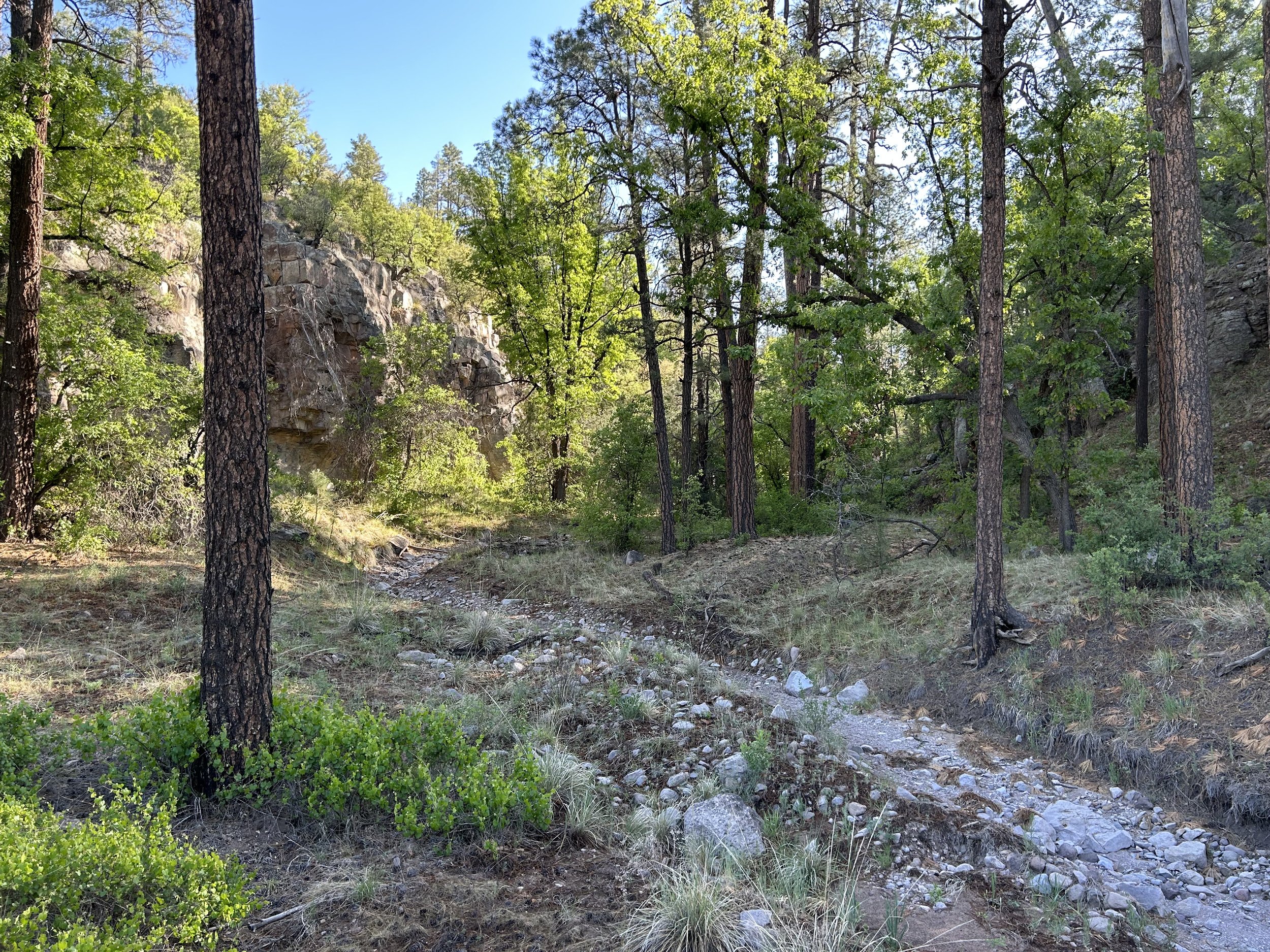
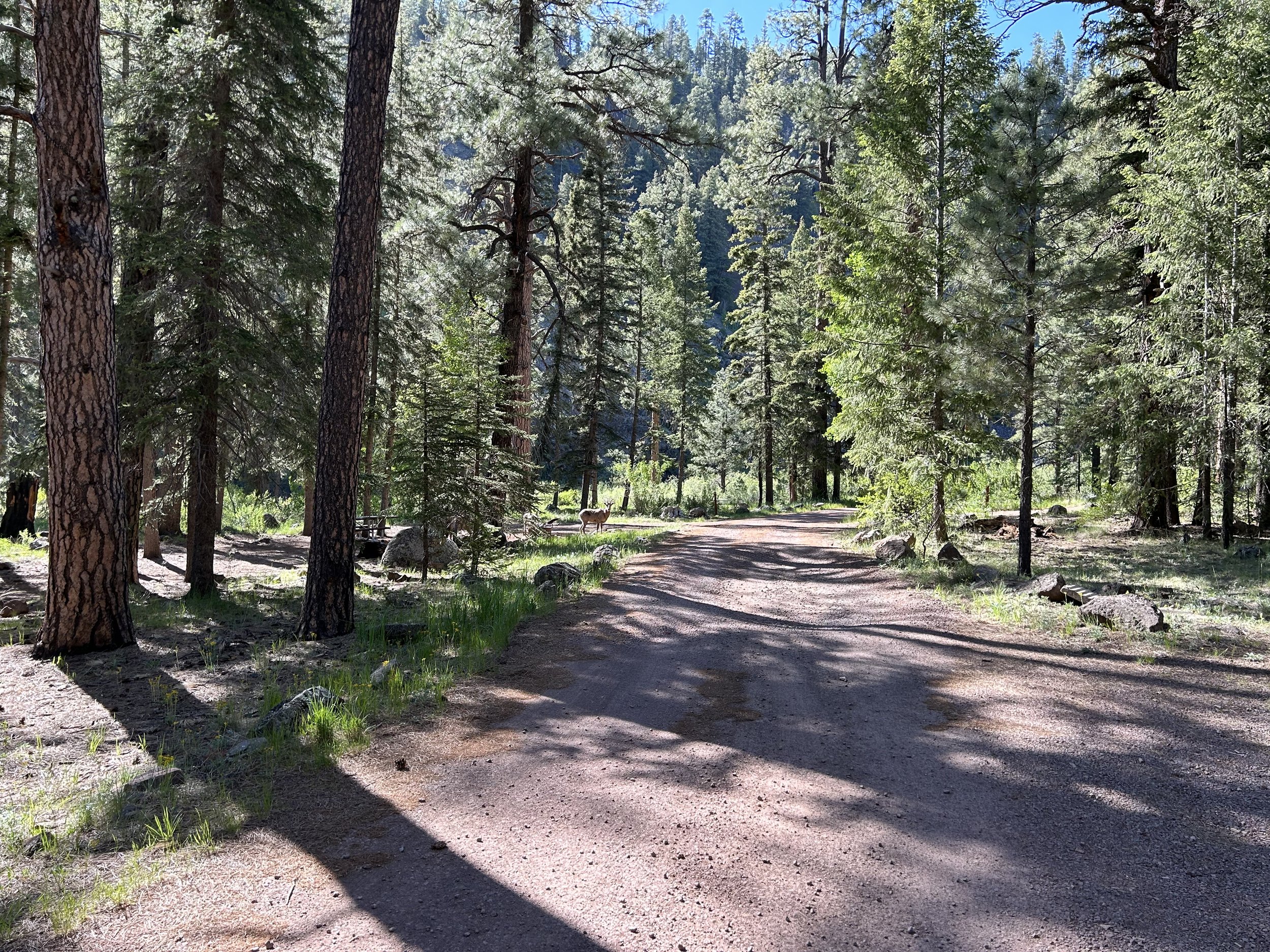
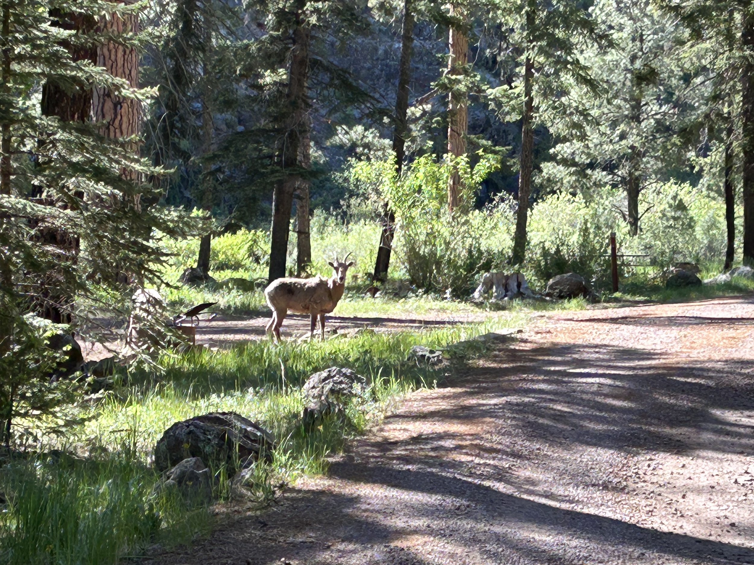
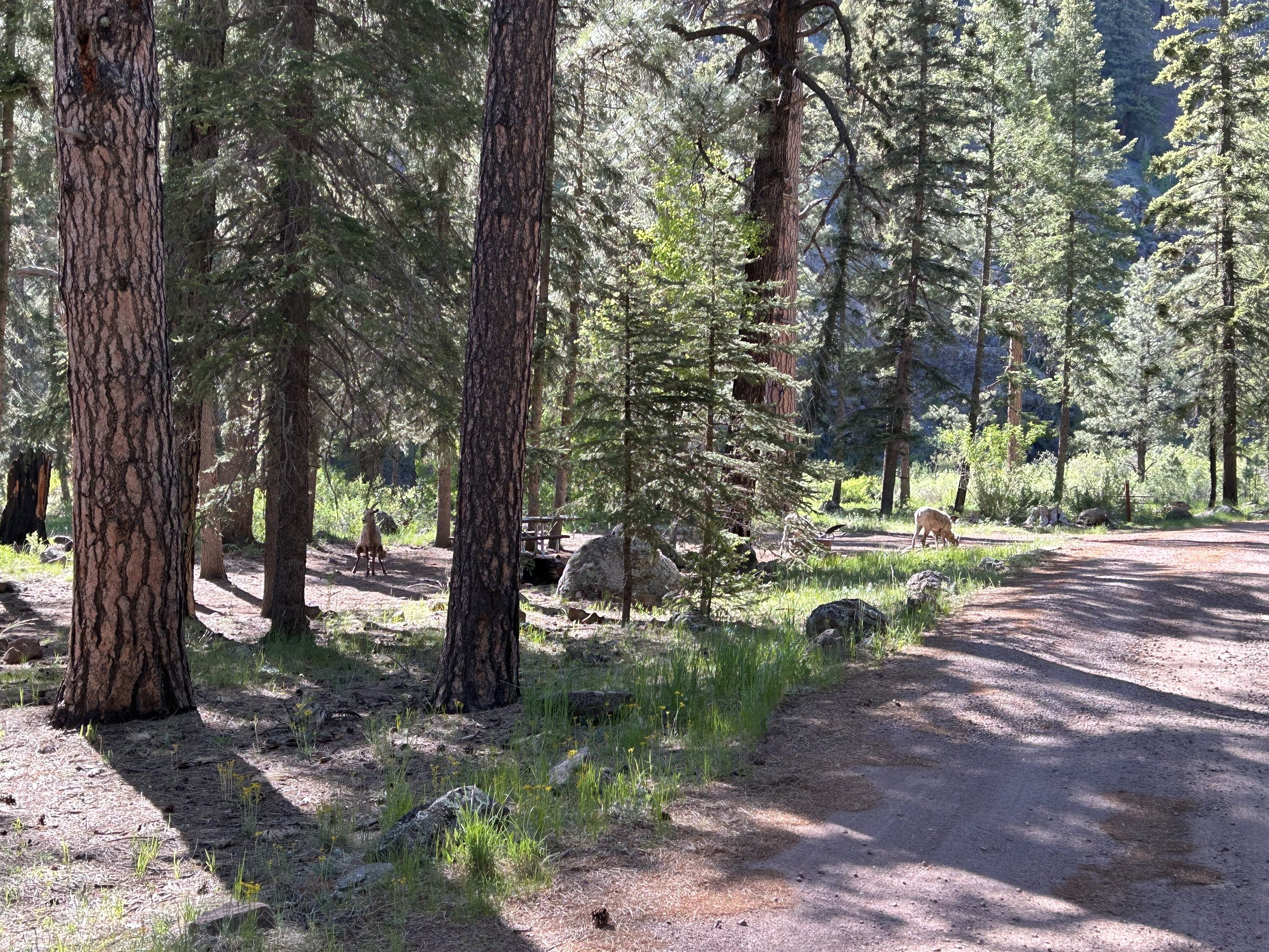
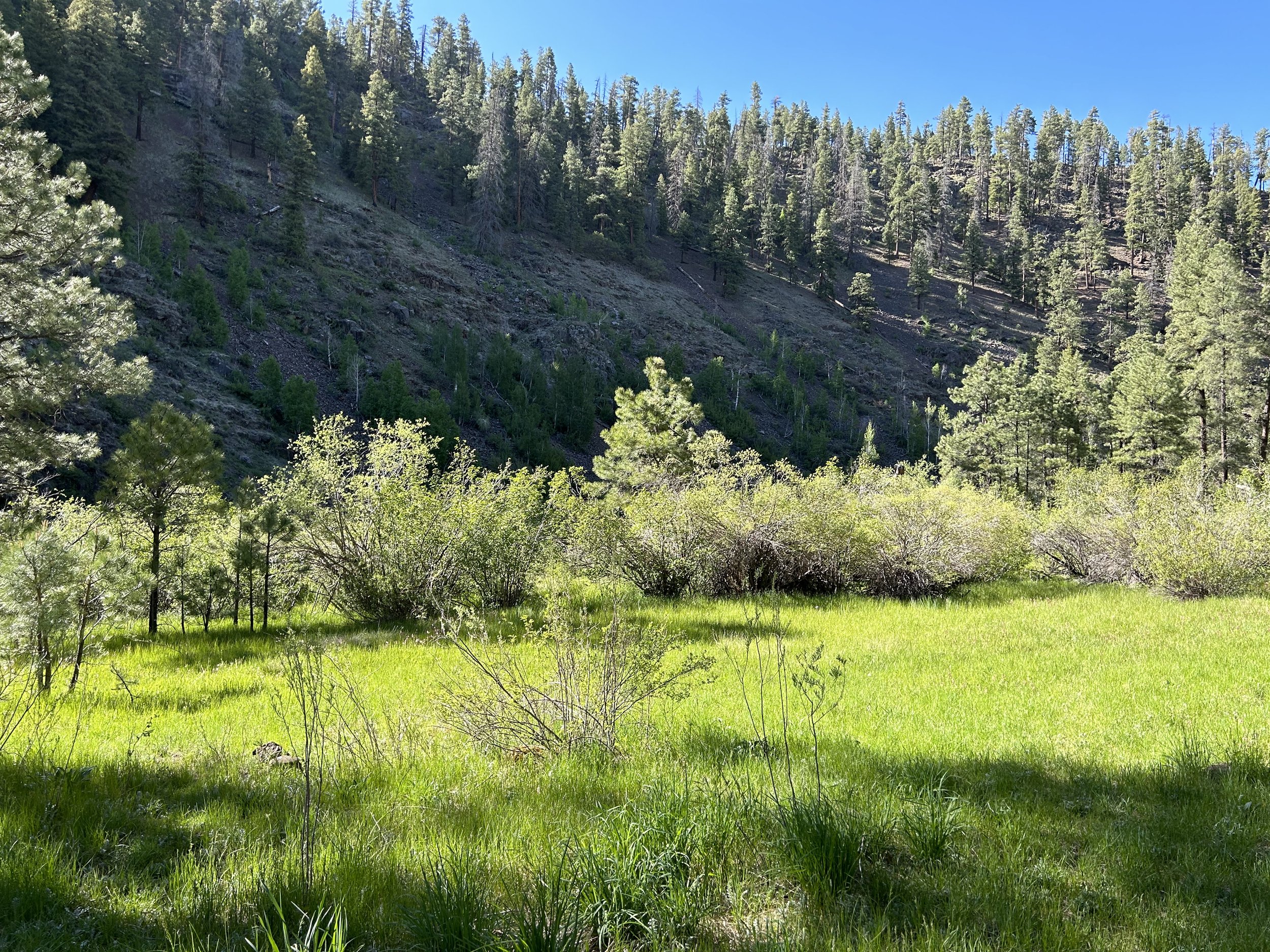
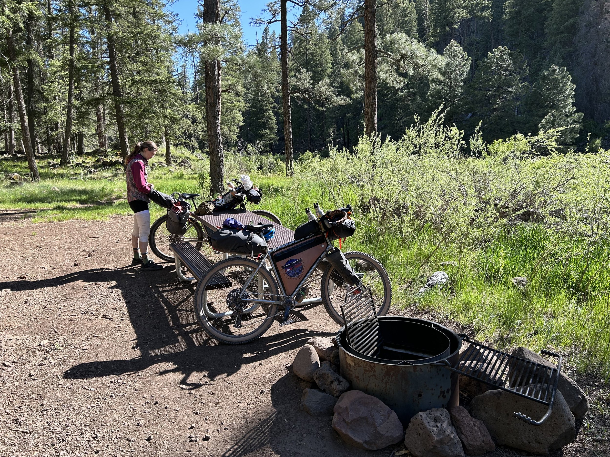
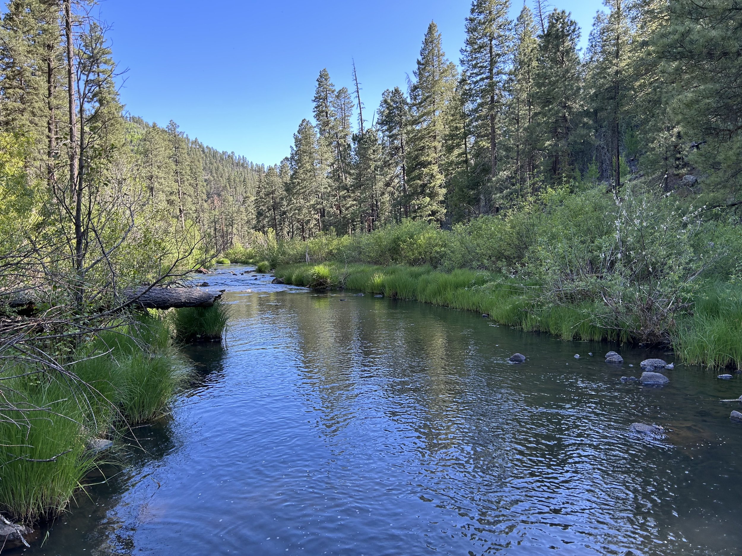
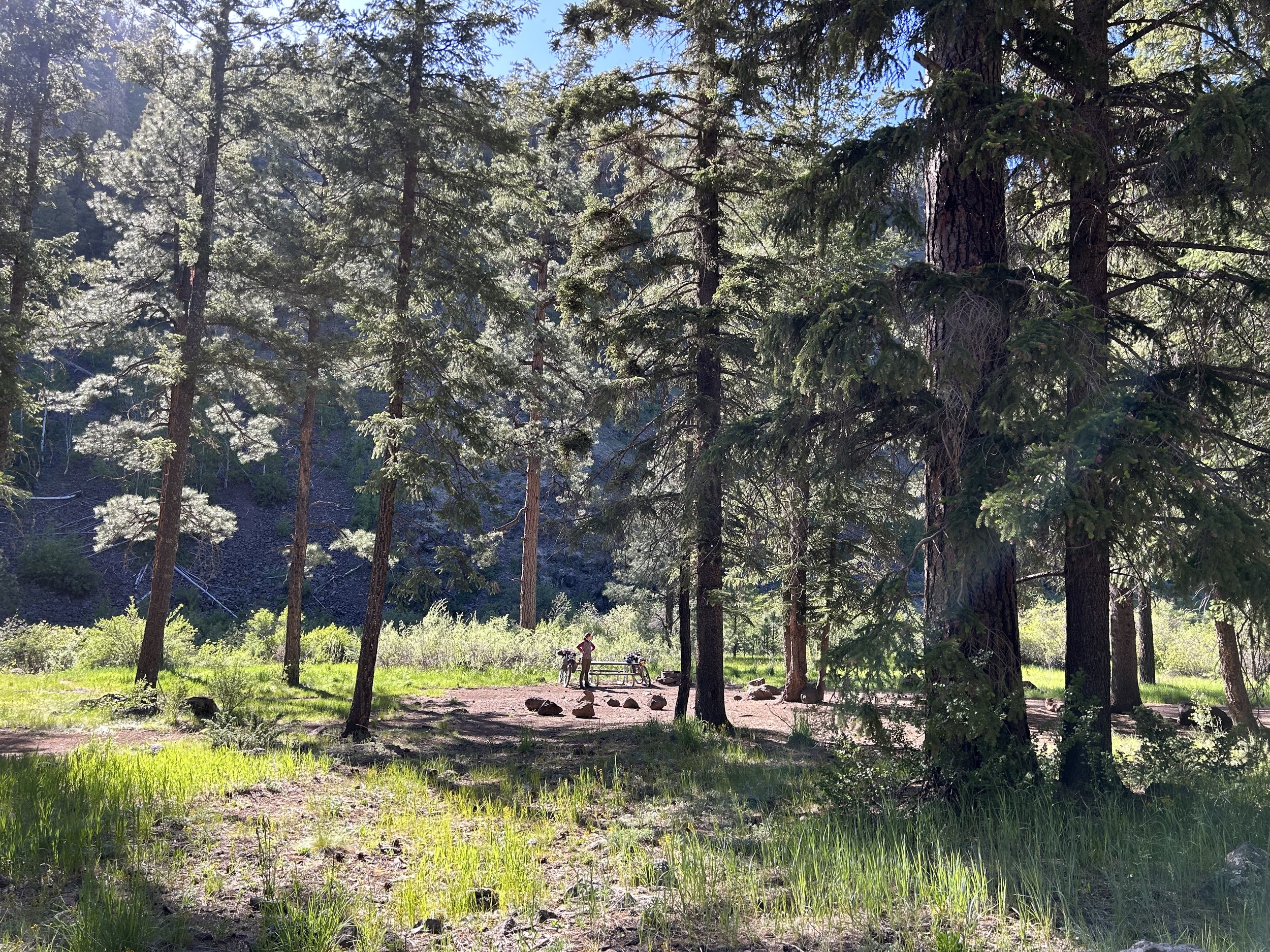
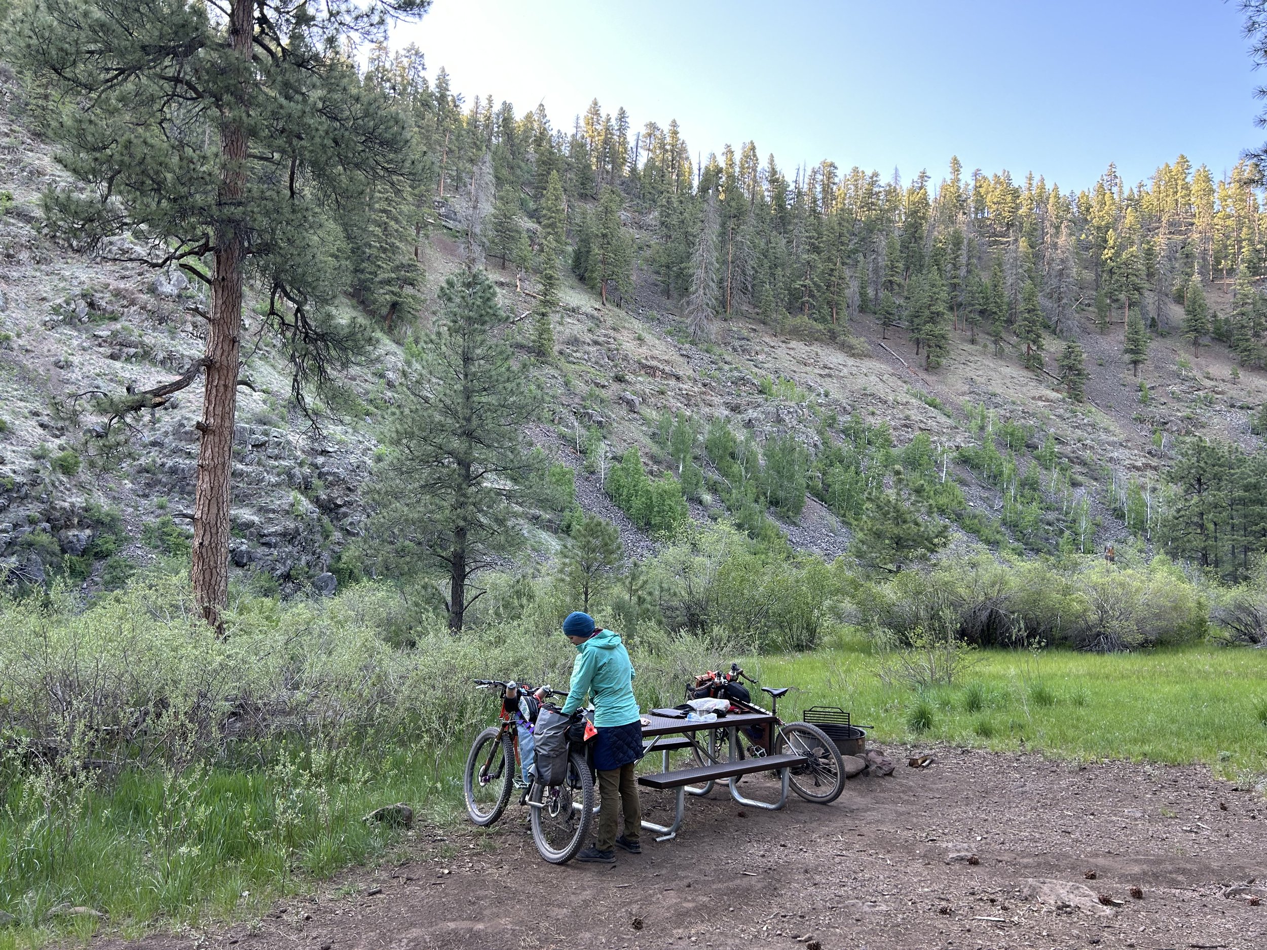
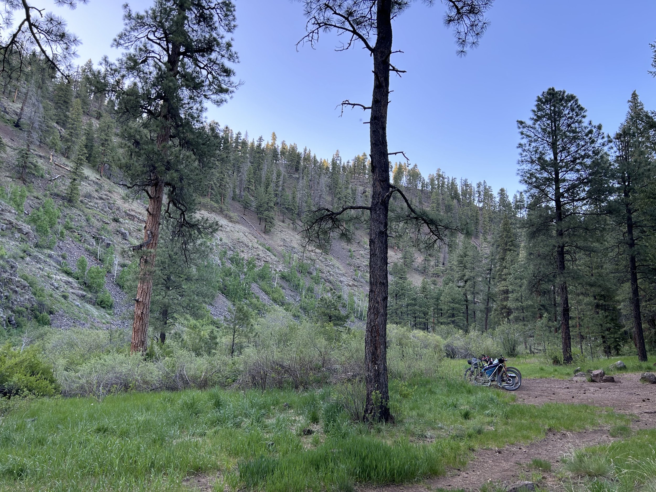
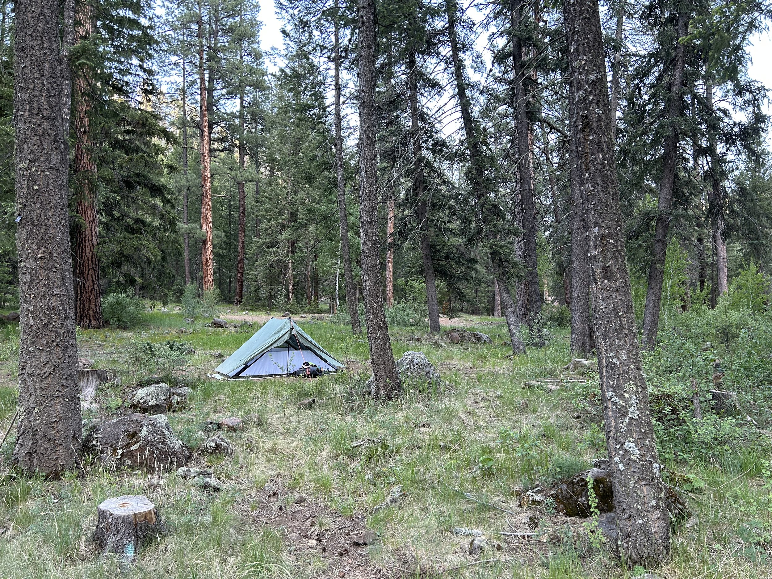
The descent rapidly carried us through thick groves of mature woodland before we flattened out at the bottom at the immediate intersection with the Black River. This was the Black River Recreation Area - a highly popular camping and fishing destination along miles of riverfront in the middle of a gorge relatively unburnt from the Wallow Fire. This meant shaded campsites and lush vegetation. The first campsite is the one we were planning to stay at: Diamond Rock Campground. We got campsite #3 next to the river for easy access for our water refilling needs. A small spring in the campground (Diamond Spring) was also an excellent water source. No sooner had we arrived in camp then a herd of bighorn sheep came sauntering through, sniffing our tent, eating grass, and generally unruffled by our presence. After watching the bighorns, I made my way to the Black River to enjoy its wide, clear, cold water. I headed back to camp after refilling our bladders to make dinner and enjoy a day with over 5000 feet of gain, epic views, and a gorgeous campsite in the pines along the Black River.
