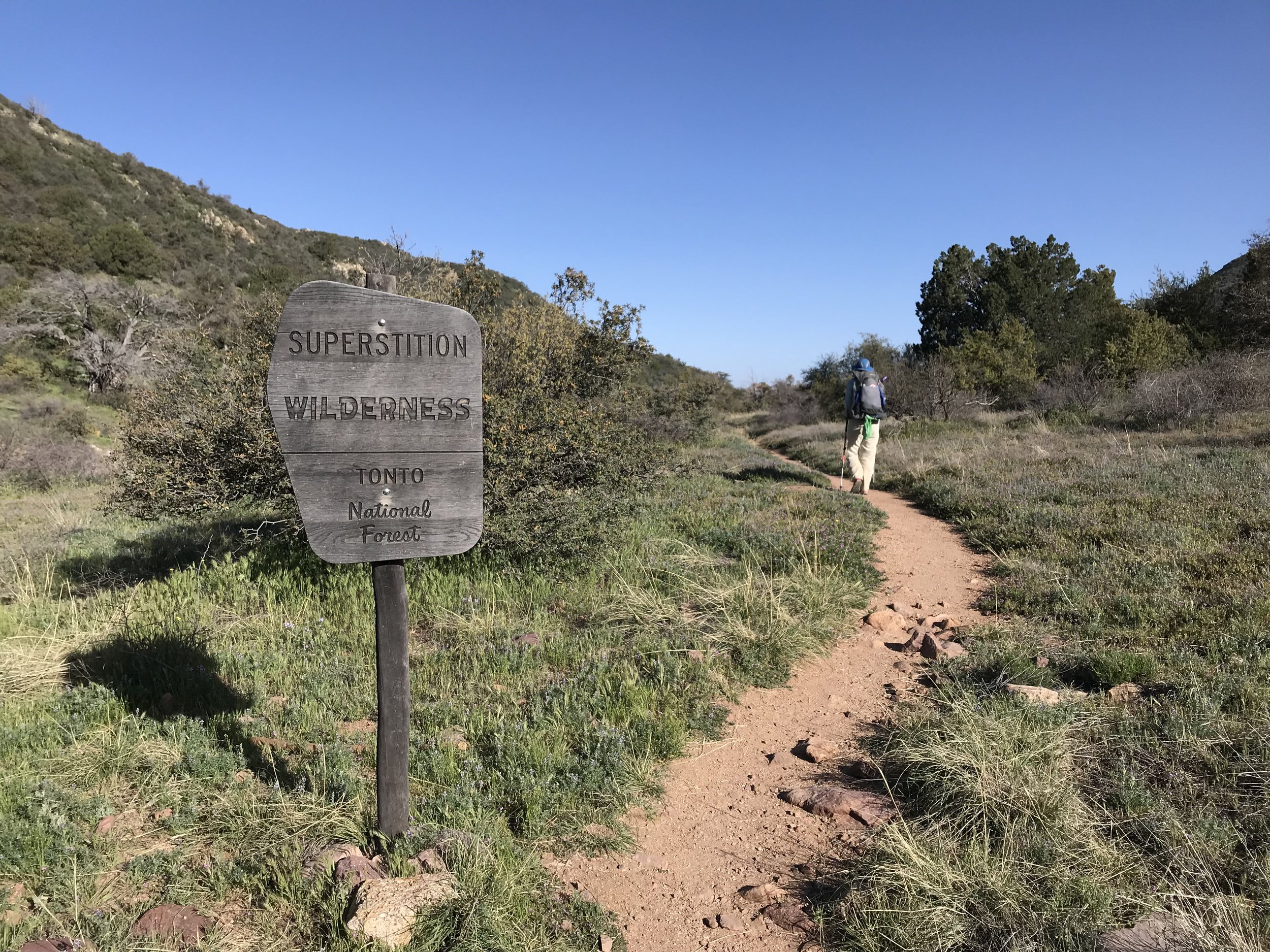
Arizona Trail - Day 28 - Superstition Wilderness
Date: April 10, 2019
Trail Mile 335.5
THE SUPER V! Today would prove to be the hardest day both mentally and physically yet.
What a terrible night’s sleep last night was. A windstorm swept over the mountains in the night, pummeling our exposed (my fault) shelter with constant 10 - 20 mph wind and gusts reaching 35 - 40 mph. Those gusts happened about twice a minute all night. The Triplex (being made of Dyneema) would swell at the seams, bend, and bellow this horrible noise that made it seem the sky was falling. Dyneema (cuben fiber) is awesome for its waterproofness, but its bellowing in wind is unmatched. I slammed earplugs in my ears to drown out the explosive shaking. That taken care of, the wind began gusting horizontally bringing a hoard of fine silt dust through the netting. All of it settled on my face and body since I was sleeping on the windward side. I felt like I woke up once an hour, my face and body caked with dust. Again, my fault for campsite selection. That was coupled with an intense cold brought in by the approaching front.
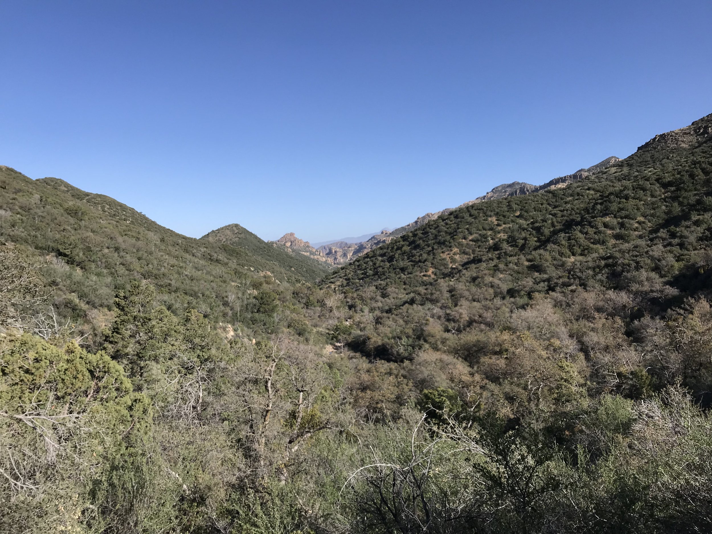
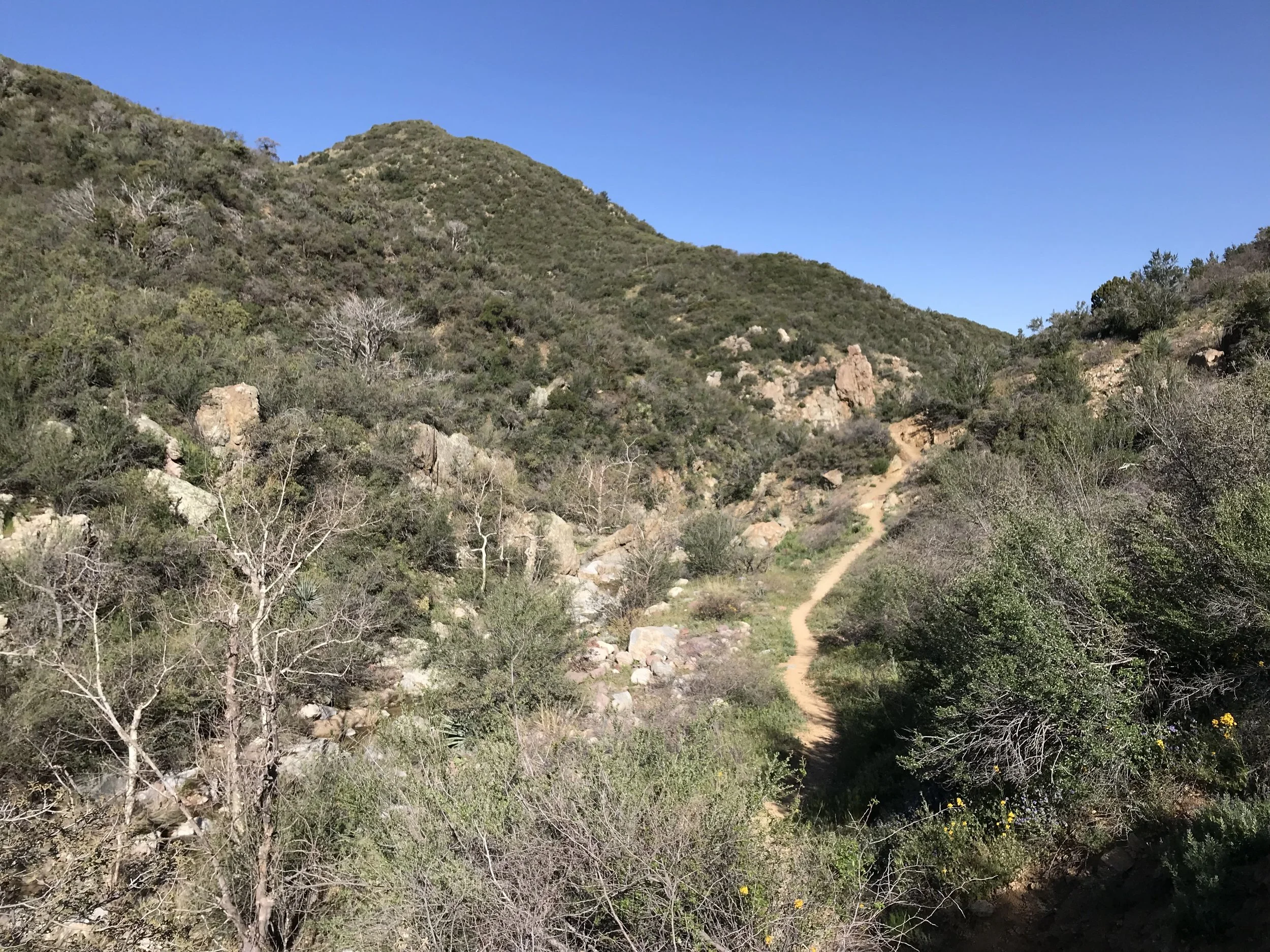
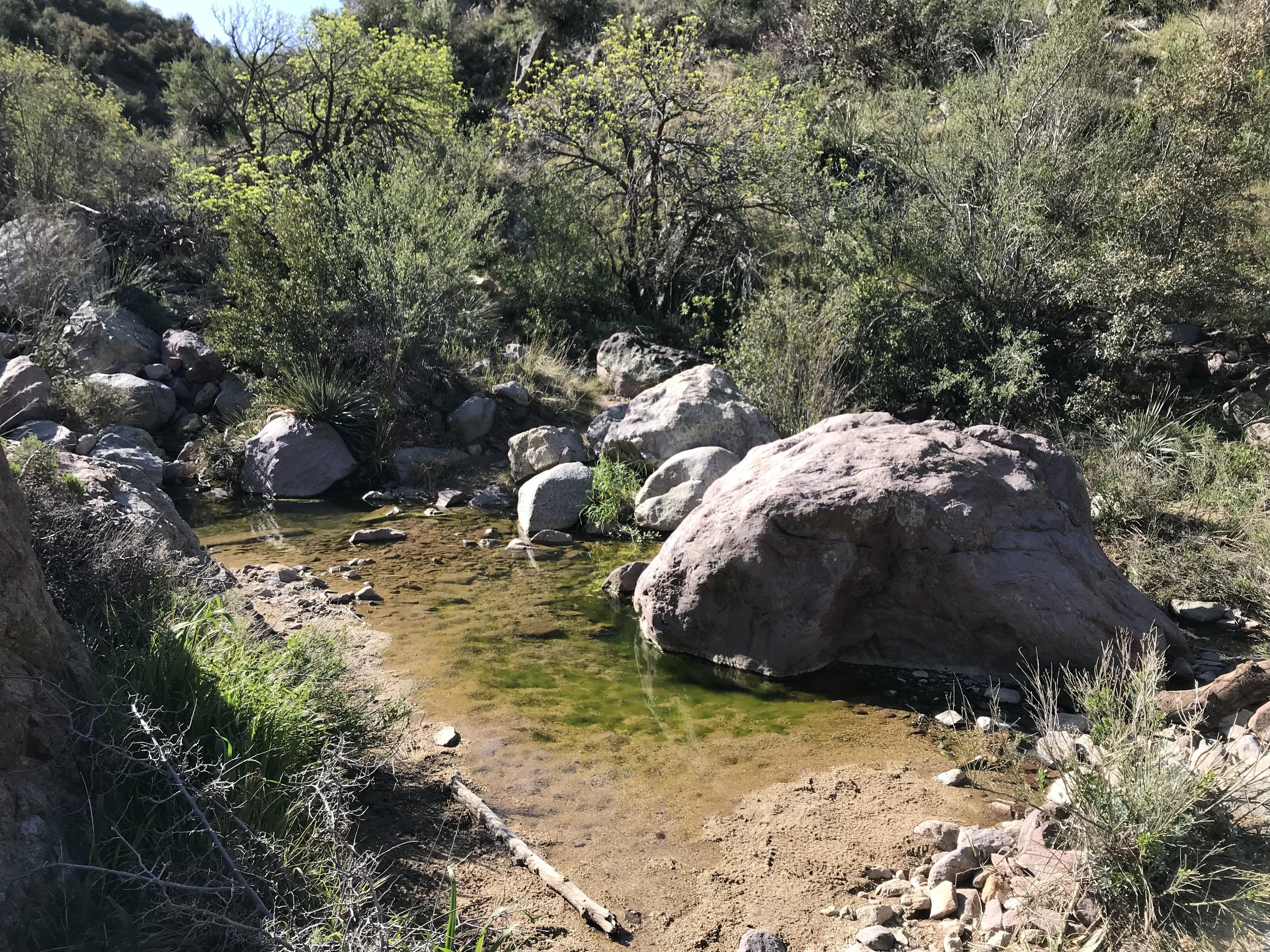
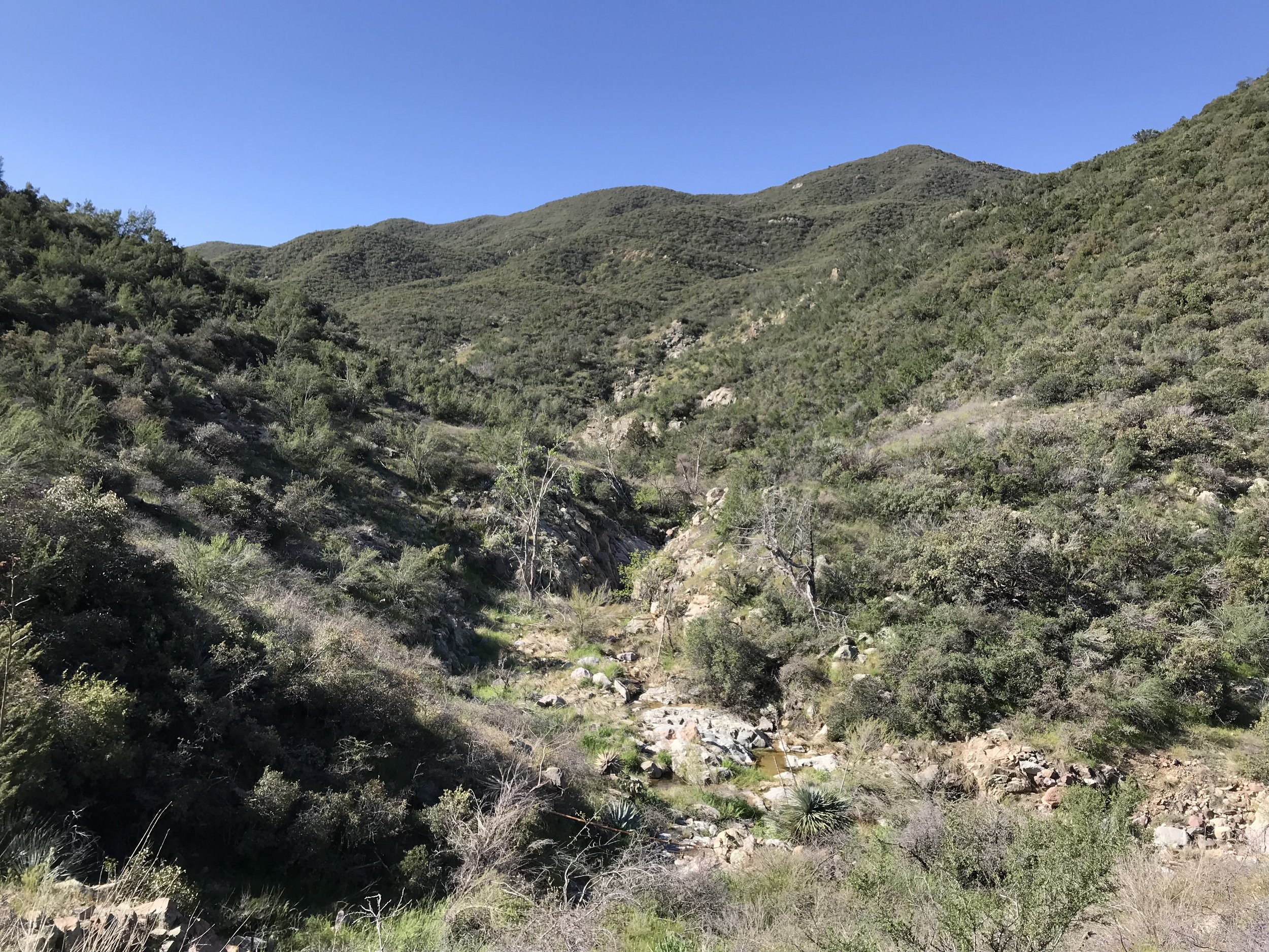
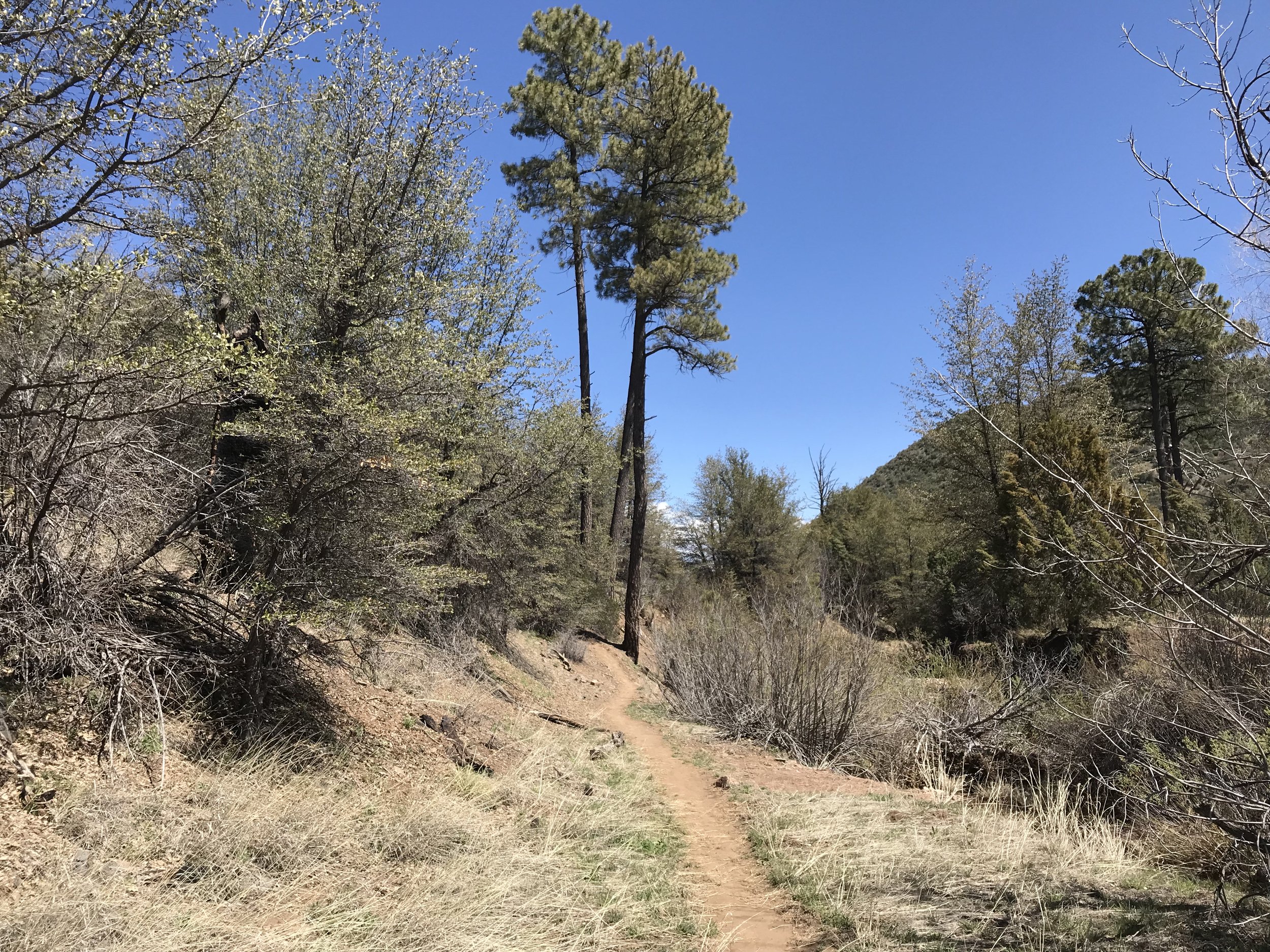
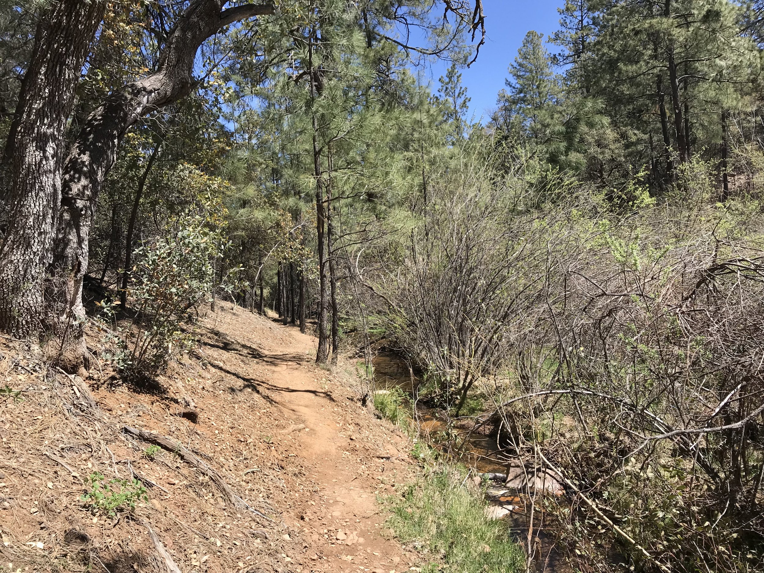
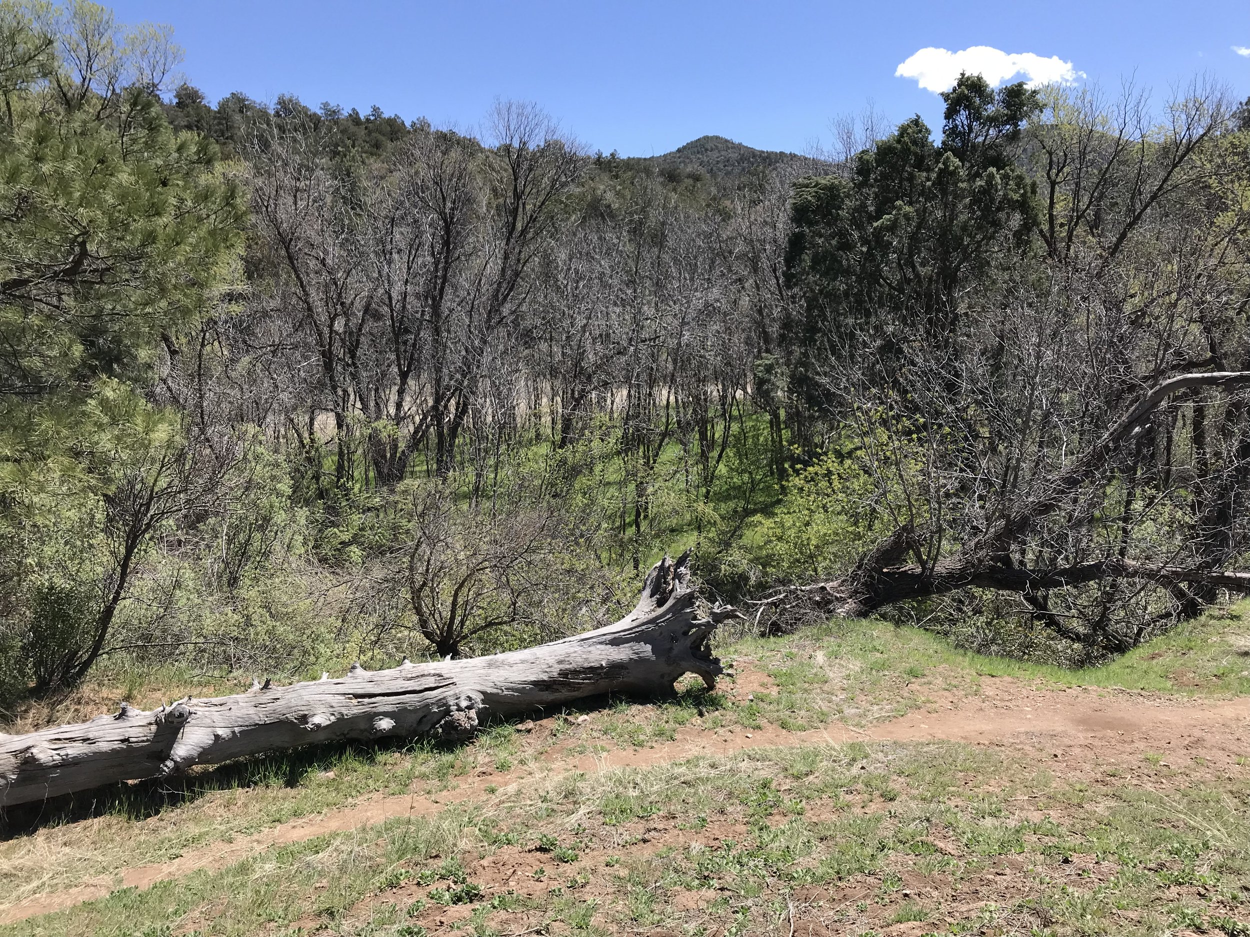
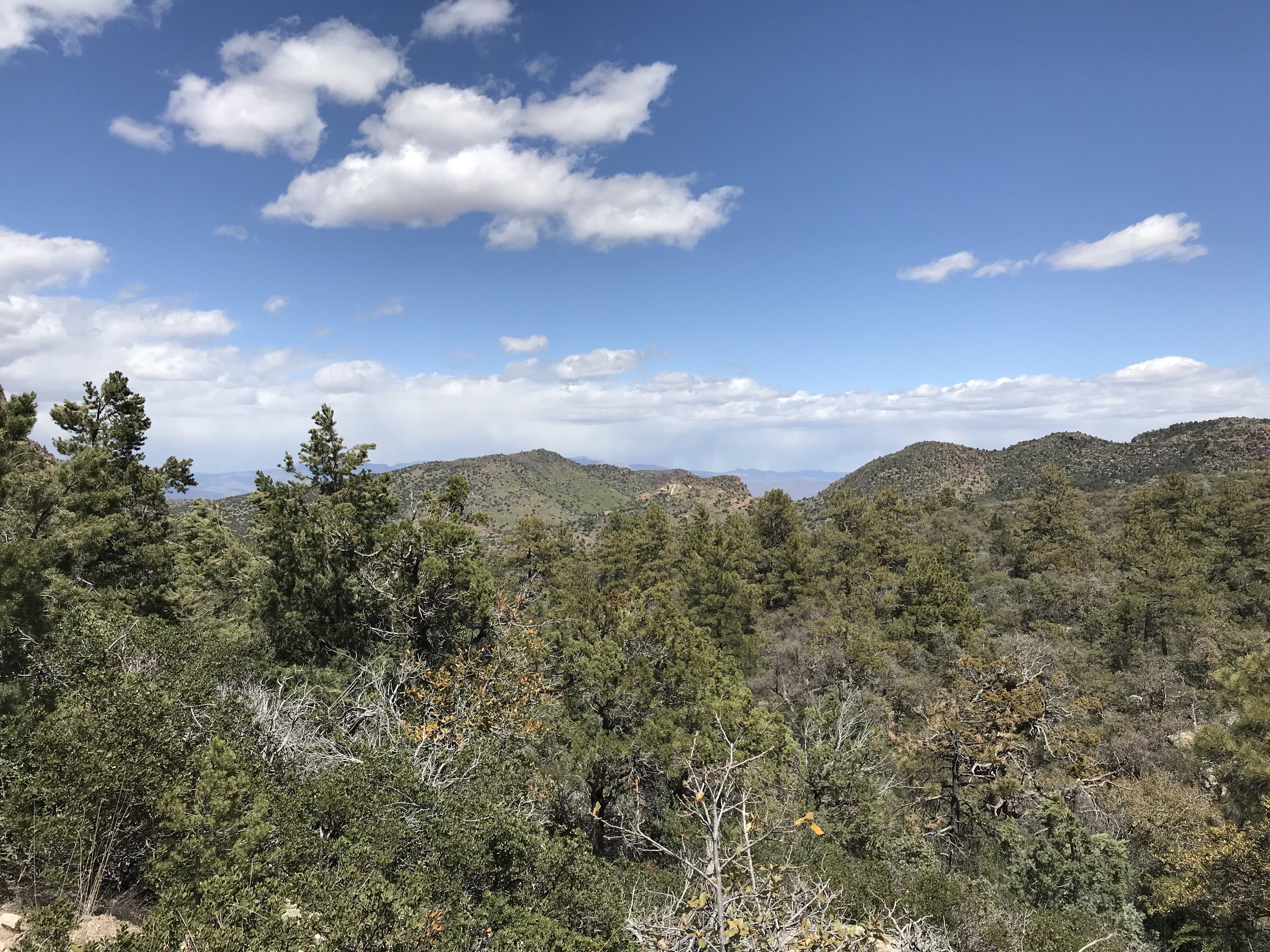
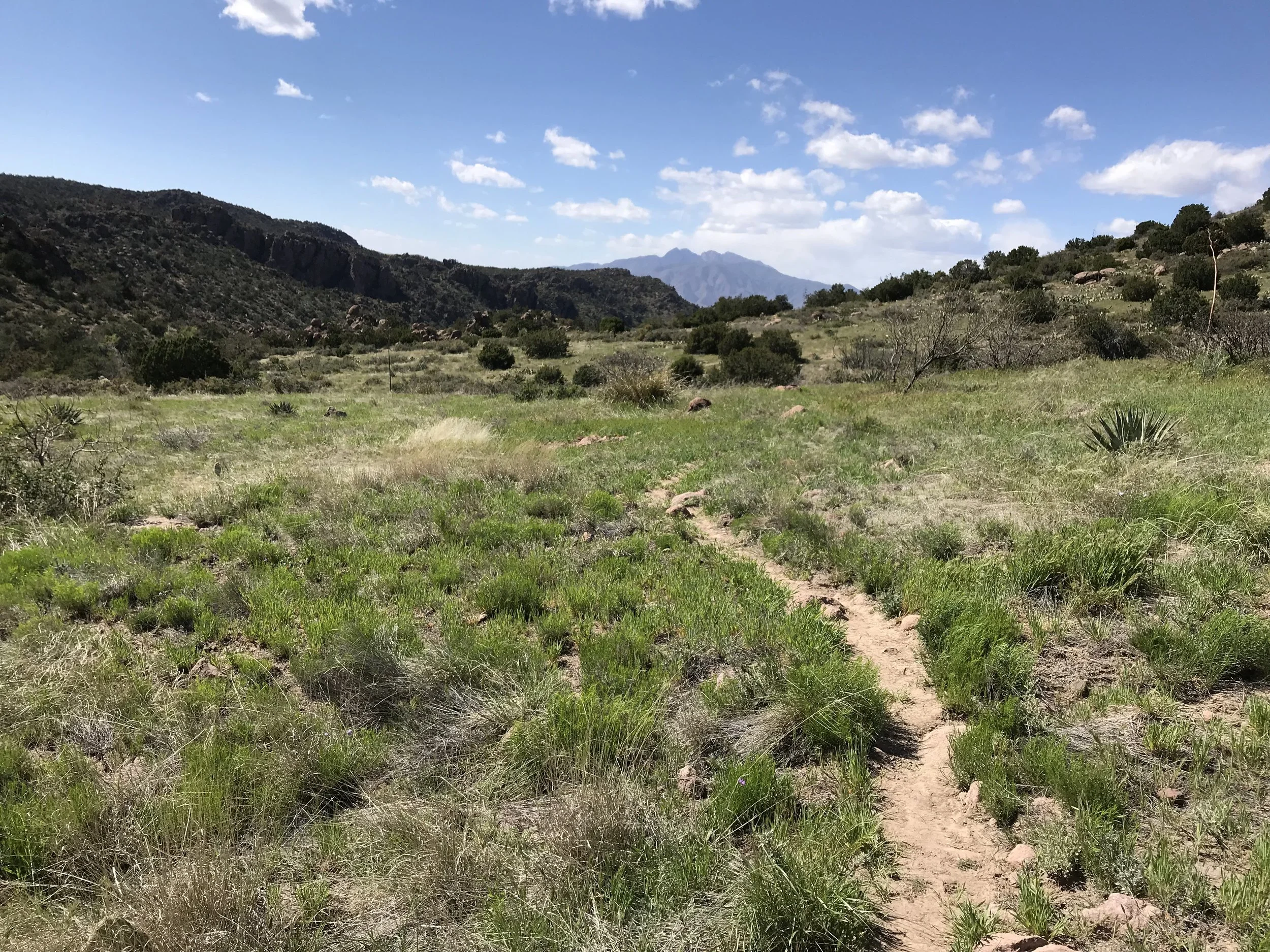
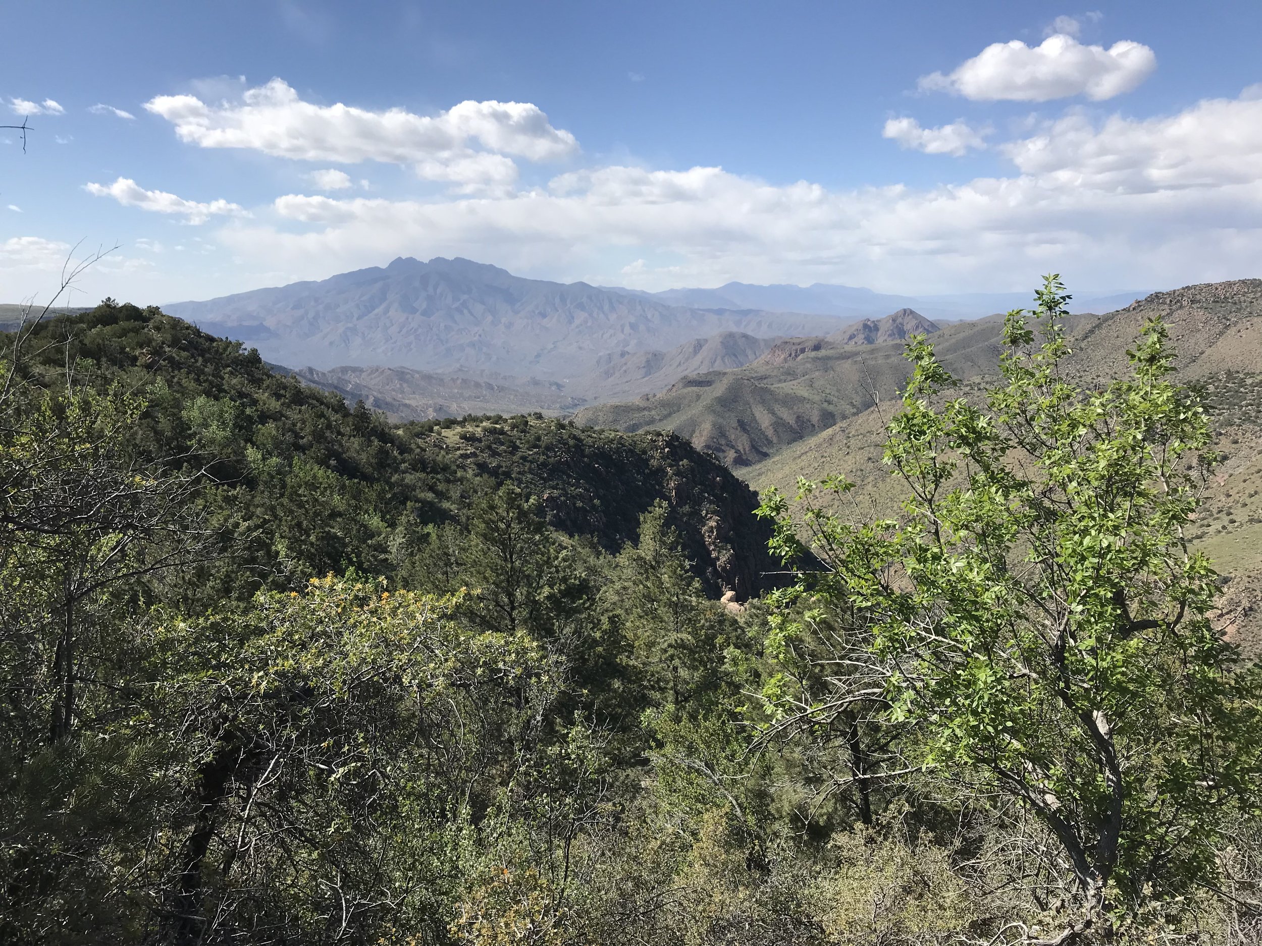
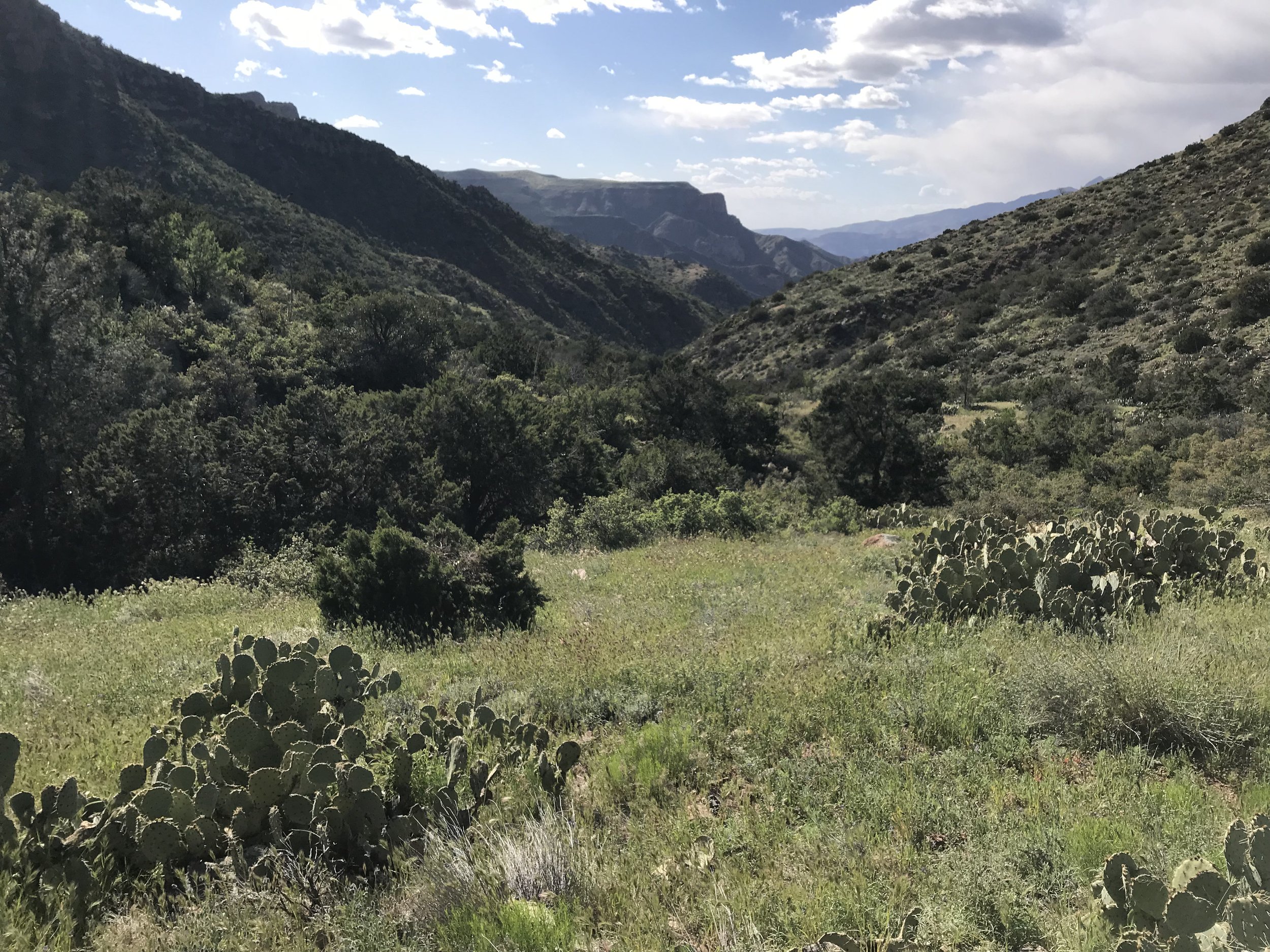
At some point in the early hours of the morning, after feeling like we would blow away, the winds died down. Consequently, we could finally sleep. We woke up later than normal, drowsy, drunk on the physical exertion of the day before and the poor sleep. It took us longer to pack up this morning because dust permeated all my clothing, the inside and outside of my quilt, and most of our items. The older couple were gone from their site. It looks like we made a good call sleeping out in the open because massive tree branches had broken off in the night and laid everywhere. Packed up, we crossed the creek nearby and descended into a gorgeous riparian valley. Conifers mingled with deciduous. Plant diversity abounded. It was nice and cold, so no sweating. In fact, I shivered for the first hour. It was beautiful, peaceful, and the trail crisscrossed back and forth across the stream. In the distance, I could just made out the distant edge of the Four Peaks.
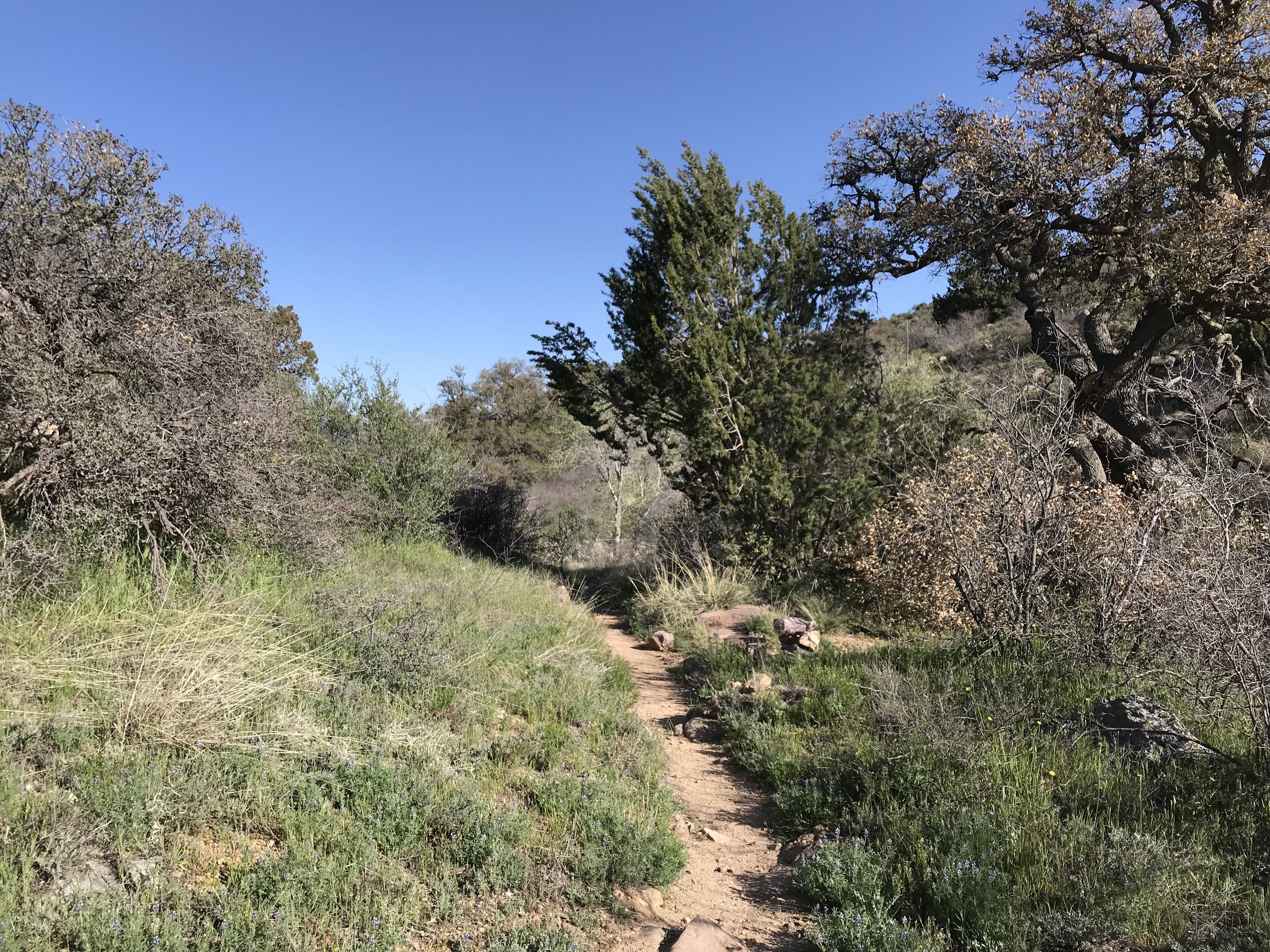
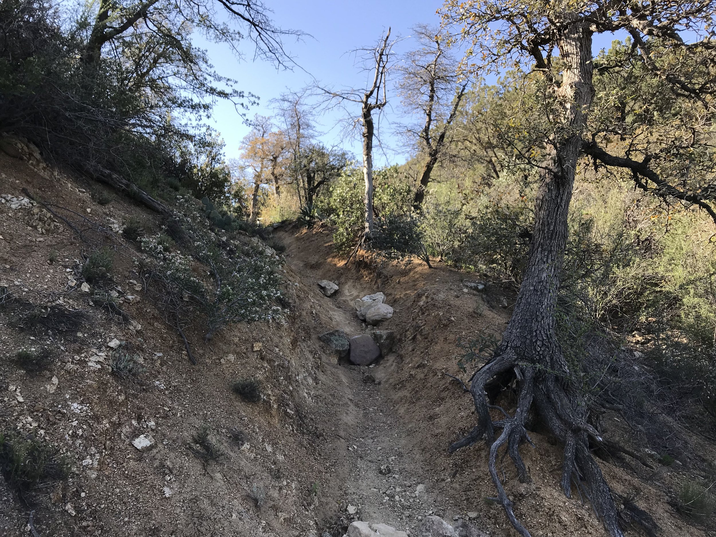
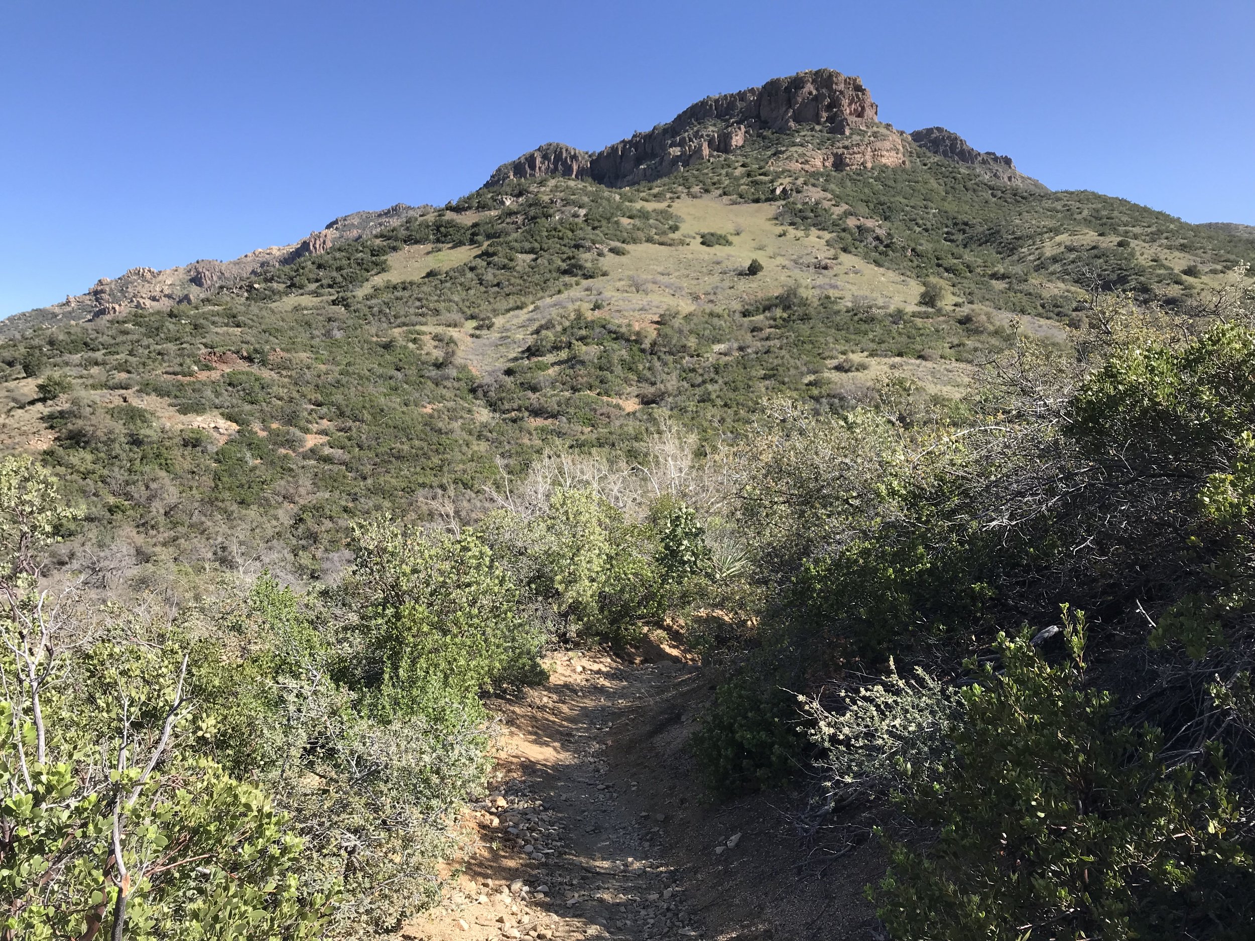
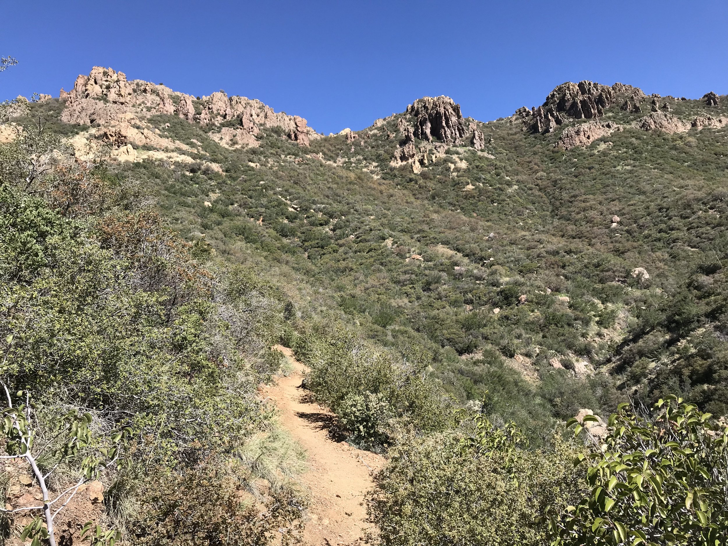
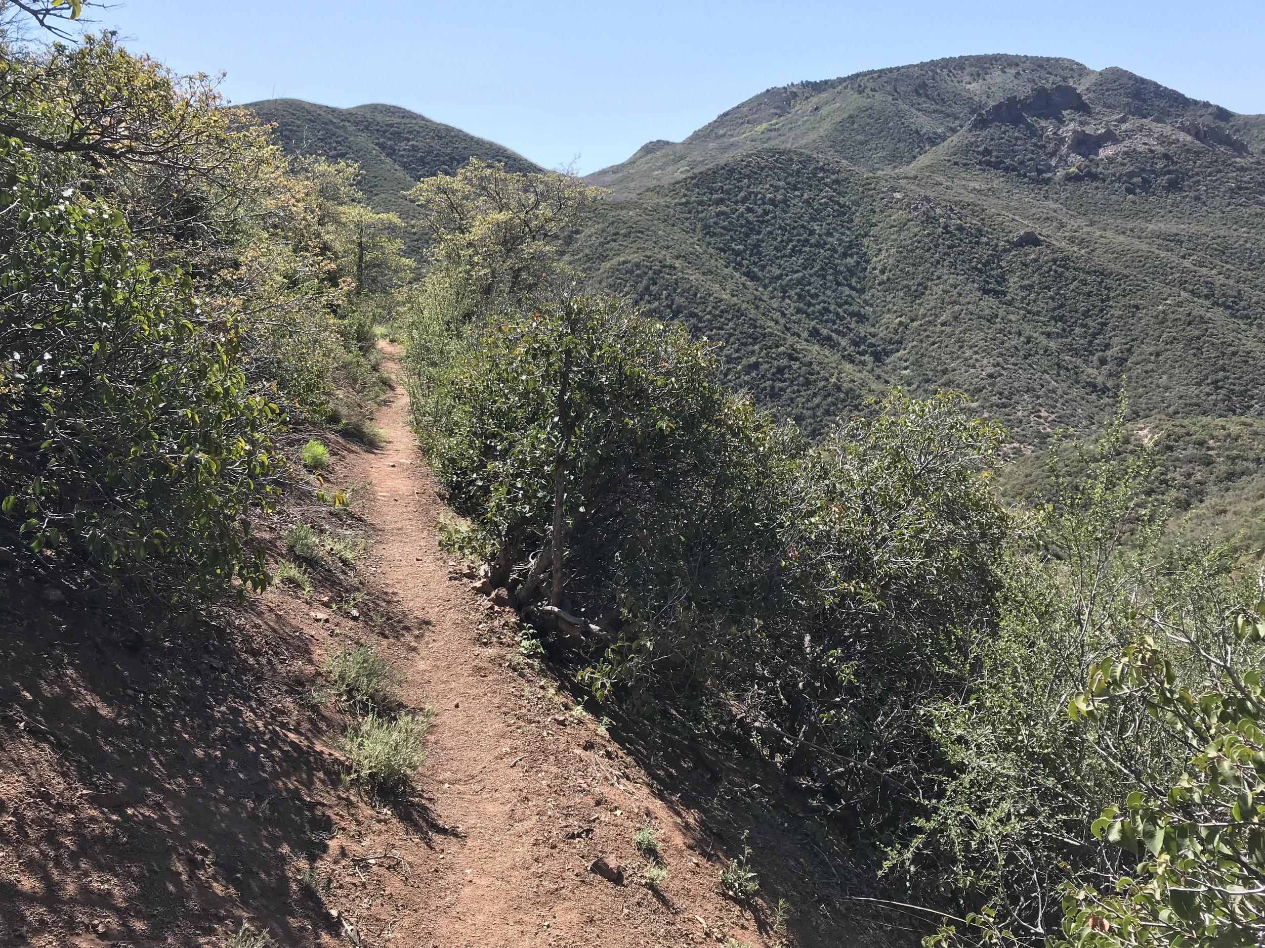
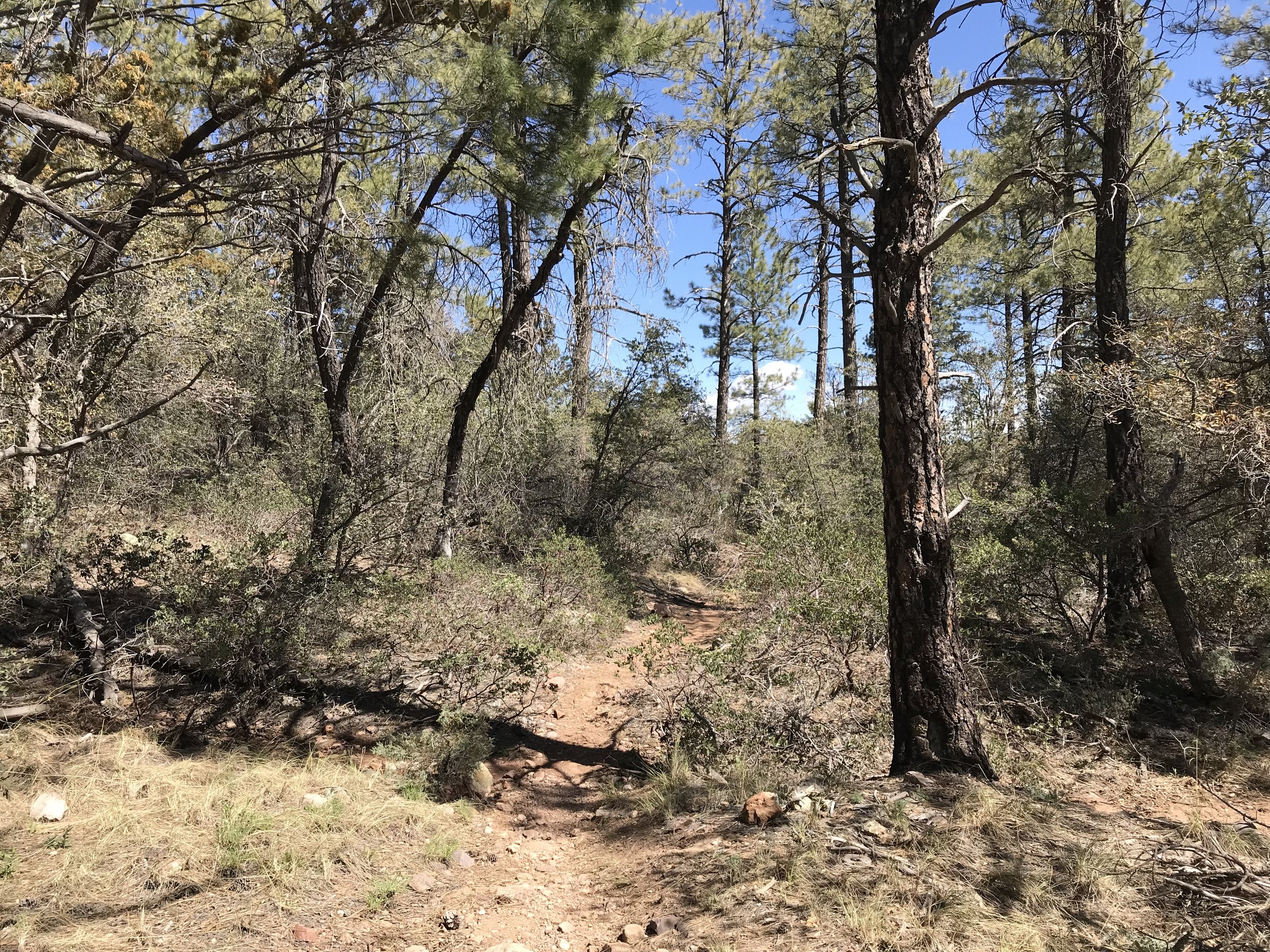
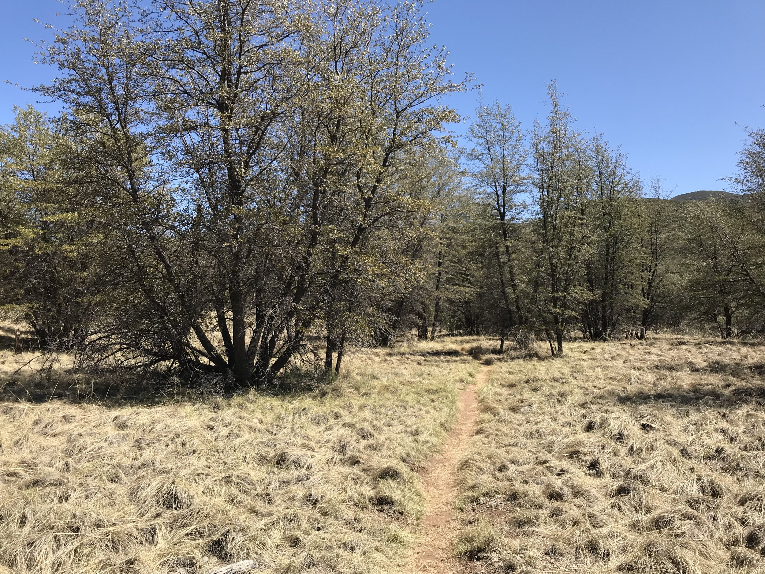
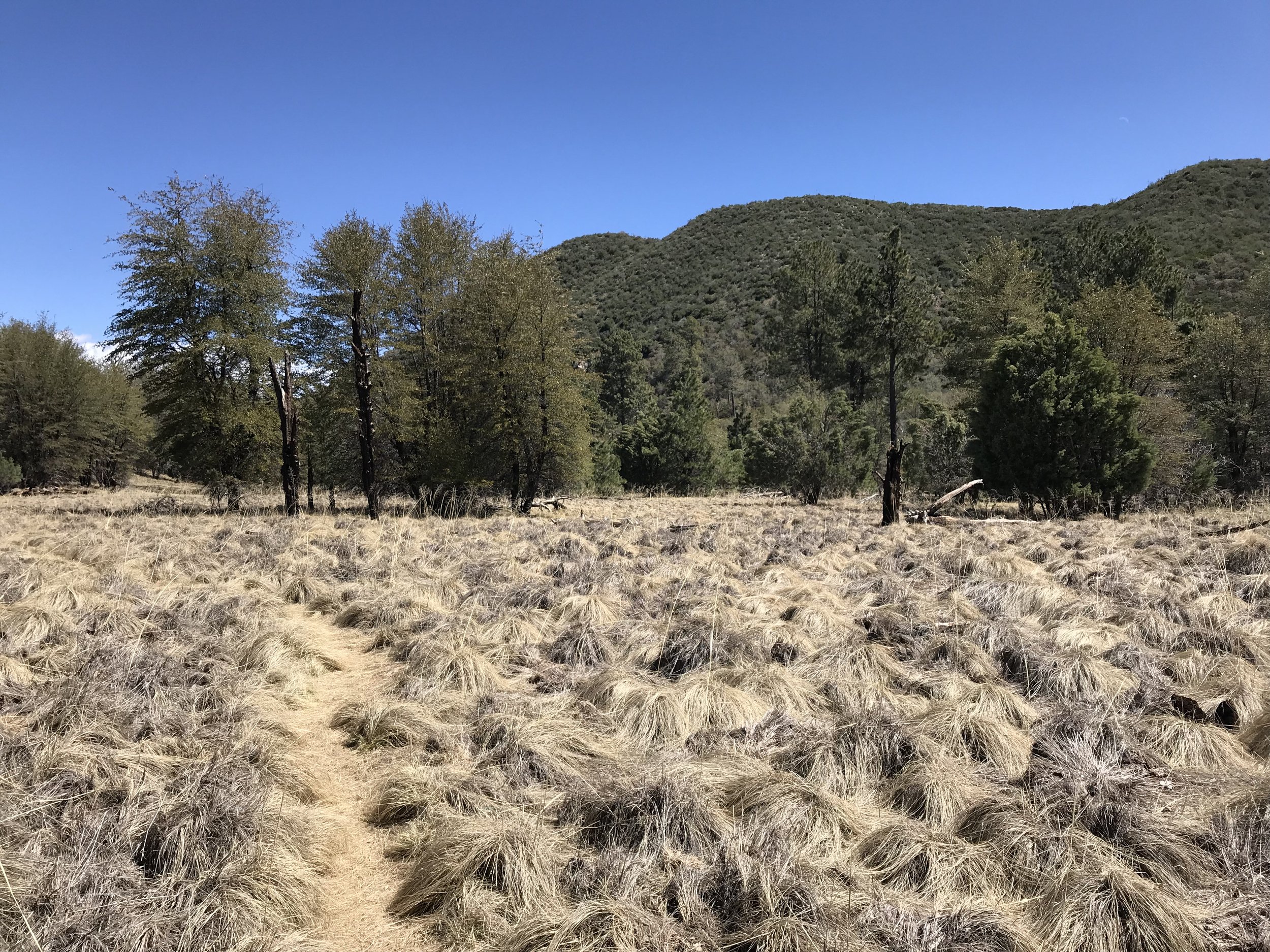
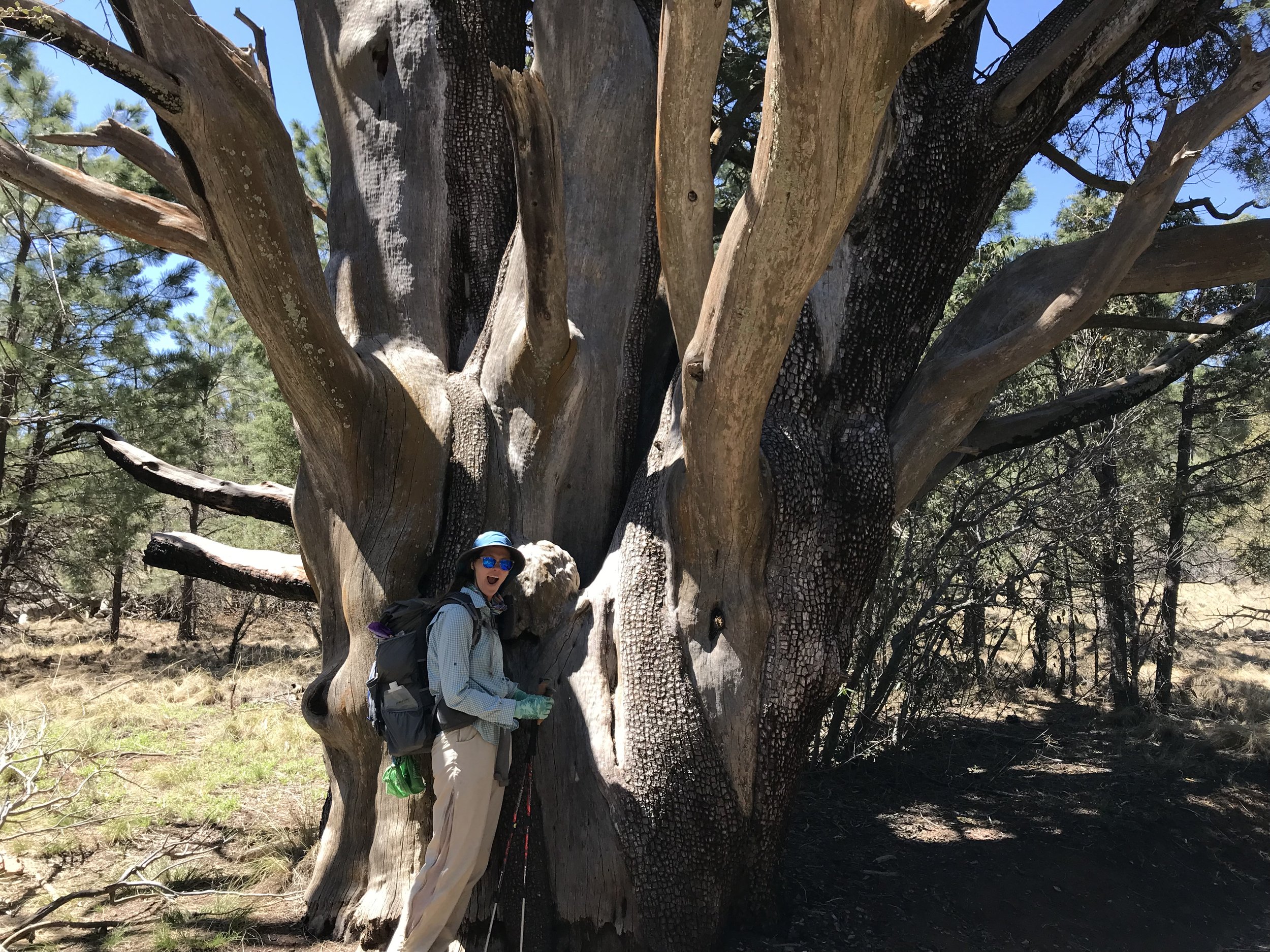
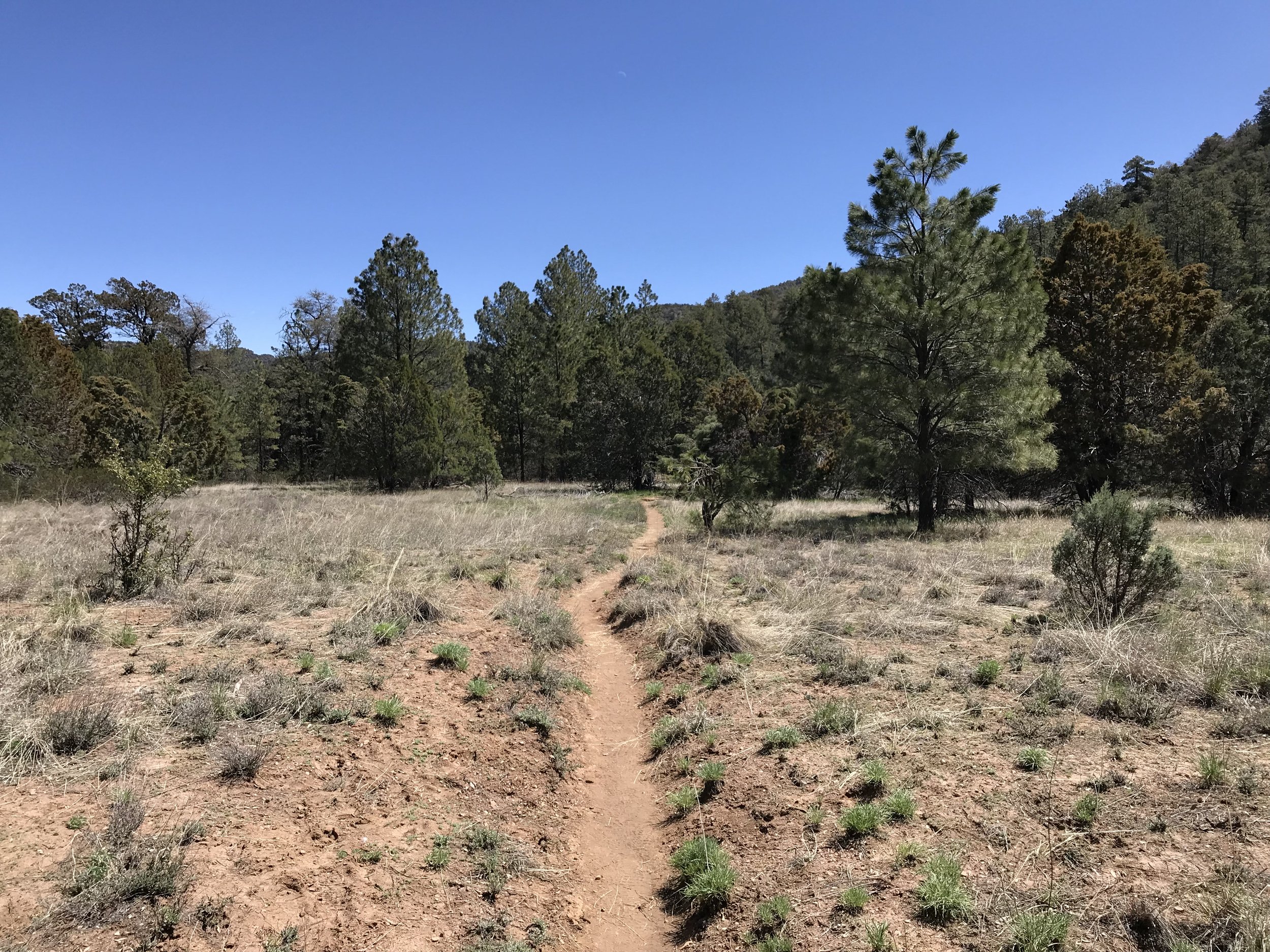
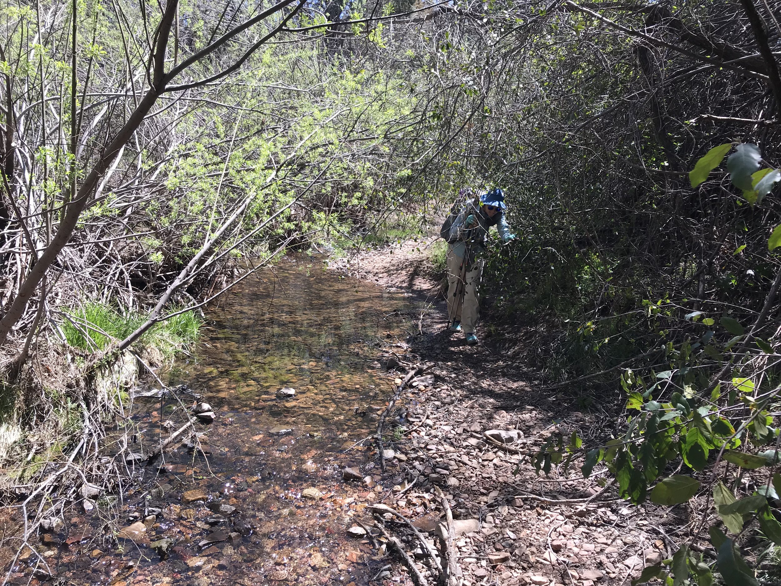
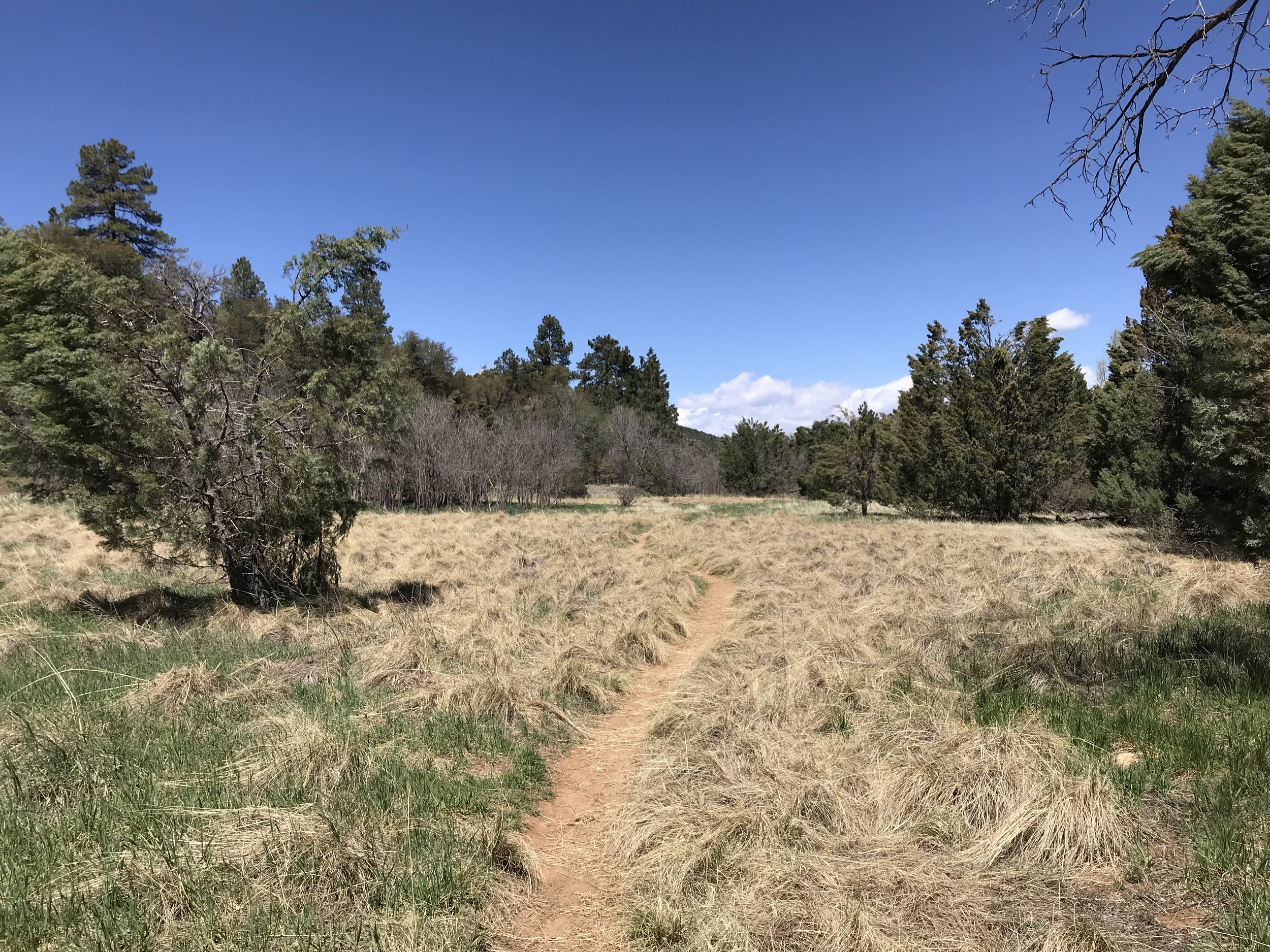
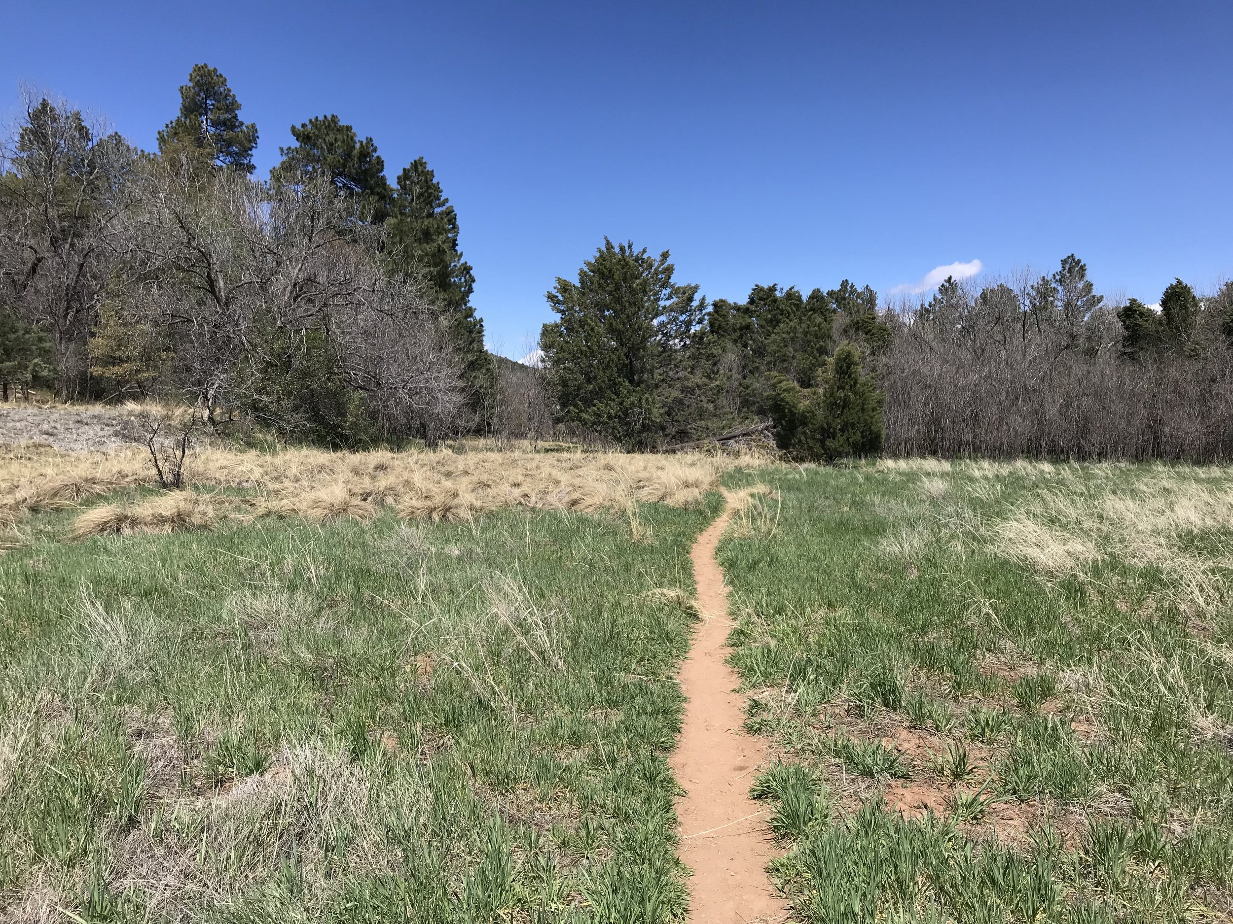
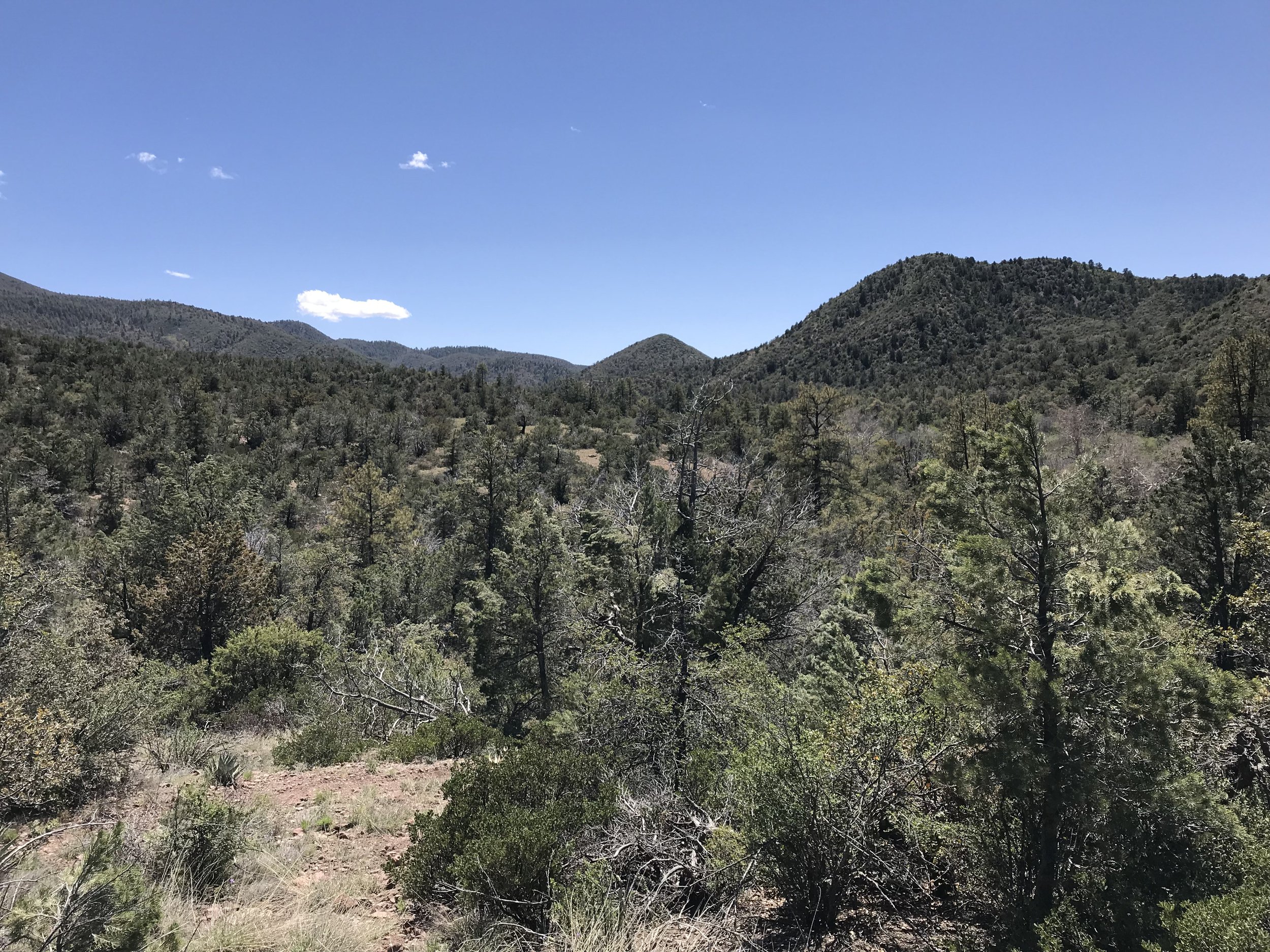
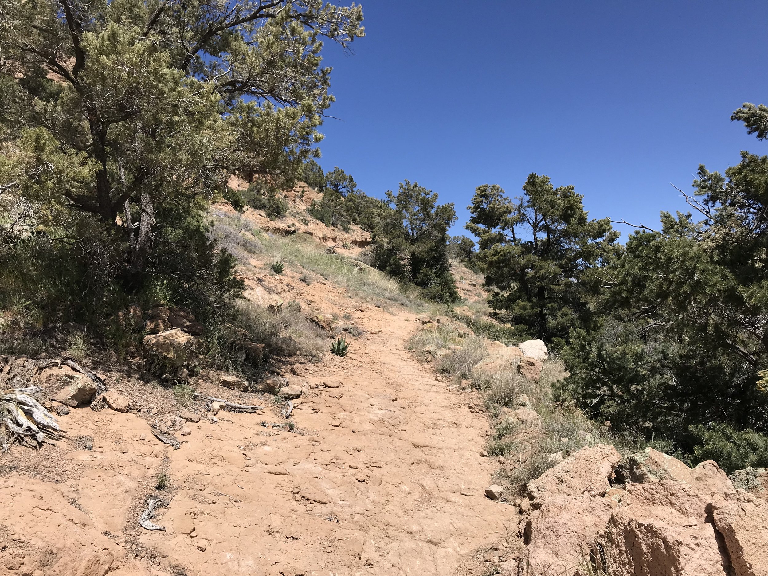
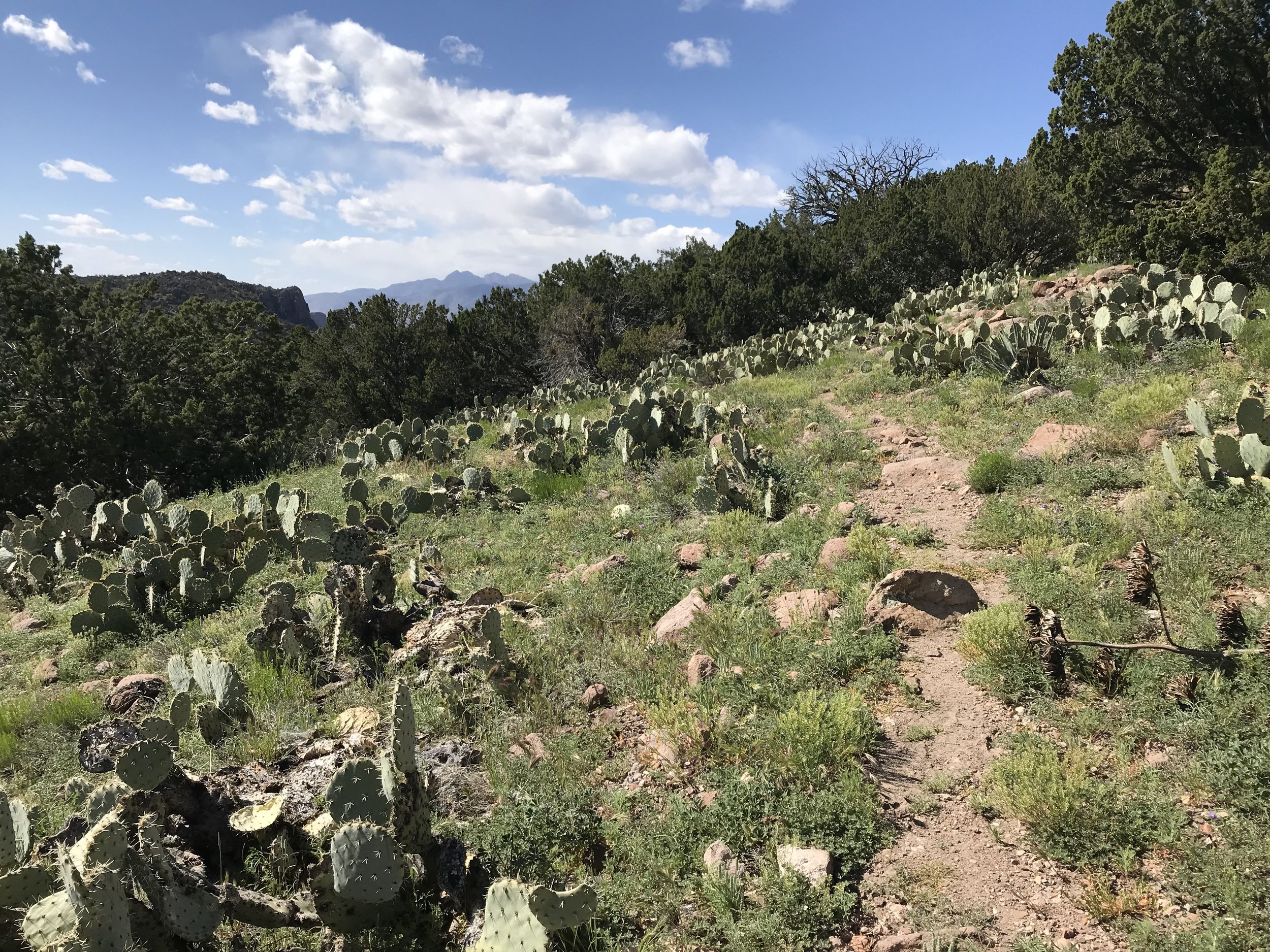
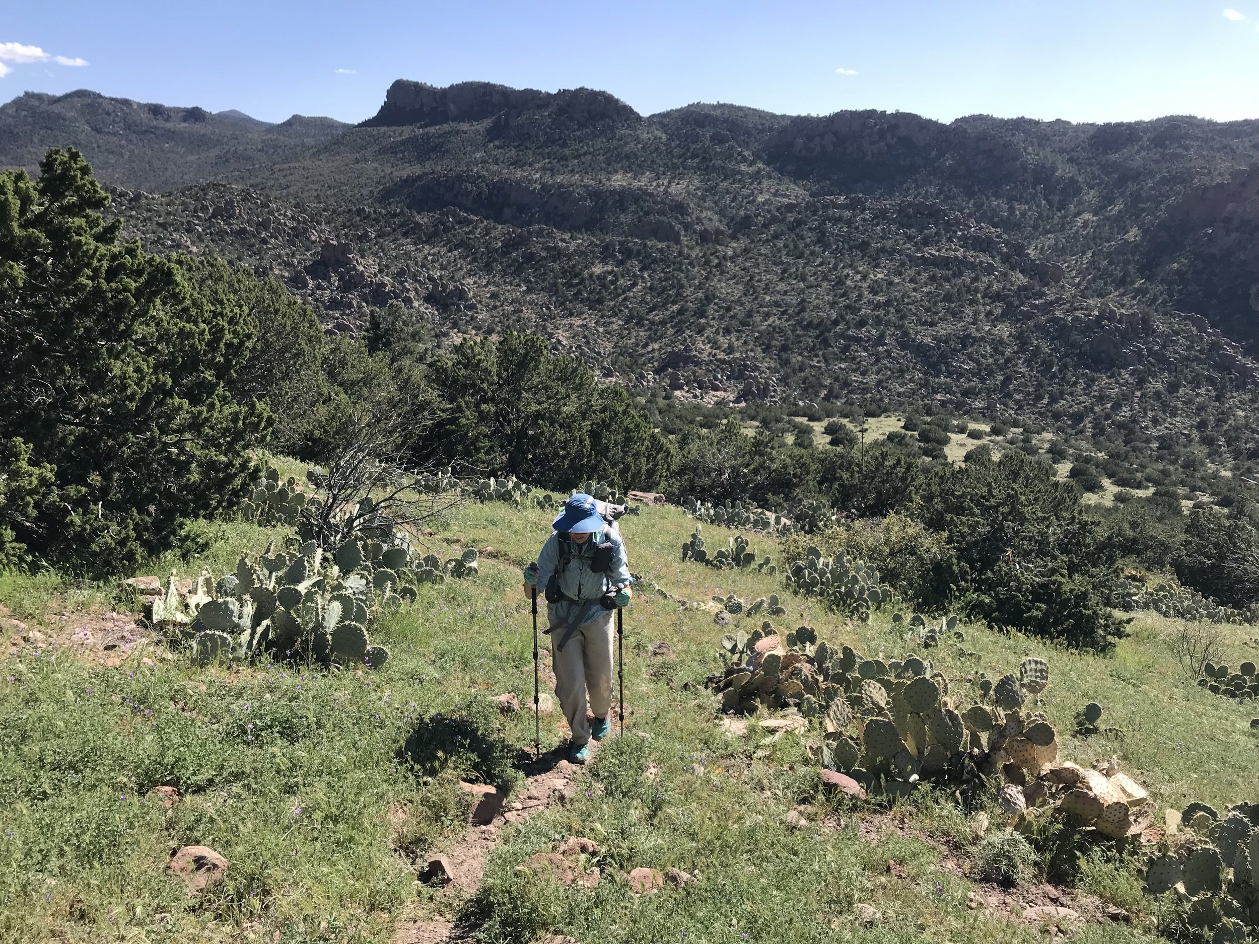
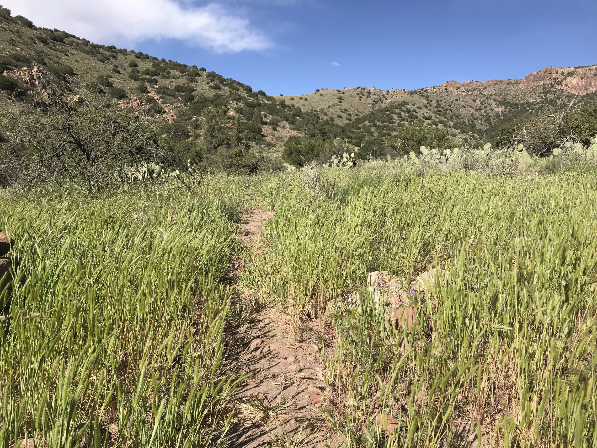
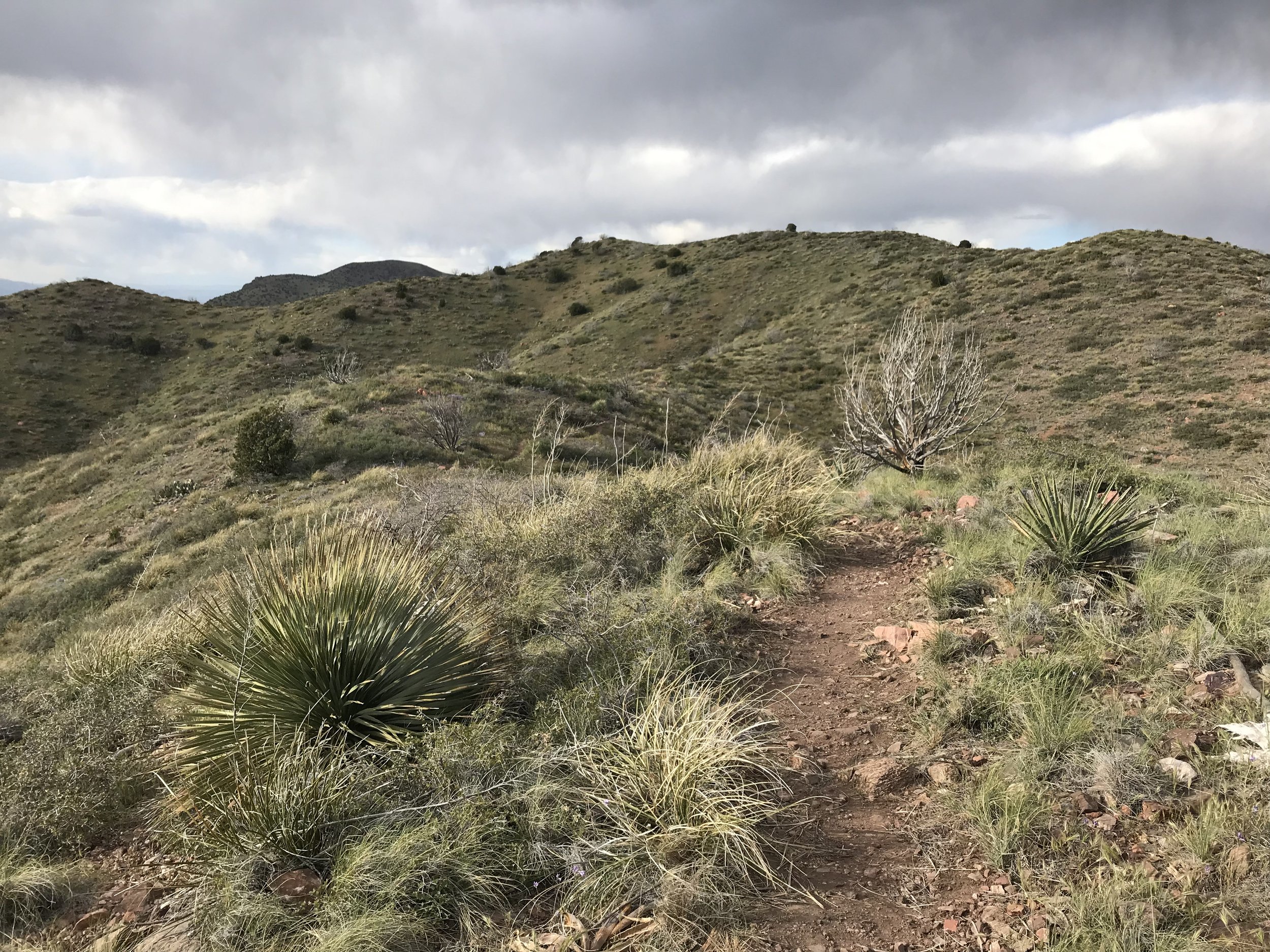
The AZT left Reavis Ranch Trail at a junction and became steep and overgrown. It crawled under low hanging branches of trees, shimmied up narrow rock washes, and quickly jolted upwards into thickly overgrown manzanita. All of which scraped, scratched, whacked, and stumbled our walking bodies. The easy morning quickly turned to hard work as the trail became a skinny singletrack shooting skywards along steep cliff edges with tangled and sharp manzanita stems to break one’s fall. A couple hours later, the manzanita became pine as the trail reached a saddle and afforded views of the creek valley below. From here, the AZT became more gentle in grade. A surprising thick ponderosa pine forest greeted us. The trail sloped down through this large pine forest for several miles. It swept across large, beautiful grassy meadows (completely shocked by these being up here) and meandered through streams (some dry and some deep with spring water). One portion had us walking in the water and under jumbled secondary growth branches. We passed a large meadow filled with grassy tussocks with some large spruce and the biggest juniper trunk I had ever seen in my life.
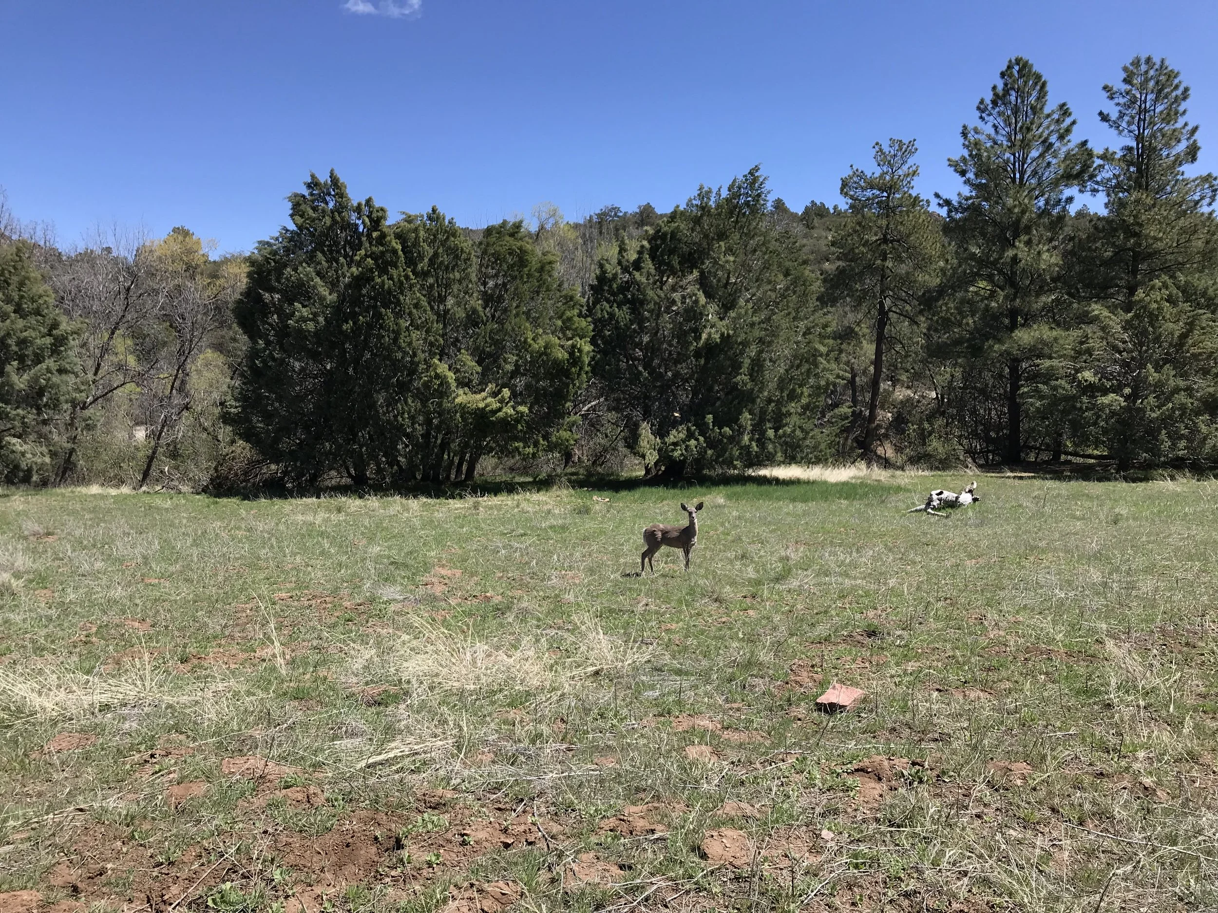
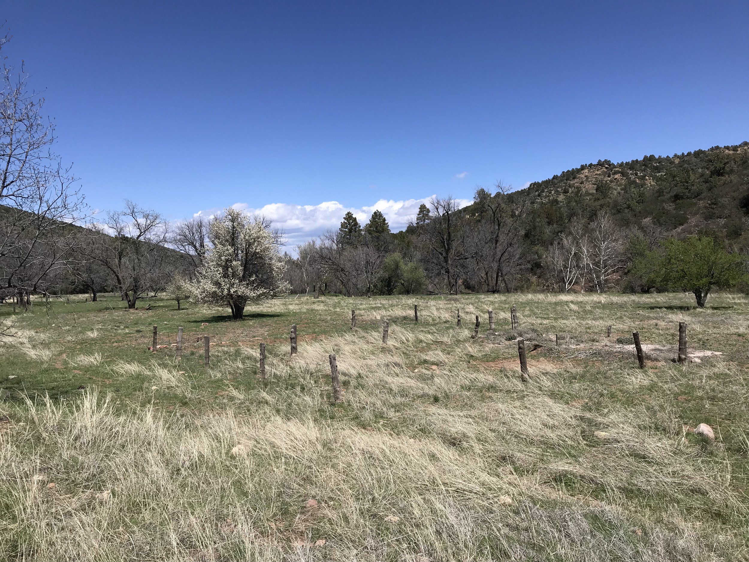
By noon, the AZT crossed out of the thick forest and entered Reavis Ranch. Reavis Ranch is old homestead, now abandoned. What remains is a large flat valley walled in by desert peaks. But this valley is filled with lush green grass, multiple streams, and a huge apple orchard left by the former white settlers. The apple trees were in bloom now for the spring. In the autumn, backpackers come up here to get the free fruit. Deer also loved this area and we passed a herd spread about the meadows, eating grass and resting in the shade of ponderosas and spruce. Janna and I went and looked at the foundation of the old homestead, its abandoned ground cellar, and the old fenced fields nearby. Obviously a popular camping spot, several well-used campfire rings lined different areas of the field. We sat in the shade of a large oak, eating lunch and getting some spring water.
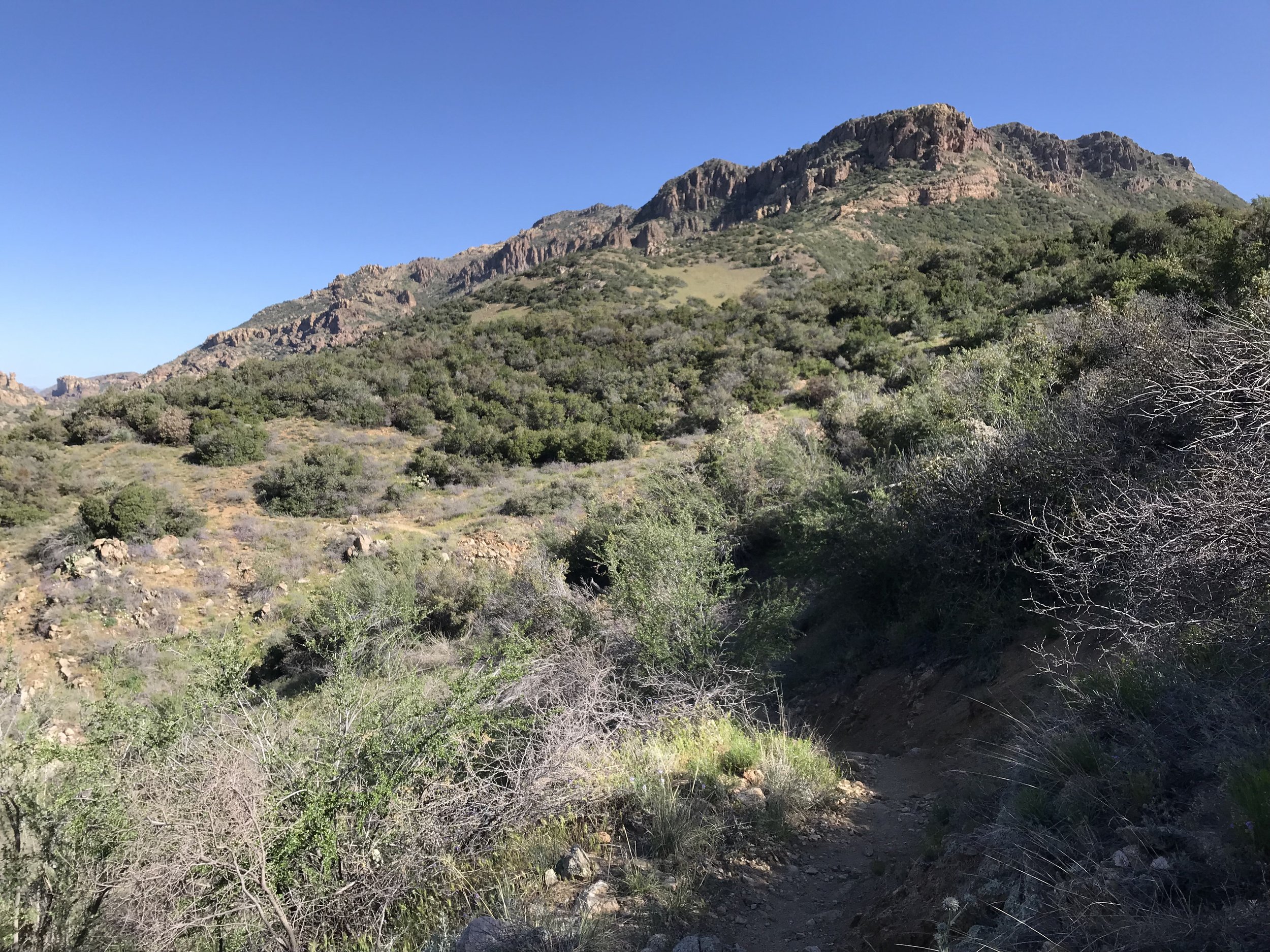
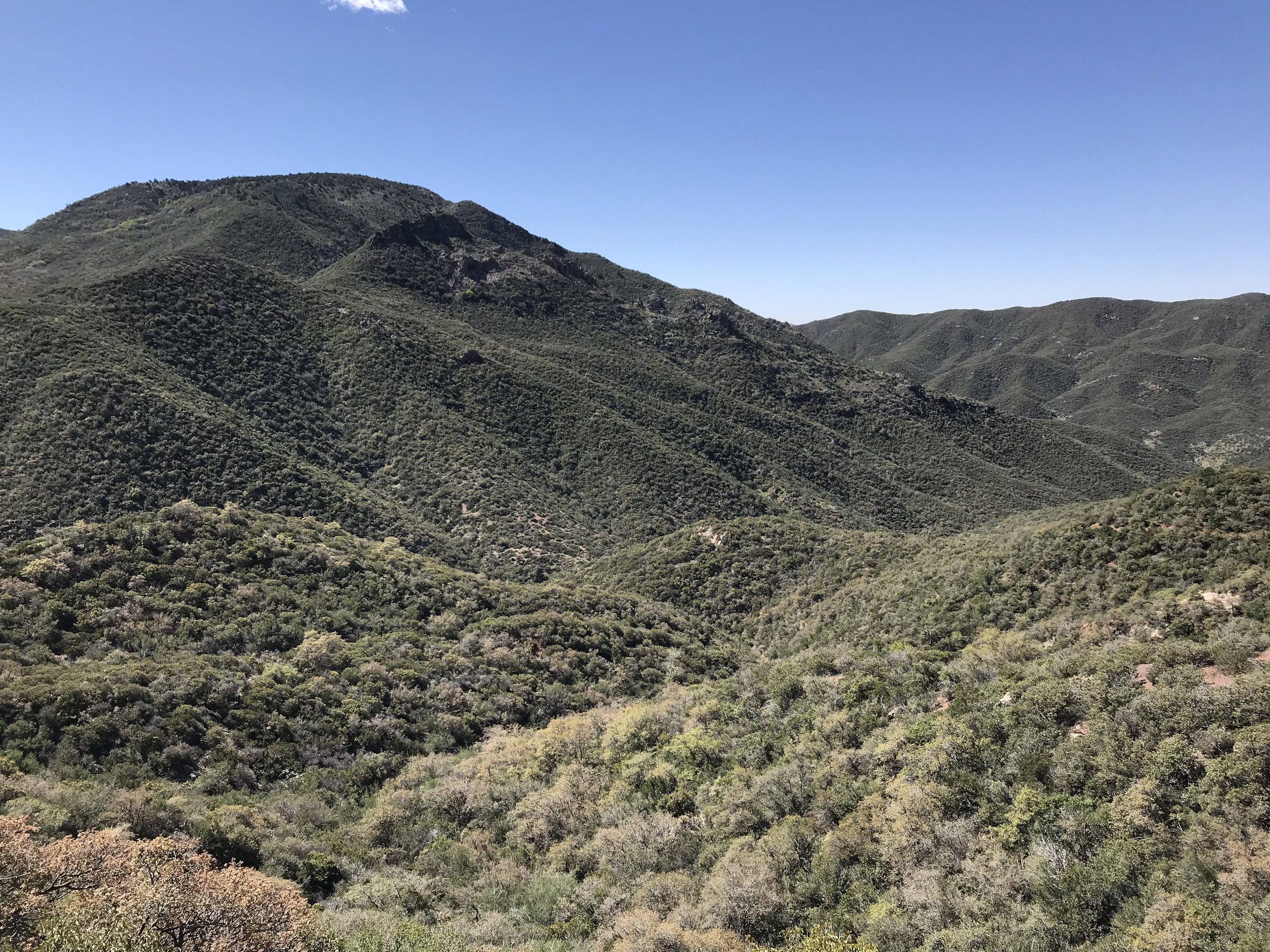
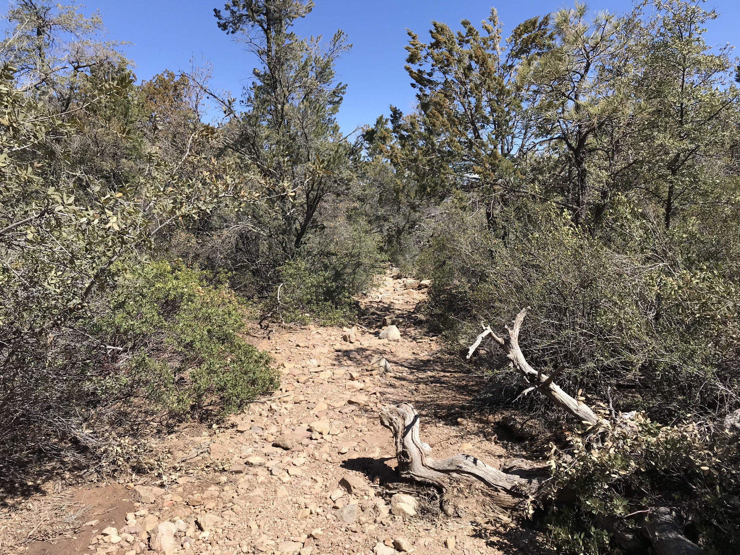
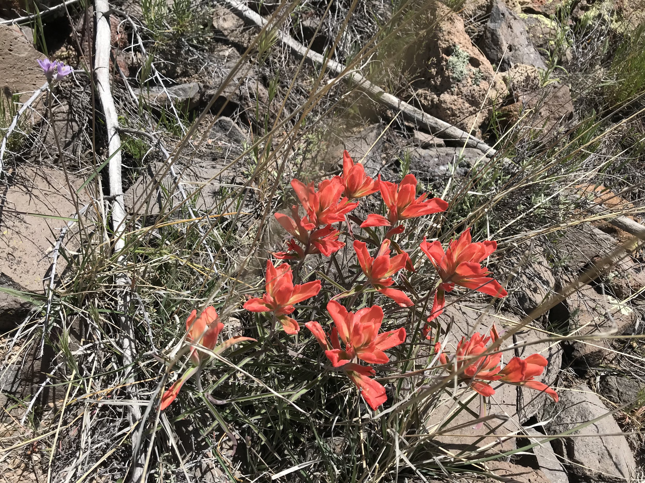
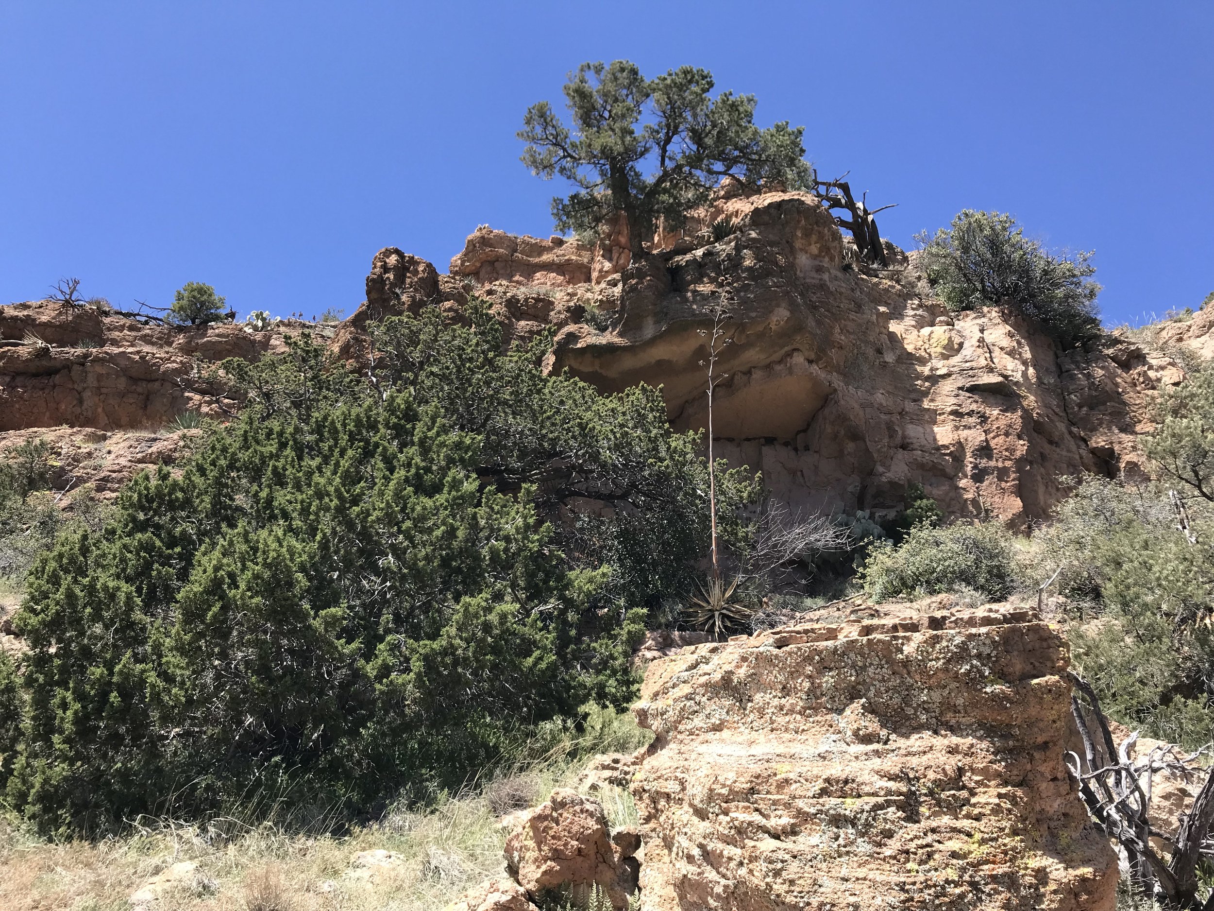
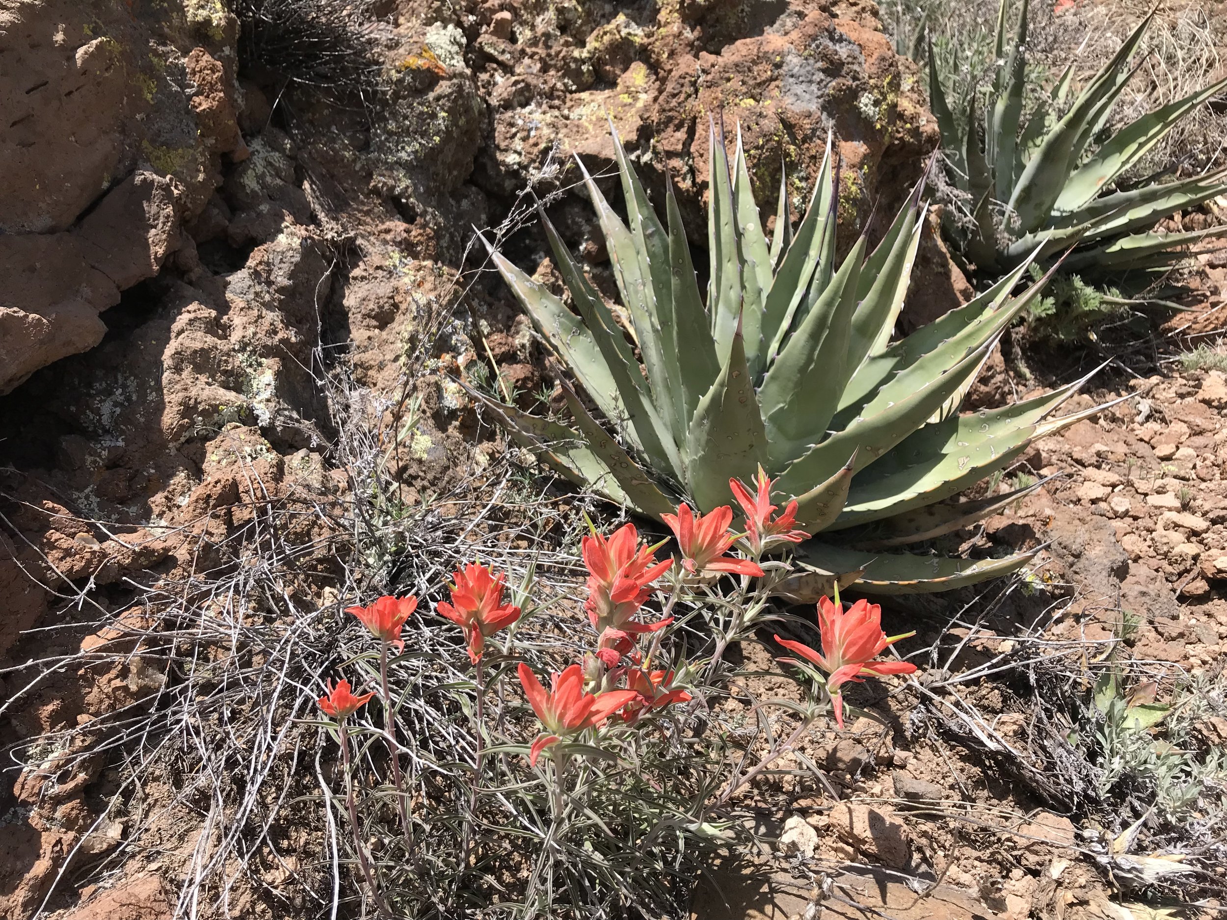
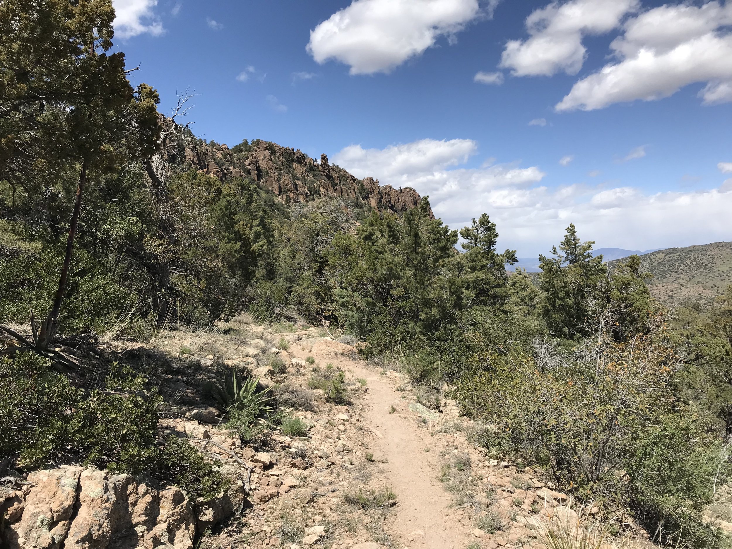
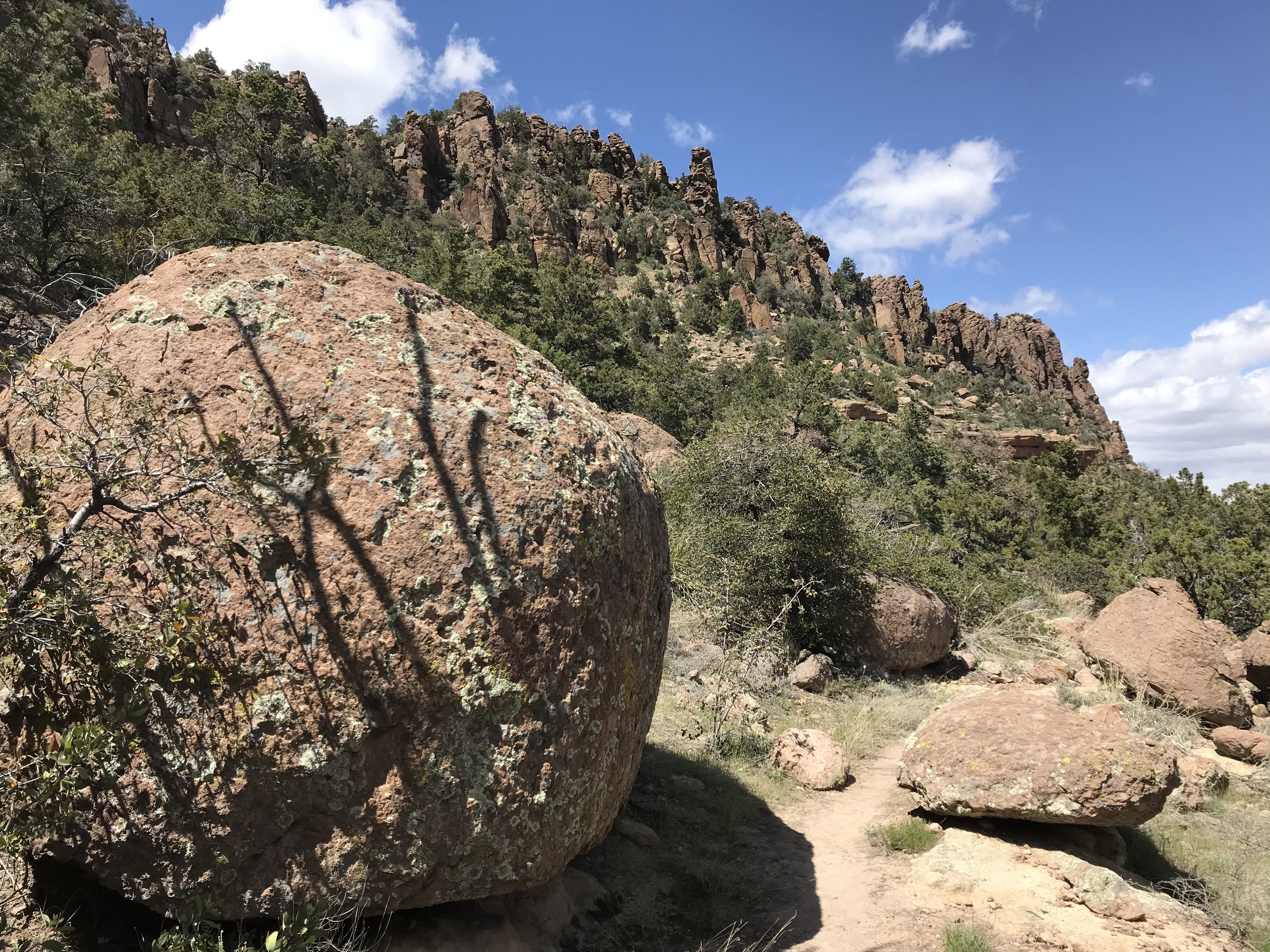
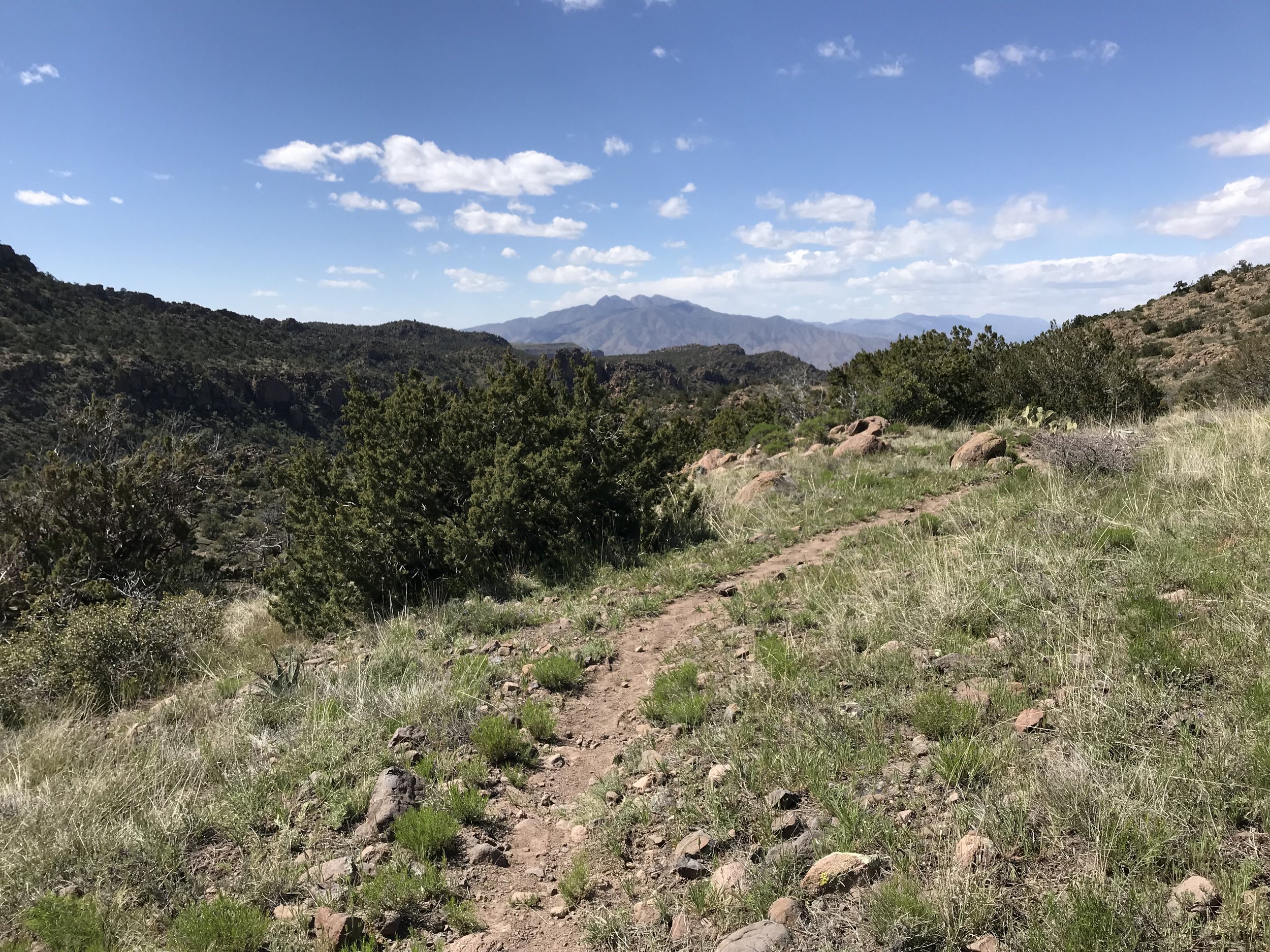
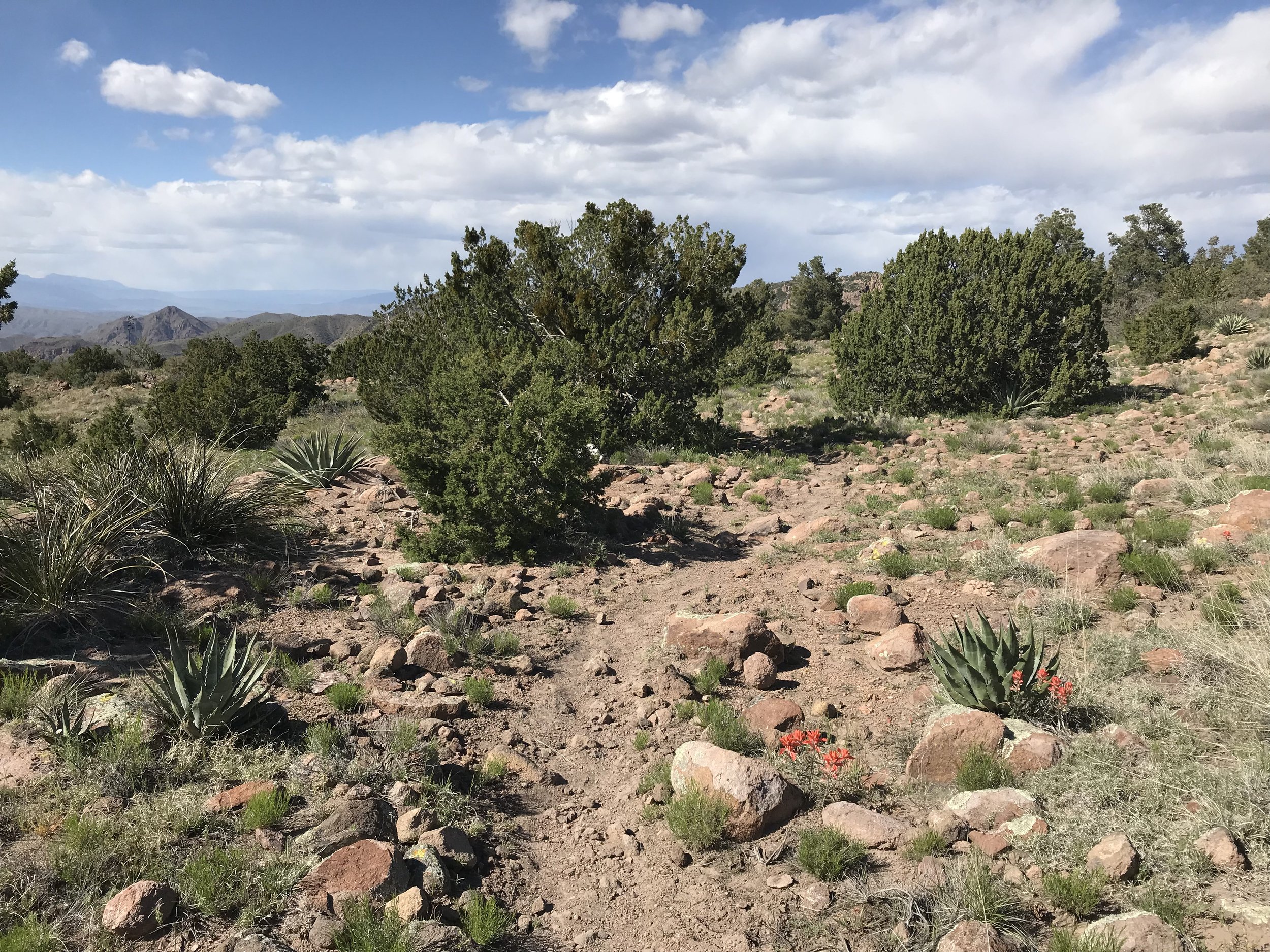
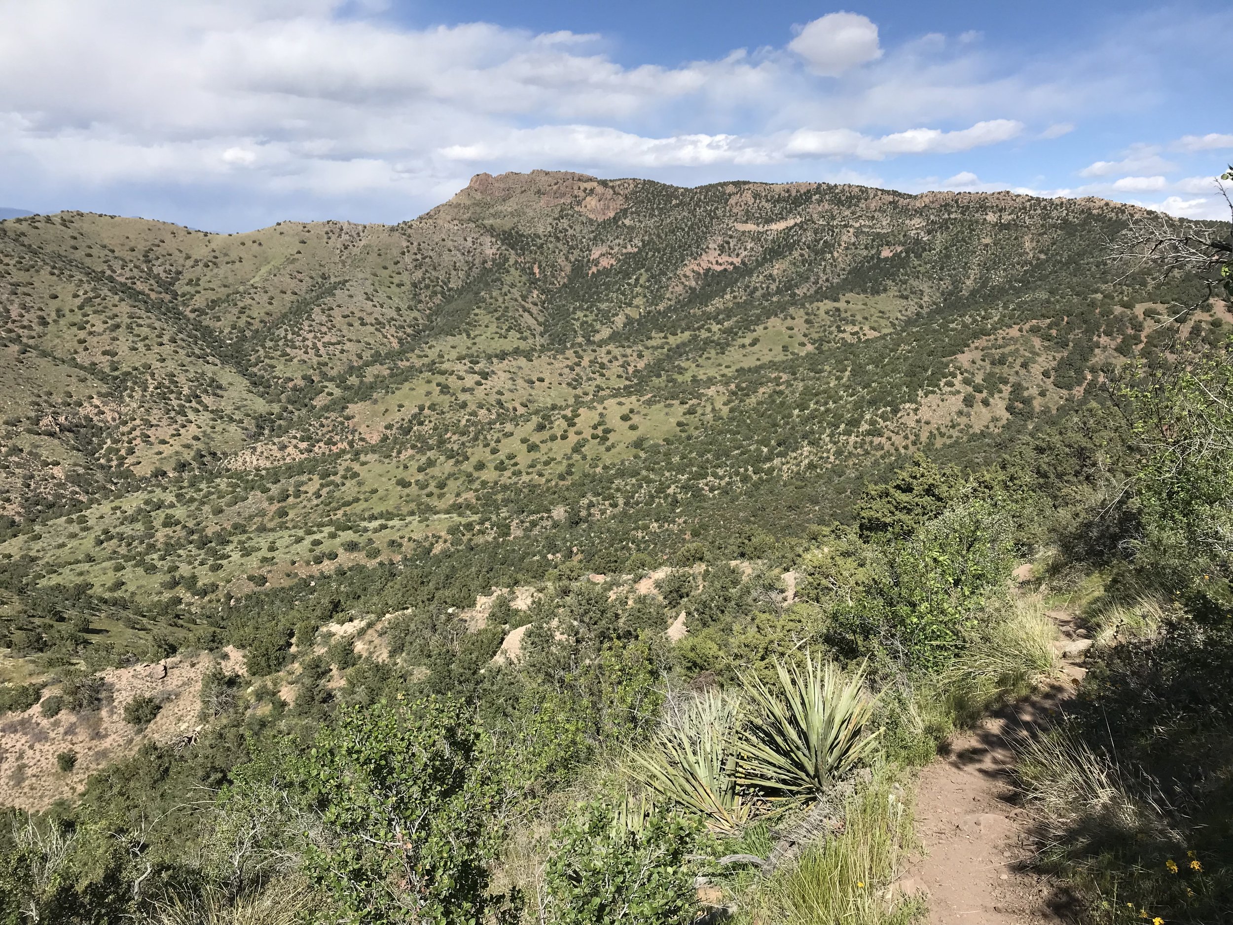
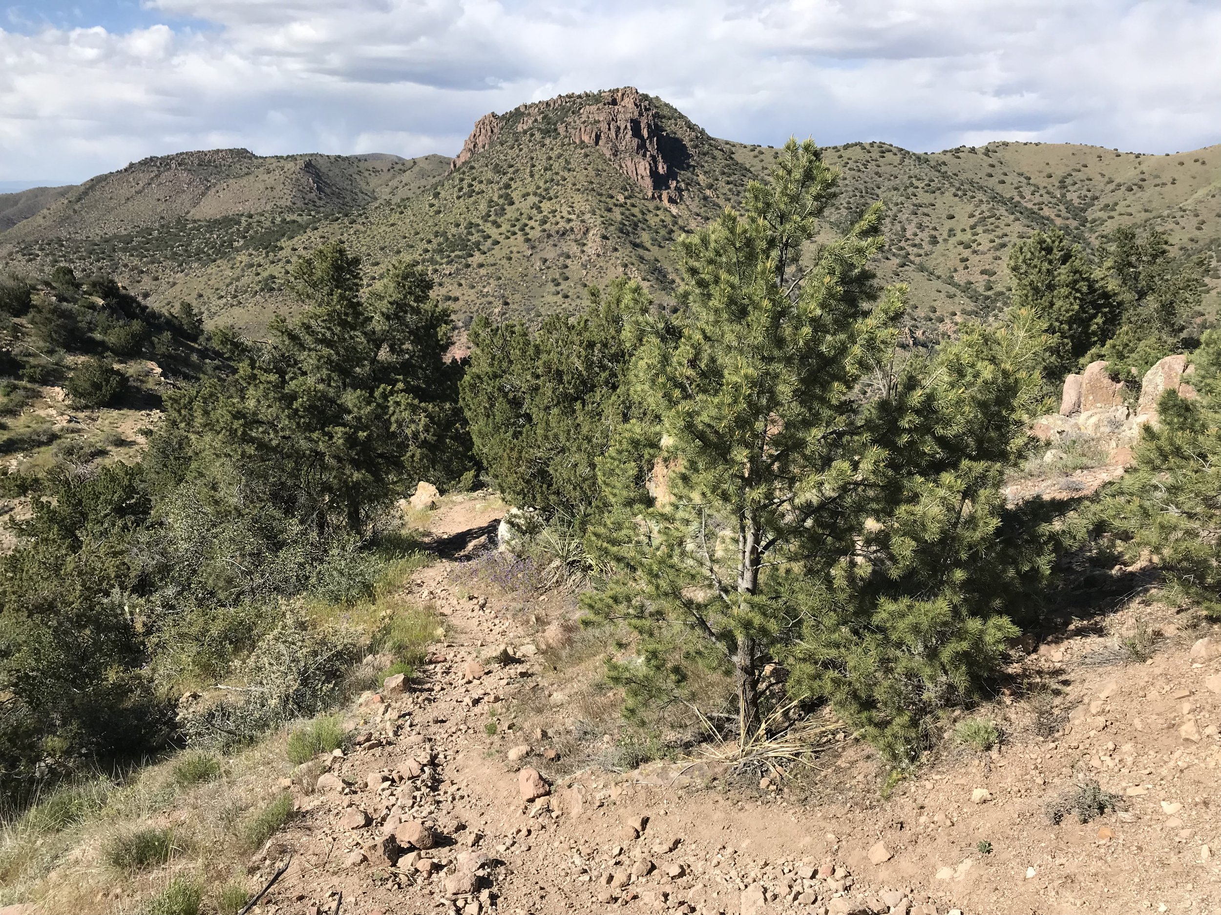
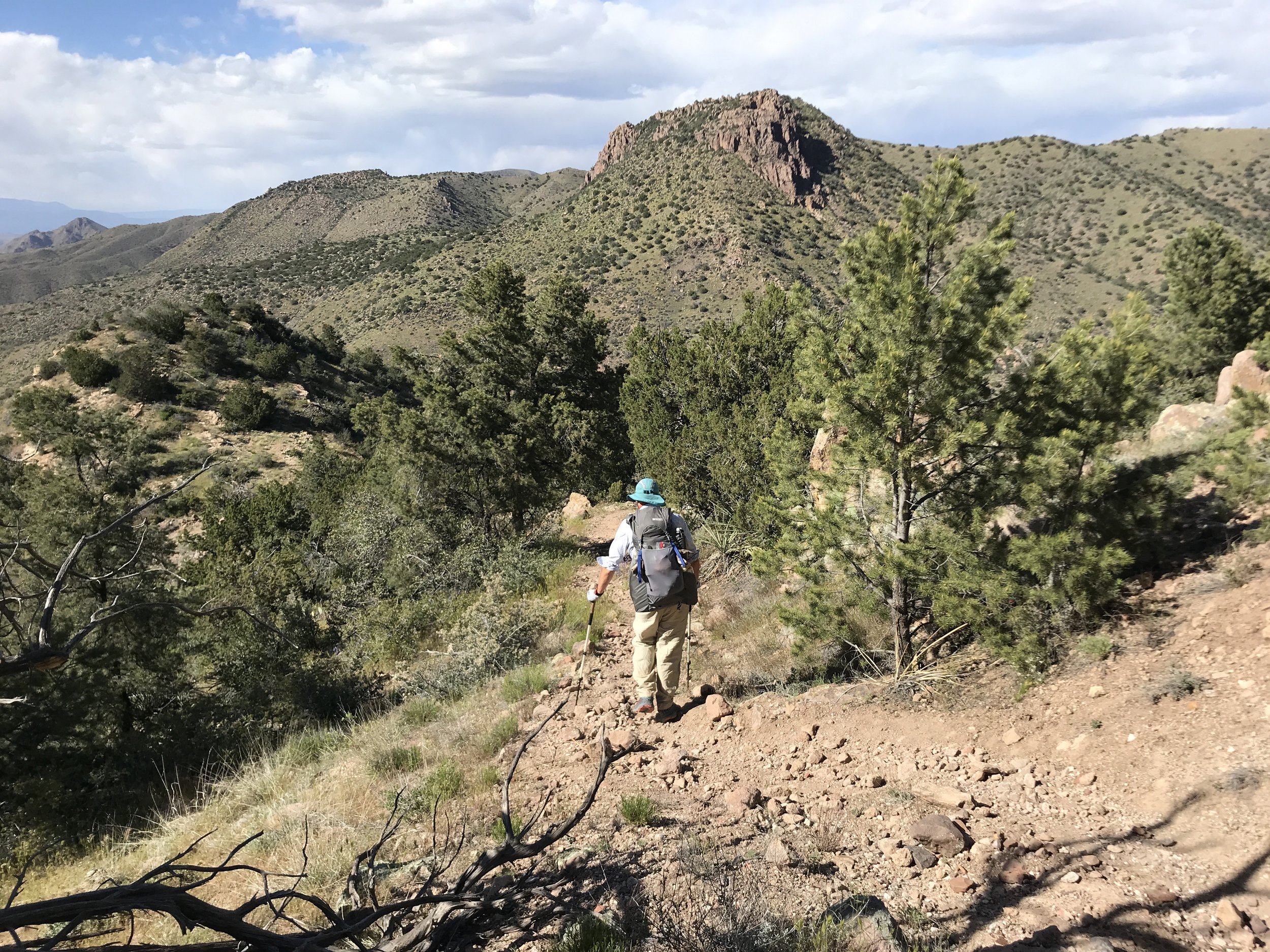
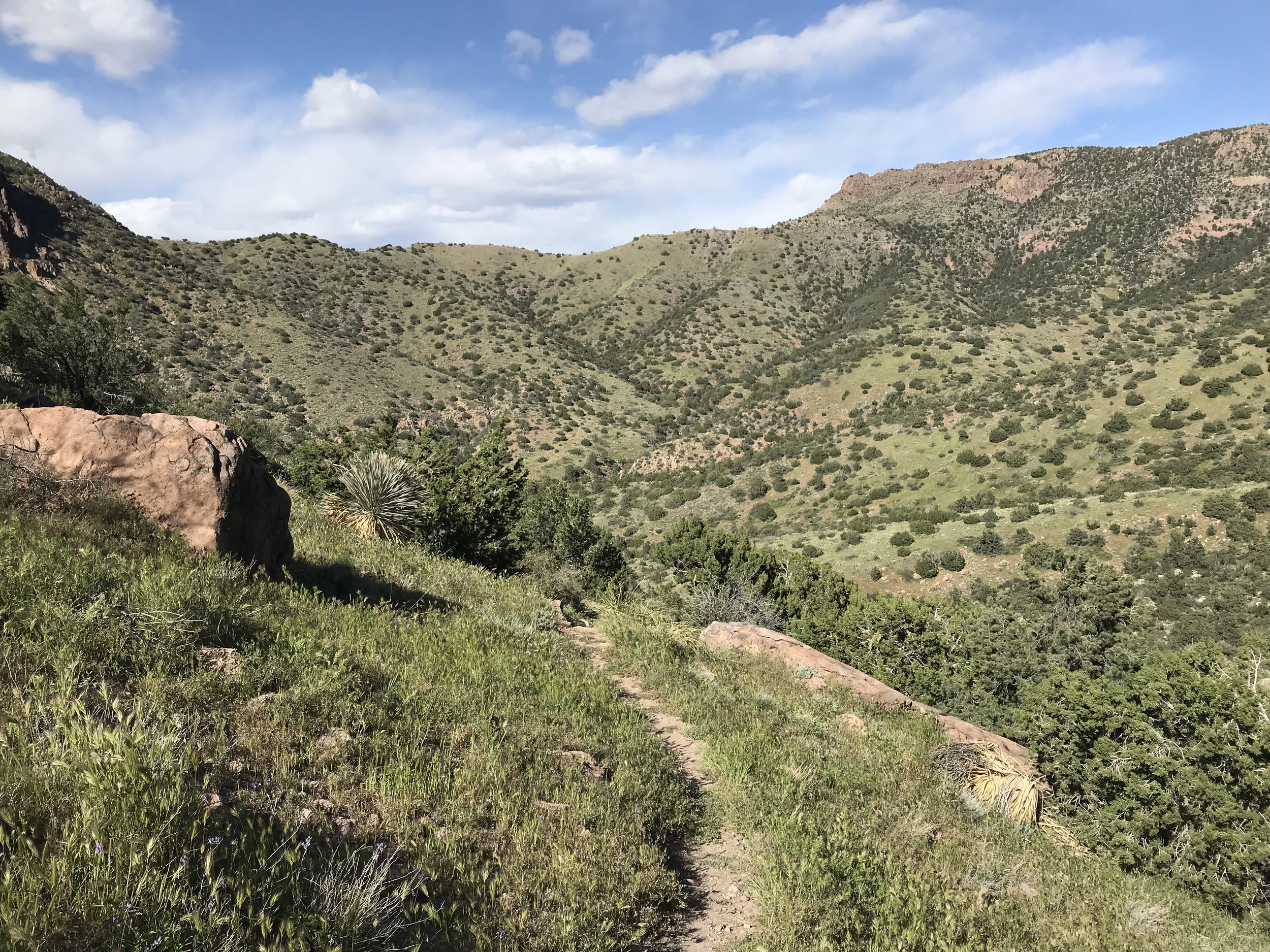
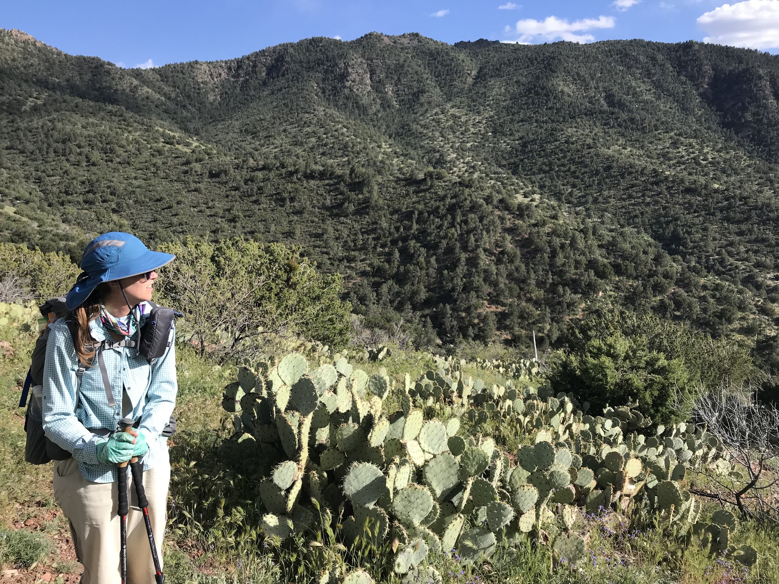
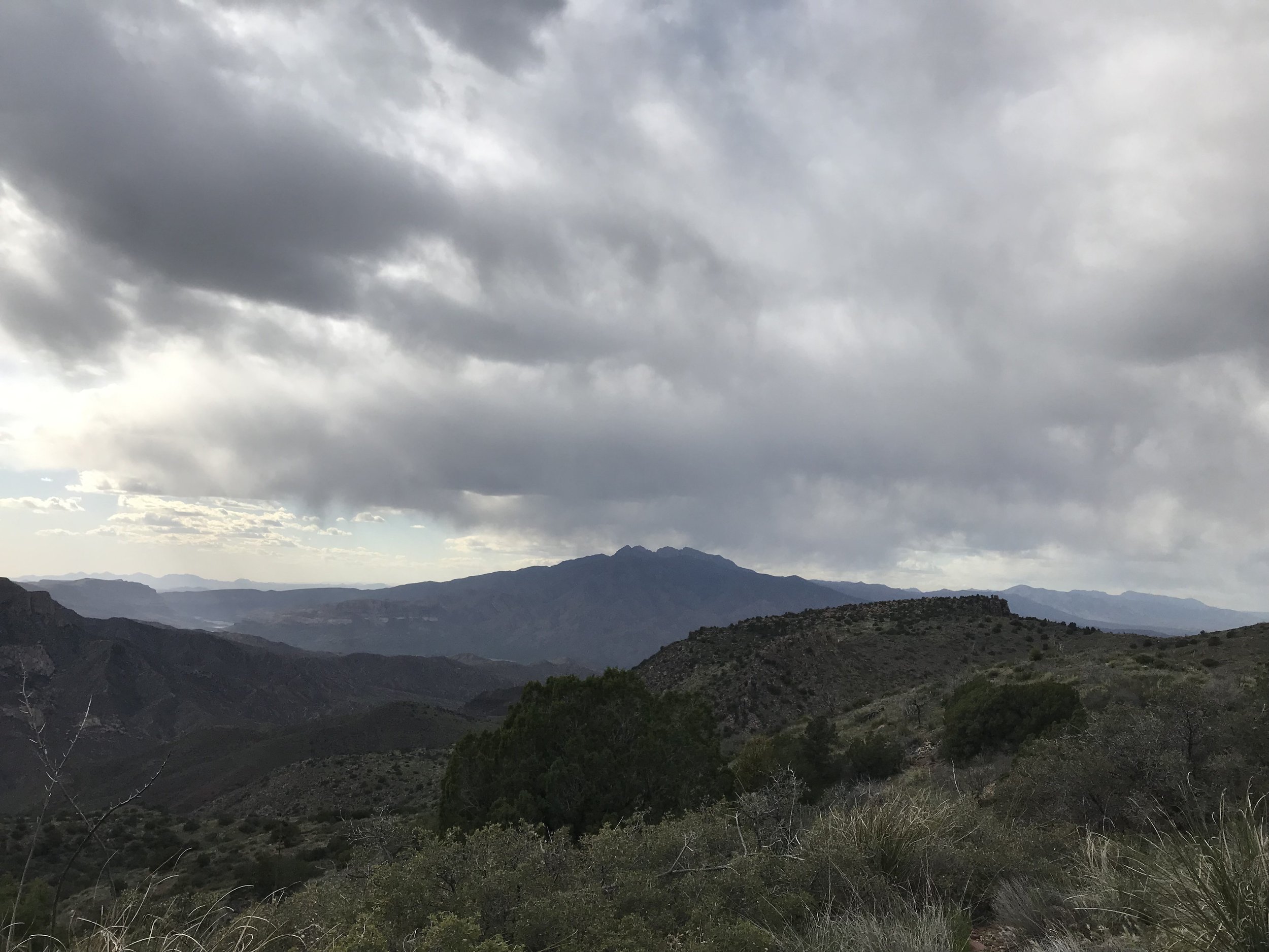
By early afternoon, the AZT left the protective valley with its grass and water to head back up over the dry surrounding desert peaks. The trail came rocky with babyheads and small boulders. Fireweed (the first seen this season) grew trailside in places, the red starkly catching my eyes. Large round boulders and geological spires stood out from the land. In the distance, large clouds began building. We kept an eye on these as we knew a cold front had come during the night before. The trail was washed out in several areas, but we successfully got several miles under us before we hit Pine Creek. This was the last reliable water source for the day so we carried 4 L out each. The trail ran up a ridge and hit a high elevation mesa where the gathering clouds to the north now sent an unobstructed wind right at us. Four Peaks was clearly visible. I had climbed Brown’s Peak (the highest of the four) several years ago with Reed and I had been itching to return.
Now the wind blew at 30 - 40 mph consistently. We leaned into it and felt a sudden chill chase away any heat from the day. I had an urge to poop and ran up a hillside and crouched behind a single windblocking bush to do my business. An unsaid sense of urgency began to settle in both Janna and I’s minds. A storm was gathering and we were well over 5,000 feet in elevation on an exposed high desert mountainside with little vegetation for cover. The name of the game was movement. We switchback higher up a hill and hit a saddle where the most INSANE descent and ascent (literally top 3 in my life) awaited.
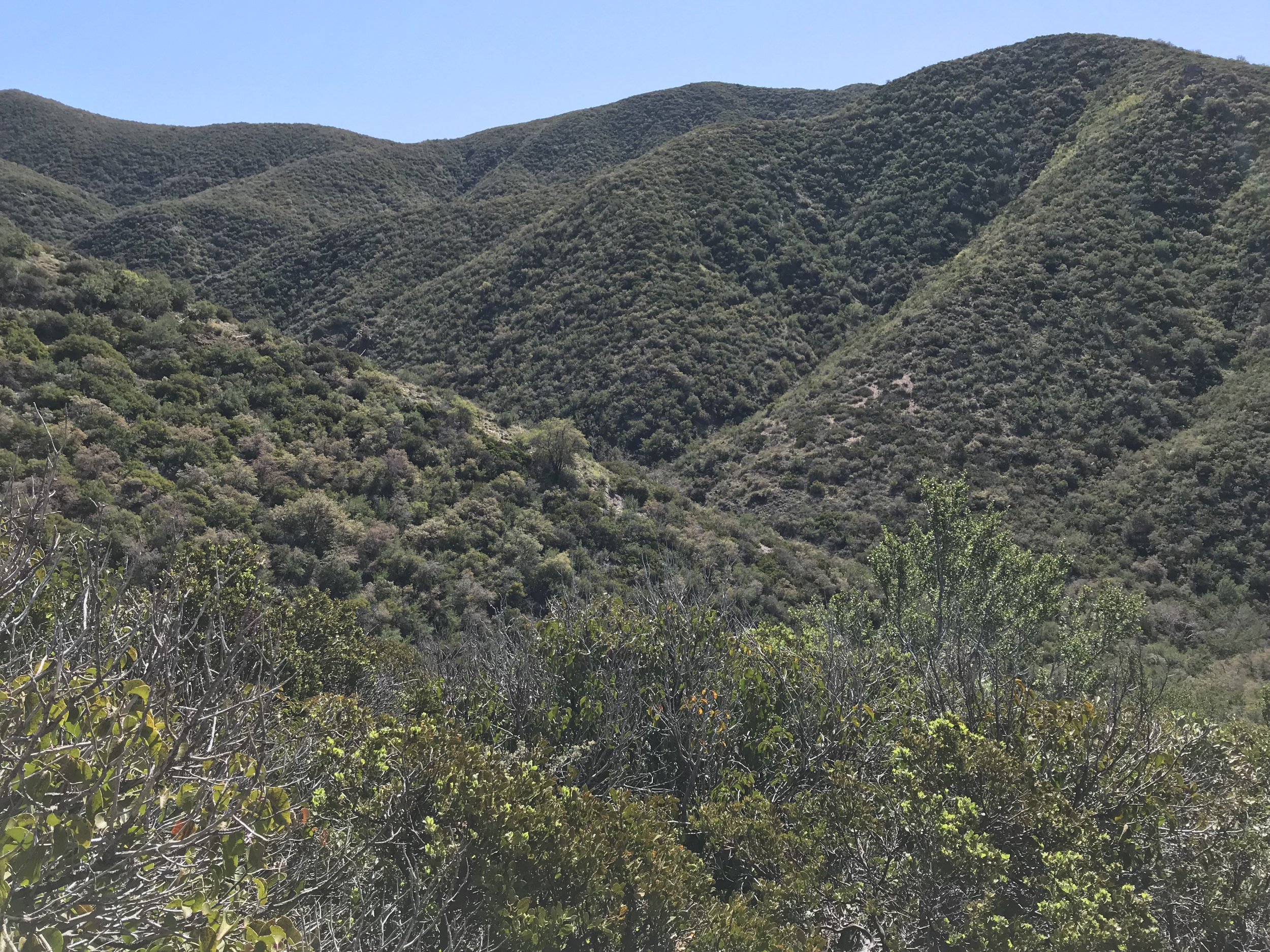
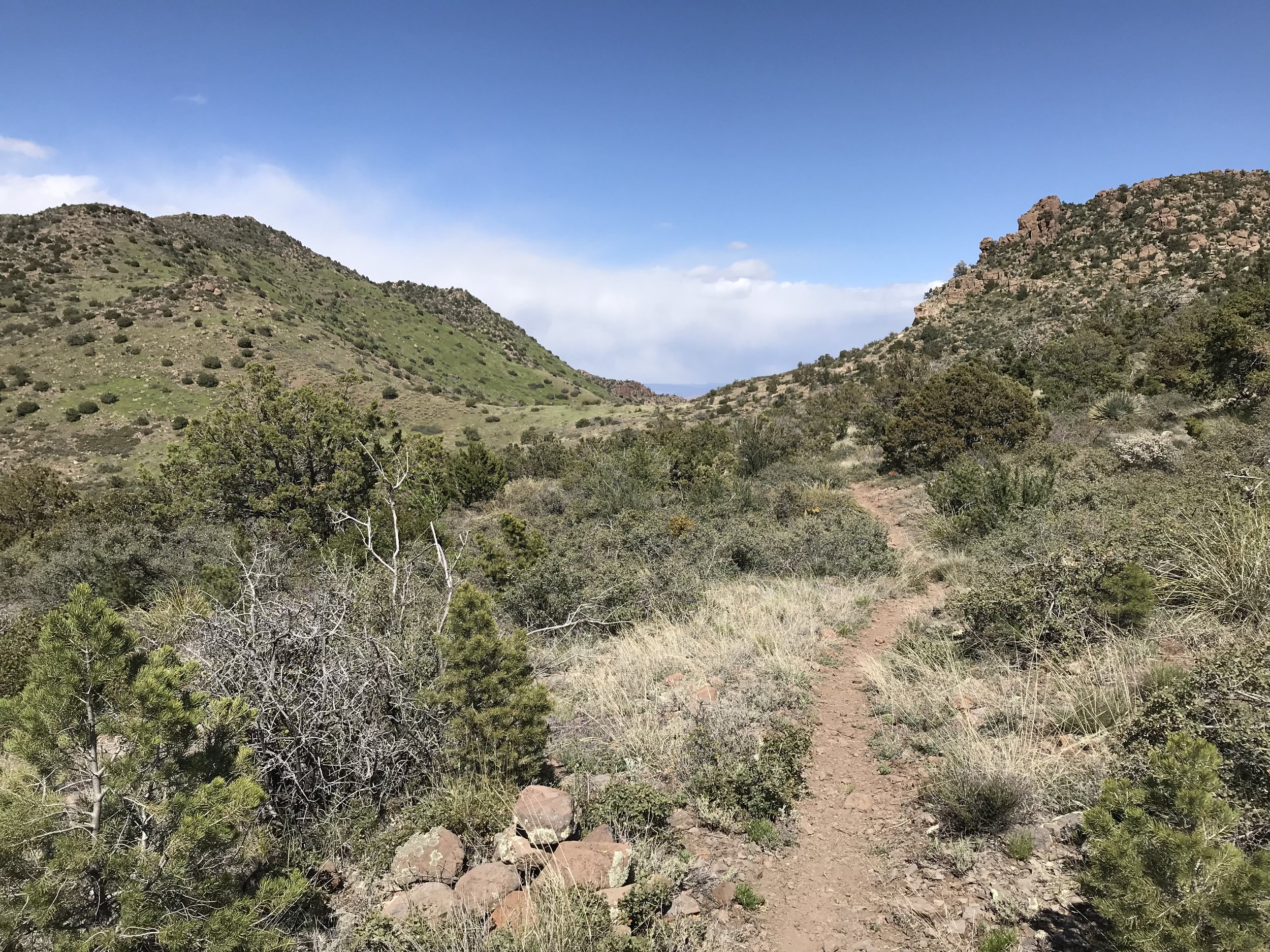
“WTF is this??” we both thought as we looked at a section we would later call “The Super V.” Just like a V, the trail descended straight down the side of a mountain, no switchbacks at all. The entirety of it was scree that provided ill-secure footing. It was narrow, cliffs were abundant, and the steepness only seemed to get worse when approaching the crook of the V at the bottom where a dry creek-bed lay. We ended up losing 1,000 ft. in a mile to the bottom, all with the accompanying wind blowing sideways on us. I had to carefully place each step because my knee was now screaming. Janna started descending on her butt at one point. Near the bottom, the steepest portion, I stepped on some scree, my legs slipped out from under me, and I fell backwards smashing my back into a pointed boulder right where my spine was. Janna yelled and came to me. I got up, feeling the impact and looked at my pack. The pointed boulder had ripped a massive hold in the outer mesh pocket and taken most of impact. Thankful I could fix it and that my back was sore but okay, we hit the bottom of valley and looked up. Dark, black clouds wisped up along the upper edges of the opposing valley wall. There was nowhere to take shelter down here in case of lightning; it was exposed and probably would flood anyways.
Now the rush was on to reach the opposing top of the Super V, get on the saddle, descend the other side, and find some shelter before a lightning storm potentially unleashed. The opposite side of the Super V required gaining 1,200 ft. in 1 mile - also all vertical straight-up with scree as the substrate. Every step up stretched the Achilles acutely and was joined by a backwards sliding motion eliminating a good chunk of my effort. Double work was the sacrifice required to reach the top. The whole time, my eyes kept staring as the black clouds advanced from the north towards us in the south.
“Just got to reach that ridgeline before they are on us. Just got to reach that ridgeline,” I thought over and over in my head.
Near the top of the ascent, the clouds arrived but moved not just south, but easterly as well. A rush of relief hit Janna and I. We were literally climbing on the edge between blue sky and black walls and the walls were moving away from us. Rain sputtered only lightly on us. We were near the top saddle when we saw a large juniper. Anxious to get out of the unrelenting wind, we huddled and felt afforded an opportunity to eat a snack and drink some water. I mean, we earned it with the storm moving away, right?
Fed and watered, we left the wind-block and made it to the saddle.
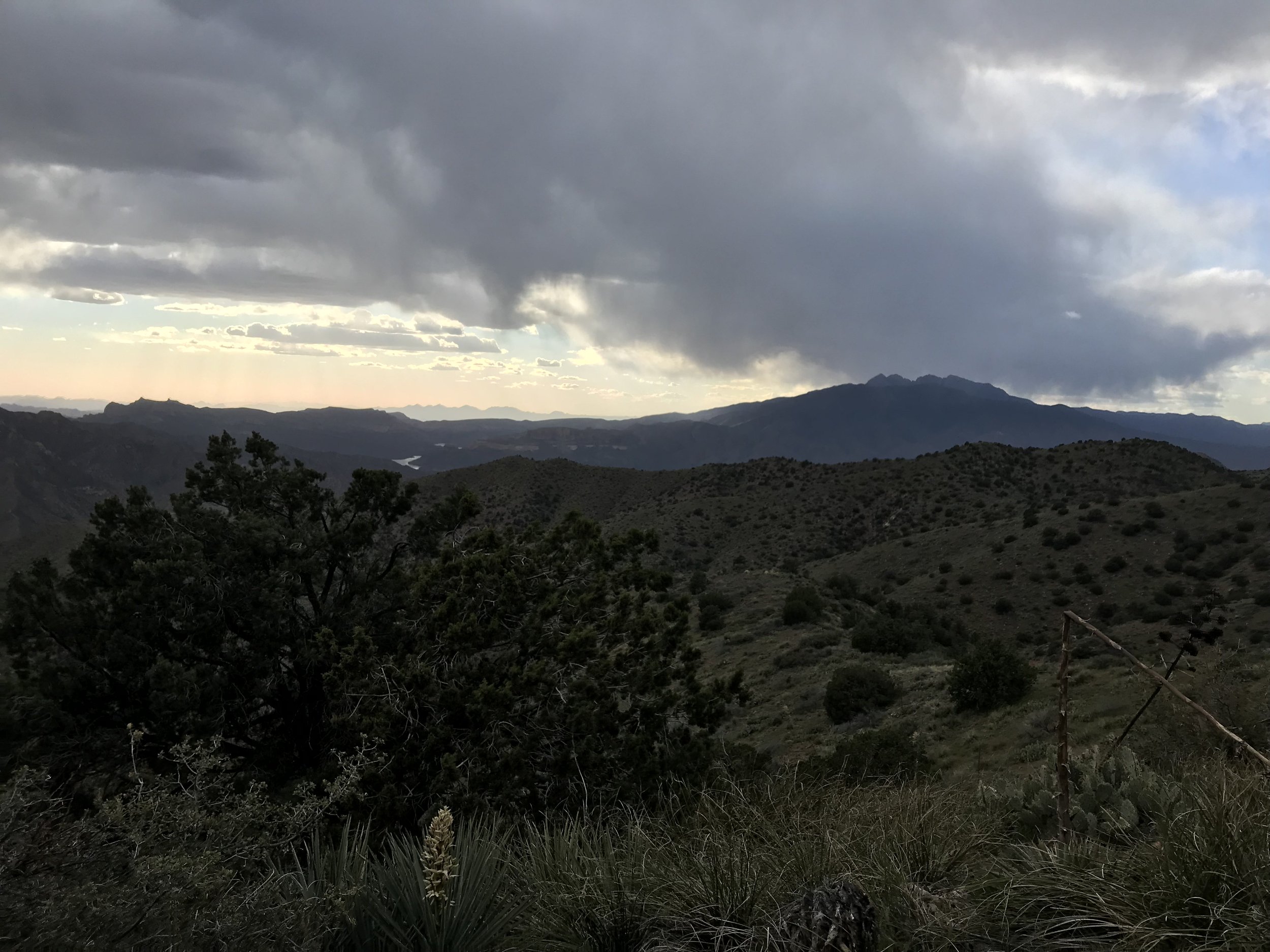
Dear god. The storm was waiting here for us. The AZT didn’t leave the ridgeline. It WAS the ridgeline. A ridgeline right into the massive billowing clouds growing on Four Peaks and streaking across the heavens to here. There was no avoiding it. There was no shelter behind, just shelter ahead…or so we hoped.
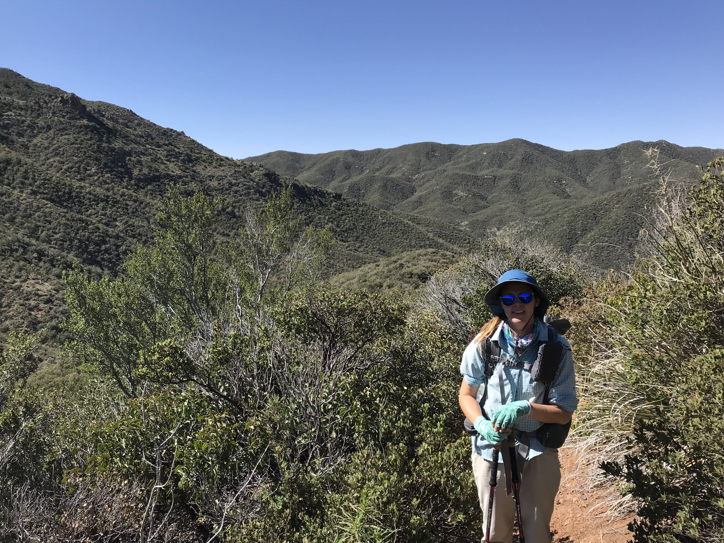
Nothing blocked the wind. It was so intense that Janna’s bandana immediately flew off into the distance, never to be seen again. Later, the two senior hikers before us would agree that the wind was a constant 40 mph with 50/55 mph gusts. Literally knocking us off our feet. Three miles of this awaited.
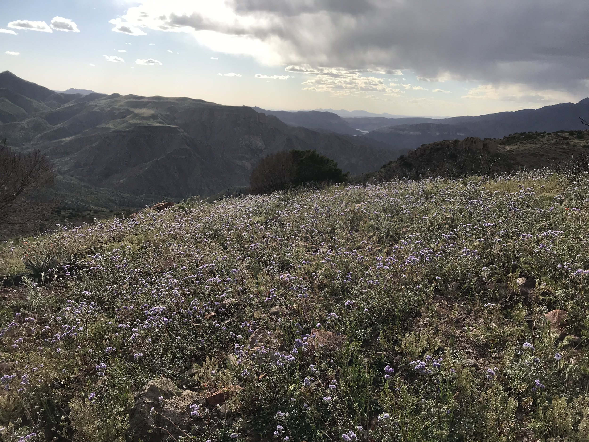
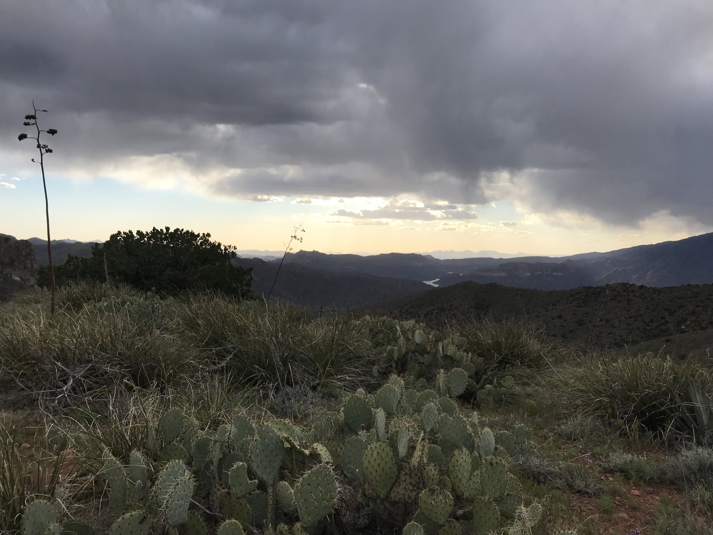
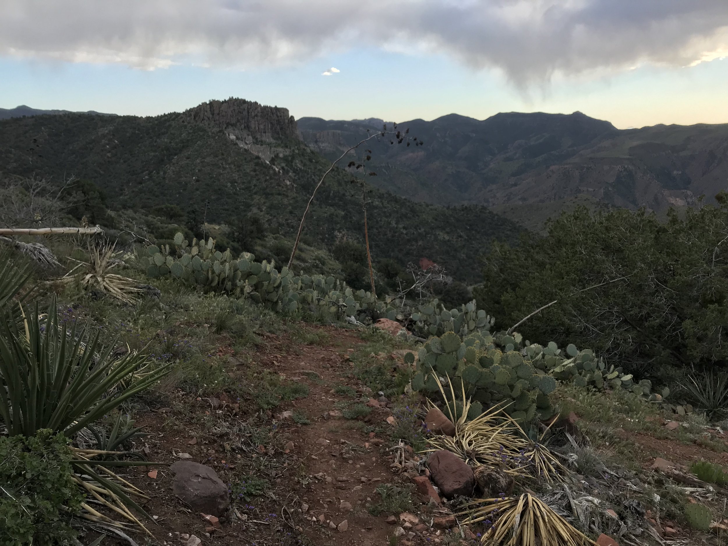
We stumbled along and I attempted to take 3 photos of the storm that did NOTHING to capture how crazy it looked in real life (see my poor attempts below). Wind rocked us sideways. My hat was cinched to my head. We had our rain-gear on but it only sprinkled. The layers kept us warm. My fingers numbed in the cold and I just kept cranking out speed. Finally, an hour or so later, the AZT crept off the ridge and went to the leeward side of the mountain. It was amazing how we went from being blasted to still in a few footsteps. A small valley appeared with low-growing juniper and pine. As we passed into it, a series of small campsites appeared. I was so thankful.
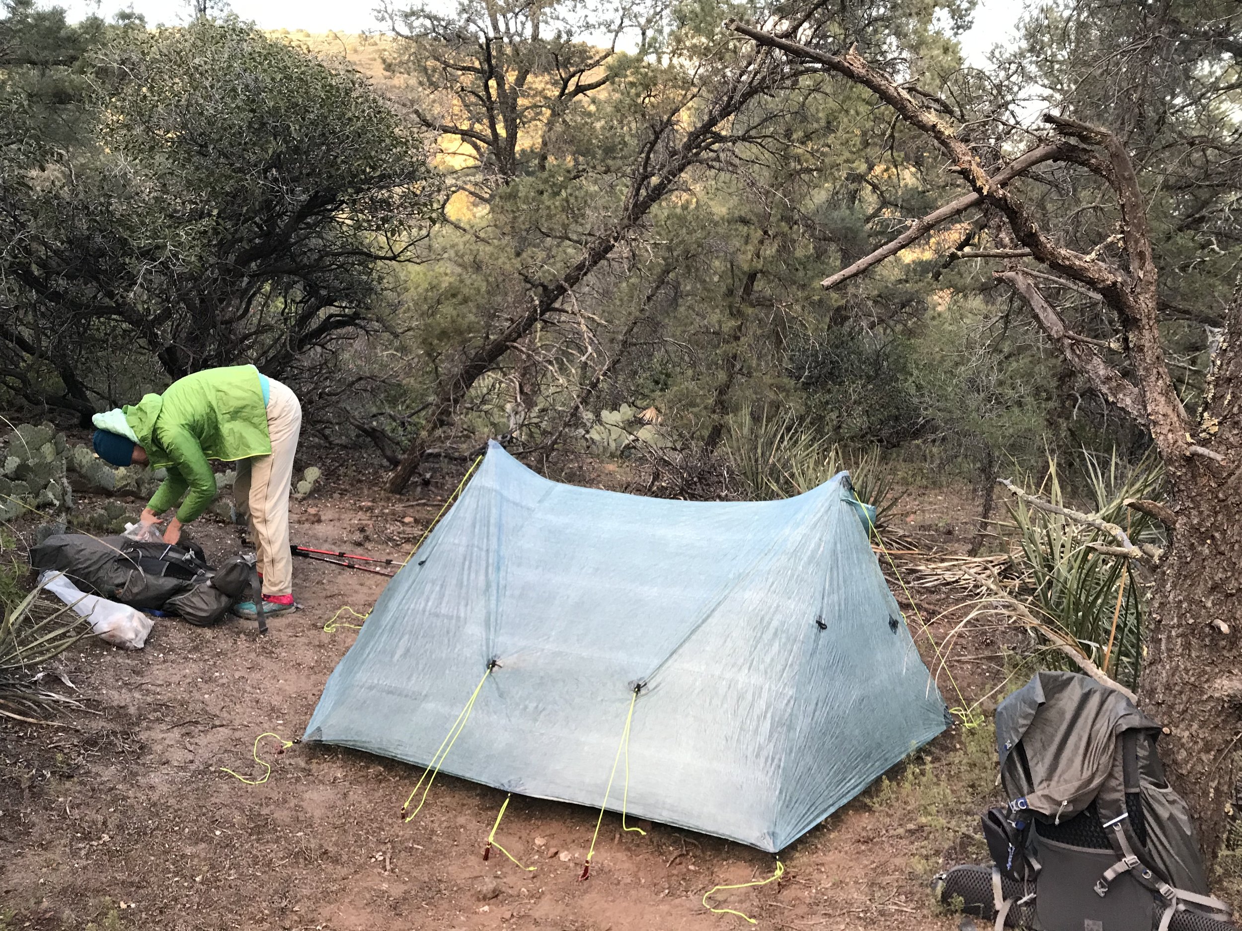
We setup camp in the dying light, the sound of wind on the ridge above us still there. And yet, with evening, the storm blew out as if never there. I walked down the trail a bit and found the senior hiker couple already camping and asleep. I returned to the Triplex and carefully crawled inside.
Mentally taxed from the storm. Physically taxed from poor sleep, crazy ascents/descents, cold, heat, and wind. Just so incredibly HAPPY that we found this great campsite. Safe in the Triplex, I knocked out.
