Arizona Trail - Day 44 - East Cedar Tank on Babbitt Ranch
Date: April 26, 2019
Trail Mile 624.7
I slept incredibly well, deep, and woke up feeling well-rested. Sleeping at nearly 9,000 feet next to snow drifts meant a crispy morning. By the time we crawled out, Bilbo was packing up his last items and heading on his way. We told him we were aiming for East Cedar Tank out on the Babbitt Ranch property. He gave us his goodbye and got going, knowing his own pace and circadian rhythm well. I took my time this morning, sitting on fallen aspen logs, looking up at the sun rising over the snow-crusted San Francisco Peaks.
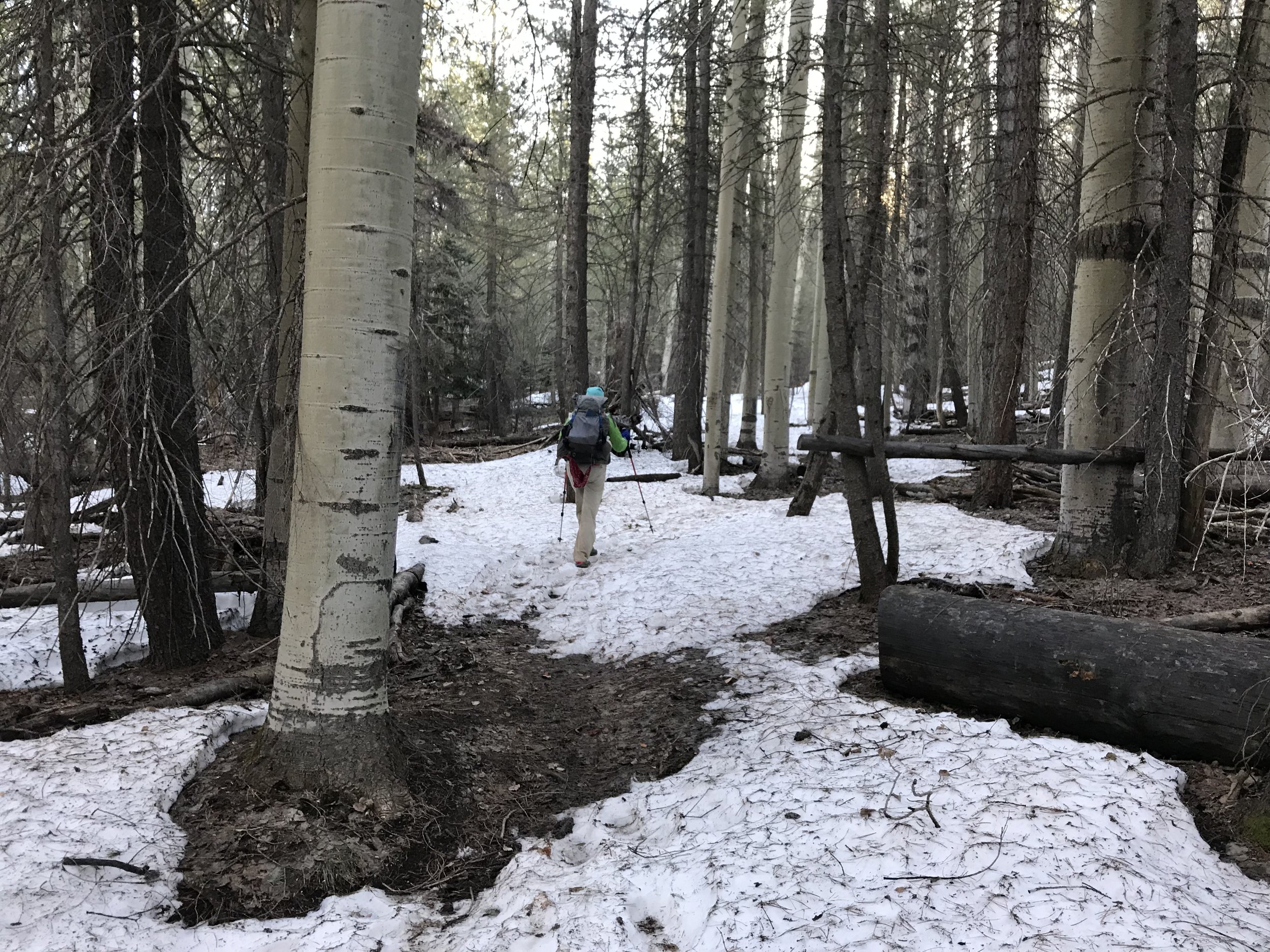
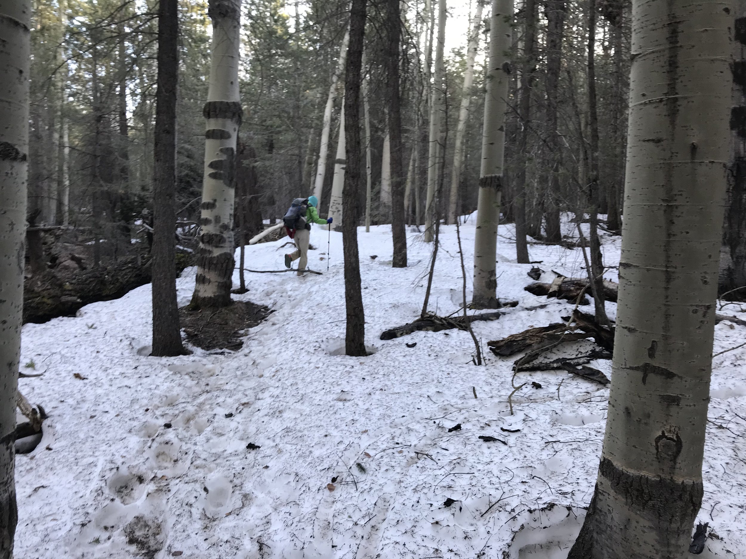
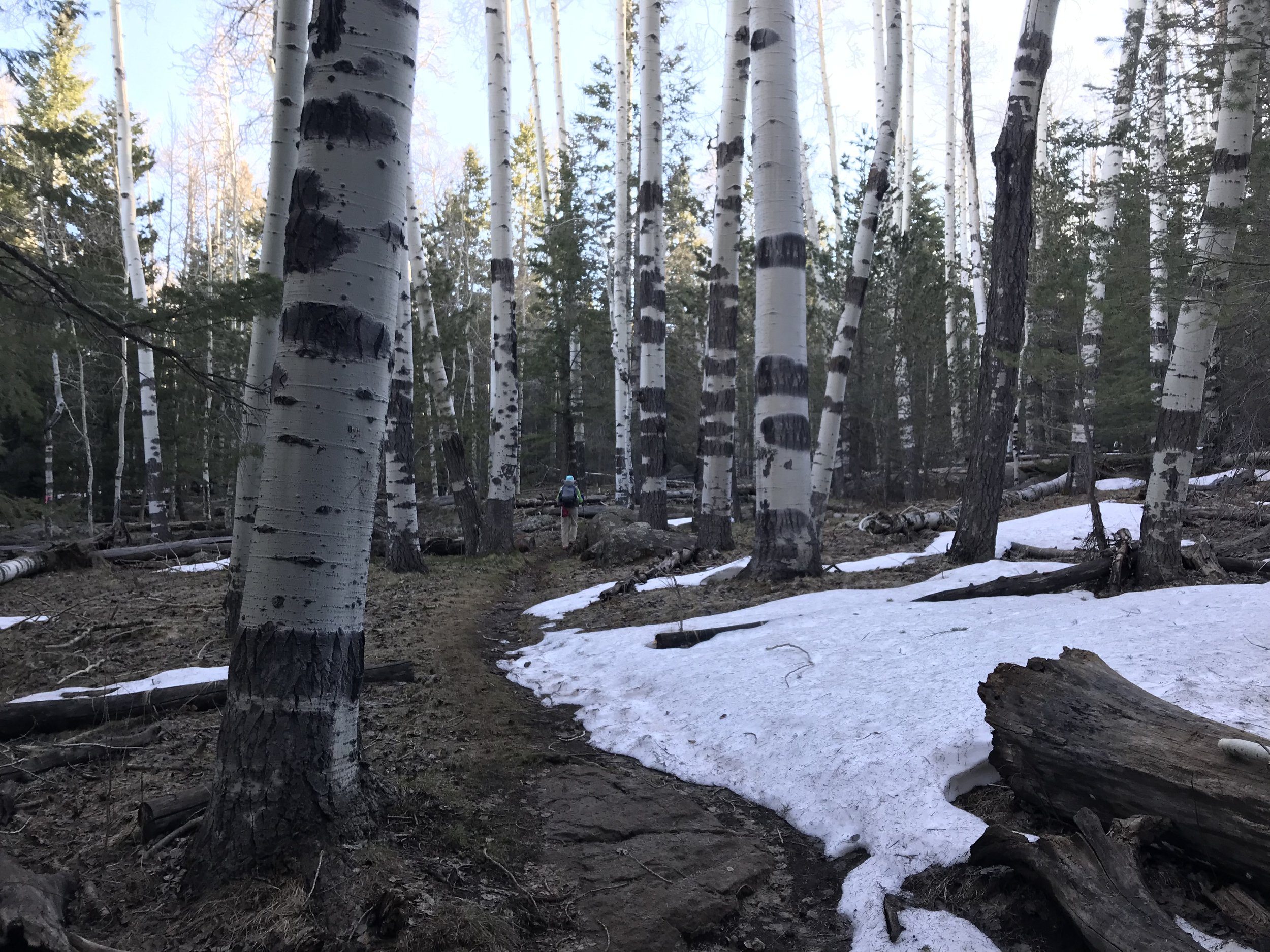
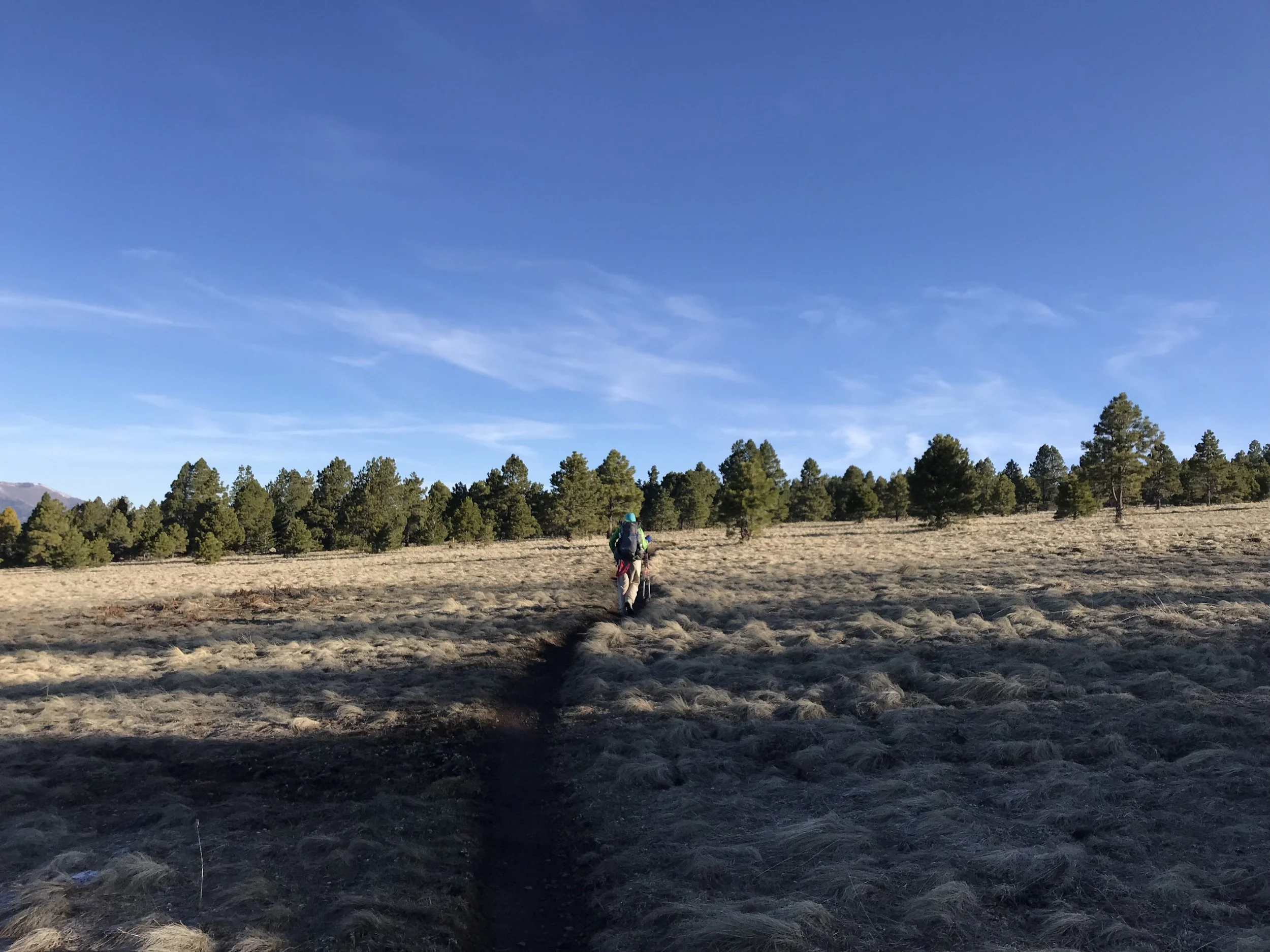
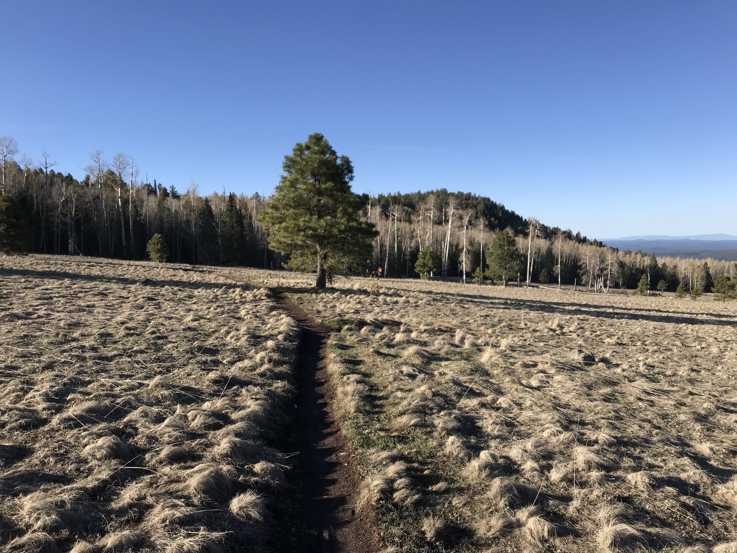
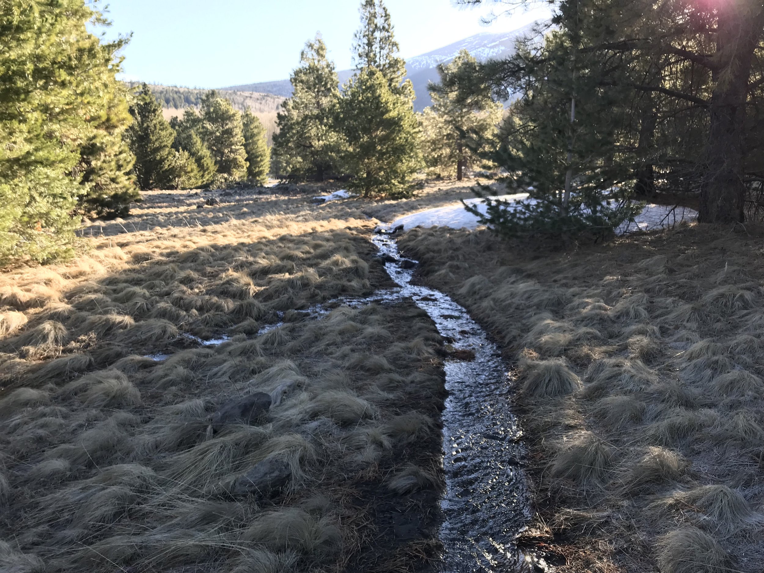
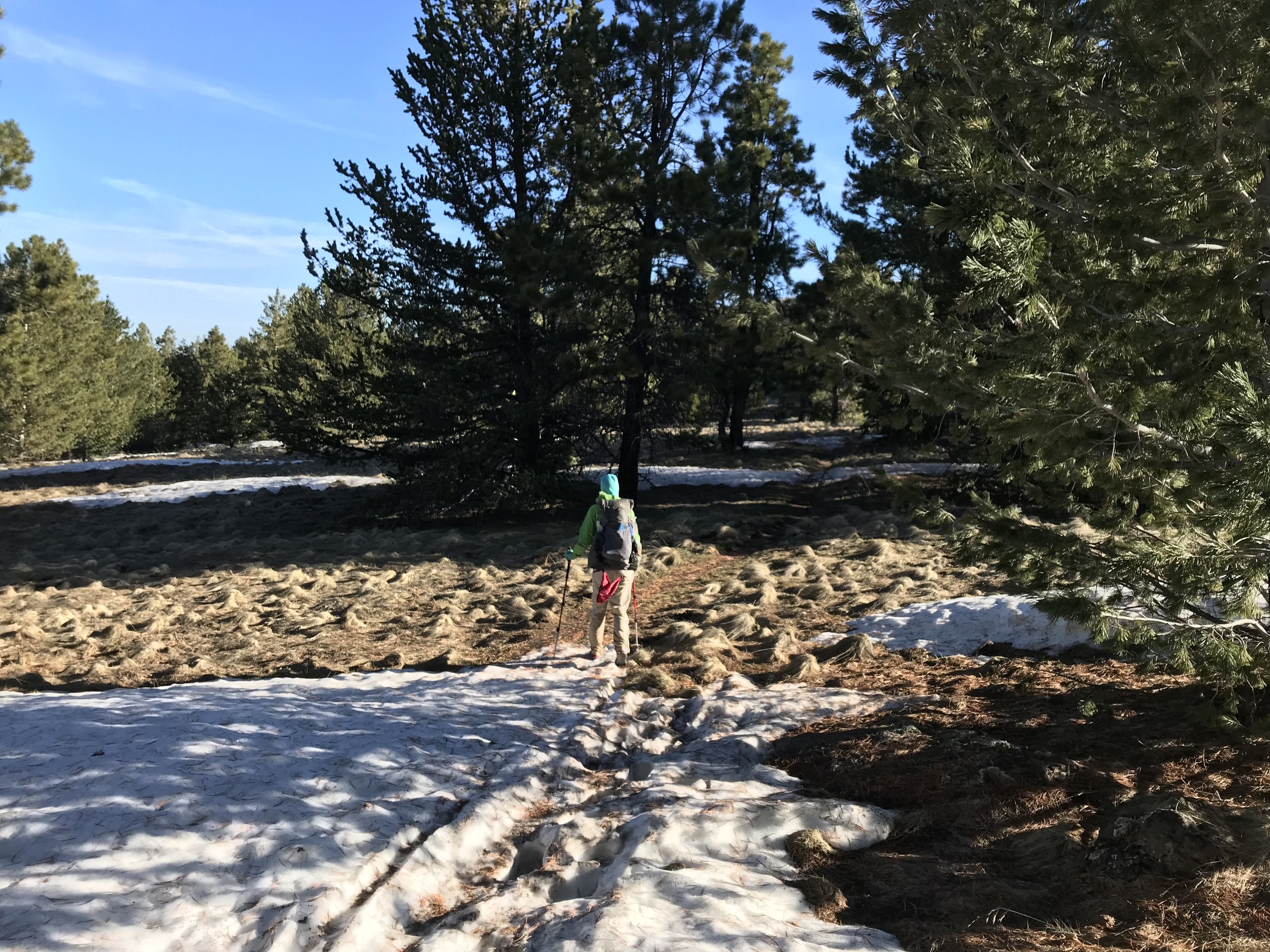
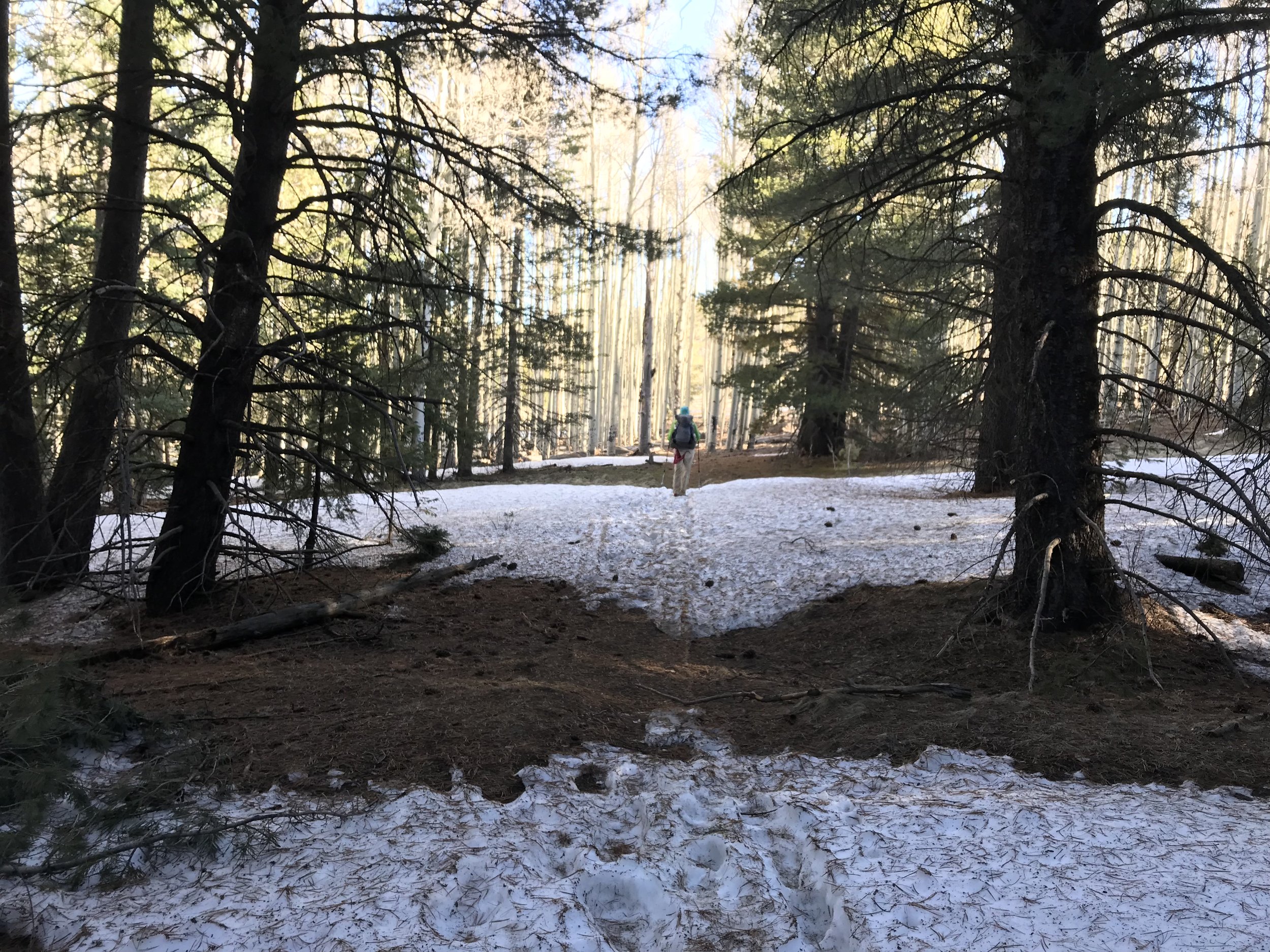
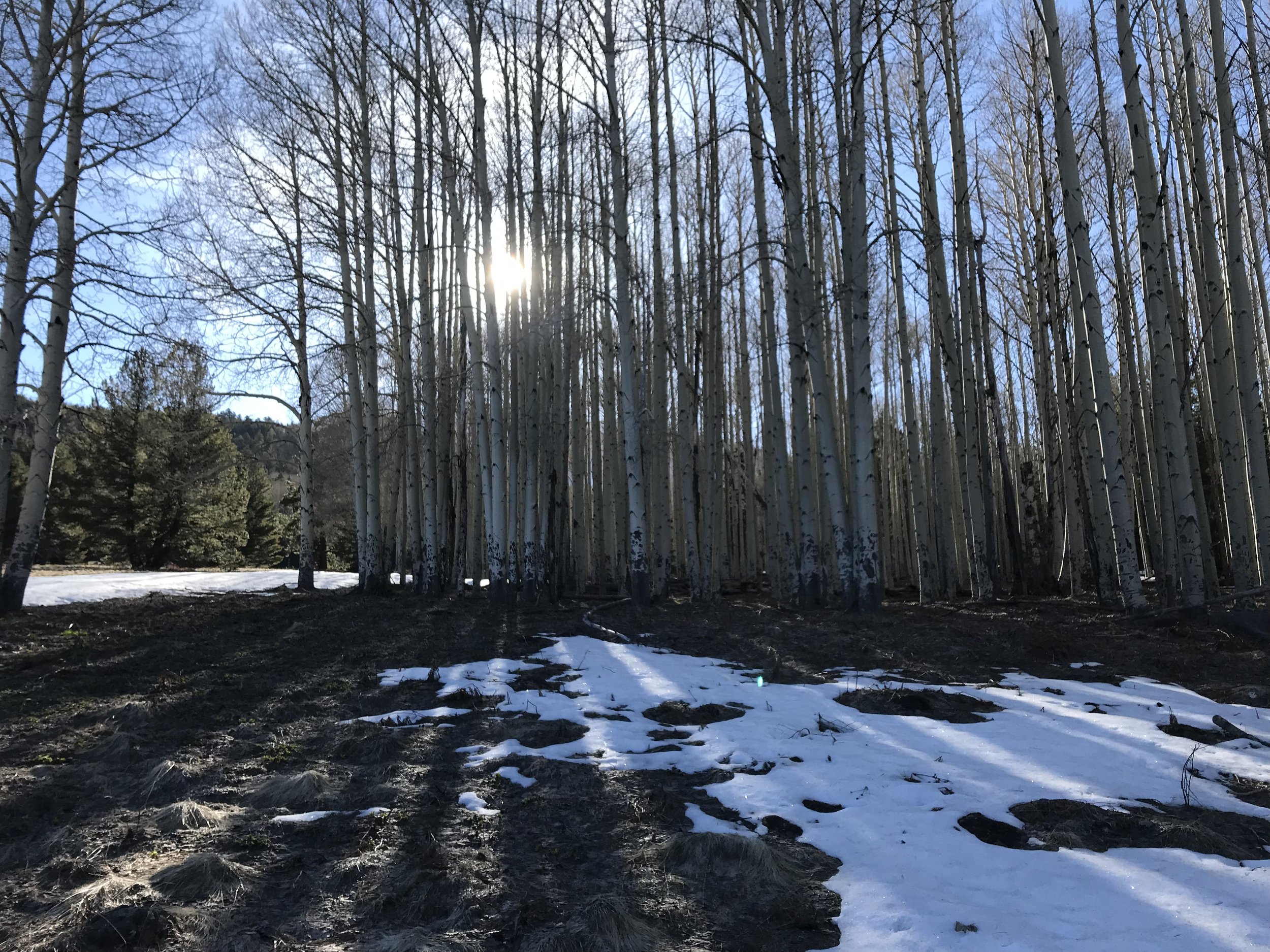
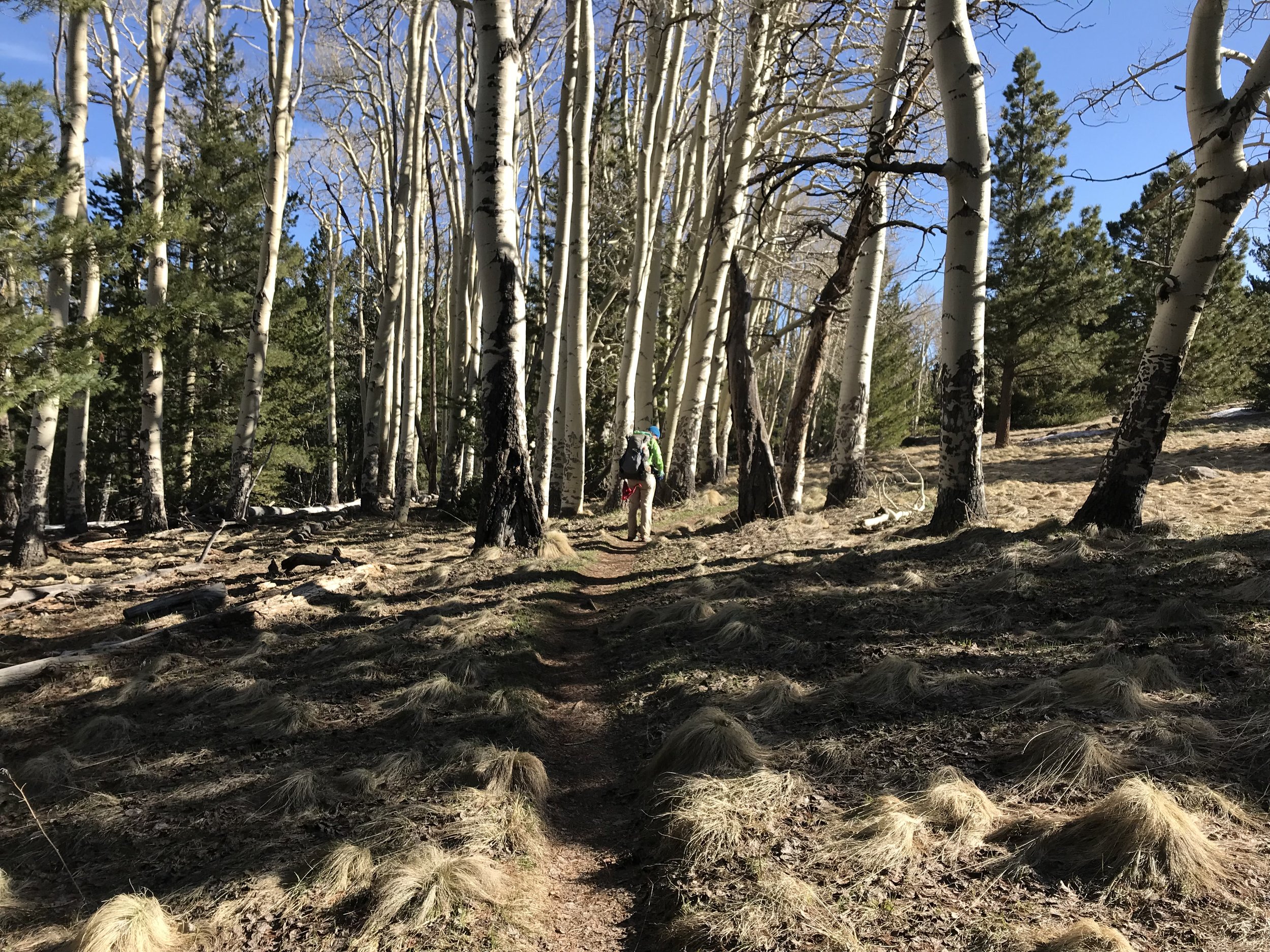
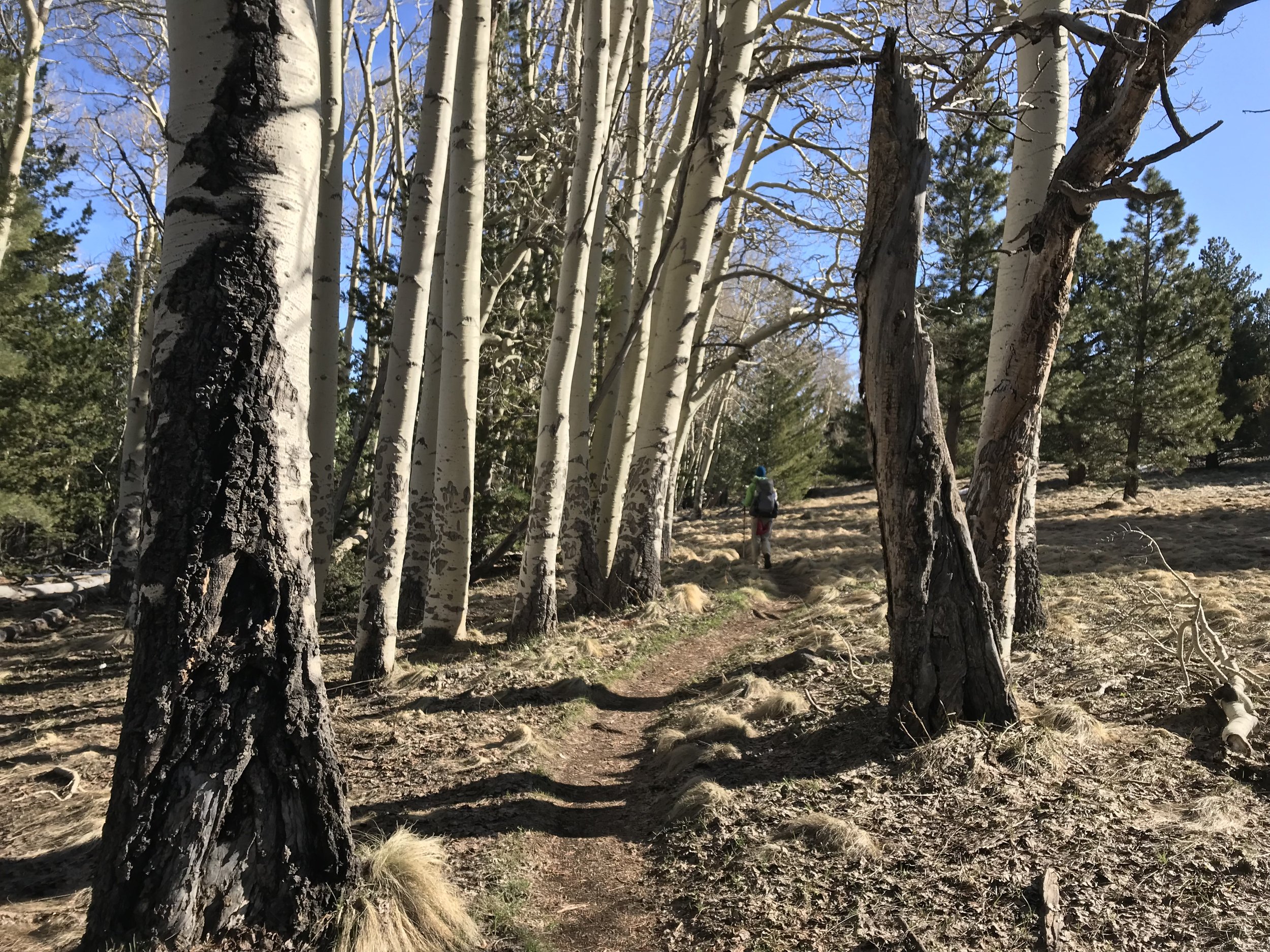
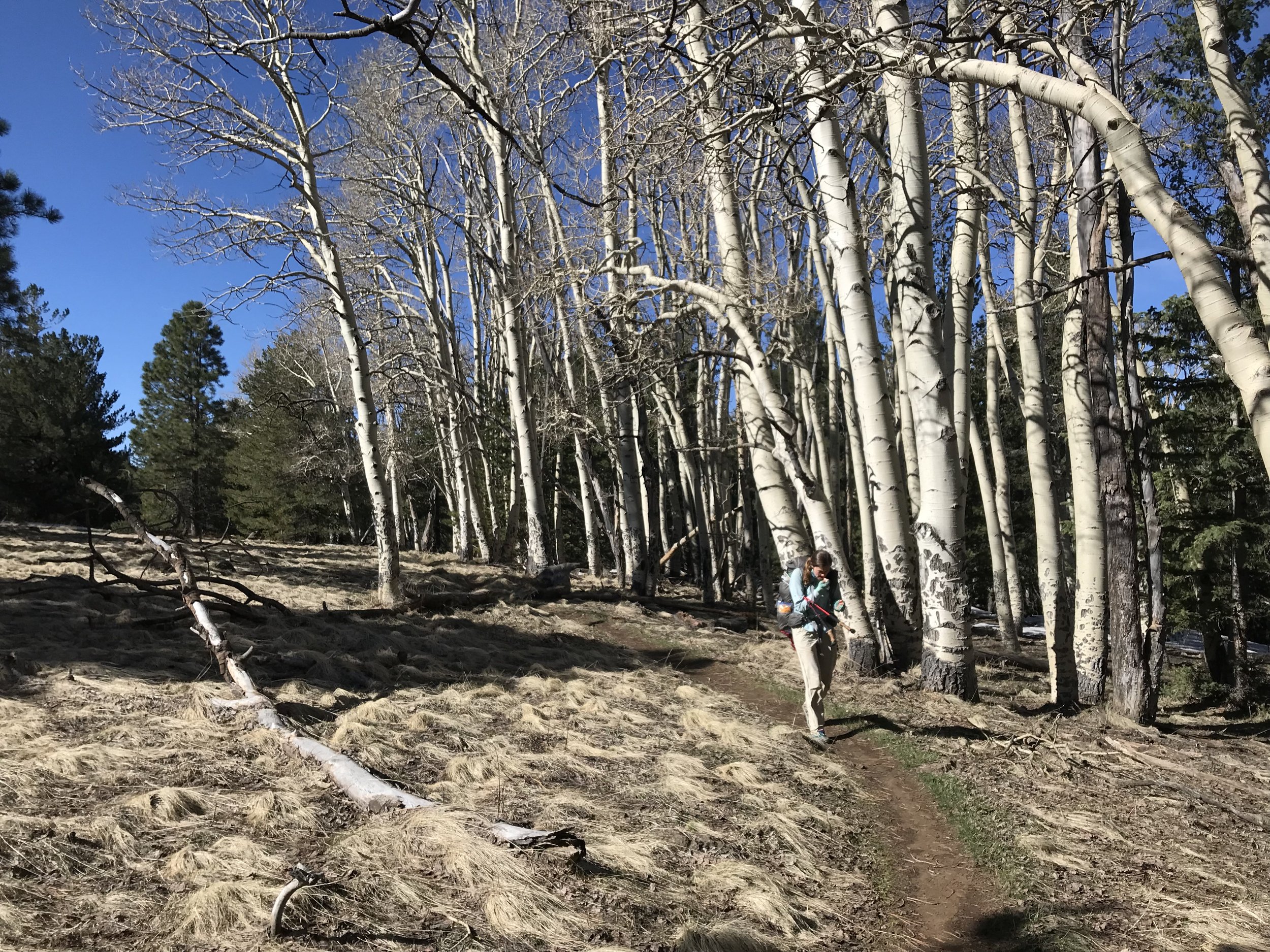
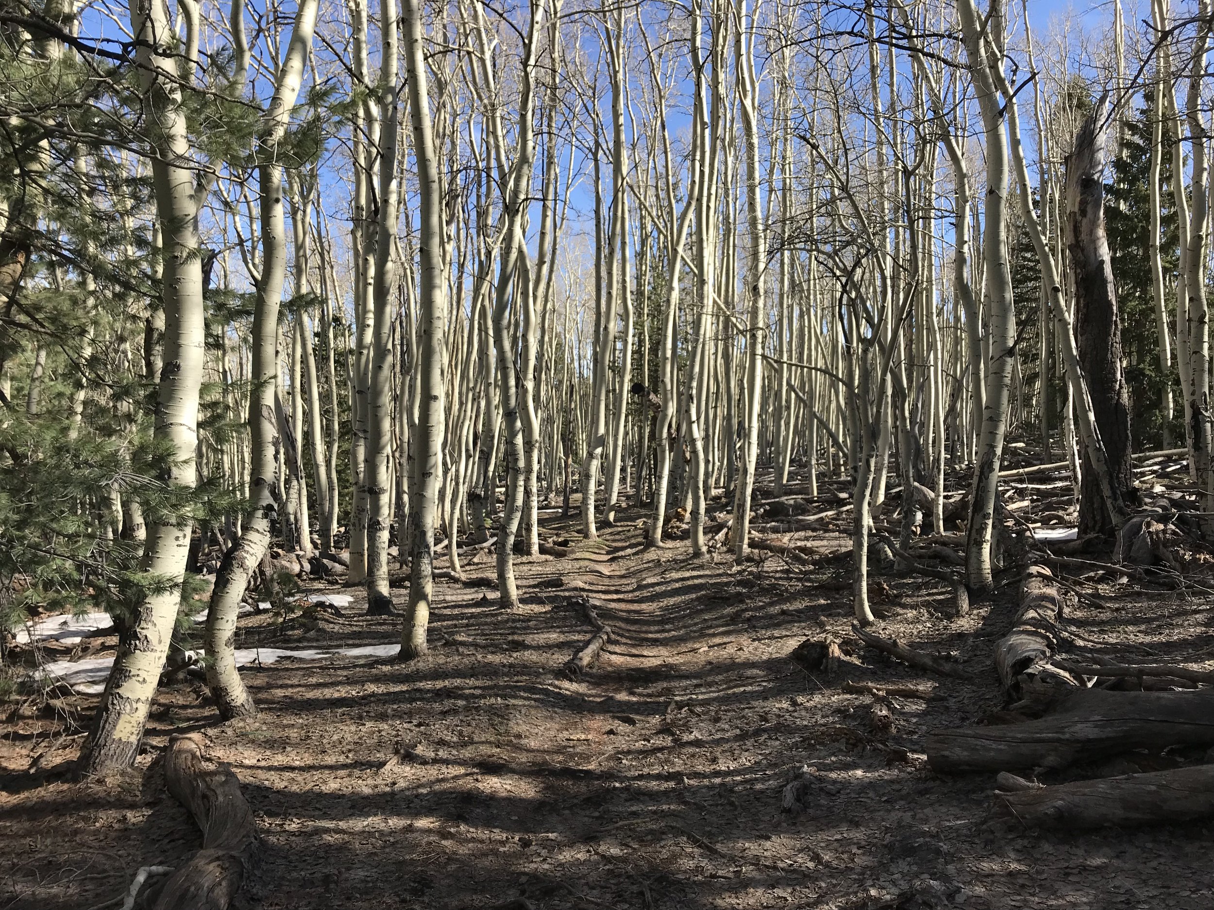
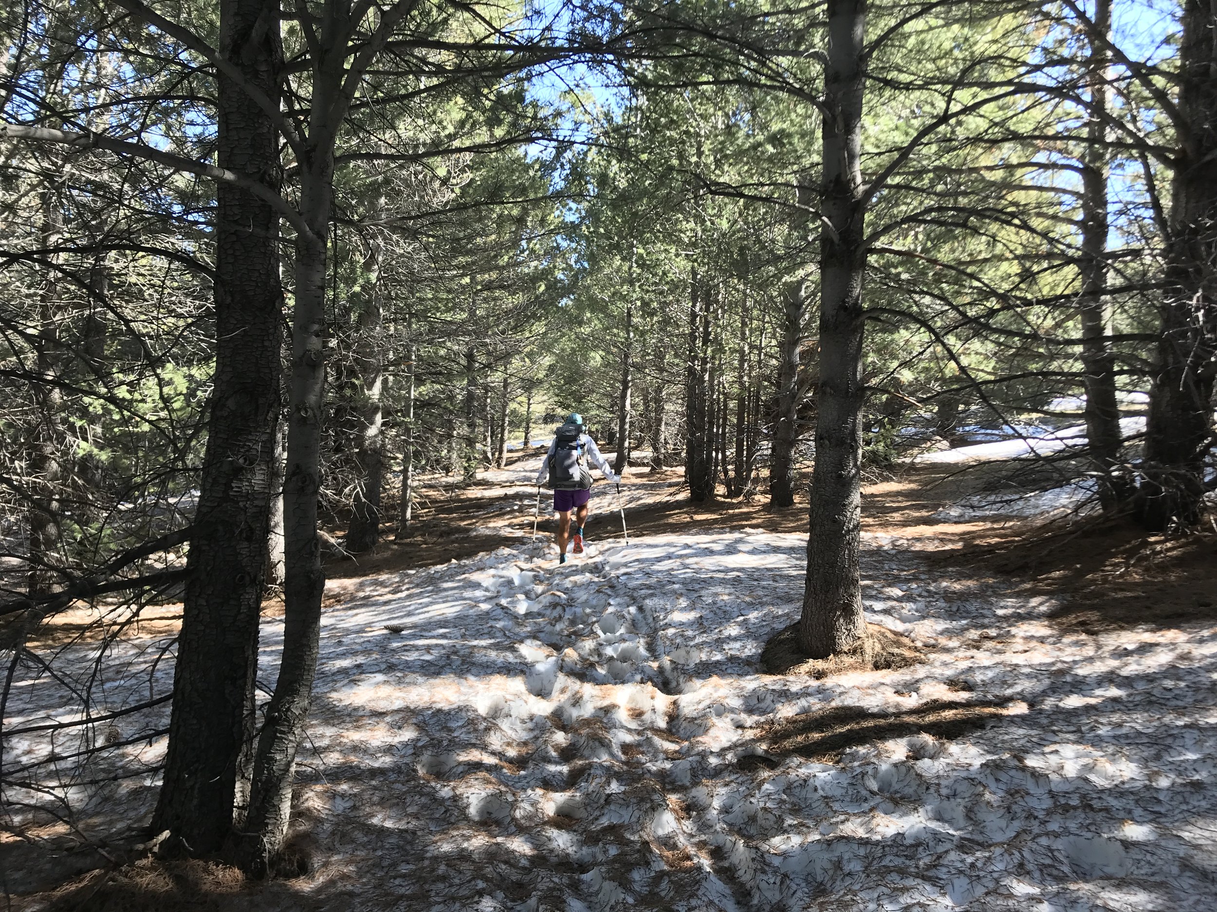
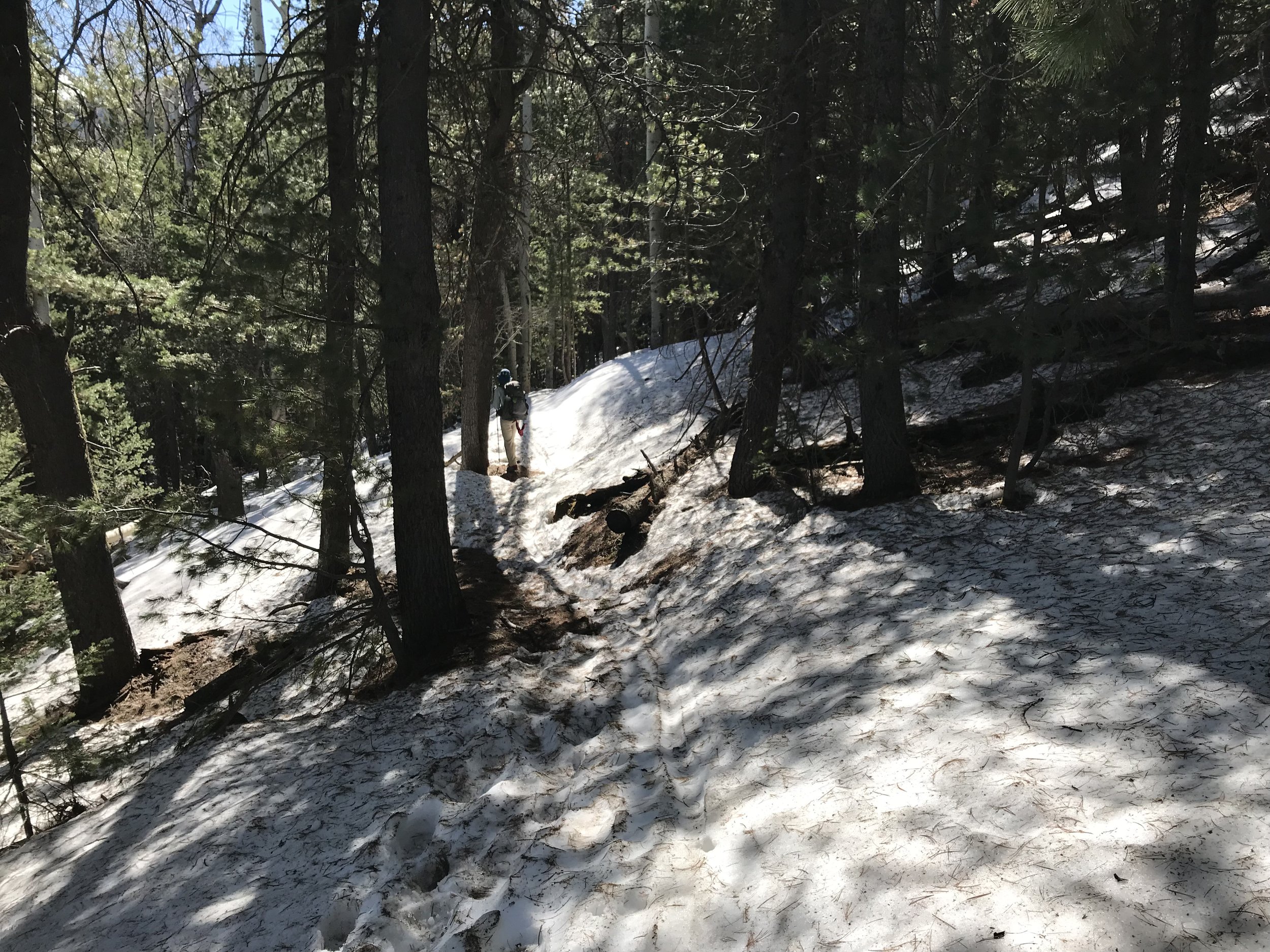
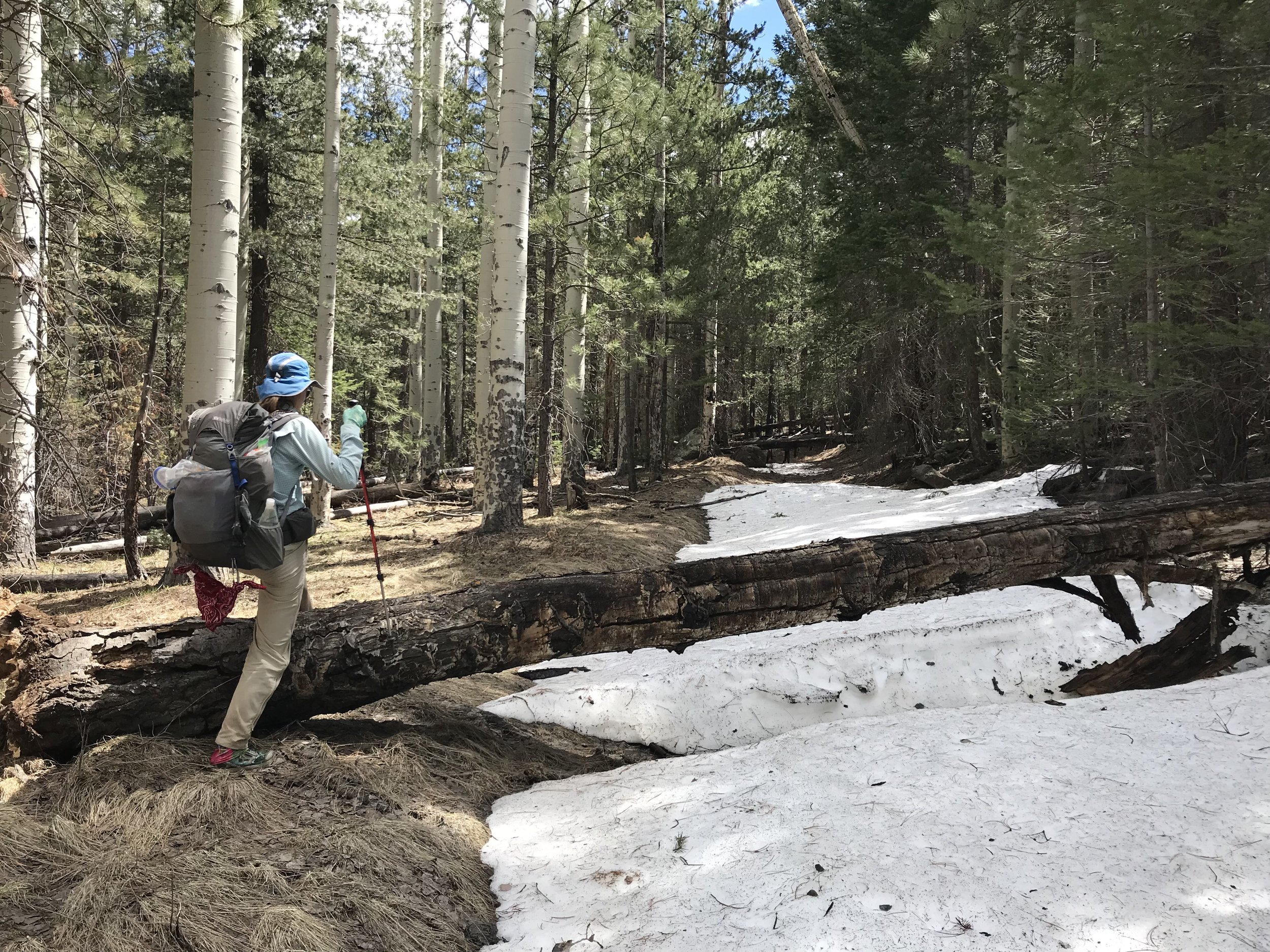
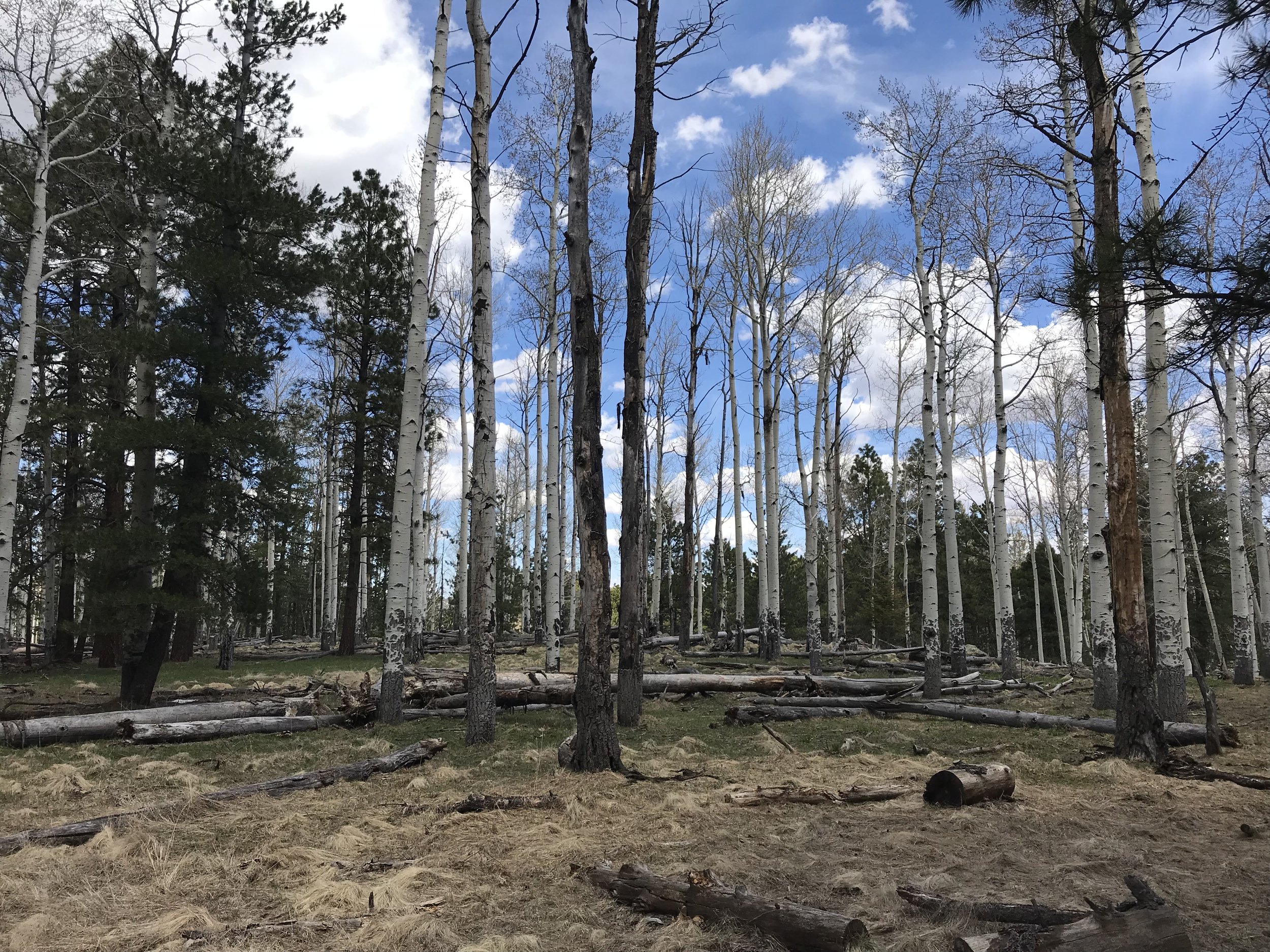
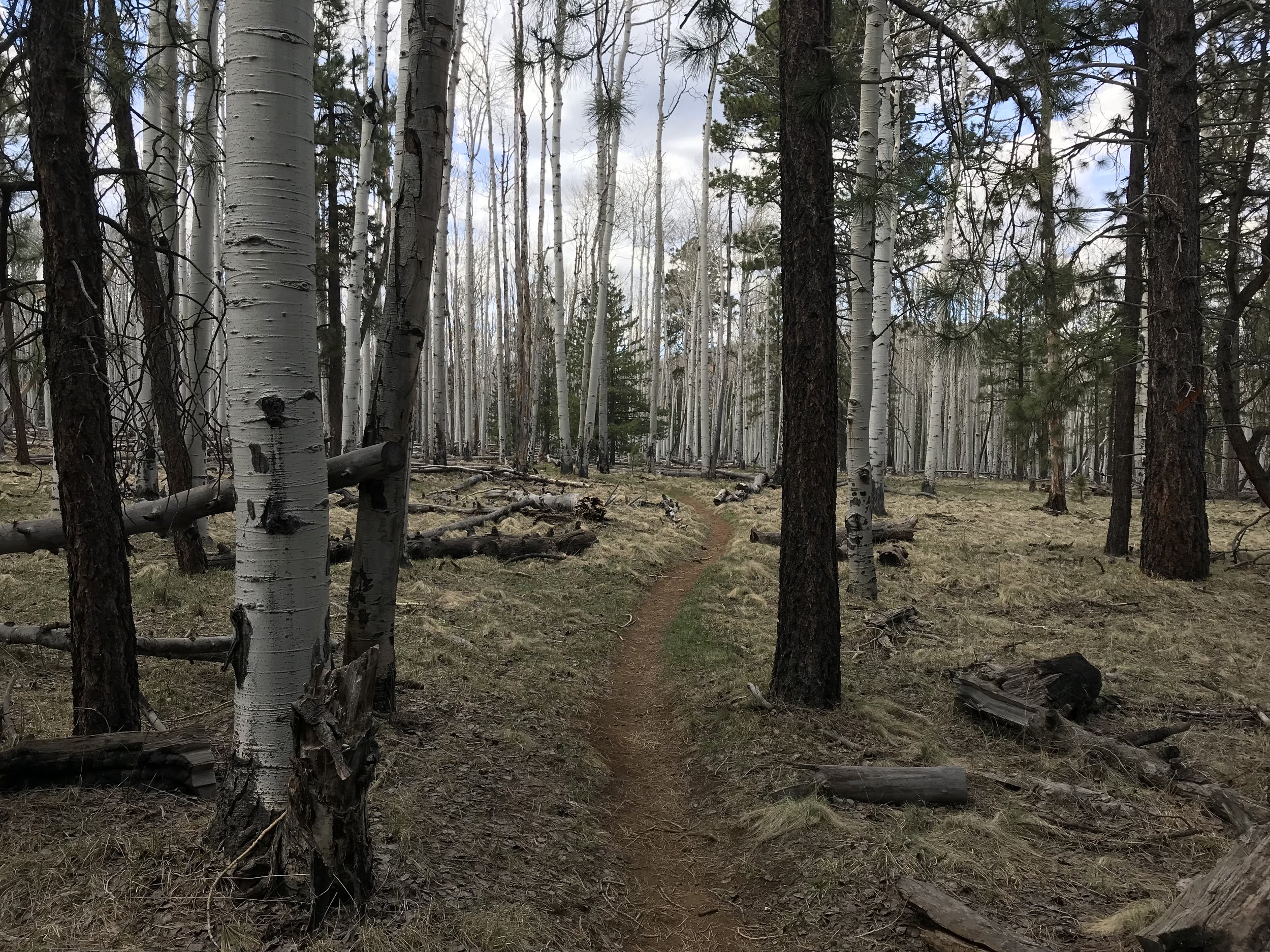
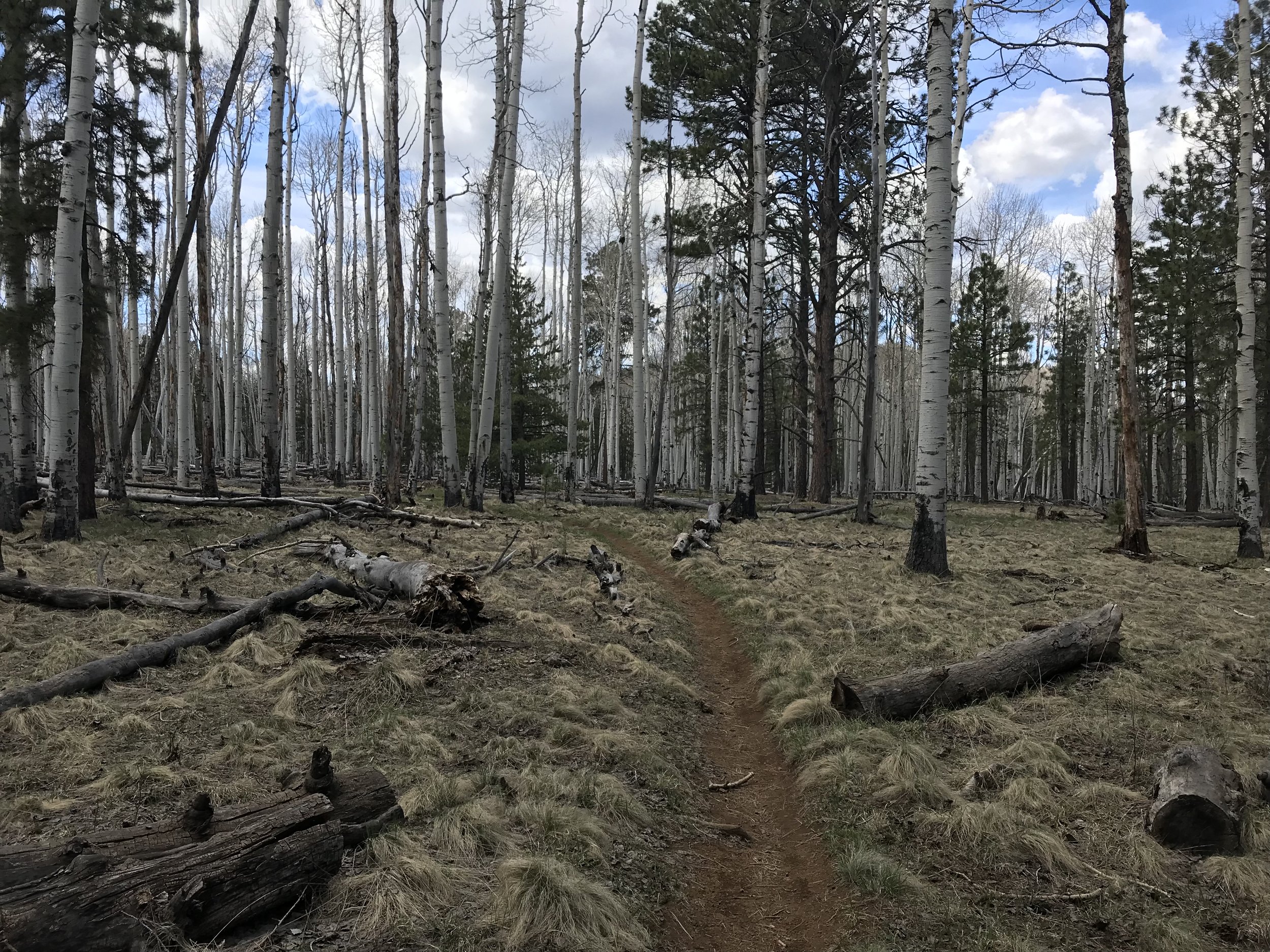
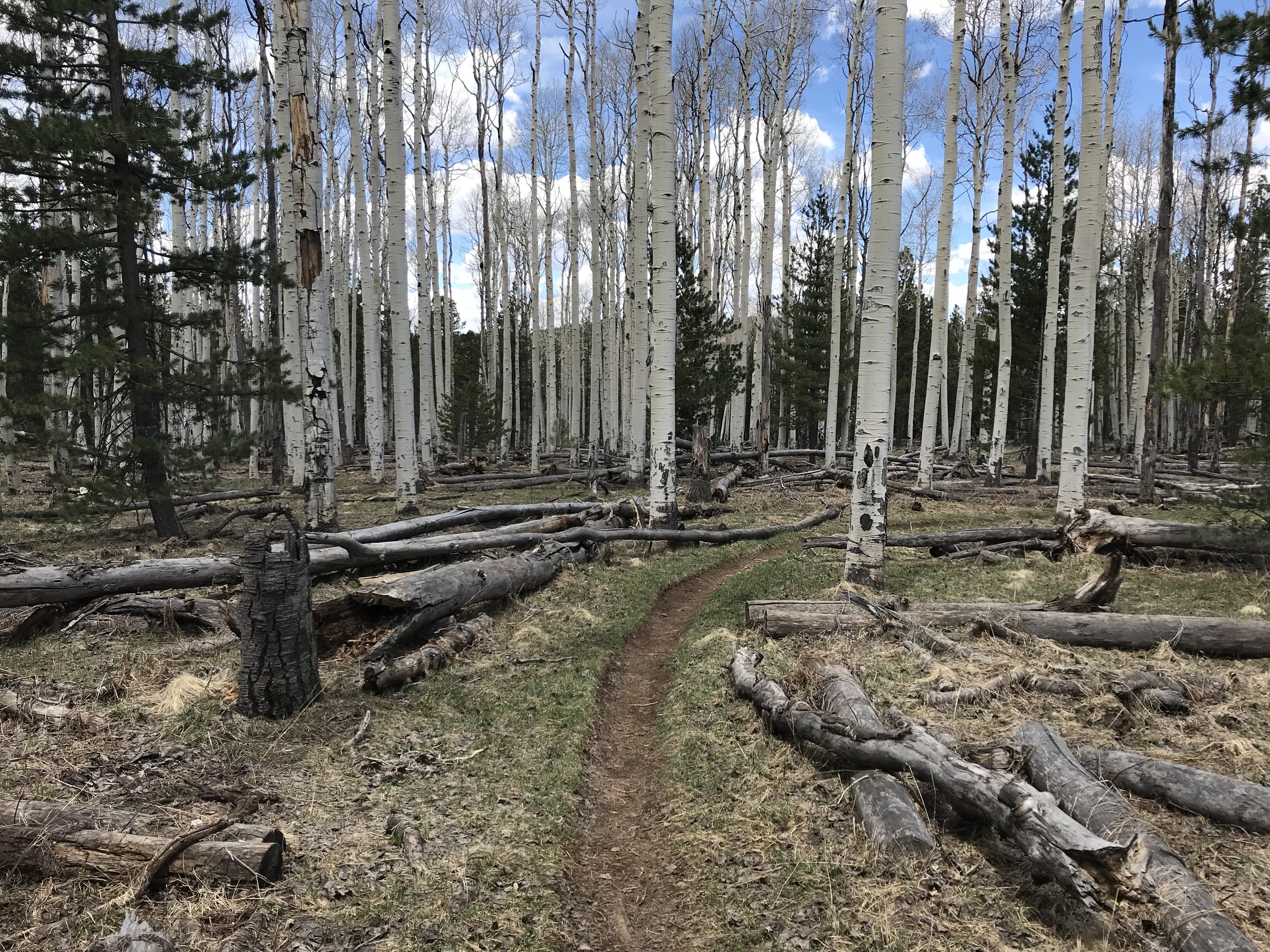
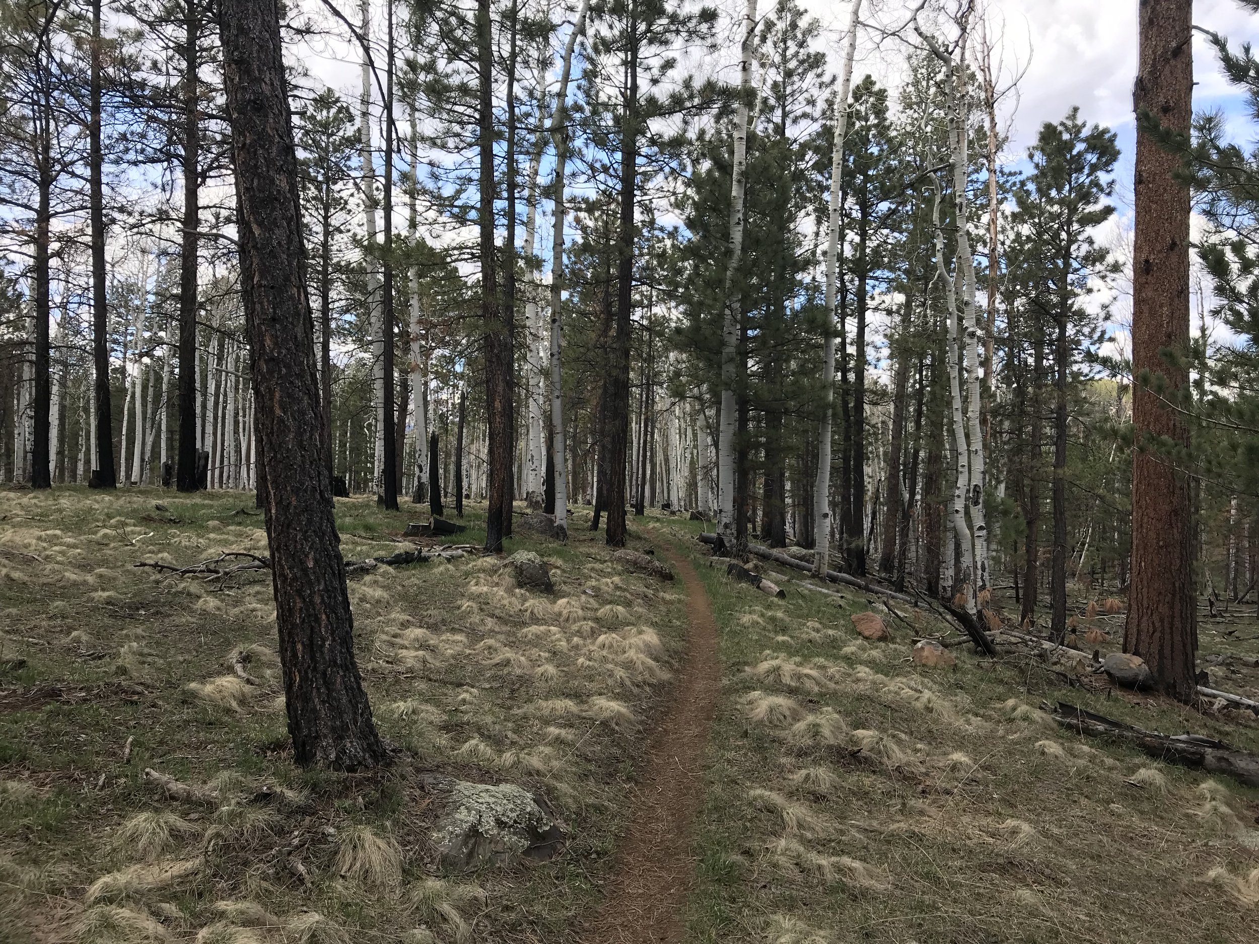
Once we got going, we felt the cold even more pushing through snow drifts with damp shoes at 6:30 am. The trail drifted up and through thick aspen groves before crossing a large prairie where rushes of snowmelt filled the trail like a channel (see the photo below). Keeping to Leave No Trace principles, we walked through the 35 degree F water and broken ice as our feet froze. I was in good spirits and kept saying, “Keep moving to keep the metabolic heat up!” to ward off the frost-numbness painfully eating my feet. A few more crossings of rushing snowmelt runoff brought us through a steep embankment of snow I plunged down before we were back on dry ground, both us wet and shivering. From here, the Arizona Trail wound into the aspen forest, the aspen skeletons and yet unbudded from spring. At some point, the sun hitting us finally warmed us up enough to stop and eat breakfast (Frost Mini-Wheats!) on a large fallen aspen while sitting in the sun with shoes and socks off to warm up.
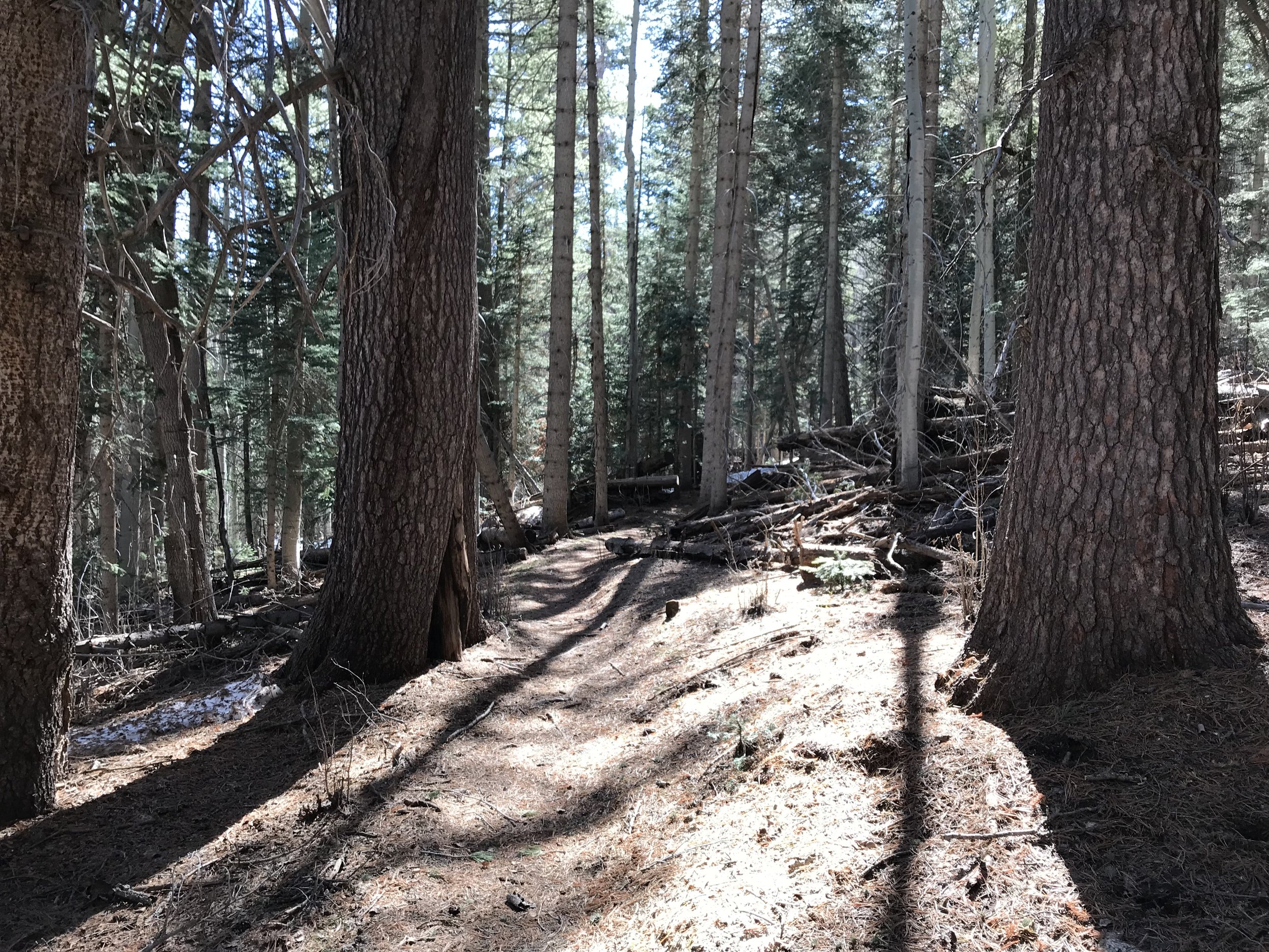
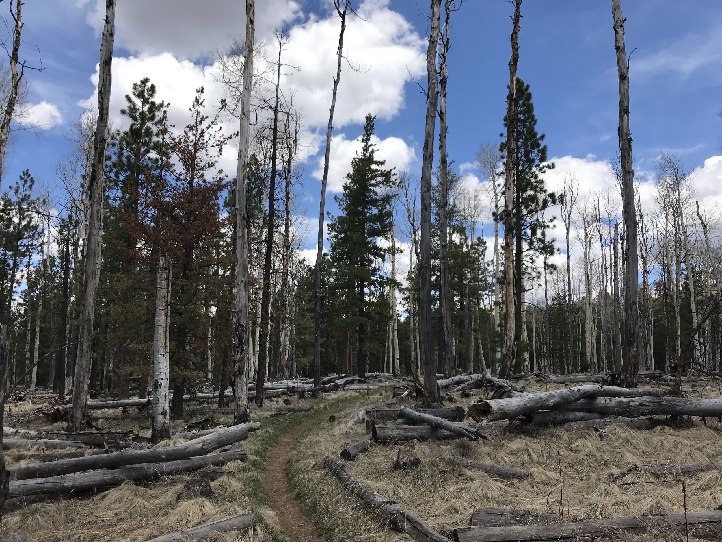
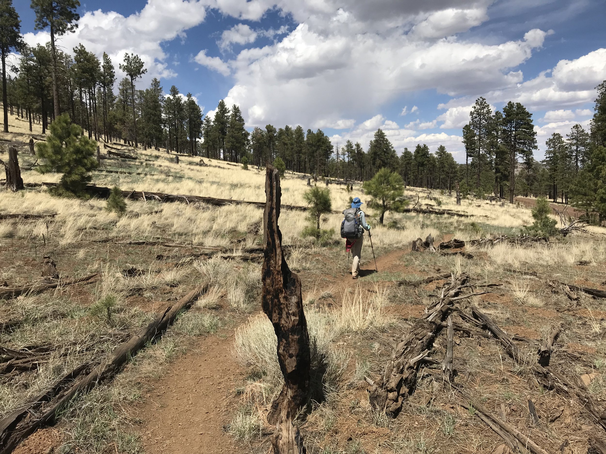
Filled with calories and a bit drier, we joined the trail again as it curved far above Hart Prairie and the Nature Conservancy property below. Then, we walked through more snow in the woods before the descent off the flank of Humphreys Peak began in earnest. As we slowly descended off the north side of the mountain, the snow began to recede while the vegetative alpine carpet began to breathe the air of fresh ground in spring decomposition. Further and further we switchbacked back and forth downwards - a reminder of how I had mountain biked up this singletrack a few months earlier. Suddenly, we ran into two thru-hikers going southbound. Our group and theirs had been slowed by the constant need to route around, under, and over fallen trees from the winter that crisscrossed the trail, or snowdrifts against them that made creative moves a must.
It turned out they were originally thru-hiking the Hayduke Trail. The Hayduke Trail (so-named for Edward Abbey’s “Monkeywrench Gang”) is more of a route than trail proper. It stretches 800 or so odd miles from Arches National Park in Moab, Utah through Canyonlands, across the Grand-Staircase, down to both the north south rims of the Grand Canyon, back up to Bryce Canyon, and terminates at Zion National Park. It’s a route for truly experienced desert backpackers only and requires canyoneering and orienteering to the max. These two looked destroyed. The reason why?
Not the desert.
But the snow on the North Rim of the Grand Canyon. They both had shadows under their eyes and spoke of the monstrous snowpack, breaking trail for hours day after day while postholing, and how bad the winter was on the Arizona Strip. This was our first encounter with anyone coming off the North Rim and it definitely woke us up. I had seen some reports on the Facebook AZT page of hikers crossing 40 miles of 10-15 feet deep unbroken snowpack between the North Rim and Jacob Lake that kept my senses alert. Their story’s corroboration had me hoping that increased warm temperatures would lead to more melt before we arrived. Essentially, they had crossed the Grand Canyon at the north to south rims and just kept going south on the AZT. As we were talking, another thru-hiker came up behind us and caught us: Fenway. Once we departed the Haydukers, Fenway stayed with us for a bit before we split at an abandoned forest road. We were looking to fill up water one last time before heading down in the high desert again and this seemed to be it.
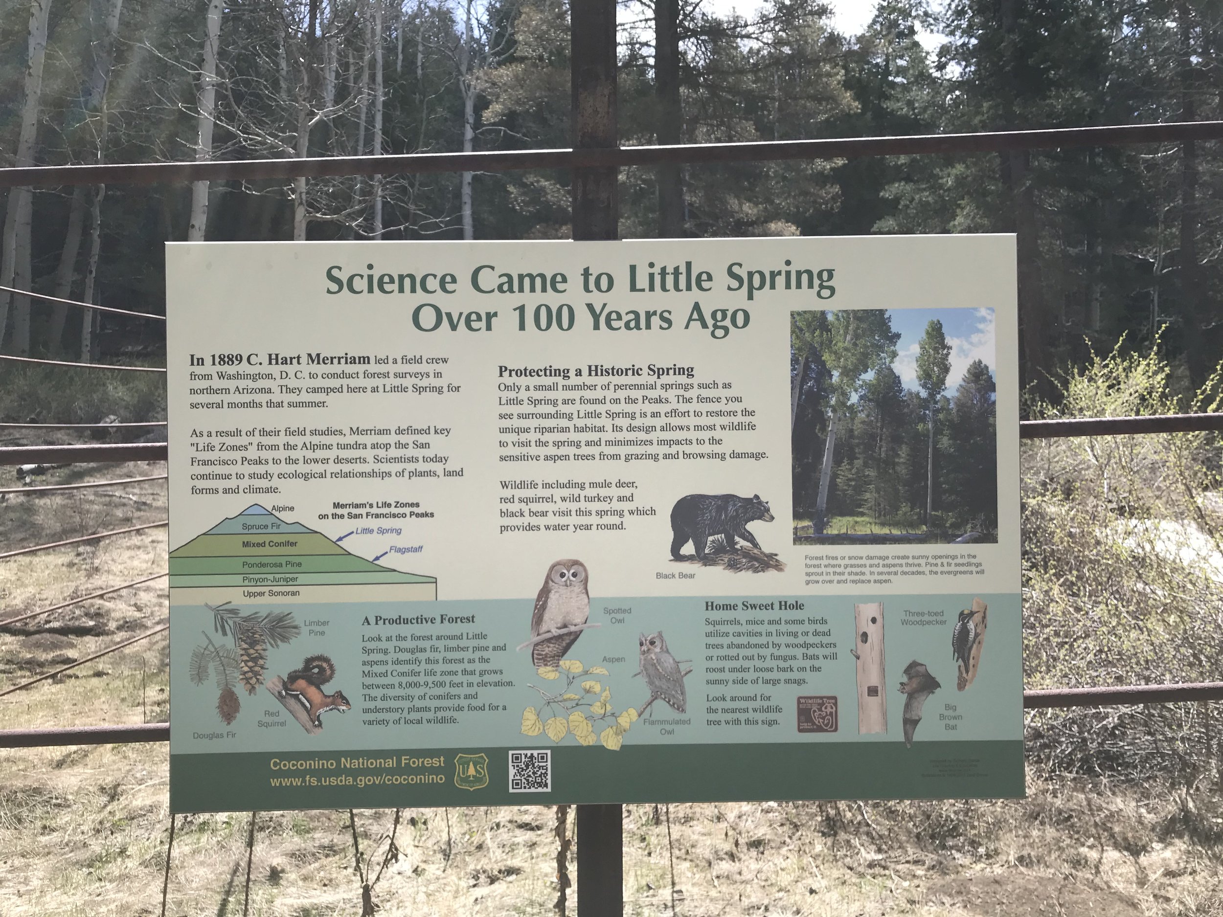
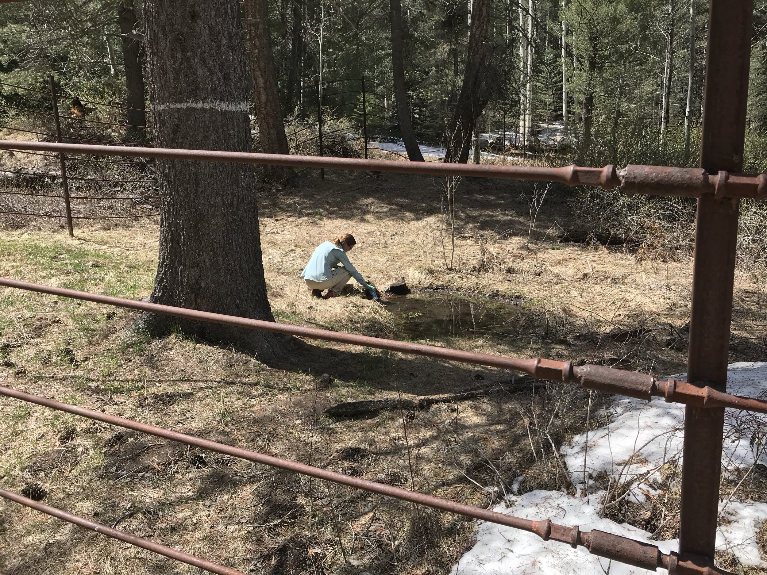
Little Spring (the official name) lay 0.6 miles down a overgrown forest road. Literally, this road was so overgrown that we walked a quarter mile past it before we realized it, turned around, and had to use Guthook to confirm that barely perceptible “road” was indeed where we needed to go off-route for search of water. The walk down the 0.6 mile road was more like a maze and obstacle course as years of downed trees and uprooted trunks combined with the corrosion of erosion had erased an easily navigable path. Using Gaia GPS, we located the spring, which was itself off the abandoned road. It ended up being awesome. An old and wide-barred metal fence surrounded it filled with very nice historical plaques. It turned out that Little Spring was very historic: it was the place where C. Hart Merriam in the late 1800s came and camped. It was here he formulated the concept of “Life Zones.” As the altitude of an area increases, the types of dominant plant, temperatures, and climate also change in response, such as an increase of altitude almost correlates to moving in latitudes towards the poles. This was a truly historic site for the field of ecology. We filled up water from the dripping spring that was gorgeously clear and made our way back to the trail.
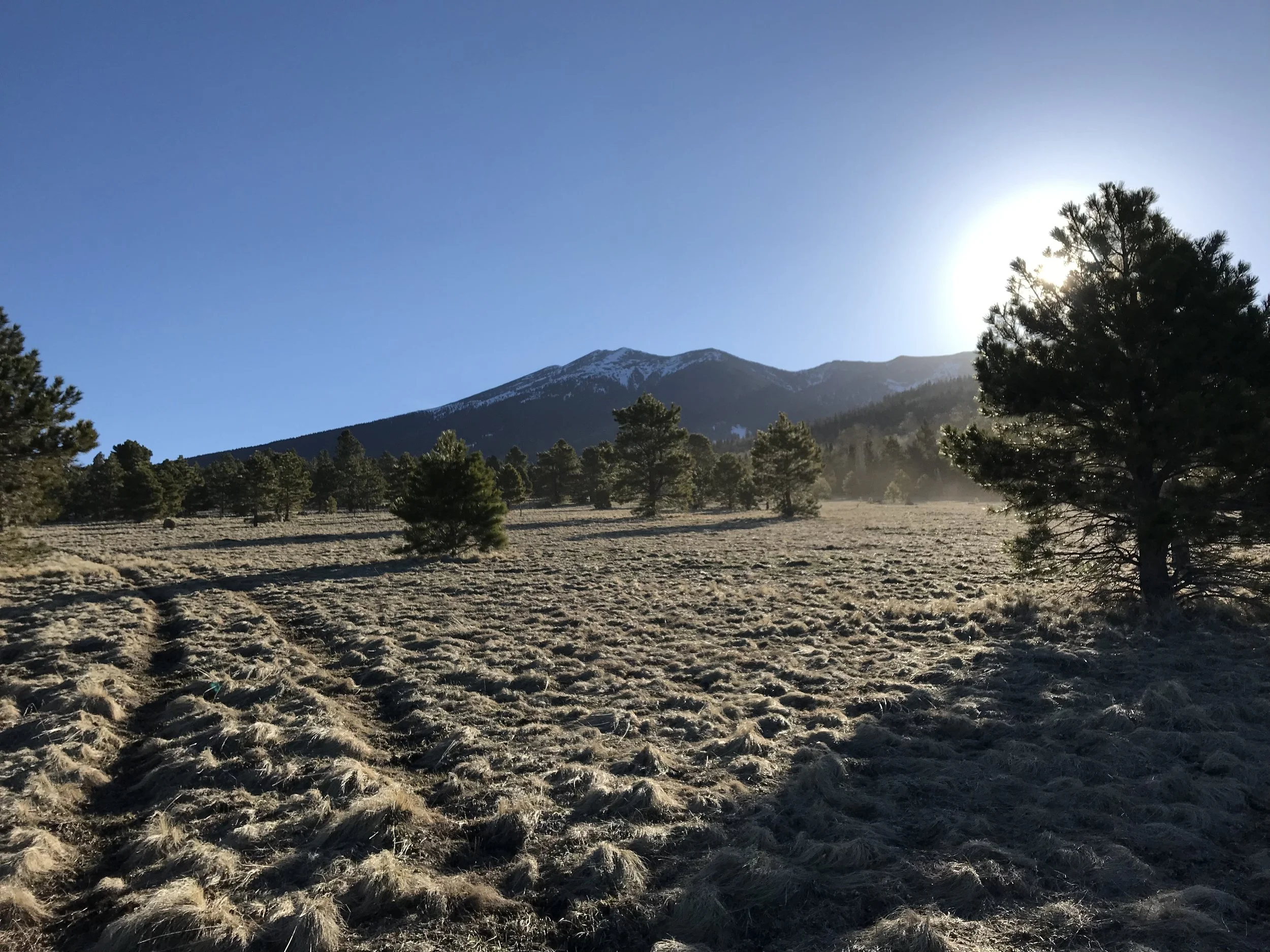
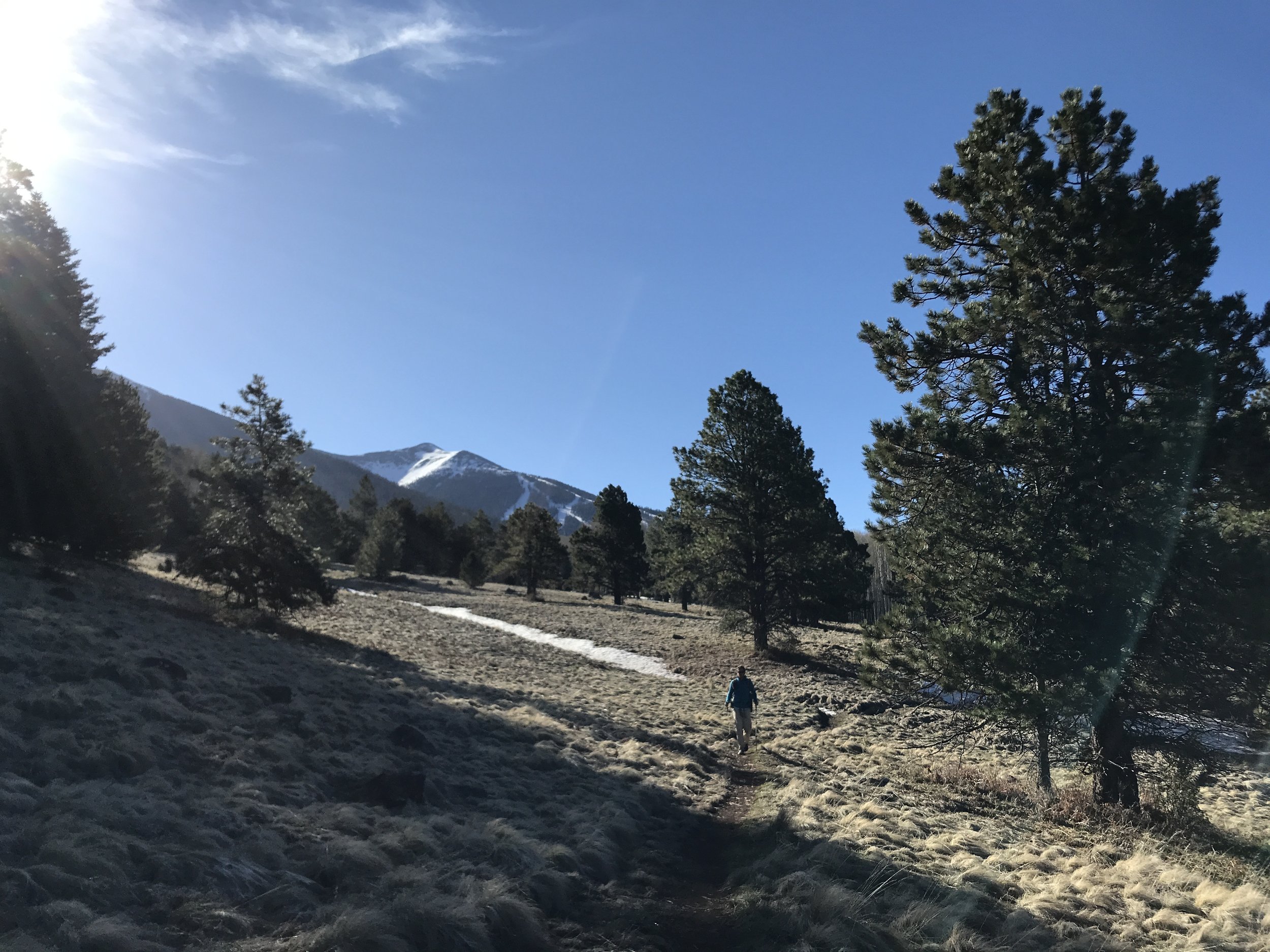
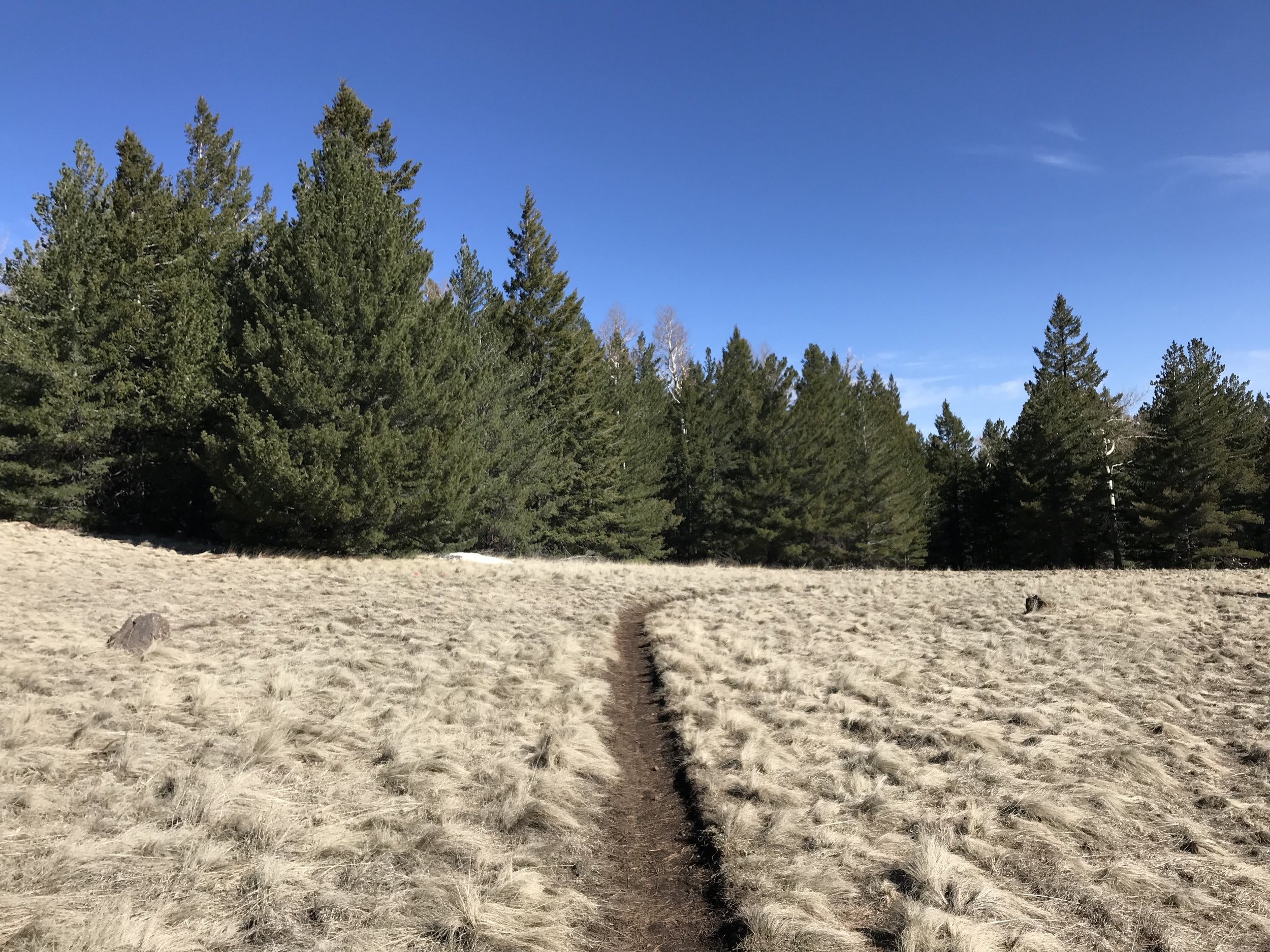
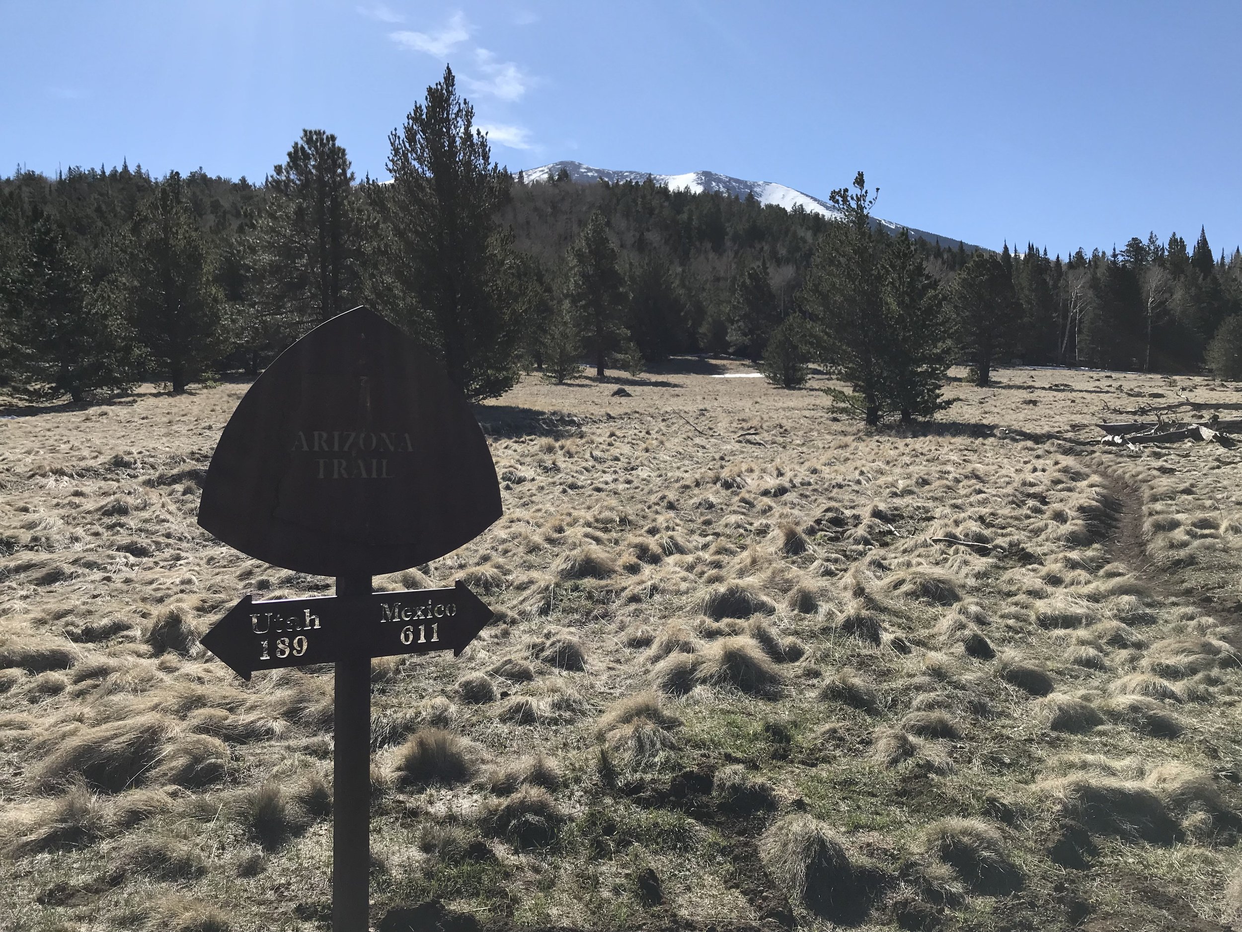
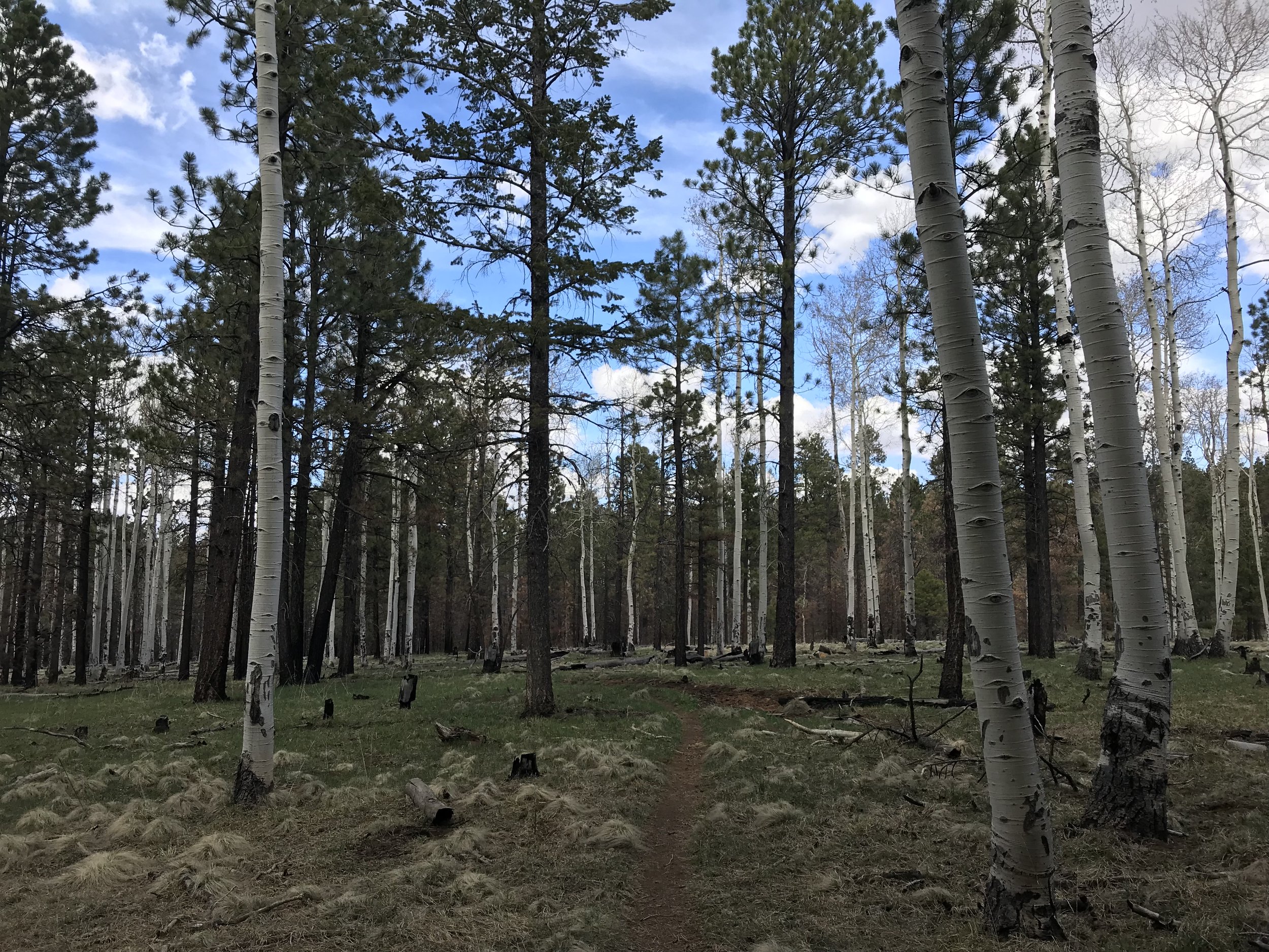
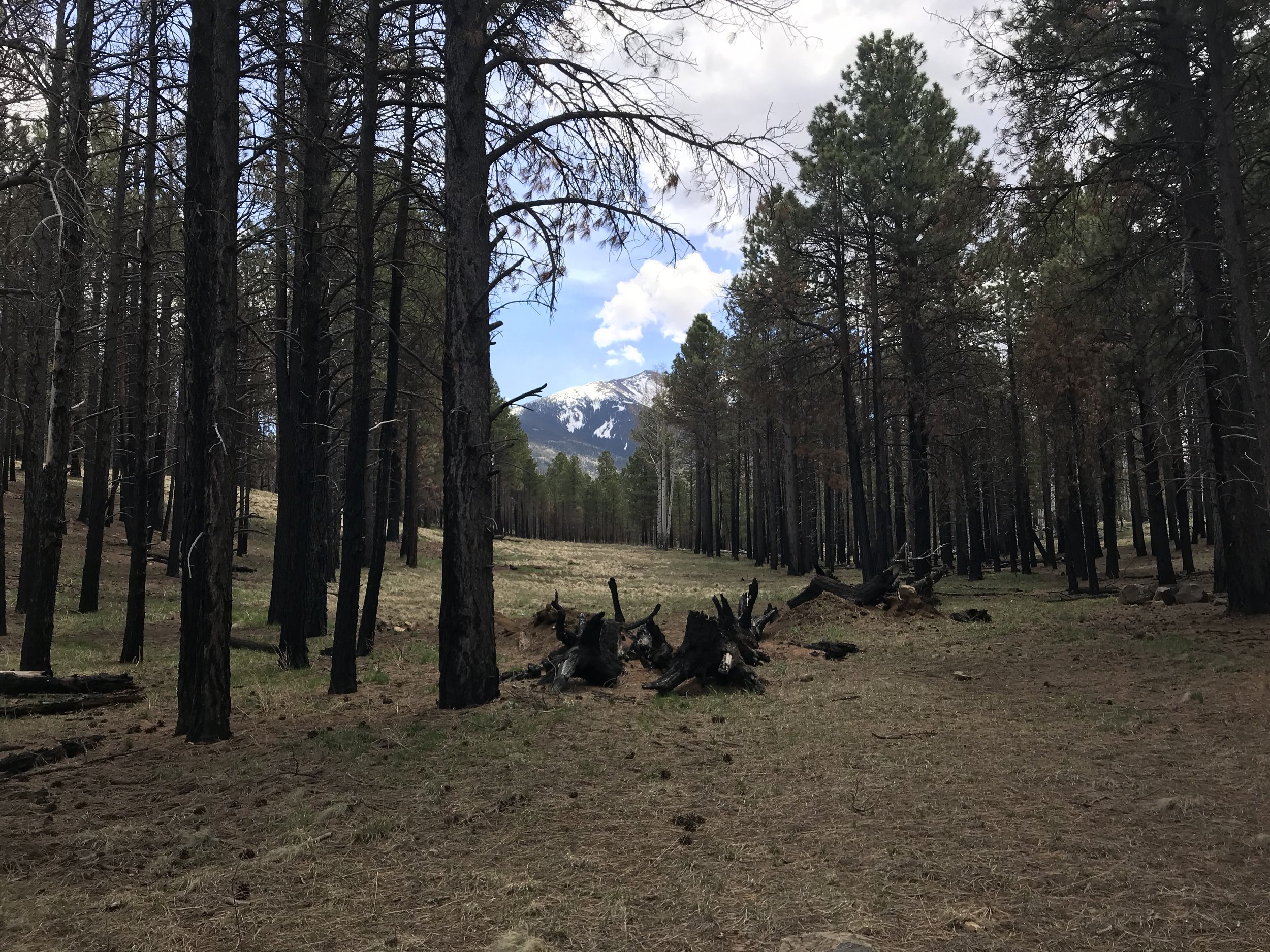
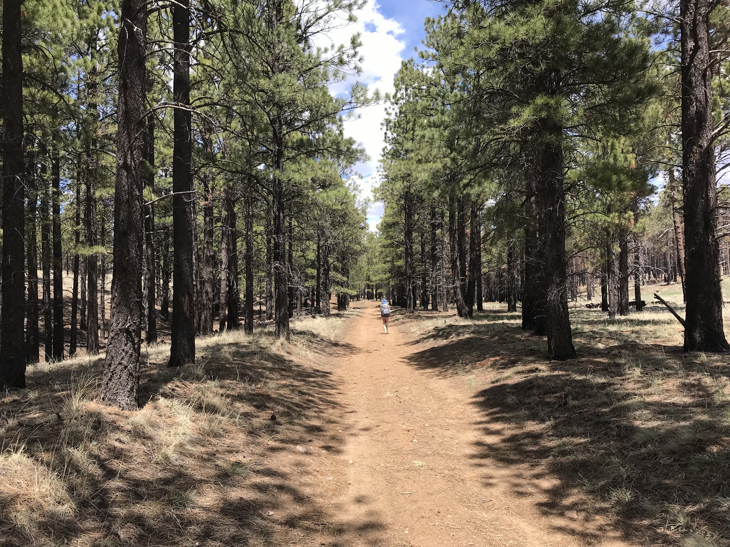
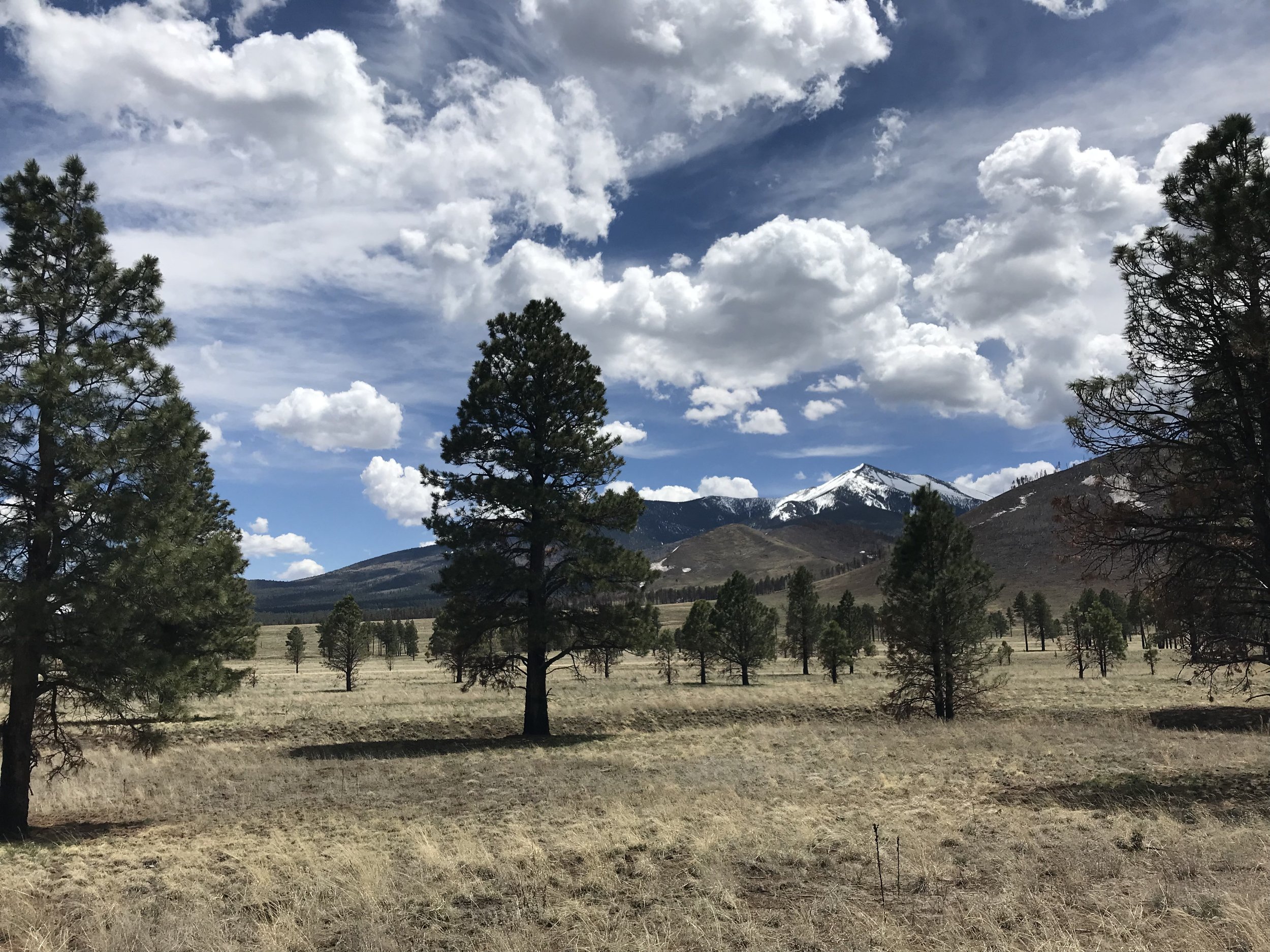
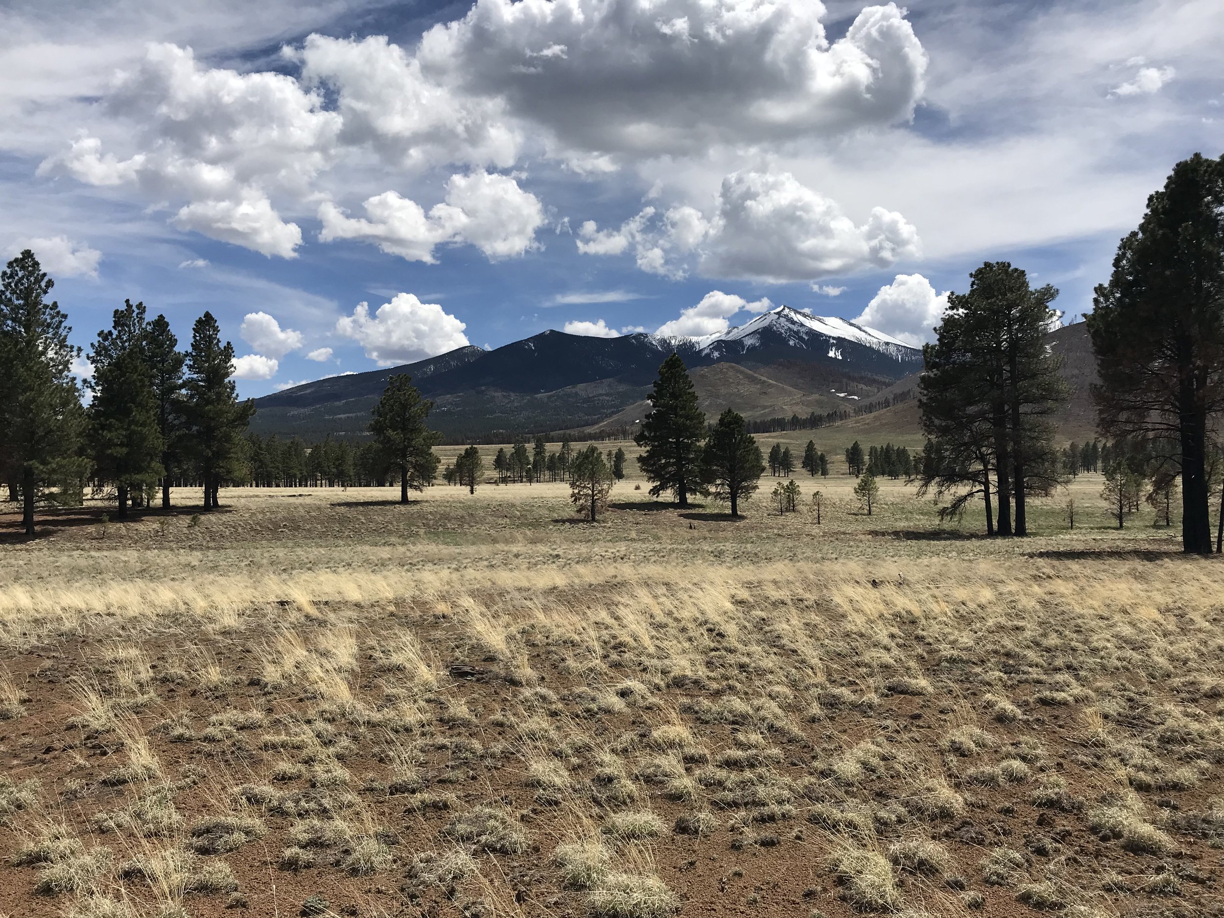
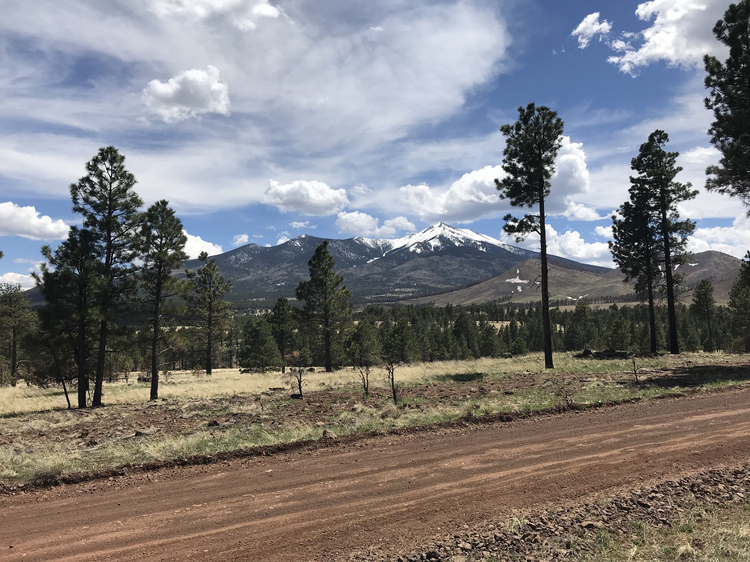
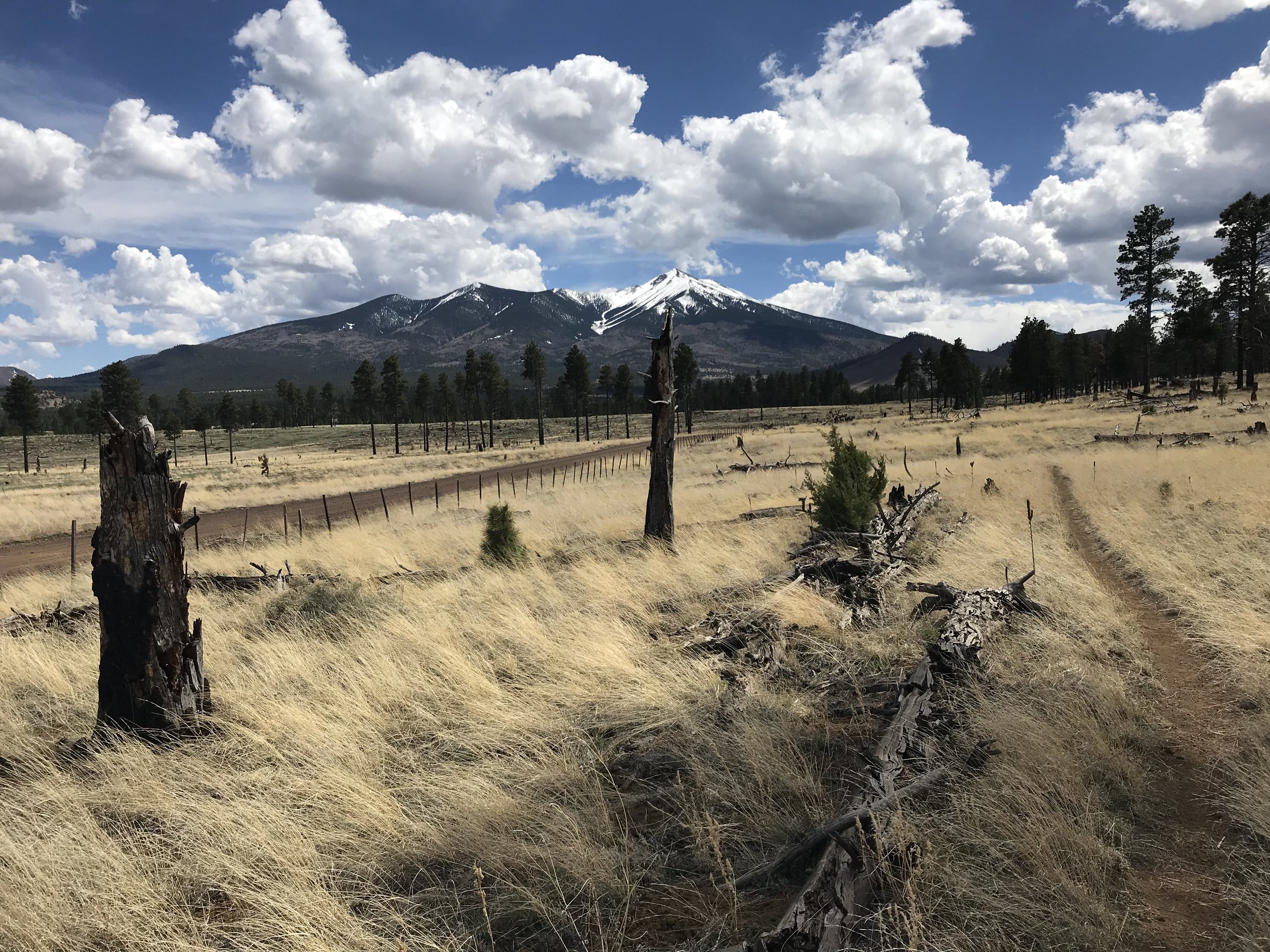
With that, we continued descending the peaks, passed over a major forest road, and continued plunging through a thick forest of aspen surrounded by dead ferns brown since last autumn. The land became increasingly arid with the aspen falling away until only ponderosa and juniper remained and the arid grasslands took over. It was crazy how quickly we were able to cover miles; a quick turn around revealed the peaks in all their snowy glory, prominent with the blue skies and white cloud accents. It was freaking beautiful.
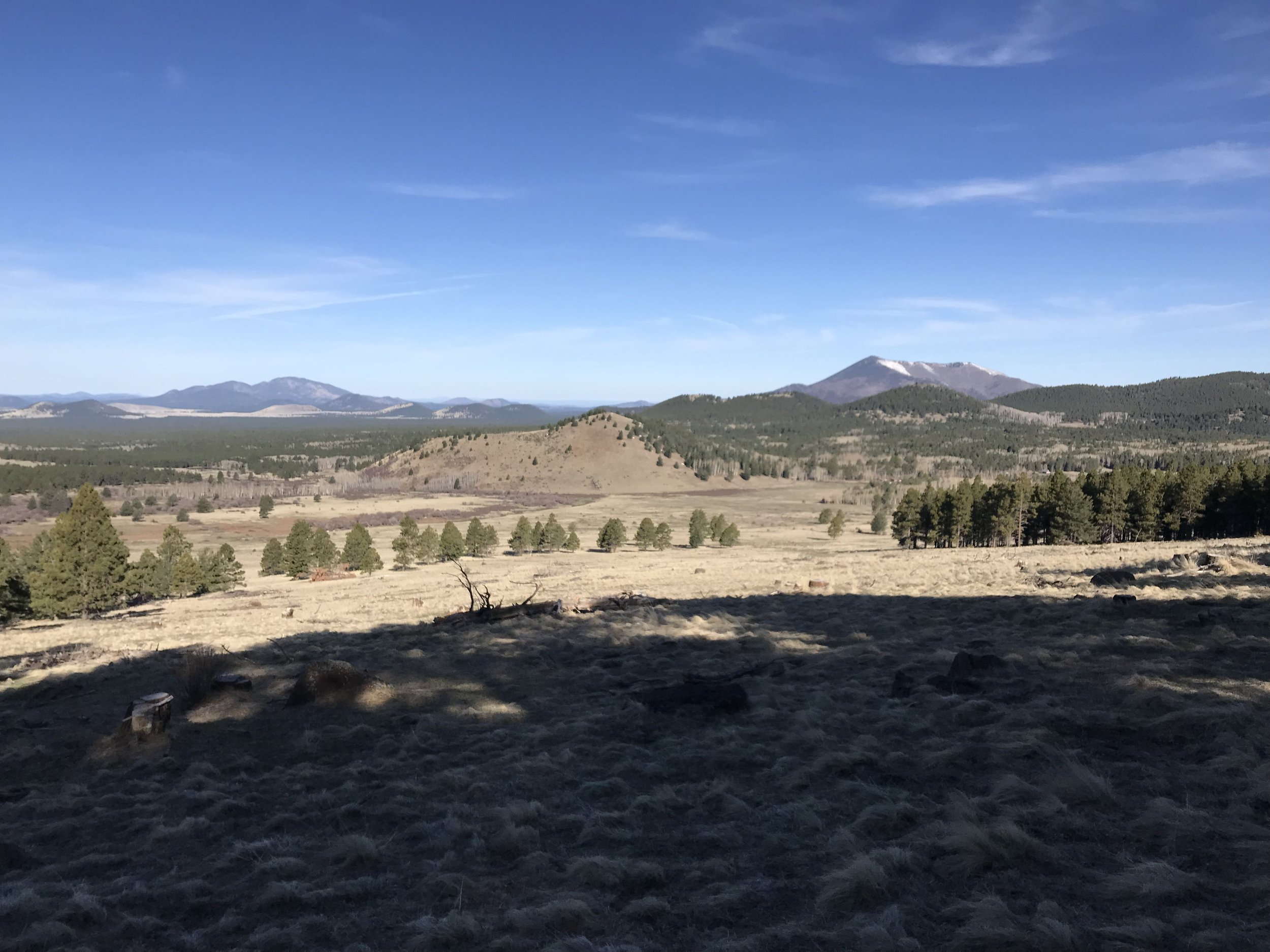
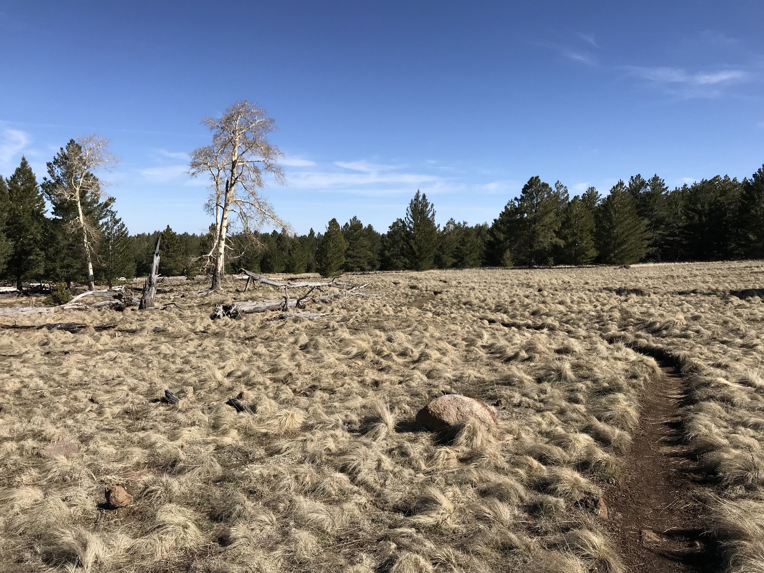
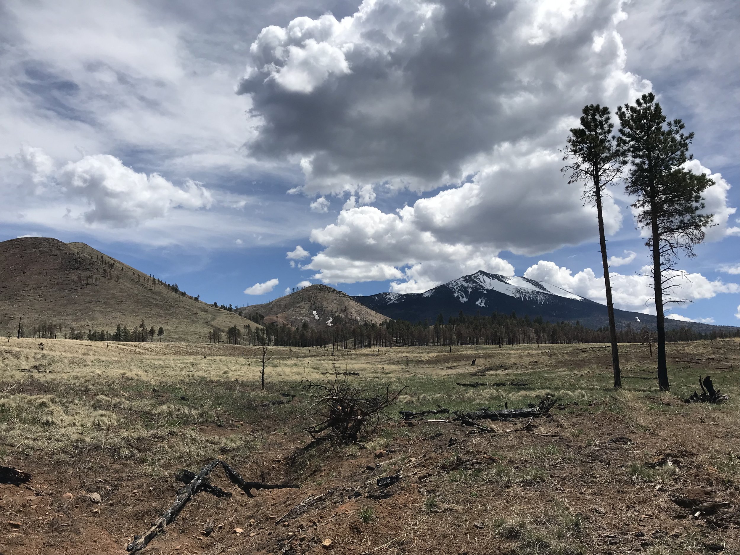
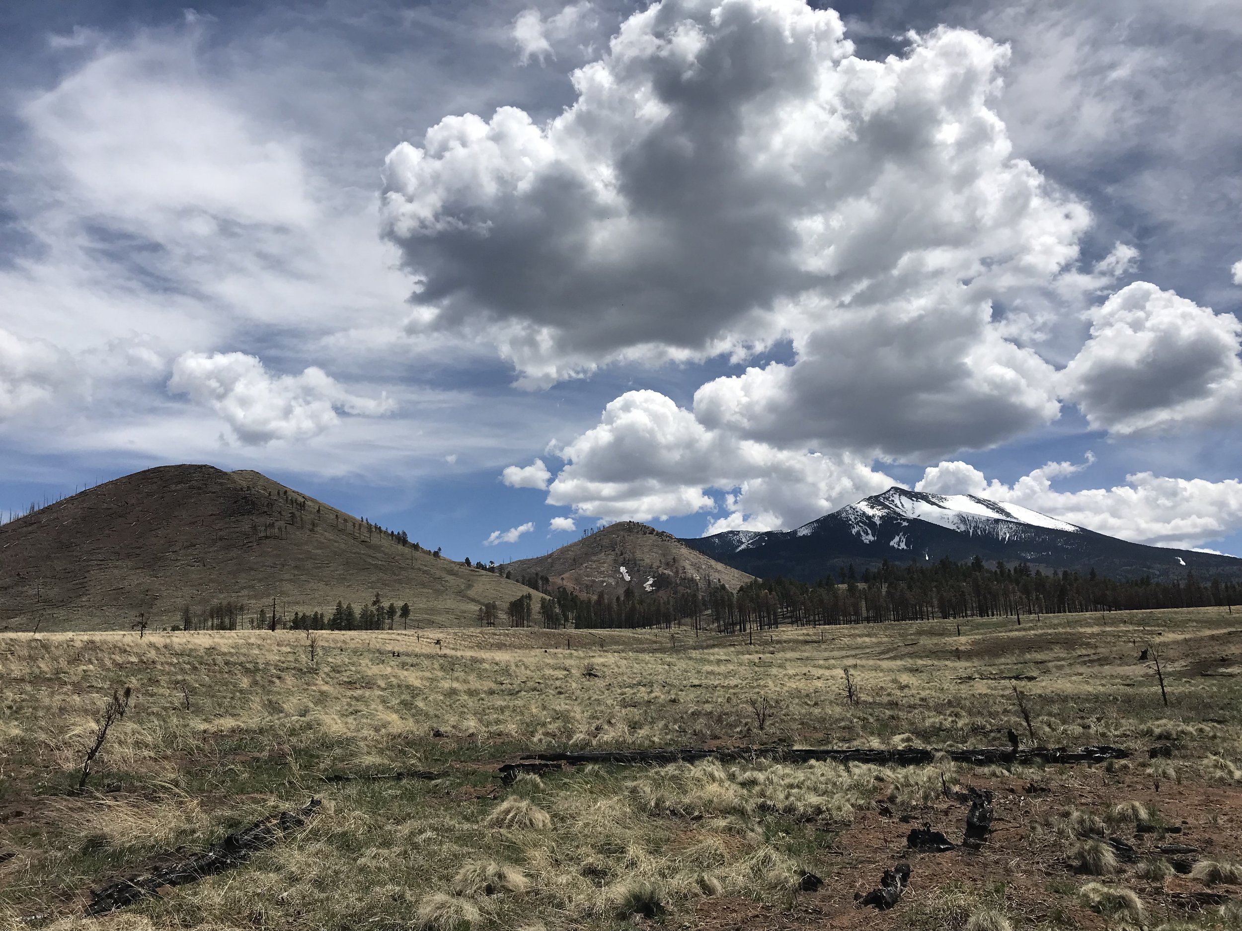
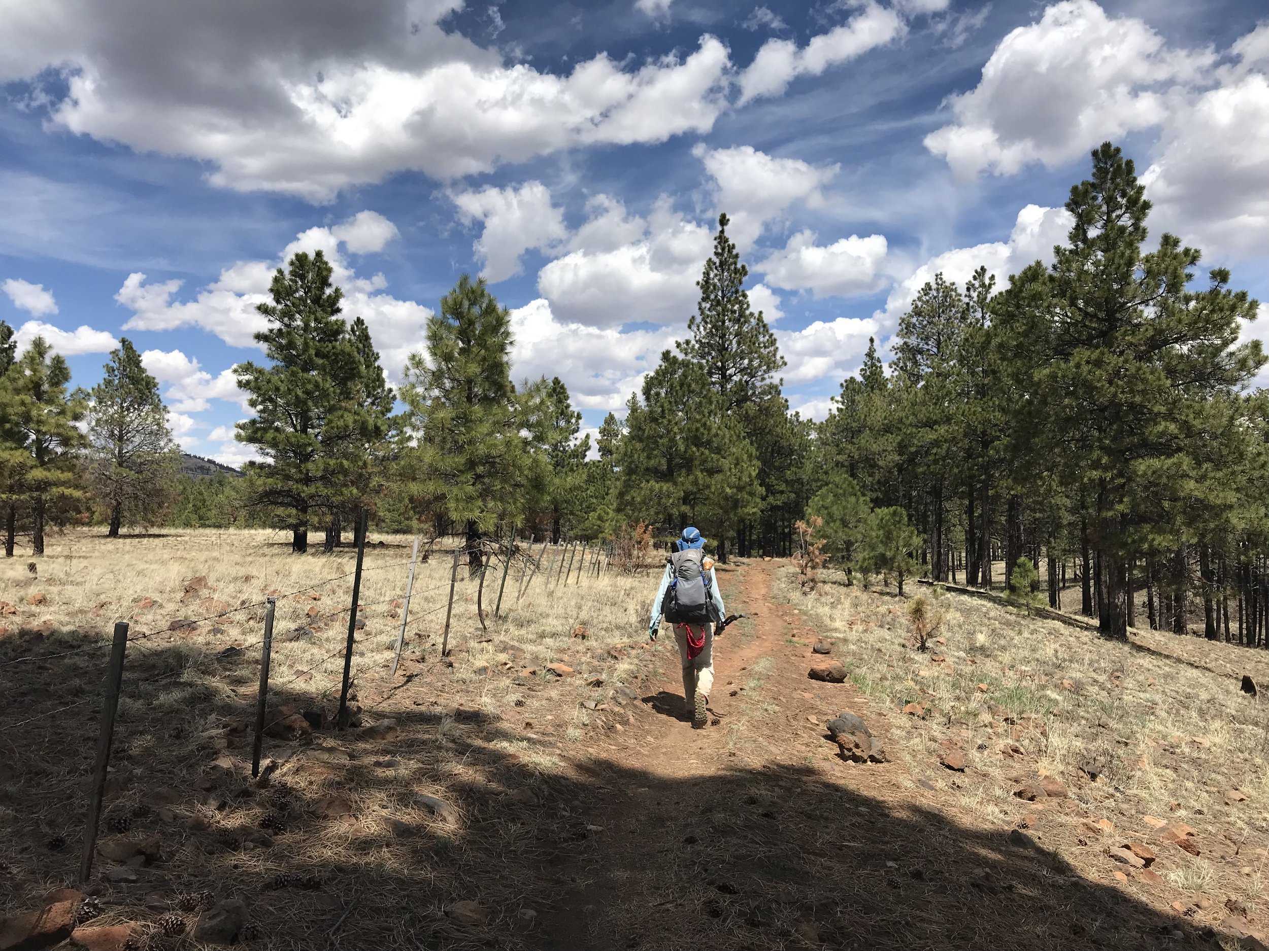
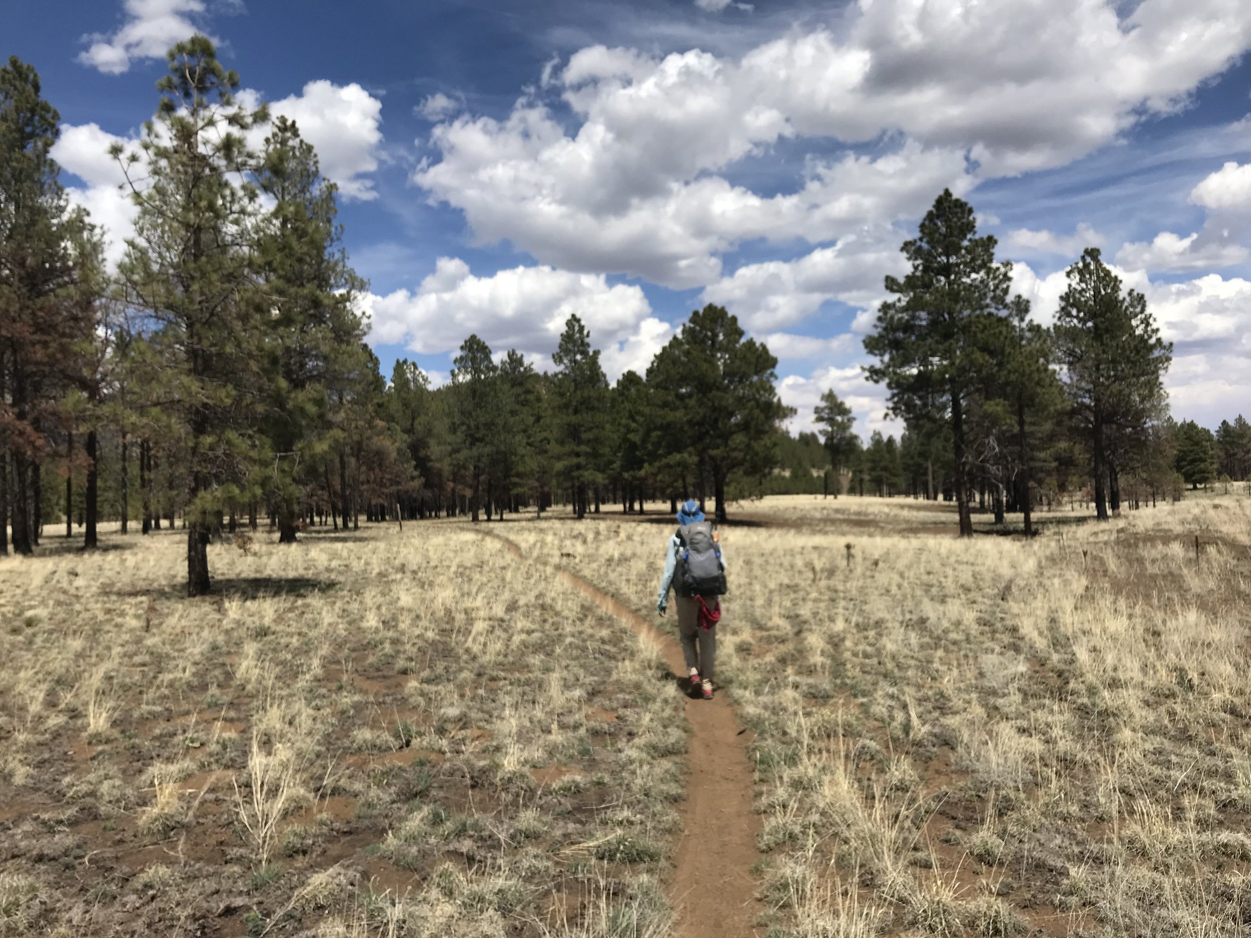
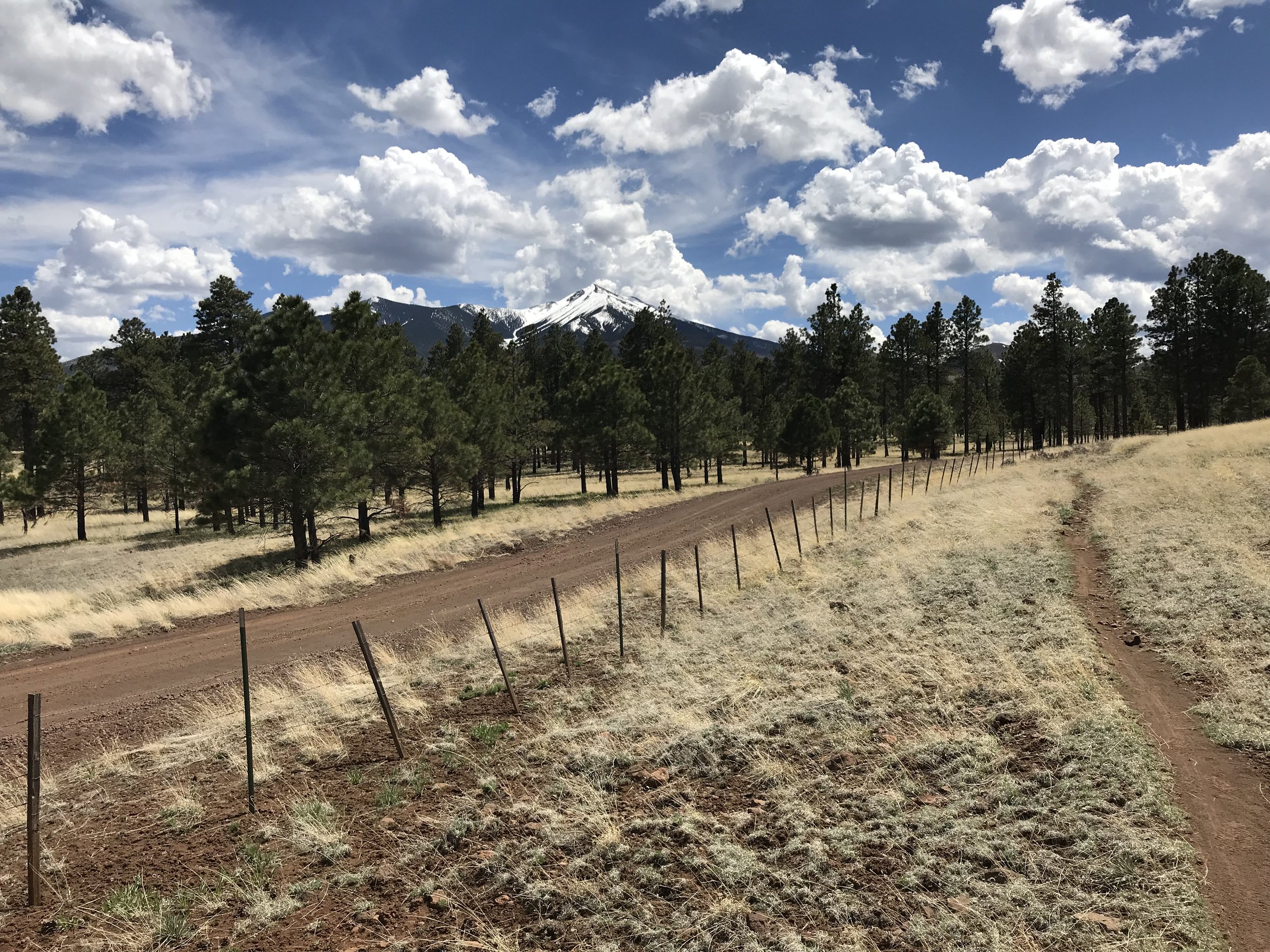
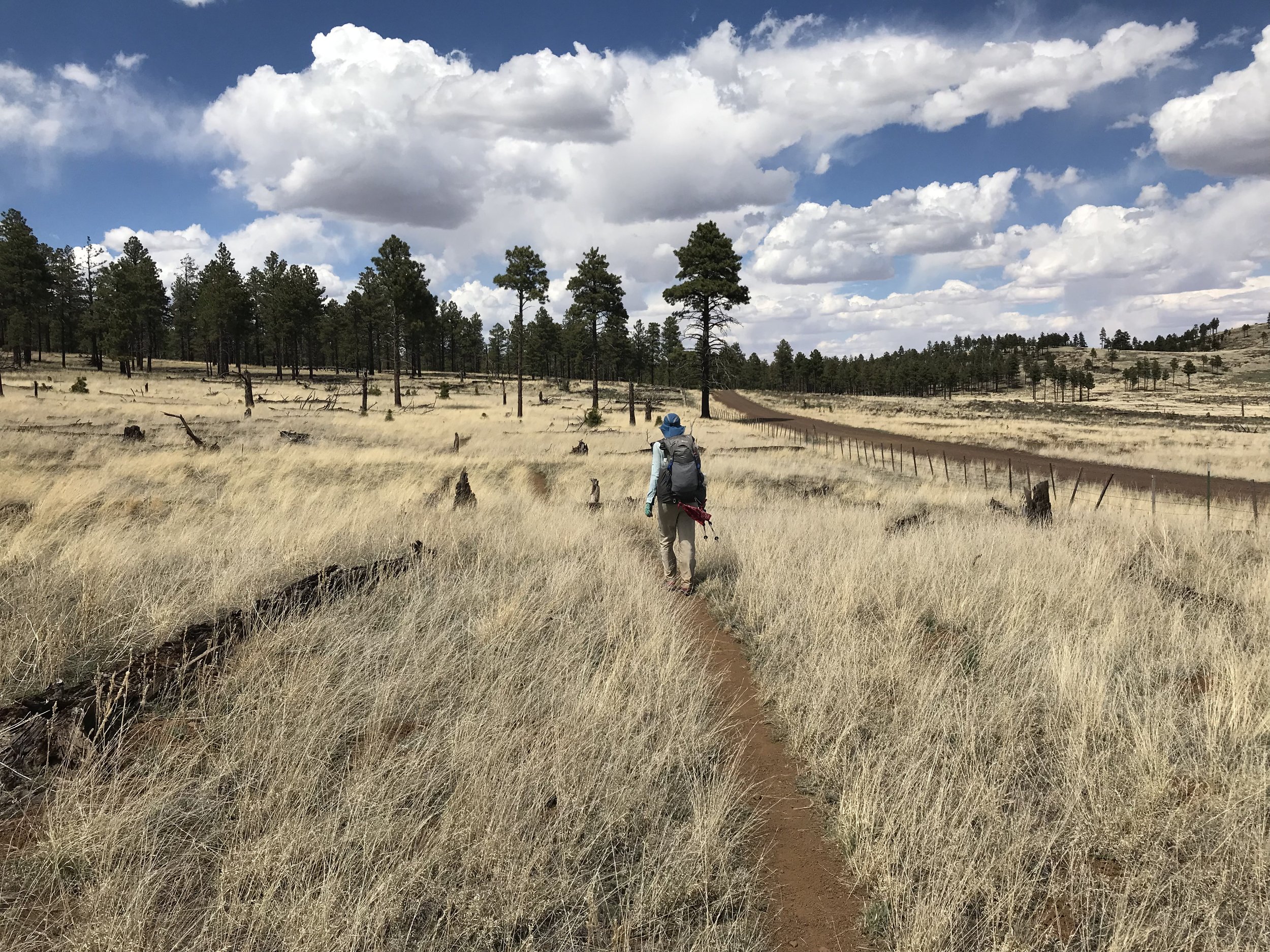
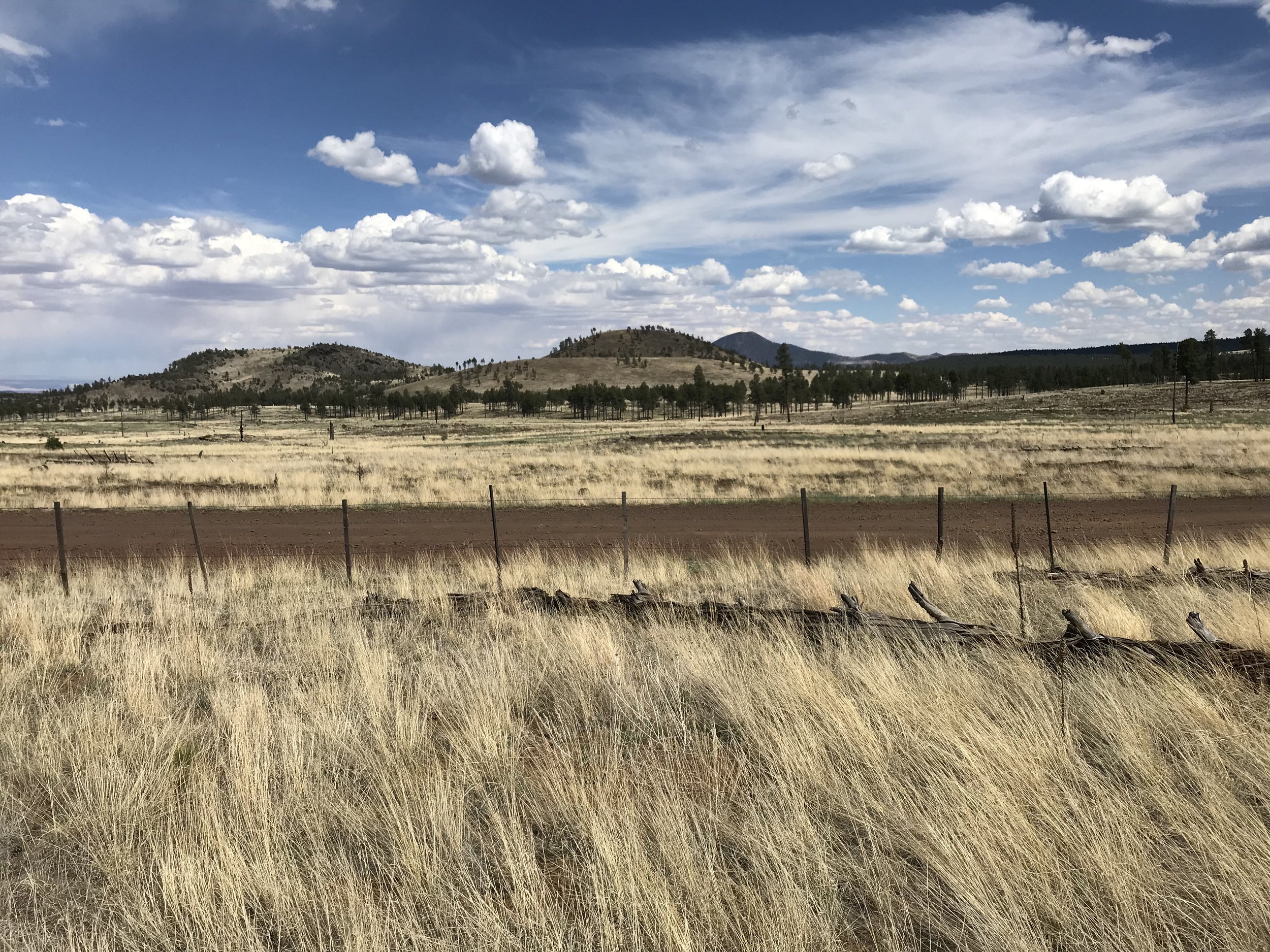
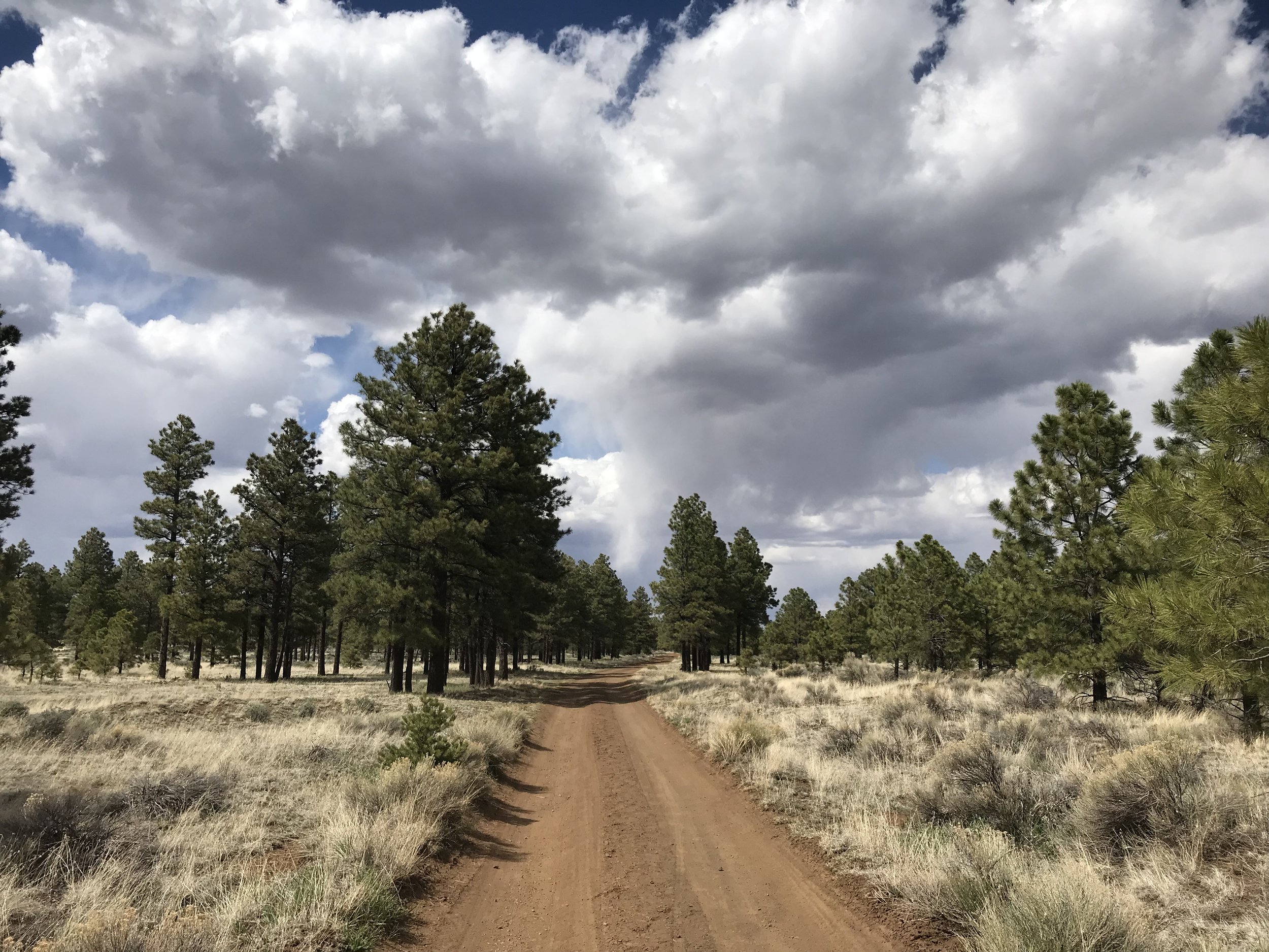
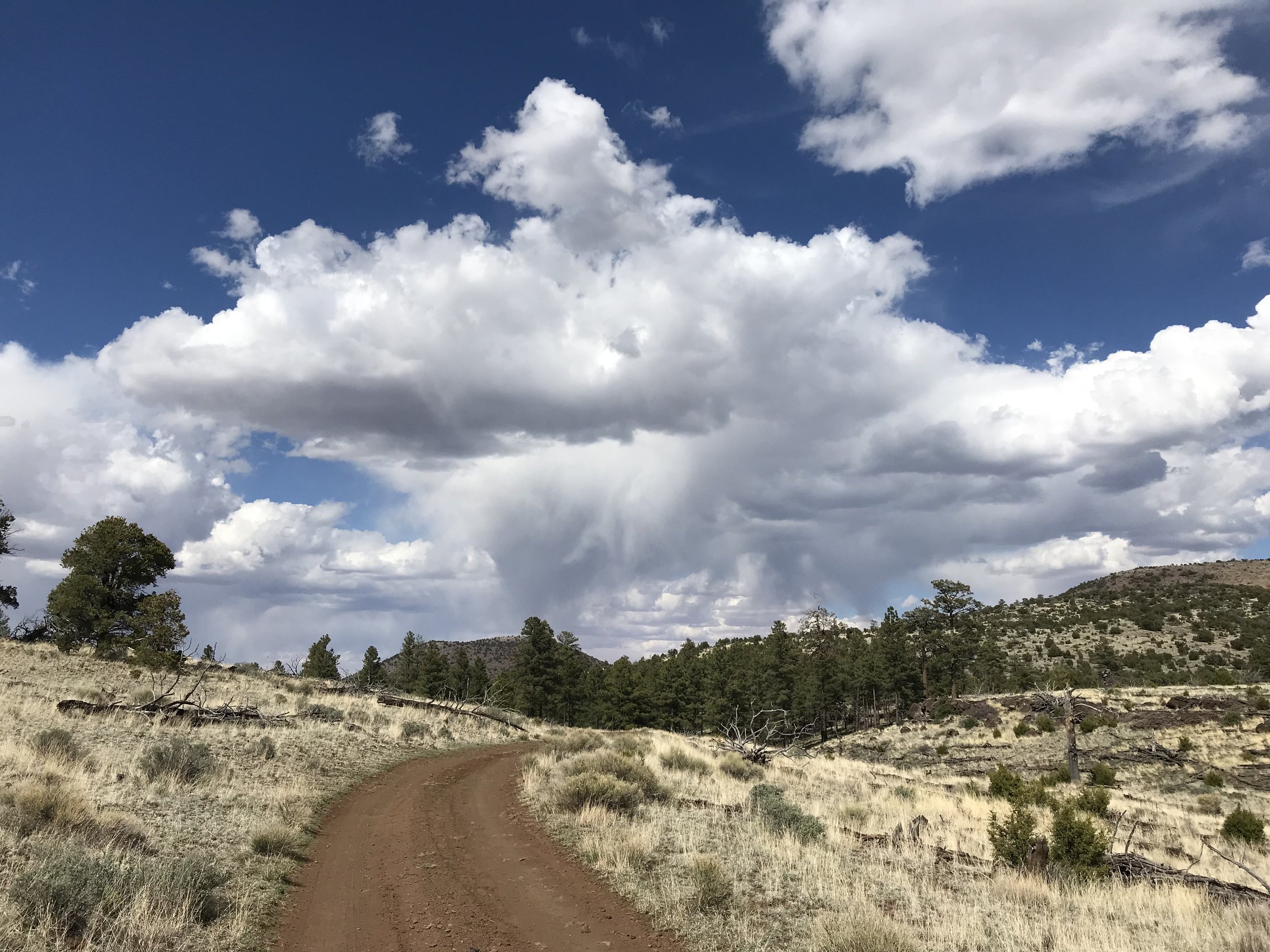
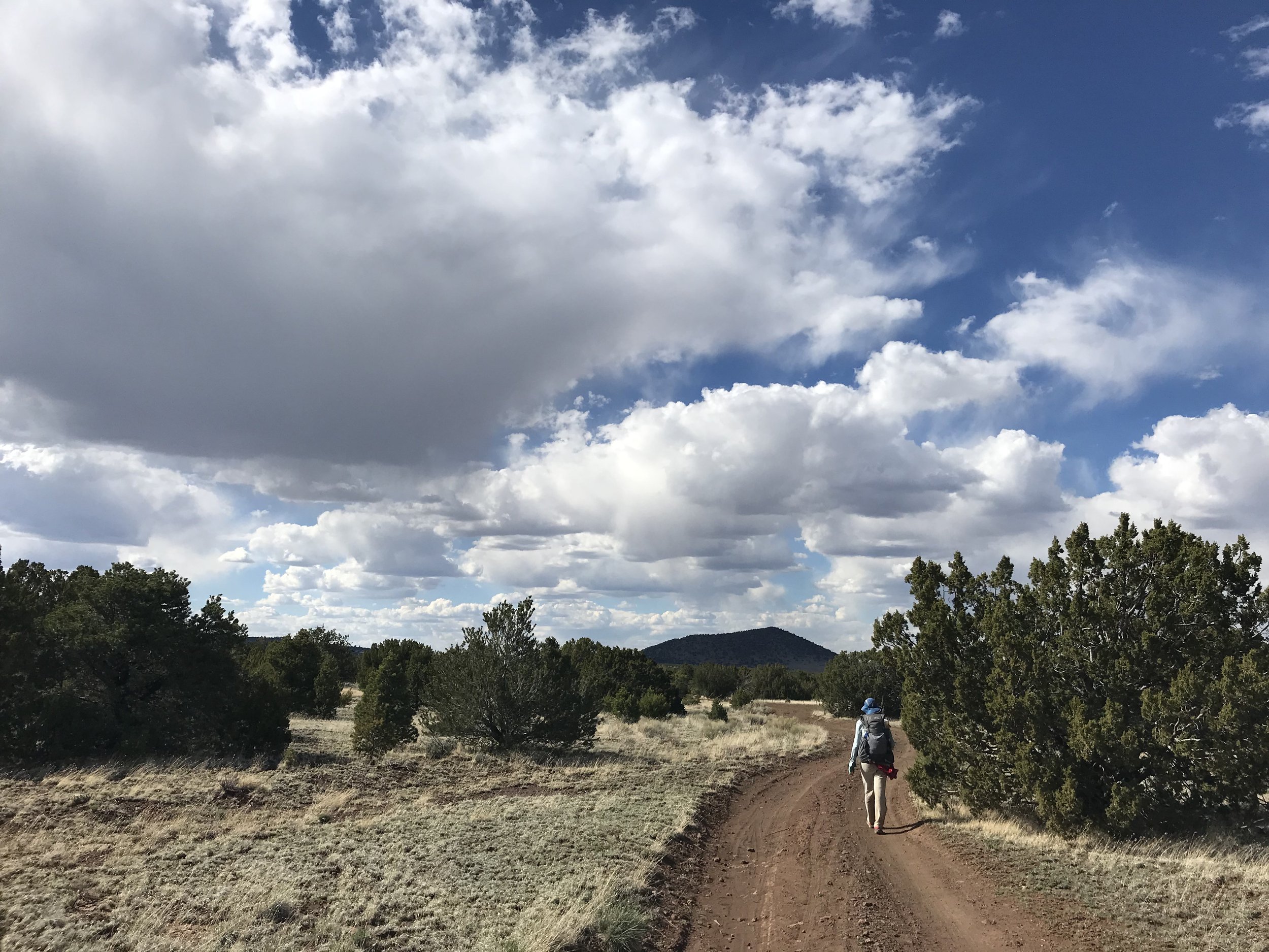
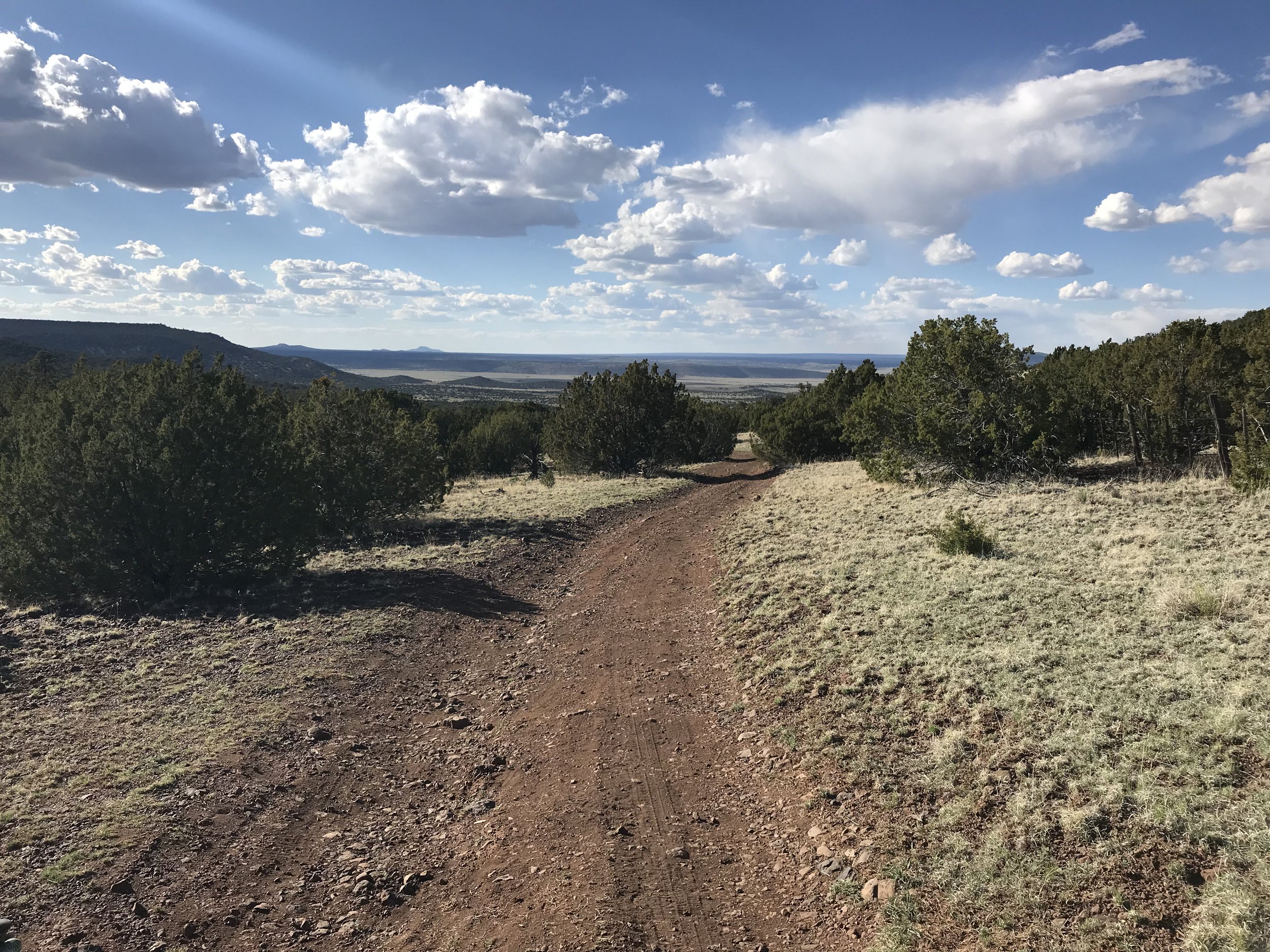
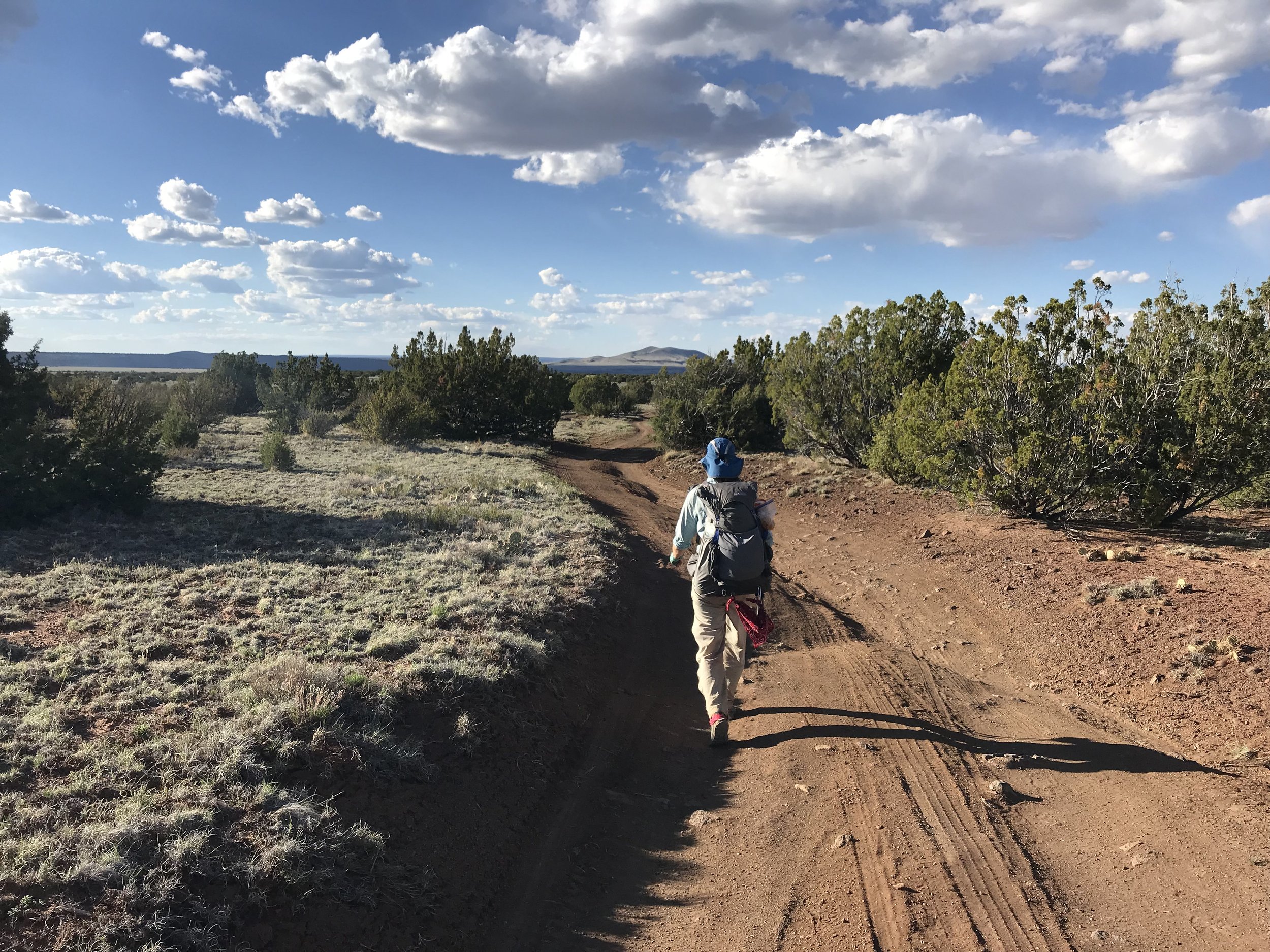
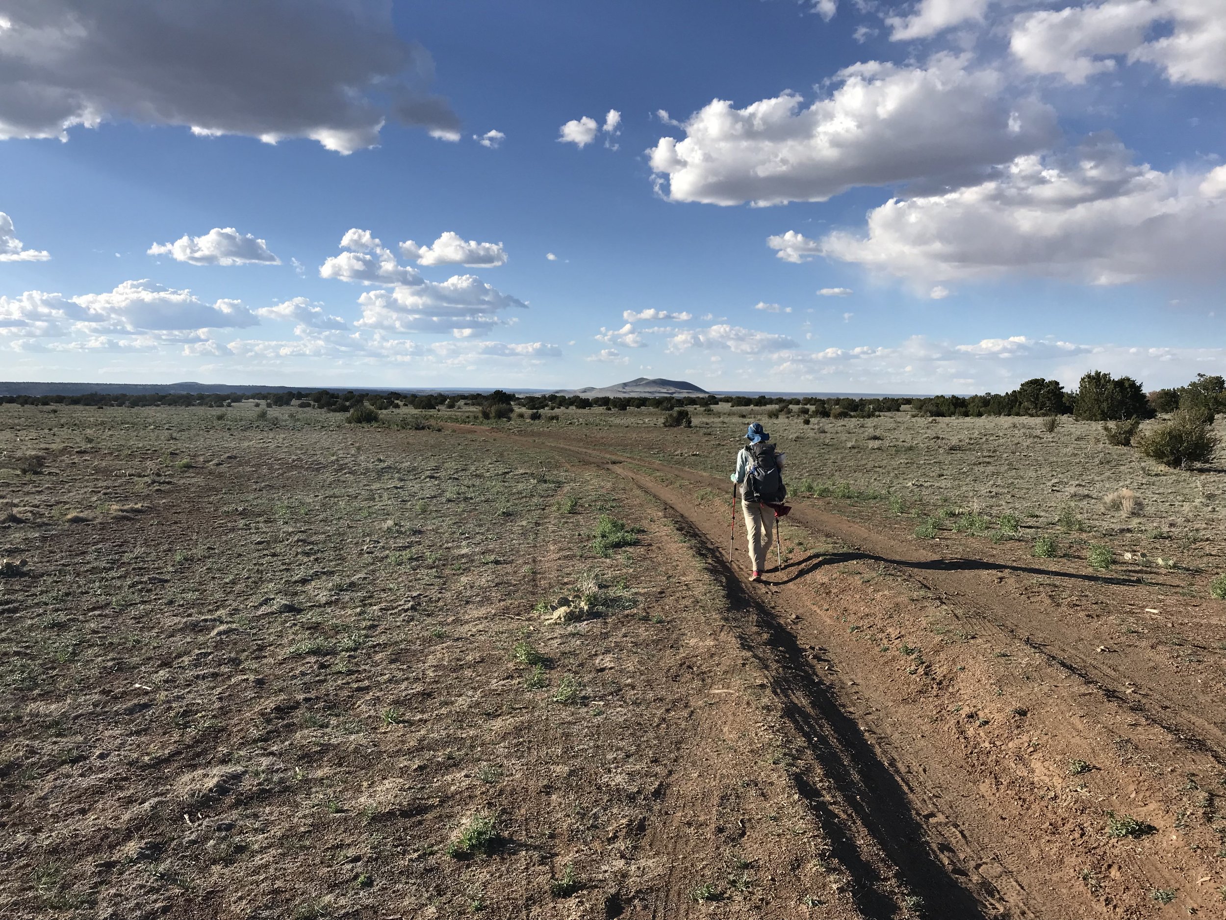
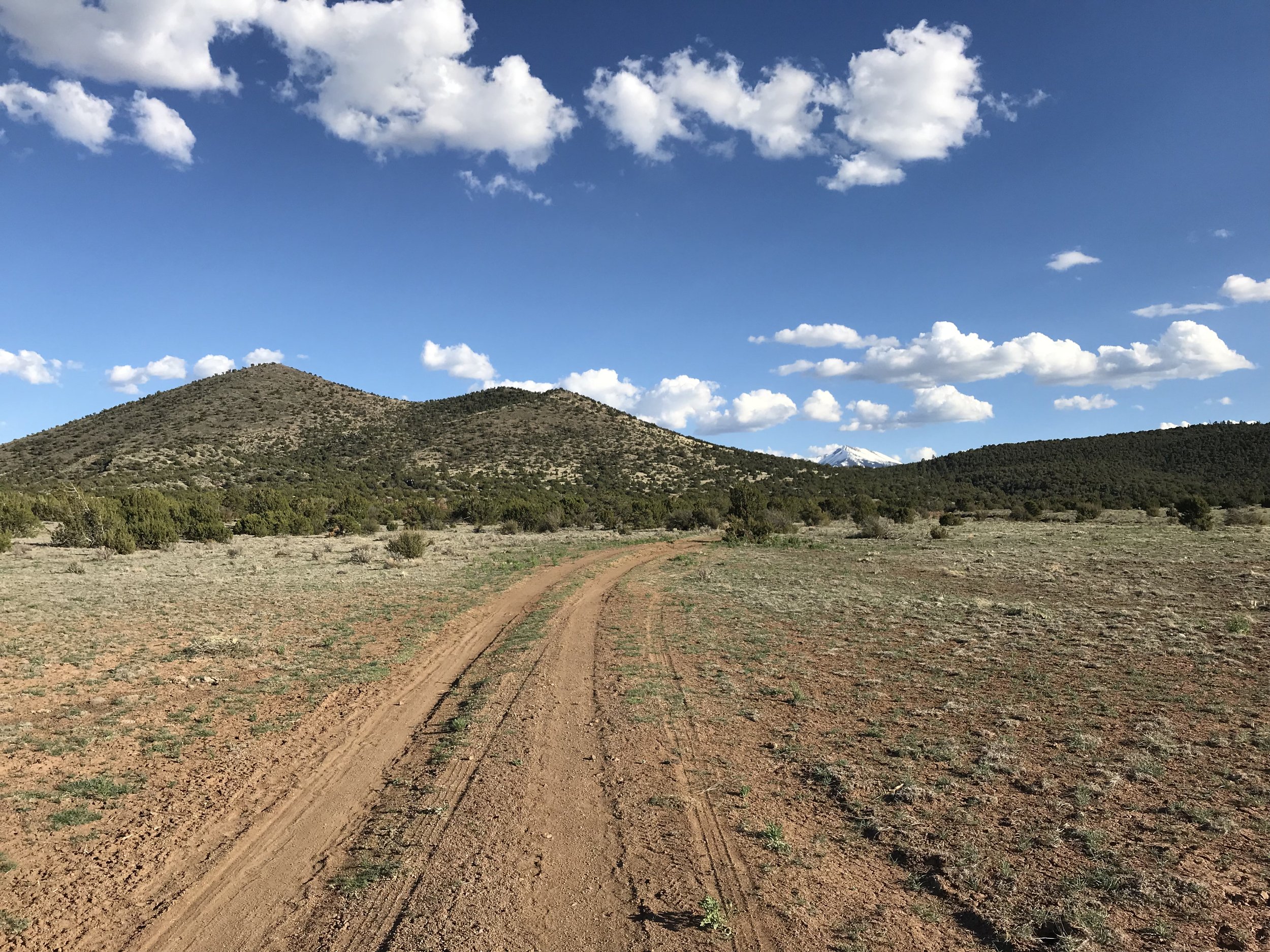
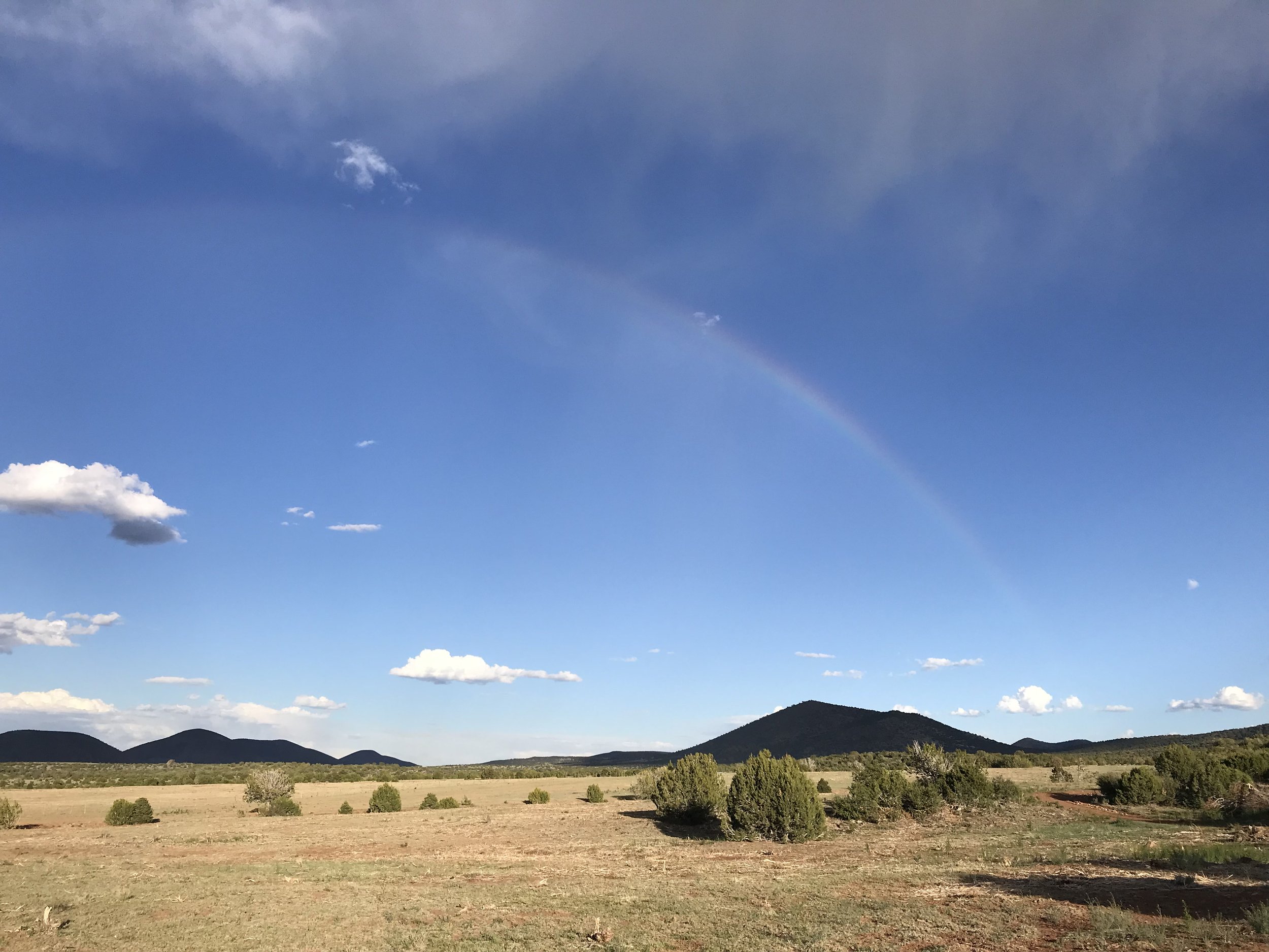
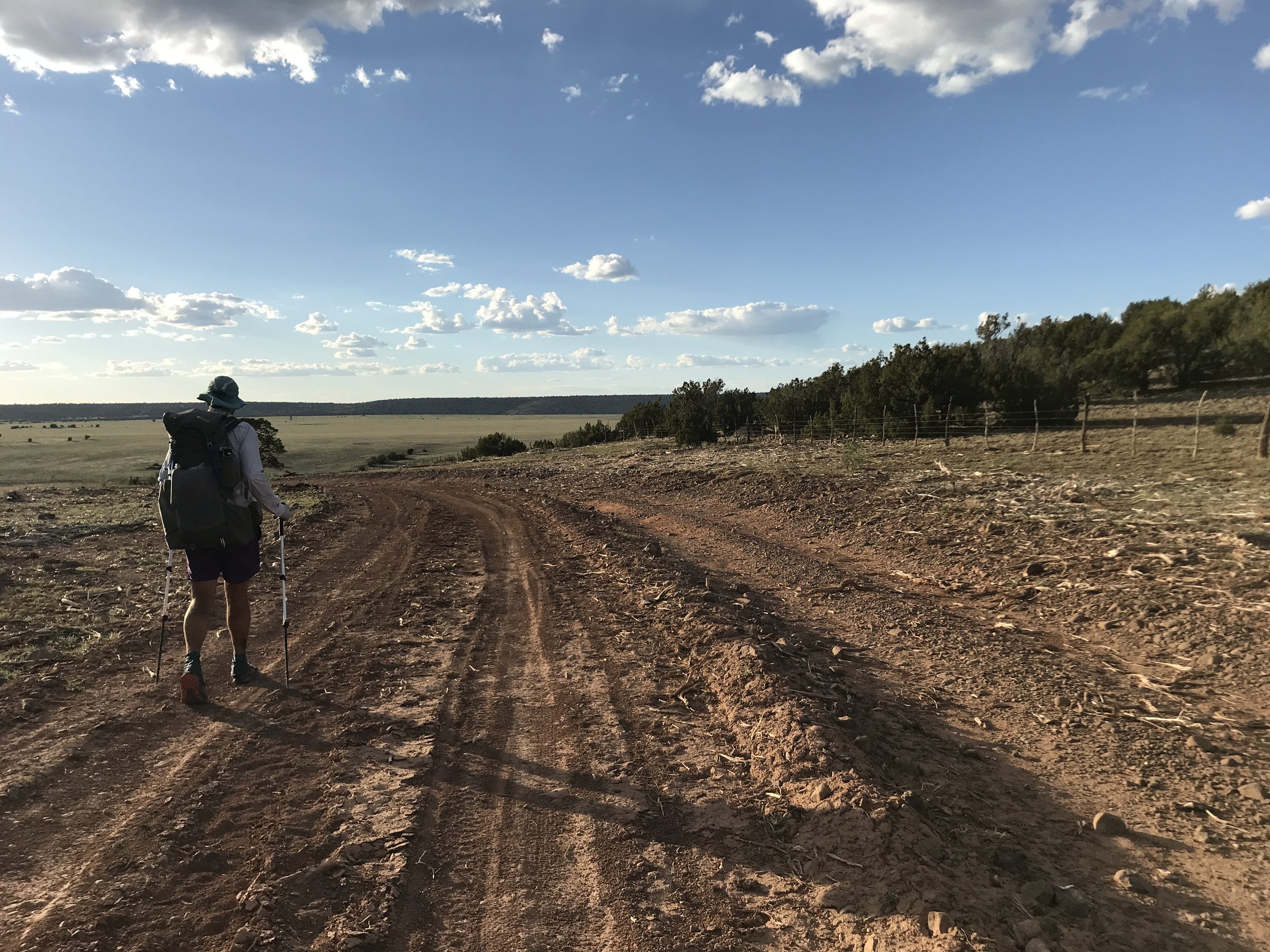
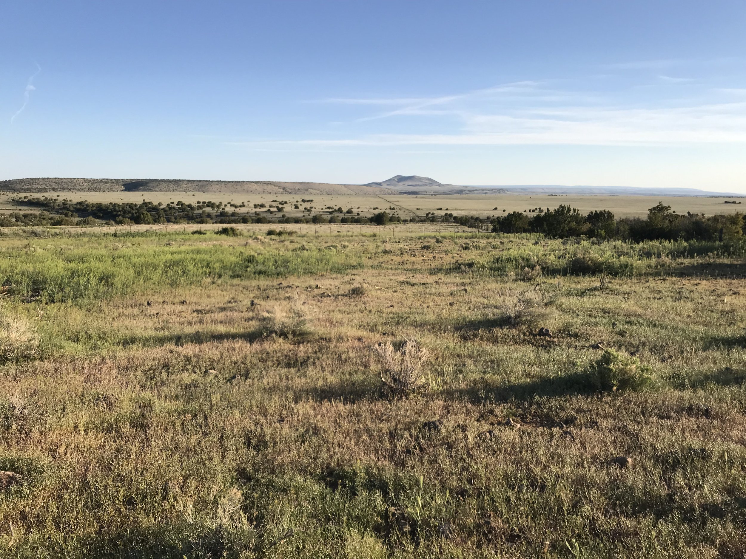
The heat of the day was really going now and we passed Fenway and Detour sitting by a hiker box and drinking beers left by someone kind. Janna and I continued on having plenty of water hard-won on our backs. The AZT paralleled a forest road and we passed several school buses of middle schoolers out volunteering on a school day to do trail work with the Arizona Trail Association - which was AWESOME. Shallow peaks formed on our rights of old volcanic craters now filled with grasses, shrubs, and solitary pinion pines. The Arizona Trail joined the historic stagecoach route which was now a ROUGH and rocky double track descended through blankets of junipers. We easily covered ground though and by early afternoon we were descending into the wide high plans of Babbitt Ranches. The land is privately held but they have a generous relationship with the AZTA to allow hikers, equestrians, and bikers to pass and camp through their lands. To our left, a large granite cliffside sat while a single storm-burst formed and expelled wind, rain, and snow from nowhere on us before evaporating and leaving a large faint rainbow arcing across the plains. It was stunningly beautiful and totally different than anything we had yet seen.
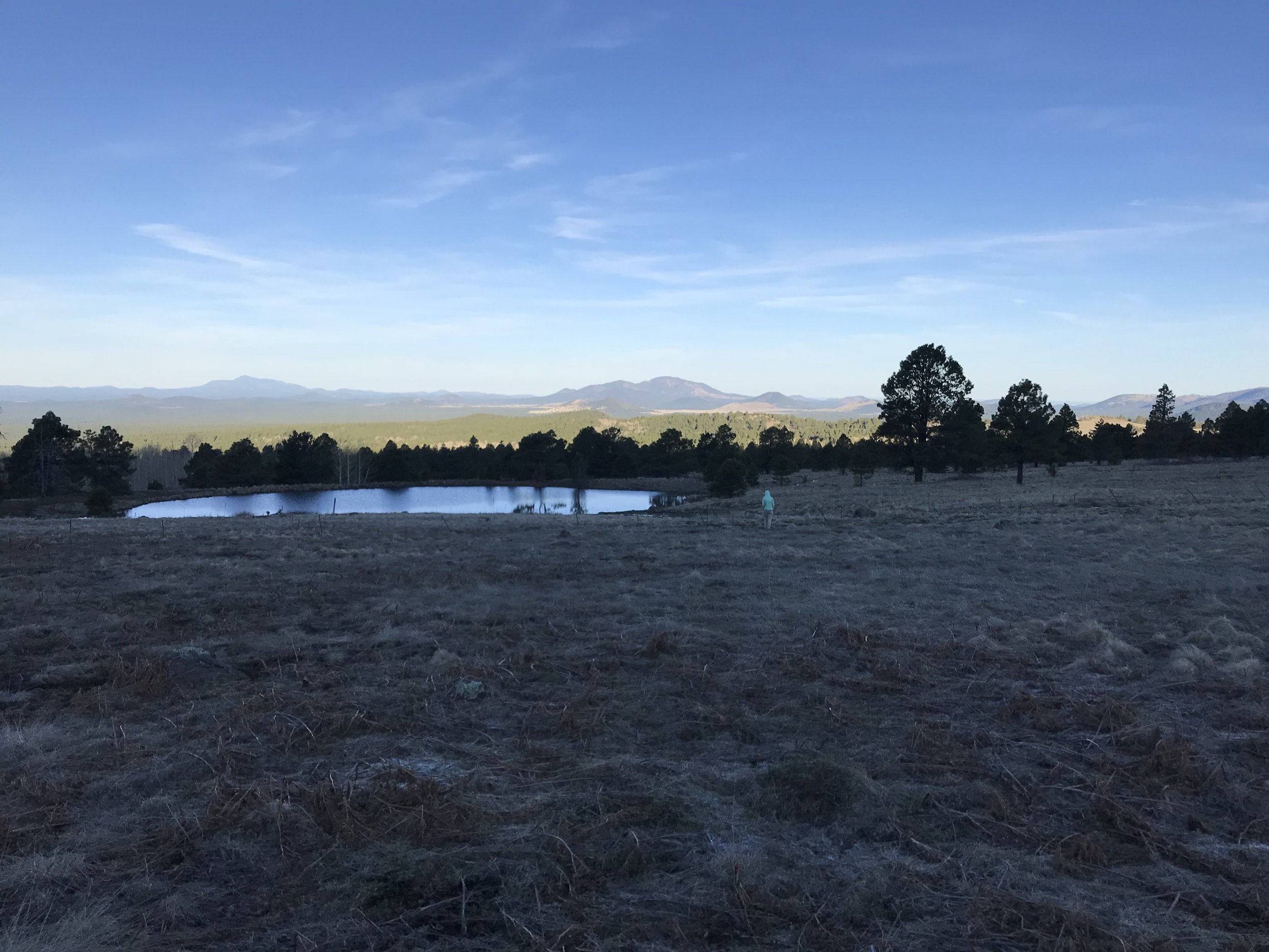
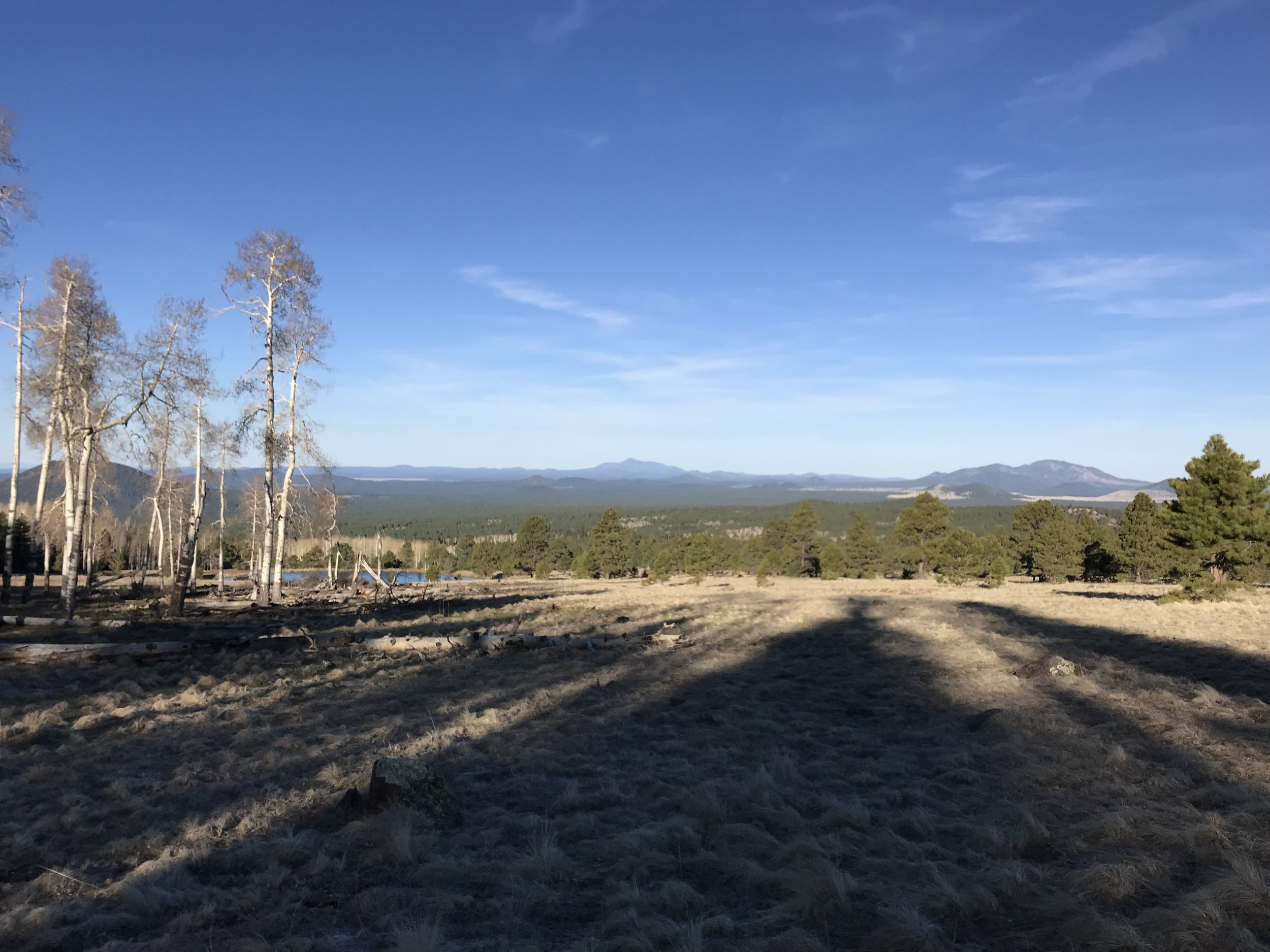
The wind began to pick up as evening approached. We left the gnarly-rocky doubletrack to take a side-route up a hill to East Cedar Tank - a reliable water source. There, we found Bilbo again! He had camp setup and was enjoying the immense views for miles and miles into the open grasslands and small cinder cone volcanic hills stretching into the distance. We setup camp with him. Detour, and three other thru-hikers showed up in late evening with the last light of day almost already gone. Our entire group sat and ate dinner together, laughing and sharing stories. Turned out these new hikers were covering 30-40 miles a day. Insane.
With the night fully here, everyone got into their shelters as a fierce wind roared across the plains and pummeled our shelter. Most people were bivying in the cold and the slap of their bag fabrics filled the air. The Triplex shuttered under the uninhibited wind, so I jammed some earplugs in and snuggled deep, grateful to walk from the subalpine zone to grassland deserts in a single day.
