Arizona Trail - Huachuca Traverse - Back to Complete Passage 1 of the AZT
Date: August 31, 2019
When we finished the AZT in the Spring, there were two notable areas we had to skip due to snow/weather: Passages 39/40 on the North Rim and Passage 1 in the Huachucas. A spring storm dumped three feet on top the day were scheduled to begin which resulted in a day’s delay. But even with the storm passed, the route was pure posthole along an unmarked ridge. We took the MTB alternate down the forest road over to Parker Canyon Lake. At the time, Janna and I promised we would come back over Labor Day Weekend in the fall to complete this section.
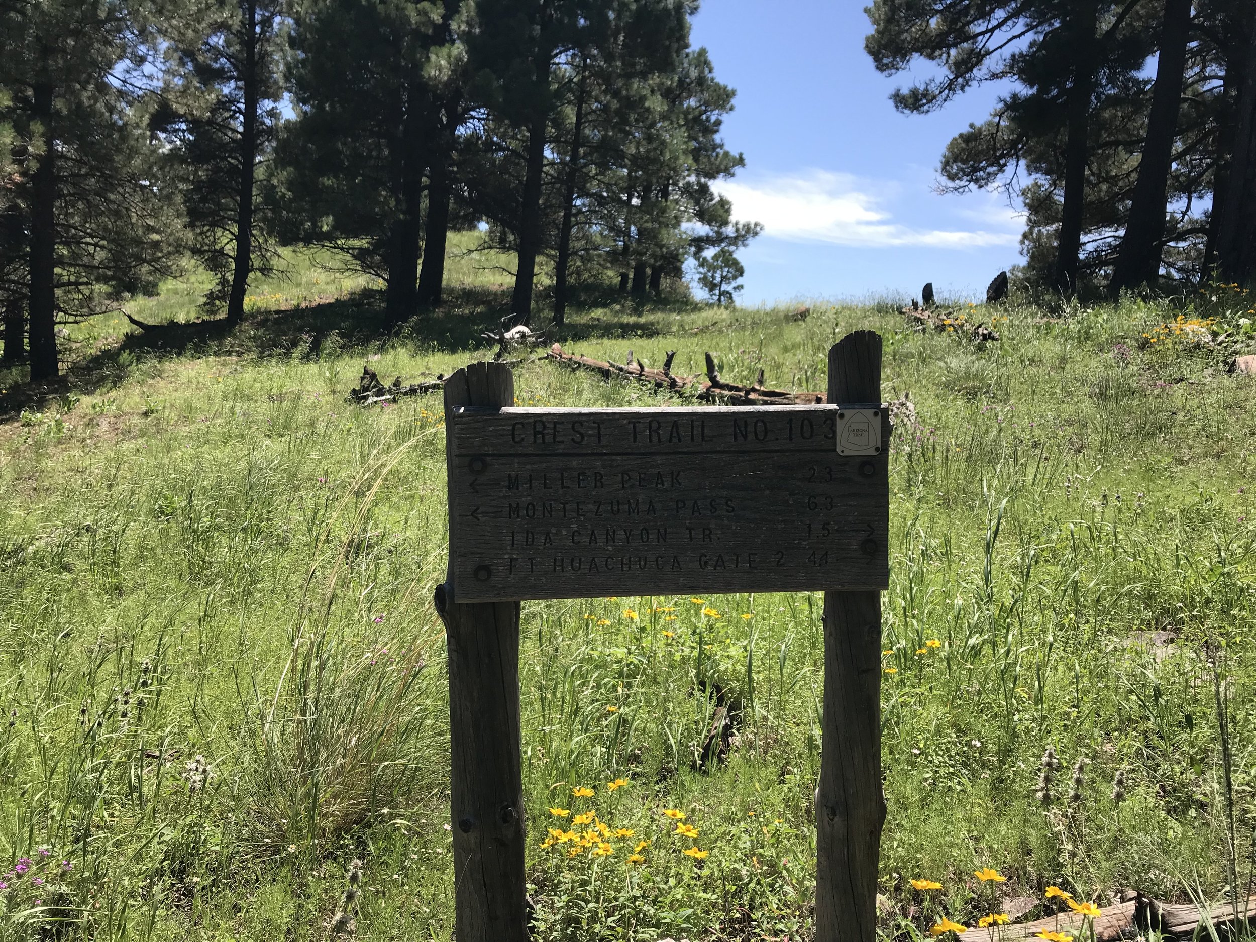
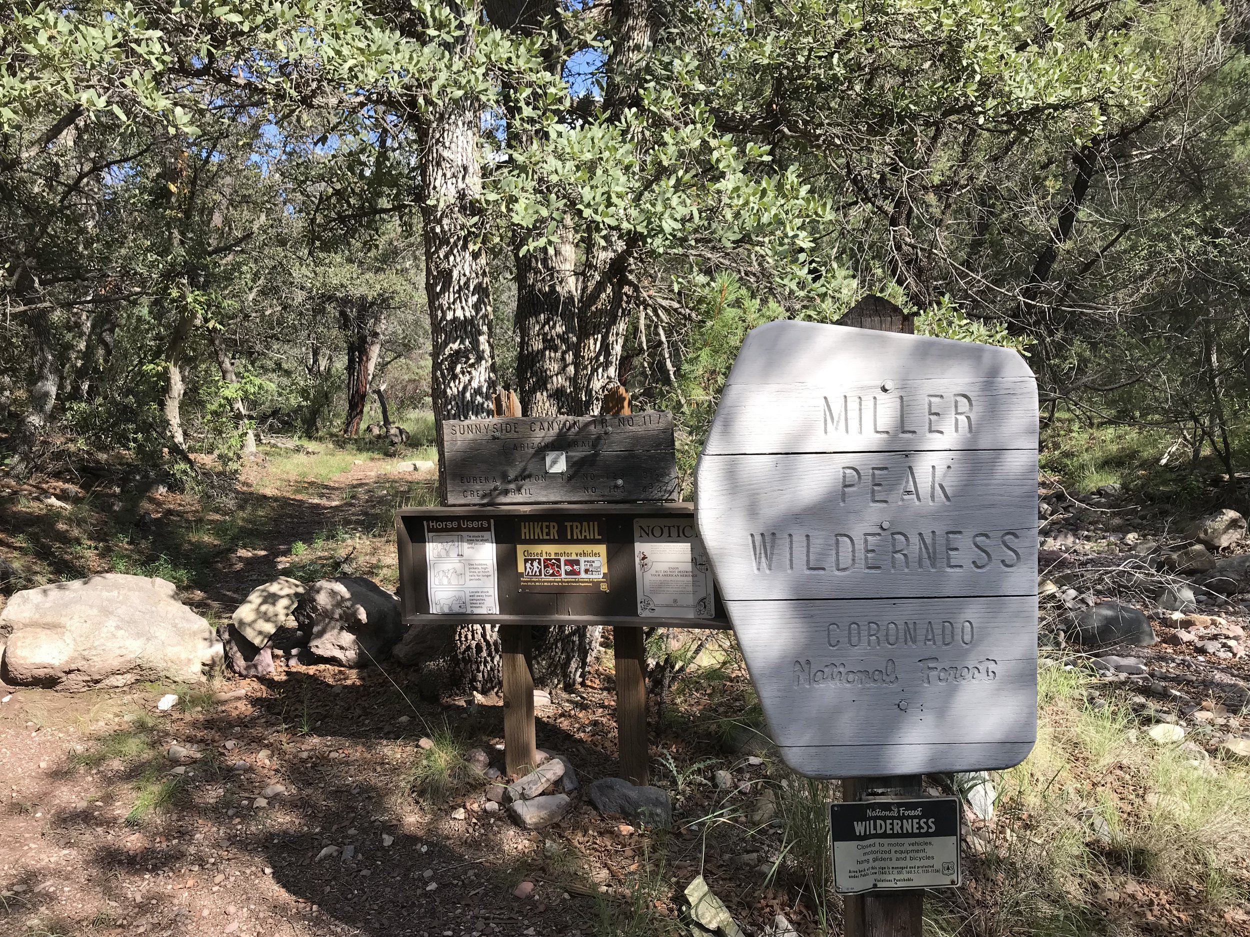
And so we found ourselves back at Montezuma’s Pass. After parking the car down a rutted dirt road next to Parker Canyon Lake, we got picked up for a local guy who drops hikers as a shuttle. We drove up the backside of the range, shocking us at how fast we covered in 45 minutes what had taken two days in the Spring. Up on the pass, the temperatures were rising already at 8 am. We waved him goodbye and started up Crest Trail.
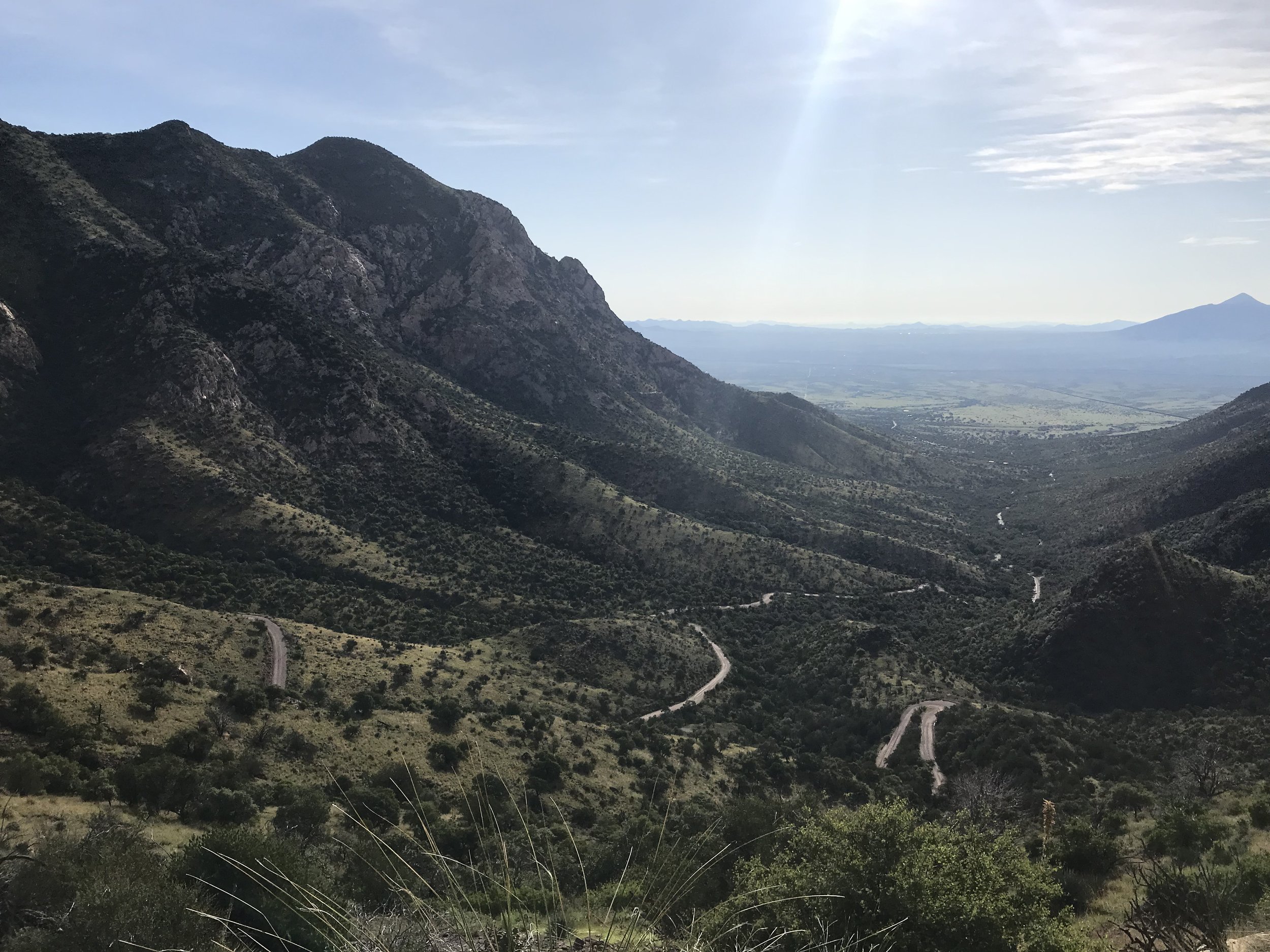
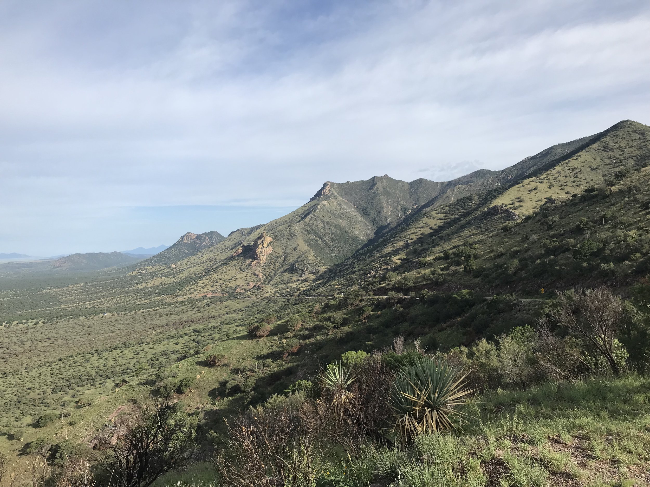
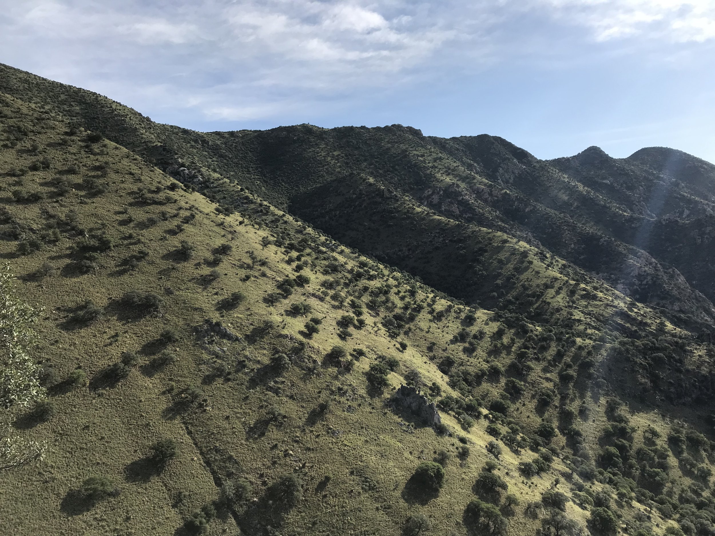
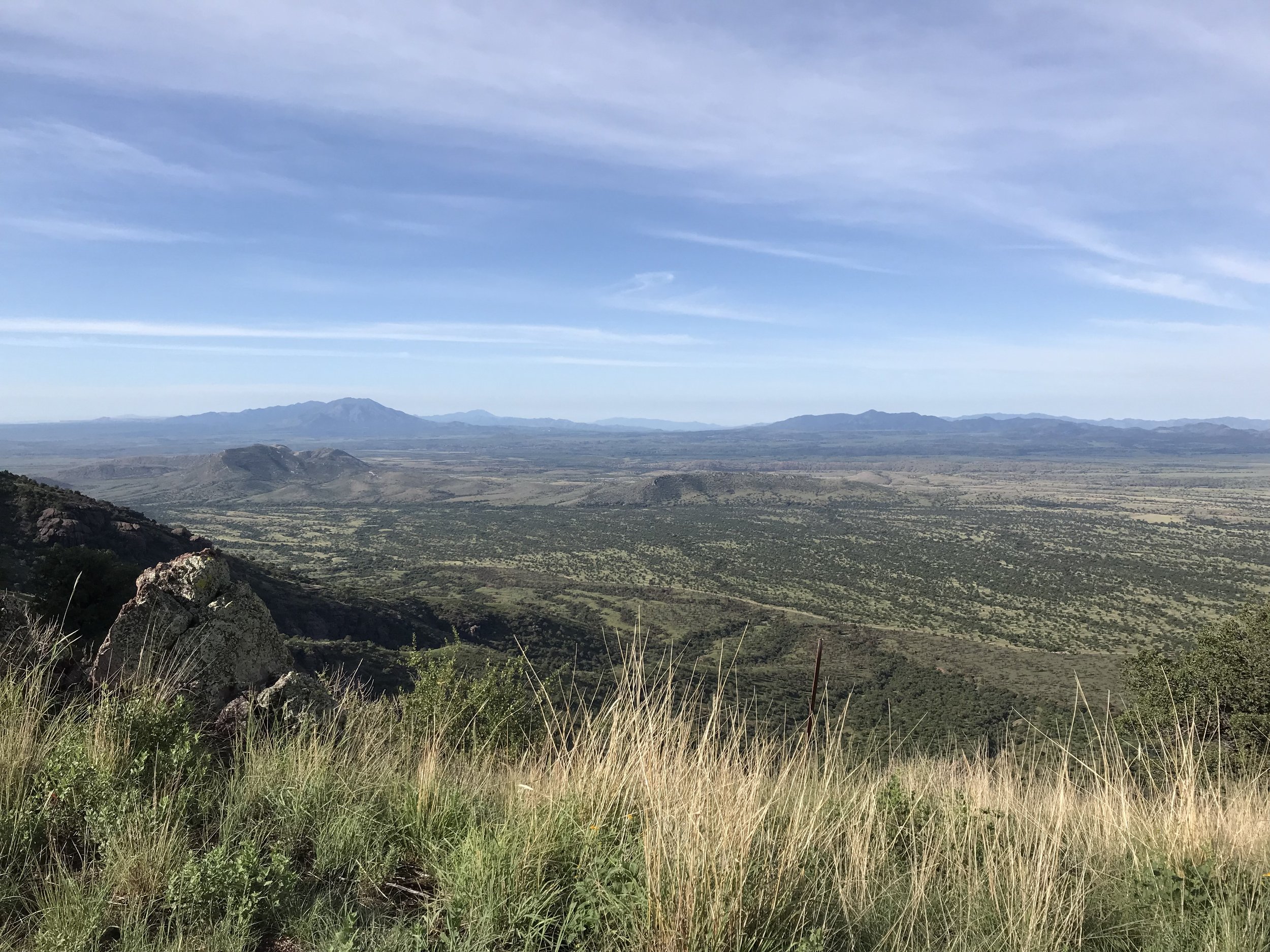
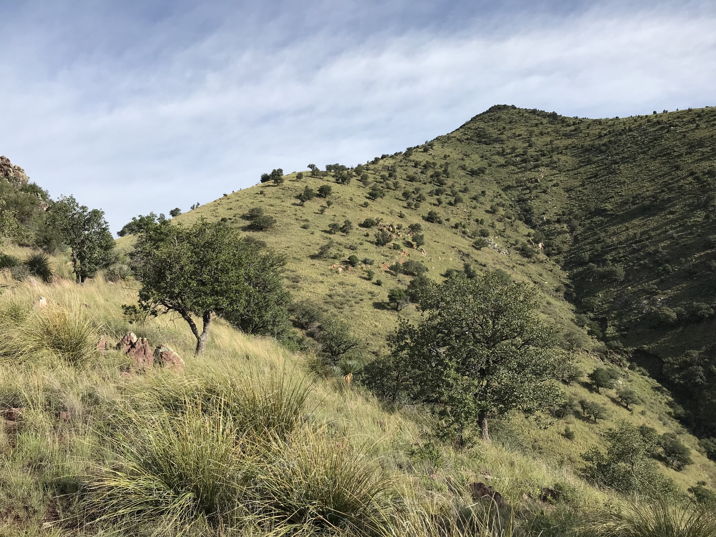
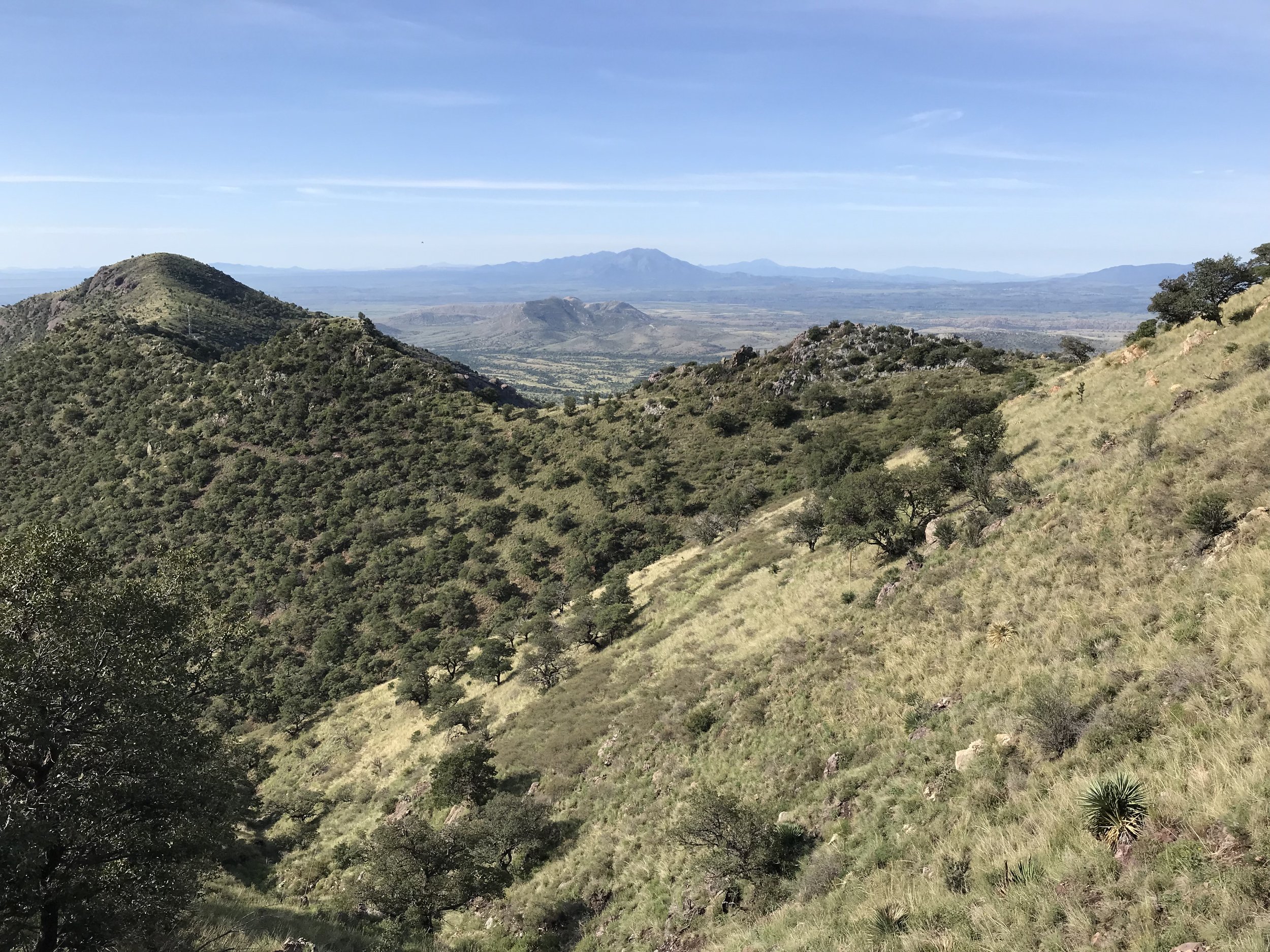
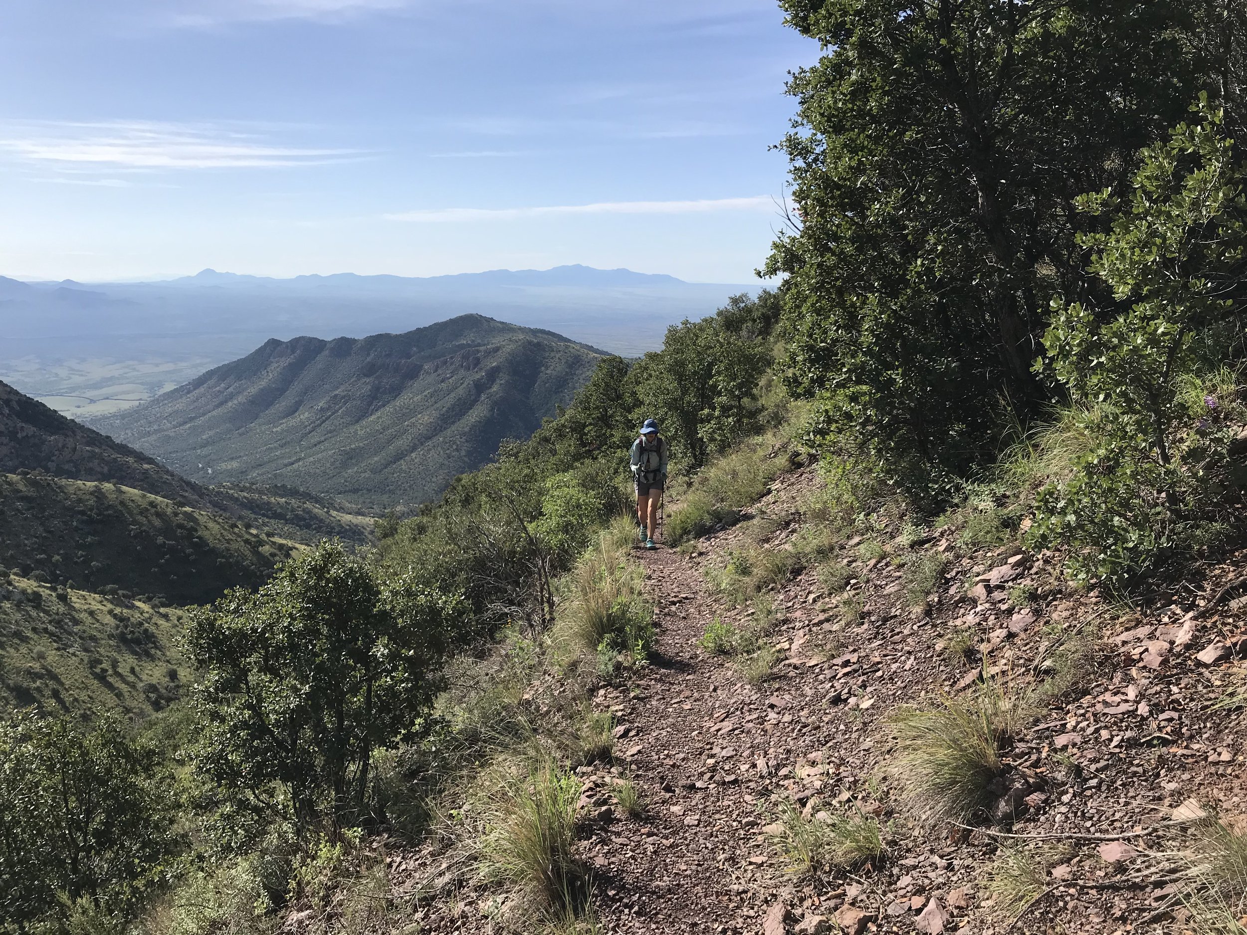
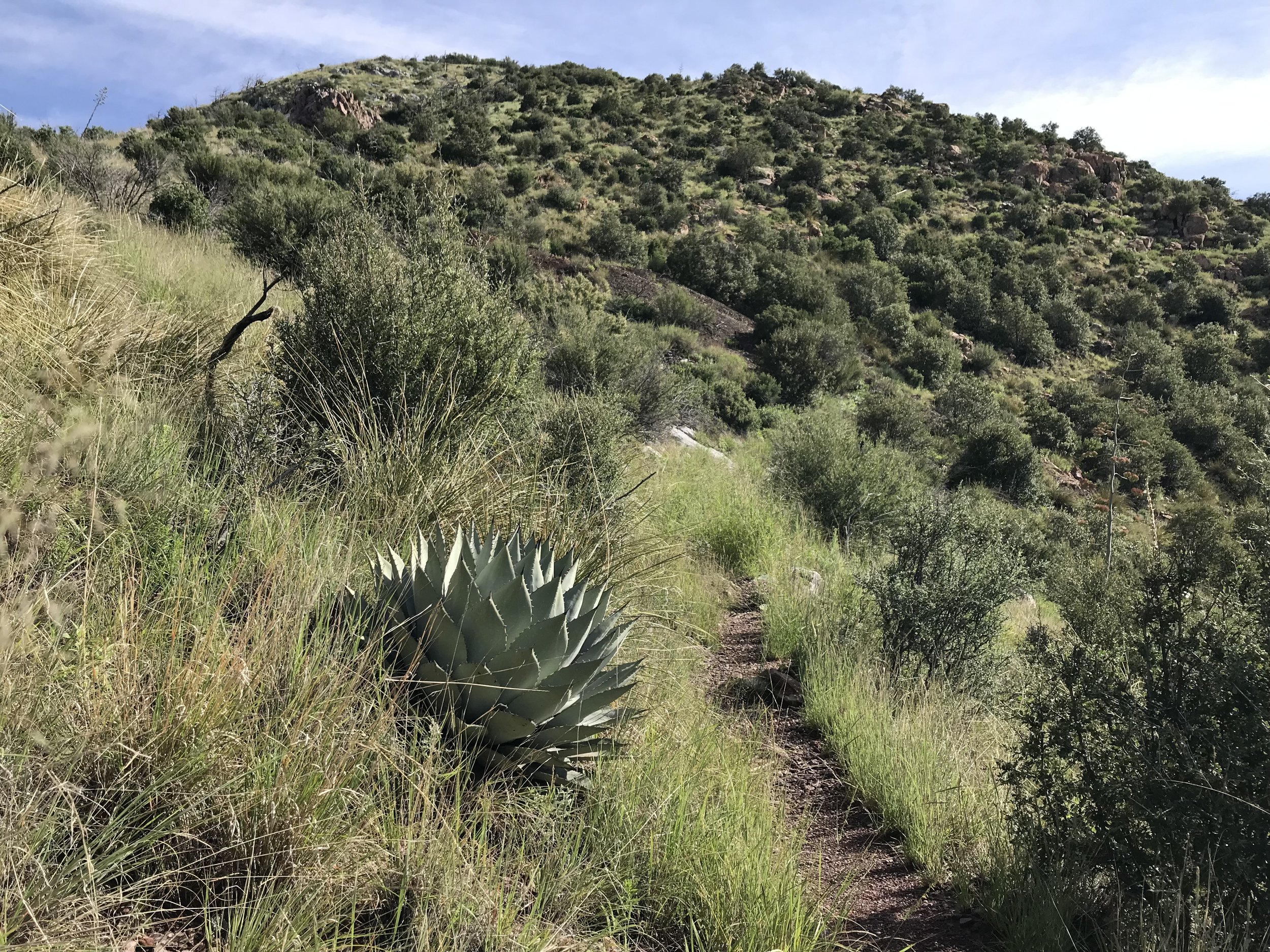
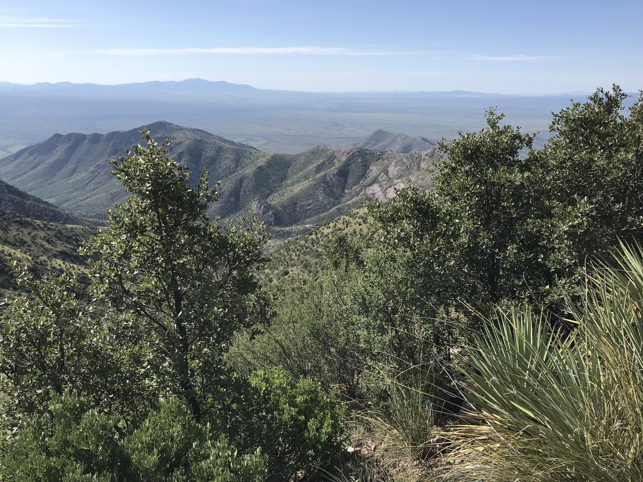
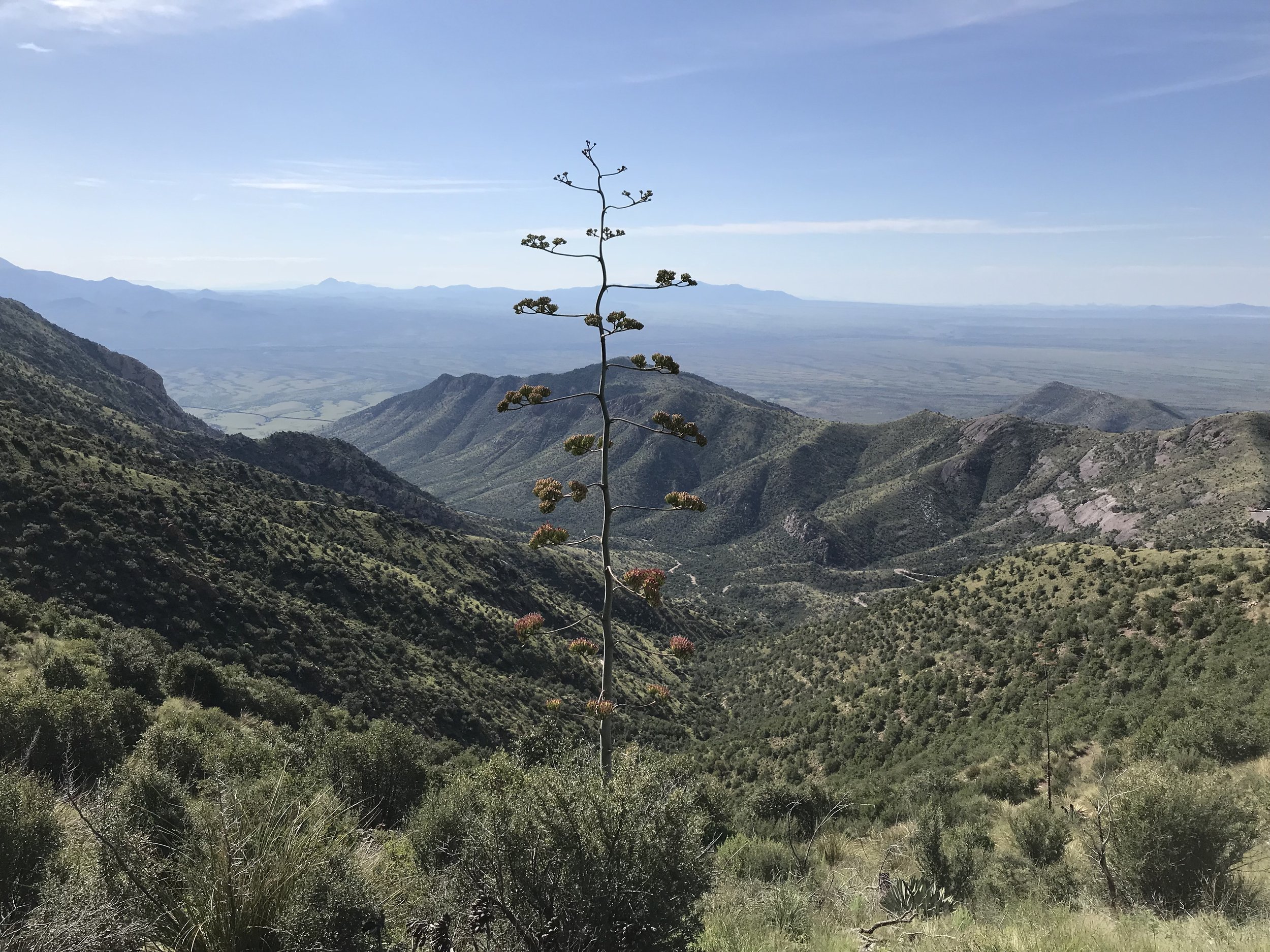
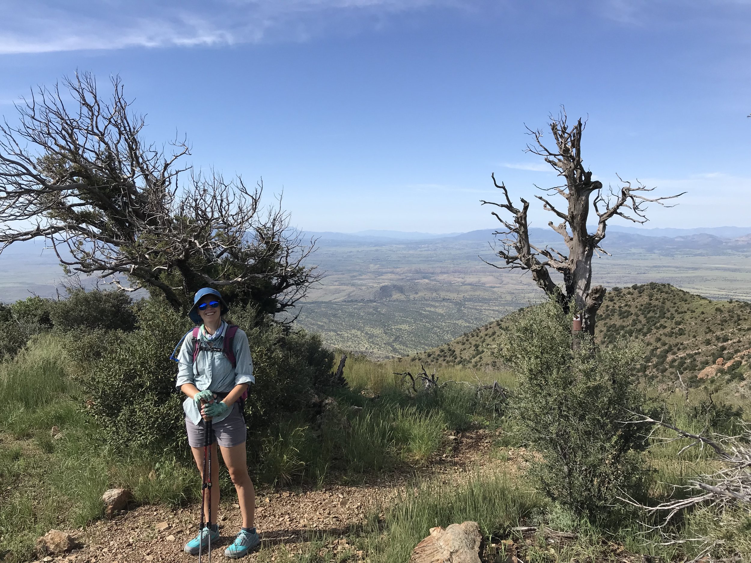
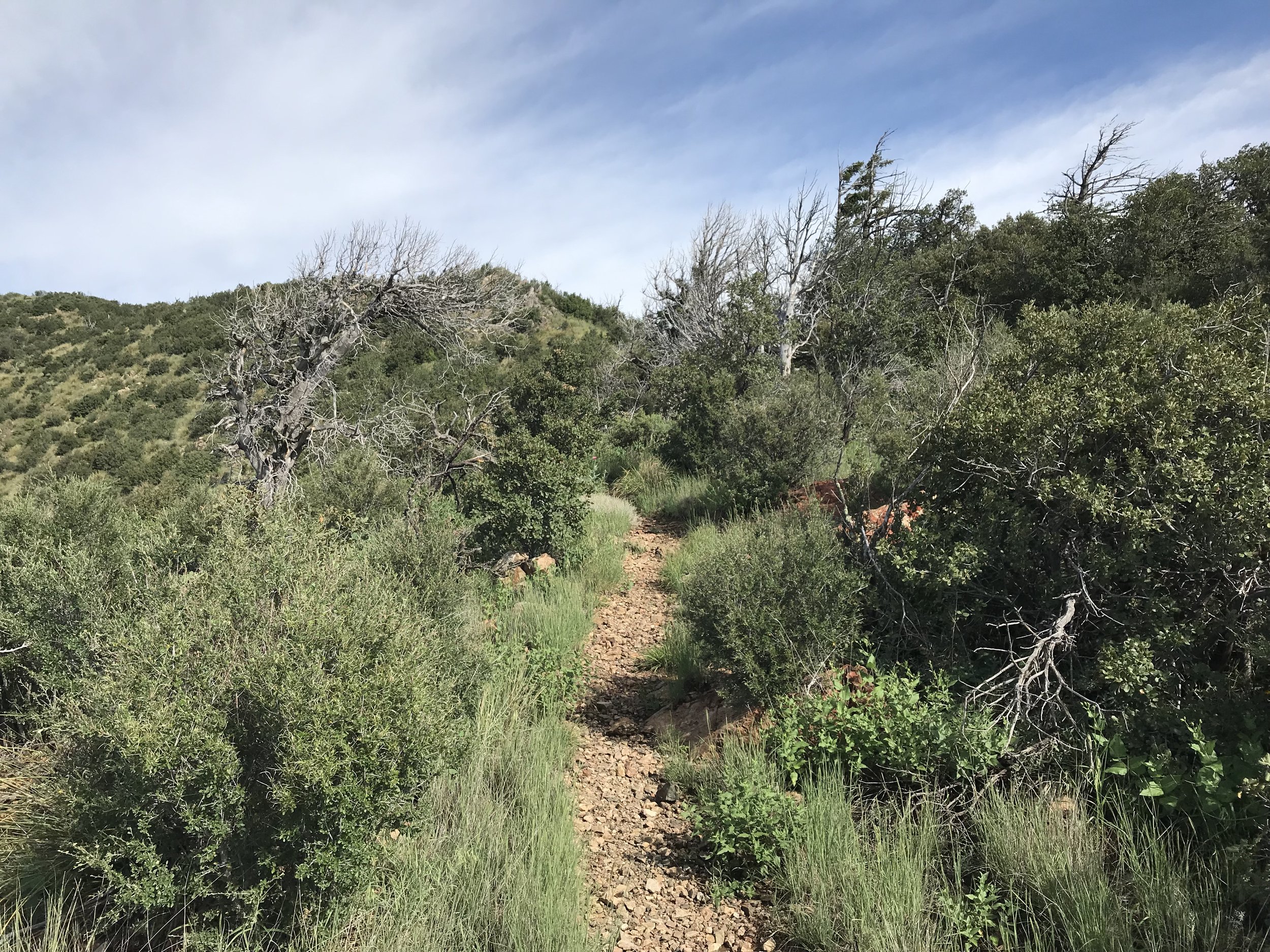
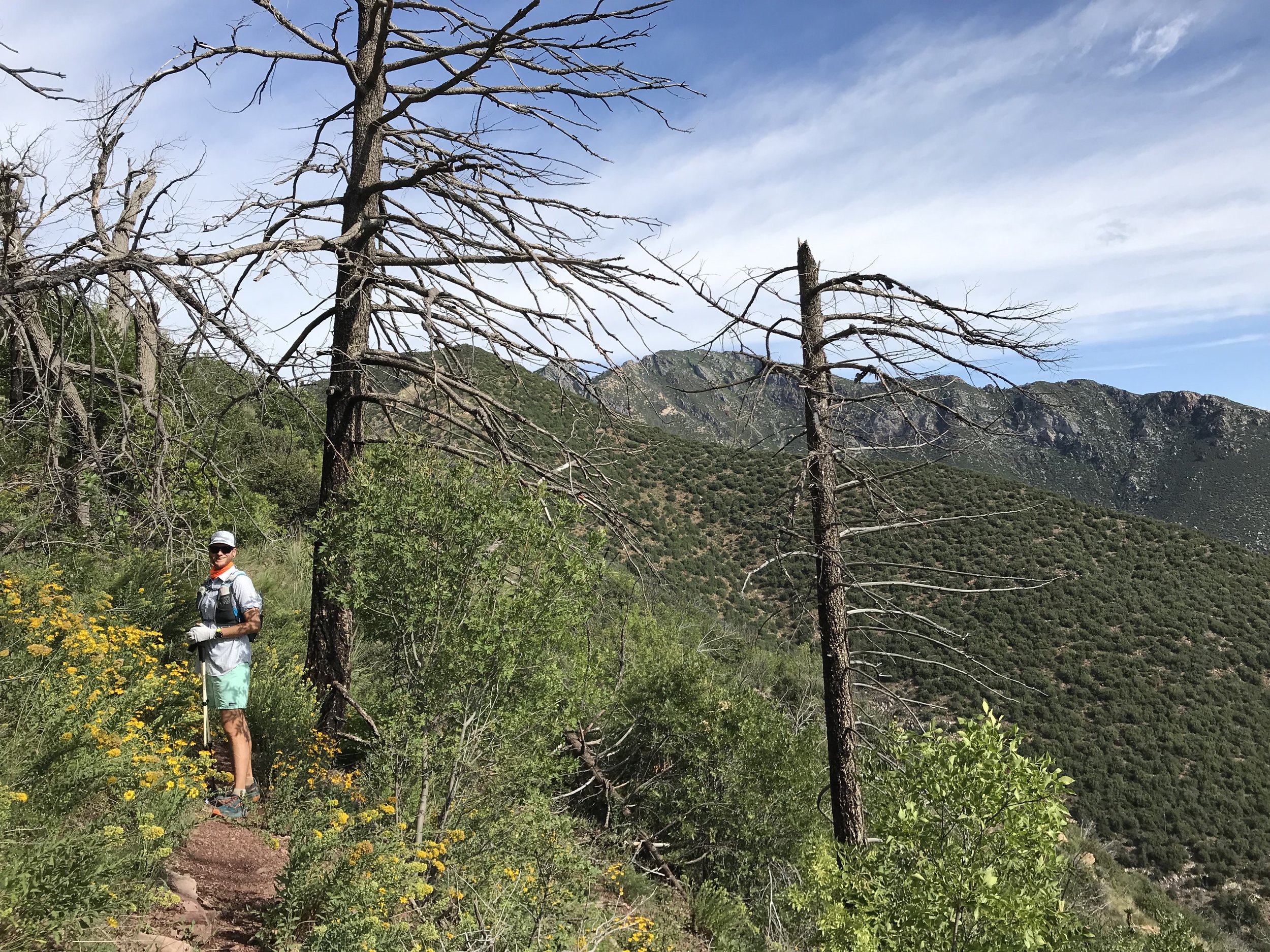
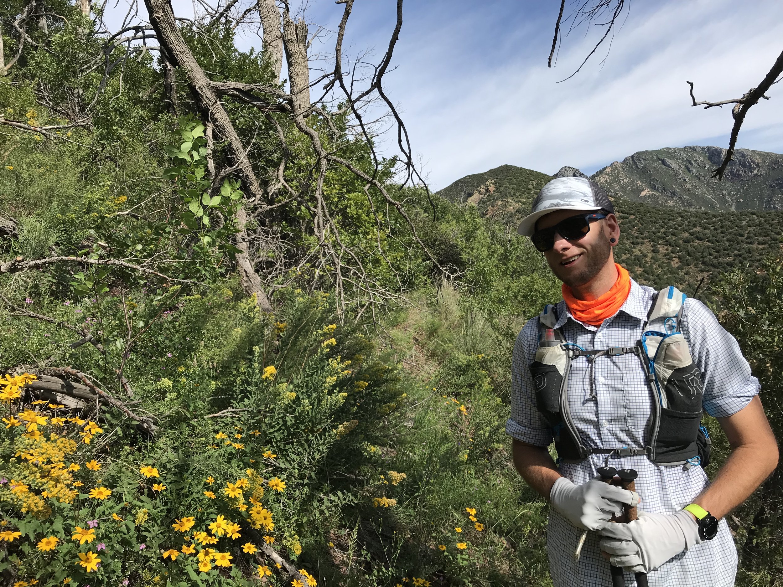
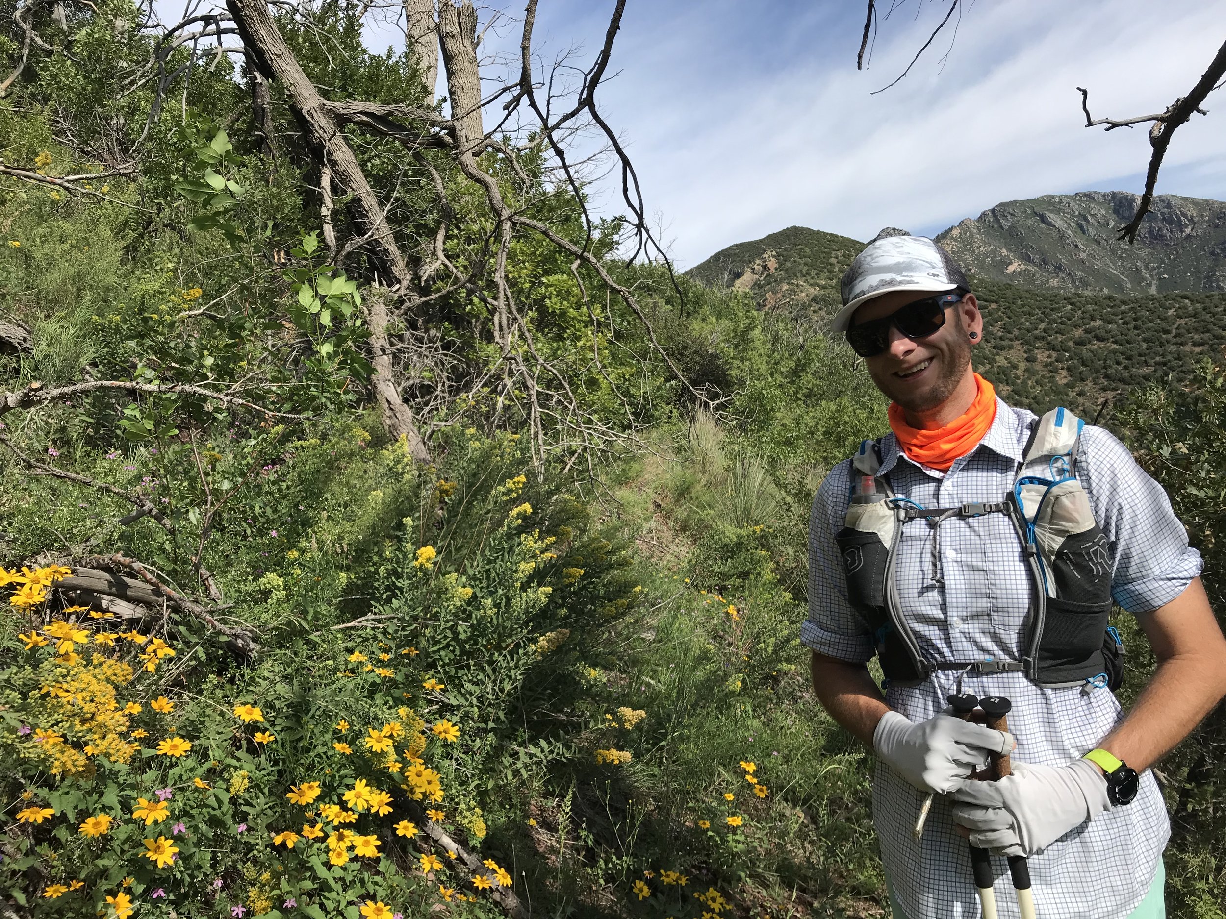
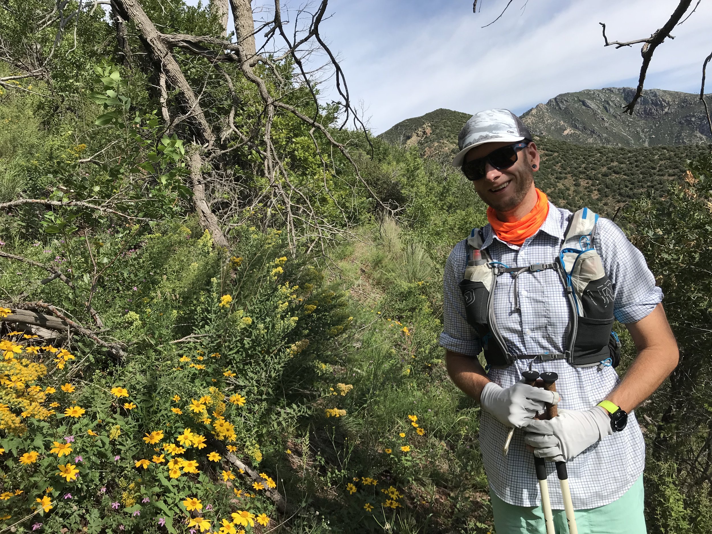
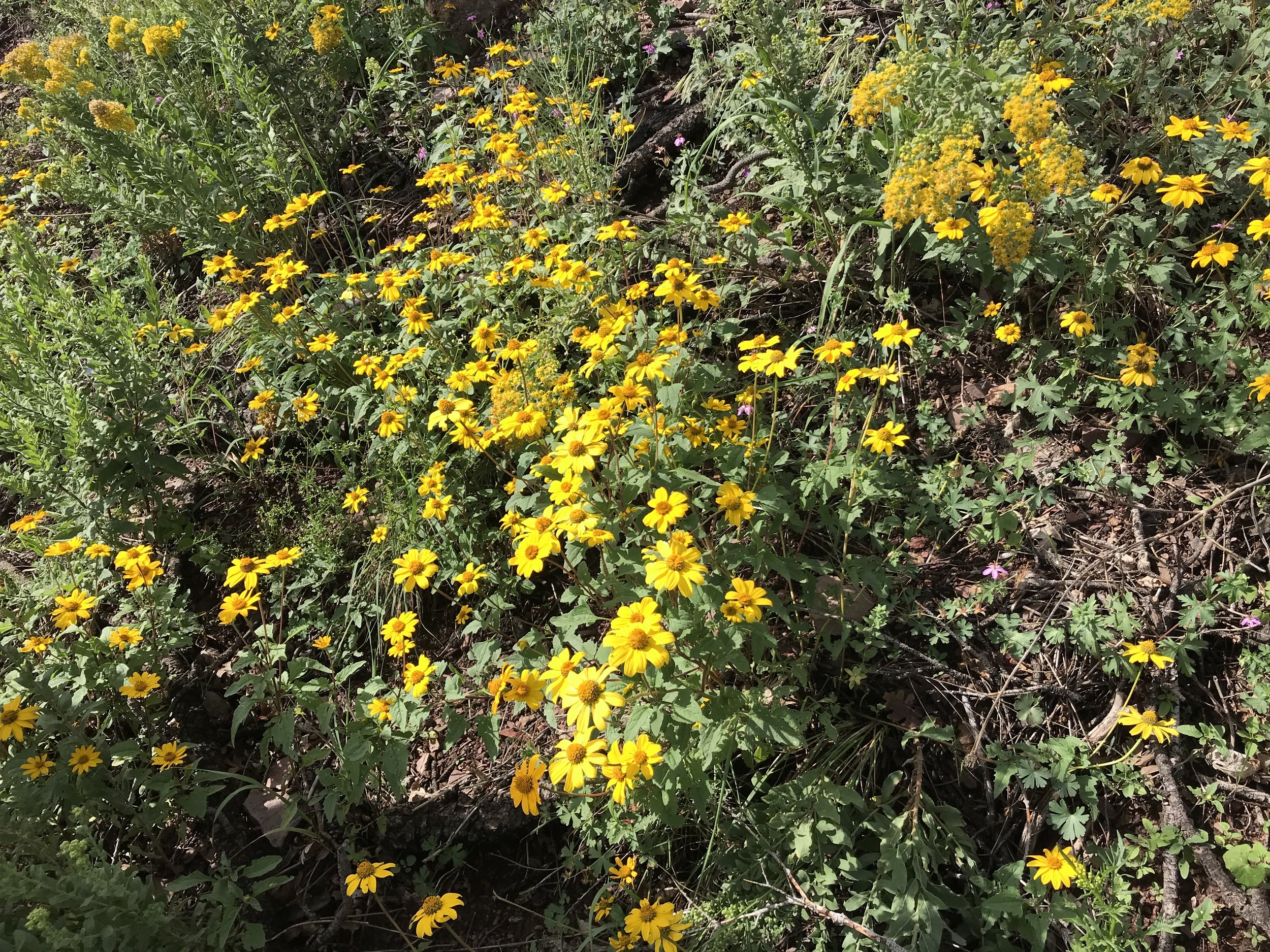
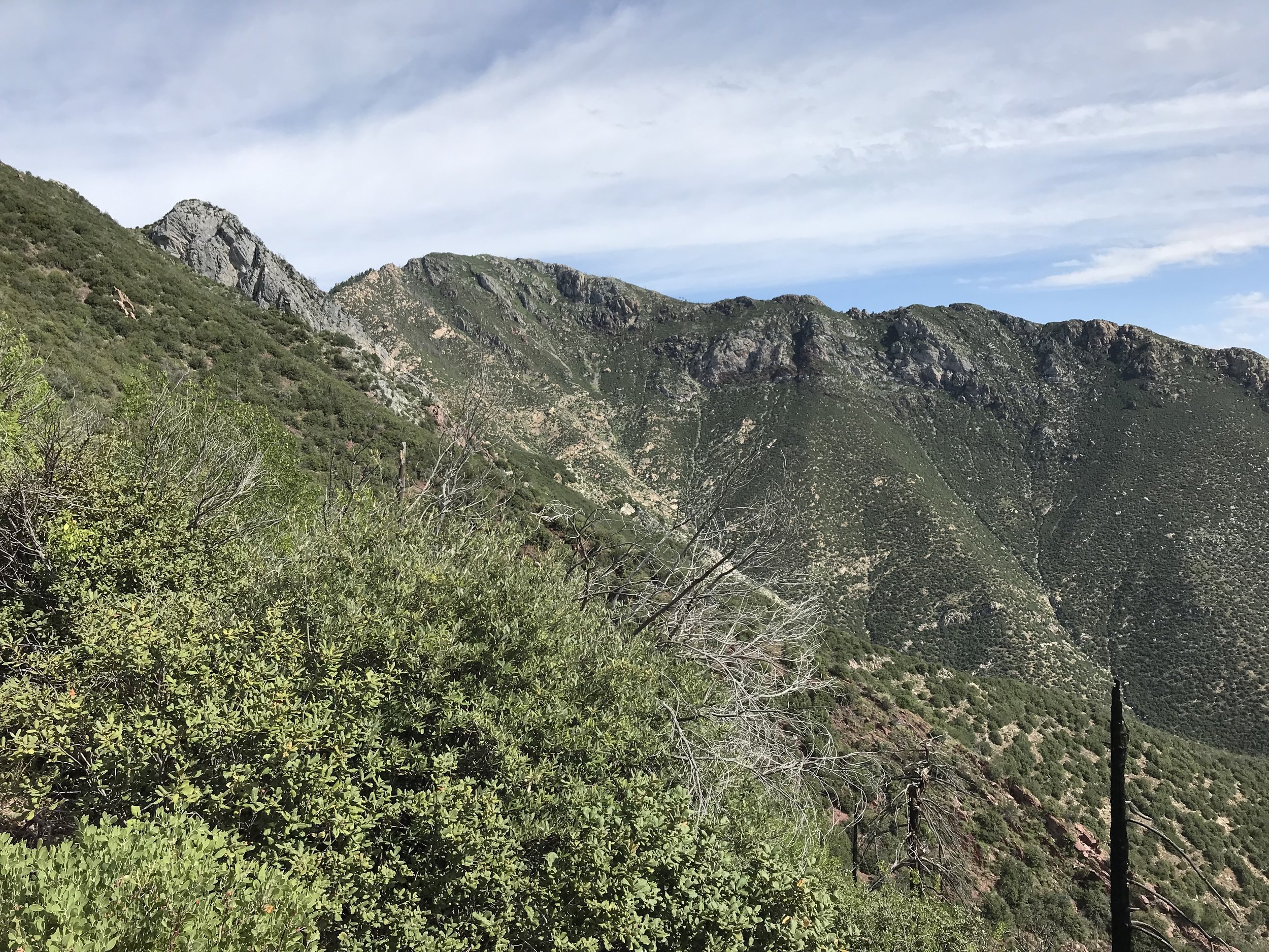
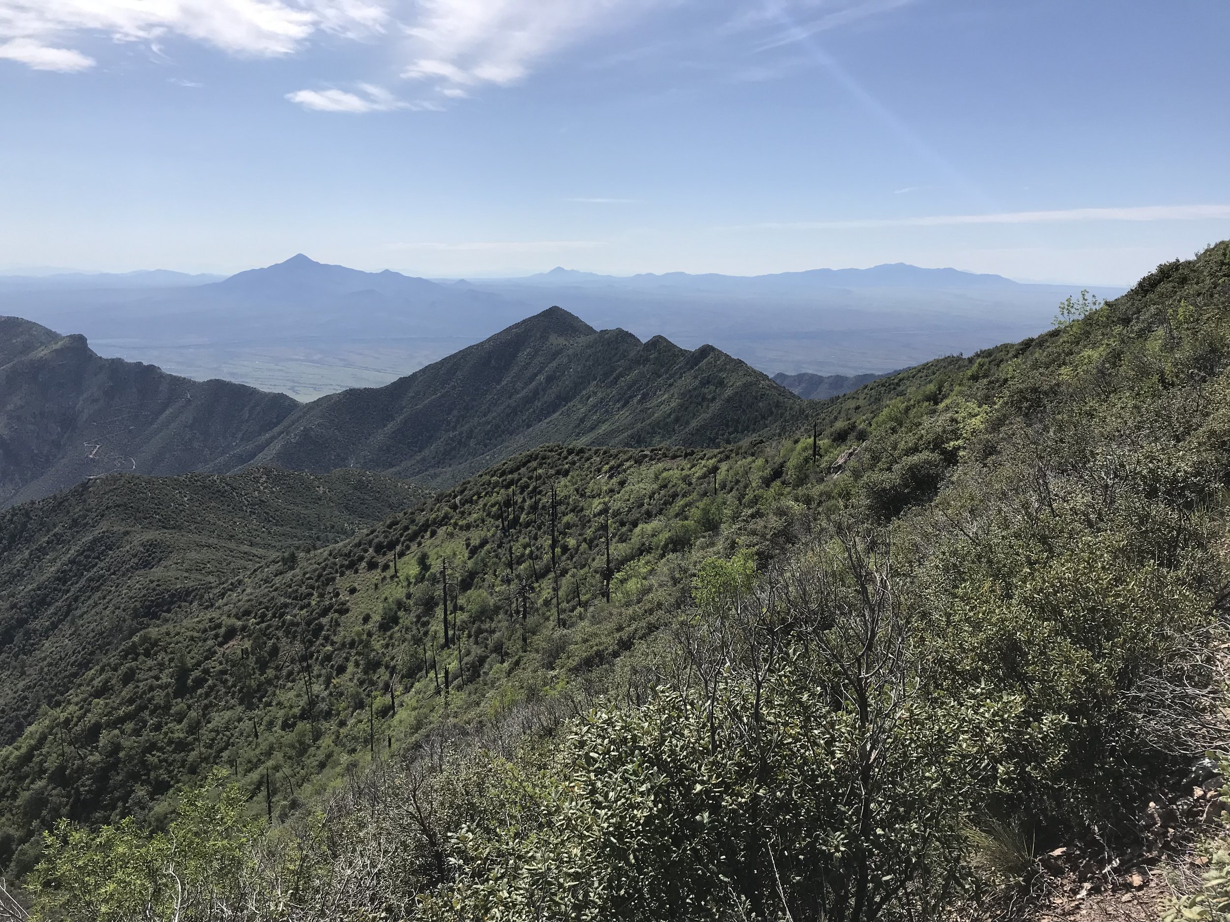
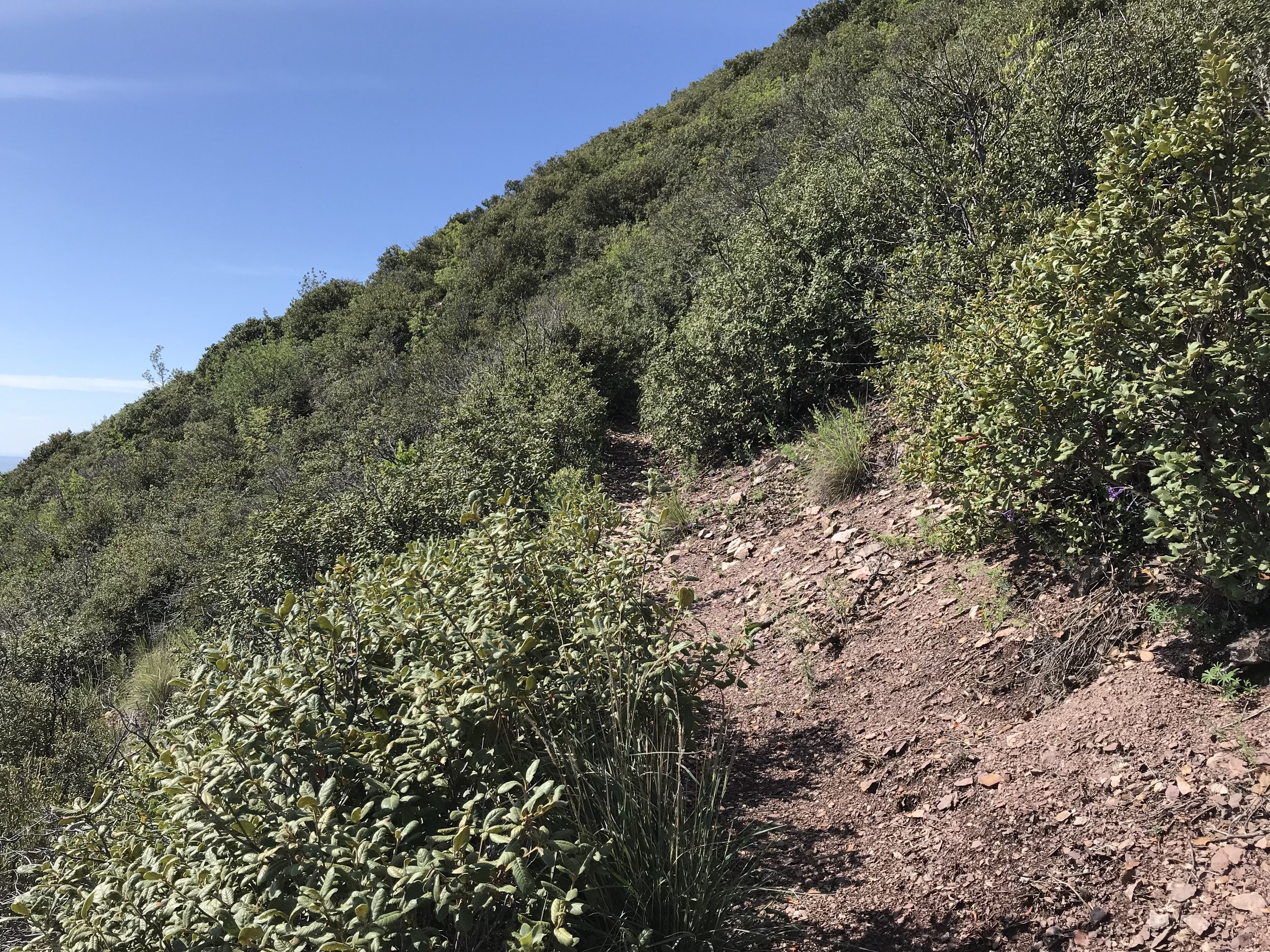
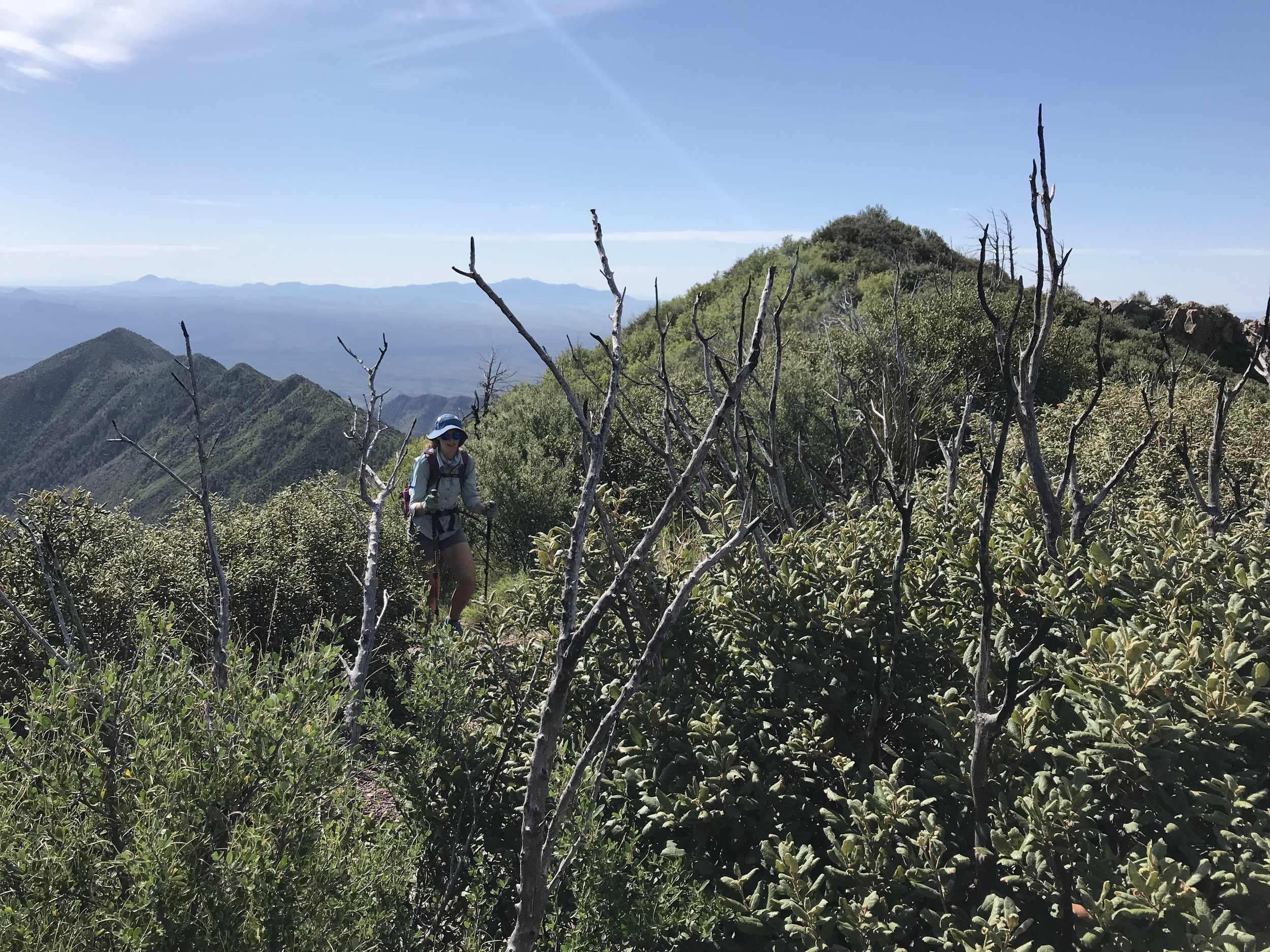
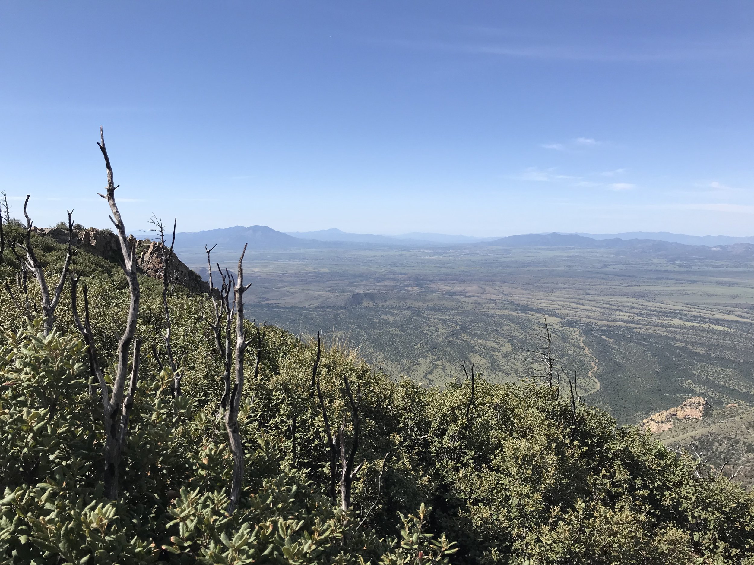
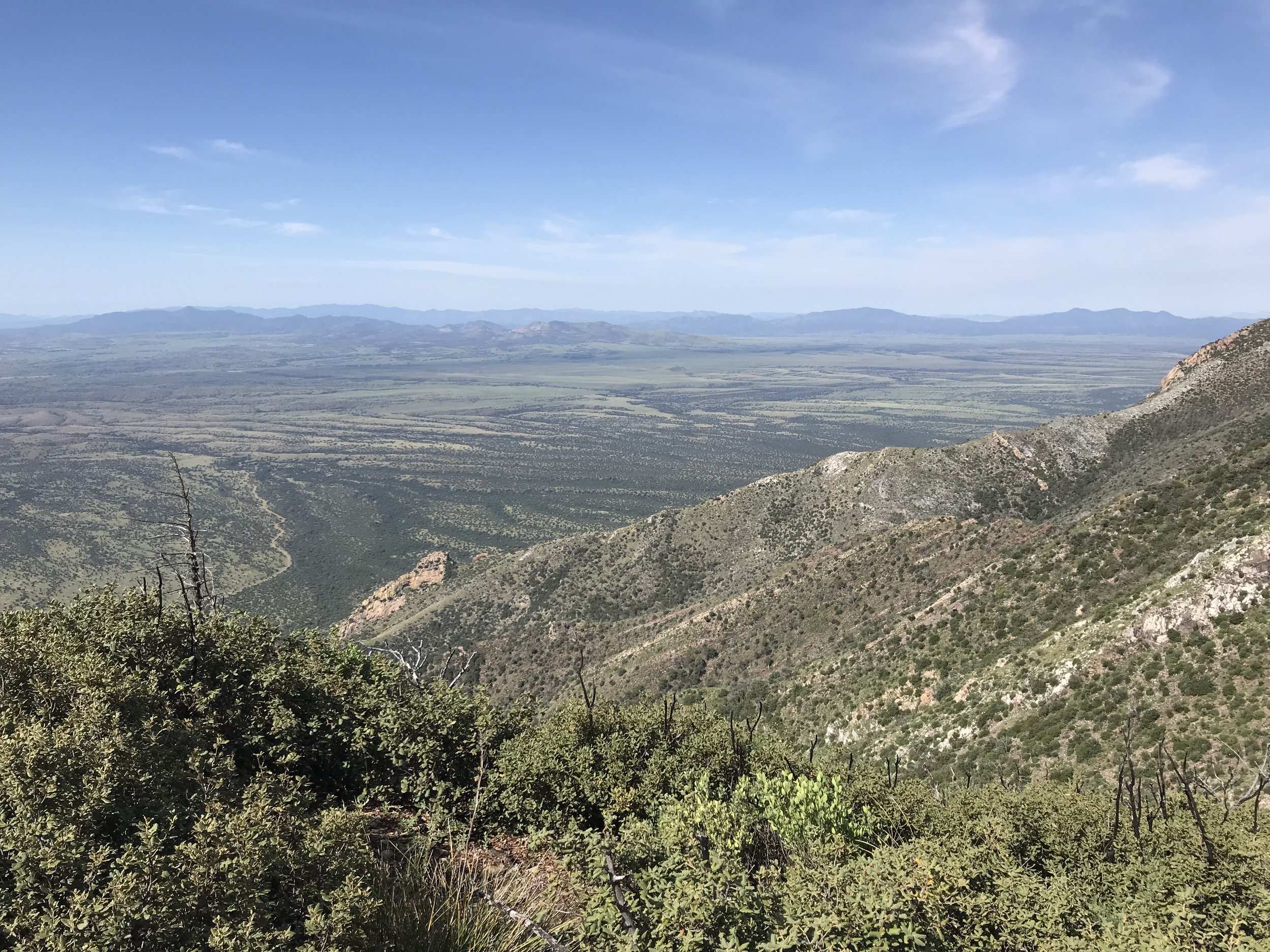
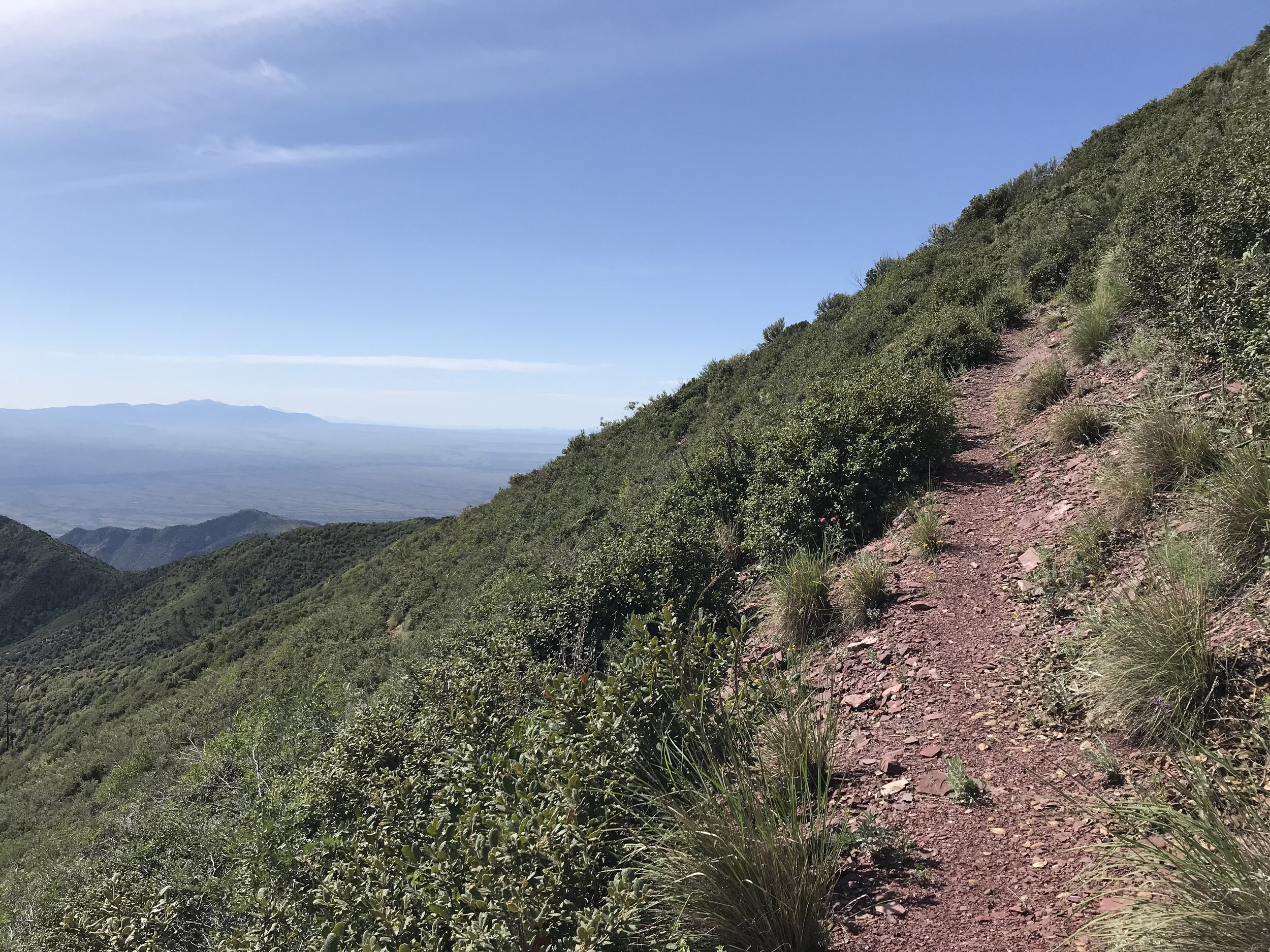
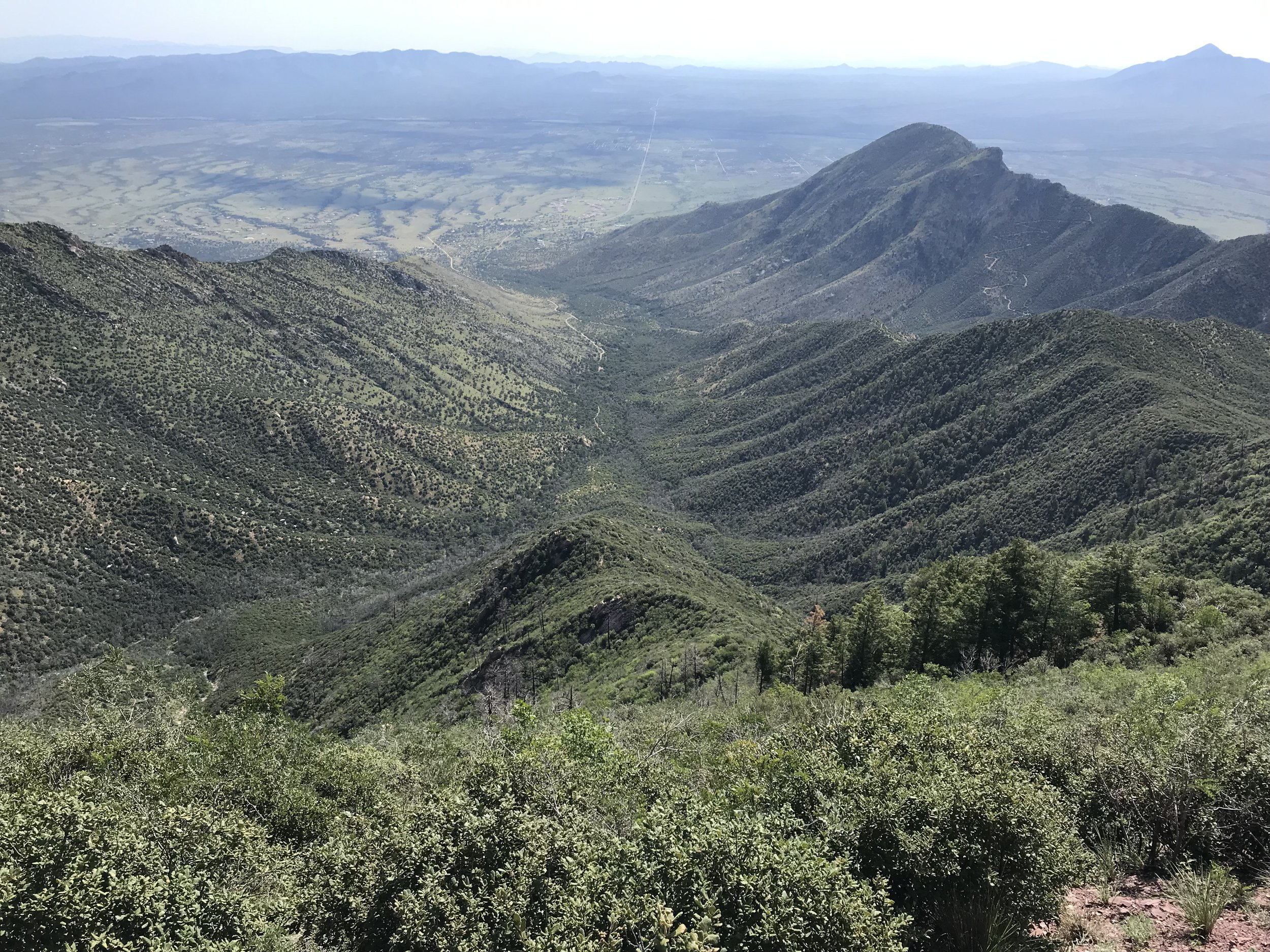
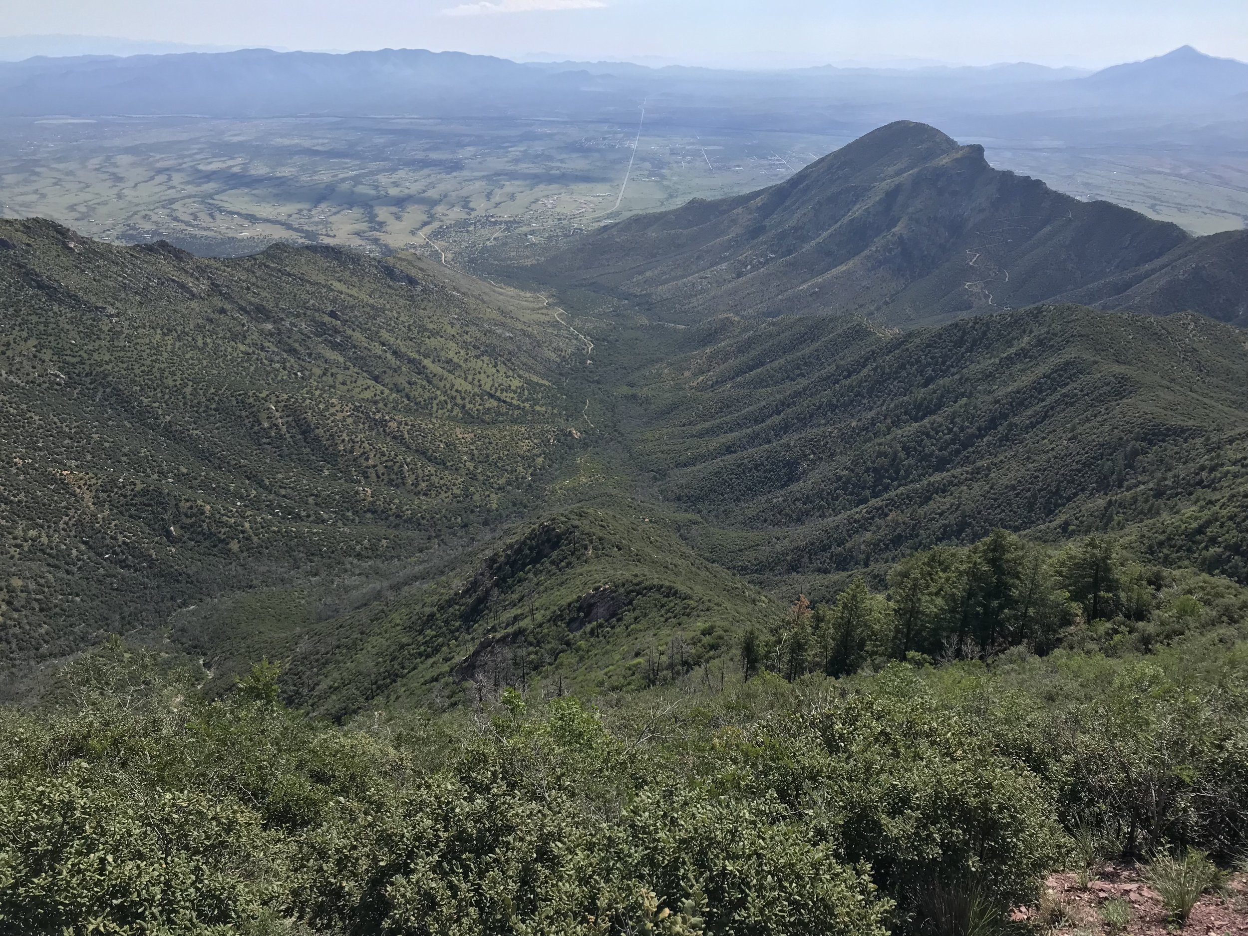
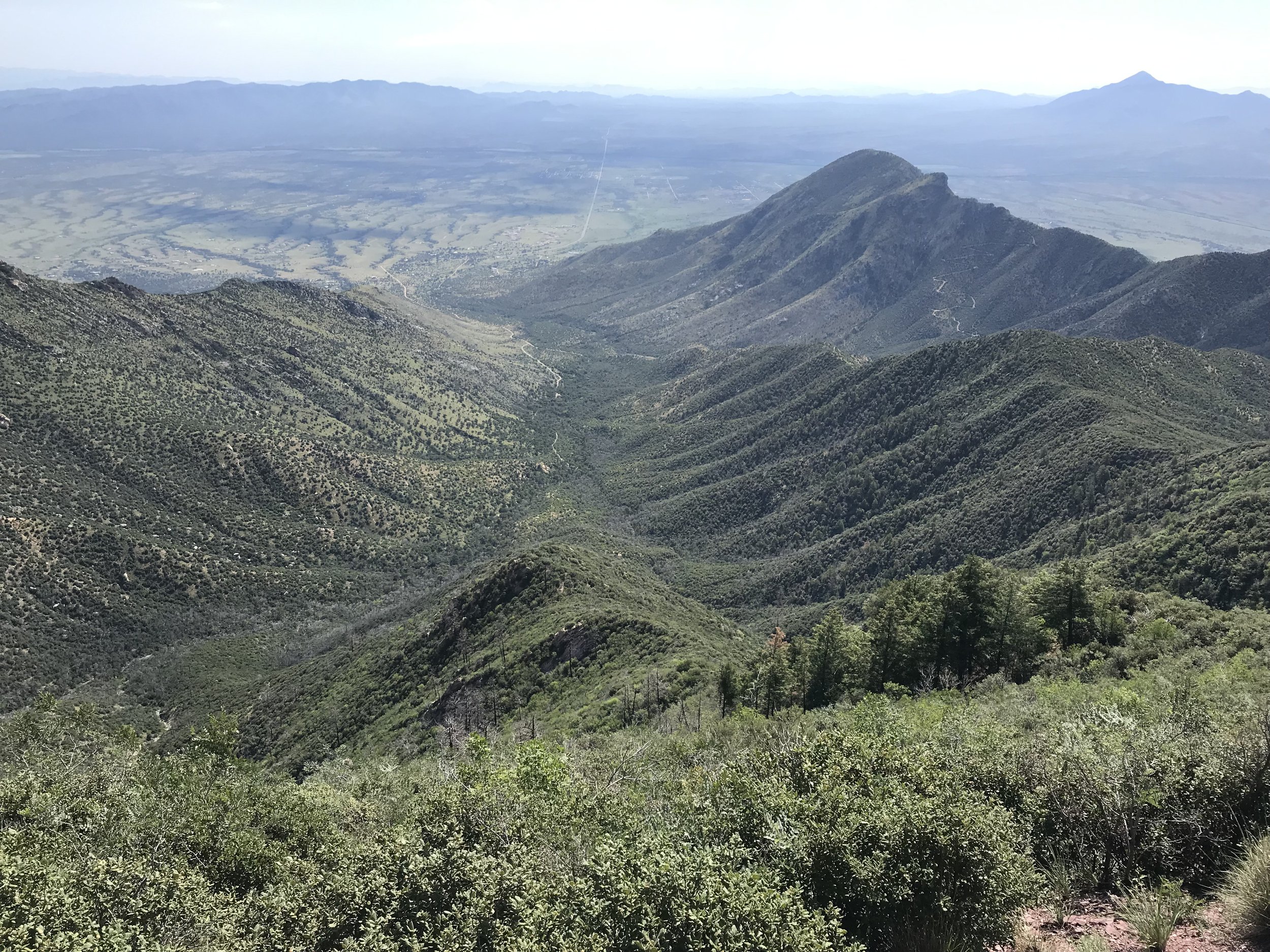
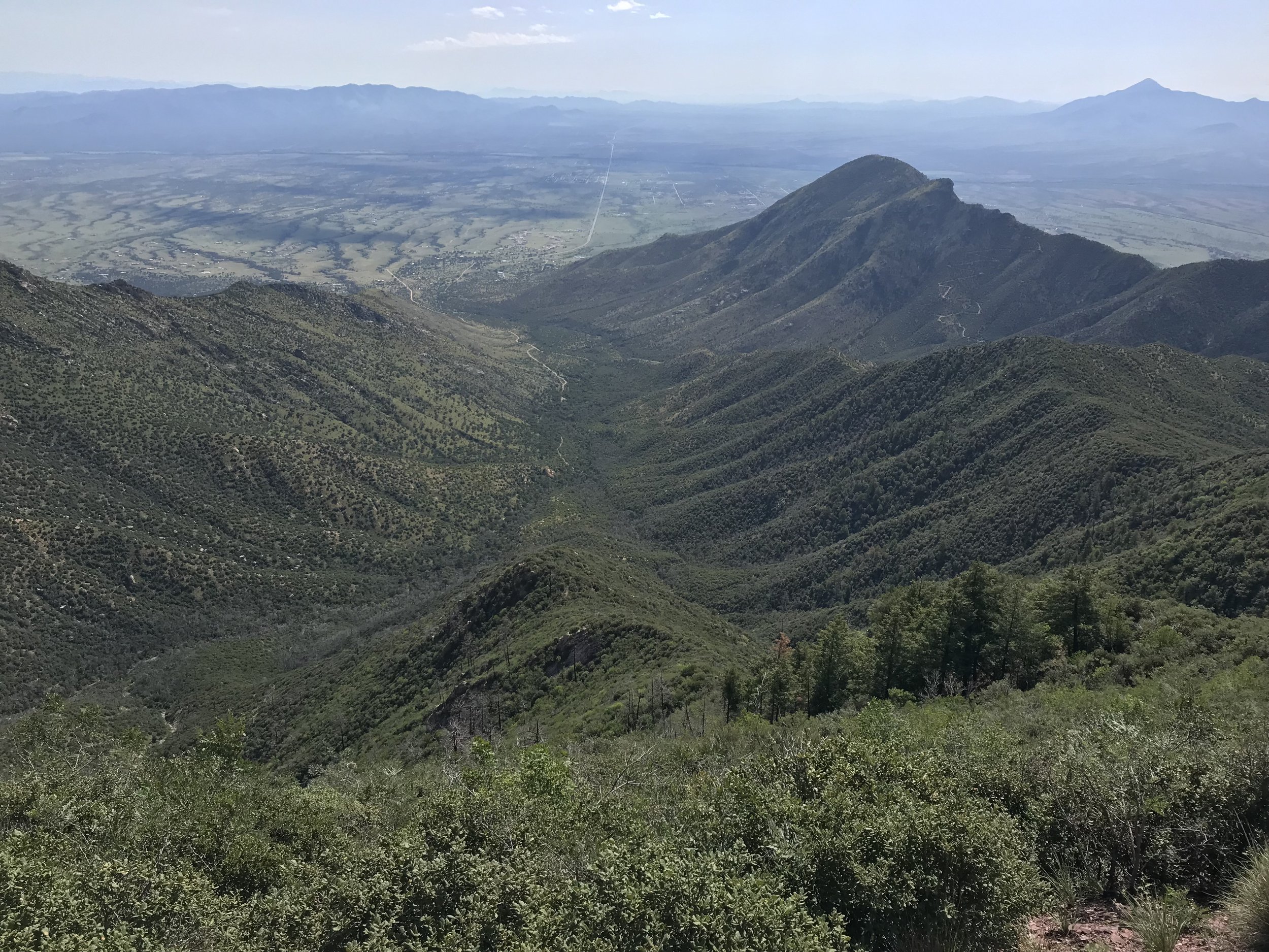
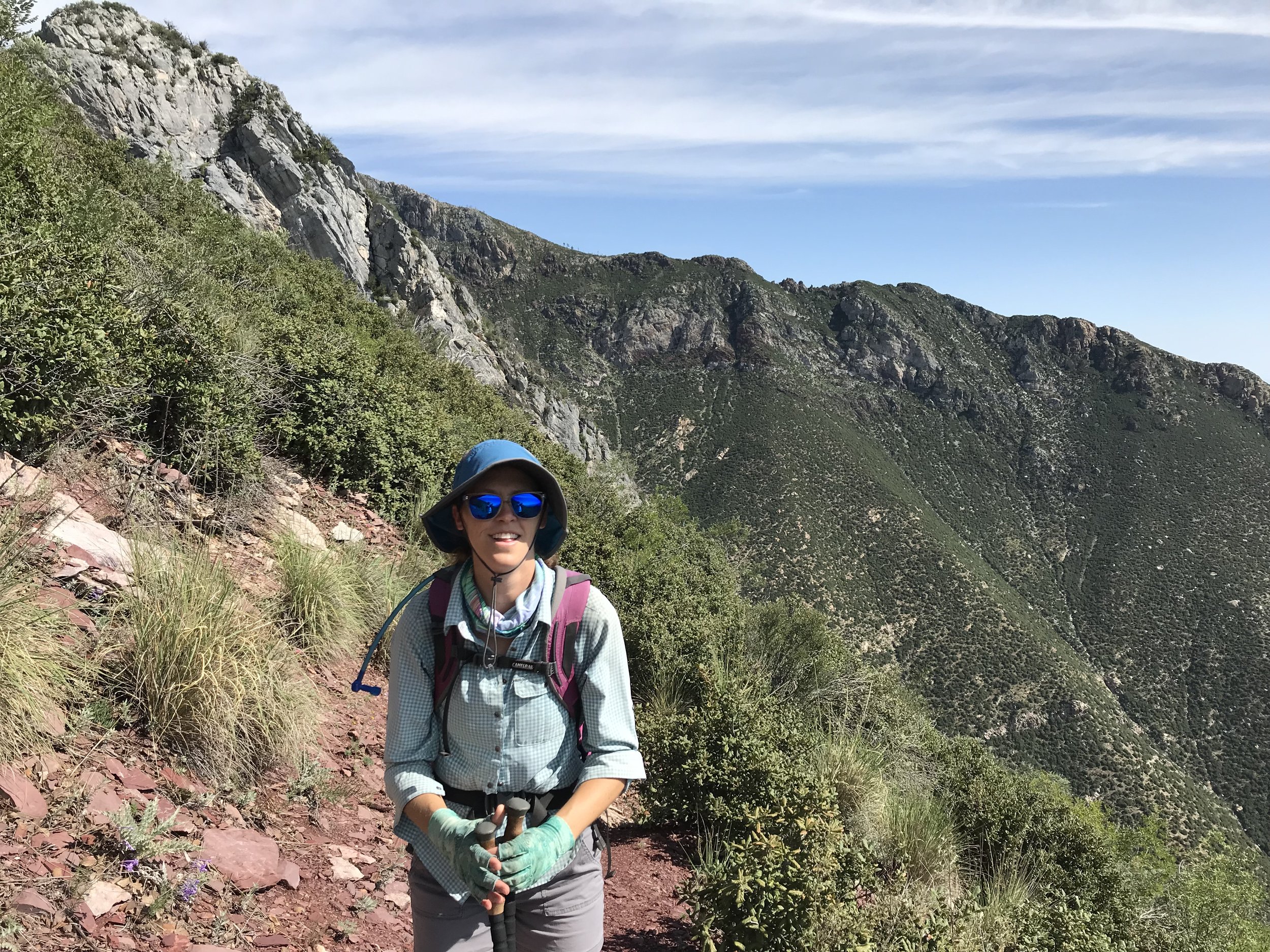
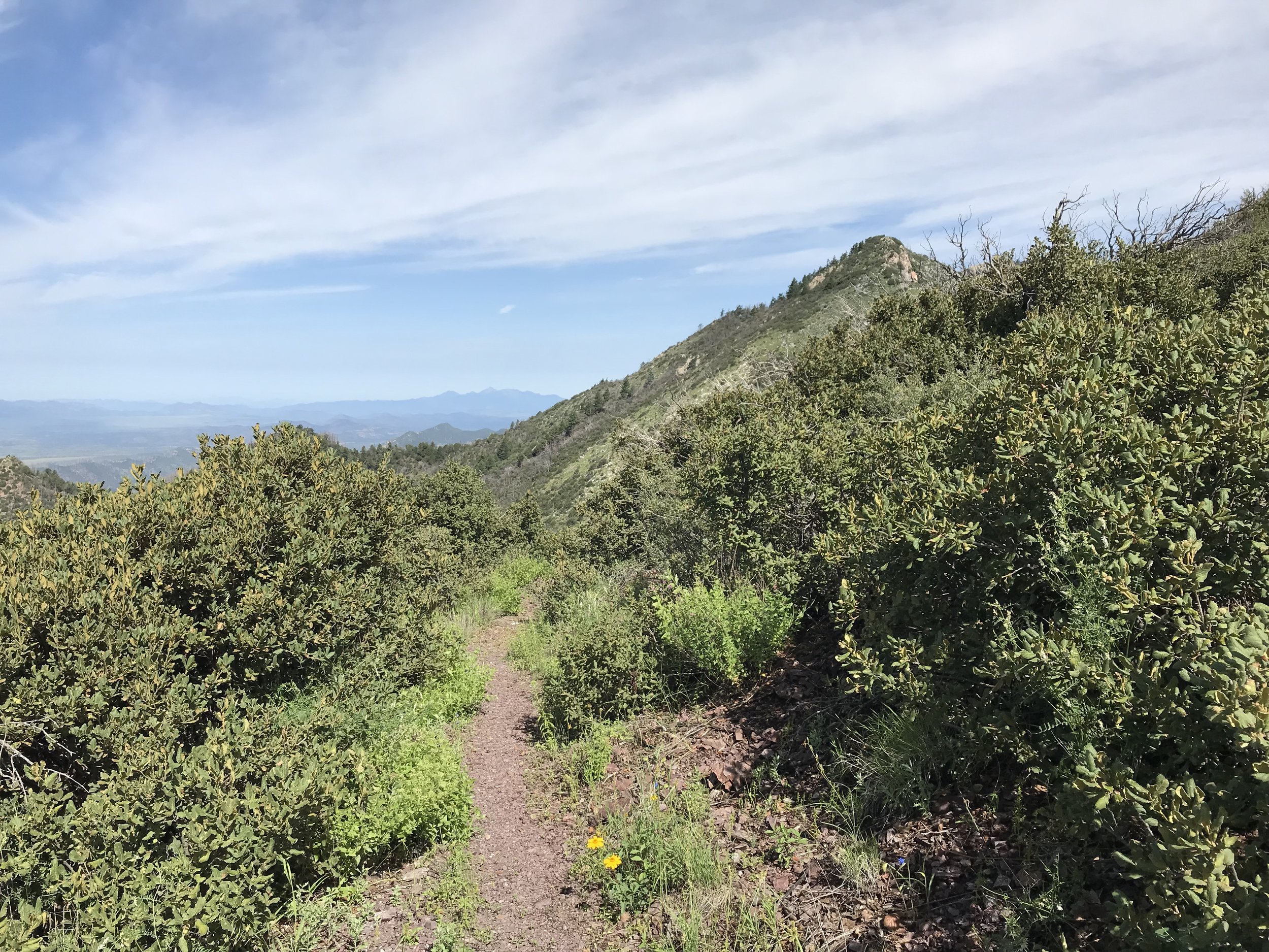
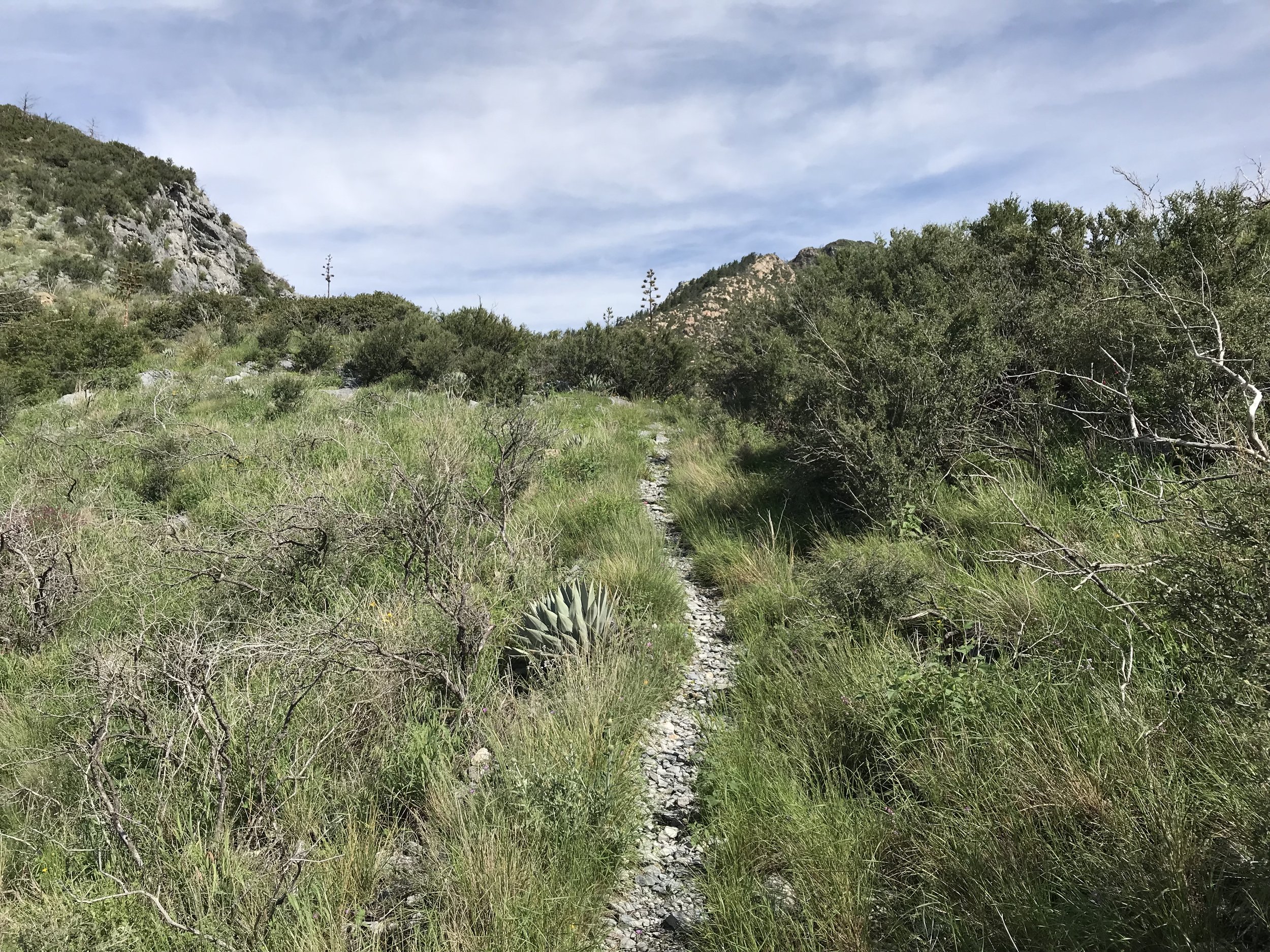
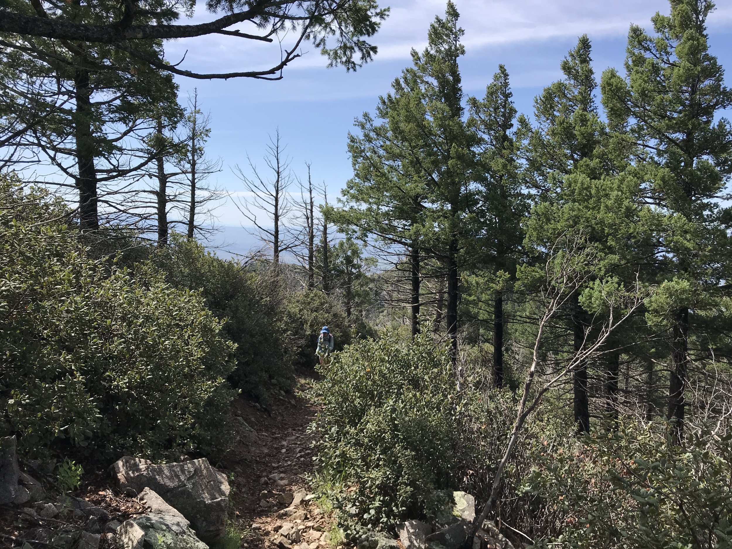
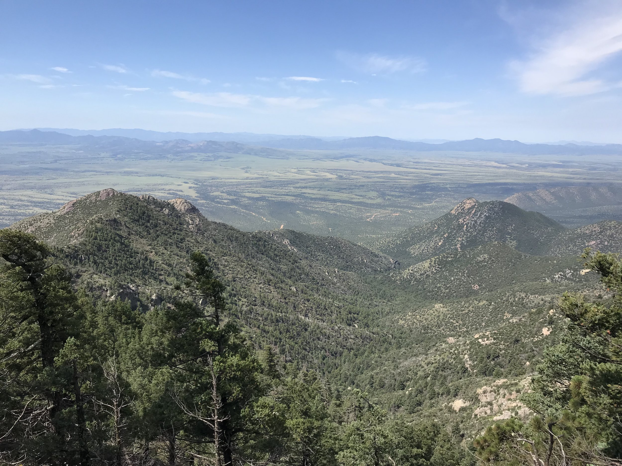
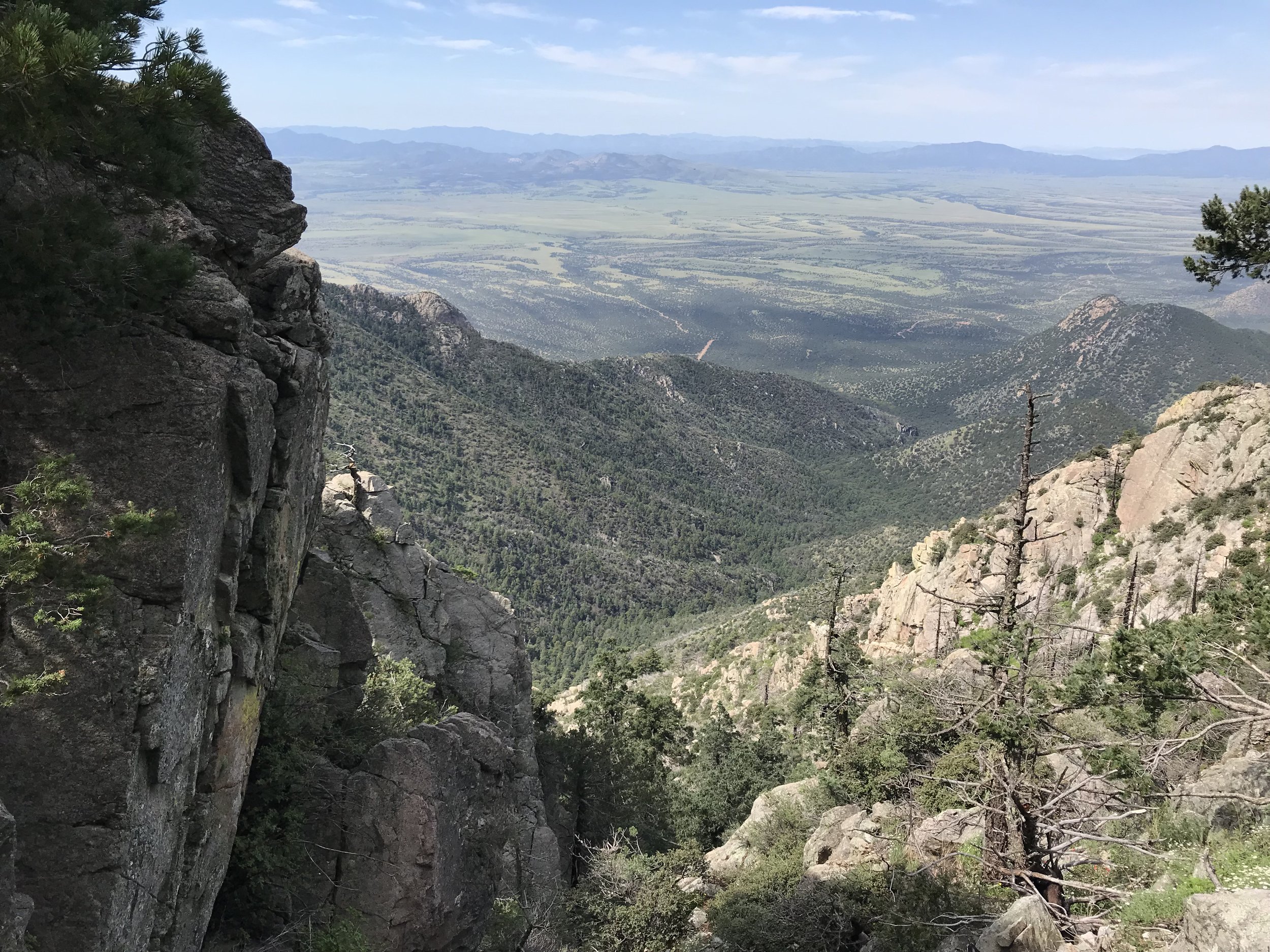
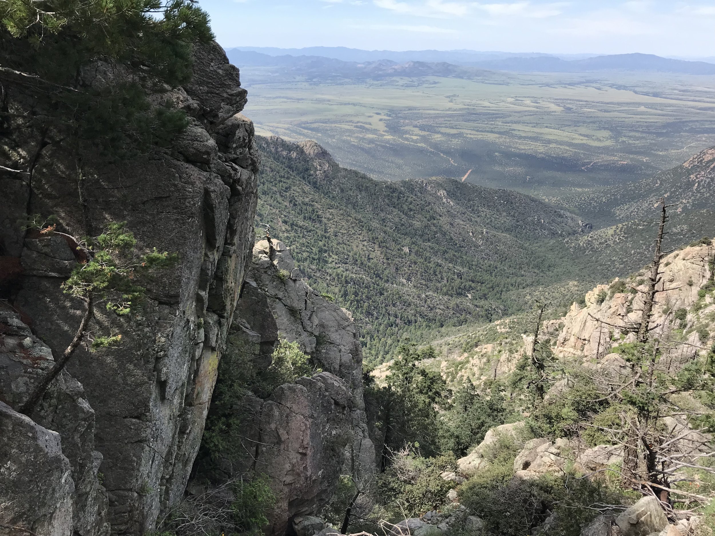
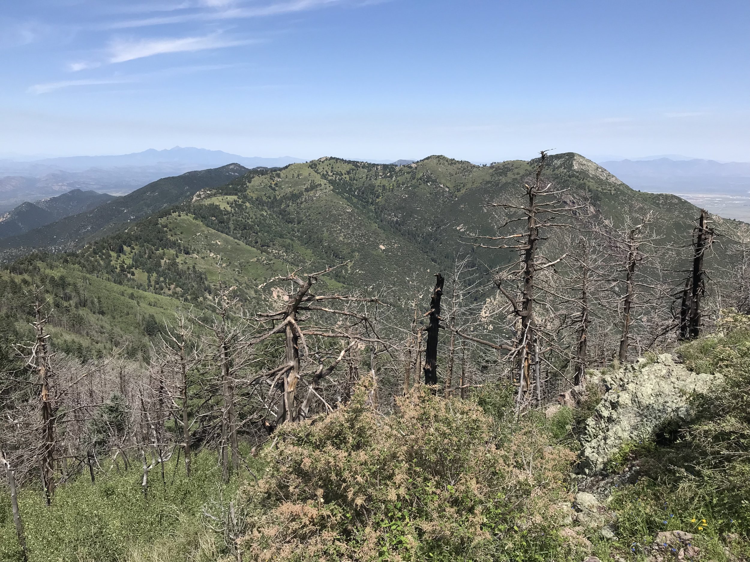
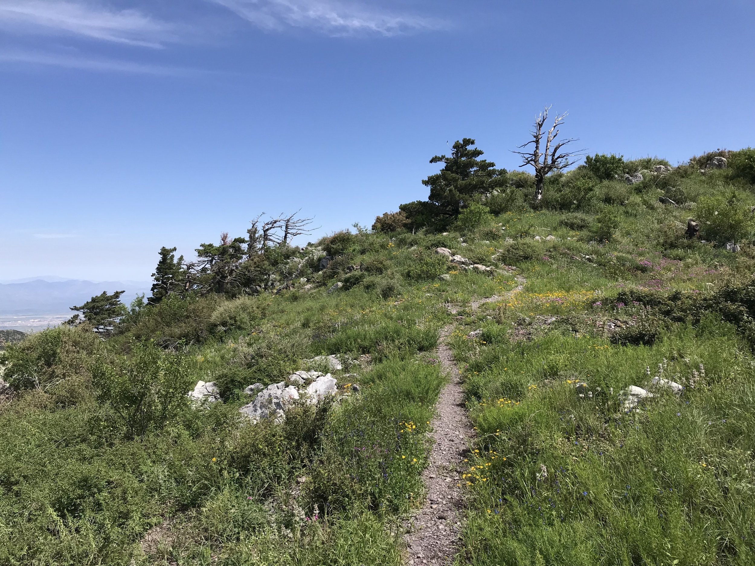
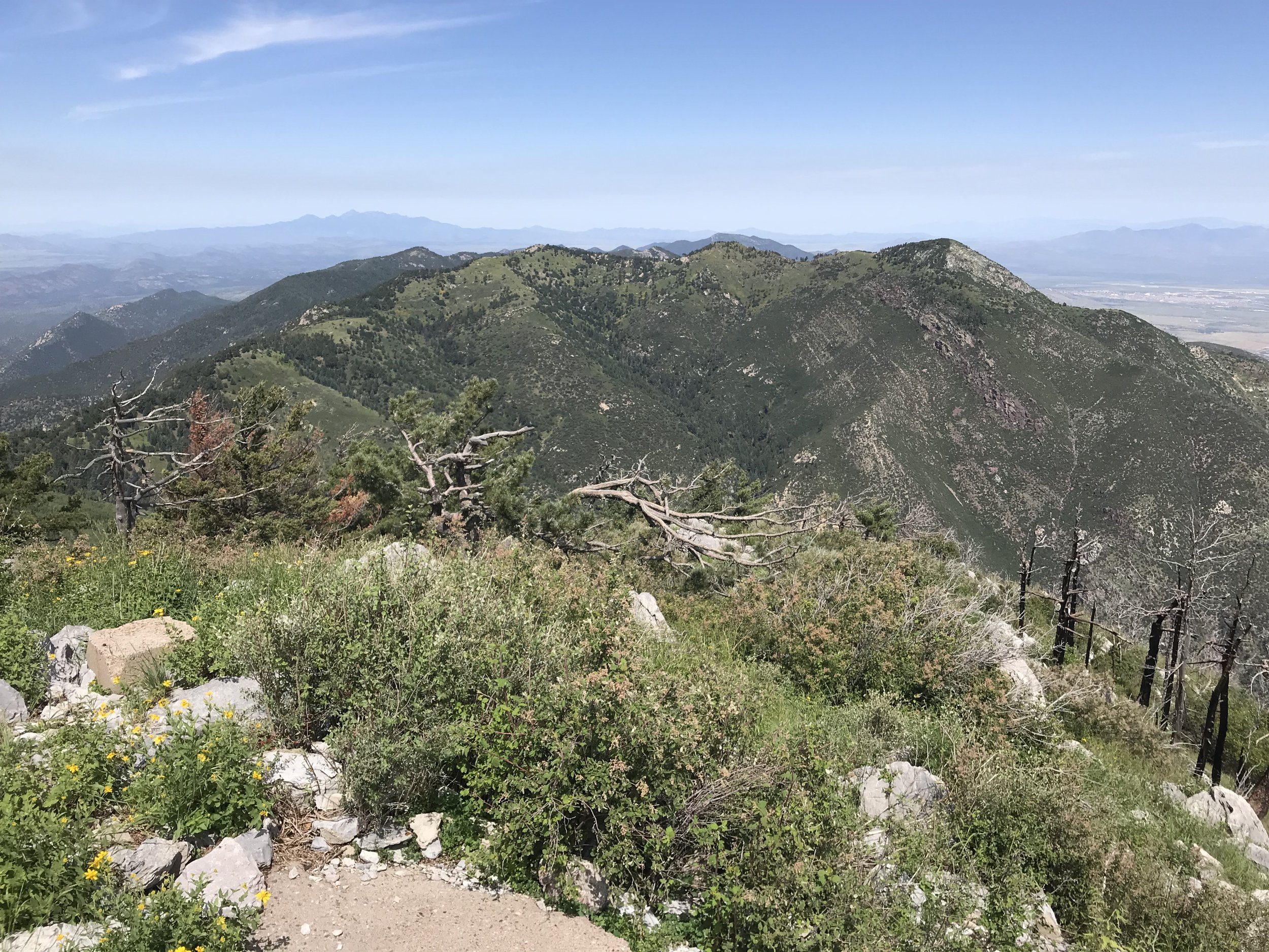
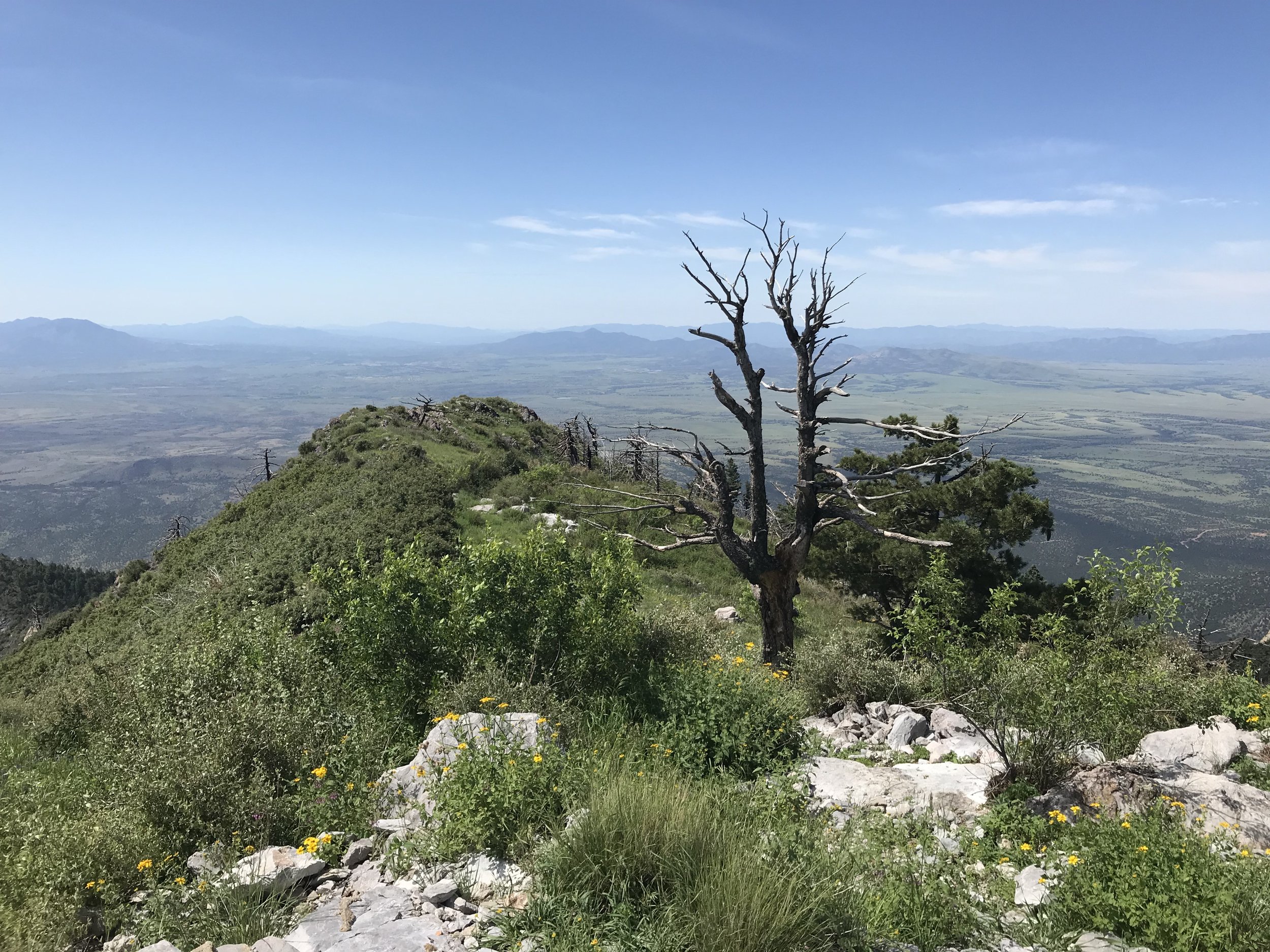
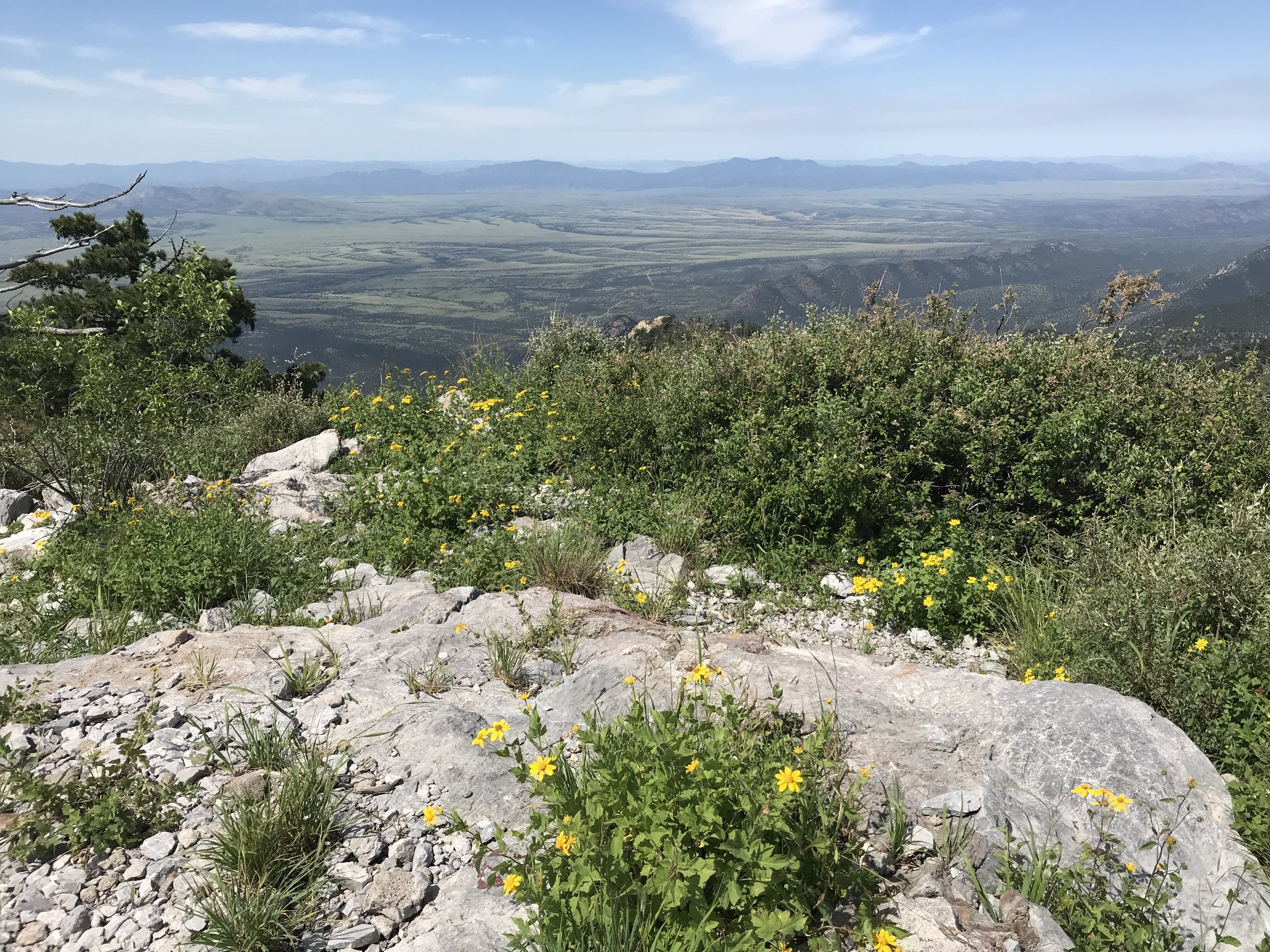
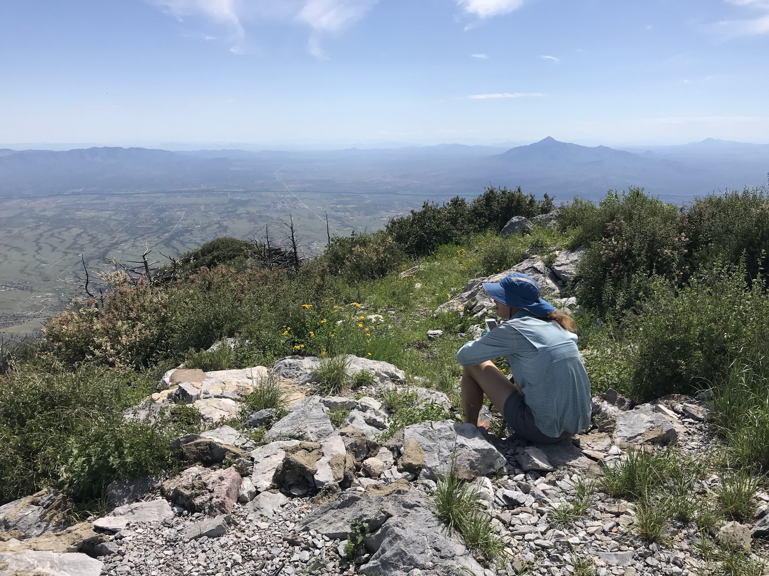
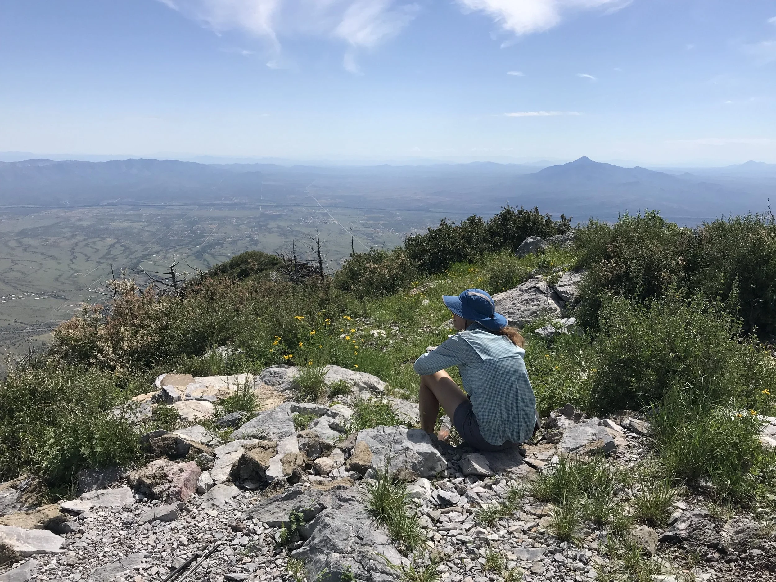
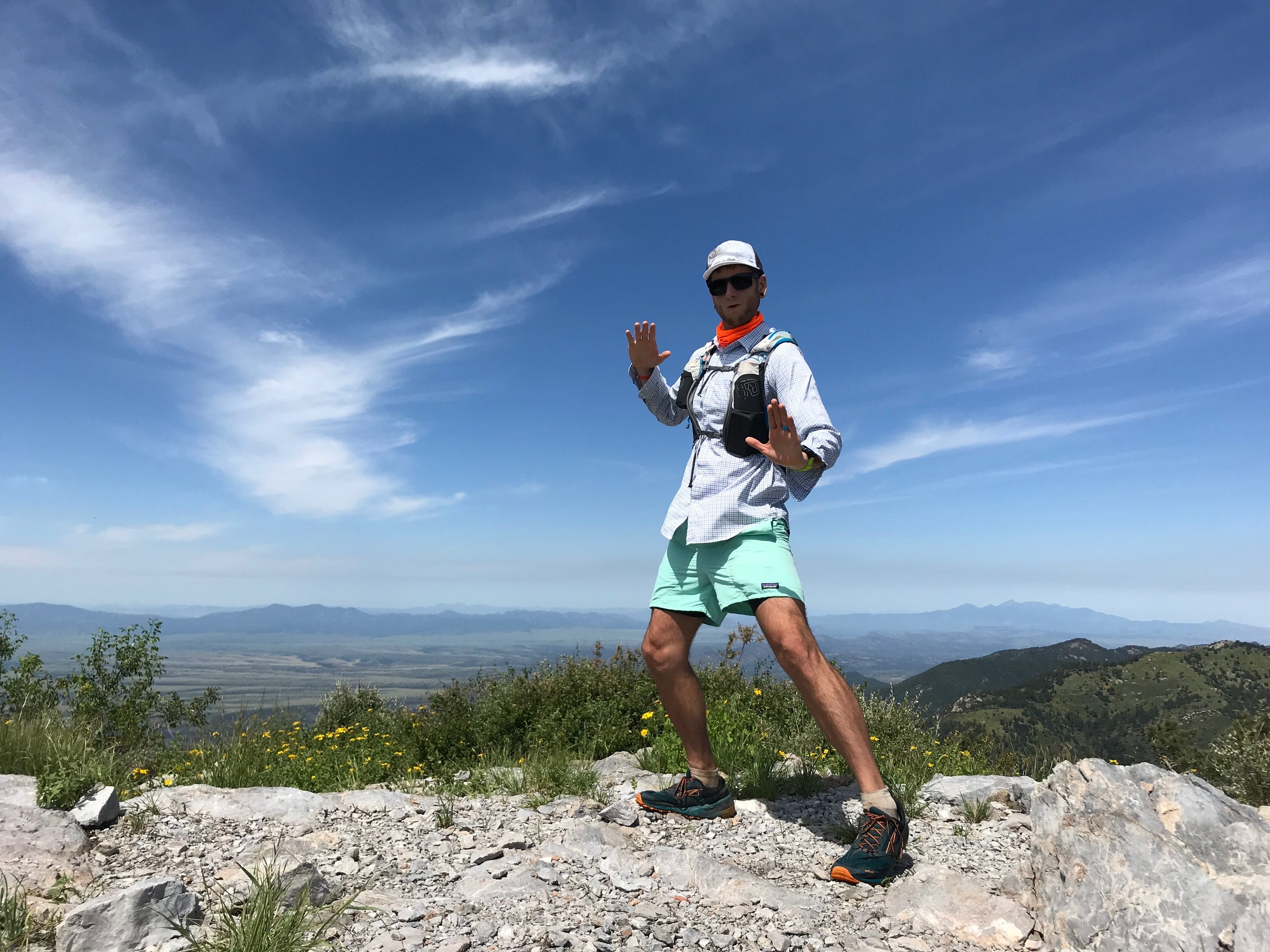
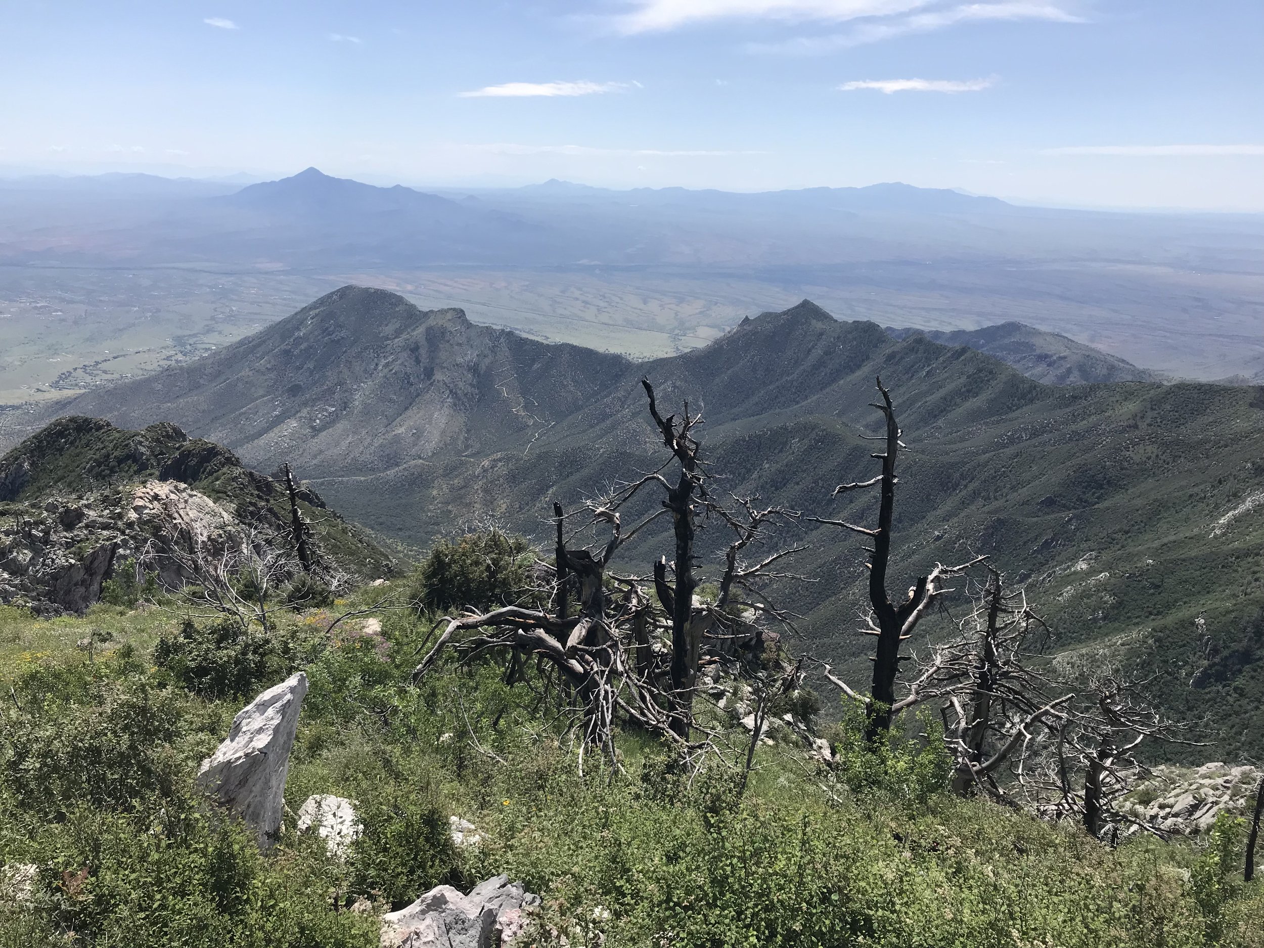
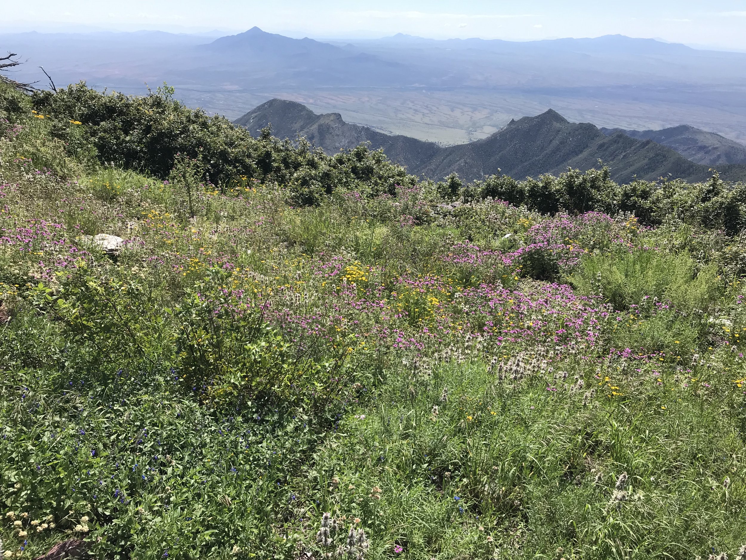
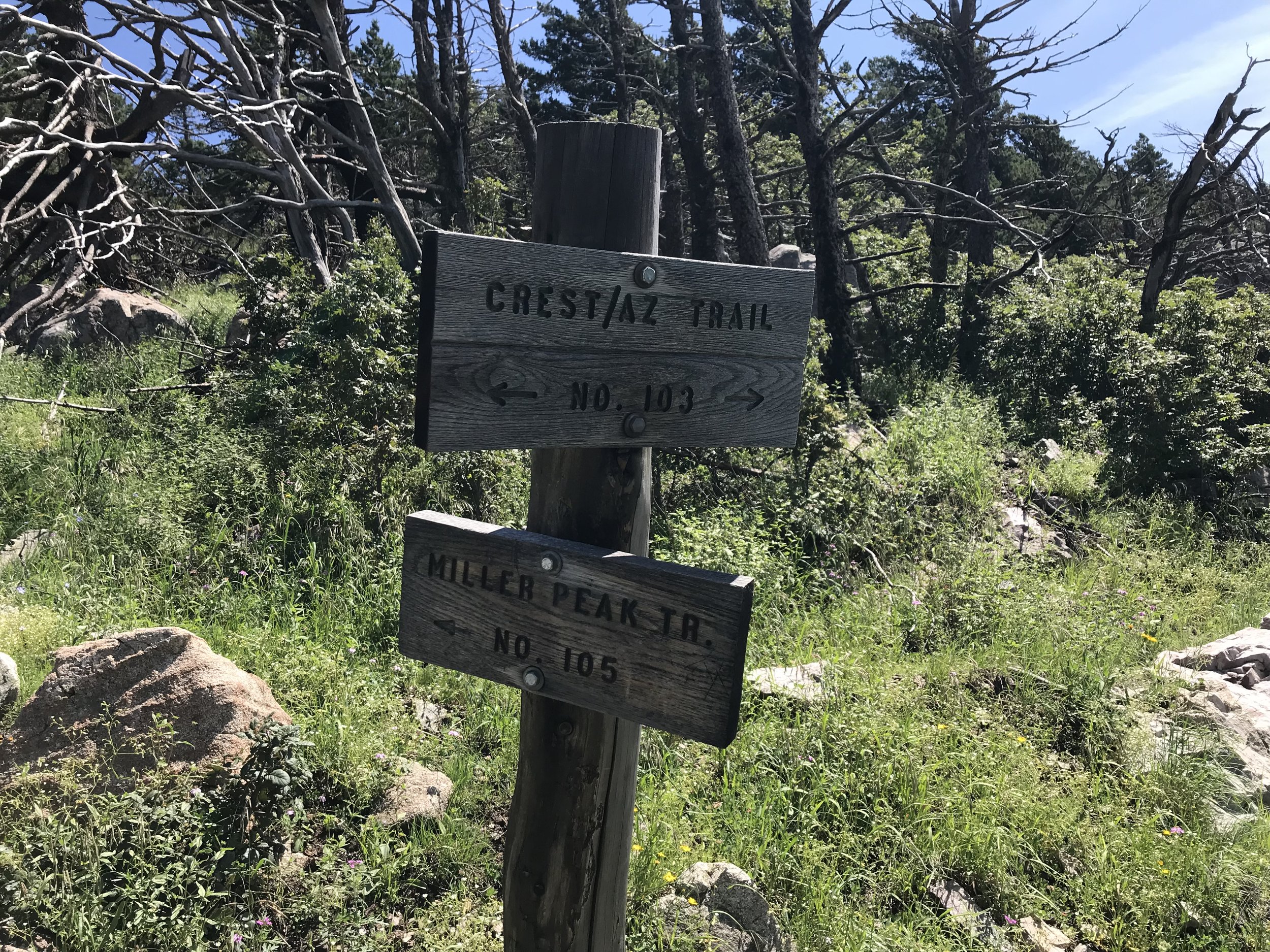
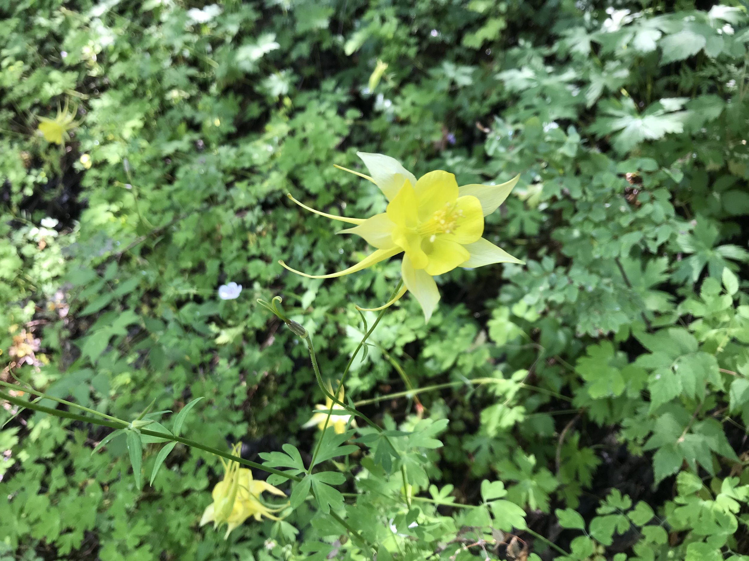
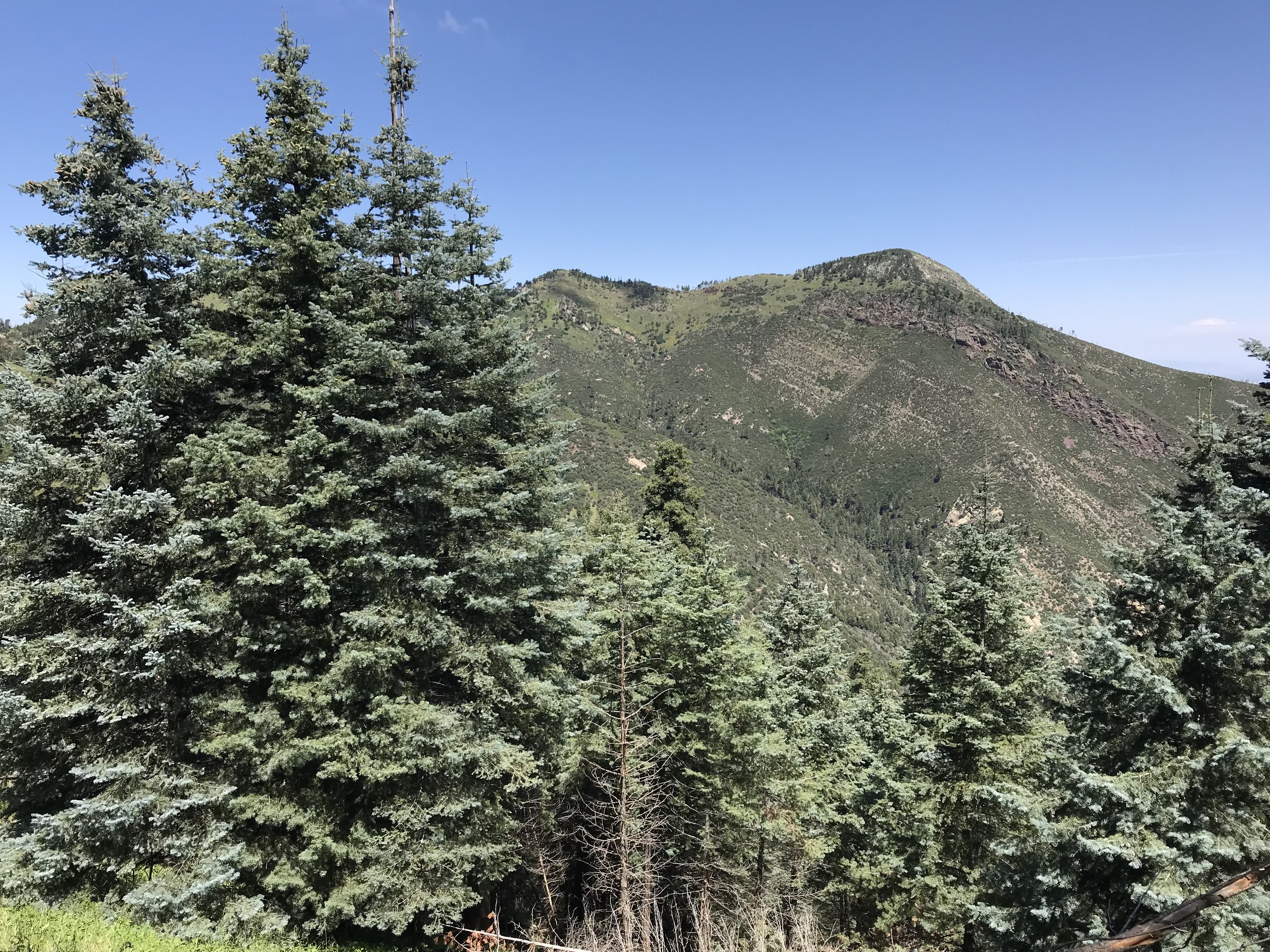
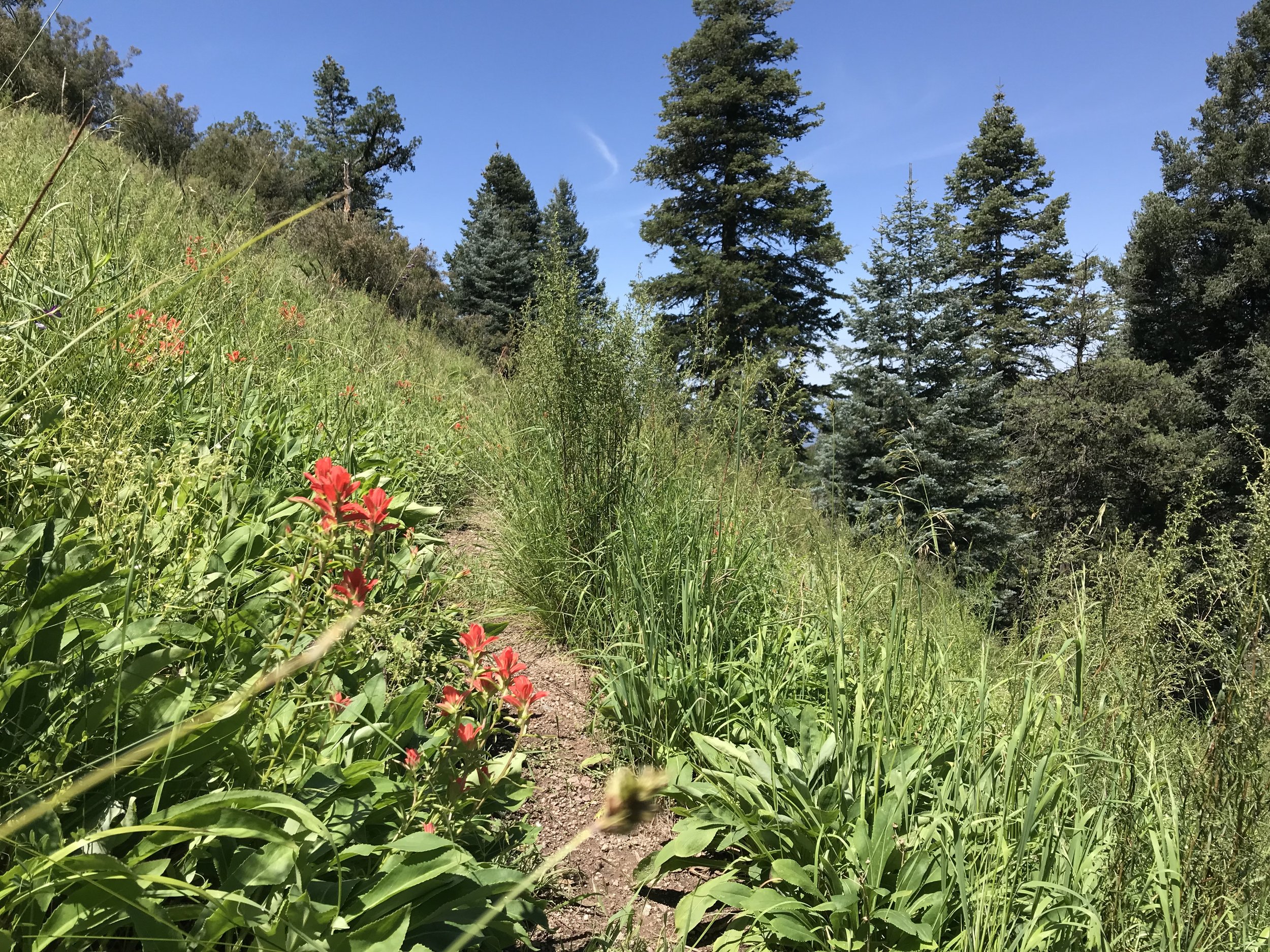
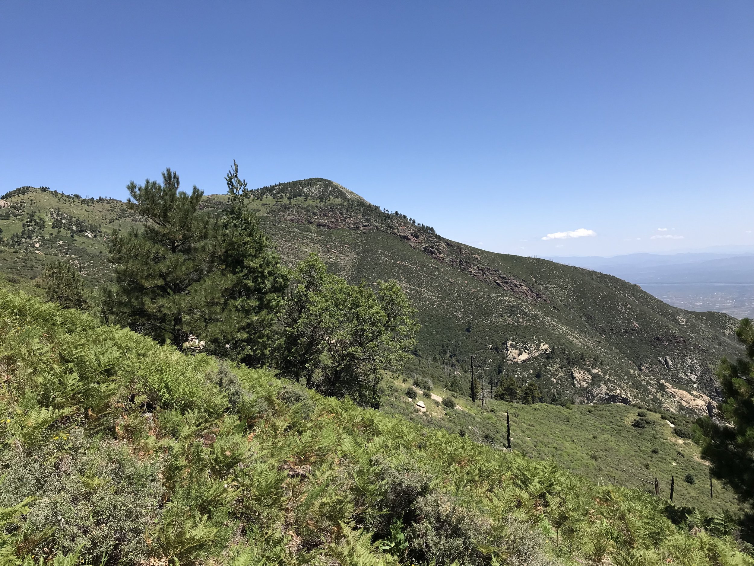
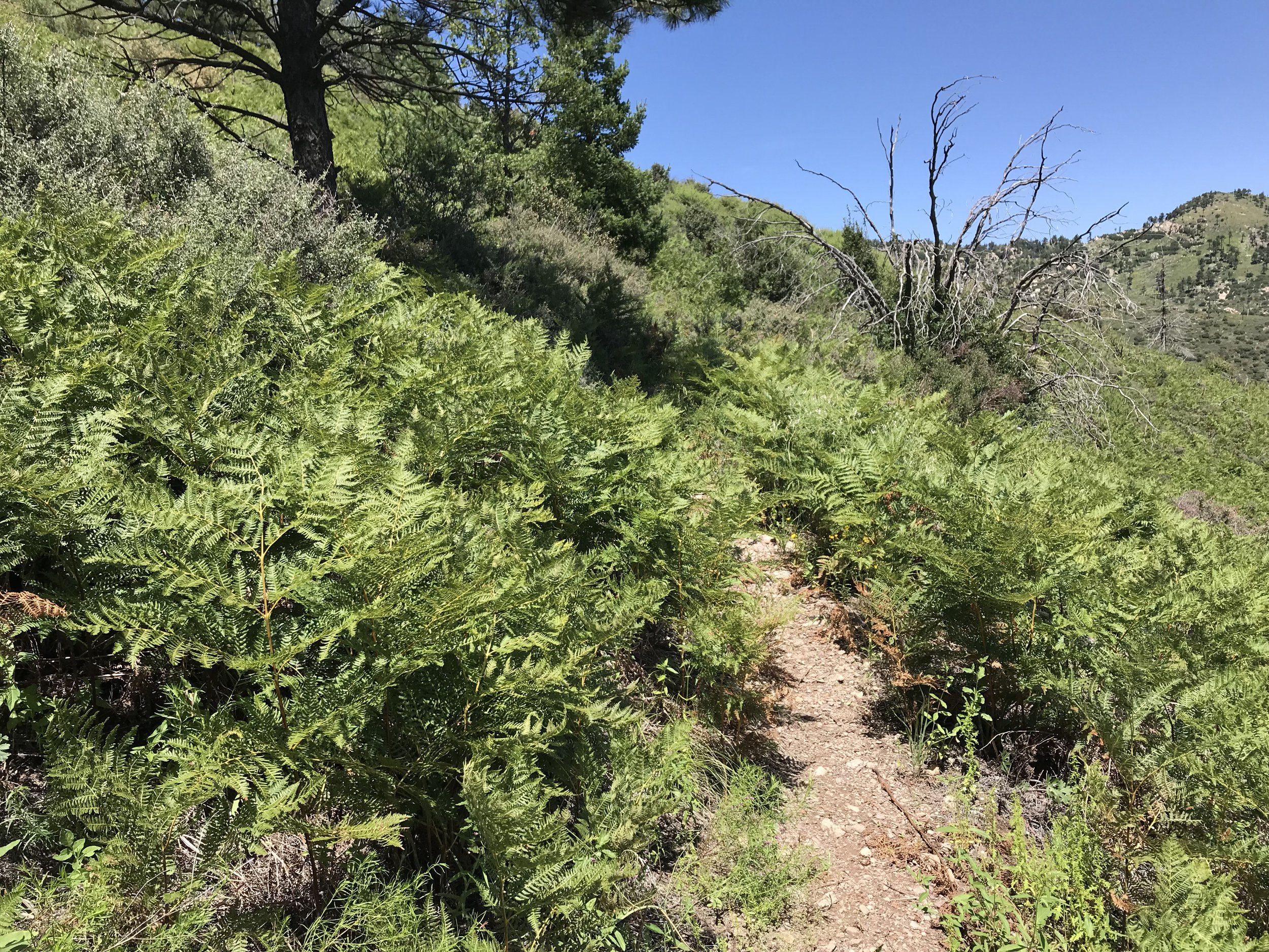
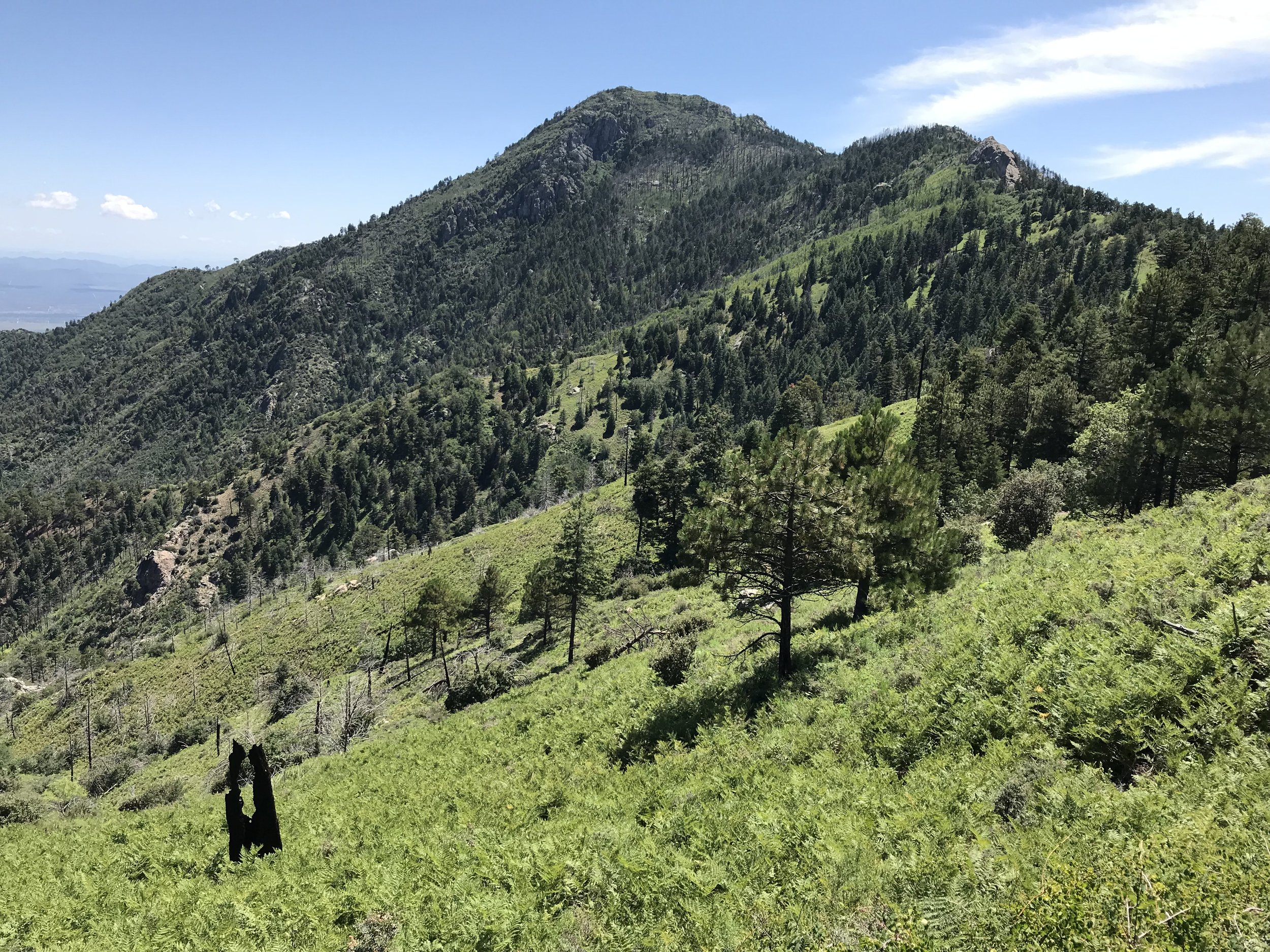
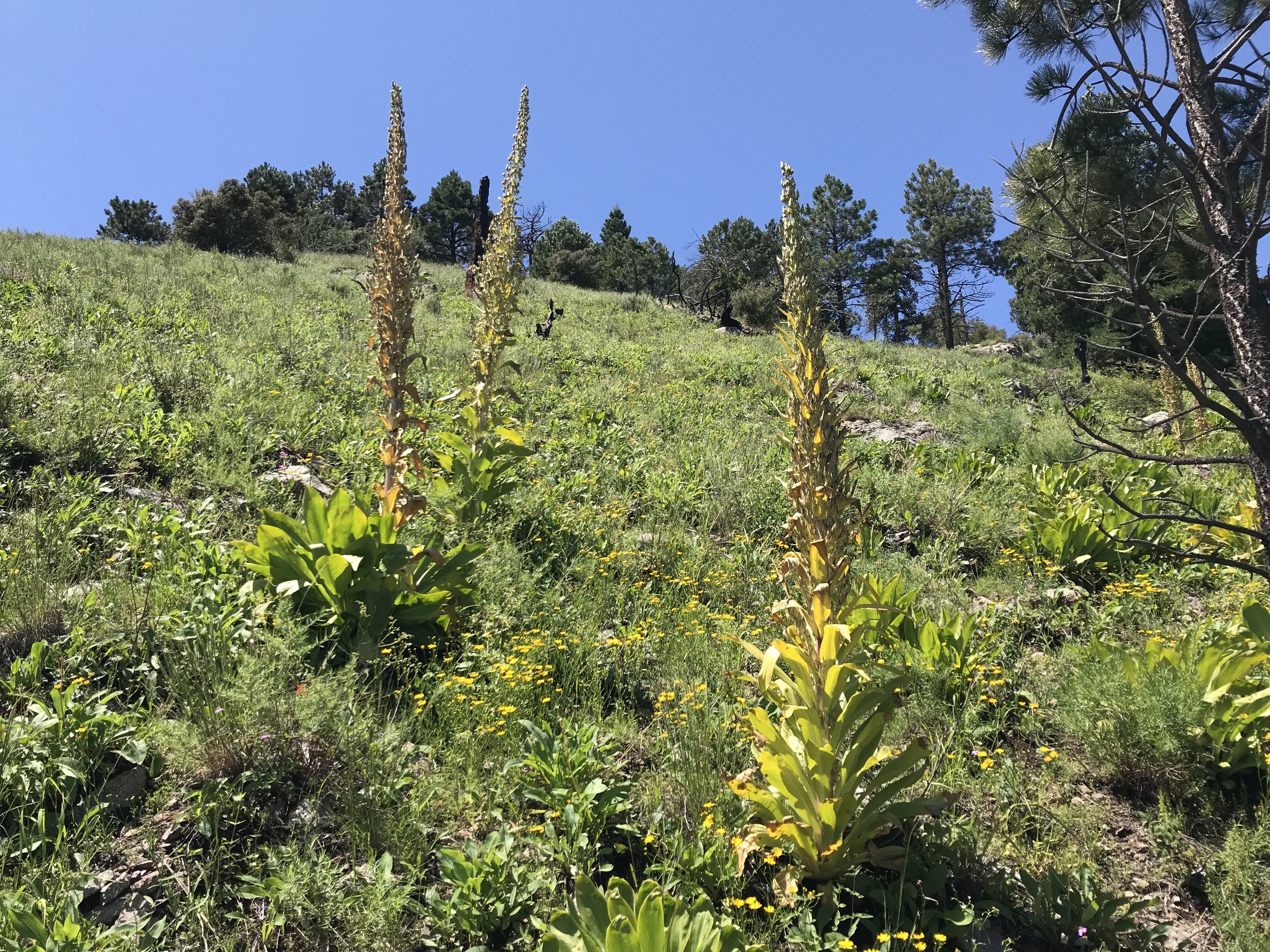
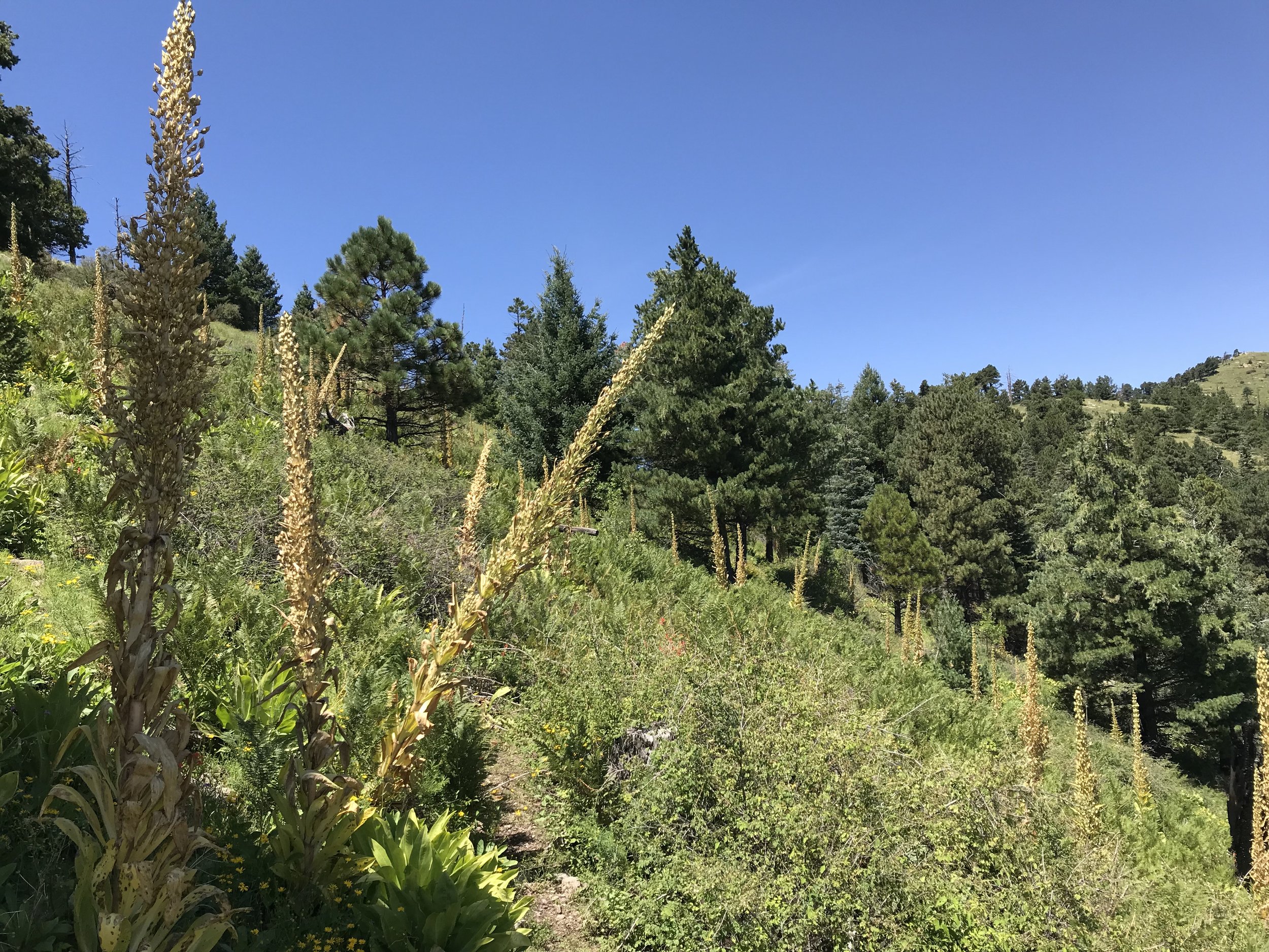
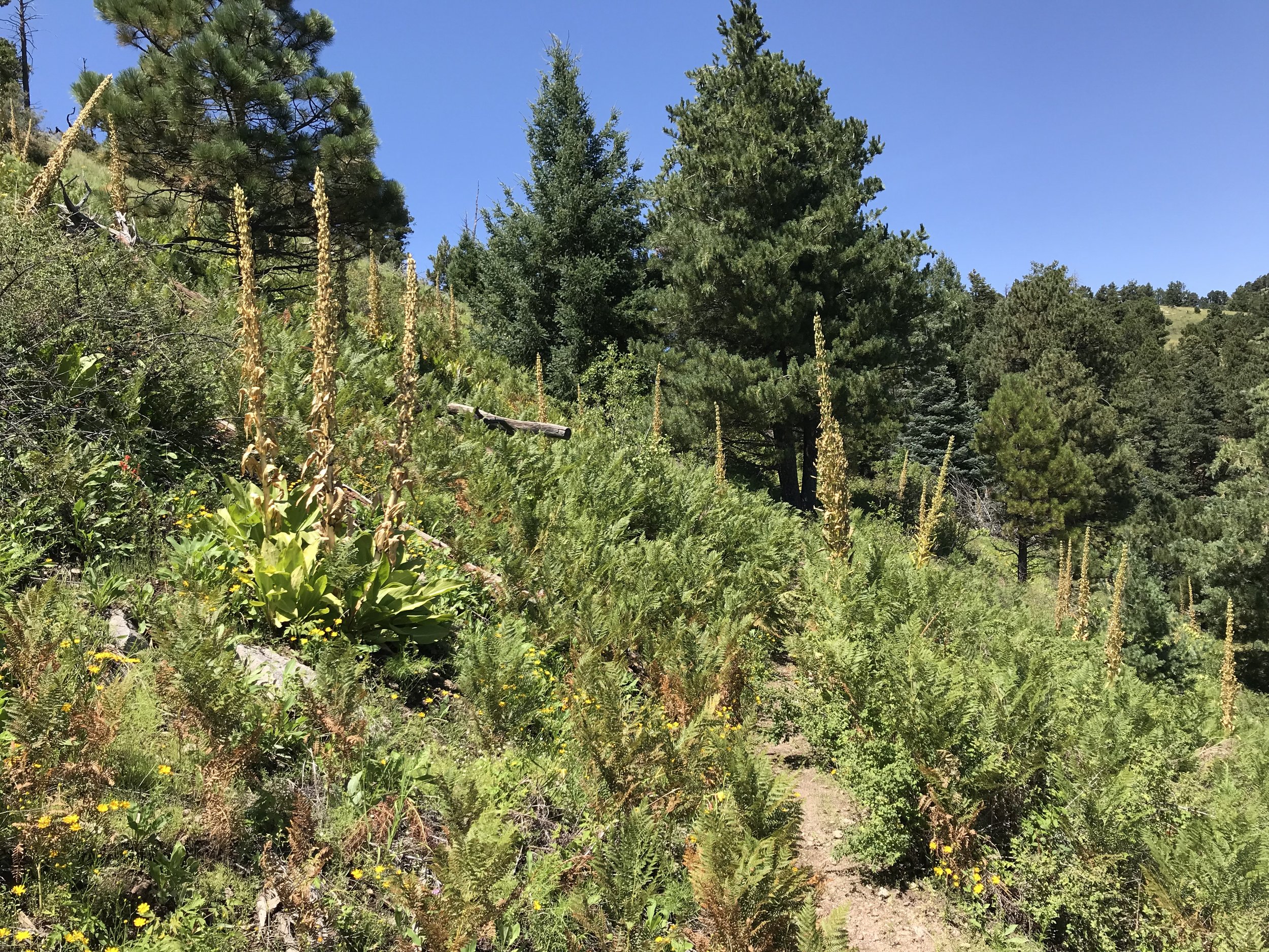
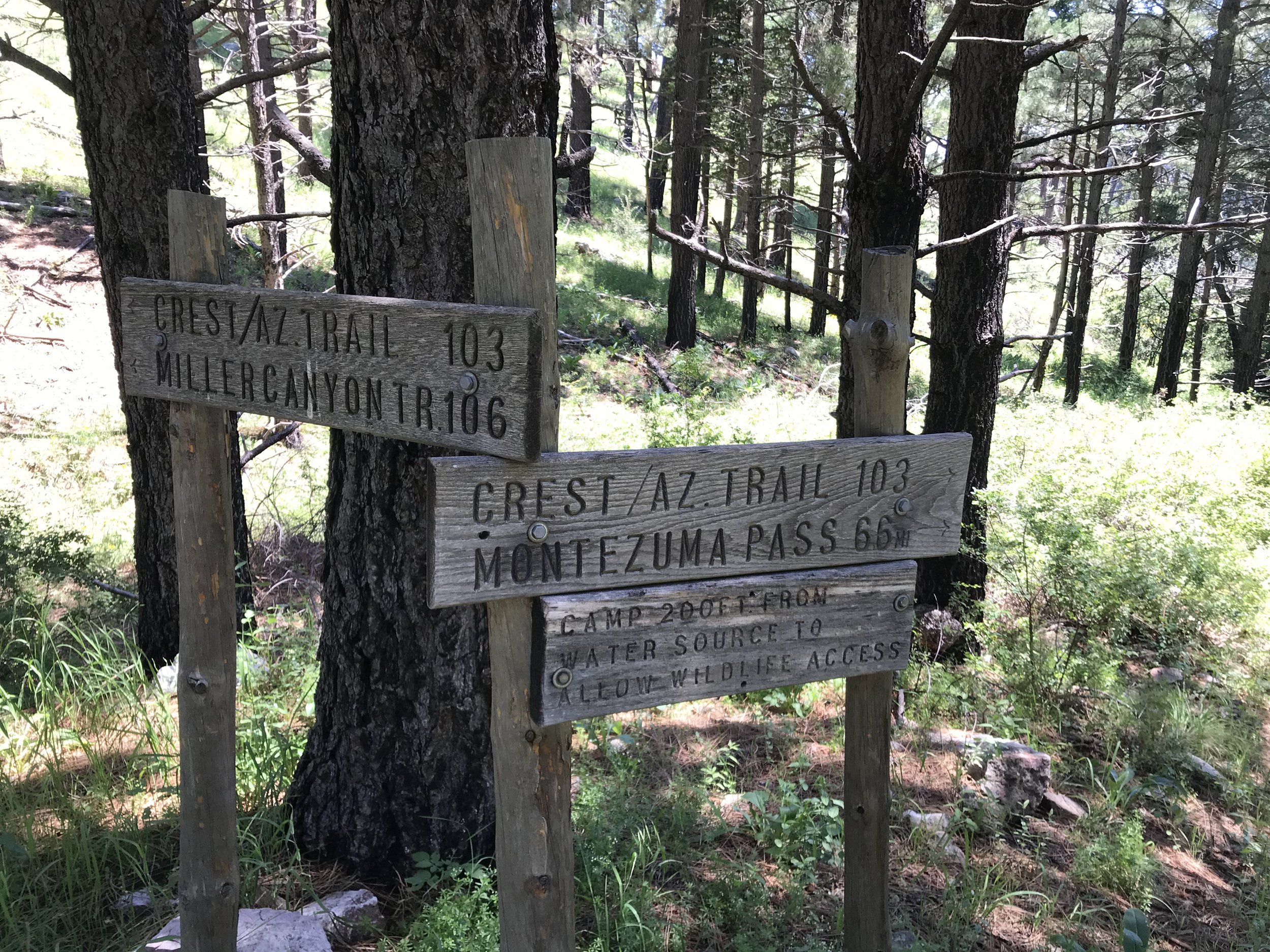
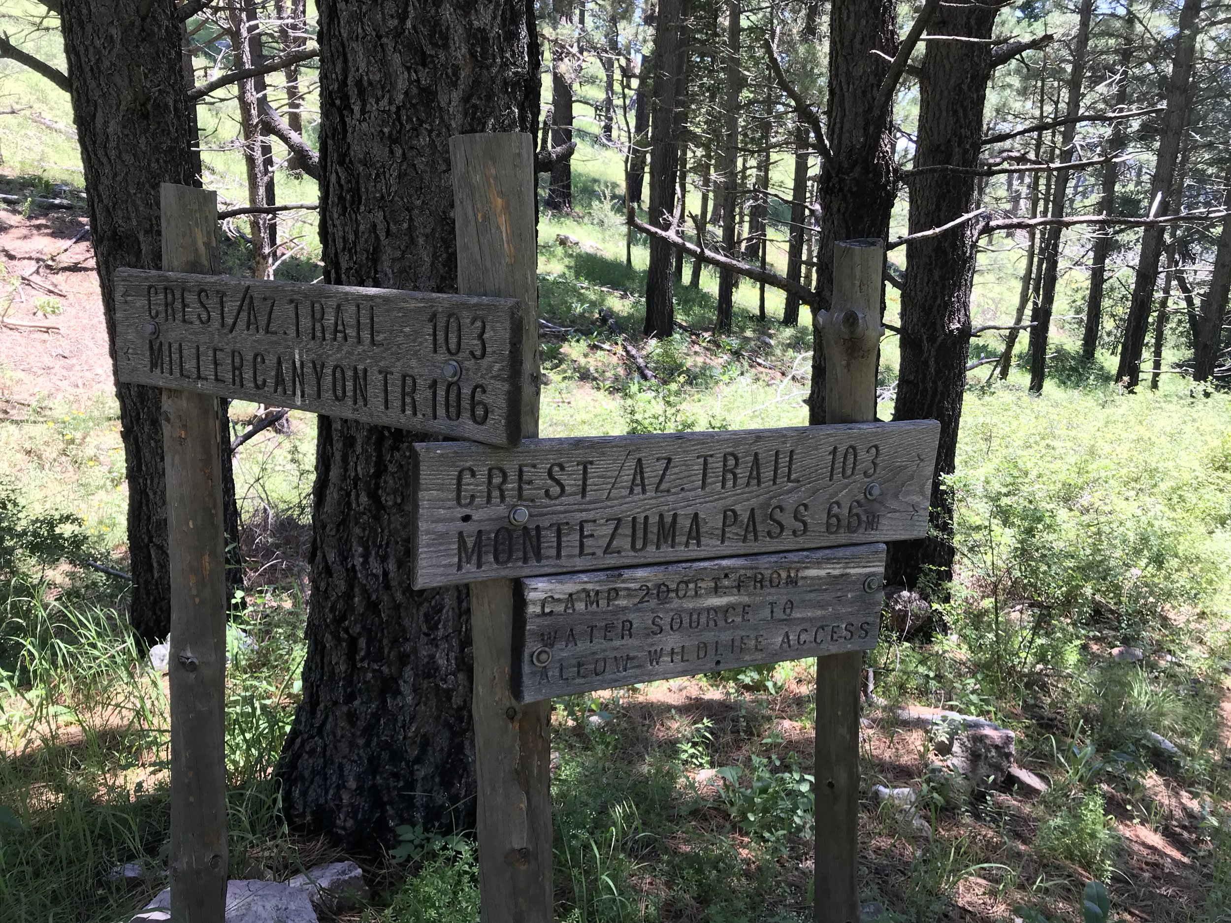
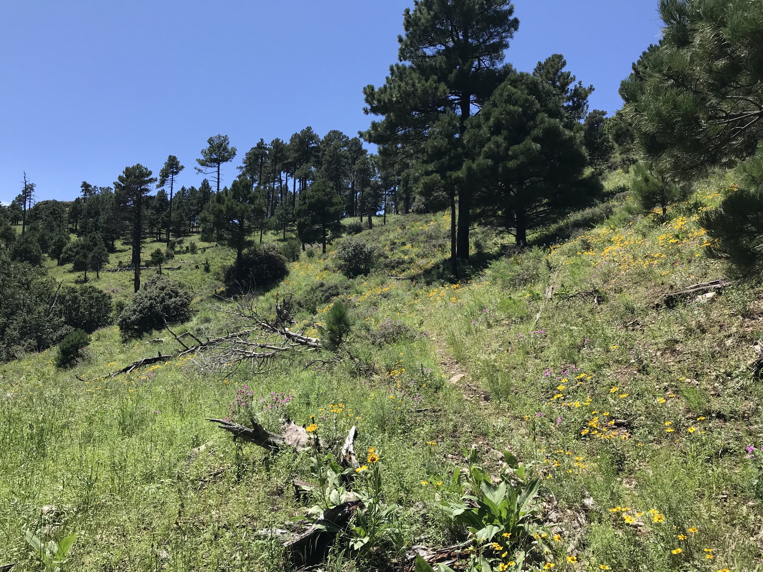
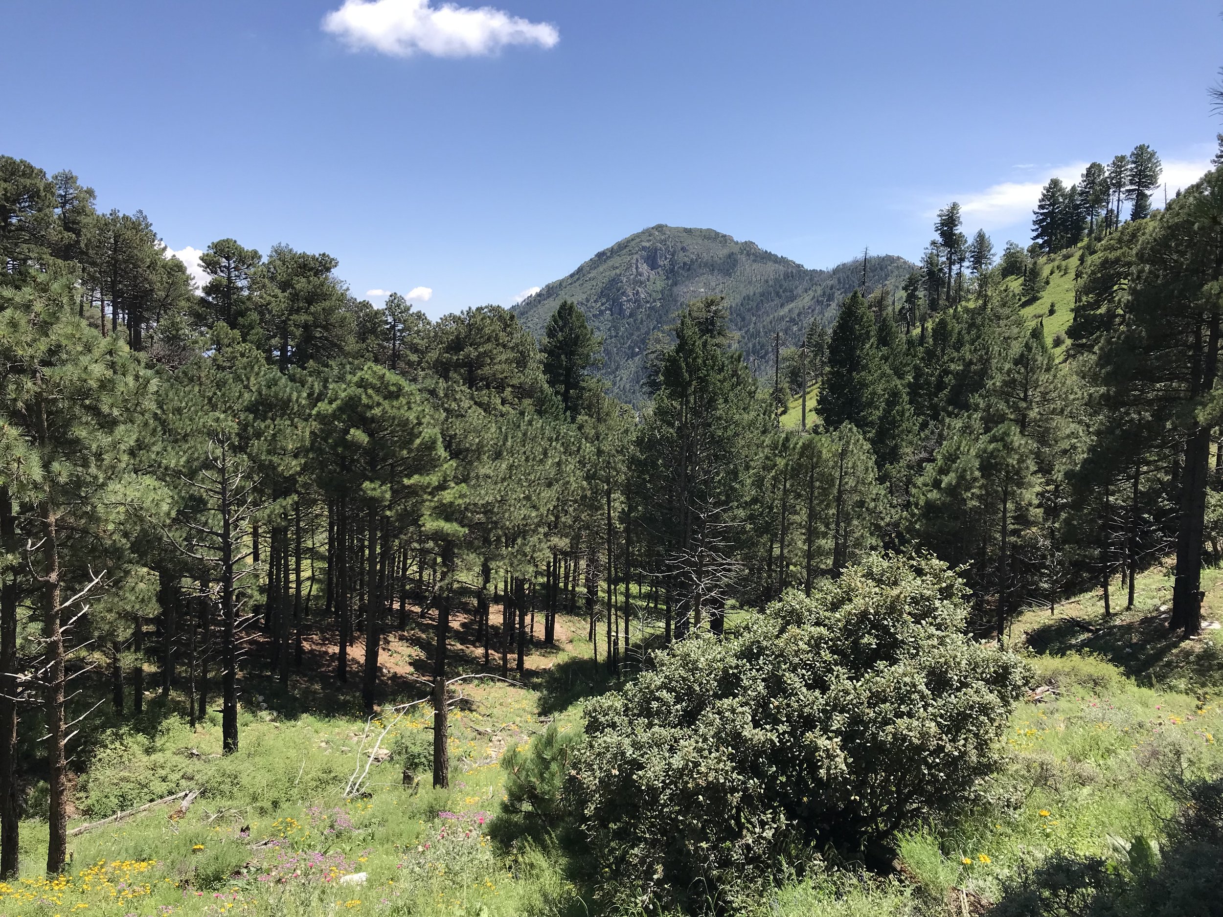
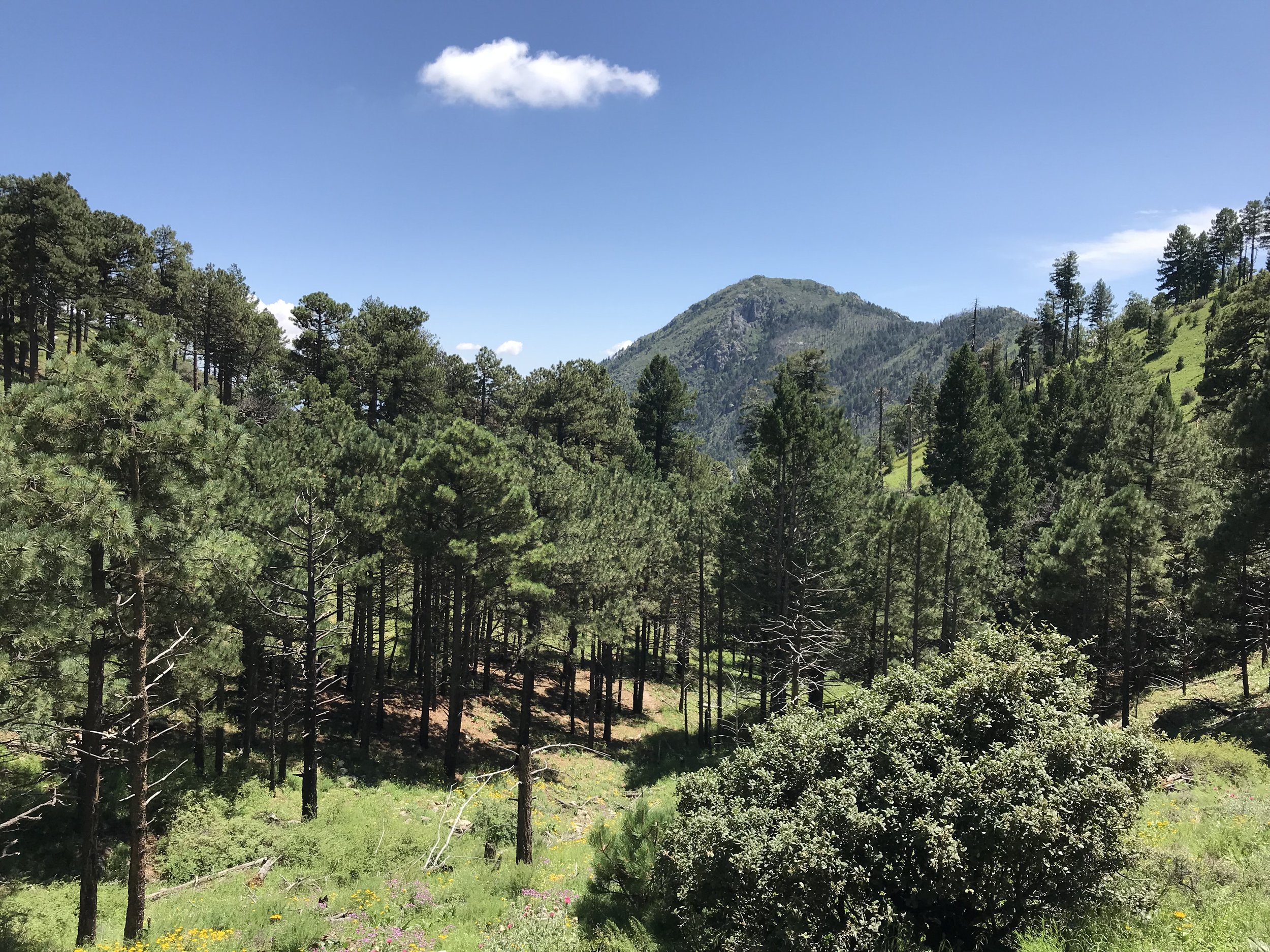
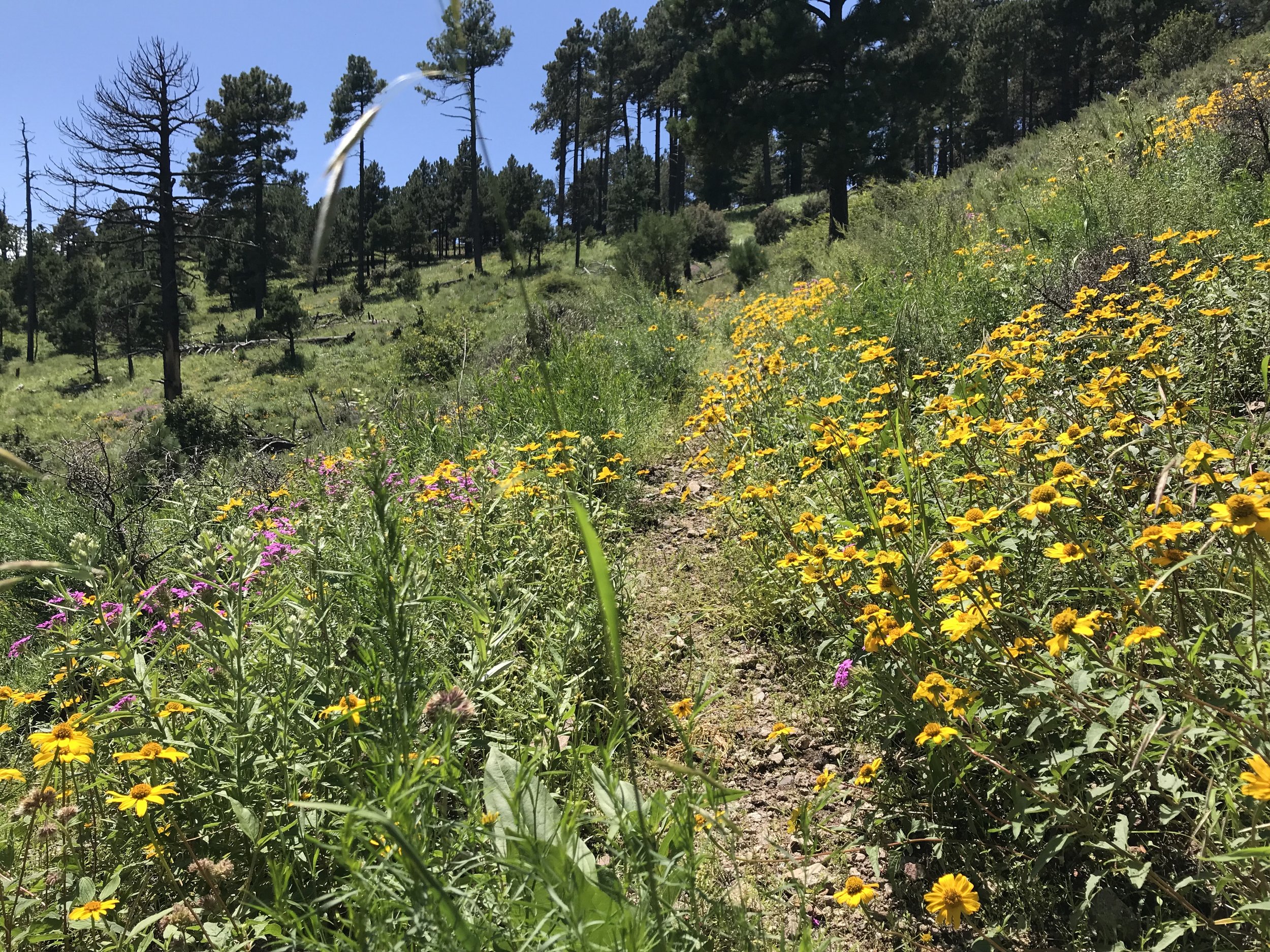
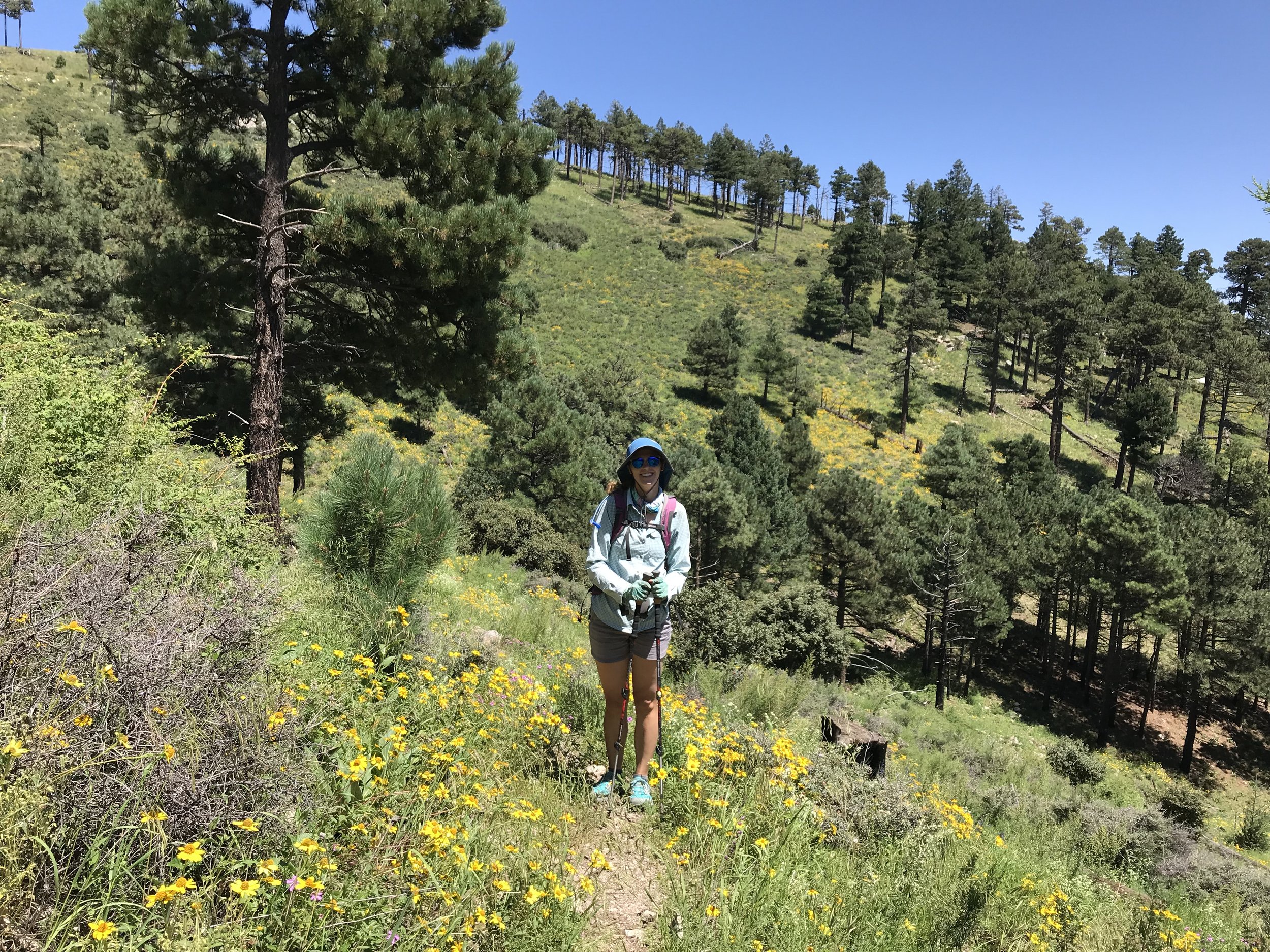
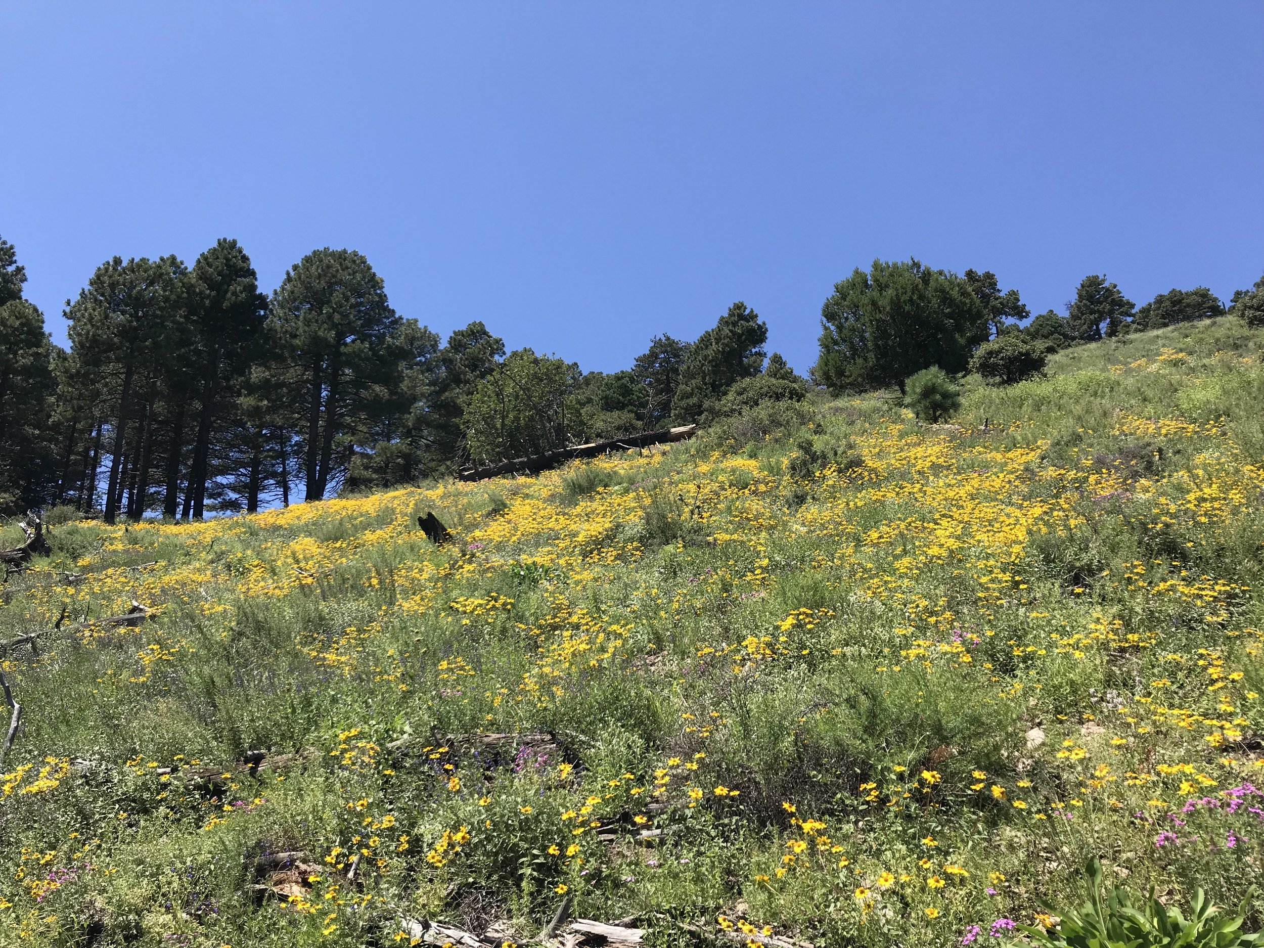
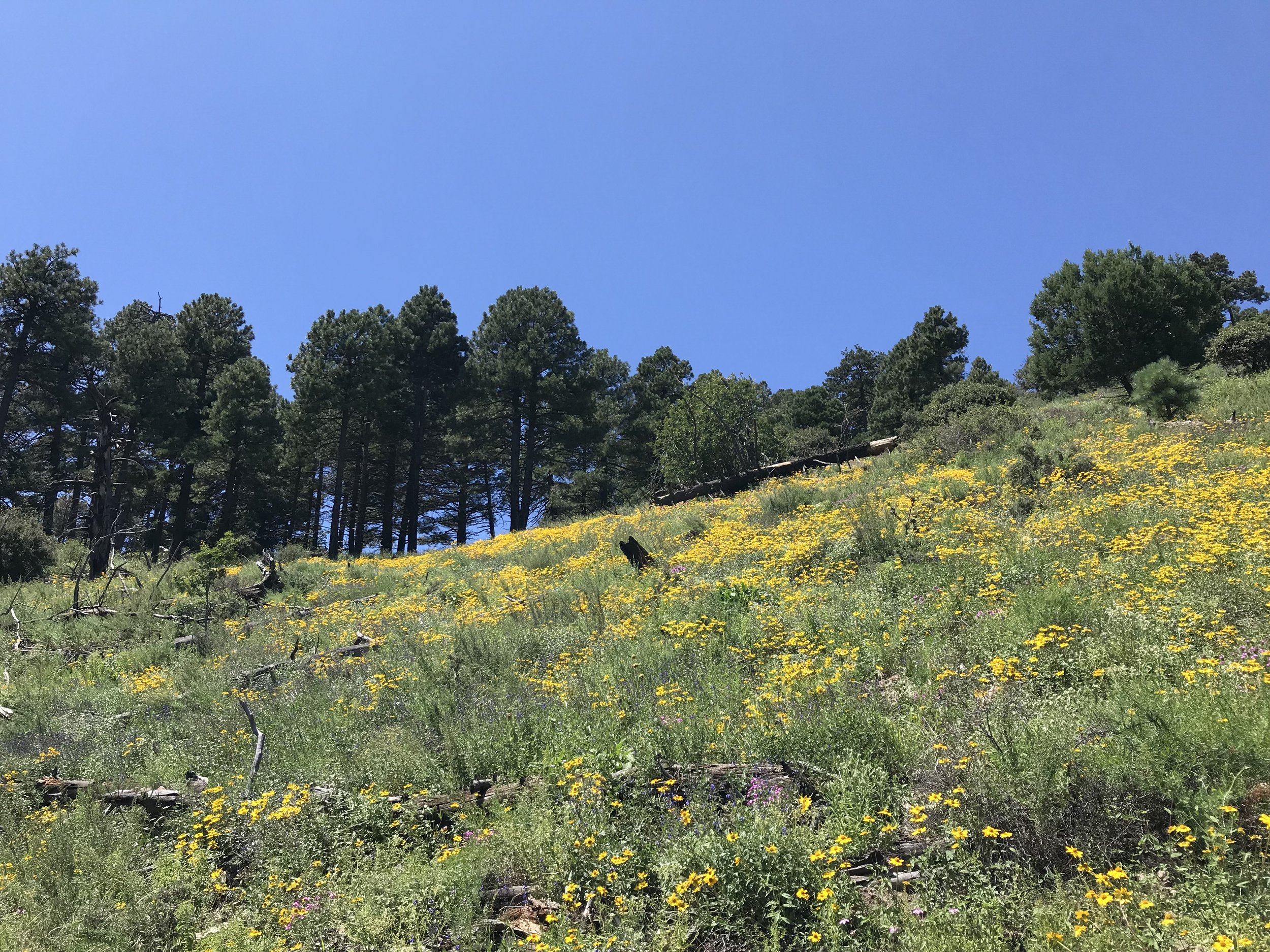
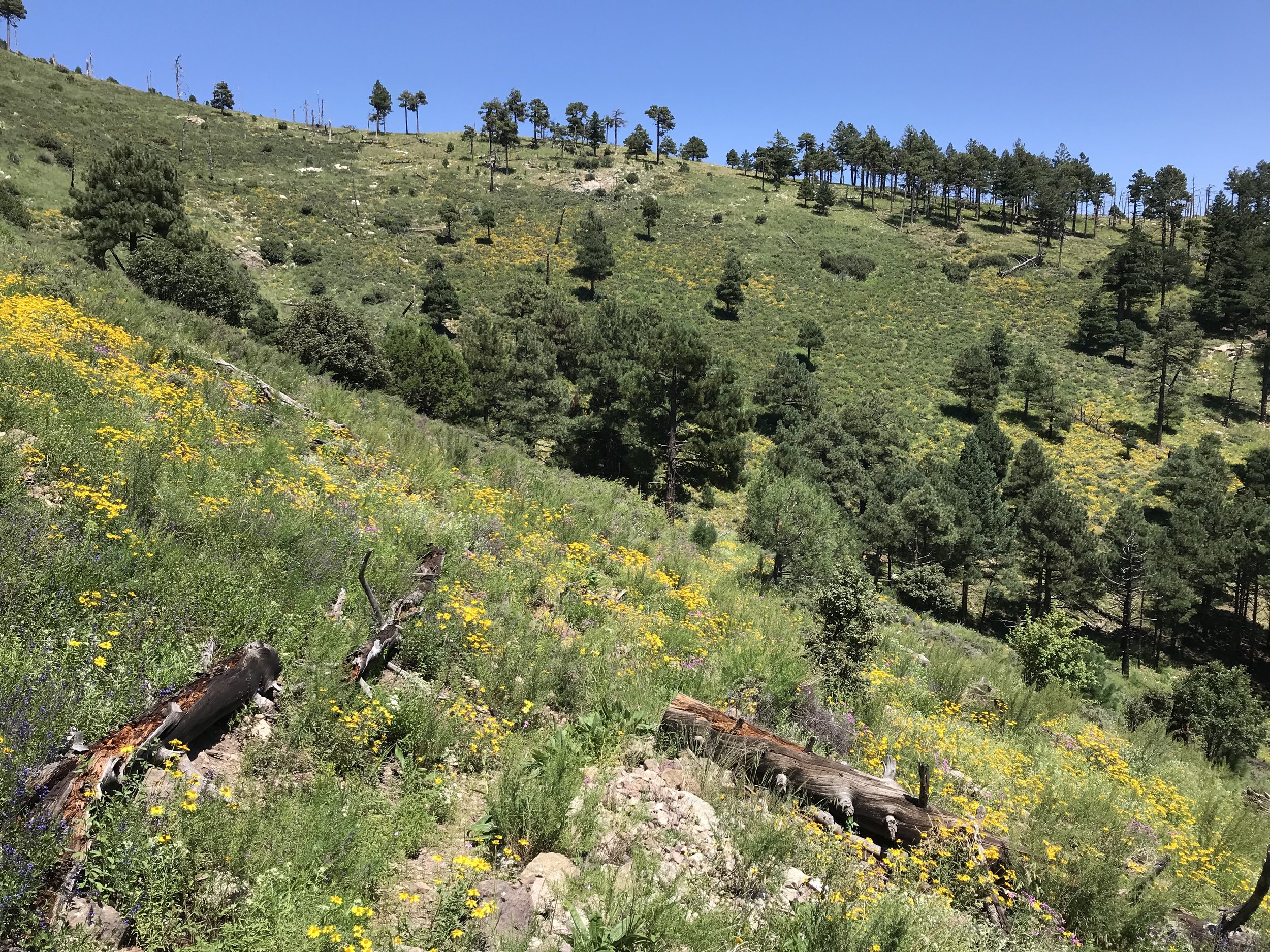
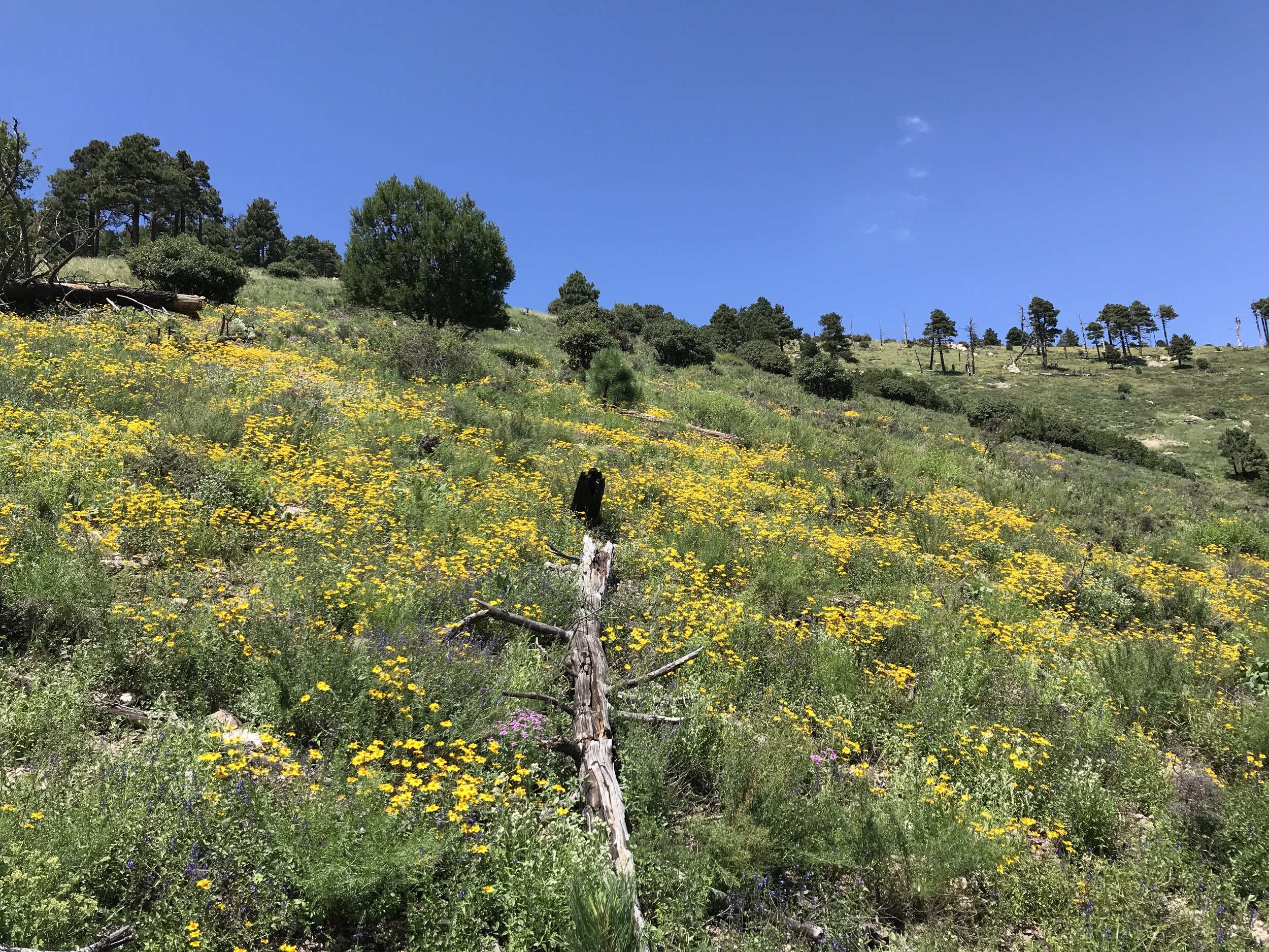
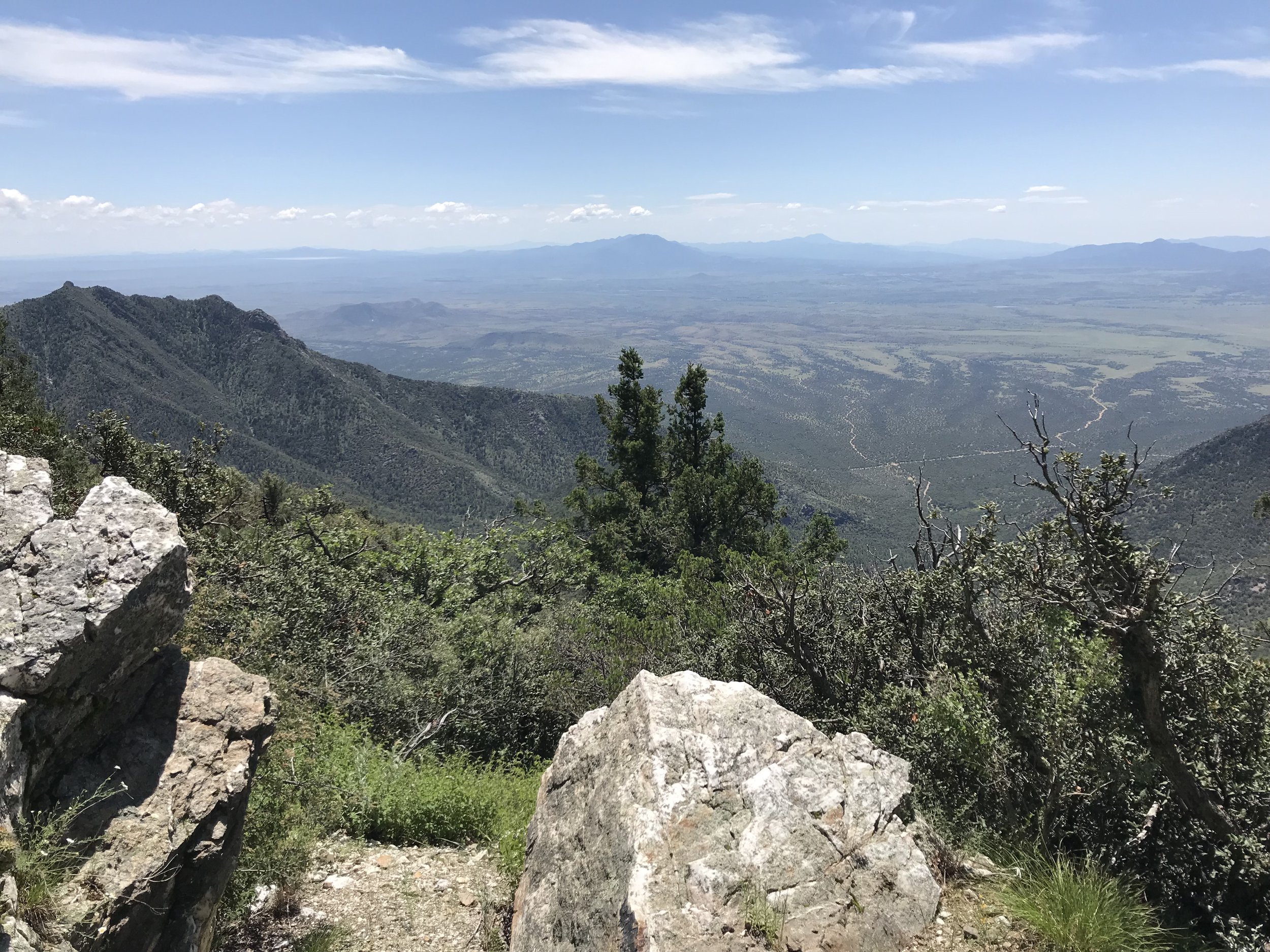
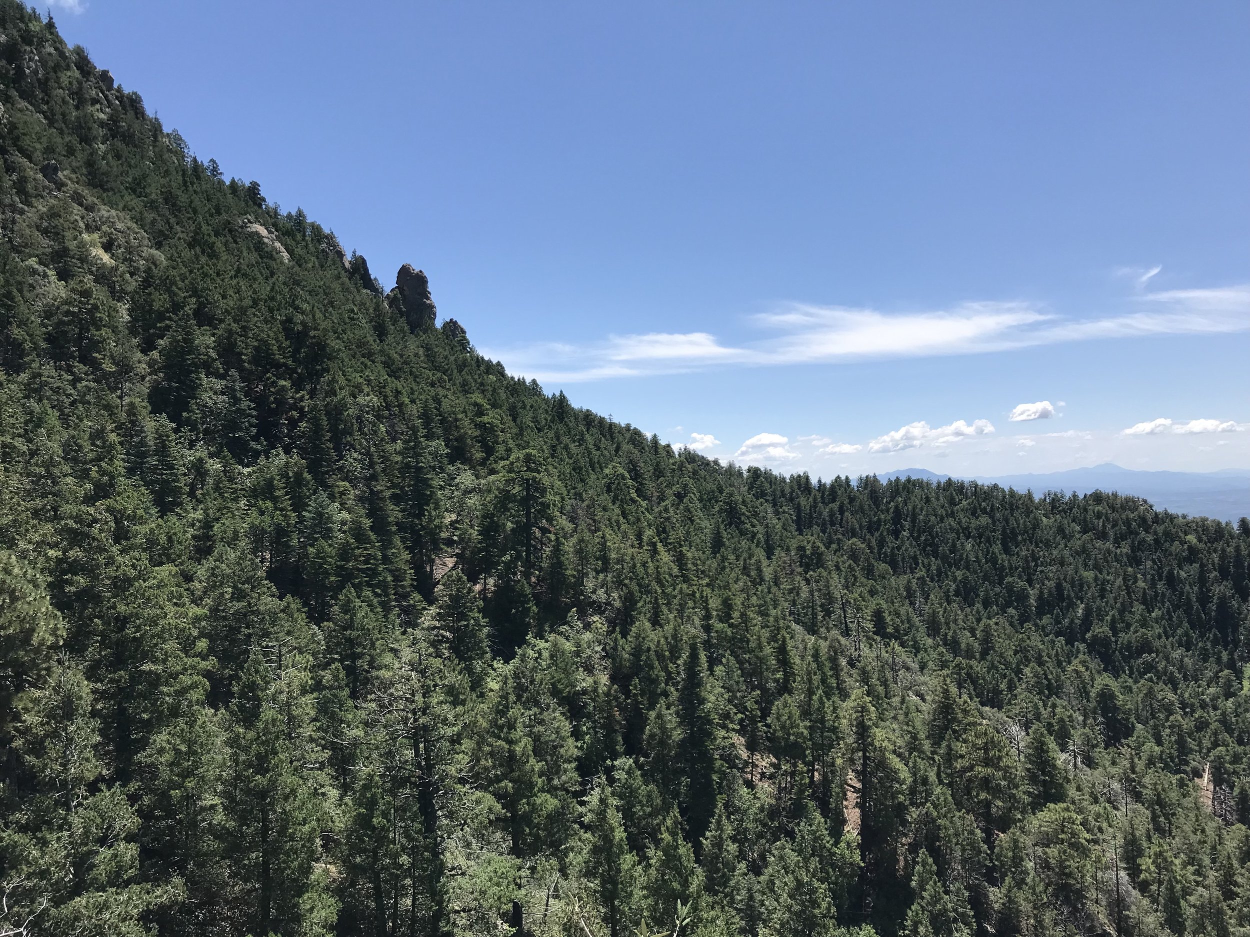
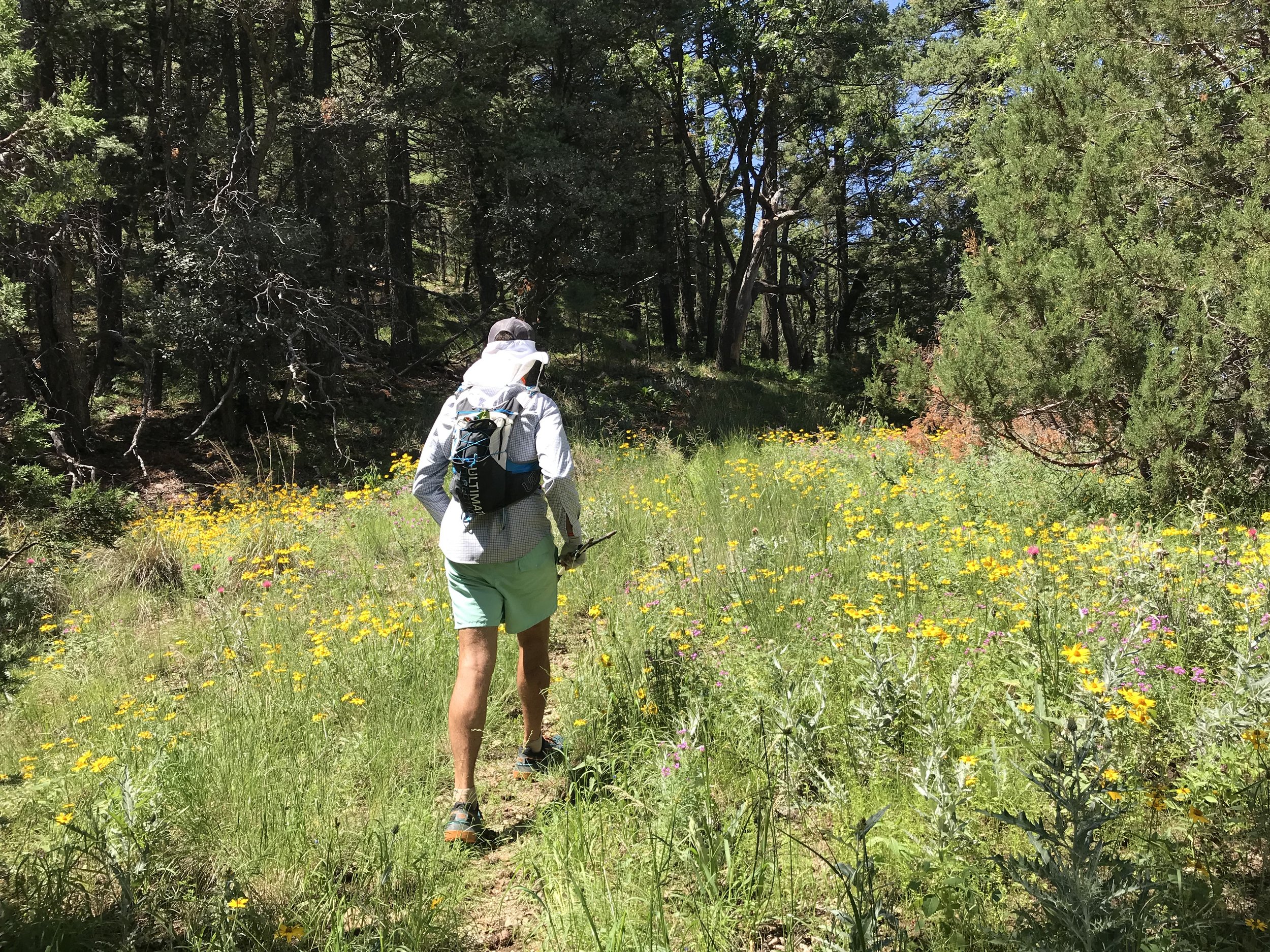
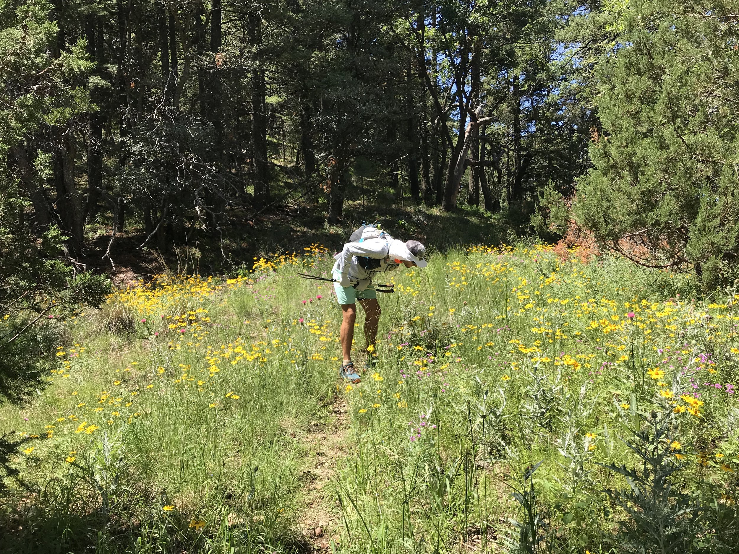
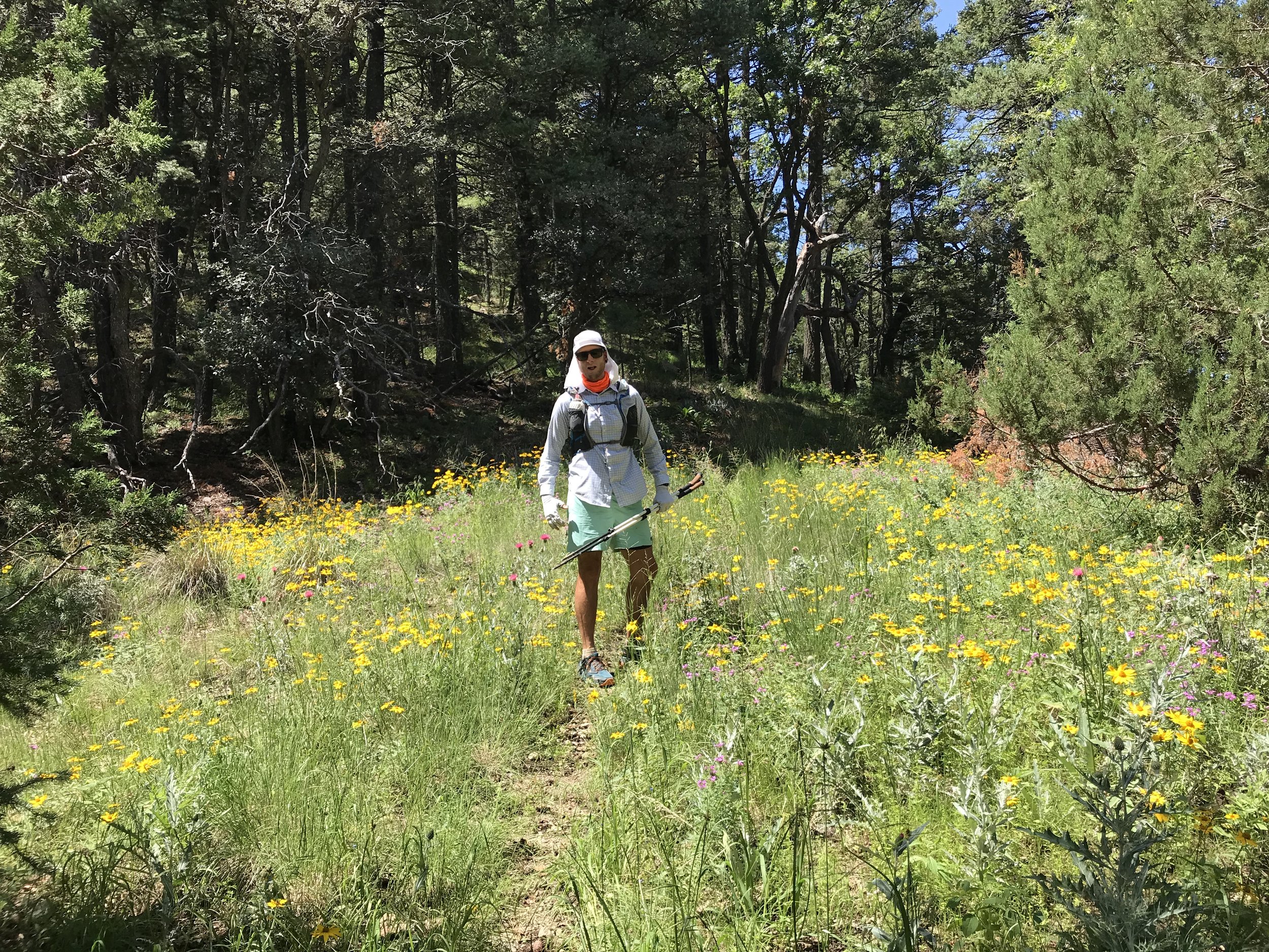
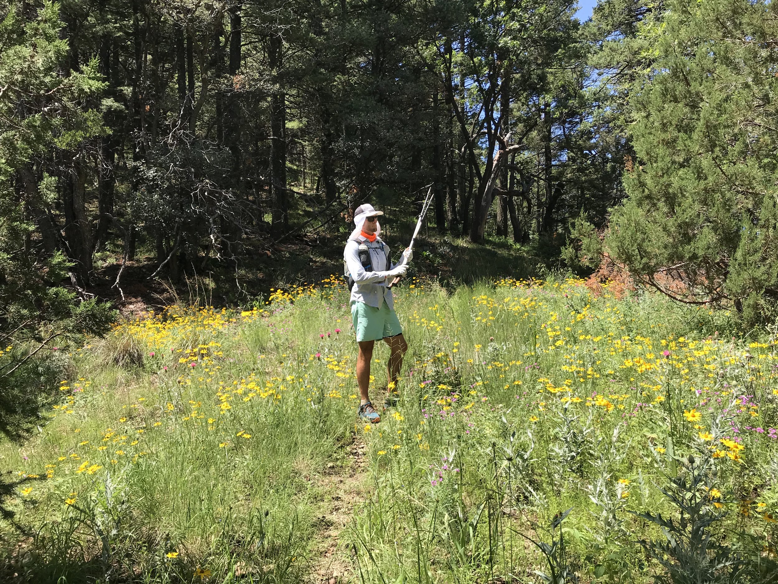
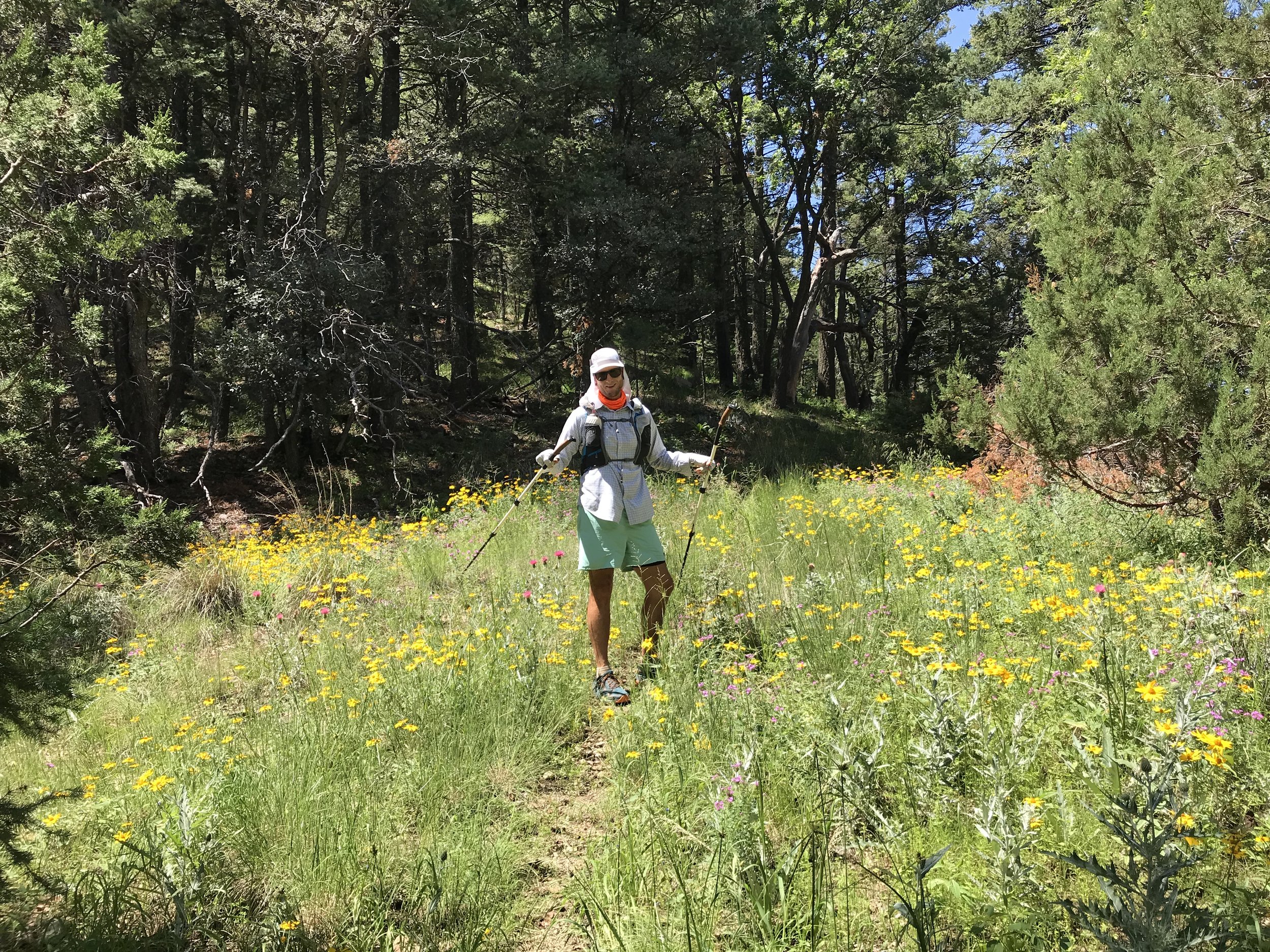
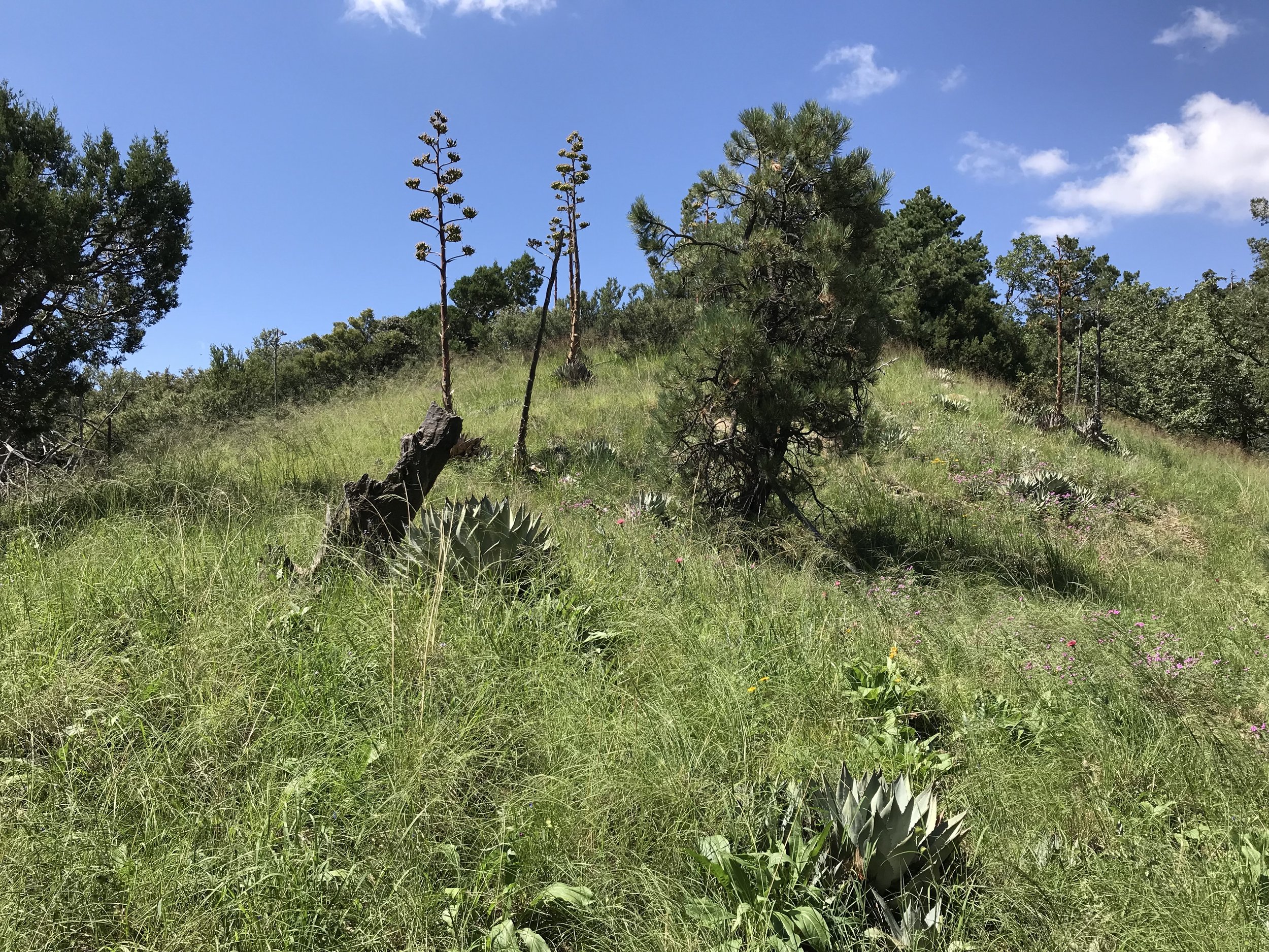
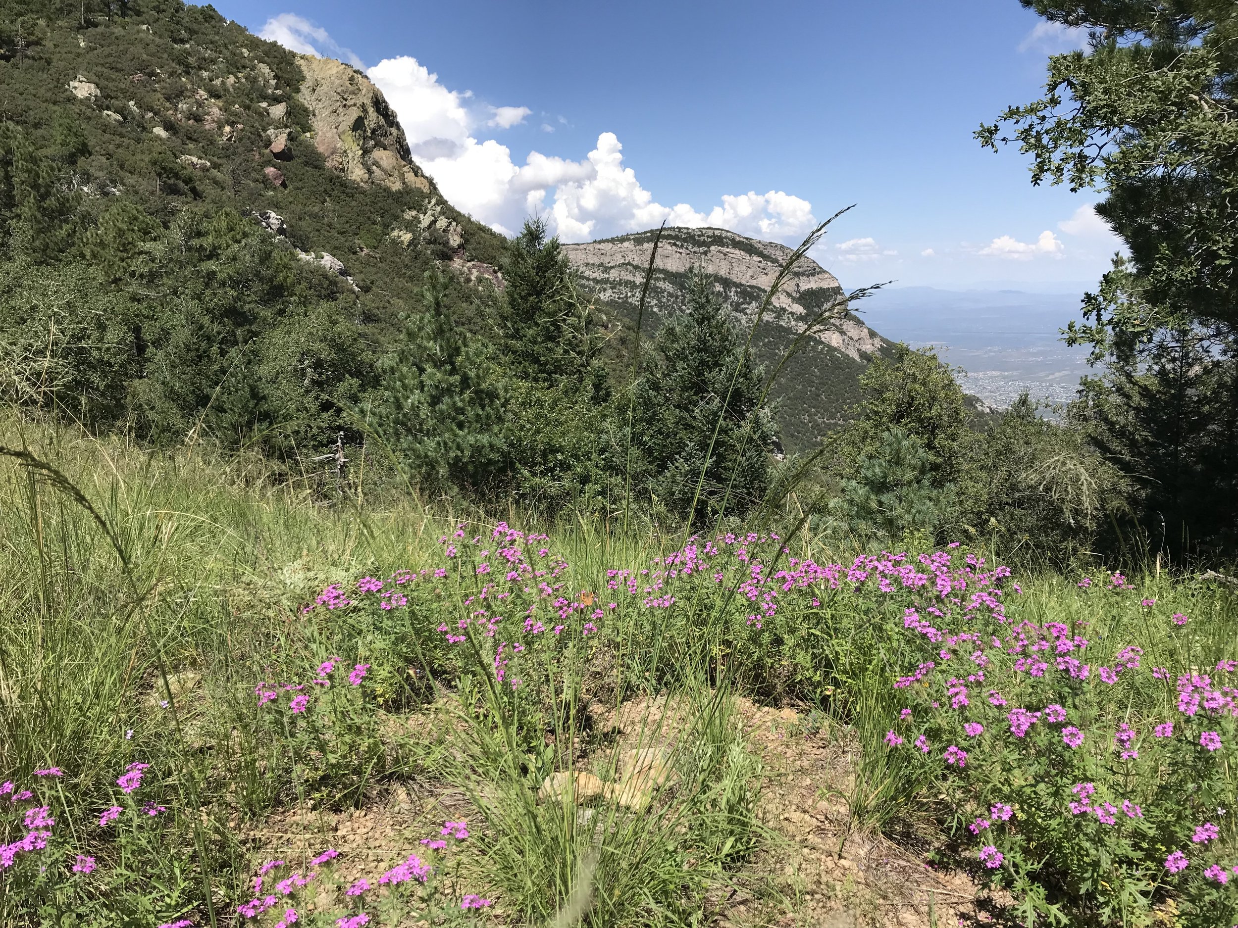
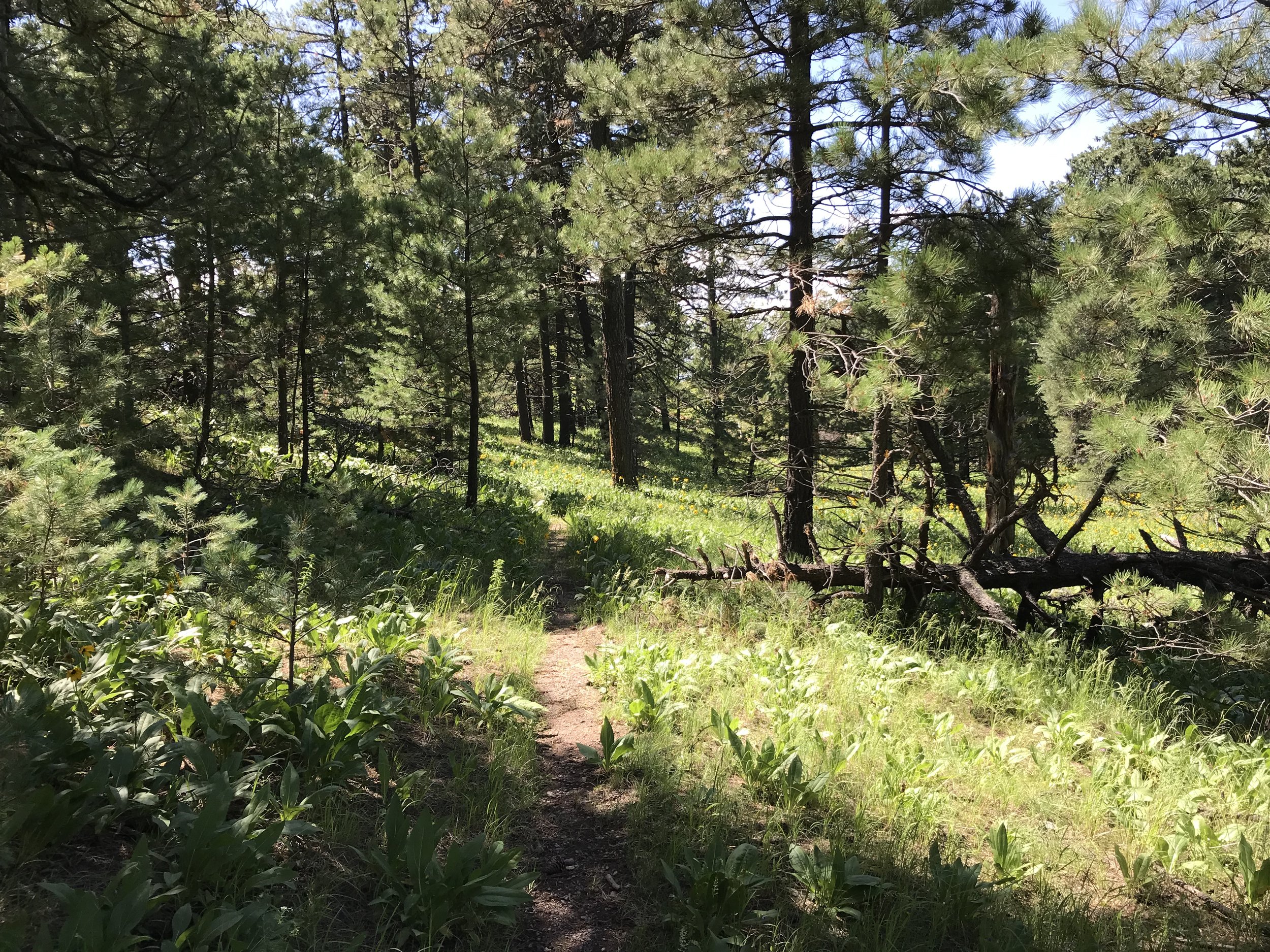
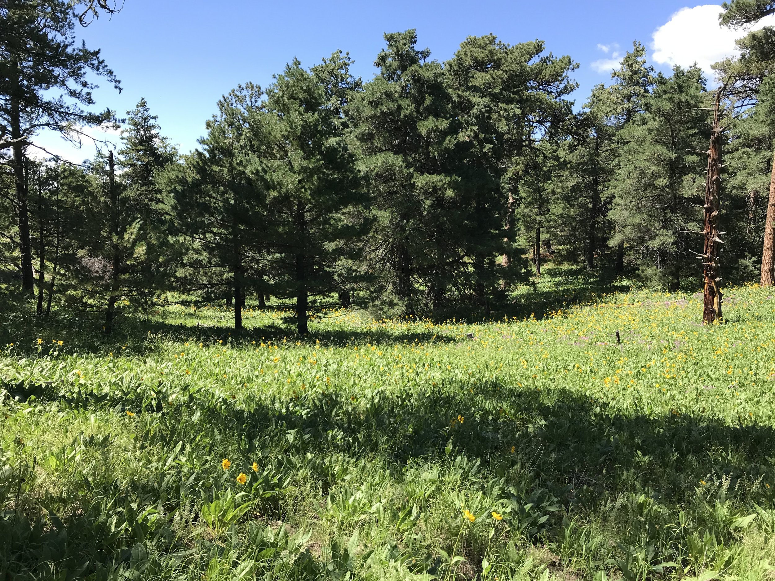
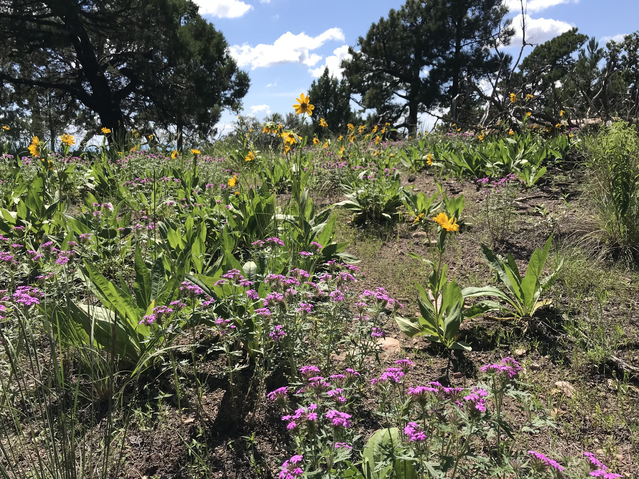
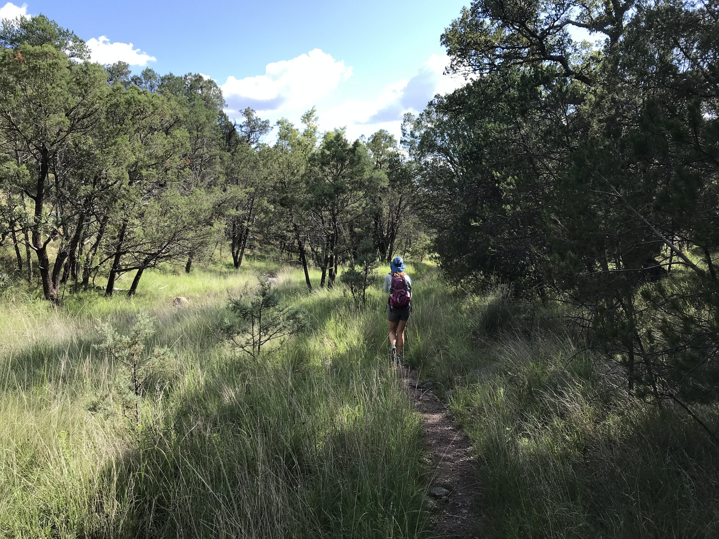
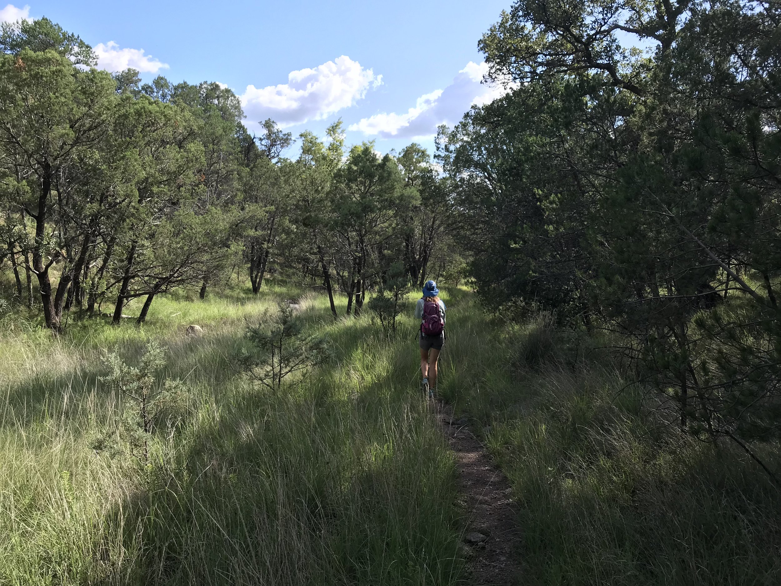
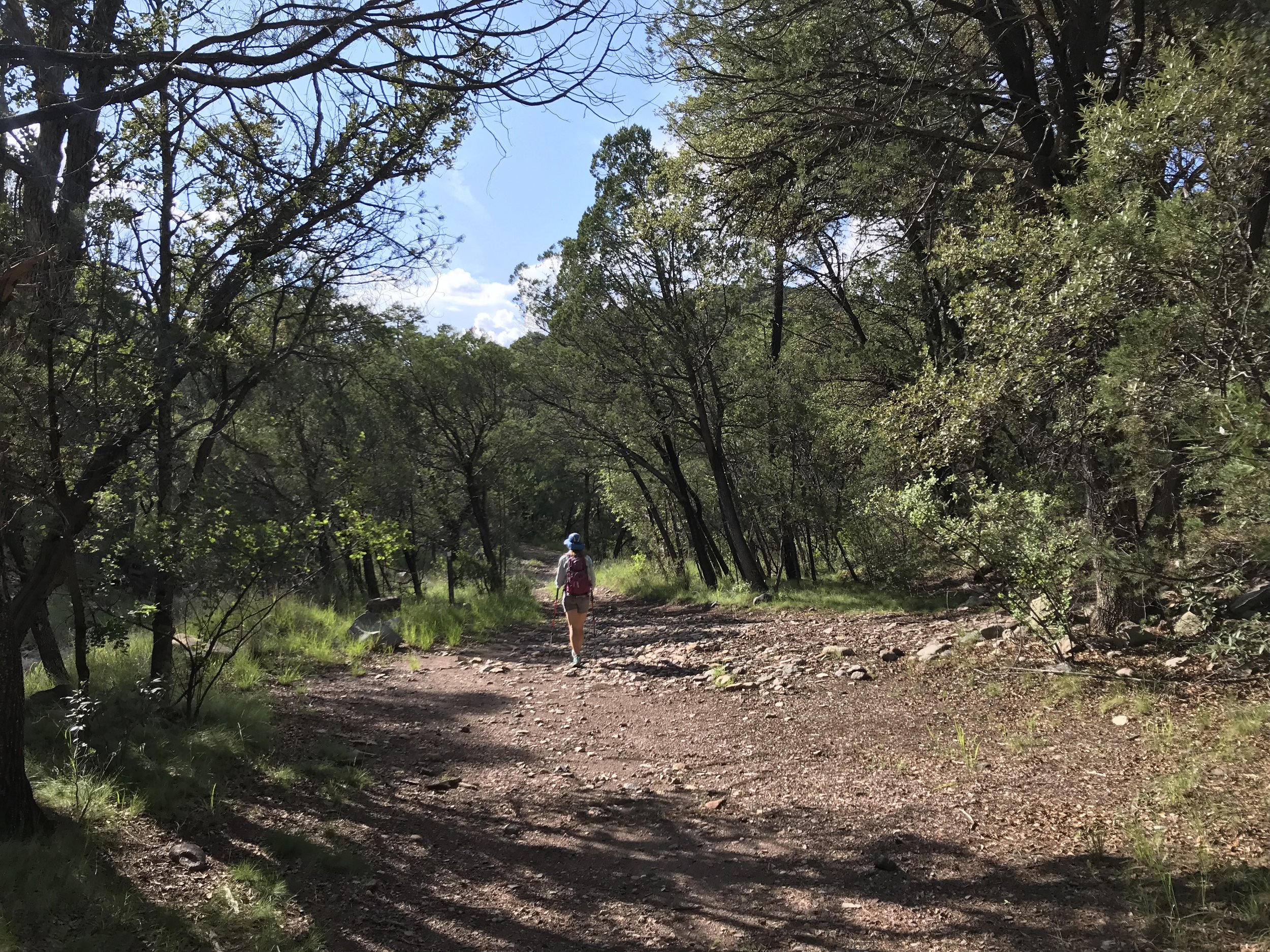
The mountain range was incredibly lush from the summer monsoon rains. It was obvious the trail was little-used outside of the concentrated windows of AZT thru-hiker use, of which were firmly not in. Catclaw, grasses, and shrubs shot out branches and leaves over the trail to maximize photosynthesis. We scratched ourselves upward in the walk, pausing to look back and take in the dramatic views of the borderlands of Mexico. By mid-morning, we hit a small saddle chock full of pine trees and columbines where we took a break. I was sweating profusely from the combination of heat and humidity rising from the dense plant life. We pushed upwards to a split in the trail leading to Miller Peak. We took the side-hike and summited the highest point in the range at well over 9,000 feet. It was a rocky grass knoll on top that afforded stunning views of the mountains in Mexico and the grasslands of southern Arizona.
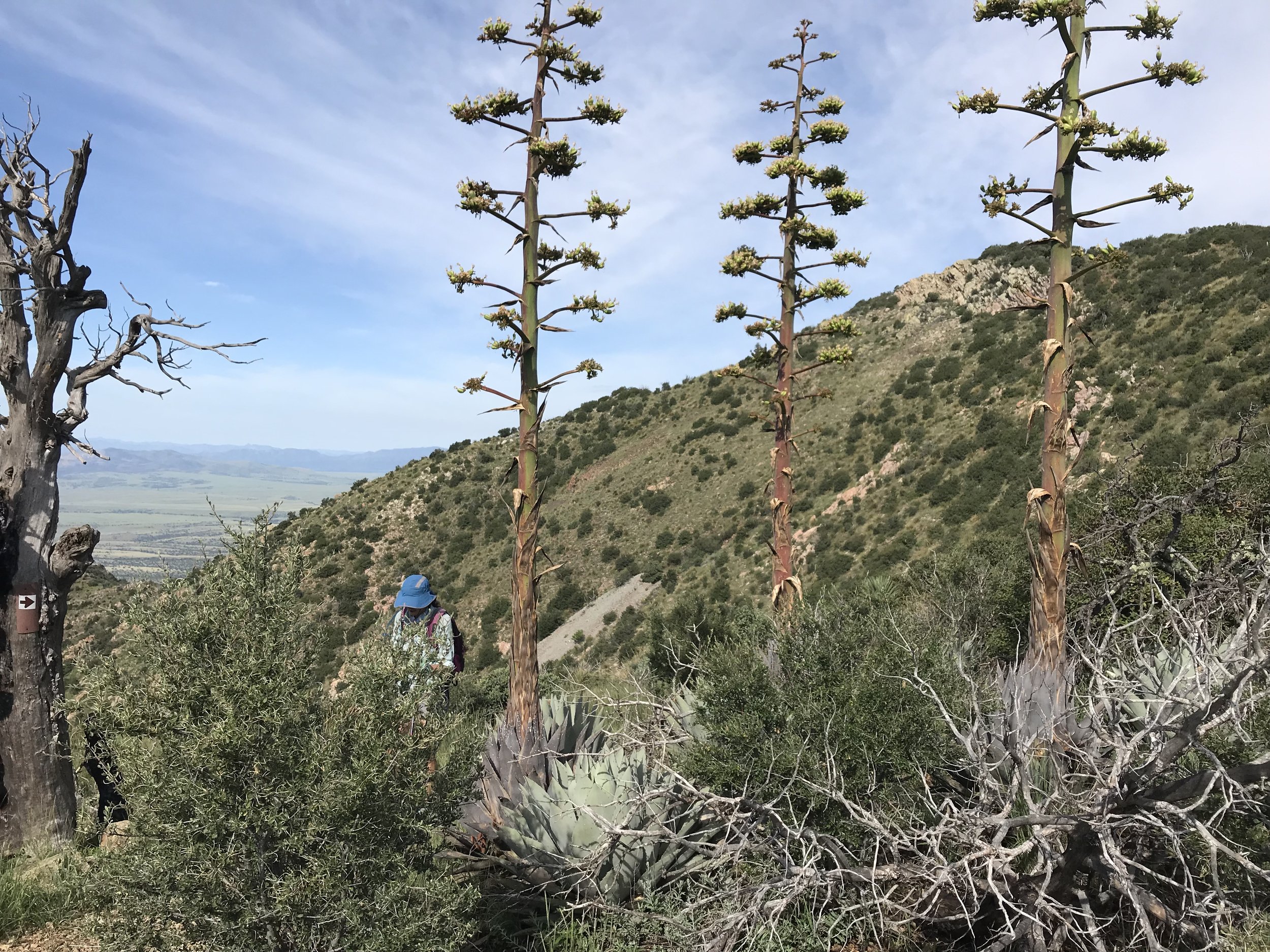
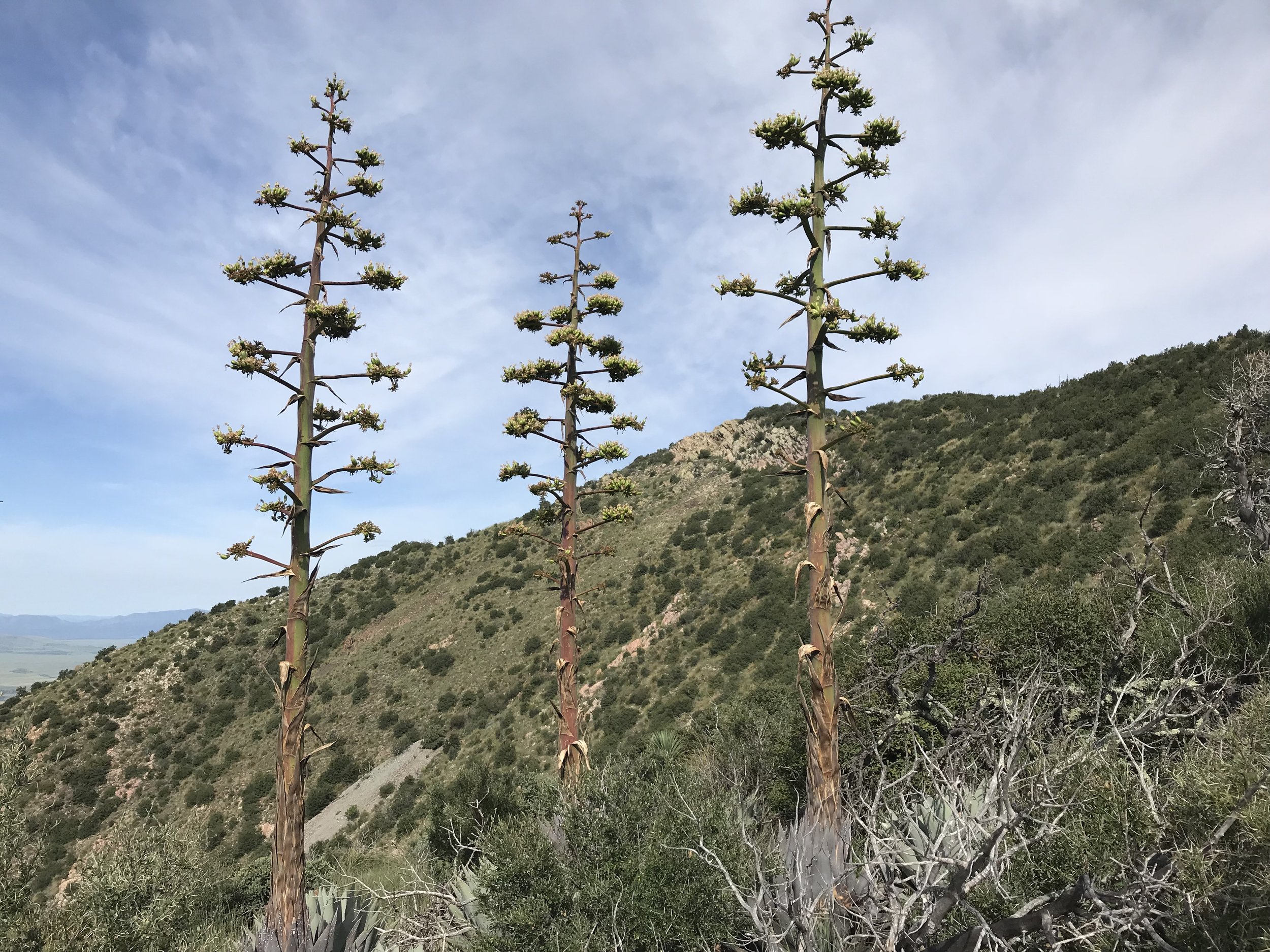
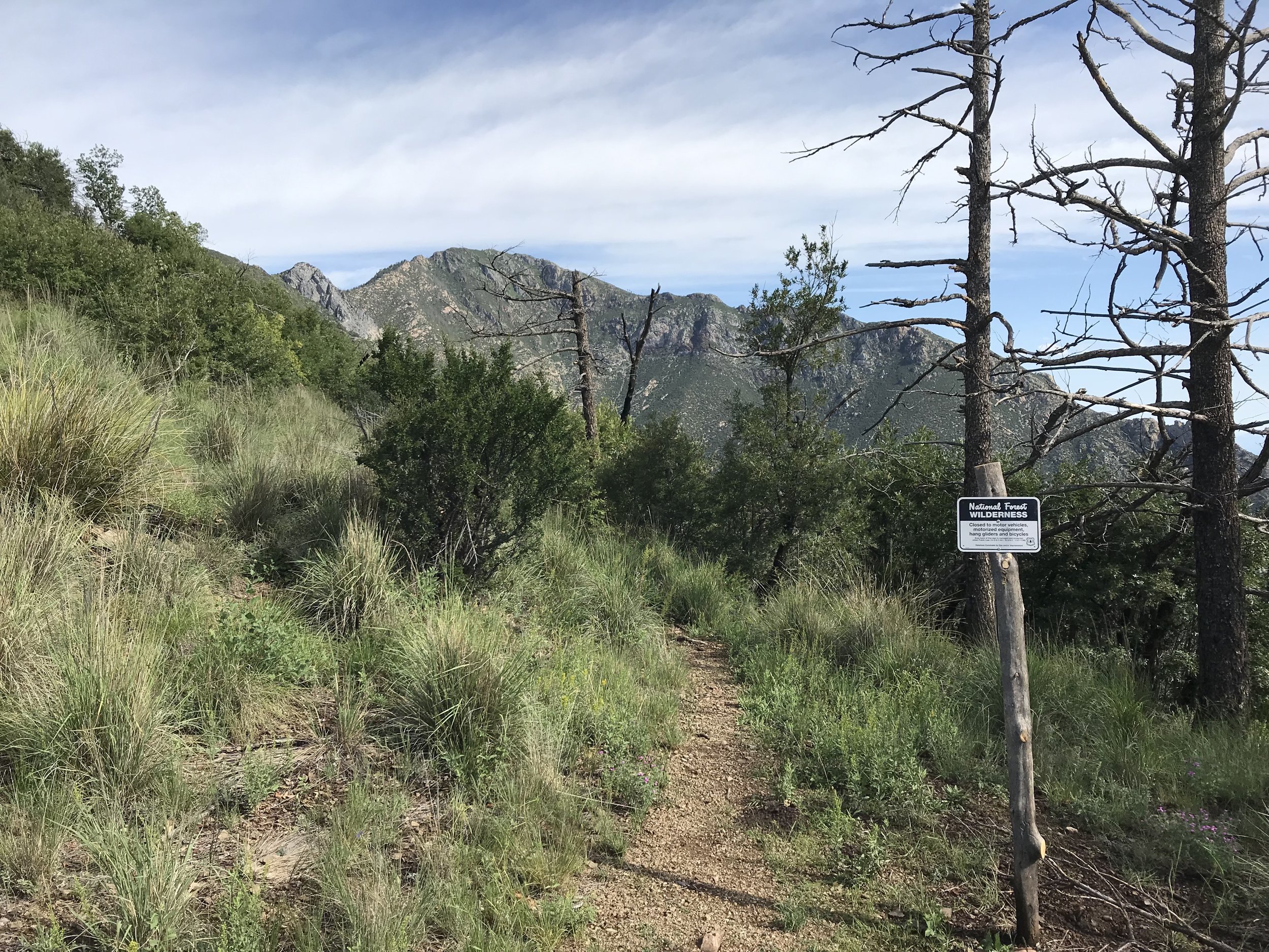
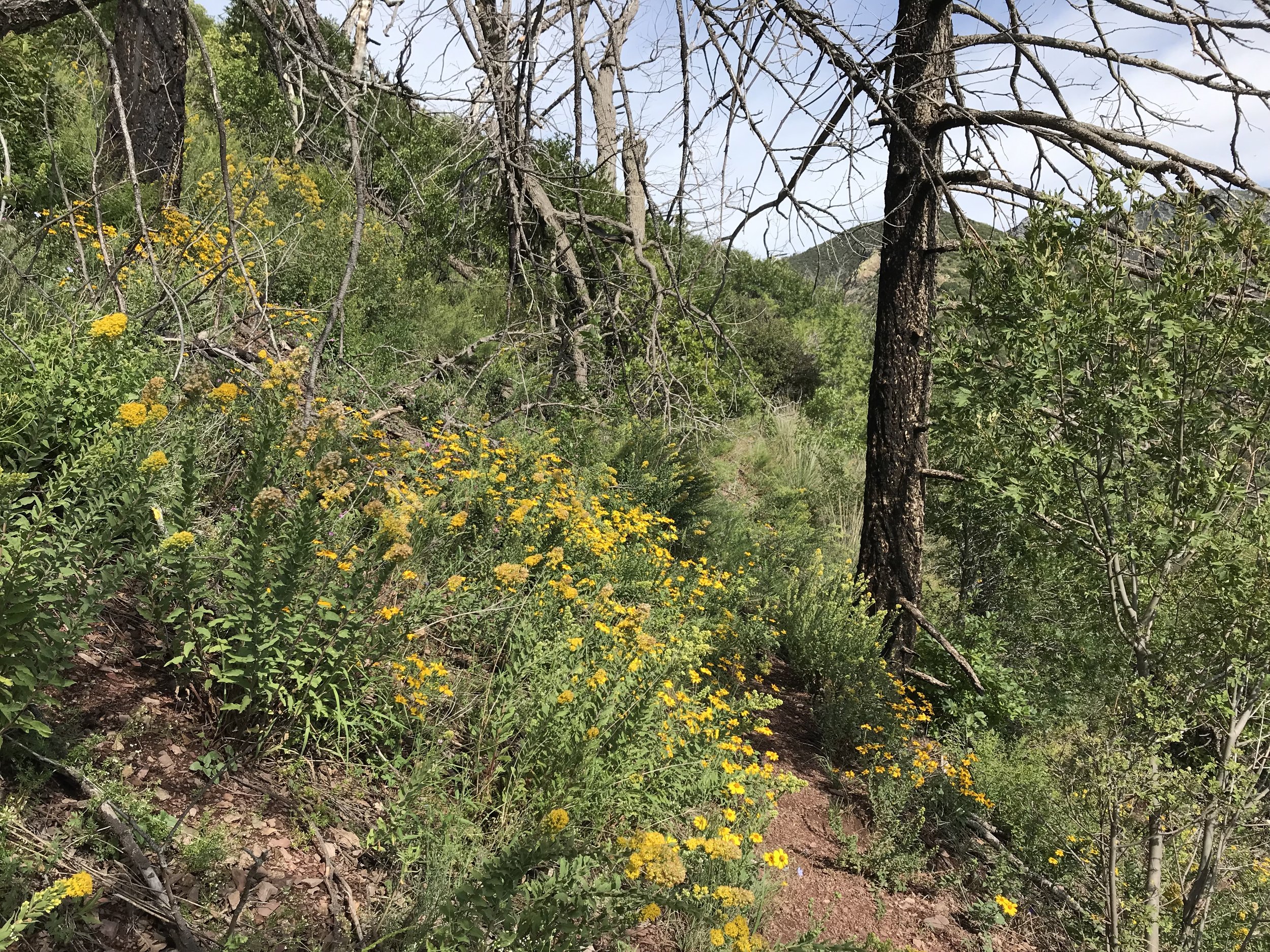
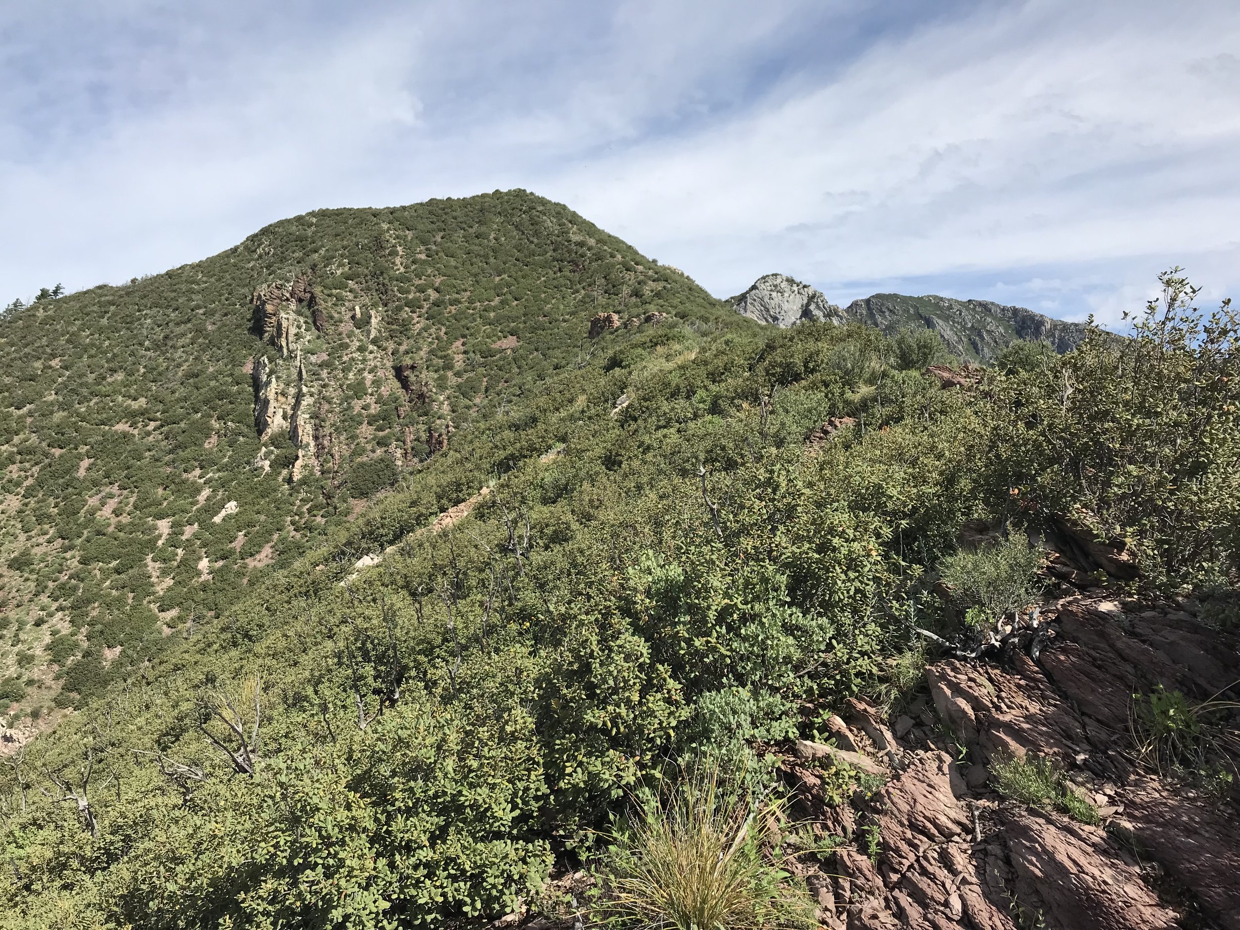
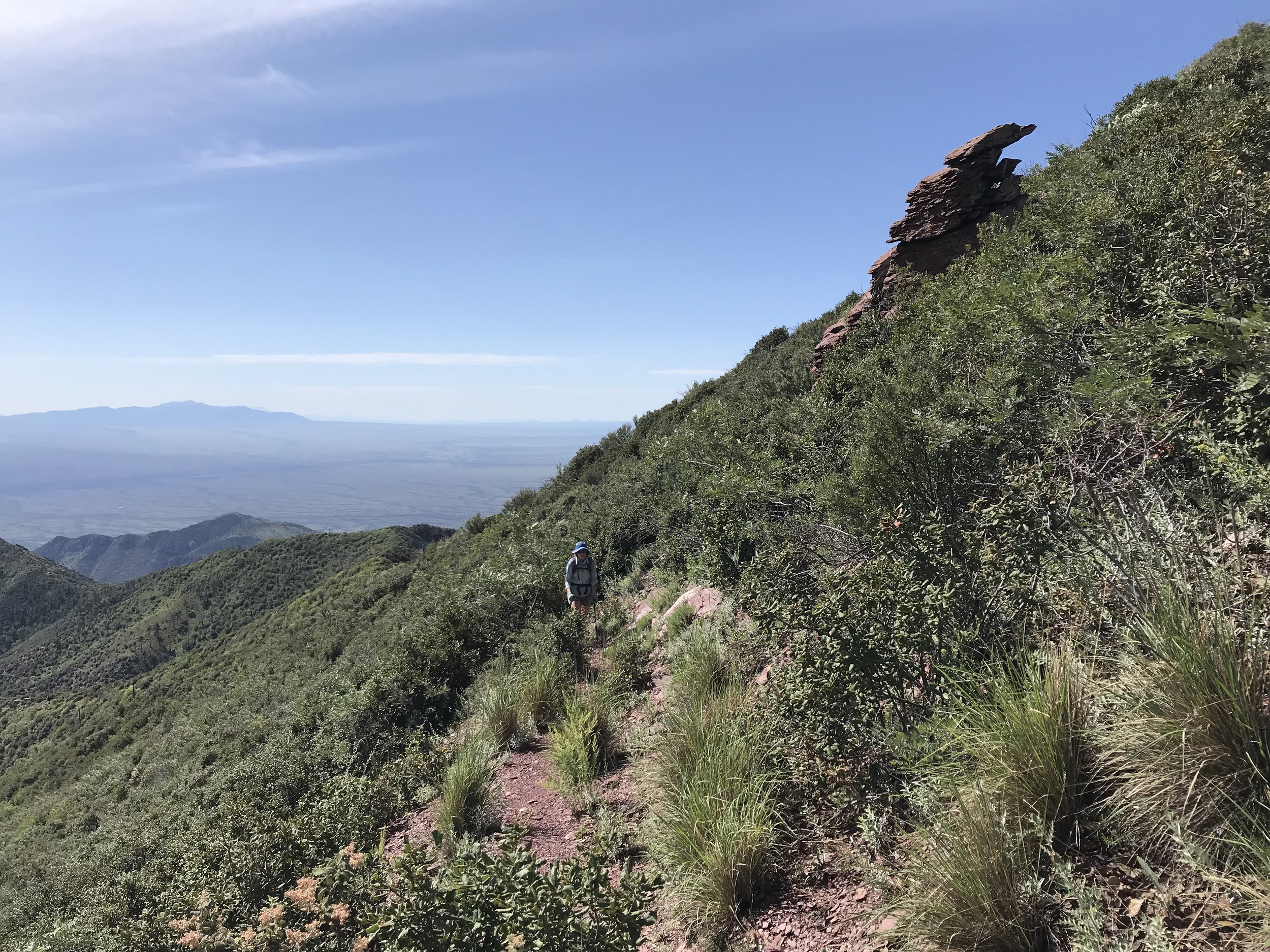
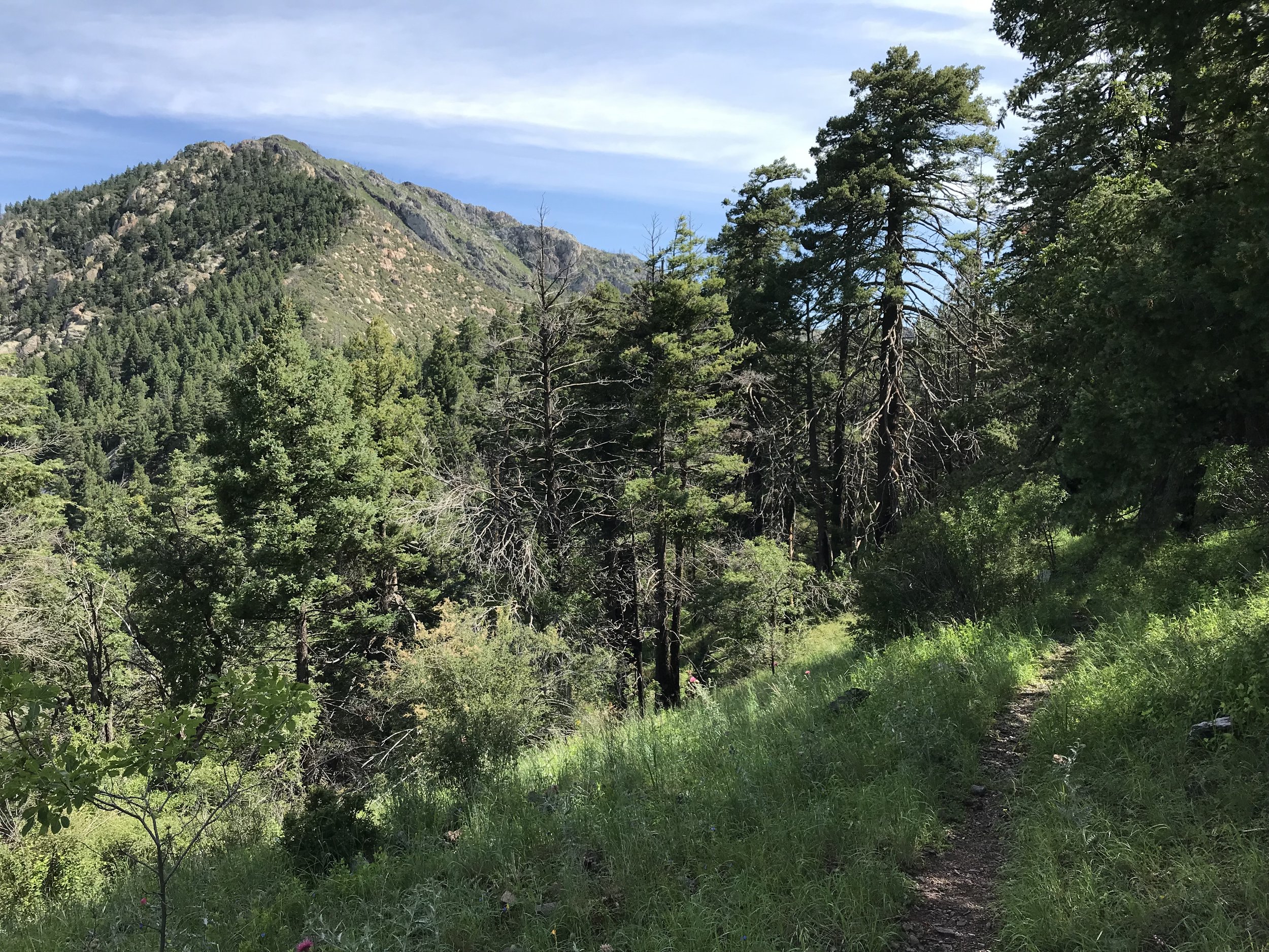
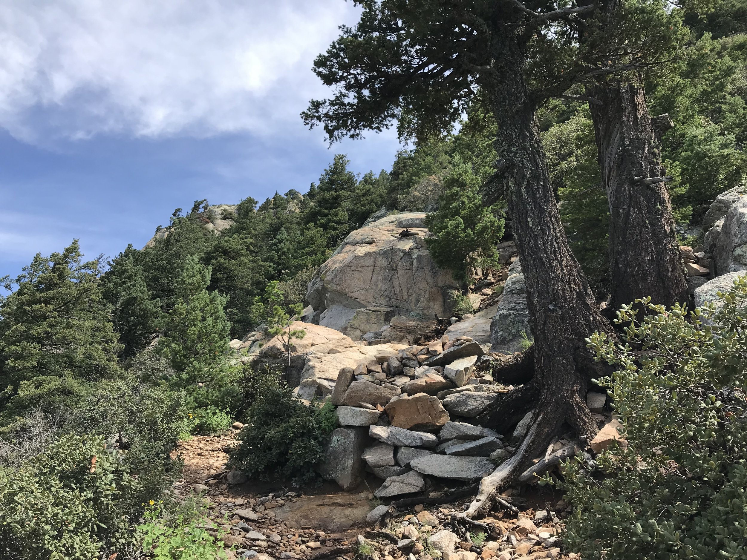
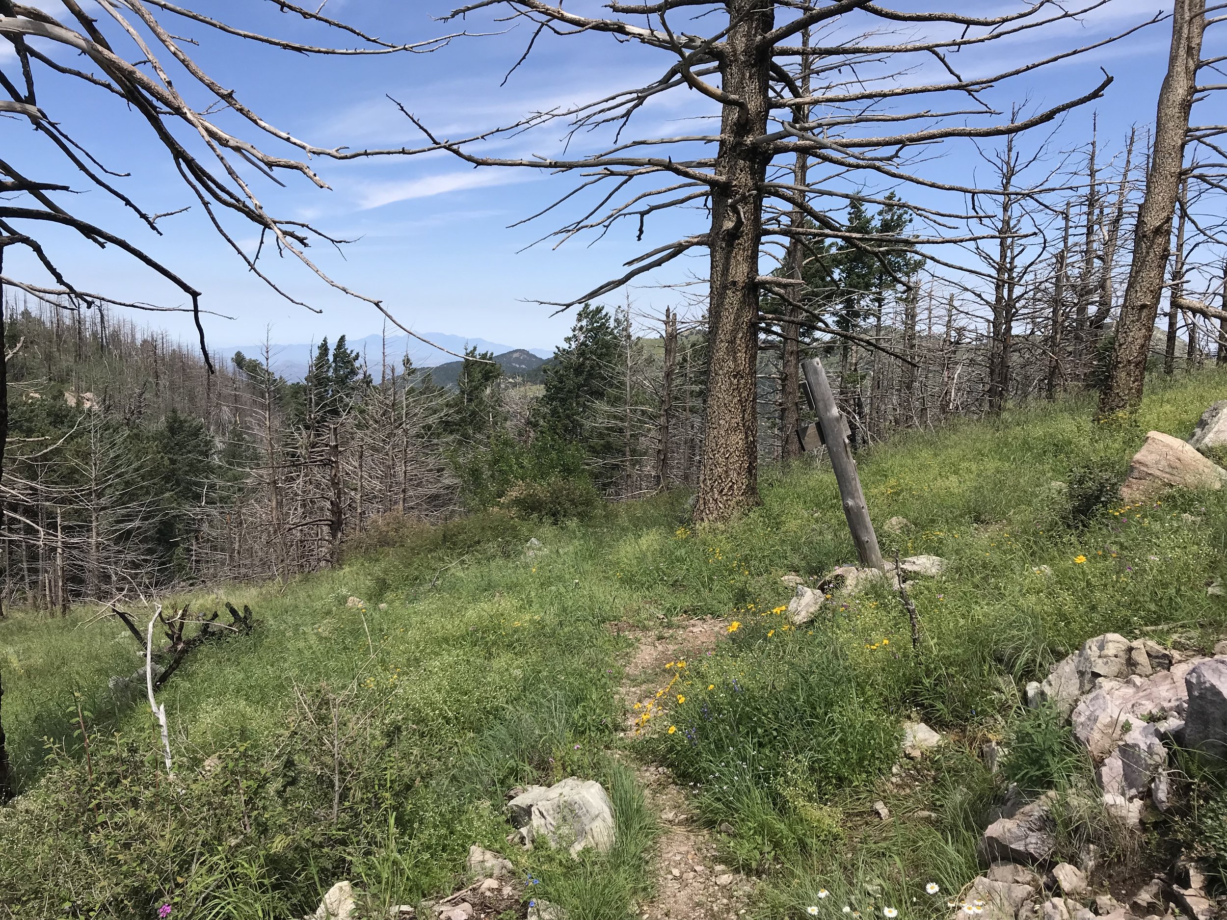
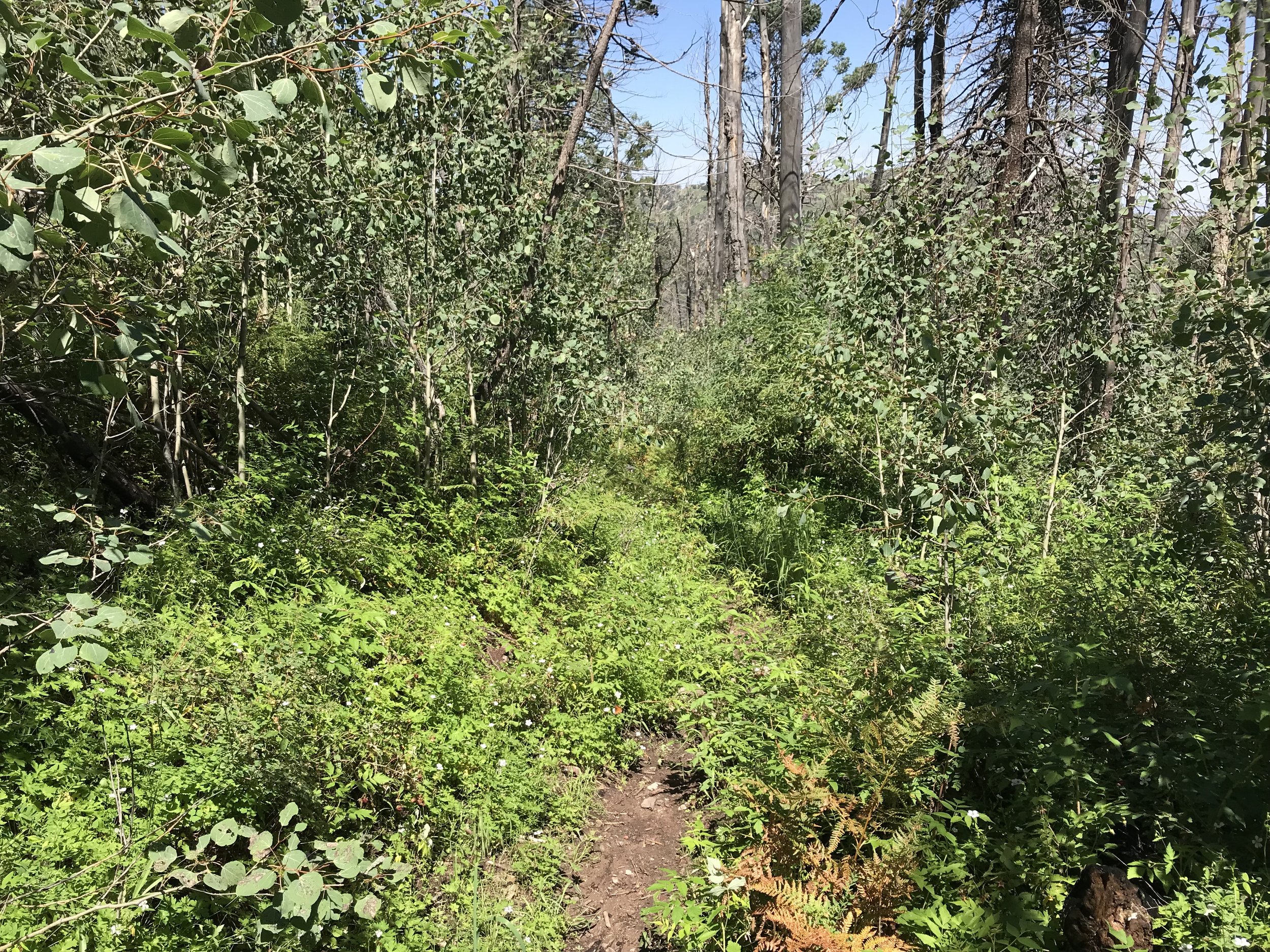
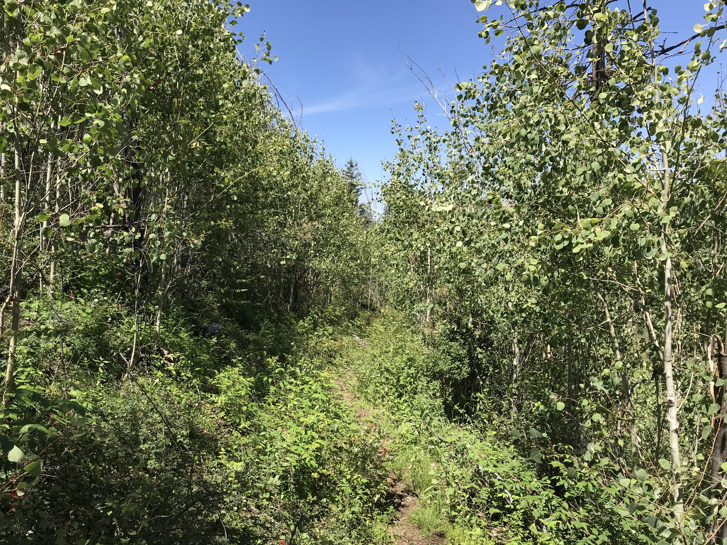
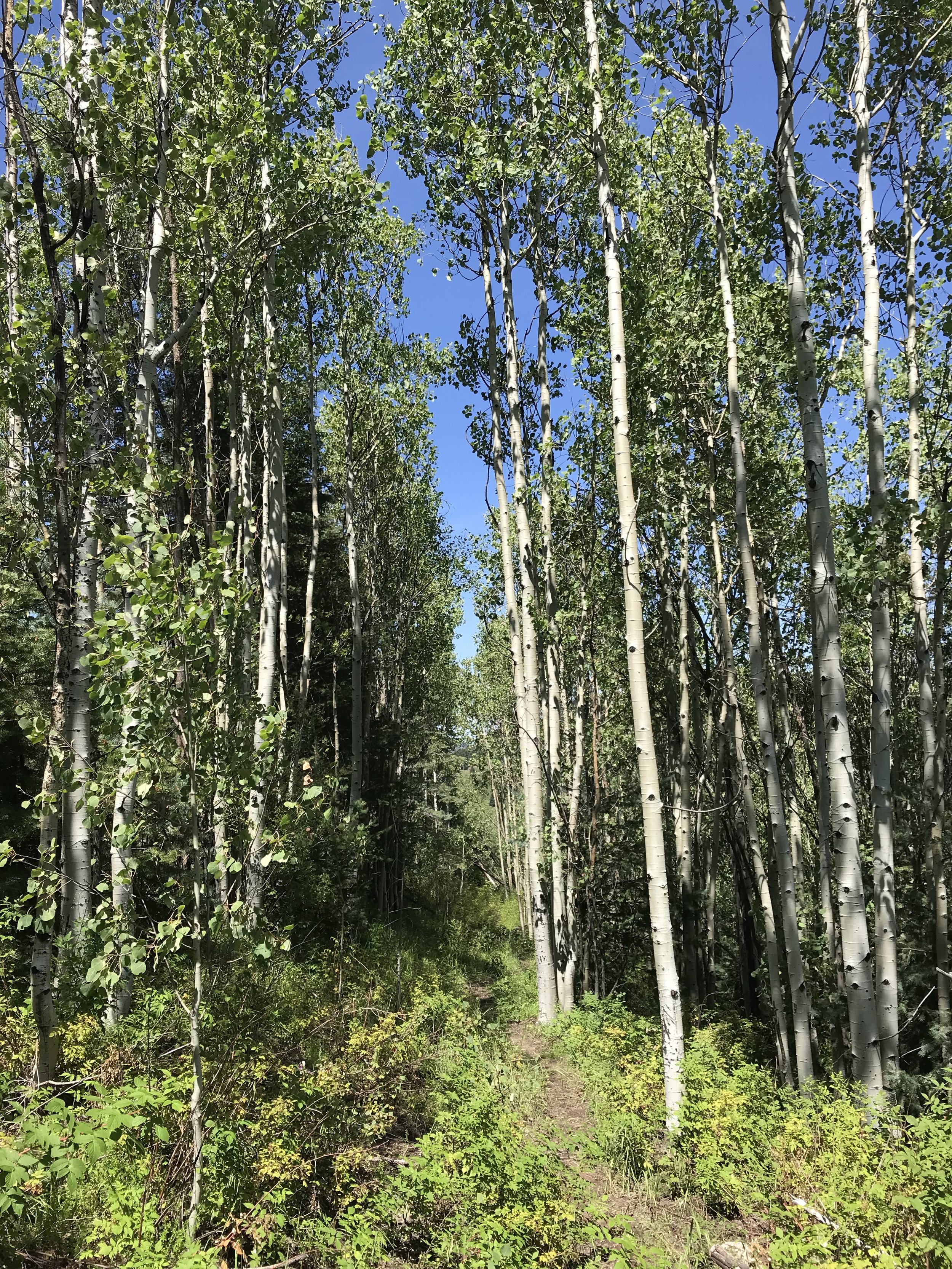
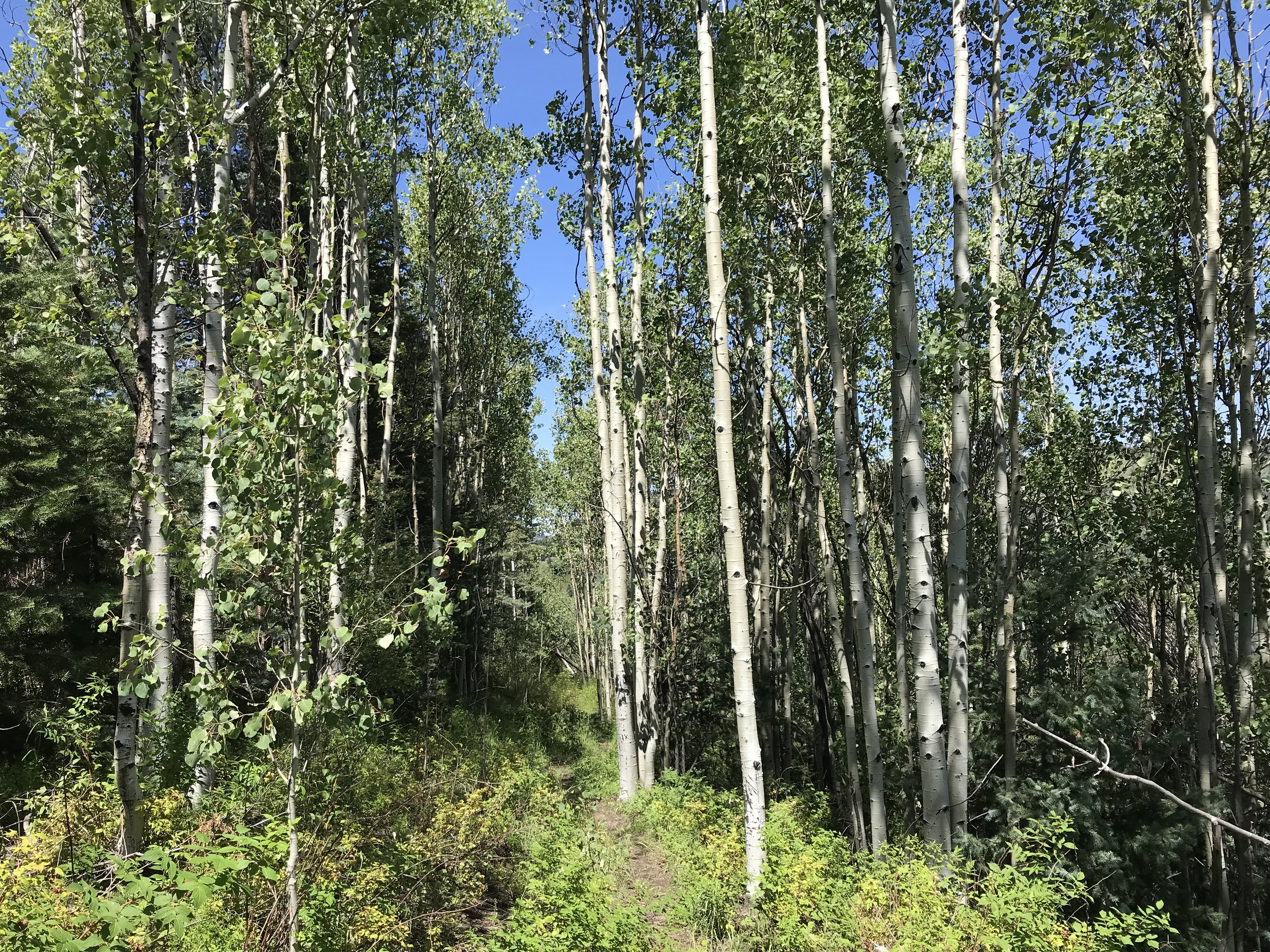
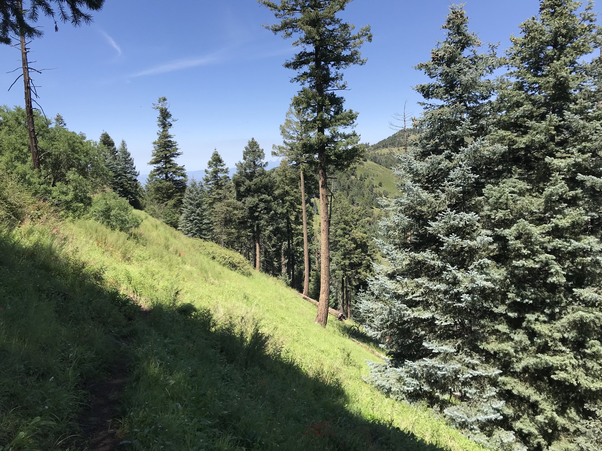
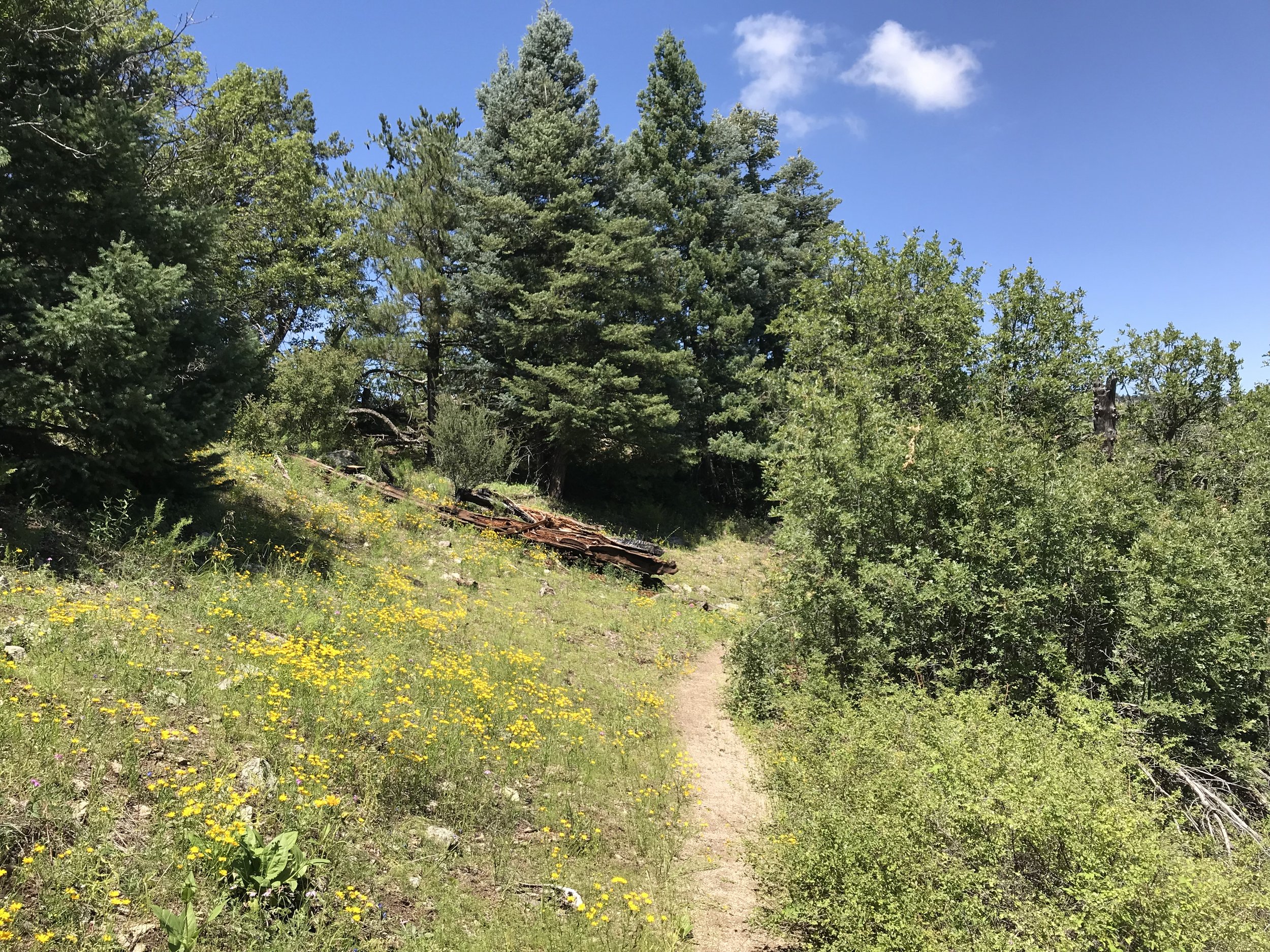
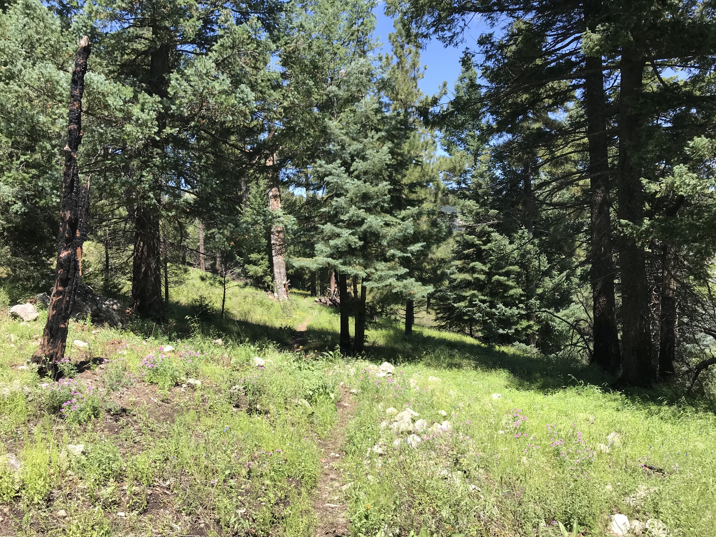
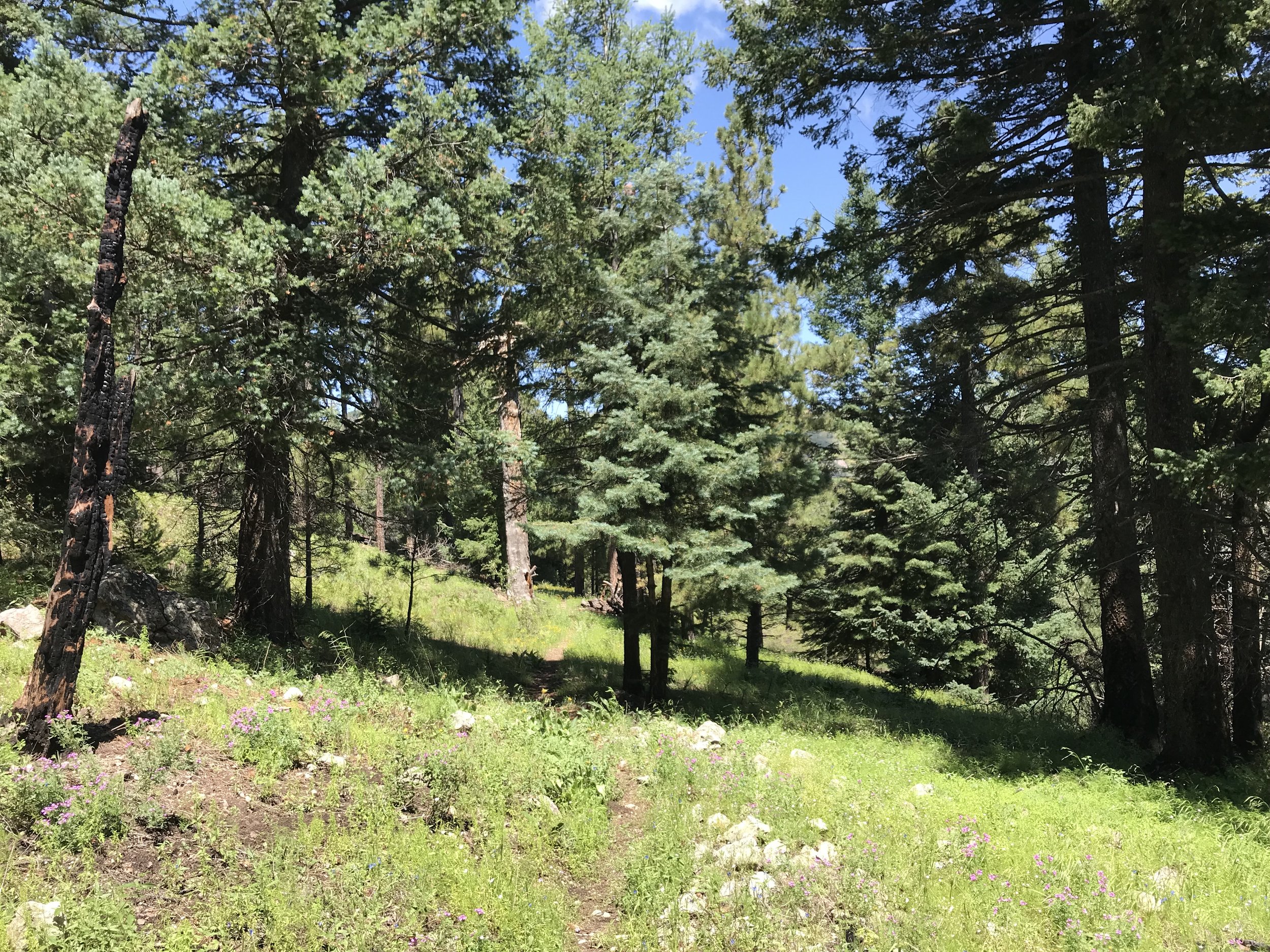
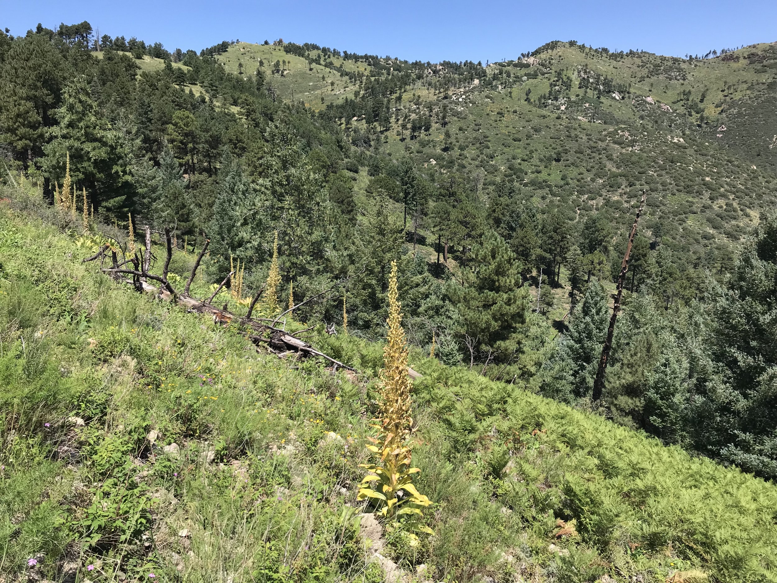
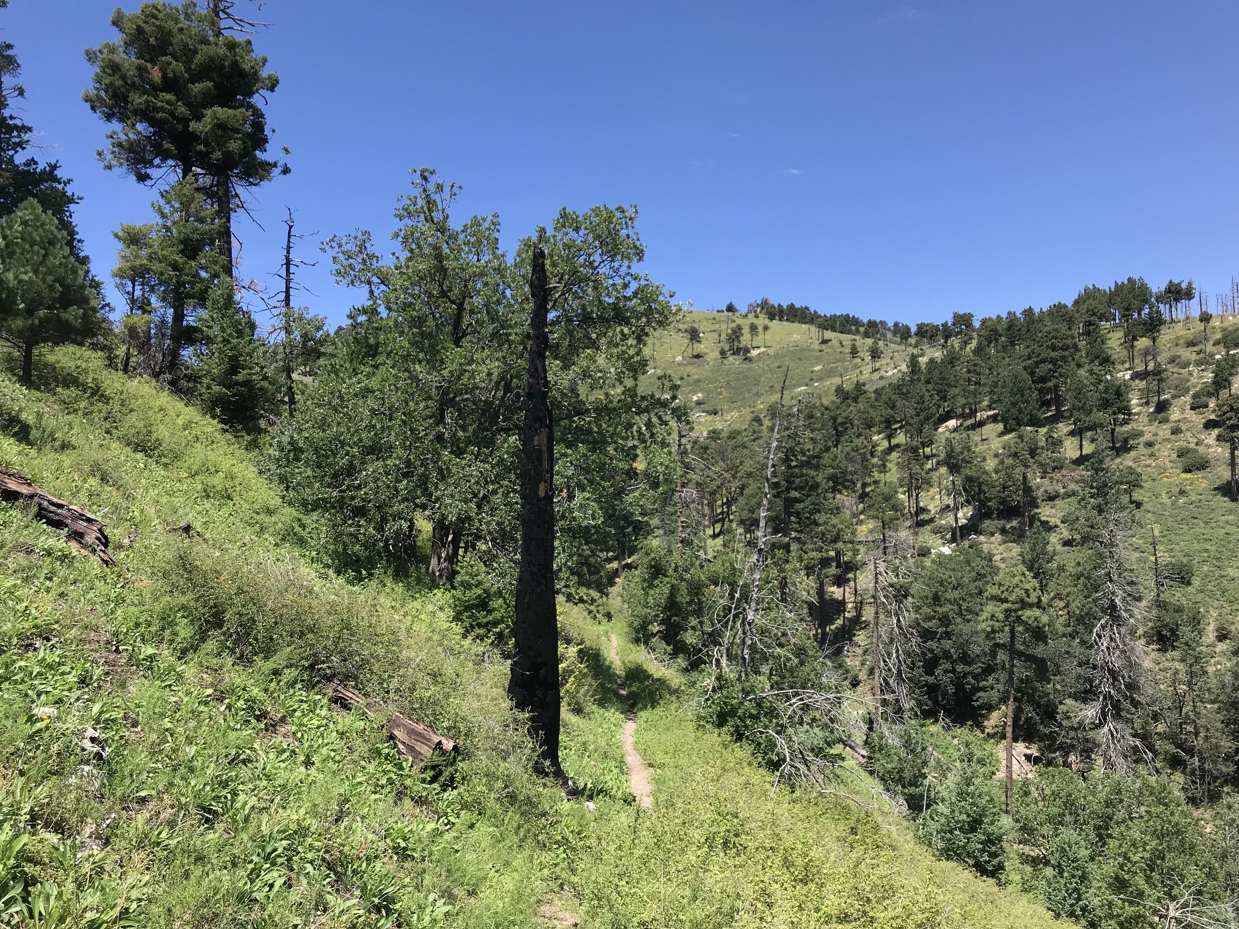
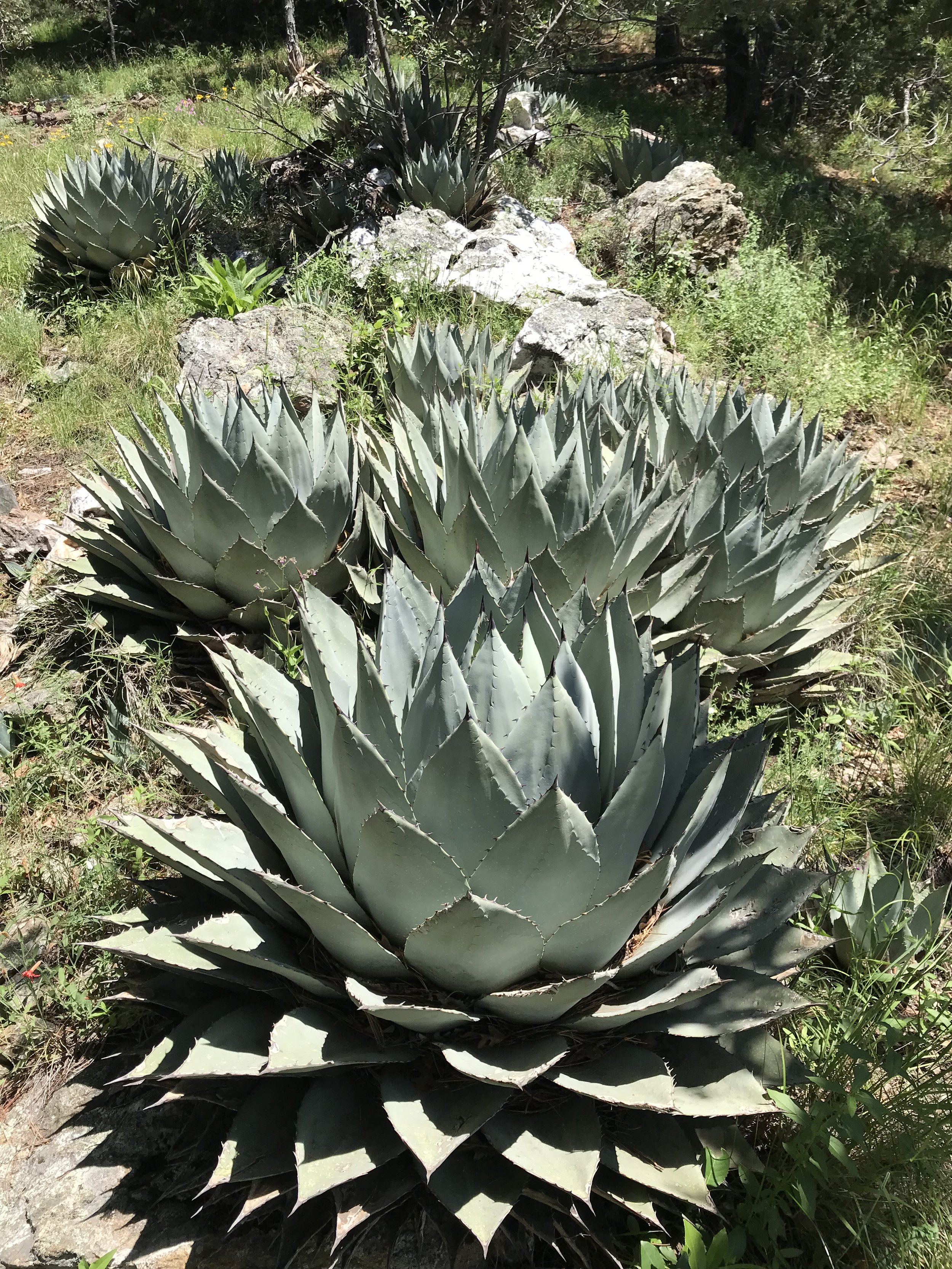
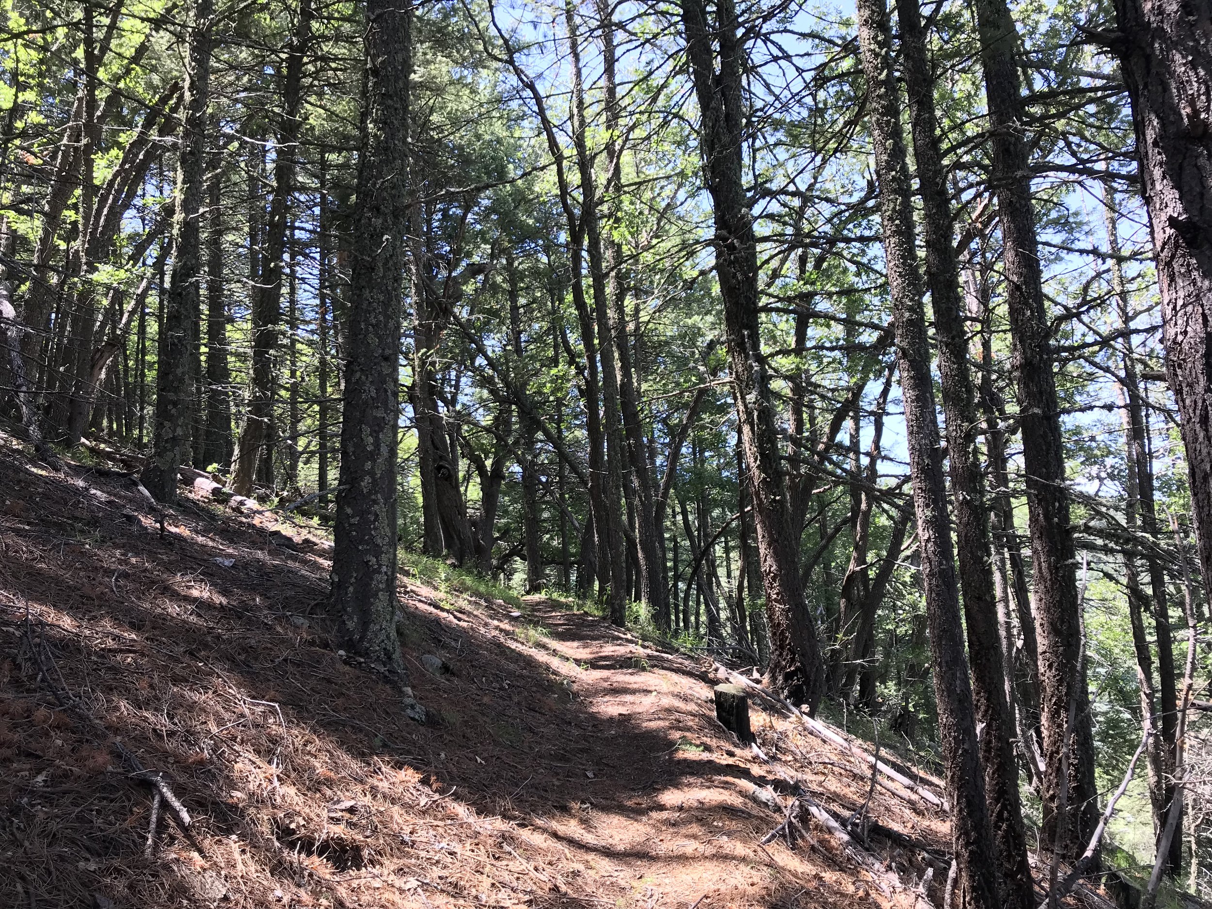
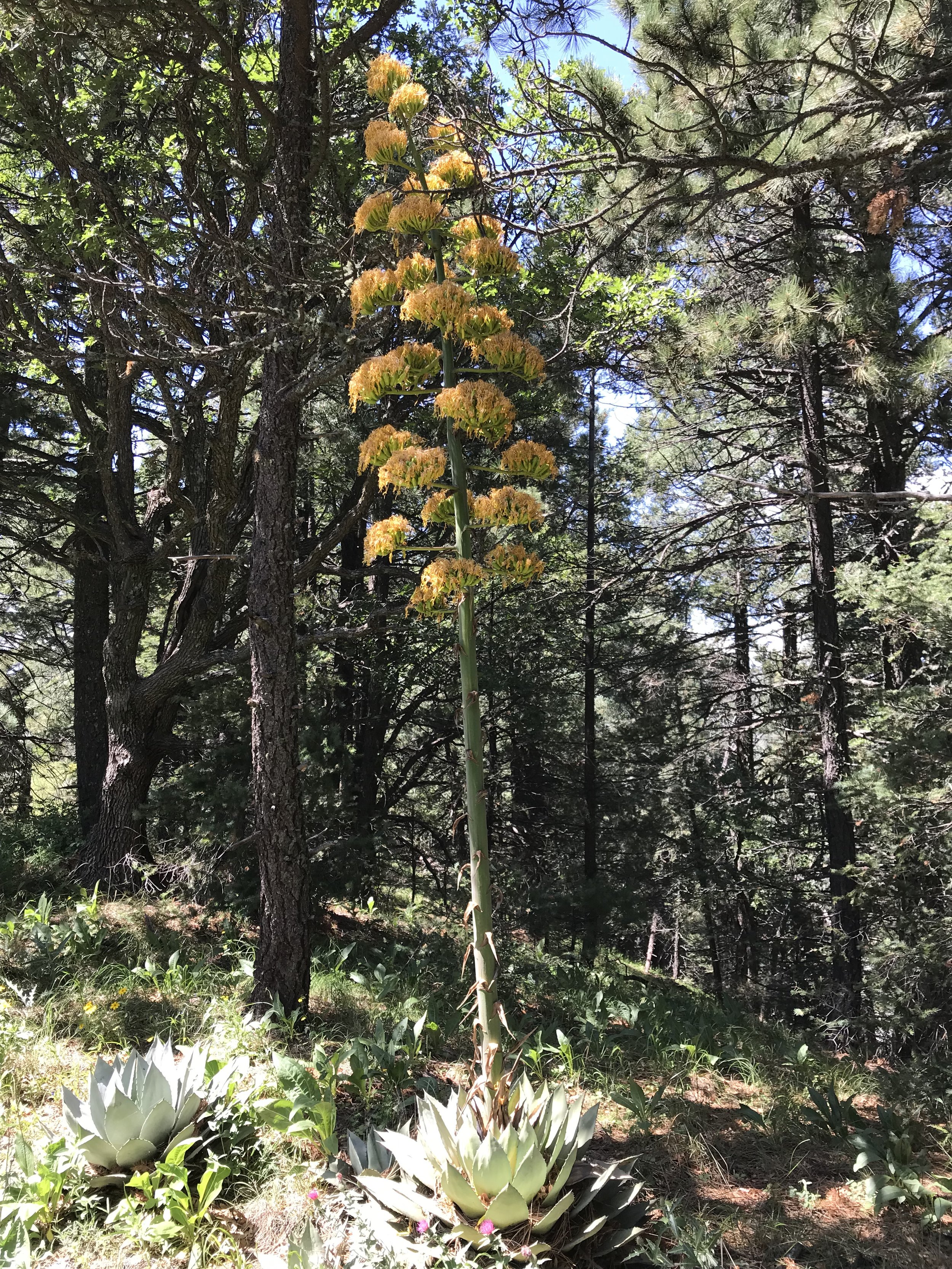
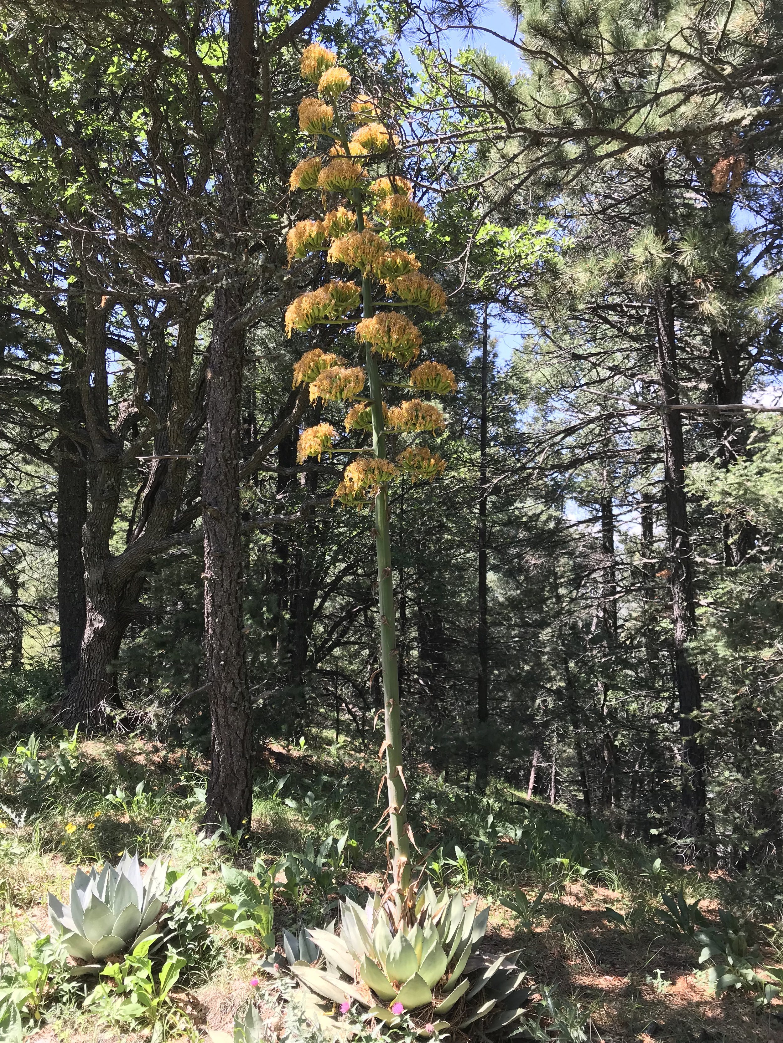
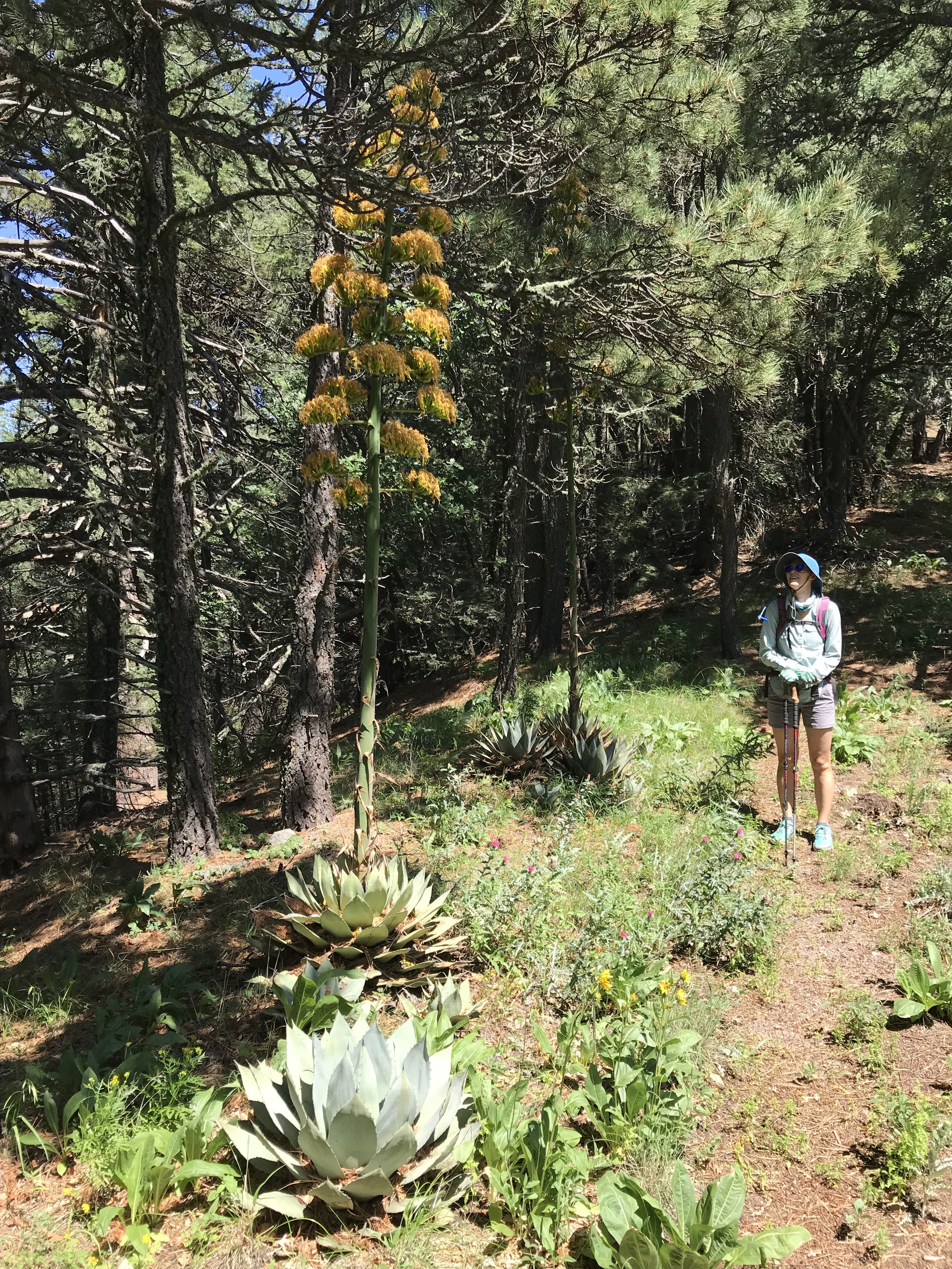
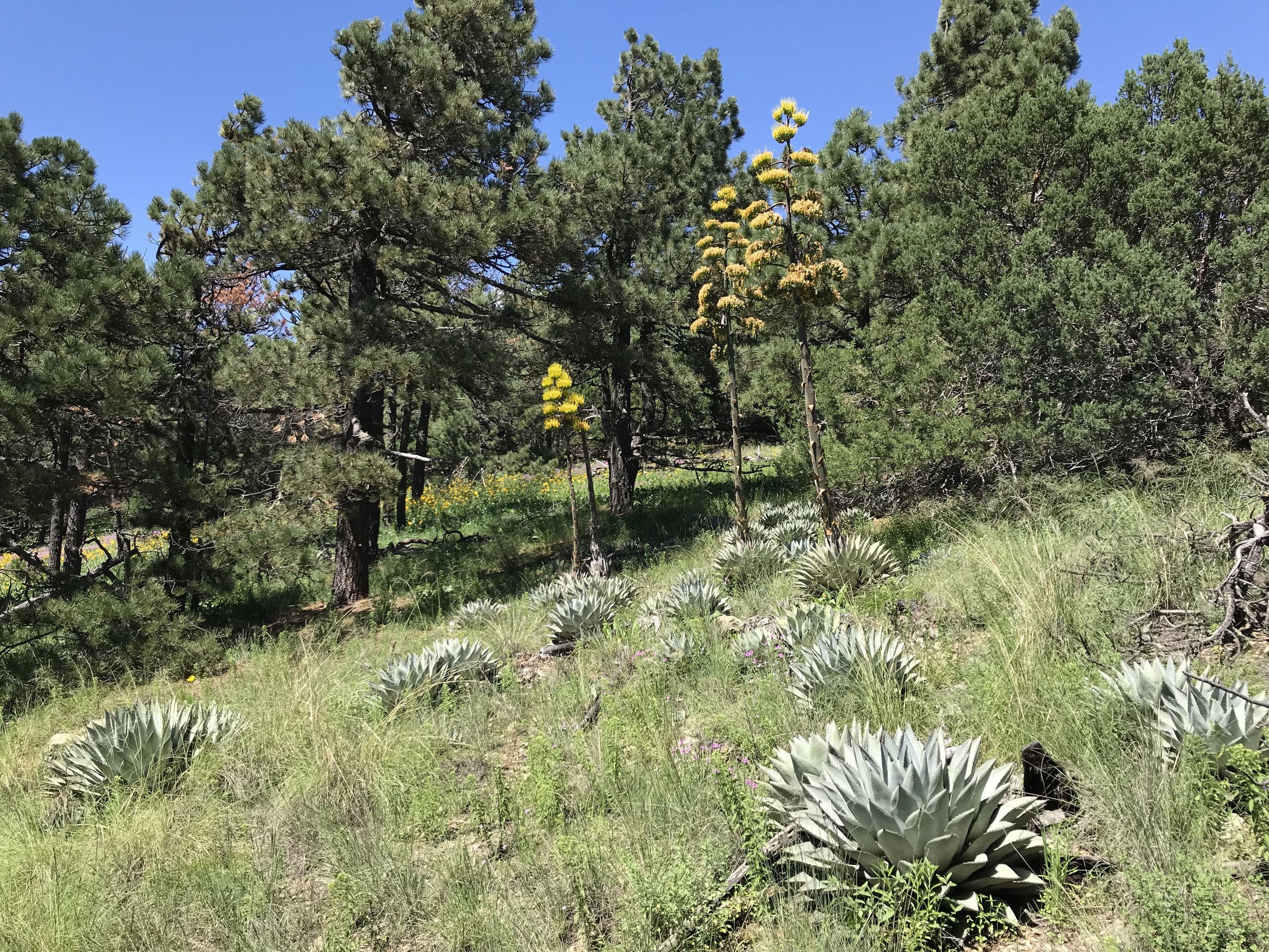
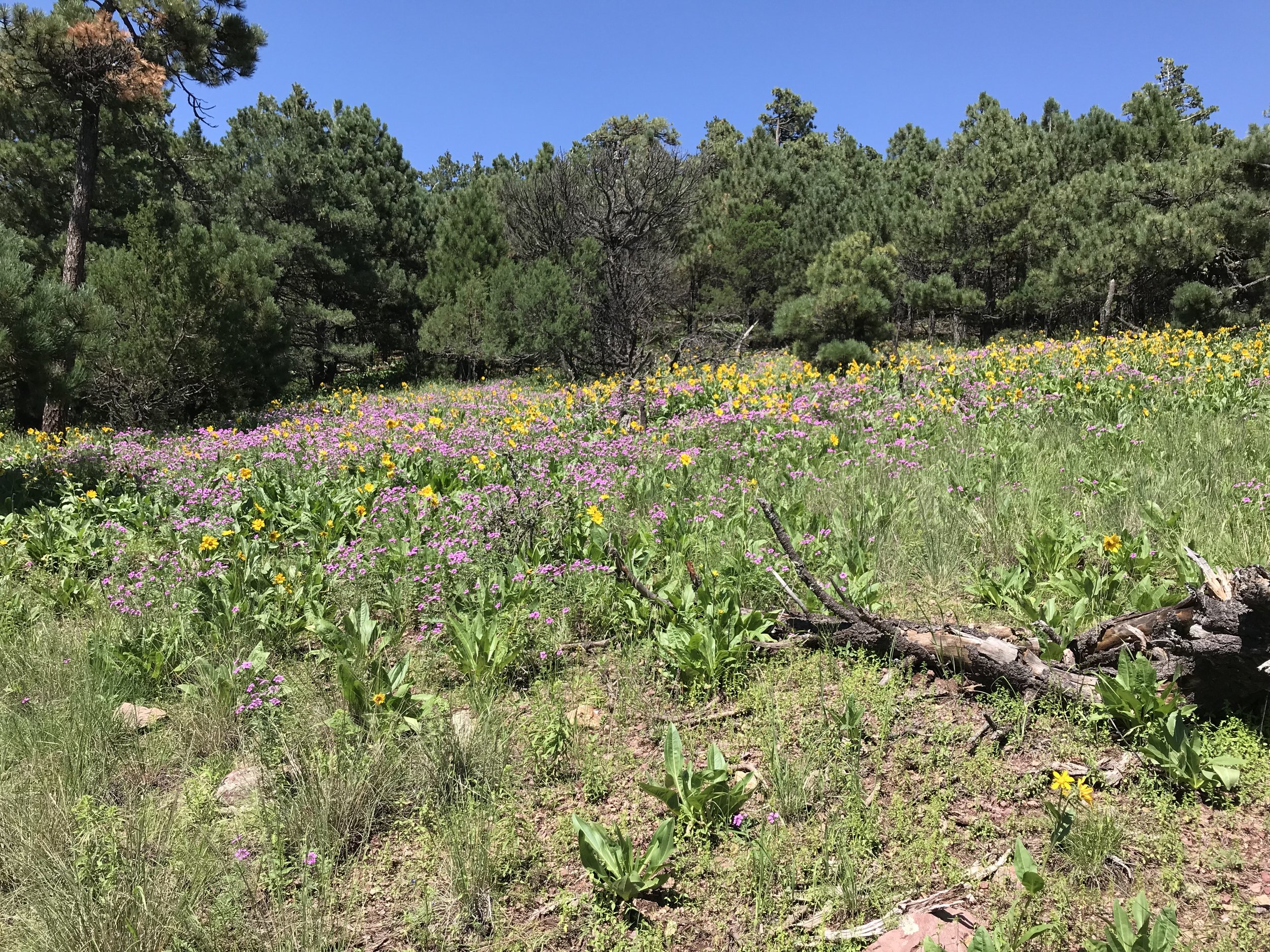
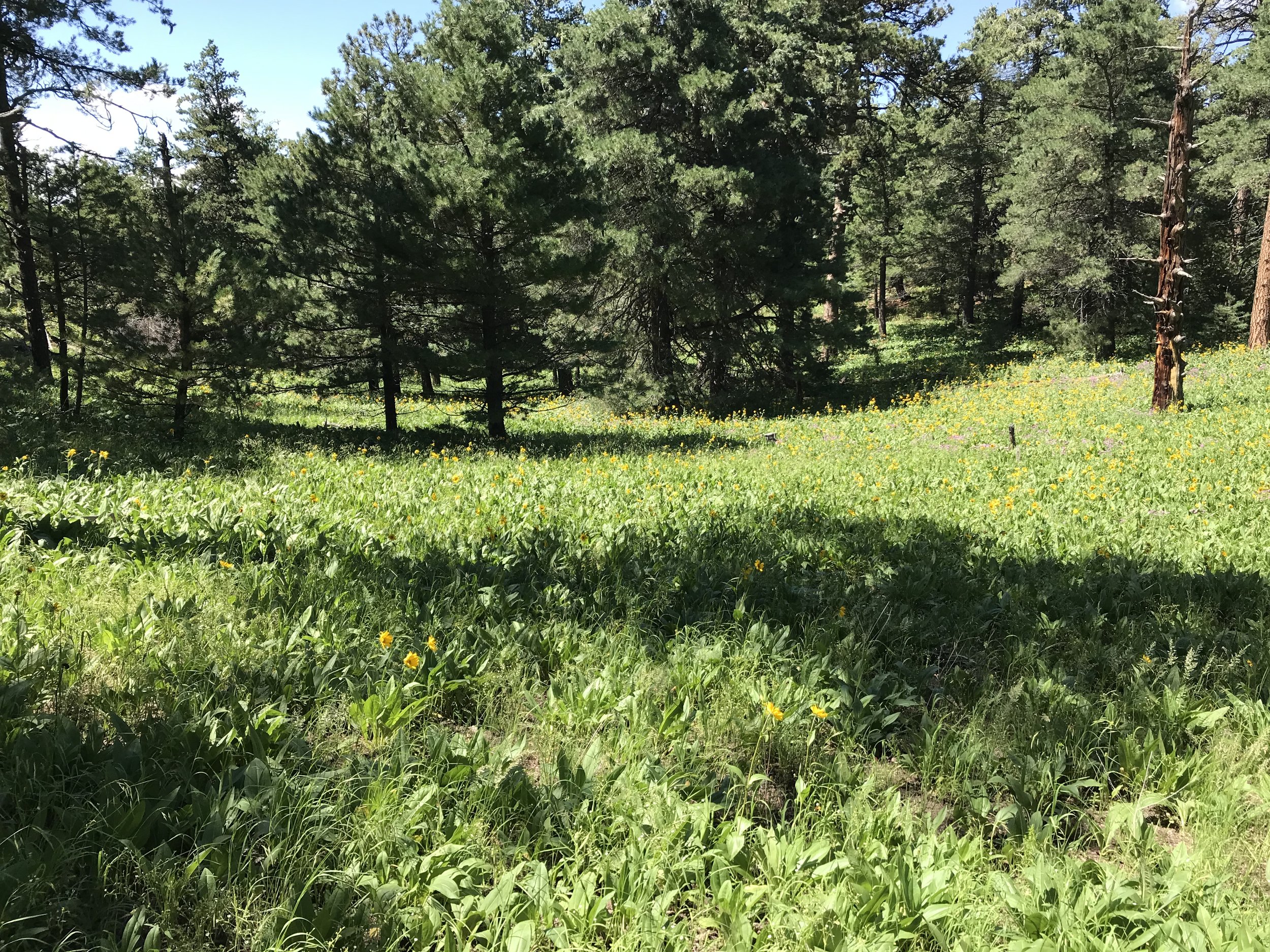
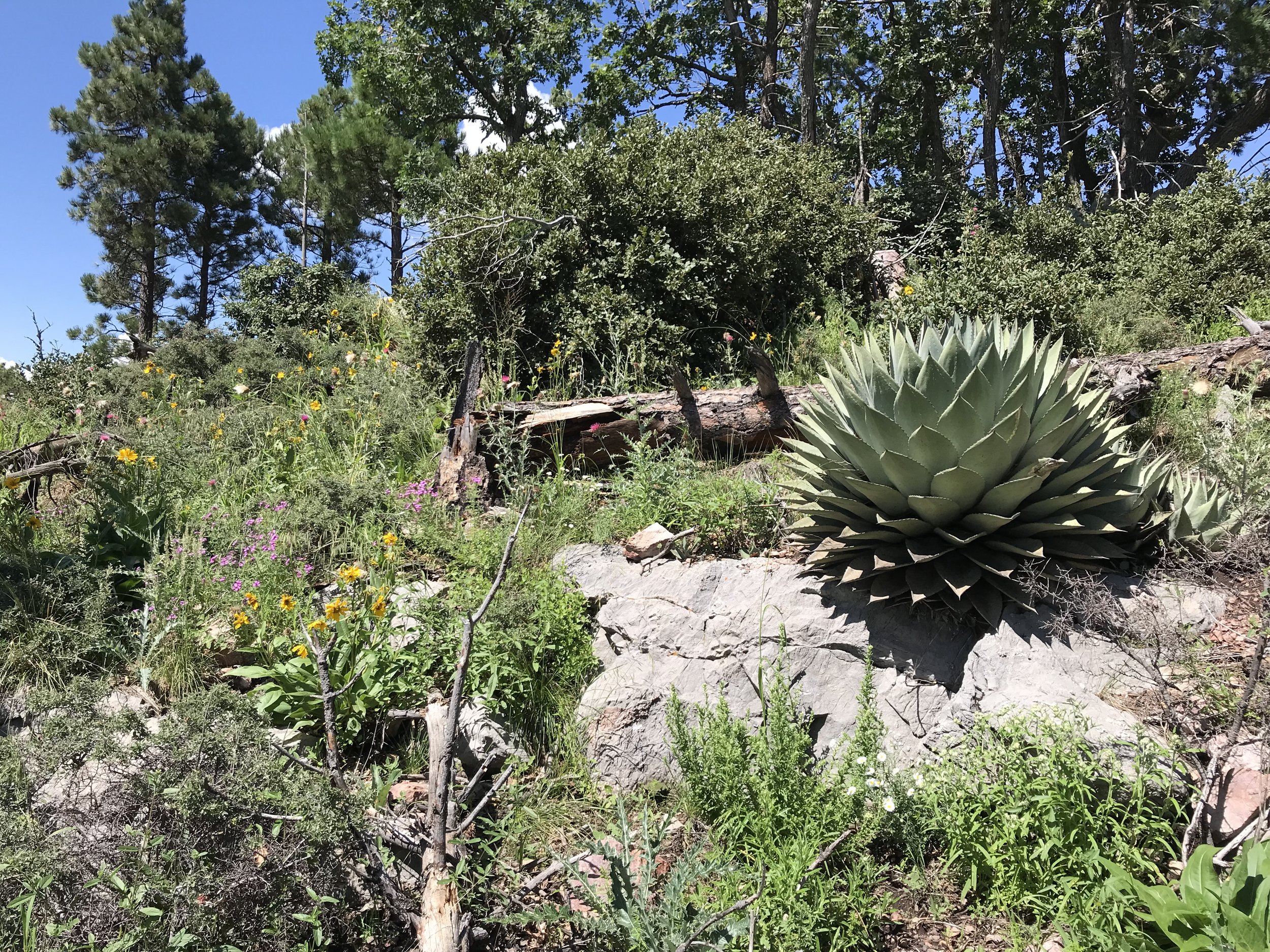
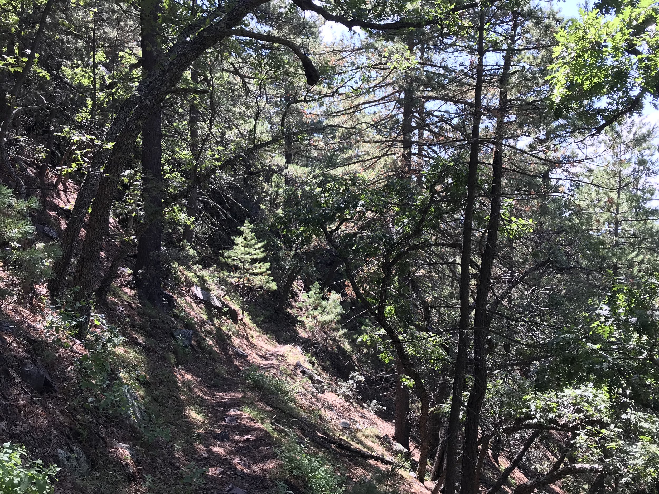
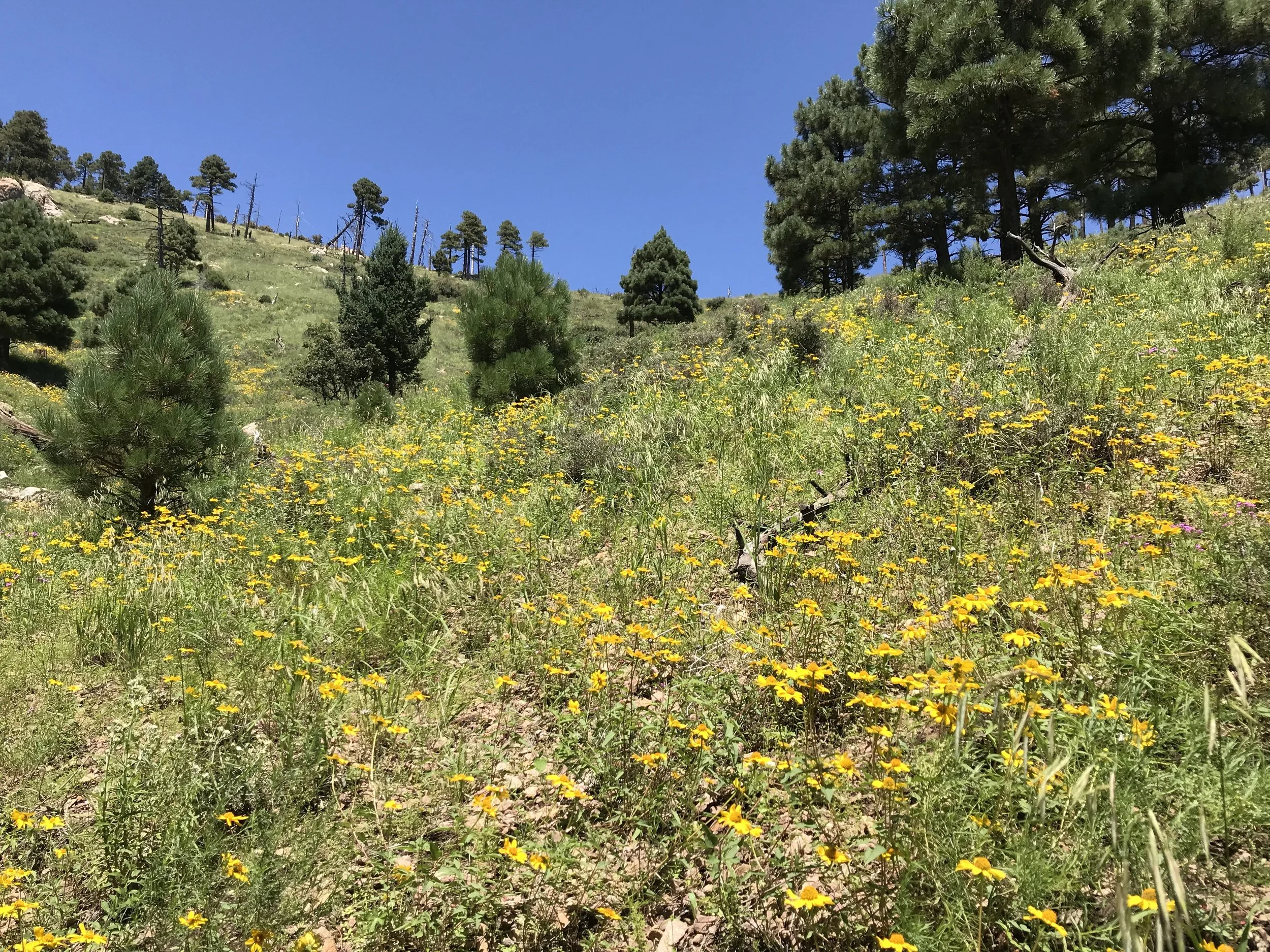
We descended the summit after a solid 45 minute relaxation. From there, the trail quality disappeared dramatically into plant life and erosion. If few people come up the peak outside of AZT-season, then even fewer continued along the Crest Trail after the highest point in the range. We studied the landscape for cairns and looked for faint remnants of foot-use. The trail came off the ridgeline proper and dipped slightly to the eastern side where buckets of aspen trees grew from a burn in the past. We passed through rows of ripening blackberry bushes and spots of Indian paintbrush. Curving along the curvy contour line of a couloir brought us to thickets of spruce, aspen, and pine. I was struck by the tree and plant diversity up here - a true testament to the lush growth of elevation above the high desert summer floor below.
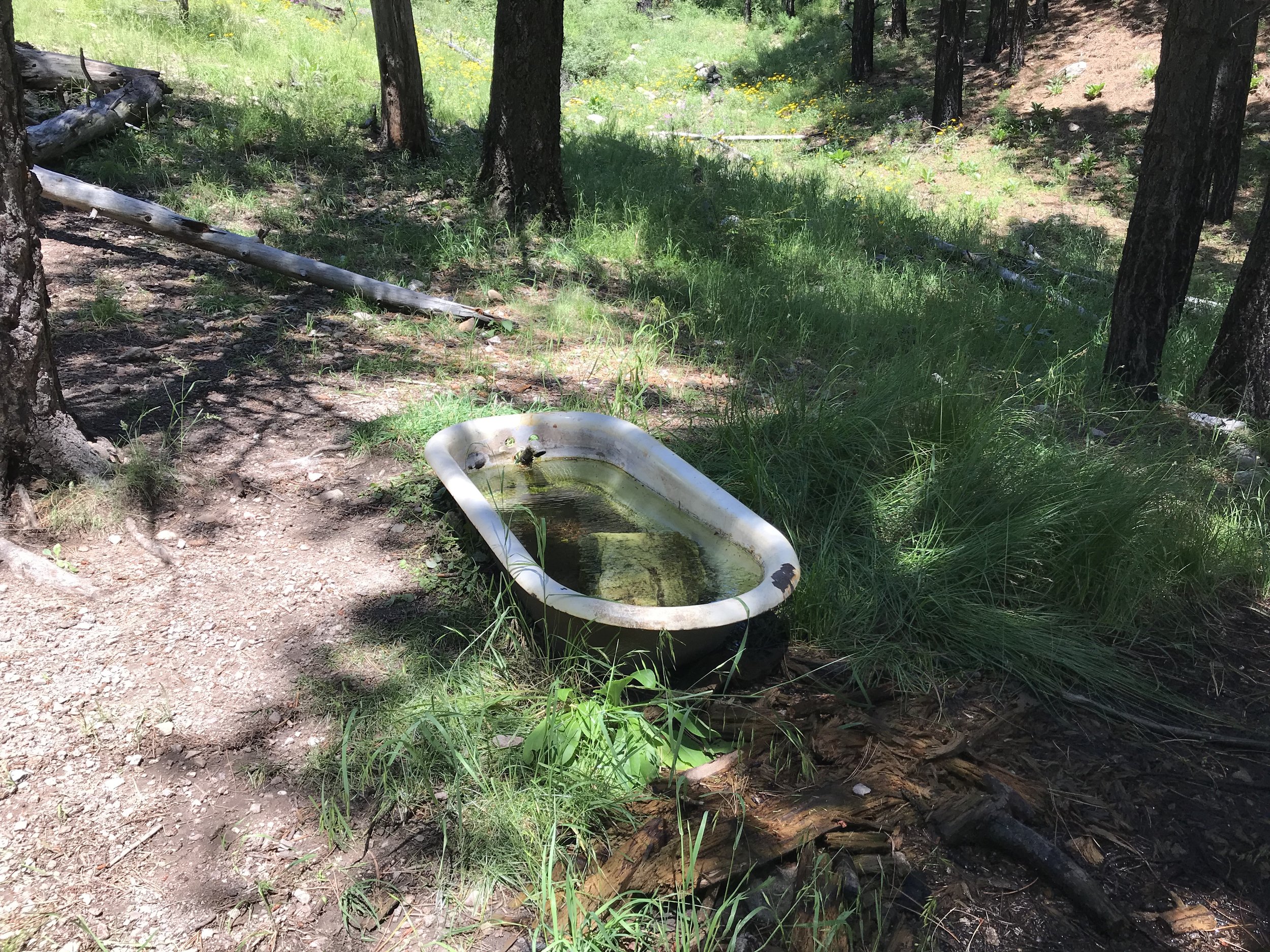
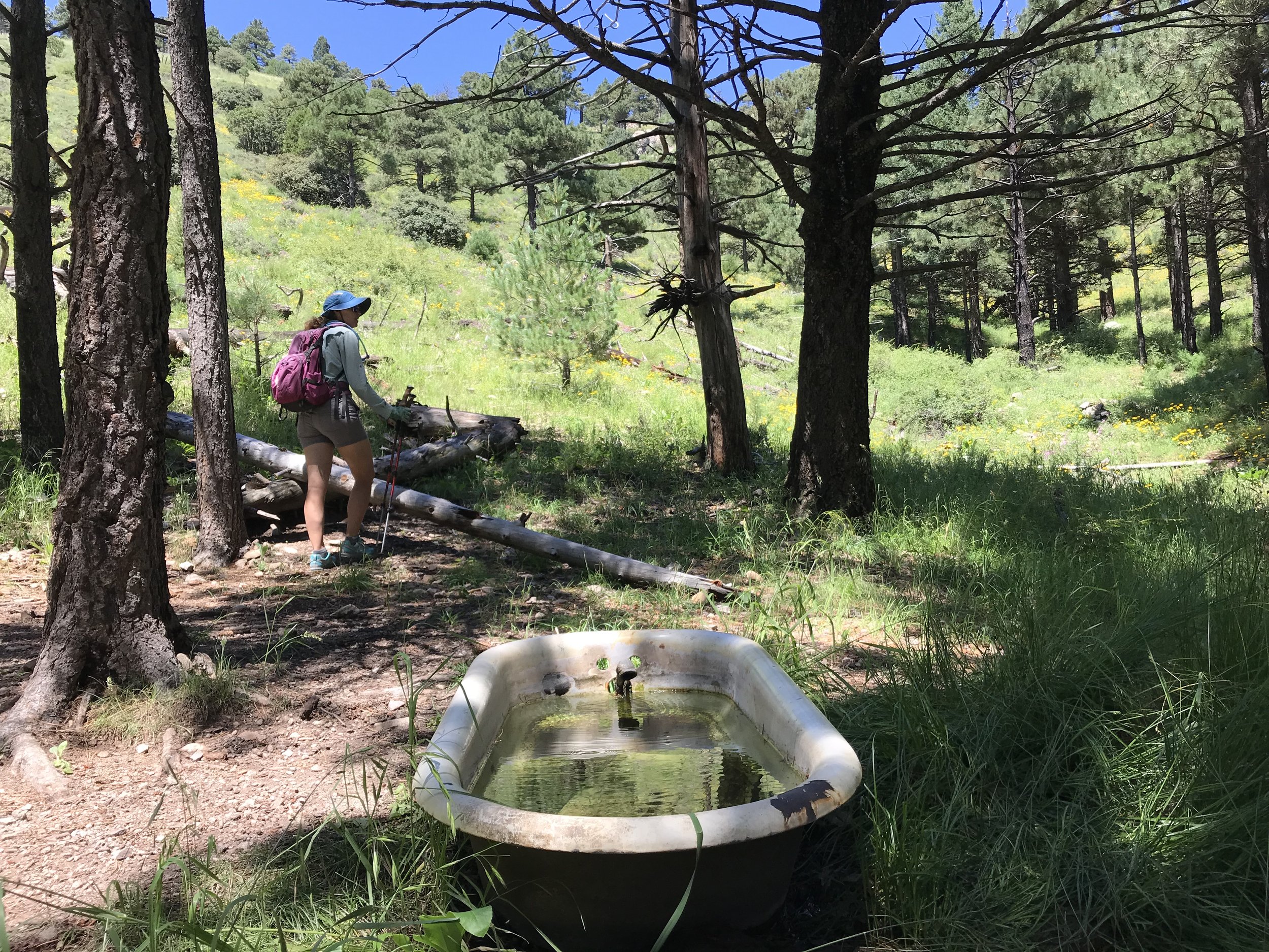
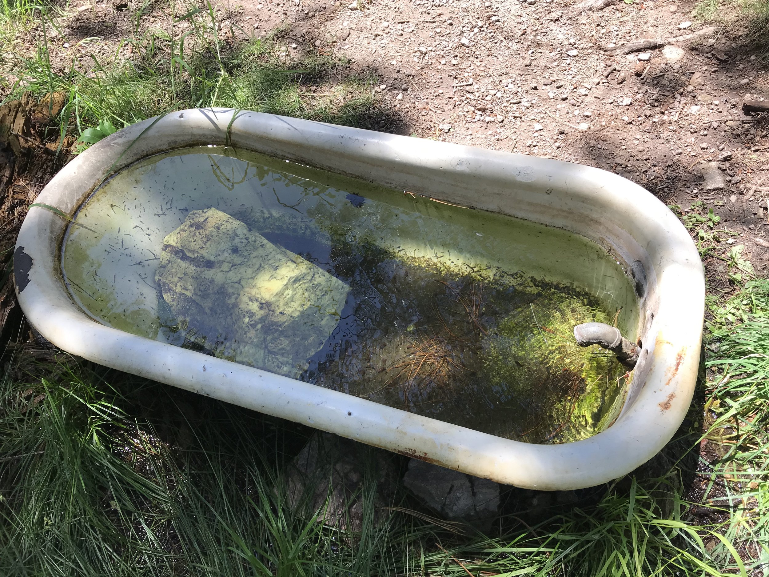
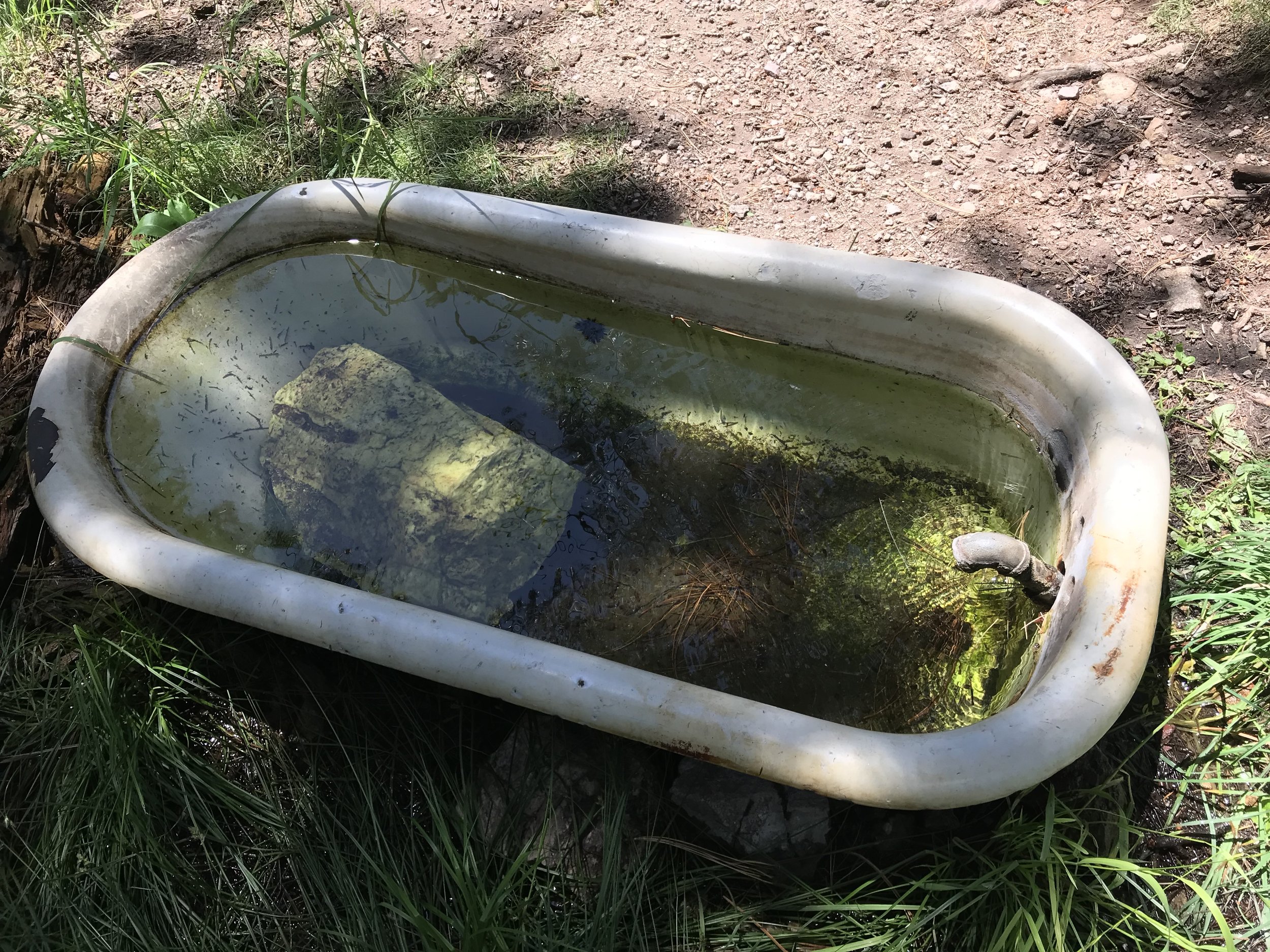
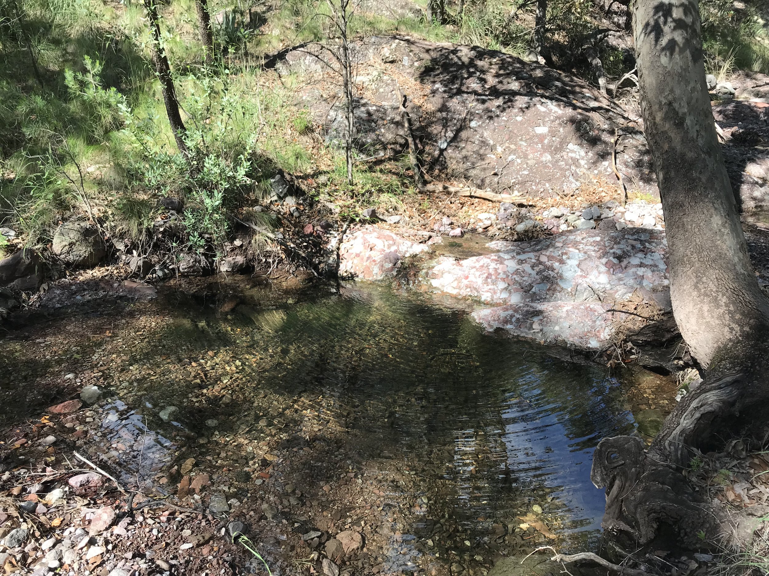
By noonish, we hit Bathtub Spring. An old bathtub was sunk into the ground and its namesake spring piped into it at a constant flow. This was our only water source for the day, so we chilled out under the trees and drank the cold and clear water. I could tell people had used the area for camping, and I thought about those AZTers we met Day 1 of our thru-hike who huddled in 3 foot snow during a 15 degree night up here at this very spot. A couple of hikers coming from a spur trail approached having visited the Nature Conservancy plot down below.
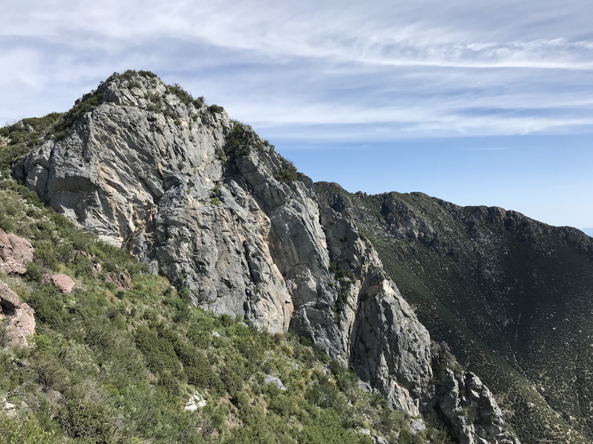
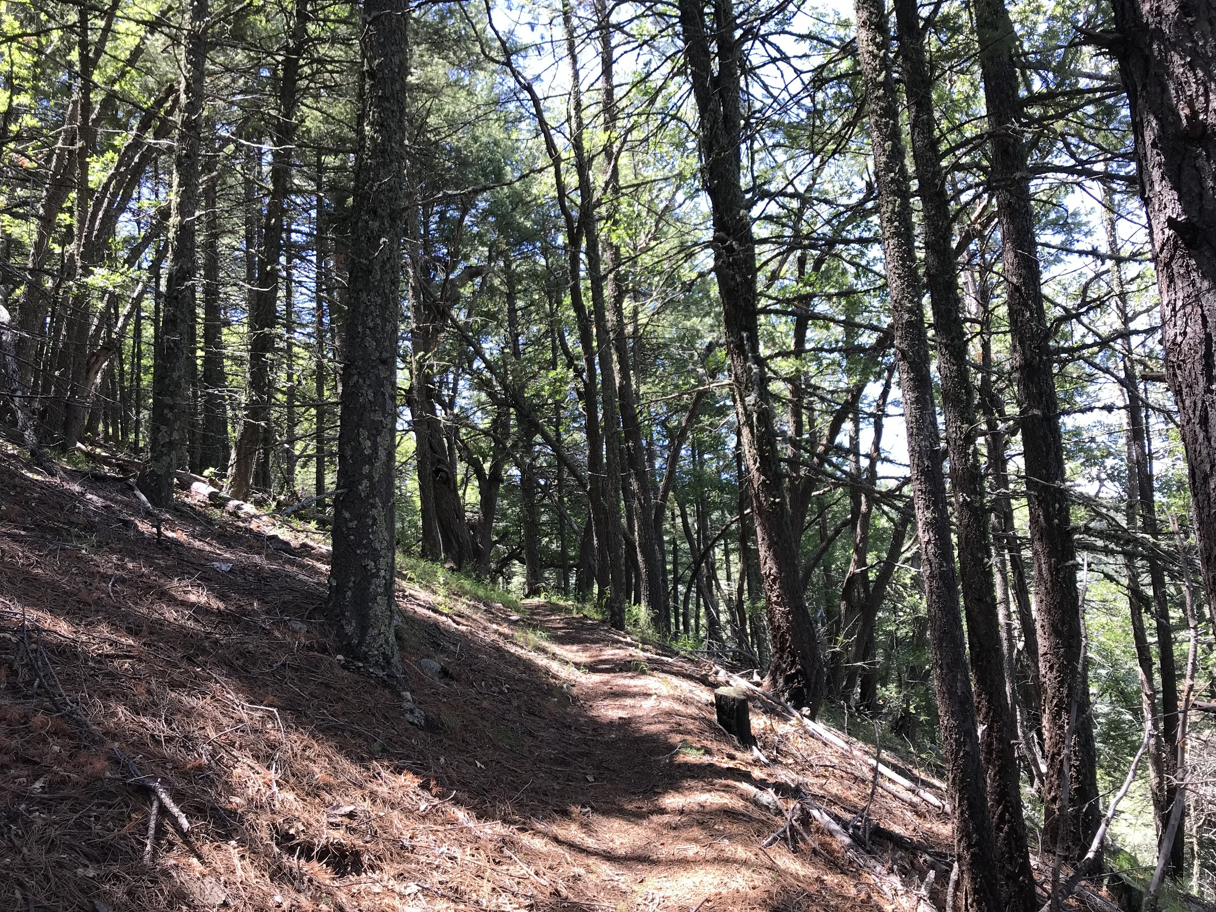
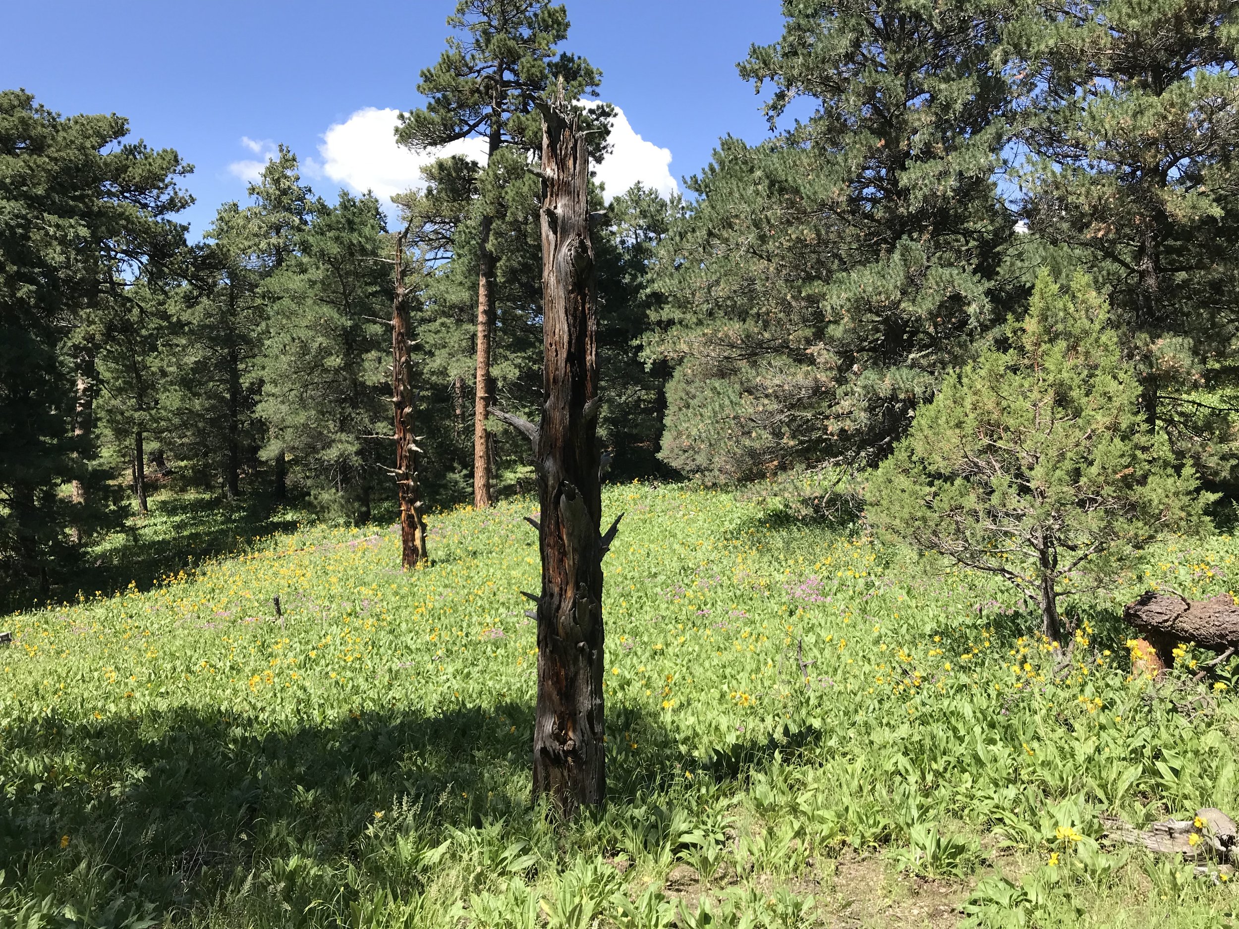
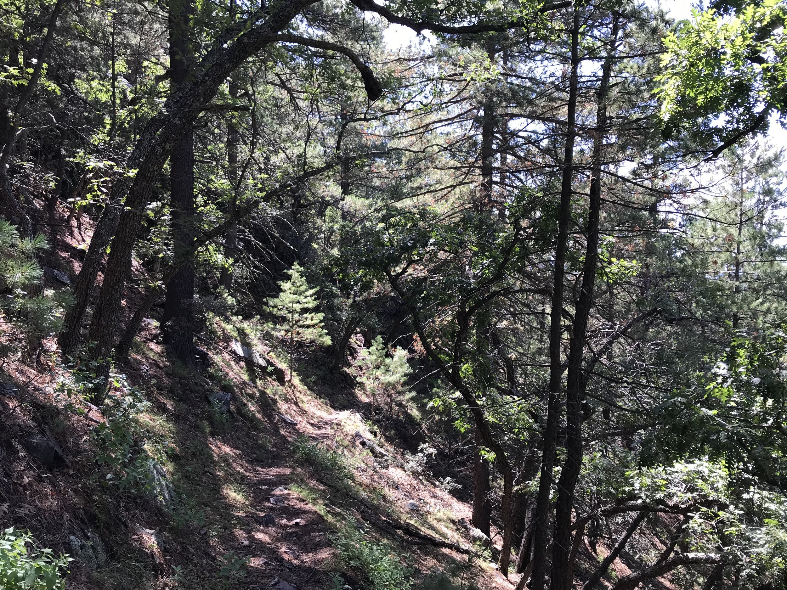
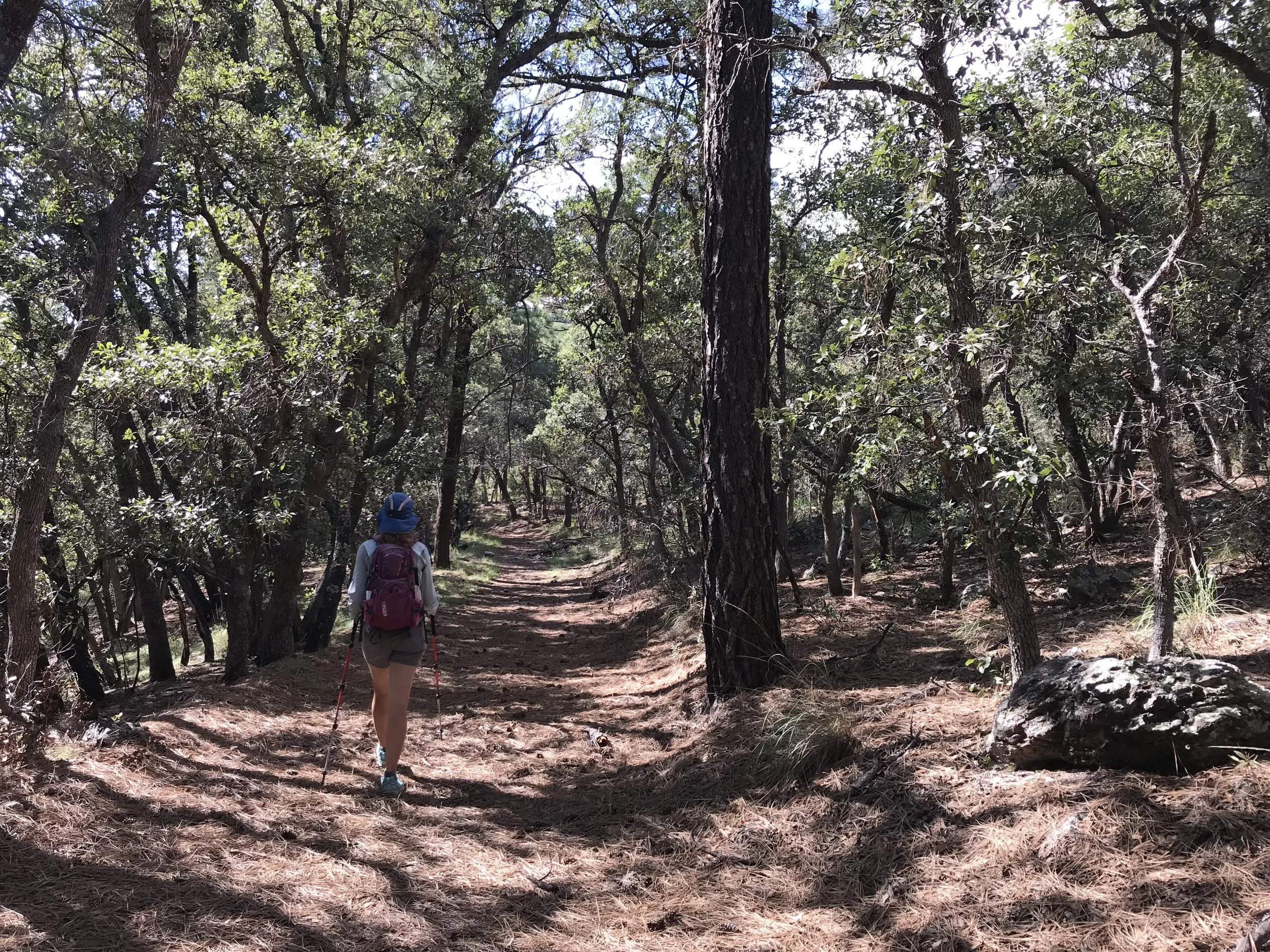
Janna and I pushed on with the AZT/Crest Trail which dipped back up to the ridgeline proper. Behind us, large cumulonimbus clouds rose and formed with the early afternoon monsoon sun. We could see the rain hitting the peaks to our east as we continued on the ridgeline westwards. There were tons of gorgeous camp sites located on piles of pine needles and mixed with ferns. The conifers up here with dense, mature, old-growth looking and relatively unscathed by forest fires of recent. After hours along the ridgeline, the AZT split from the crest trail and began a steep and crumbly descent along the northwest flanks of the range. Here, the more north-facing slopes were dense with a canopy of trees. I could see how jaguars, mountain lions, ocelots, and bears could all live here at the same time (which they do!).
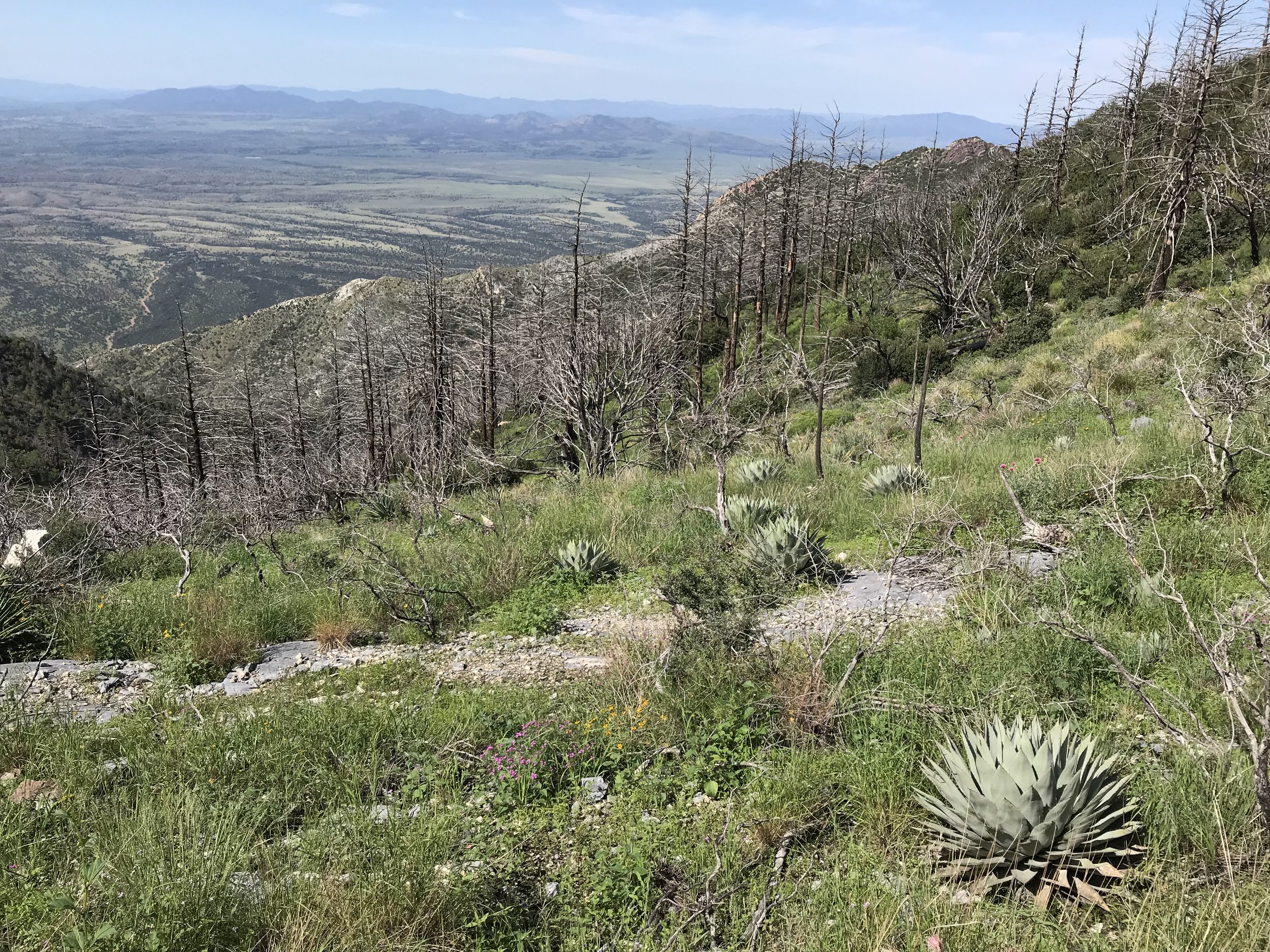
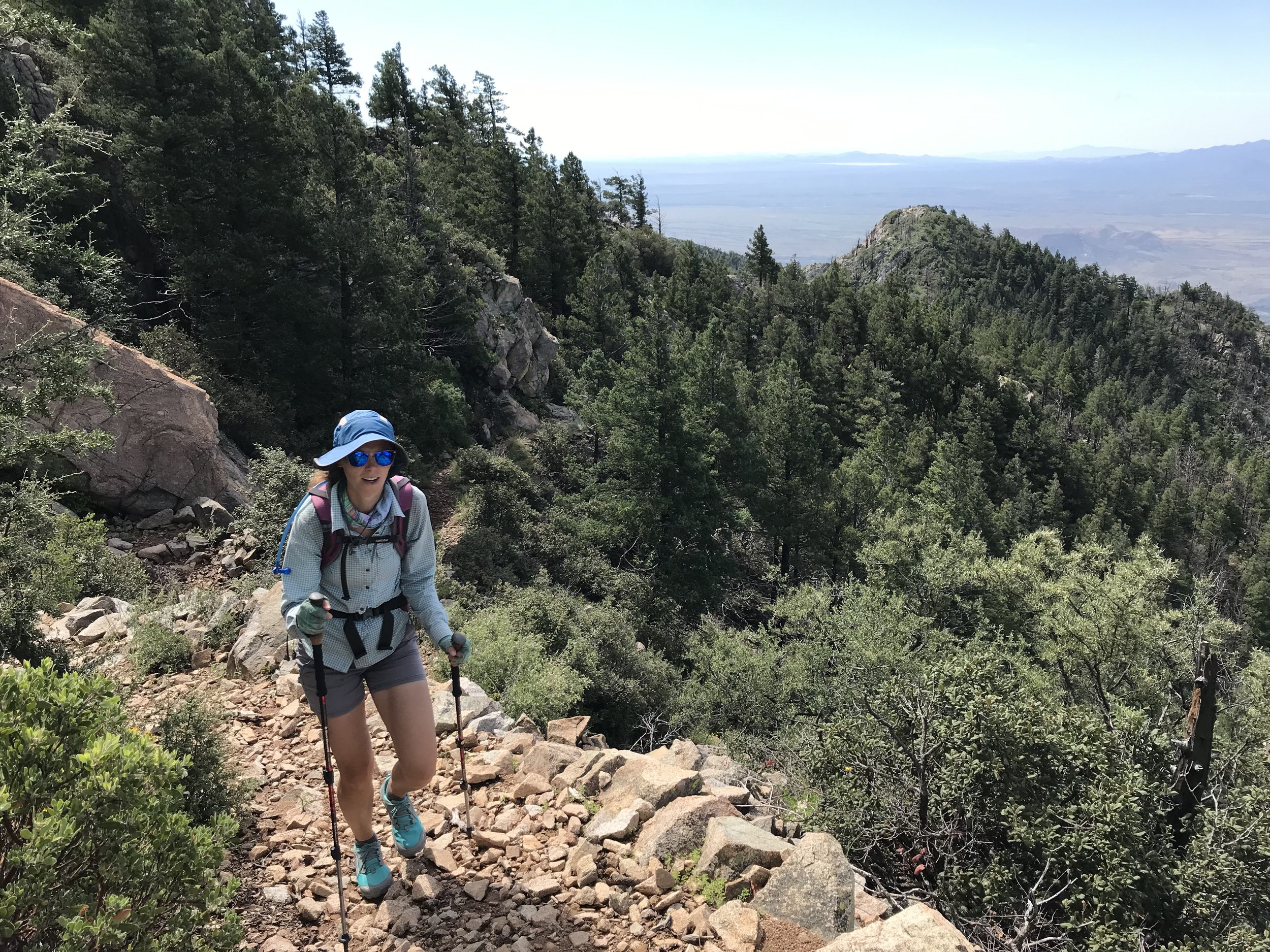
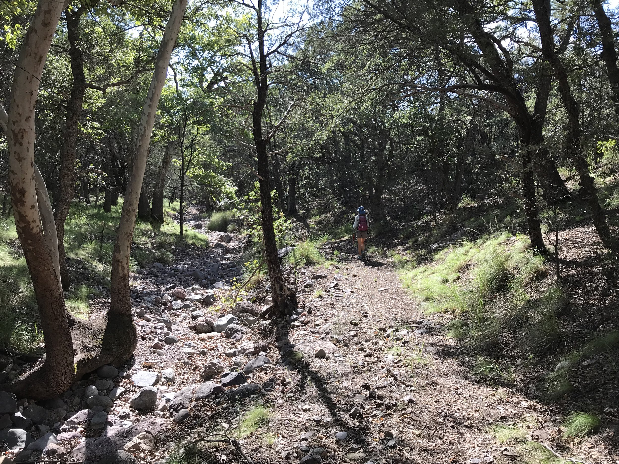
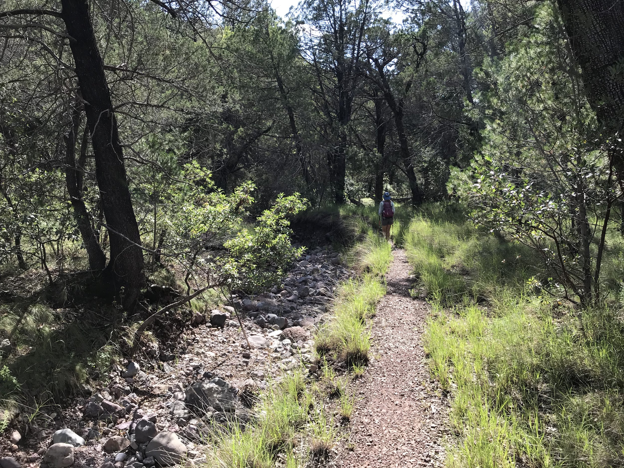
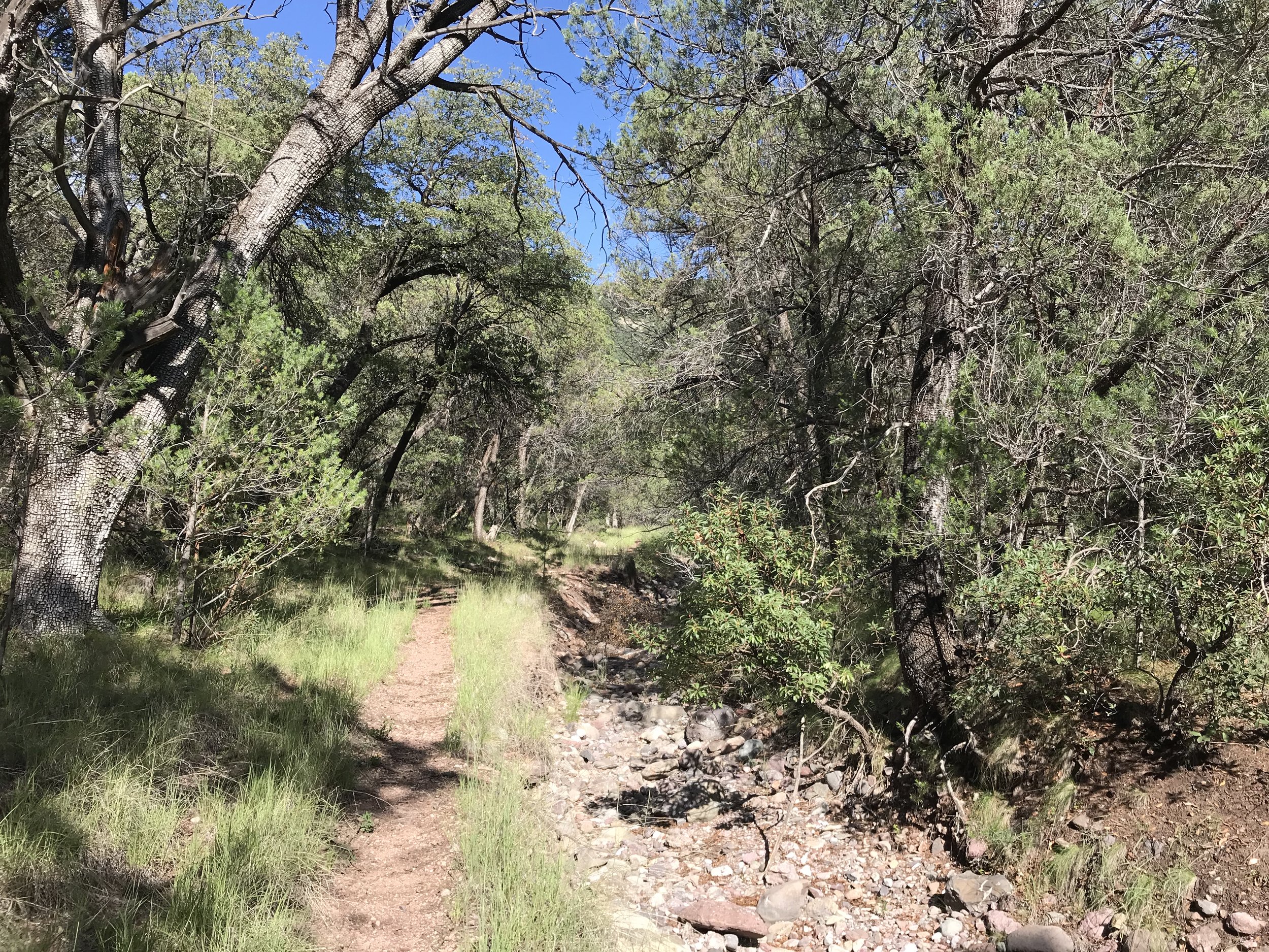
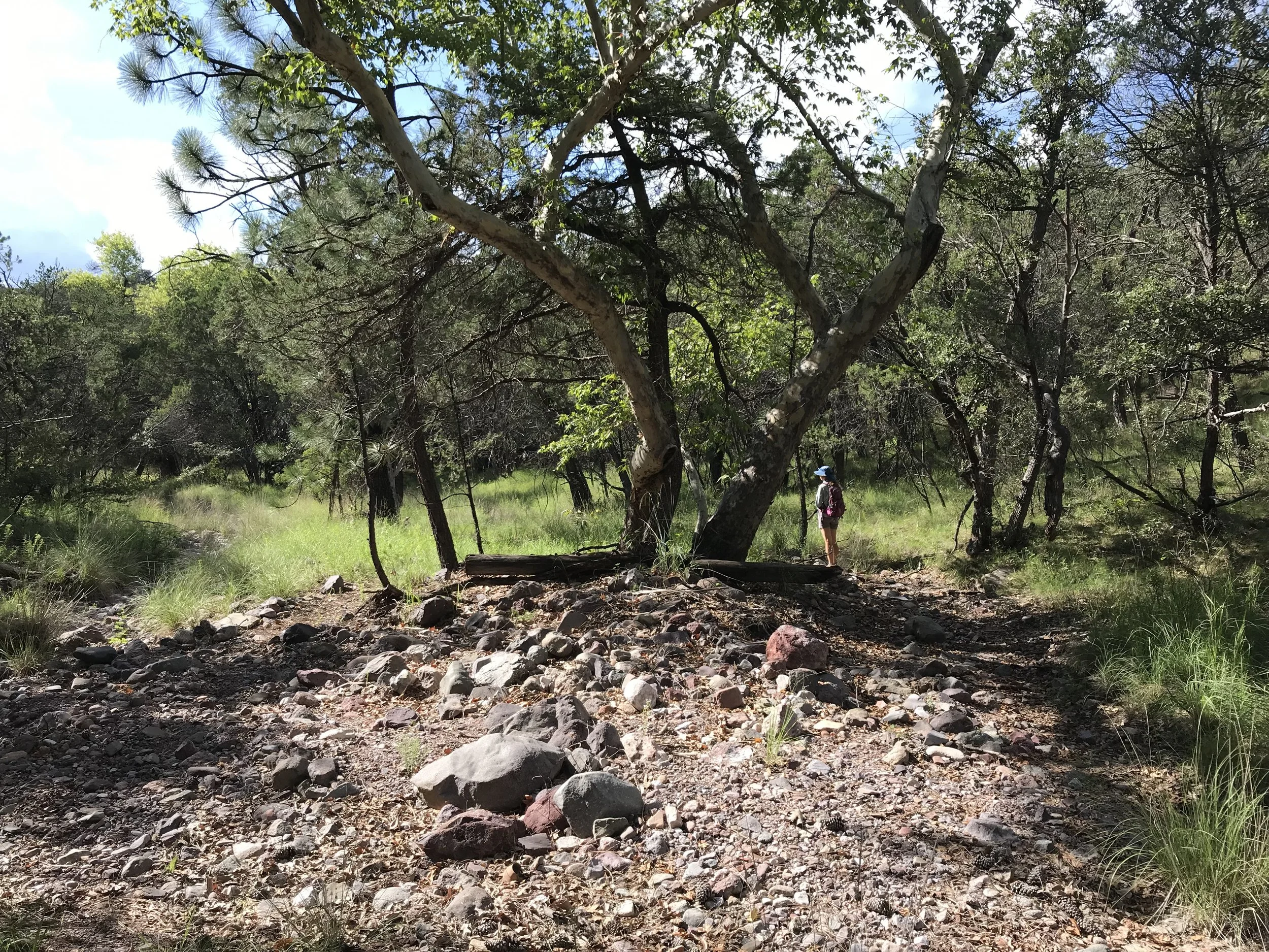
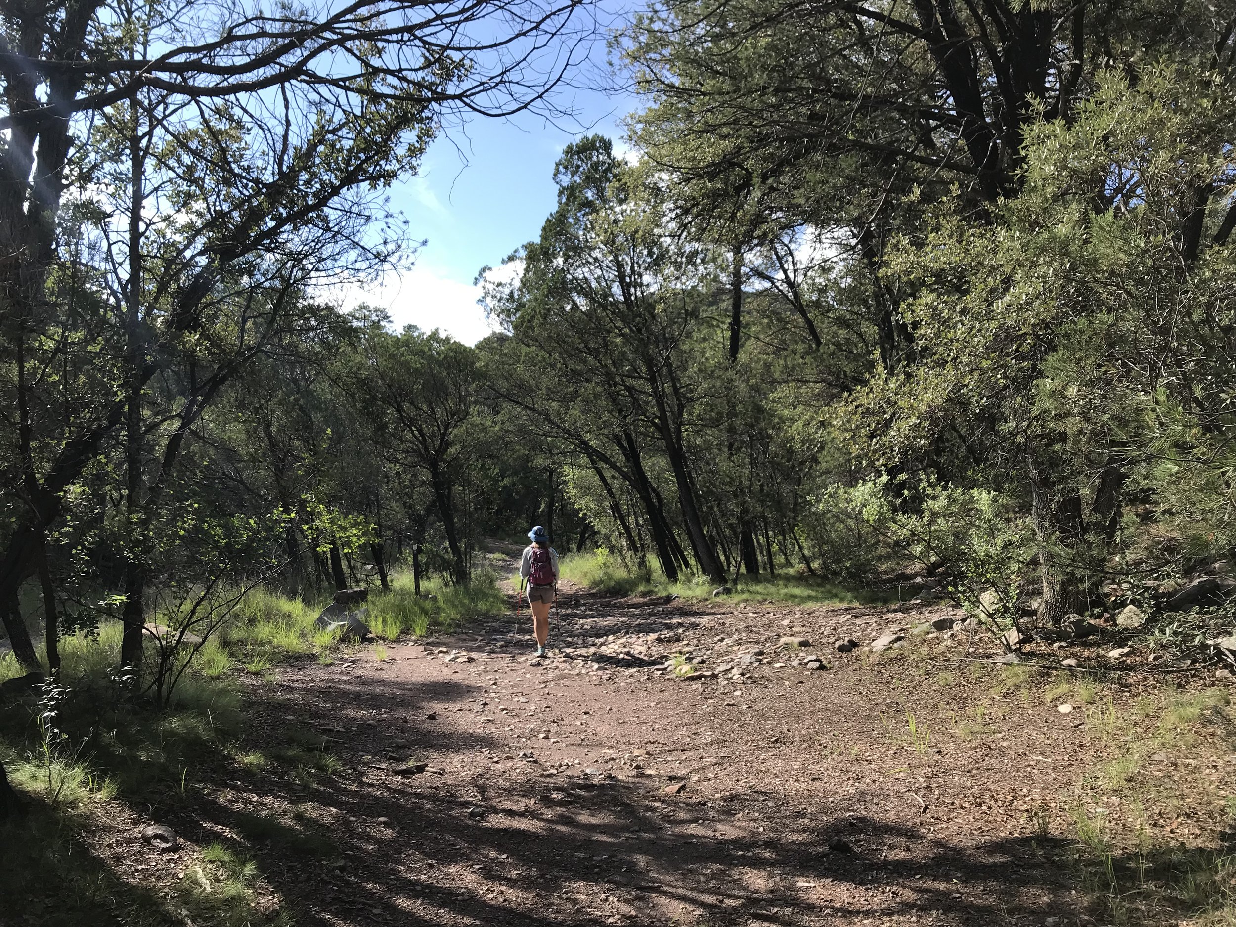
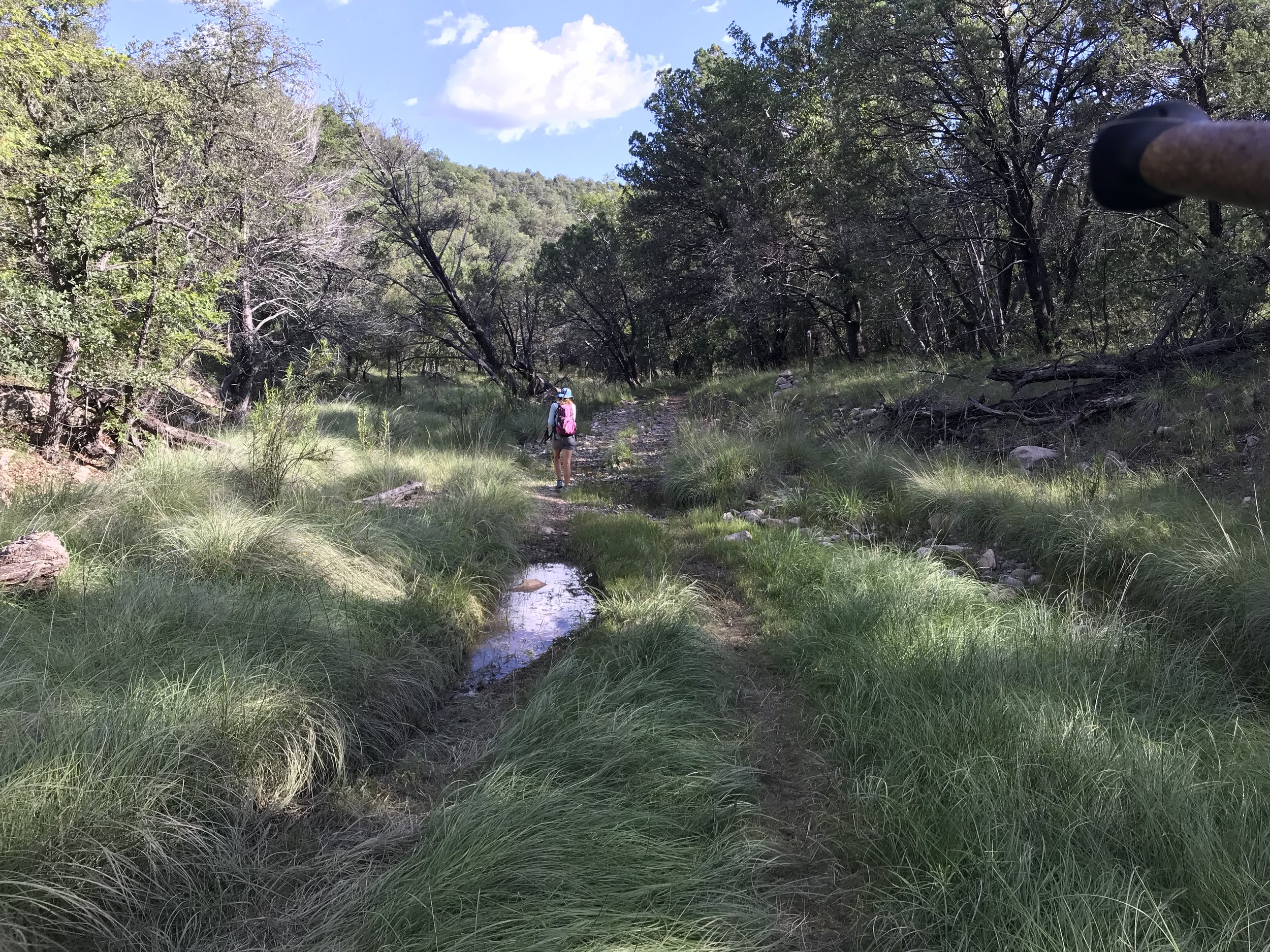
The sun was now intense in the sky and both Janna and were sweating hard. We carefully descended miles of switchbacks that became more and more exposed while the route had many sections that were washed out by monsoons or overgrown by plant life. Finally, the trail began to decrease its sharp grade and we entered Sycamore Canyon. The creek bed was interspersed between dry and good flow. Deciduous trees grew old and large all around us, providing cooling shade in the afternoon. And just like that, we crossed a road we realized we had walked up to meet the AZT back in spring. Janna and I excitedly recalled sections of the hike from this portion forward. We meandered past old windmills, cattle corrals, and kept following the gorgeous cottonwood/oak/sycamore-lined creek before we split into the grasslands once more.
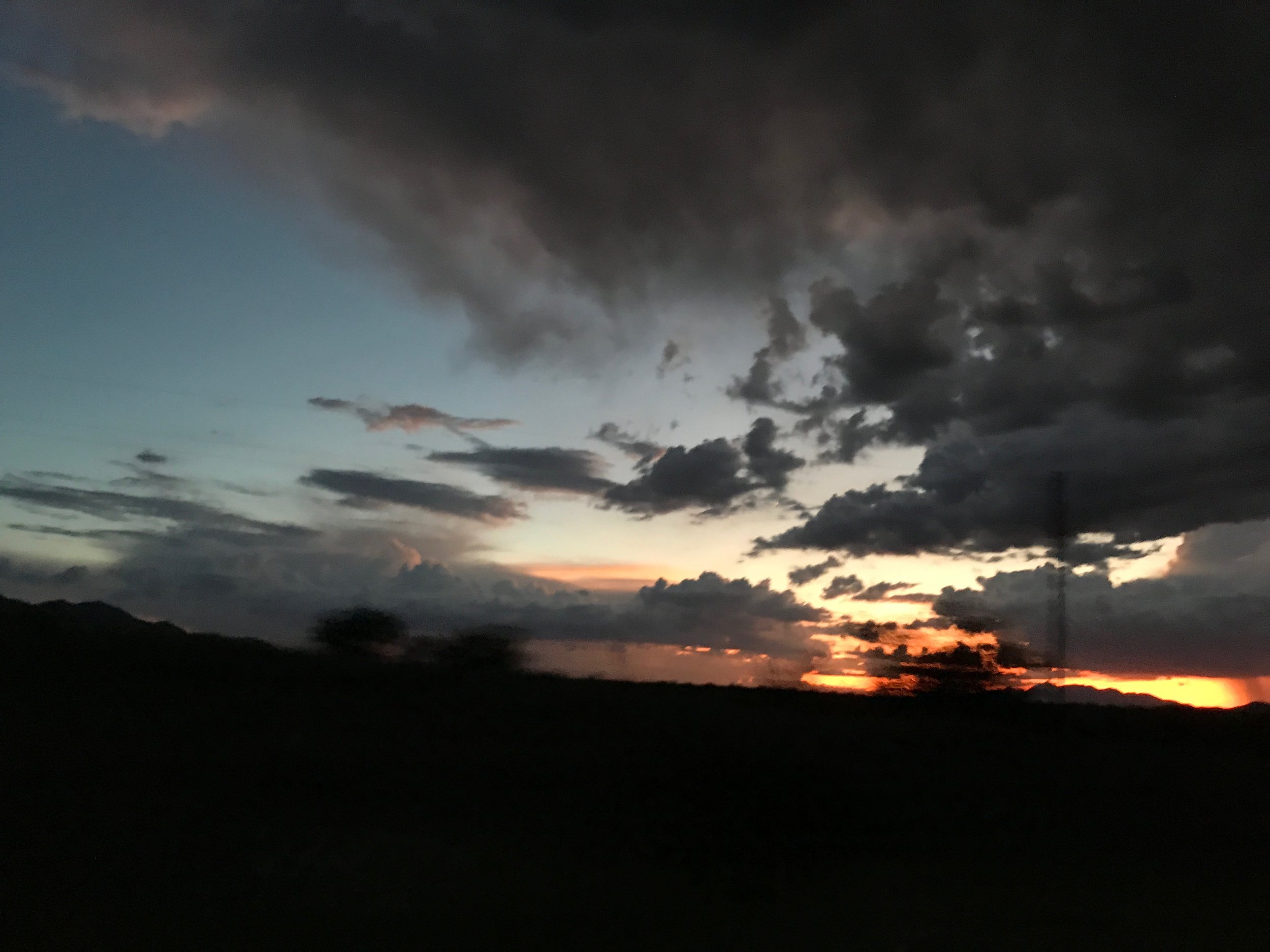
As late afternoon turned to evening, we wove in and our of juniper-grasslands and walked up a hill with overgrown grass where a rattlesnake made its rattle known inches from my feet. By dusk, we hit the dirt road parallel to Parker Canyon Lake. Can’t believe we were just camping here a few short months ago. We walked up the dirt road to the car and jumped in just as a spectacle of cloud and lightning let loose above the whole range we had just walked over 20 miles.
