Gold to Grand Loop - Day 2 - The Springs of Grand Canyon-Parashant
Date: 2/17/2024
47.78 Miles
4,856 Feet of Gain
Gold Butte Townsite to Red Pockets Mountain in Grand Canyon-Parashant National Monument
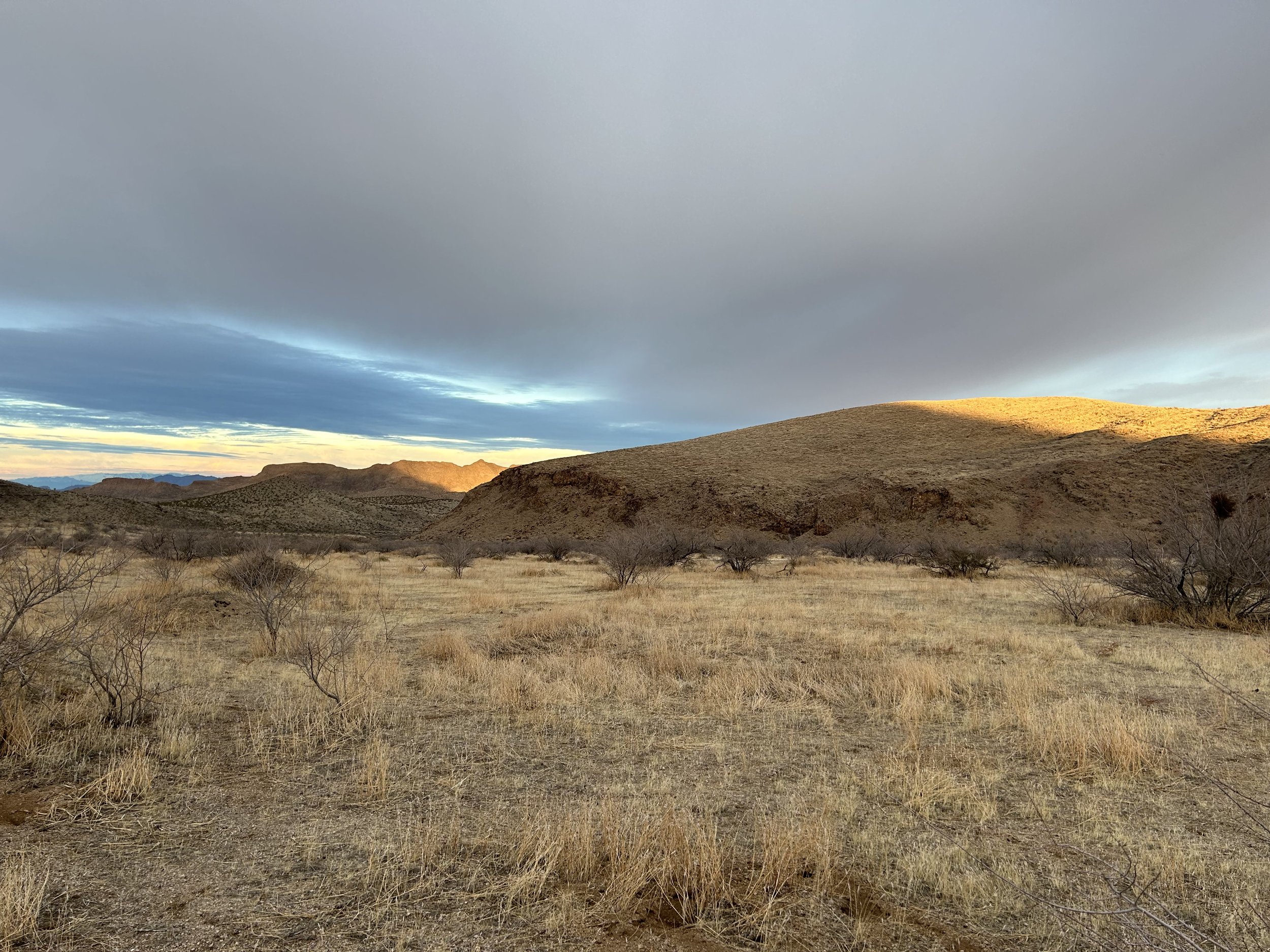
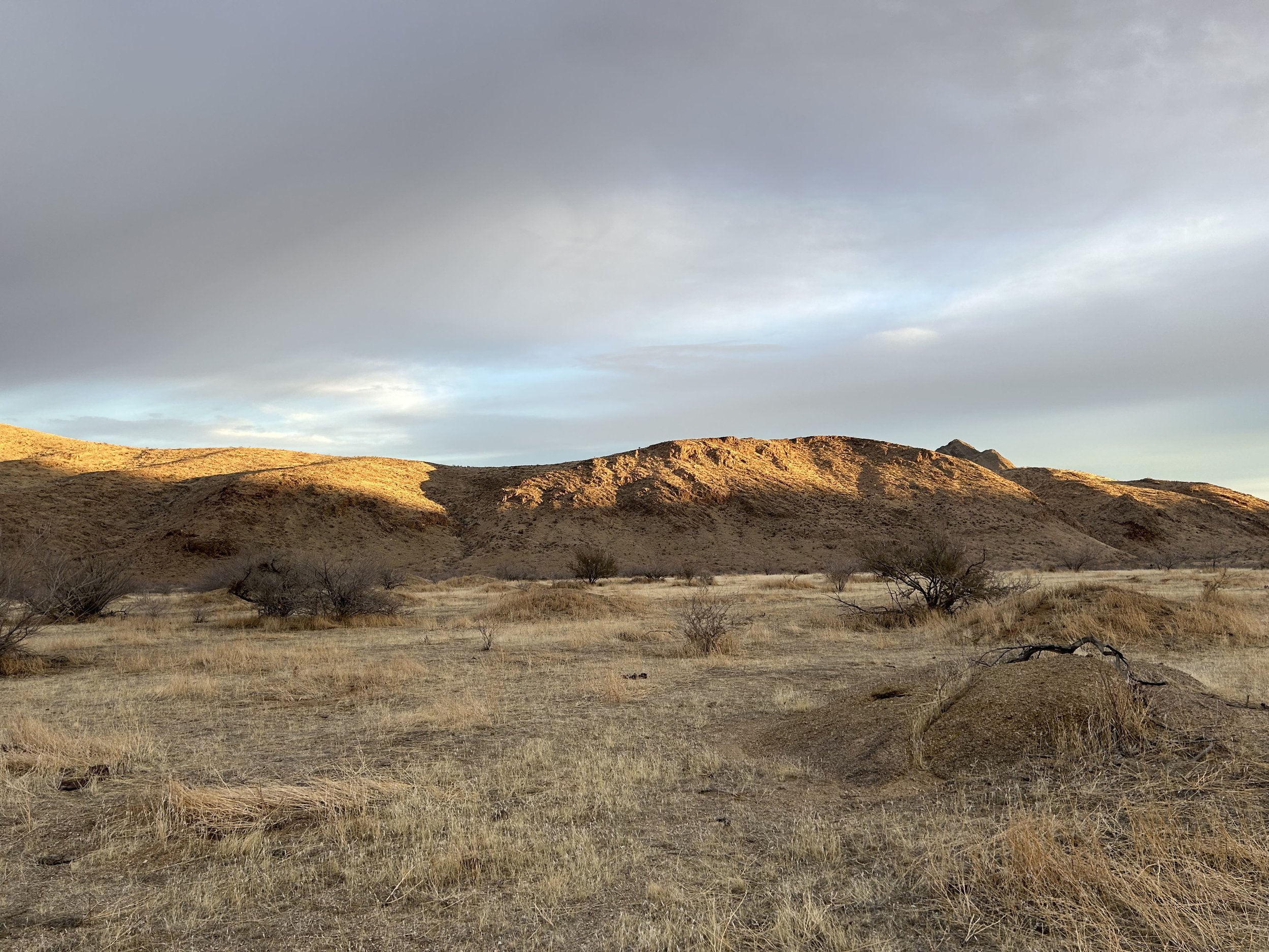
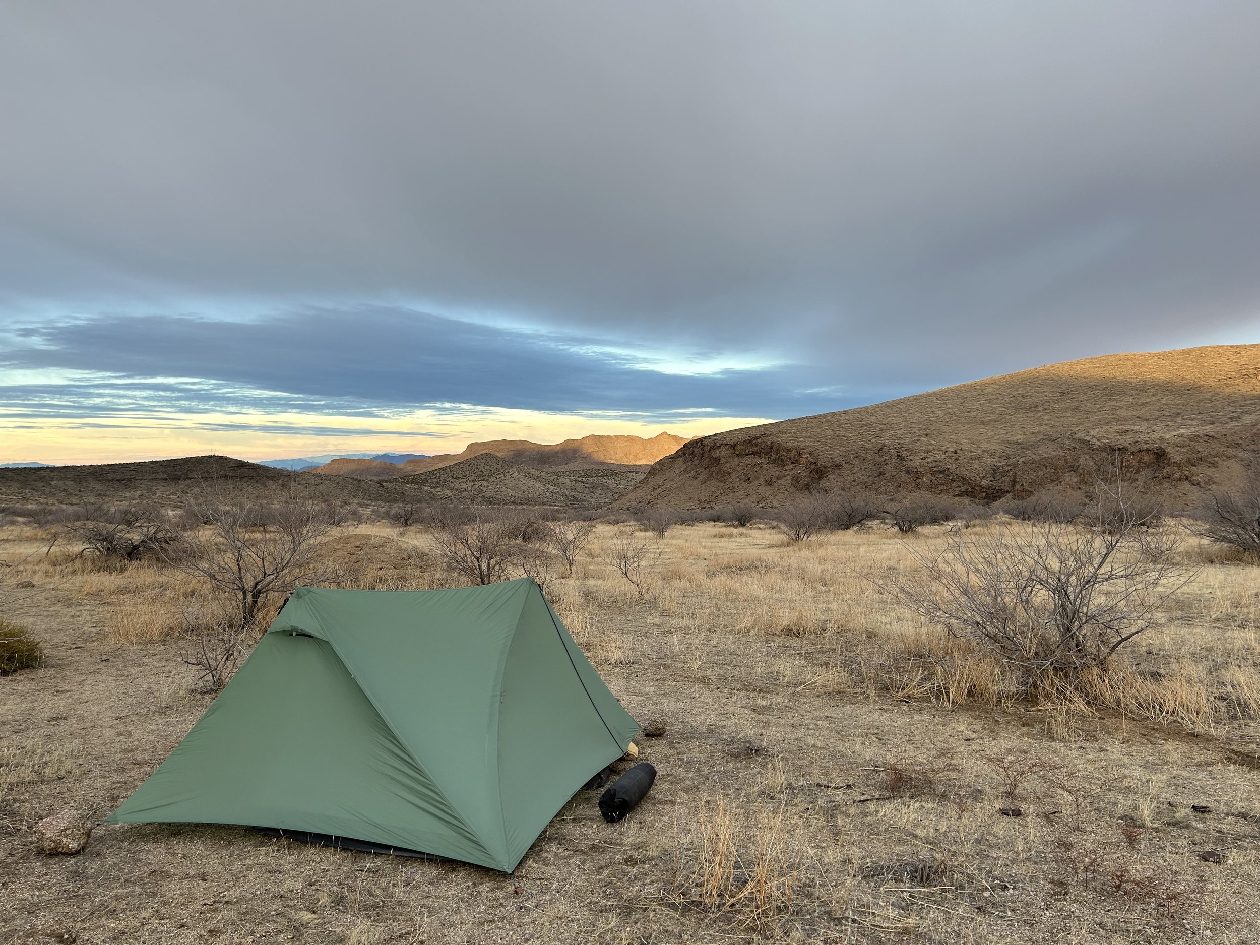
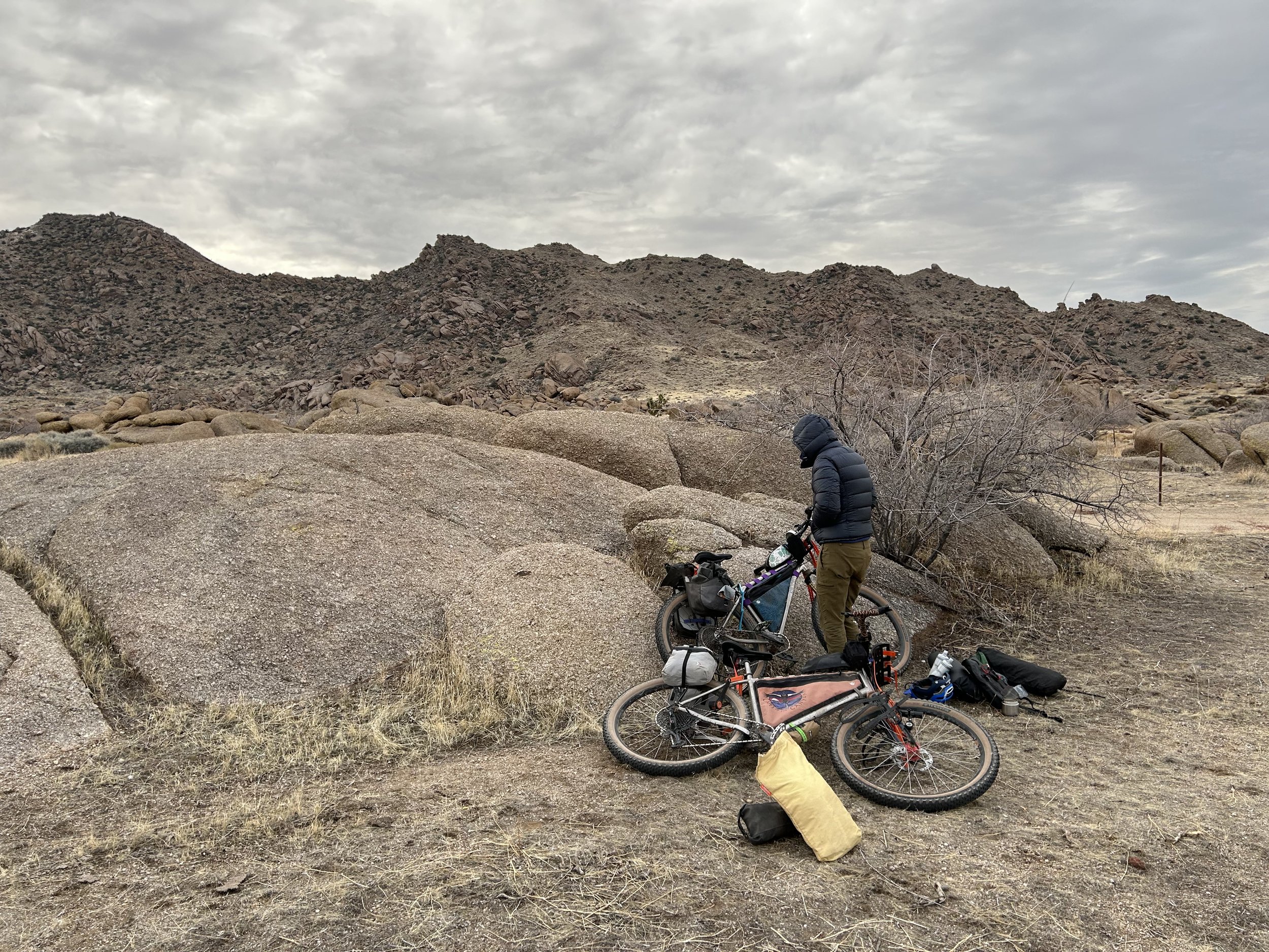
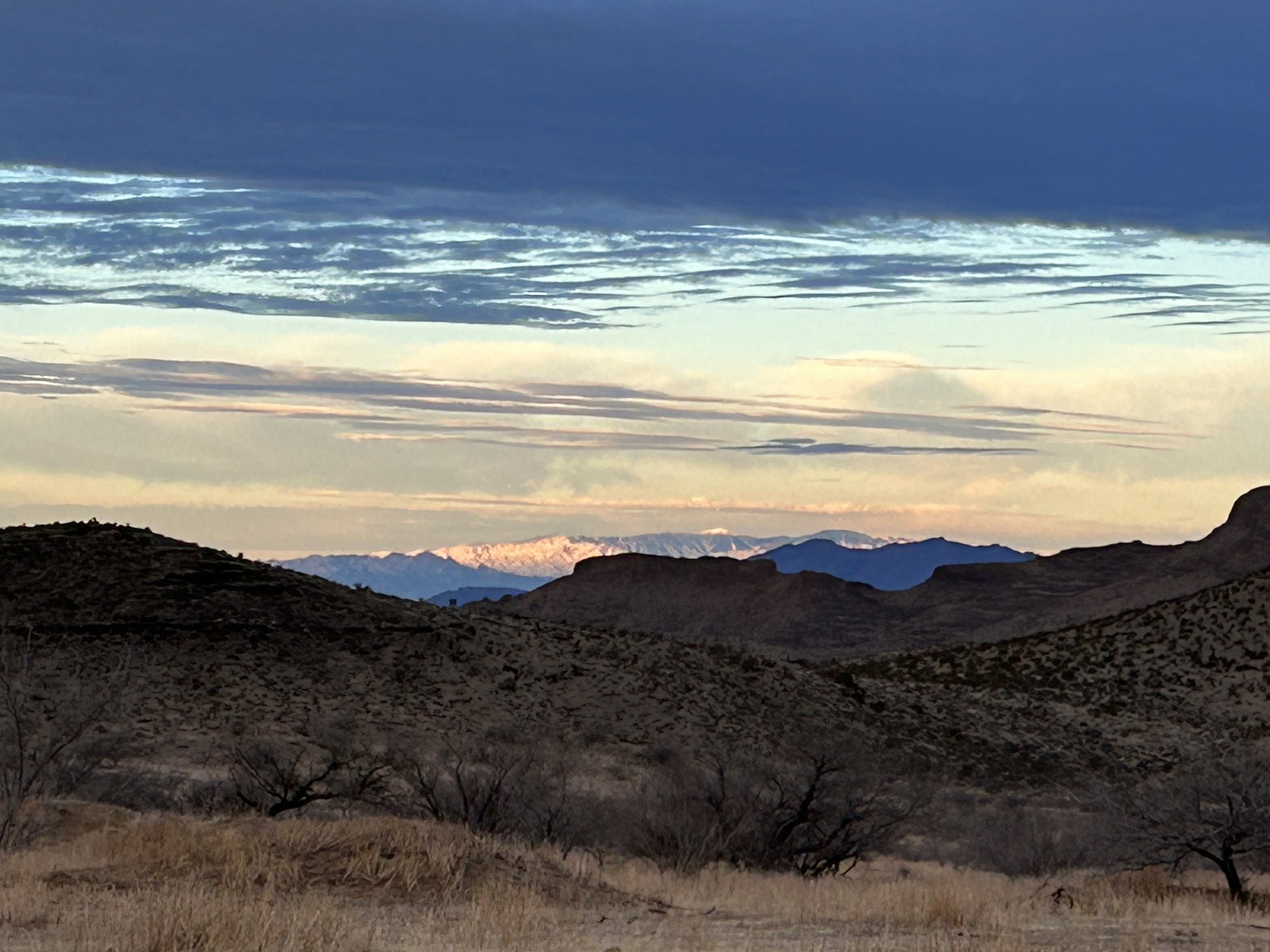
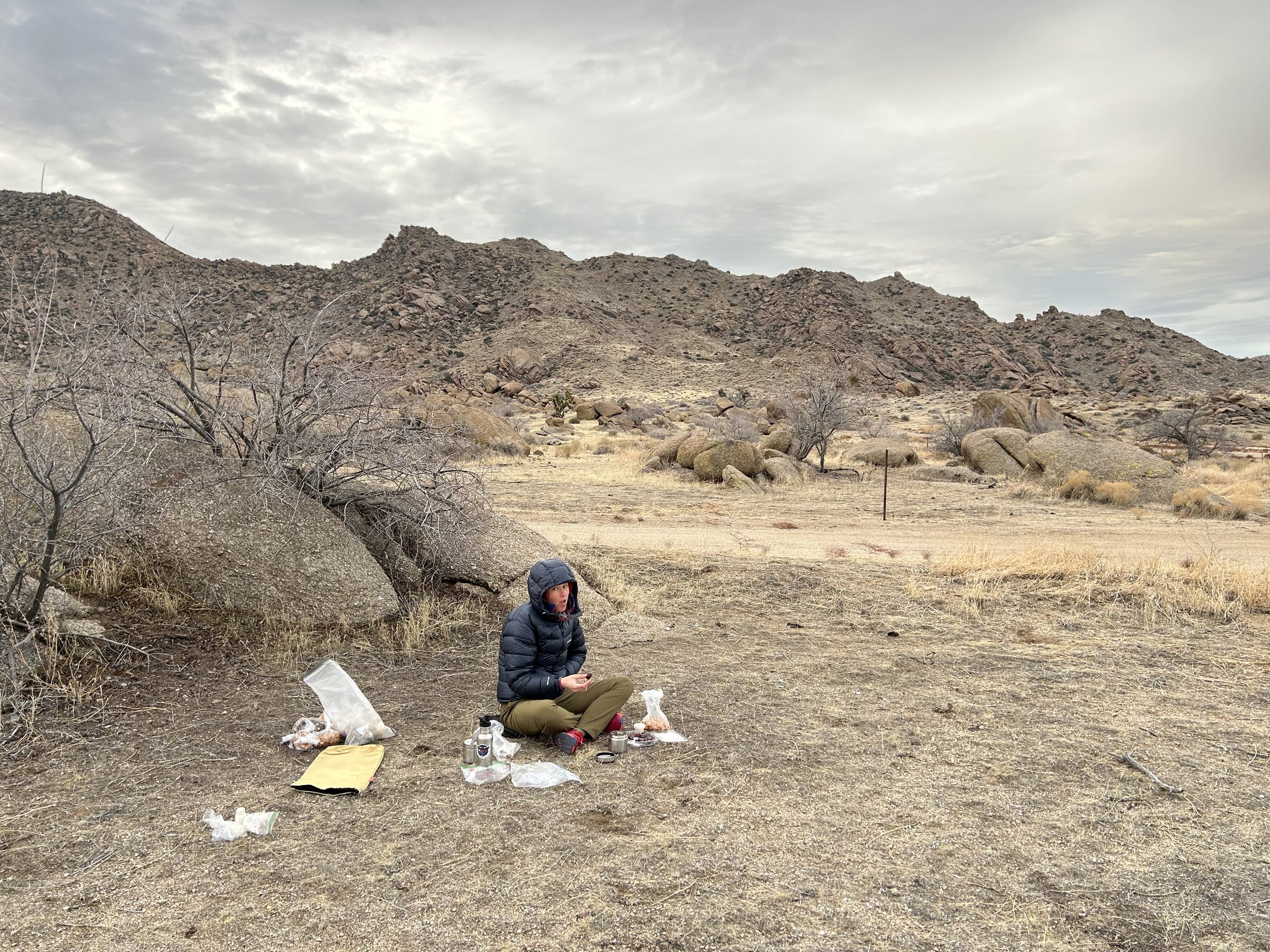
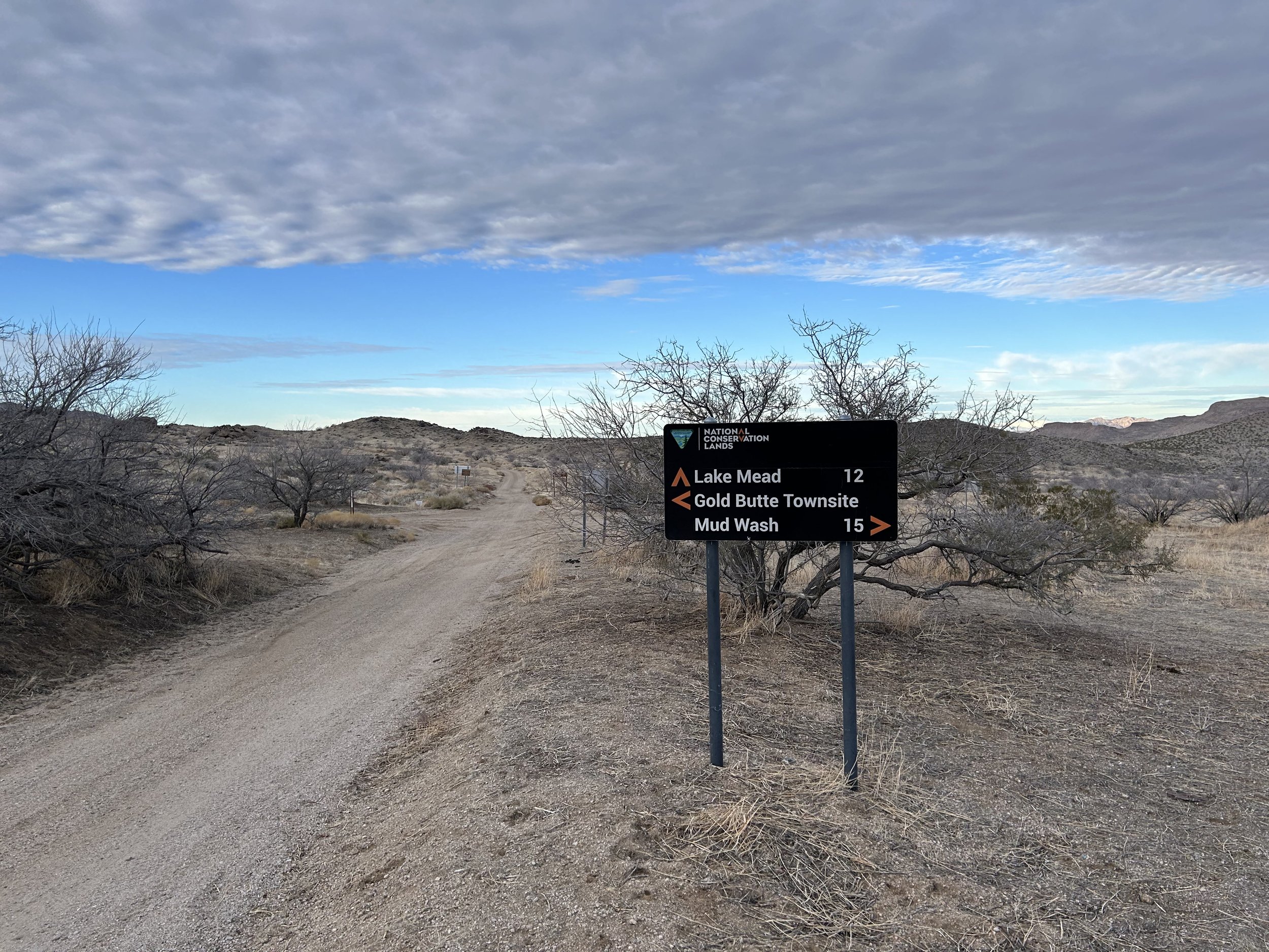
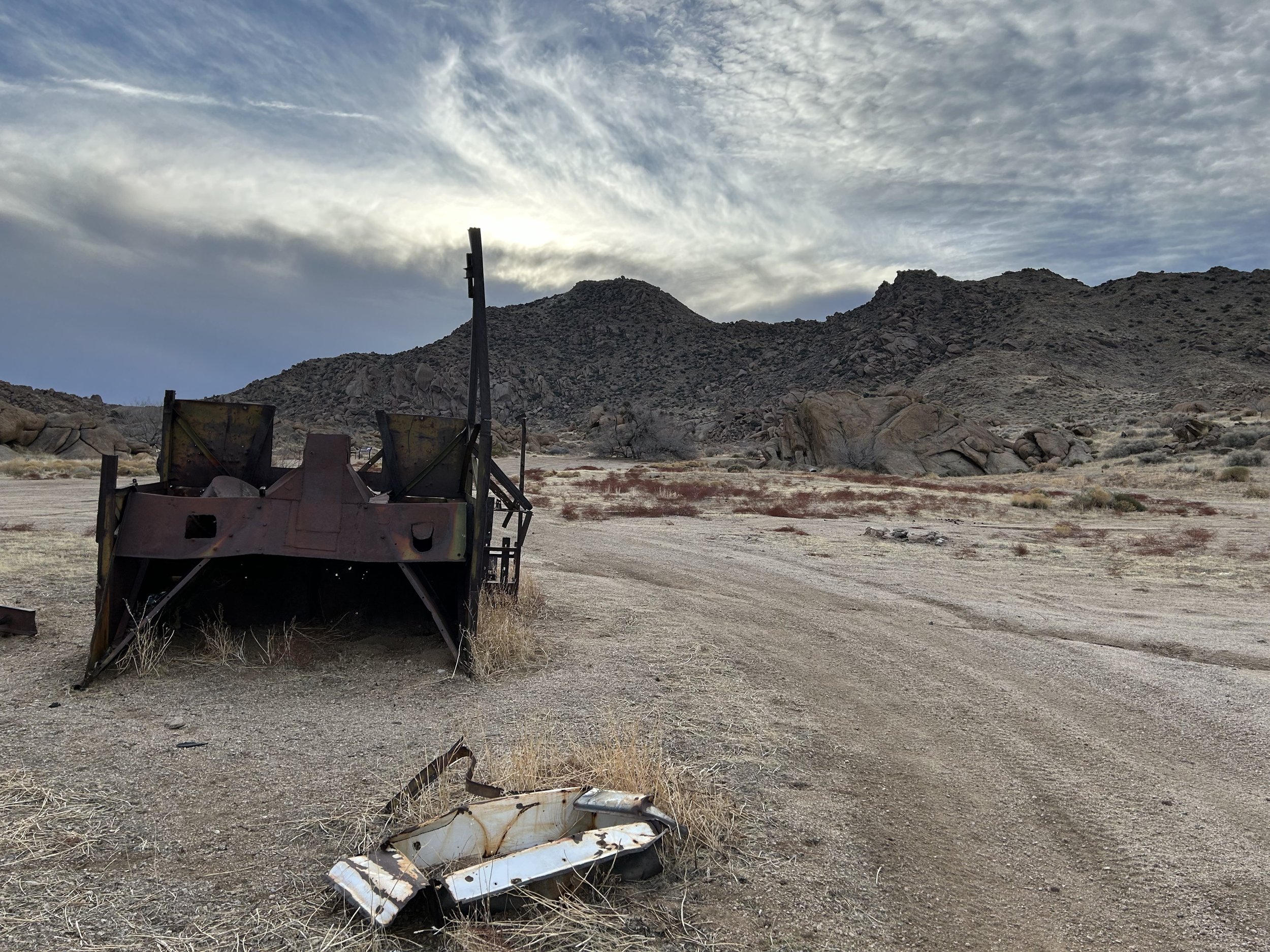
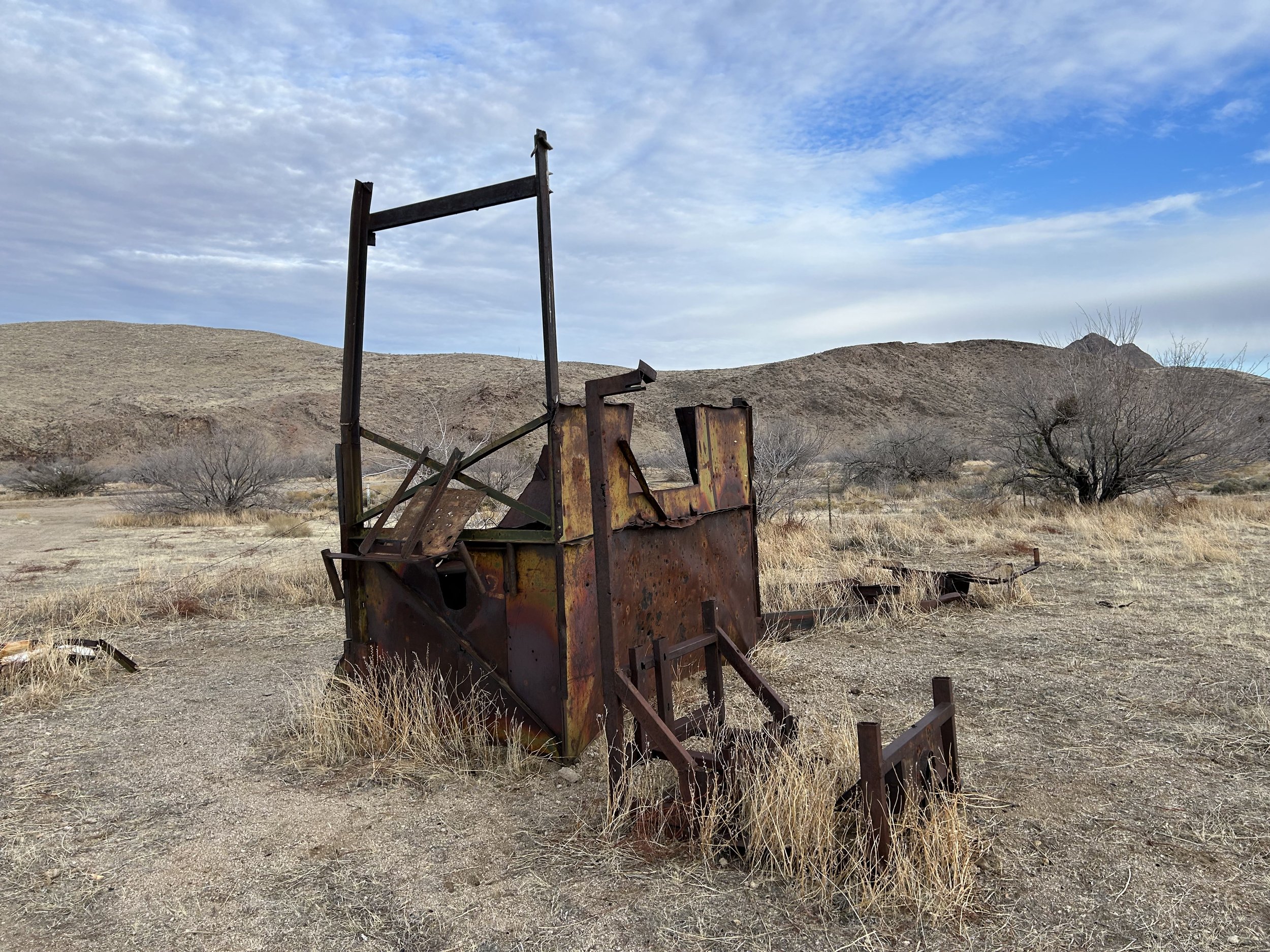
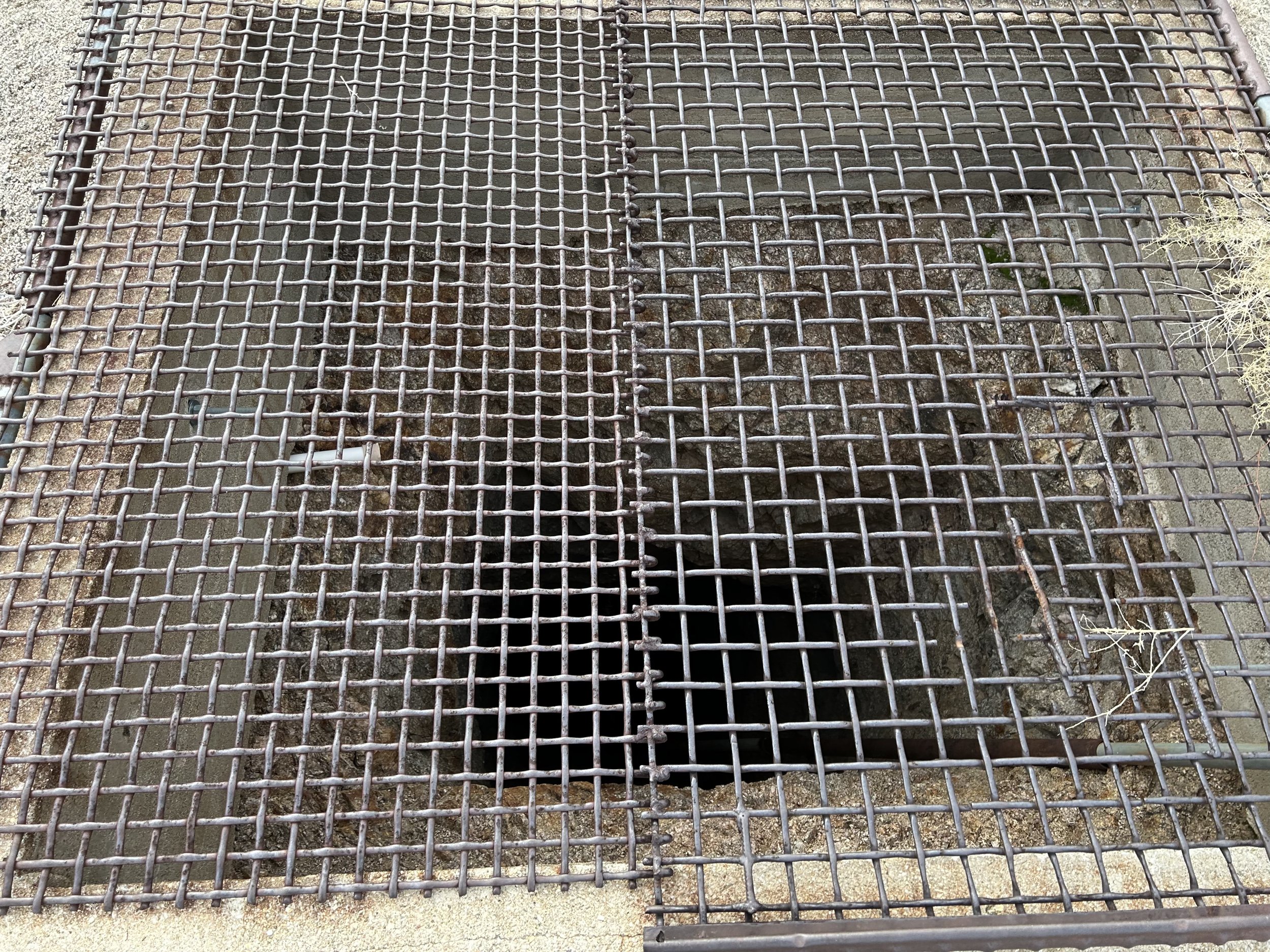
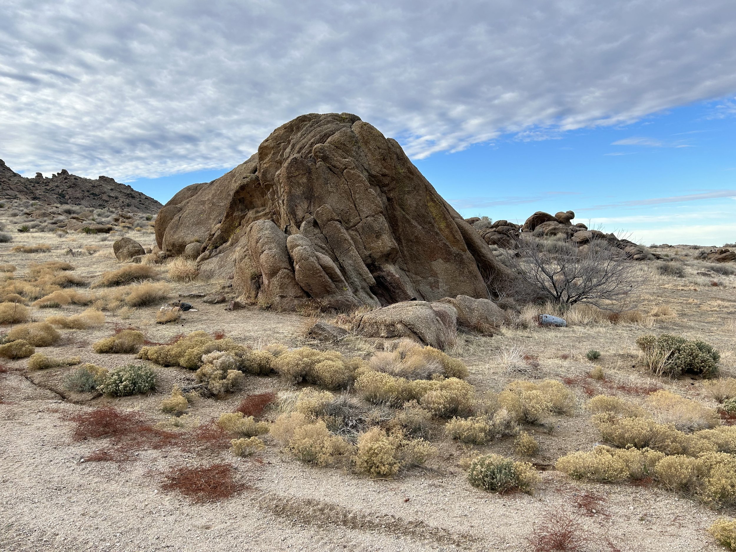
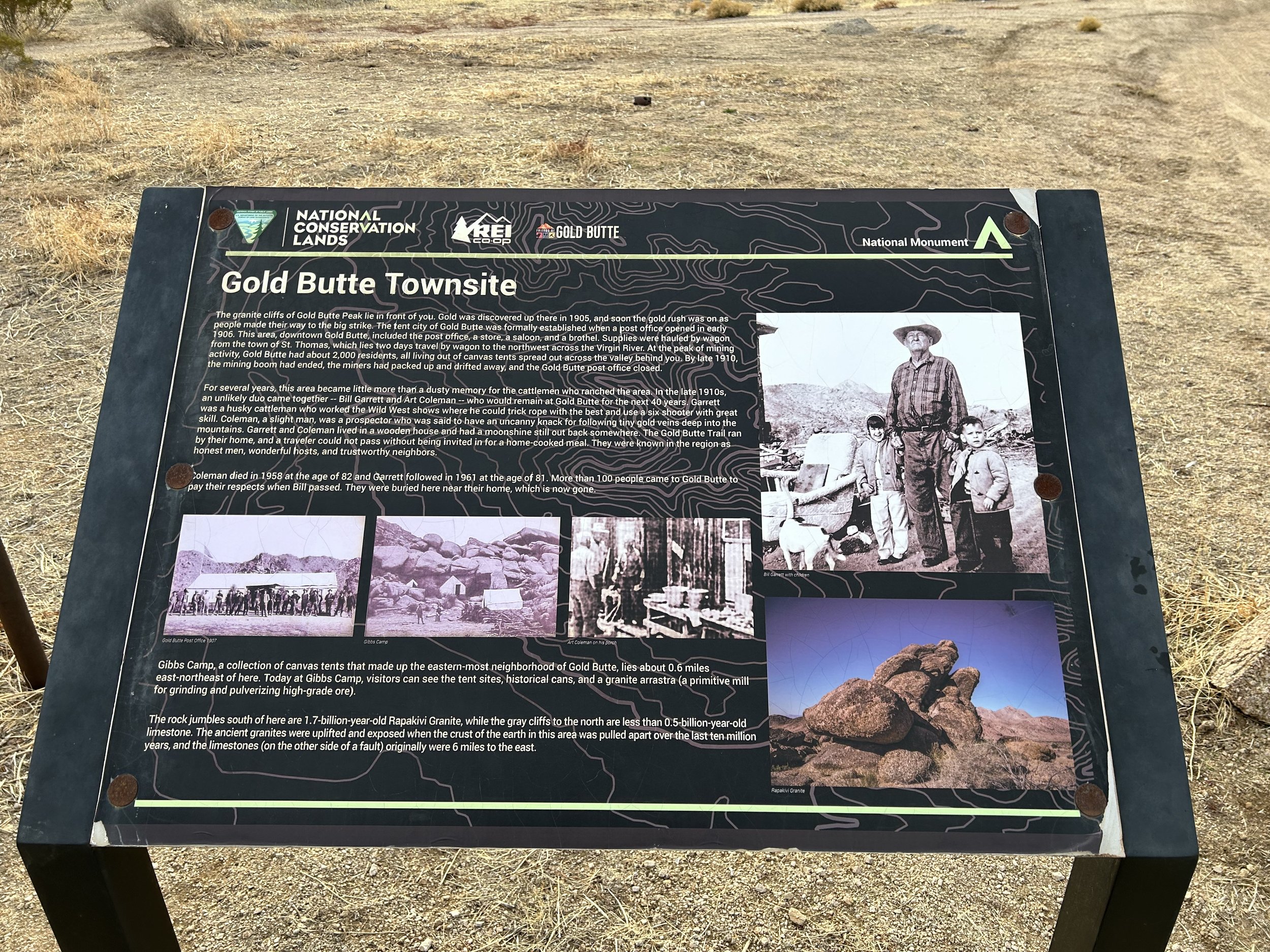
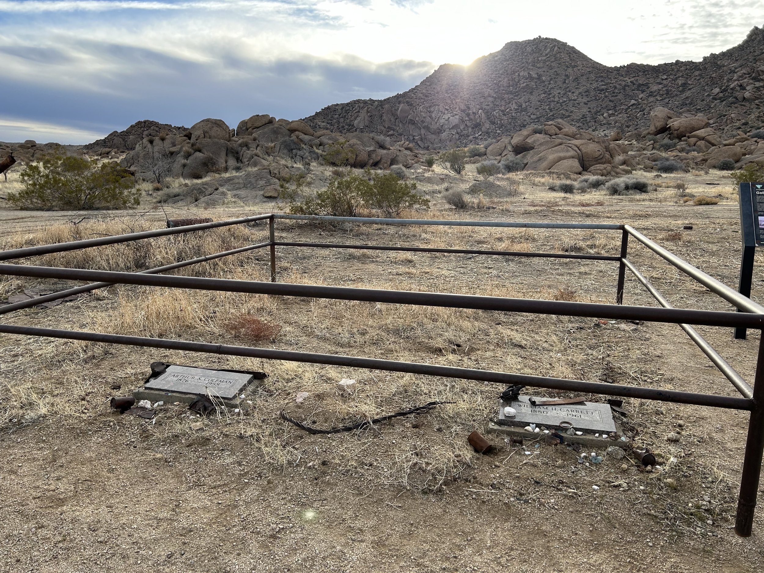
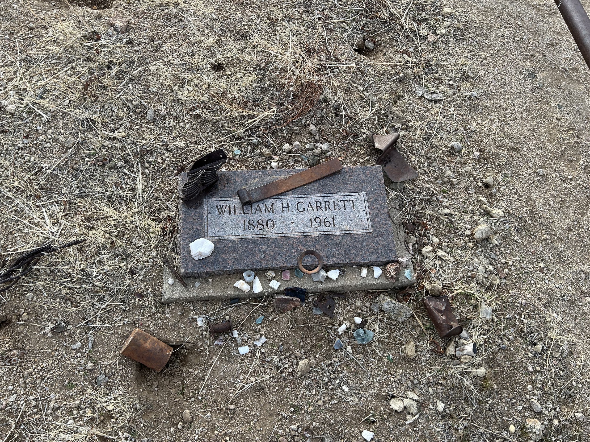
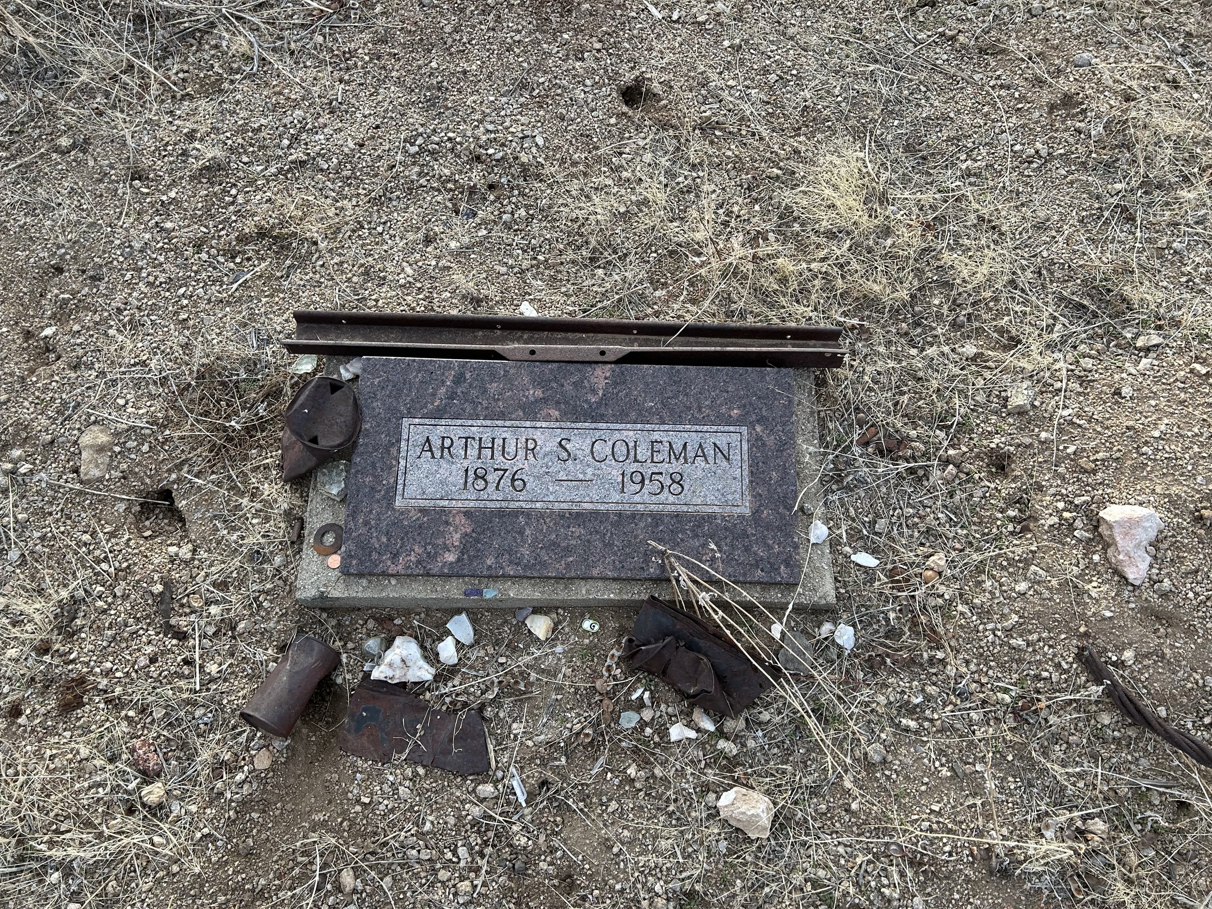
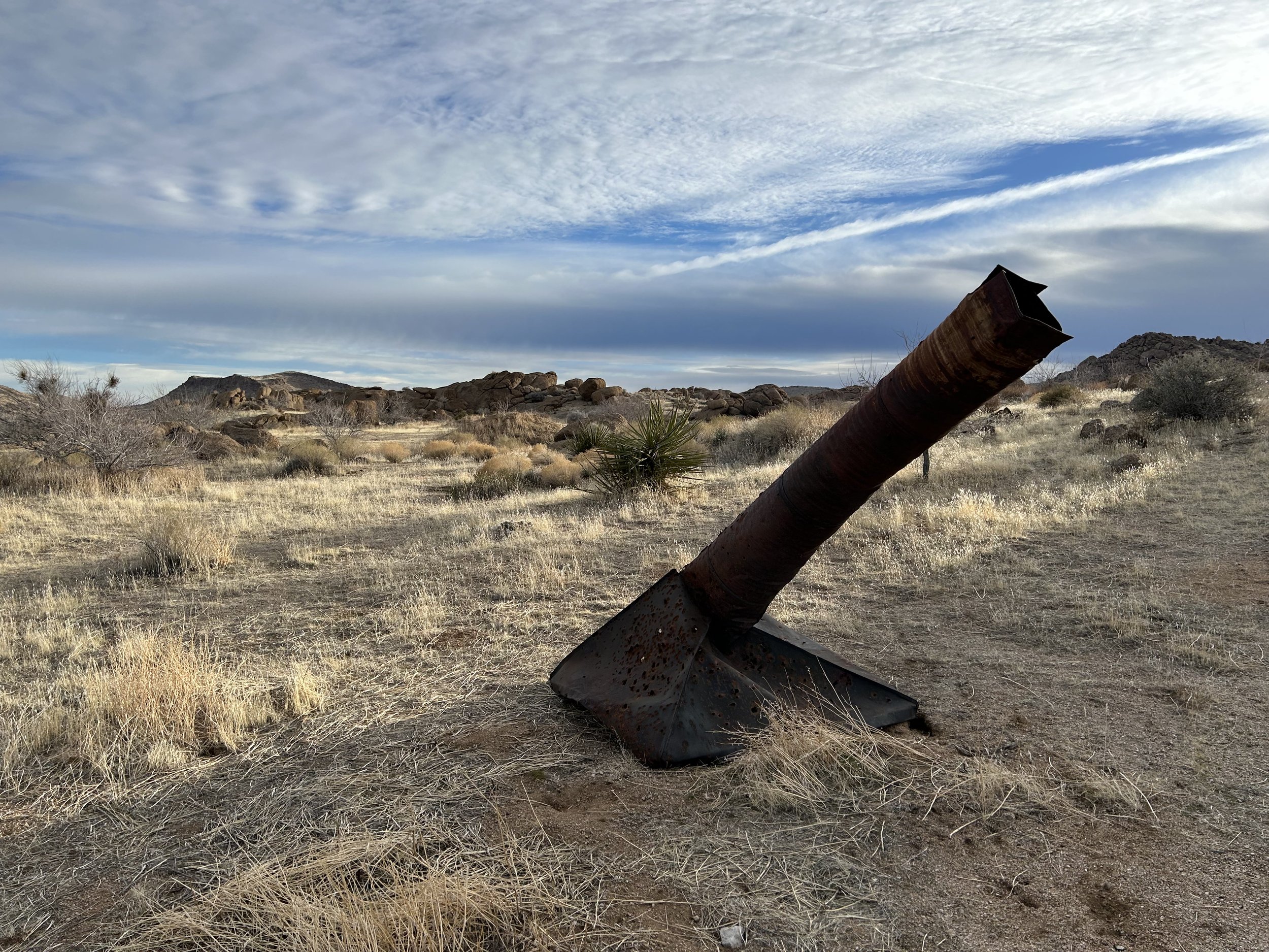
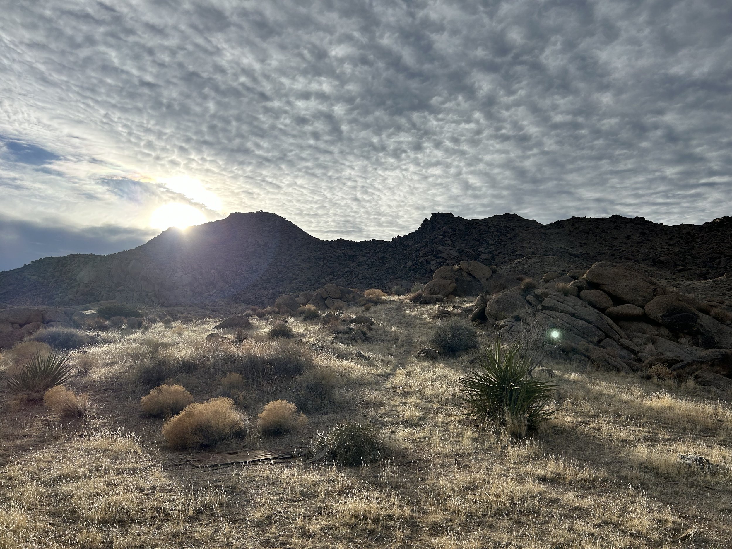
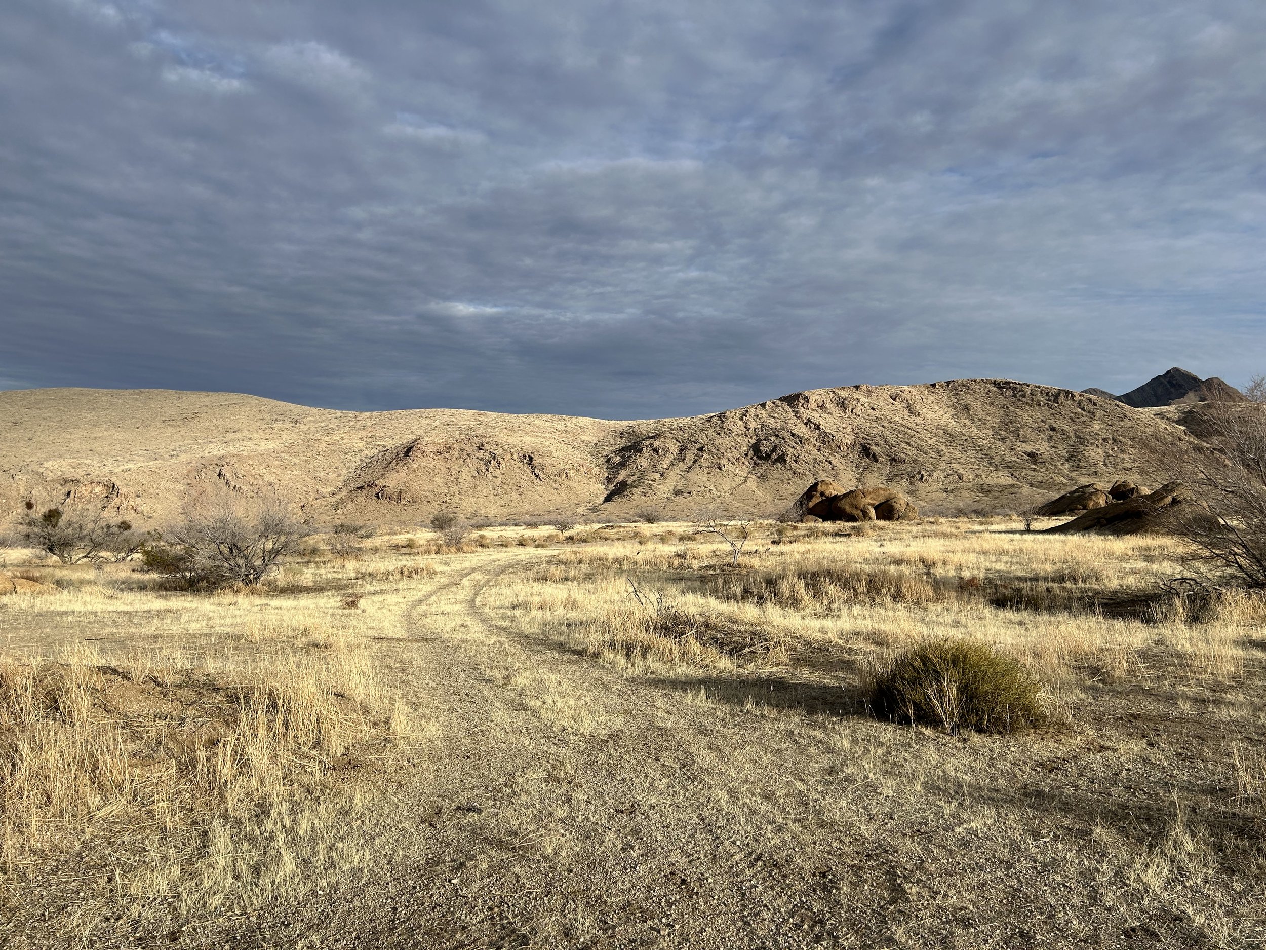
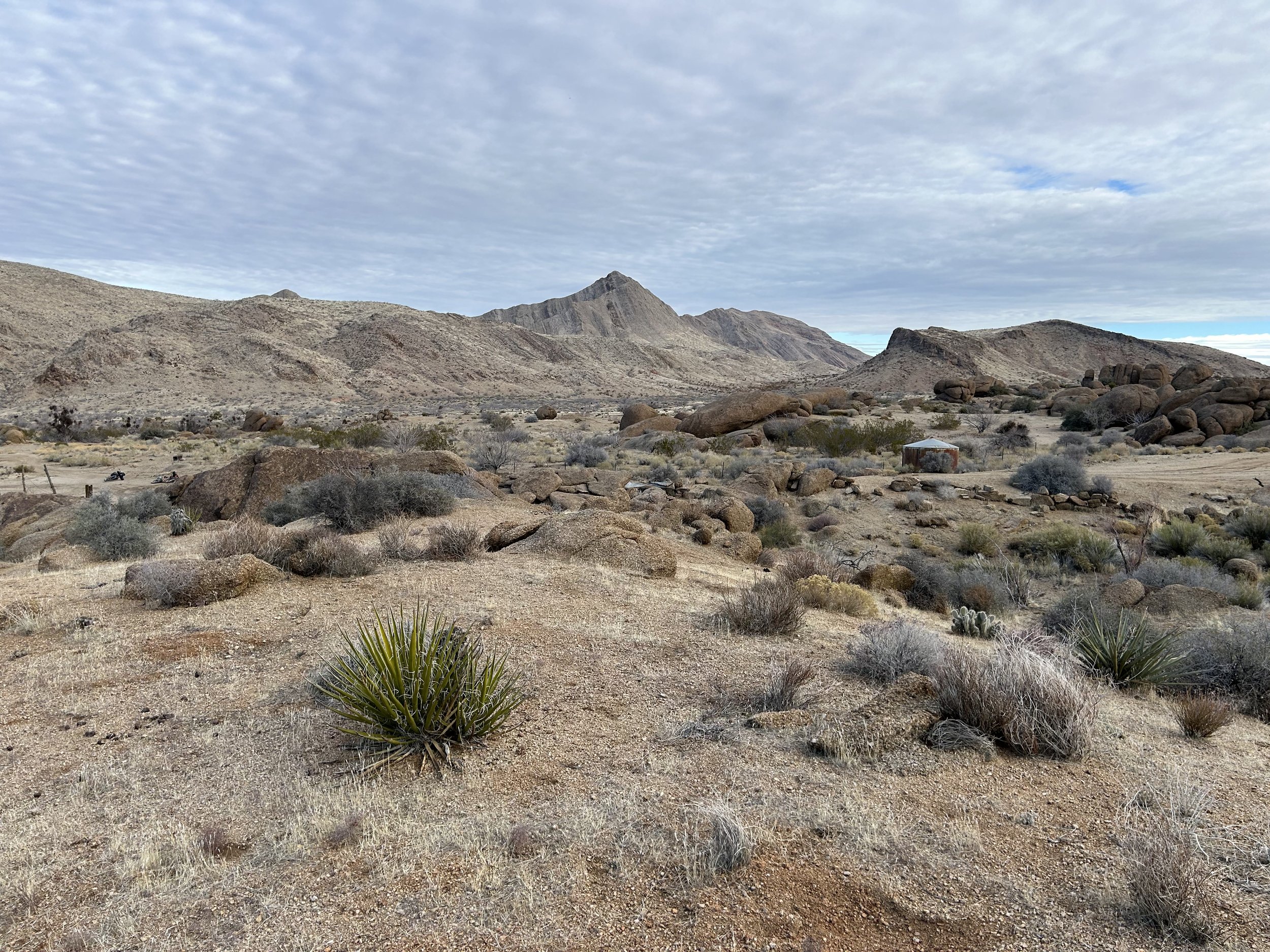
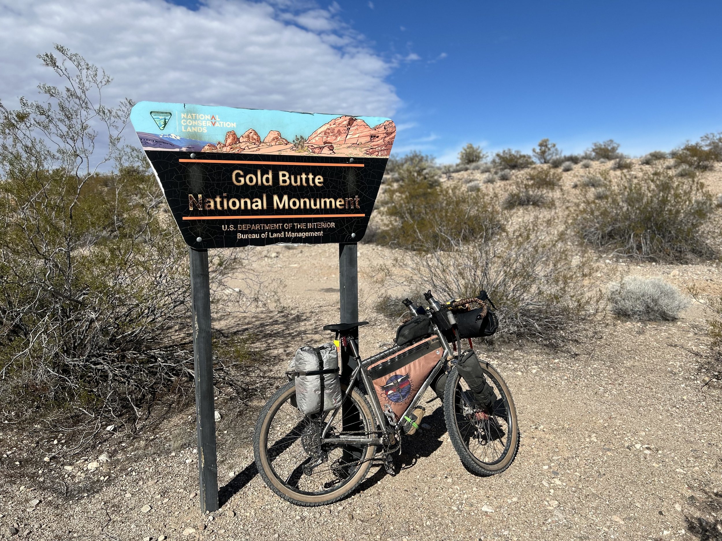
The night was calm, dark, and we slept hard. We awoke to one of those worlds where the desert sun angles its shine between muffles of cloud. Because we had arrived and biked after dark, I was curious to see what Gold Butte and its townsite looked like in the day. In the distance, far reaches of mountains many miles away stood incrusted in sheens of snow and ice over valleys of desert. We set up breakfast, feeling happy to be out here, followed by packing up our bikes. Then the two of us walked over to the actual Gold Butte Townsite. The area was littered with old mining equipment from a heyday of when a post office, lodging, saloon, brothel, and a city 2000 people living out of tents were found here in the 1800s during the height of a gold boom at Gold Butte. I found an old fenced mine shaft amid metal machinery. There was an old, but well-kept, cemetery for two men who had lived and died here in the middle of the 20th century.
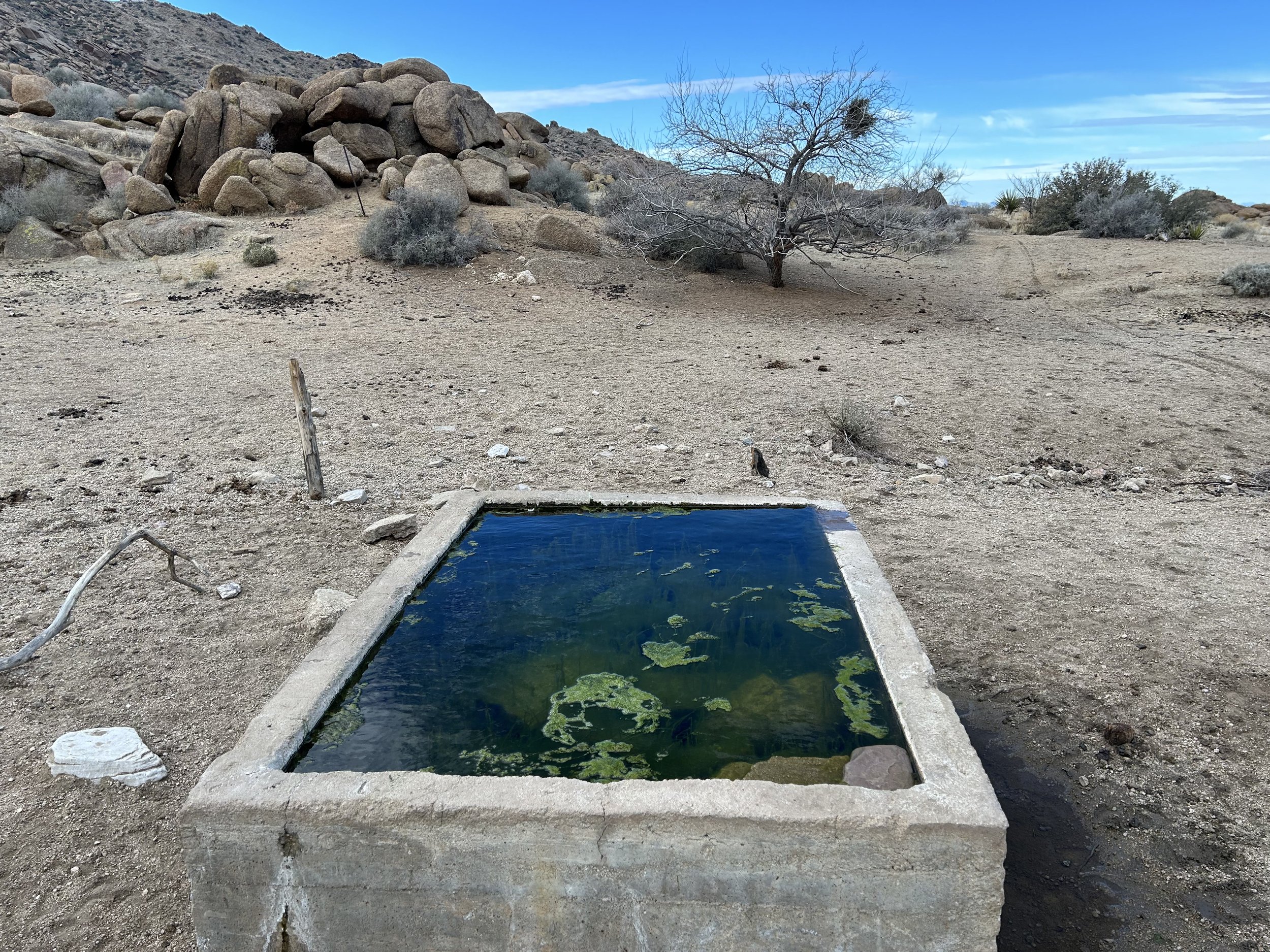
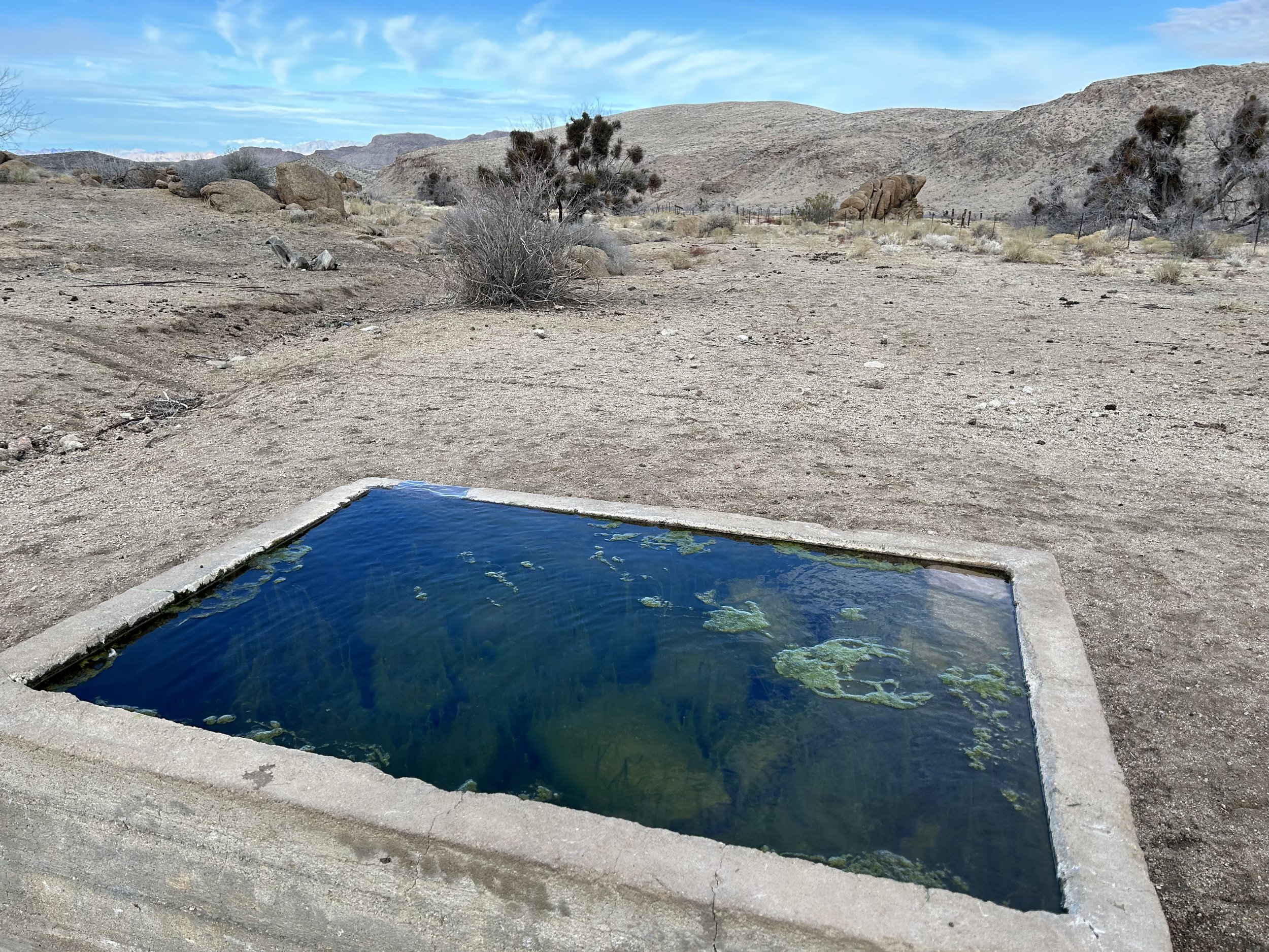
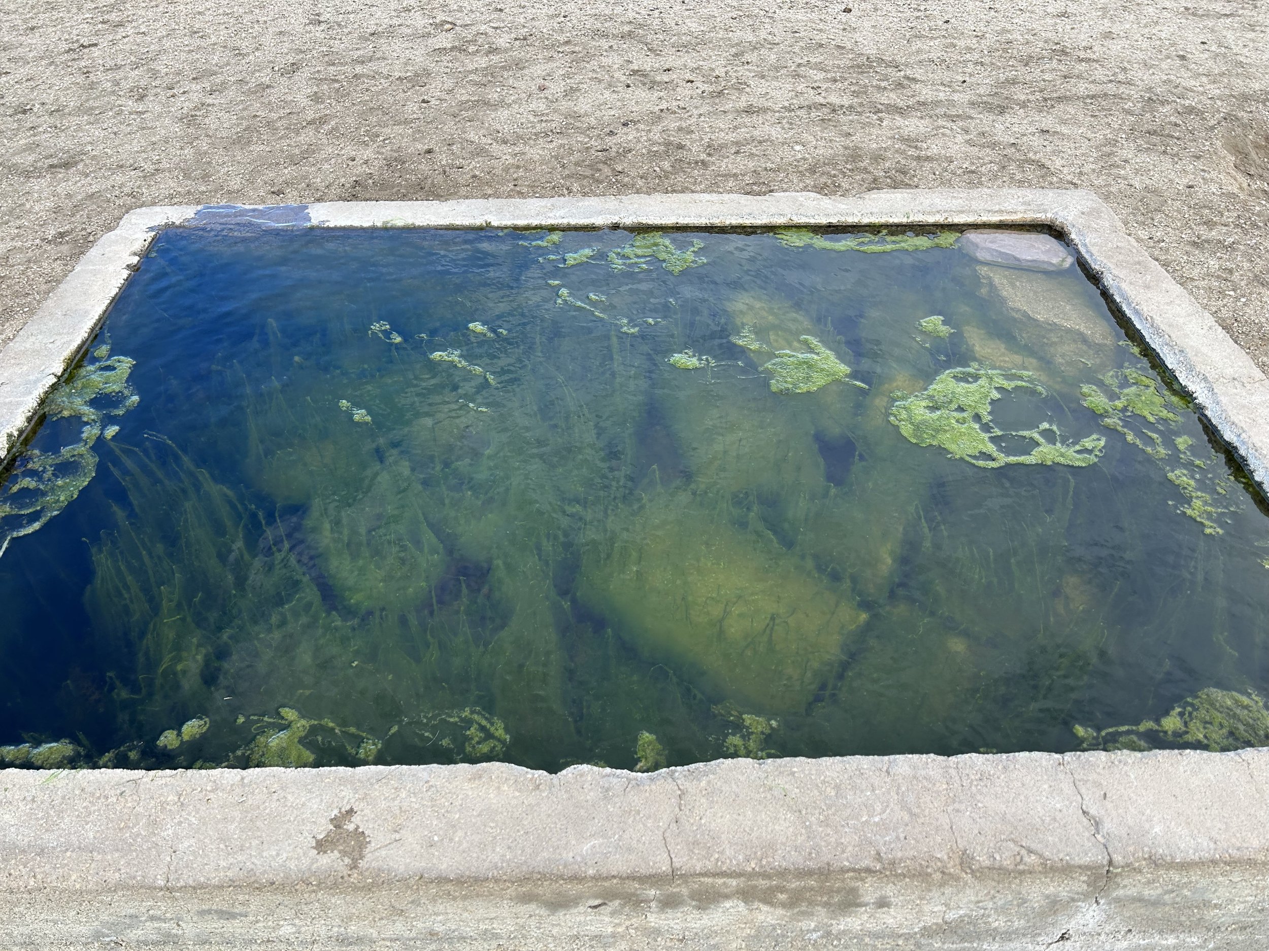
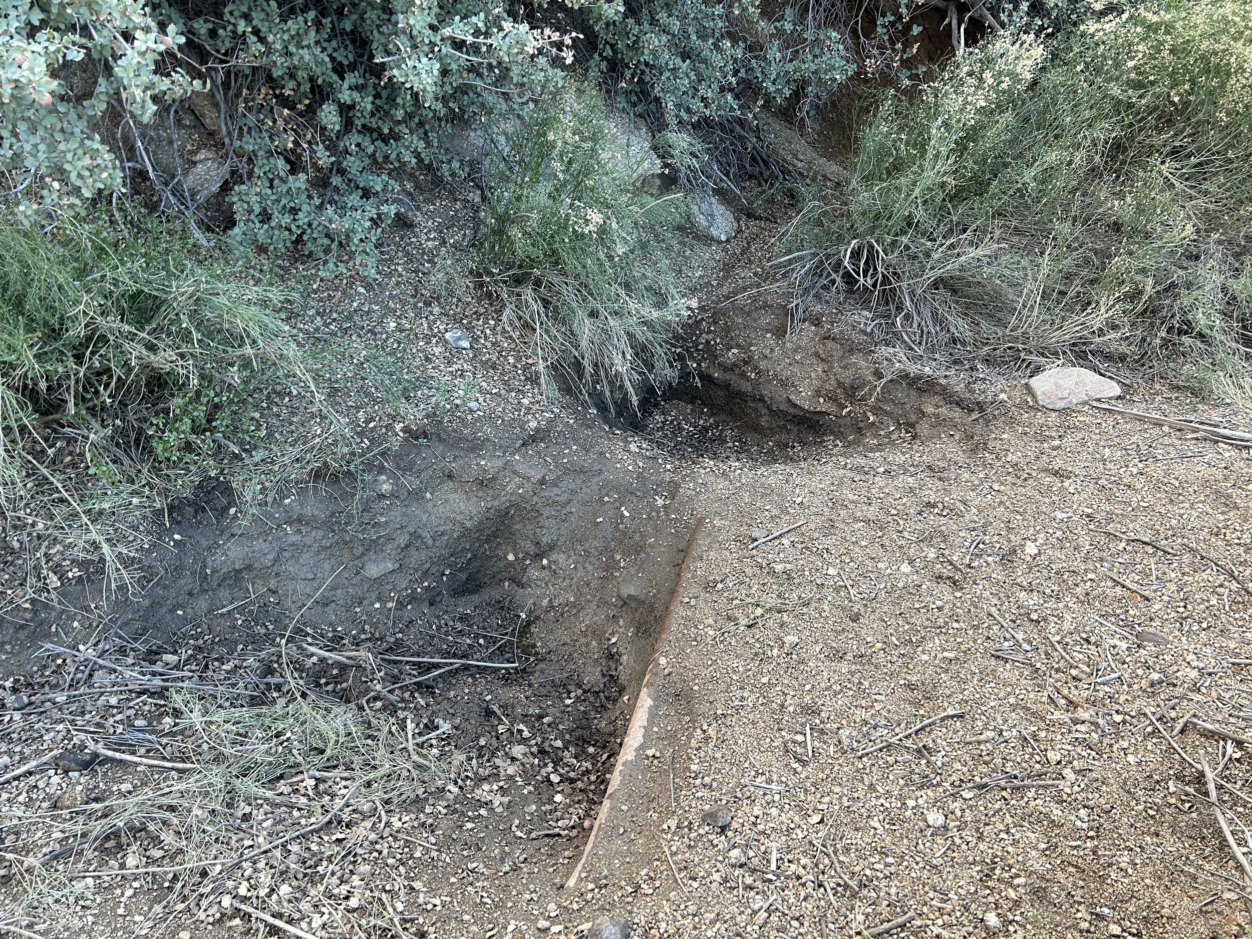
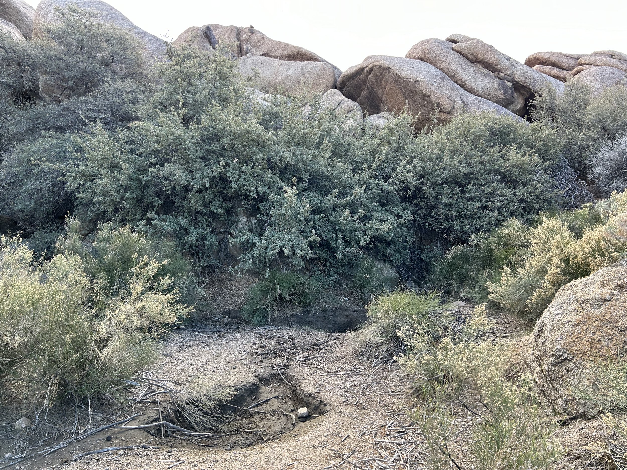
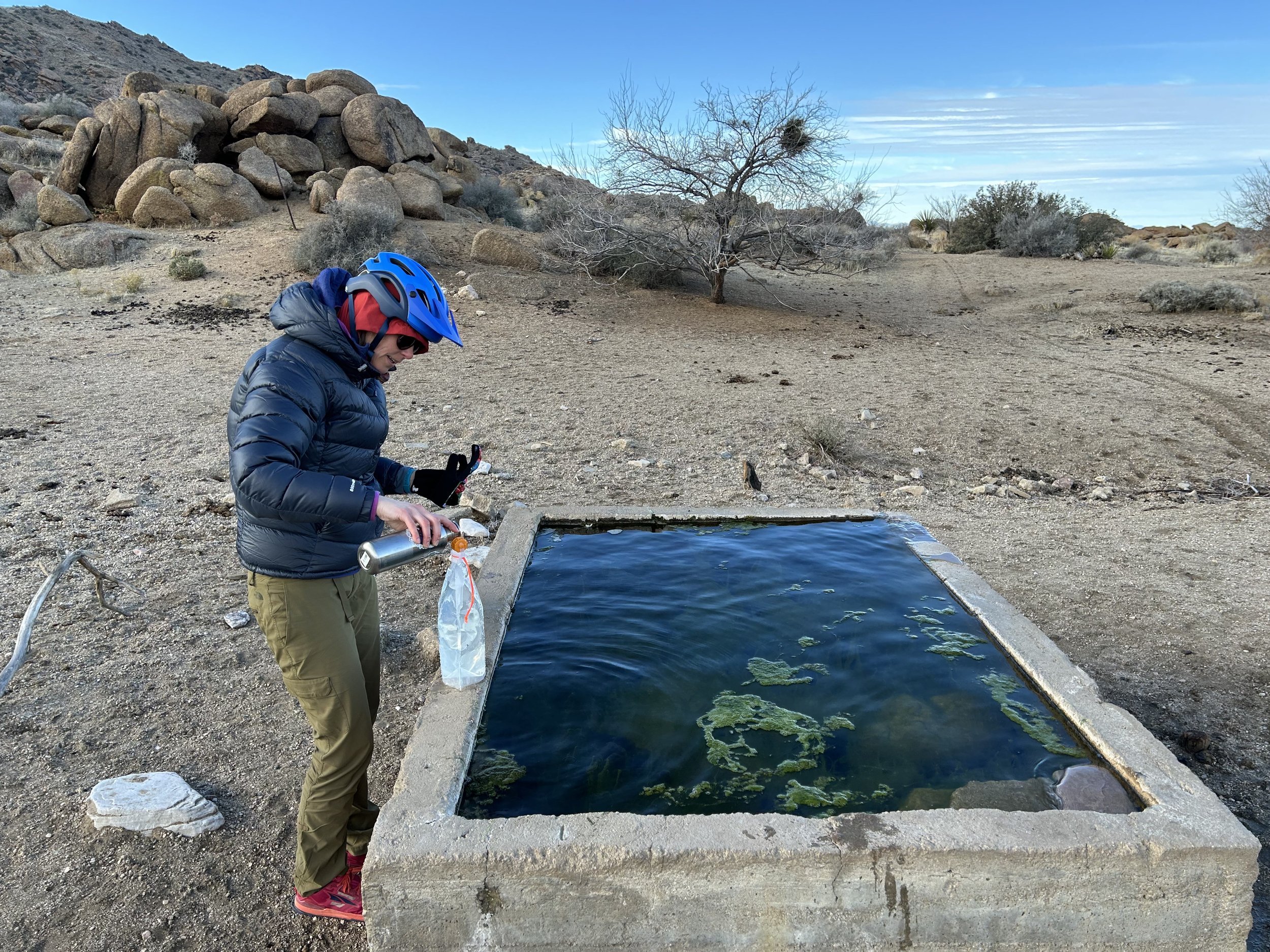
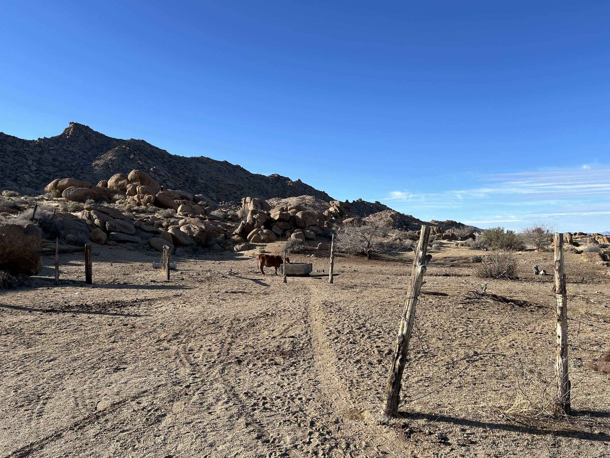
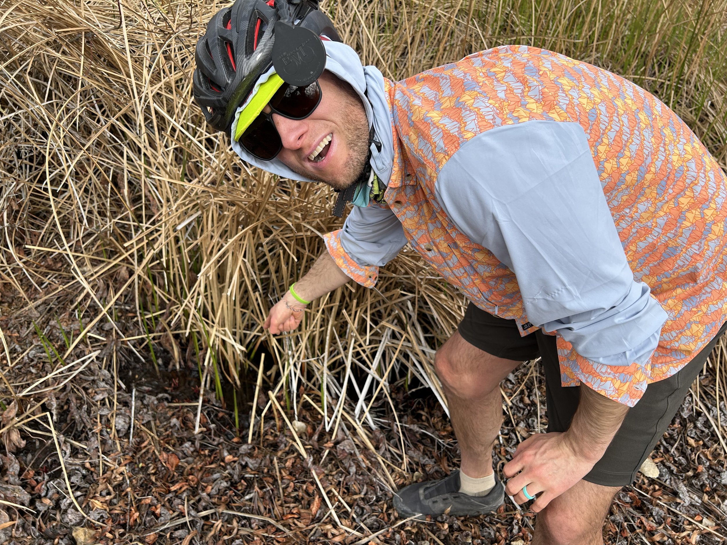
The sun continued to struggle with cloud amid bursts of blue sky that contrasted with the gray overhanging the golden-grass desert below. We hopped on our bikes and continued about a quarter mile down the road to where Granite Spring was. I had no hope for Granite Spring as it was commonly dry. But we pulled up to an overflowing and clear cement trough obviously piped from the spring-proper that was a hundred feet away. This was probably an illegally irrigated trough done by the Bundys sometime in the past several years; there were cows lounging nearby. But, it was a benefit to us (and future bikepackers on the route). I walked the spring back to its source using USGS maps and found some damp ground-substrate with shallow holes amid a tangle of plants. Nothing to rely on at the source, but that piped-trough was sure to be reliably-filled after winter storms. We filled up our reservoirs just in case Horse Springs was either dry or nasty.
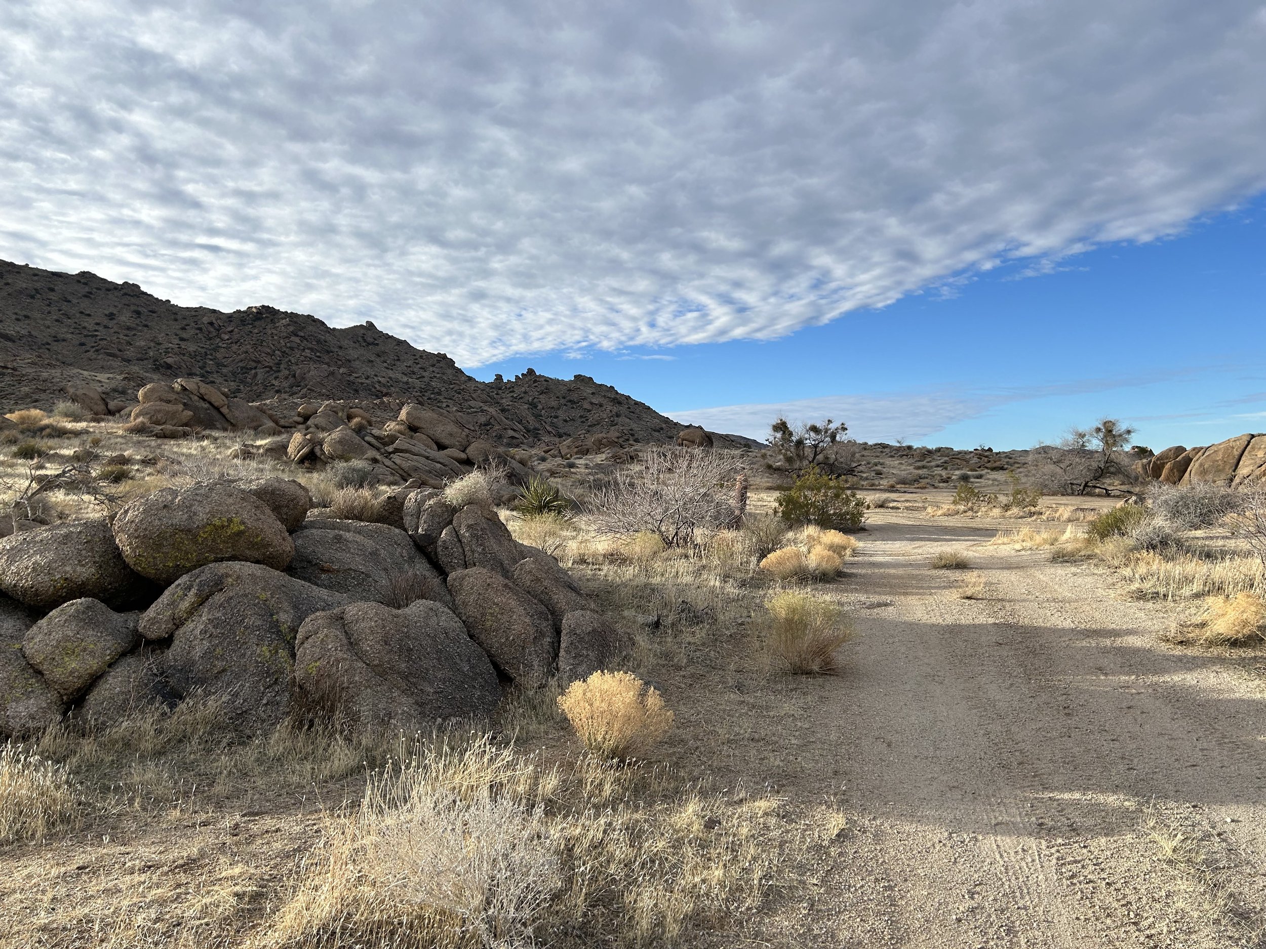
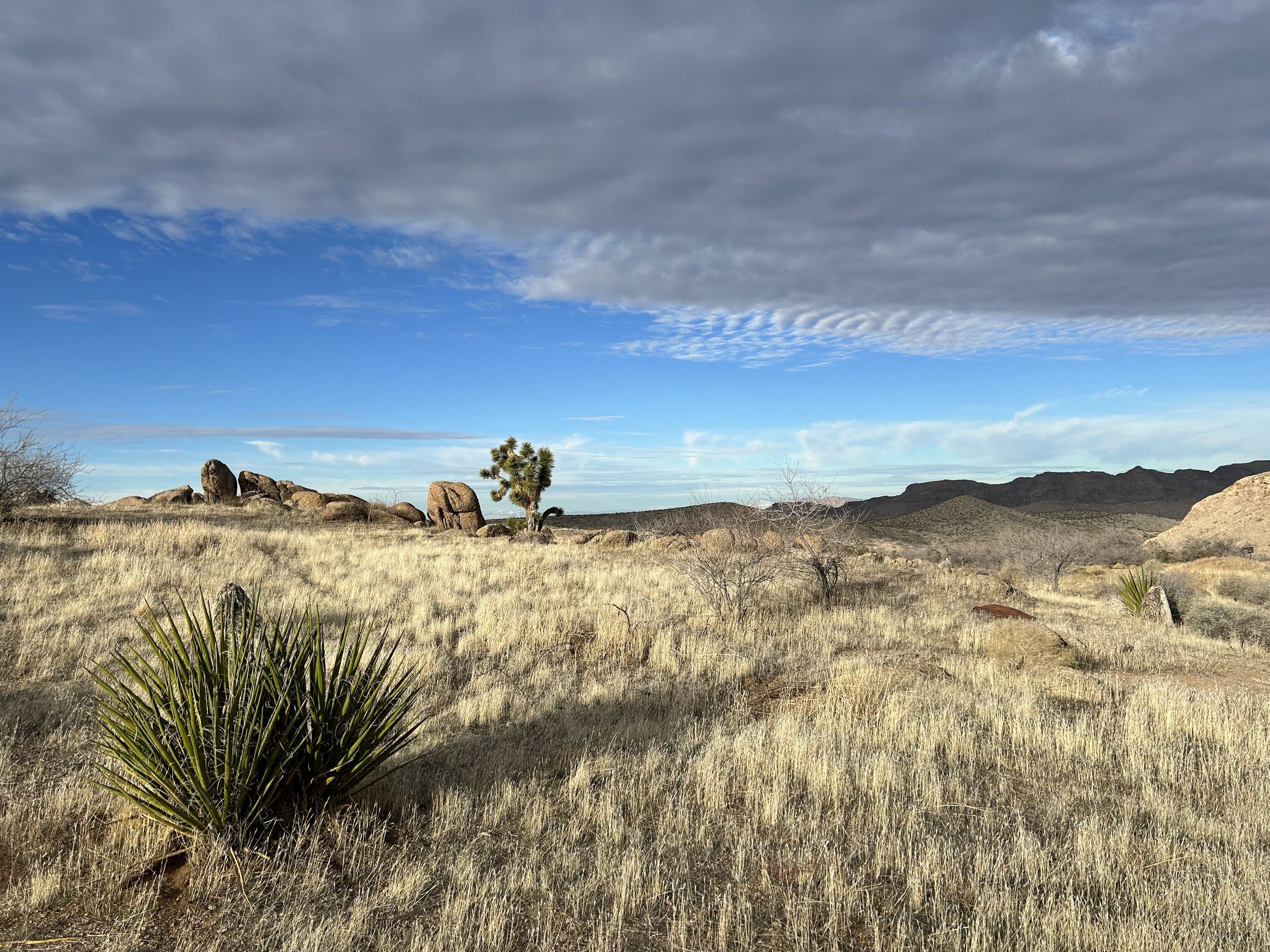
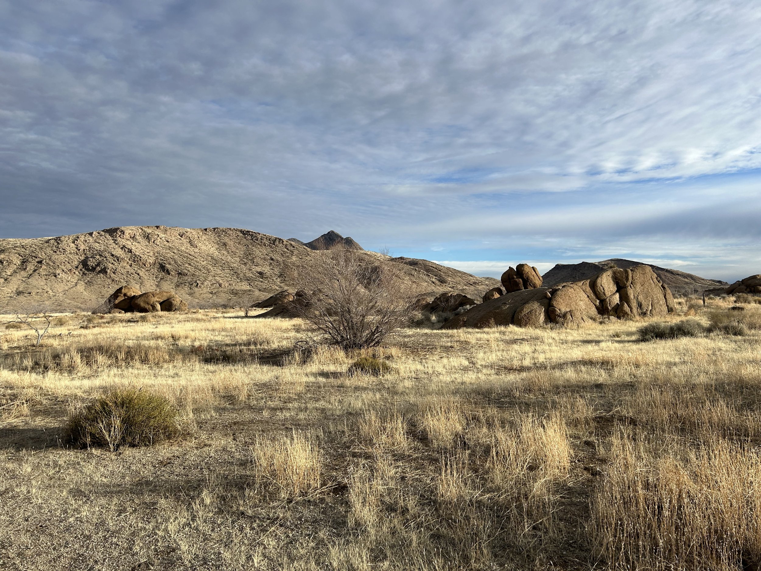
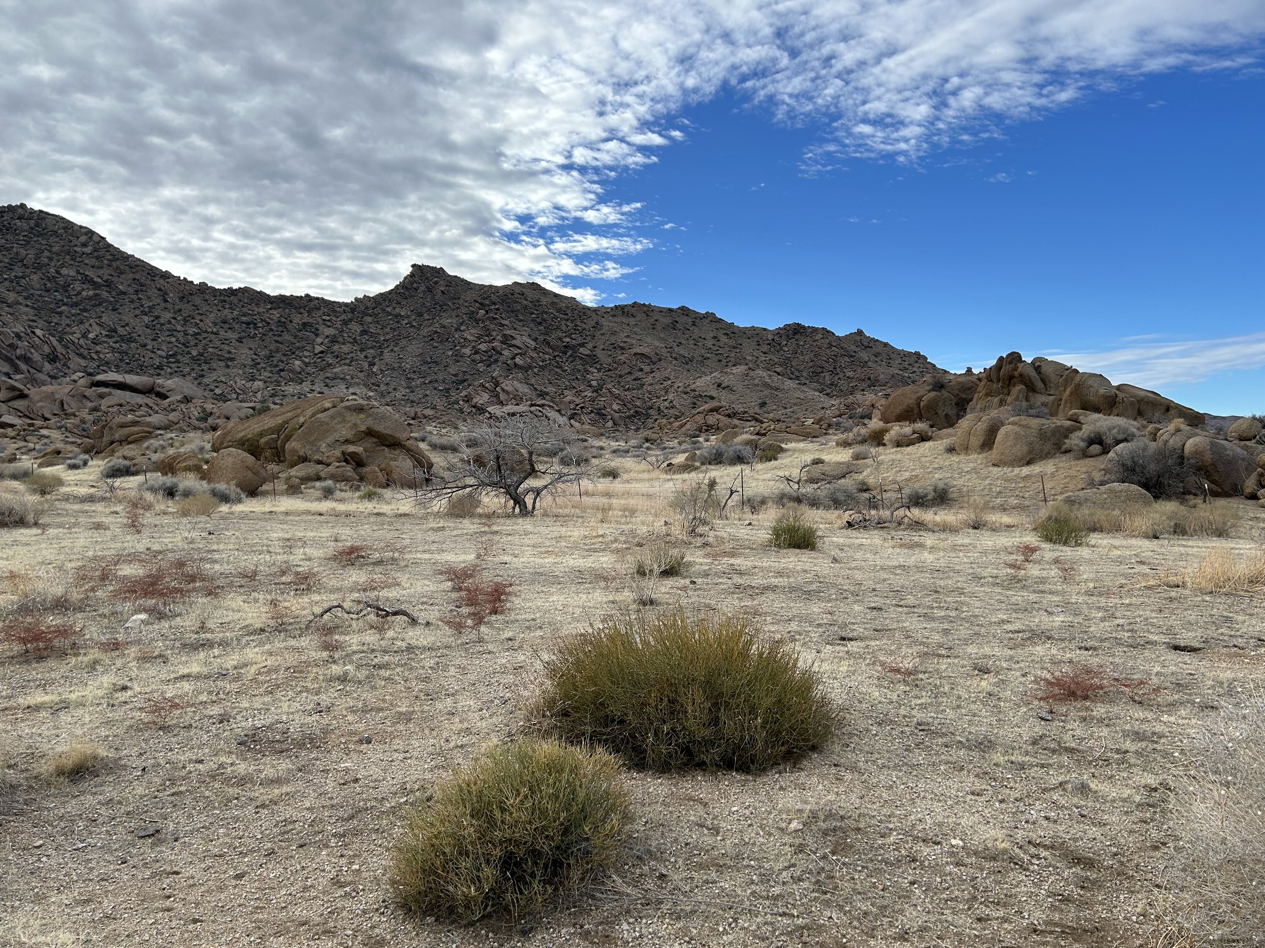
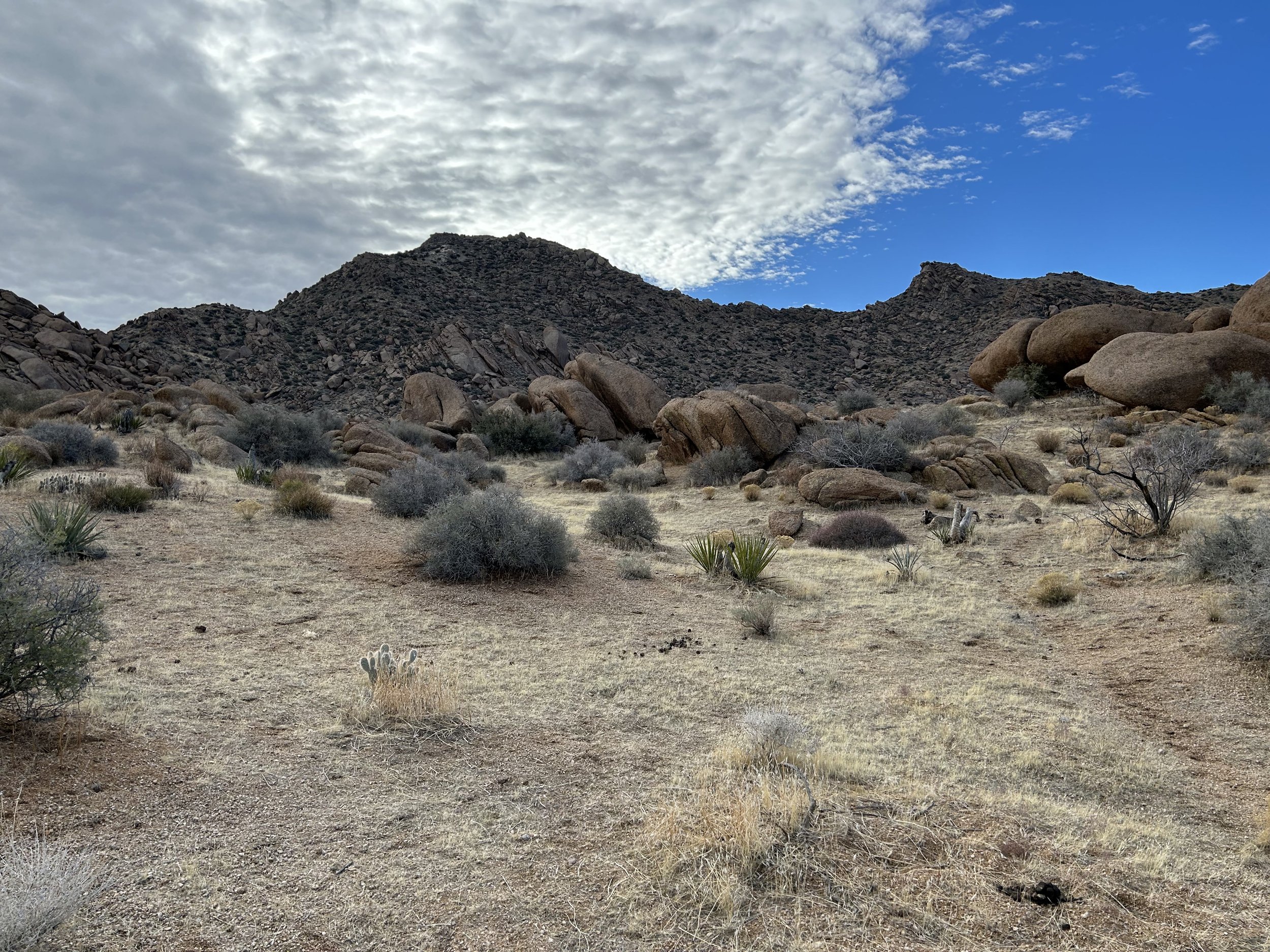
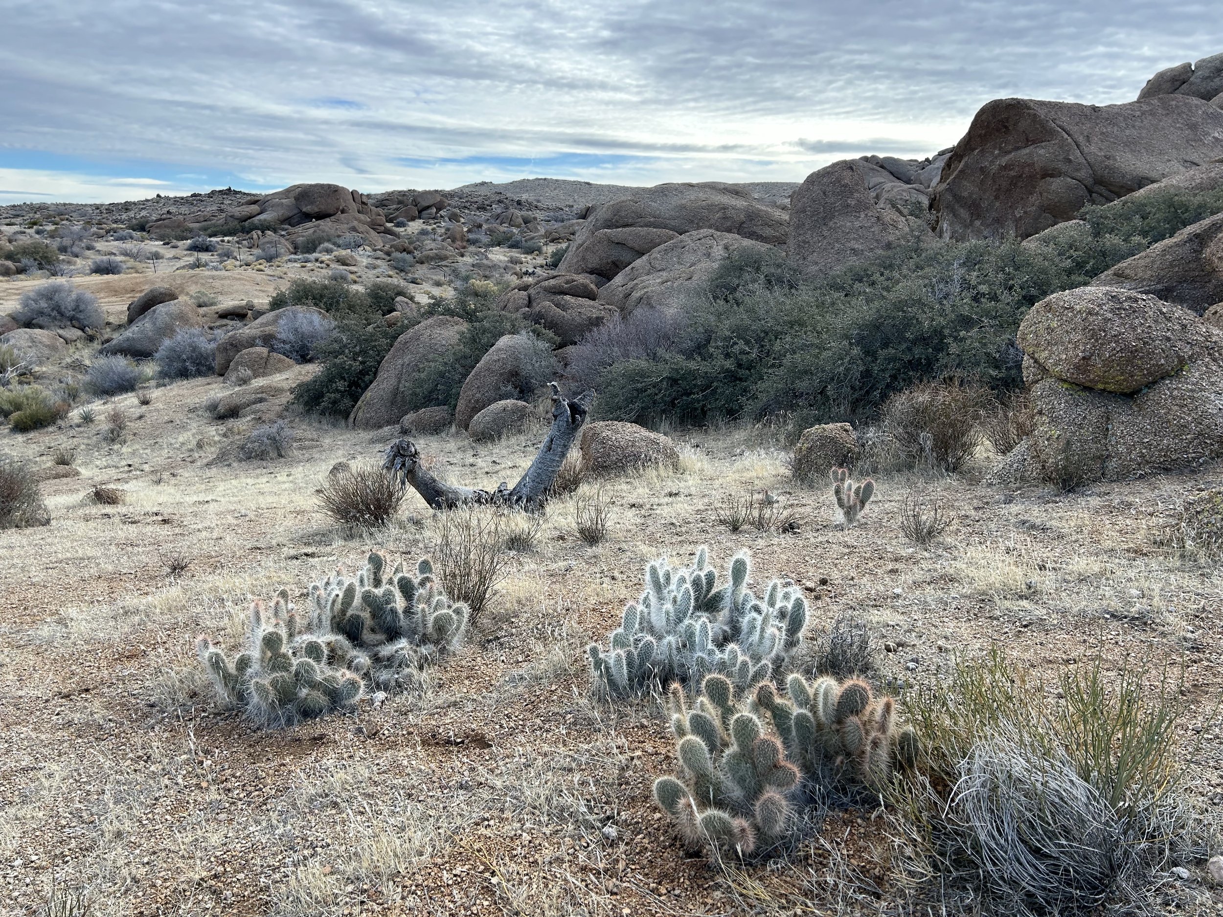
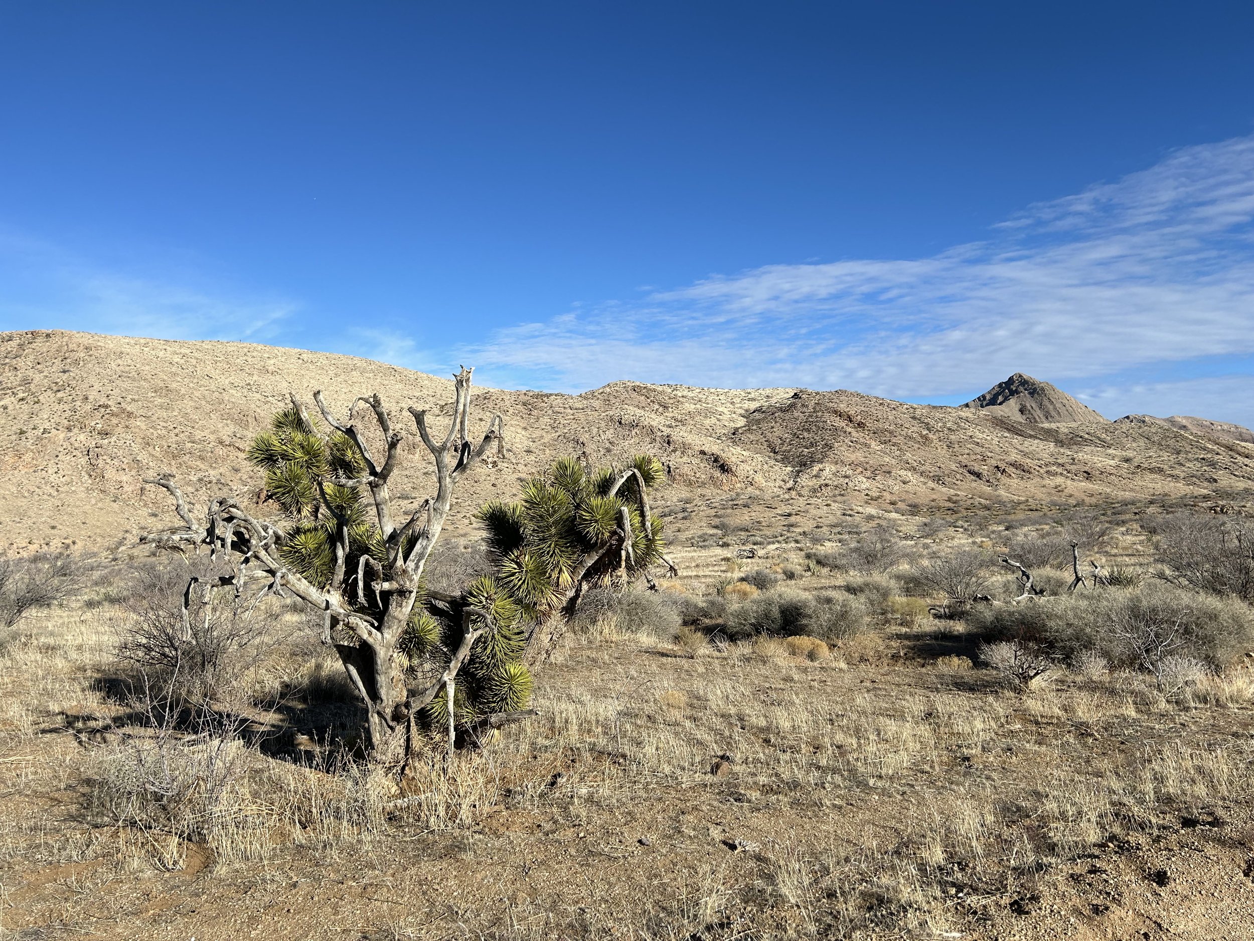
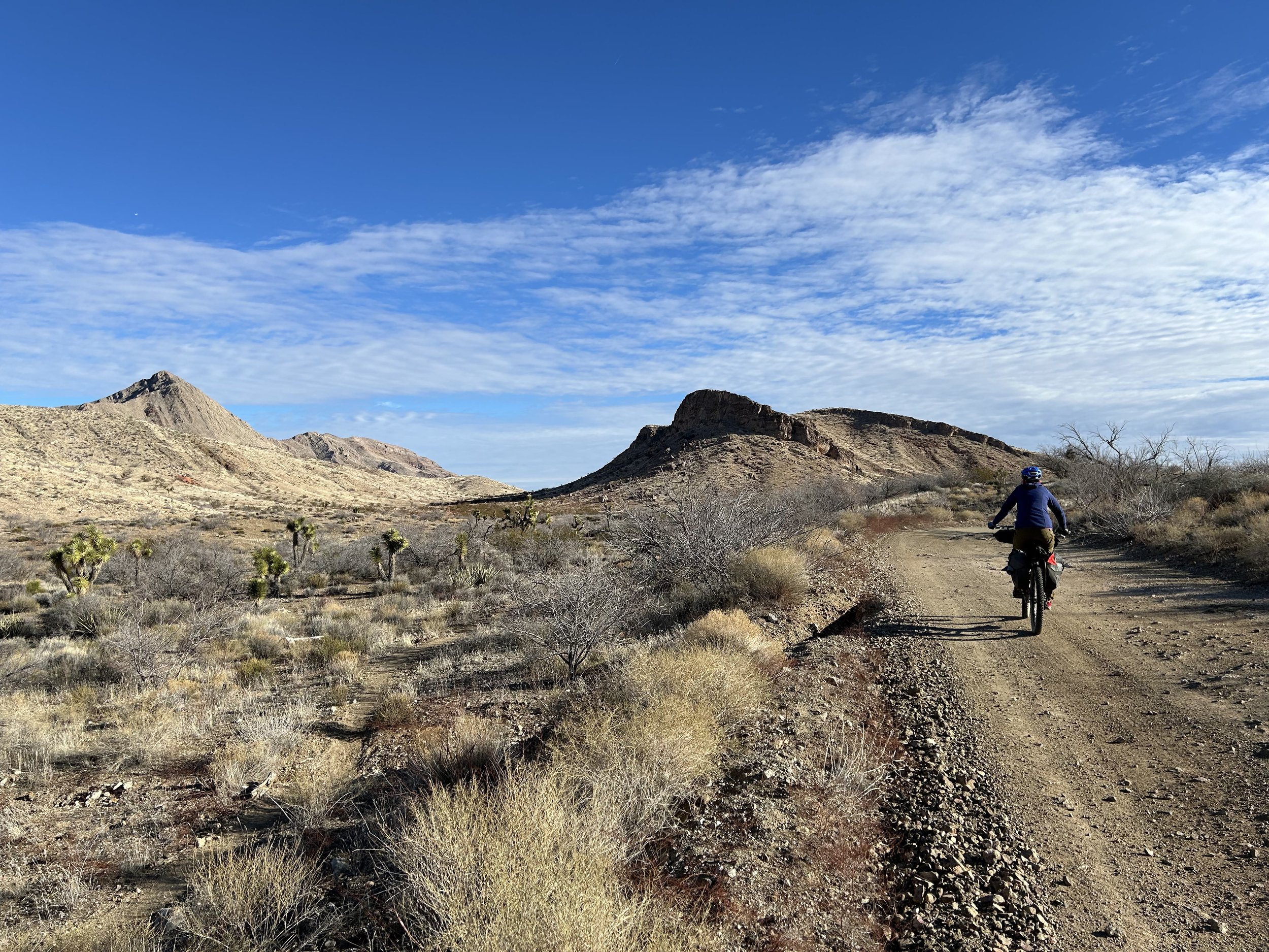
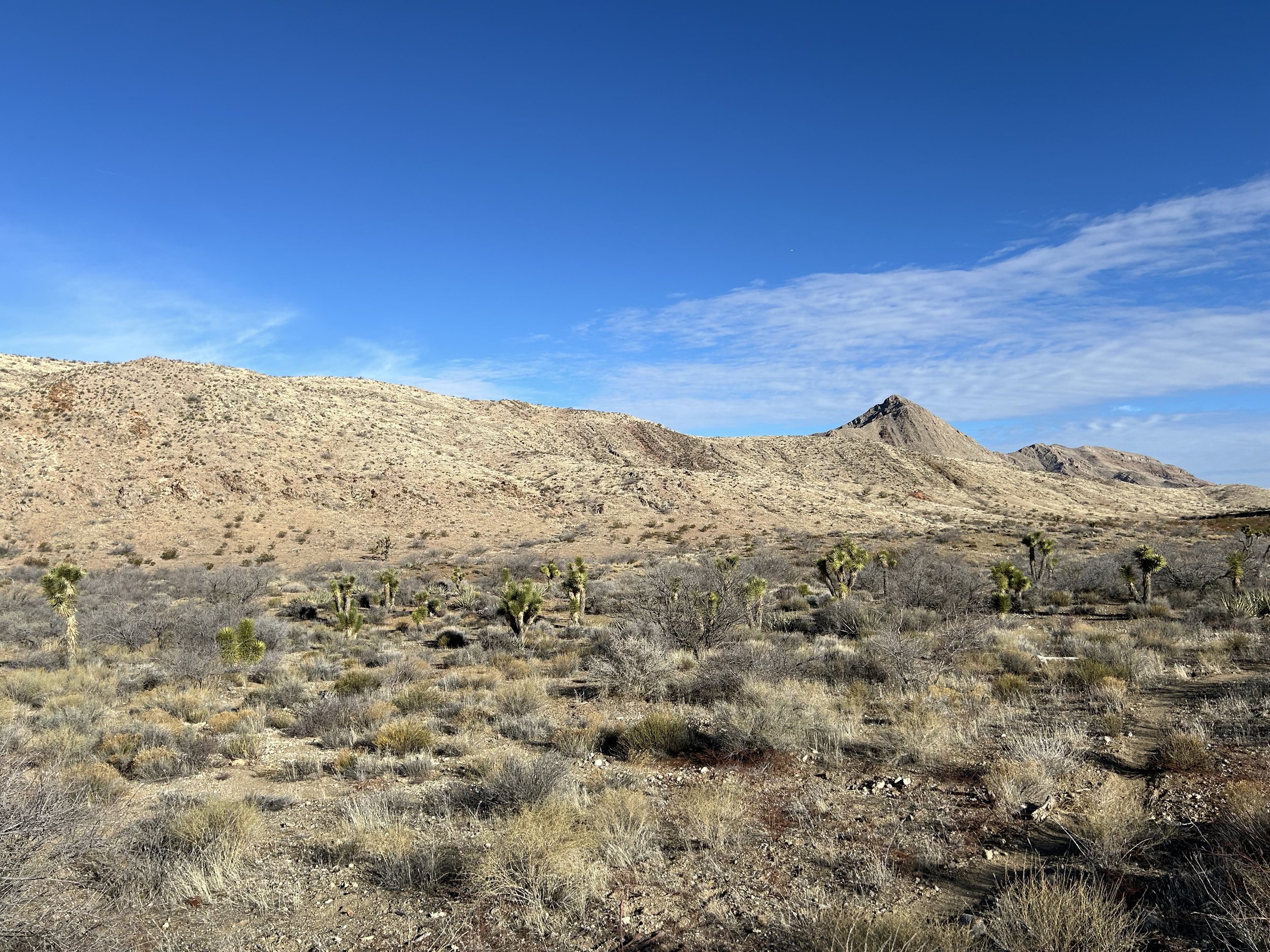
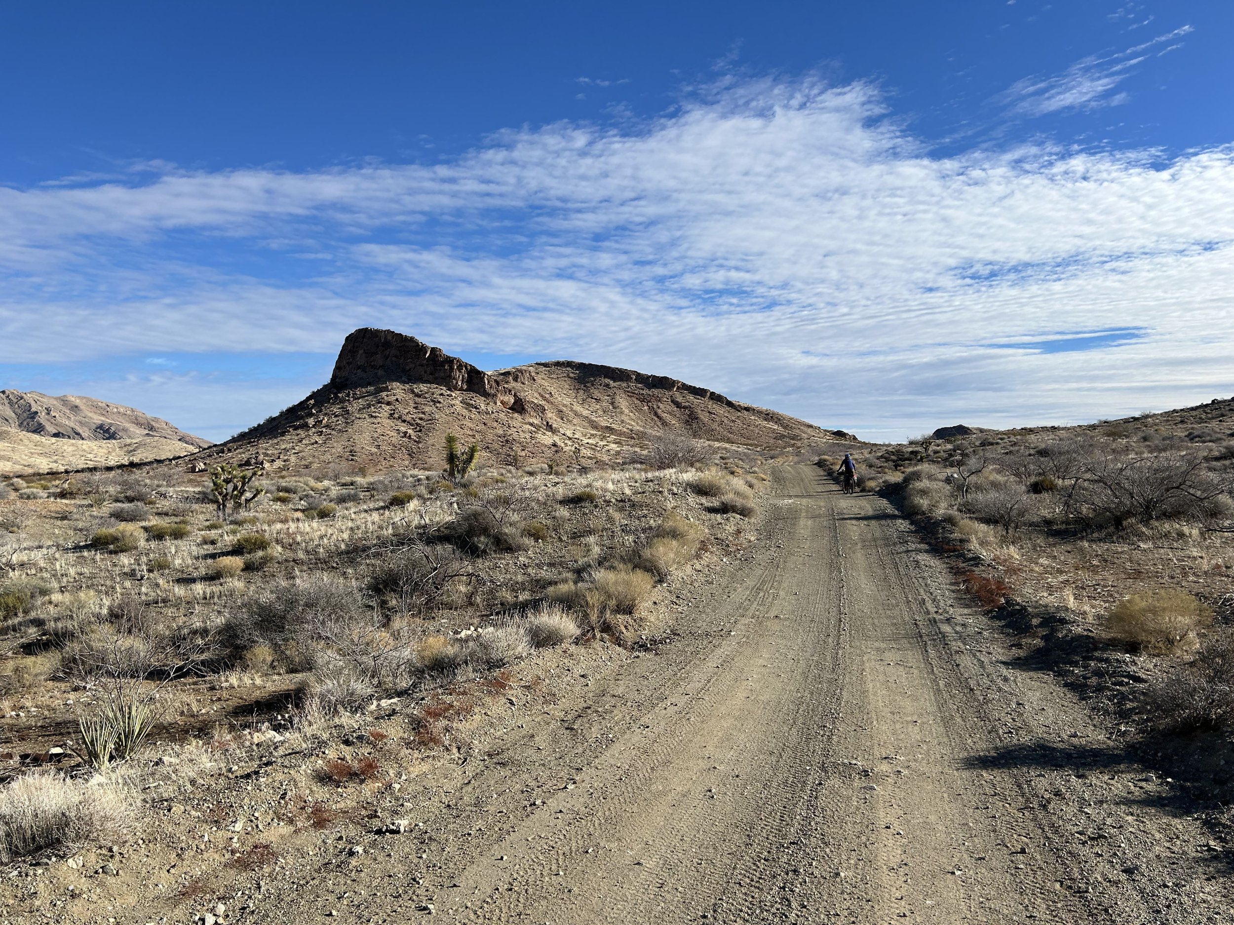
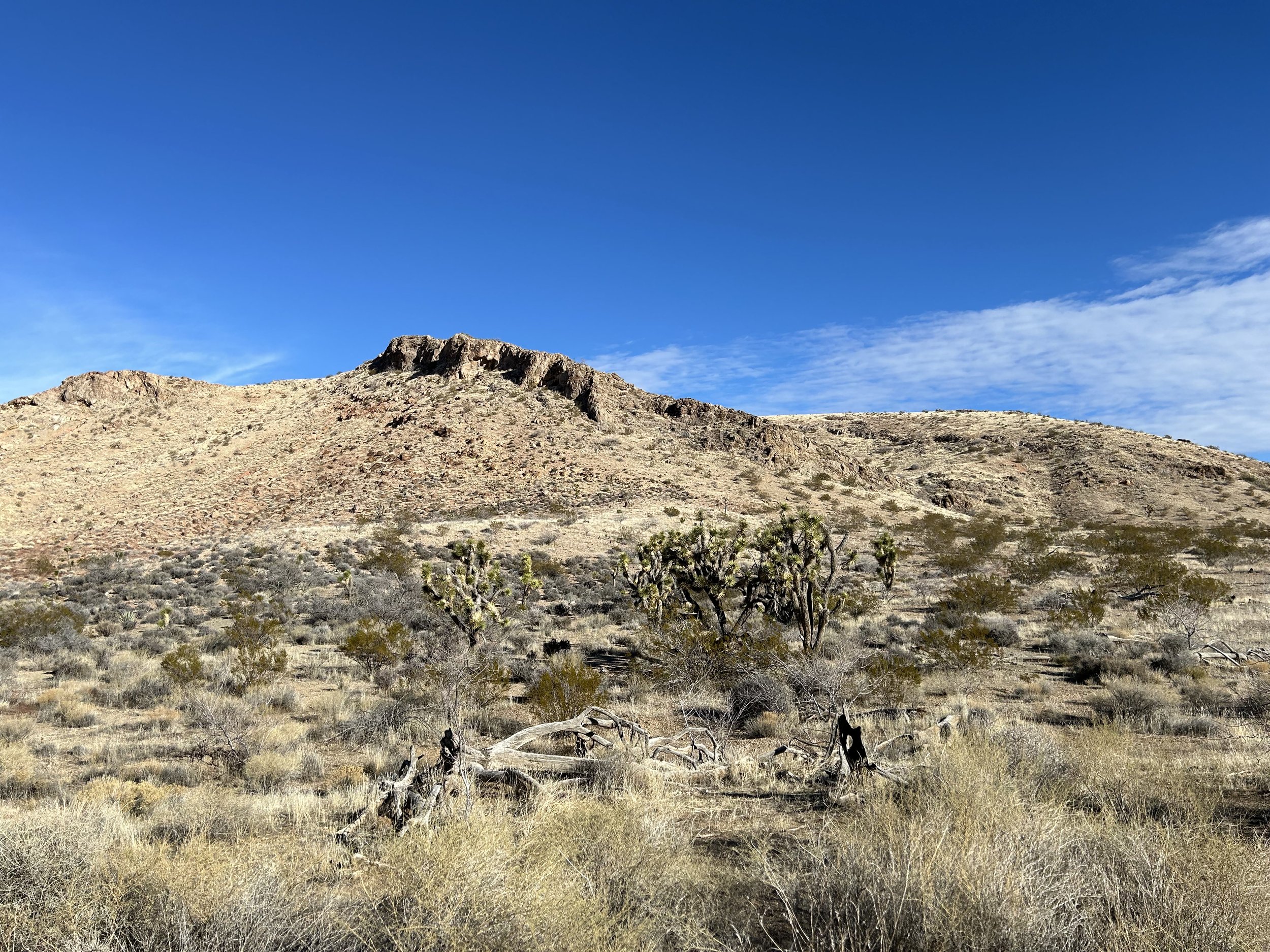
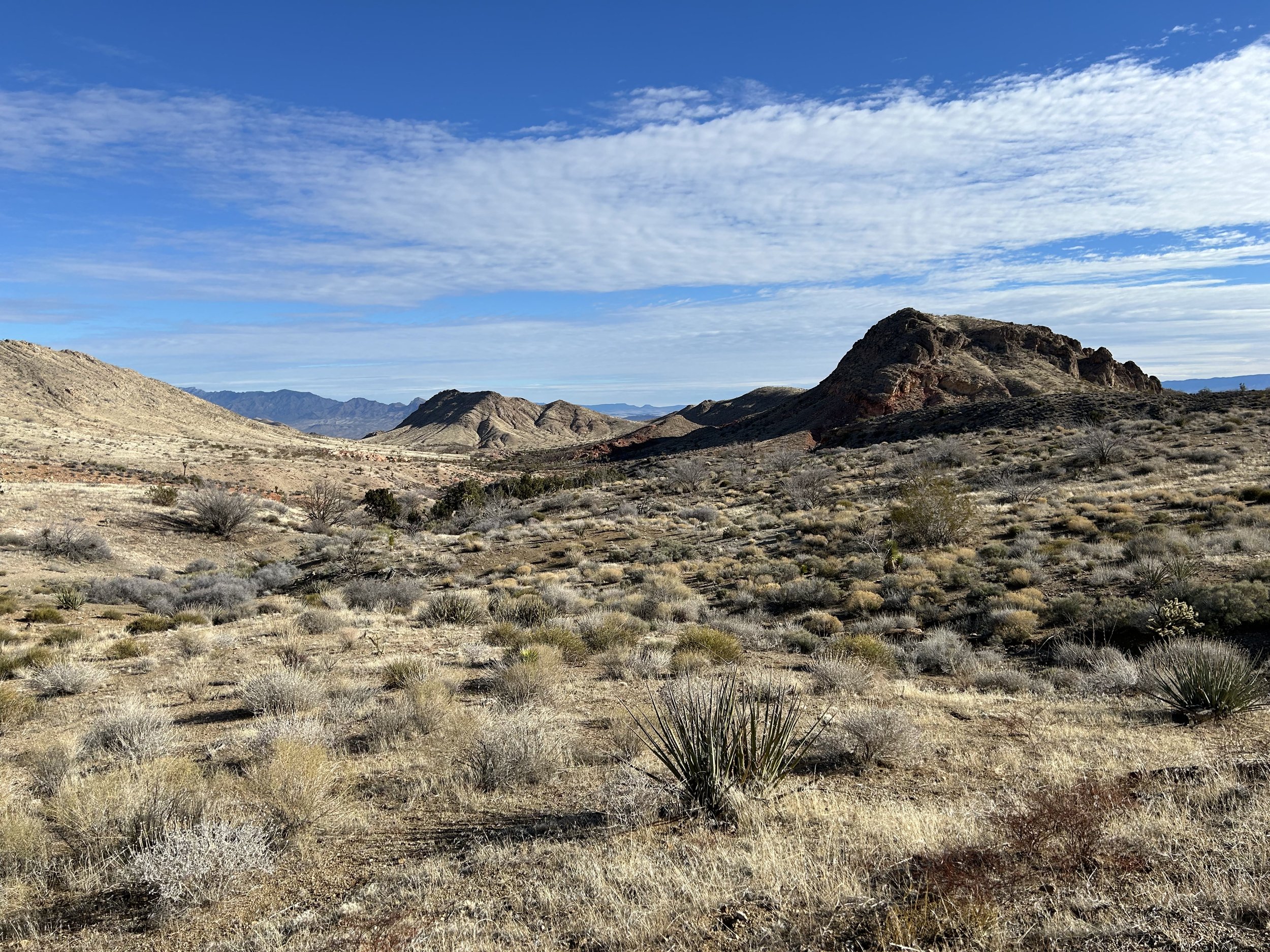
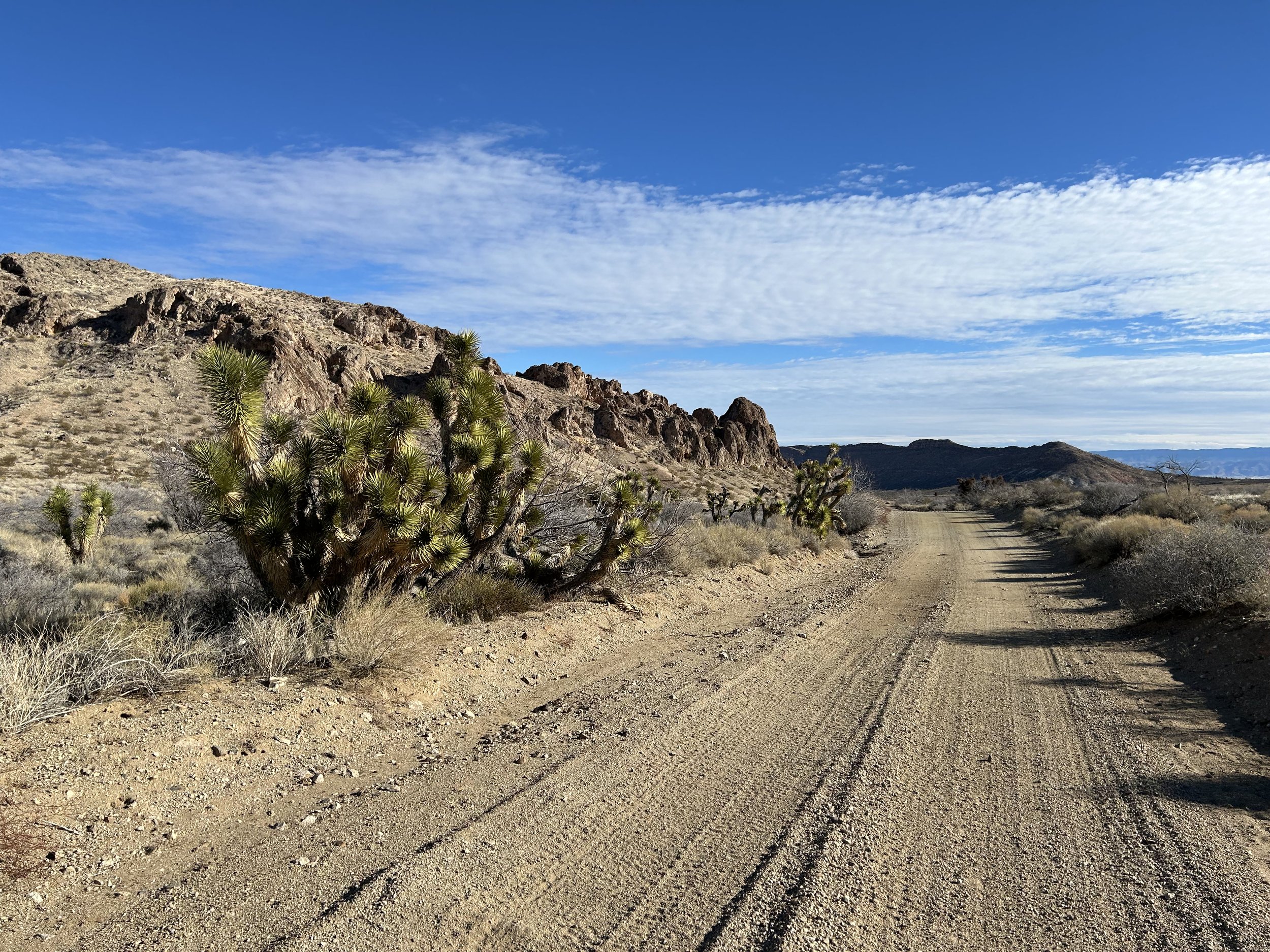
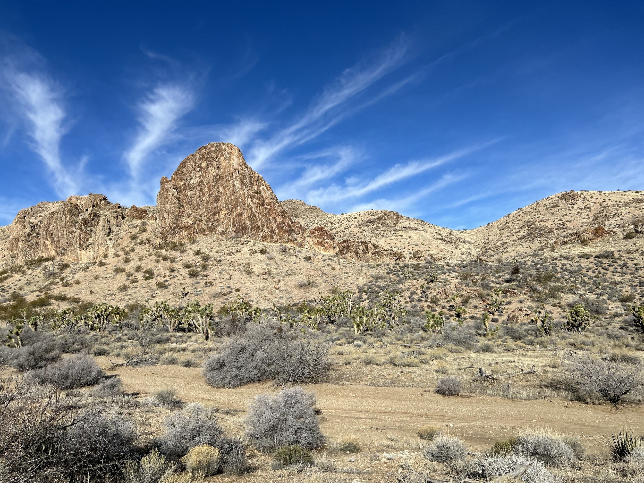
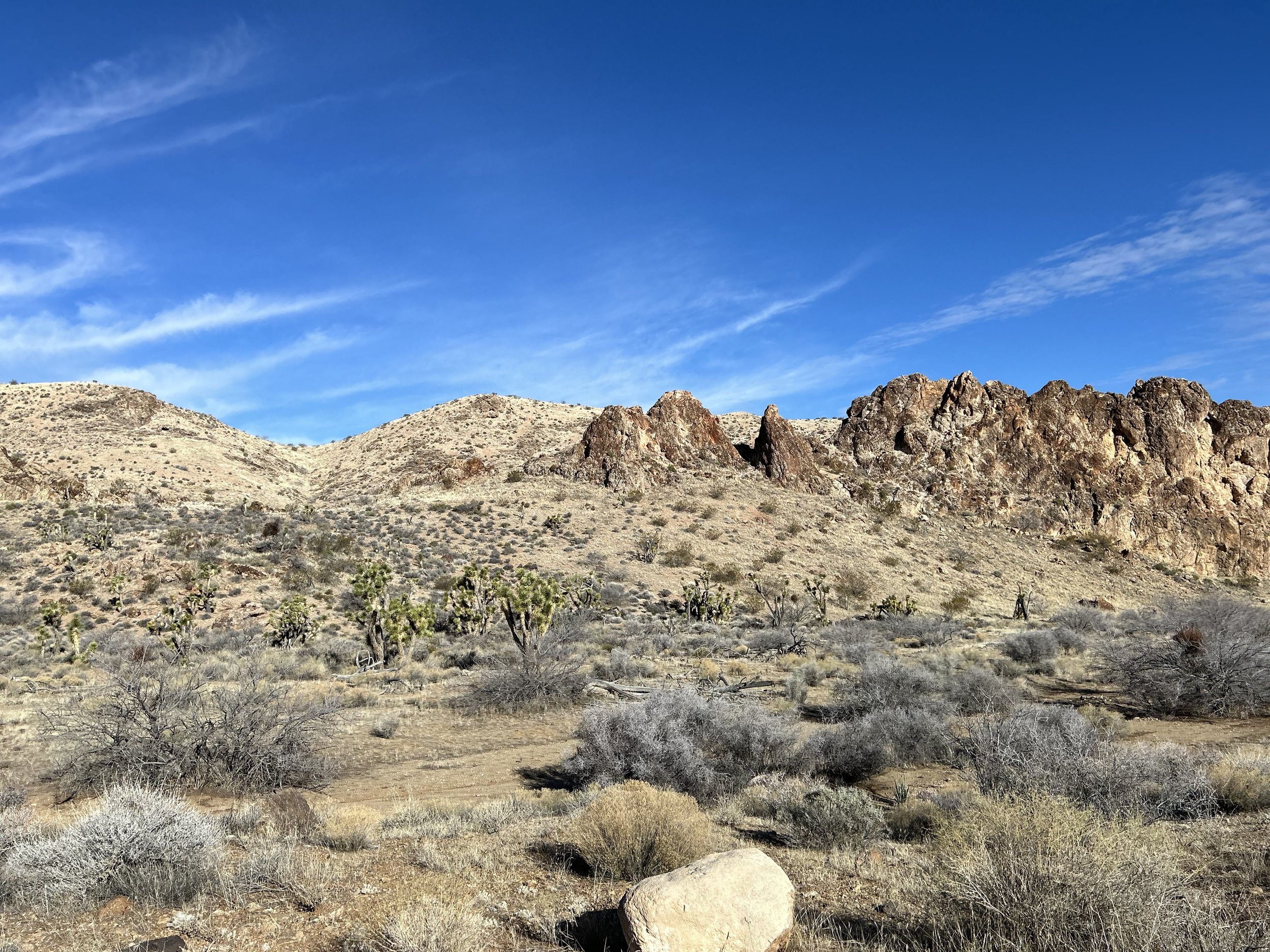
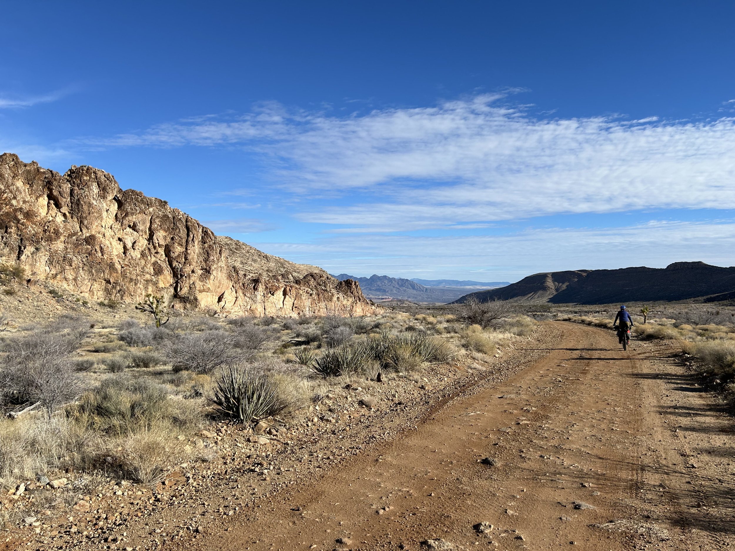
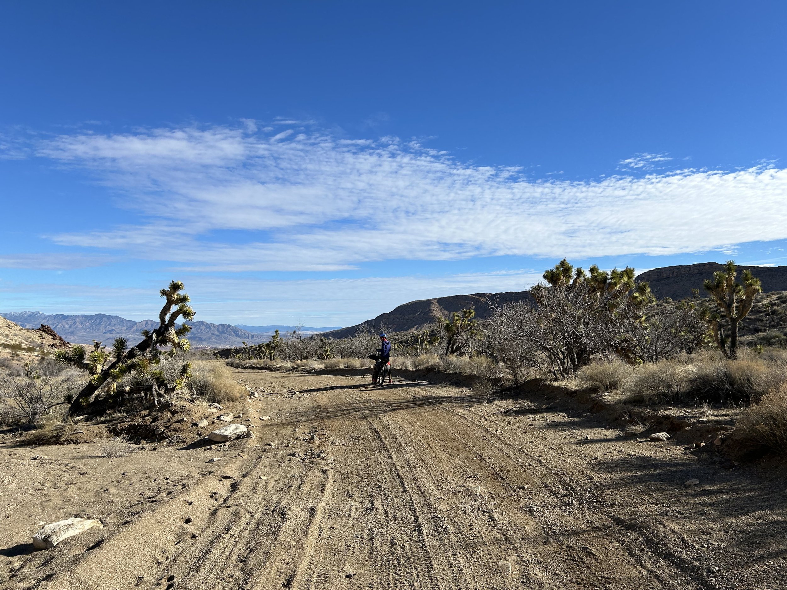
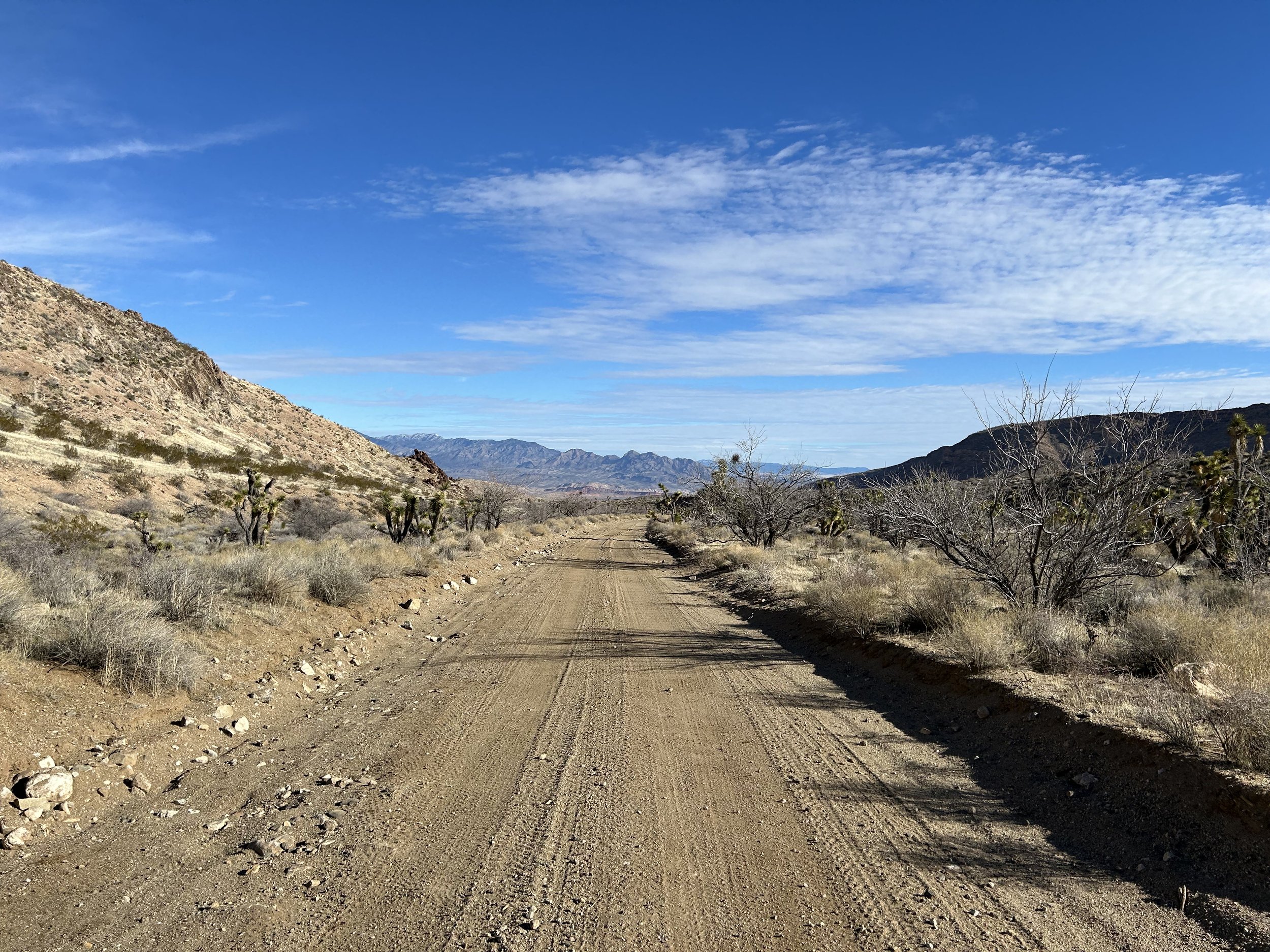
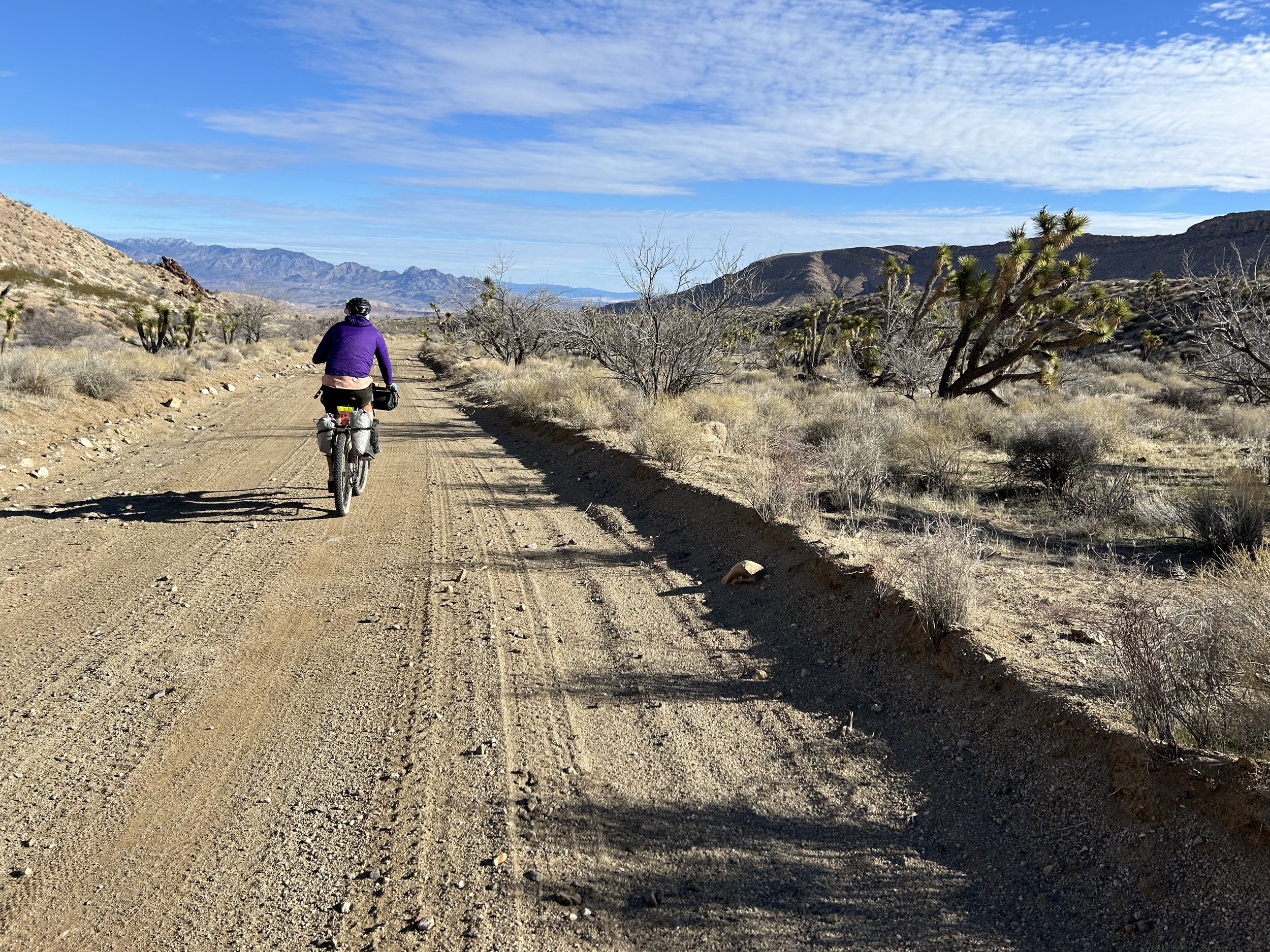
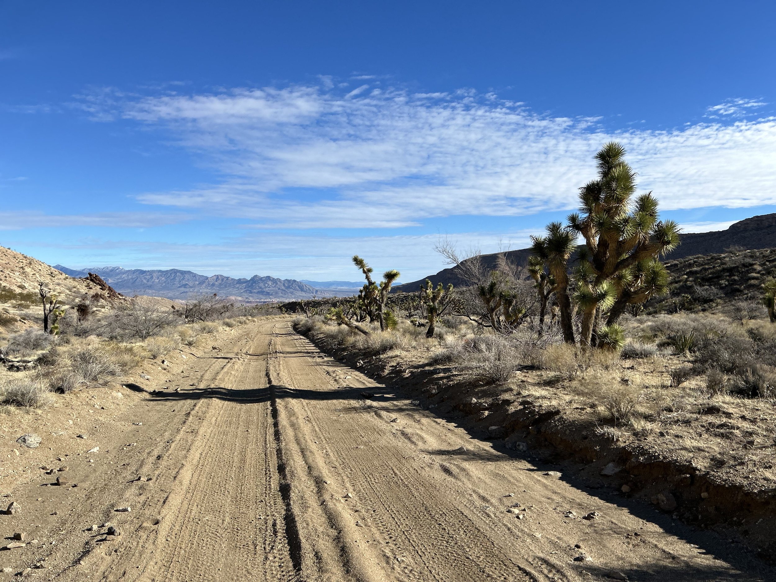
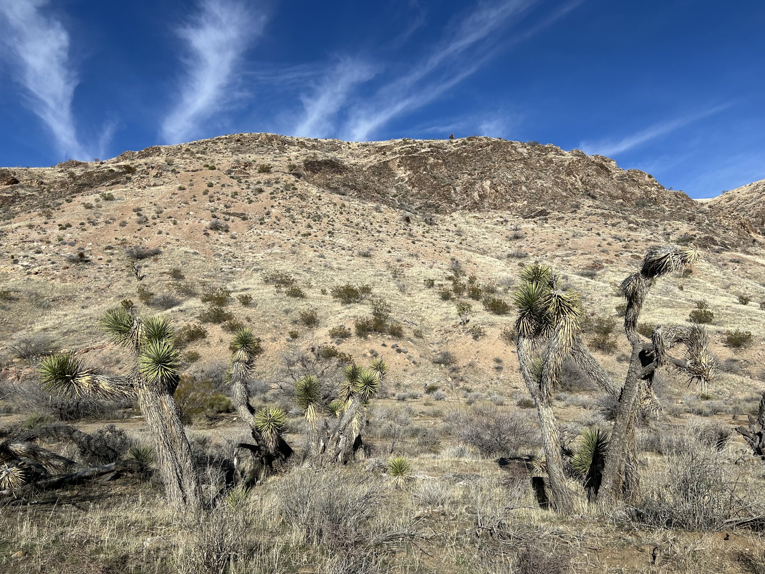
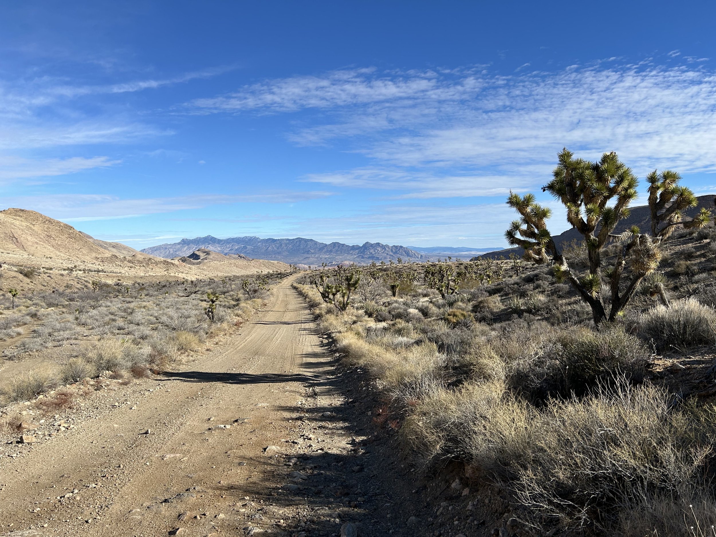
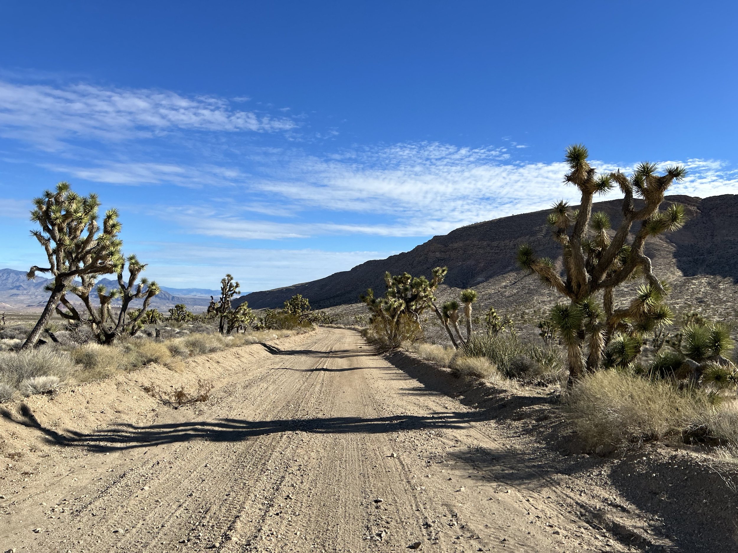
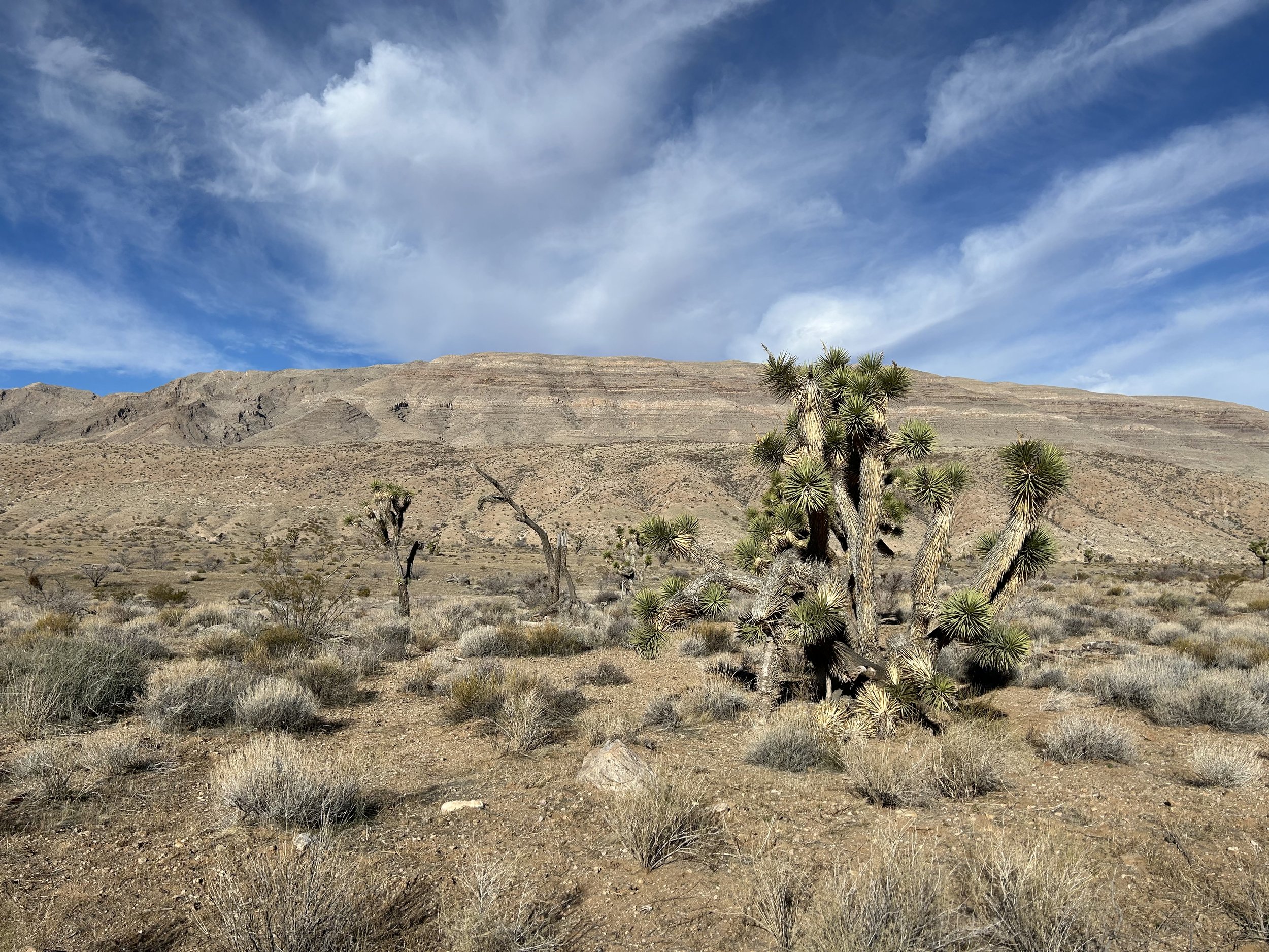
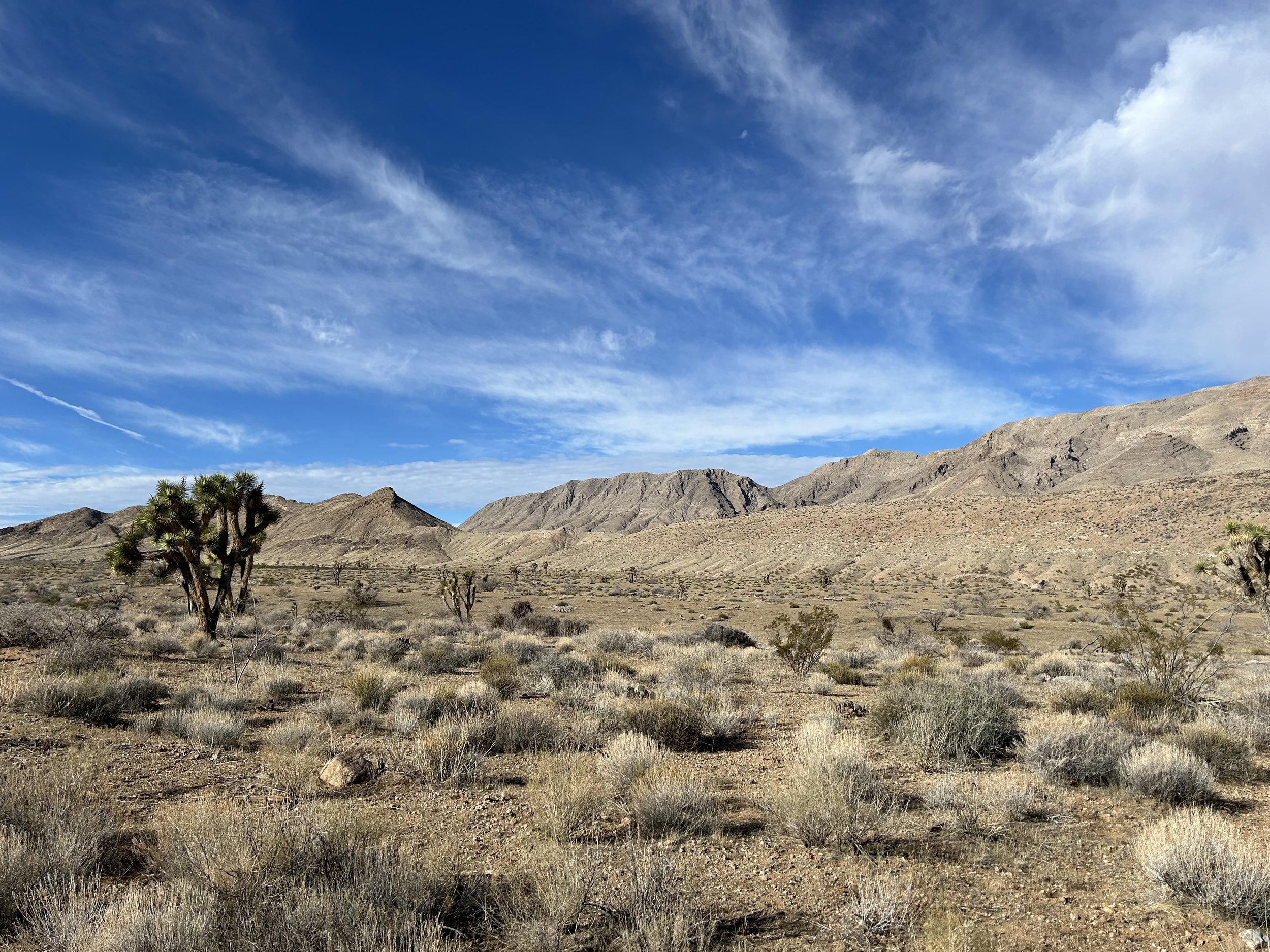
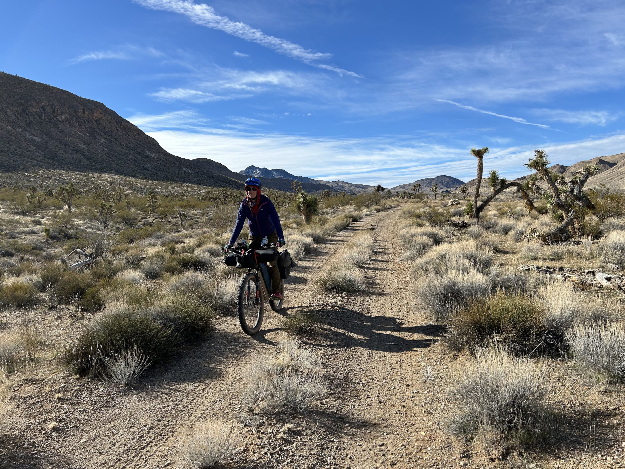
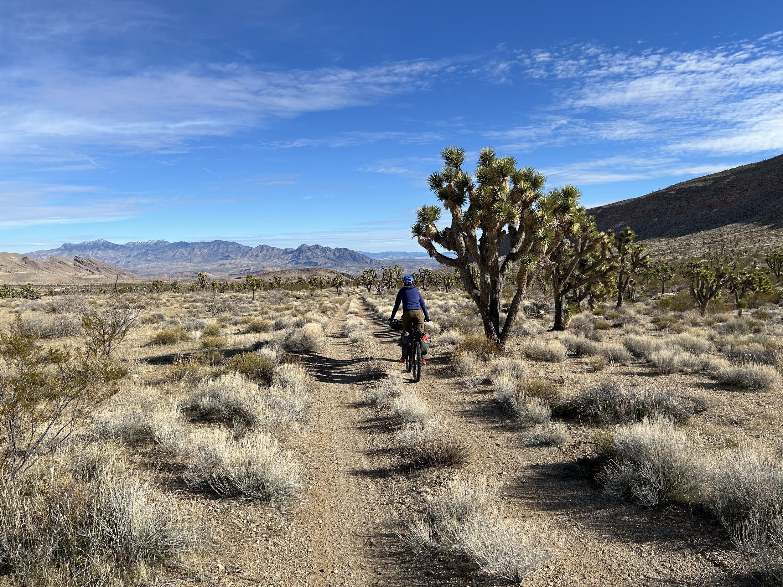
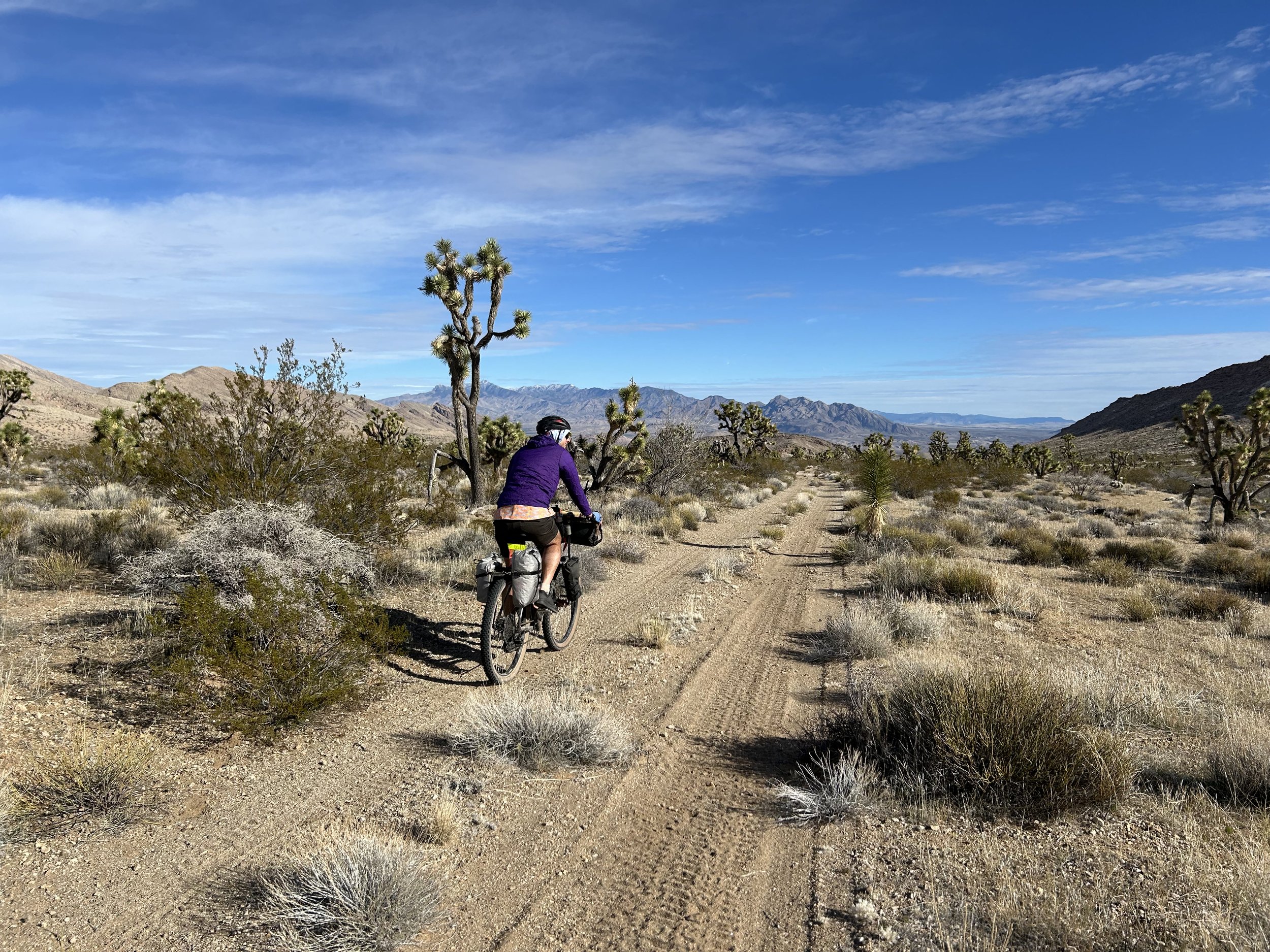
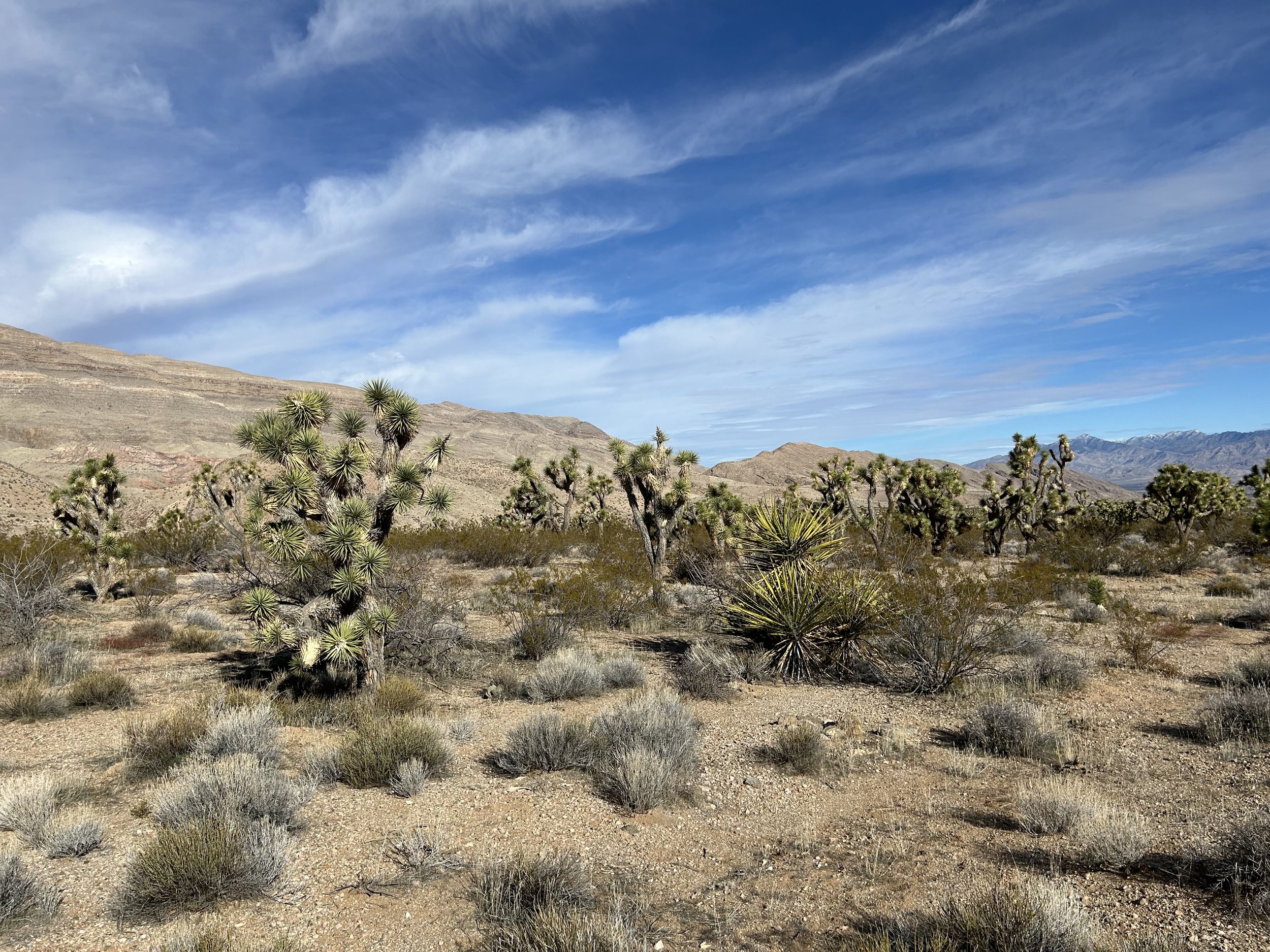
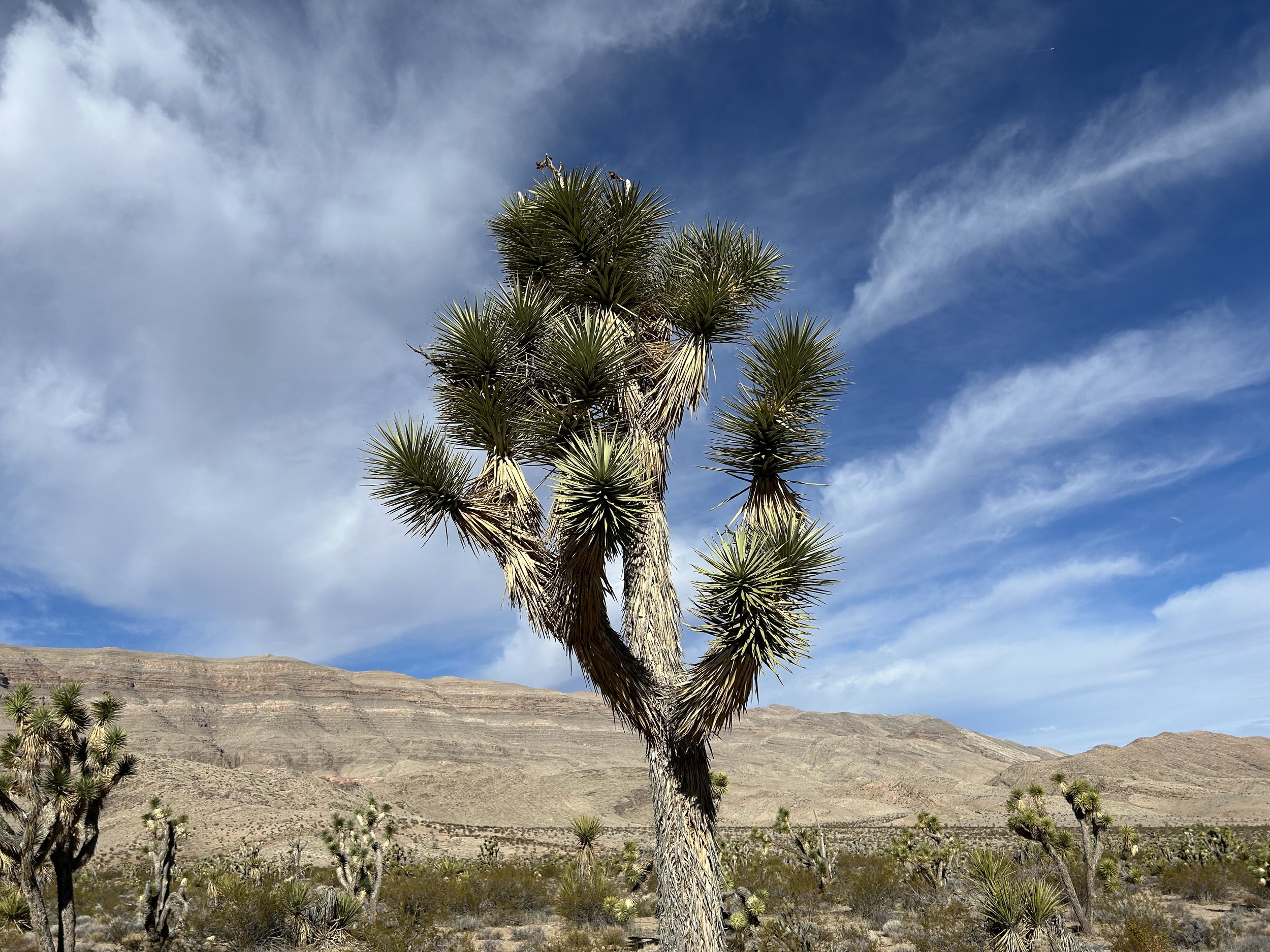
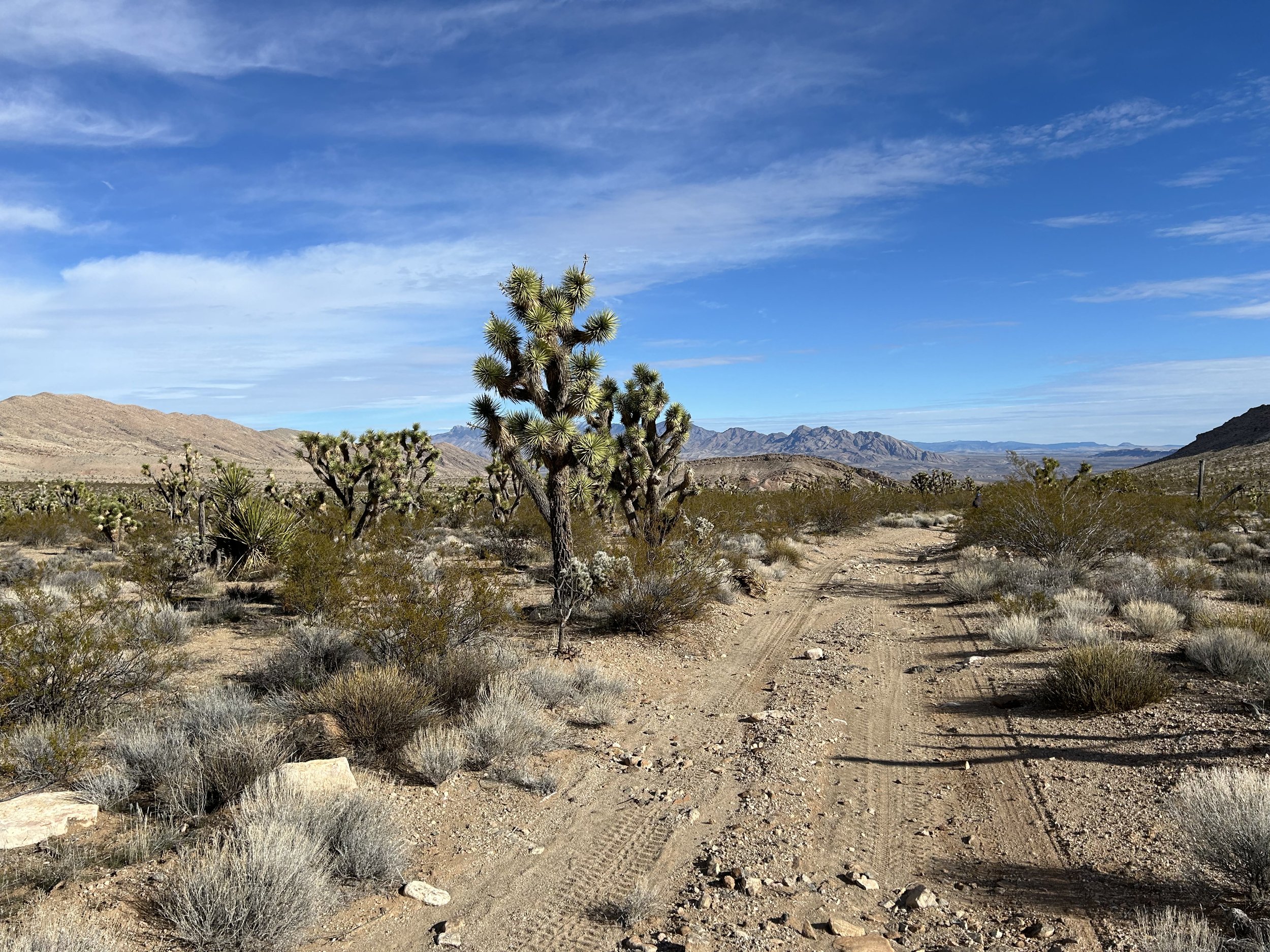
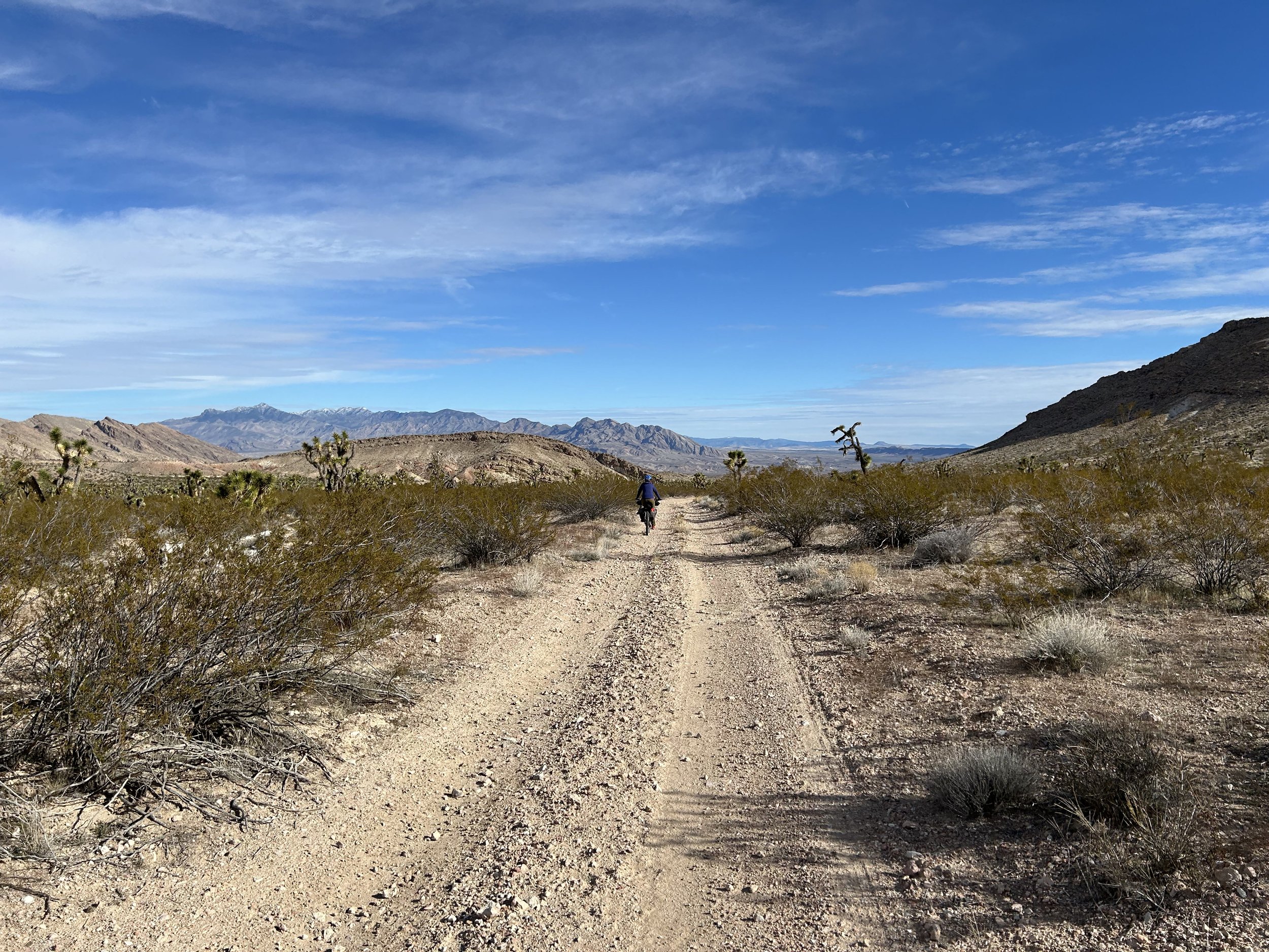
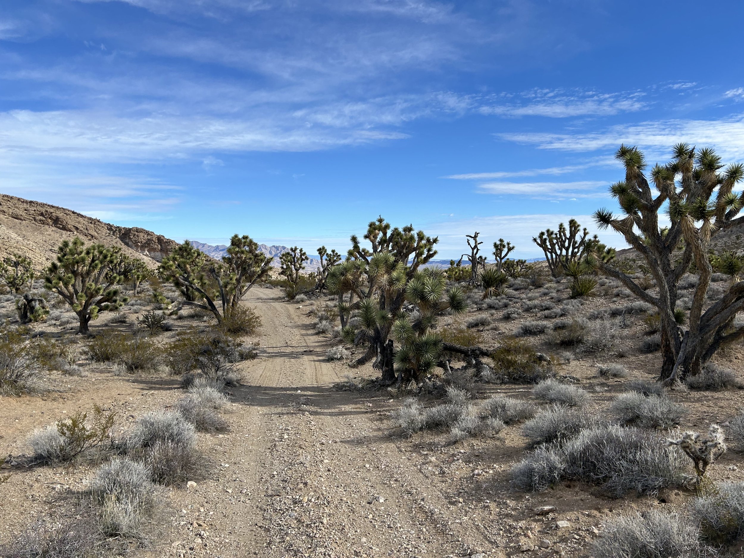
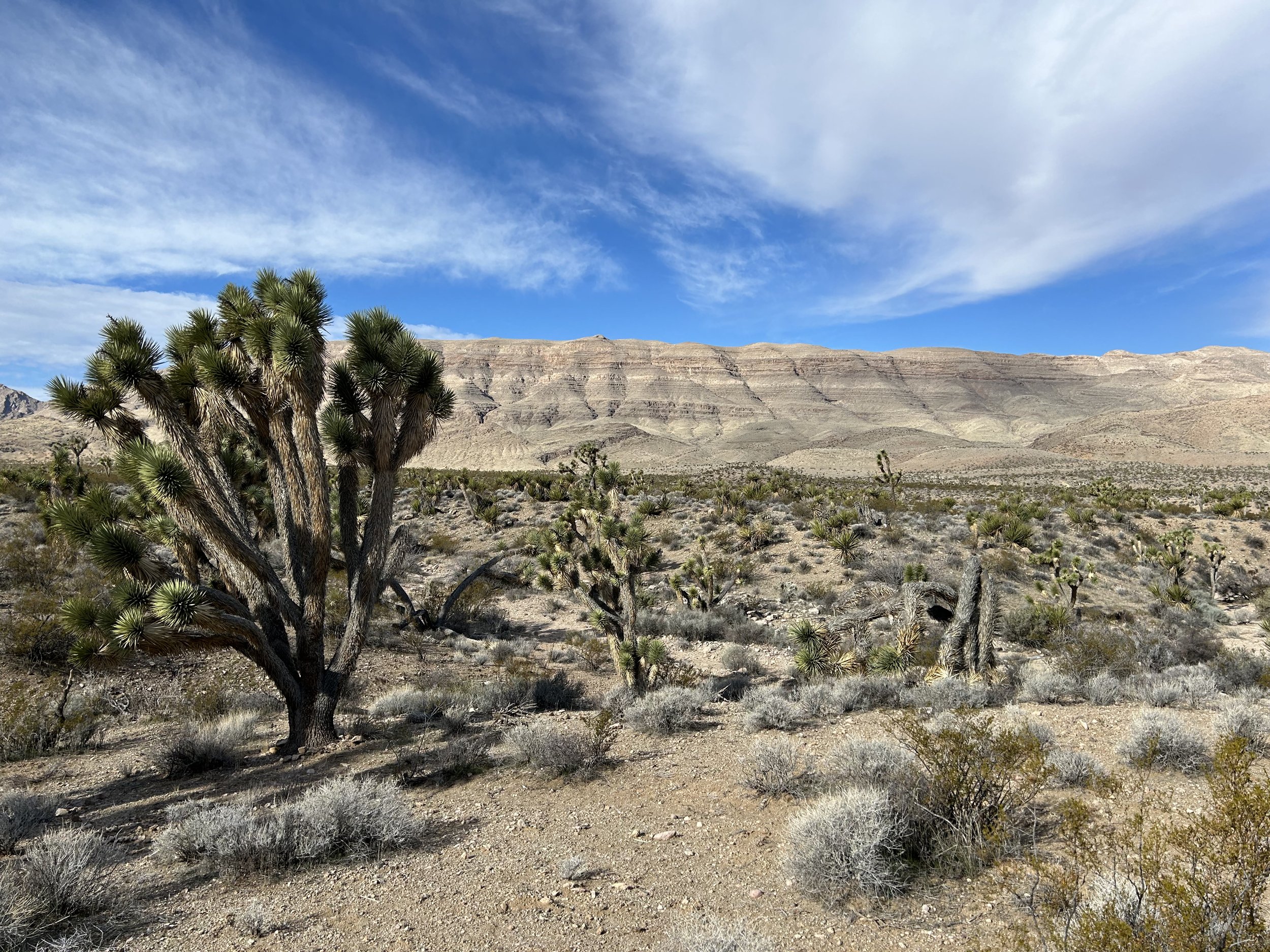
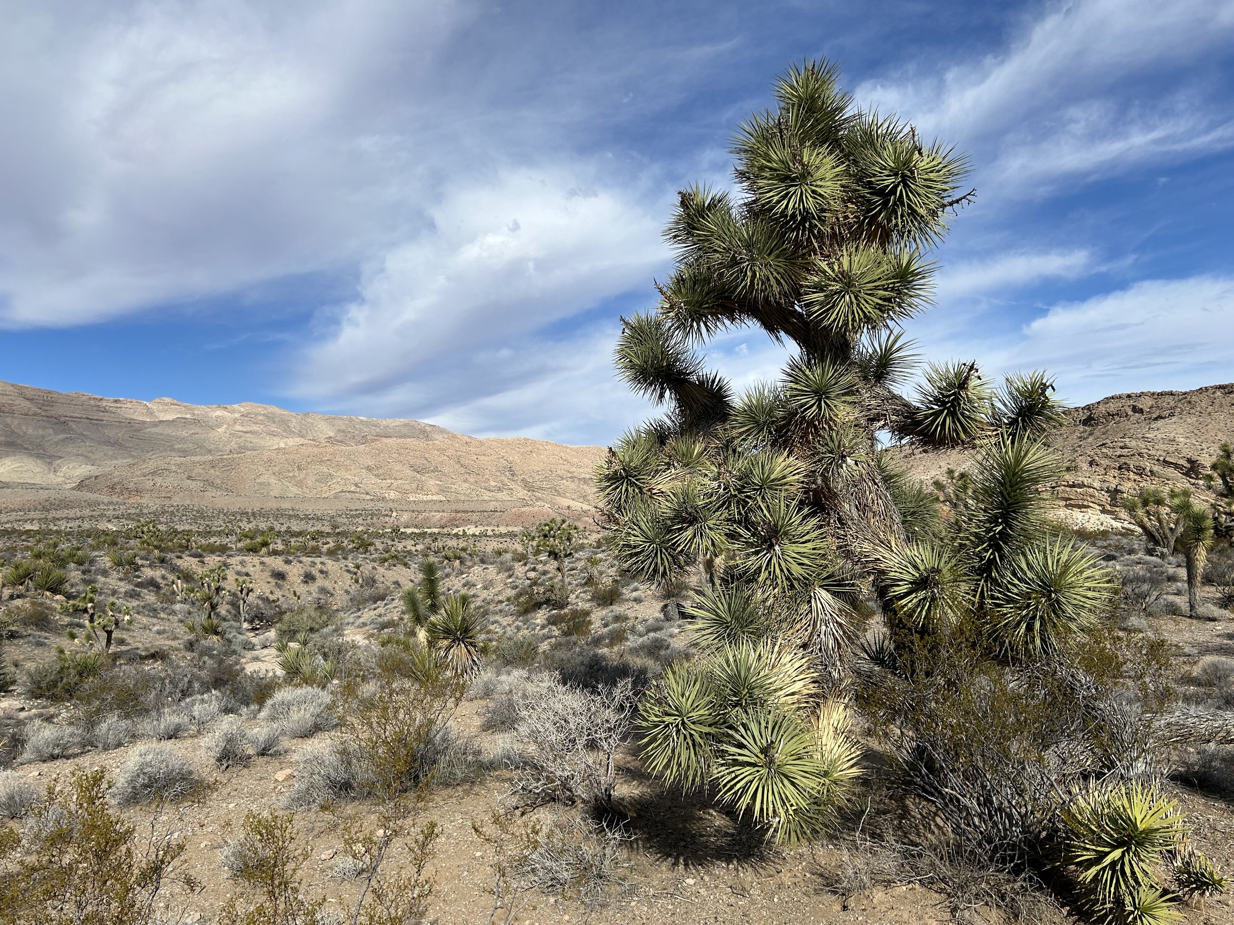
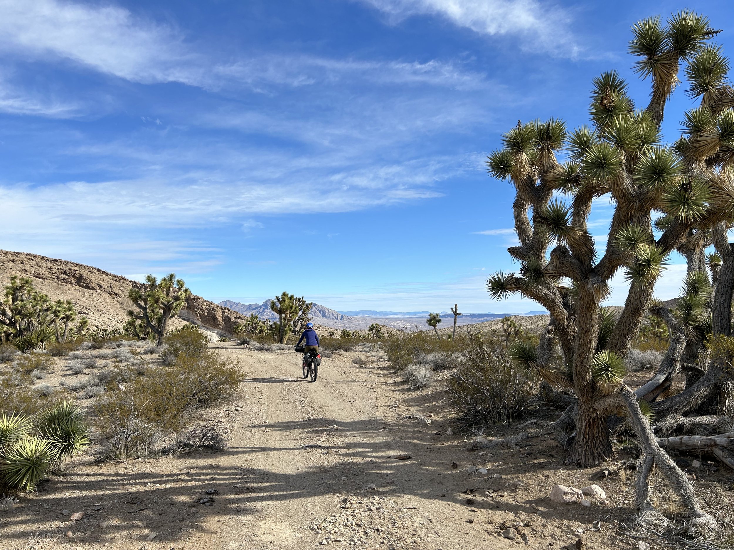
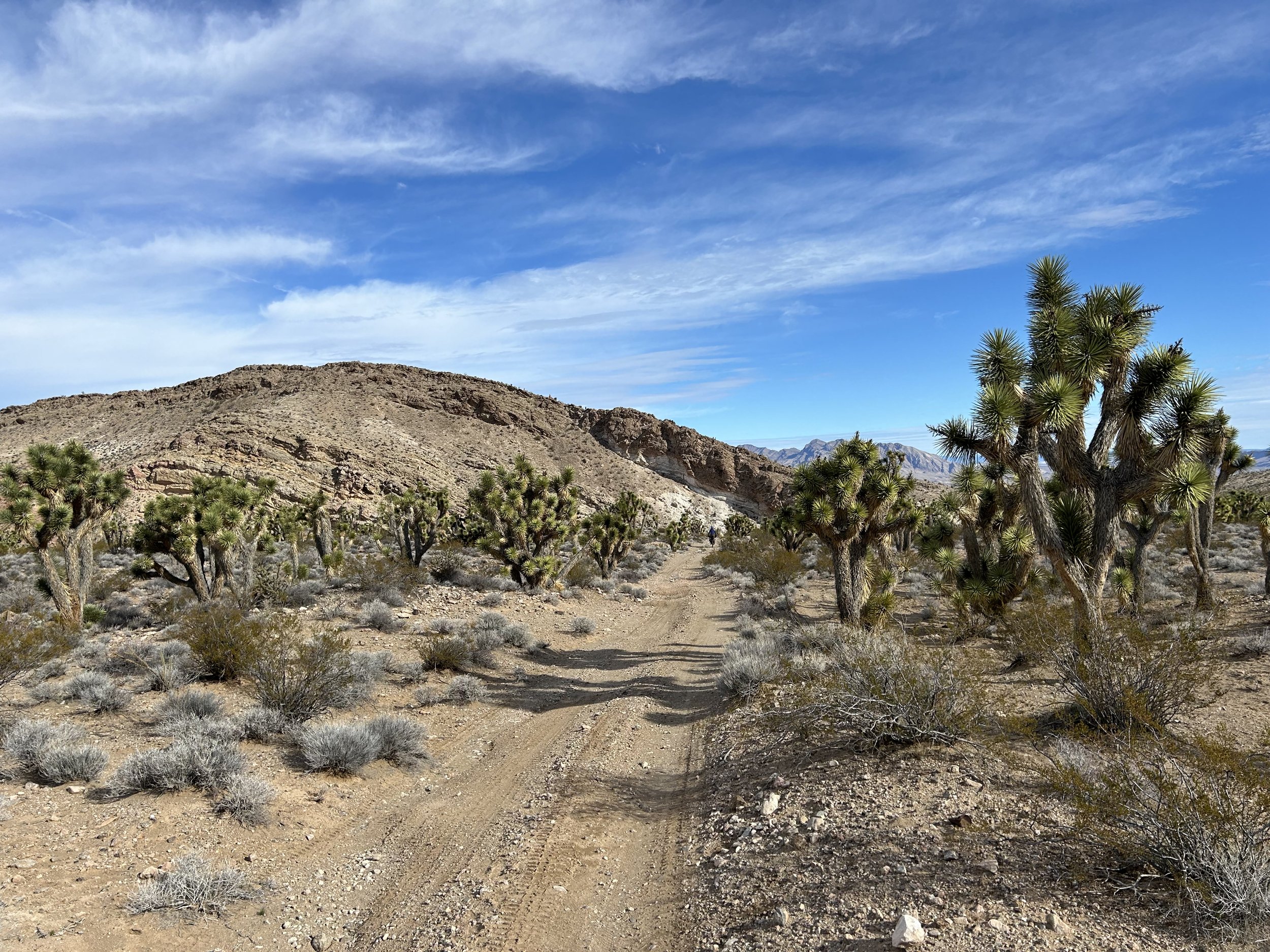
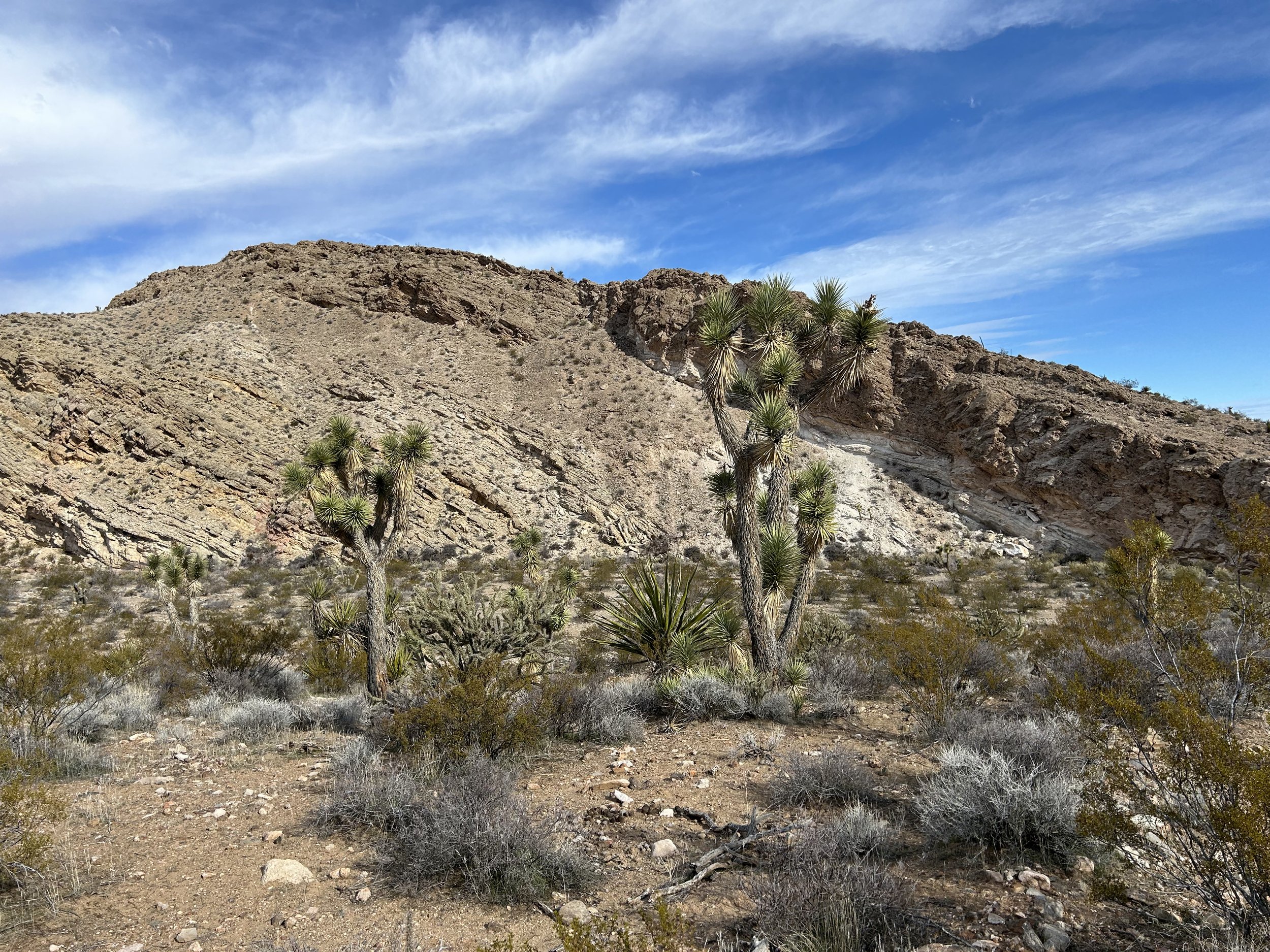
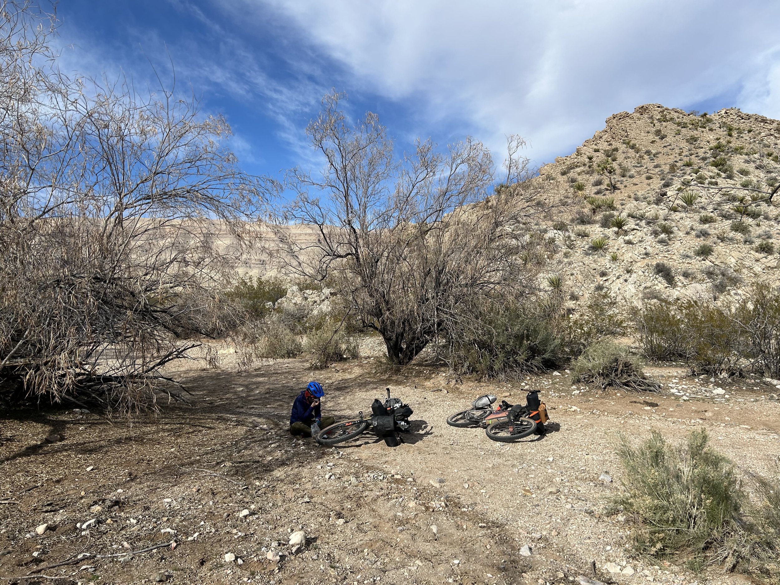
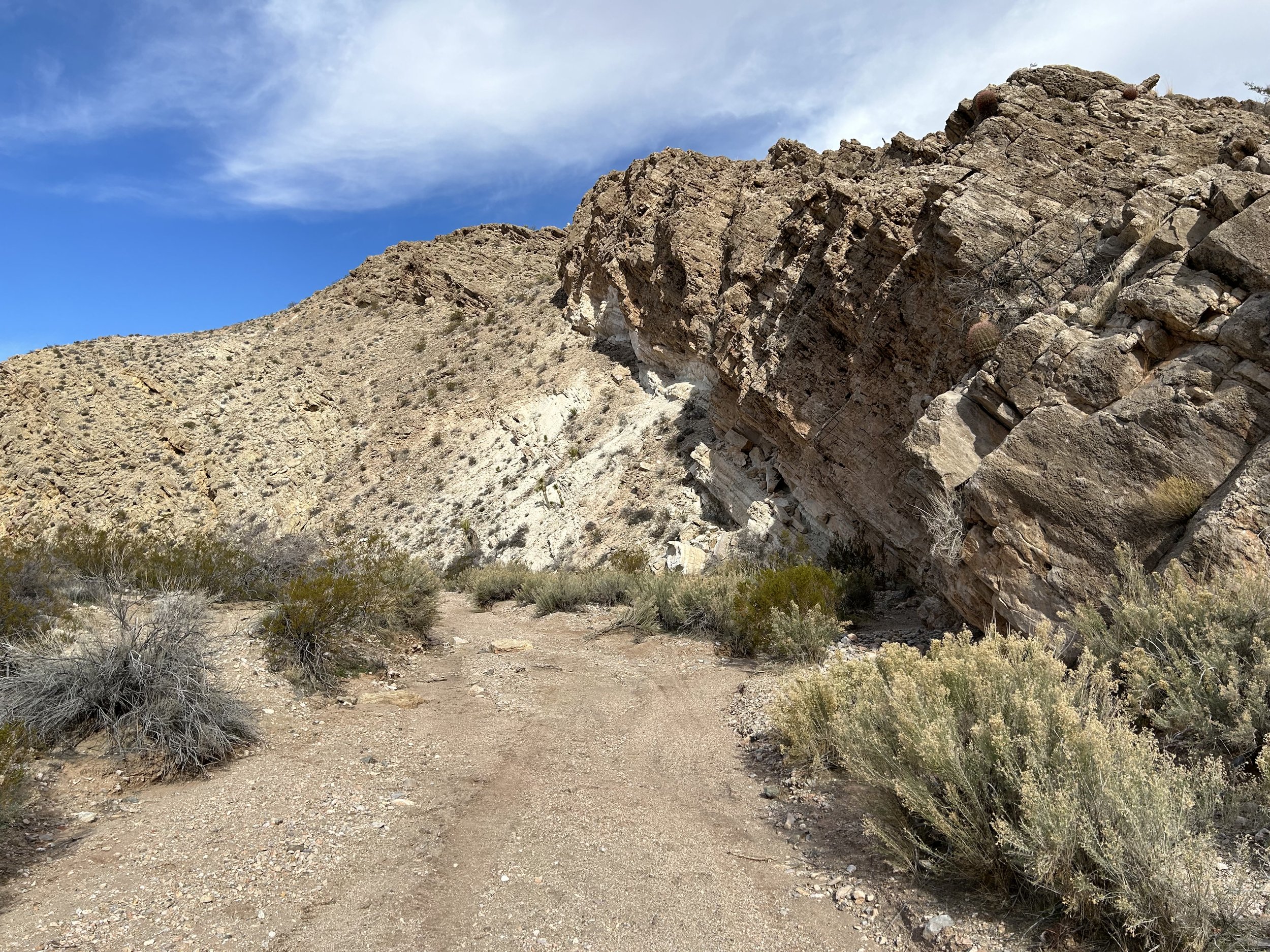
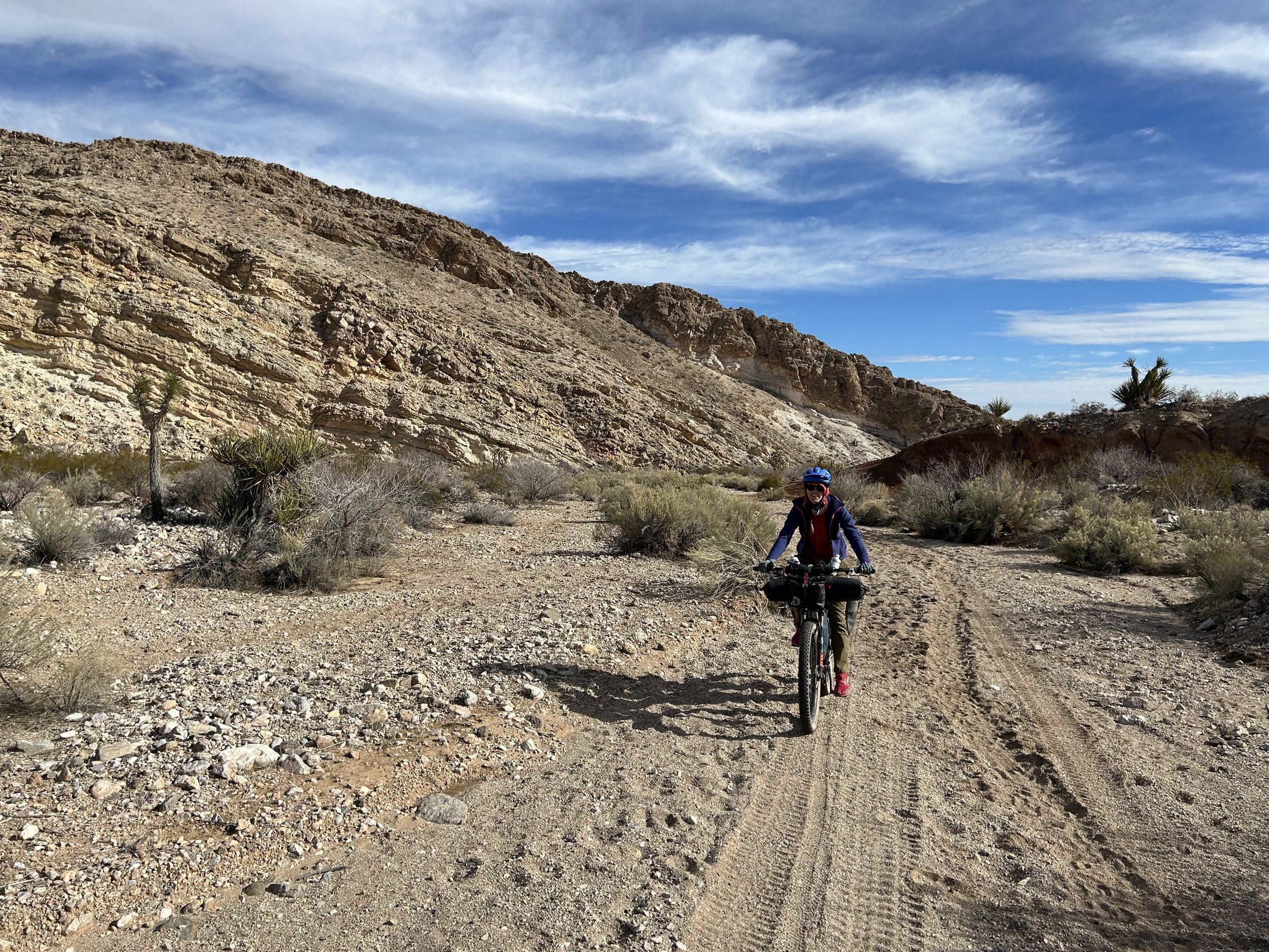
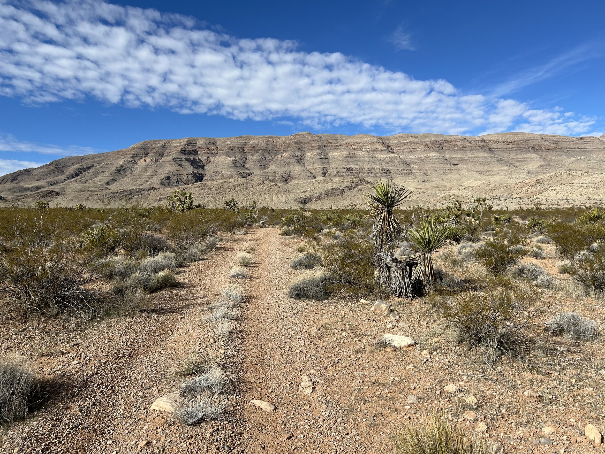
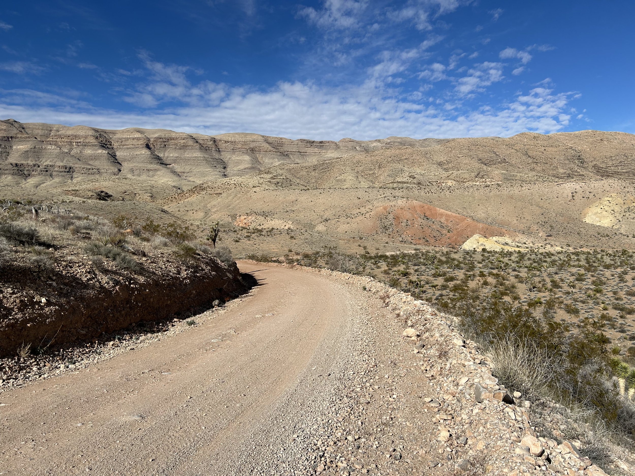
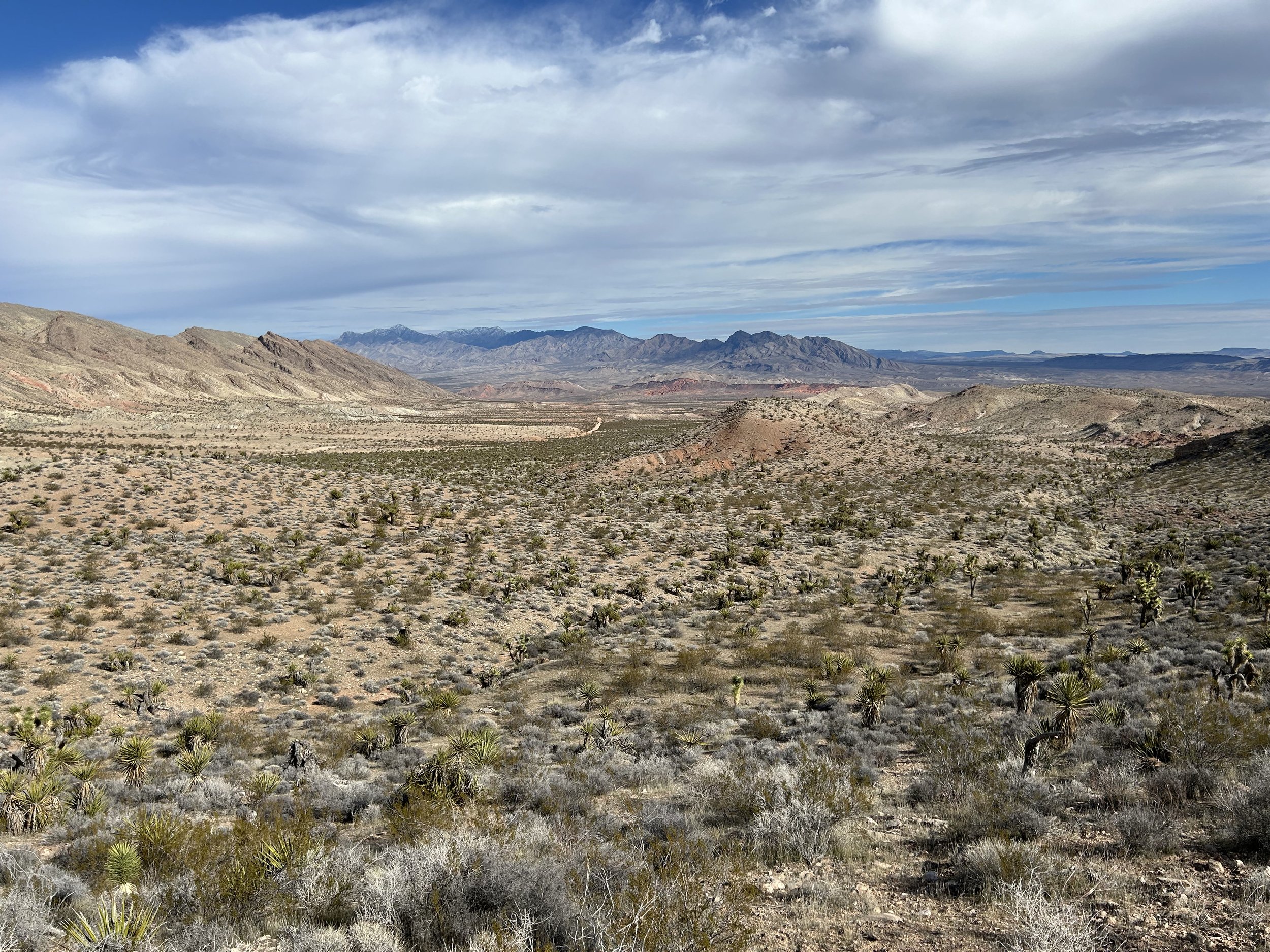
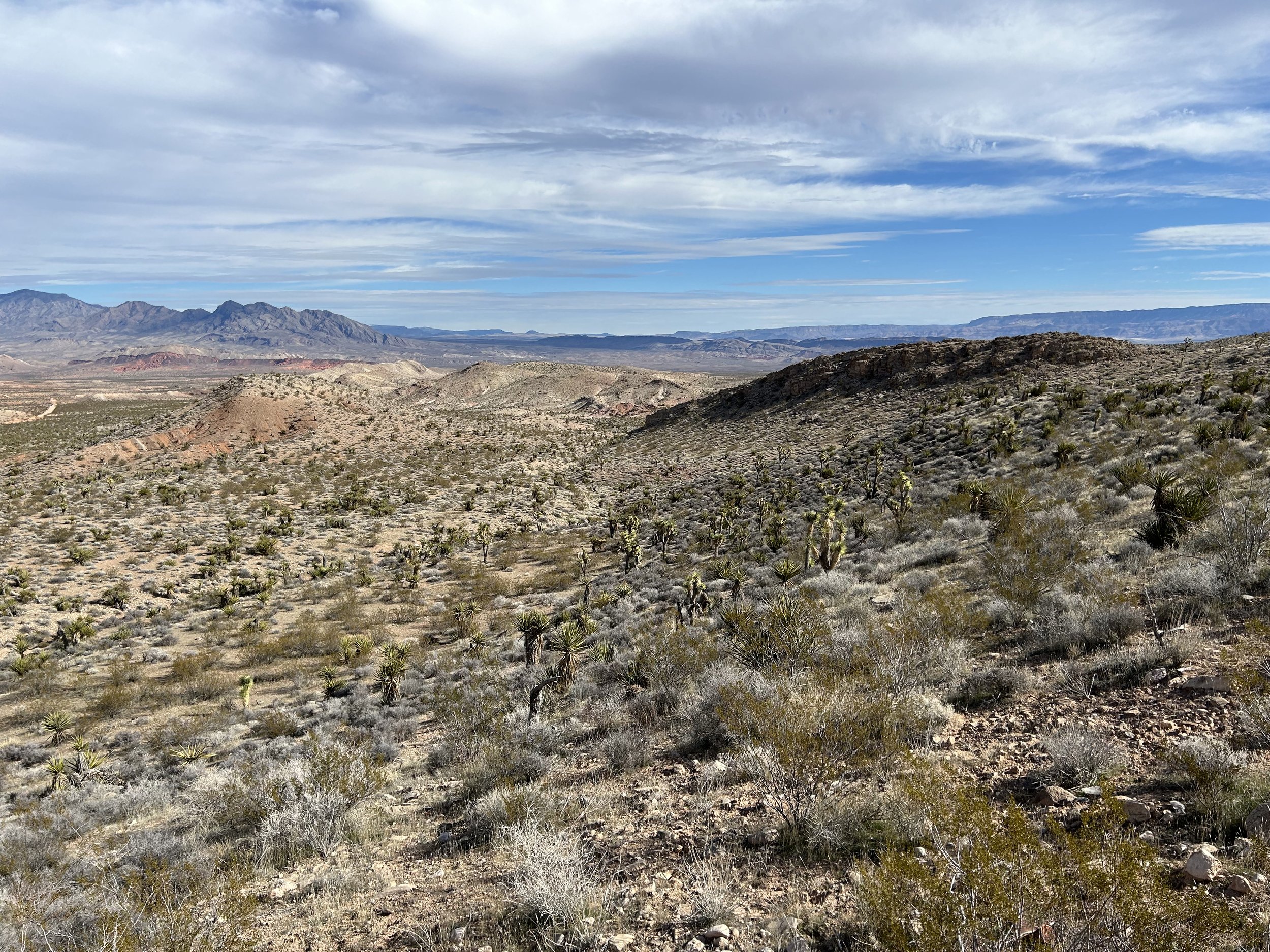
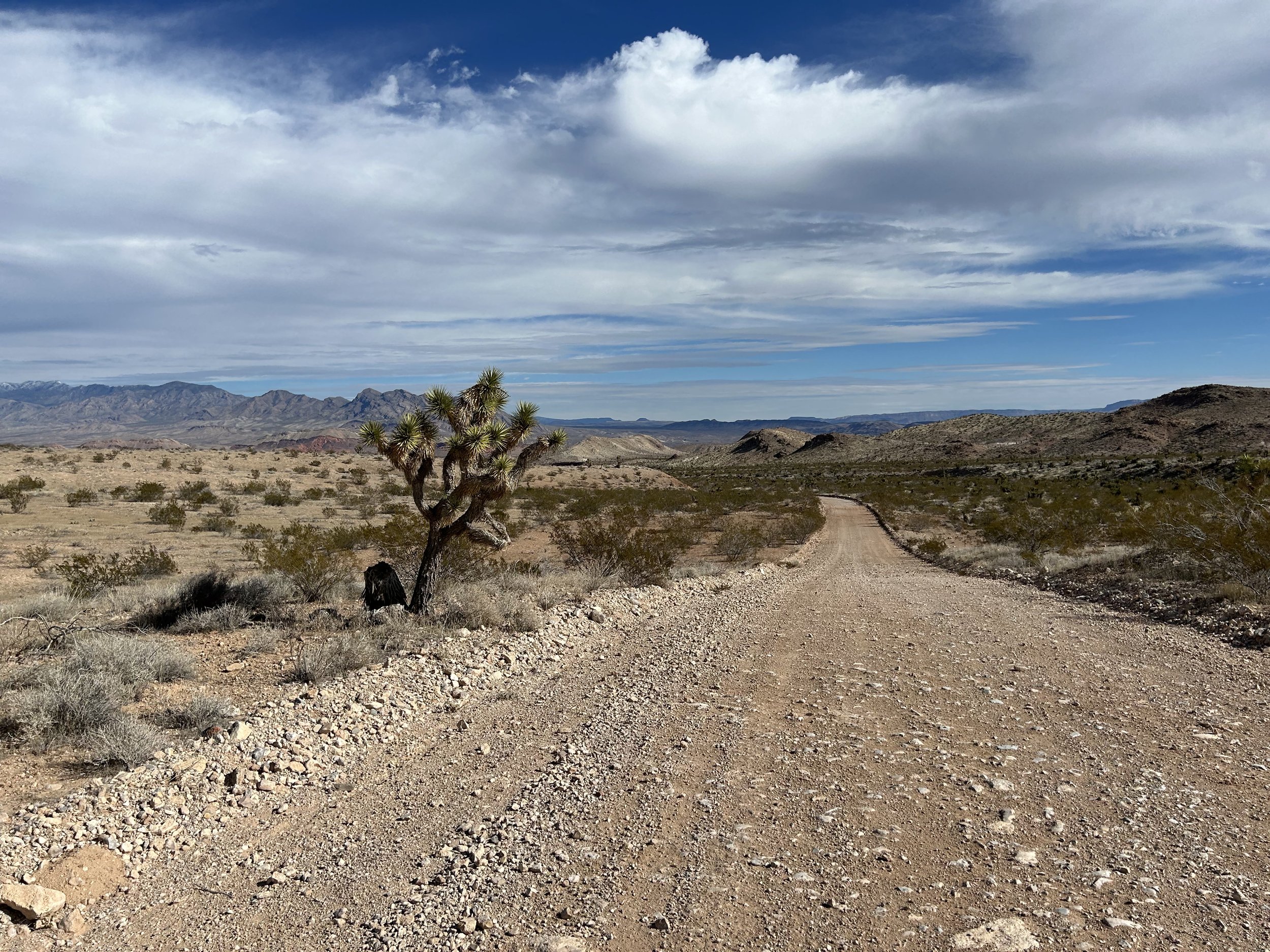
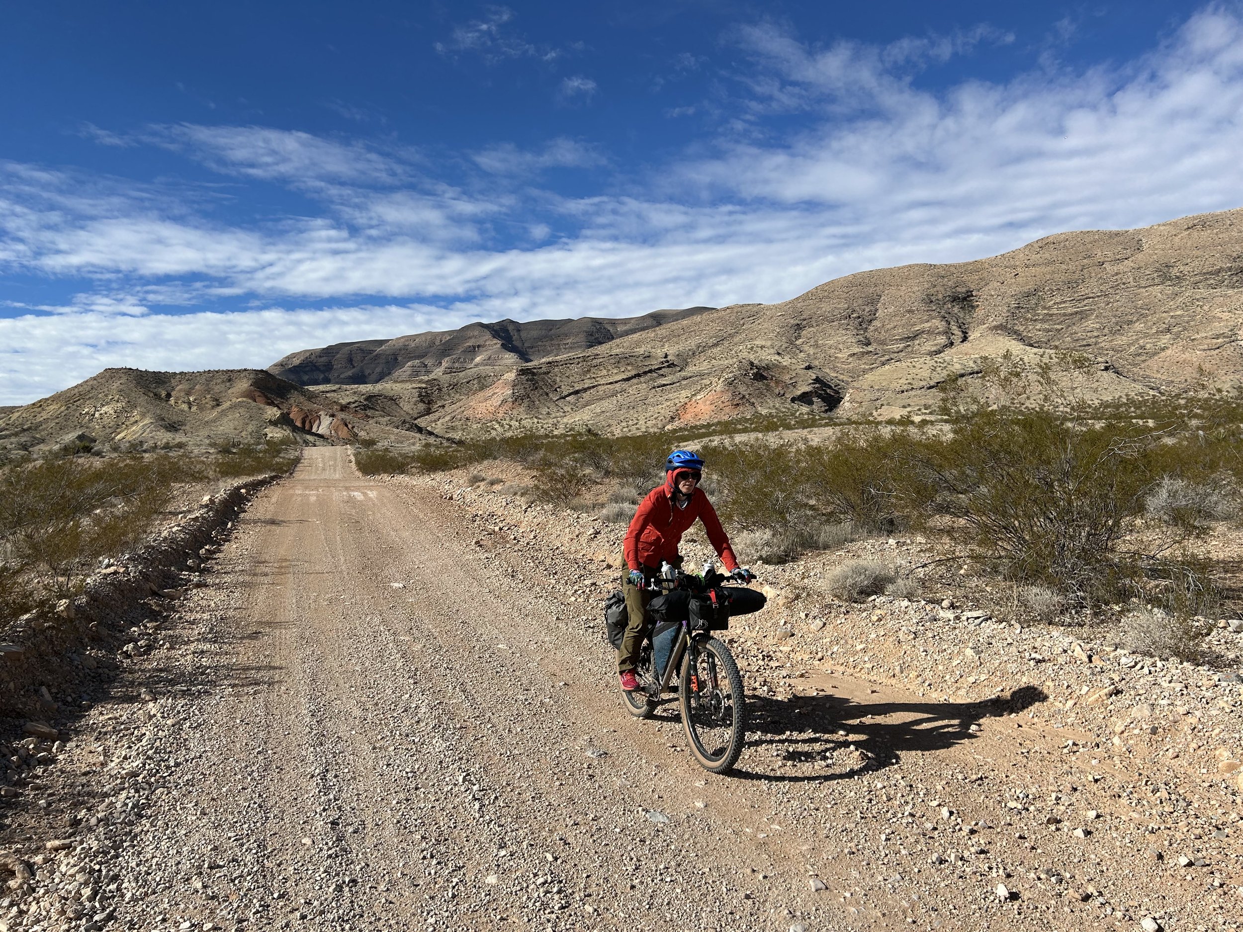
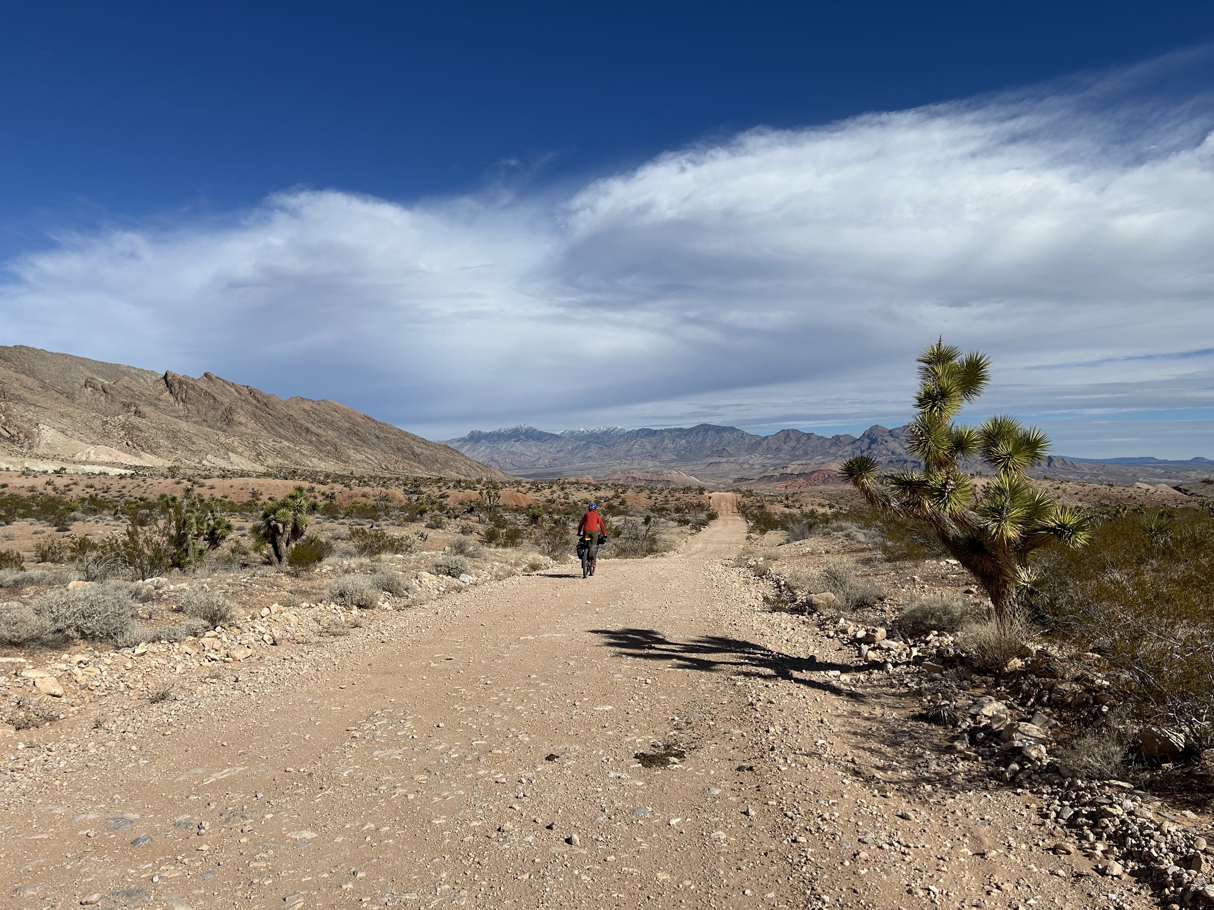
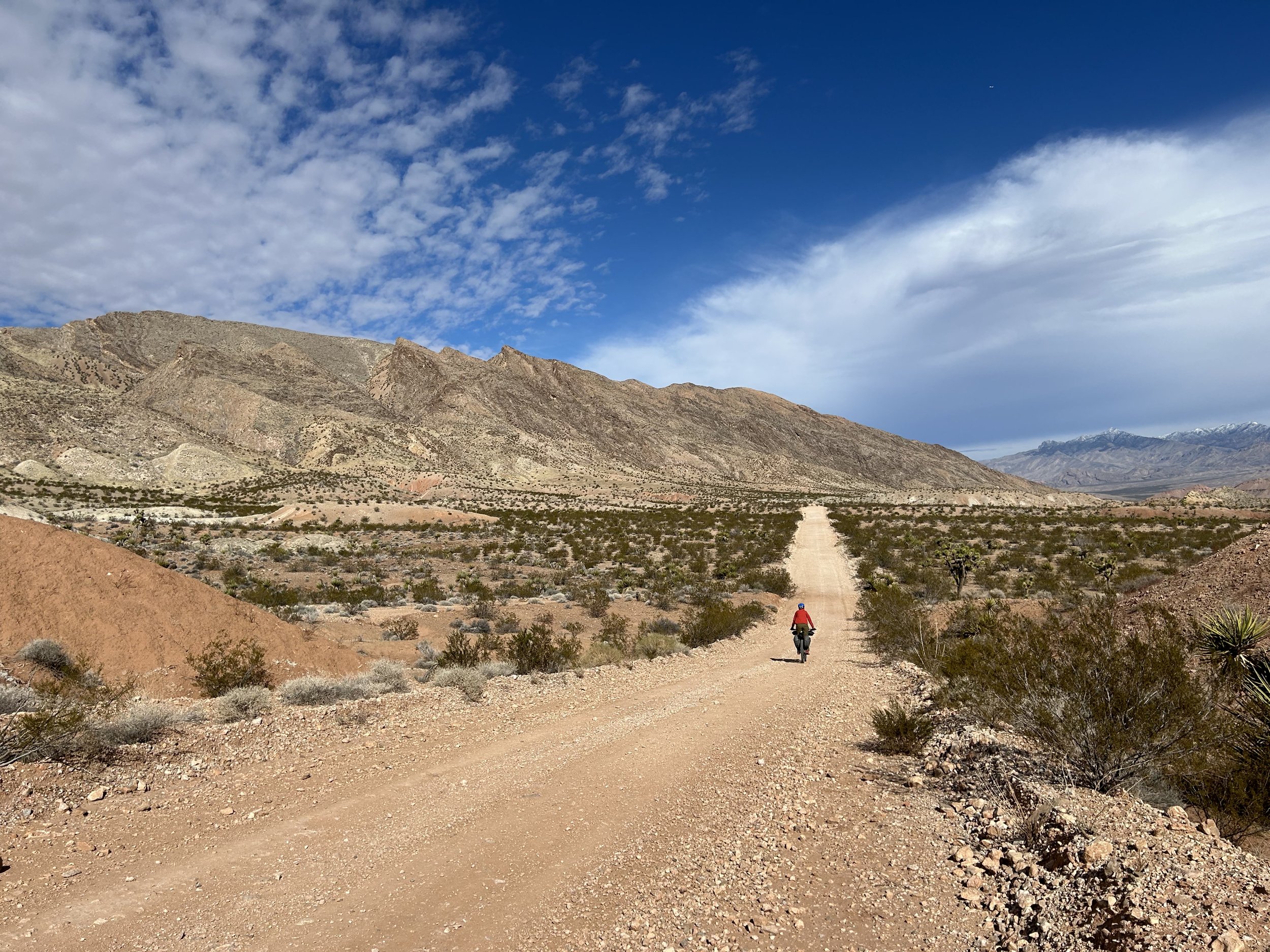
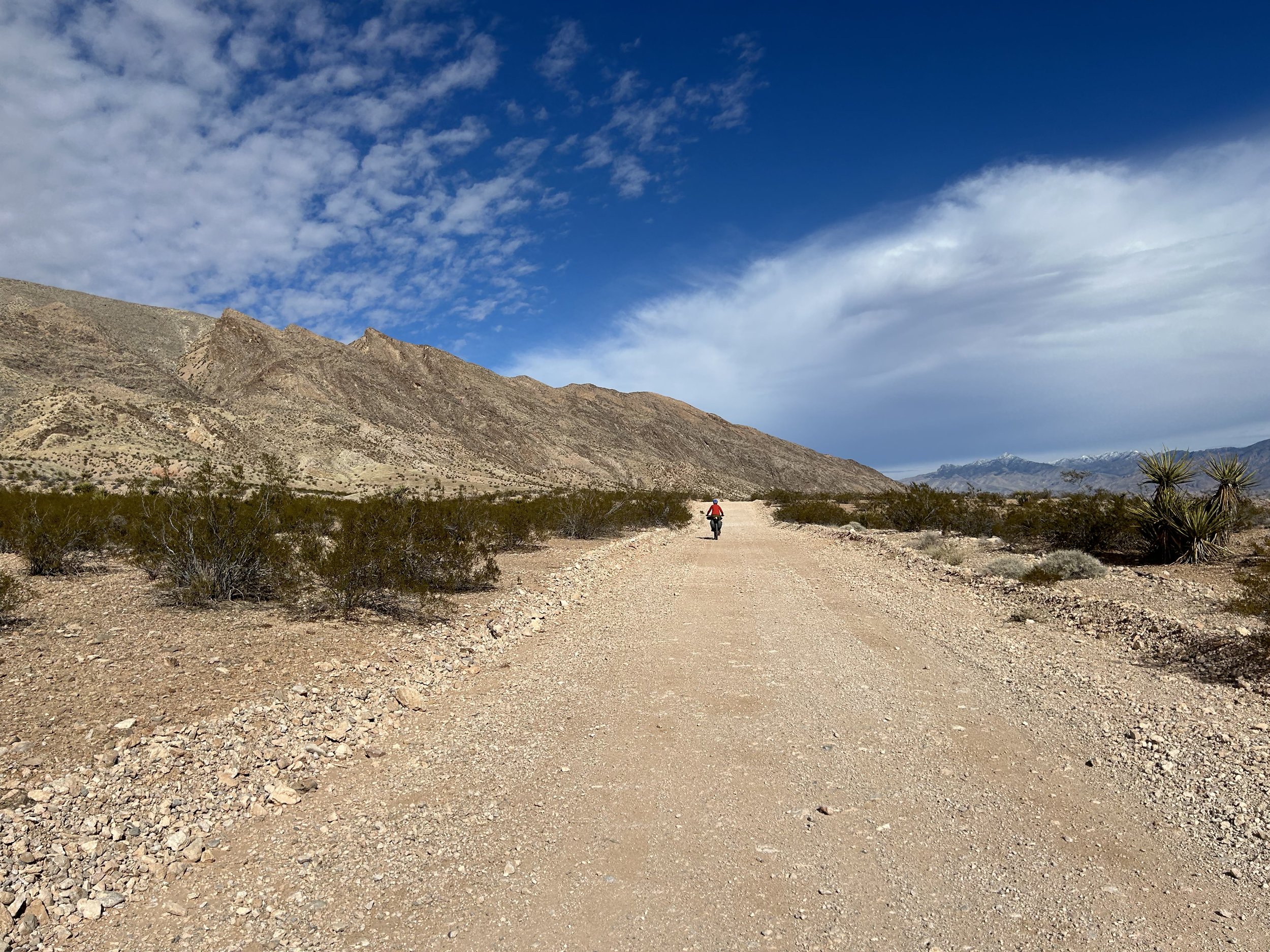
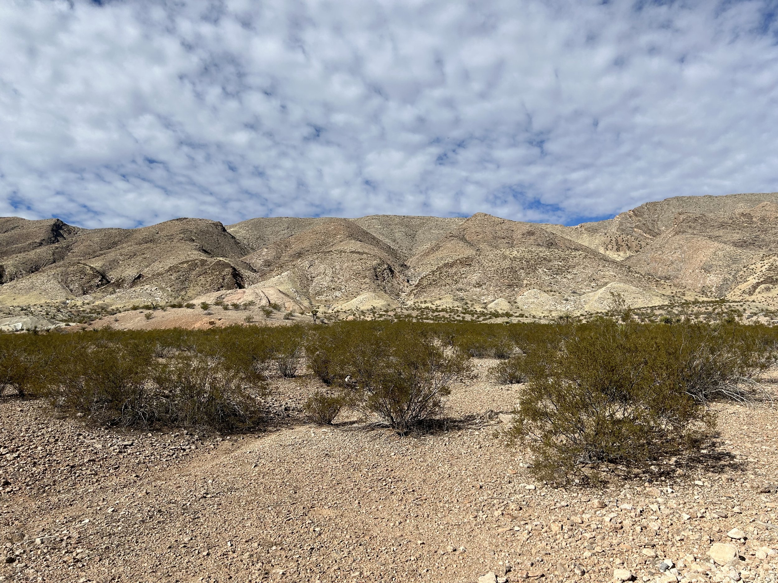
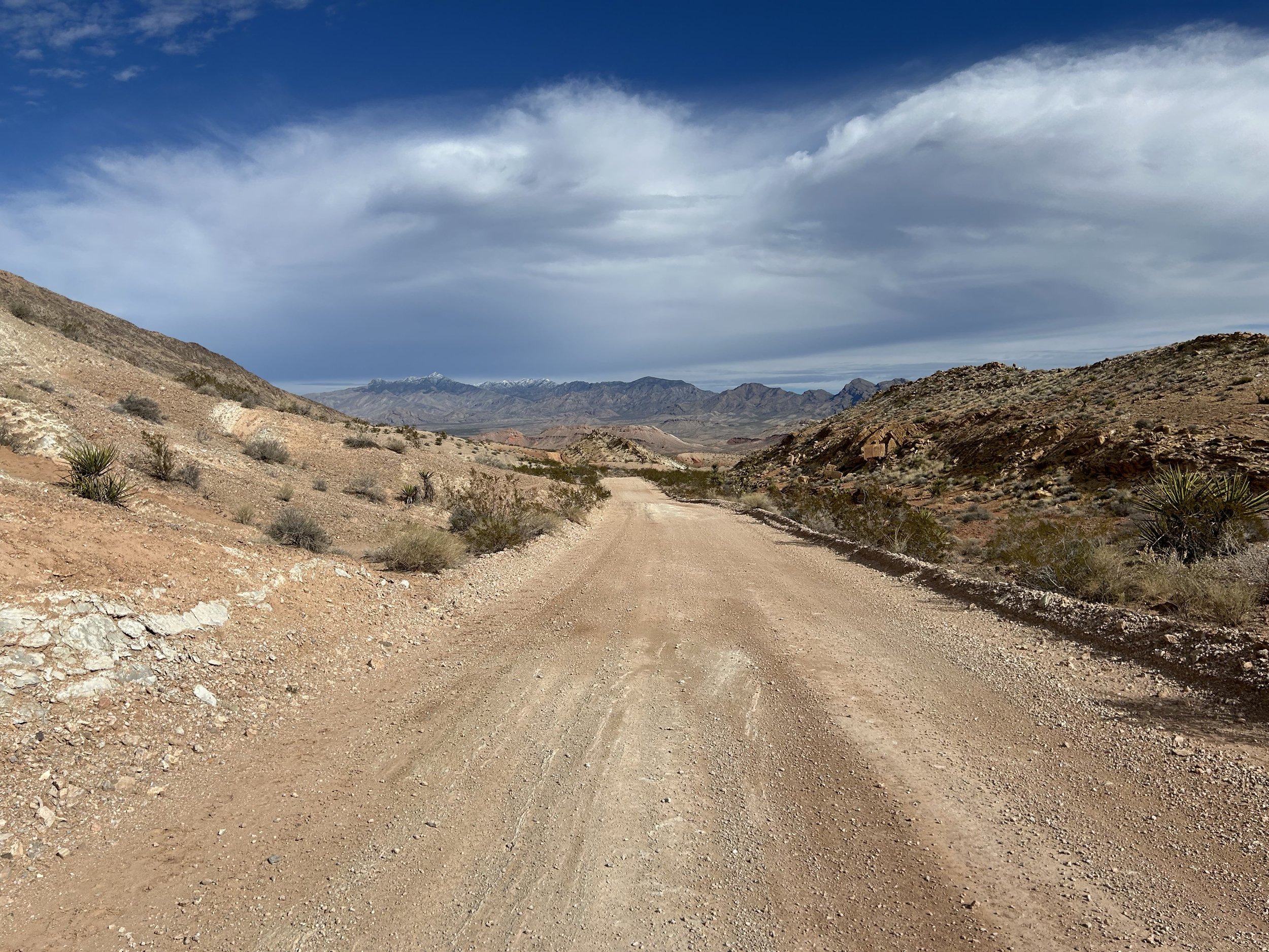
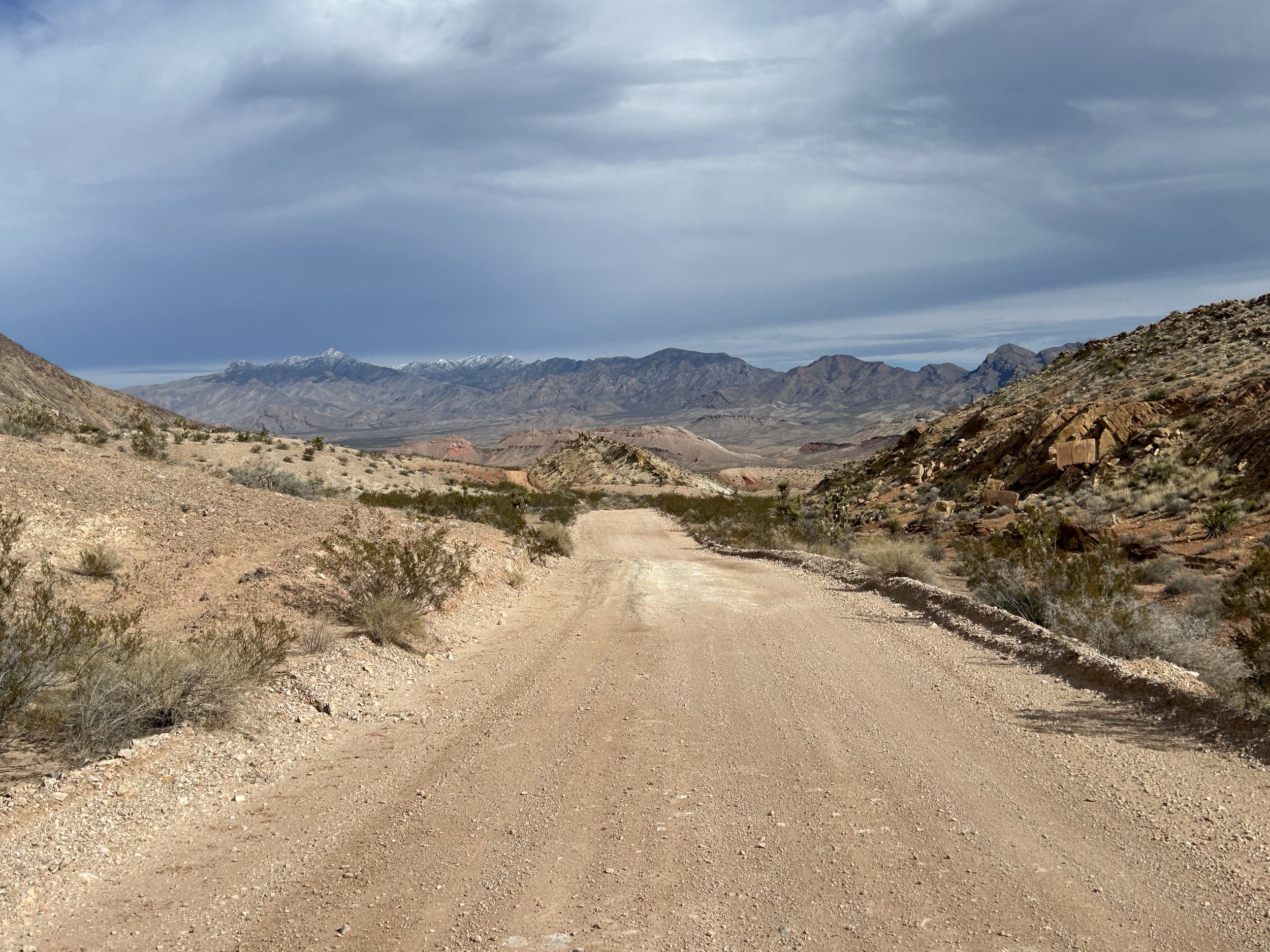
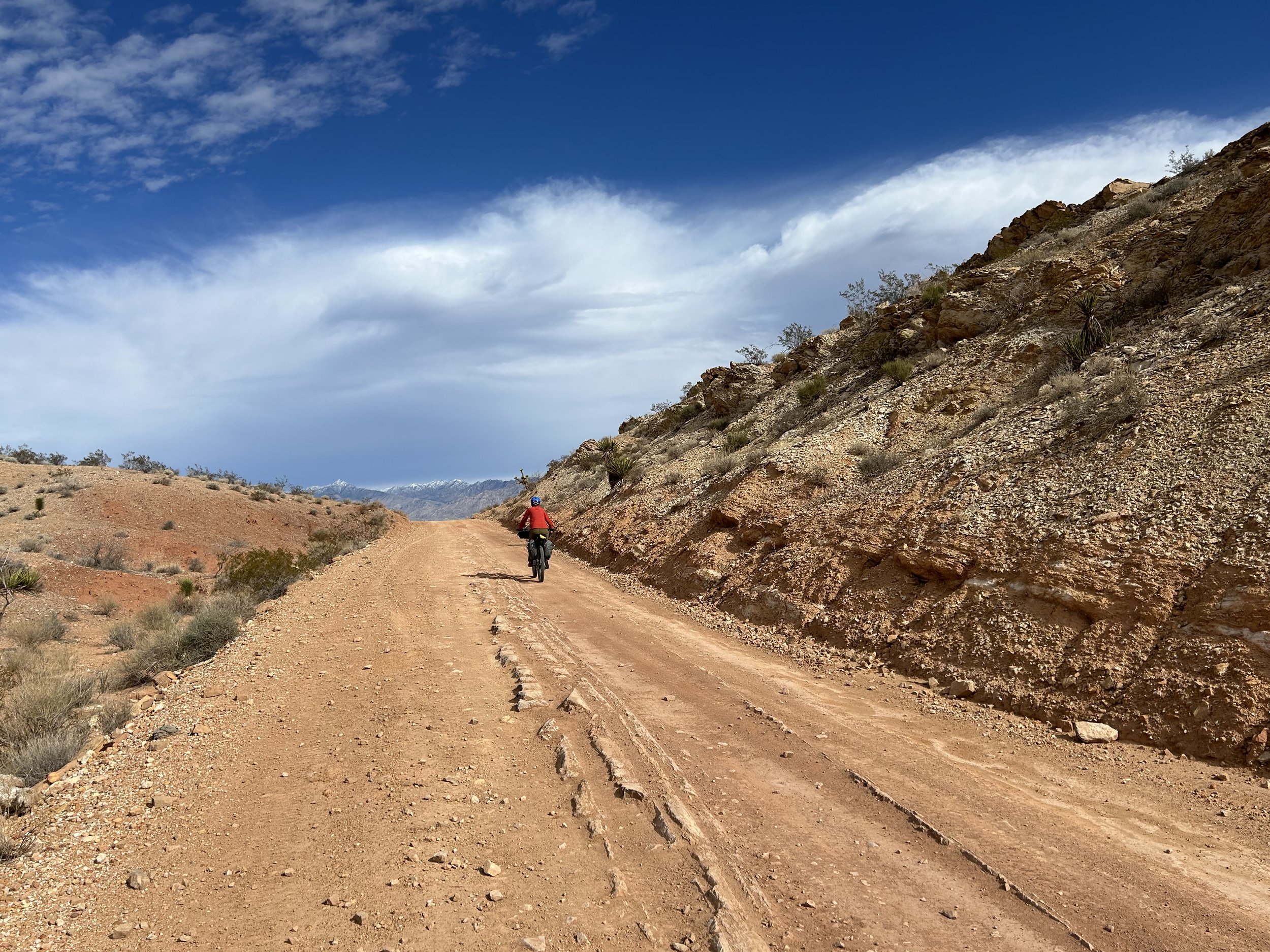
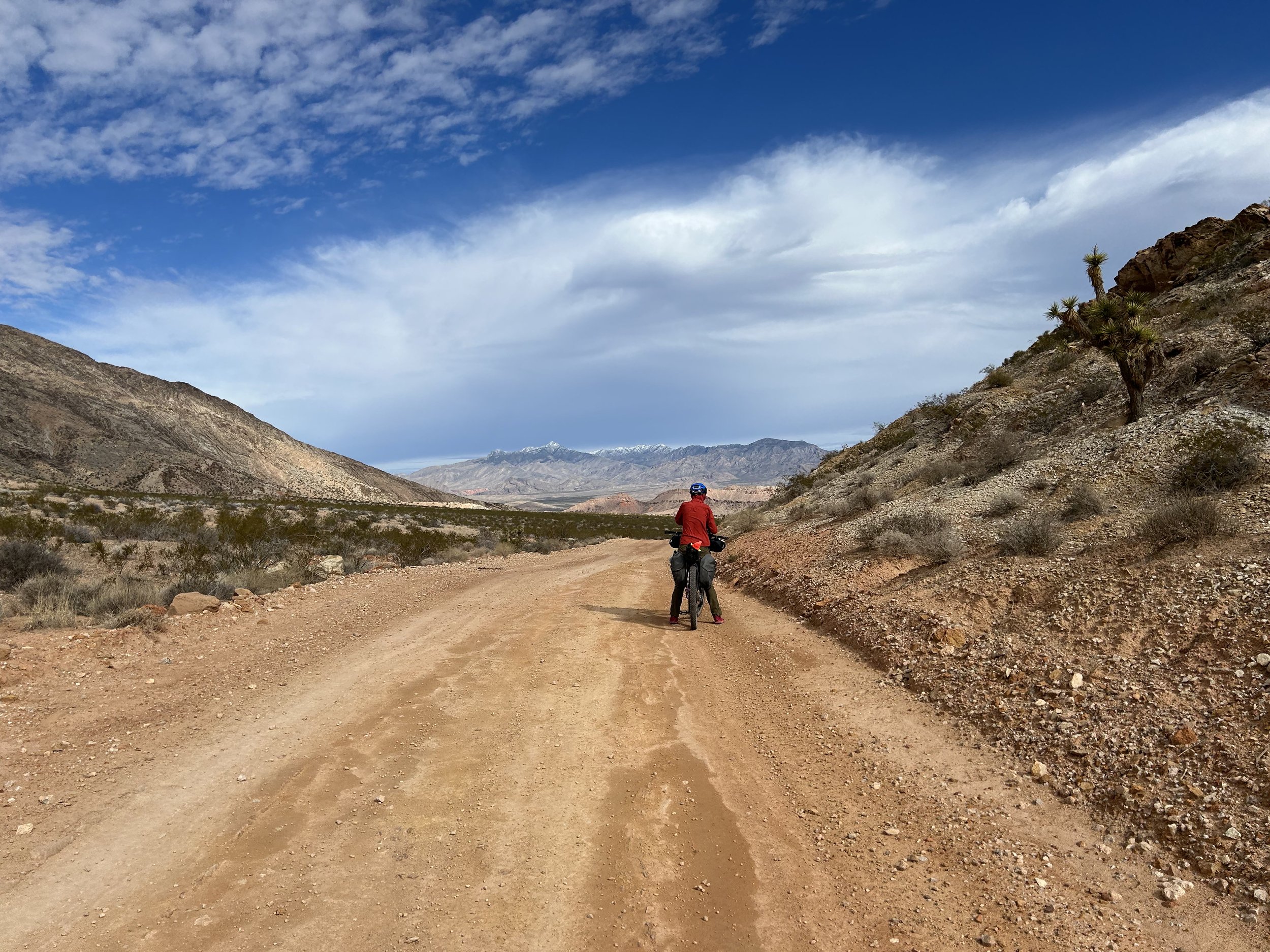
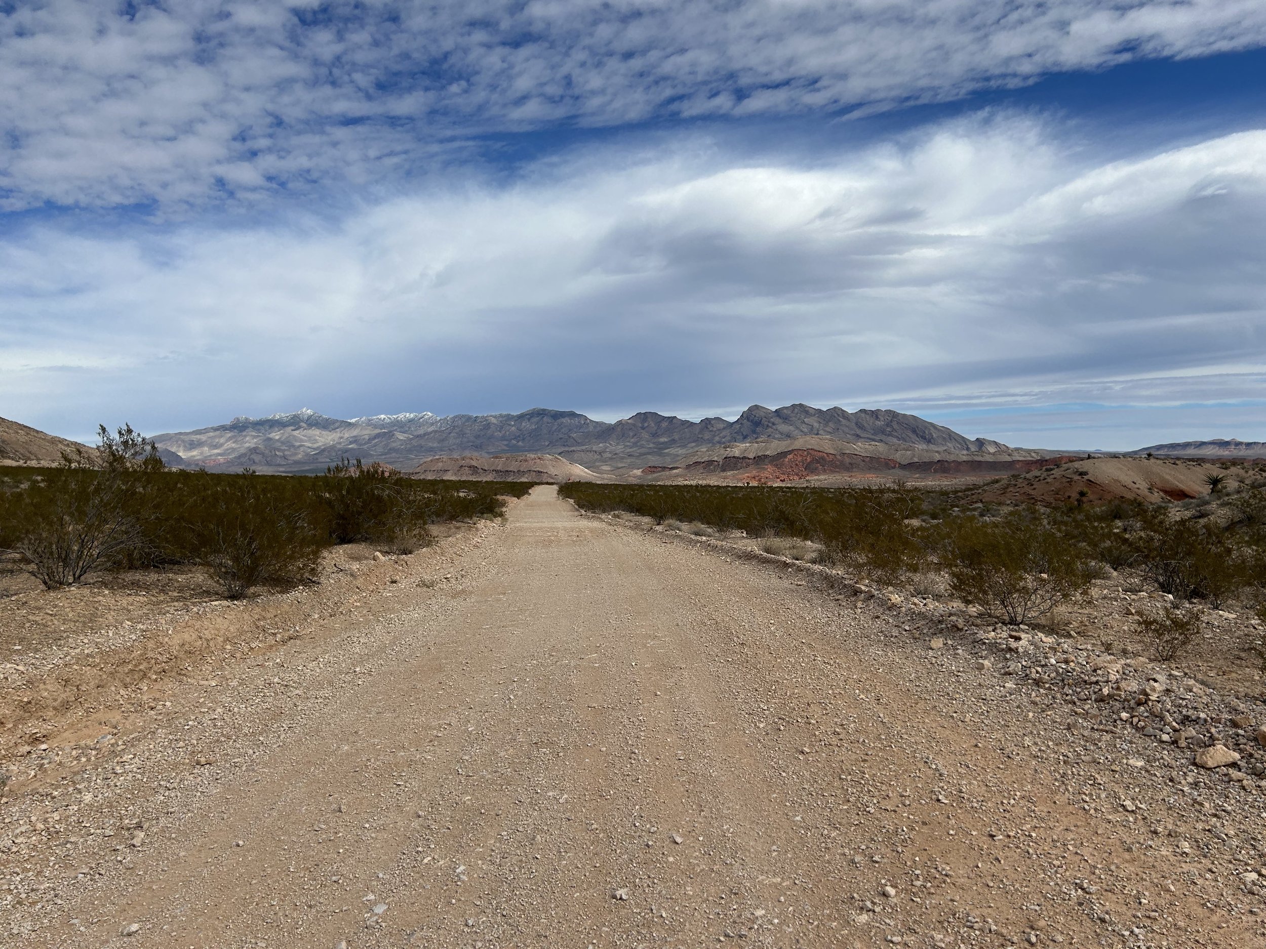
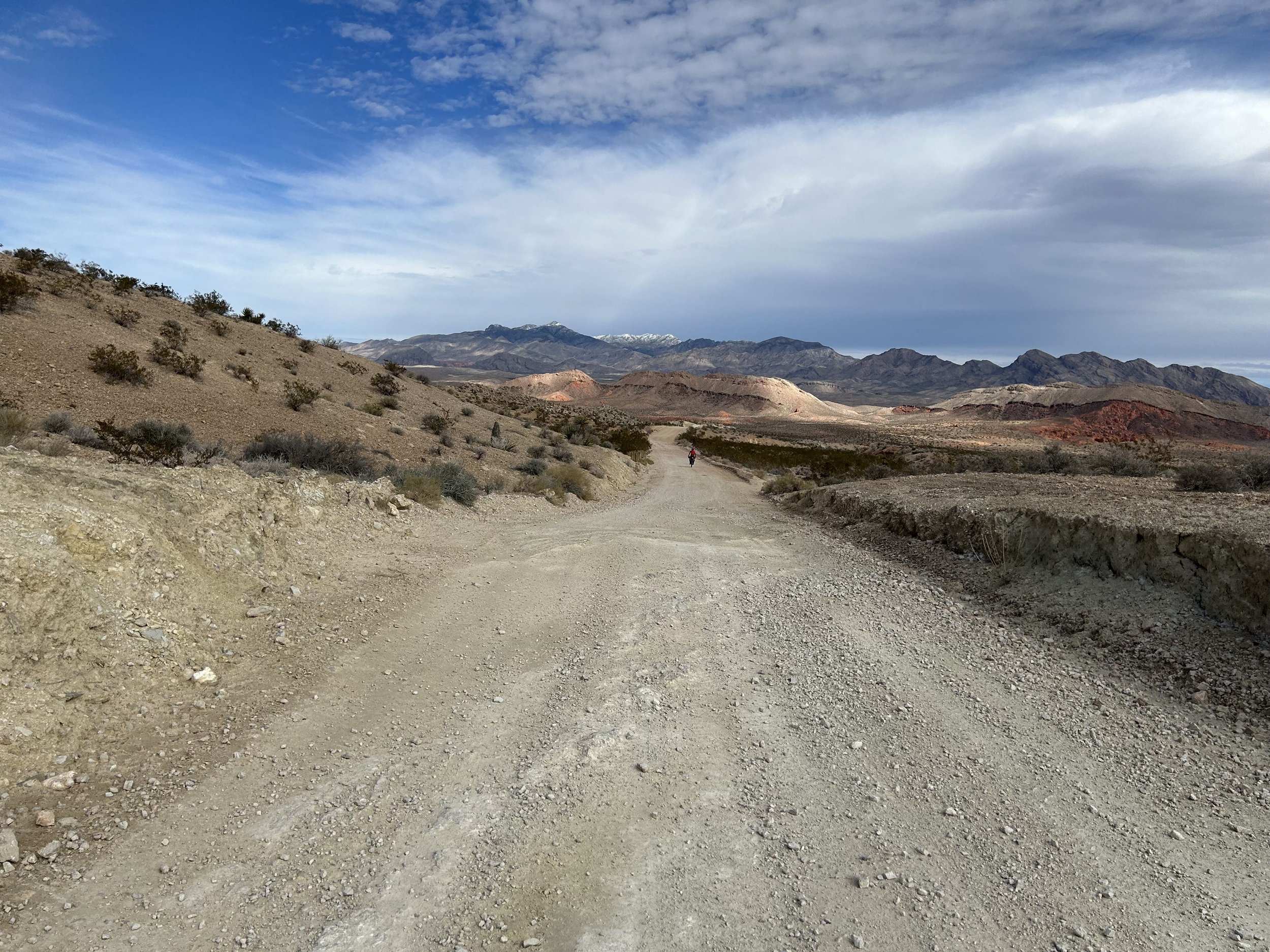
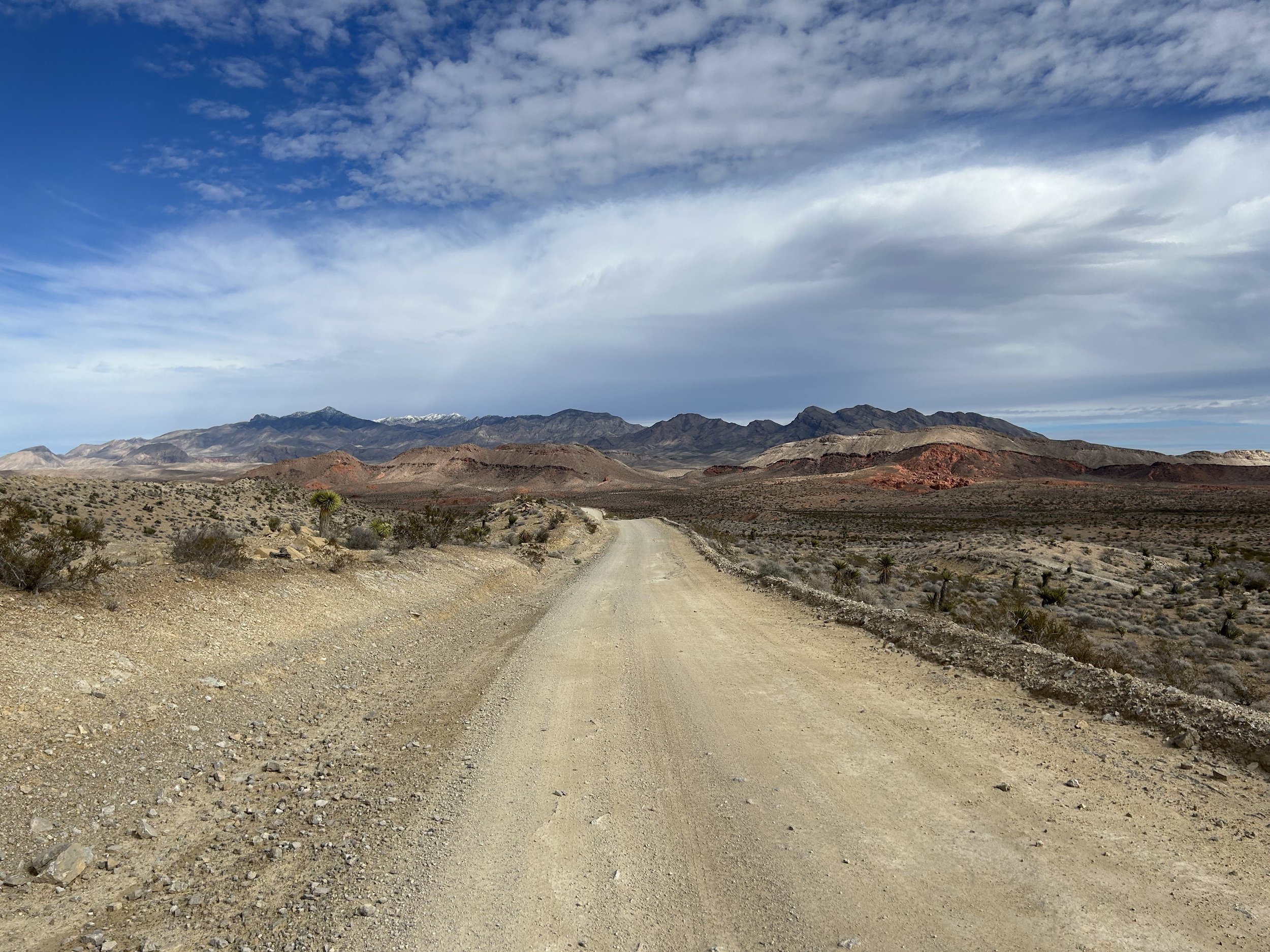
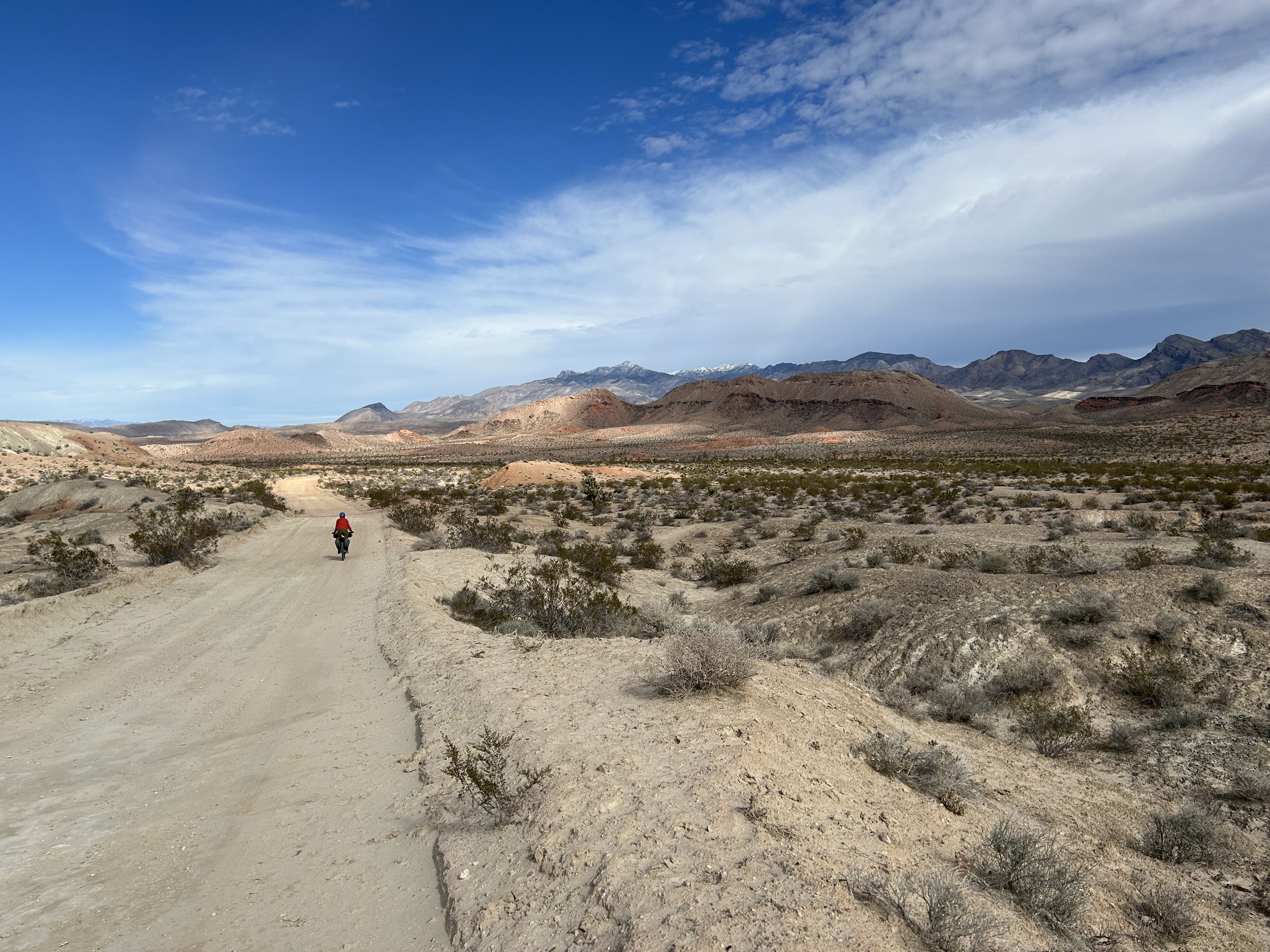
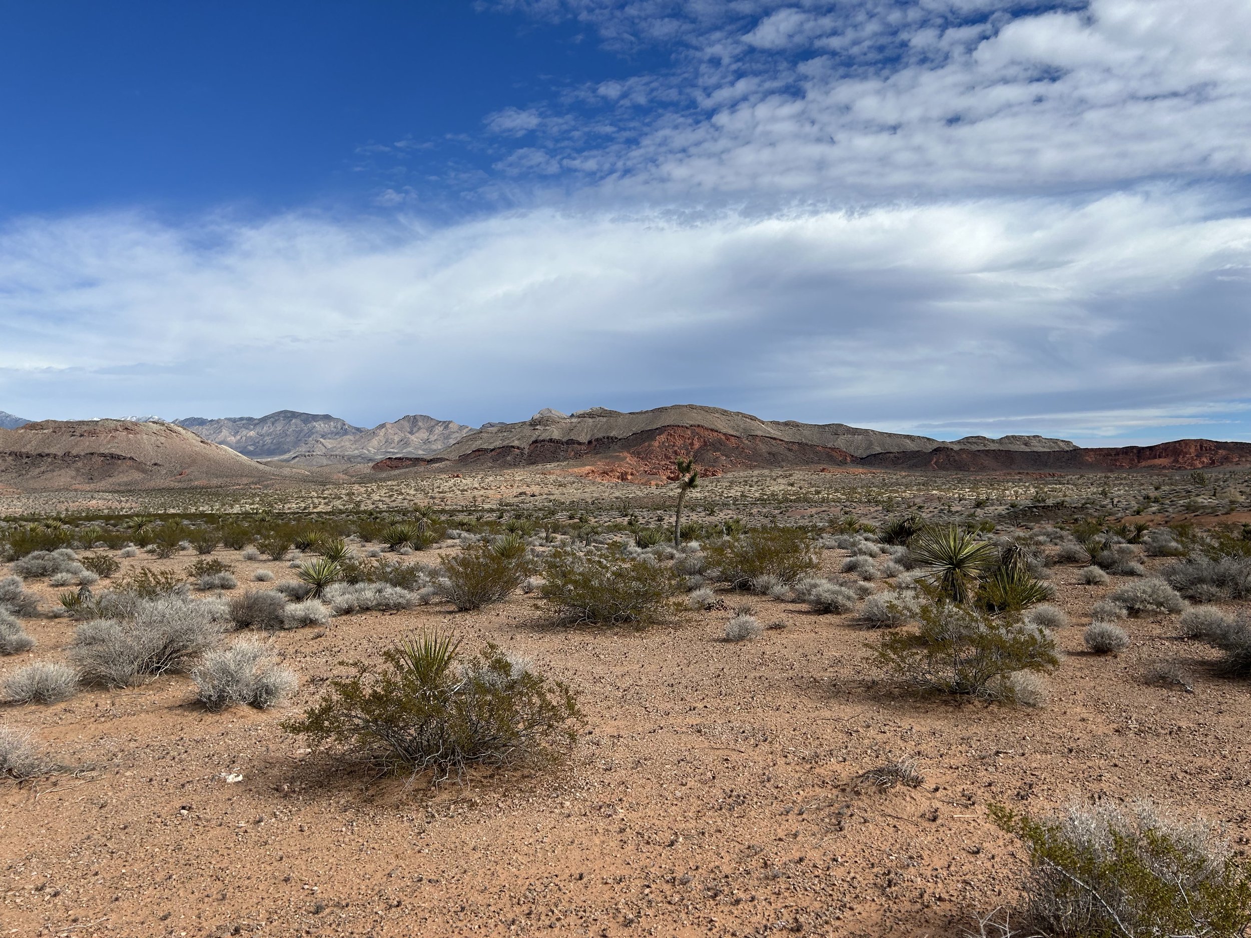
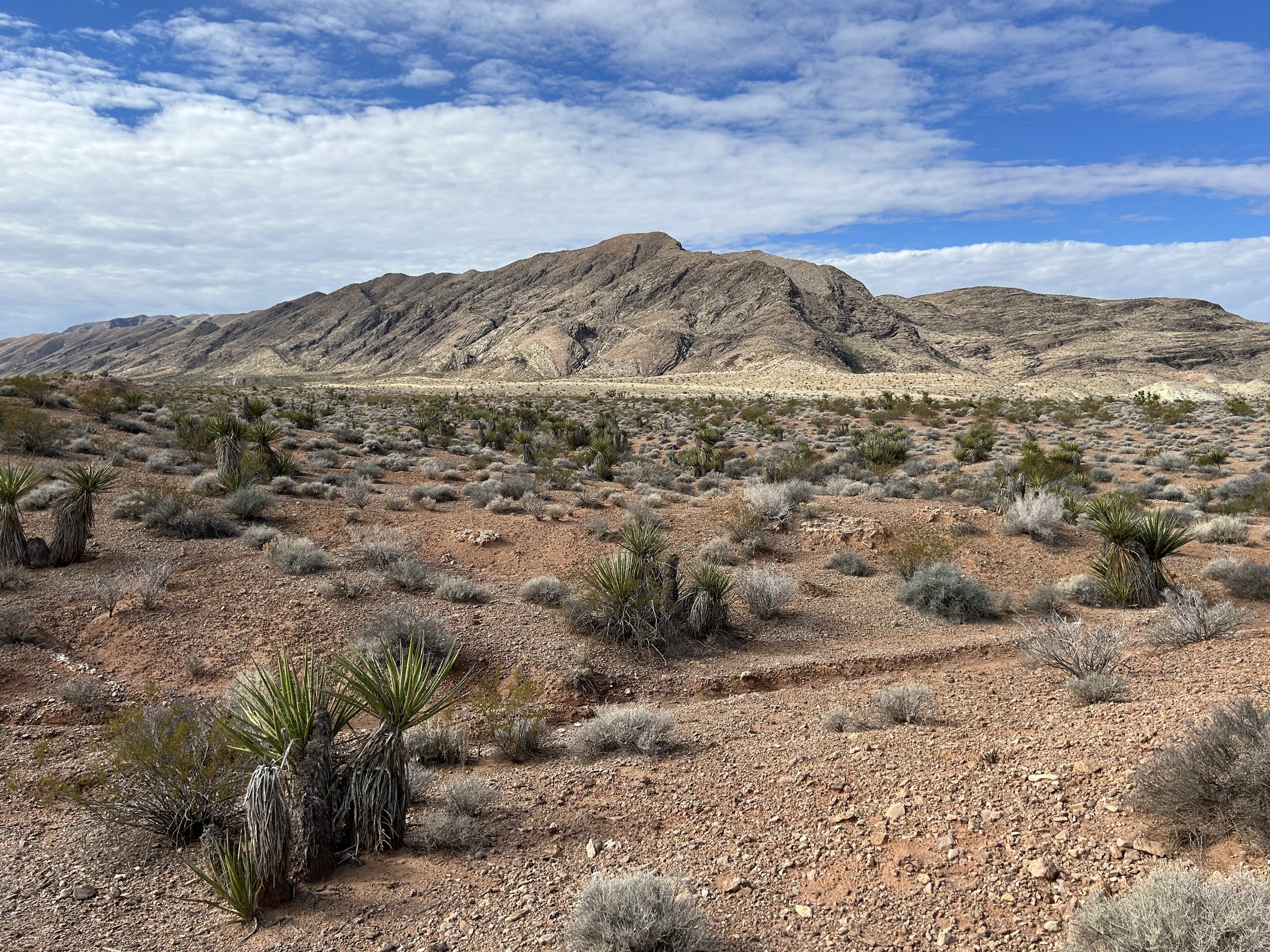
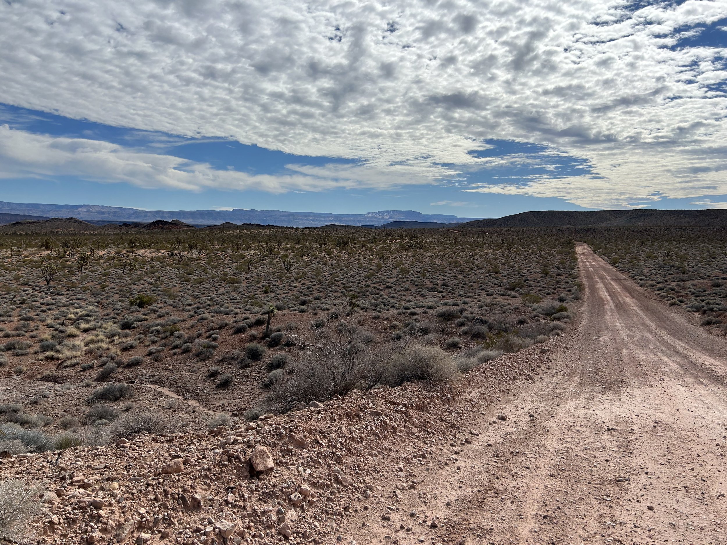
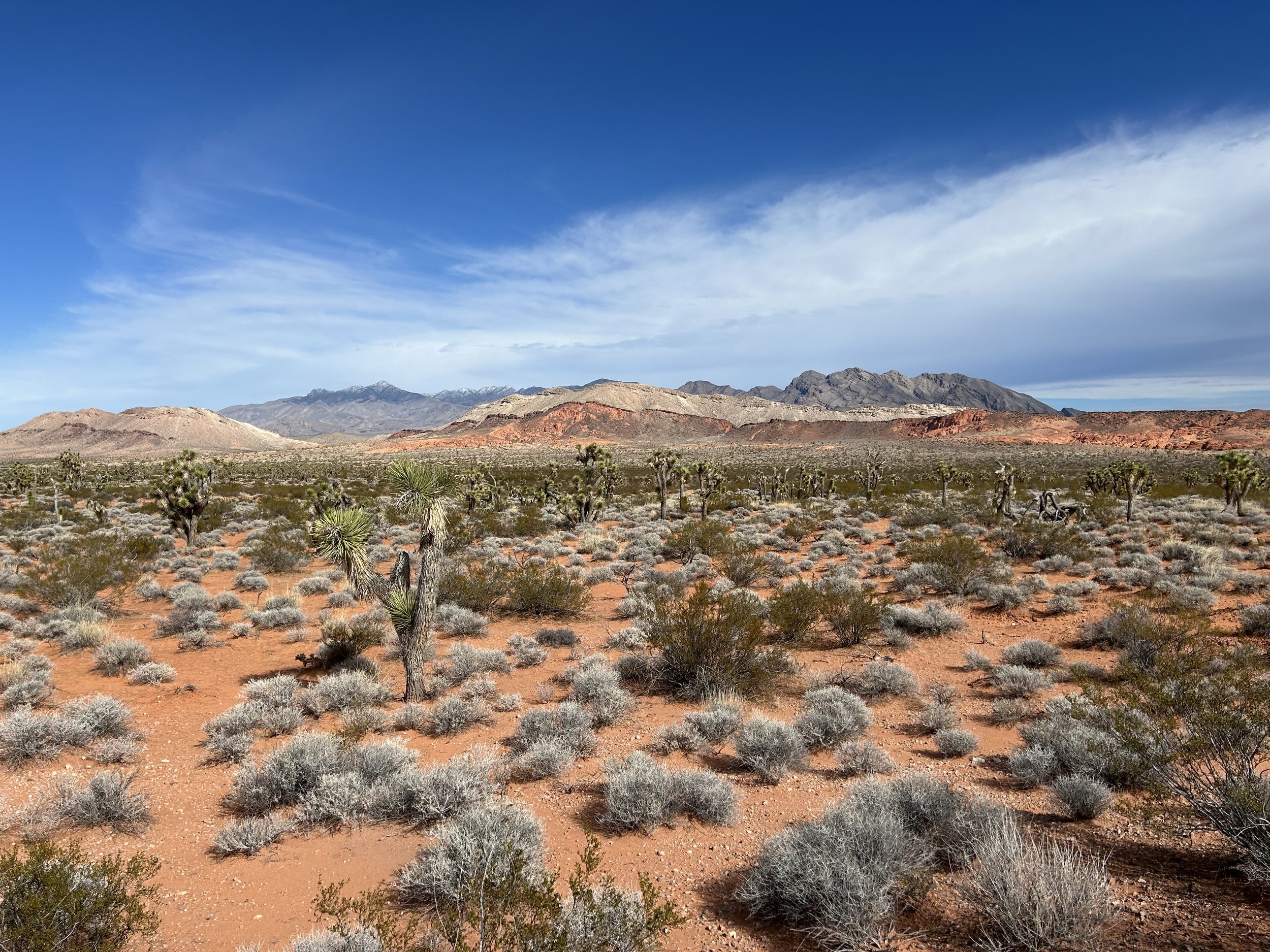
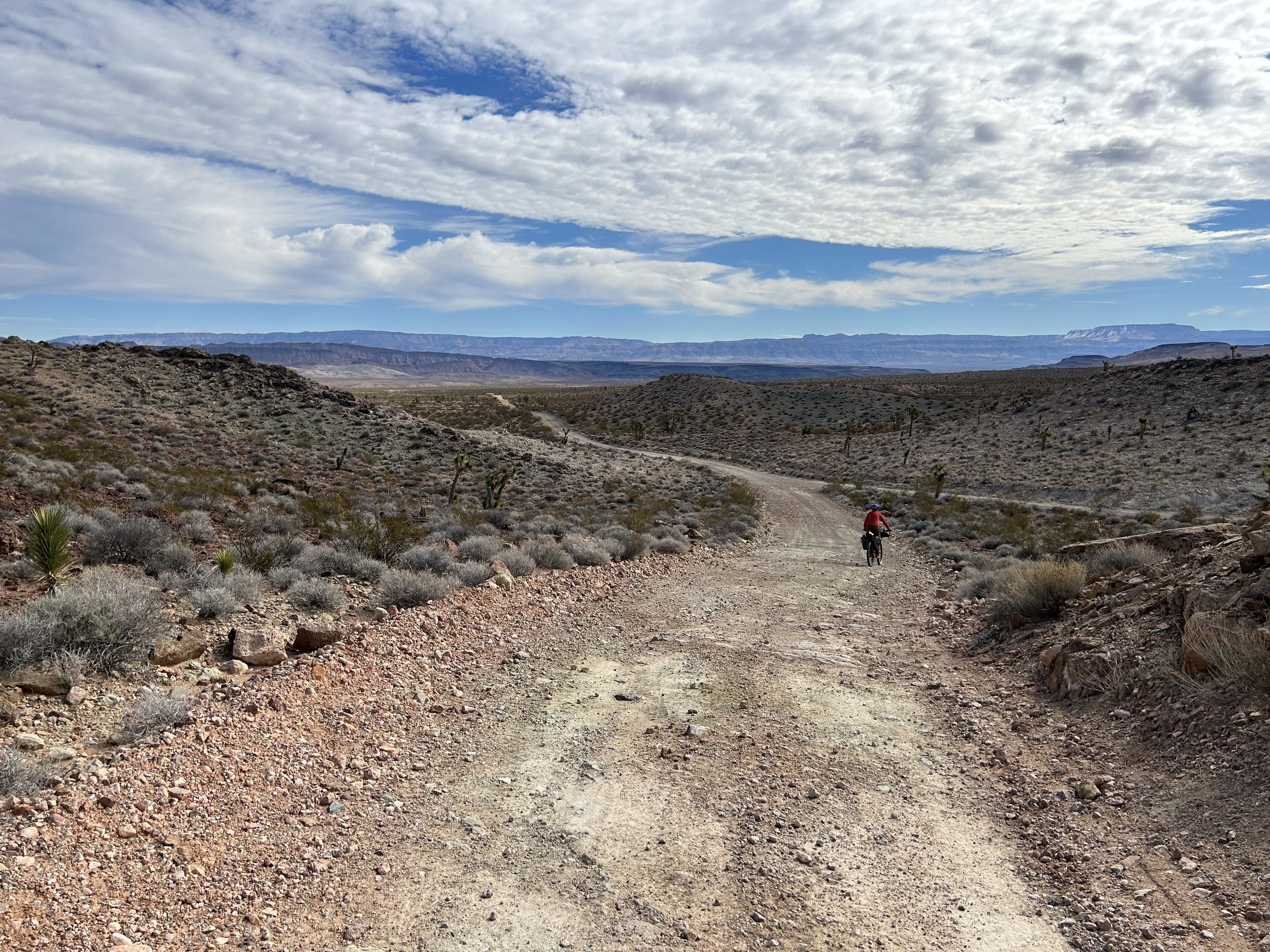
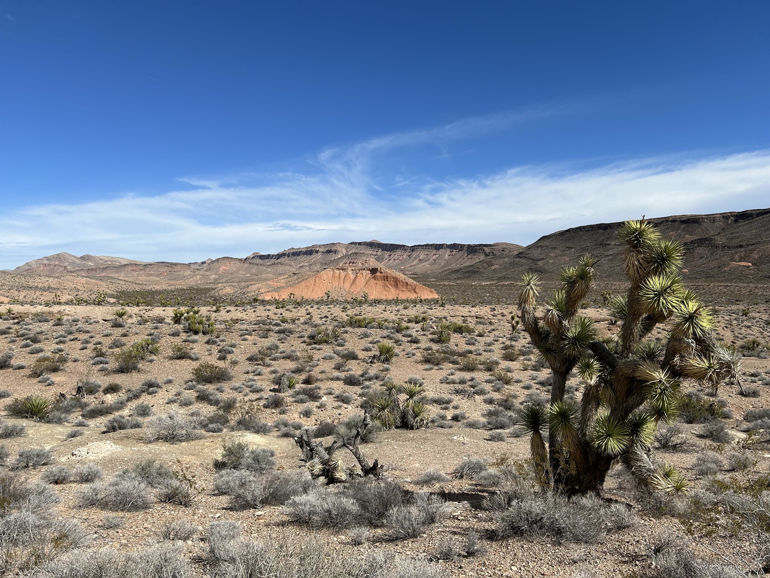
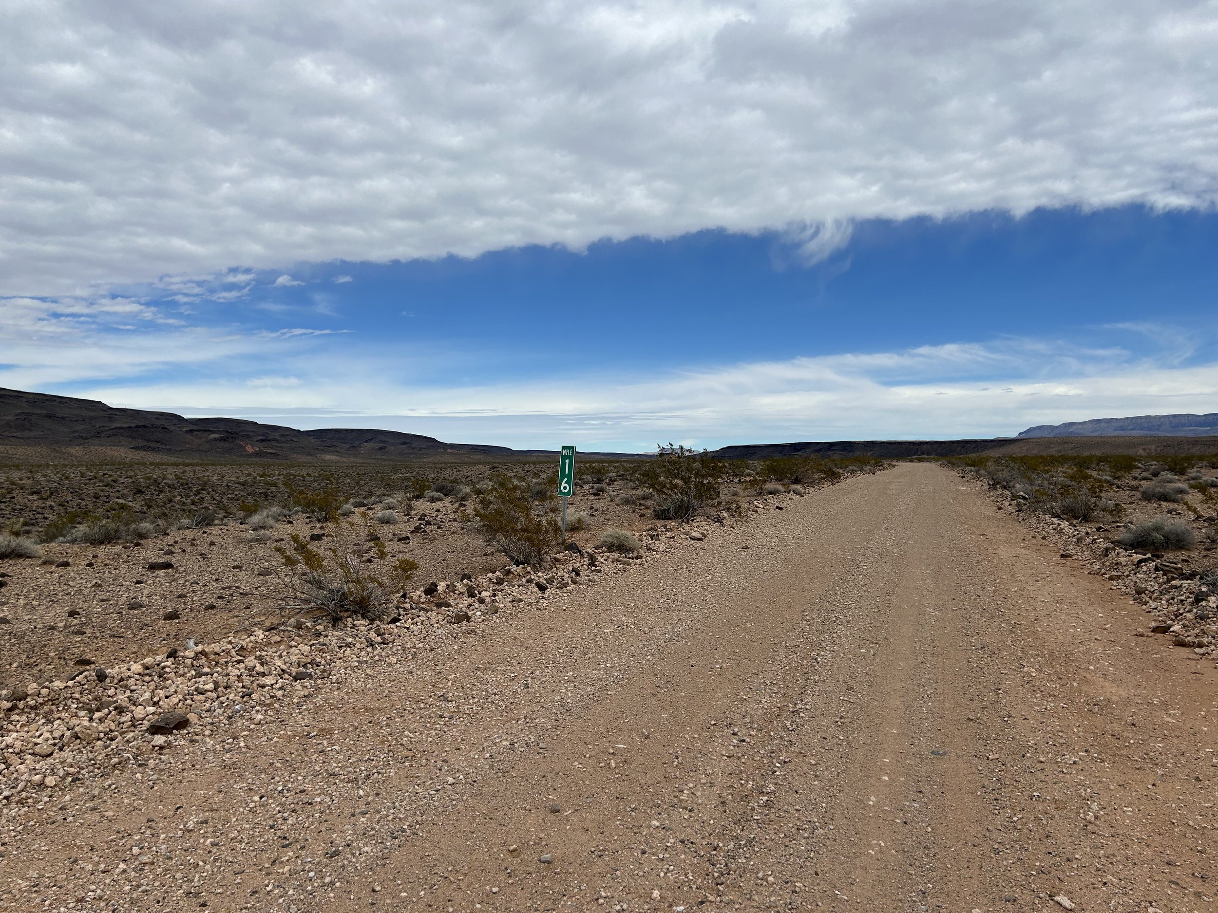
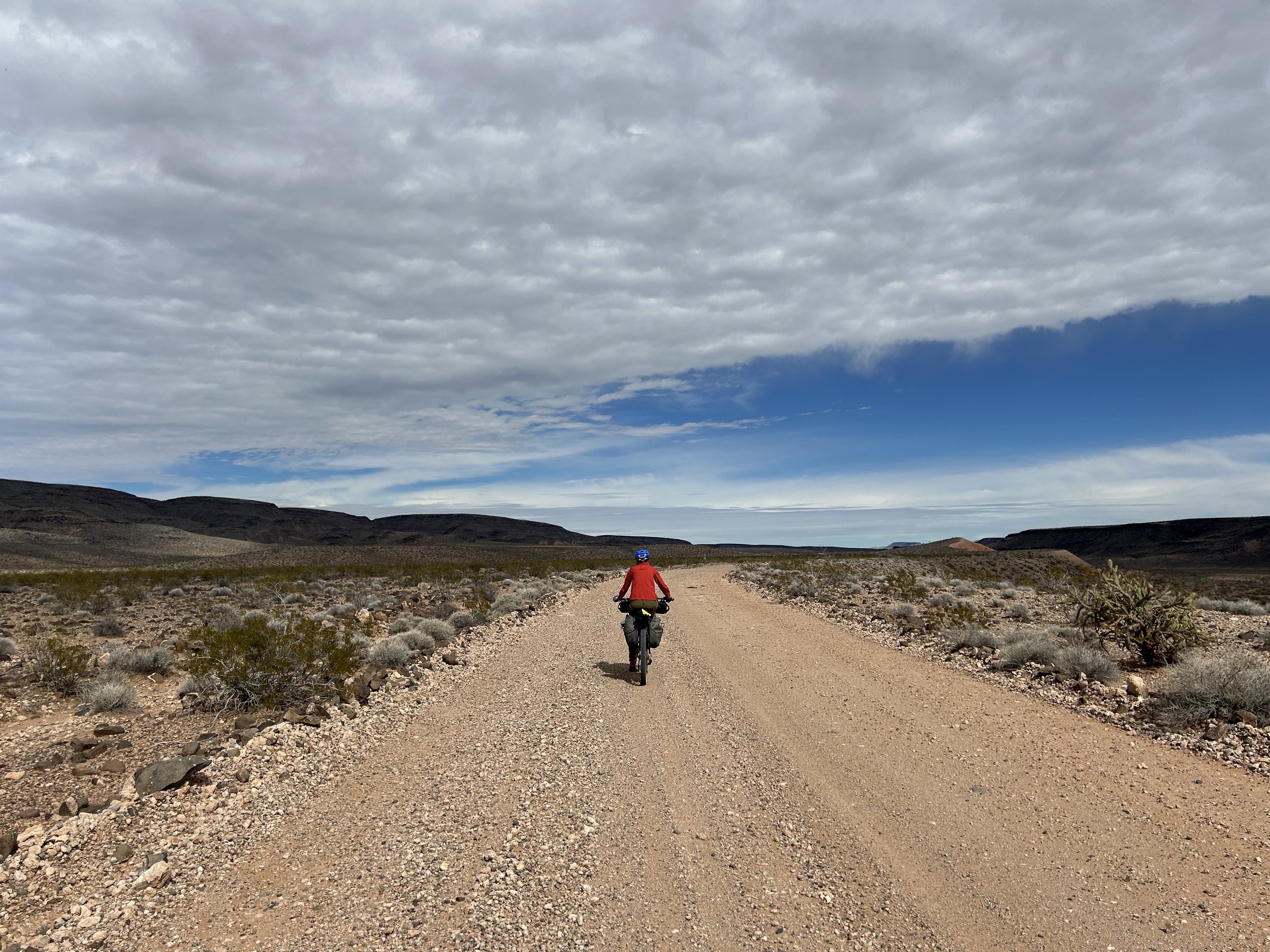
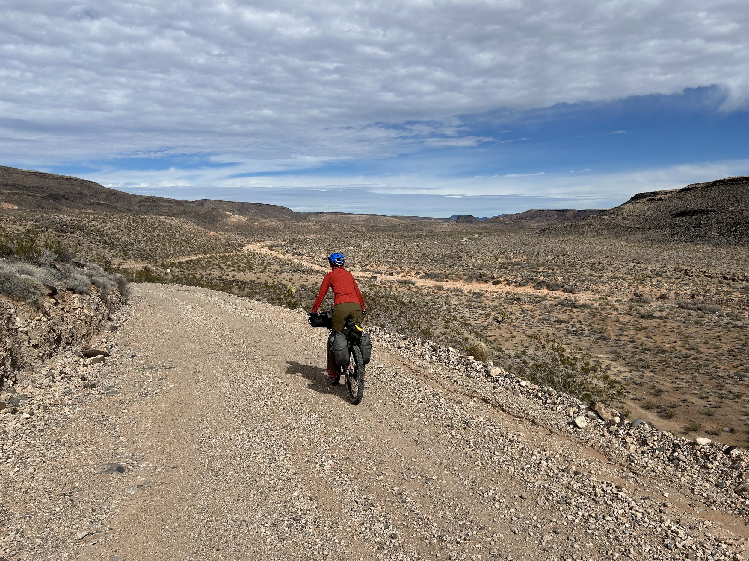
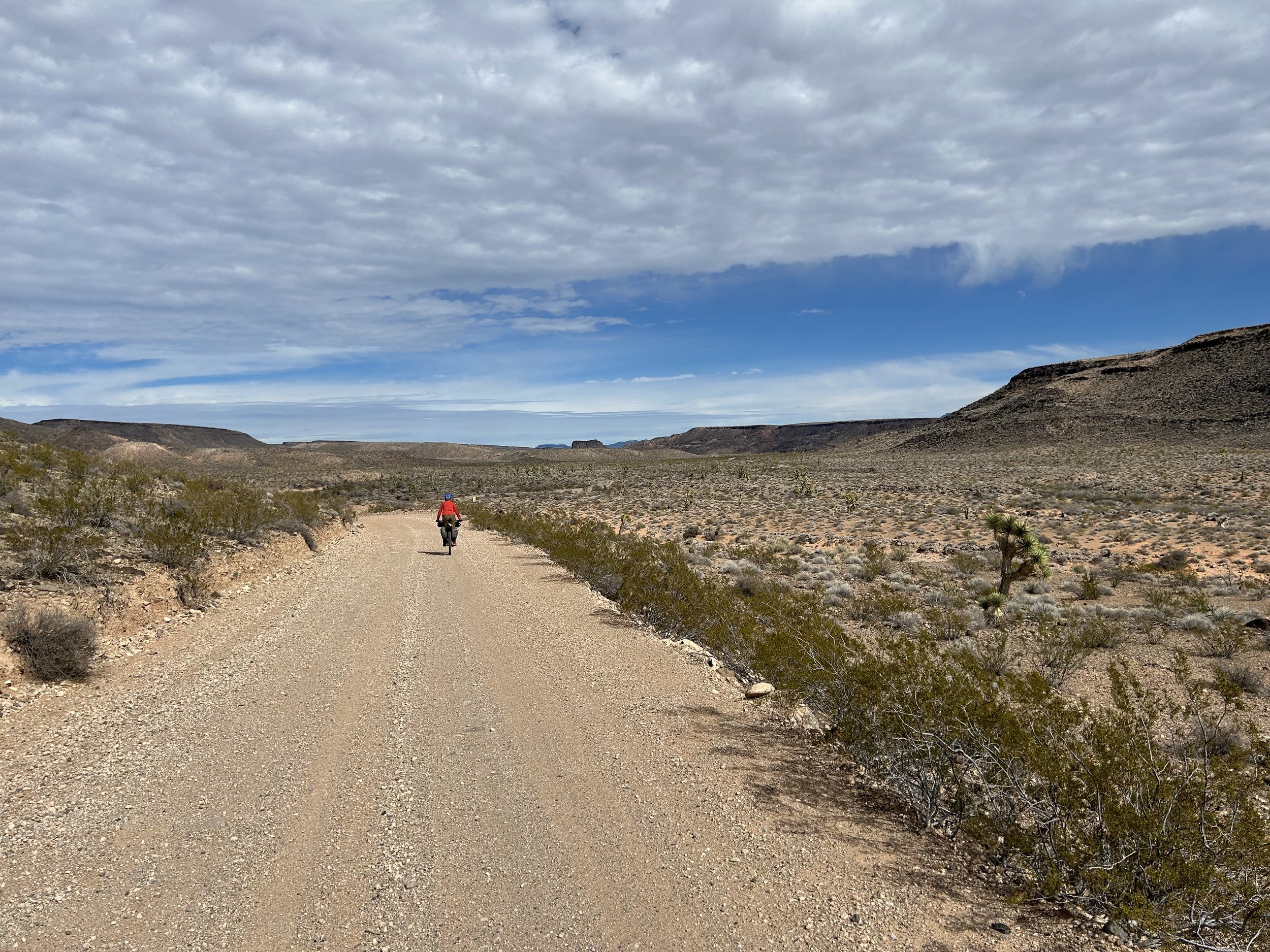
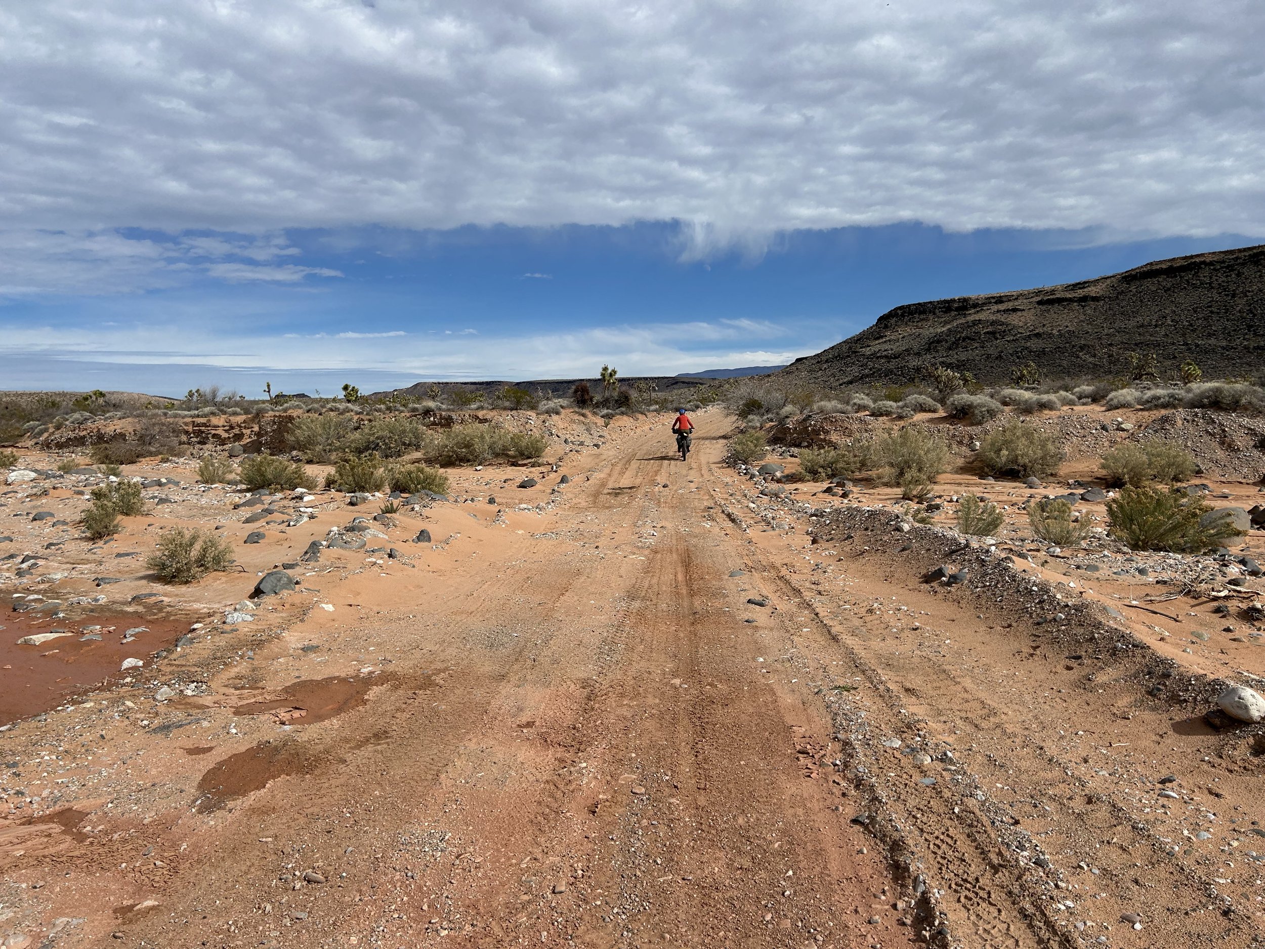
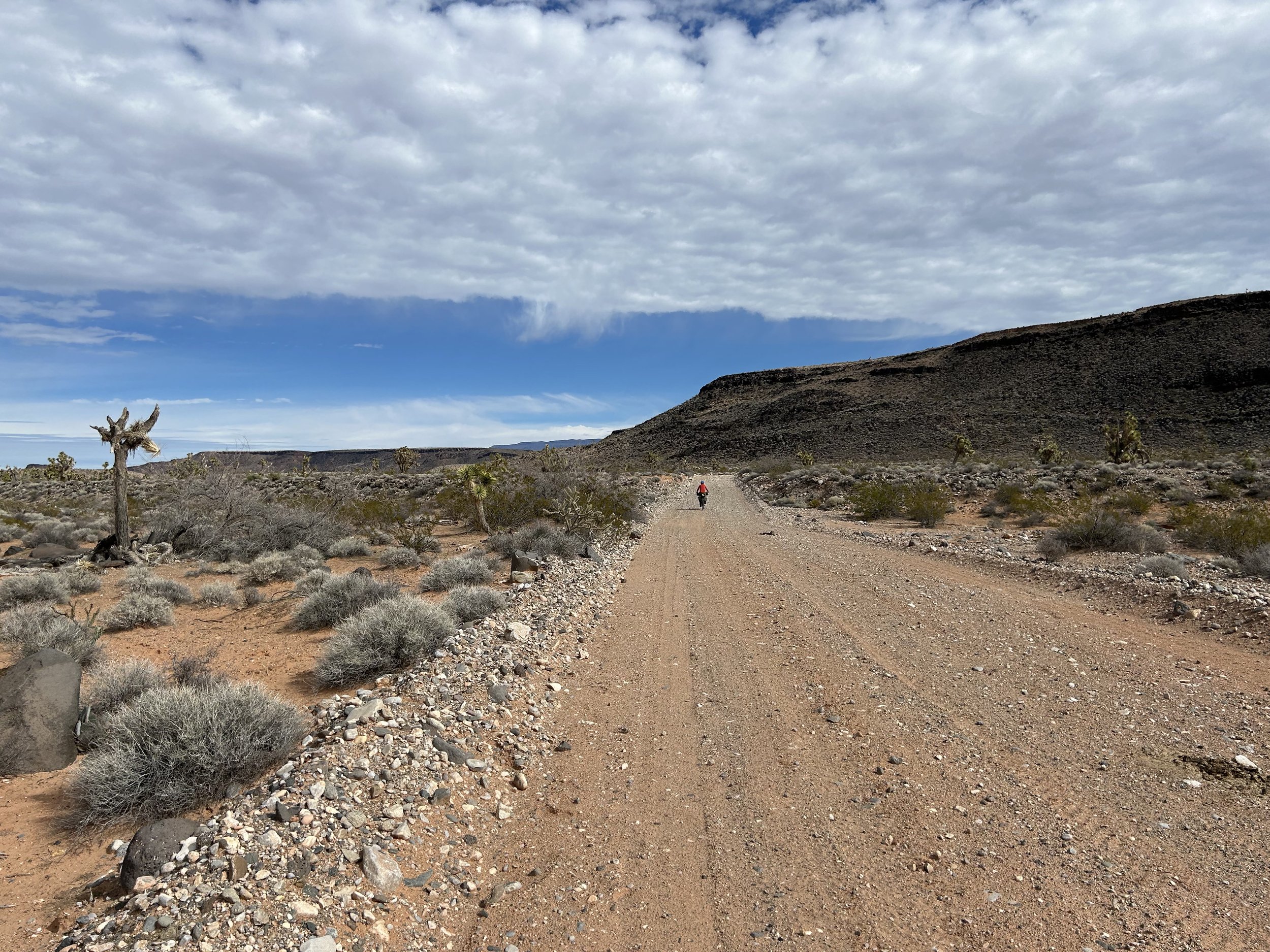
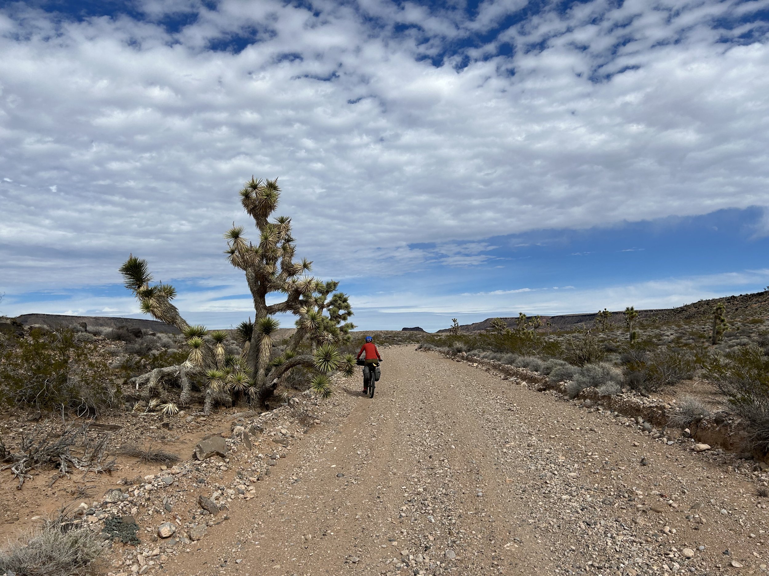
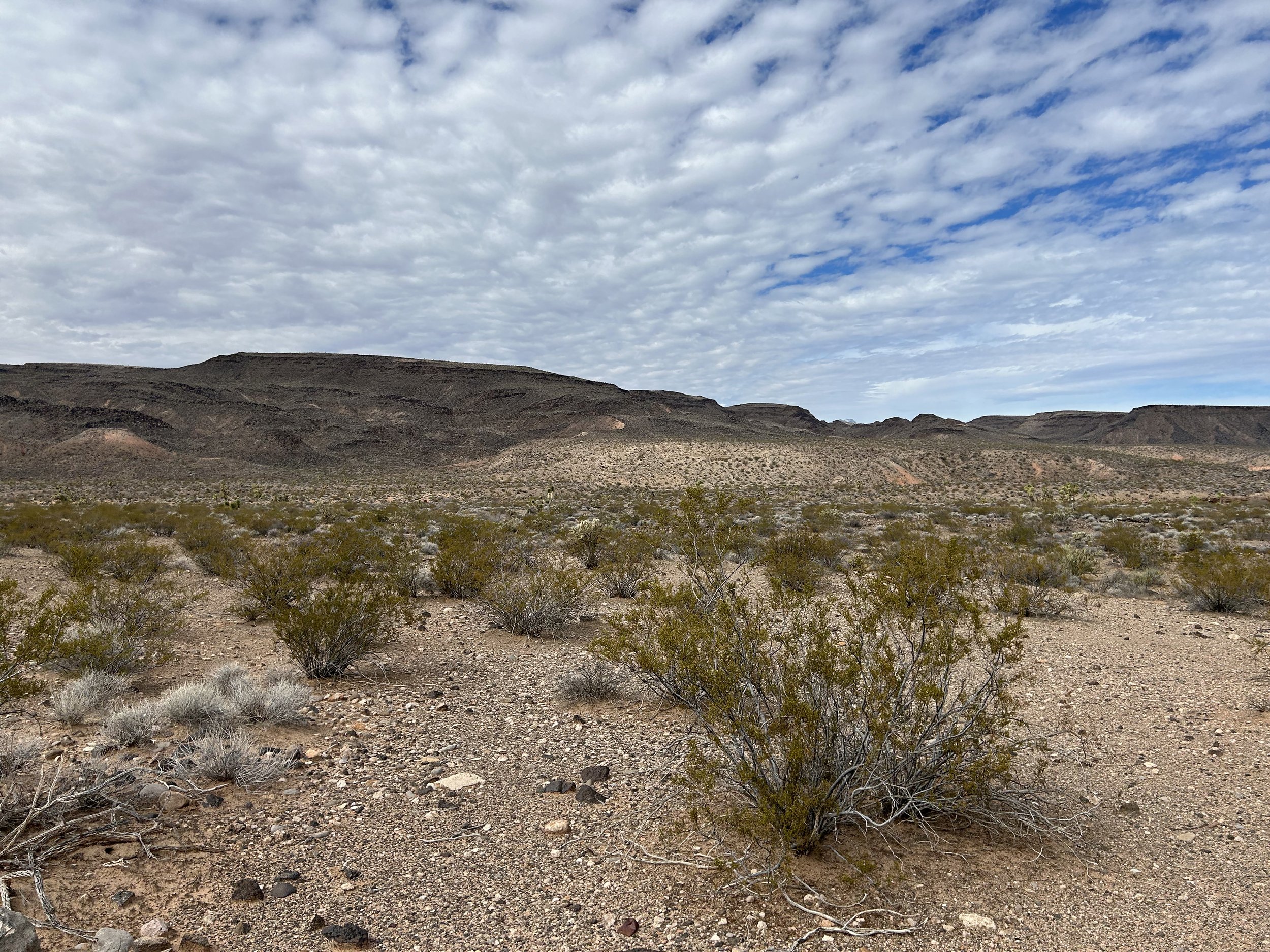
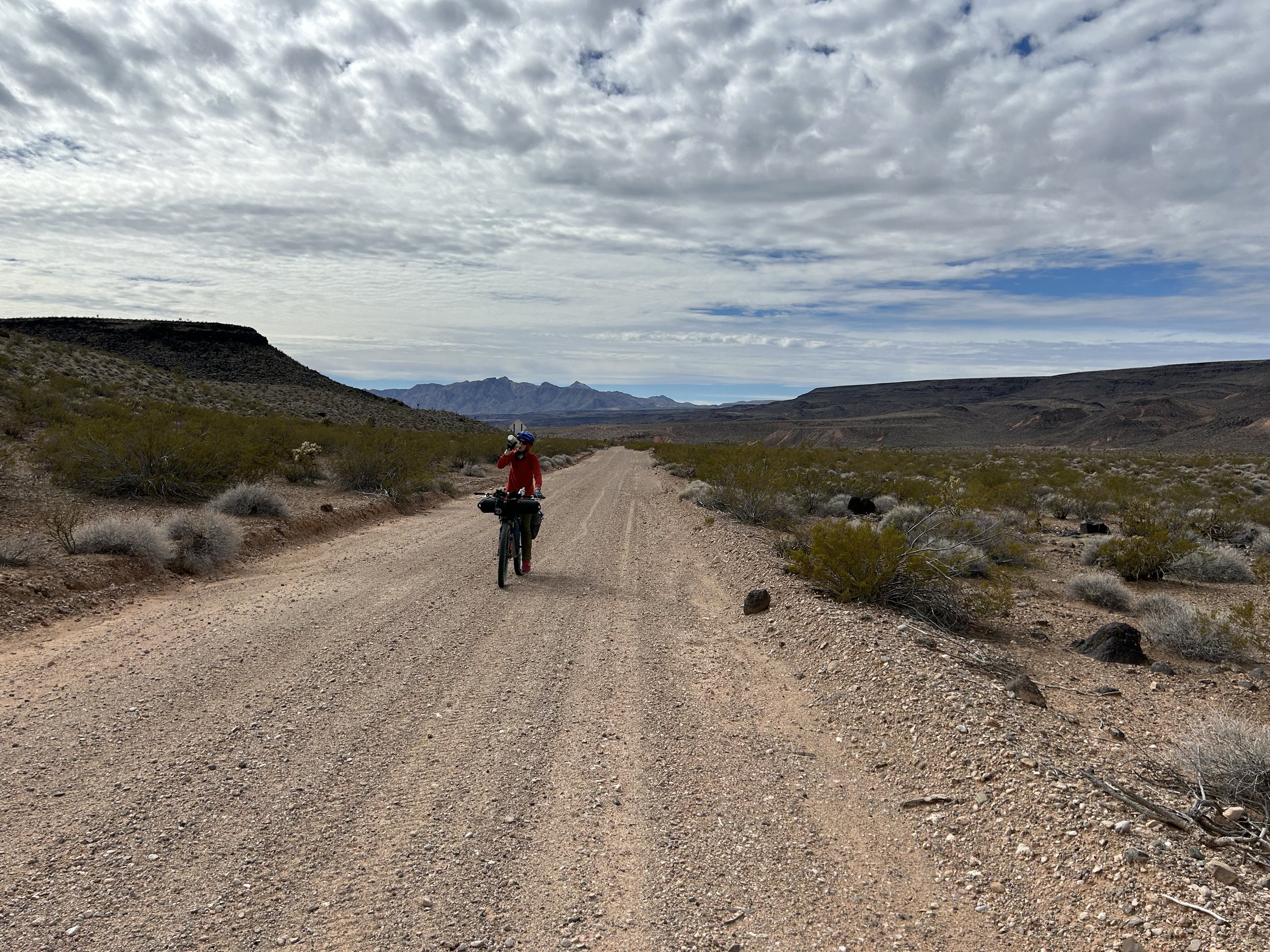
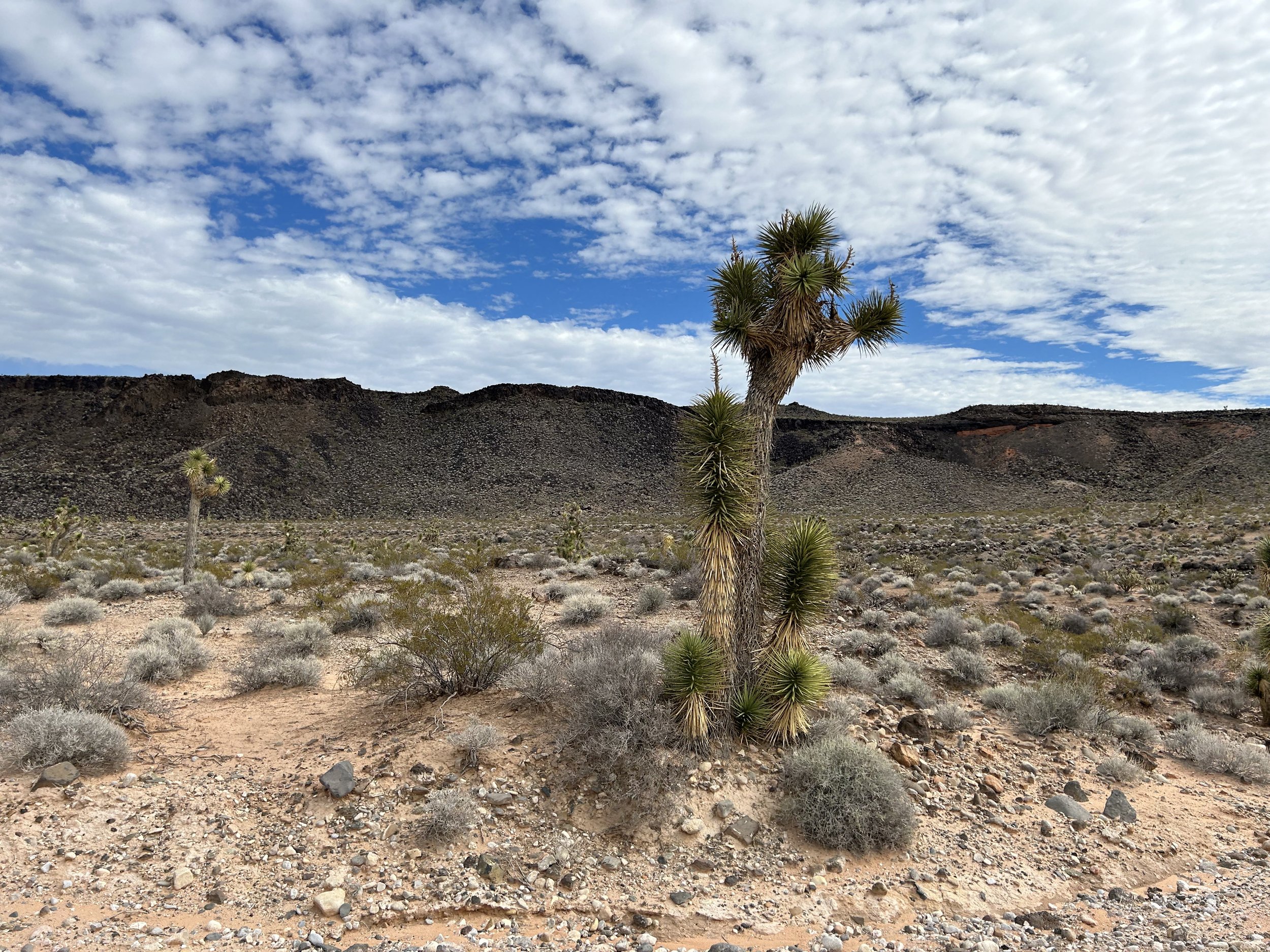
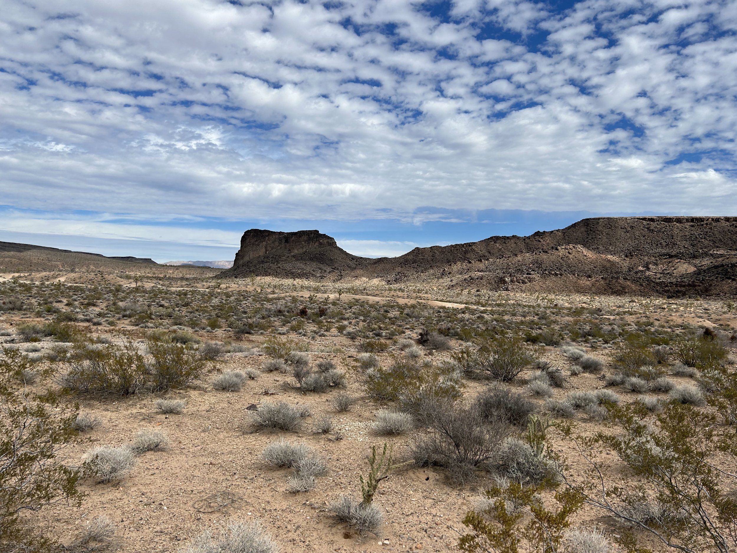
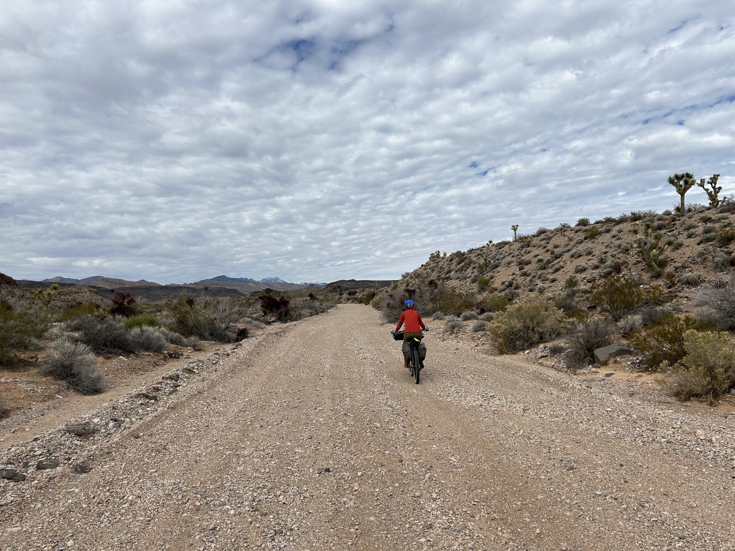
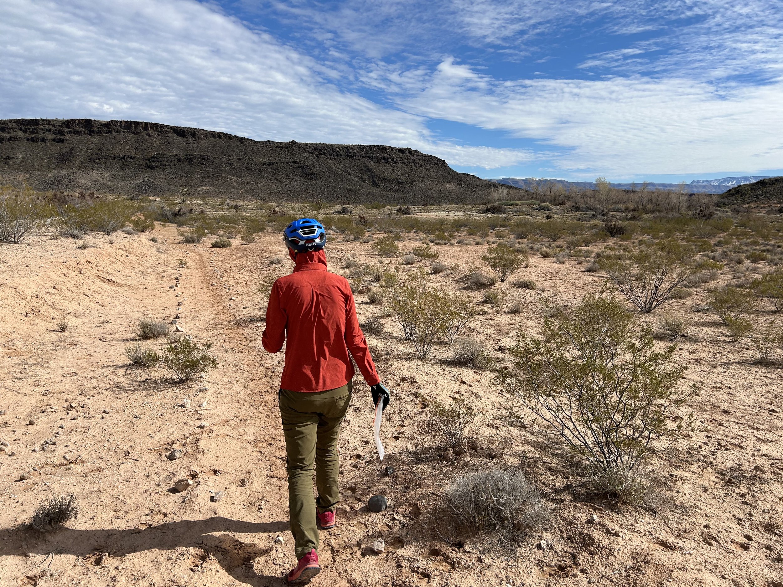
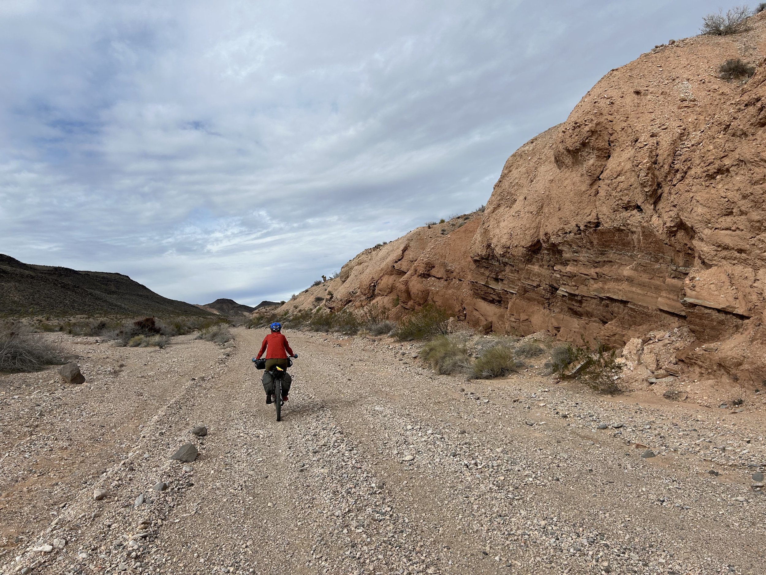
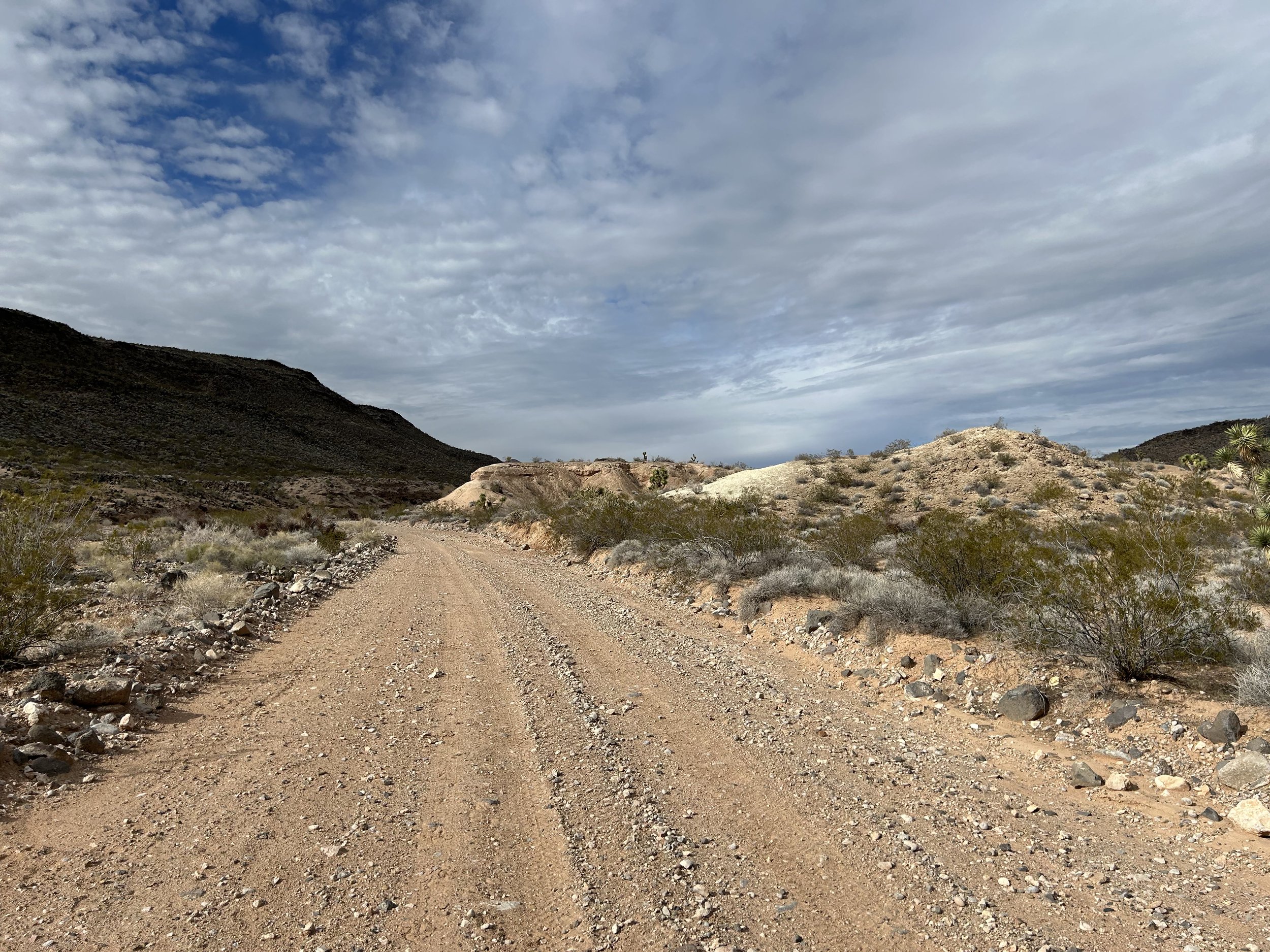
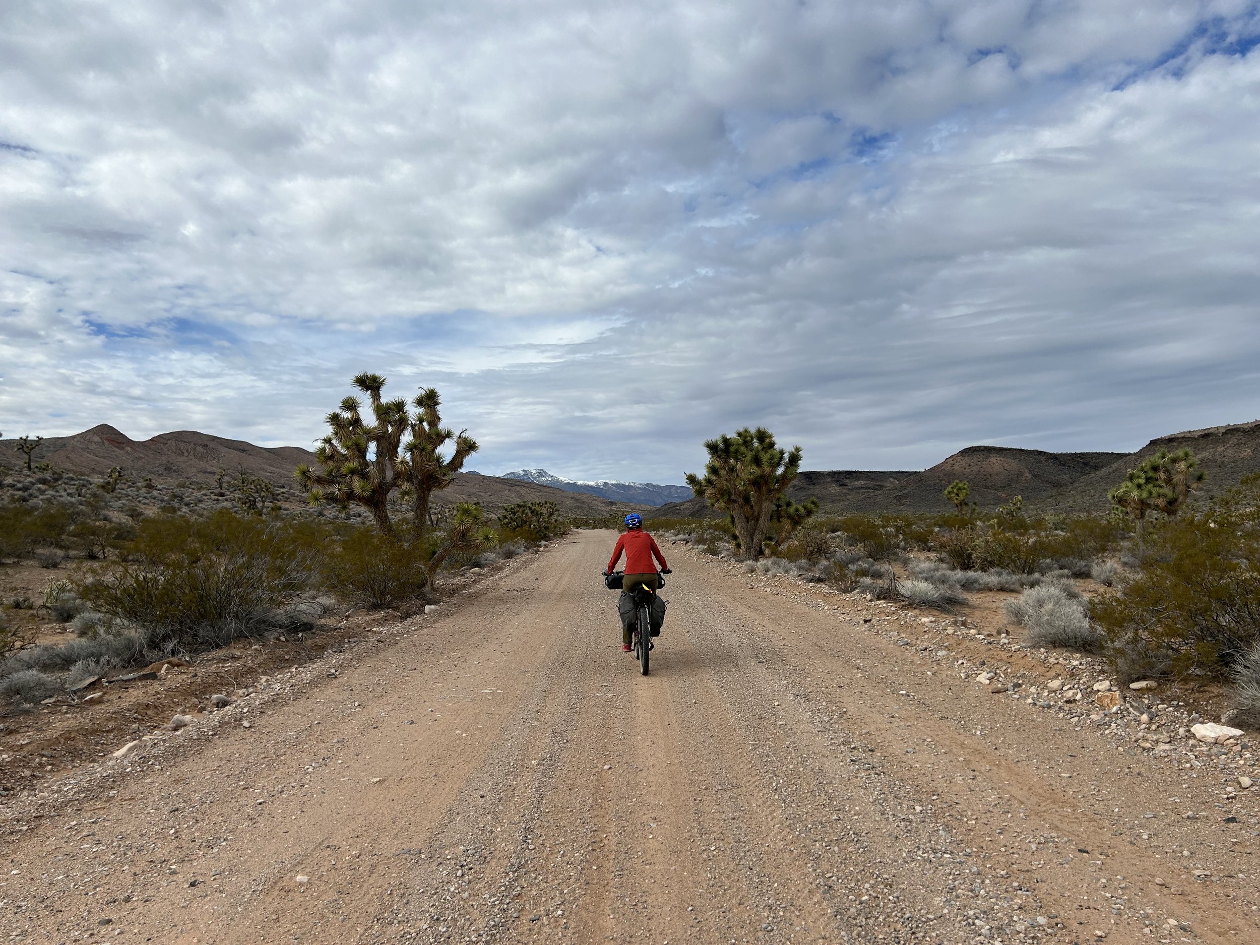
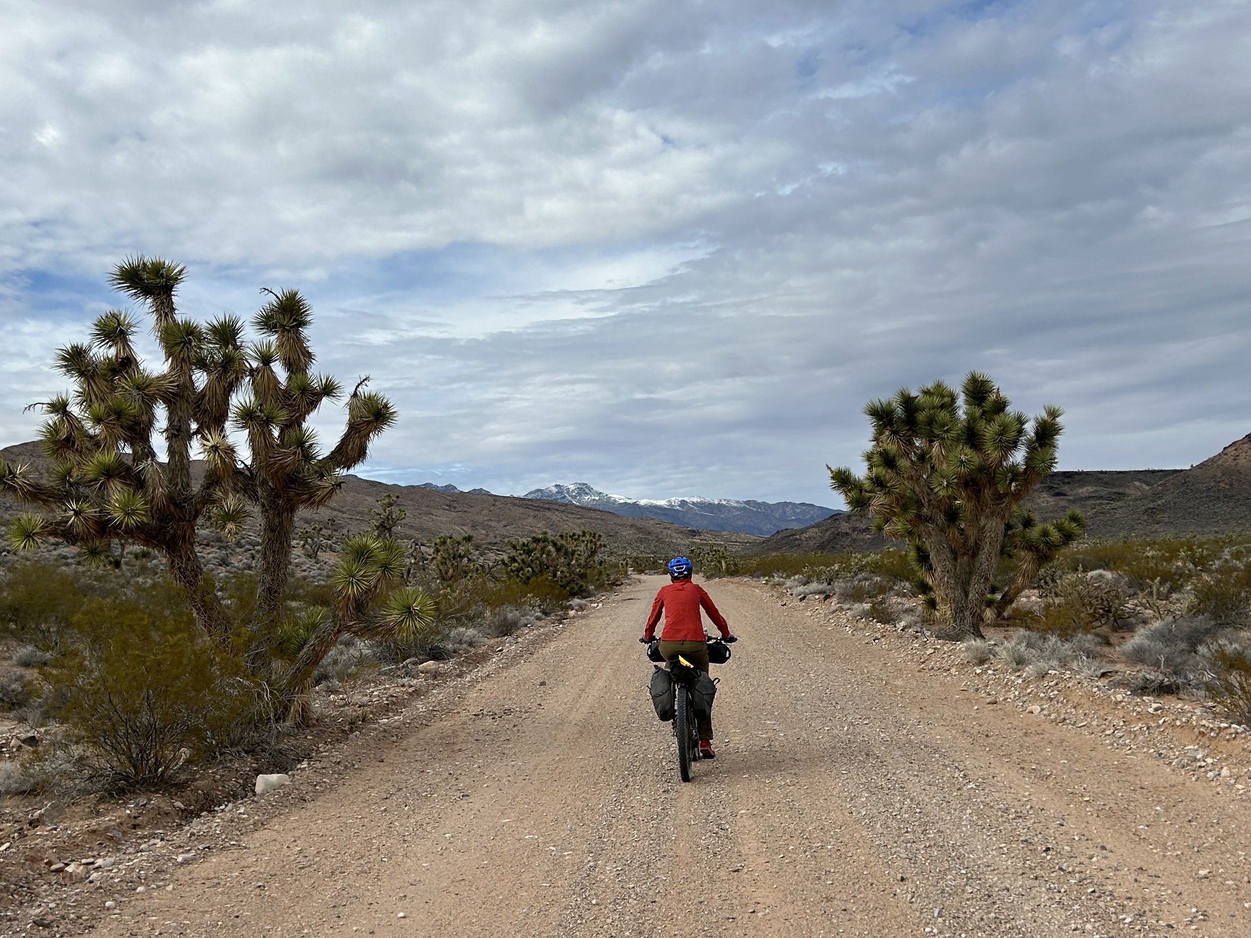
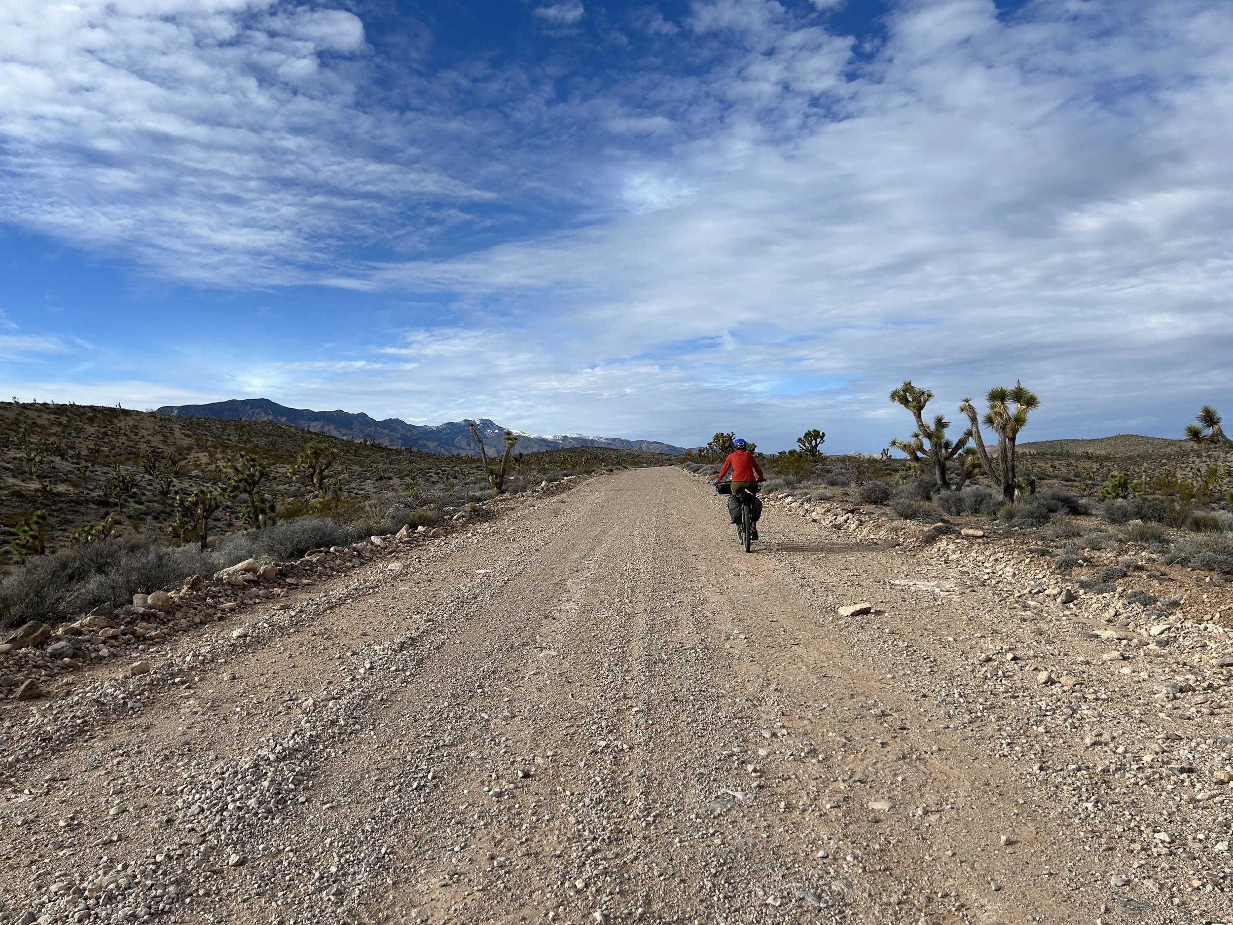
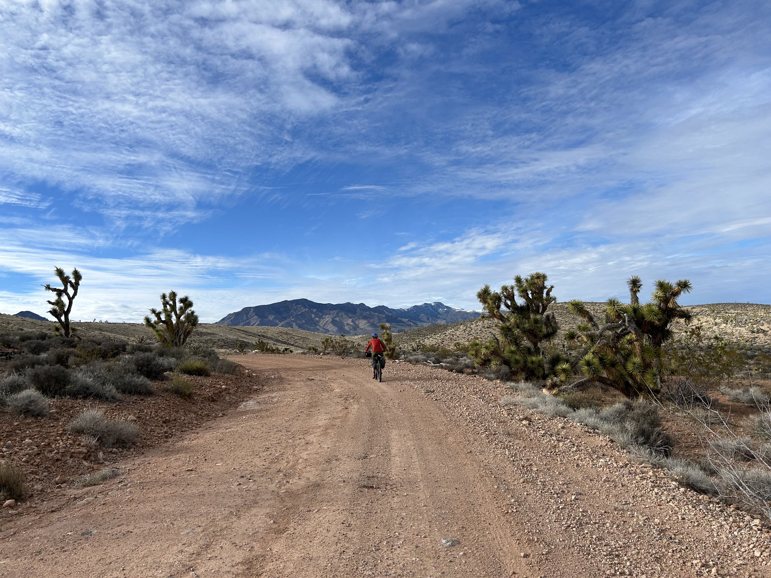
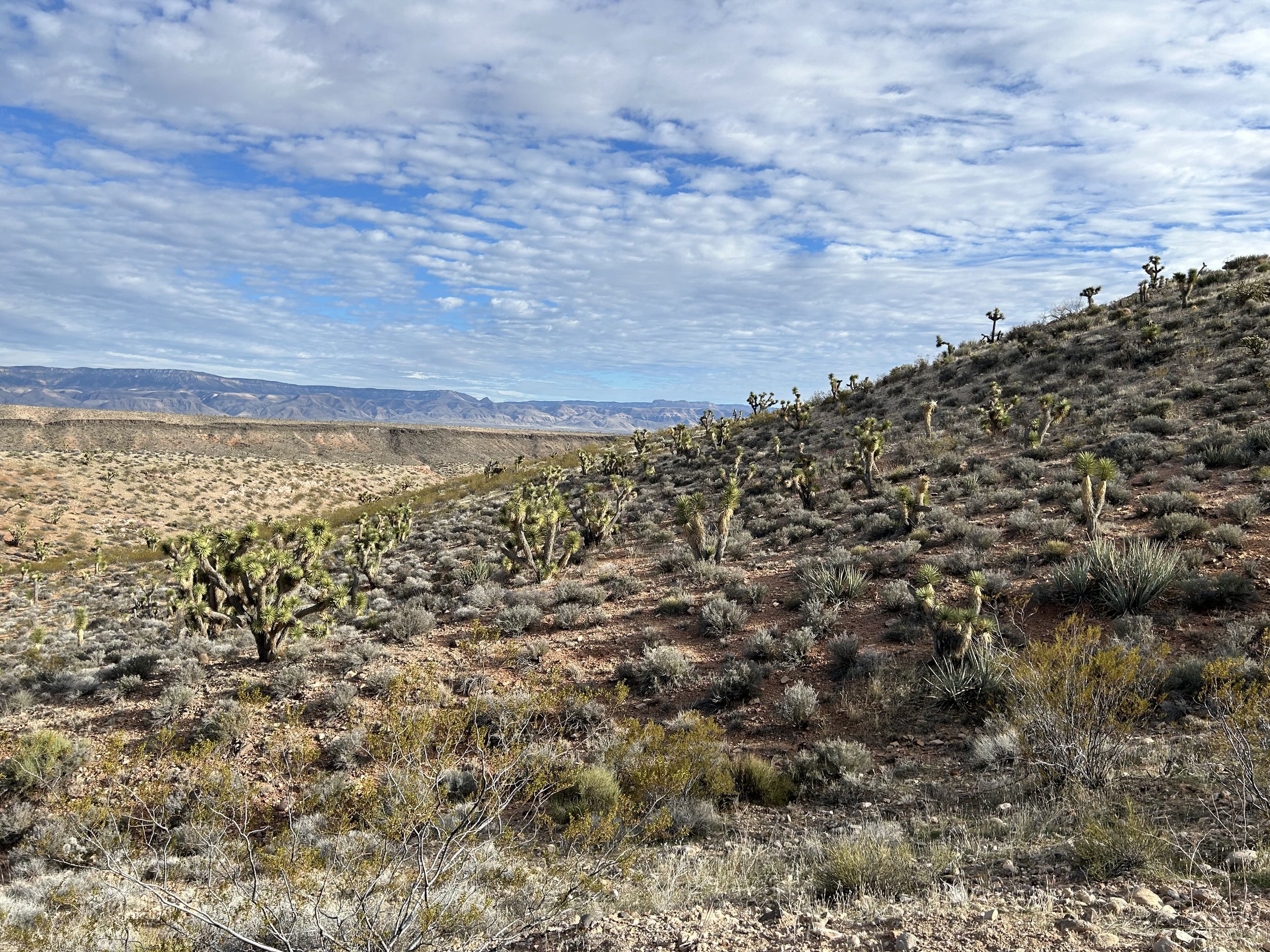
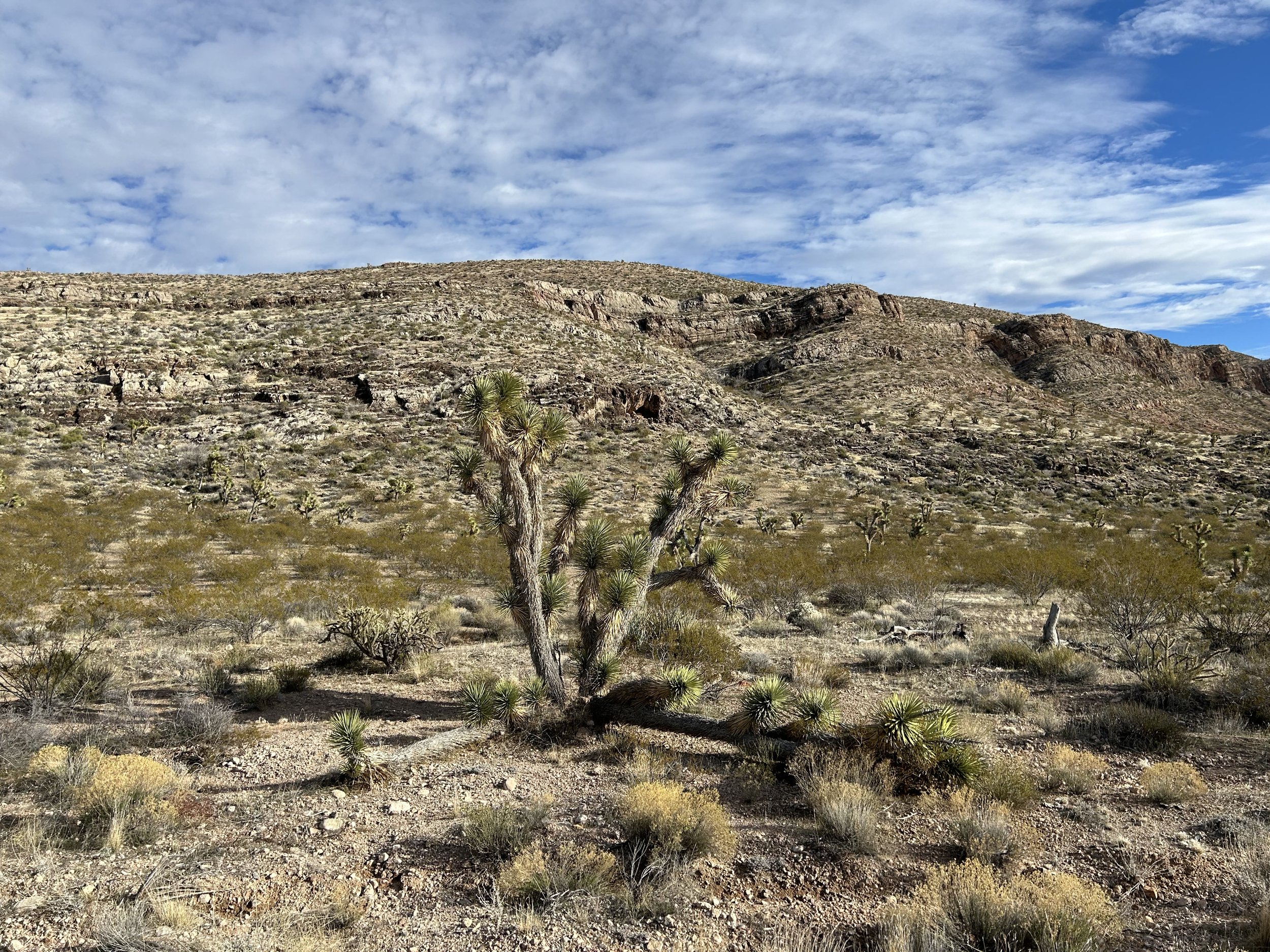
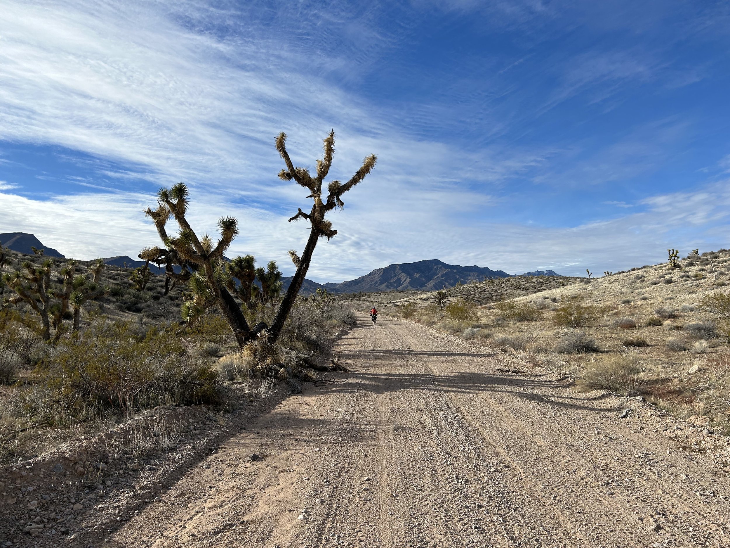
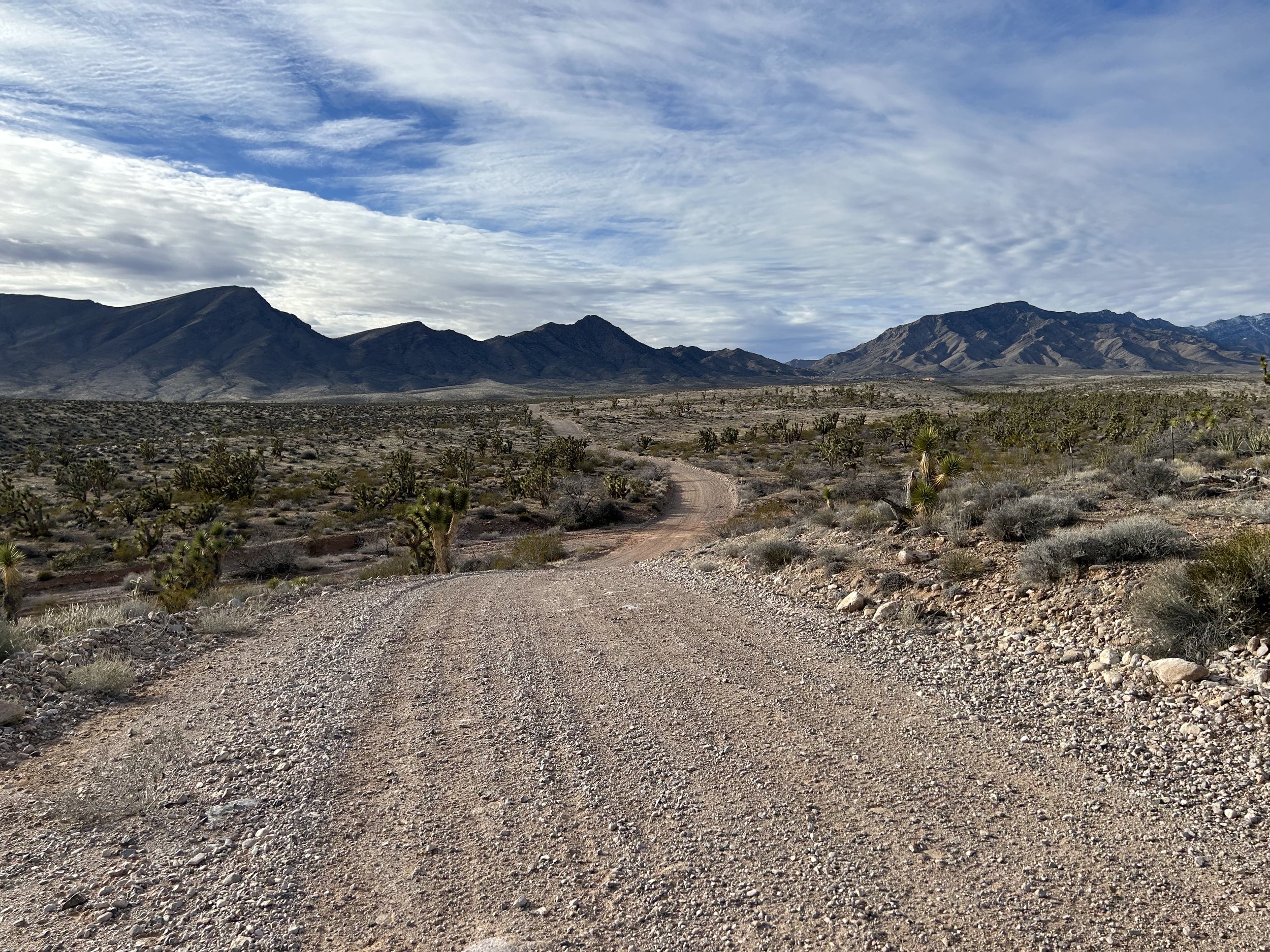
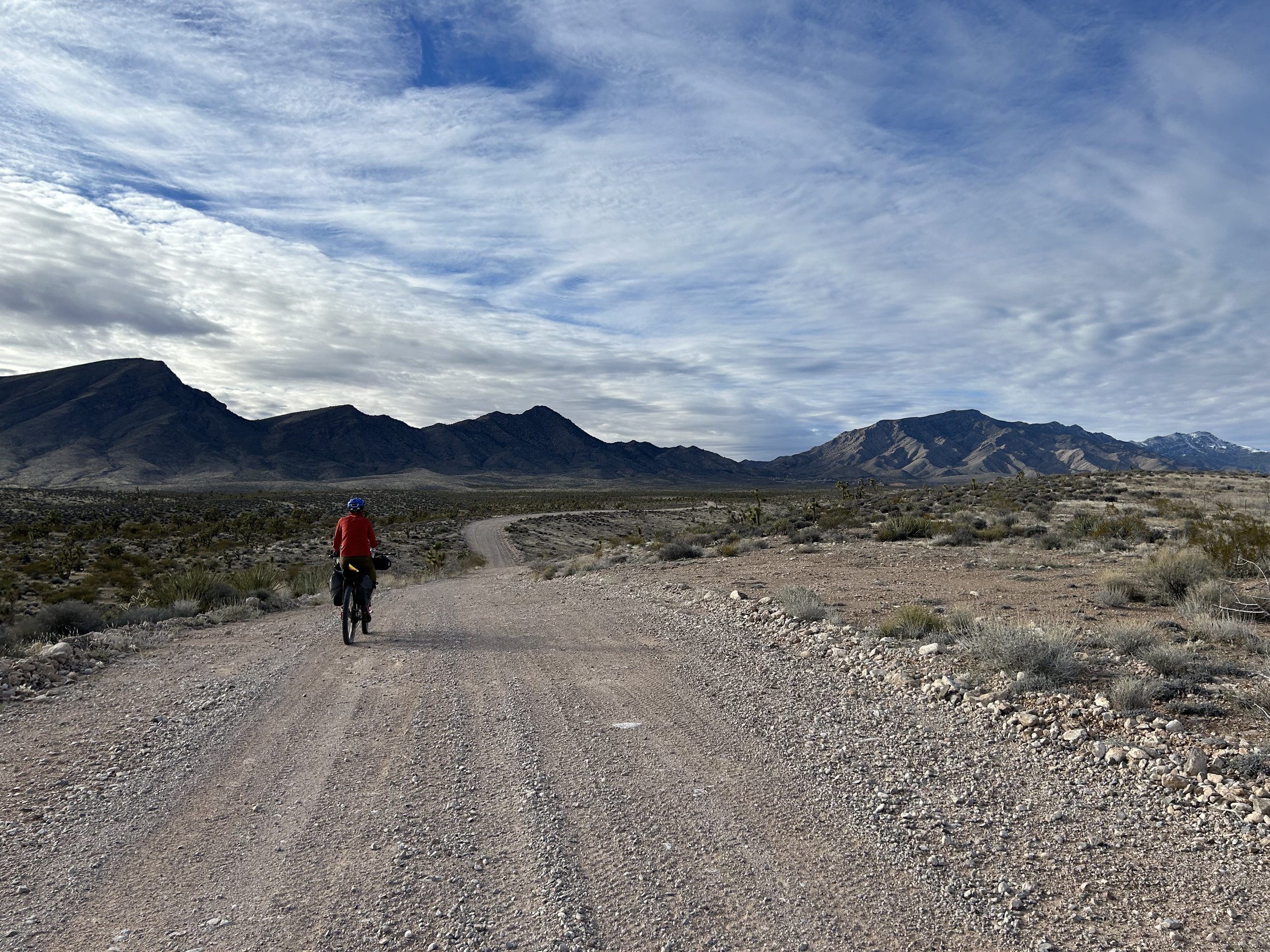
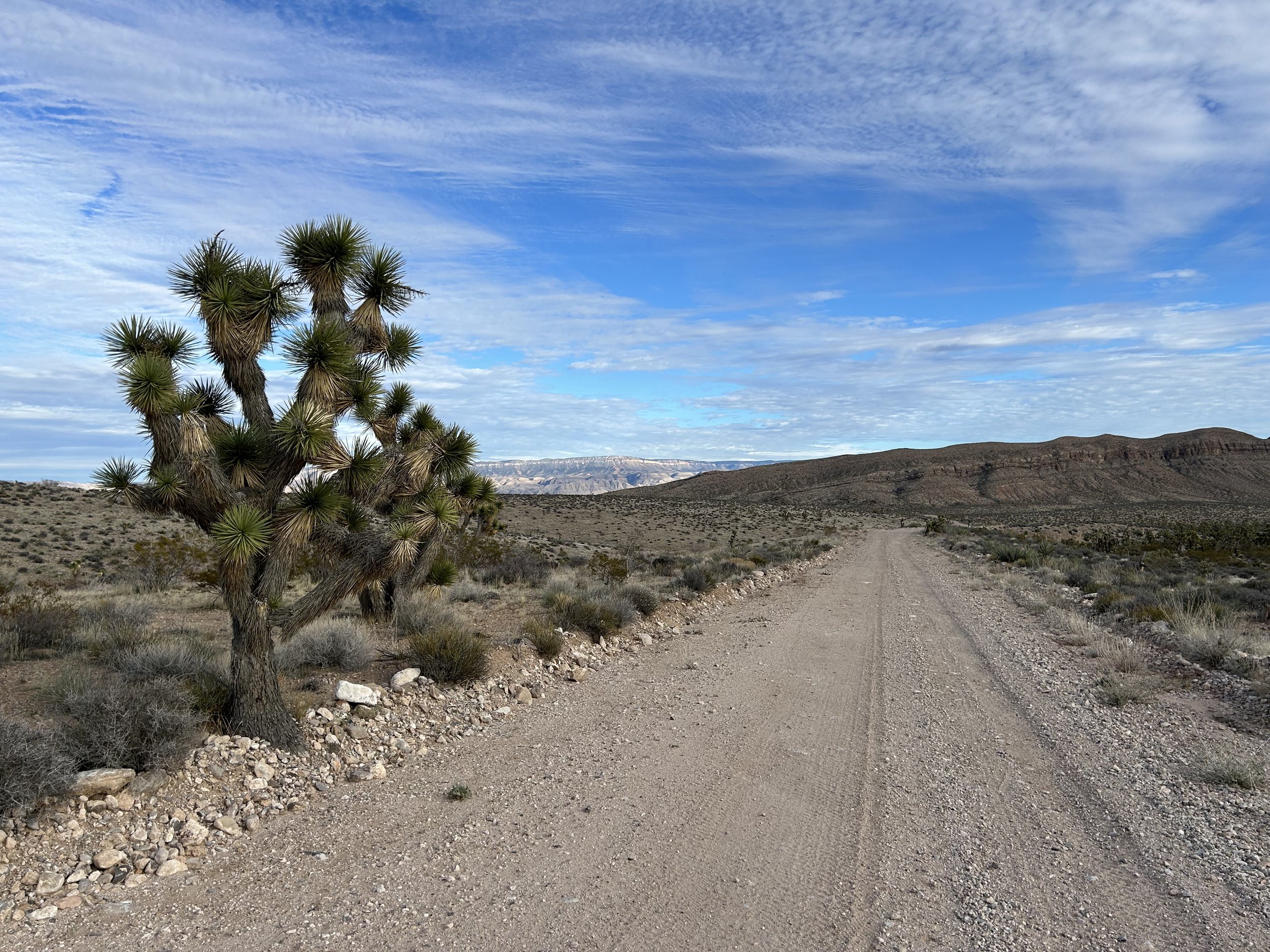
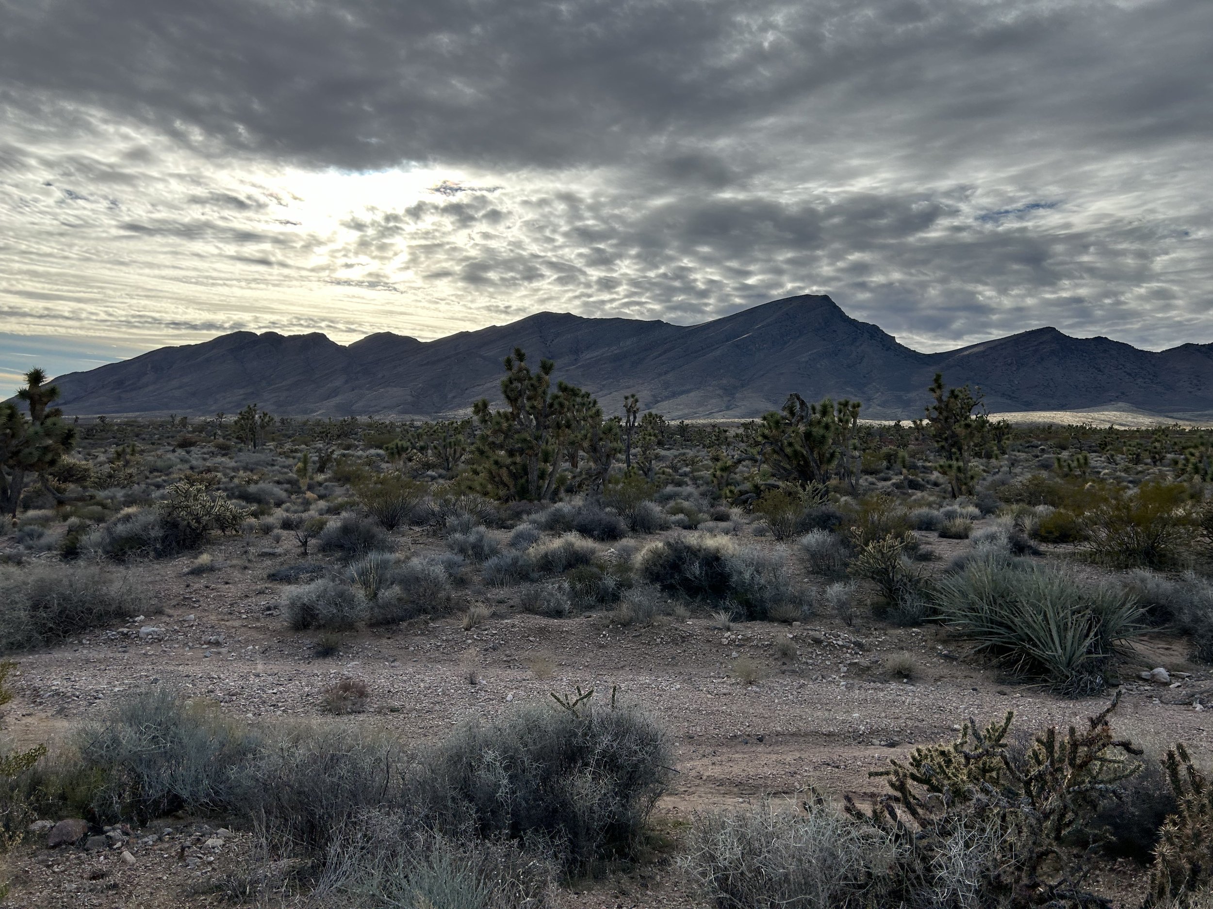
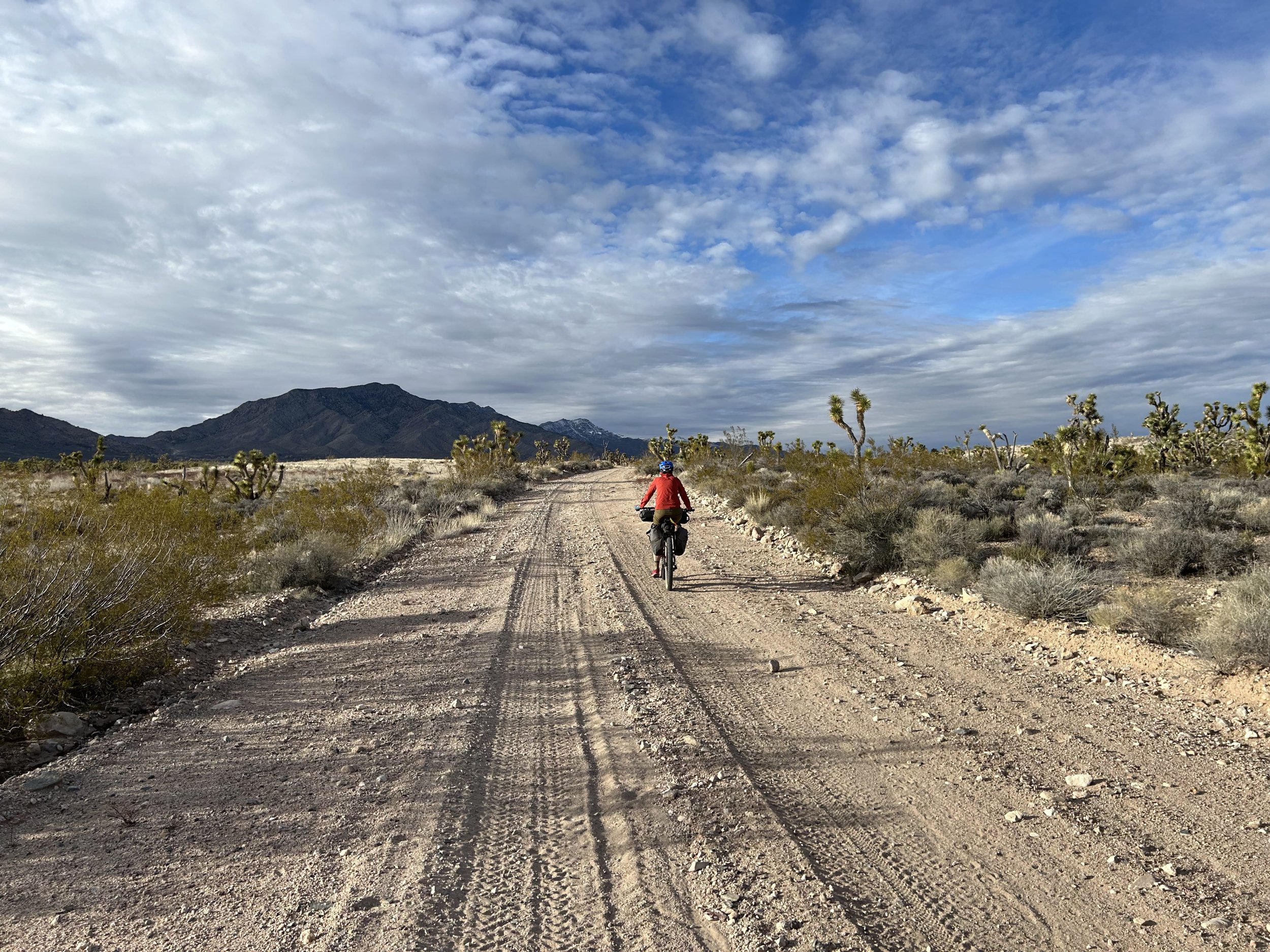
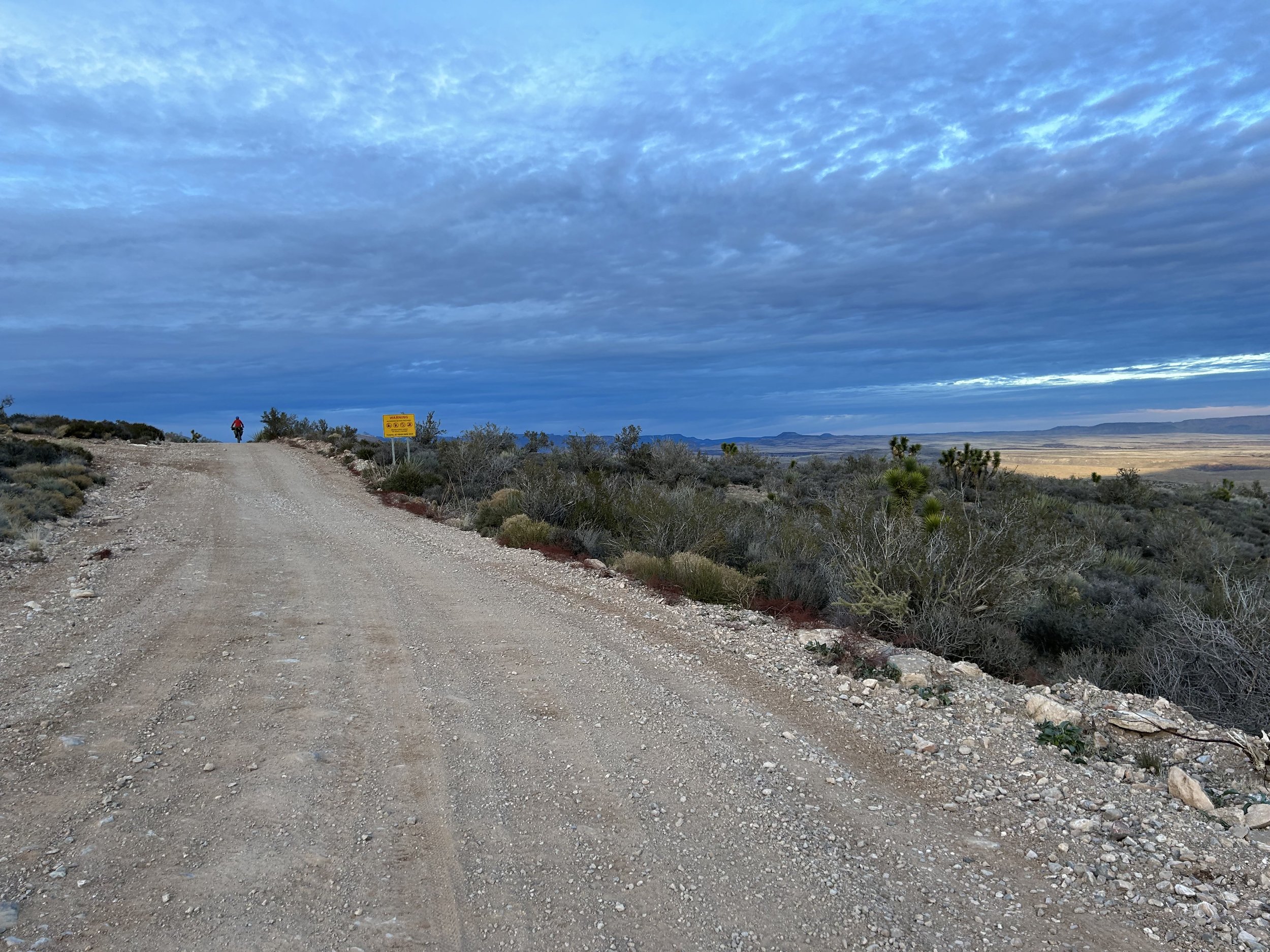
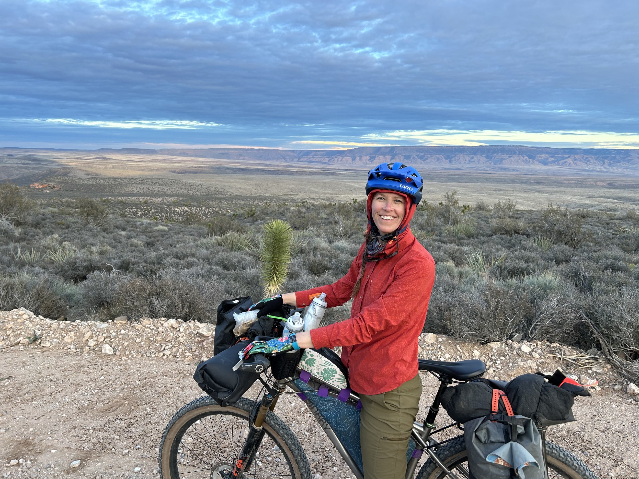
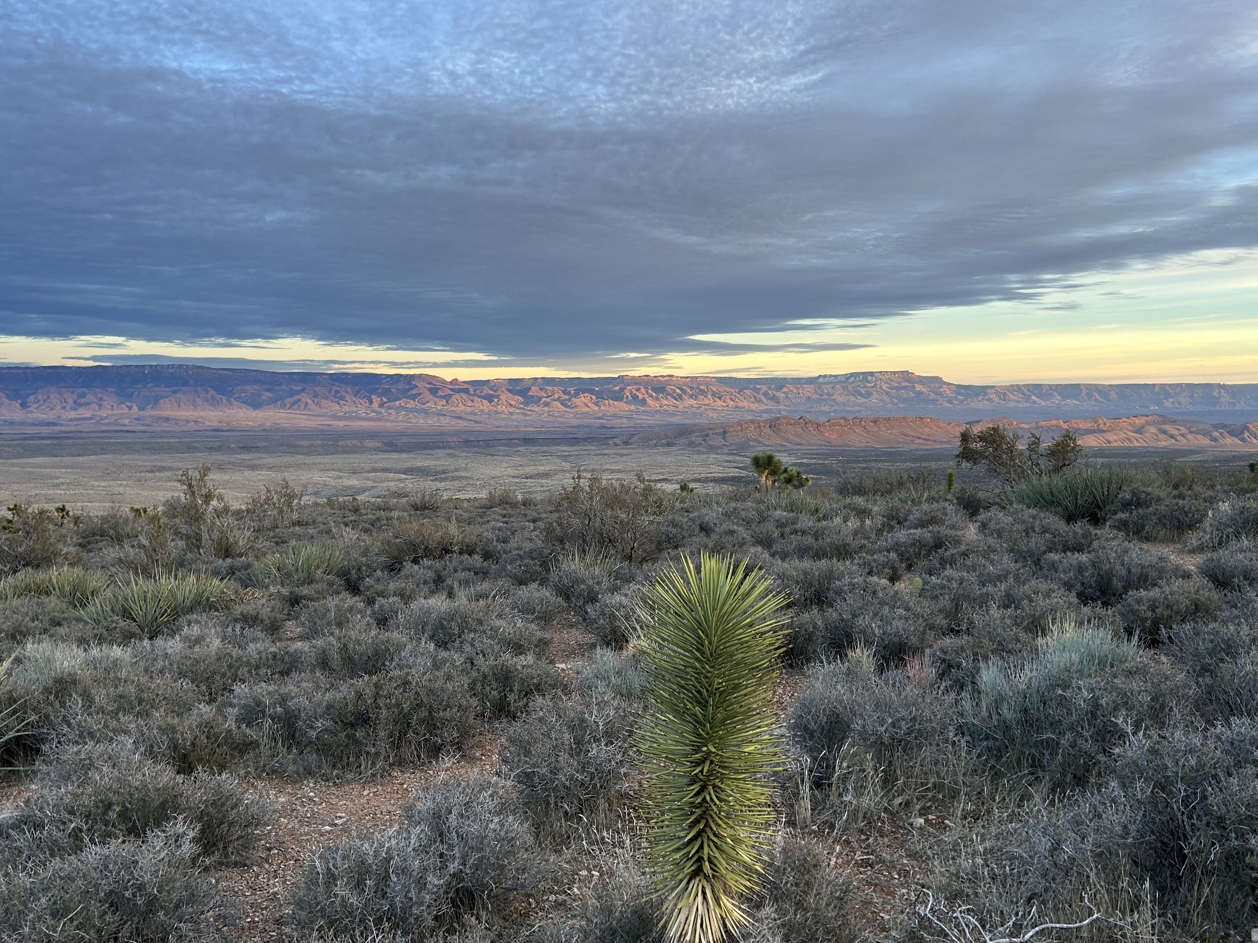
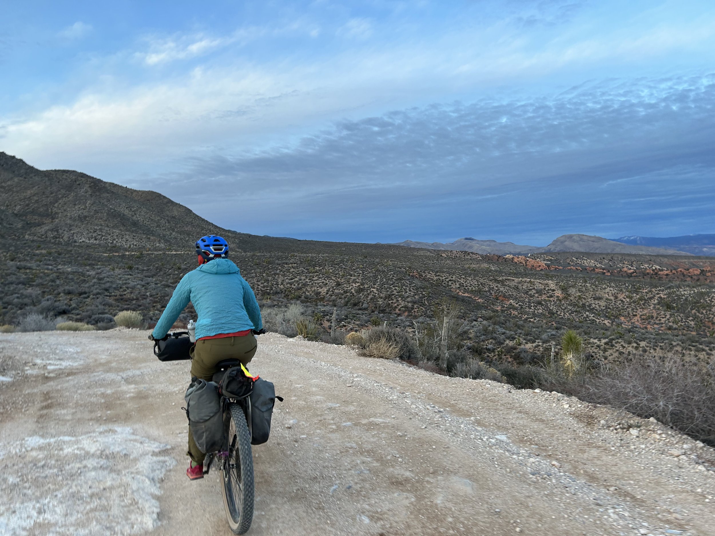
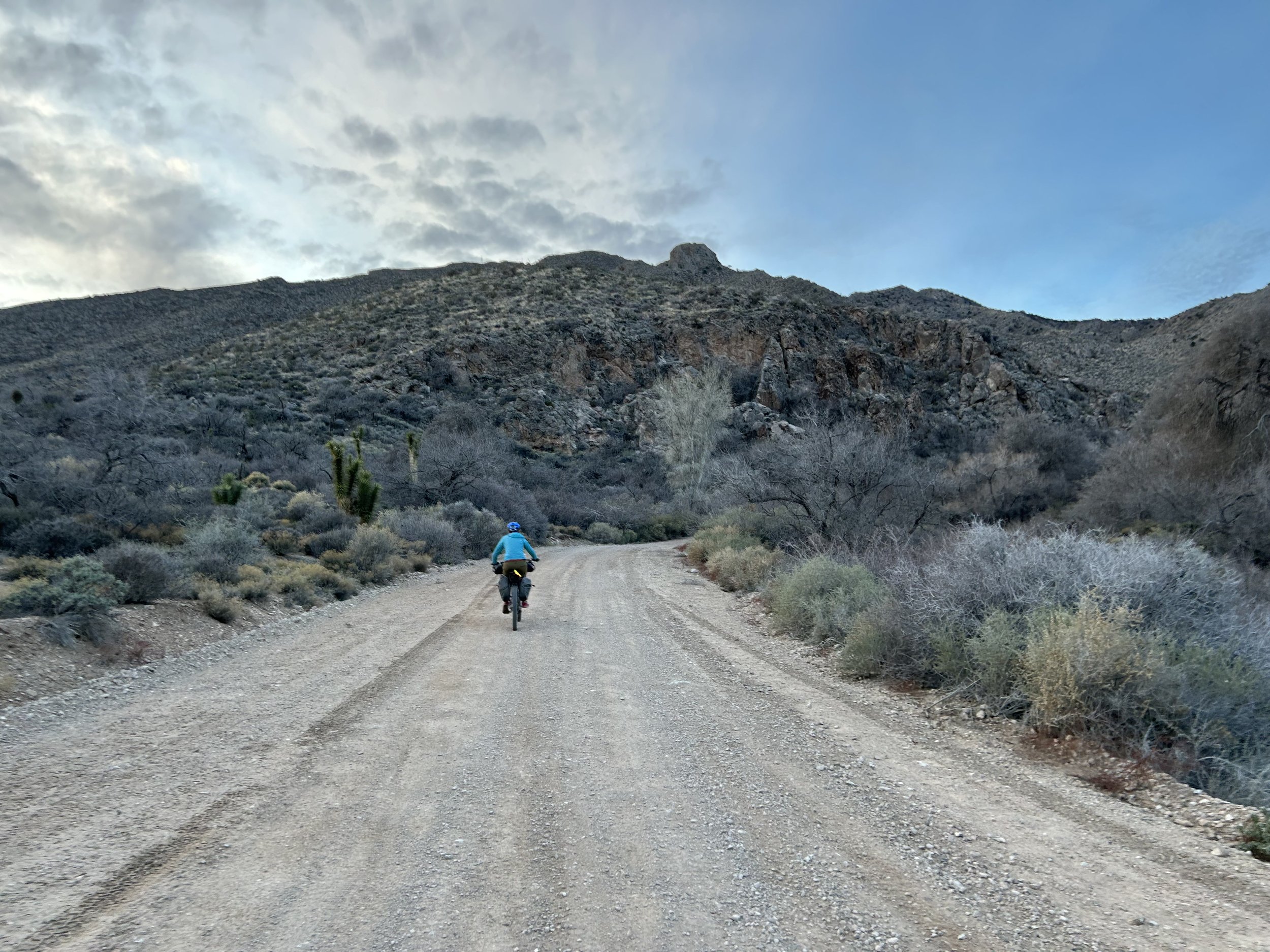
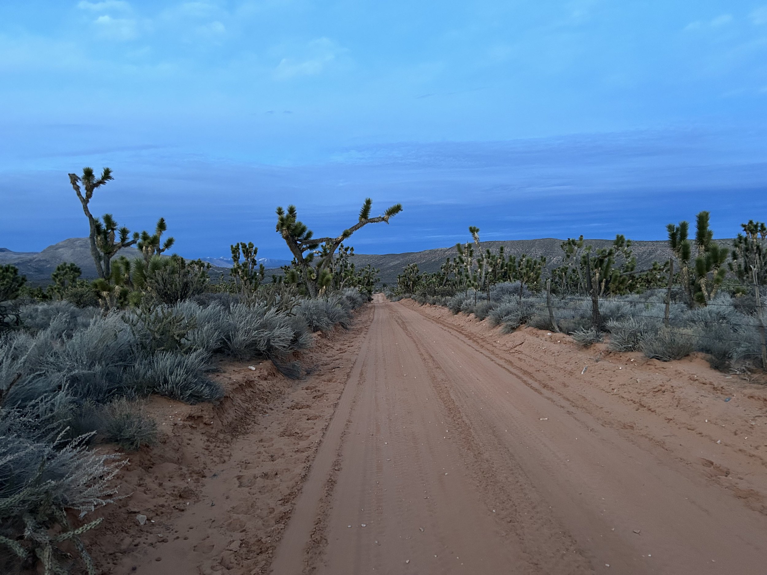
New Gold Butte Road was incredibly smooth and well-maintained after the townsite. We made miles quickly under an increasingly blue sky. Joshua trees started as isolated individuals that thickened into dense stands. Big, massive, and old, they gathered up along the sides of the road casting quirky shadows from the slant of morning sun. We crested the climb and started an awesome descent with sprawling views out to Greasewood Basin, St. Thomas Gap, and along Horse Spring Wash. Tramp Ridge rose up on our lefts as tawny substrate washed the land. A quick turn to the right on a road out to Horse Springs carried us on great doubletrack down through even more groves of Joshua trees and other yucca plants. I couldn’t' stop taking photos of the trees against the mountain backdrops. And quickly enough the road took us right into the heart of Horse Spring Wash. Here, under the gaze of an unnamed butte, we leaned our bikes in the sand to take a look around.
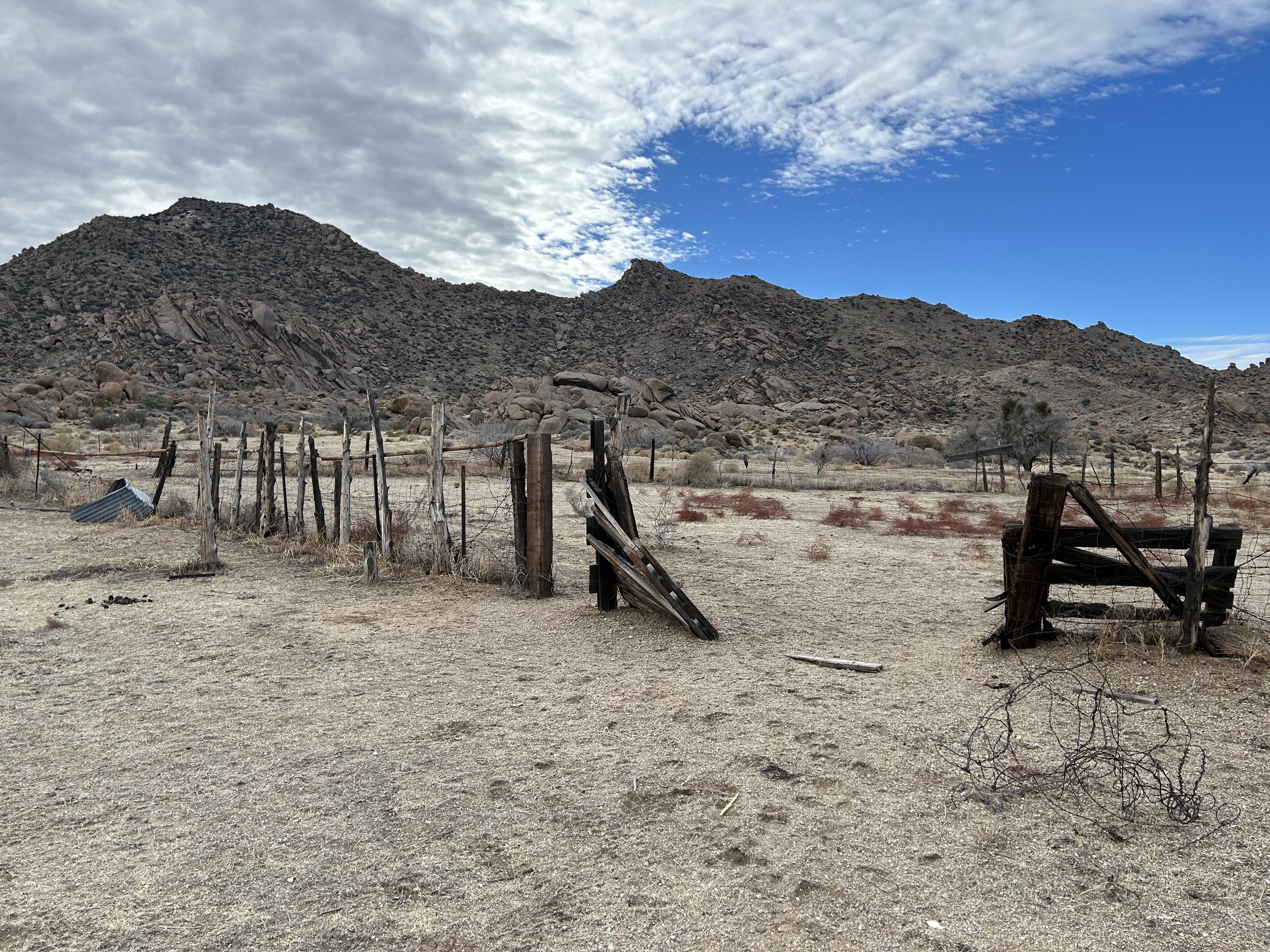
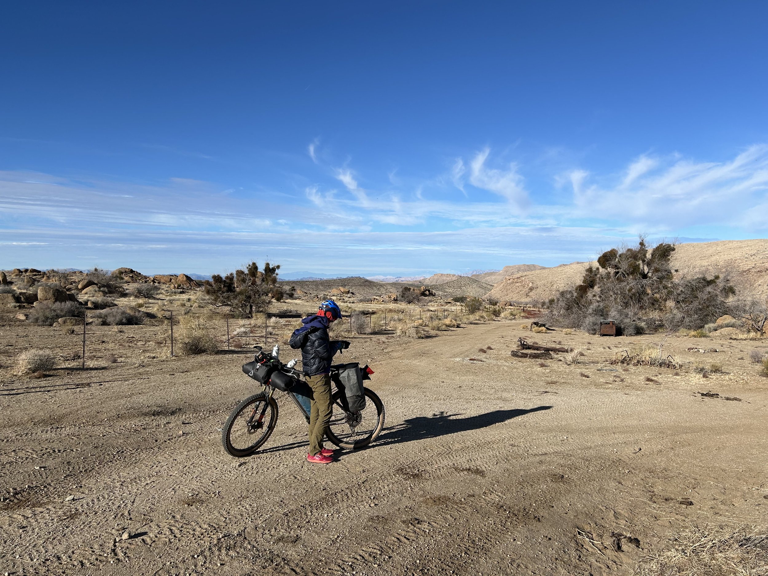
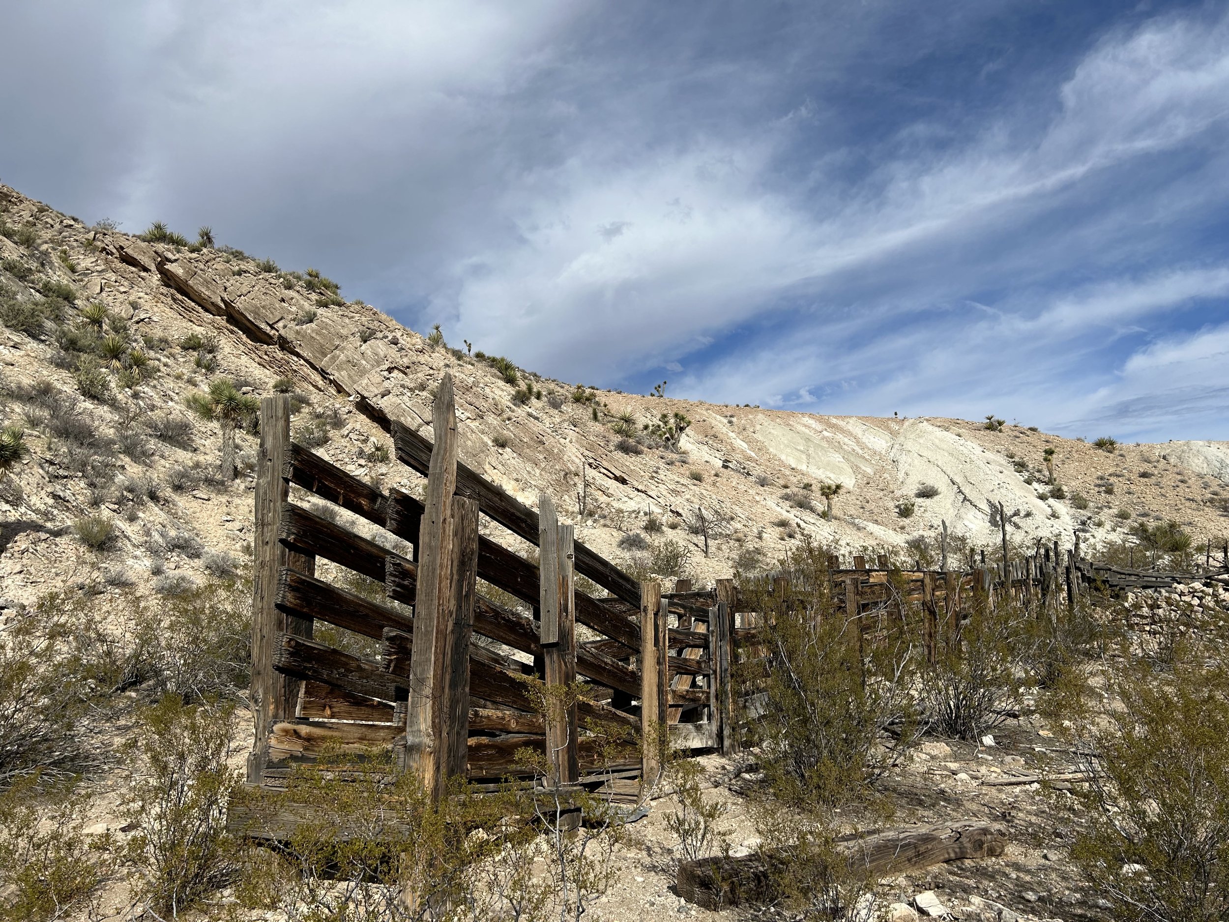
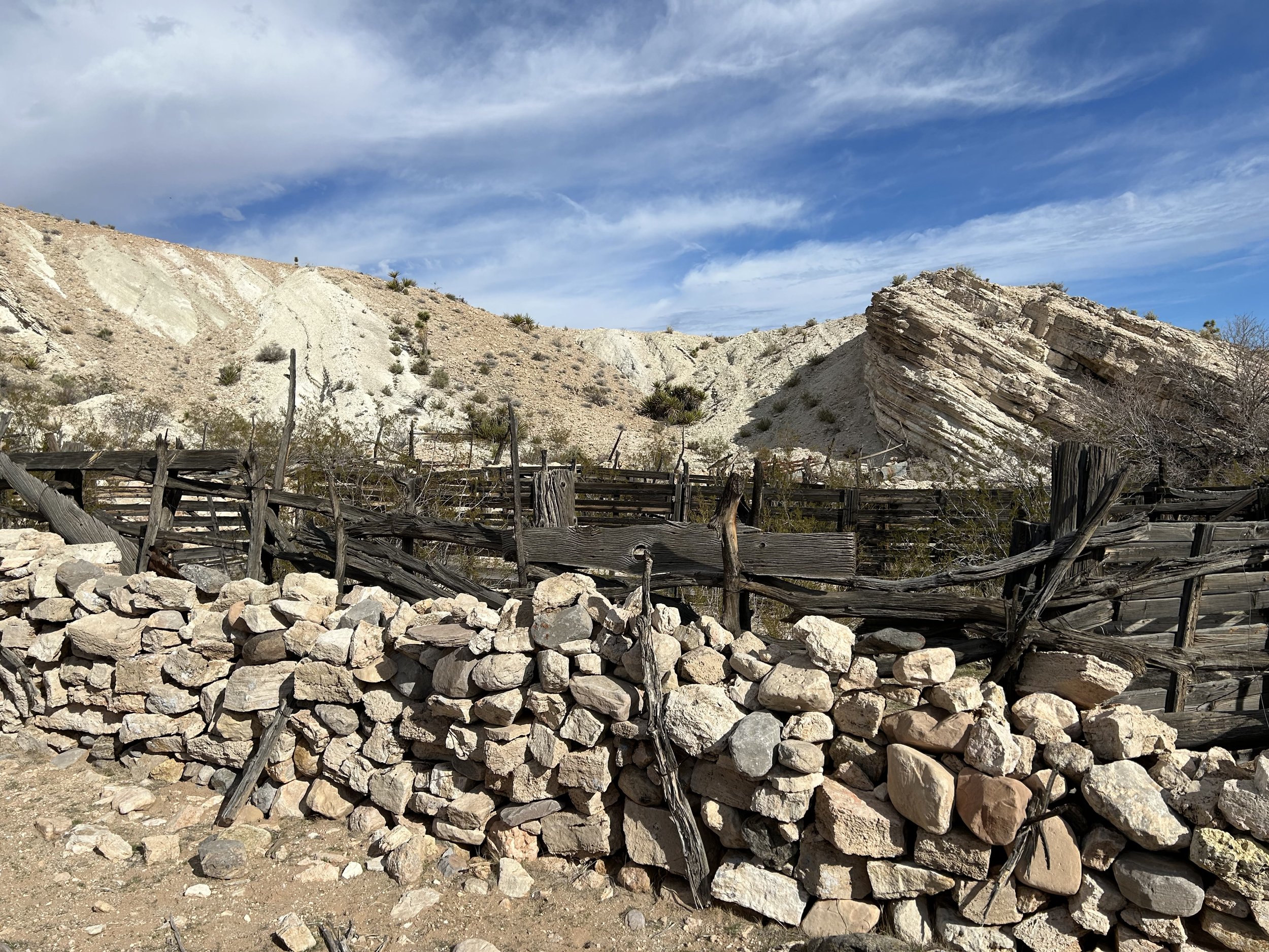
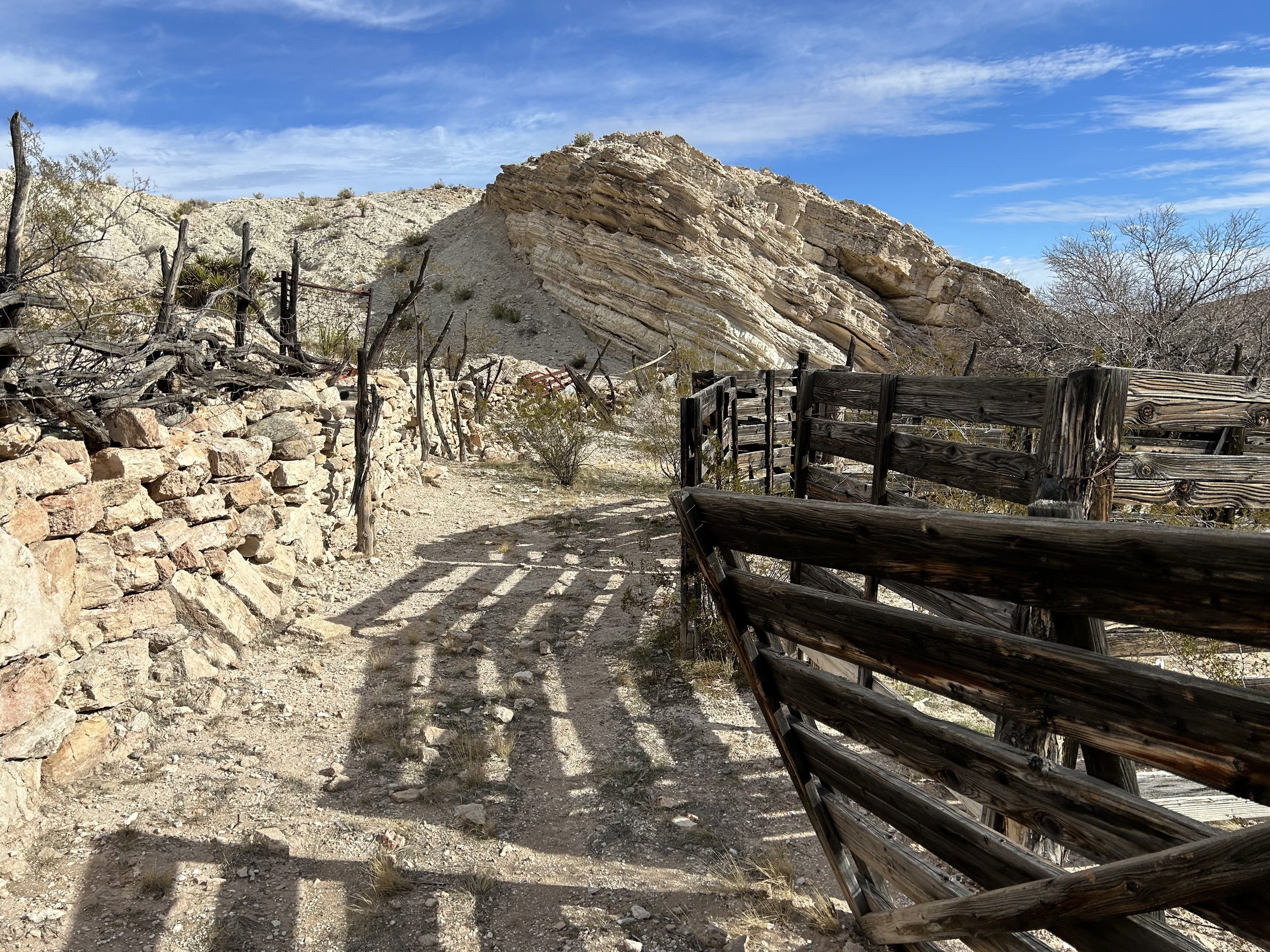
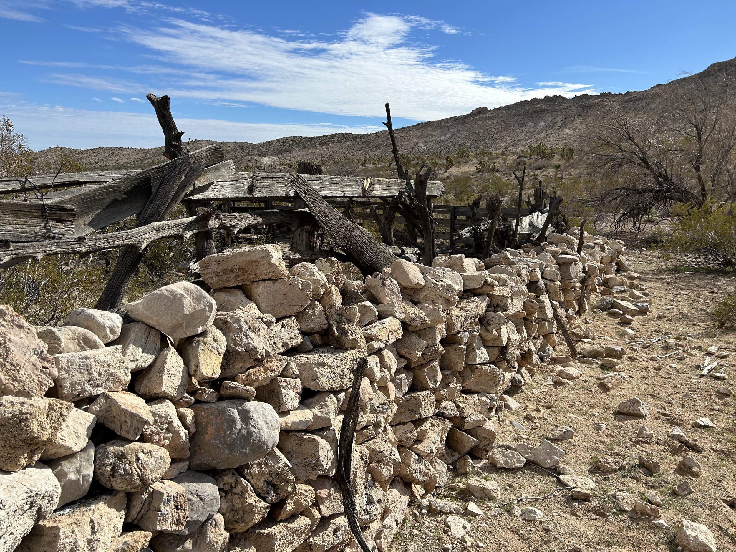
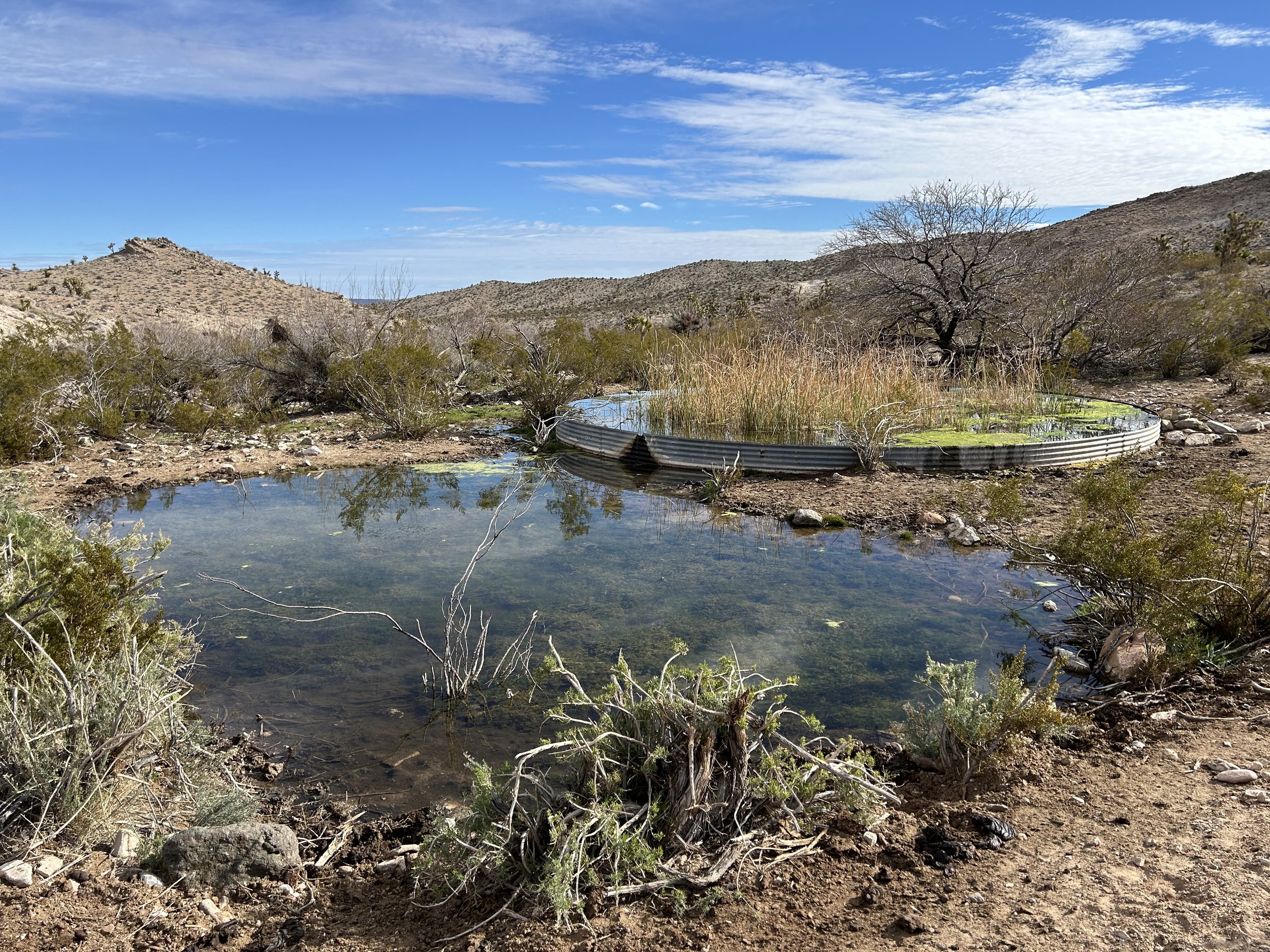
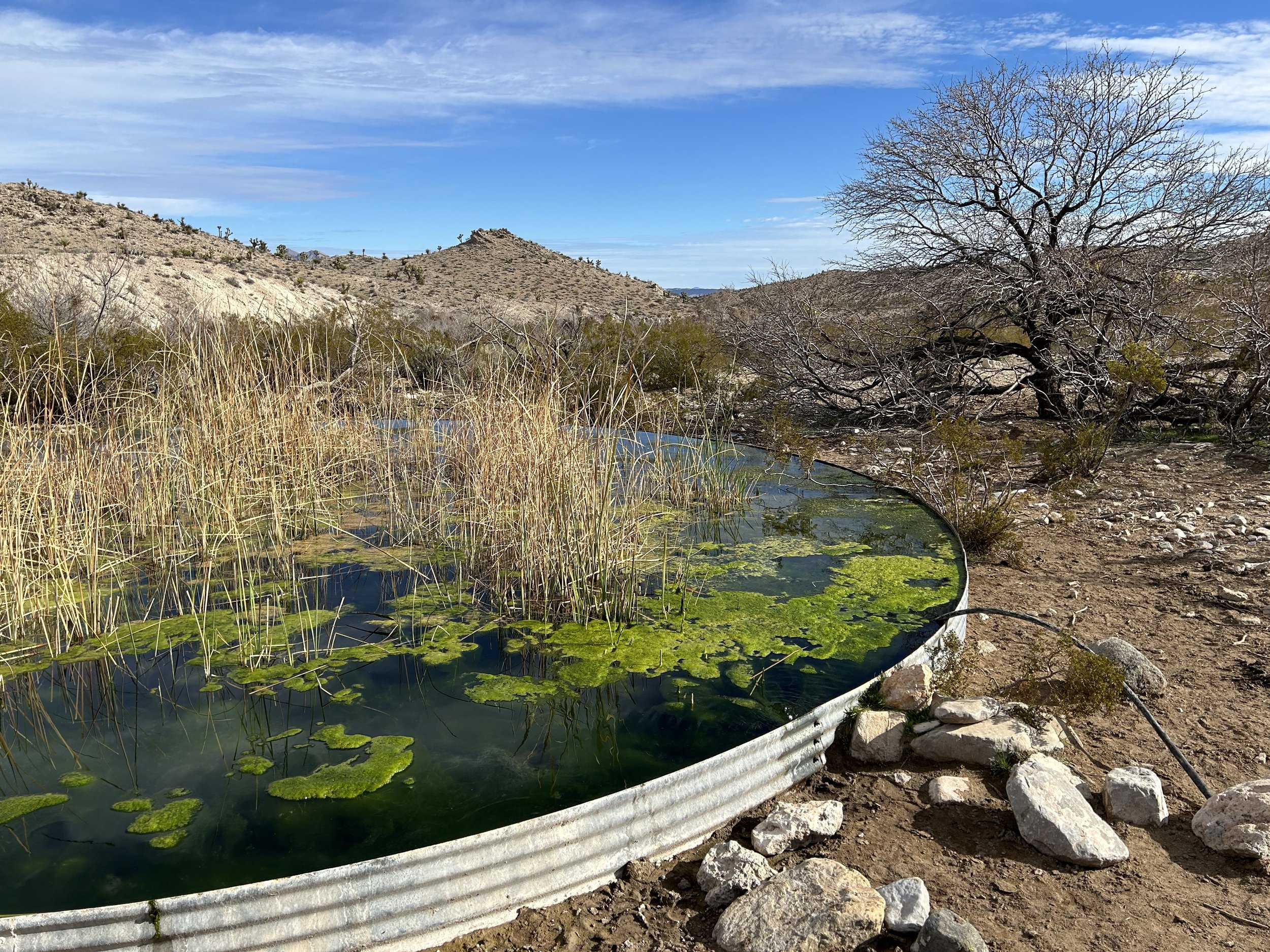
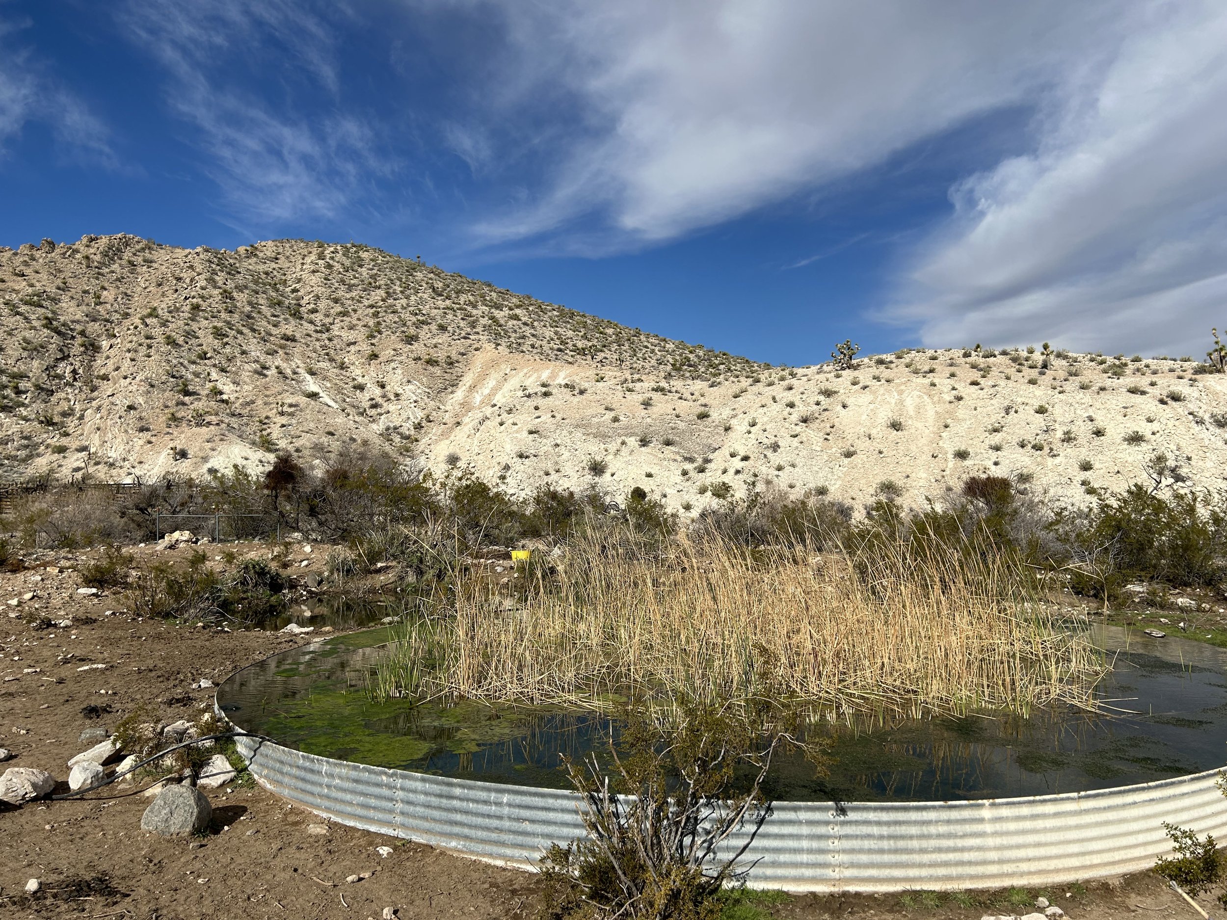
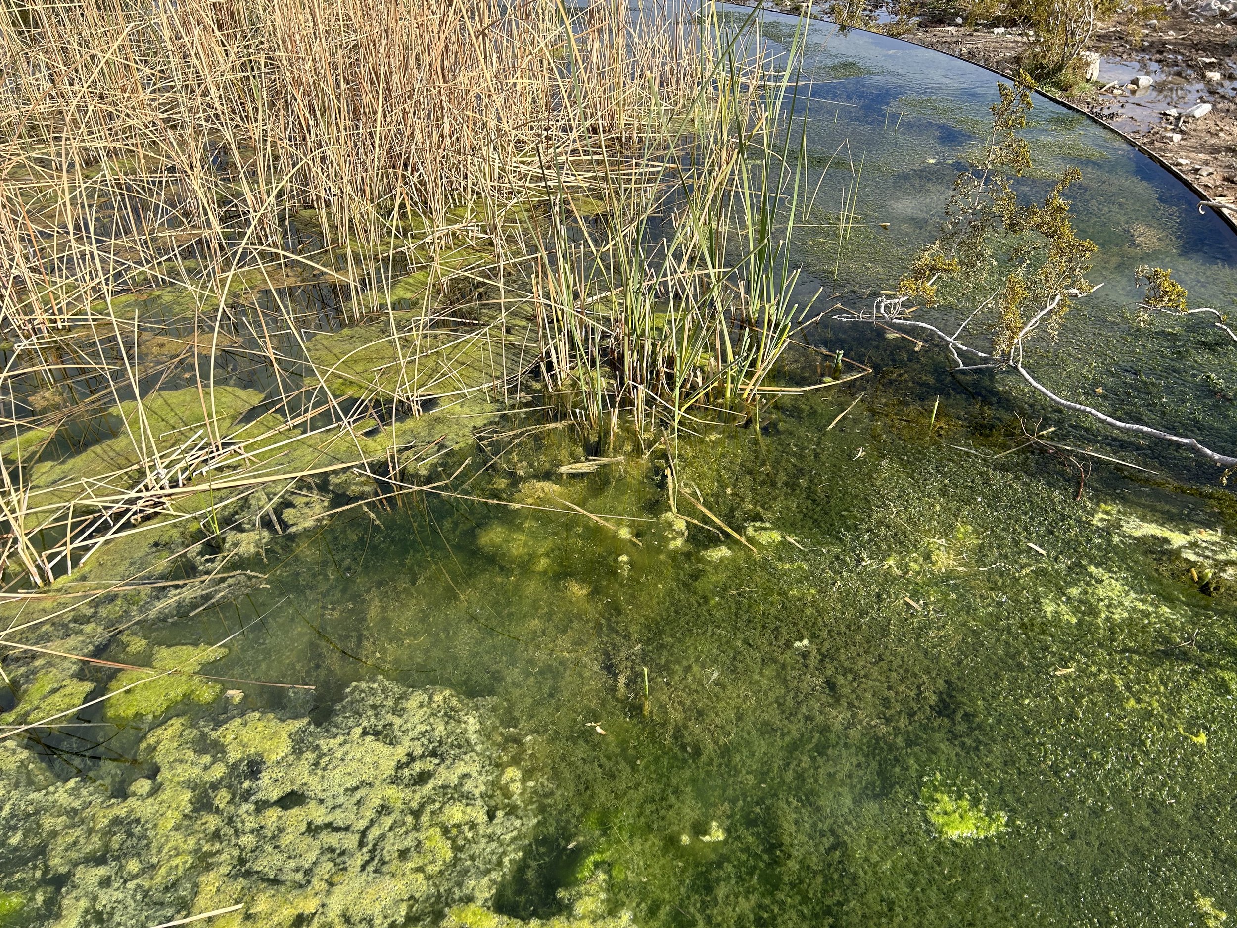
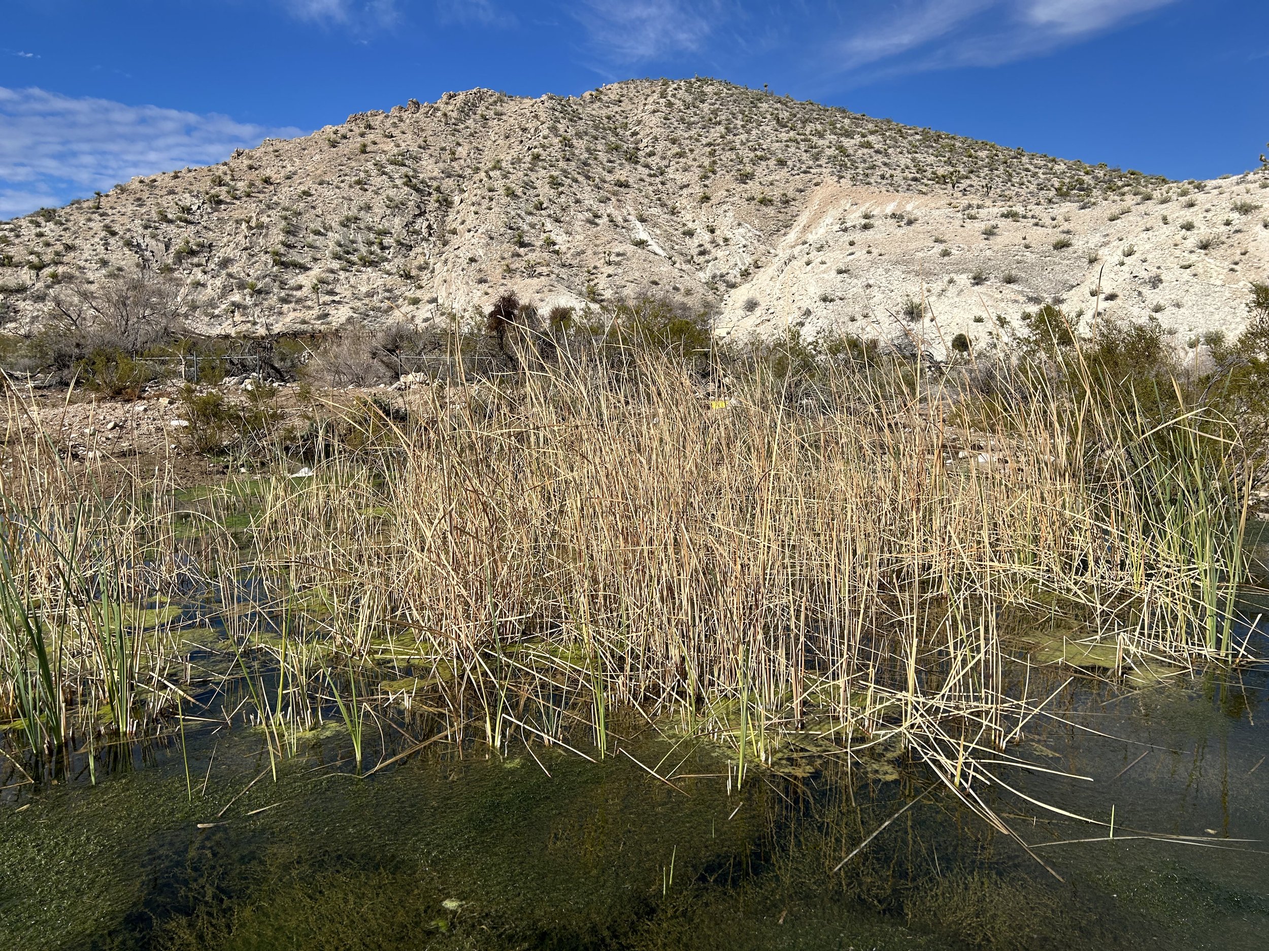
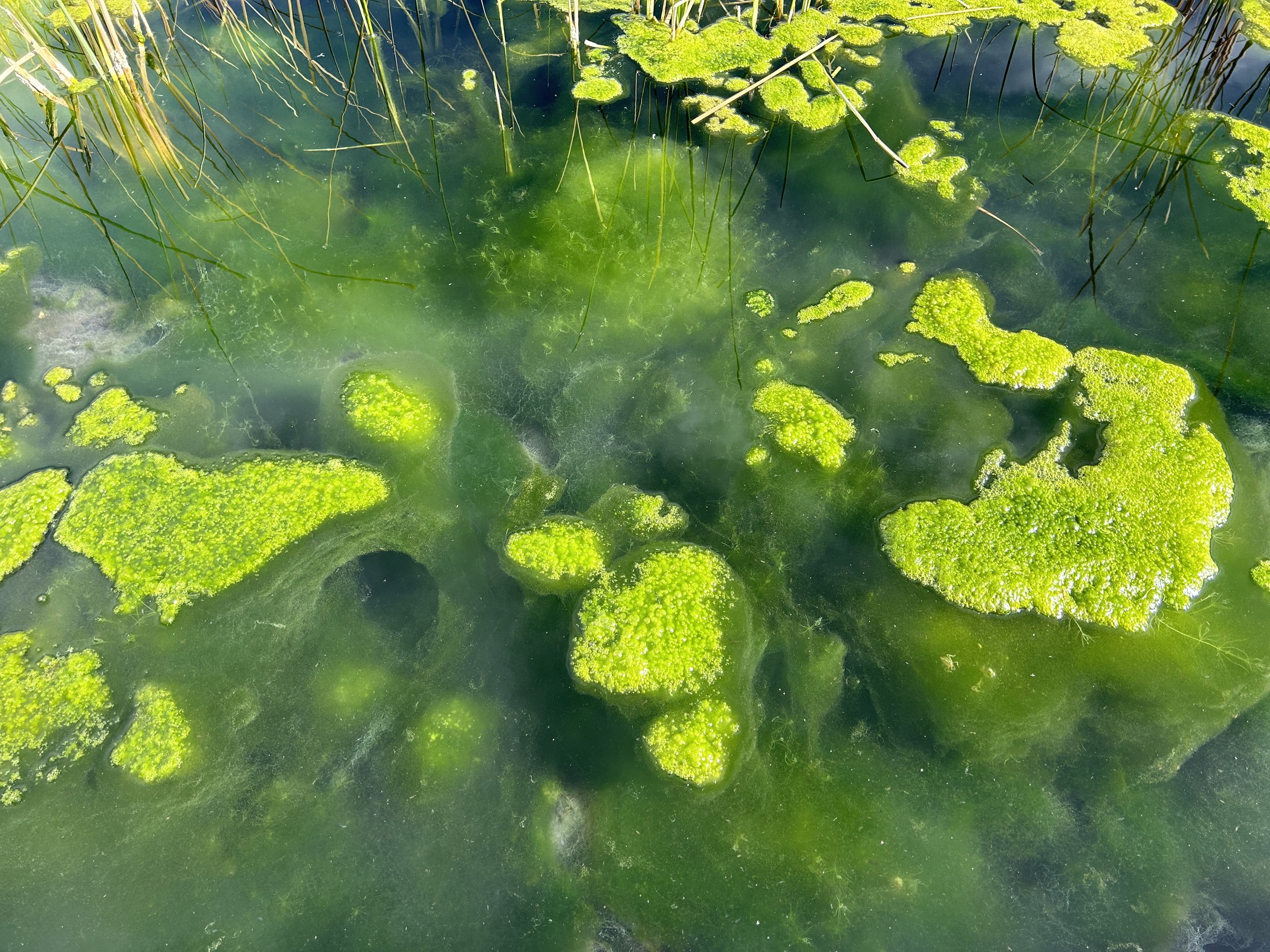
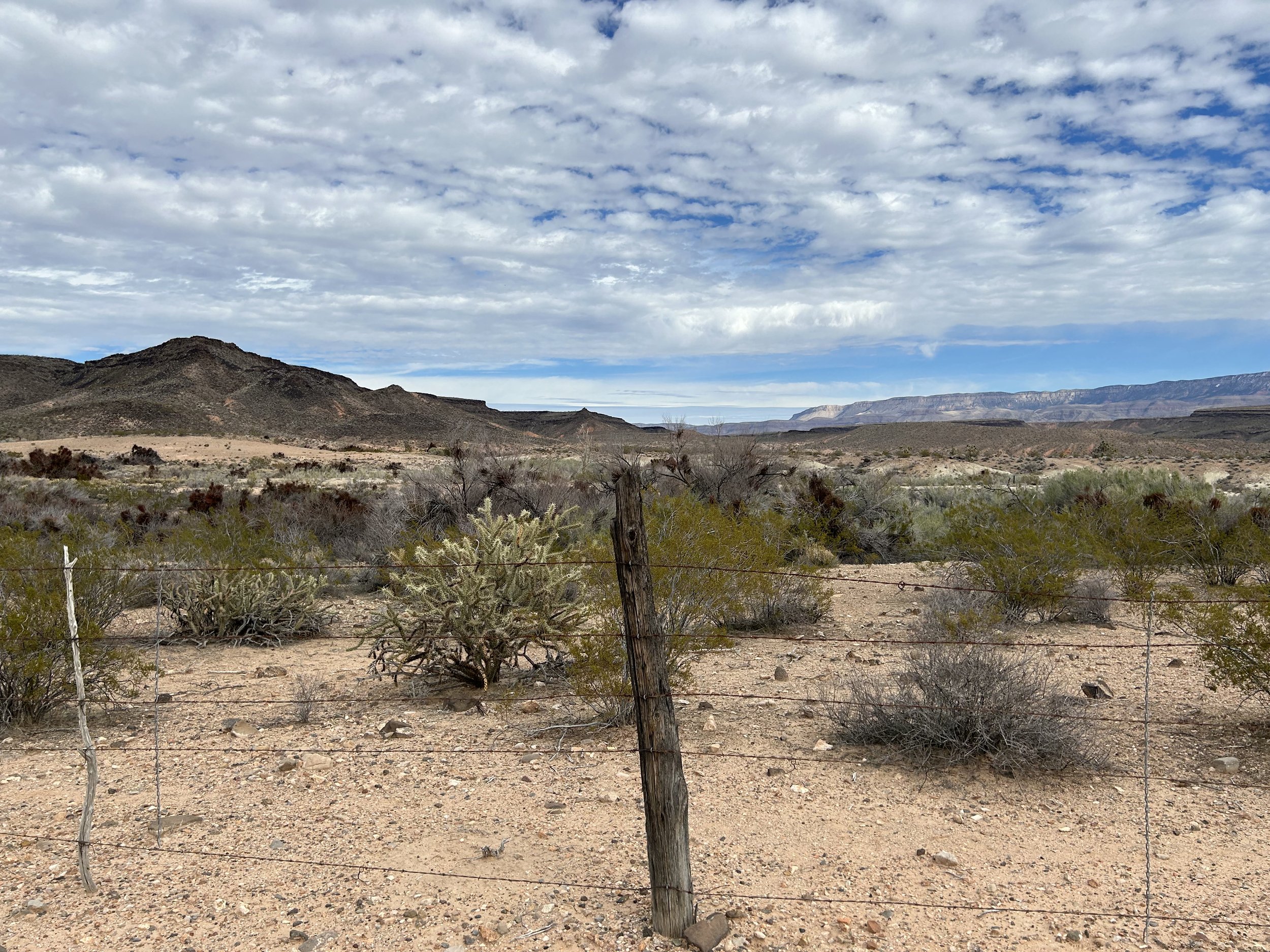
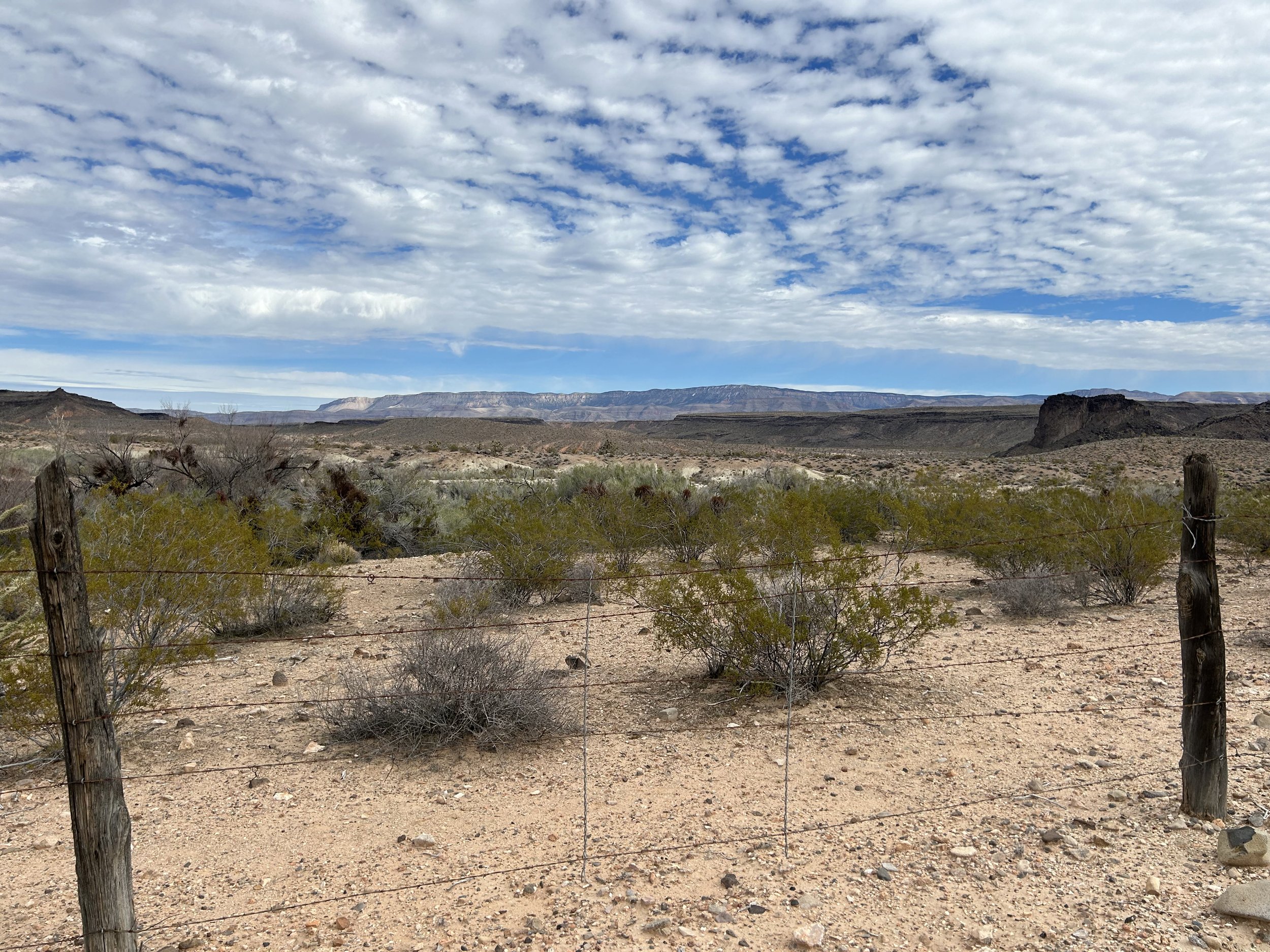
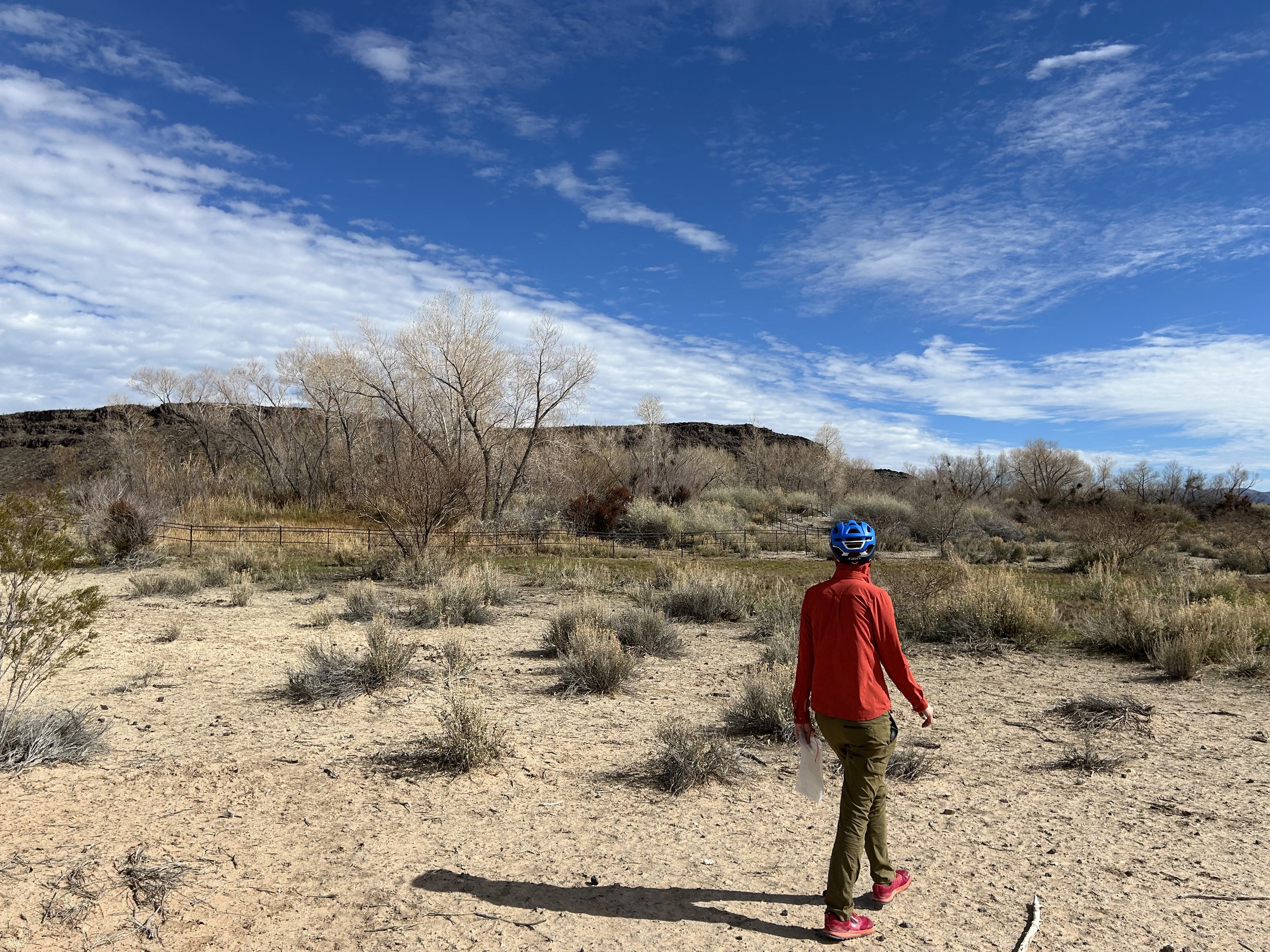
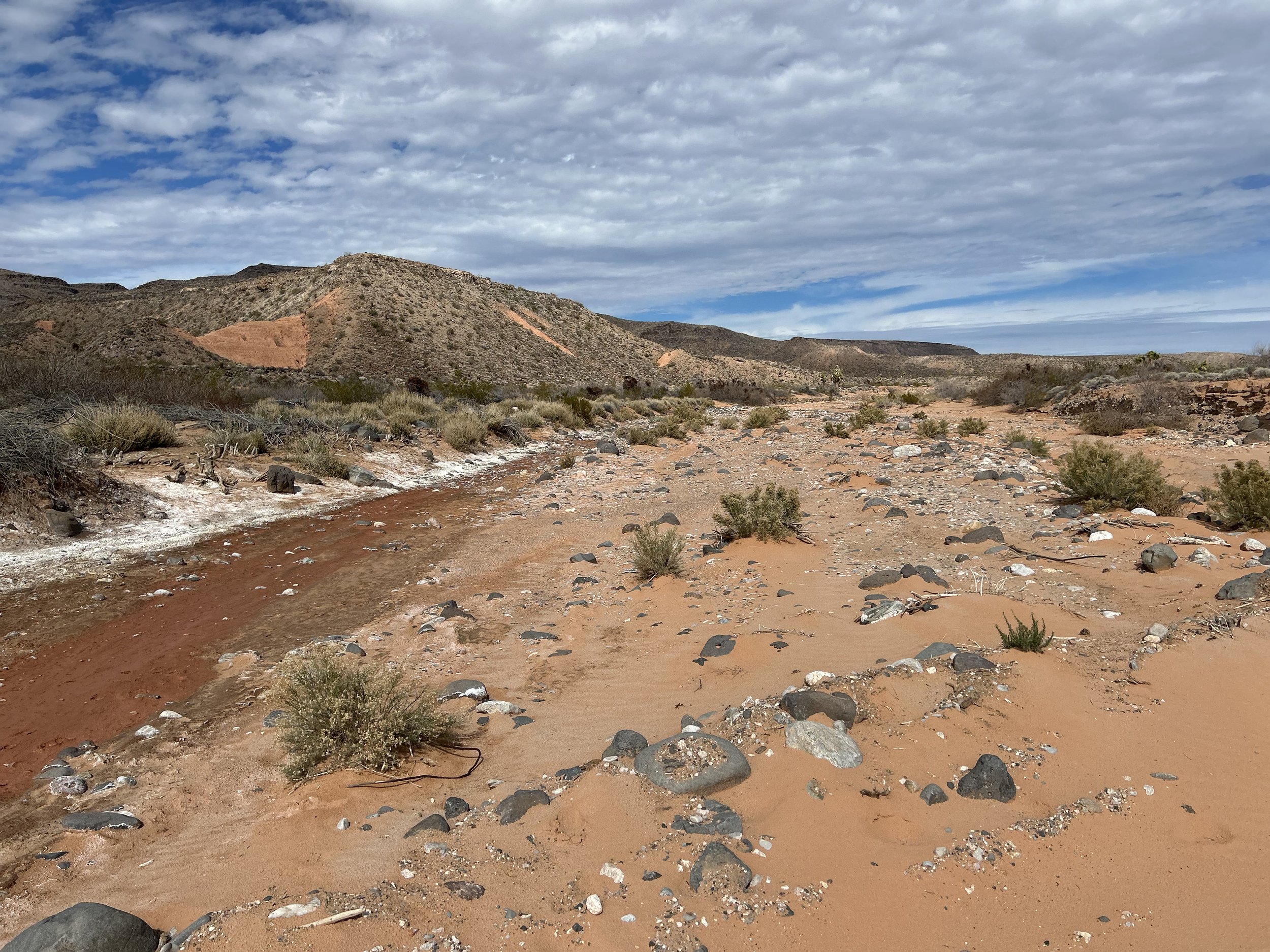
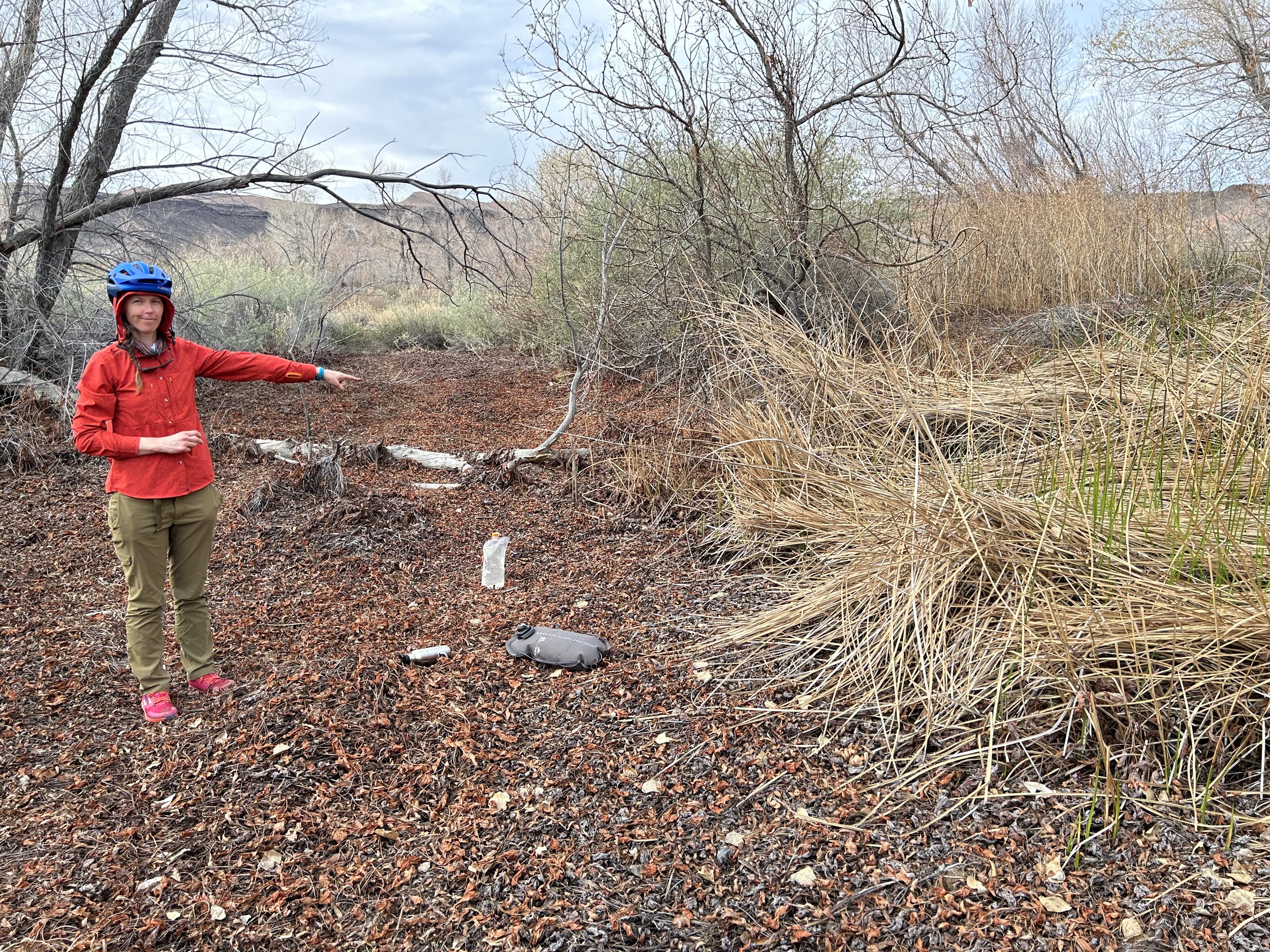
Janna opted to rest in the shade of mesquites while I headed down the wash looking for the spring. I came upon an old corral made of sun-worn wood and old stone. Just across from it up an adjoining bank was the opening to a makeshift corral illegally crafted by the Bundys for cows. Horse Spring was previously a bit of a puddle seep, but the Bundys had dug up the source and installed a pipe to a metal trough that now resembled a verdant aquaculture setup out in the desert. I made a note of its good reliability. I made my way back to Janna where we got back on the bikes and pedaled along the primitive connector road back to well-maintained Gold Butte Road. The connector was sandy in spots and rocky in others, but was short in length.
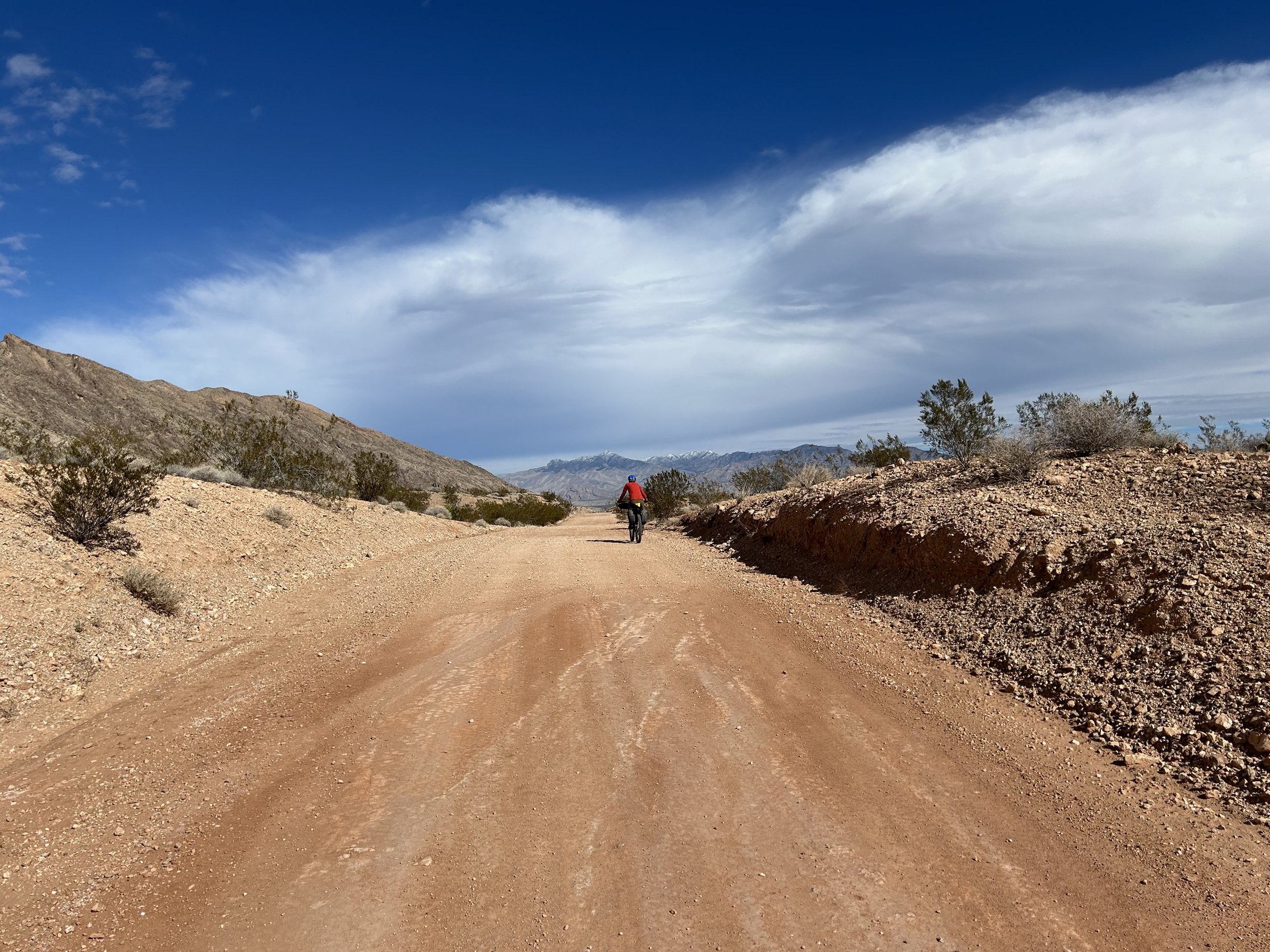
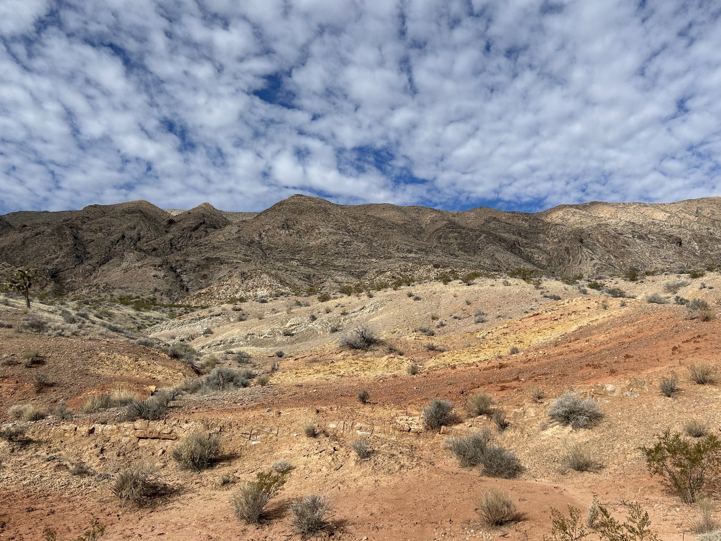
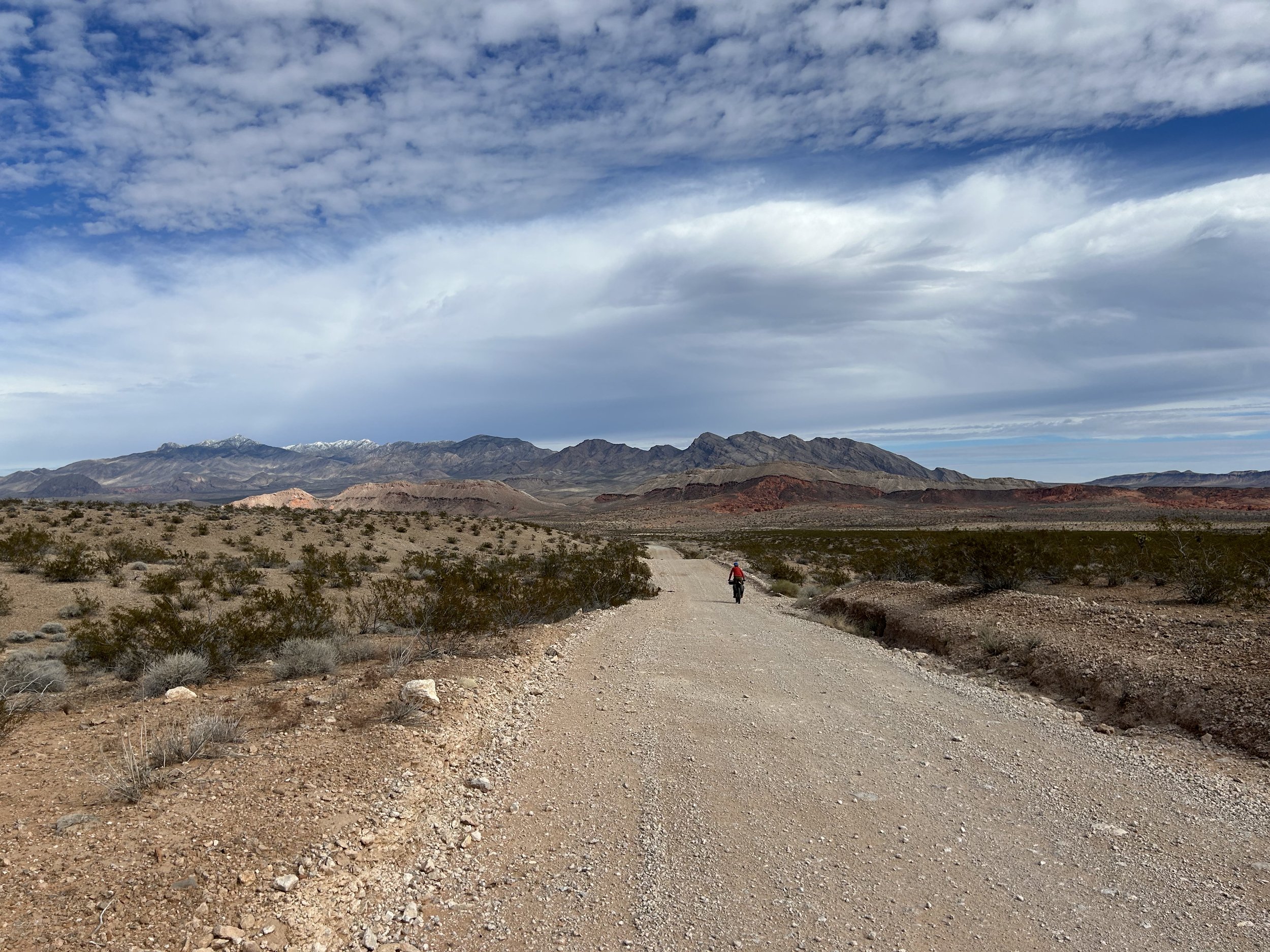
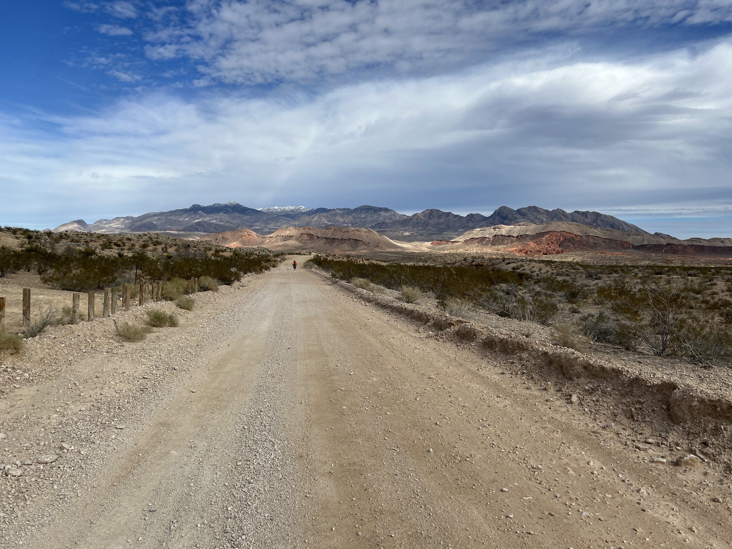
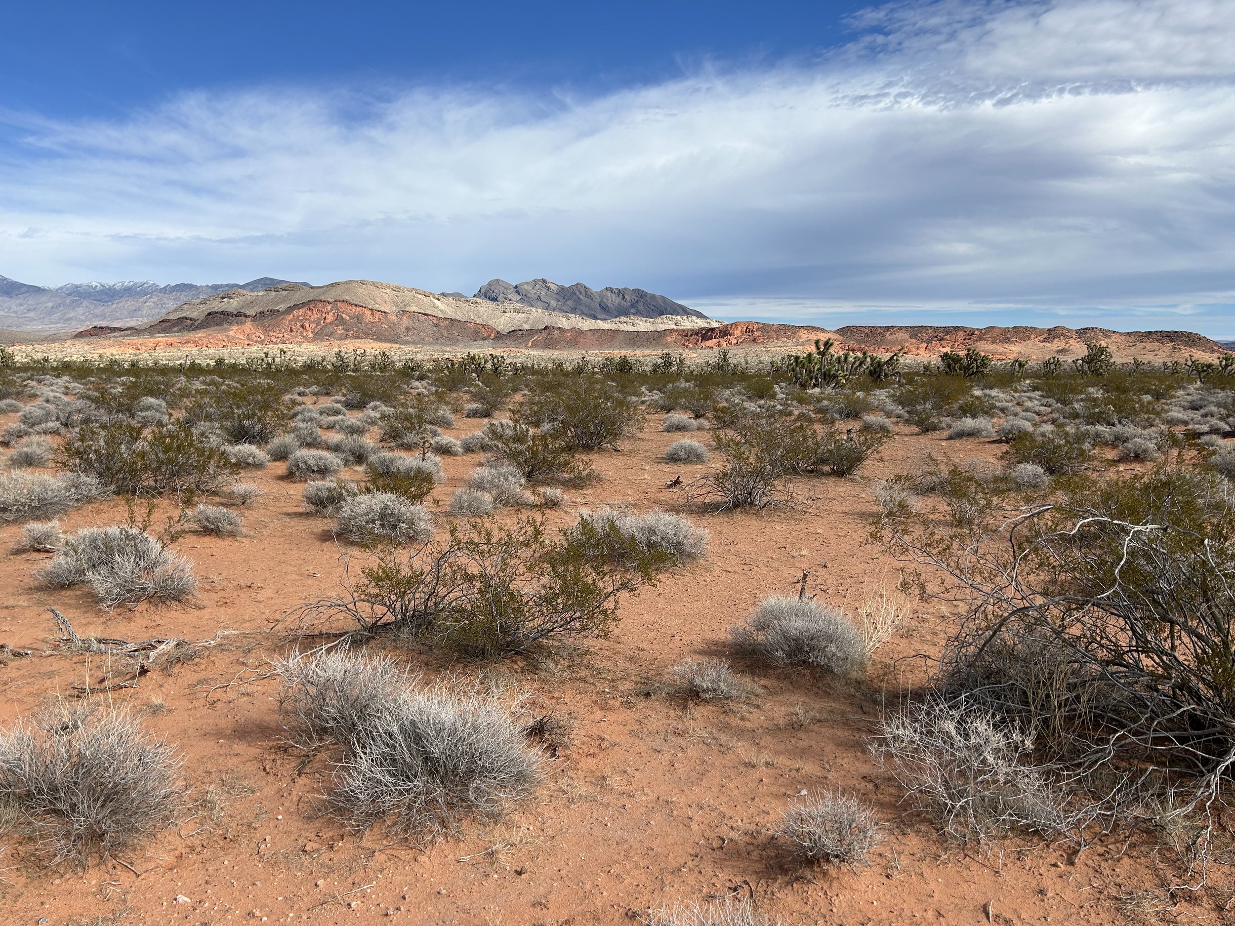
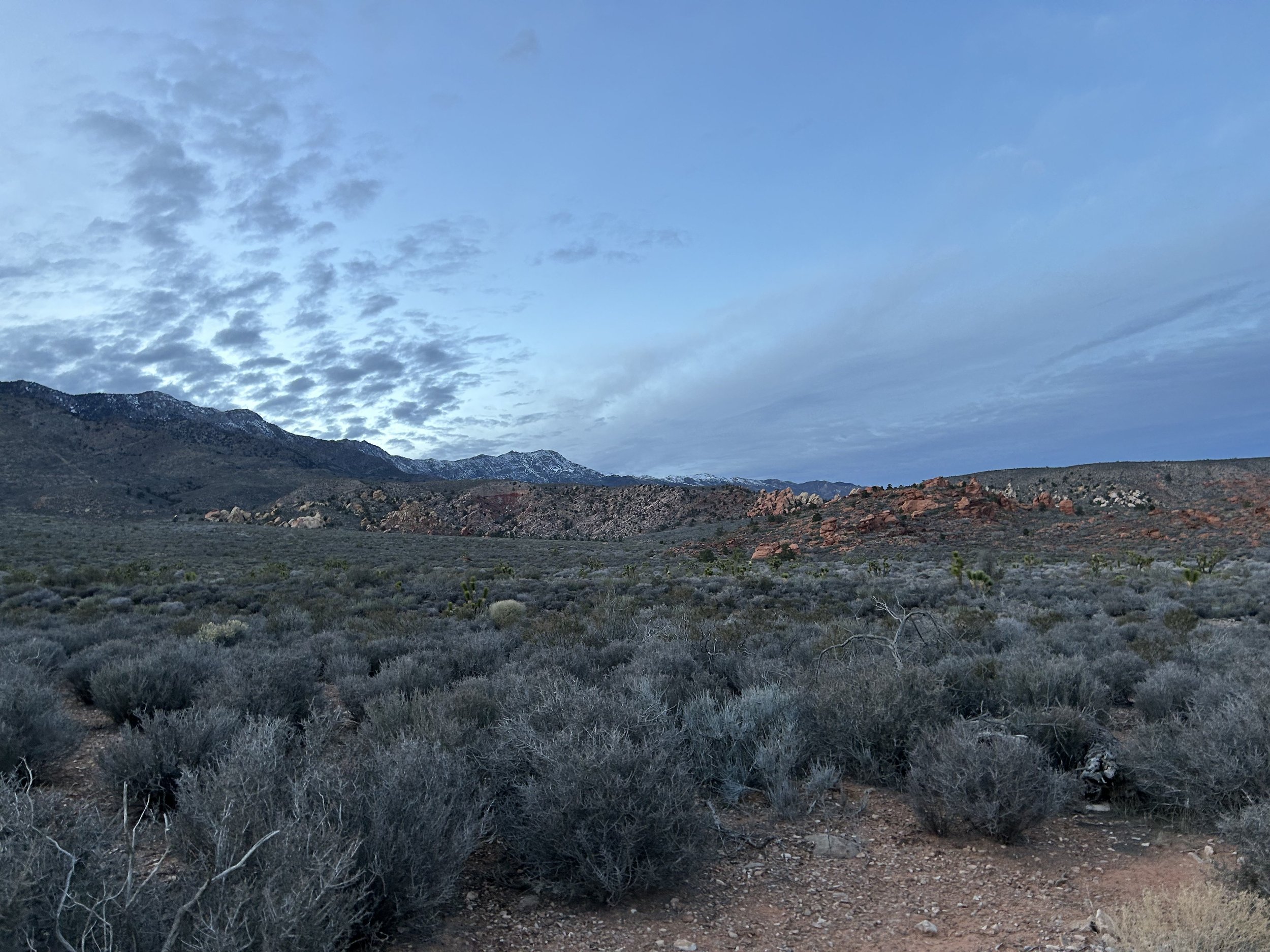
Back on the main road, the surface continued to be excellent. We sailed down towards the increasingly widening basin. I could not get over the colors and spewing layers of rock just flowing out of the mountains. The distant Virgin Mountains with their white-coated tops just hung as a visual depth-cue over the red heart of the desert ahead. It was right at our arrival at St. Thomas Gap that the clouds shifted overhead, mottling the distant Mud Hills with light-interspersed that made us stop and just take it all in. At the junction, we swung right and started down a bit rougher road to the stateline between Arizona and Nevada.
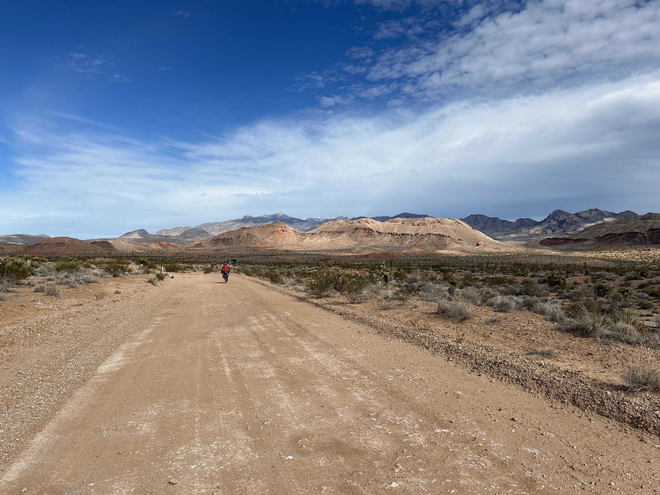
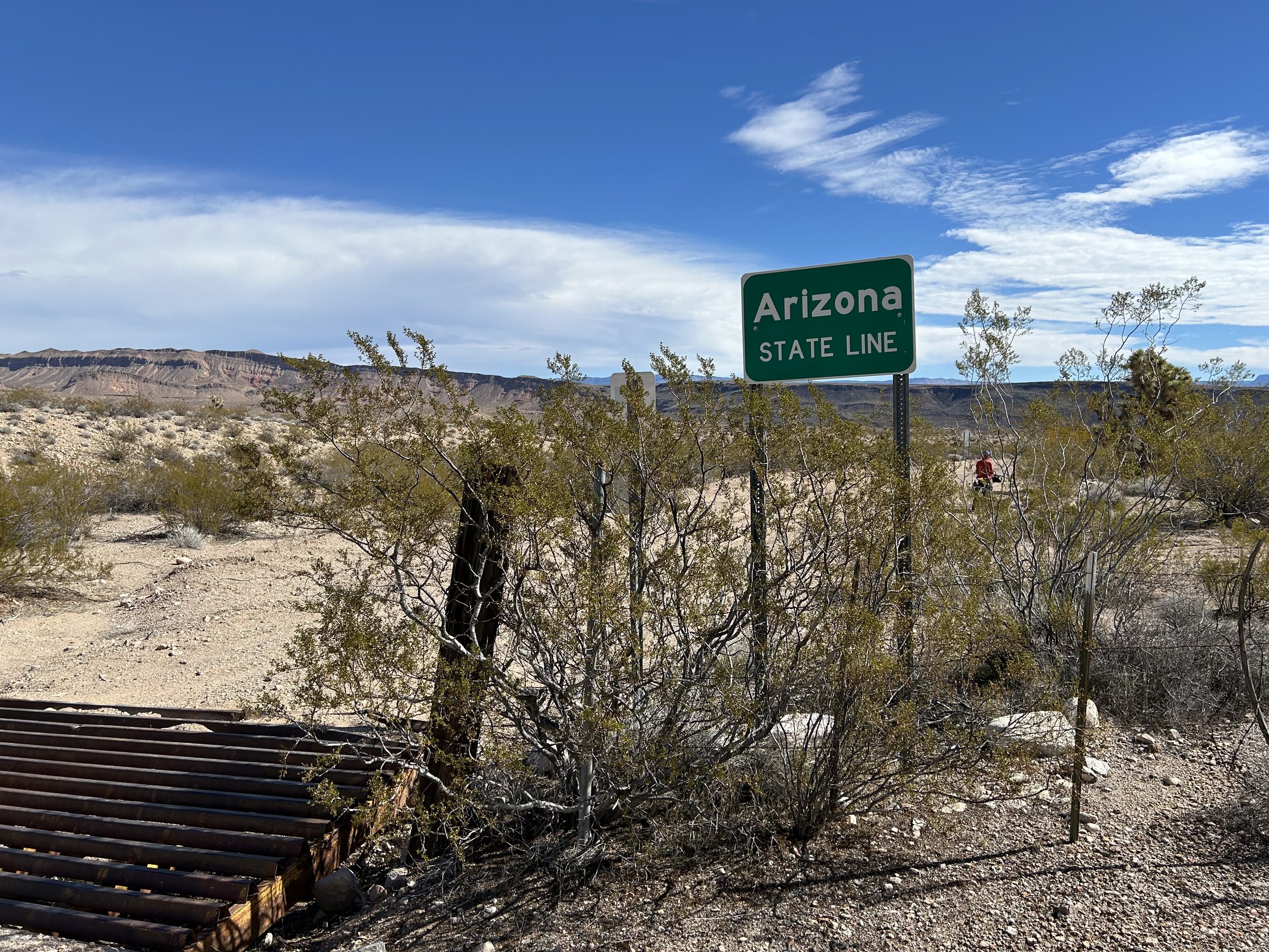
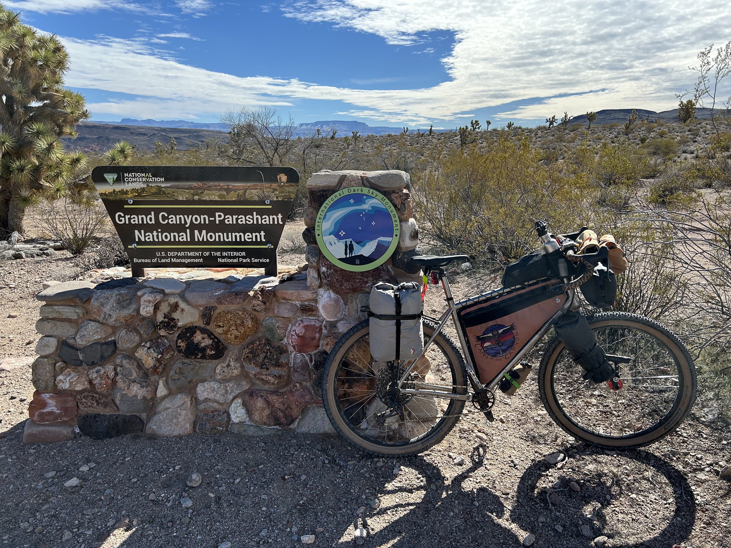
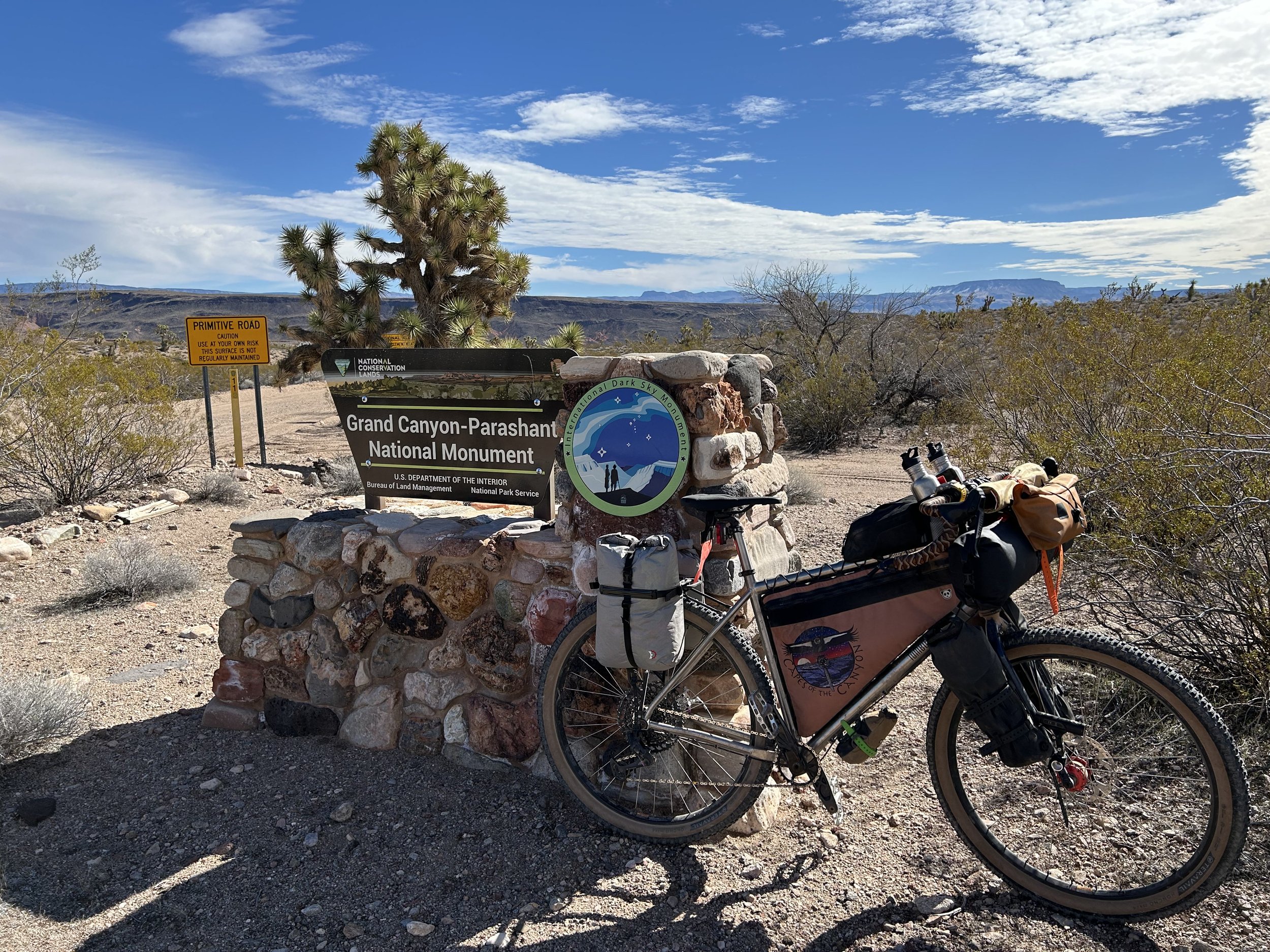
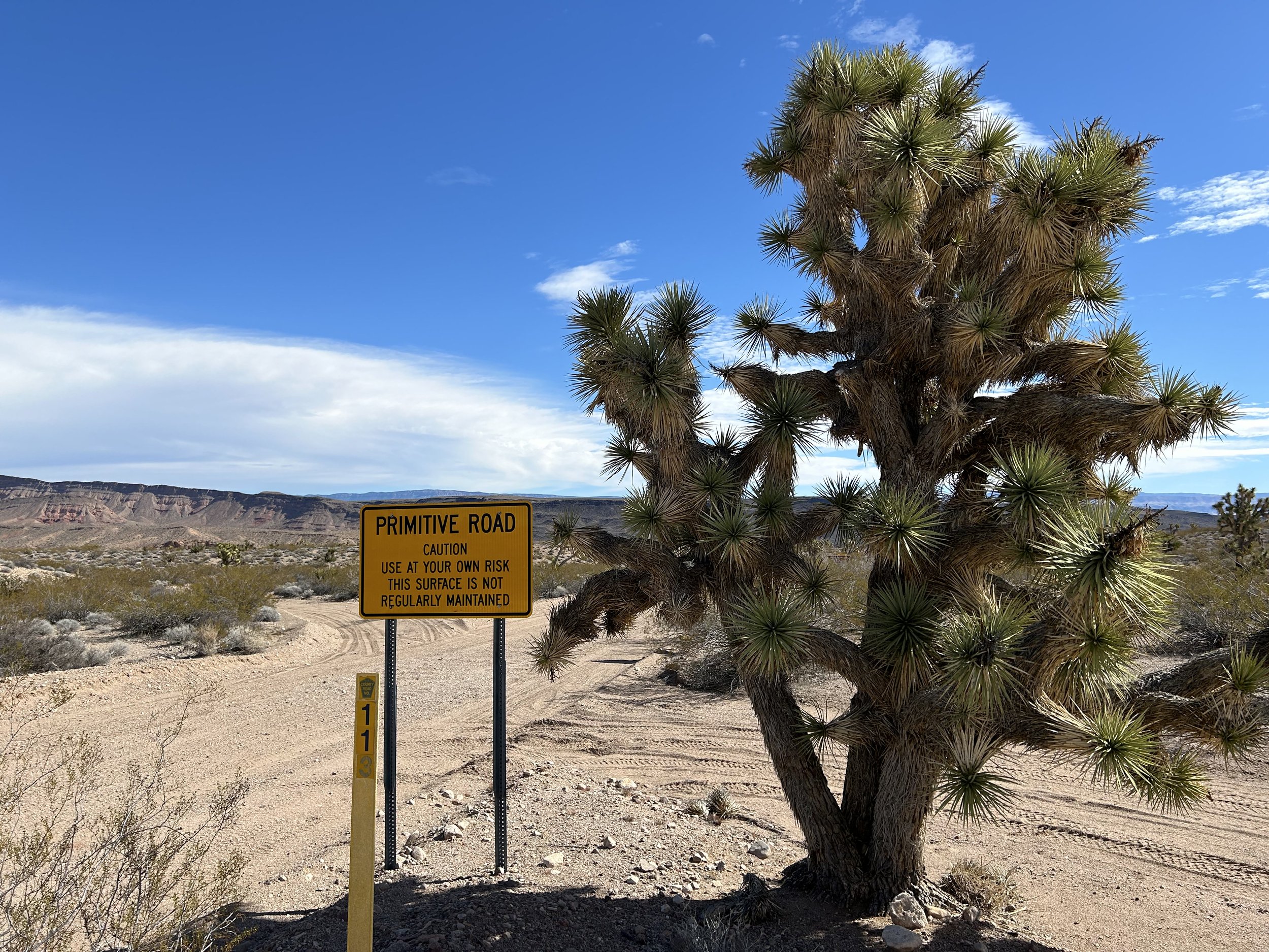
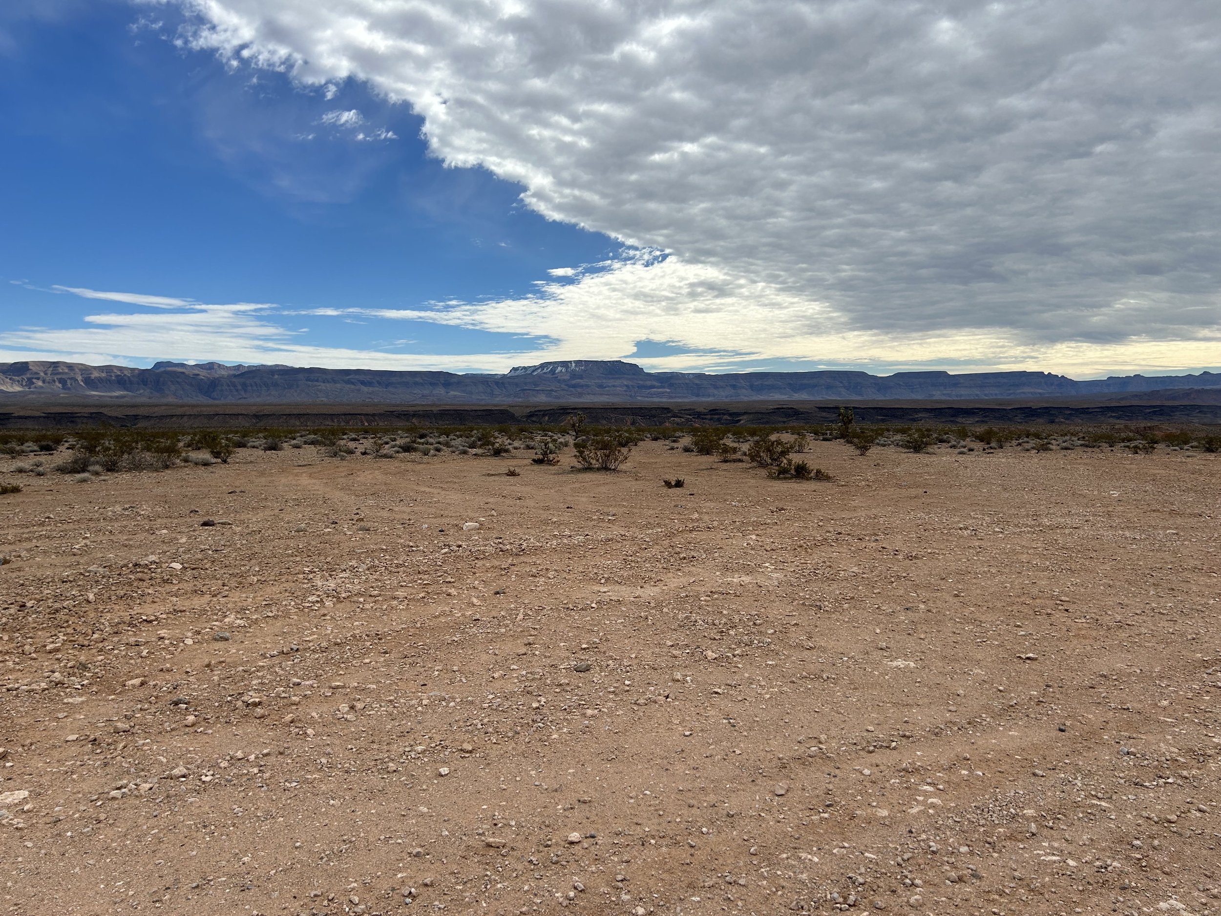
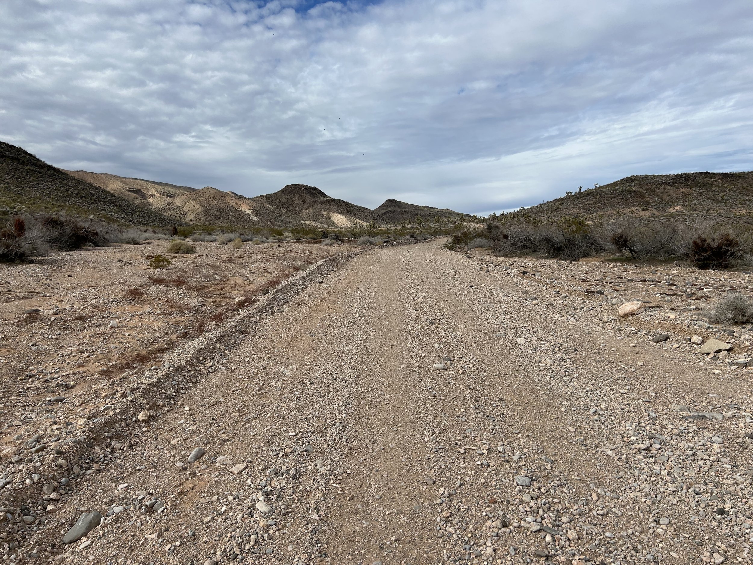
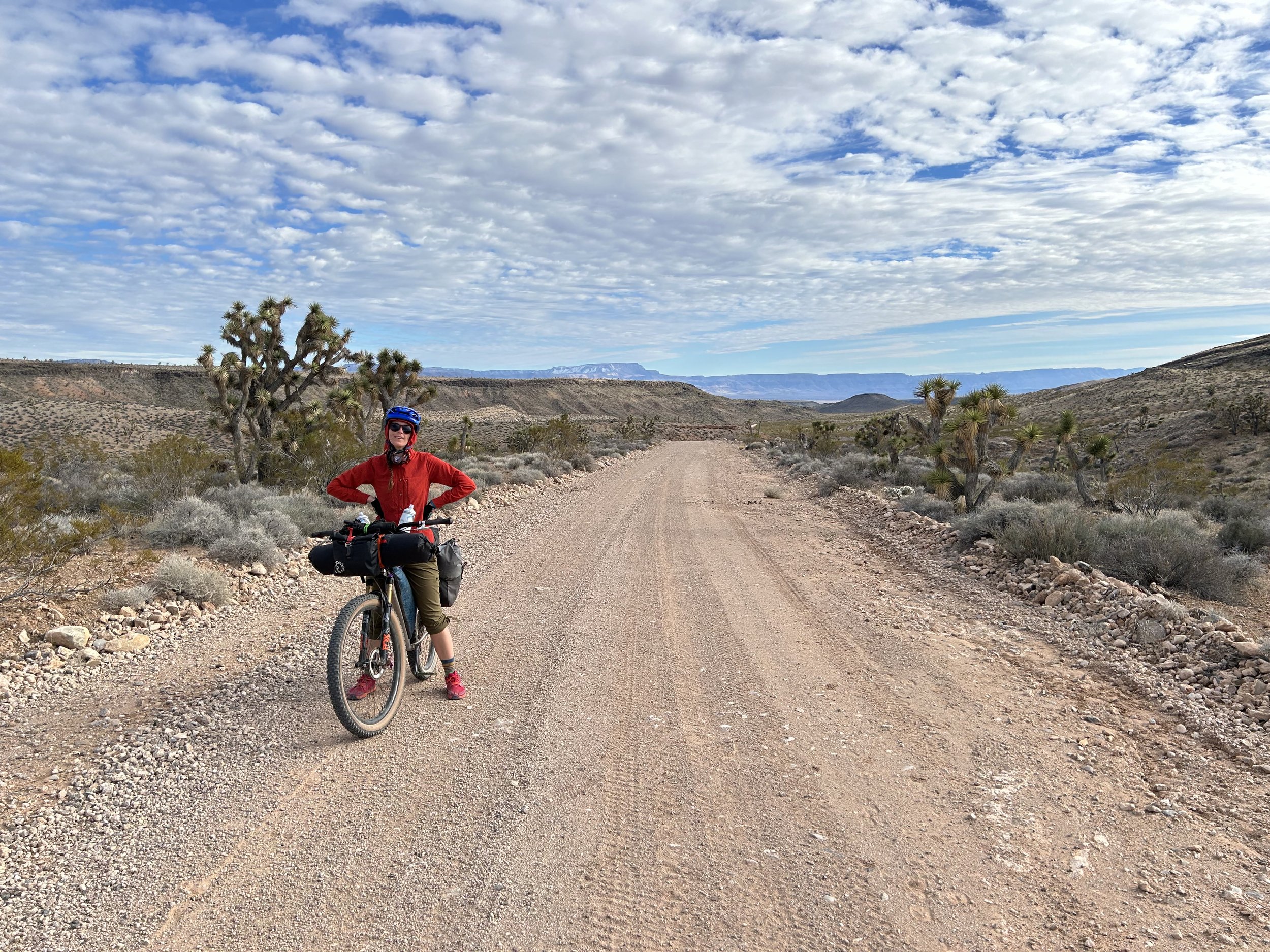
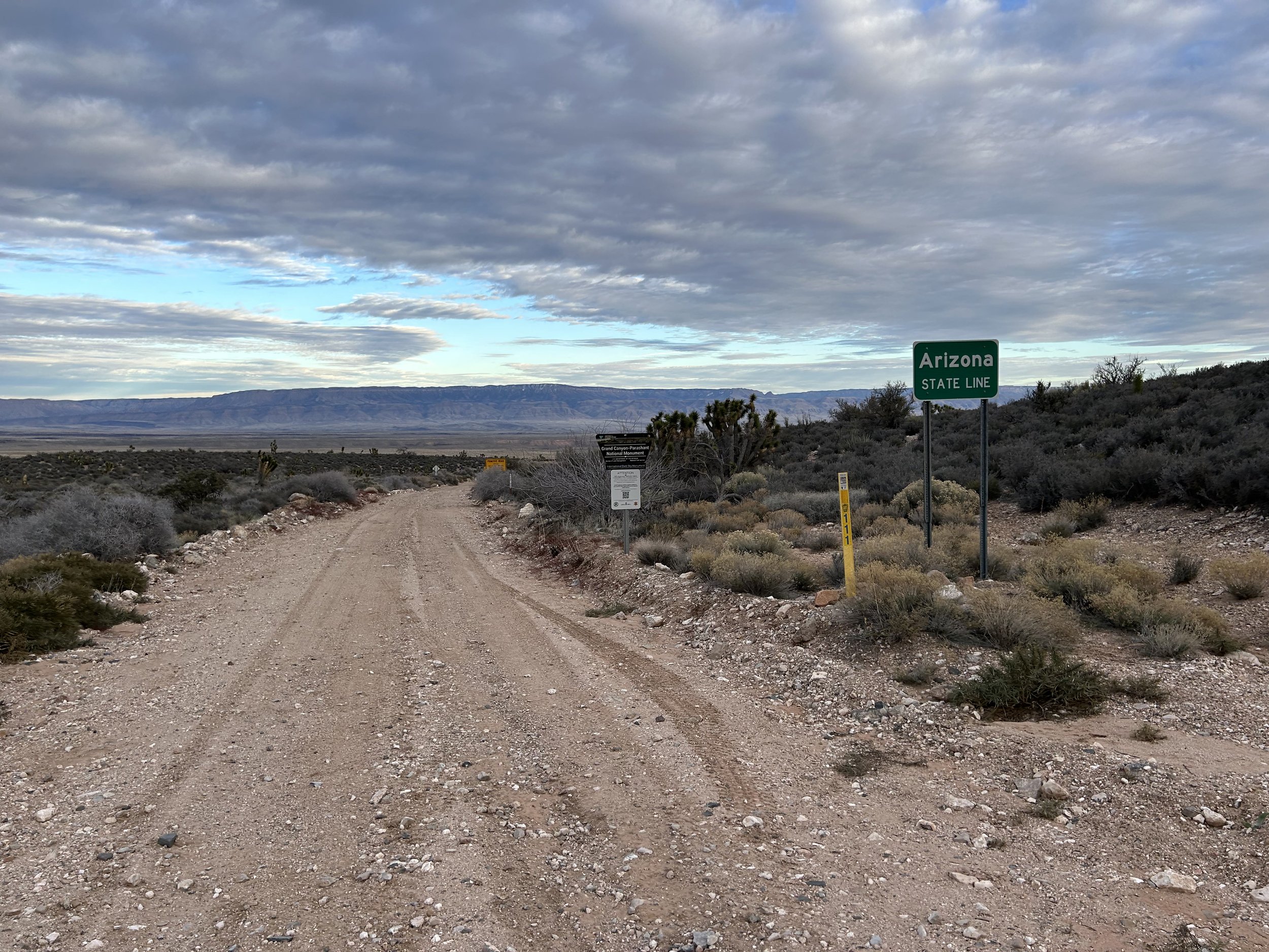
The NV/AZ stateline is also the division between Gold Butte National Monument and Grand Canyon-Parashant National Monument. Janna and I stopped to take requisite photos of the National Monument signs, noting the series of signs in tandem upon entrance into the Parashant that warned of no rangers, no services, no food, no cell phone signal, and no gas. Message received: it's remote and we travel at our own prepared risk. The road got a little sandy at this point and I was worried it might sand-up severely over the next several miles. Instead, it only lasted a few hundred feet before becoming glorious hard-pack again. Cloud-cover gathered in the west which was a welcome respite from the Sun. It wasn't too hot, but exertion always adds some warmth. Ahead the Grand Wash Cliffs stretched rim-like to a plunge out where distant Lake Mead must end; those cliffs mark the official end of the Grand Canyon. Ahead of us, they were all topped in snow. The road overlapped with Black Wash for a bit making it rocky from erosion/deposition in spurts, but a turn to our lefts taking us northeast carried us back up to better surface.
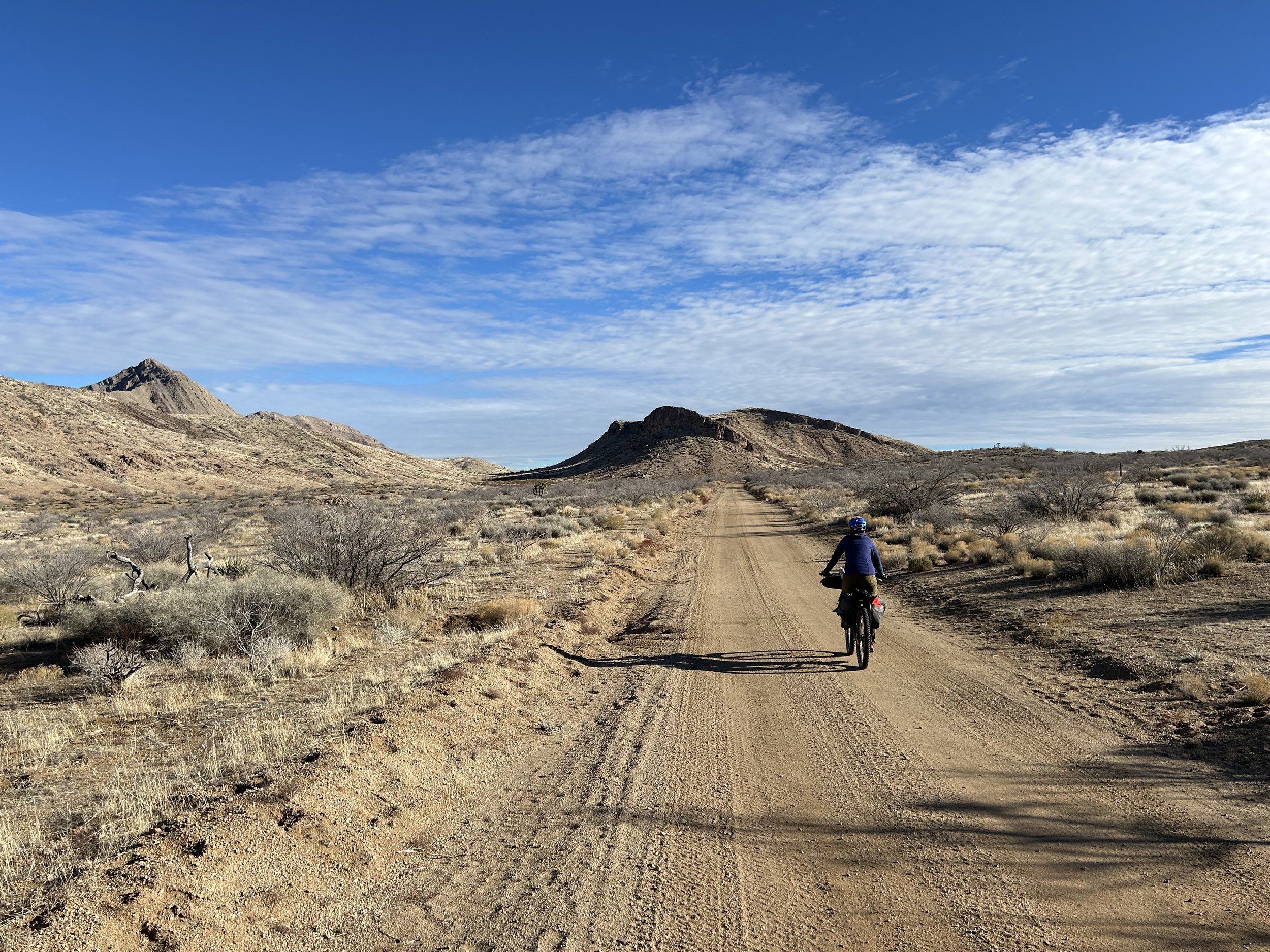
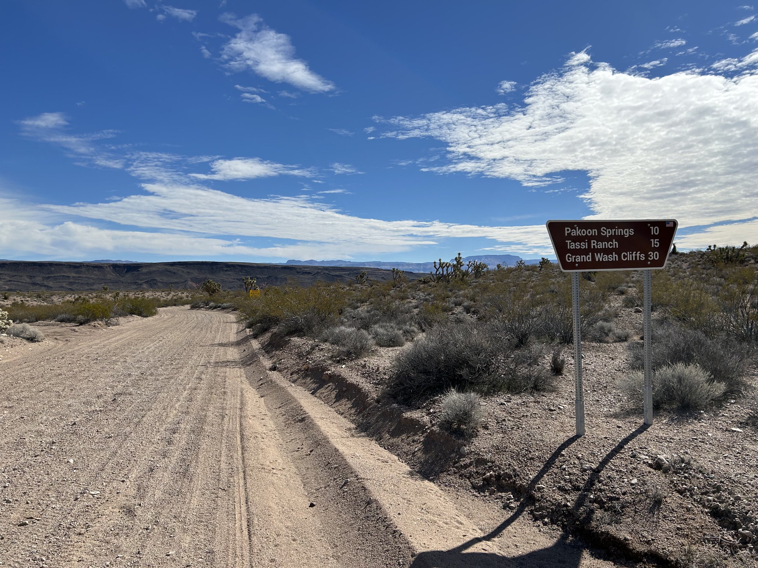
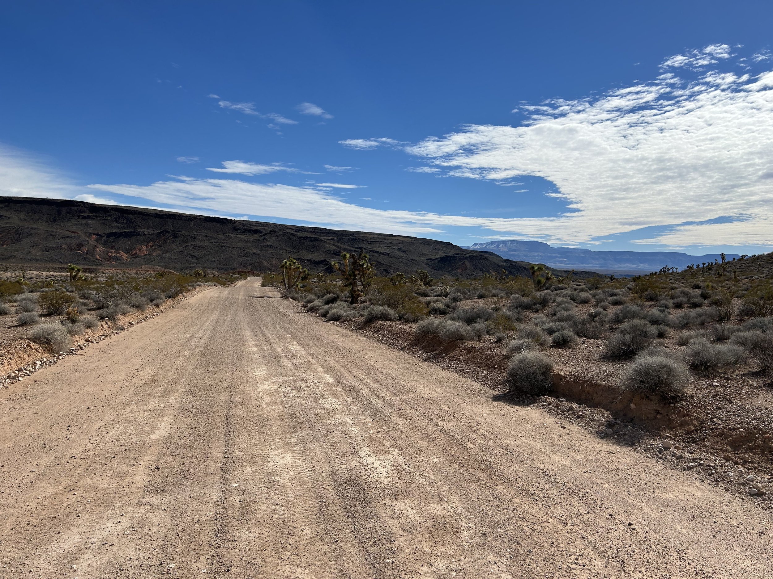
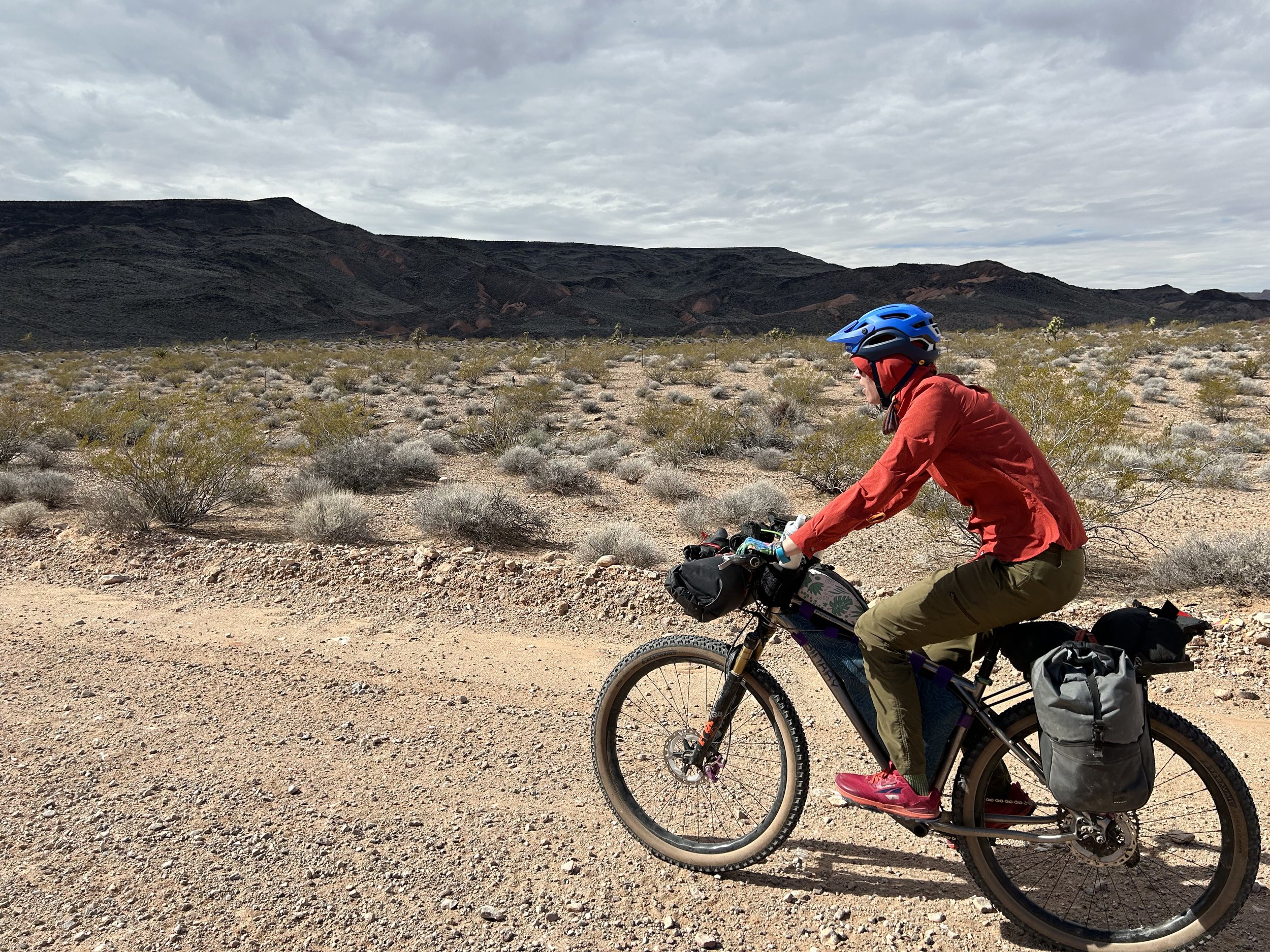
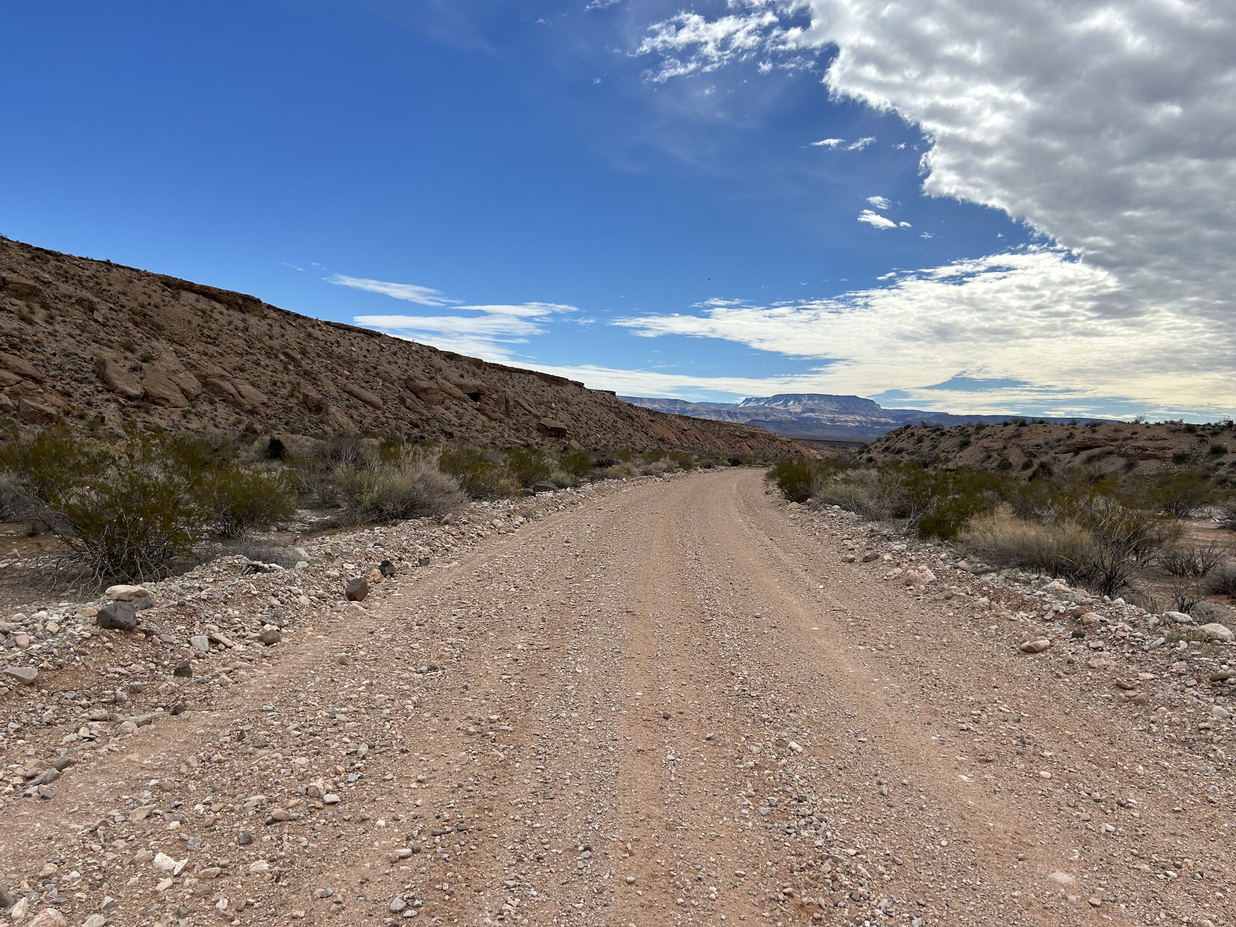
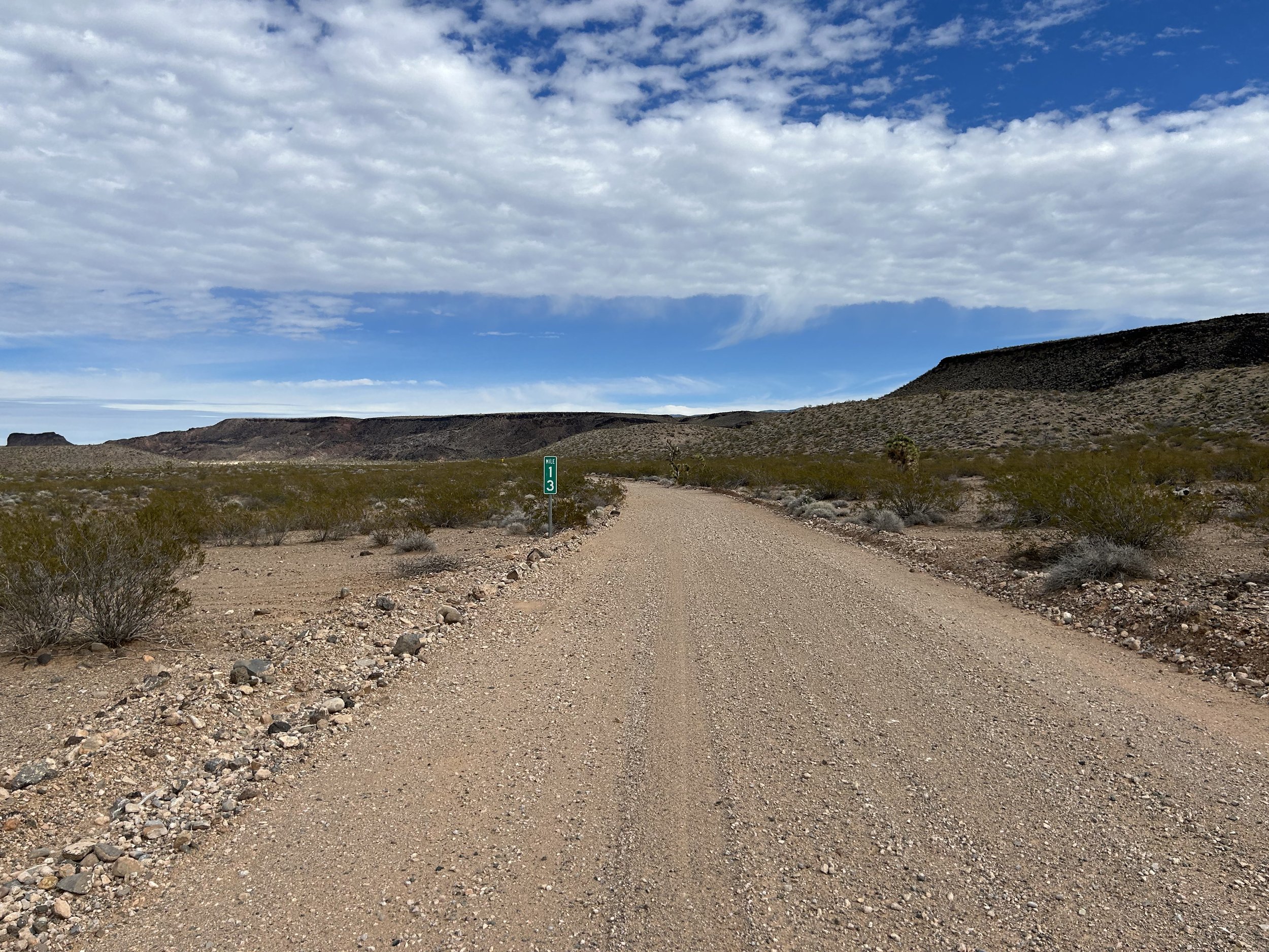
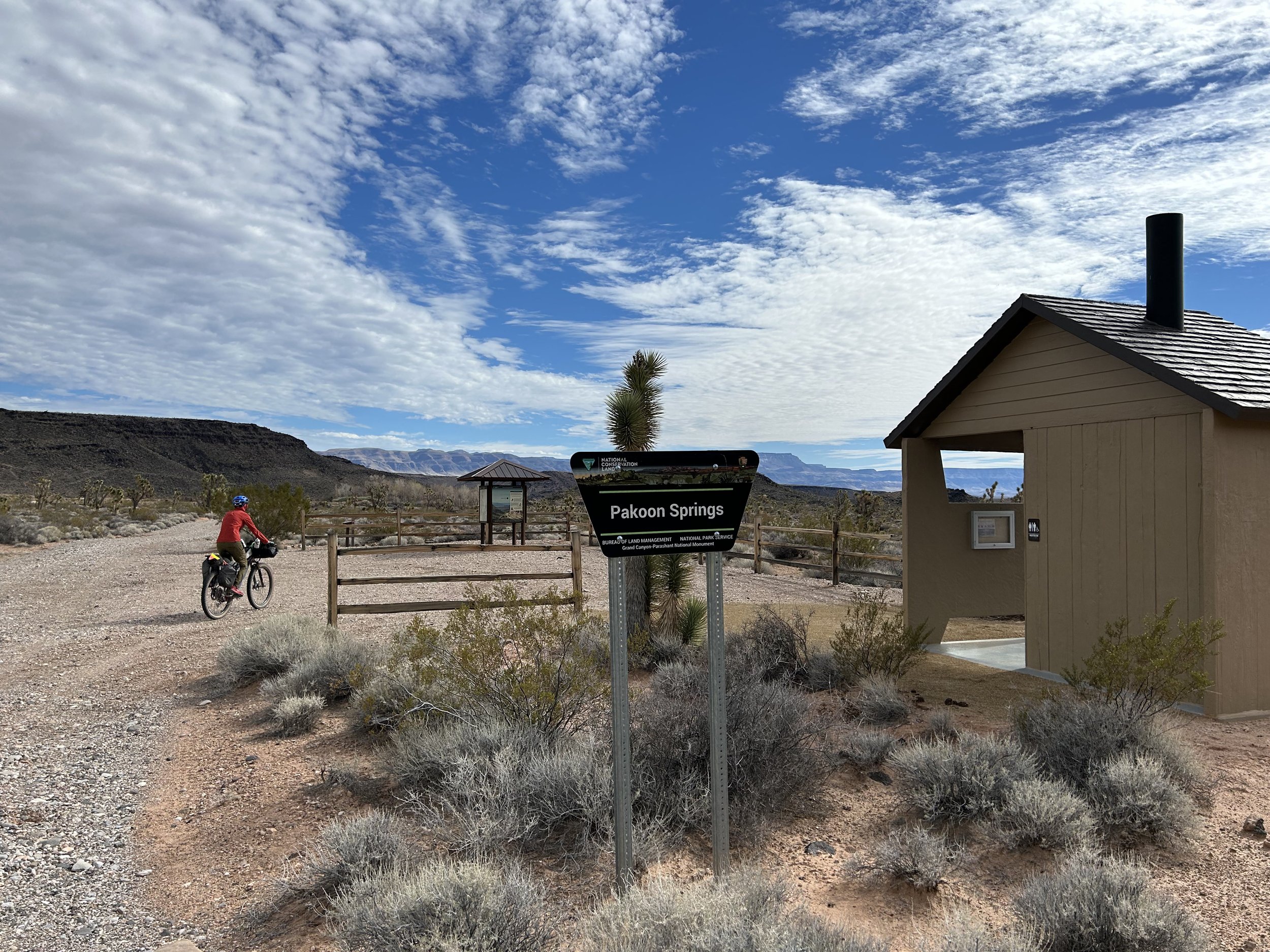
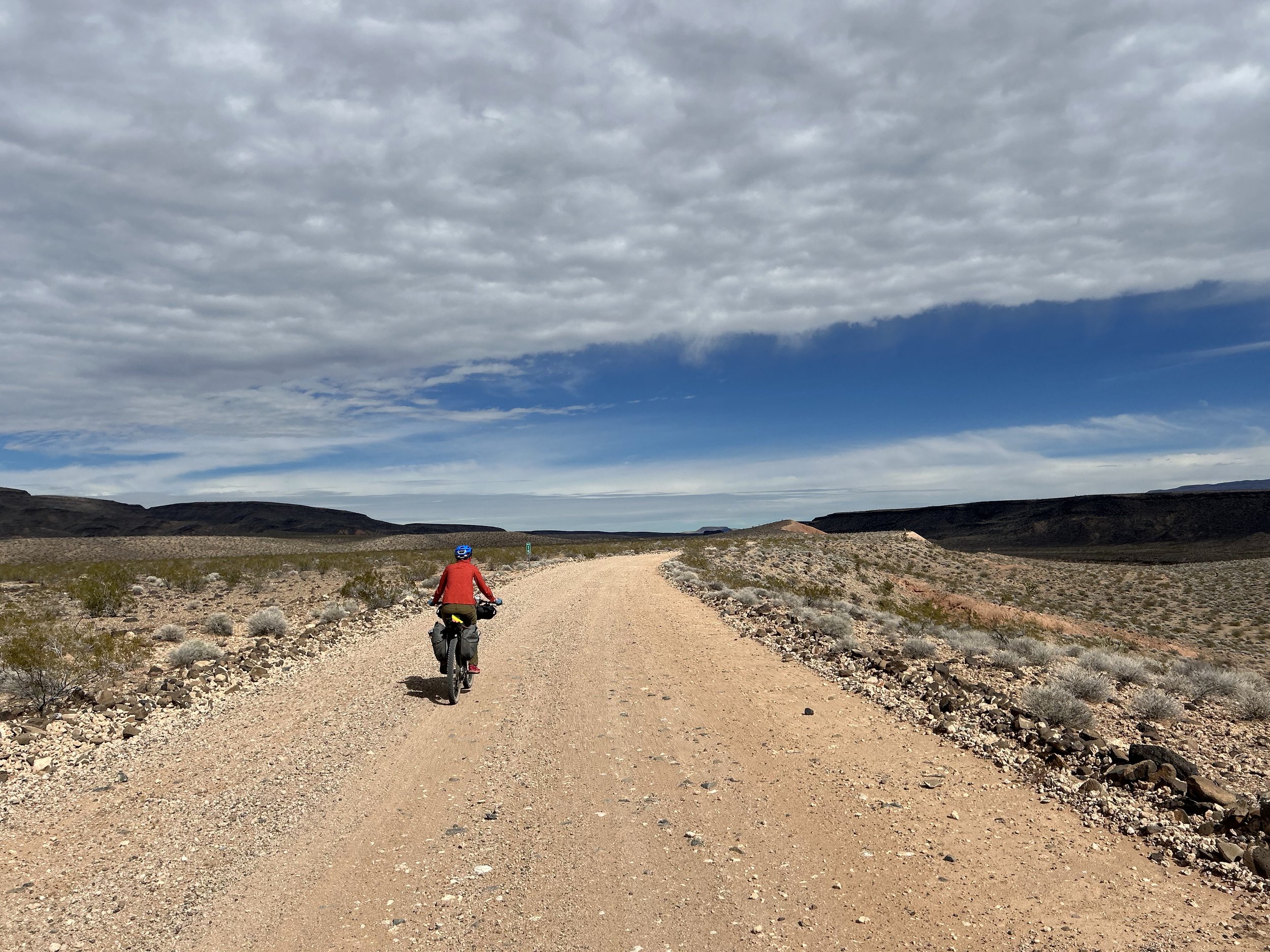
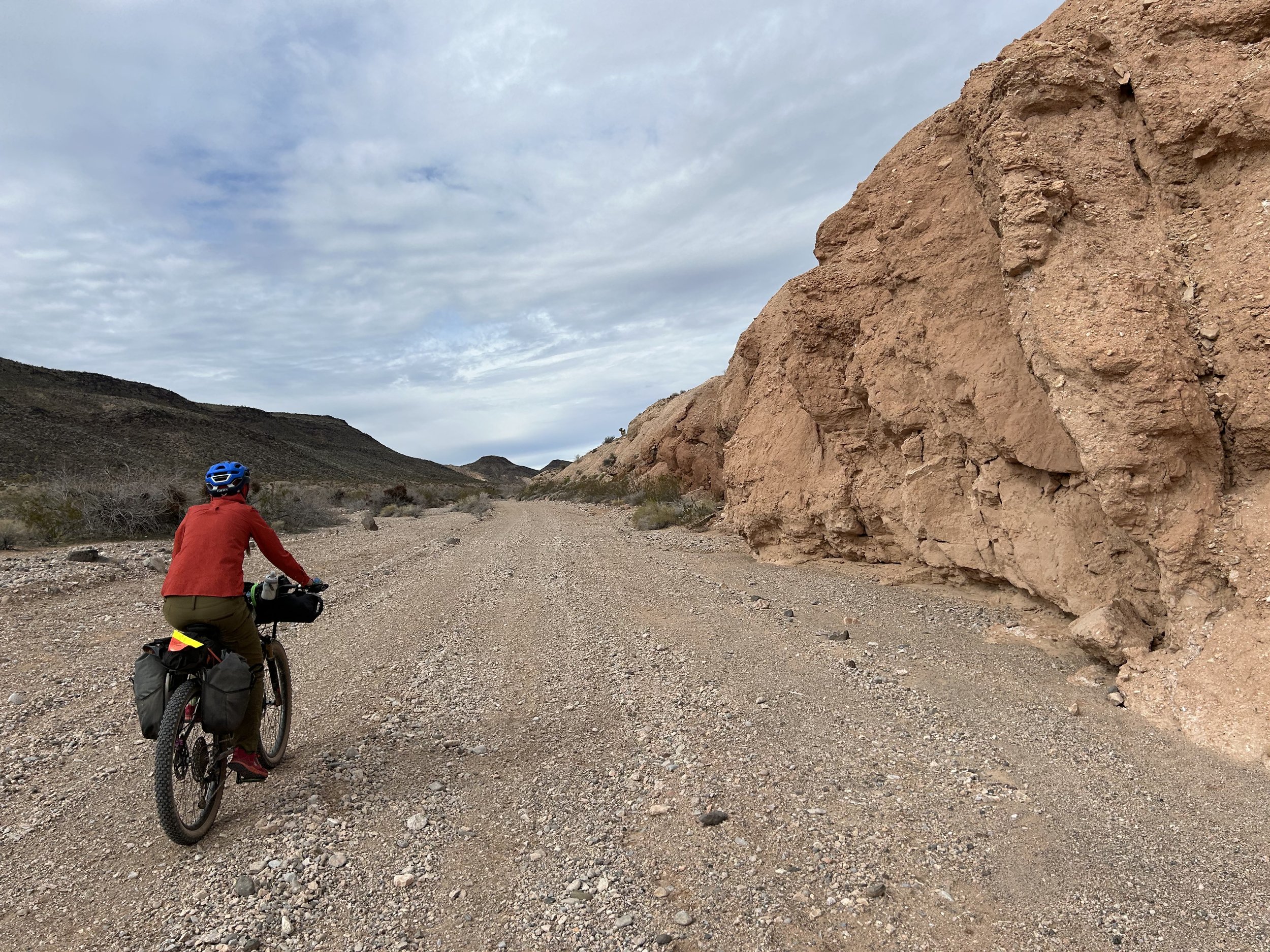
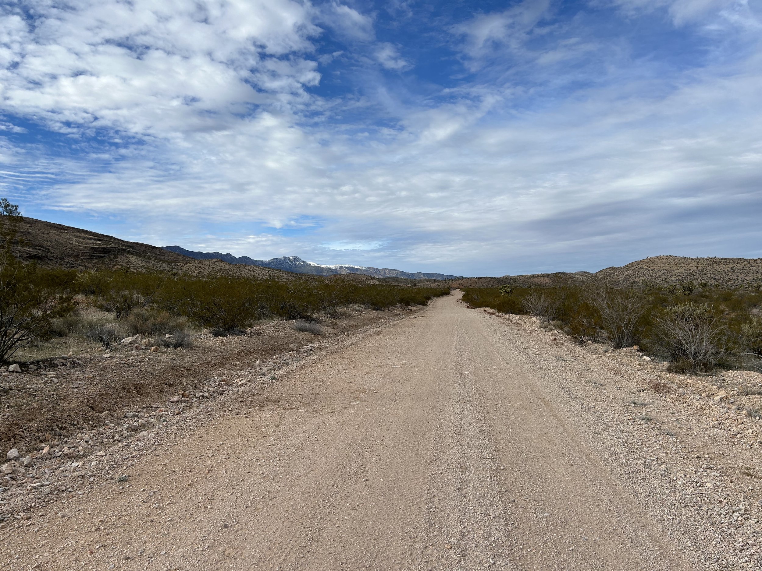
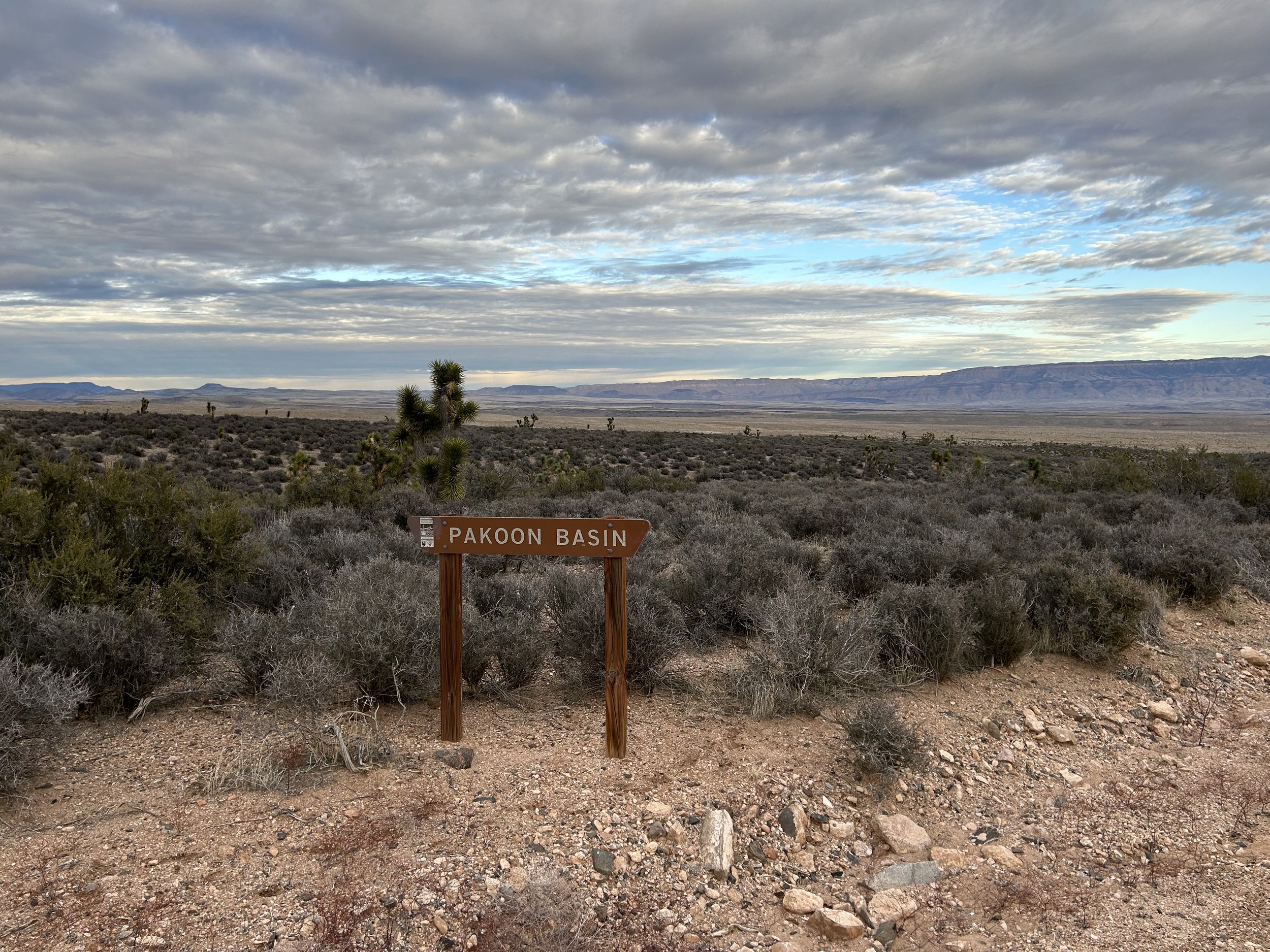
In fact, I couldn't believe how good the roads were out here in the Parashant so far. This area is notorious for eating car tires. But they were honestly really nice. Granted, this was probably the best time of year to ride the roads for their condition: early spring before monsoons and late enough after the fall that they've smoothed over. Consequently, we cranked out some good miles despite the gradual uphill. Even with small dips crossing gravel-washes, the road would rise up and settle into a solid surface once again. Eventually, the road carried us up and over the lip of a climb where old fencing gathered along the road-edge. Turns out we finally arrived at Pakoon Springs - a place I've wanted to see for years.
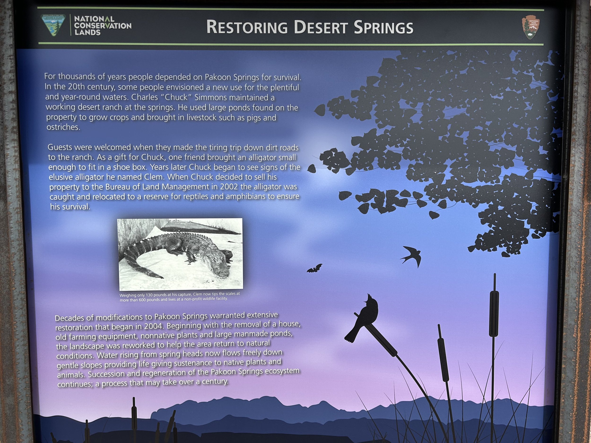
Pakoon Springs has been undergoing some ecological rehabilitation for the last few years. Prior to this, it was a private parcel of ranching land own and operated by a rancher who famously kept ostriches out here in this remote part of the Arizona Strip. Not only that, but someone brought him a baby alligator that he put into Pakoon Springs (he terraced the spring into a series of ponds). When the ranch was sold to the BLM in 2002, Clem the alligator was still happily living in the spring. Scientists removed him, and he's alive and well to this day living in Phoenix. And with the sale of Pakoon Springs to the BLM, some significant work has been done to remove the large ponds the rancher built and encourage the spring's natural flow. Endangered relict leopard frogs have been reintroduced as well. The springs now stand as a lush oasis of vegetation and biodiversity (along with permanent water) out here in this remote section of the Arizona Strip.
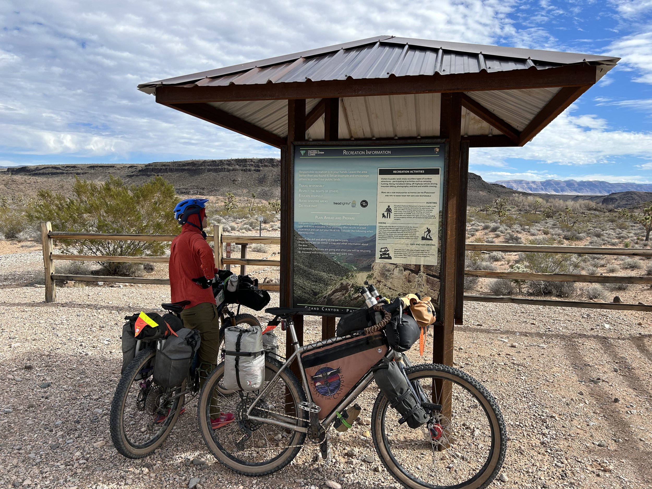
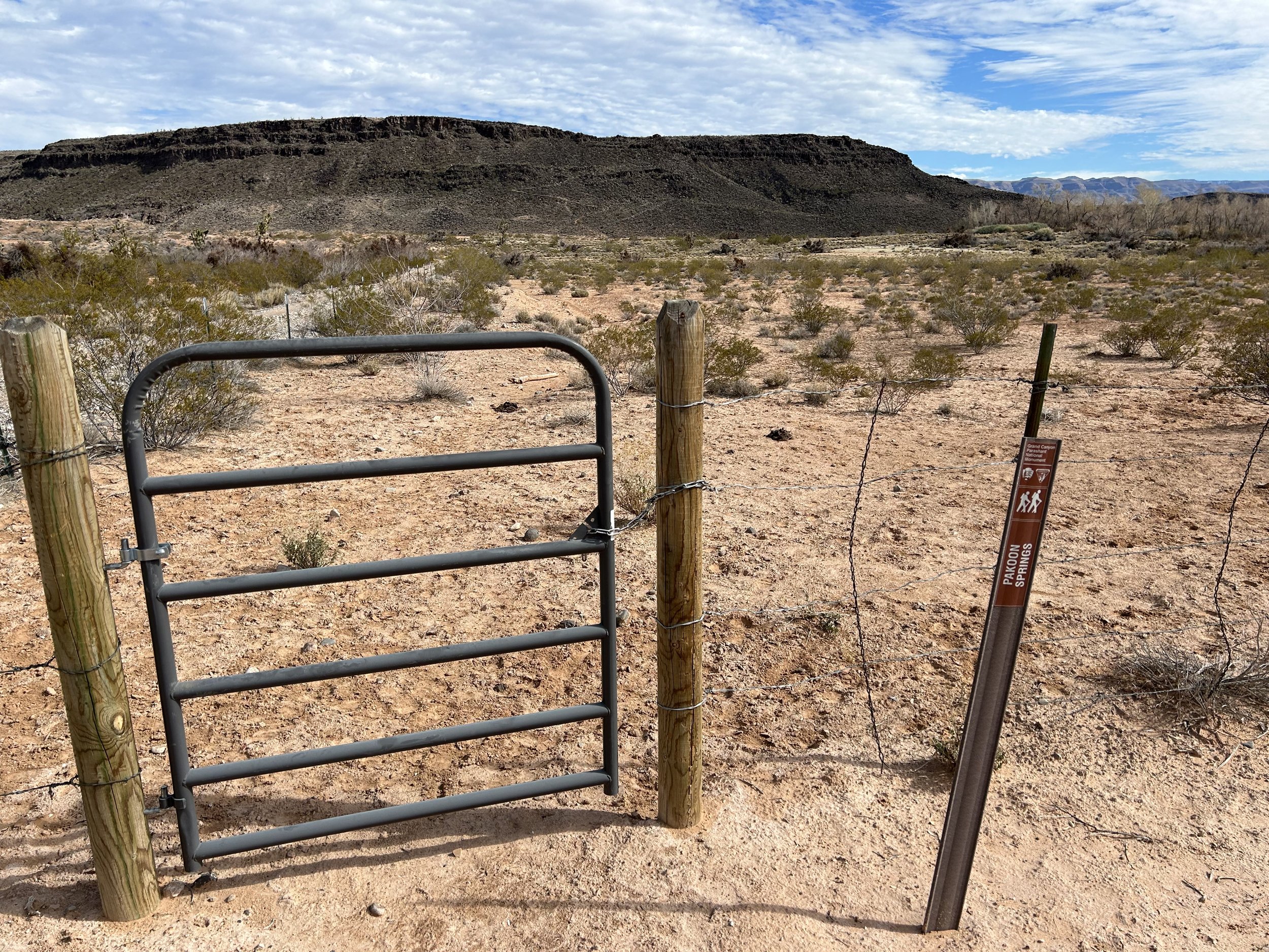
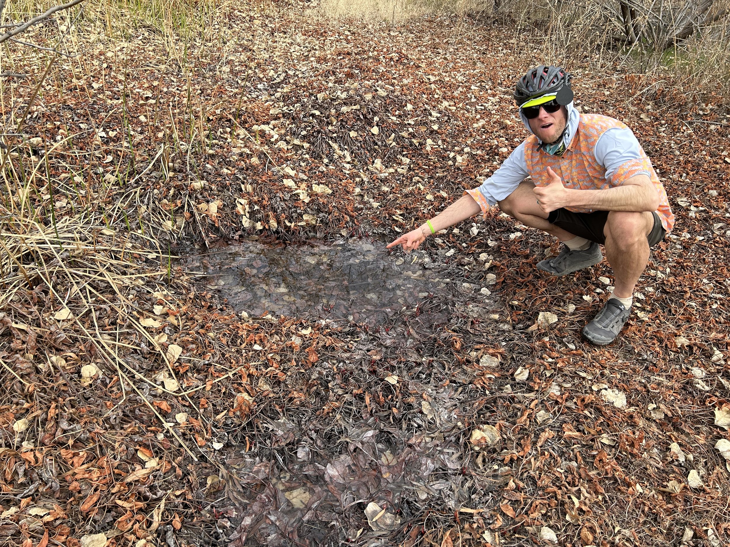
We were surprised to arrive and find a brand new and very clean pit toilet in a day-use parking area provided by the BLM. We leaned our bikes against a fence, read the kiosk distilling the history of the area, and then hiked the path down and into the fenced-off springs. It was definitely difficult to find the water but we eventually found a seep pooling near the surface in one area. Tip to future bikepackers on the route - water is here but it can be marshy and difficult to find. If you're worried about it, just carry enough from Horse Springs to get you to Aravada Springs.
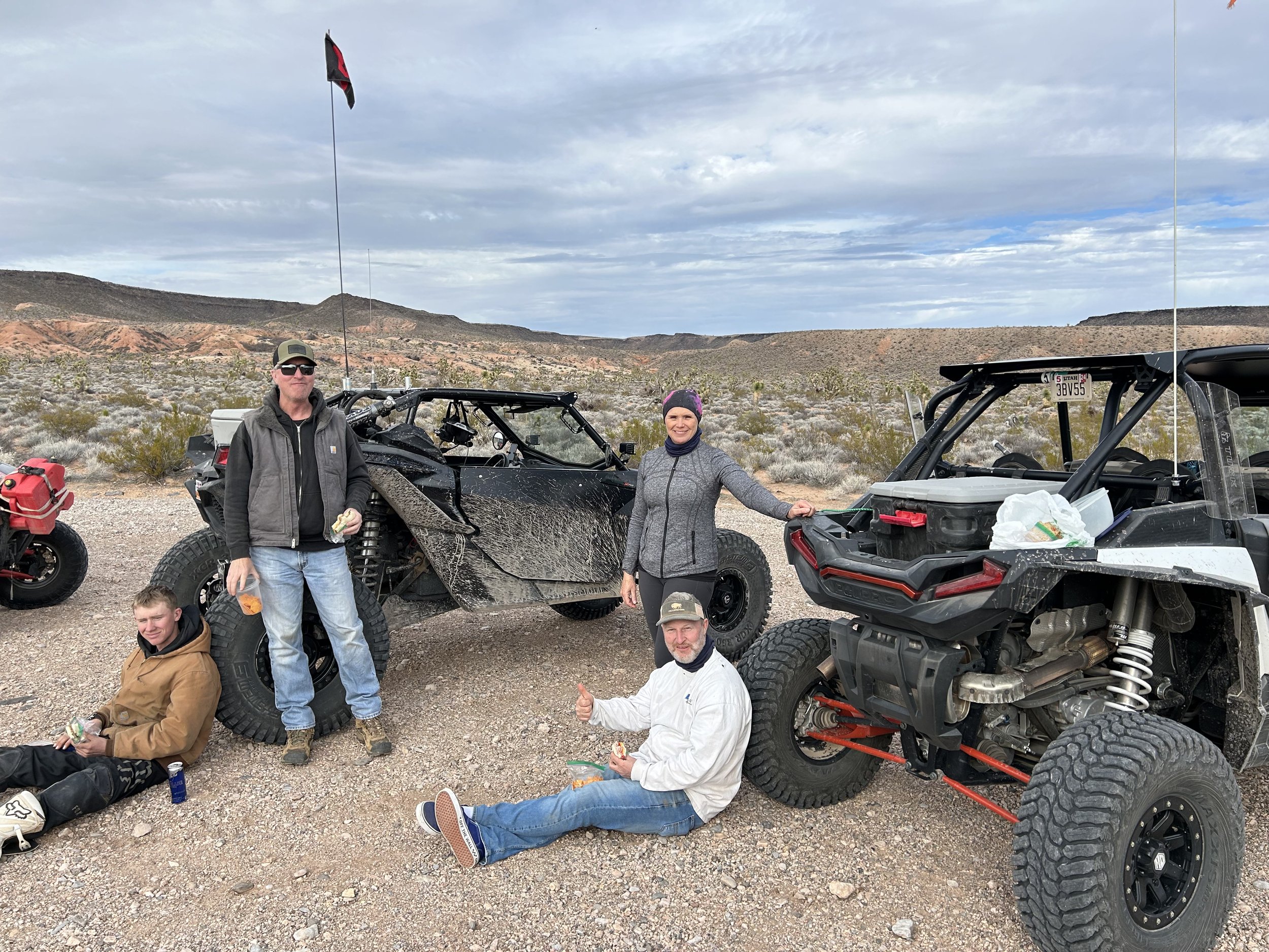
Janna and I walked back to our bikes in the parking area only to run into a bunch of ATVers who had driven in while we were down at the spring. A woman amongst them suddenly got very excited when she saw us. As we walked up, she started taking pictures and excitedly talking to us about who we were and what we were doing out here. Turns out she is one of the head land mangers for the BLM for Gold Butte and GC-Parashant. She was stoked that we were out here on bicycles and wanted to know all about bikepacking. In fact, she asked if she could take photos of us to post on the BLM page and use for future presentations about a new user group (bikepackers) out here. I was excited to talk to her and we ended up discussing the ecological, historical, and recreational aspects of the area for 30 minutes. We also exchanged numbers and got some good conditions updates on the route ahead. All the ATVers she was with were equally amazed we were on bicycles. Turns out they had made a joke about all the signs the BLM has posted in this remote area saying "Bicycles Cross with Caution." They laughed and said what bicycles? Only to run into us an hour later.
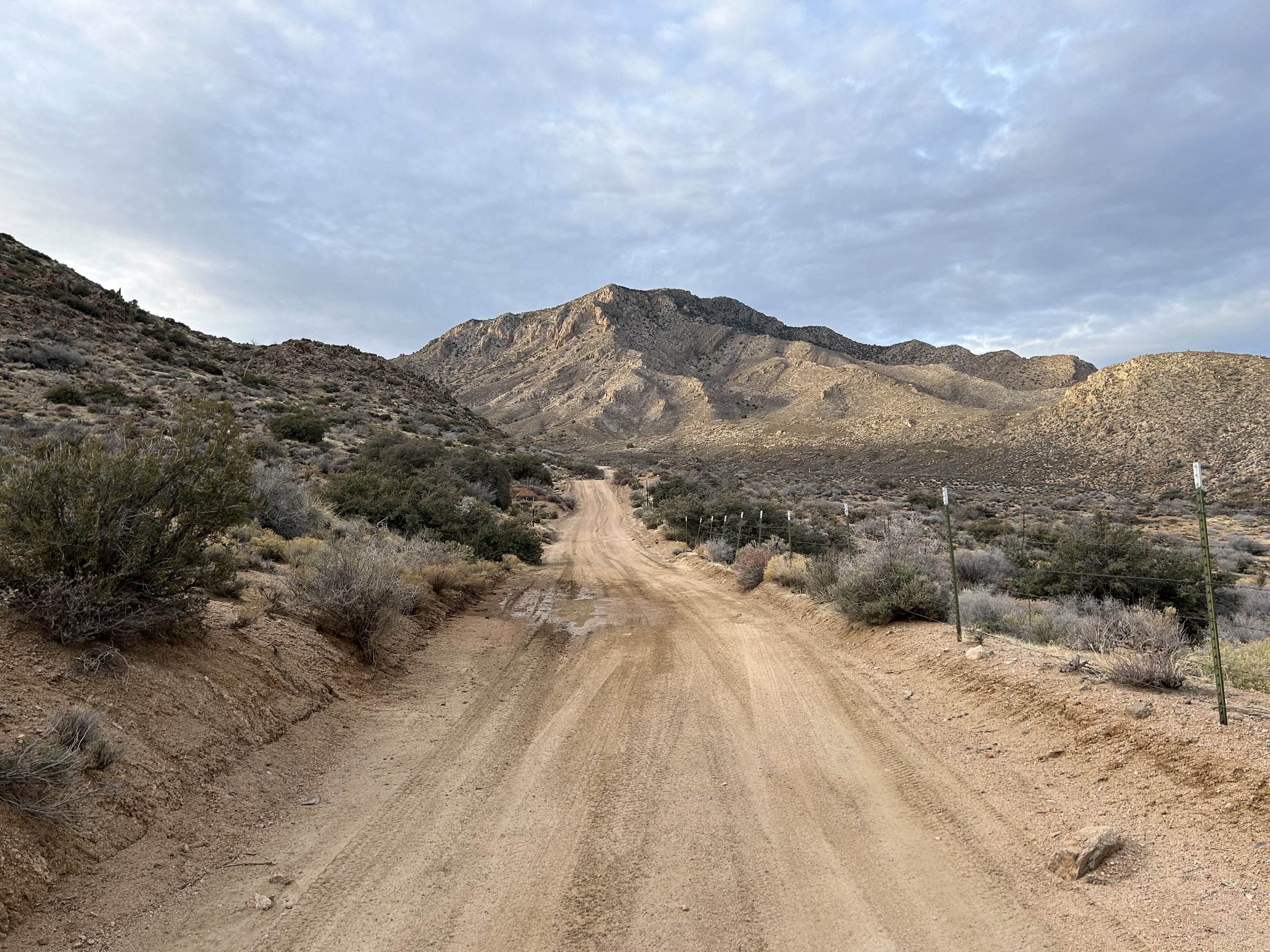
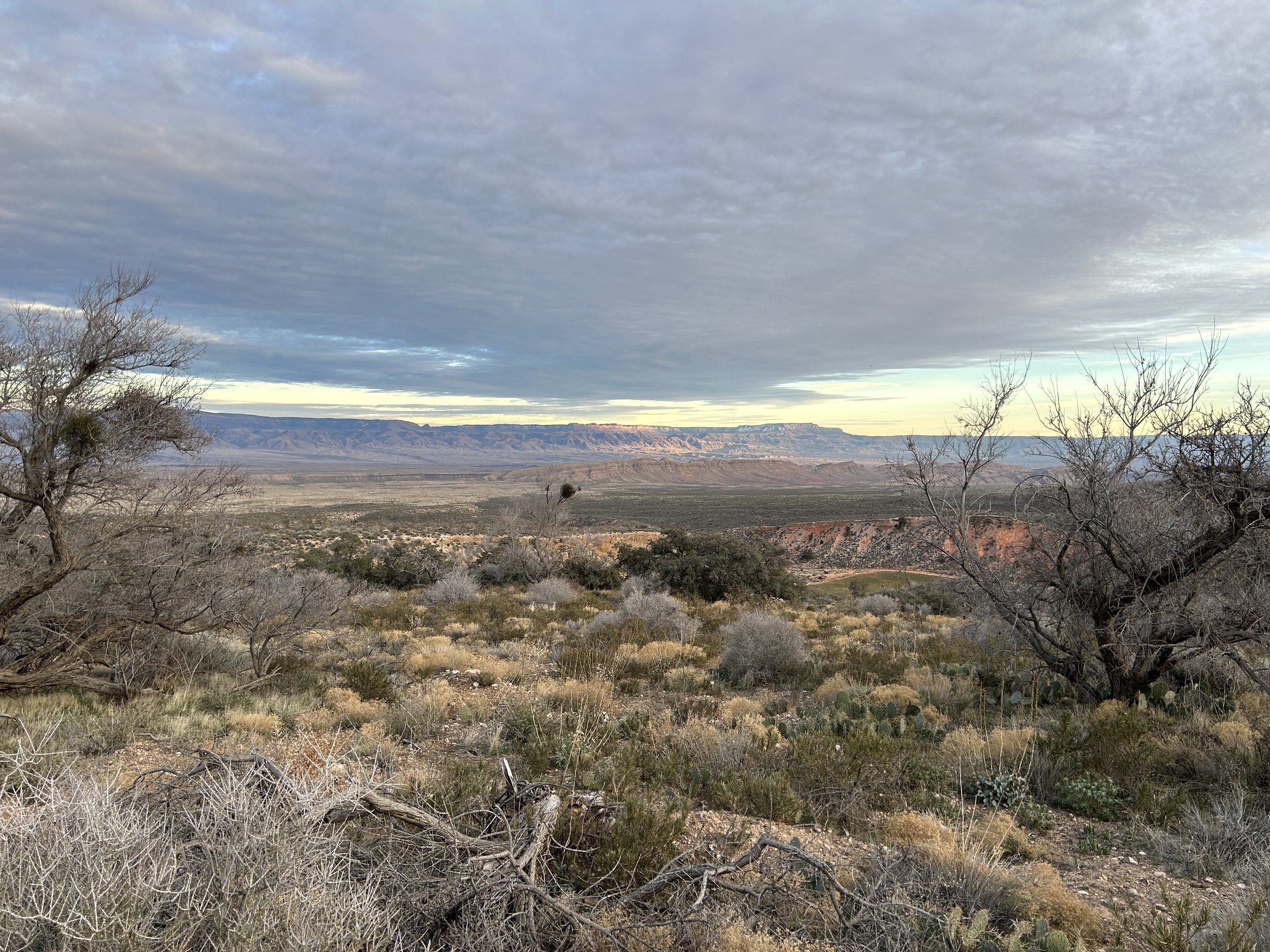
We said goodbye and jumped on our bikes to start the gradually steeper climb to Aravada Springs. This portion of the route followed Pakoon Wash before making a climb and turn around the north face of The Cockscomb. I thought it was beautiful to see Joshua trees lining the route as the snowy peaks of the Virgin Mountain grew larger and closer in front of us. We rounded the curve and could distantly see the buildings of Aravada Springs against the forefront of Whitney Ridge - a foothill of the Virgin Mountains. It seemed so close but we knew we had well over a thousand feet climb to get there. I turned to look back at the Grand Wash Cliffs. From this view and angle, they really exemplified Grand Canyon's geology. Interesting cloud cover gathered overhead shifting the tone of light across the land.
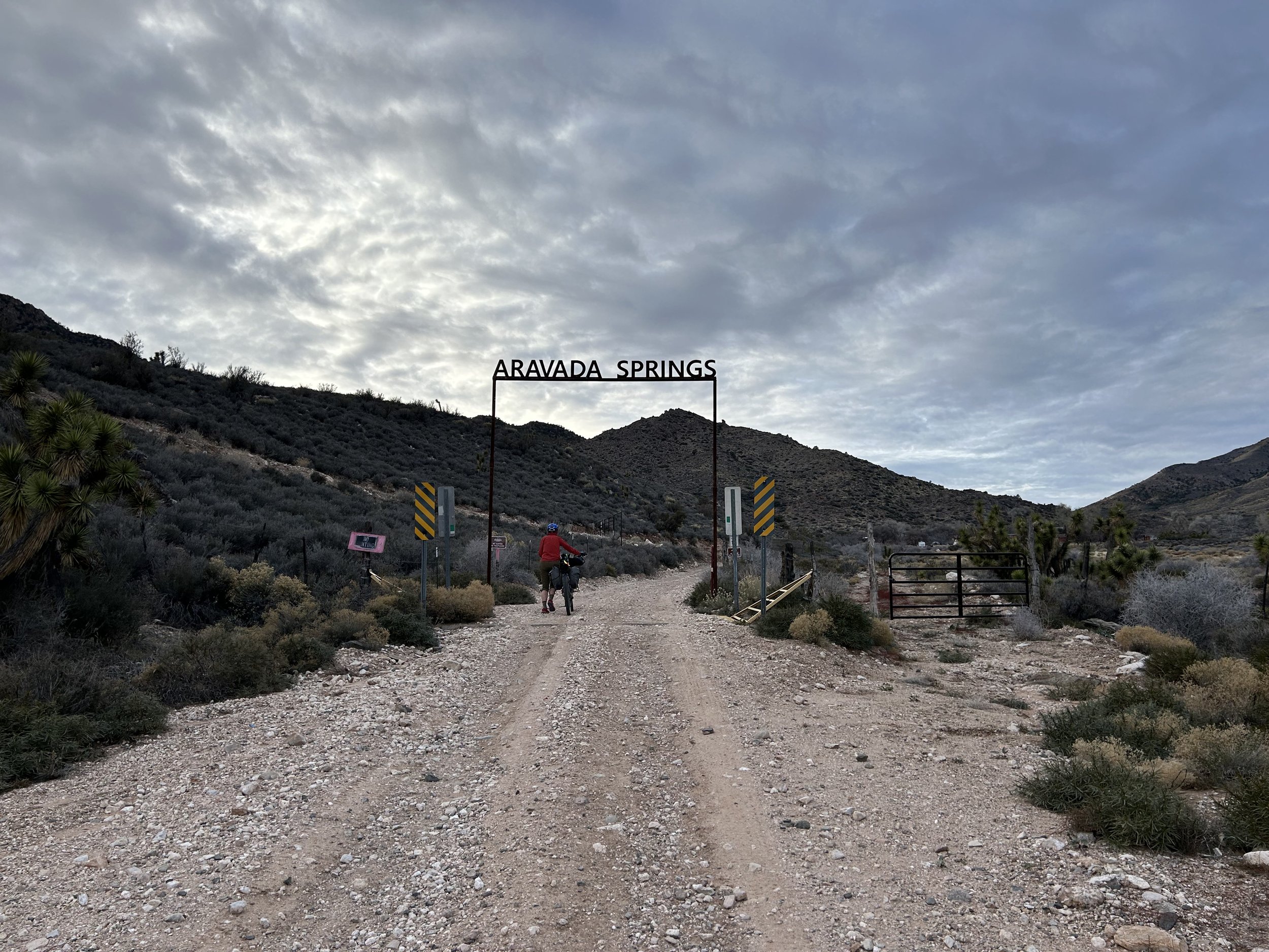
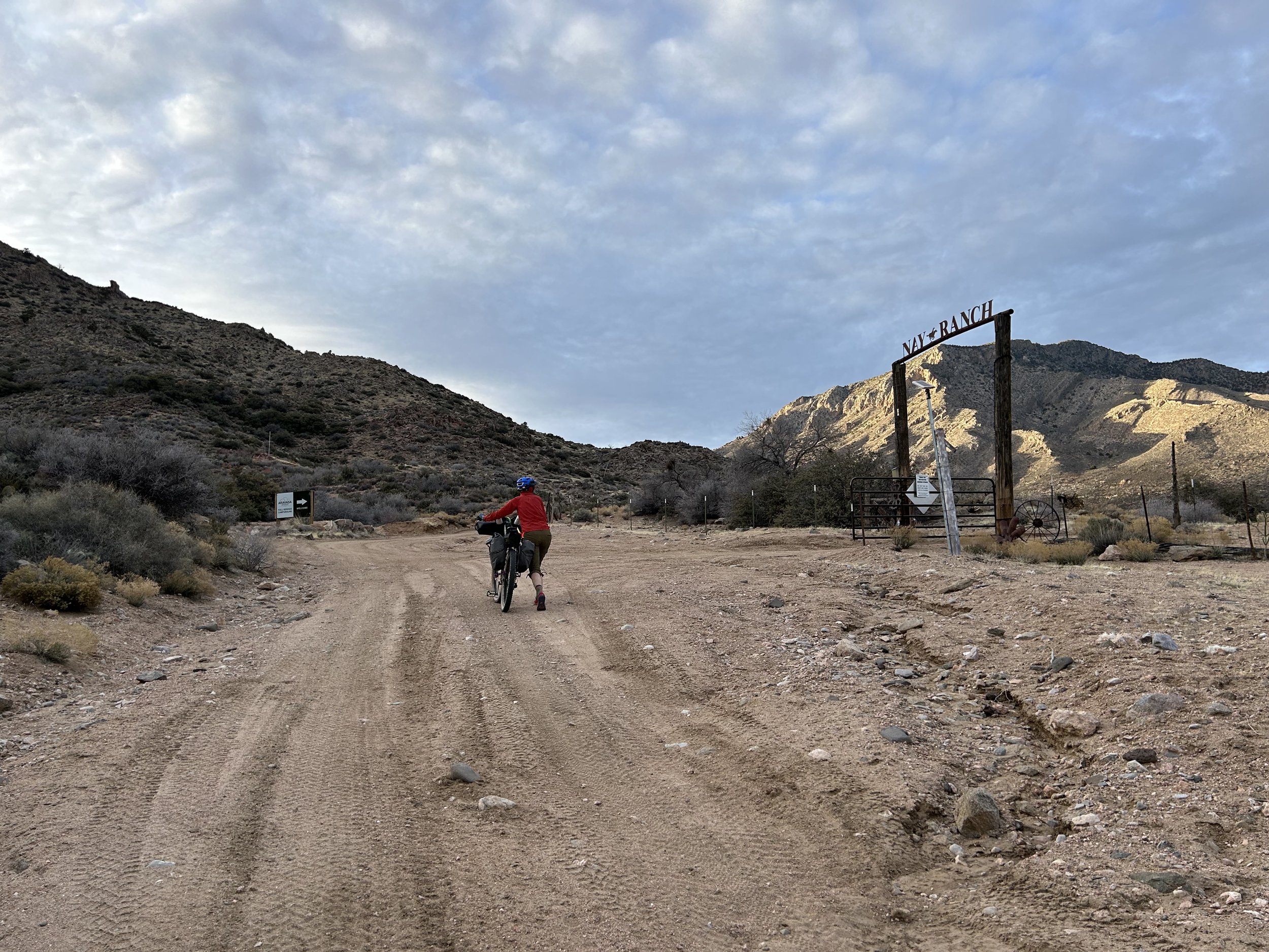
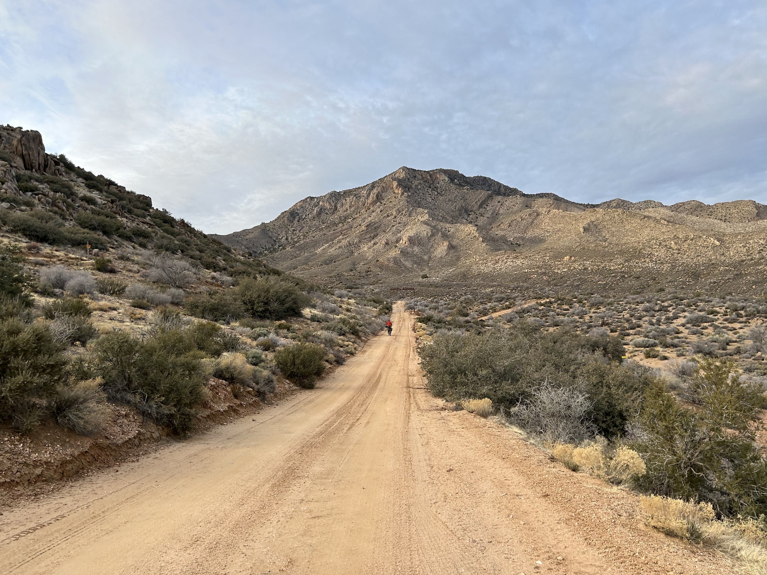
The climb exhausted me, and I walked the last bit of road up to Aravada Springs and Nay Ranch. This is a private parcel of land, but thru-access is granted on the road. Not only that, but it's a campground/resort in the open season with water, a small general store, and cabins. Janna and I agreed we had plenty of water and food, so we opted to continue riding through. Evening was coming on fast now, especially with the sun behind the peaks flanking our lefts. Janna and I agreed that we would bike into the night again to get us closer to the base of the pass we needed to cross tomorrow. The road carried us above Aravada Springs and traced the contour of the mountain side providing stellar views into the evening glow of Pakoon Basin and the Grand Wash Cliffs below us.
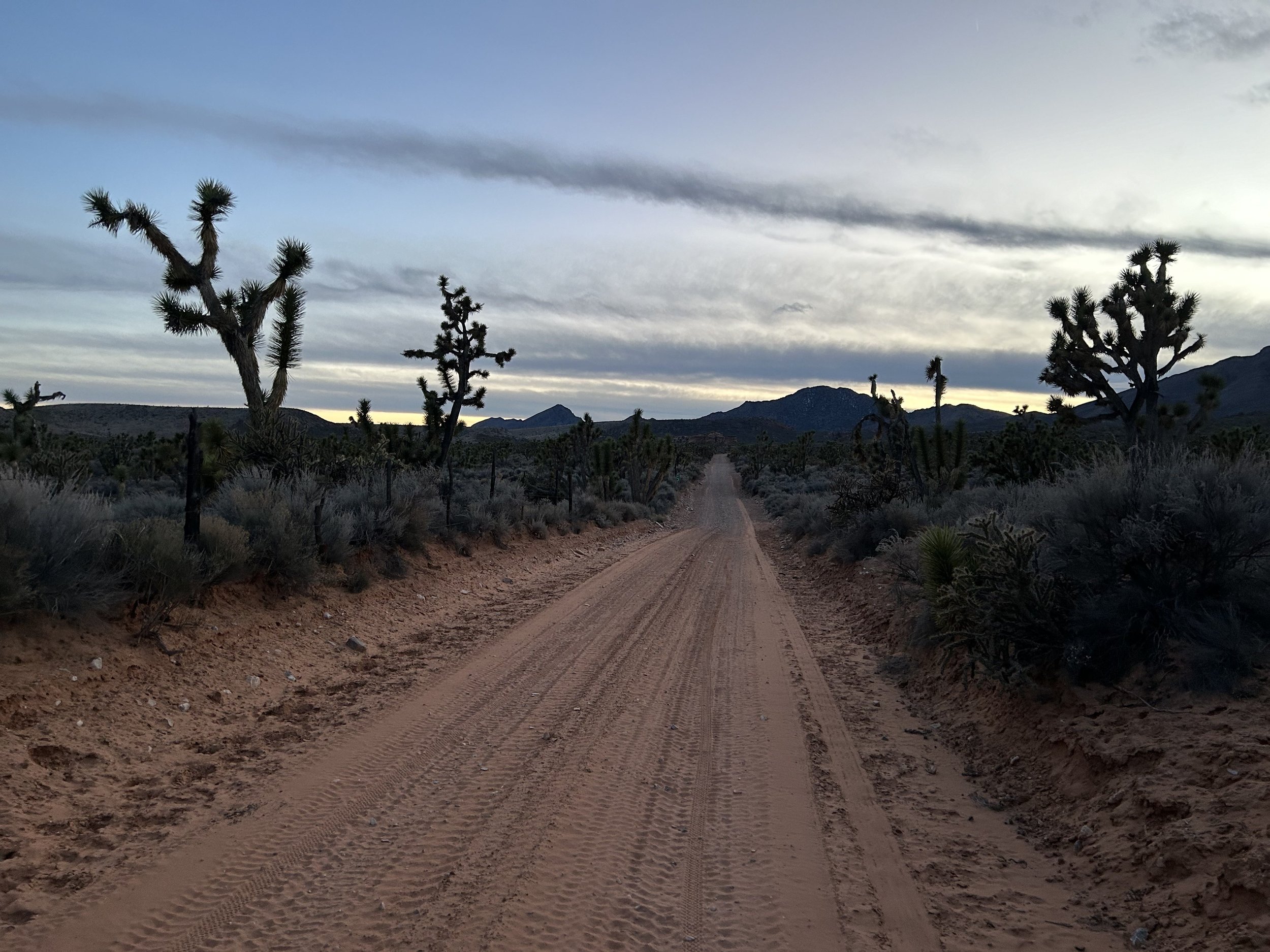
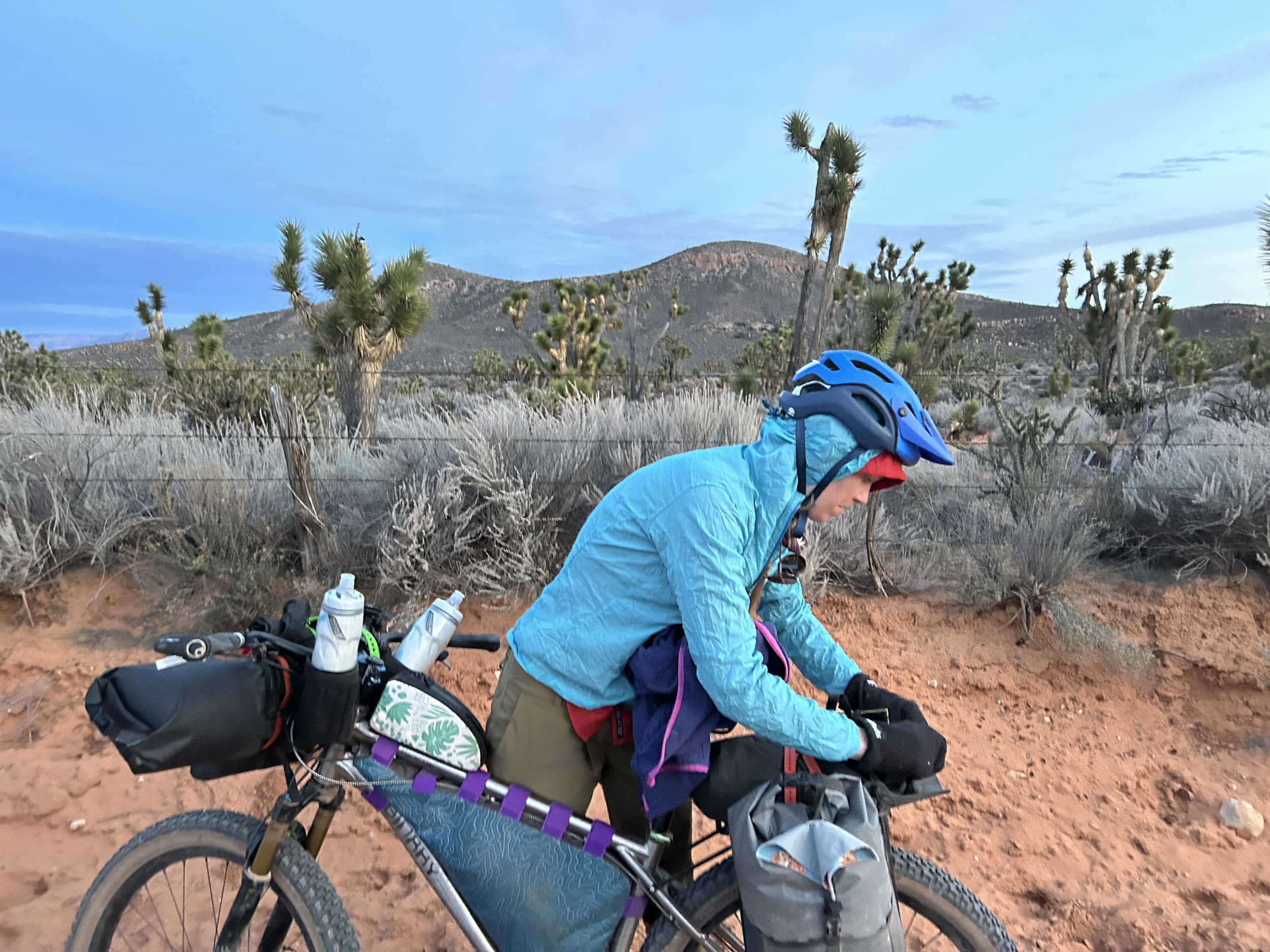
We stopped to put on layers as the temperatures were rapidly dropping. In fact, the higher peaks around us were caked in snow. But the route ultimately took a descent down the southeast face of South Virgin Peak Ridge. The fast-approaching Hungry Valley rose up as the landscape became red sand around us. Luckily, the road was in great shape and sand stayed on the surrounding landscape as opposed to the surface beneath our tires. Glorious buttes jumbled red against green stood apart on the horizon. Dense groves of Joshua trees gathered around us. In the last tendrils of fading civil twilight, Janna pulled out her secret weapon of watermelon-flavored Sour Patch Kids. We both ate a handful that brought my legs back to life. And like that, we were pedaling into the full dark. Our lights came on, and we rode on gently flowing road in fantastic condition across the backroads of the Parashant. Several miles and an hour or so later, we both felt fatigue coming on so we started to scan the peripherals of our lights for a flat place to camp. We came upon two junipers near the road's edge with a clearing behind them. We hauled our bikes up and over the edge-dirt and setup camp near the base of Red Pockets Mountain. The night was calm, cold, but warmer than the previous night.
