Gold to Grand Loop - Day 1 - Whitney Pocket, Mud Wash, and Gold Butte Townsite
Date: 2/16/2024
33.57 Miles
3,084 Feet of Gain
Gold Butte National Monument: Whitney Pocket to Gold Butte Townsite
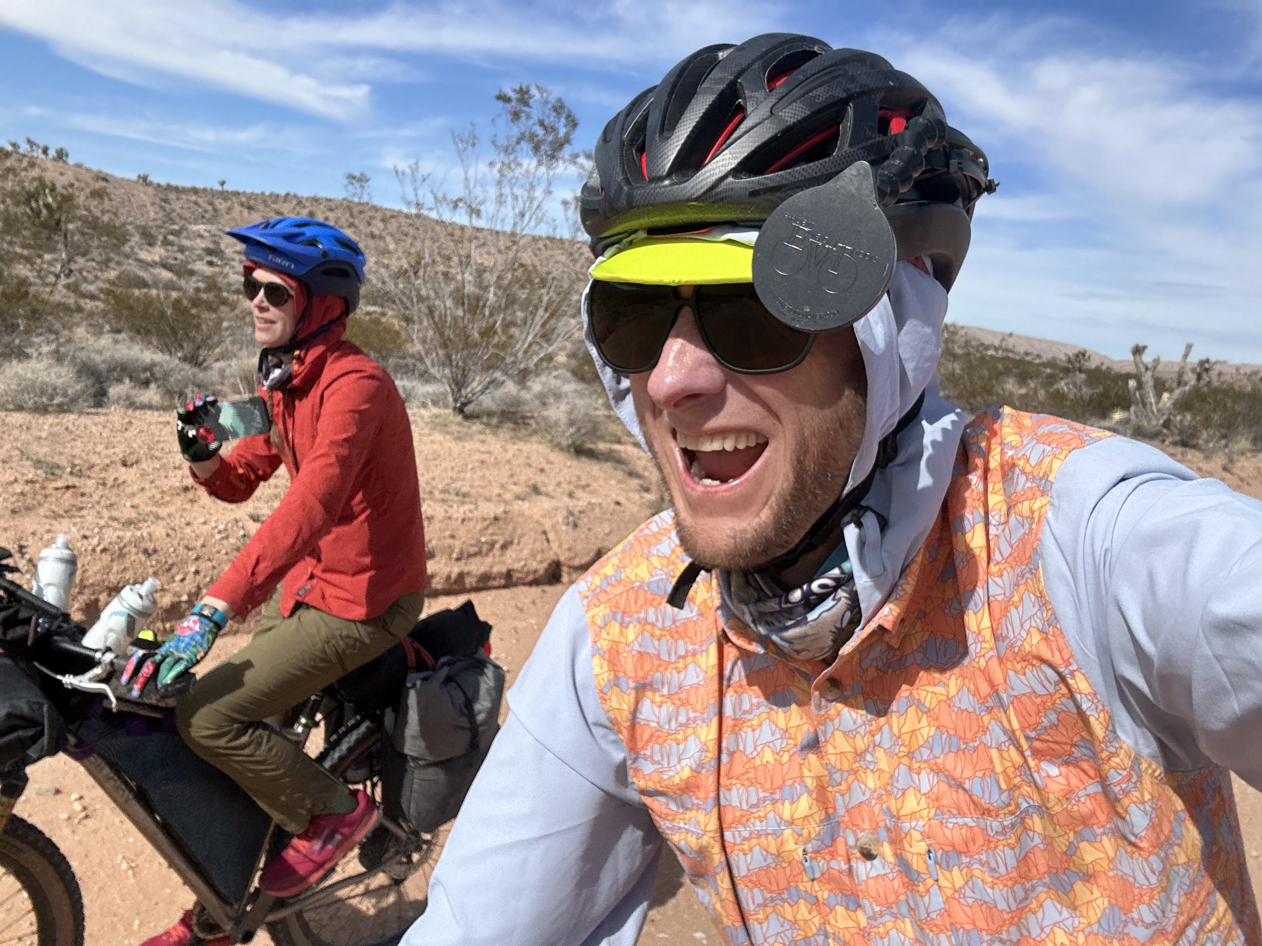
In early November, Kate and Dan let us know that they were going to be down in Arizona for Late-December/Early-January. They wanted to head out on a bikepacking trip with us over MLK, Jr. Day Weekend. Kate suggested Gold Butte National Monument based on its desert-enviros plus her experience rock climbing the Lime Kiln Canyon area there. Her impressions were super-positive of the place and she wanted to go back and see more. I had followed the events of Gold Butte National Monument for about a decade, ever since the Bundys had an armed standoff with BLM employees over illegal grazing in the area. That, and my friend Lara from college now worked in the place with her husband for the BLM, and I had impressions from them that corroborated Kate's thoughts. I started digging into research on bikepacking routes in Gold Butte. Beyond a few day gravel rides, it seemed no established route was in the area. I reached out to cyclists who had spent some time in Gold Butte, and they reported the lack of water as a driving reason for the lack of a serious overnight option.
But the more I looked at pictures of the place, the more I became enthralled by the idea of seeing the area by bike. It looked geologically stunning, and road options seemed plentiful. Not only that, but Gold Butte sits right next to Grand Canyon-Parashant National Monument - an area I had been wanting to explore for years. GC-Parashant is about as large as the Grand Canyon in acreage (which tells you have massive it is), but only around 5% of its landscape has been surveyed; it's an area ripe for exploration. I started poking around on Ride with GPS to see if I could link up a solid 3-day route by overlapping the two areas. I laid out some good initial roads but kept coming back to water as the main hurdle. I started diving into internet forums by ATVers who had spent time out there and picked up some good ideas. But it was really when I found Jim Boone's (a local ecologist) website BirdandHike.com that I got some of the best information. That, and I started some correspondence with him about water sources, route logistics, and possible challenges. I reached out to my aforementioned friend Lara for more information. A route began to coalesce with real options for a multi-day overnight with workable and reliable water. I reached out to Friends of Gold Butte (the local nonprofit) and they confirmed my working-choices. I put together a proposed route. But by this time, Kate, Dan, Janna, and I had opted into another route for the January weekend. So Janna and I planned to make a go of the Gold to Grand Loop come February for President's Day Weekend.
As President's Day Weekend approached, I finished up Route Plan A along with some backups B and C based on how things might turn out when we got out there. As soon as school finished on Thursday, Janna and drove to Las Vegas and got a hotel just northeast of town for the night. We drove into Gold Butte the next day.
We were not disappointed.
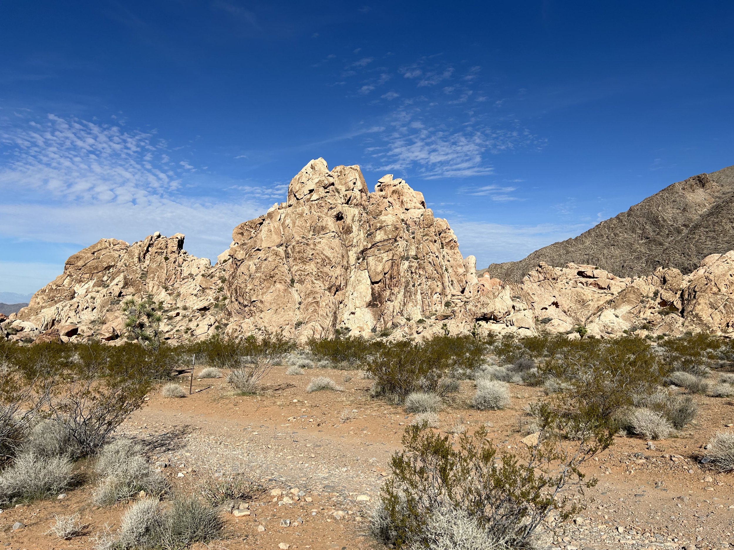
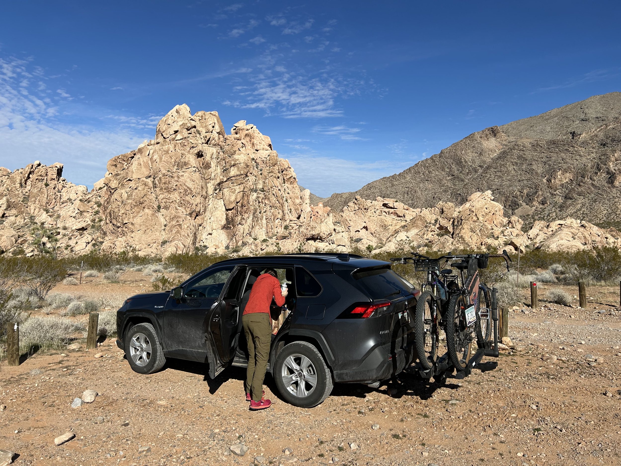
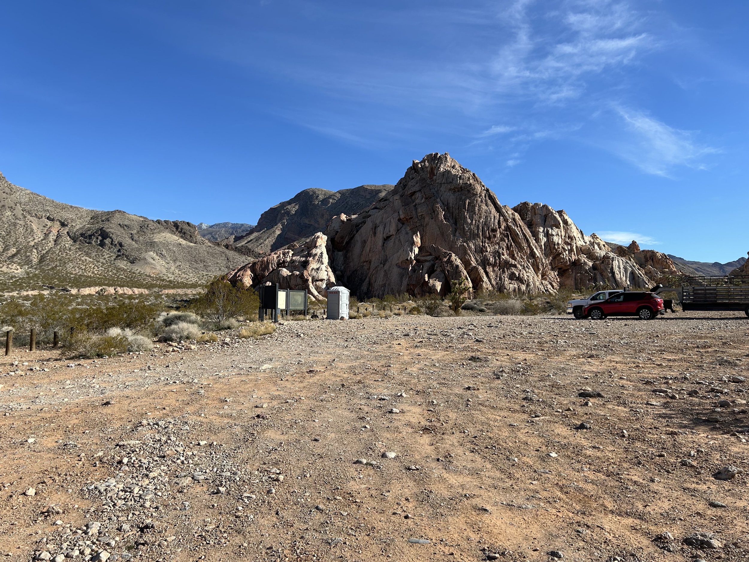
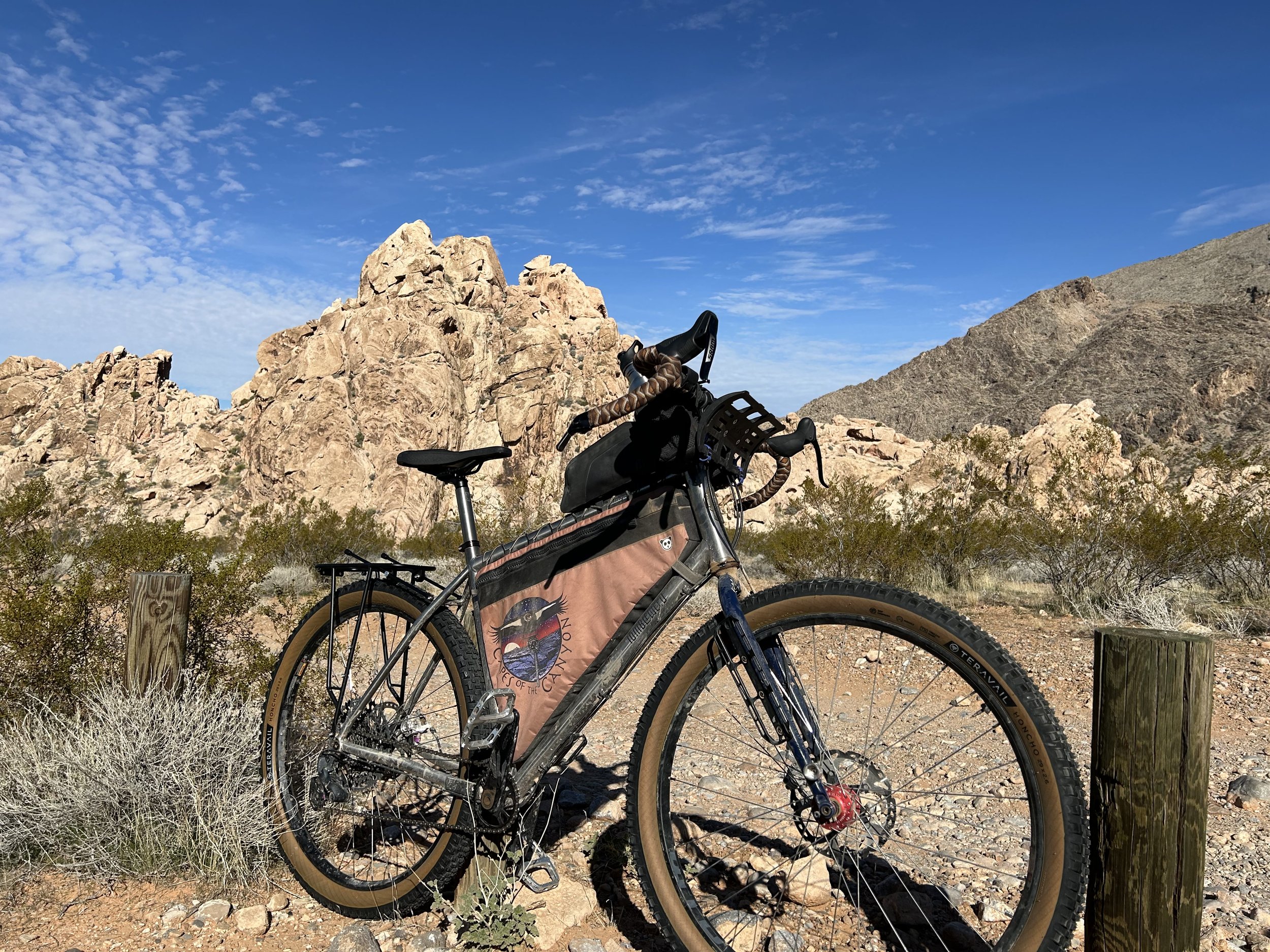
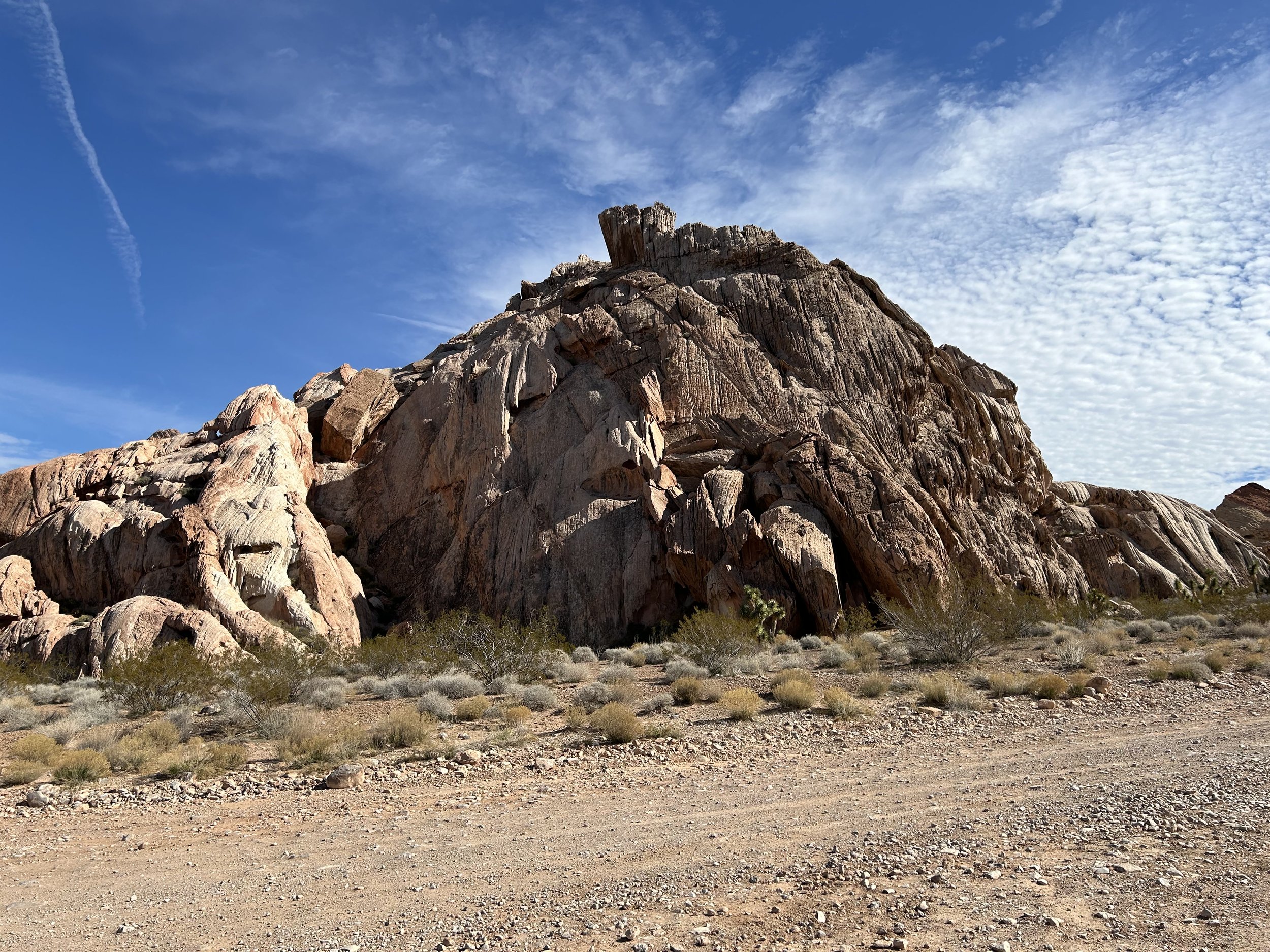
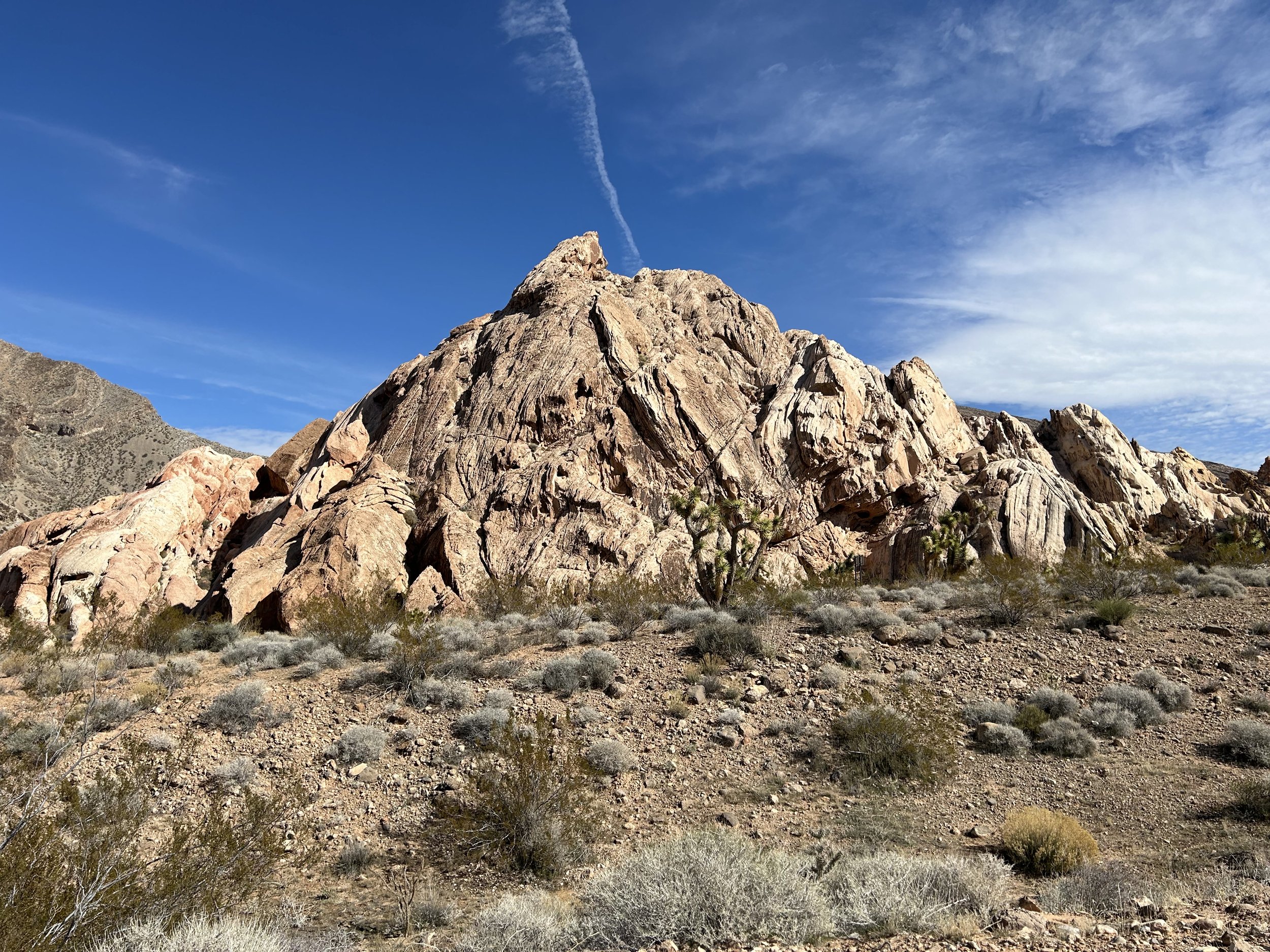
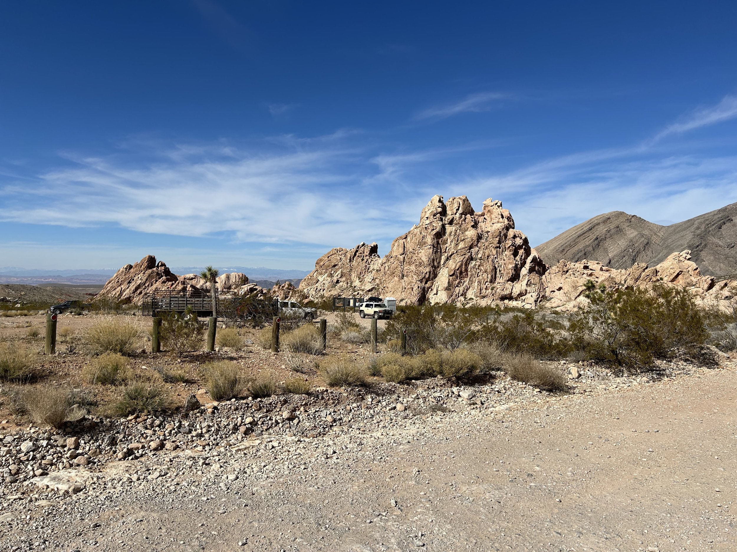
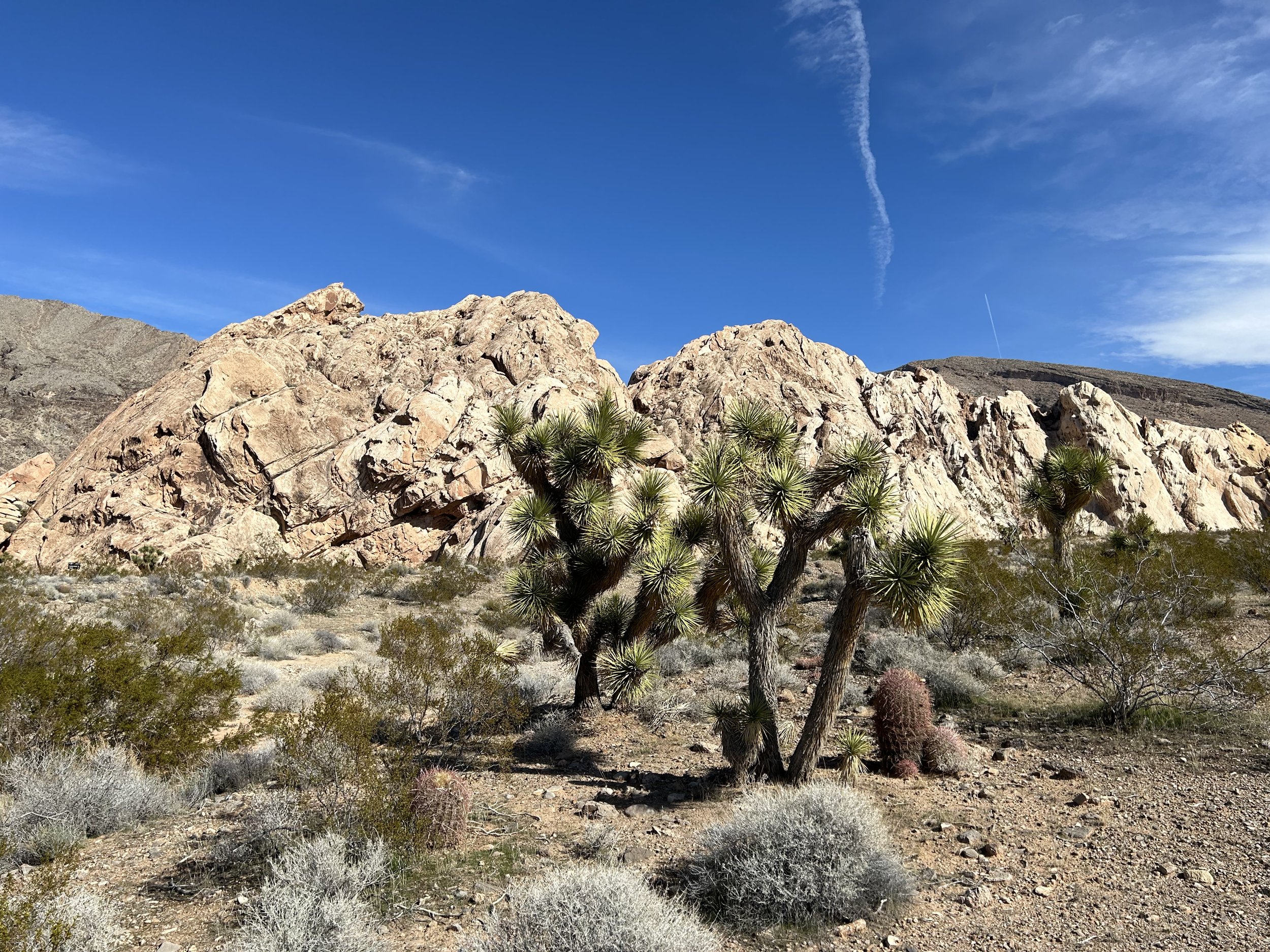
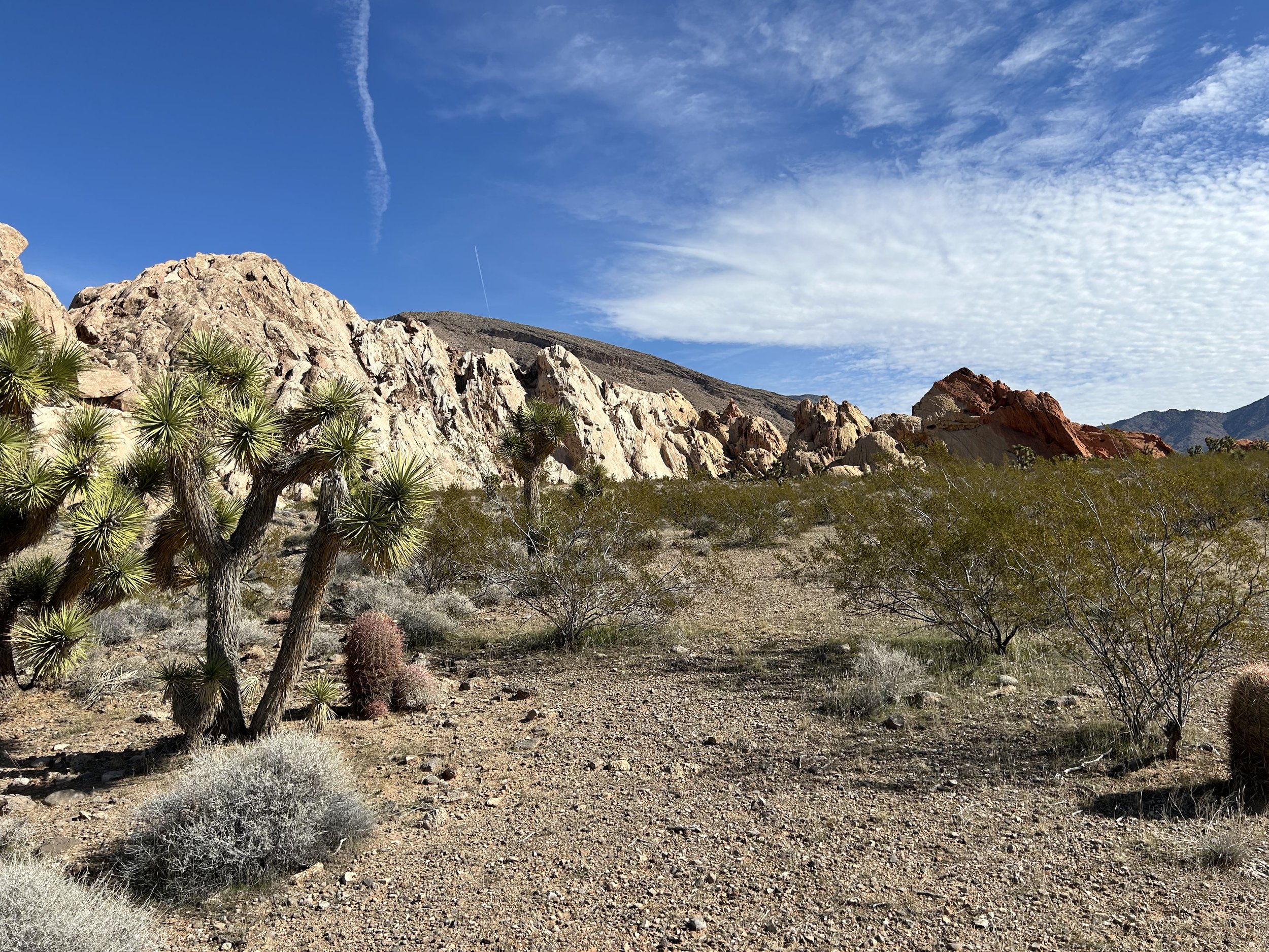
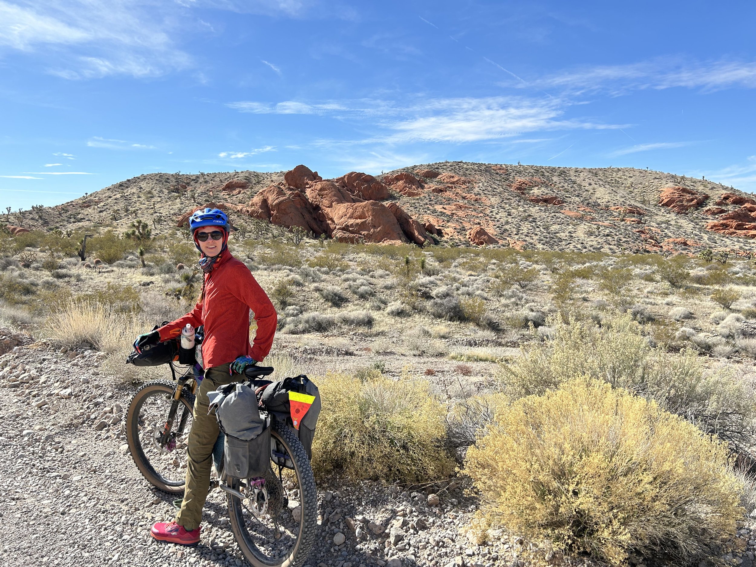
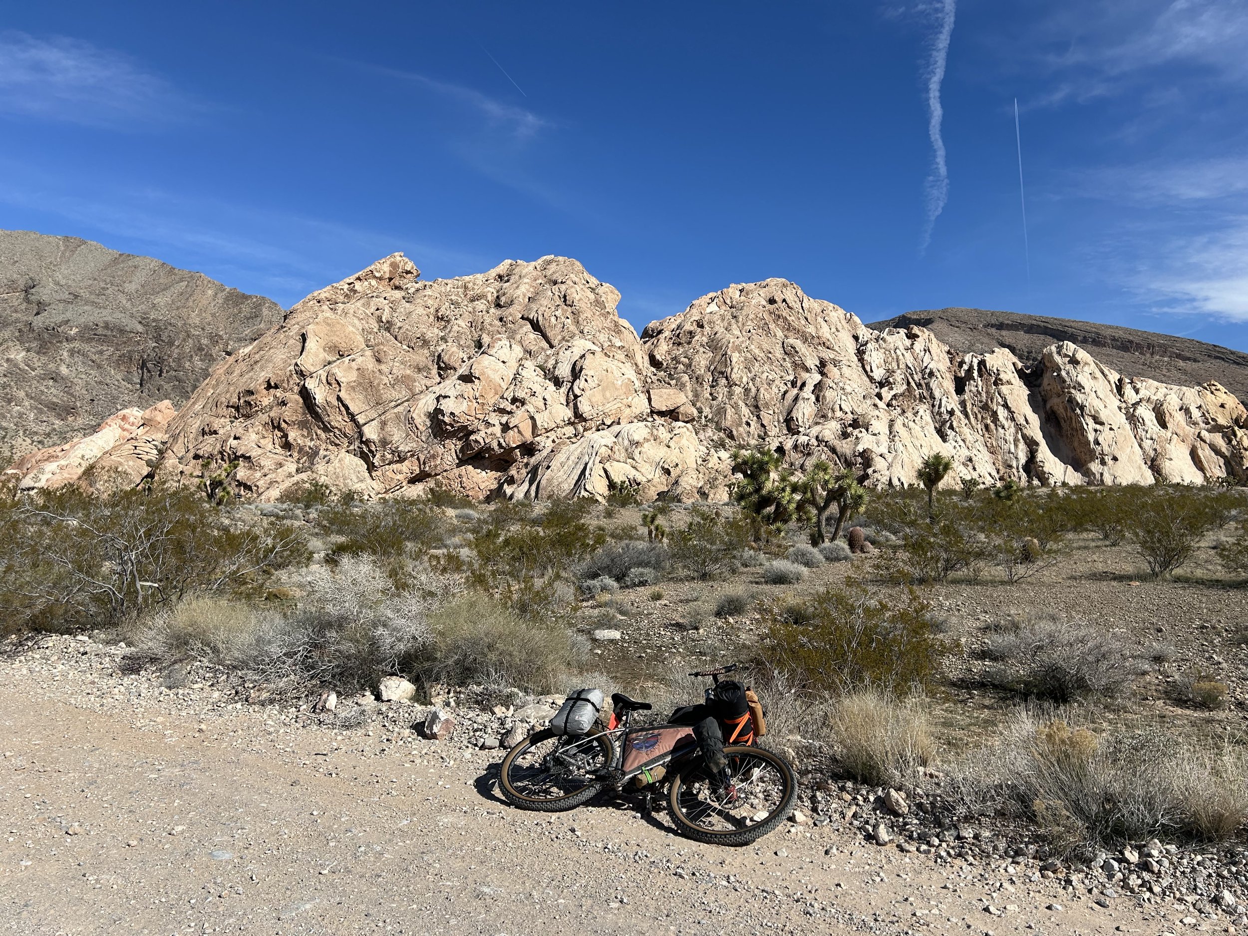
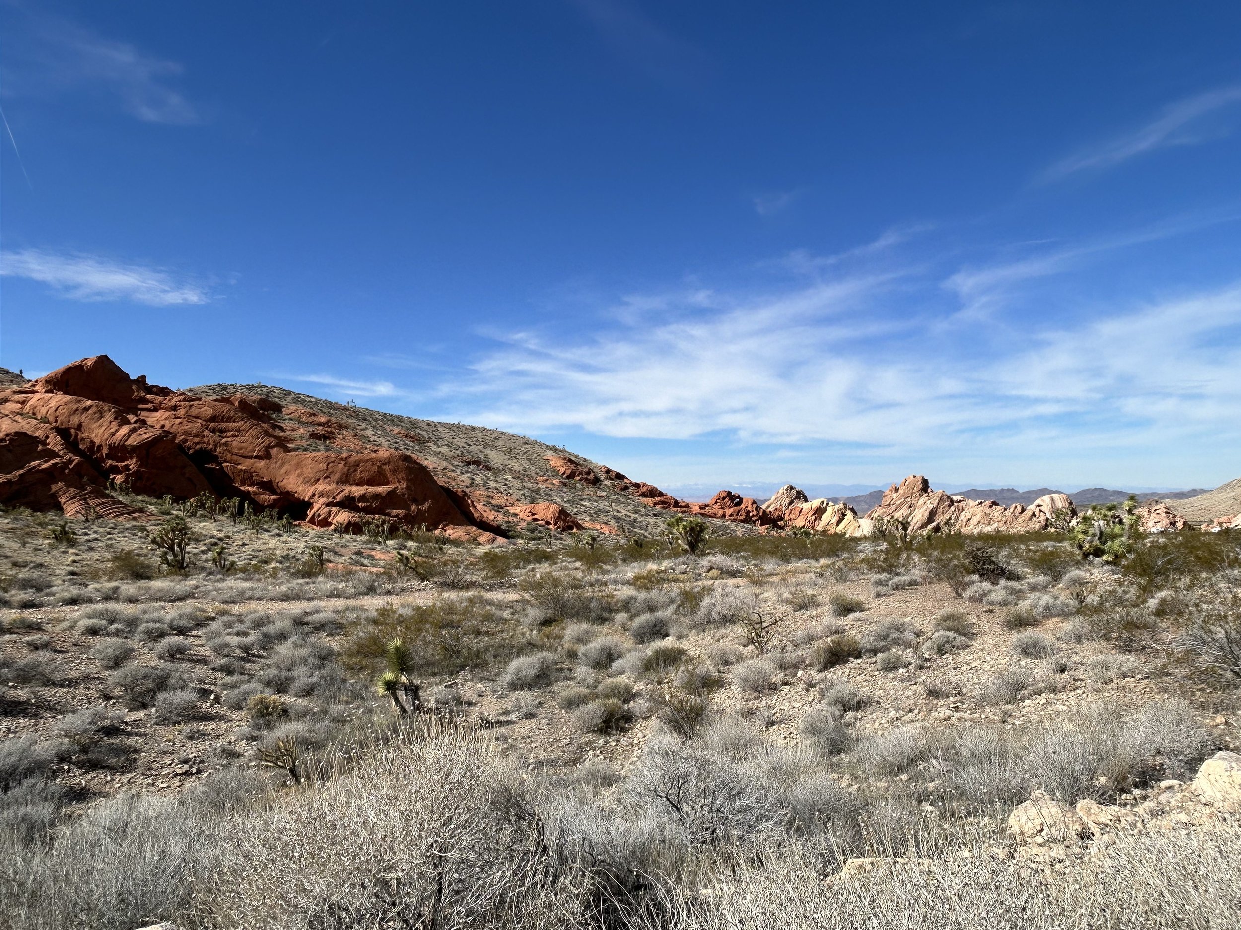
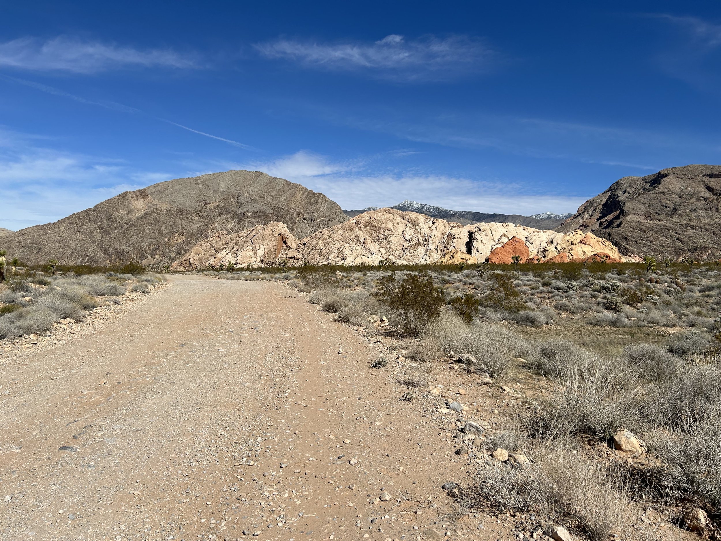
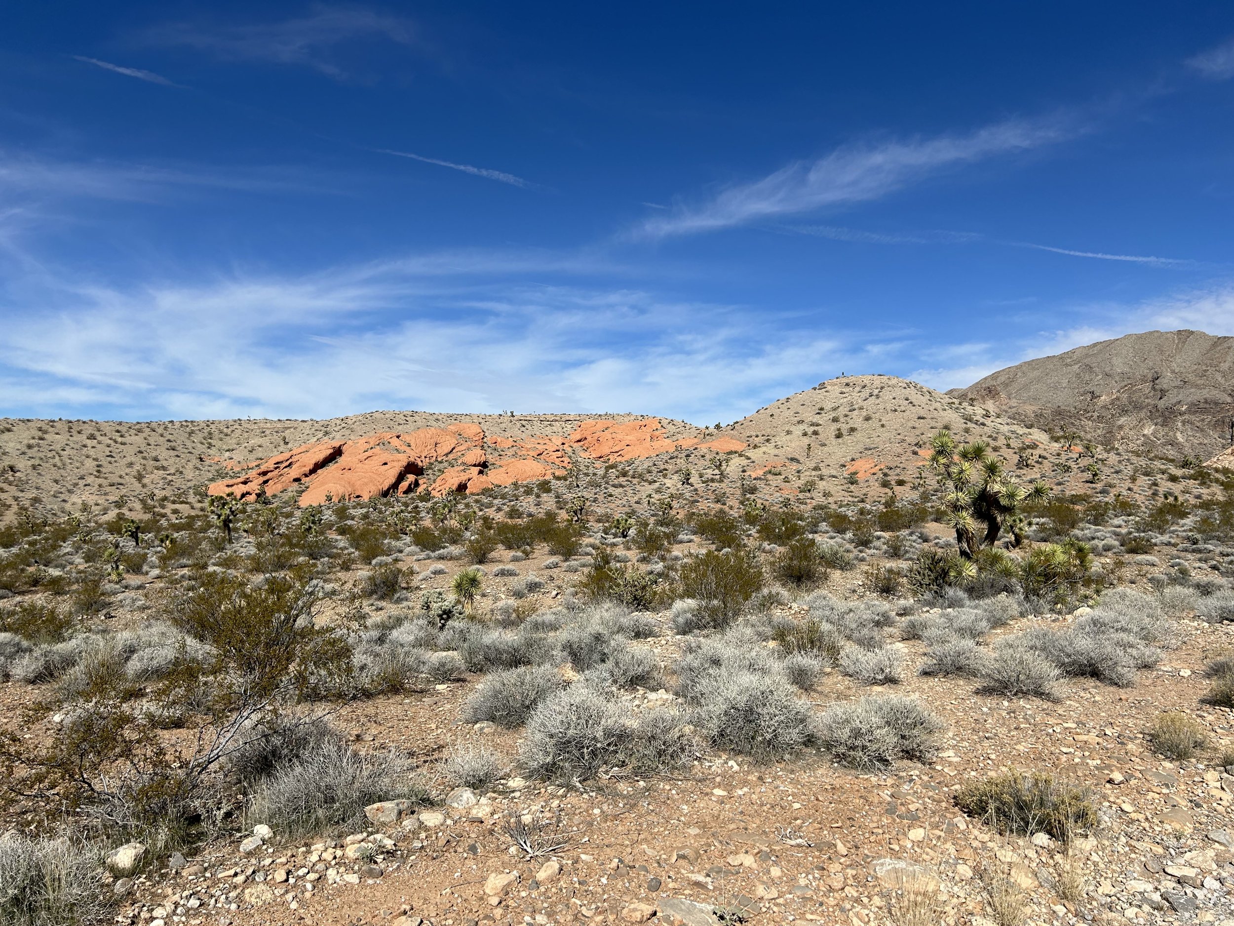
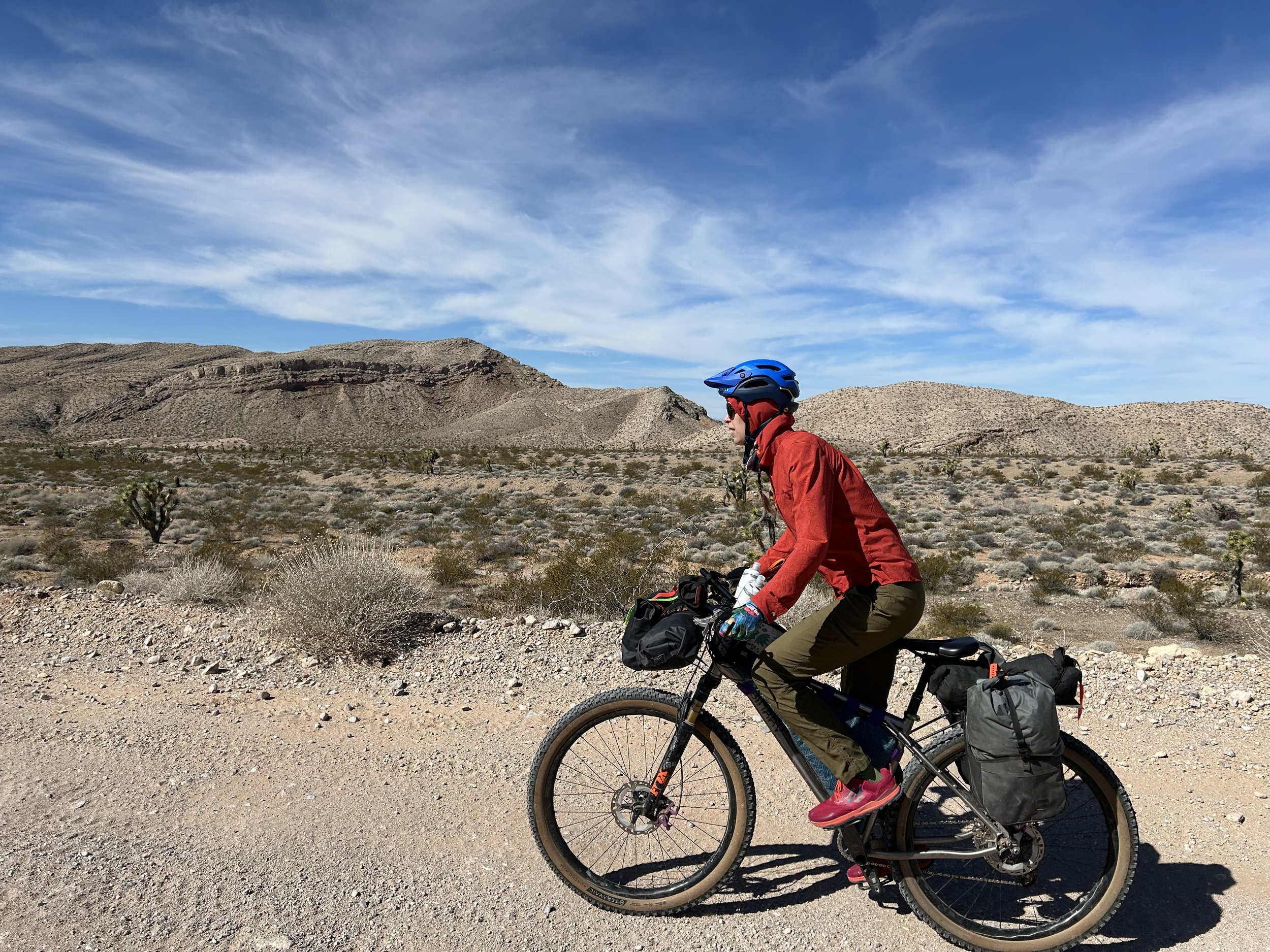
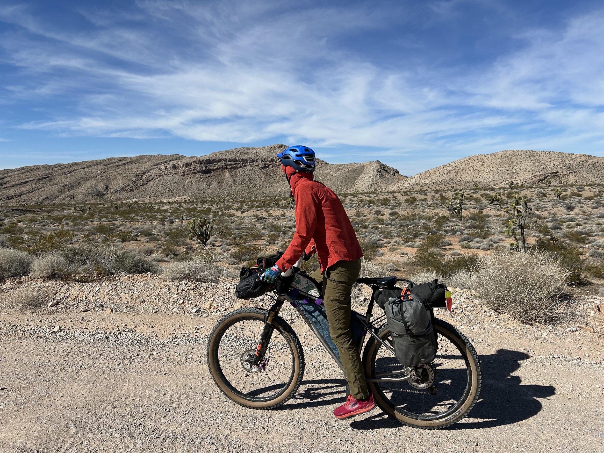
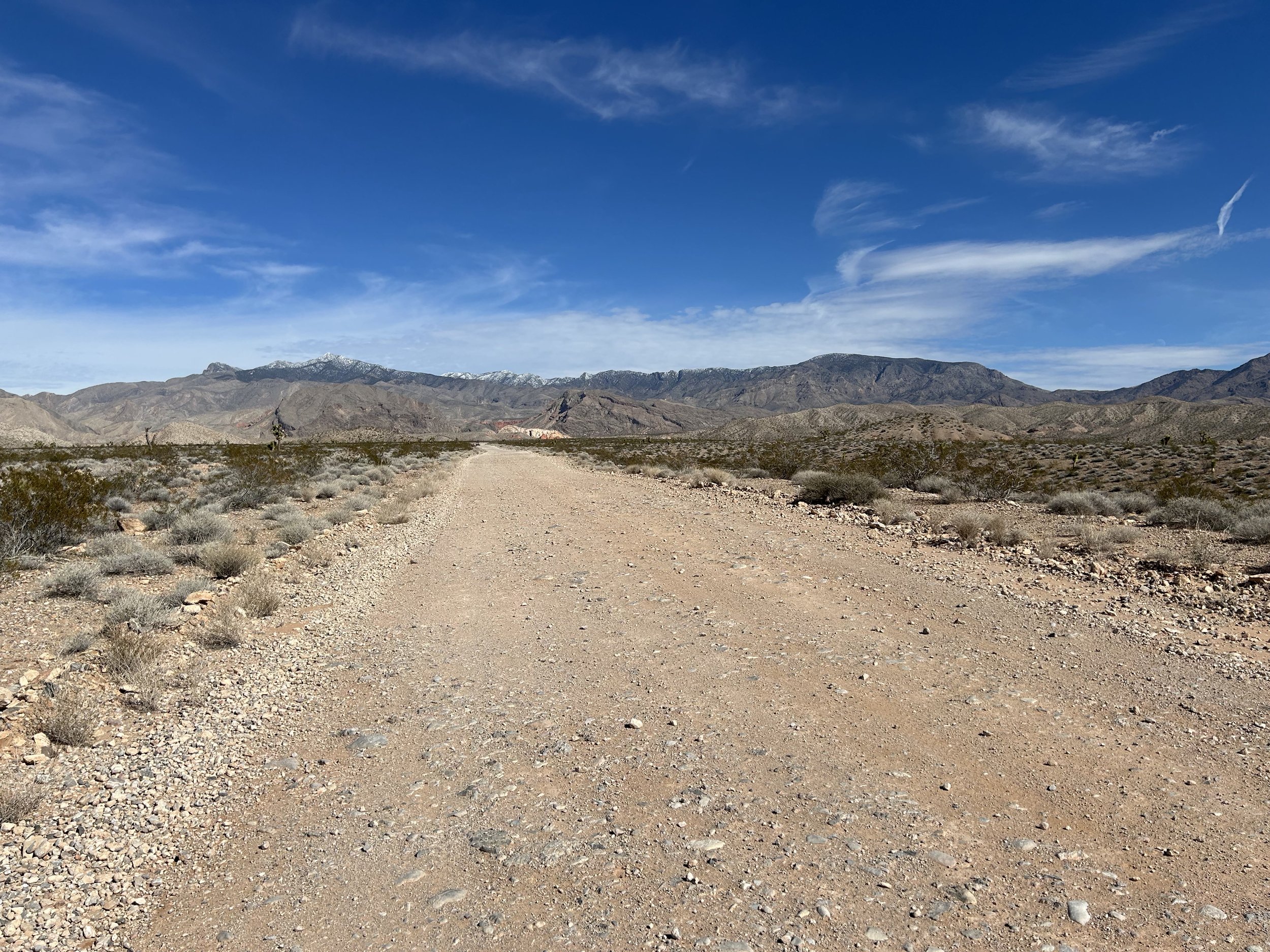
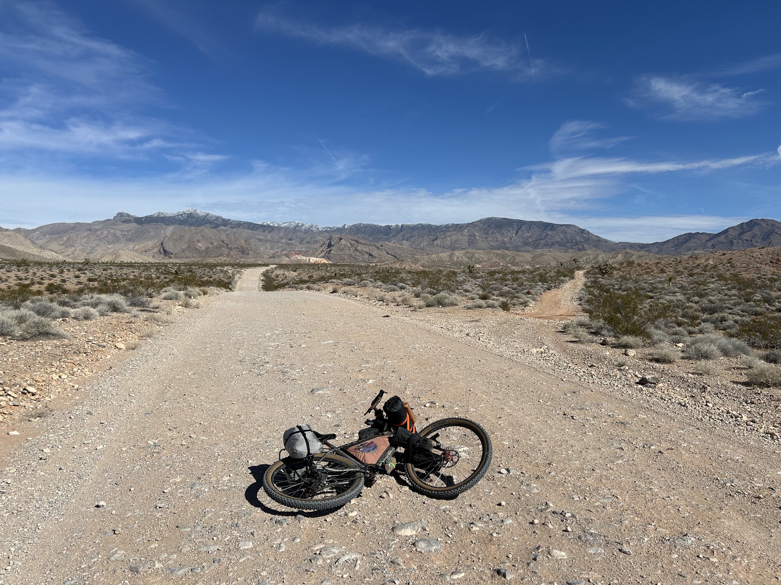
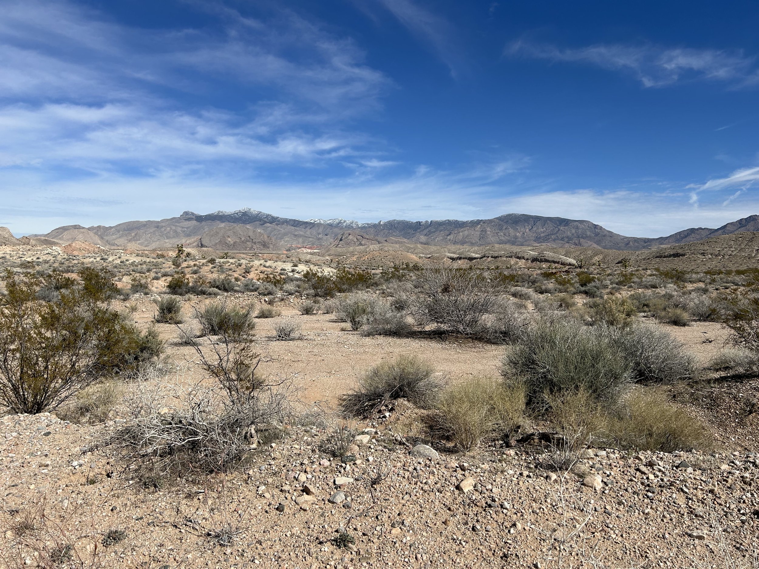
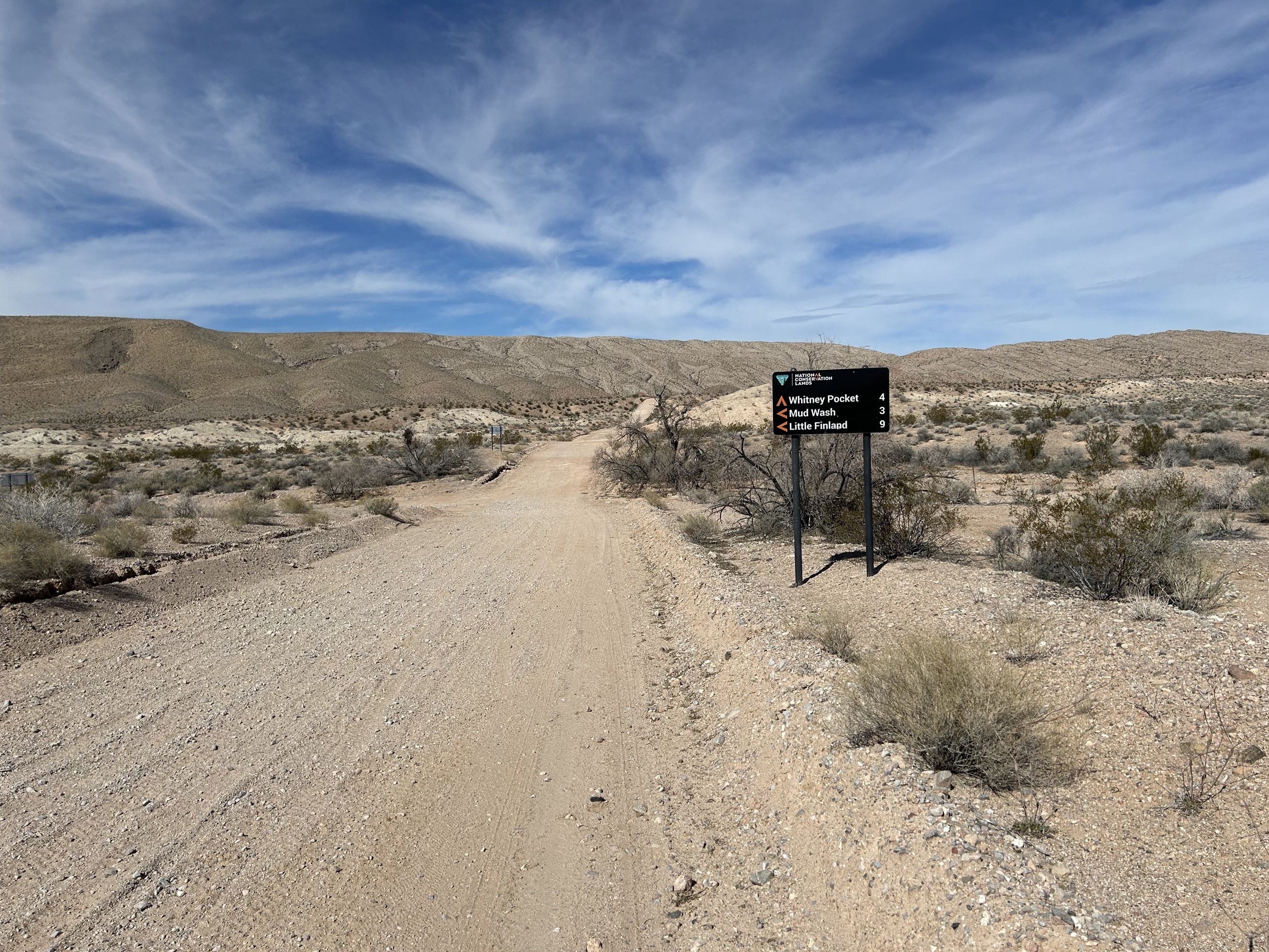
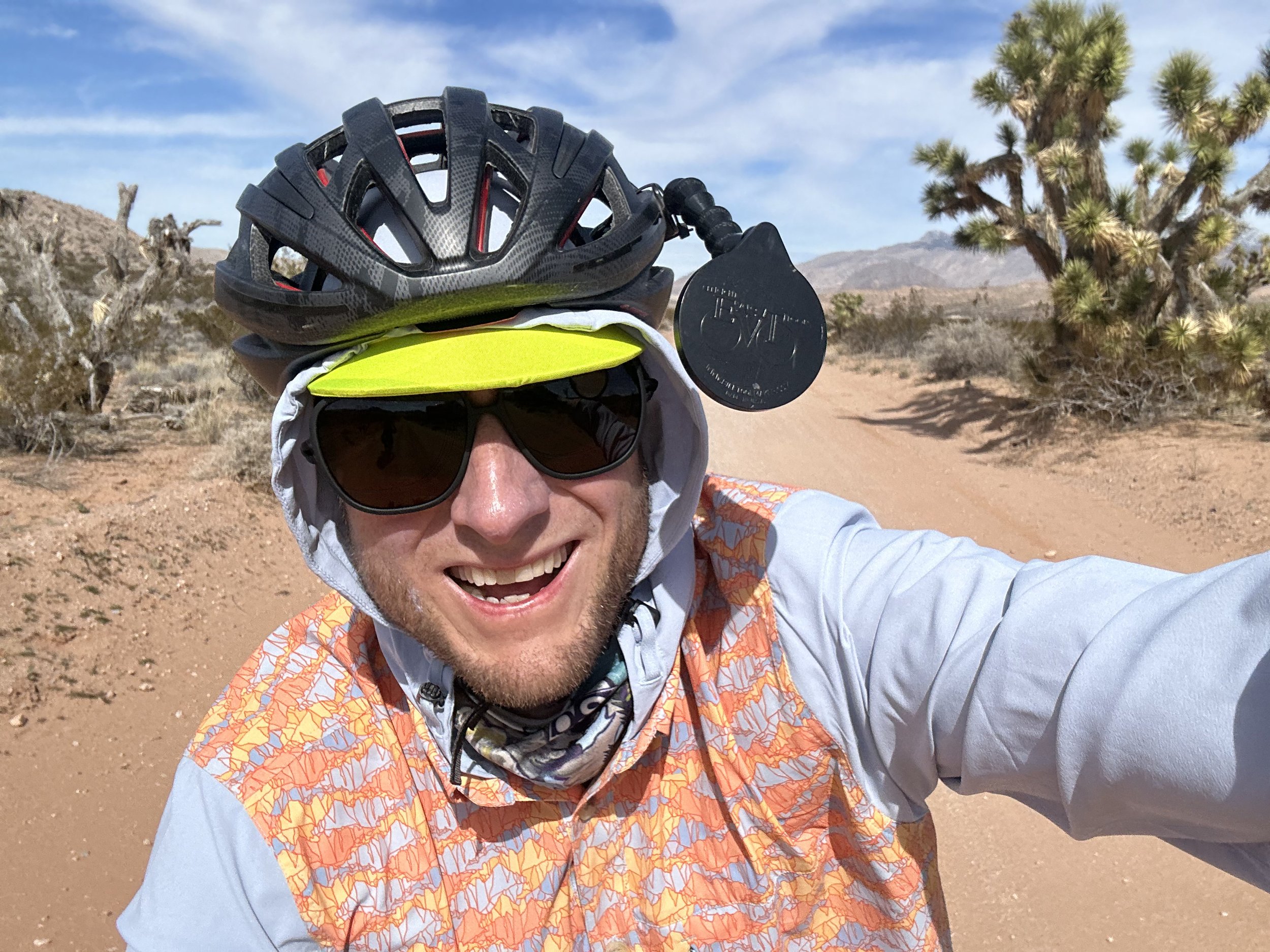
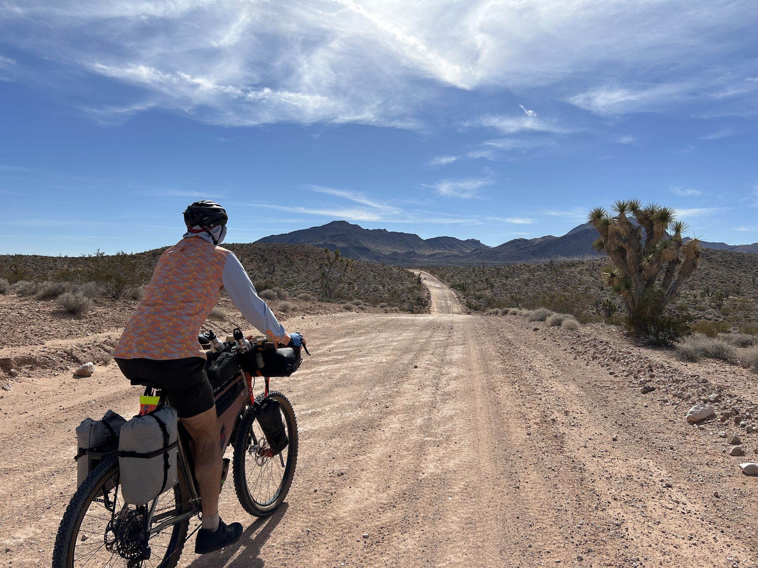
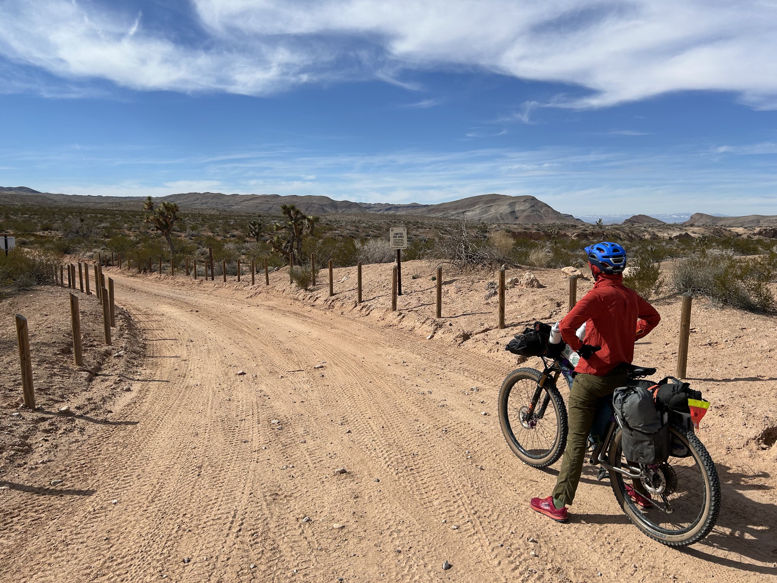
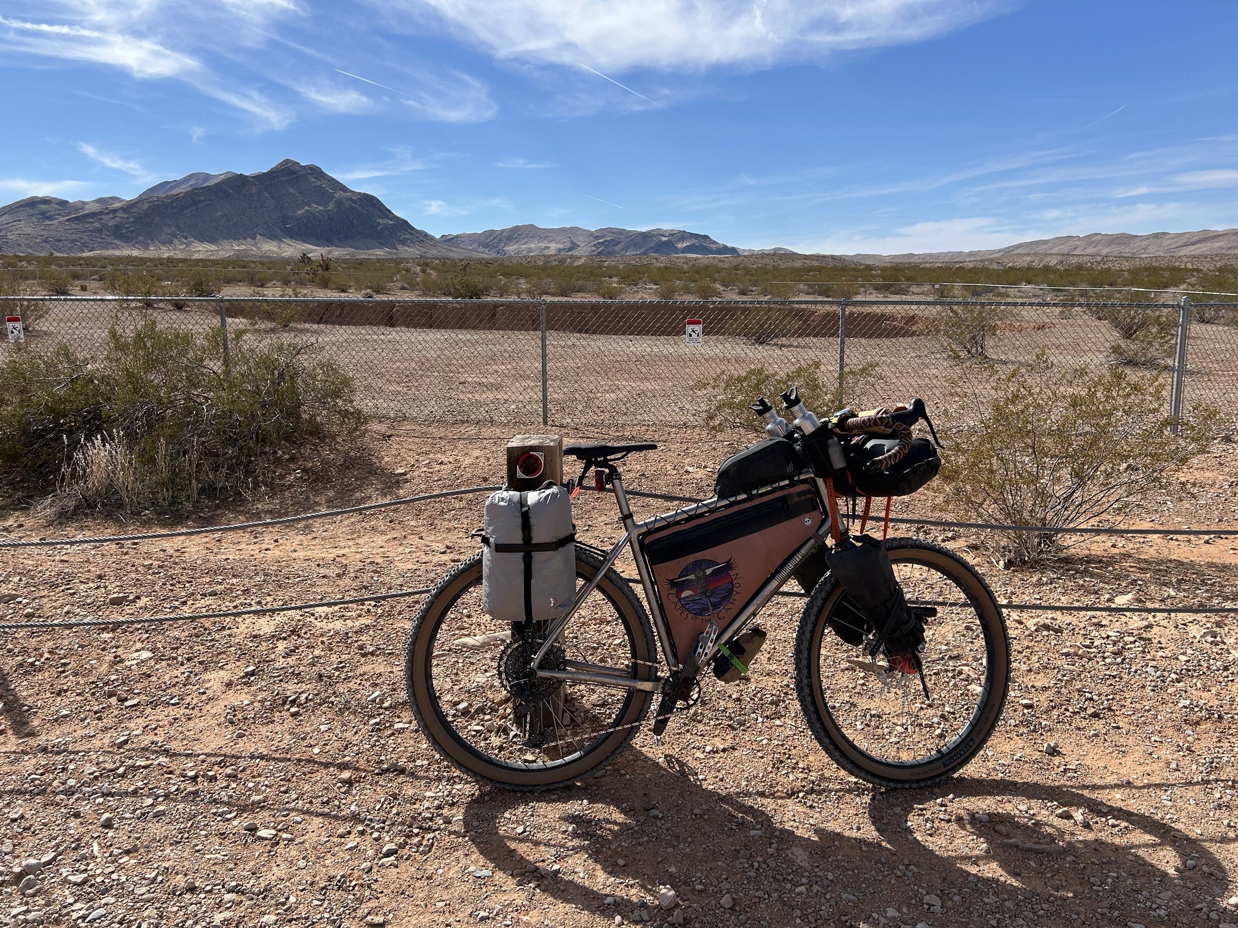
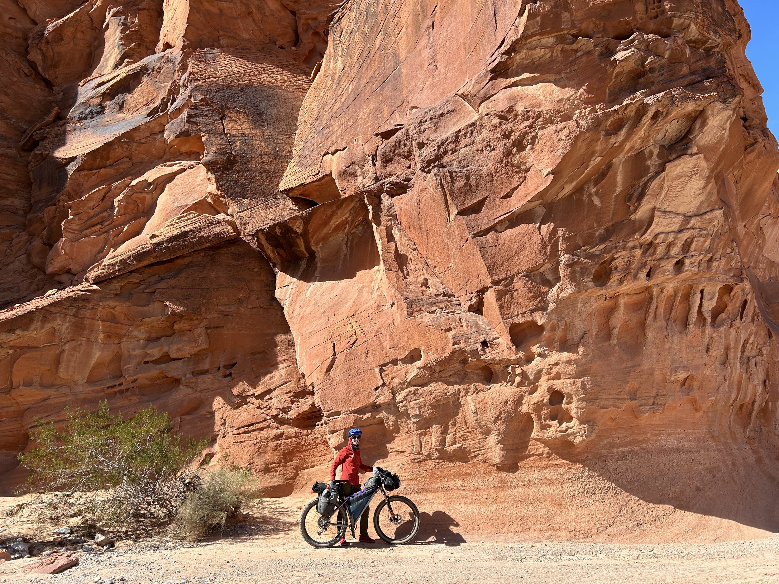
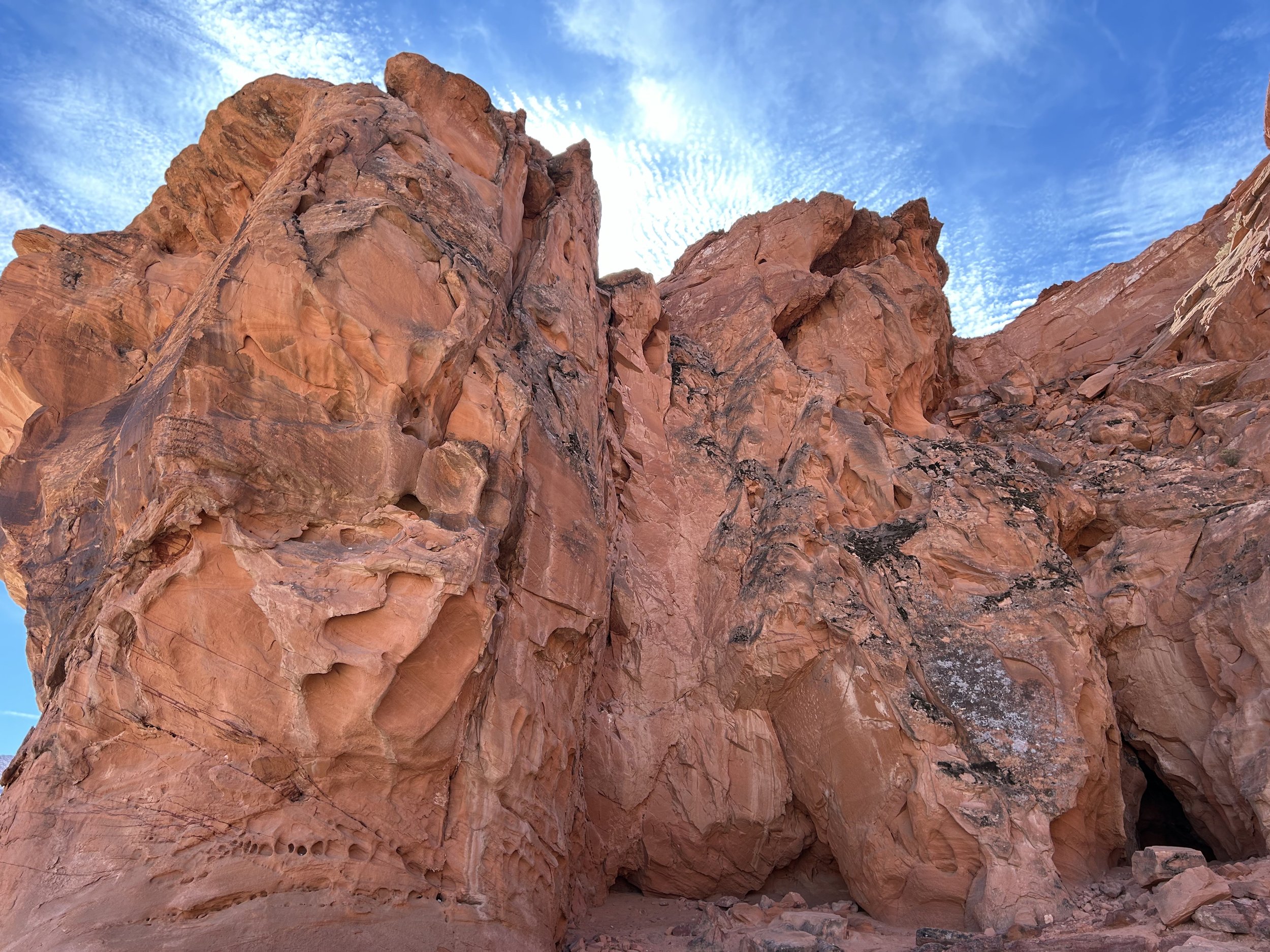
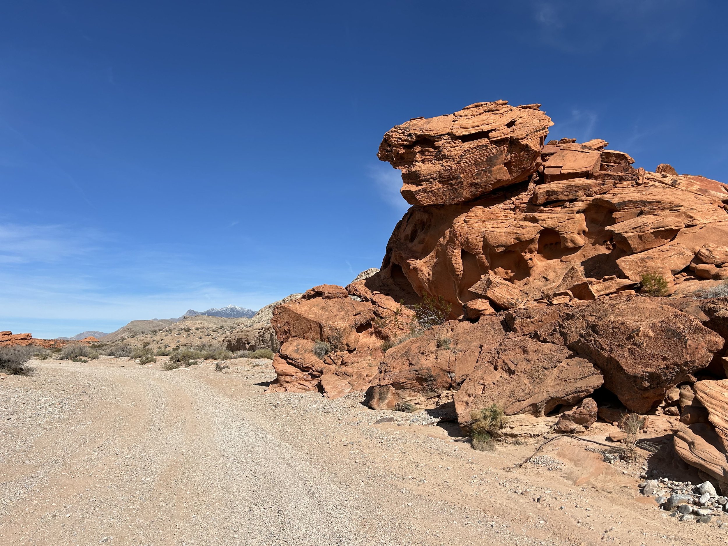
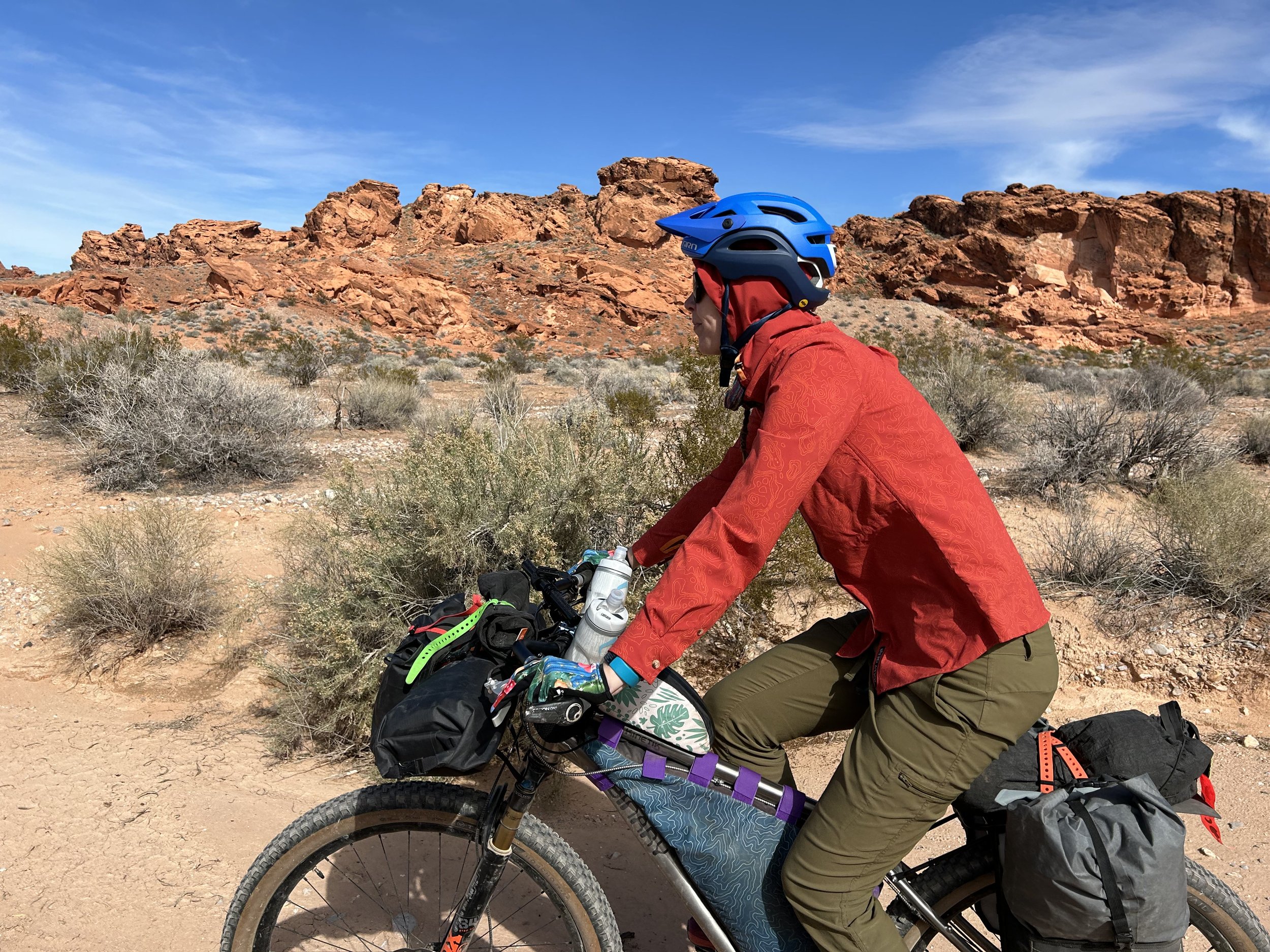
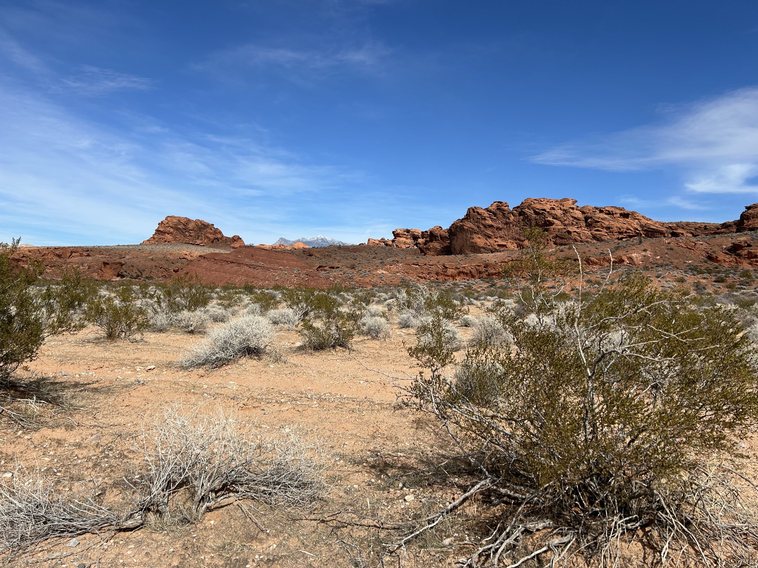
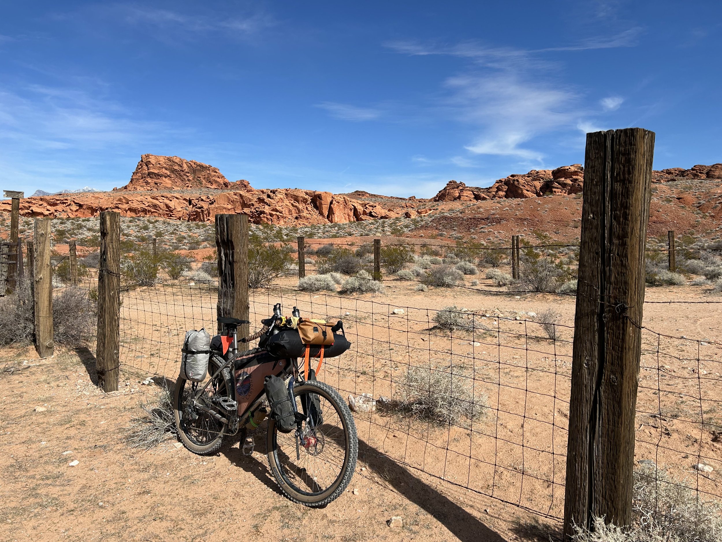
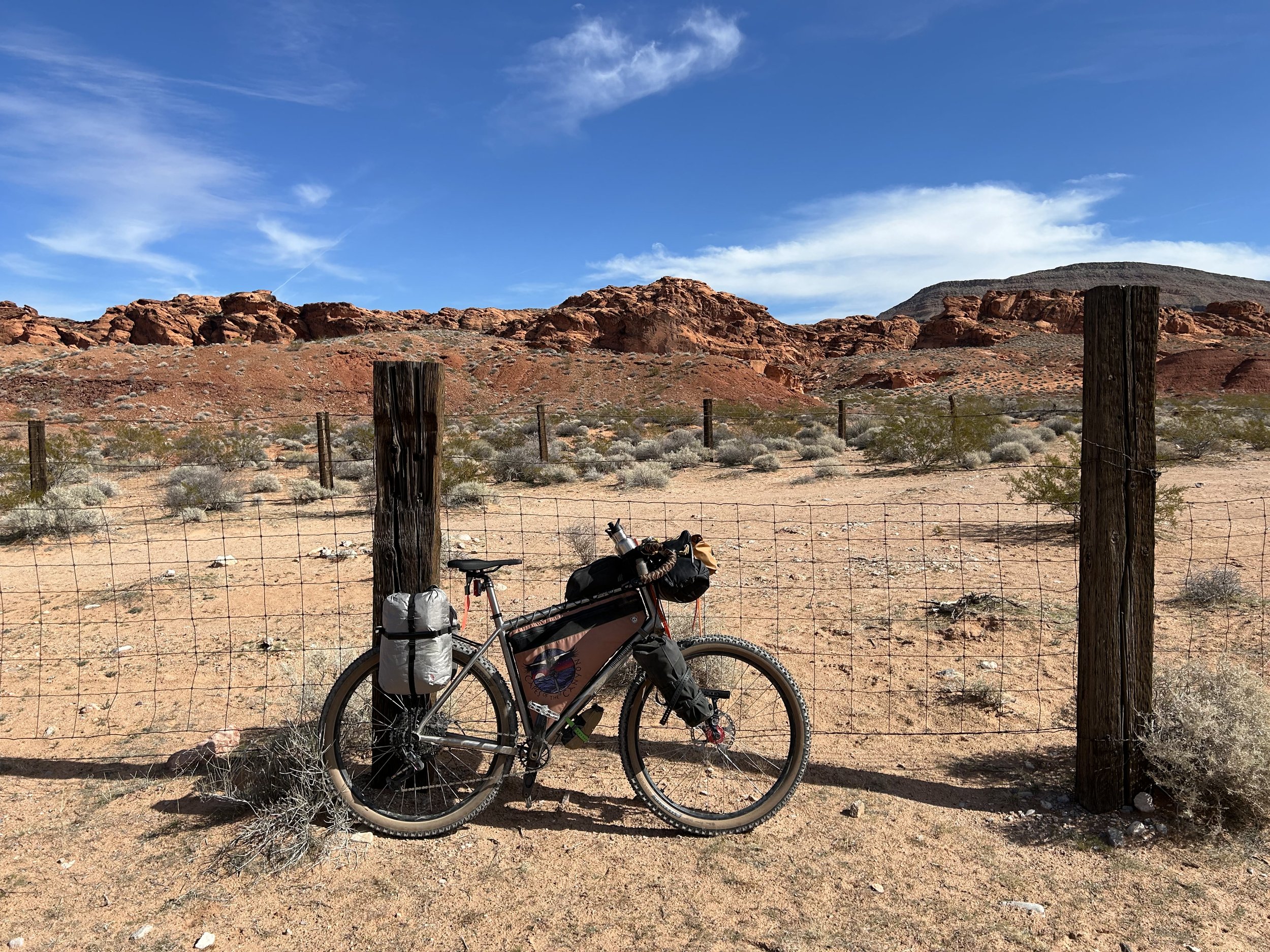
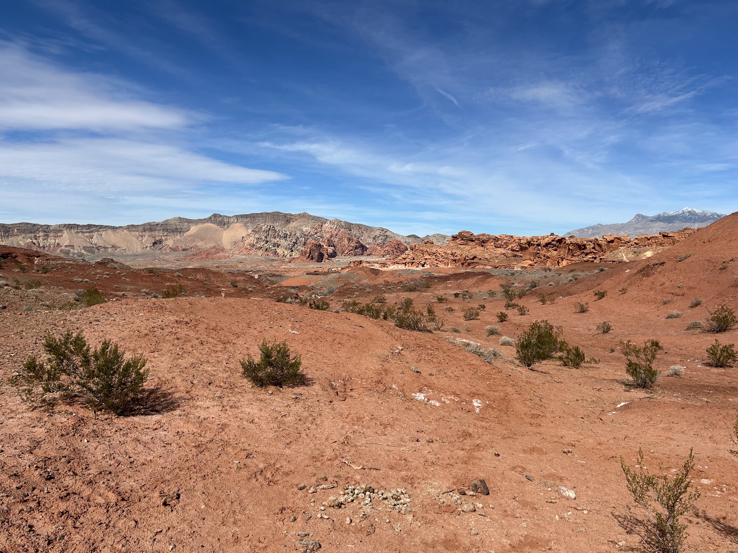
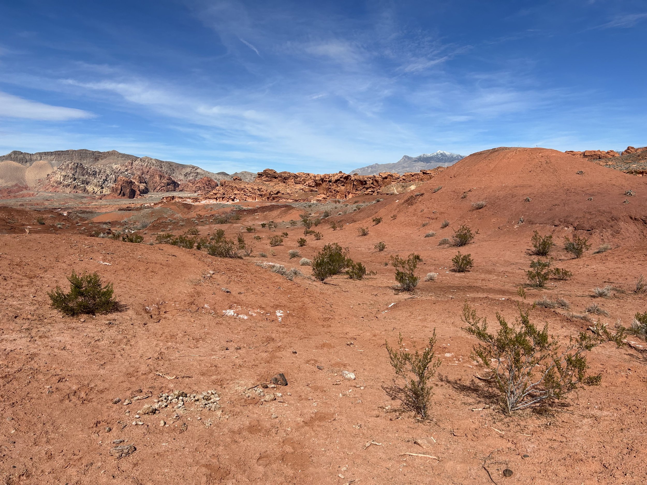
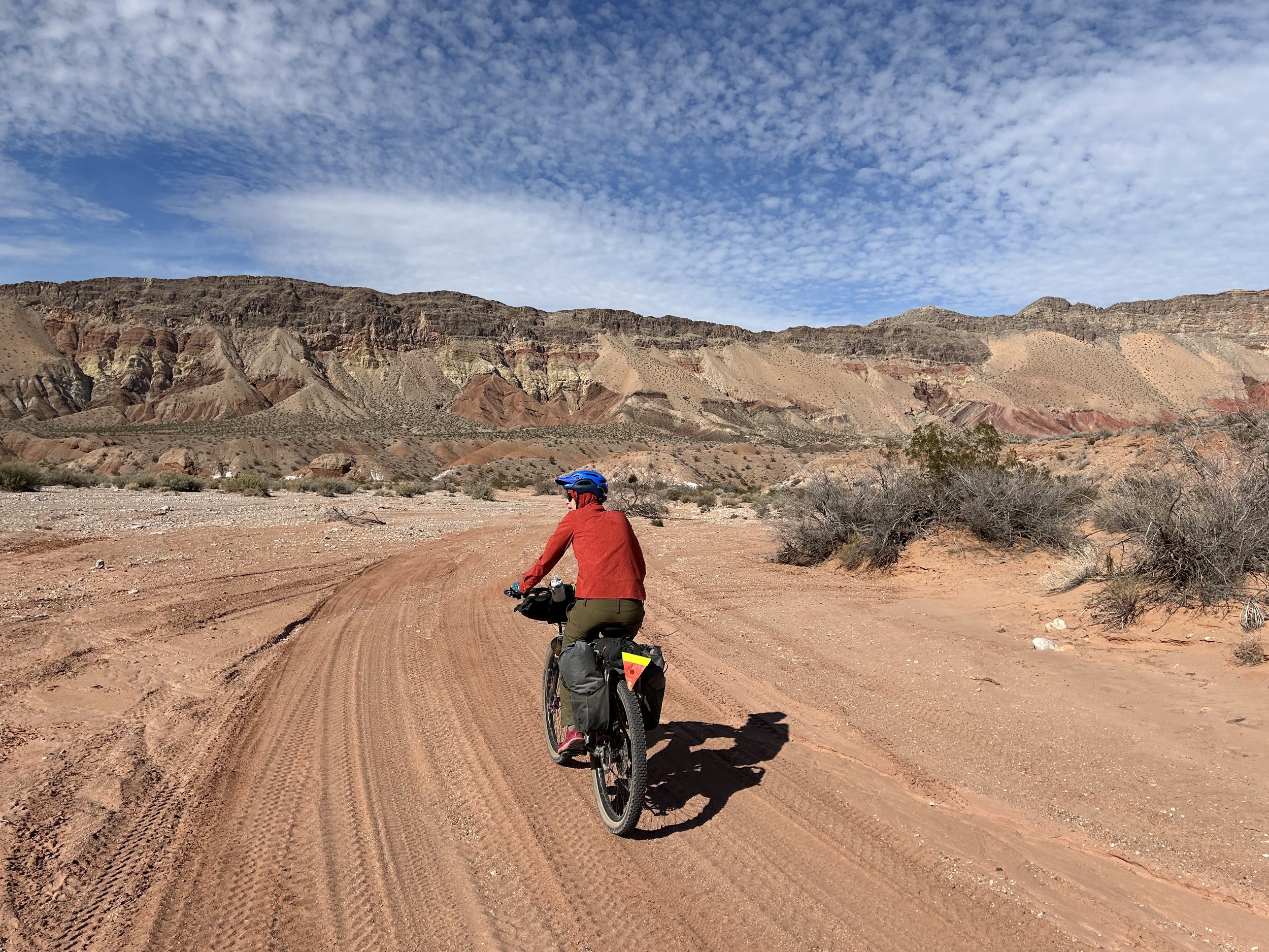
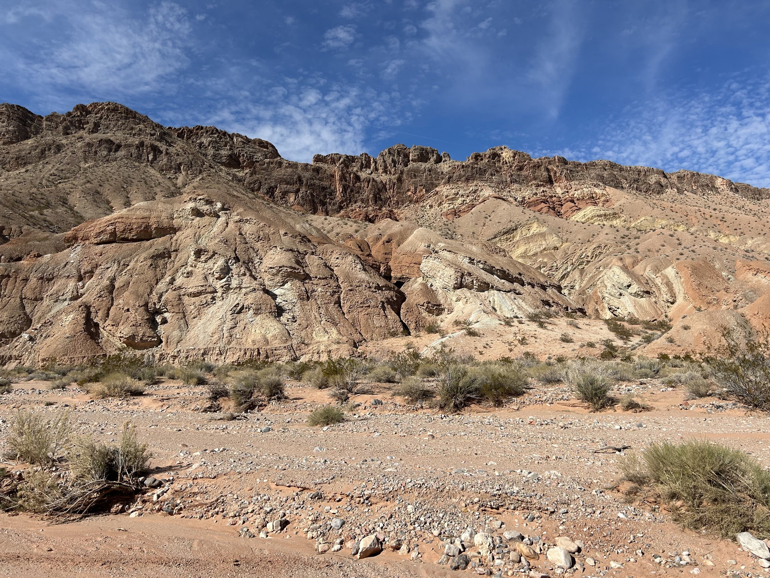
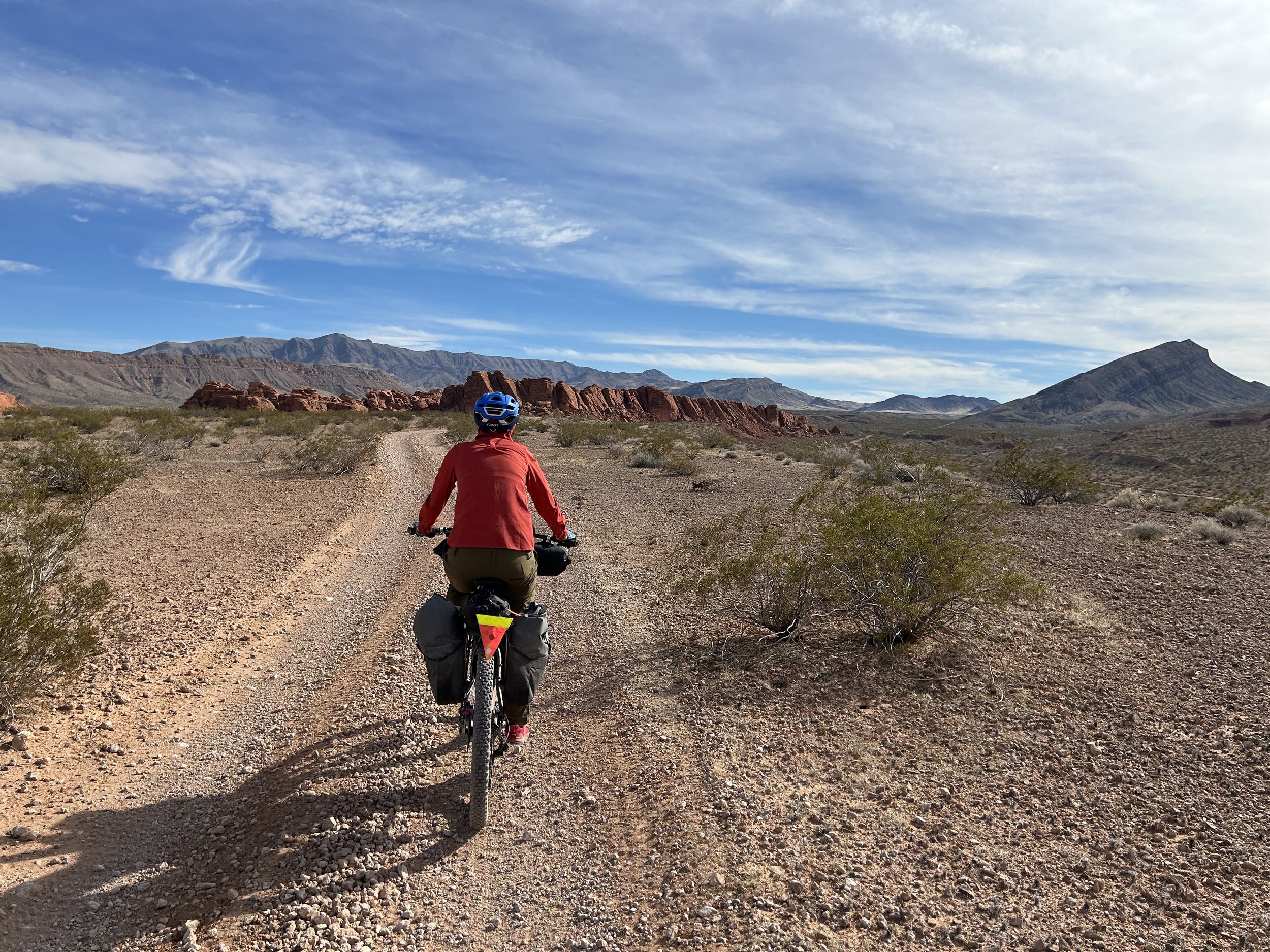
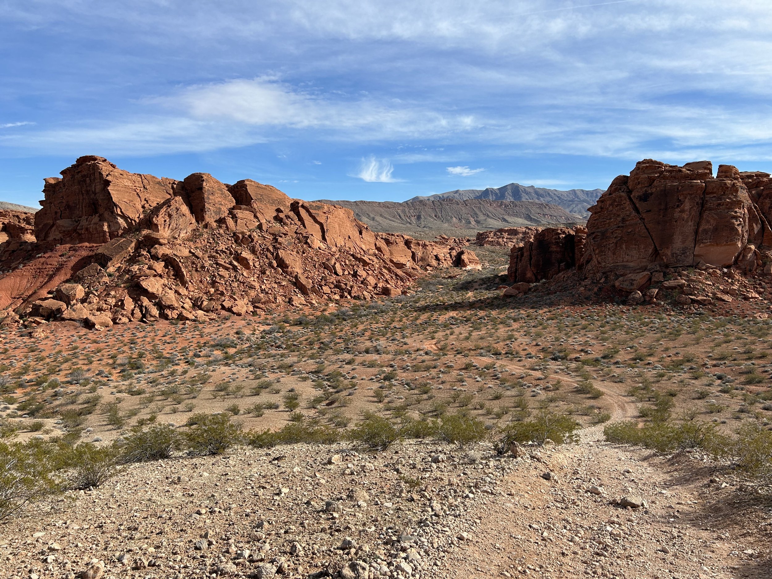
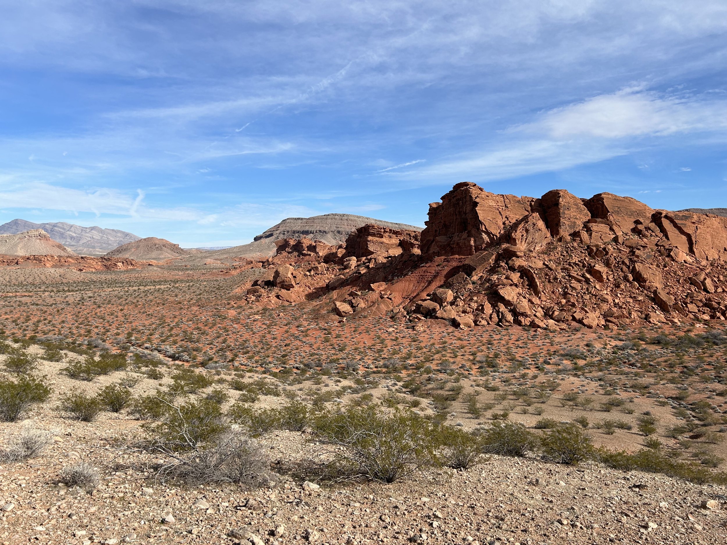
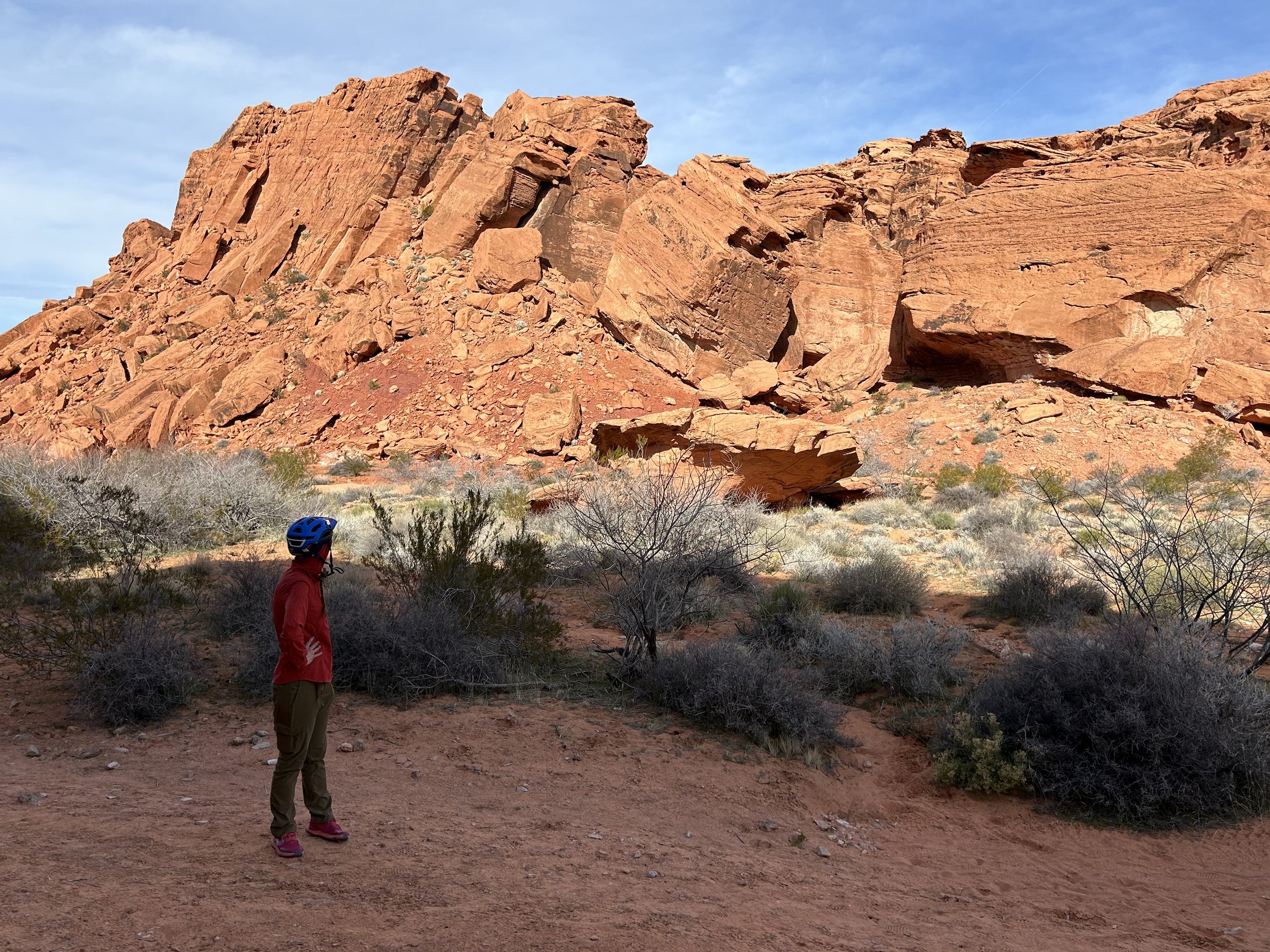
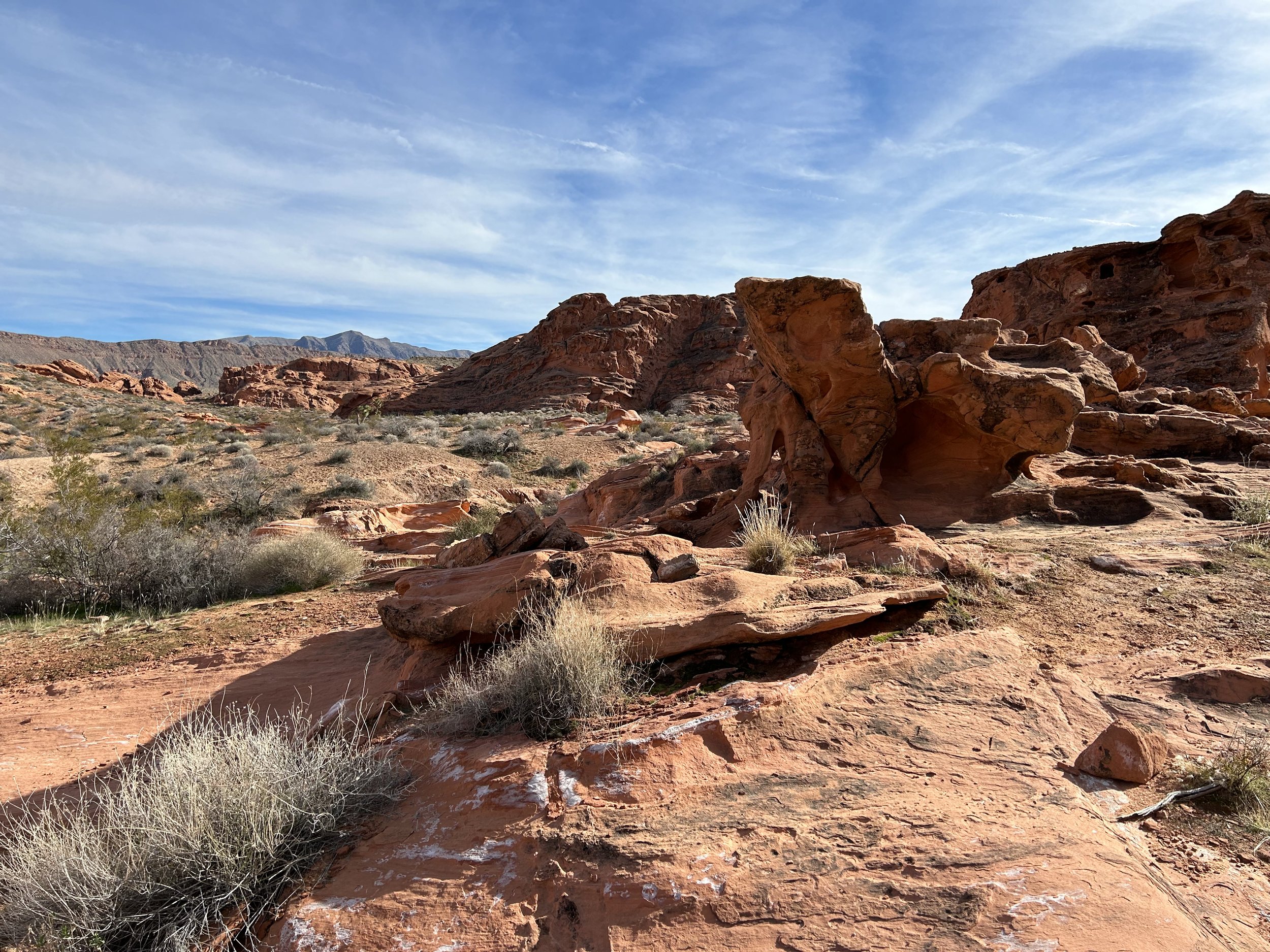
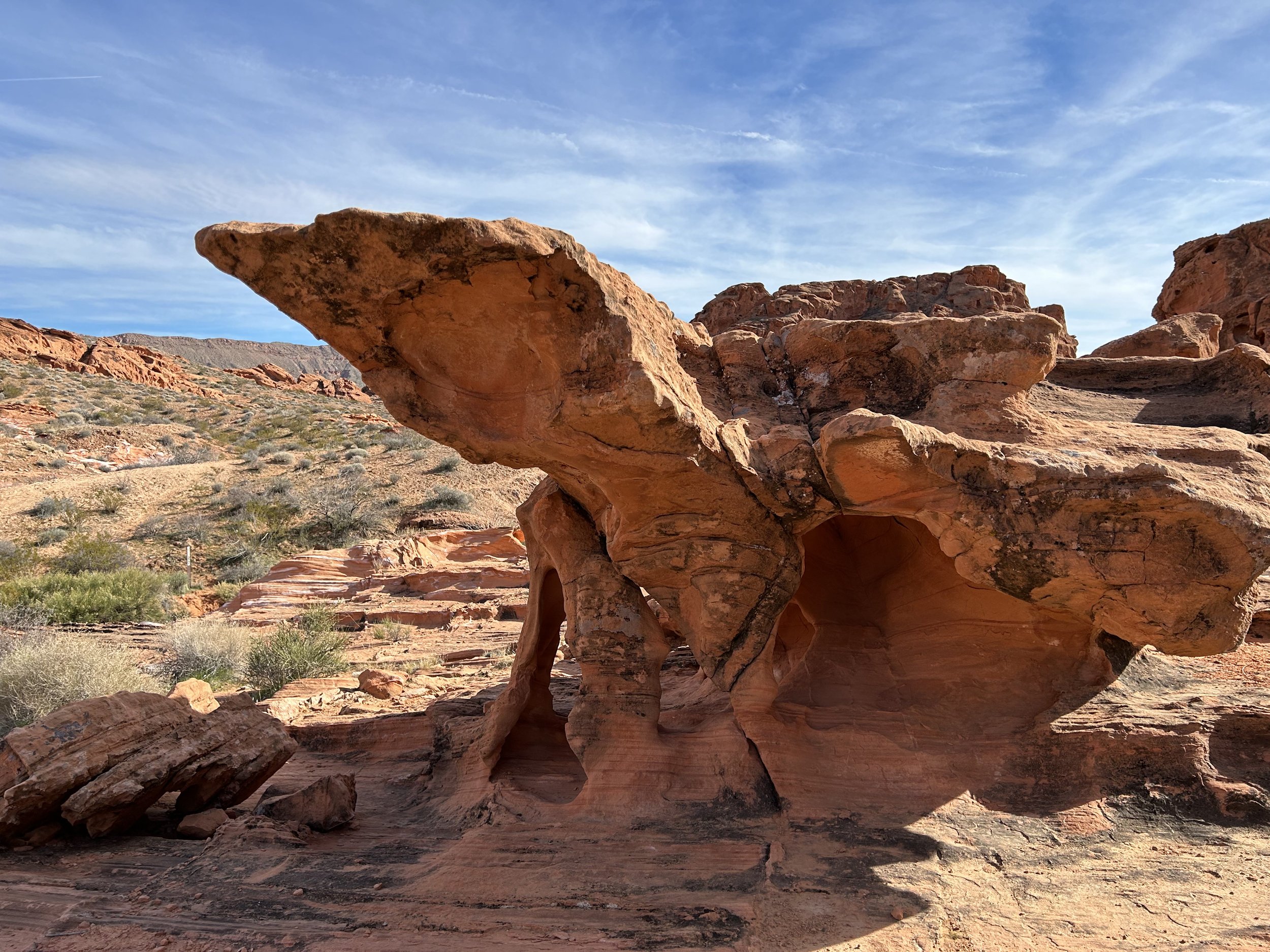
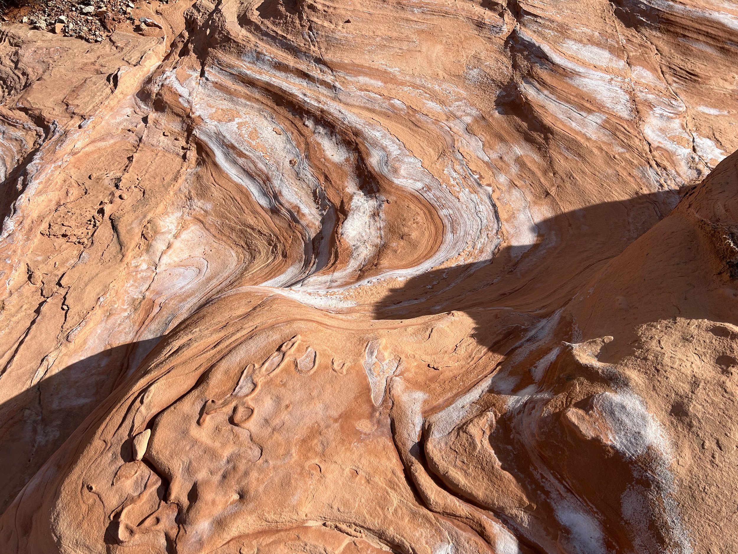
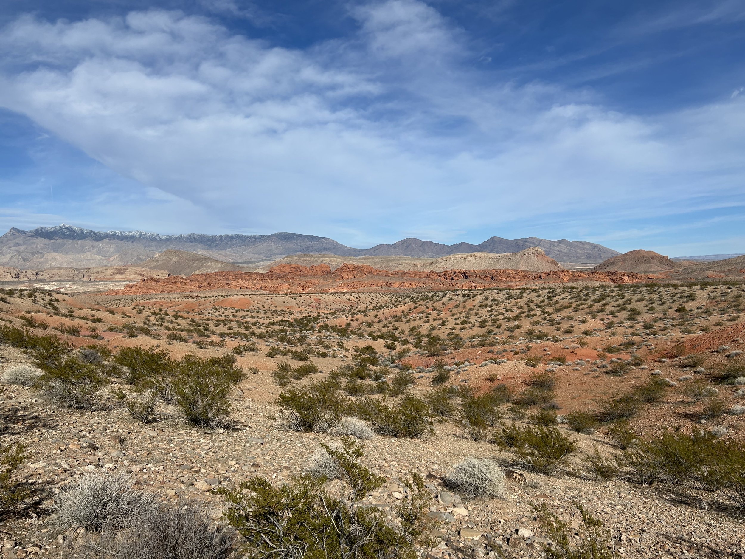
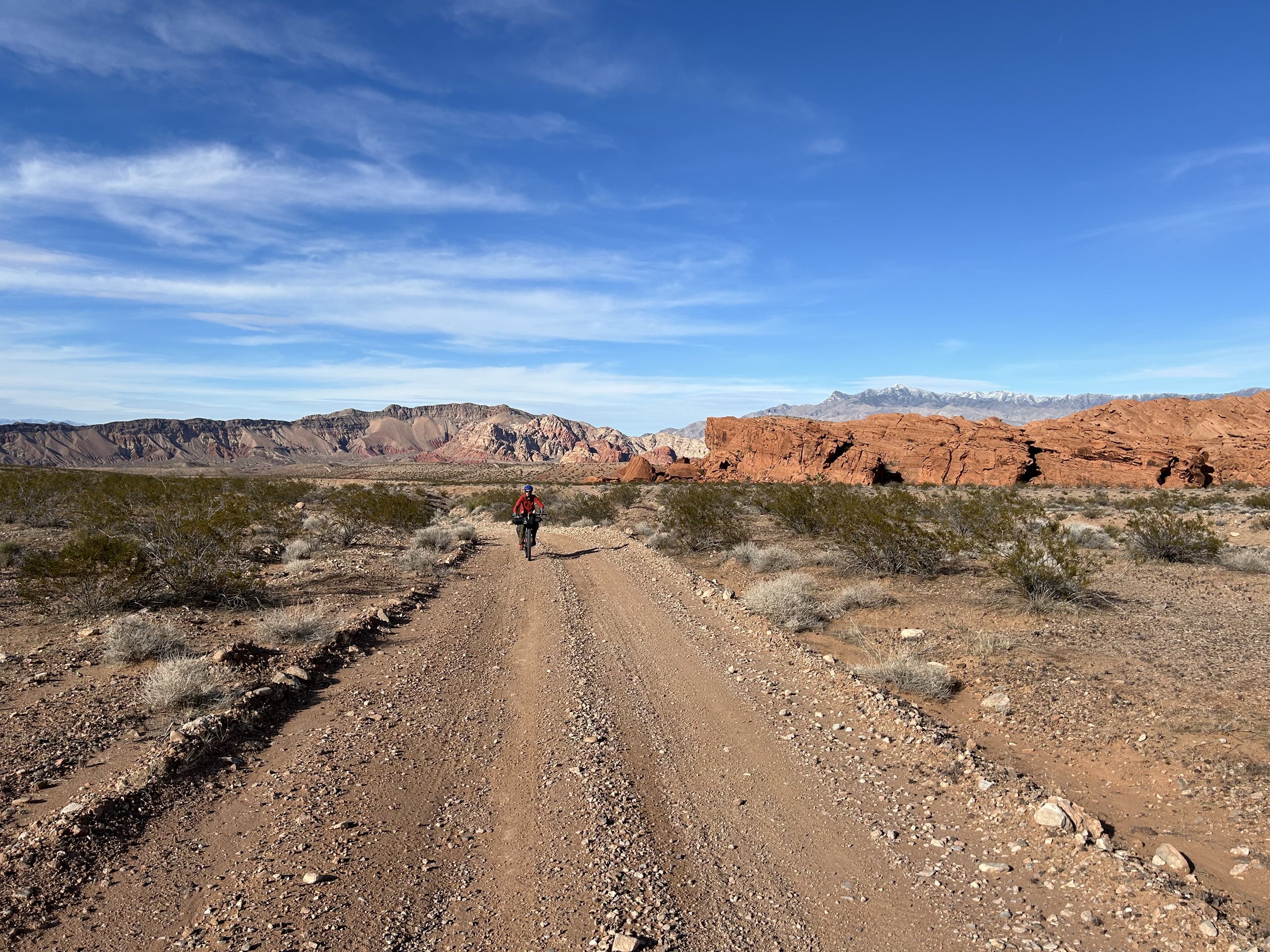
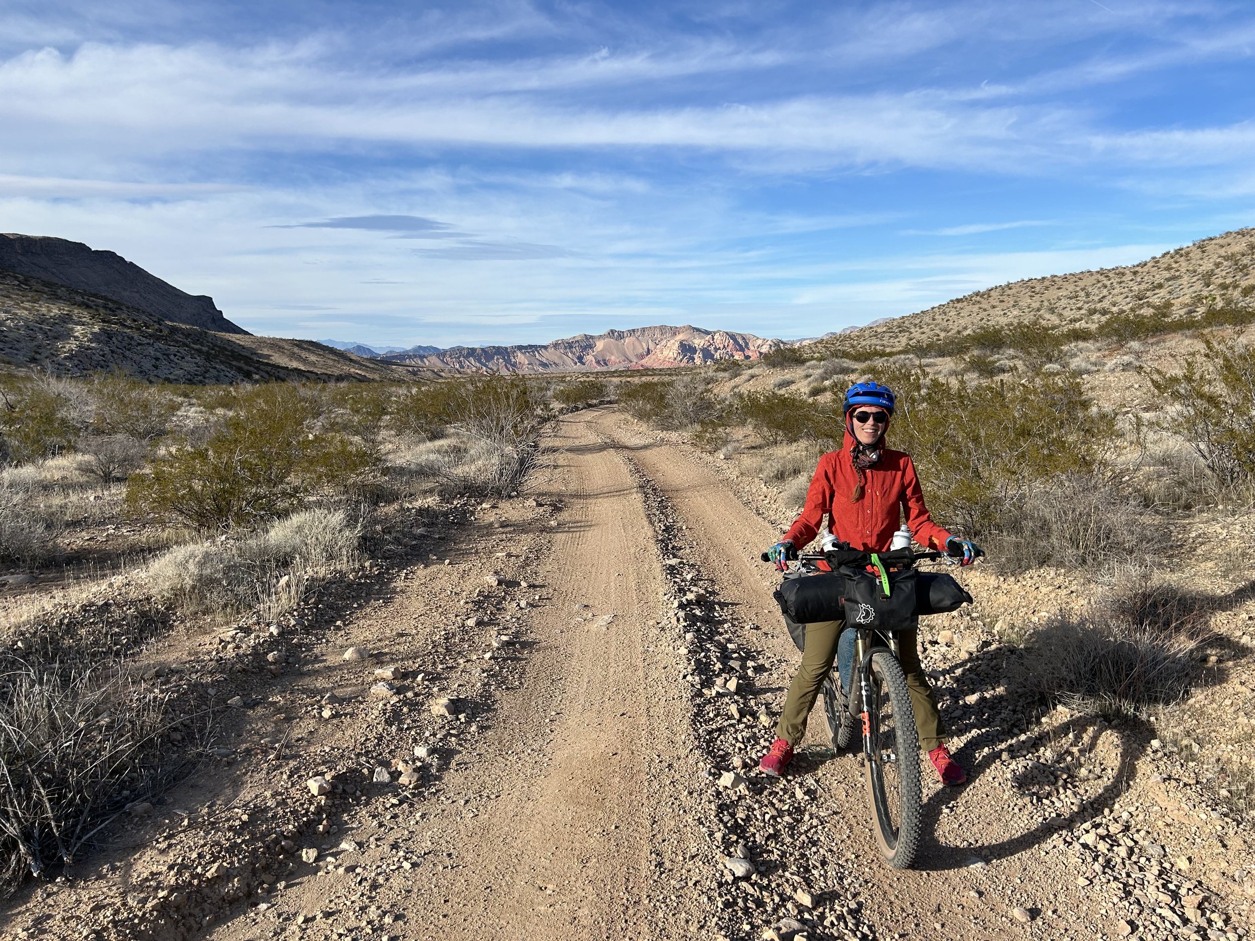
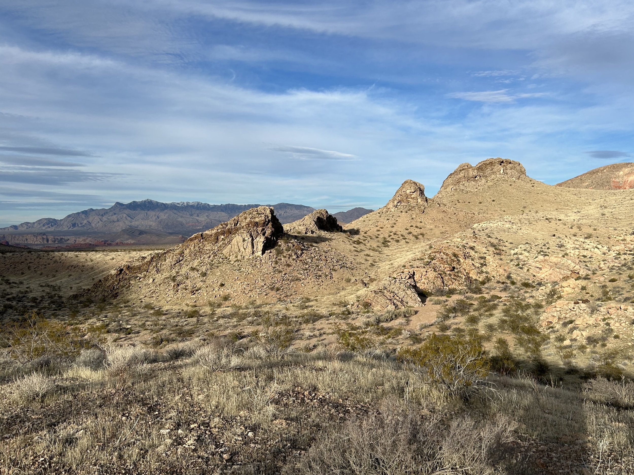
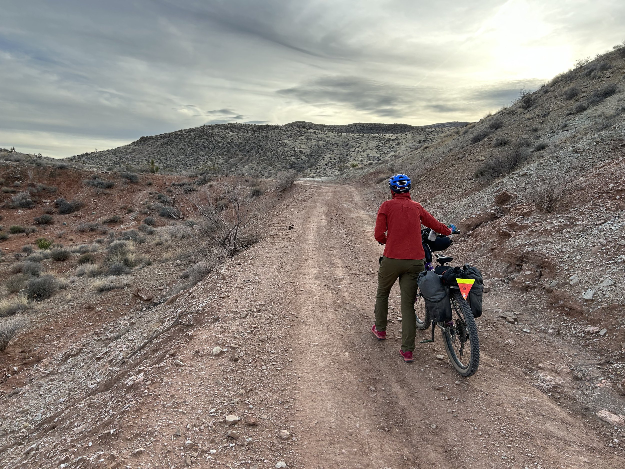
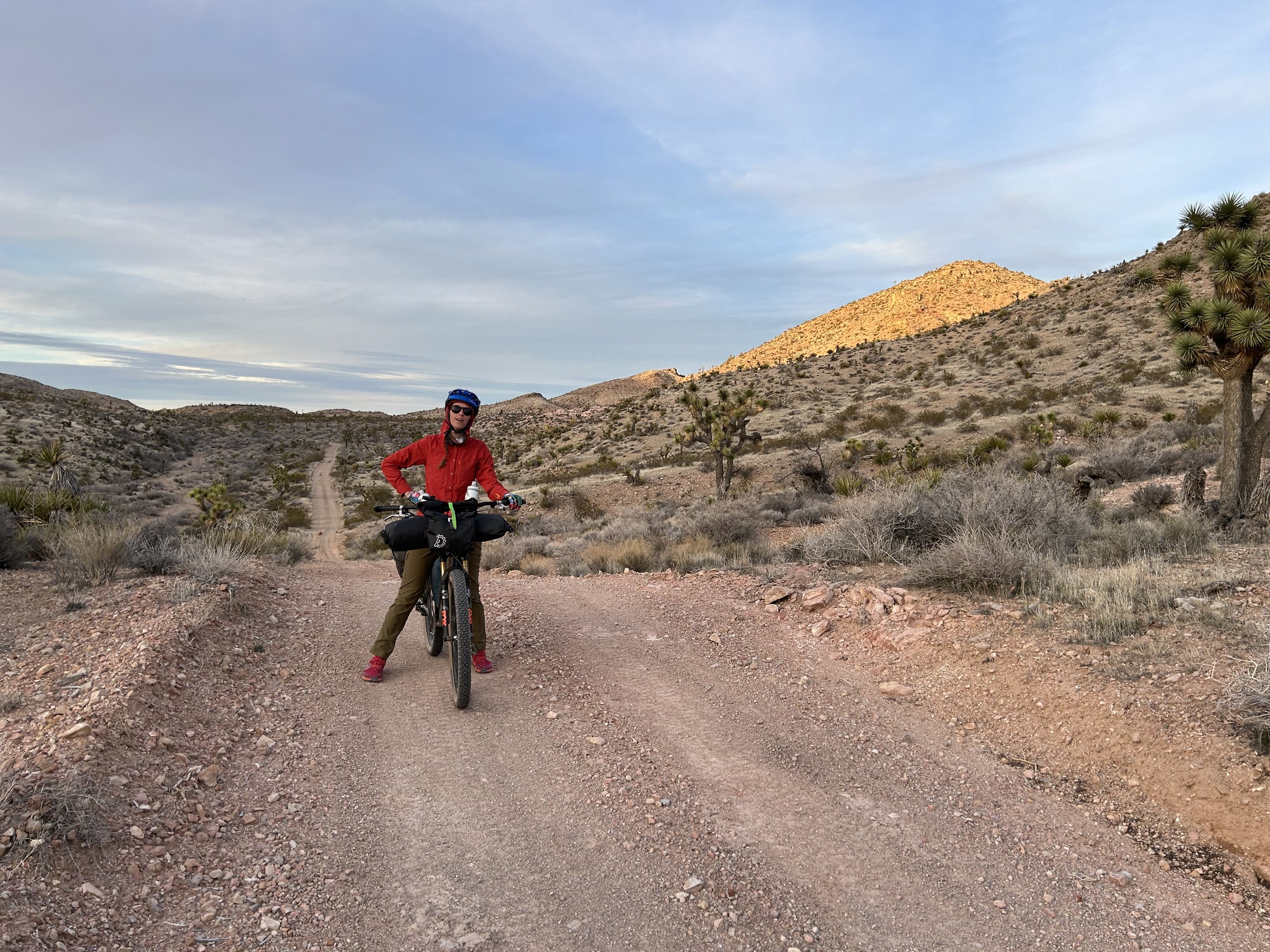
Arrival at Whitney Pocket was stunning. The rock formations are iconic for Gold Butte National Monument. They stand stark, jumbled, and multi-colored striated against the backdrop of the Virgin Mountains to their west. A huge snowstorm had moved into the area a week prior dropping feet of snow up high; the peaks were subsequently crisp white. The Parking Area was massive and perfect for leaving our car. The pre-spring sun was warm and inviting as we packed up our bikes. Janna has used bikepacking panniers for years, and this time around, I decided to give them a go with the V2 Revelate Designs Nano Panniers (as opposed to the usual saddle bag); I ended up loving them. But like anytime you use a new system, it took some initial time to set it up in the parking lot. By just after 10 am, we were ready to go.
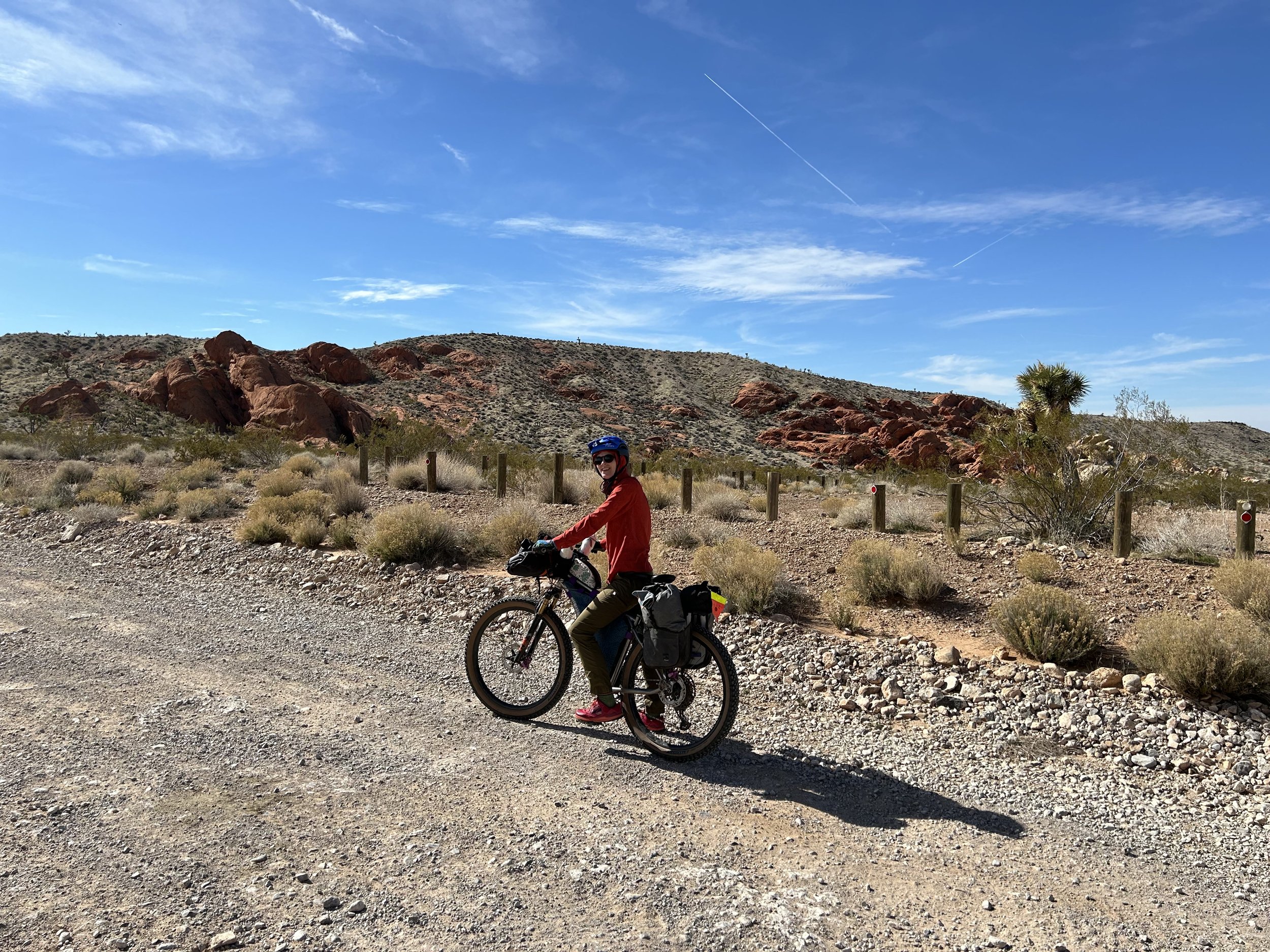
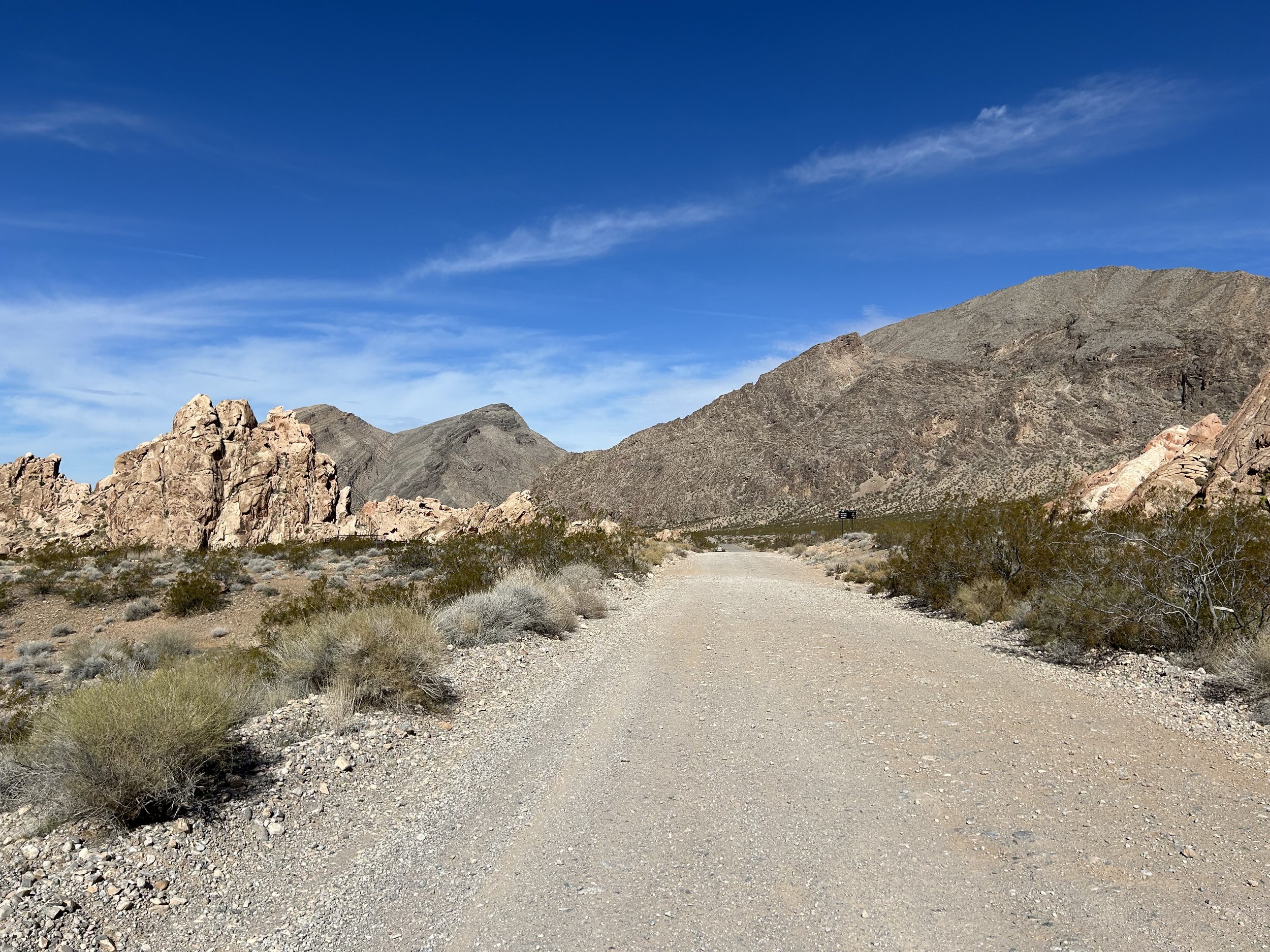
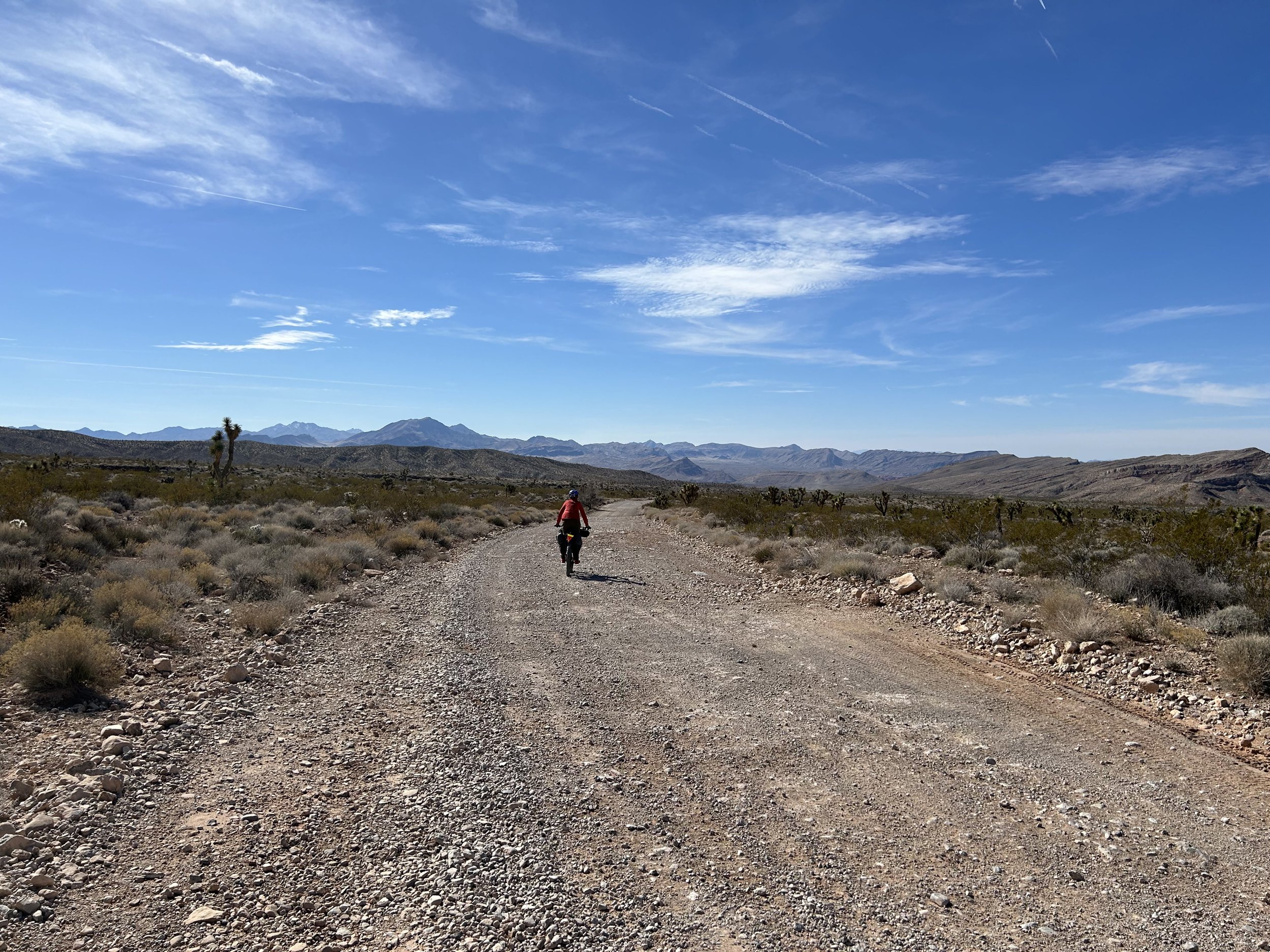
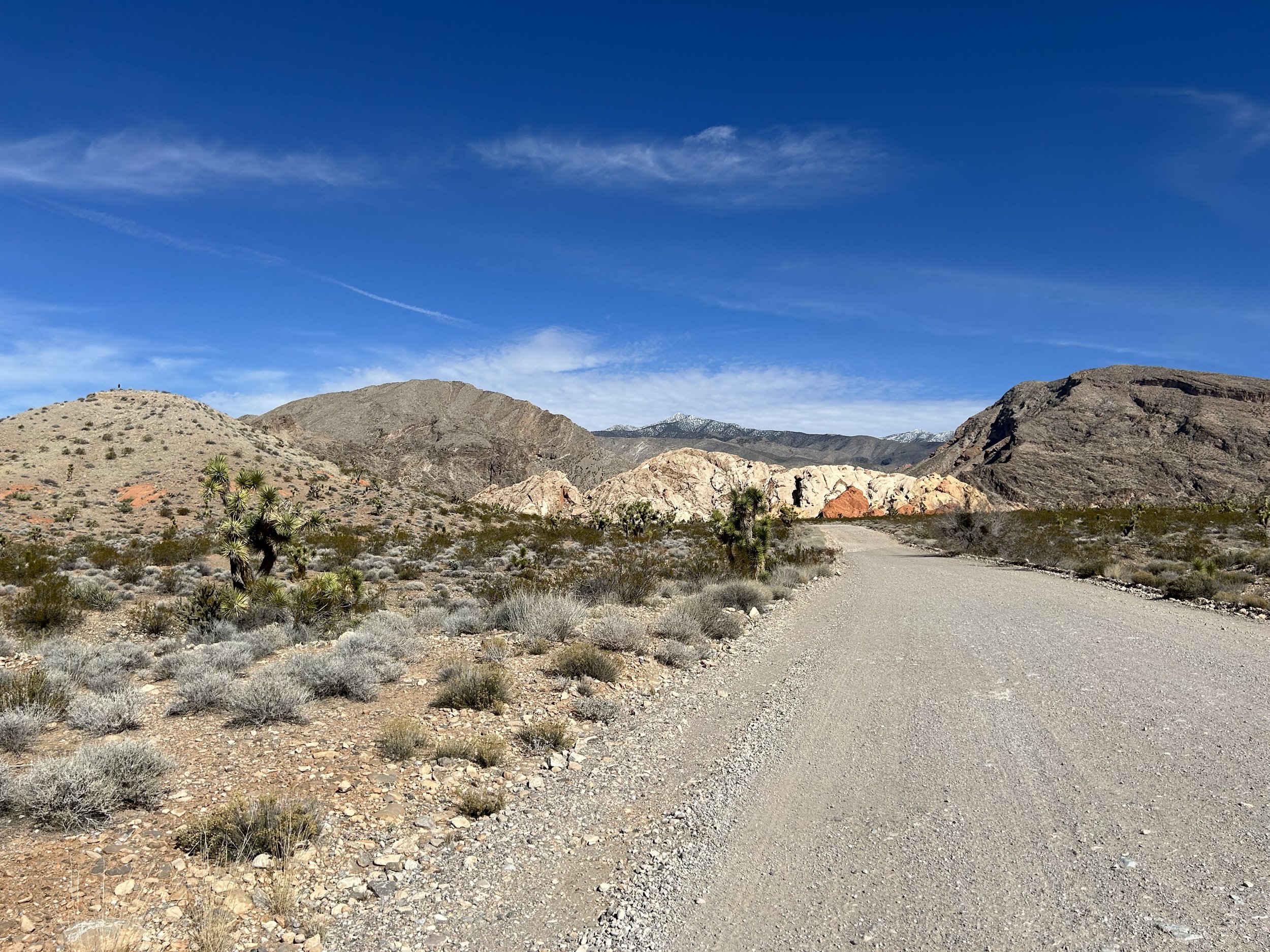
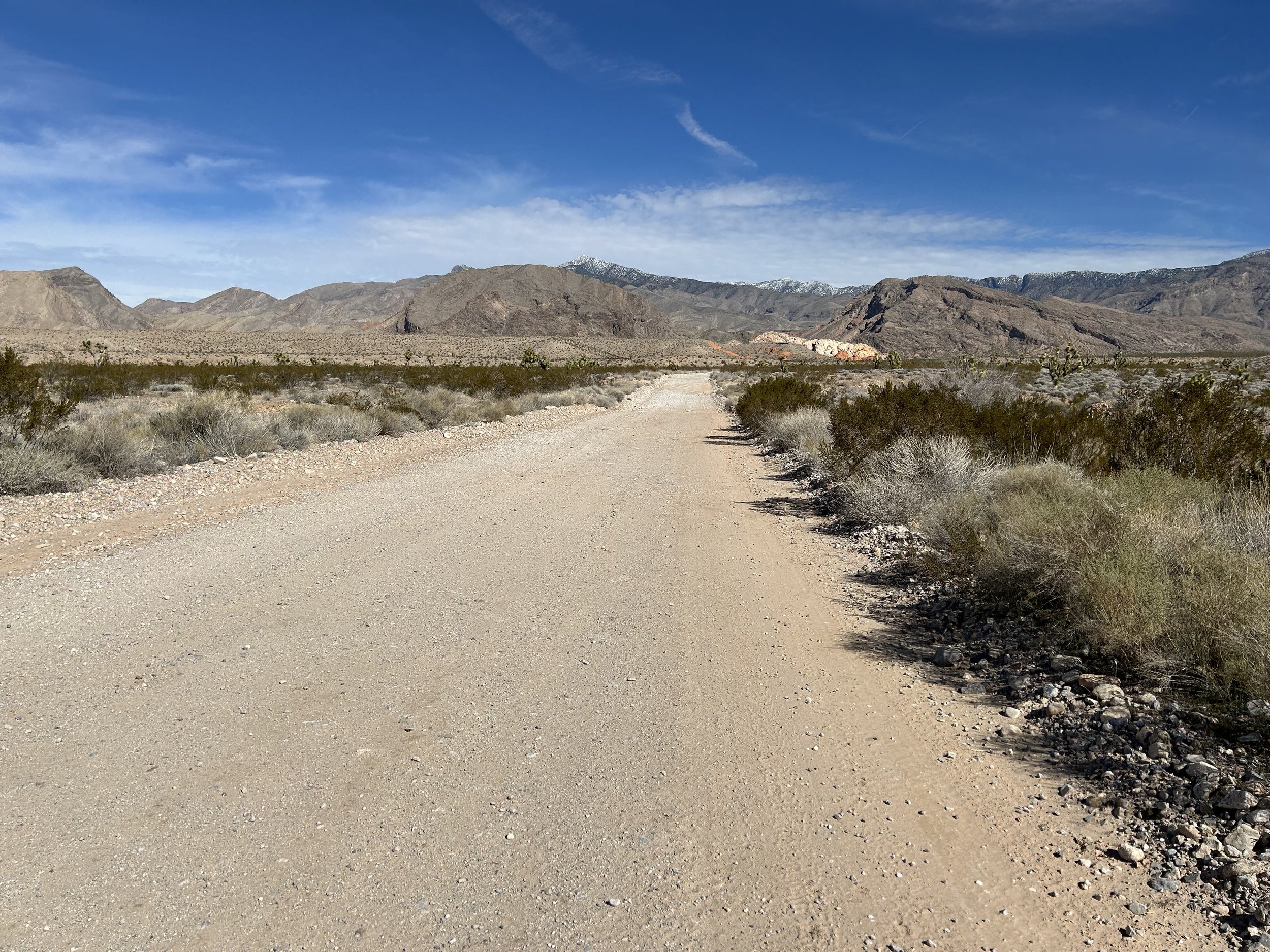
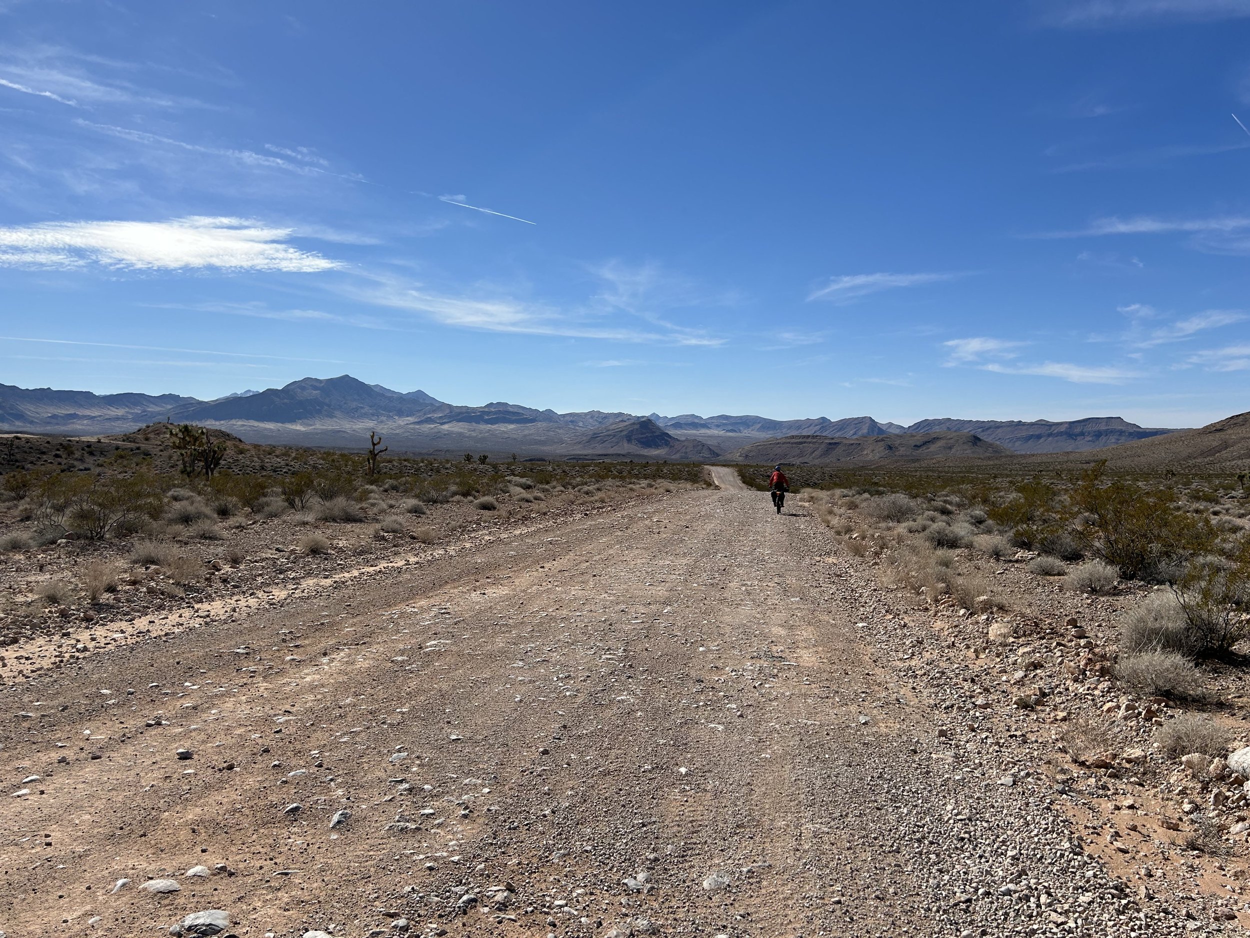
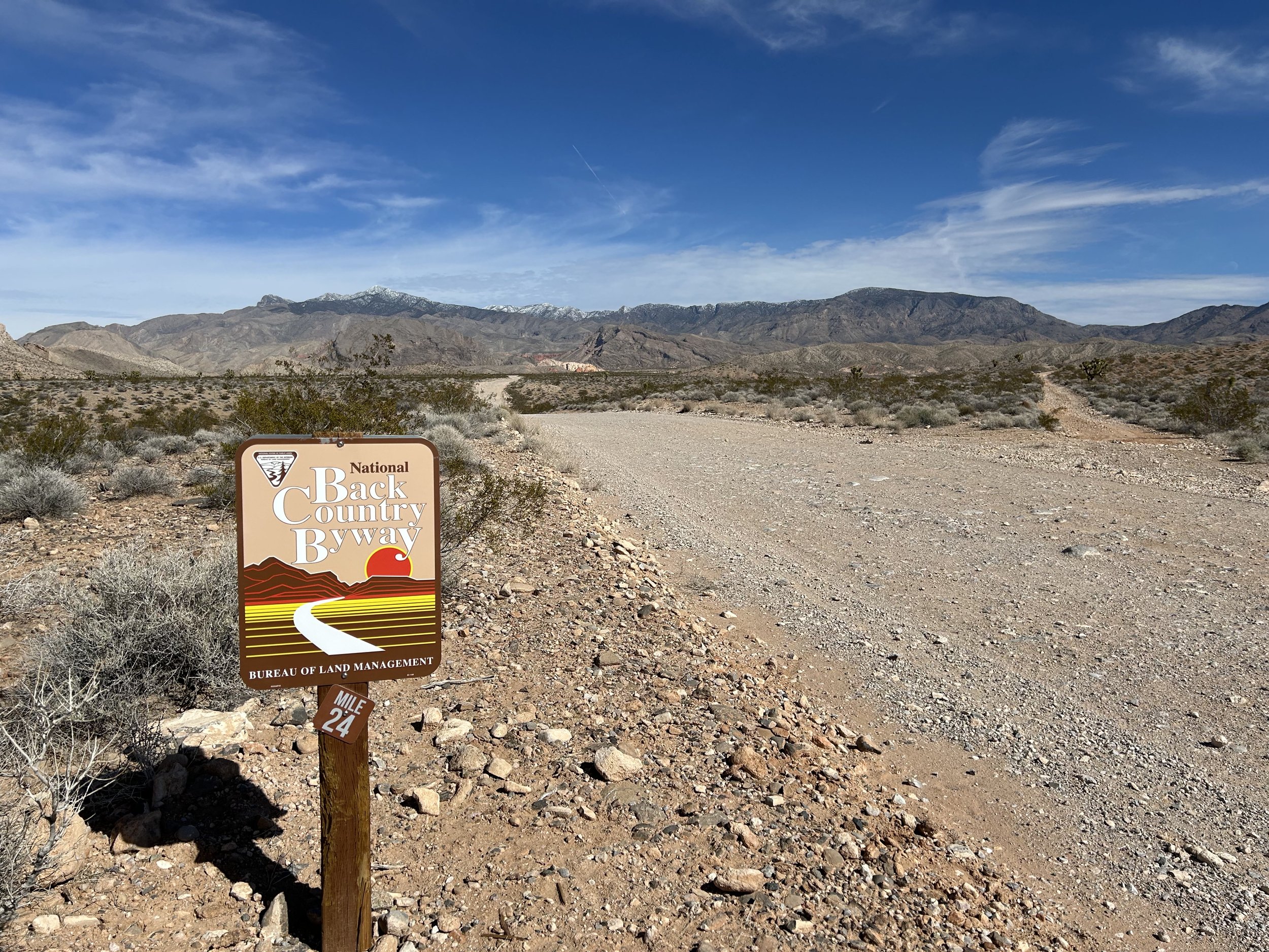
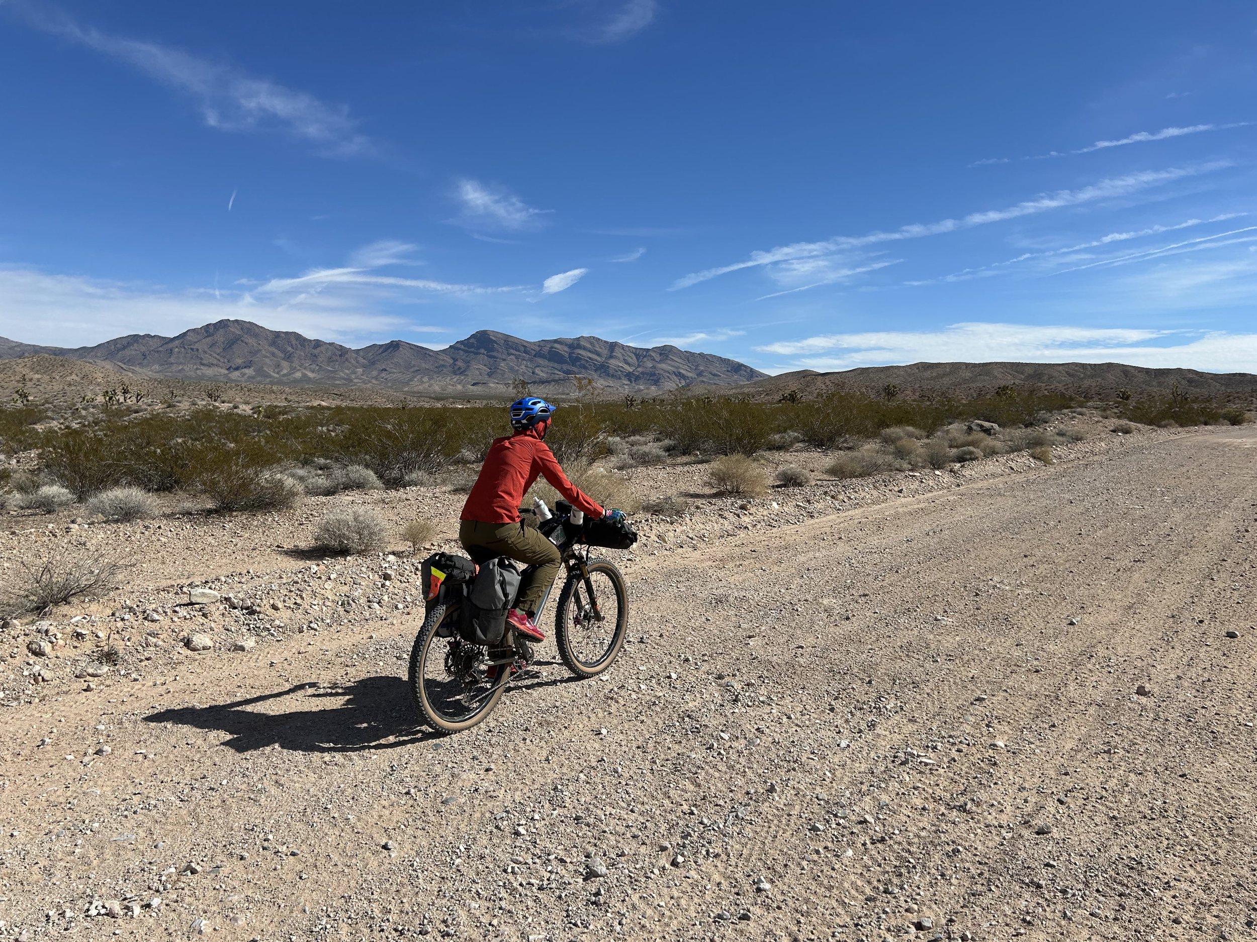
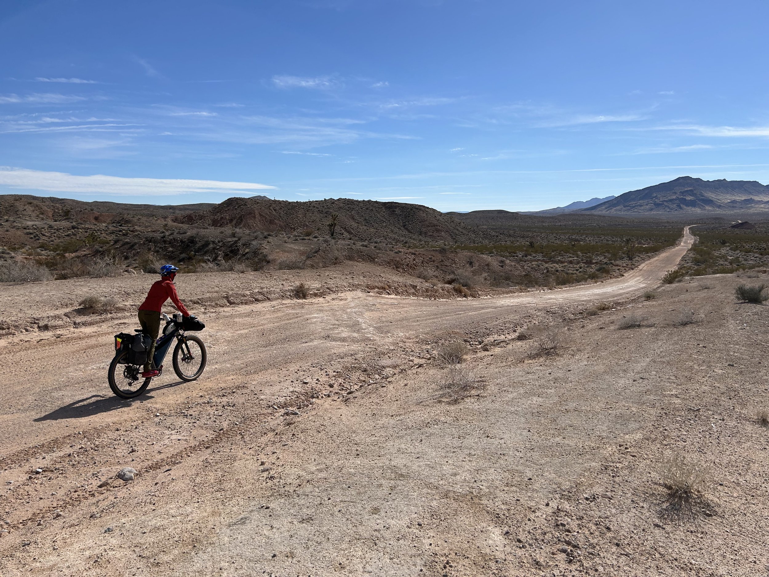
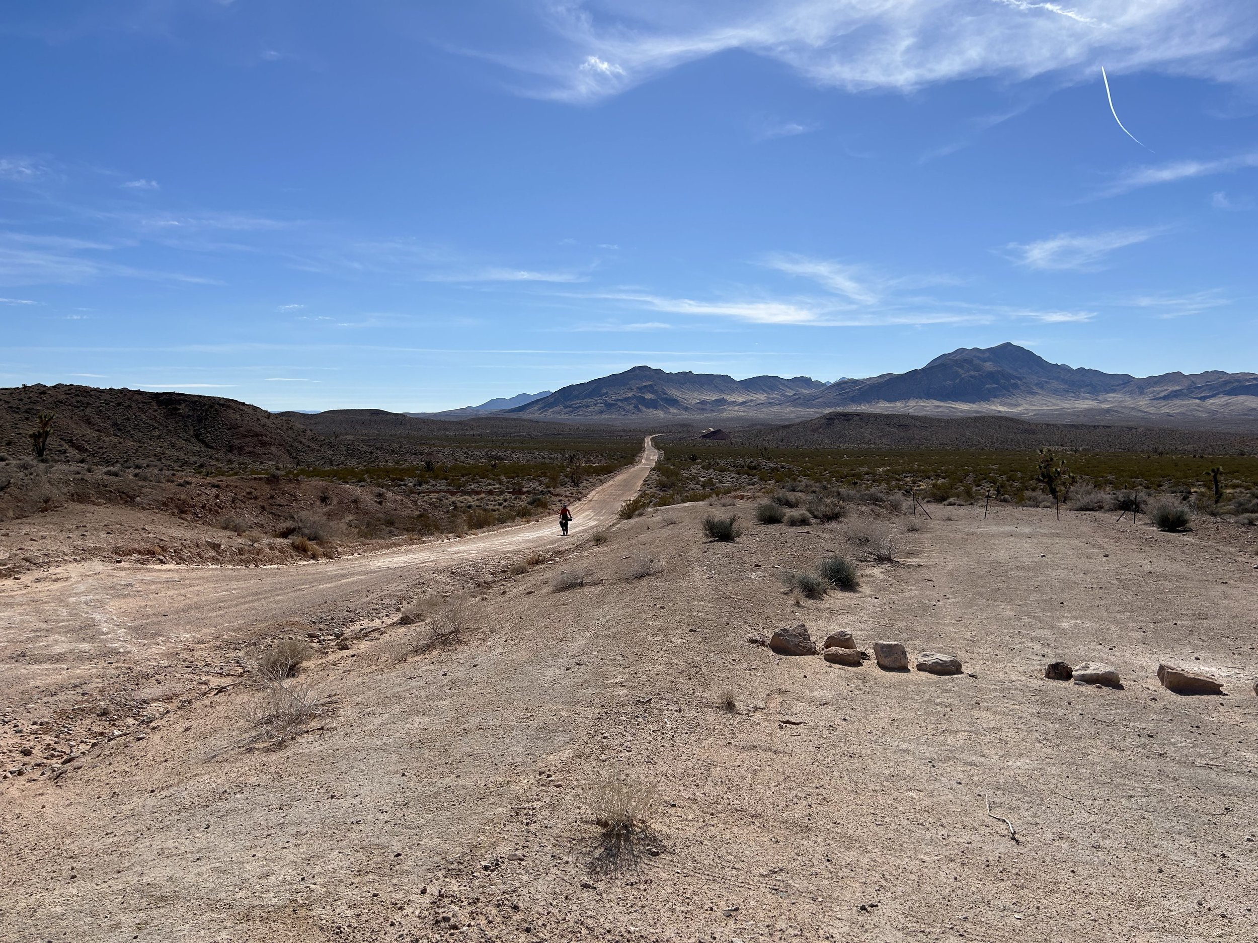
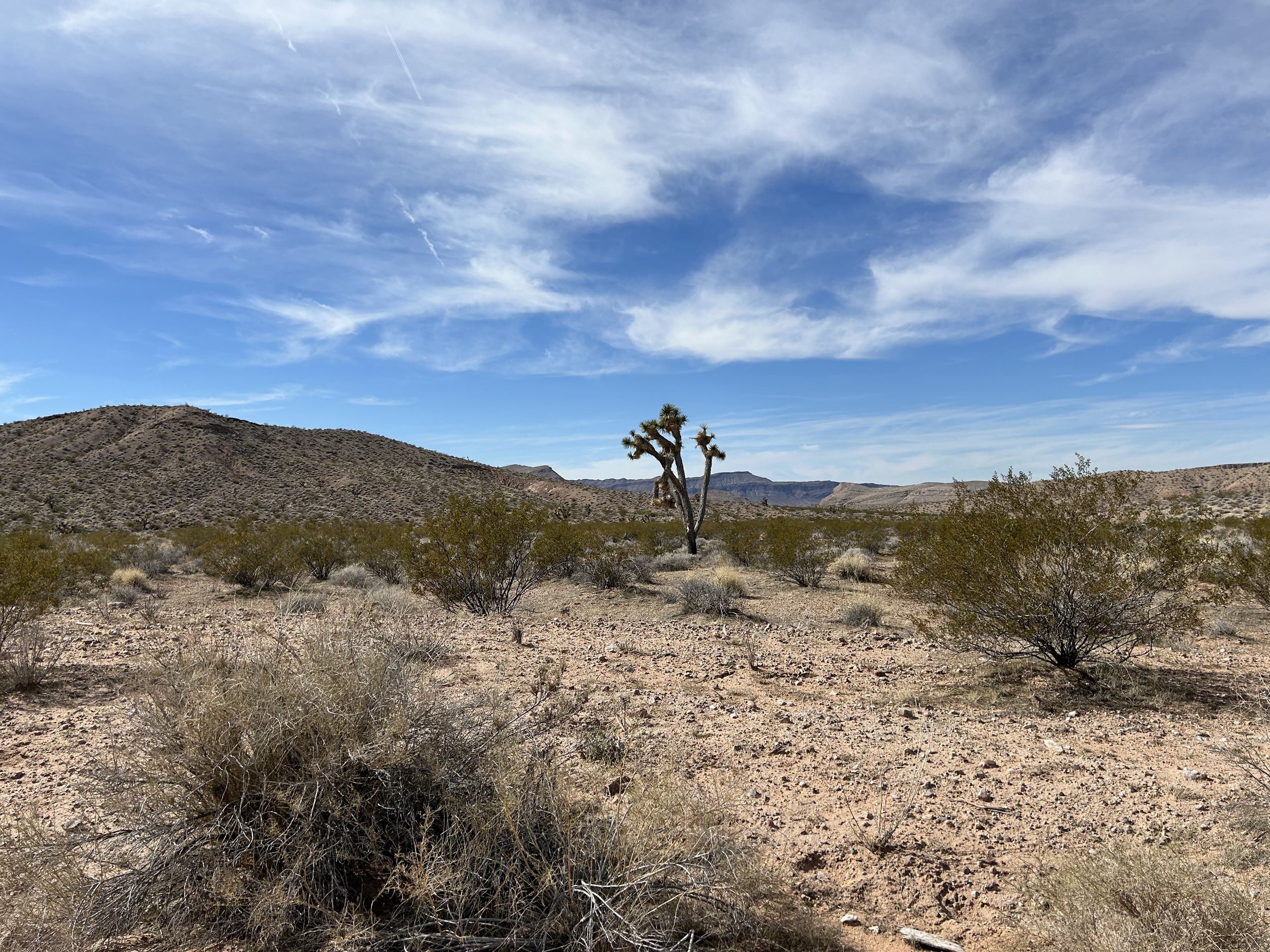
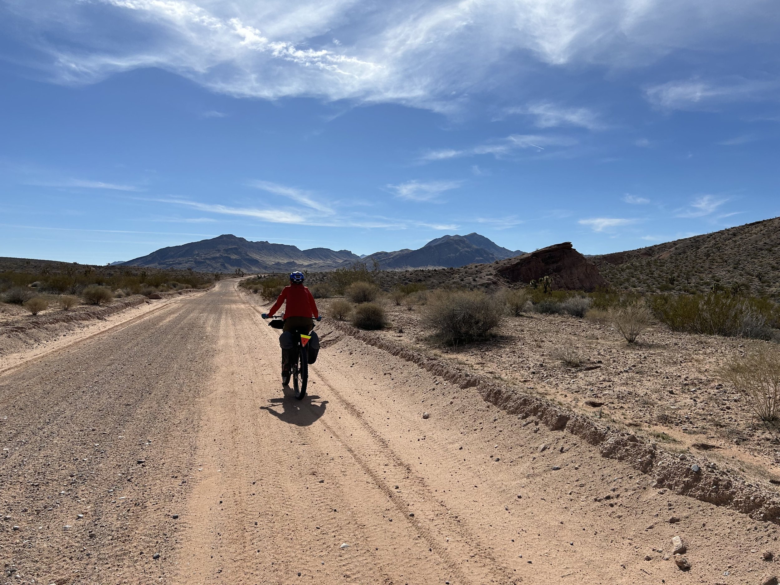
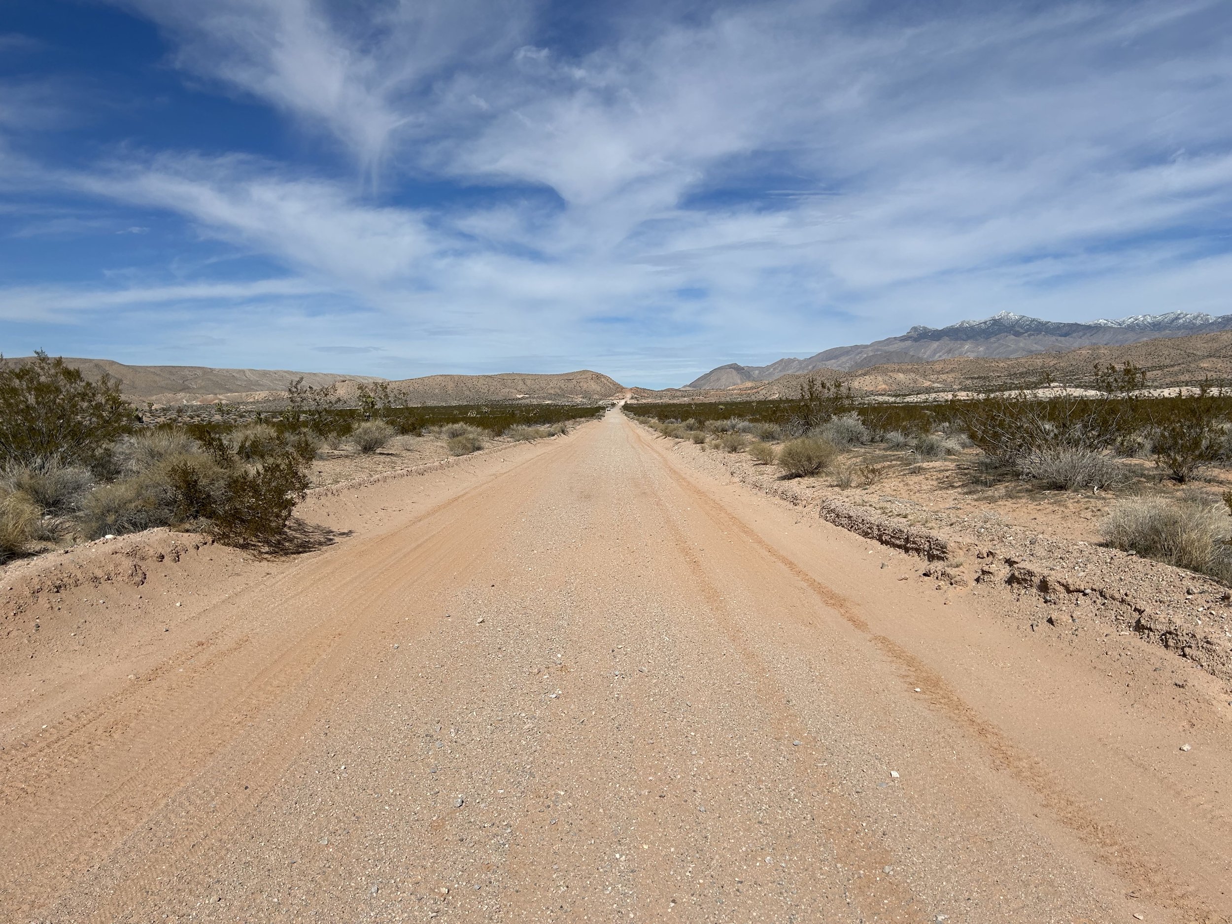
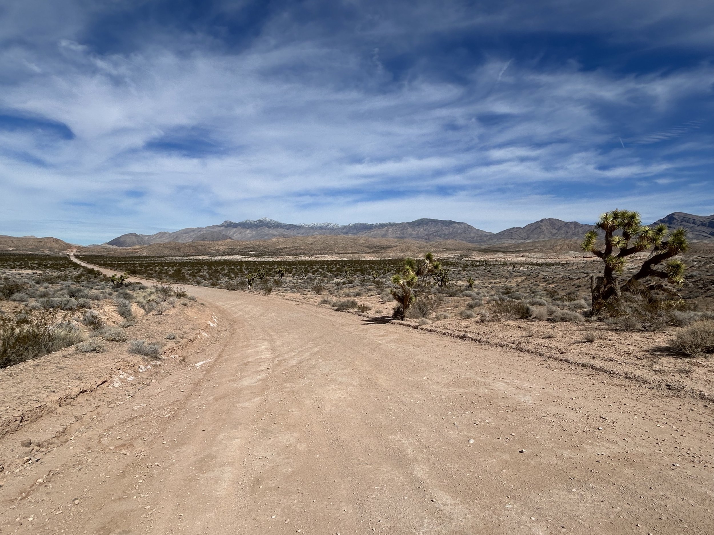
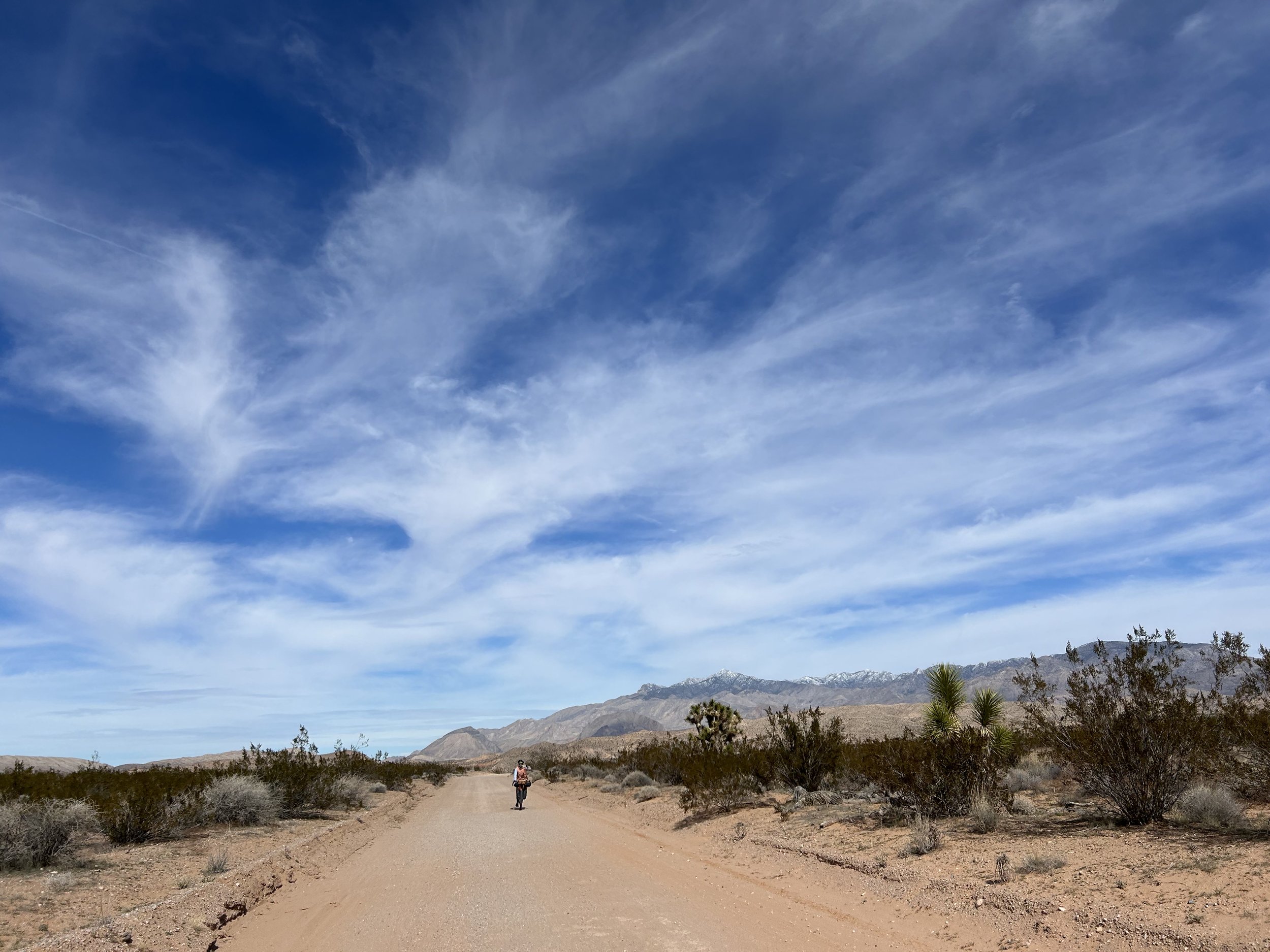
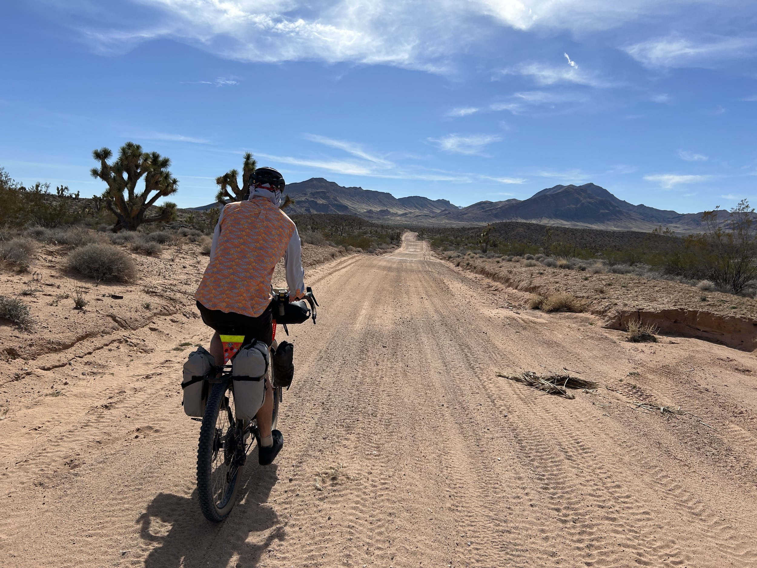
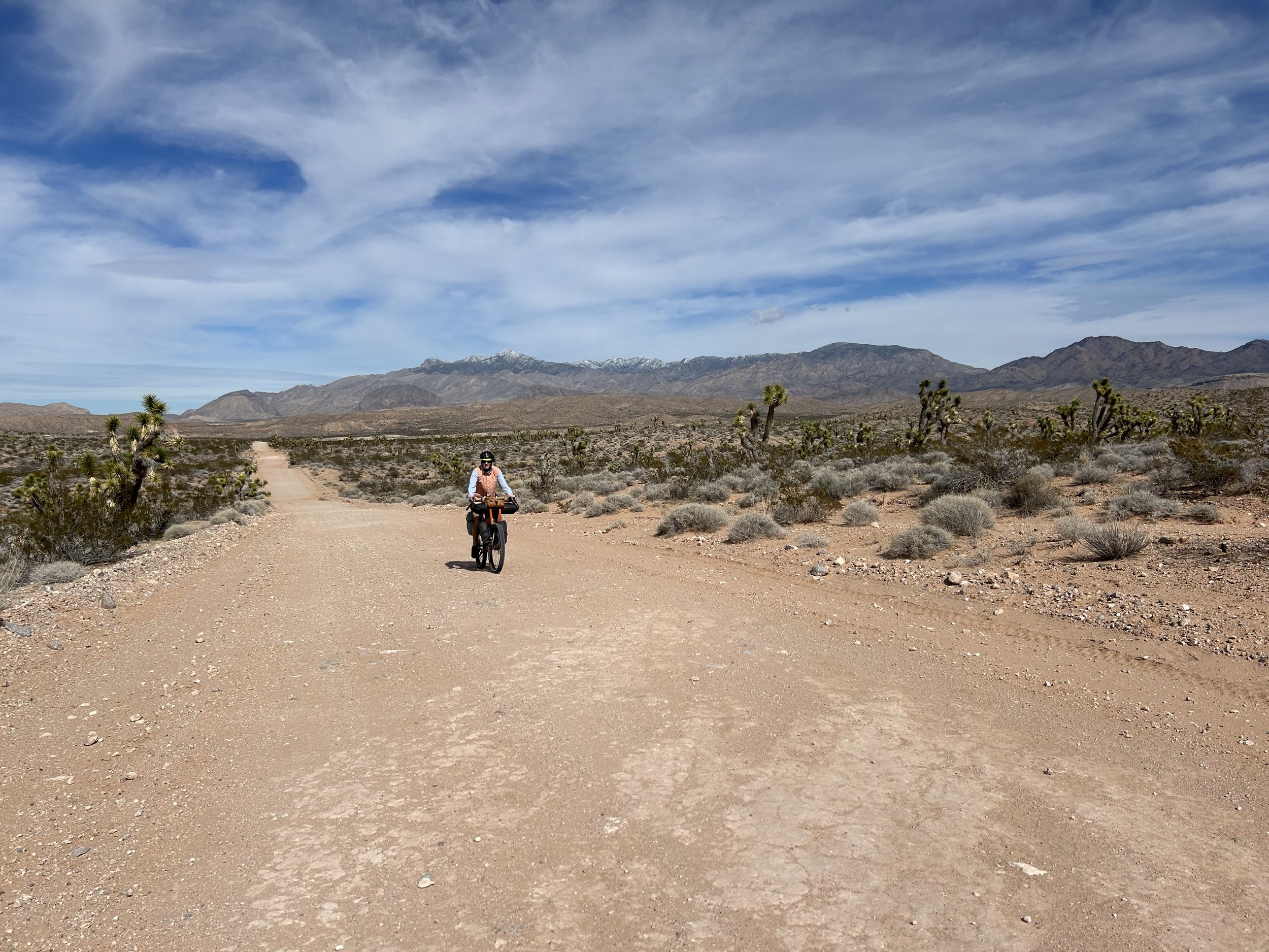
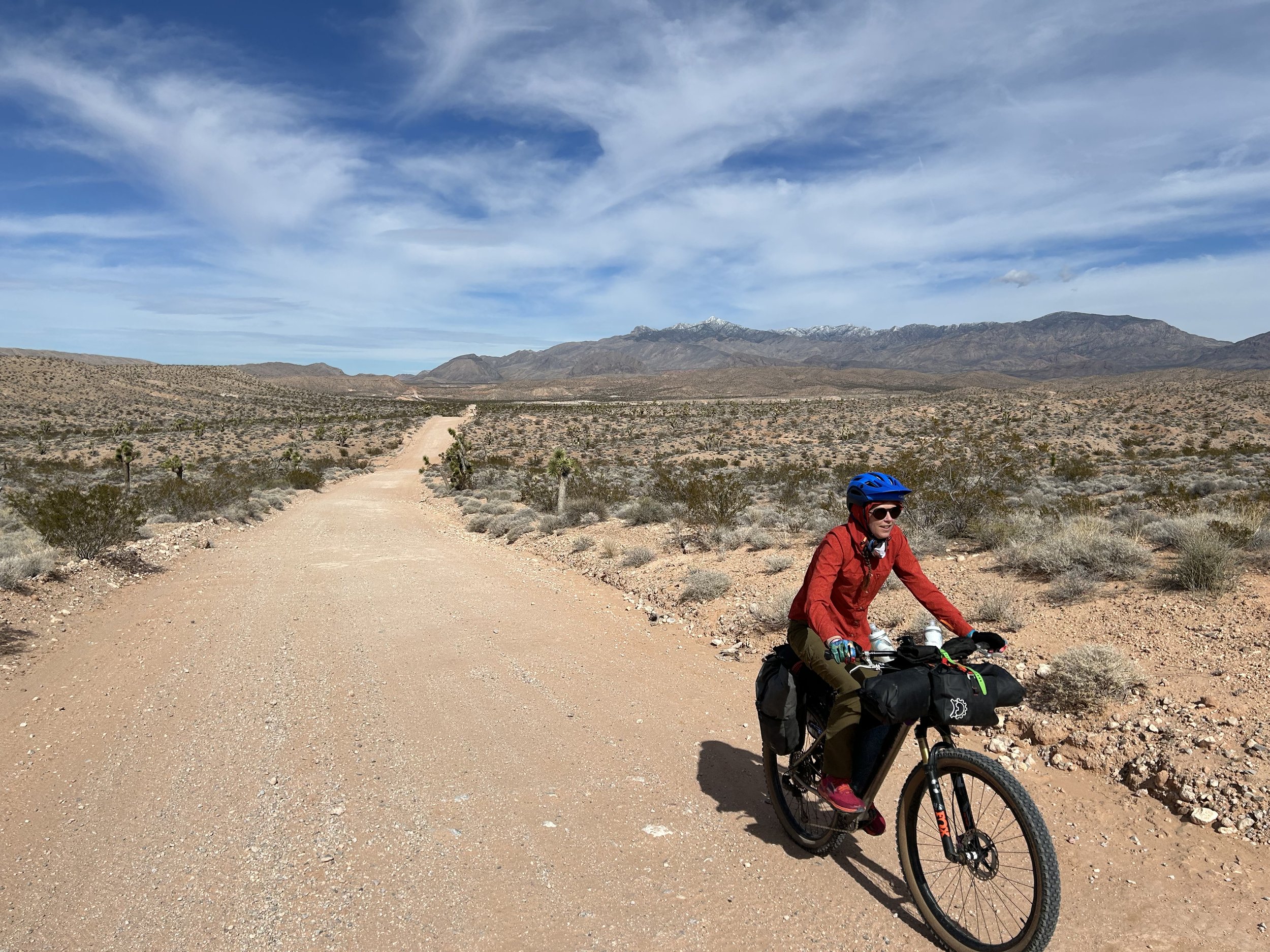
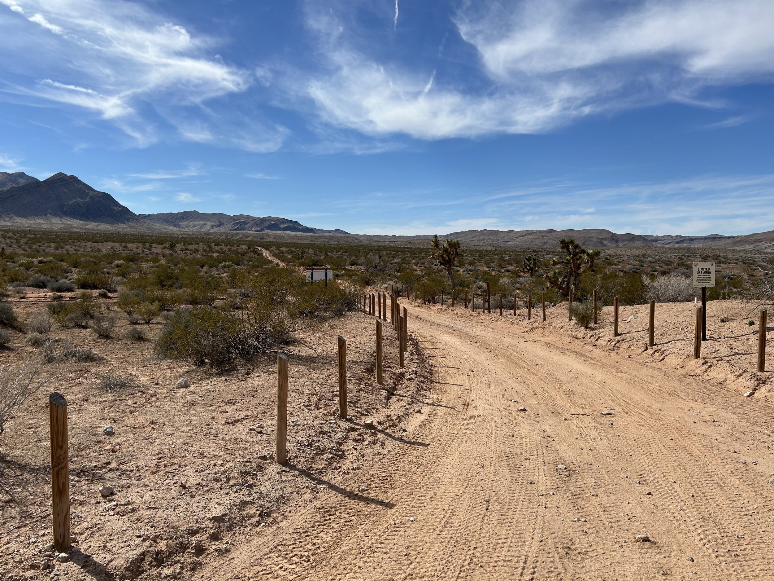
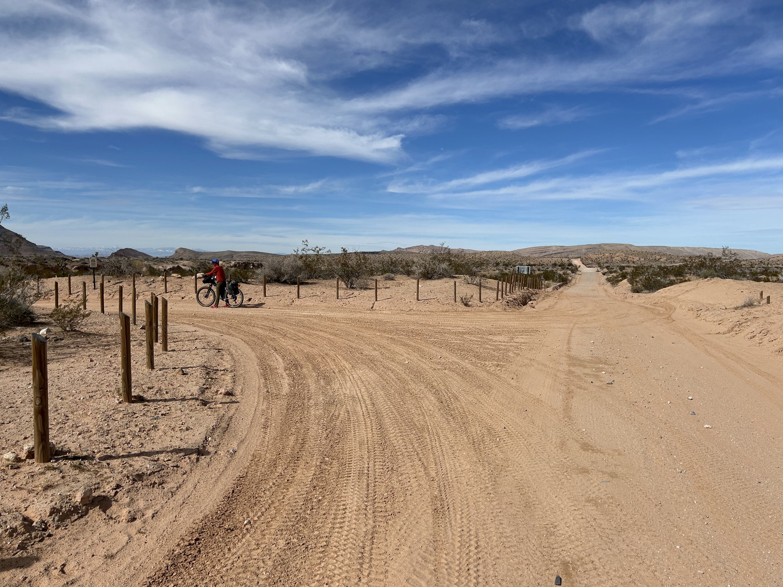
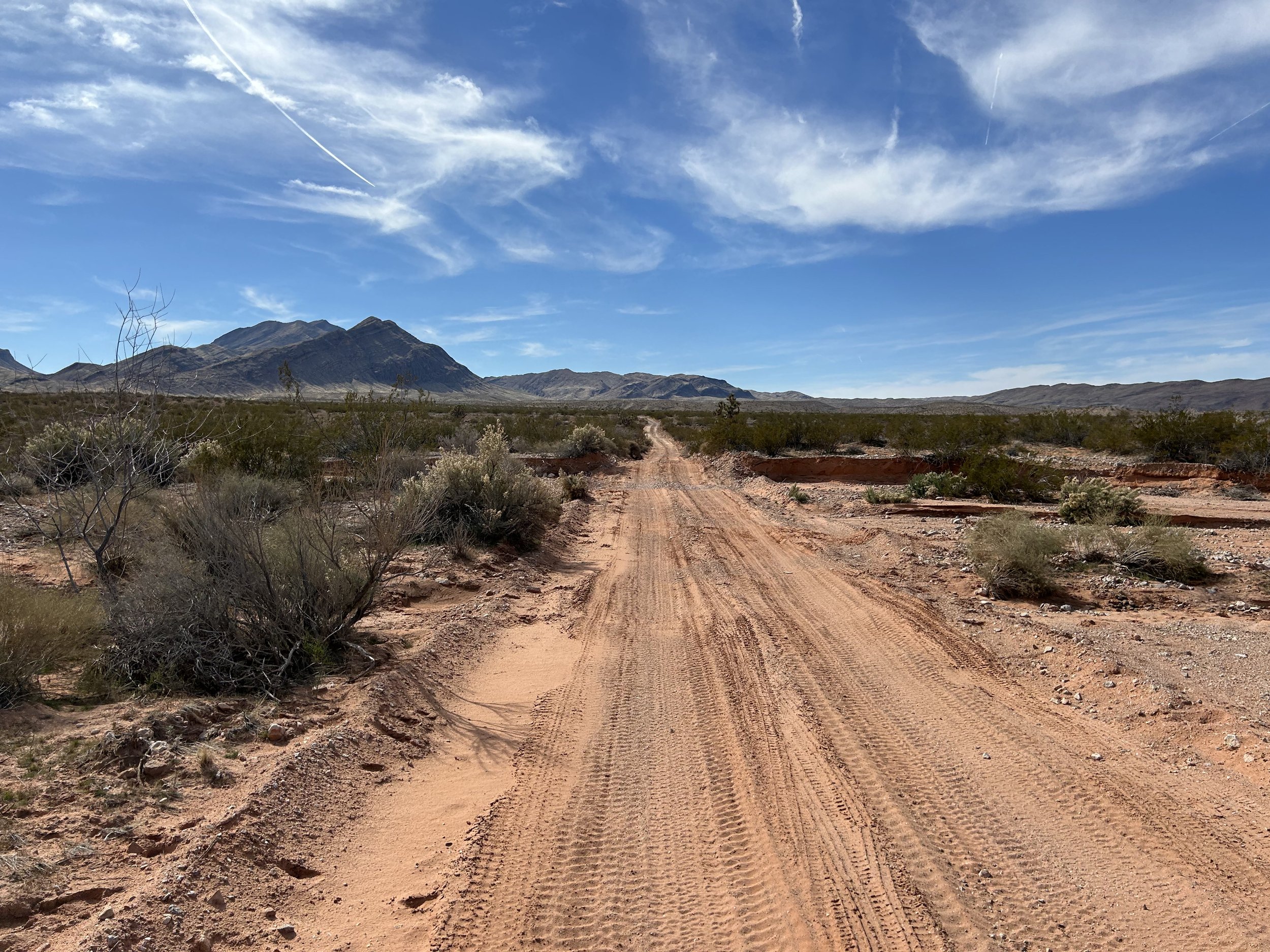
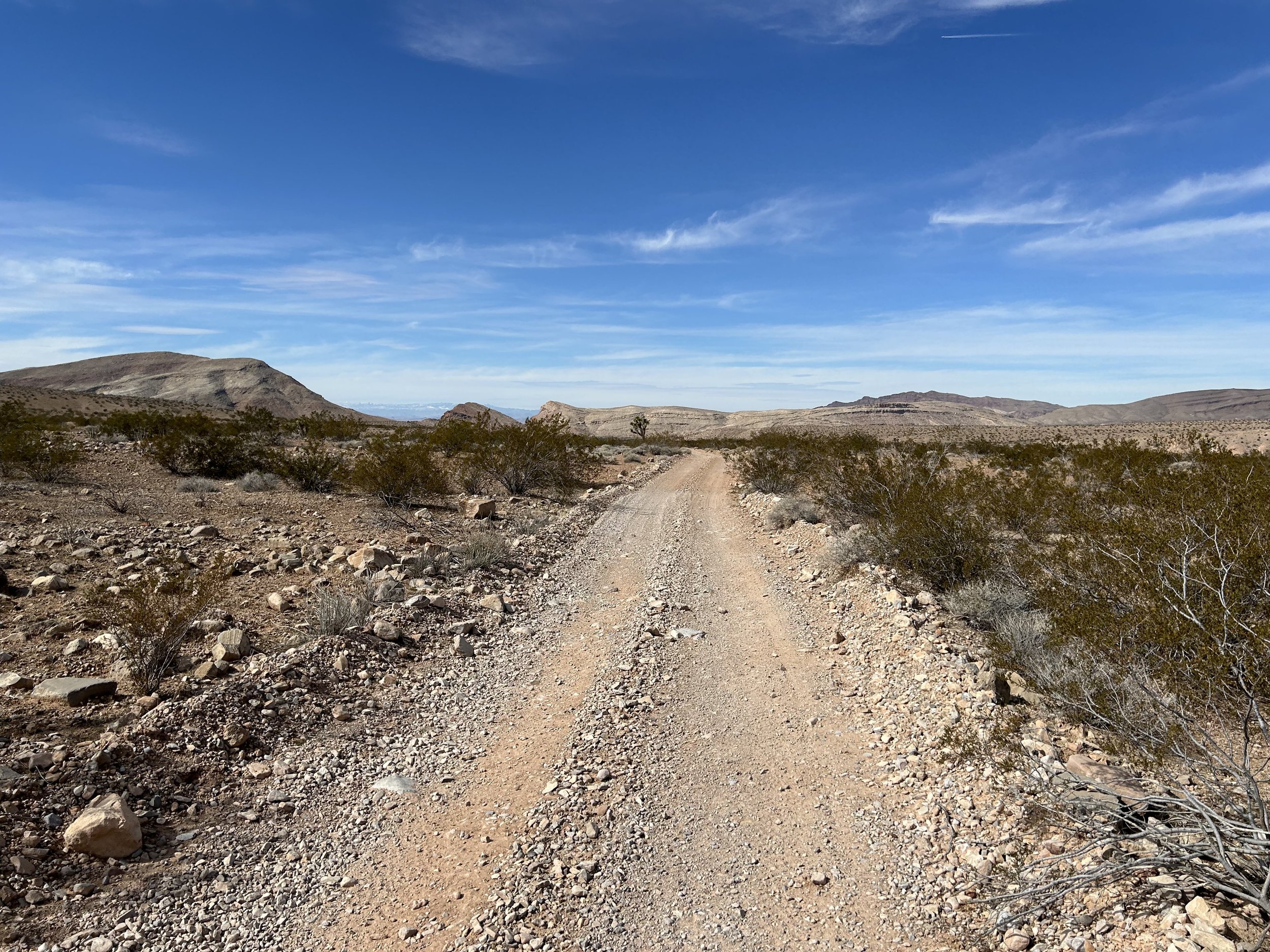
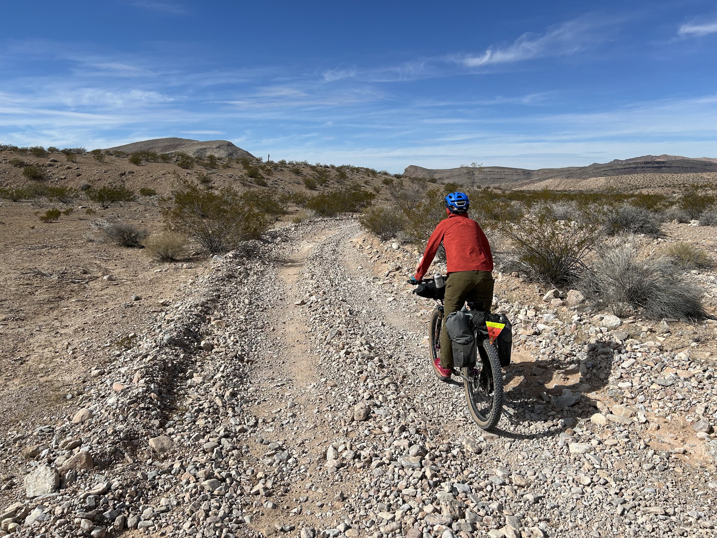
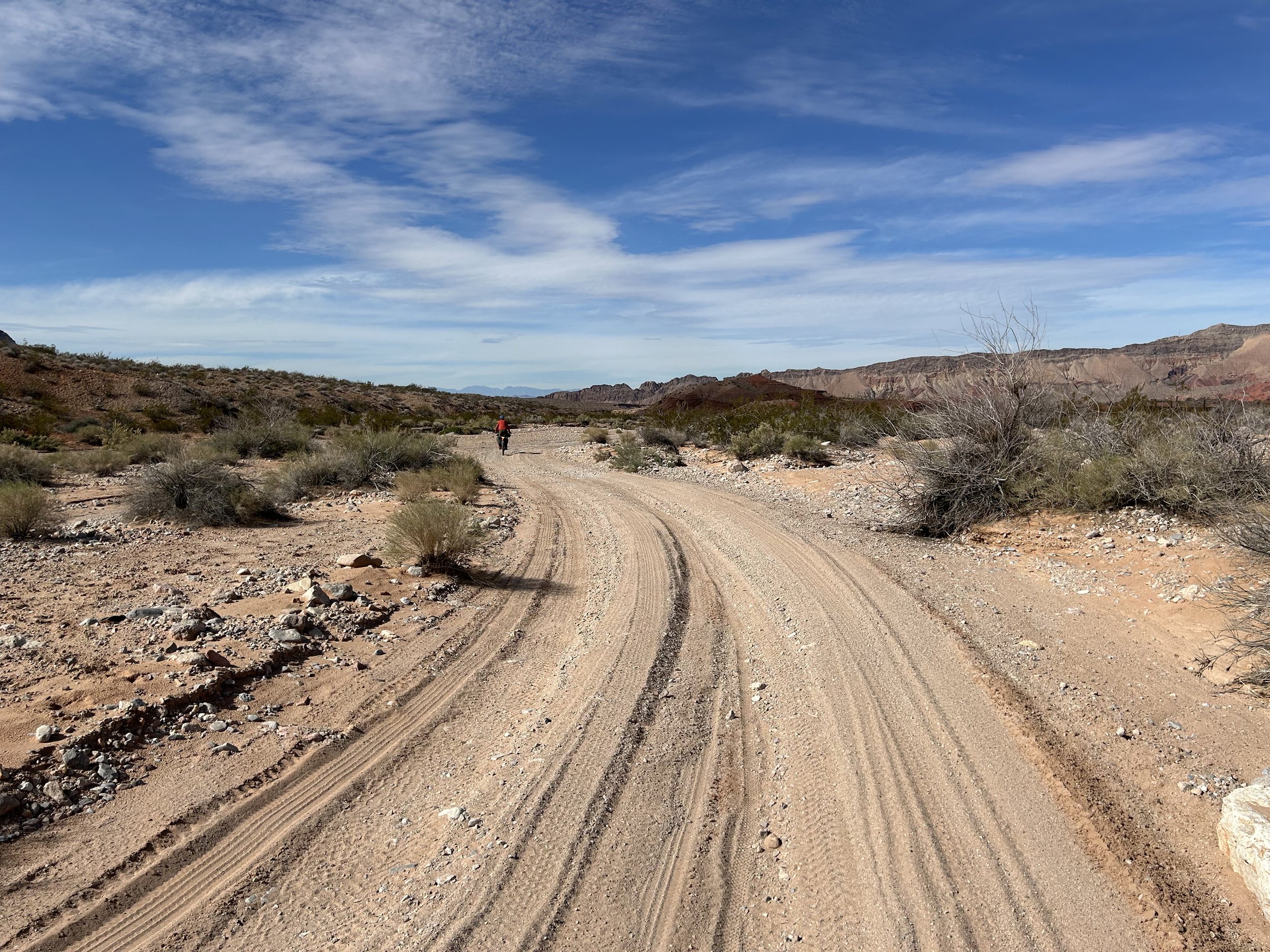
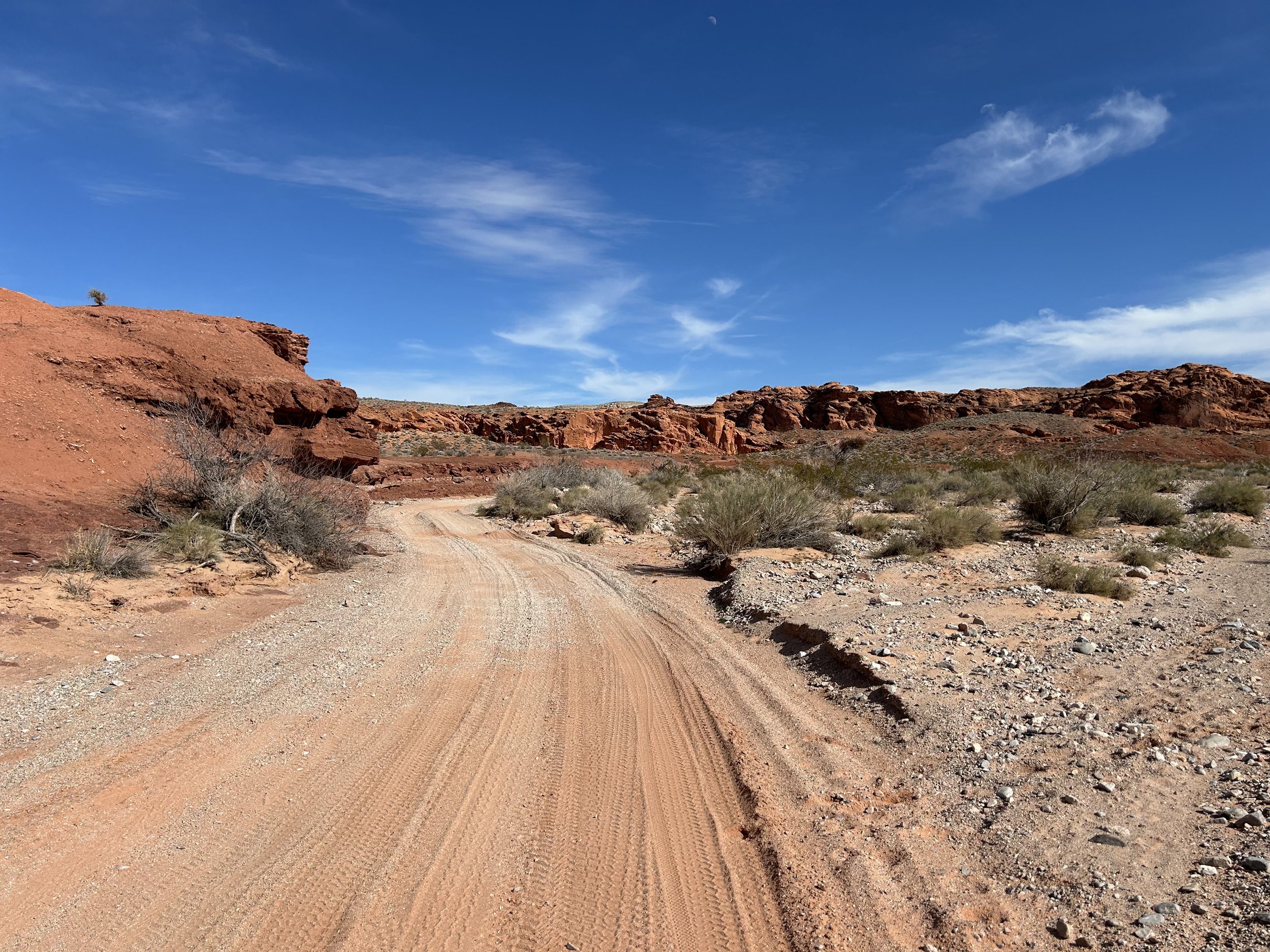
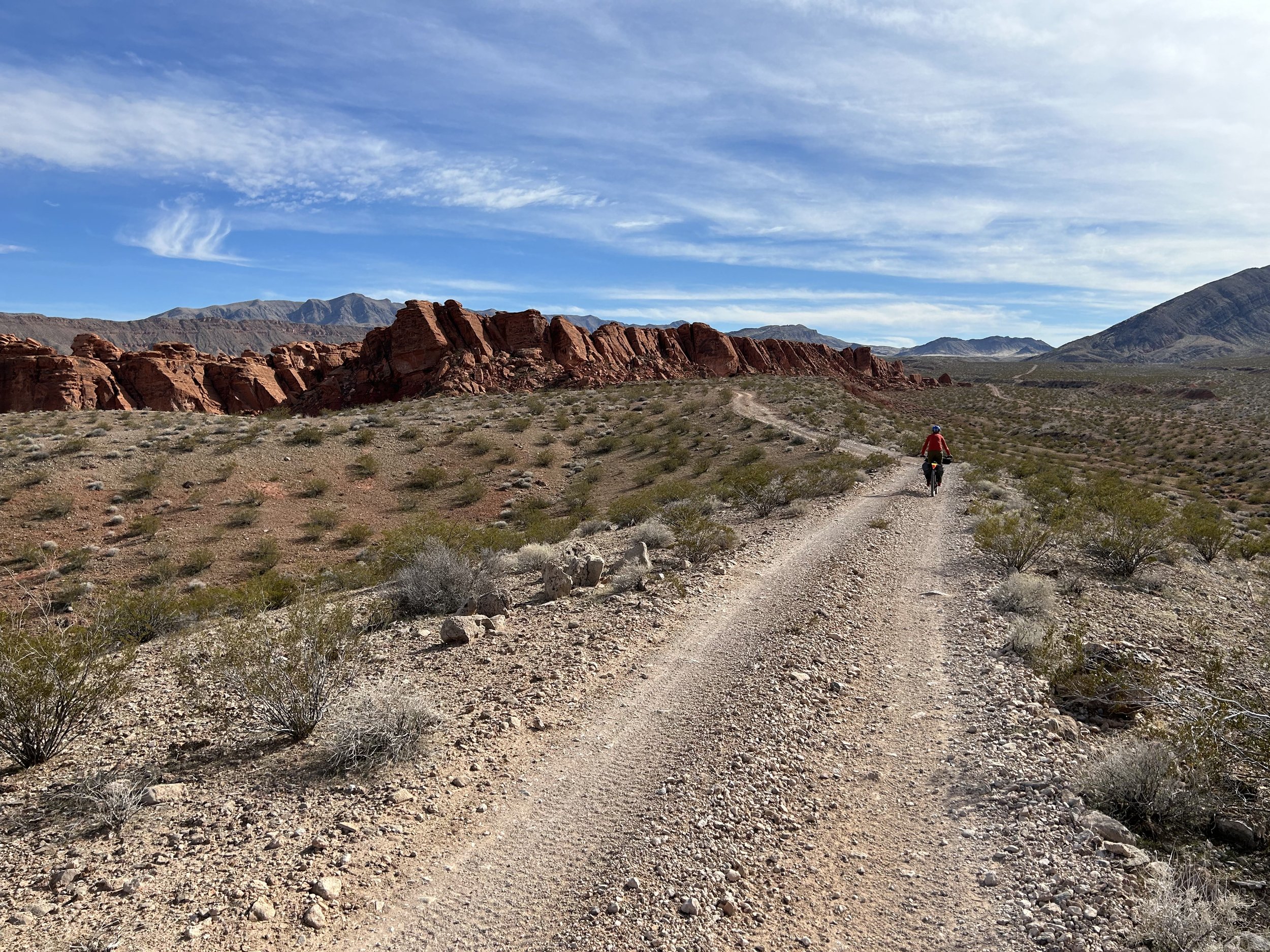
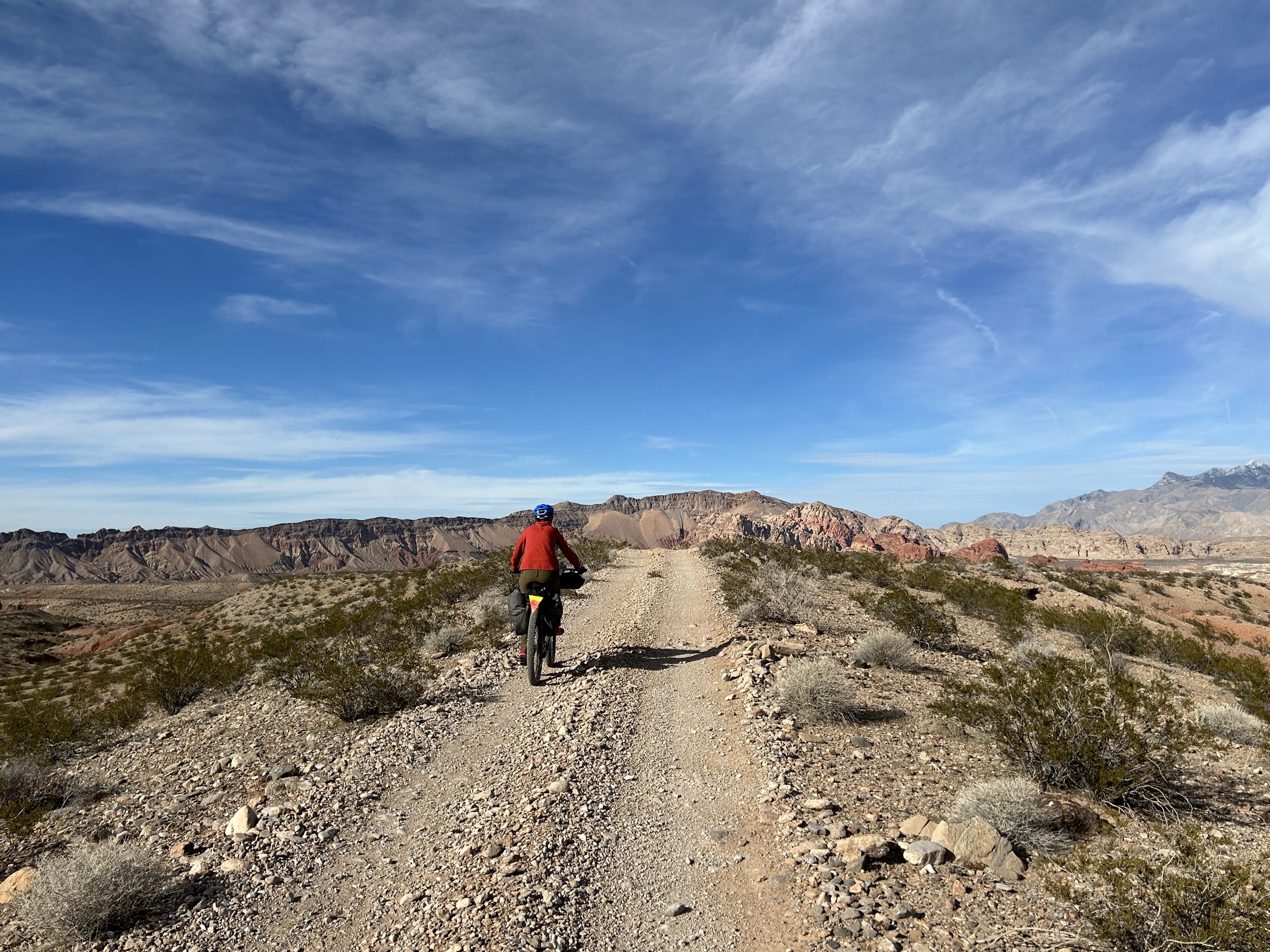
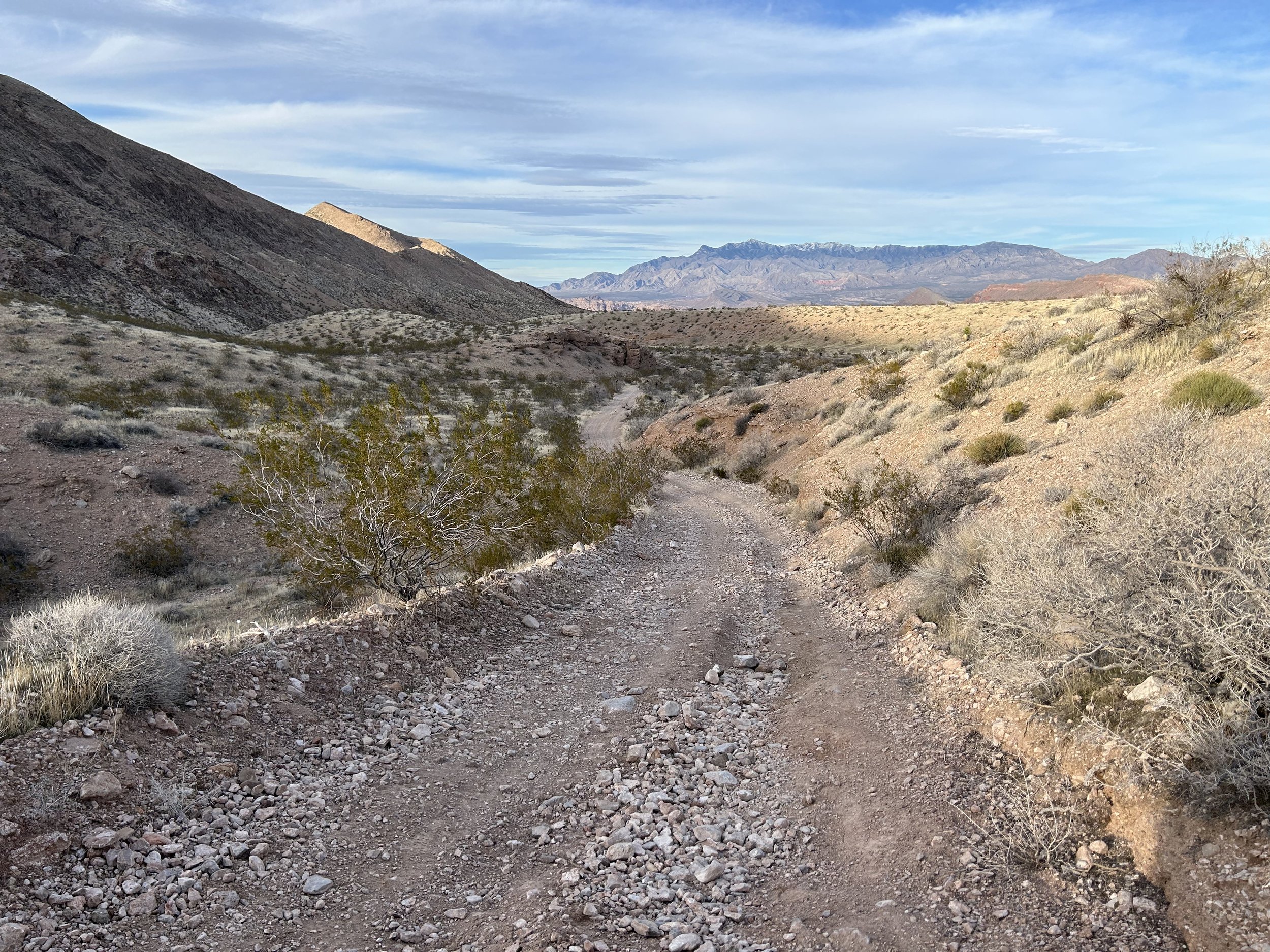
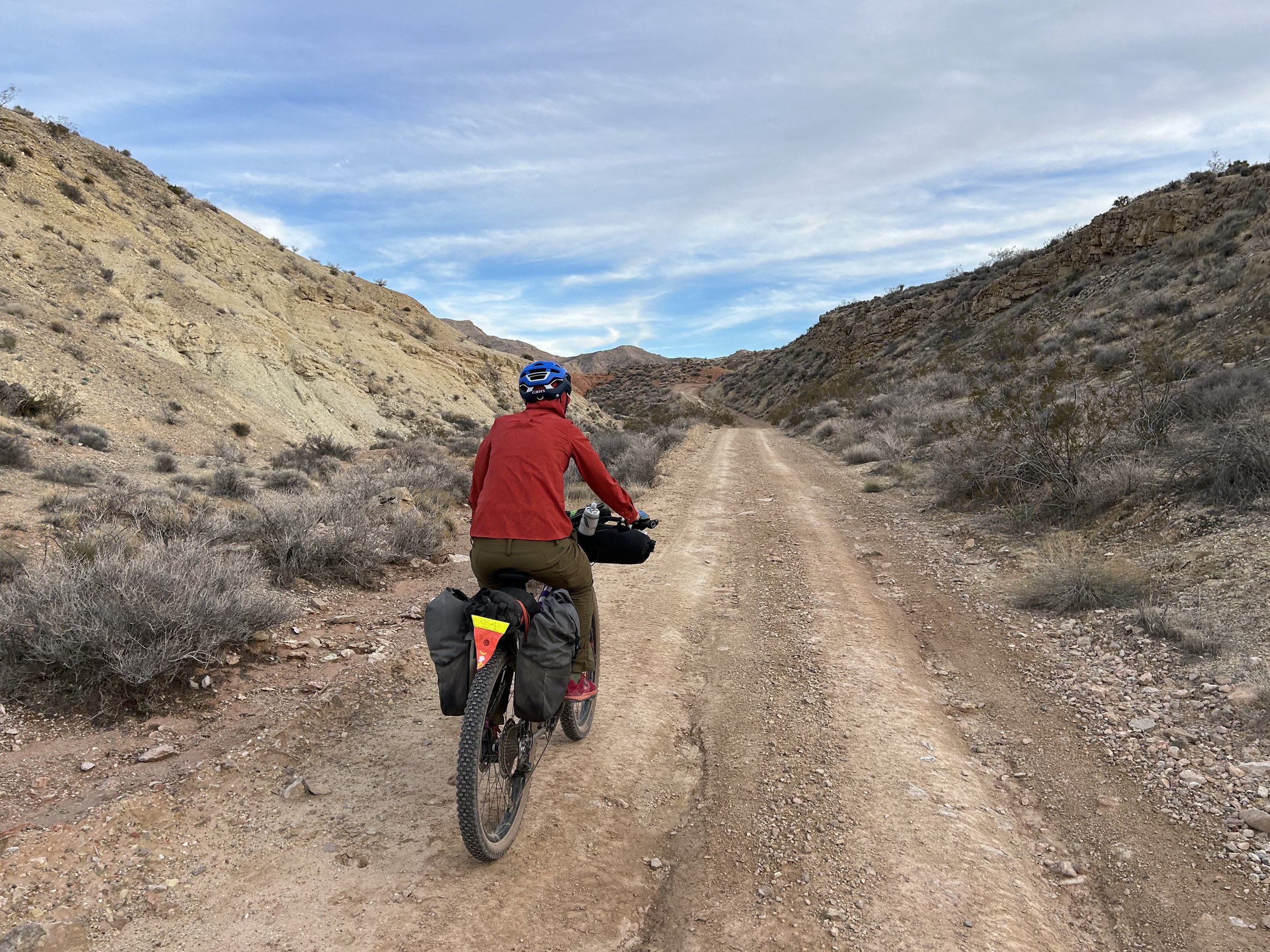
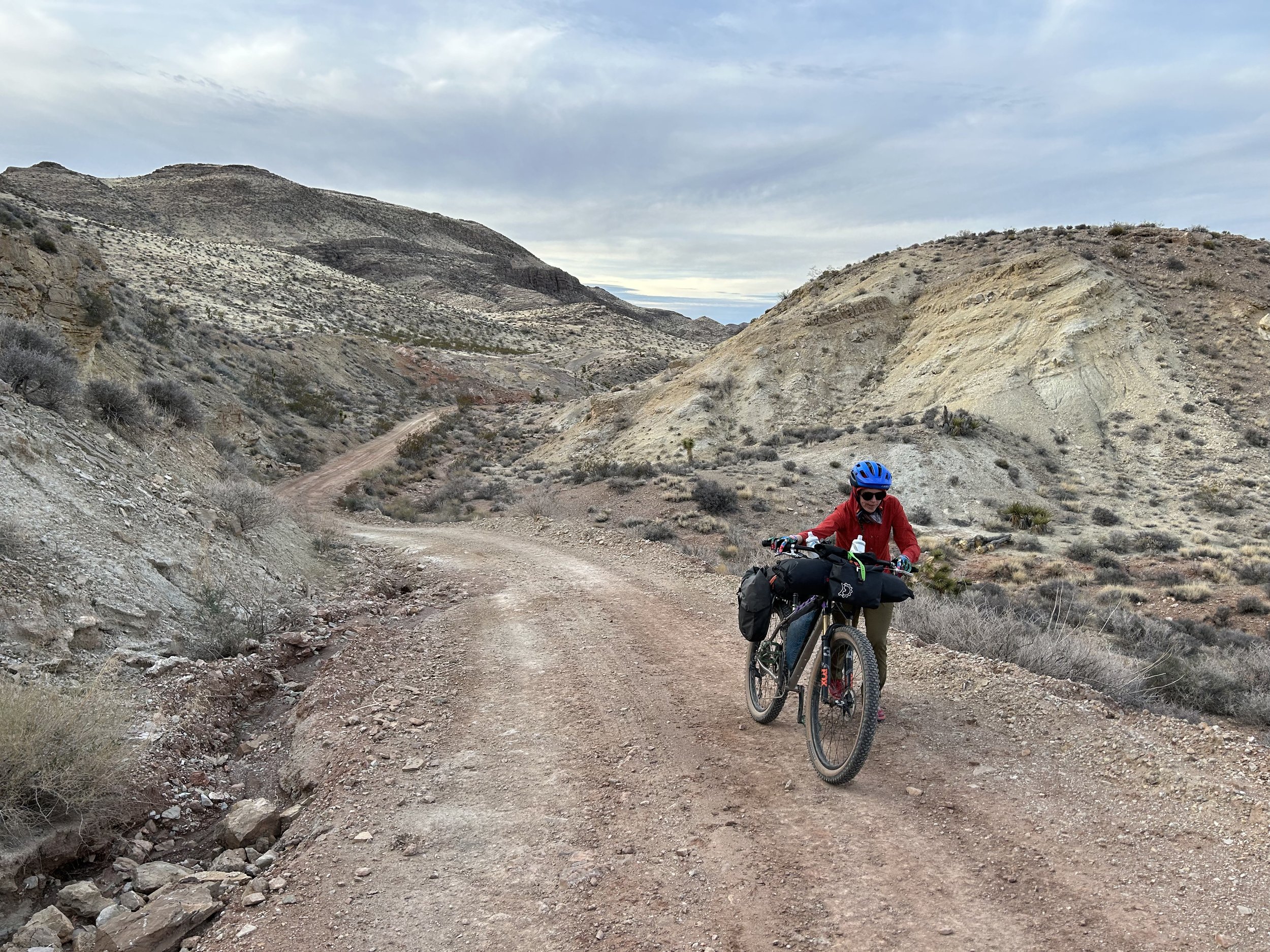
Janna and I did a small ride around the other buttes of Whitney Pocket first before starting an immediate descent into the heart of Gold Butte National Monument. But once the descent began, the basins and foothills of the Mojave desert opened up wide and spectacular. The road was wide and glorious. This initial portion of the G2G Loop follows the Gold Butte Backcountry Byway which is frequented by overlanders and ATVs. Both groups of motorists were polite when passing and most immediately pulled over to make sure we were okay and had plenty of water (with offers of more). Love that sense of community-care.
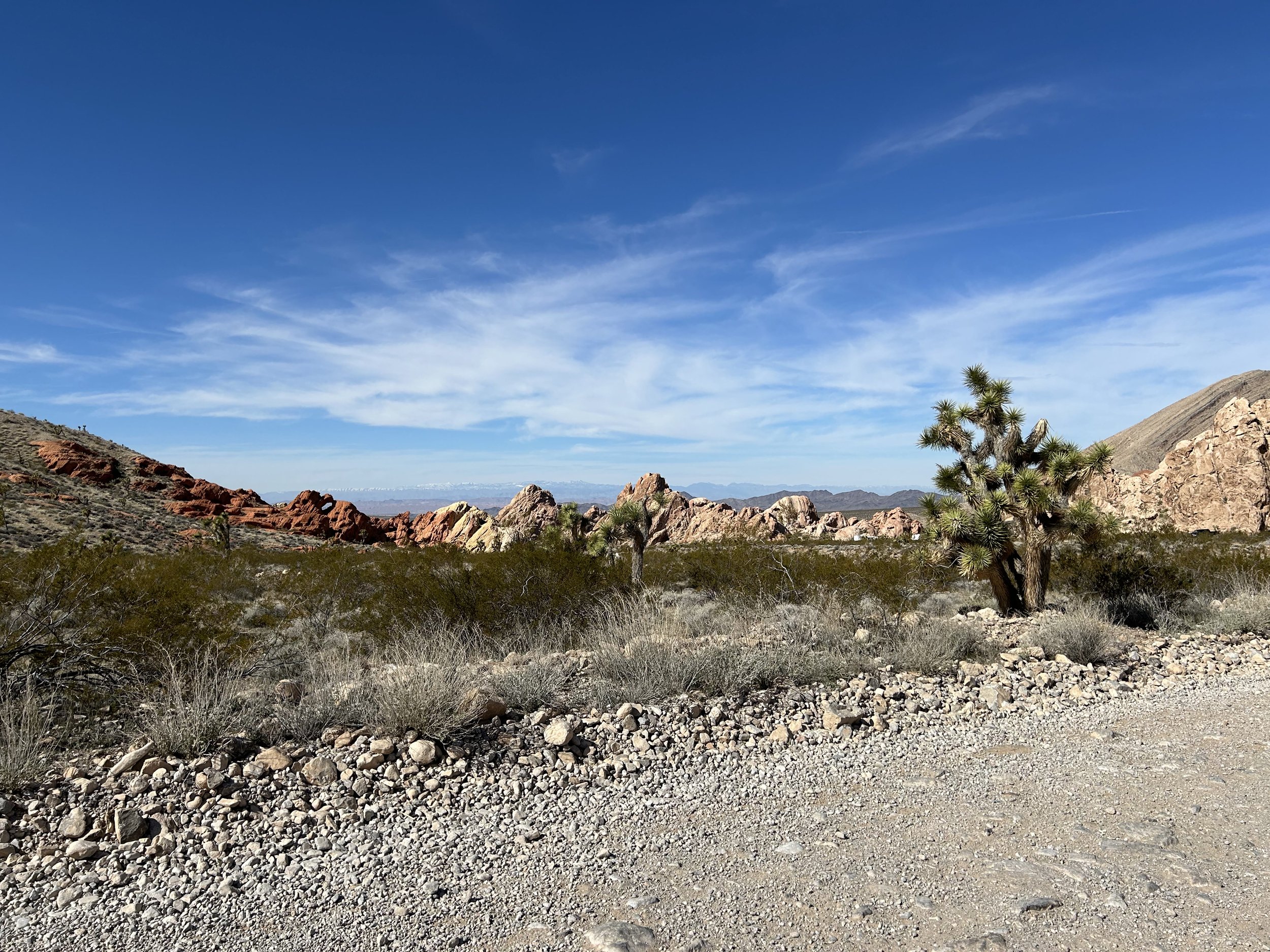
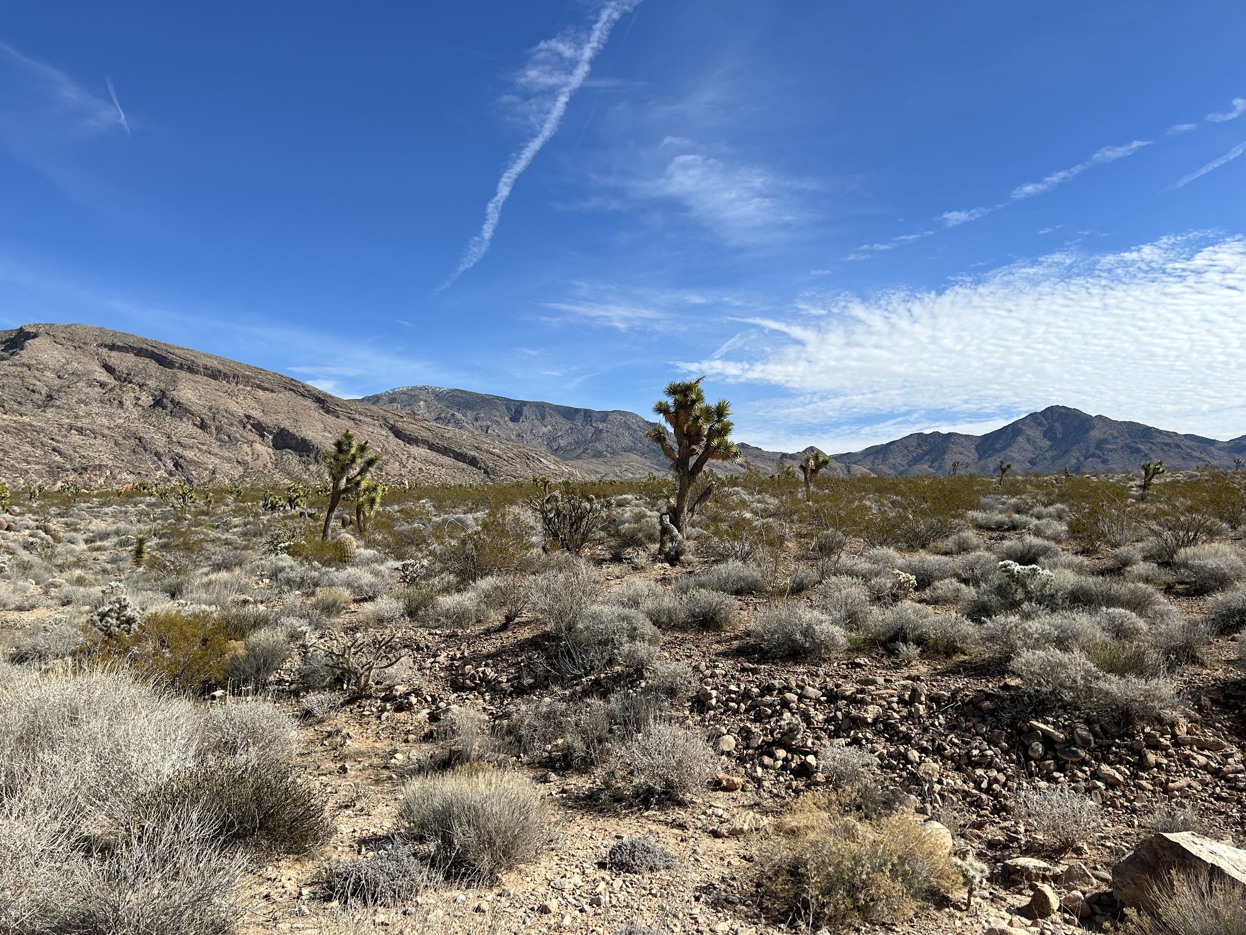
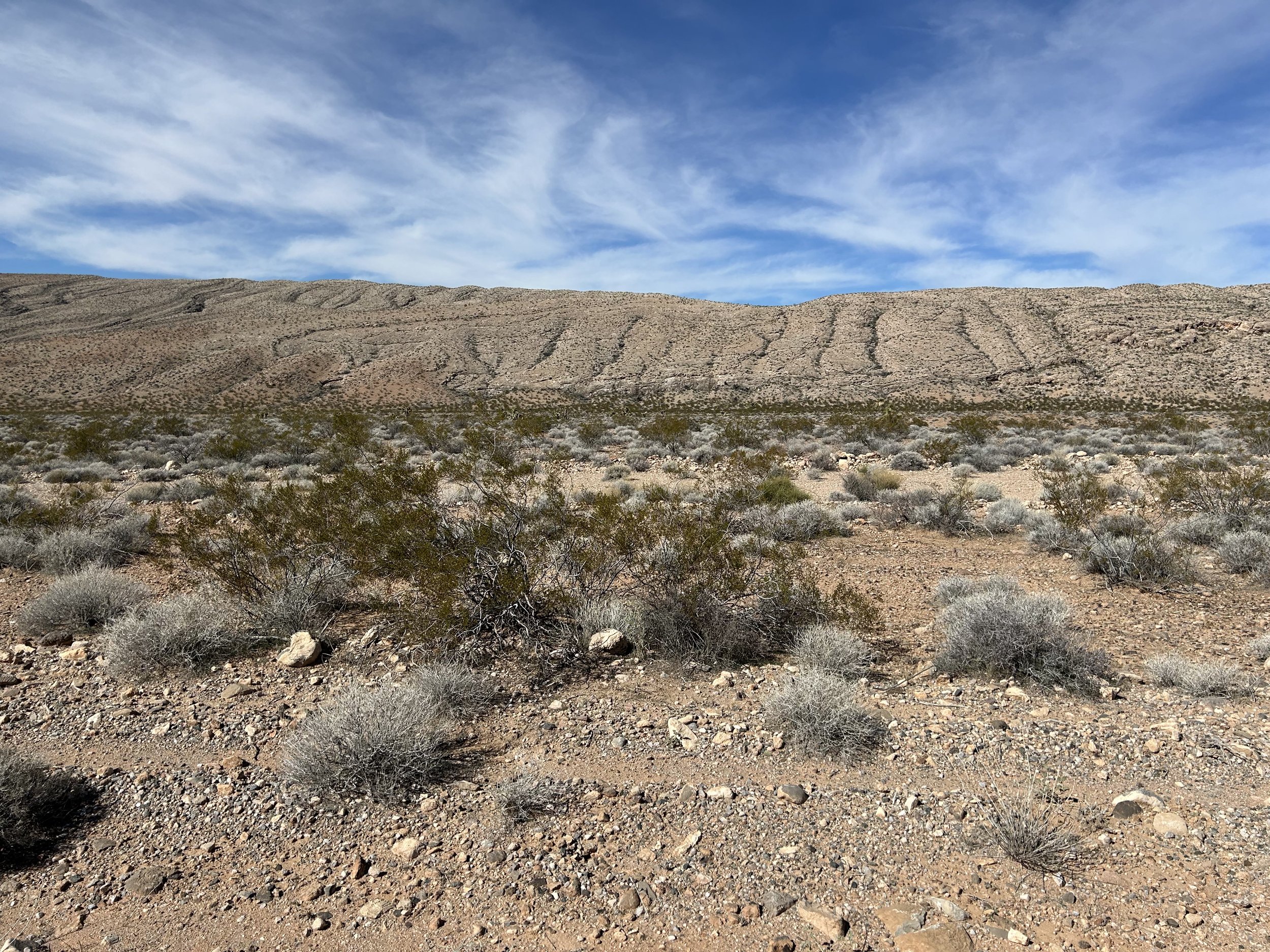
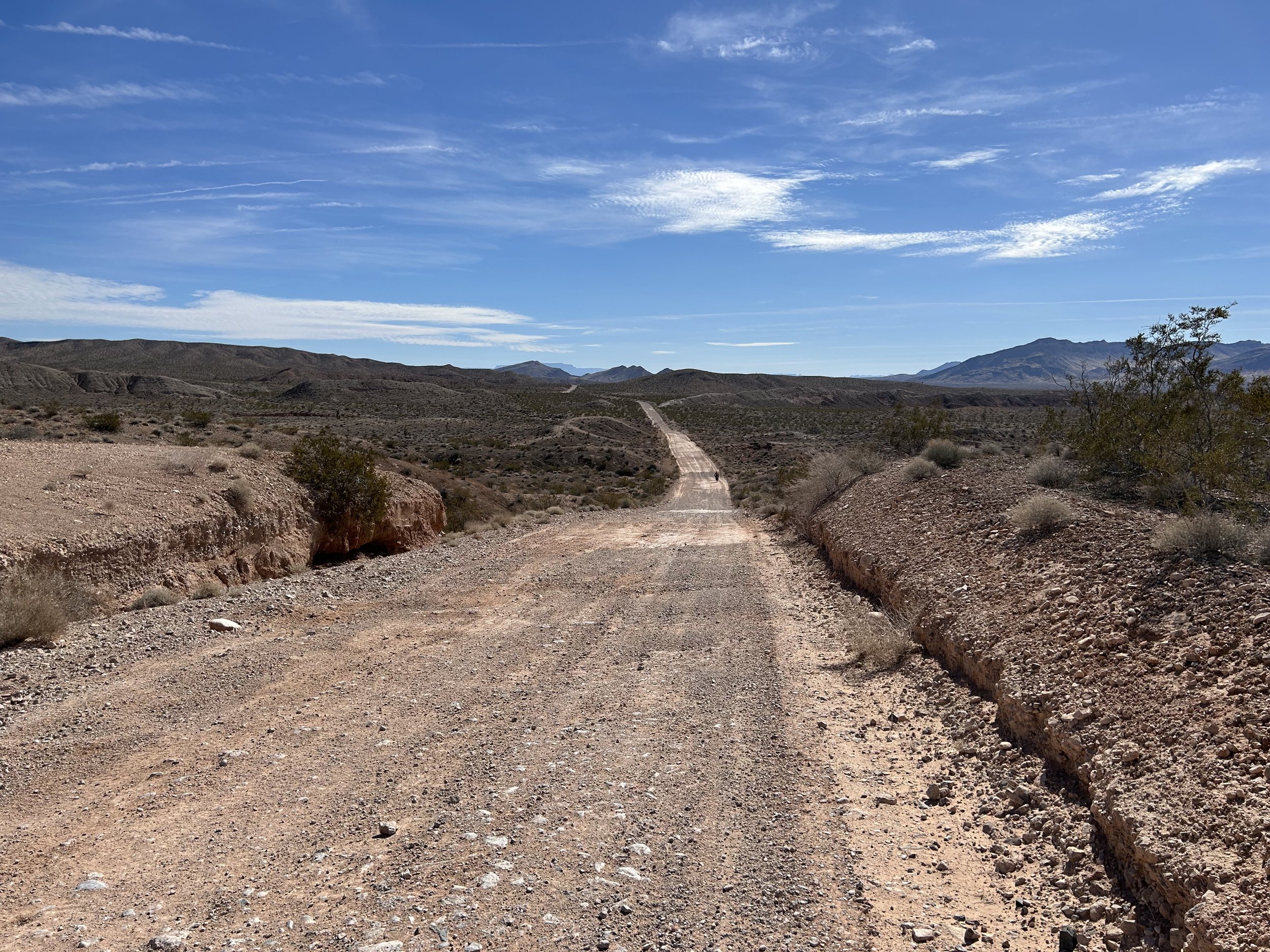
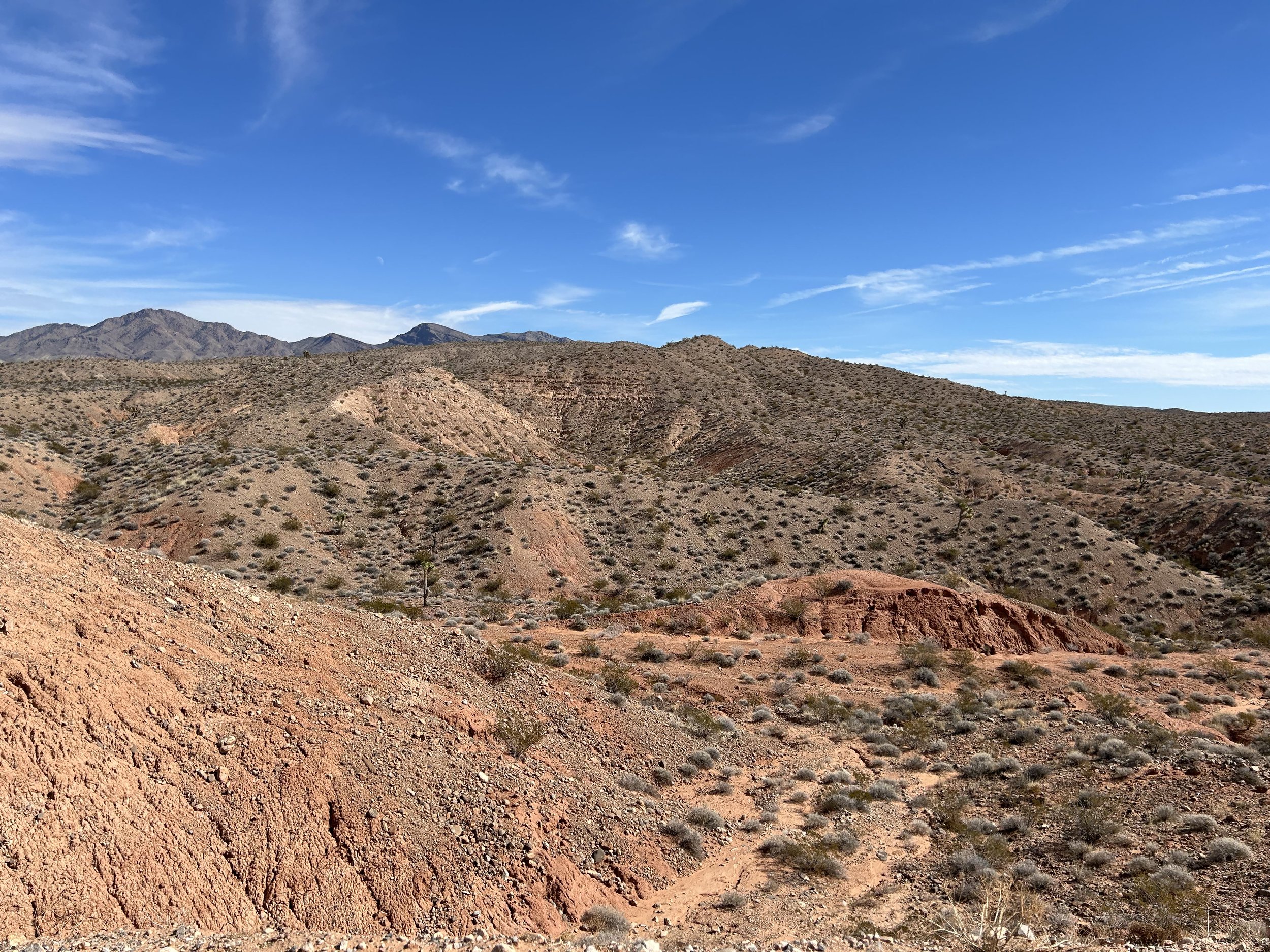
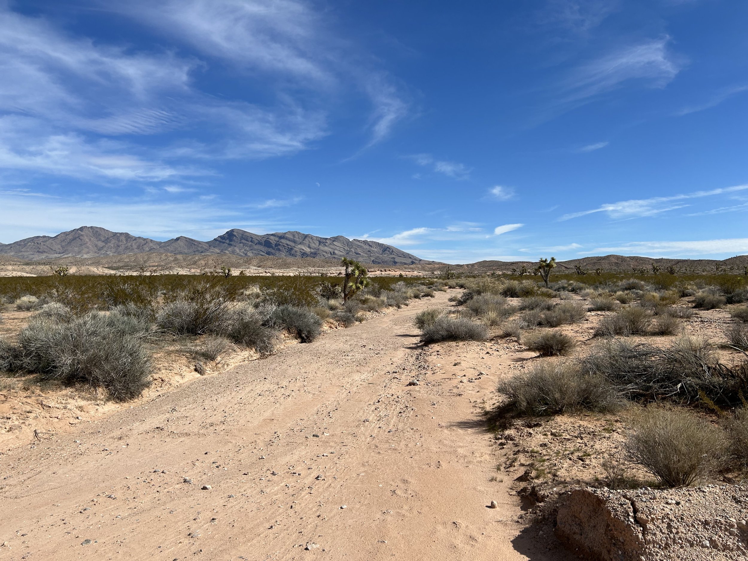
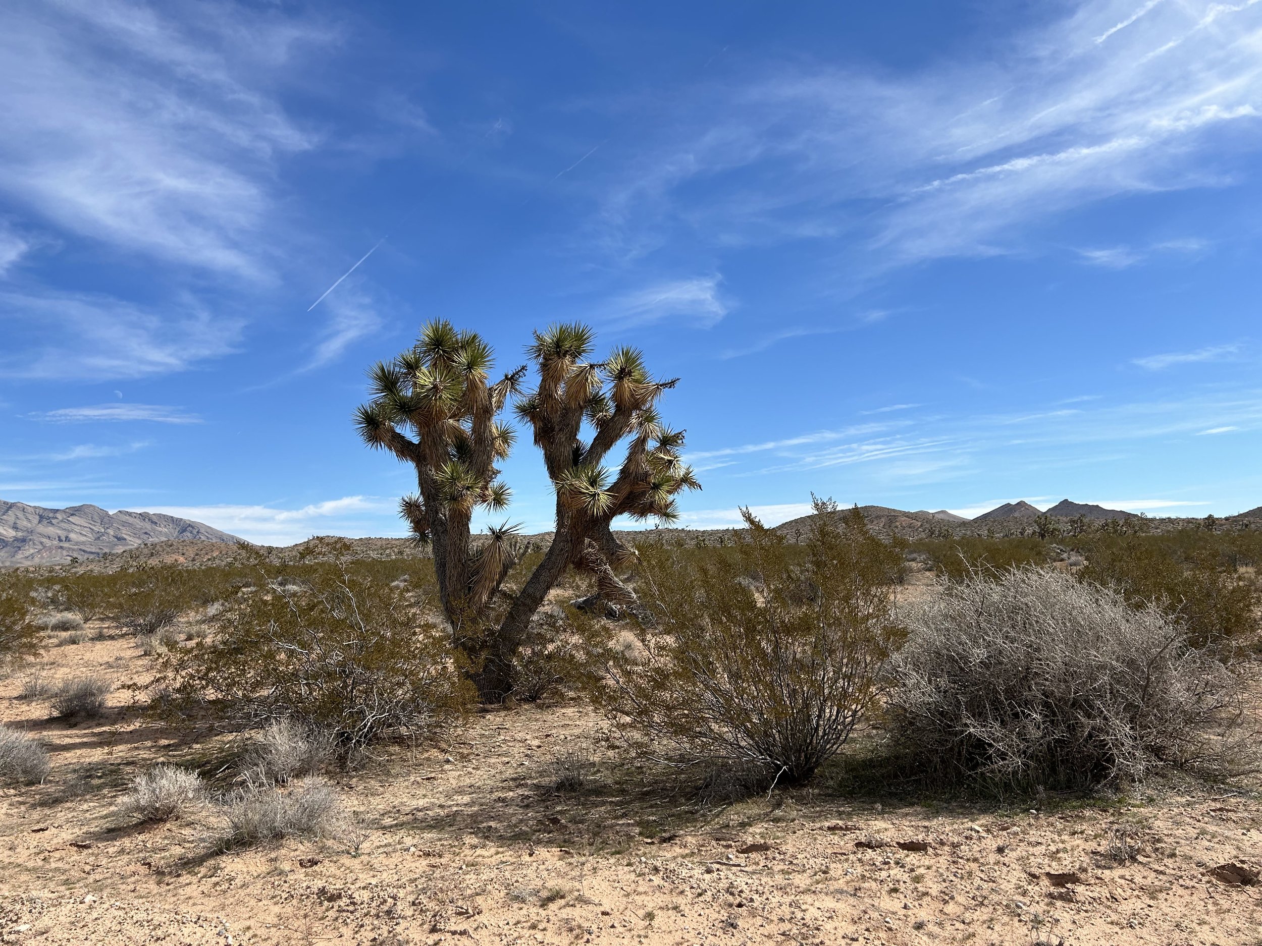
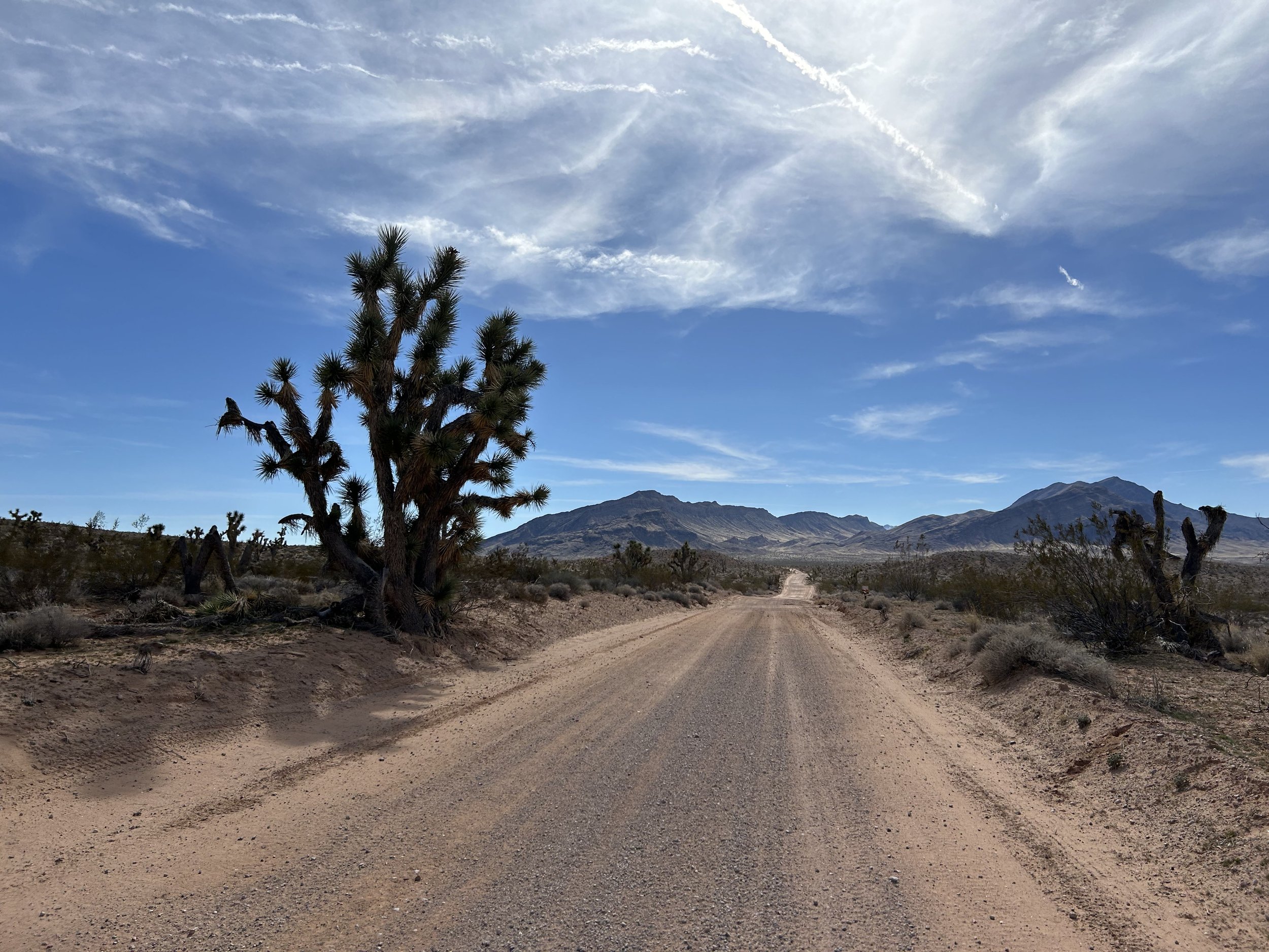
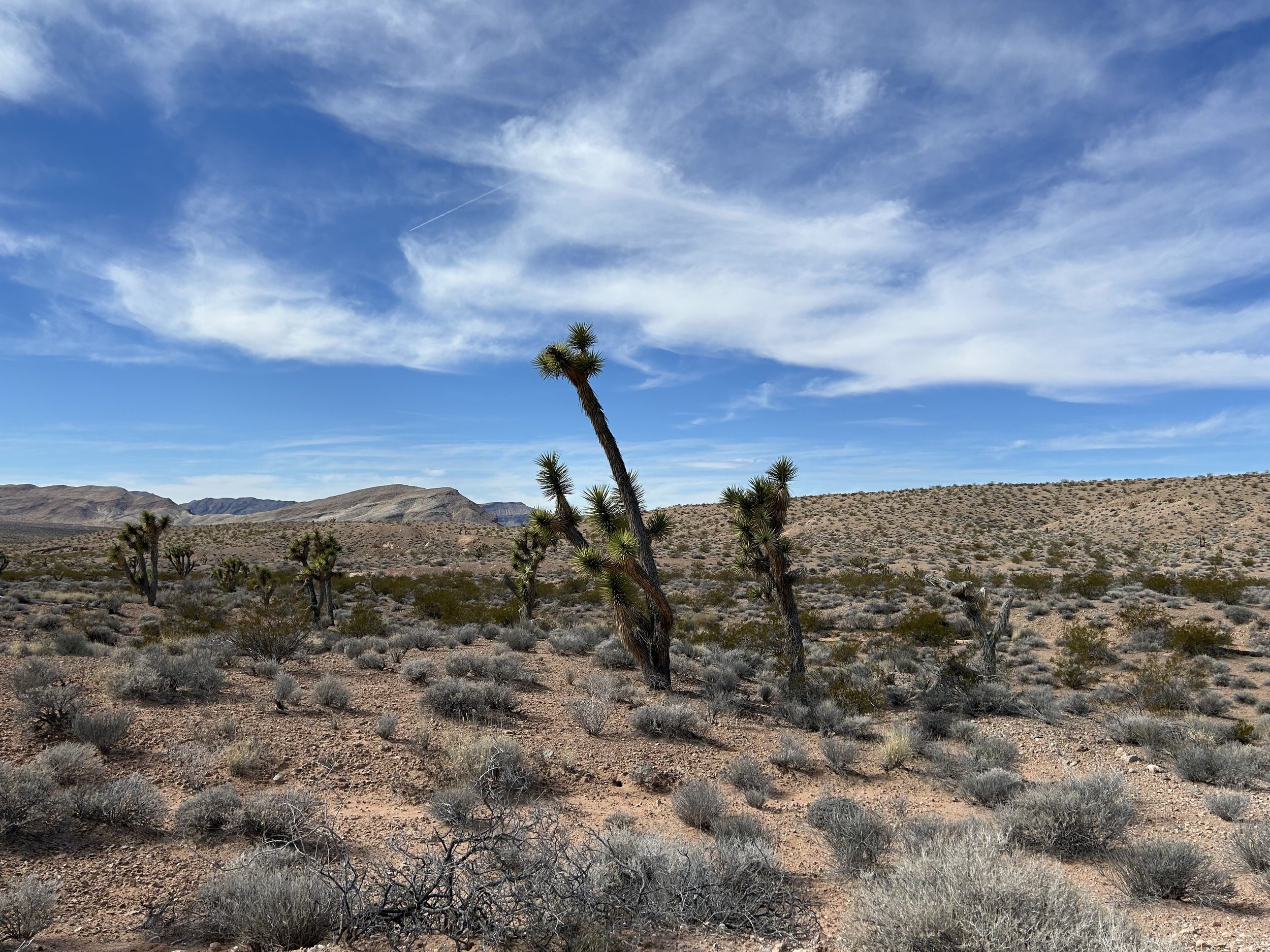
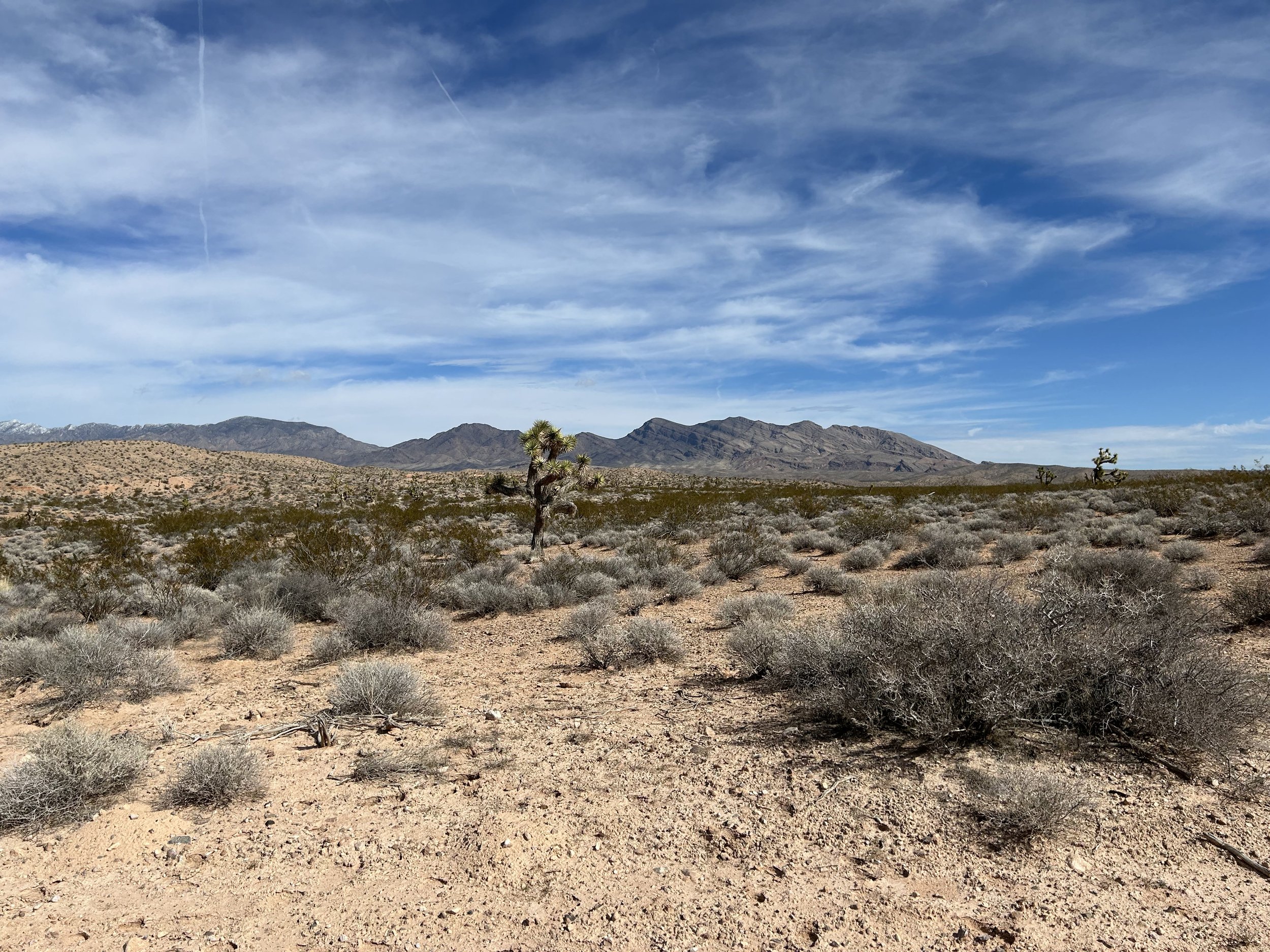
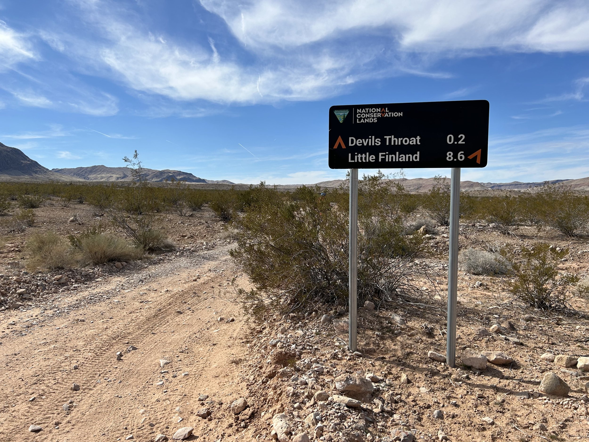
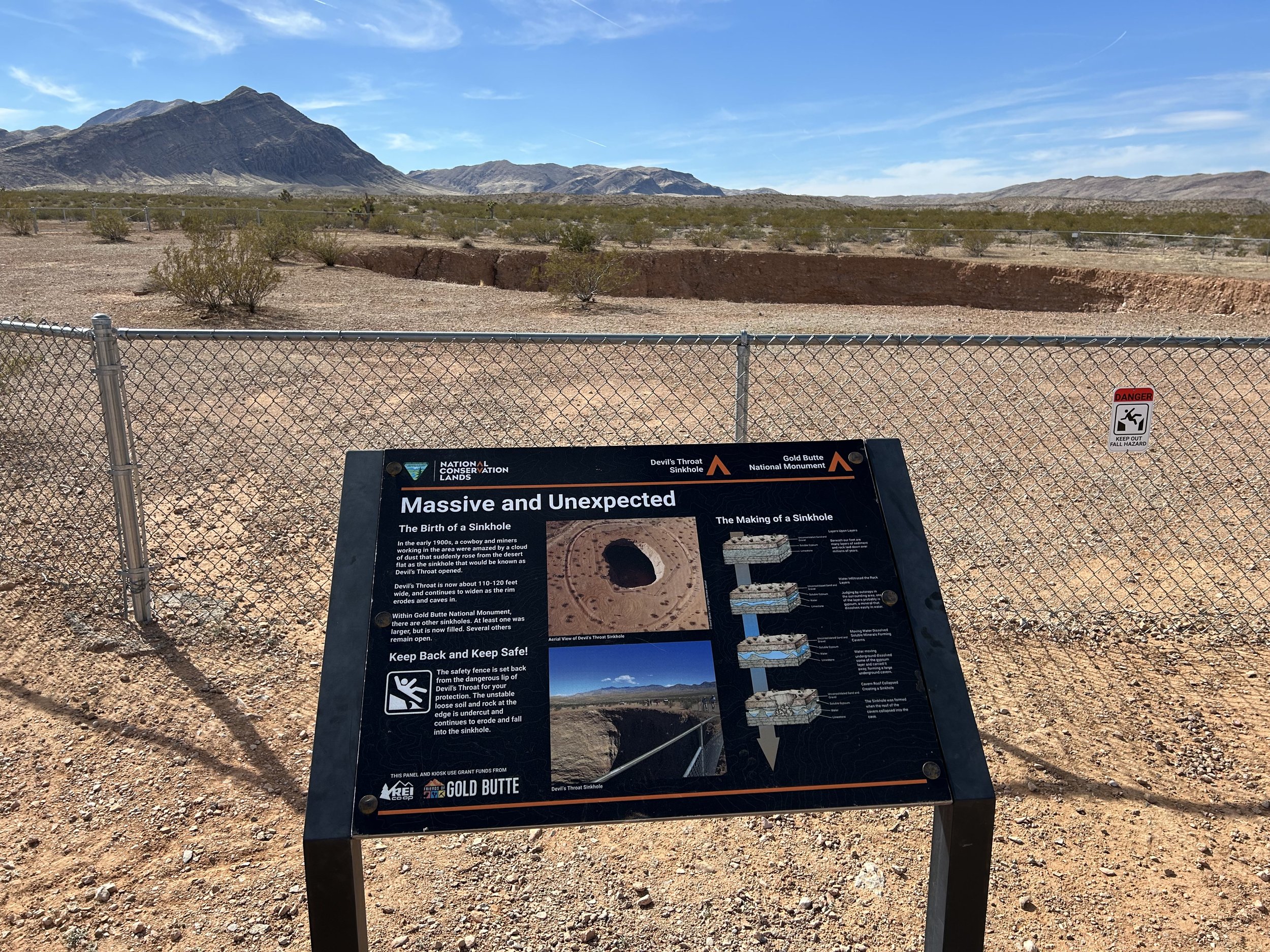
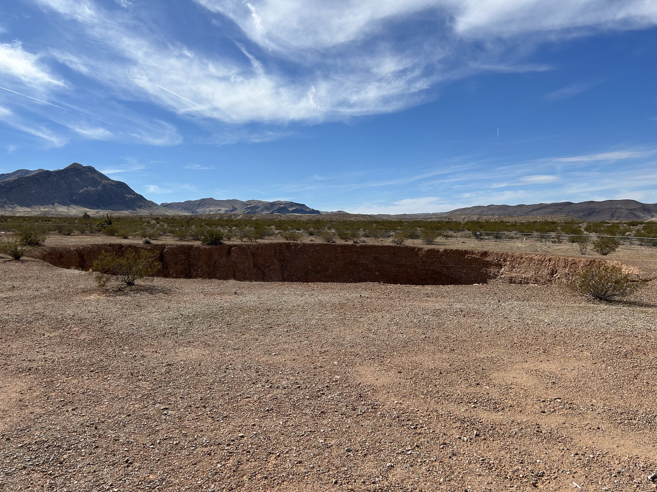
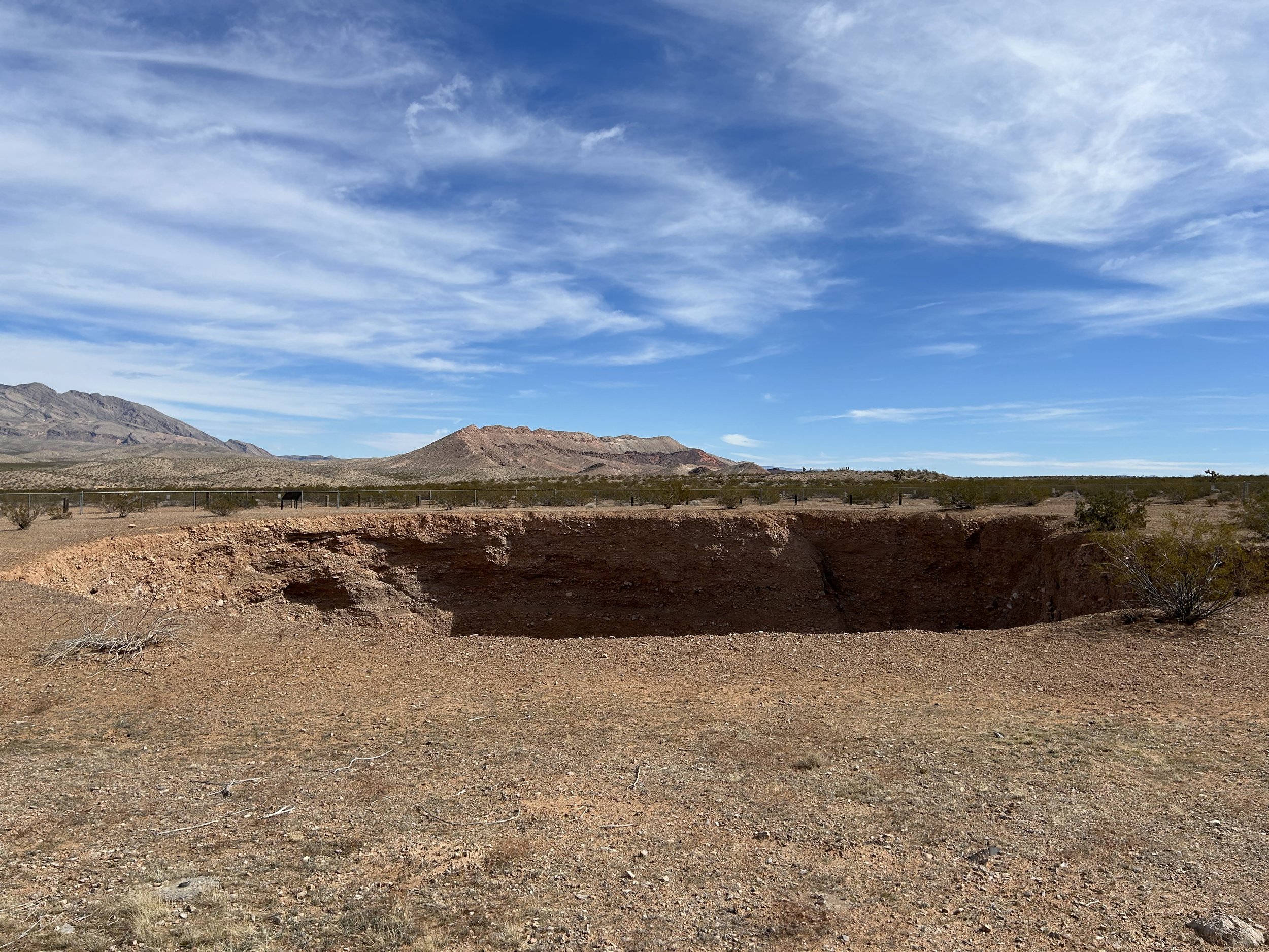
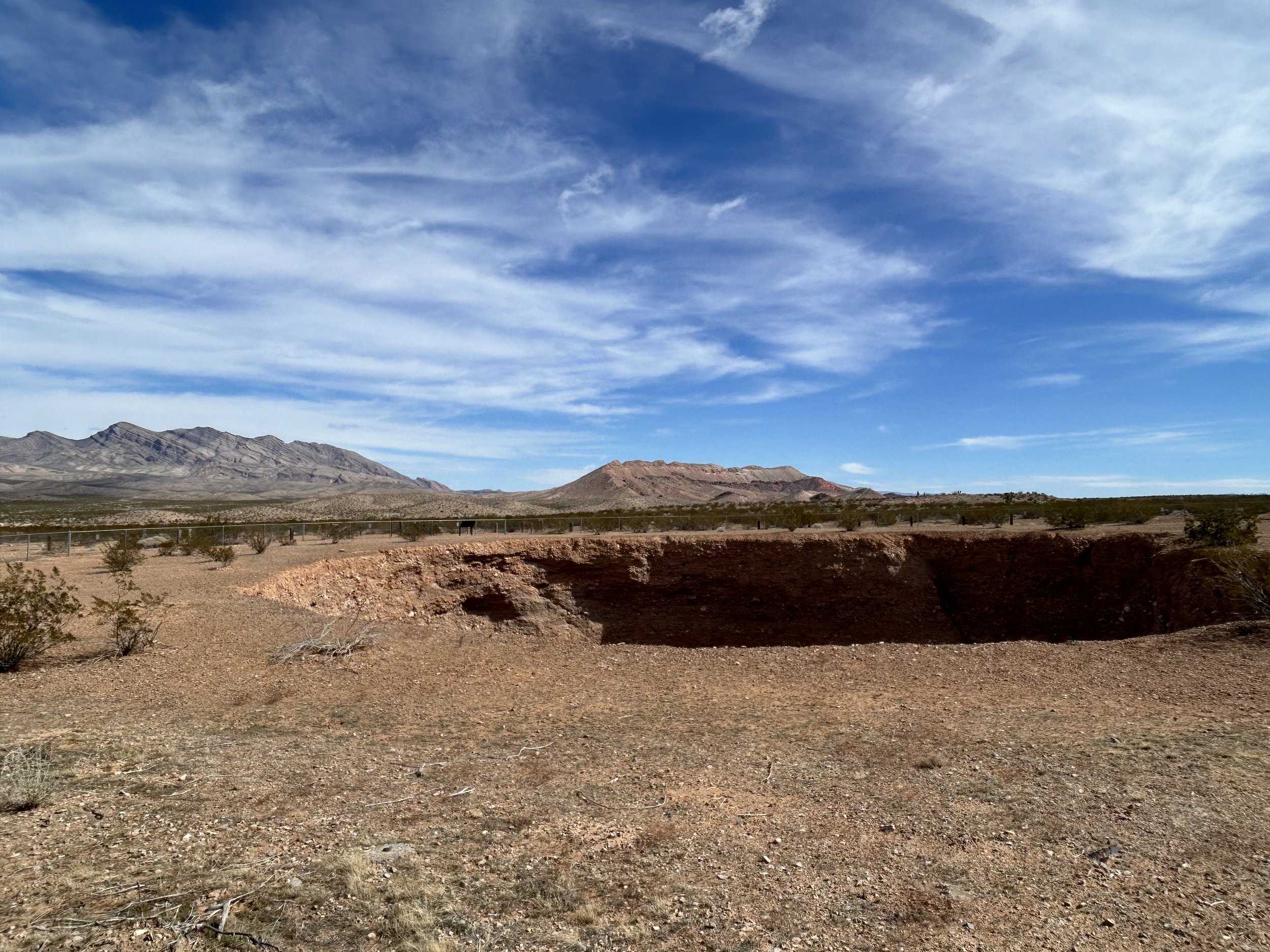
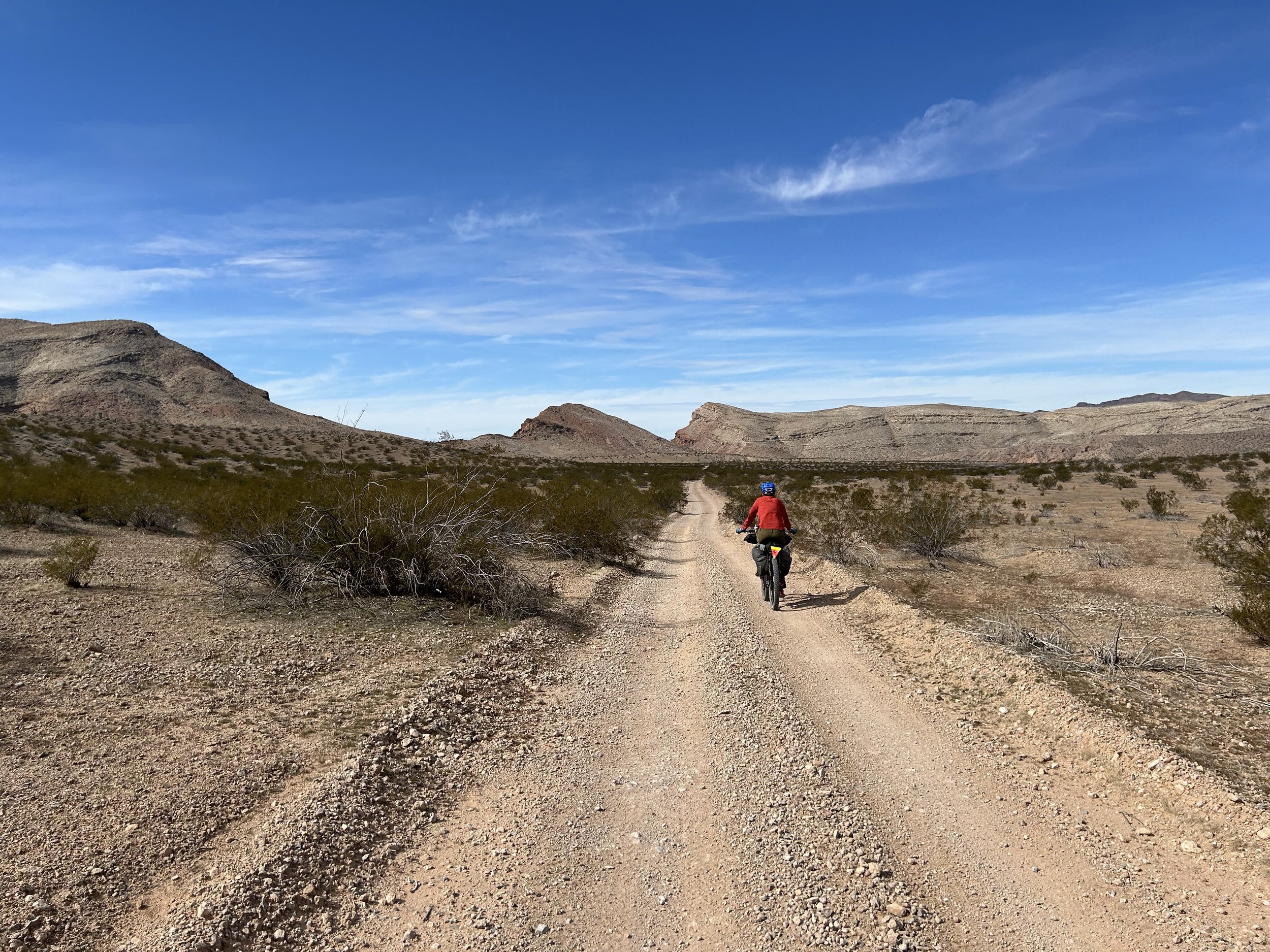
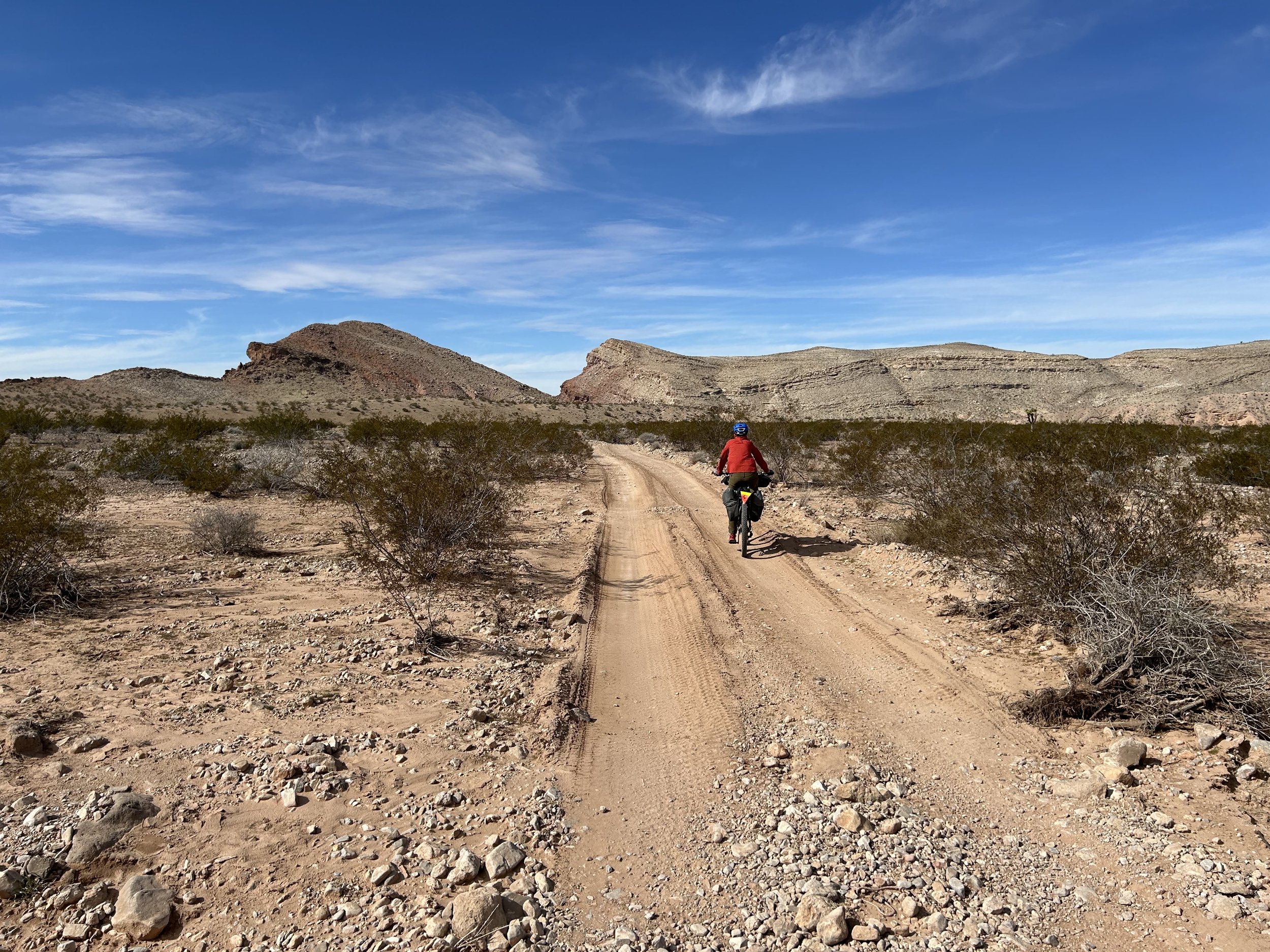
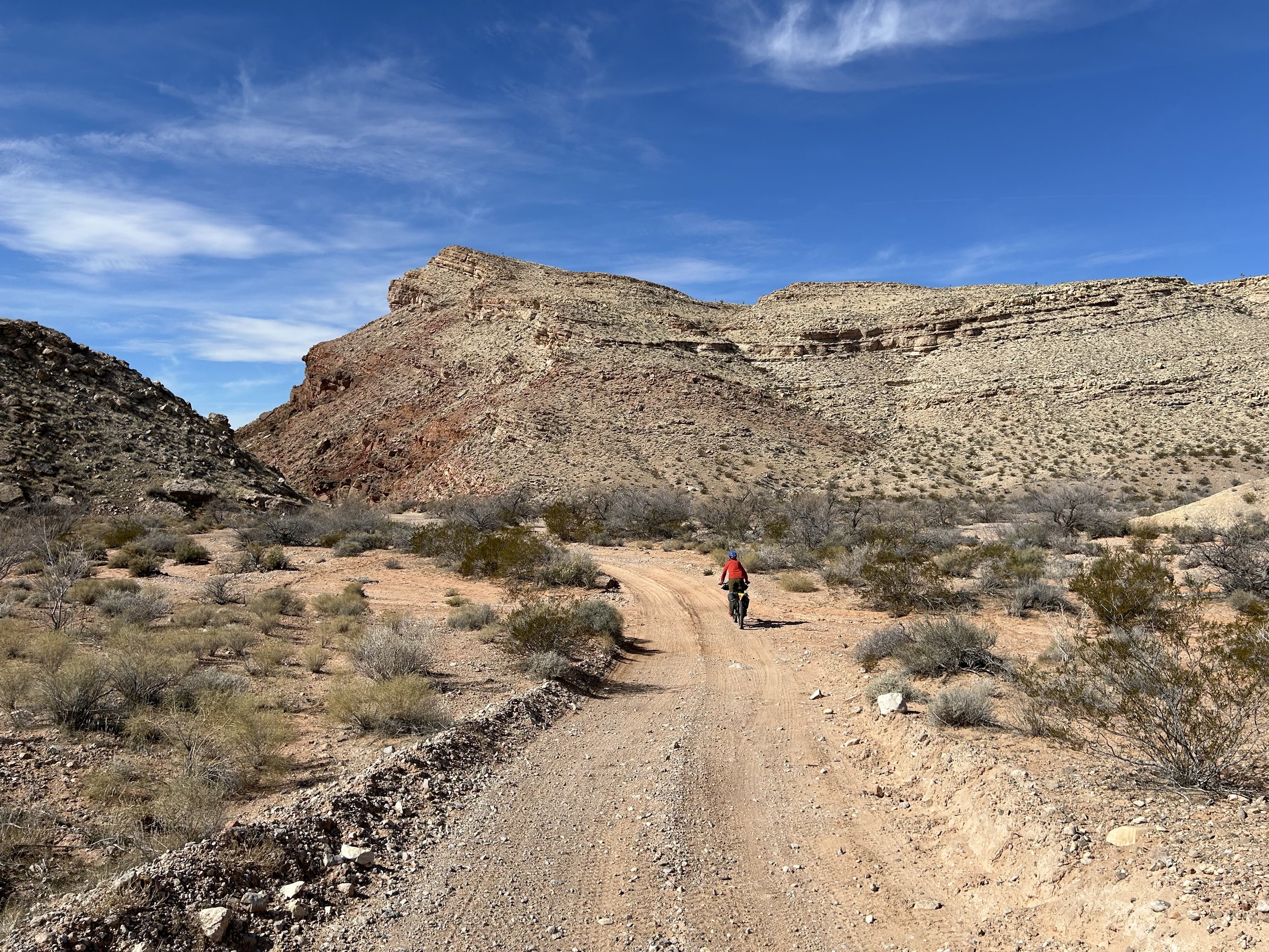
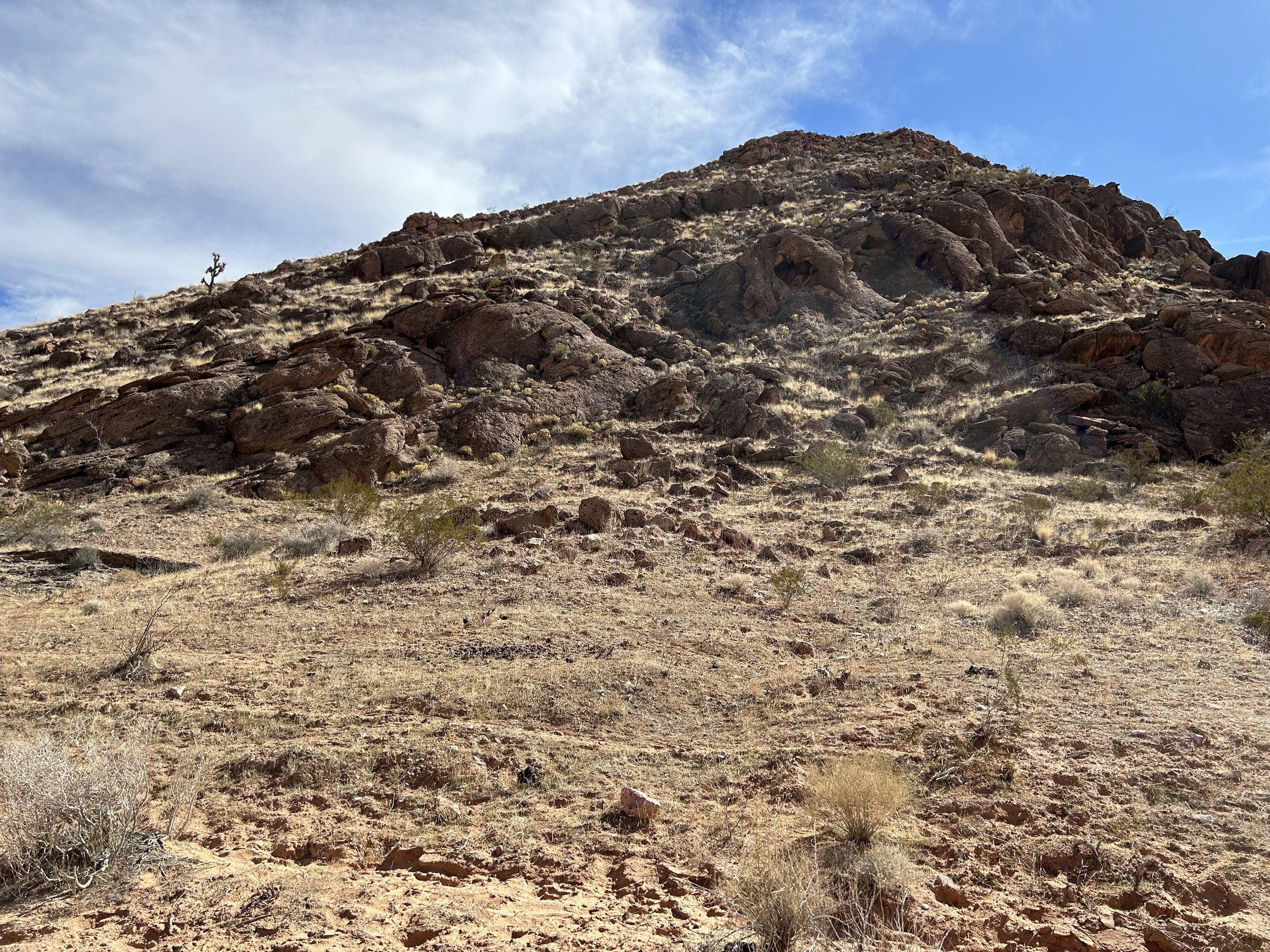
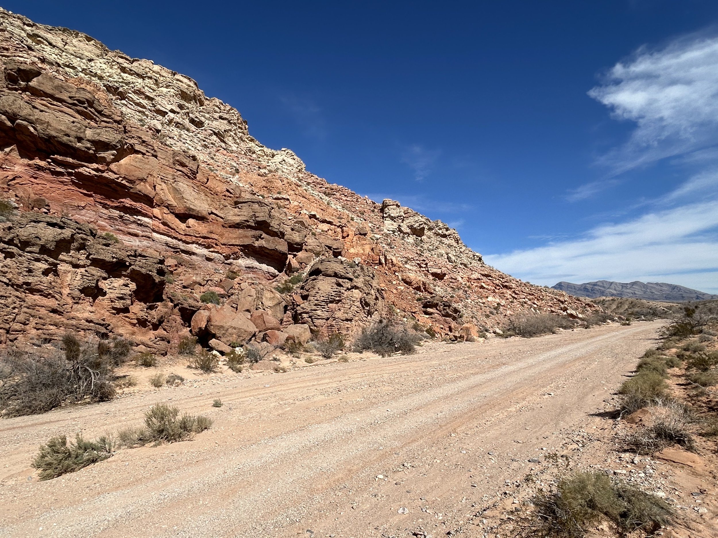
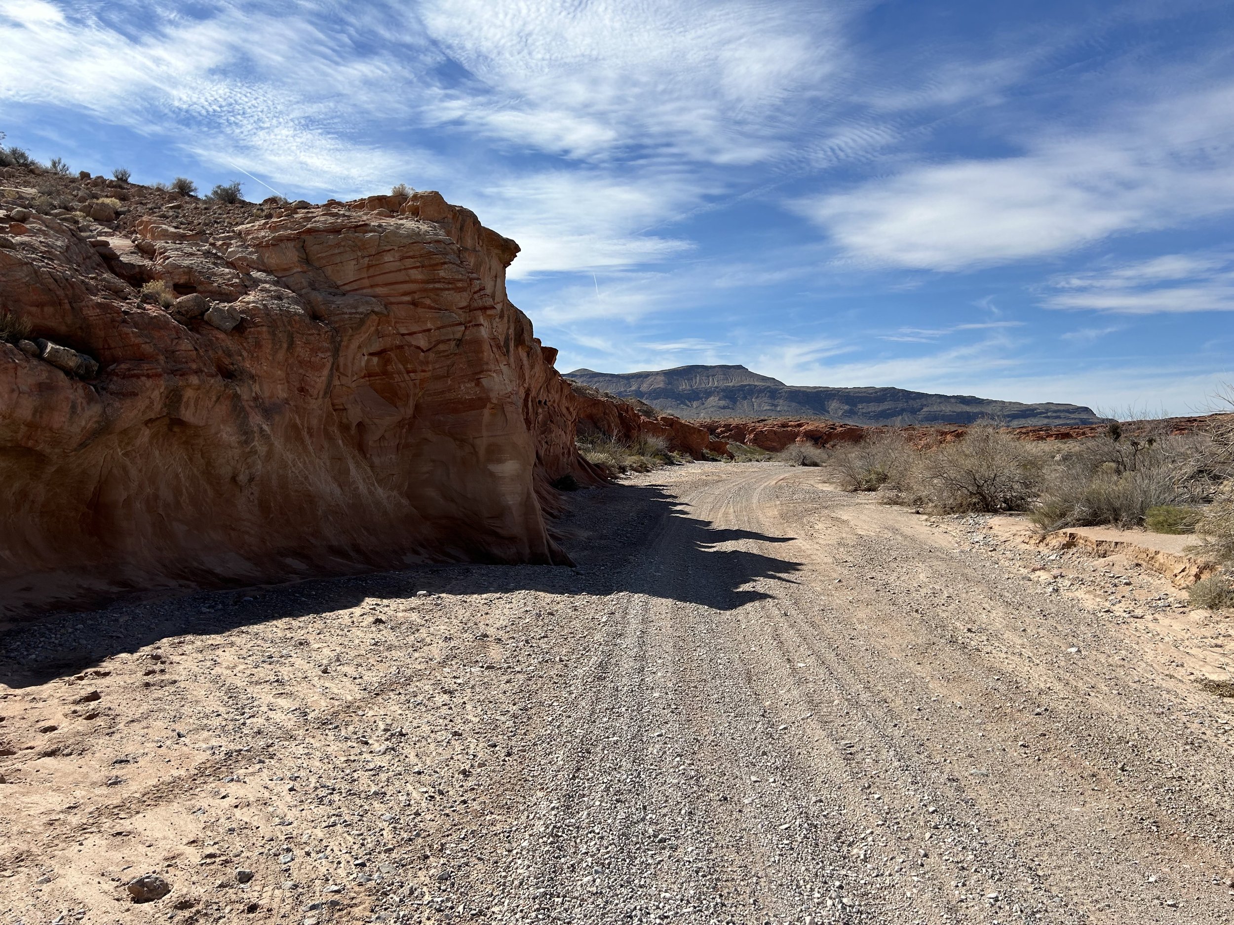
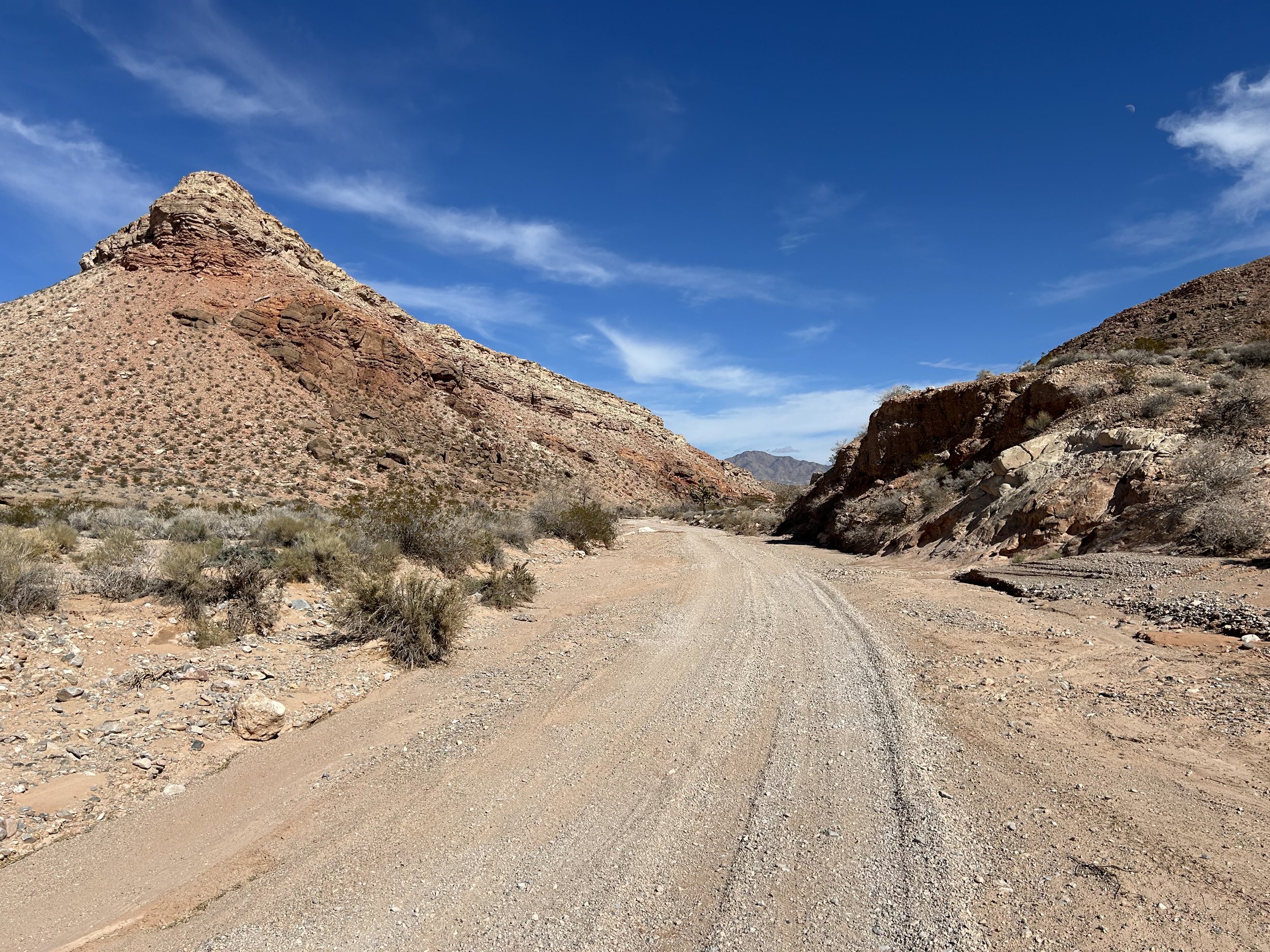
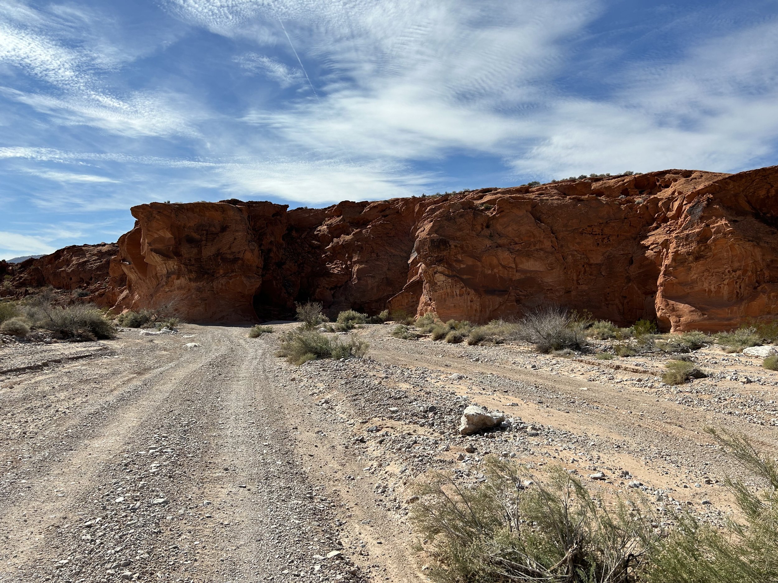
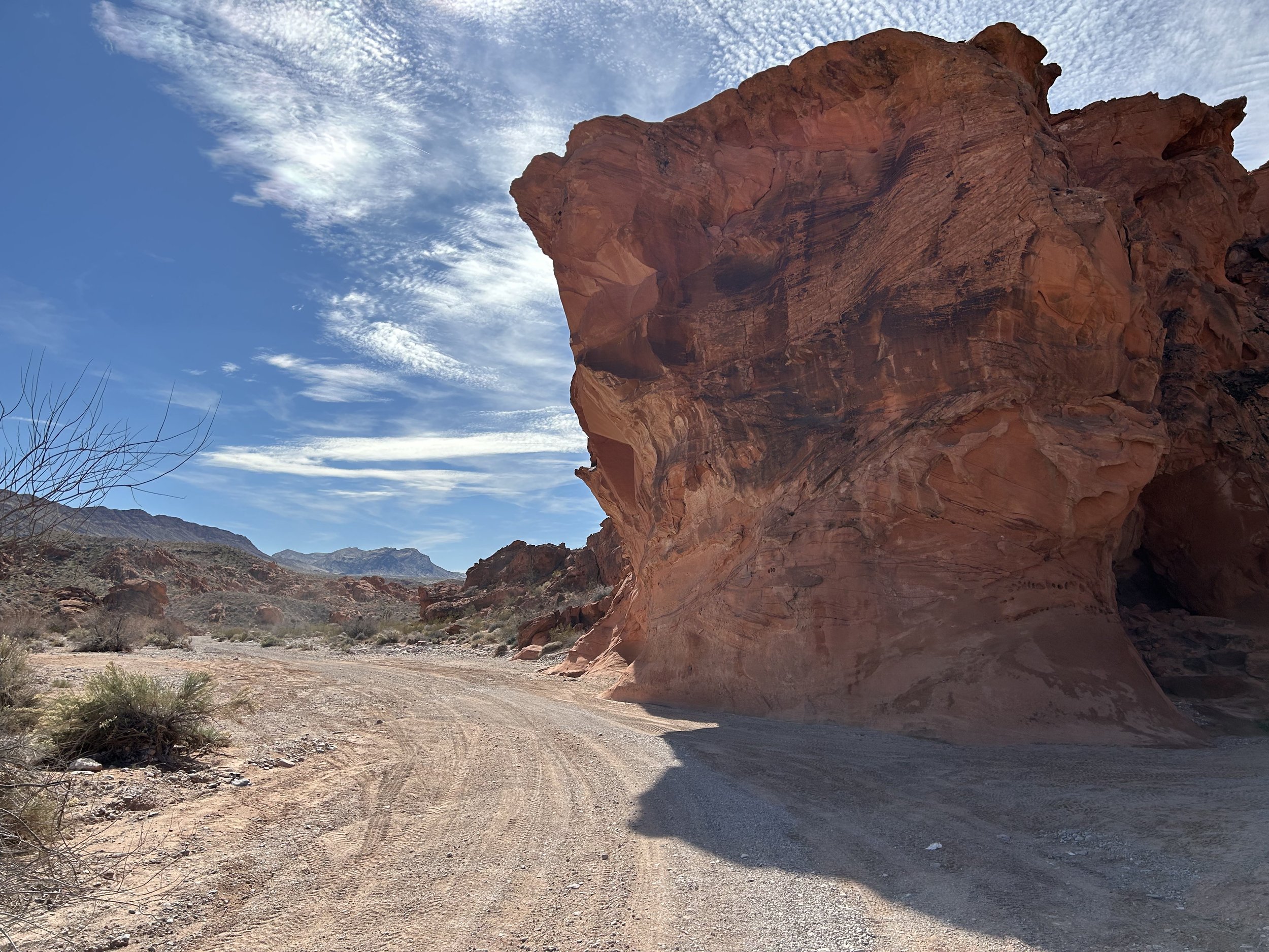
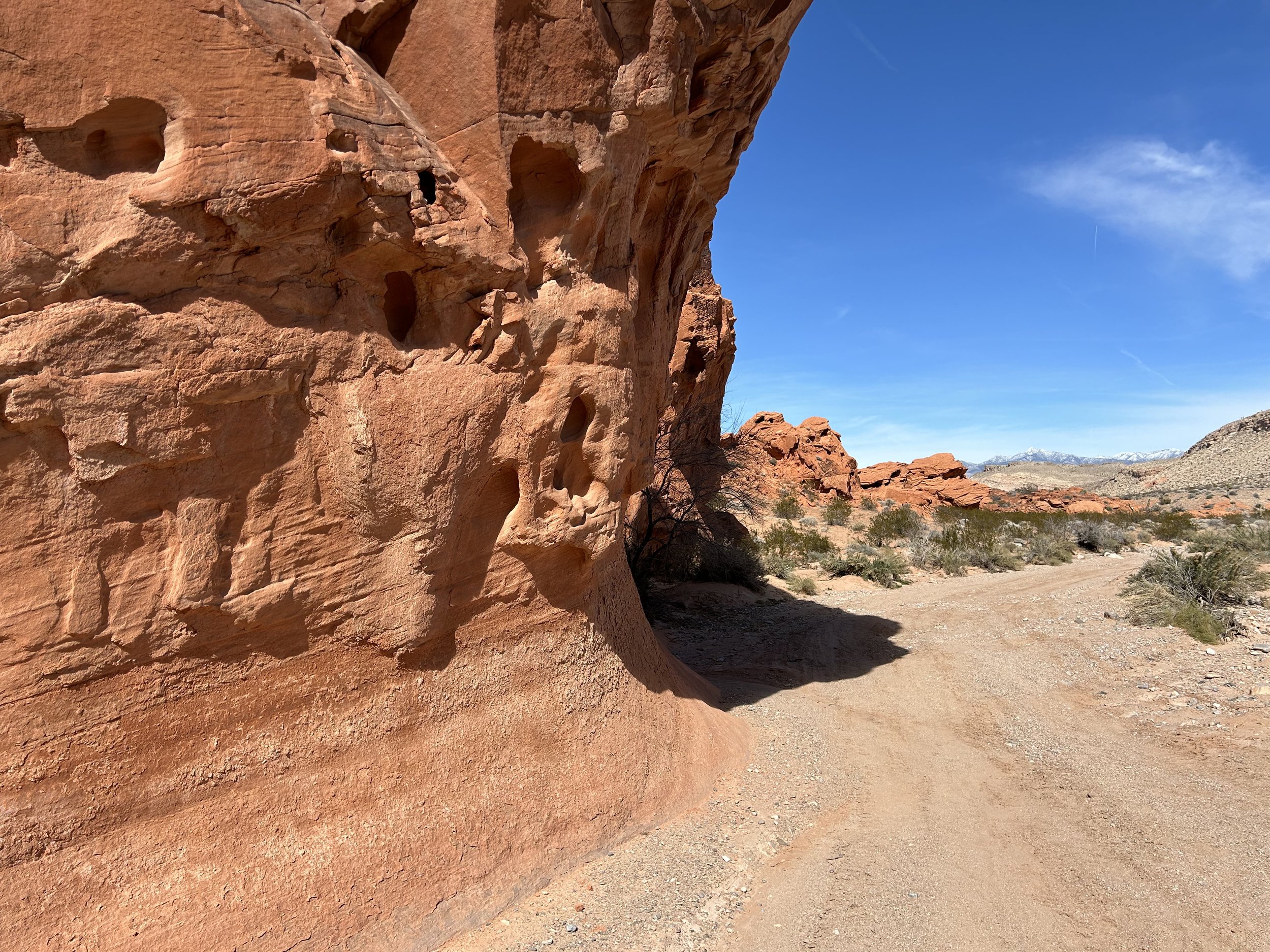
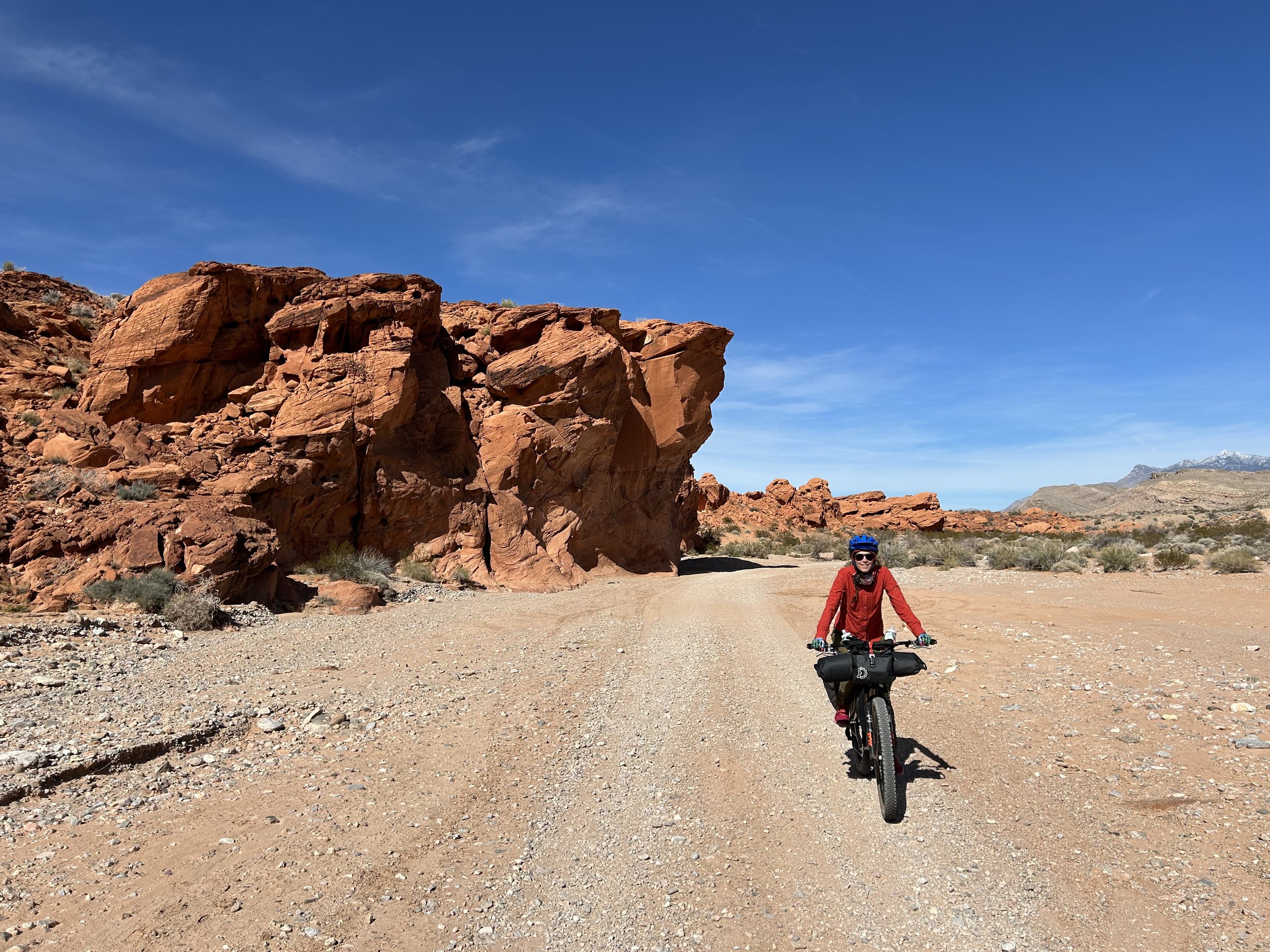
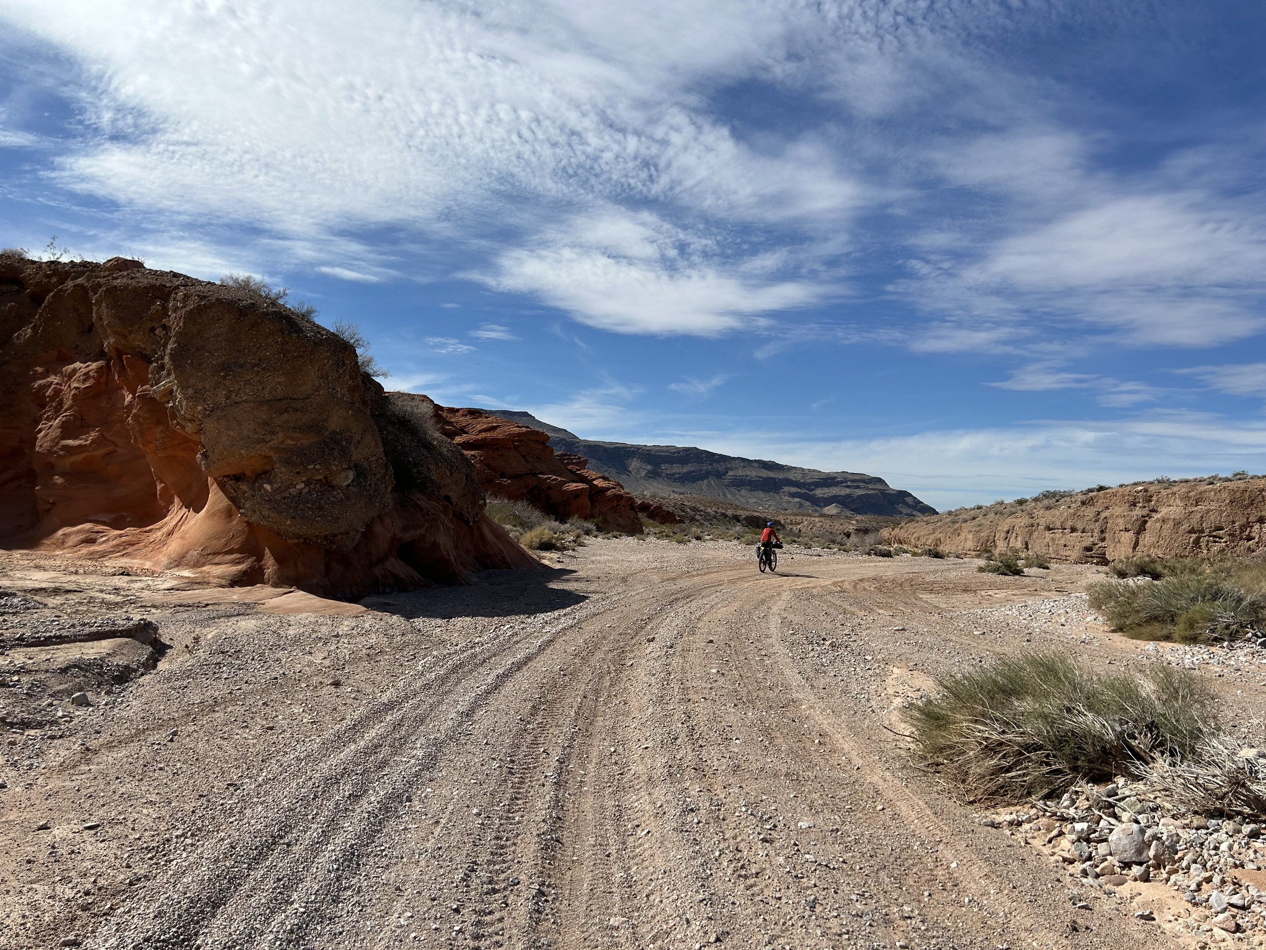
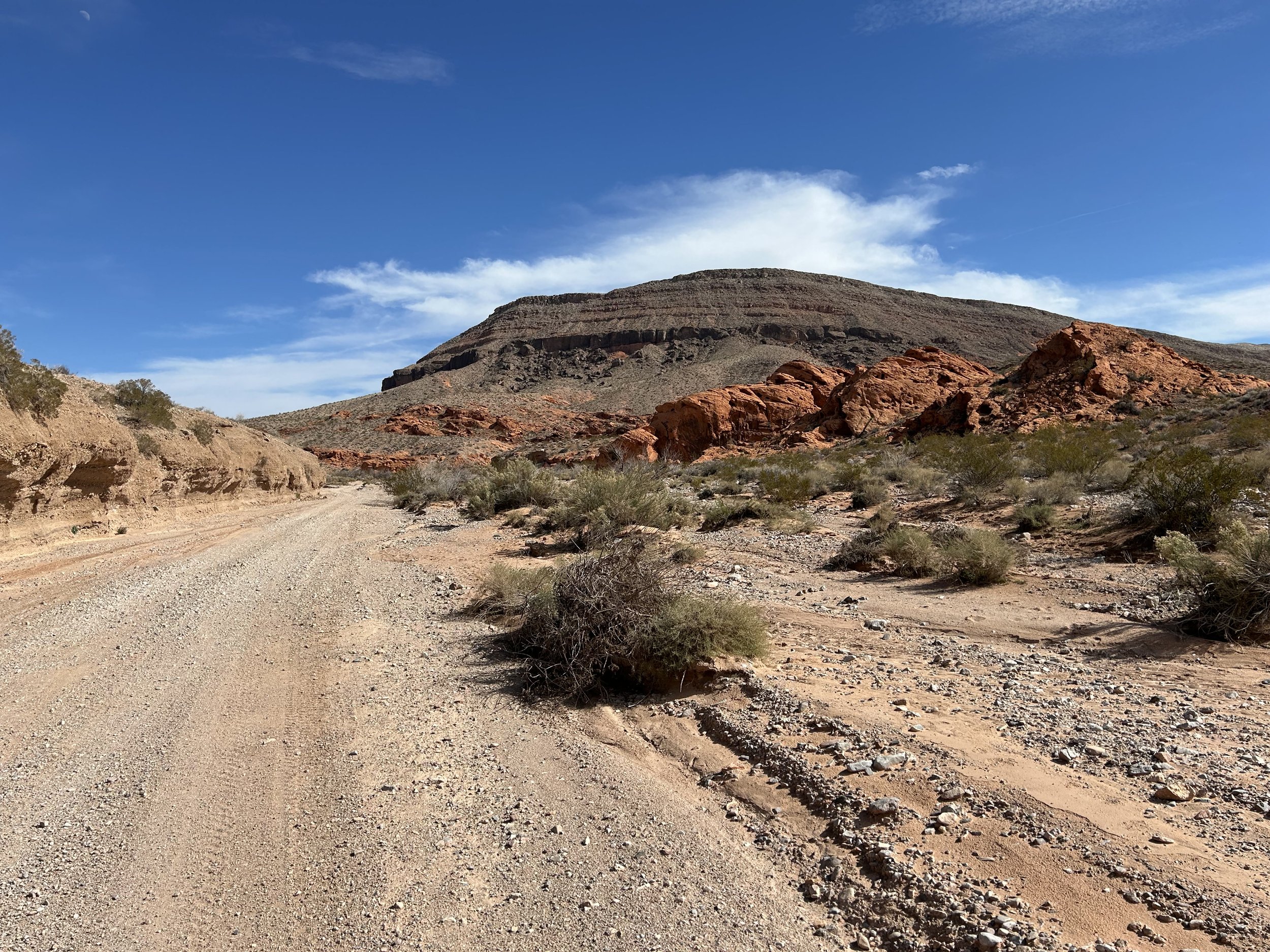
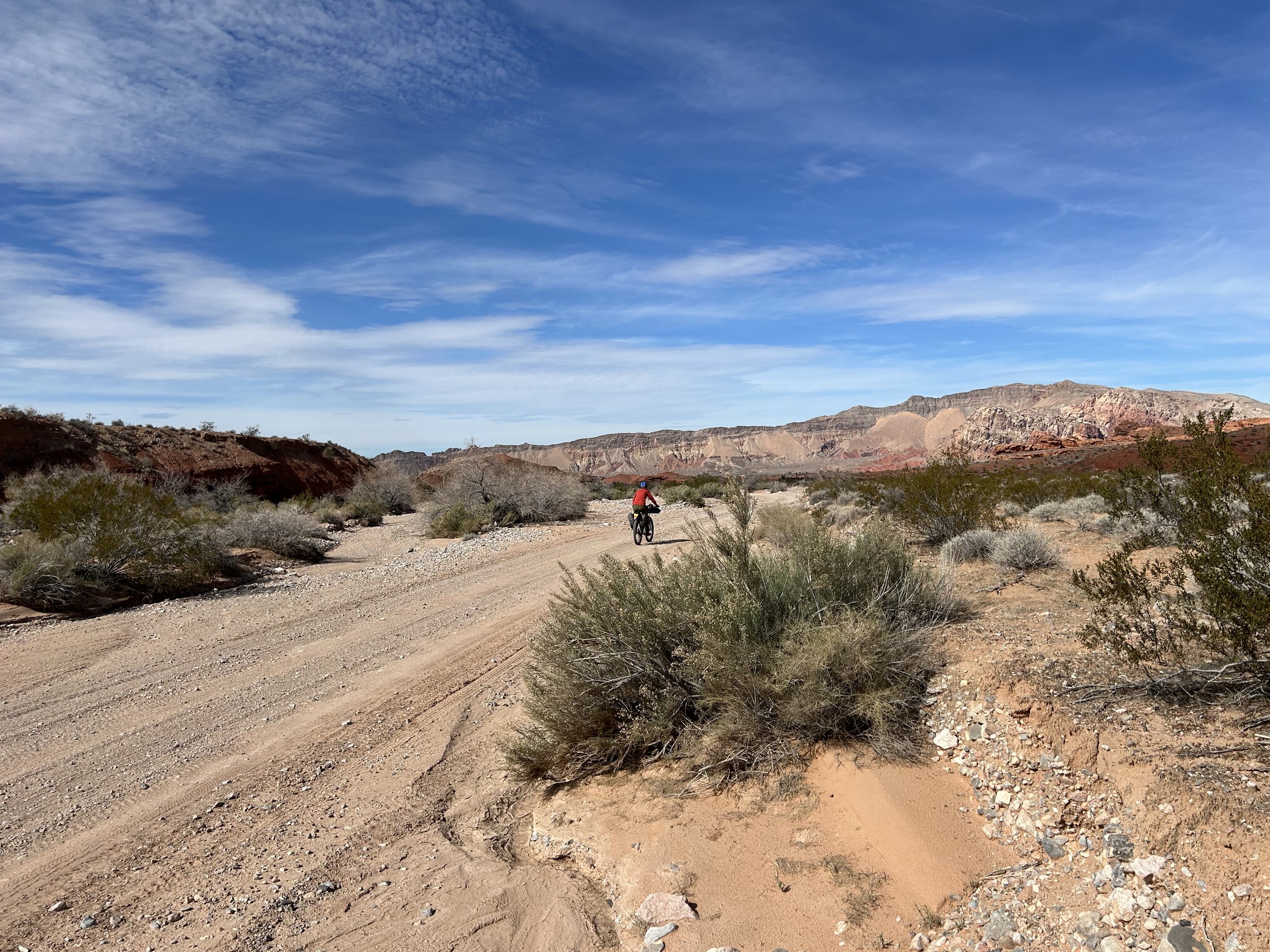
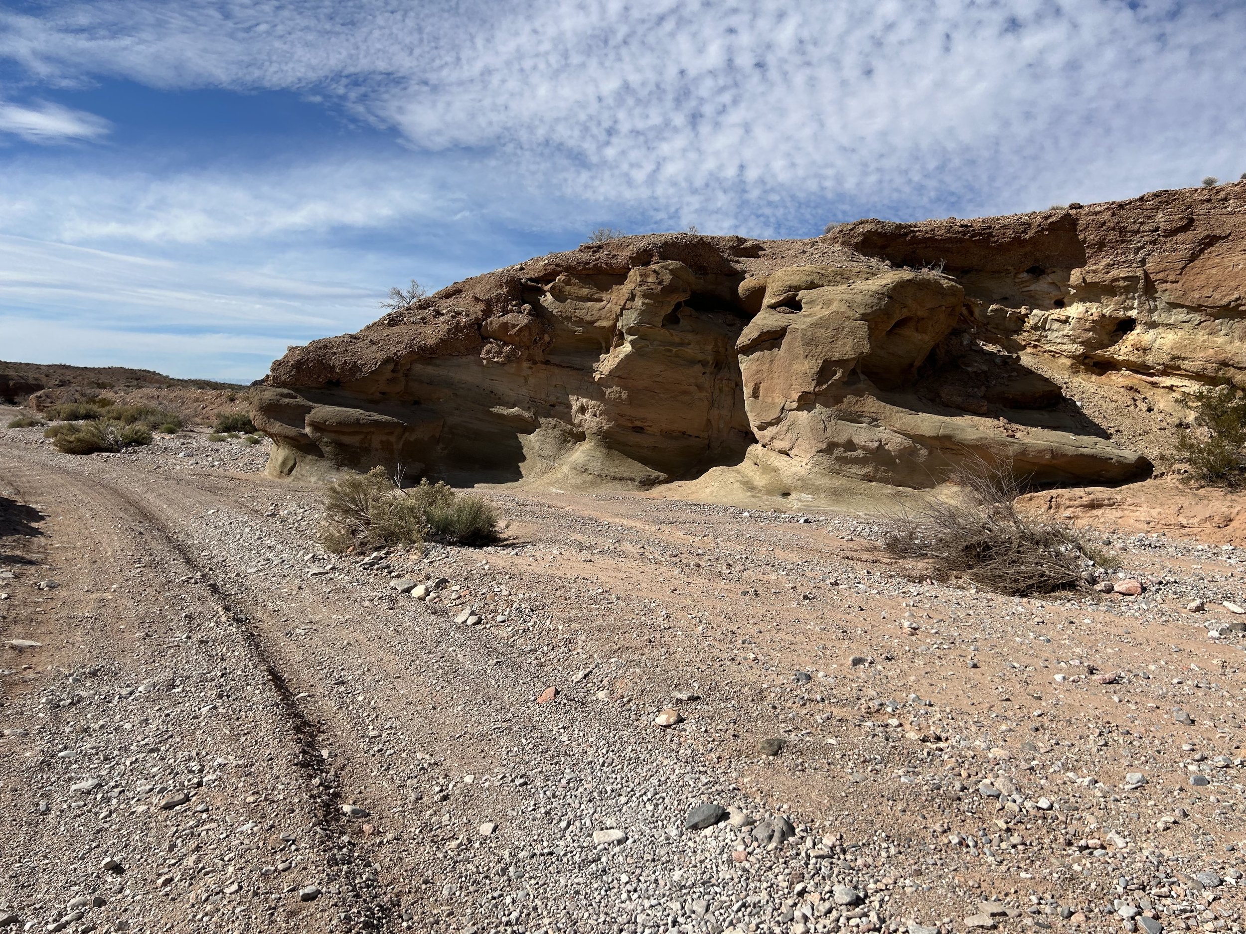
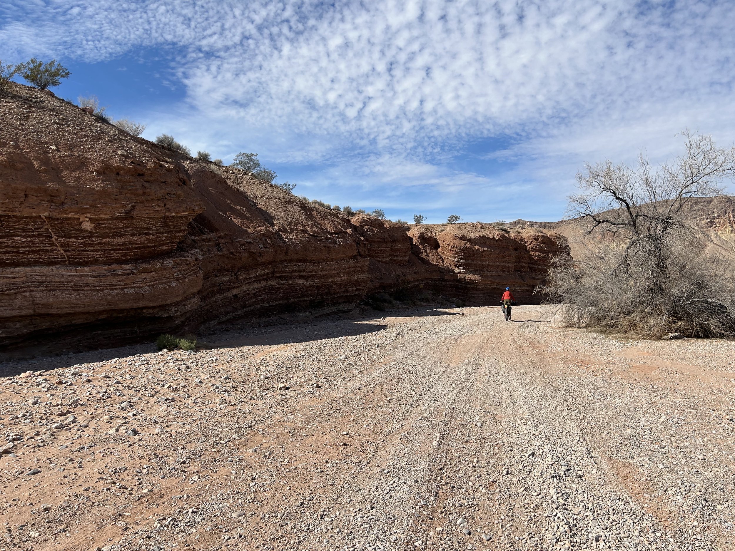
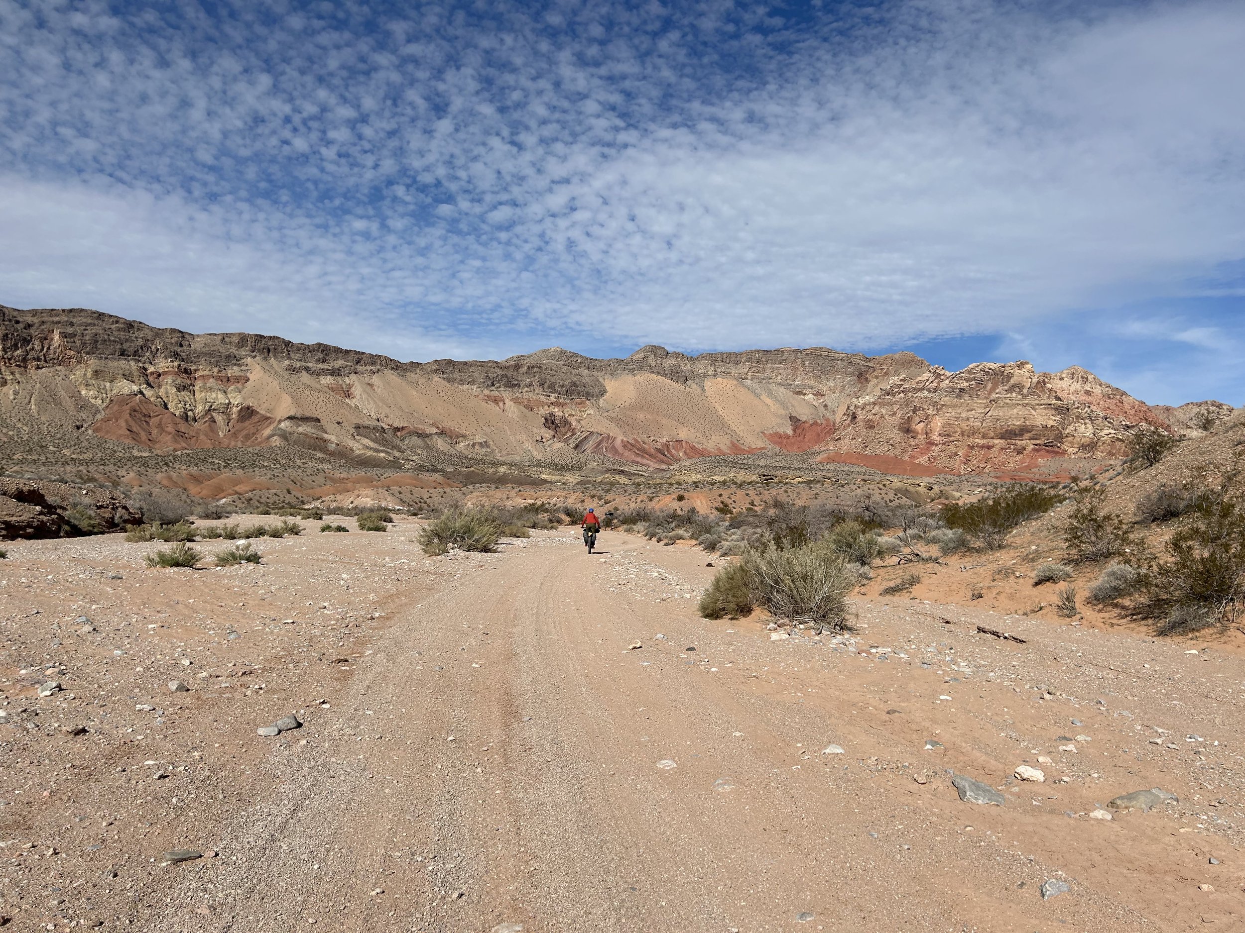
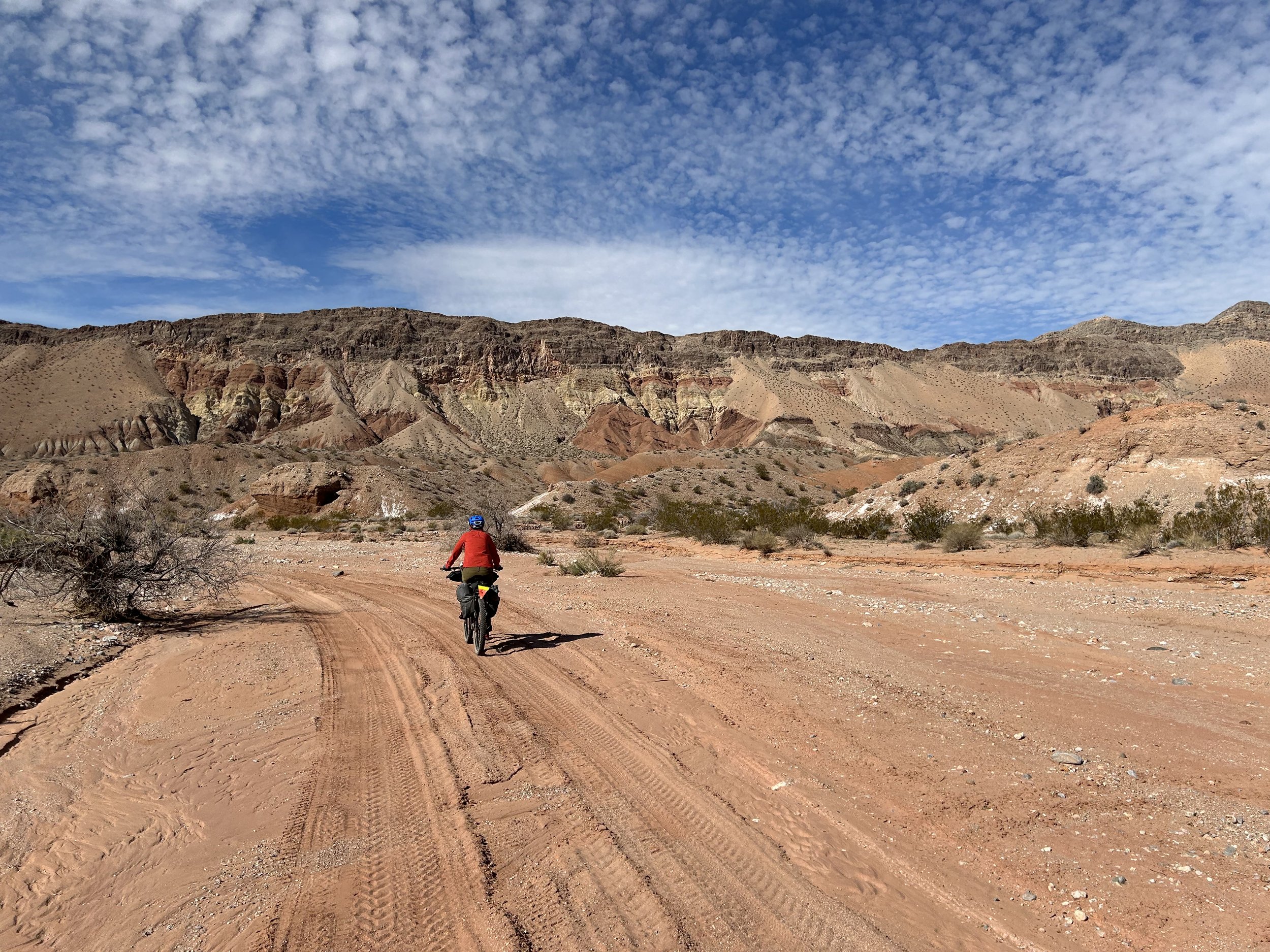
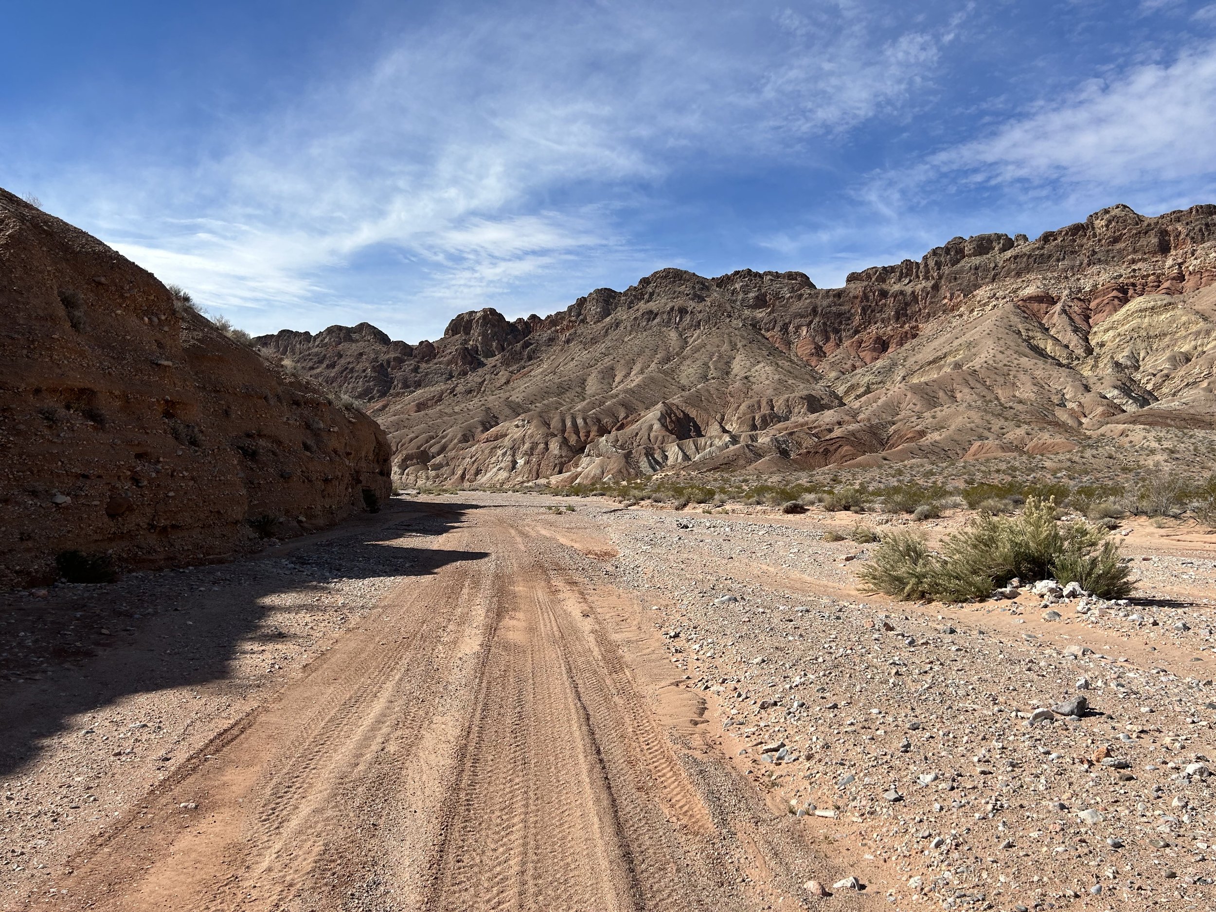
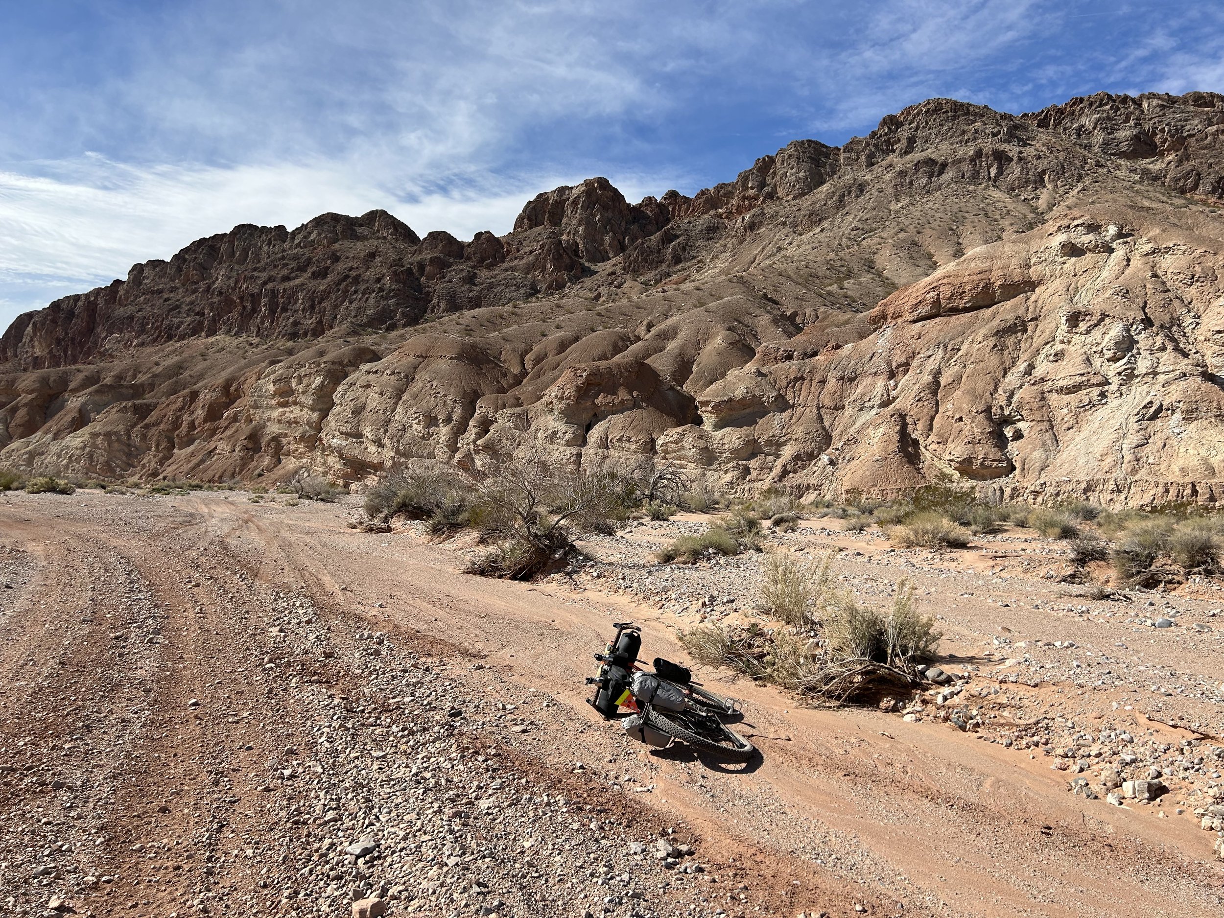
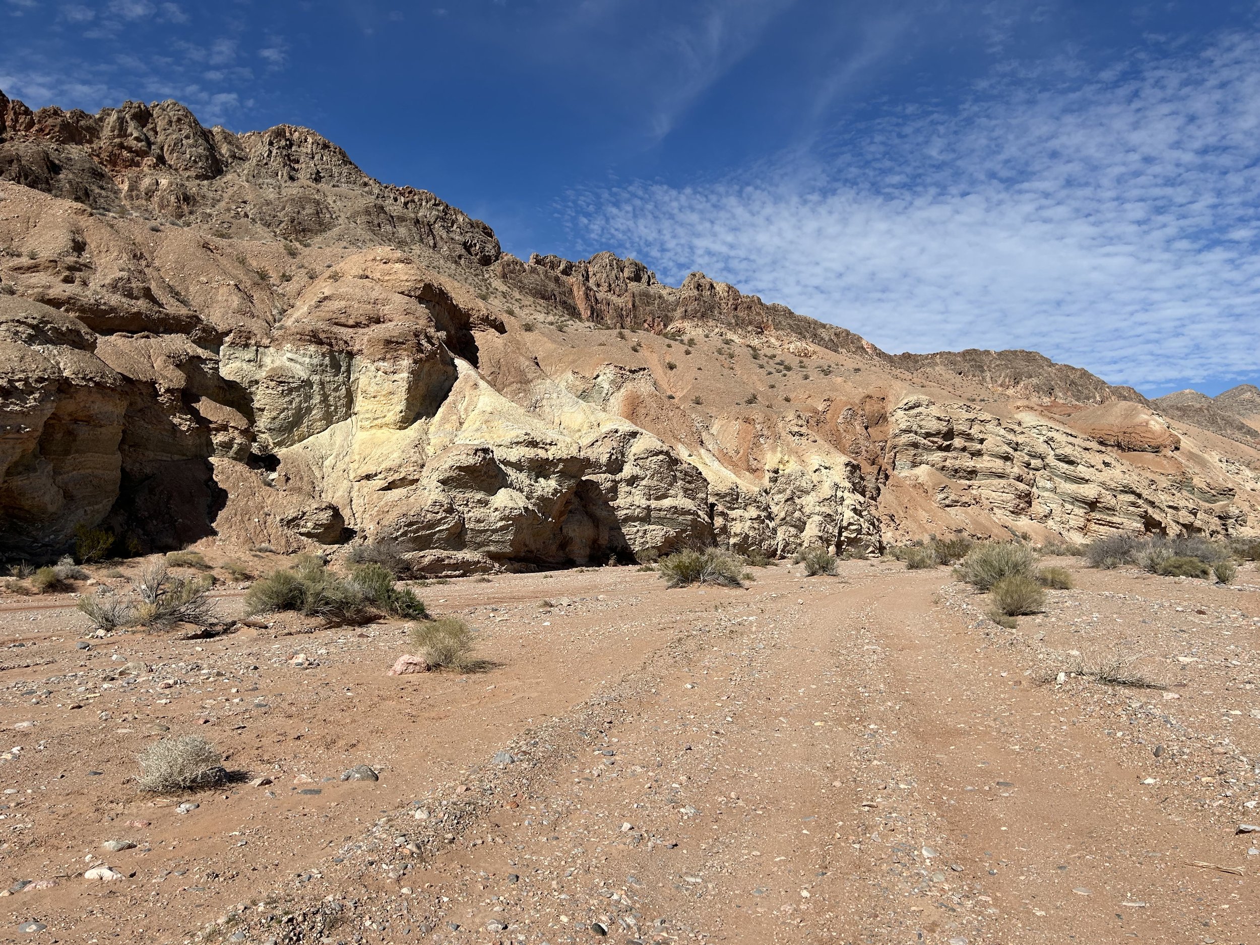
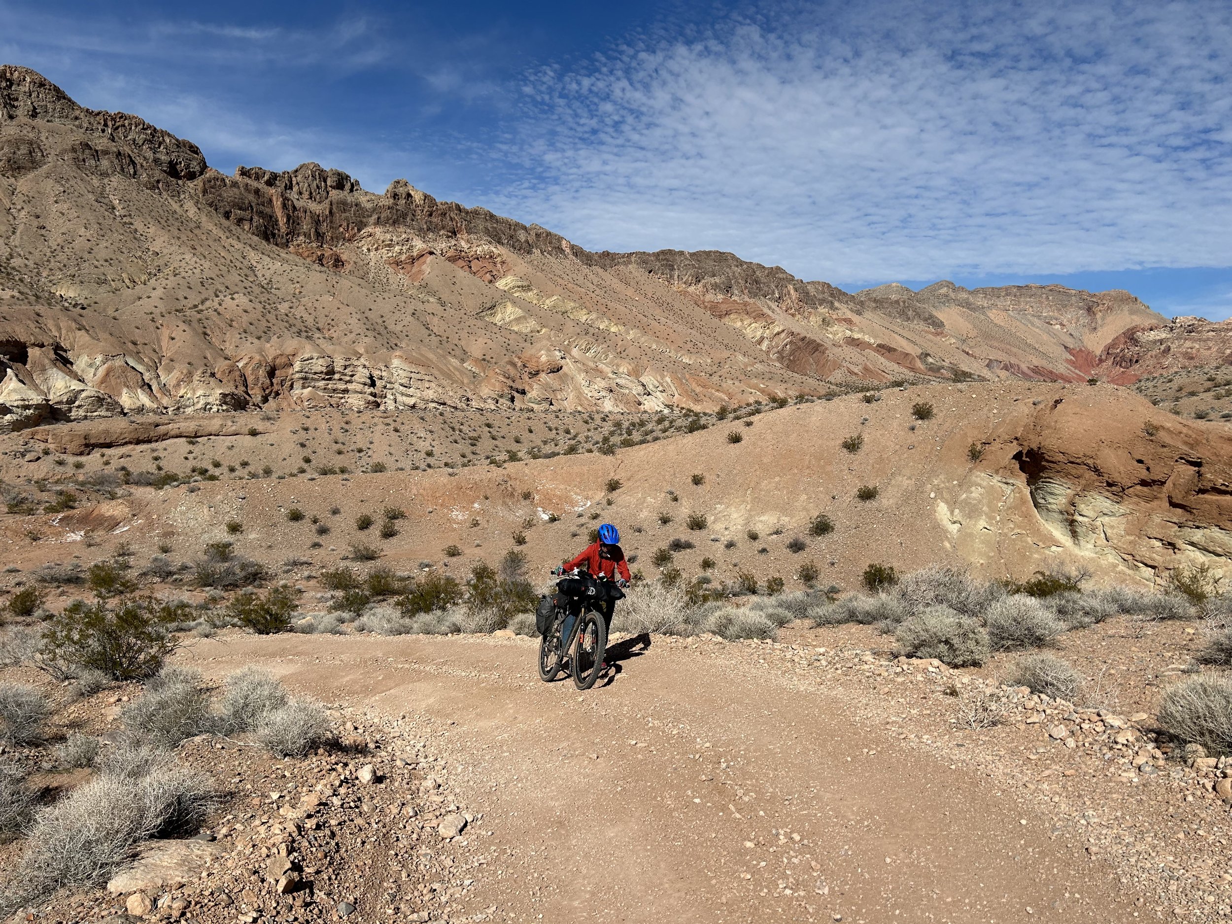
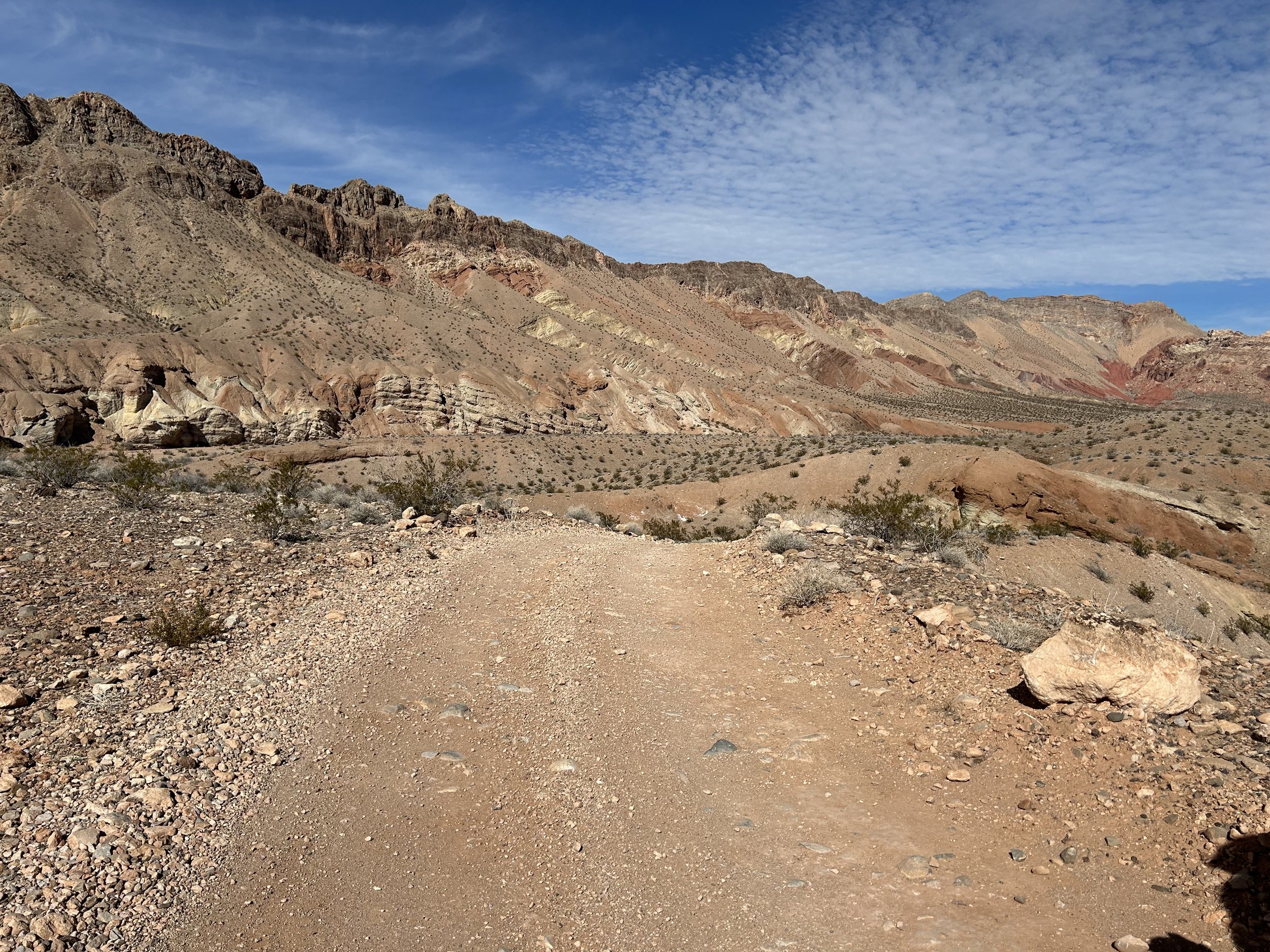
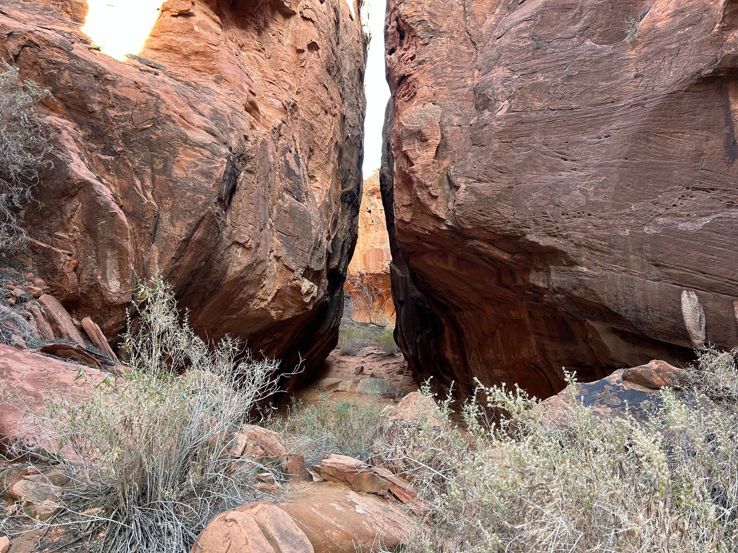
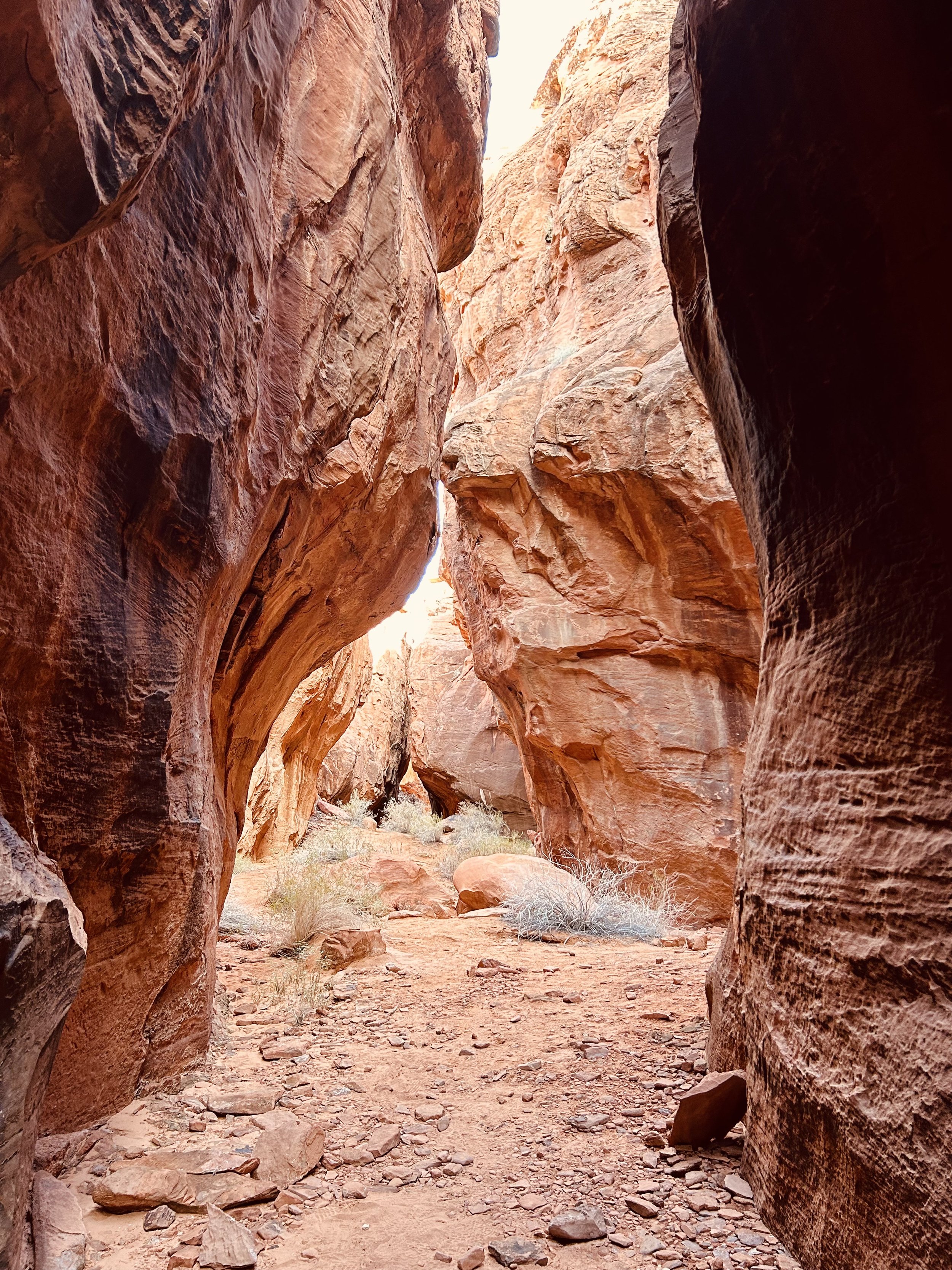
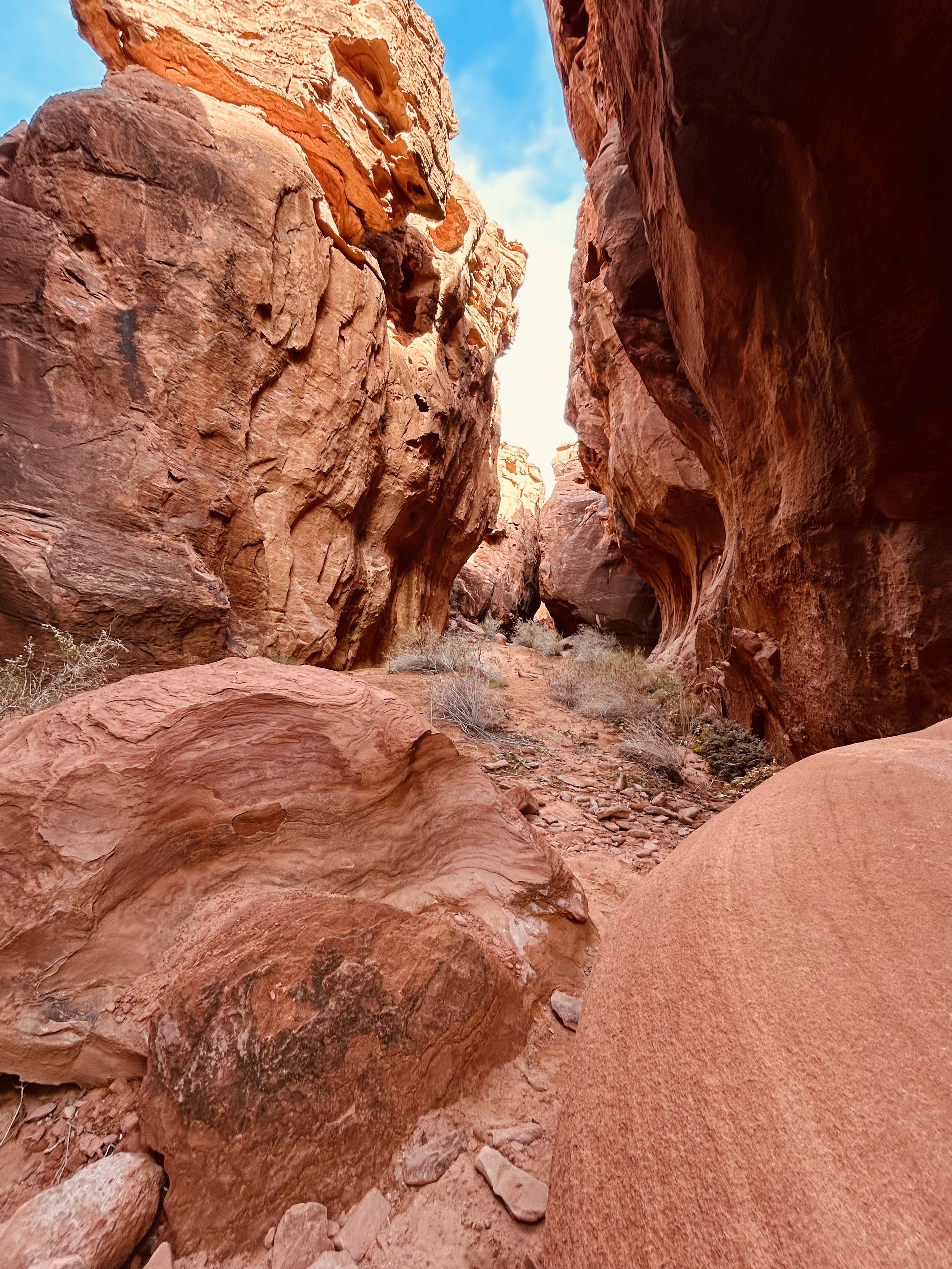
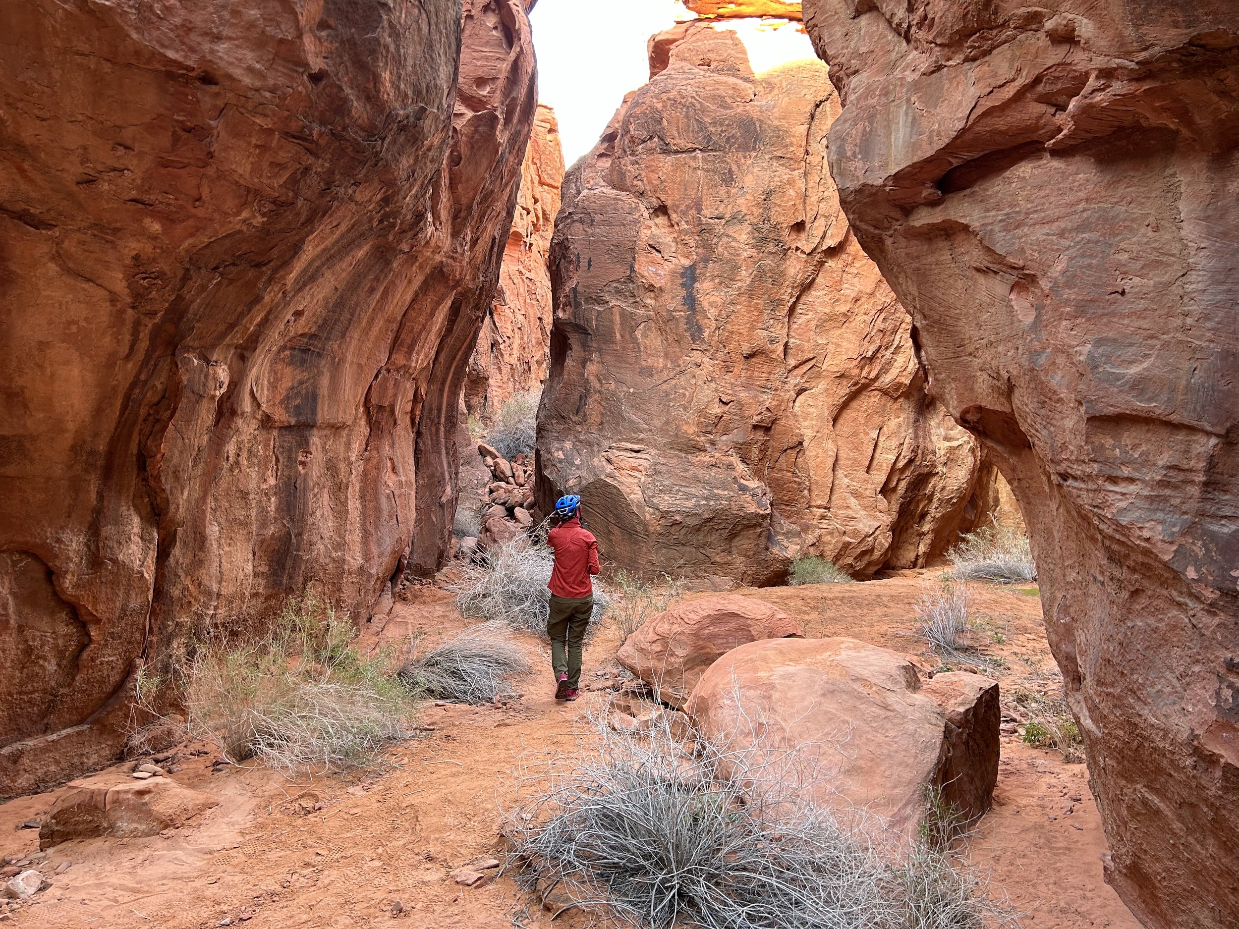
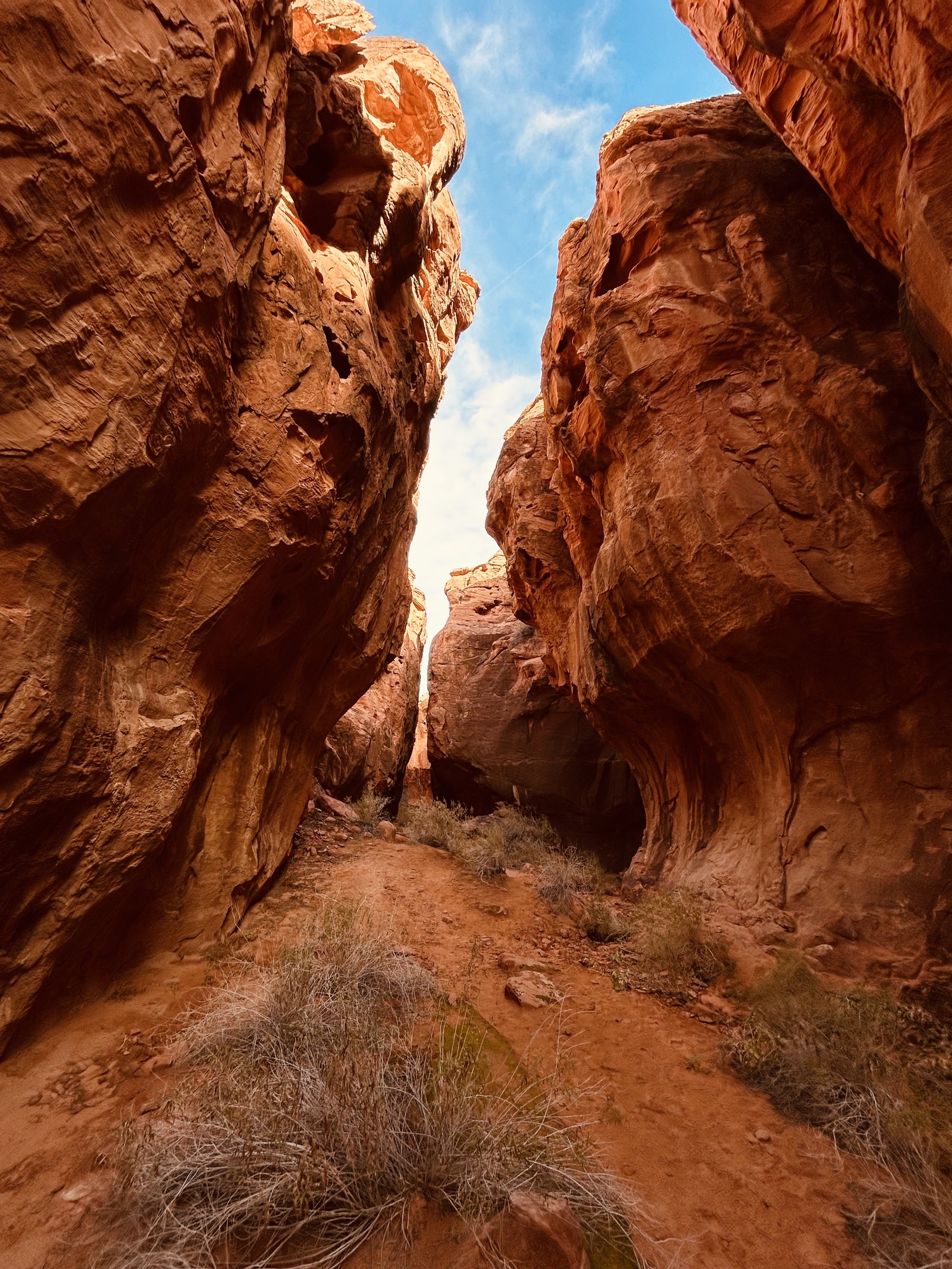
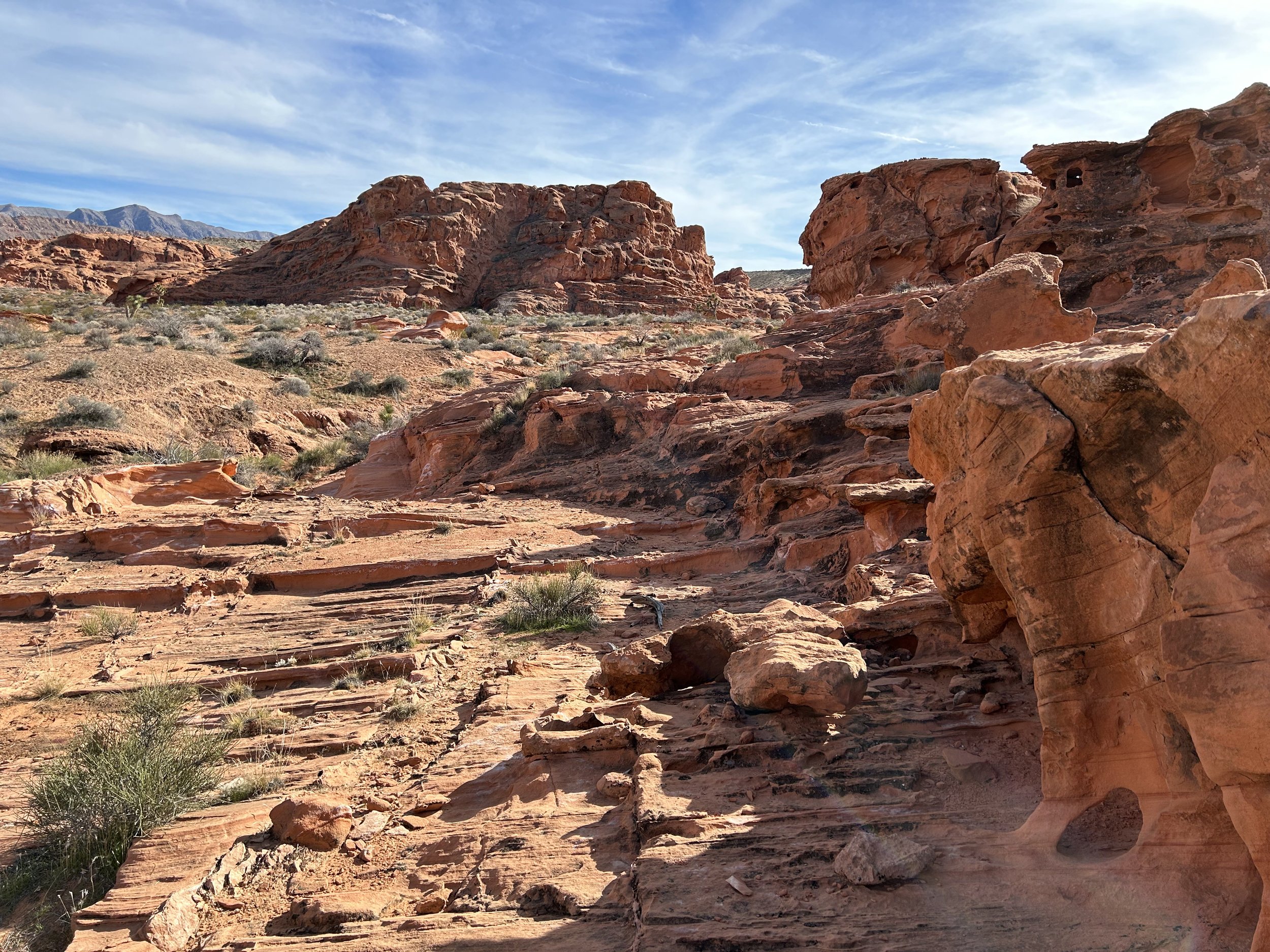
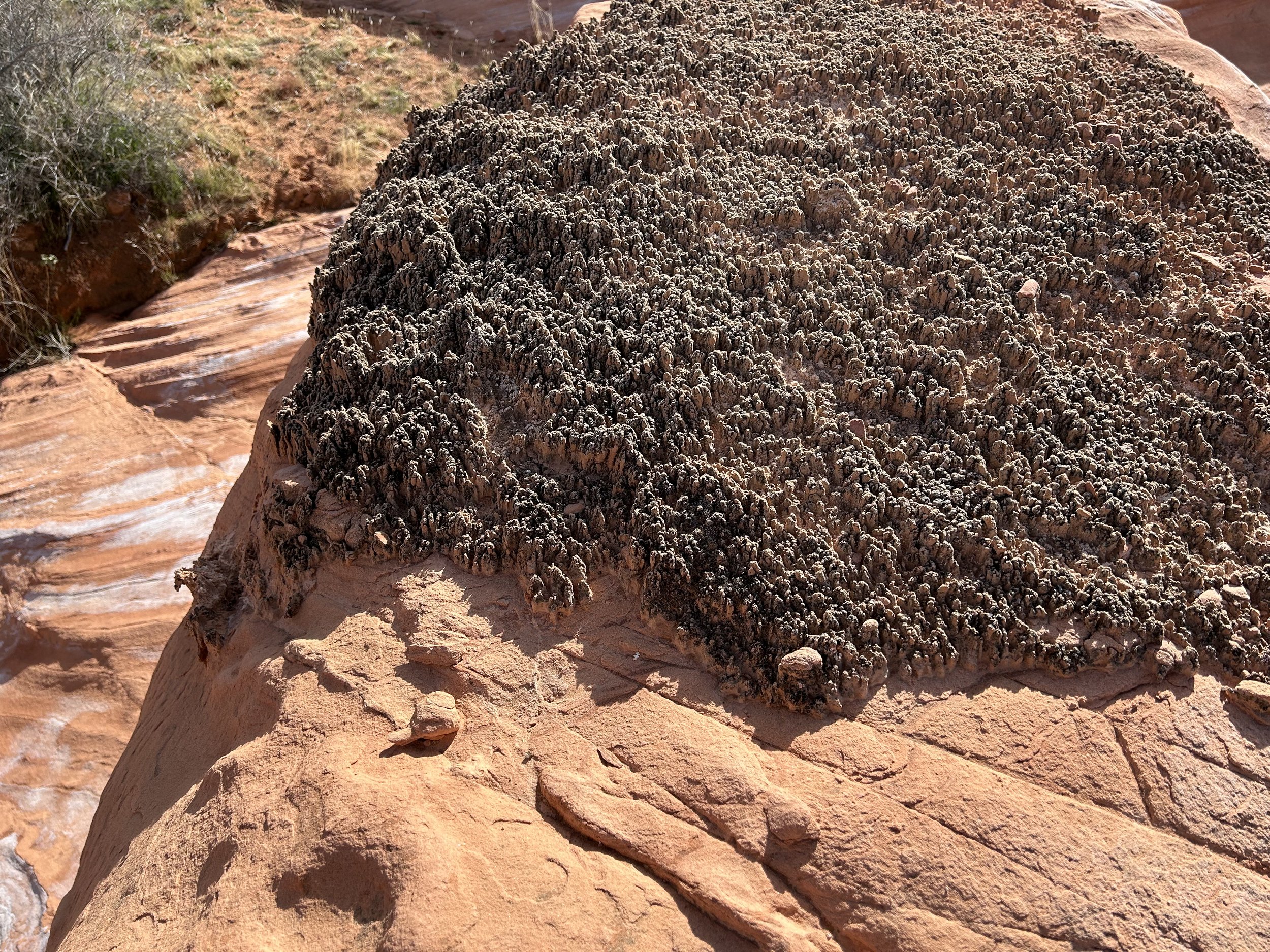
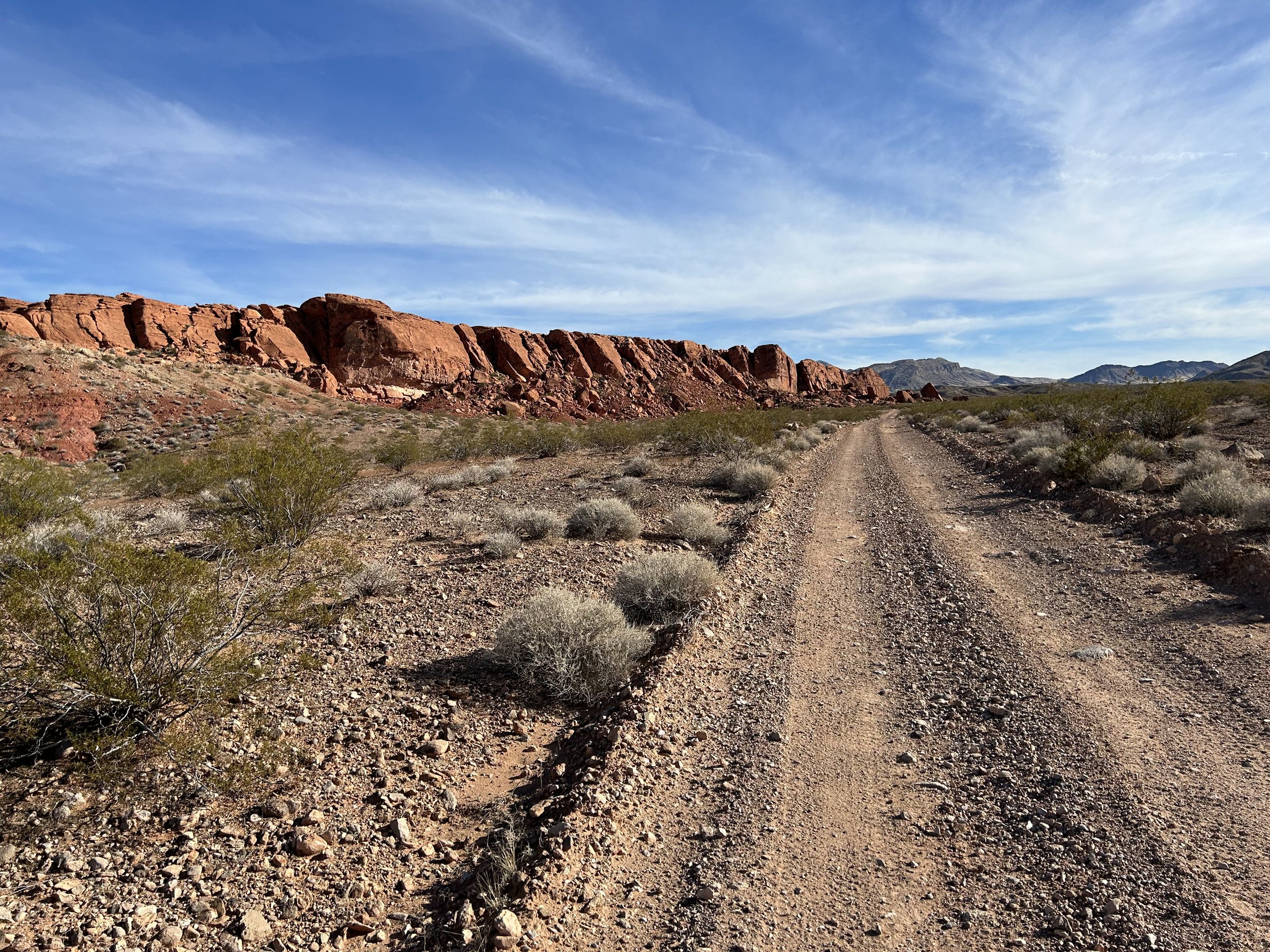
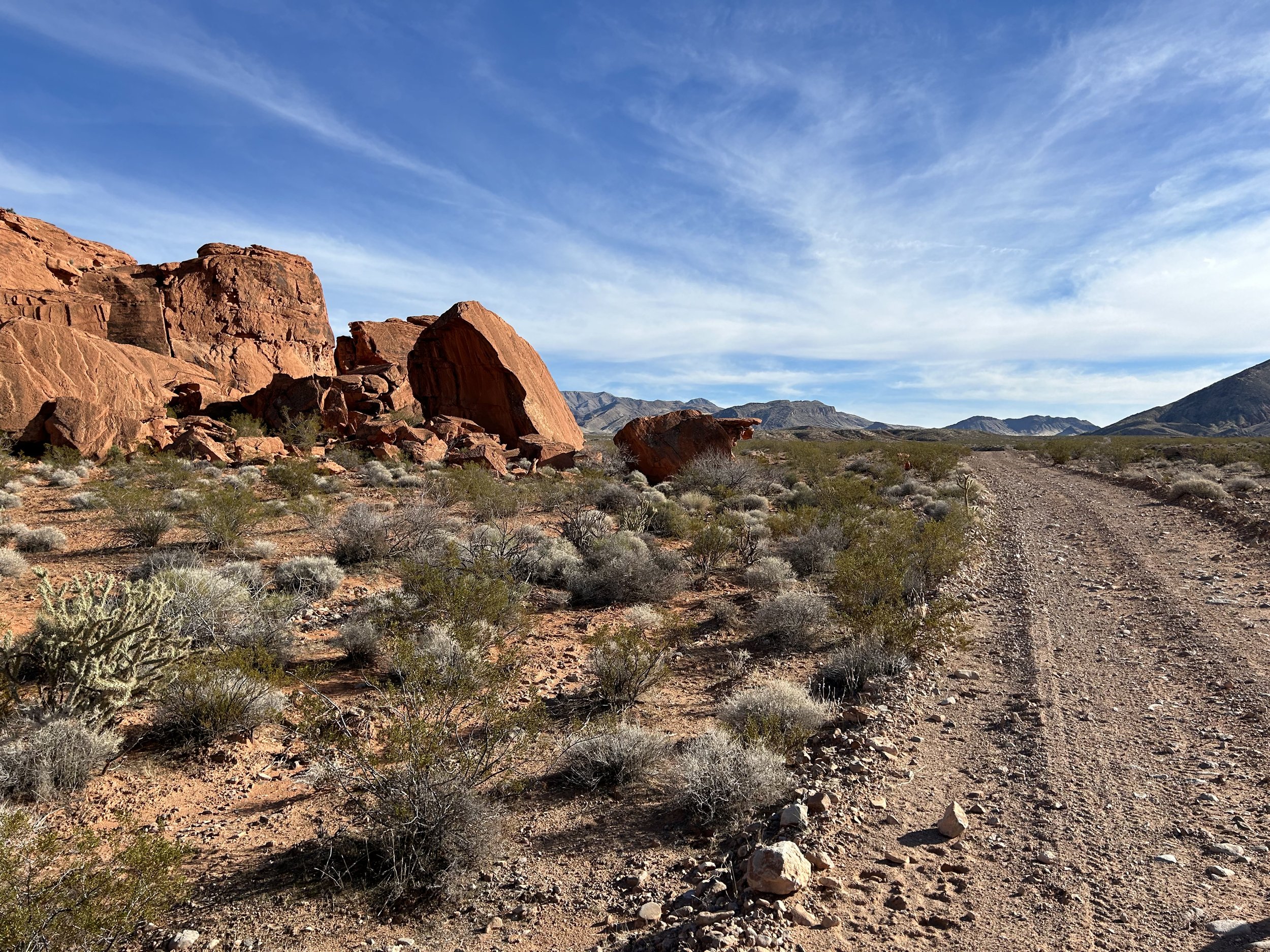
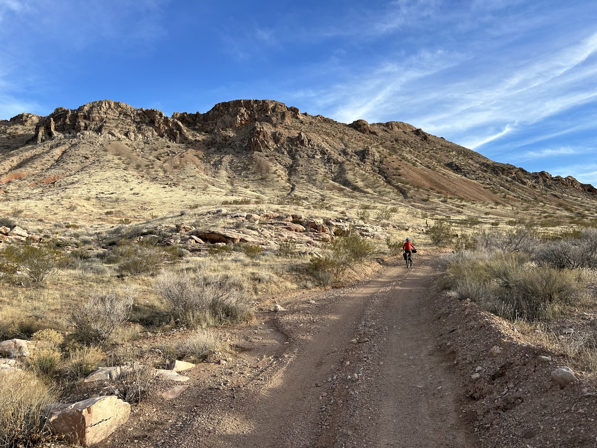
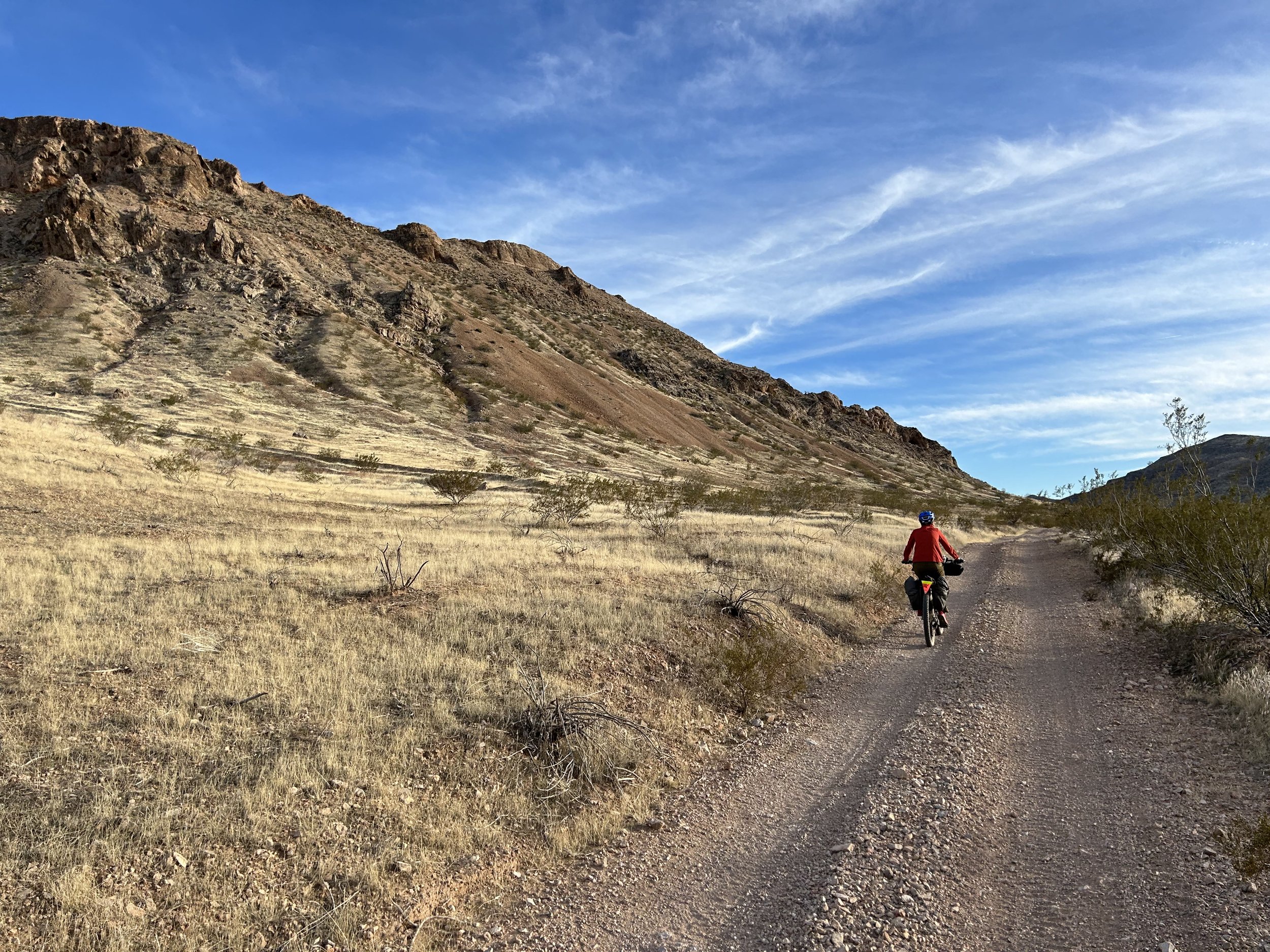
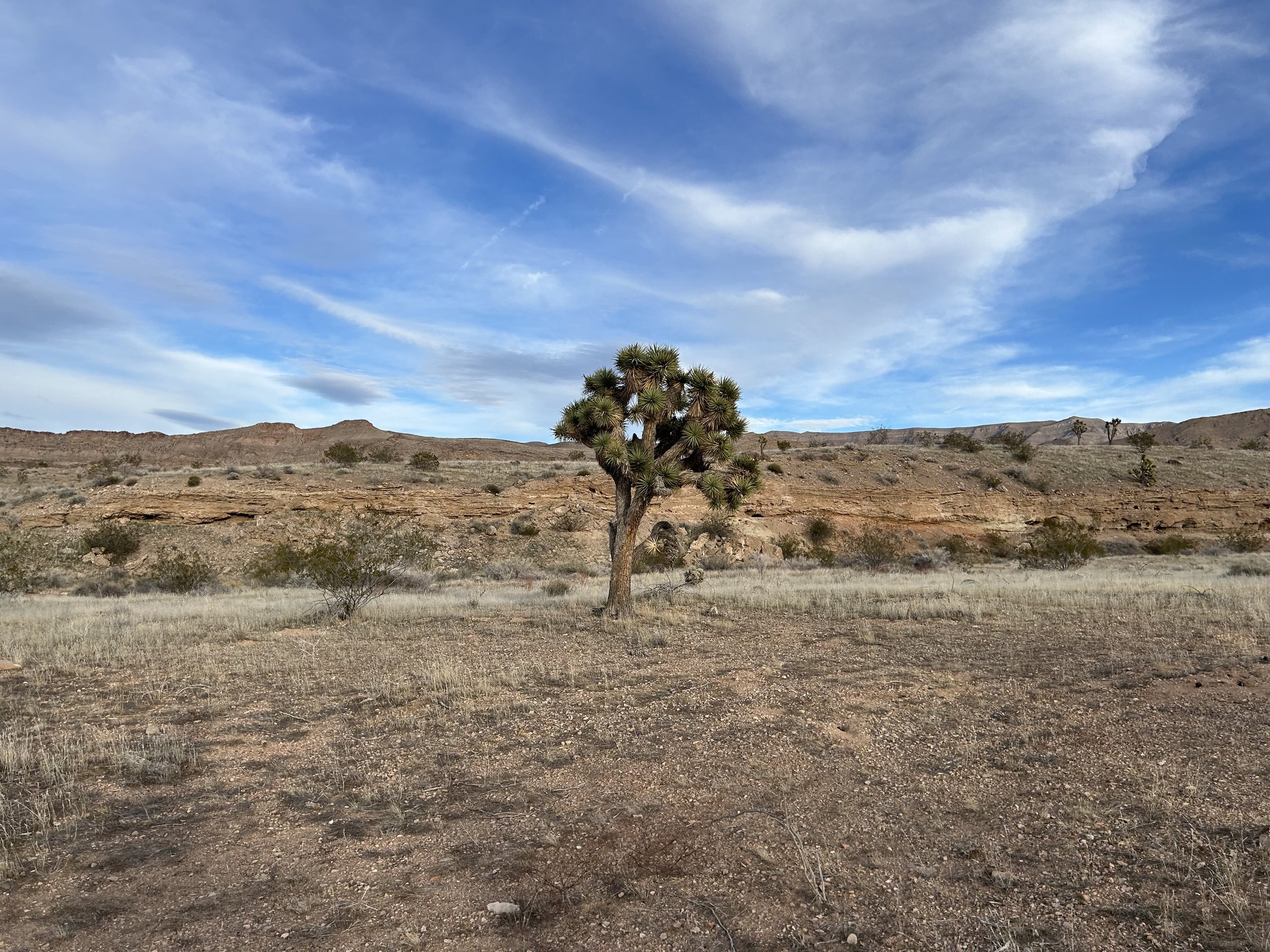
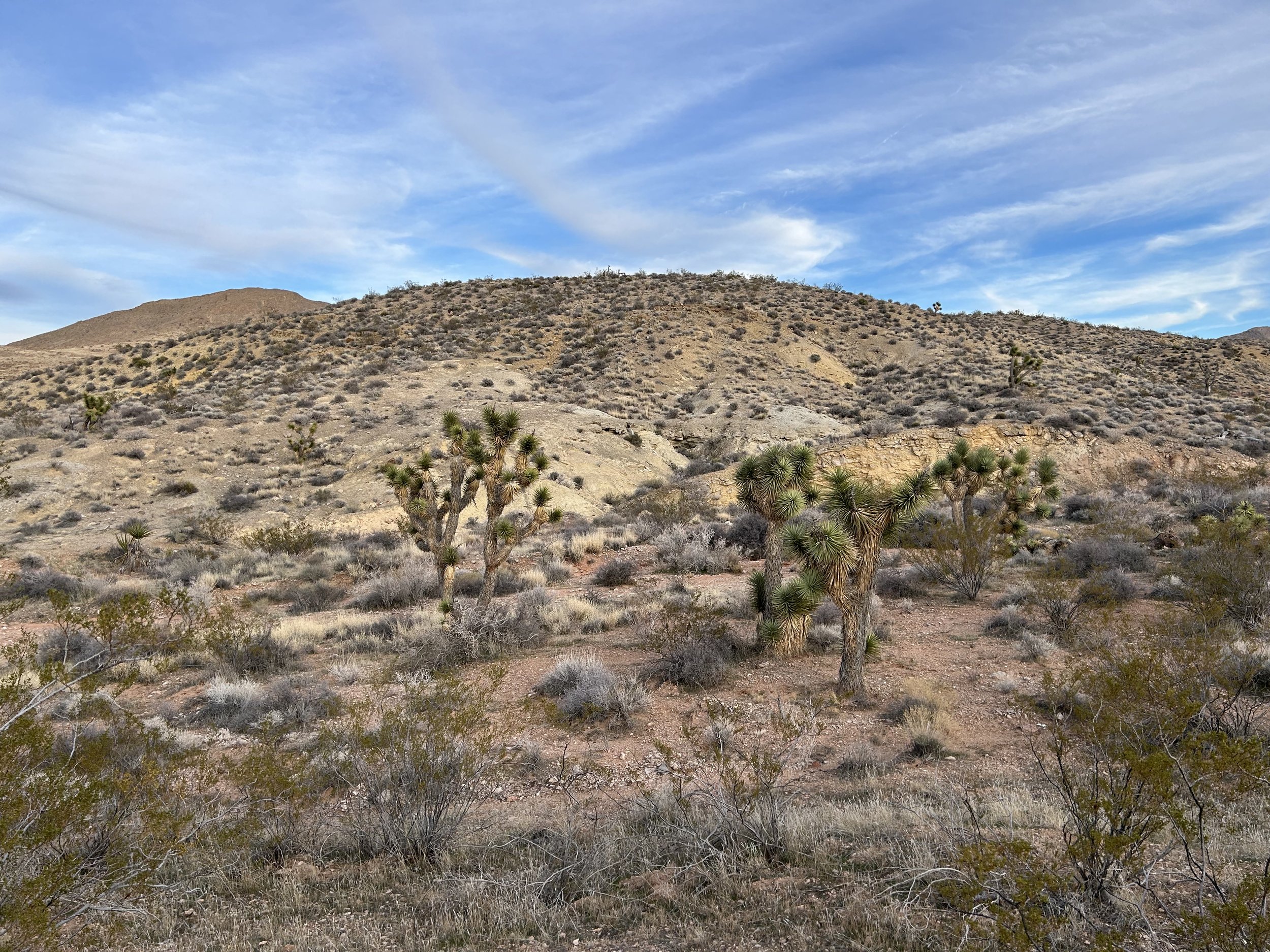
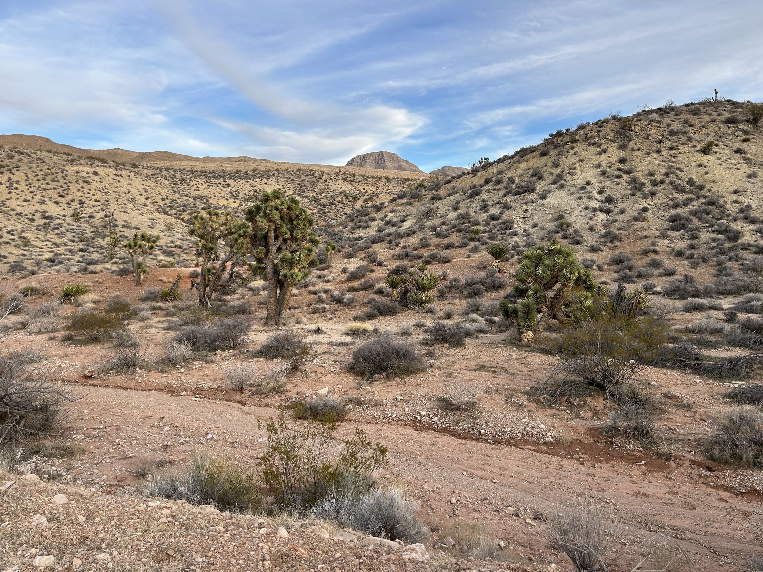
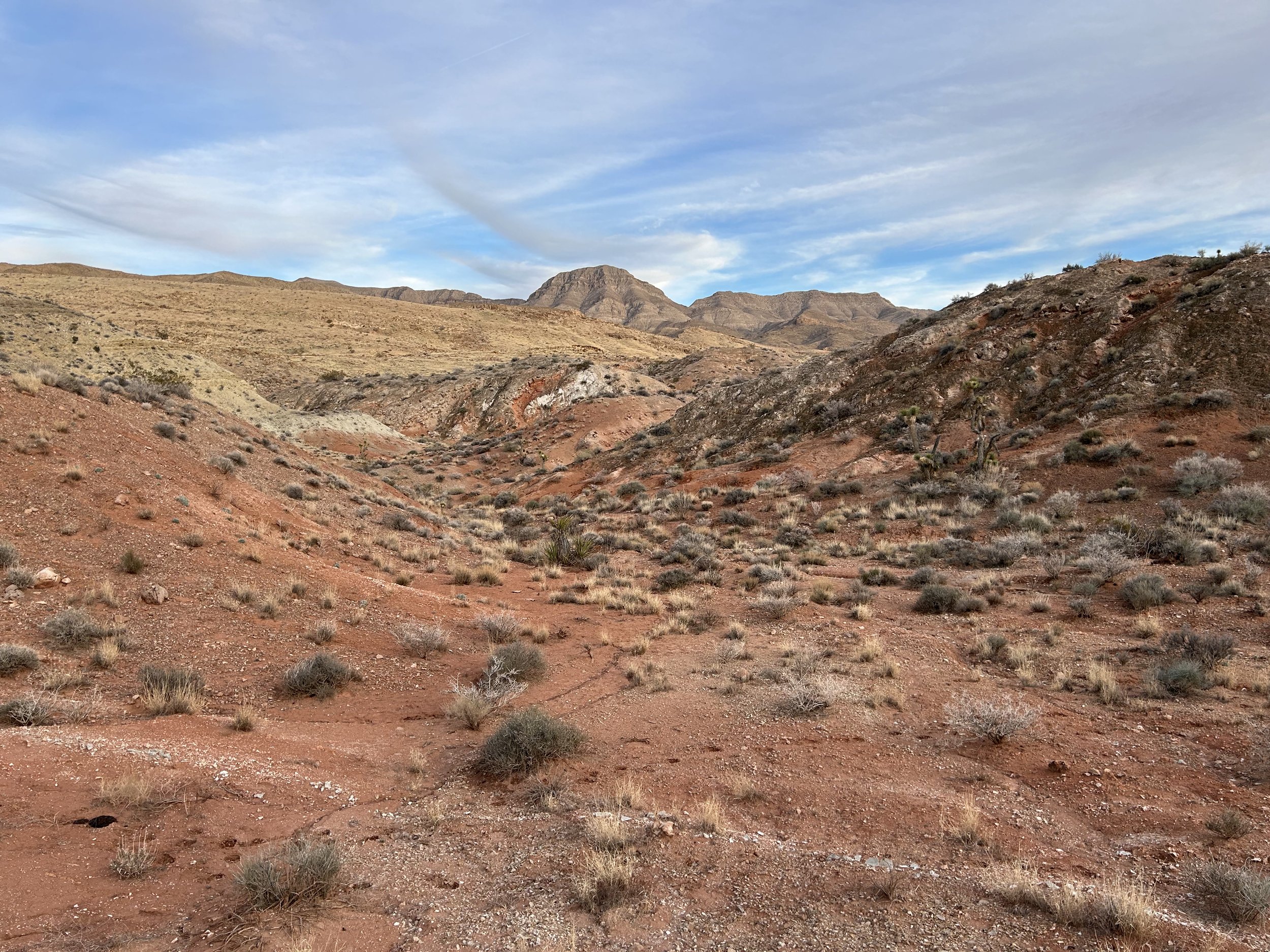
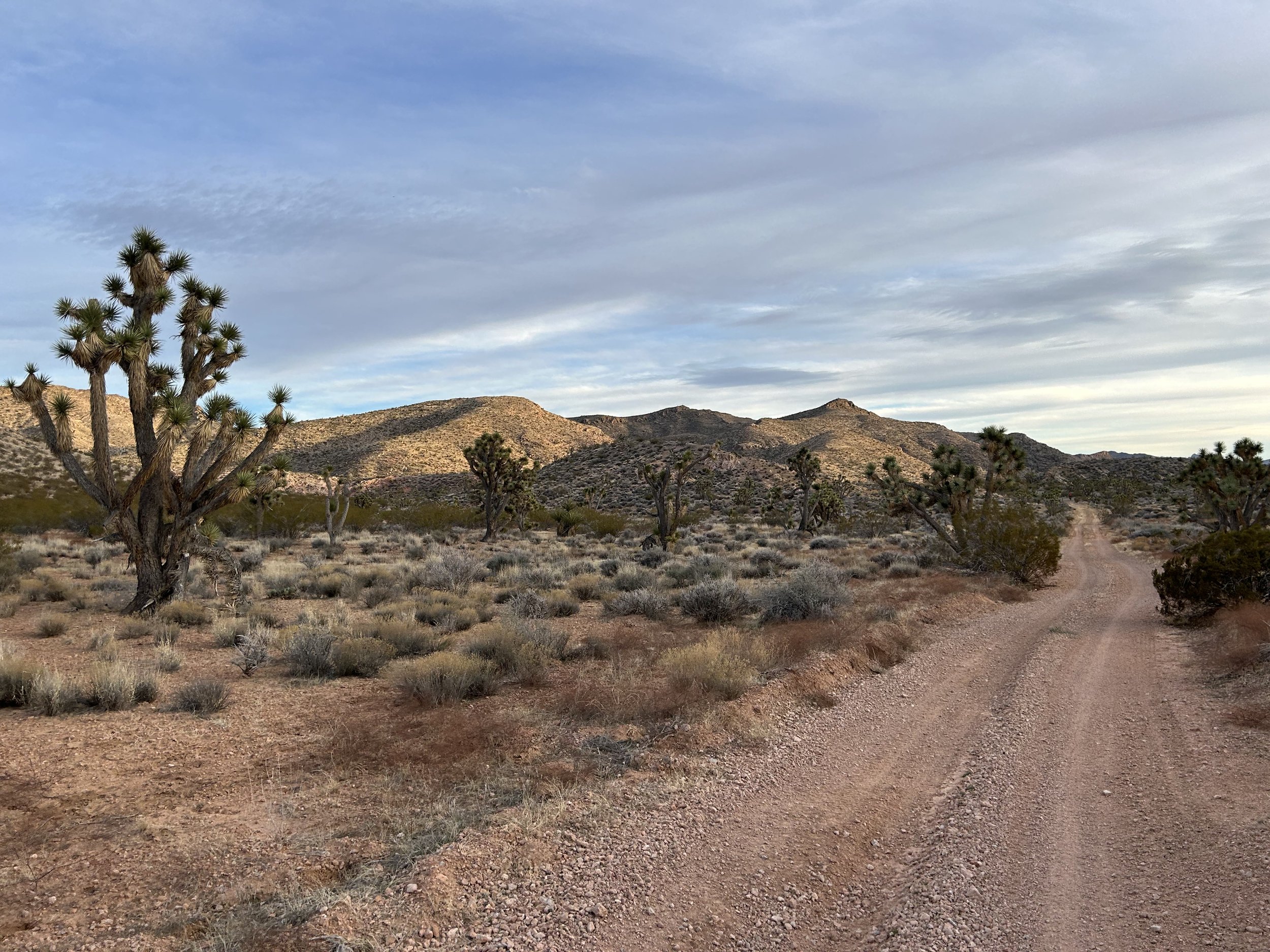
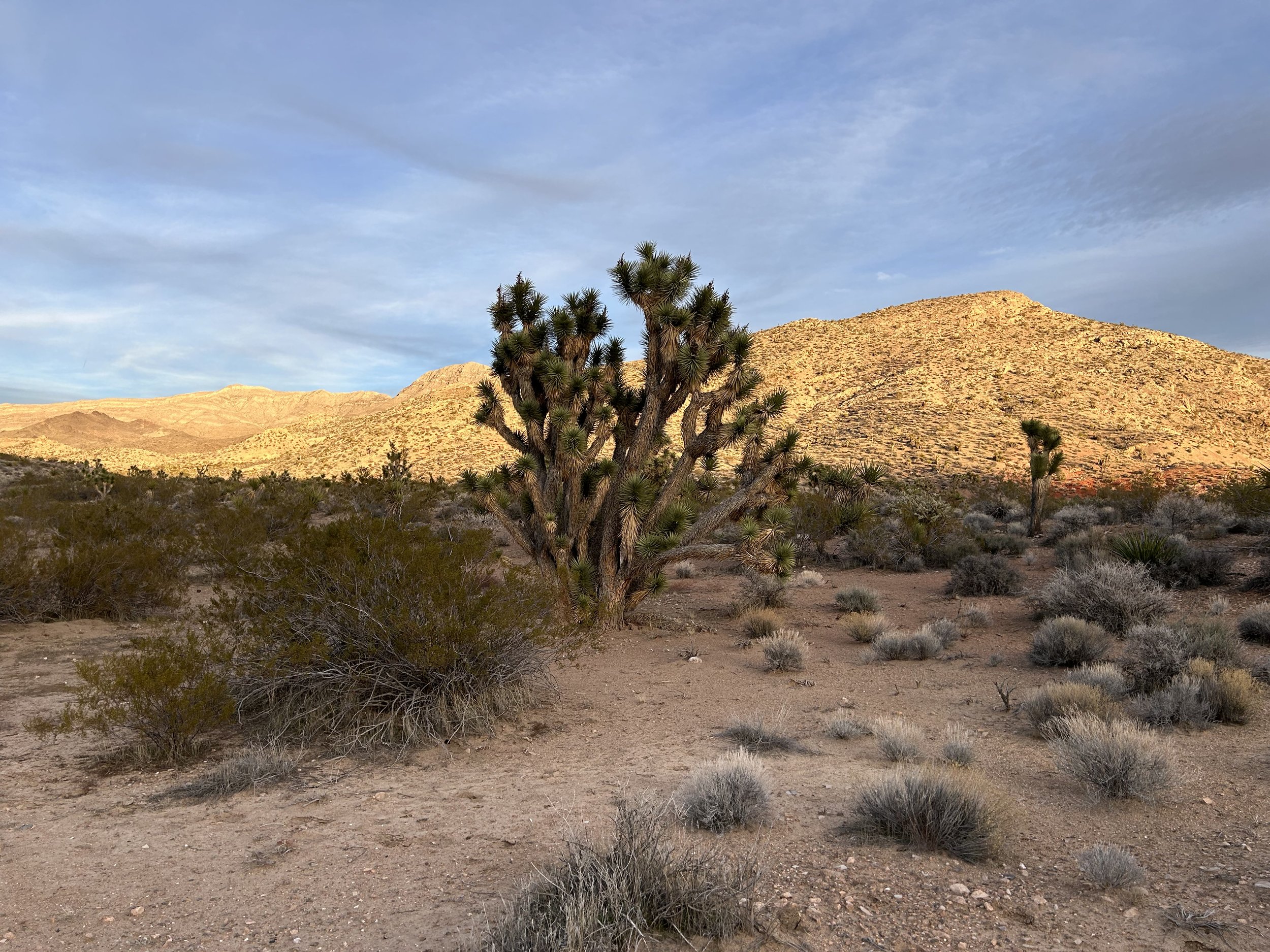
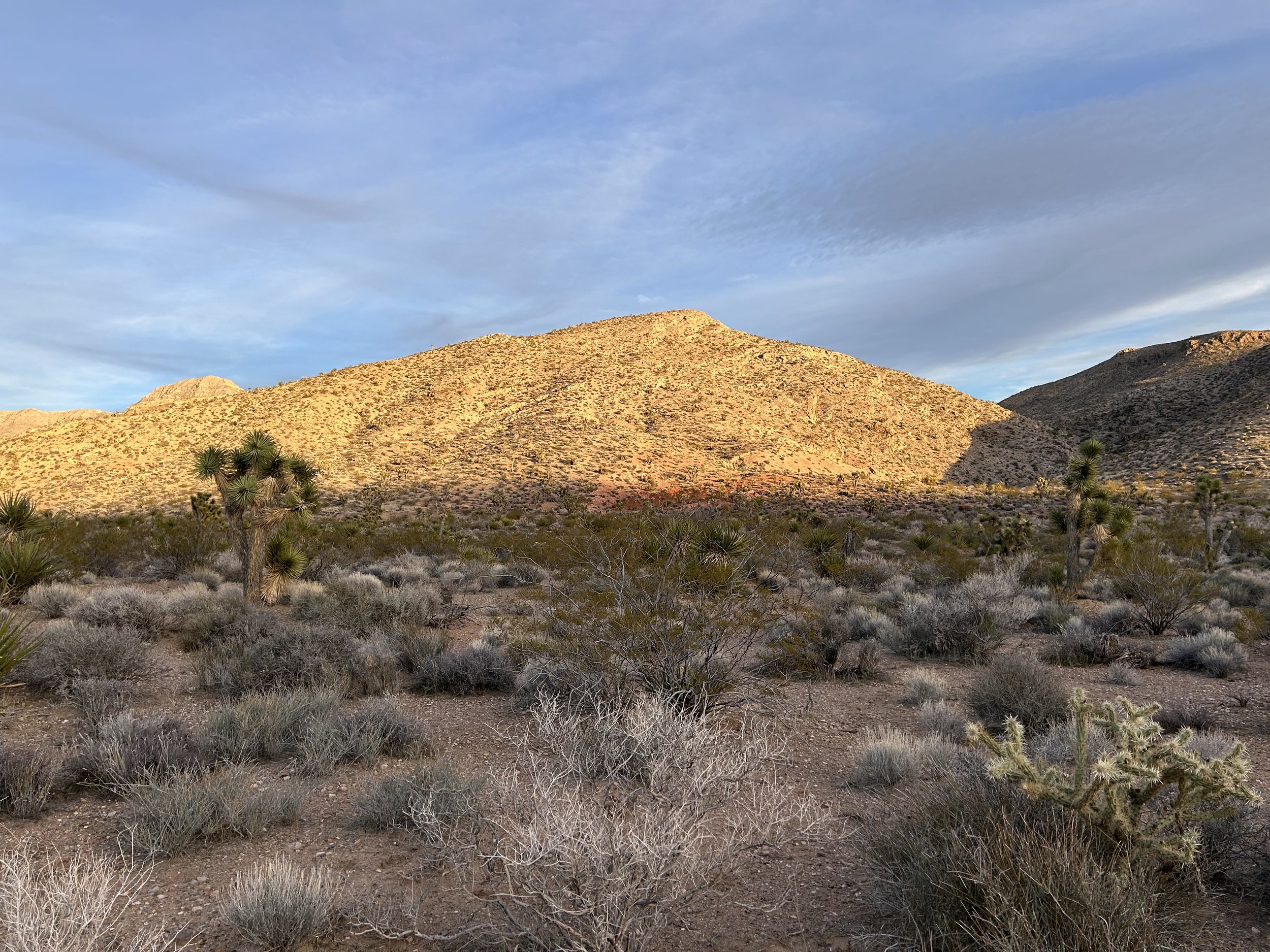
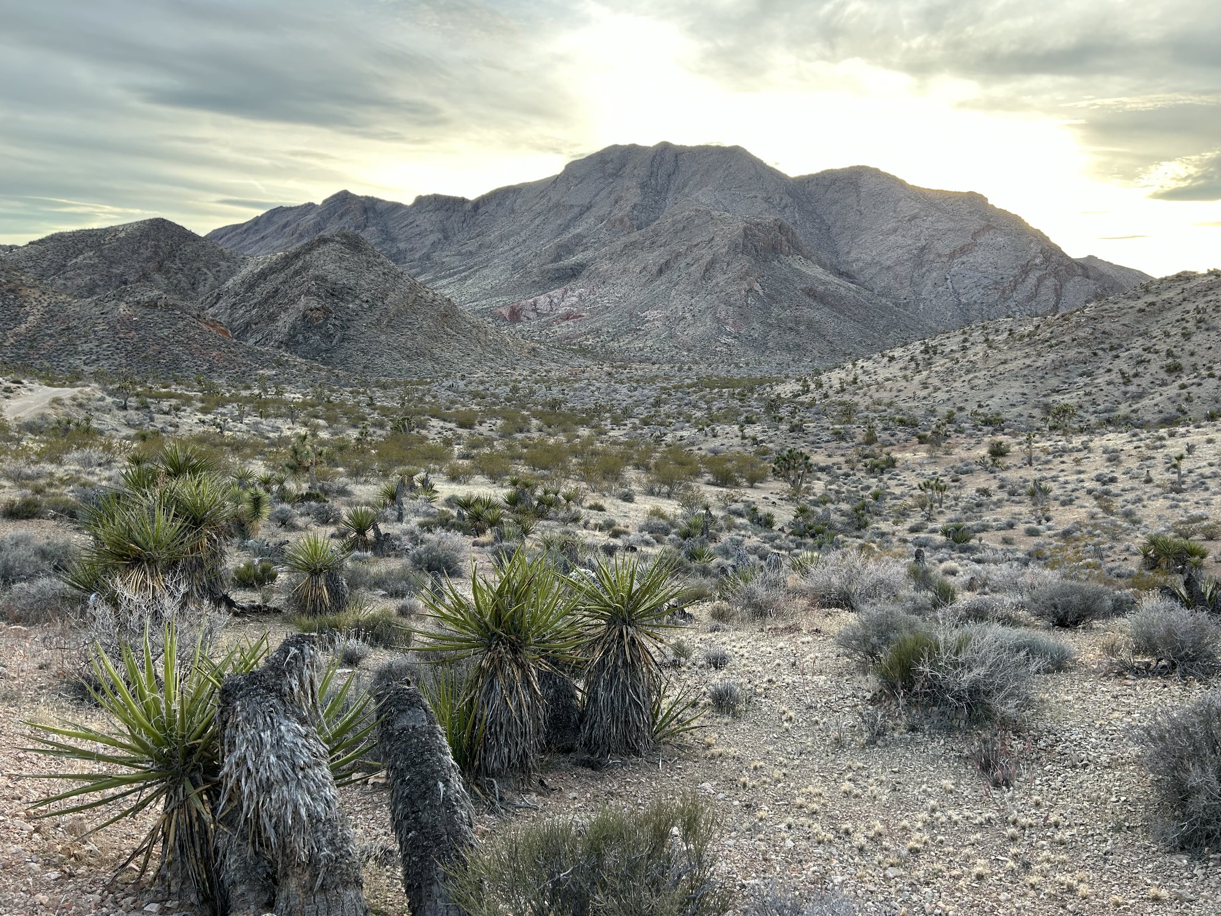
As the route dropped in elevation, we meandered along the excellent road through shores of color washing up across the topographic folds of basin and range. I couldn't believe how good the road conditions were - it was easy and blissful pedaling through stands of Joshua trees that wove by fields of creosote and stone. The route took us to Devil's Throat that expectantly sat as an open crater in the landscape. It's fenced off, so we took a circumference walk around the massive sinkhole so unique out here. G2G Loop took us across some foothills and down to the confluence with Mud Wash. The route took a bottleneck through a choke-point of two conjoined-buttes spewing out boulders and colors. It was freaking beautiful. Mud Wash was a little sandy, but nothing too bad and the road firmed up shortly thereafter.
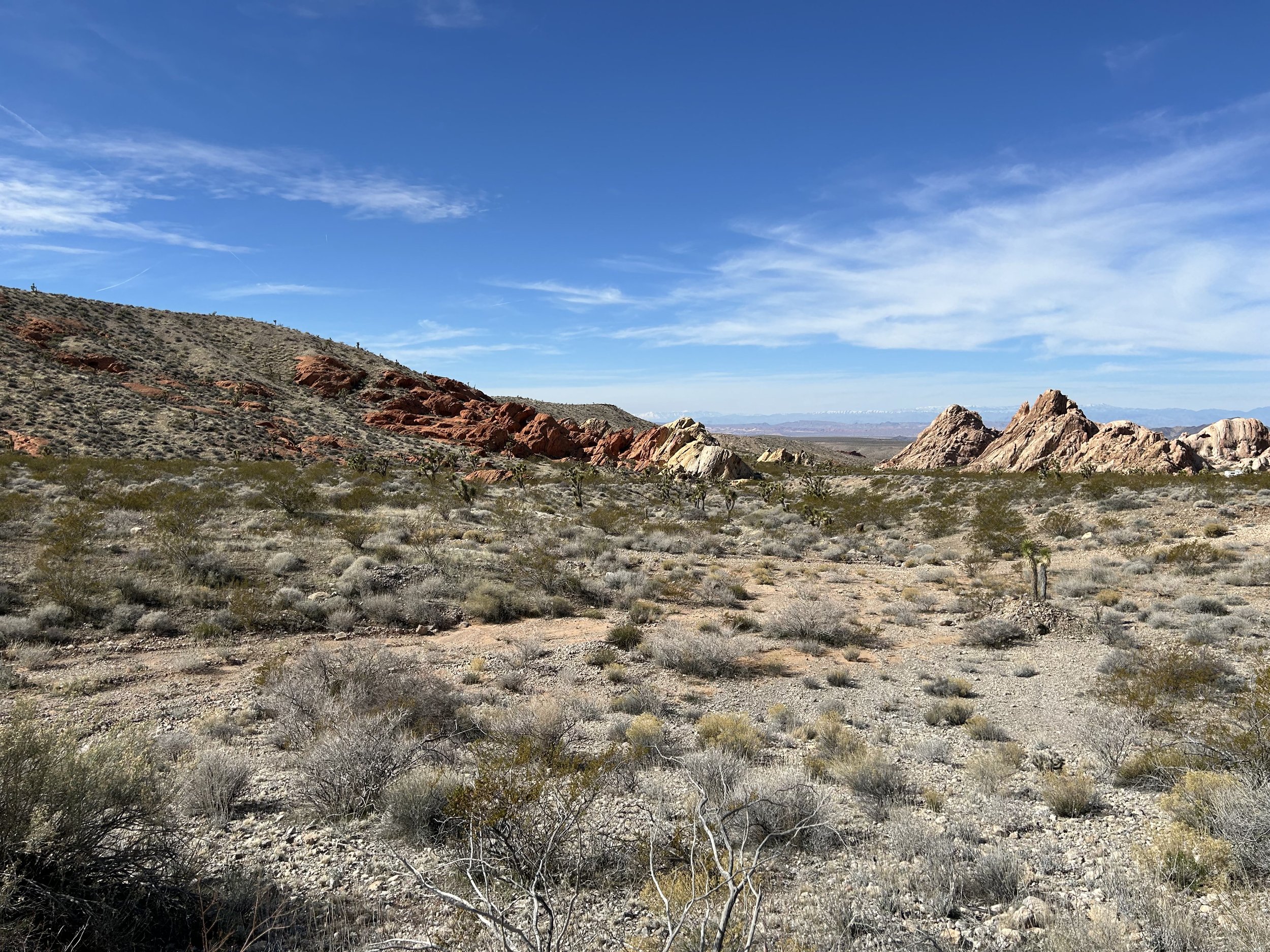
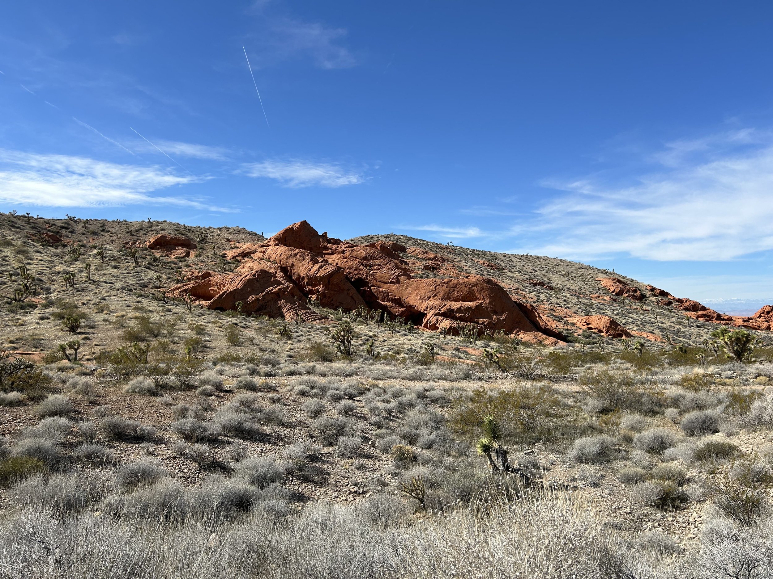
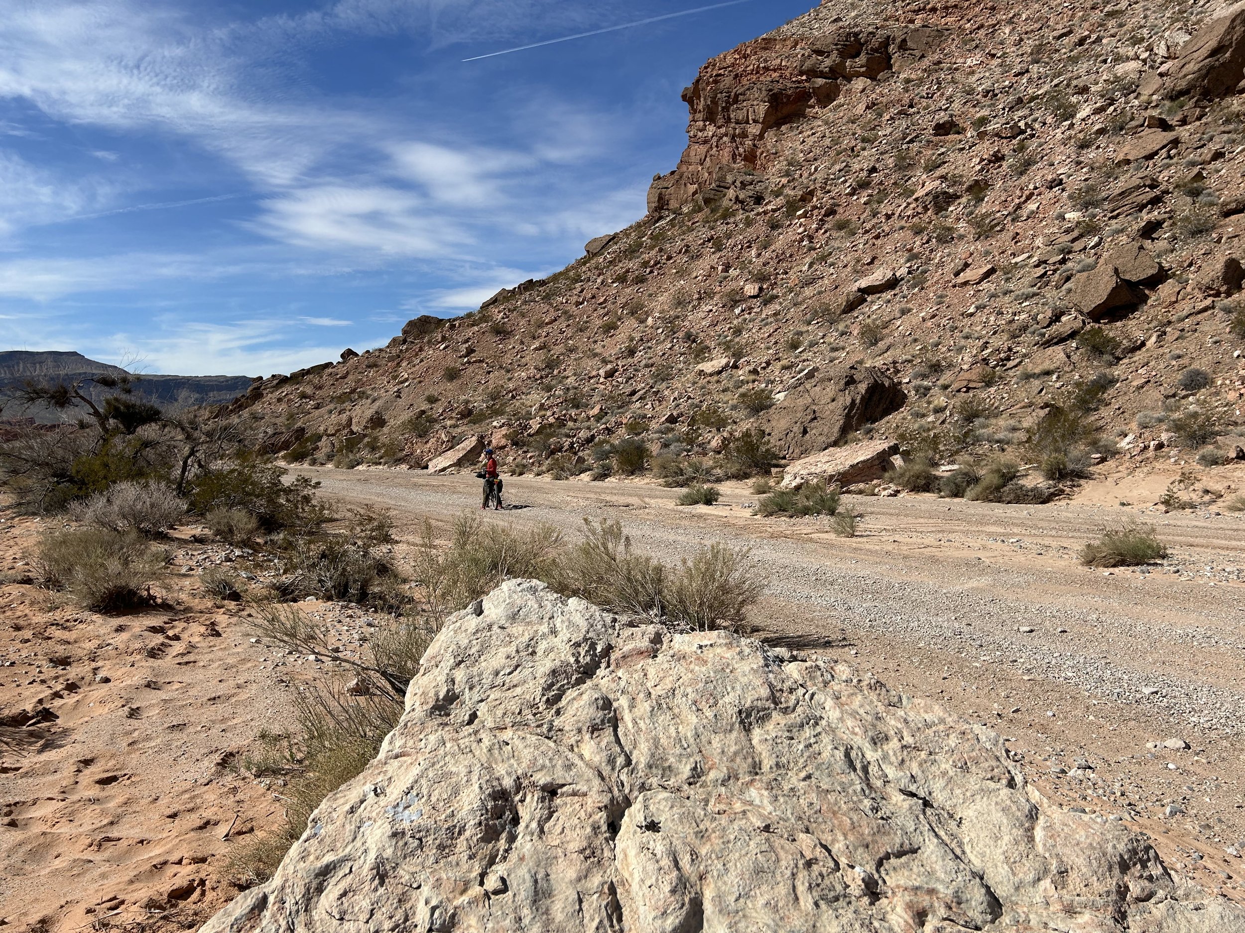
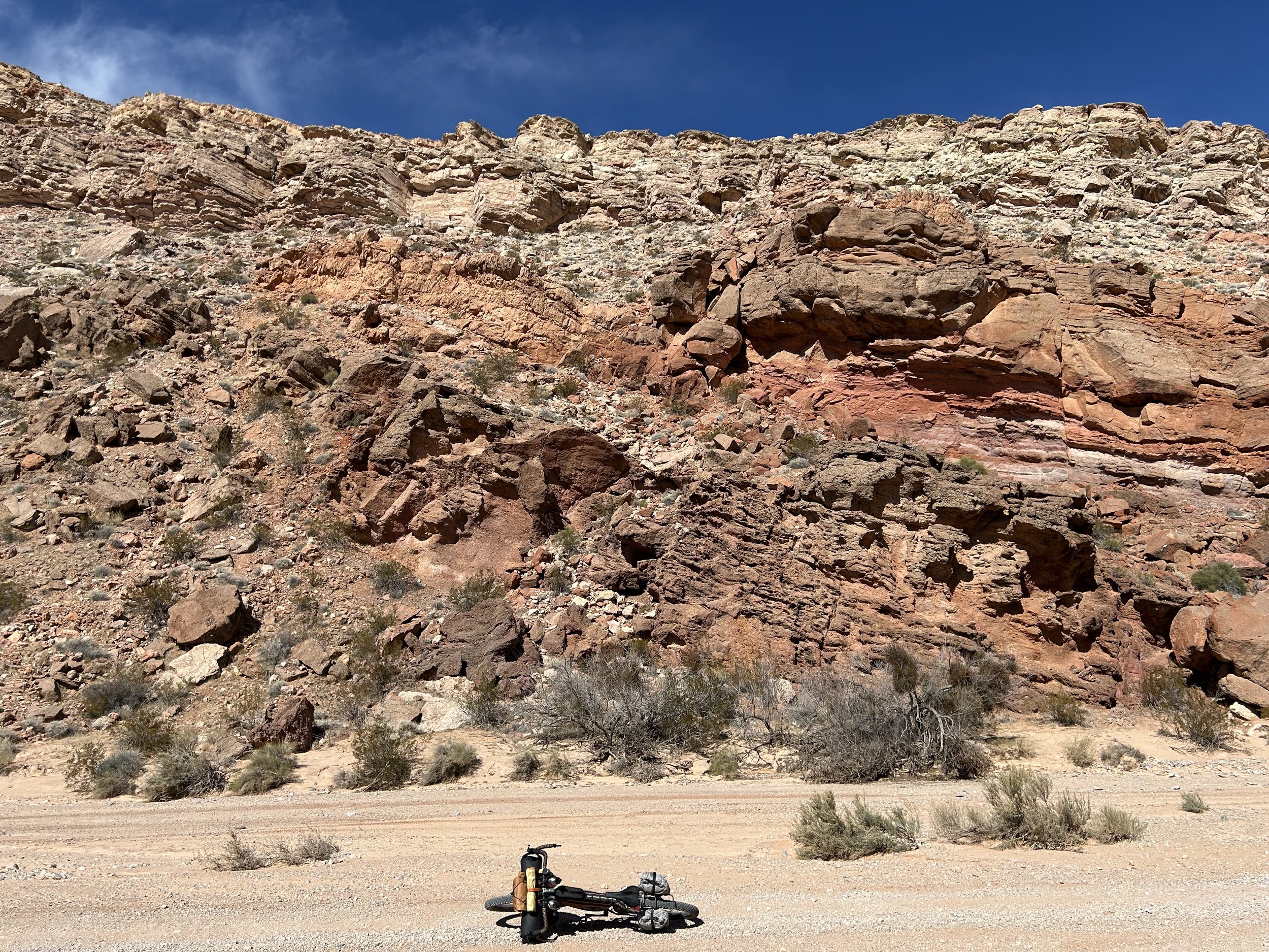
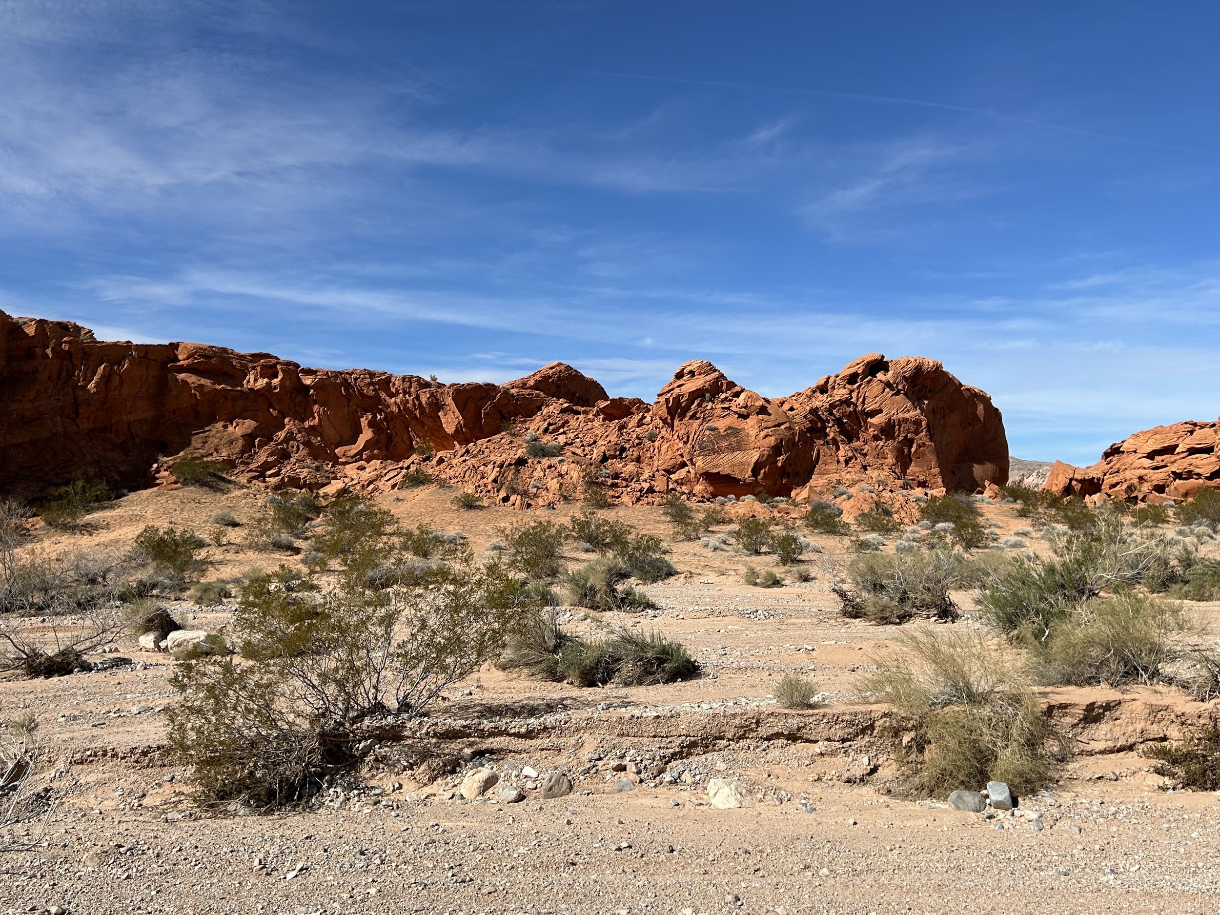
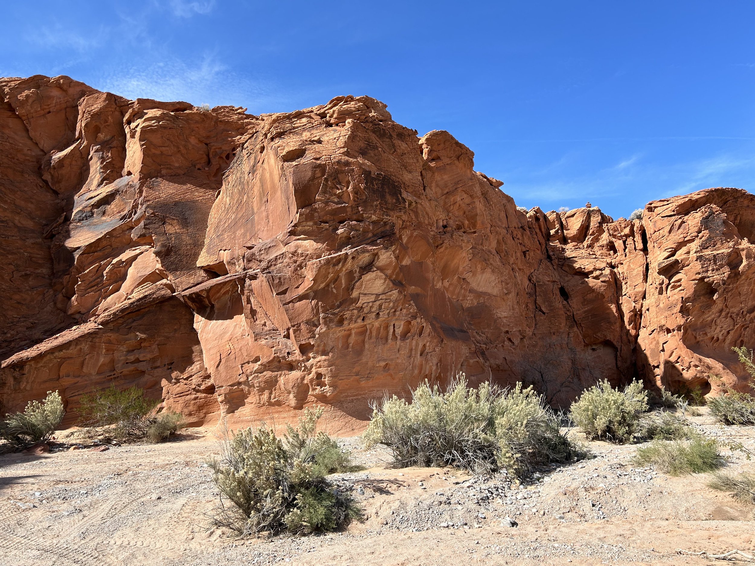
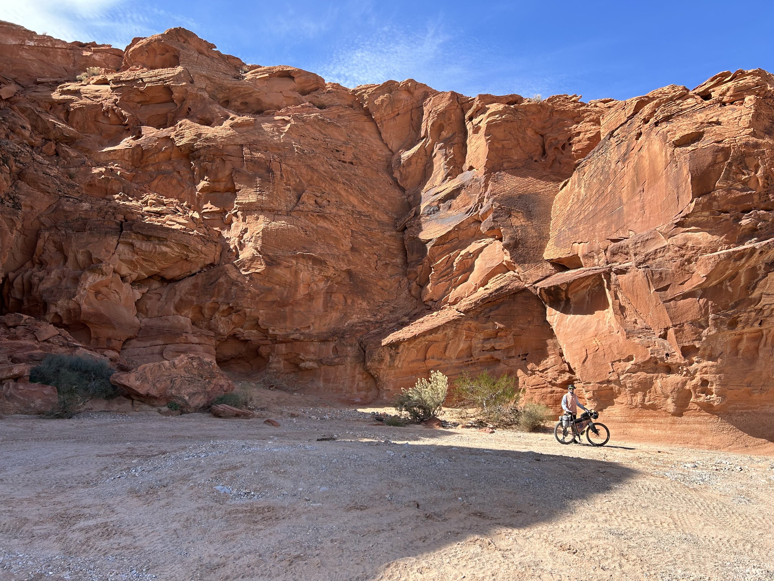
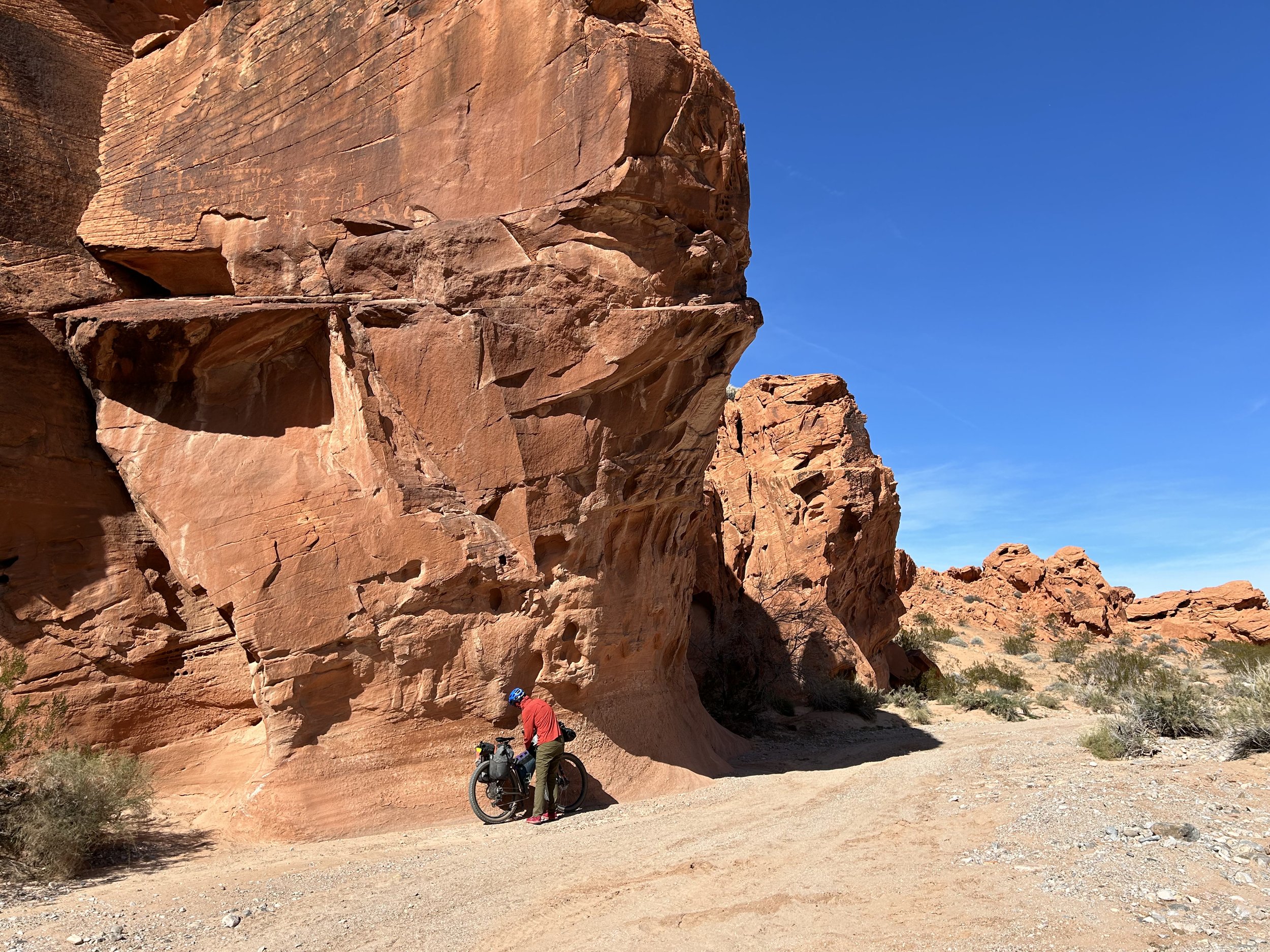
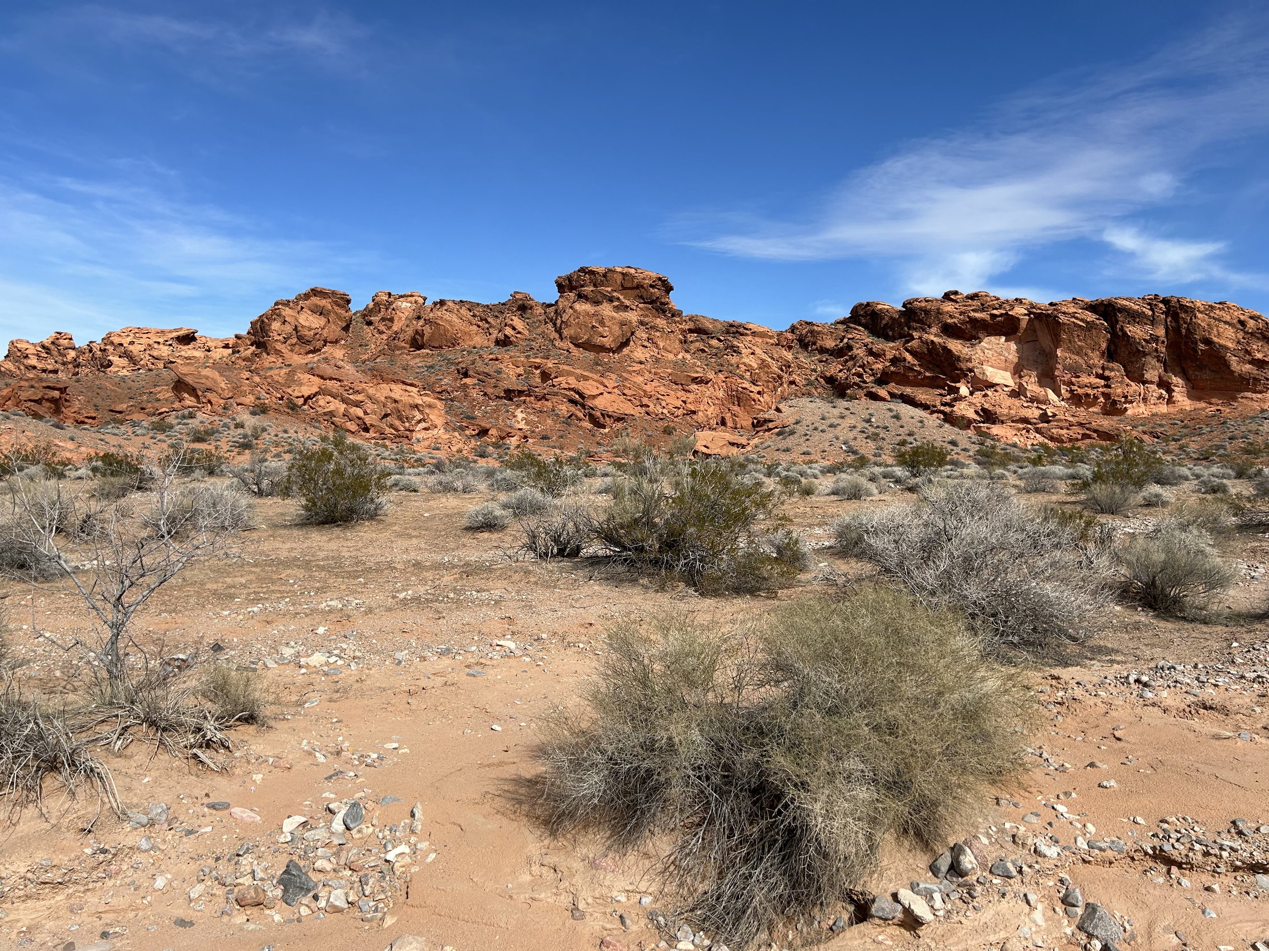
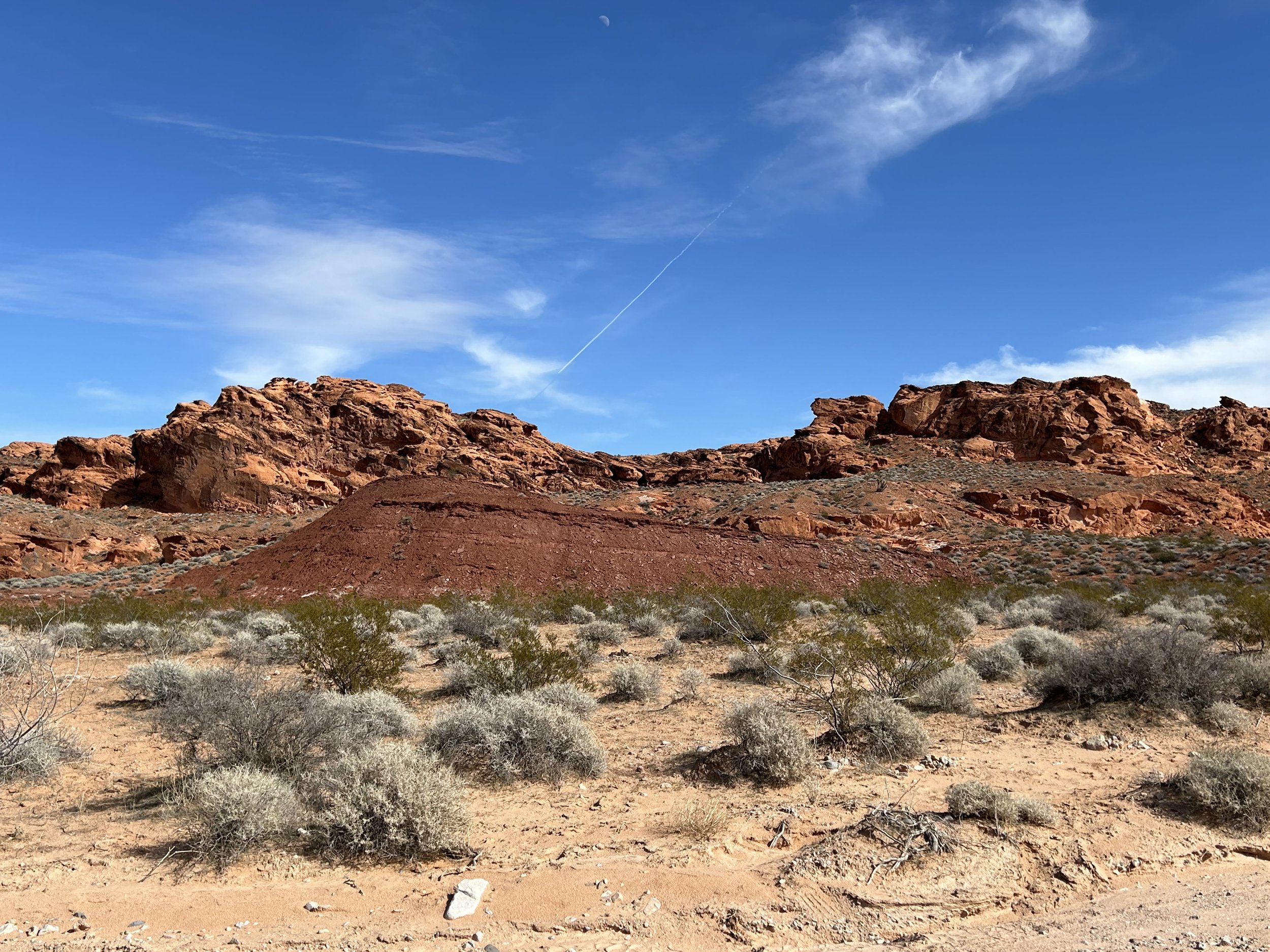
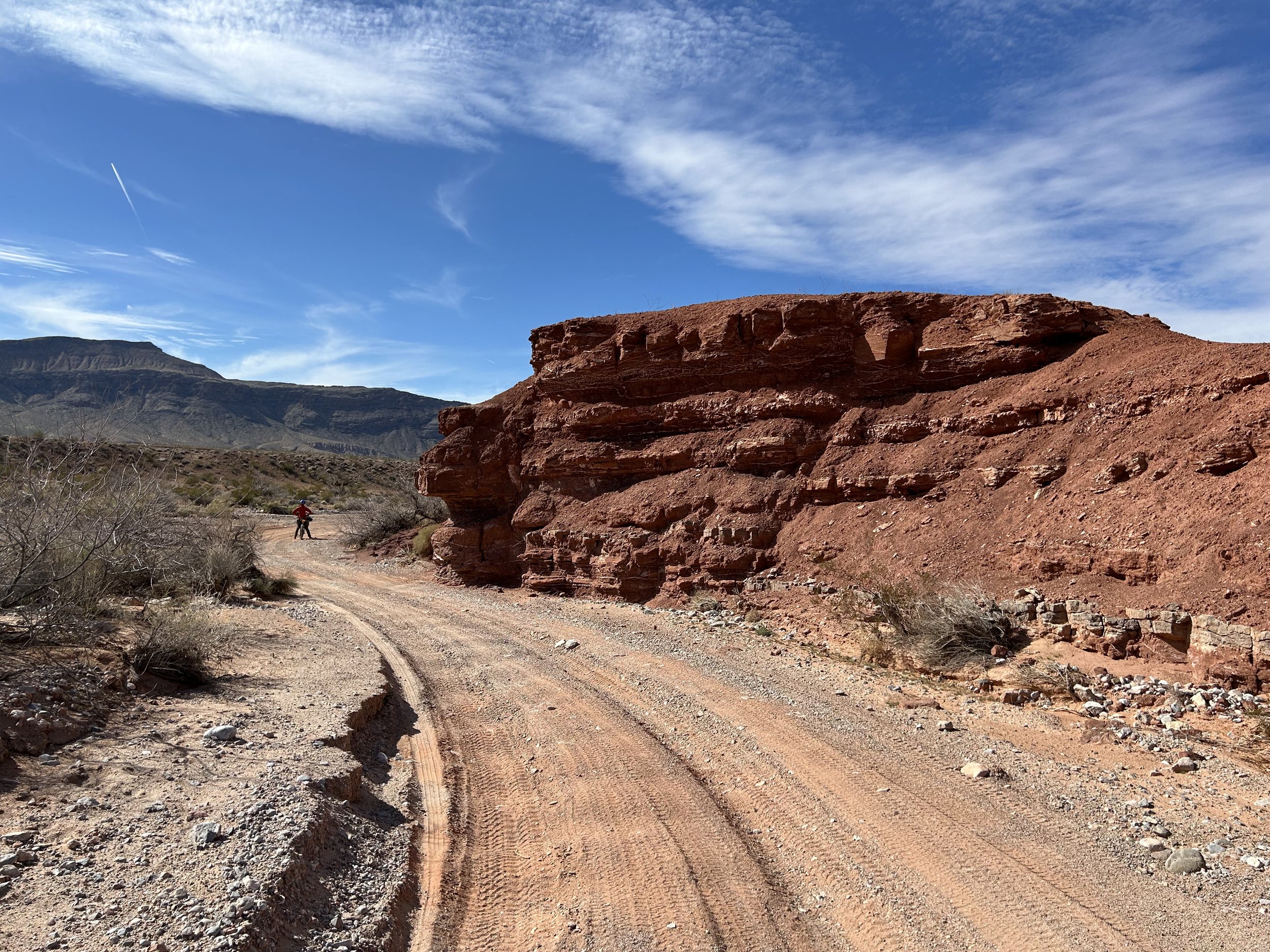
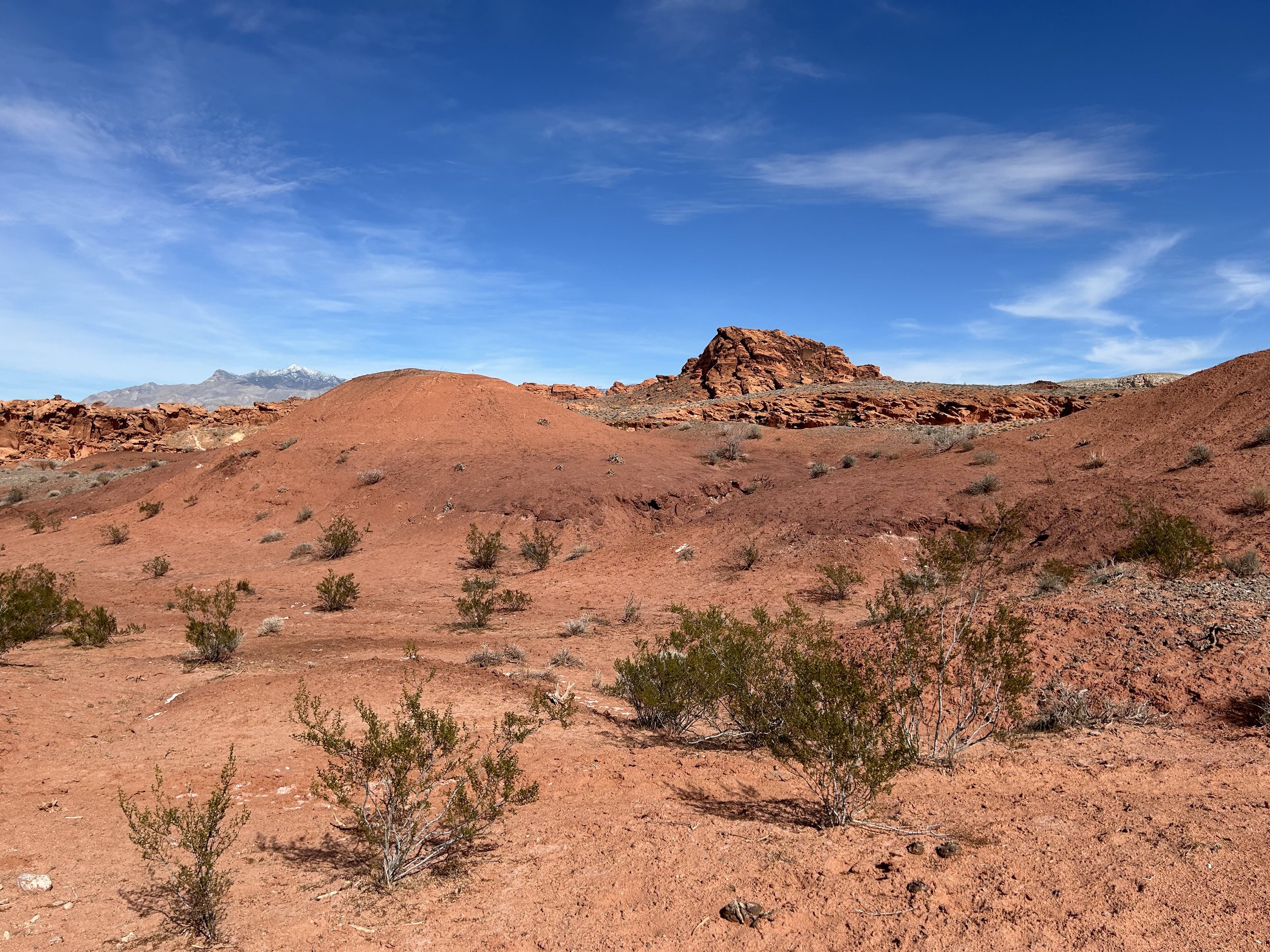
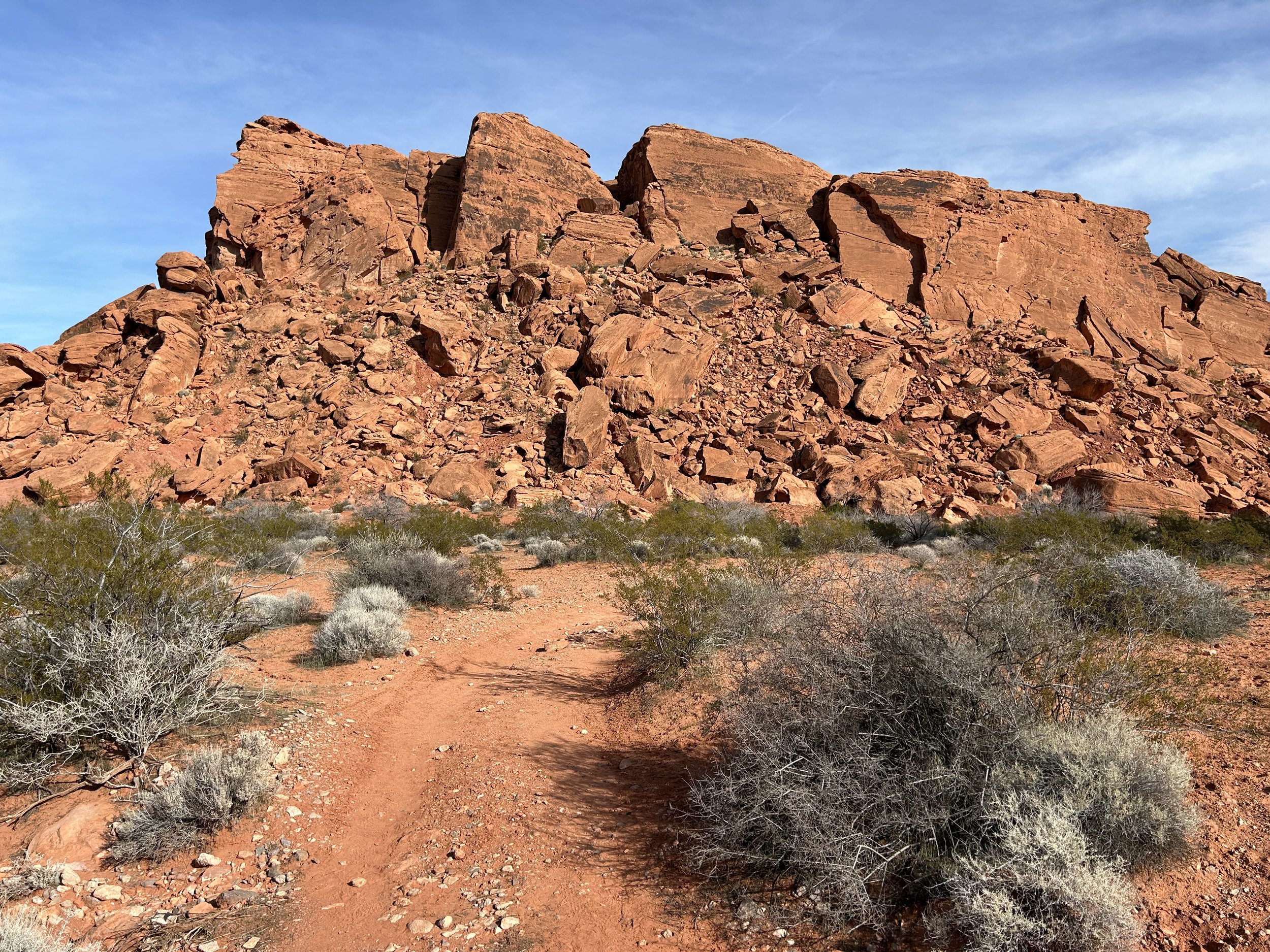
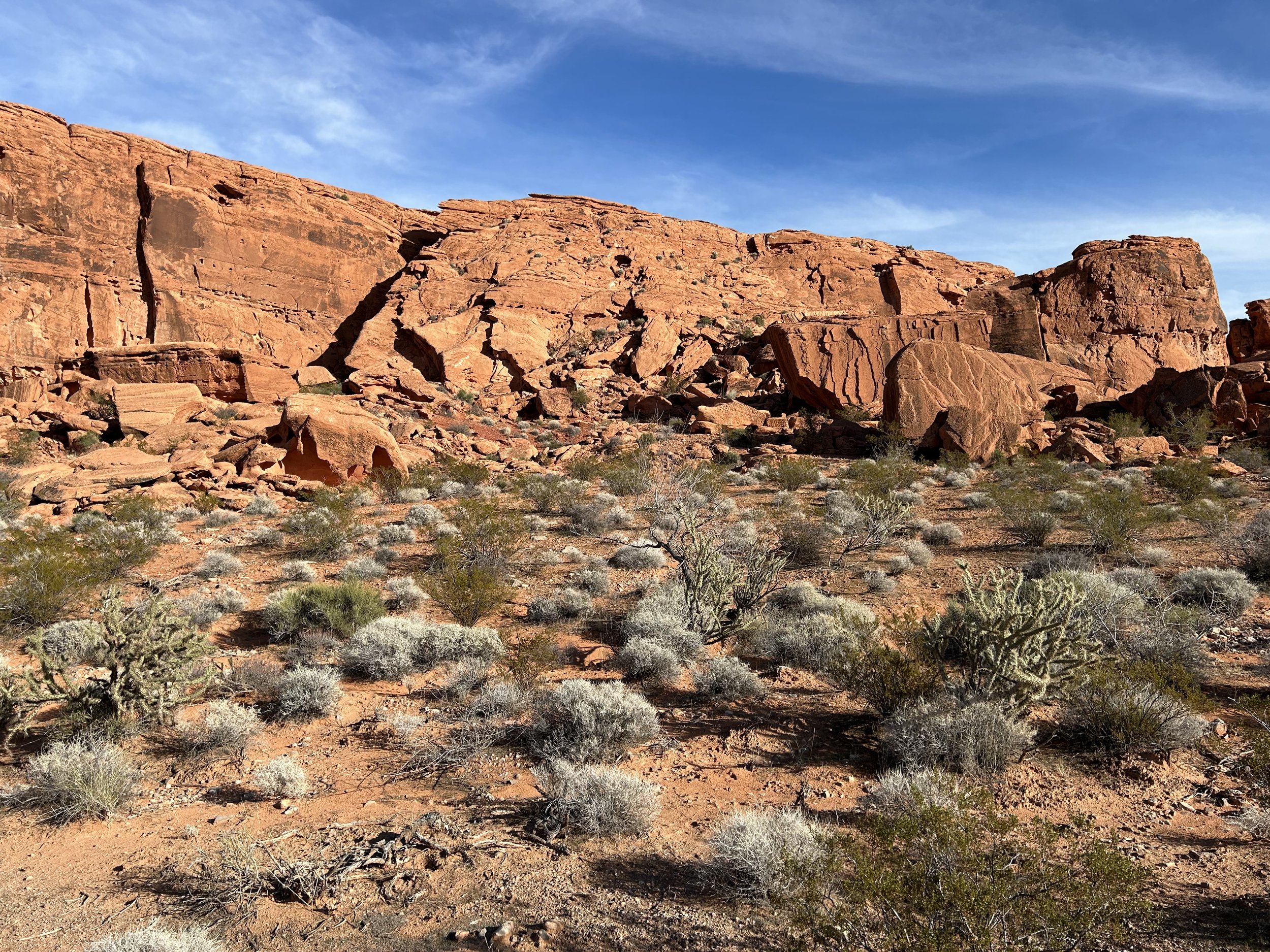
We followed it down to an outcrop of red sandstone abutments forming a lateral wall along the route. This rock outcropping was its own sort of beauty. Janna and I stopped to walk around, explore its nooks, and enjoy its colors. We pushed on and curved through the belly of more rock-boxes that framed up around Mud Wash. The sand continued to be intermittent and light. Another round in the bend brought us to an old corral set amid a sea of orange-red stone. We left our bikes by an old fence and hiked up a side trail for an unimpeded view. The sulfur-orange, tangerine, brick-red, and ochre layers swirled and crested in a series of studded hills with the distant white-capped Virgin Peaks providing the backdrop. It was the distant view of Little Finland.
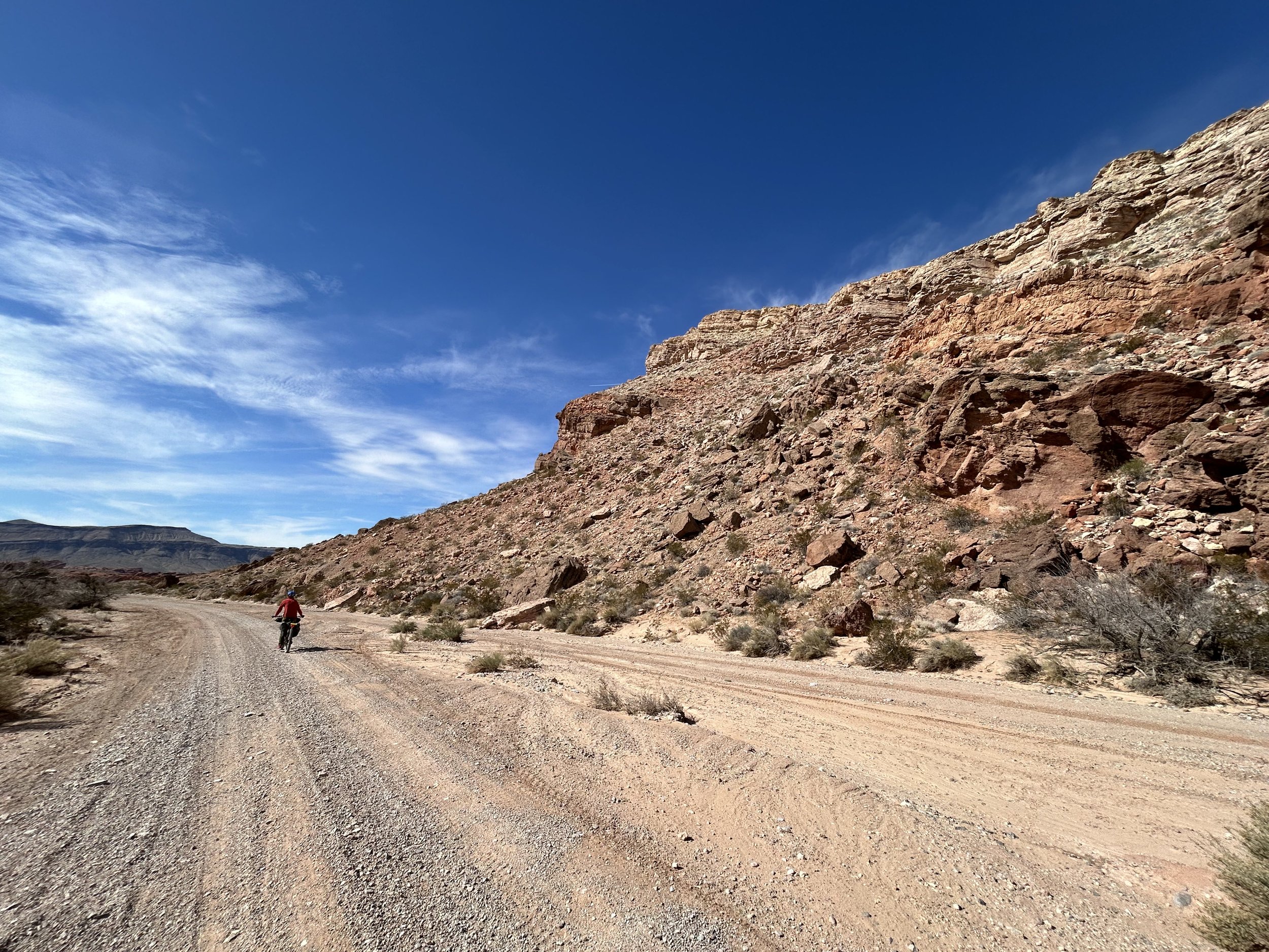
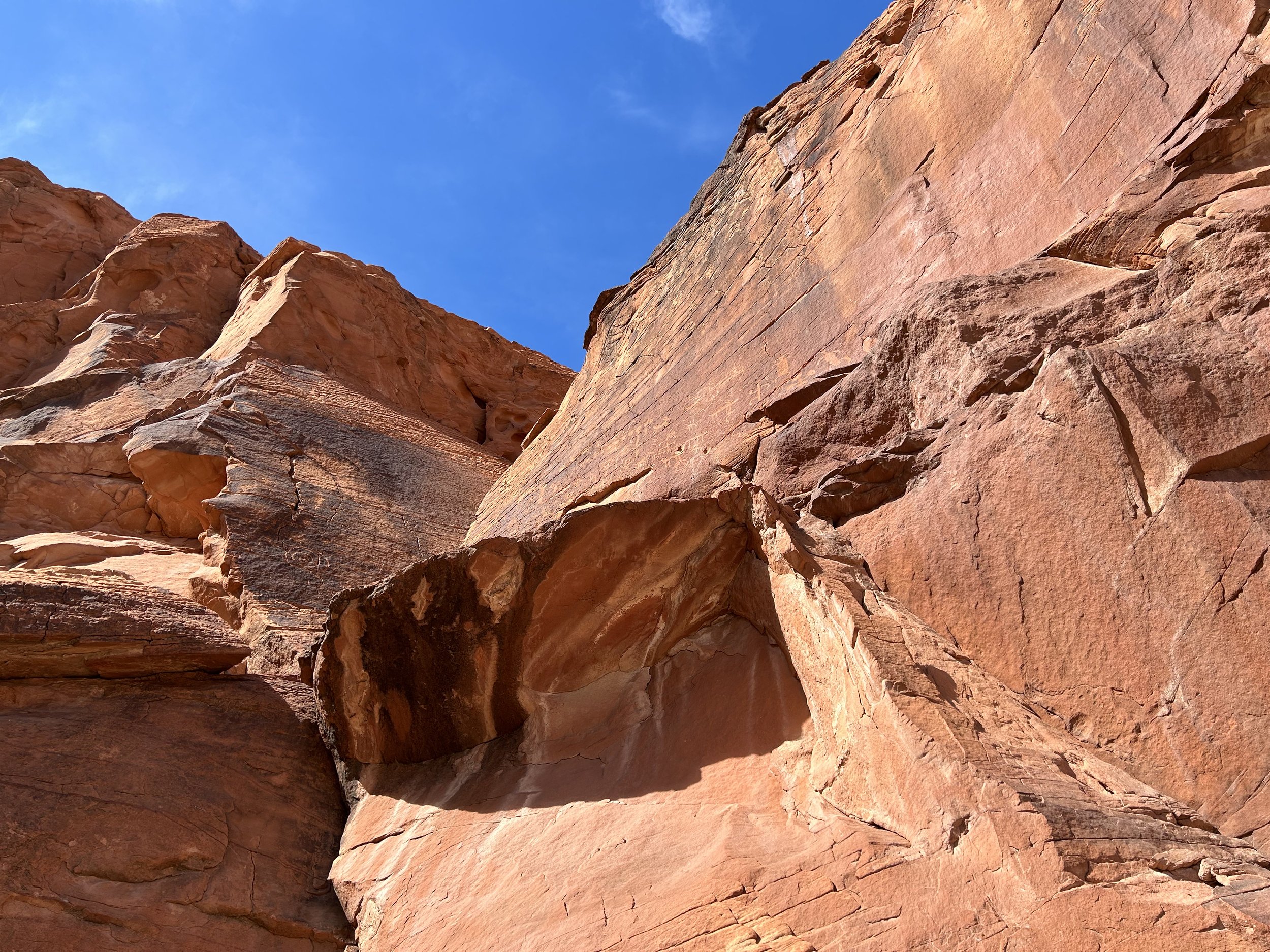
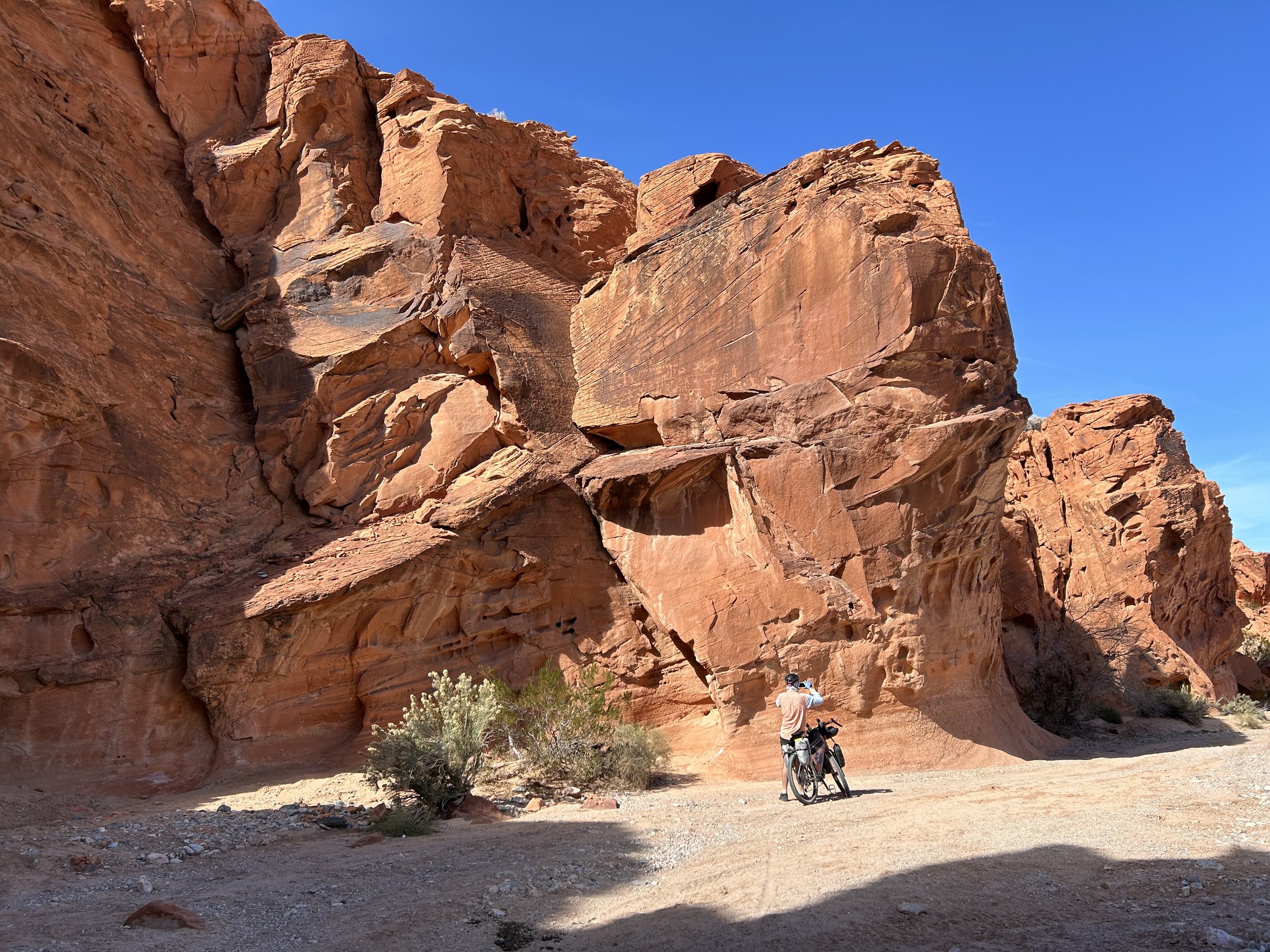
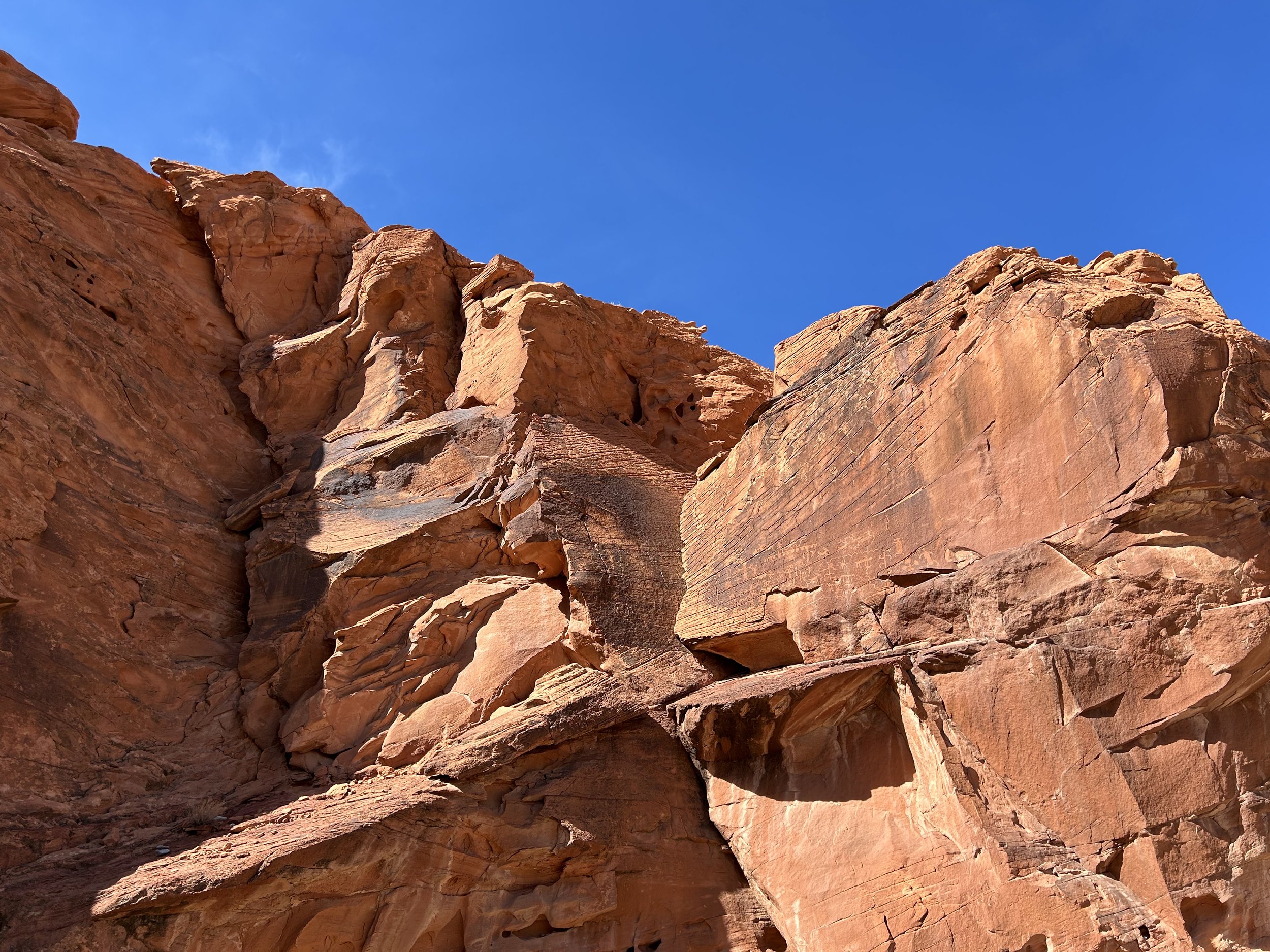
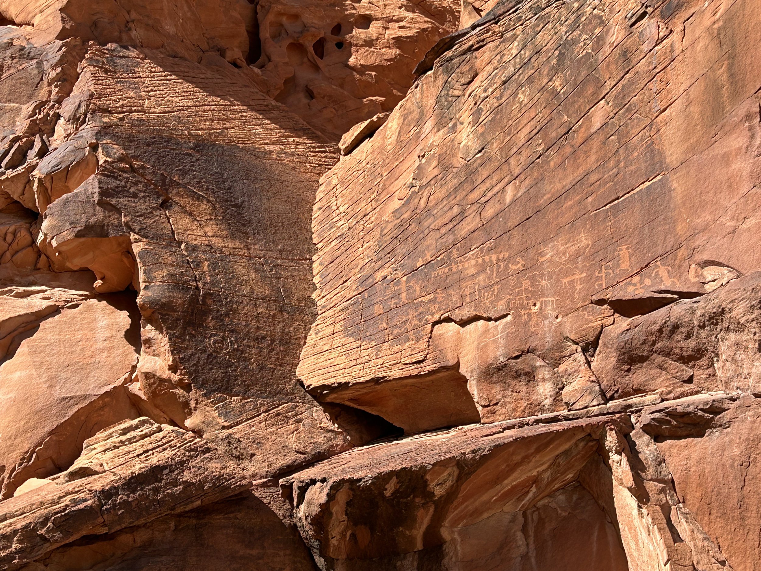
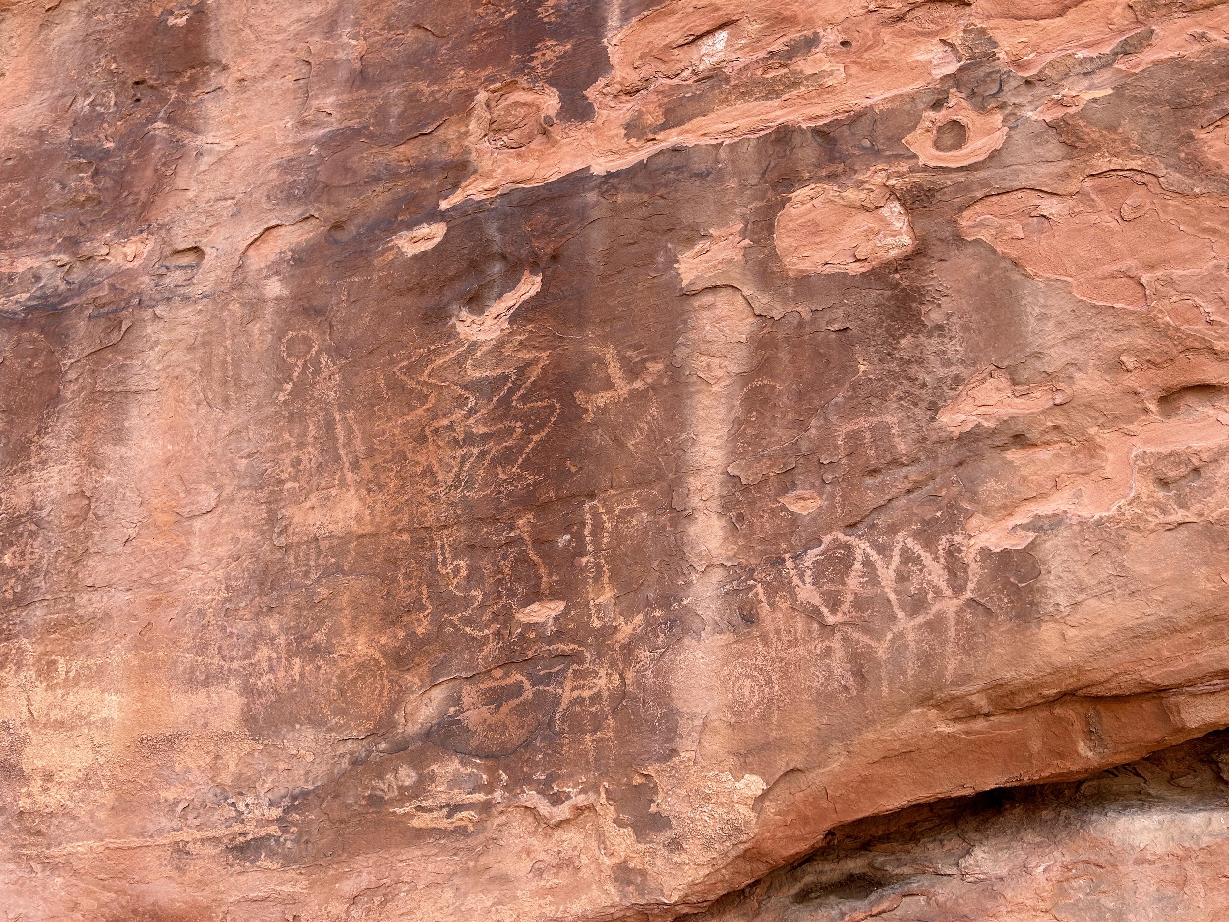
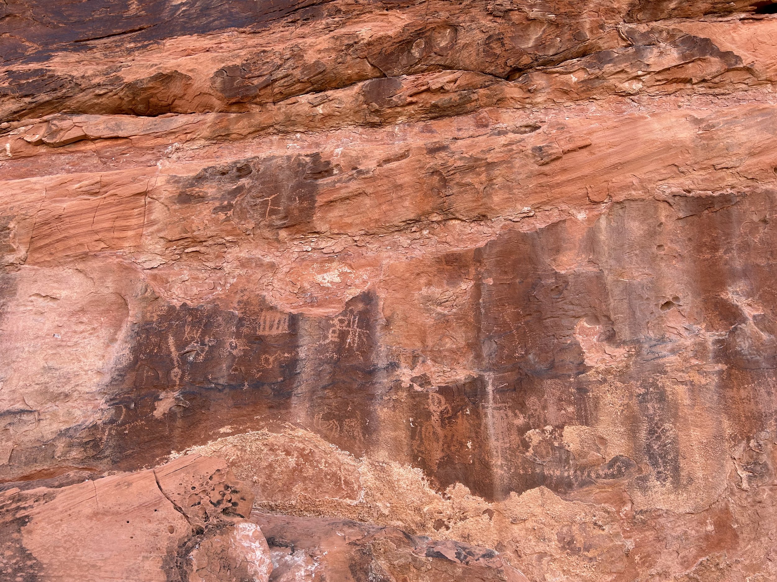
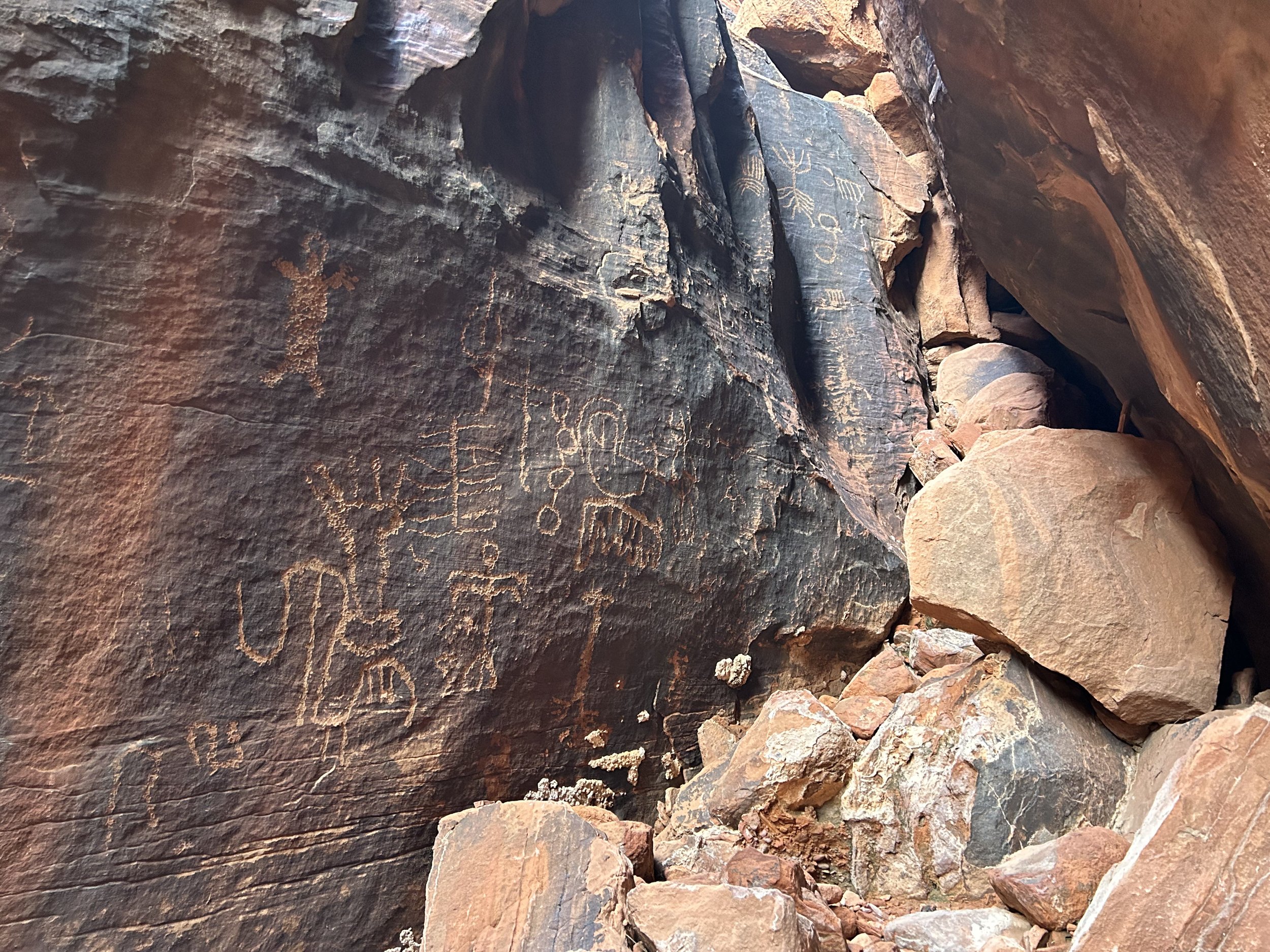
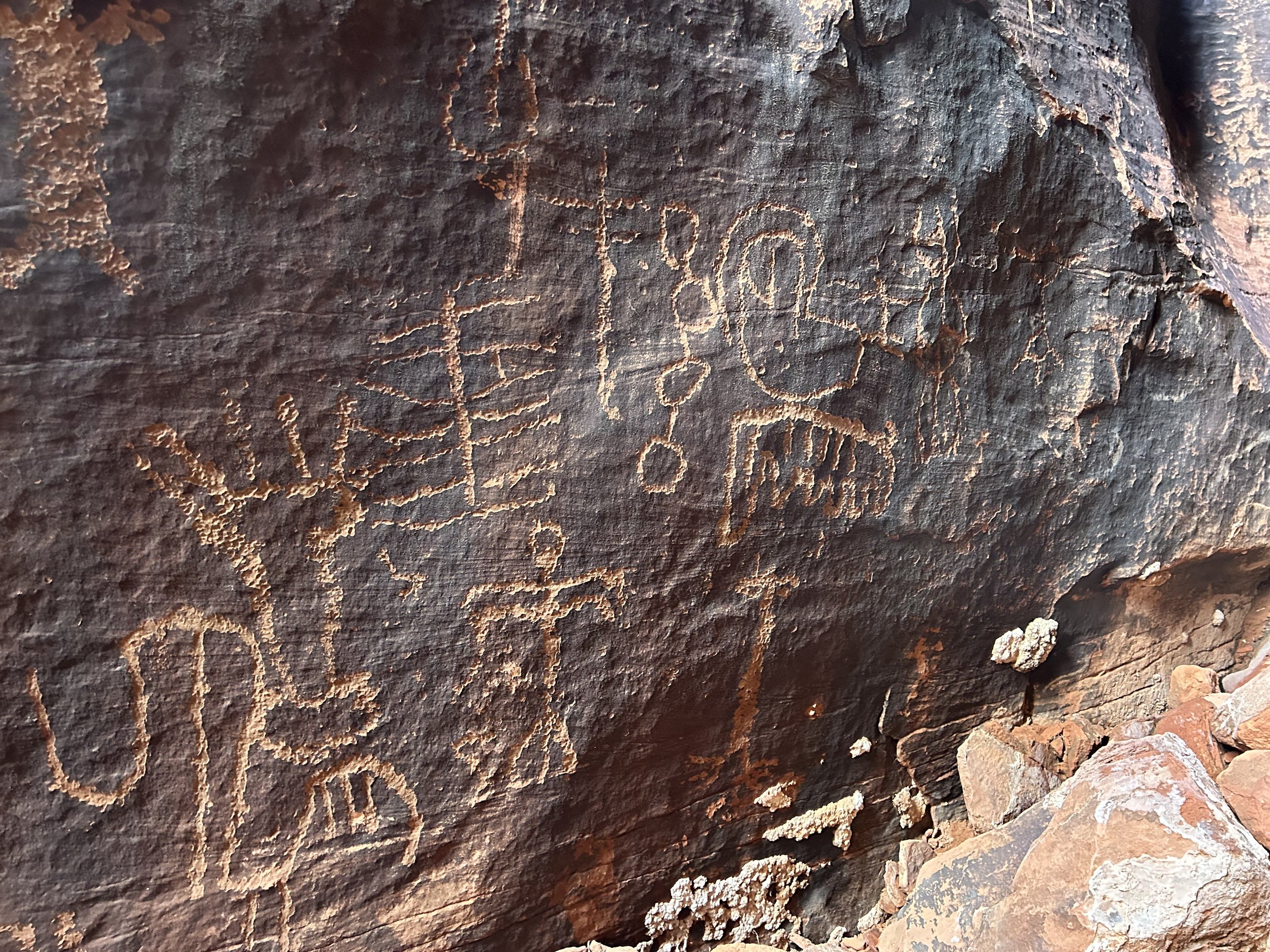
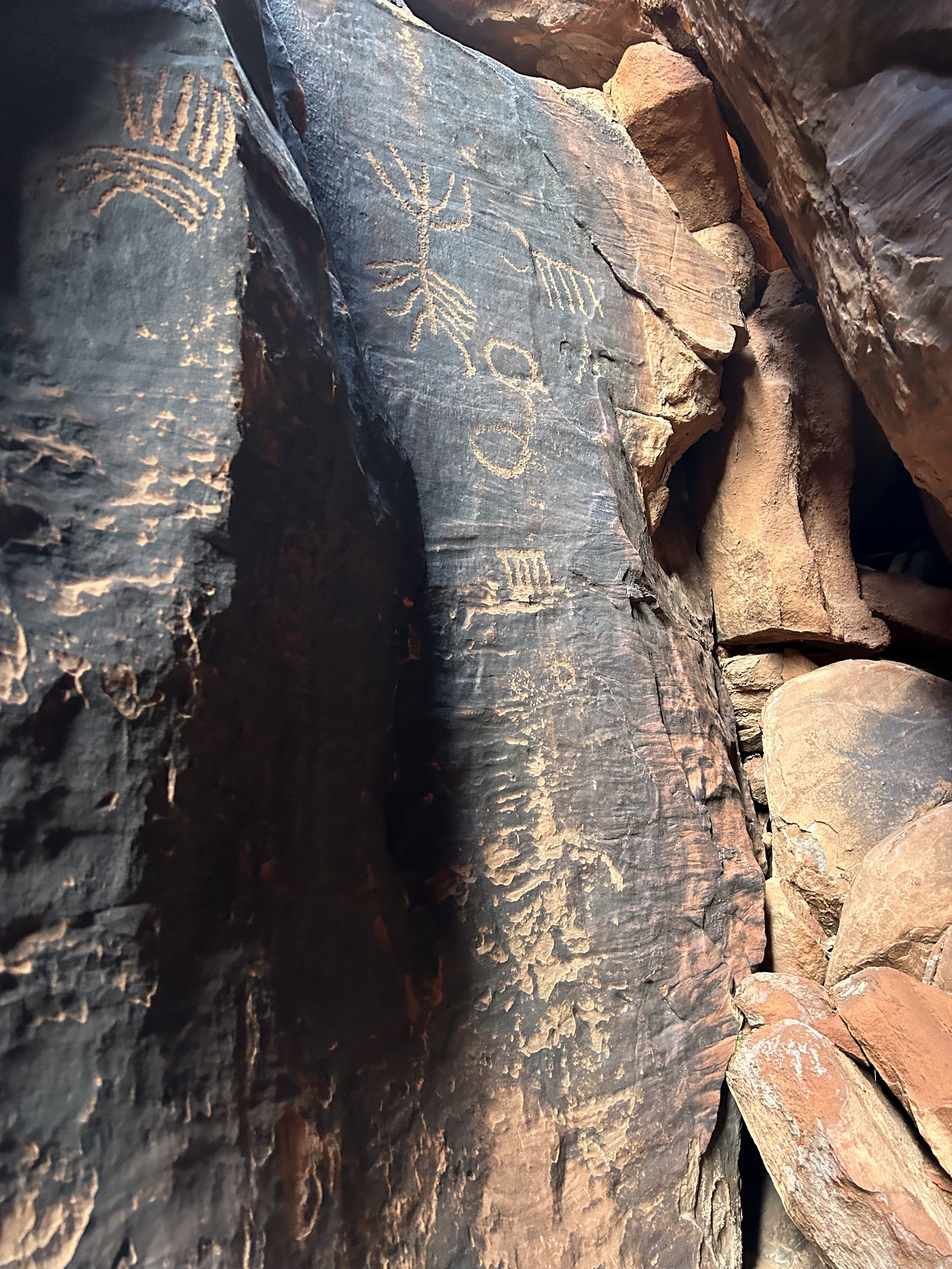
The route continued along Mud Wash where a few more turns brought us to the tumbling melting face of Bitter Ridge. The lateral broadside view was a beautiful display of Colorado Plateau geology complete with alluvial fans made of sand dunes and combined colors of chocolate, hazel, cream, and deep sandstone red. G2G Loop took a hairpin curve and then started an ascent up out of the wash on two track that went above and along Gold Butte Wash. A left turn took us on a side-ride out to the parking area for Seven Keyholes Slot Canyon. A bunch of ATVers were at the top. We talked to them briefly before leaving our bikes and hiking down the old dirt road into the red rocks. Petroglyphs dotted many rocks in the area, as they are present on many rocks along the length of the route. Part of the decision by President Barack Obama to designate Gold Butte a National Monument stemmed from the need to protect this Cultural Landscape; it was the Moapa Band of Paiutes who lobbied the administration for years to protect this area.
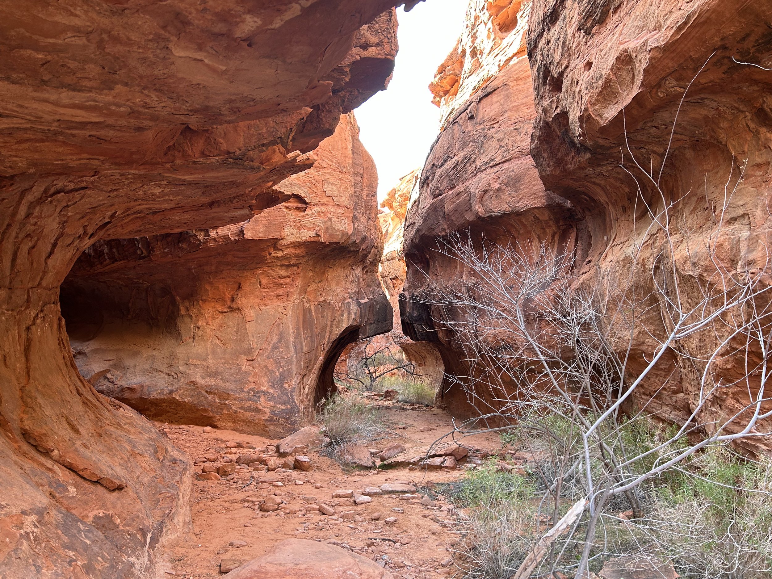
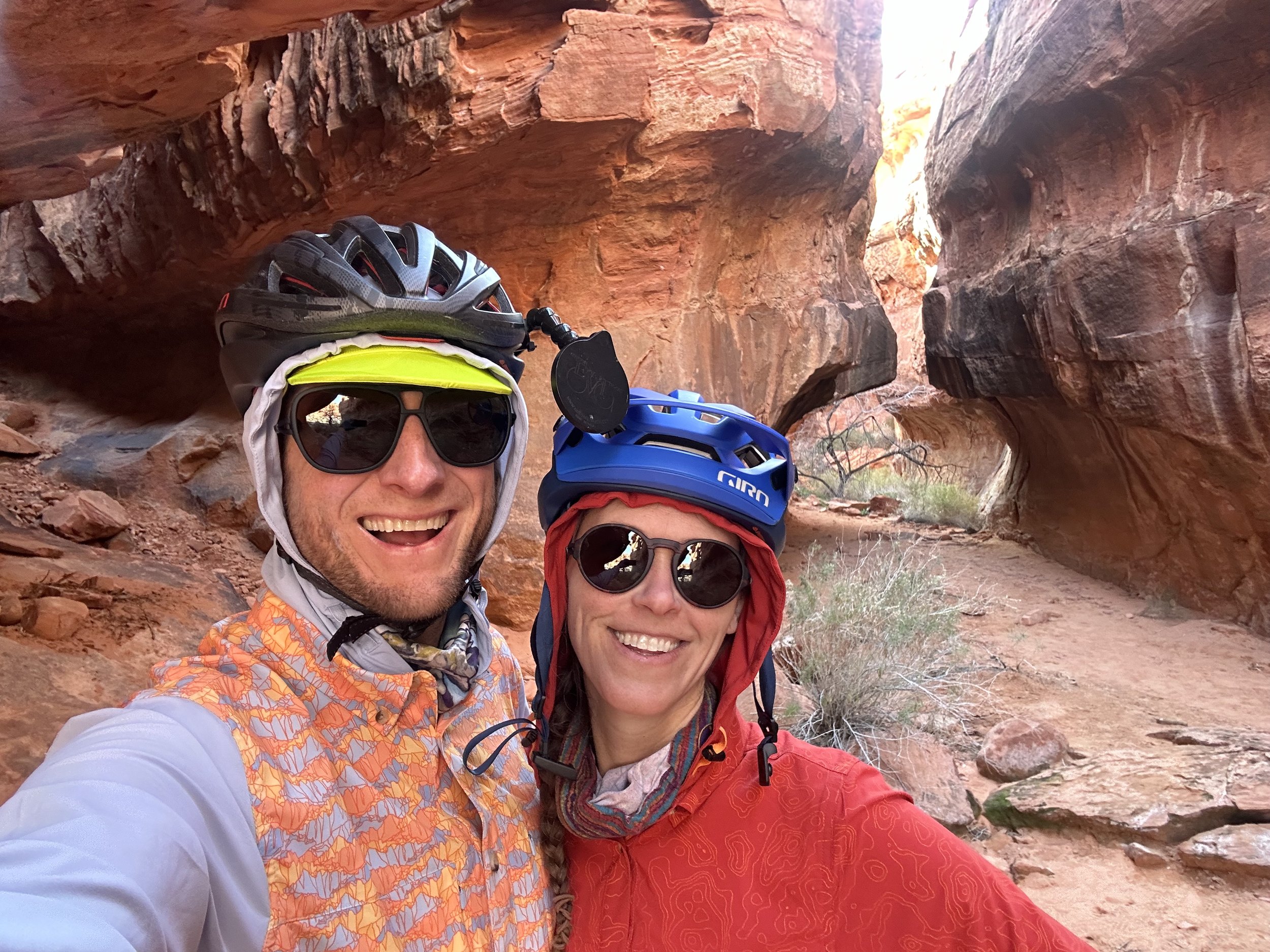
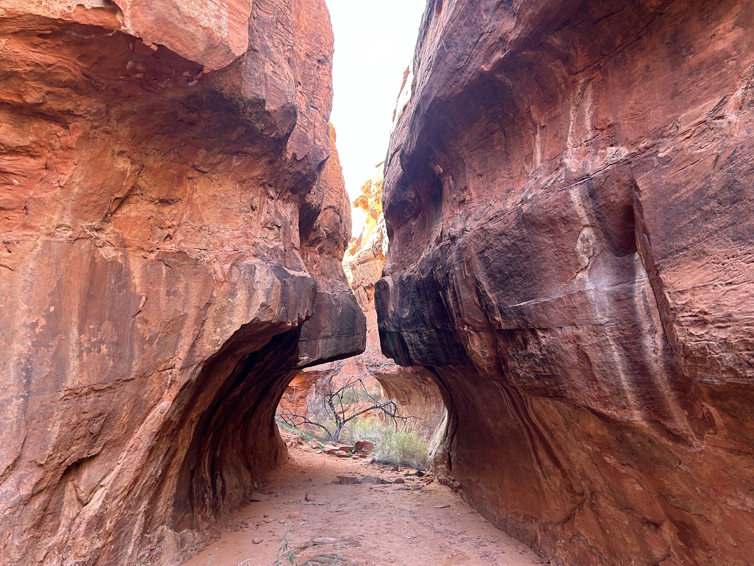
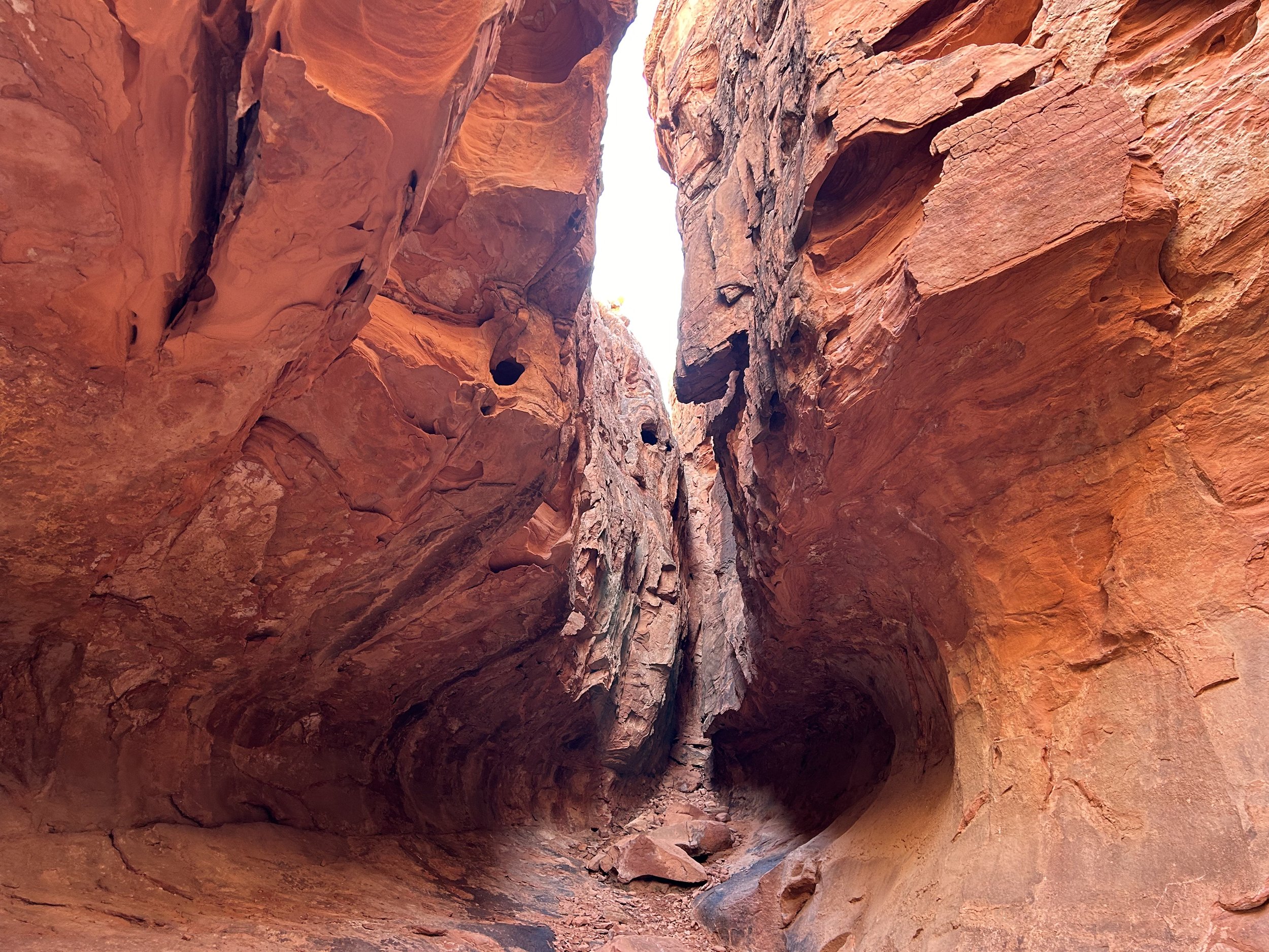
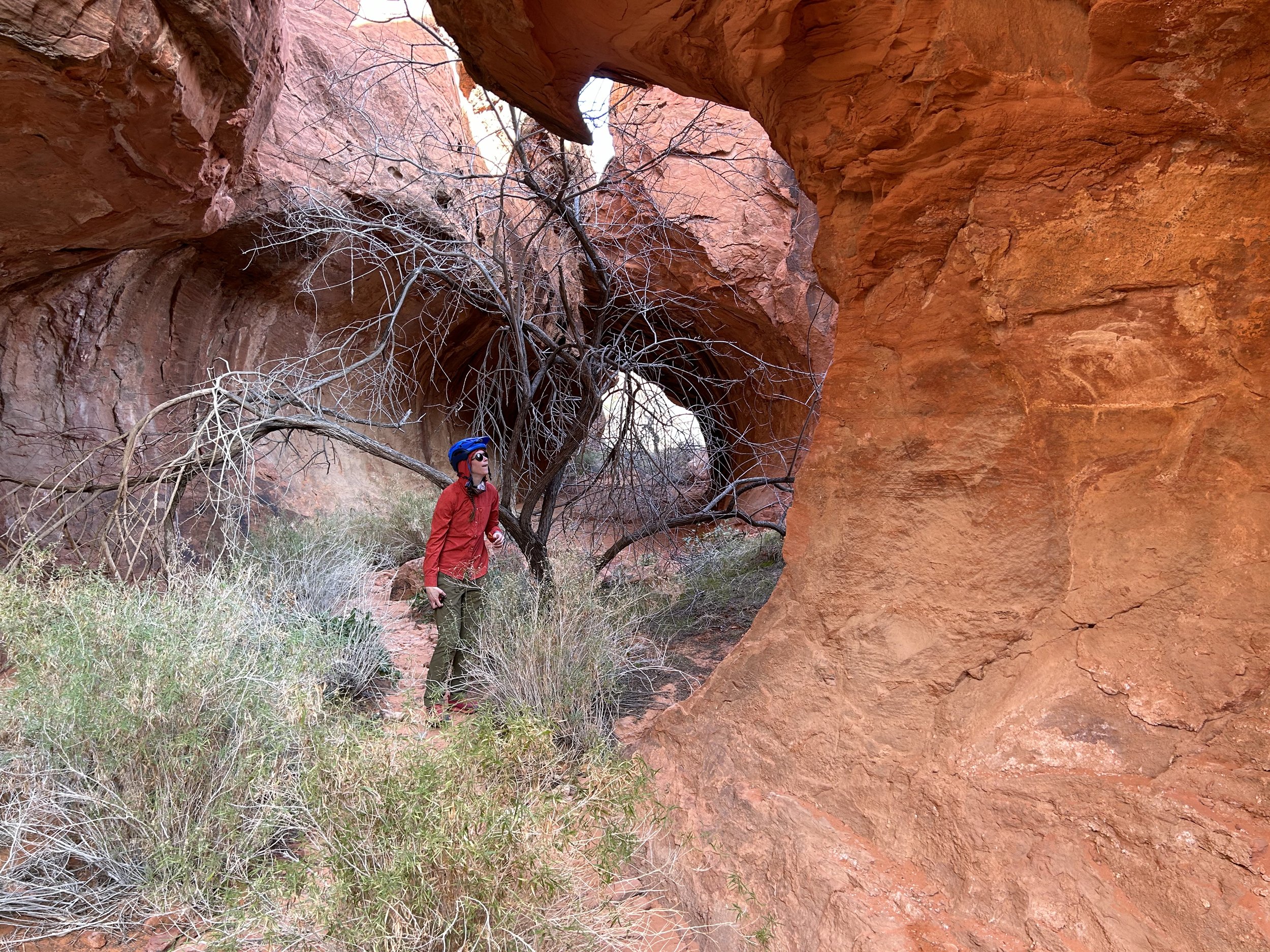
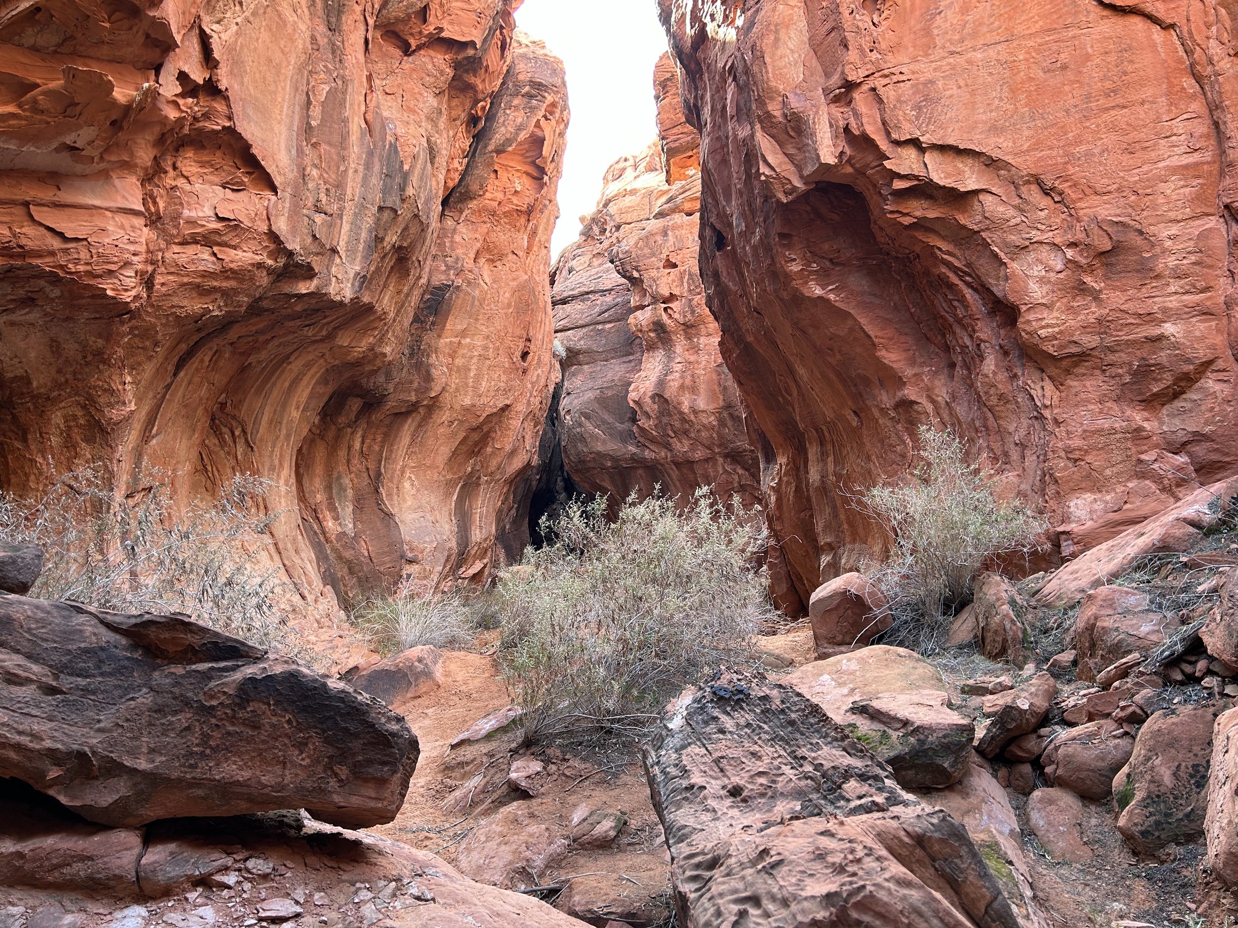
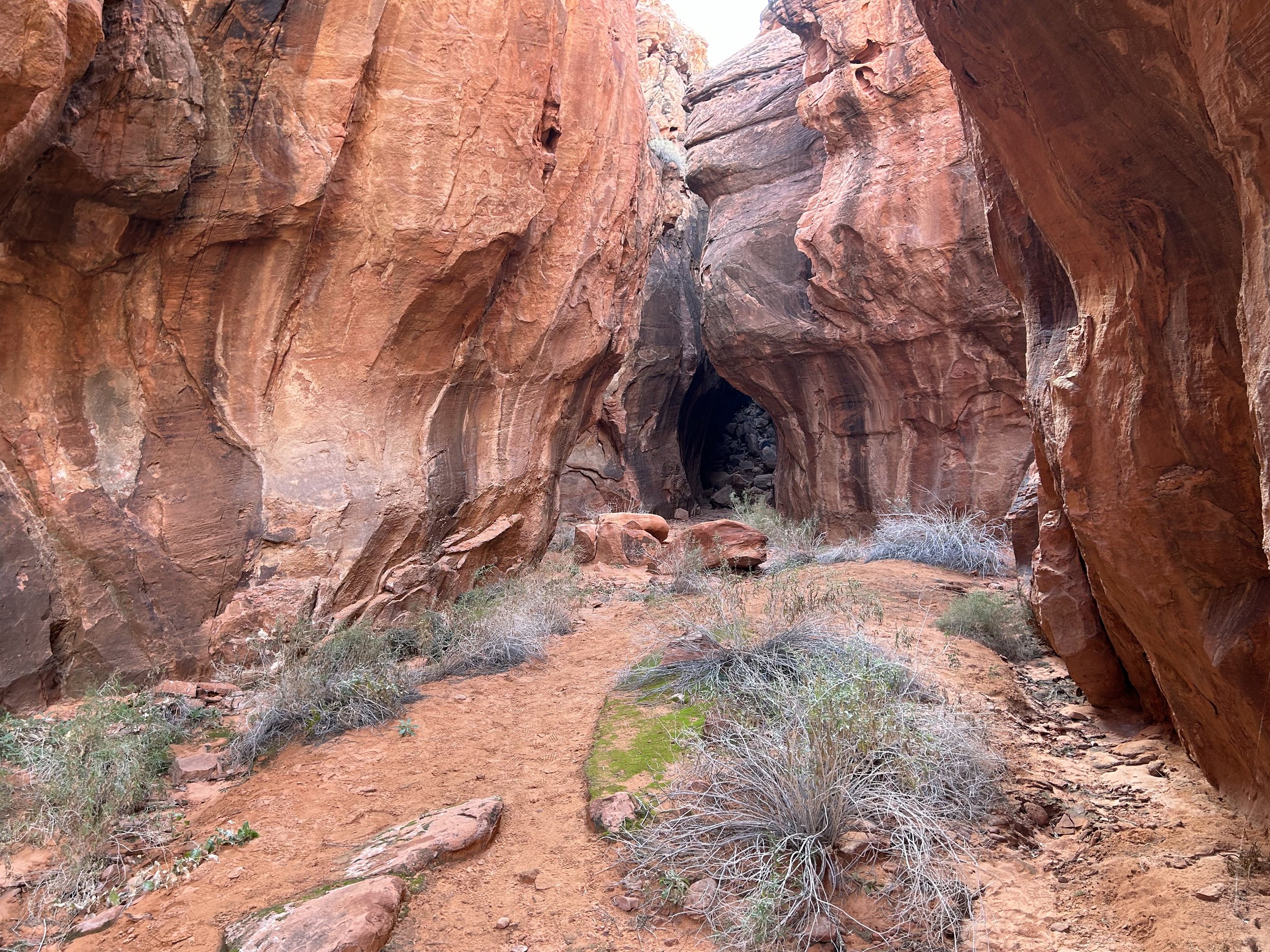
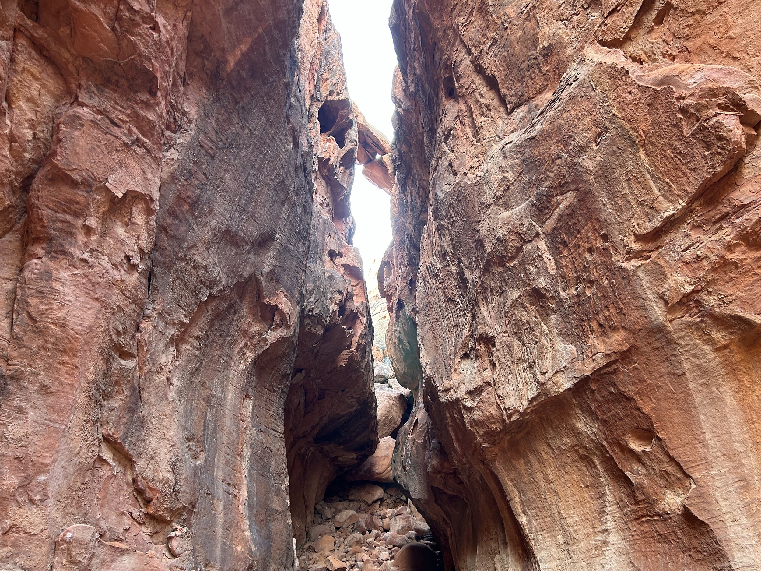
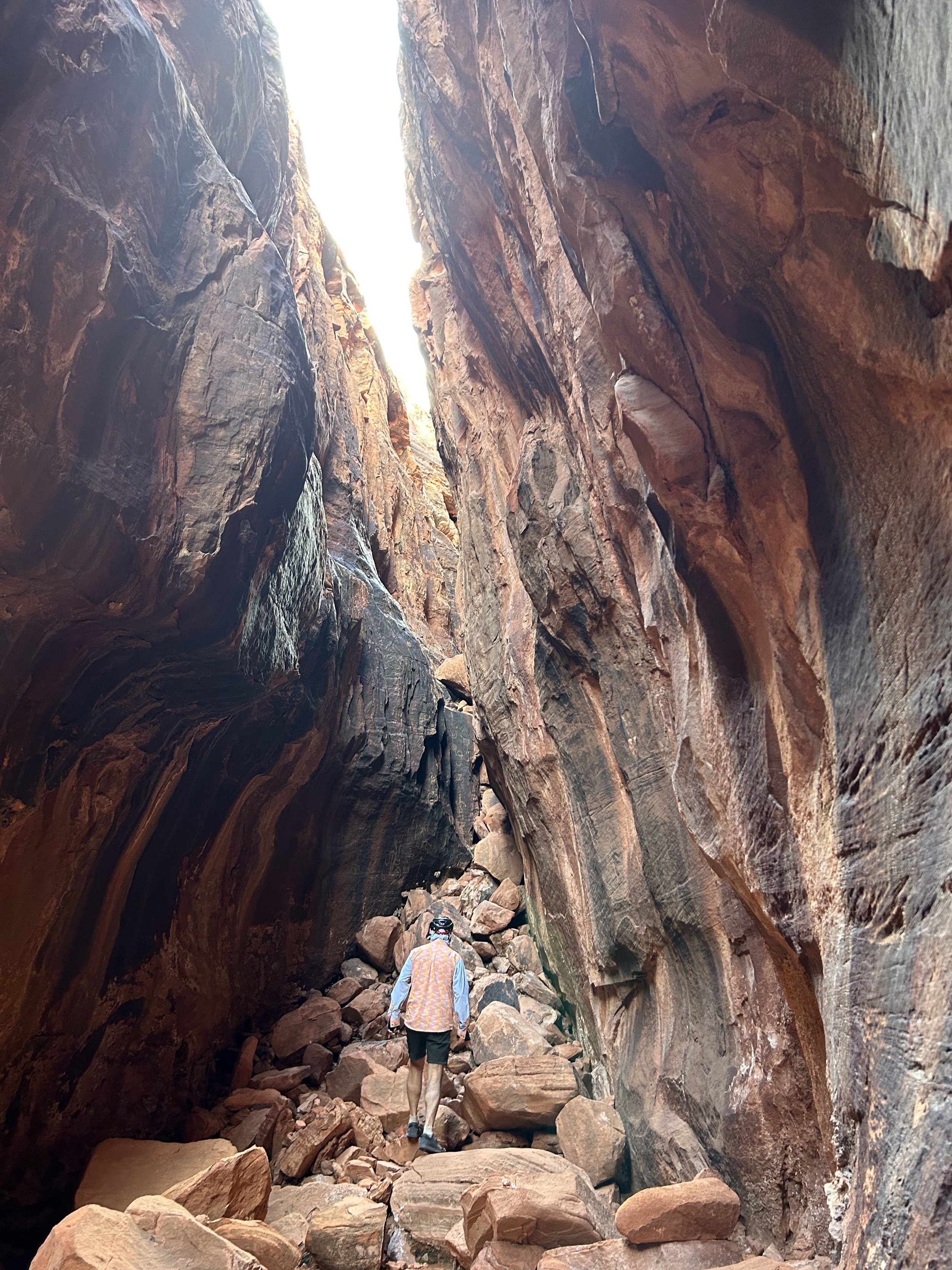
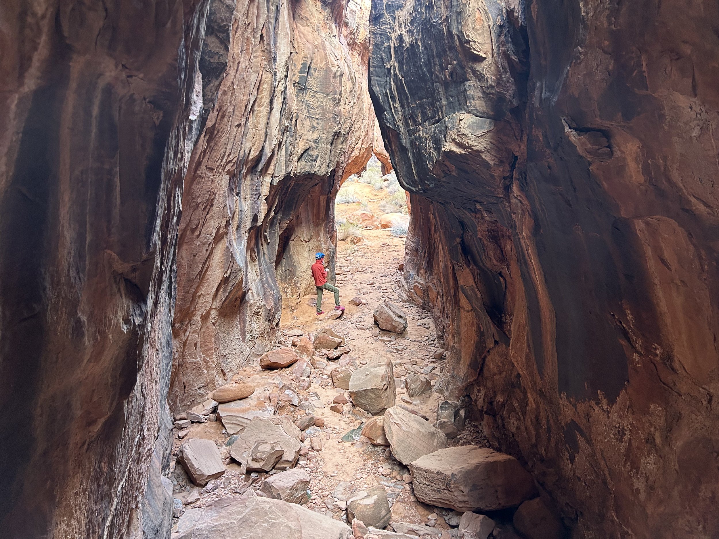
Janna and I saw a few of the Bundy's cows wandering the canyon. We took a sharp right under a tree and entered Seven Keyholes Slot Canyon. So-named for the unique repeating patterns of rounded and then narrowed slots, the trail extends back about a quarter mile into the heart of the red stone. We took some time to walk through the different hallways and admire the smooth water-eroded walls of rock. Even the outside of the slots had some great red rock swirls and awesome views spreading out into a crumbled world of vermillion buttes. We wrapped up, hiked back to our bikes, and pushed off to continue on with the route.
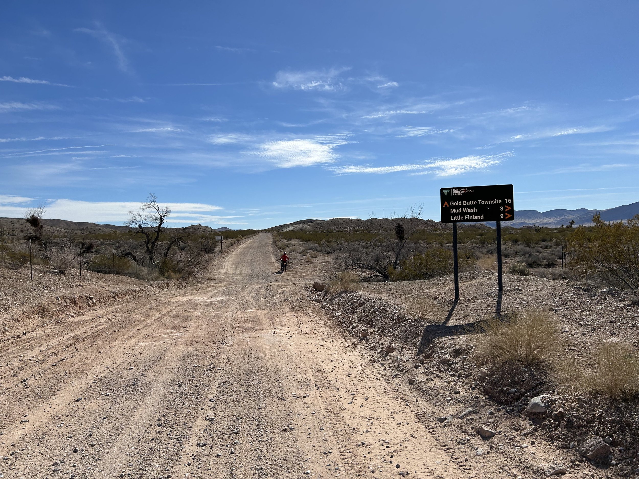
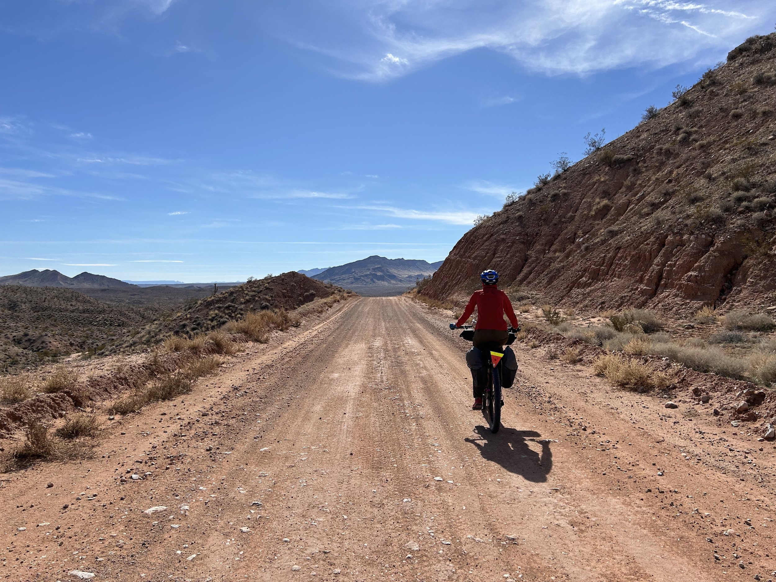
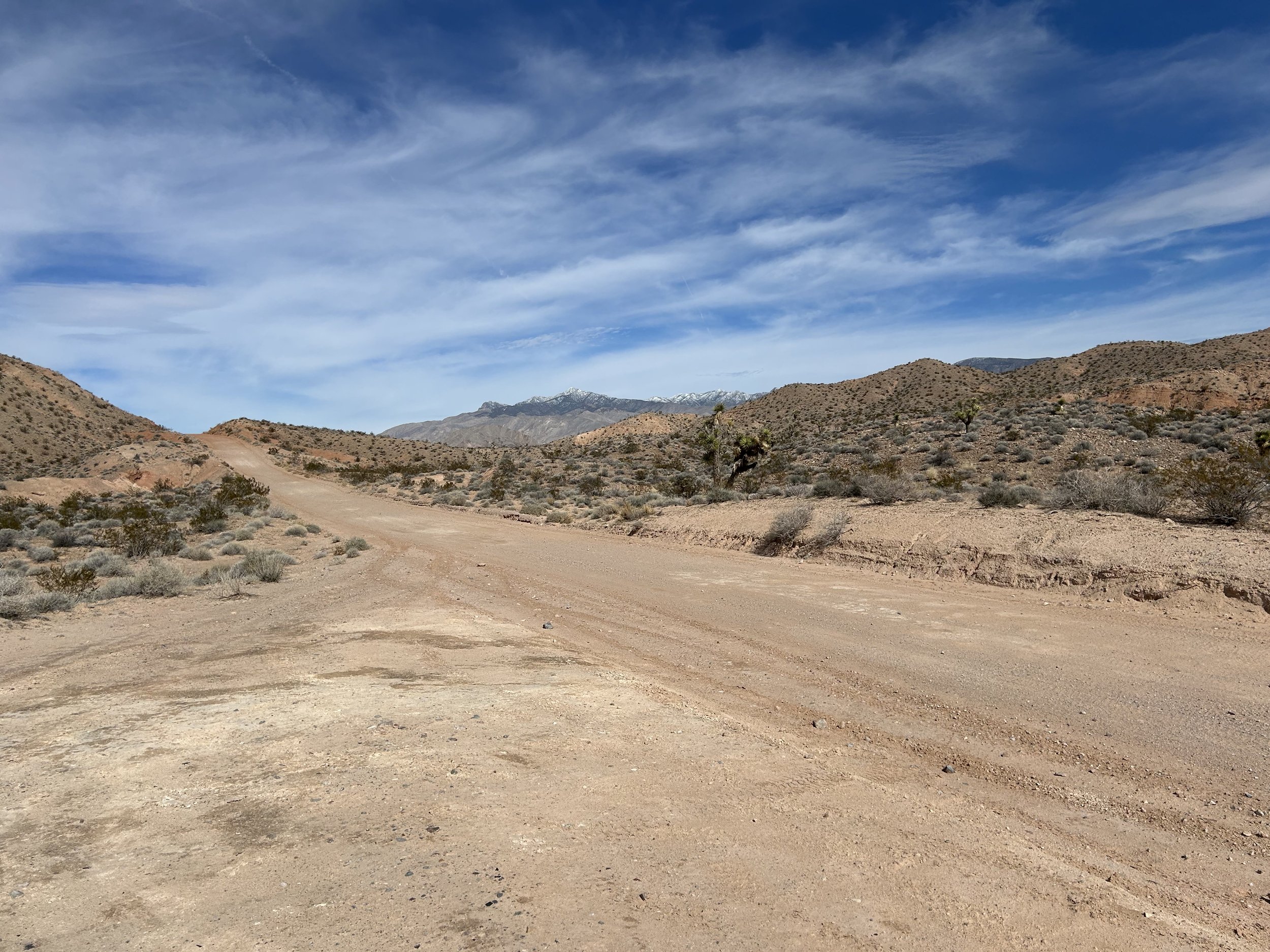
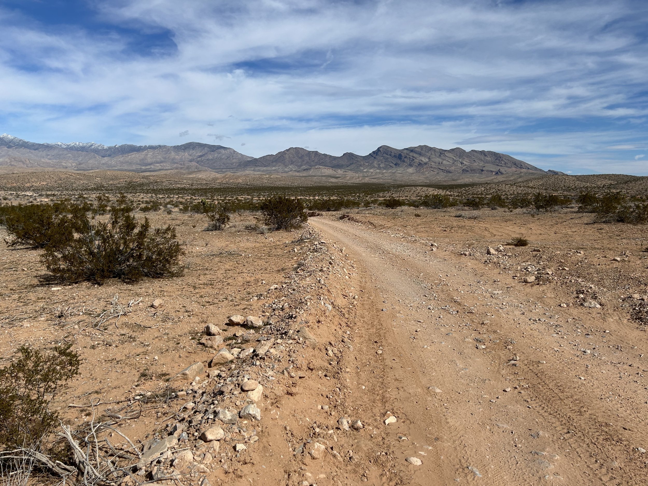
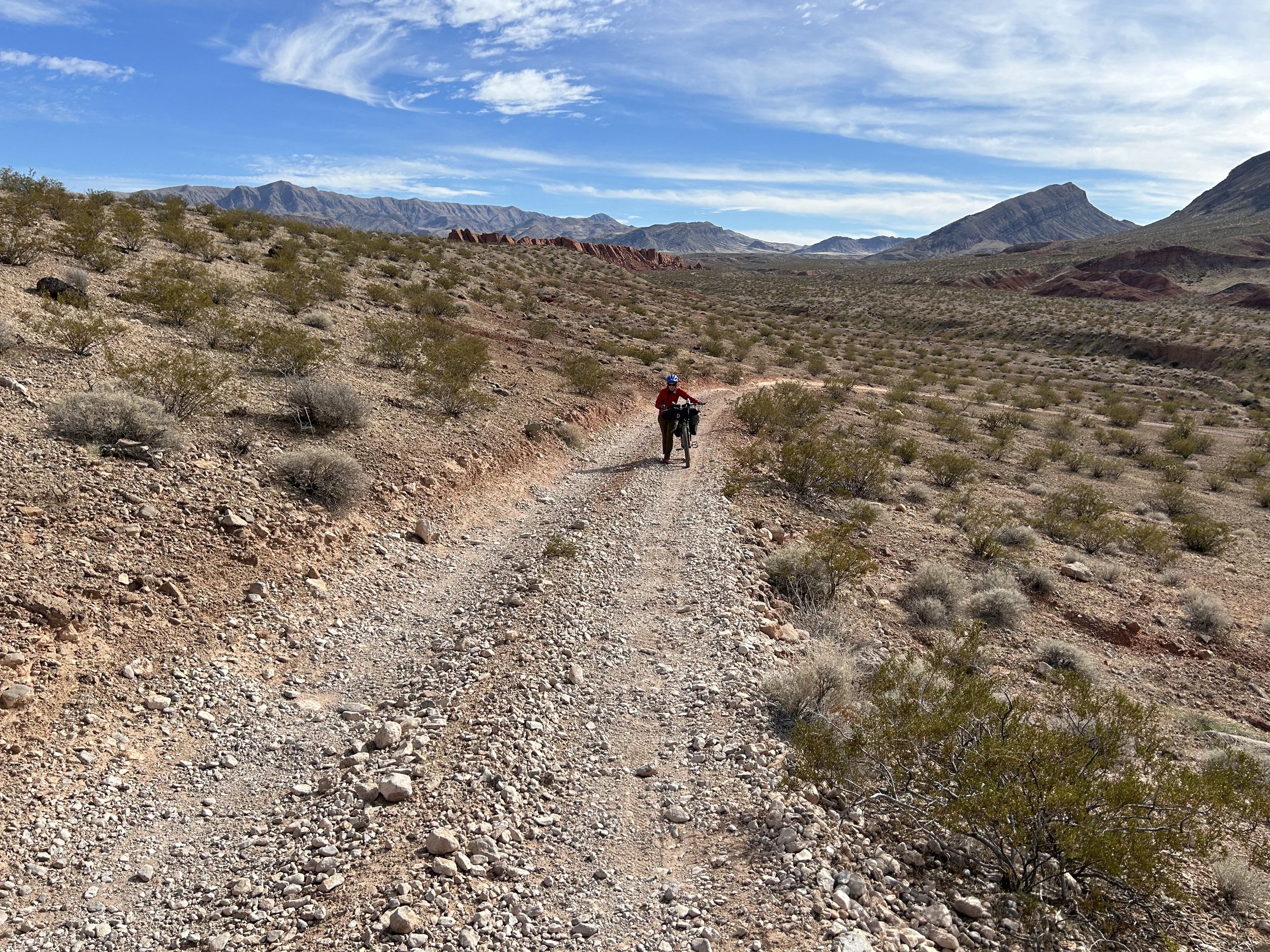
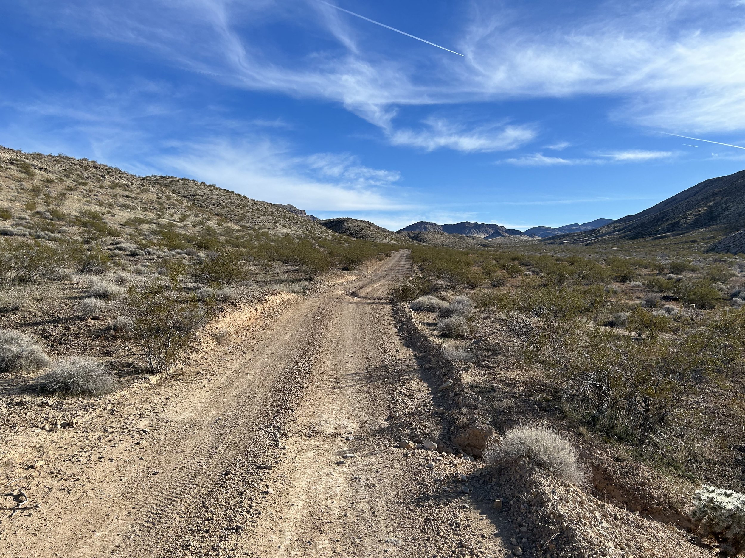
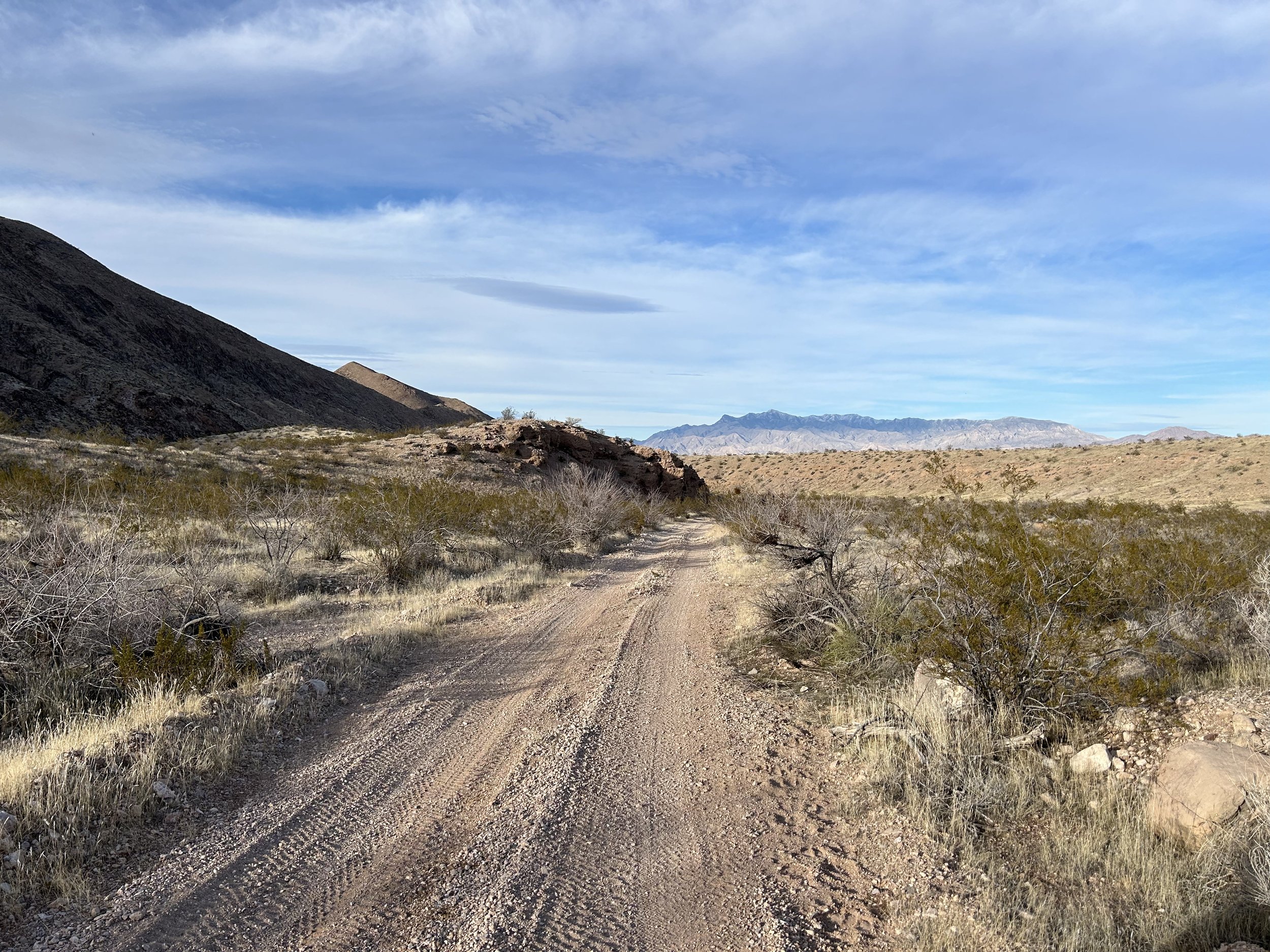
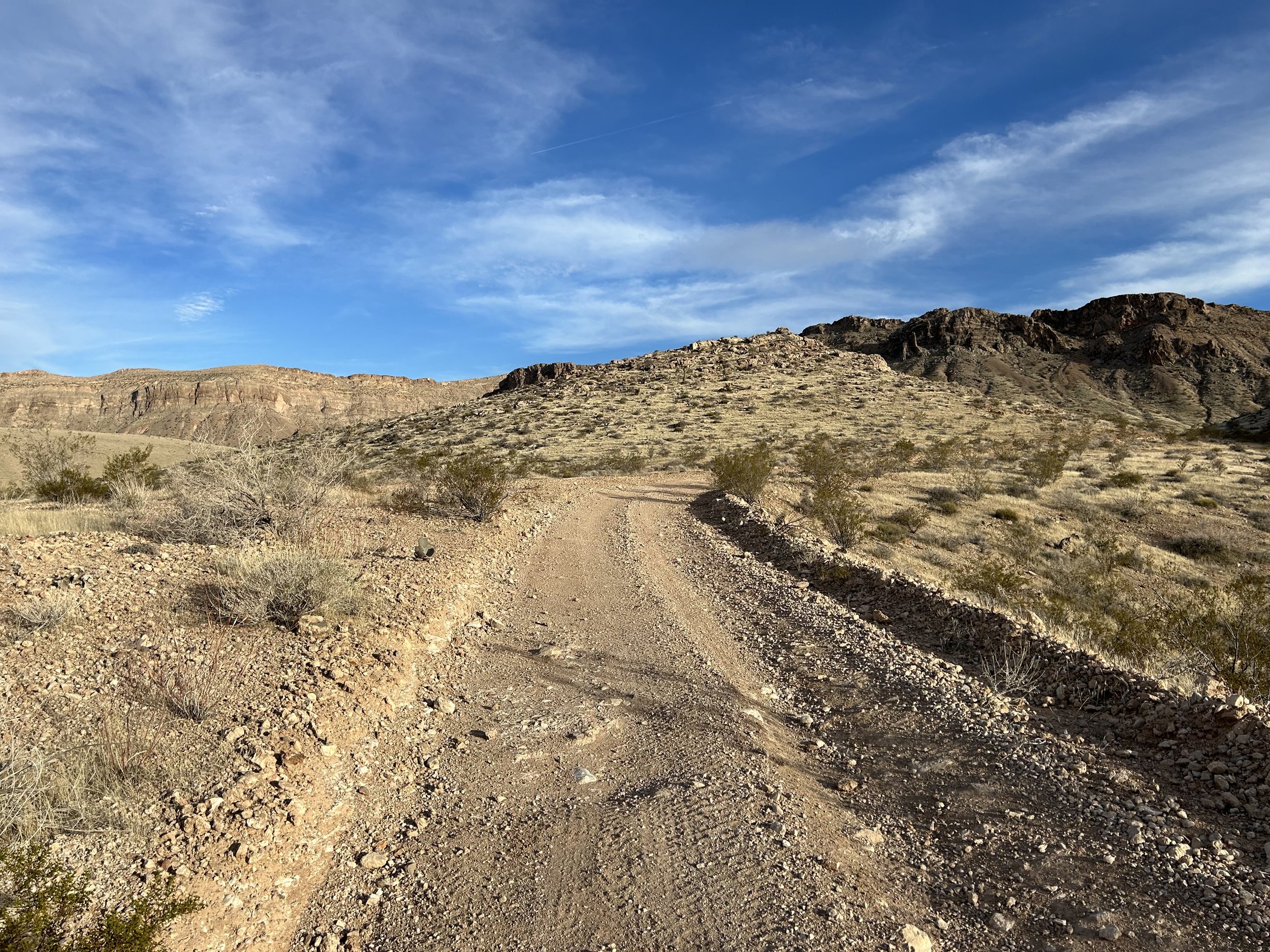
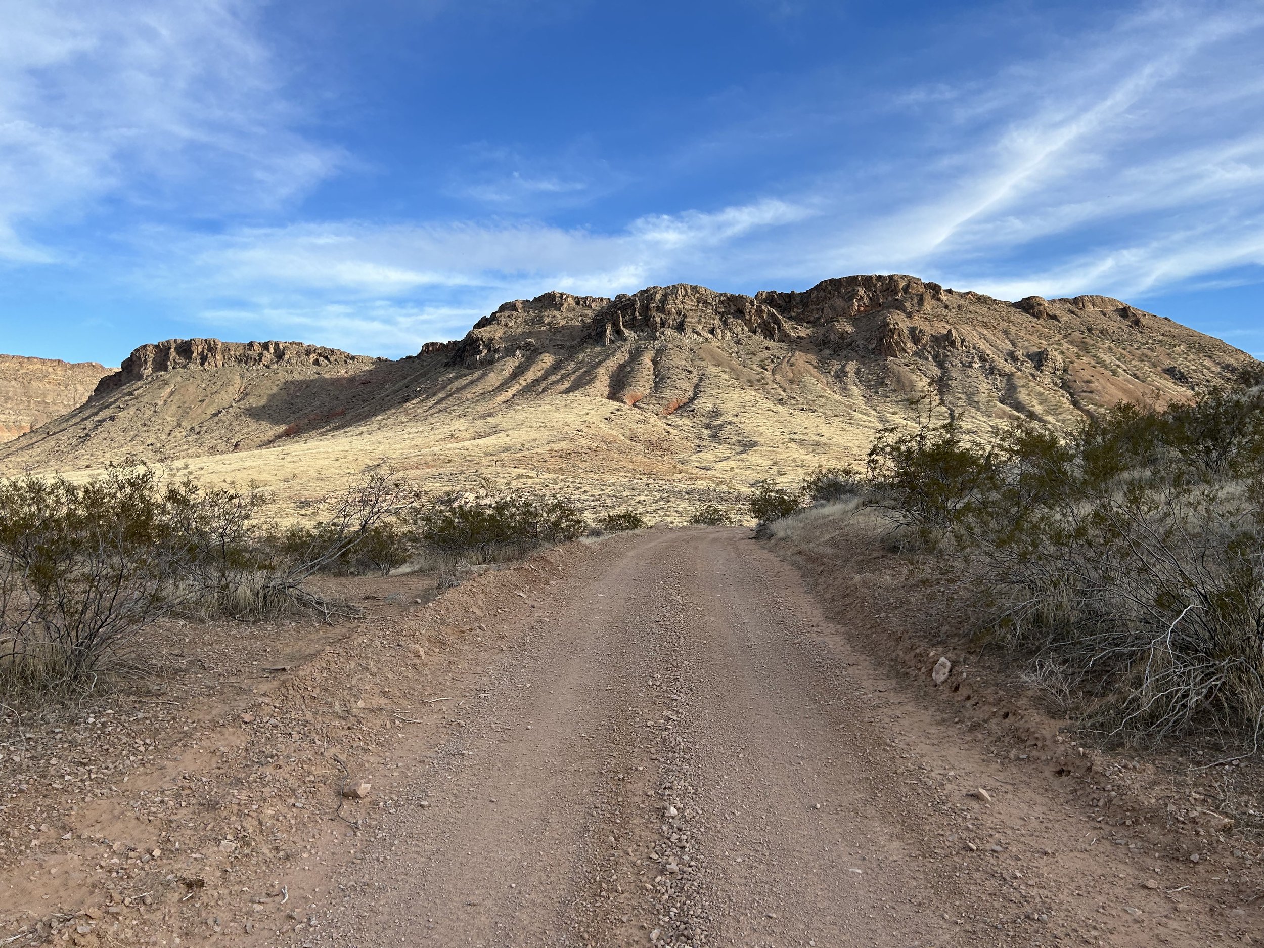
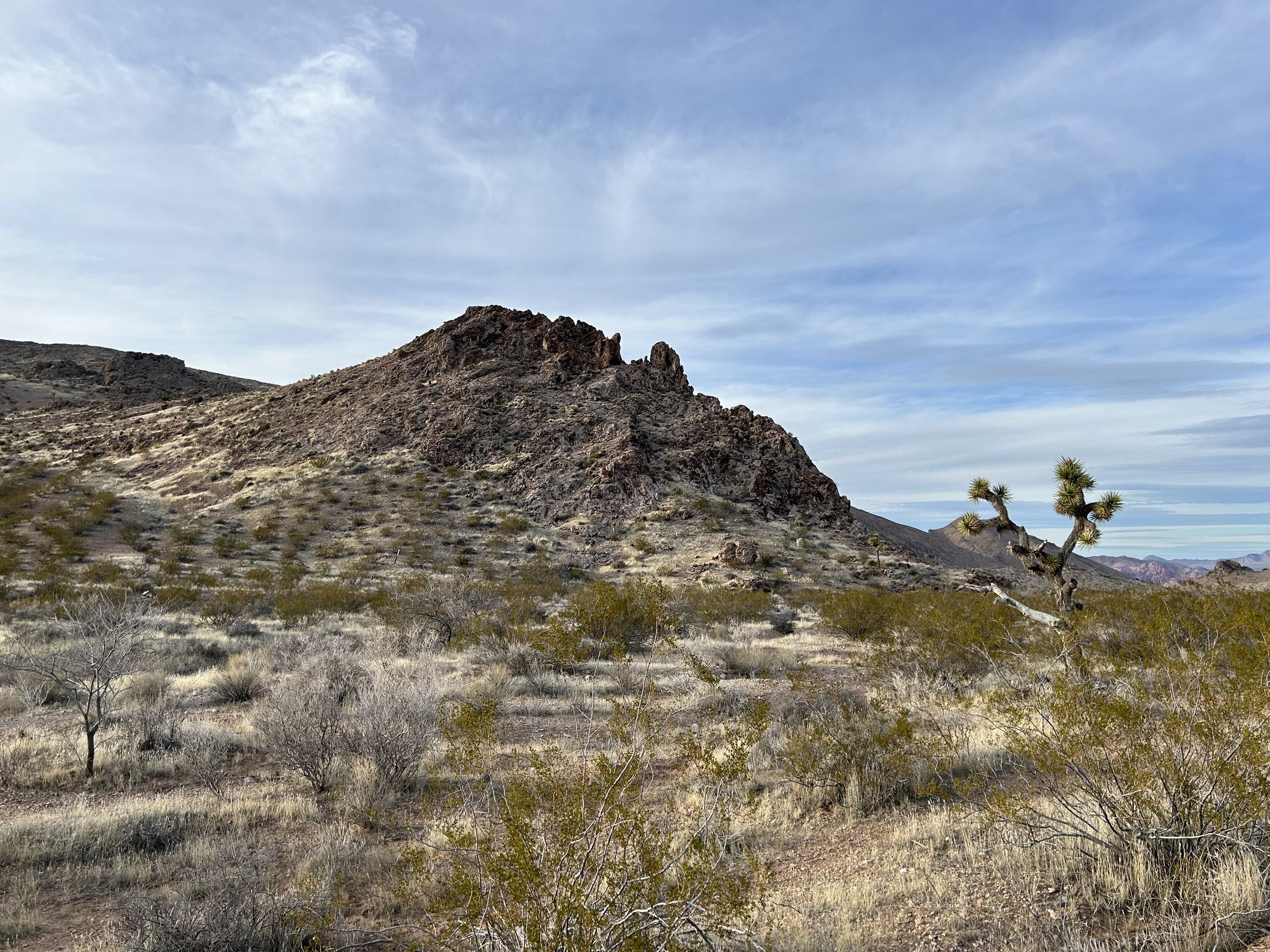
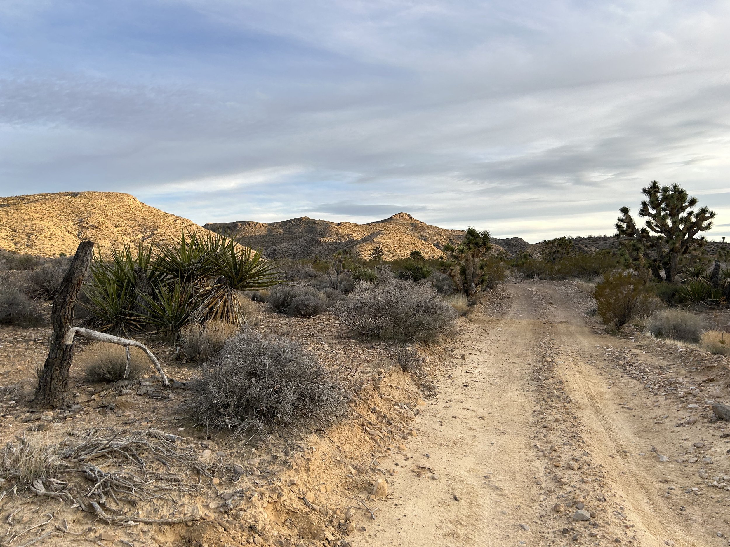
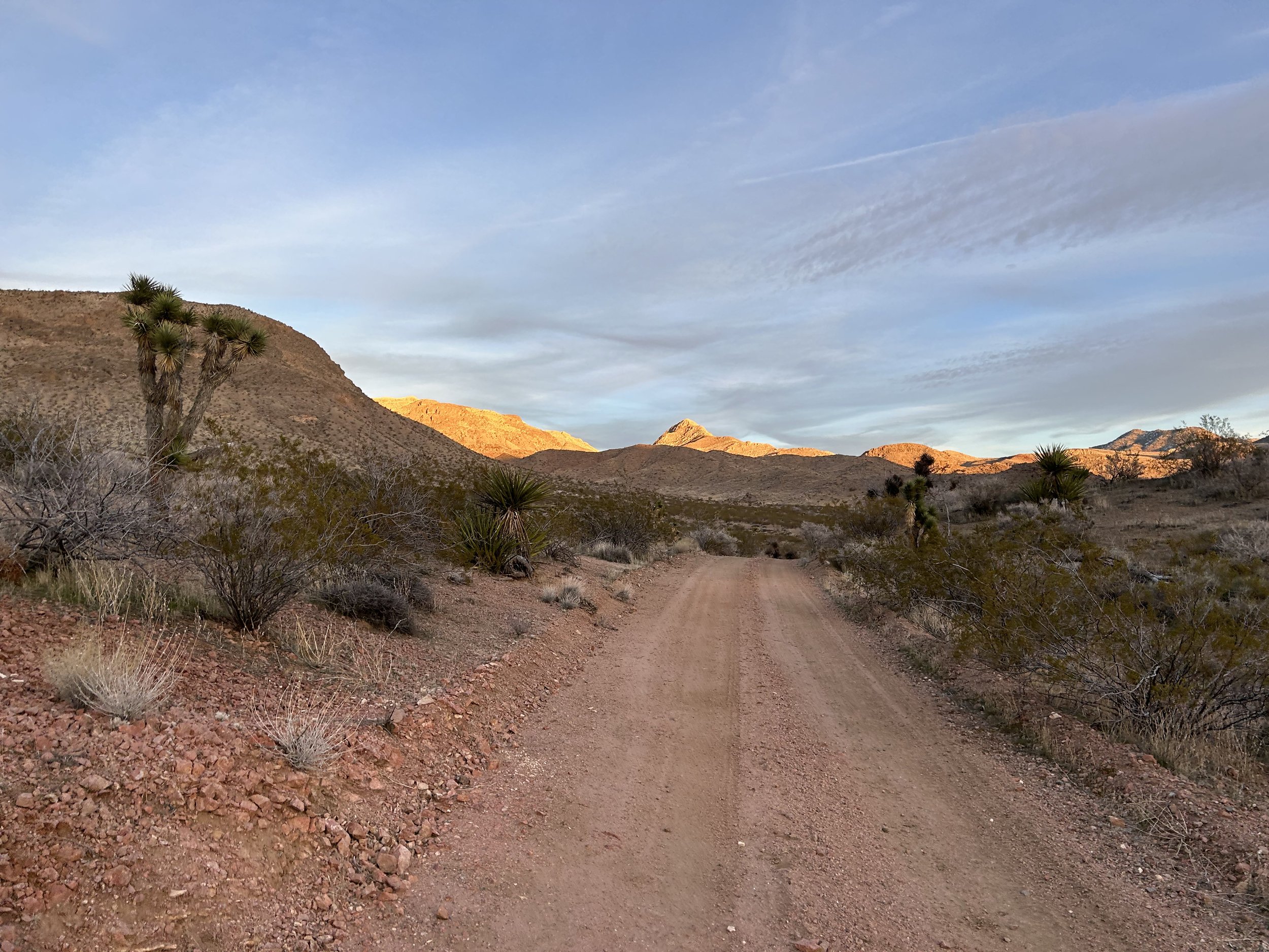
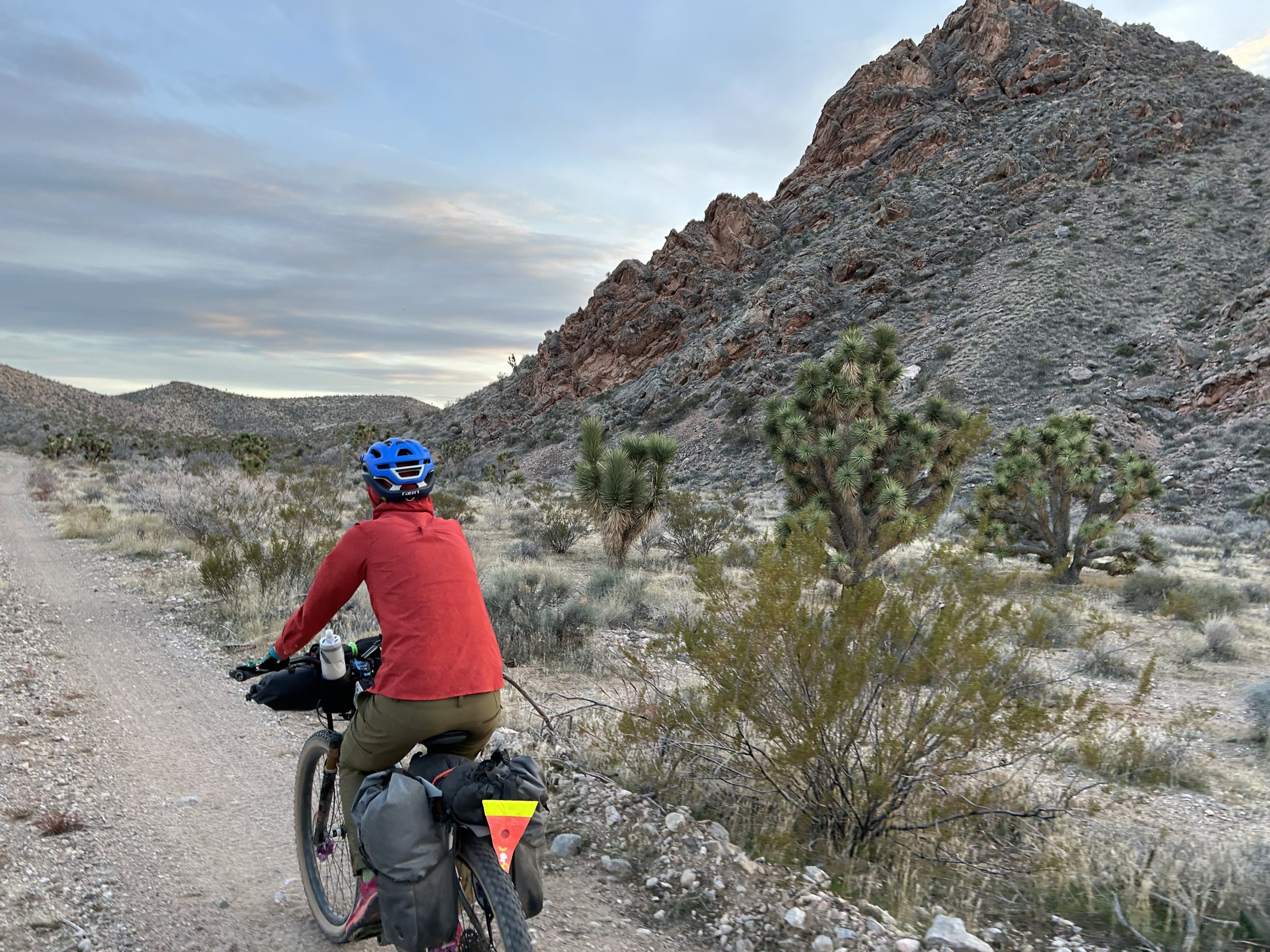
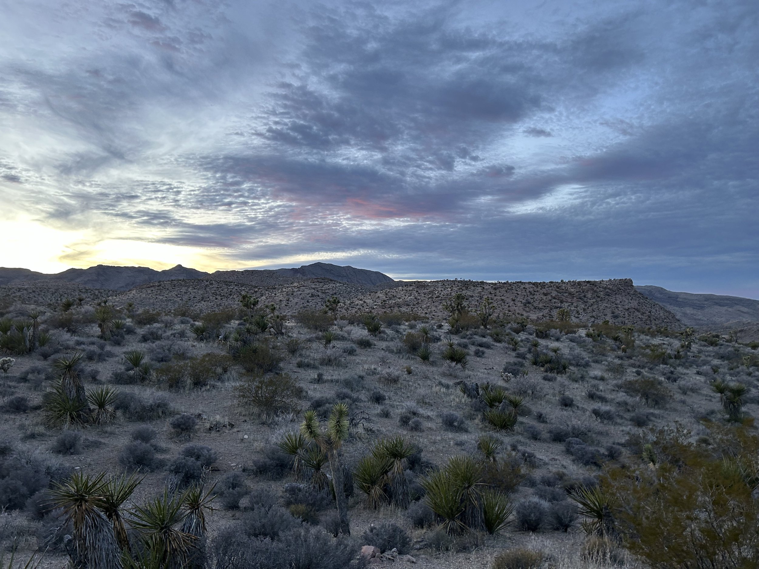
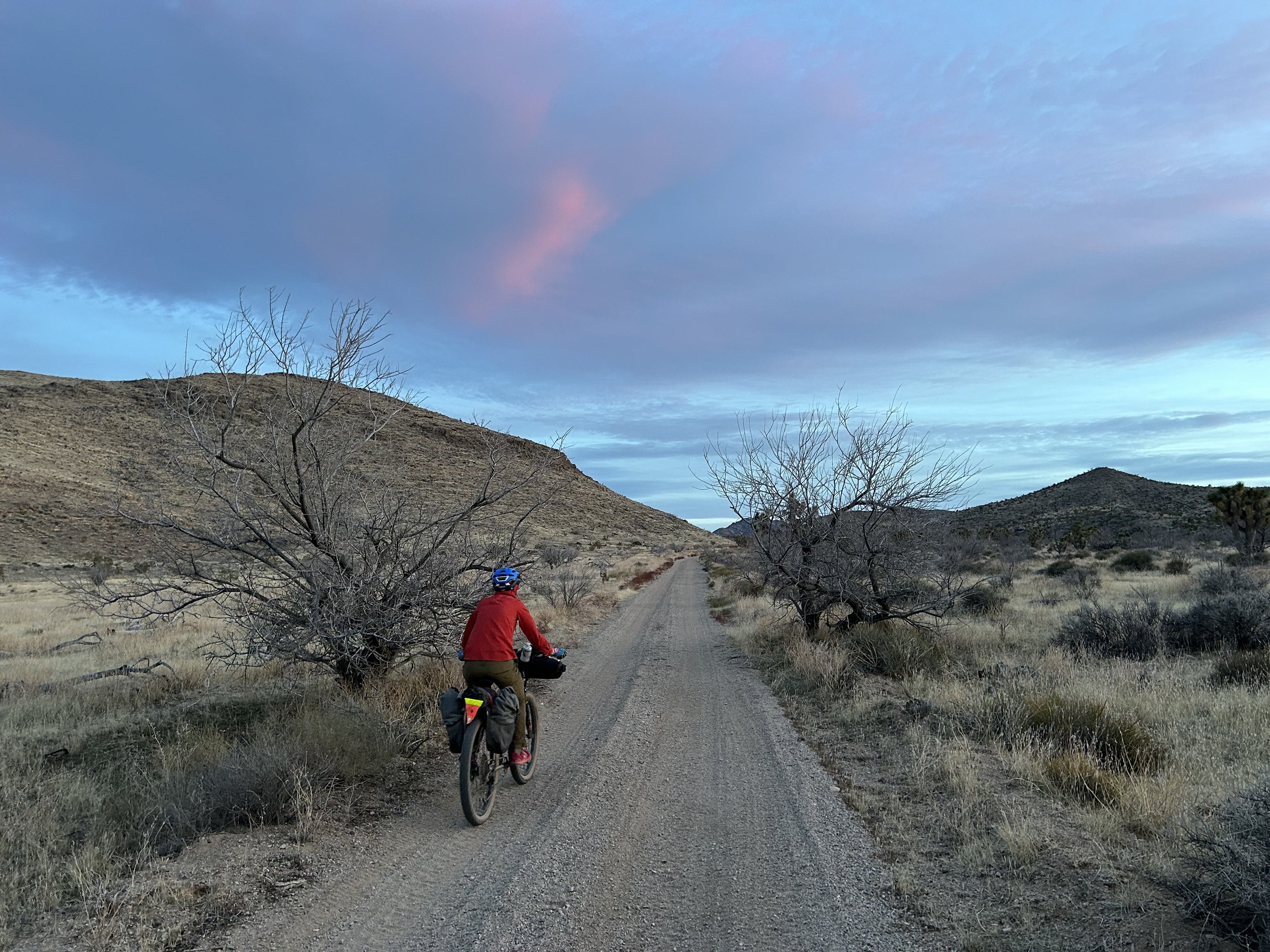
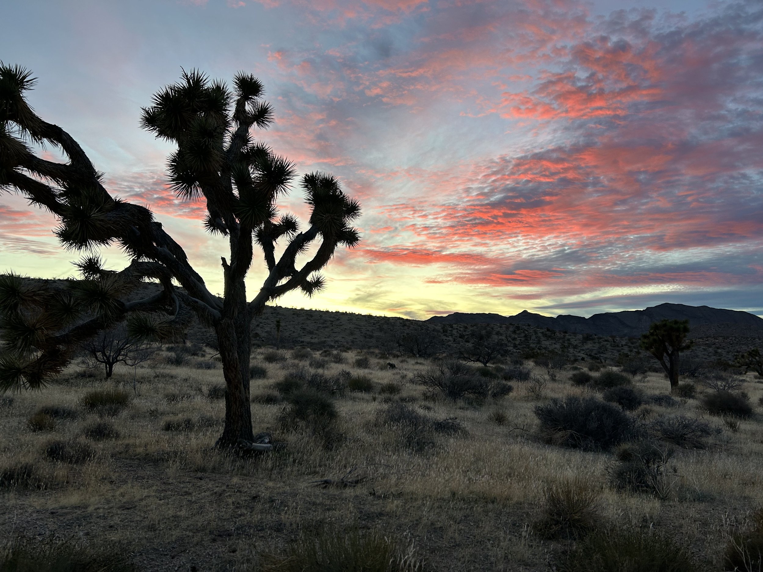
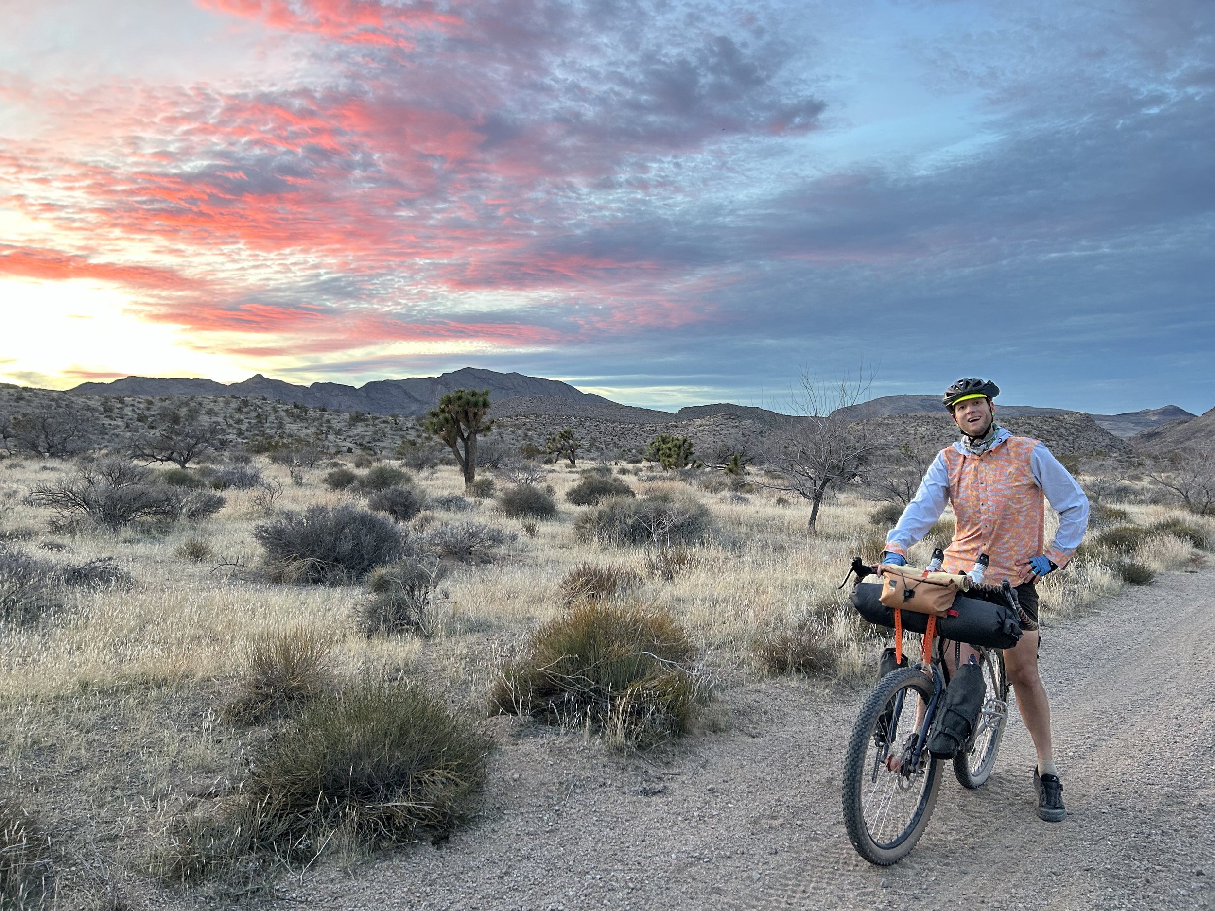
The arid footslope ecoregion swept up around us as we began an ascent. Lime Ridge and the Lime Canyon Wilderness met us on our rights. The next couple of hours of afternoon sun began to slant as we continued upwards through hillsides alongside Gold Butte Wash. The waning sun hit the slopes with a golden touch accentuating Joshua trees standing out. Overall, the road was in great shape. Evening came on and the sound of birds lit up the dusk - a sure sign of spring here and coming more. Janna and I stopped to gaze at the colors of the sky. But we agreed to continue riding past dark because we wanted to camp up by Gold Butte Townsite to take in the historical site in the morning. Into the dark we rode until the climbing seemed to ease and we were at the intersection of roads at the base of the actual formation known as Gold Butte. We found a nice flat dispersed area nearby for camping and setup in the pitch black. Beyond a truck and a ranger that drove by, the rest of the night was absolutely delightfully quiet.
