House Rock Wrap
Bikepacking Baaj Nwaavjo I’tah Kukveni in House Rock Valley
Route Guide
Location
Marble Canyon -
House Rock Valley, Arizona, USA
Days to Ride
3 - 4 Days
Physical Difficulty*
4/10
Seasons
Best: Late March - Mid-May
Best: Late Sept. - Early Nov.
Length
143 Miles
Technical Difficulty*
5/10
Primary Surfaces*
Rough Gravel
4 x 4 Track
Elevation Gain
6,492 Feet
Tire Size
Recommended: 2.5"- 3.0"
*Based on Bikepacking Roots’ Route Rating Scale (More info found under "Route Difficulty, Surface Conditions, and Direction to Ride”)
-
Route Stats
Route Overview
Map and GPX
Alerts and Closures
Route Design Philosophy and Vision
Blogged Trip Reports
Route Description
Route Difficulty, Surface Conditions, and Direction to Ride
When to Ride (Temperature + Climate)
Ecoregions and Landscape
Where Bikes Are Allowed and Not Allowed
Native Nations and This Land
Leave No Trace and Bikepacking Ethics
Water Sources
Camping
Food and Resupplying
Sample Route Itinerary
Fees and Permits
Getting to the Start
Parking
Additional Important Information
Route Finishers
Acknowledgments
Social Media and Route Updates
2. House Rock Wrap Overview
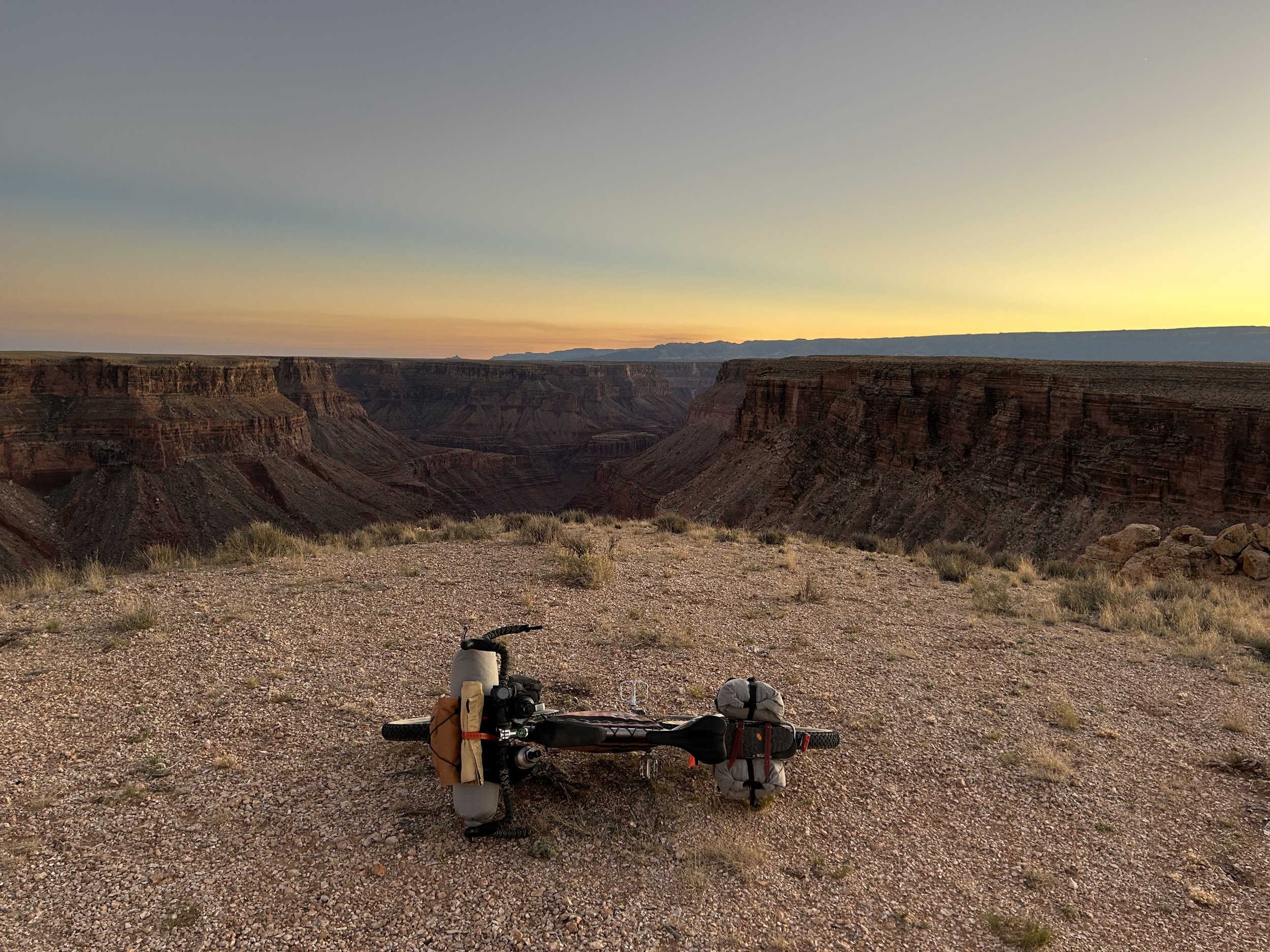
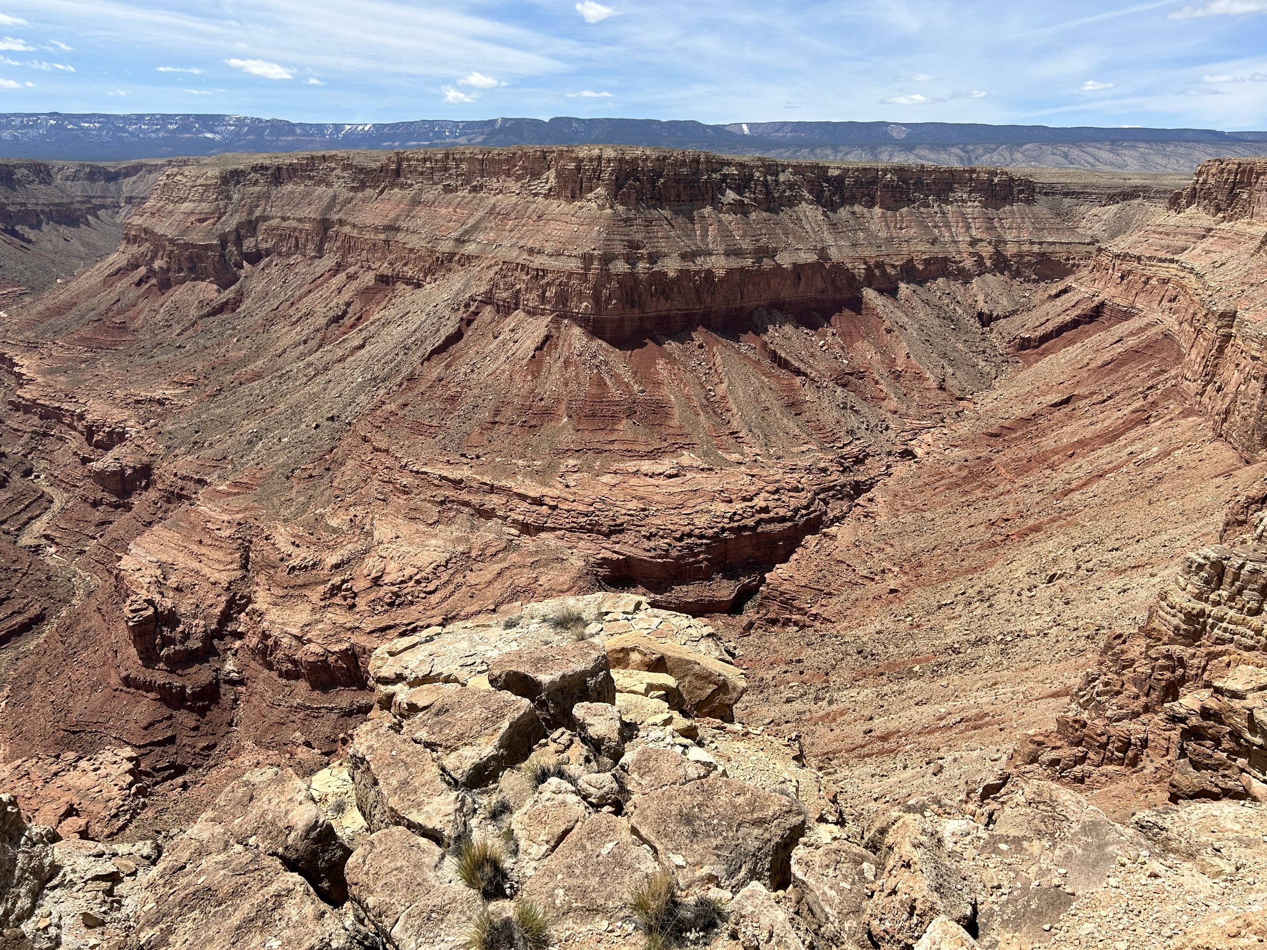
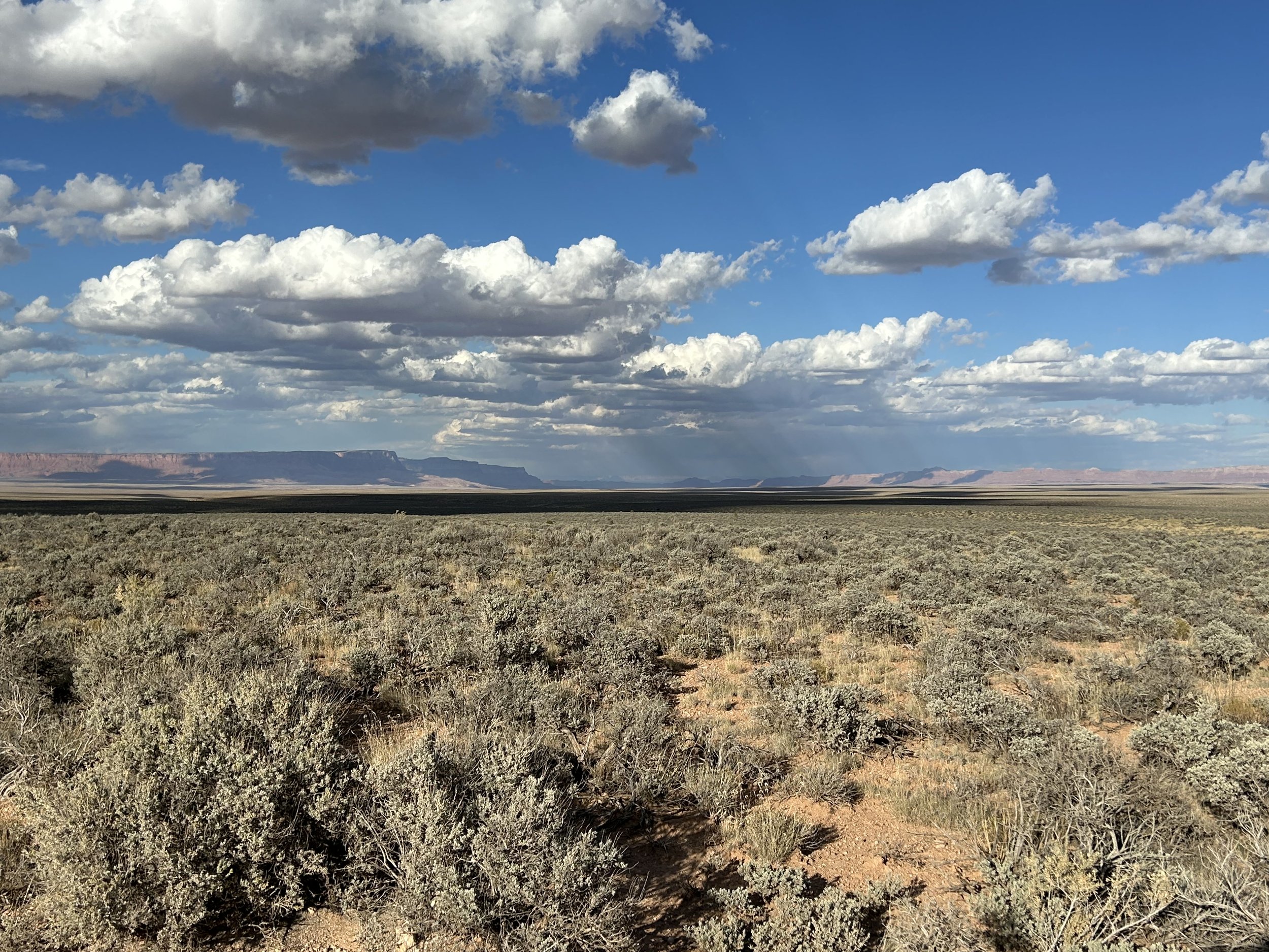
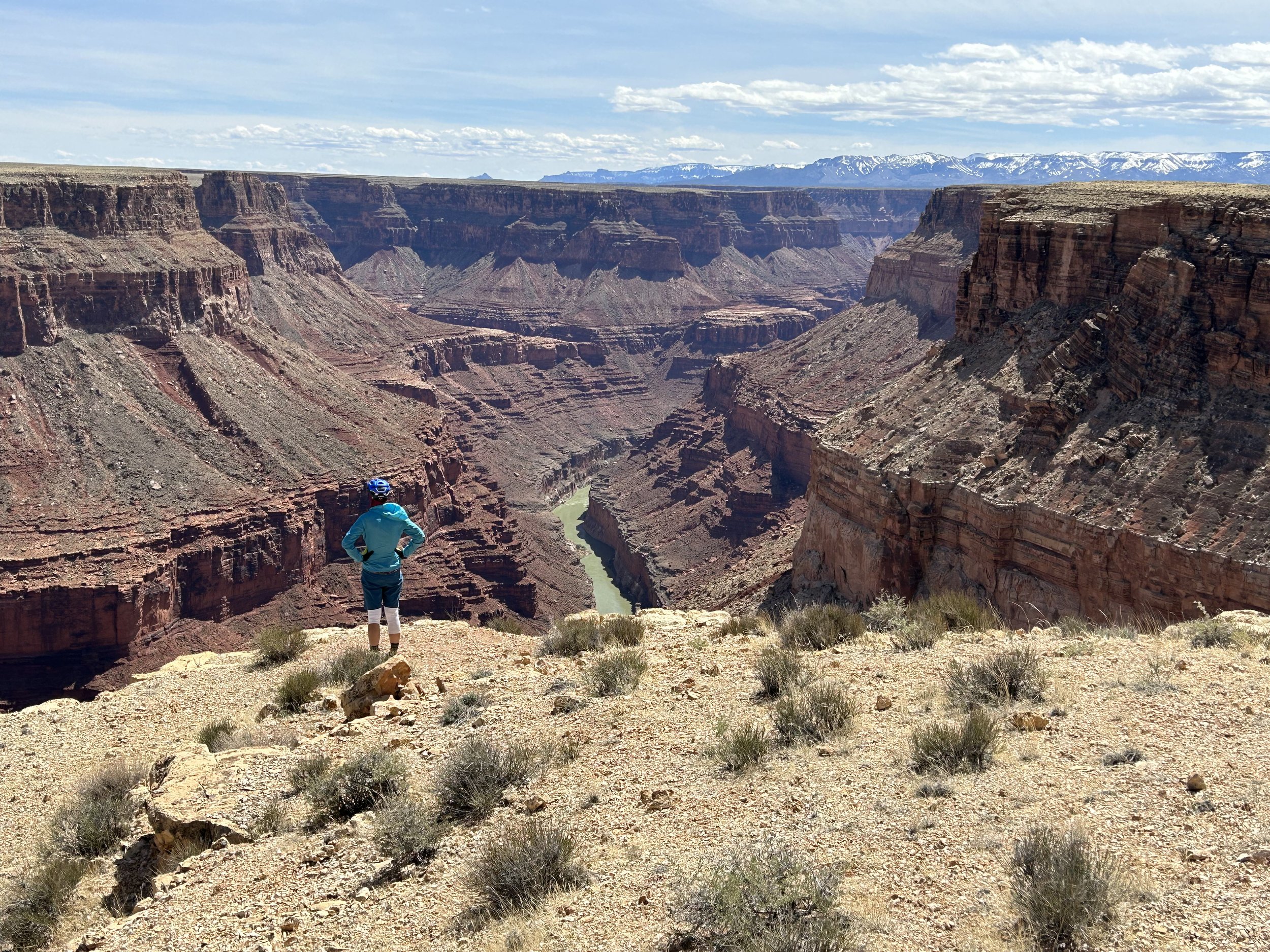
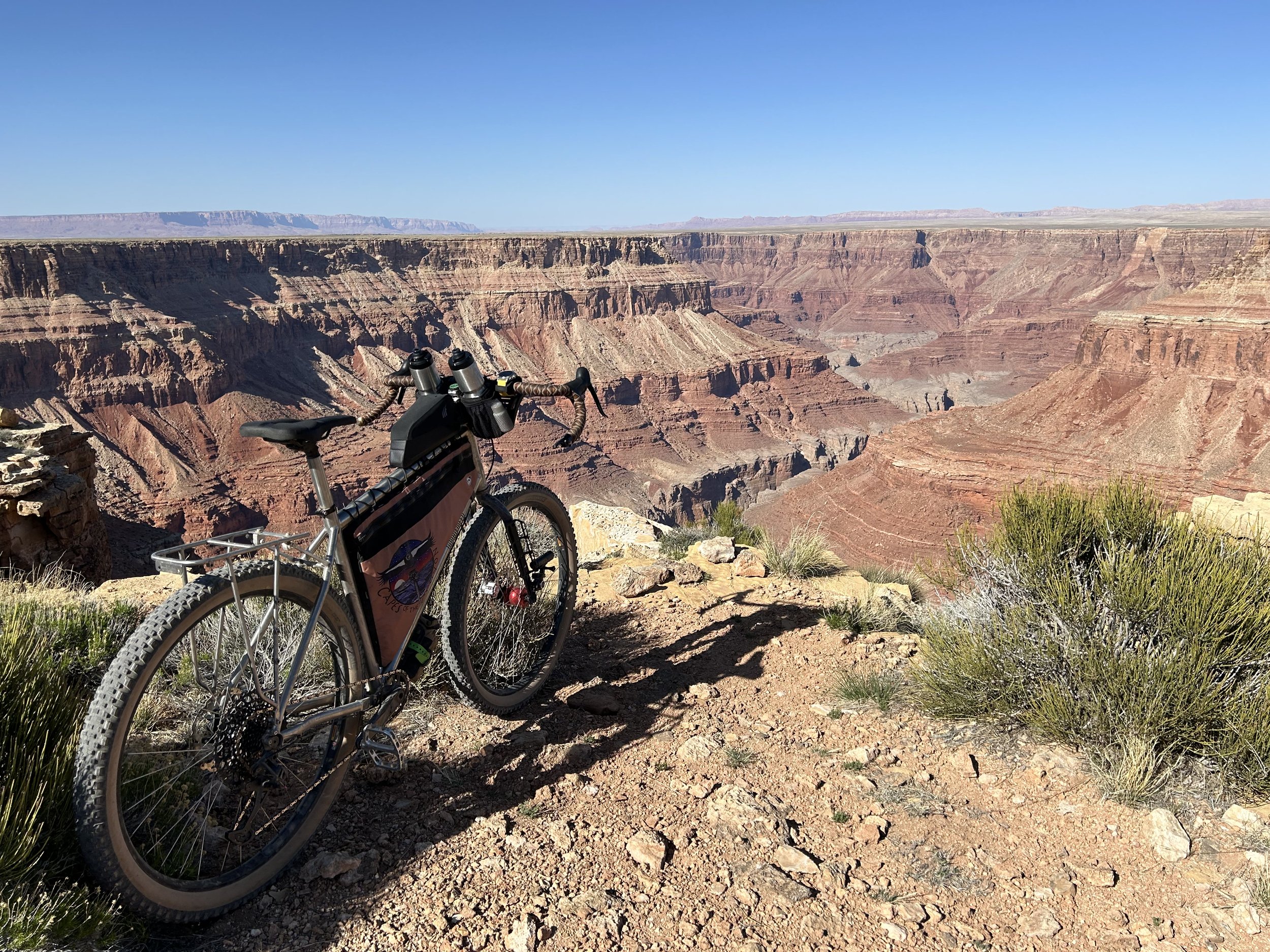
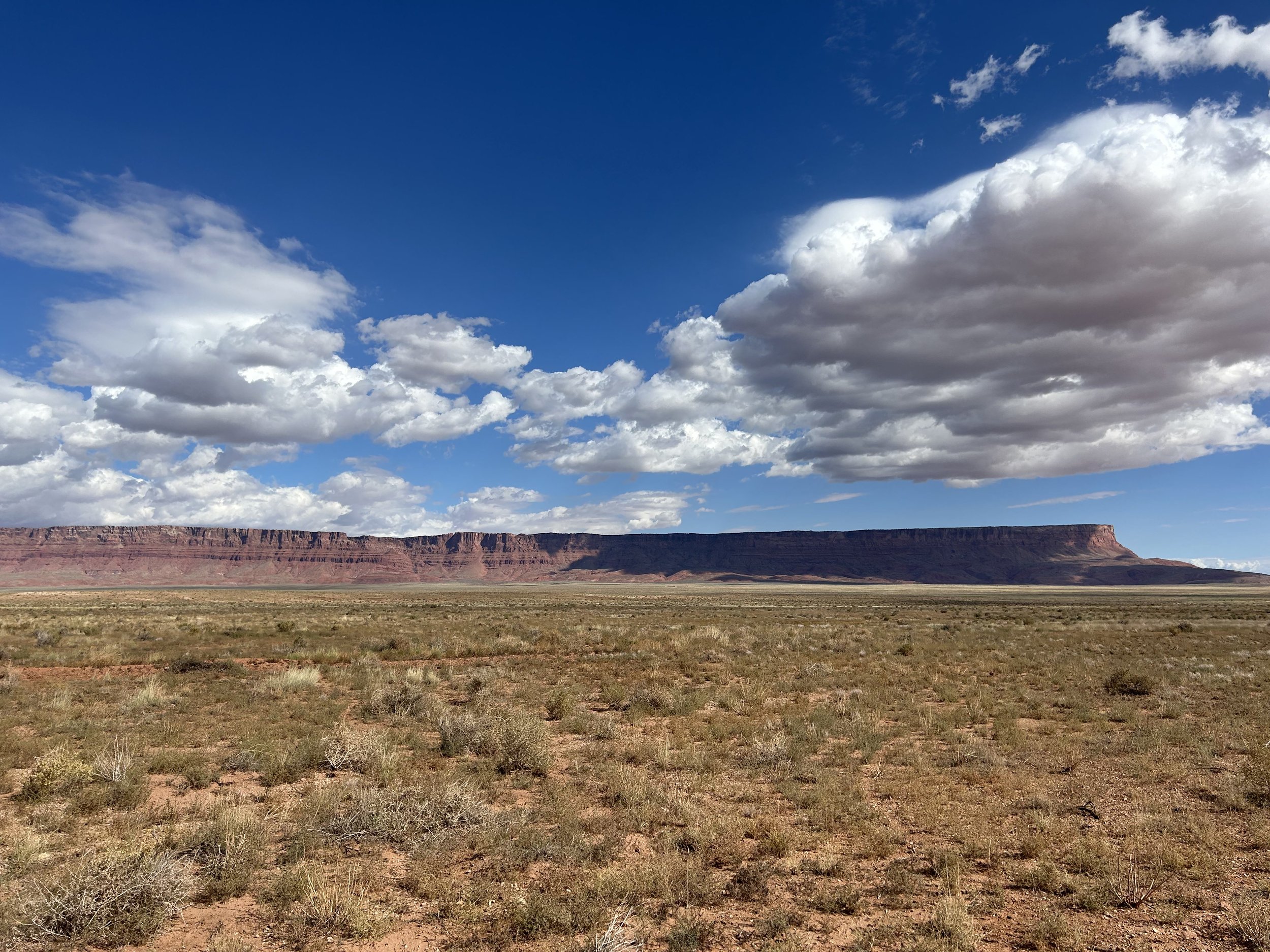
House Rock Wrap takes bikepackers on a wraparound traverse across House Rock Valley to viewpoints of Marble Canyon. Riders can expect to visit and camp rim-side at Pronghorn, Bedrock, South Canyon, Buck Farm, and Triple Alcove points. These overlooks provide expansive views of the Colorado River as it courses through the redwall layers of Marble Canyon - a precursor to the Grand Canyon. The route is framed by the sheer rising walls of Vermilion Cliffs National Monument to the north, the iconic Saddle Mountain Wilderness to the south, the gorge of Marble Canyon to the east, and the ascending flanks of the Kaibab Plateau to the west. House Rock Valley provides a multitude of dirt roads crossing high desert grasslands where pronghorn, deer, and bison frequent.
"Aesak" is the traditional Southern Paiute name for this basket-shaped region, and riders can expect to ascend across this important cultural landscape from lower grassy-arid plains to elevations where pinyon-juniper woodlands dominate. The route also passes through Coyote Canyon adjacent to the Paria Plateau with abundant opportunities to see endangered California Condors. Adventurous side-hikes and inner-canyon access are provided by the Nankoweap and South Canyon Trails as the route travels through the remote heart of the Baaj Nwaavjo I'tah Kukveni National Monument and the Kaibab National Forest.
Highlights:
Marble Canyon viewpoints at Pronghorn, Bedrock, South Canyon, Buck Farm, and Triple Alcove points.
Opportunities for side-hikes at South Canyon and Nankoweap Trails.
Biking across Baaj Nwaavjo I'tah Kukveni and next to Vermilion Cliffs National Monuments.
Expansive high grassland views framed by dramatic geological rises and sinks.
Camping rim-side at remote desert locations along the Marble Platform.
3. Map and GPX
-
Purple = Improved Dirt Surface (Frequently Maintained, Usually Smoother)
Red = Rugged Dirt Surface (Infrequently Maintained, Typically Rougher/Rockier)
Brown = Primitive Dirt Surface (Rarely/Never Maintained, Particularly Rocky/Rutted/Eroded)
Yellow = Sand (Intermittent with Hard Pack; Mild/Medium Depth)
Black = Hiking Trail - No Bikes Allowed
Blue = Vehicular Pavement
4. Alerts and Closures
The Southwest is a dynamic region. House Rock Wrap is subject to flash floods, extreme heat, snow, monsoon storms, death mud, and relentless wind. Kaibab National Forest and the Bureau of Land Management are the main land management agencies who may issues closures for access. BEFORE you ride, make sure you check EACH of the links below to see if important alerts or closures will affect your riding of the established routes. Be prepared to use maps to find alternates should a sudden change in route conditions occur.
Good physical maps for the region can be accessed or purchased below:
5. Route Design Philosophy and Vision
House Rock Valley sits along the base of Vermilion Cliffs National Monument - one of my favorite places on Earth for its beauty and remoteness in northern Arizona. Years ago as we were driving along Highway 89A to bike along House Rock Valley Road north to the AZT terminus, my friend Darren looked out down Buffalo Ranch Road and declared the area worthy of biking. It would be years later and after I moved to the South Rim of the Grand Canyon that I would find myself winter-bound and hungry to ride some desert landscape in spring. I was building the Capes of the Canyon bikepacking route and found myself peering at maps that showed dirt roads heading out to rim viewpoints of Marble Canyon in House Rock Valley. I threw my bike on my car and headed off for an overnight in the area. Riding down those roads and exploring sandy doubletrack to nowhere became my Colorado Plateau weekend escape from snow. This route was born from that riding. It's designed to visit the trailheads, travel across the vast dirt roads, juxtapose the narrow tableland canyons and expansive open grasslands, and wrap around the cultural landscape of House Rock Valley.
6. Blogged Trip Reports
These are my blogged trip reports and photos from past rides of the route.
7. Route Description
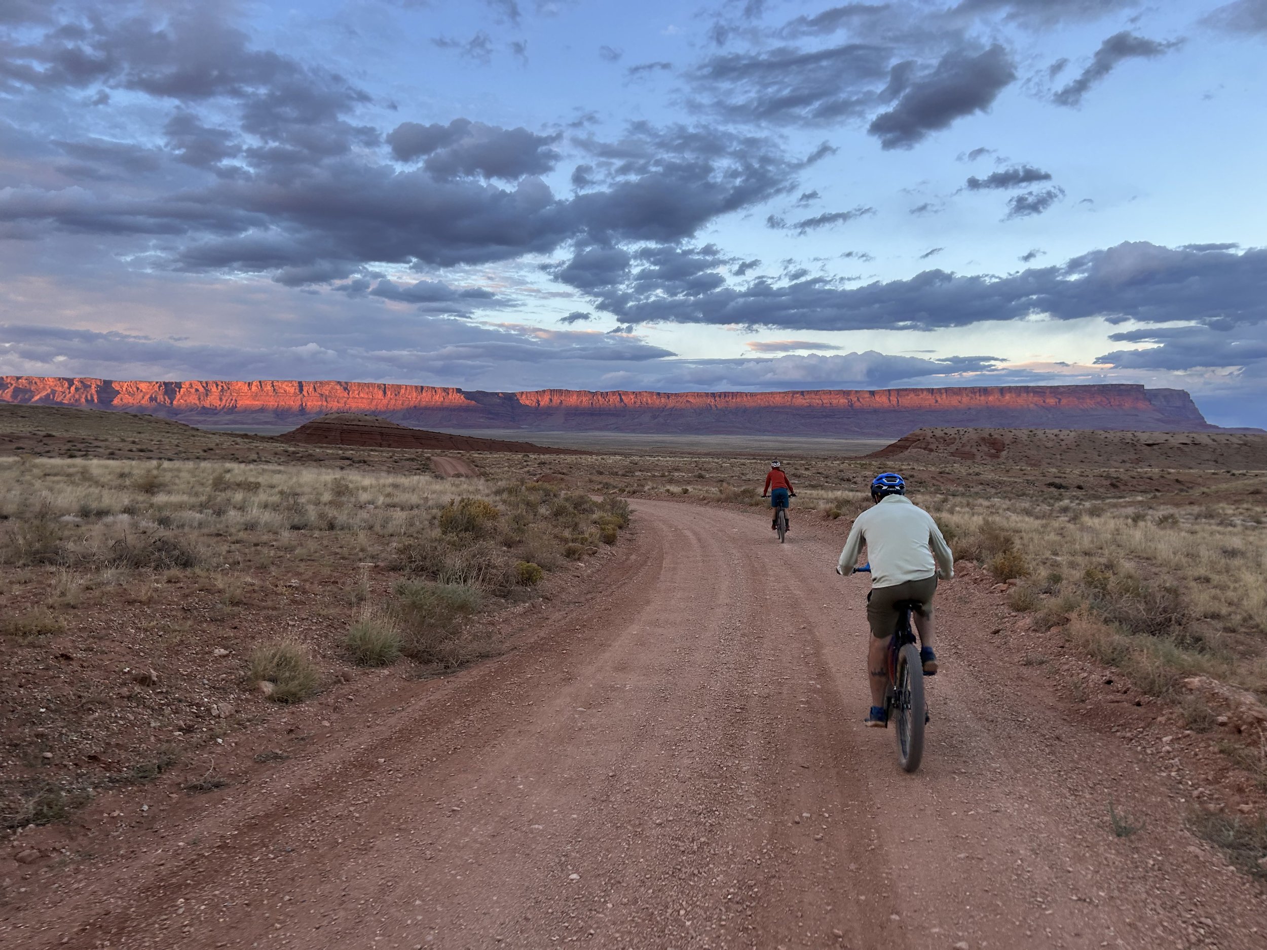
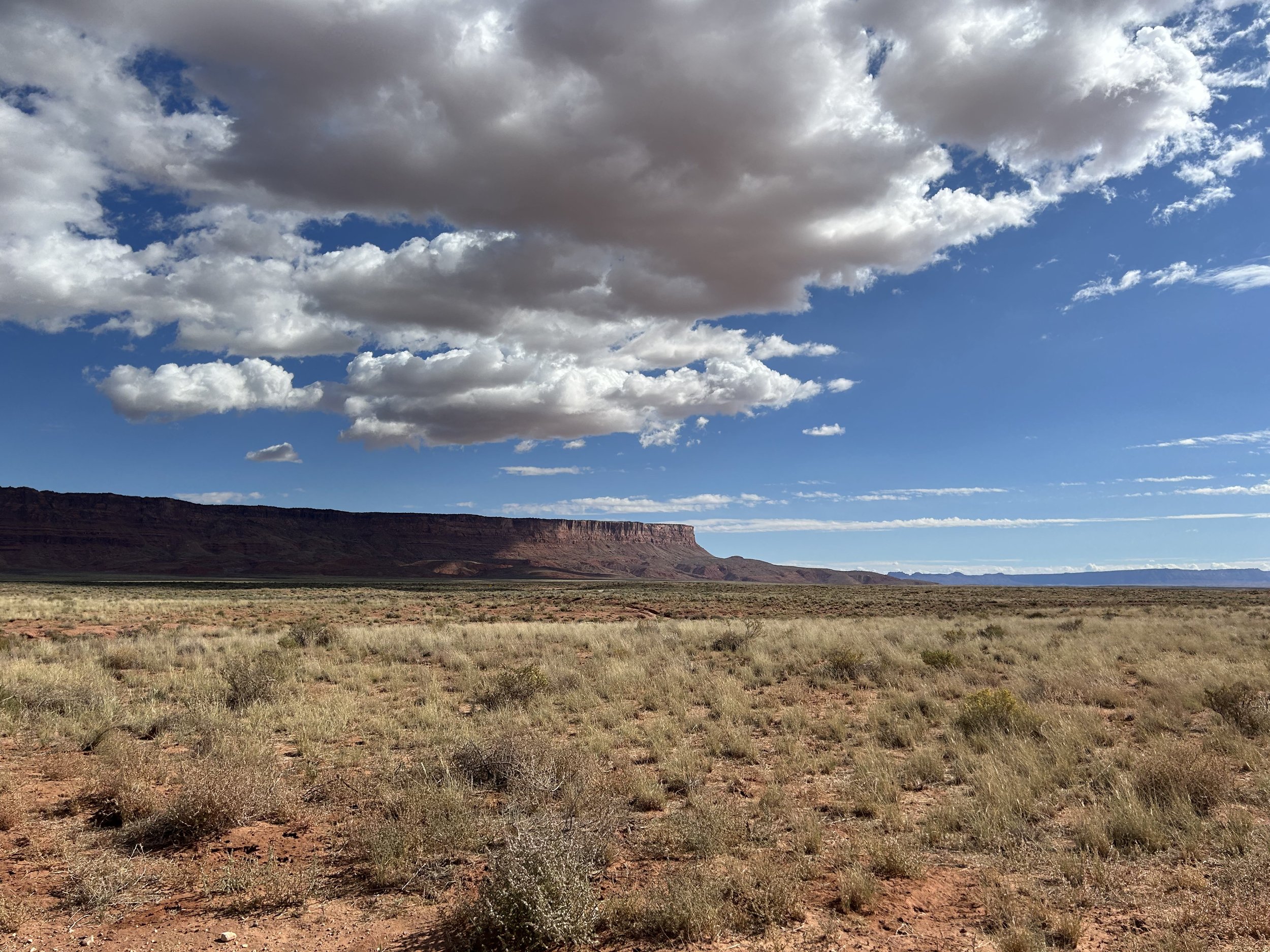
Start your ride at the northern terminus of the Arizona Trail at the Stateline Campground between Arizona and Utah. Head south on House Rock Valley Road which meanders through Coyote Canyon and its spilling colored stratifications. The views widen as the Paria Plateau climbs to your left and you reach a high point of 6000 feet for a fun and long downhill. House Rock Valley now opens up as a spreading arid grassland that hits like a tide upon the rising rock faces of Vermilion Cliffs National Monument all rouge and burnt orange against the land. Stop at the California Condor Viewing Site and look for whitewash on the tall cliff faces for this highly endangered and largest bird in North America. Then, take a left on Highway 89A for about 8 miles of downhill.
The pavement ends as you turn right on old doubletrack and begin to enter the northeastern heart of the Baaj Nwaavjo I'tah Kukveni - Ancestral Footprints of the Grand Canyon National Monument. Ride with respect, appreciation, and soak in the beauty. This next section of road quickly becomes fine red desert sand that can sink a tire. Luckily you're heading downhill and the sand is intermittent with hardpack. Regardless, you may have to hike-a-bike a bit over the next several miles until you reach the low point of the route. From here on out, most of sand will be left behind. Make your way south on very rocky-to-smooth doubletrack that cuts across the scenic grasslands. You'll be able to see the cleft of Marble Canyon's gorge ahead of you in the distance. Keep your eyes peeled for pronghorn and deer out here. Dip down into North Canyon Wash and then rise up in the grassy sea once more as the rift in the land comes before you at the edge of Marble Canyon. Stop at Pronghorn Point for a view of the Colorado River flowing through Marble Canyon below along with views of Twentyseven Mile Rapids.
Retrace and head south where spectacular Bedrock Point comes into view. Gaze deep down Marble Canyon's main channel in addition to the side-labyrinths of Bedrock and South Canyons. Camp rim-side at Bedrock for the night. In the morning, retrace and head west towards the growing flanks of the Kaibab Plateau. Stop for water at Buffalo Tank and then make your way towards privately-owned Kane Ranch. Here, you'll turn south along the foothills and slowly begin to gain elevation. A spur road will take you out towards South Canyon and its open abyss. Prepared and adventurous bikepackers can leave their bikes on top and hike the primitive and strenuous route down into Marble Canyon. Retrace and make sure to stop at the Arizona Game and Fish House Rock Valley Headquarters, aka. Buffalo Ranch. There is a wild bison herd managed by the AZGFD in the area, so be aware and give them tons of space. Bikepackers have permission to enter the headquarters where non-potable water can be obtained from a spigot/trough.
Afterwards, continue the retrace back to the main road where a turn south steadily gains elevation. The grasslands will transition to pinyon-juniper woodlands along with splotches of sage. As you approach the lower lollipop of House Rock Wrap, the Saddle Mountain Wilderness will adjoin the road; make sure to keep your bike on the interior portion of the loop per Wilderness regulations. The road will become rockier/chunkier as you ascend to the high point of the route at 6450 feet as the distinctive curve of Saddle Mountain rises before you. Stop at a wildlife tank for water and then make your way to the Nankoweap Trailhead. This is the toughest established trail in Grand Canyon National Park, so if you want to hike it, park your bike and walk your way in - just make sure you're prepared and have a permit for any overnight camping.
Continuing on the loop, a thrilling descent carries your bike down to the Triple Alcoves Trailhead where a short 0.5 hike leads out to commanding views of President Harding Rapids on the Colorado River below you. Get back on the bike and continue to follow the curve of the lollipop as you next take a tangent out to famous Buck Farm Viewpoint. Enjoy the evening here and camp for the night rim-side. Come morning, you'll close the loop and start to take the main dirt Buffalo Ranch Road back out towards paved Highway 89A. Turn left, and bike a couple miles back to the stem of the route on House Rock Valley Road/BLM 1065 that turns right and reenters Vermilion Cliffs National Monument. From here, it's a straight pedal back to the Stateline Campground/northern terminus of the Arizona Trail where the route finishes.
8. Route Difficulty, Surface Conditions, and Direction to Ride
Route Difficulty
Physical Difficulty = 4/10 (Regular rolling terrain with sustained climbing)
Technical Difficulty = 5/10 (Continuous sections of track may be rocky, loose, and steep; (e.g., 4×4 roads or singletrack in rugged/rocky terrain) suitable for intermediate mountain bikers)
The technical difficulty of the route mainly comes in the form of sand upon entrance to House Rock Valley and the rugged doubletrack that climbs up to Pronghorn Point, Bedrock Point, and Nankoweap Trailhead. It can get rocky in sections and eroded after monsoon season.
The physical difficulty is mostly due the rolling climbing on the route. Bikepackers have three main climbs on the route that are not particularly steep each, but definitely take a while to reach the top of.
Noteworthy Climbs
Climbing up to the high point on House Rock Valley Road in Coyote Canyon
Ascending to Nankoweap Trailhead at the southern end of the route
Finally, there are conditions difficulties on this route. These include climate, temperature, environment, elevation, water, and resupplies.
Temperatures on the route can be brutally over 100 degrees F in the summer and well below freezing in winter.
There is little shade and lots of exposure for good portions of the route.
Peanut butter mud and impassable roads become a very real possibility if it rains on the dirt roads around House Rock Valley and Vermilion Cliffs.
The scarce nature of water and no food resupplies requires riders to carry several days of resources at a time. Always bring more water than you need should a spring or wildlife tank be dry.
Spring can bring fierce and constant headwinds on the open grasslands.
Surface Conditions
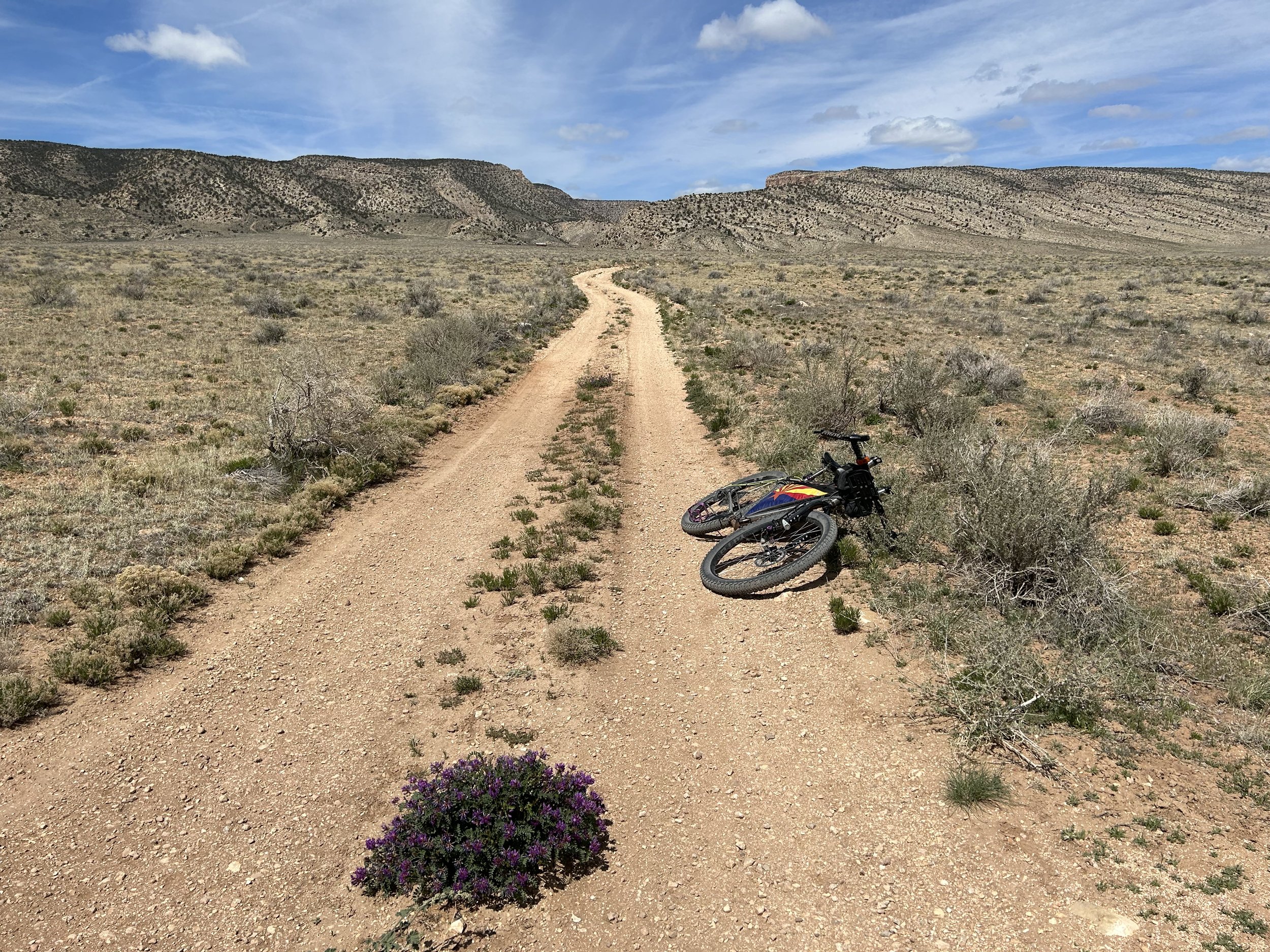
Most of House Rock Wrap sticks to broad dirt roads along the transect of the valley. These roads are mostly in fine condition, but they can become rutted, washboarded, and eroded after a serious monsoon season or frequent ATV use. In addition, sand is an expectation for several miles of the route when first entering House Rock Valley; it's temporary, but there. Most of the doubletrack along the route is a mixture of smooth to rocky-rugged.
If any rain/snow is forecast, most of the unpaved route will become peanut butter/death mud and impassable in places. Leave No Trace and avoid riding at these times until the route dries out. In addition, flash flooding from precipitation is a real possibility around the Vermilion Cliffs and House Rock Valley - stay safe and stay out of washes or low areas at those times. I cannot stress enough that House Rock Valley Road will become absolutely impassable during precipitation events making riding your bike or driving a vehicle to the start anywhere from untenable to impossible.
Noteworthy Primitive, Rocky Surfaces
The sandy descent from Highway 89A to House Rock Wash
A section of potential sand near the northern end when leaving Buffalo Ranch Road
Descending and crossing North Canyon Wash and then climbing to Pronghorn Point
The climb to Nankoweap Trailhead on the southern lollipop of the route
Noteworthy Vehicular Pavement
Highway 89A: There is little shoulder and medium-level fast traffic. There are good-lines-of-sight and it's relatively straight. Wear bright colors, flashing lights, and ride defensively.
Direction to Ride
The route is intended to be ridden in a mostly clockwise direction (the bottom lollipop is counterclockwise). The reasons for this include:
Riding downhill through the sand towards House Rock Wash instead of uphill.
Spreading out water sources on the second day of the route when water will be of greater need.
Prioritizing viewpoints of Marble Canyon on the way out so that the finish of the trip is a straight shot.
9. When to Ride (Temperature + Climate)
-
When: Late March - Mid-May
Average Highs:
59 - 76 F
Average Lows:
40 - 55 F
Precipitation:
0.40 - 0.70"
Snow:
0.0-0.1"
-
Dirt road tread tends to be smoother and in better condition. Maintenance and grading occurs.
Water sources full, but can be filled with algae from the frequent sun.
Growing length in daylight.
Bright green vegetative growth and lots of flowers.
Late March is susceptible to late season winter storms that can make the higher portions of the route impassable with mud.
Lower portions of the route might be much hotter by Mid-May.
Strong spring windy season can rip across House Rock Valley providing intense headwinds and dust storms at times.
-
When: Late September - Early November
Average Highs:
56 - 84 F
Average Lows:
38 - 64 F
Precipitation:
0.50”
Snow:
0.0-0.2"
-
The desert could be very dry if there has been a weak monsoon season.
Water sources are likely to be drier and shallower than spring, although the water could be clearer.
Dirt road tread tends to be rockier, eroded, and with more washboard in places due to monsoons and ATV use.
Calmer weather and infrequent wind.
Monsoon thunderstorms are typically expected through the end of September. However, they could extend into October. If this happens, portions of the route can flash flood, becoming dangerous or impassible. The soil here will absolutely become death mud.
Early winter storms can strike in November leading to impassable mud.
-
When: Late November - Early March
Average Highs:
44 - 49 F
Average Lows:
30 - 33 F
Precipitation:
0.60 - 0.90"
Snow:
0.8-1.7"
-
Portions of the route can receive snow and rain becoming impassable/impossible to bike due to snow and mud.
Cold, below-freezing conditions.
-
When: Late-May - Early September
Average Highs:
76 - 93 F
Average Lows:
55 - 74 F
Precipitation:
0.20 - 0.60"
Snow:
0.0"
-
Dangerous and inadvisable heat. Don't ride here at the time of the year.
High UV index and altitude means temperatures feel much hotter than the ambient air temperature forecasts.
Water sources dry up.
Monsoon storms can rip across House Rock Valley bring intense rain, death/peanut butter mud, lightning, and wind.
Foresummer means excruciatingly hot and dry conditions. The roads turn dusty.
All the data above are presented as ranges of monthly averages.
***Information based on House Rock Valley Buffalo Range, AZ average climate.
10. Ecoregions and Landscape
House Rock Valley is located on the Colorado Plateau. Sitting as a basket cradled by the Kaibab Plateau, Marble Canyon, Vermilion Cliffs, and Saddle Mountain, the area is typically arid, wide, and rolling.
Marble Platform
Locations on Route: House Rock Valley
Description: Desert scrub and desert grasslands stretching across the limestone plateau of House Rock Valley.
Escarpments
Locations on Route: Vermilion Cliffs
Description: Cliff-benches that descend dramatically in red shades from high conifer desert forests to semi-desert shrublands at the bottom.
Grand Canyon
Locations on Route: Marble Canyon
Description: Dramatic relief of exposed rock and geology that can vertically extend from 2000 - 8000 feet. The upper elevations of the route will pass by sagelands, pinyon-juniper forests, yuccas, and needlegrass.
Arizona Strip Plateaus
Locations on Route: Stateline Campground and Coyote Canyon
Description: Woodlands and shrublands that receive little summer moisture. Lots of junipers, sagebrush, grasses, and snakeweed.
Northern Woodlands and Sagebrush
Locations on Route: Kaibab Plateau along Buffalo Ranch Road, Nankoweap Trailhead
Description: Found in a ring around the lower elevations of the Kaibab Plateau. Expect juniper-pinyon forests intermixed with an abundance of sage. Most precipitation occurs during the colder seasons.
Semi-Arid Benchlands and Canyonlands
Locations on Route: House Rock Valley Road
Description: Narrow canyons snake through mesas with loads of exposed bedrock. There are lots of sand, grasses, and sage.
Inner Canyon
For riders looking to stash their bikes on top and hike over the rims into the inner gorge of Marble Canyon, a unique ecoregion awaits. The inner canyon is its own unique ecoregion composed of limestone, granite, shale, sandstone, and metamorphic rock. Temperatures at the bottom differ from the top by nearly 20 degrees F. The Colorado River flows at elevation 3000 ft. and is frequently lined with rich riparian corridors. Hikers can expect to see cottonwoods, willows, mesquite, and tamarisk along the waterfront and especially lining side tributaries. In warmer months, these plants stand out as incredible neon green oases promising shade among the cooking red and ochre rock.
Know your physical limits. It is a 2000-4000 foot vertical climb from the river to the rim. During summer, temperatures at the bottom of the Canyon can be nearly 120 degrees F. DO NOT attempt to do a rim to river hike when temperatures are elevated for your safety and the safety of first responders. Cool temperatures on the rim don't make cool temperatures in the canyon.
11. Where Bikes Are Allowed and Not Allowed
House Rock Wrap Specific Bike Access
When traveling out to Nankoweap Trail along the southern lollipop of the route, make sure to stay on established roads and do not stray outside the loop as the Saddle Mountain Wilderness comes right up to the road. Bikes are not allowed in Wilderness Areas.
No riding singletrack or trails anywhere in this area. This includes South Canyon, Nankoweap, and Triple Alcoves. You are allowed to cycle on any established dirt roads.
General Access
Bikes are STRICTLY forbidden below the rim in the inner gorge of Marble Canyon which is managed by Grand Canyon National Park. DO NOT RIDE YOUR BIKE DOWN INTO THE CANYON - you will get fined, it is illegal, and you will hurt the perception and opportunities of other bikepackers on this route.
Finally, respect tribal land and do not ride without permission in the lands of the Navajo Nation (Diné) just across the Colorado River at Marble Canyon. This route stays explicitly within land domains where riding is public and legal. Although it may approach boundaries with the surrounding tribal nations, you should never ride onto the reservations without securing tribal government permission. Doing so otherwise is disrespectful and unlawful. I must note that although this route stays on "public lands," the formation of Grand Canyon National Park in this area involved the forced removal of tribes such as the Havasupai, and they have endured legal battles to keep their vastly smaller chunk of land out of their historical precedent. Know the land you are riding on is traditionally theirs, know their current reservation boundaries are smaller than where they historically inhabited, and know where you are riding to keep yourself both legal and respectful.
12. Native Nations and This Land
House Rock Wrap travels through an area known as Aesak (traditional Southern Paiute name), so-named for the basket-like topography of the land. The land around Aesak including Marble Canyon and the Grand Canyon is the current and traditional home to eleven federally recognized tribes (as well as other non-federally recognized tribes) including the:
Havasupai Tribe
Hopi Tribe
Hualapai Tribe
Kaibab Band of Paiute Indians
Las Vegas Band of Paiute Indians
Moapa Band of Paiute Indians
Diné (Navajo Nation)
Paiute Indian Tribe of Utah
San Juan Southern Paiute Tribe
The Pueblo of Zuni
Yavapai-Apache Nation
Native people are absolutely still here in the area, and have been here for thousands of years. The Grand Canyon region is both an actual and spiritual home. To many Tribes, the Canyon is a Living Landscape. When you as a rider are bikepacking through this area, make sure to treat the Living Landscape as as you would a literal home: Recreate with Respect. Act with care.
The Grand Canyon is a Cultural Landscape; It is not a theme park.
The founding of the National Park involved the forced removal of indigenous groups, especially the Havasupai. The Havasupai's traditional land included not only the namesake canyon they still live in today, but many of the Grand Canyon's riparian gardens and campgrounds, including Ha'a Gyoh (Havasupai Gardens) and Mather Campground. The Park spent many years shuffling Havasupai families around, taking advantage of labor, restricting their land use, and forcing them outside the new federal boundaries.
Grand Canyon National Park has spent the last few years moving in the direction of rebuilding relations with associated tribes of the area. The Park has worked to turn Desert View into the Desert View Inter-tribal Cultural Heritage Site. The work to move towards rebuilding relations is going to take work by the Park. Words of intention show a desire to move the needle; more authentic action will need to be done. Further information on the tribes of the Grand Canyon area and the history of Native/park relations can be found below:
In August 2023, President Joe Biden created the Baaj Nwaavjo I'tah Kukveni (Ancestral Footprints of the Grand Canyon) National Monument. This effort was led by a coalition of Tribes in the area with an eye towards protecting their Ancestral Homelands, preventing uranium mining from impacting the watershed, and safeguarding the cultural and ecological aspects of the region. Nearly 1 million acres in size, and spanning land on both the North and South Rims, the National Monument now encompasses the entire Kaibab National Forest in the Tusayan District, parts of the North Kaibab District, and BLM lands around the House Rock Valley area. The Capes of the Canyon travels extensively through these ancestral lands. Keep the successful efforts of the Grand Canyon Tribal Coalition in mind, as well as the intent of the Baaj Nwaavjo I'tah Kukveni, as you bikepack the route. Further information on the Ancestral Footprints of the Grand Canyon NM is found below:
13. Leave No Trace and Bikepacking Ethics
Bikepackers, like all backcountry users, leave an impact on the land, vegetation, and wildlife of the places they travel through. Leave No Trace outlines specific actions that bikepackers can take to minimize their impact on the land. Below are some considerations I would urge bikepackers on the COTC to take that are specific to this area.
Ride on Dry and Compact Roads/Trails
The soil of the Colorado Plateau has a high clay and silt content with some serious caliche. Rain and snowmelt will turn the ground to peanut butter mud, or even horrendous death mud. It will clog up your tires and derailleurs. Even worse, it tears up the roads and trails as you leave long ruts and holes in the ground behind you. If there is rain in the forecast, don't ride the route. Wait for it to dry. This could take hours, days, or weeks depending on the time of year.
Look but Don't Disturb or Photo-Geotag Cultural and Archeological Items
There are parts of this route that may pass by unmarked sensitive cultural/historical/archeological sites or items. If you see or stumble on something, look at it, enjoy it, and learn more about the item when back in the frontcountry. Leave it exactly where it is and do not collect it. DO NOT post locations, geotag photos, or post the items on social media. This is at the request of both the Native Tribes of the area, Grand Canyon National Park, and Kaibab National Forest.
Avoid touching these items as well. Remember that this place is a Living Landscape to many Native groups - this means all items contain a life force and are alive in some way that creates a balance of nature. Take on an approach that treats all things (animate, inanimate, natural, cultural, etc.) as deserving the respect, dignity, and privacy that we would want/expect for ourselves by others. Looking through this different "cultural lens" takes some work. Taking these actions are an opportunity to demonstrate respect and awareness of Indigenous perspectives of the world.
Camp at Least 0.25 Miles from Water Sources
Plan to camp 0.25 miles or further from all water sources on this route, especially the Arizona Game and Fish Department wildlife tanks. More information on water sources can be found below.
Leave No Trace is much bigger than just these. Both Bikepacking Roots and Bikepacking.com have excellent resources on Leave No Trace for backcountry cyclists. These include:
Plan Ahead + Prepare
Travel + Camp on Durable Surfaces
Dispose of Waste Properly
Leave What You Find
Minimize Campfire Impacts
Respect Wildlife
Be Considerate of Other Visitors
Bikepacking Roots has the Love Where Your Ride Campaign where they partnered with the Leave No Trace Center for Outdoor Ethics to make bikepacking specific principles. Visit the site to see a breakdown of each principle listed above.
Backpacking.com has the Leave No Trace for Bikepackers: Ride. Camp. Respect principles where they outline many of the same items listed above but also include Know the Land and Represent the Community (both excellent inclusions). Visit their website to read more.
14. Water Sources
Water is scarce along this route. This area is arid and the tablelands and canyonlands around the Vermilion Cliffs, House Rock Valley, and Coyote Canyon are true desertscapes with little reliable surface runoff or pools. Plan to carry several liters of water, sometimes enough to last at least 24 hours and more than you think you'll need should you arrive at a source and find it dry.
Water is mostly found in dirt cattle tanks, metal cattle tanks, and Arizona Game and Fish Water Catchments (Wildlife Tanks). There is an AZGFD Headquarters located out at Buffalo Ranch with year-round spring water available from a spigot being fed into a trough. The wildlife tanks along the route can be chock full of bugs and algae in the summer, but are safe to drink with treatment/purification. AZGFD Wildlife Tanks help provide water to wildlife in the ever-drying environment of the southwest under climate change. There is no camping within 0.25 miles of AZGFD Wildlife Tanks (or other water sources). This route requires riders to dry camp. Be prepared to load up at water sources so that you can camp far away from them.
Consider making a donation to help the AZGFD keep these wildlife tanks stocked at AZWildlifeHero.com. You can also donate to Wildlife Water Works which is a nonprofit whose mission is to, "Replenish, Refurbish & Create Arizona Game Water Catchments." Donations to Wildlife Water Works can be made here. I suggest a minimum donation of $25 because it's hard work by volunteers to keep these water sources maintained and filled.
15. Camping
In the the Baaj Nwaavjo I'tah Kukveni National Monument, Kaibab National Forest, Vermillion Cliffs National Monument, Grand Staircase-Escalante National Monument, and House Rock Valley, excellent and numerous dispersed camping abounds. Marble Canyon is truly one of the most remarkable places for dispersed camping right up against the edge of the gorge at numerous locations for those making the remote trek out.
16. Food and Resupplying
There are no food resupply opportunities on the route. Pack in everything you'll need for the duration.
17. Sample Route Itinerary
This is a suggested itinerary. Use it as a rough guide for your own planning purposes. Feel free to use it, adapt it, or don't use it all and make your own plans. Plan your trip on this route based on your own strengths, comfortabilities, experiences, wants, and needs.
-
Mileage: 46 Miles
Elevation Gain: 2100 ft.
Description: Park your car for the duration of the ride at the northern terminus of the Arizona Trail at the Stateline Campground. Carry all the water you'll need for today and tomorrow morning. Head south down House Rock Valley Road, merge with paved Highway 89A and head east. Join dirt towards House Rock Wash. Continue to Marble Viewpoint 1 at Pronghorn Point. Finally, ride to Marble Viewpoint 2 at Bedrock Point where you'll dispersed camp at the rim.
Water: There is no reliable water today, so carry everything you need to get you through tomorrow.
Resupply: None
Camping: Dispersed camping at Bedrock Point
-
Mileage: 44 Miles
Elevation Gain: 2400 ft.
Description: Grab water at Buffalo Tank and then merge with Buffalo Ranch Road heading south. Head to the AZGFD Headquarters for more water and a stop at Marble Viewpoint 3 at South Canyon. Then return and head south beginning a lollipop loop and climb to Nankoweap Trail. Ride to Triple Alcoves for a hike out to Marble Viewpoint 4. Finally, head out to Buck Farm for tonight's camping at Marble Viewpoint 5. Make sure to get enough water prior to camping to get you through tonight and all tomorrow.
Water: Buffalo Tank; AZGFD Headquarters; Wildlife Tanks
Resupply: None
Camping: Dispersed camping at Buck Farm Viewpoint
-
Mileage: 54 Miles
Elevation Gain: 2000 ft.
Description: Leave Buck Farm and close the lollipop loop riding north on Buffalo Ranch Road. Pass Kane Ranch and continue to the escarpments of the Vermilion Cliffs. Turn left and bike several miles along Highway 89A before taking a right on House Rock Valley Road. Ride the original stem of the route back to the Stateline Campground and finish of the route.
Water: Go off-route to grab water from the AZGFD Headquarters or get some off Highway 89A before heading back to House Rock Valley Road.
Resupply: None
Camping: Finish! Camp at the Stateline Campground
18. Fees and Permits
Baaj Nwaavjo I'tah Kukveni National Monument, Kaibab National Forest, Vermillion Cliffs National Monument, and Grand Staircase-Escalante National Monument have no fees.
A Recreational Land Use Permit is required for any travel or camping on Arizona State Lands. Apply for and pay for one before you head out on the route. Carry it with you.
19. Getting to the Start
The start of the route is located at the Stateline Campground at the Arizona/Utah border on House Rock Valley Road/BLM 1065. It is best driven to from the north entrance off Highway 89 in Utah. This ends up being a 13 mile drive along smooth to bumpy dirt roads that the BLM claims is not periodically maintained in Utah, but in my experience tends to be surer than coming from the south. House Rock Valley Road from the north entrance tends to be in better shape and accessible by 2WD high-clearance vehicles (I've even seen many minivans and sedans down here). However, this is not a guarantee; this side can become rough enough that only high-clearance 4WD vehicles can make it.
Coming from the south is a much longer drive along dirt roads off Highway 89A that the BLM claims are periodically maintained, but in my experience are consistently rutted to the point that even high-clearance 4WD vehicles have some effort to make; take the surer path by coming from the north instead. Best bet is to reach out to local businesses (Kanab Tour Company, Paria Outfitters, Lake Powell Scenic Tours) to check on road conditions before driving.
If there is any rain in the forecast, House Rock Valley Road will turn to a gelatinous mud capable of swallowing vehicles to their wheel-wells. The road will became completely impassable in these conditions - do not attempt to drive on them. This means you have to be aware of the forecast before driving to the start of this route. If you are unsure about this, you can always find an alternate start location for the route. There are plenty of places off Highway 89 or Highway 89A on public land where you can leave your car overnight for a few days.
20. Parking
Park your vehicle for the duration of the route at Stateline Campground located at the border between Arizona and Utah. In addition to dry campsites, the campground is also the northern terminus for the Arizona Trail. There is a parking area in front of the obelisk/monument for the AZT; this is where you can leave your vehicle overnight.
For those concerned about getting their low clearance and/or 2WD vehicle all the way down to the Stateline Campground, know there there are several additional excellent places to park just off House Rock Road/BLM 1065 on the way to Stateline Campground. If you park in these spots, you’ll add a few miles, but may have better peace of mind:
Just off of Highway 89A there are dirt pullouts at the start of House Rock Road/BLM 1065
Wire Pass parking area
Buckskin Gulch parking area
Other dirt pullouts/camping spots next to the road
21. Additional Important Information
Bison:
There is a wild bison herd managed by the Arizona Game and Fish Department that lives out on House Rock Valley. These bison are wild and tempermental - give them lots of space and do not approach too close. Be prepared to detour your ride if necessary around certain areas or water sources.
ATVs:
ATVs frequently use House Rock Valley Road/BLM 1065. The Wave, White Pocket, Coyote Buttes South, and the Buckskin Gulch have all made this dirt road increasingly popular for vehicular travel over the last several years. Expect mild intermittent washboard along sections of the road and some dust from passing vehicles. However, I have found drivers are pretty respectful, will check on you/offer you water, and give you space when passing. Once in the grasslands of House Rock Valley, ATVs are rare.
Wind:
This is a large exposed area, and the wind can get ferocious, especially in the spring. Keep a positive mindset if you got caught in some. This usually means a headwind coming from the south or a crosswind coming from the west. Make sure your tent is pitched well, or choose to cowboy camp using some natural features as wind protection.
Fences:
There may be "cowboy fences" on this route which consist of barbed wire wrapped around vertical wooden branches that are strung across roads. They can be opened by removing a loop of wire on one side. Most importantly, leave fences as you found them; re-close them if they were closed.
Dark Skies:
Grand Canyon National Park is an International Dark Sky Park. This means that you can expect to have anywhere between Bortle Class 1 - 3 night skies overhead (even better night viewing during a new moon). The Bortle Class Scale is used to rate night skies on their clarity and lack of light pollution. A Bortle Class 1 is the darkest possible and there are several locations along these routes where, should you camp, you will have this level of darkness. Here, night skies will be virtually unimpeded by artificial light. You can use the following sites to explore more:
22. Route Finishers
If you thru-rode, section-rode, or partially-rode the route, head to the link below to complete a Route Finshers' survey and see who has ridden the route.
23. Other Rides in the Area
There are several other routes located in the area for those interested in checking them out:
24. Acknowledgements
I'd like to thank Janna for her time riding and exploring the many dirt roads across House Rock Valley. I'd also like to thank Matthew Jenkins for sharing his ideas for crossing some eastern portions of the area. For his thoughts and guidance on Indigenous perspectives of the Living Landscape, I'd like to thank Jack Pongyesva of the Intertribal Centennial Conversations Group and Grand Canyon Trust.
