El Lobo Lupus - Day 3 - Crossing Vast Subalpine Meadows
Date: June 2, 2023
43.37 Miles
2,665 Feet of Gain
Greer, AZ to Springerville, AZ
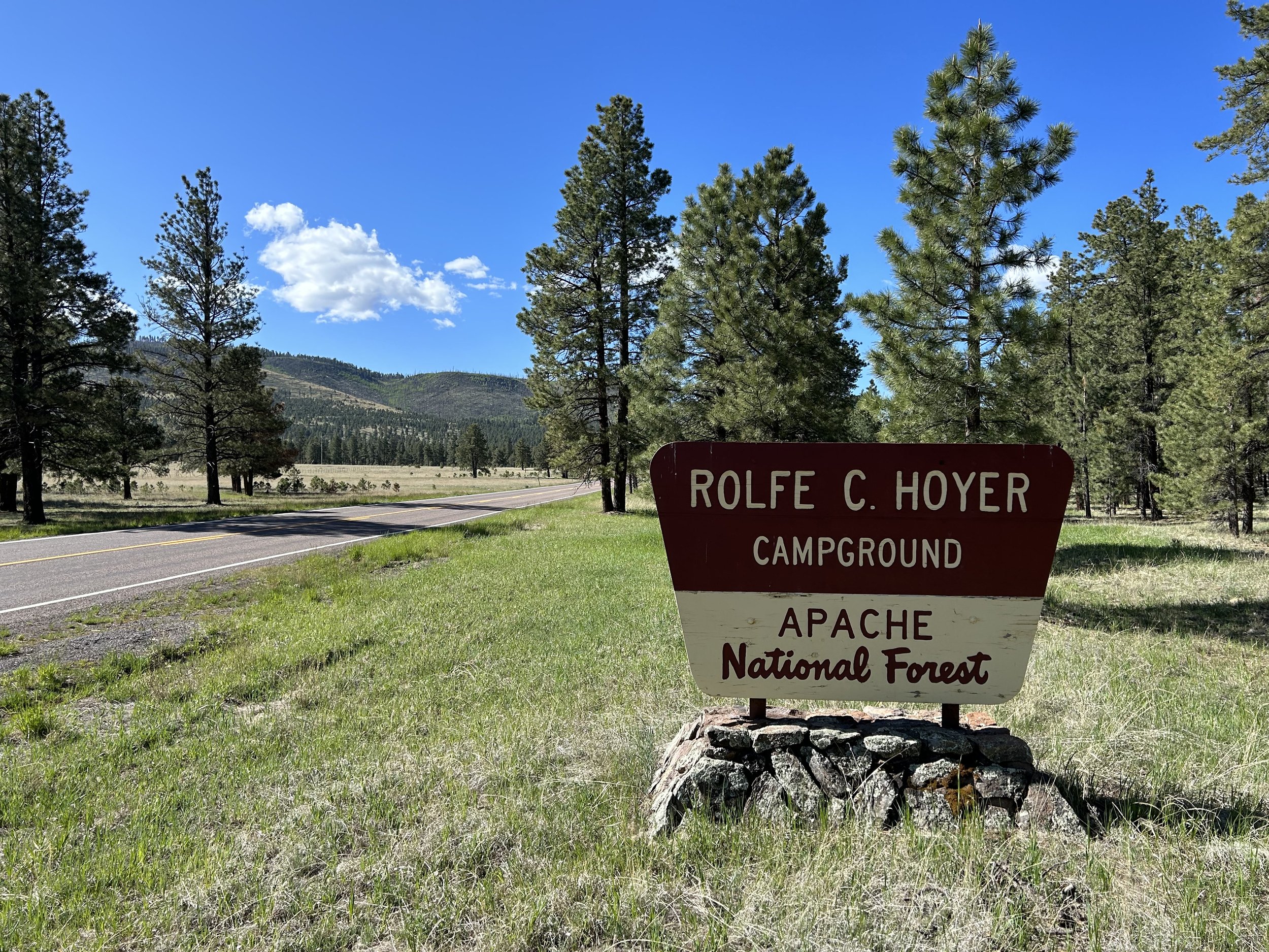
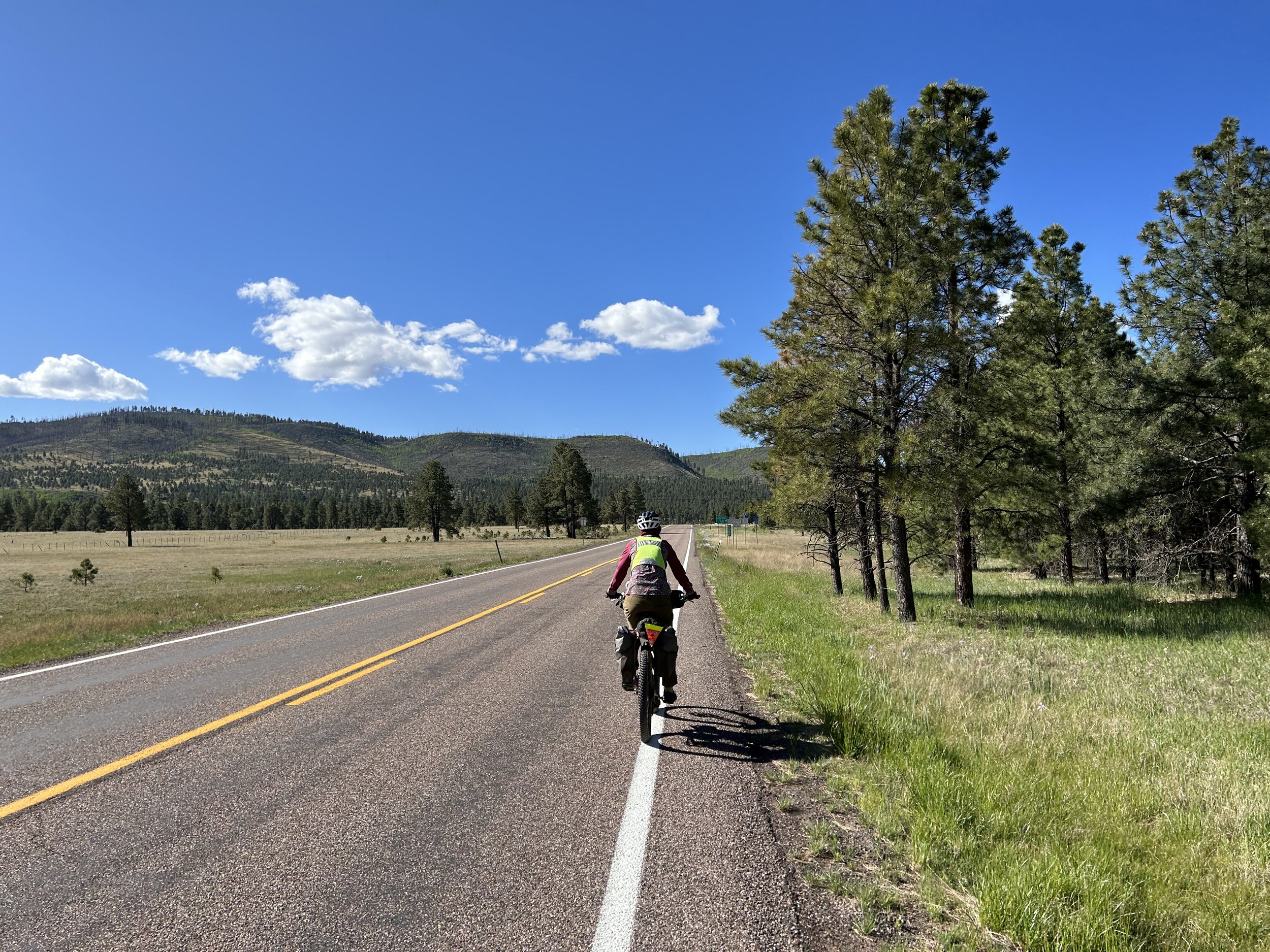
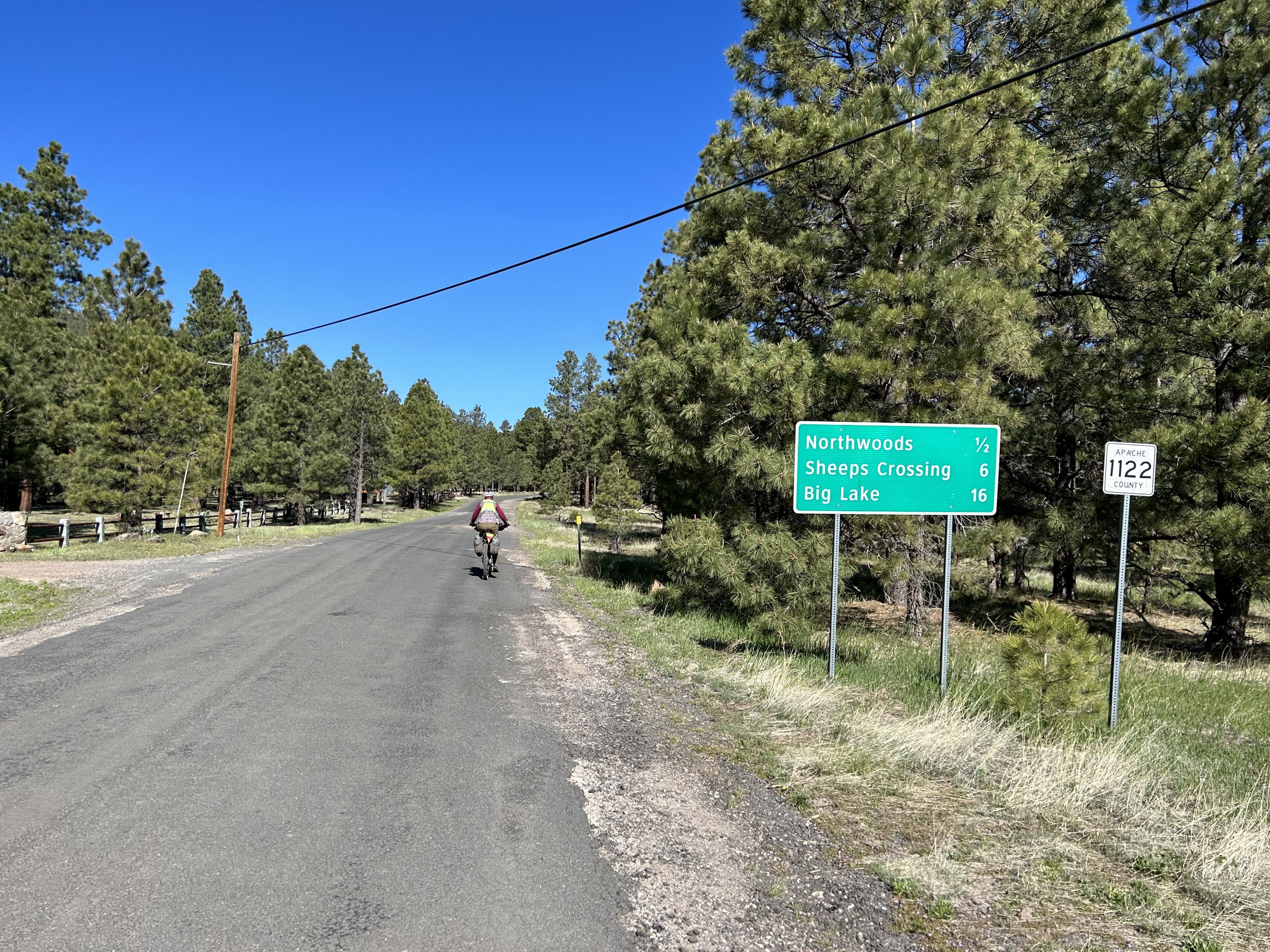
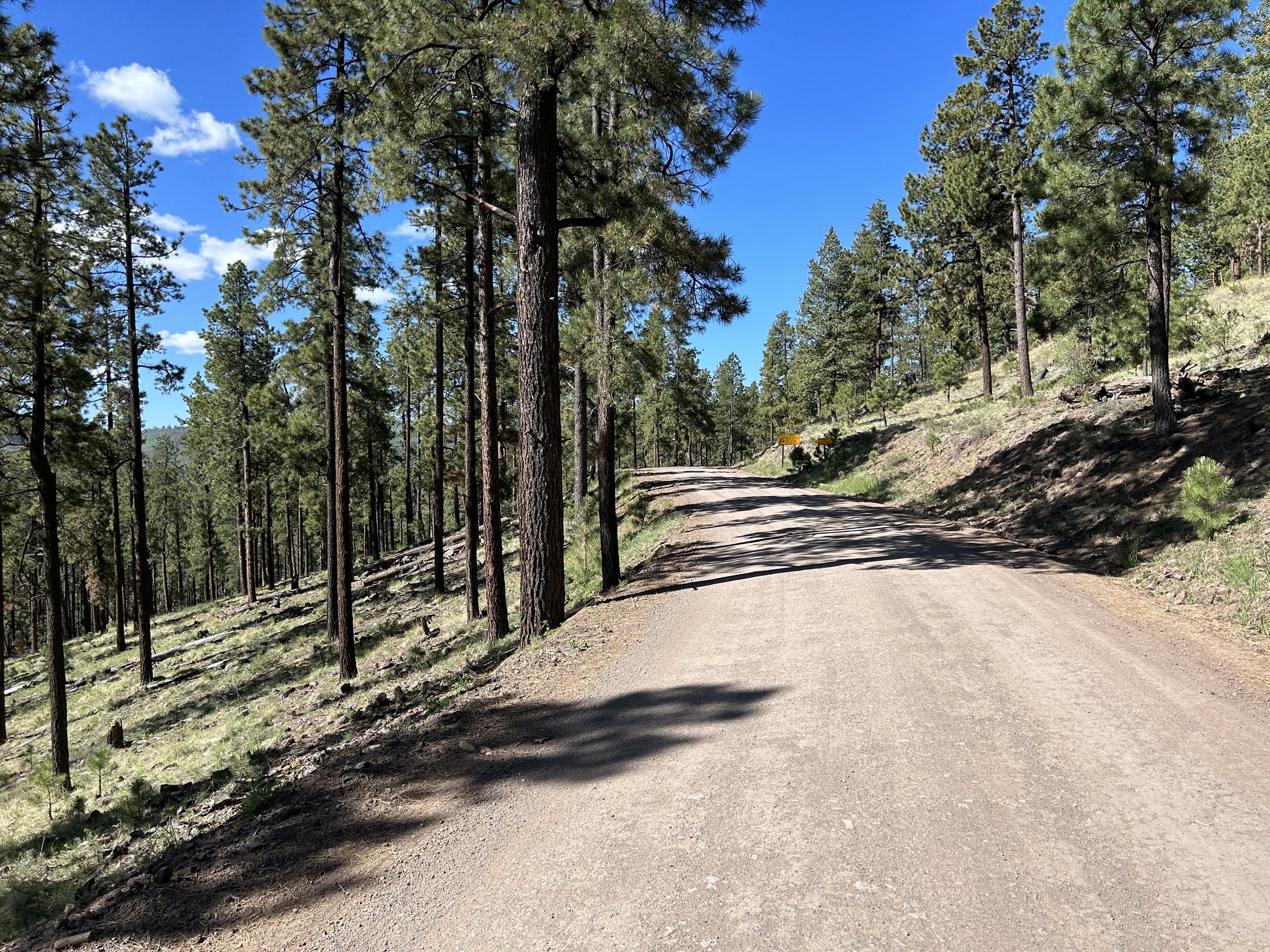
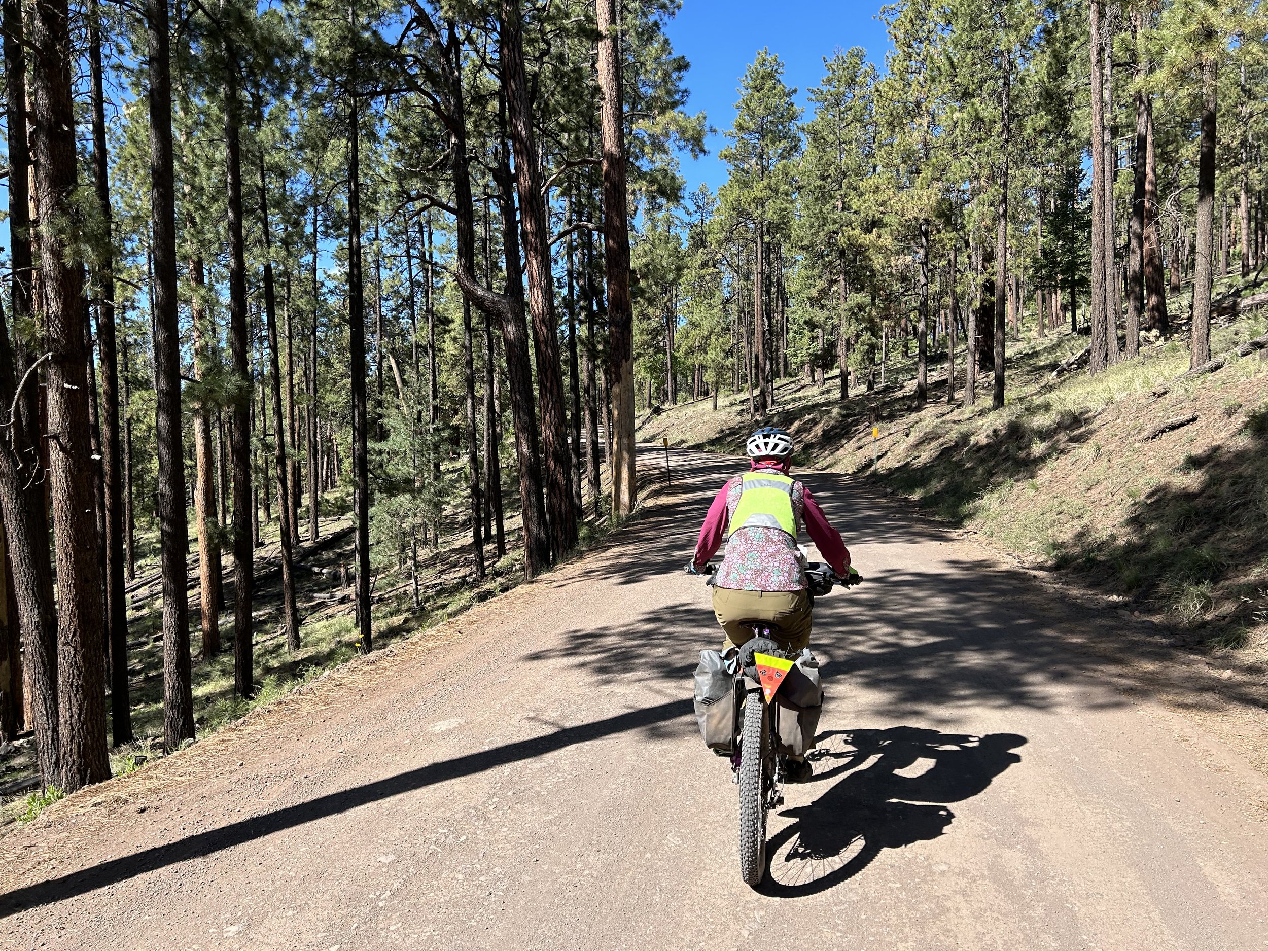
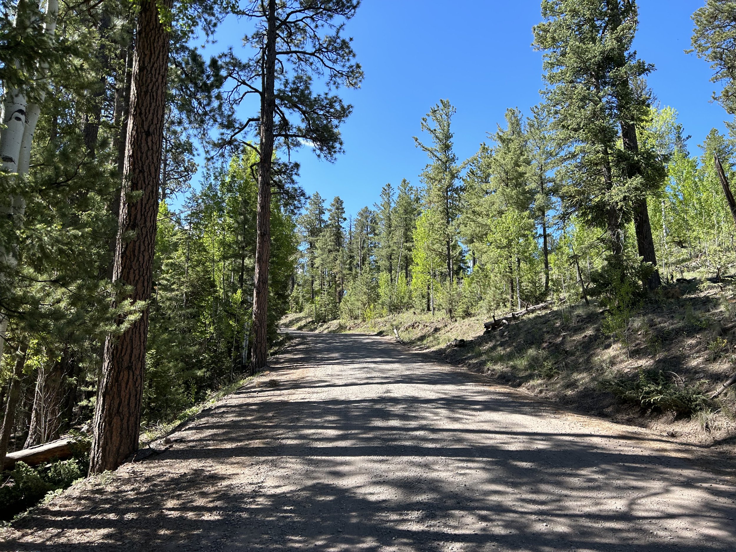
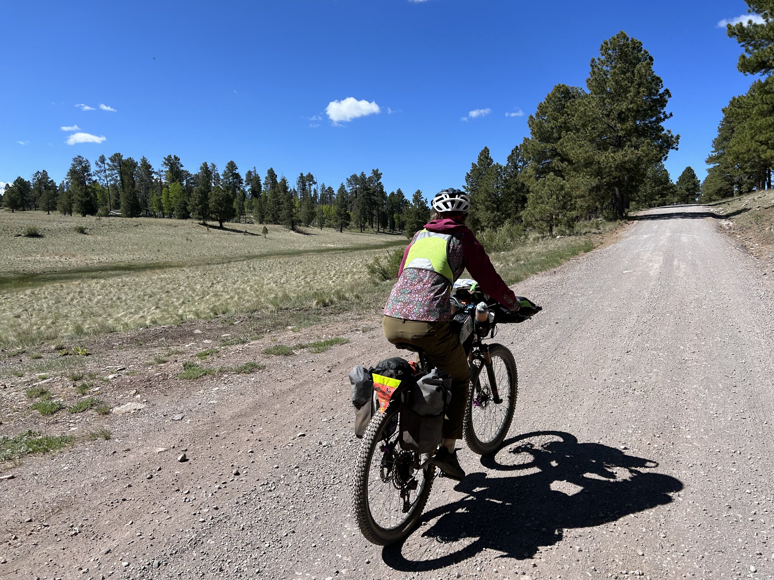
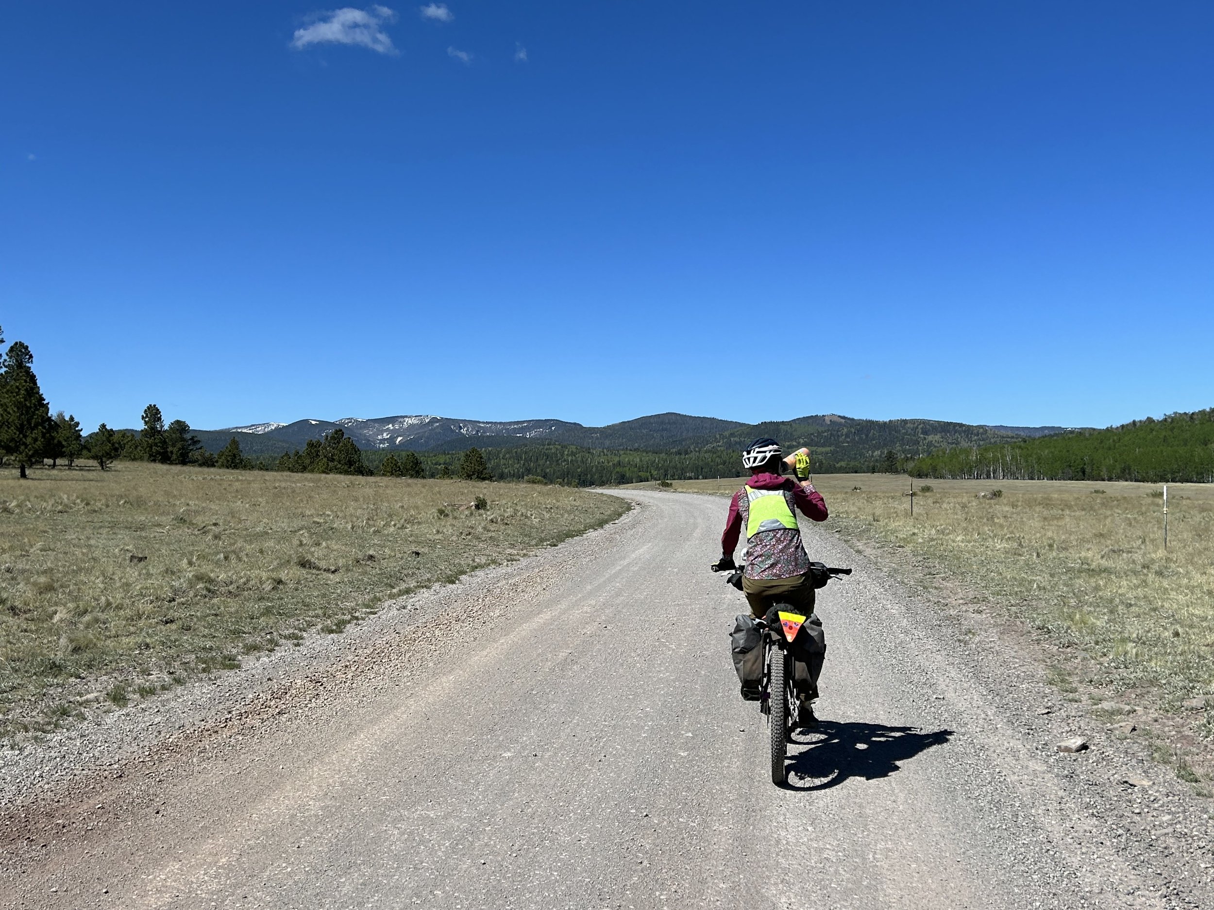
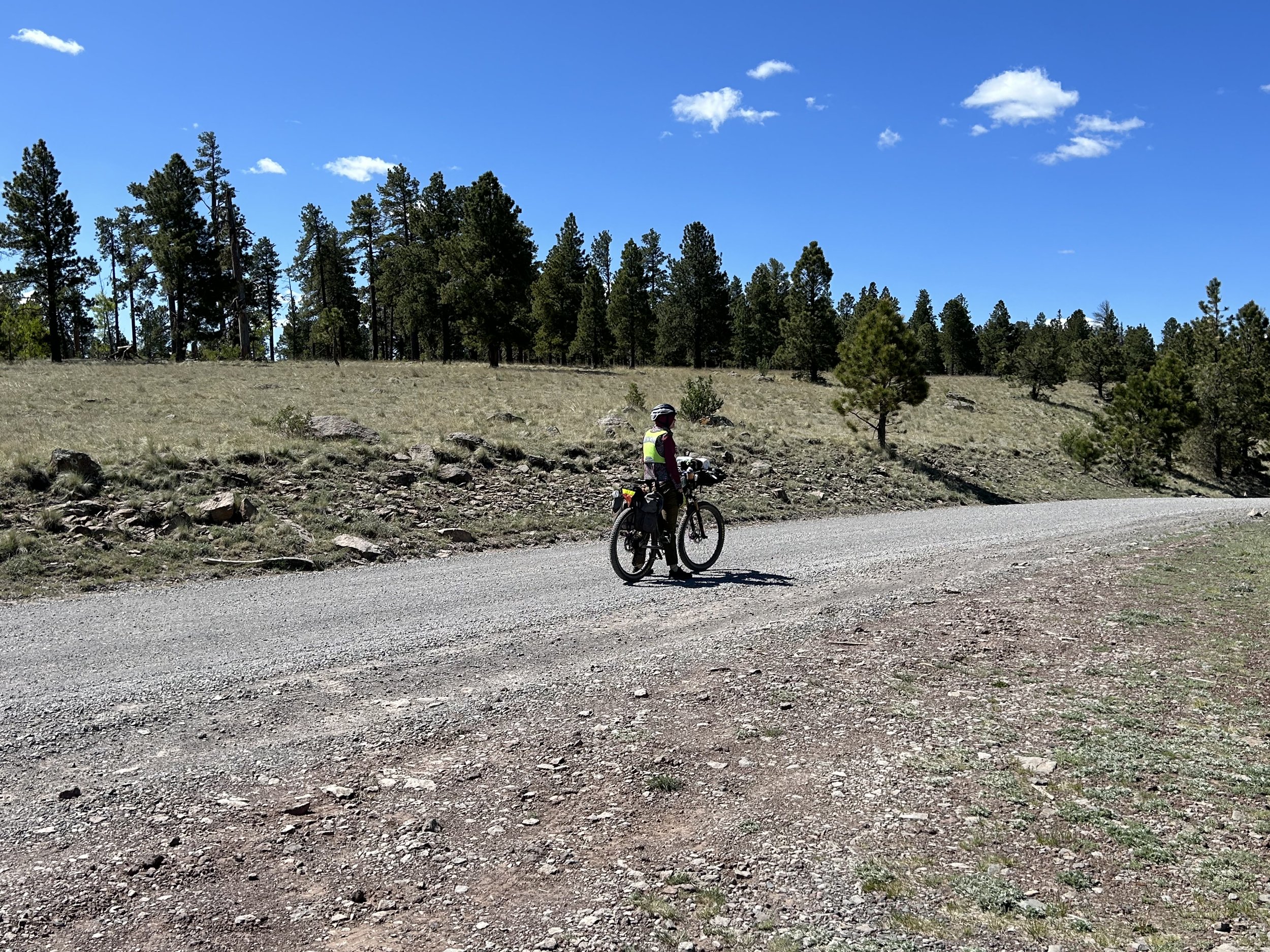
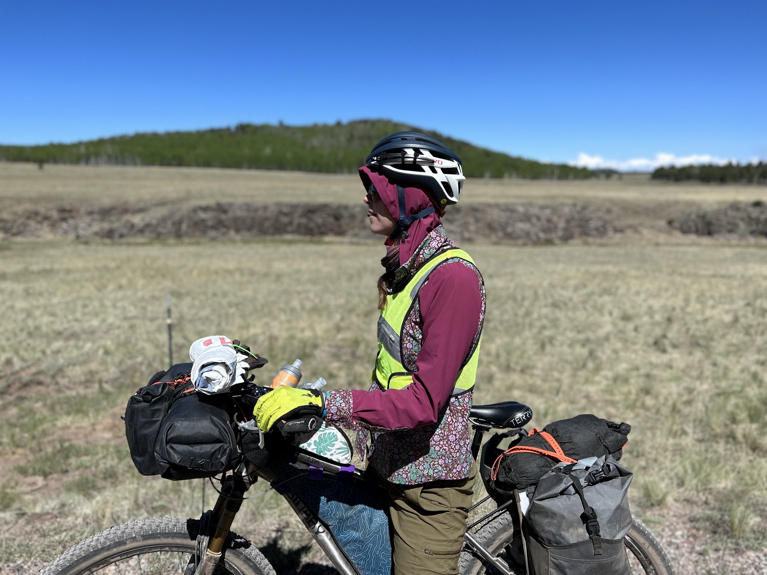
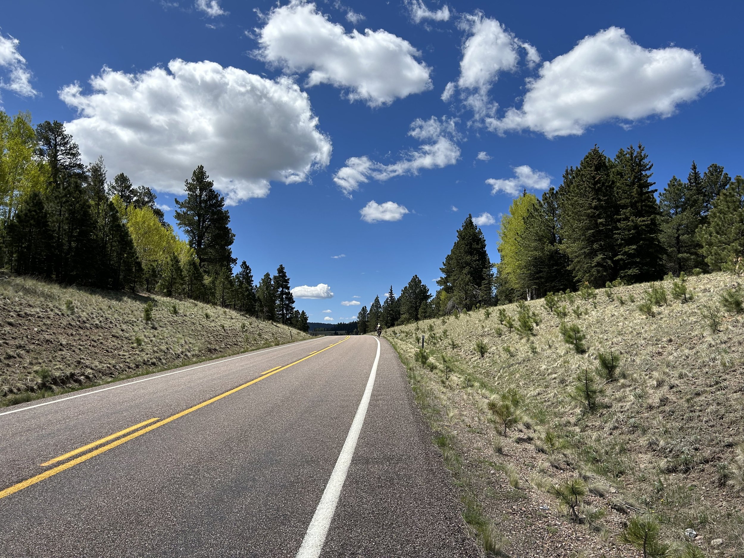
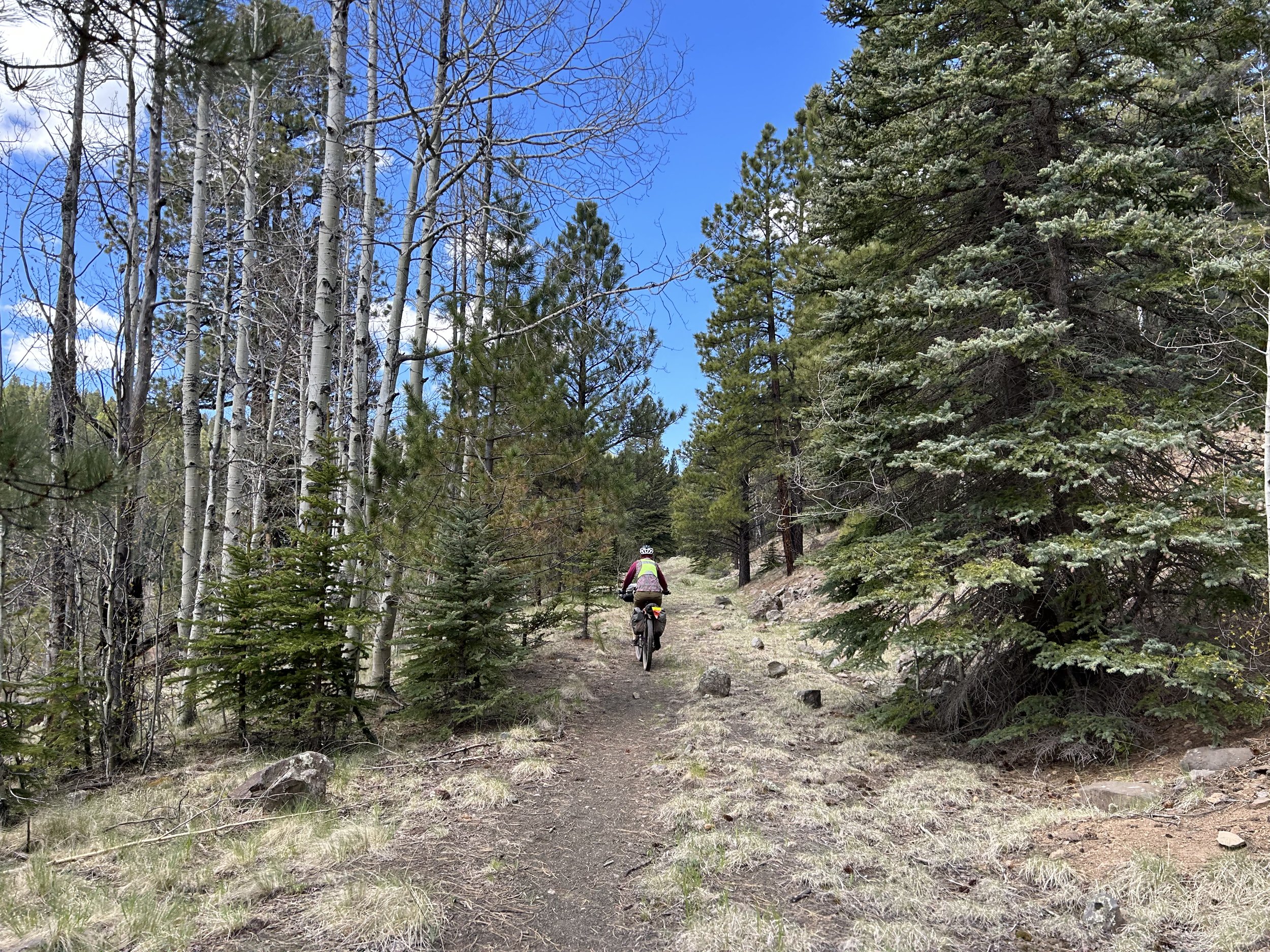
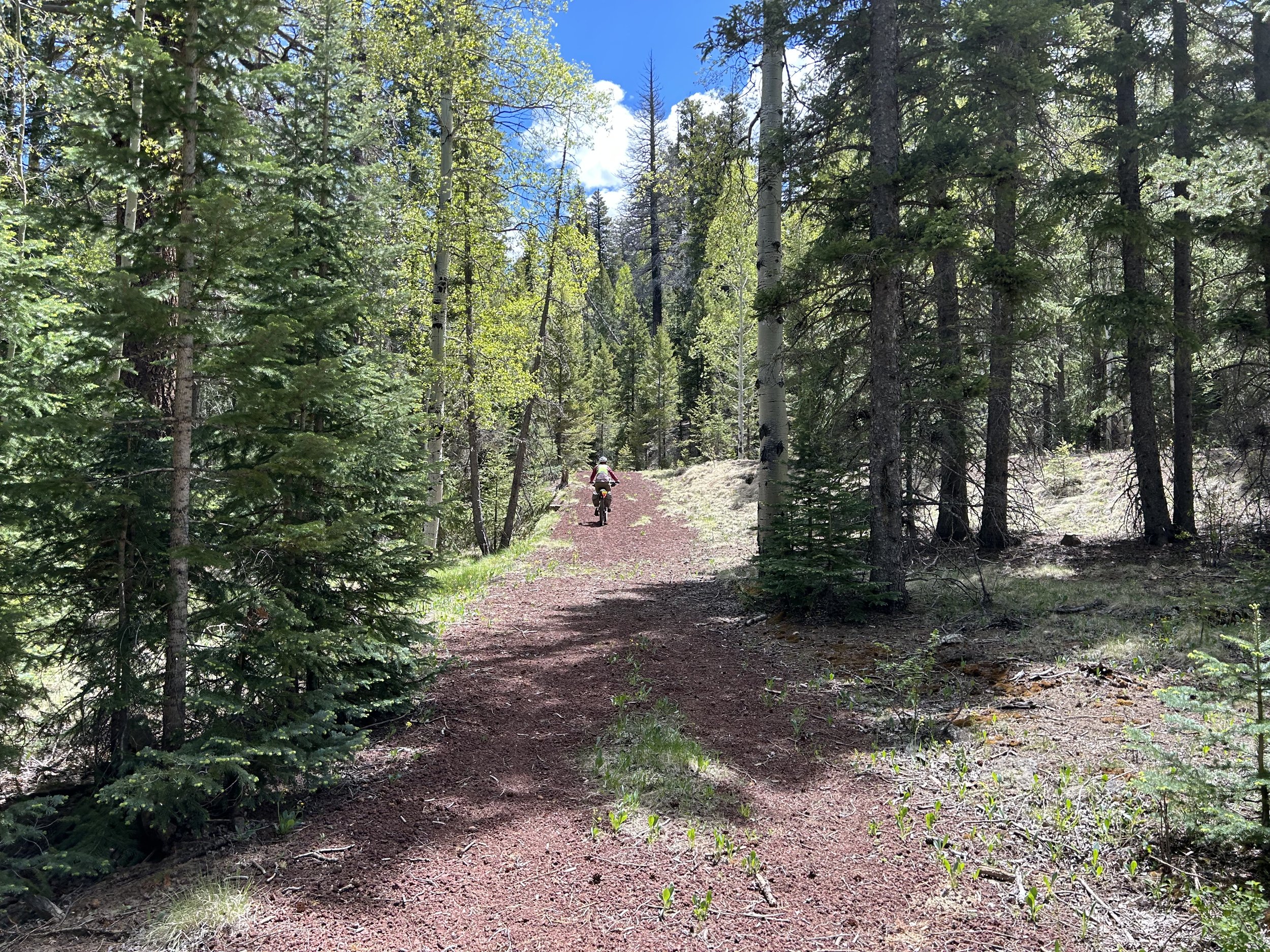
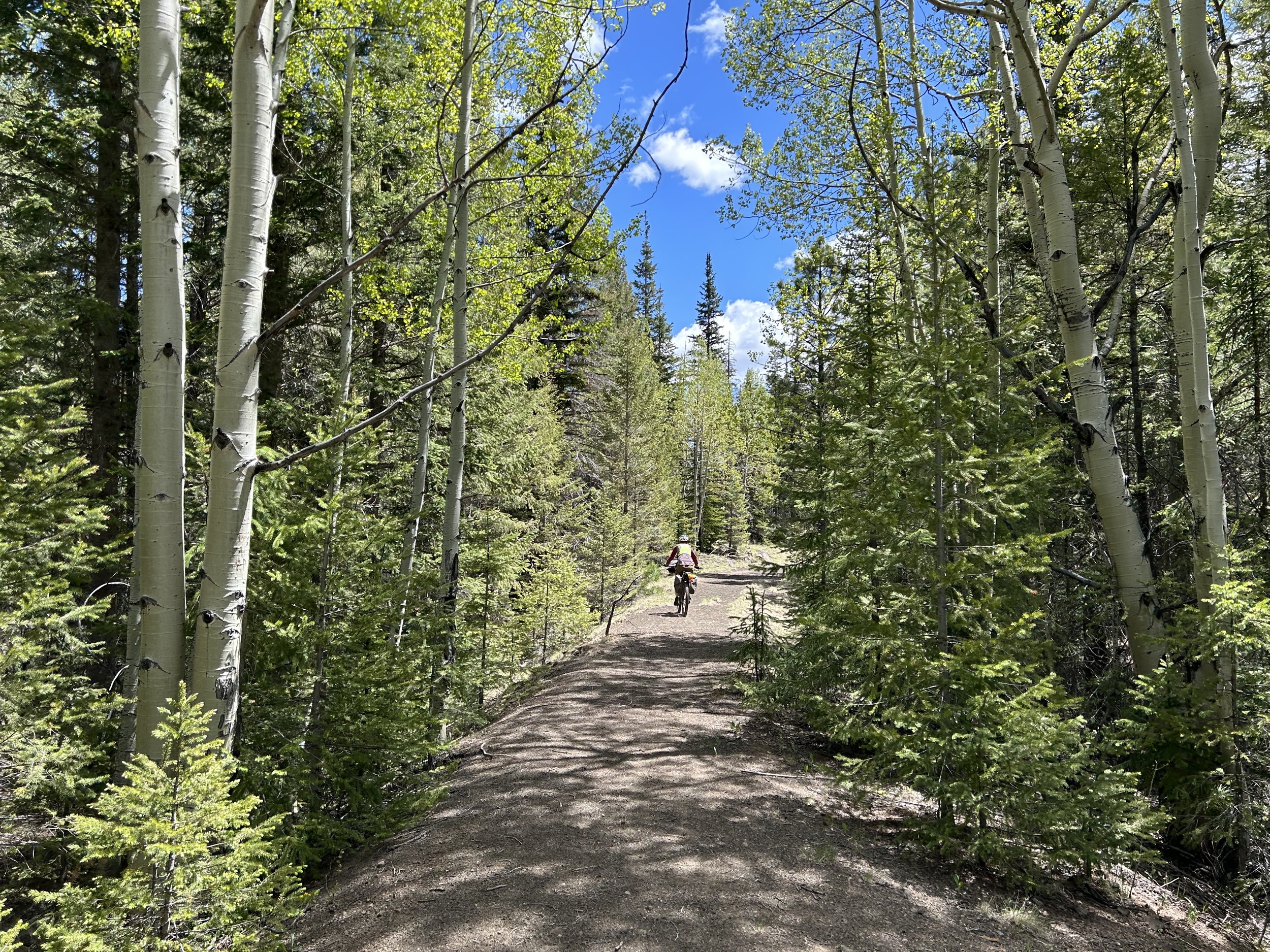
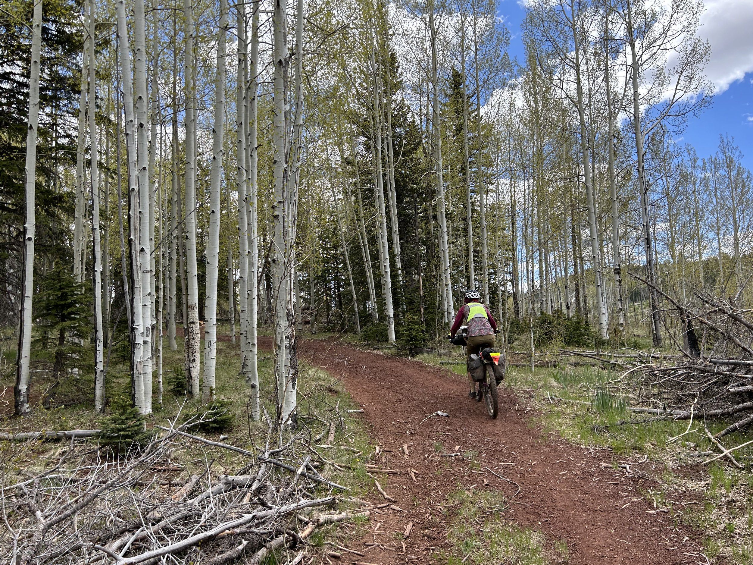
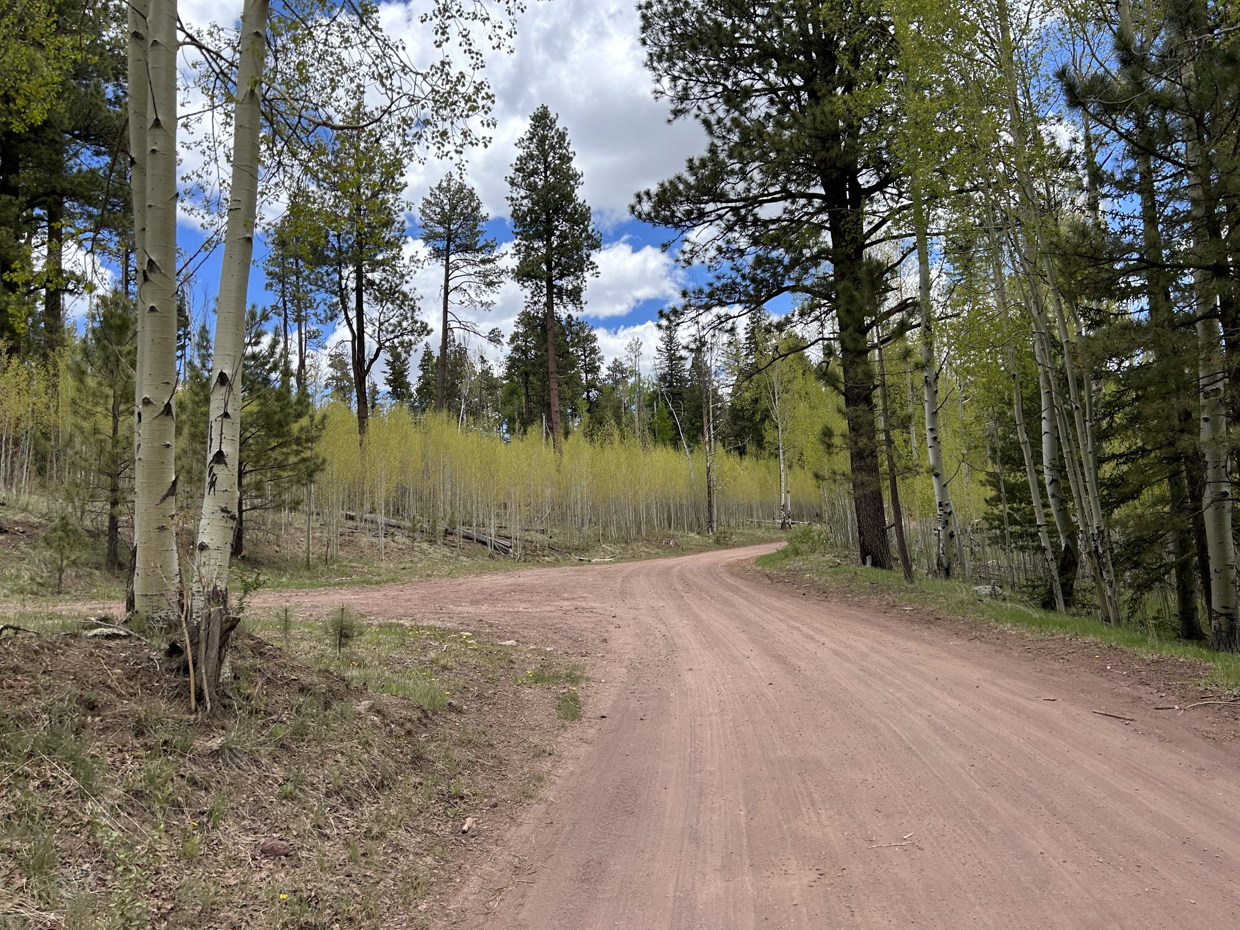
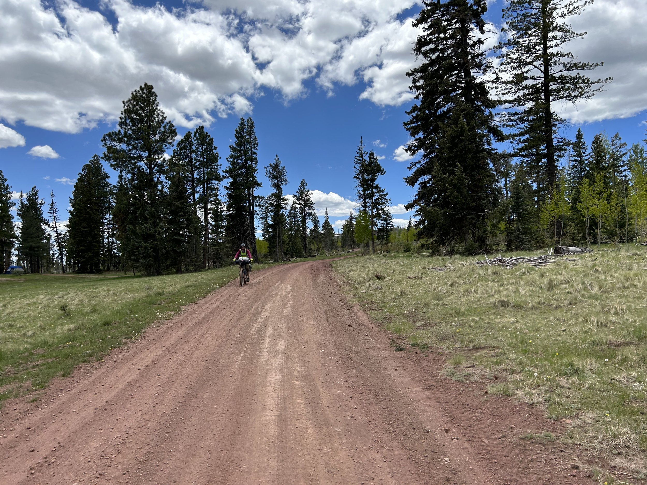
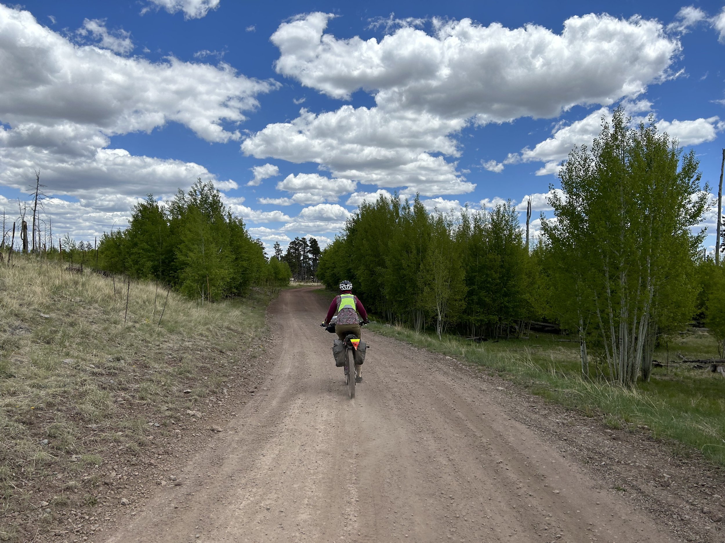
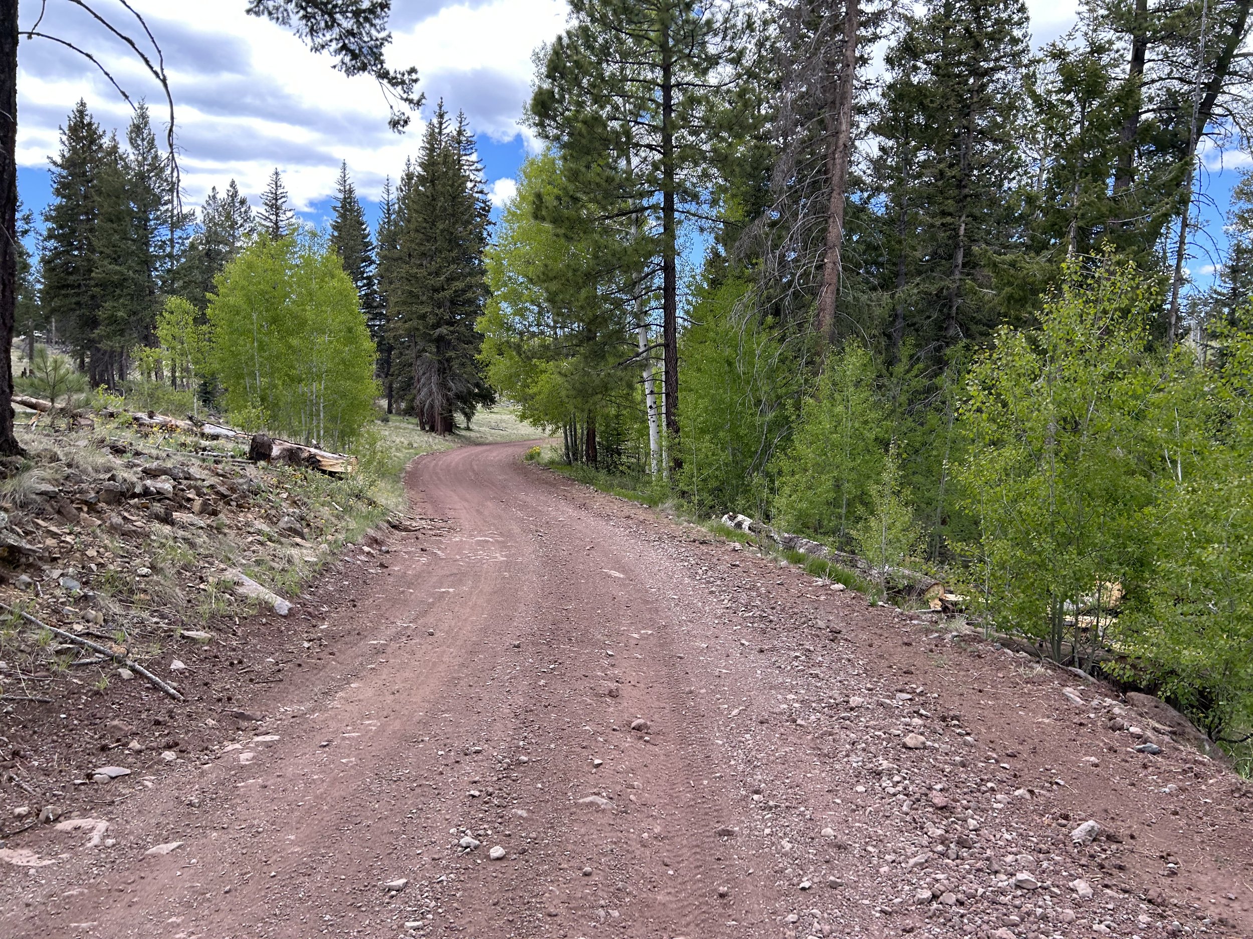
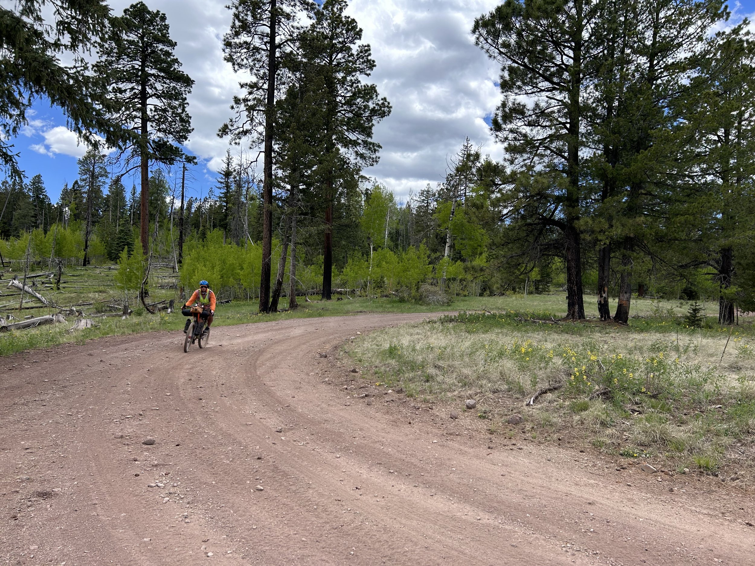
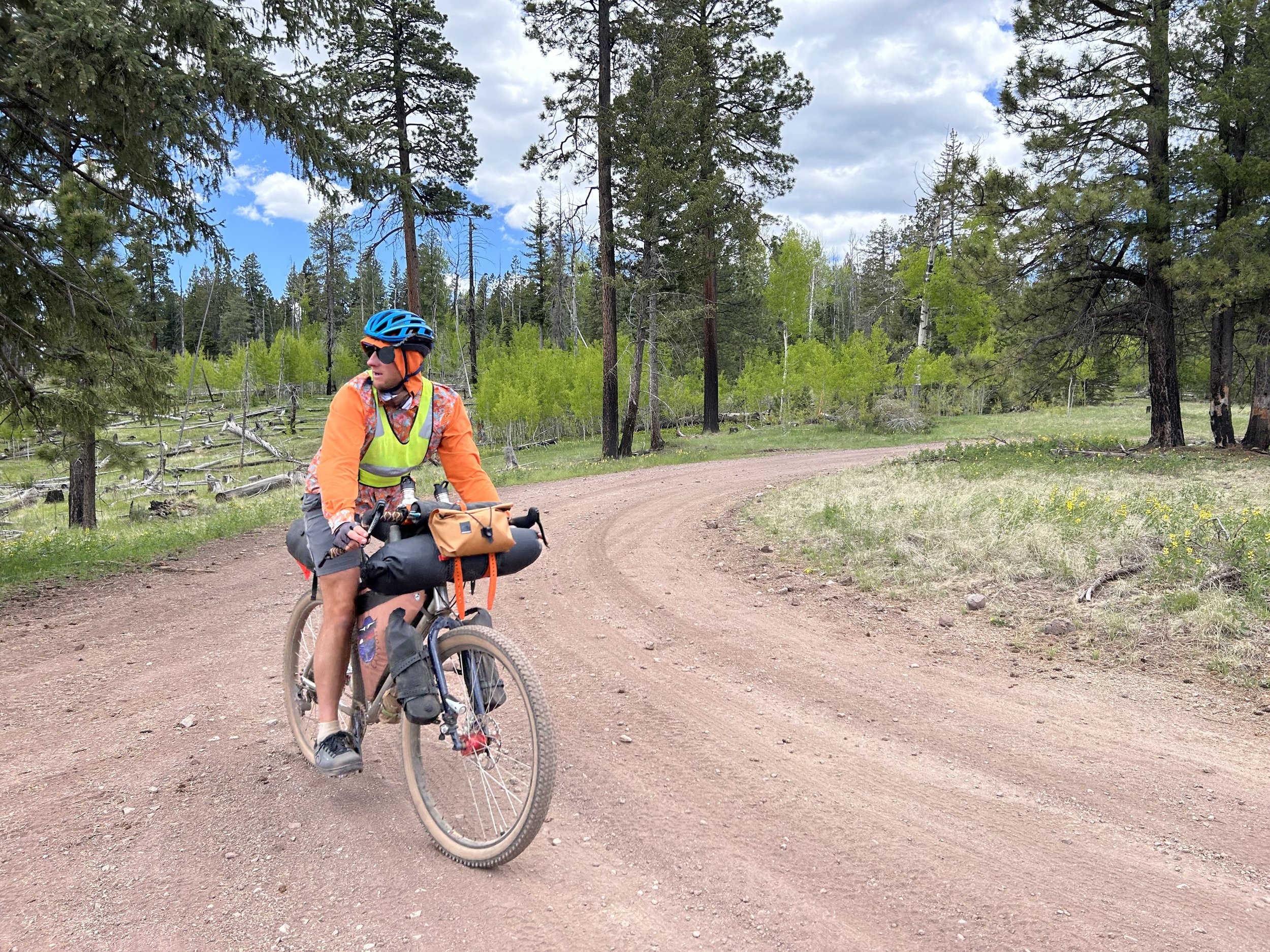
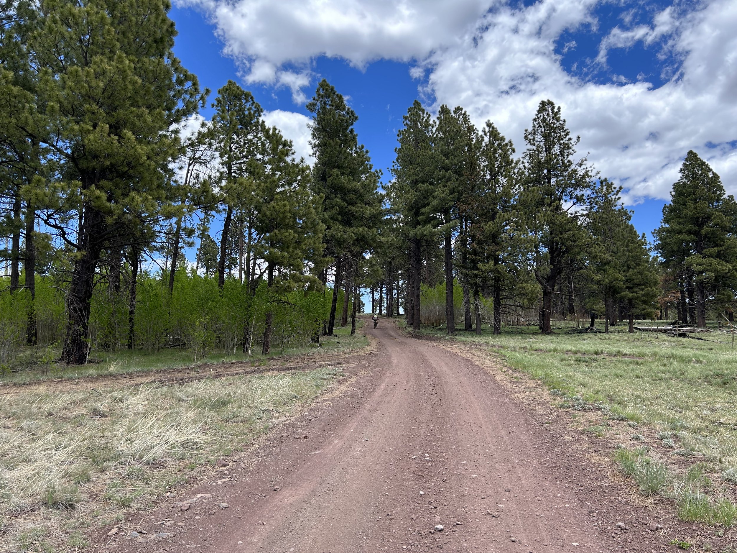
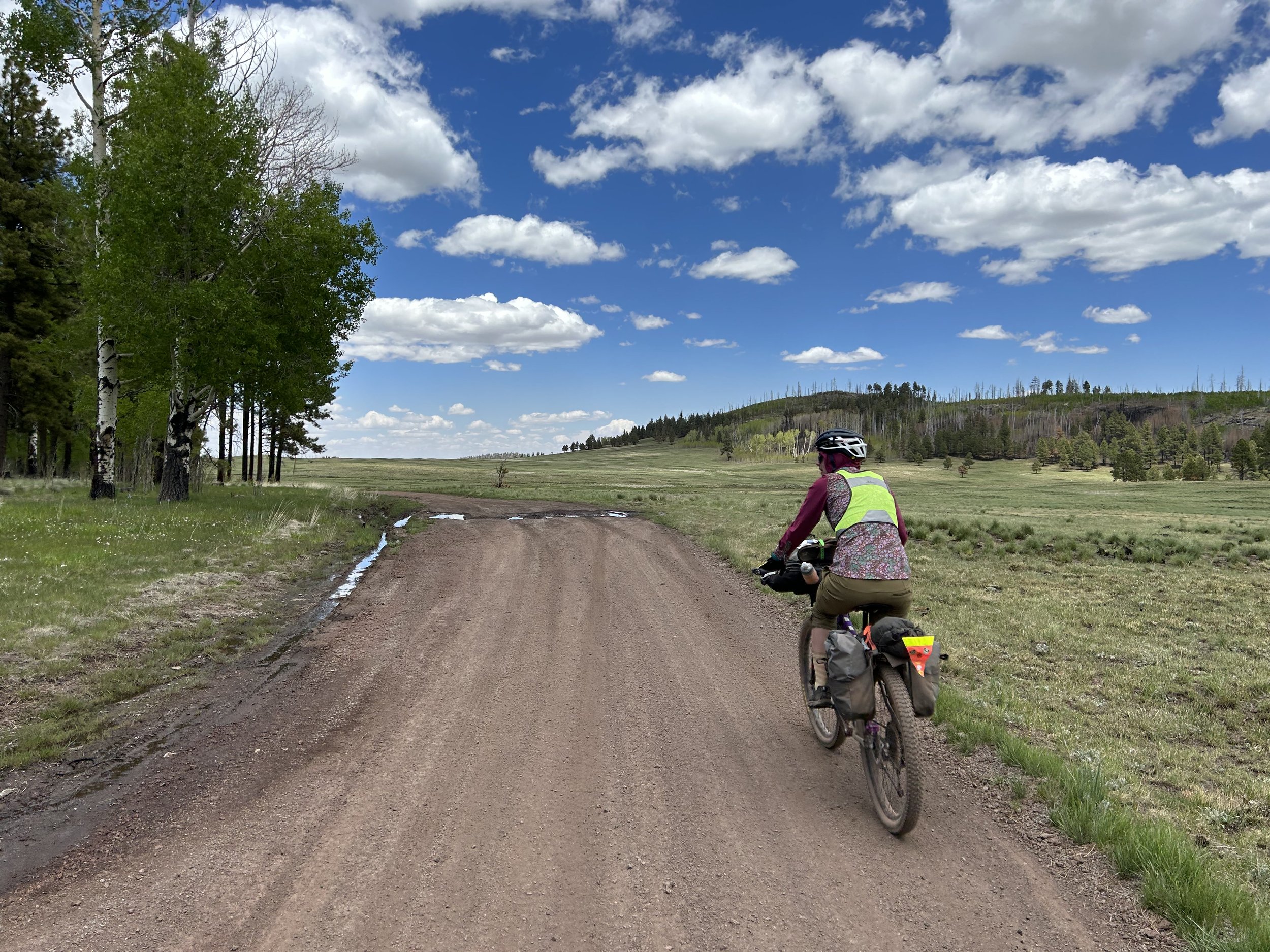
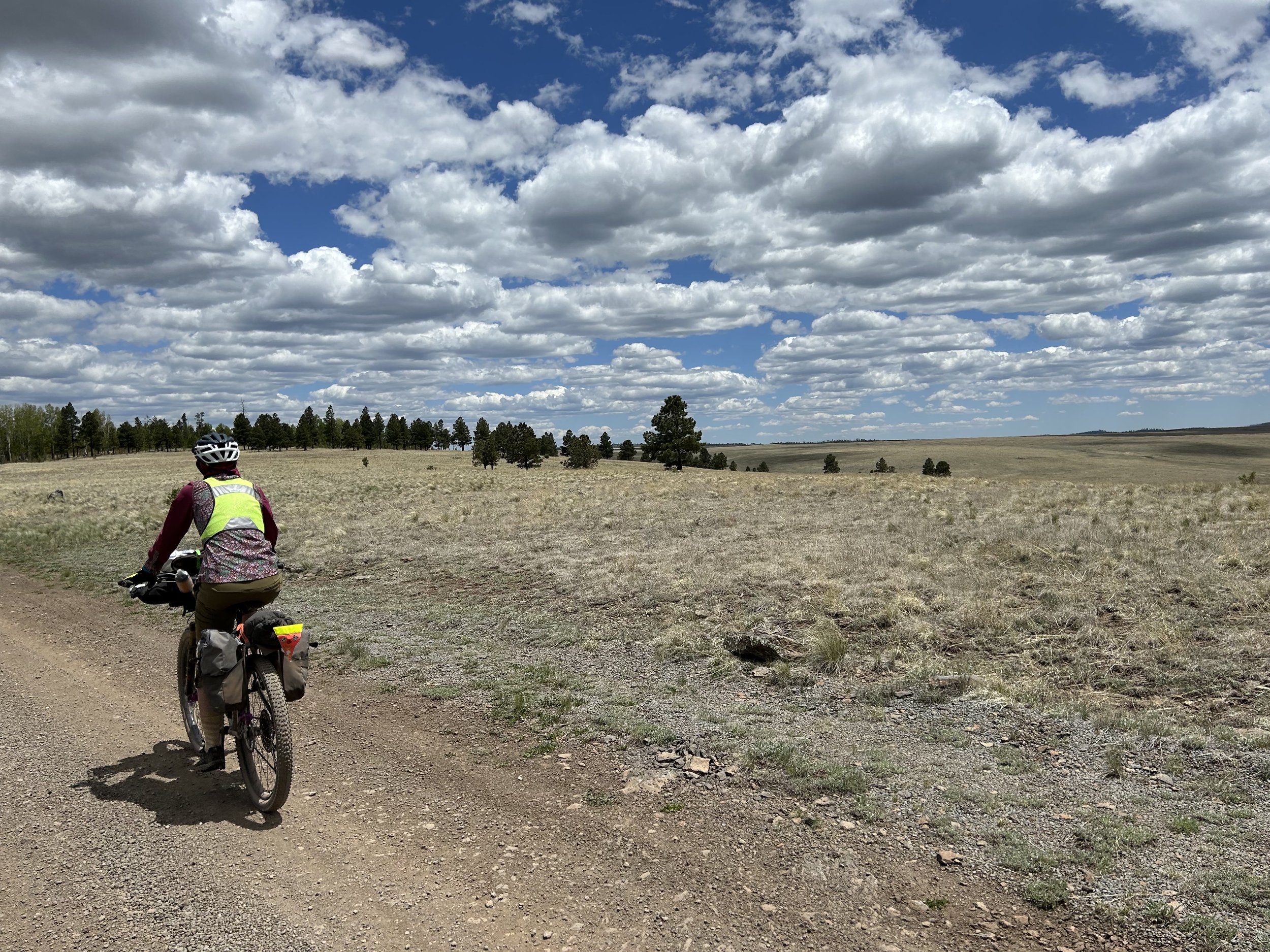
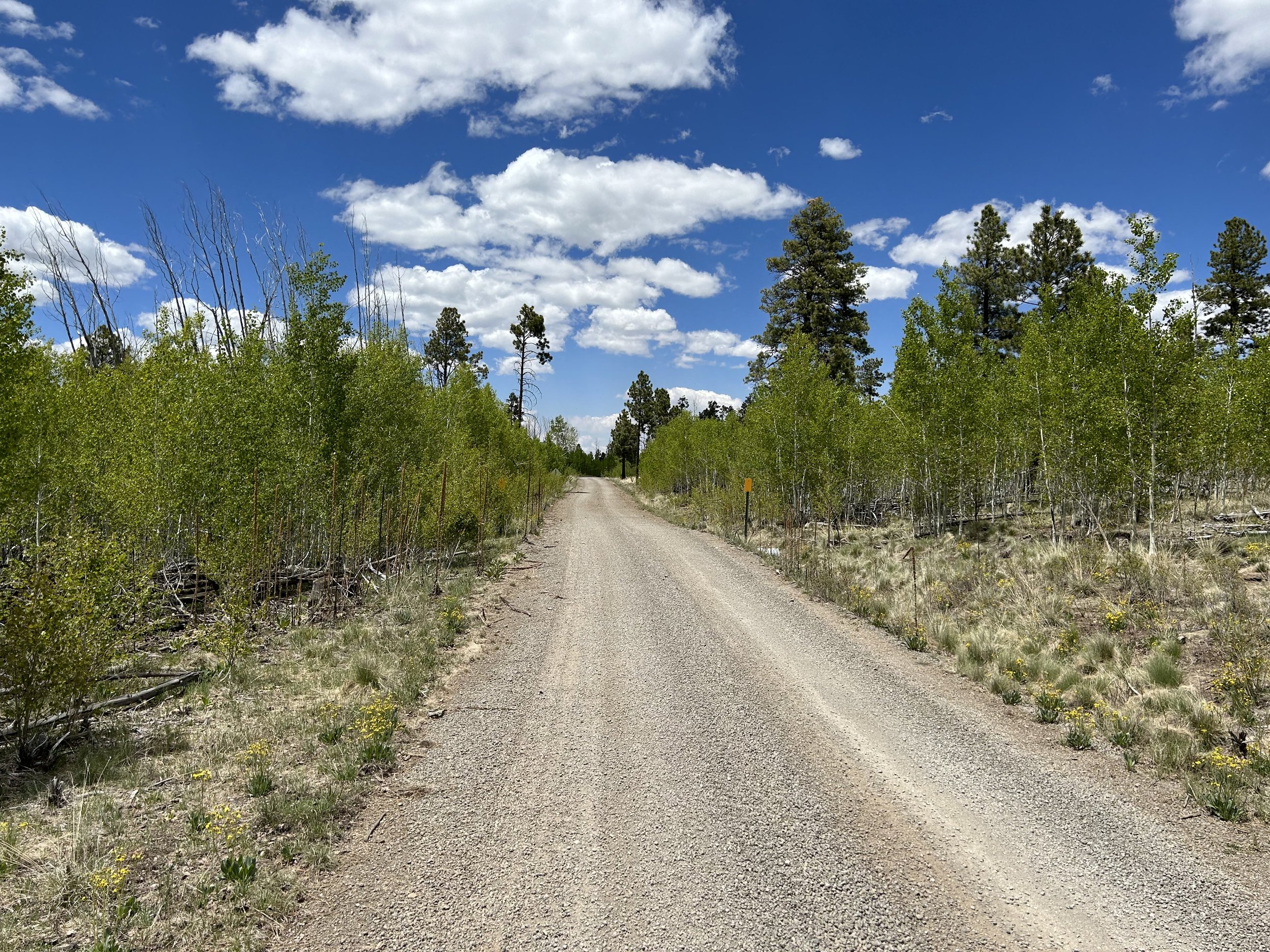
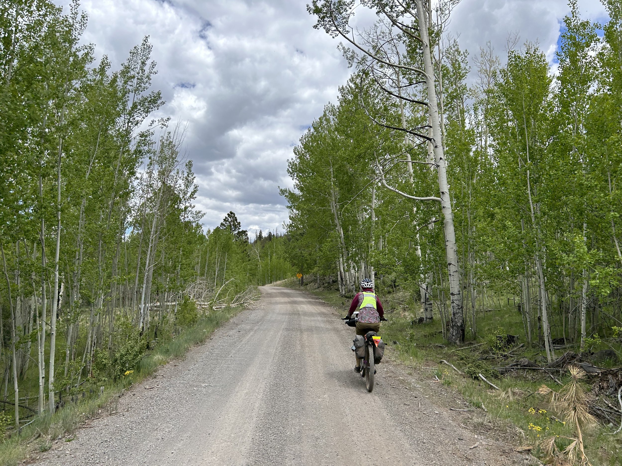
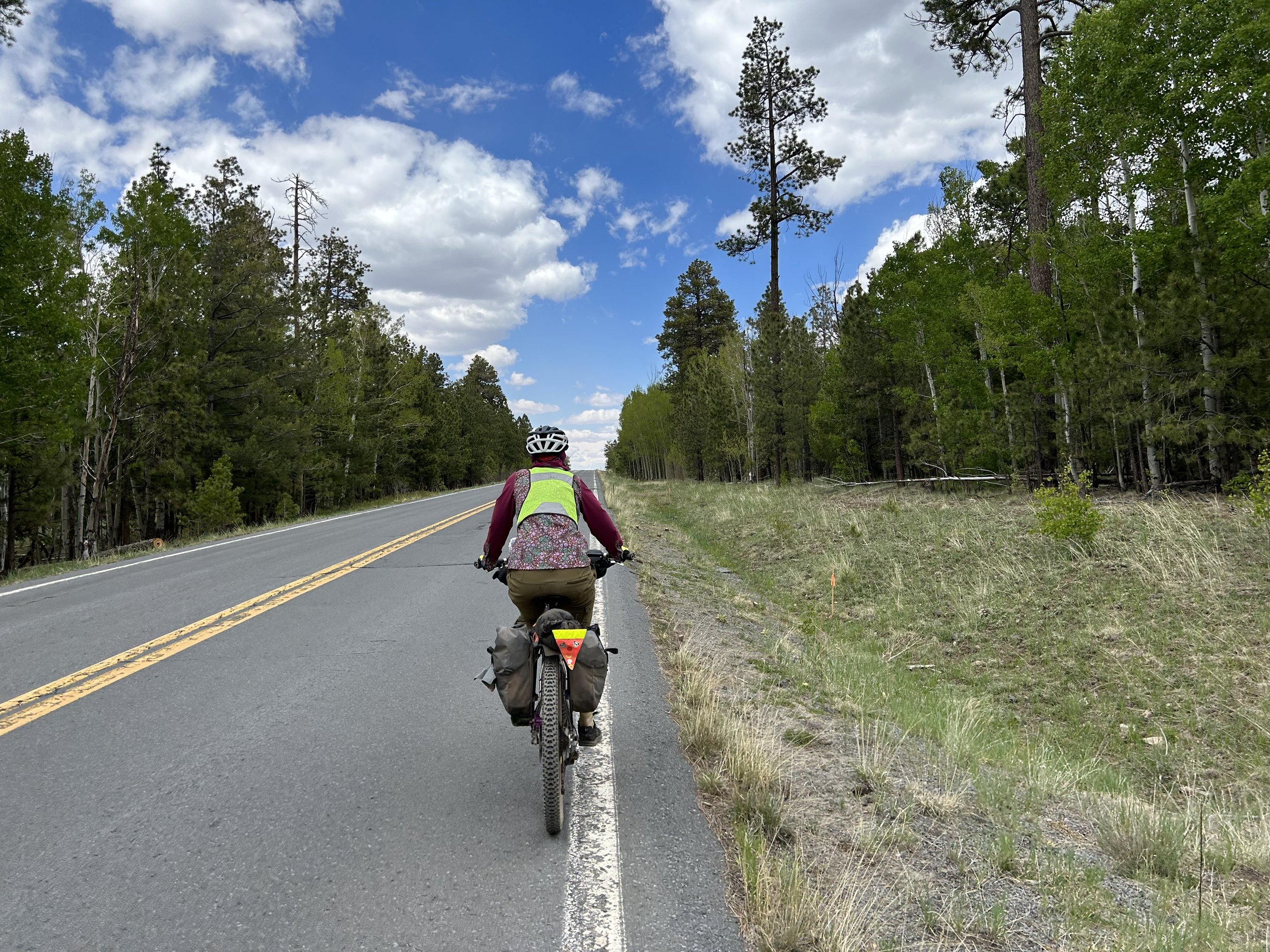
We had read in the forecast that a front was coming through over the next few days, bringing the possibility of thunderstorms and rain. Given that today we'd be well over 9,000 feet crossing large high altitude grasslands, we wanted to get a move on so as to be under tree-cover when those storms came. Janna and I rolled out of our tent to clear skies which buoyed us with positivity about the day ahead. We ate breakfast and pushed out onto the shoulder of the quiet pavement. Shortly thereafter, we swung a right onto a side road through summer cabins before the pavement ended in gravel up a big climb to carry us out of the Greer Valley Recreation area and out to our first views of Mount Baldy. The whole time, our conversation centered around processing the school year that just finished and our lives at the Canyon. The uphill, the gravel mix, the ever-fostering presence of aspen, was exactly what we needed to talk out work and dreams for improving our craft next school year.
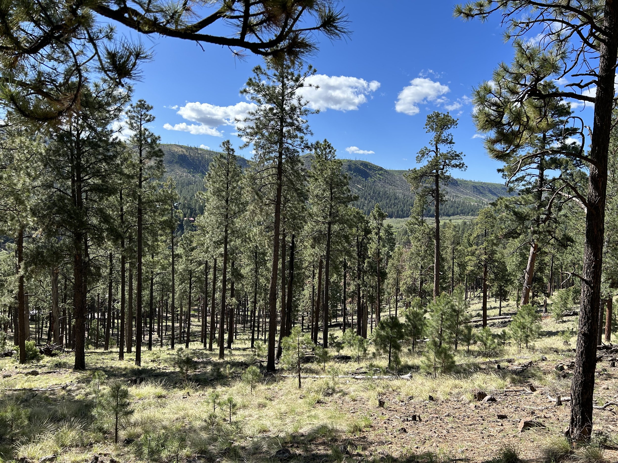
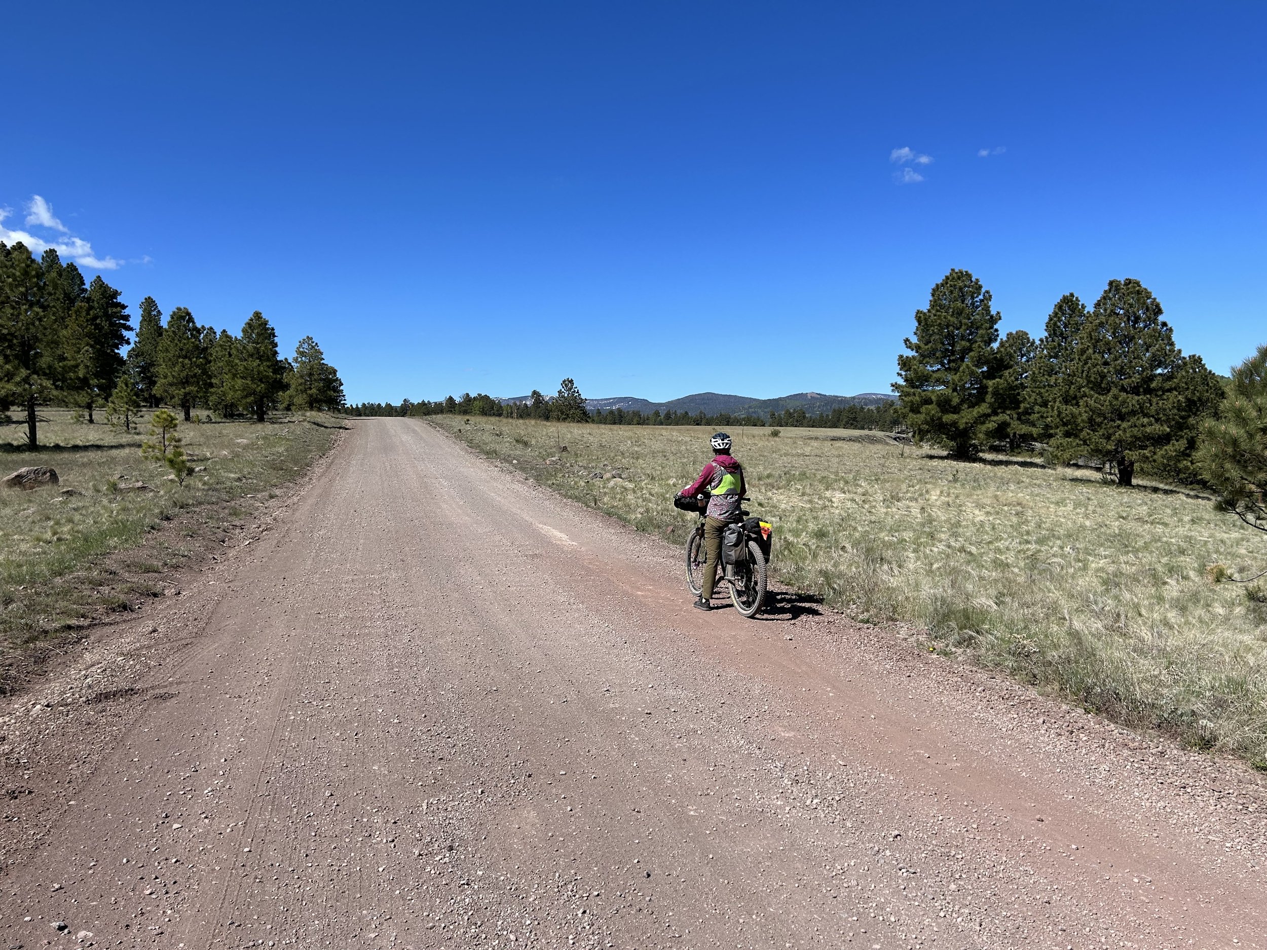
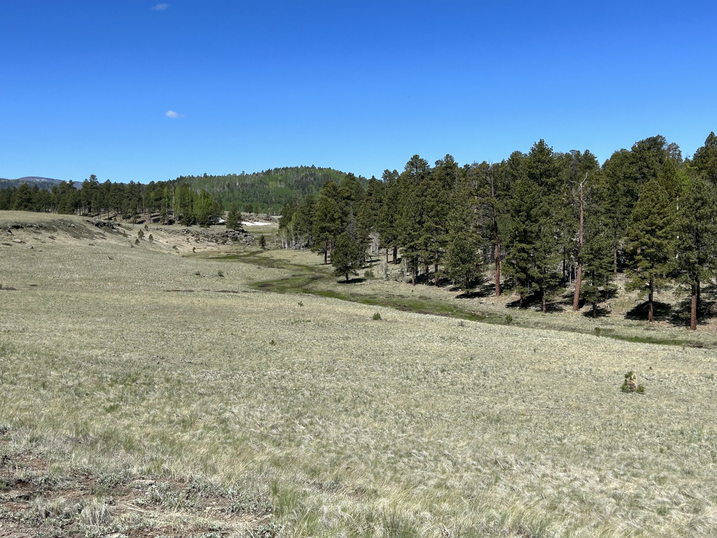
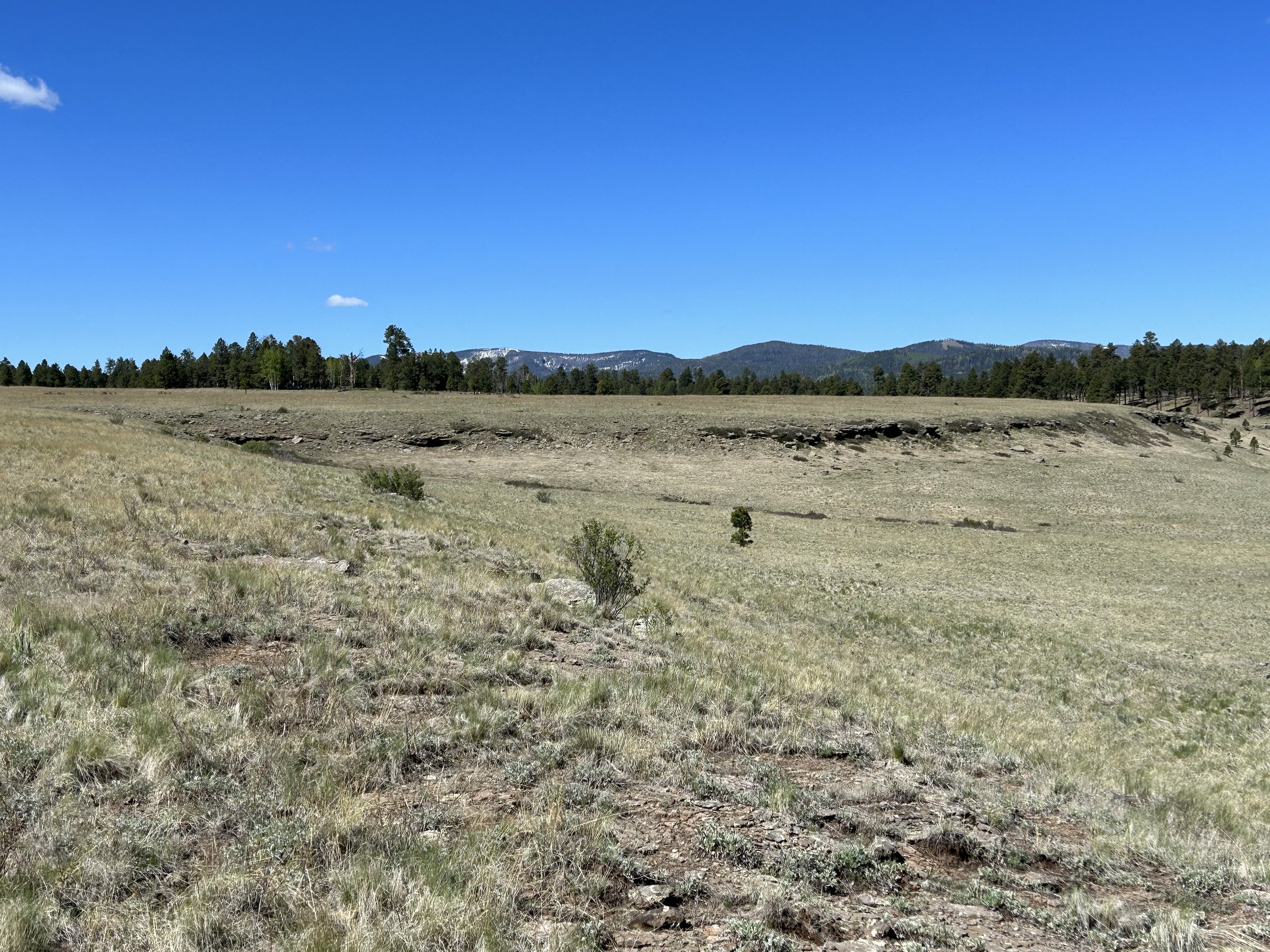
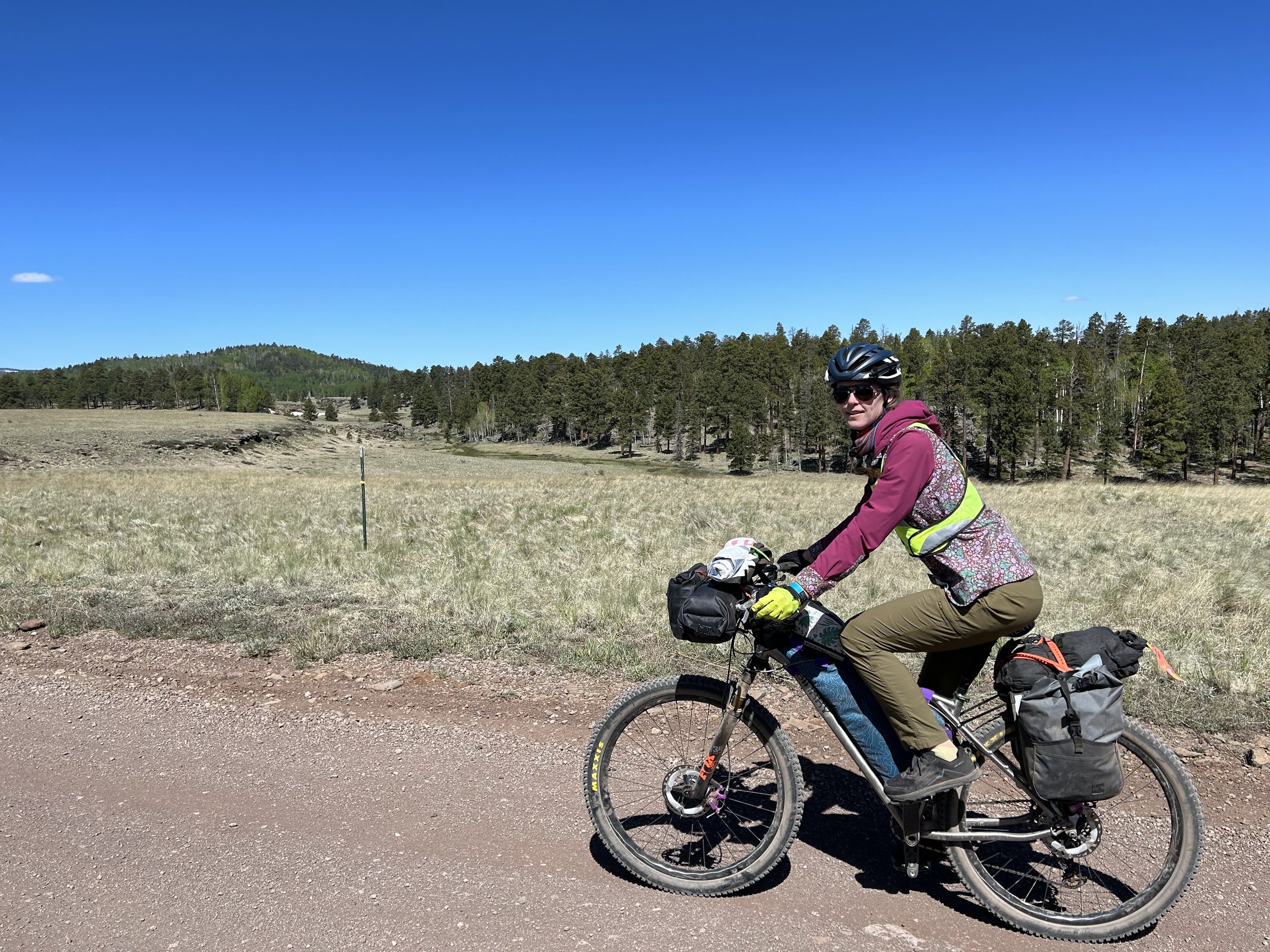
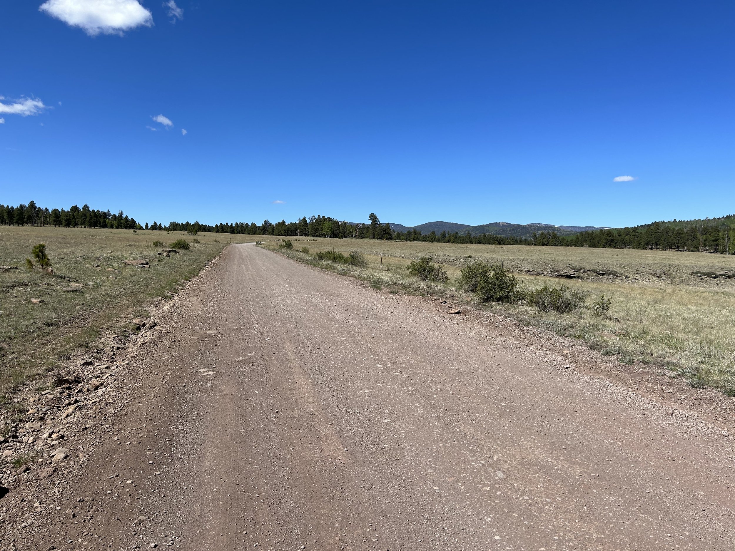
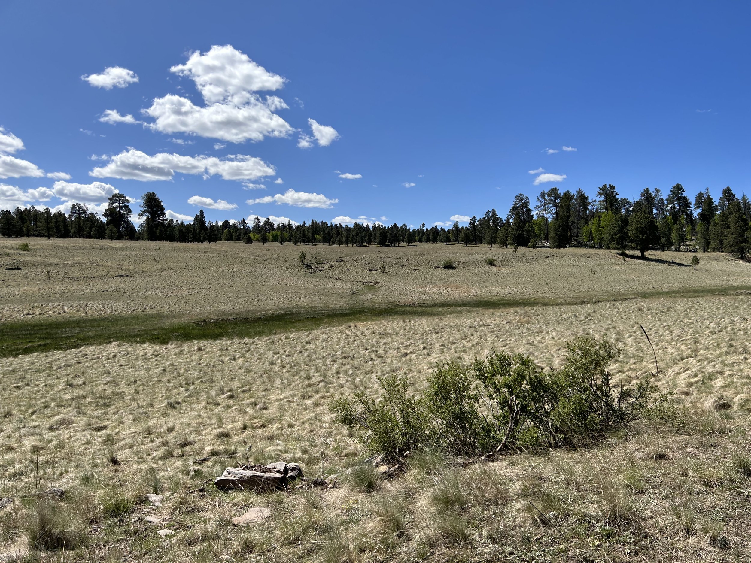
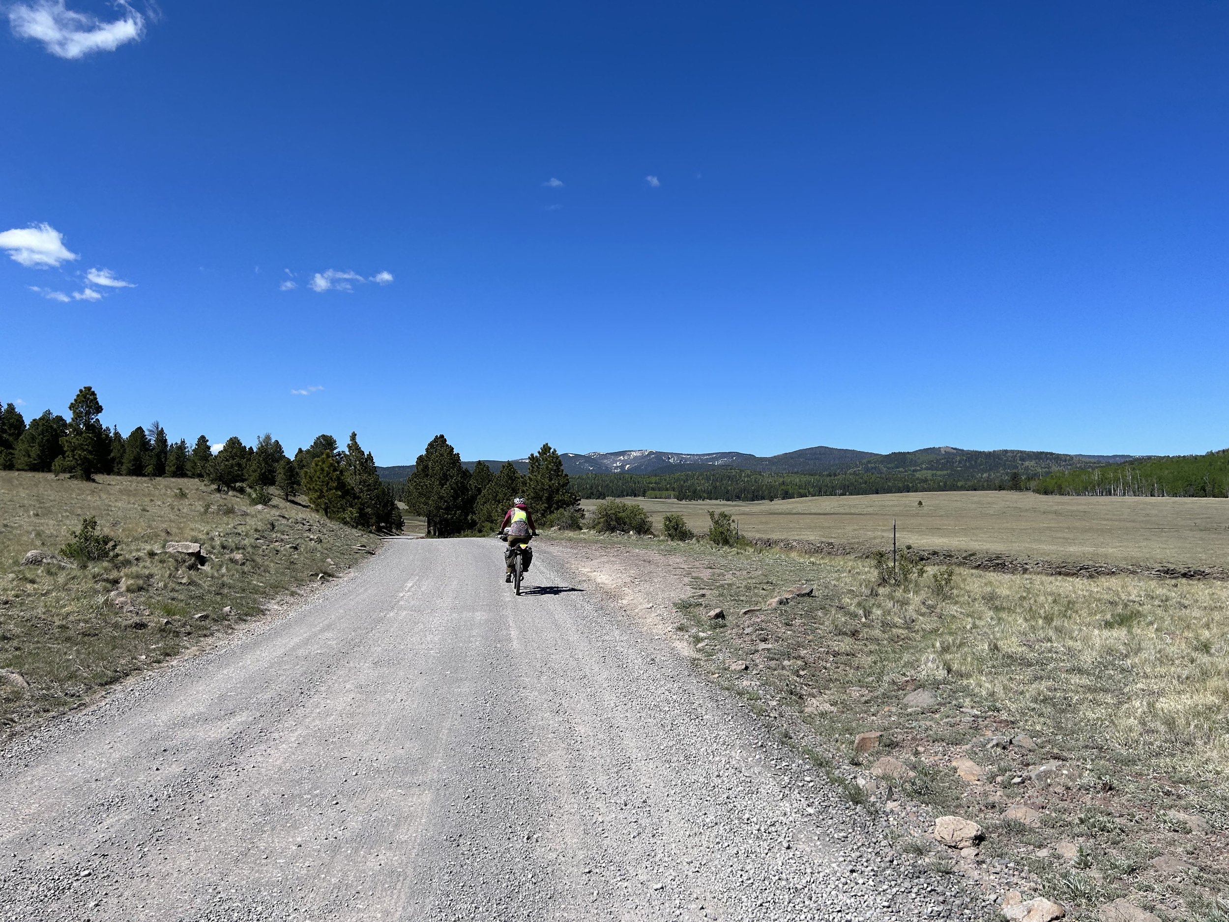
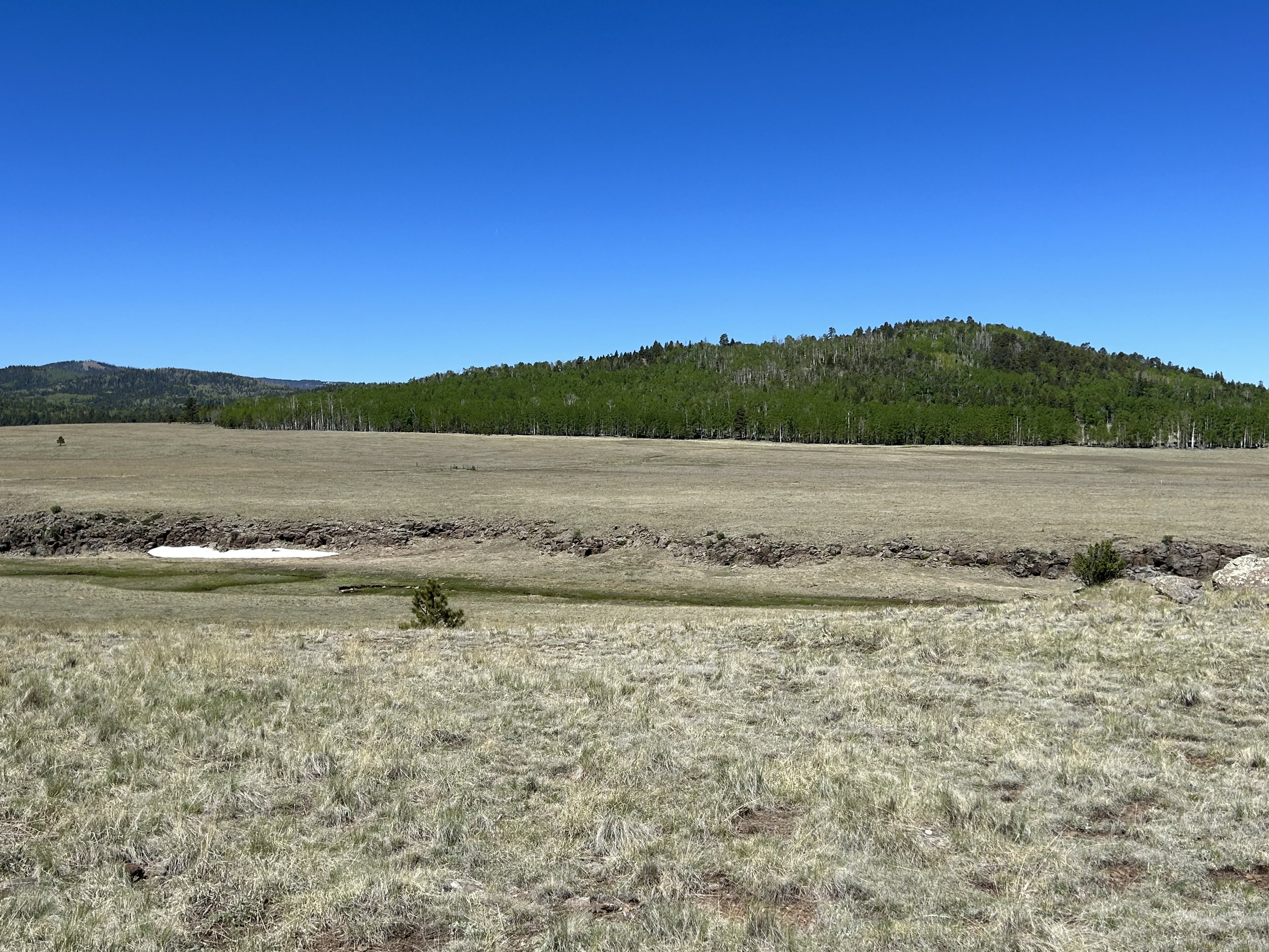
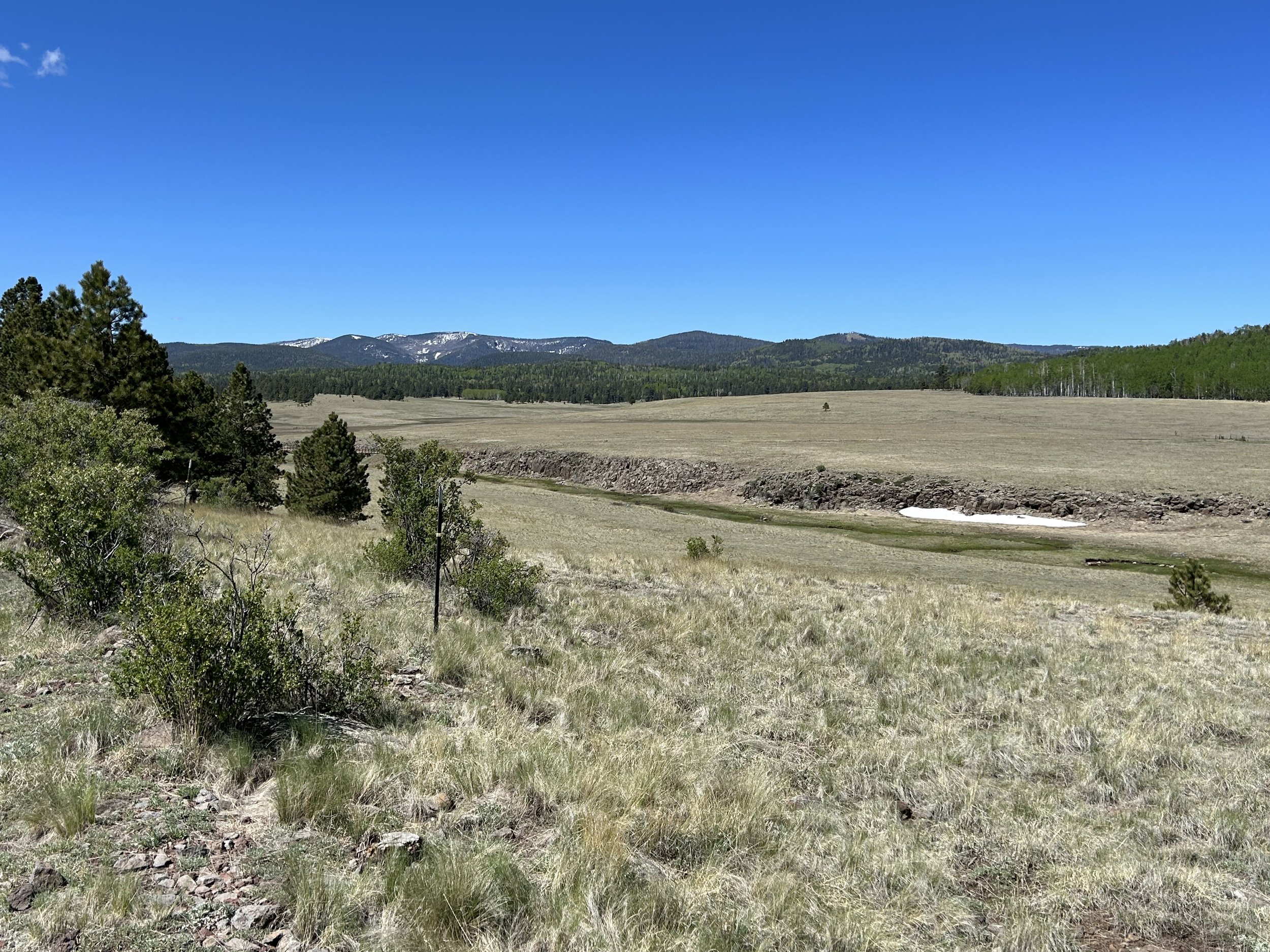
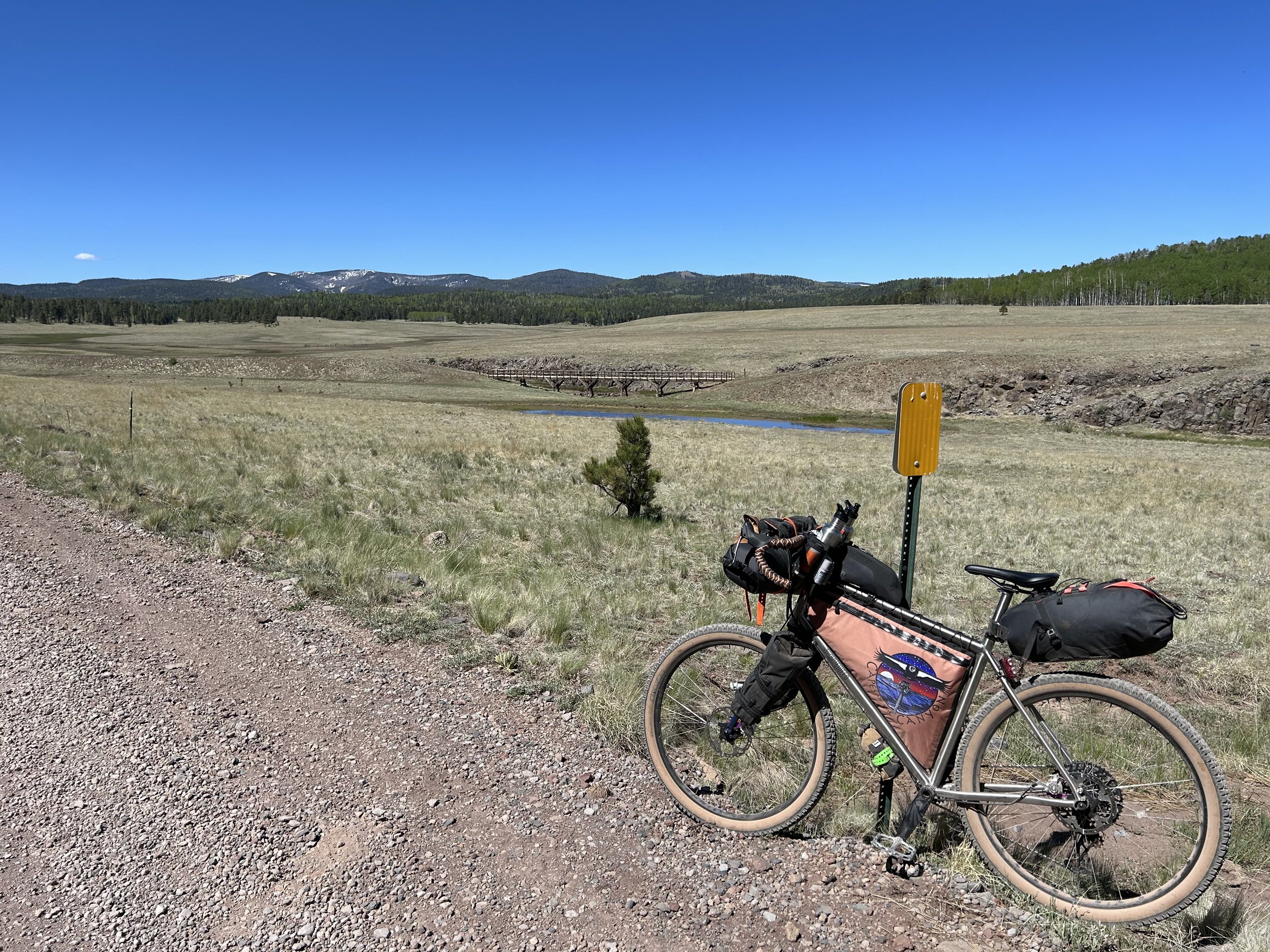
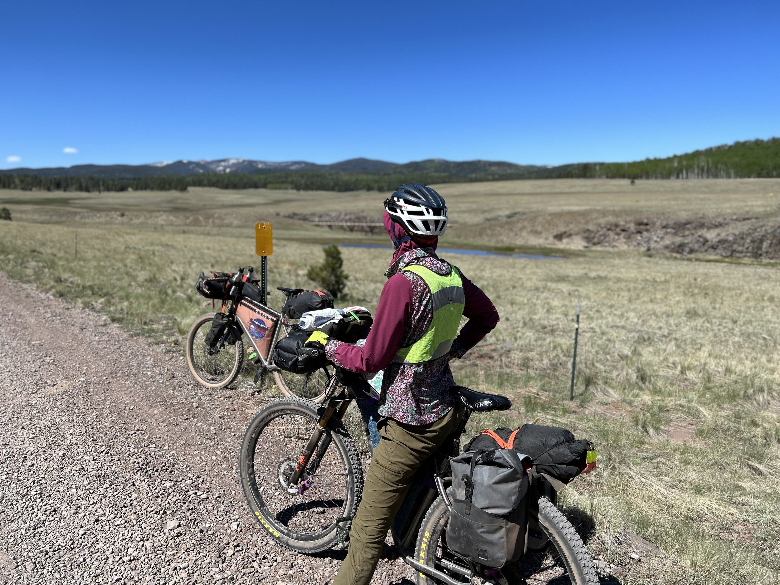
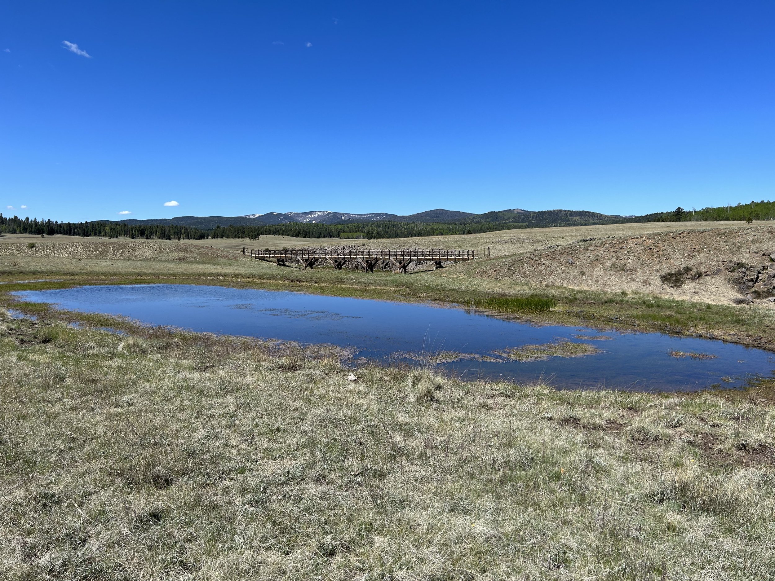
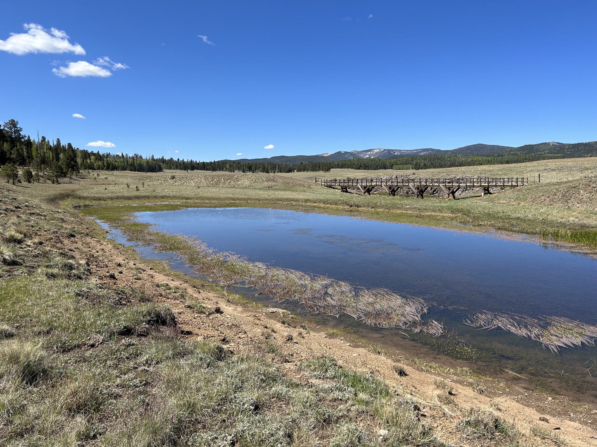
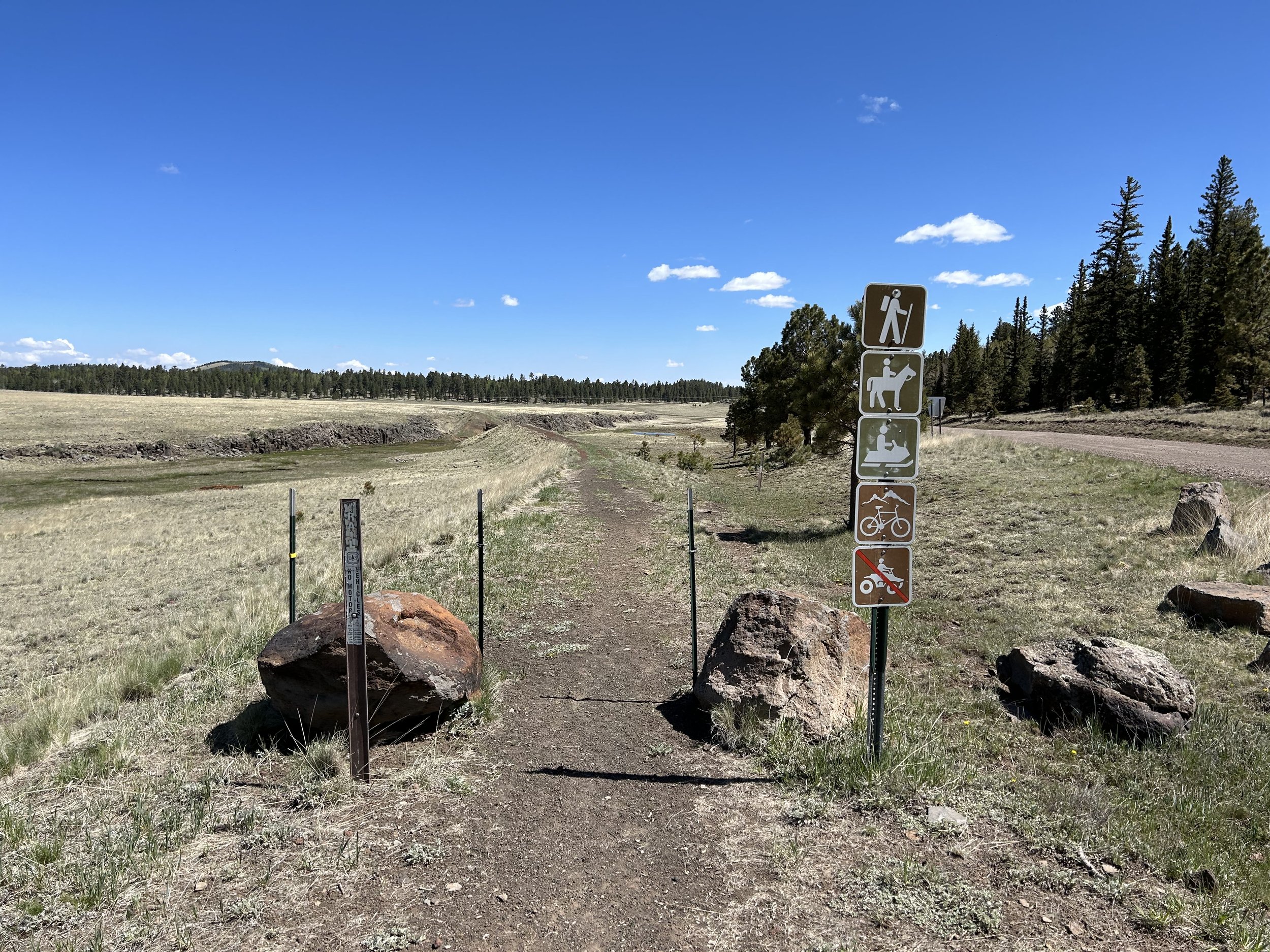
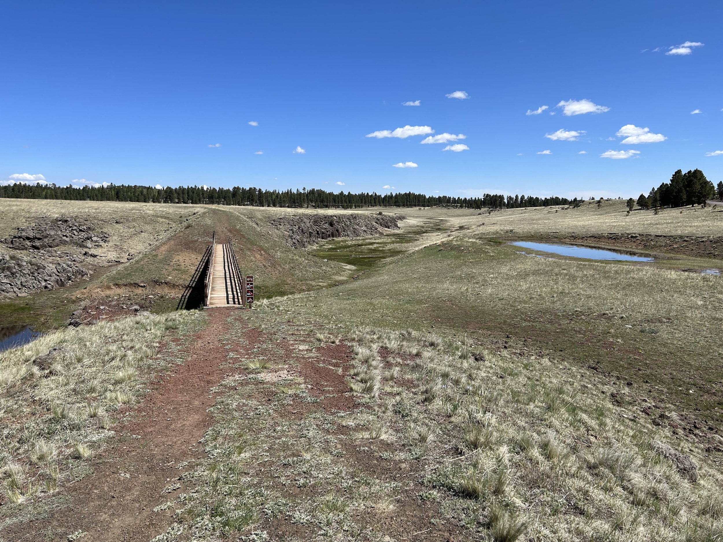
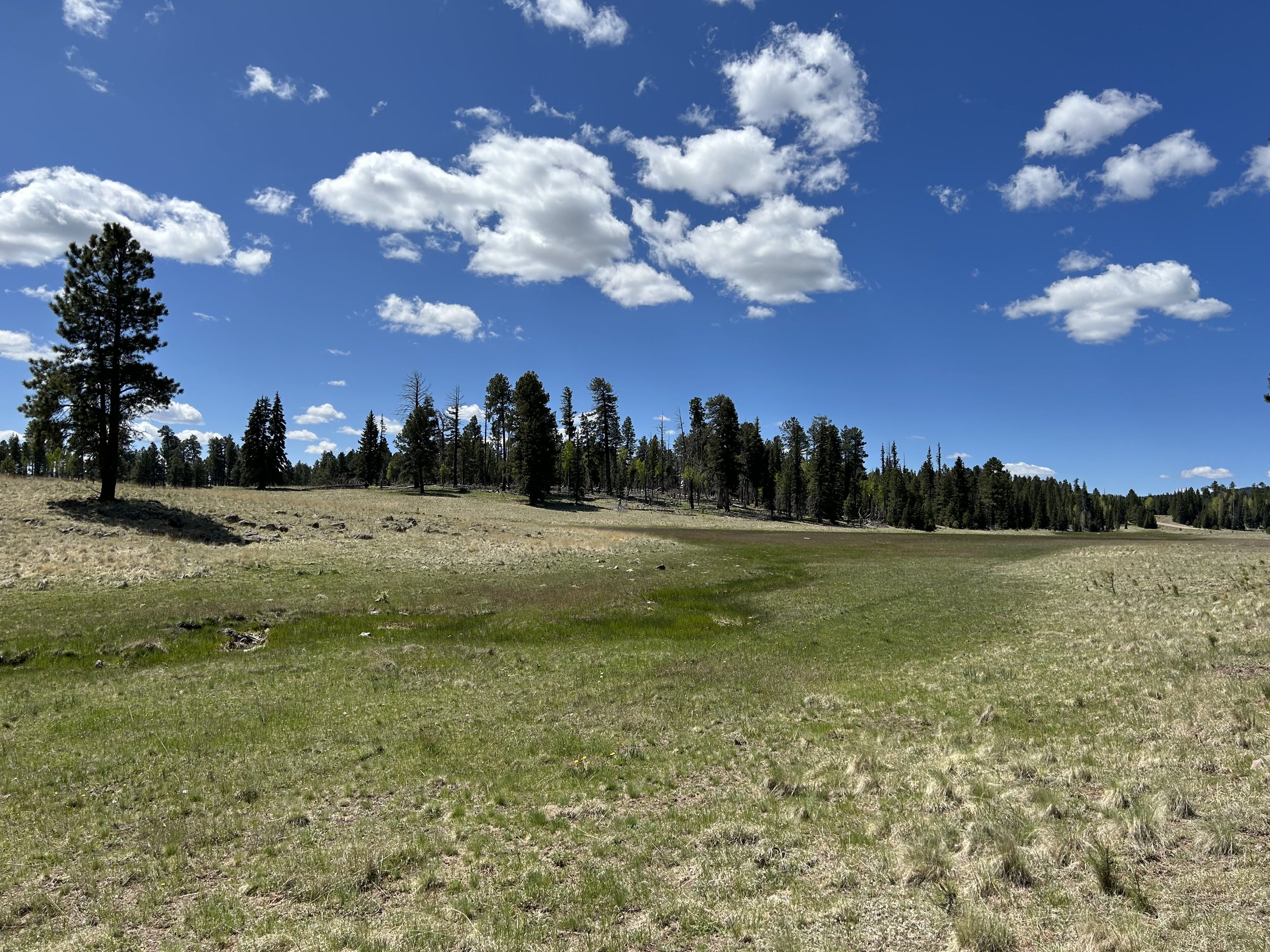
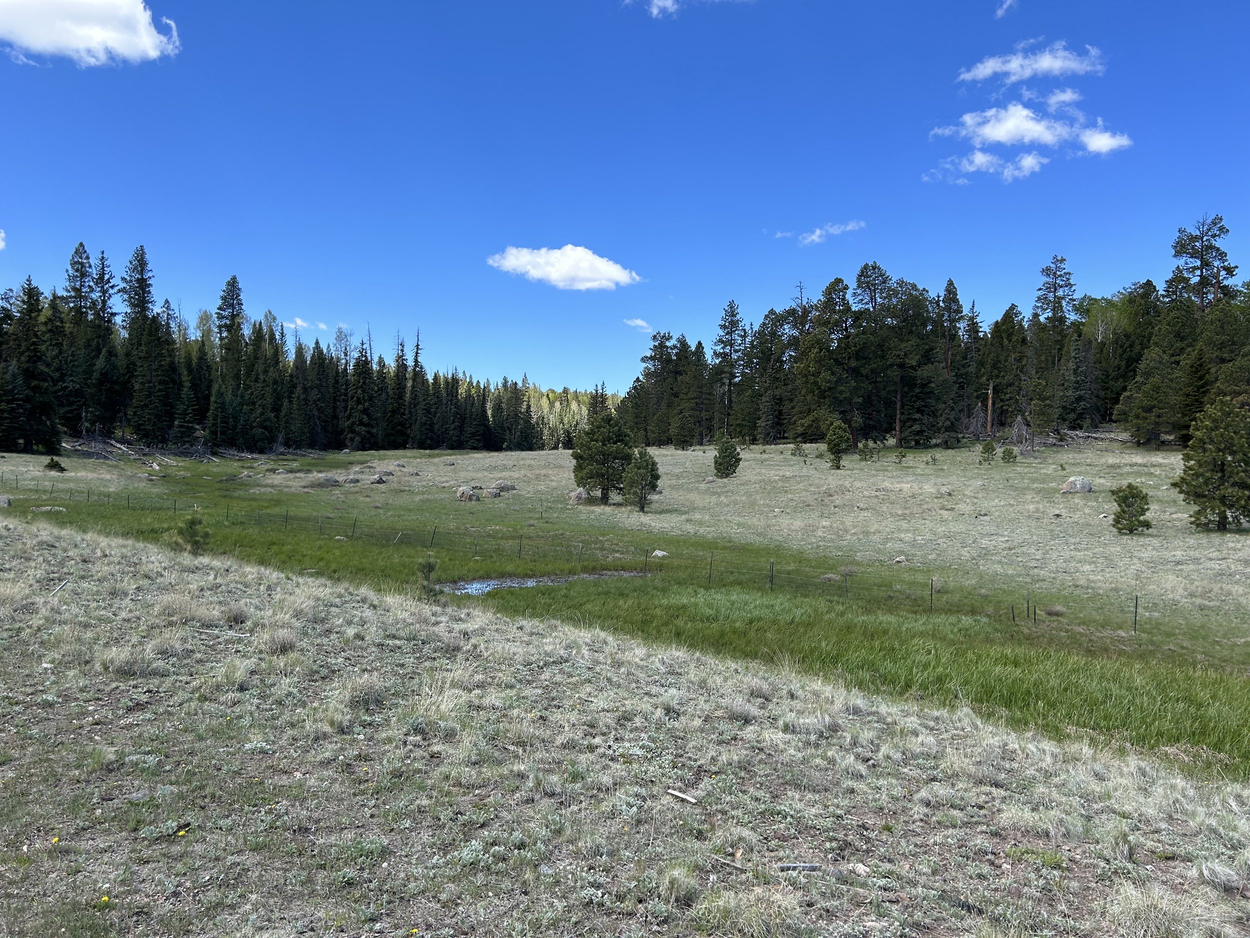
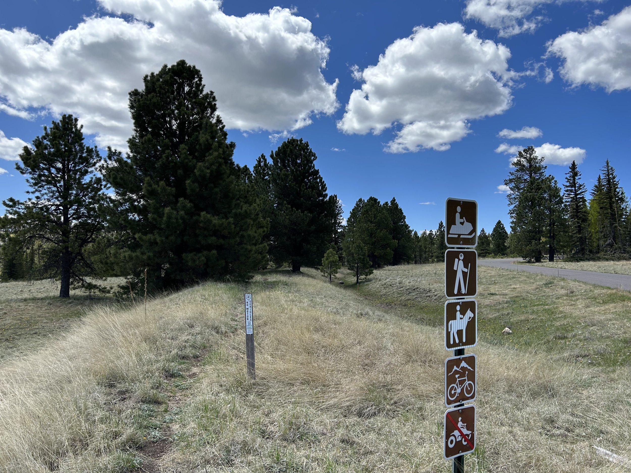
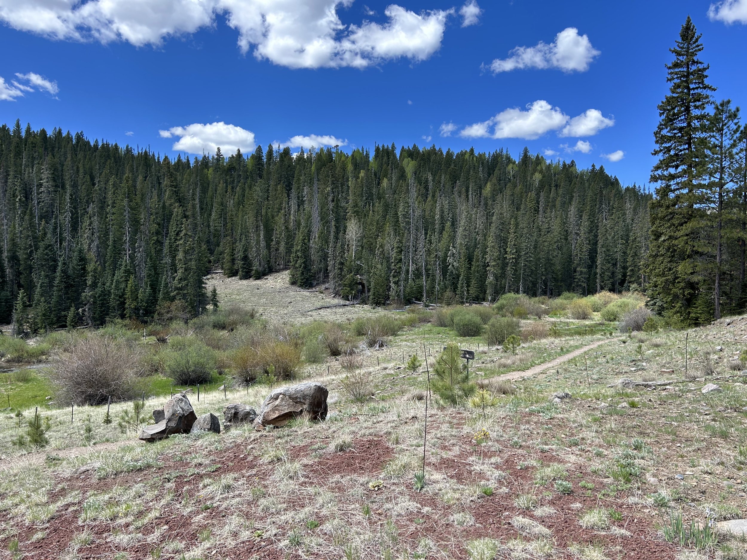
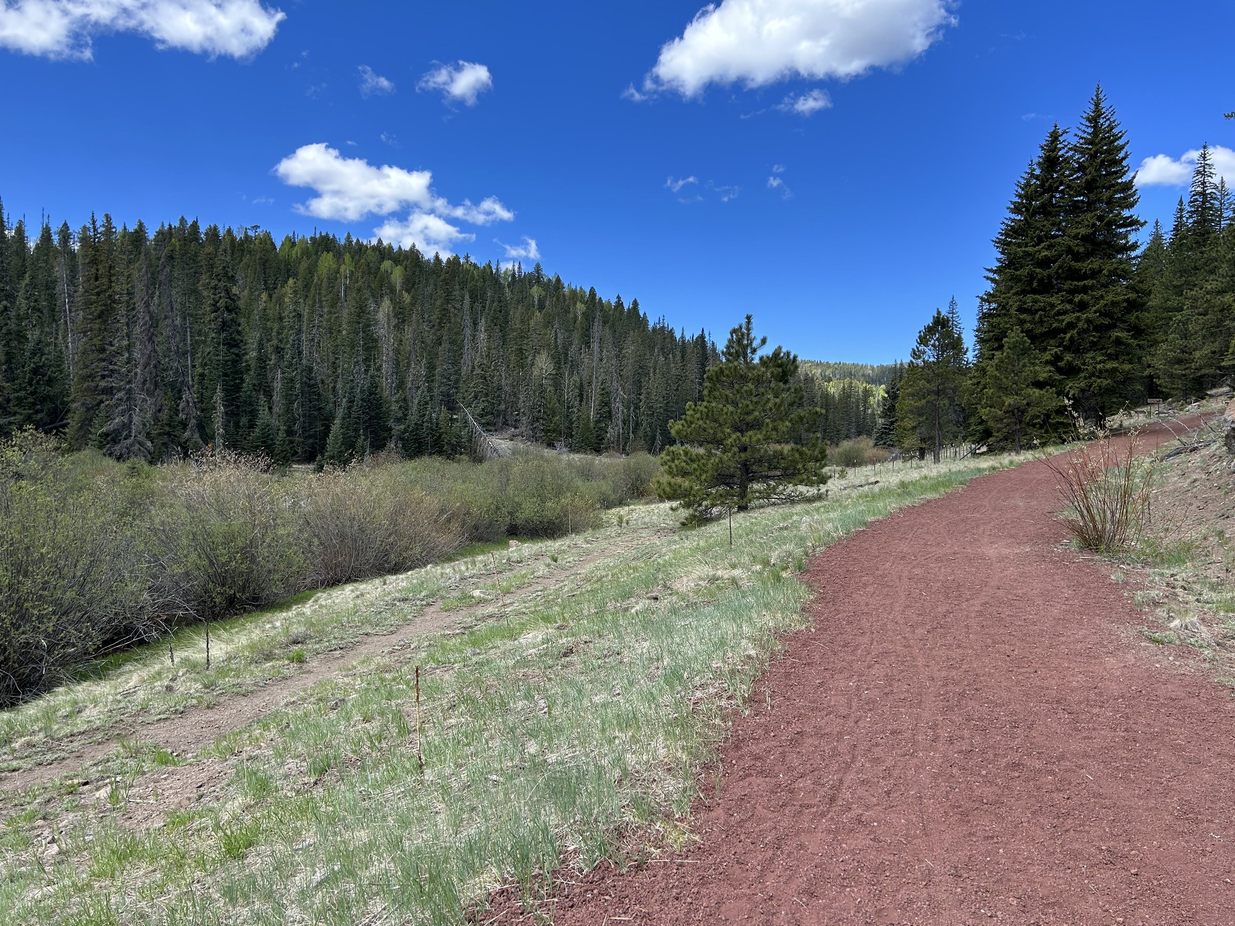
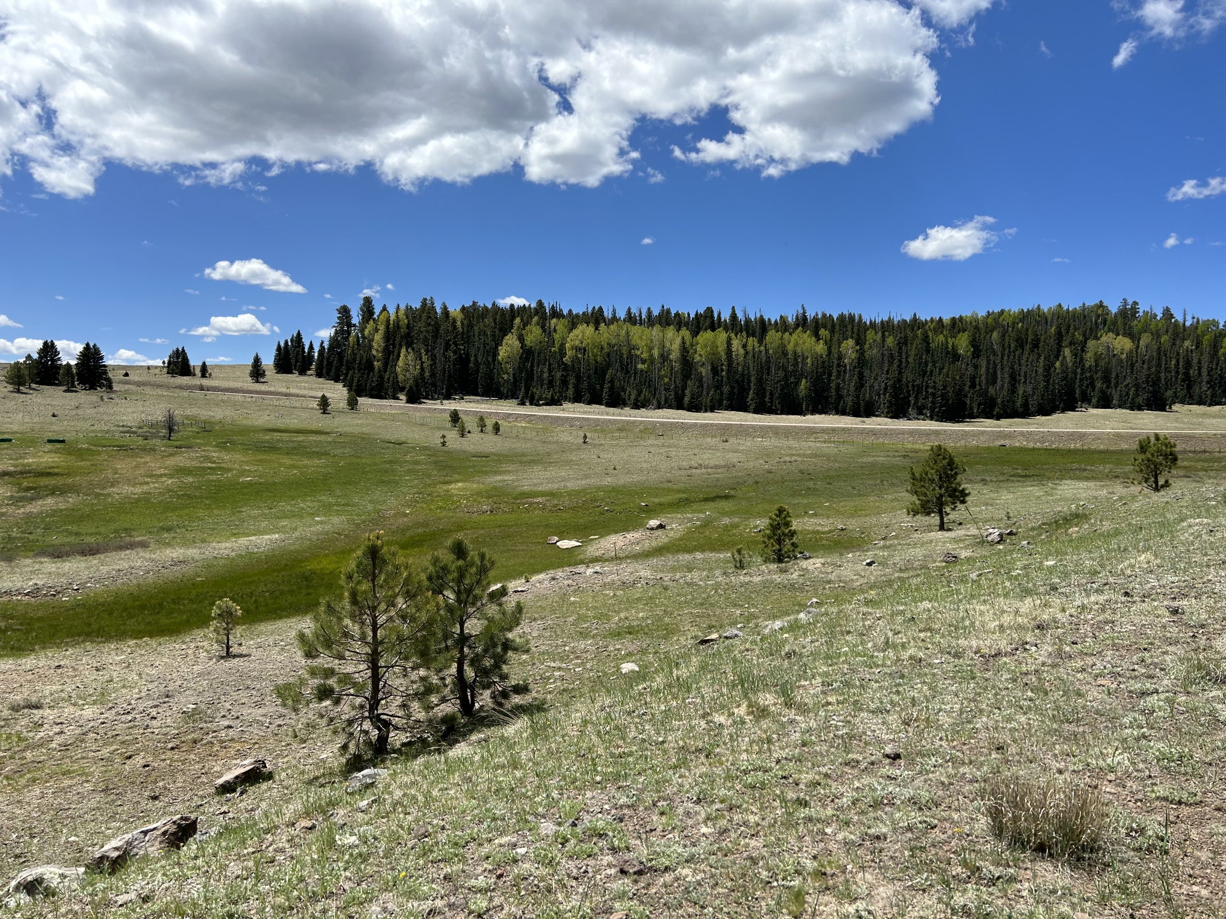
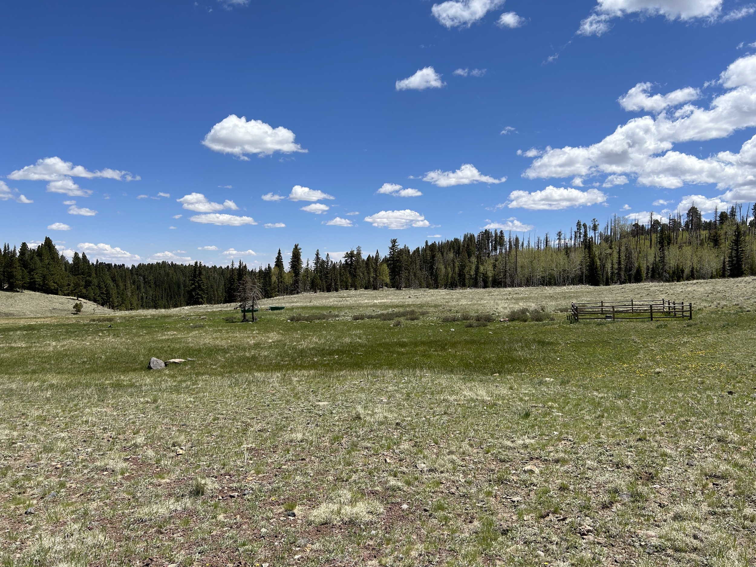
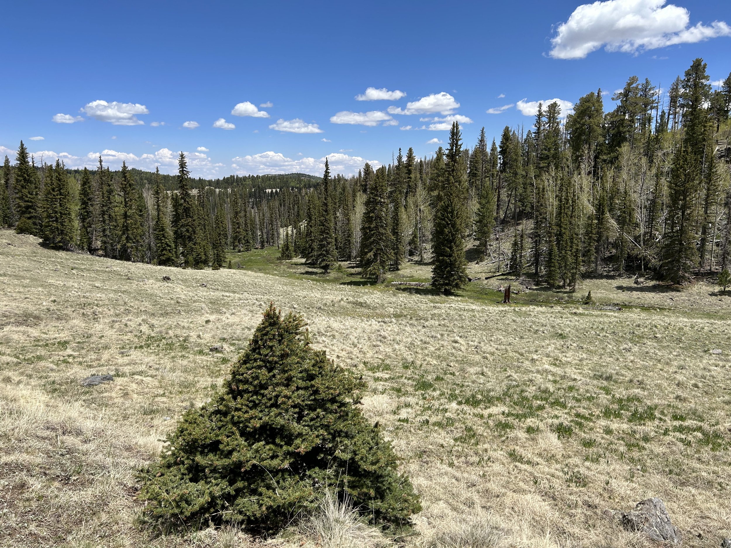
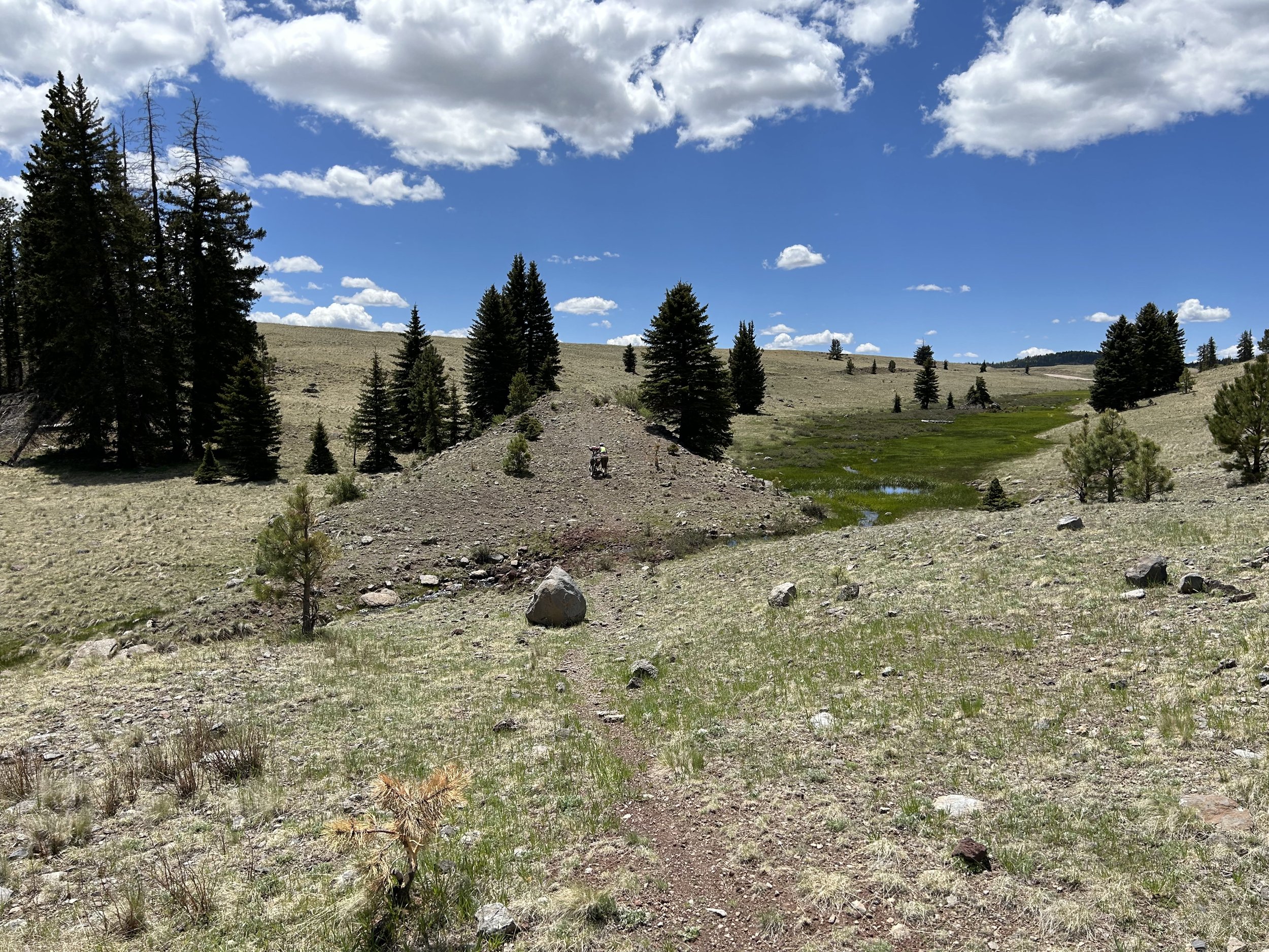
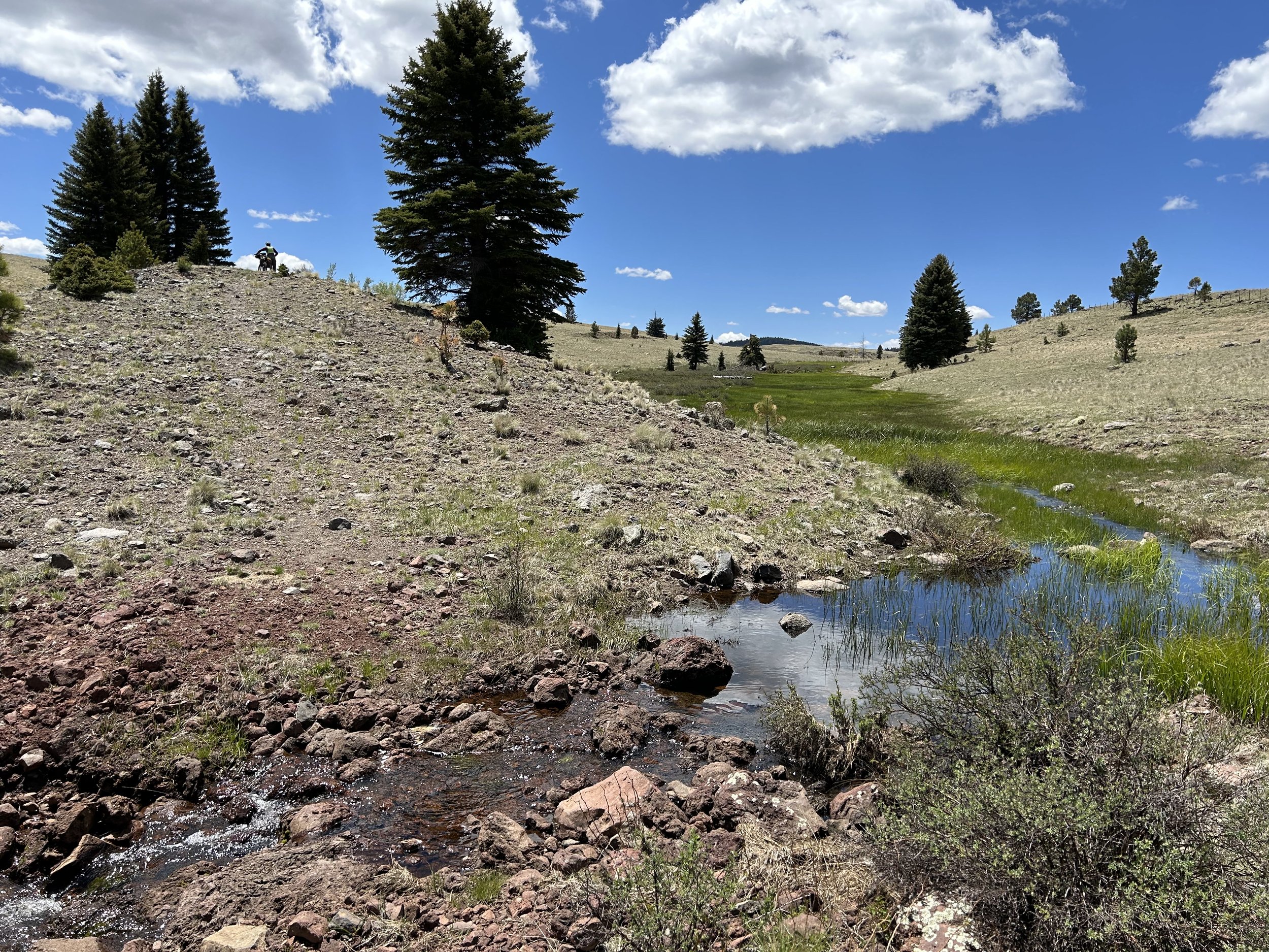
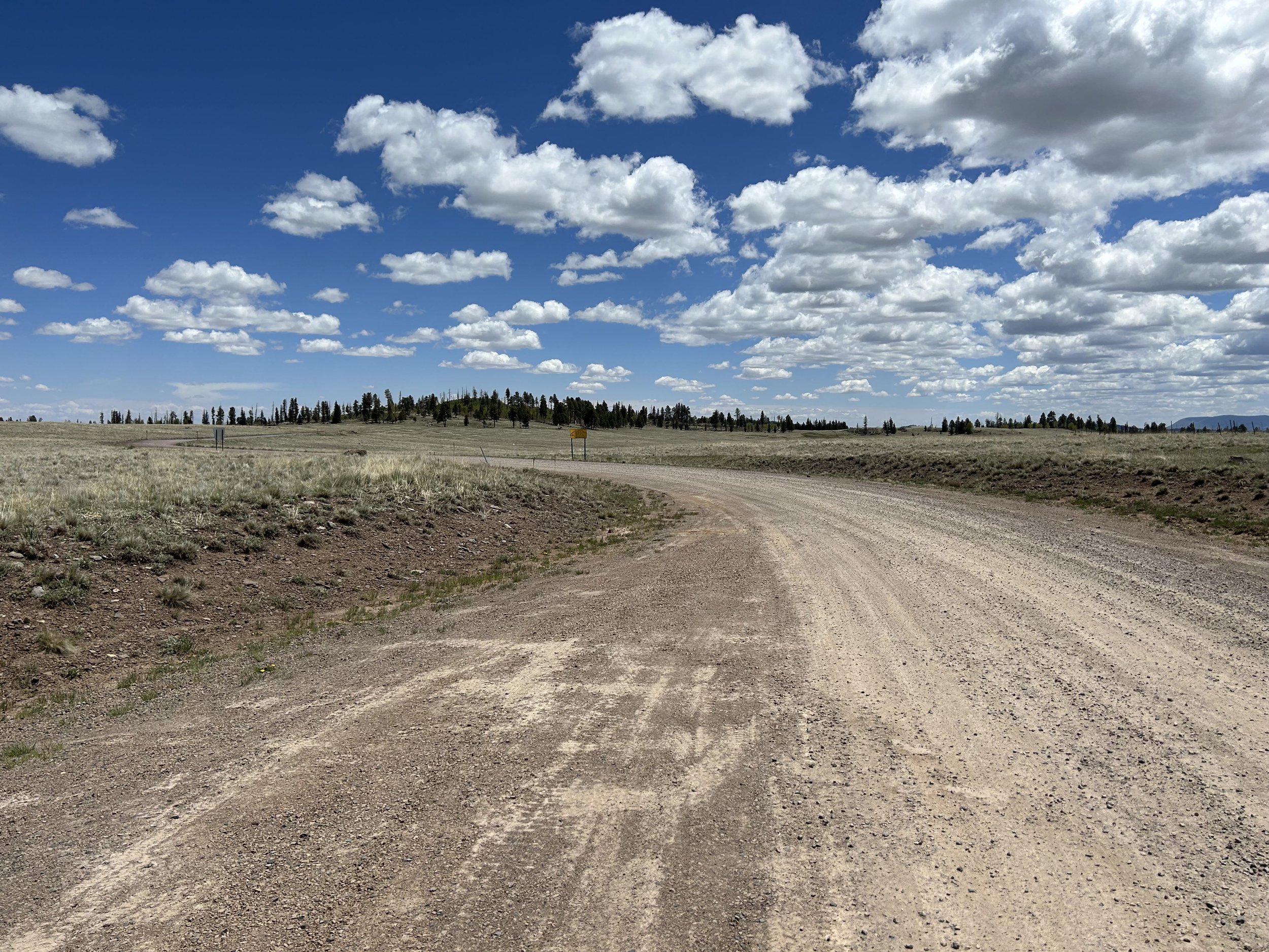
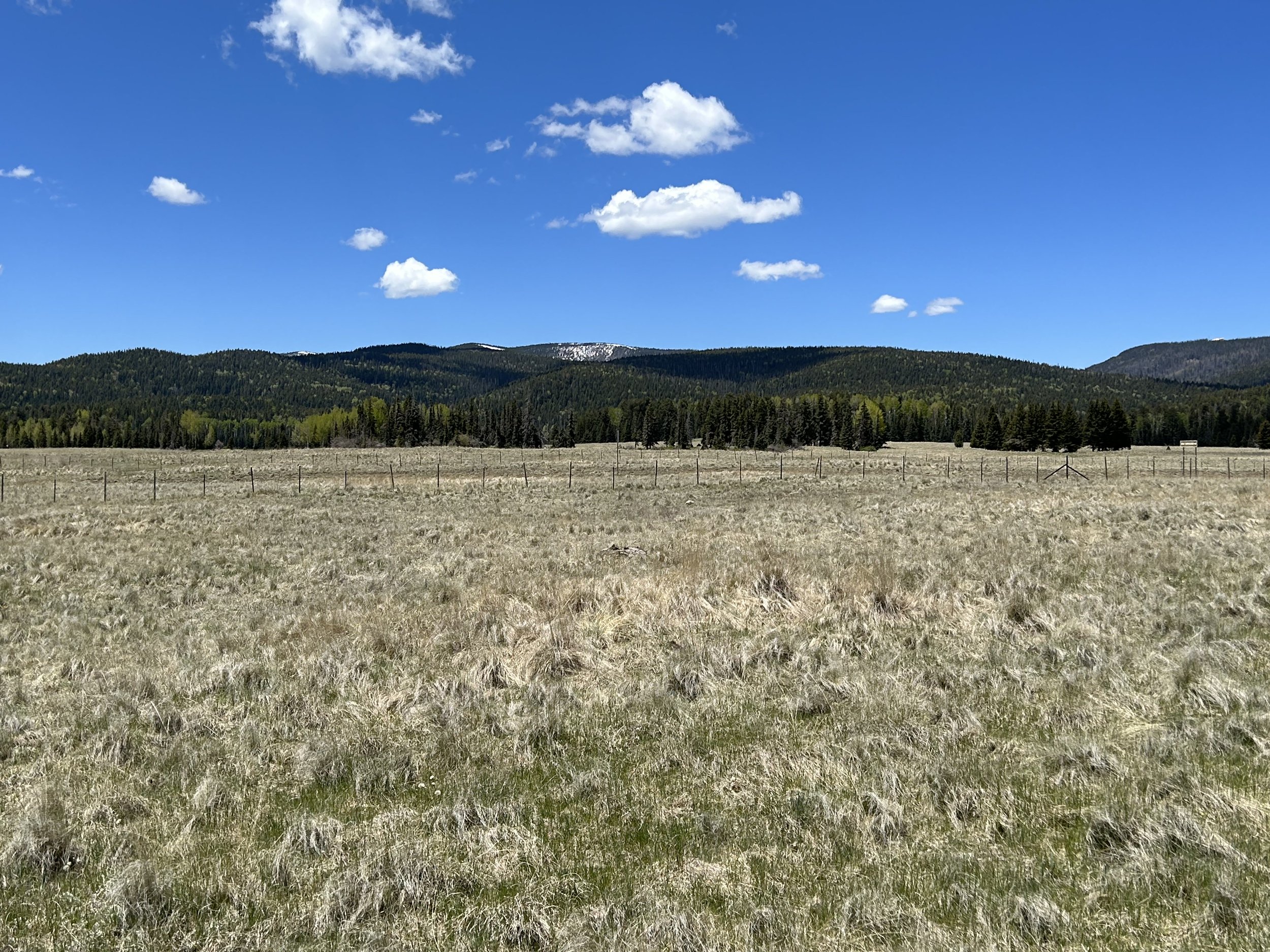
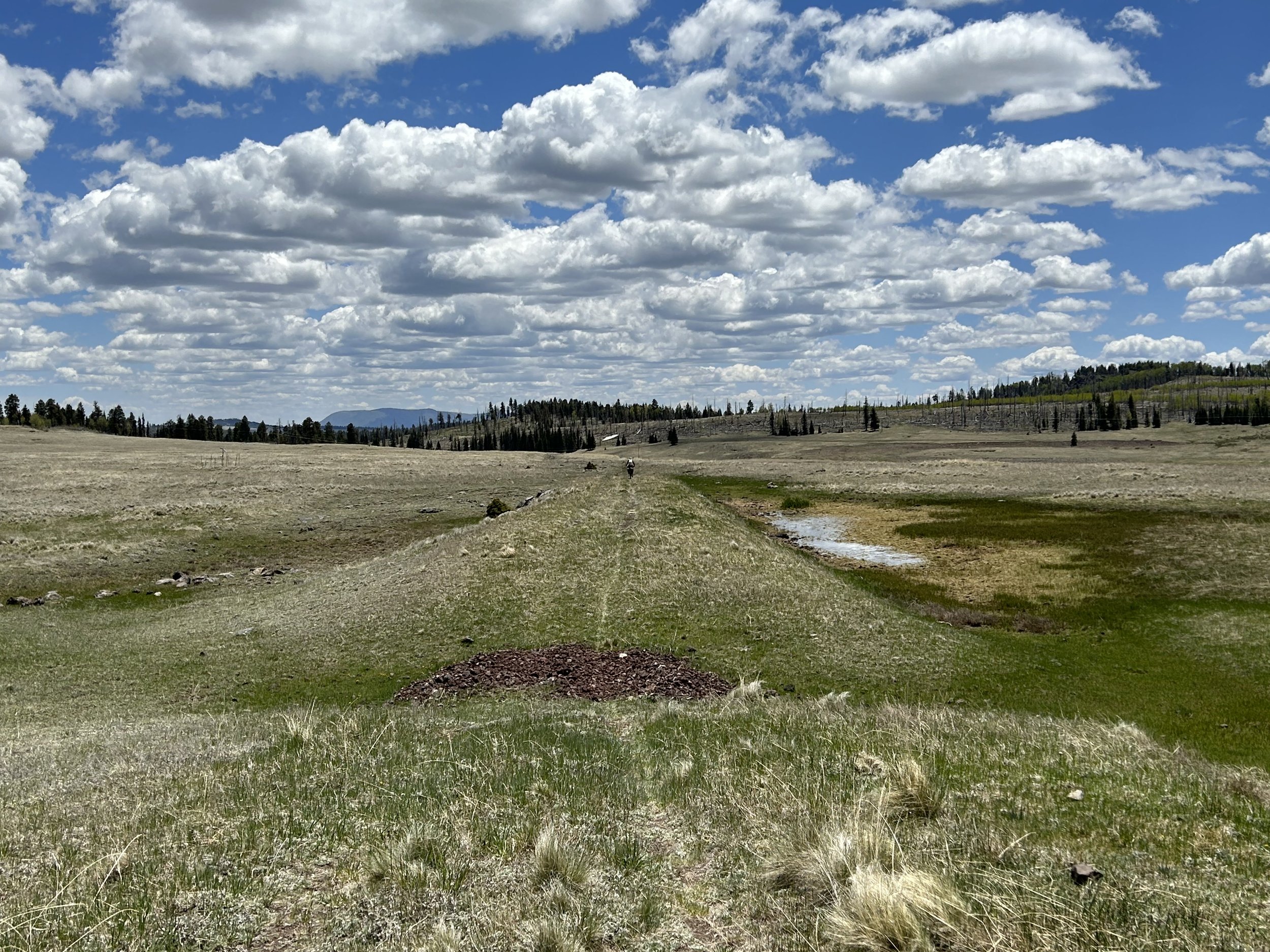
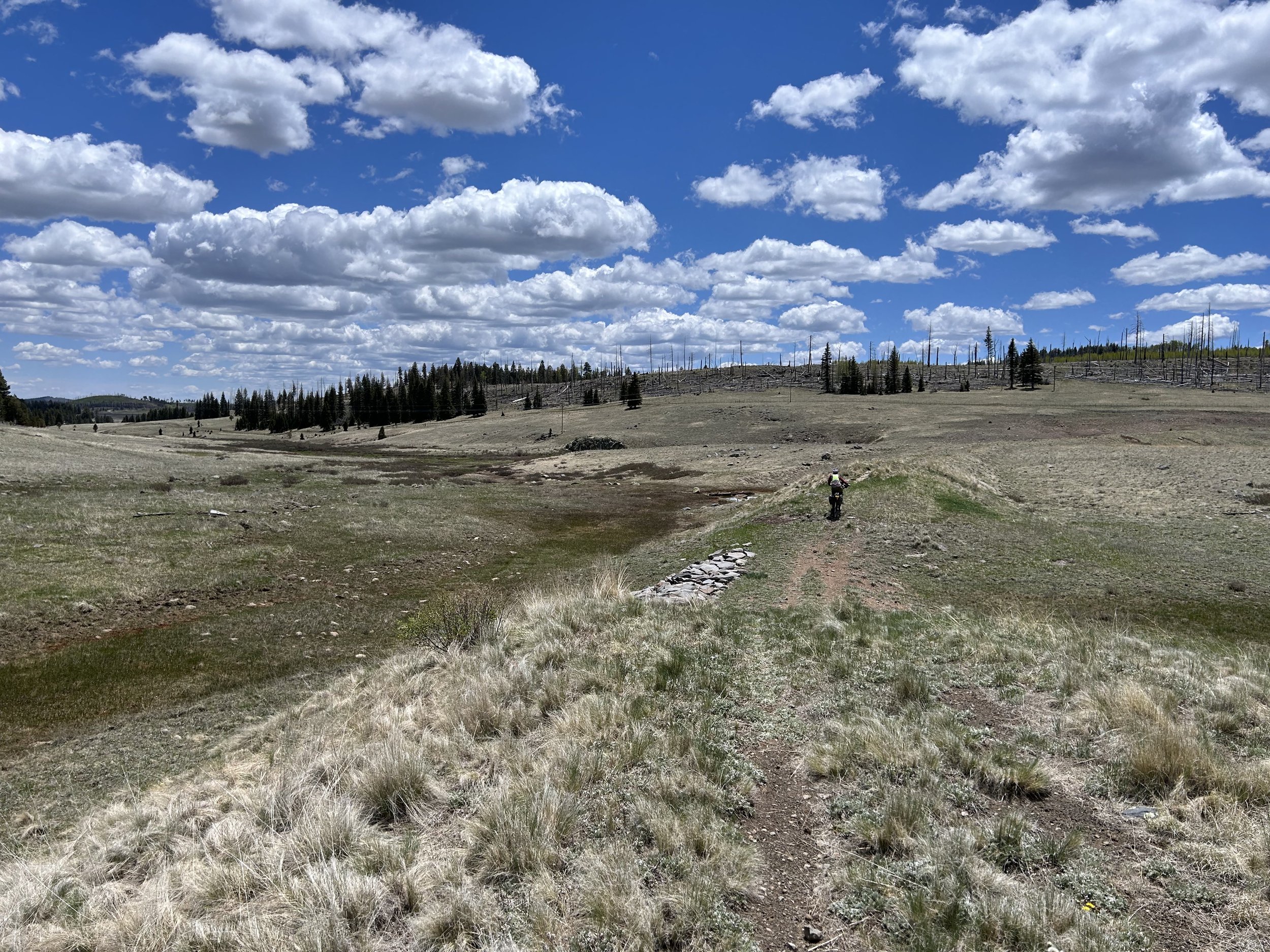
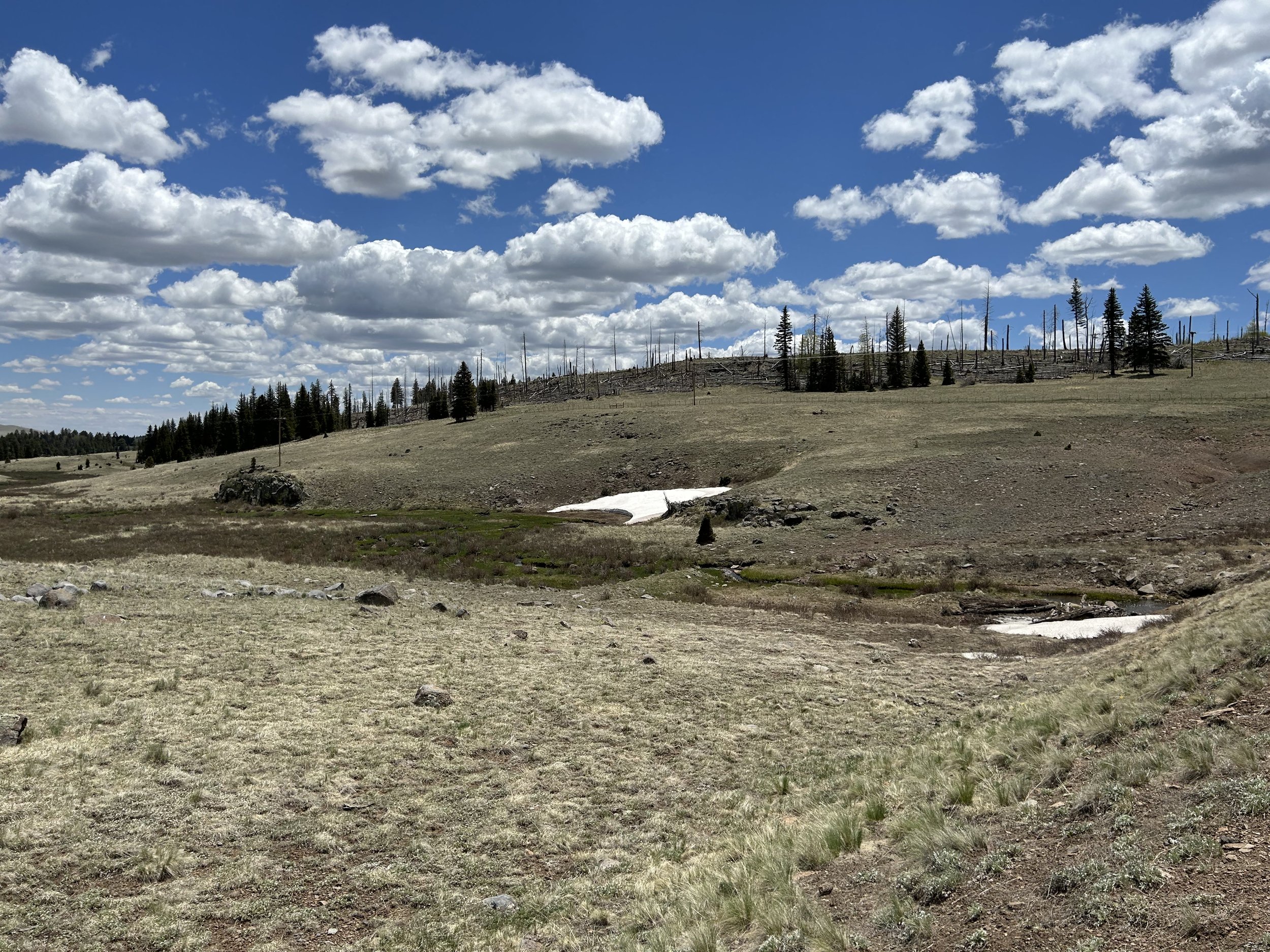
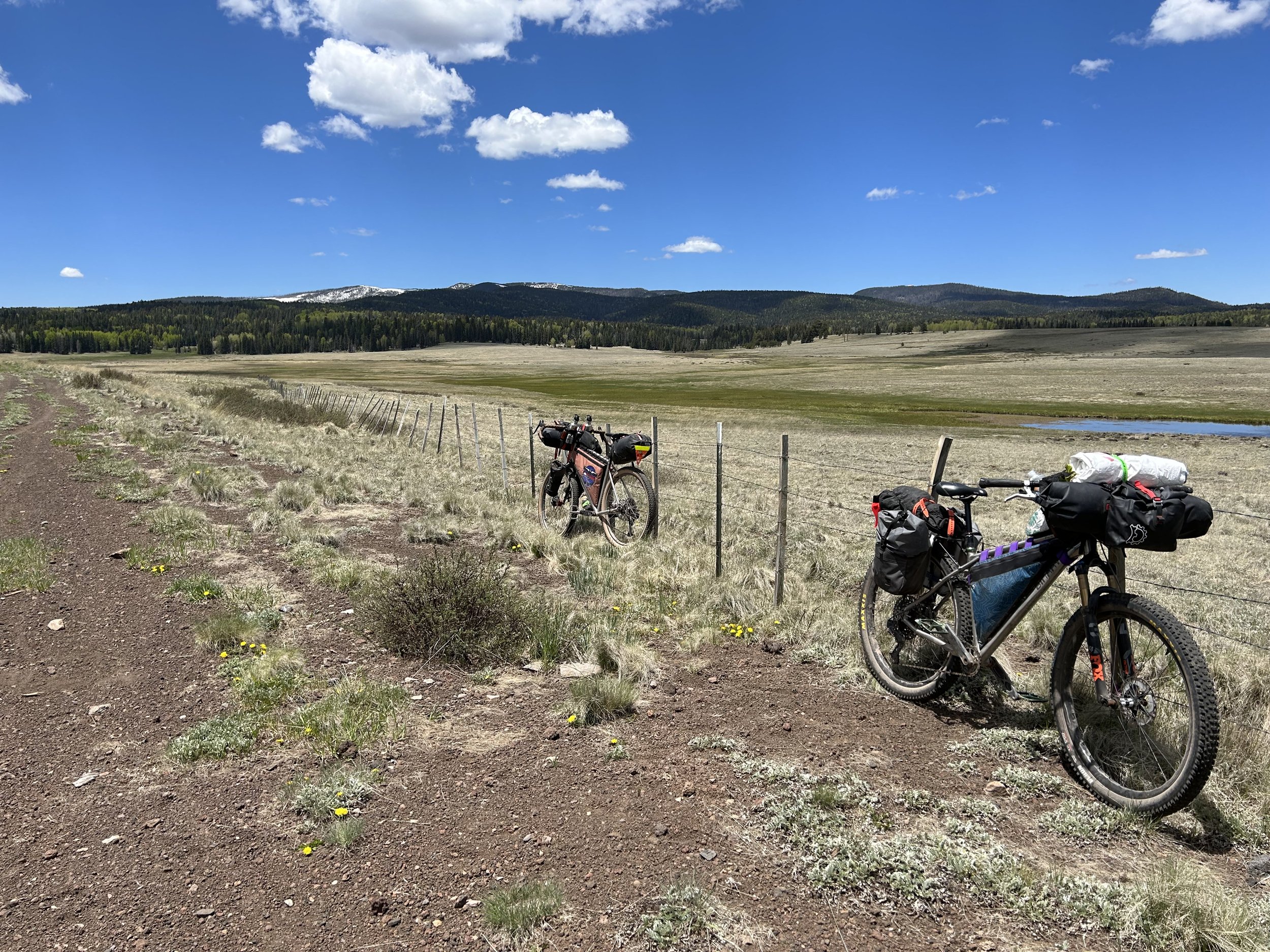
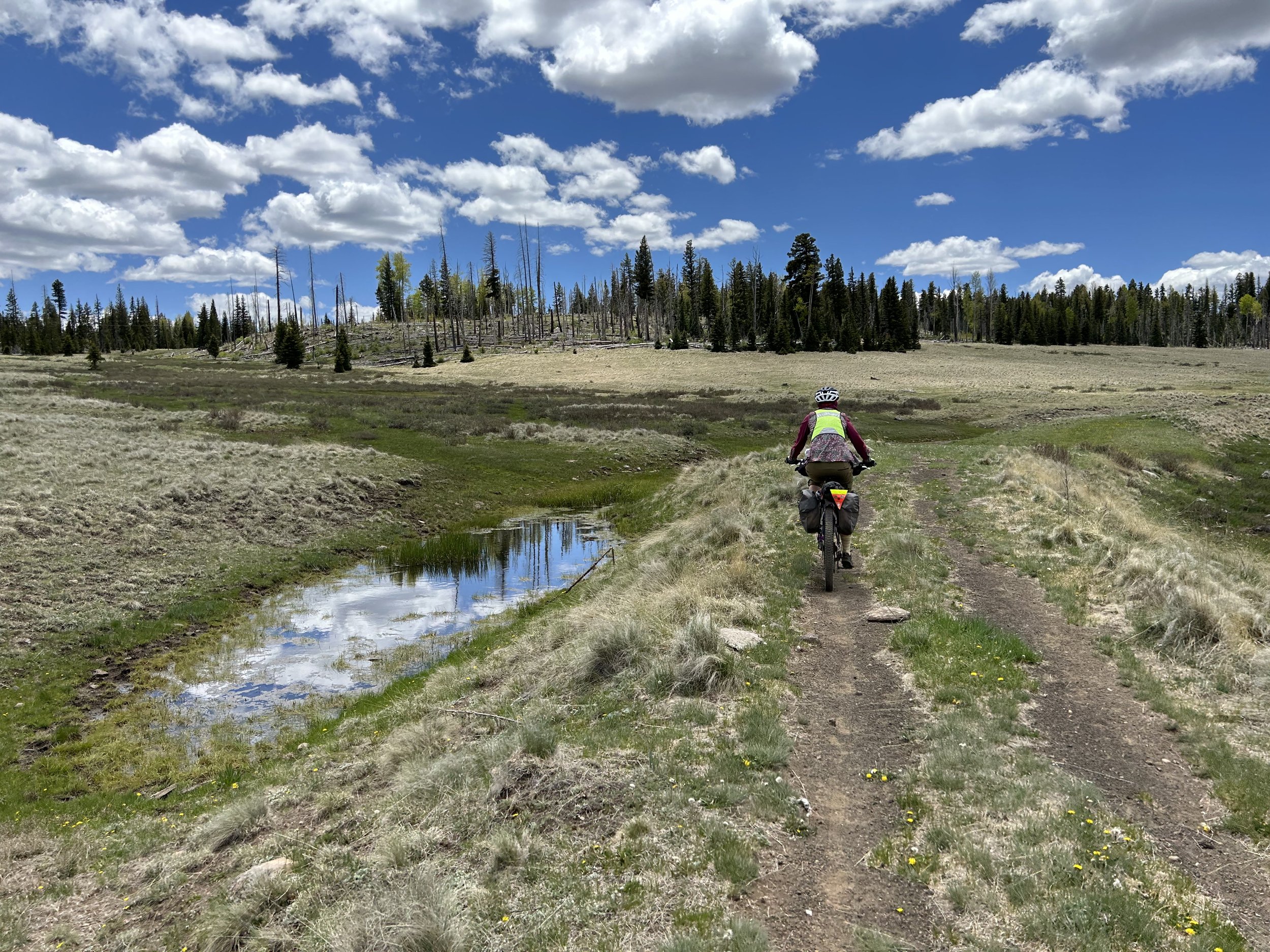
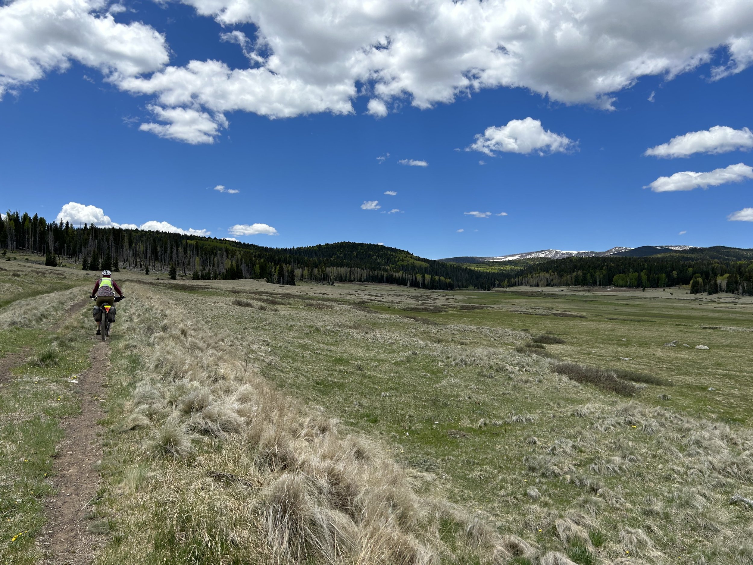
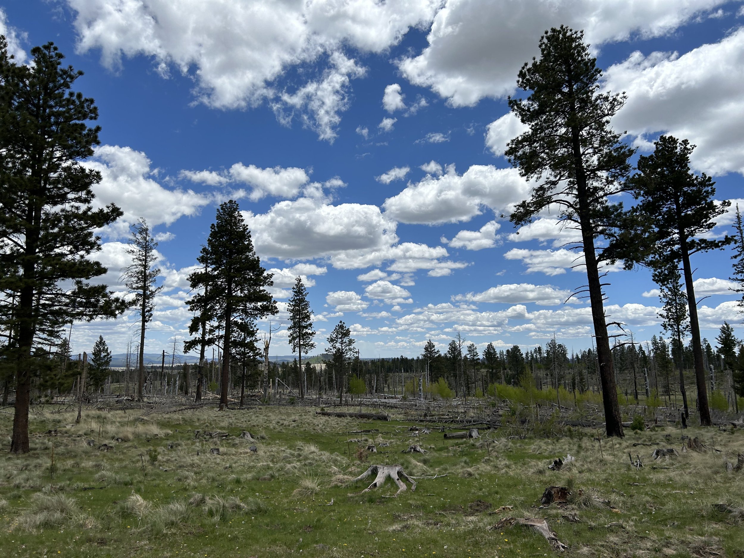
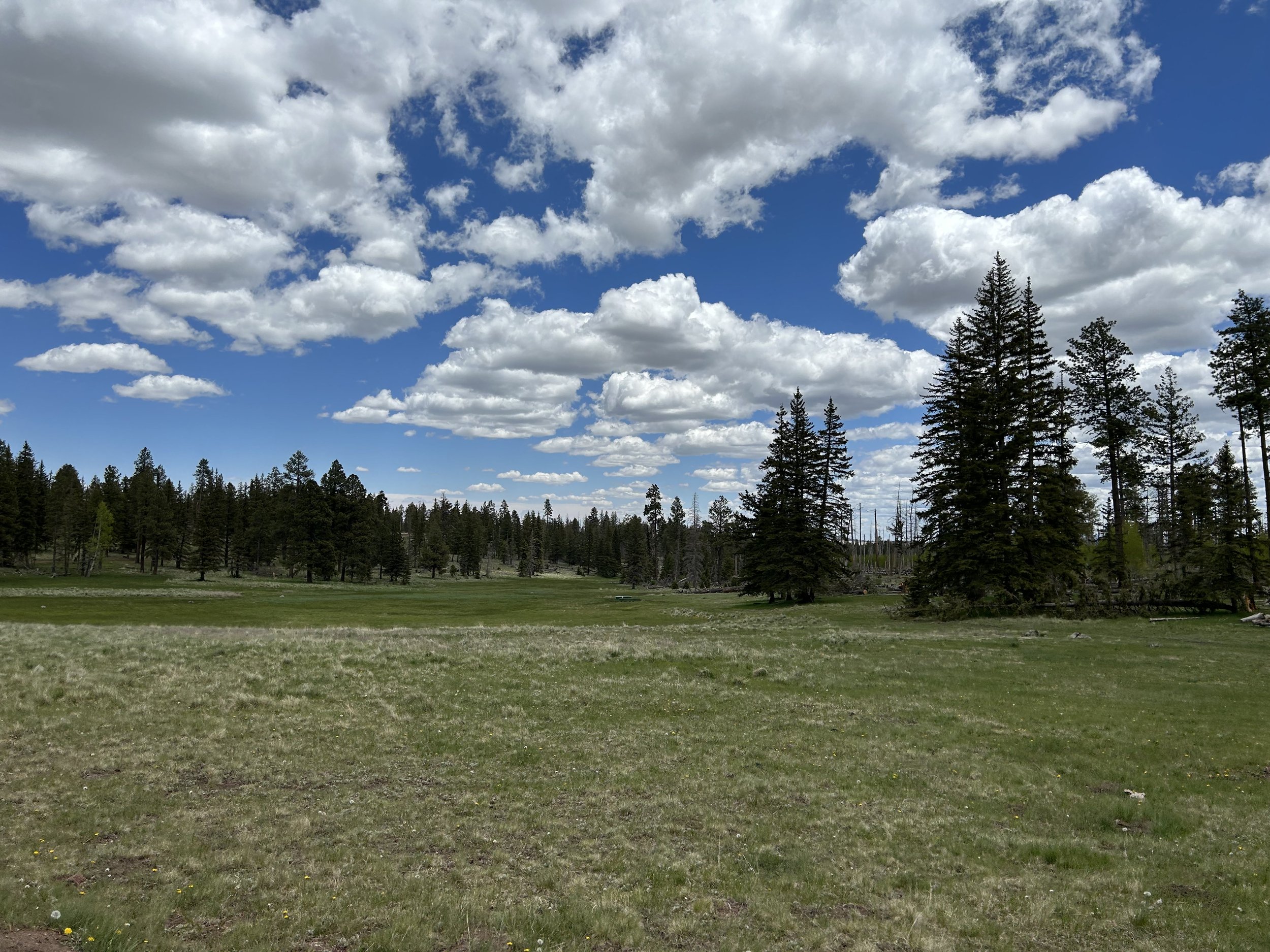
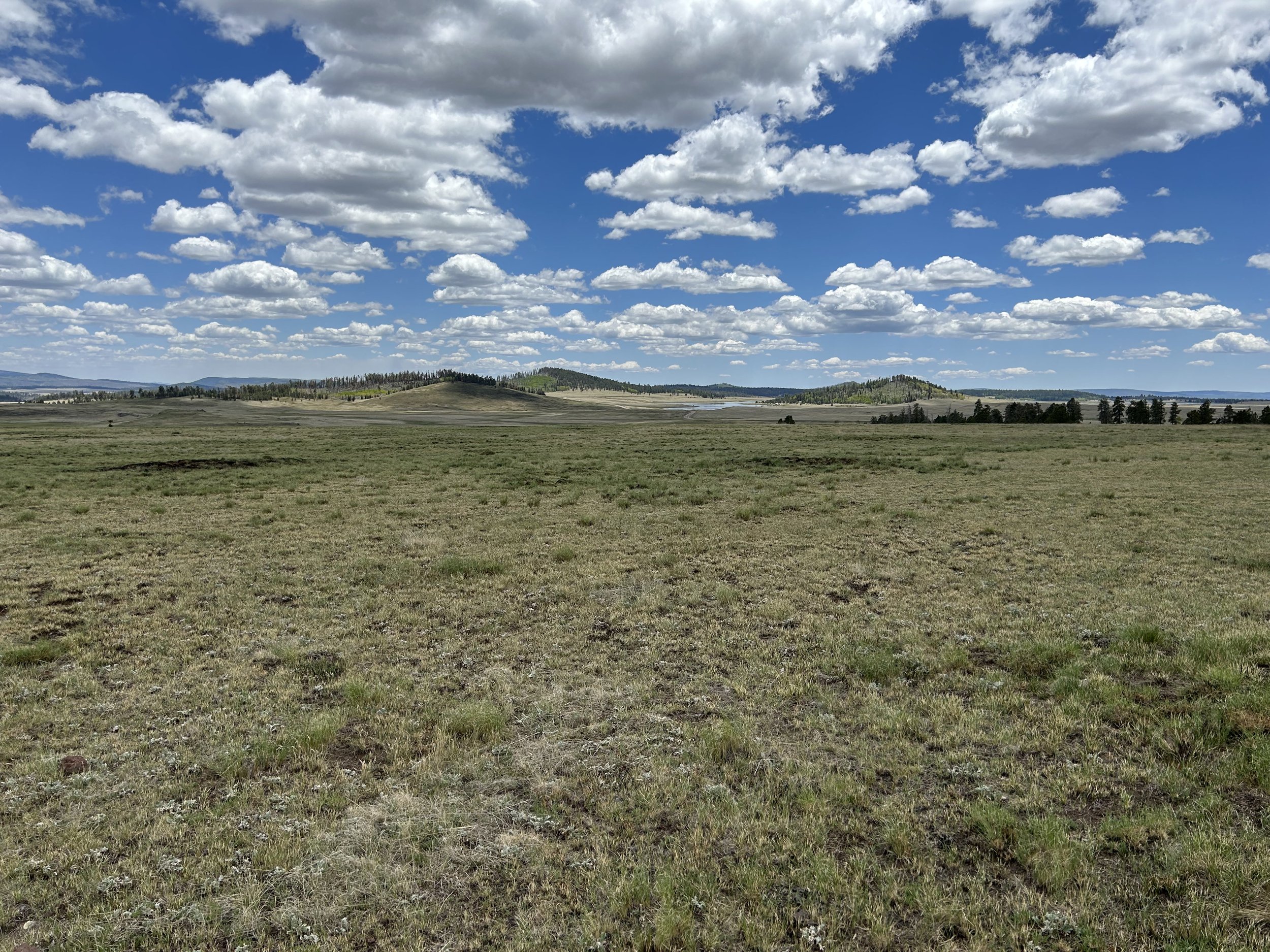
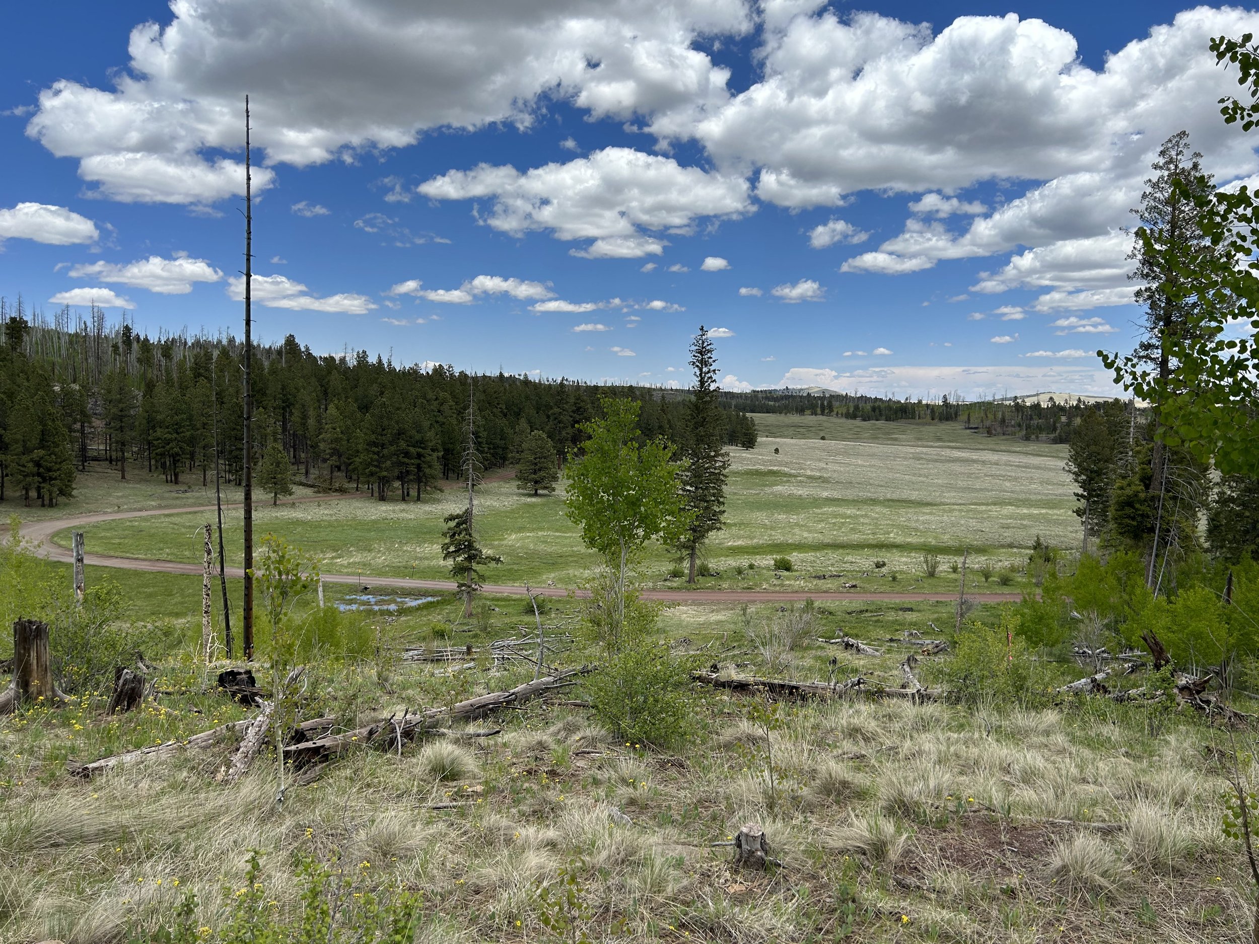
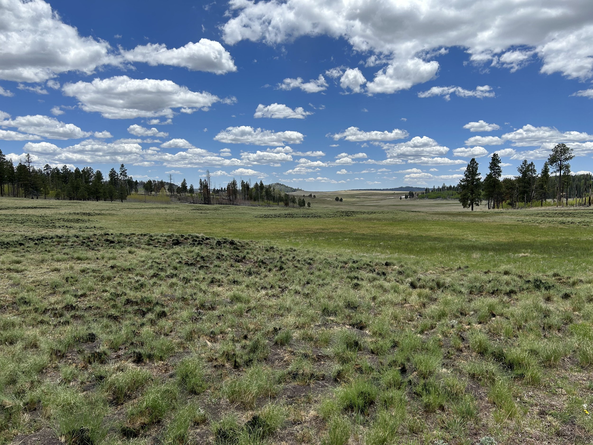
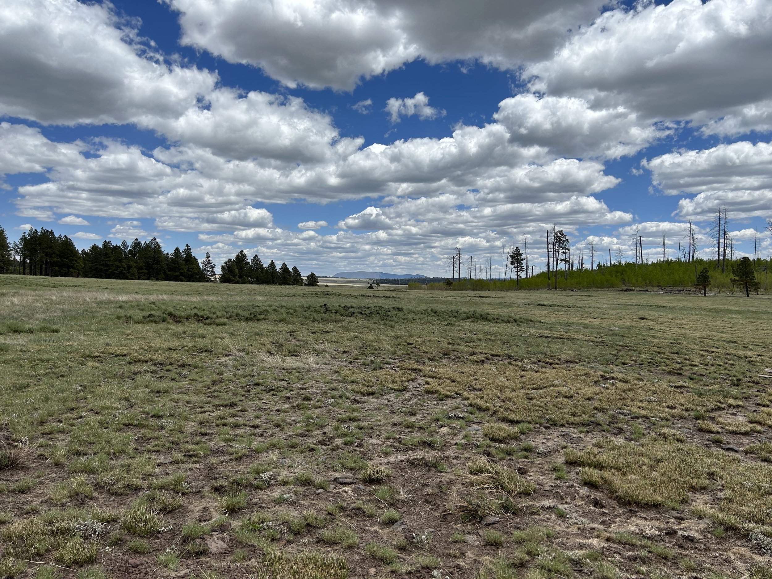
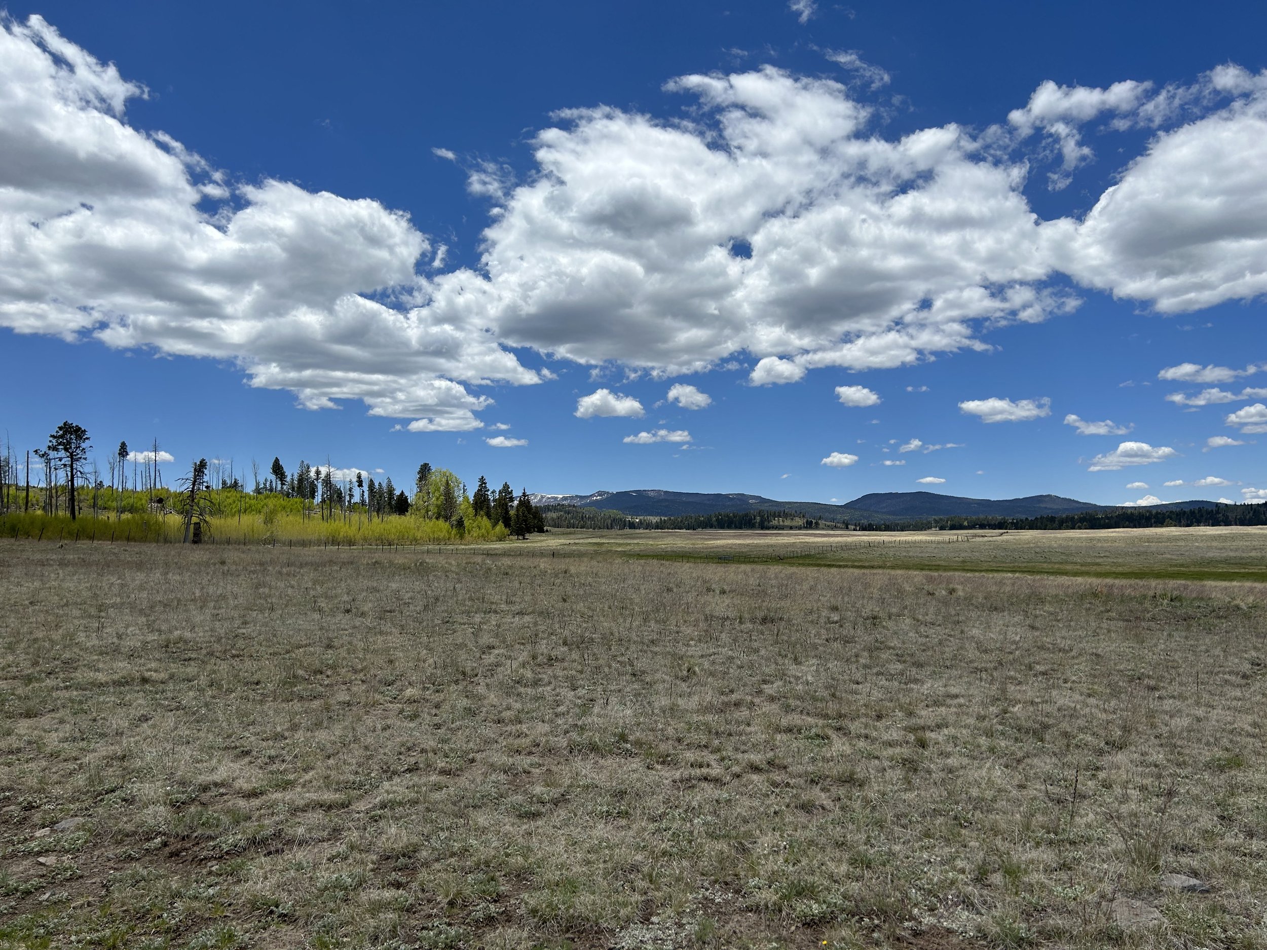
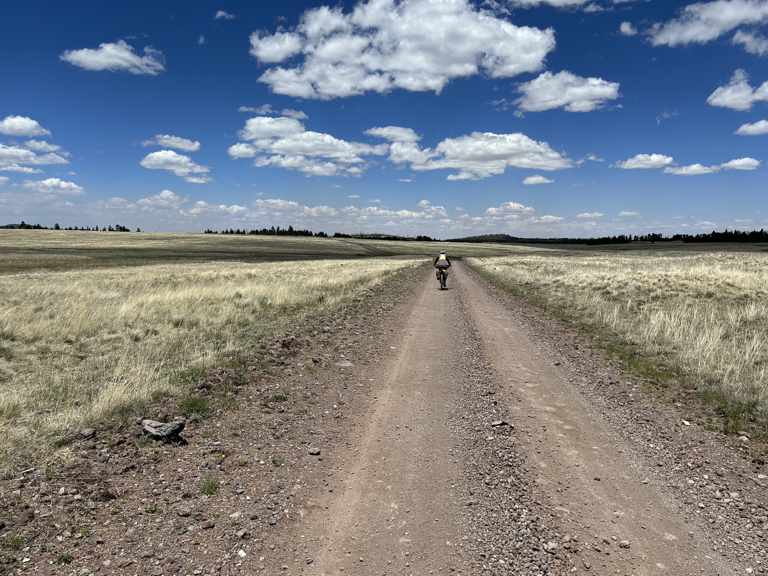
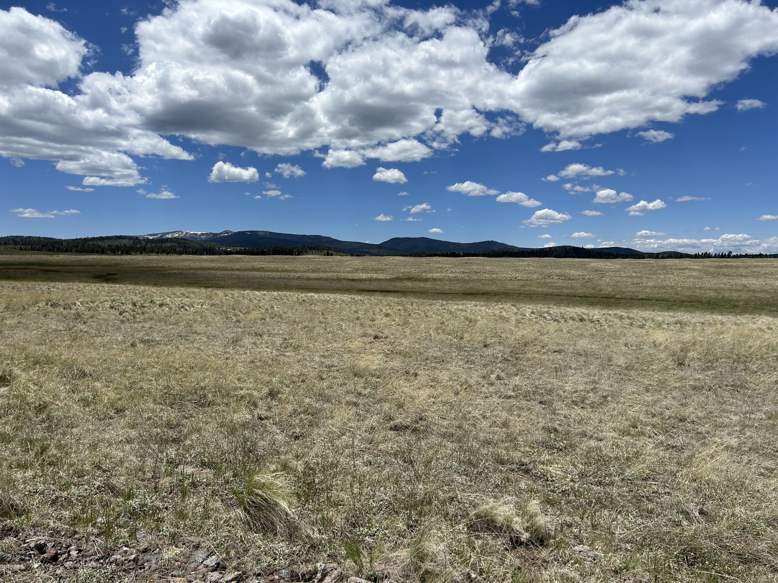
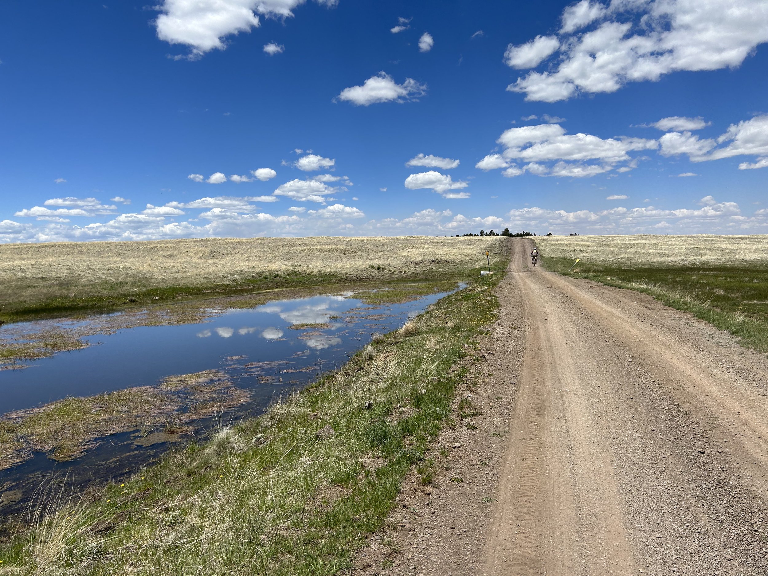
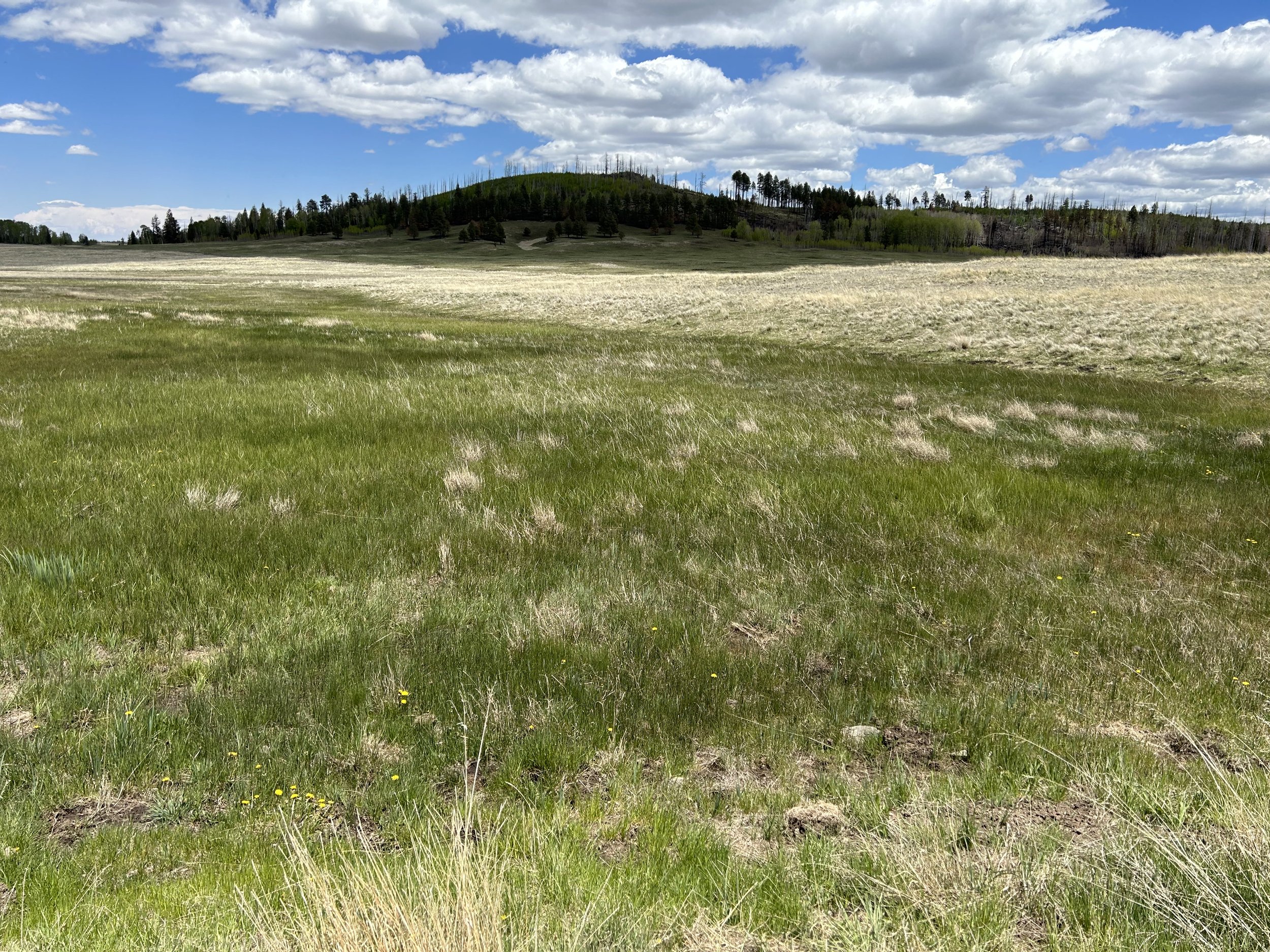
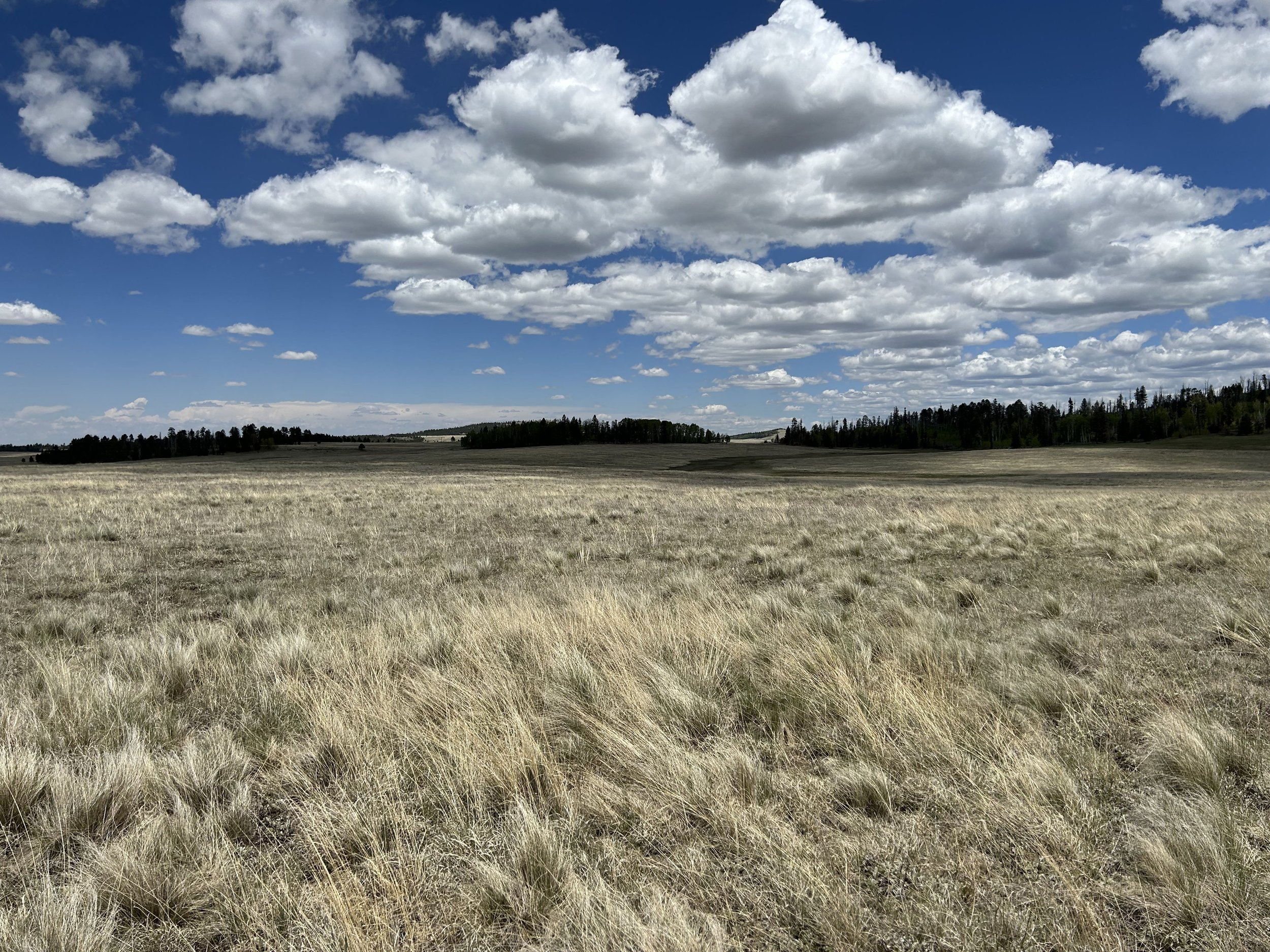
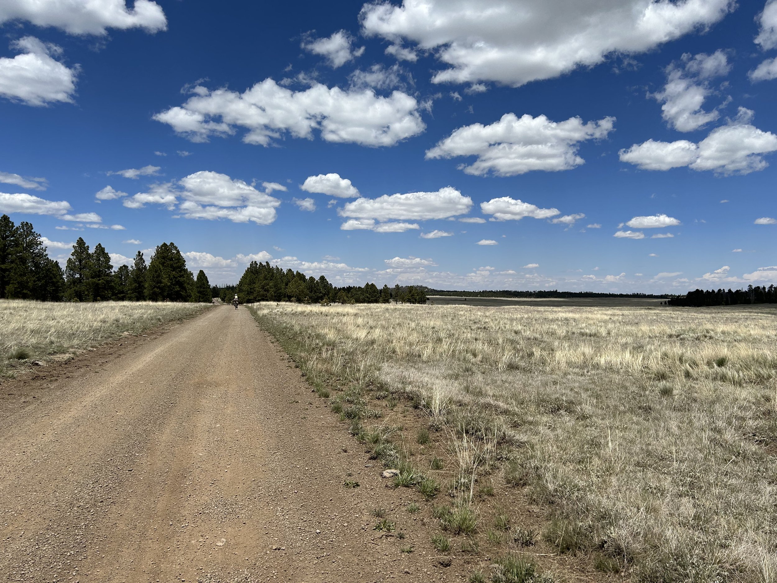
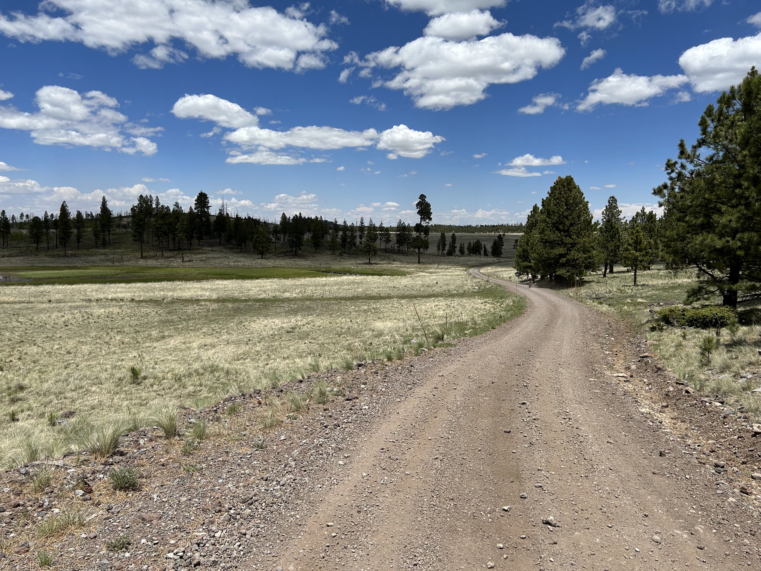
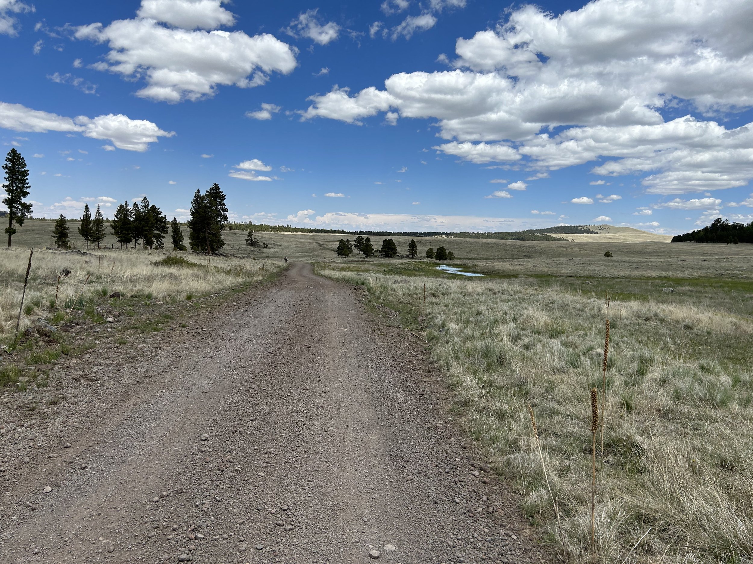
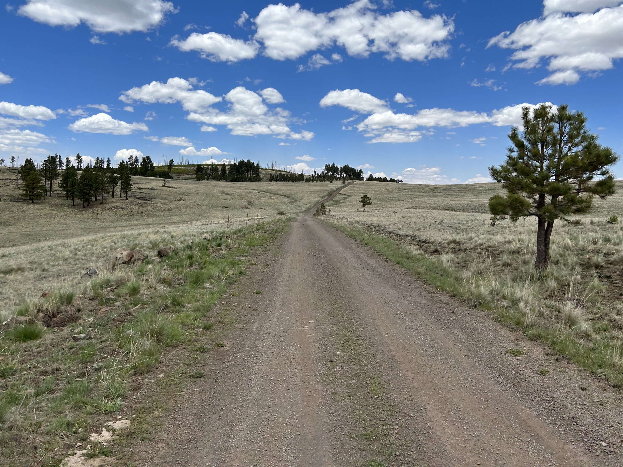
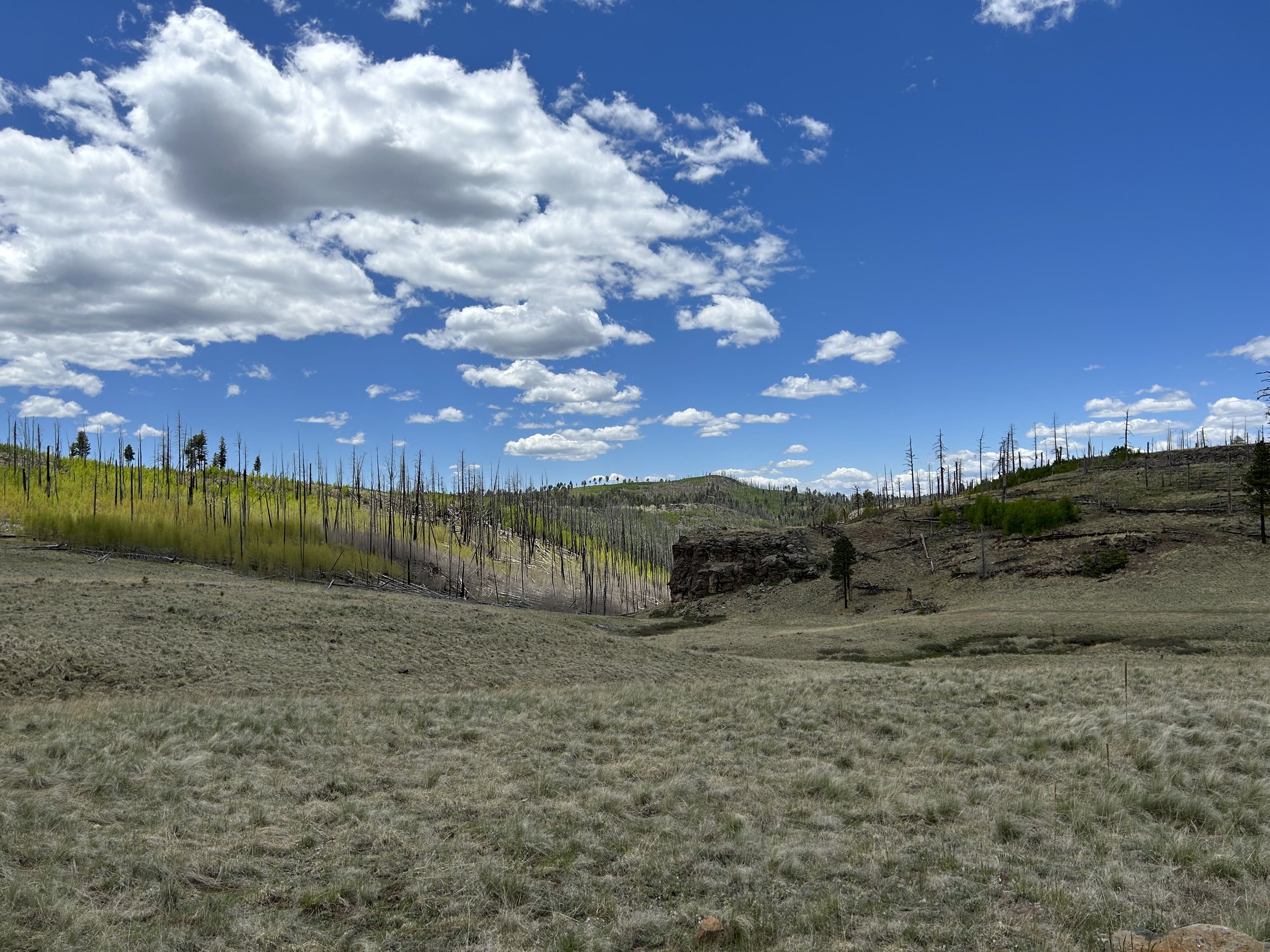
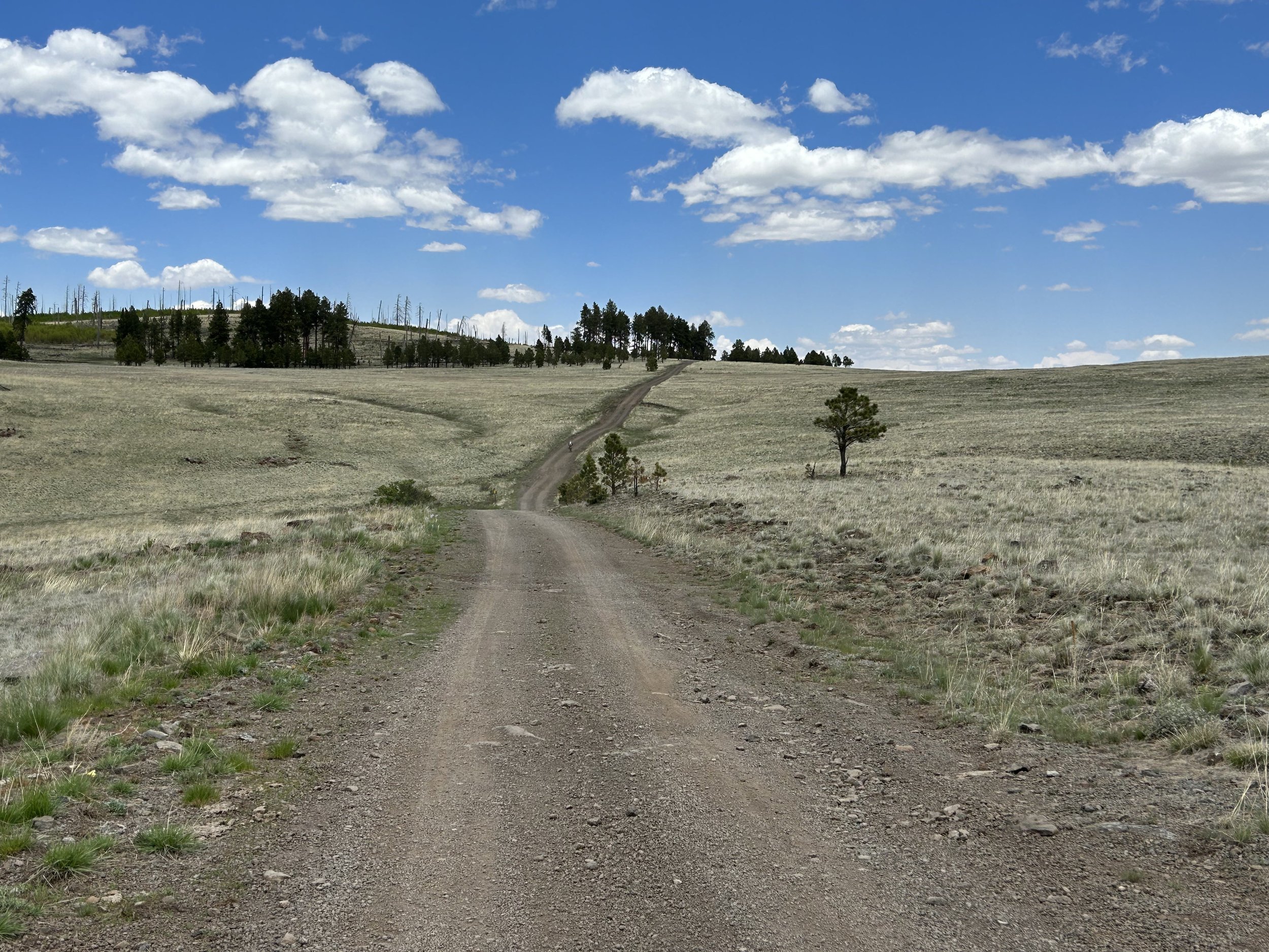
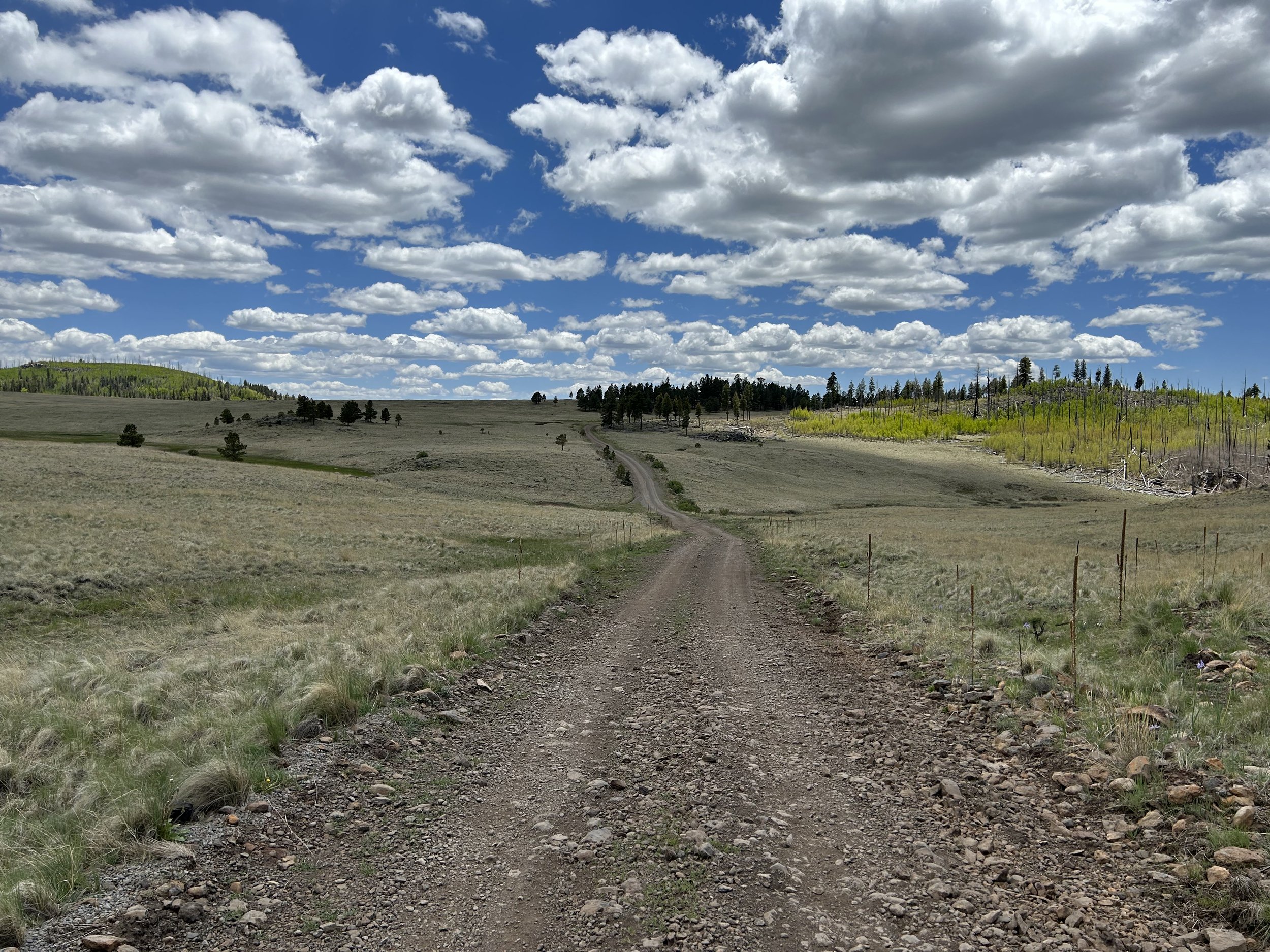
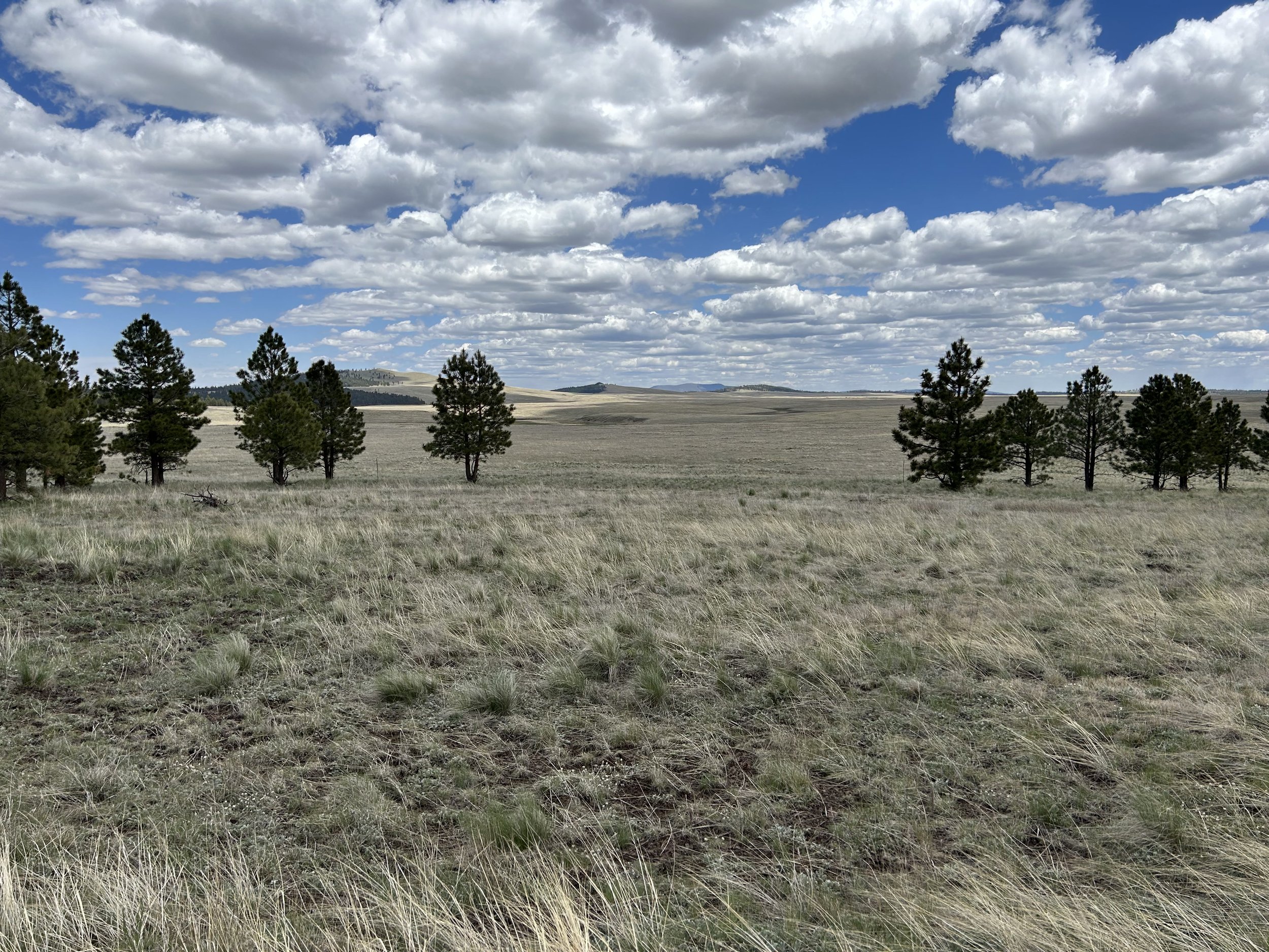
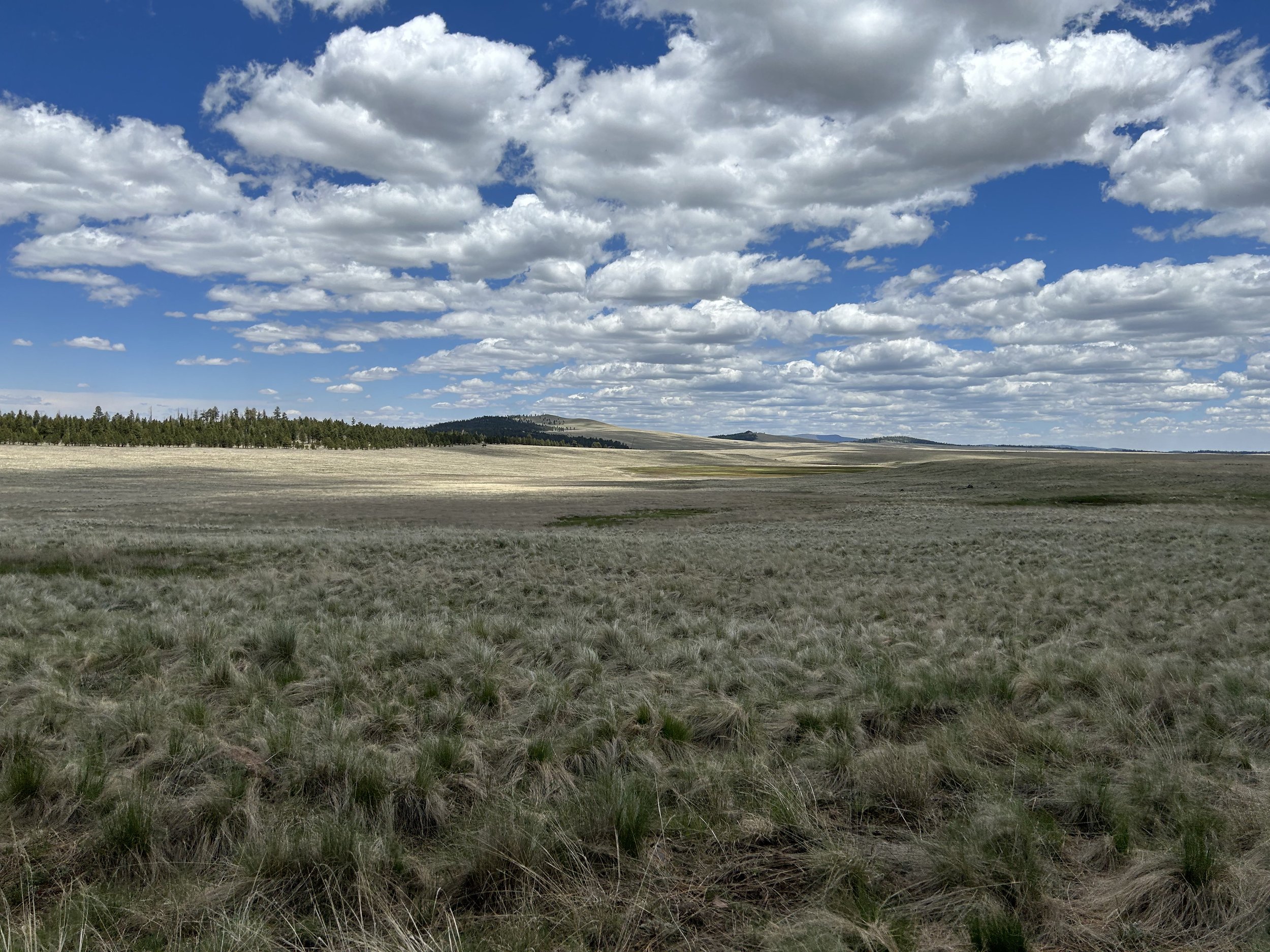
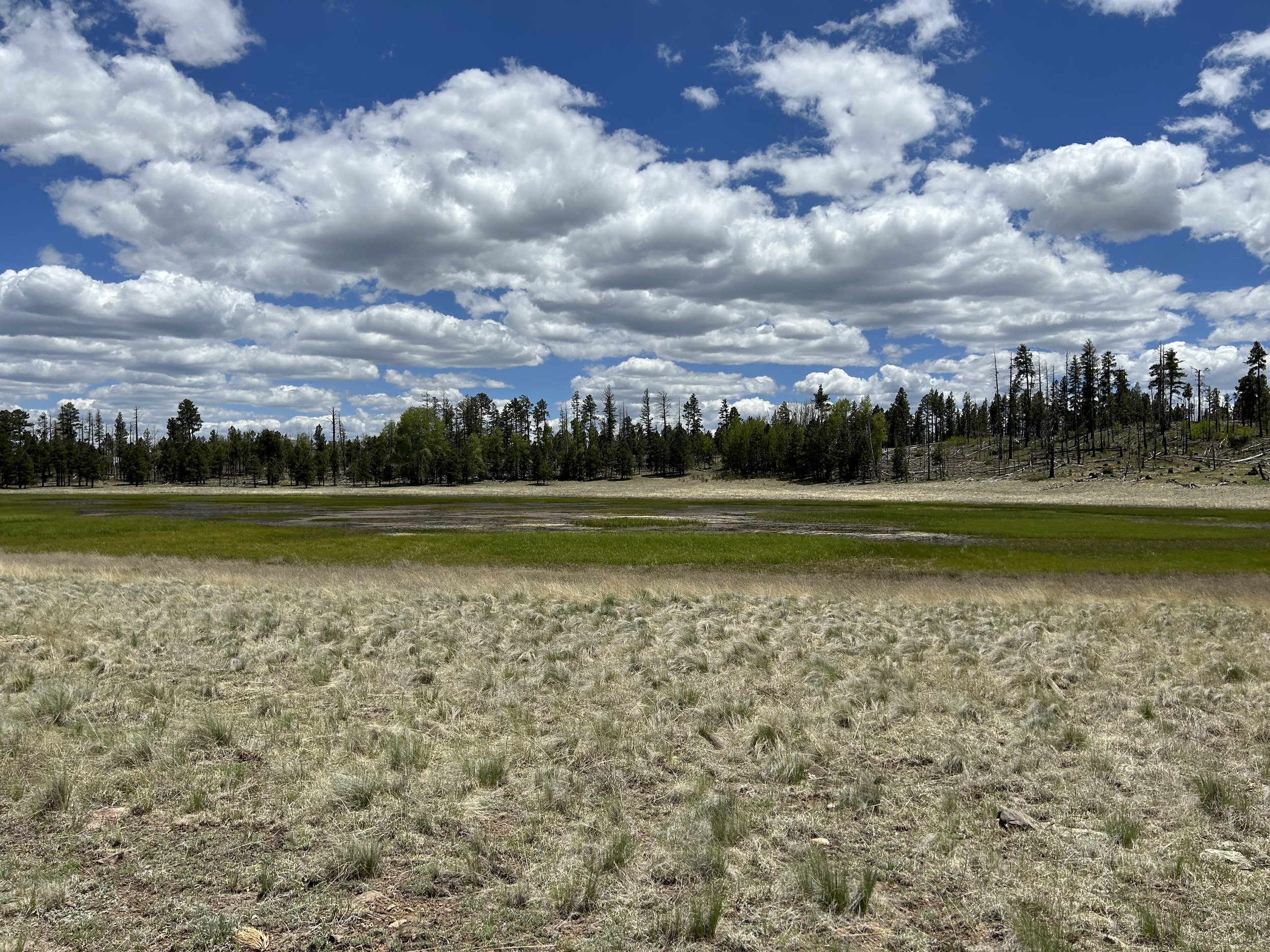
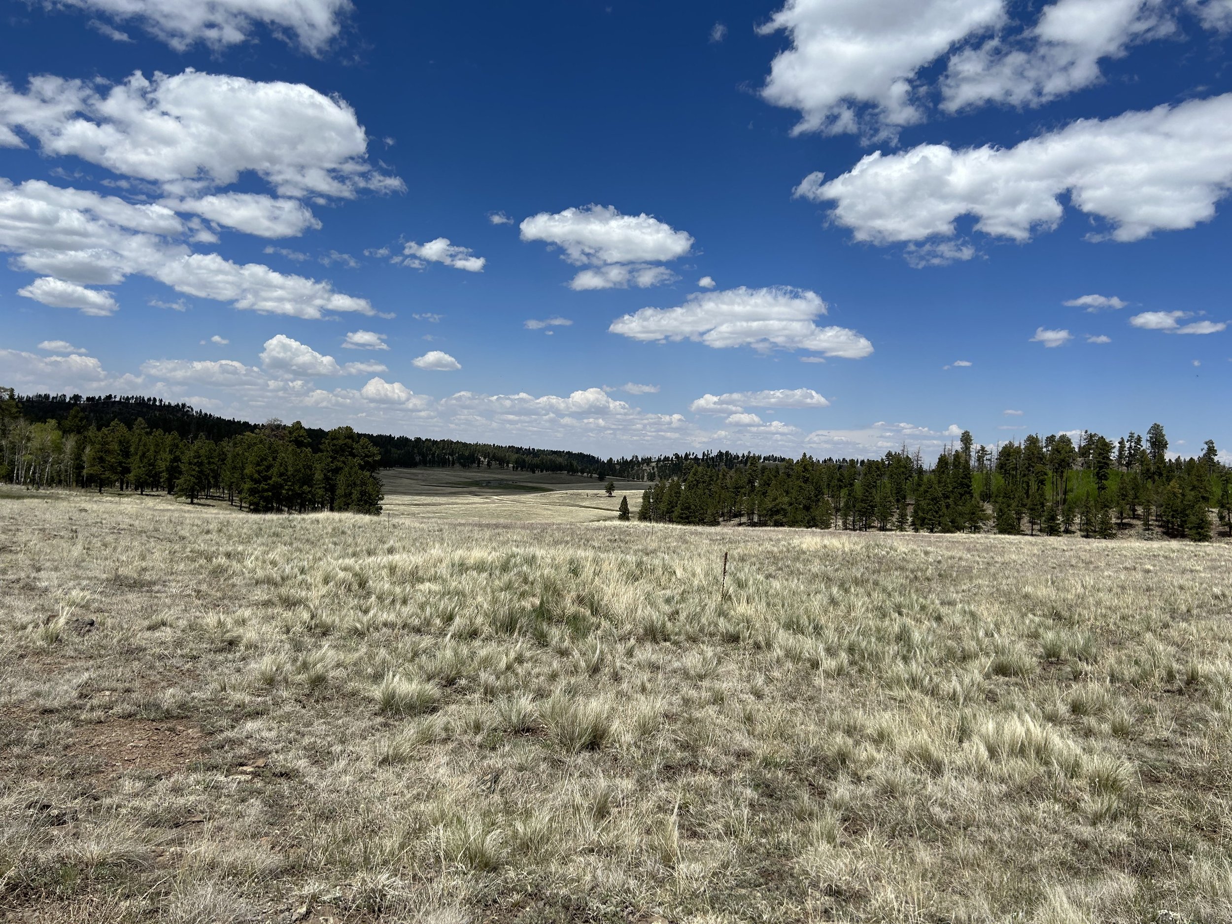
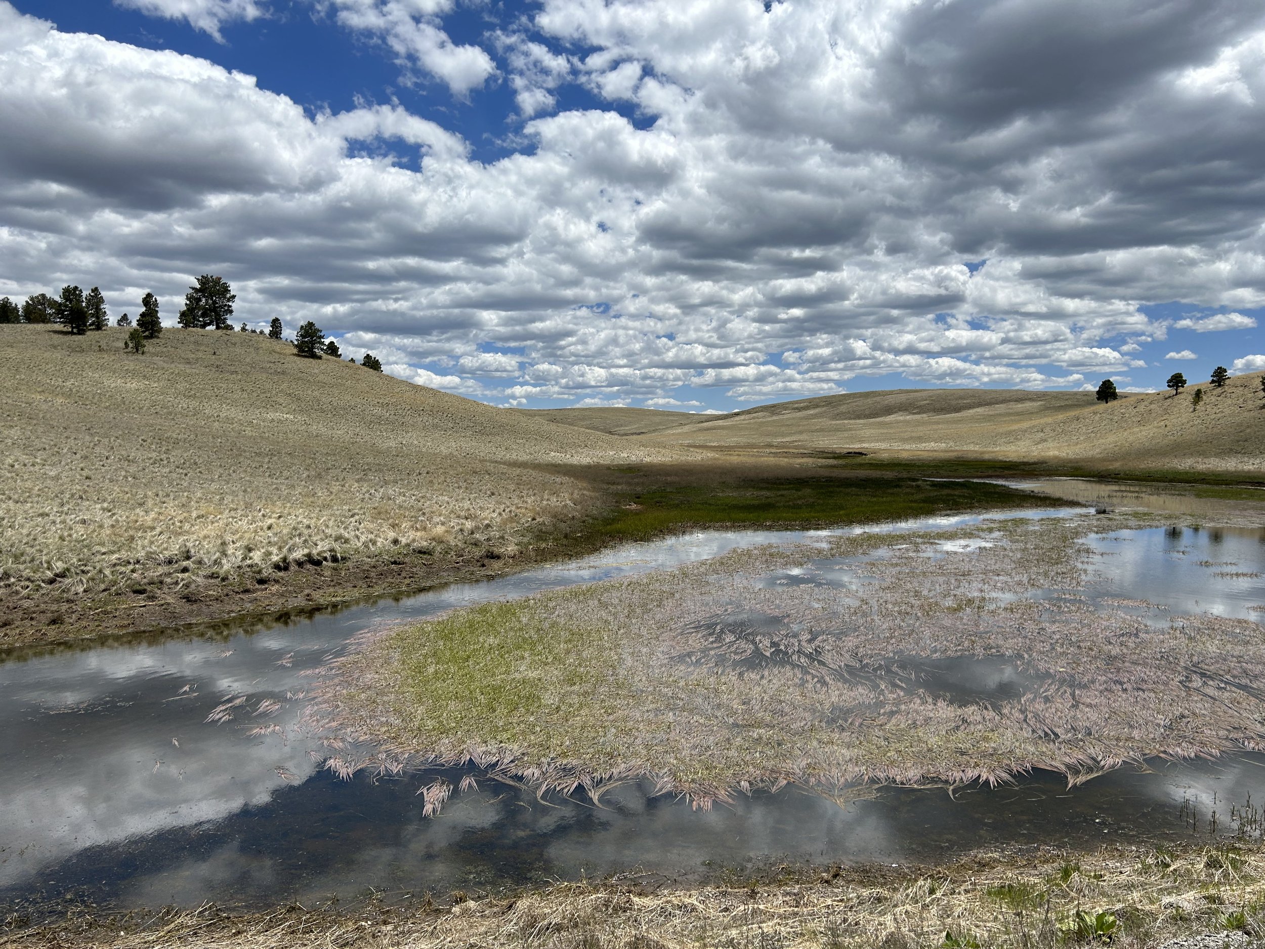
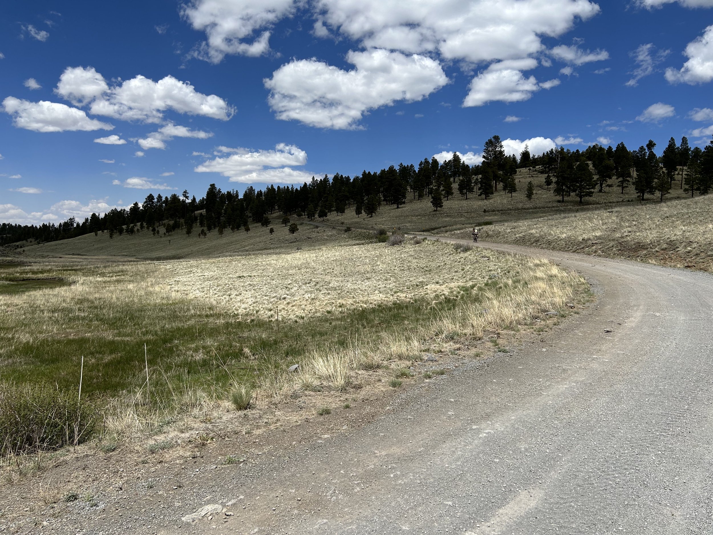
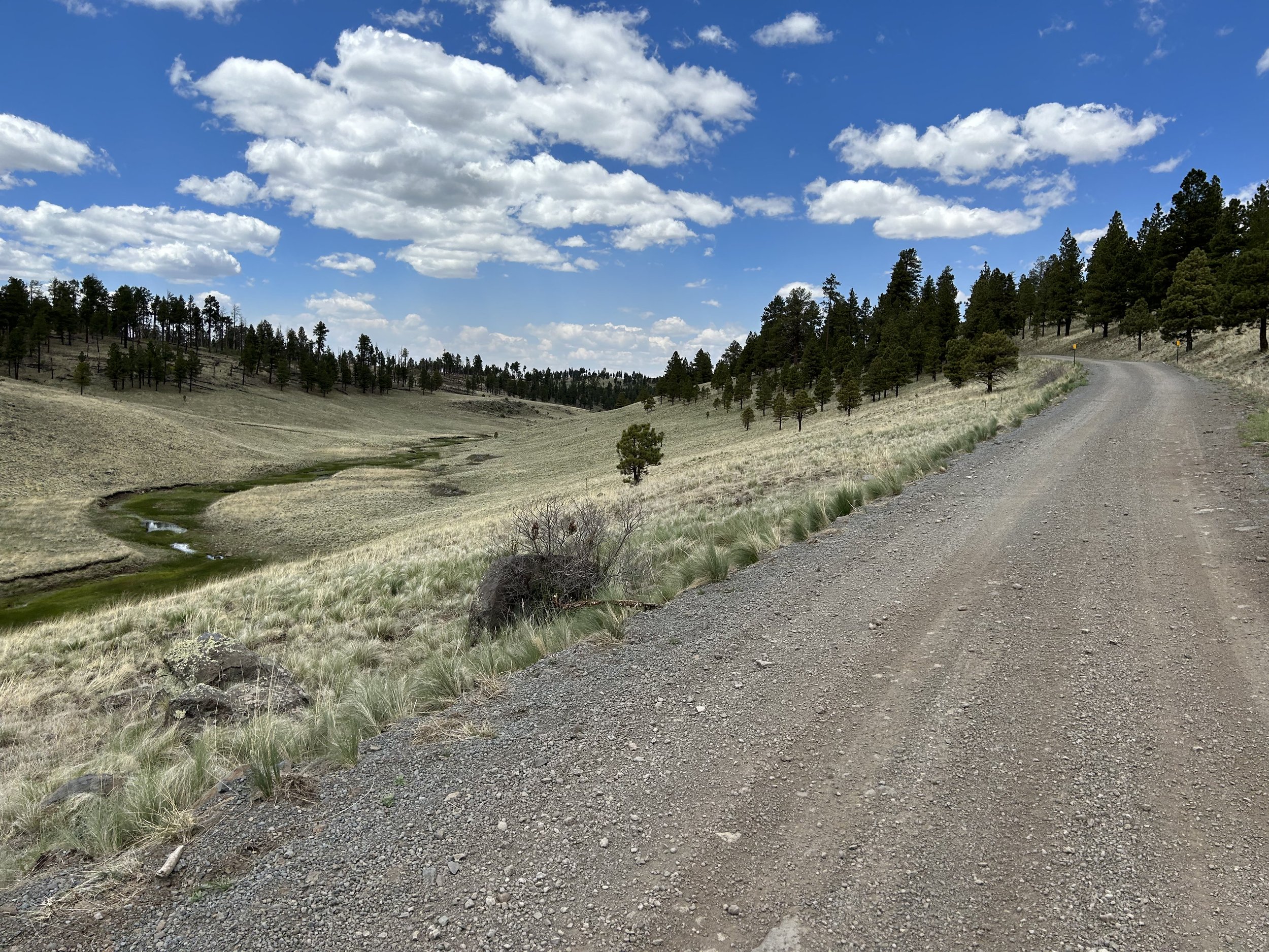
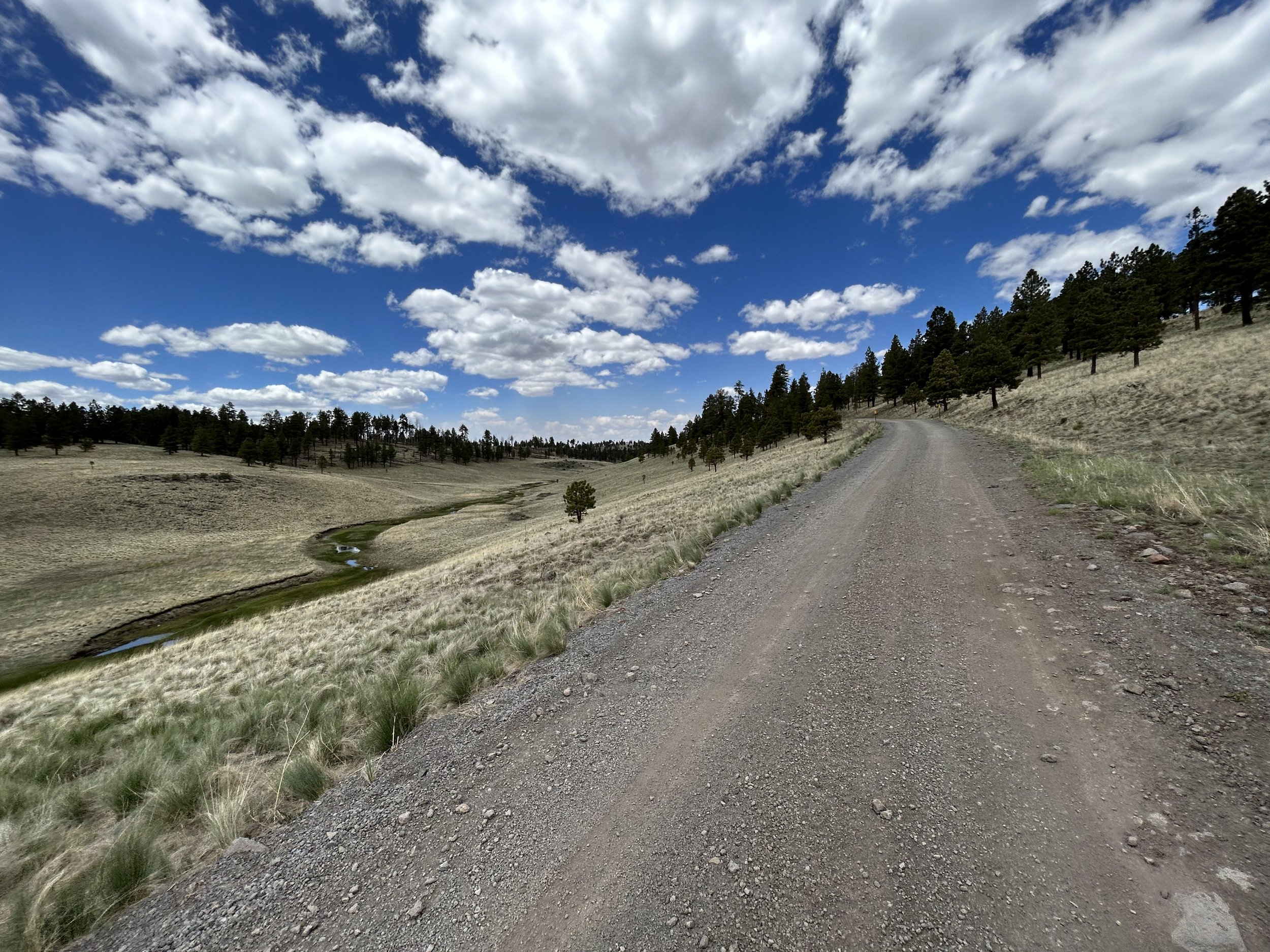
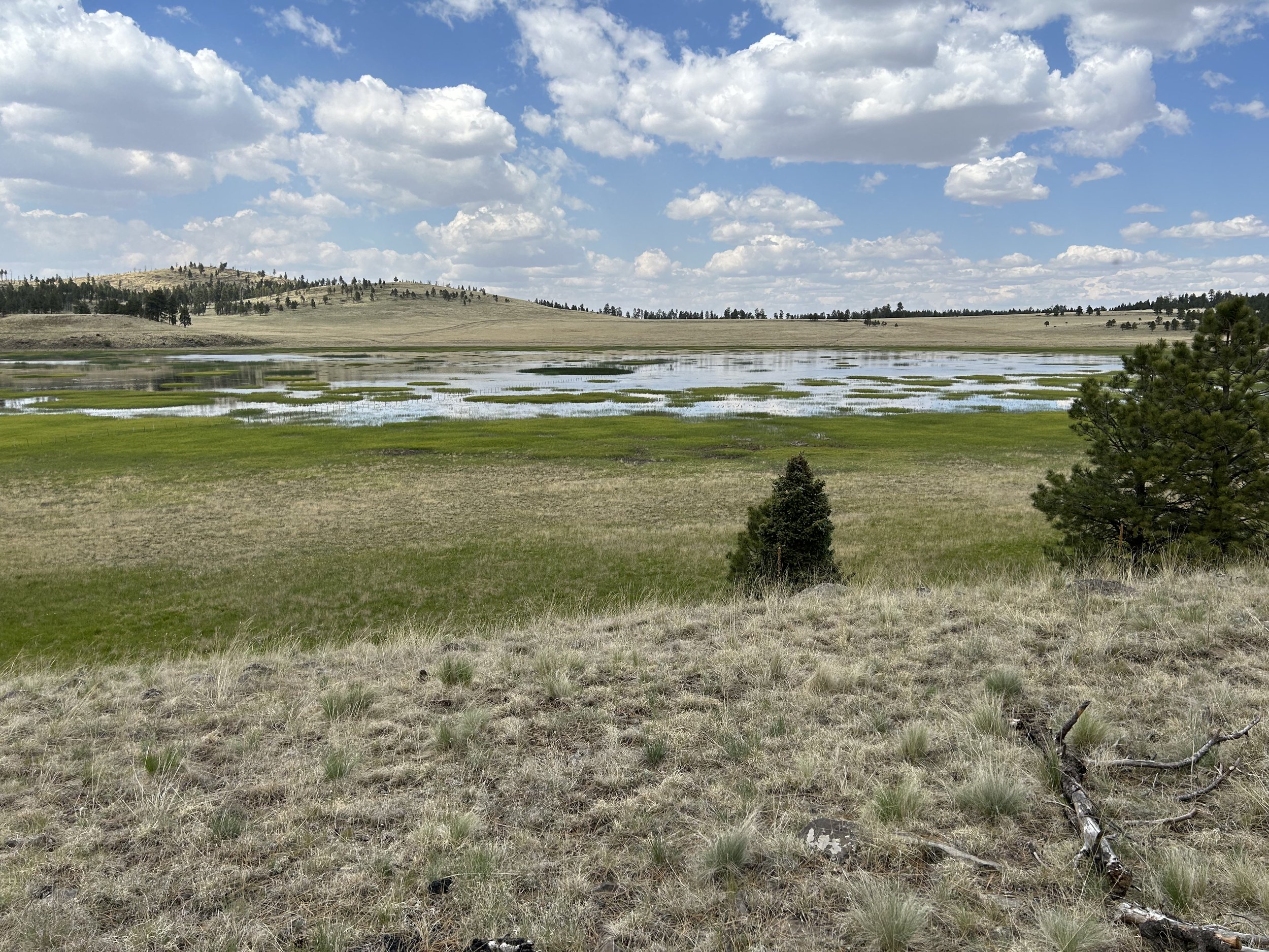
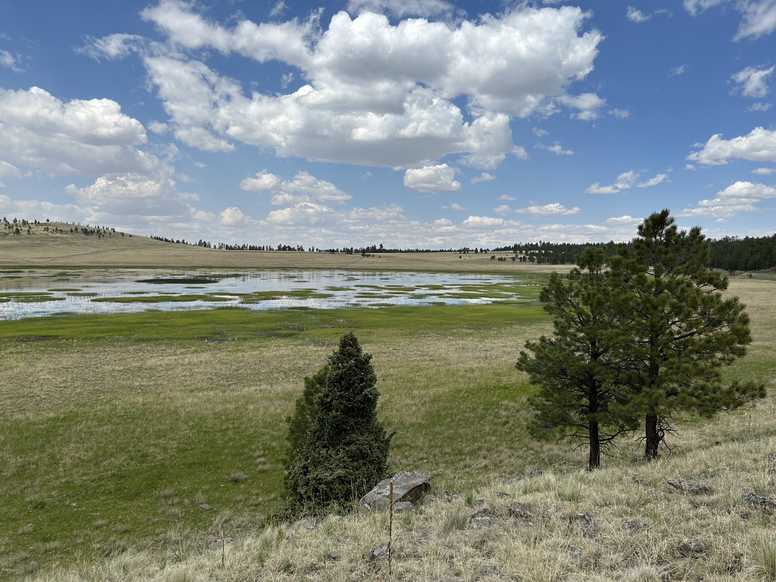
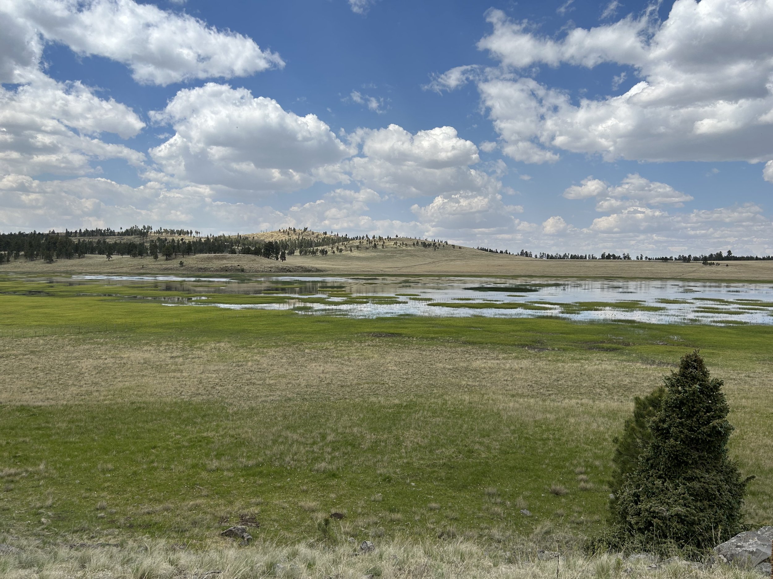
The top of our climb took us out into the first truly subalpine meadows of the route as we exited the Greer Recreation Area and took our first glances at the snow-shouldered peaks of Mount Baldy. Snow was clearly nestled amongst the trees on its higher flanks. Small streams carved greenery-rich paths through the landscape. The road was smooth and stretched out. Suddenly, the worries of work and teaching melted away and being present in the sprawling high-altitude grasslands became all my exhilarating focus. I stopped to take dozens of photos of the tree-ringed meadows that sprawled to the base of the distant peaks. Ephemeral pools of snowmelt-fed ponds dotted the area. A few snow banks lay in the shadowed husks of hills. To our rights, a particular pond with a trestle bridge caught my eyes. We rode over to it only to discover a somewhat overgrown singletrack - the Apache Railroad Trail. I quickly whipped out Gaia GPS and zeroed in on the trail. It stretched north of here in a way that avoided the highway. I noted a promise to take it on our finishing day. And to our south, it also continued over to Baldy. Thrilled by this find, I decided we would forgo some of our planned route to ride the rail-trail instead.
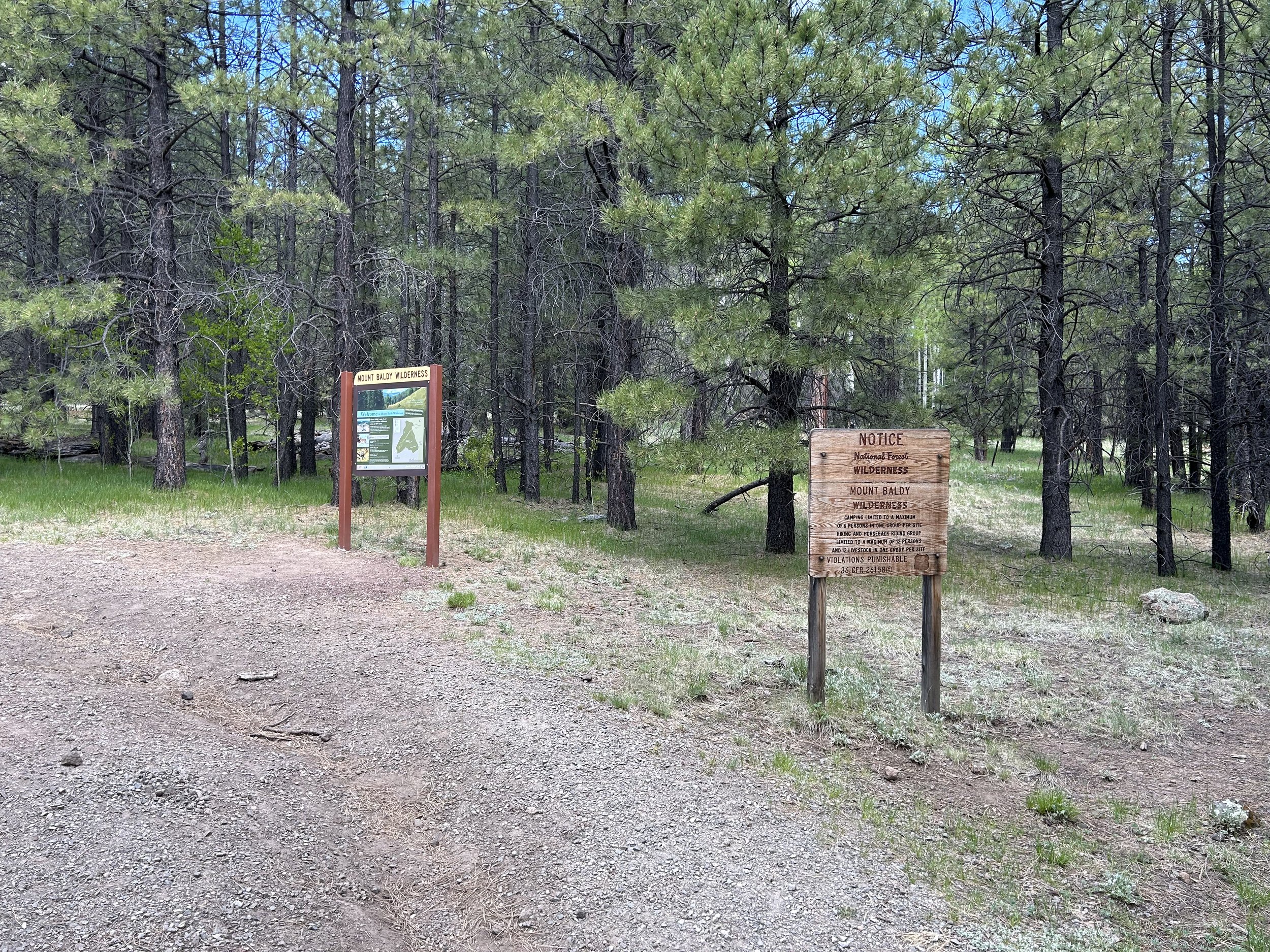
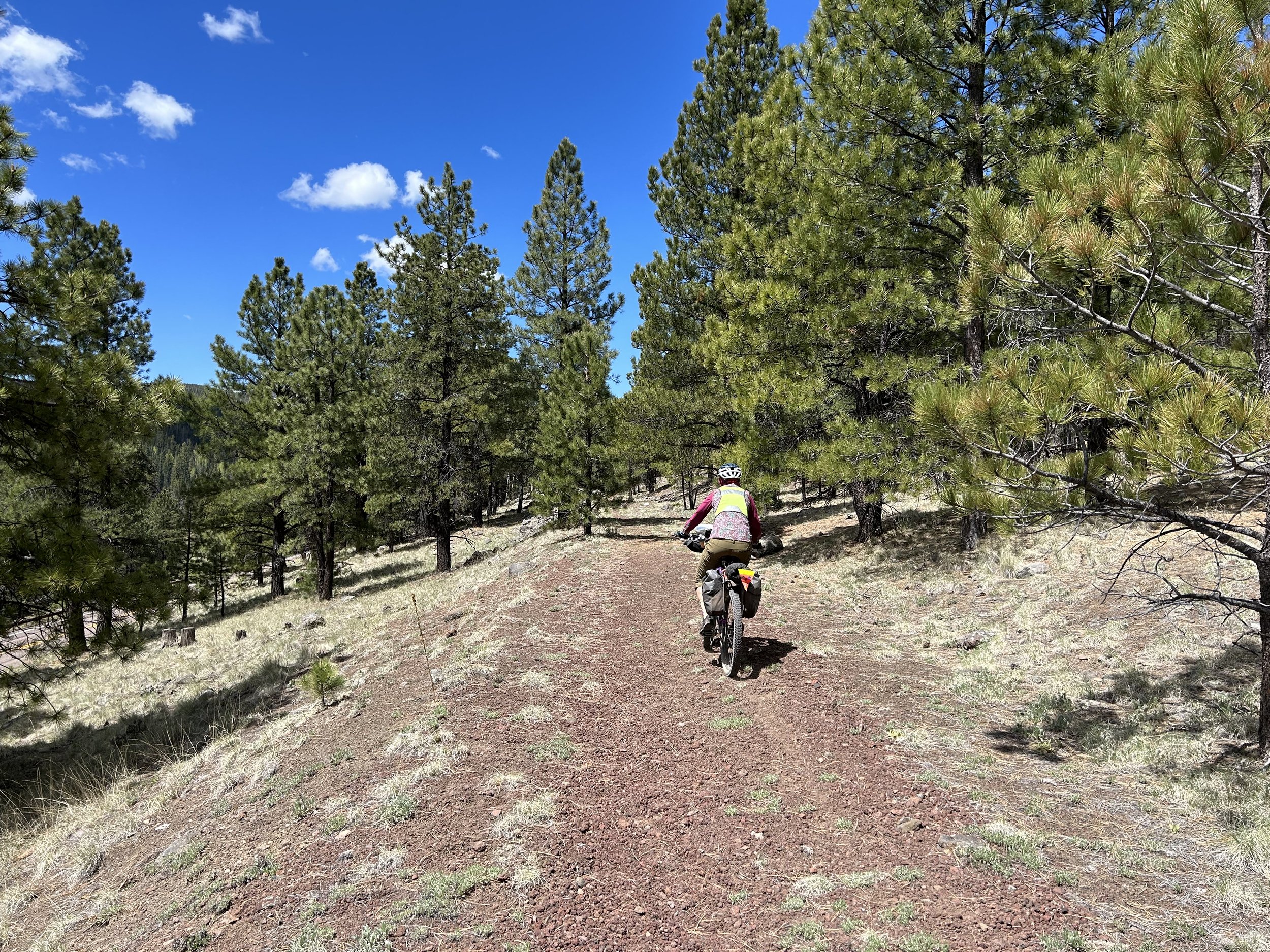
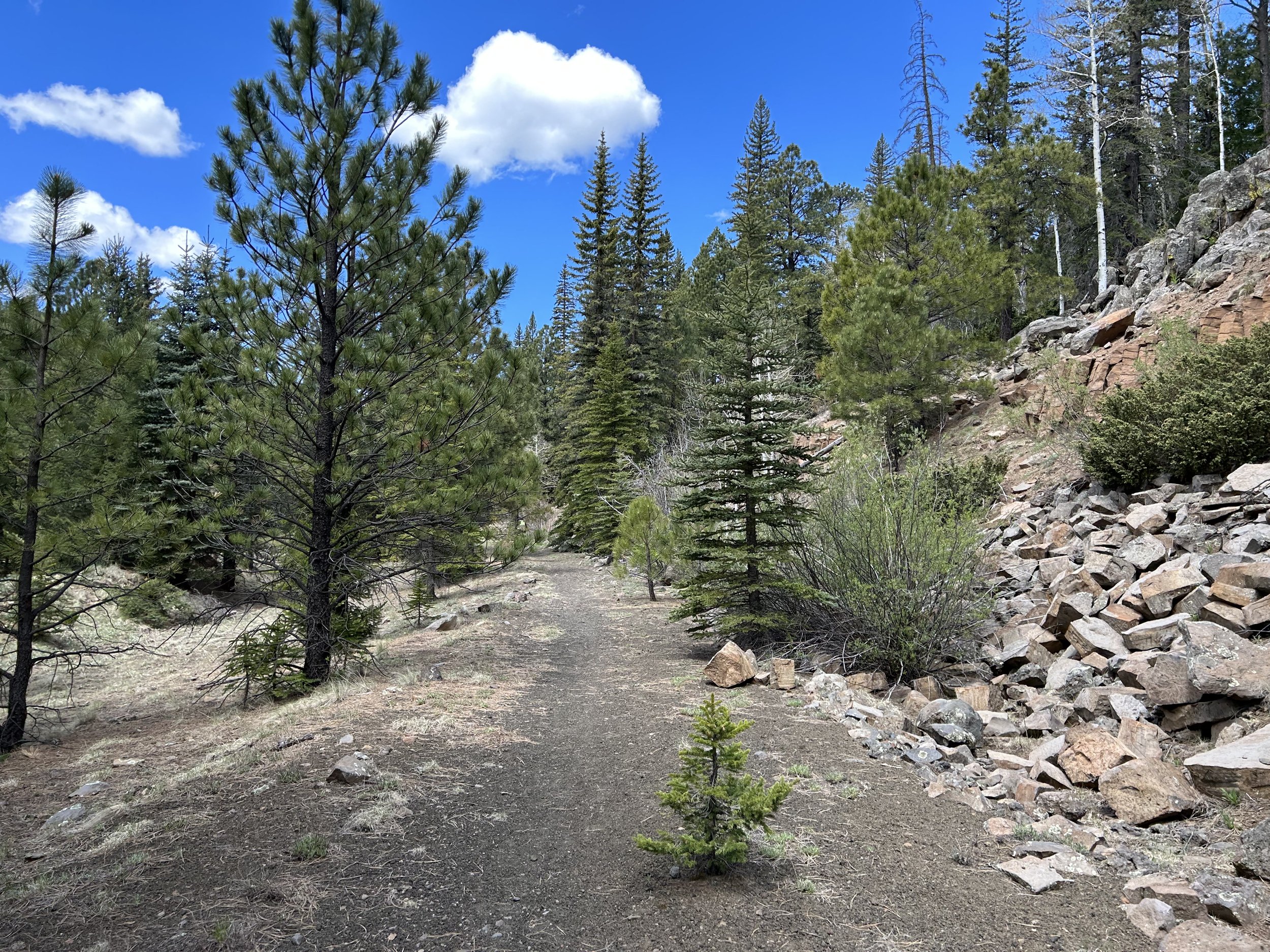
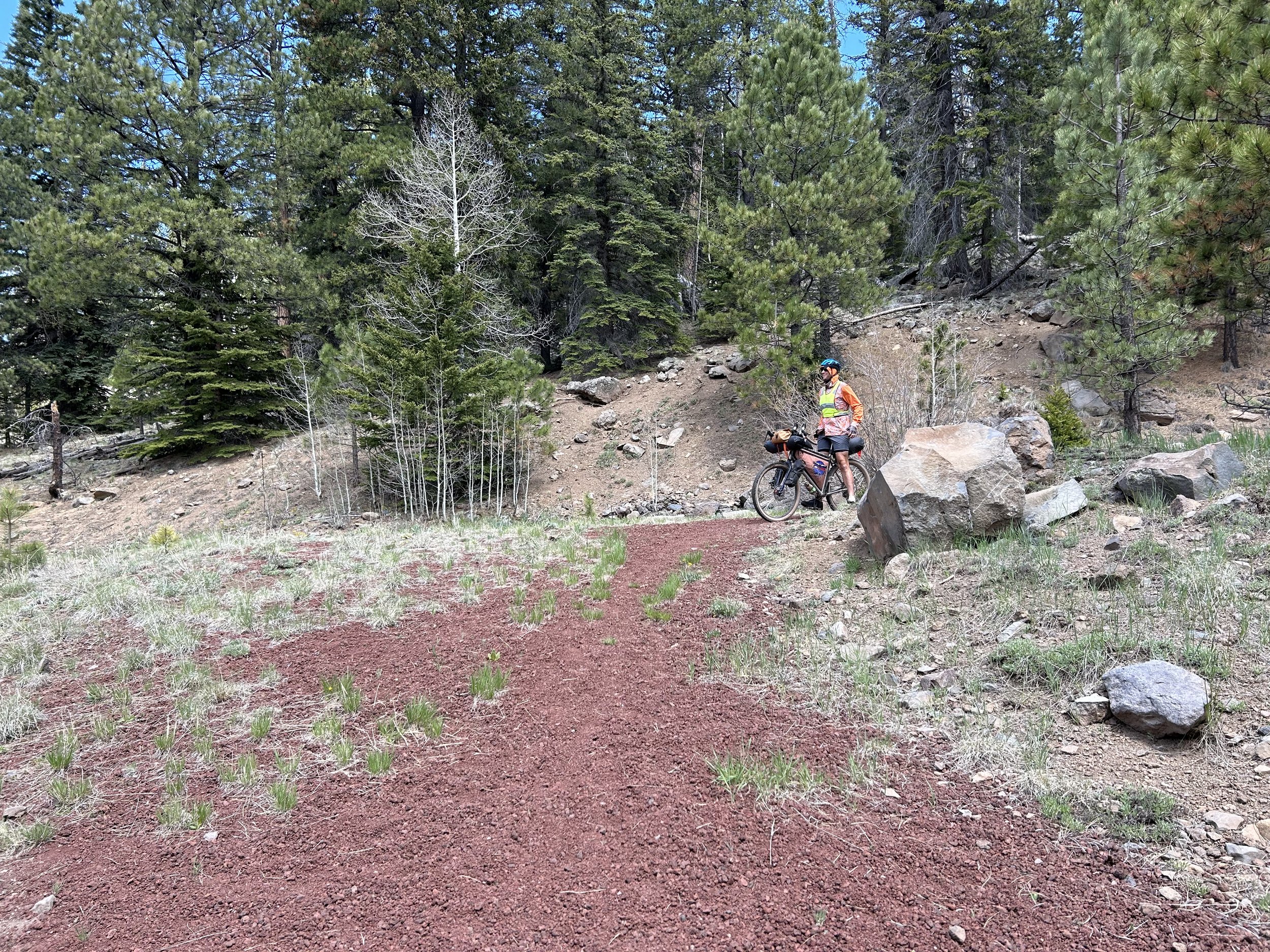
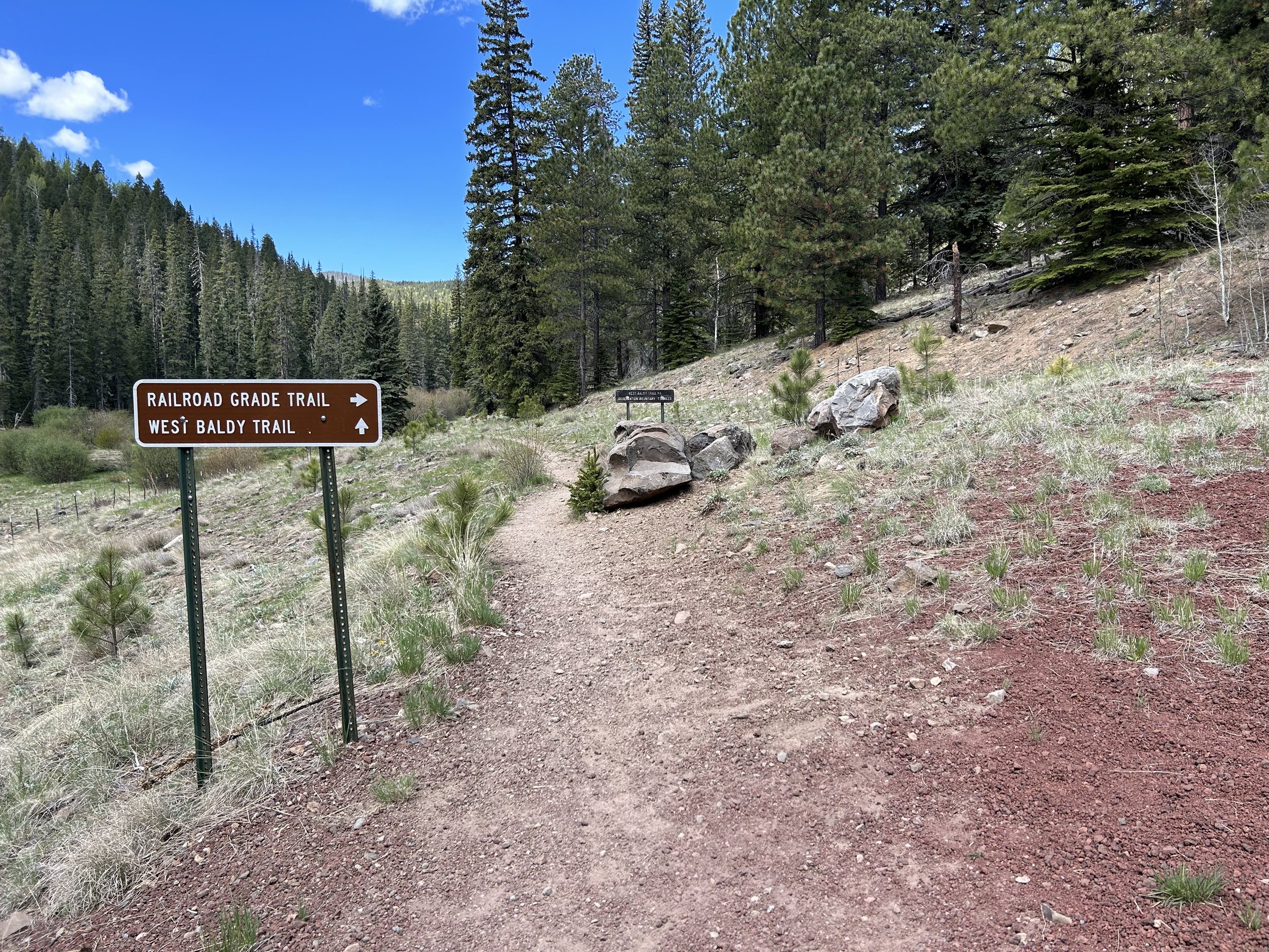
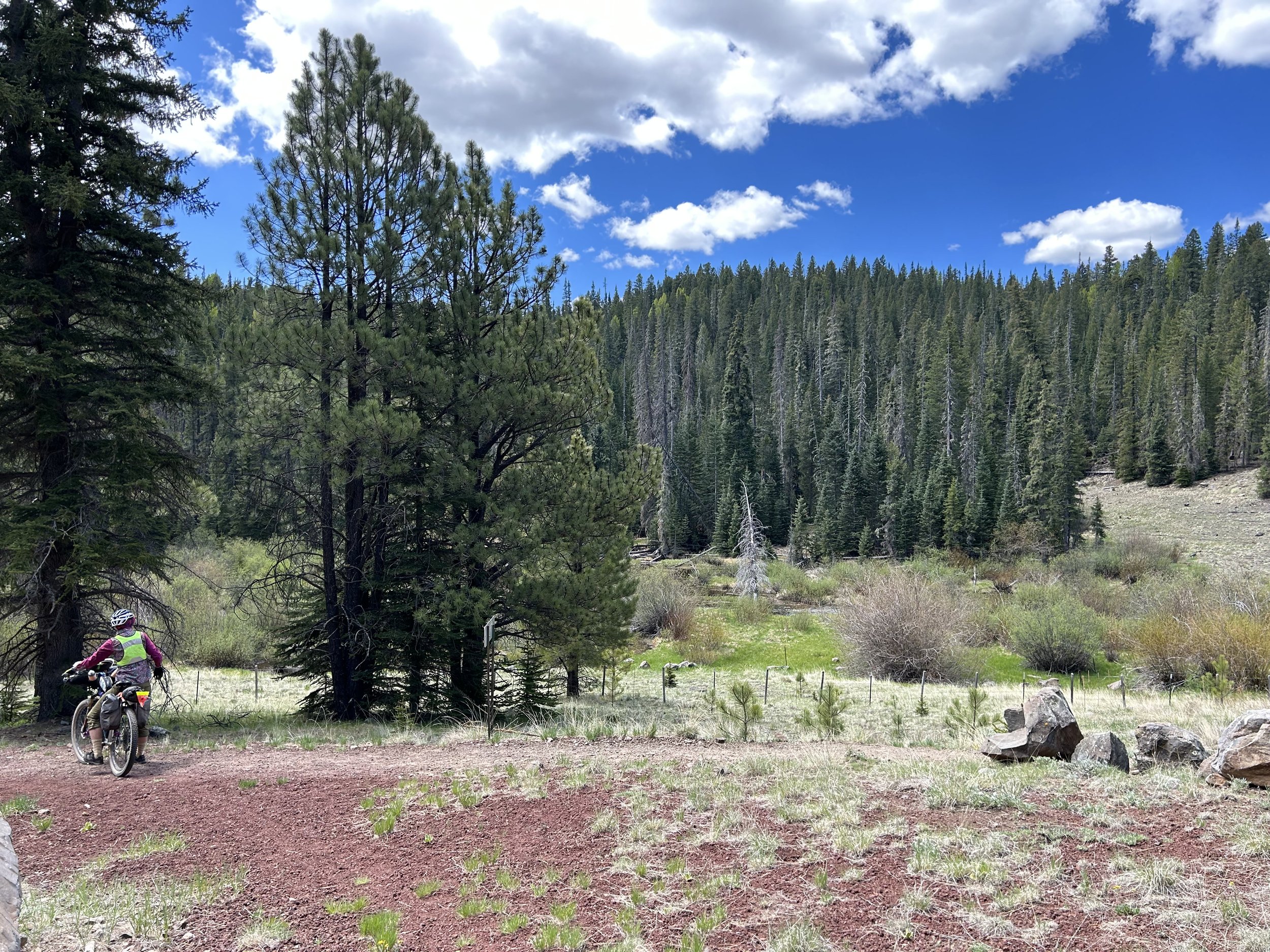
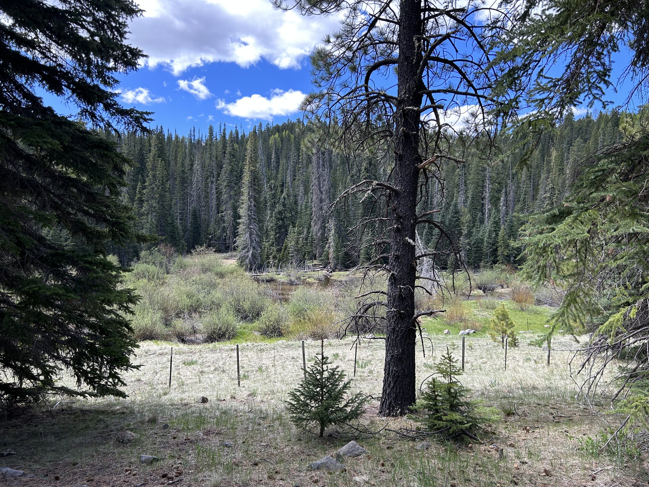
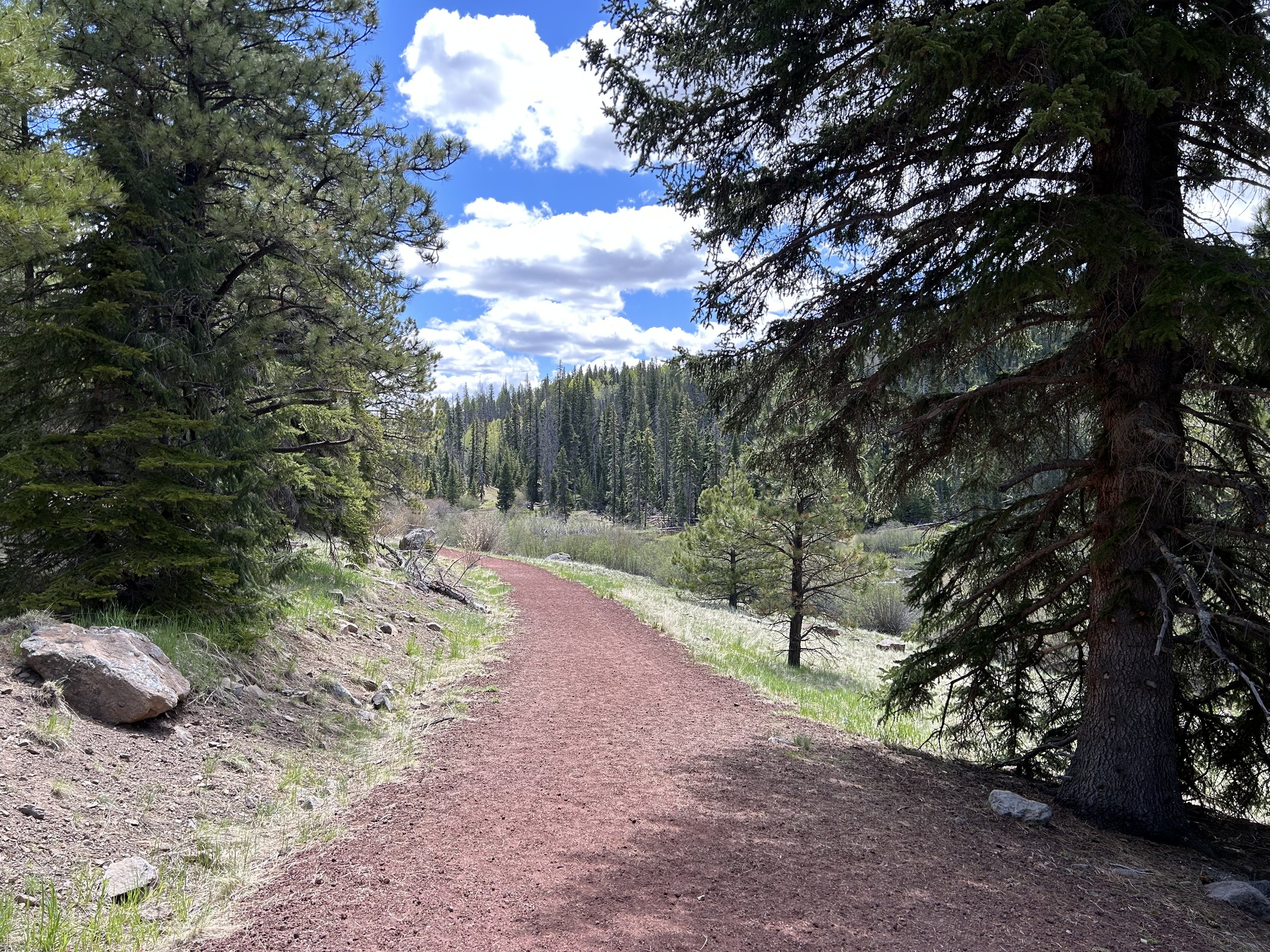
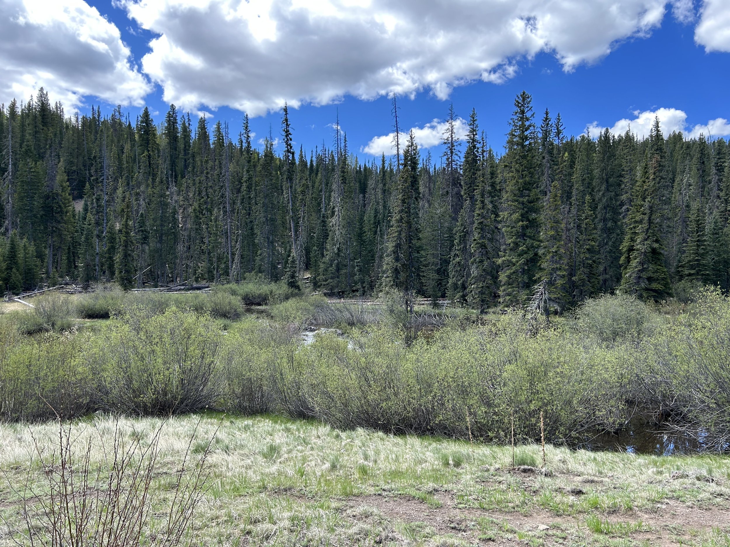
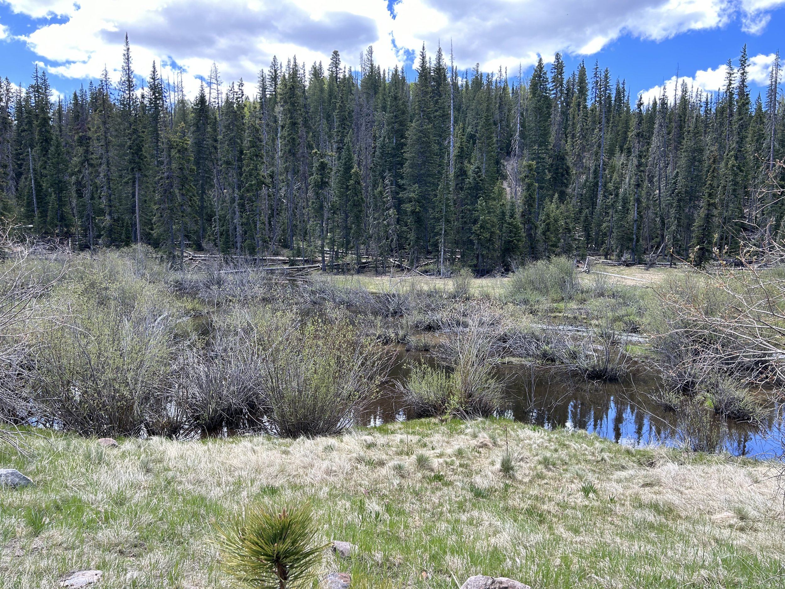
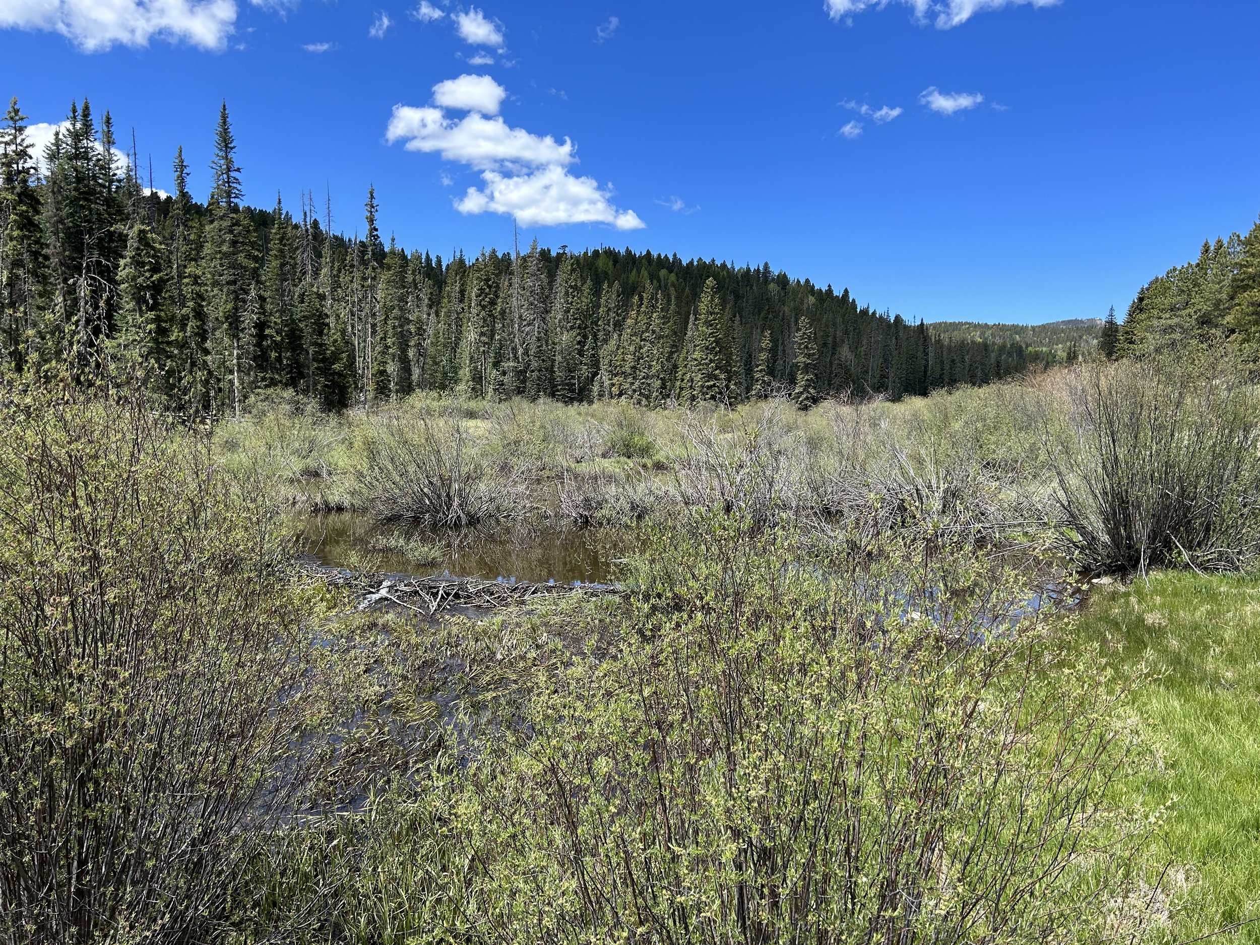
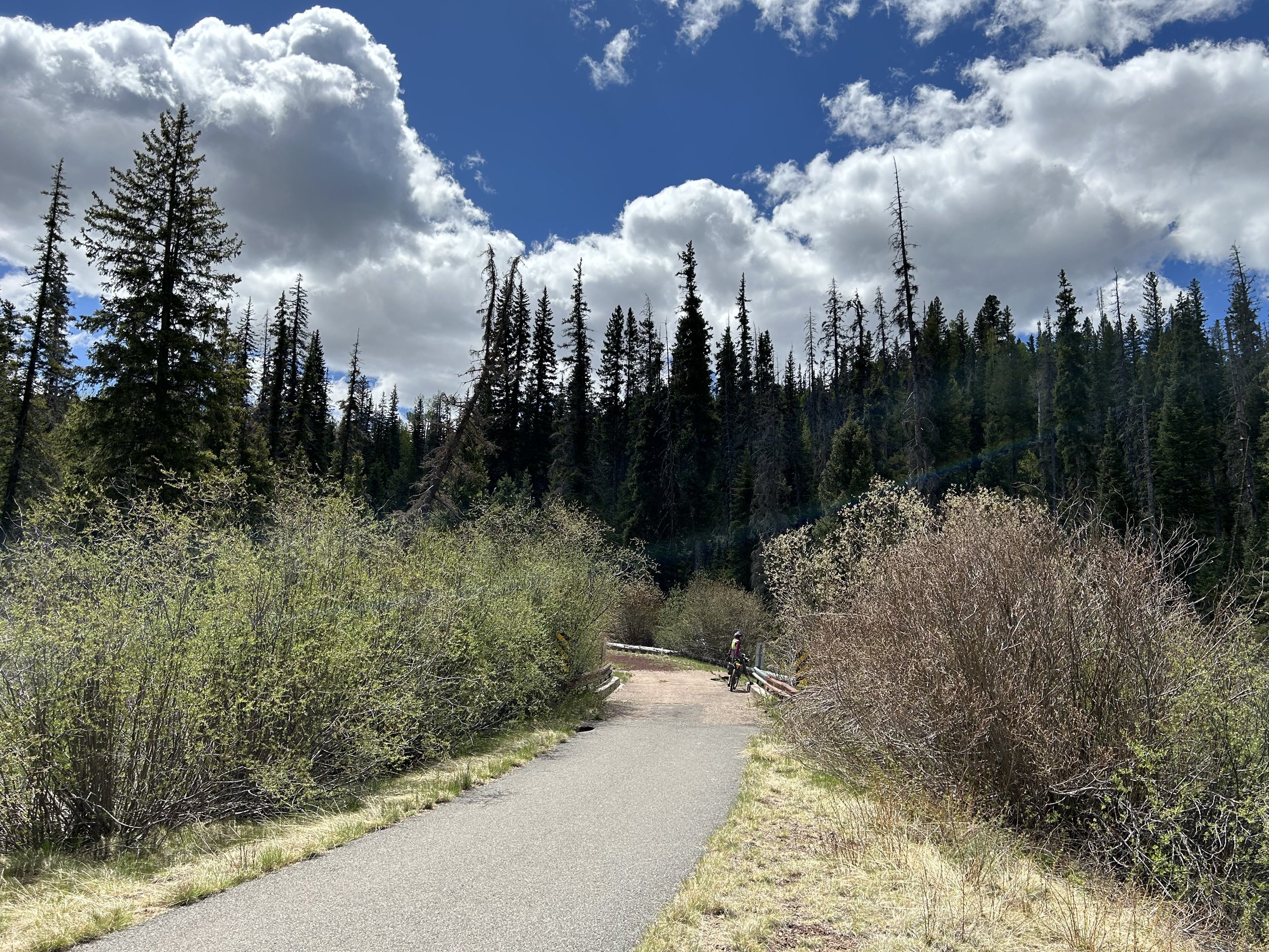
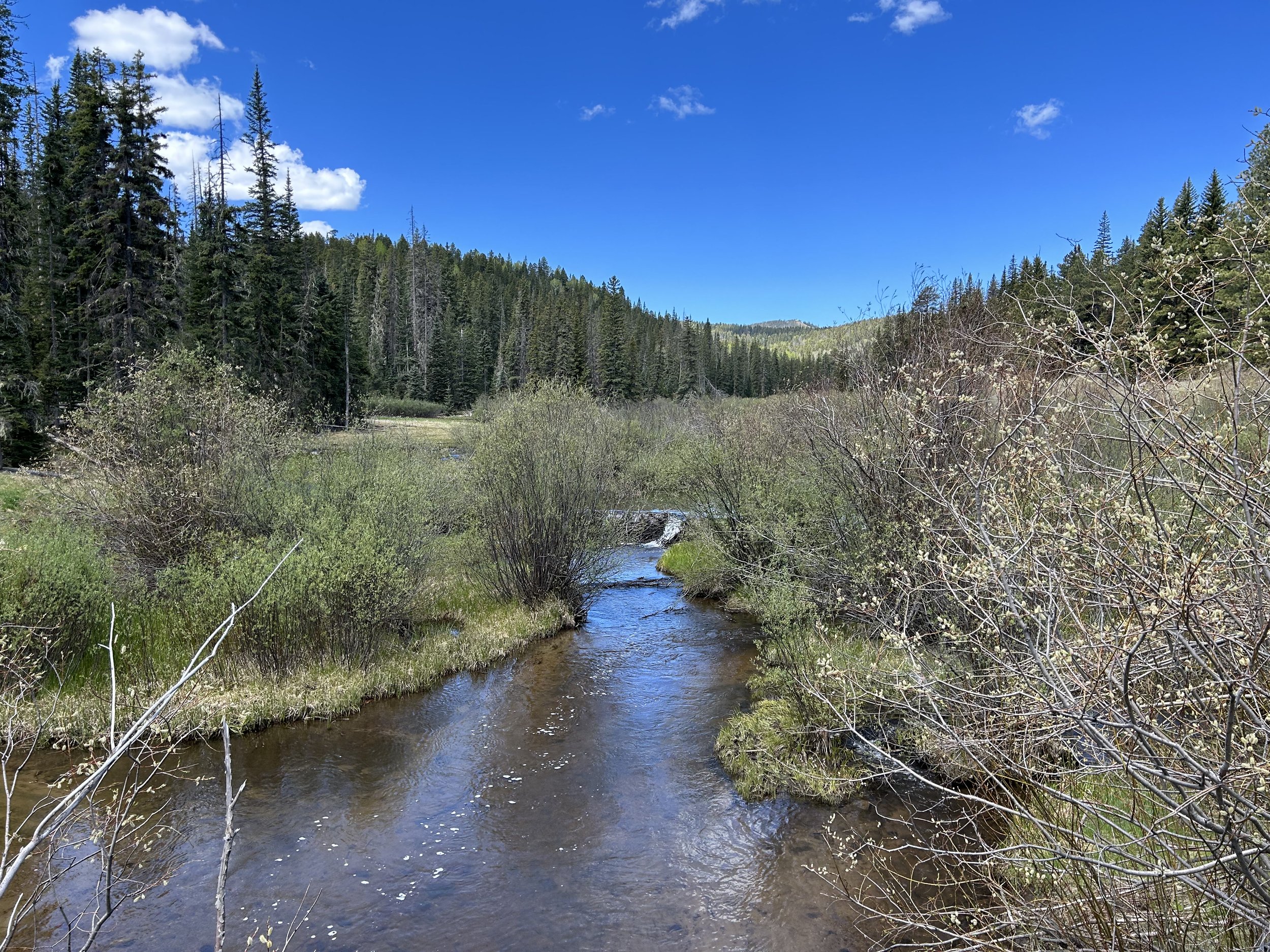
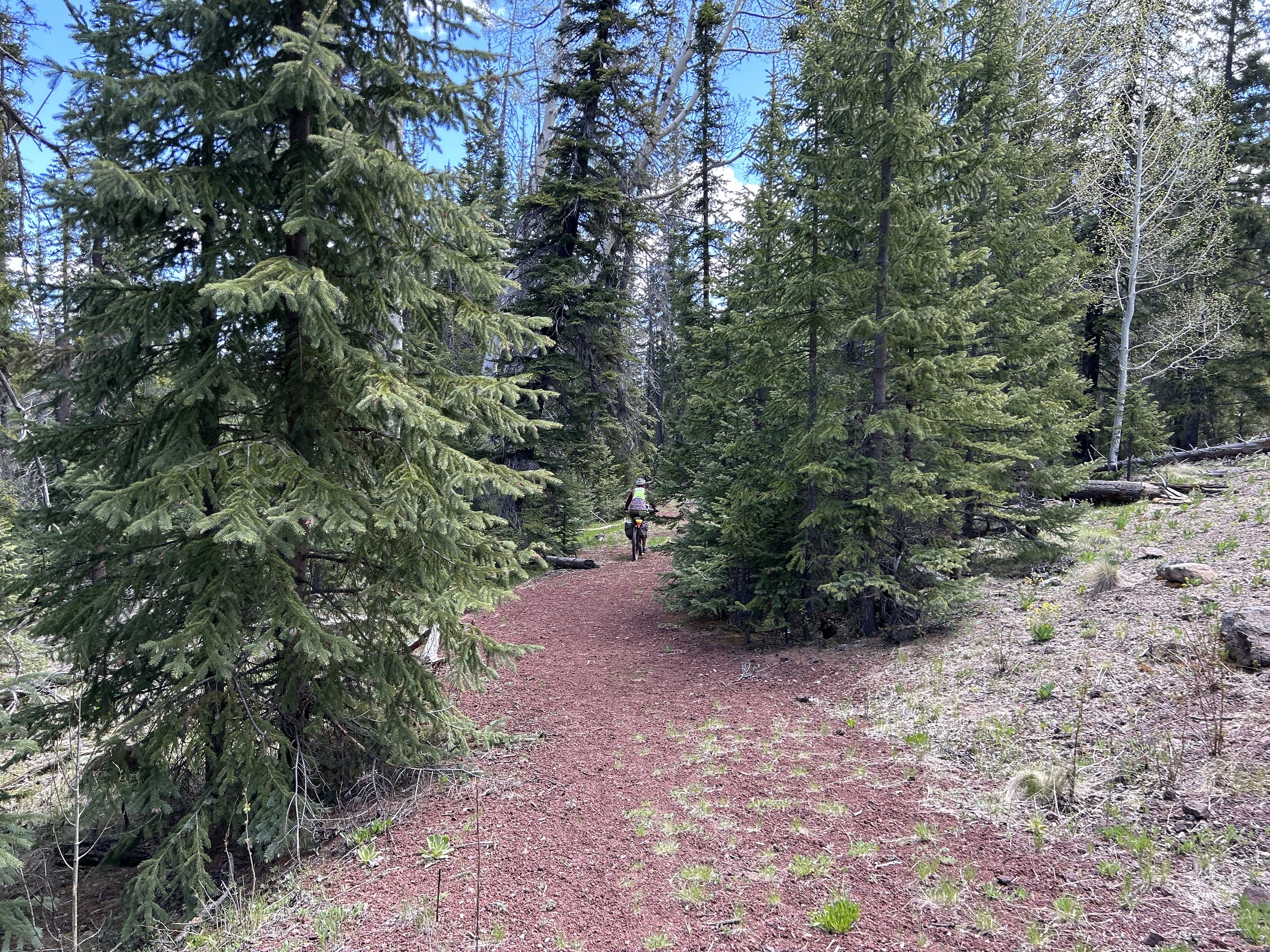
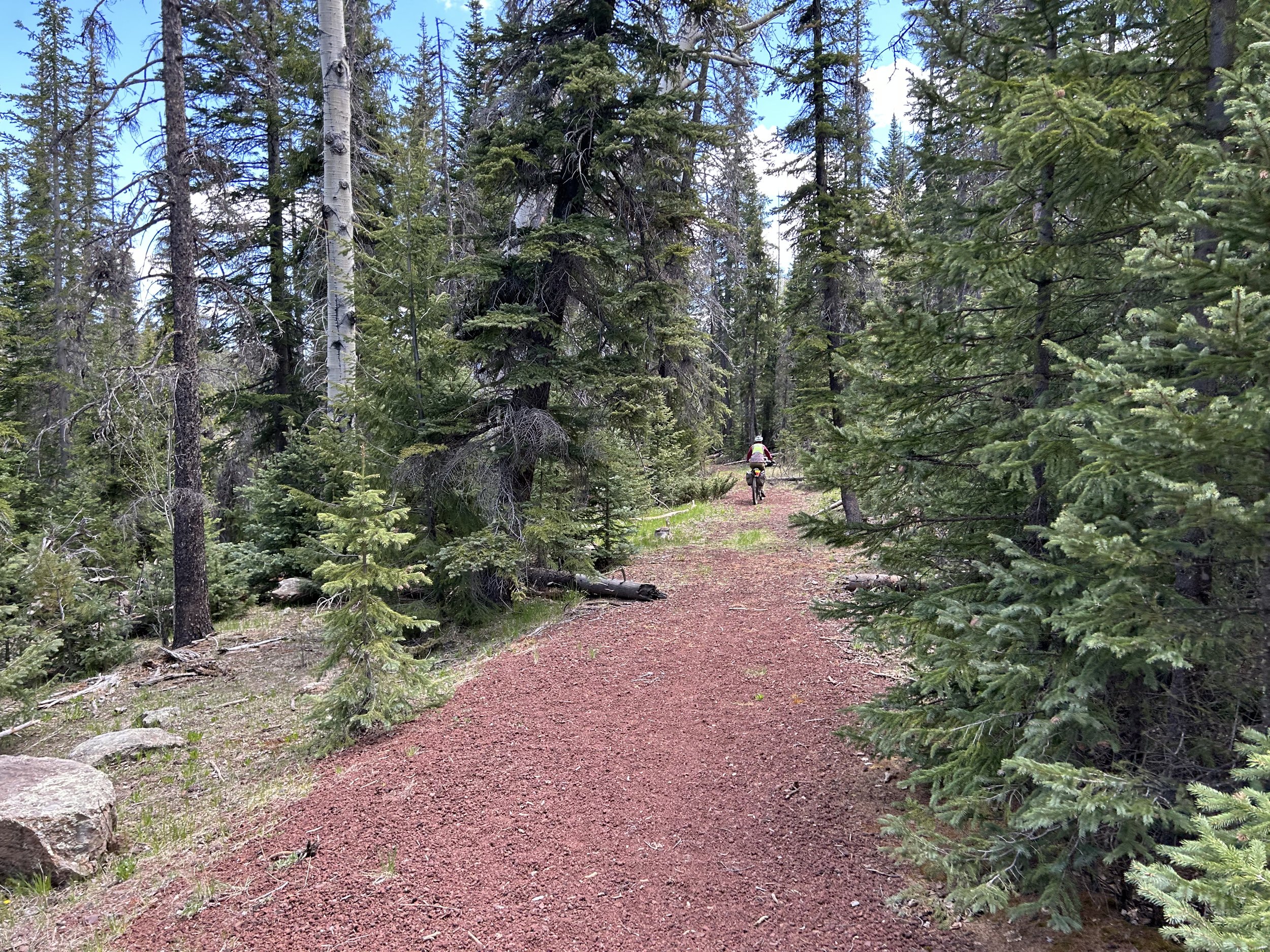
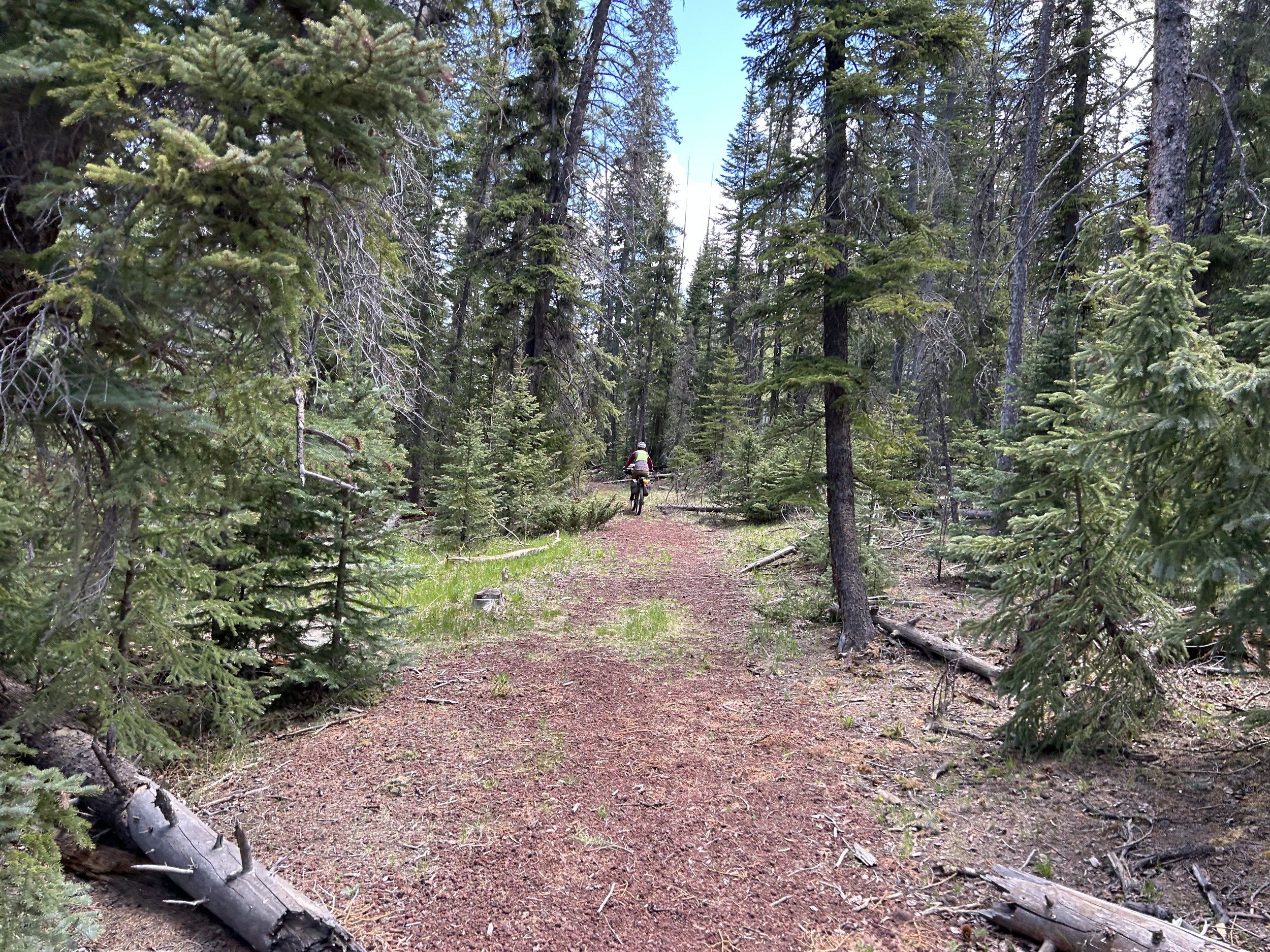
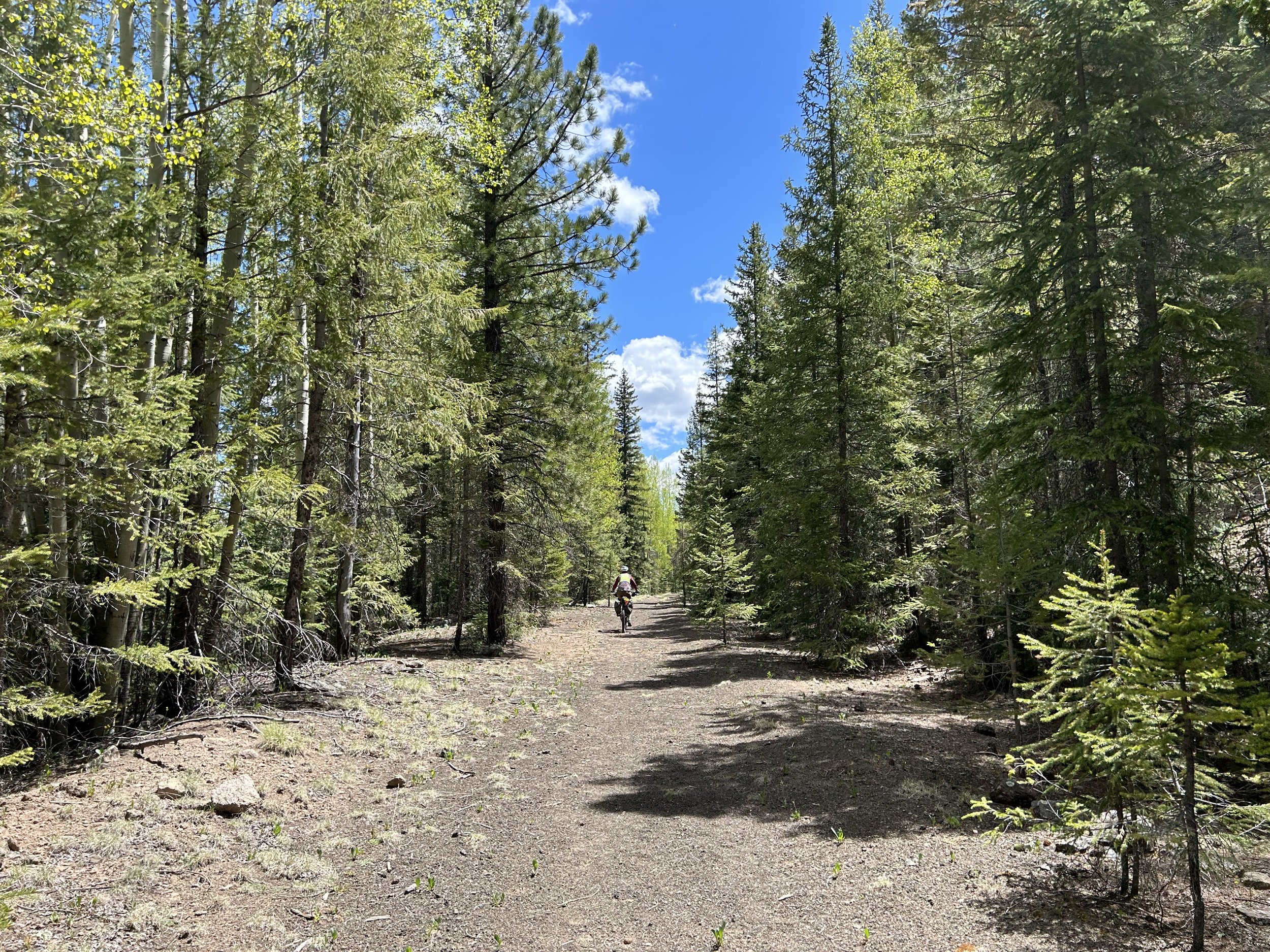
But first, we would make our way to West Baldy Trailhead. Janna and I intersected with the paved highway and took it for a while to the aforementioned trailhead. The parking area had blown up and now featured pavement and a set of newly minted pit toilets. The Apache Railroad Trail crept from where we had come and headed out from here. We decided to ride the cinder-grassy trail on the slight descent. Thickets of spruce lined the route that paralleled the pavement to our left. Absolutely pleased with this unpaved alternative to the highway, we continued downwards before arriving at the West Fork of the Little Colorado River. It came gushing mightily through thickets of riparian willow, absolutely chock full of beaver lodges and dams. The water was roaring, surging through a glowing landscape of vegetation in a valley hooded by aspen, firs, and spruce. The rail-trail curved along the banks of the headwaters of the Little Colorado River before crossing it on an old road-bridge. The road decayed once more into dirt and cinder. Janna and I sat and watched the waters flowing out towards us; we were smitten with the mountain stream and views.
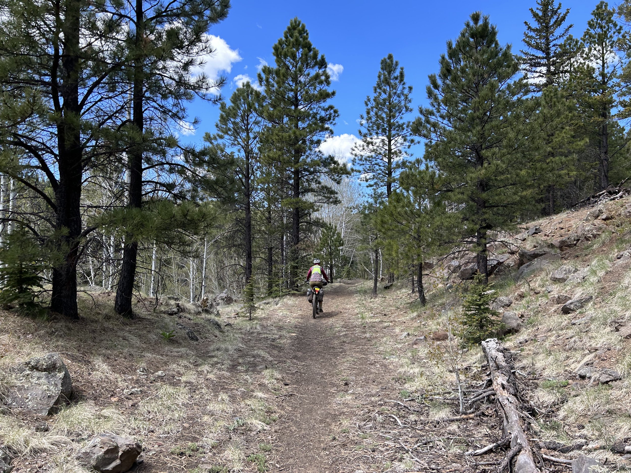
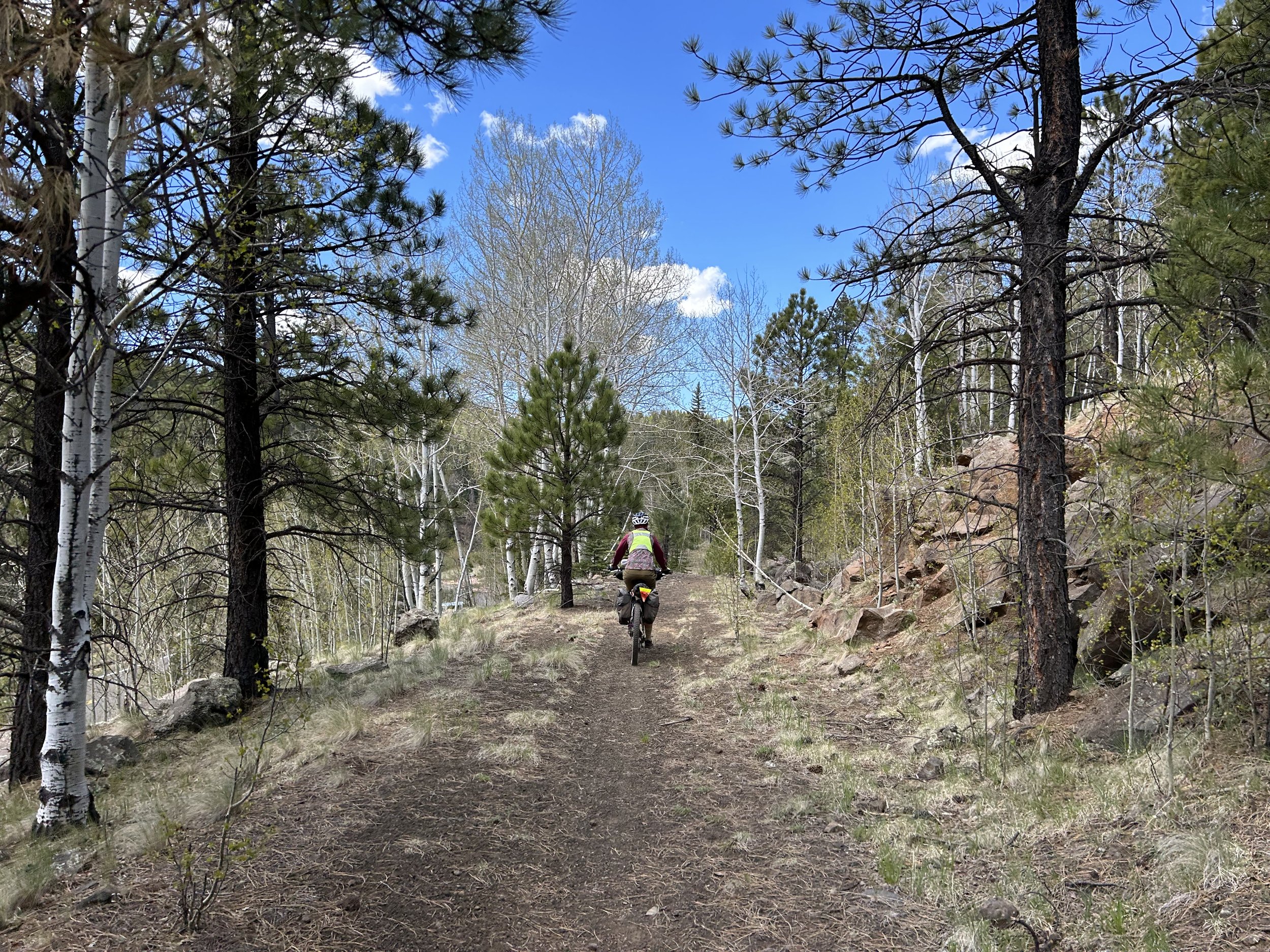
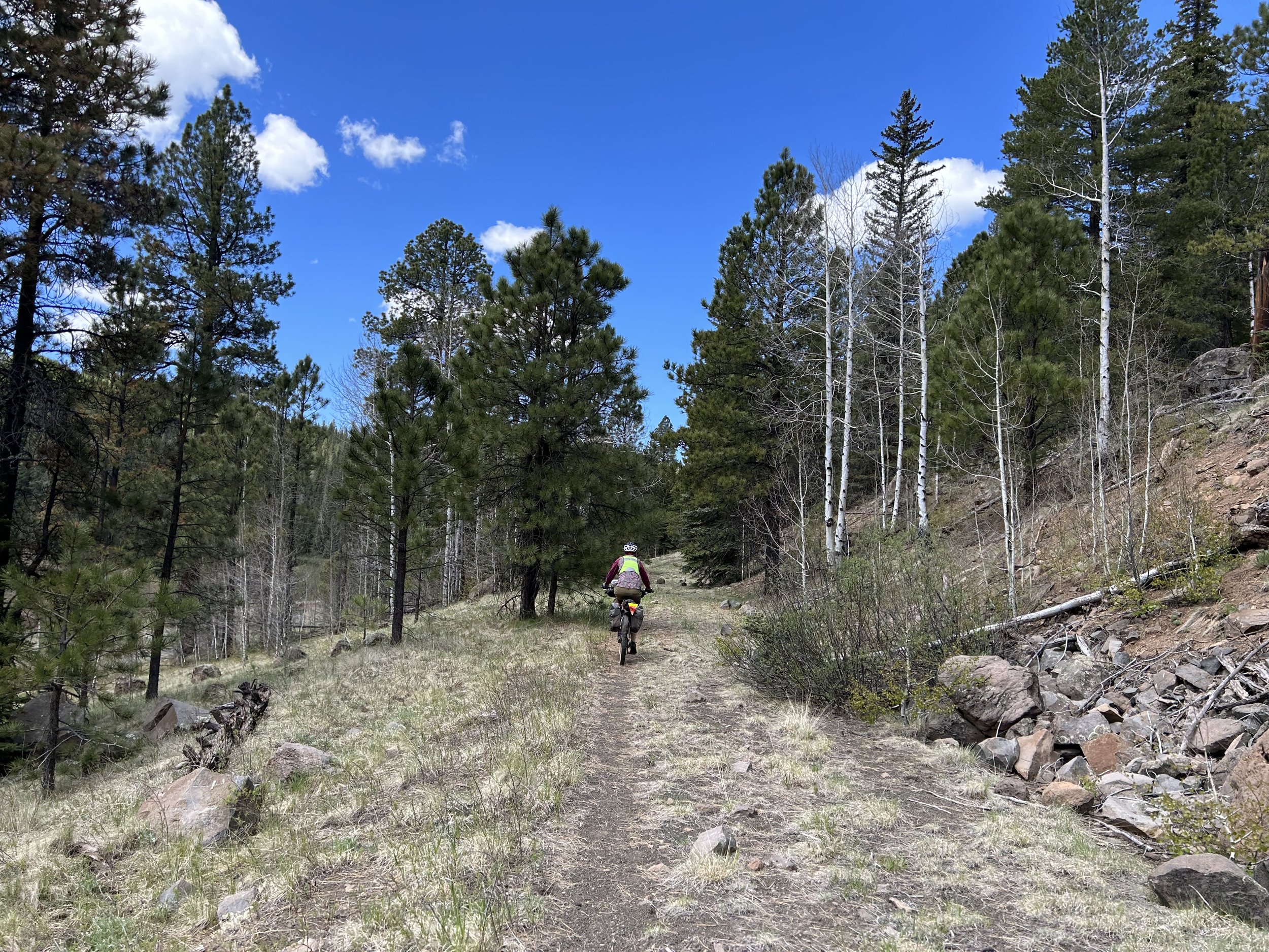
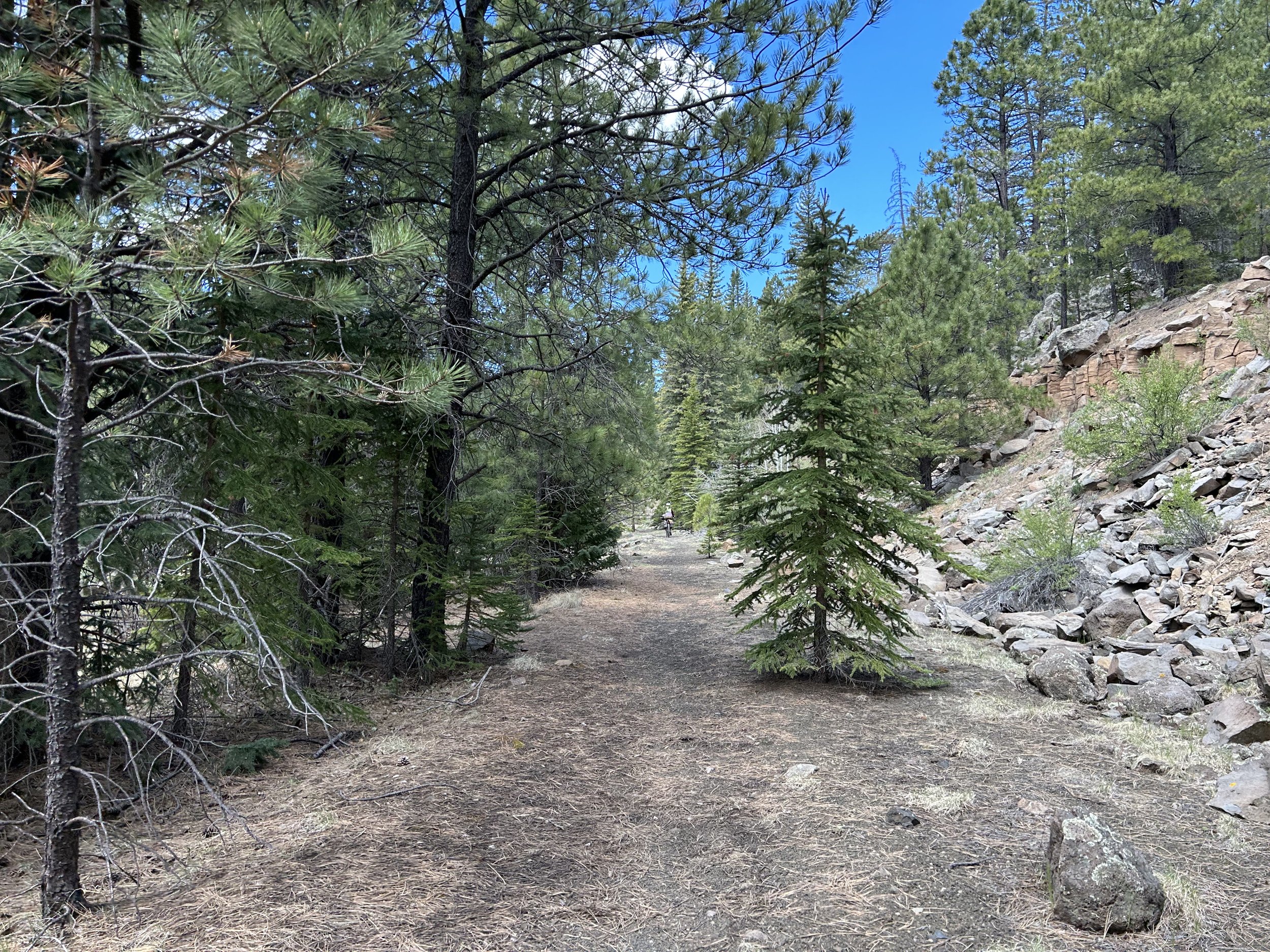
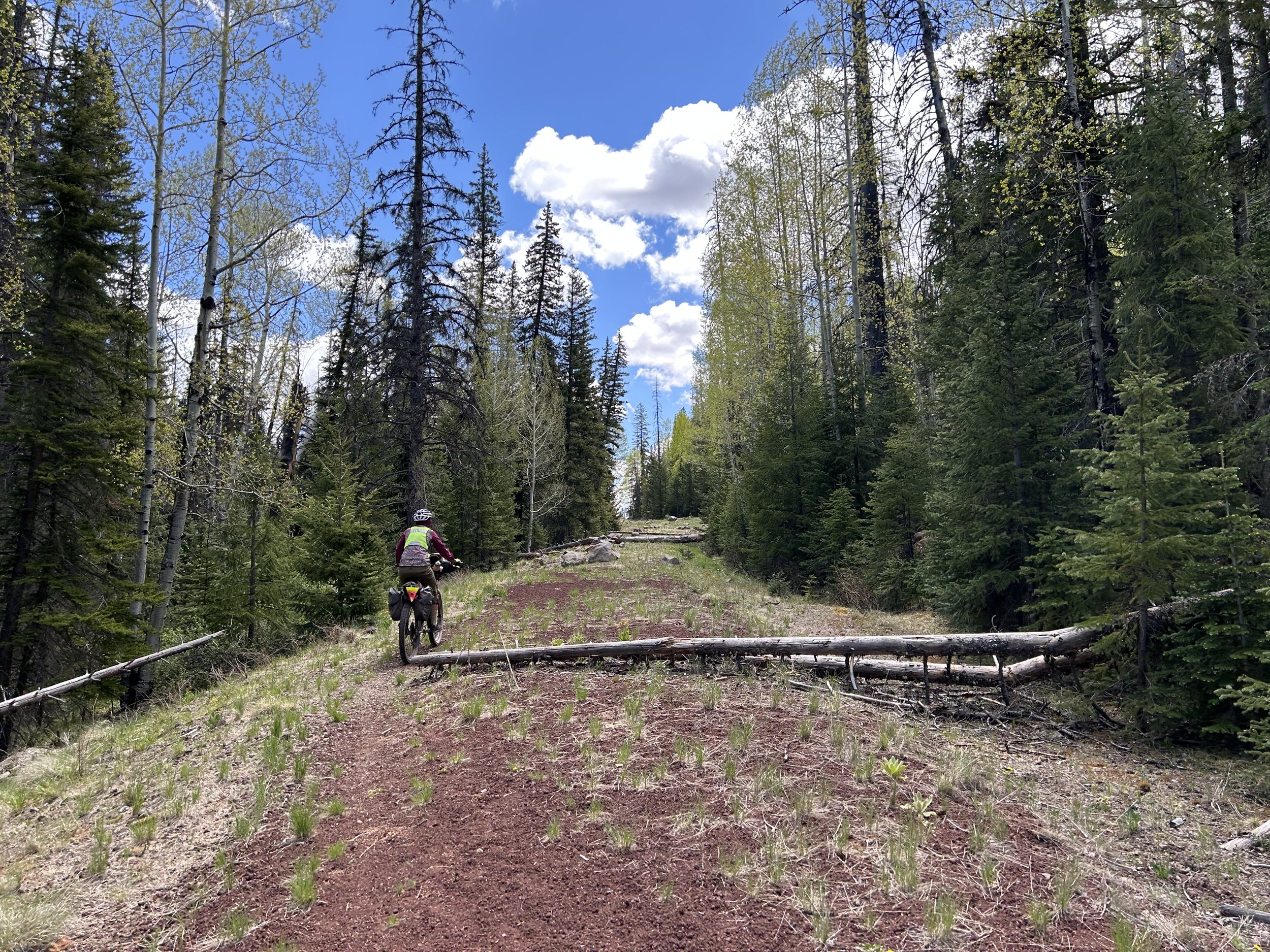
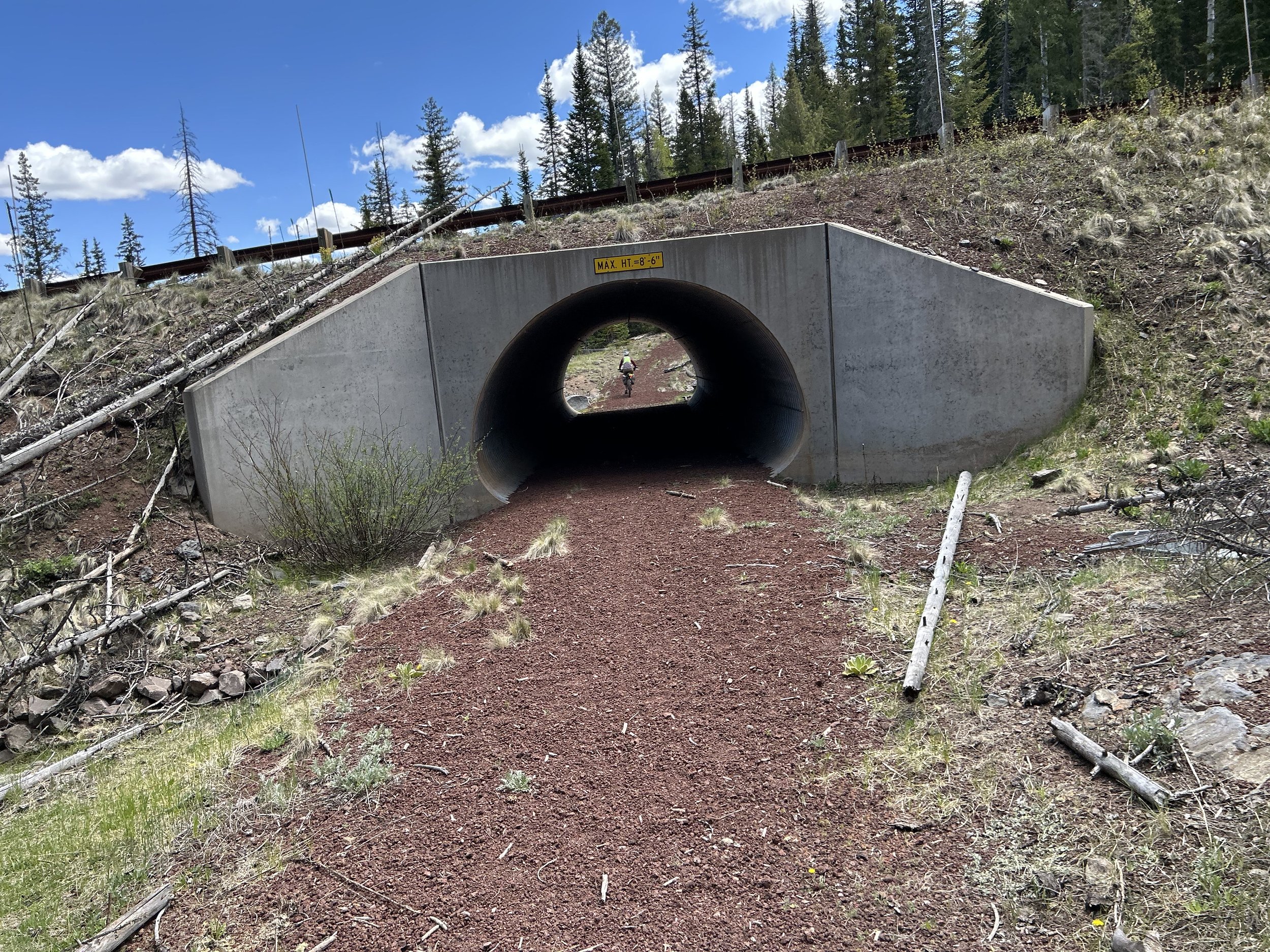
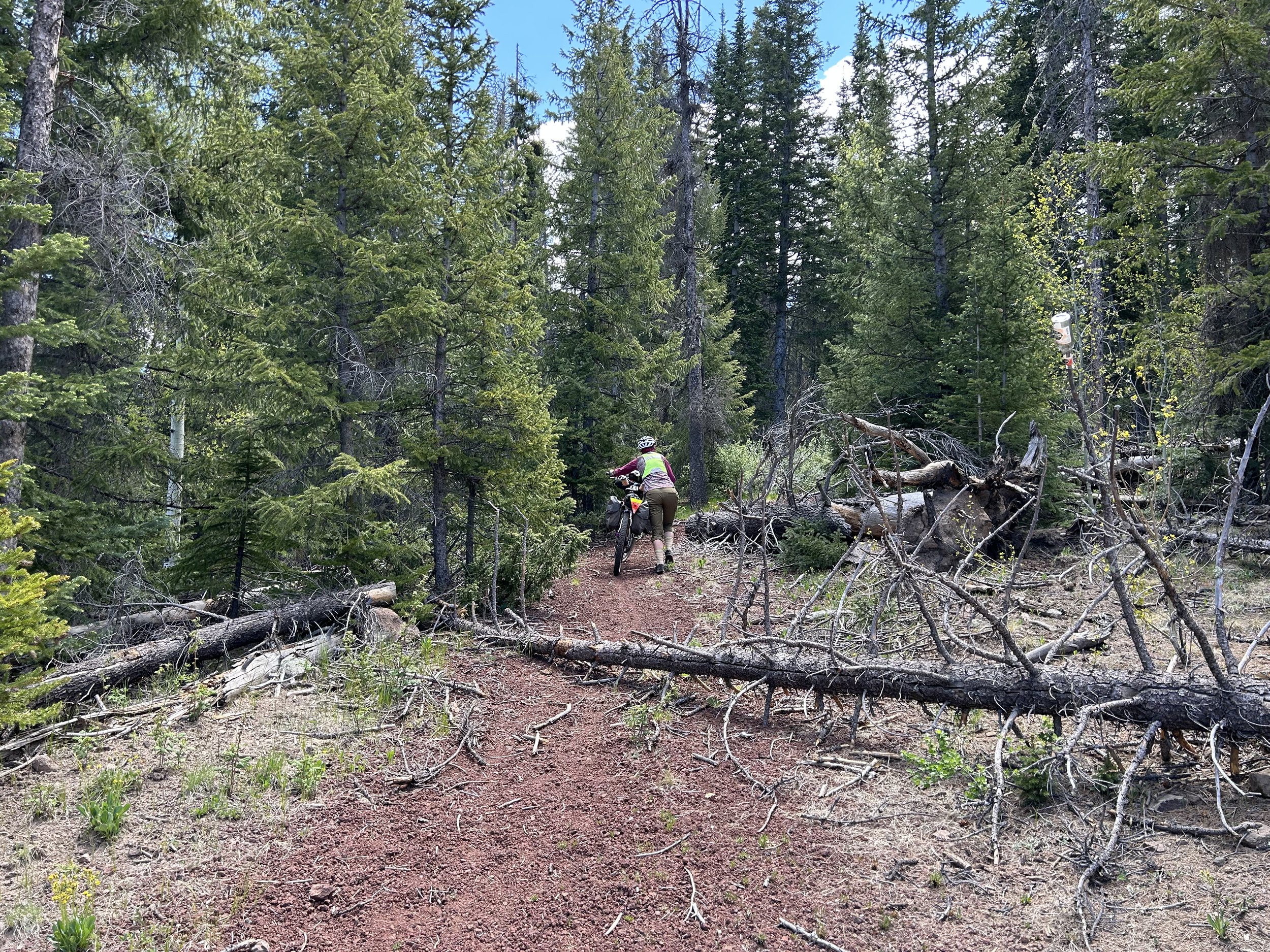
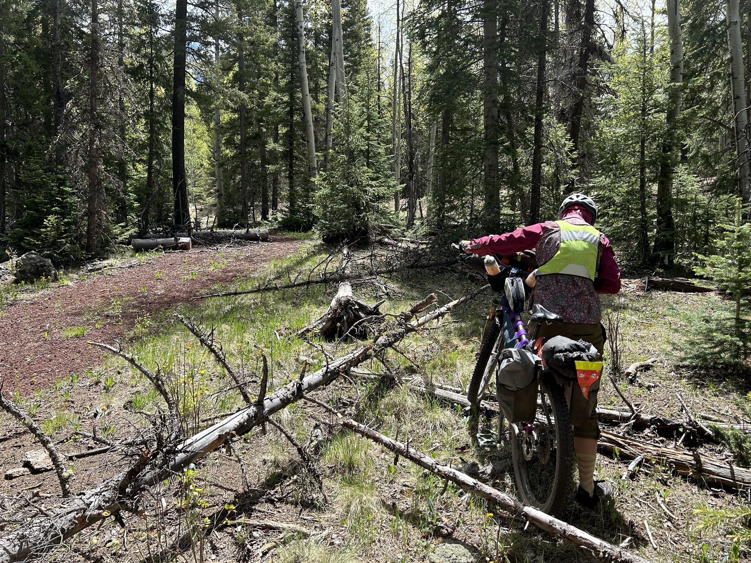
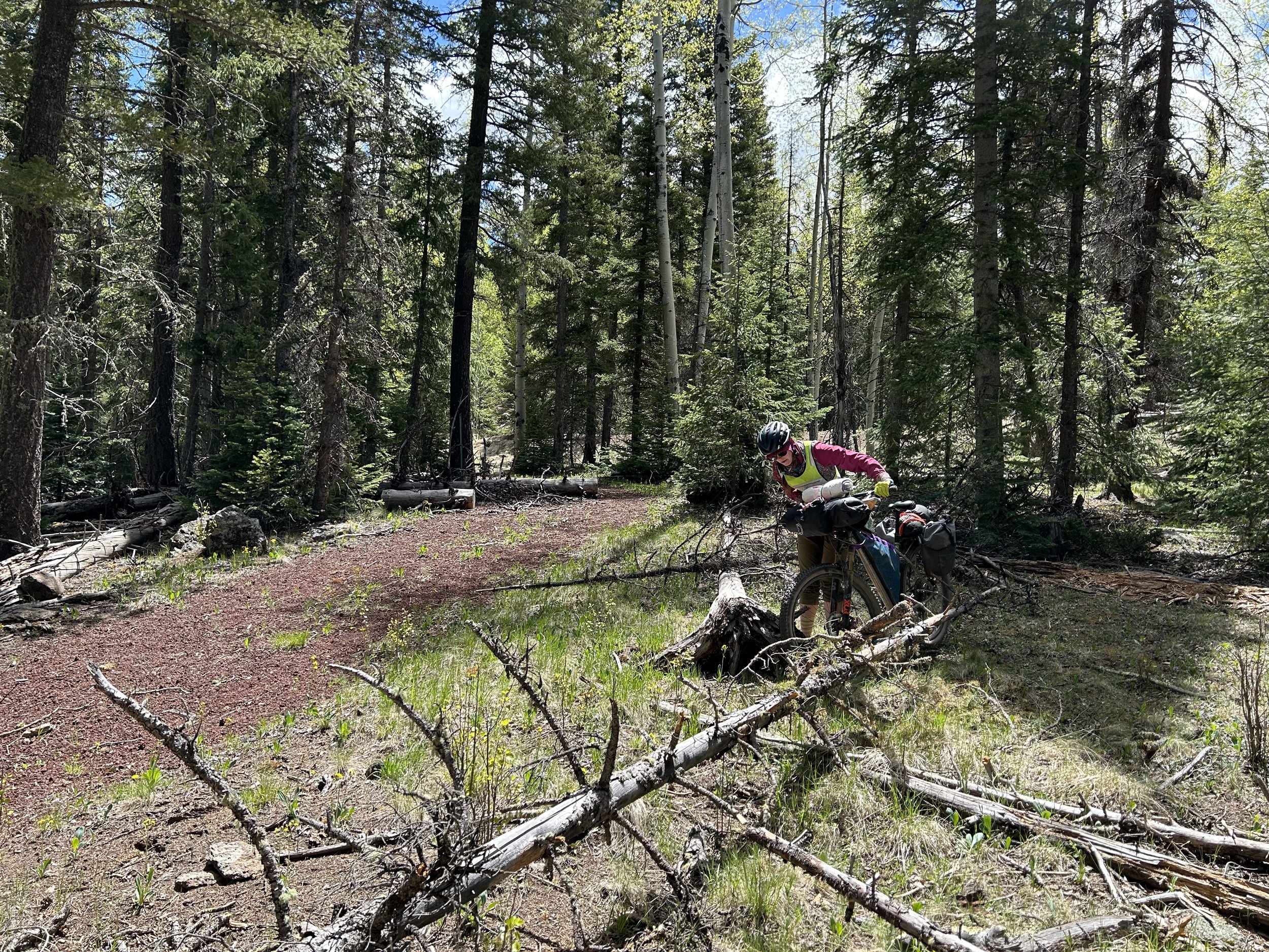
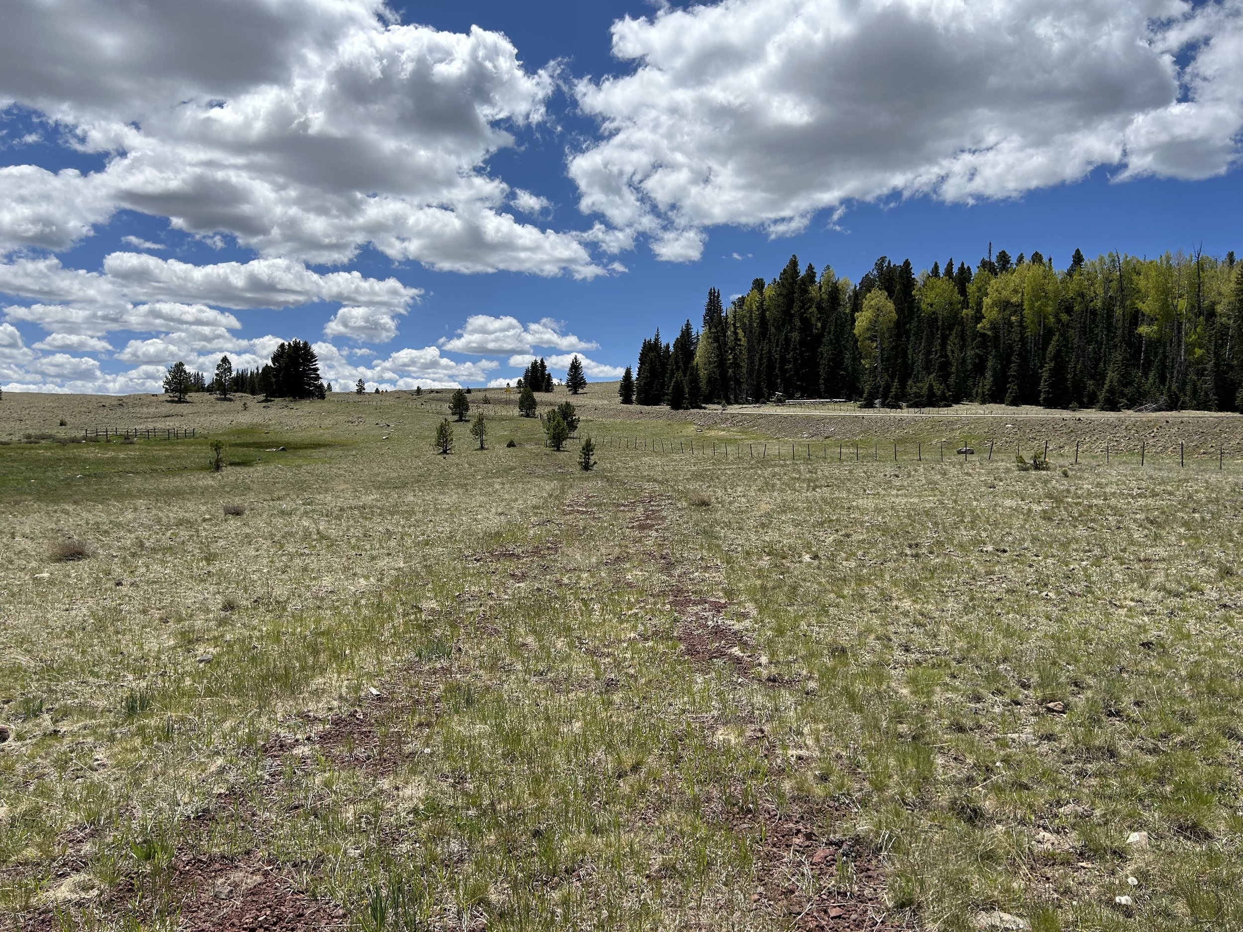
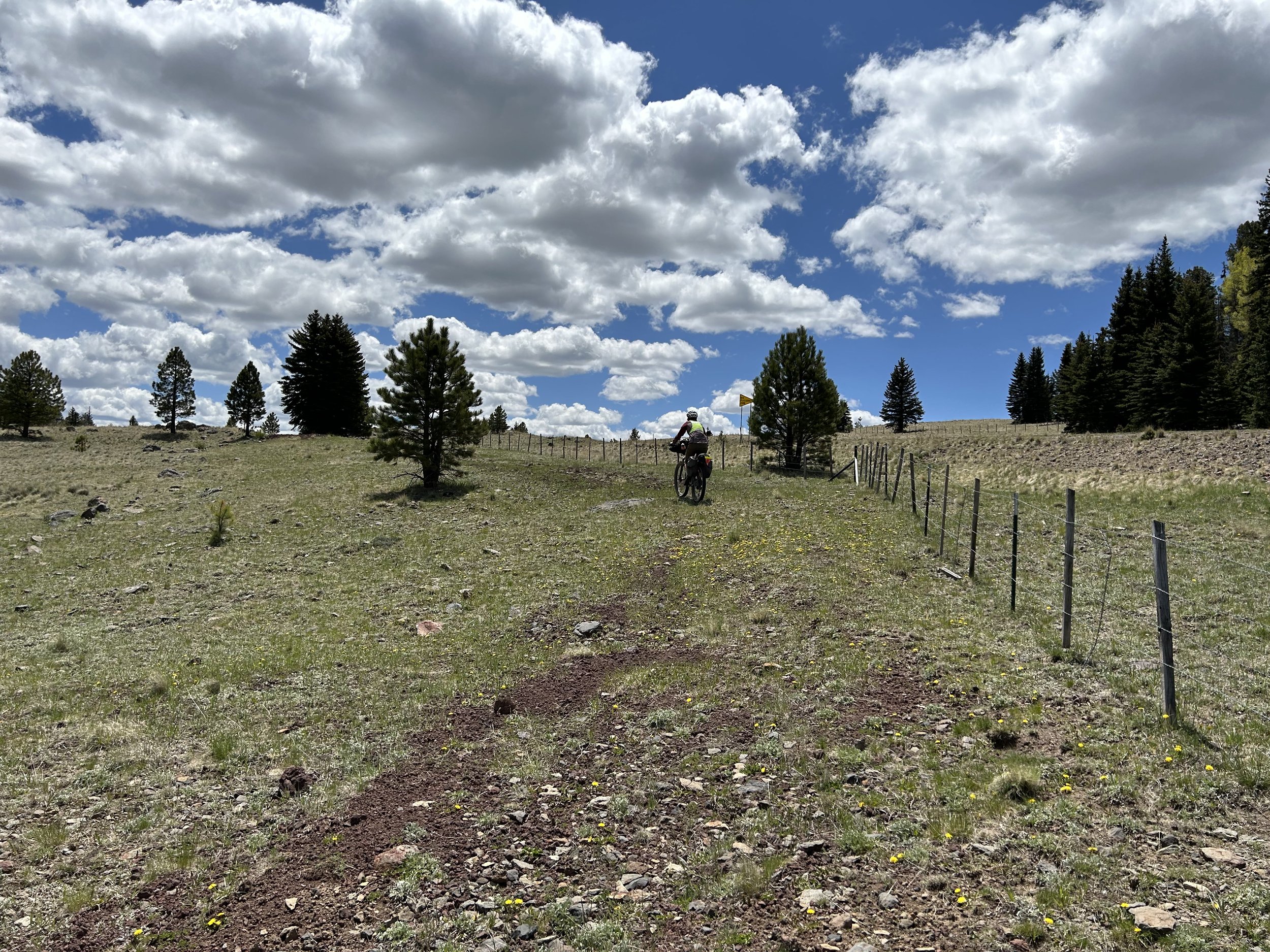
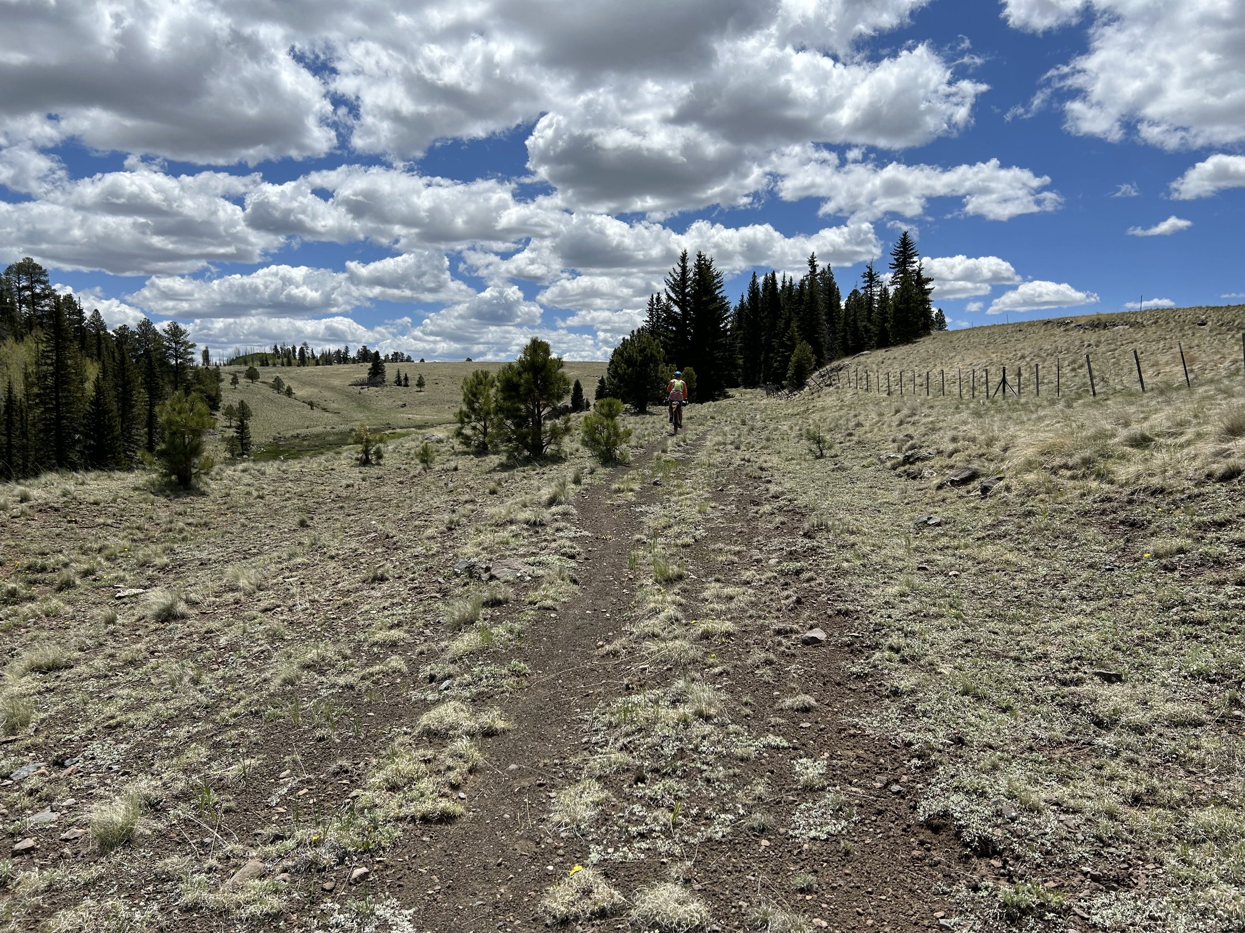
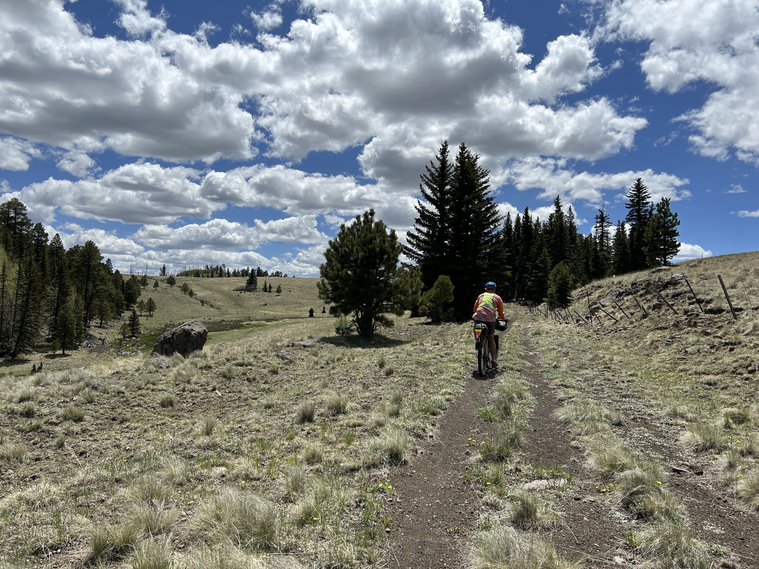
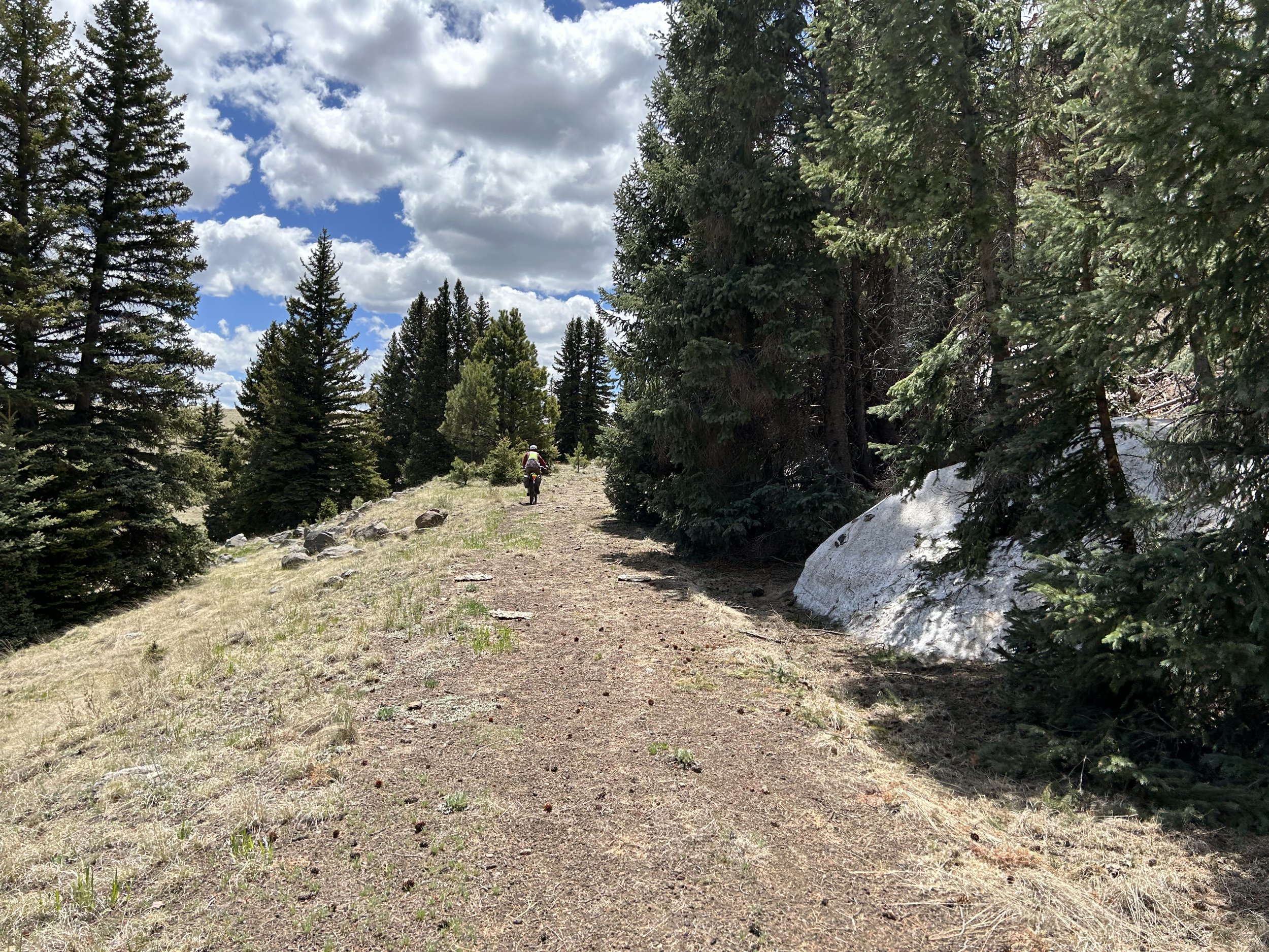
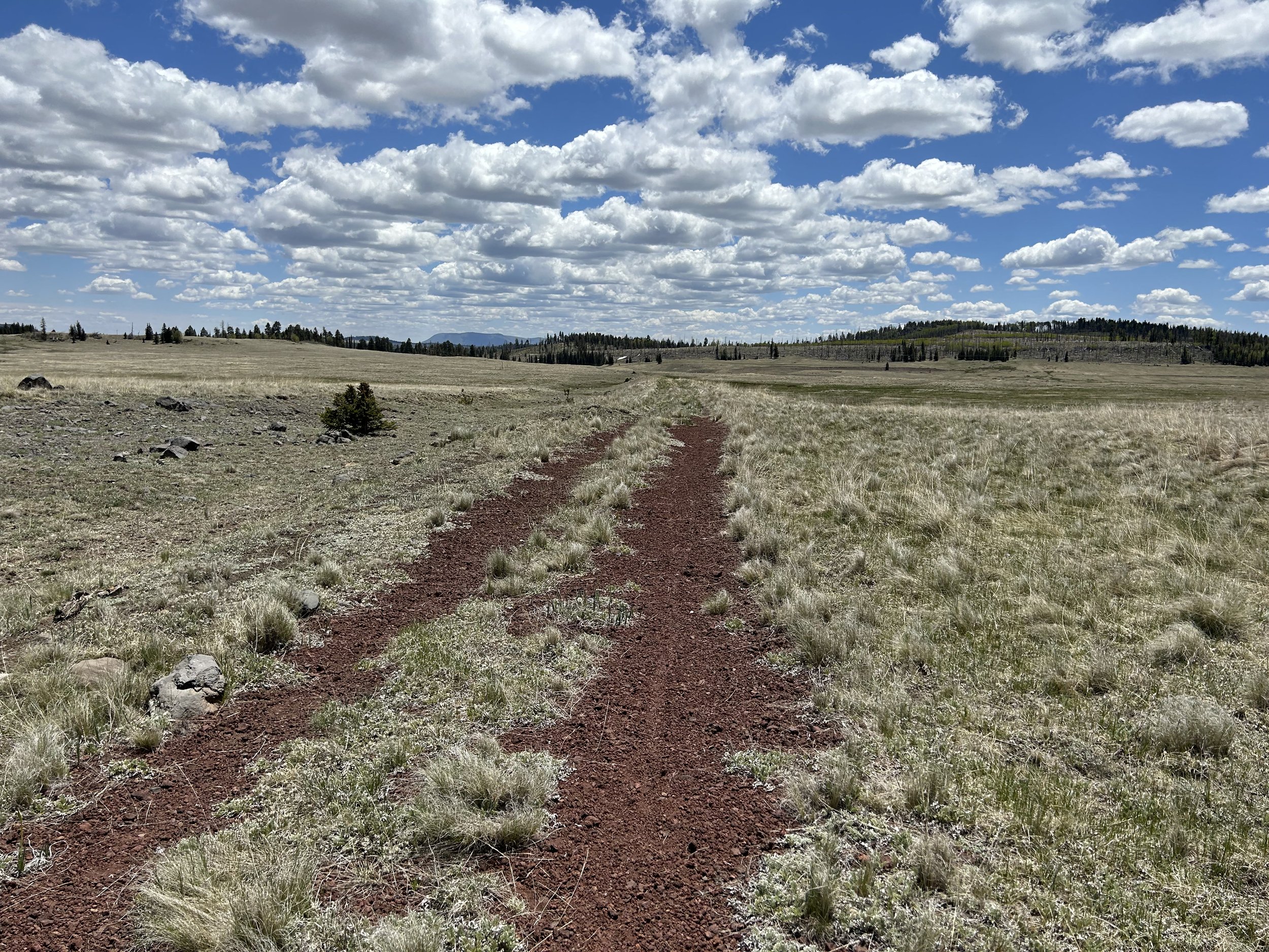
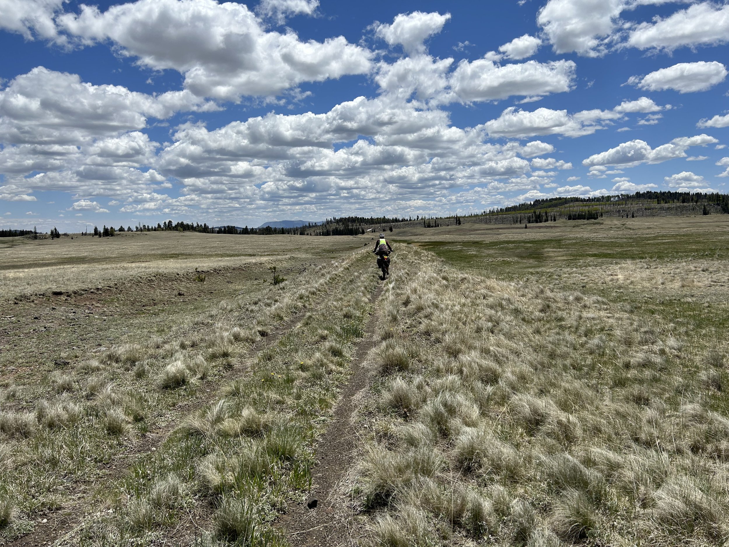
After enjoying the water flowing by 15 minutes, we turned up the cinder Apache Railroad Trail once more as it climbed up a slope and then dipped below and under the highway via a tunnel. The trail quickly became littered with downed trees from the winter. Mosquitos gathered in swarms. We carried and pushed our bikes over and around the felled timber all while trying to outrun the mosquitos. Then, it was back on the cinder rail-trail as it careened beautifully through the thick forest of spruce, firs, aspen, and other pines. It spilled us out of the trees and into subalpine meadows where the track quicky deteriorated into a worn path on trodden grass. I was analyzing whether the trail was suitable for the route/would add views/was worth it with this primitive section when it carried us up and along a drainage gushing with water in a creek. My immediate answer was "YES" this beauty was too good to pass up for riders. There was no technical singletrack decay; just faded cinder doubletrack that crawled up and down hills unclearly, but distinctly enough.
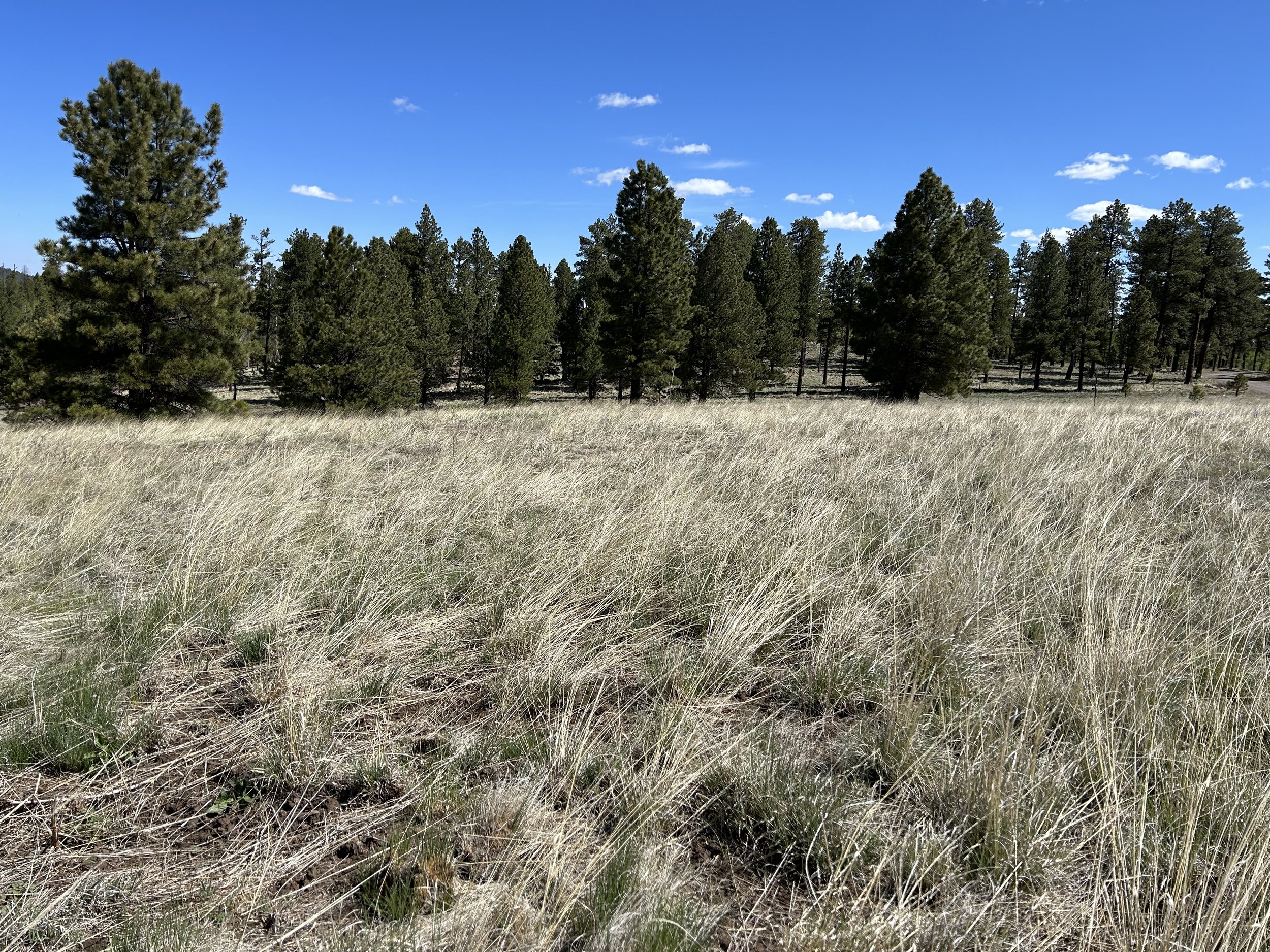
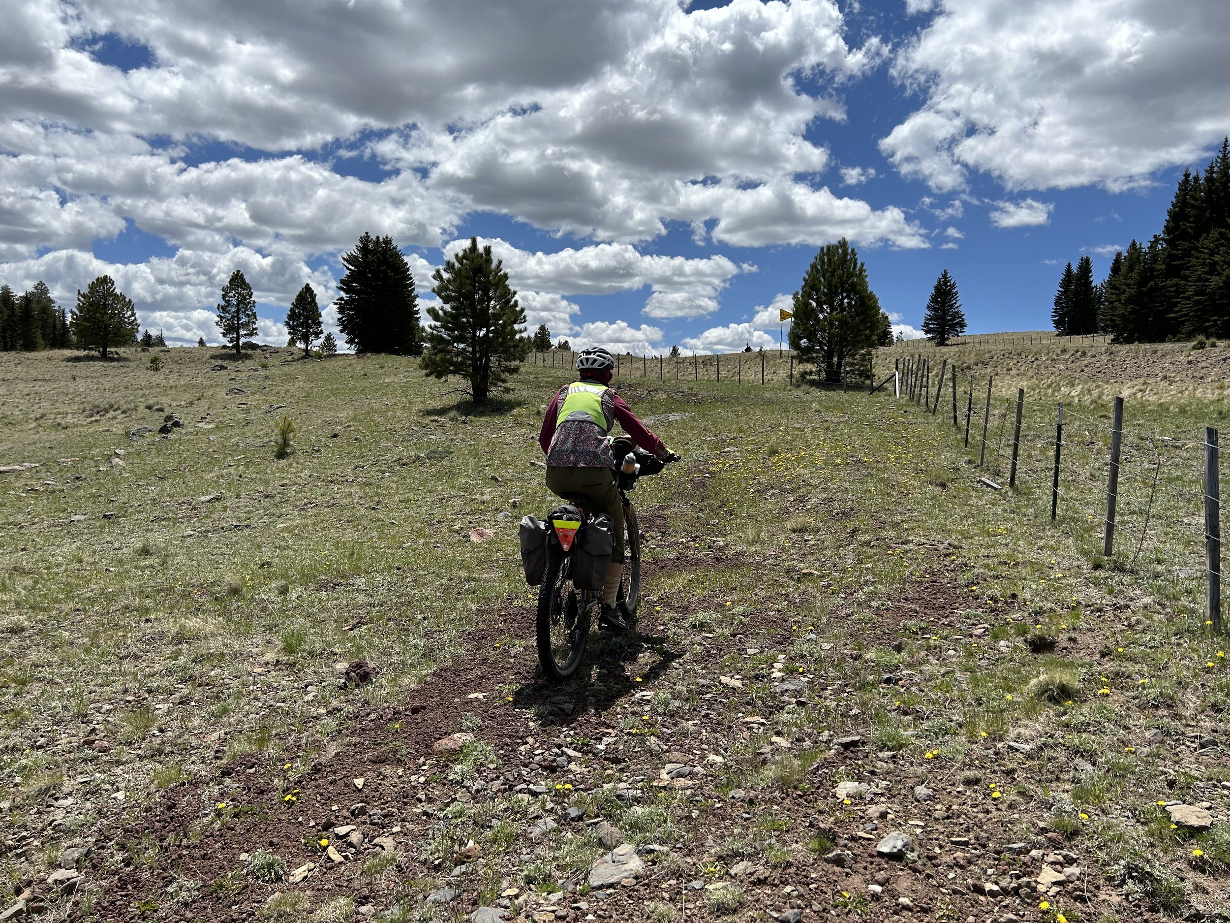
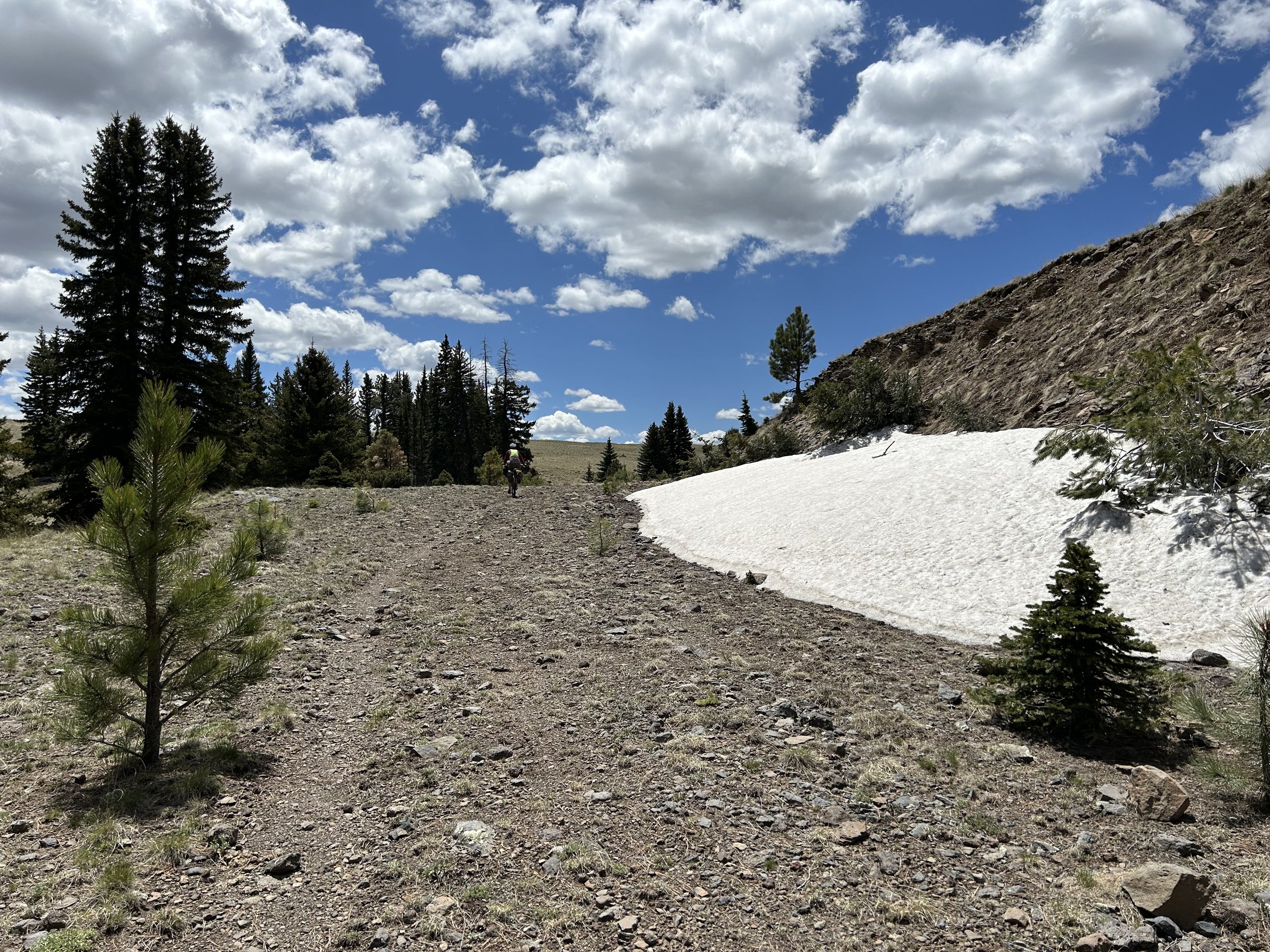
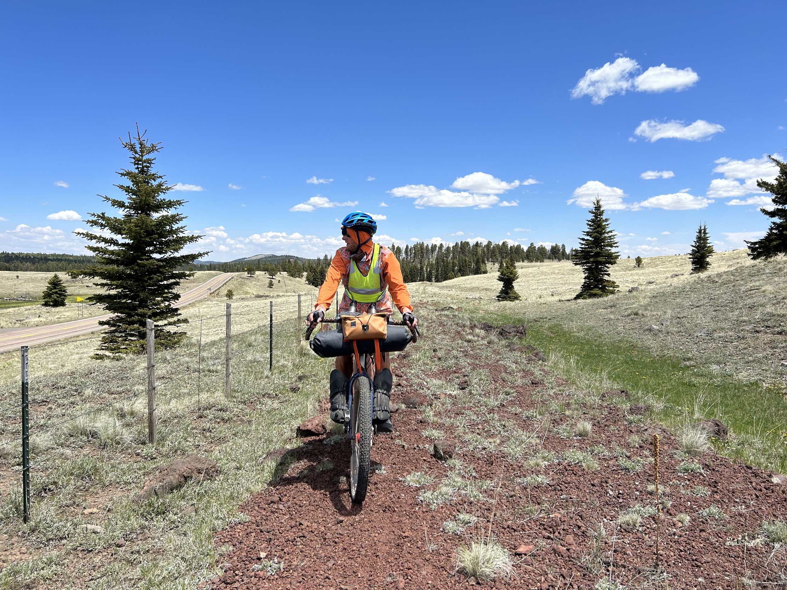
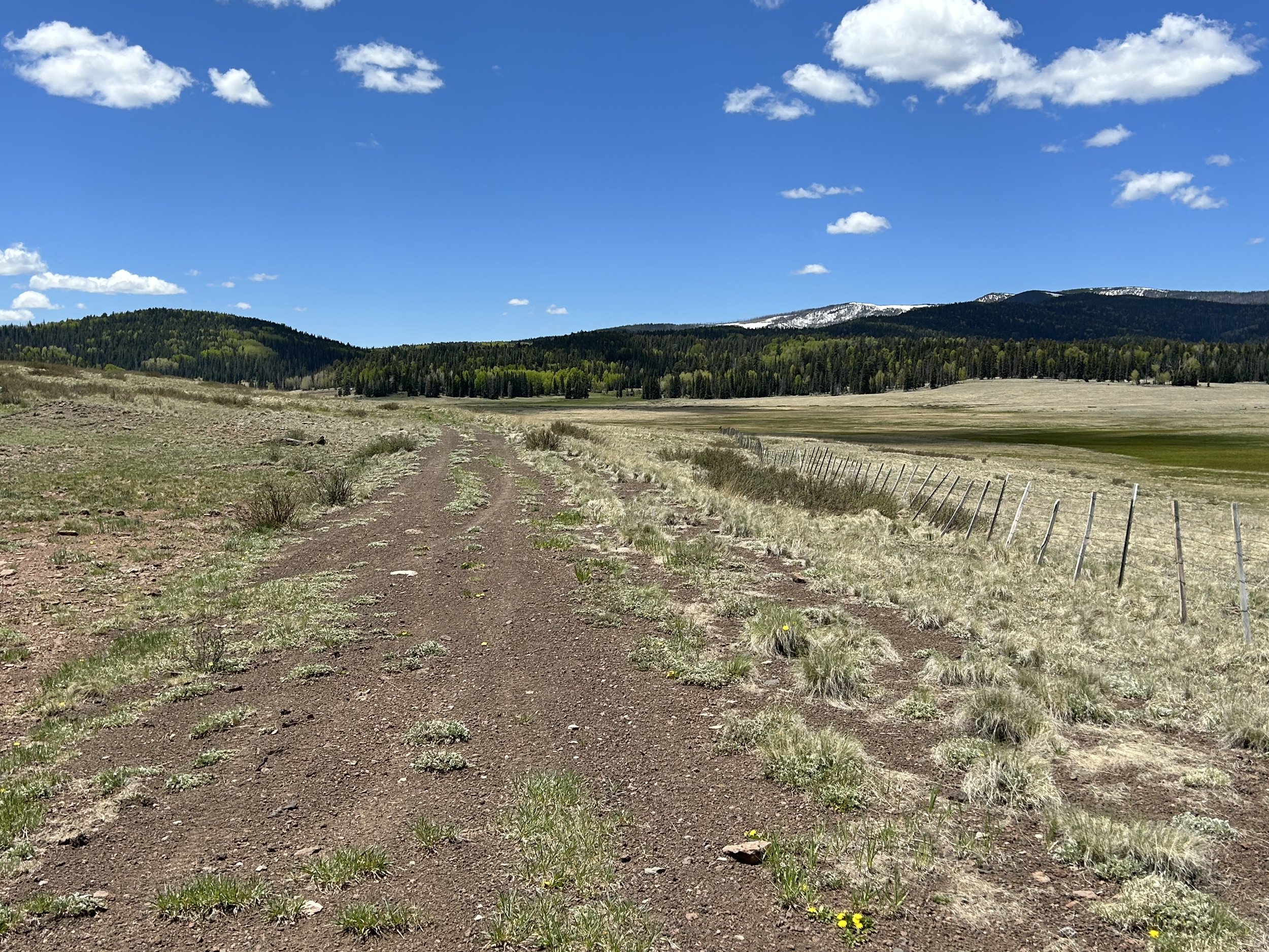
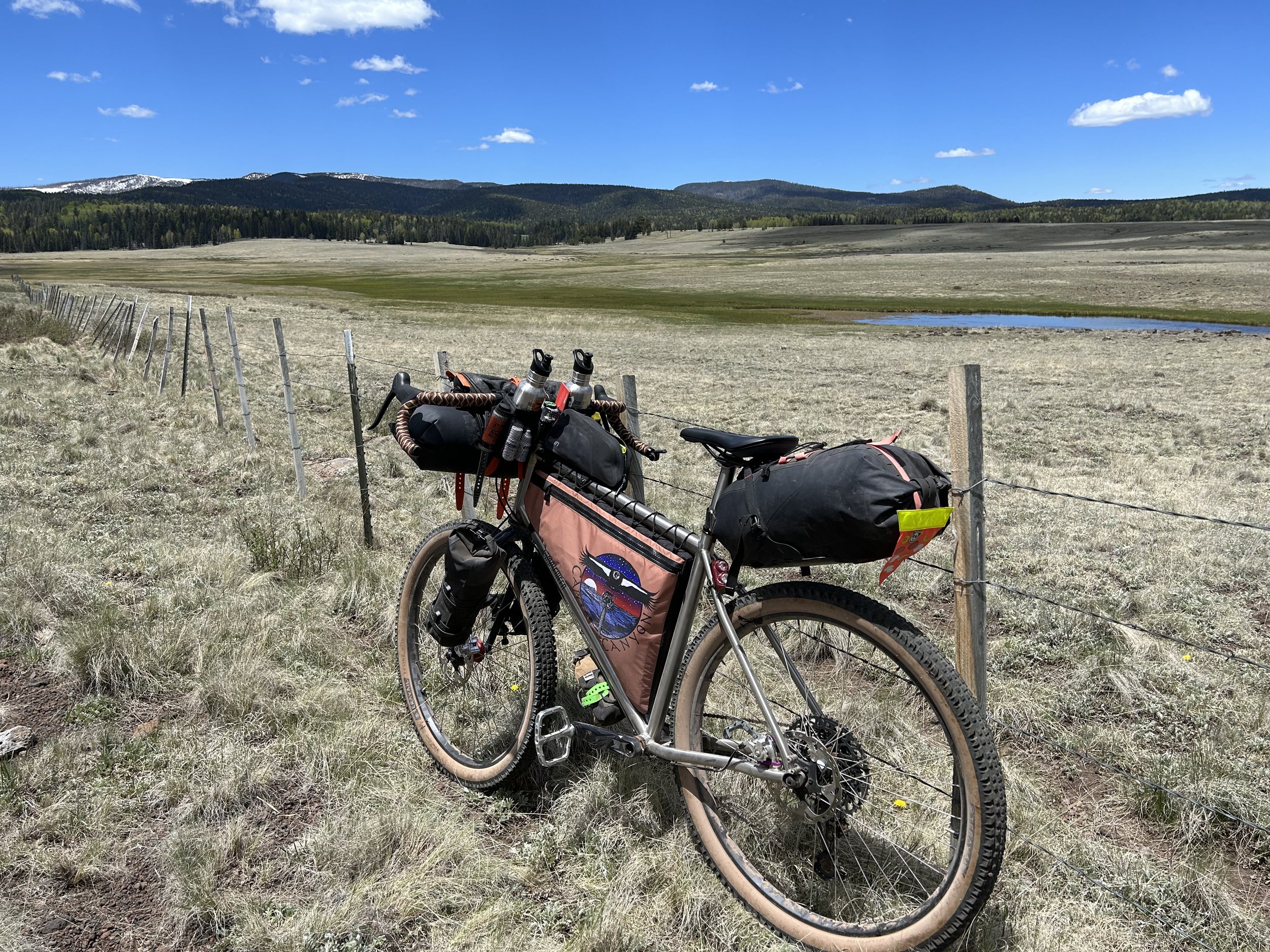
The rail-trail swooped down and across several creeks before climbing along a small ridge lined with spruce before gaining a parallel next to a fence adjacent to the highway. I reviewed Gaia GPS and saw that we could avoid the highway and meet back up with the original plan if we stuck to the Apache Railroad Trail after it curved and wound through a subalpine plain with a lake. We decided to follow it as it shot straight across grassy tussocks on an overgrown doubletrack path that dipped across drainages, climbed up, and shot straight again. Turning, the snowy thickets of Mount Baldy and its light-green aspen base stood out from the meadows running before it. The primitive but relatively smooth rail-trail continued along an old earthen dam that swung around Colter Reservoir and snowy banks still encrusting the north-facing slopes. Then, another turn around the reservoir brought soft singletrack carrying us back towards the highway and directly to the turn on original plan. We stopped to eat some snacks before the big push north towards Springerville.
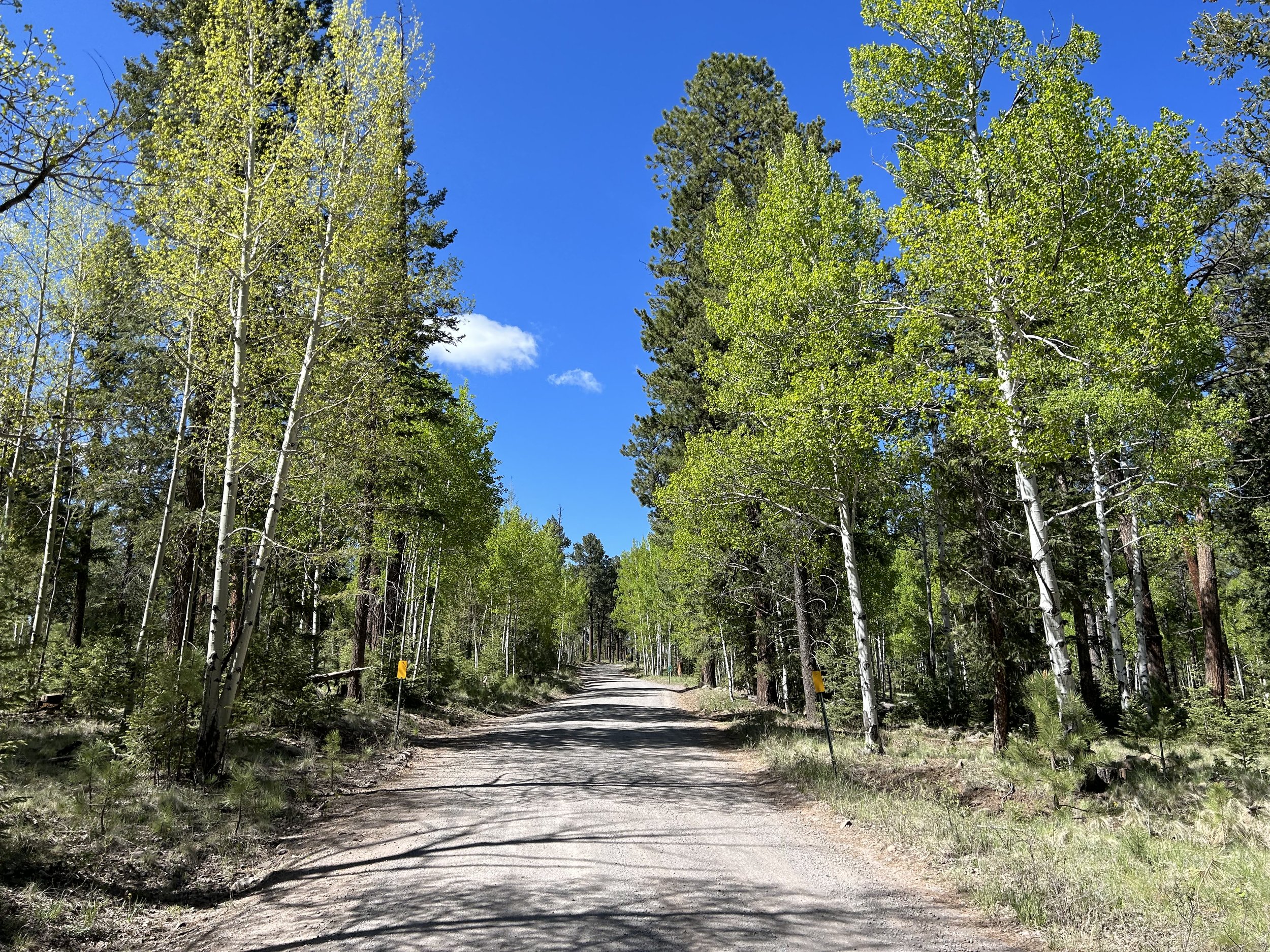
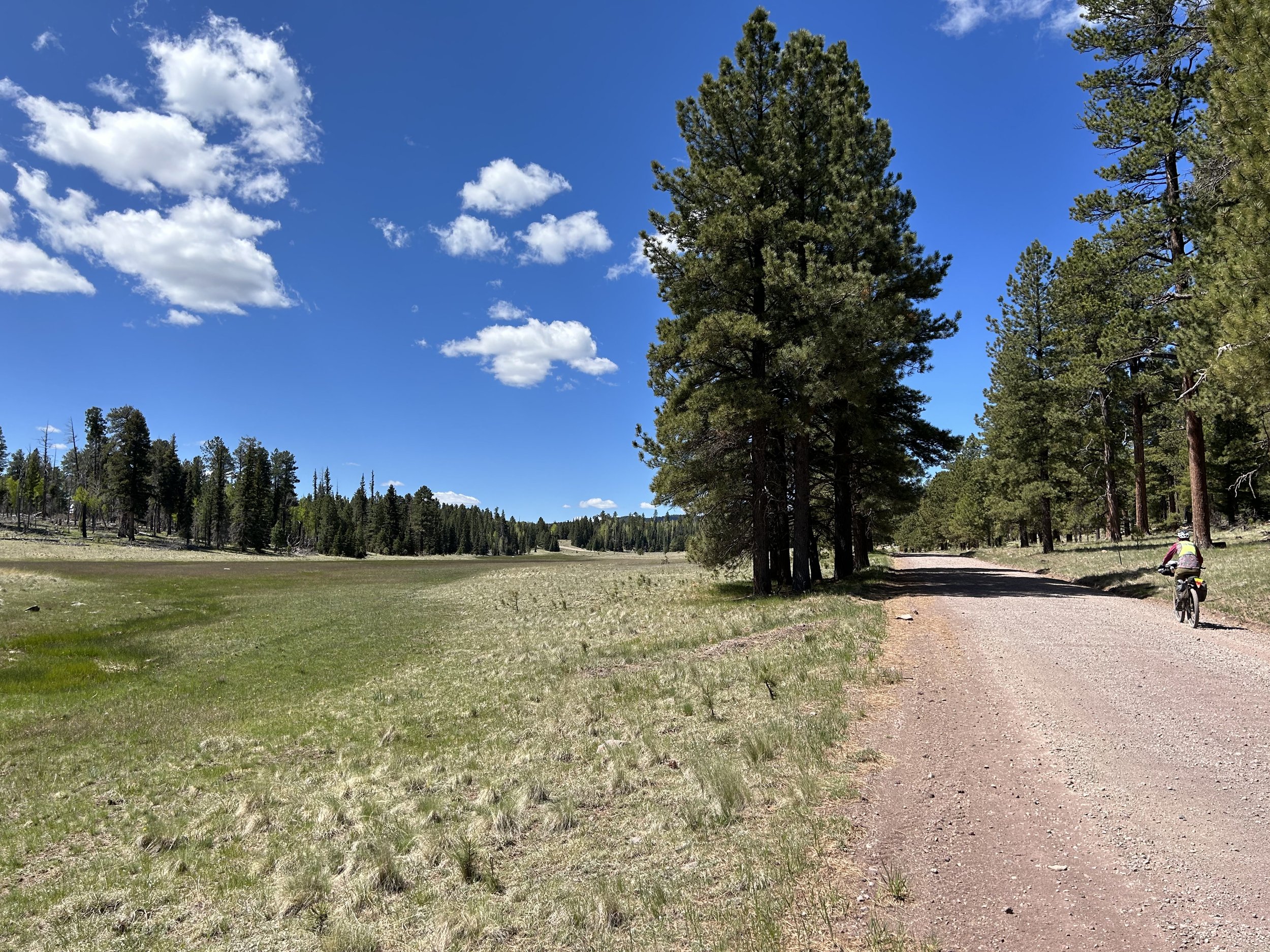
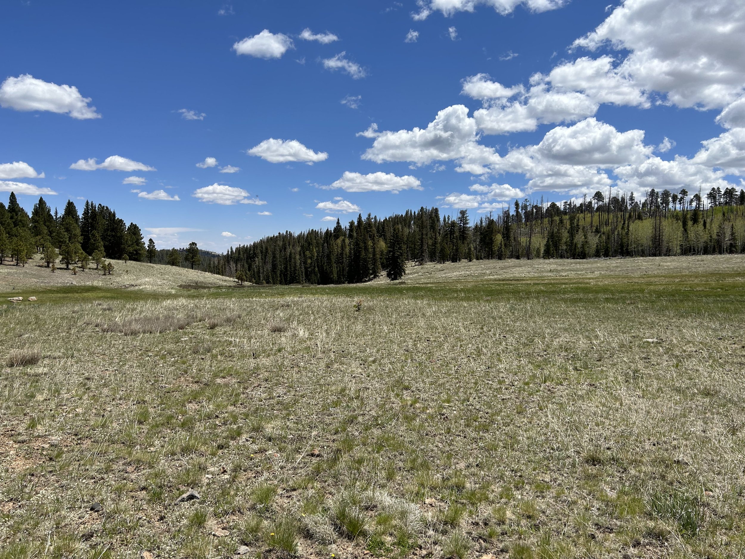
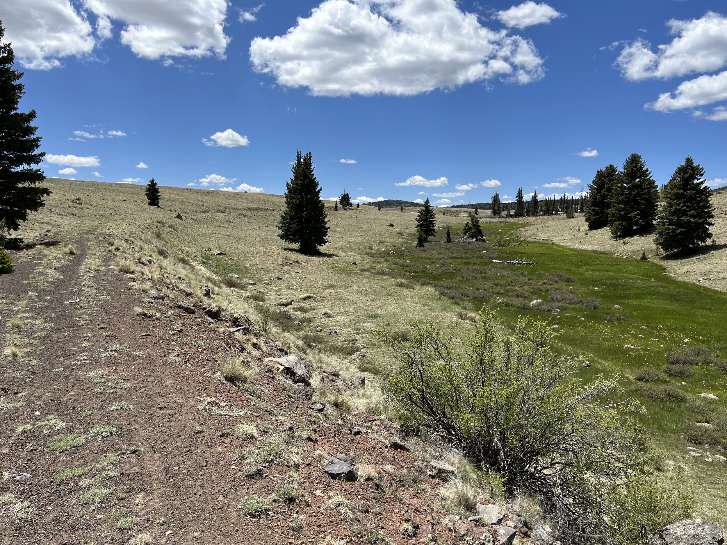
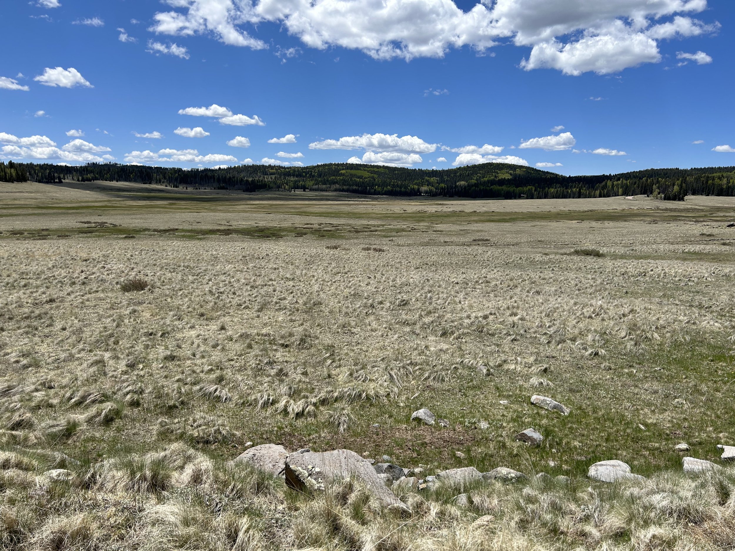
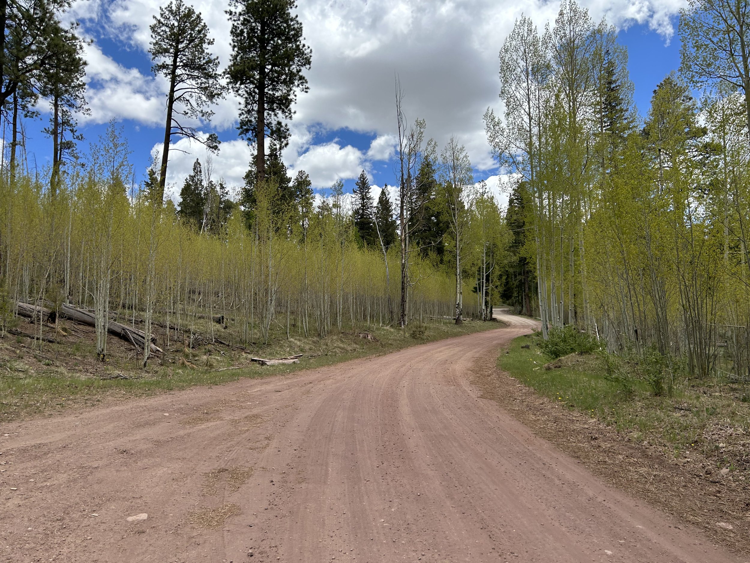
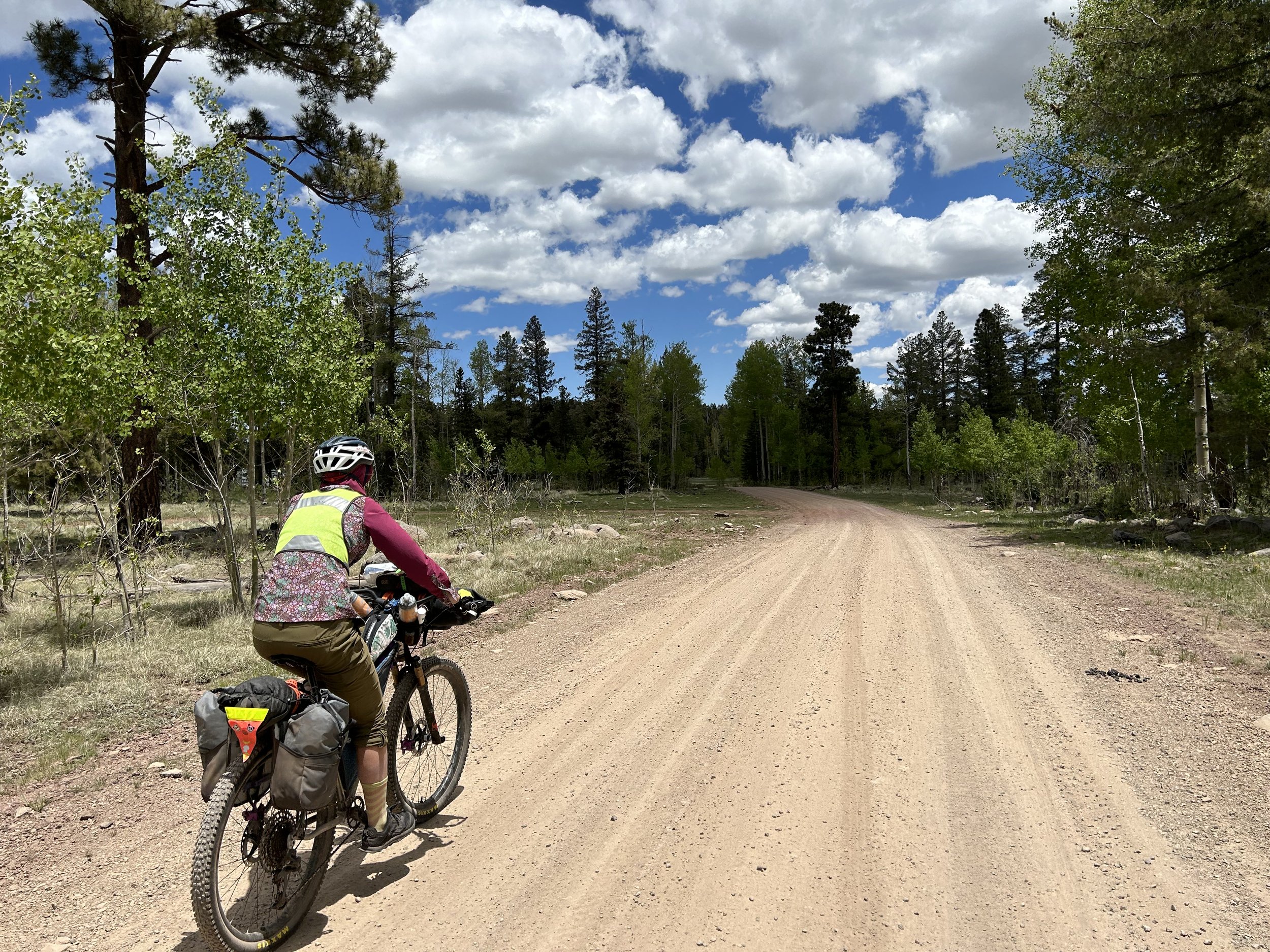
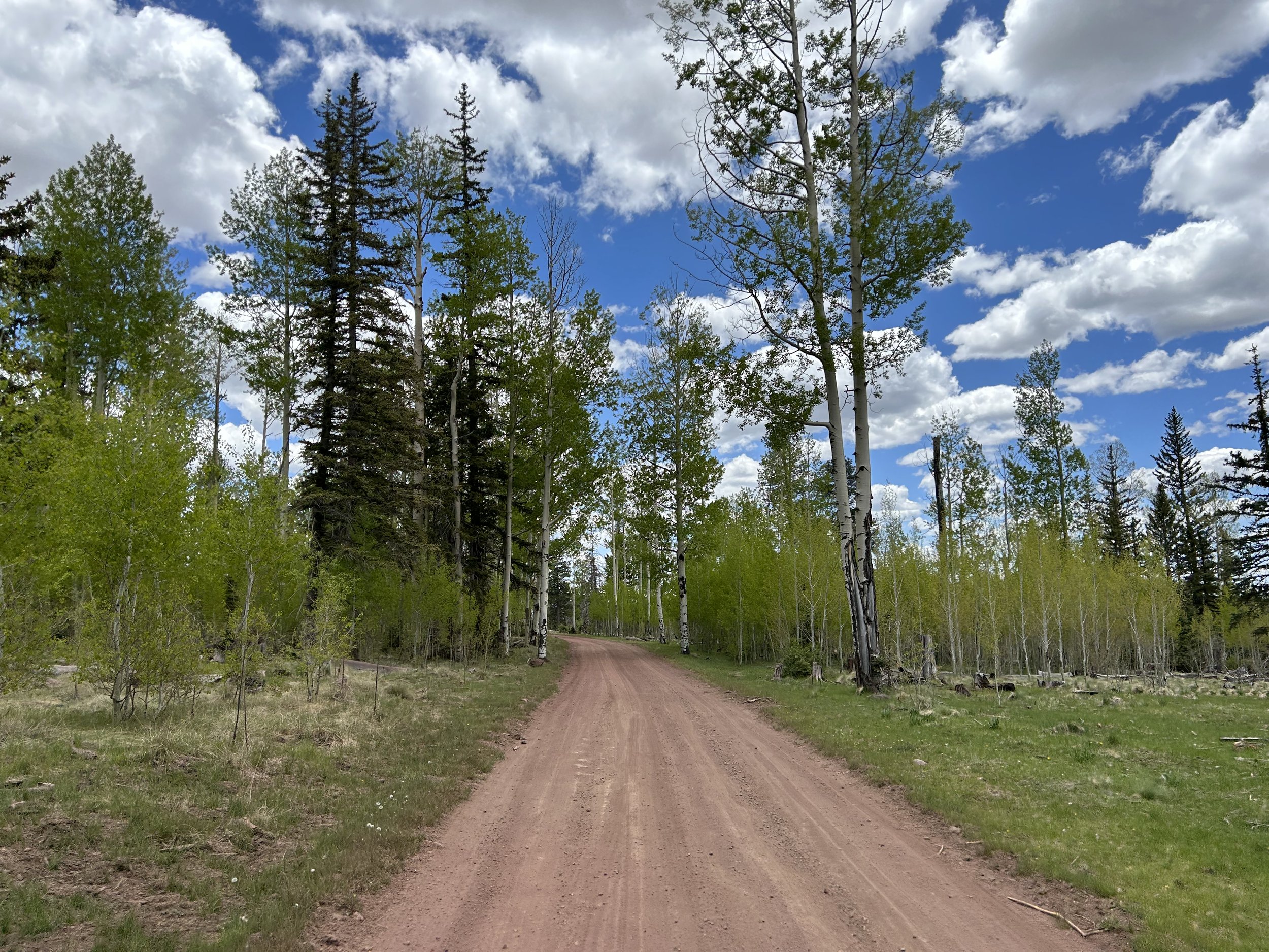
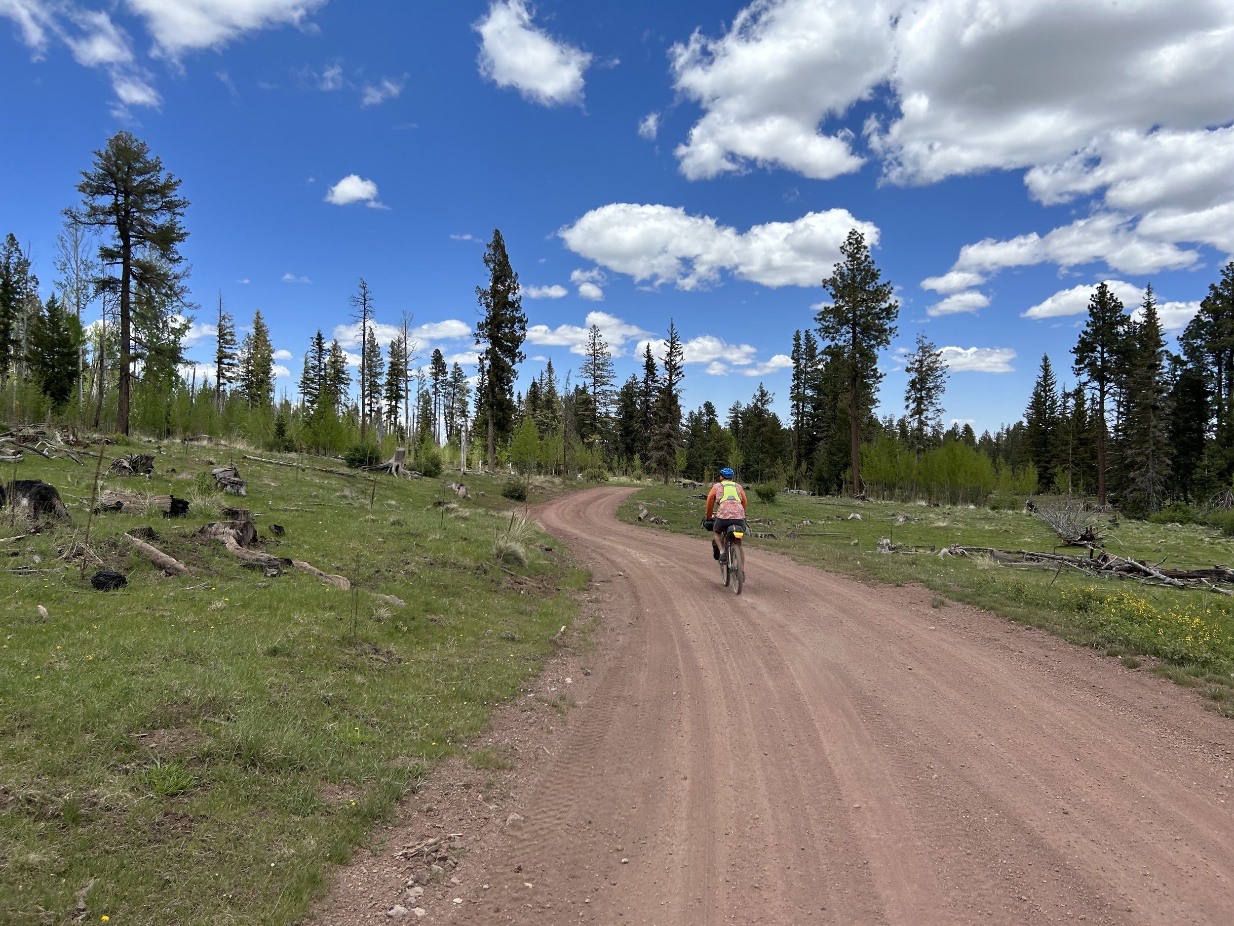
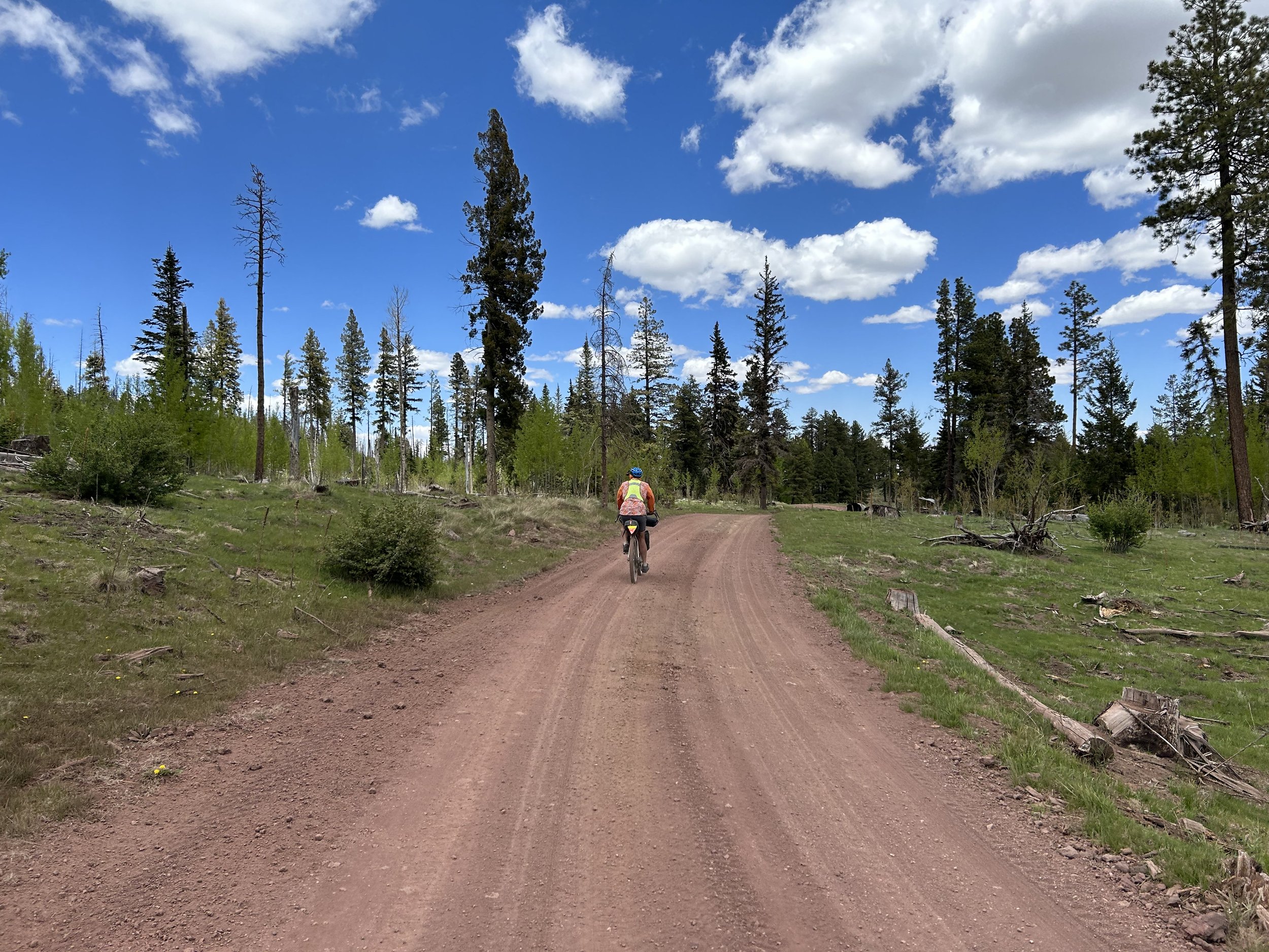
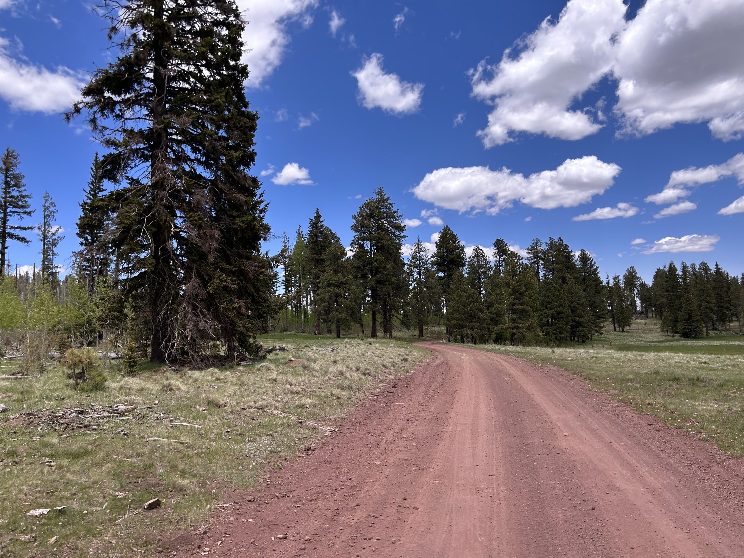
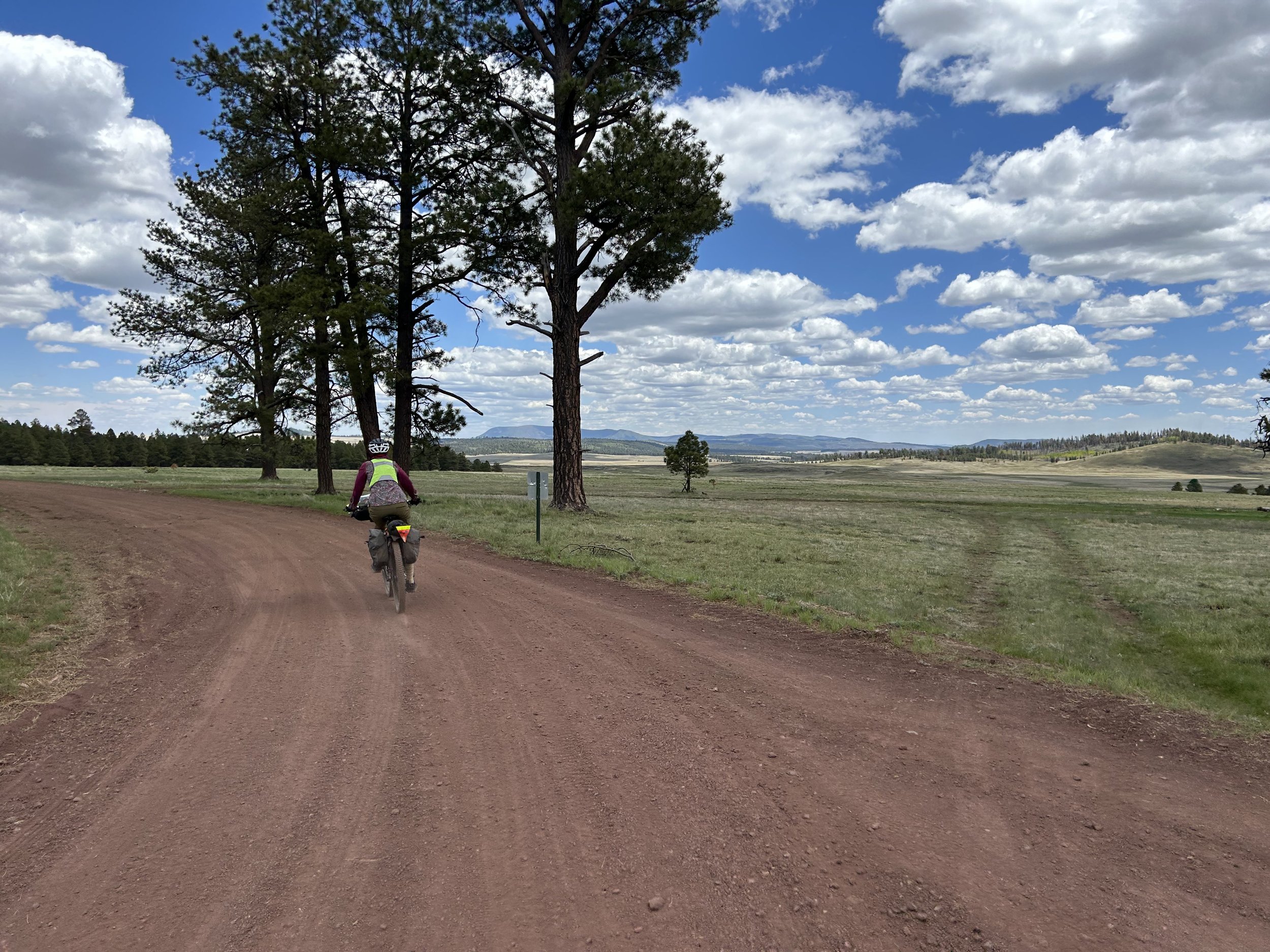
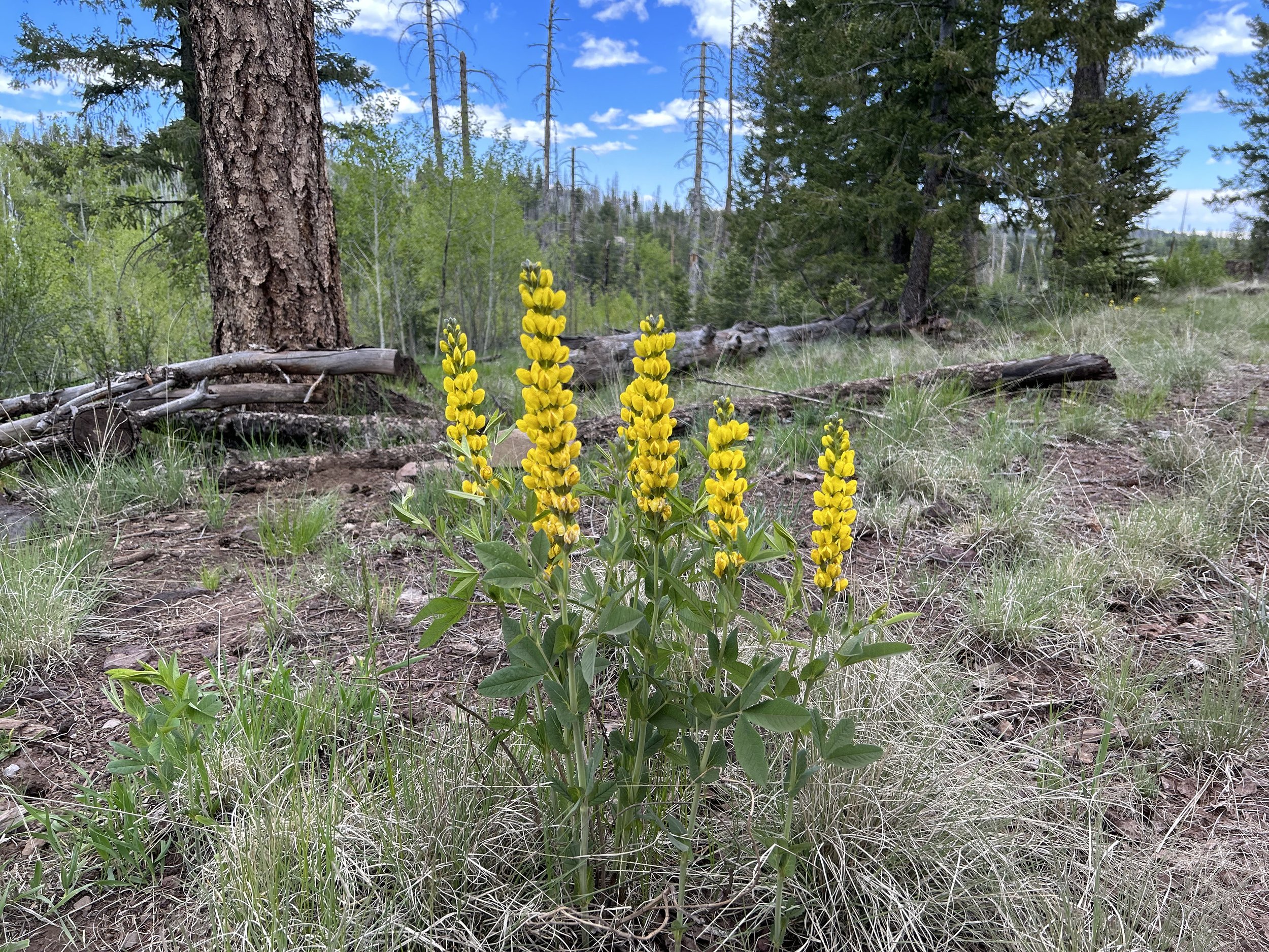
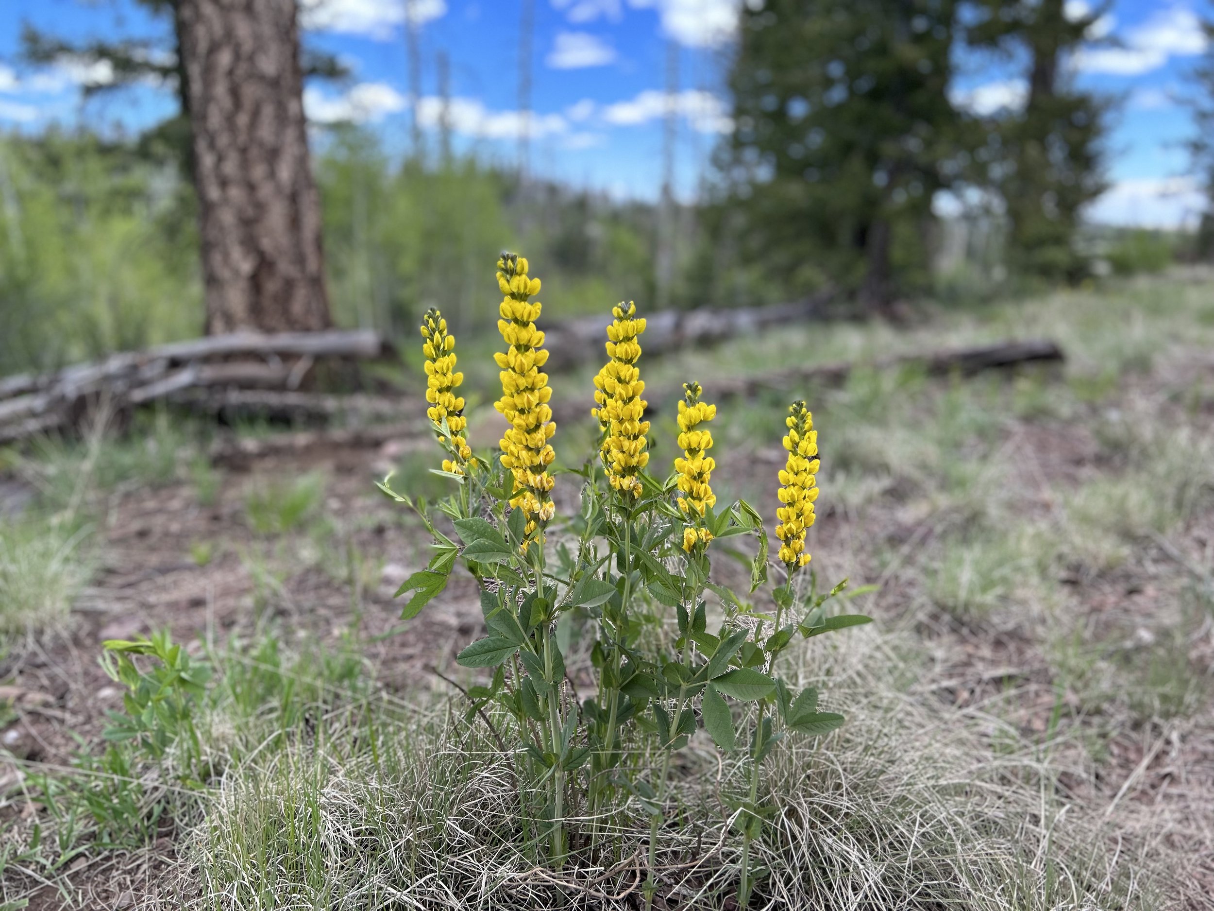
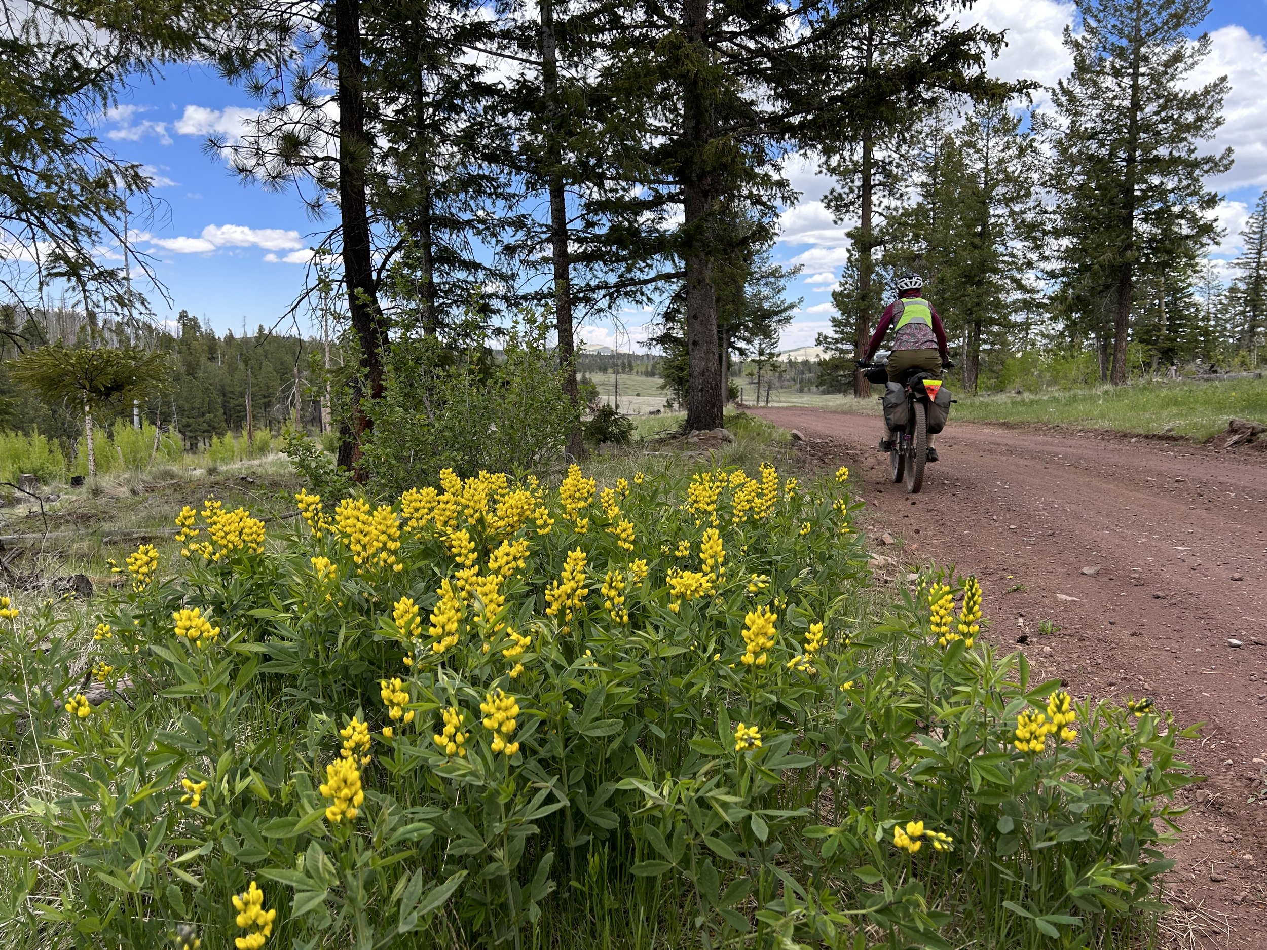
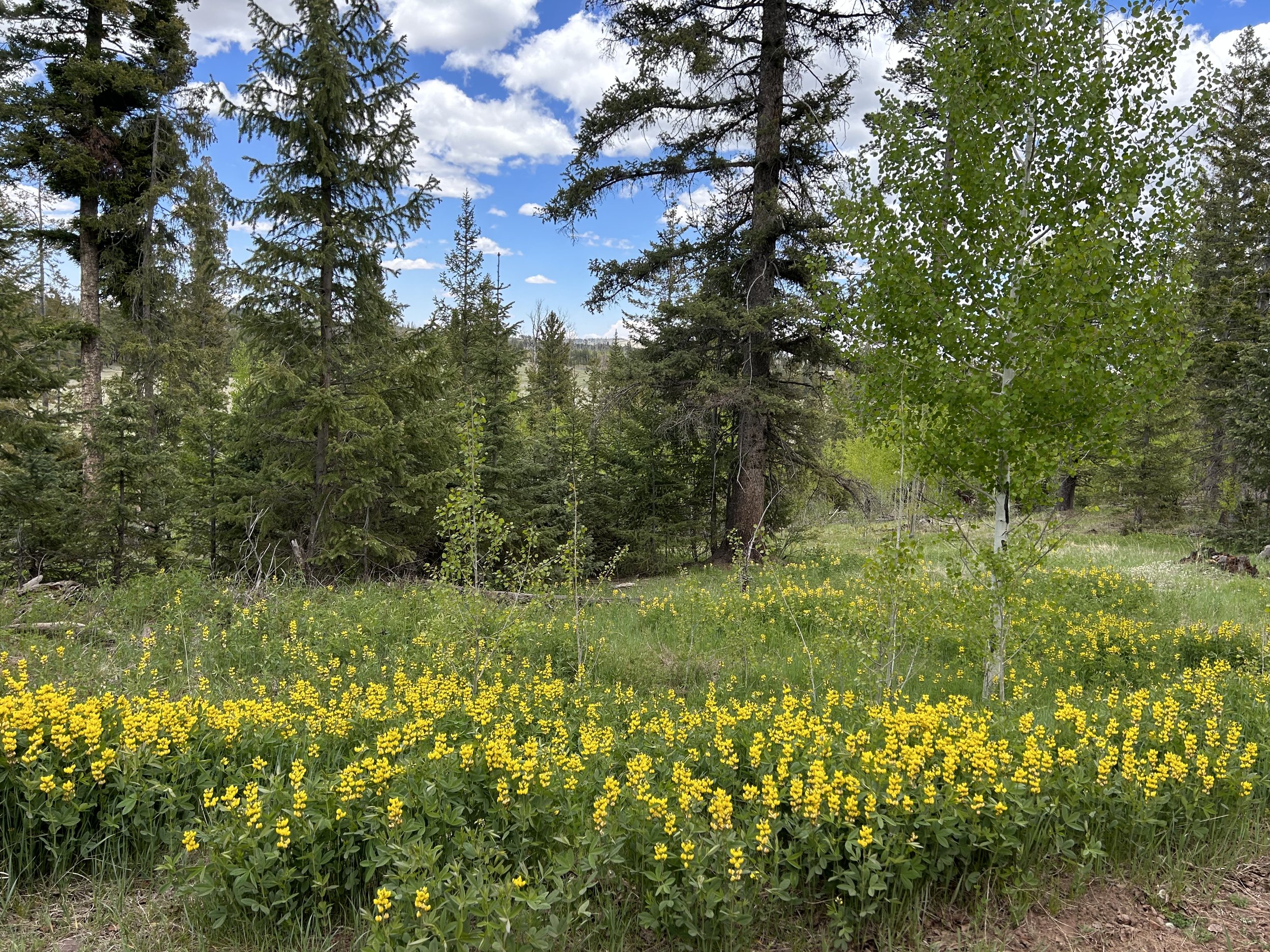
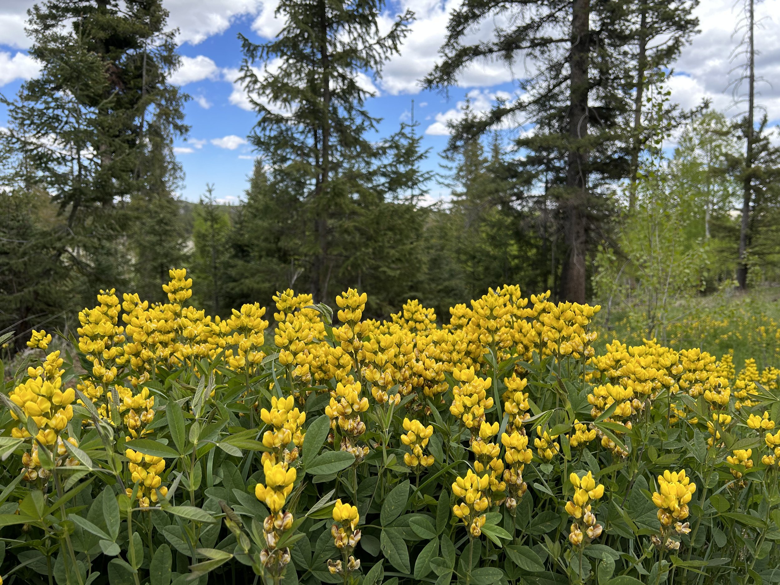
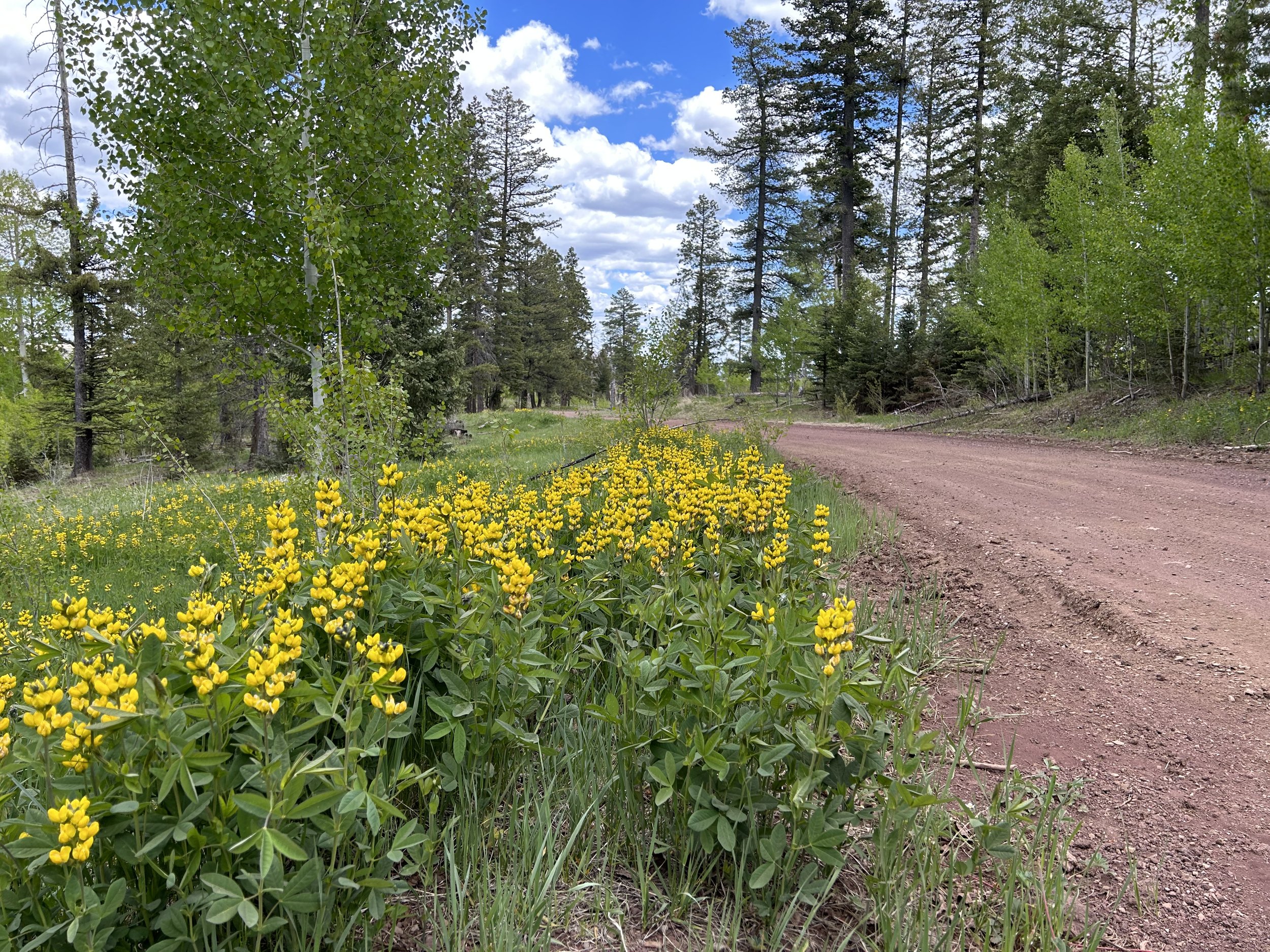
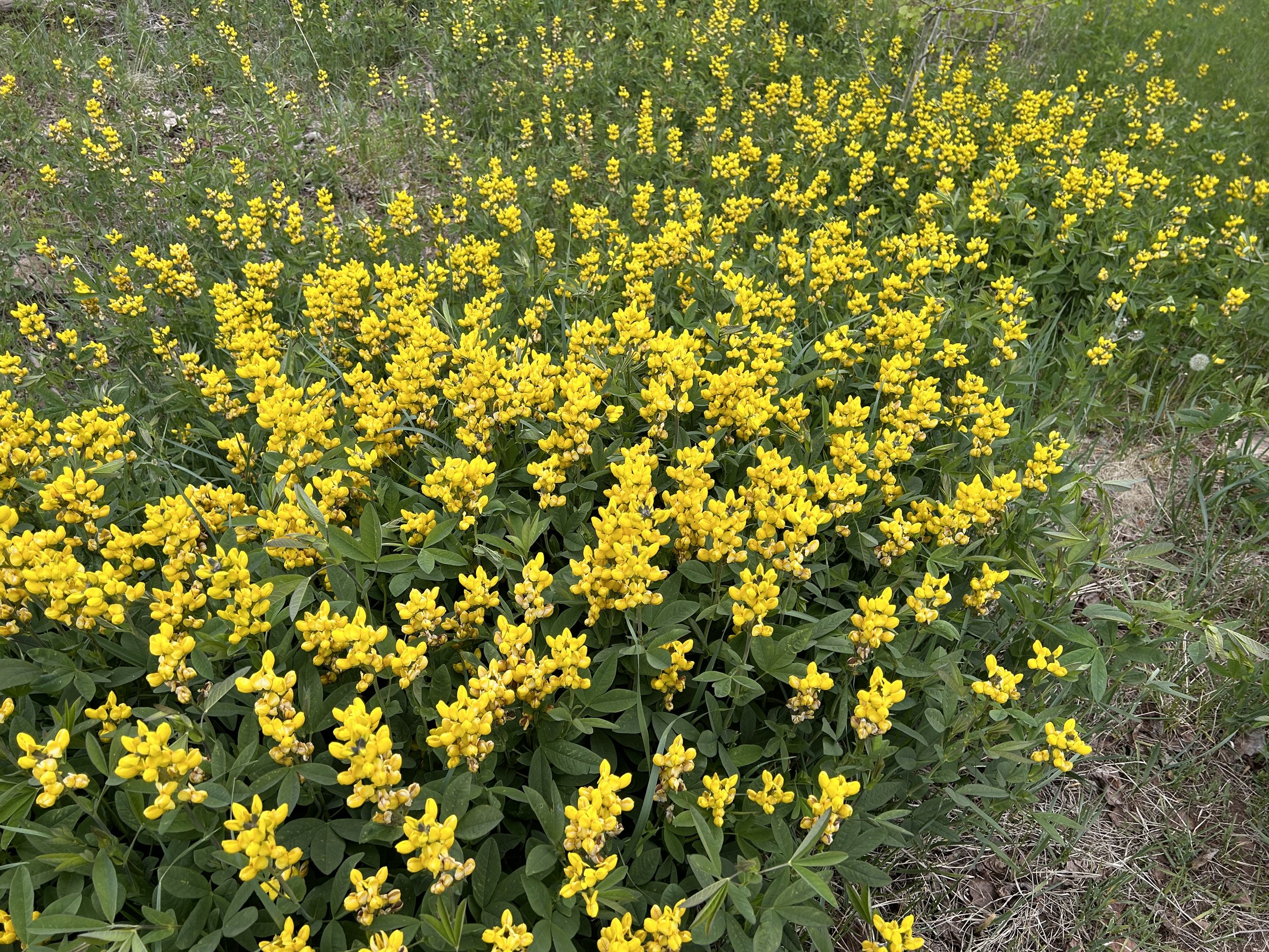
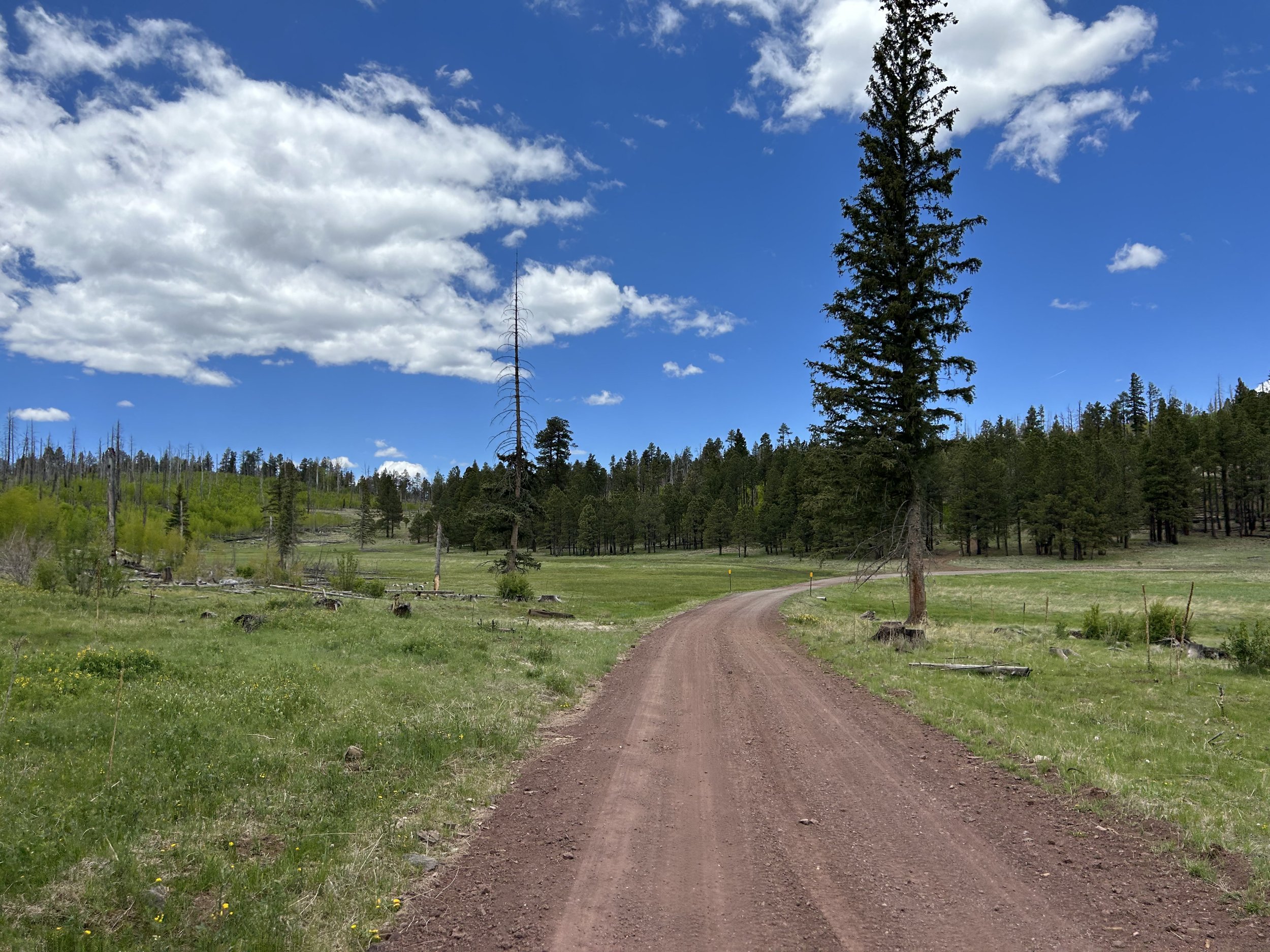
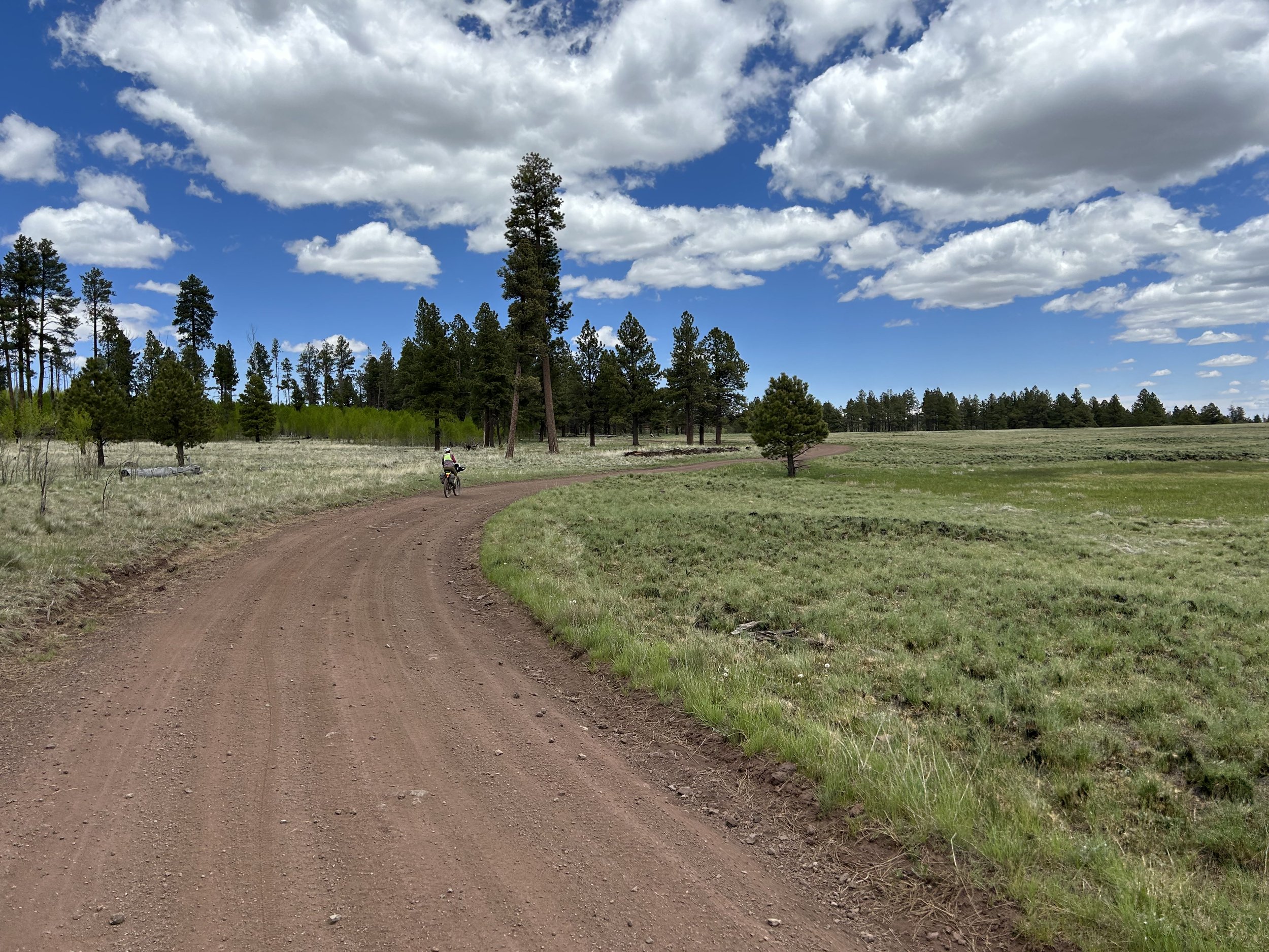
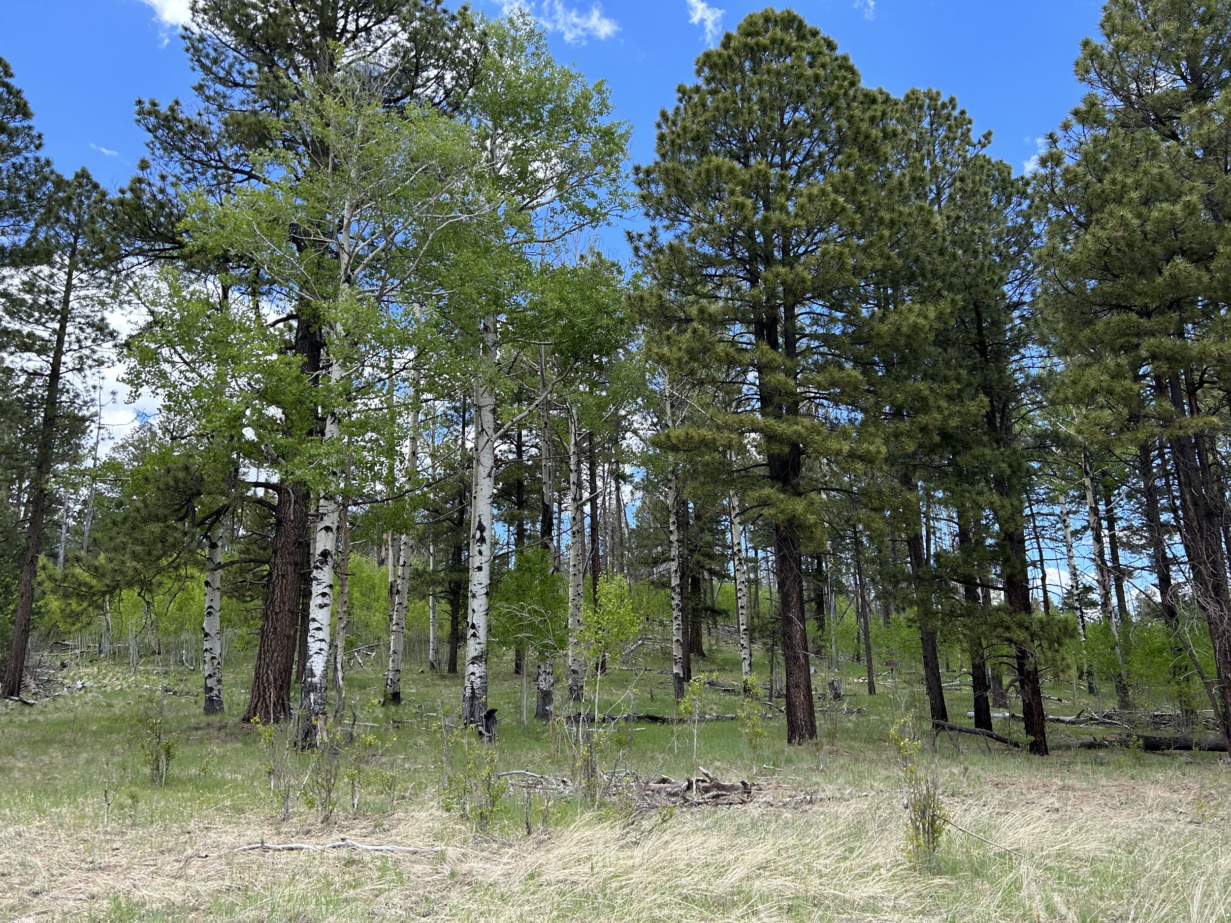
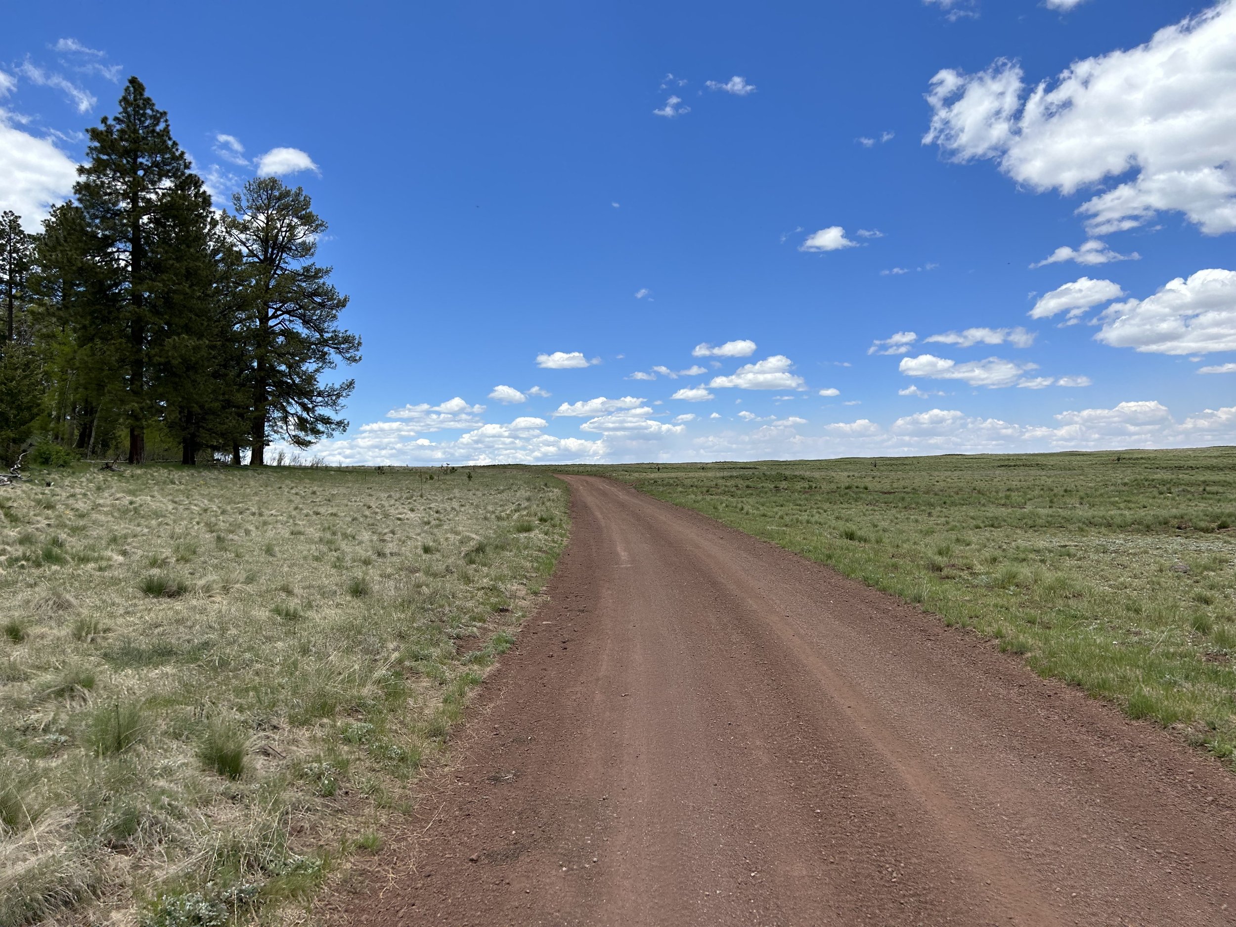
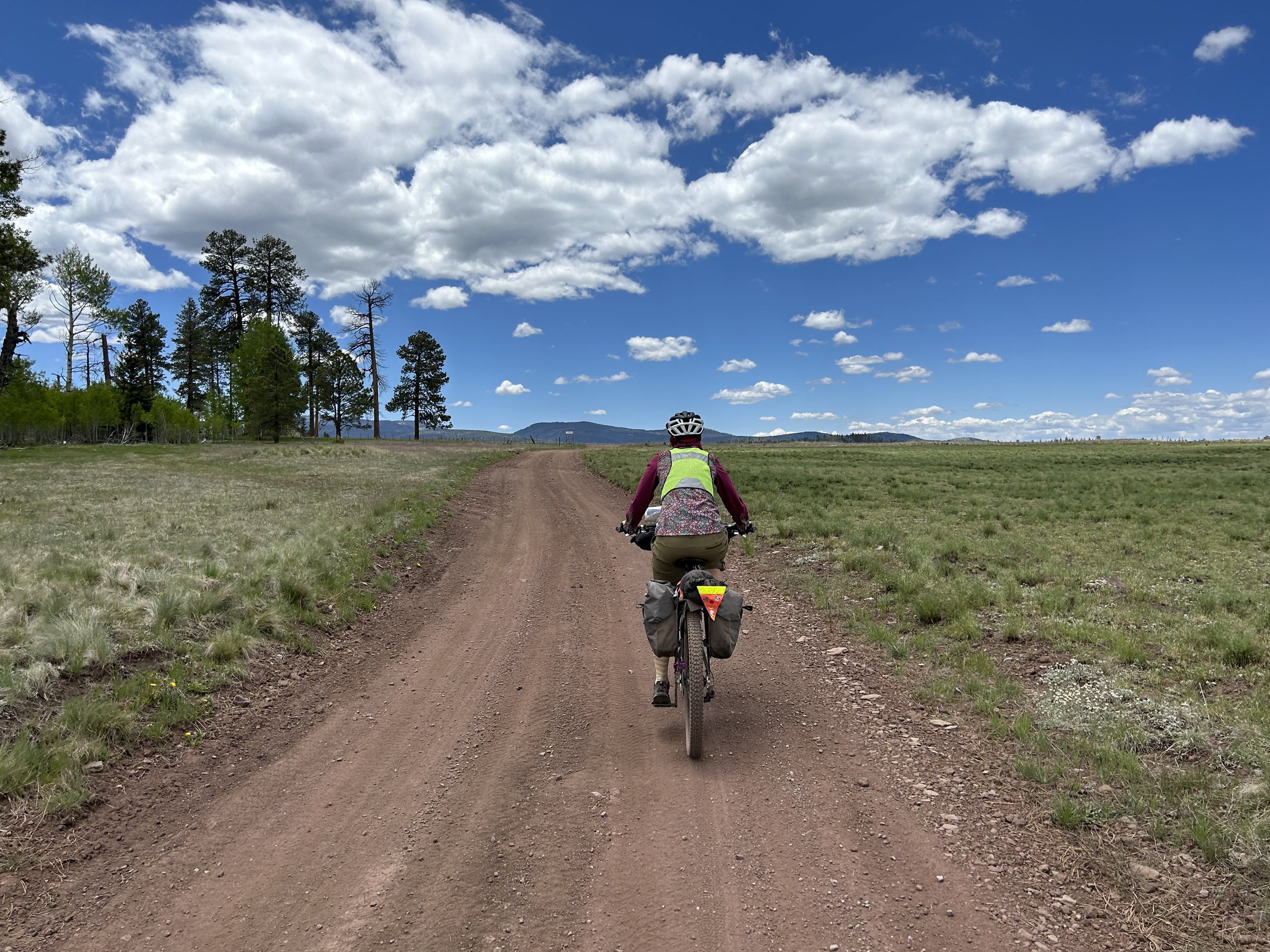
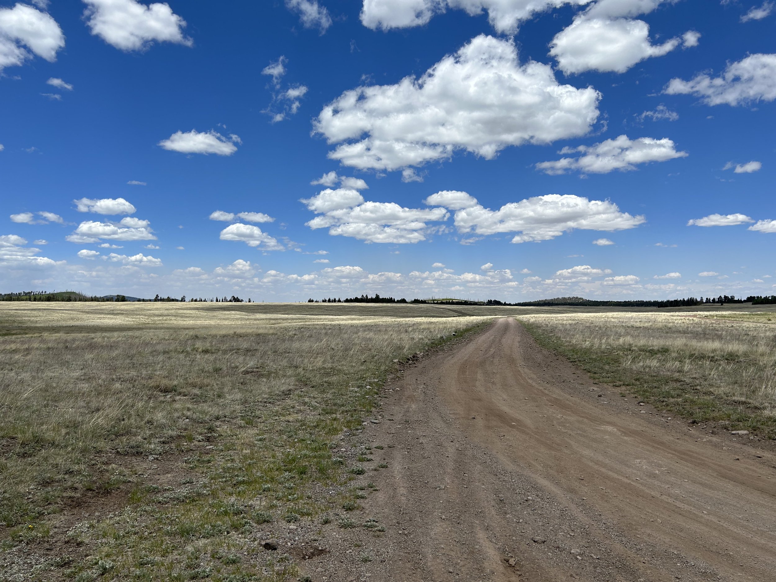
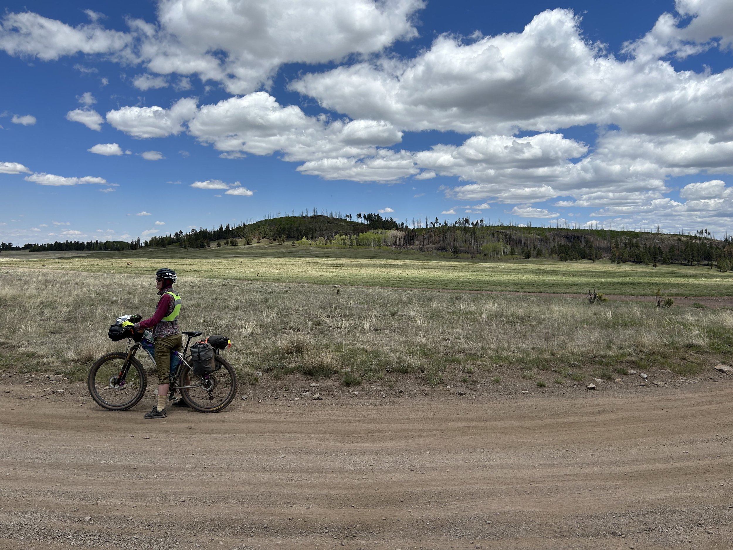
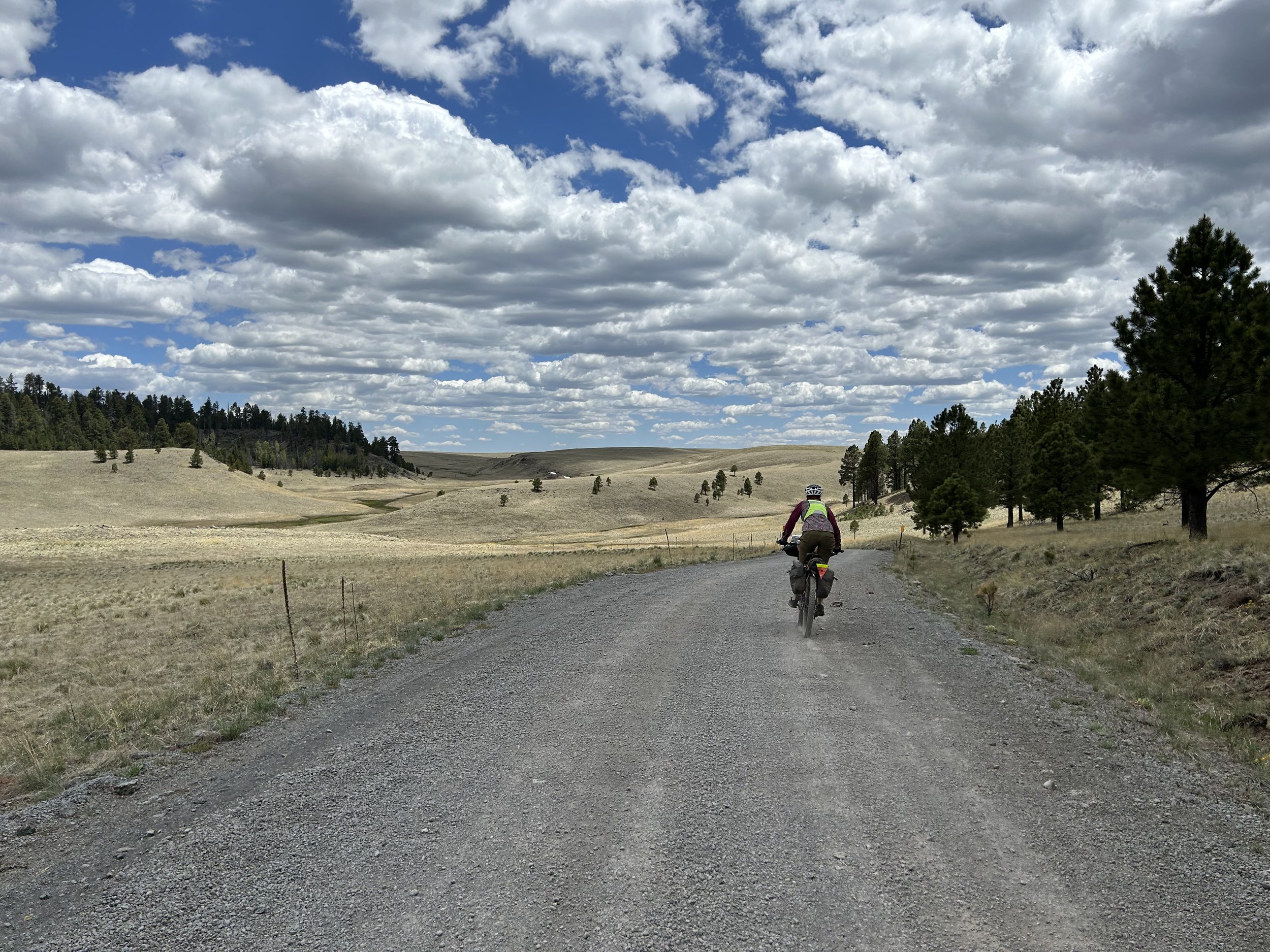
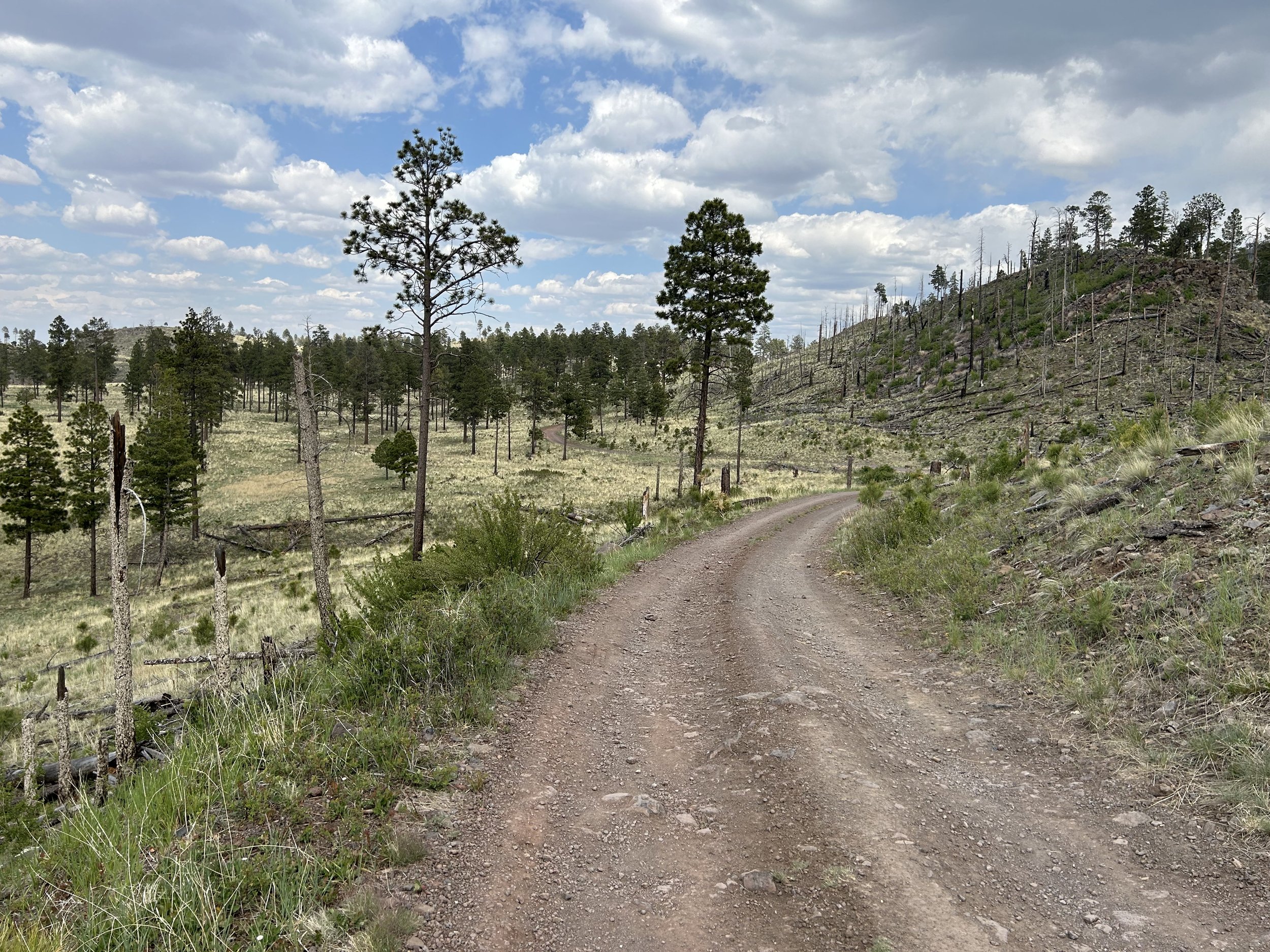
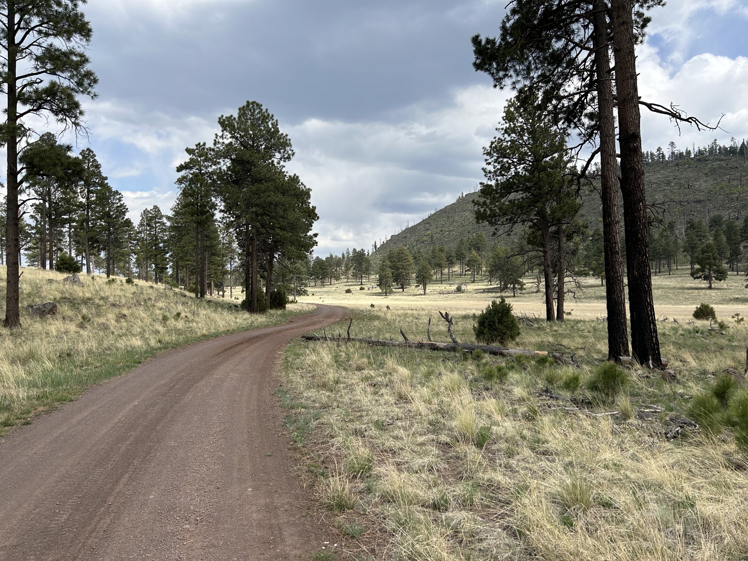
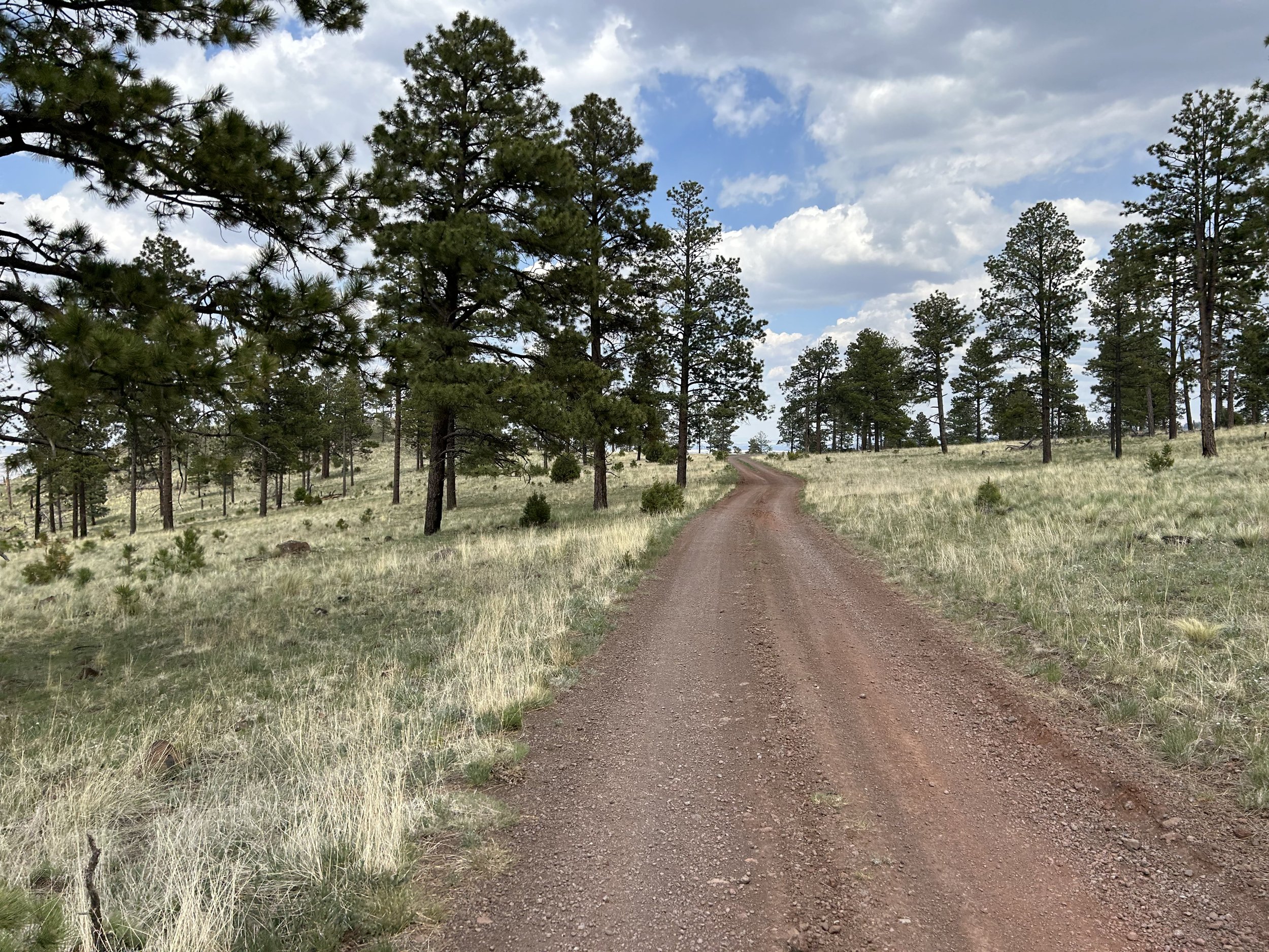
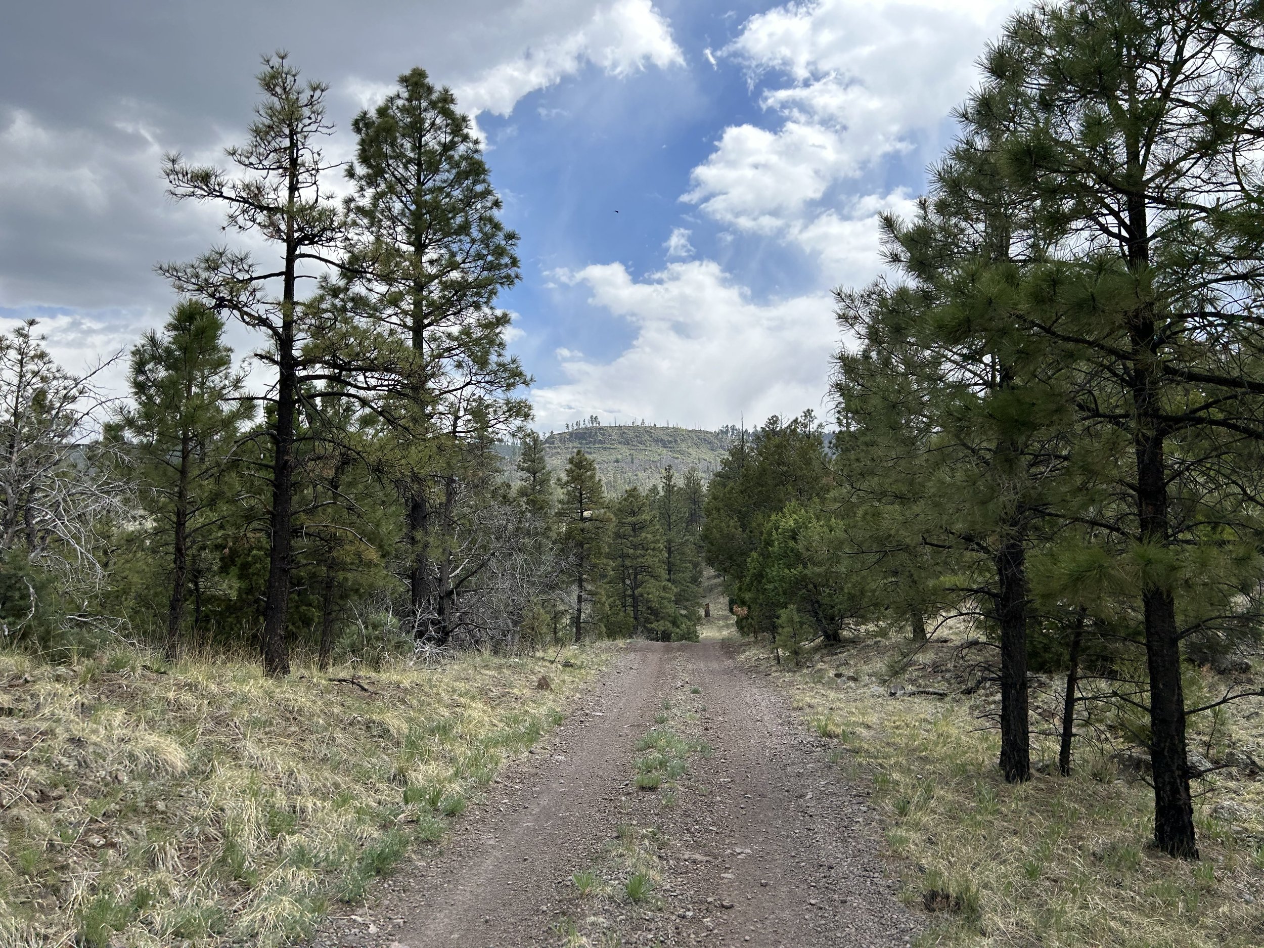
FR 409 snaked through groves of newly-leafed aspen and a biodiverse array of woodlands types on its path across the subalpine plains. Dozens of yellow flowers again and again sprang up along the road. The red dirt path wrapped and wove through treelines and grassfields. All the while, massive puffs of cumulus clustered in quilted gaps in the blue summer sky. After lots of forest thickets we suddenly stretched out on miles of high-altitude meadows where tree branches just frayed the horizon. It was expansive and indicative of the high winds and harsh winters that hit this area. We were around 9000 feet in elevation and the distant views of Baldy all snow-spun stared back.
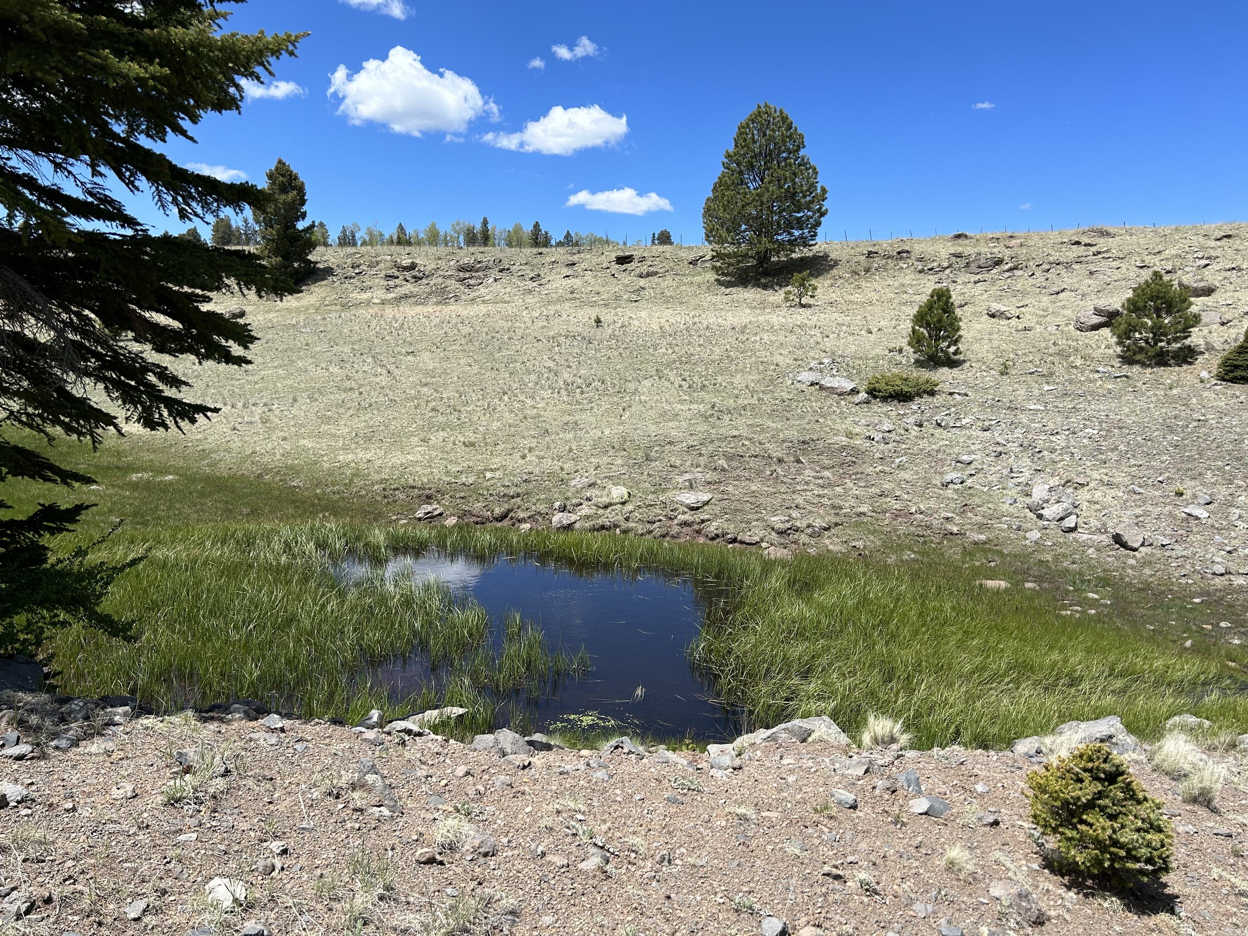
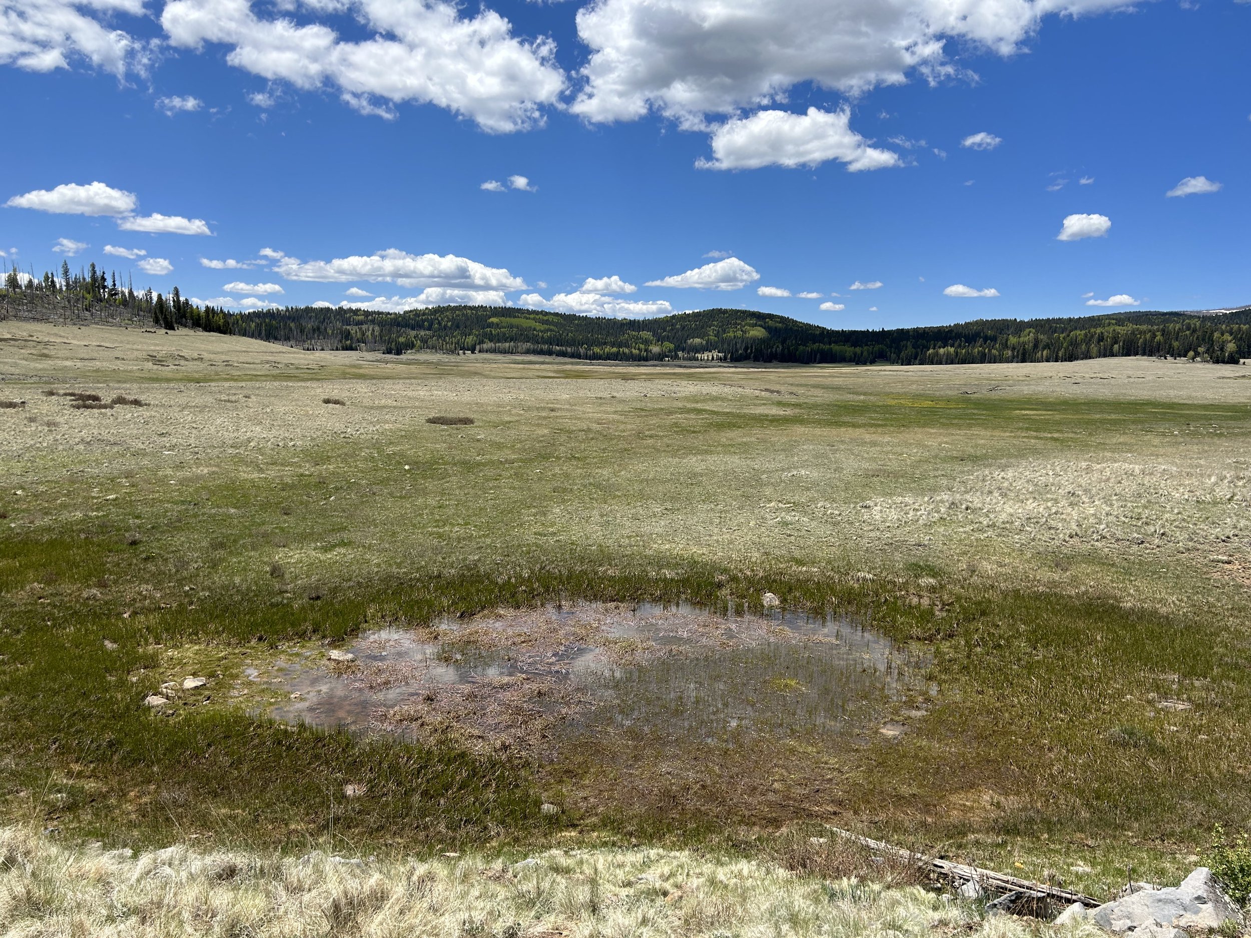
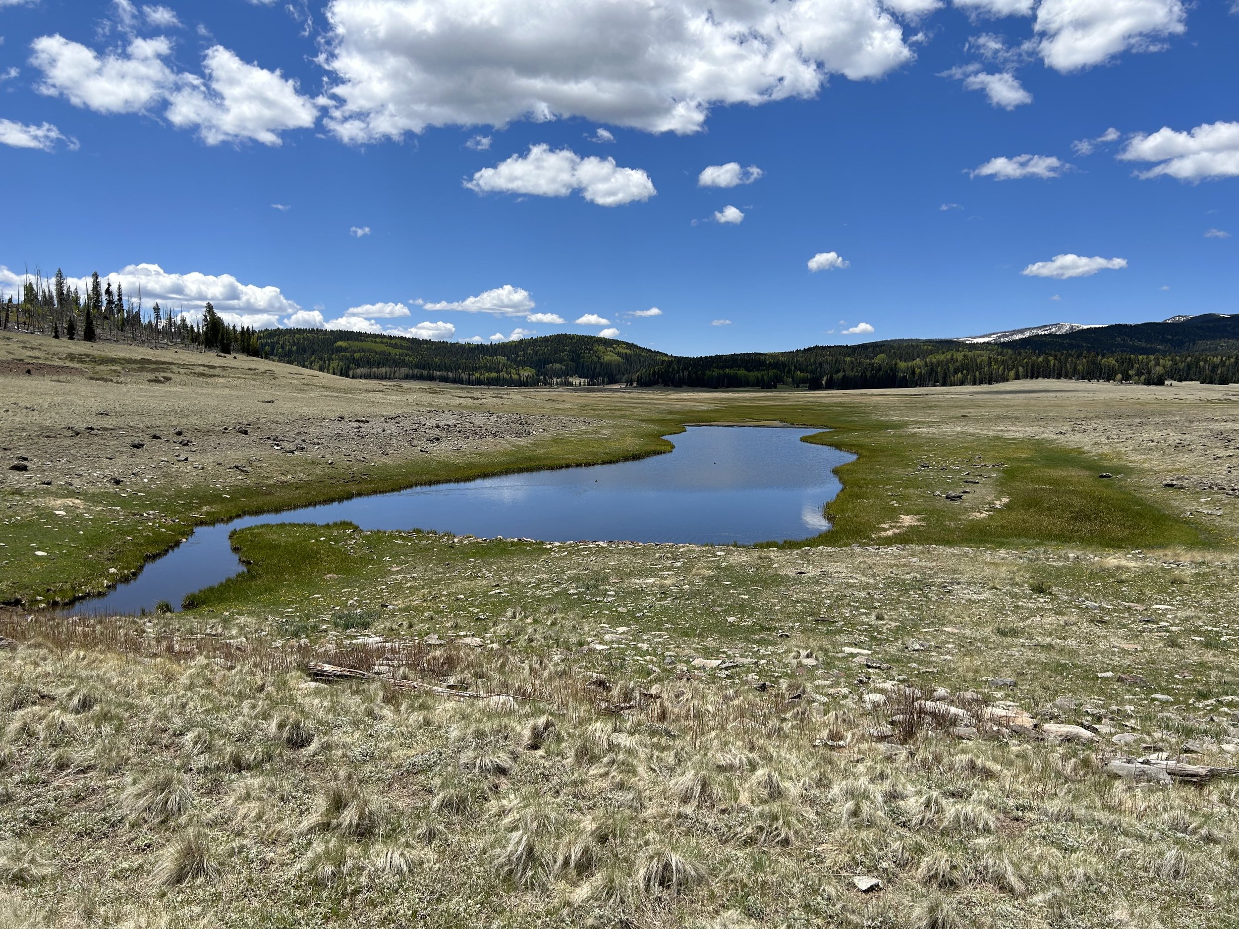
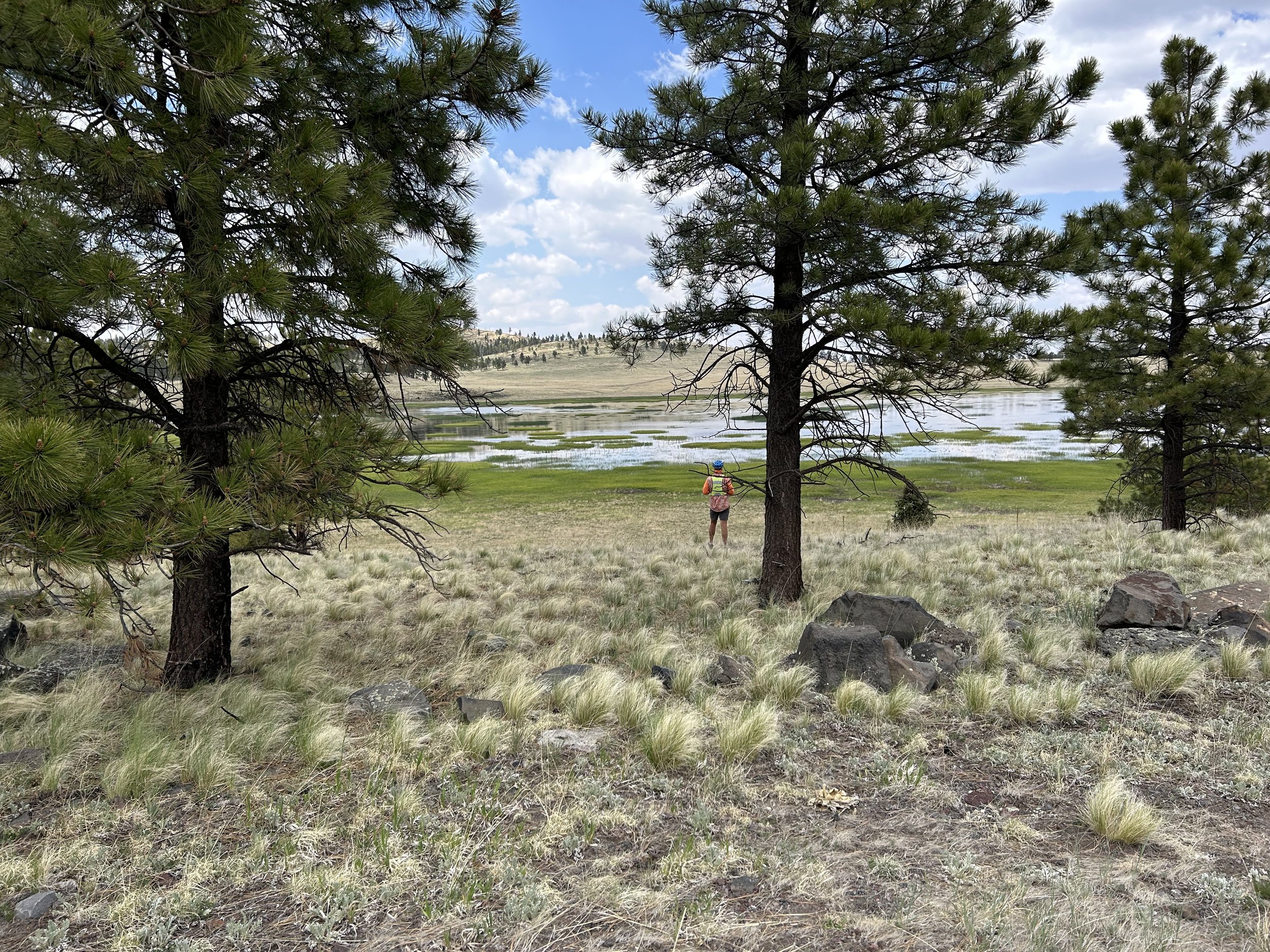
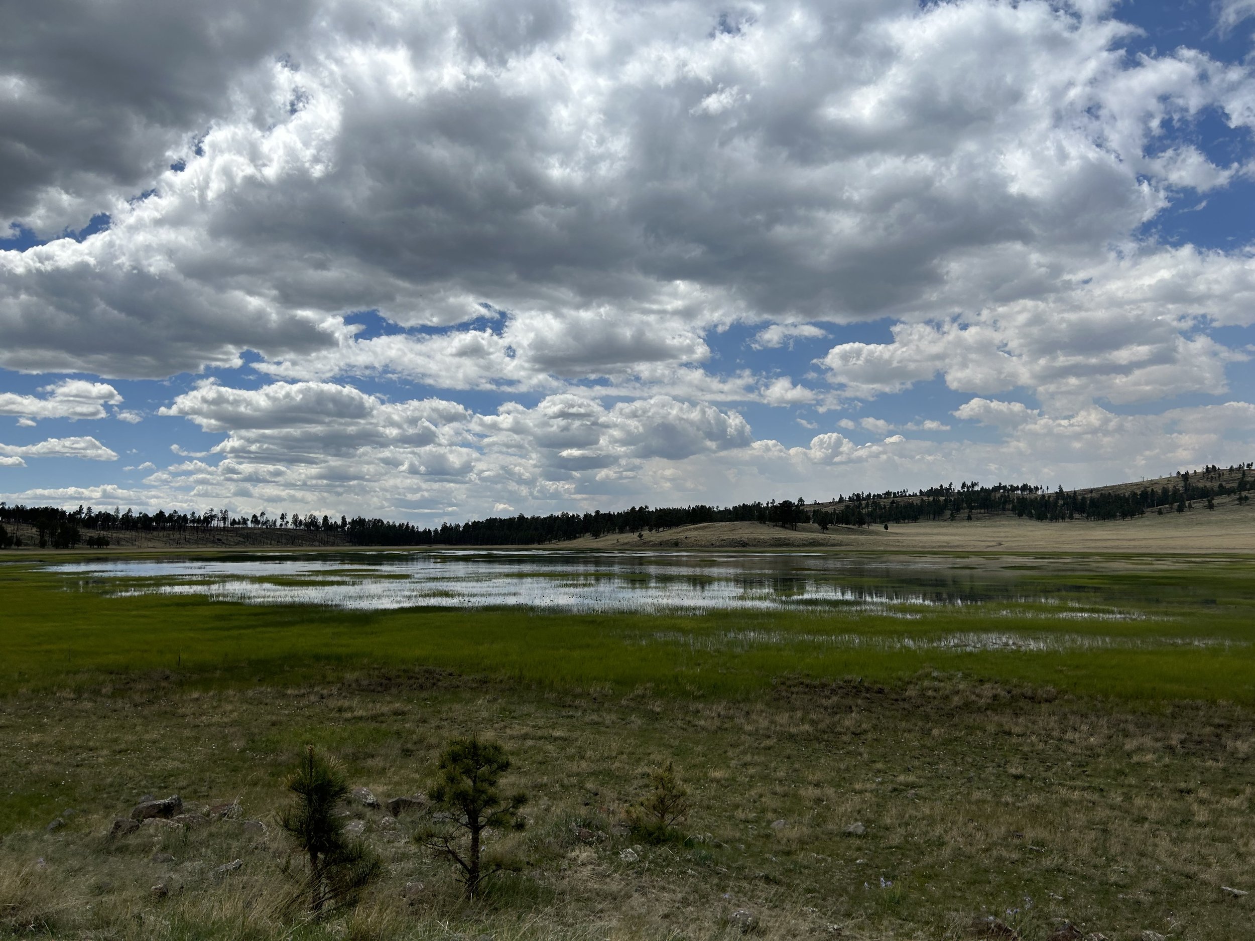
Several marshy-shored lakes drifted by. They were beautifully lined with green sedges, but nothing I would wade in mud to get to. But the bird life they attracted was massive; we could hear their songs well after passing the melt lakes. We paused midday to eat some lunch under the nascent shade of a small group of pines standing isolated in the meadows next to the road. Below us, a tributary of the Little Colorado River carried its melt runoff down to a bifurcated set of ponds with the road running above and down the middle of them. By now, the clouds were starting to gather in earnest, so we wrapped up eating to push on before a storm let loose while we were exposed.
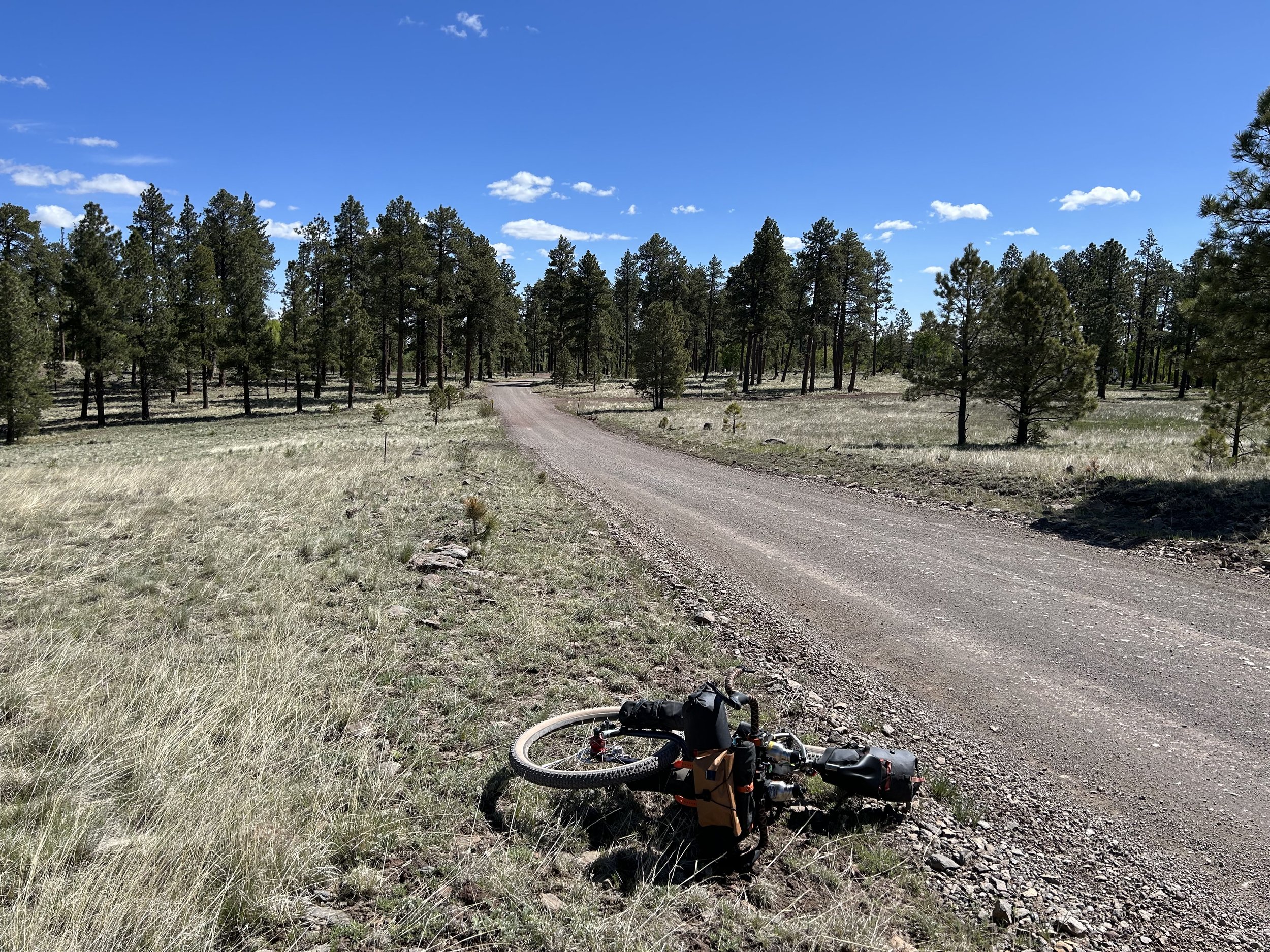
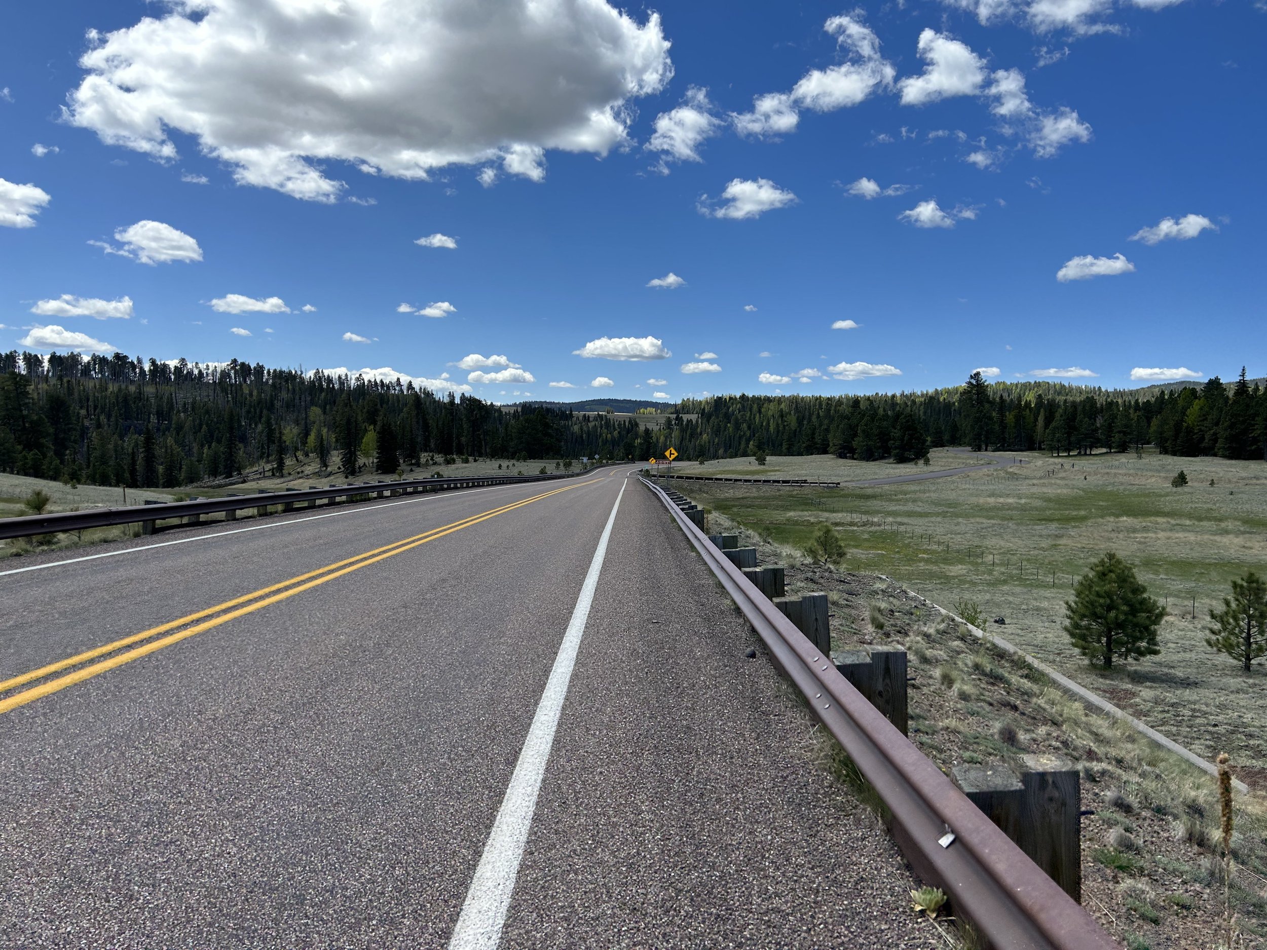
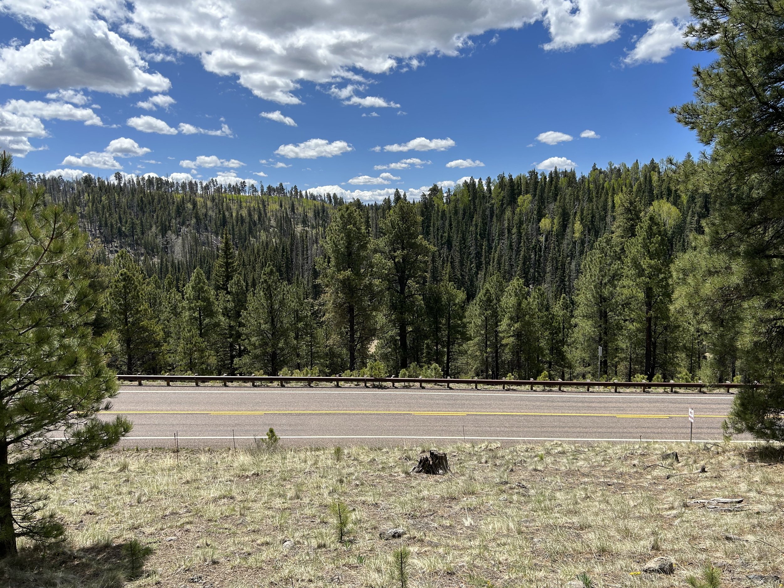
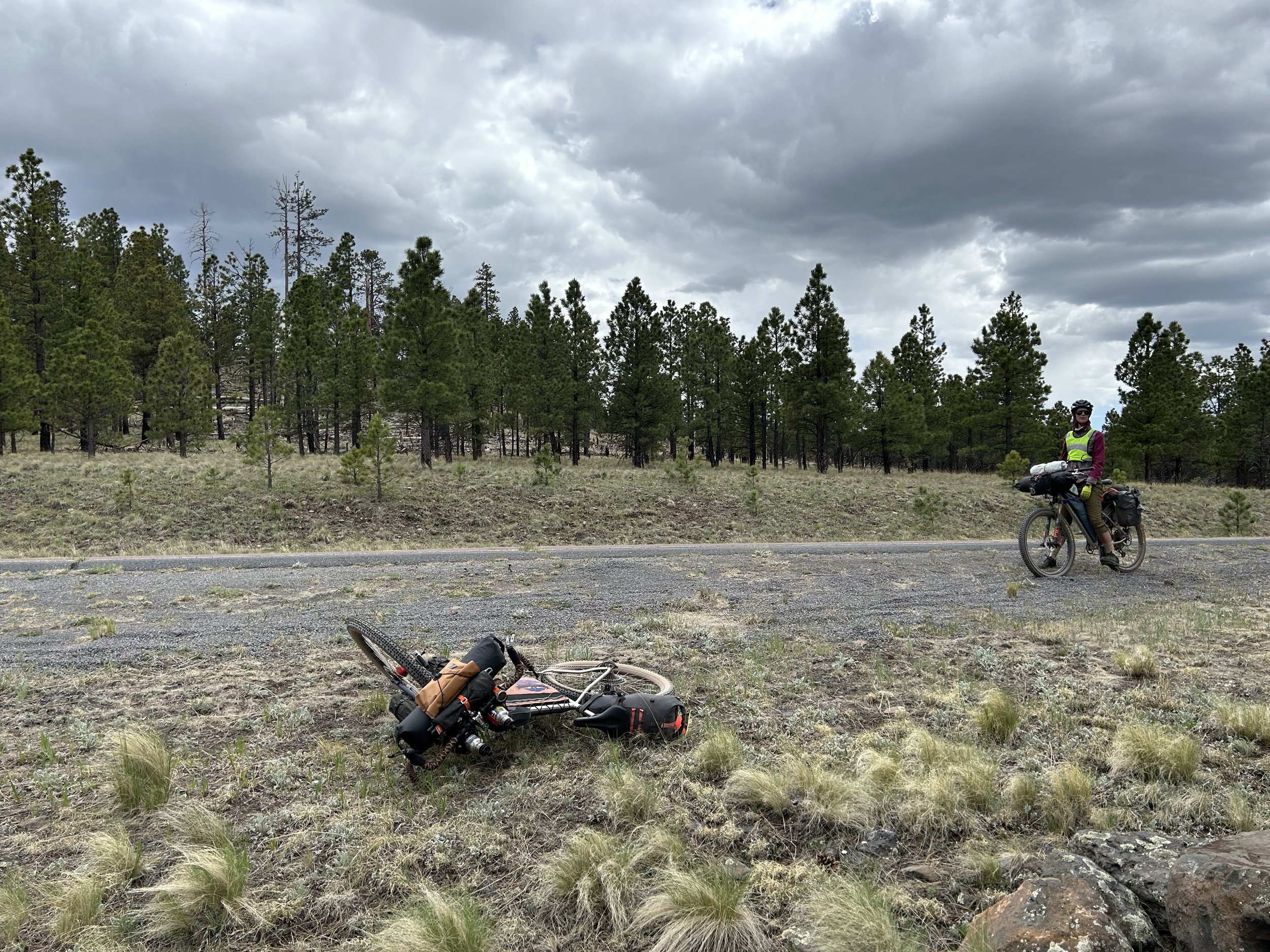
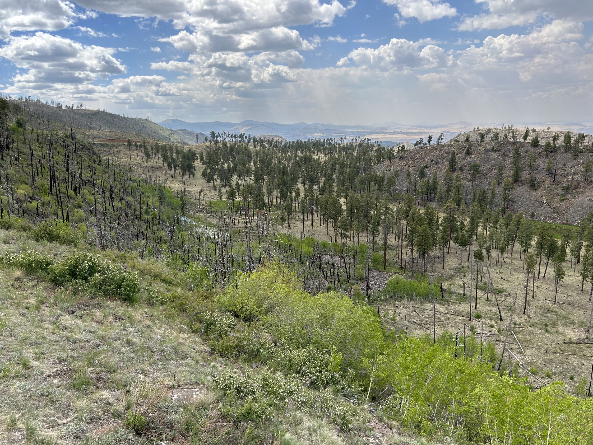
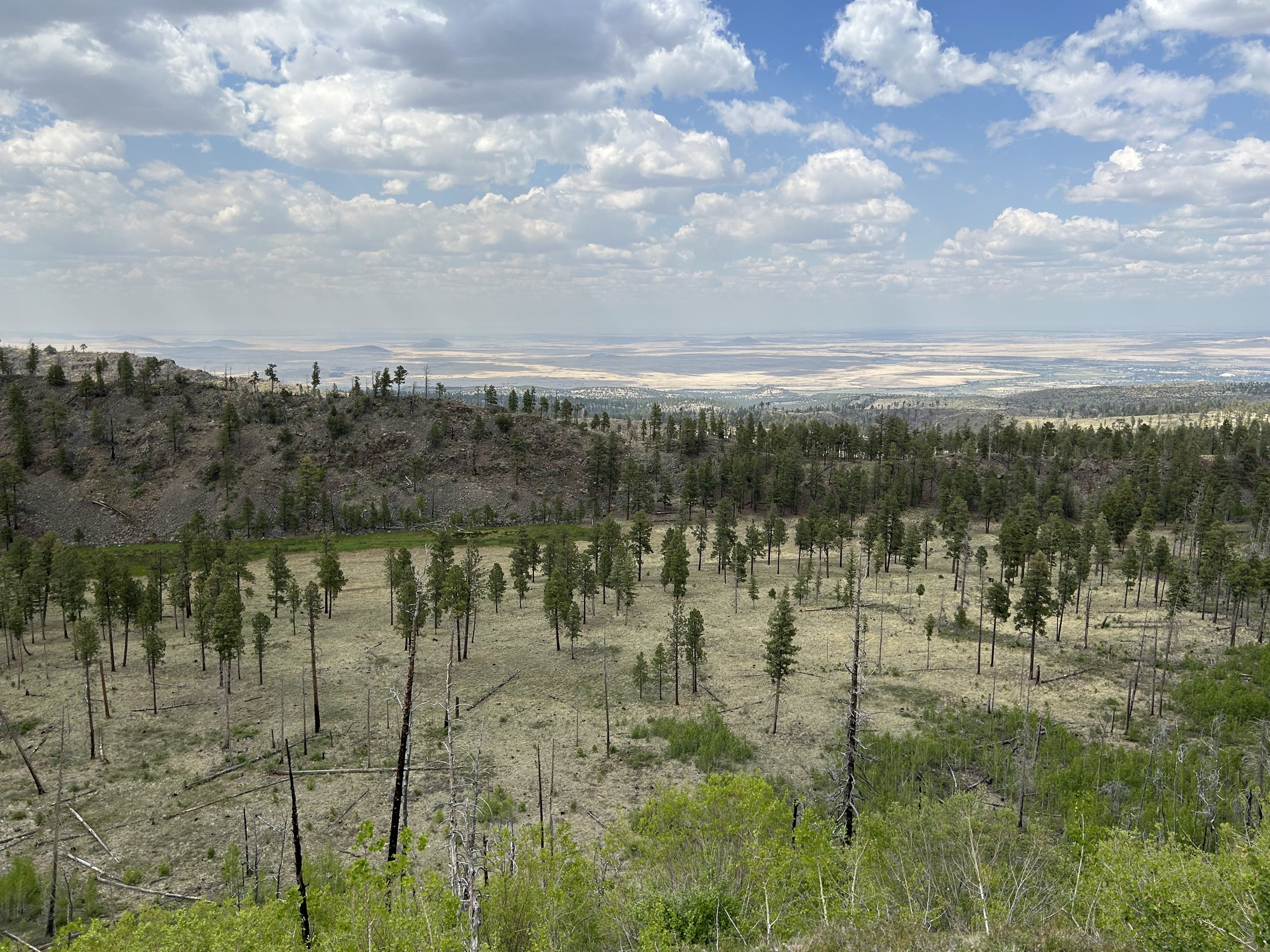
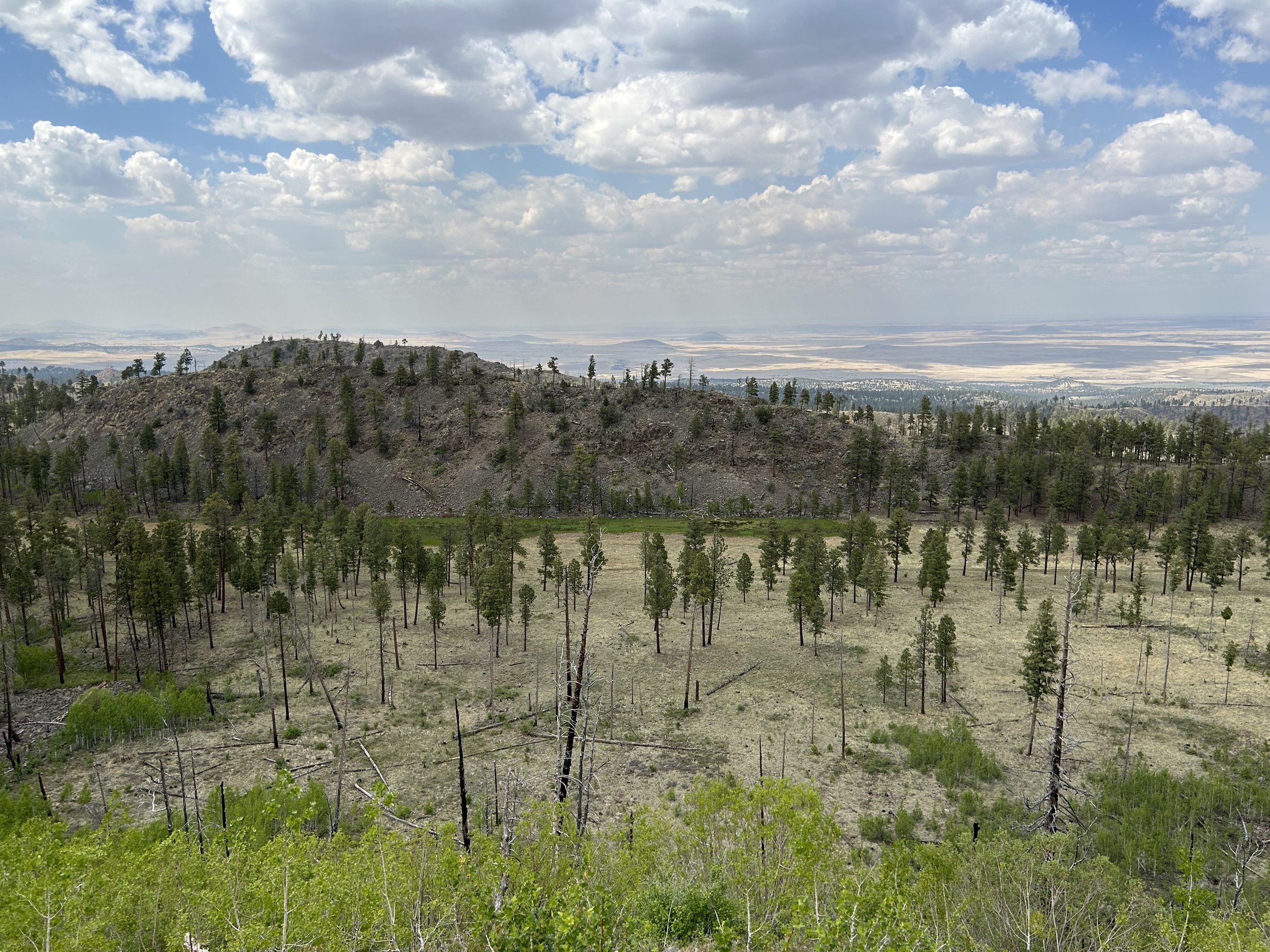
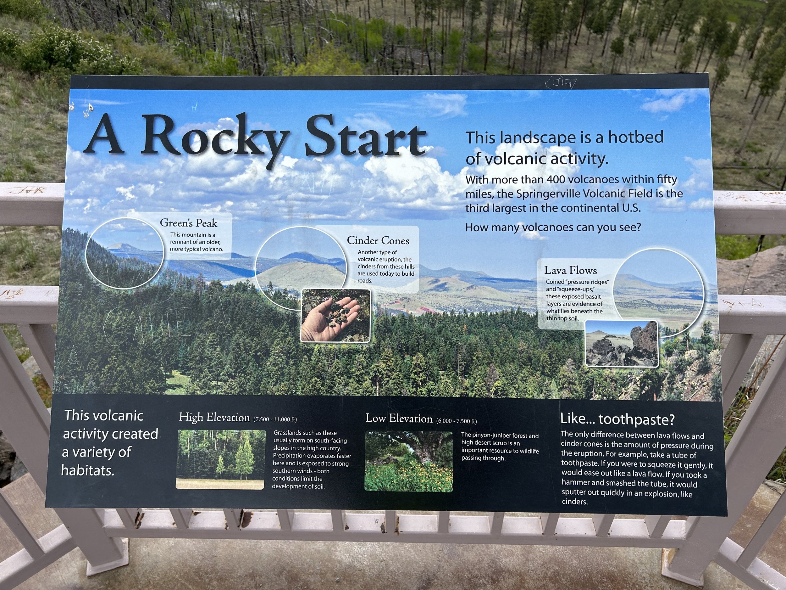
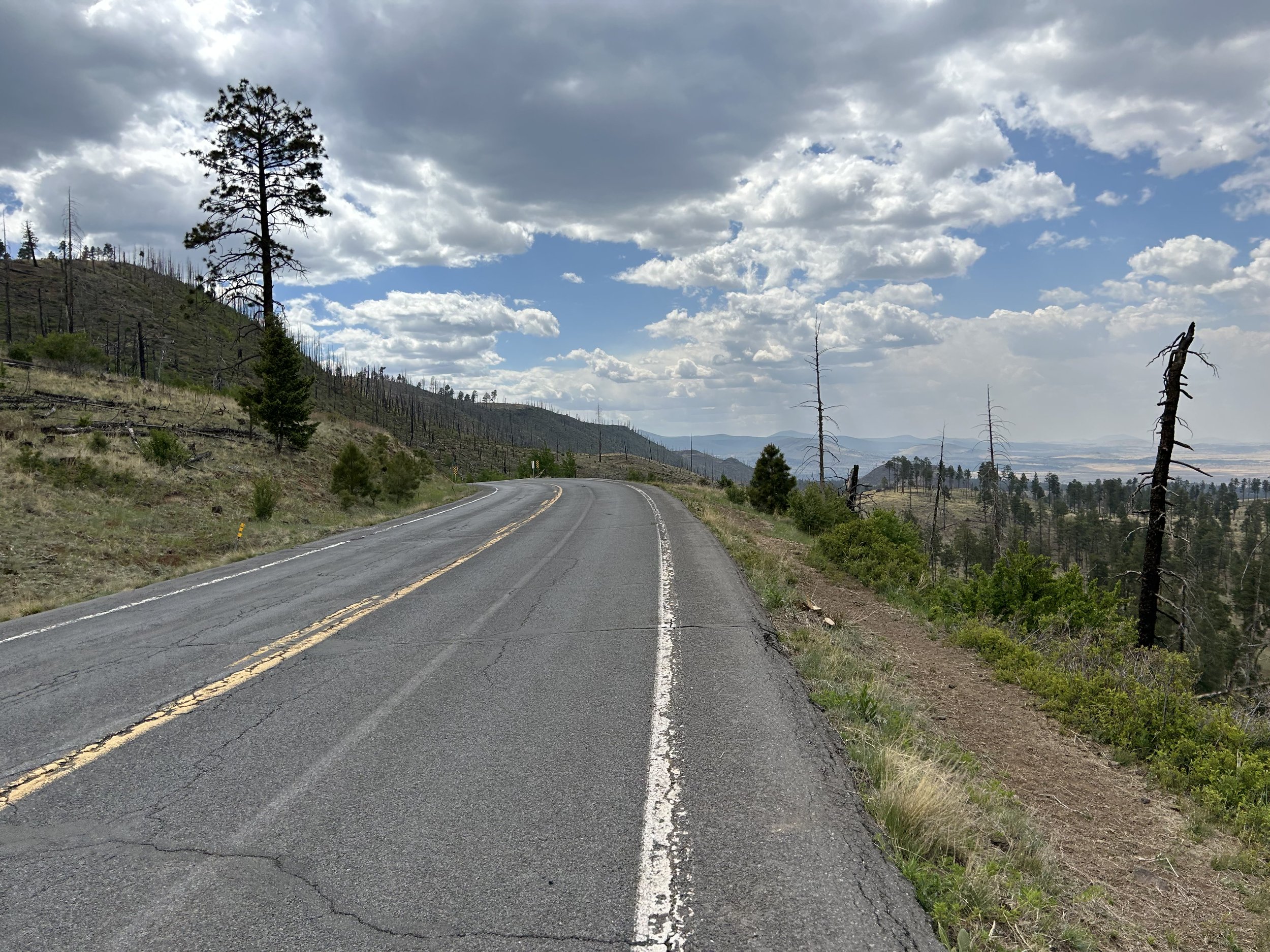
And then we hit pavement. We biked along the quiet shoulder of a highway that passed by Mexican Hay Lake. The trumpeting calls of waterfowl led me to pull off the road, lay my bike in the grass, and hike down to the shores for better views. It was the largest lake of the day and evergreen with riparian grass. I climbed back onto my bike as we circled the lake under graying clouds and reached Point of the Mountain Scenic Overlook. I had been itching to reach this point and get a good view into the high desert grasslands. It exceeded all expectations by just laying open a panoramic view of the hundred of volcanoes found in the Springerville Volcanic View. Satiated with the views and ready to get down to Springerville before it rained, we flew down the windy highway before shortly thereafter pulling off onto a dirt road with a cowboy fence.
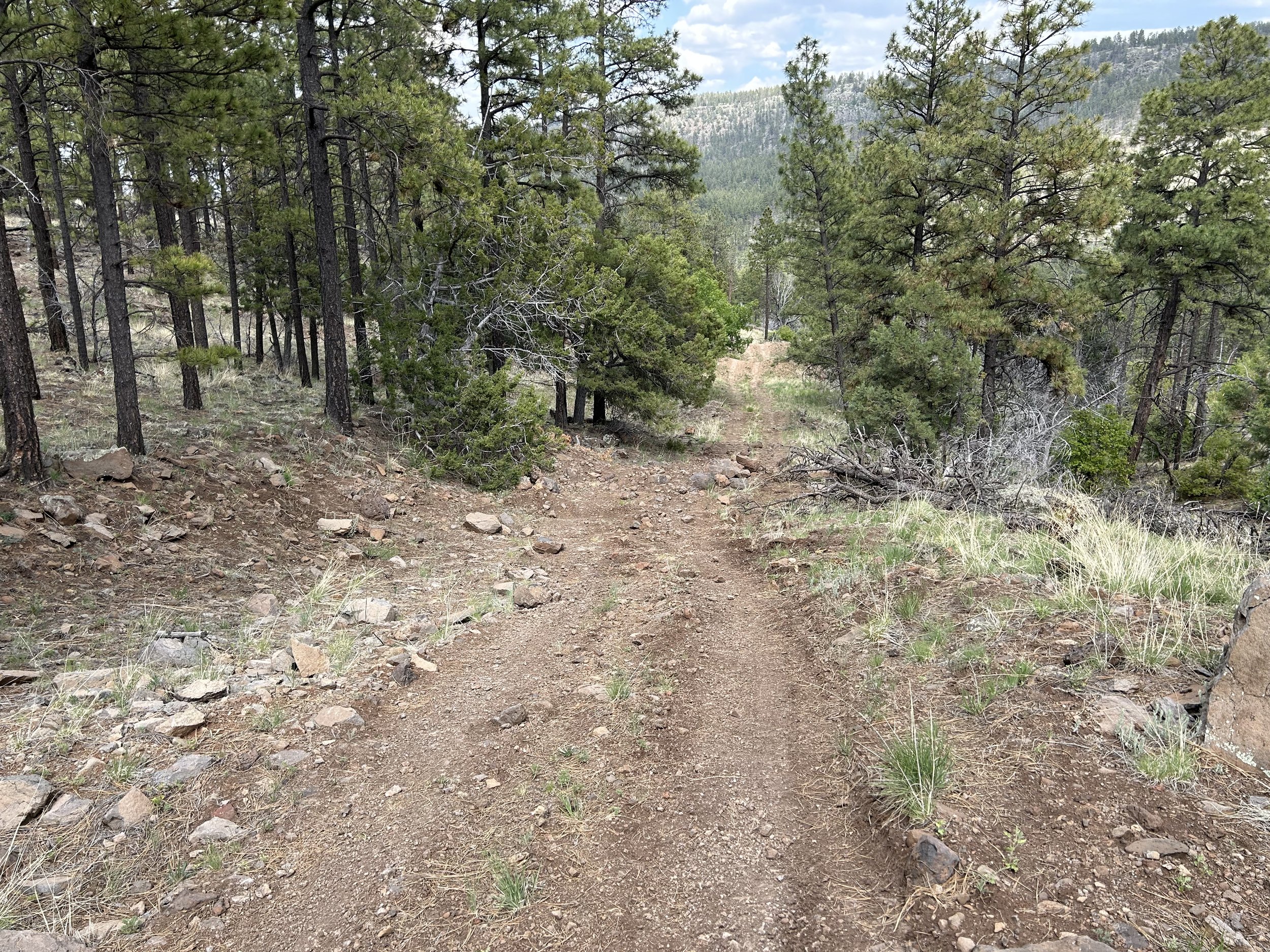
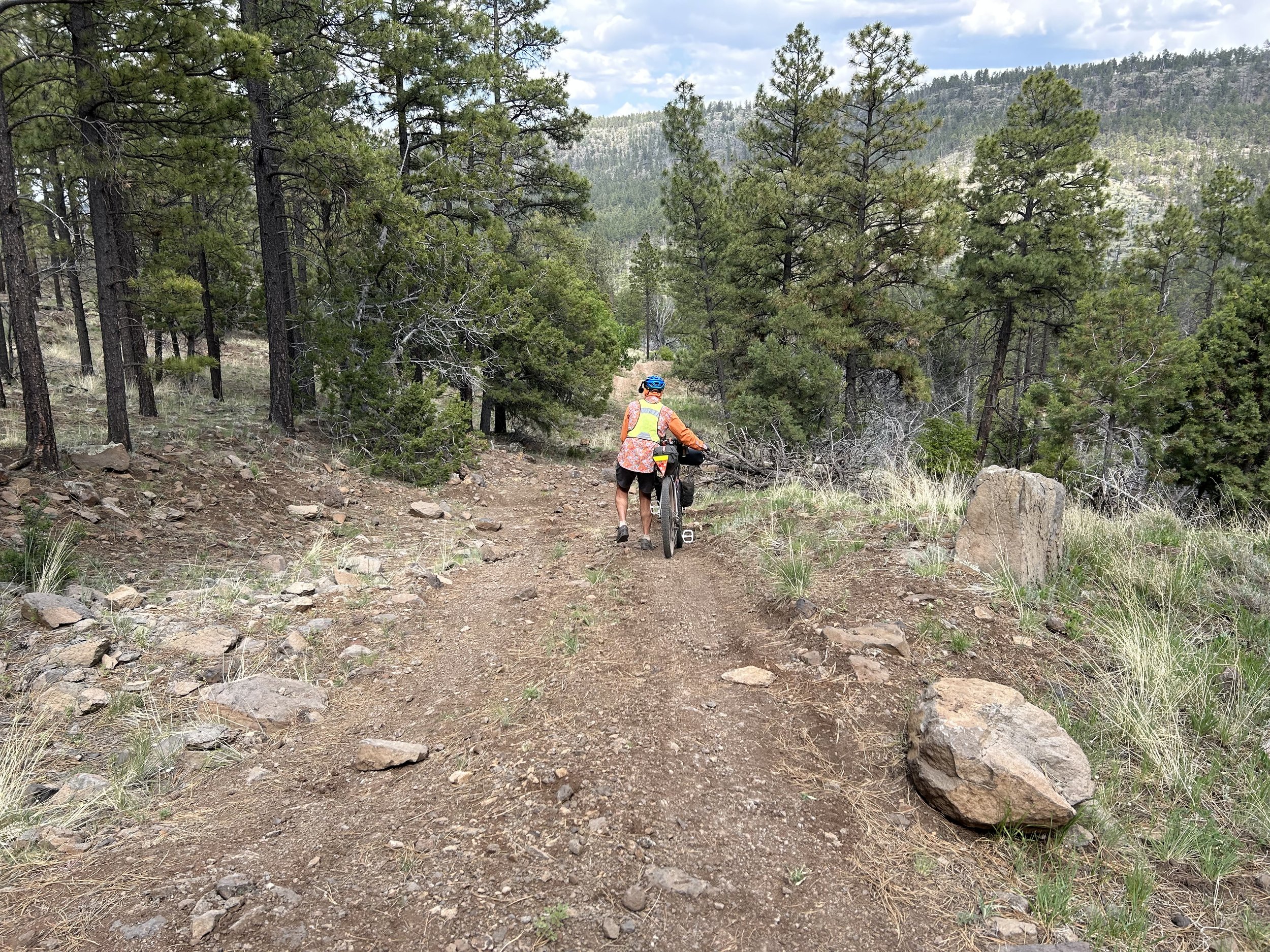
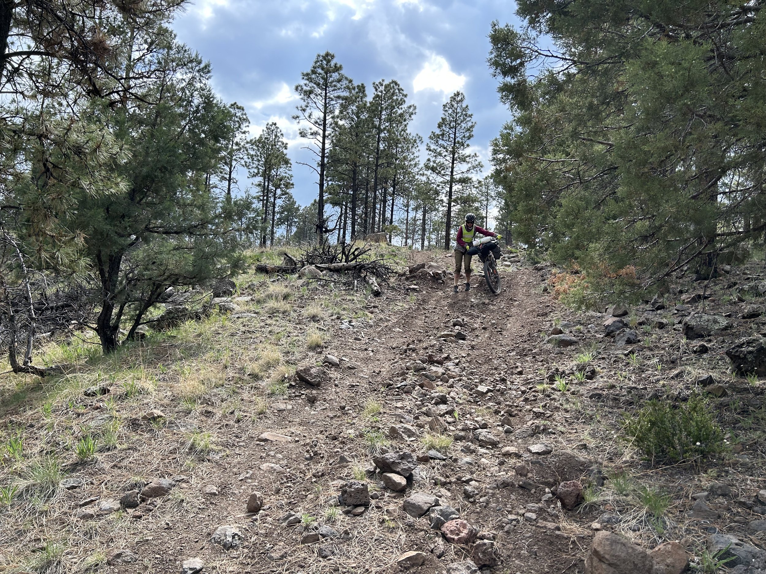
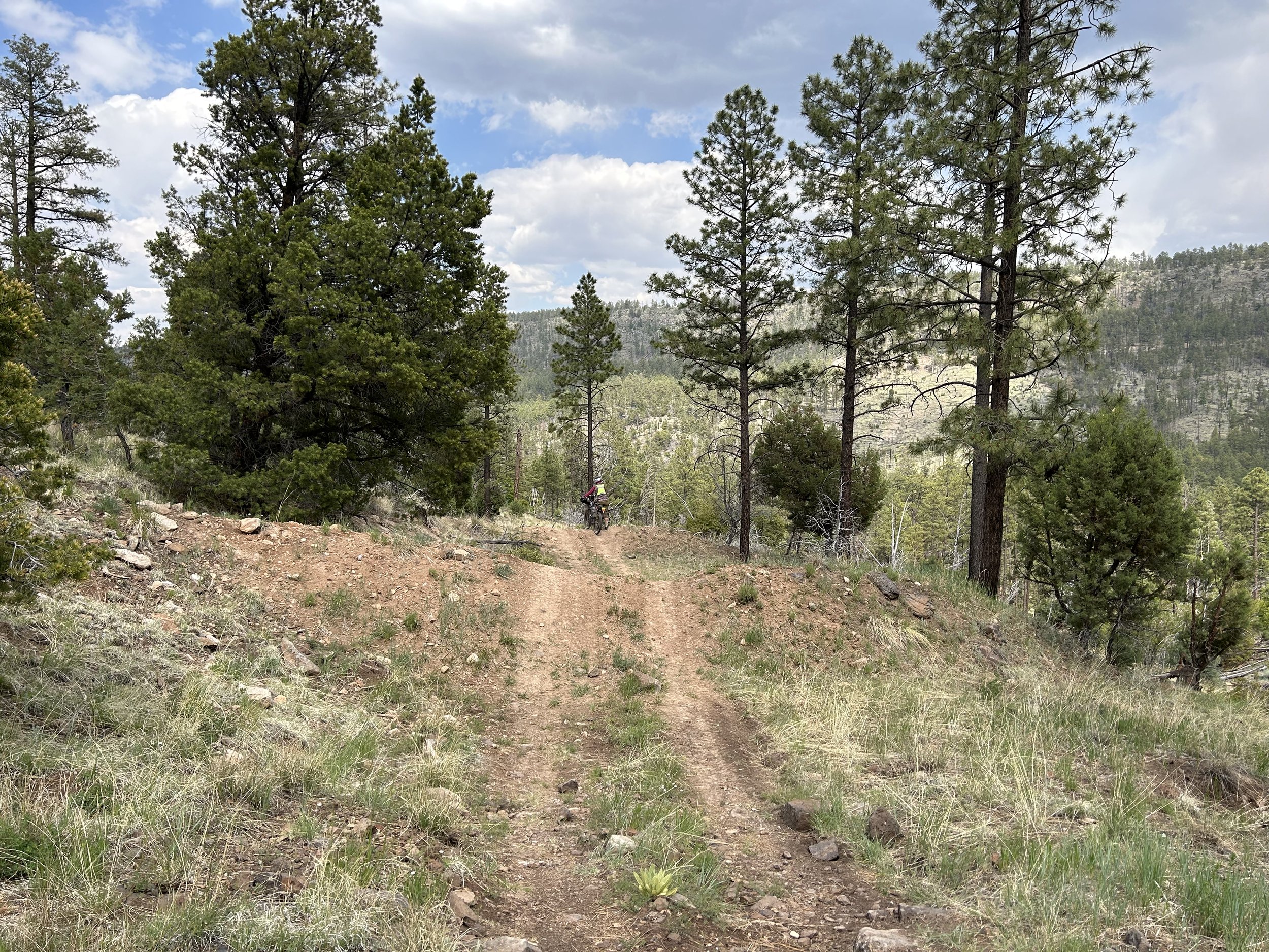
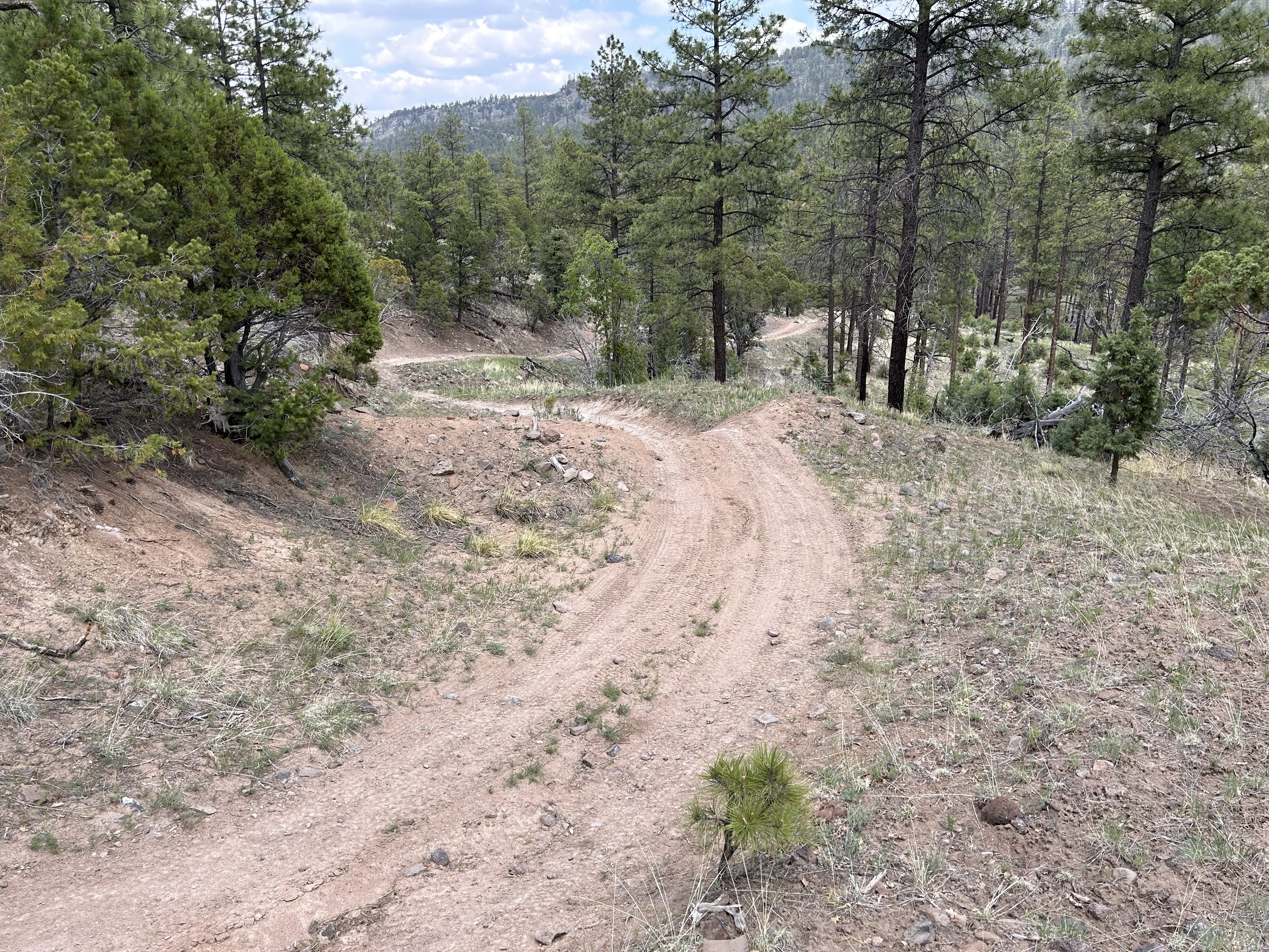
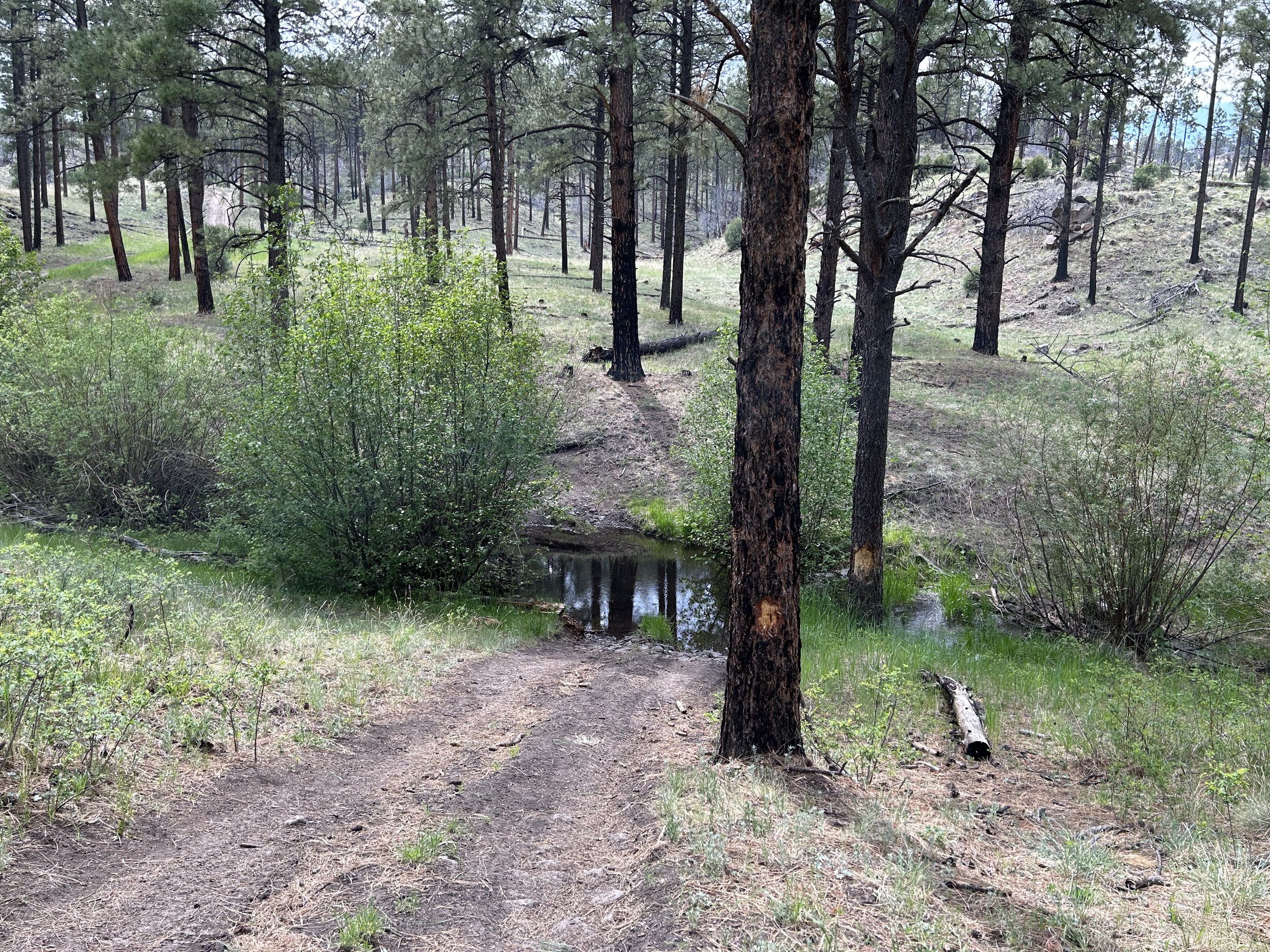
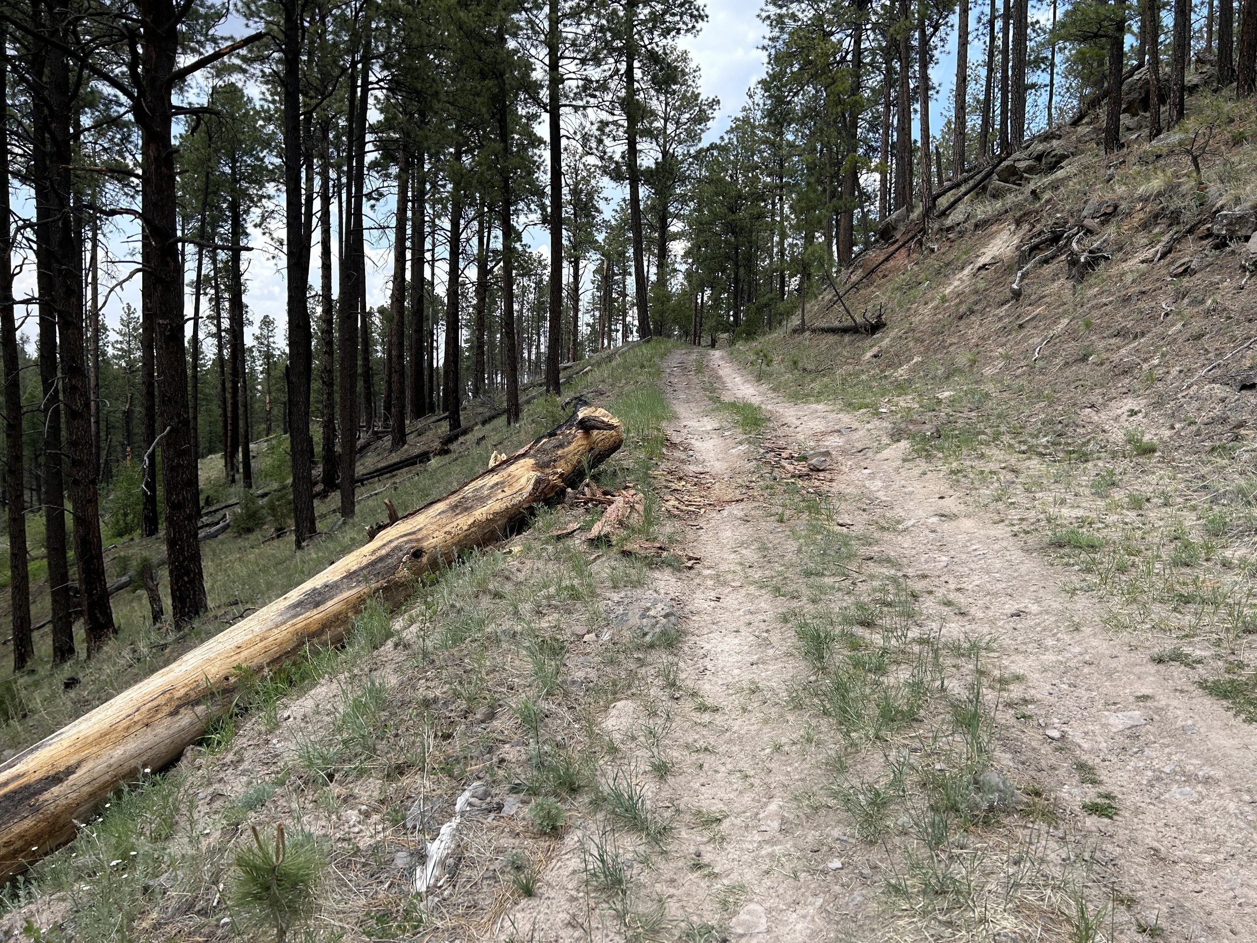
This was admittedly one of the section on the route I had little beta on and unreliable map information. There was supposedly a dirt road here that paralleled the mountain ranges and would allow us to skip miles and miles of busy highway (non-shouldered) down below. However, some maps showed a disconnected 4WD road and older ones showed a connection. Determined to find out, and eager to avoid cars, we started down what looked to be excellent doubletrack. This continued for sometime, even passing by a great, rather reliable spring. But then, we rounded a corner where more modern maps indicated a sudden end to the road and were met with what I can only describe as a chunky, ATV pumptrack. It was rocky, loose, steep, and decaying everywhere. The road plunged down a massive ravine. The doubletrack was visible but, to us, had to be hike-a-biked. Luckily, this entire bullish section was short lived. Most maps had this as non-motorized use, but open to bikes, which explained the primitive track. But another round in the bend brought more rideable (but with brakes on!) conditions where I sped into a berm and down to Water Canyon Creek. The creek flowed narrow but deep over the road. A family out for a day hike on the other side told us to walk up the creek a bit to a better spot to carry our bikes over for crossing. Once crossed, we sped up the more apparent doubletrack and merged with Water Canyon Road - a well-maintained gravel road.
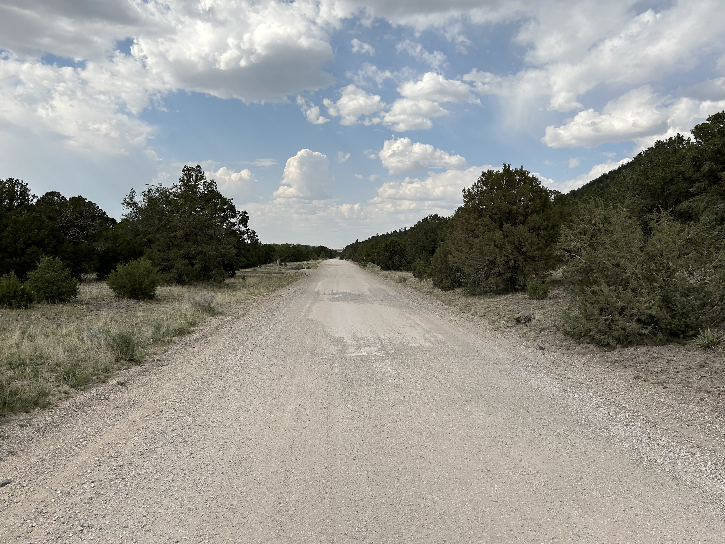
Janna and I sped down the excellent dirt surface and watched as ponderosas and aspens quicky gave way to pinyons and junipers as the high desert rose up (and the temperatures rose in kind). We hit pavement on the outskirts of Eager but it had a great shoulder. We spun off down some neighborhood-less-busy roads and then intersected with the main highway so we could run into Bashas to do a resupply on food. Big storms swirled around us with rain so we made our way to Reed's Lodge in downtown Springerville to stay the night (especially since there were many miles of private land ahead before we'd be back in the National Forest). After checking in, dismantling gear, and do some nightly bikepacking chores, we were told that an "all you can eat" fish fry was going on down the road at a local restaurant. We headed down and ate tons of fish and biscuits before returning to our room to eat some more greens and fruit while a Harry Potter marathon played on TV.
